
![Hatcho Pond (1170m), Izu City, Shizuoka Prefecture, Sunday, September 25, 2022 [Mt Amagi Hike]](https://hikingtokyo.com/wp-content/uploads/2022/10/img_20220925_144524.jpg?w=1024)
Hiking in the Fuji-Hakone-Izu National Park
富士箱根伊豆国立公園
I wanted to use the Shinkansen for this hike, since a typhoon had dashed my silver week Tokyo Wide Pass plans. I decided to use the Tokaido shinkansen, not covered by the pass, to do a hike on Mt Amagi on the Izu peninsula. It had been five years since my last time there; it would also allow me to make a 4th consecutive visit to a National Park. Looking at my hiking map, I saw that I could hike up the west side to a lake and a viewpoint, and then return via a different path. I would ride the high speed train from Tokyo station to Mishima, and then transfer to the Izu-Hakone line which I would ride to Shuzenji; there, I could hop on a bus for Amagi Tunnel; I would return the same way. The typhoon had brought record rain to the area but online information showed no disruption to public transport; I hoped the trails would be intact as well, since the weather was supposed to be blue skies and warm temperatures. I was looking forward to a nice forest hike and a great view from its highest point.
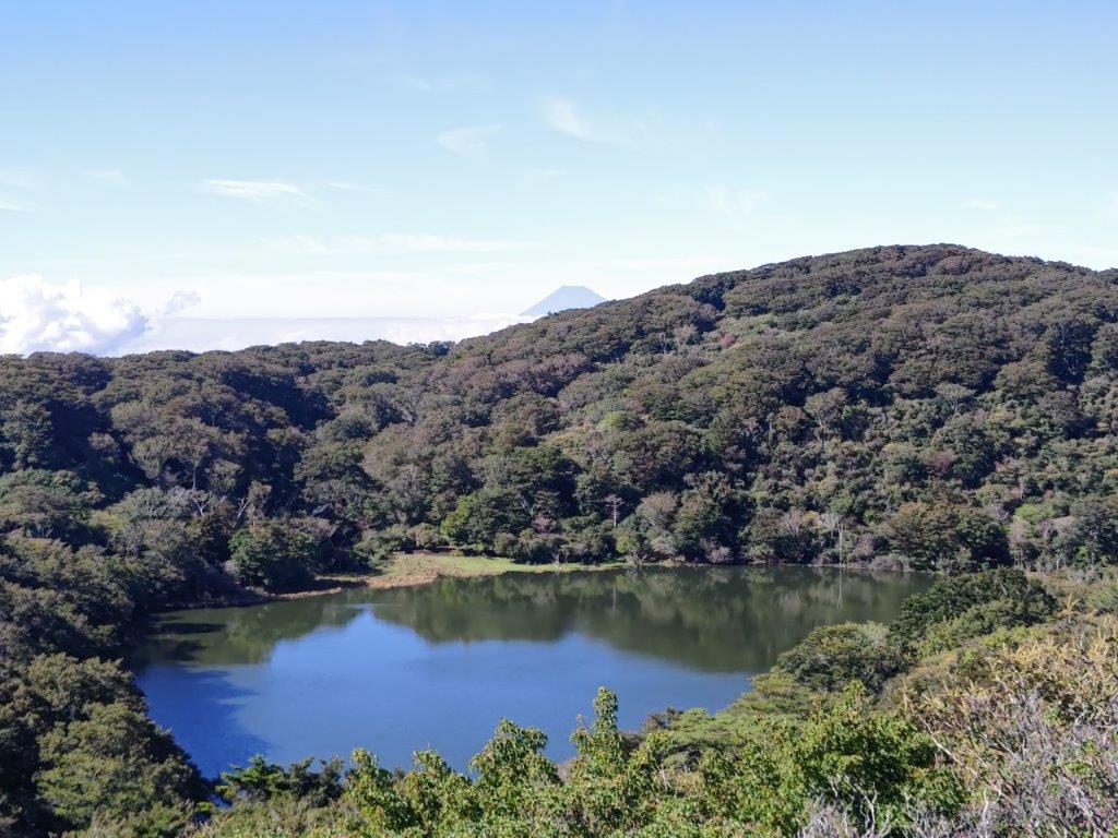
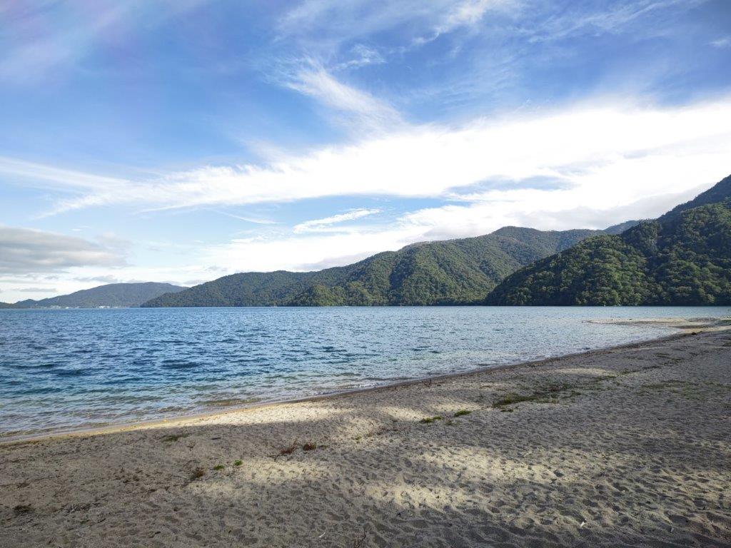
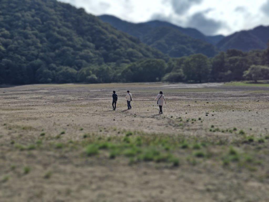
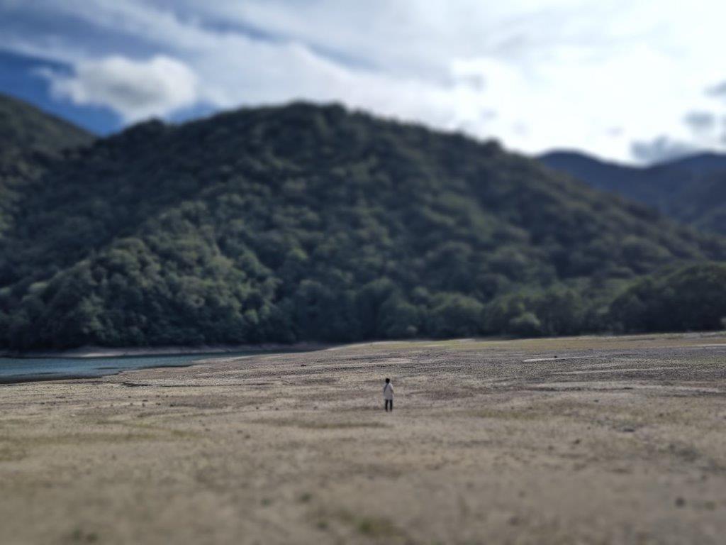
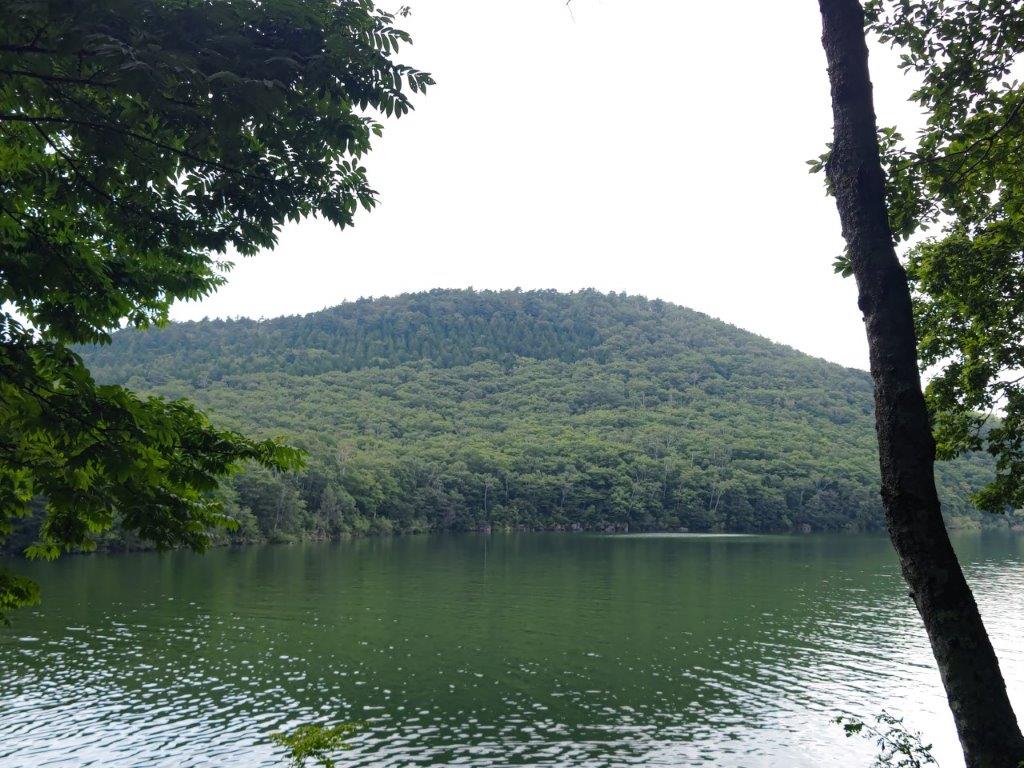
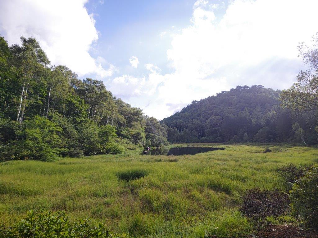
Hatcho Pond from the observatory
Hatcho Pond on Mt Amagi
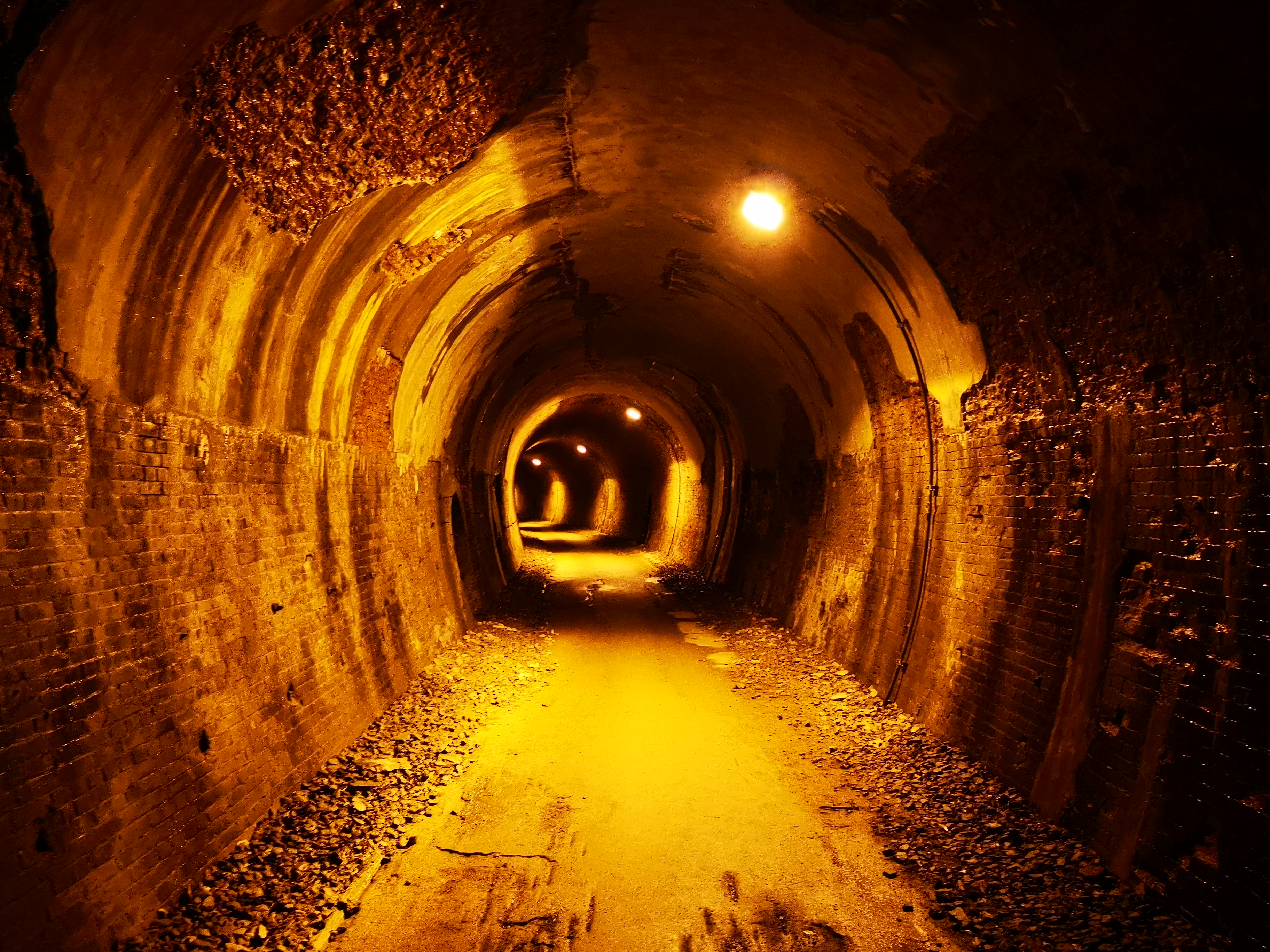
It was a beautiful day as I rode the shinkansen from Tokyo station. After arriving at Mishama station, I transferred to the nearly empty Izu-Hakone line; it was an exciting ride along a pretty river valley through green hills. I got off at Shuzenji, the end of the line, and boarded an equally empty bus, finally getting off at the Amagi Pass bus stop (天城峠 あまぎとうげ) just before 11am. I had been here before and so I was familiar with the short hike up to the pass, which I reached less than thirty minutes later.
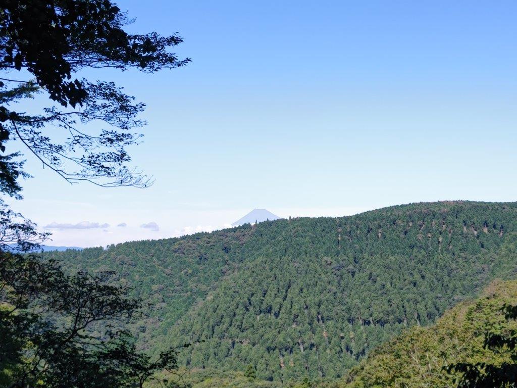
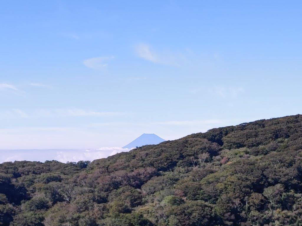
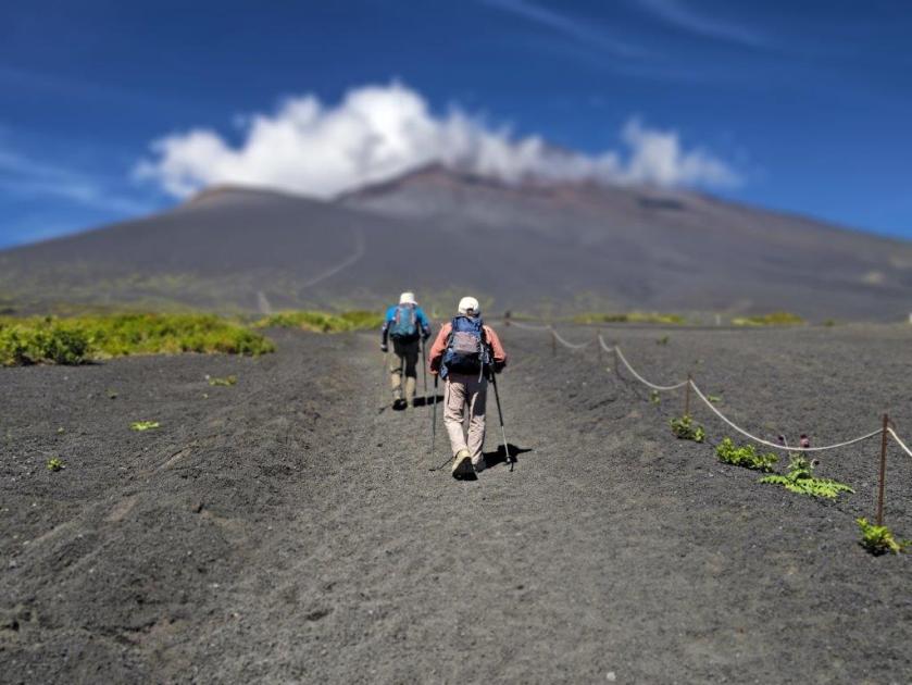
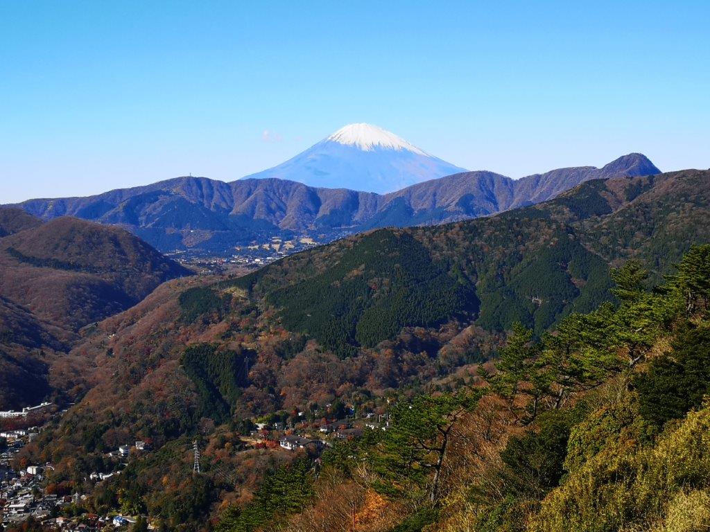
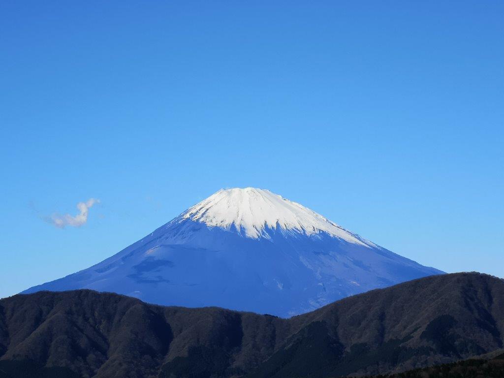
First view of Mt Fuji

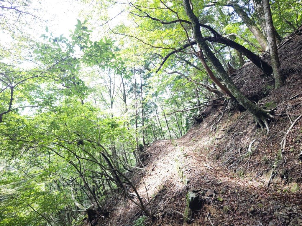
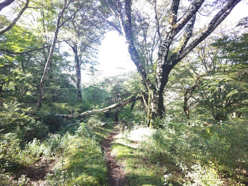
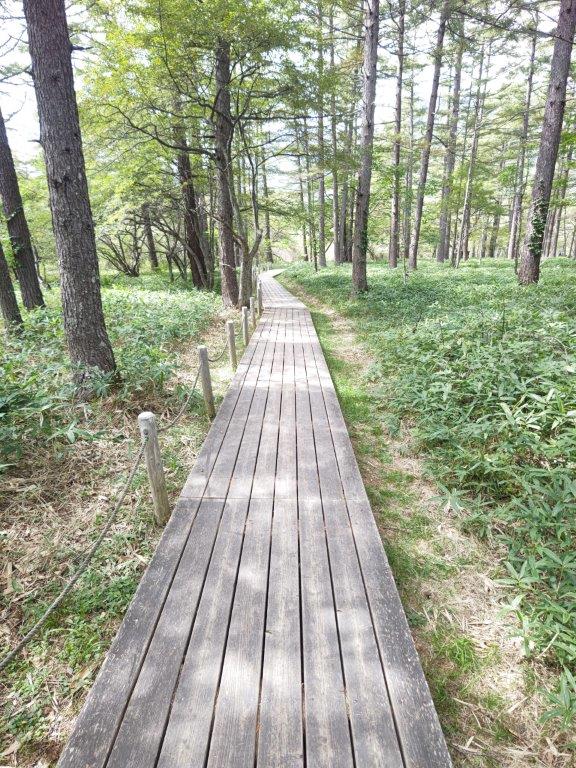
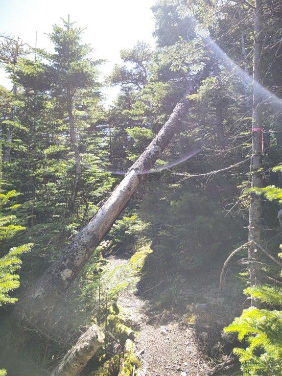
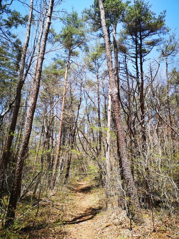
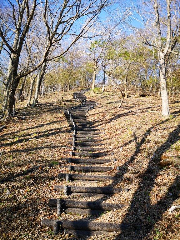
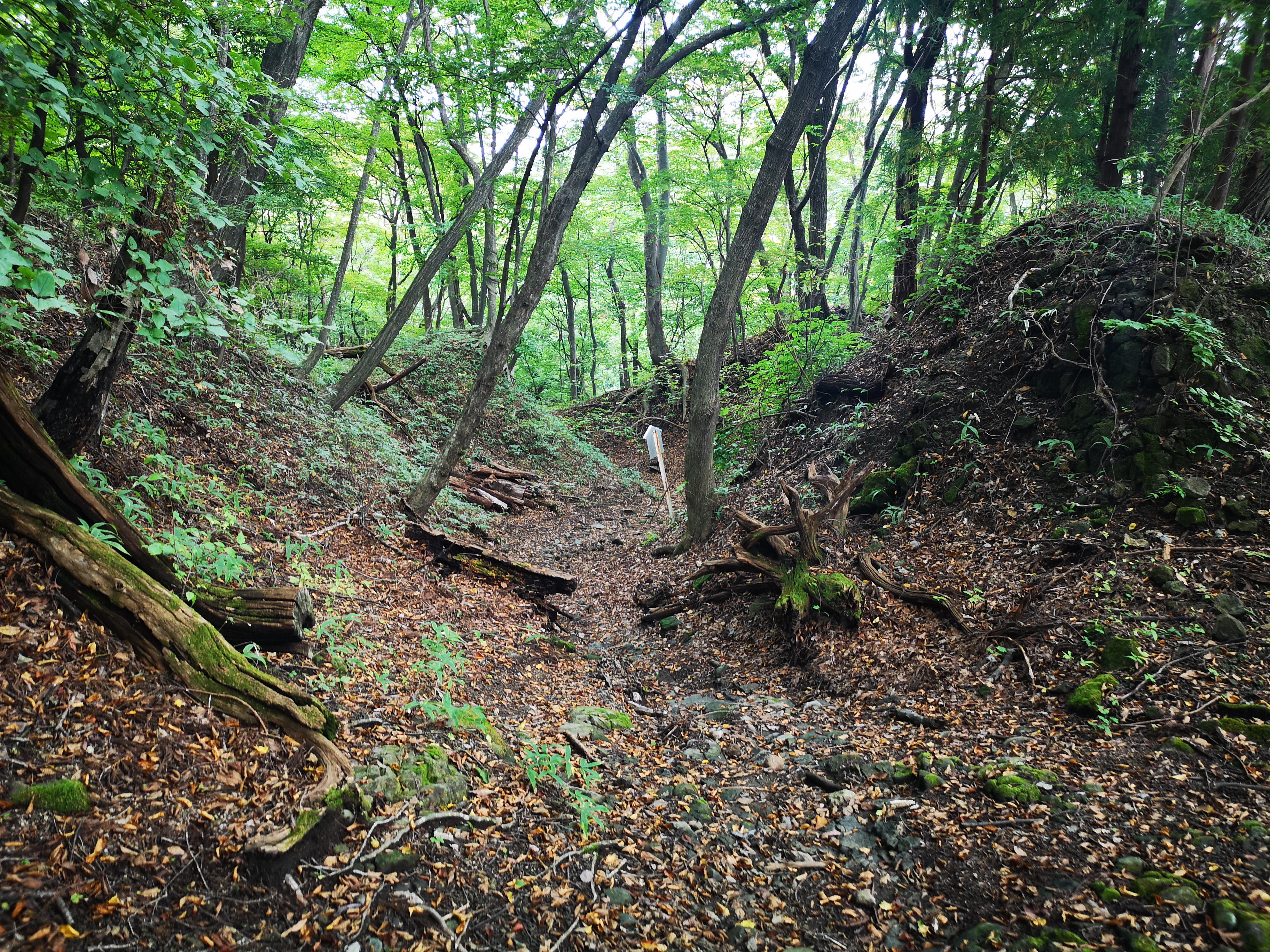
Trail leading to Amagi Pass (left) Beech tree along the trail (right)
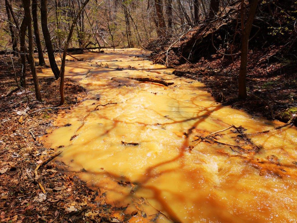
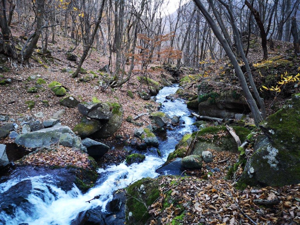
I had my first glimpse of Mt Fuji soon after turning left onto a level trail hugging the mountain side. Very soon, the trail took a right turn and went up some logs steps taking me to the ridgeline. Here I found the pathlovely forest harder to follow; eventually it descended back to a level path following the mountain contour. I had another good view of Mt Fuji before reaching a swollen stream rushing down the mountain and cutting straight through the path. After hopping across, I soon arrived at a second ridge, leading to another level path, now heading north.
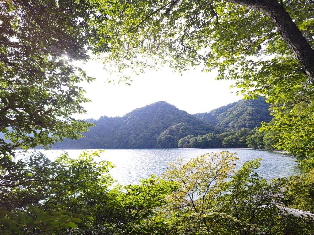
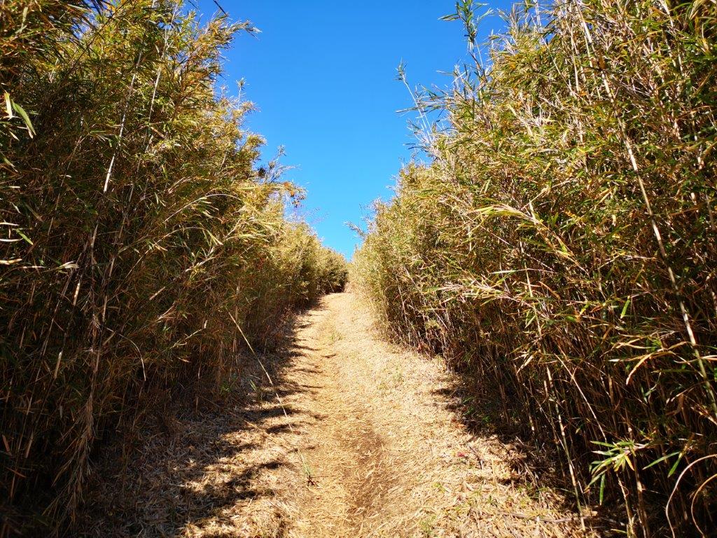
One of the more level sections of the hike
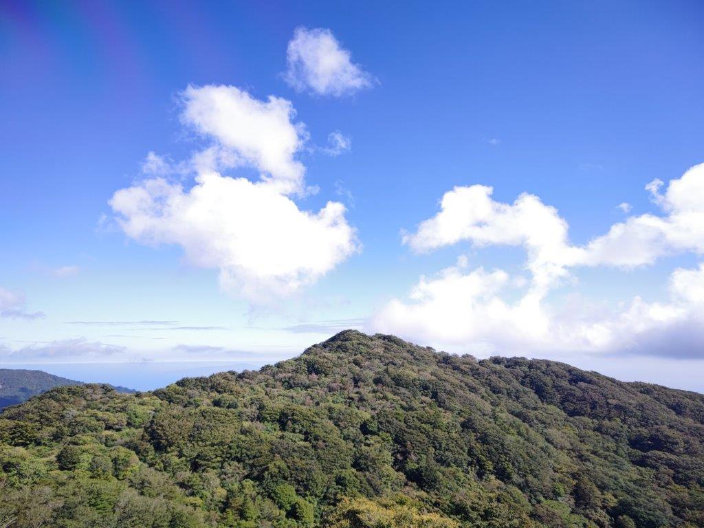
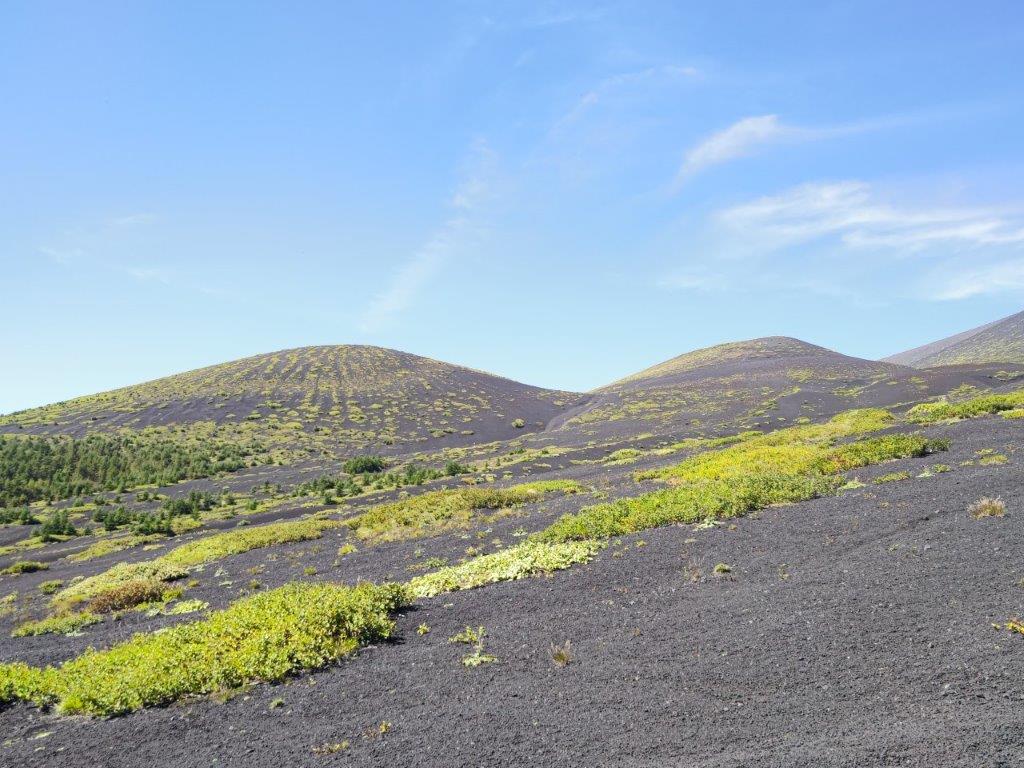
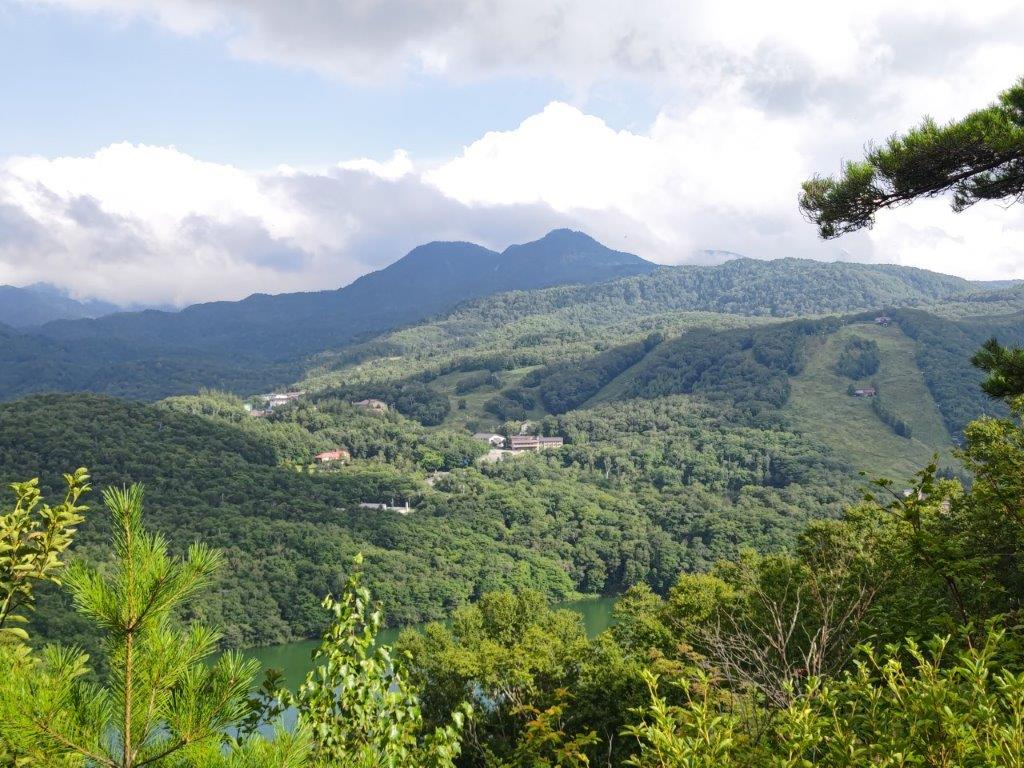
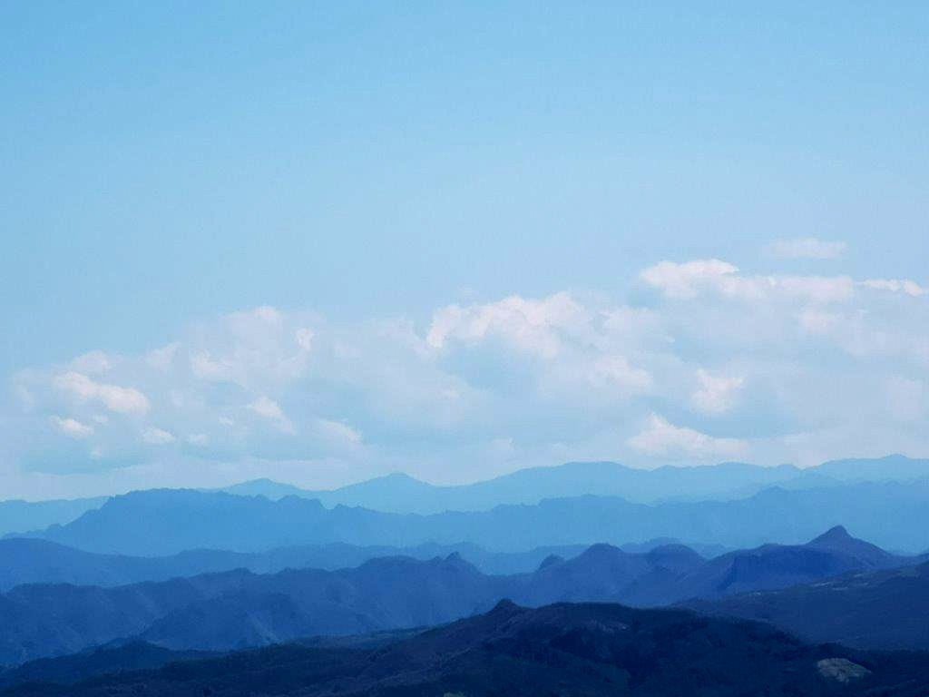
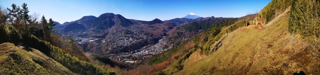
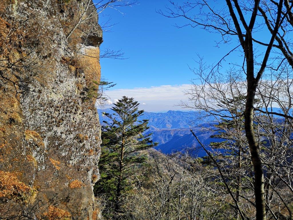
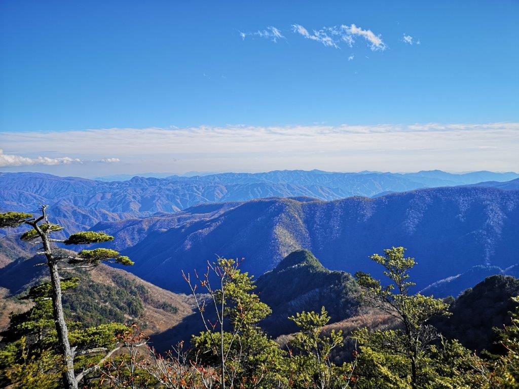
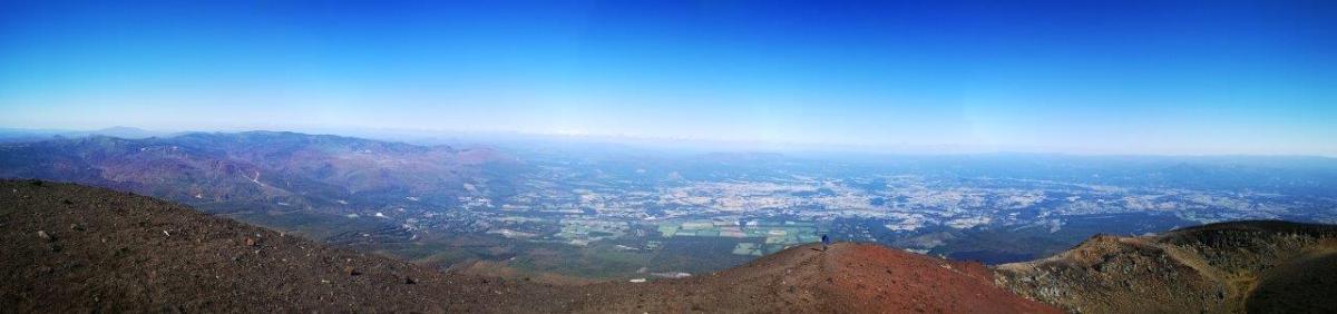
Looking towards the Aosuzudai viewpoint and the Pacific ocean
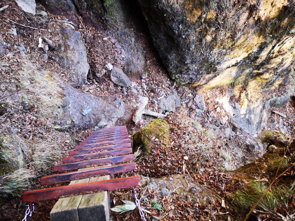
I reached a rushing stream interrupting the quiet of the forest. The path turned east and became hard to follow again; I was relieved each time I spotted a wooden signpost. A little after 1h30, I reached the entrance of the Nobori Gyoko trail (上り御幸歩道). Before heading to the viewpoint, I made a short detour to another viewpoint called Aosuzudai (青スズ台), from where I was able to see the ocean and Toshima island; the rest of the view was hidden by high bushes. I soon turned back and a little after 2pm, arrived at the Hatcho Pond observatory (八丁池見晴台) at the top of a metallic staircase.
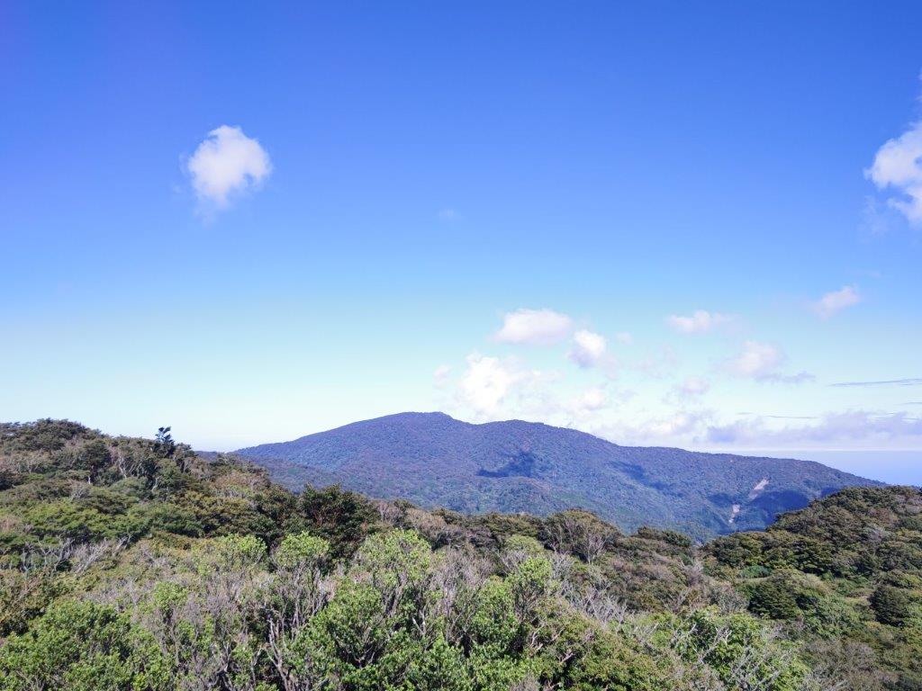
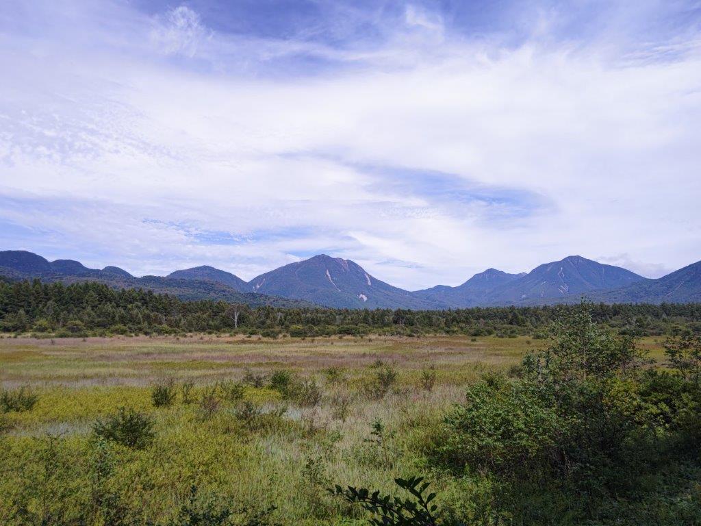
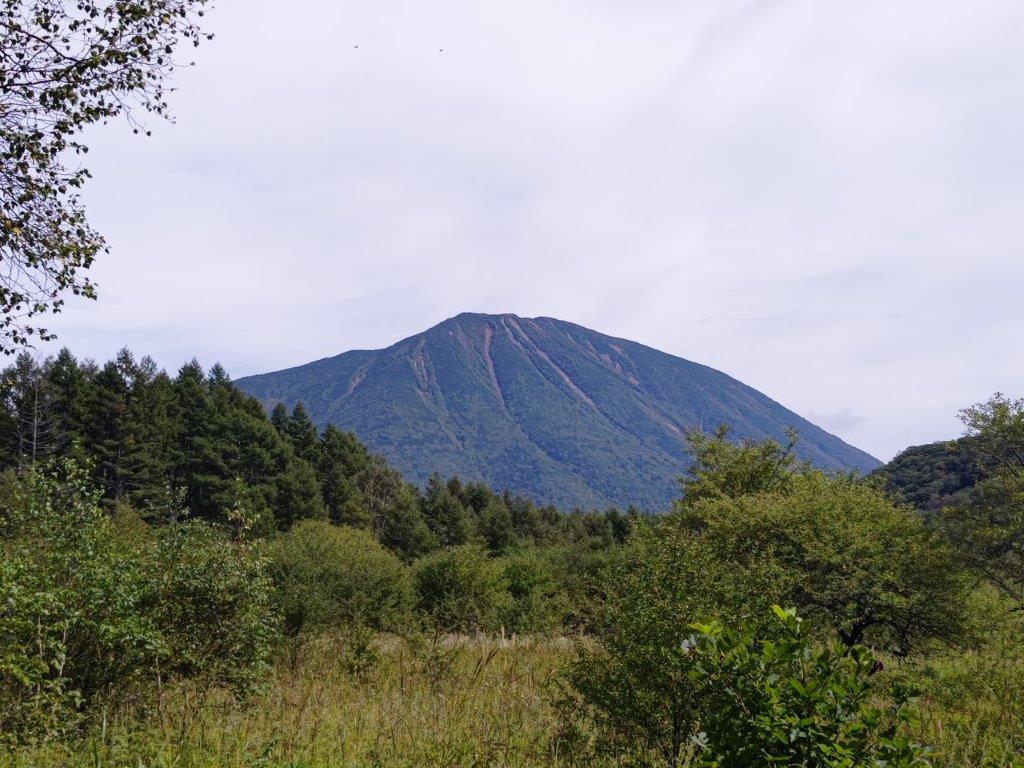
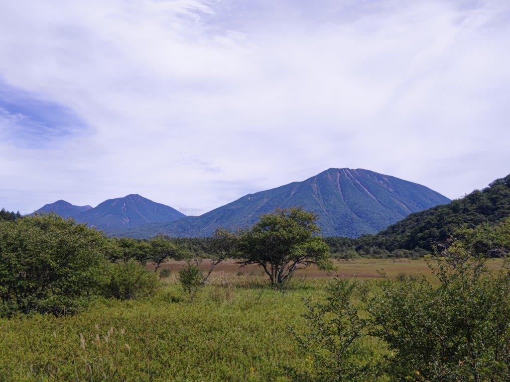
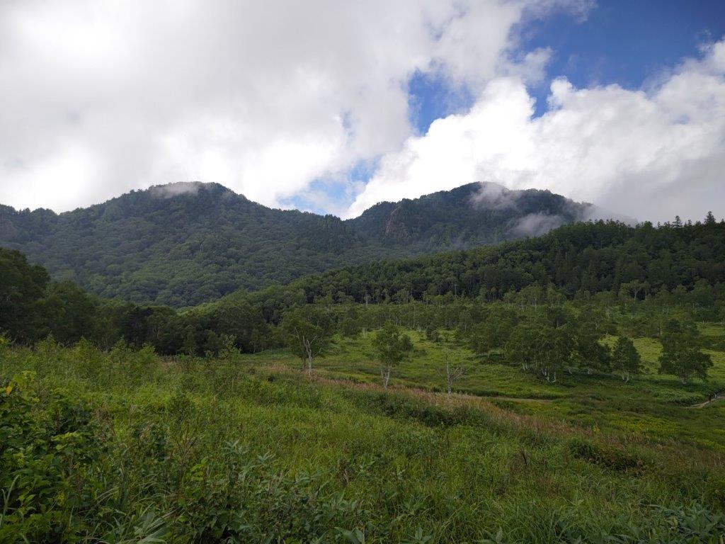
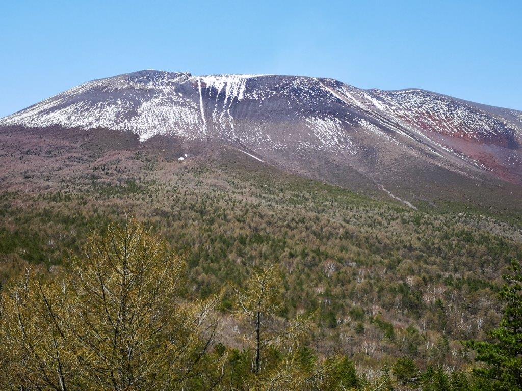
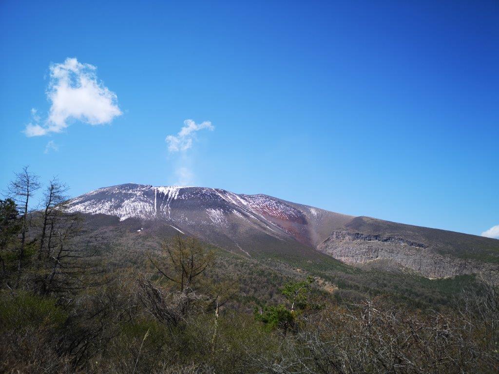
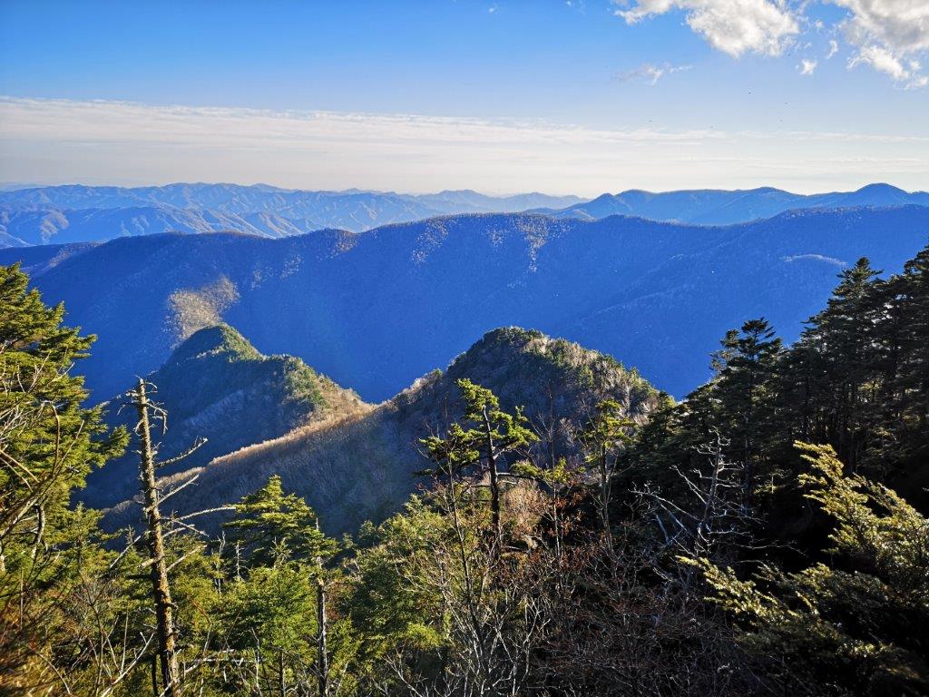
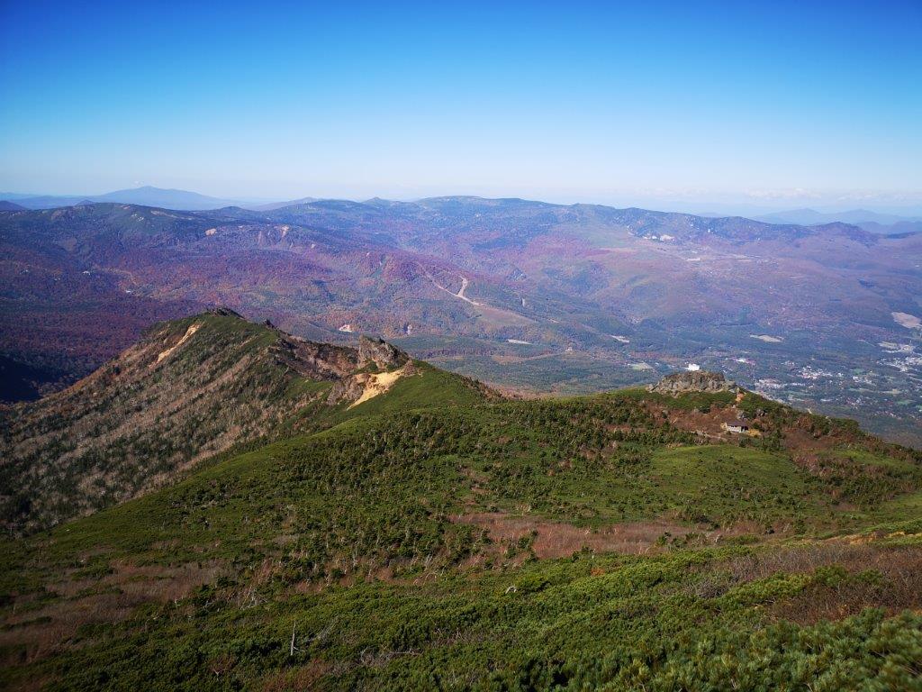
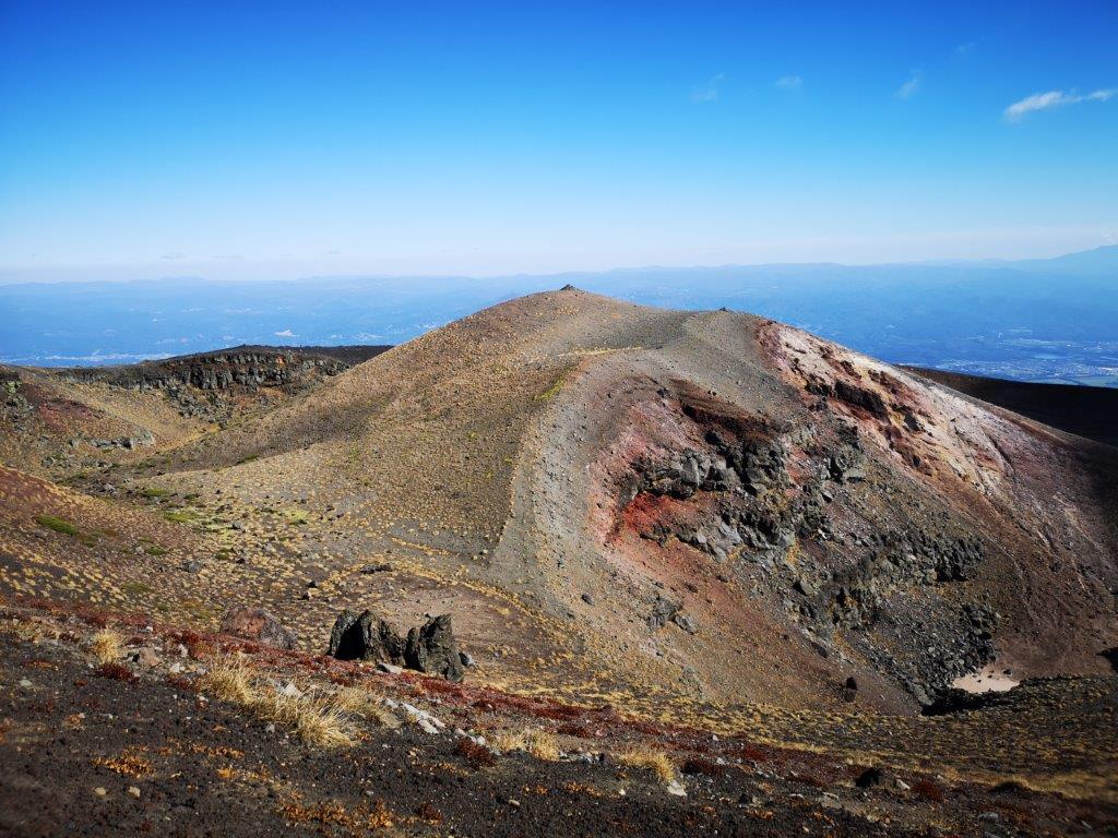
Mt Amagi, a Japan hundred famous mountain

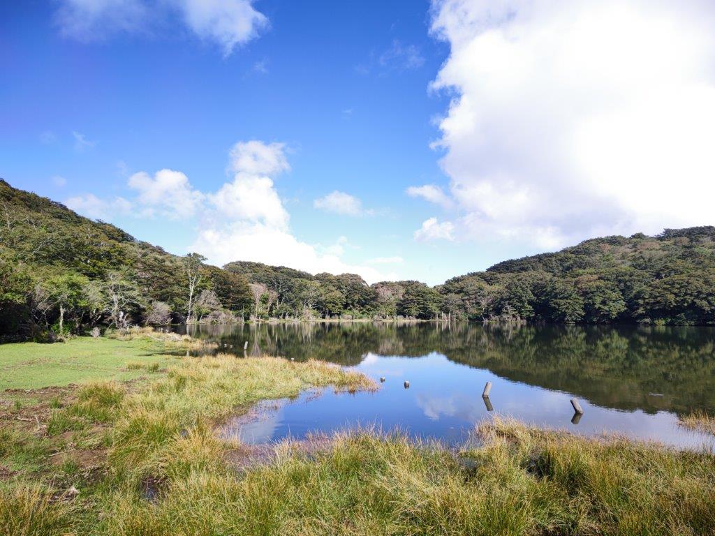
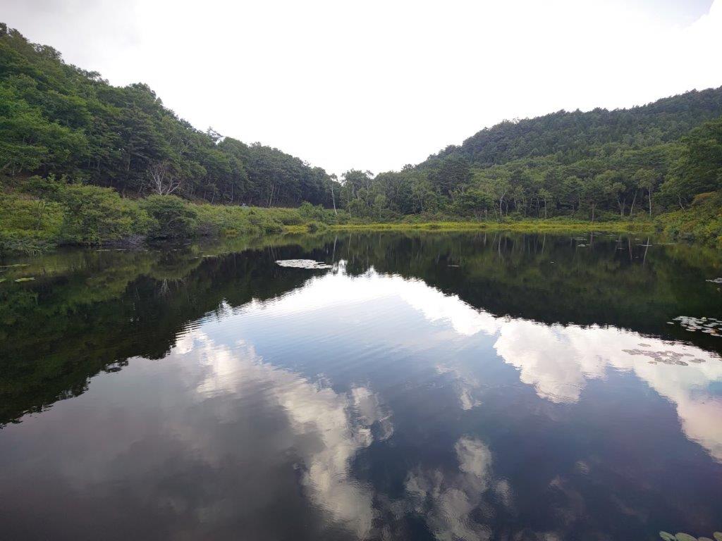
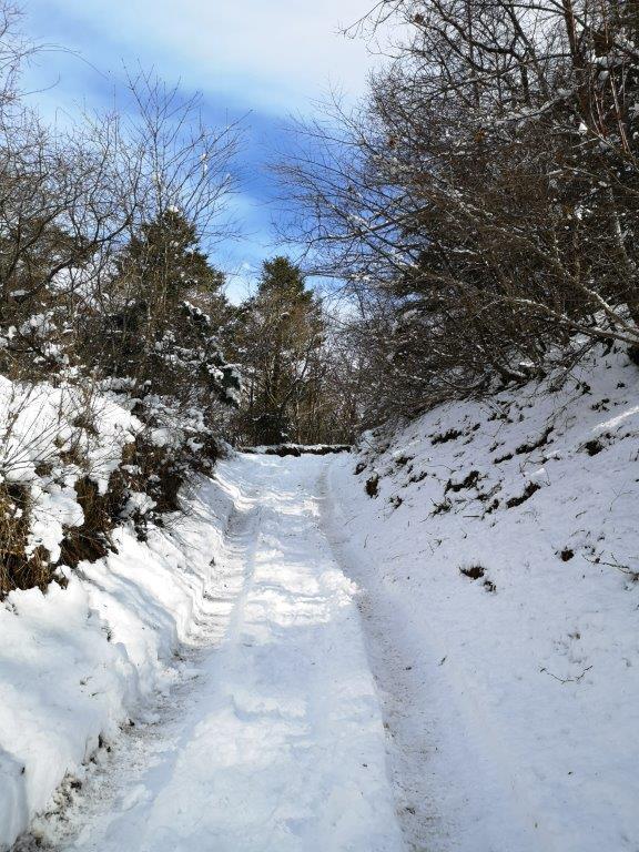
On the left, the path flooded by the lake
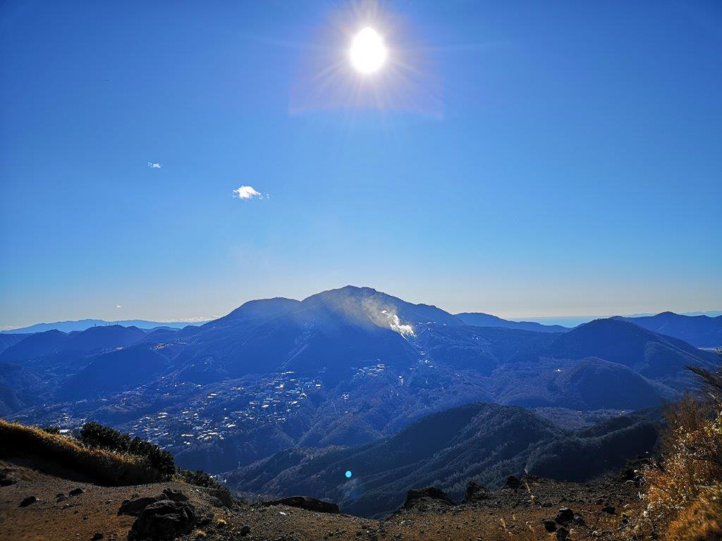
I had a fantastic 360° panoramic view of the center of Izu peninsula: directly below on the north side was Hatcho pond (八丁池) with Mt Fuji behind it; stretching eastwards was the gentle summit ridge of Mt Amagi, a Japan 100-famous mountain; looking south, I could see the Aosuzudai viewpoint and the Pacific ocean; westwards was Mt Chokuro, its summit in the clouds. I felt lucky that the sunny weather had continued the whole day with just a few cumulus clouds floating in from the ocean side. I had the observatory to myself, so I had a late lunch while admiring the views. Half an hour later, I descended to the lake shore.
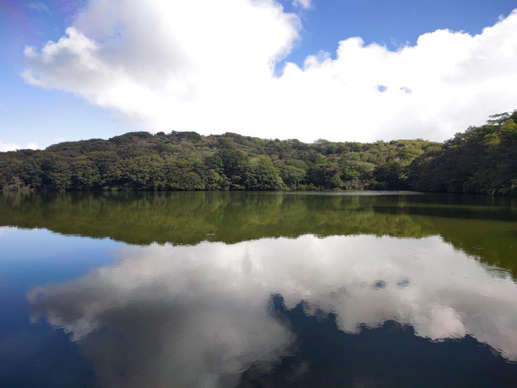
Some clouds coming in from the south
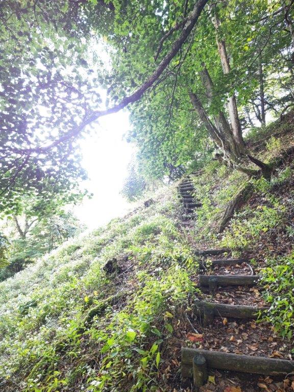
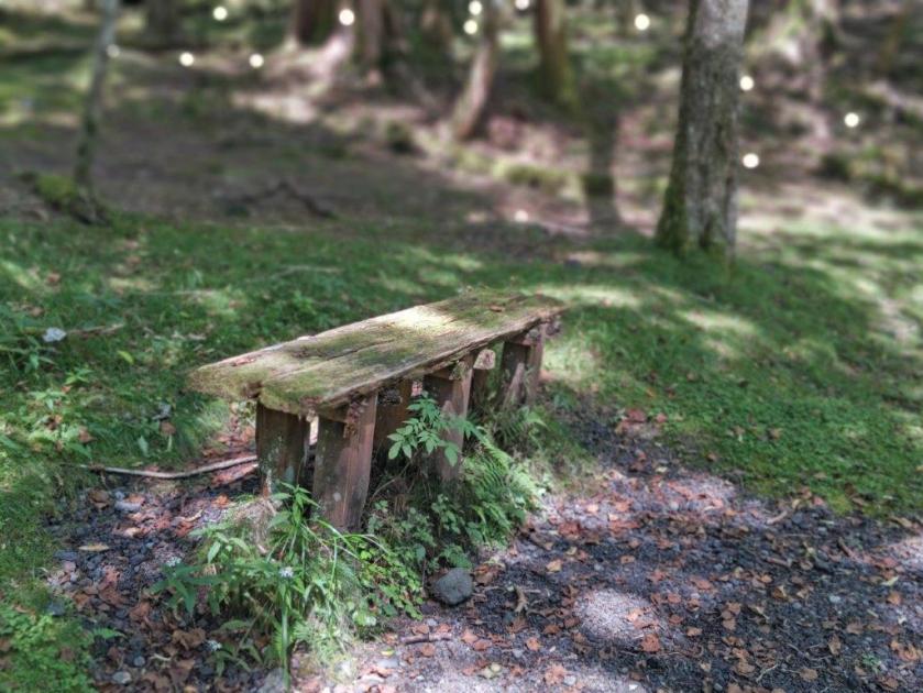
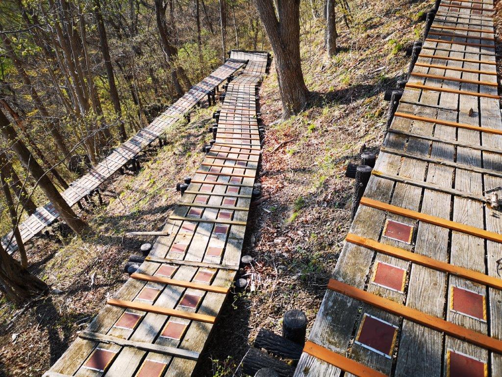
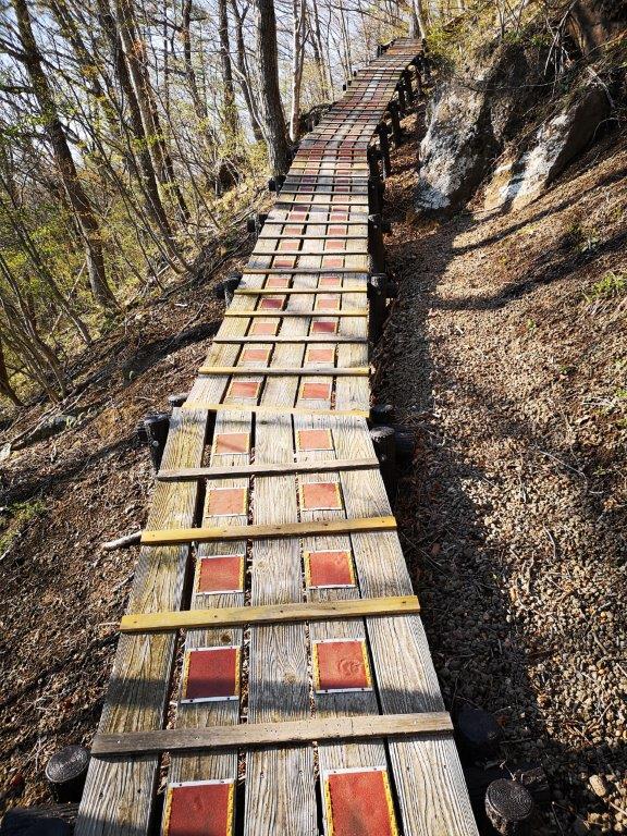
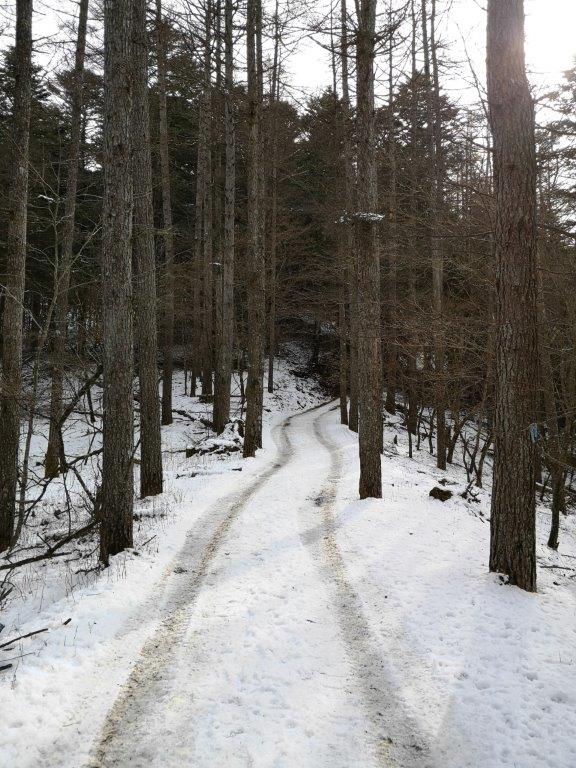
A gentle descending trail through lovely a forest
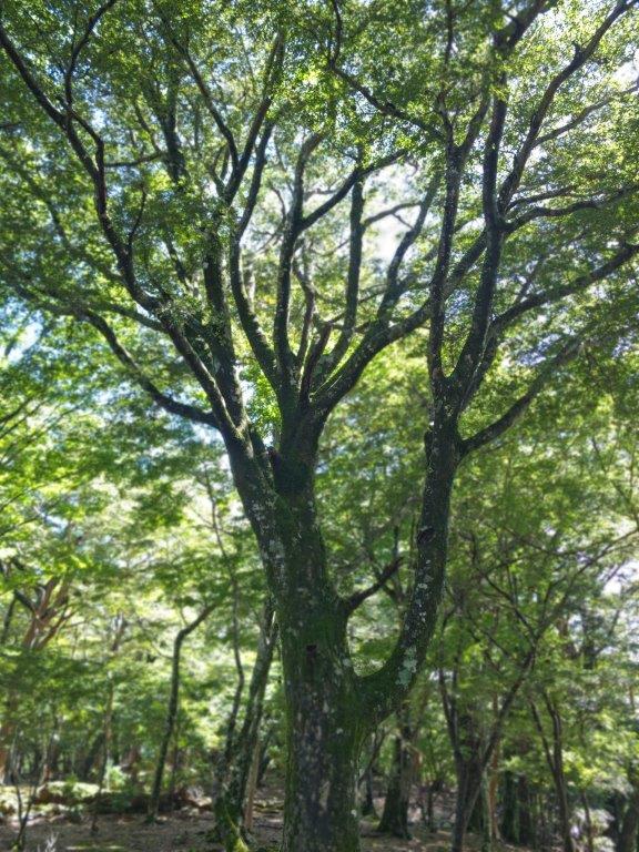
I was surprised to see that the path around the lake was flooded. I managed to get to the other side by walking through the forest and reached the entrance of the Kudari Hatcho trail (下り八丁歩道), a little before 3pm. It descended gently through a stunning forest; I passed several huge beech trees, their branches twisting in fantastic shapes, and I could truly feel that I was walking within the Izu part of the Fuji-Hakone-Izu National Park. The path was hard to follow once again; I was relieved when I eventually got to a level wide path going straight through the forest. After merging with a forest road, the trail headed south, before arriving at a sunny junction at the edge of a cedar forest.
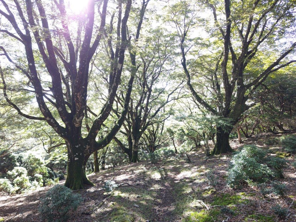
Walking through the Japanese beeches
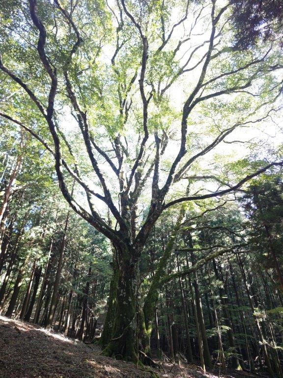

A giant beech (left) towering cedars (right)
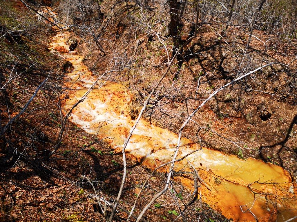
I enjoyed the change in the surrounding vegetation, as well as the extra sunlight filtering through the smaller cedar tree canopies. The path started to descend quickly and soon the sun was lost behind a ridgeline. A little past 4pm, the rocky trail suddenly merged with a small stream; I was glad I had good hiking boots. After about ten minutes of “river walking”, I emerged onto a paved road. From there, it was another half an hour to the Suishochi-shita bus stop (水生地下), which I reached ten minutes before my bus was due. After arriving at Shunzenji statiom, I had a quick hot bath at the nearby Hyakuwarai no yu hot spring before riding the Izu-Hakone line to Mishima station, where I transferred to the shinkansen for the 40-minute ride back to Tokyo.
See the views up and down Mt Amagi’s west side
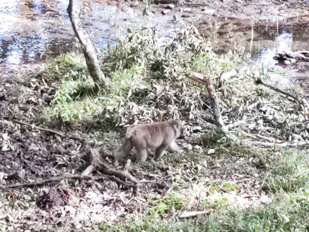
![Oku-Nikko hike (highest point 1460m), Nikko City, Tochigi Prefecture, Saturday, September 17, 2022 [Monkeys]](https://hikingtokyo.com/wp-content/uploads/2022/10/img_20220917_124605.jpg?w=1024)


![Mt Futago (1804m), Gotemba City, Shizuoka Prefecture, Sunday, September 11, 2022 [Hiking on Mt Fuji]](https://hikingtokyo.com/wp-content/uploads/2022/09/img_20220911_110420.jpg?w=1024)


![Shiga-Kogen & Mt Asahi (1524m), Yamanouchi Town, Nagano Prefecture, Sunday, September 4, 2022 [Monkeys]](https://hikingtokyo.com/wp-content/uploads/2022/09/img_20220904_121427.jpg?w=1024)


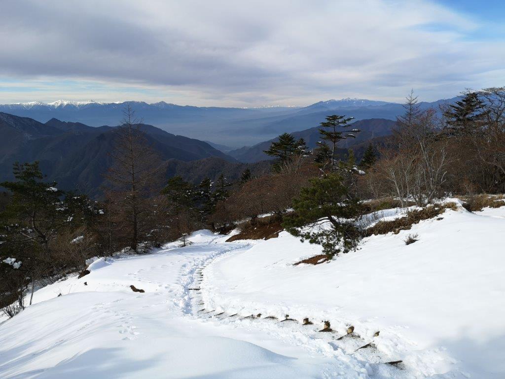
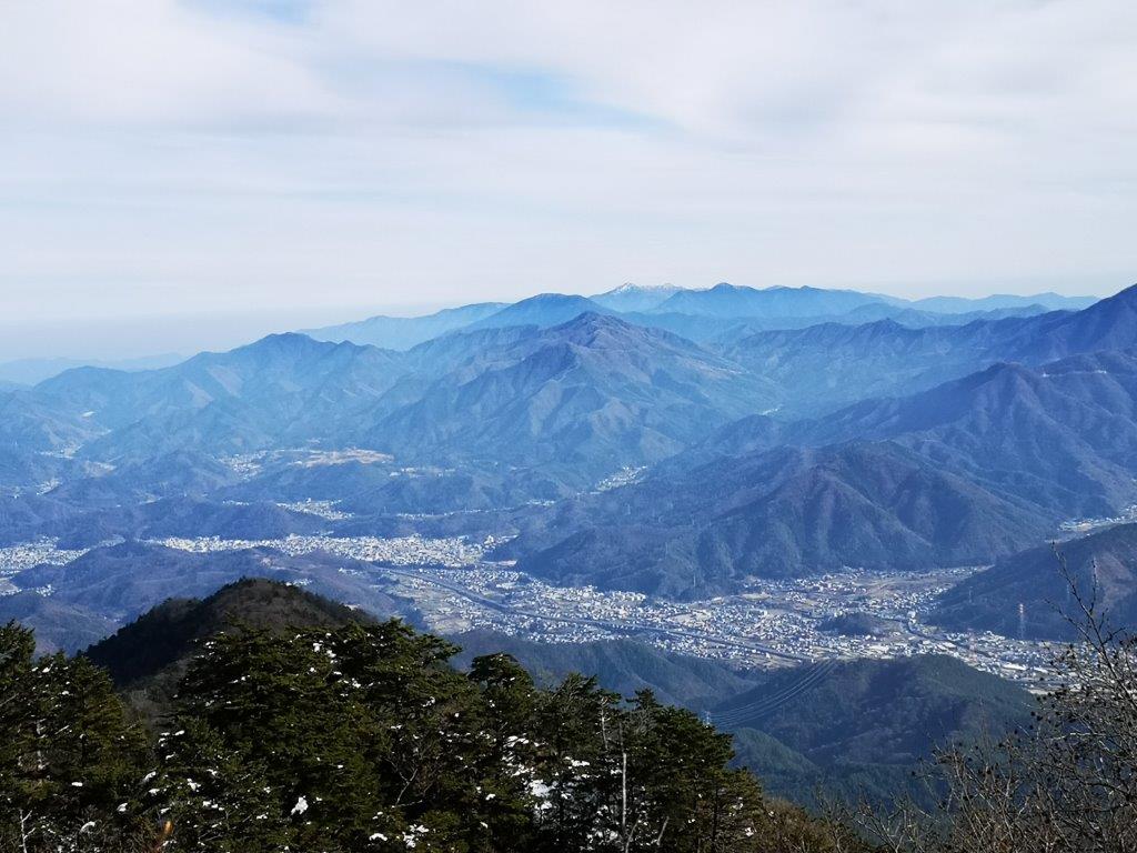
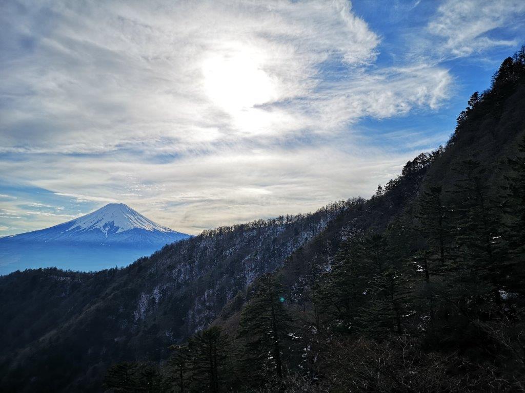
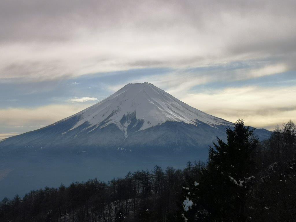
![Mitsutoge (1785m), Fuji-Kawaguchi & Nishi-Katsura Towns, Yamanashi Prefecture, Friday, December 10, 2021 [Snow hike / Map Available]](https://hikingtokyo.com/wp-content/uploads/2022/01/img_20211210_120210-1.jpg?w=1024)


![Mt Myojo (924m) & Mt Myojin (1169m), Hakone Town, Kanagawa Prefecture, Sunday, November 28, 2021 [Map Available]](https://hikingtokyo.com/wp-content/uploads/2021/12/img_20211128_132421.jpg?w=1024)


![Hiking the Nakasendo: Usui Pass to Yokokawa Station & Megane Bridge, Gunma Prefecture, October 2020 [2023 Map Available]](https://hikingtokyo.com/wp-content/uploads/2020/11/img_20201014_155721.jpg?w=1200)


You must be logged in to post a comment.