
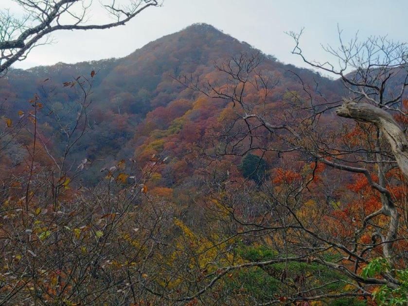
I found out about this hike at the eastern edge of the Okutama mountains valley by checking locations on Google Maps. Apparently the trail is maintained by three different local hiking associations and is not yet featured in any guidebooks. Looking online, I saw I could make a loop from Musashi-Itsukaichi station. After enjoying the three viewpoints located near the summit, I’d follow the ridgeline west, and then south, past 3 minor summits. Along the way, I could make a short detour to a famous tree.
Hiking in Okutama 奥多摩
To get to the start of the hike, I’d ride the Chuo line to Haijima station, and then change to the Itsukaichi line which I’d ride to the last station. There, I’d board a bus for just a few minutes to the Oguno JHS stop, a short distance from the trail entrance. From the end of the hike, I could walk back to the station; along the way, I could take a shortcut along a section of an ancient old. The weather was supposed to be overcast in the morning turning sunny in the afternoon, with temperatures cool for the season. I was looking to forward to climbing a new peak close to Tokyo.
Find my Hikes on Japanwilds
Find Japan Hiking Maps on Japanwilds and subscribe to our newsletter
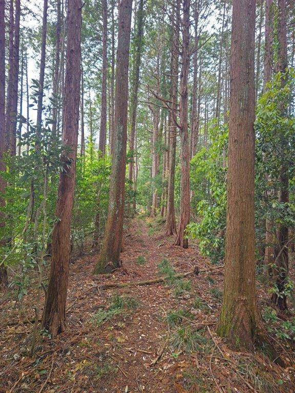
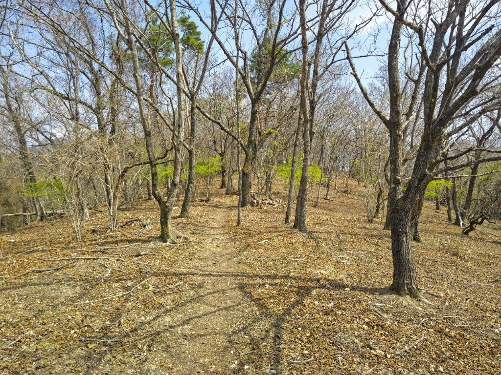
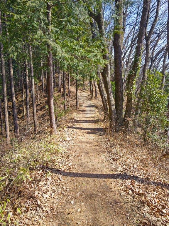
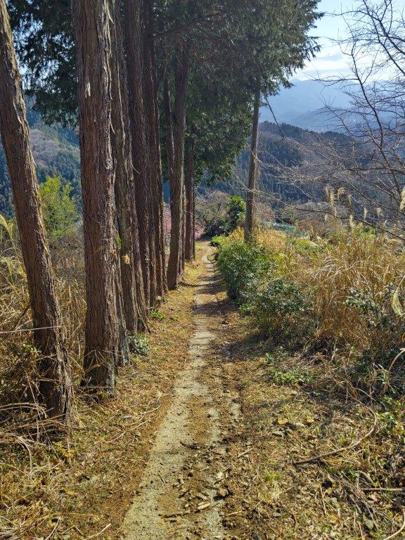
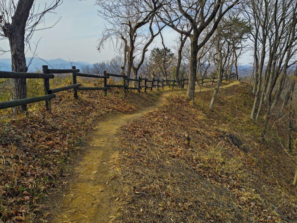
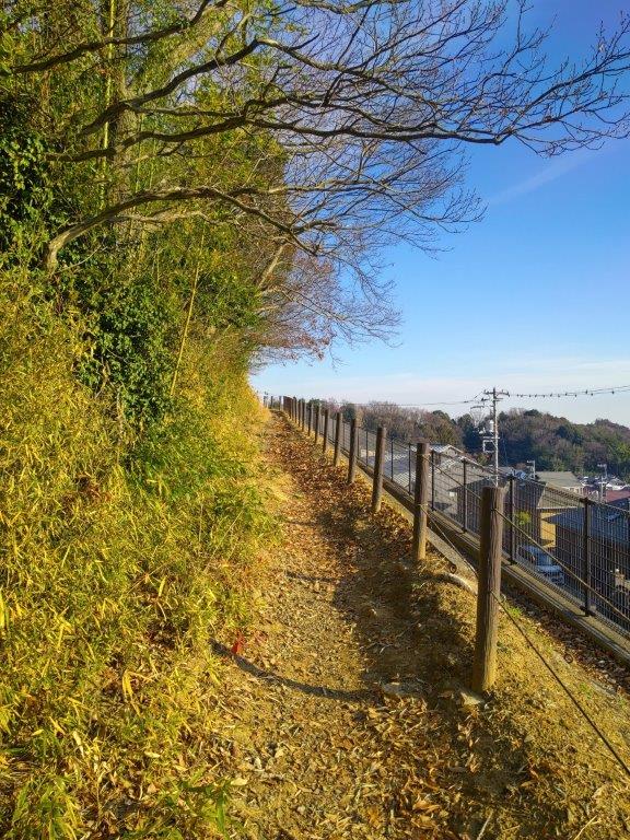
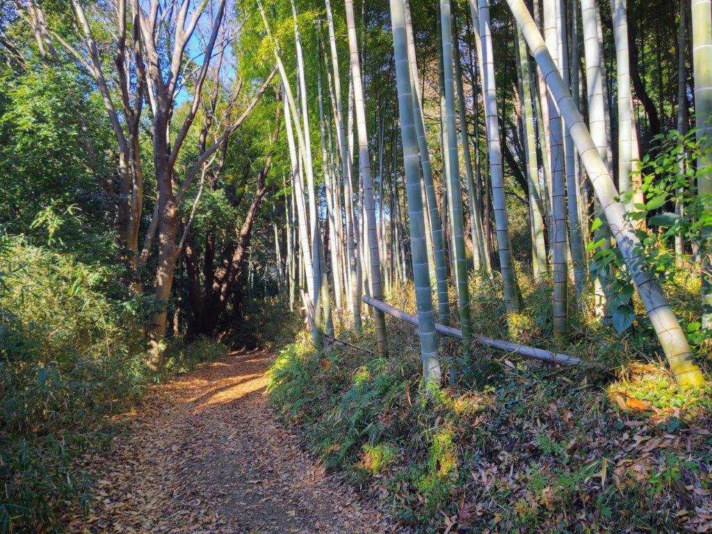
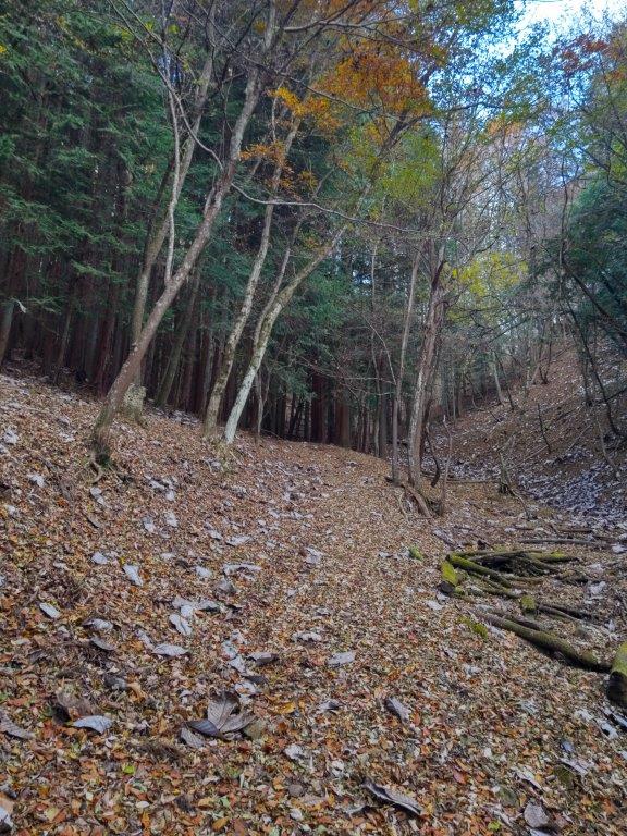
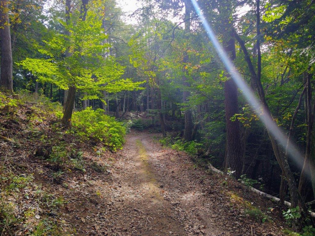
Start of the hike (left) Past the Mt Katsubo Forest Road Viewpoint (right)
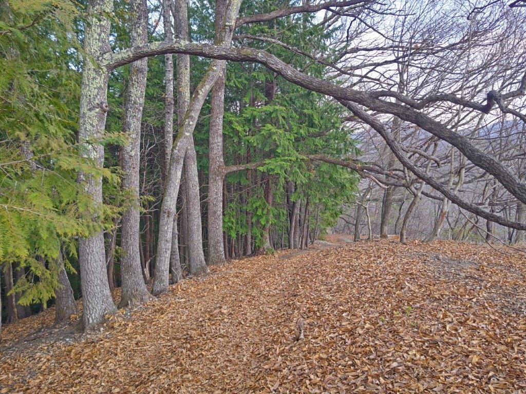
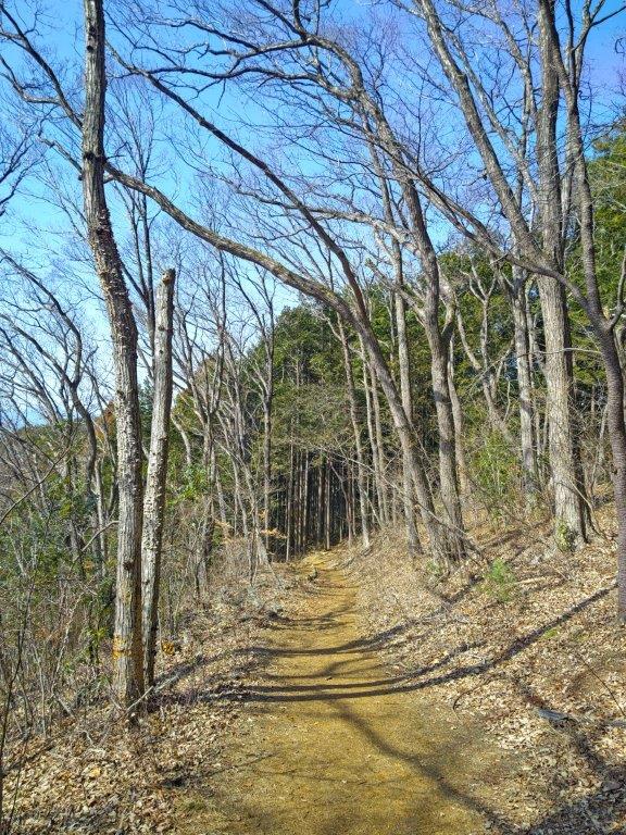
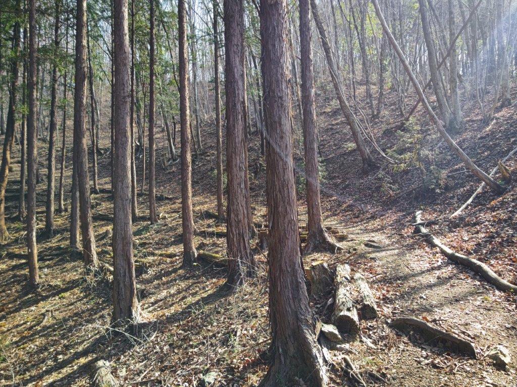
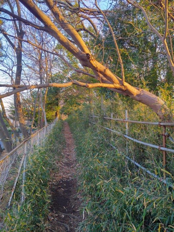
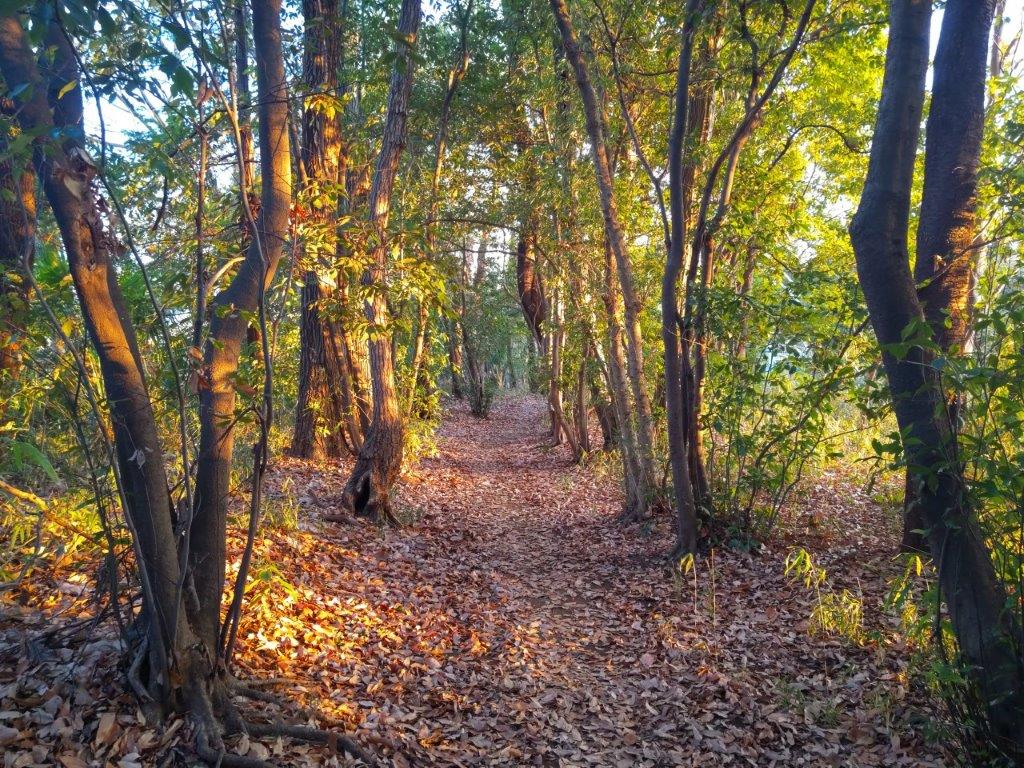
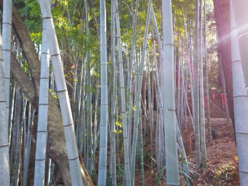
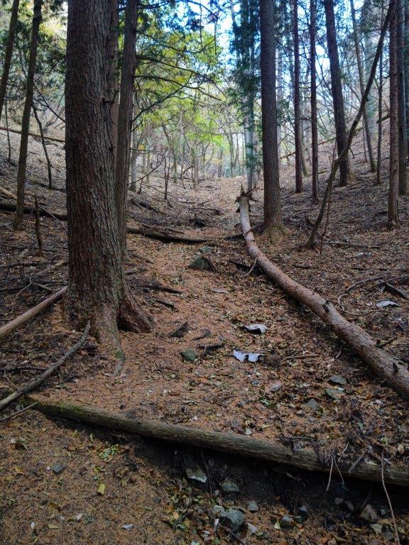
Trail past Mt Katsubo (left) Sennen no Chigiri Sugi (right)
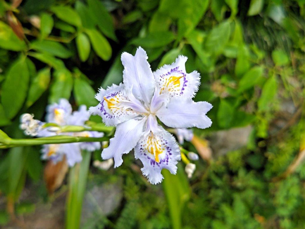
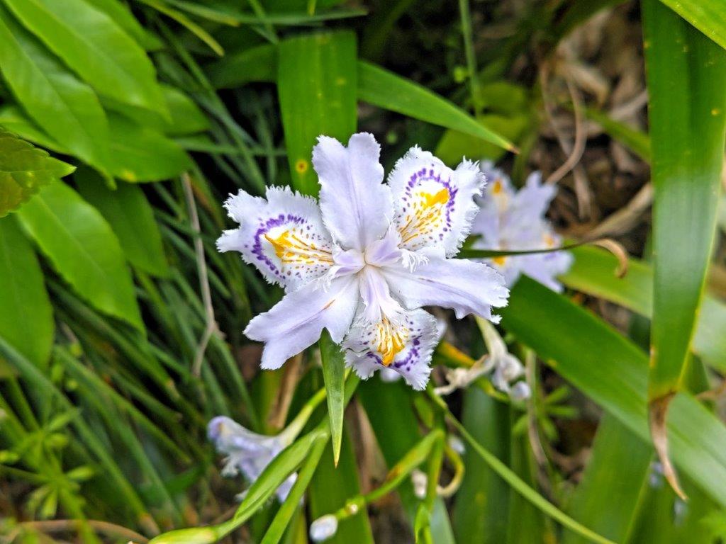
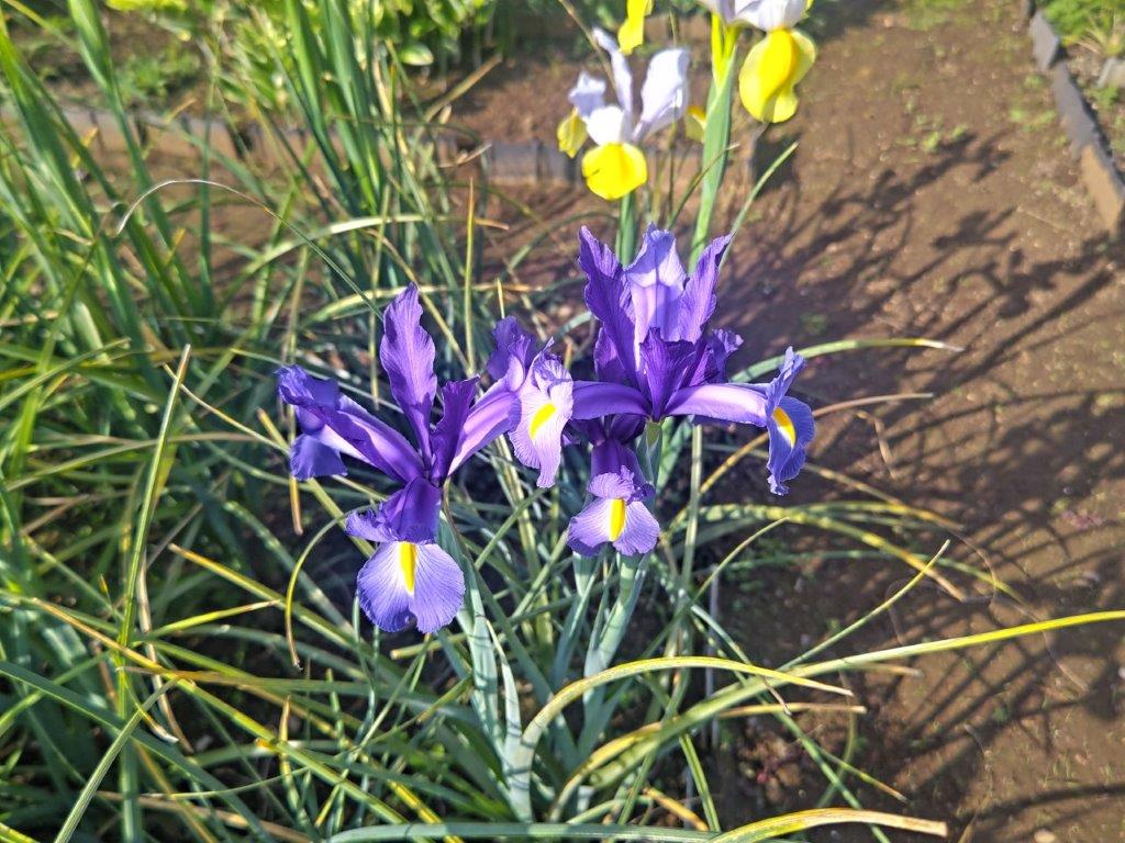
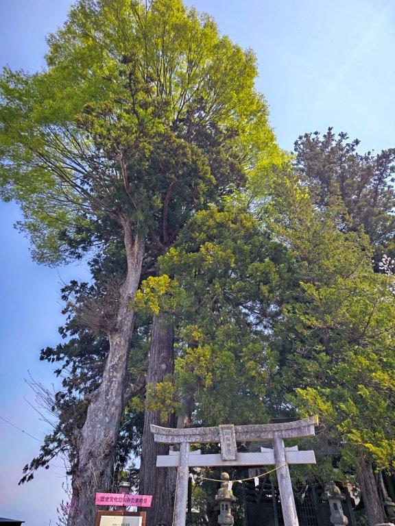
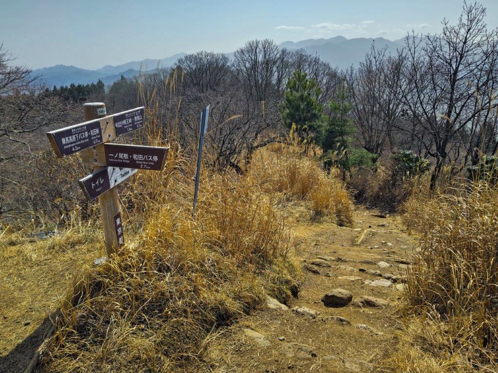
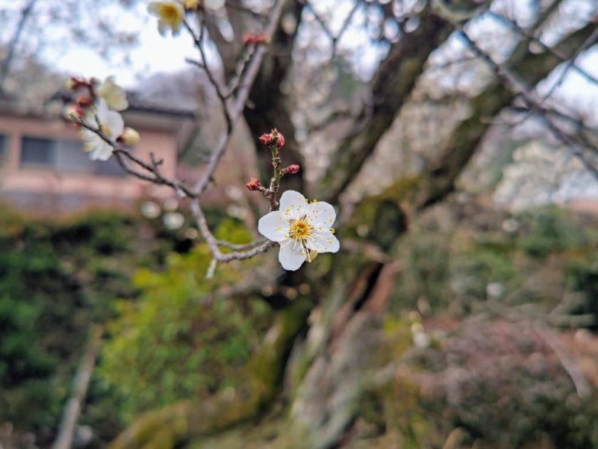
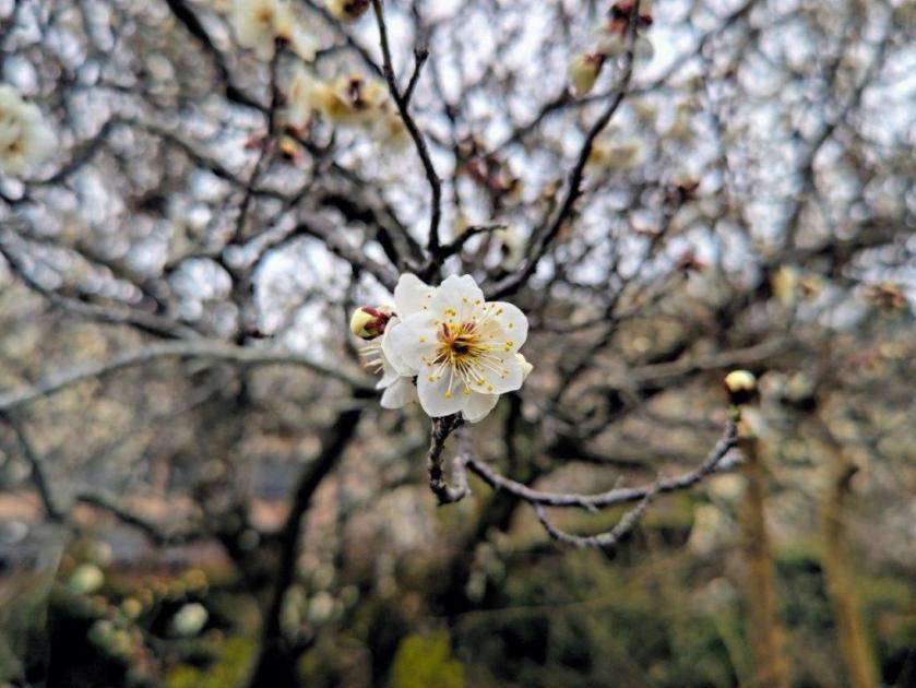
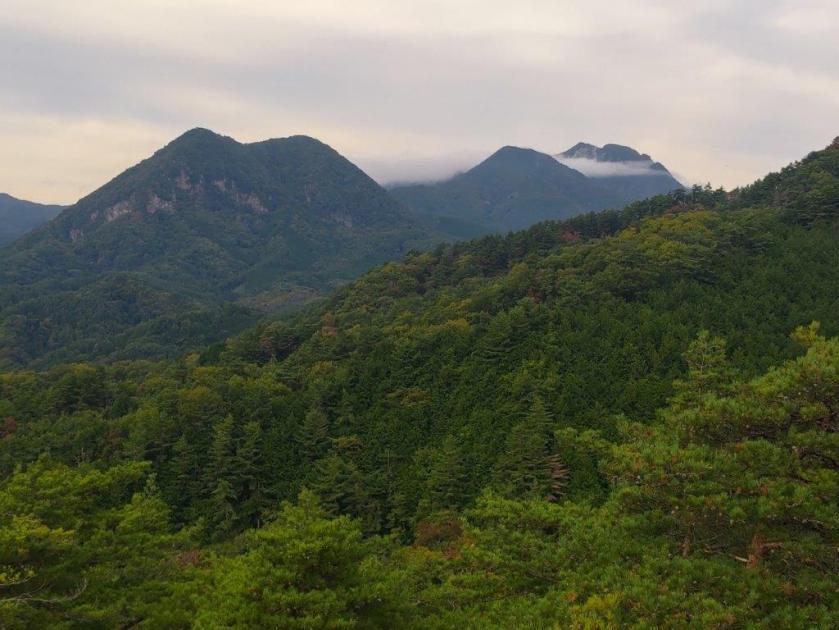
Clouds covered the entire sky as I rode the Green car from Shinjuku station, the complete opposite from my previous hike two weeks before. I got off the bus around 10:30am and took my time to get to the trail entrance, hoping the cloud cover would break soon. After a small detour via the quiet Sachigami Shrine (幸神神), here and there Japanese irises (“shaga”) in full bloom, I reached the start of the hike on the left bank of Hirai river; it was marked by 3 sets of handmade signs, one for each local hiking association.
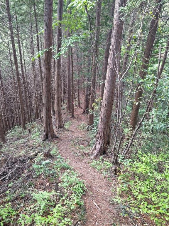
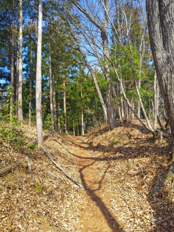
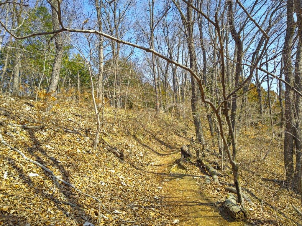
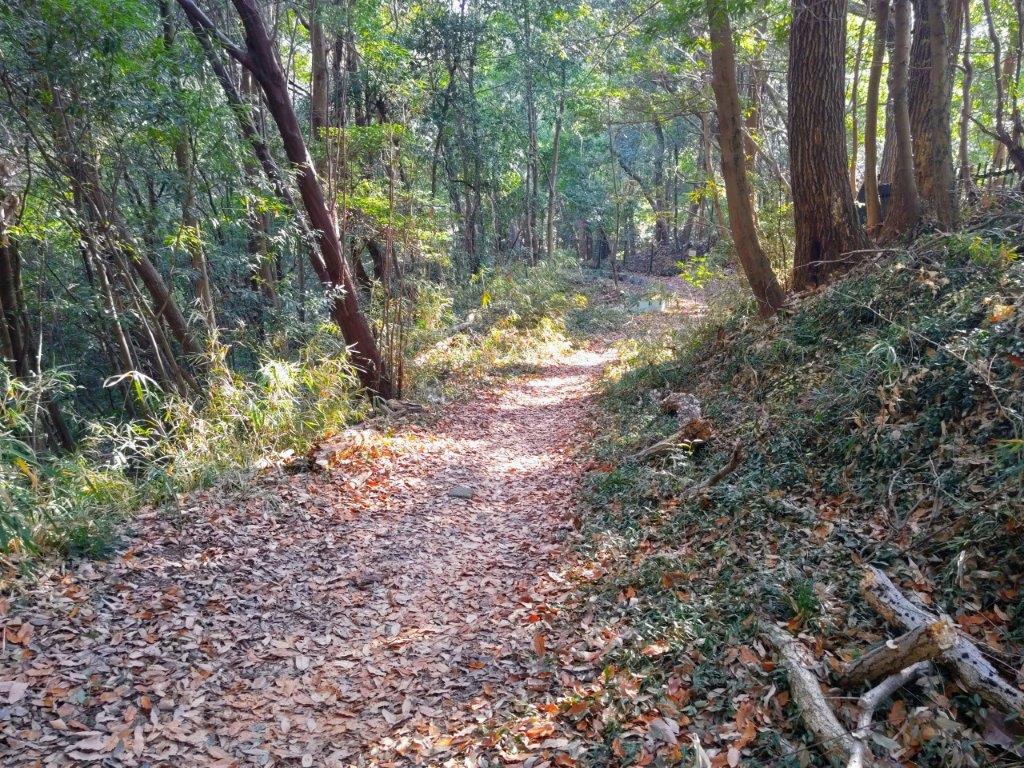
Trail past Mt Fukasawa (left) Trail before the Azuma (right)
Trail past the Azuma (left) Near the End of the Hike (right)
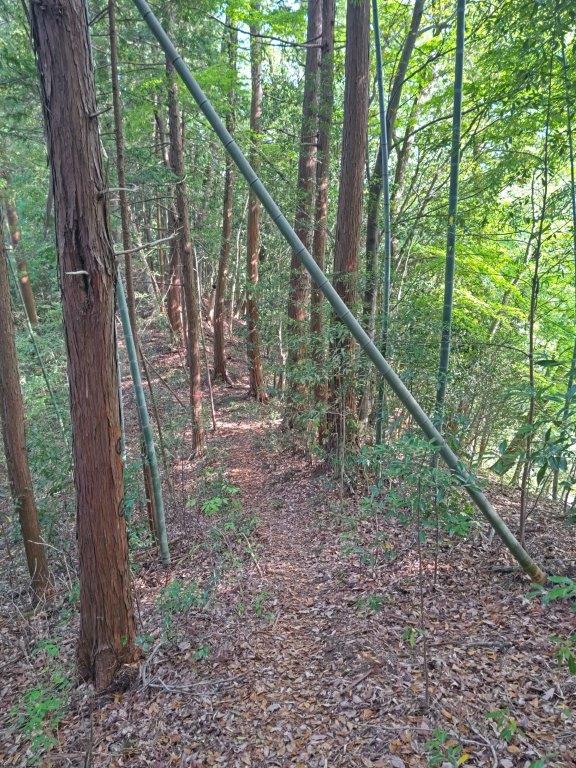
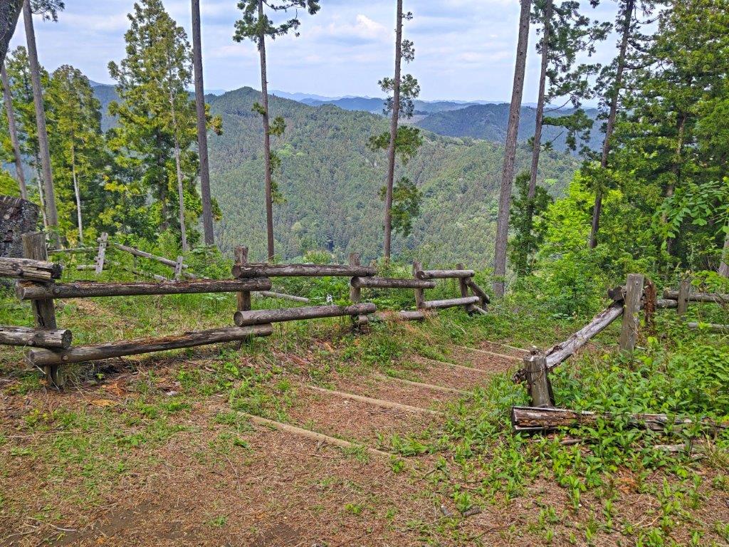
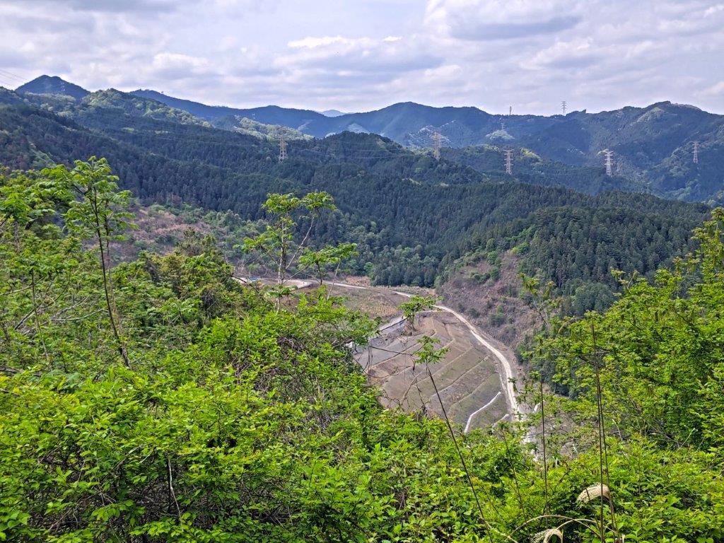
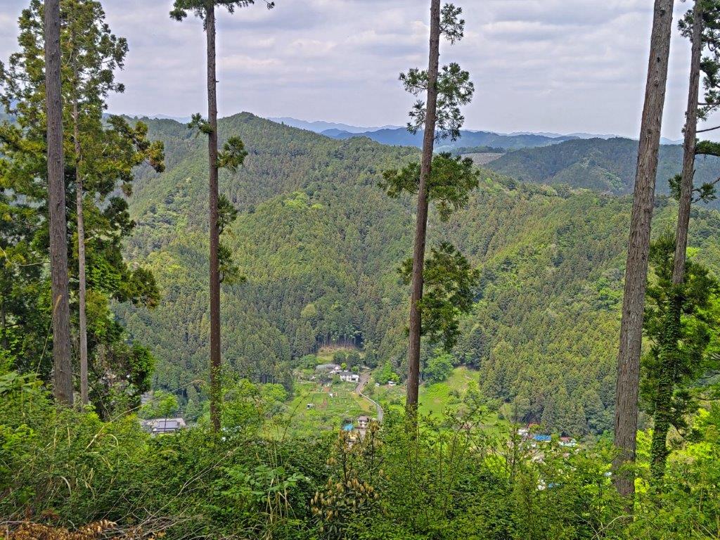
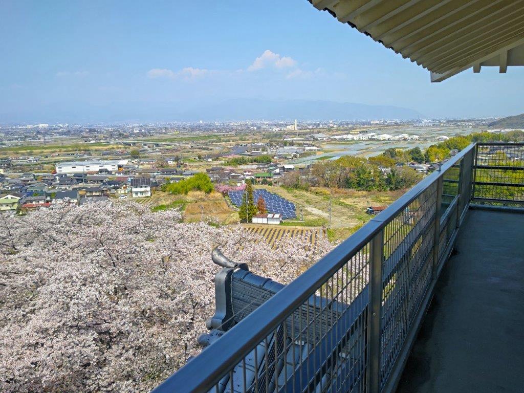
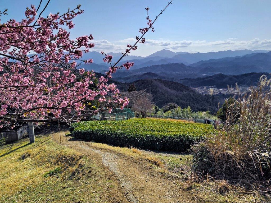
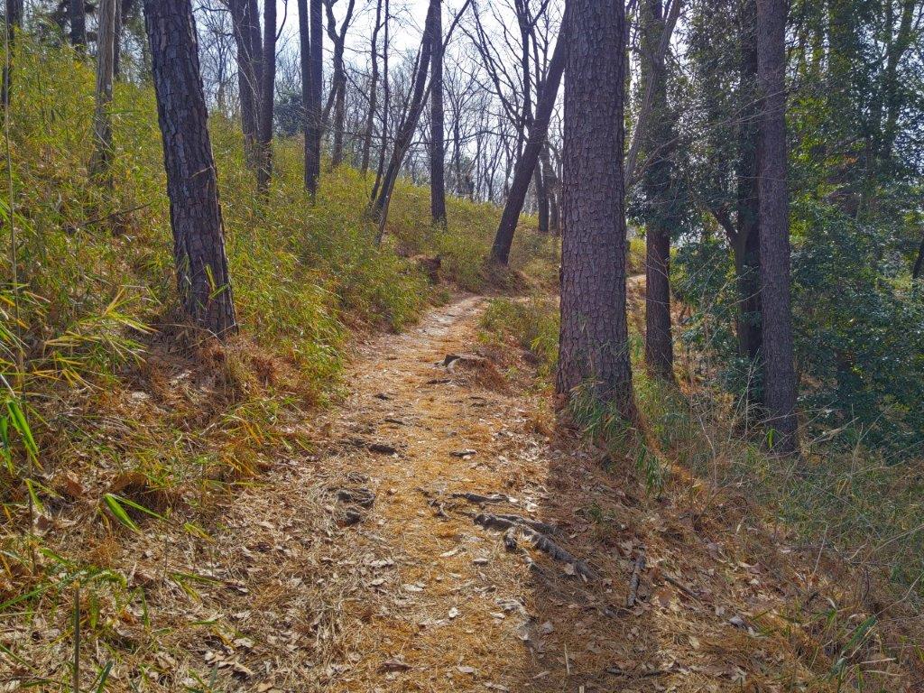
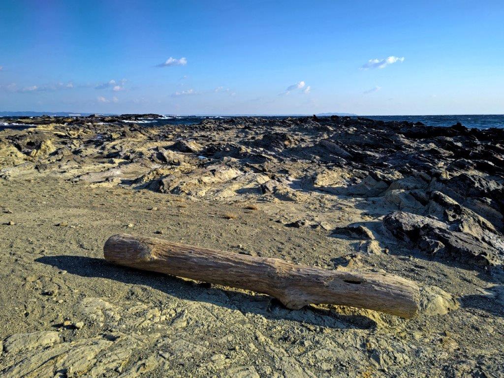
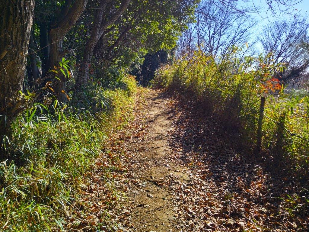
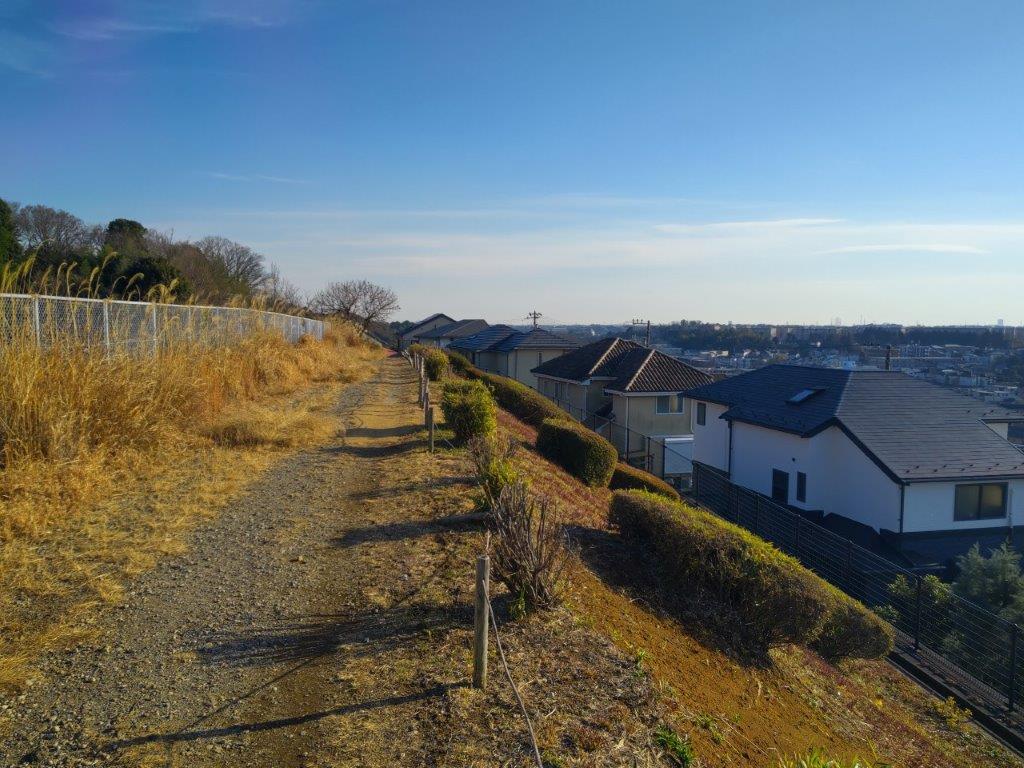
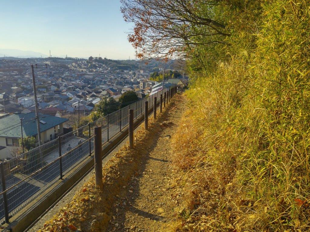
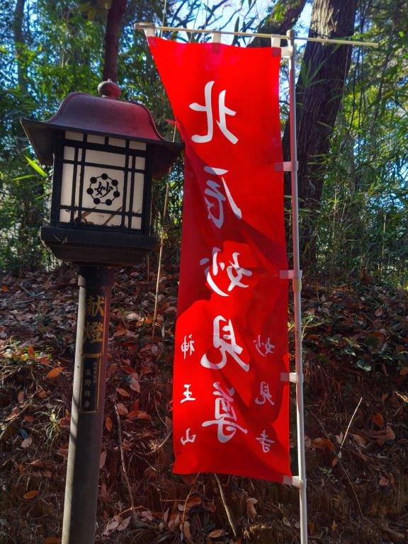
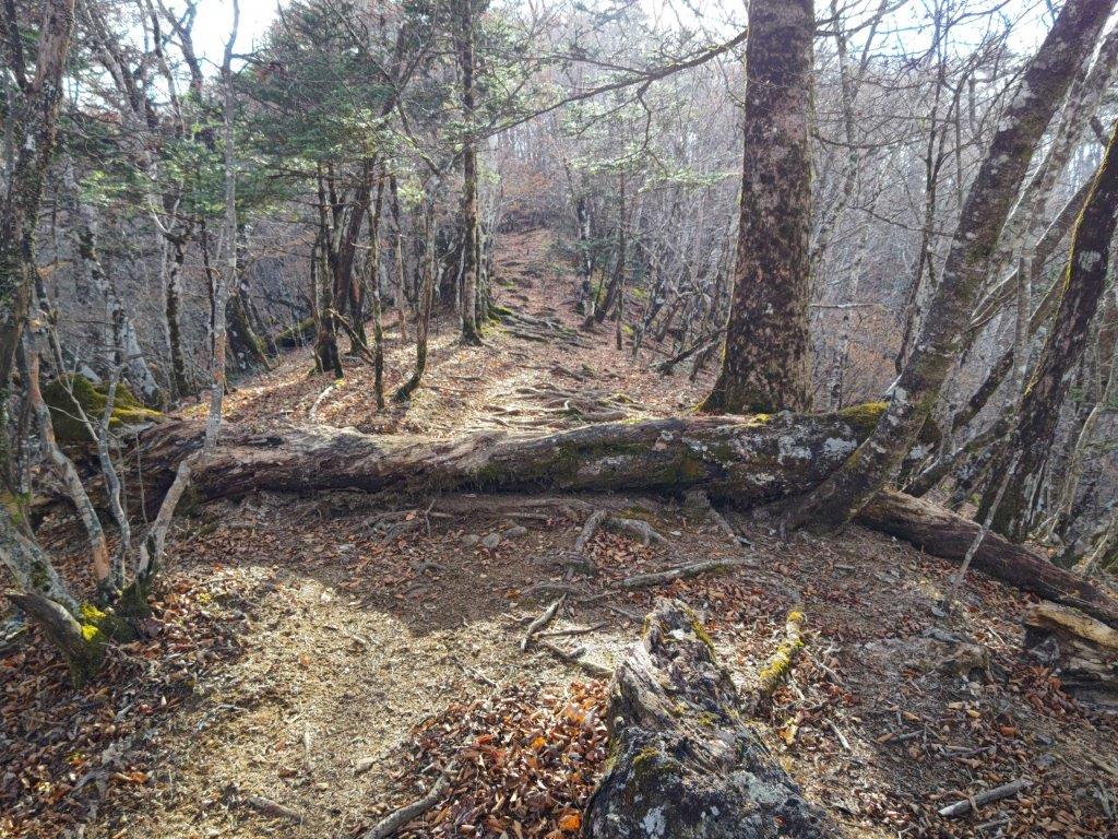
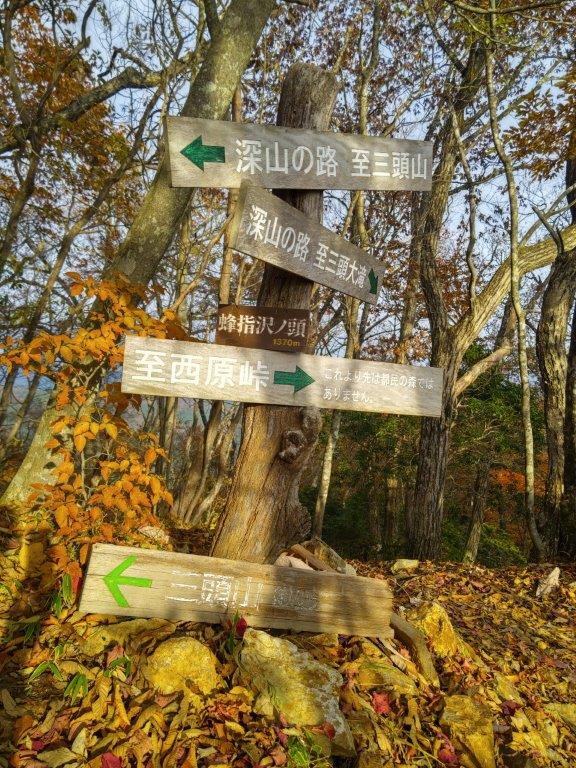
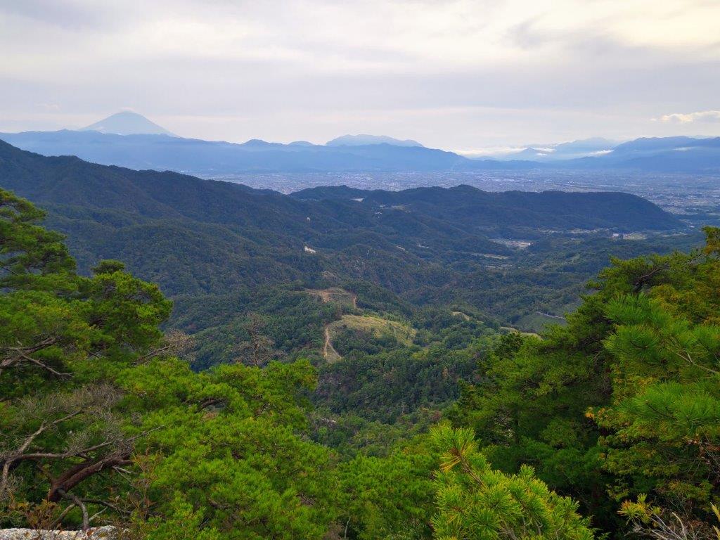
I was surprised to see 3 competing sets of signs; the Mt Hinode Association ones seemed the sturdiest, short square poles embedded in the ground, although I had to squat to read the printed information. At 11am, I started up a grassy slope and entered a mixed forest. Past some tall pines, the trail crossed a forest road and dived back into the forest; however, I soon popped back onto the same road, the hiking path being just a shortcut, and turned right. Half an hour after setting off from the trail entrance, I reached the Mt Katsubo Forest road viewpoint (勝峰山林道展望広場), a wide open space with a view on the east side.
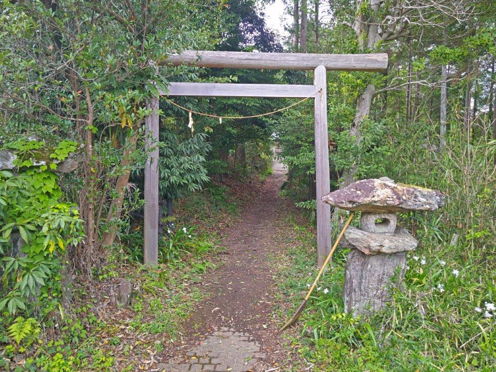
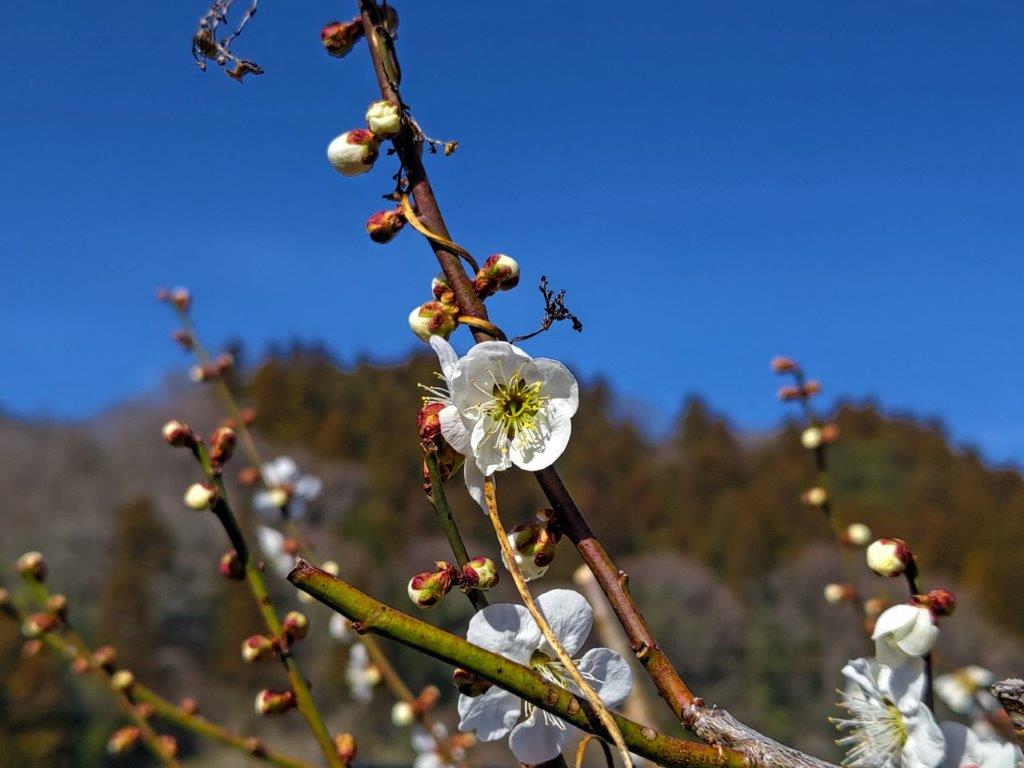
Sachigame Shrine with “shaga” in Full Bloom
Walking the Left Bank of Hirai River to the Trail Entrance
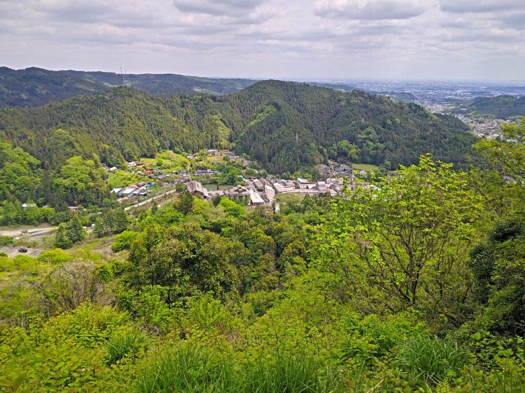
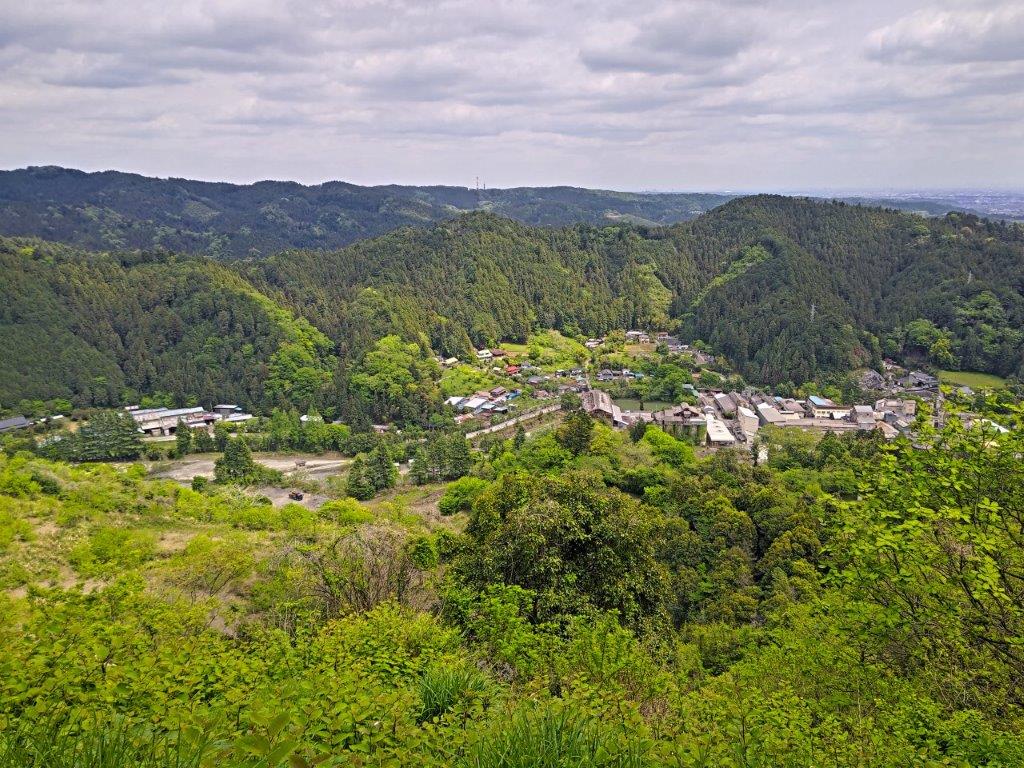
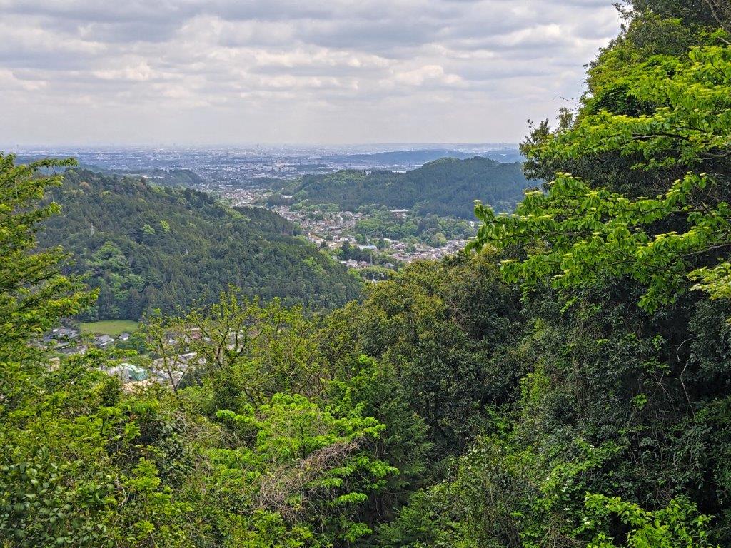
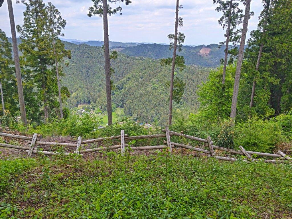
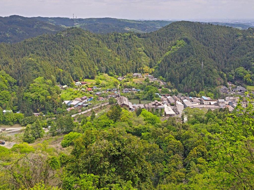
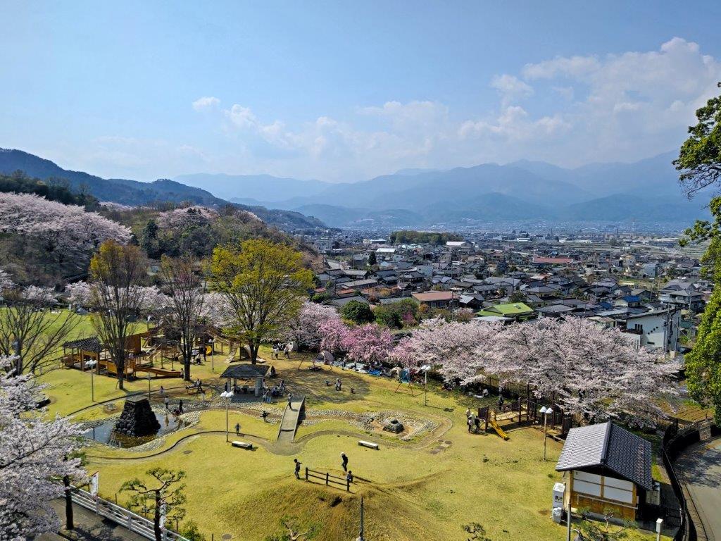
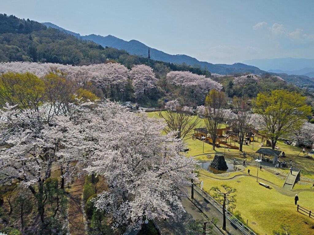
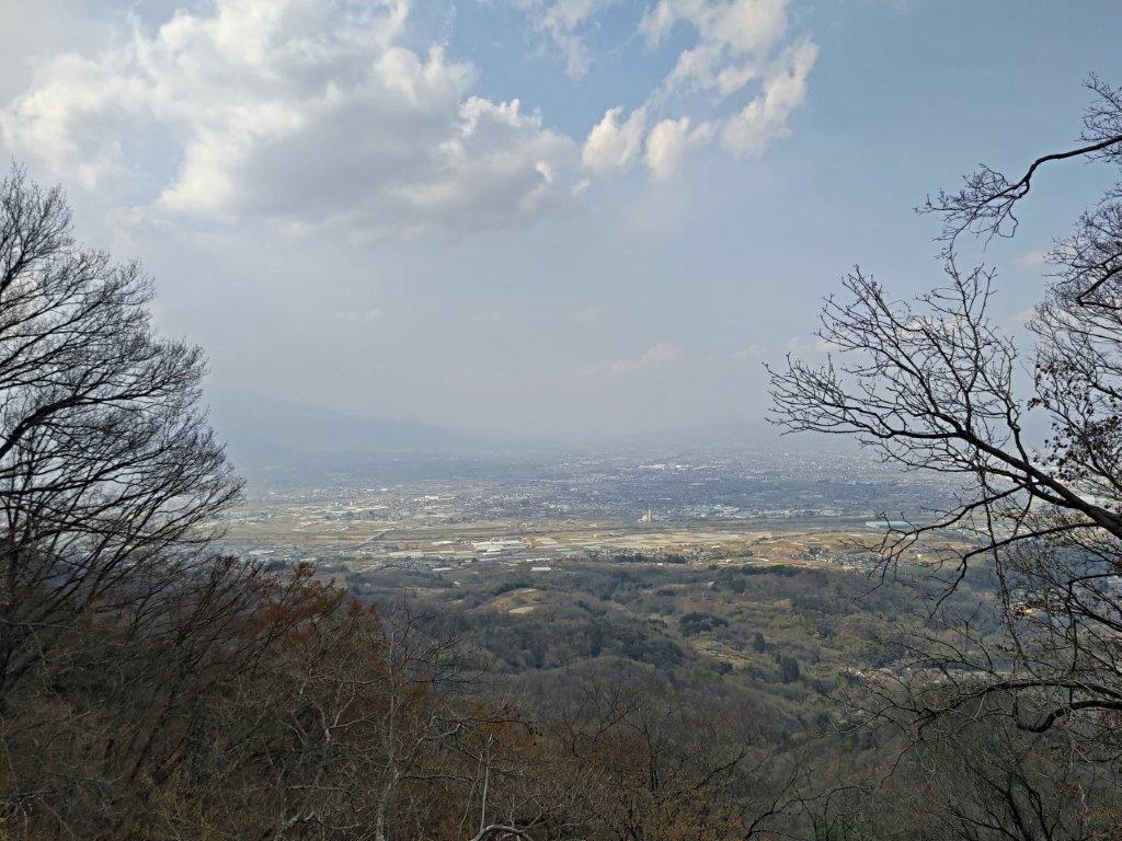
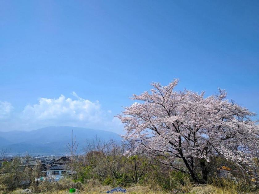
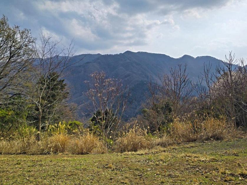
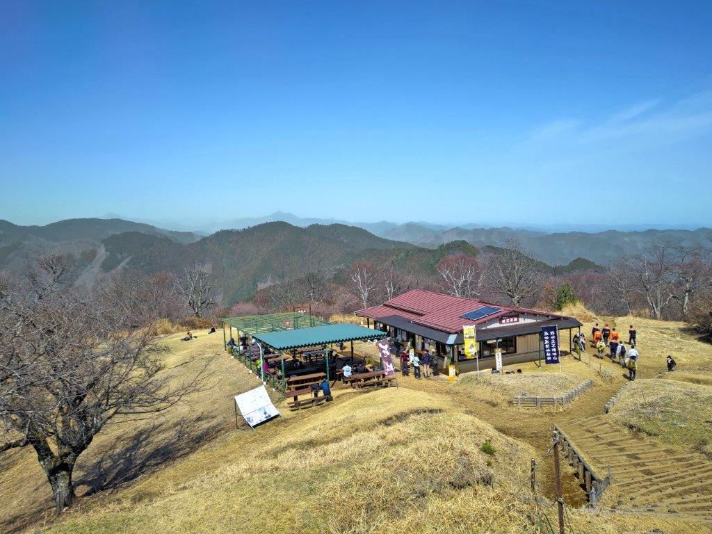
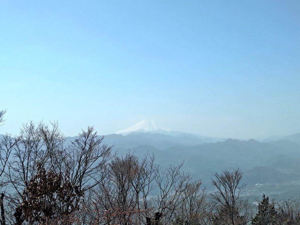
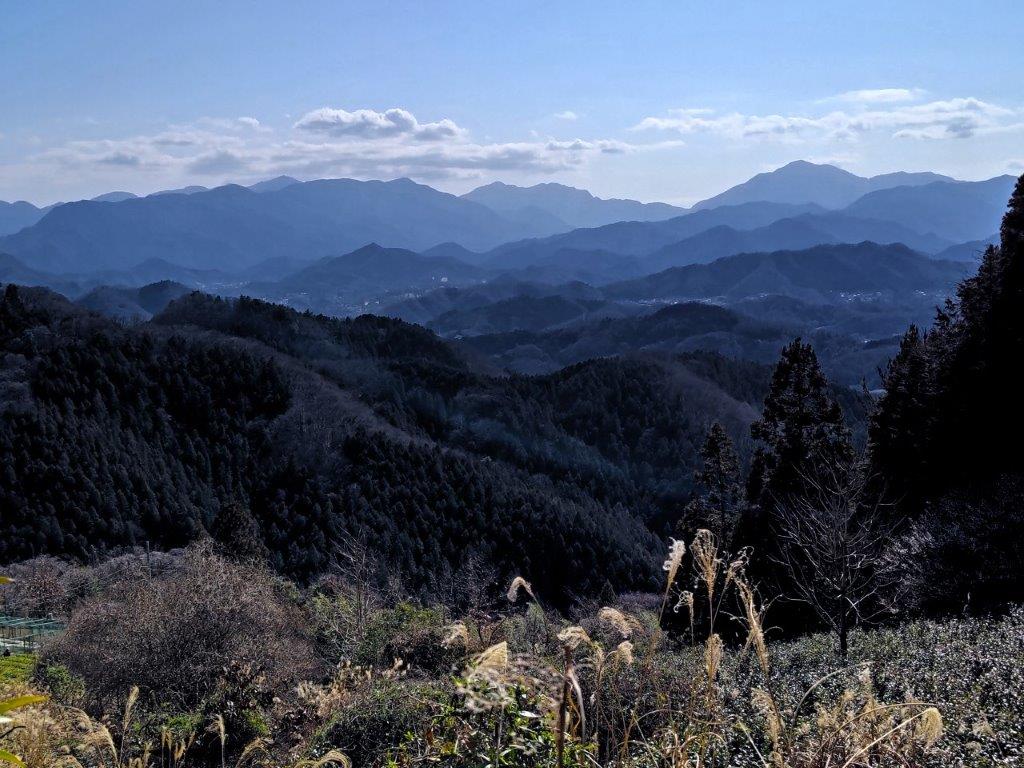
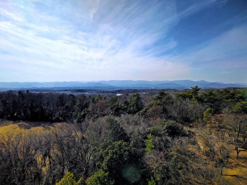
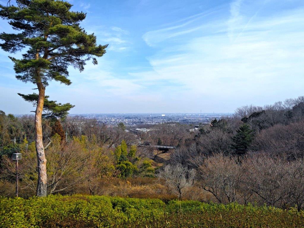
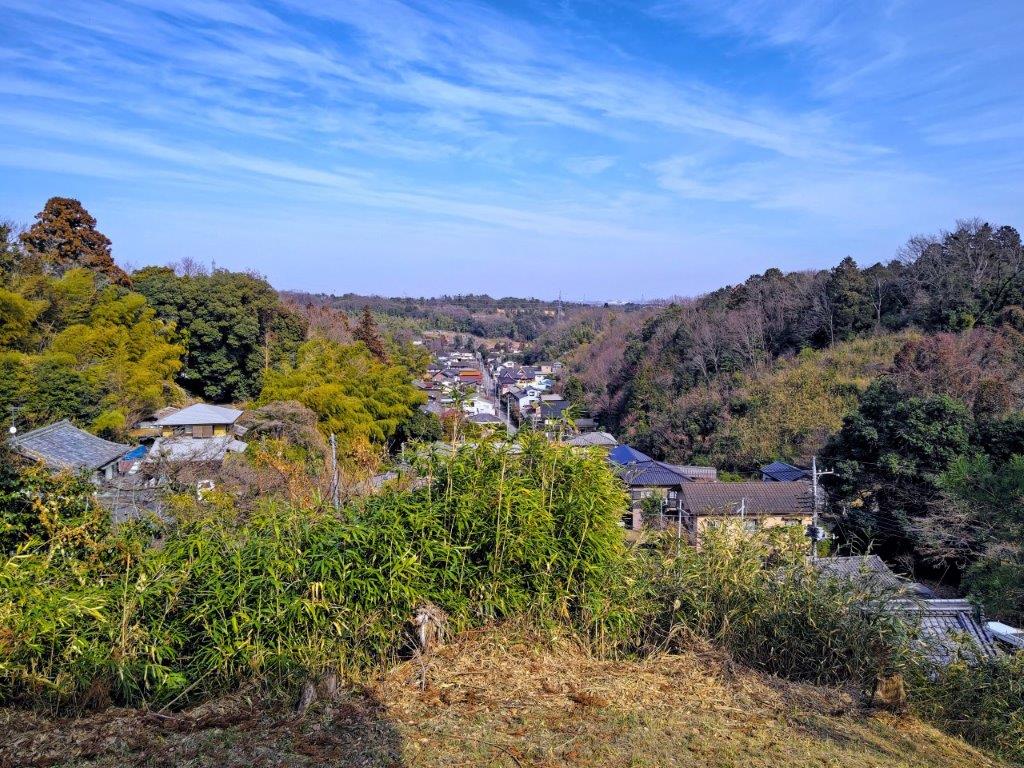
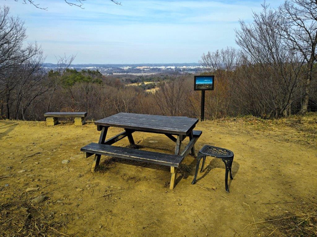
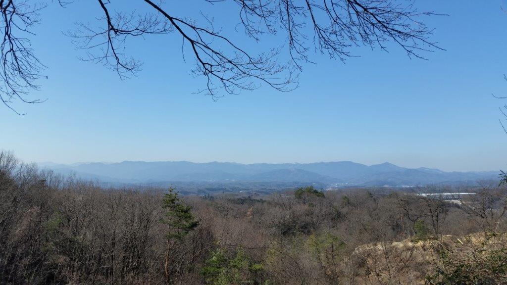
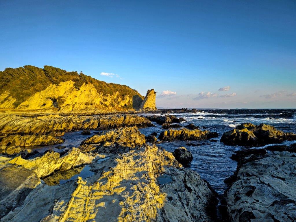
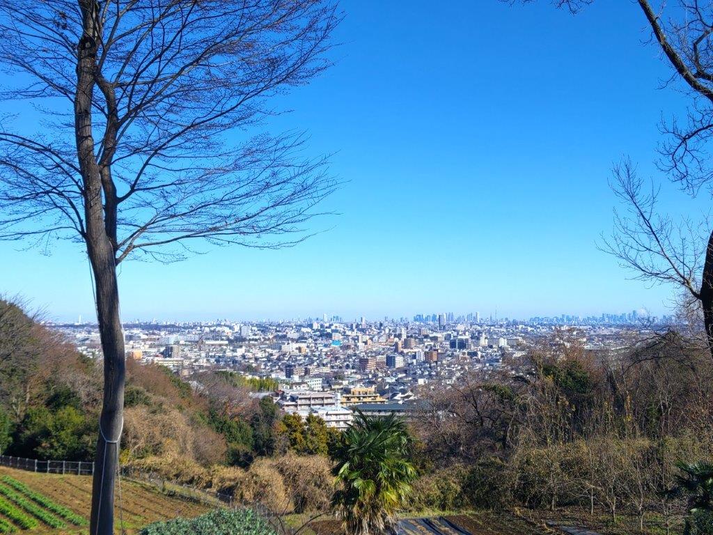
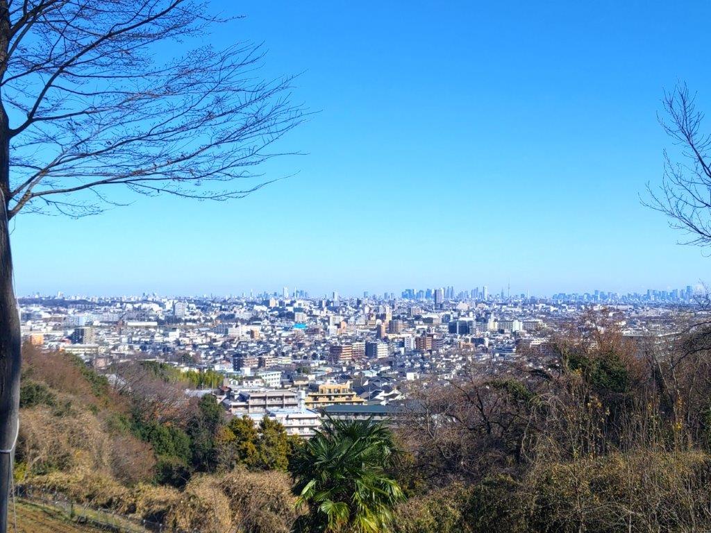
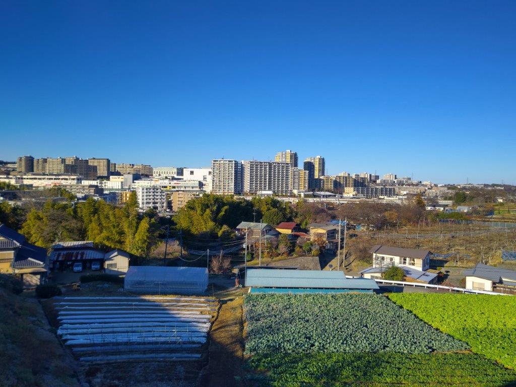
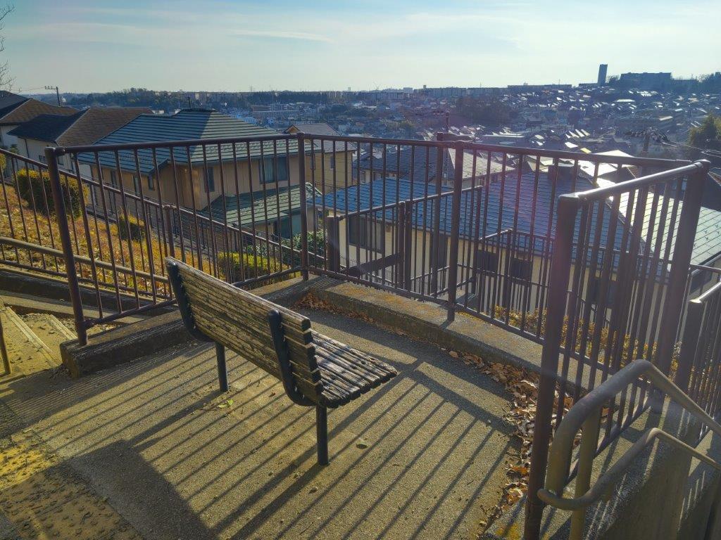
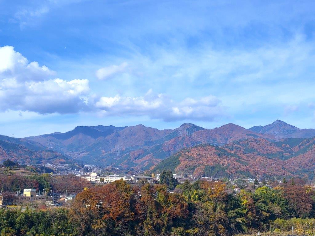
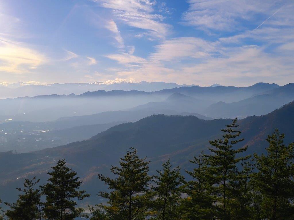
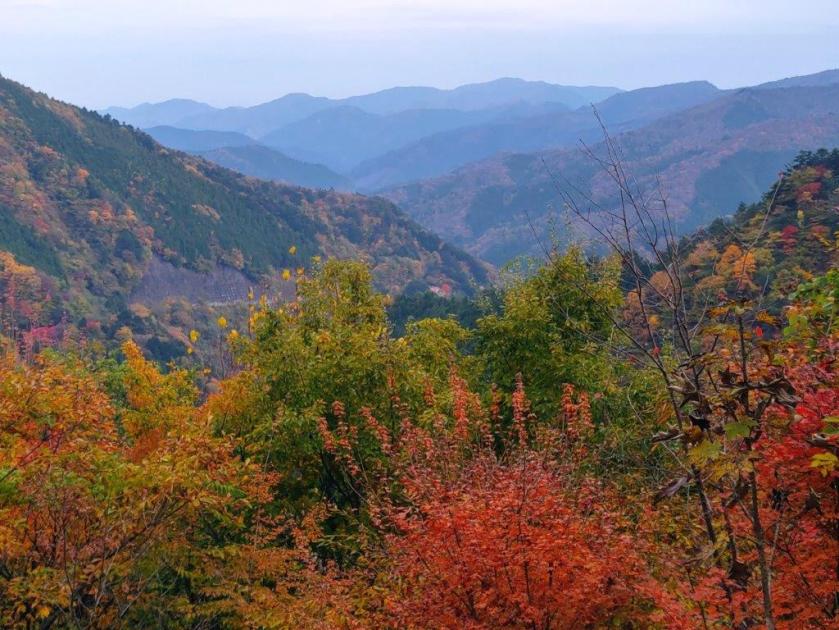
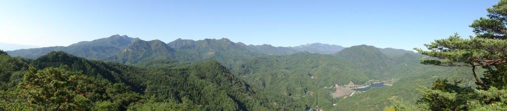
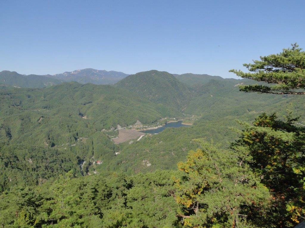
I was thrilled to reach a viewpoint so soon after setting off. I set my pack down next to one of the picnic tables for a short break to admire the view. Straight ahead I could observe the Hirai river valley, the various buildings looking like toy models from this high vantage point; beyond, I recognised the Hamura Kusabana Hills south of the Tama river; on the right side, I could see the Akigawa river valley with the Akigawa Hills along its south side; in the far distance the Tokyo suburbs filled up the Kanto Plain. According to a signboard, a scene from a popular drama has been filmed at this location.
End of the Shortcut and Start of the Forest Road
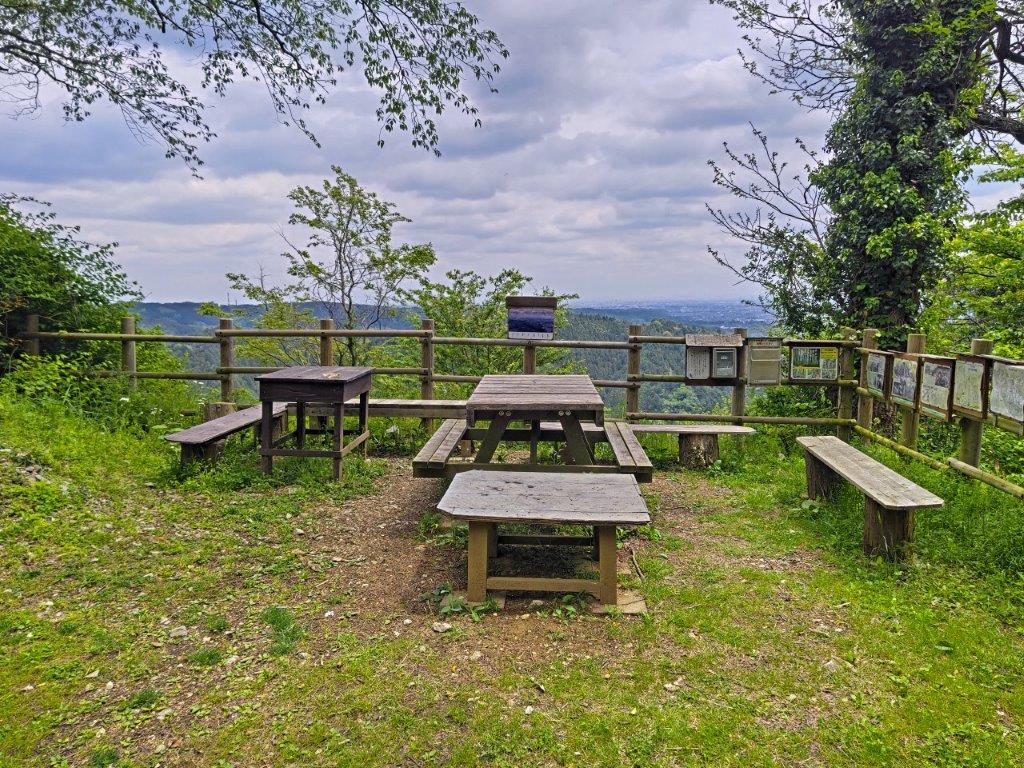
Picnic Table at the Mt Katsubo Forest Road Viewpoint
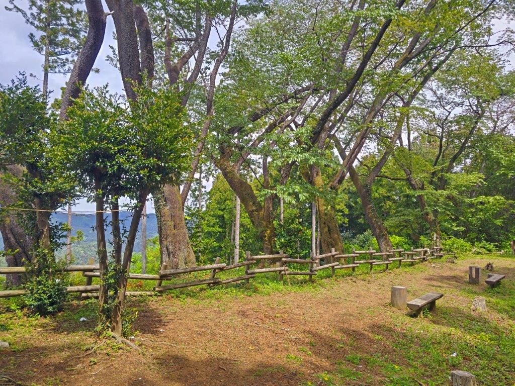
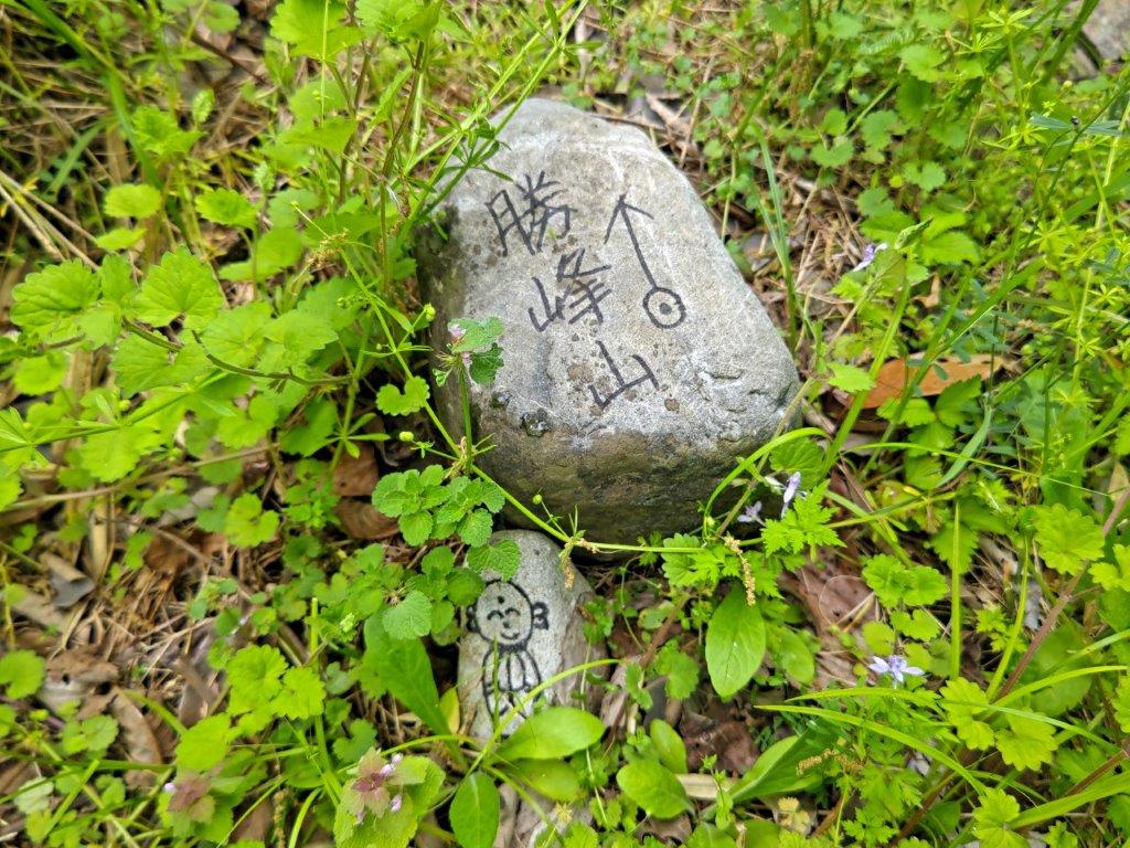
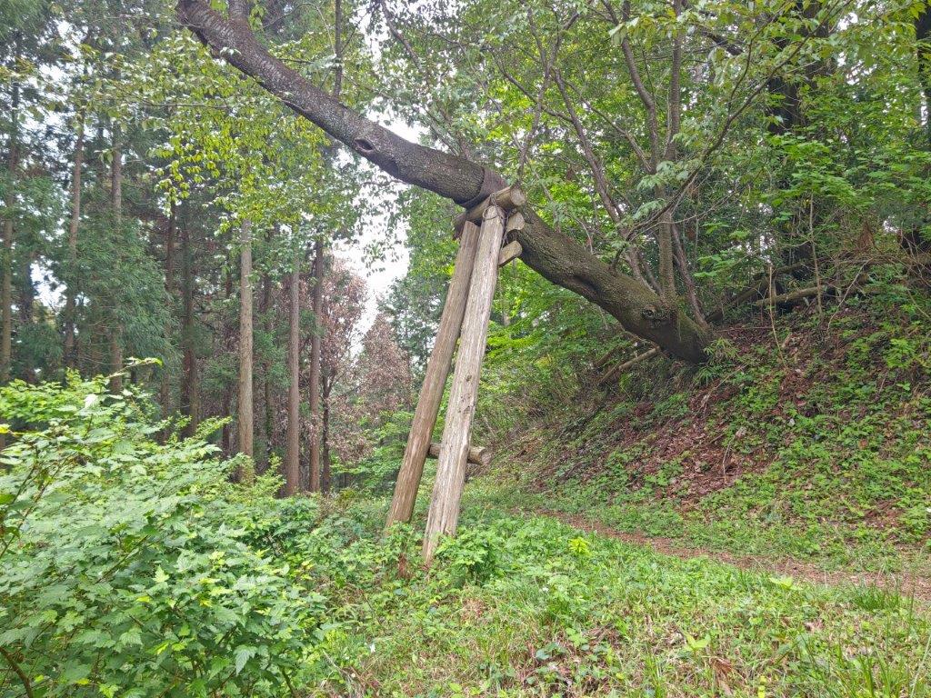
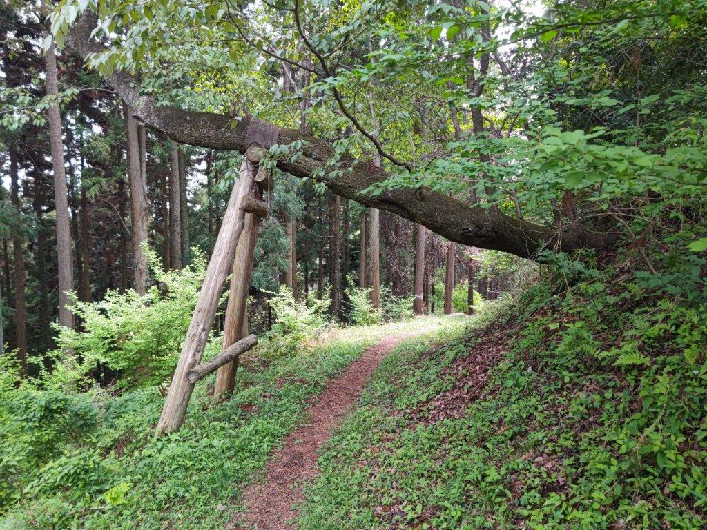
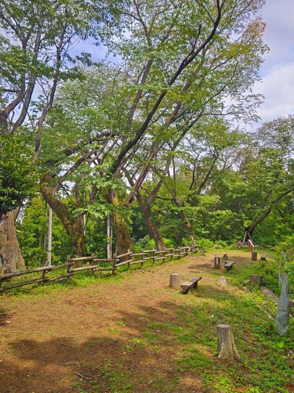
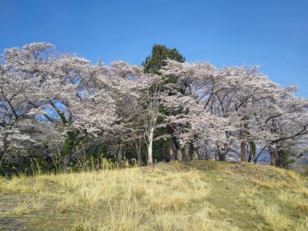
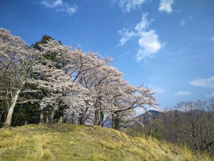
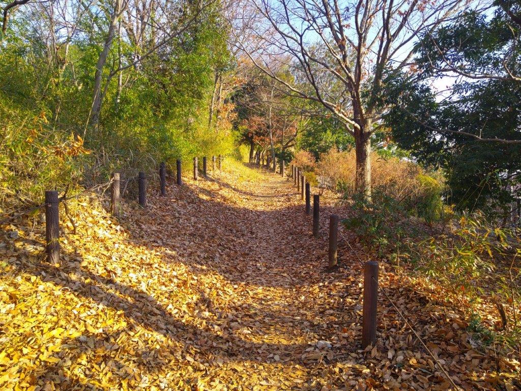
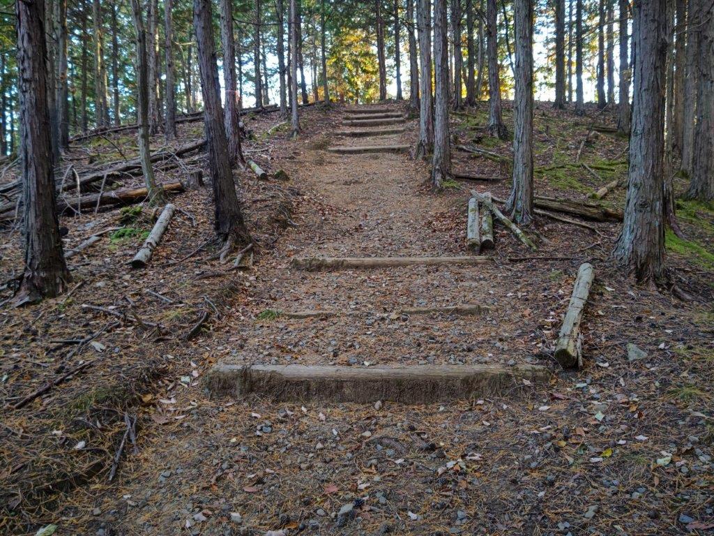
It felt chilly on this overcast Spring day but I imagined this would be a nice spot for a picnic in warmer weather. I lingered till the noon chime, hoping the sun would come out. I followed a wide and well-maintained trail, spaced out log steps protecting the steeper sections from erosion. After passing by a second viewpoint with a similar view from before, and then under the branch of an ancient tree, propped up by a wooden support, I headed down a side trail on the right to the third viewpoint shown on Google Maps. This one was a little disappointing as it was partially blocked by the vegetation. I retraced my steps and very soon reached the top of Mt Katsubo (勝峰山 かつぼうやま katsubouyama meaning “victory peak”), a pleasant grassy summit surrounded by trees but with a partial view on the north side.
View of the Hirai River Valley and Hamura Kusabana Hills
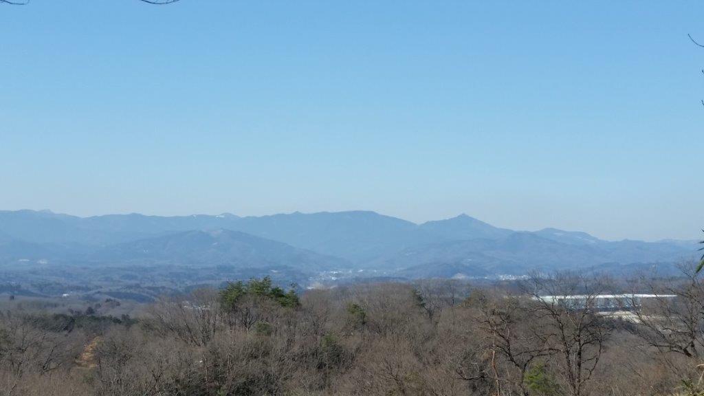
View of the Akigawa River Valley and the Akigawa Hills
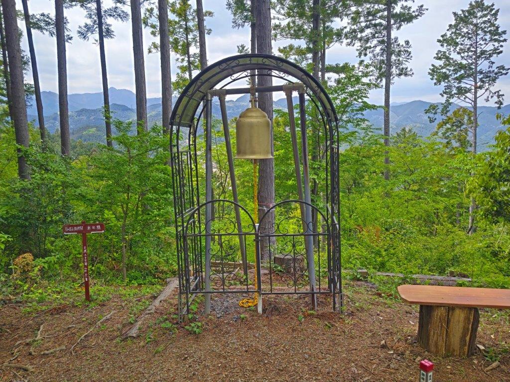
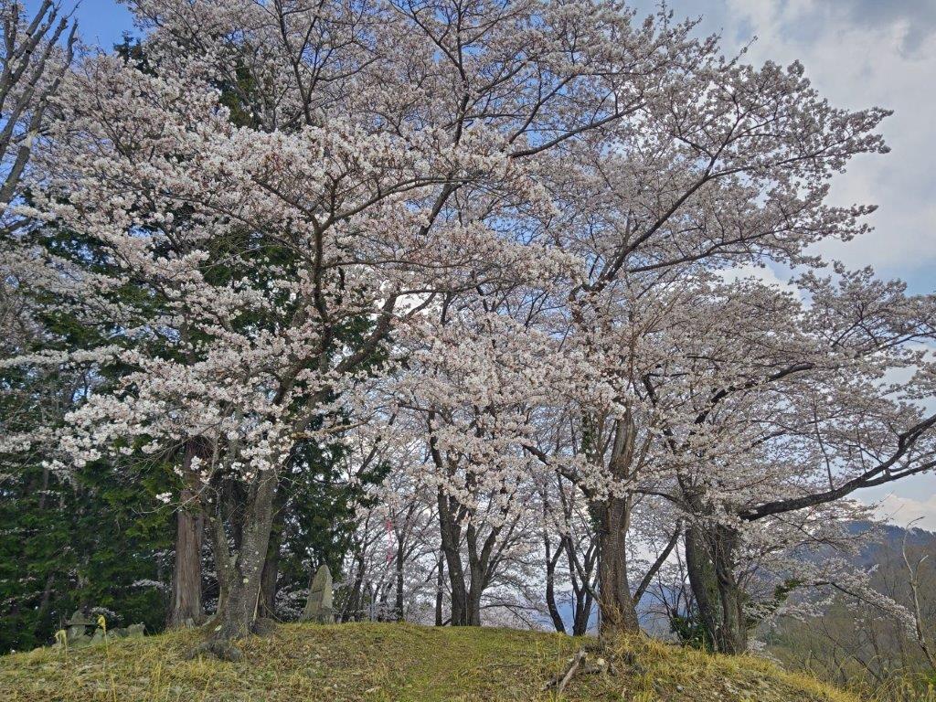
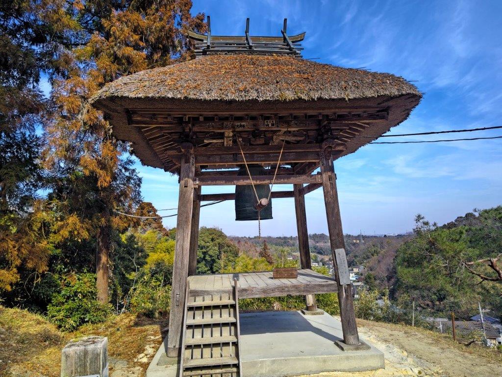
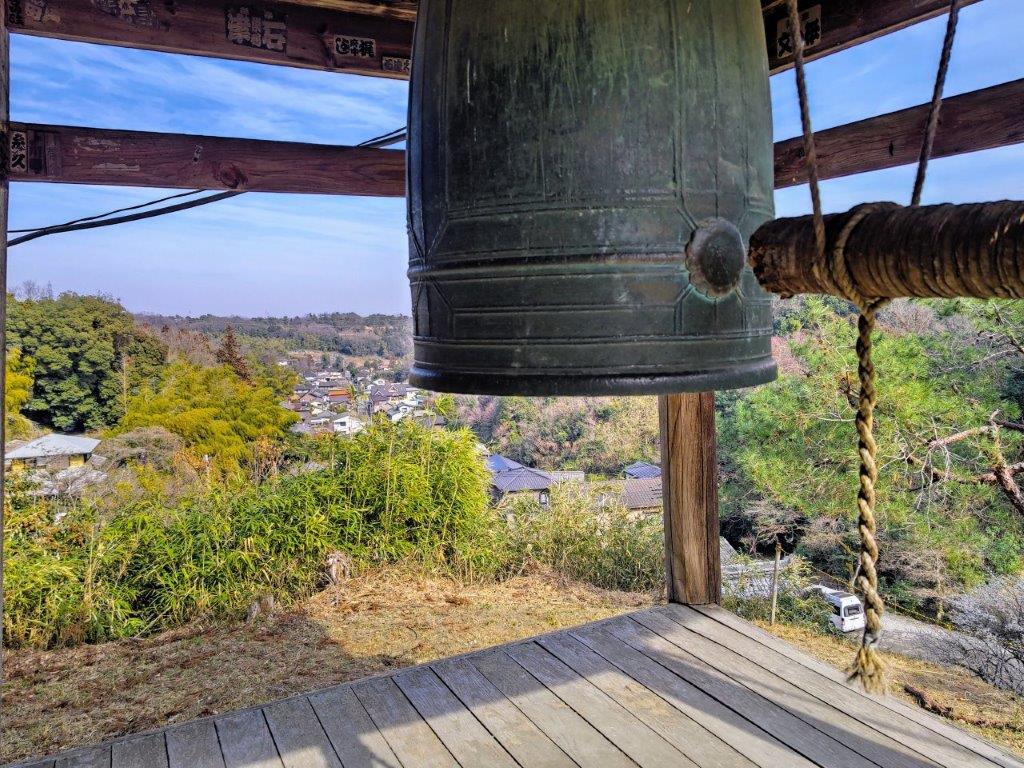
I was lucky to have the summit entirely to myself. Since it was 12:30pm, I sat on a bench for an early lunch, right next to a large golden bell called the “Bell of Happiness” (幸せの鐘). According to a signpost it had been moved several years ago from the nearby summit of Mt Hinode (visible through the trees) and the custom is to ring it three times: the first for happiness, the second for peace, and the third for hope. Just as I finished my lunch, the sun suddenly came out, briefly bathing the summit area in light.
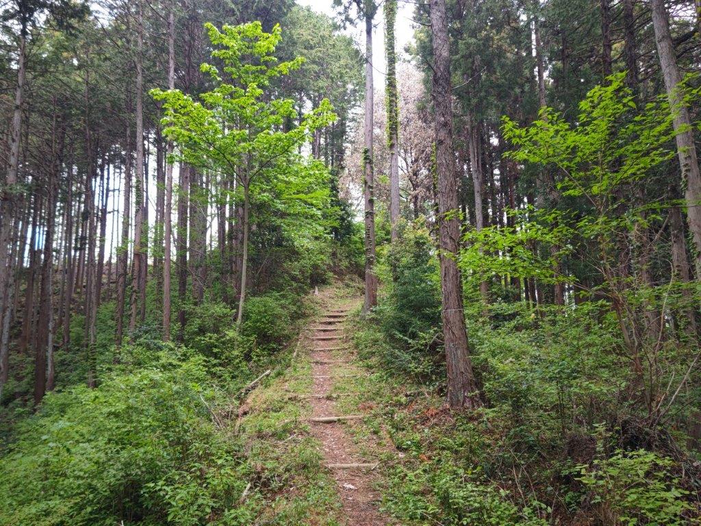
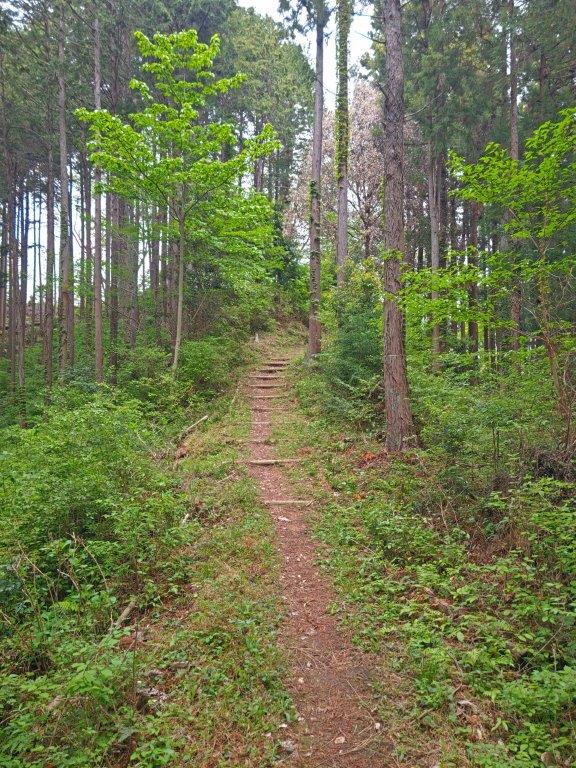
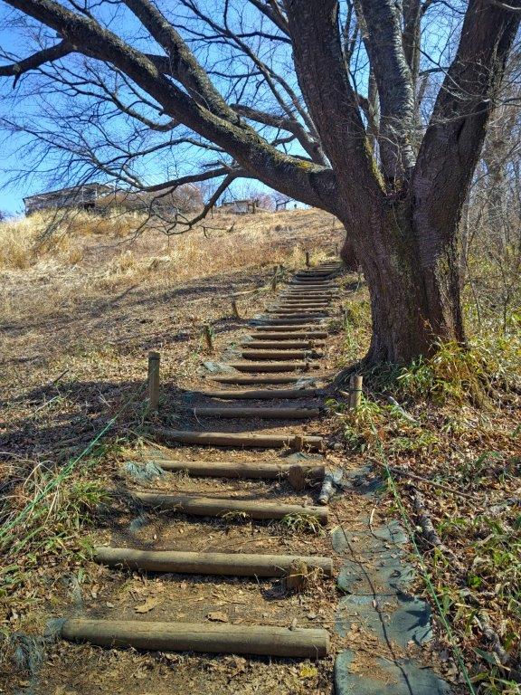
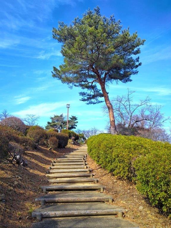
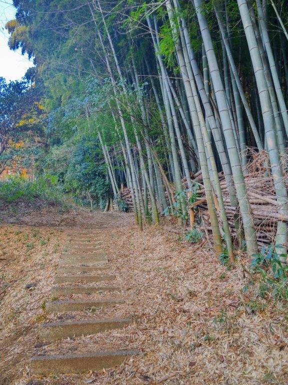
Log steps on the way to Mt Katsubo
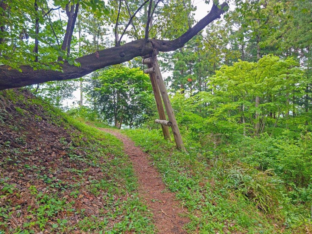
Branch Supported by a Wooden Prop
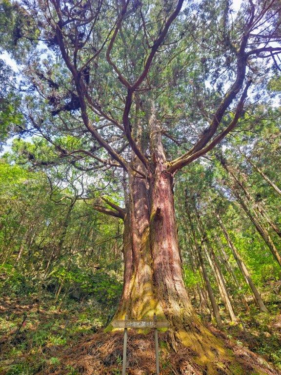
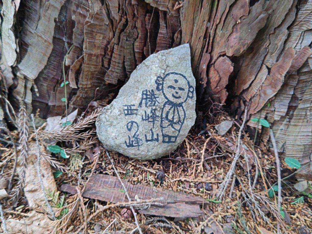
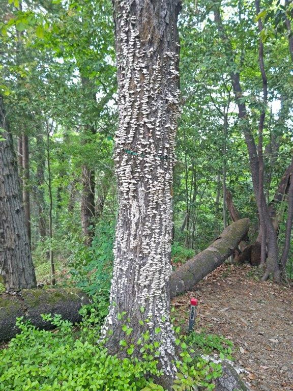
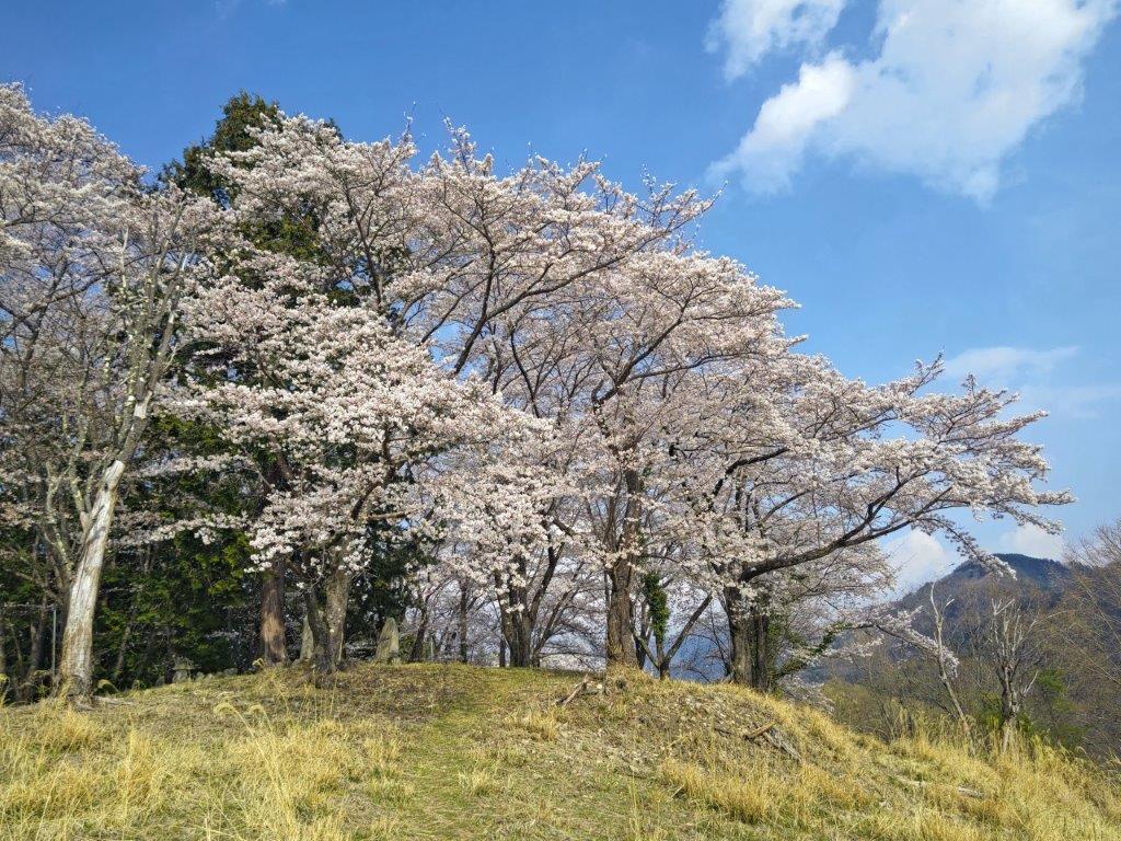
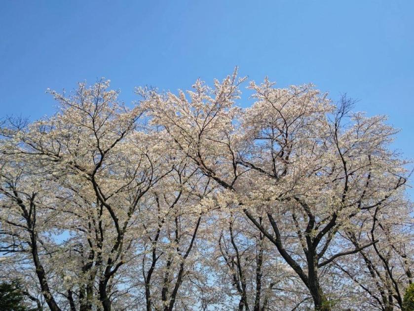
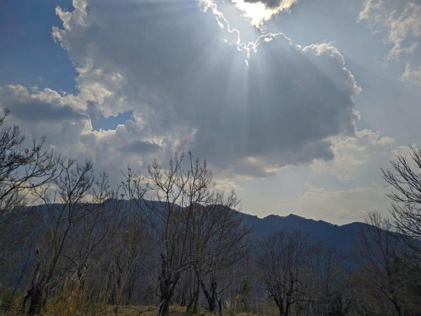
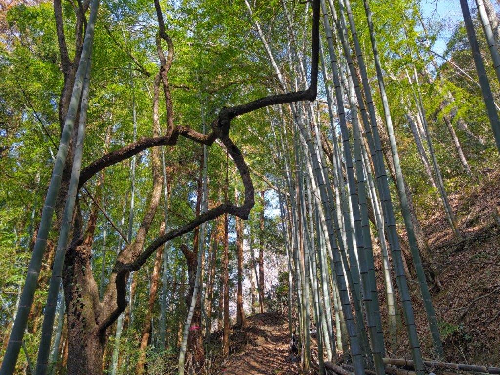
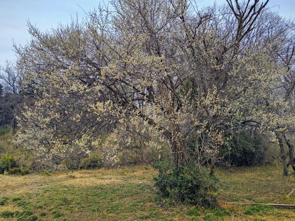
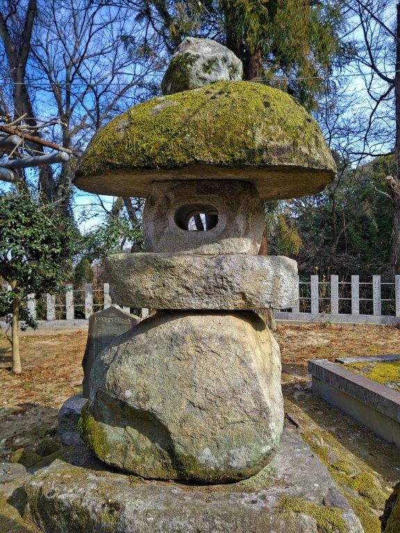
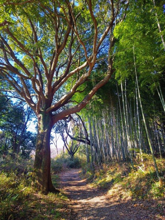
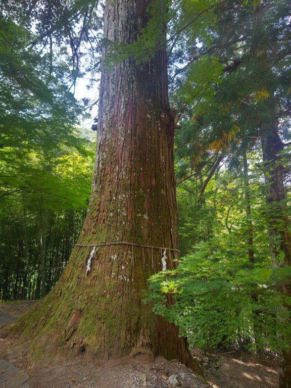
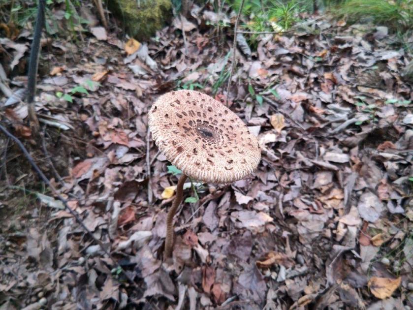
Looking up, I was relieved to see that large patches of blue sky had finally appeared. After relaxing at the top for nearly one hour, I continued my hike, and after some descending, reached a junction; to the right was the trail for Mt Aso and Mt Hinode which I hope to do one day. I ventured down it a short way and was rewarded with a wide view of the Hinode Alps to the north. I continued along the left branch, following the narrow ridgeline south, and soon reached a turnoff for the famous tree, down in the valley. After about ten minutes of descending a rough path, I spotted a huge double-trunked tree, called “Sennen no Chigiri Sugi” (千年の契り杉) meaning “The Cedar of the Thousand-Year Vow”.
Final Steps before the Summit of Mt Katsubo
View North from Mt Katsubo
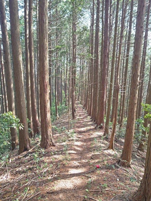
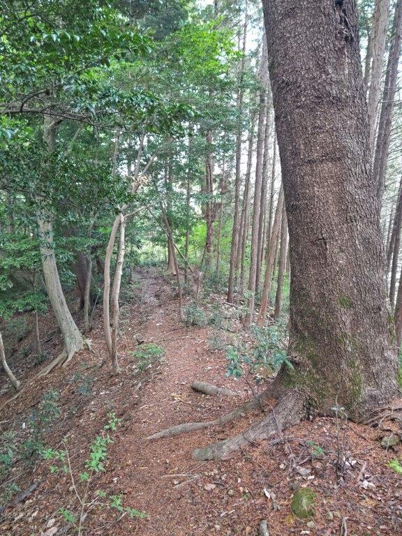
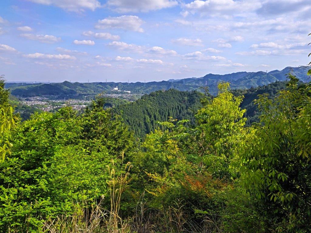
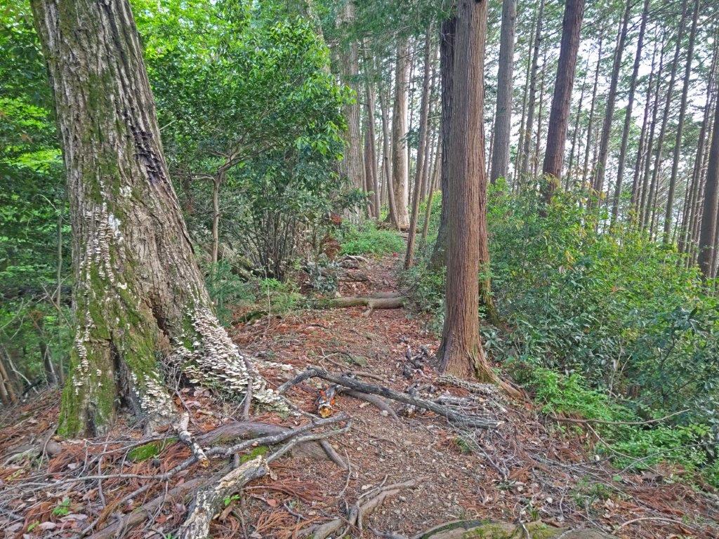
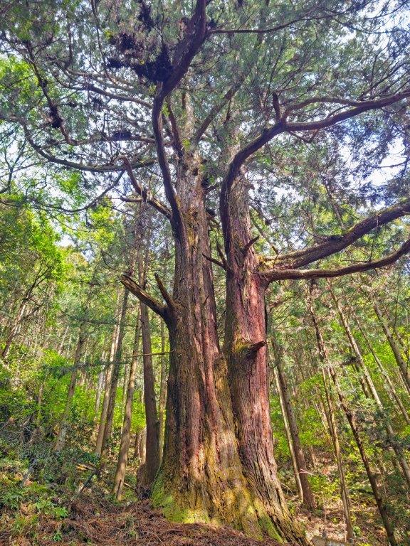
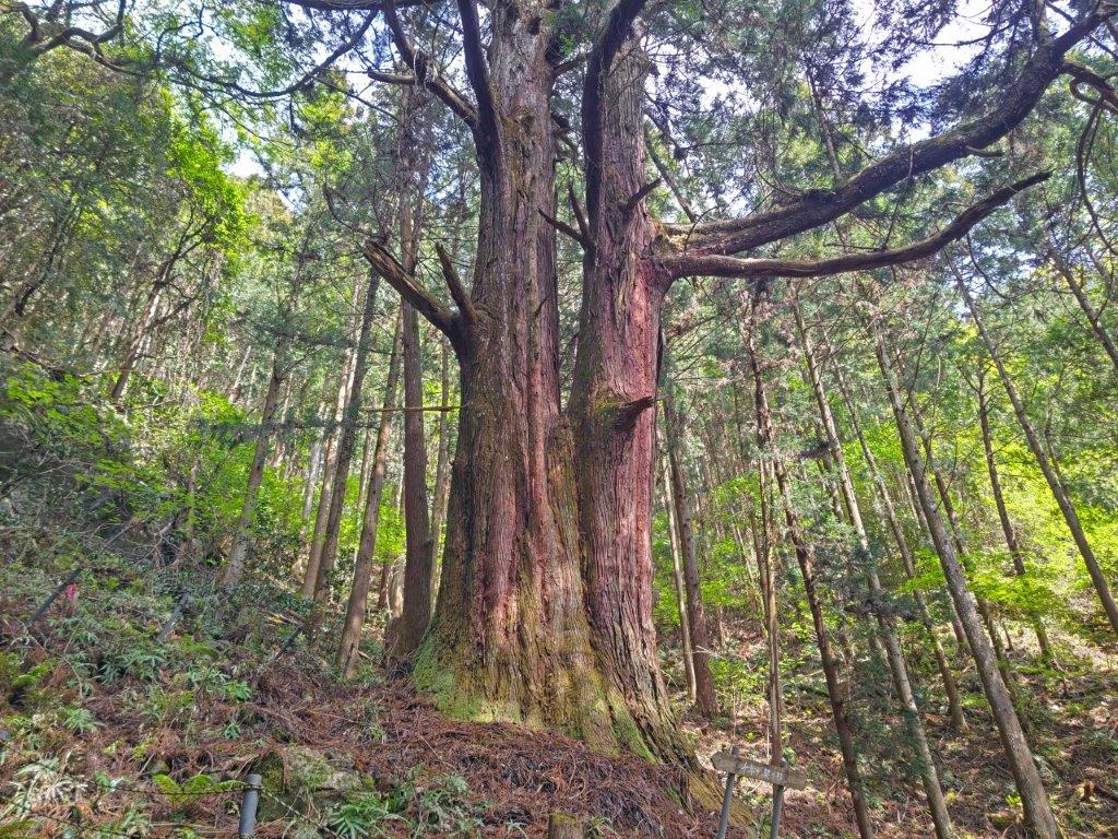
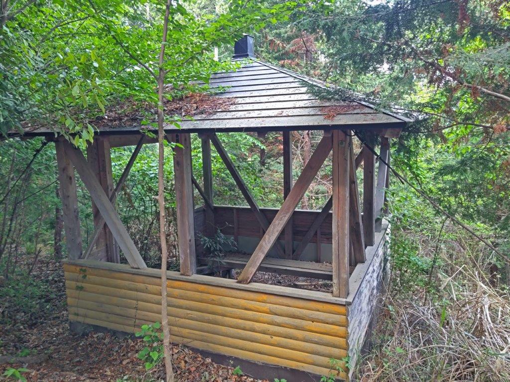
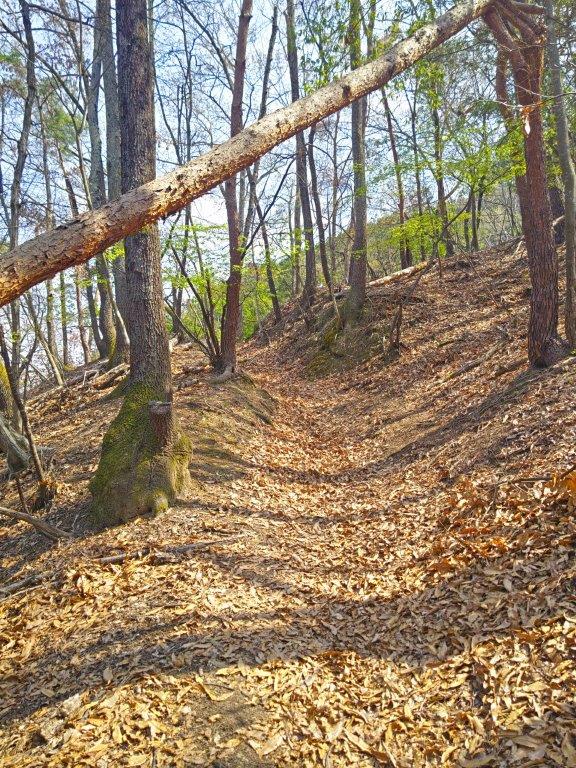
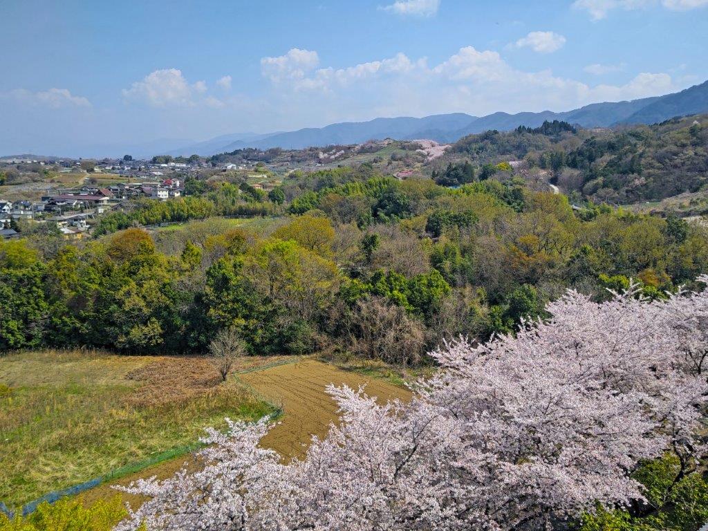
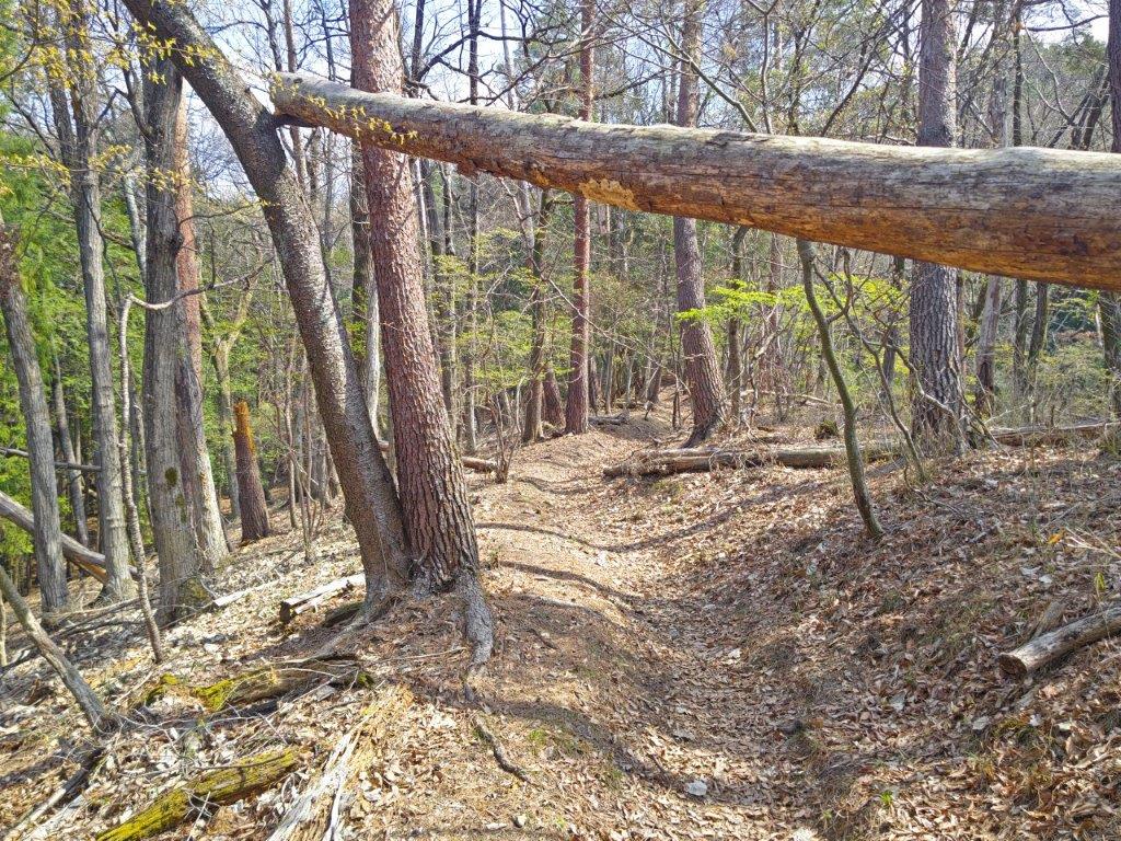
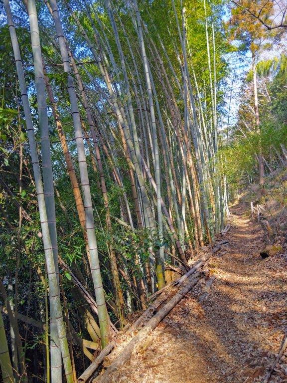
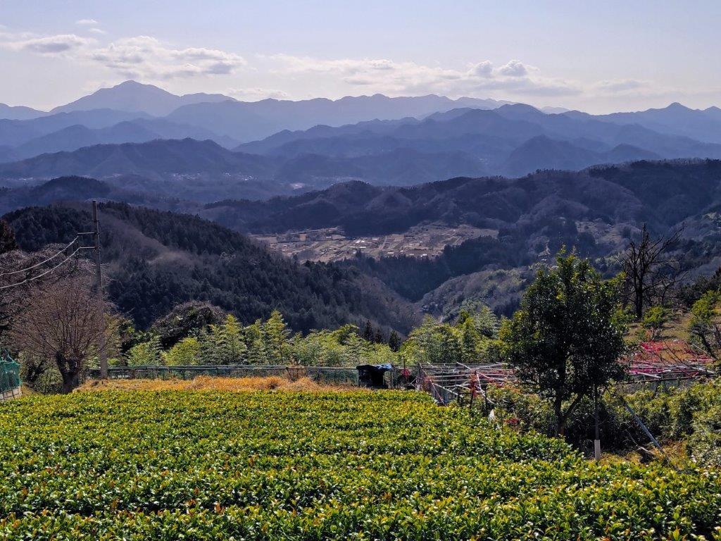
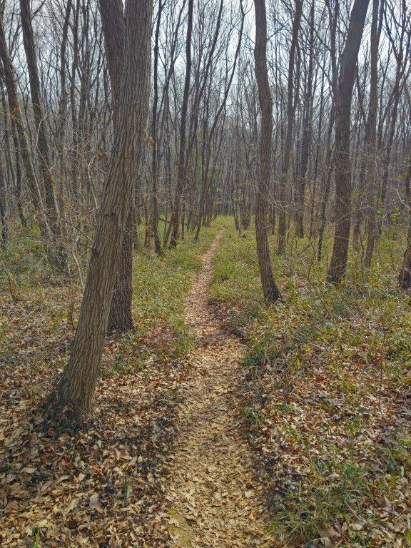
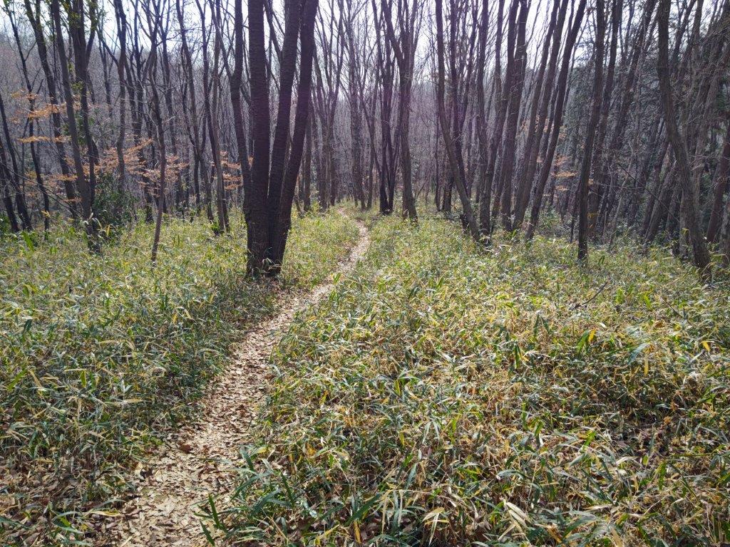
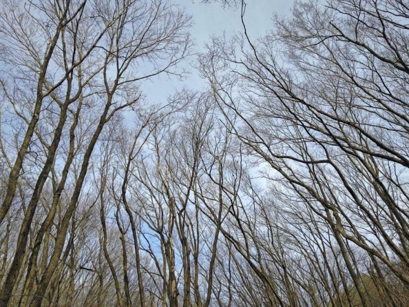
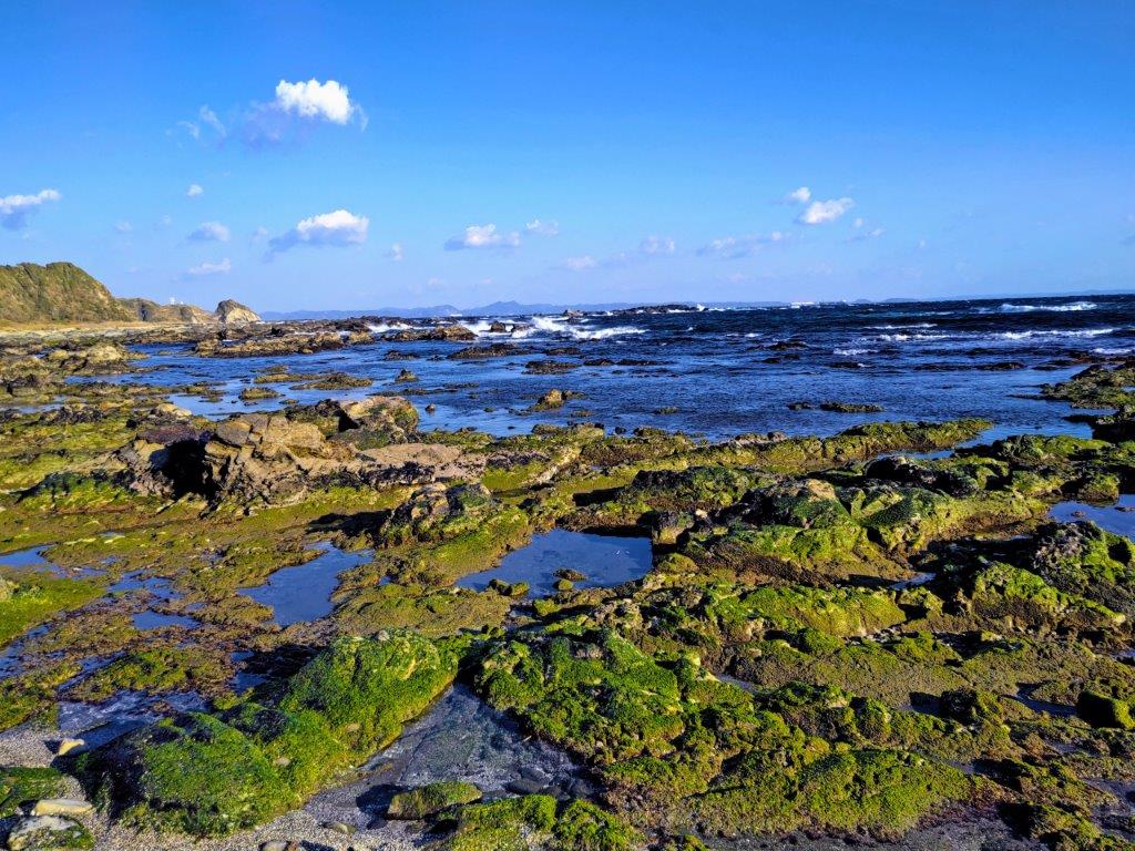
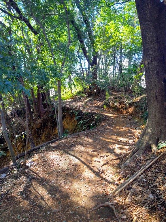
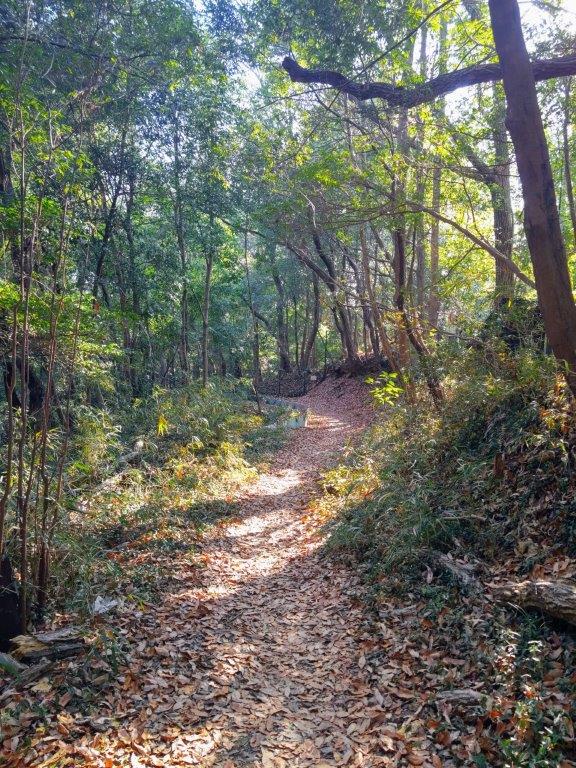
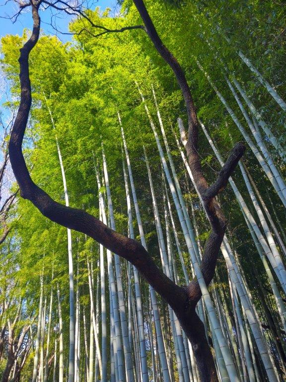
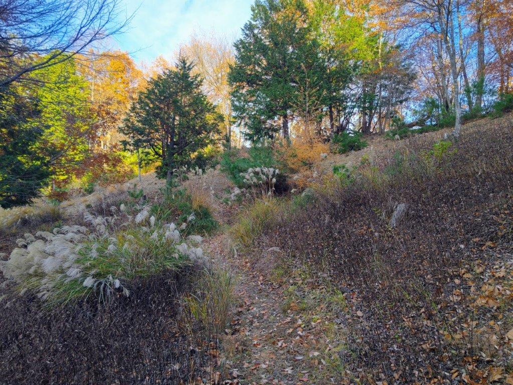
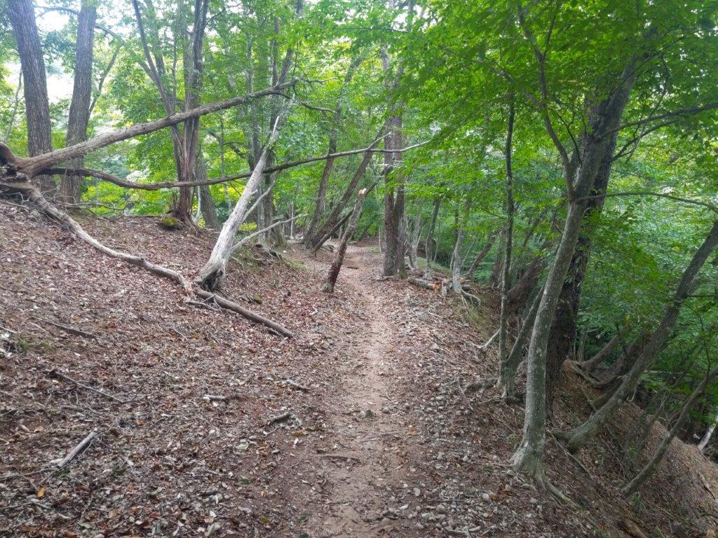
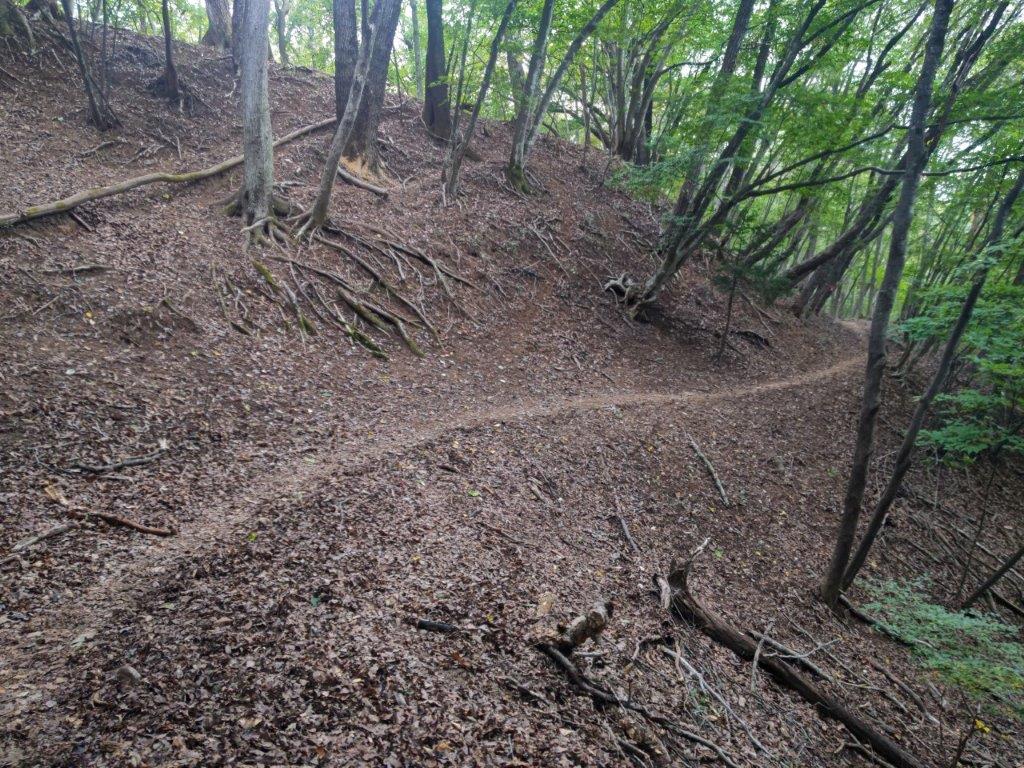
I approached this ancient cedar with wonder. Like for Tarosugi, a circular path allowed me to admire this 45 meter-high giant from several angles, its expansive crown filling the space above. I then made my way back to the ridgeline, and after a short ascent, reached the minor summit of Mt Fukusawa (深沢山 ふかさわやま 460m). Since it was completely in the trees, I continued without a break. The next section took me through some beautiful mixed forest, the silence occasionally interrupted by birdsong, no other hikers along this lonely trail; it was hard to believe I was within walking distance of a train station. After passing a neglected open shelter (“azuma“), I had an unexpected view southwards through a gap in the vegetation.
Summit of Mt Katsubo Bathed in Sunlight
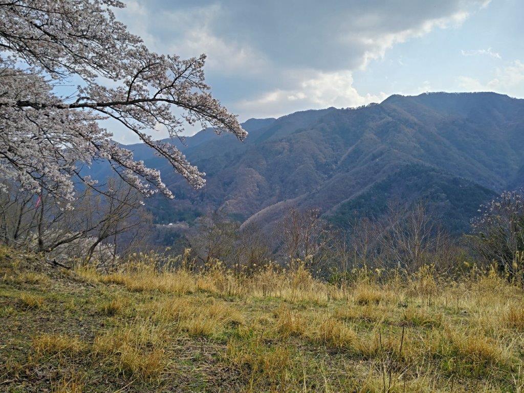
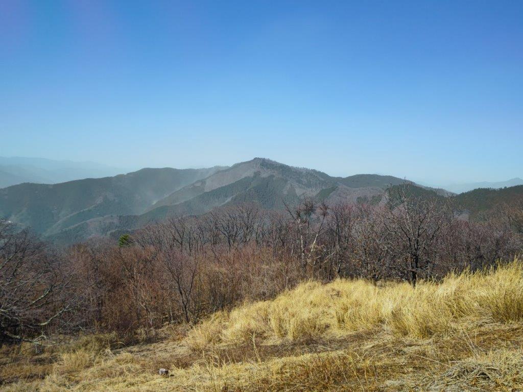
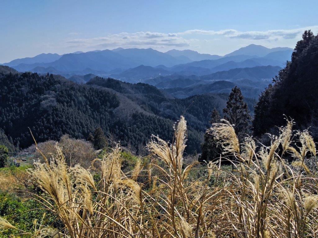
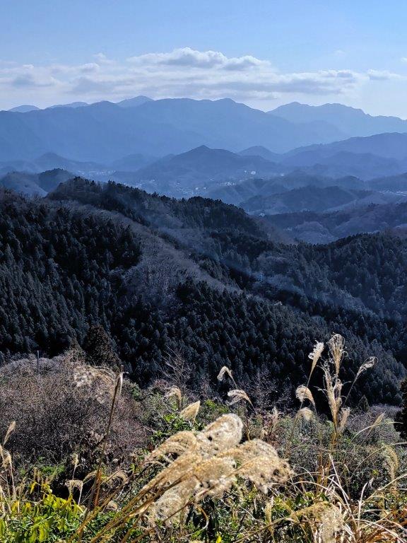
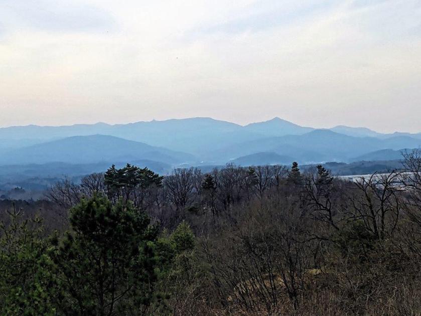
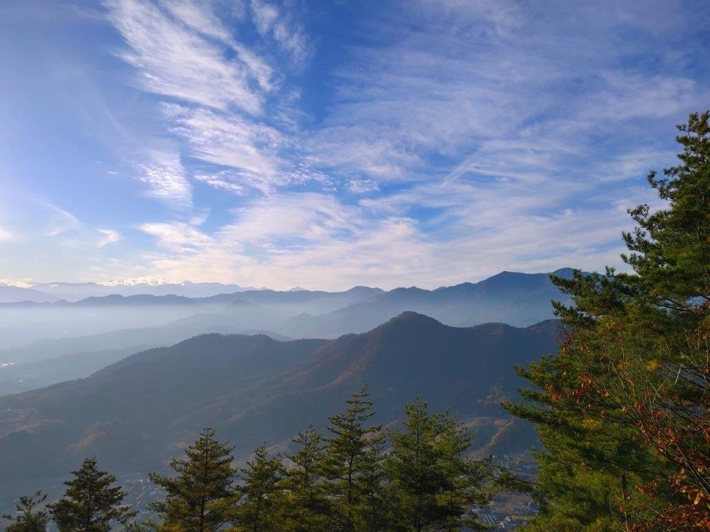
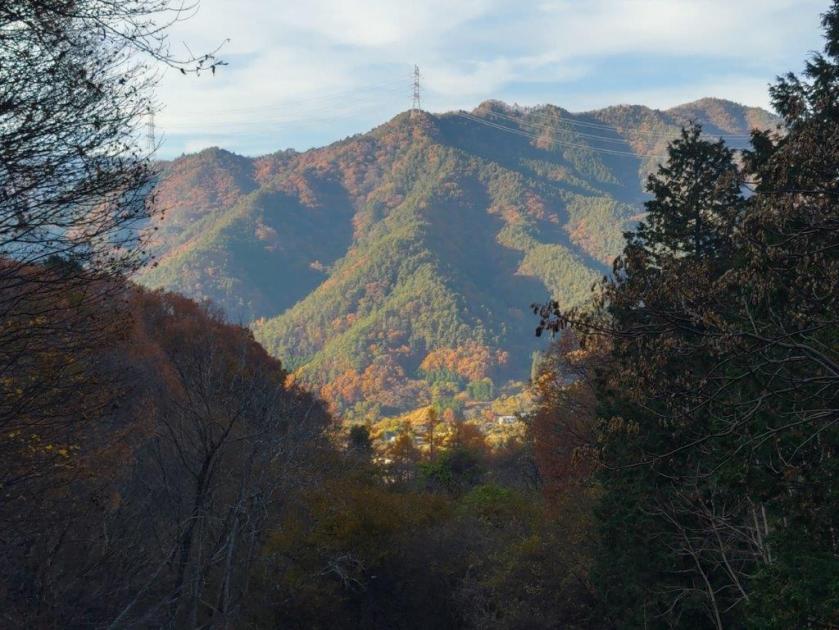
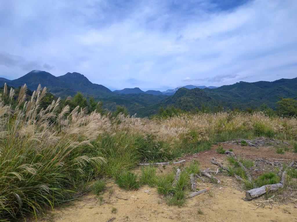
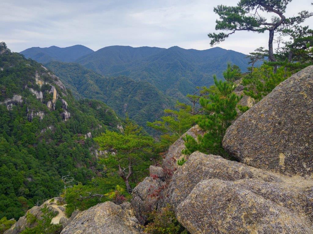
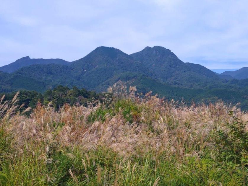
Hinode Alps from the Trail for Mt Aso and Mt Hinode
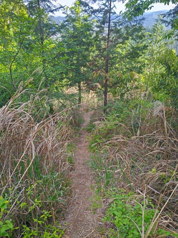
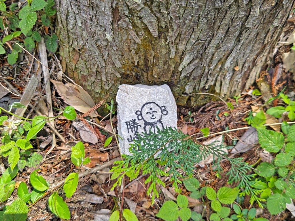
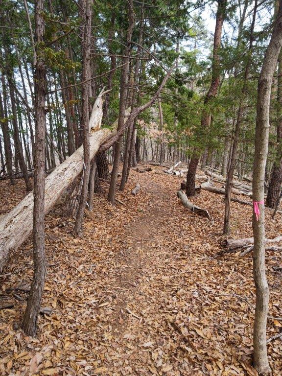
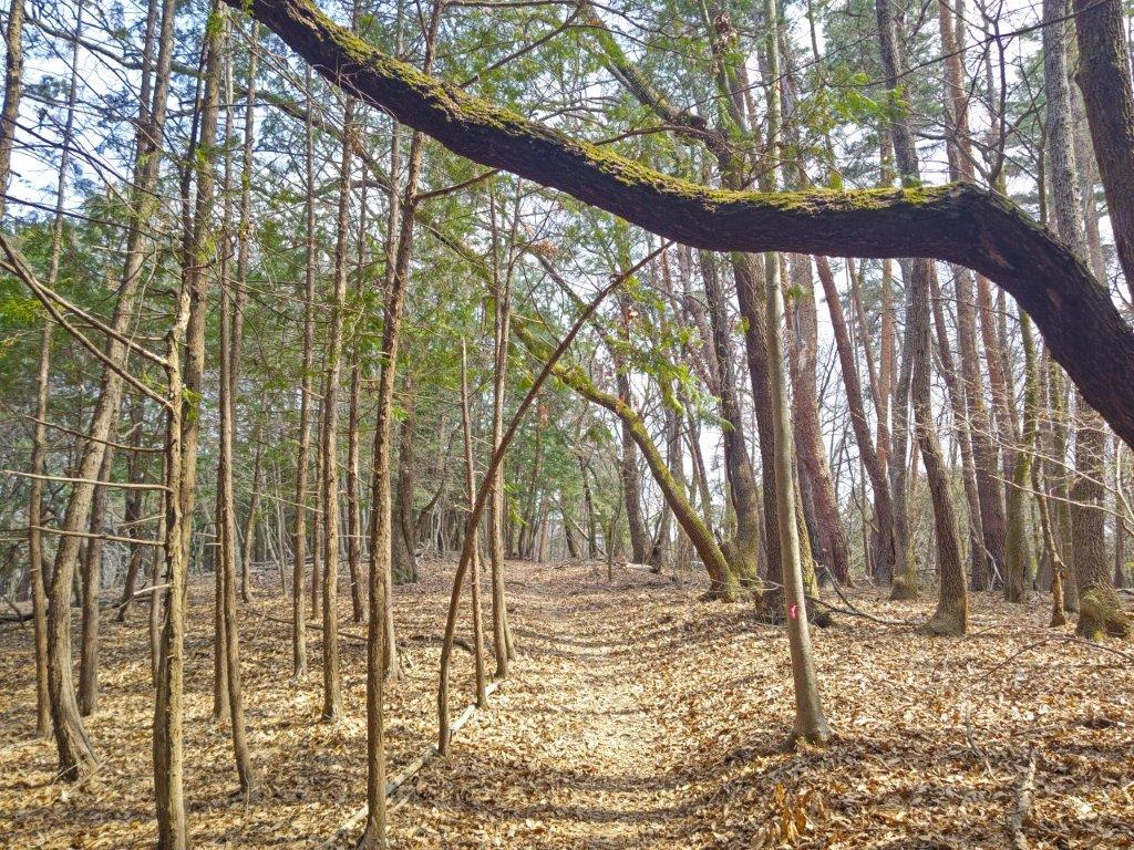
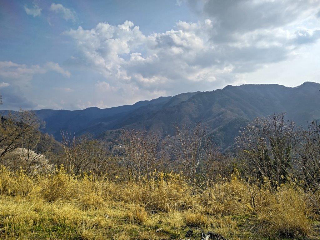
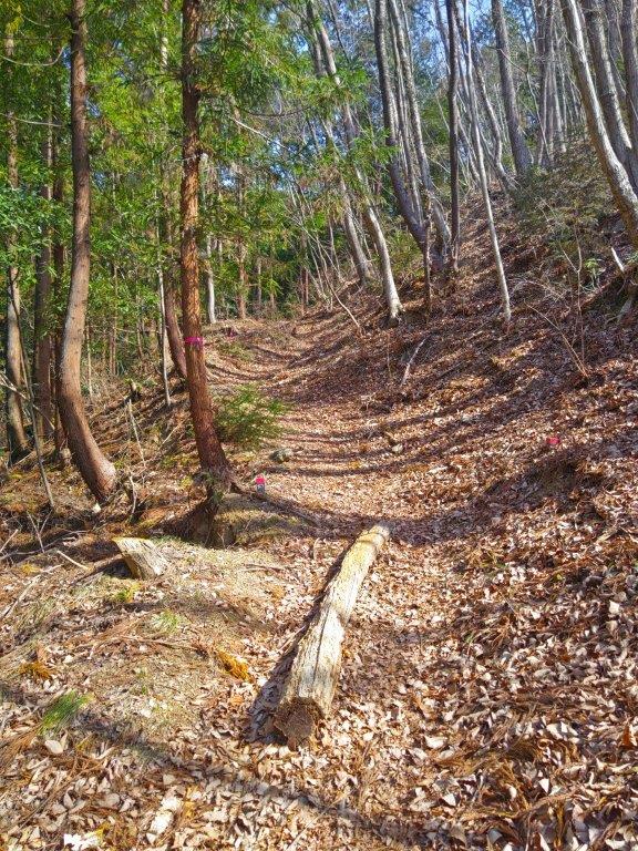
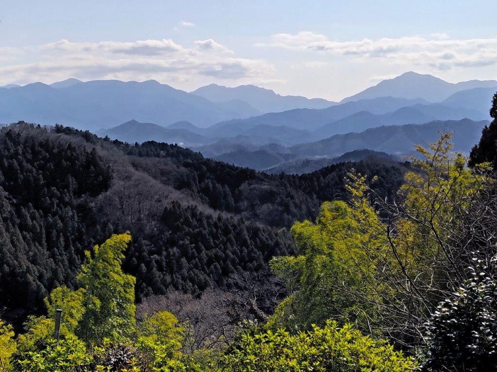
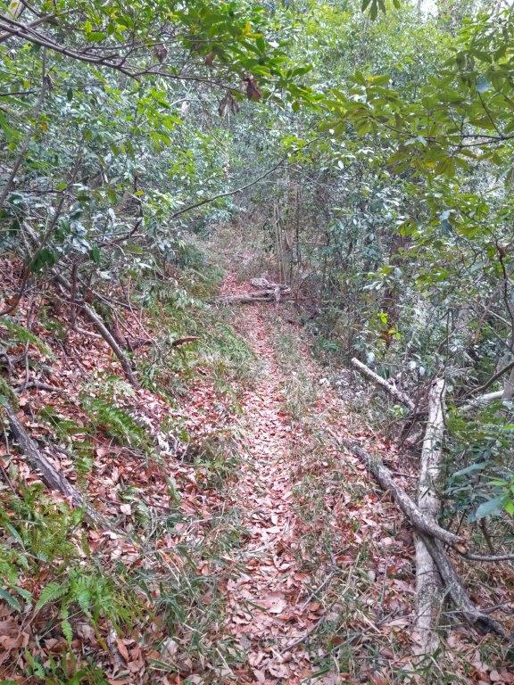
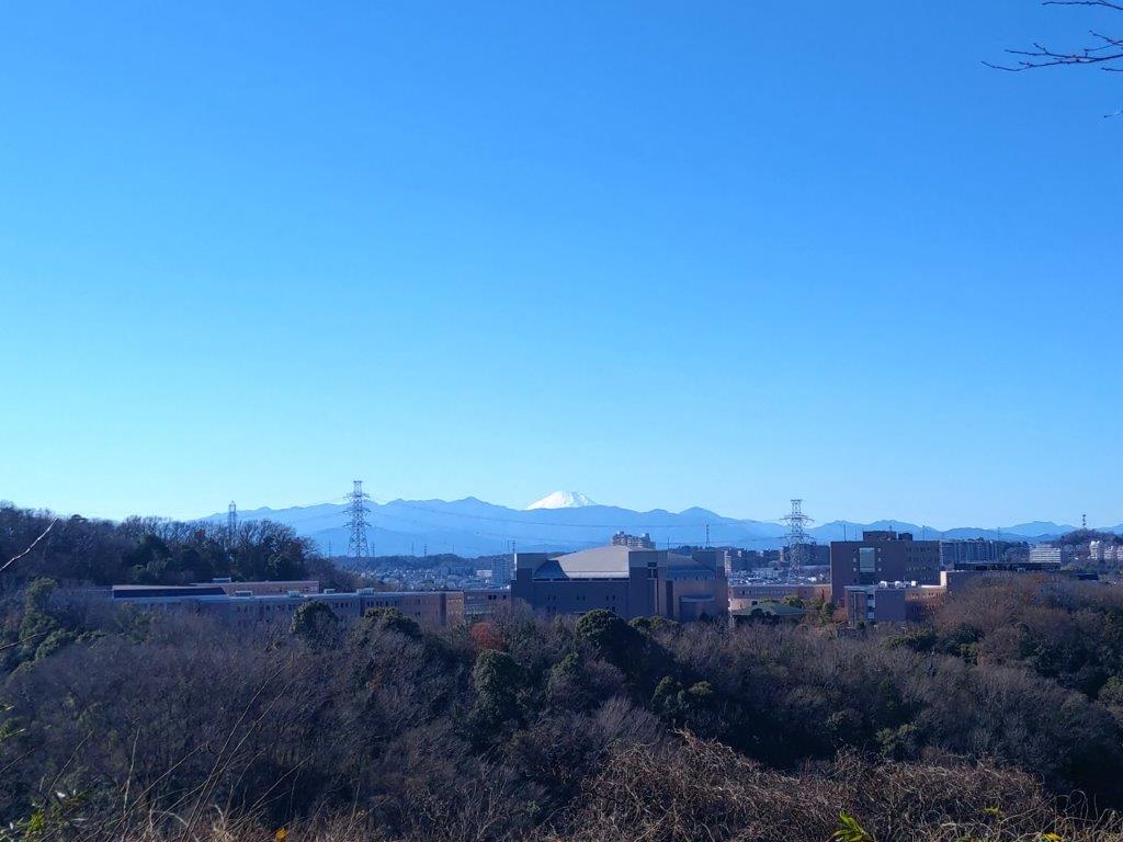
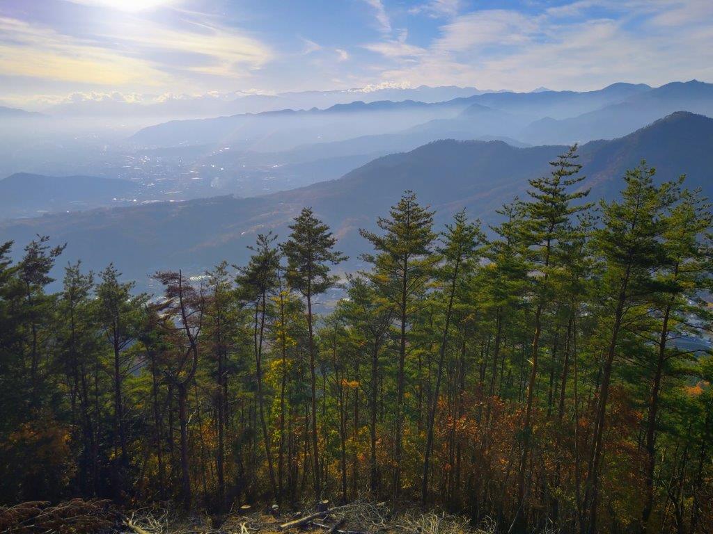
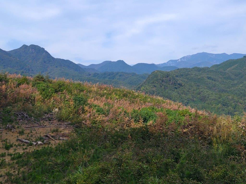
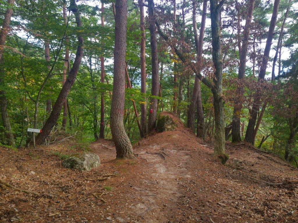
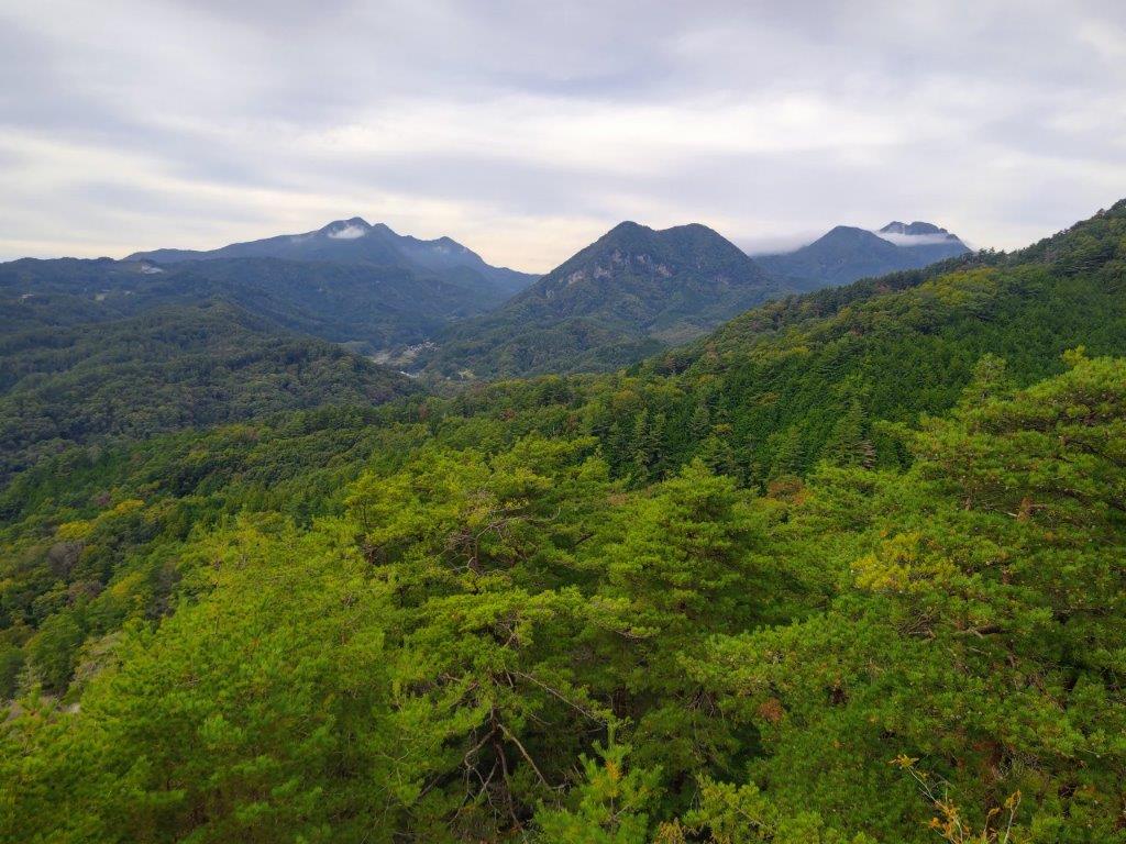
I was delighted to get another view at this stage of the hike. Looking south I could see the Akigawa Hills extend eastwards under mostly blue skies. I set off again, quickly descending through thick forest, passing another minor summit, Mt Tameguso (ためぐそ山 ためぐそやま 327m) along the way. Despite the three signpost system, several junctions were unmarked, and I had to rely on my phone GPS to find the correct path; this perhaps explains why it’s shown as a dotted line on some maps. At 3pm, I arrived at the third and final minor summit of the day, Mt Jizo (地蔵山 じぞうやま 323m), marked by a small Jizo statue. After a short break, I resumed my hike.
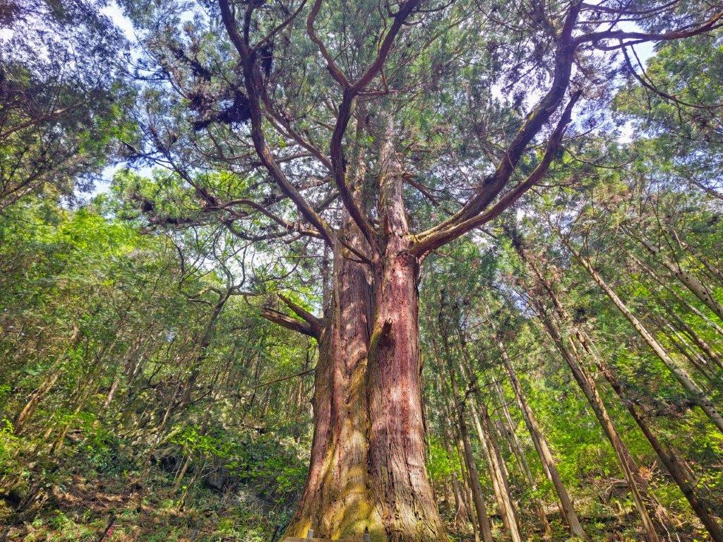
The Cedar of the Thousand-Year Vow
View South past the Open Shelter
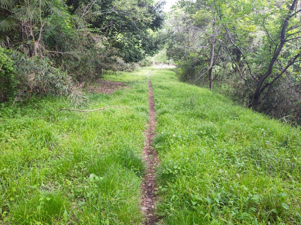
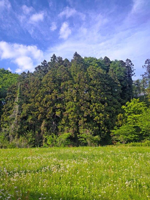
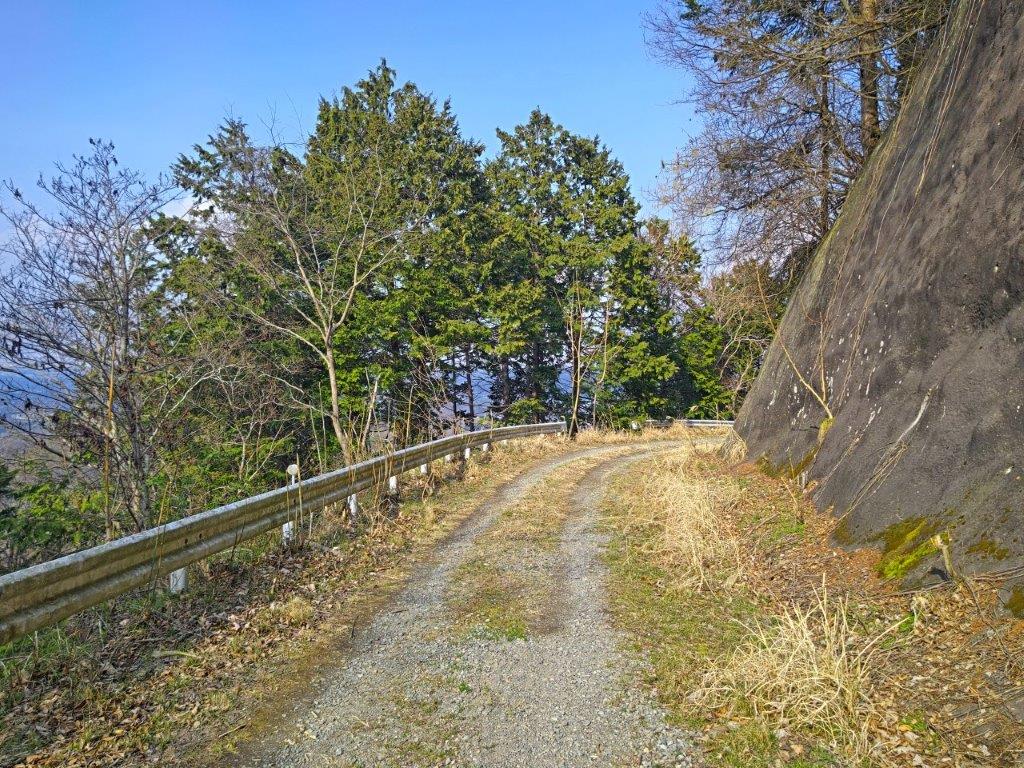
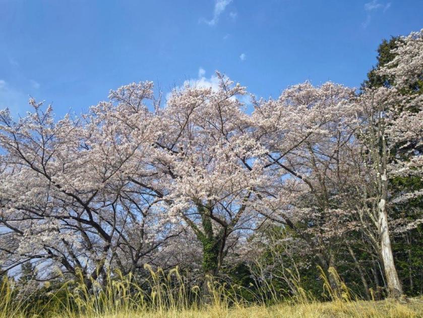
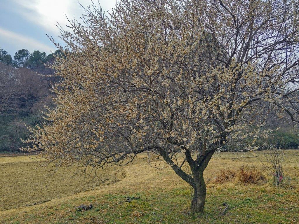
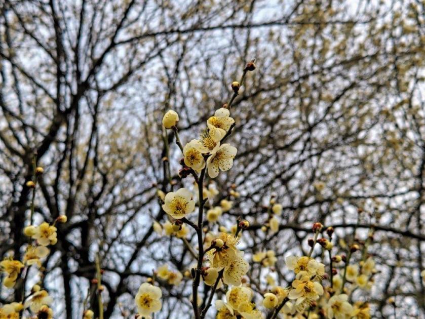
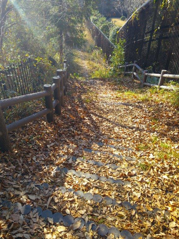
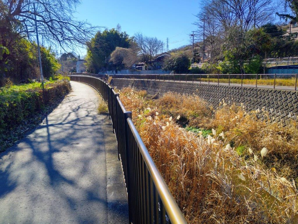
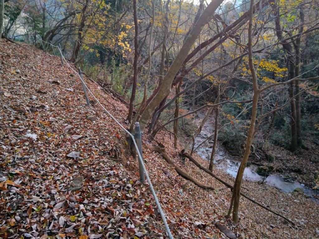
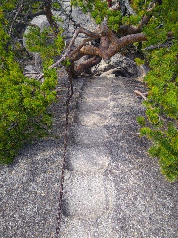
I headed steadily downhill through tall cedars that shielded me from the afternoon sunlight. Here and there, I saw signs of civilisation; after a steep but short section, lined with a rope for safety, I popped onto a small paved road. It was only 3h30pm so I headed back to the station at a leisurely pace, enjoying the garden flowers in full bloom. I saw white and puffy Japanese Snowballs (odemari), yellow Banksia Roses (mokkobara) and Irises (ayame). I soon arrived at the turnoff for Maiamai Slope (まいまい坂 meaning “snail slope”), part of an ancient road connecting Ome and Itsukaichi. A couple of minutes later, I reached a small metallic bridge over a stream at the base of the slope.
Trail between Mt Tameguso and Mt Jizo
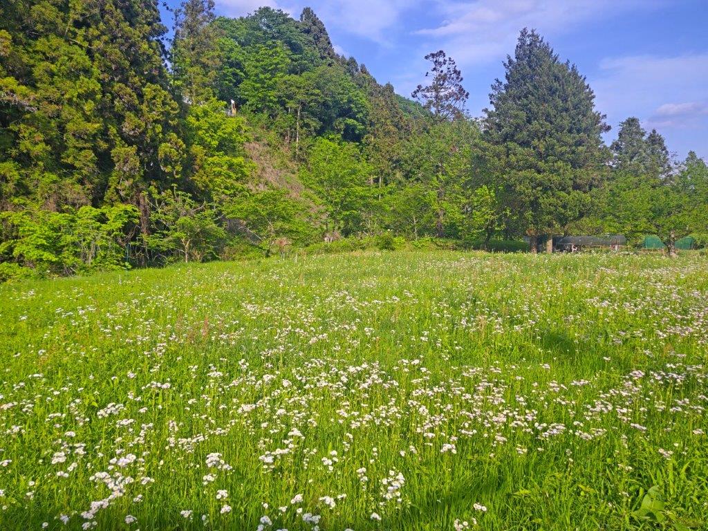
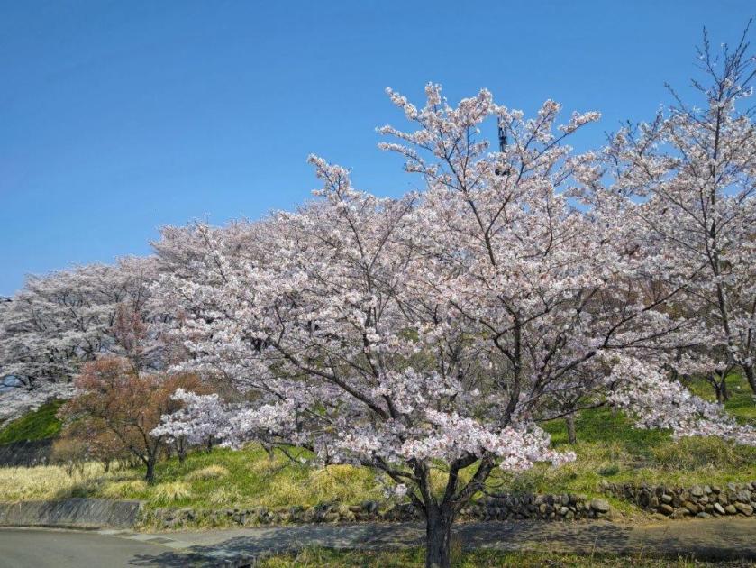
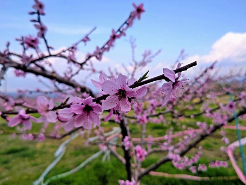
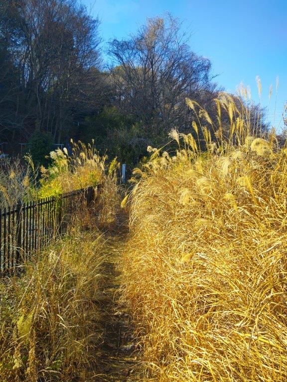
Flower Field at the Base of Maimai Slope
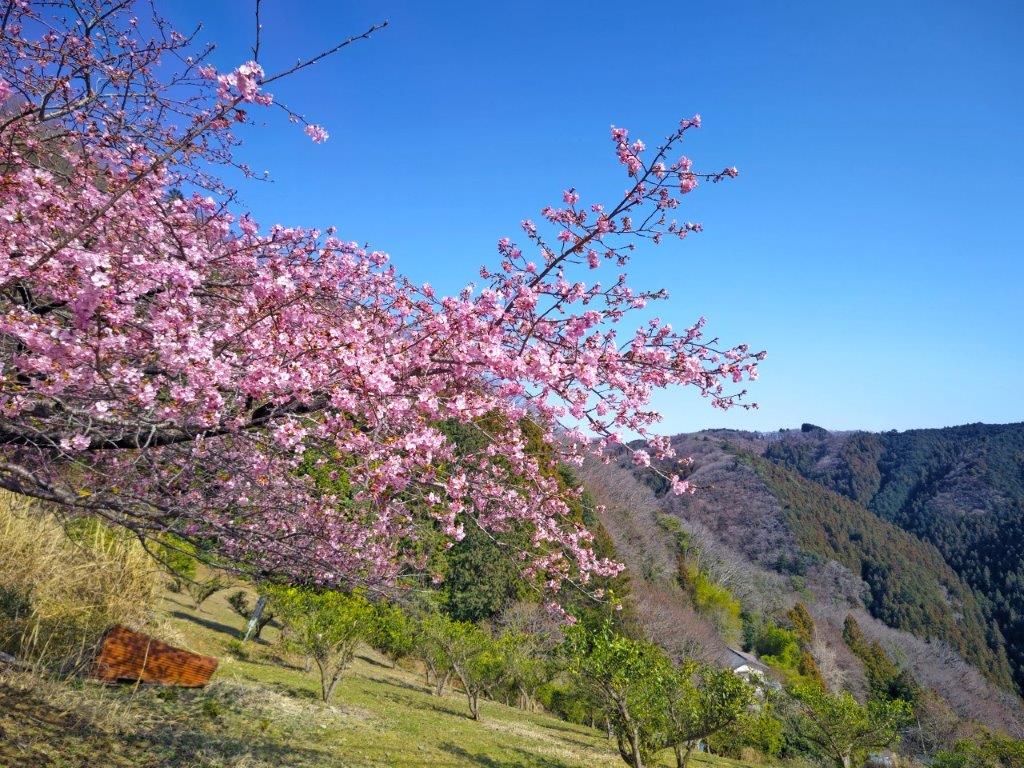
Directly ahead, I had a charming view of a flower field under light blue skies, a typical spring scenery. I followed a paved road up the opposite slope at the top of which I was suddenly inside a residential neighbourhood. A short walk through the streets brought me back to Musashi-Itsukaichi station where, after sampling some local sake at the Newdays sake server, I caught the local train for Haijima station. There, I boarded the Green car for the comfortable one-hour ride back to Shinjuku.
Watch a Video of the Hike


See More Pictures of the Hike


You must be logged in to post a comment.