
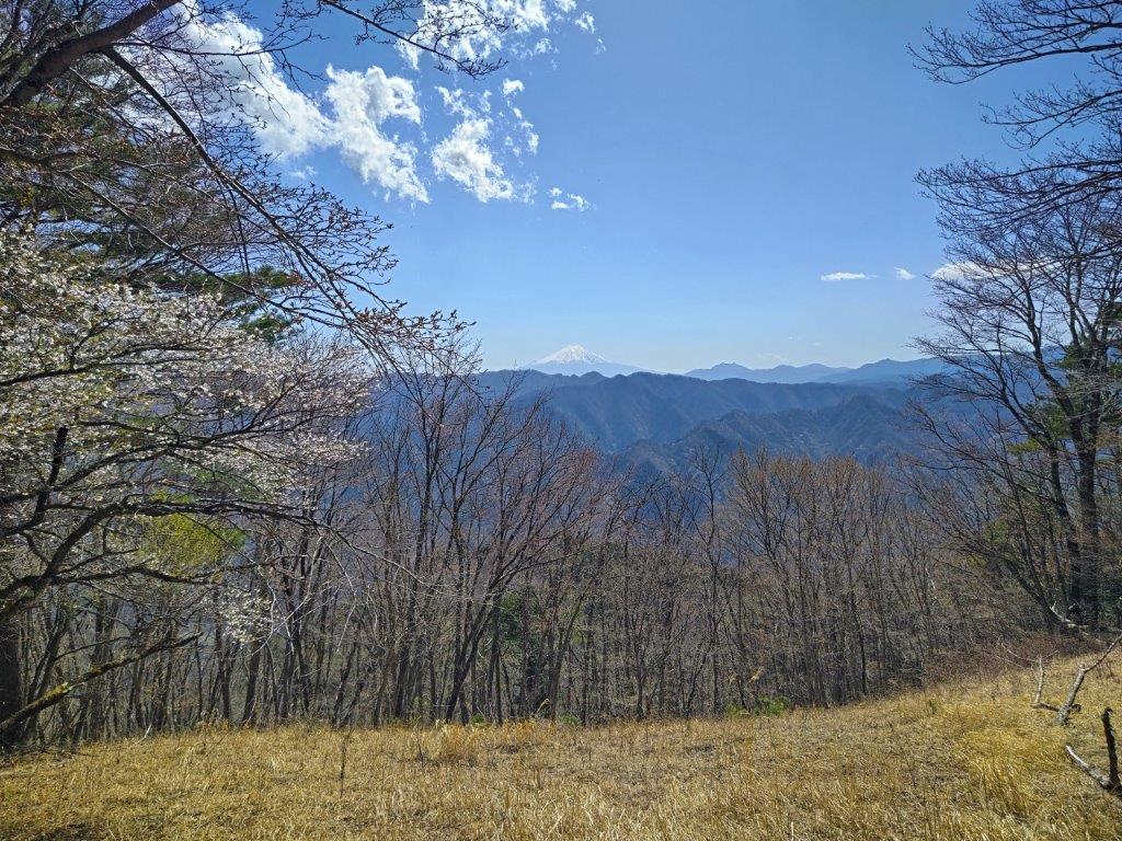
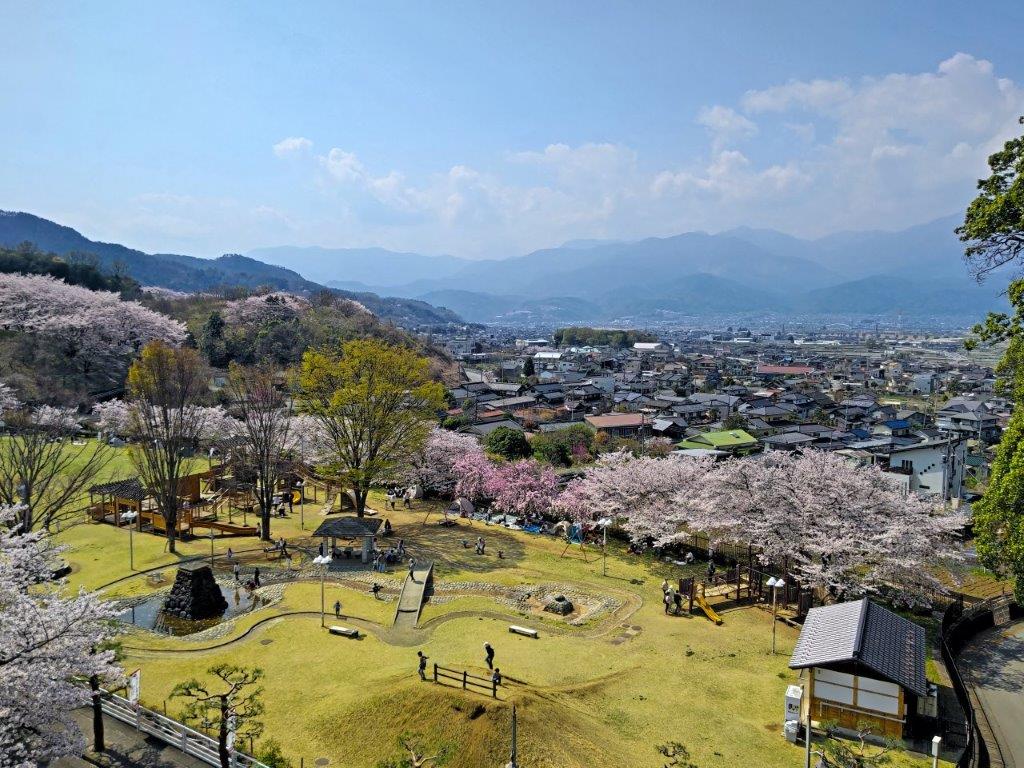
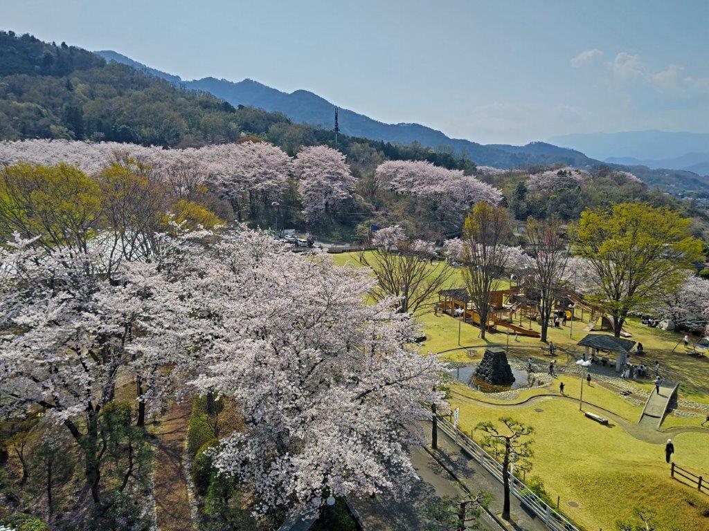
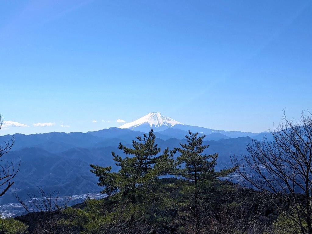
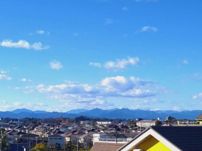
I wanted to visit Kazuma no Yu because it was the only hot spring resort I had never been to in the Okutama area. Looking at my map, I saw I could walk from the Akigawa valley up to the Sasaone Ridge which I’d then follow for a short while, before heading back into the valley, and ending at Kazuma hot spring, less than a kilometer from my starting point. I had already walked this portion of the Sasaone ridge but not the up and down sections. This hike is also recommended on the Hinohara Village website. On the way, I’d pass by two peaks, with views of the “Three Mountains of Okutama”, as well as Mt Fuji.
Hiking in the Chichibu-Tama-Kai National Park
秩父多摩甲斐国立公園
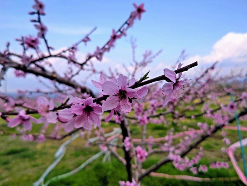
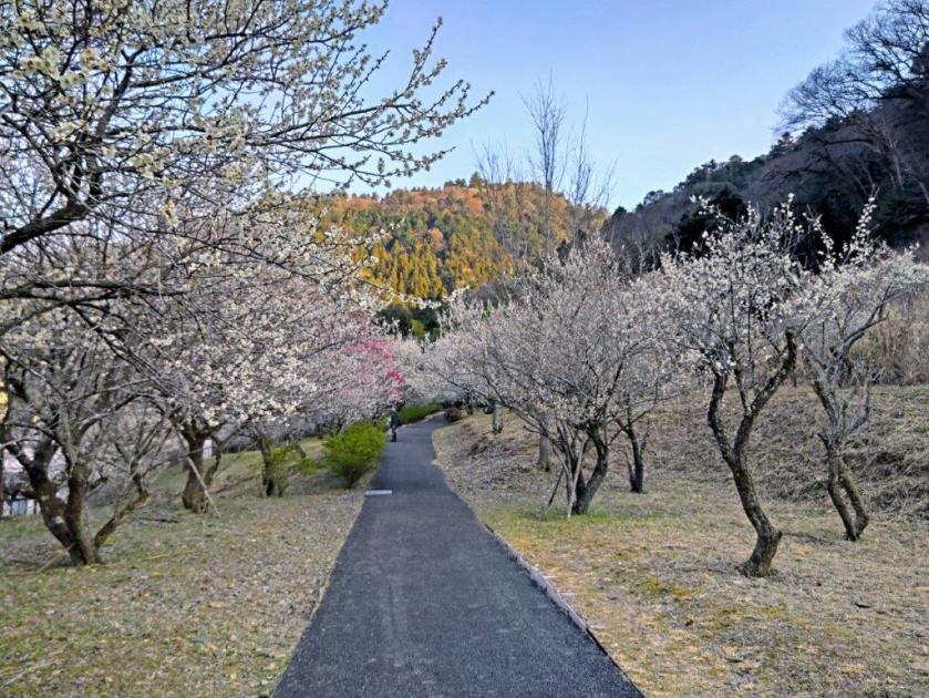
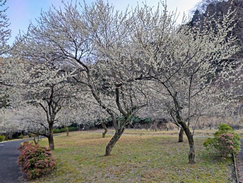
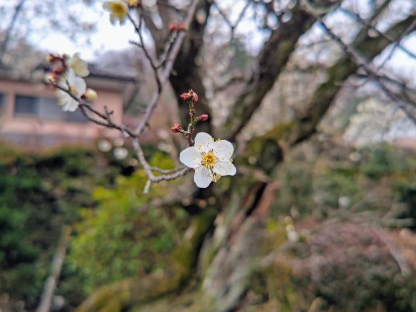
To get the start of the hike, I’d ride the Ome line to Haijima station, and there, change to the Itsukaichi line for the short ride to Musashi-Itsukaichi station. I’d ride a Nishi-Tokyo bus to the Sengen Ridge Trailhead bus stop, also the starting point for the Sengenrei hike on the opposite ridgeline. After a hot spring bath, I’d use the same route in reverse for the return. The weather was supposed to be mostly sunny, ideal for spotting Mt Fuji, with temperatures average for the season. I happened to find out that Hinohara was a secret cherry blossom spot and so I was looking forward to catching some of the last sakura of the year.
Find my Hikes on Japanwilds
Find Japan Hiking Maps on Japanwilds and subscribe to our newsletter
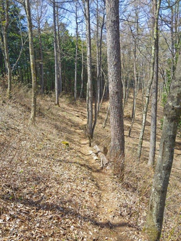
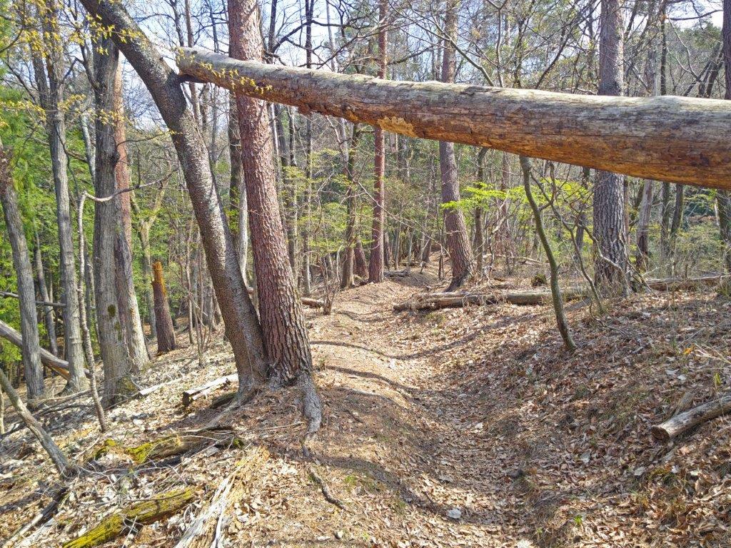
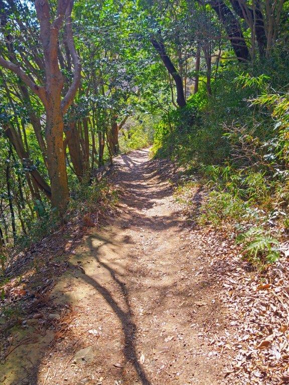
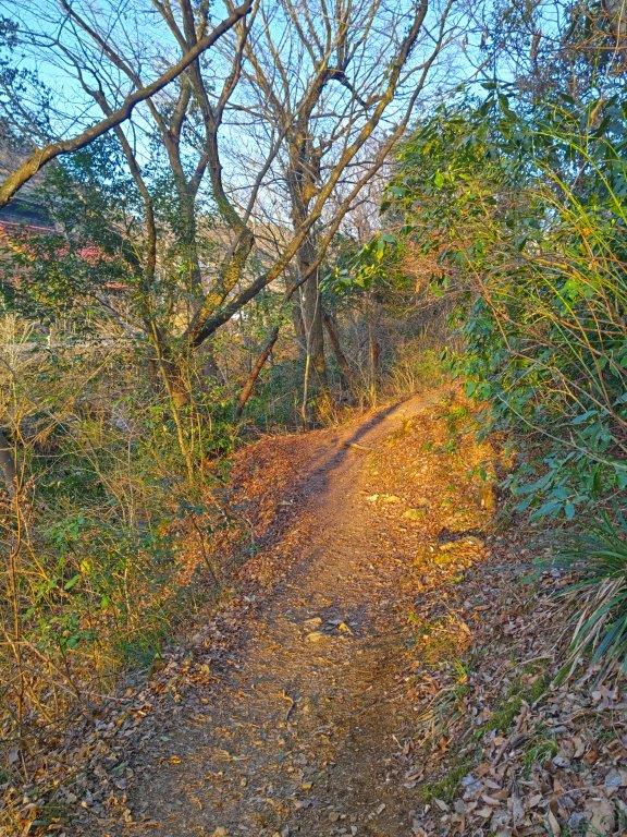
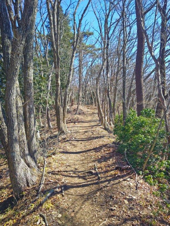
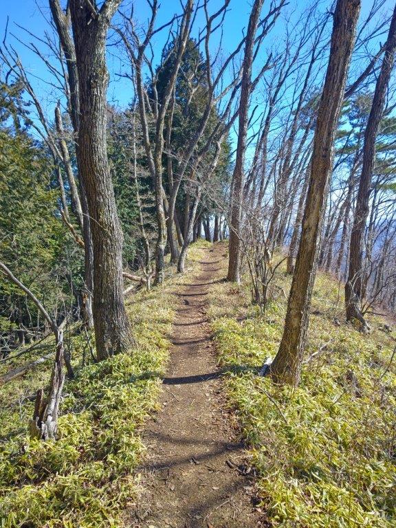
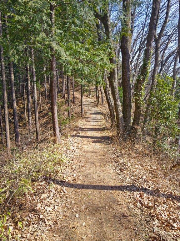
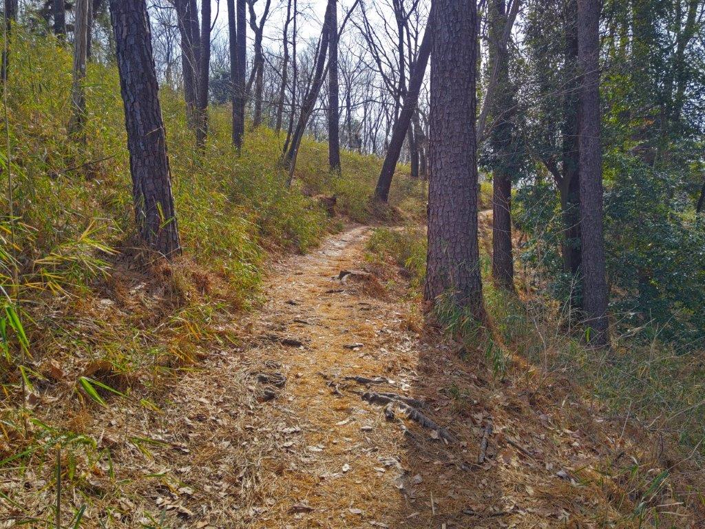
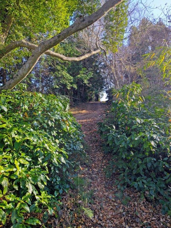
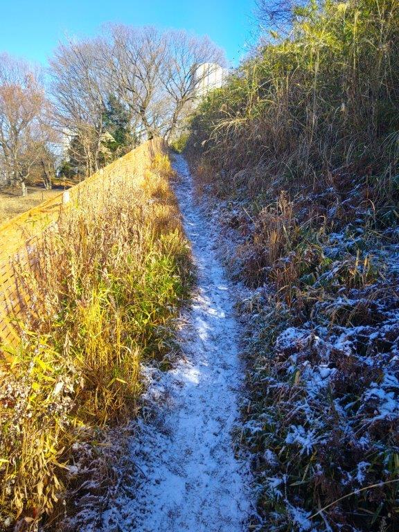
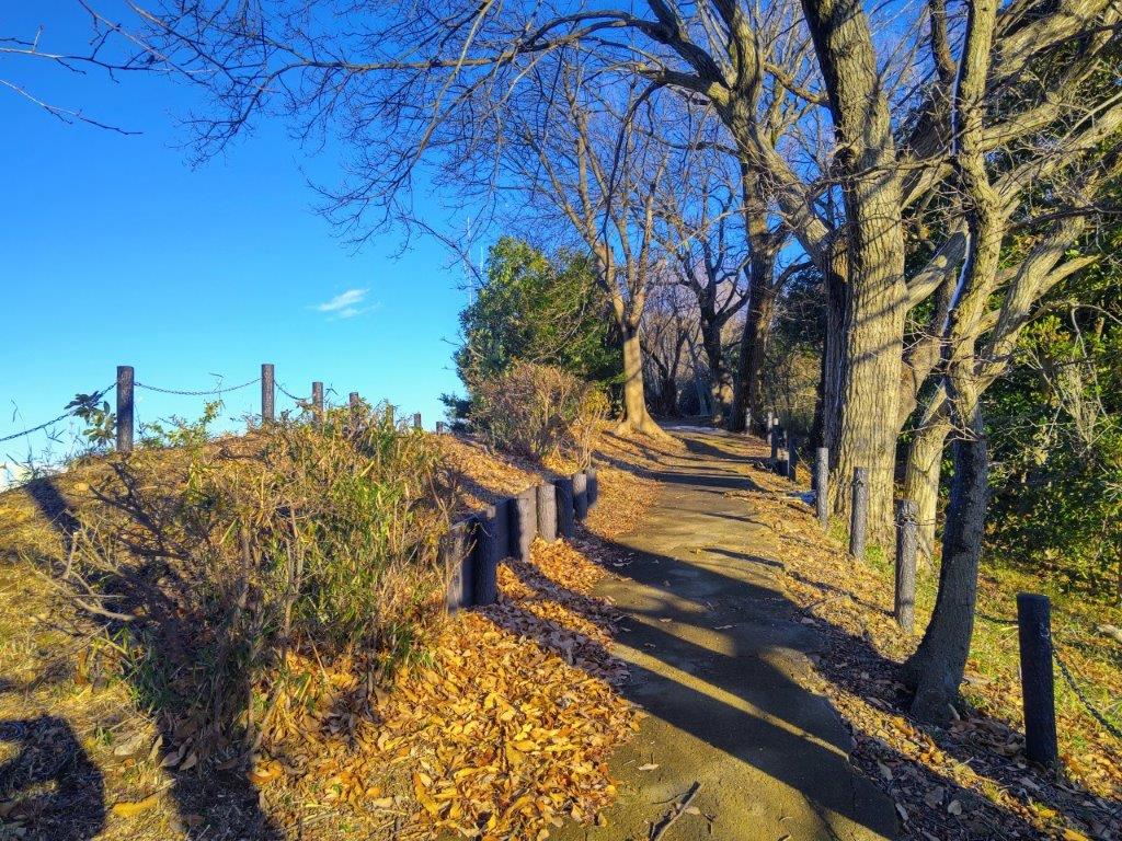
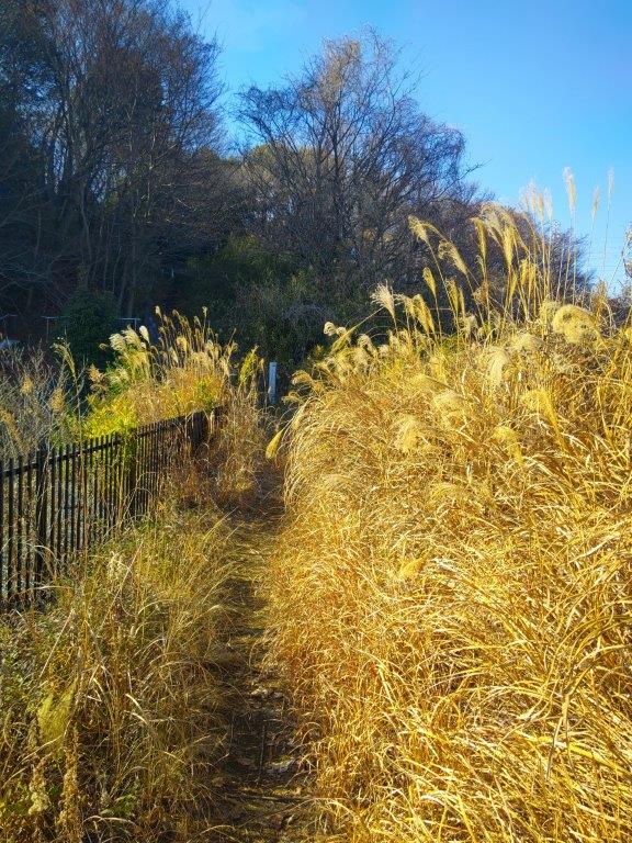
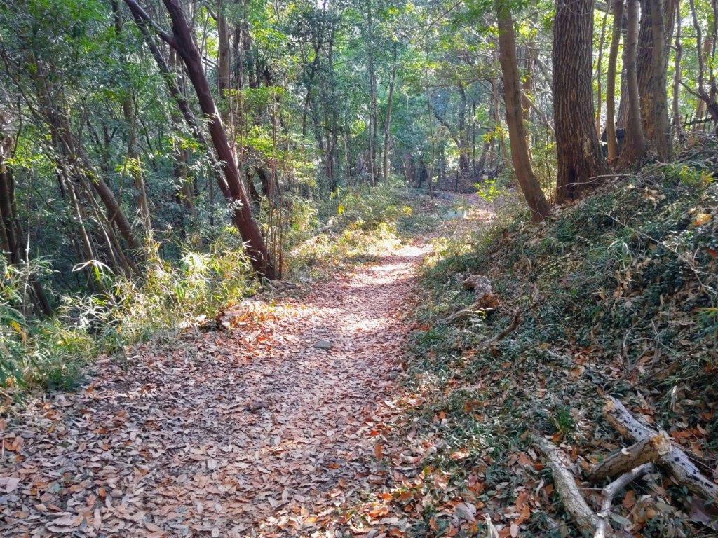
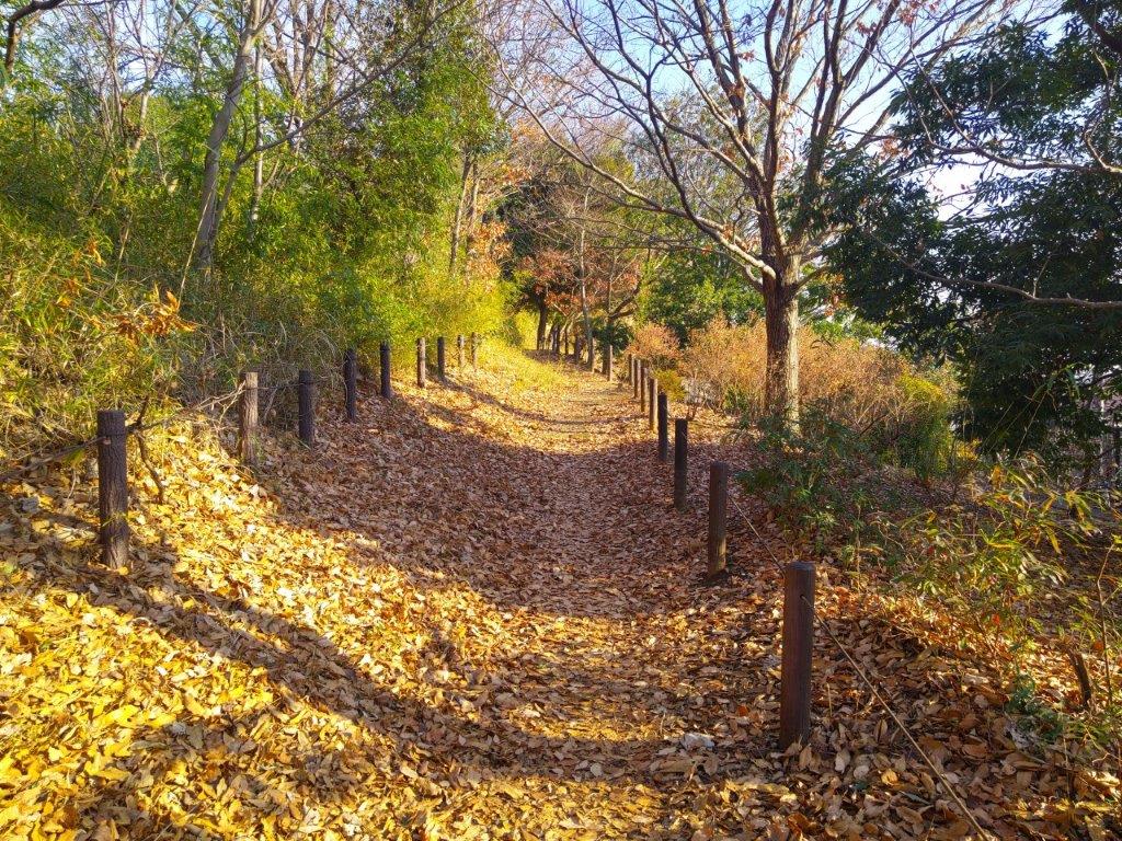
Start of the hike (left) Trail in the Chuo Ward Forest (right)
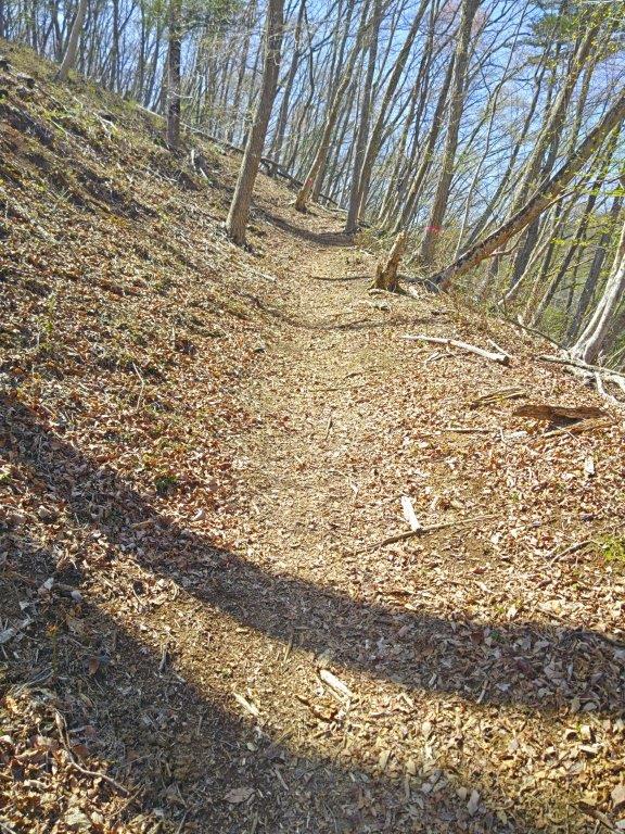
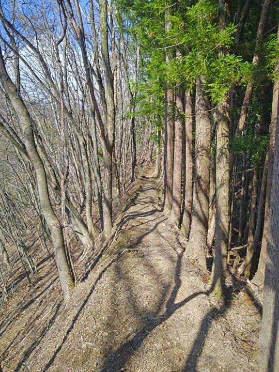
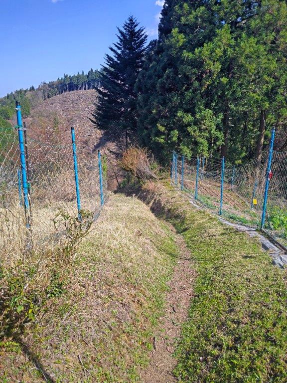
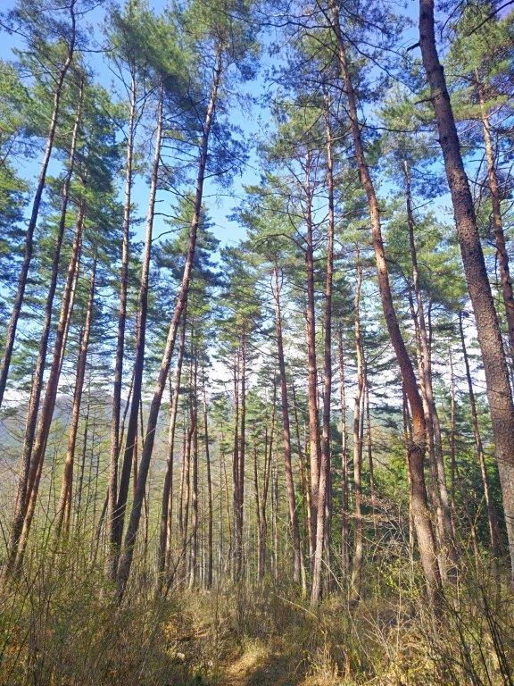
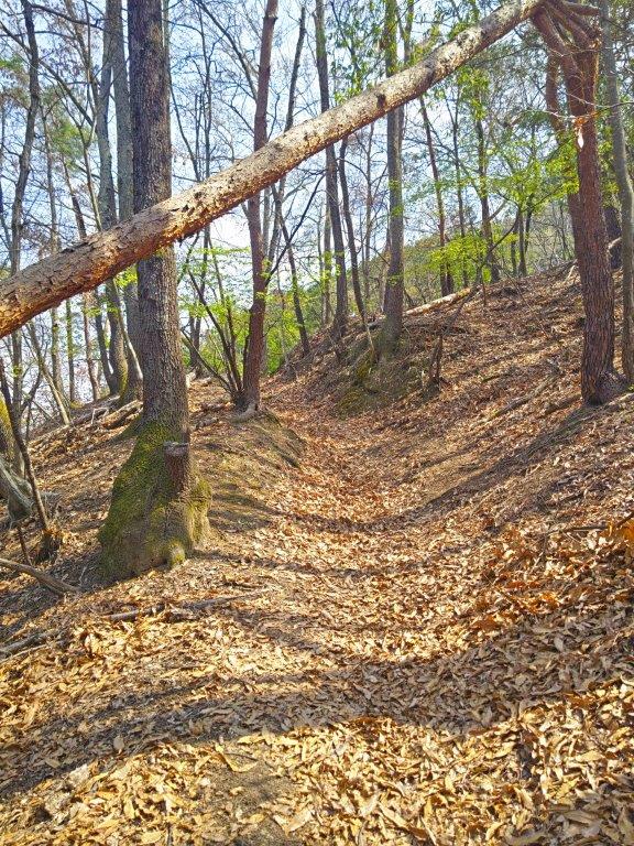
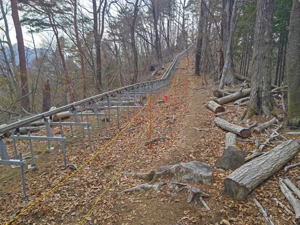
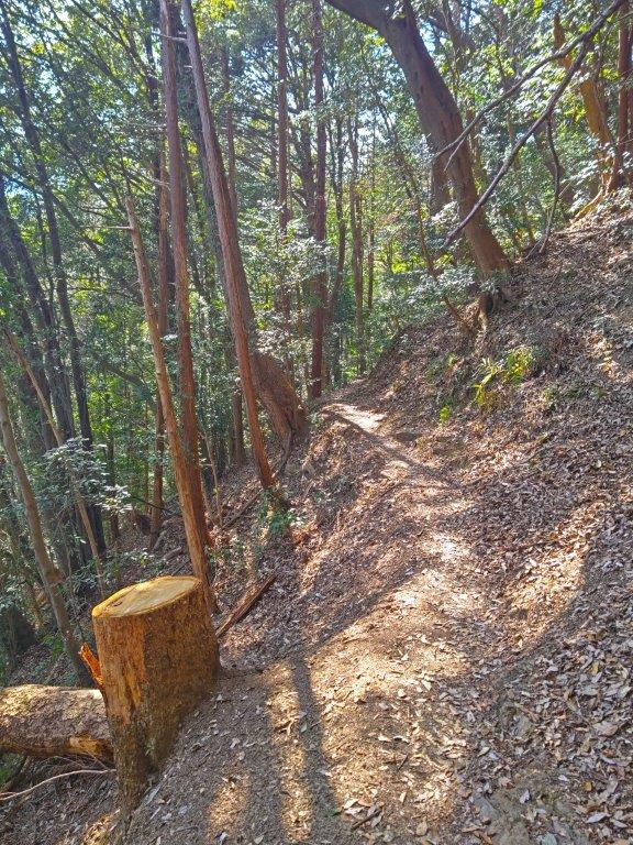
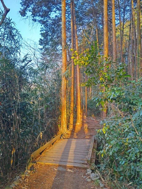
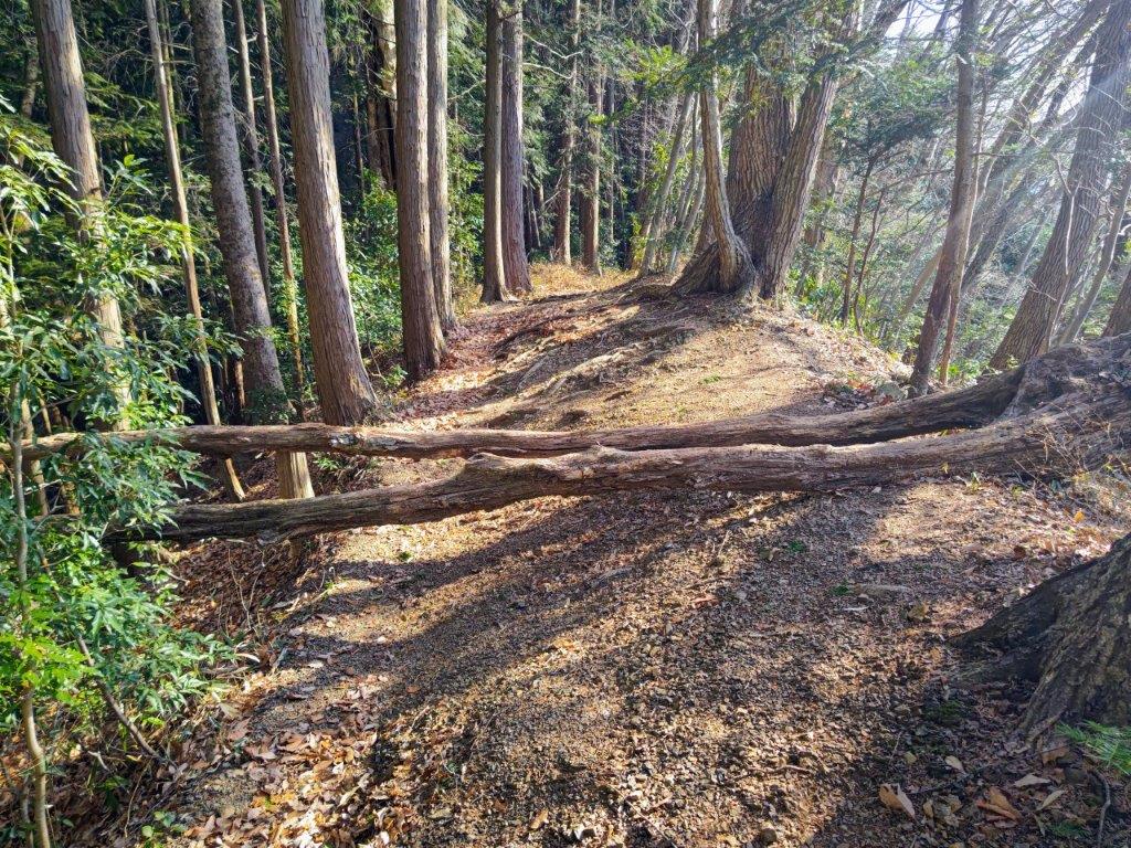
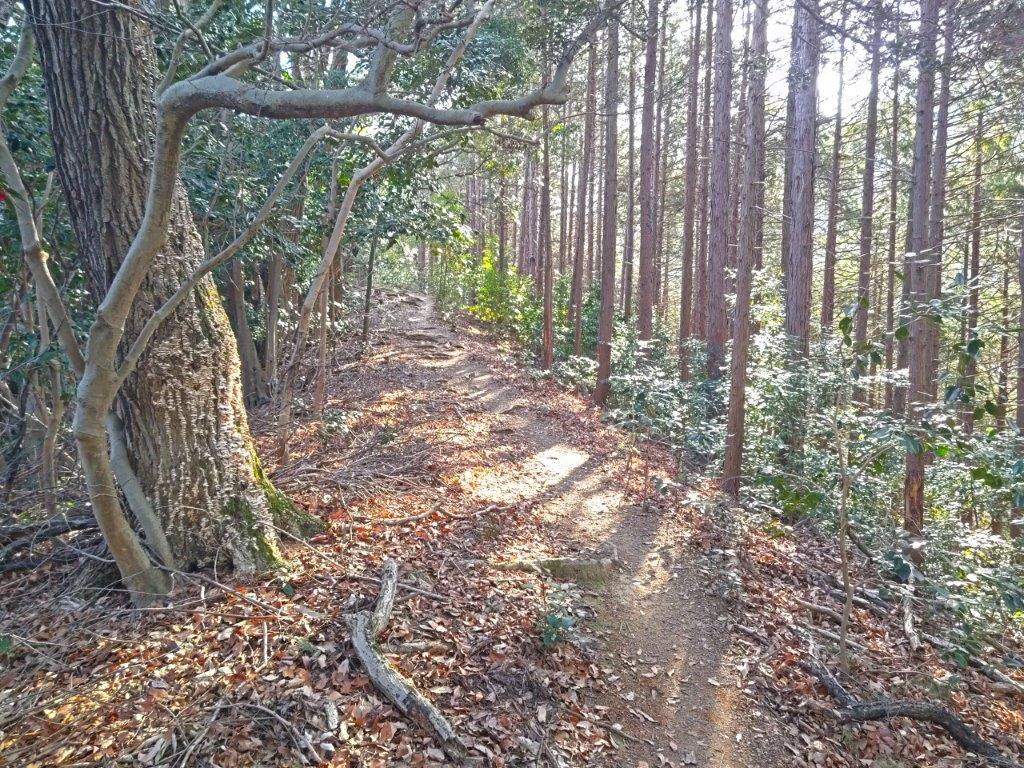
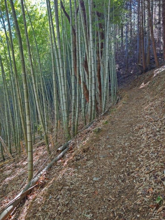
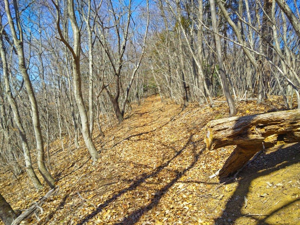
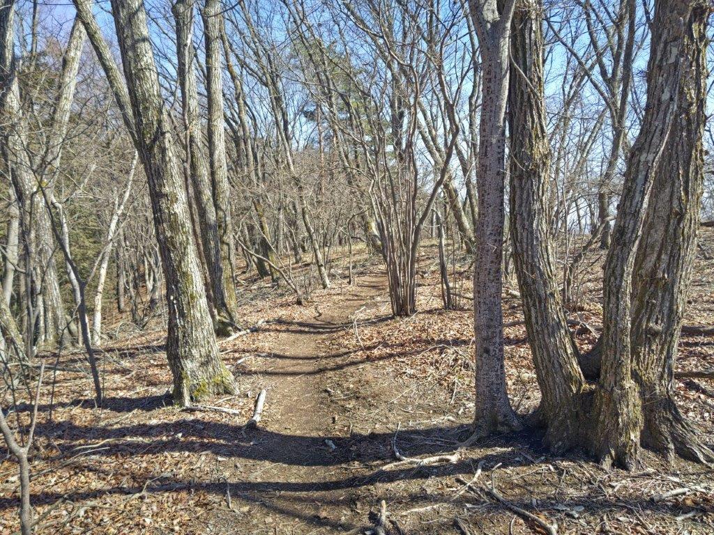
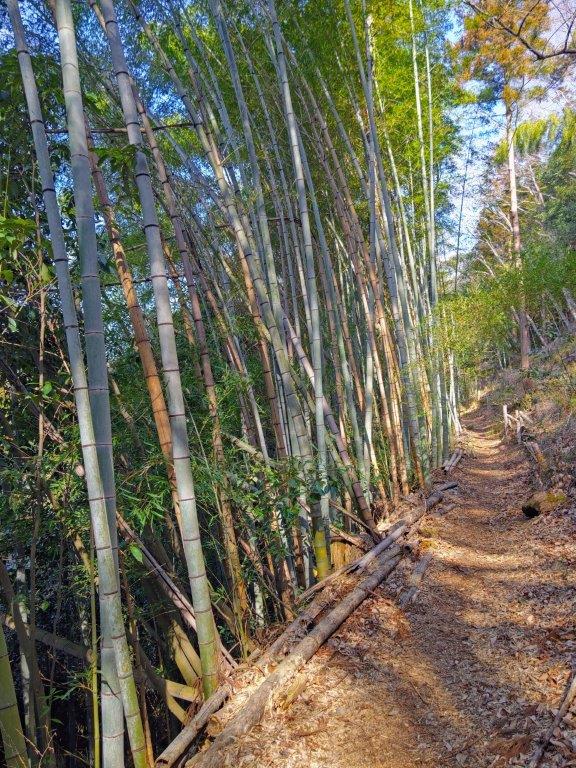
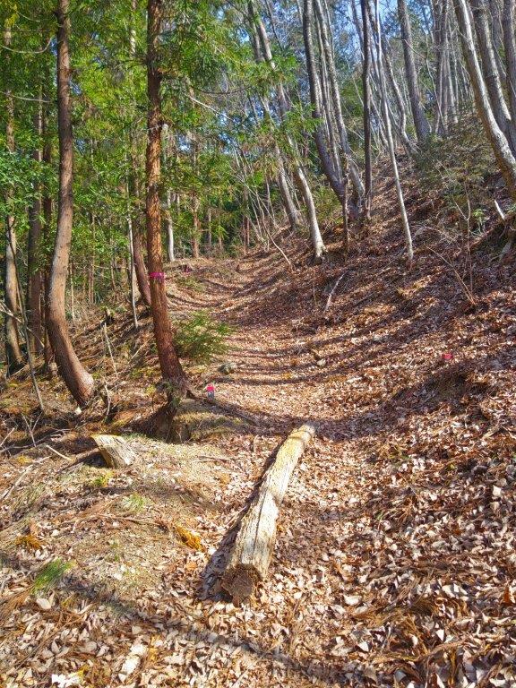
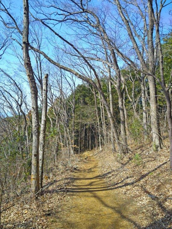
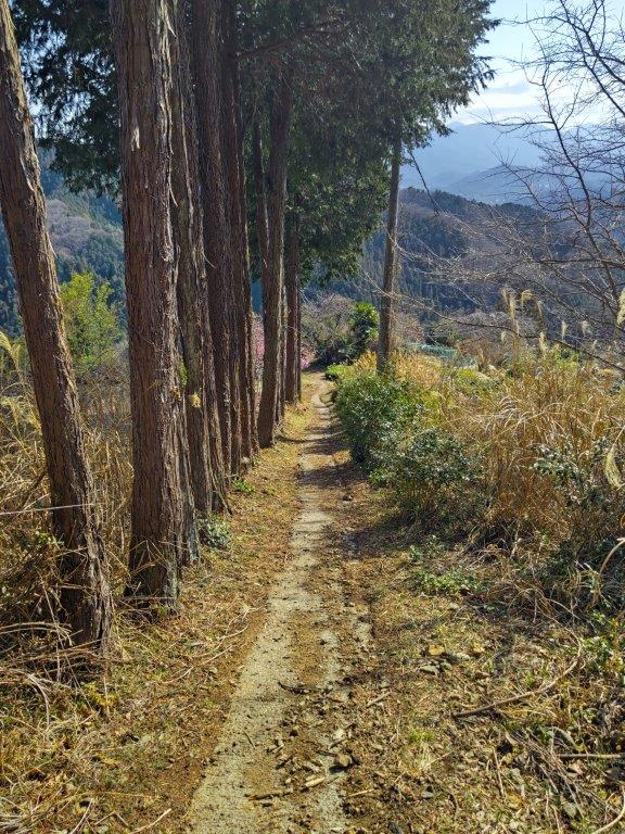
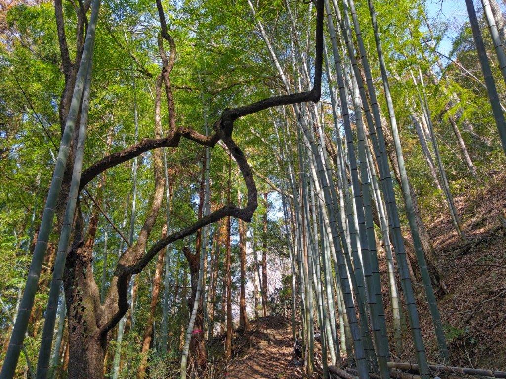
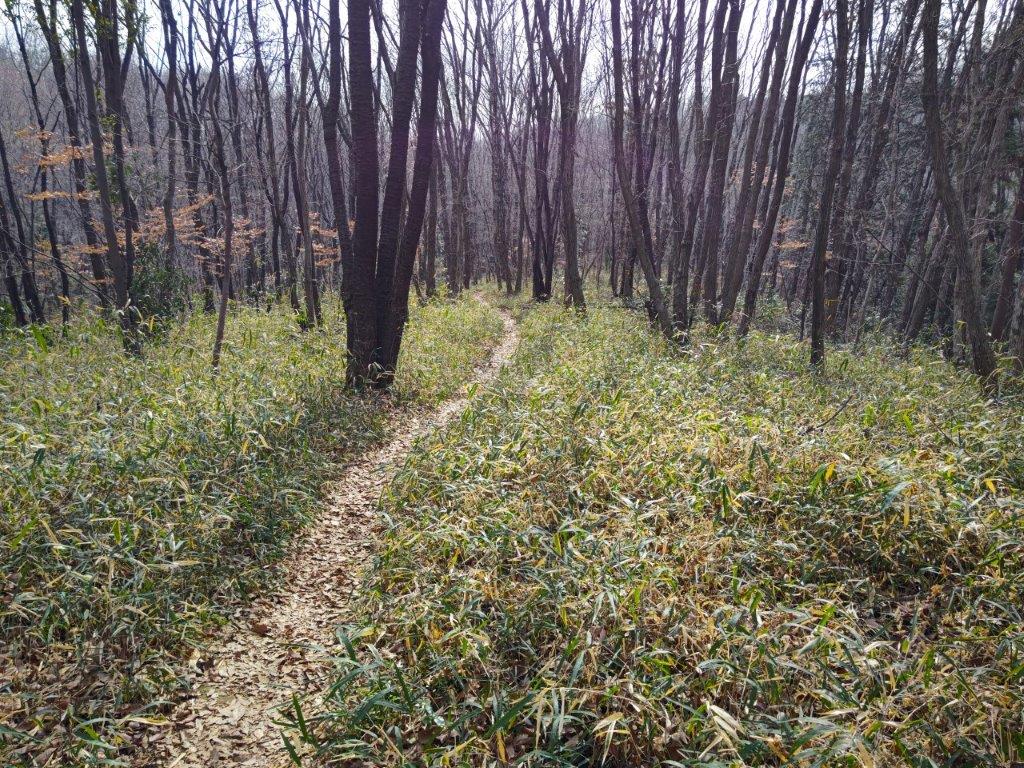
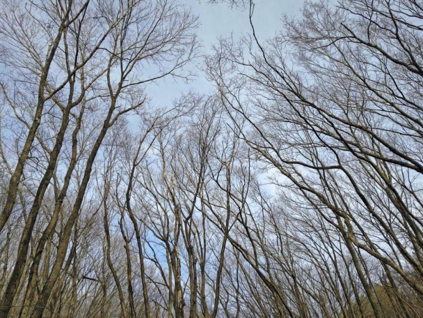
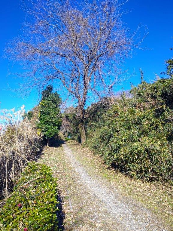
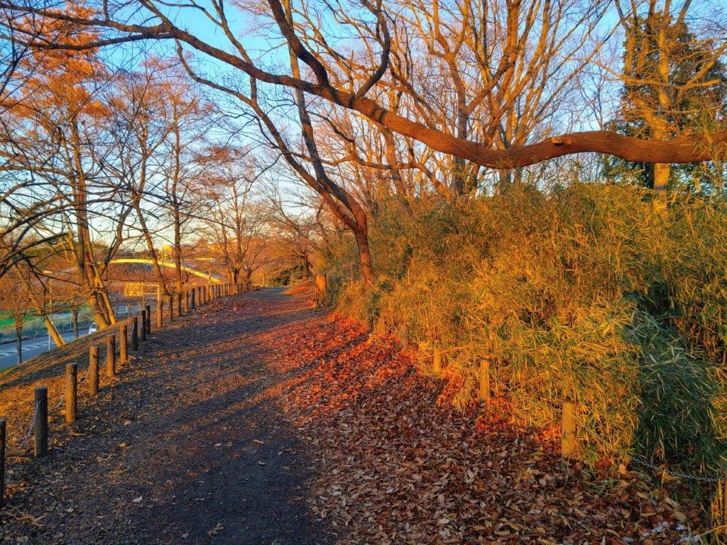
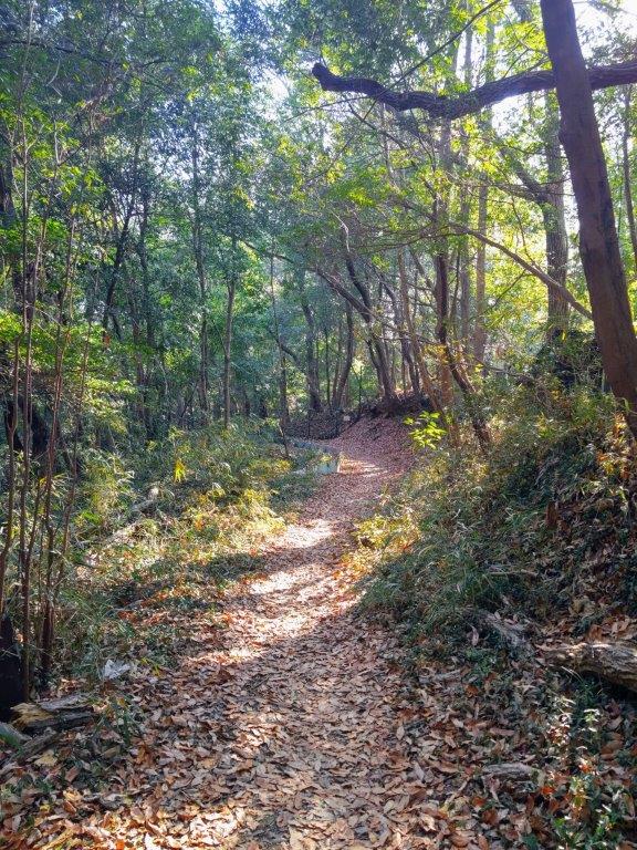
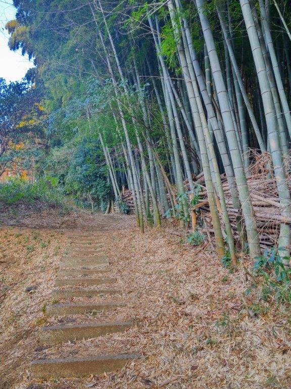
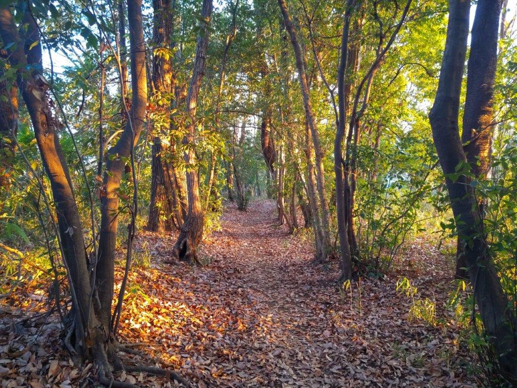
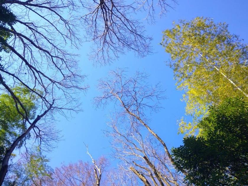
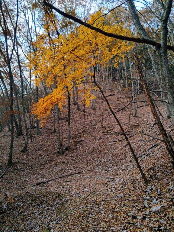
Entering the Cedar Forest (left) Walking the Sasaone Ridge (right)
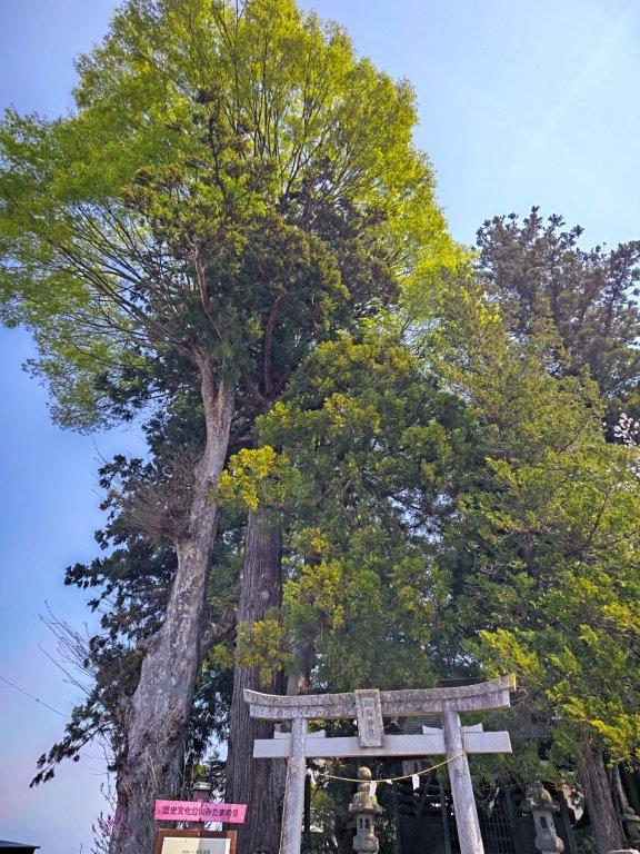
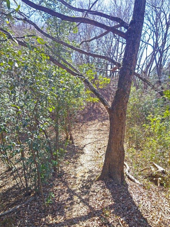
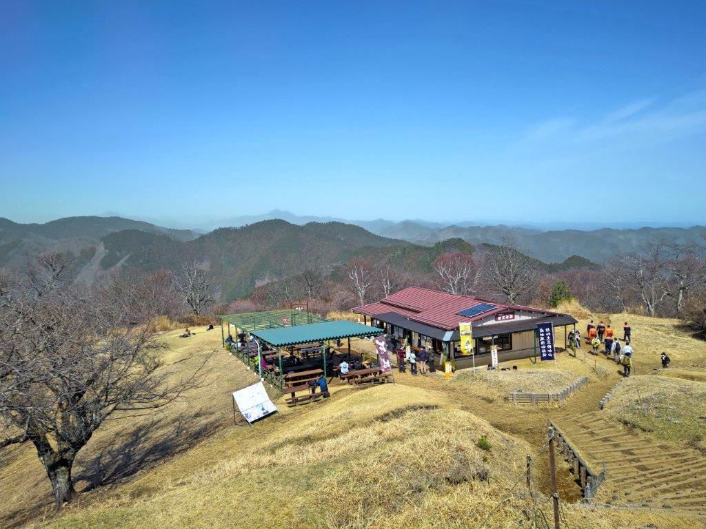
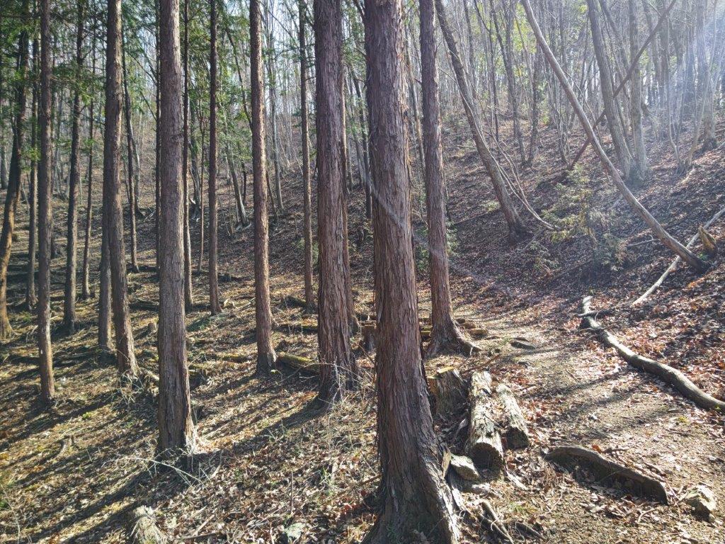
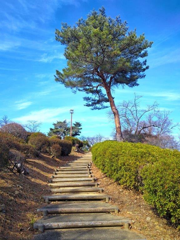
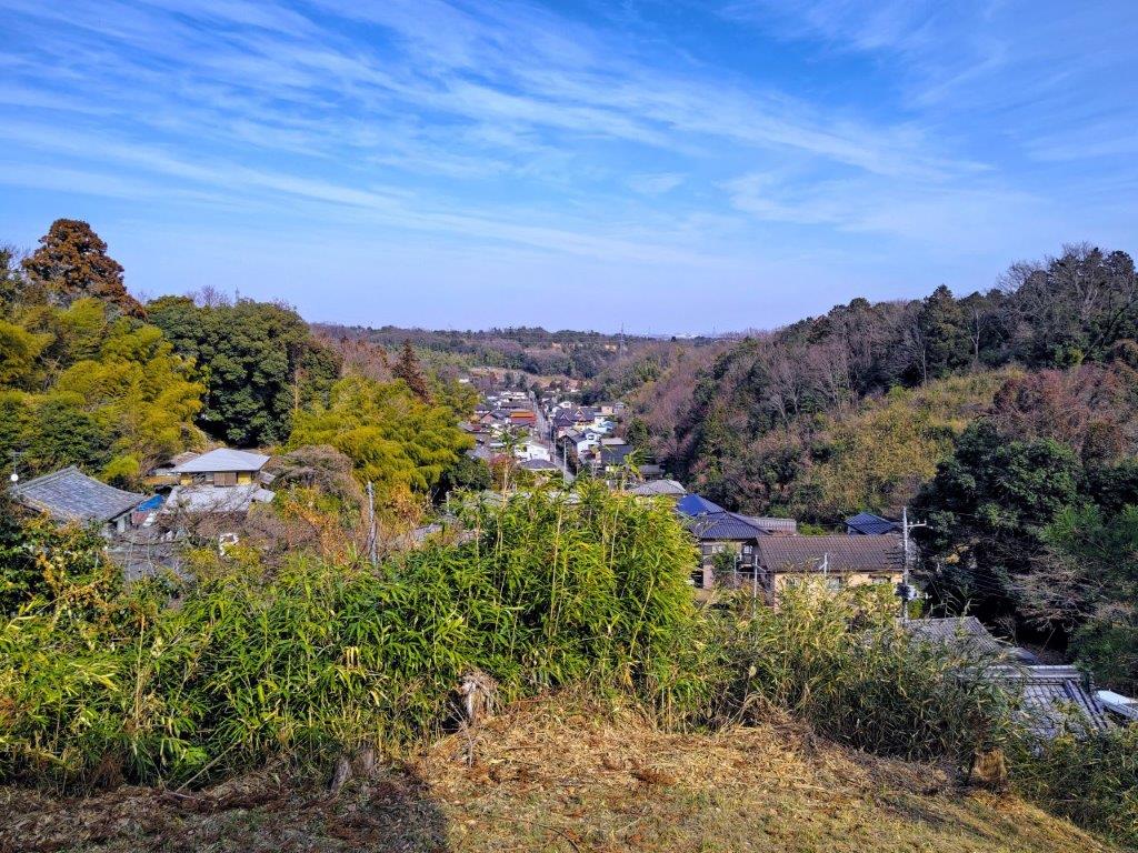
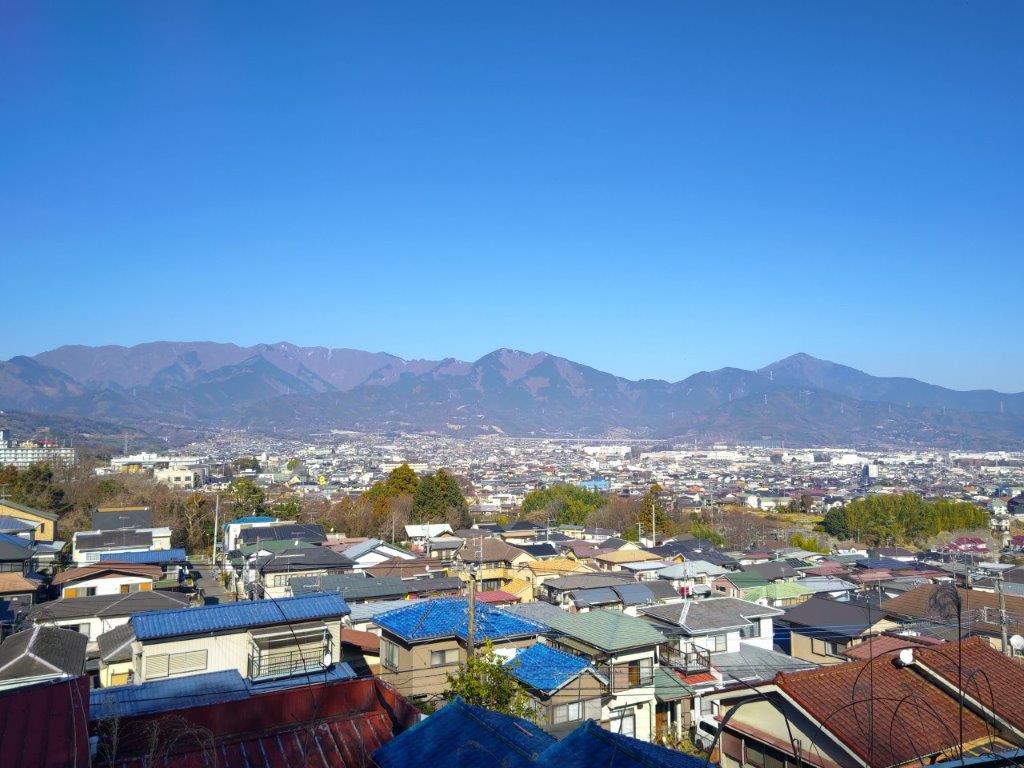
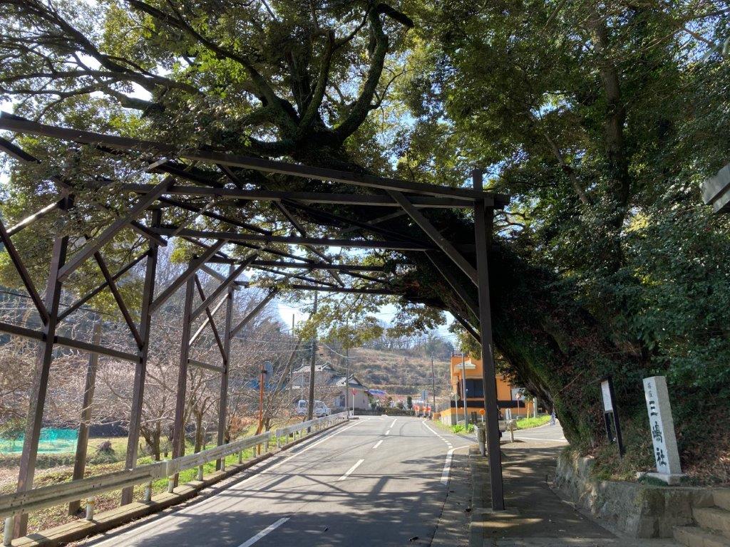
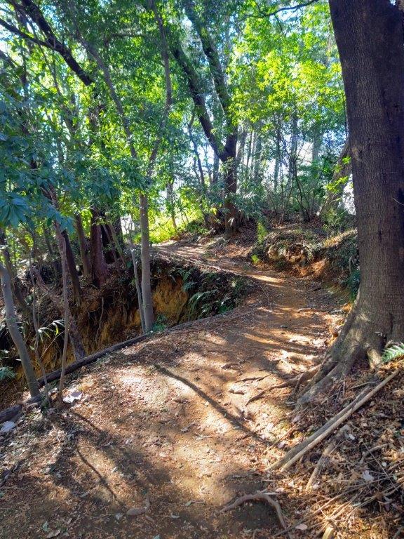
It was a beautiful Spring day as I rode the quiet green car through Western Tokyo. I was seated comfortably for the 50-minute bus ride from the station, since extra buses were added to accommodate the higher number of passengers in this season. The Sengenone-tozanguchi (浅間尾根登山口) stop has a shelter with a bench, toilets and a vending machine, making it a great place to get ready for a hike. At 10am, I set off through the Chuo Ward Forest (中央区の森), a forest managed by Chuo City in central Tokyo.
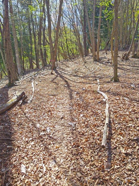
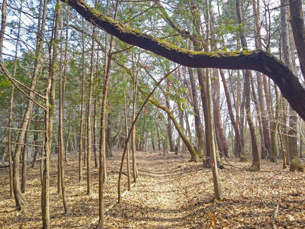
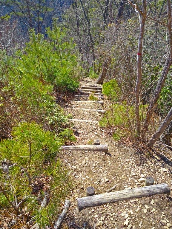
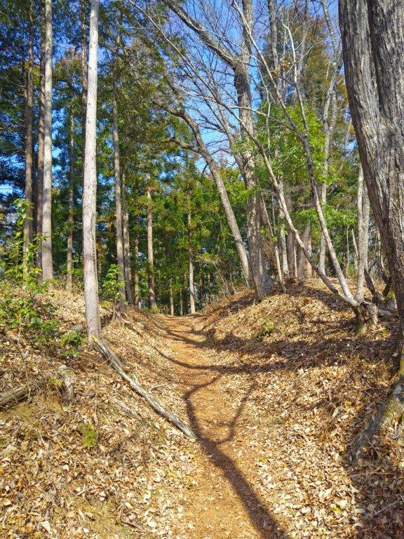
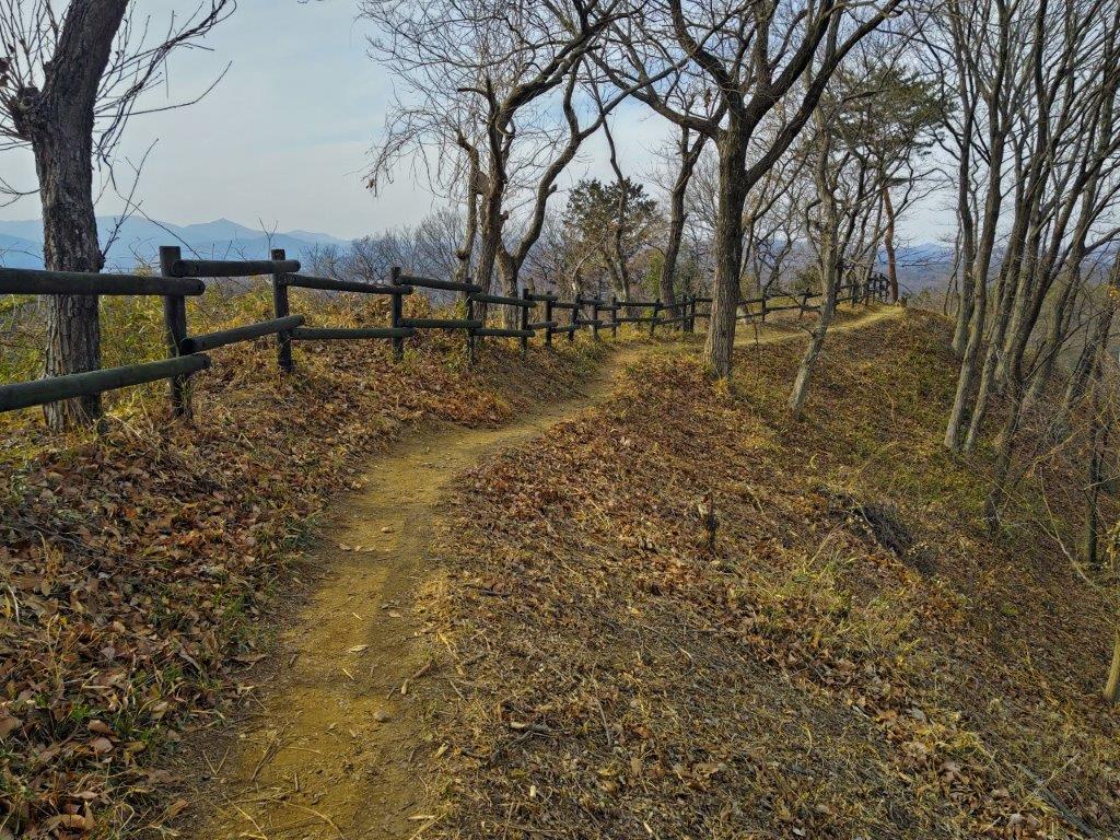
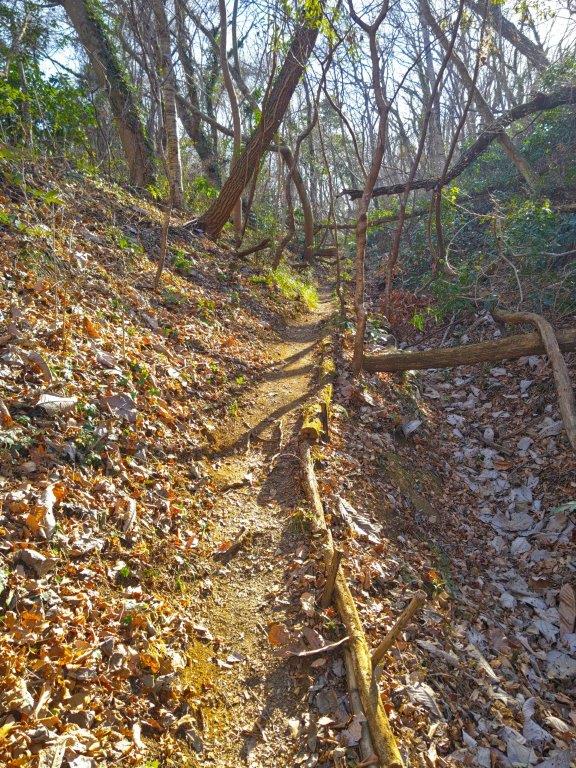
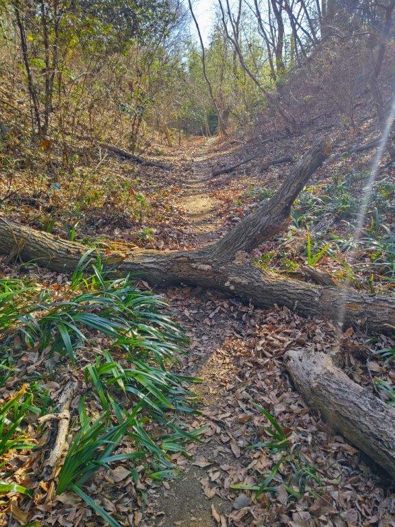
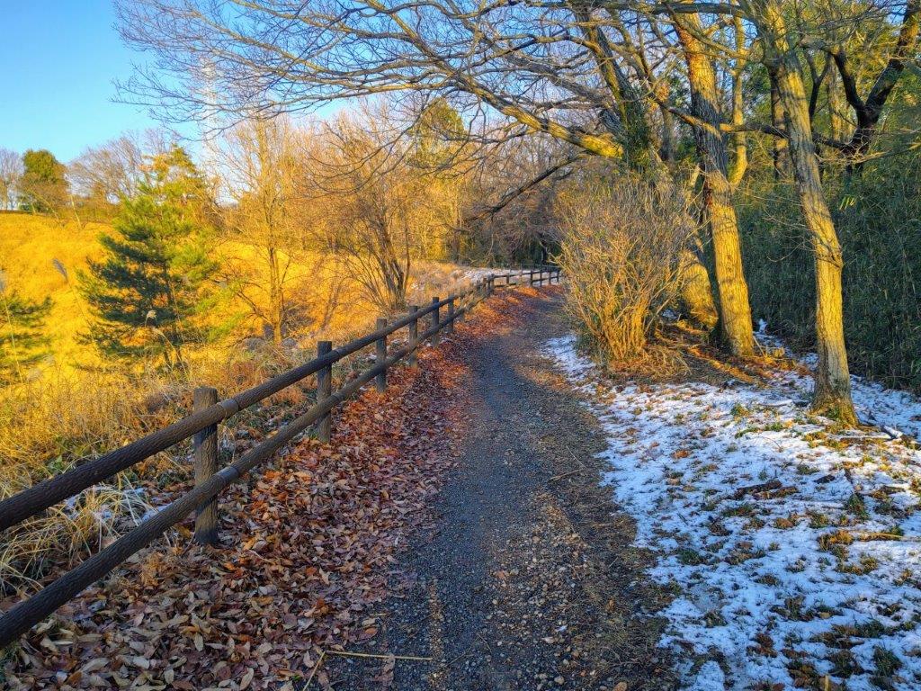
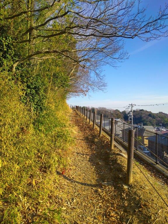
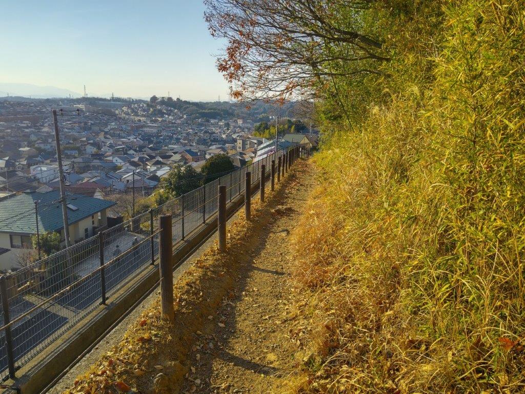
Trail past Wada-toge (left) Trail past Nishihara-toge (right)
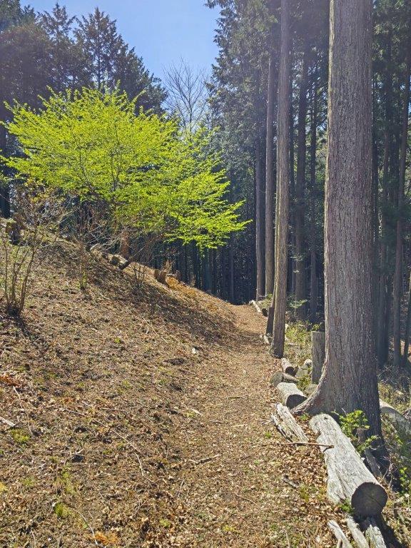
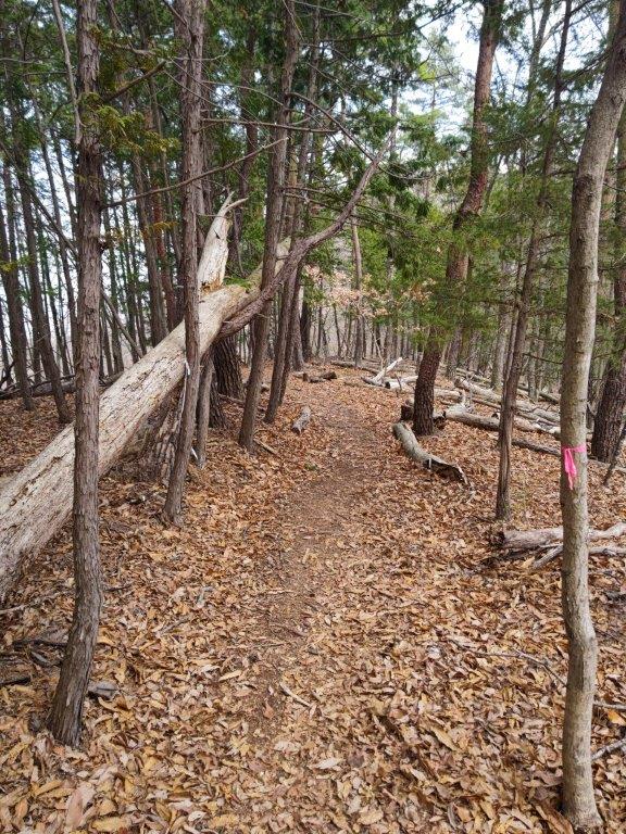
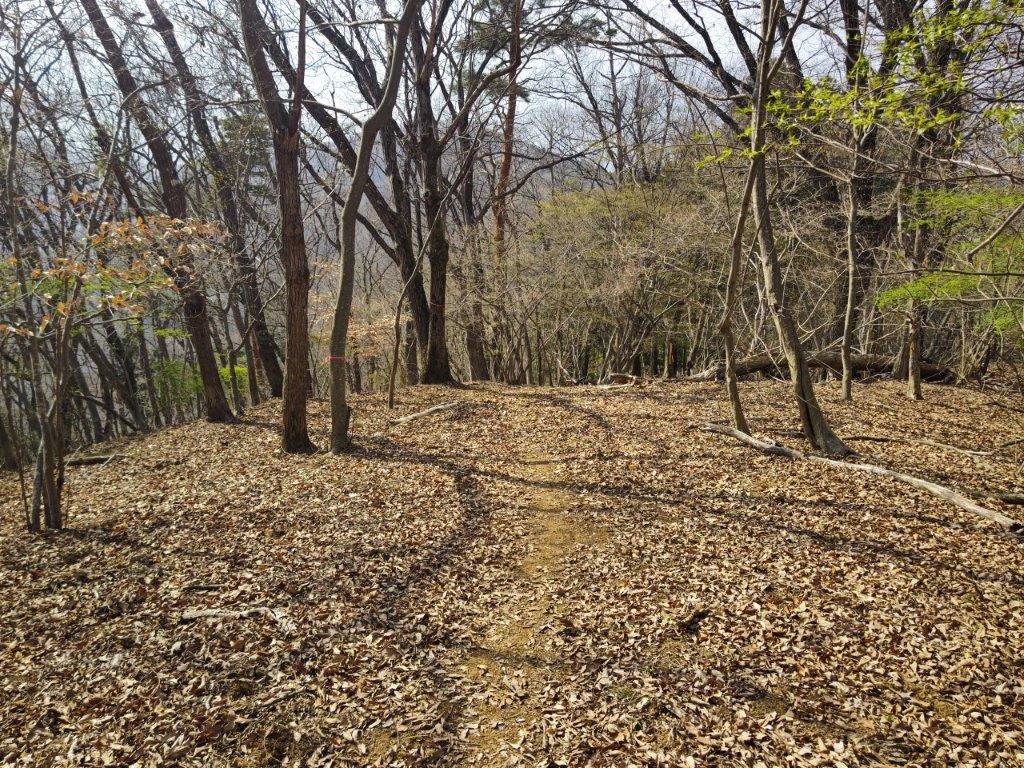
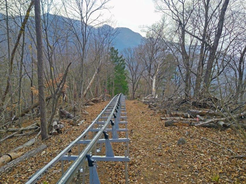
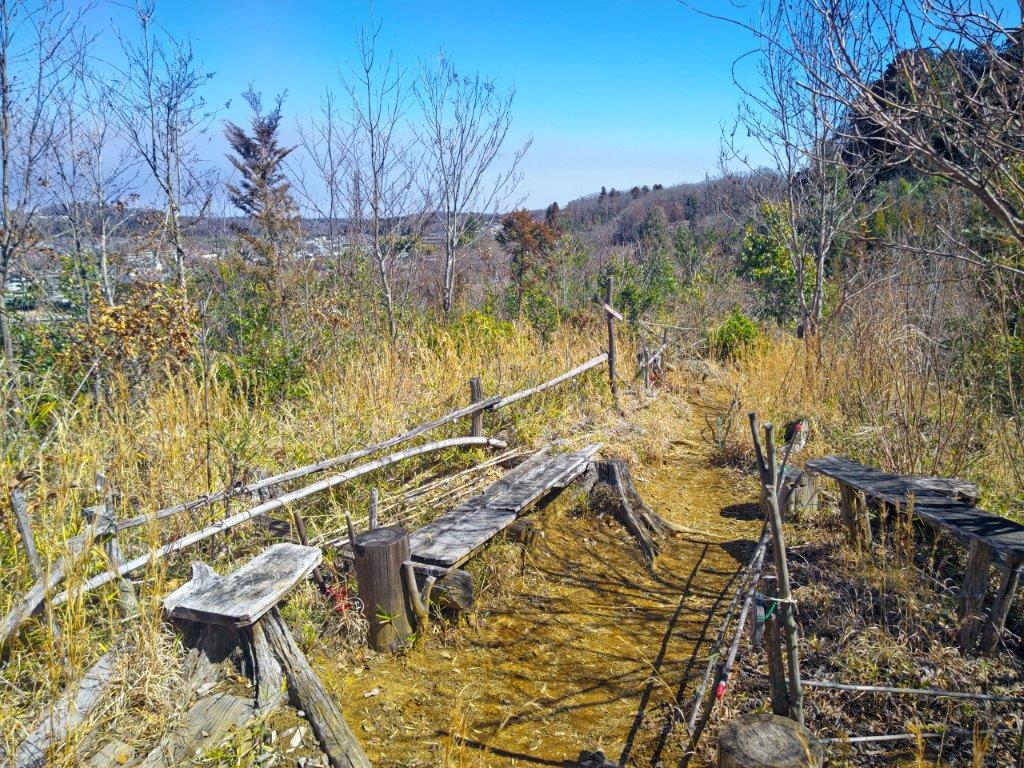
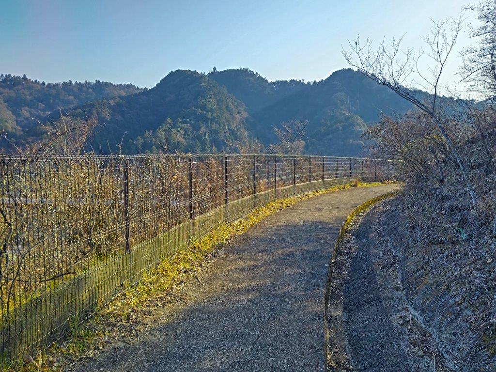
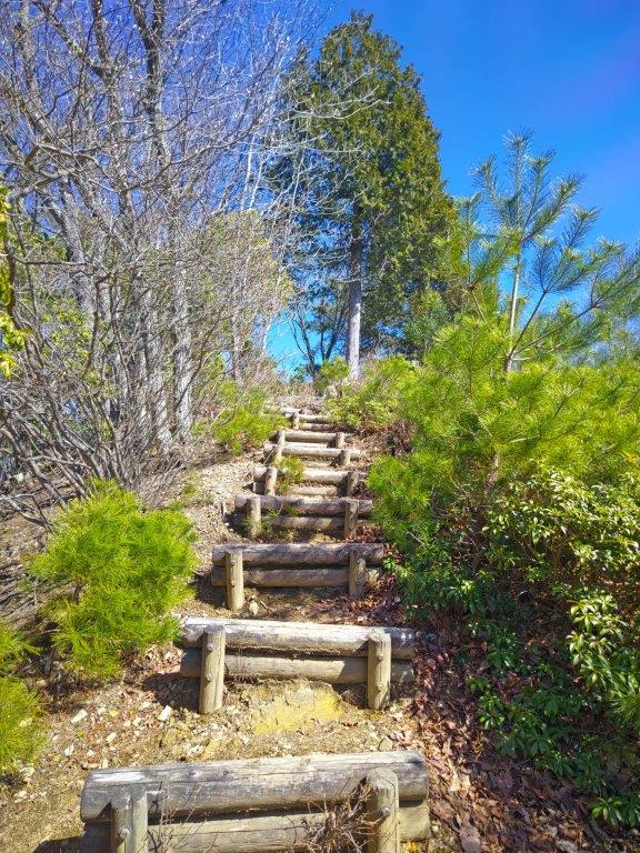
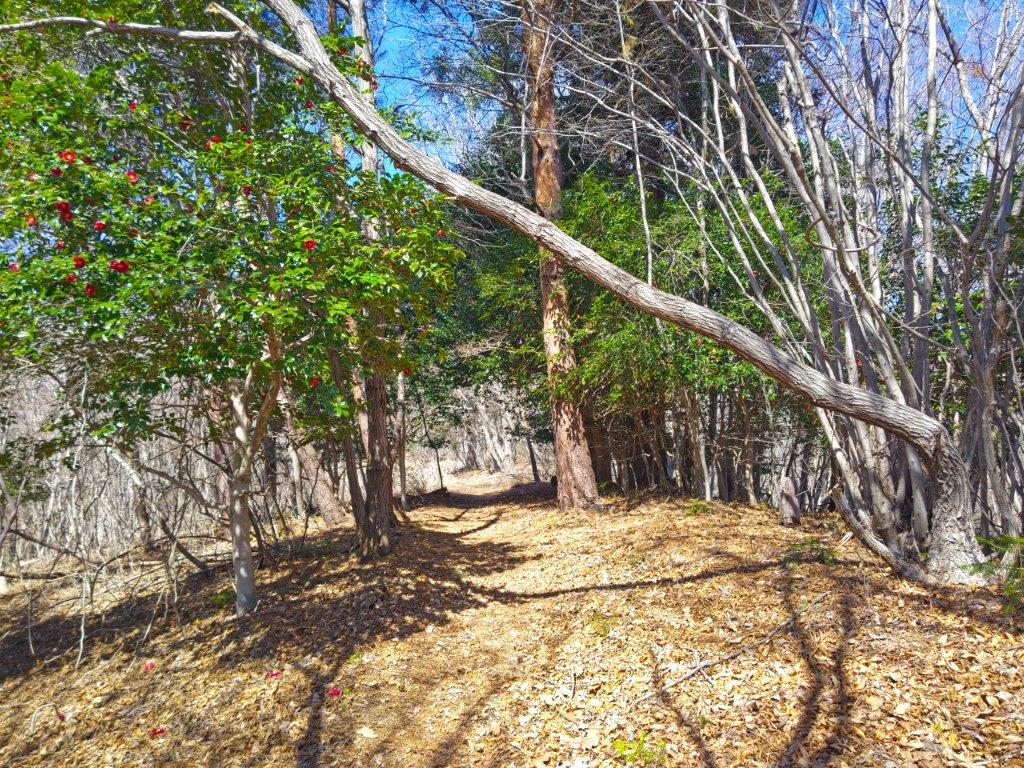
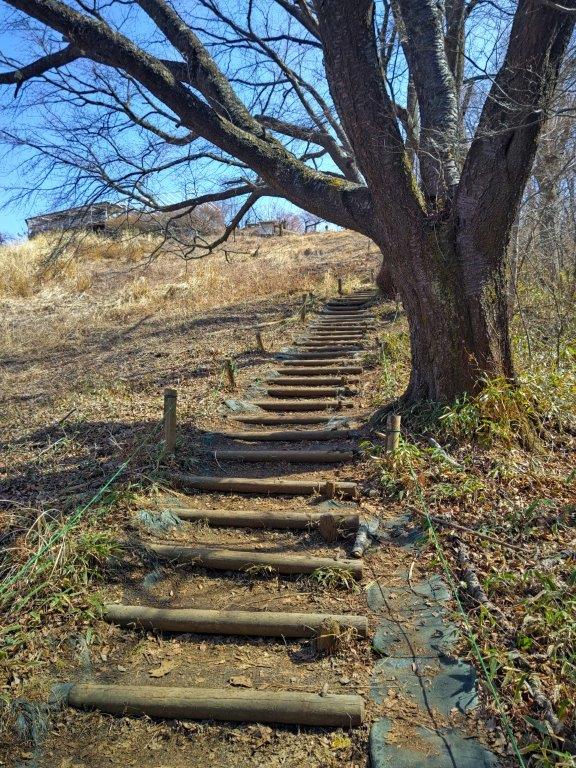
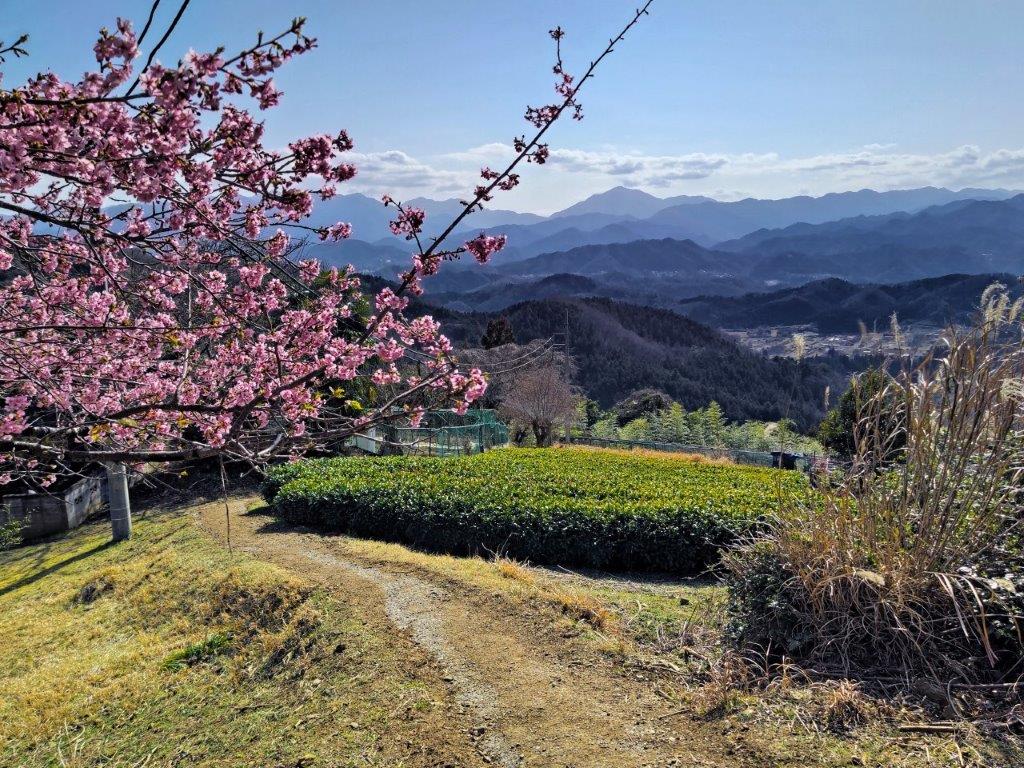
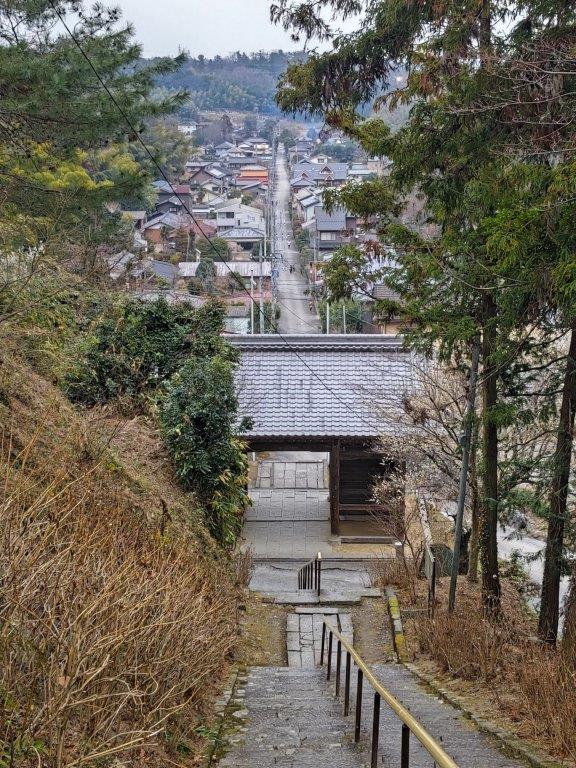
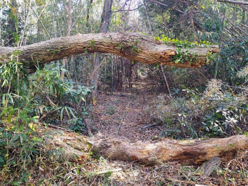
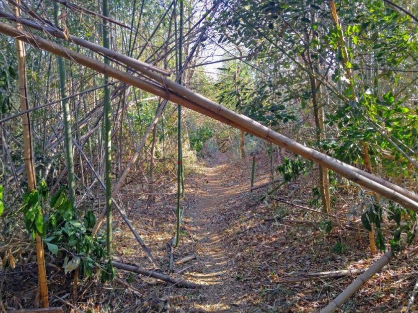
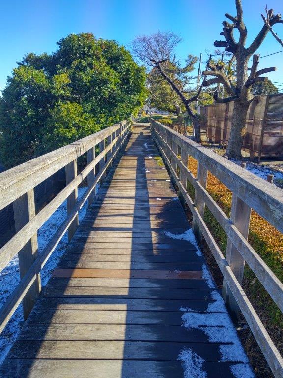
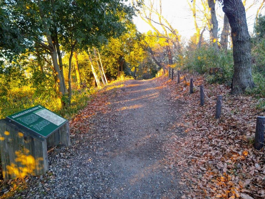
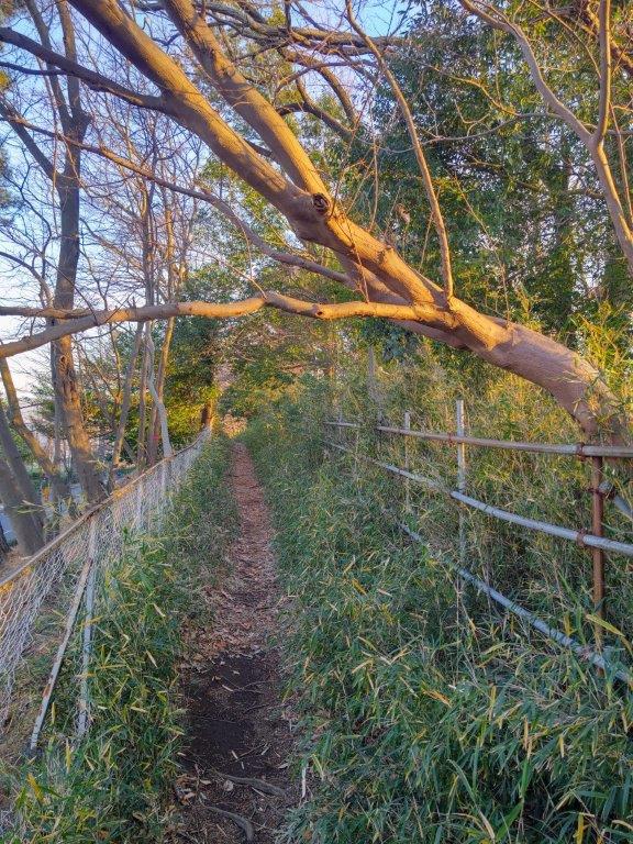
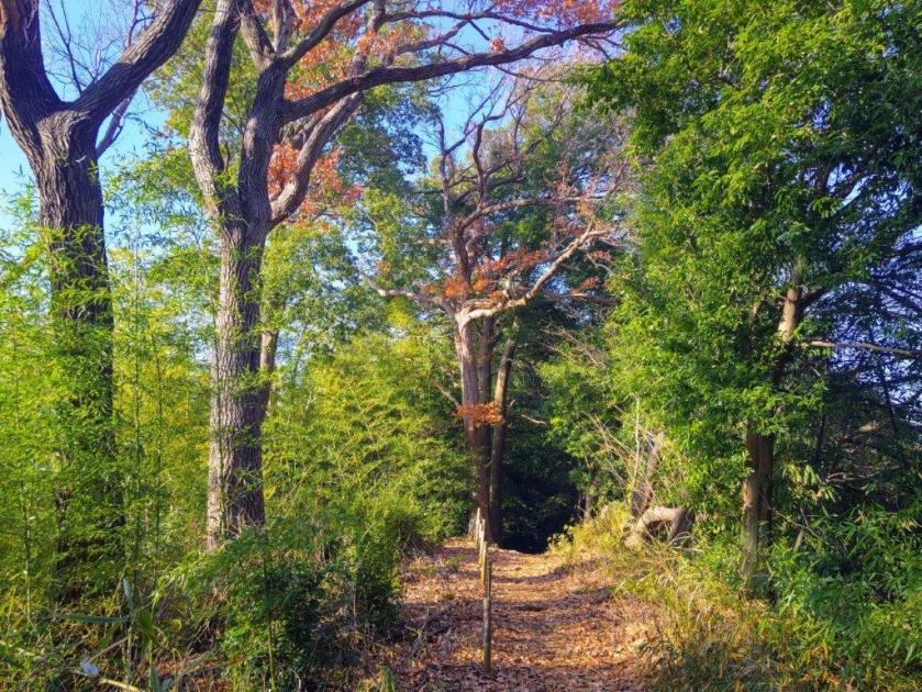
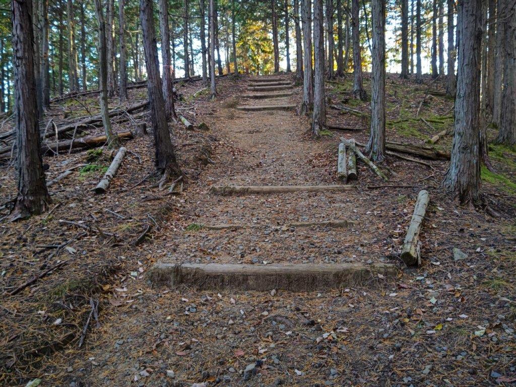
Trail for Kazuma-no-yu (left) End of the Hiking Trail (right)
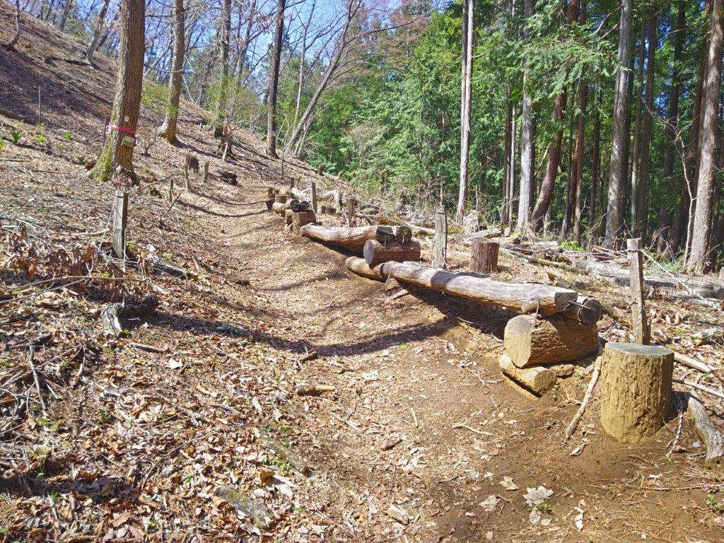
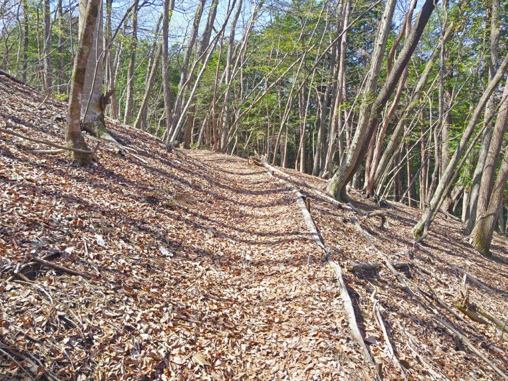
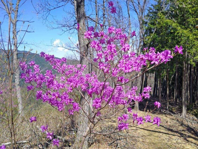
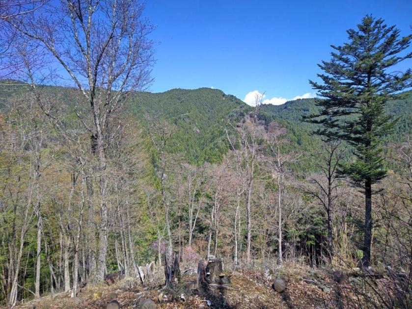
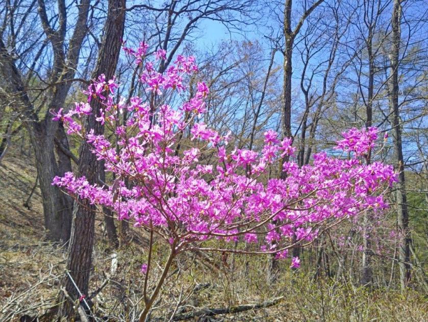
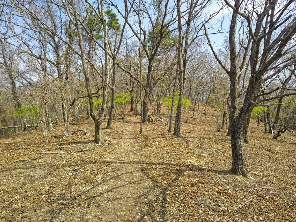
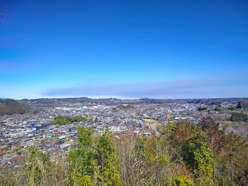
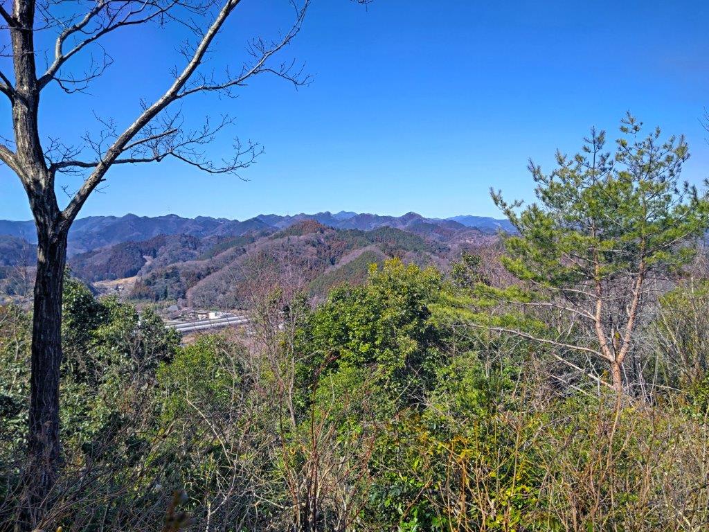
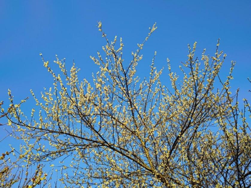
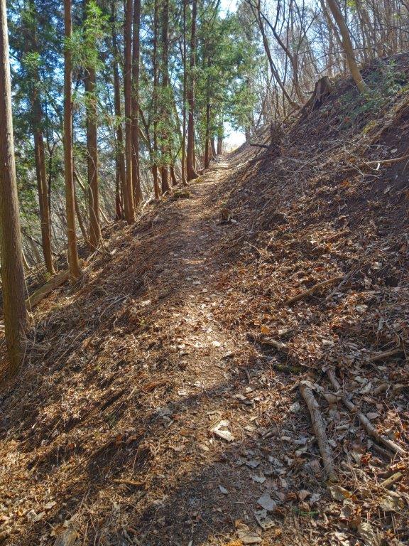
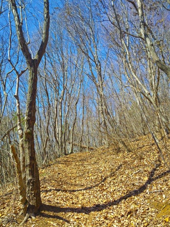
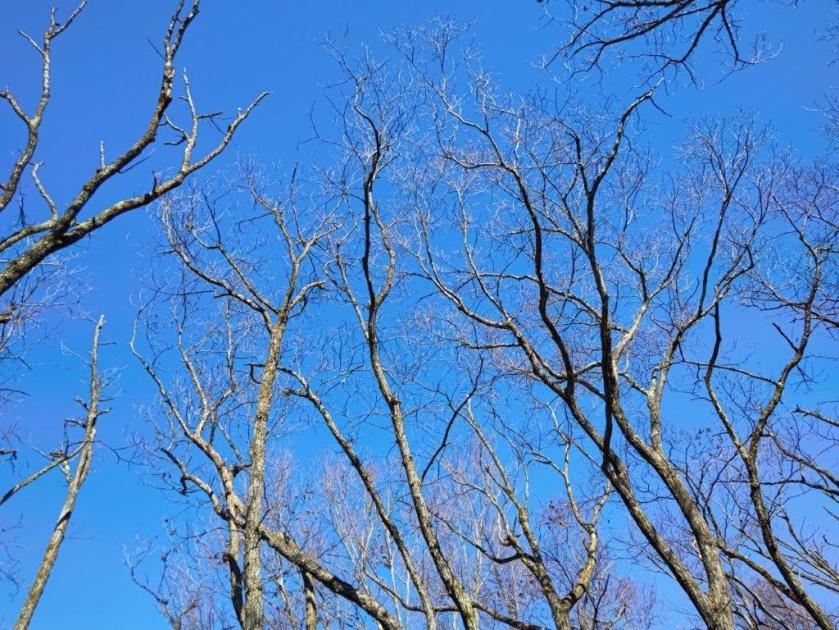
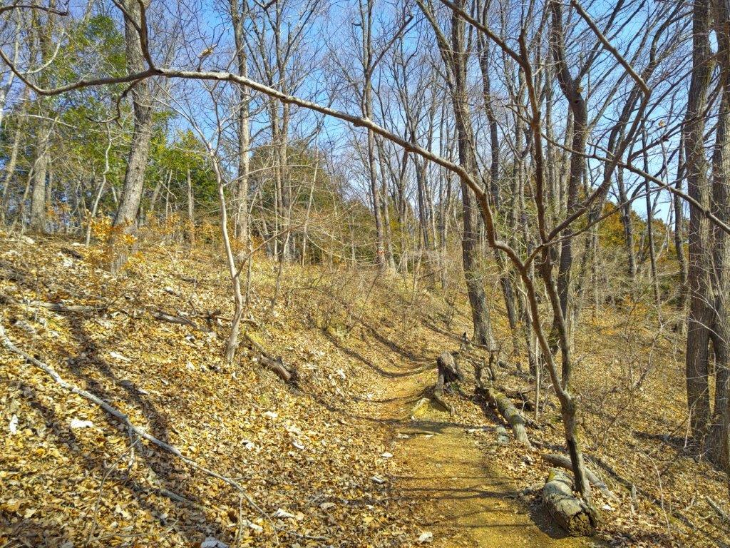
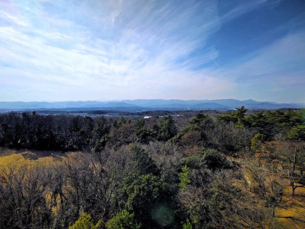
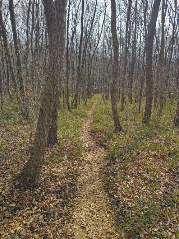
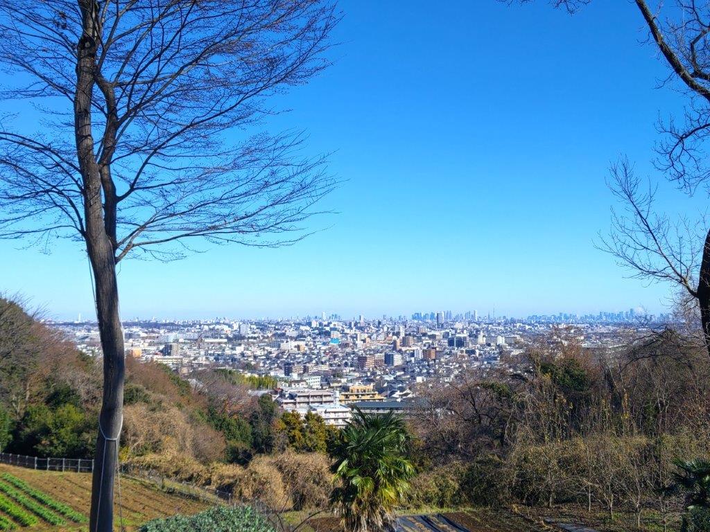
I was delighted to be walking on a well-maintained trail, easier to walk than most trails in the Okutama area. Here and there were well-made signs with the tree names and pictures of their leaves, bark, fruit, etc..for easy identification. The forest was still in winter mode, sunlight streaming through the leafless branches onto the yellow leaves covering the gently ascending path. From time to time, I passed purple “tsutsuji” (azaleas), adding colour to the scenery. At 11h30, I arrived at a bench at the top of Mt Ohane (大羽根山 おおはねやま oohane-yama) with a view to the northeast.
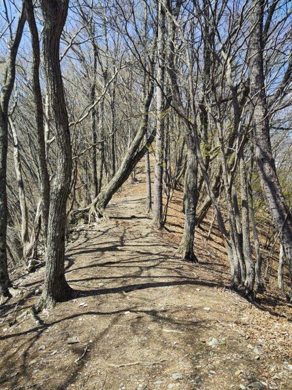
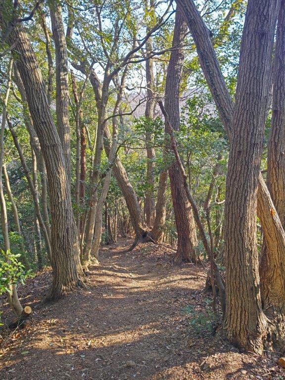
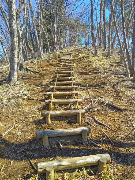
A well-maintained Trail in the Chuo Ward Forest
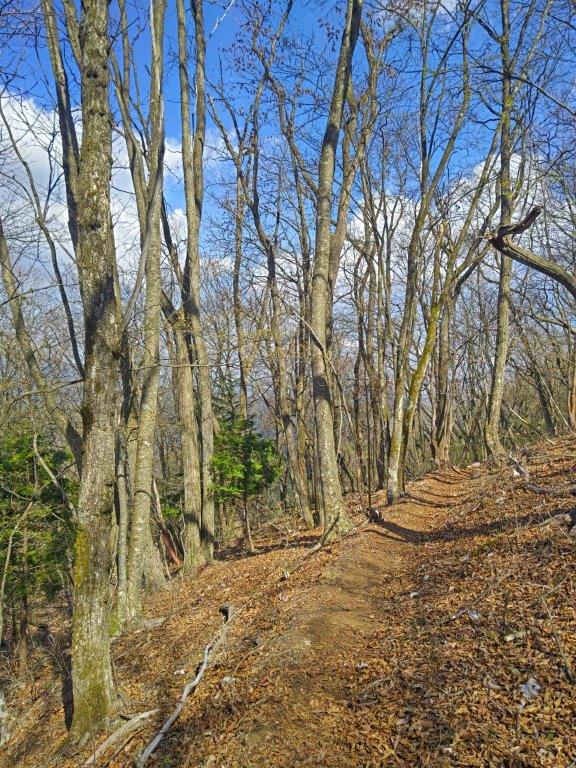
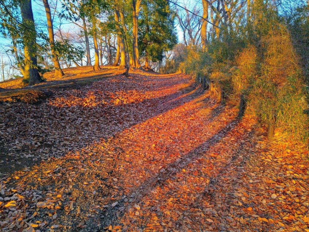
Spring Sun on the Autumn Leaves
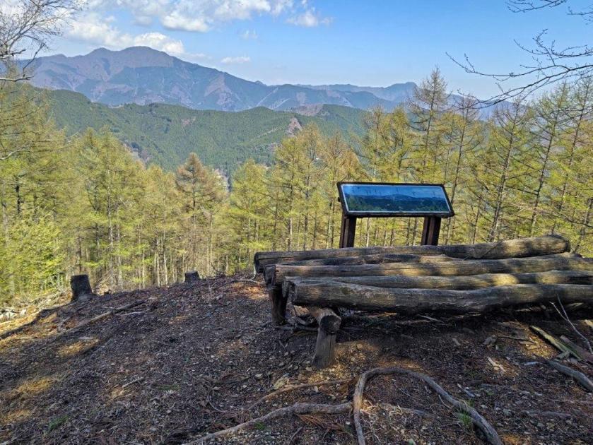
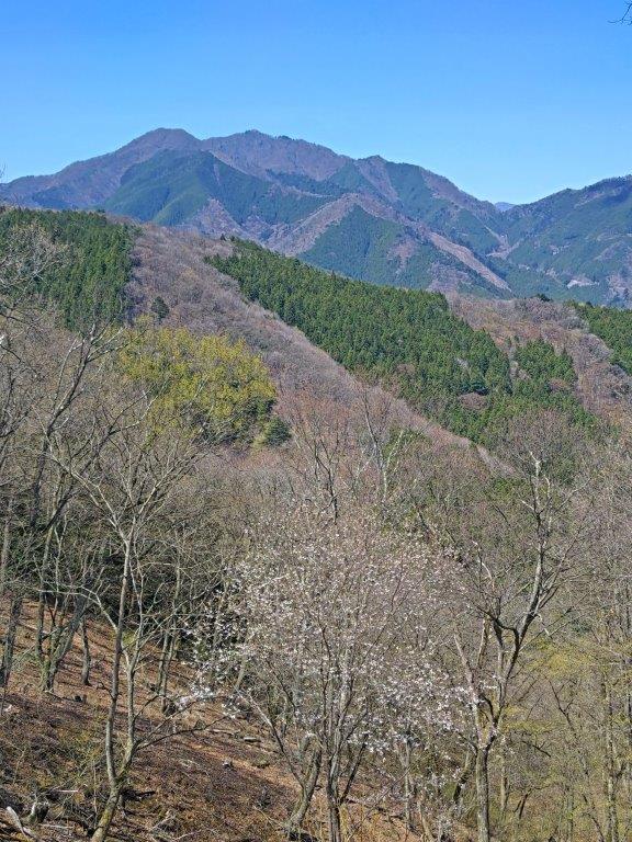
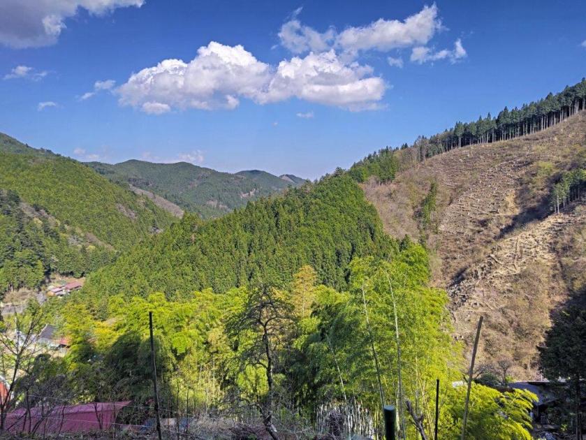
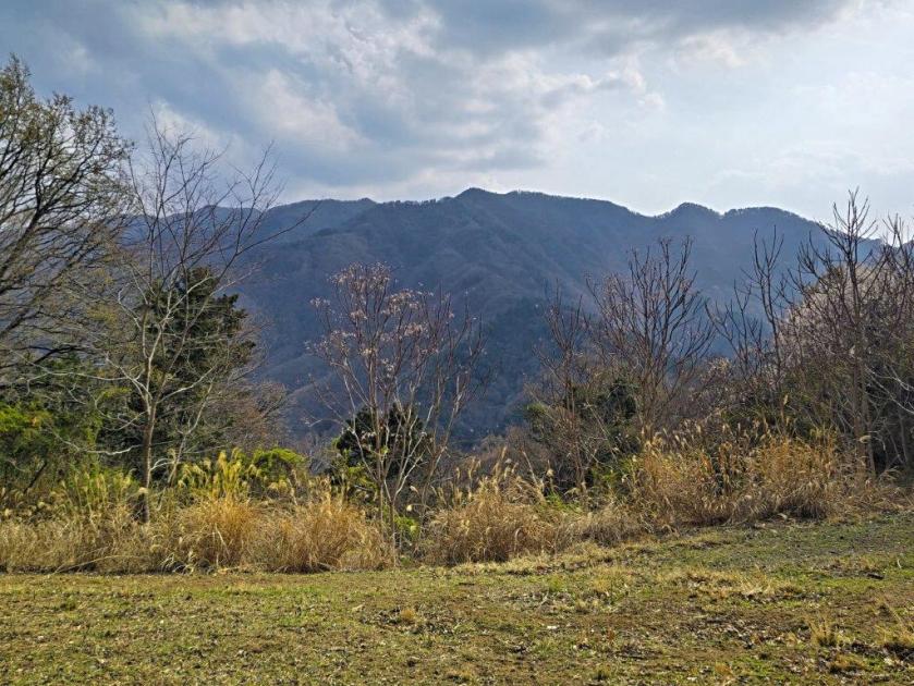
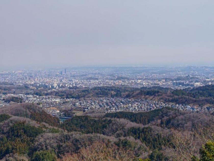
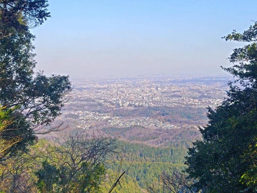
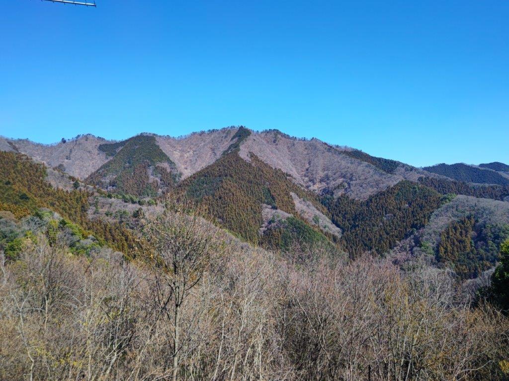
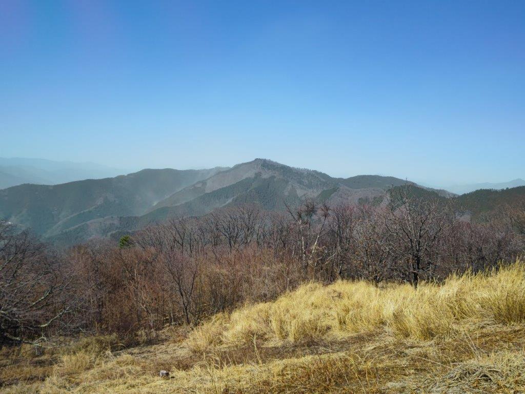
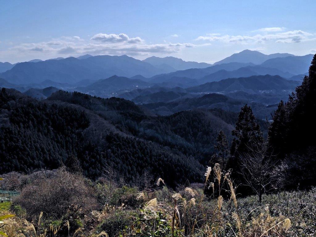
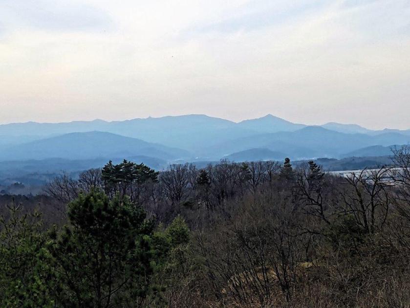
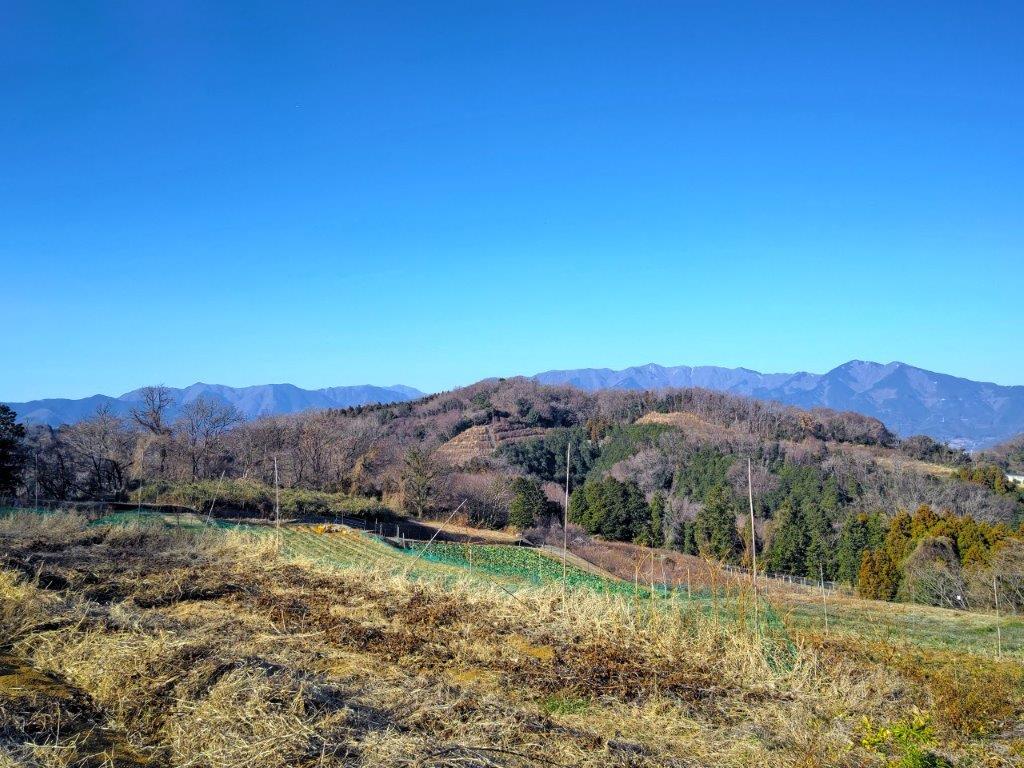
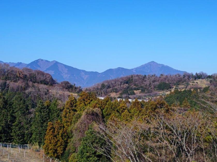
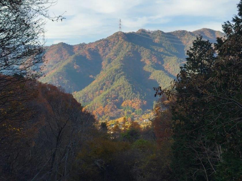
I was excited to get such a great view, so soon on my hike, especially since it wasn’t shown on my hiking map. Directly ahead was the triangular summit of Mt Gozen, and further away to its right, Mt Odake. According to the mountain panorama identification board, Mt Takanosu was also visible on the left side but was hidden by tall bright green larches. It was too early for a lunch break so after enjoying the view I set off again along a mostly level trail, leaving the Chuo Ward Forest behind. A few minutes later, I reached another bench, this time with a view to the northwest.
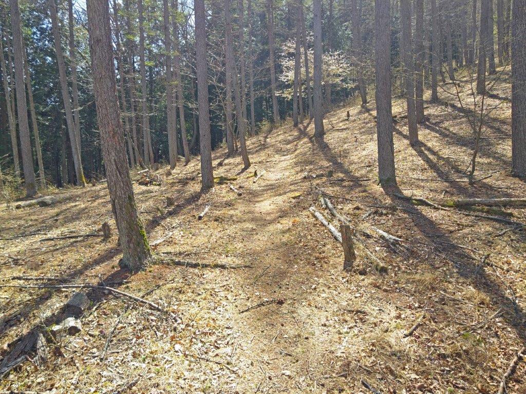
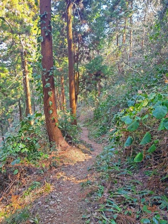
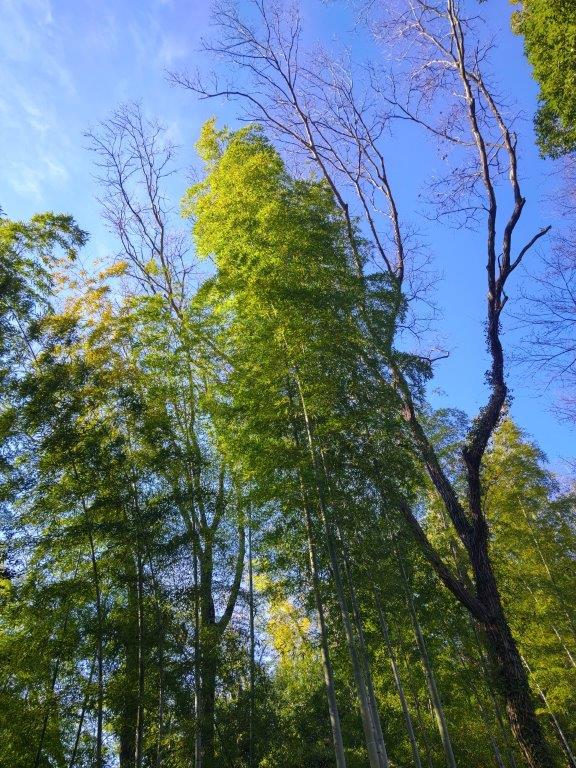
Entering the Larch Forest
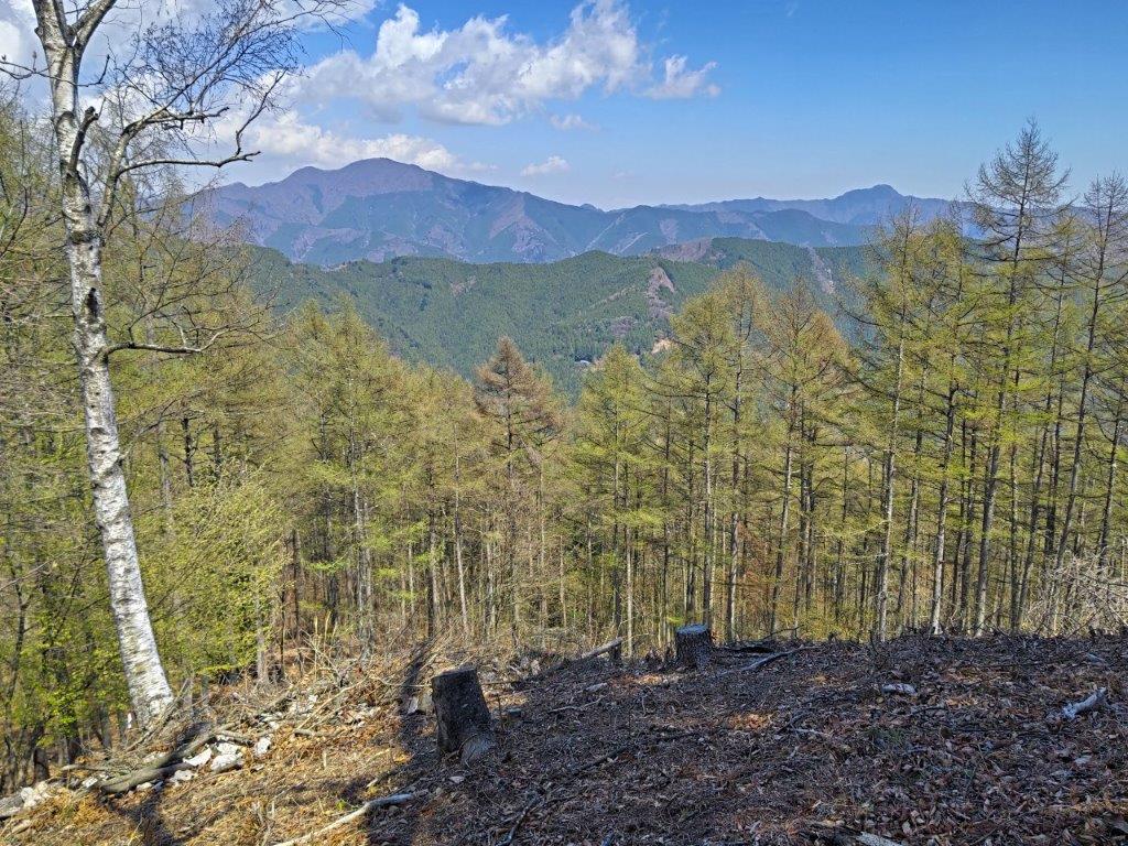
Mt Gozen (left) & Mt Odake (right) from Mt Ohane
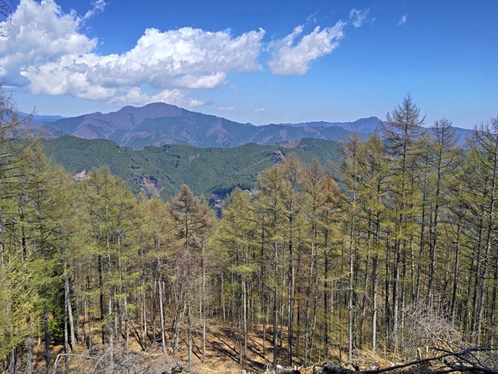
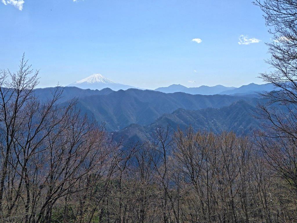
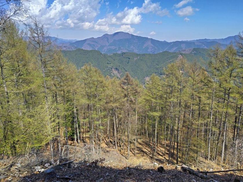
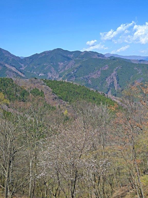
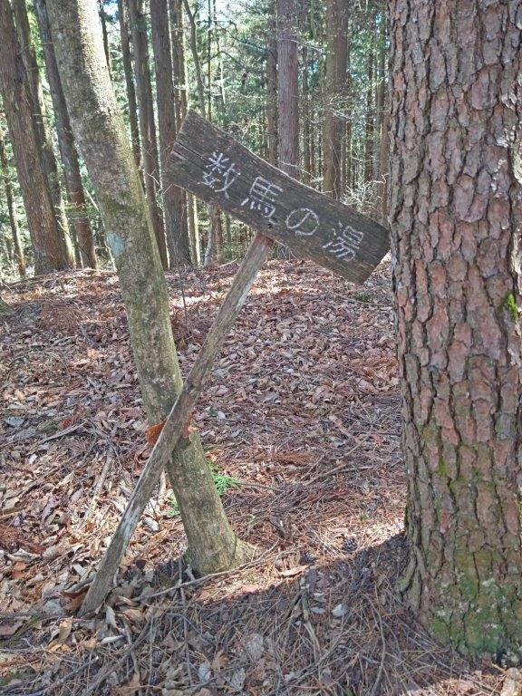
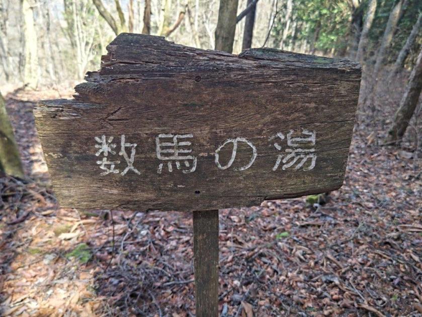
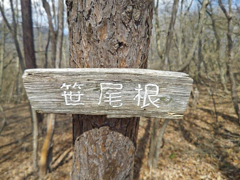
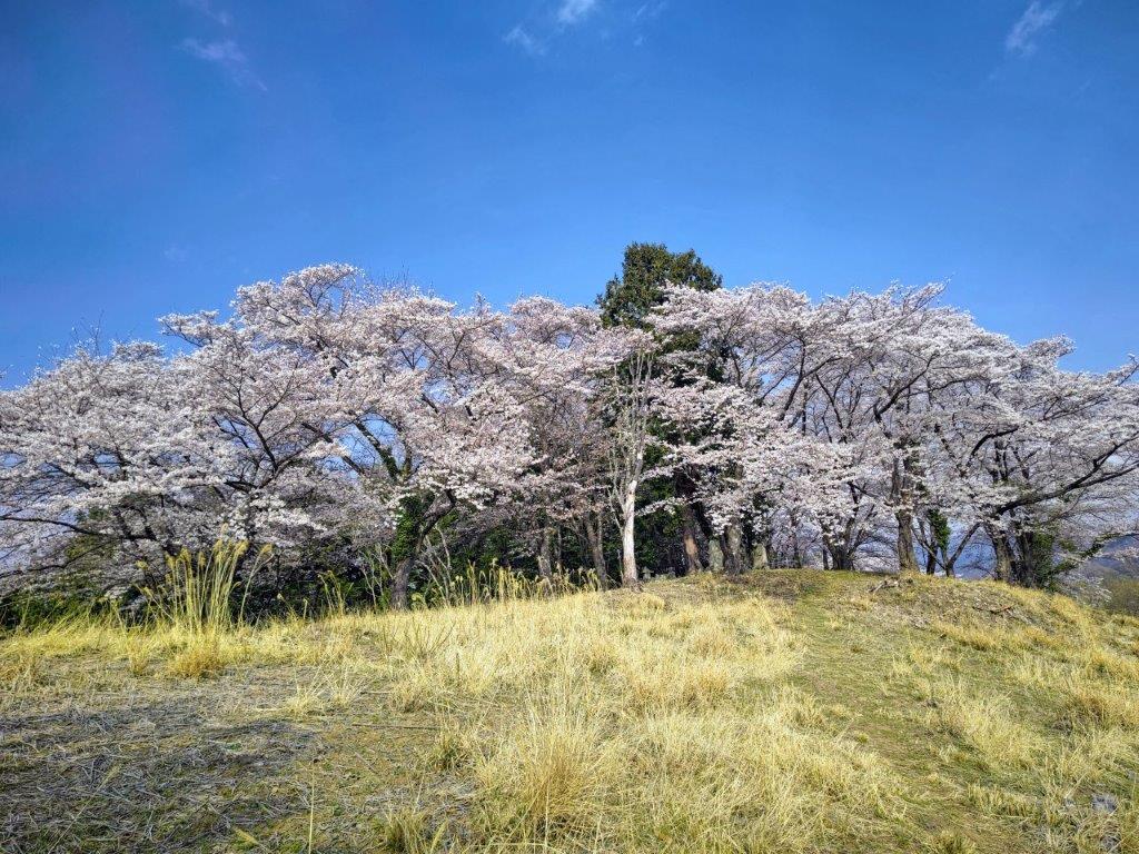
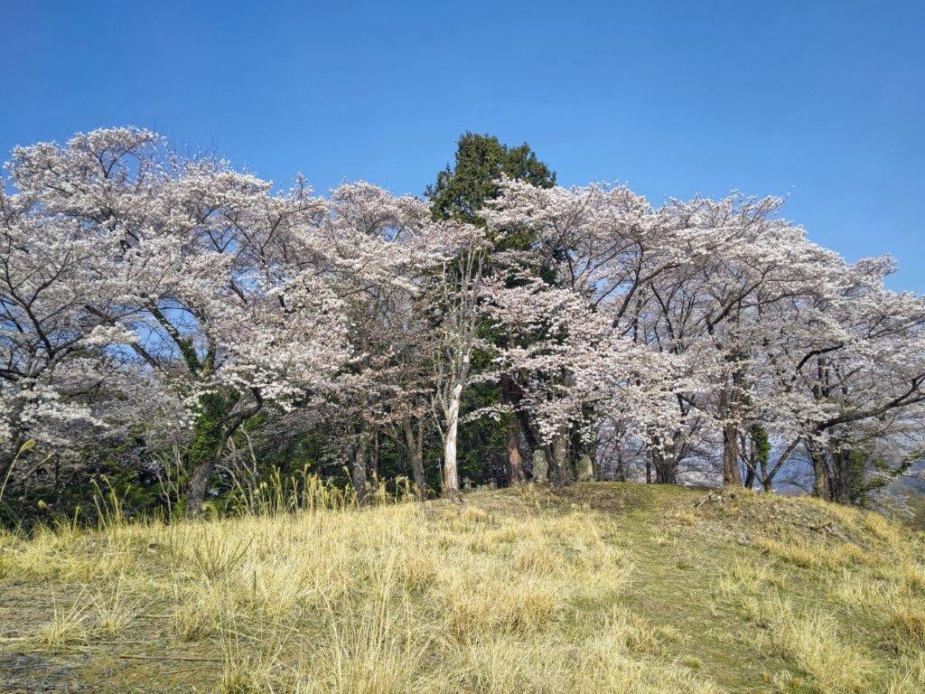
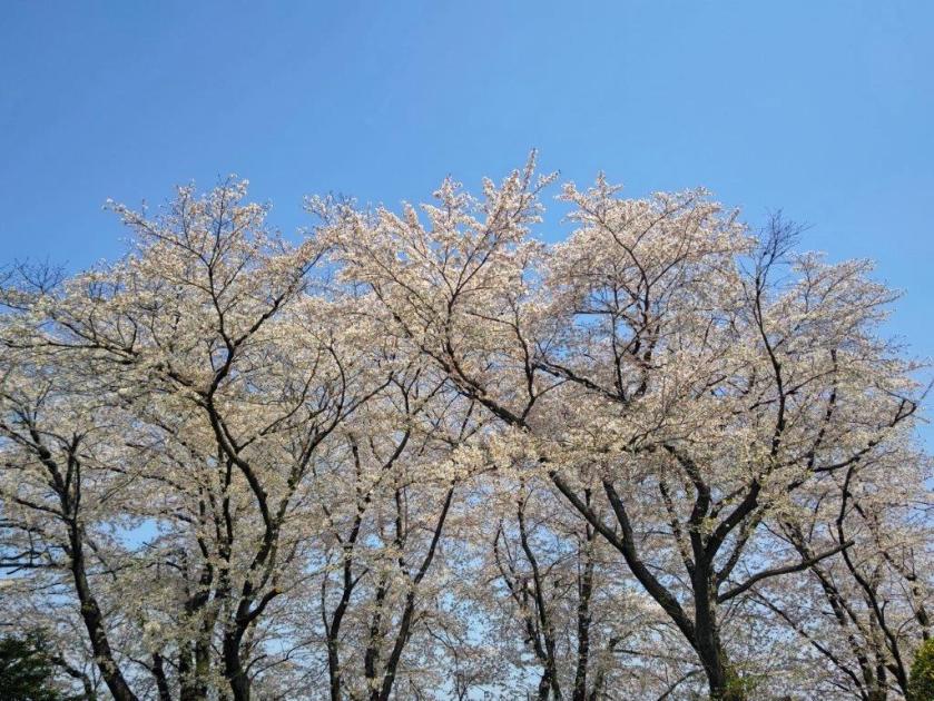
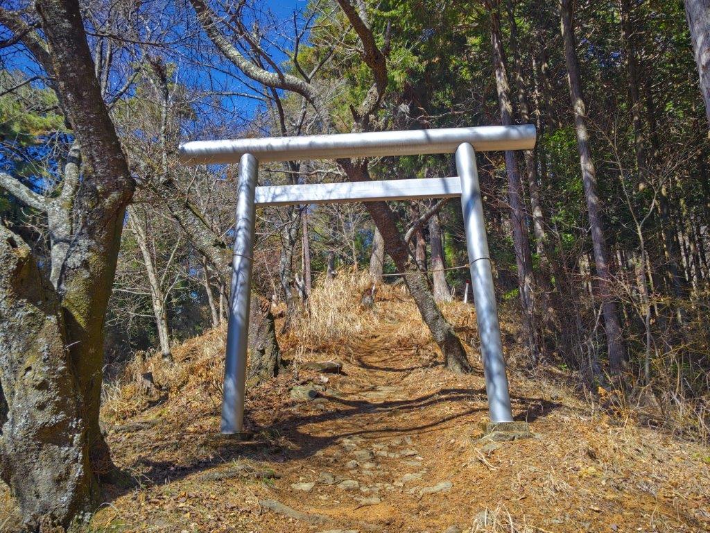
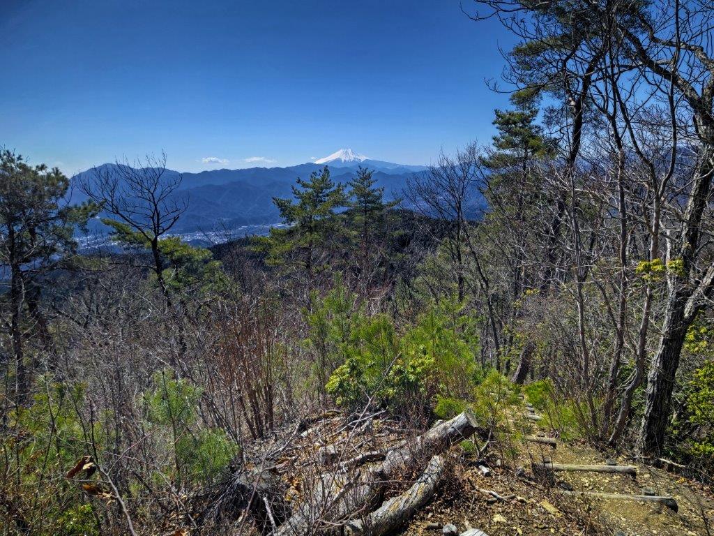
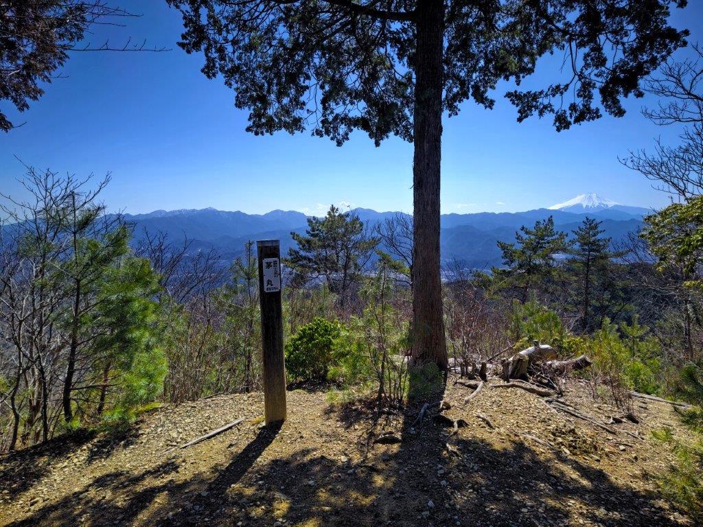
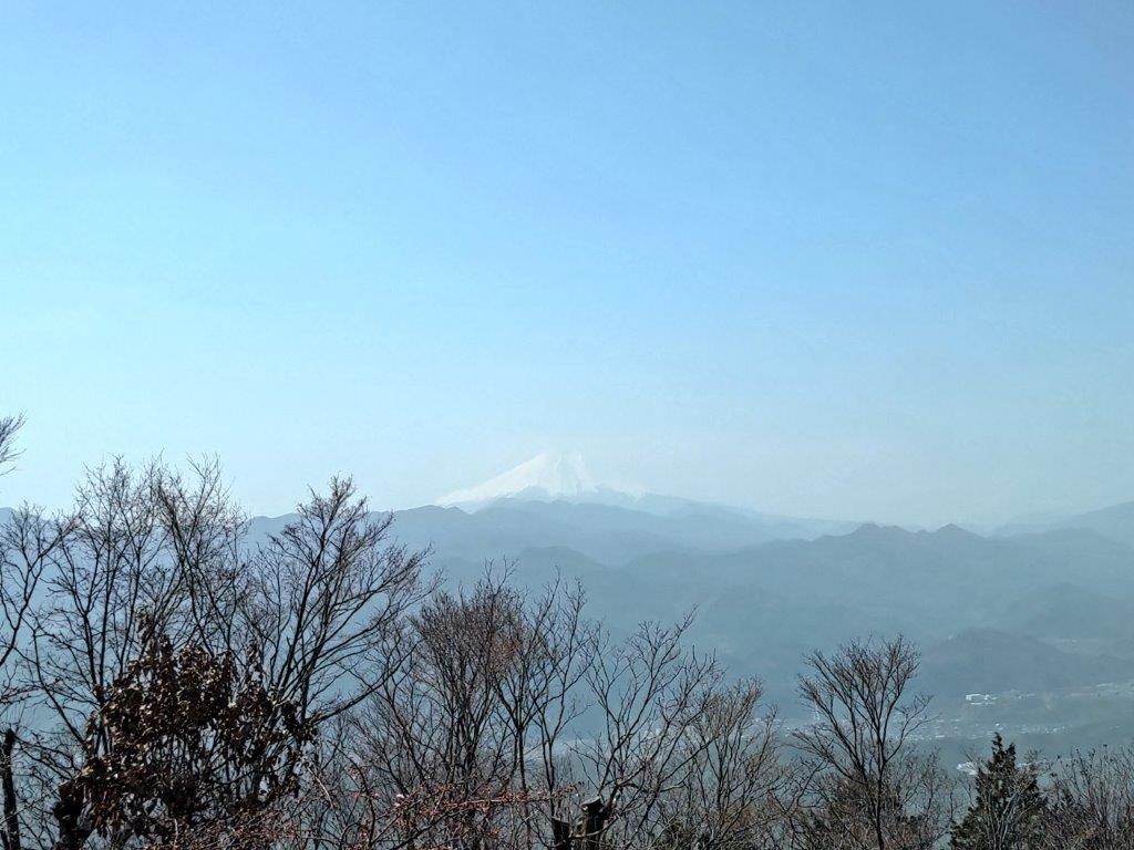
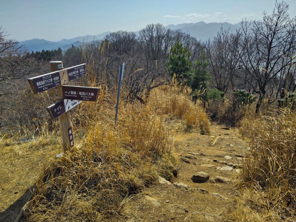
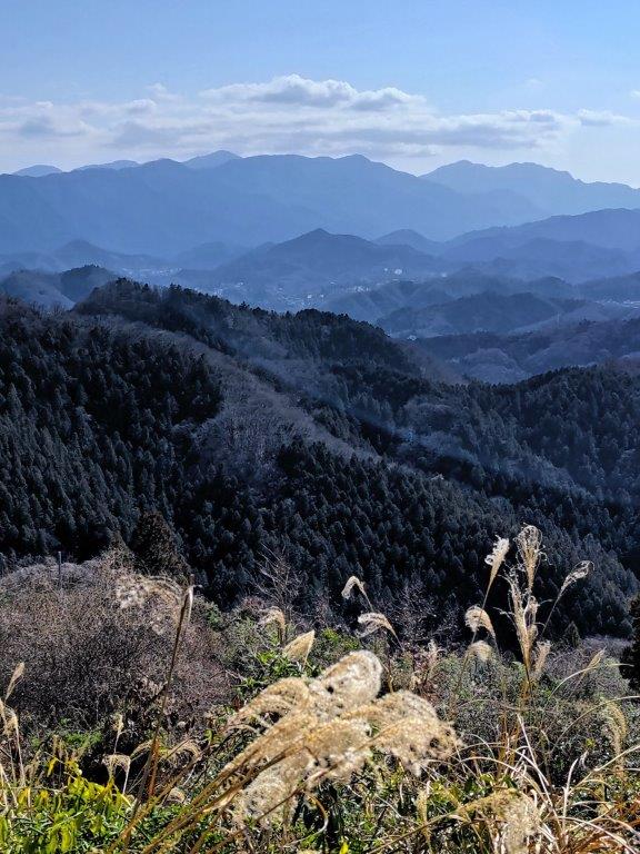
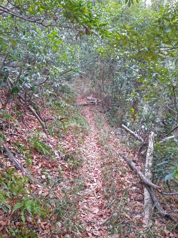
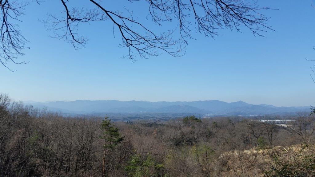
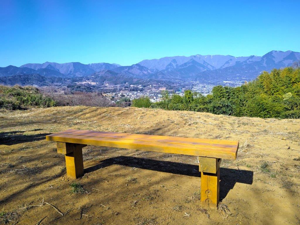
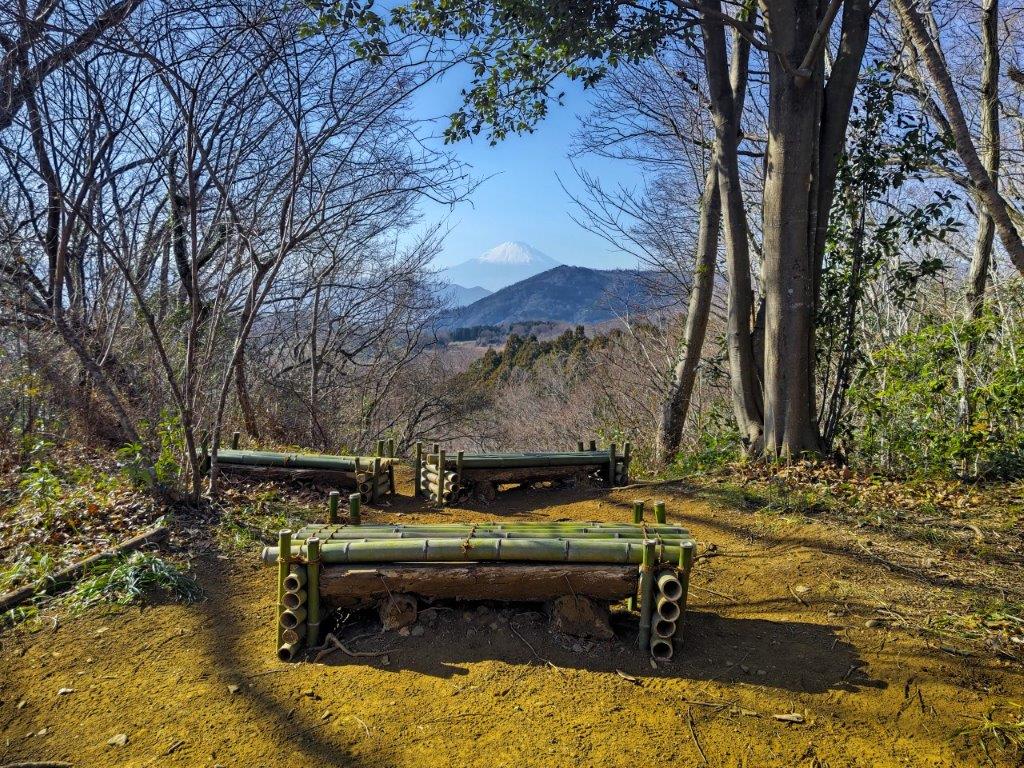
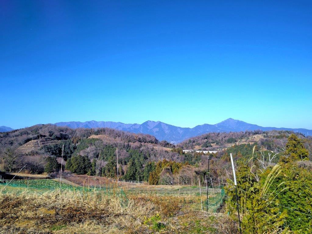
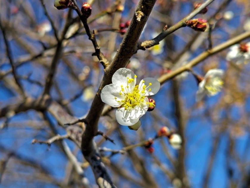
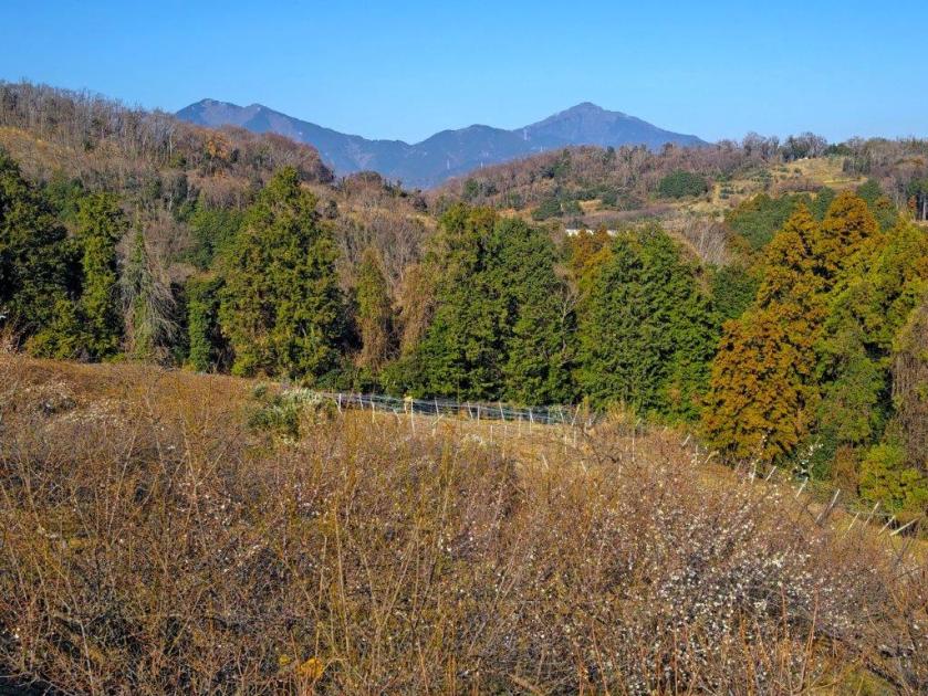
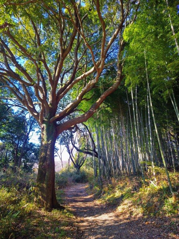
I felt lucky to get another splendid view, a signpost on a tree next to the log bench calling it “the perfect photo opportunity” (シャッターポイント). Looking ahead, I could see Mt Mito, only 2 of its 3 peaks visible from this angle; in the foreground, I spotted the white blossoms of a “mame-zakura” (Fuji cherry); in the far distance, the summit of Mt Kumotori was poking above the ridgeline. I had now completed my view of the “Okutama Sanzan” (the Okutama 3 Mountains: Mt Mito, Mt Gozen and Mt Odake). It was still early for lunch and I moved on regretfully. A little after noon, I came upon the first sign for Kazuma-no-Yu, the main target of today’s hike, and soon after, I turned right onto Sasaone ridge (笹尾根), which runs from Mt Takao to Mt Mito.
Bright Green Larches in the Foreground
Mt Mito (left) with Mame-zakura in the foreground
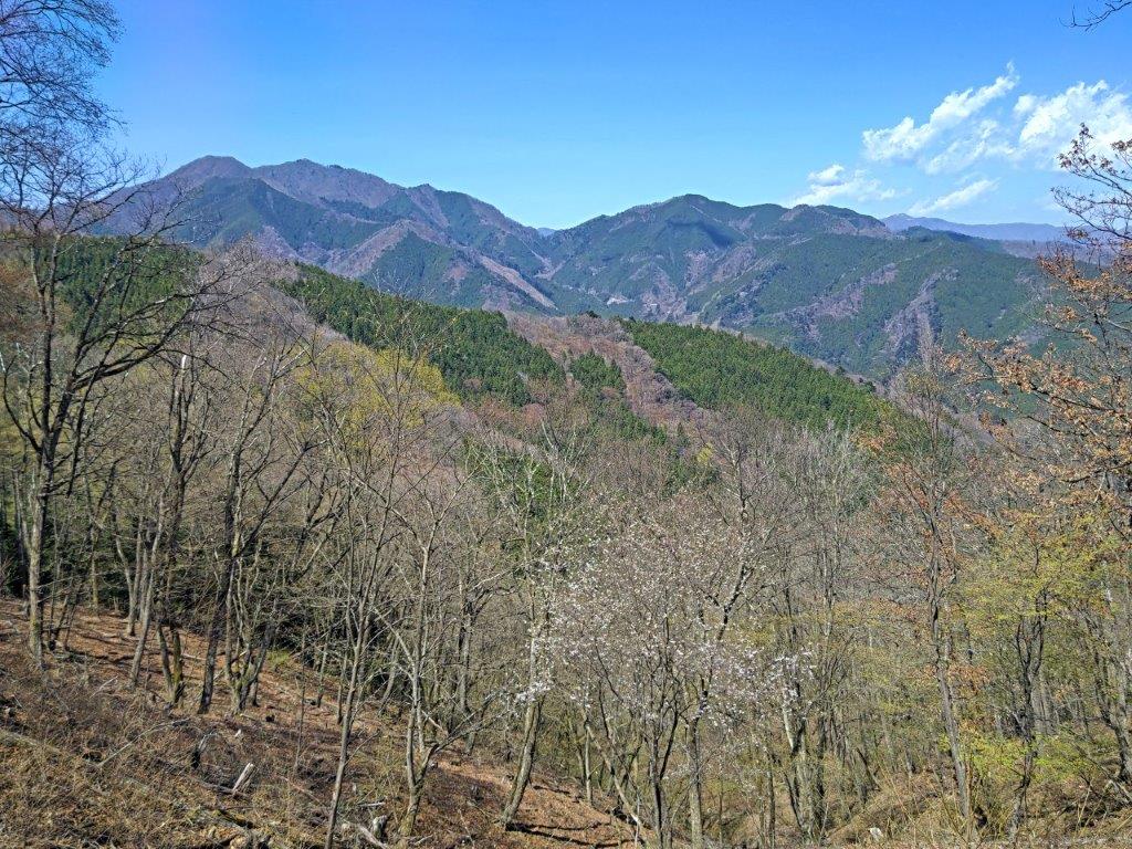
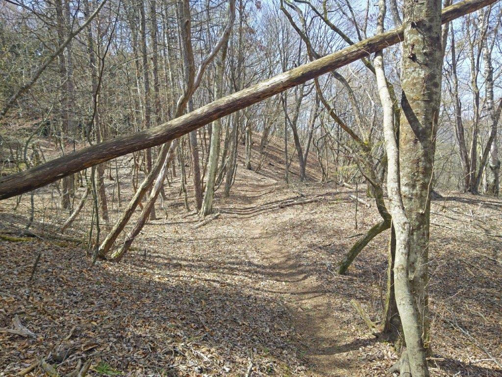
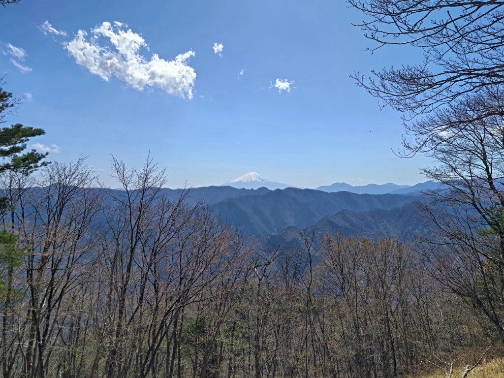
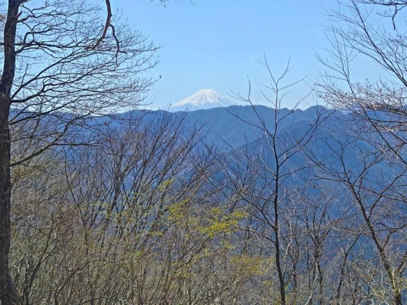
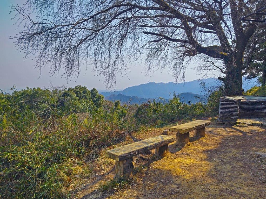
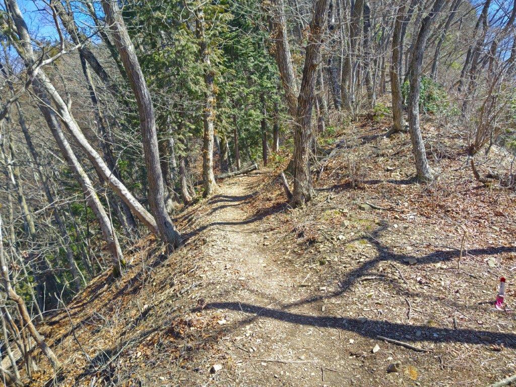
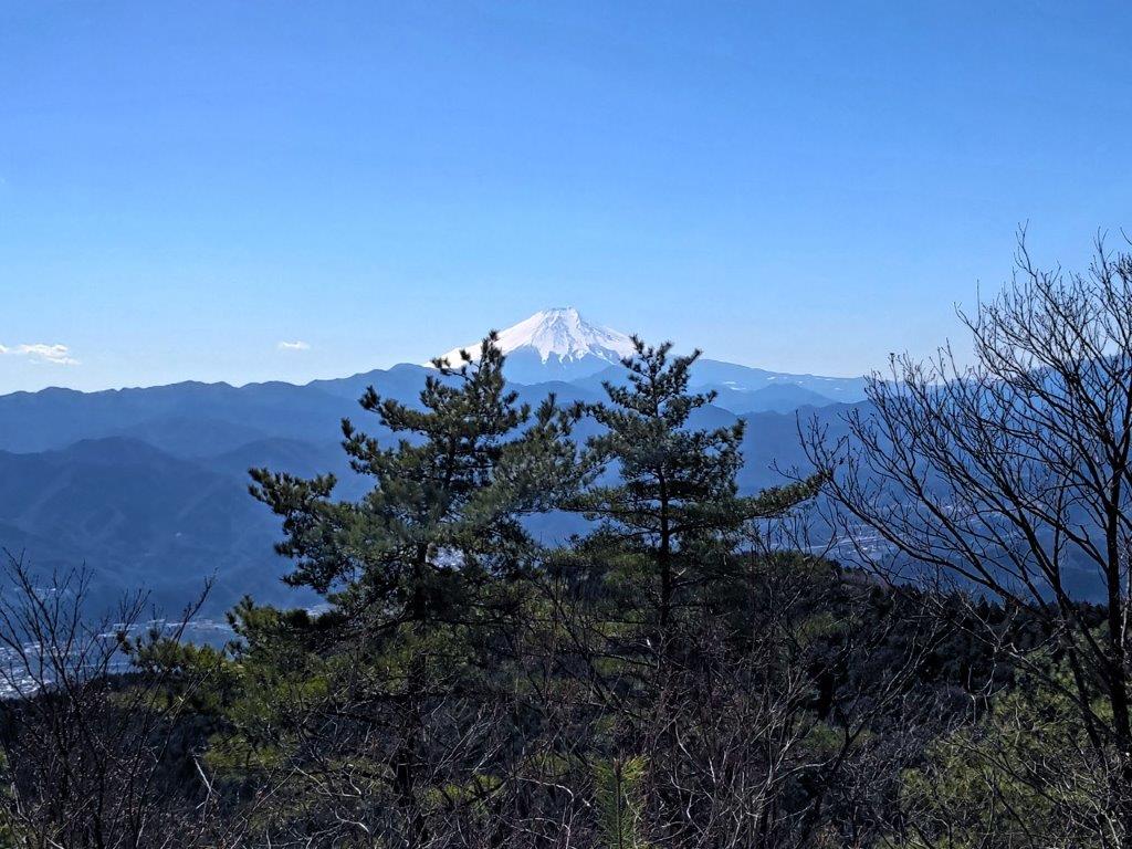
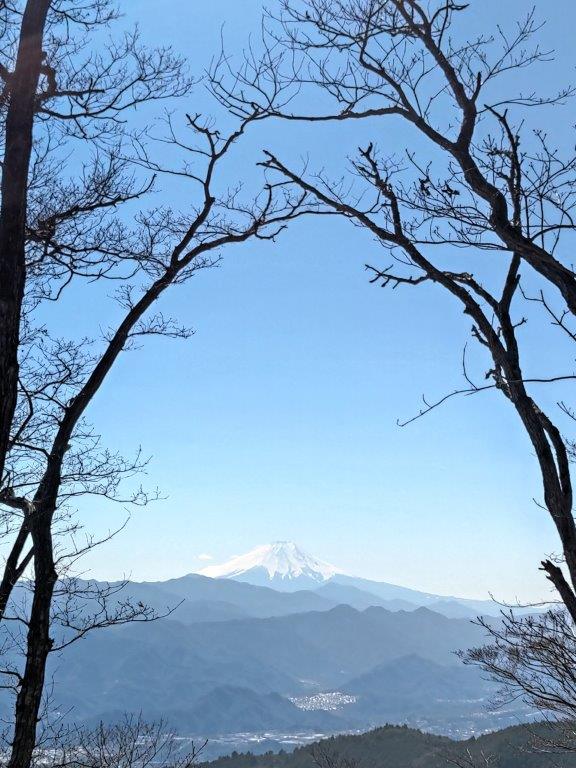
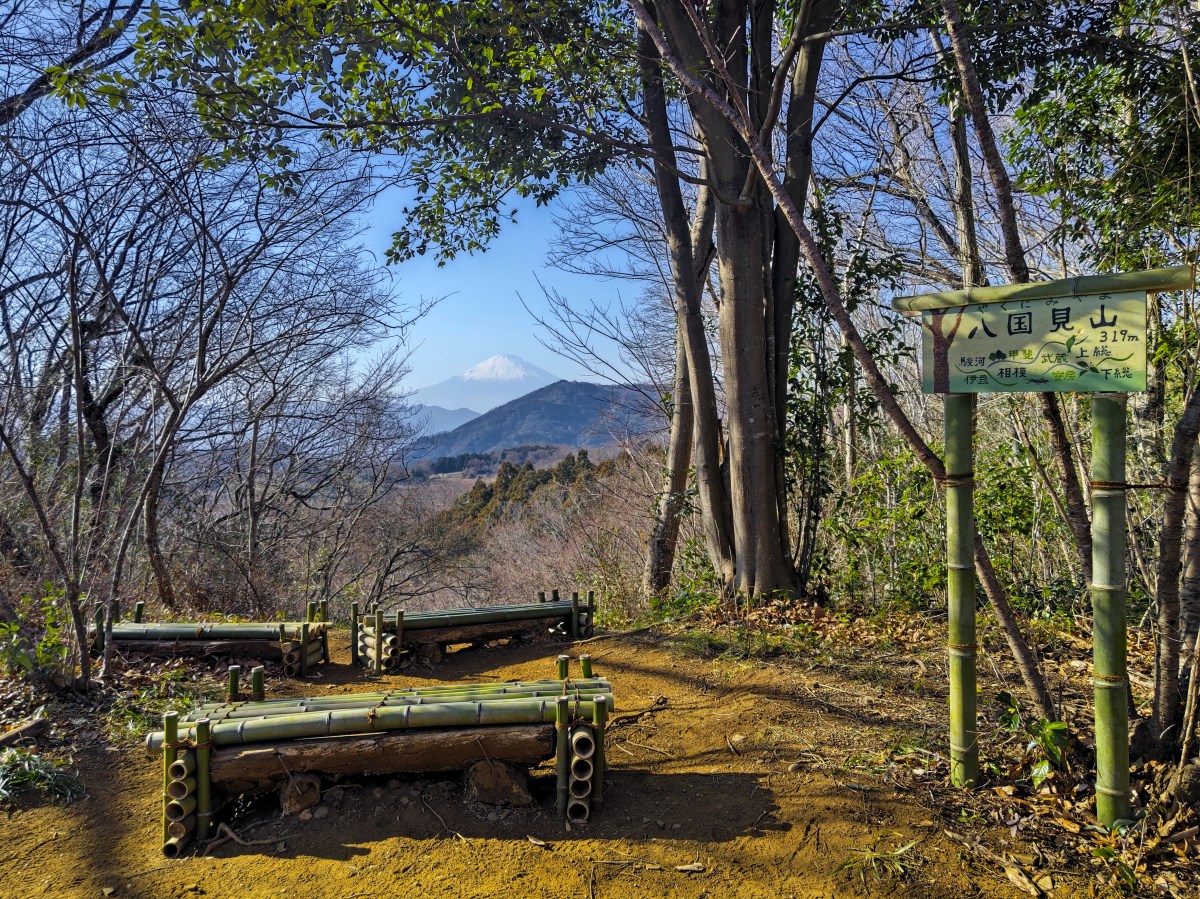
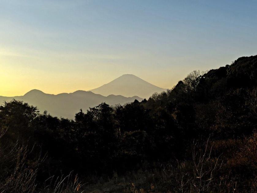
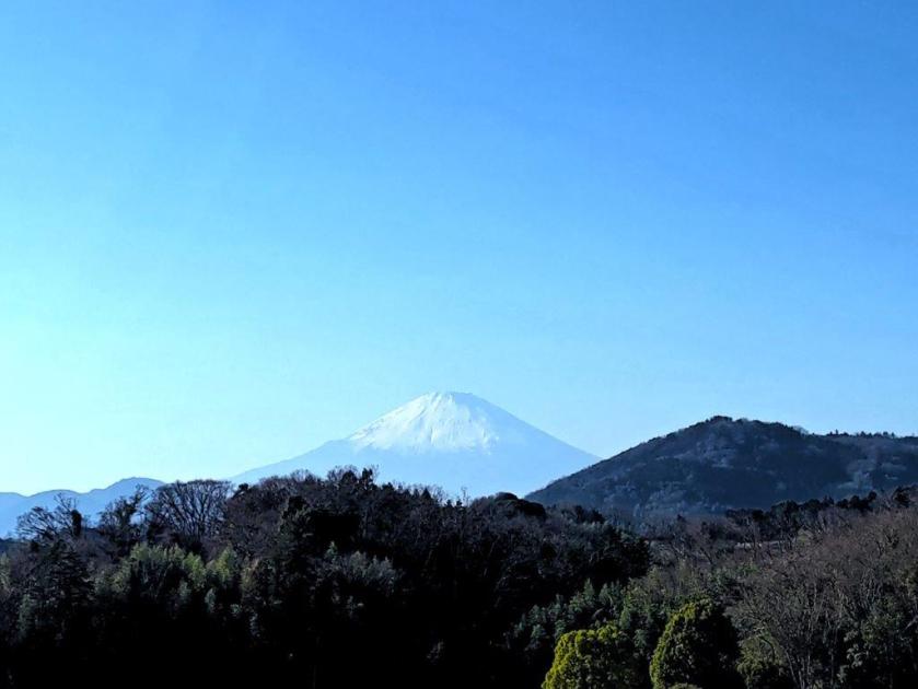
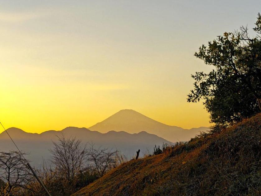
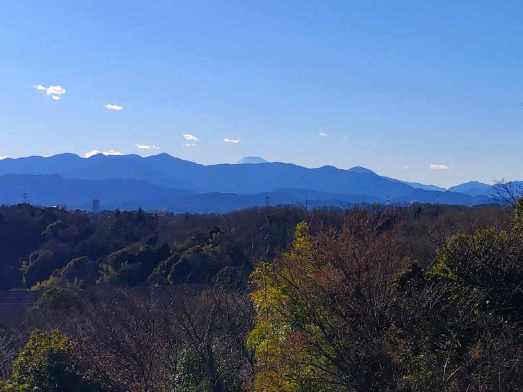
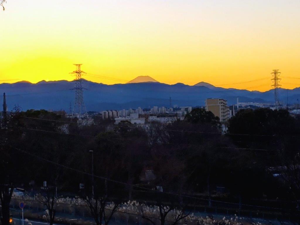
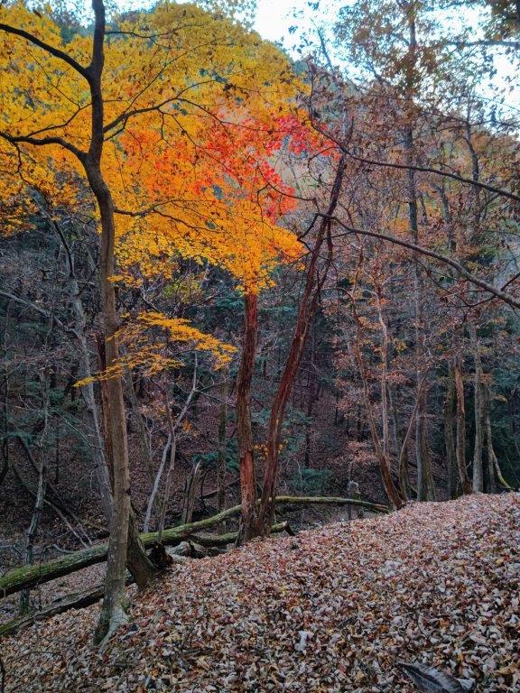
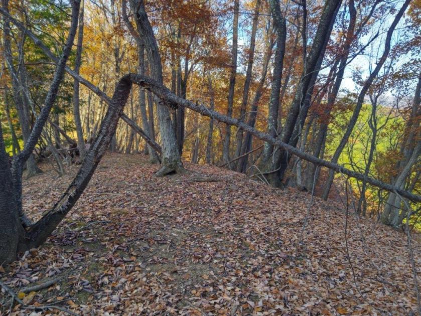
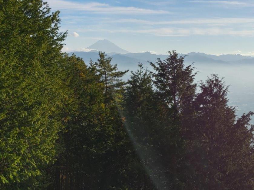
I was happy to be walking this pleasant ridge a second time in less than a month, its mostly gradual inclines making it a popular hiking area. For the first time of the day, I passed other hikers, still relatively few this early in the season. At 12h30, I arrived at some benches at Kazuma Pass (数馬峠). Since my last visit nearly 7 years ago, the vegetation had grown high enough to block the view on the south side; however, I was able to distinguish the shape of Mt Fuji through the branches; back in 2019, Japan’s highest mountain had been hiding behind thick clouds. I continued on my way, hoping for a better lunch spot further on. At 1pm, I reached Wada Pass (和田峠) with another view of Mt Fuji on the south side.
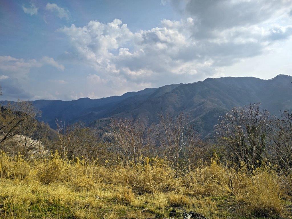
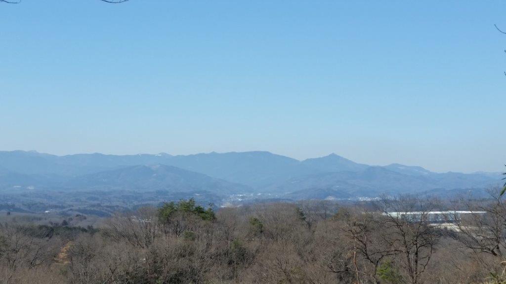
Mt Kumotori (center) above the Ridgeline
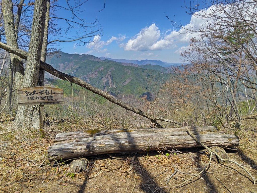
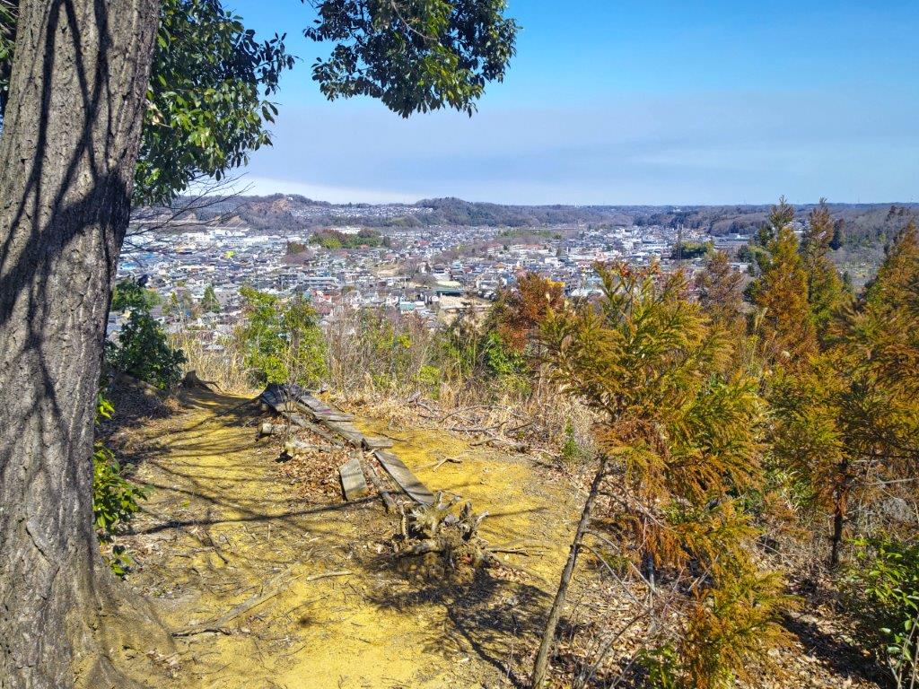
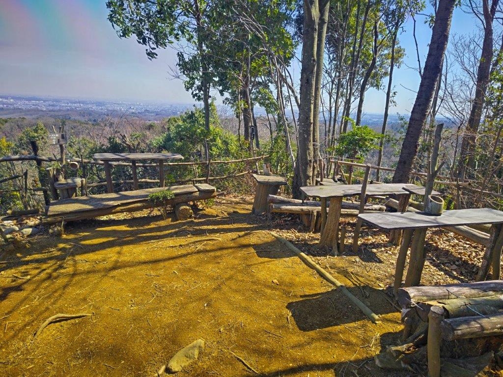
The “Perfect Photo Opportunity” past Mt Ohane
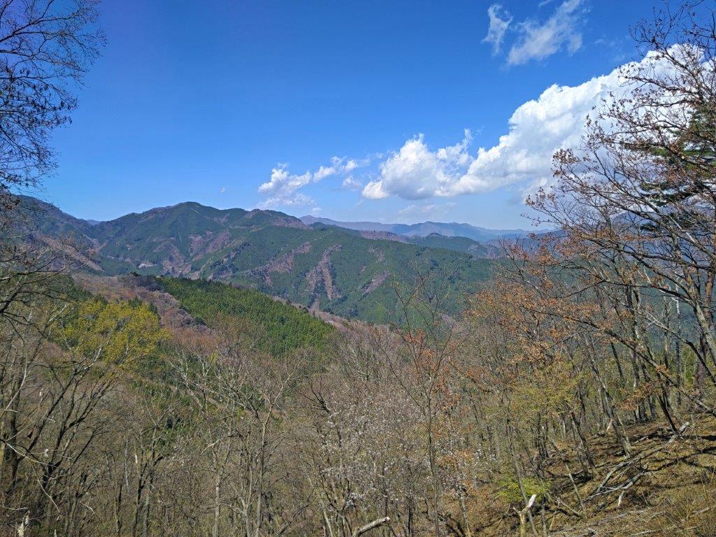
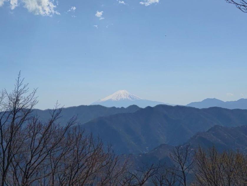
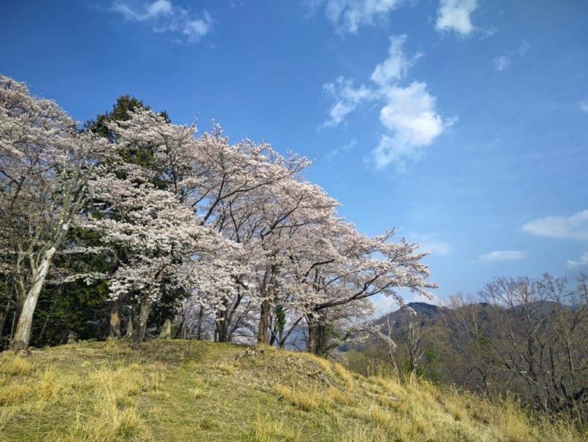
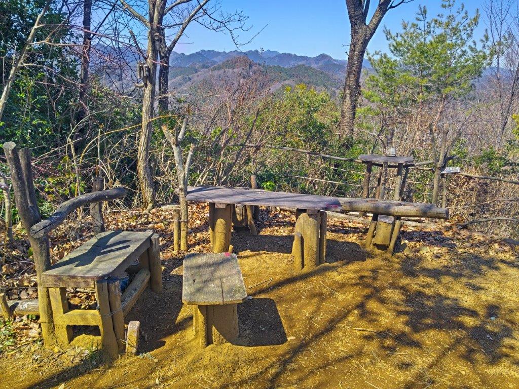
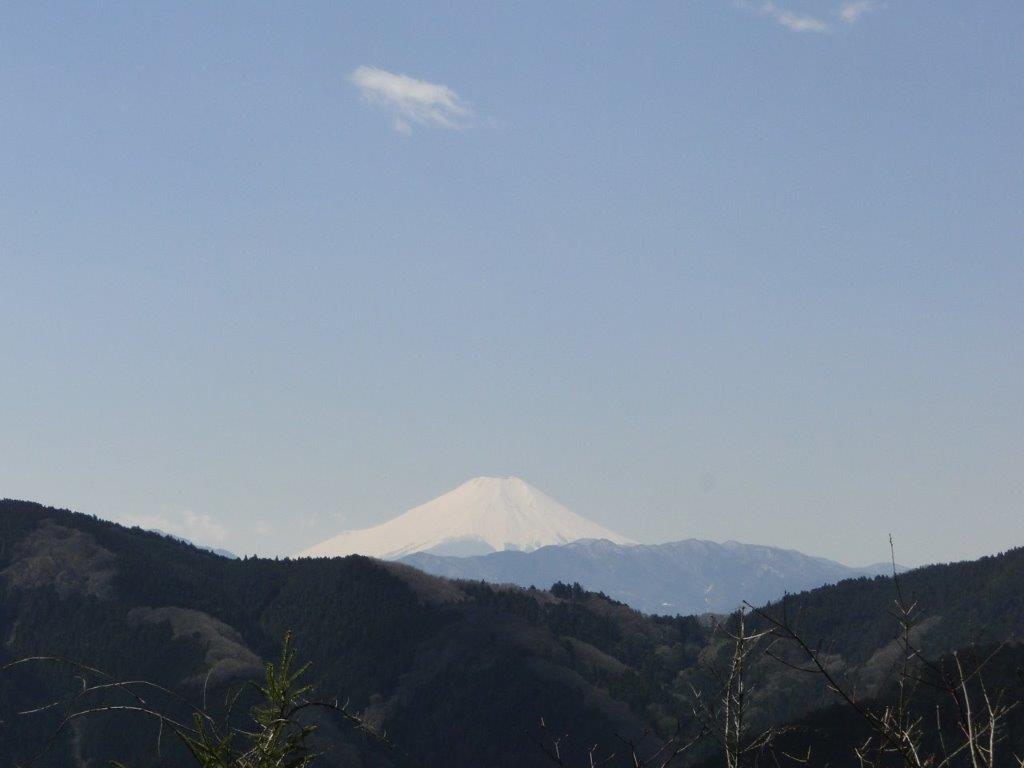
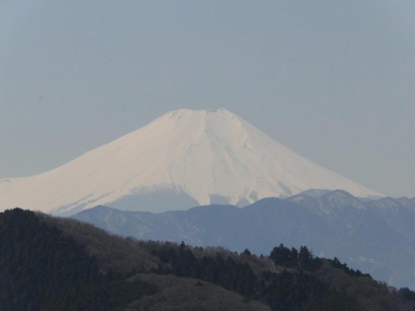
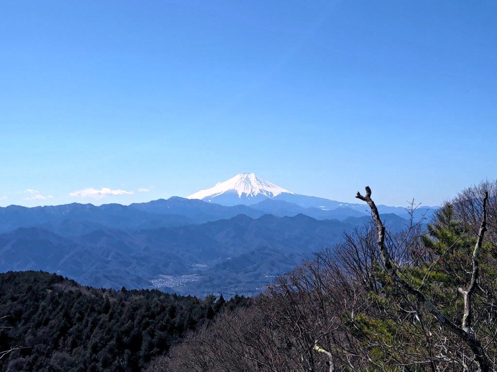
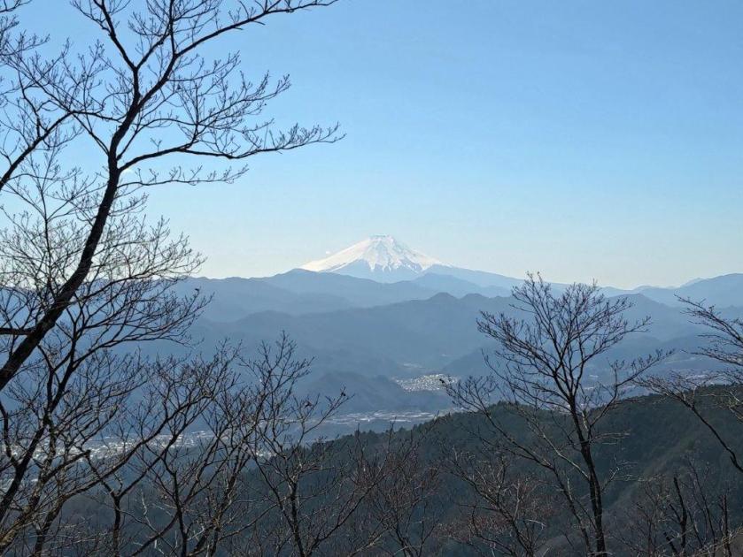
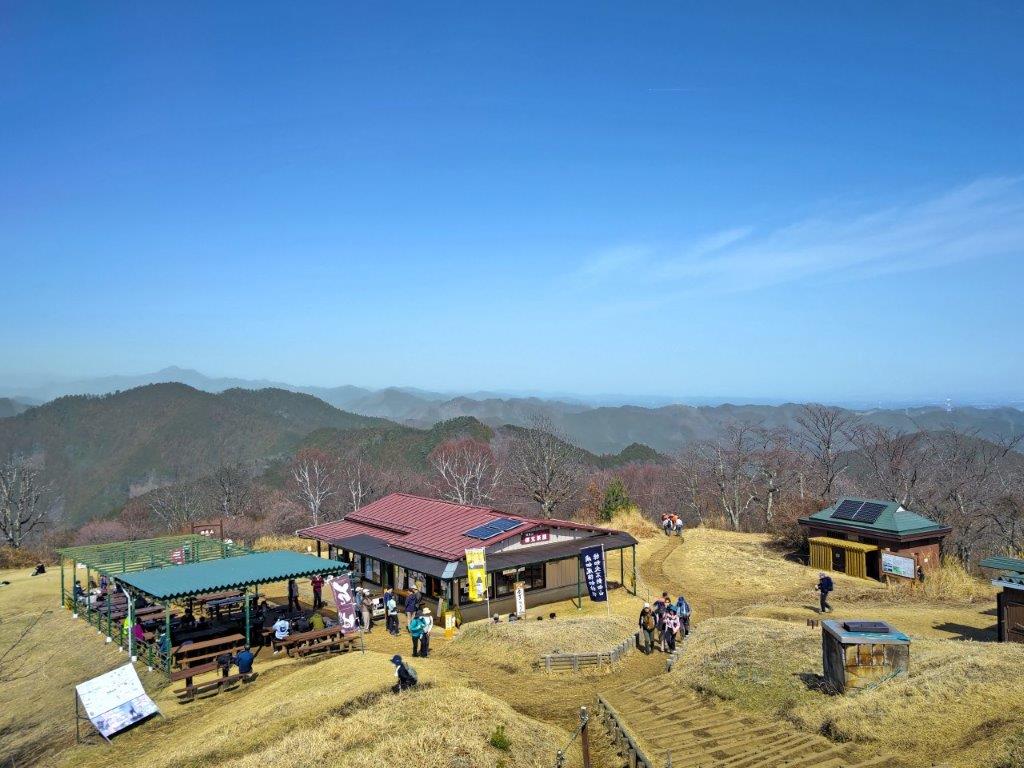
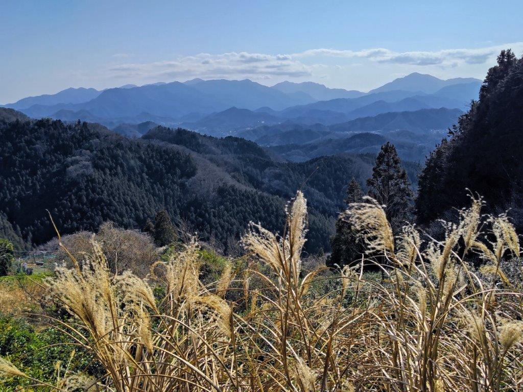
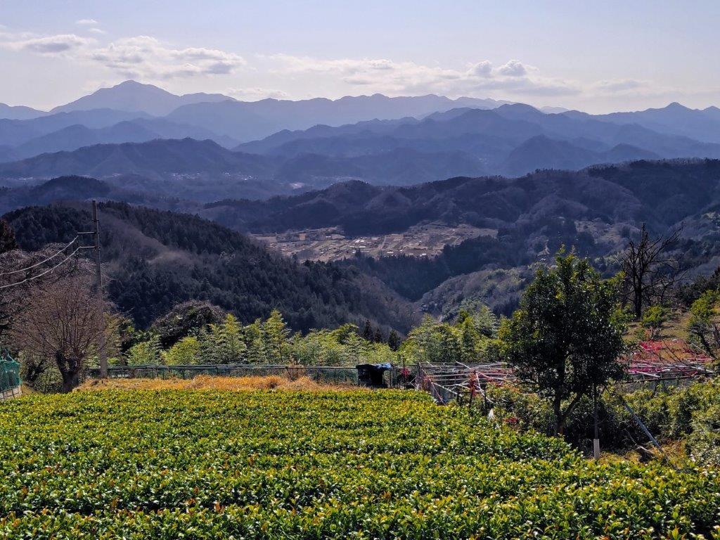
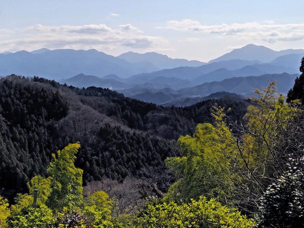
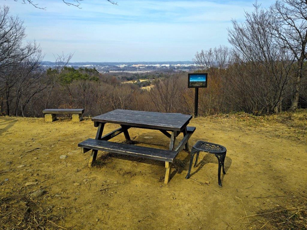
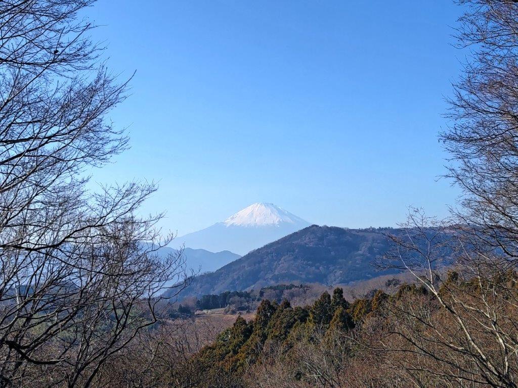
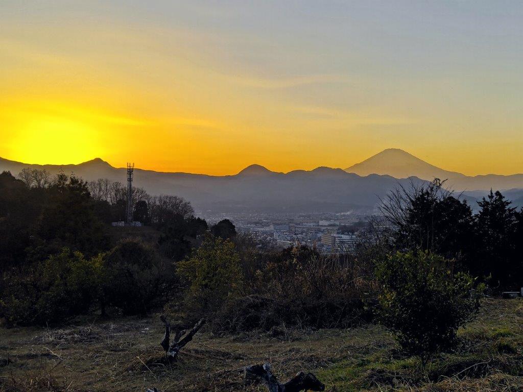
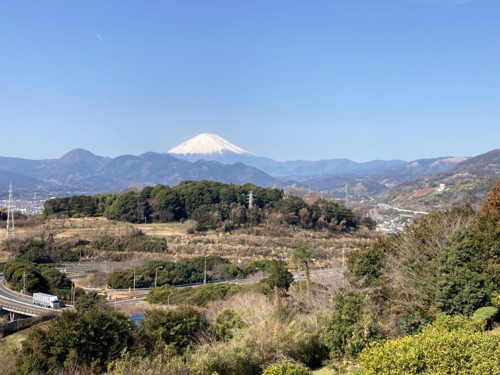
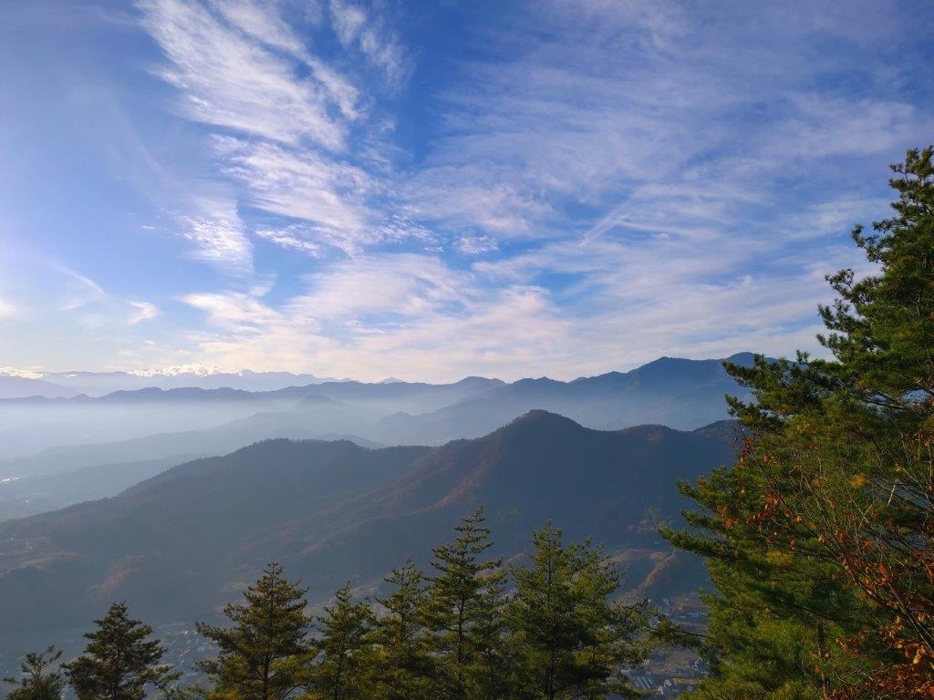
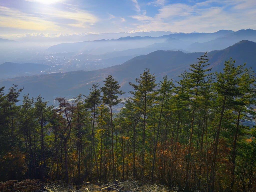
I was glad to get a better view of Japan’s most famous volcano, this time completely clear of vegetation; however, no benches meant I had to postpone my lunch break a little further. It was extremely pleasant walking along the peaceful, sunny ridgeline, along the border of Tokyo and Yamanashi prefectures; after a little climbing, I arrived at a junction at Nishihara Pass (西原峠). One final short climb brought me to the summit of Mt Makiyose (槇寄山 まきよせやま makiyose-yama) where a view of Fuji and a picnic table awaited me. Since it was now 1h30, I put down my pack for a late lunch break.
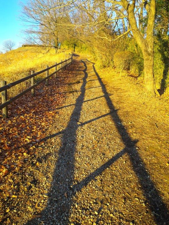
Walking the Sasaone Ridgeline
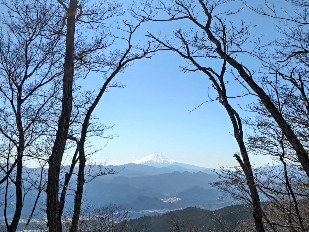
View of Mt Fuji from Wada-toge
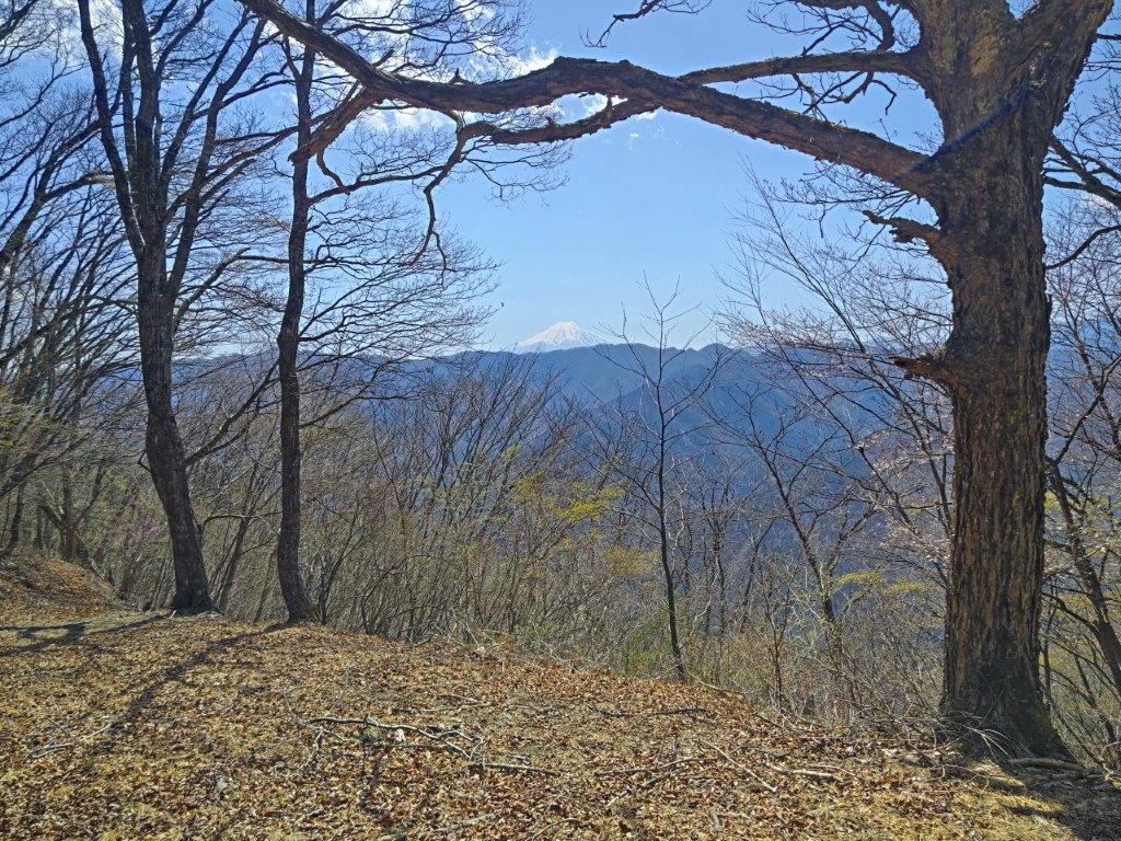
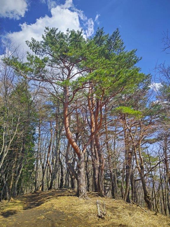
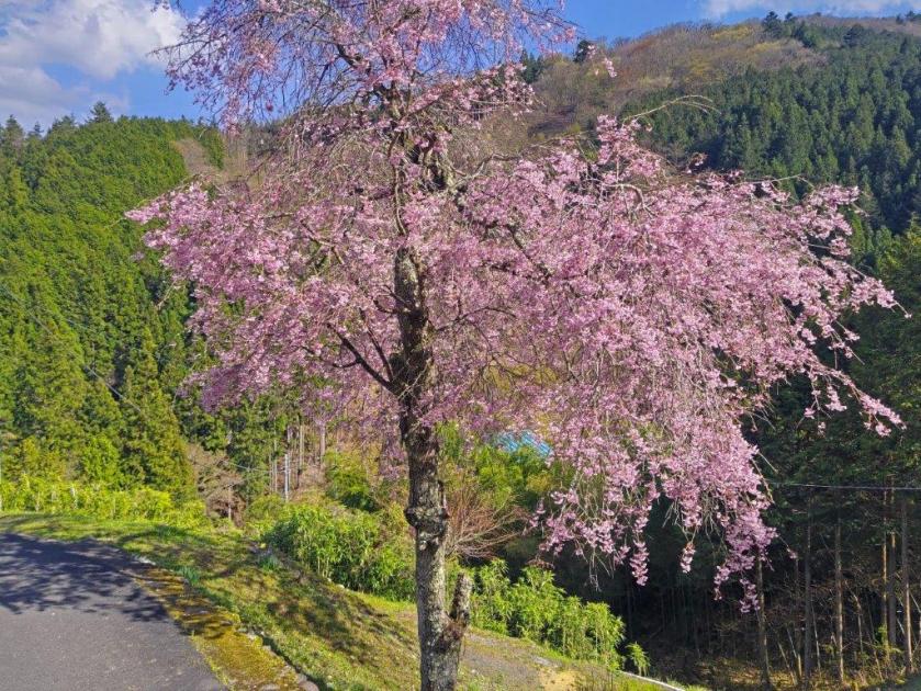
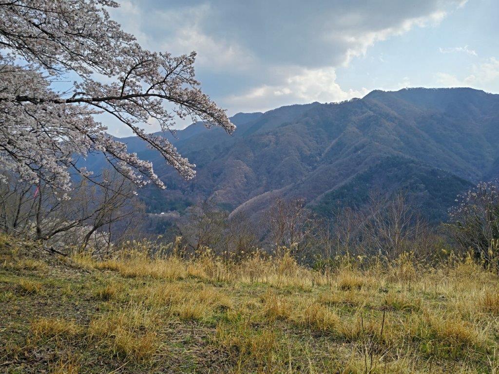
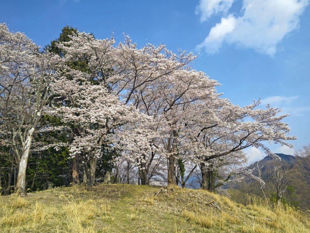
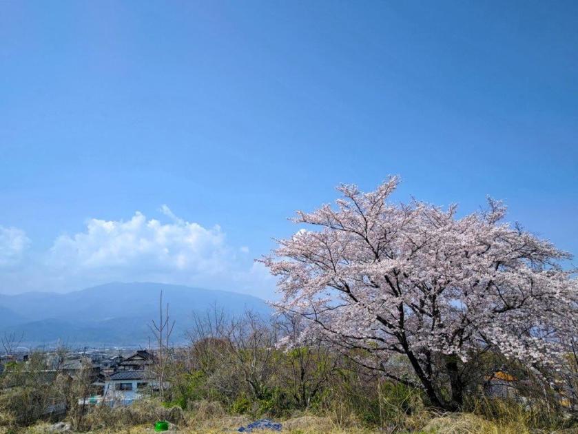
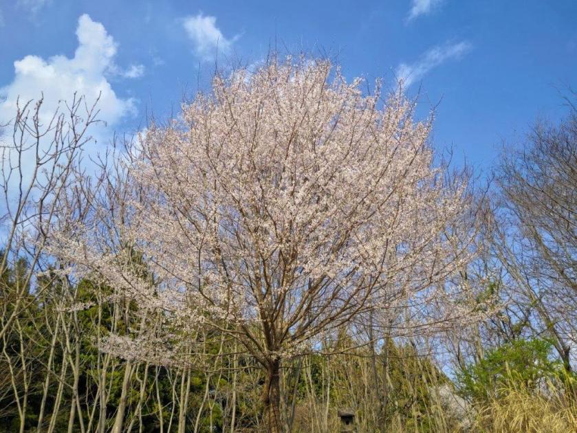
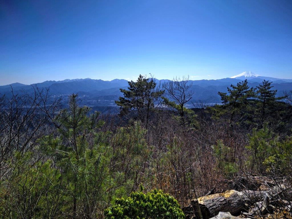
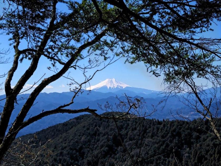
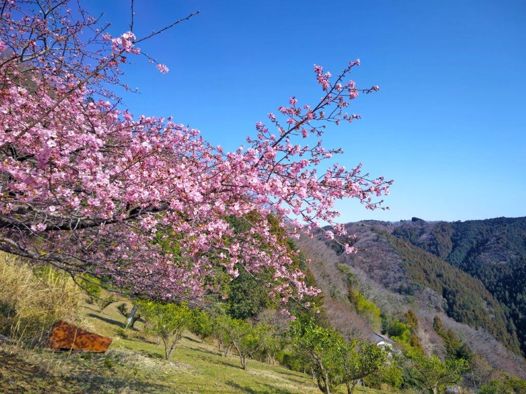
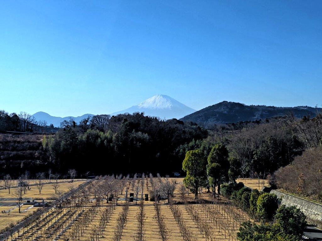
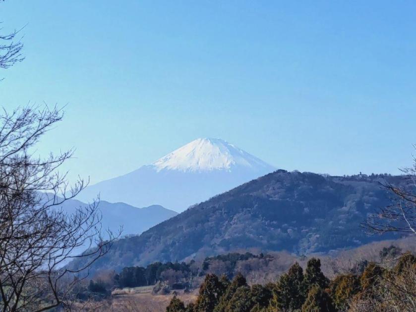
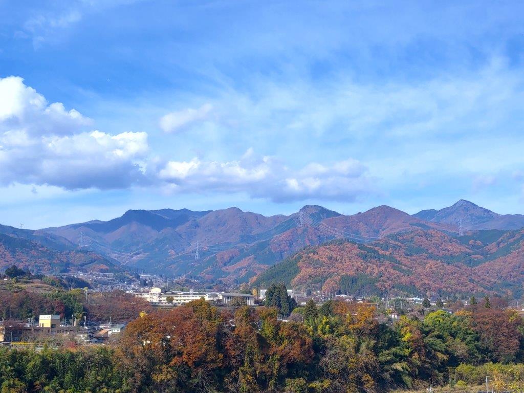
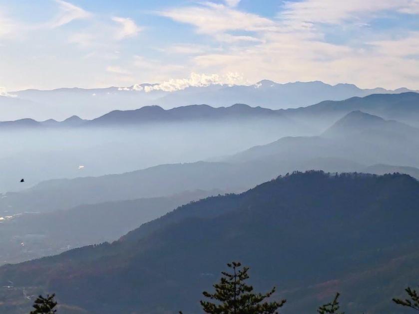
It was one of the best views of Mt Fuji I’d ever had, its iconic snow cap still fully intact, rising well above the lower elevation mountains in the foreground; best of all, a yama-zakura (mountain cherry blossom tree) was in full bloom on the left side creating a very Japanese landscape. To the left, outside this frame, stood a tall solitary pine tree, adding an extra layer of charm to this summit. Mt Mitsutoge, to the right of Mt Fuji, was the only other peak I could clearly identify. At 2pm, I retraced my steps to Nishihara Pass, where I took the left trail descending back into the Akigawa valley.
Pleasant walking on the Tokyo Yamanashi Border
Mt Fuji from Mt Makiyose
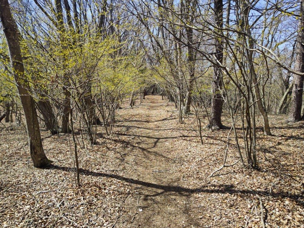
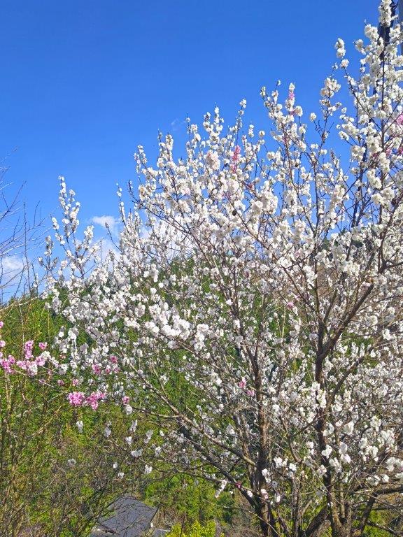
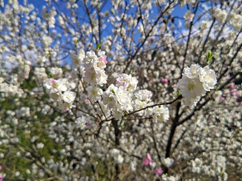
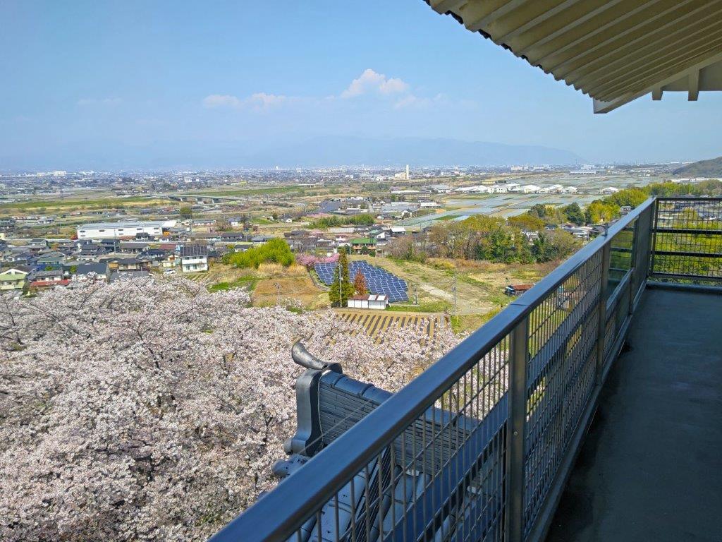
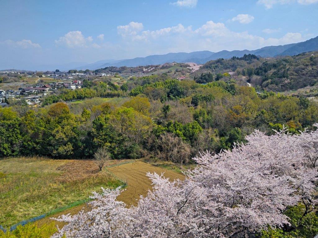
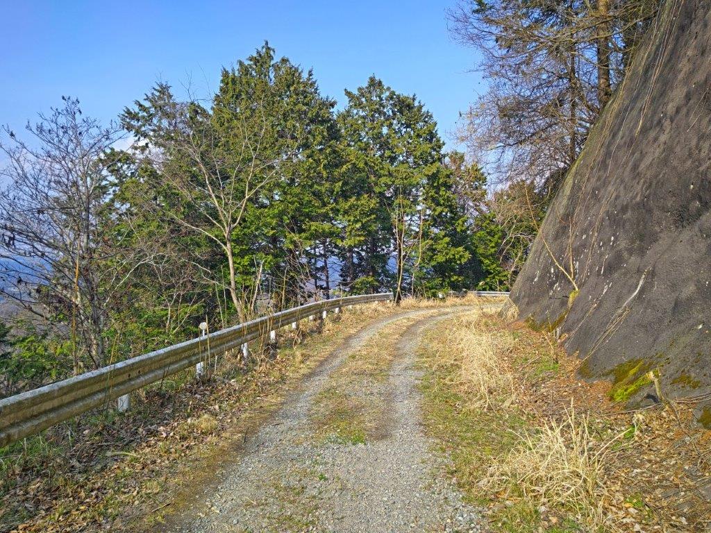
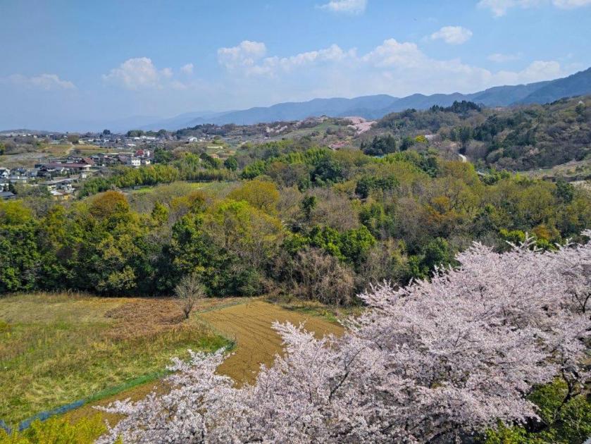
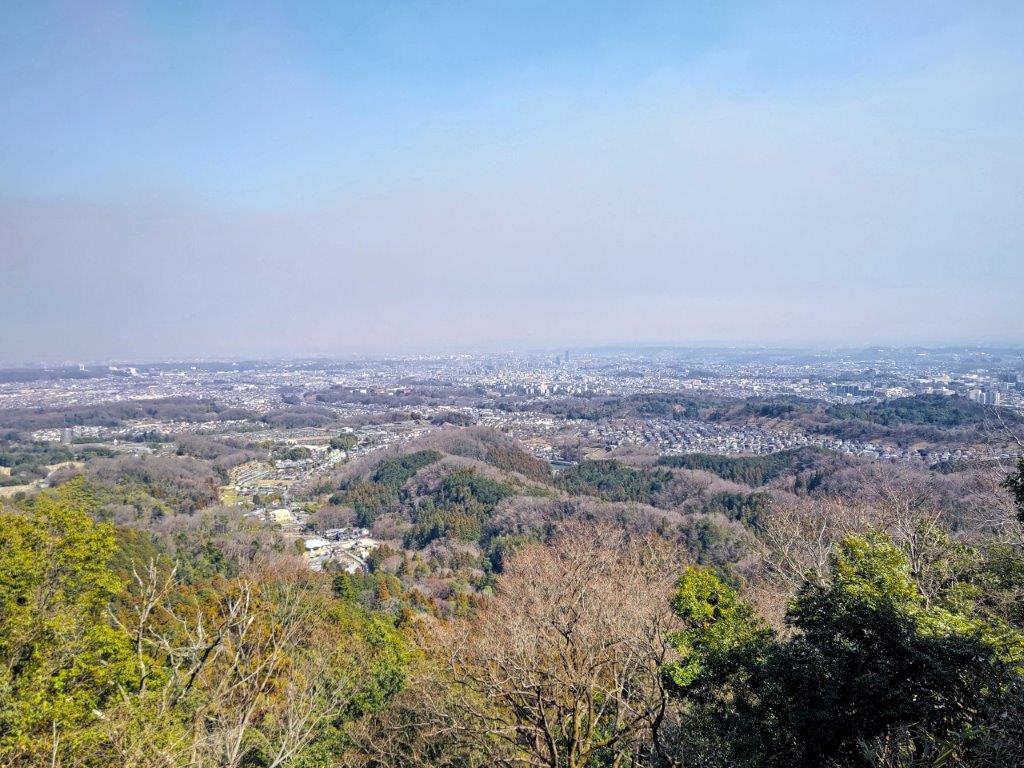
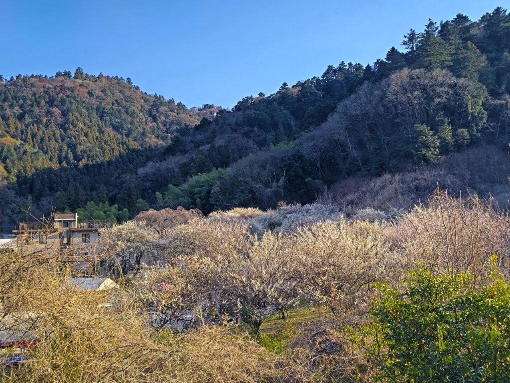
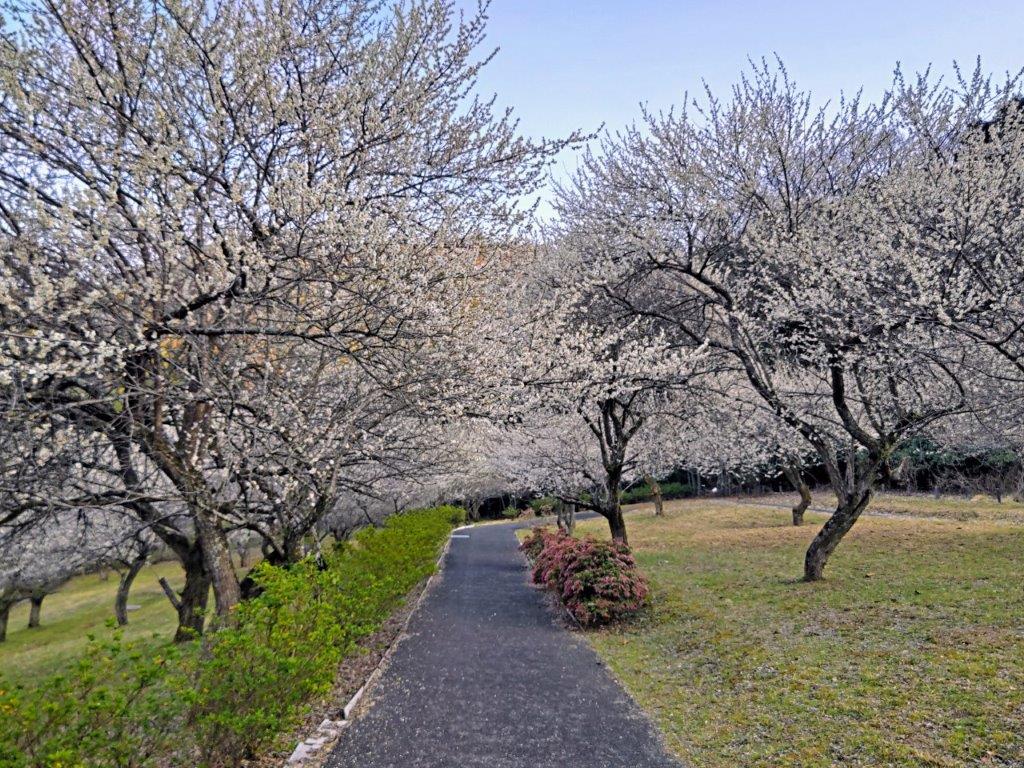
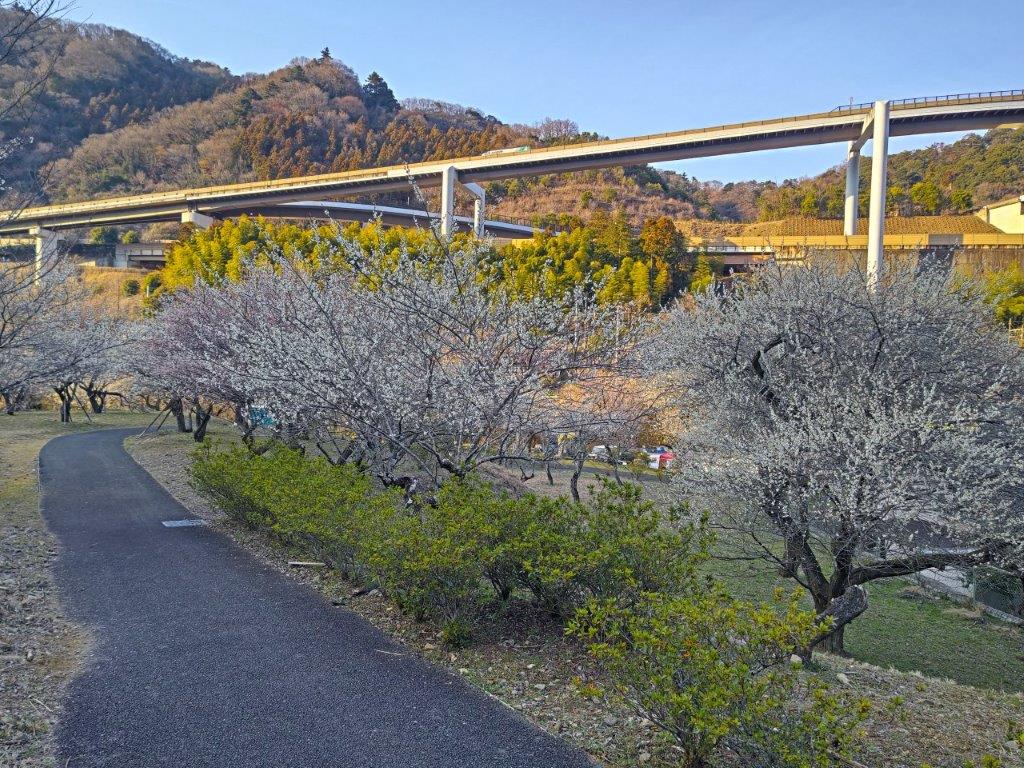
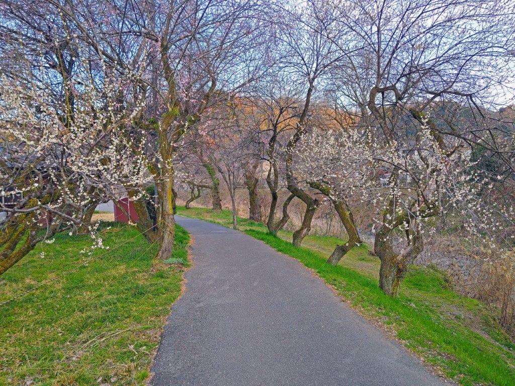
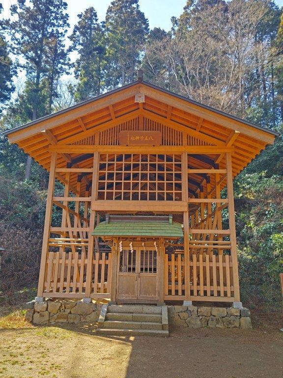
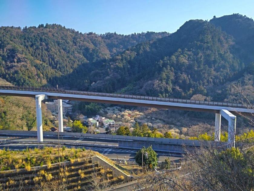
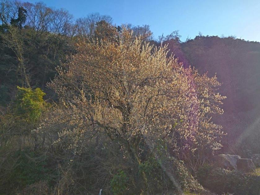
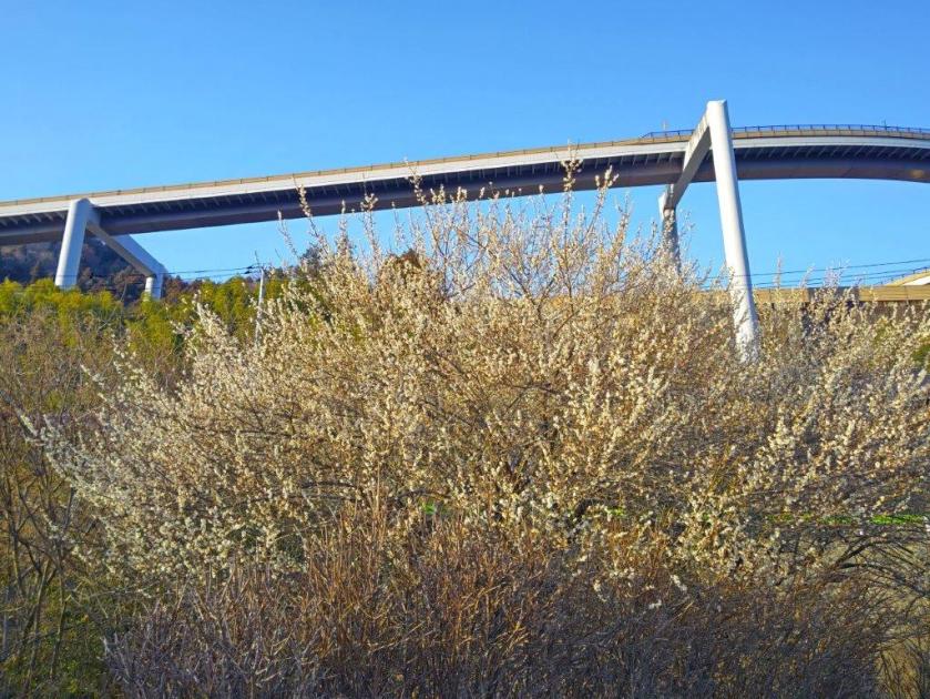
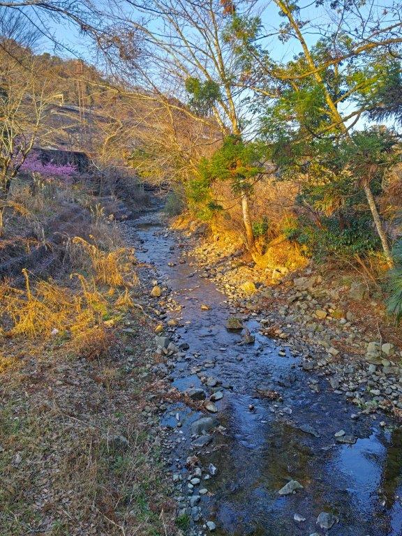
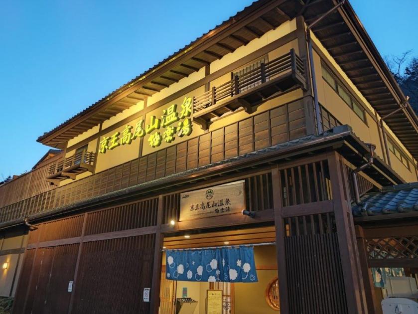
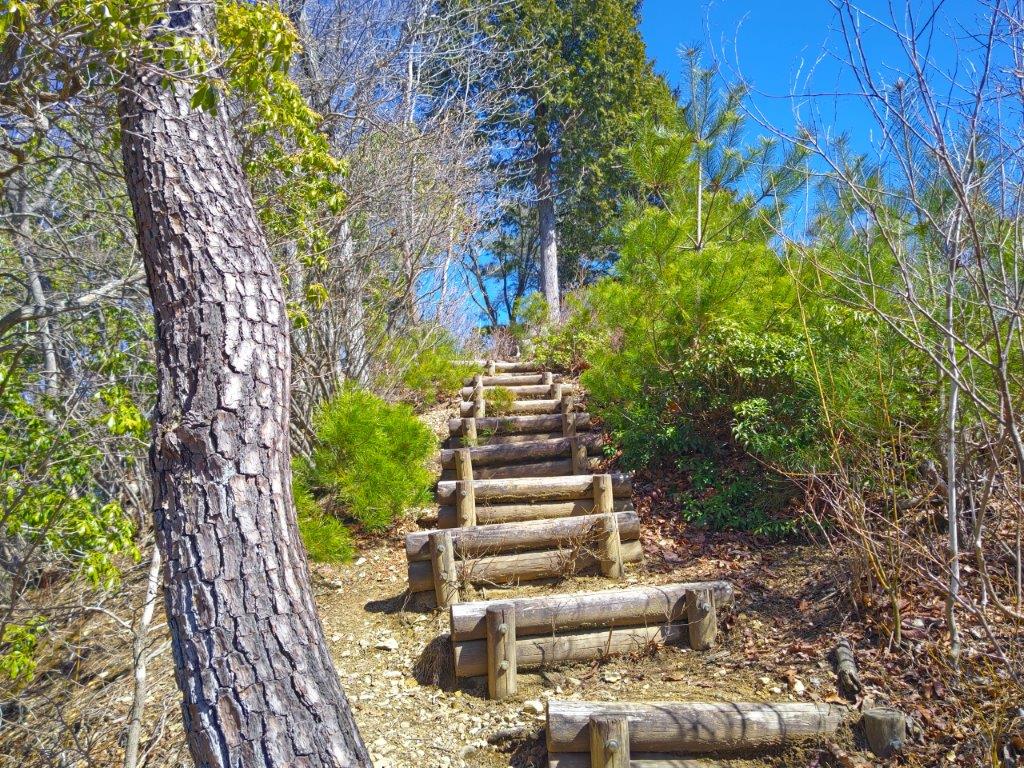
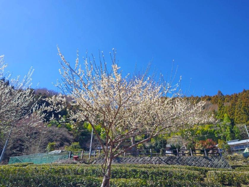
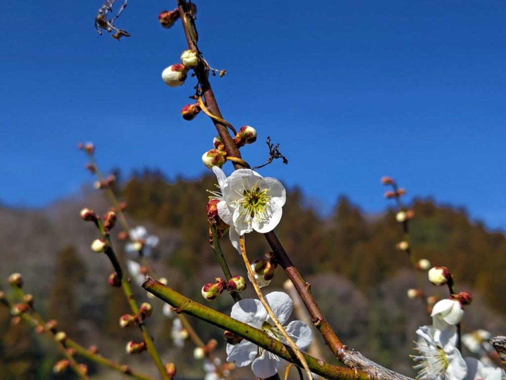
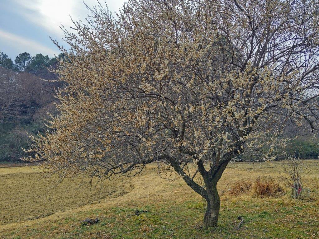
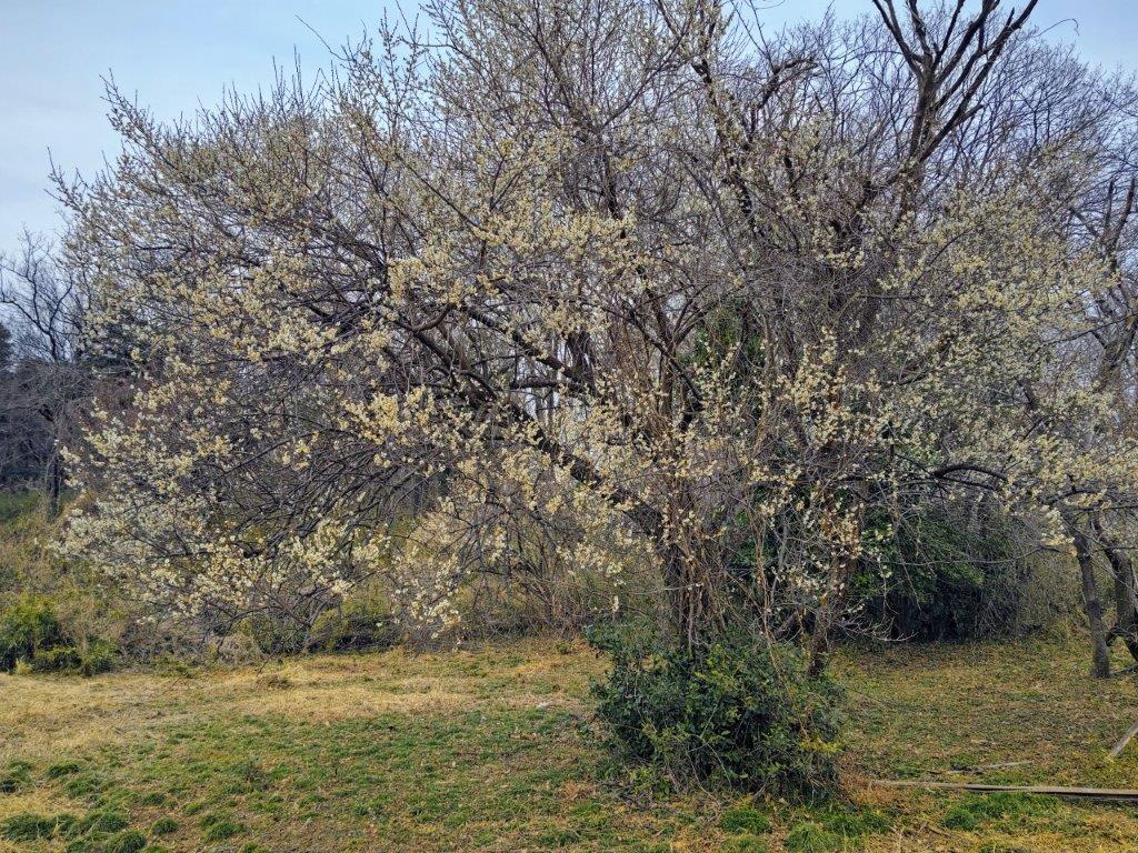
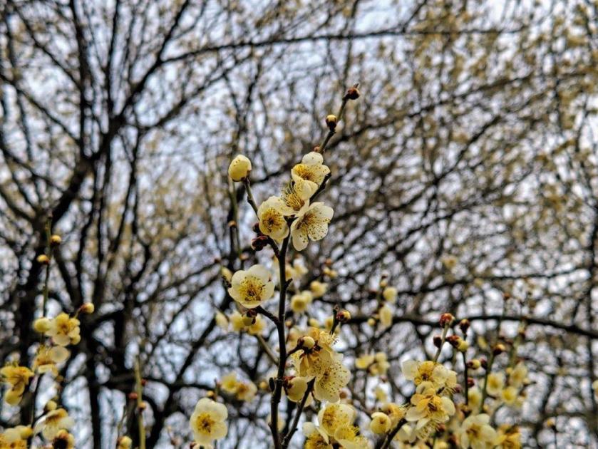
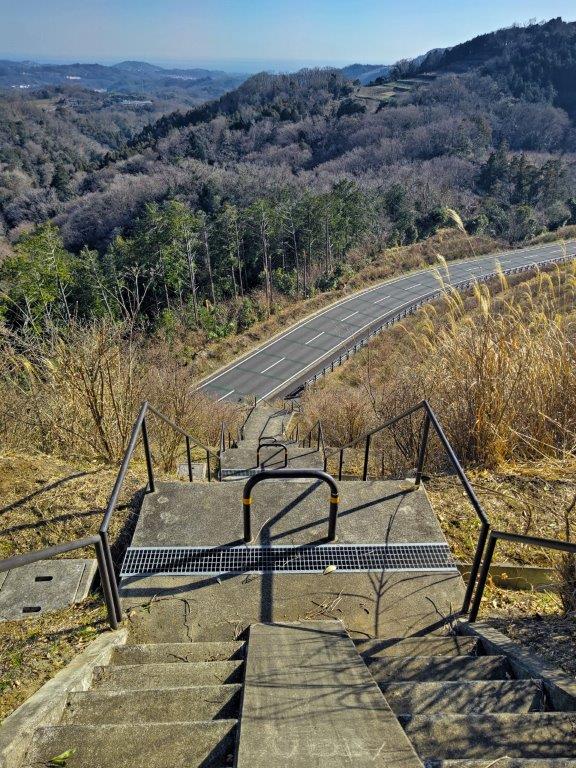
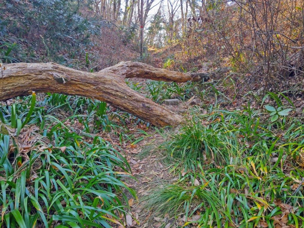
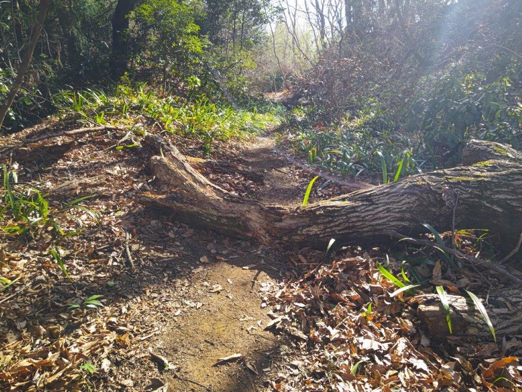
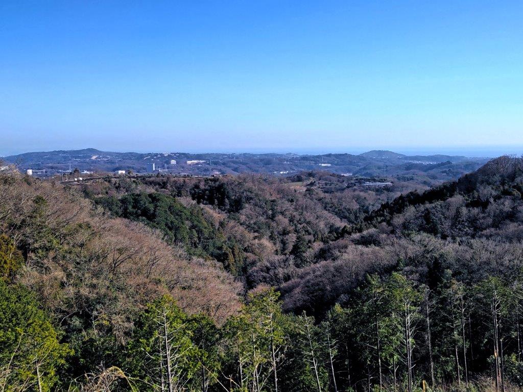
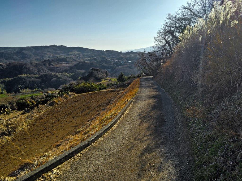
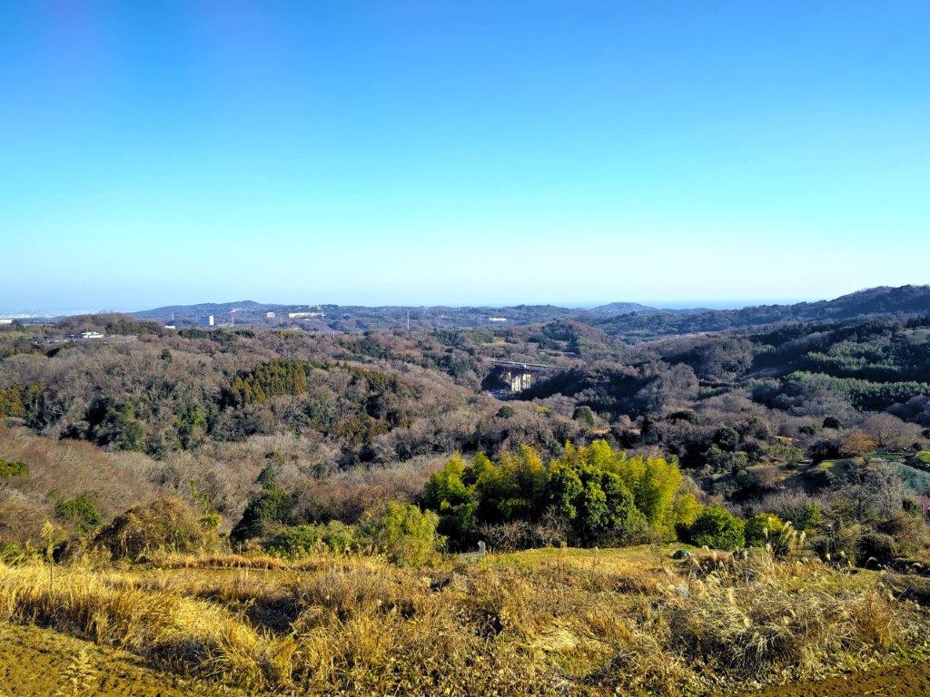
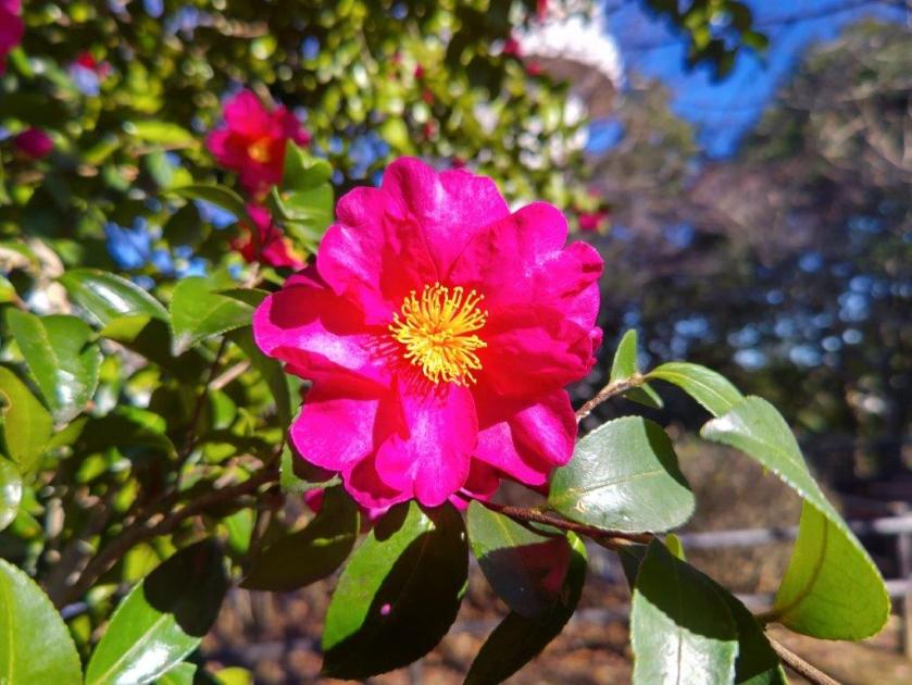
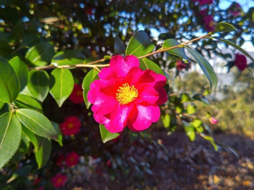
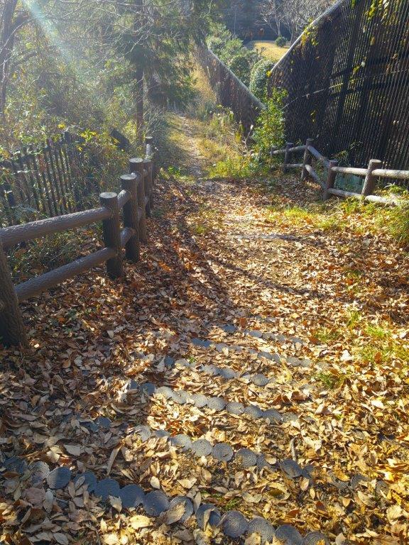
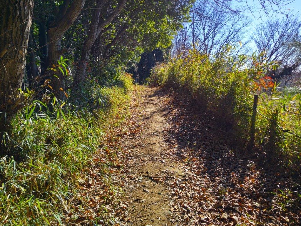
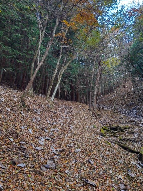
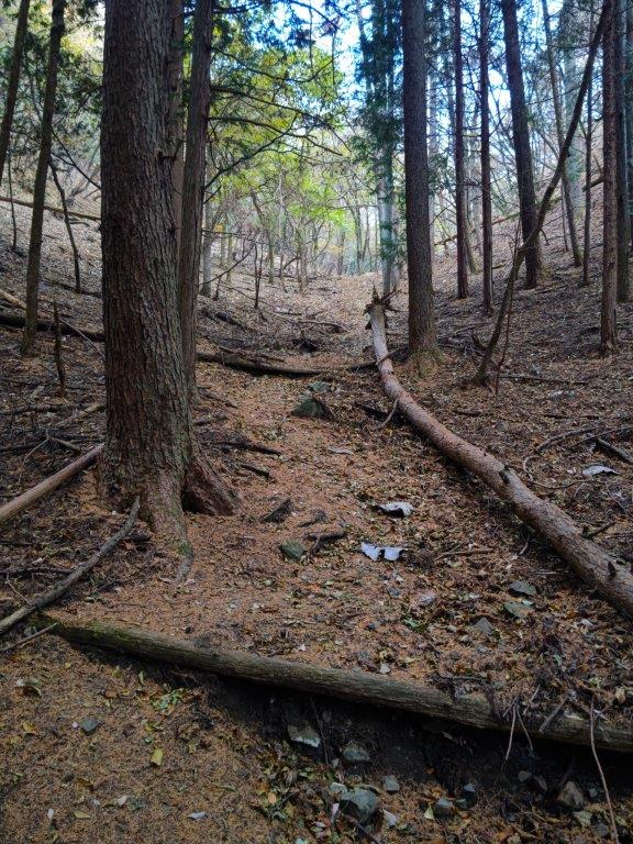
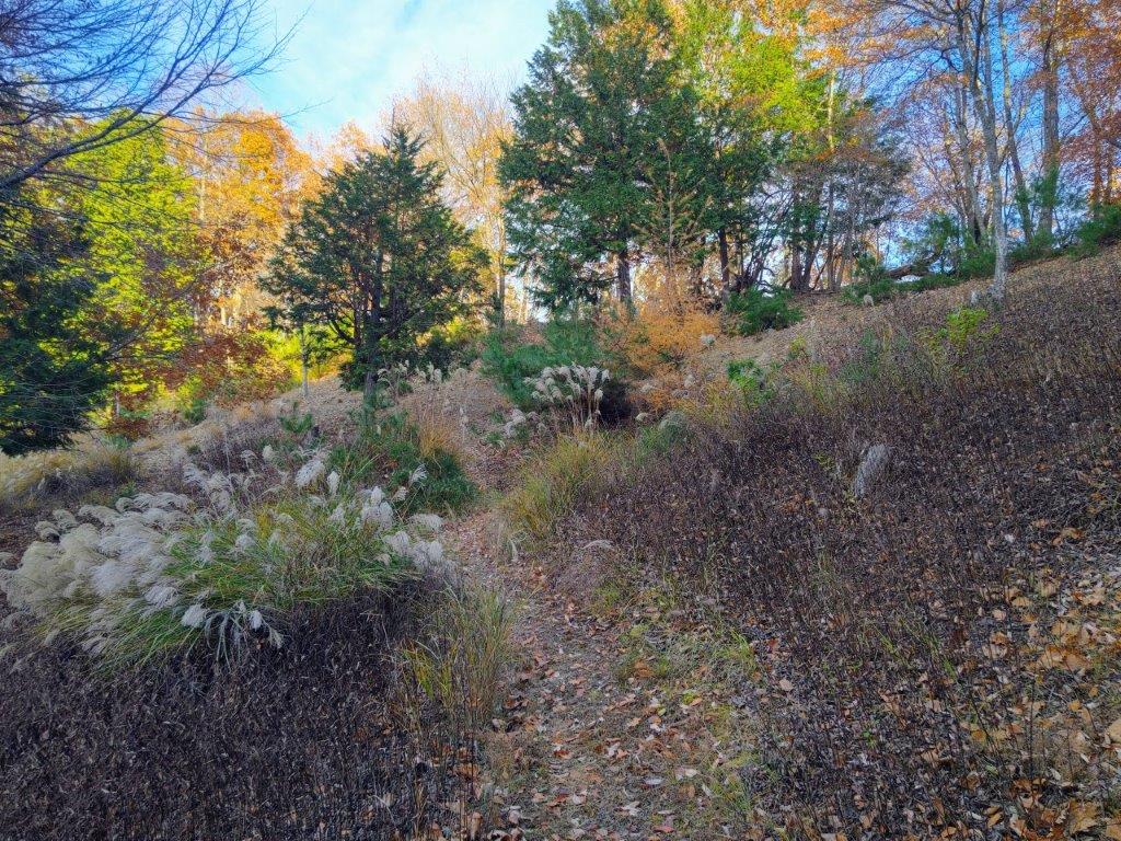
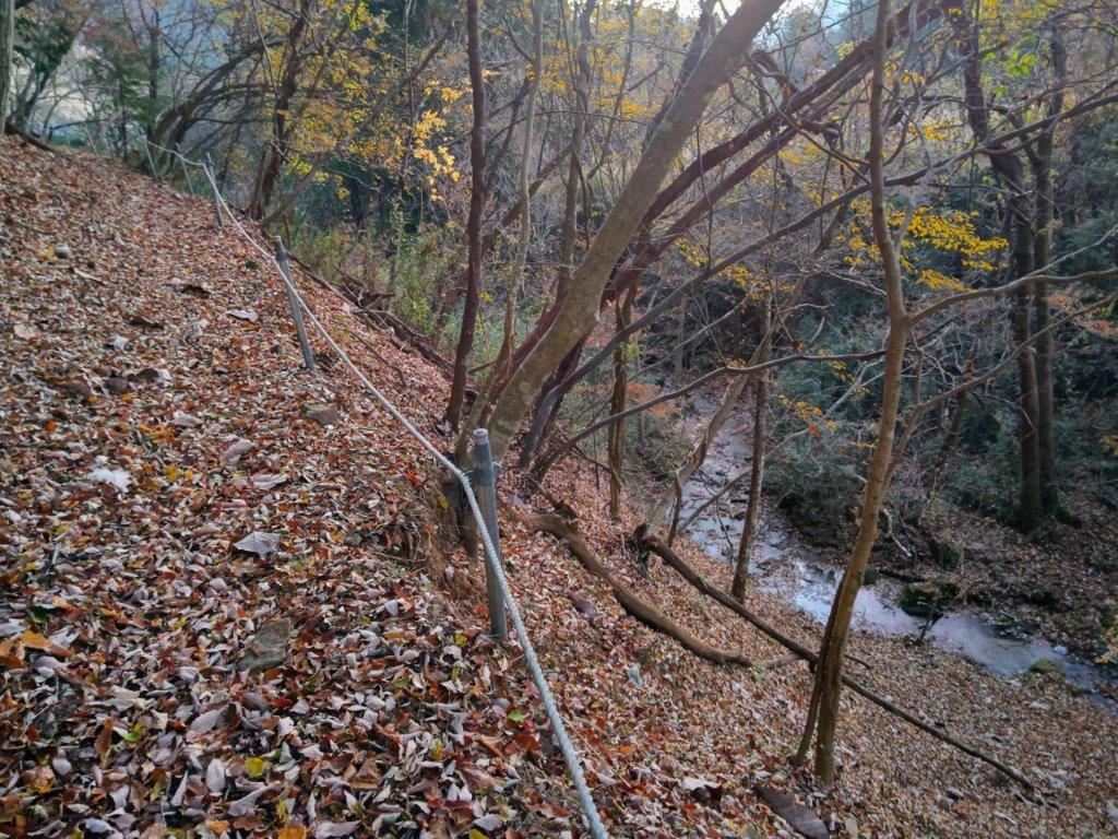
I could walk at a relaxed pace since I was ahead of schedule, and thus could fully enjoy the beautiful nature of the Chichibu-Tama-Kai National Park. I continued straight at a junction in the midst of towering pines, and then started to descend a steep, twisting sunken path, log steps occasionally assisting one’s footing. Suddenly I emerged from the shade into a sunny pastoral landscape, forested foothills appearing ahead. After descending through a village along a paved road, here and there various types of blossom trees in full bloom, I arrived at the main road running along the base of the Akigawa river valley. I turned right and a few minutes later, reached Kazuma no Yu, a little after 3pm.
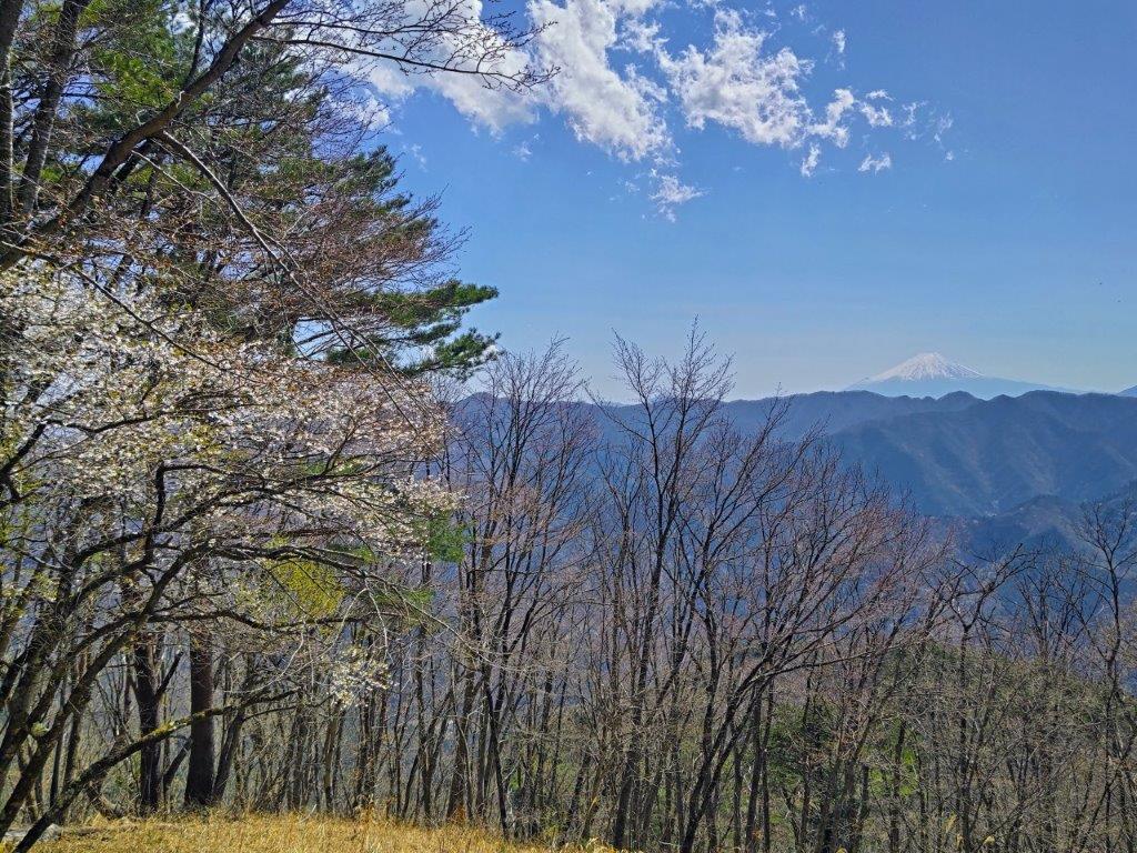
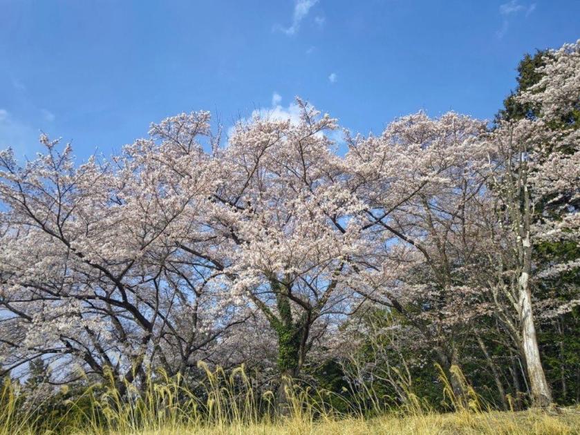
Mt Fuji and Cherry Blossoms
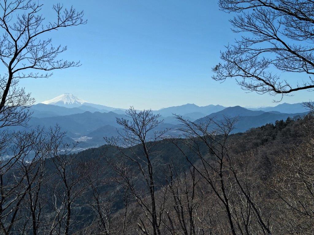
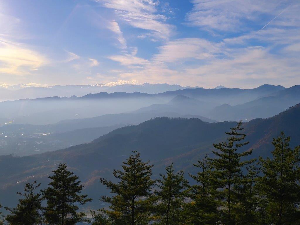
The Chuo Line Mountains & Mitsutoge (right)
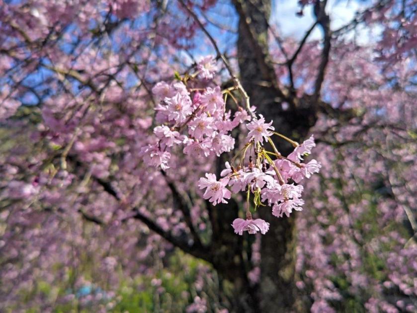
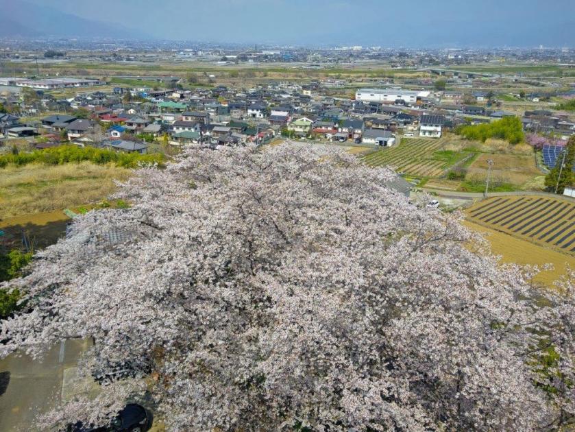
I could take my time and relax in the “rotemburo” (outdoor bath), as I had a full hour before my departure time. Around 4pm, I boarded the bus for the ride to Musashi-Itsukaichi station. Like on the way there, everyone could sit thanks to the extra buses. Through the window, I got a glimpse of the 400-year old “shidare-zakura” (weeping cherry blossom tree) in full bloom at the henbori (人里) stop; I hope I can return next spring for another hike starting or ending from there. A little after 5pm, I was back at the station where I boarded the train for the one-hour ride to Shinjuku.
Watch a Video of the Hike

See More Pictures of the Hike

![Yokoyama no Michi, Tama & Kawasaki Cities, Tokyo & Kanagawa Prefectures, Saturday, January 3, 2026 [Highest Point 168m]](https://hikingtokyo.com/wp-content/uploads/2026/01/yokoyama.jpg?w=1024)


You must be logged in to post a comment.