
![Mt Hinode (902m), Ome City & Hinode Town, Tokyo Prefecture, Saturday, May 2, 2026 [Lani Head Trail]](https://hikingtokyo.com/wp-content/uploads/2026/06/dsc_0025.jpg?w=1024)
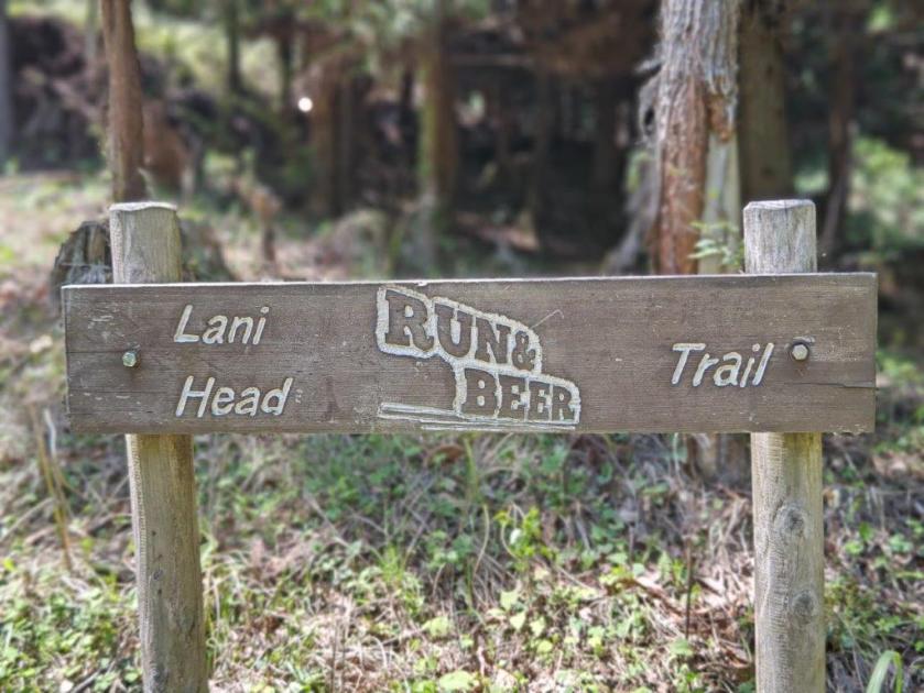
I found out about this trail while researching the Mt Katsubo Hike, since the two are frequently done together. It was developed by the “RUN & BEER” outdoor community in 2020 and promoted by the TV personality and runner Wakana Fukushima. I couldn’t find it on my 2019 Yama to Kogen Map but it is marked with a dotted line in later editions. It seemed like the perfect opportunity to revisit Mt Hinode via a different route, and to redo the upper part of the Hinode Alps. Afterwards, I could descend via a variant of the Hinode Hiking Trail to Tsurutsuru onsen for a refreshing post-hike hot bath.
Hiking in the Chichibu-Tama-Kai National Park
秩父多摩甲斐国立公園
To get to the start of the hike, I’d ride the Ome line to Ome station, then change to the Okutama line and get off at Mitake station; finally, I’d cross a bridge over the Tama river to reach the trail entrance. From the onsen, I could catch a bus back to Ome station. The weather was supposed to be sunny and hot for the season; I hoped this would be offset by the strong breeze forecast to be blowing around noon. Although this would be my 5th time on Mt Hinode, it would be my first time to climb it from the base and my first time in Spring.
Find my Hikes on Japanwilds
Find Japan Hiking Maps on Japanwilds and subscribe to our newsletter
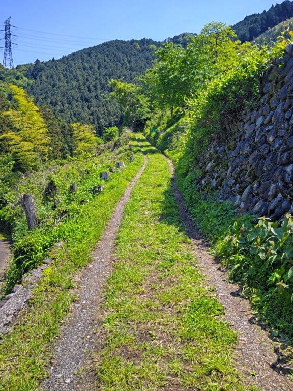
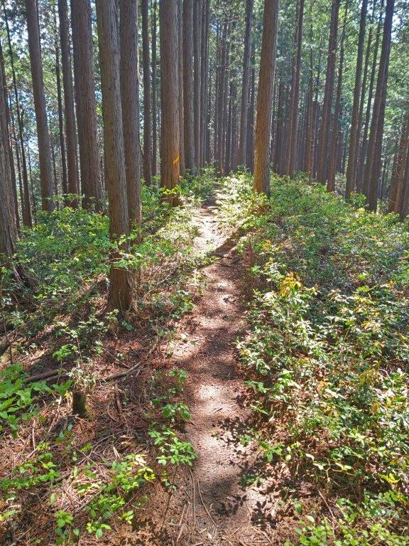
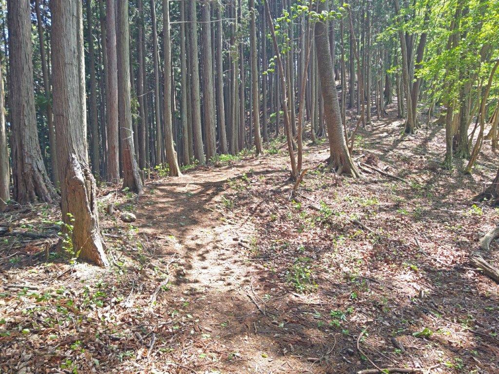
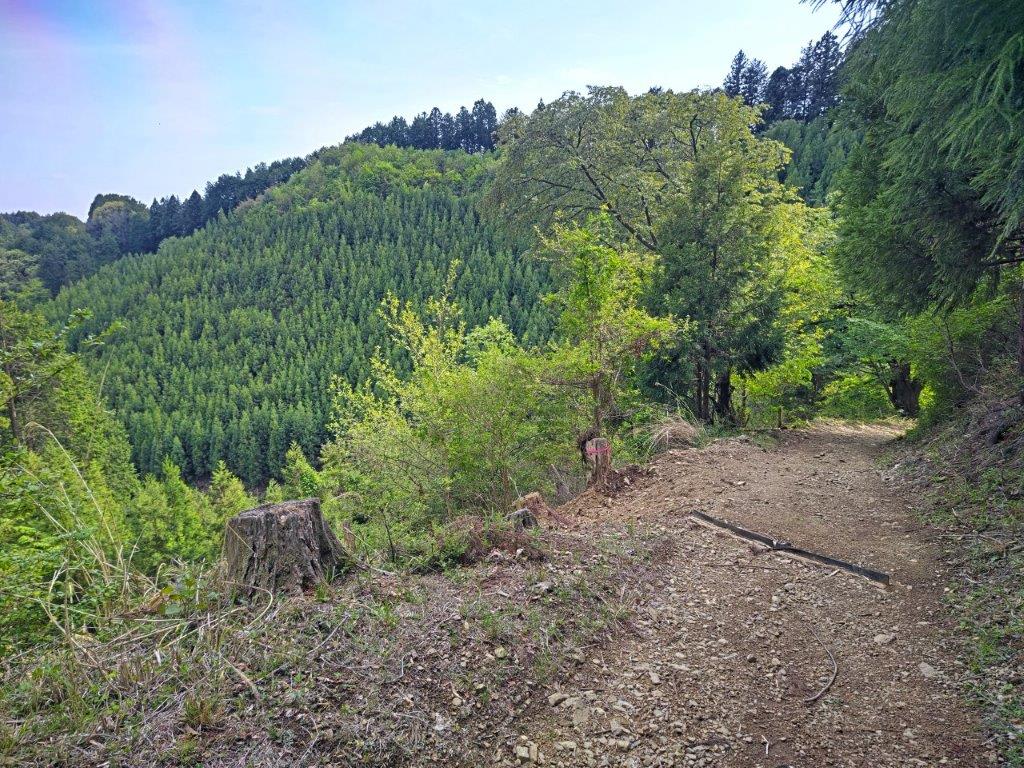
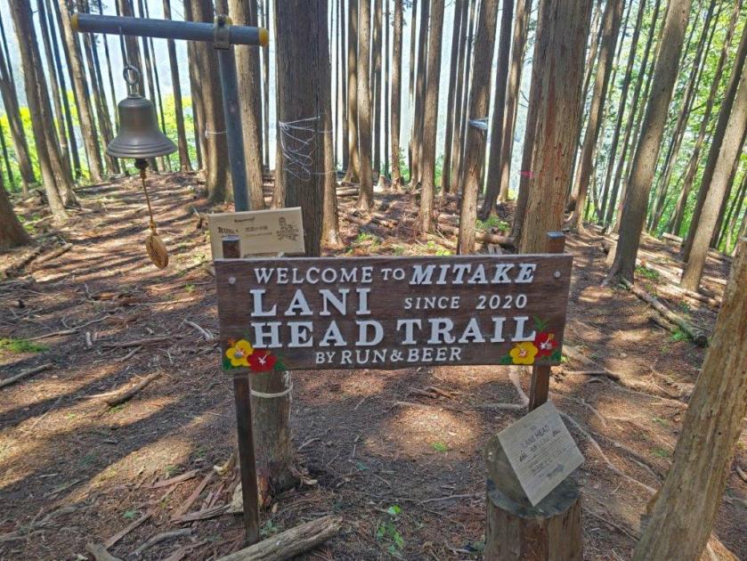
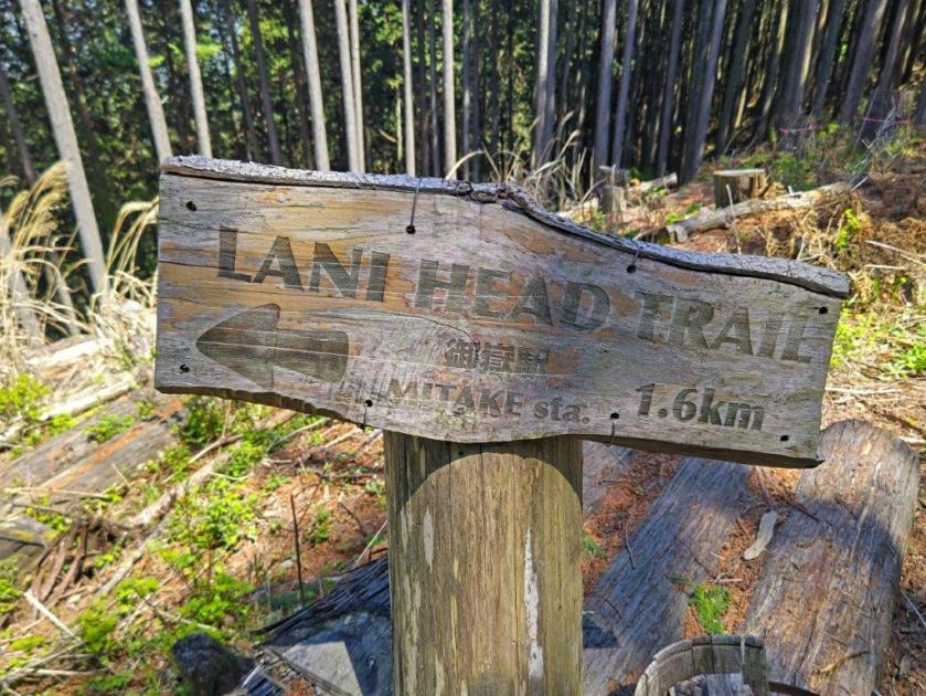
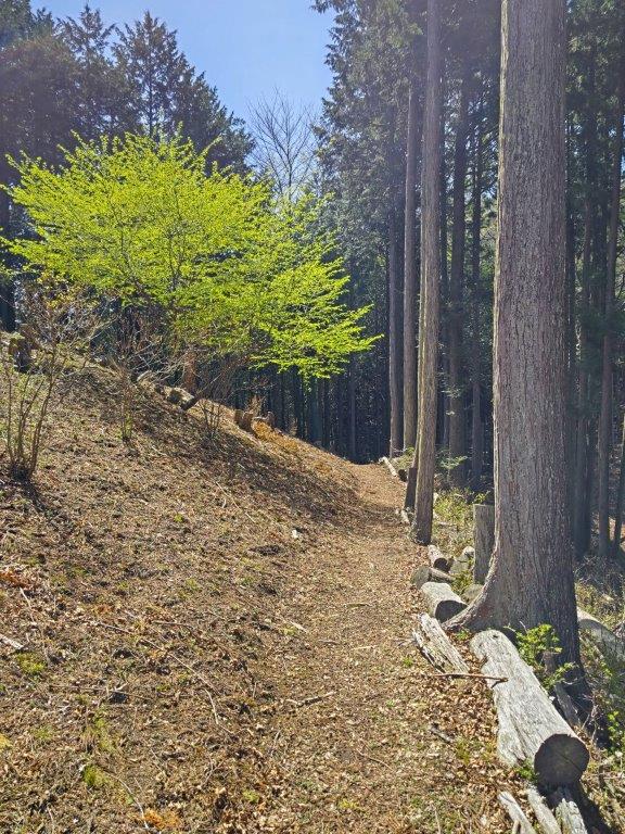
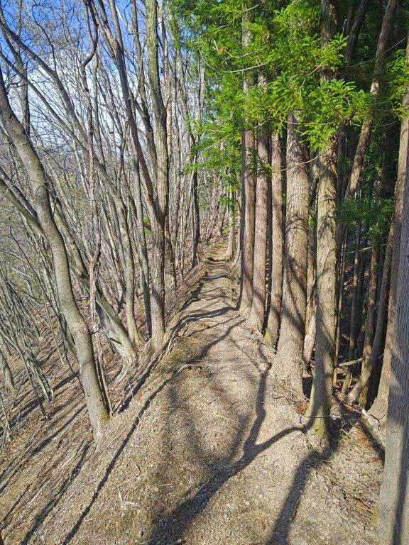
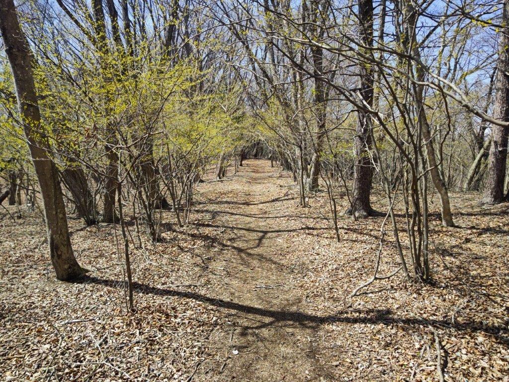
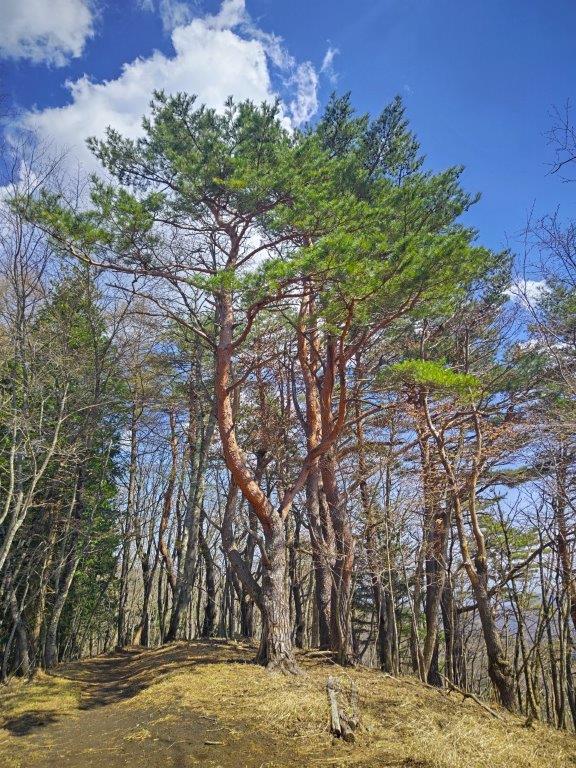
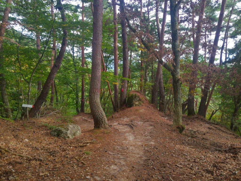
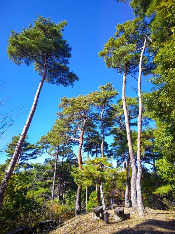
Start of the Hike (left) The Lani Head Trail (right)
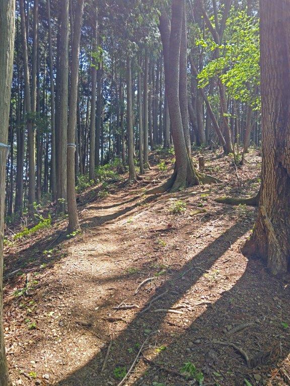
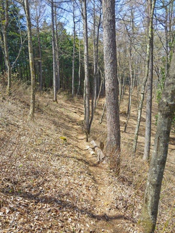
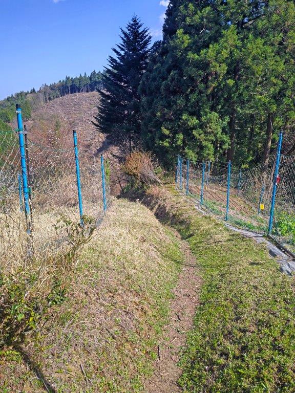
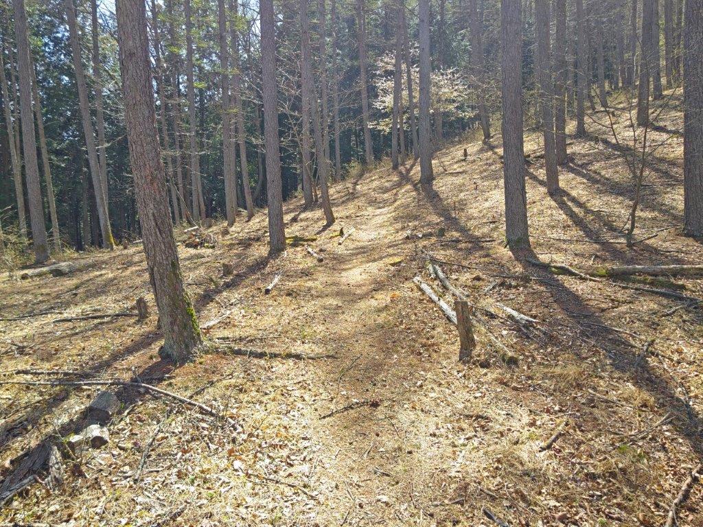
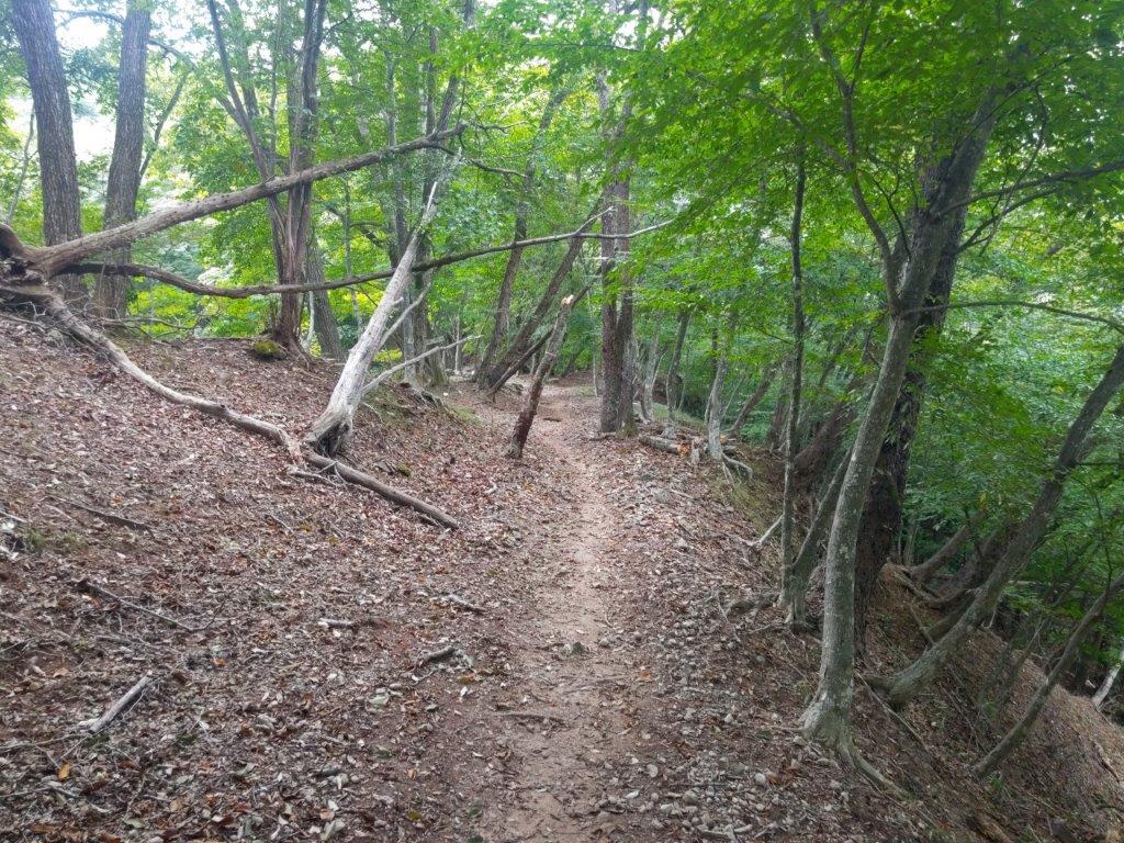
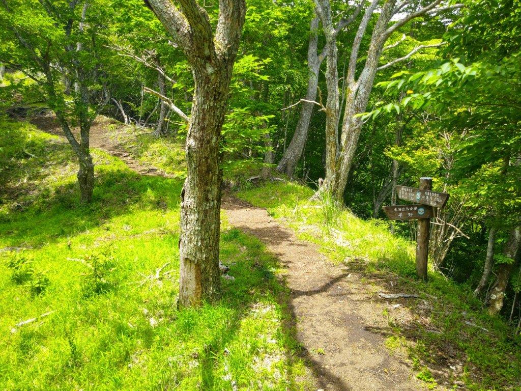
Past Mt Takamine (left) Trail for Mt Hinode (right)
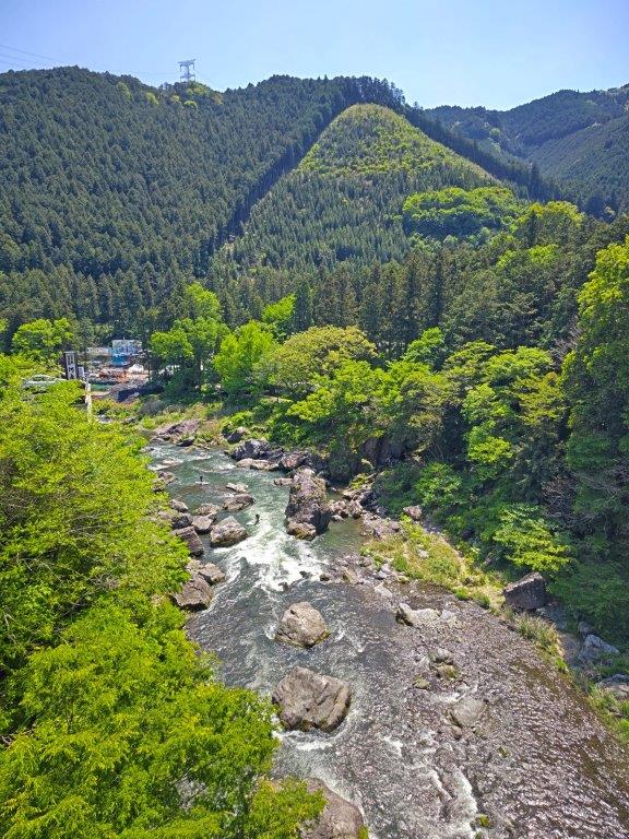
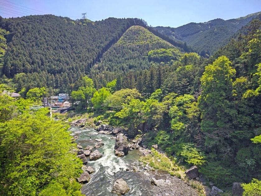
It was a beautiful Spring day in the middle of Golden Week as I rode the Green car to Ome station. After changing to the Okutama line, the train became quite full and I had to stand for the short ride to Mitake station. After admiring the fresh wasabi on sale outside the station building and picking up some free maps from the Mitake Information center, I headed over to Ontake Bridge from where I observed people doing SUP (stand-up paddleboarding) down the Tama river.
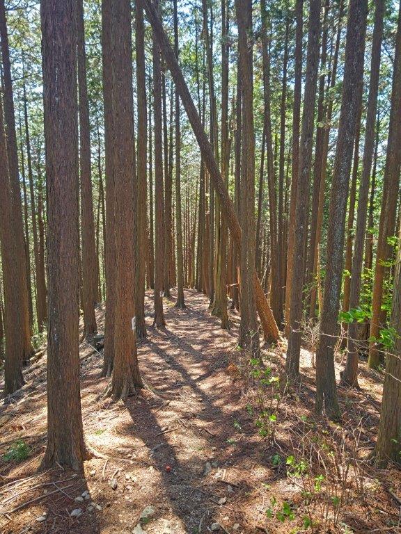
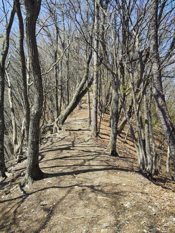
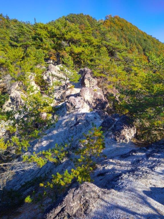
The Hinode Alps (left) Nearing the Summit (right)
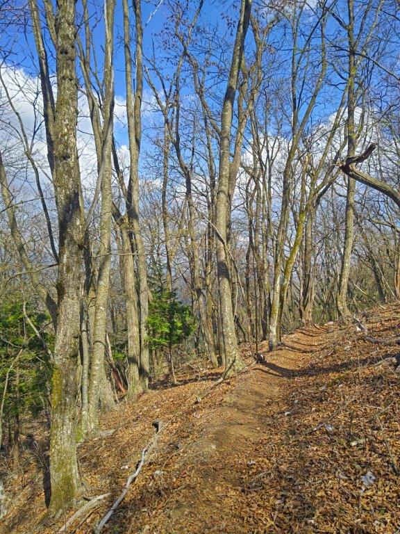
The Hinode Hiking Trail Variant (left) End of the Hike (right)
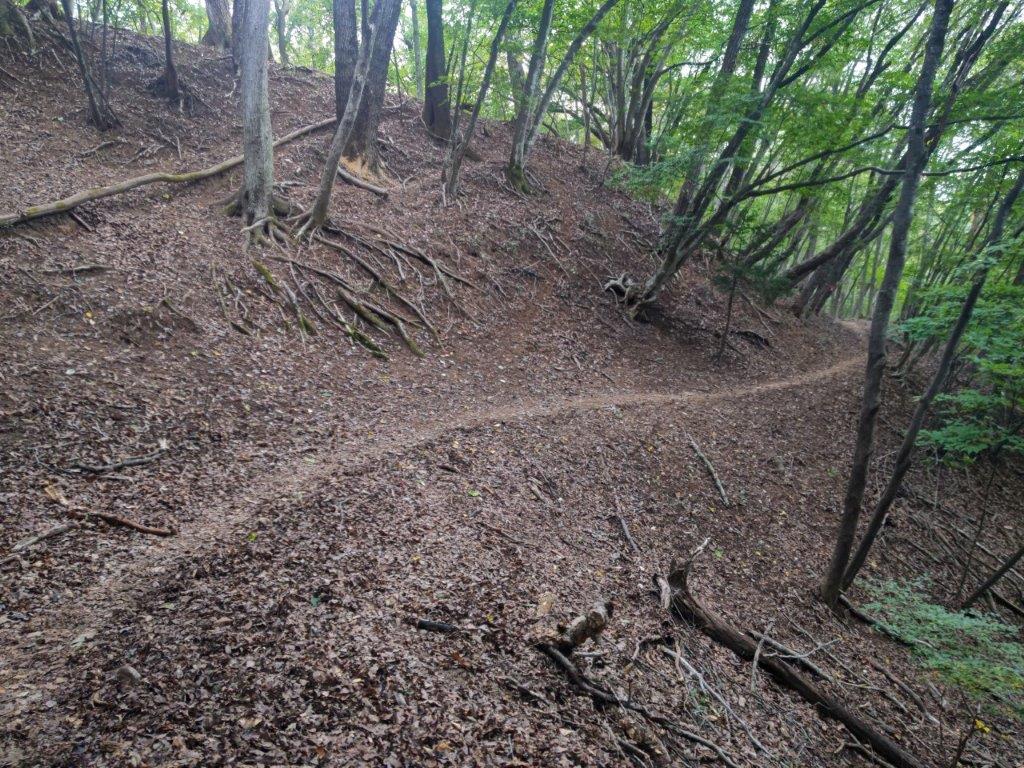
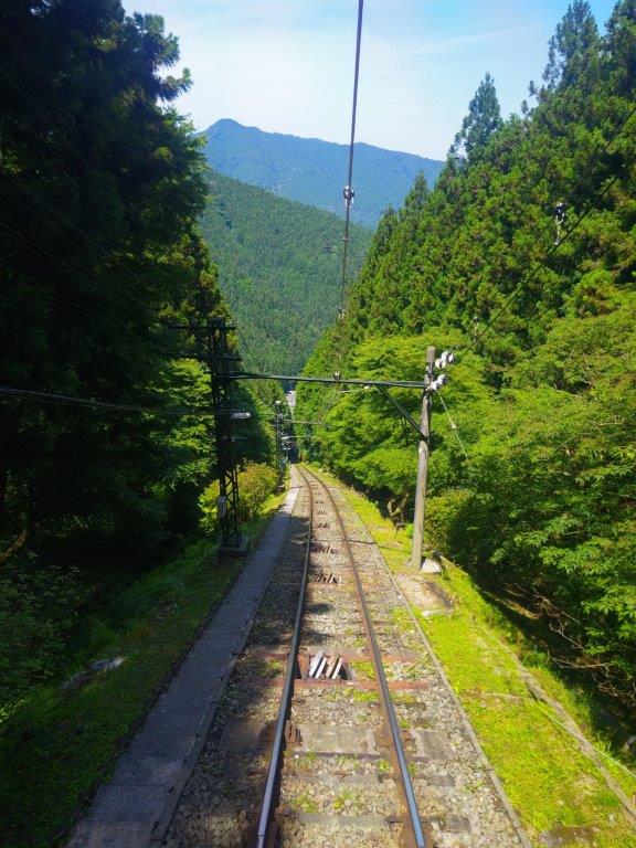
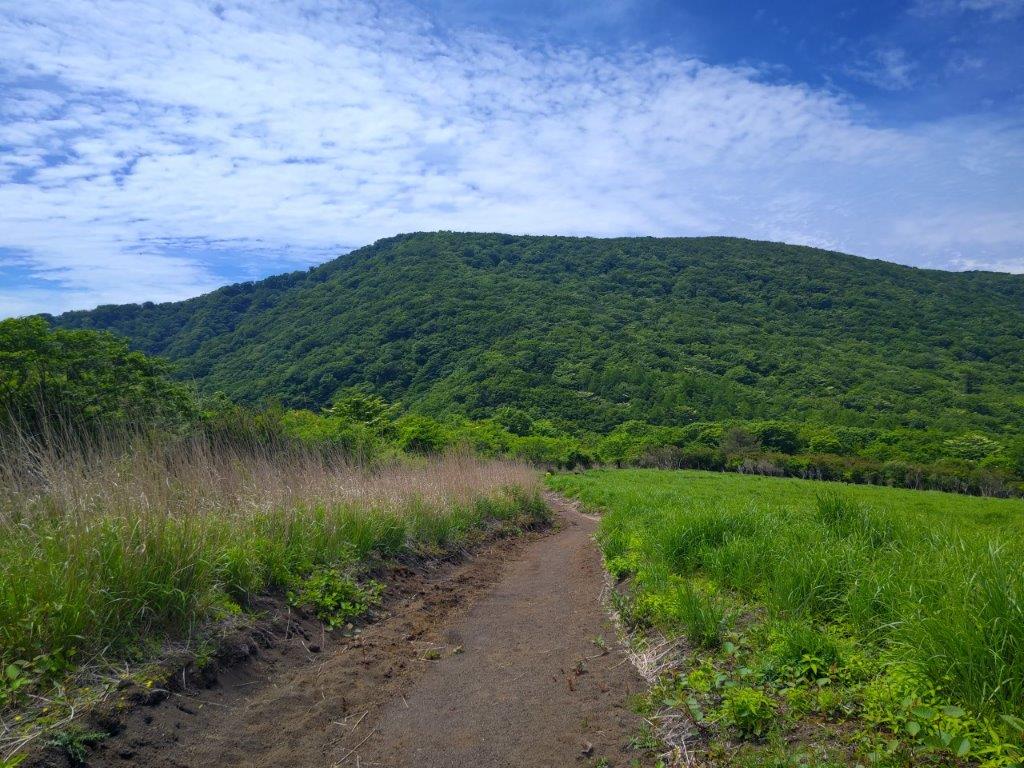
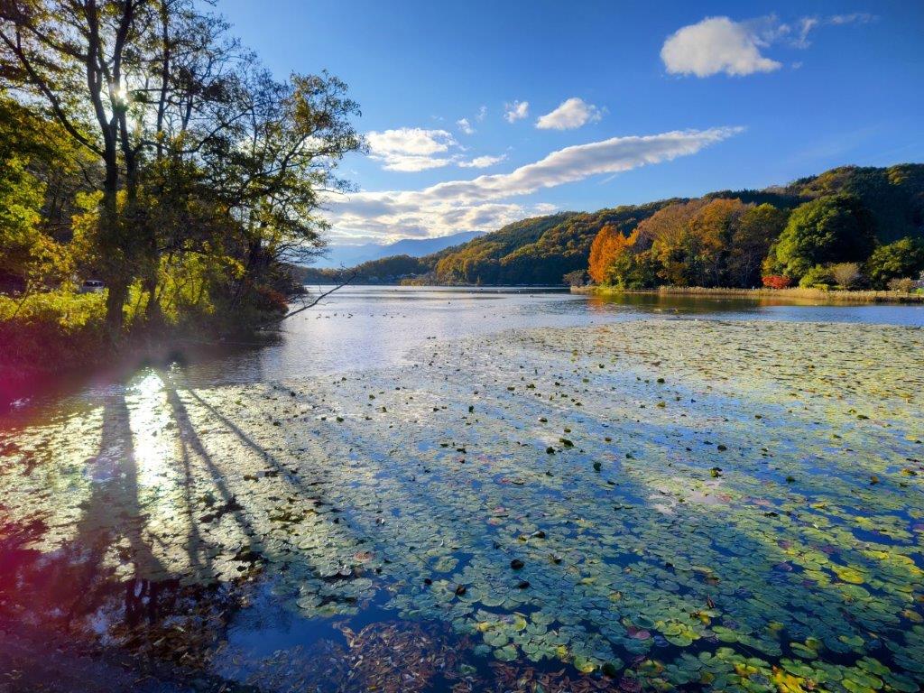
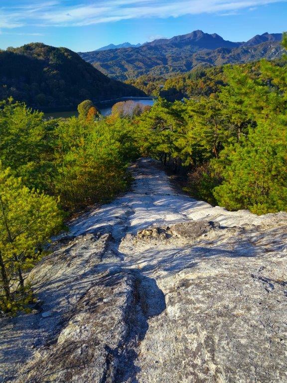
I spent a few minutes gazing up and down the spectacular Mitake Gorge (御岳渓谷), not a cloud in sight in either direction. At the other end of the bridge, I passed Poloka Base, a cafe and station running bar, connected to the RUN & BEER community. A little past 11am, I reached the start of the Lani Head Trail (ラニヘッドトレイル), up a grassy track along an old stone wall. It isn’t signposted from the station, but I found it thanks to my phone GPS. Apparently, “Lani” means “Heaven” in Hawaiian, so the trail name could translate to “Mt Heaven”.
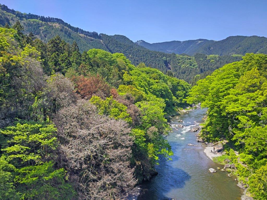
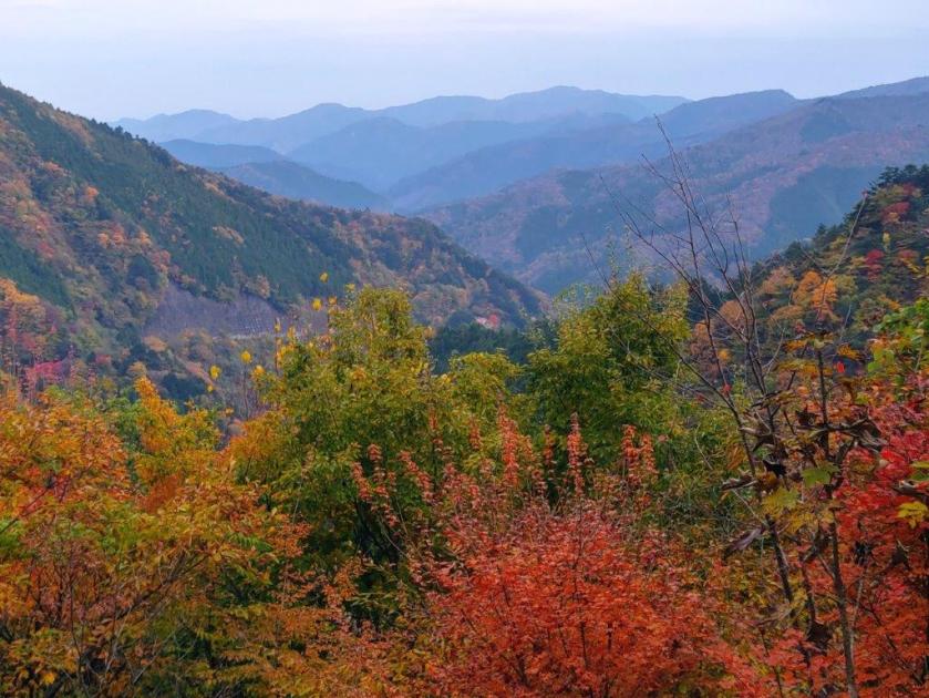
Mitake Gorge, Blue Skies and the New Green of Spring
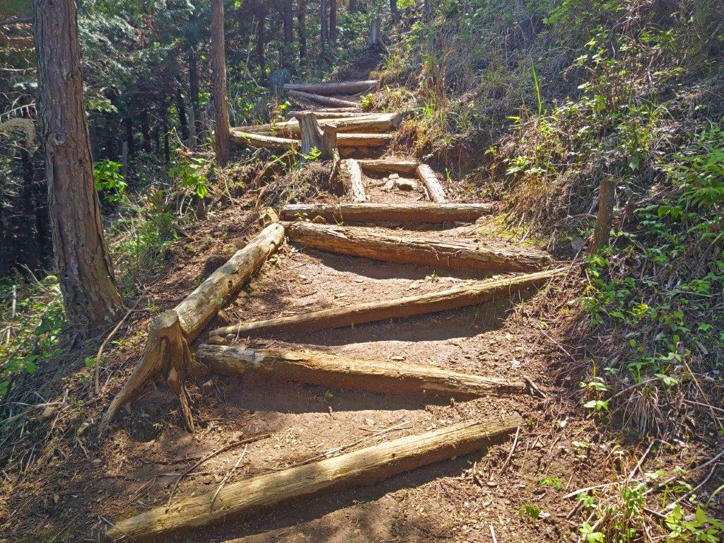
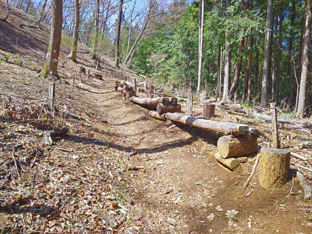
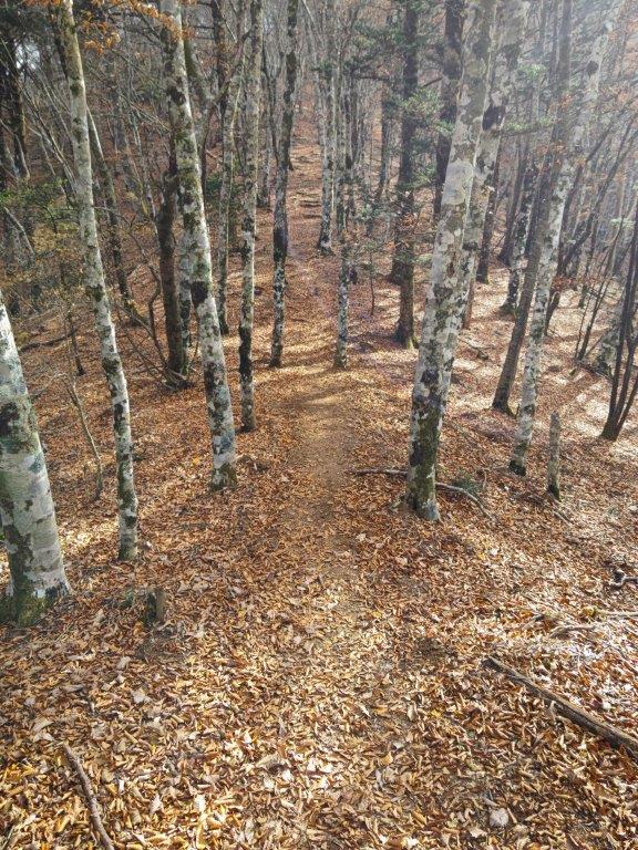
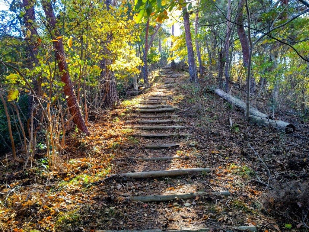
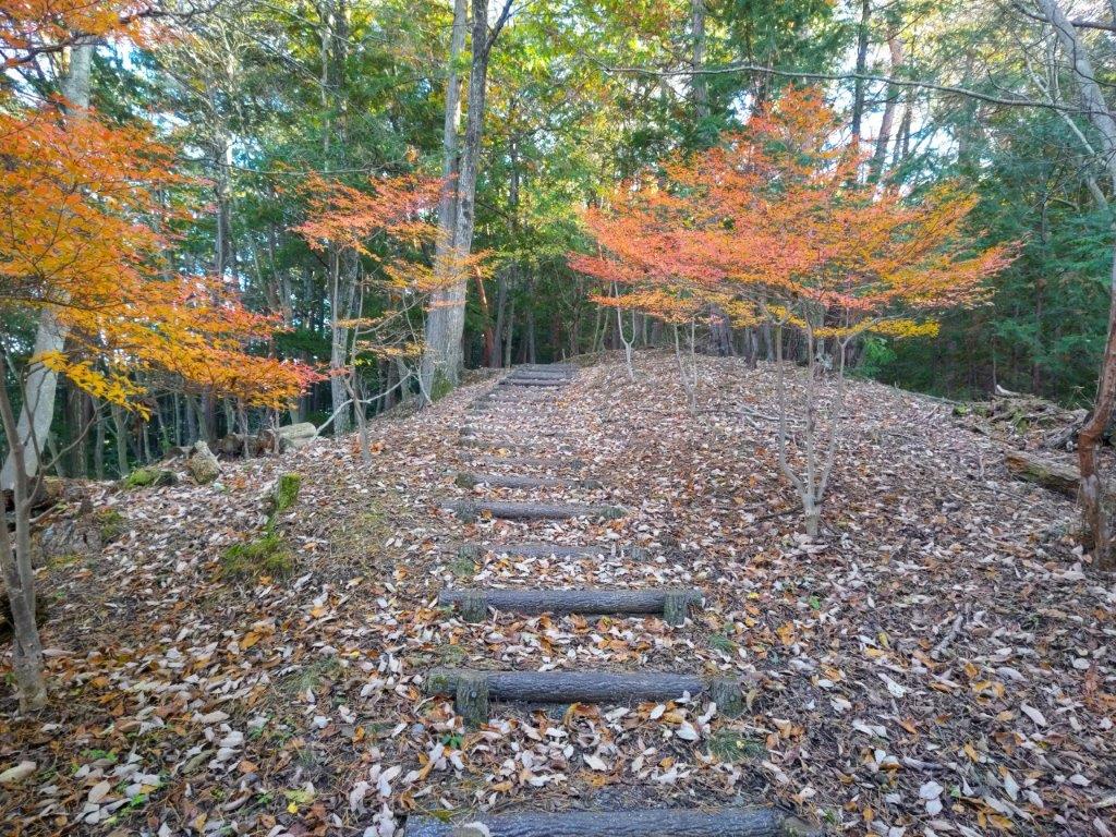
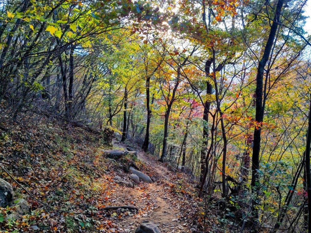
Log Steps up the Lani Head Trail
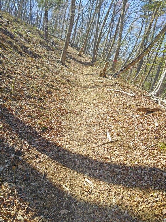
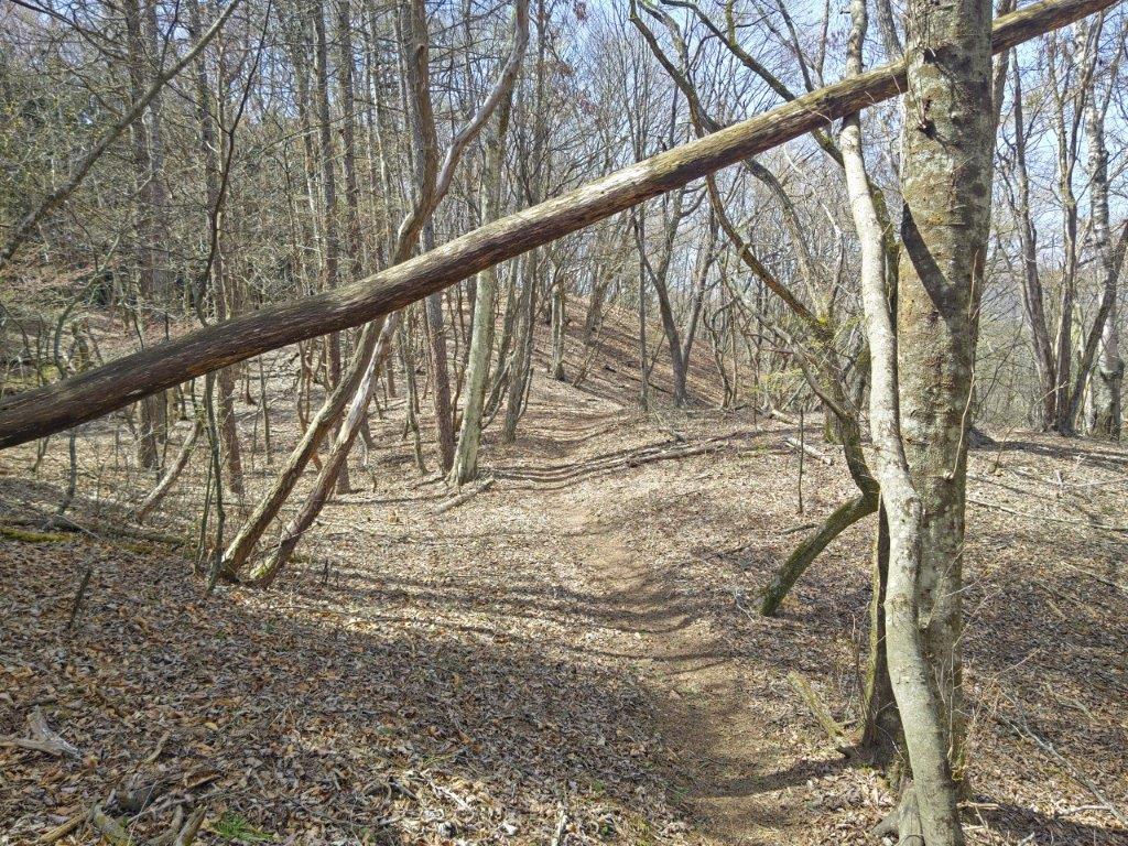
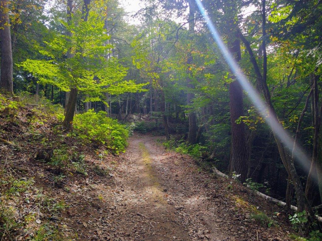
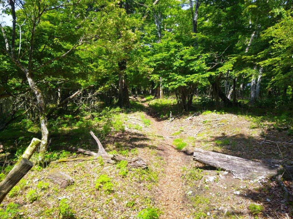
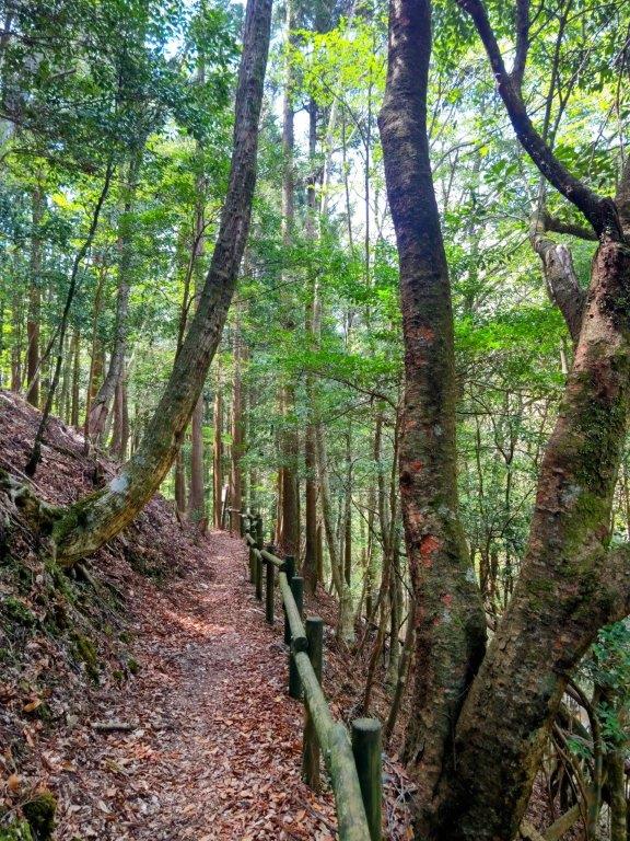
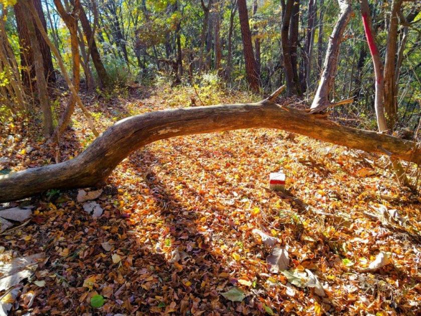
I was amazed to have the trail completely to myself, most people having probably gone to the Mitake ropeway. The path was well maintained with log steps in the climbing parts and sturdy handmade signposts placed at regular intervals: it definitely deserves to be better known, although today I was happy to be able to enjoy the quiet surroundings. At 1130, I had a glimpse of the Tama river valley through the pines. A few minutes later, I reached a wider view on the north side.
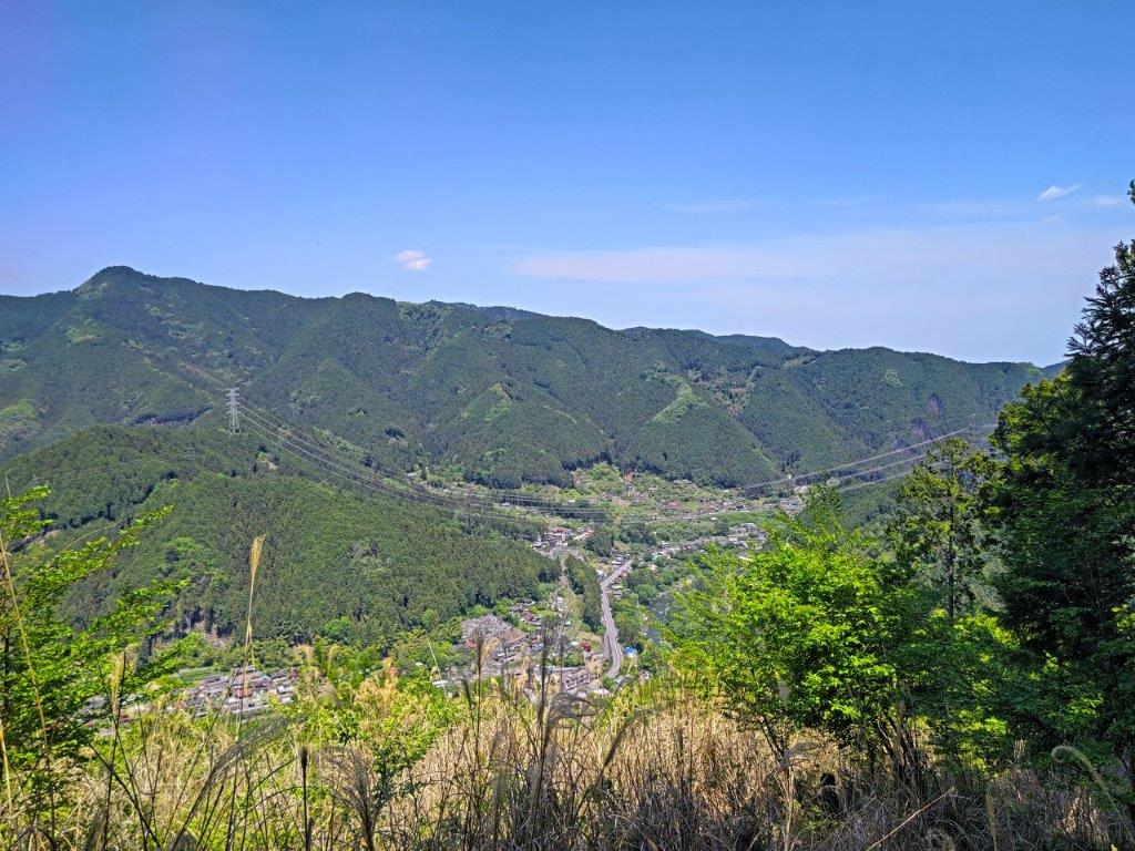
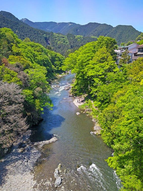
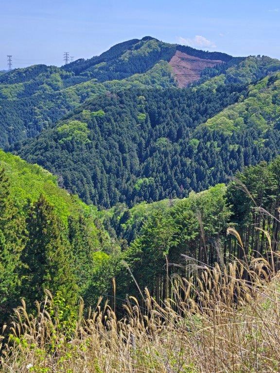
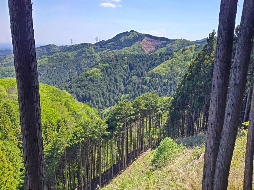
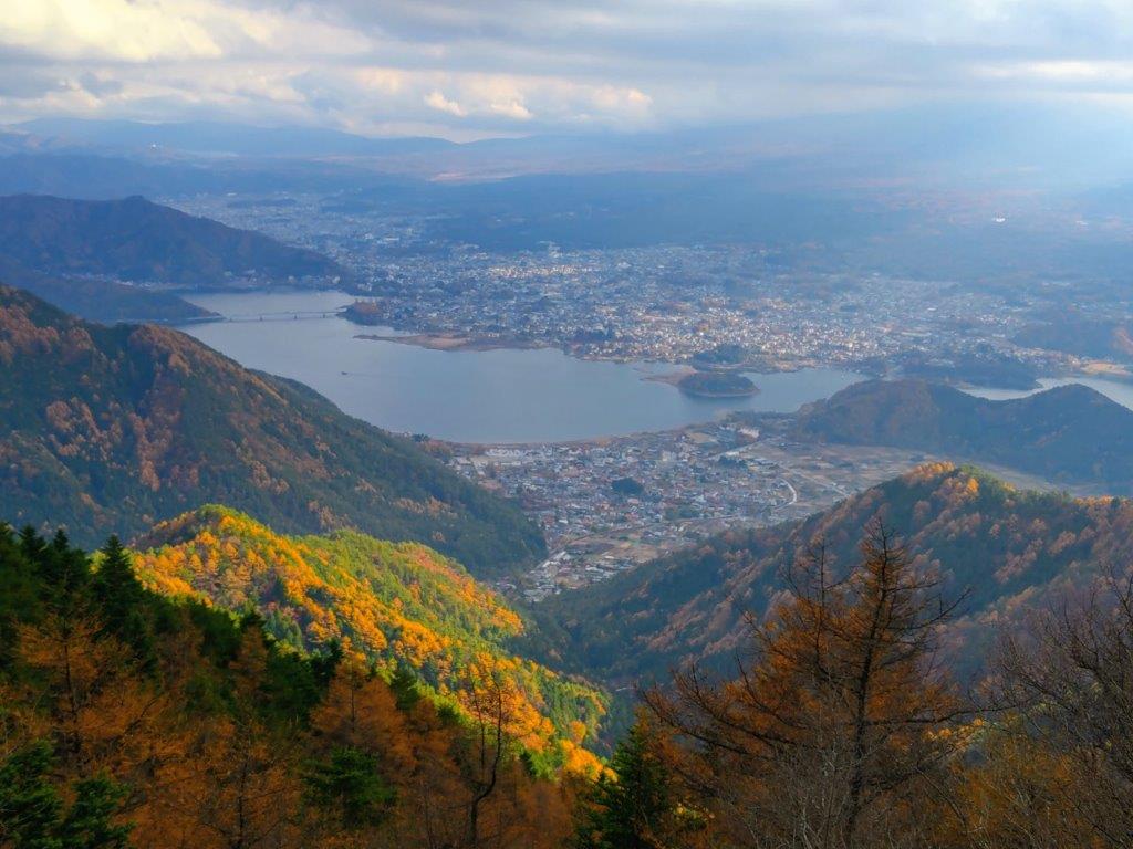
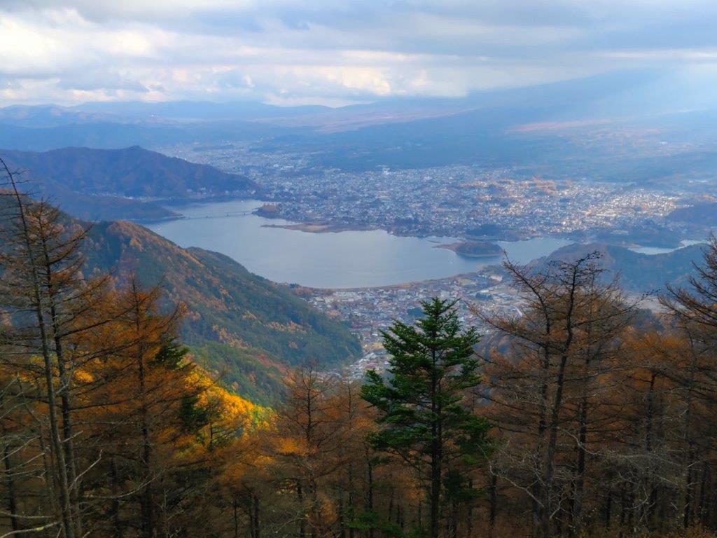
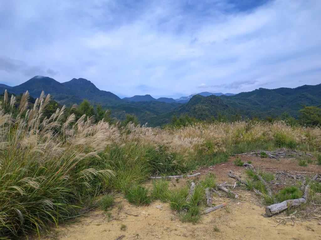
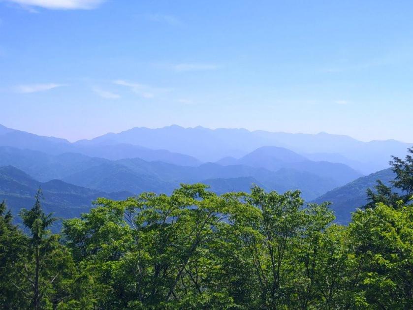
View of the Upper Tama River Valley
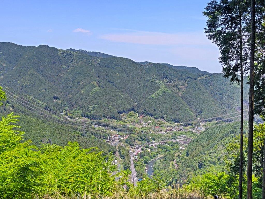
View North from the Lani Head Trail
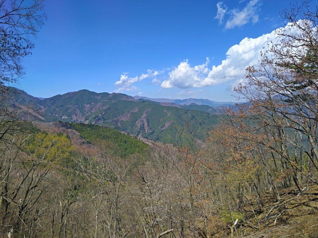
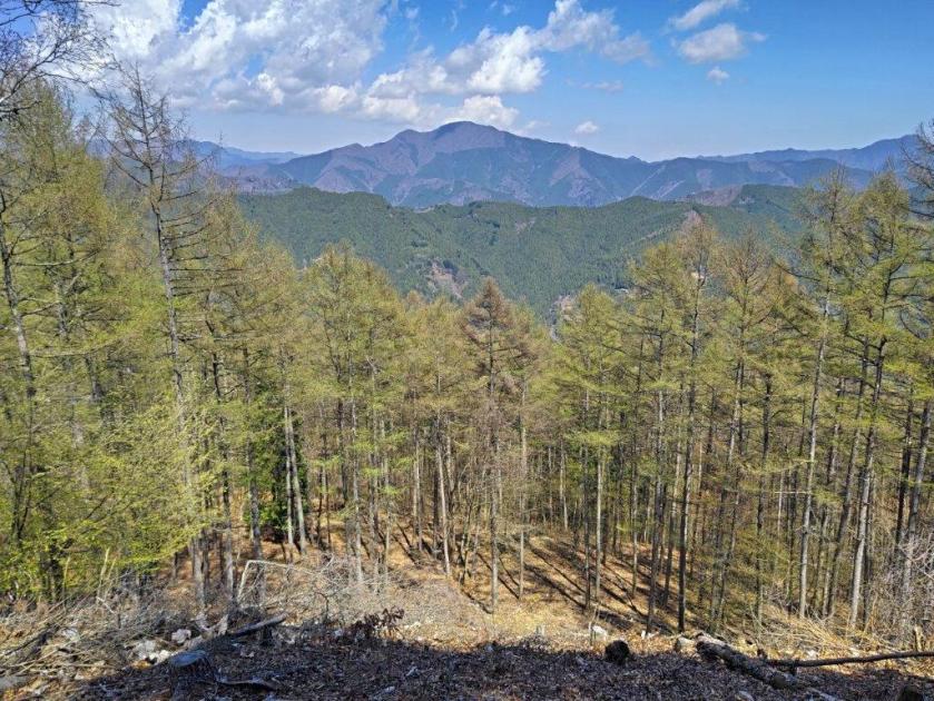
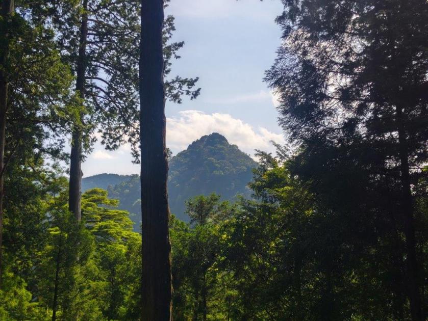
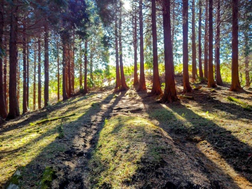
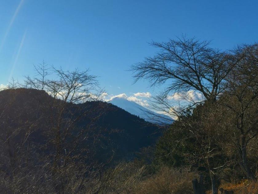
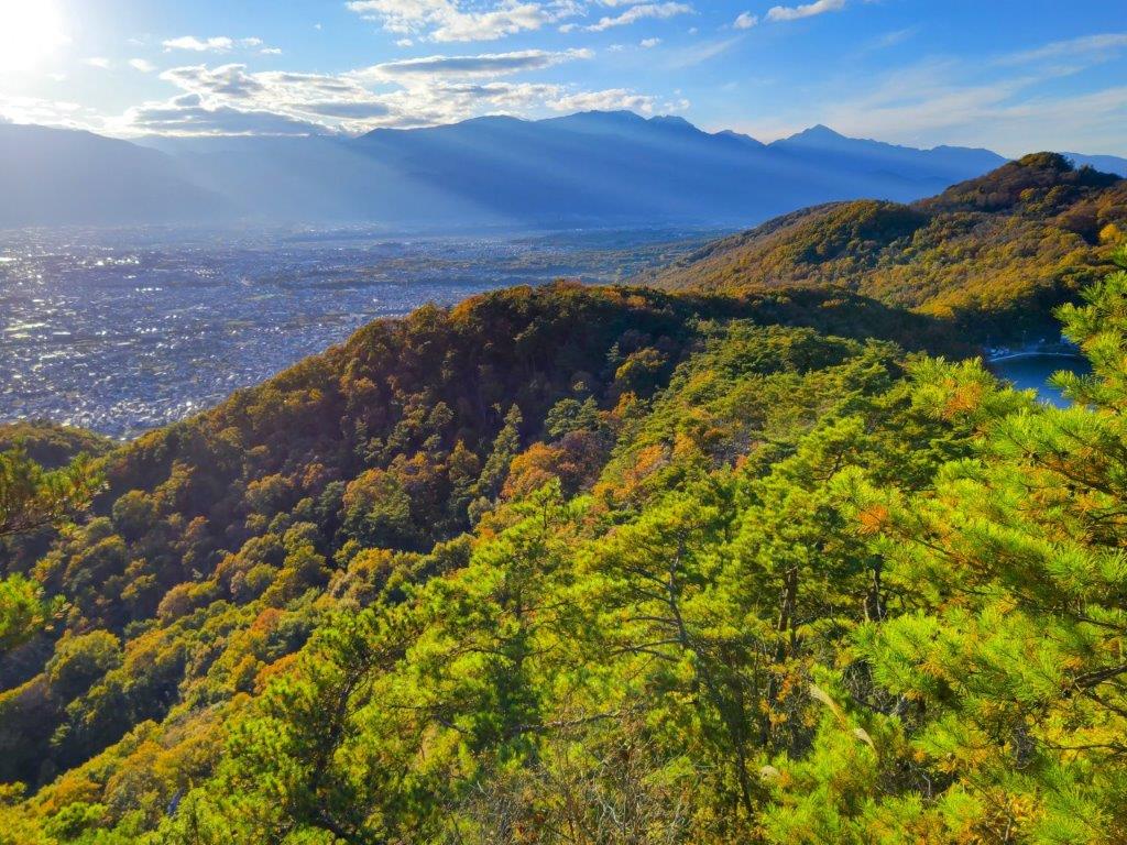
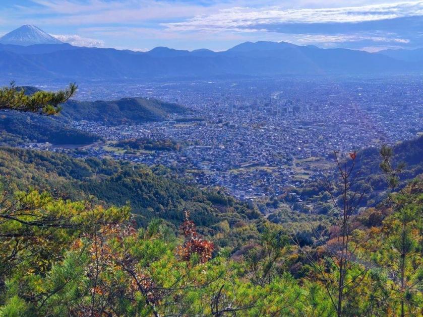
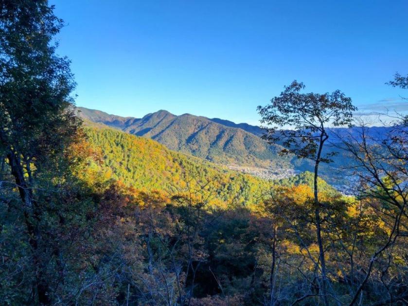
I was glad to get such a wide view near the start of the hike, especially since it allowed me to gaze down at the Tama river valley from a new angle. Here, I finally passed a handful of hikers heading down this hidden trail. After I reentered the forest, the wind started to blow hard, making me worried about falling branches. When the wind dropped, I could observe a beautiful dapple of light and shadow dancing at my feet. Above the treetops, I could see Mt Bonomine and Mt Kawanori to the northwest. At noon, I reached a bell next to a large signboard for the Lani Head trail.
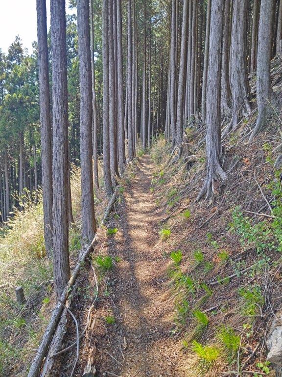
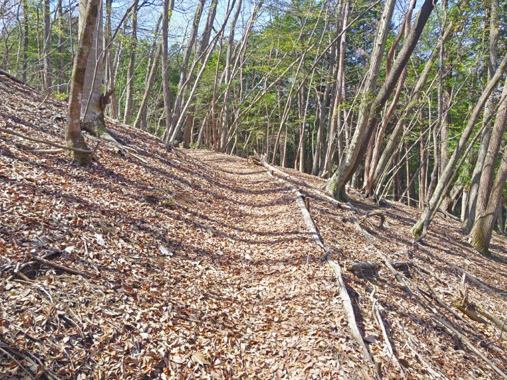
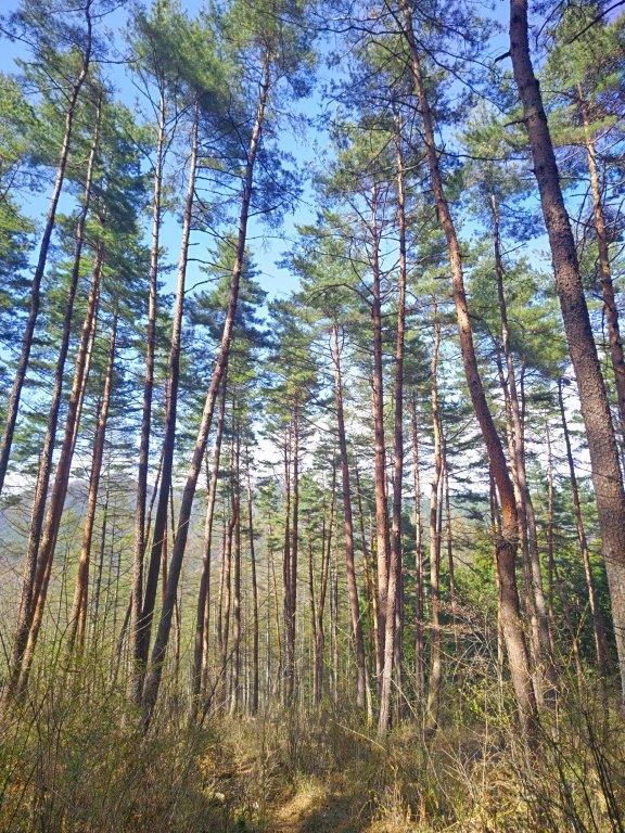
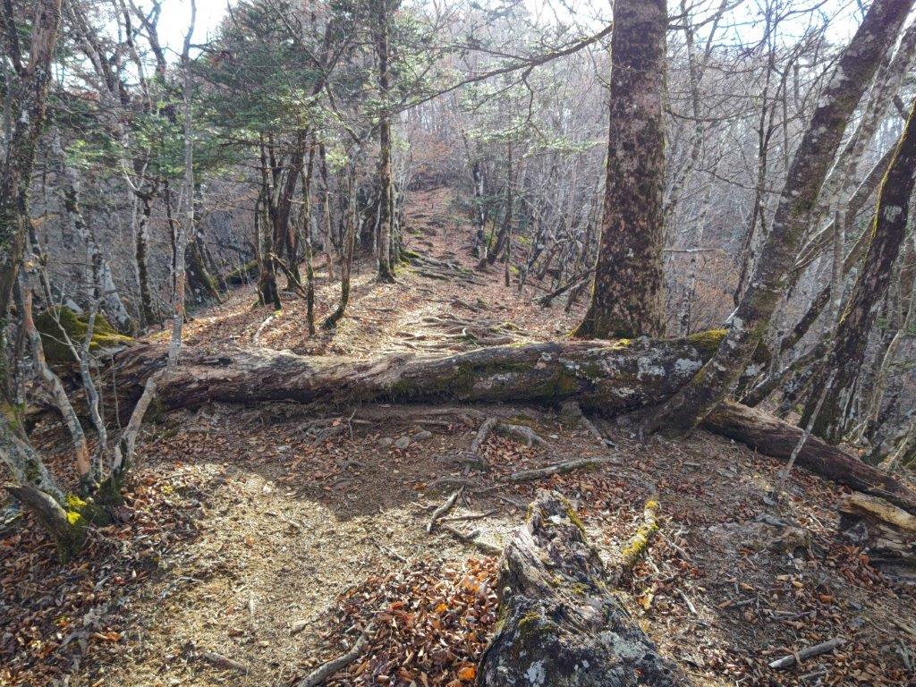
Higher Section of the Lani Head Trail
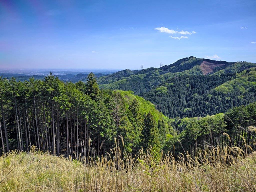
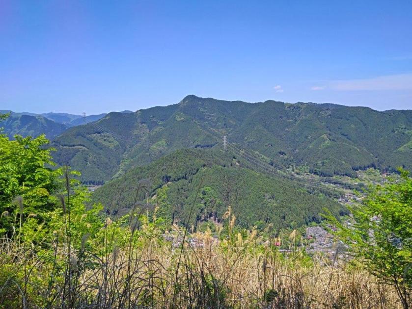
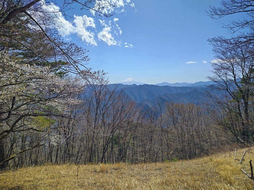
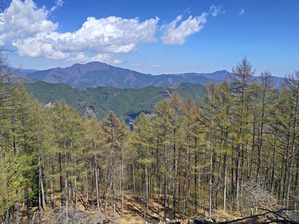
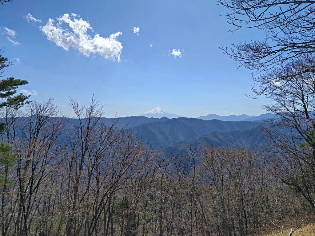
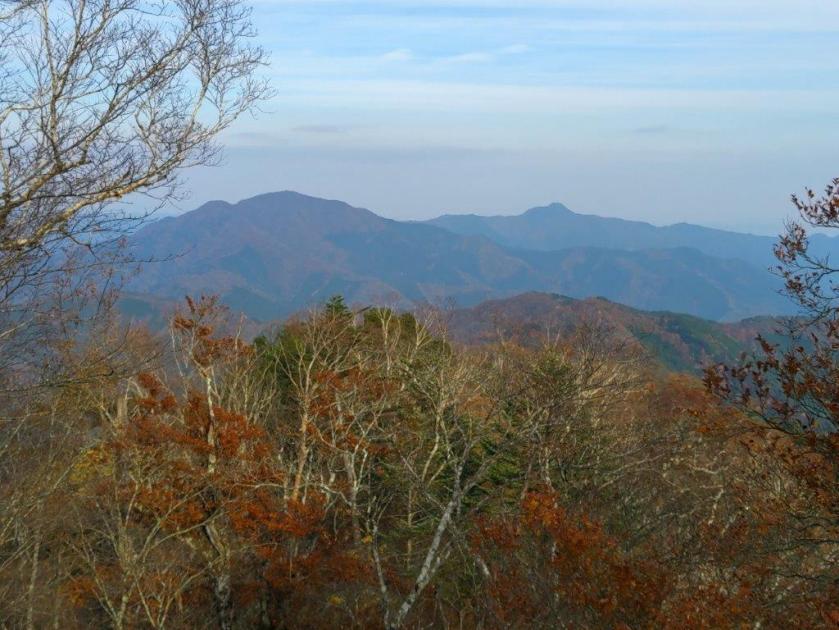
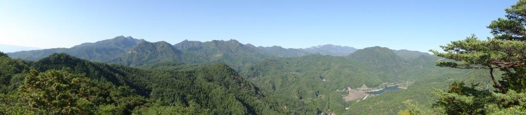
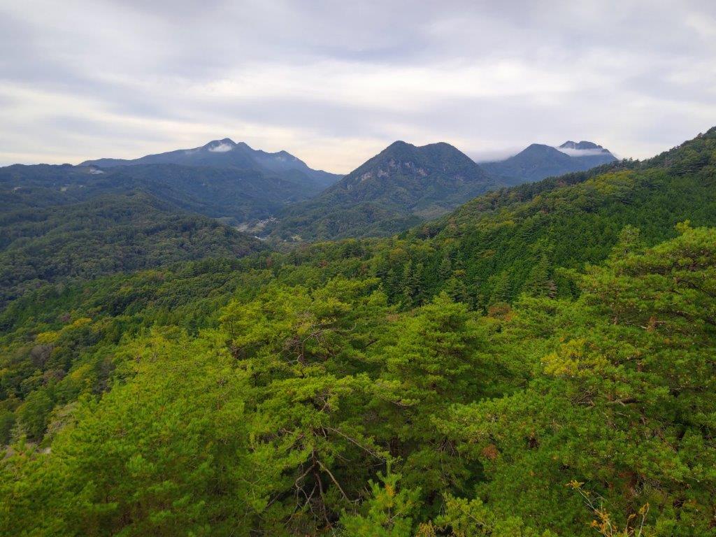
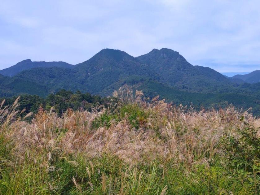
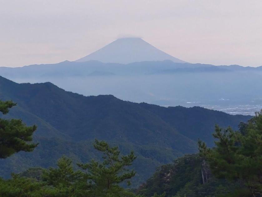
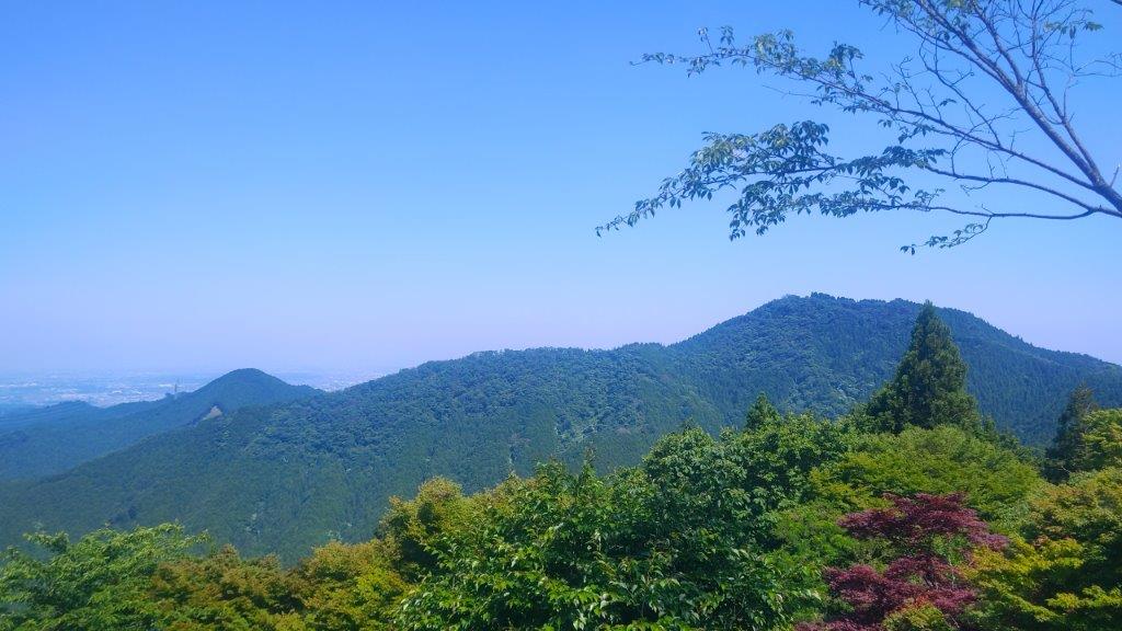
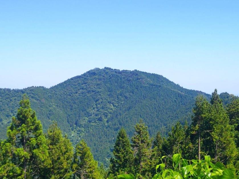
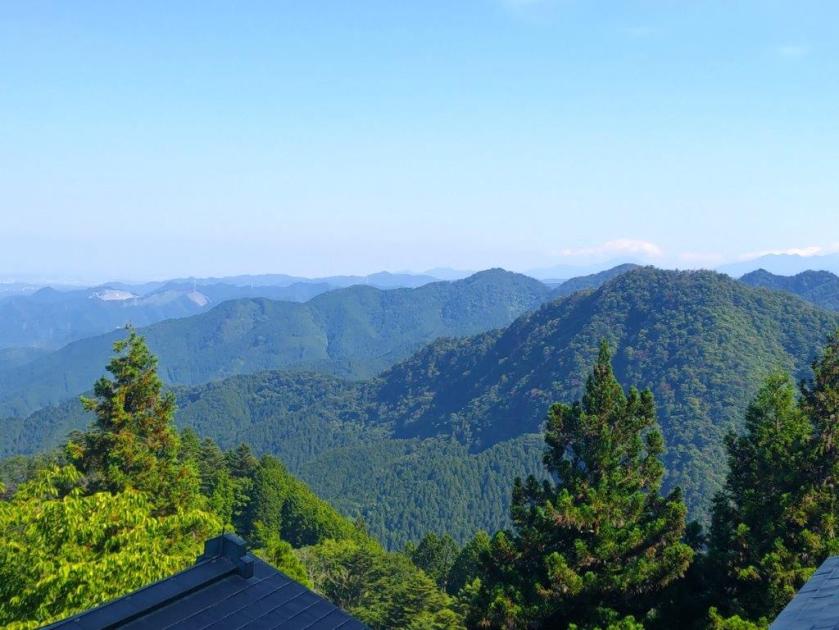
View of Mt Aso past Takamine
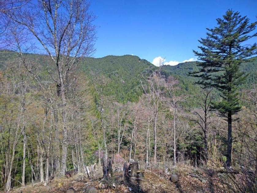
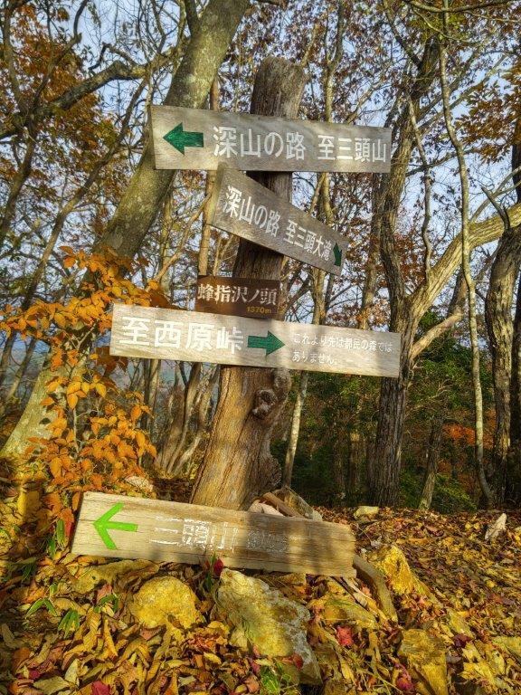
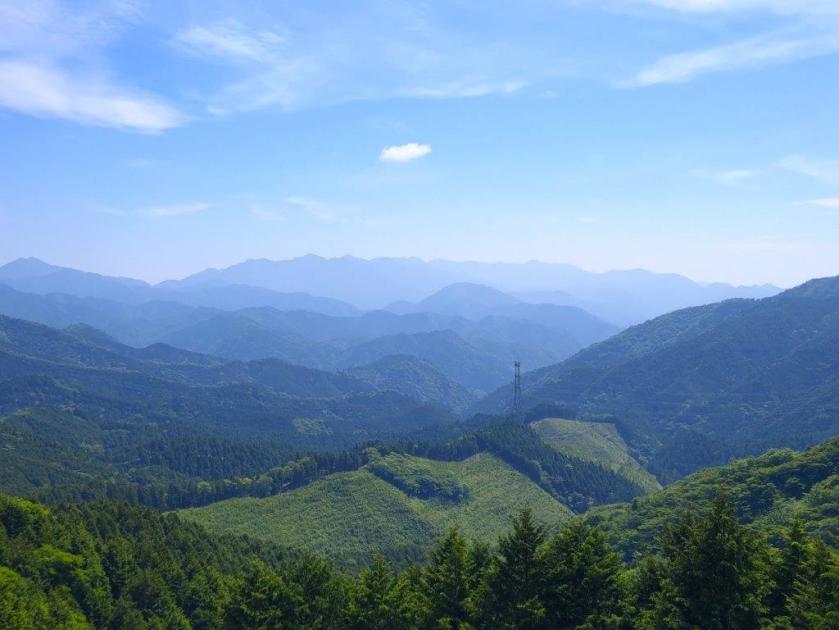
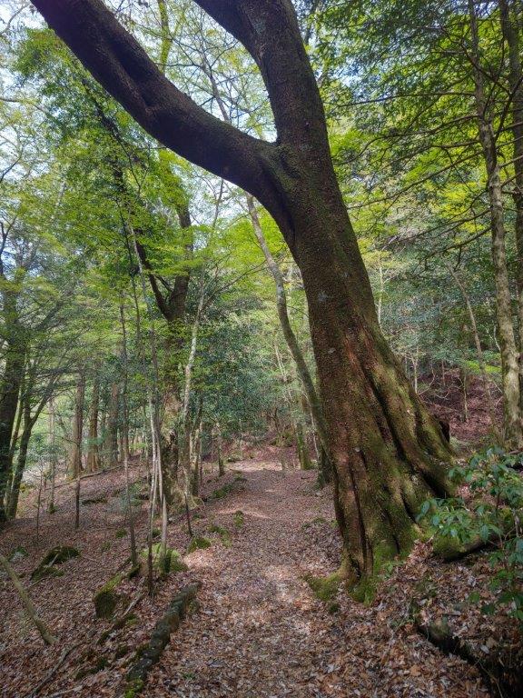
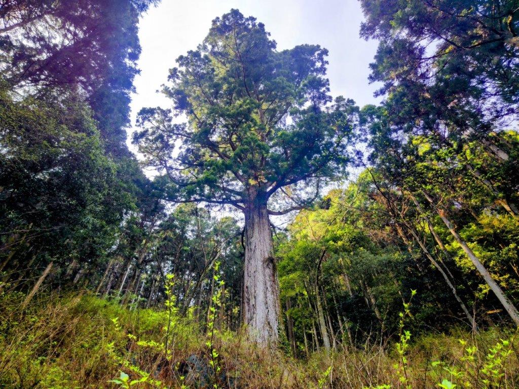
The breeze picked up again, forcing me to put on an extra layer of clothing. Thirty minutes of steady climbing brought me to the minor summit of Mt Takamine (高峰 755m), a barely noticeable prominence on the Hinode Alps (日の出アルプス), surrounded by forest. I took a short break on a tree stump while watching the tall cedars sway in the breeze. To the left, the trail headed gradually downhill towards Mt Mimuro and Hinatawada station. I walked downhill through the cedars, and soon got onto the main trail, a wider path bypassing the minor peaks along the Alps, which I had followed in 2014. Almost at once, the main trail swerved left, avoiding the next prominence, and around the bend, a wide view appeared on the left side.
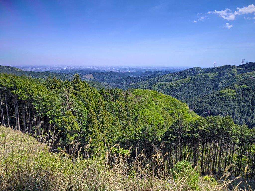
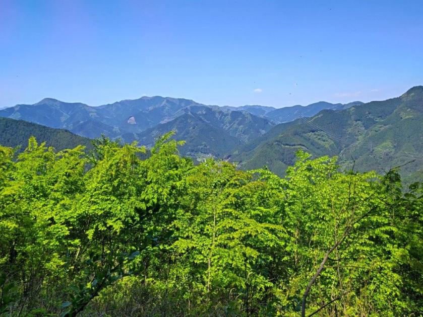
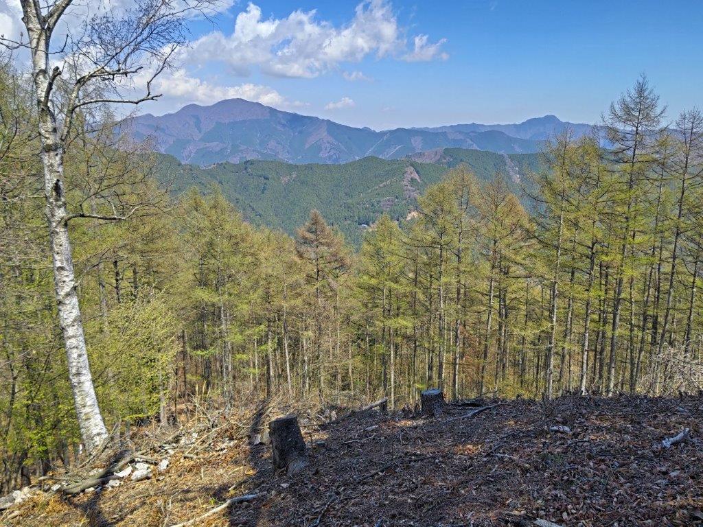
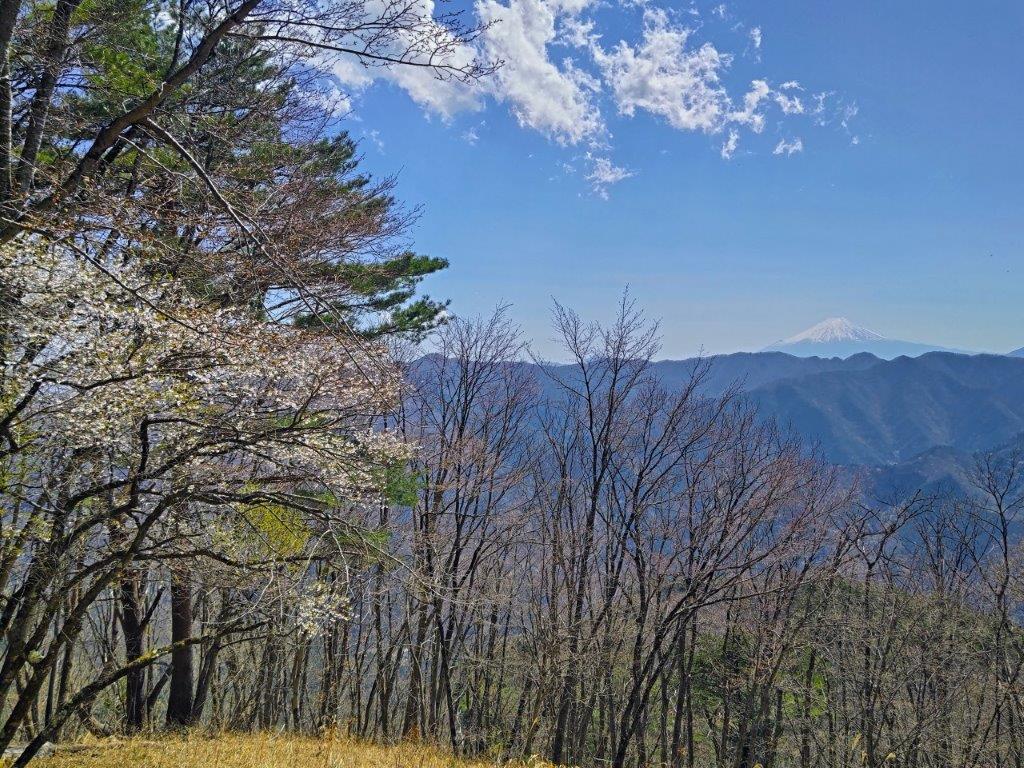
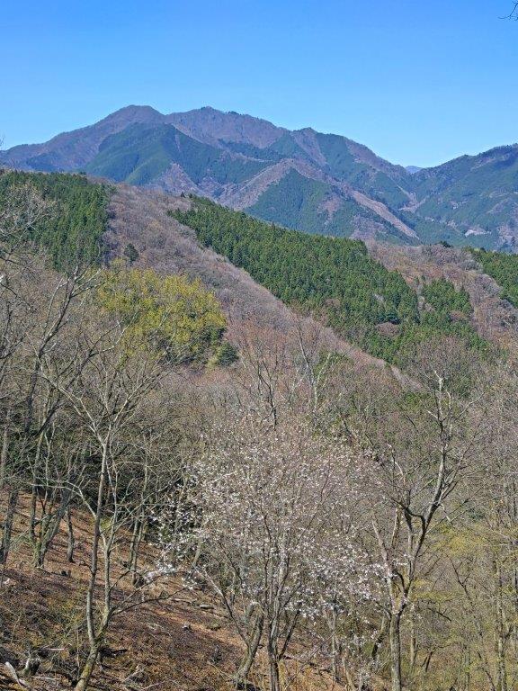
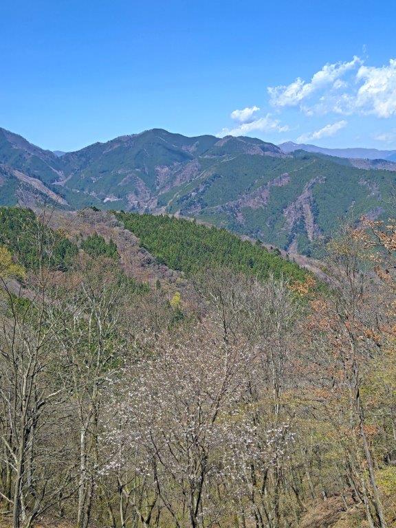
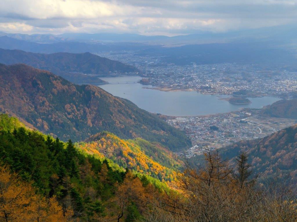
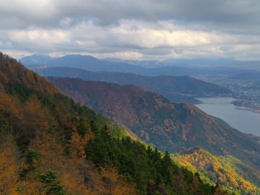
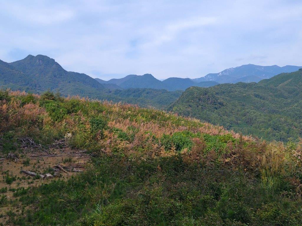
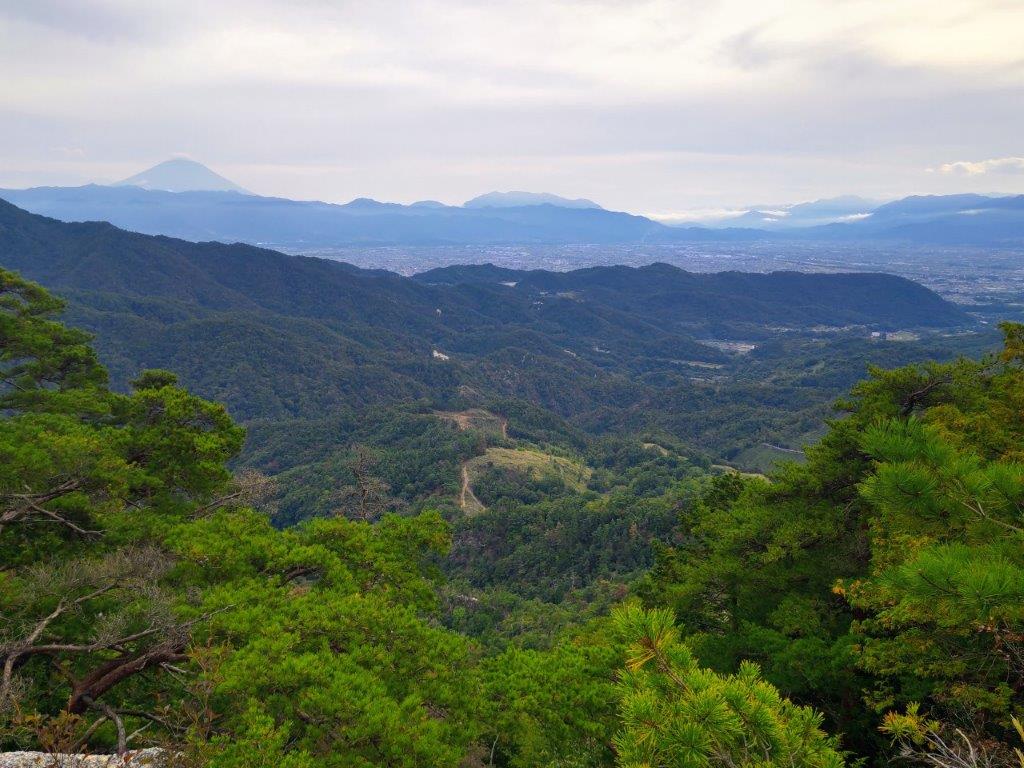
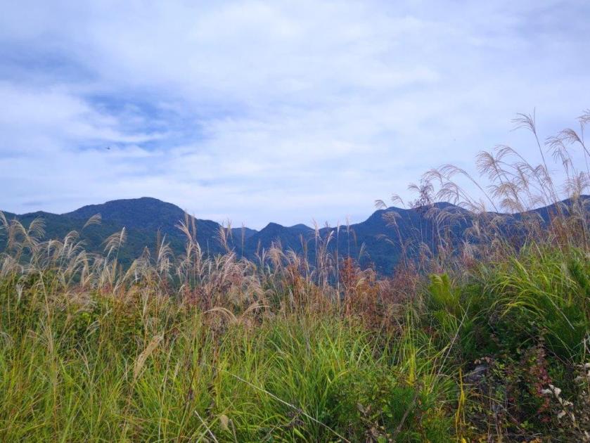
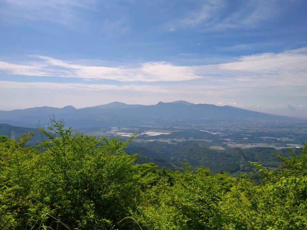
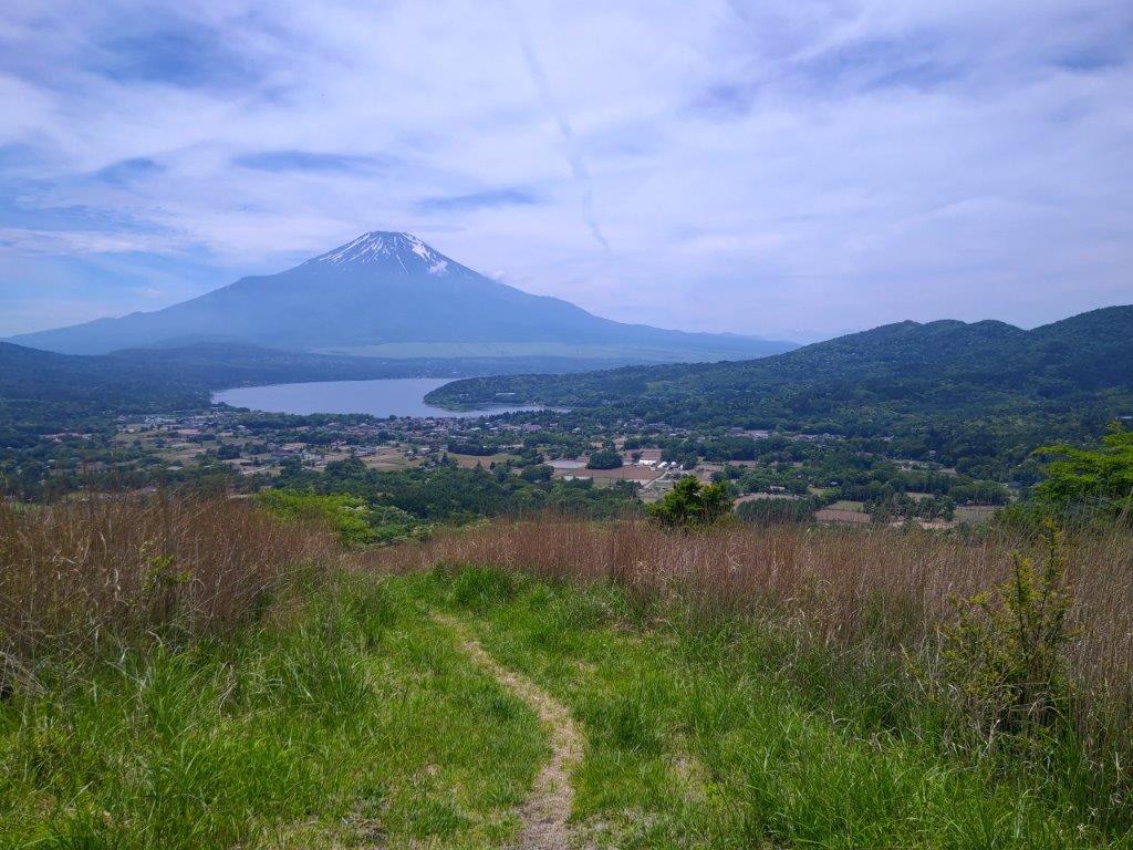
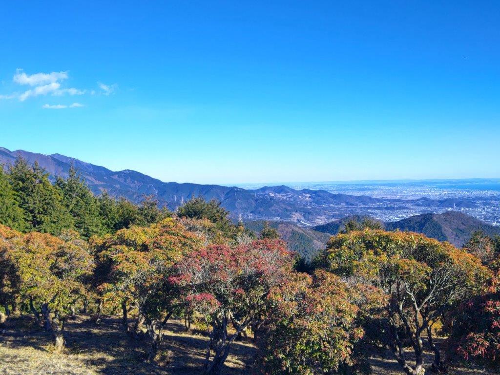
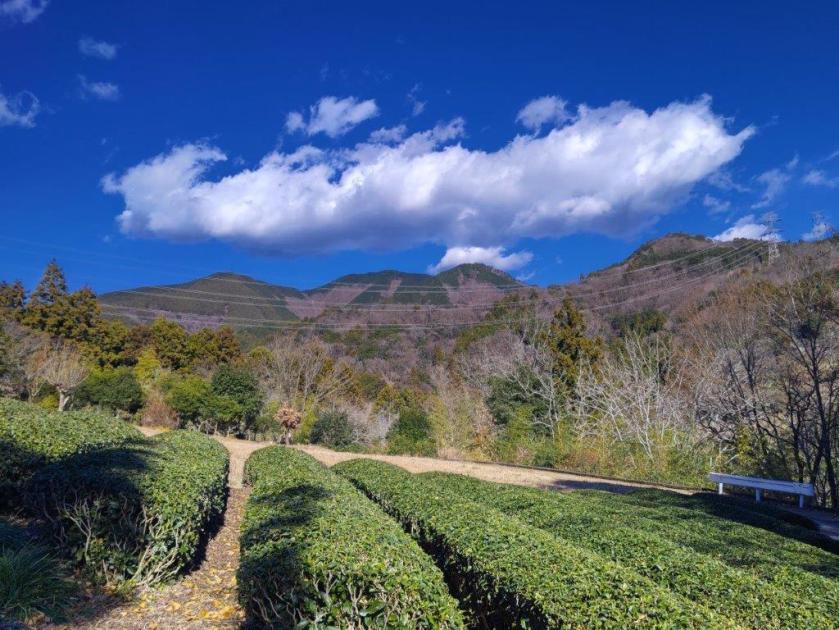
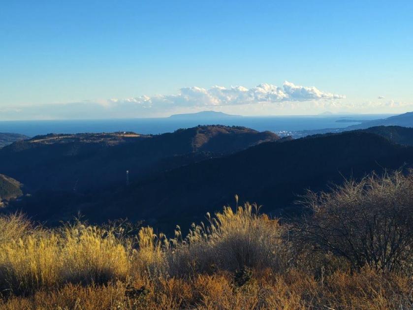
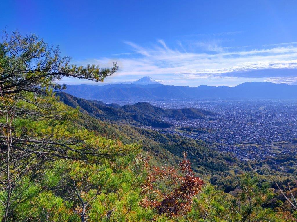
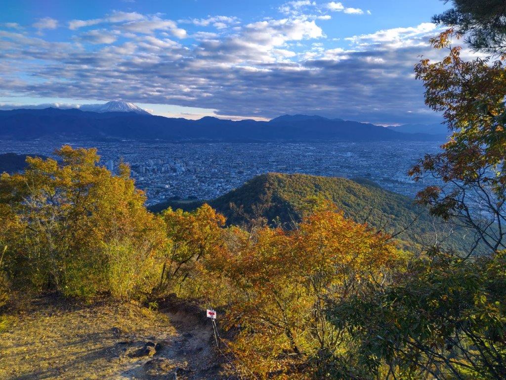
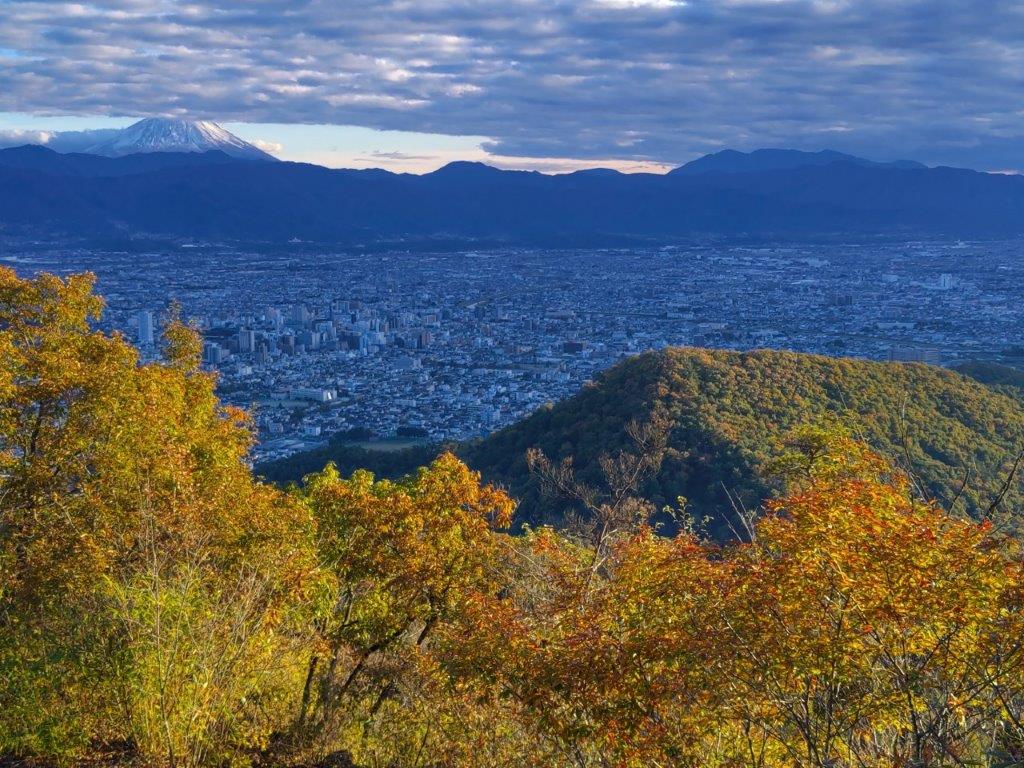
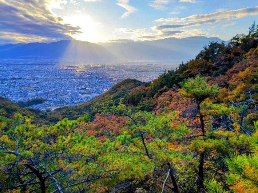
View of the Kanto Plain on the way to Mt Hinode
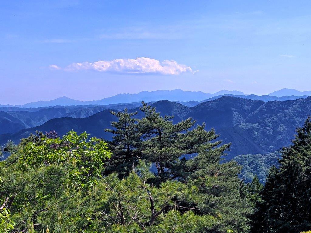
The Tanzawa Mountains from Mt Hinode
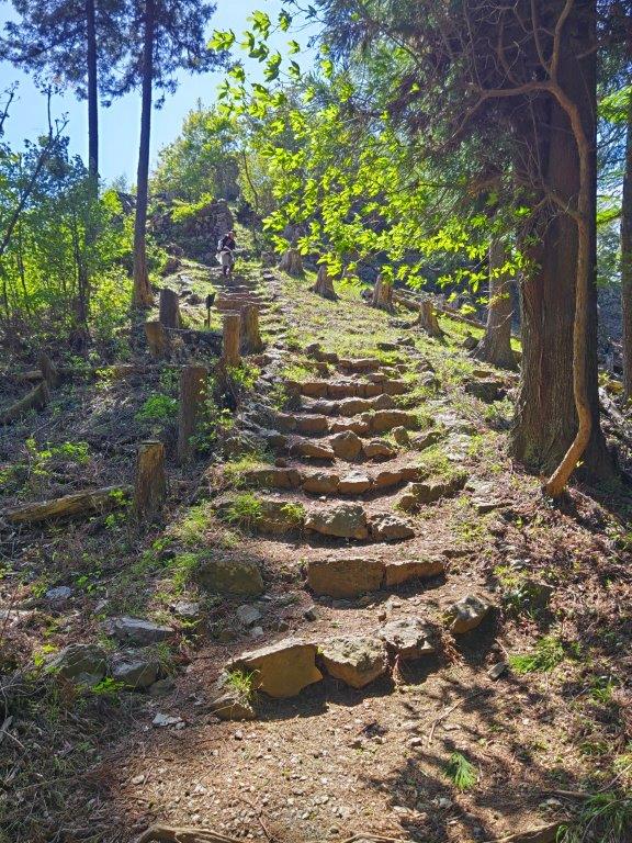
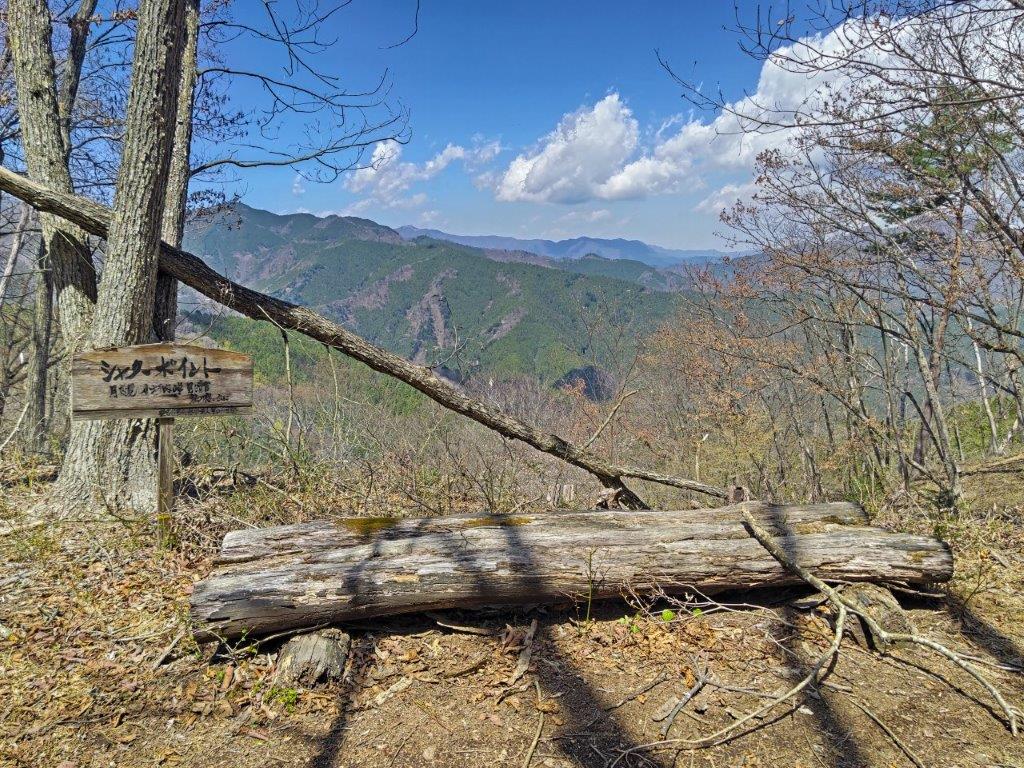
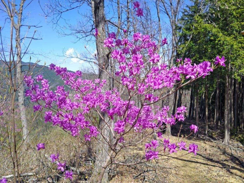
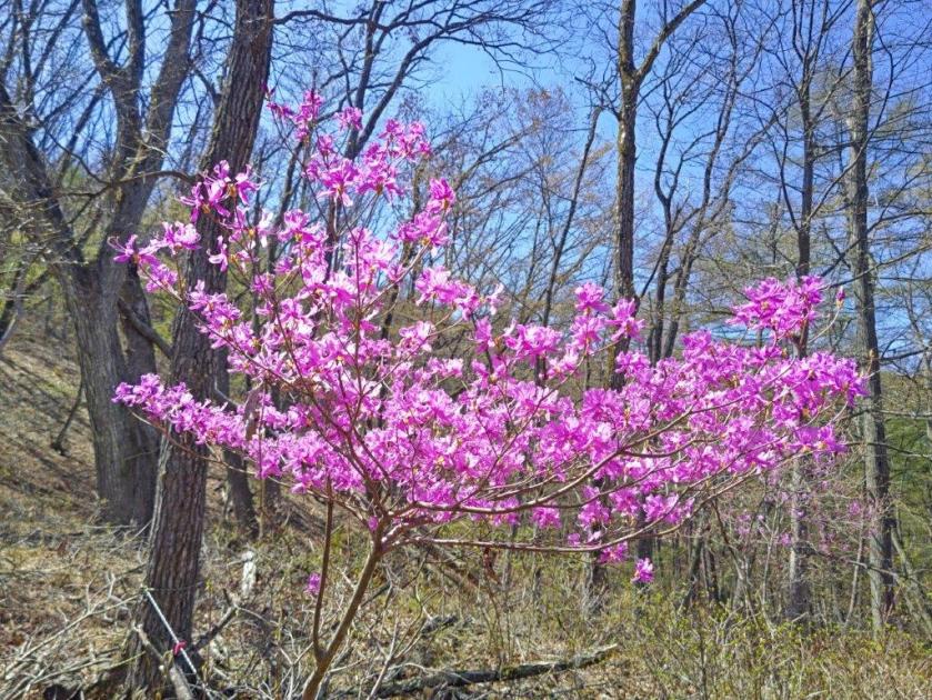
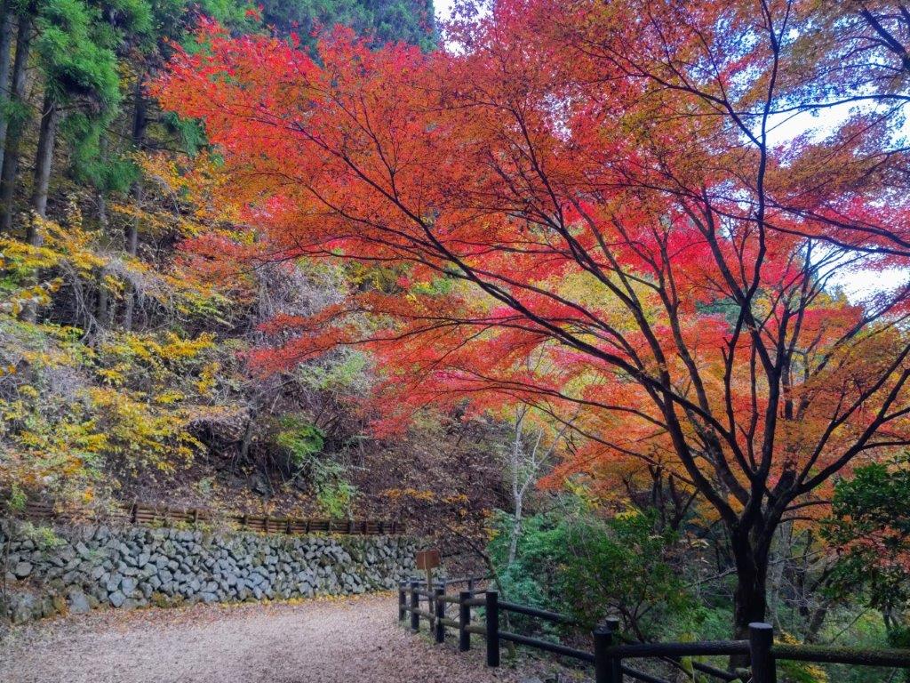
I was pleased I had ventured a little way along the main trail, as I had completely forgotten about this viewpoint. To the south was the pointed top of Mt Aso, one of the 3 peaks of Hinode (Hinode-Sanzan 日の出三山); looking east, I could see the Kanto plain and the suburbs of western Tokyo. I retraced my steps and headed up a faint trail, not shown on my map; as I followed the ridgeline, I noticed “Hinode Alps” written on short square poles similar to those from last week. I passed another minor peak, Ryu-no-Hige (竜の髭 768m meaning “dragon whiskers”) and then, at the top of a series of log steps, emerged from the forest into the bright midday sun.
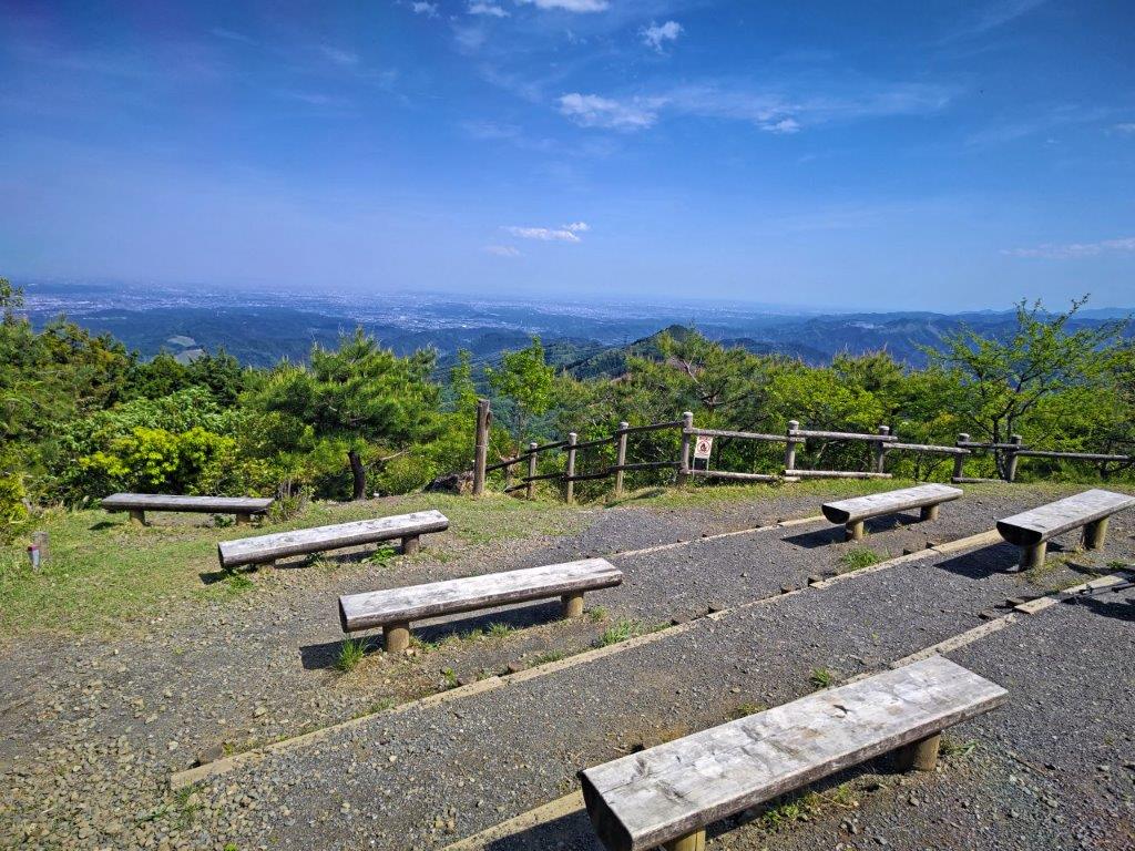
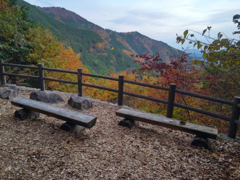
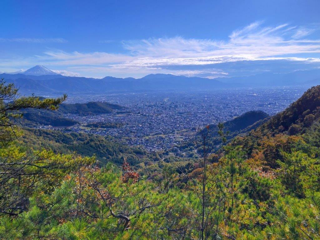
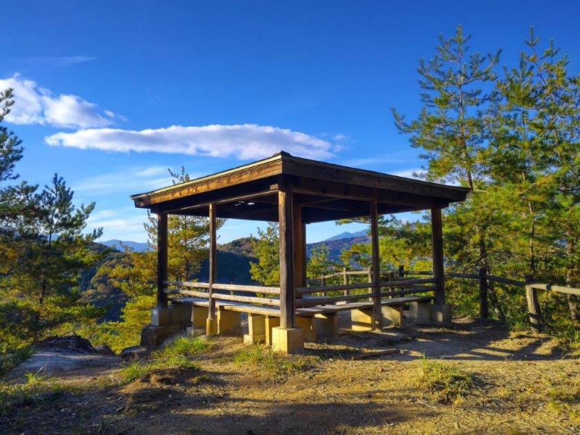
Benches at the Summit of Mt Hinode
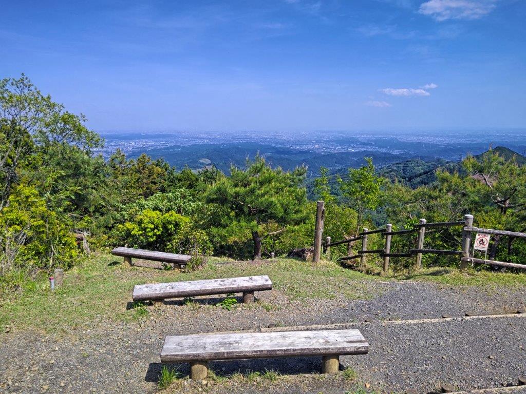
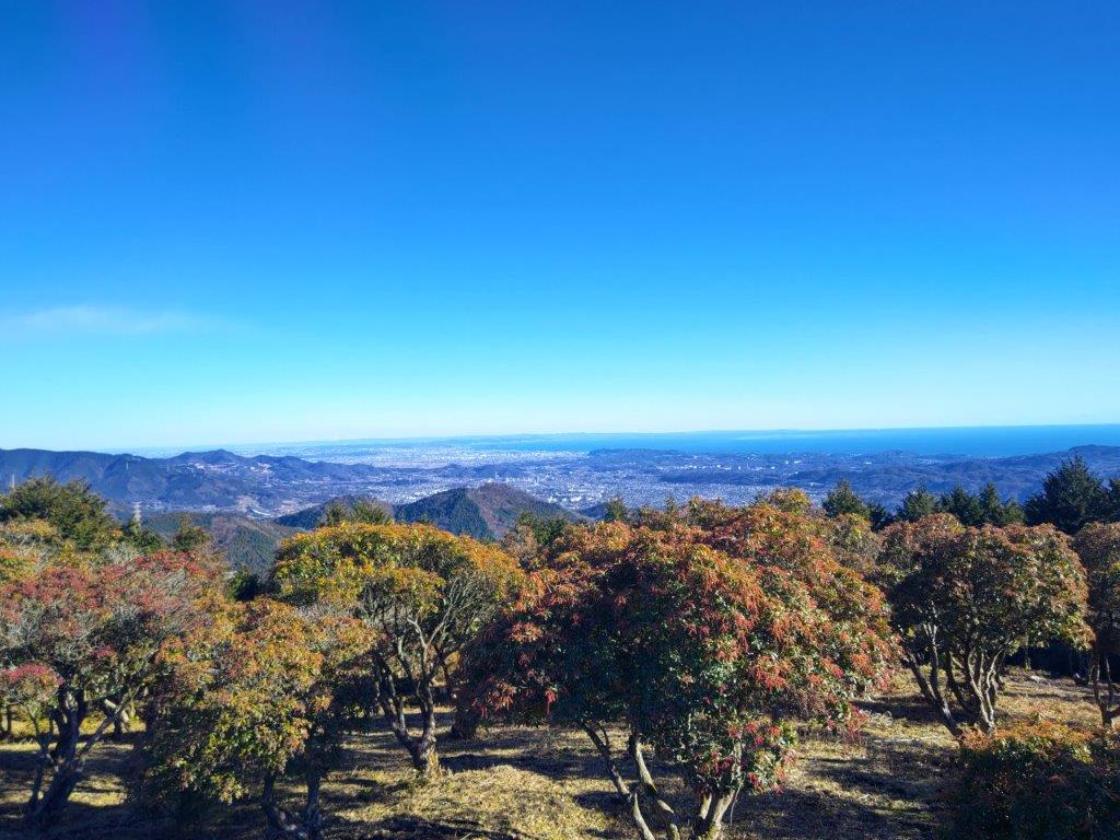
The Kanto Plain and the City of Tokyo
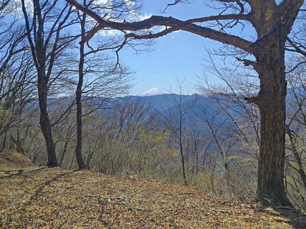
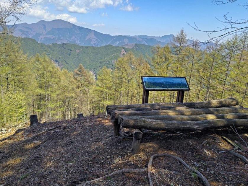
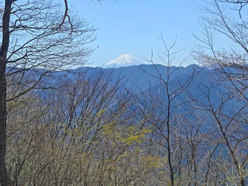
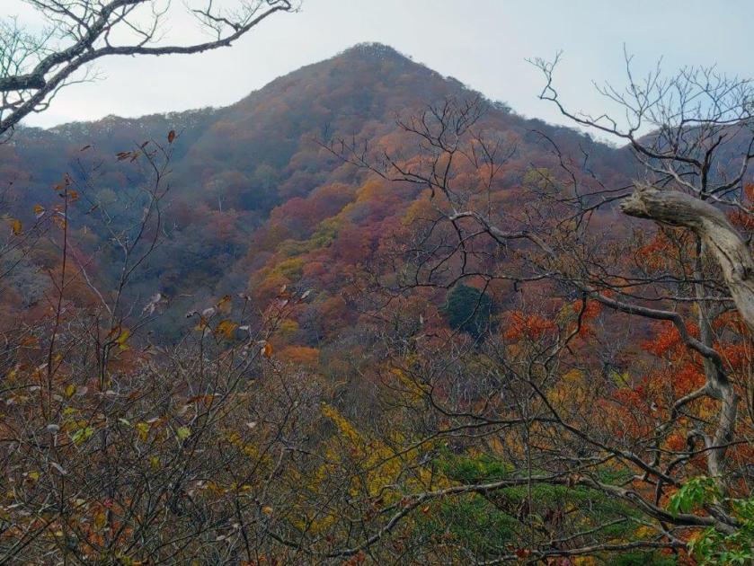
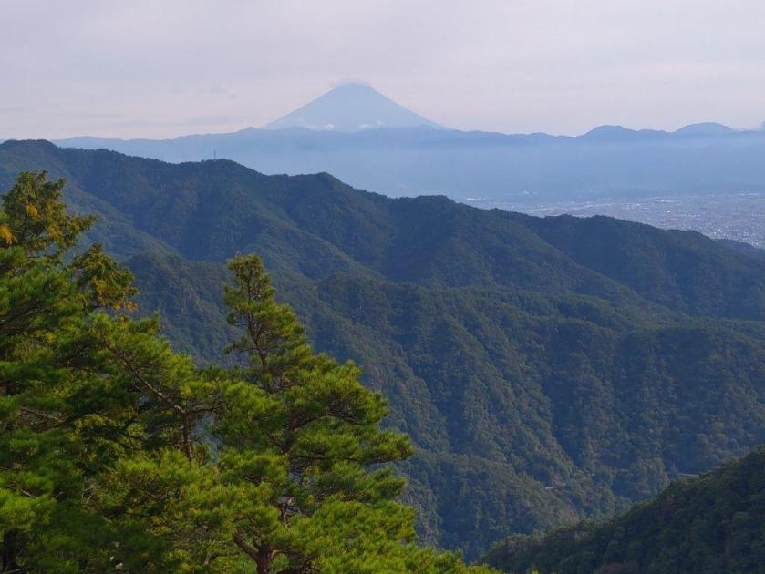
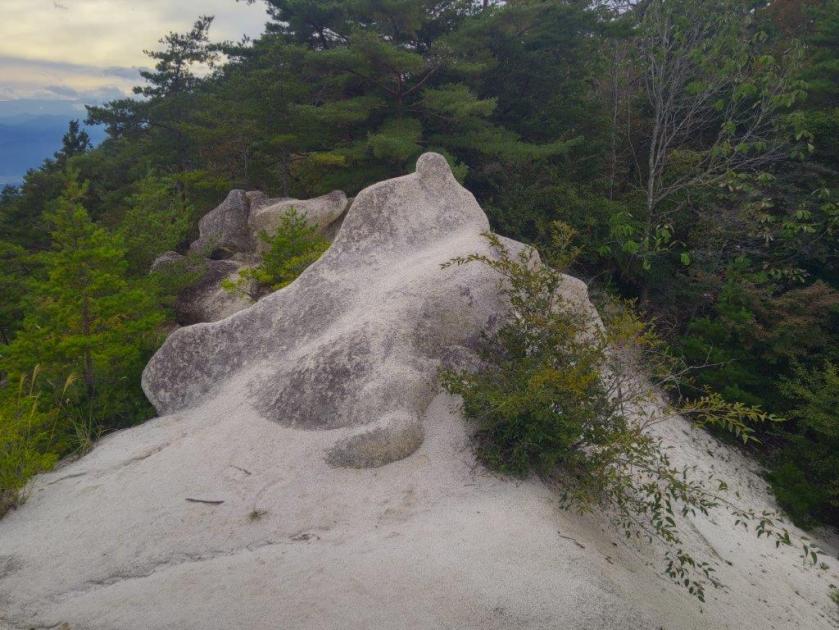
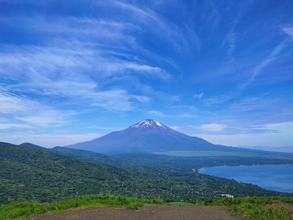
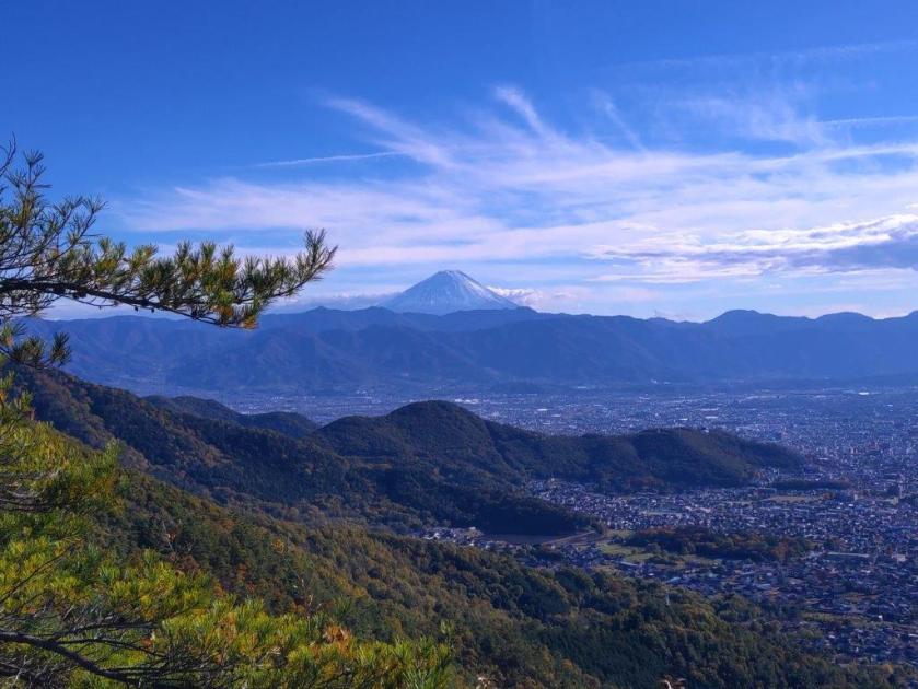
It was my first time to approach from this side, and looking ahead, I could see stone steps and walls, making it feel like I was about to enter a mountaintop fortress. After a final effort, I was standing on top of Mt Hinode (日の出山 ひのでやま hinodeyama). Since it was nearly 2pm, I sat on one of the benches for lunch with a view. Few people remained at this time, but the wind had died down, making conditions a lot more pleasant than my previous visit on a hot June day. On the south side was the classic view of the Kanto Plain under an almost cloudless blue sky on this warm Spring day.
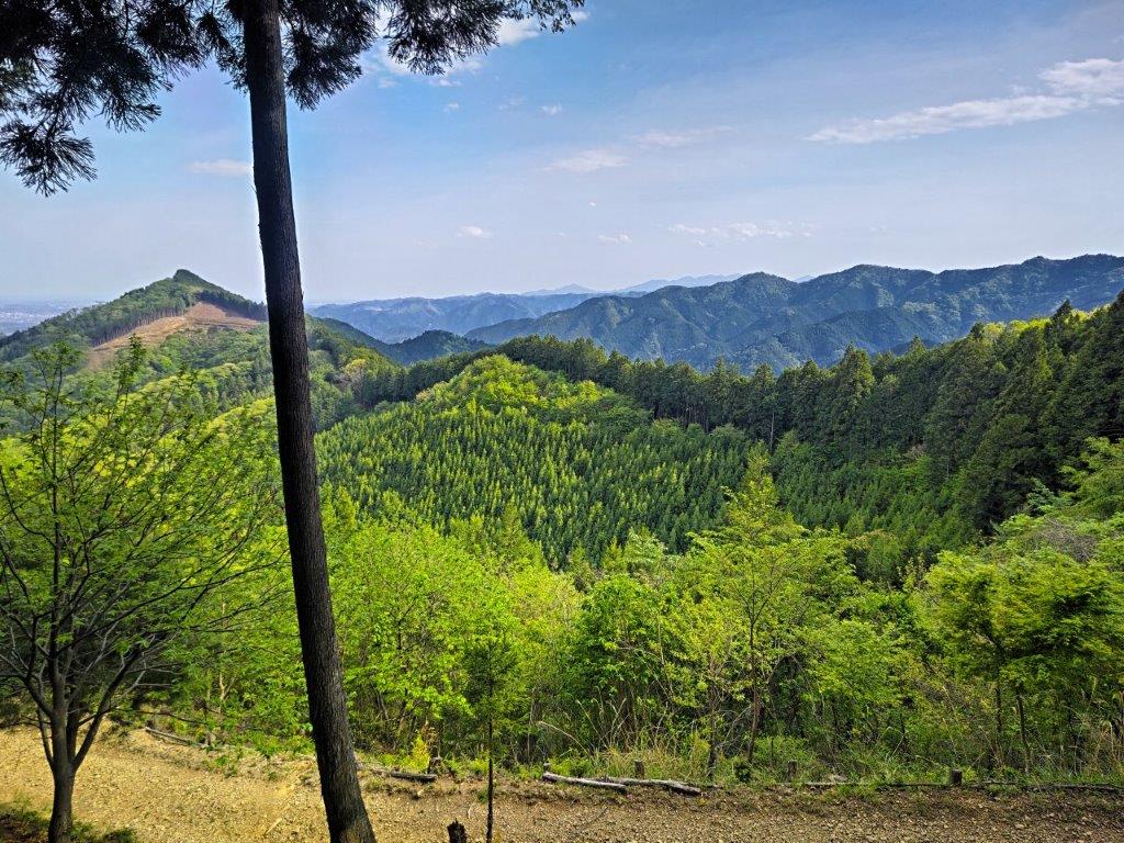
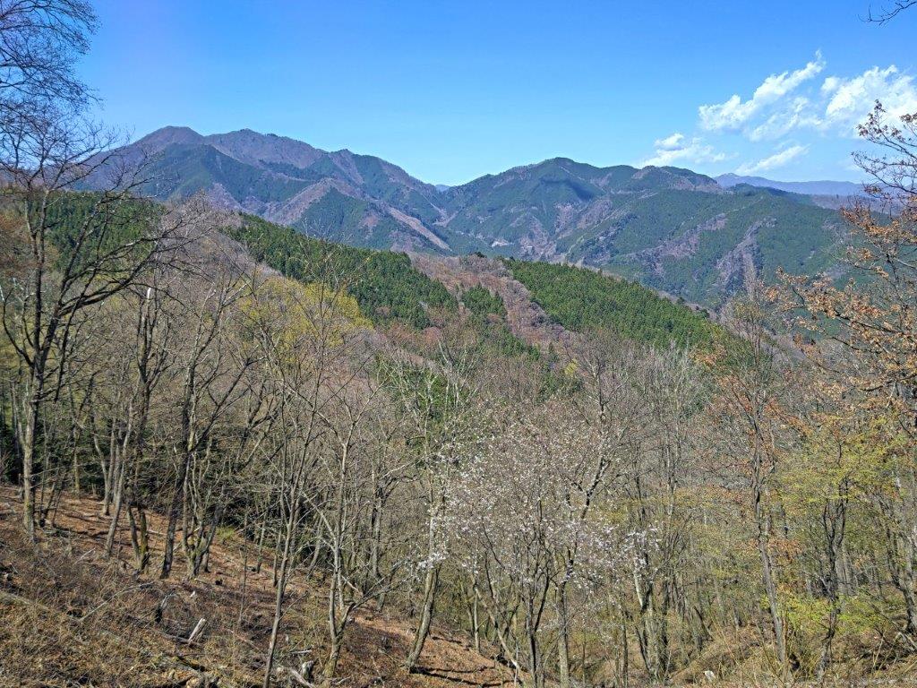
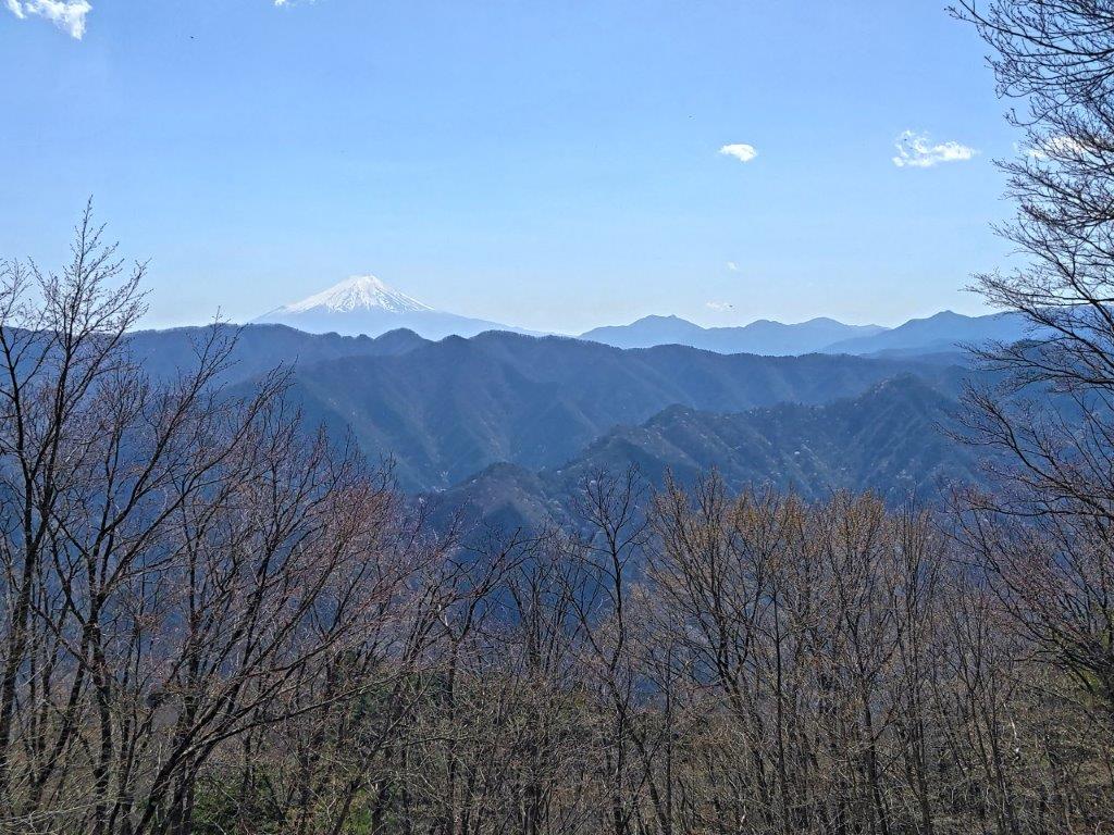
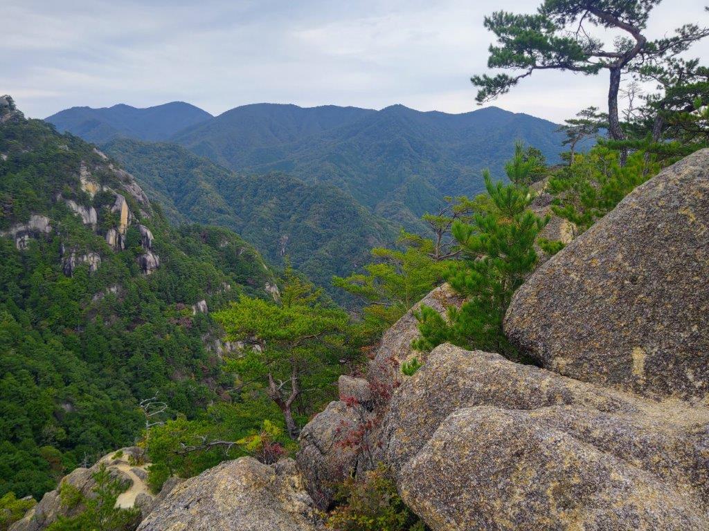
Mt Aso (left) & the Tokura-sanzan (right)
Tokura-sanzan from below Mt Hinode
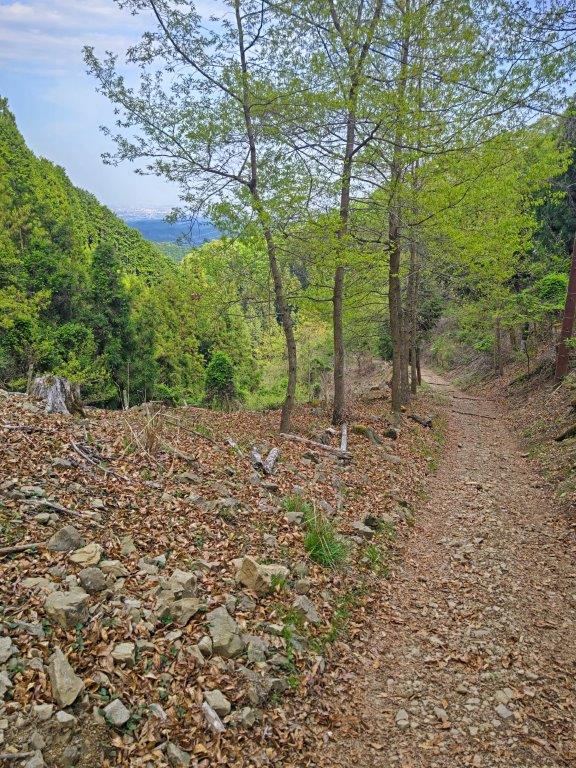
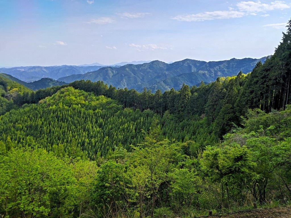
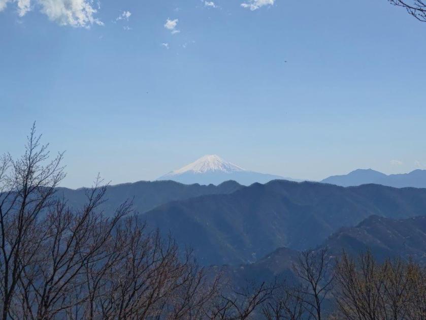
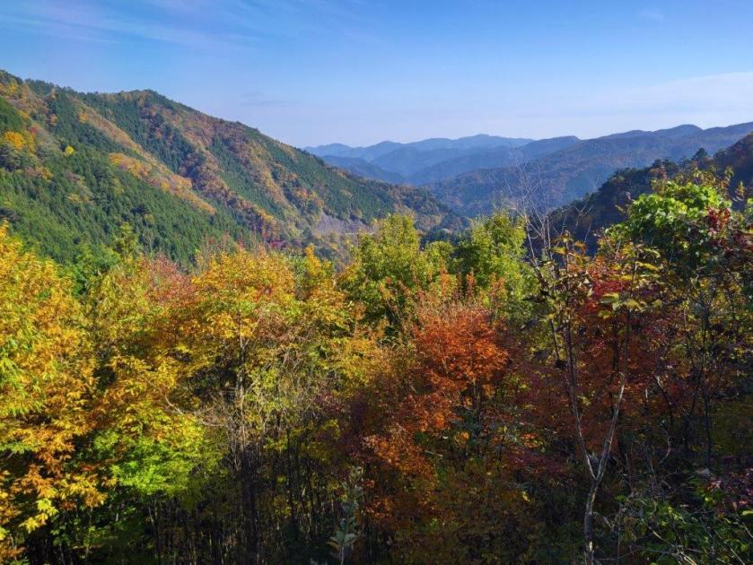
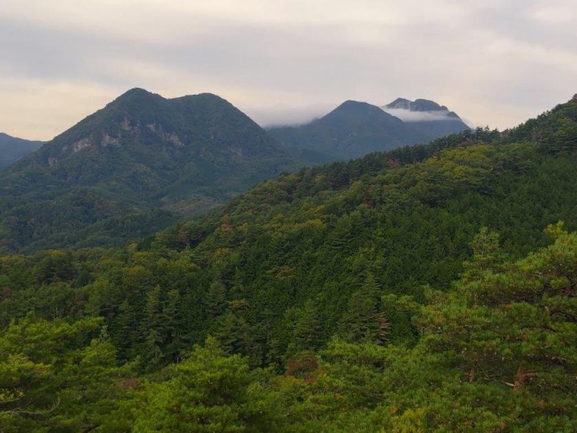
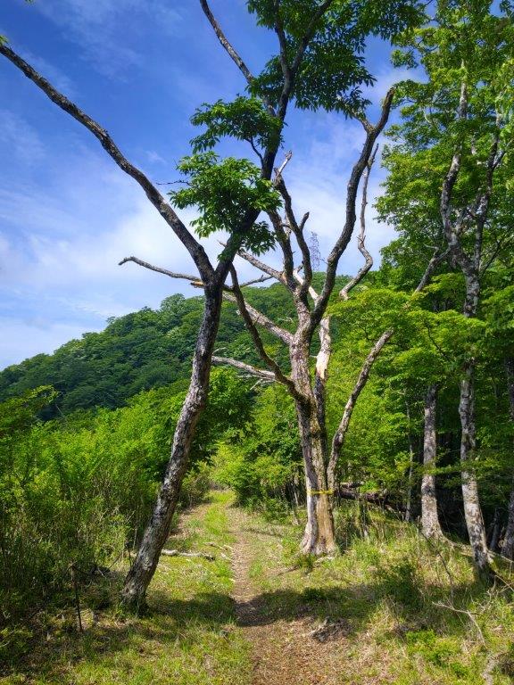
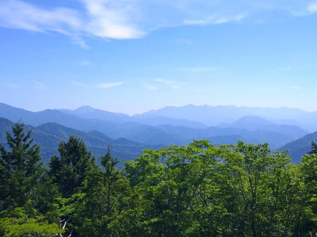
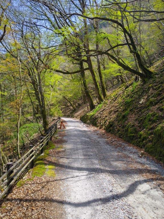
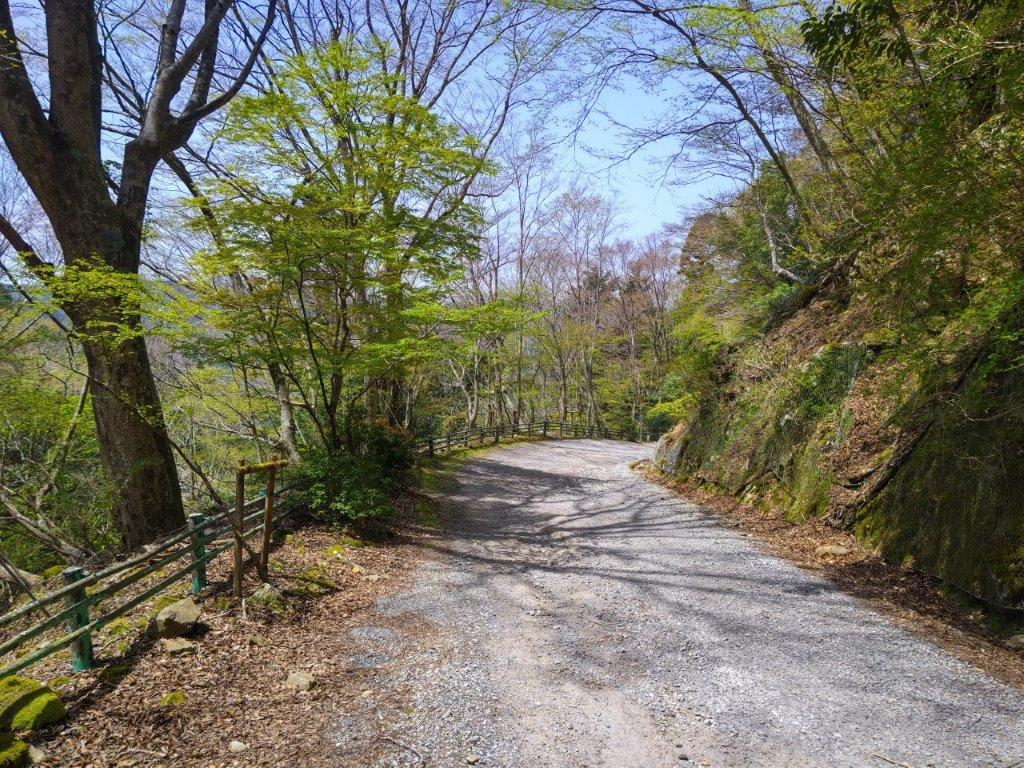
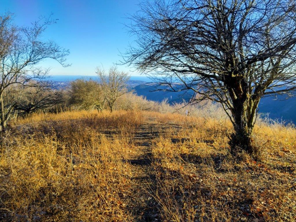
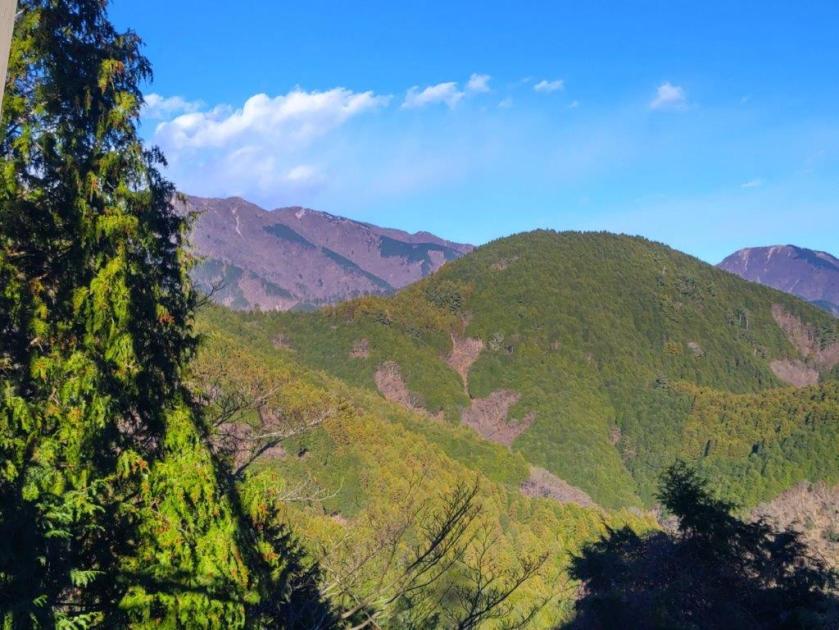
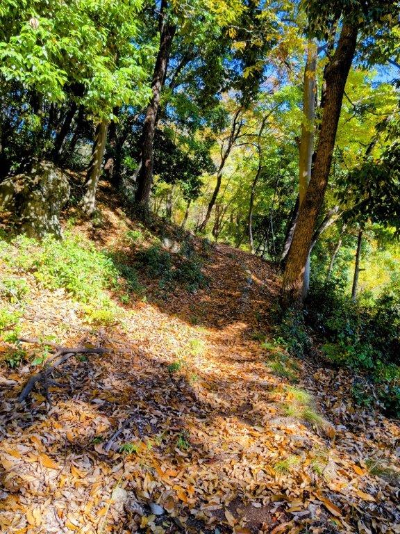
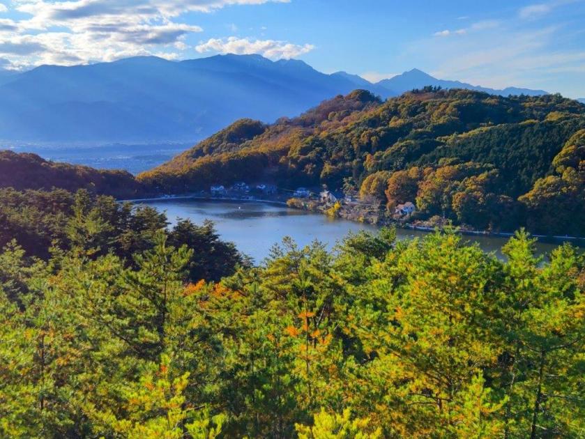
I was happy to see that the north side was also clear of clouds; I could make out Mt Mitake, with Mt Honita to its right and Mt Kumotori to its left. I resumed my hike and headed back to the start of the log steps, also the junction with the main trail. Here, I turned right, going around the summit on the south side. At 3pm, I rejoined the main trail descending the south side of Mt Hinode. From near Komuro rock, I had a view of Mt Aso and the Tokura-sanzan to the south. At the junction for the Hinode Hiking Trail, I continued straight on a forestry road and soon reached a cleared section giving me a view of the forested ridgeline of the Shirataki hiking route. As I descended into the valley, the dirt road turned into a paved road; I entered a cedar forest alongside a mountain stream.
Walking the Forestry Road to Tsurutsuru Onsen
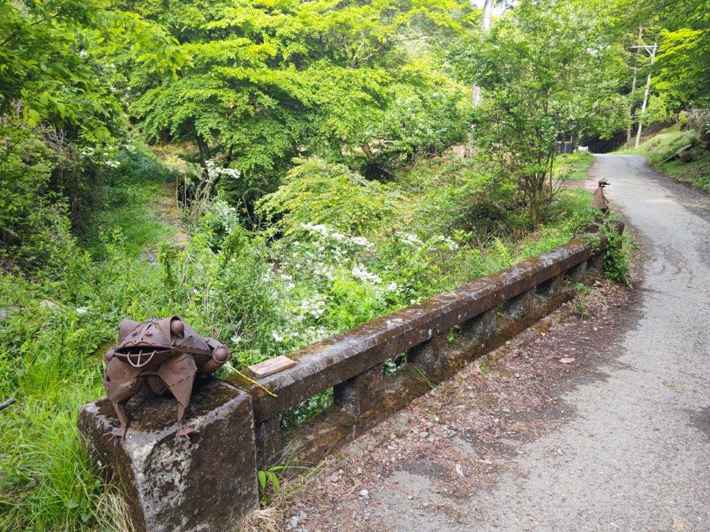
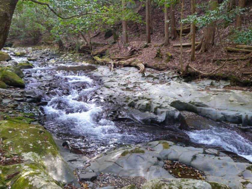
Bridge at the End of the Hiking Trail
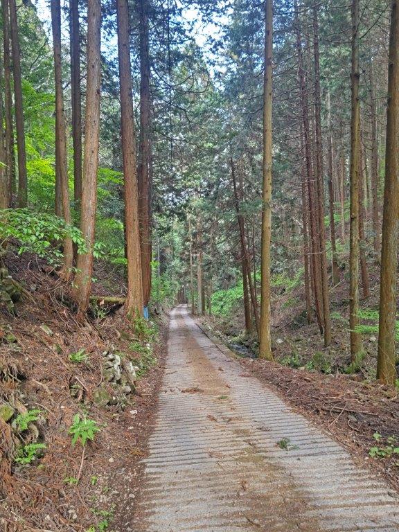
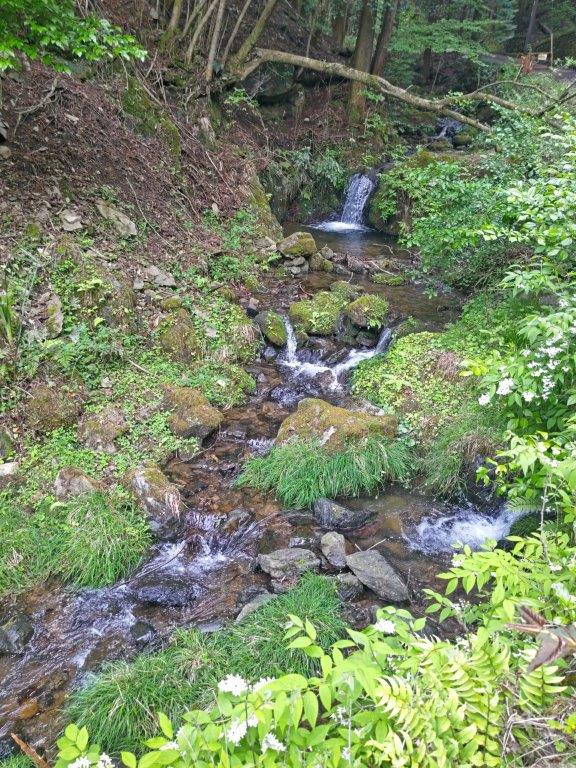
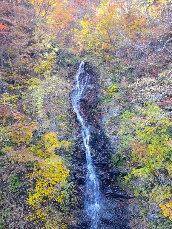
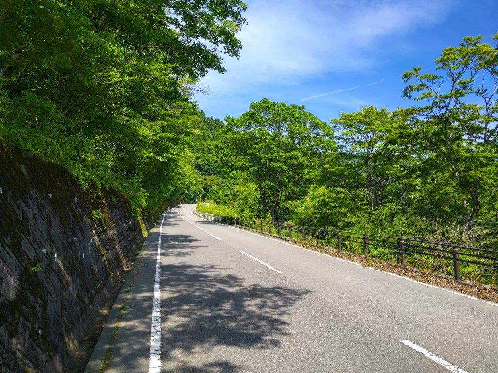
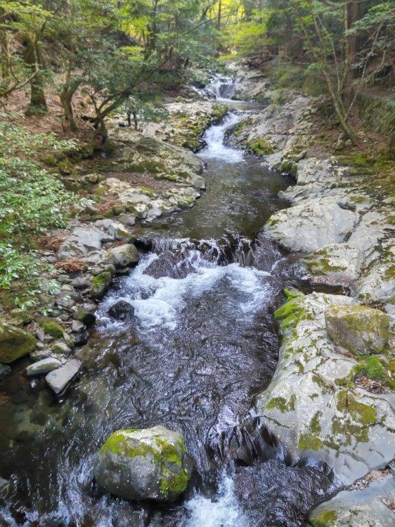
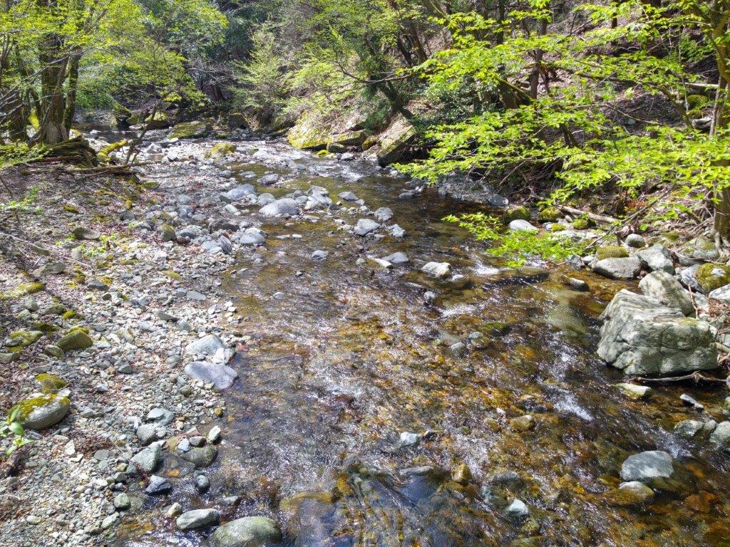
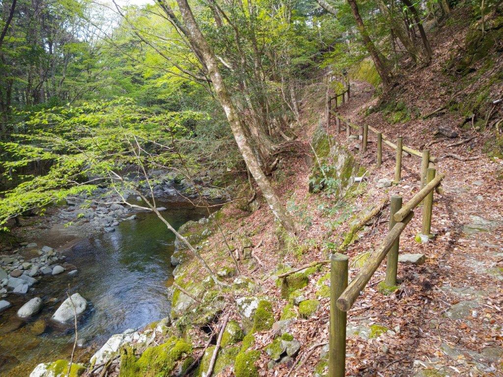
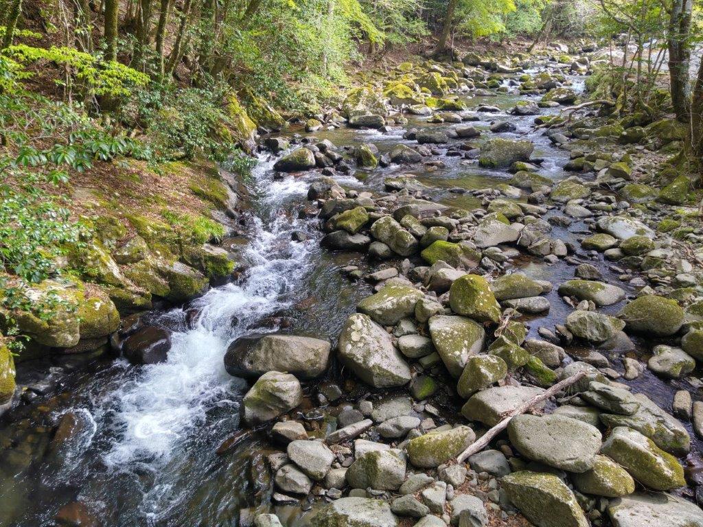
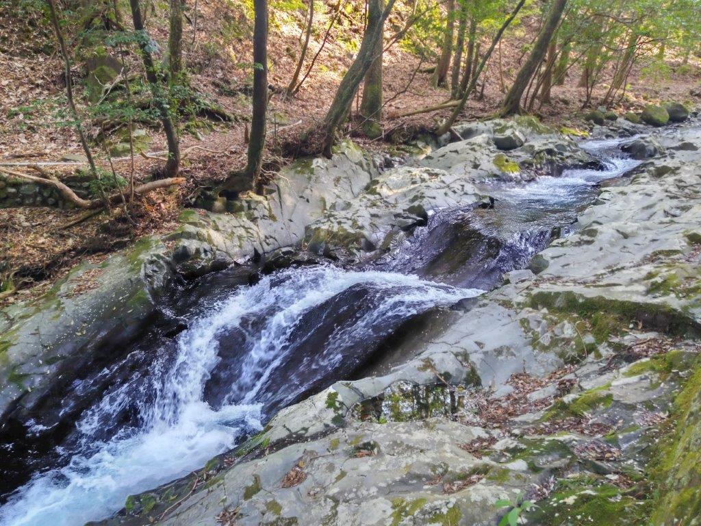
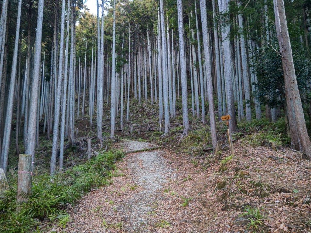
I enjoyed walking with the sound of running water, a nice bonus near the end of today’s hike; soon I could also enjoy the sight of water rushing down miniature gorges and over tiny waterfalls. A little before 4pm, I passed the end of the Hinode Hiking trail, just before a bridge over the river. From there it was a 15-minute walk along a road to Tsurutsuru onsen. After a relaxing hot spring bath, I boarded the bus for the short ride back to Ome station, where I transferred to the Ome line for the one-hour trip back to Tokyo.
Watch a Video of the Hike
See More Pictures of the Hike


You must be logged in to post a comment.