
I wanted to explore the valley I had passed through by bus after last week’s hike. I had already hiked east to west from Hachioji Castle Ruins to Mt Dodokoro via Fujimidai nearly 12 years ago. Looking at my map, I saw I could follow some locally maintained trails north to south, partly overlapping with my 2014 hike, connecting the Northern and Southern branches of the Asa river. Along the way I would pass several viewpoints of Tokyo on the east side. If time allowed, I could finish with a walk through the Takao Plum Blossom area to Takaosanguchi Station.
To get to the start of the hike, I’d take the Chuo line Green Car to Takao station, and from there, ride a bus to nearby Kawara-juku, a short way from the trail entrance at Shingenin Temple. At the end of the hike, after a hot bath at Gokurakuyu Onsen, I could ride the Keio line one stop to Takao station and board the Chuo line back to Tokyo. The weather was supposed to be mostly sunny but windy in the morning. I was looking forward to checking out new trails and views in a familiar area, as well as seeing the plum blossoms, in full bloom in this season.
Find my Hikes on Japanwilds
Find Japan Hiking Maps on Japanwilds and subscribe to our newsletter
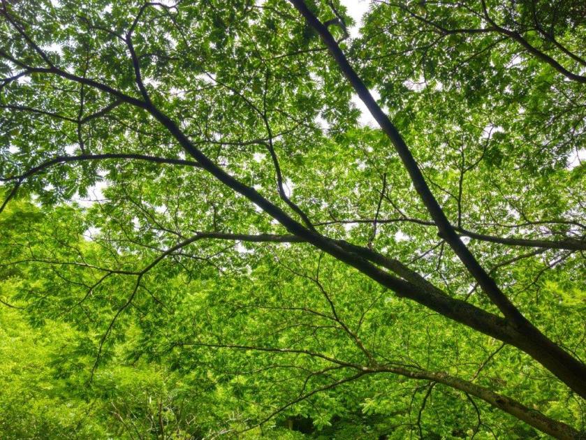
Approaching Dairokuten (left) Trail for Hachioji Castle Ruins (right)
Approaching Mt Hachioji-Shiro (left) Trail for Fujimidai (right)
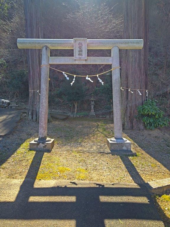
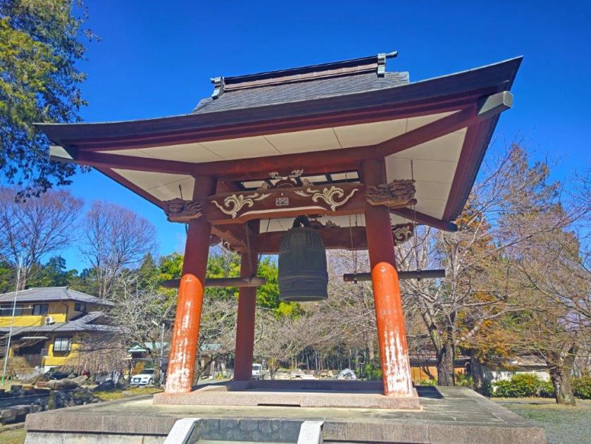
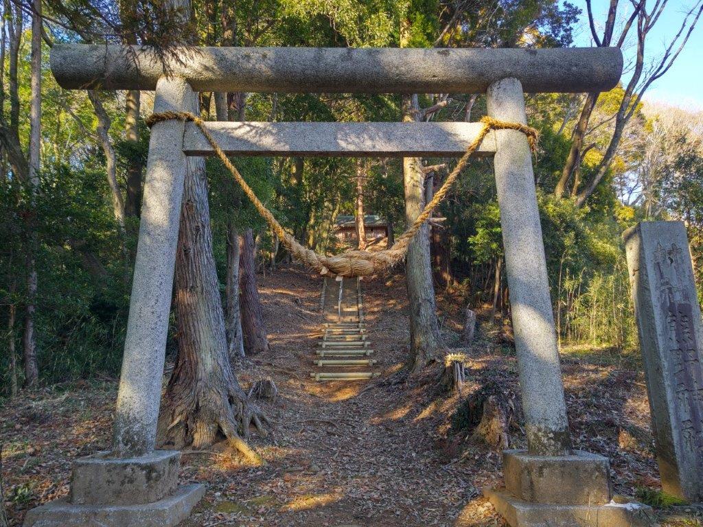
The sun was already high in the sky as I rode the train through western Tokyo, arriving at Takao station shortly after 10am. It was about a 10-minute ride to Kawarajuku-Ohashi, a bus stop on a bridge over the Kitaasa River. Kawara-juku used to be a small post town on an old mountain road connecting Hachioji with Uenohara, although nowadays little remains of its historical past. I arrived at Shingenin temple (心源院) a little before 11am, and after checking out its impressive, bright red bell tower, headed towards the start of today’s hike.
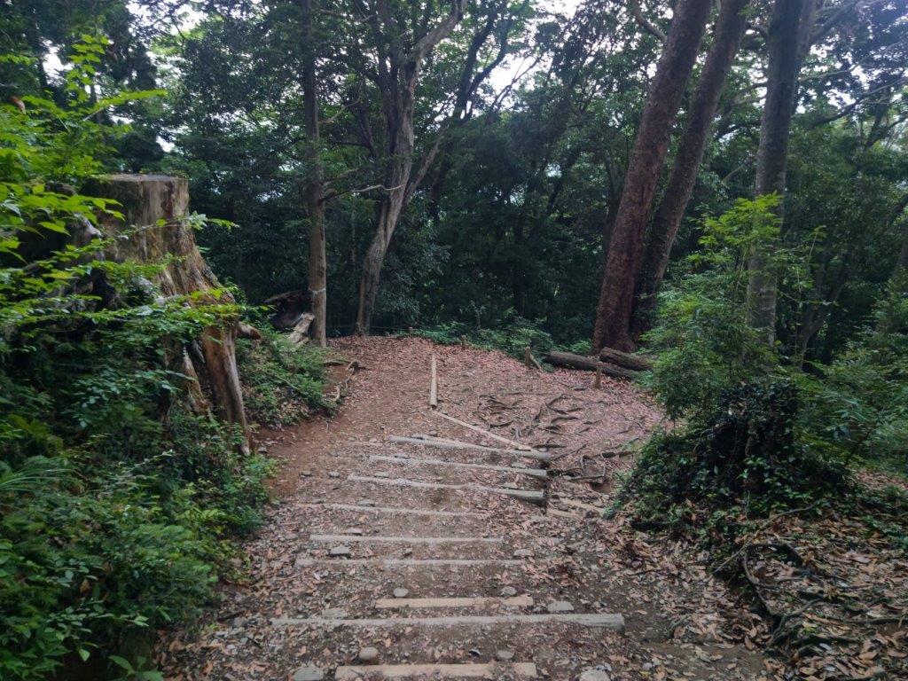
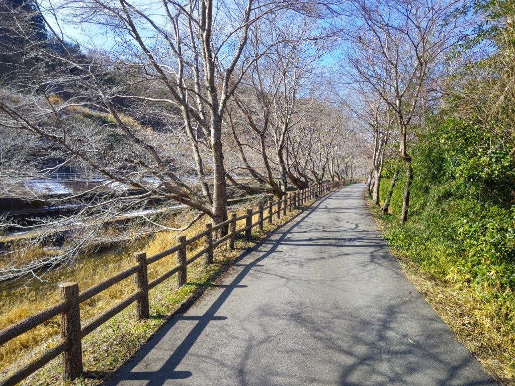
Descending towards Takao Baigo (right) Path for Ura-Takao (right)
Approaching Tenjin Bairin (left) Walking the Takao Baigo Promenade (right)
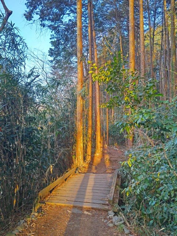
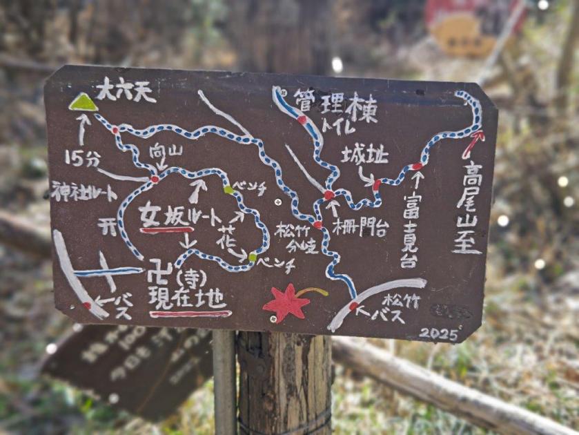
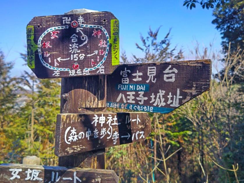
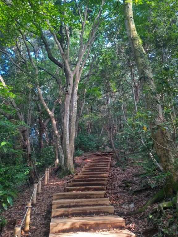
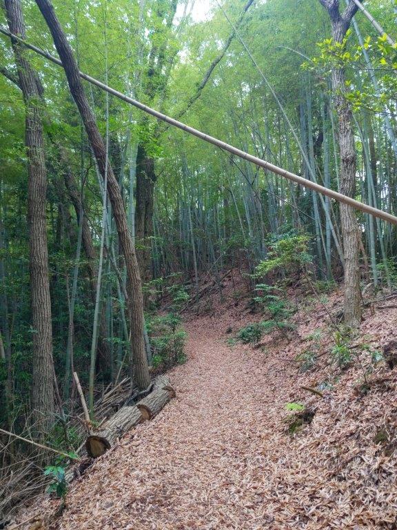
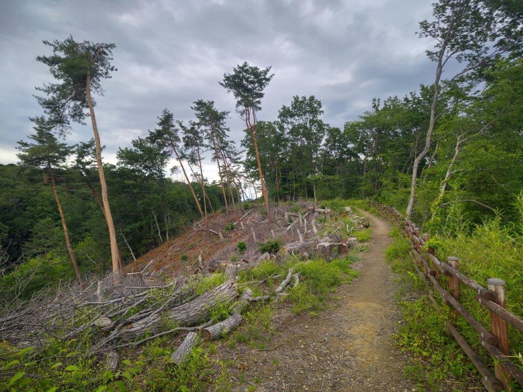
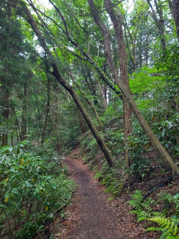
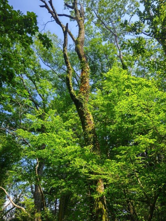
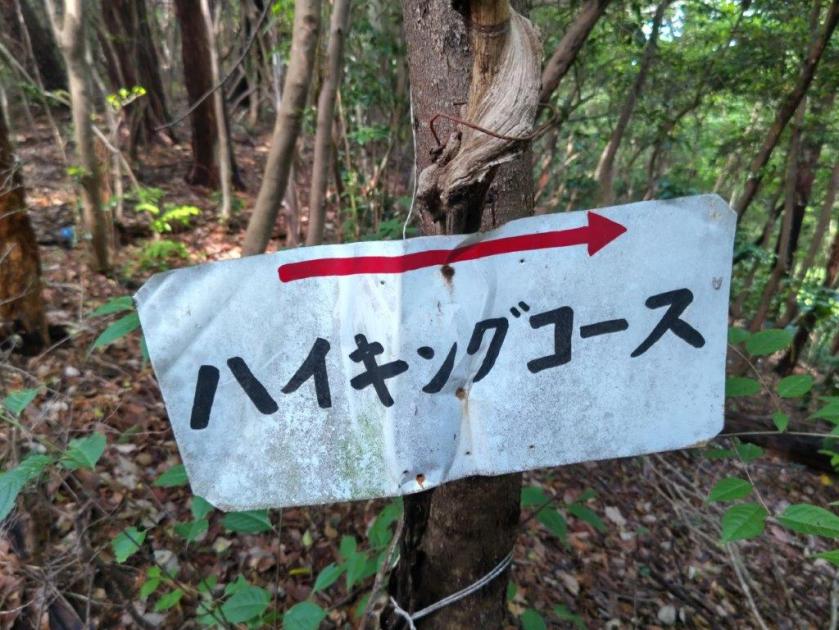
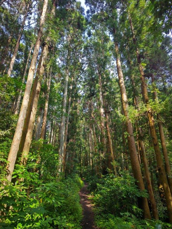
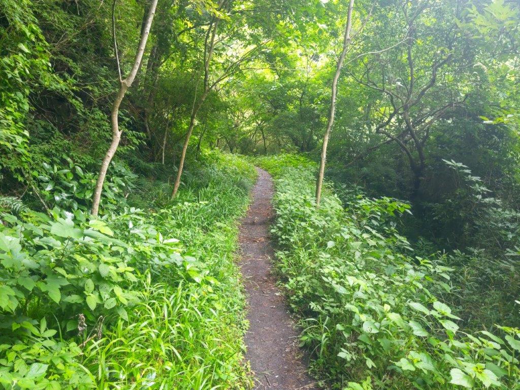
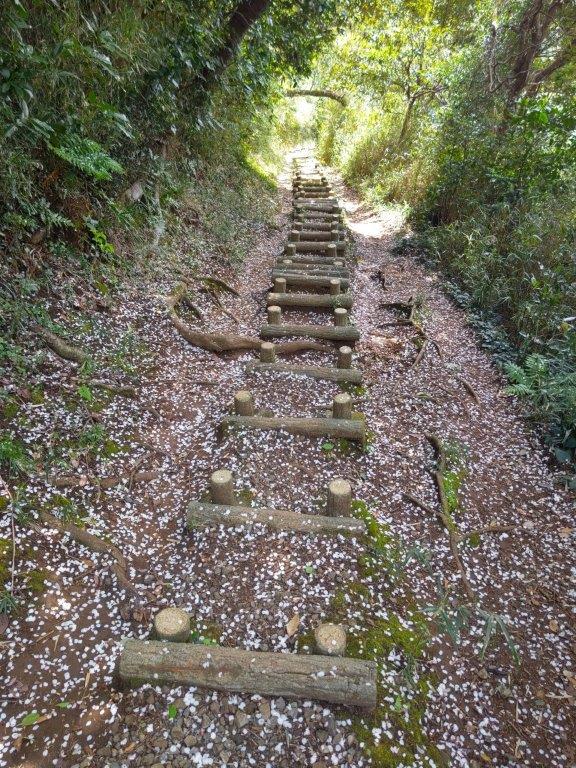
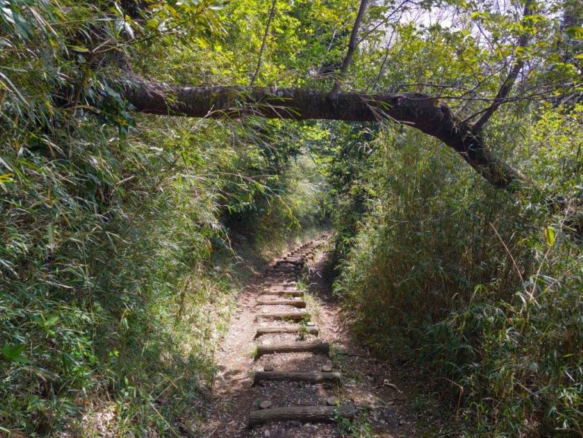
I was surprised to see detailed, handwritten local signposts at the trail entrance, showing that the paths are well-maintained by local groups. I headed up the Women Slope Trail (女坂ルート) as it seemed more interesting than the Shrine Trail (神社ルート) which started from as shrine on the other side of the temple. After a short climb through thick forest, I found myself walking along a ridge with sparse vegetation. I soon reached a bench at the edge of the forest with a wide view to the north.
Benches mid-way to the first viewpoint
First Viewpoint along the Woman’s Slope
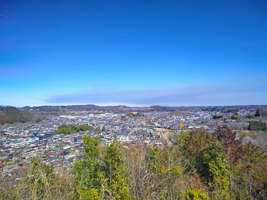
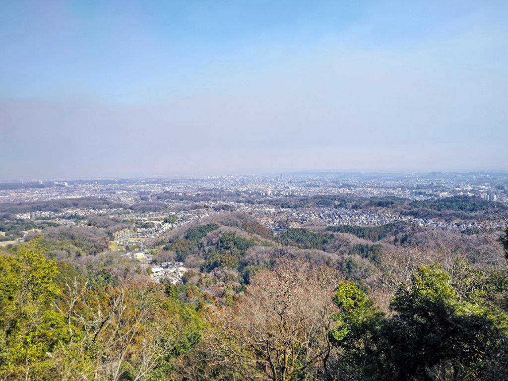
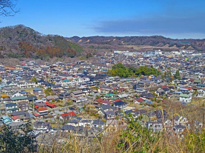
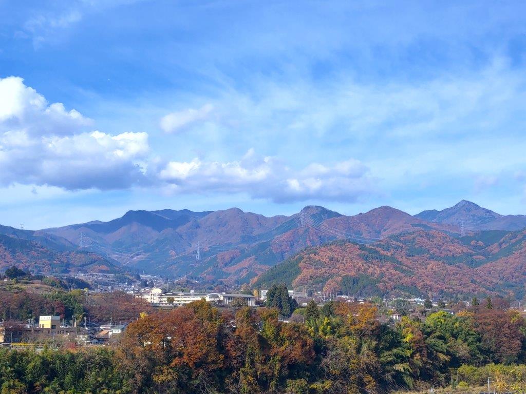
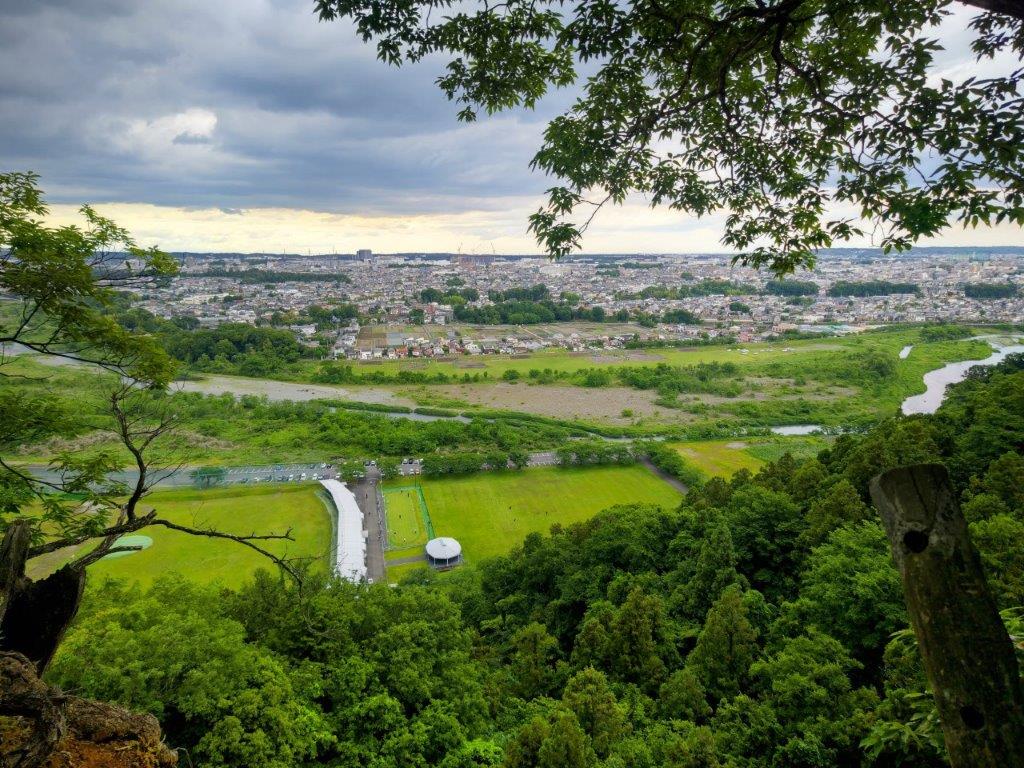
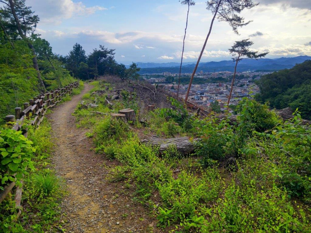
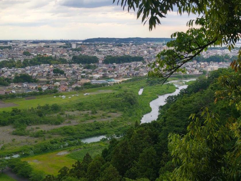
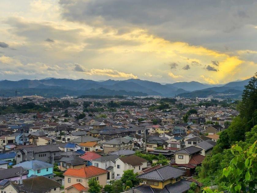
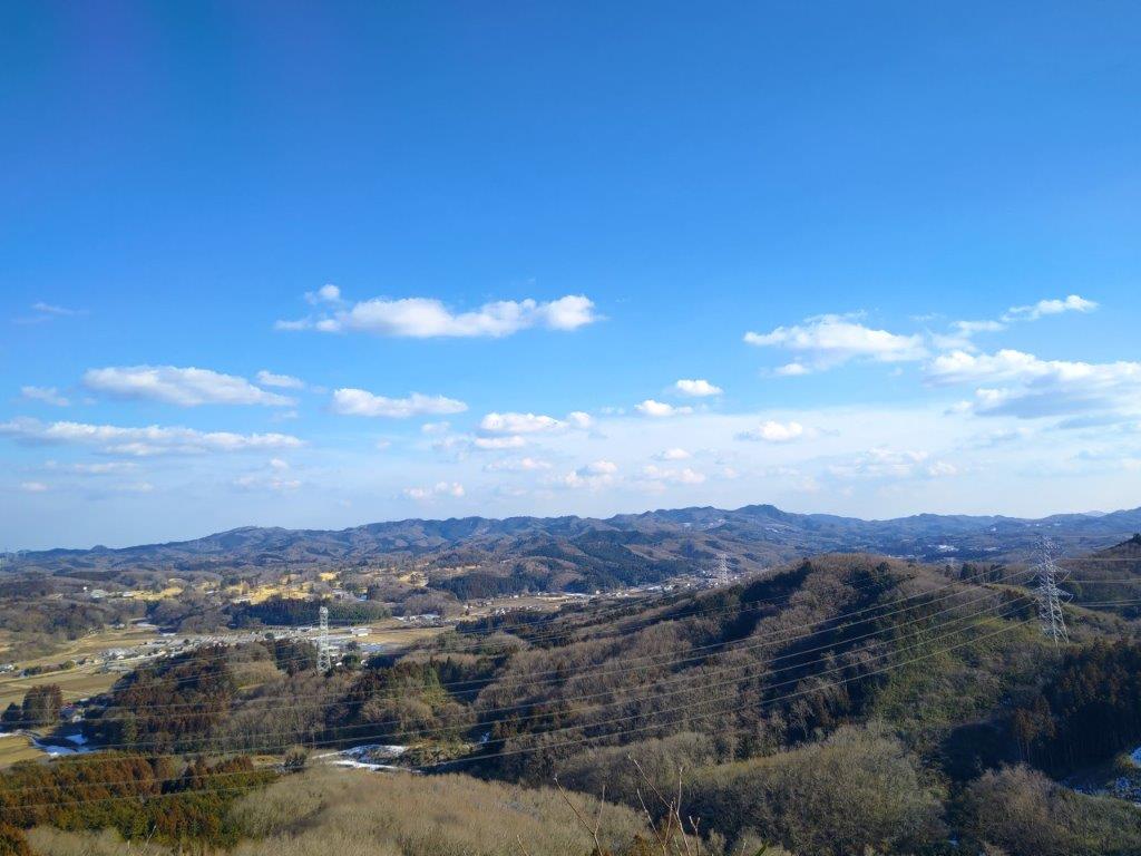
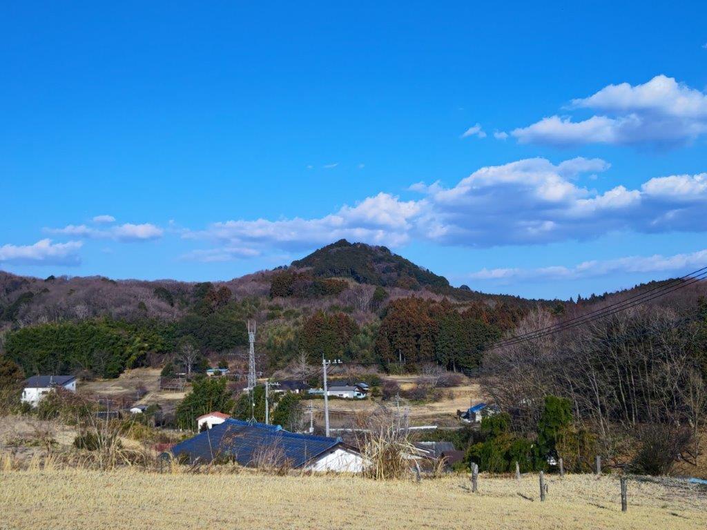
I was delighted to get a view so soon on the hike especially since it wasn’t on my maps. The valley was filled with colourful rooftops spreading to the Akigawa Hills in the far distance. The wind was blowing hard so I continued on my way, now heading southwards. Along the way, I admired the frequent signs, informing me of what to watch for in terms of vegetation (e.g. best time to see a certain type of flower) and what to watch out for in terms of trail hazards (e.g. trail becomes narrow). Shortly after passing the junction with the more direct, but less scenic Shrine Route, I turned left at the next junction, and a couple of minutes later, arrived at Dairokuten (大六天 だいろくてん), the first mountain and second viewpoint of the day.
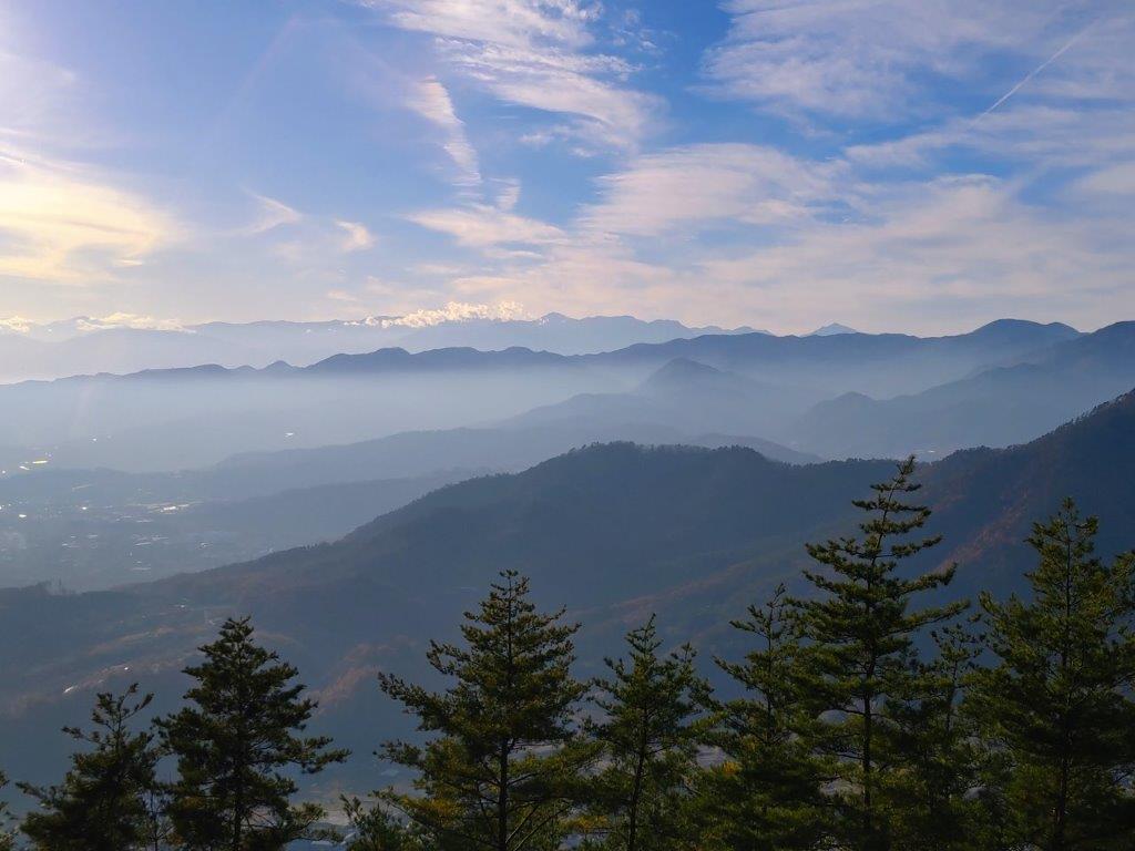
View North from the Woman Slope Trail
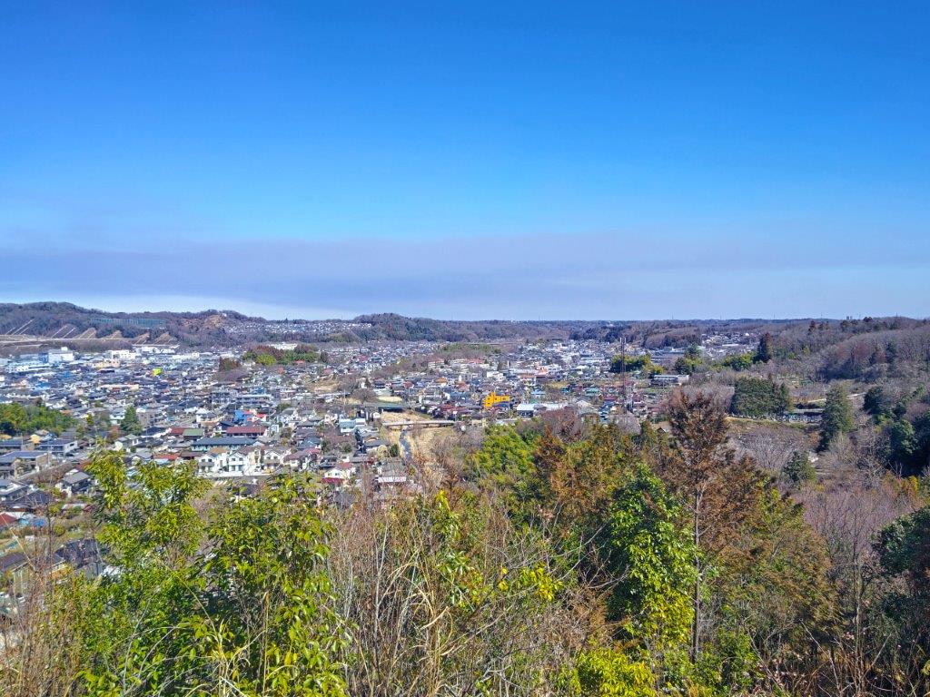
The Colourful Rooftops fill the Valley to the Akigawa Hills
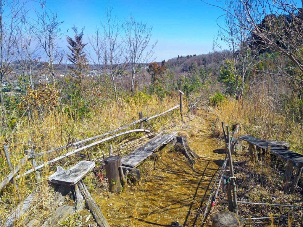
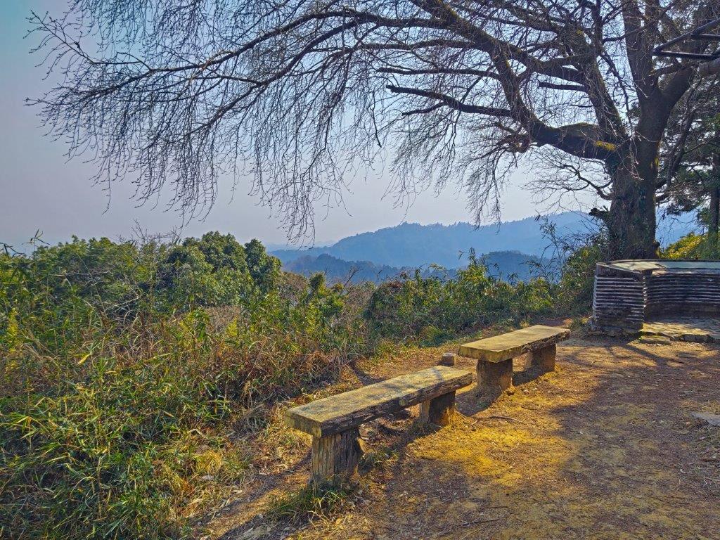
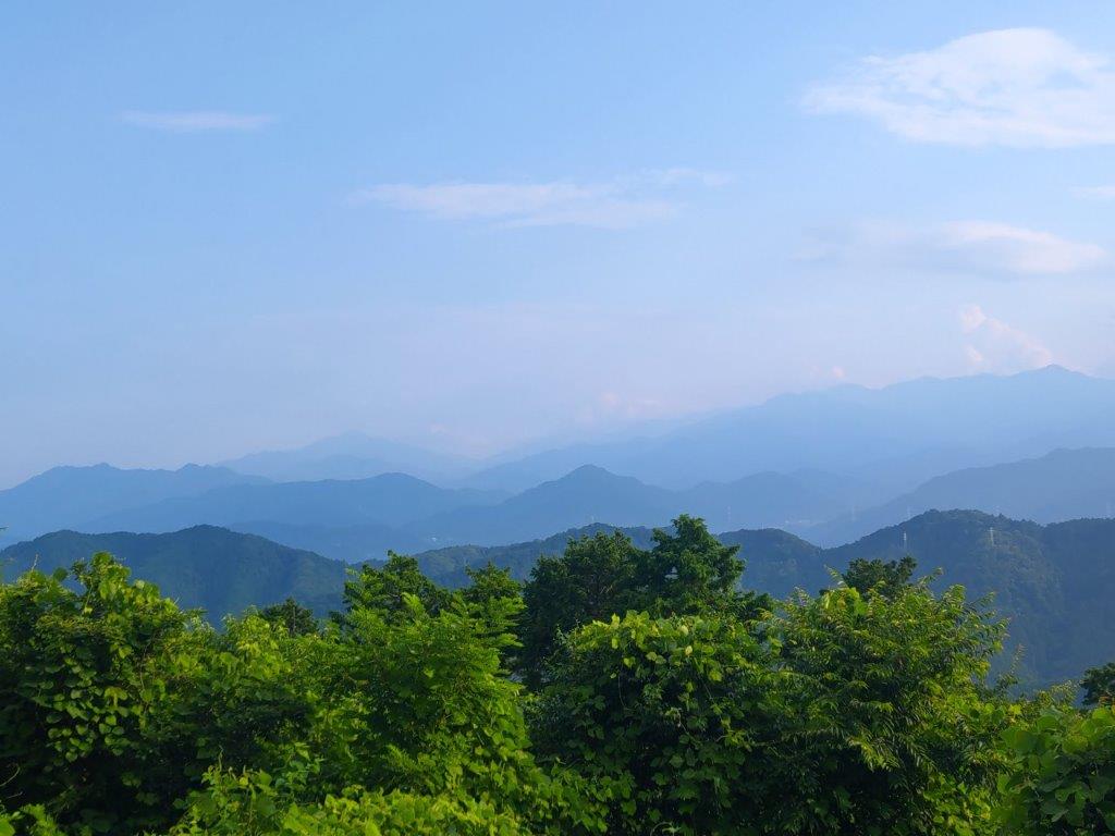
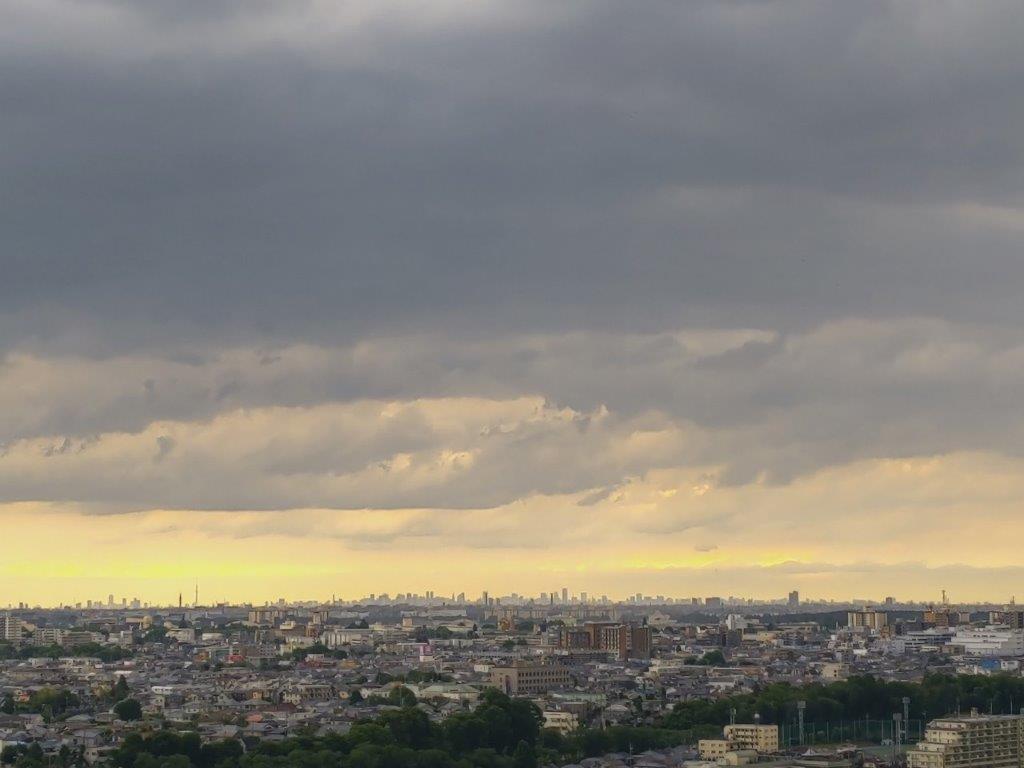
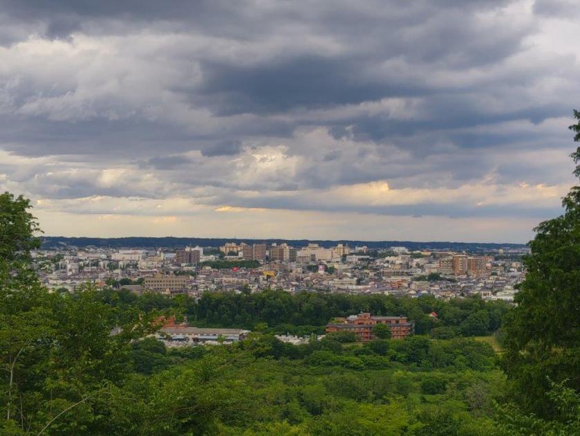
I immediately felt very relaxed in this place, with its handmade tables and seats, in addition to the charming signs. Northeast, I could distinguish the pointed shape of Mt Odake. The Kanto plain extended eastwards, the skyscrapers of central Tokyo barely visible through the haze. Apparently, the Oku-Nikko mountains and Mt Tsukuba can be seen on days with high visibility. I had this heavenly place all to myself; I settled on one of the benches for an early break but was soon chased by a persistent cold wind. I retraced my steps to the last junction and continued straight, now heading south.
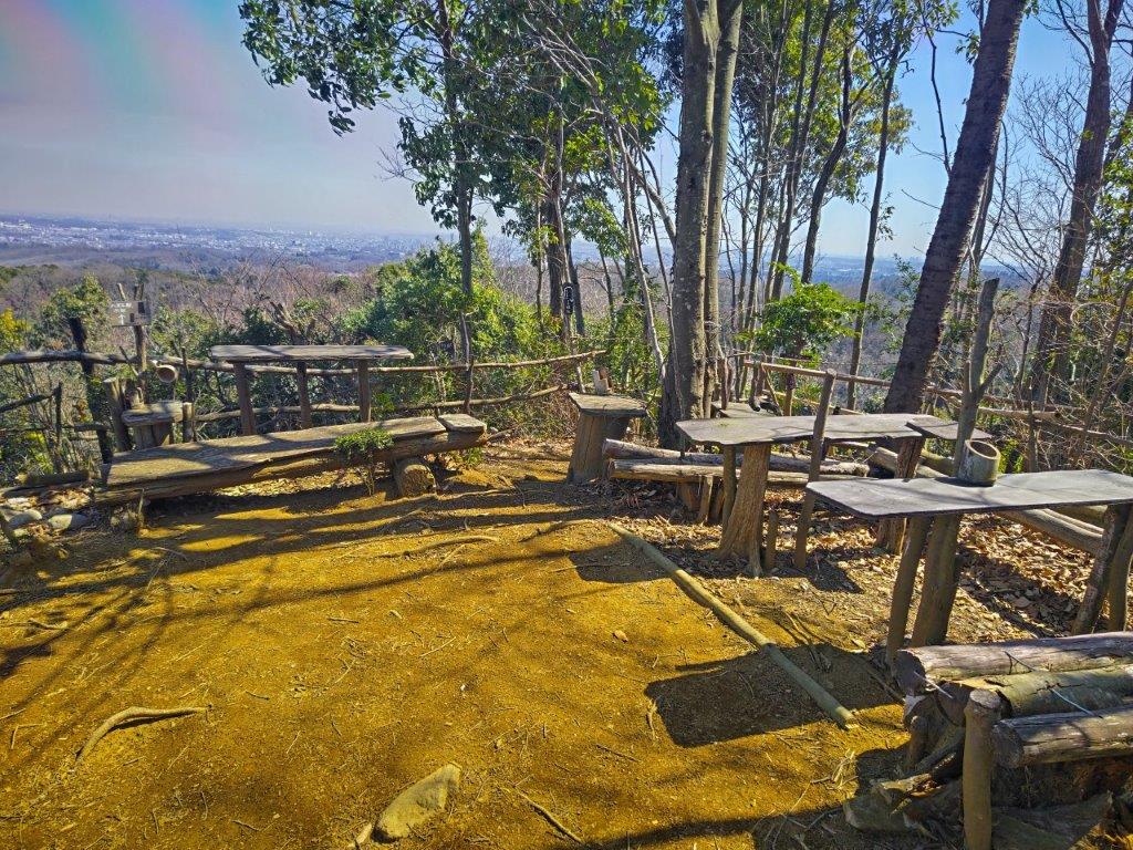
Dairokuten Viewpoint
Handmade Benches and Tables
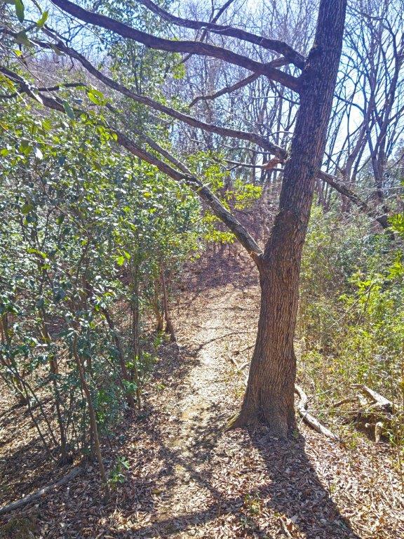
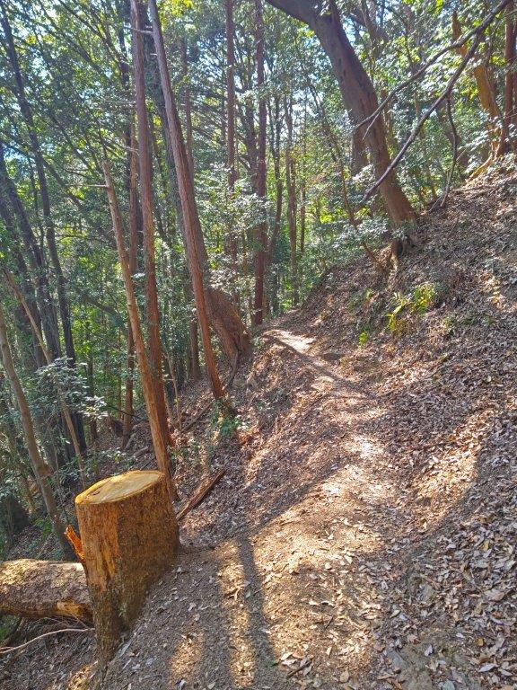
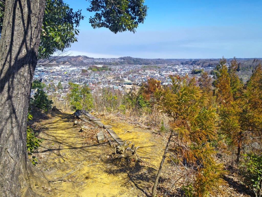
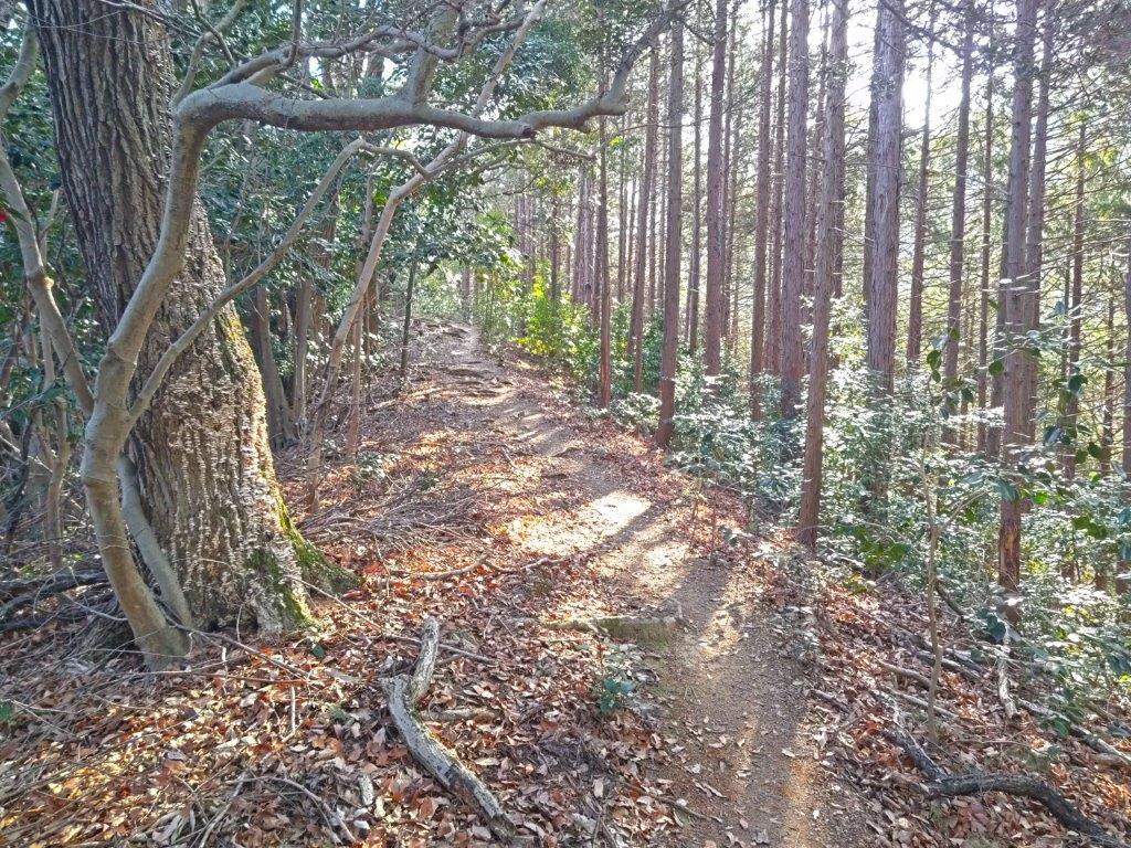
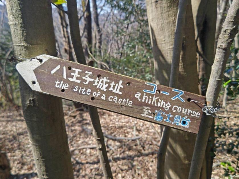
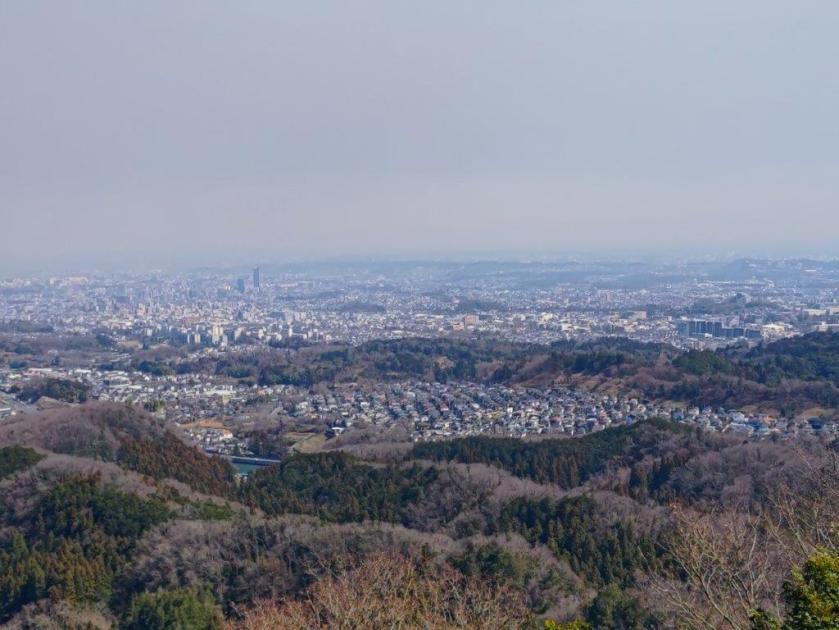
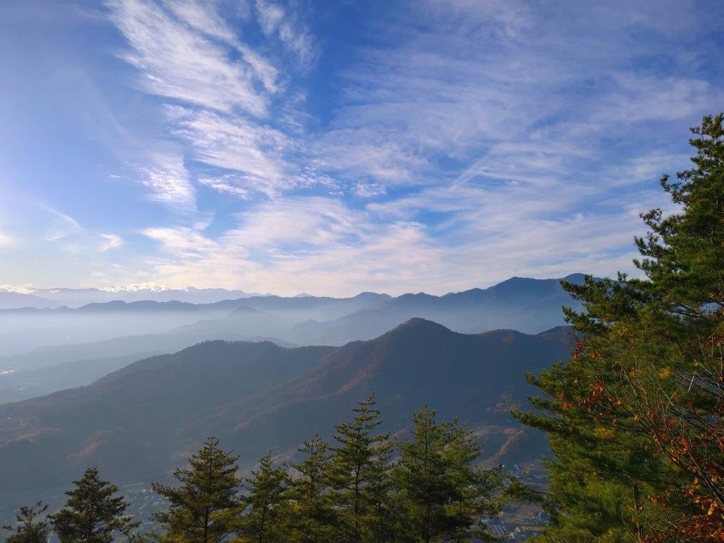
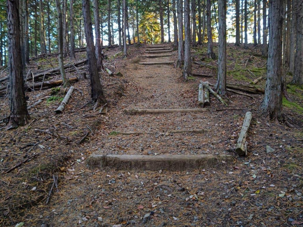
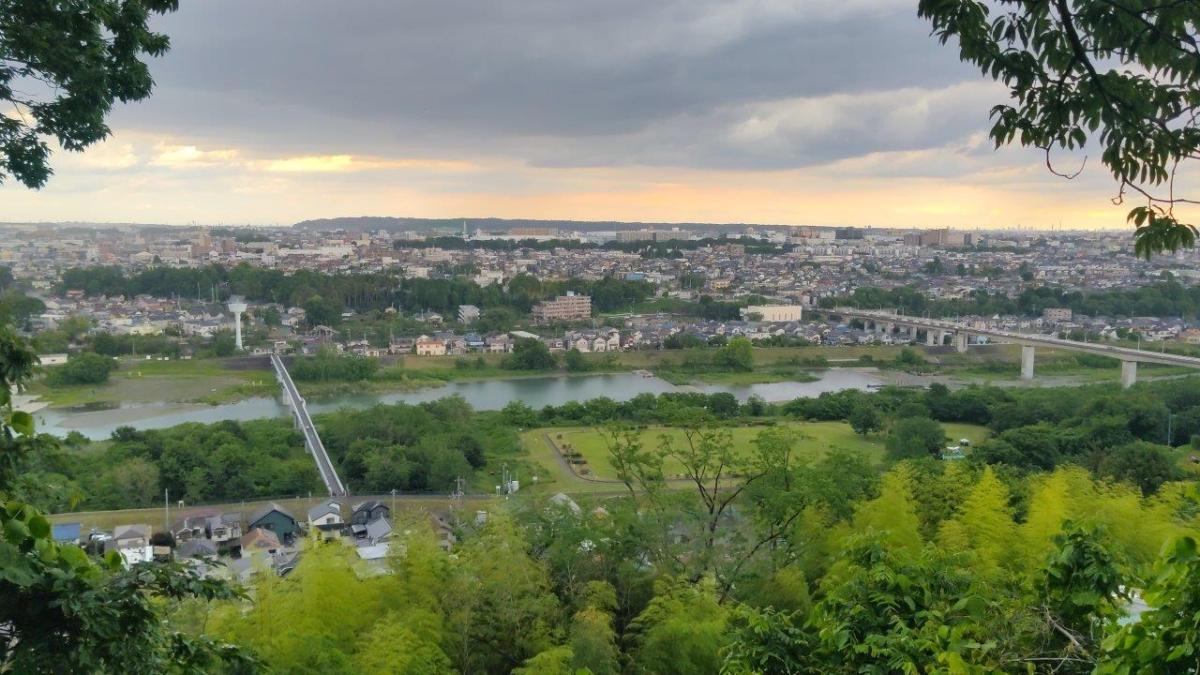
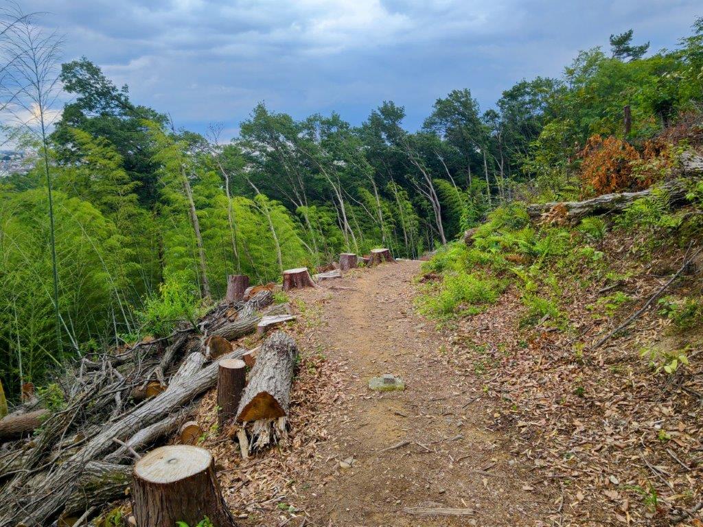
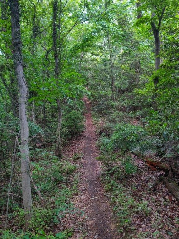
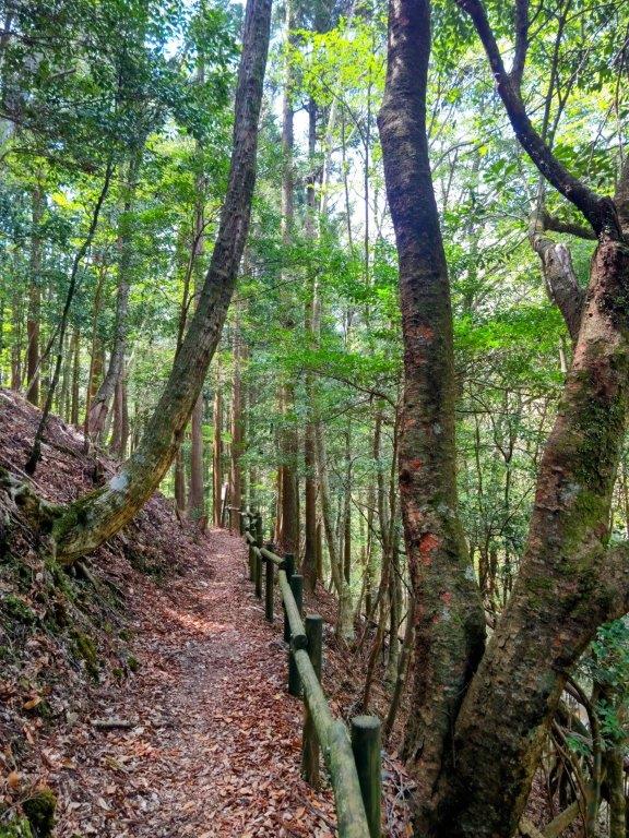
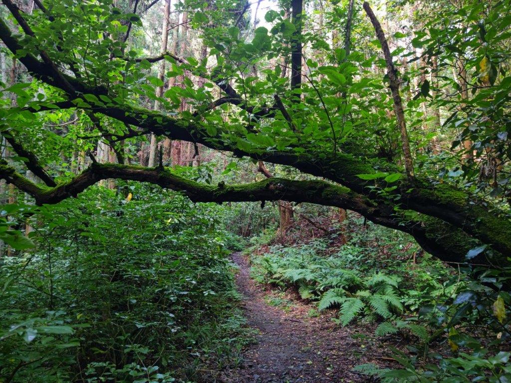
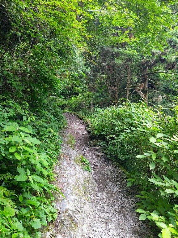
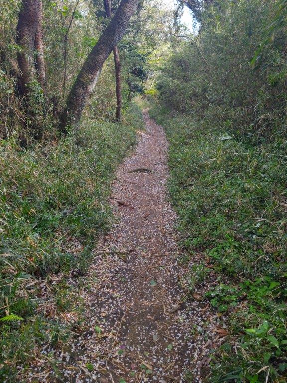
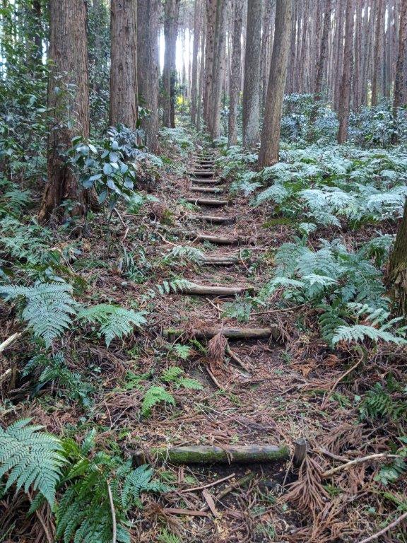
The up and down forested ridge was kept interesting by the frequent signage, revealing many local trails not shown on official maps, place names thoughtfully transcribed in English. Nearly an hour later, I turned right at Sakumon gate site (柵門跡), merging with the main trail for the Hachioji Castle ruins, also the route of my 2014 hike. From this point, official signposts took over, and I saw more people on the trail. After a short climb up ancient stone steps, I reached a level section free of trees on the left side, offering a view of the Kanto Plain.
View North of the pointed summit of Mt Odake
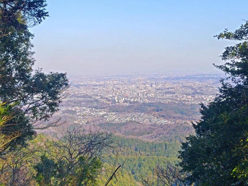
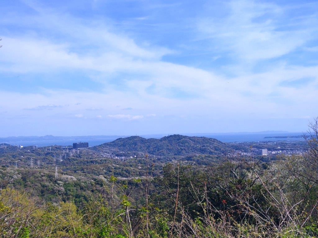
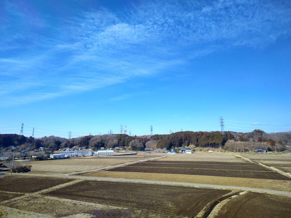
View of the Kanto Plain from near Hachioji Castle Ruins
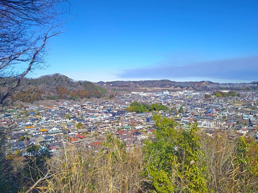
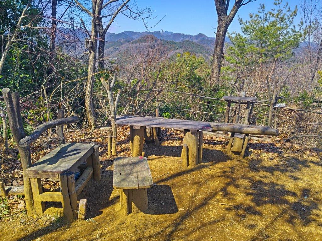
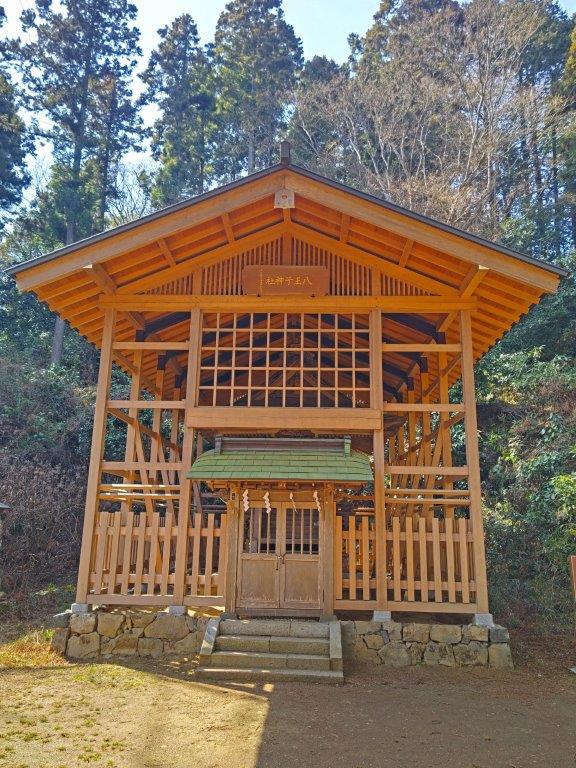
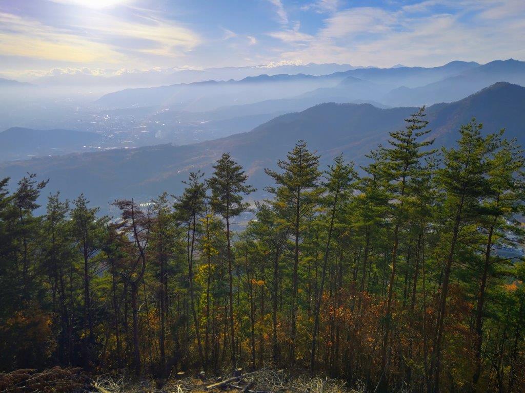
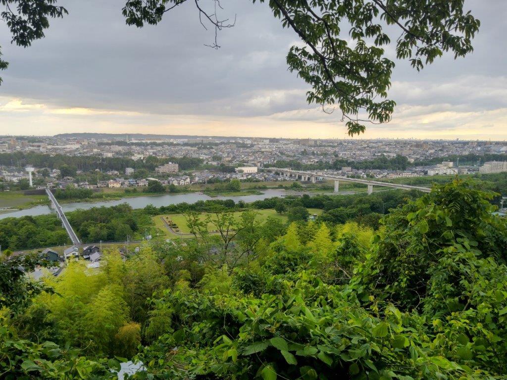
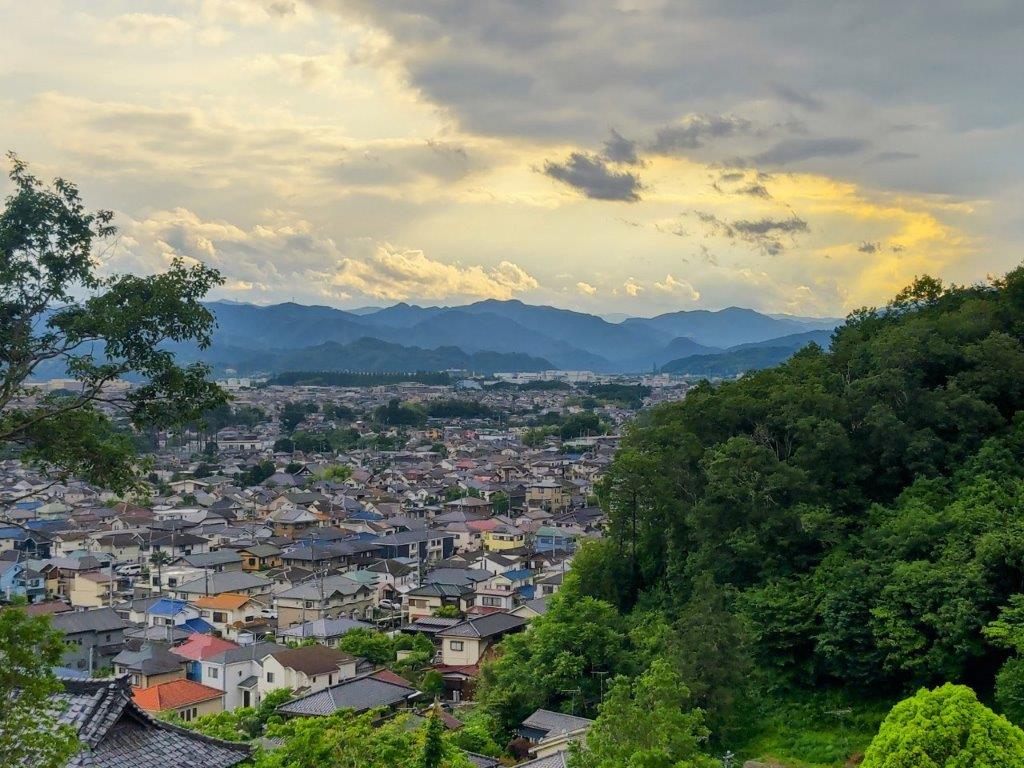
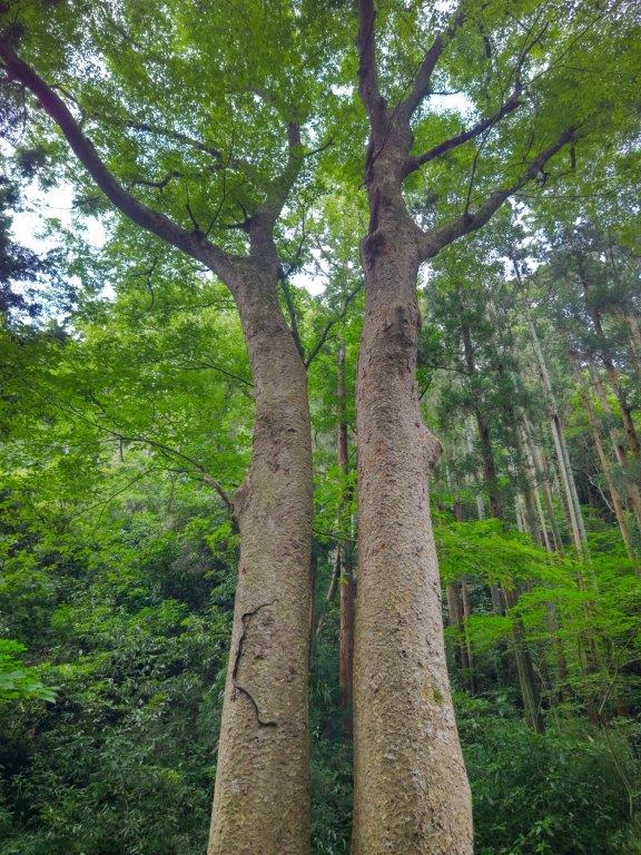
I spent a few minutes enjoying this wide, unobstructed view, looking down at suburban neighbourhoods nestled between low, forested ridges. A little further on, I arrived at Hachioji-jinja Shrine (八王子神社), a bright red wooden building surrounded by tall cedars. After following a path a short way up to Honmaru site (本丸跡), the highest point of Mt Hachioji-shiro (八王子城山 はちおうじしろやま), marked by a small shrine enclosed by forest, I headed down to a group of sunlit benches and tables next to a tall stone memorial, with a view of Tokyo and the Tanzawa mountains. It was past 1pm, so I sat down for a lunch break. The wind had dropped and I spent nearly an hour enjoying the pleasant warmth of the early spring sun.
Sunlit Benches at Hachioji Castle Ruins
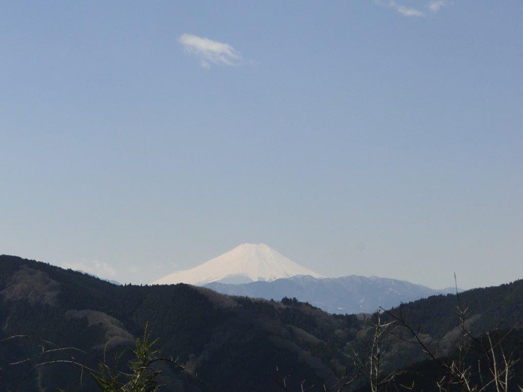
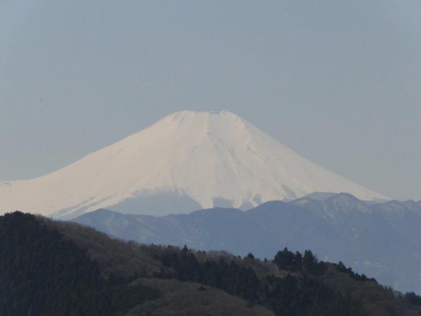
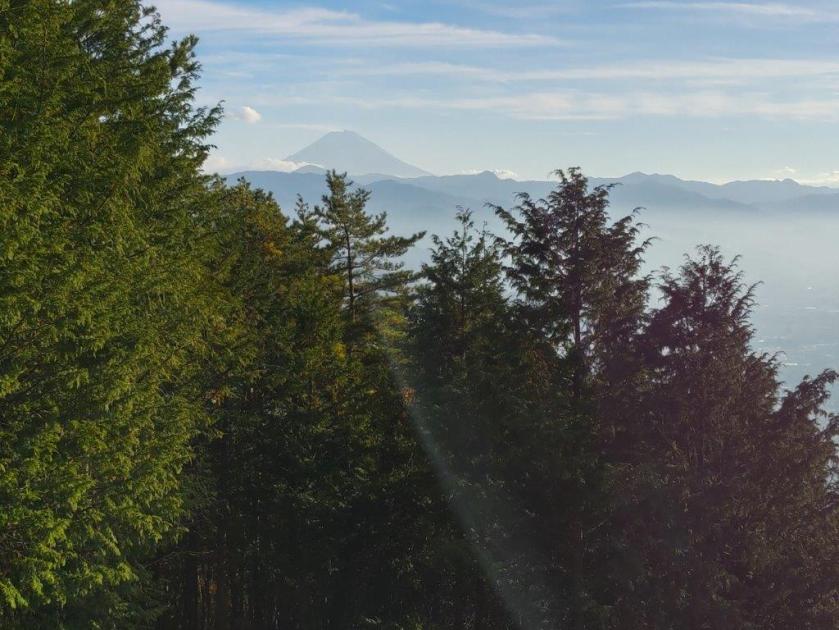
Mt Fuji from Fujimidai (photo March 2014)
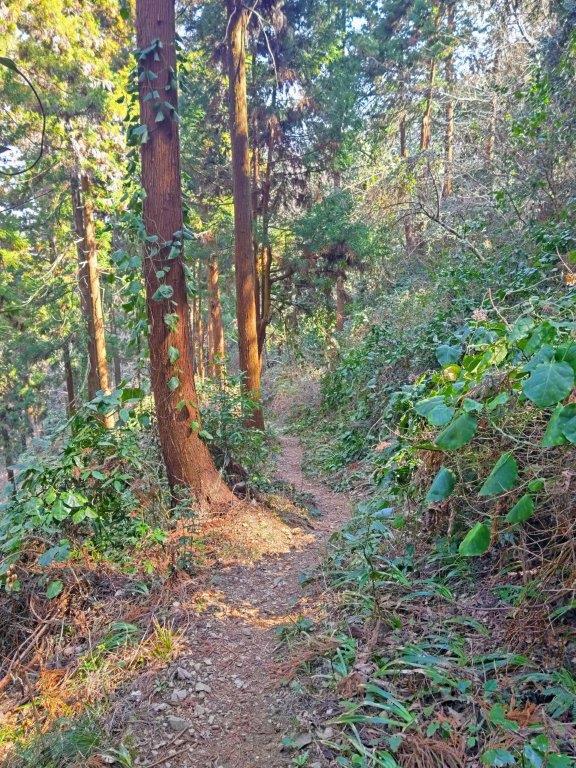
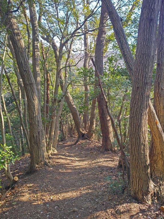
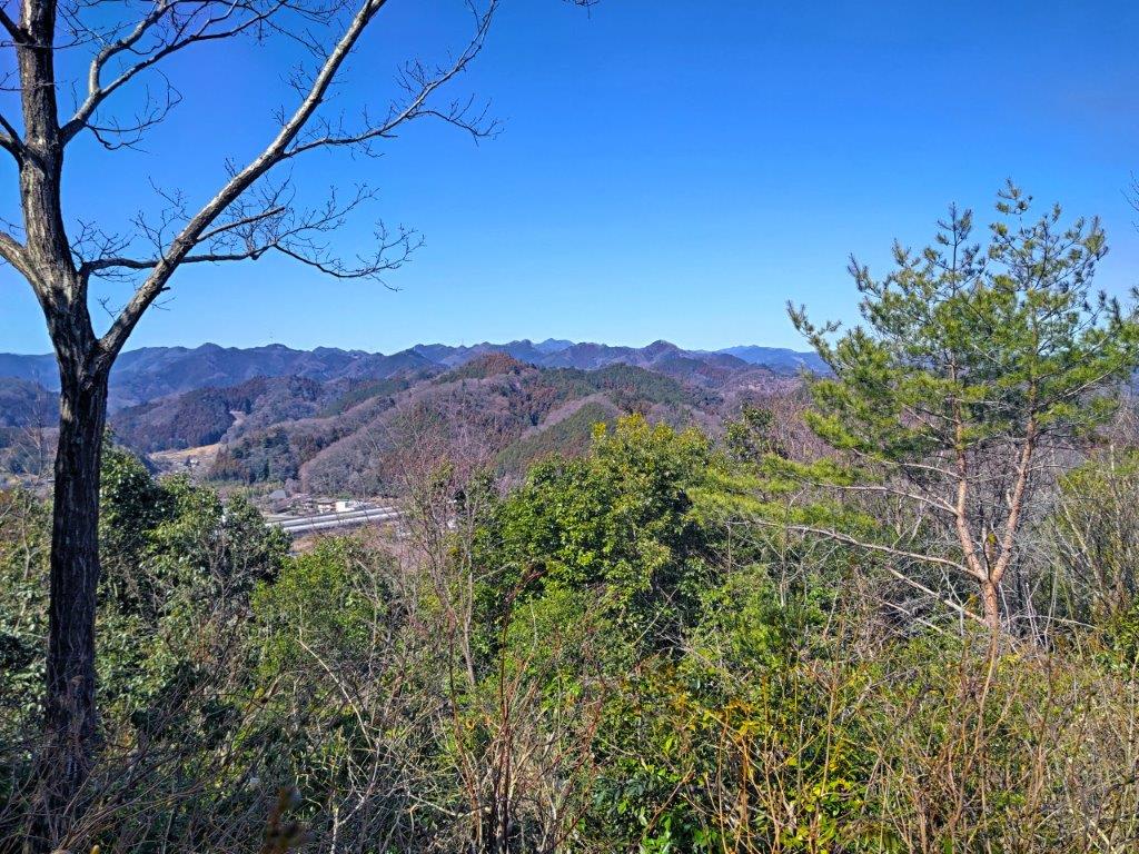
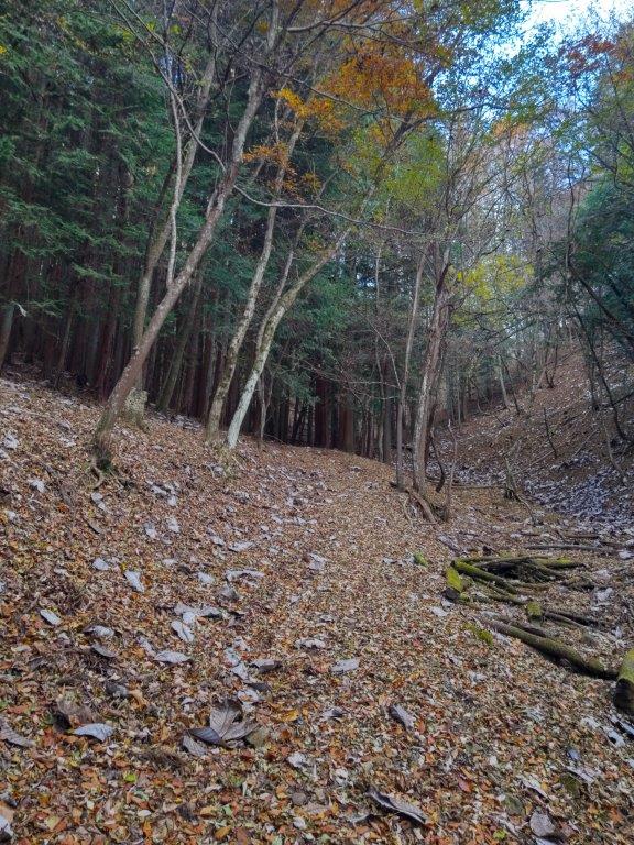
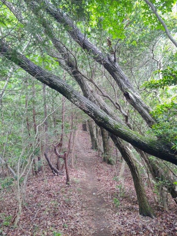
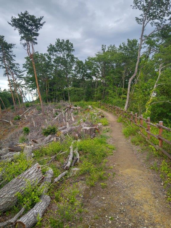
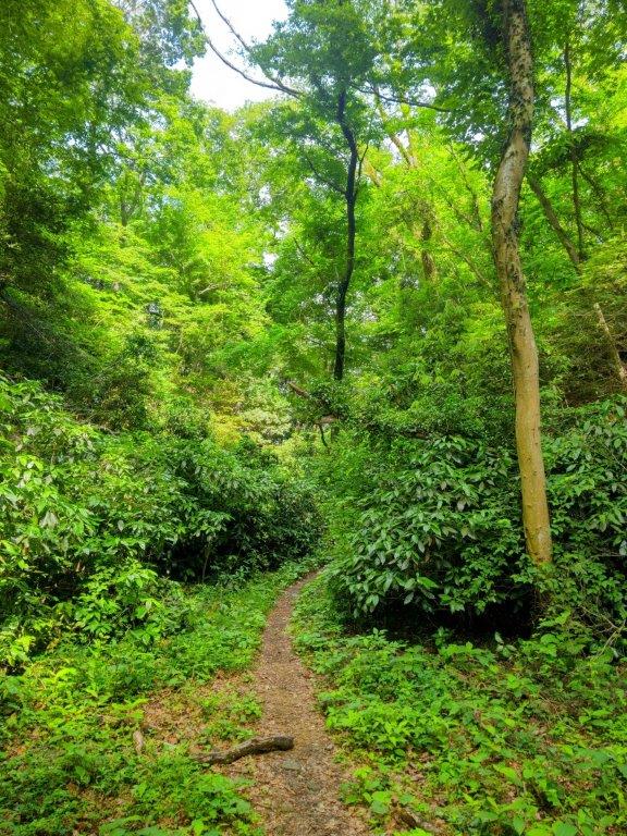
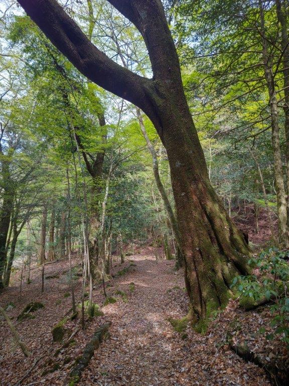
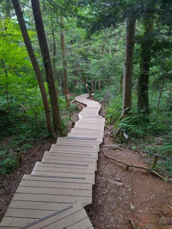
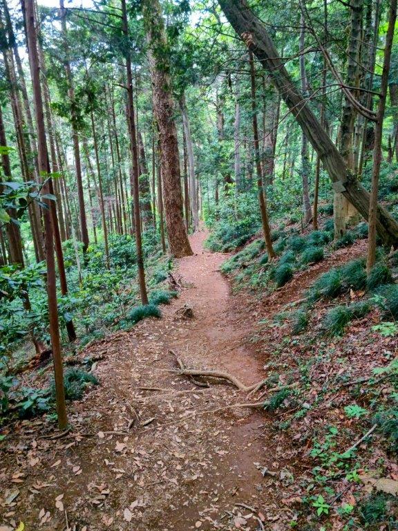
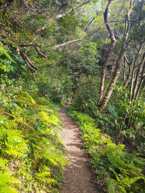
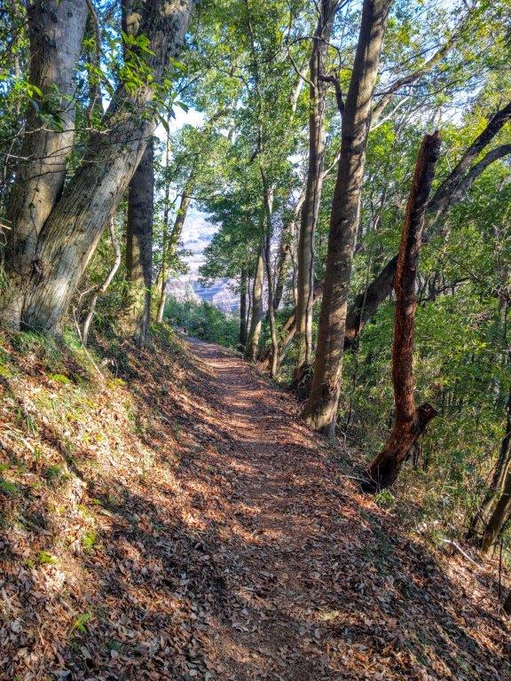
I moved quickly along the next section, since I had walked it before. The trail climbed steadily through beautiful forest, protecting me from the sun but offering no views; the surrounding forest was also completely silent, birds and insects still on winter break. At the top of a steep slope, I reached Fujimidai (富士見台 ふじみだい) a little after 2h30. The name means “Mt Fuji View Platform”, however I was too late in the day and Mt Fuji, normally visible above the ridgeline to the southwest, was entirely hidden by clouds; at least I had had a perfect view on my previous visit. I continued my hike, heading downhill and southwards, leaving behind the trail for Mt Dodokoro, once again exploring a new path.
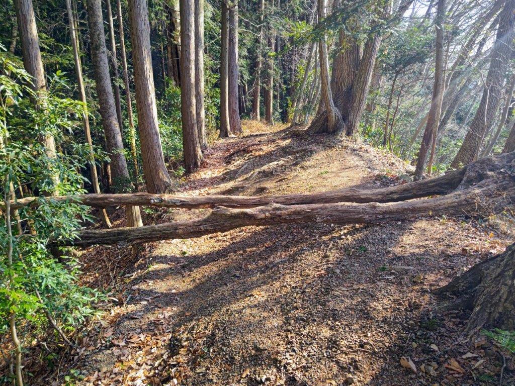
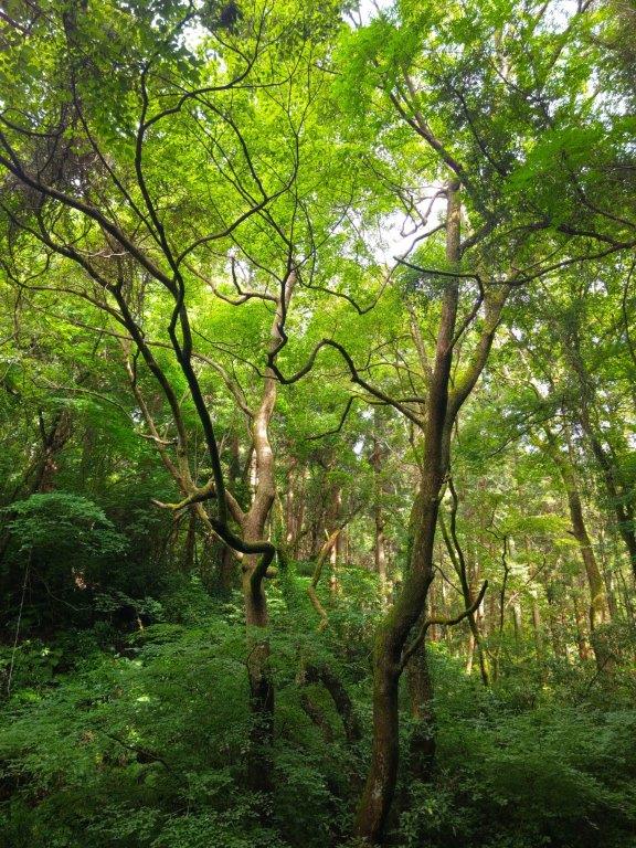
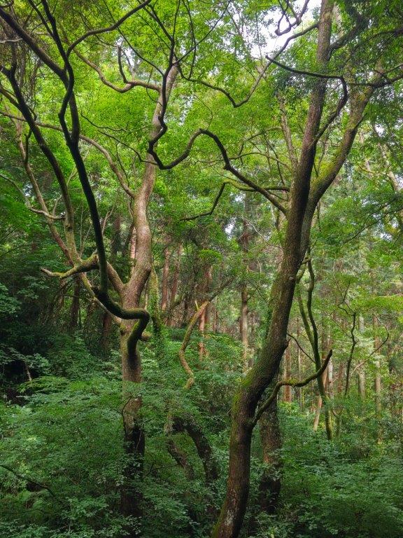
Fallen Trees past Fujimidai
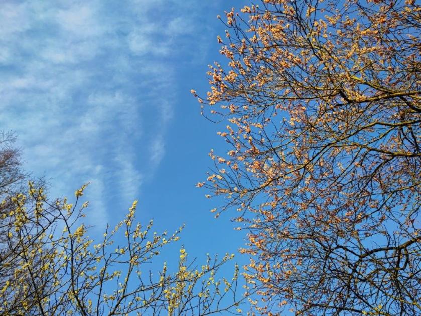
Afternoon sun filtering through the trees
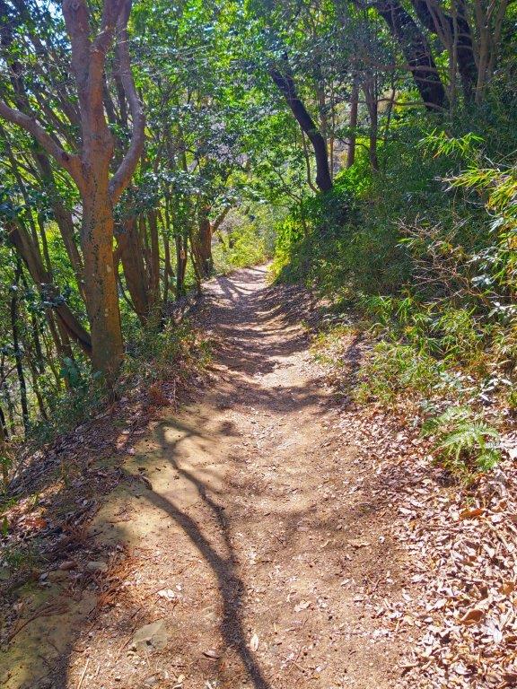
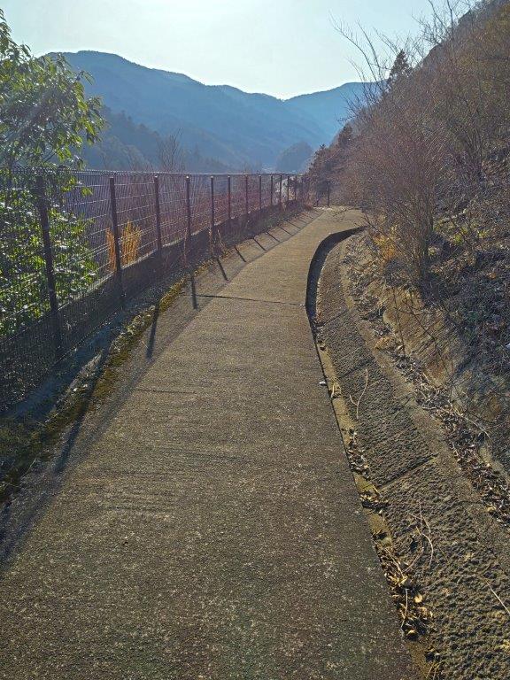
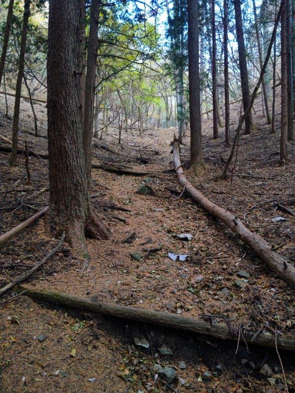
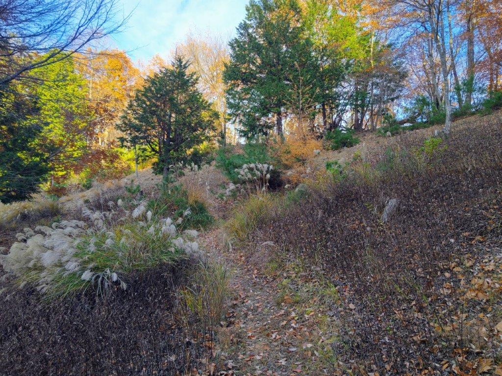
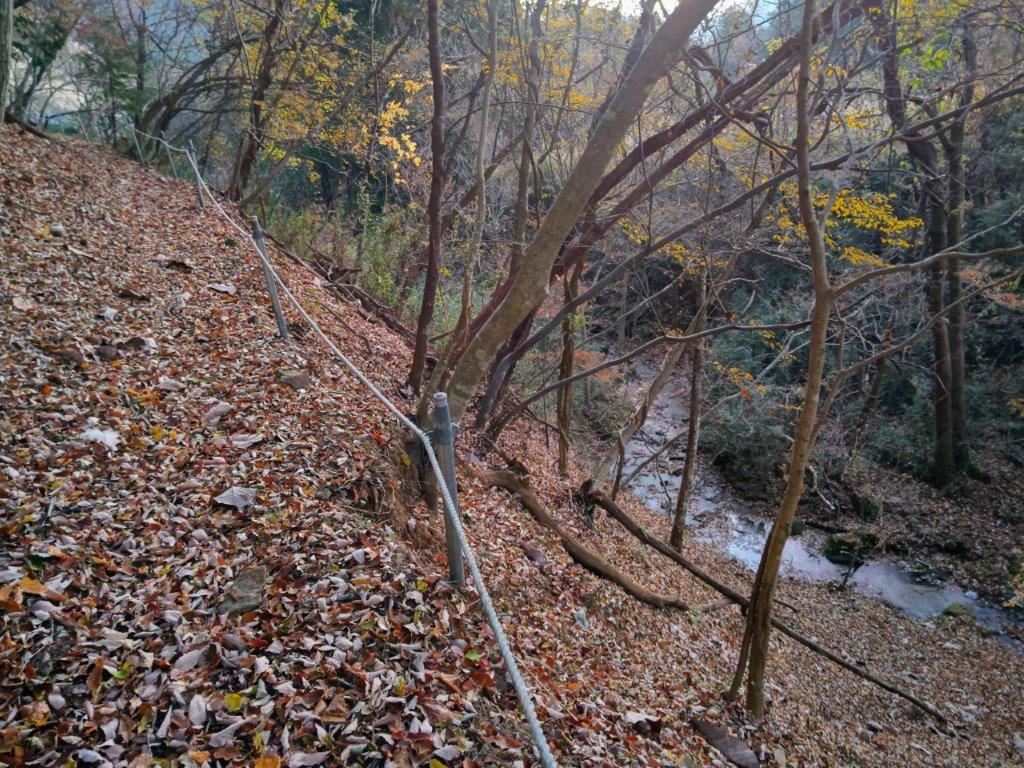
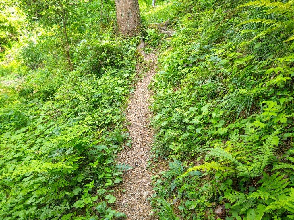
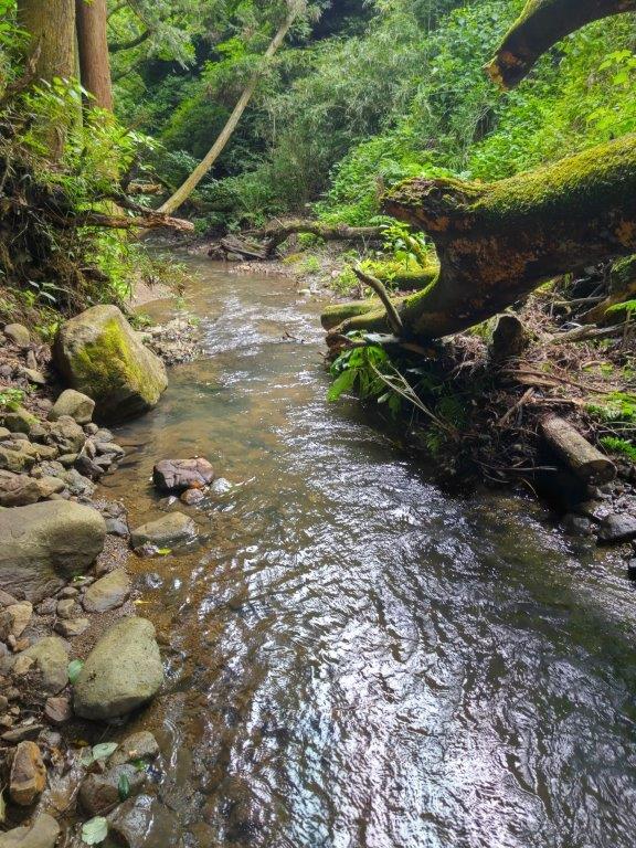
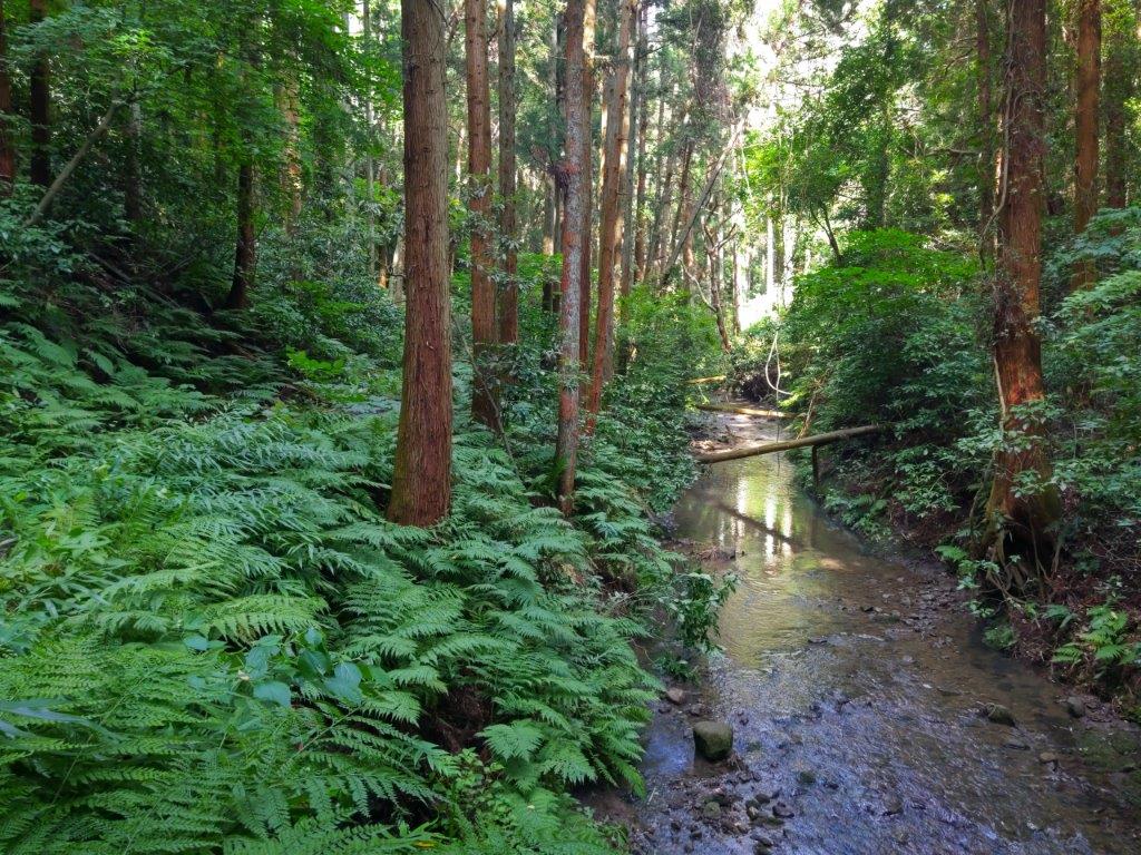
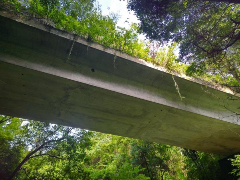
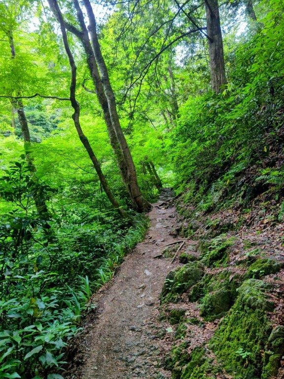
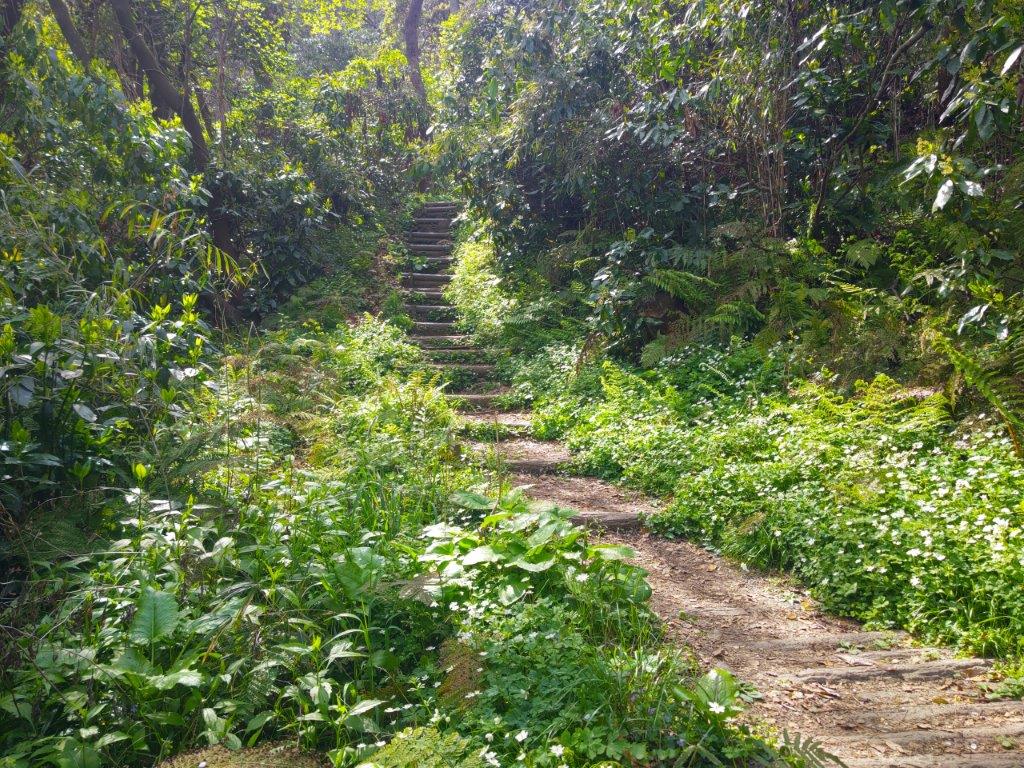
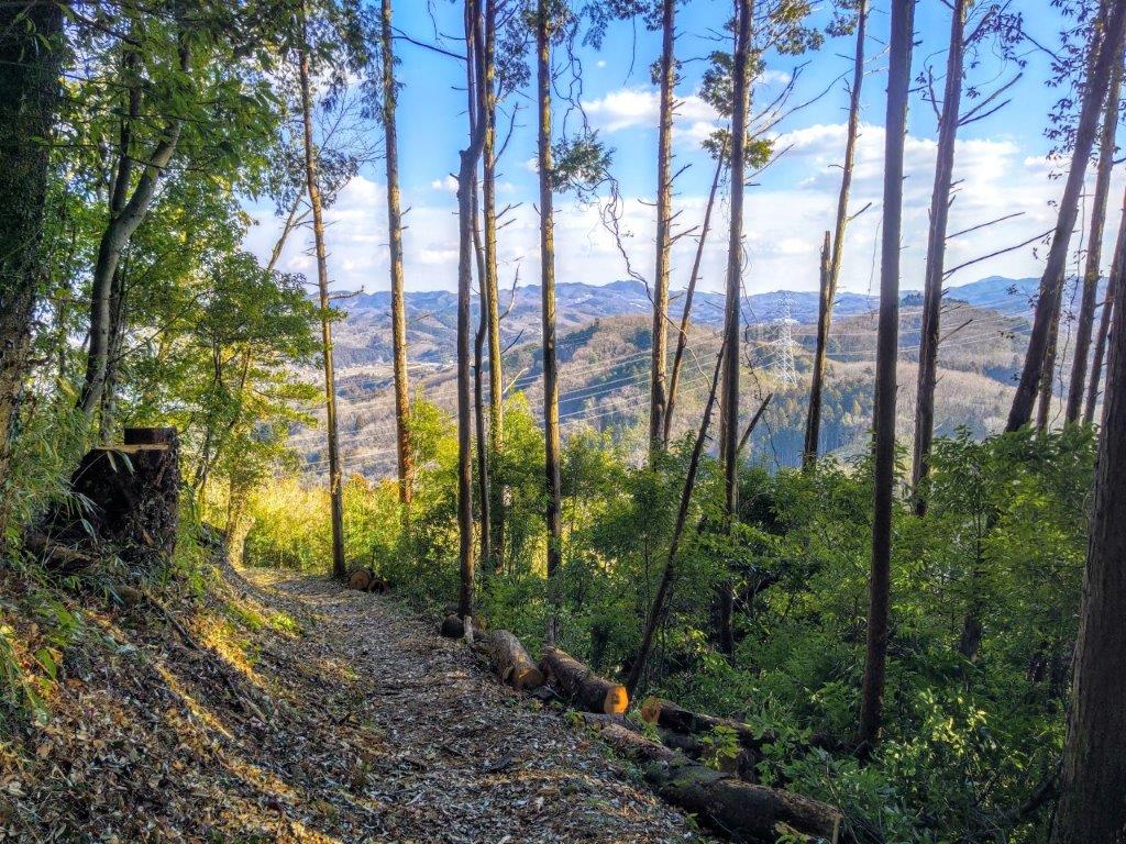
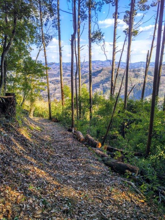
I headed Southwards, the afternoon sun filtering through the trees. I soon passed the minor summit of Mt Kumazasa (熊笹山 くまざさやま 533m), a peaceful, round peak surrounded by cedars. Around here the signposting reverted to handmade, weatherbeaten signs, but missing the charm of those at the start of the hike. I was following less frequented trails, with few views and few people, but offering delightful solitude inside nature. A little after 3pm, I reached a signposted junction. After making a quick round-trip to nearby Taikokuruwa-no-kashira (太鼓曲輪ノ頭(たいこくるわのかしら 410m), a minor summit with a long name, I headed down a switchback trail into the valley. Very soon, I could hear the sound of traffic coming from the busy Chuo expressway. At the bottom of some concrete steps, I reached a paved walking path where I turned right. As it curved around the mountain side, a view opened up on the left side.
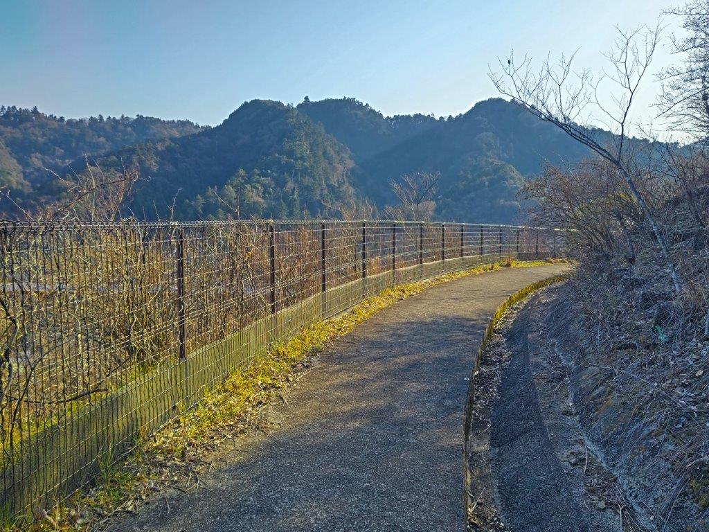
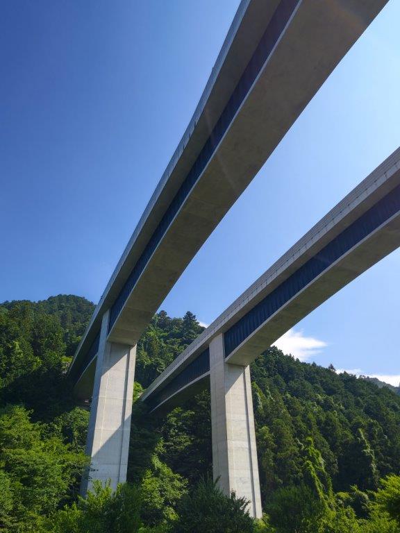
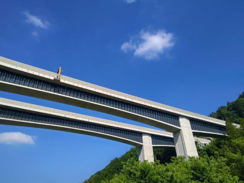
Paved Path above the Chuo Expressway
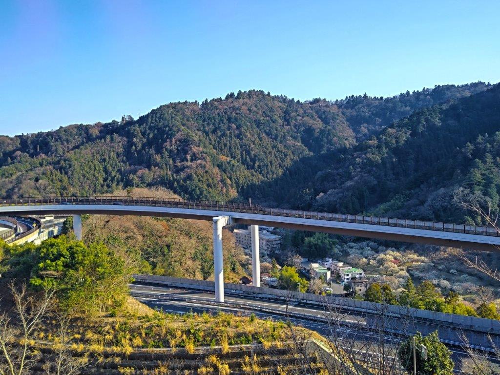
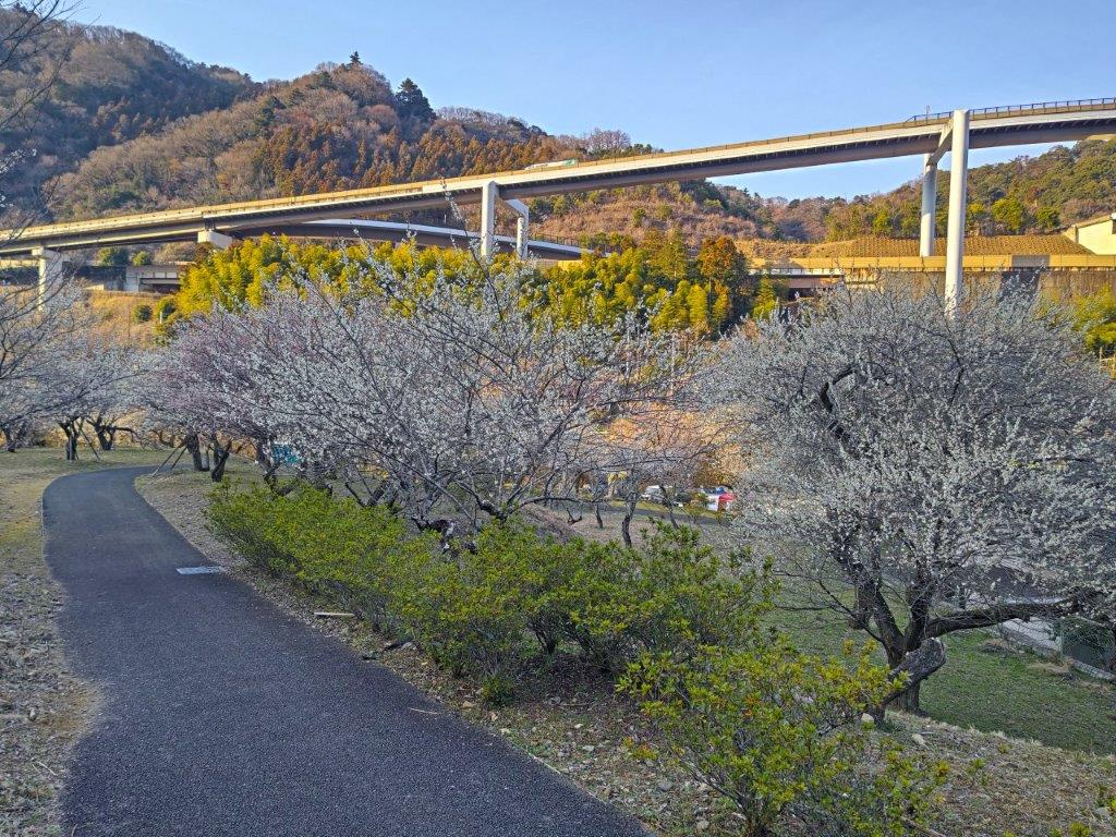
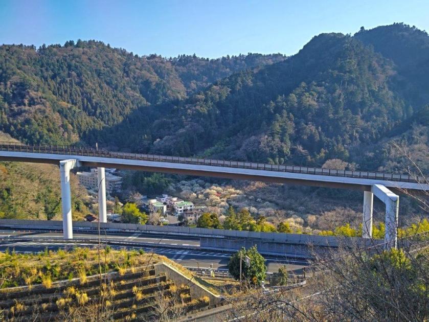
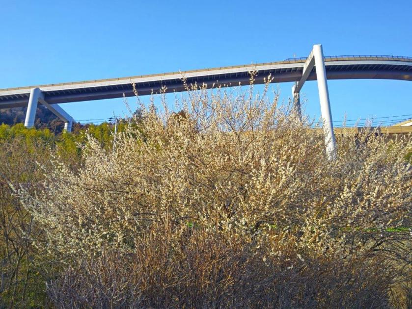
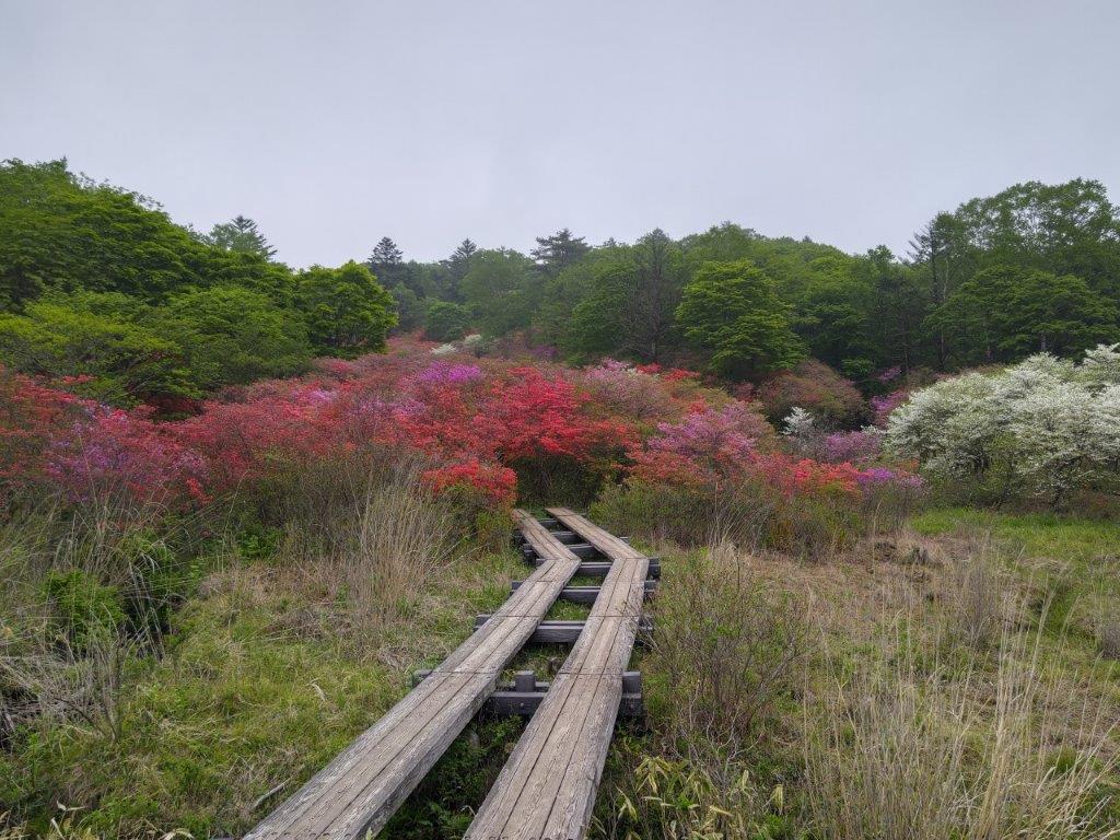
View of the Chuo Expressway, Mt Takao and Plum Blossoms
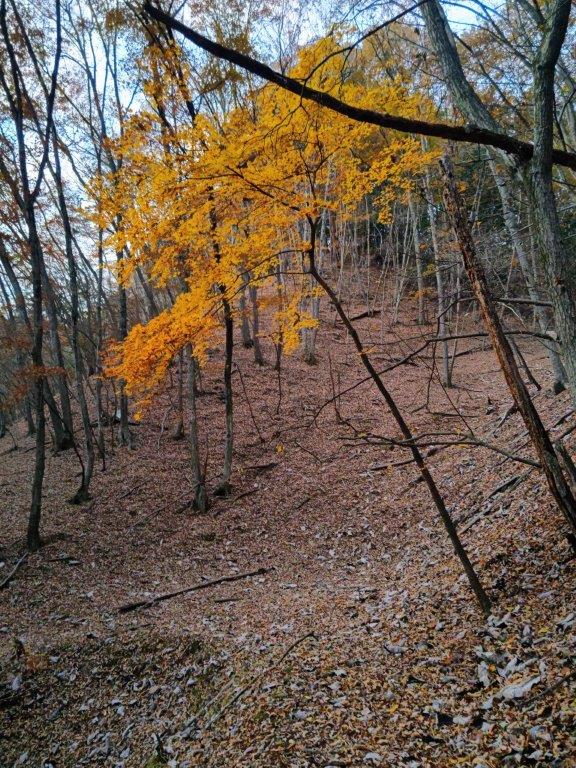
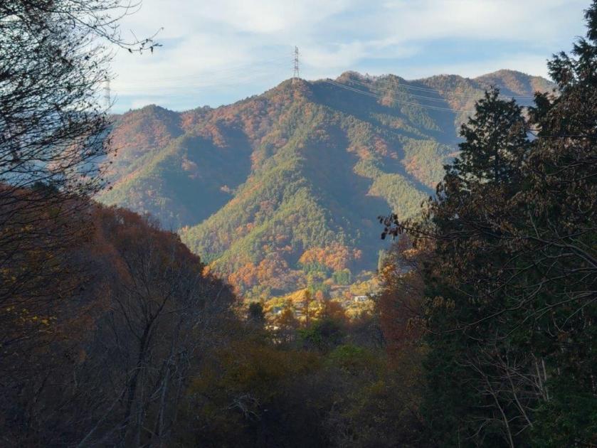
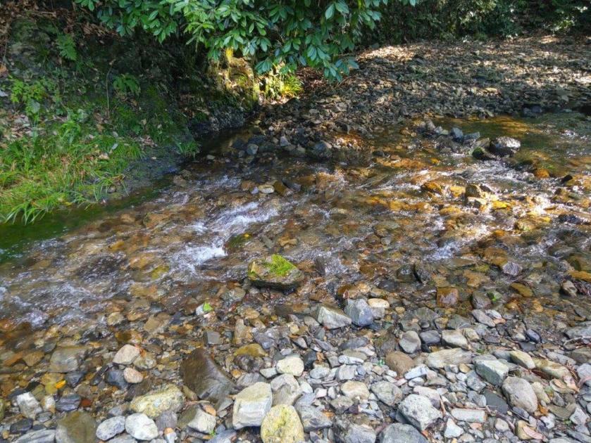
I was pleasantly surprised by this unexpected view of the valley behind Mt Takao, known as “Uratakao” (裏高尾), less-visited than the city-facing side. Traversing the valley east to west was the Chuo line expressway; one lane soared above the rest, headed for the Hachioji Interchange, where it would merge with the north-south Ken-O expressway. Opposite was Mt Takao, Tokyo’s most famous mountain; the white building of “Beer Mount“, the Mt Takao Beer Garden, was visible halfway along the ridgeline. Looking down, I noticed a white cluster of plum trees, still bathed in the late afternoon light. At the bottom of another concrete staircase, I passed through a tunnel under the expressway, and then through a railway crossing for the Chuo line. After a short walk along the Old Koshu Kaido, I reached the Surizashi Town Open Space (摺指まちの広場).
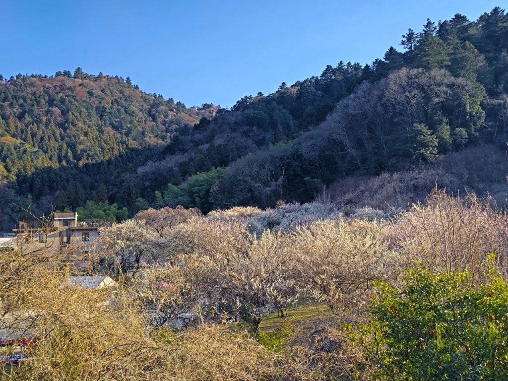
Surizashi Machi Hiroba from the Kyu-Koshu Kaido
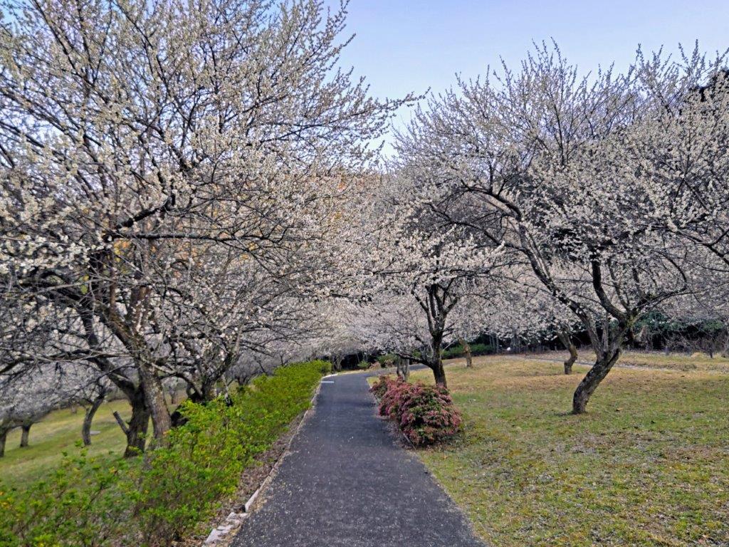
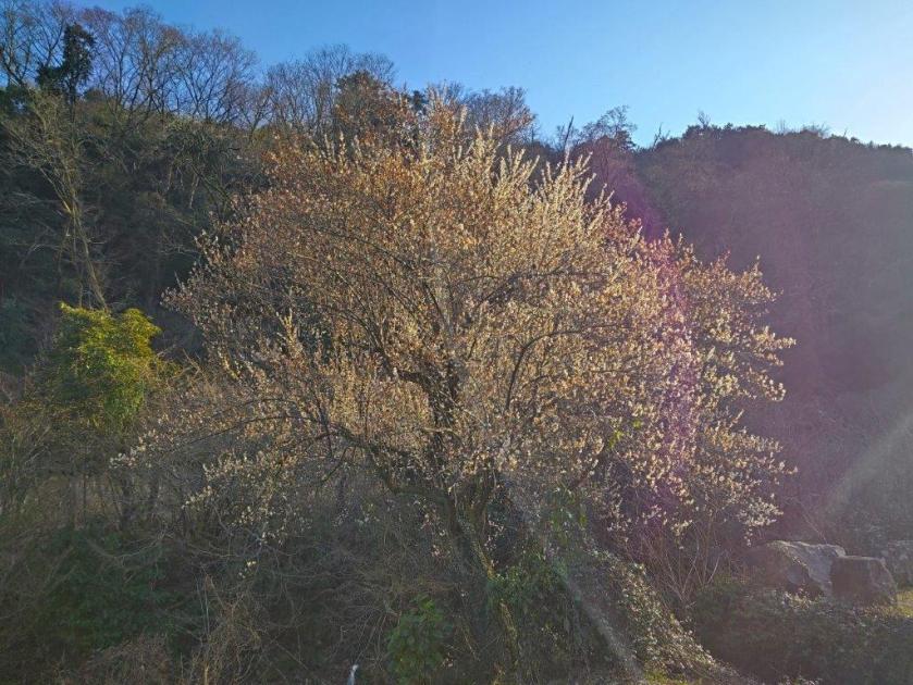
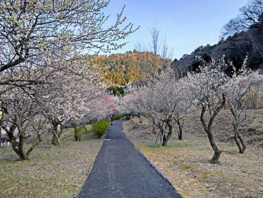
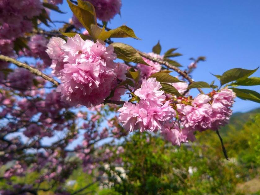
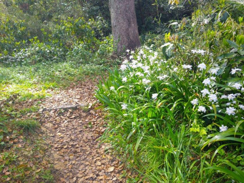
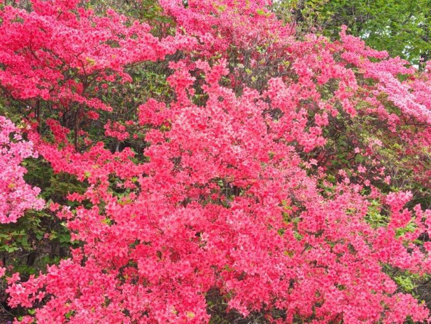
Walking through the Plum Blossoms
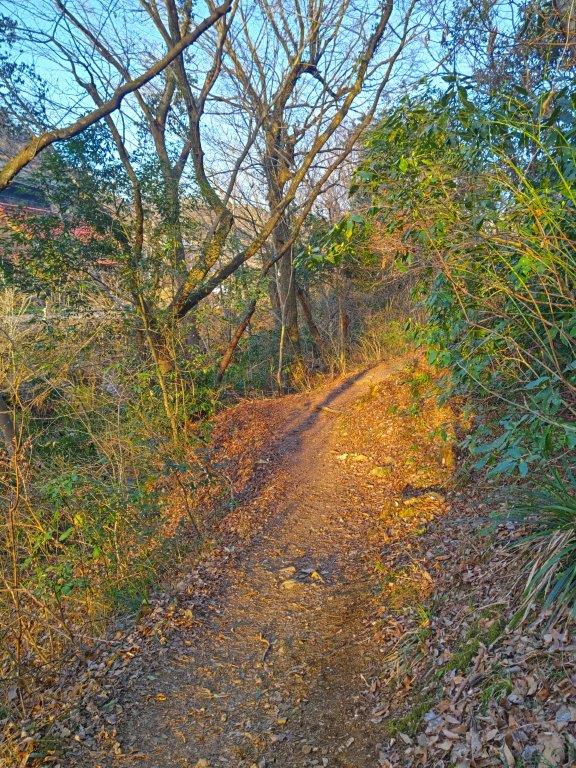
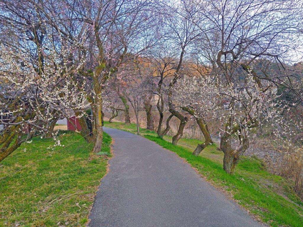
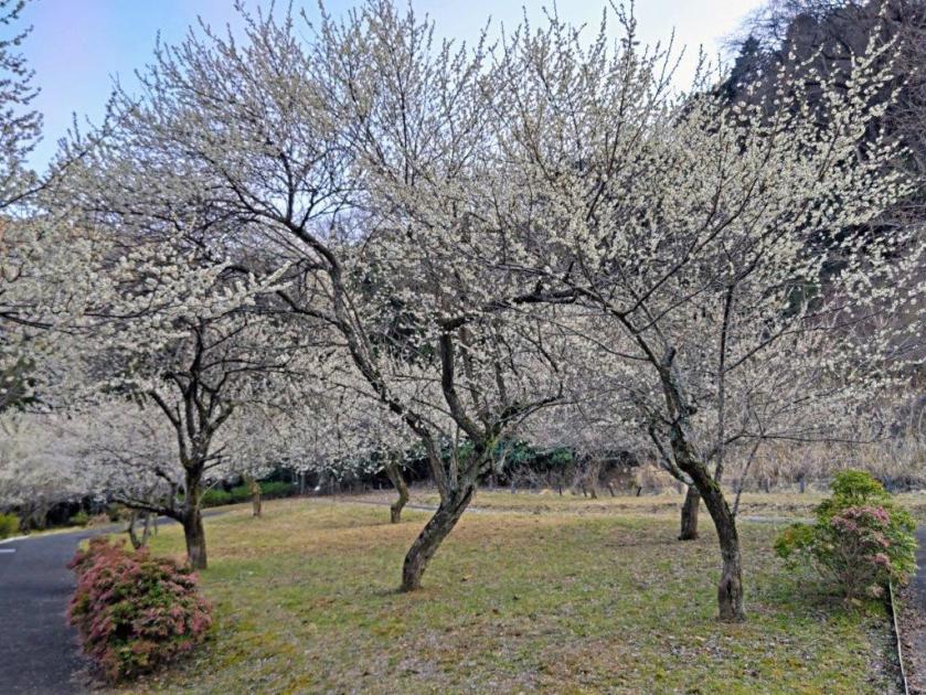
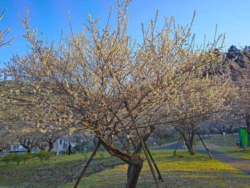
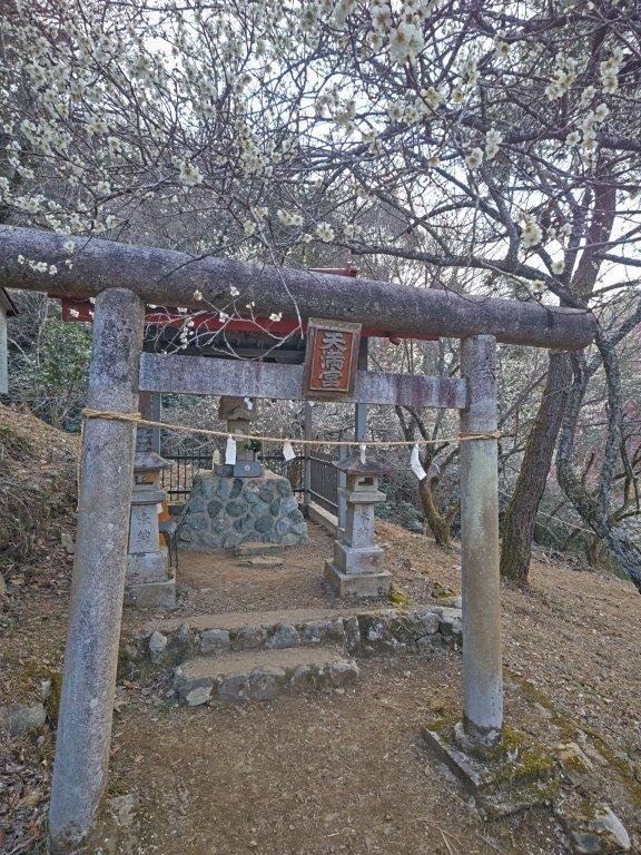
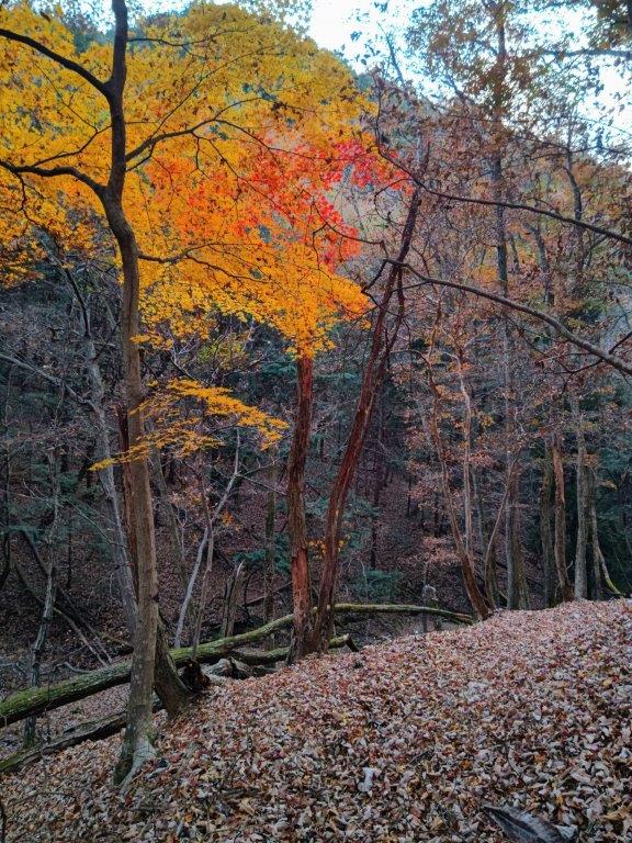
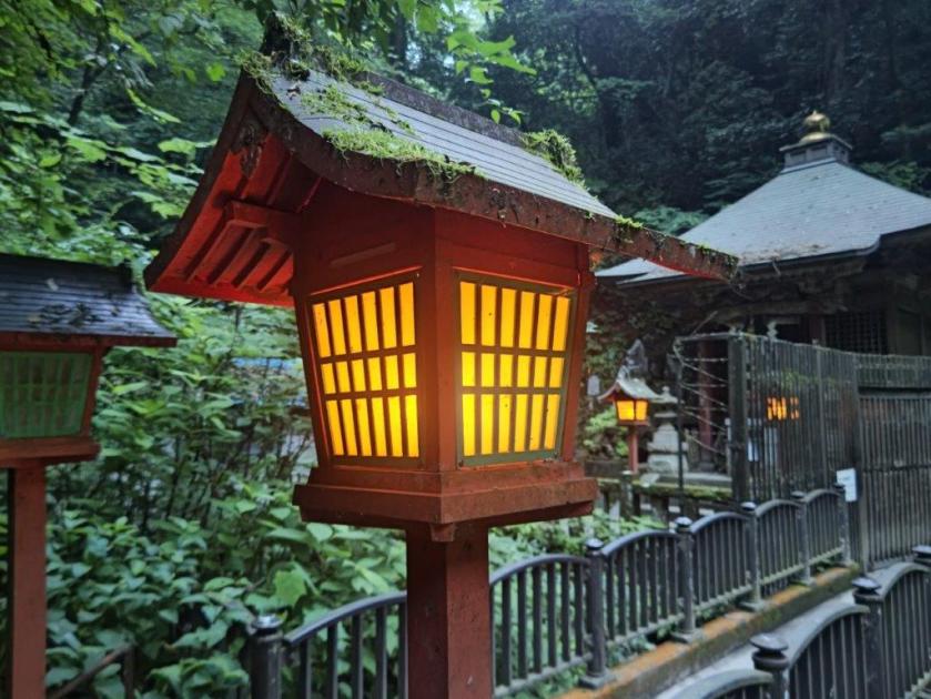
I felt lucky to have the plum blossoms to myself, although after 4pm most of the trees were in the shade. After making a quick loop through the open space, I continued along the Old Koshu Kaido but soon turned right into the Takao Umenosato Town Open Space (高尾梅の郷まちの広場) where more plum blossoms awaited. At the far end, I entered the Takao Baigo Promenade (高尾梅郷遊歩道) which I had scouted last summer. It was a pleasant stroll on a narrow path alongside the Minamiasa river, the last rays of sun colouring the scenery golden. Along the way, I passed by the Tenjin plum grove (天神梅林), hiding a small shinto shrine in its midst. Just before 5pm, I left the path for a pedestrian road with rows of plum trees on each side.
View of the Chuo Expressway from Surizashi Town Open Space
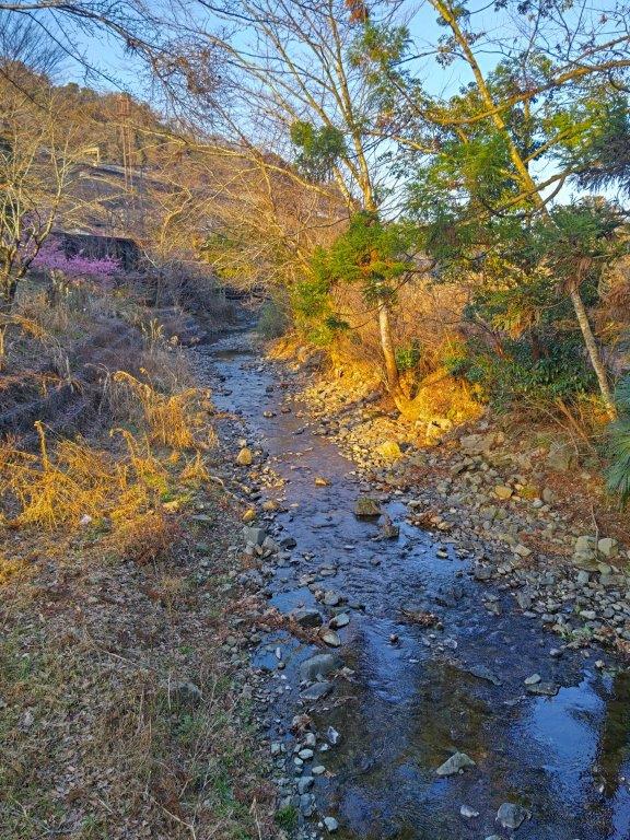
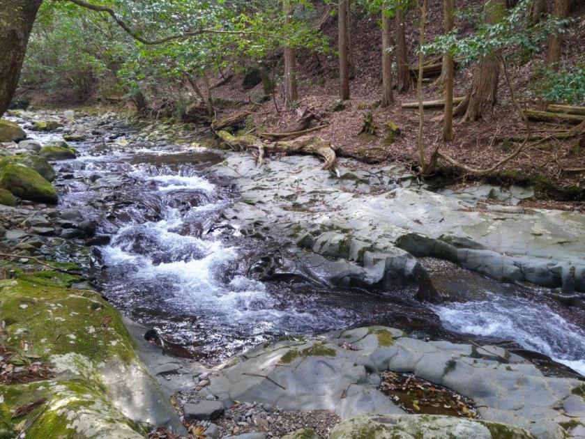
Last Section of the Takao Baigo Yuhodo
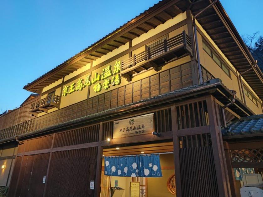
I was surprised by how many plum trees I had seen on the last section of the hike; I even had to skip a few groves due to the late hour of the day. I soon reached the modern Koshu Kaido where I turned right. A few minutes later I arrived at Takaosanguchi station, just before sunset, more than six hours after setting off. After a refreshing bath at the Keio Takaosan Onsen Gokurakuyu (京王高尾山温泉極楽湯), I boarded the Keio line for the one stop ride to Takao station; there I boarded the Chuo line green car for the 45-minute comfortable ride back to Shinjuku station.
Watch a Video of the Hike
See More Pictures of the Hike


![Mt Takao (599m), Hachioji City, Tokyo Prefecture, Saturday, July 5, 2025 [Jataki to Biwa Falls]](https://hikingtokyo.com/wp-content/uploads/2025/08/dsc_1733.jpg?w=1024)


You must be logged in to post a comment.