

A few years ago, I did several short hikes in the Hanno area. There was a couple of loose ends left over, so I decided to combine them into a day hike. At that time, the Moomin Valley park was being built, so the loop around Miyazawa lake was closed. The park opened in 2019, and it’s once again possible to walk around the lake. I had done some cycling close to the Kaji hills, but I had never hiked them. Thanks to the new theme park, there was a frequent bus service from Hanno station and I decided to use it rather than walk through the city from the train station to the lake. The weather forecast was good once again, and I was looking forward to doing some hiking close to home.
View of Hanno city and the Oku-Musashi mountains

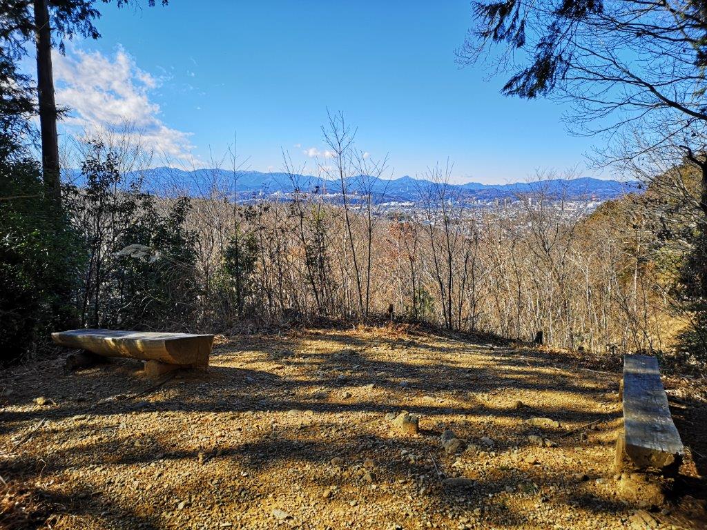
The Tanzawa mountains
I arrived at Hanno station under blue skies and transferred to the bus for Metsa Village, next to the Moomin theme park. By 10am, I was standing above the dark blue surface of Miyazawa lake (宮沢湖). There was a bitter cold wind, and I was glad I wasn’t hiking higher up today. In the distance, I could see the summits of Mt Odake and Mt Gozen, barely visible above the trees. The hiking path, known as the Oku-Musashi Nature Walk (奥武蔵自然歩道), soon entered the forest and moved away from the lake shore. After a short climb and a short descent, I arrived at a T-Junction, where I turned left up a gentle slope.

Mt Gozen (left) and Mt Odake (right)
Protection from stray golf balls
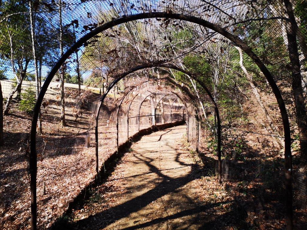
I was now walking alongside a golf course, and for a short while the trail went through a kind of tunnel that prevented stray golf balls from striking passerby’s. At 11am, I reached Koma pass (高麗峠 177m). I was now surrounded by forest on both sides the trail; some trees had name tags which I found quite useful. Half an hour later, I arrived at Fujimi Pass (富士見峠), where, as the name suggests, I had a view of Mt Fuji. After a short break, I set off again. A few minutes later, I passed an open space called Hohoemi-Oka (ほほえみ丘 meaning smile hills), a good place for a picnic in warmer weather.
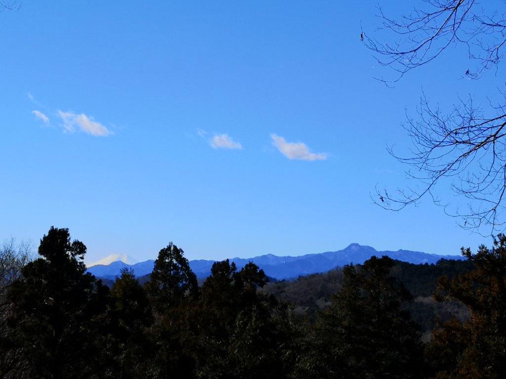
Mt Fuji (left) and Mt Izu (right) at Fujimi Pass

Walking through the forest close to the city
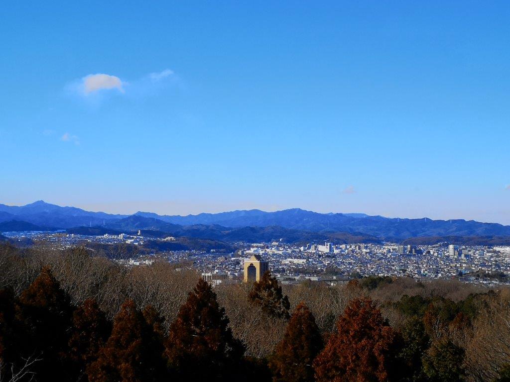
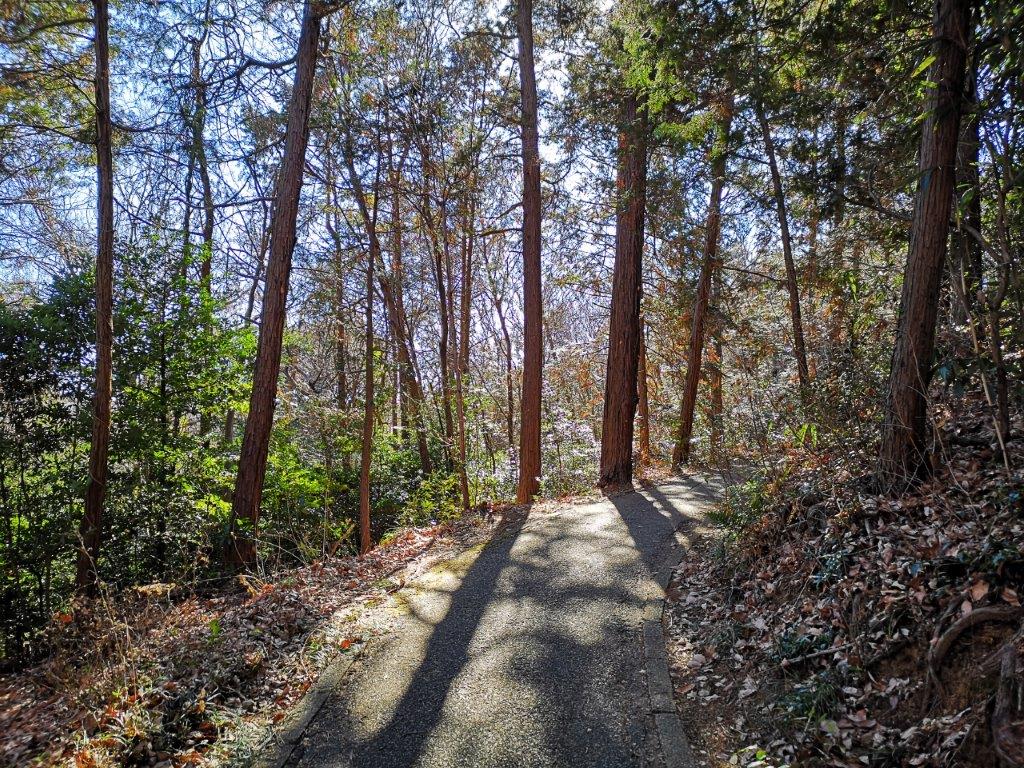
So far the path had been mostly flat, but from now it turned hilly. The steeper sections were fitted with steps so it remained a rather relaxing hike. At 12h15, I was back at my starting point, and shortly afterwards I was sitting on the bus for Hanno station. There, I transferred to the Seibu line for the short ride to Bushi station. Once outside the station, I quickly found the signs for the Kaji hills hiking trail (鍛冶丘ハイキングコース). At 1pm, I was walking on the northern branch of the hiking trail, on a narrow paved road through the woods. Very soon, I arrived at a viewpoint, where I could see Hanno city through a break in the trees.


Hiking around Miyazawa lake
Hiking the Kaji Hills
It took another thirty minutes of gentle climbing to get to the Sakurayama Viewpoint (桜山展望台 さくらやまてんぼうだい sakurayama-tenbodai), a twenty-meter high structure at the highest point of the Kaji hills (180m). At the top, I had a panoramic view of the Tokyo metropolis and the surrounding mountains. Looking east, I could see the Shinjuku skyscraper district, as well as the Tokyo Skytree (about 40km away); directly south were the Tanzawa mountains; the Okutama and Chichibu mountains stretched across the western side with Mt Fuji in the center; to the north, I had a view of the Oku-Musashi hills, with the flat top of Mt Dodaira just visible in the back; finally, I could just make out the outline of Mt Akagi, 80km away.
Viewpoint along the Kaji Hills hiking trail
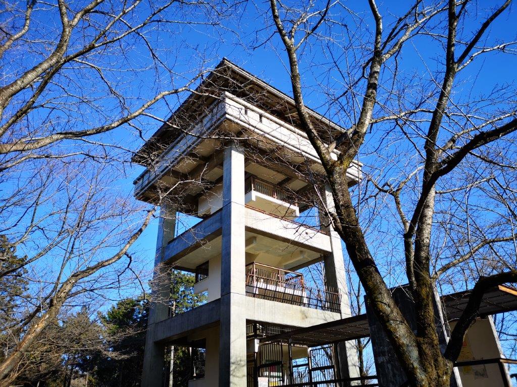
The Sakurayama viewpoint
Once I had enough of the views, I climbed down to the base of the tower, and walked back to Bushi station, via the south trail. By 3pm I was back on the road, and from there it was a 15 minute walk back to the station. Both hikes were quite short, two hours each, and could be done separately; however, combined they formed a satisfying outing which included forest walking and views of Mt Fuji, and some of the mountain ranges surrounding the Kanto plain. Less than an hour later, I was again surrounded by the buildings of Tokyo.
See the view from the top of the Sakurayama Observatory


One thought on “Miyazawa Lake Loop and the Kaji Hills, Hanno and Iruma Cities, Saitama Prefecture”