

If there is a mountain you’re interested in climbing, you can send me an email with the mountain name and prefecture, and if available, the date you plan to do the hike, and I can ask to include it in the Japanwilds Map Making Project.
If the map is accepted, please note it can take several weeks to produce

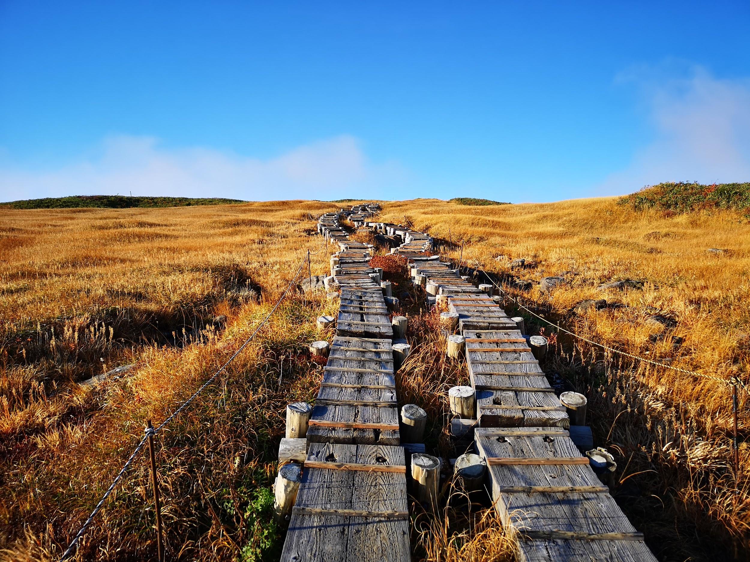
Digital Map for Mt Kuro in the Fuji Five Lake Area
While waiting, be sure to check out the Japanwilds website where you can search for currently available maps. If you’d like to support our project, we welcome donations. Contributions are used to buy the map data and to maintain the Japanwilds website.
Happy Hiking!
David
Email: hikingtokyo@gmail.com
Donations: https://ko-fi.com/japanwilds
All Digital Maps on Avenza:
https://store.avenza.com/collections/japanwildsorg
Interactive Japan Map with All Available Maps on Japanwilds
https://www.japanwilds.org/search

Nice blog.
How do I subscribe?
Thanks
Hi Patrick,
Thank you!
You can subscribe and get updates by entering your email address on the WordPress website (click the follow button that appears at the bottom of a blog post).
Hi David, I’d love to subscribe, but there is no follow button anywhere that I can find. Hmmmm.
Follow up to the last message. I was able to subscribe by confirming that I wanted to receive updates after I commented. I don’t see a follow button anywhere on the blog, though.
You have a great blog, by the way!
Hi Patrick,
Thanks for the feedback. I’ve added a “subscribe” button to the main page, under the search box on the right. Can you let me know if it works?
It works. I just tested it.
Your blog rocks.
Glad it works and thanks again!