This would be my third hiking trip to Hakone in the past year (8th overall). I enjoy going there because it’s close to Tokyo and has good public transport access. This time, instead of climbing one of the many peaks of this active volcano, I would walk along the west shore of Lake Ashi, and thus avoid snow and cold winds of the higher elevations. On the other hand, I would not get any Mt Fuji views, although I would still be able to see many of the mountains surrounding the twin calderas of Hakone. Since the lakeside trail would take less than 4 hours, I decided to start with a nature trail that went through the Sengoku plain. I didn’t need to look up the bus times since I would use the same bus as for my hike up Mt Myojin. The weather forecast was good, but since Mt Hakone, the highest peak in the area, is a cloud magnet, it was always possible that the weather would turn cloudy.
Hiking in the Fuji-Hakone-Izu National Park

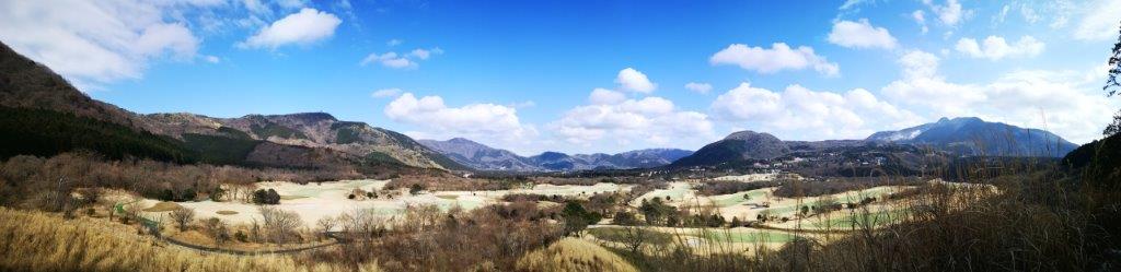
View of the Sengoku plain from the Sengoku-Hara Kojiri Trail

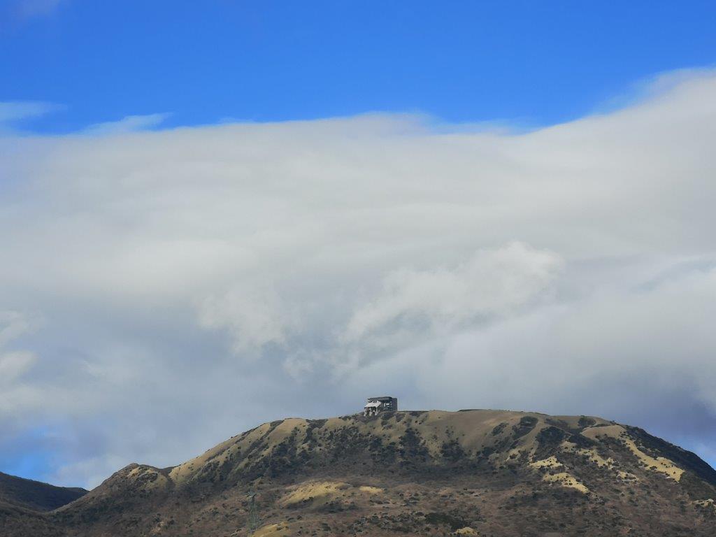
On the right, the highest point of the Hakone area
I rode the comfortable Romance car from Shinjuku and transferred to the Hakone Tozan bus at Odawara, arriving at Sengoku at 9h30. It took about 20 minutes to reach the start of the Sengoku-Hara Kojiri Nature Trail (仙石原湖自然歩道) connecting Sengoku with Ashi Lake. The trail took me to a bridge over Haya river, then followed it upstream for a short while. I found a nice sunny bench and sat down for a late breakfast. Looking south, I could see the pointed top of Mt Kintoki. The trail soon left the river and crossed a small road; I was now following a forest road at the edge of the plain and I had good views of the outer crater rim to the south, as well as Mt Hakone in the center.
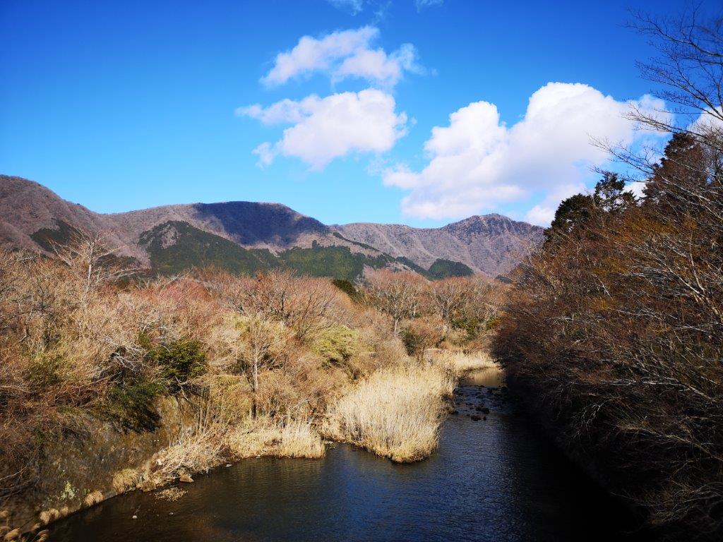
Haya river with Mt Kintoki directly behind
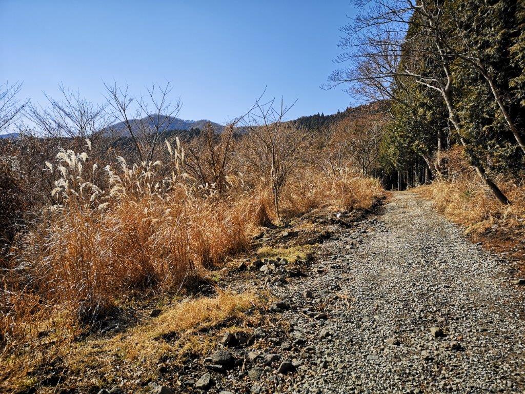
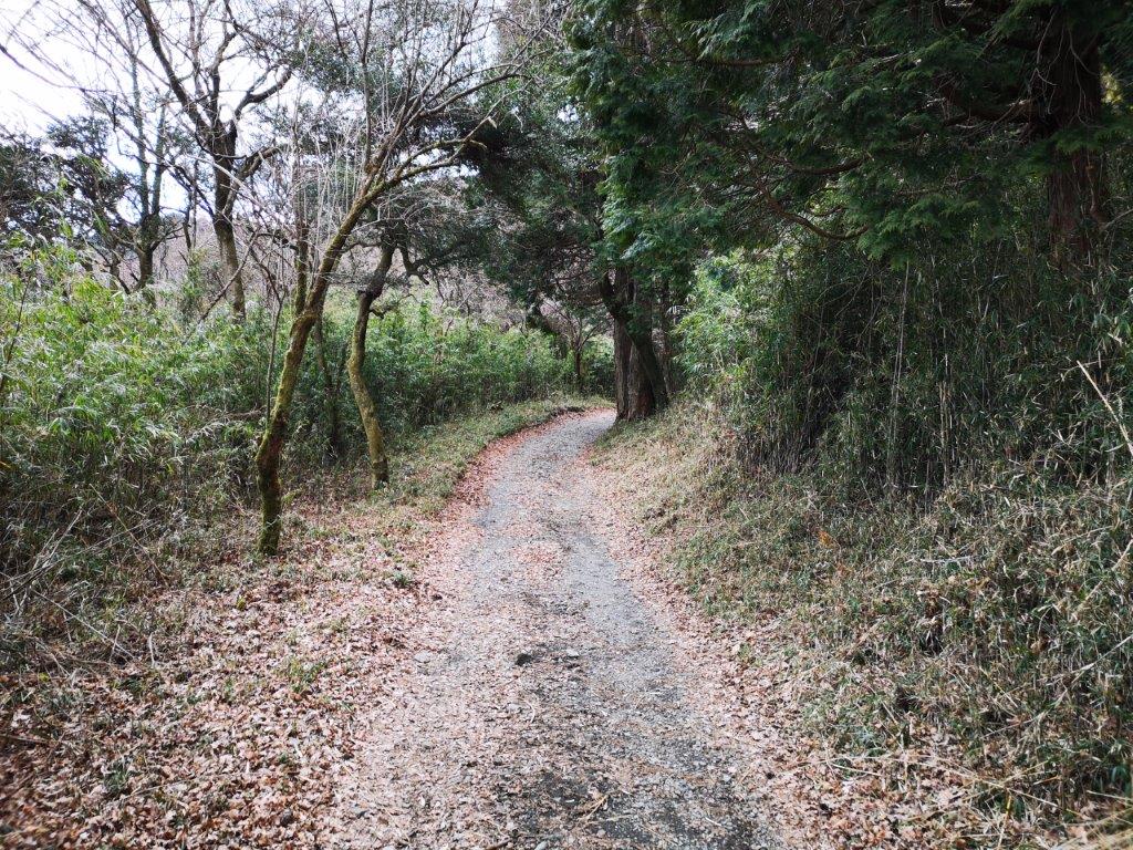
Hiking the Sengoku-Hara Kojiri Nature Trail
The trail went in and out the woods. Although it was the middle of winter, there was little wind and it wasn’t too cold. At 12h15, I arrived at the Kojiri water gate (湖尻水門) at the northern end of Ashi lake. The water gate was unexpectedly picturesque, like something you might see in Europe. I settled down on one of the benches facing the lake, and despite the strong cold wind, had an early lunch, listening to the wavelets lap against the stony beach. The sun was playing hide and seek with the clouds, and I was starting to get cold; soon I was back on the hiking trail.

Kojiri water gate with Mt Hakone behind
Hiking the Ashi Lake West Shore Trail
It was now completely overcast and I was hoping it wouldn’t start raining. I was now walking the Ashi Lake West Shore trail (芦の湖西岸歩道). Like the nature trail, it followed a forest road closed to traffic. There were few viewpoints, but I saw no other hikers and enjoyed some quiet and easy hiking. At one point, I observed a fairly big bird of prey making circles above the lake (see video). Half an hour later, the forest road suddenly narrowed and became a proper hiking trail. I spotted an unoccupied nest in a bush just next to the road, a testimony to how few people pass through here.

The only clouds remaining in the afternoon were above Mt Koma

Good view from the west shore of Lake Ashi
Another hour of hiking brought me to an excellent viewpoint of Lake Ashi, Mt Hakone, Mt Koma and the Moto-Hakone port at the southern end of the lake. It was sunny again, except for the top of the Mt Koma ropeway, which was disappearing in and out of the clouds (see video). Suddenly, another “bird”, an artificial one, flew by overhead; probably a helicopter belonging to the Japanese self-defense force. I arrived at Hakonemachi at 3h30, completely deserted by this time, and caught the 4pm express bus for Hakone Yumoto. There I hopped on the romance car for the 90 minute trip back to Shinjuku.

Hiking the west side of Lake Ashi