
![Mt Kintoki (1212m), Minami-Ashigara City, Kanagawa Prefecture, Saturday, October 1st, 2022 [Yuhi Waterfall to Otome Pass route]](https://hikingtokyo.com/wp-content/uploads/2022/10/img_20221001_131101.jpg?w=1024)
Hiking in the Fuji-Hakone-Izu National Park
富士箱根伊豆国立公園
I was looking for a hike close to Tokyo, high enough to escape the late summer heat and strenuous enough to maintain my regained form. I decided to revisit a mounatin I climbed ten years ago, which I could traverse north to south via a different route that would include a famous waterfall, as well as views of Mt Fuji. The trail up from Ashigara in Kanagawa, connected by local bus from Matsuda station, had been closed for a while due to typhoon damage; however looking online, it seemed to be in use again. I also saw that the final section was quite steep, a good test of my current physical ability. The trail down ended at a hot spring near Gotemba in Shizuoka, connected to the station by shuttle bus. The weather was supposed to be mostly sunny and warm, with few clouds and little wind, ideal conditions conditions for hiking. I was looking forward to climbing a familiar mountain via a new, challenging route and getting some good views of Mt Fuji in the autumn.

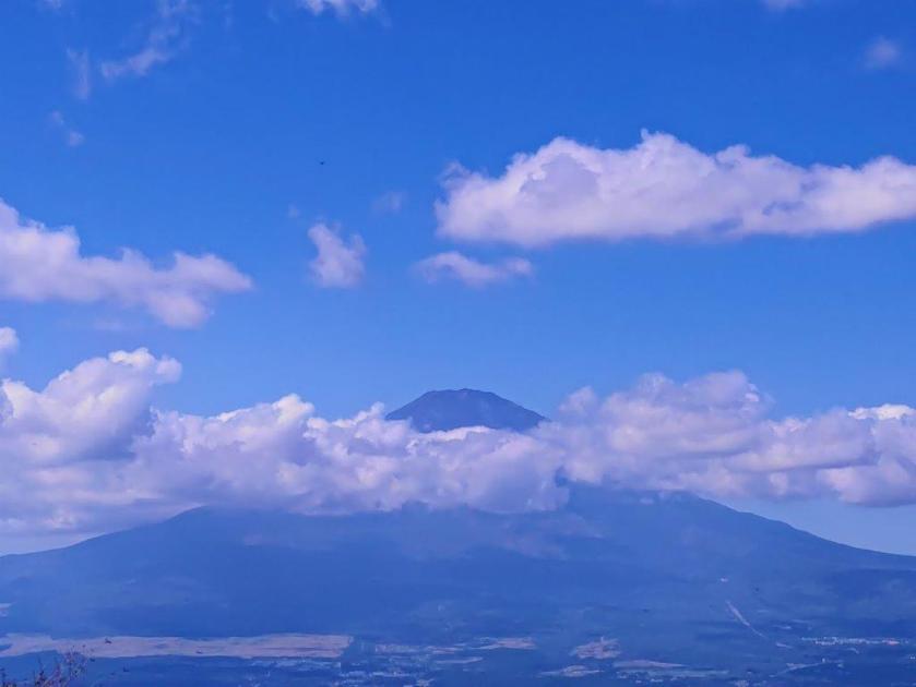
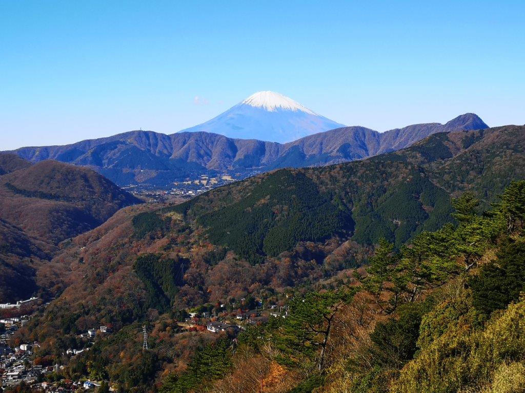
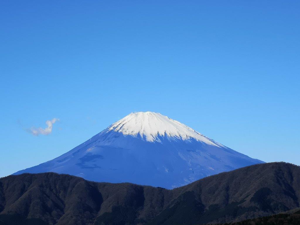
Mt Fuji before it got engulfed in the clouds
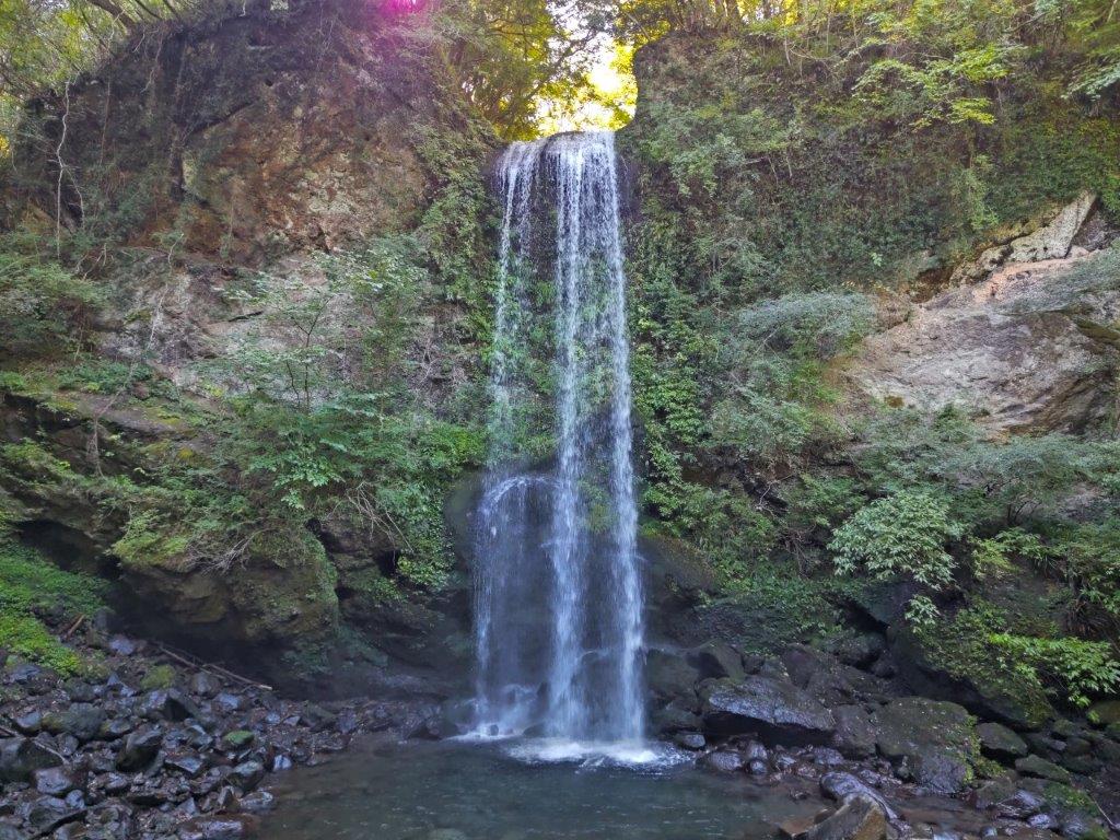
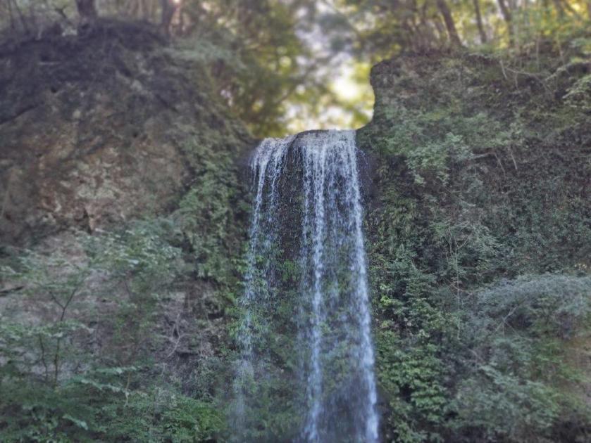
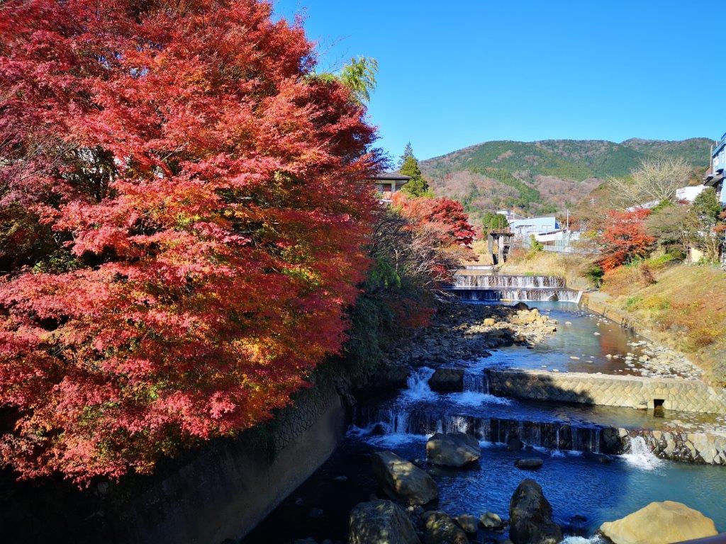
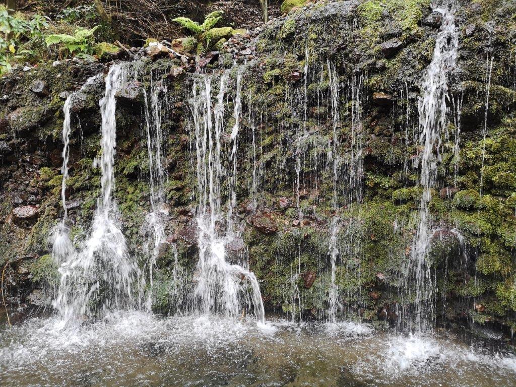
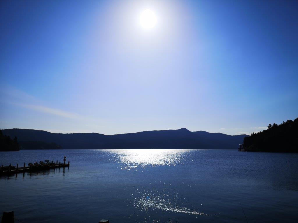
Yuhi waterfall, a famous purification spot
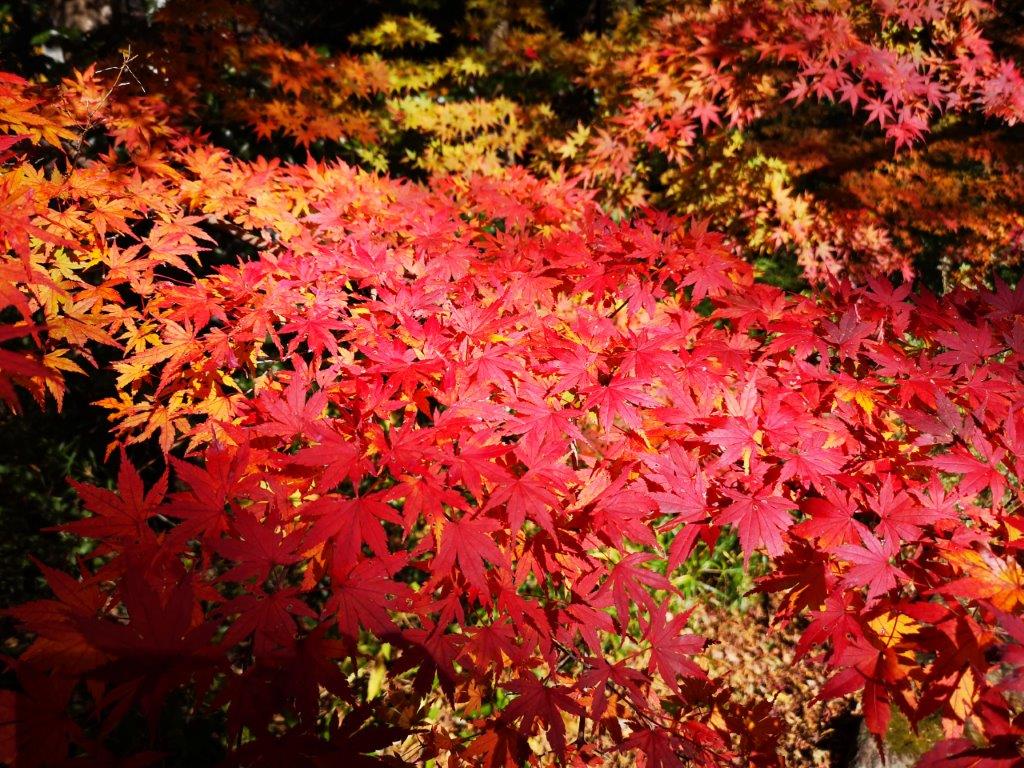
A cloudy cover still lingered in the early morning sky, as I rode the Odakyu Romance limited express train to Shin-Matsuda station. There, I boarded a full bus and rode it all the way to Jizodo (地蔵堂), the last stop. I had been there once before on my Yamabushi-daira hike. This time, I continued on foot along a small paved road up a pleasant, green valley. The sun was now shining above, and although it was only 9h30am, it already felt quite warm; despite that, the cosmos flowers were out, a sure sign of autumn.

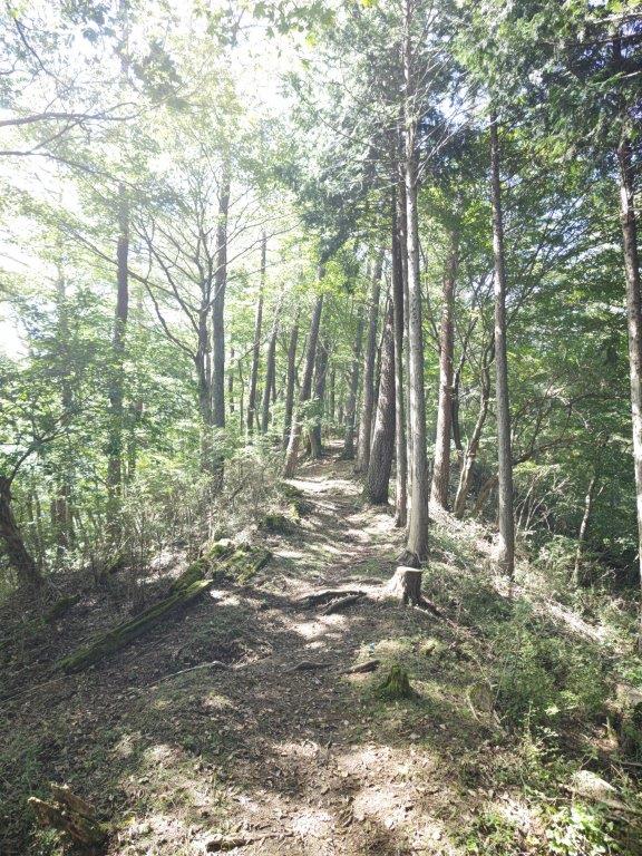
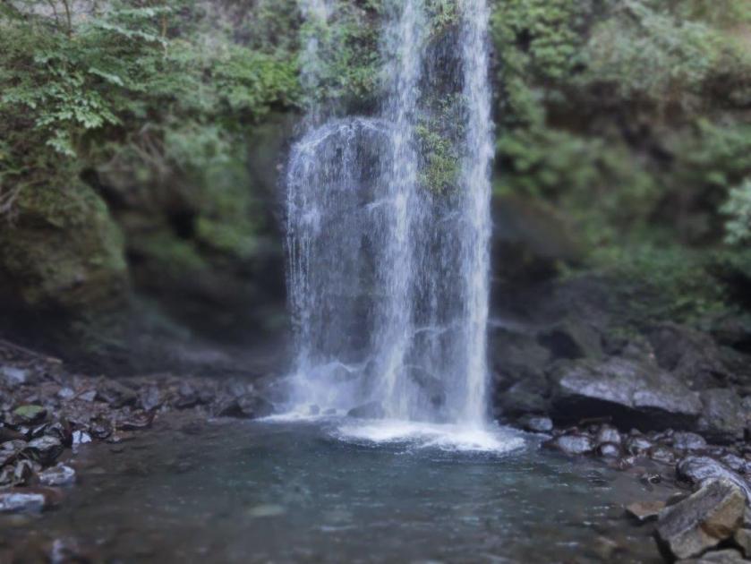
A 23 meter drop (left) Climbing up the Ashigara Pass trail
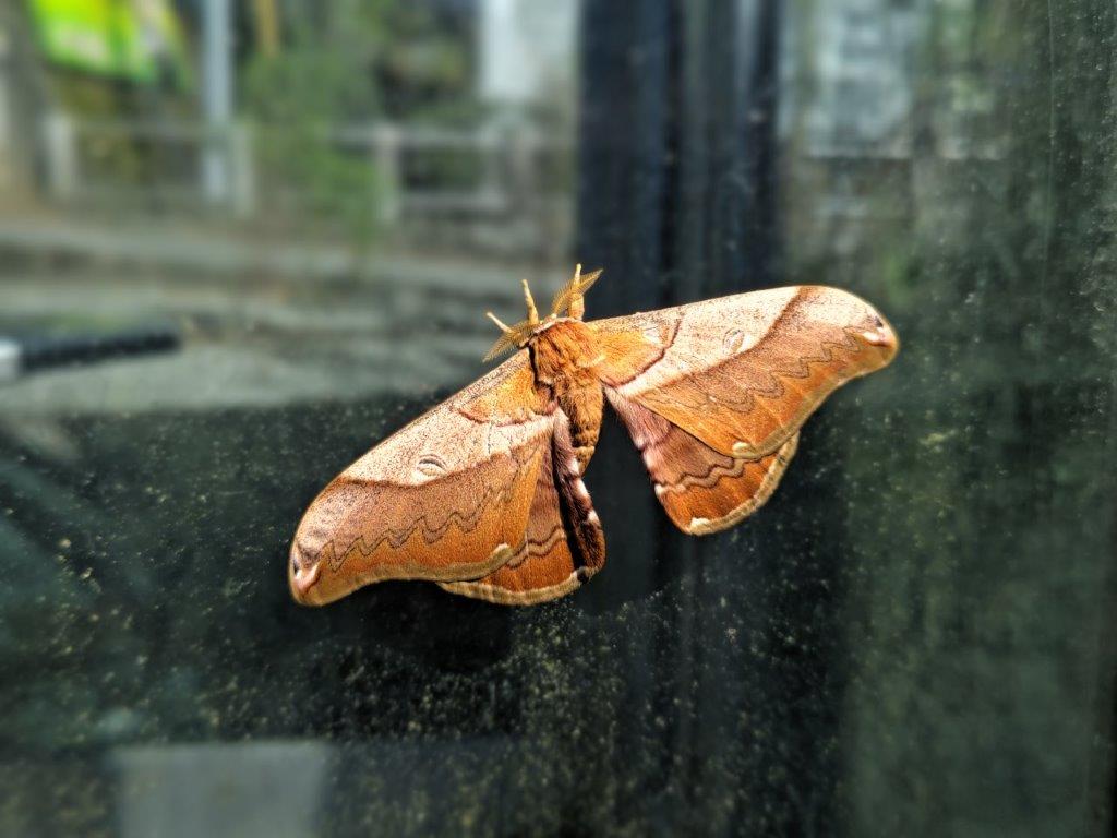
Moth spotted near the start of the hike
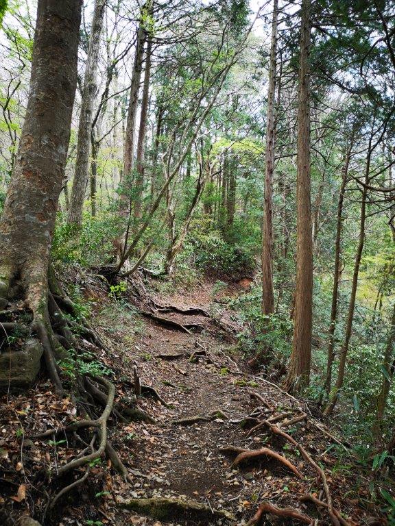
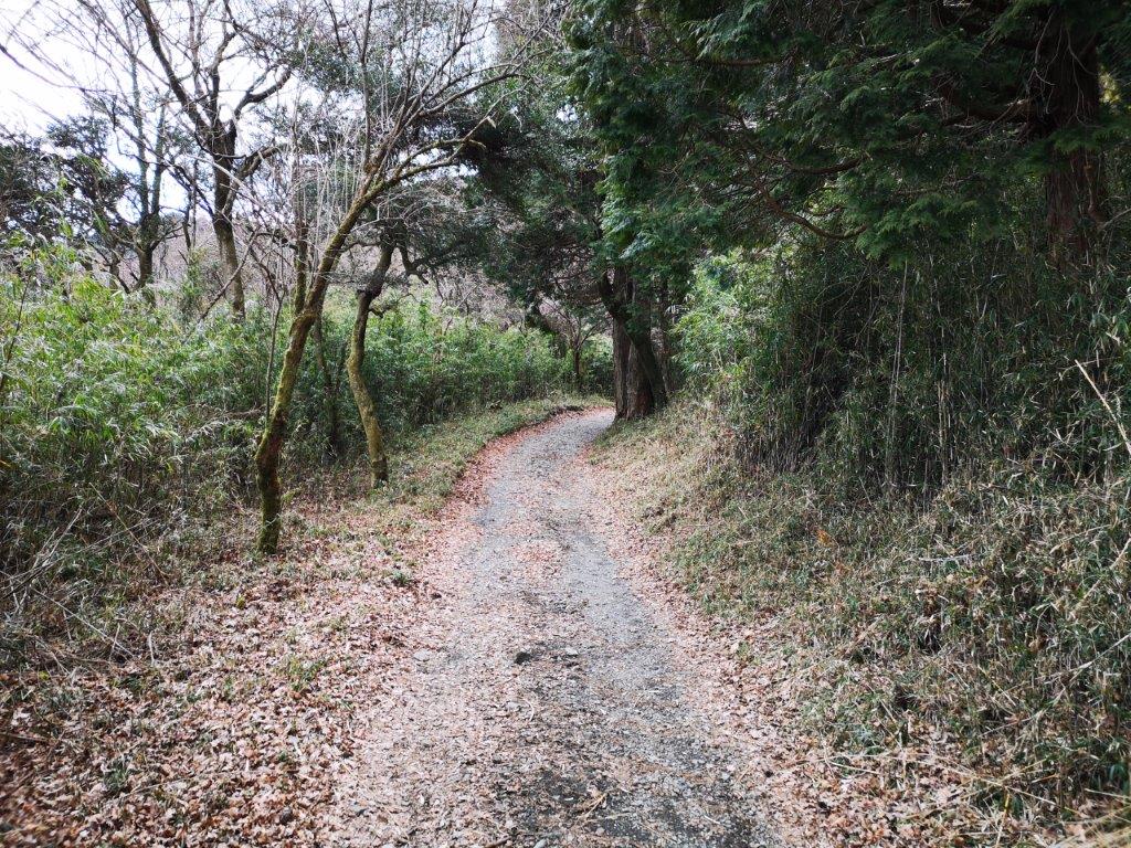
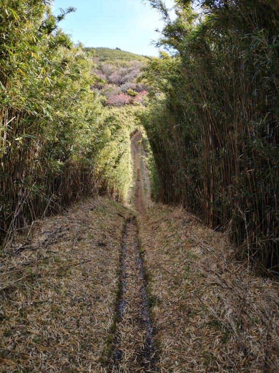
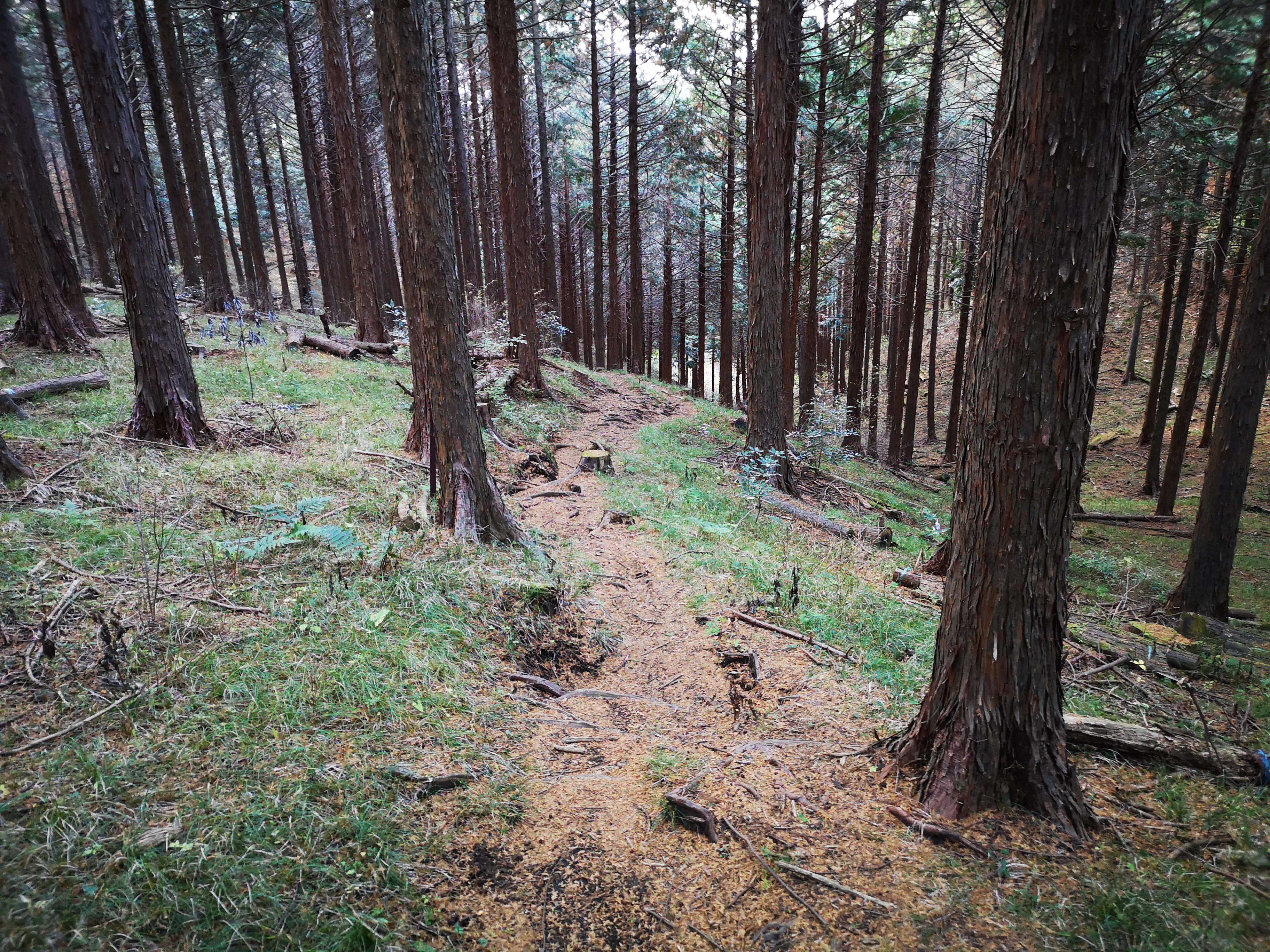
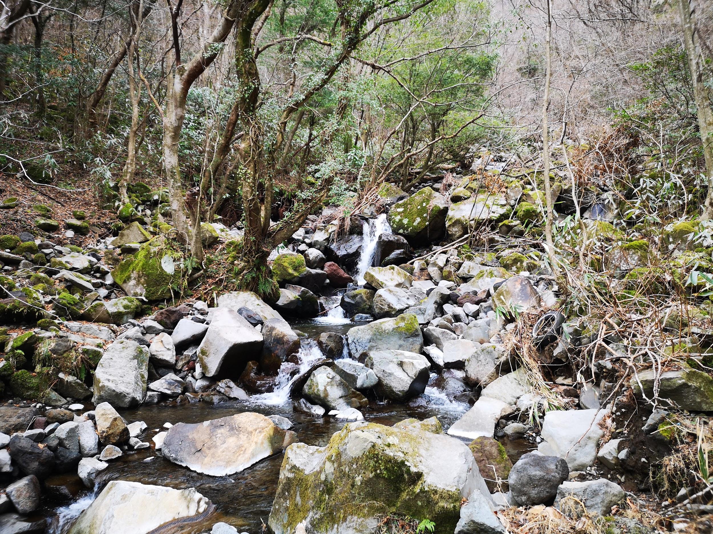
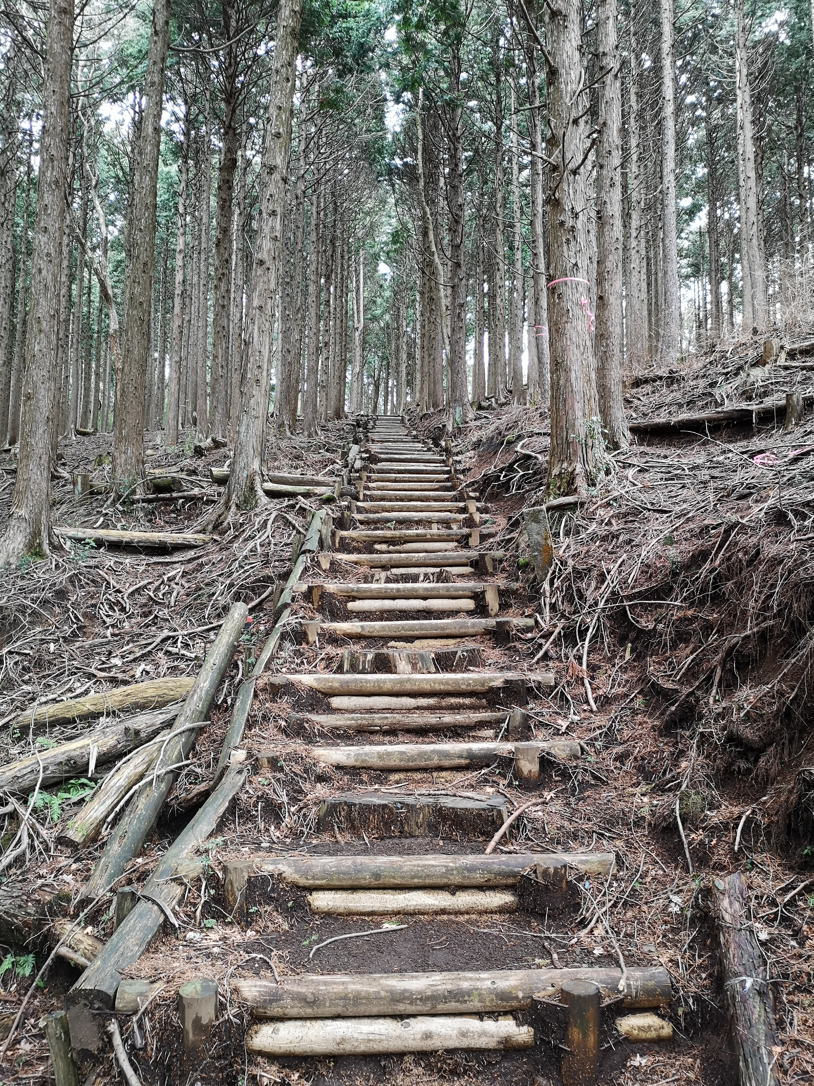
I was delighted to spot a beautiful yellow moth on a phone booth, possibly a Japanese silk moth. At 10am, I reached the entrance for the short trail to the waterfall, next to a campground. A few minutes later, I was standing in front of the thundering Yuhi waterfall (夕日の滝). The water falls from a height of 23 meters, and apparently it’s a popular place for people to stand under to get purified. At 10h30, I started up the Kintoki trail (金時コース), a gently climbing trail through cedars. After passing an open shelter, the trail went up a shady valley next to a mountain stream.

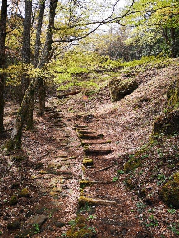
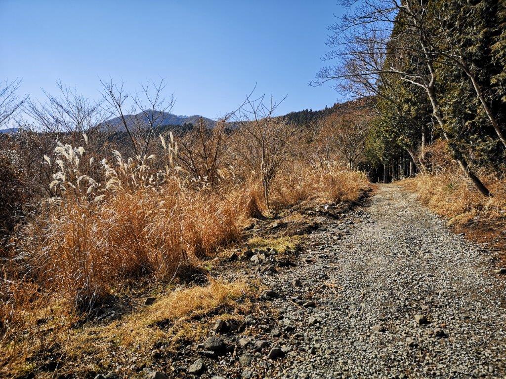
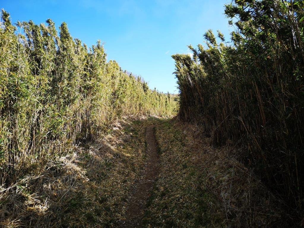
Easy hiking along the Ashigara Pass trail
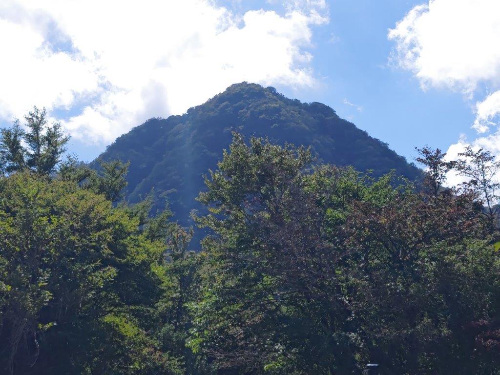
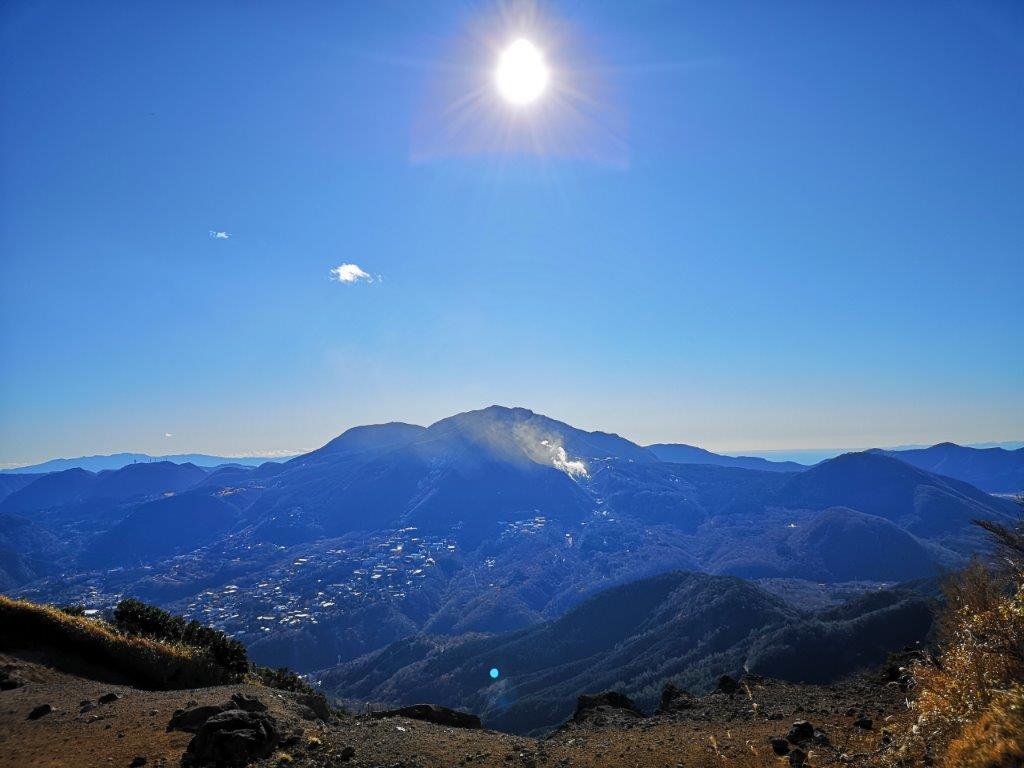
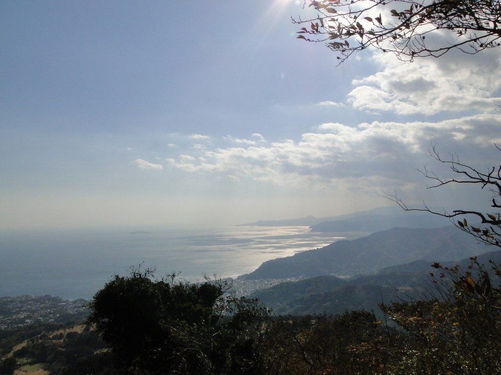
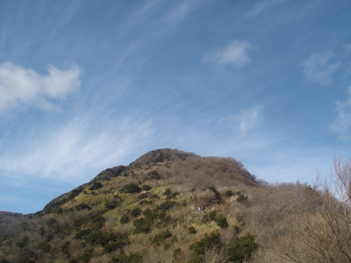
The summit of Mt Kintoki, a tough climb via the north side
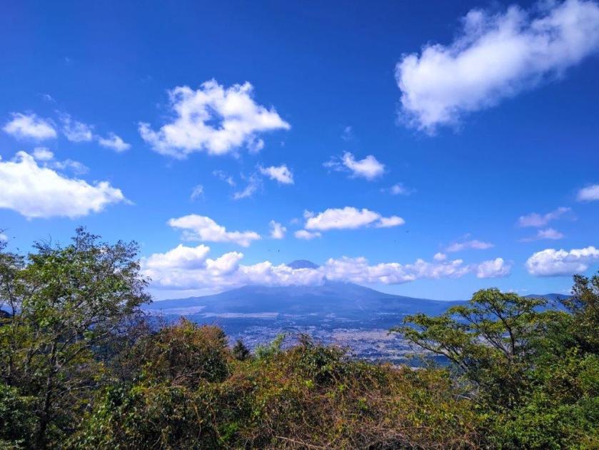
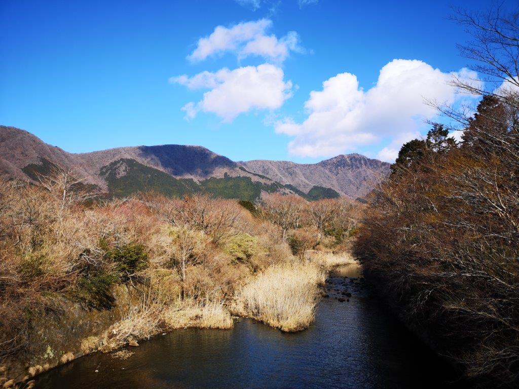
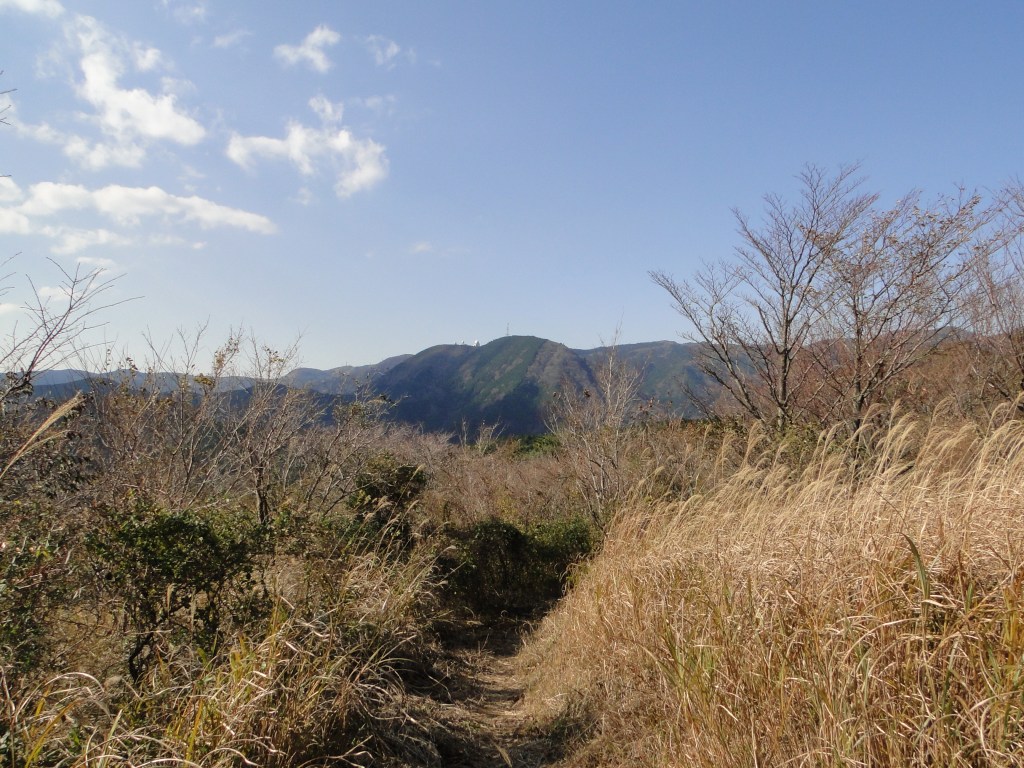
I was happy to be walking next to a river again, the rushing water like music to my ears. The rocky terrain made it difficult to see the path, but pink ribbons attached to branches, as well as the occasional signpost, led the way. At 11am, the trail left the river and went up a steep ridge. I met no one along this section, adding to the sense of peace and quiet. Half an hour later, after getting a glimpse of today’s summit through a gap in the trees, I reached a level dirt road, also the Ashigara Pass Trail (足柄峠コース). I turned left, and 3o minutes later, arrived at a viewpoint of Mt Fuji.

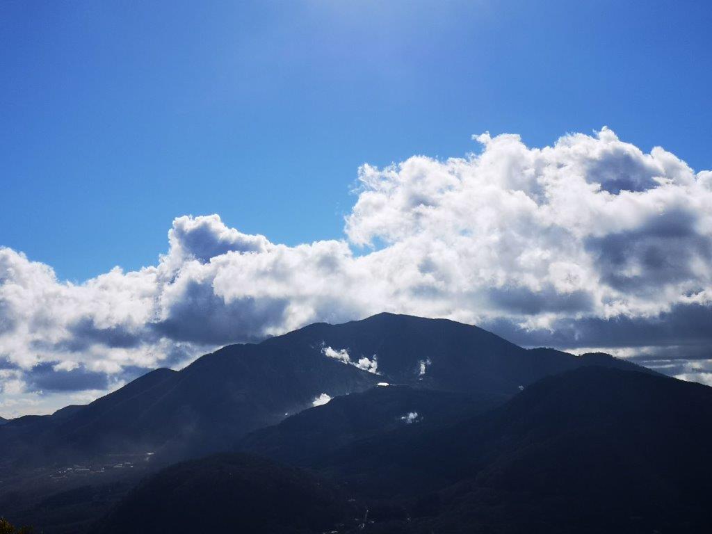
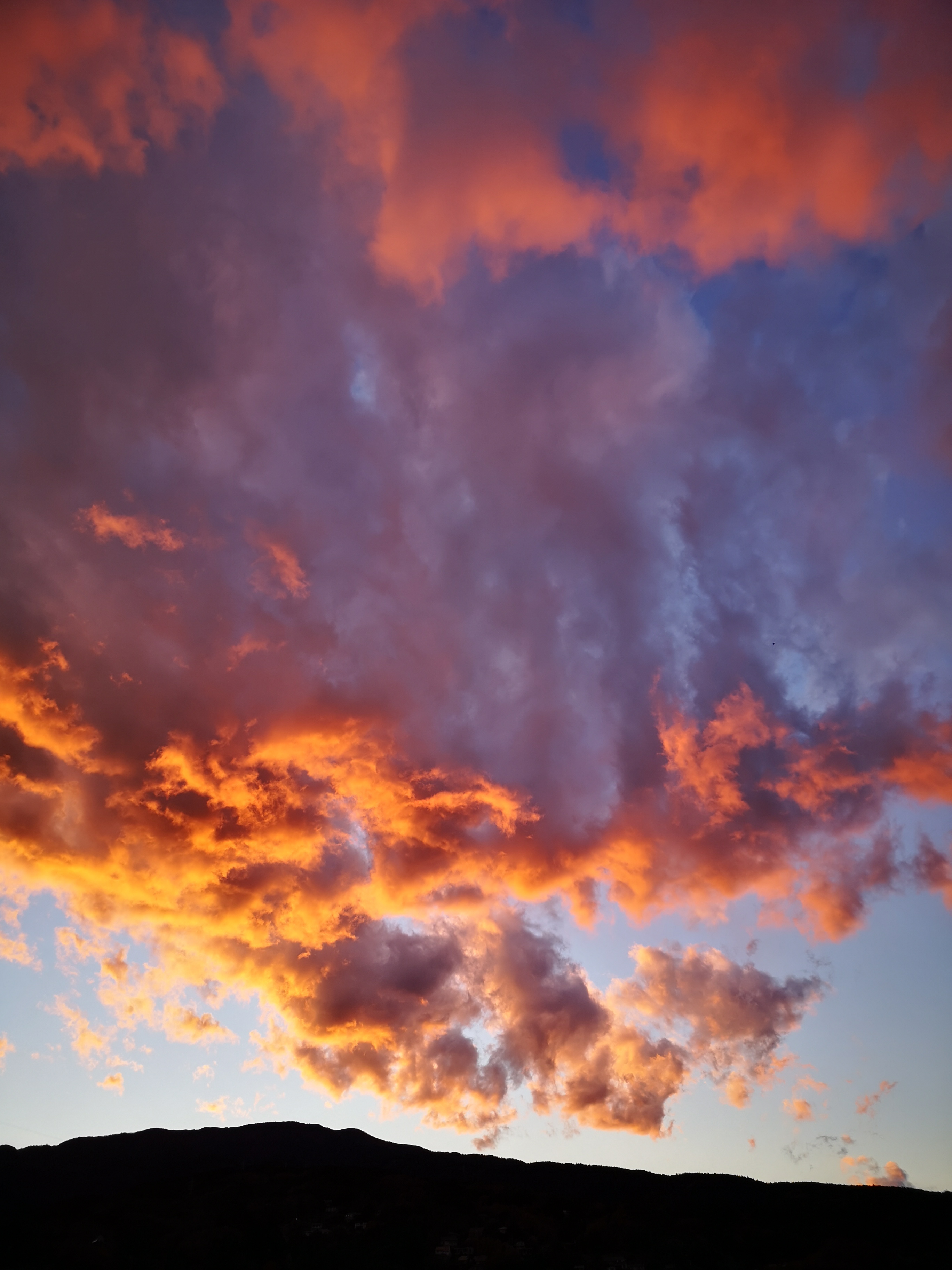
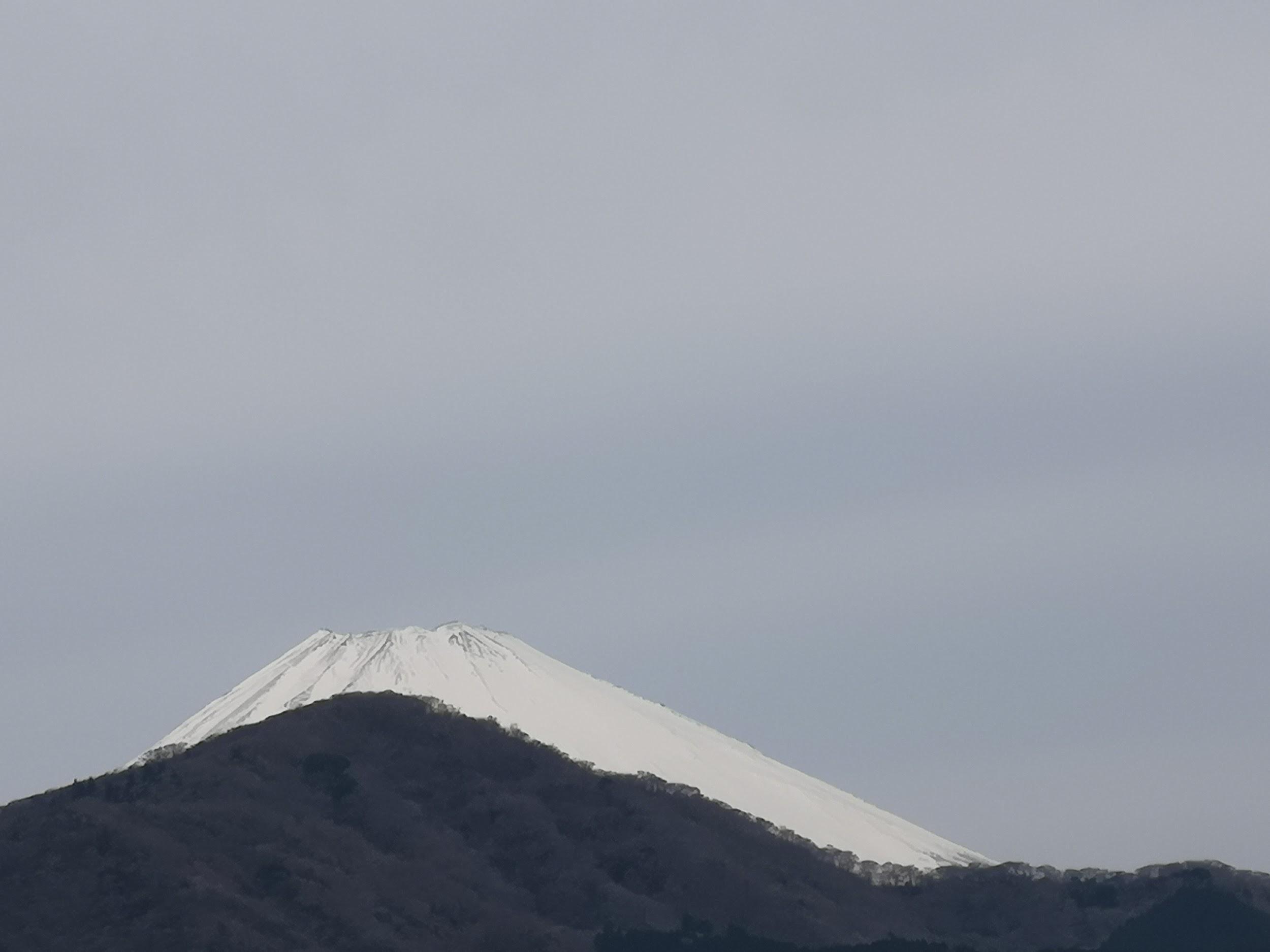
Mt Fuji slowly disappearing into the clouds
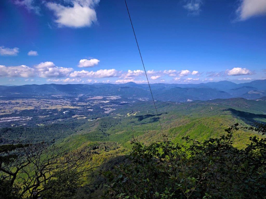
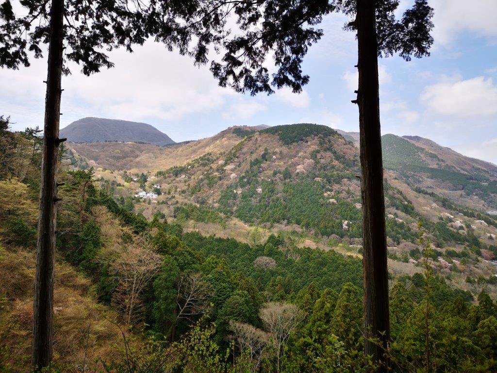
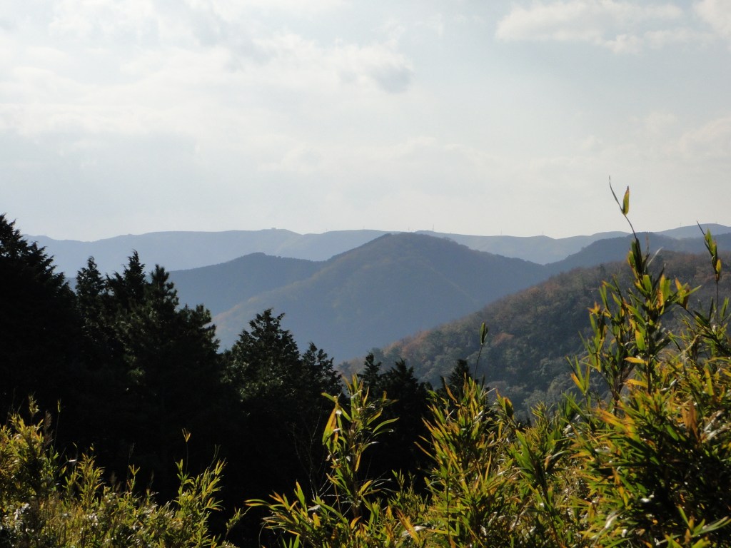
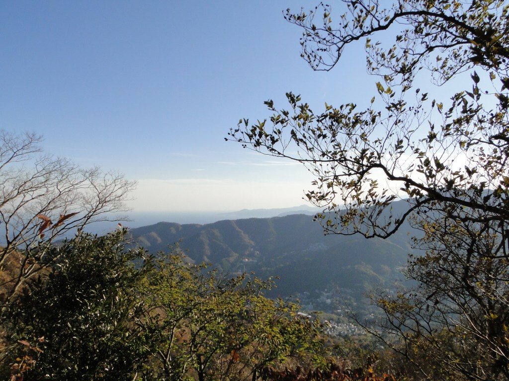
The western part of the Tanzawa mountains
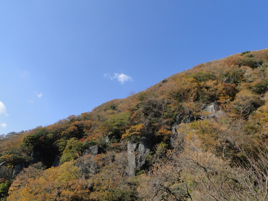
I was lucky that the summit was free of clouds; just a few minutes later some clouds rolled in and refused to budge for the rest of the day. According to my map I was at the remains of the Inohara Fort (猪鼻砦跡 962m), a few stone blocks making a good place to sit and have an early lunch while enjoying the view. Directly ahead loomed the triangular-shaped summit of today’s mountain, looking steep and menacing. I soon set off again, the path now climbing straight up the mountain side, equipped with ropes and ladders for safety.
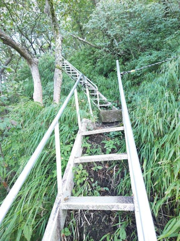
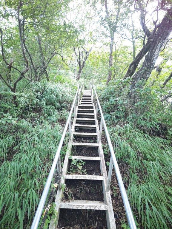
Lots of ladders to assist the hiker

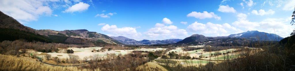
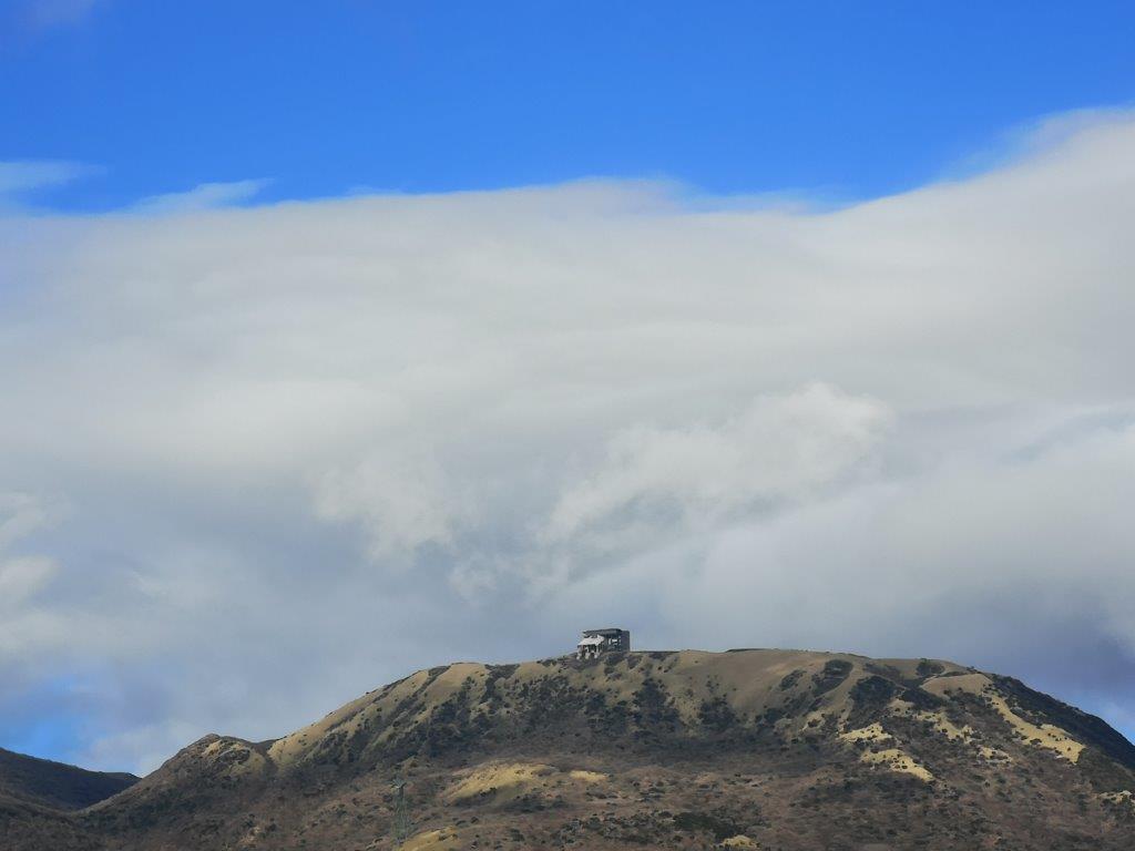
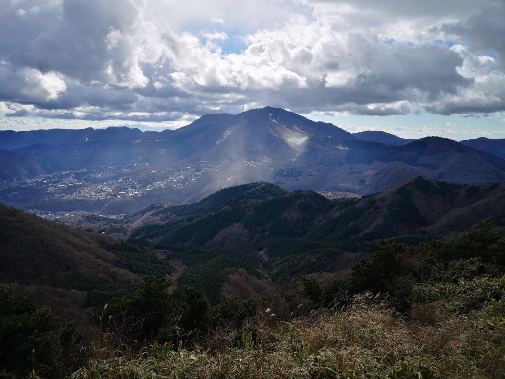
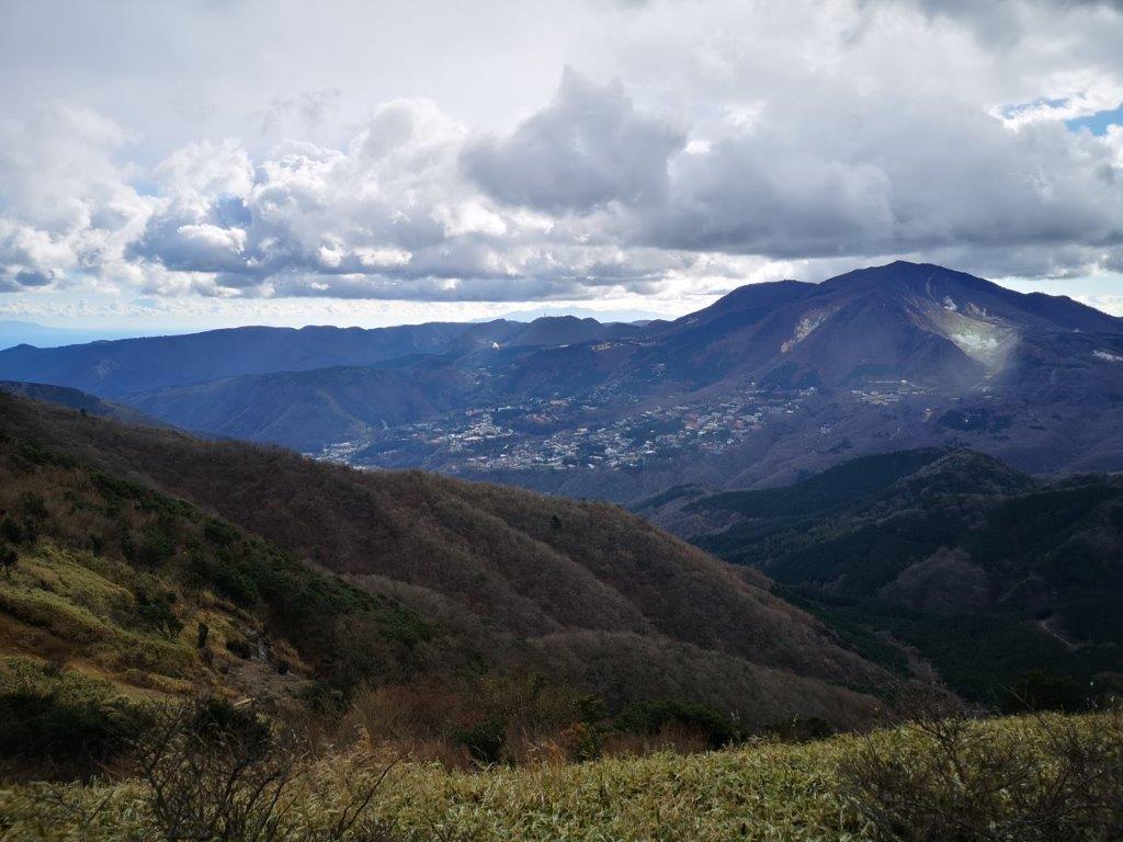
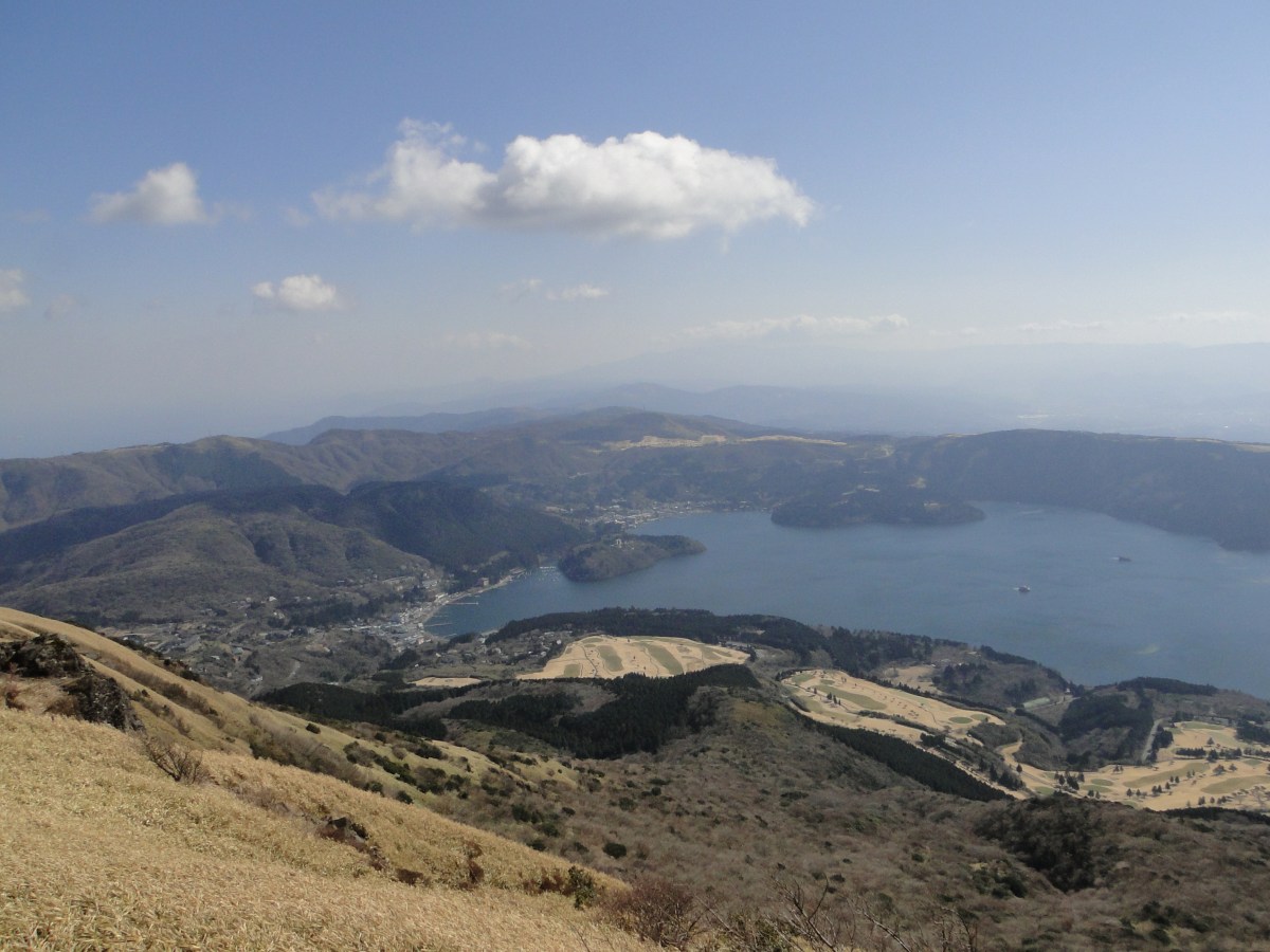
Mt Hakone at the center of Hakone Volcano
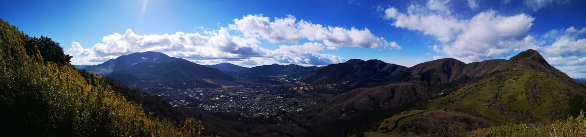
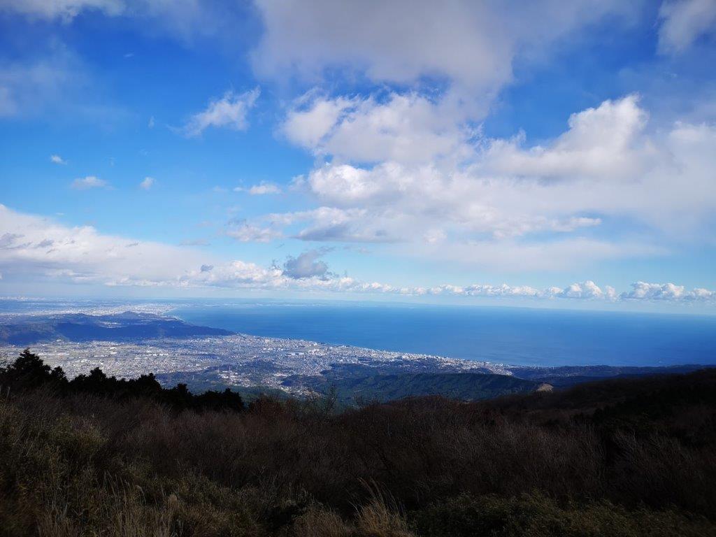
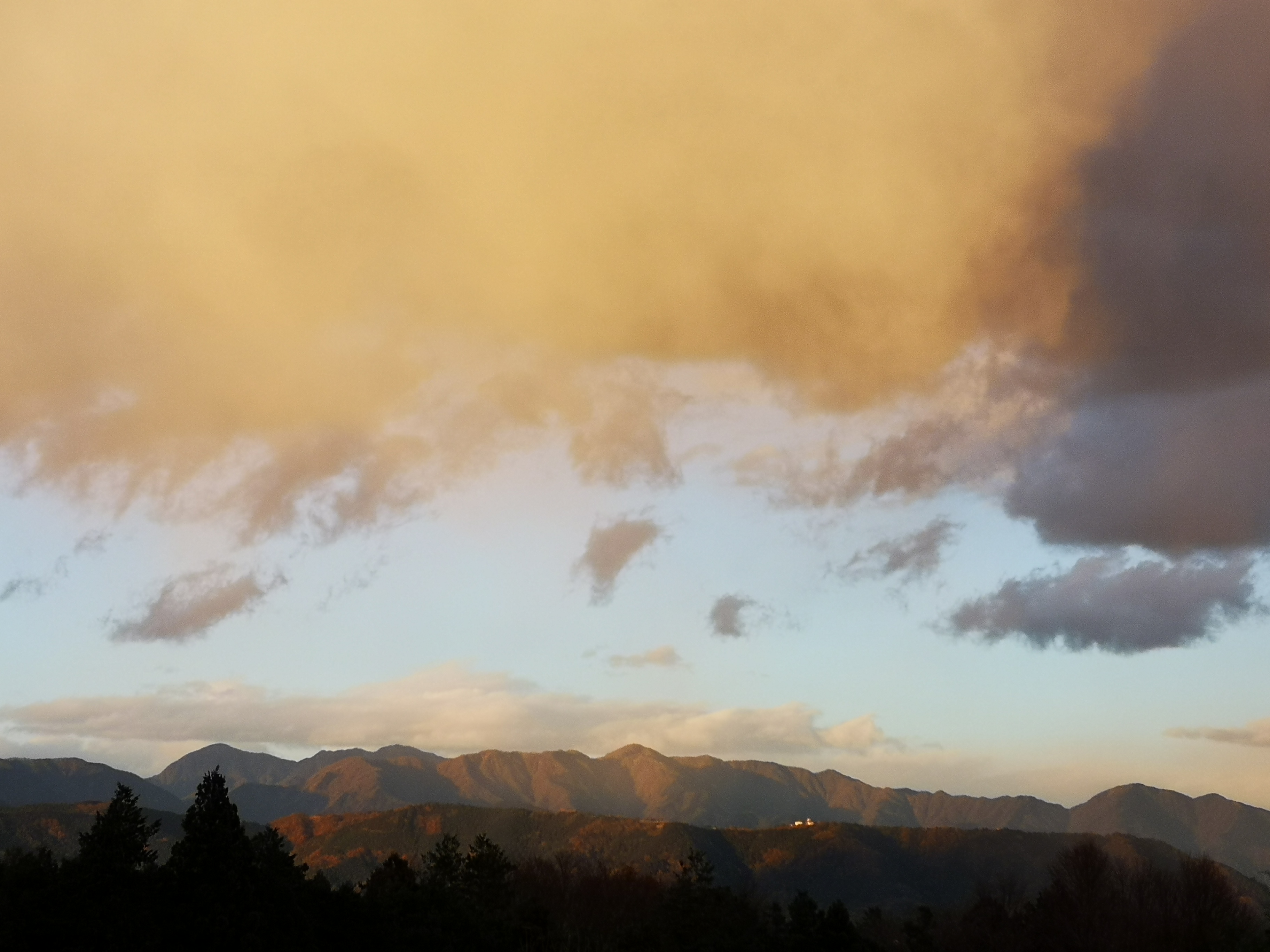
I was surprised to find such a thrilling ascent so close to Tokyo; halfway up, the view through the trees to the northwest made me feel like I was hanging from a cliff. To the left, Mt Fuji was now completely in the clouds, to the right, I could see the green Tanzawa mountain range. I met several people on their way down, and had to find “passing spots” to let them by. At 1pm, I emerged onto the top of Mt Kintoki (金時山 きんときやま kintoki-yama). I had a fantastic view of the entire Hakone area; beyond the outer caldera, I could see Mt Ashitaka, Suruga bay, and a big cloud where Mt Fuji was supposed to be. As on my previous visit, the summit area was fairly crowded so I quickly moved on.

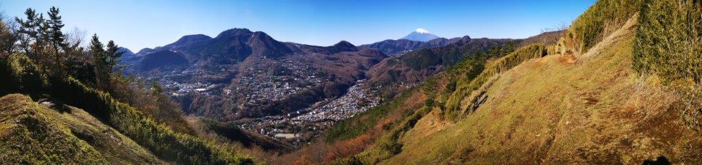
Viewpoint between Mt Kintoki and Mt Nagao
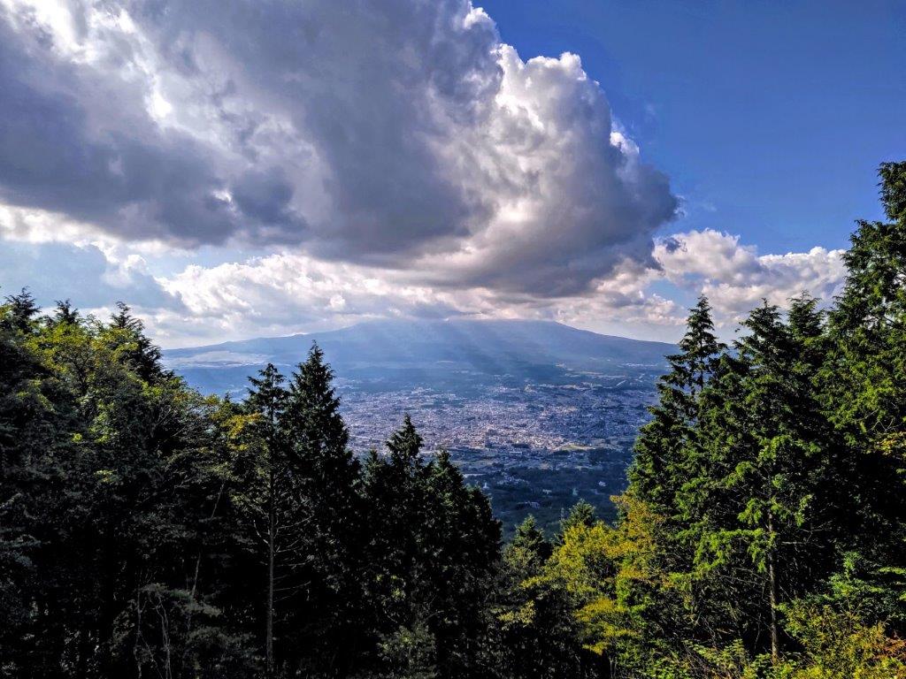
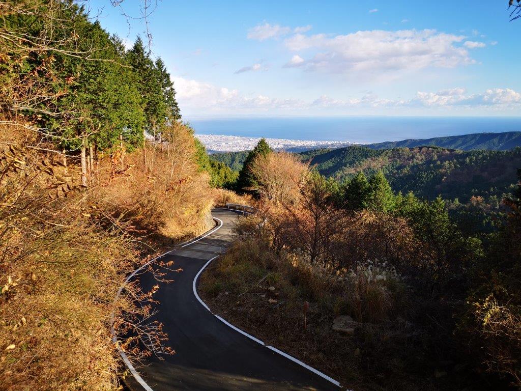
View of Mt Fuji and Gotemba city from Otome Pass
I made my way down a steep path through forest, counter-clockwise along the outer caldera rim, and now inside the Hakone part of the Fuji-Hakone-Izu National Park. Half an hour later, I passed the flat summit of Mt Nagao (長尾山 1150m), surrounded by trees. After some more descending I arrived at Otome Pass (乙女峠 1004m). From a small wooden observation platform, I could see the lower half of Mt Fuji and Gotemba city spread out around its base. At 3pm, I reached a bus stop next to Otome Tunnel; I hopped on the next bus and got off at the nearby Fuji Hakkei no Yu. After a relaxing hot spring bath, I took the shuttle bus to Gotemba station, where I boarded the Odakyu Fujisan limited express for the 100-minute trip back to Shinjuku.
See and hear the sounds and sights of the Yuhi waterfall and Mt Kintoki hike


![Mt Myojo (924m) & Mt Myojin (1169m), Hakone Town, Kanagawa Prefecture, Sunday, November 28, 2021 [Map Available]](https://hikingtokyo.com/wp-content/uploads/2021/12/img_20211128_132421.jpg?w=1024)


You must be logged in to post a comment.