

I was looking for a low-altitude destination after recent snow in the Kanto area, as well as a suitable weekday hiking option. I settled on Ibaraki, since I could combine 3 hikes from my guidebook that allowed me to walk from a 100-famous village to a 100-famous waterfall. I had planned a hike around the waterfall 3 years ago, but had to postpone it after injuring my hand. More recently, I had planned another hike above the famous village, but could only reach the trail entrance via a weekday-only bus. Finally, after looking at a map of the area, I realised they were connected by a long ridge trail, normally too long for a daytrip, but possible thanks to the bus. Although it would my longest hike so far this year, it included relatively little climbing and ended at a train station, giving me some flexibility for the return. The forecast announced blue skies all day, although the temperature would be cool for the season. I was looking forward to seeing the views of the Daigo region on the last winter hike of the year and hoped that I could reach the train station before dark.

Looking back at the hike before reaching Mt Tsukiore

Looking north from the Number 2 viewpoint
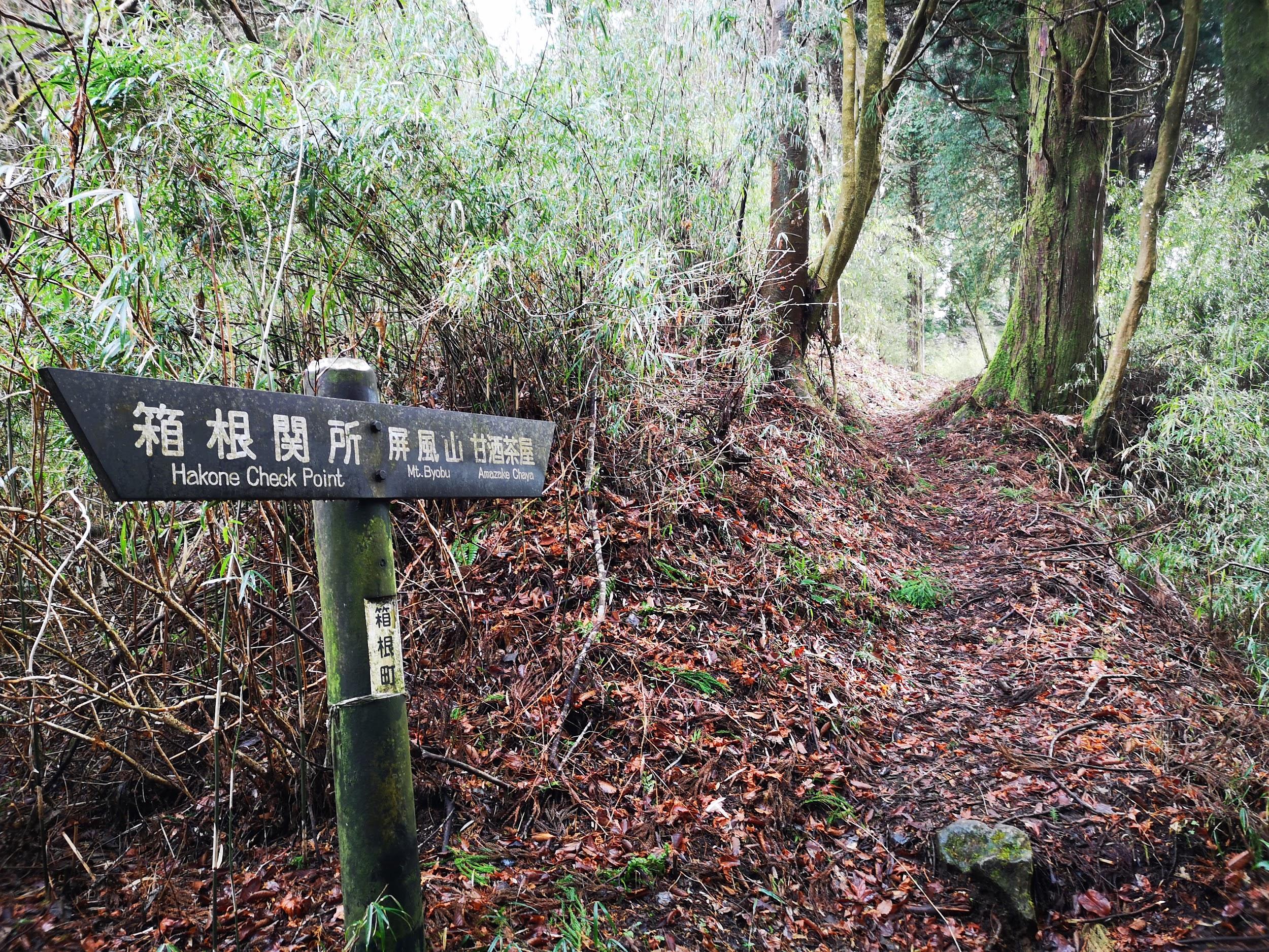
I rode the surprisingly full Hitachi limited express to Mito, where I transferred to the comfortably empty Suigun line. I got off at Hitachi-Daigo a little after 10h30, about 130km northeast of Tokyo, and felt like I had stepped into a different world: although I was still in Kanto, this was rural Japan, with just a few low buildings and local shops surrounding the station. A few minutes later, I boarded a local bus, first taking me behind the falls where I would end my hike, and then down a valley parallel to the ridge I would follow back. I was the only passenger and got off after just 20 minutes in the middle of nowhere. I followed a side road and soon arrived at the turn-off for Mochikata village (持方集落), a 100-famous village of Japan (日本の里百選 “nihon-no-sato-hyakusen“).

East view from near the top of the road for Mochikata village

Level ridge trail (left) vs steep descending trail (right)
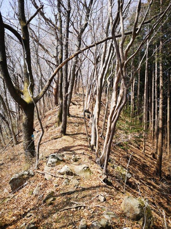
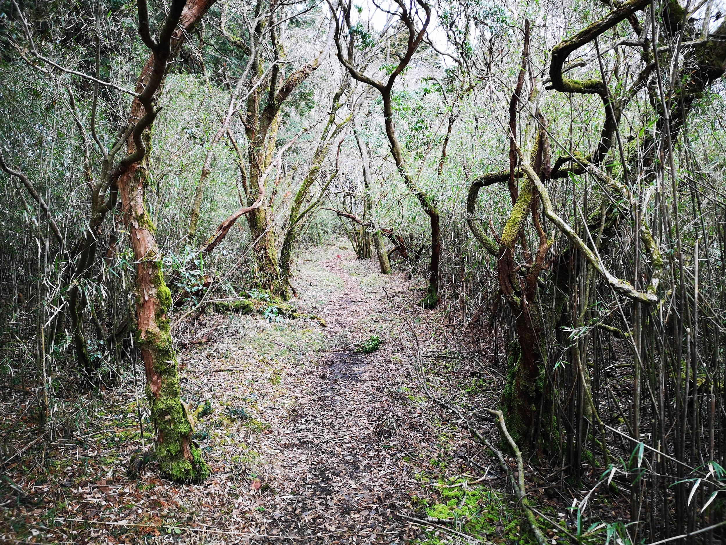
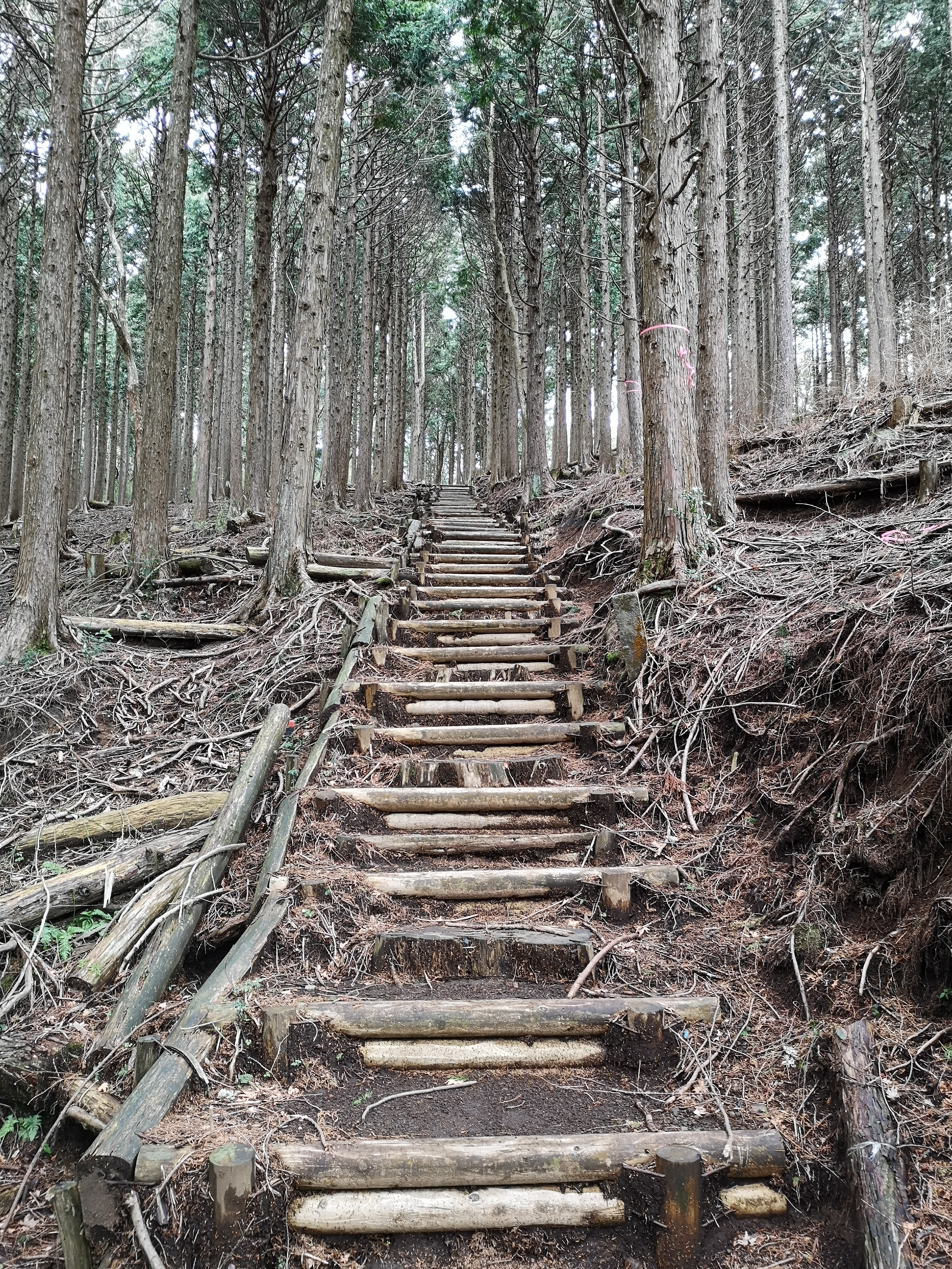
As I walked up a gradually rising road, I spotted snow near the ridgetop; it made me worry that I might encounter wet slippery snow on the trail. I was soon distracted by wide views to the east; somewhere among those low mountains was Mt Tatsuware. At noon, I reached a pass and the trail entrance. After a short climb, the path became level and followed a narrow ridge, thankfully bare of snow. Although the surrounding trees were also bare of leaves, I couldn’t get a glimpse of the birds of prey whose calls I could hear while they circled the valley. I felt far from civilization, all alone on the trail and the view blocked in all directions by the branches. After another short climb, I reached the narrow summit of Mt Shiraki (白木山(しらきさん shiraki-san, meaning white tree). It was already 12h30, so I sat down for an early lunch. I was deprived of a view, but was entertained by a myriad of butterflies fluttering around under the sun. After barely 15 minutes, I resumed my hike.

Bridge leading to the start of the hidden valley
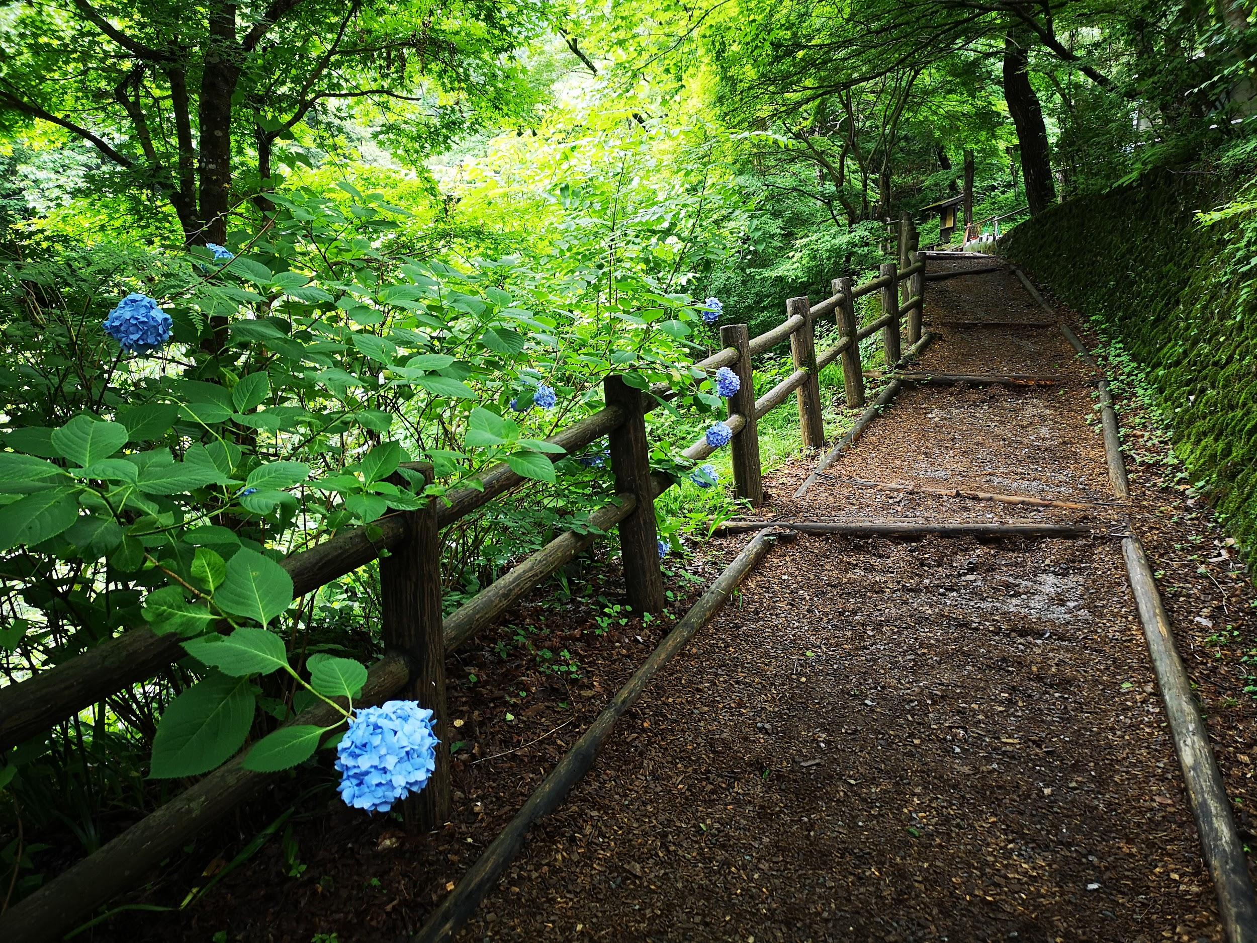
Most of the trail was in the sun and easy to walk
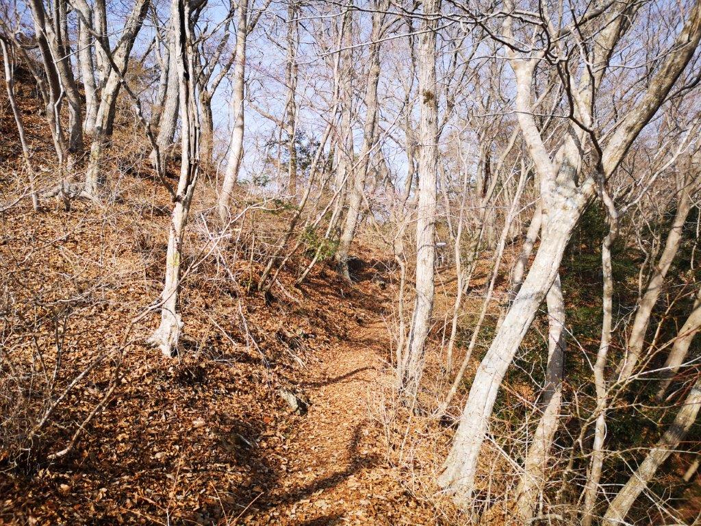
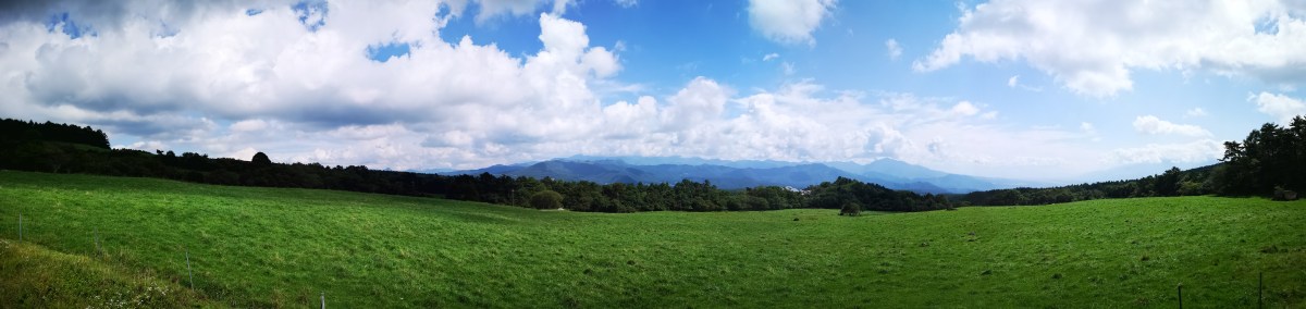
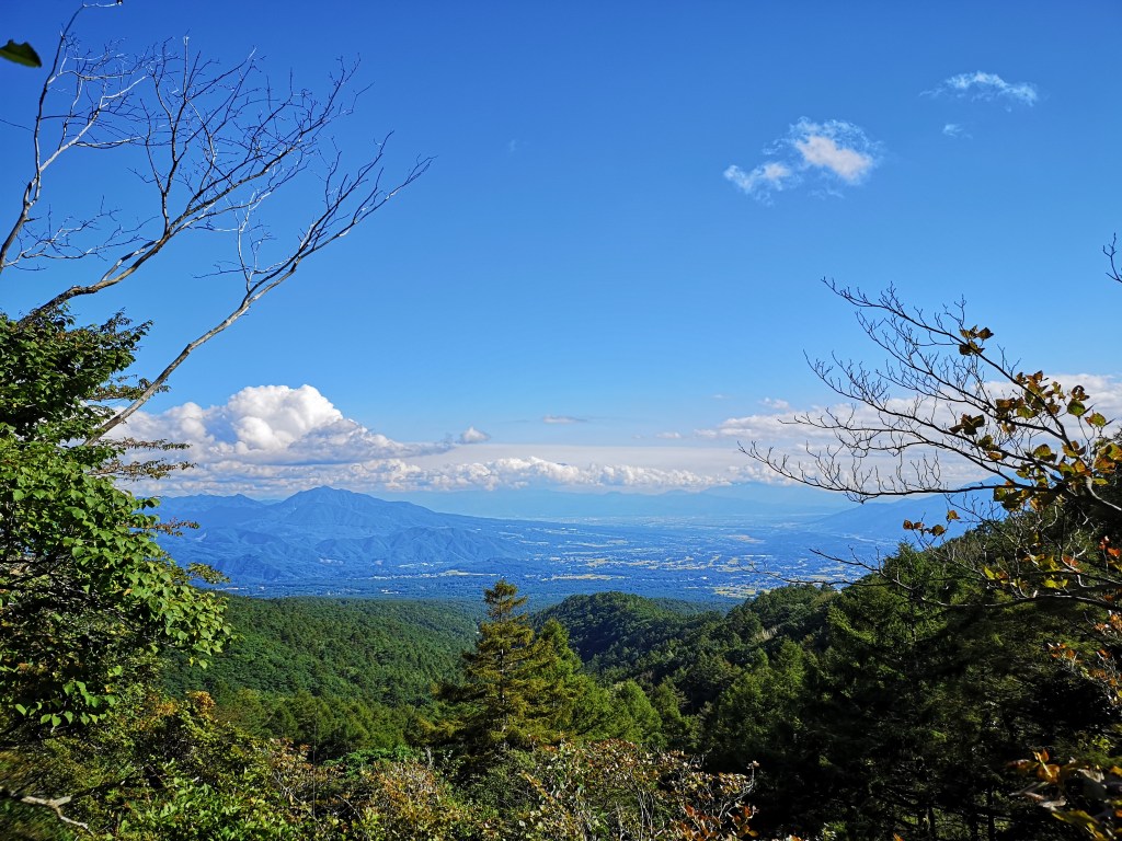
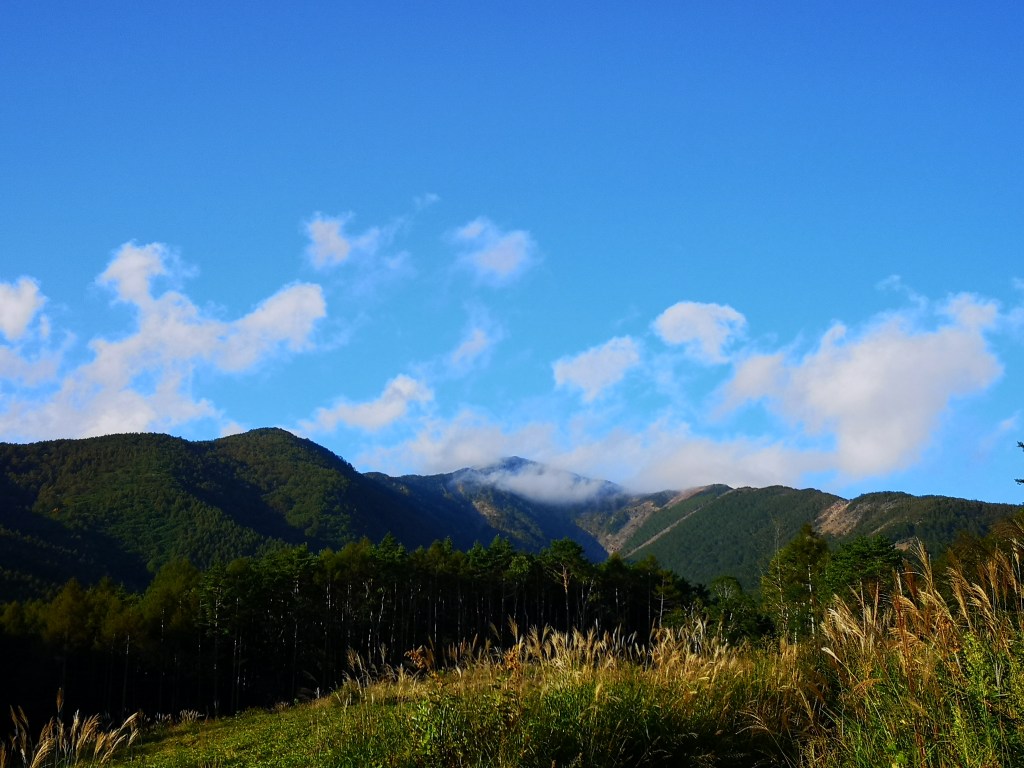
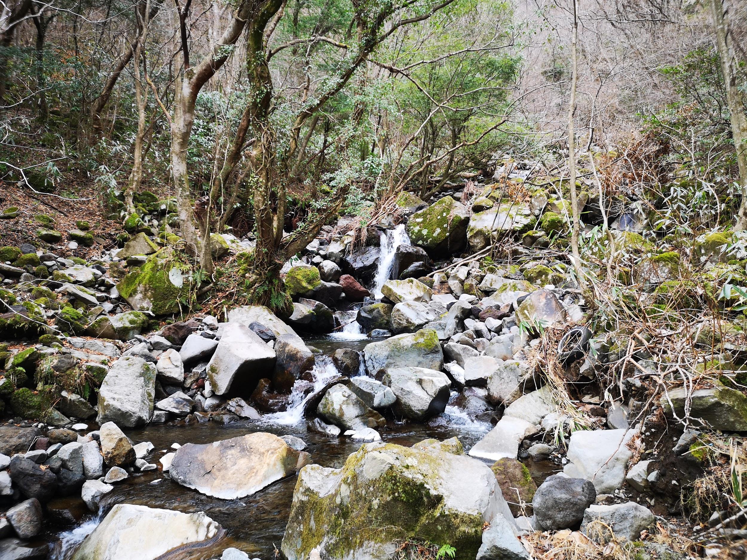
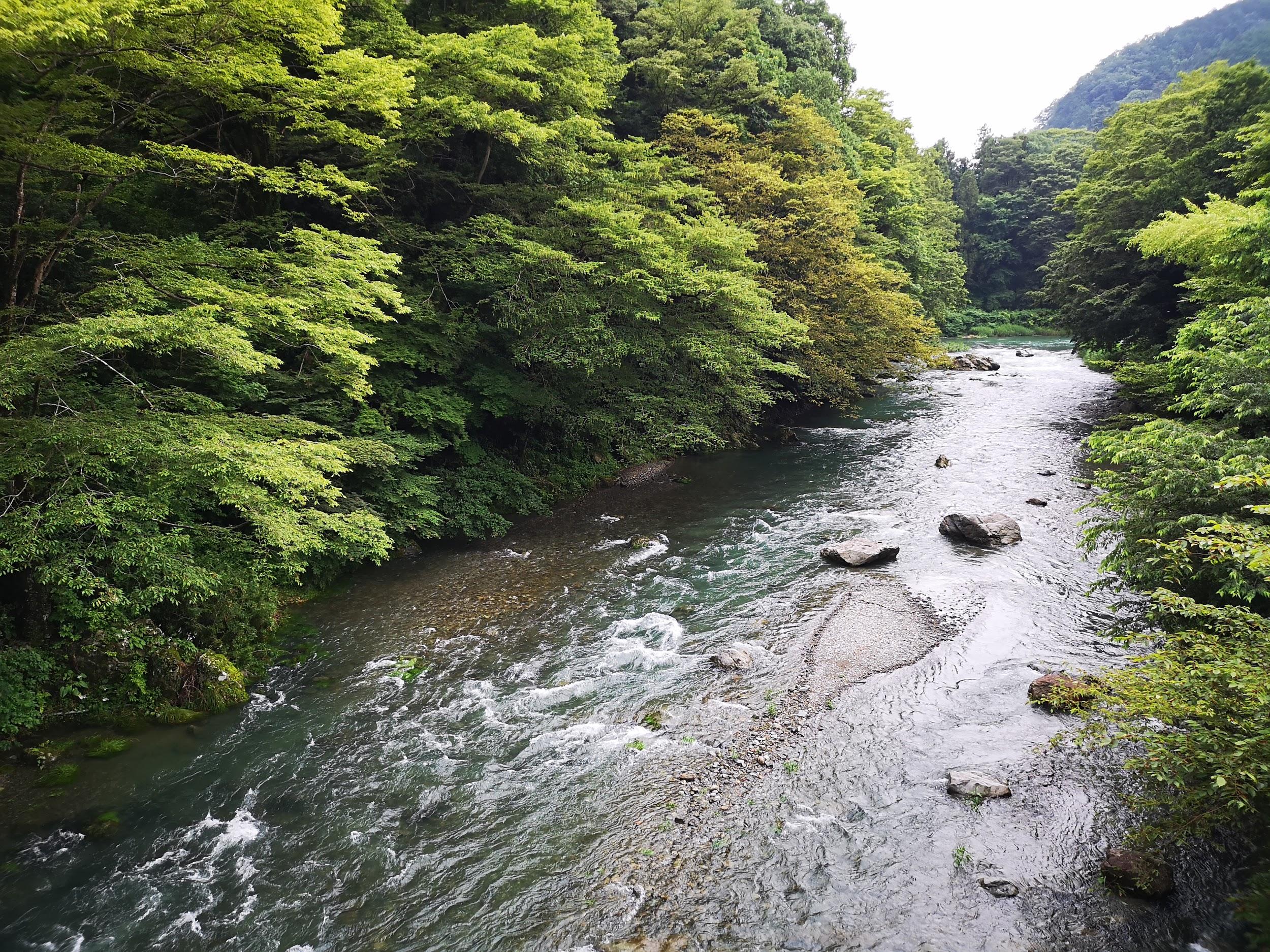
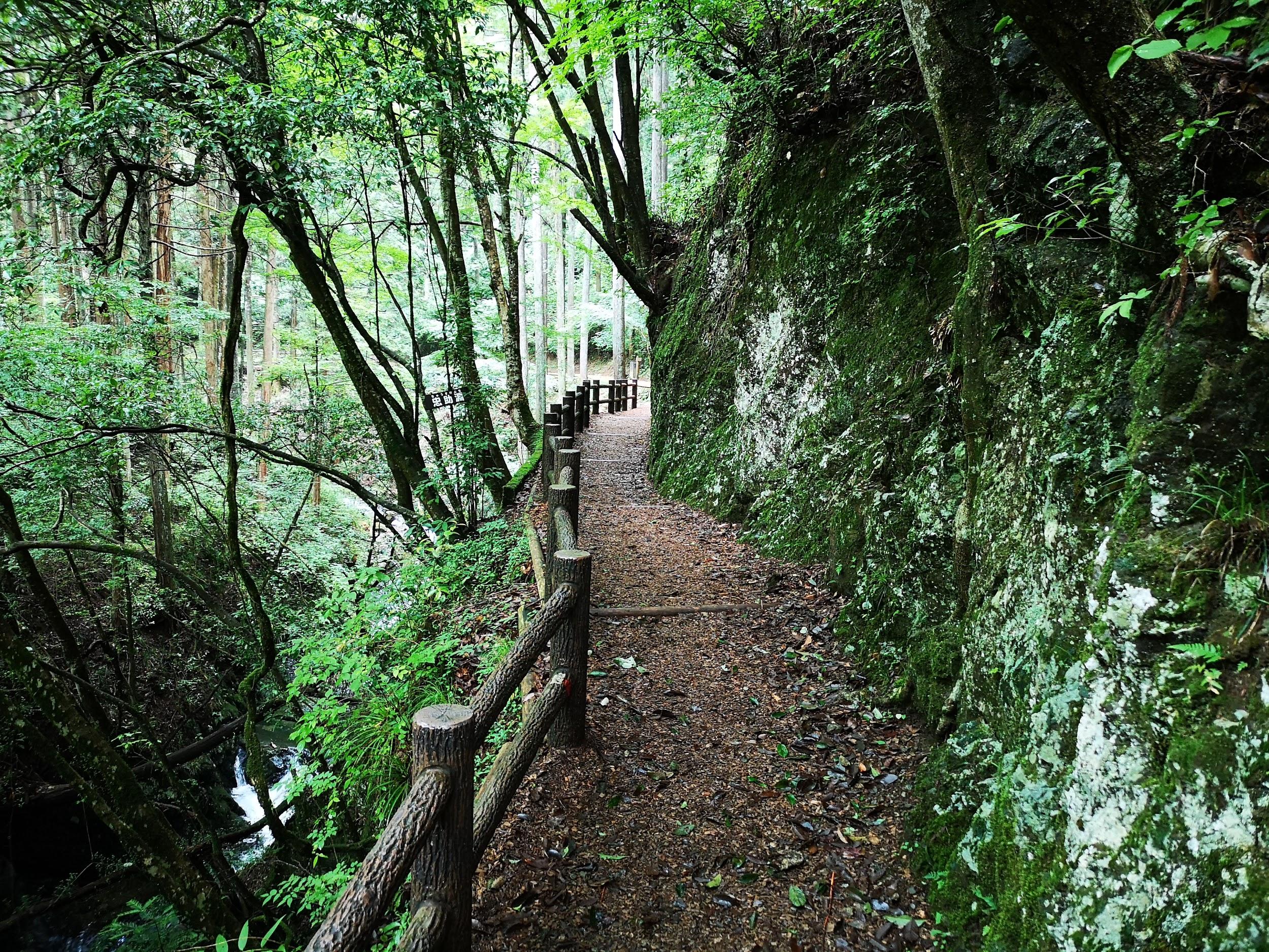
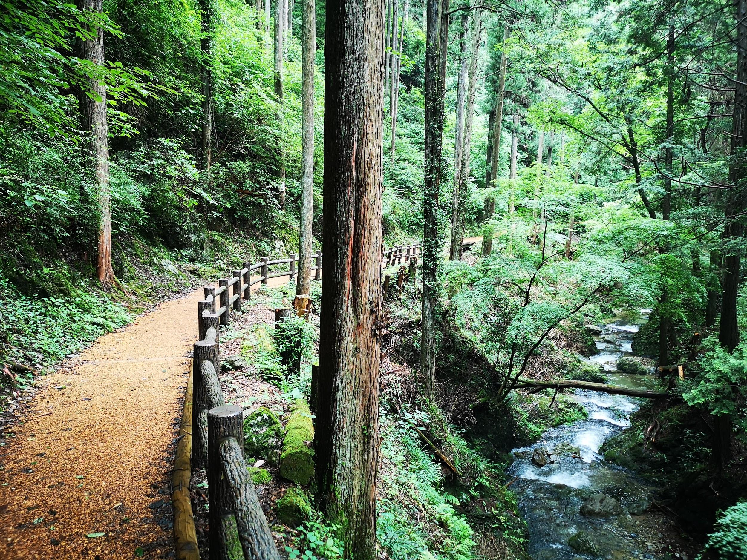
I now headed down a steep rocky path, and although it was lined with ropes for safety, I was amazed by the contrast with the previous section. At 1pm, I emerged onto a road and continued up a path on the other side. I was following an up and down ridge, twisting left and right through cedar trees; before I knew it, I couldn’t tell in which direction I was headed, till I got a reassuring glimpse of the Kuji river valley straight ahead through a break in the trees. Shortly after, I reached the junction with the trail for Mt Nantai and started down a zigzag path, and there, I suddenly came across snow. I proceeded with caution till the trail leveled and the snow vanished. I was now walking on a narrow path hugging the slope: it was the best section of the hike, along a hidden valley cut off from the outside world. A little after 2pm, I started to climb up out of the valley and 30 minutes later, I reached the first viewpoint of the day, officially called the Number 2 viewpoint (第二展望台 だいにてんぼうだい daini-tenboudai).

Late afternoon view from below the summit of Mt Tsukiore

Entrance to Tsukiore Kannon Temple (left) staircase leading to the falls (right)
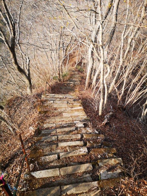
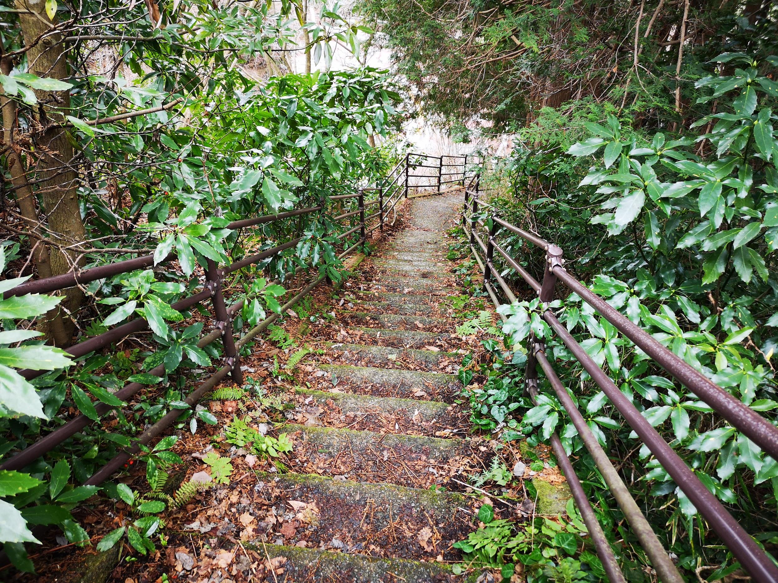
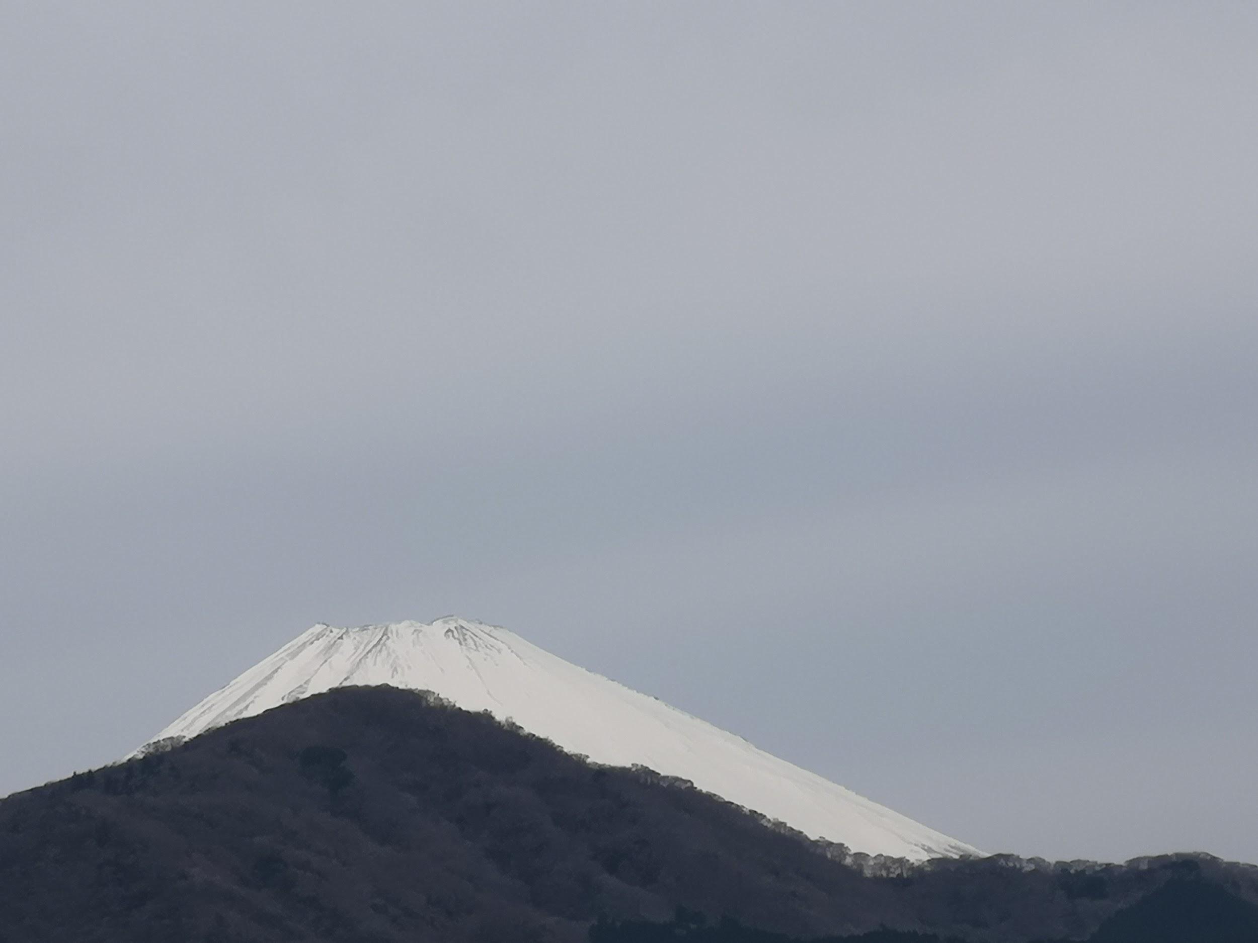
Against the afternoon sun, the view was mostly outlines and shapes, but still impressive, because of the low hilly nature of the region. I set off again and at 3pm reached a second viewpoint, called the Number 1 viewpoint (第一展望台 だいいちてんぼうだい daiichi-tenboudai), as I was doing them in reverse; it was also the summit of Mt Nabekorogashi 422m (鍋転山 なべころがしやま nabekorogashi-yama, meaning rolling pot). I was somehow behind schedule so I had to pick up the pace. After a short up and down, I reached another viewpoint, on top of some rocks, and turning around, I could observe the ridge I had been following for most of the afternoon. At 3h30, I reached the easy to miss summit of Mt Tsukiore (月居山 つきおれさん tsukiore-san, meaning being on the moon), surrounded by trees again. Without delay, I made my way down another steep path, ending at Tsukiore Pass and the Tsukiore Kanon temple. After ringing the bell, I had to climb a long, steep staircase, the only reward being another long staircase down the other side.

Mt Namase-fuji, an impressive mountain I have yet to climb
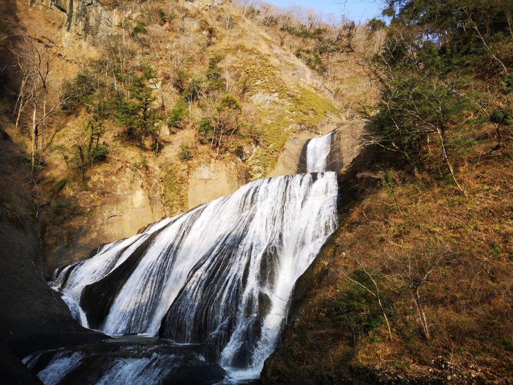
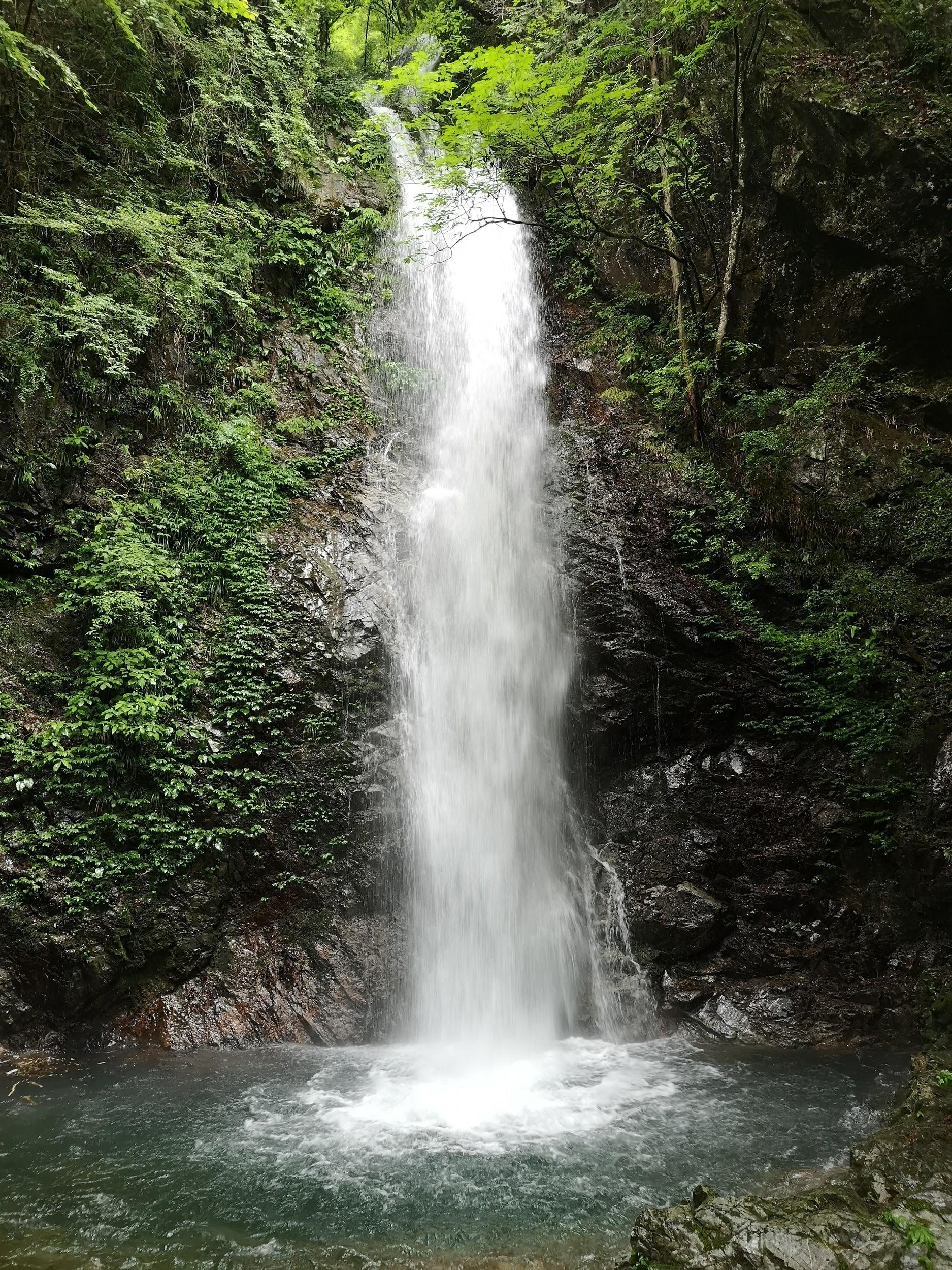
Fukuroda falls, a 100 famous waterfall of Japan
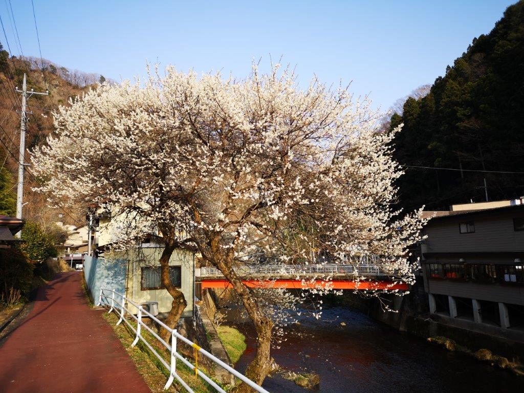
Through the trees, I had a glimpse of the magnificent shape of Mt Namasefuji, with Fukuroda onsen nestled at its base; I look forward to climbing it in the future. Further down, I had one last view of the low hilly area on the east side. At 4pm, I finally reached the base of the Fukuroda falls (袋田の滝 ふくろだのたき), a 100-famous waterfall of Japan (日本の滝百選 “nihon-no-taki-hyakusen). I was lucky to catch it while bathed in the last rays of sunlight. After standing in awe of its raw power for a few moments, I pulled myself away for the last stretch of today’s long traverse. Although it was along the road, here and there I could see the plum trees, still in full bloom. I reached the charming station of Fukuroda a little after 4h30, well before sunset and in time for the local train back to Mito, where I switched to the limited express for the one hour ride back to Ueno.
Feel the awesome power of the Fukuroda Falls


You must be logged in to post a comment.