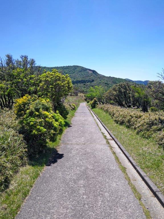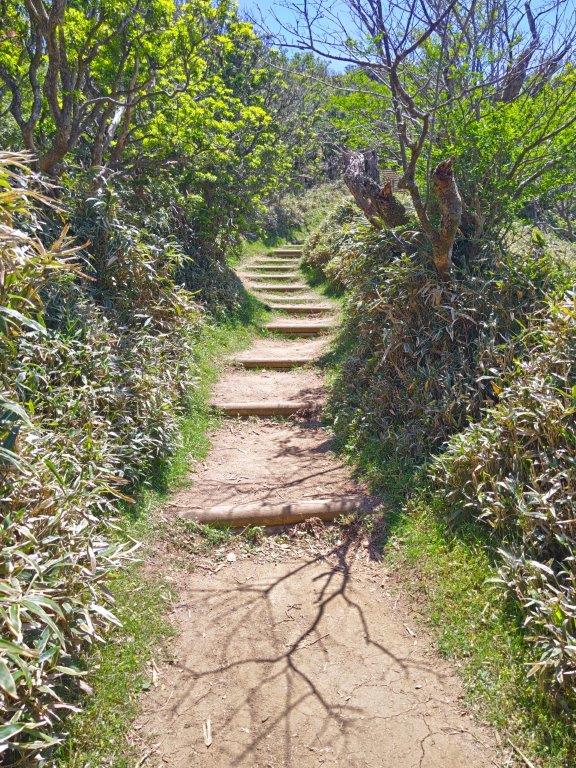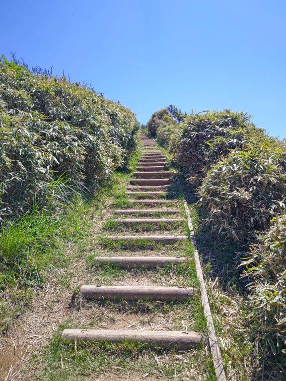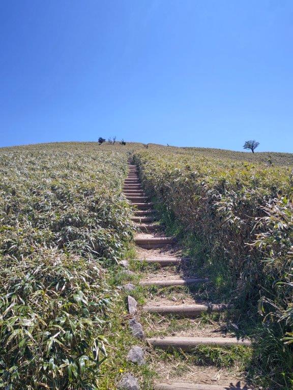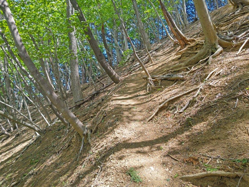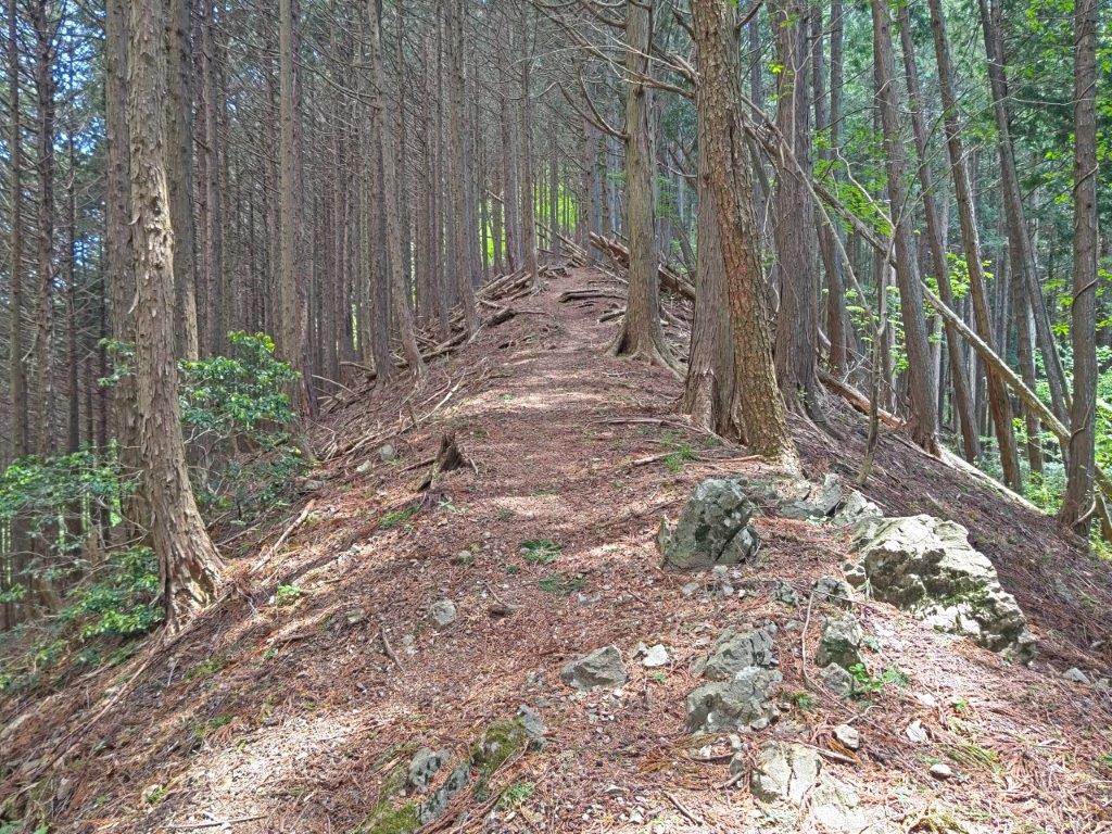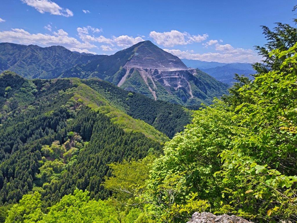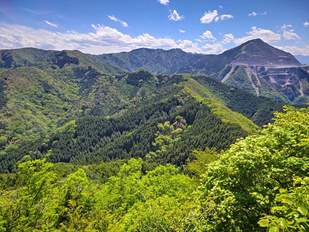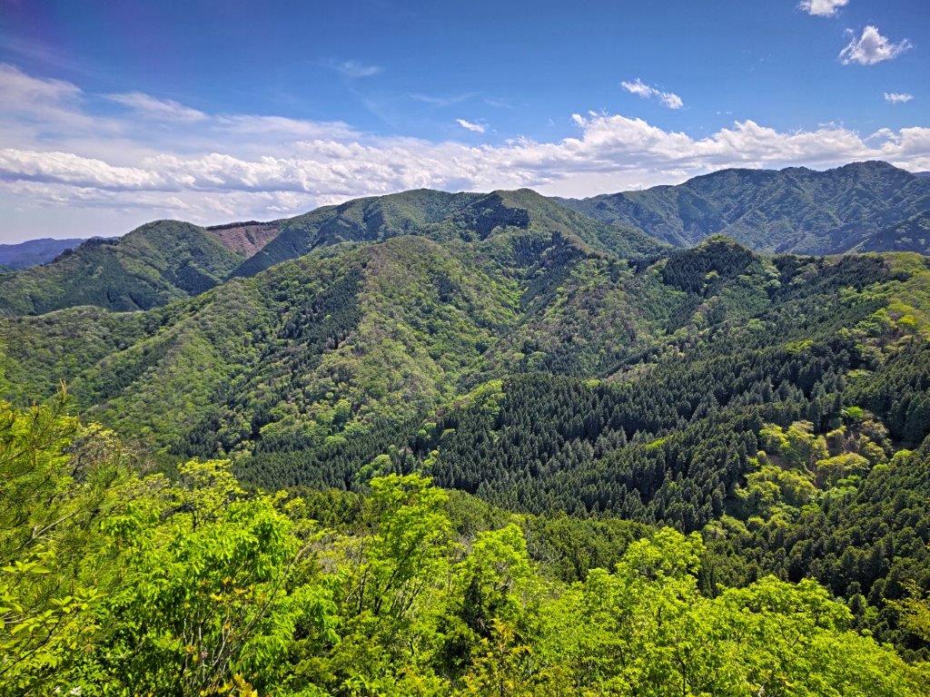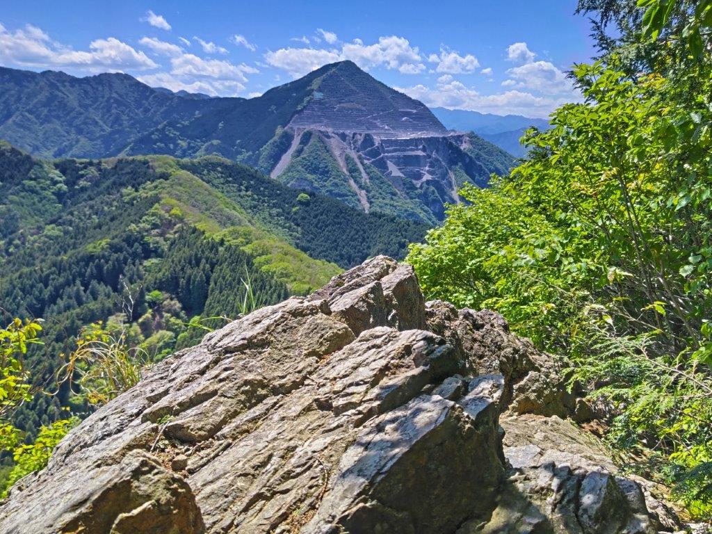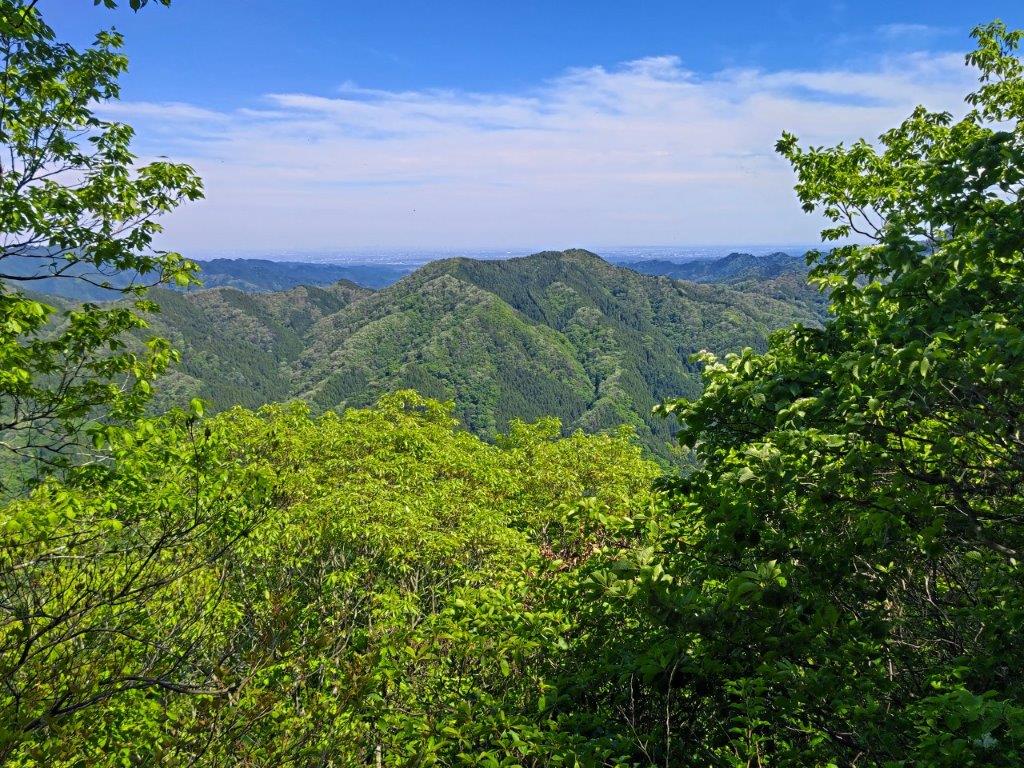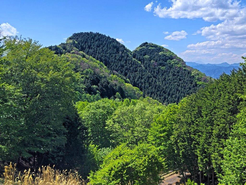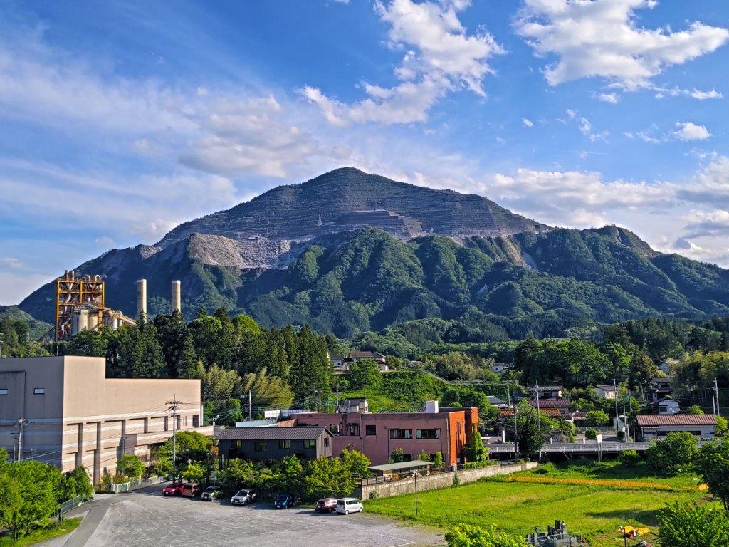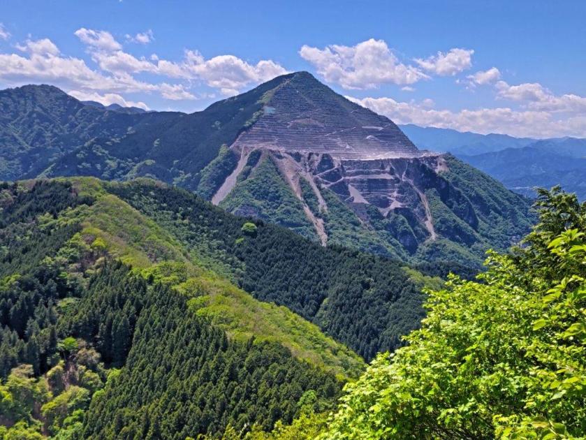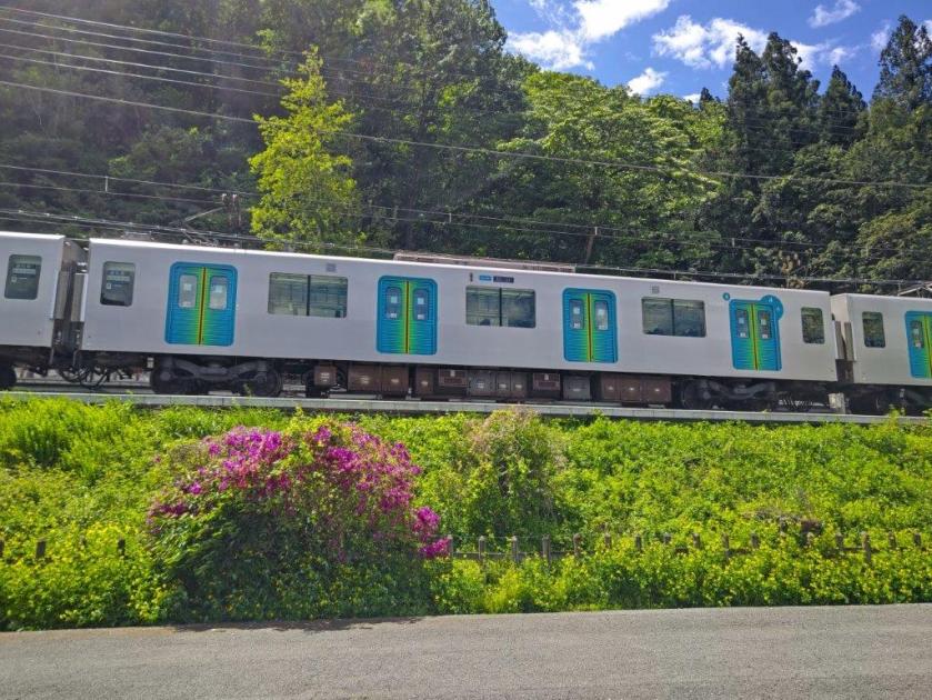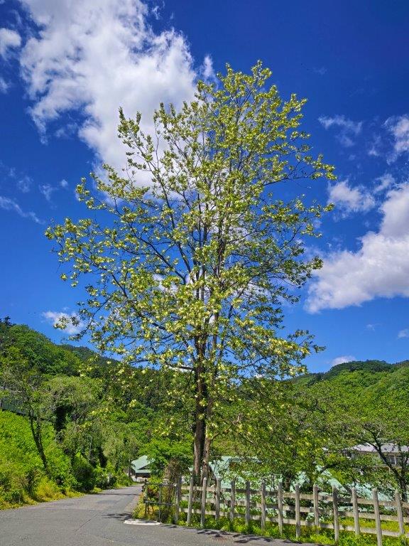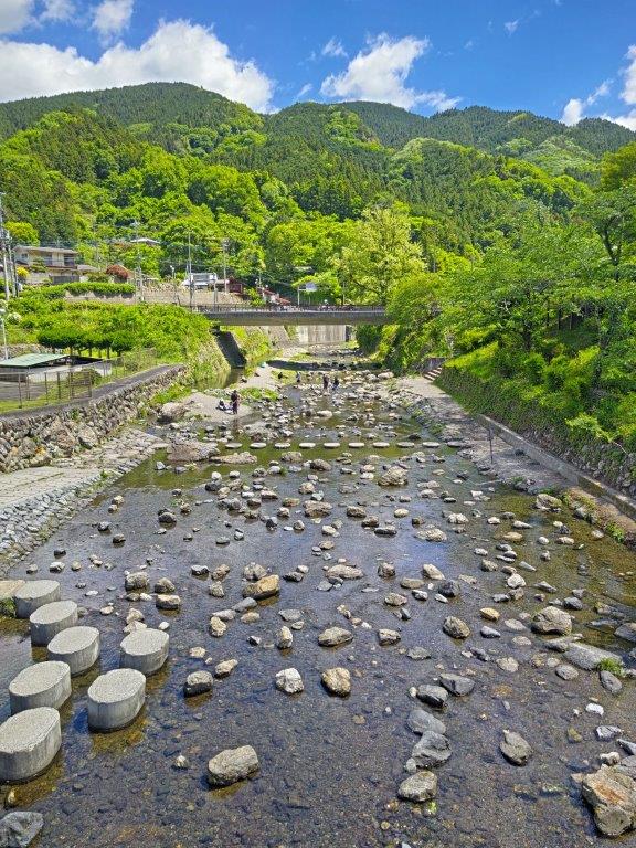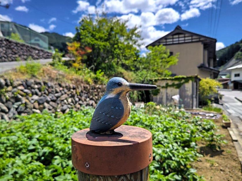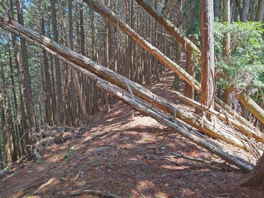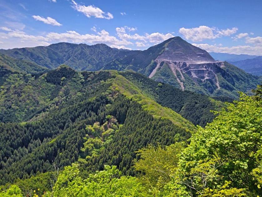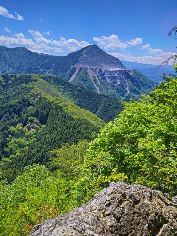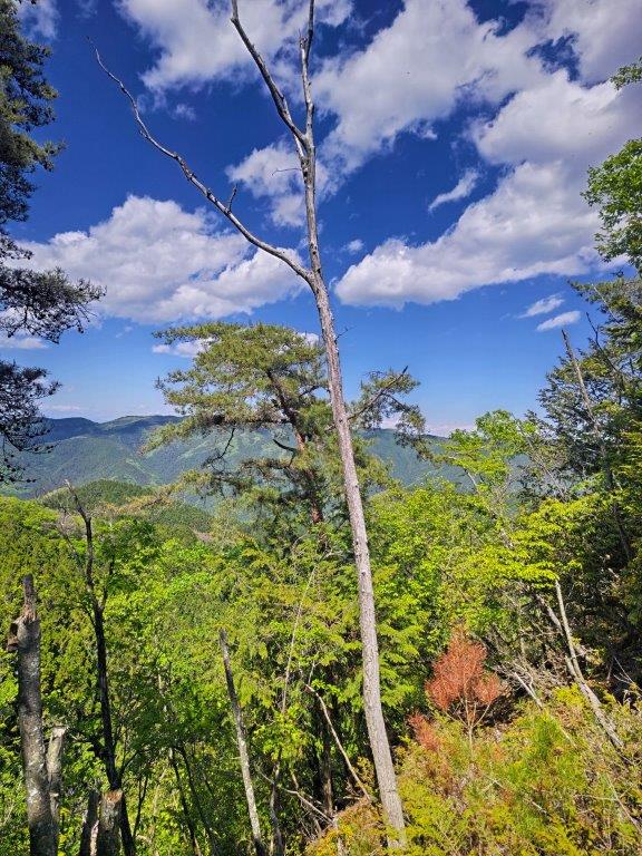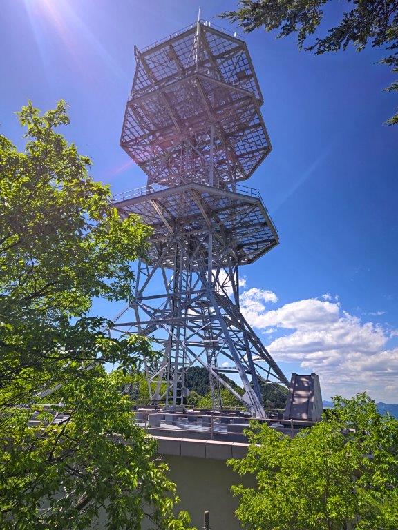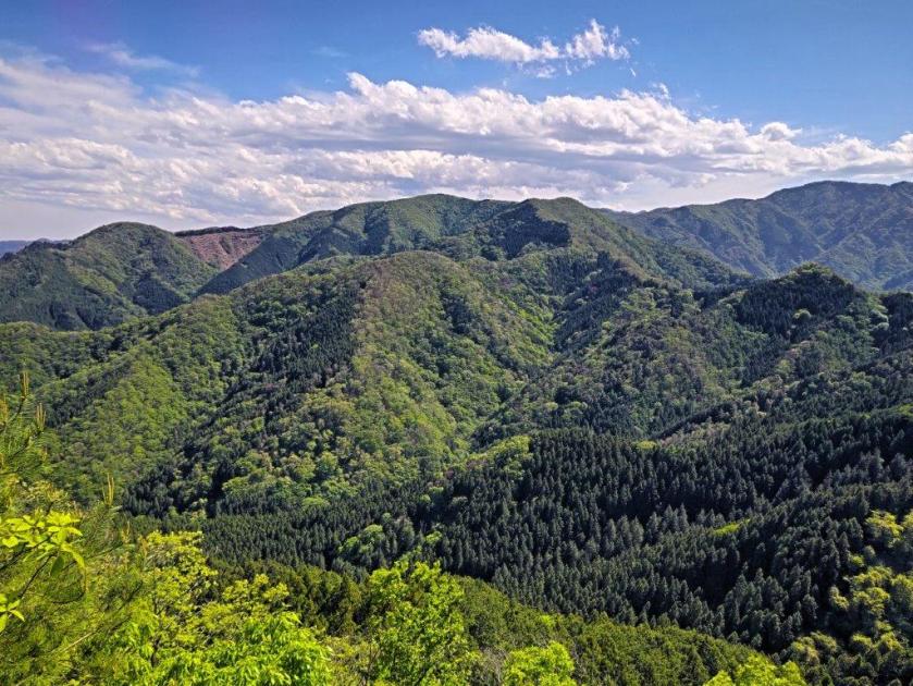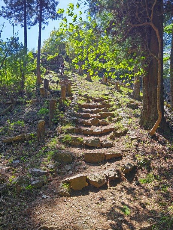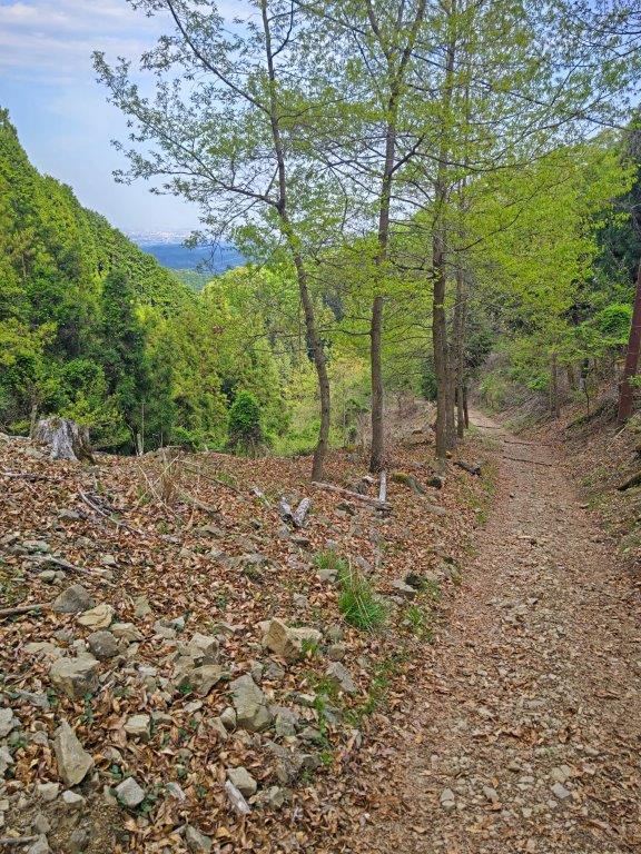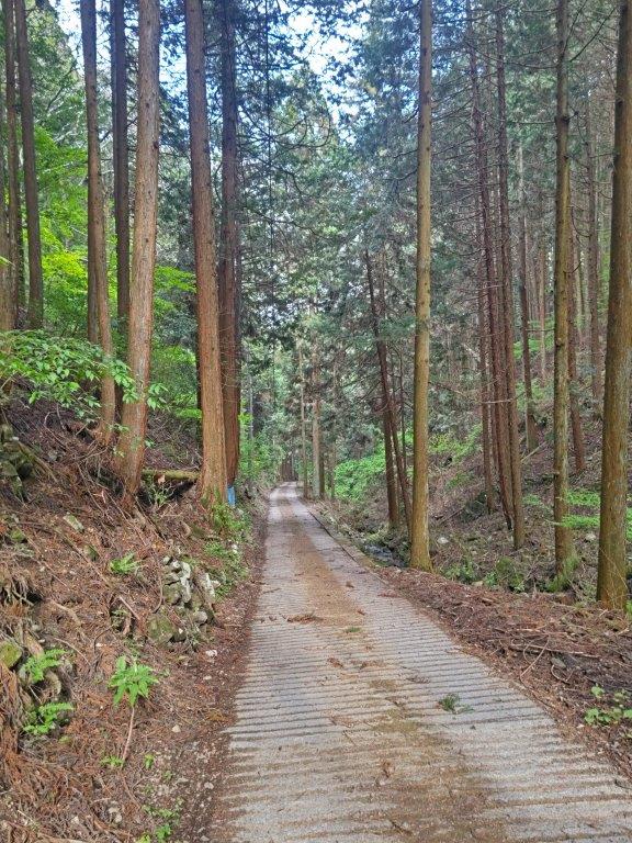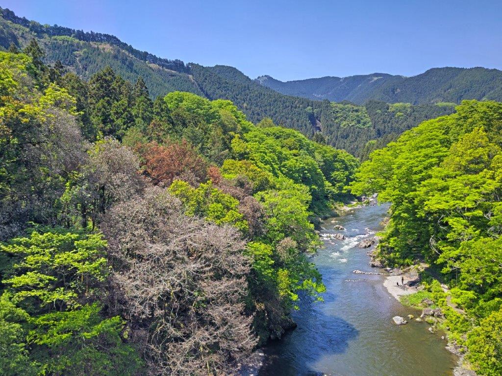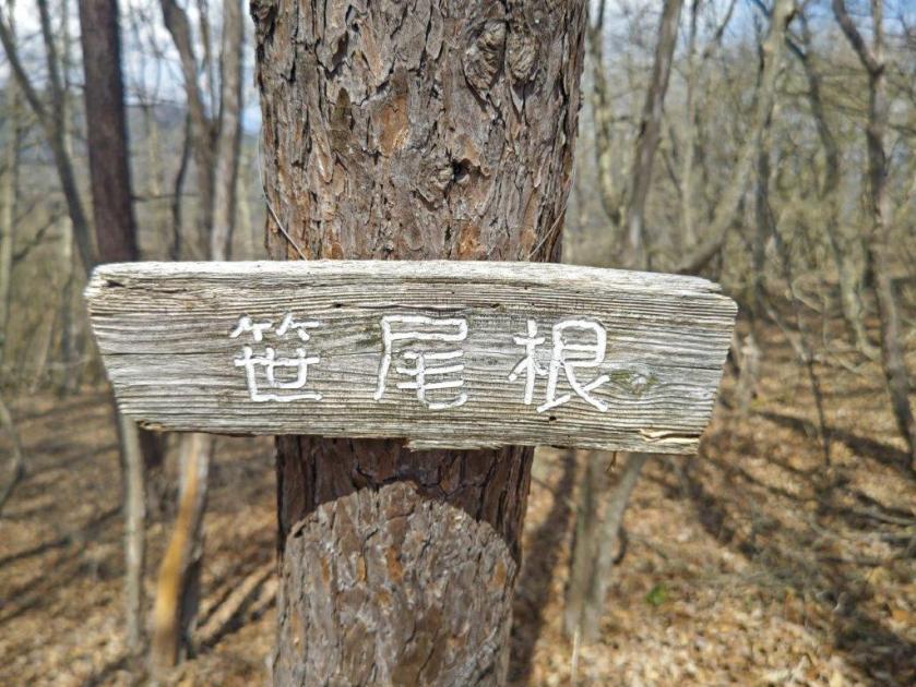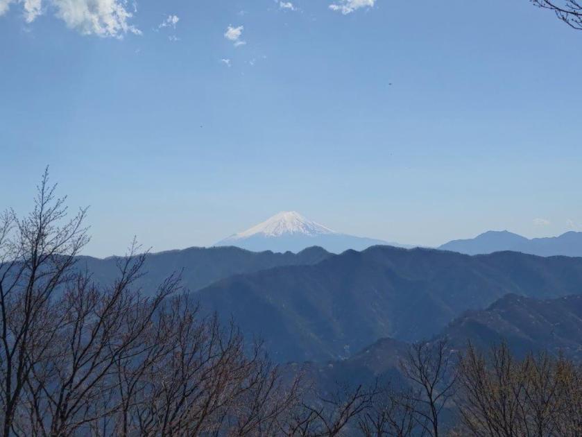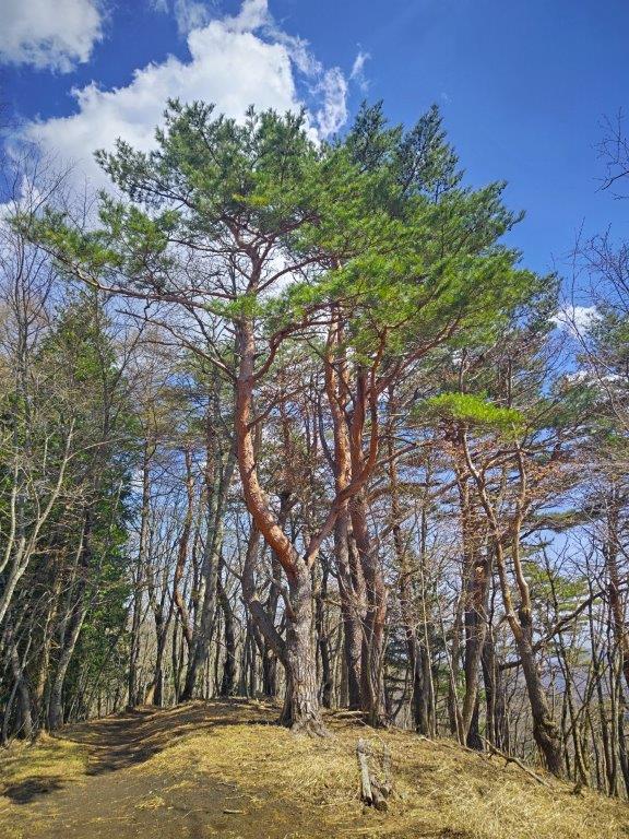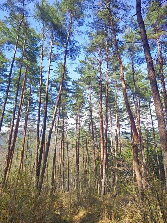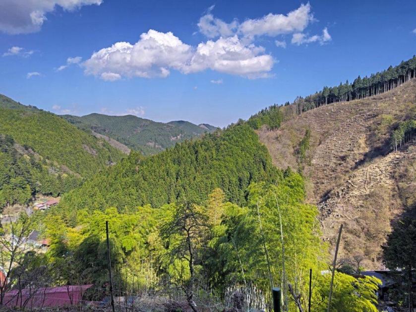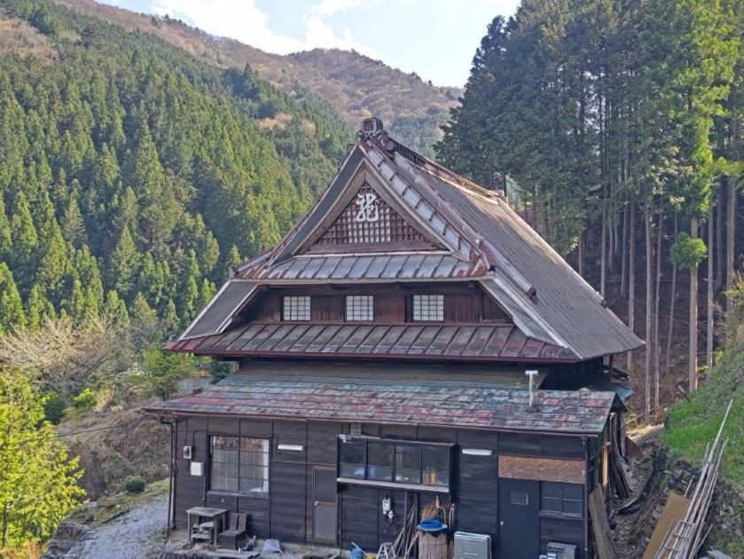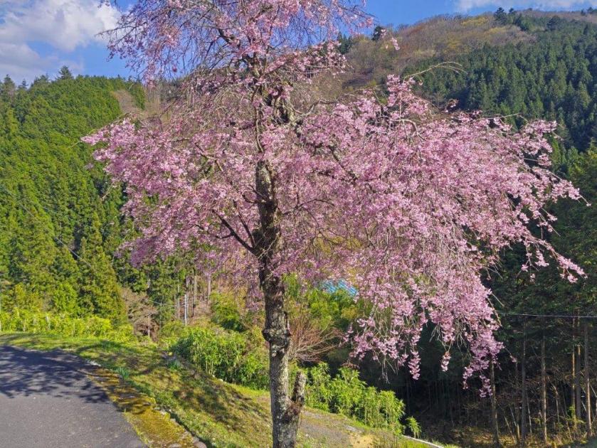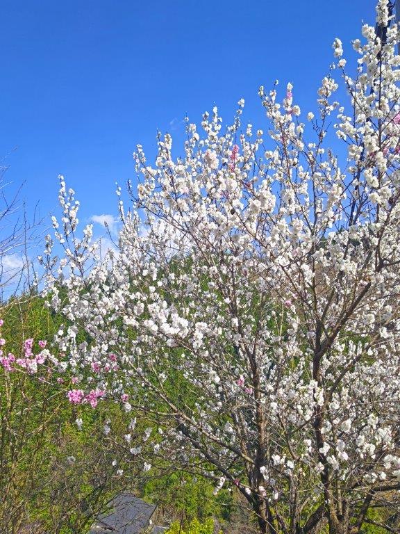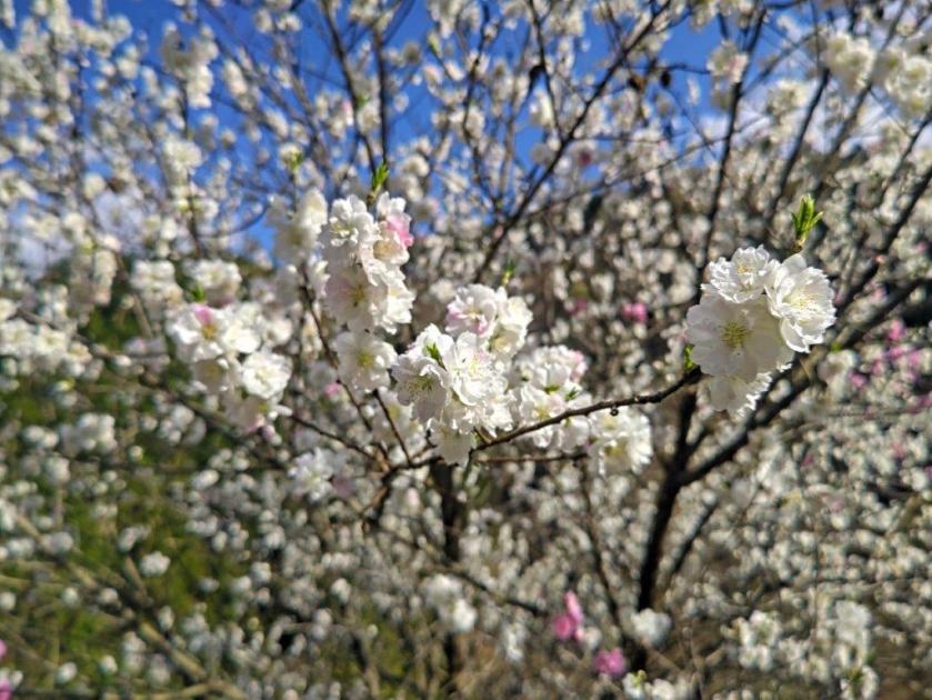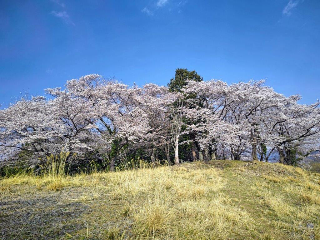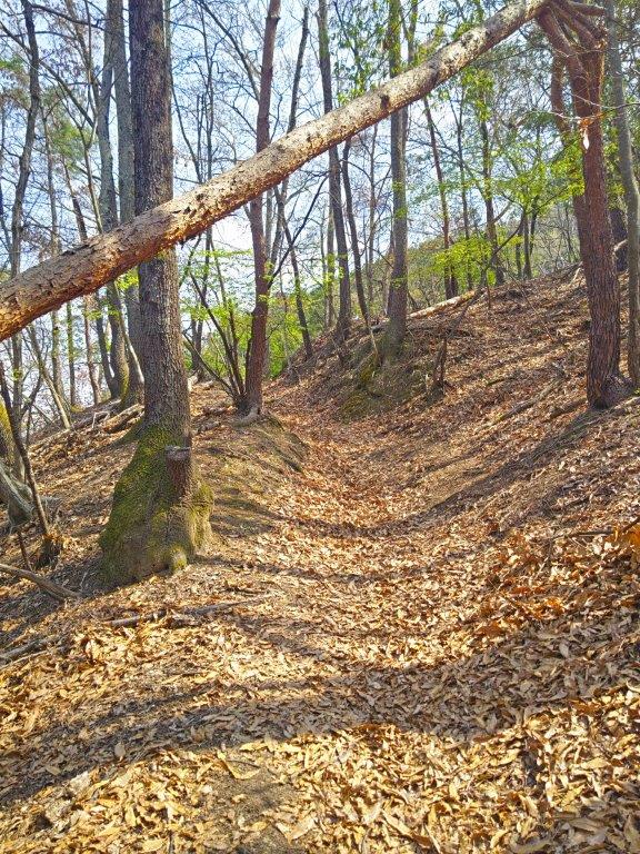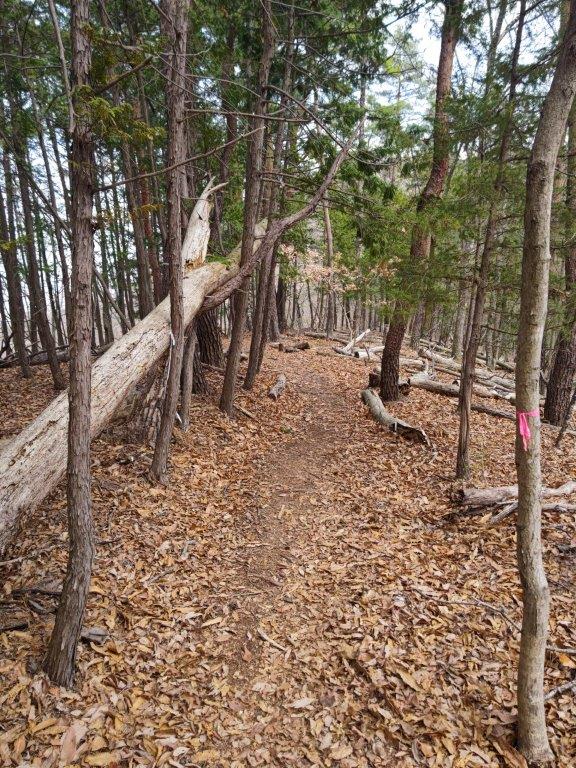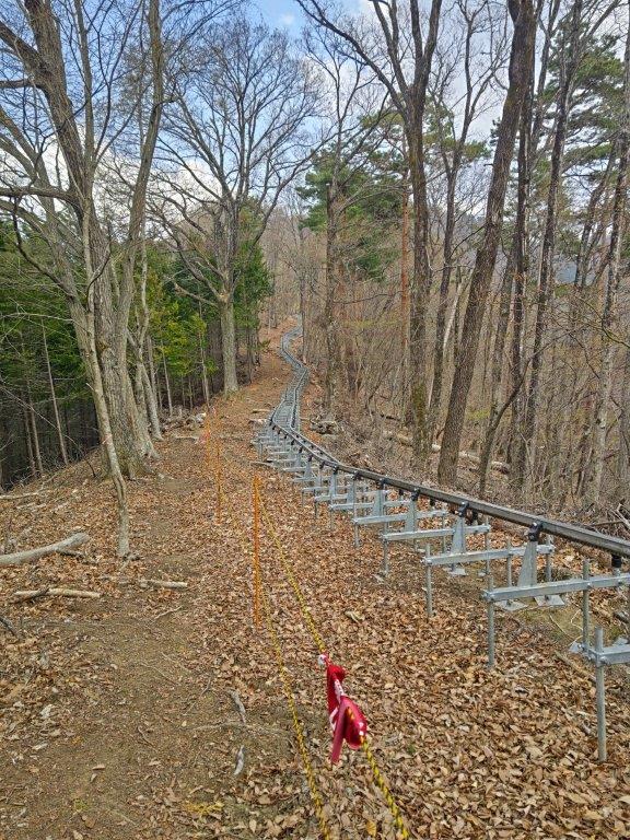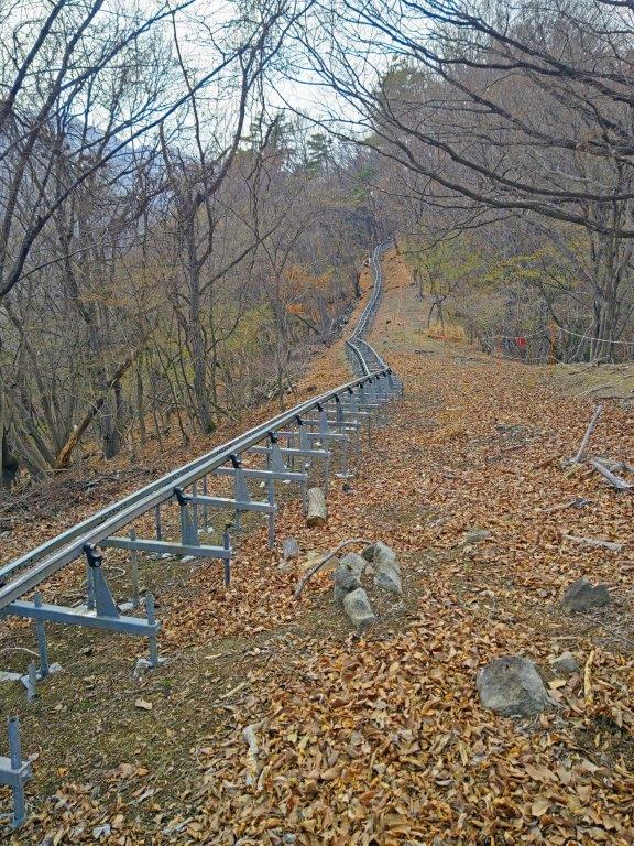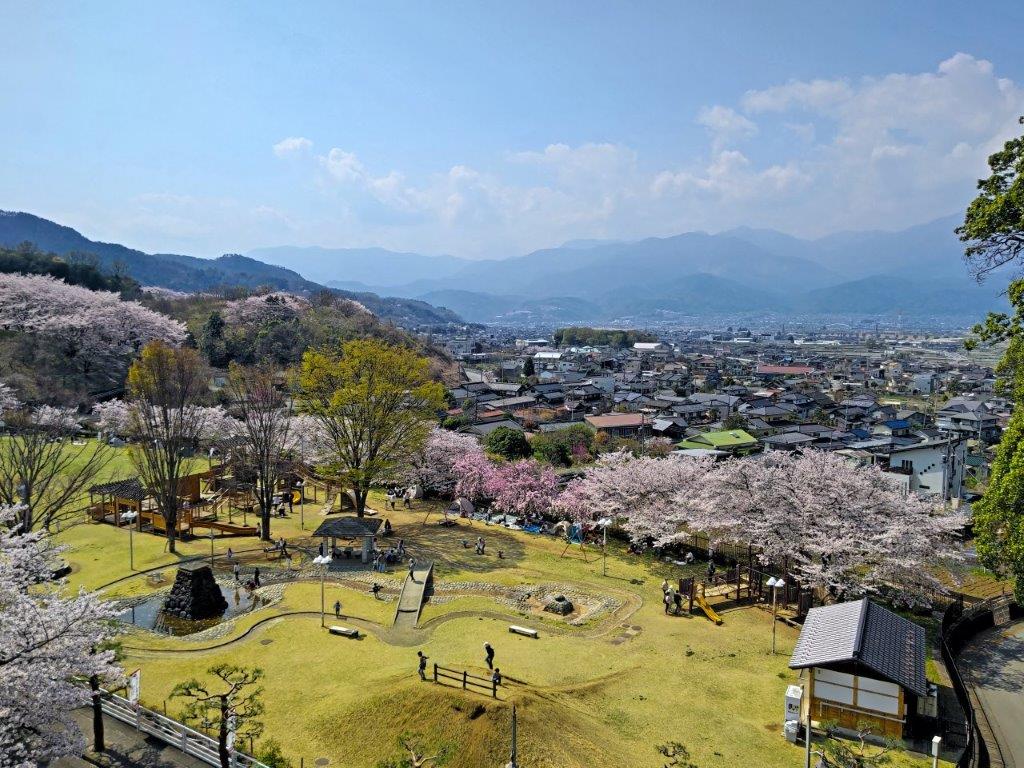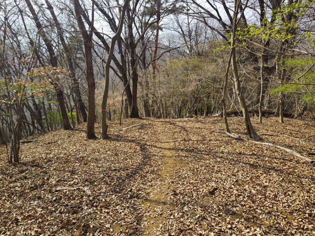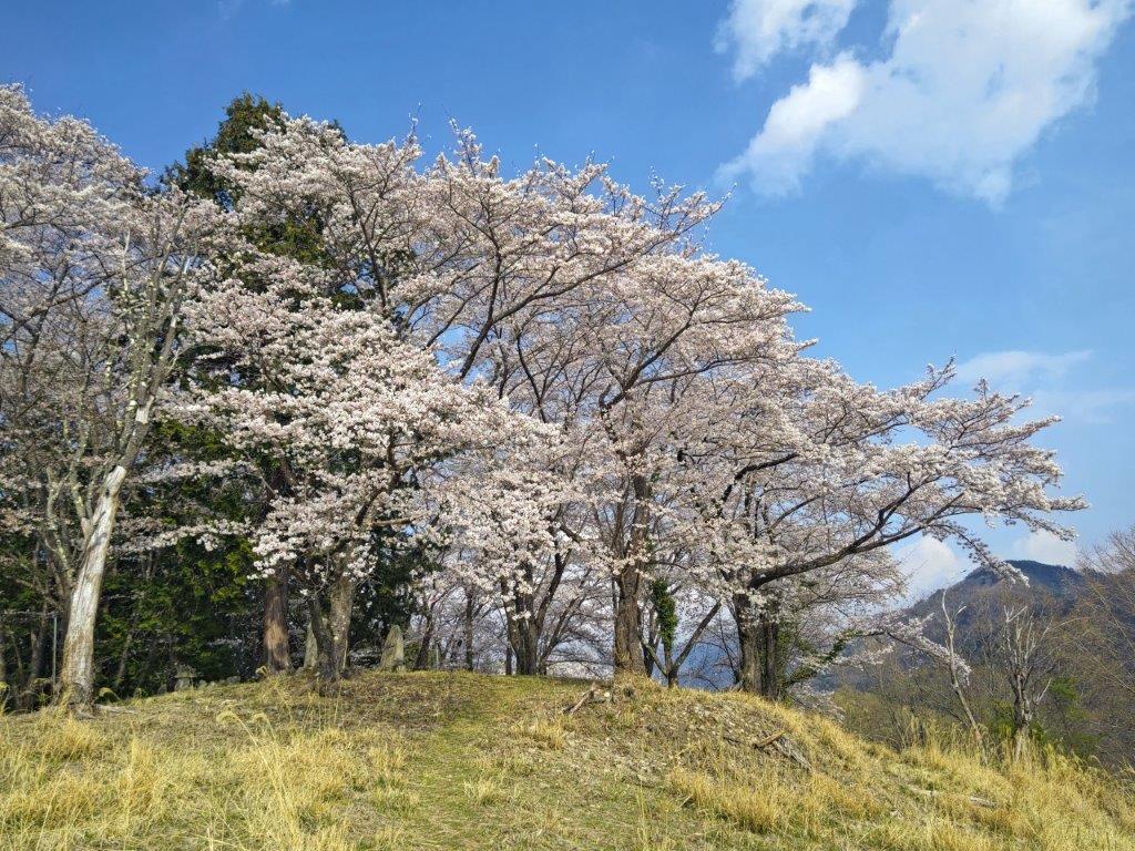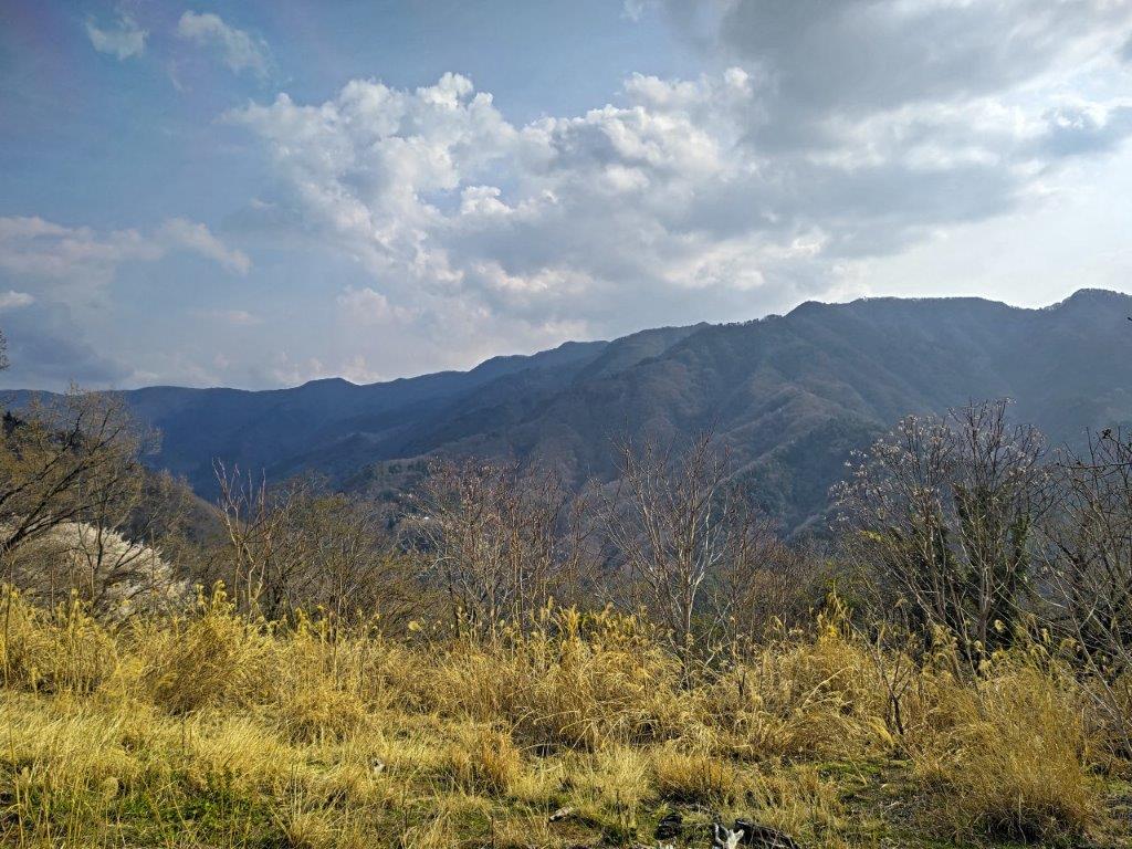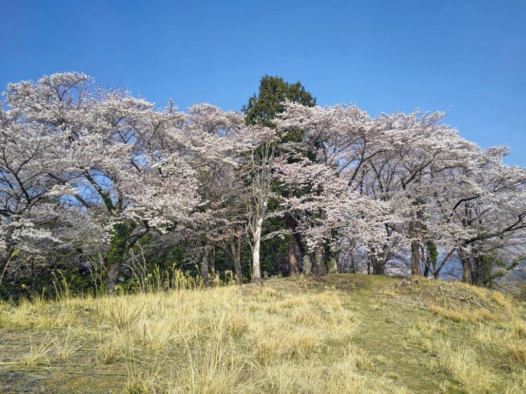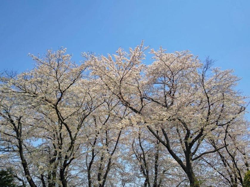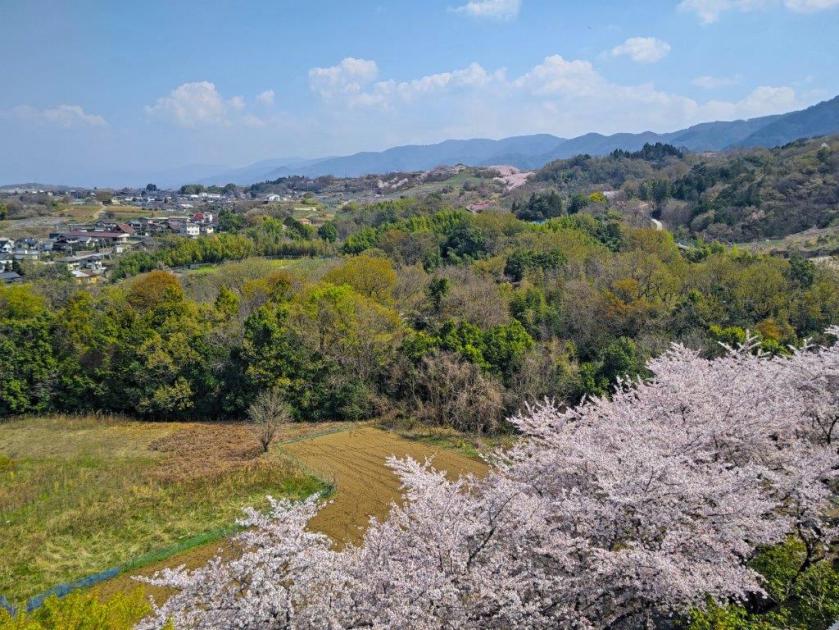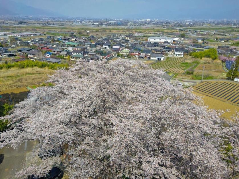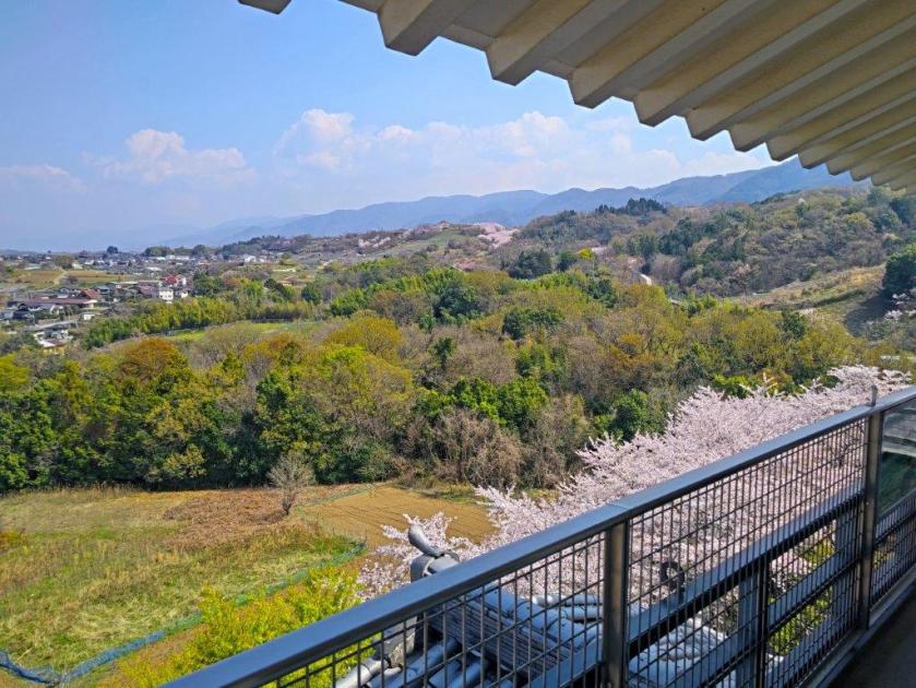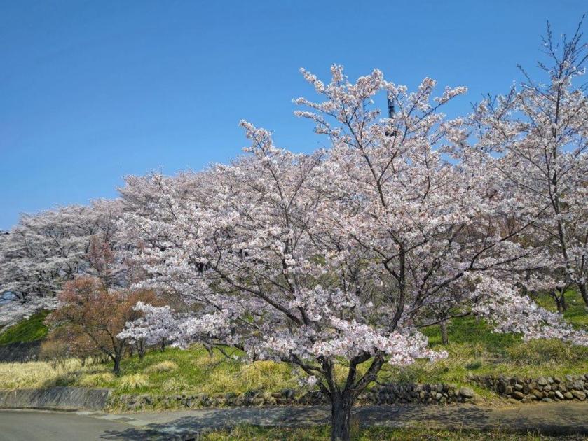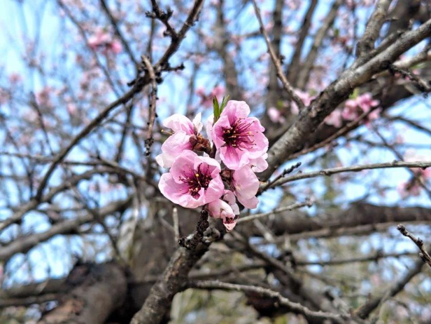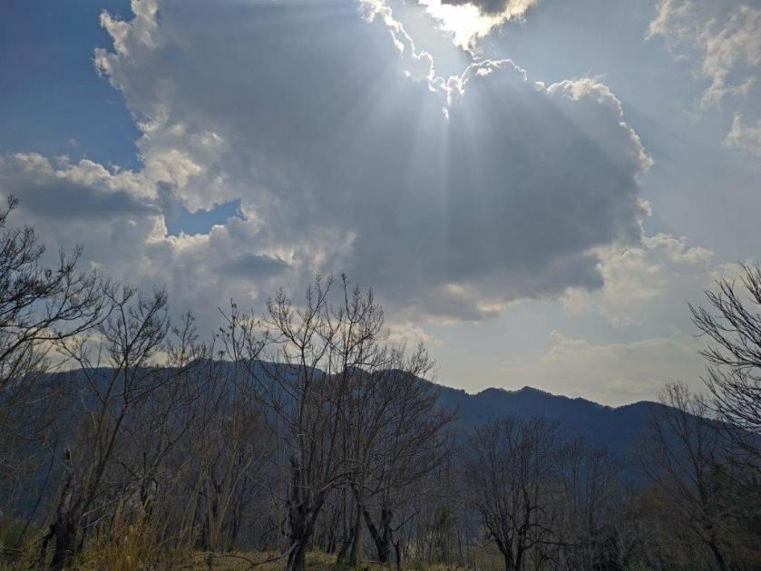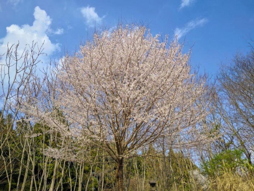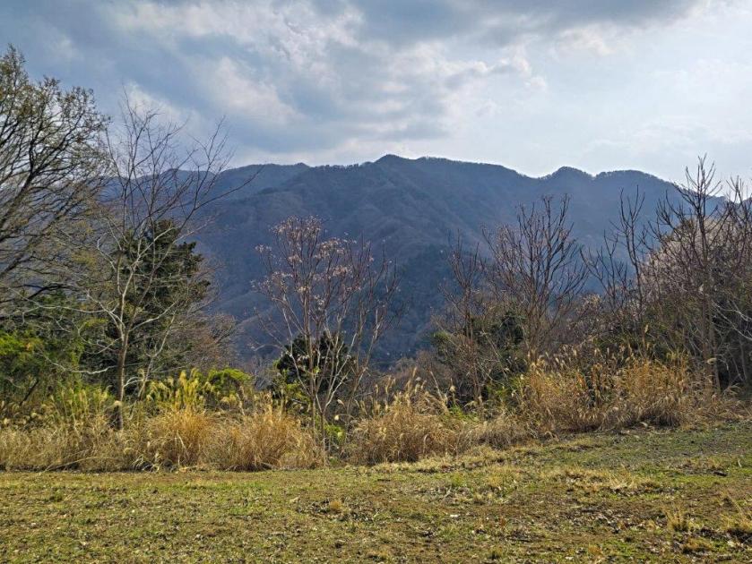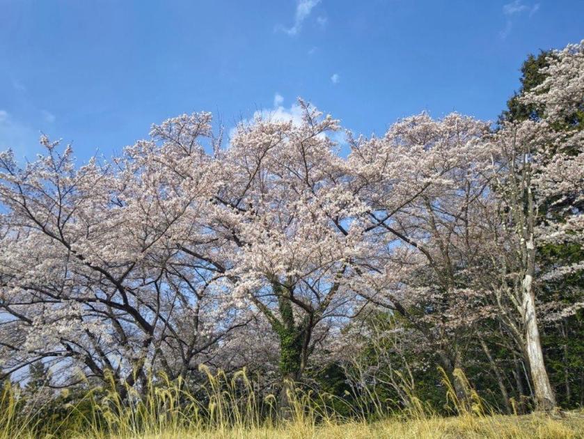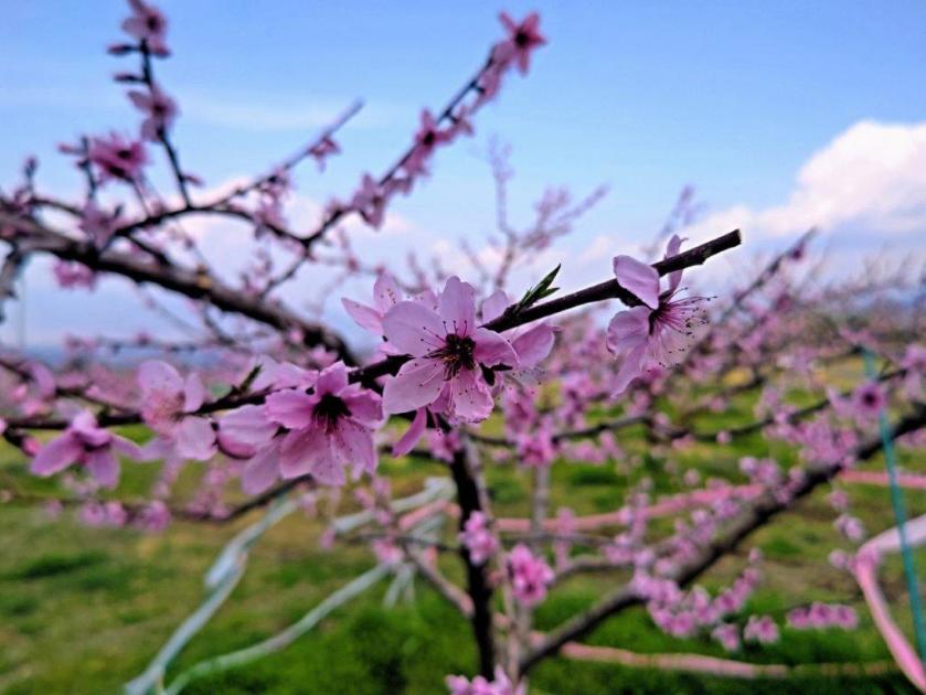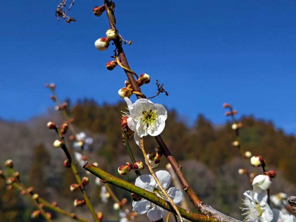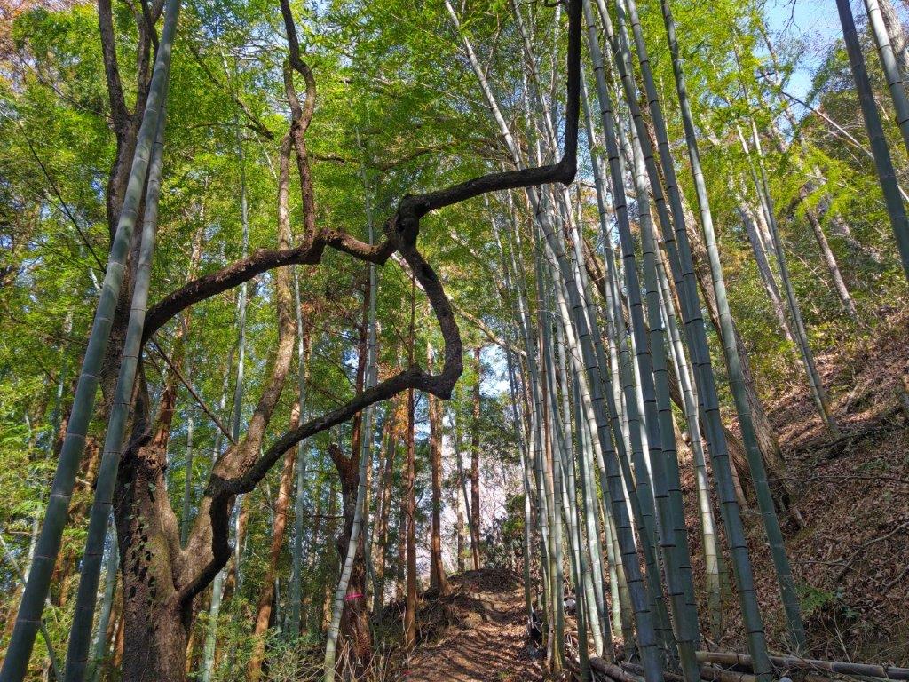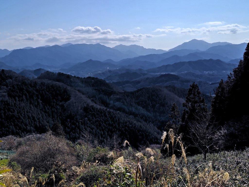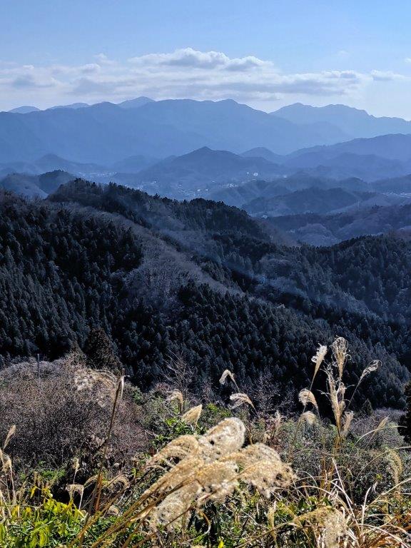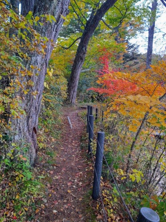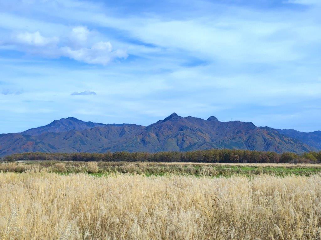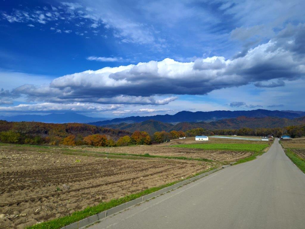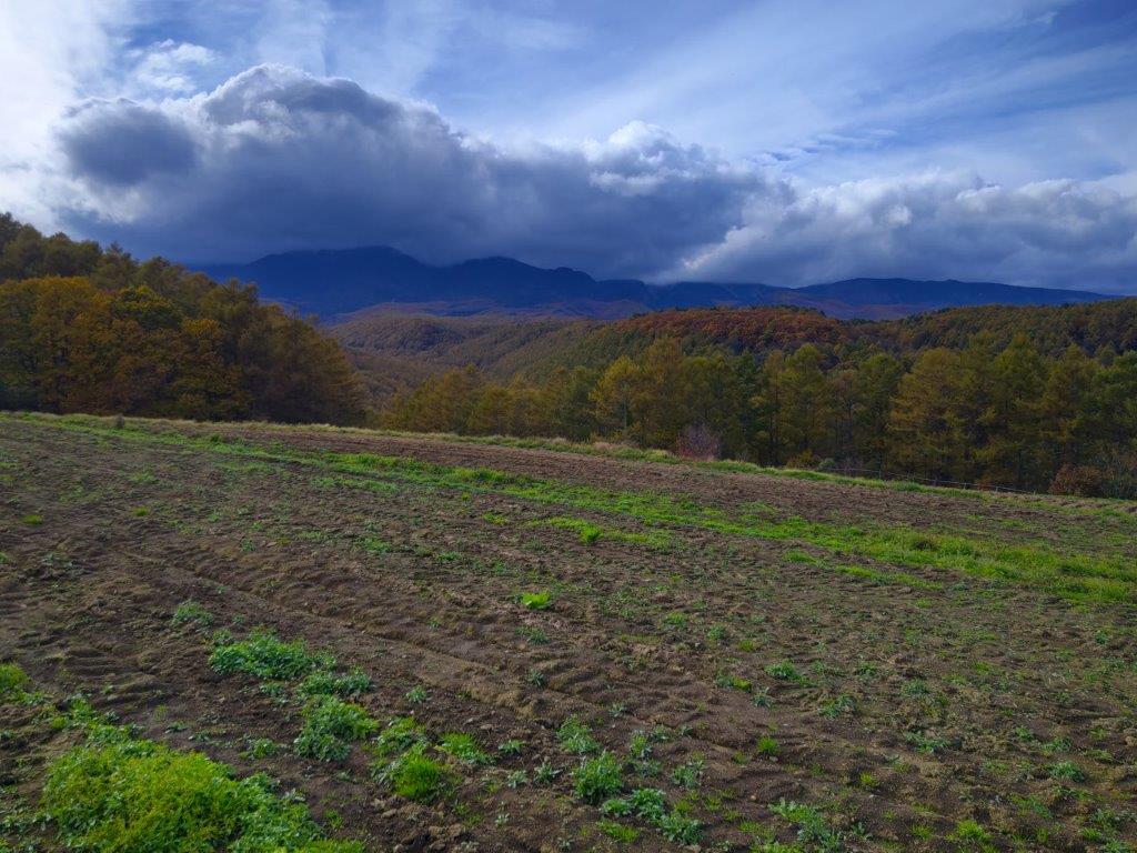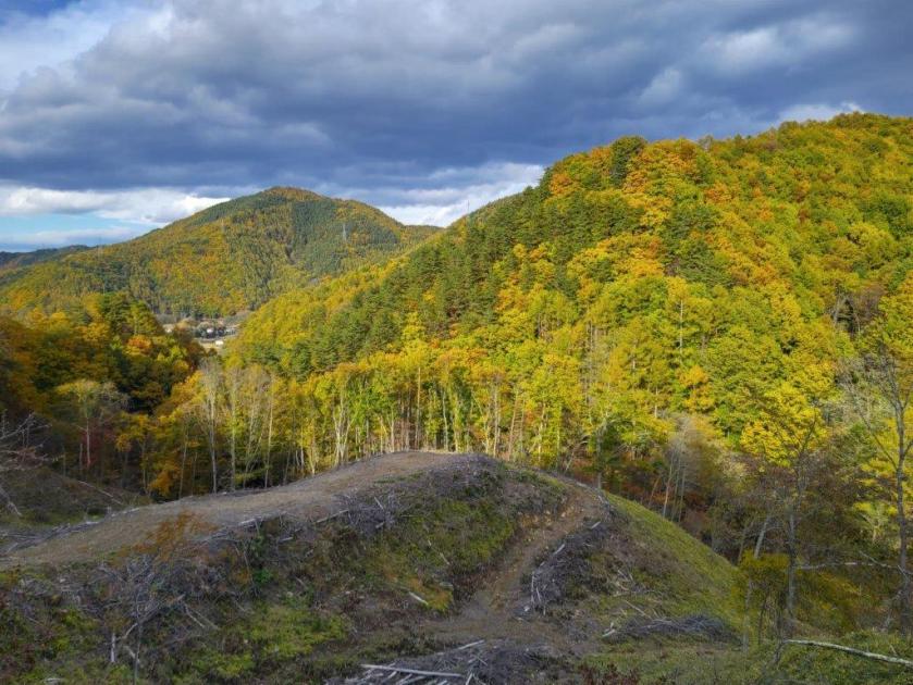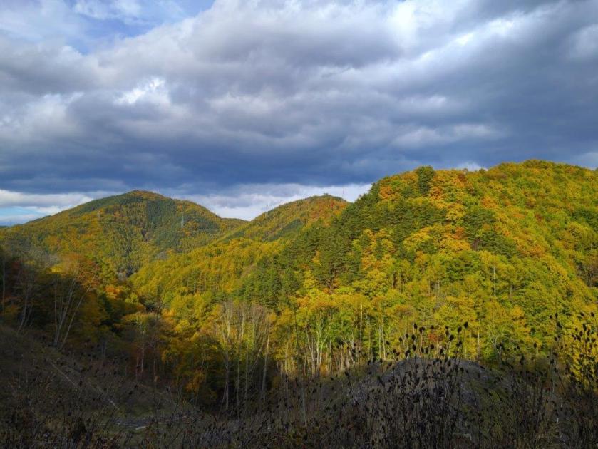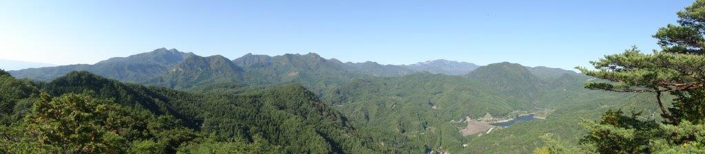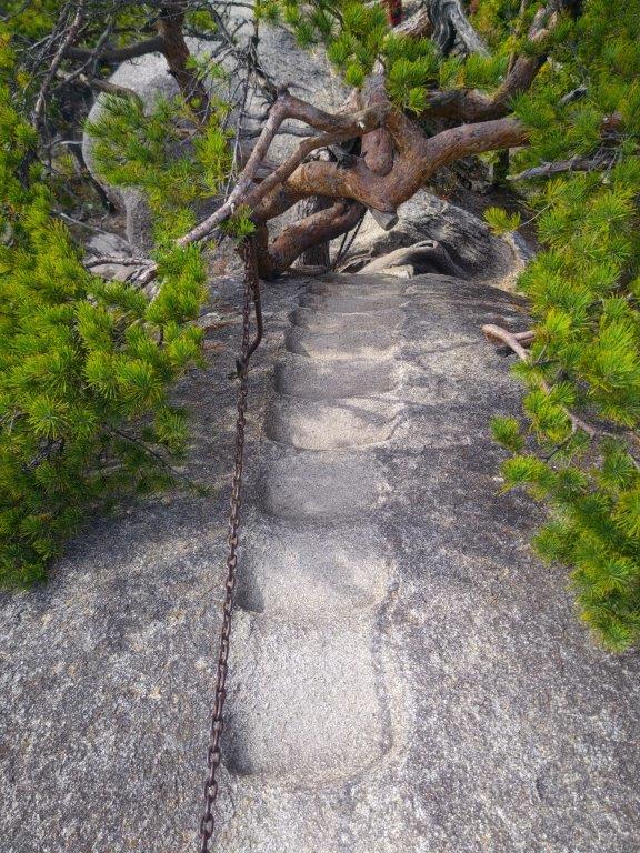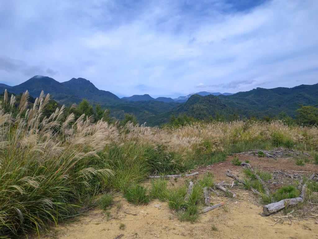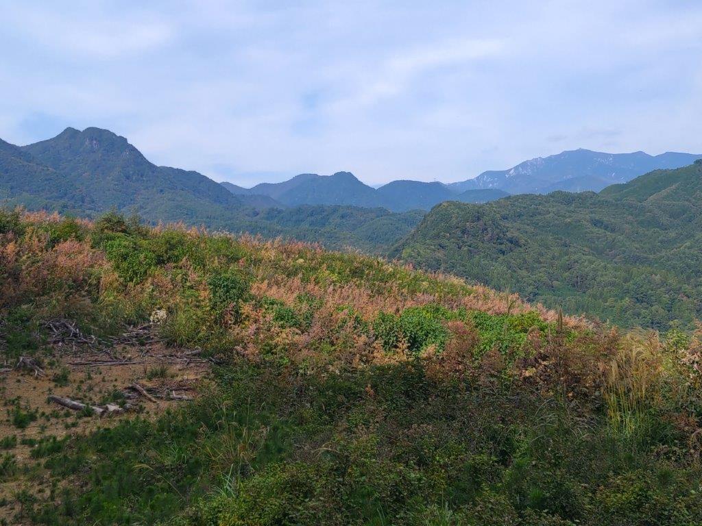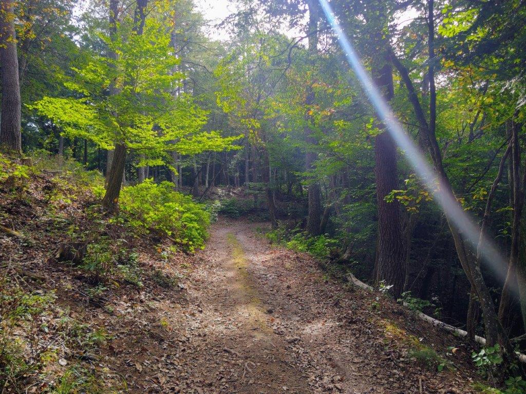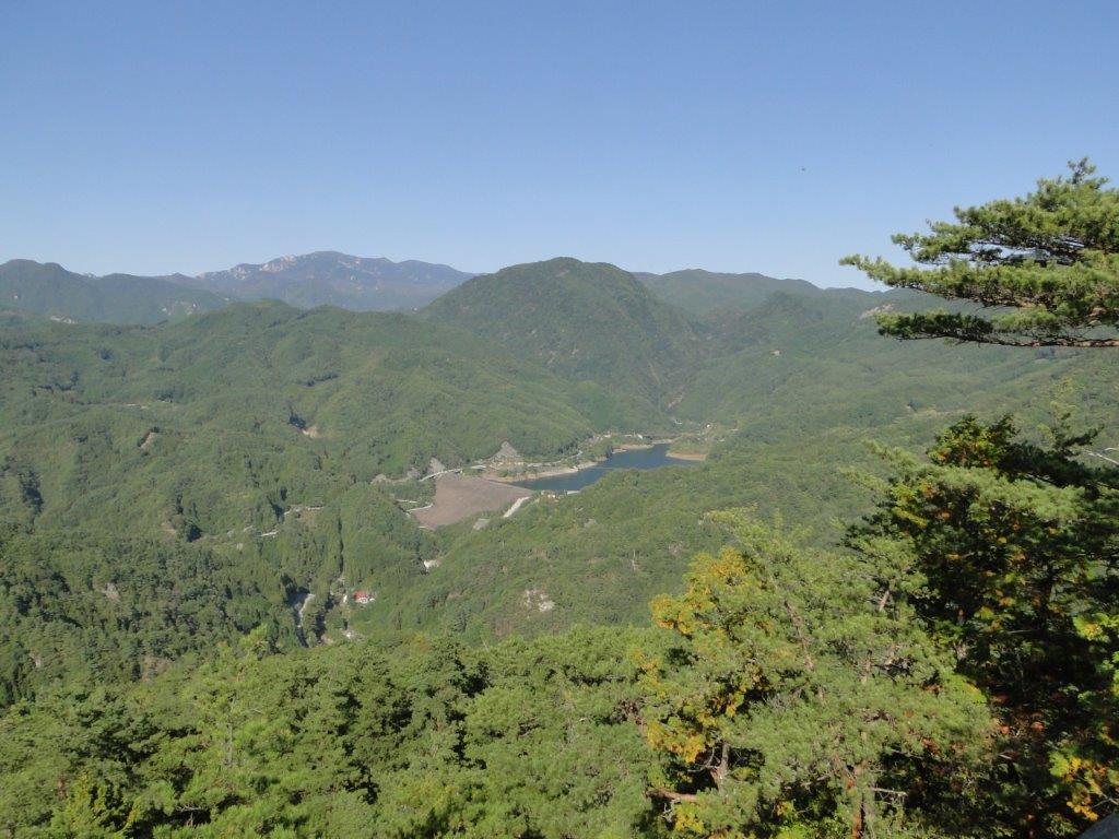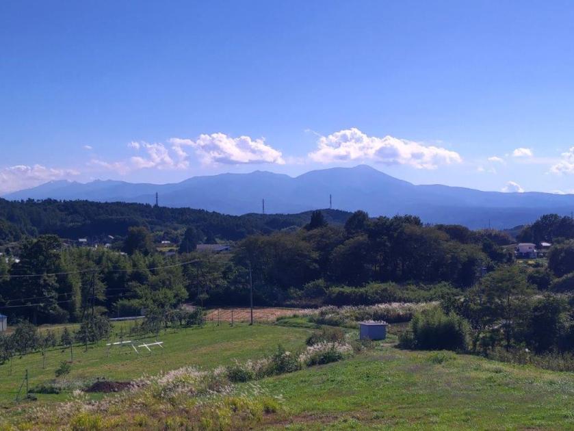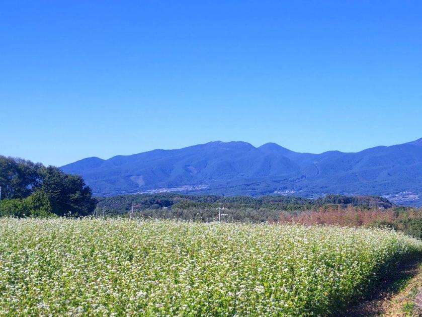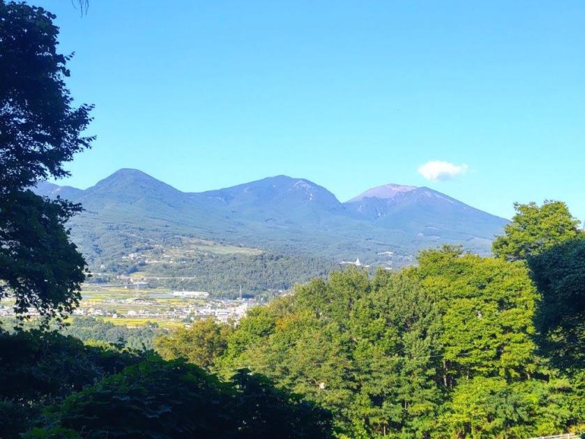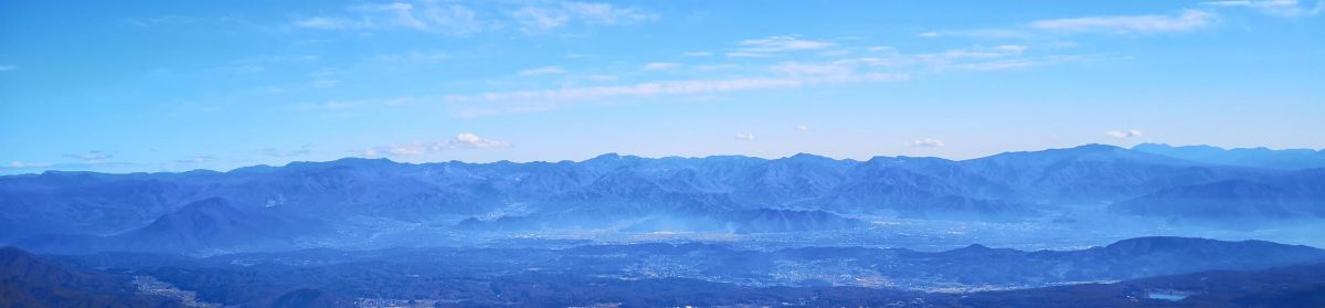
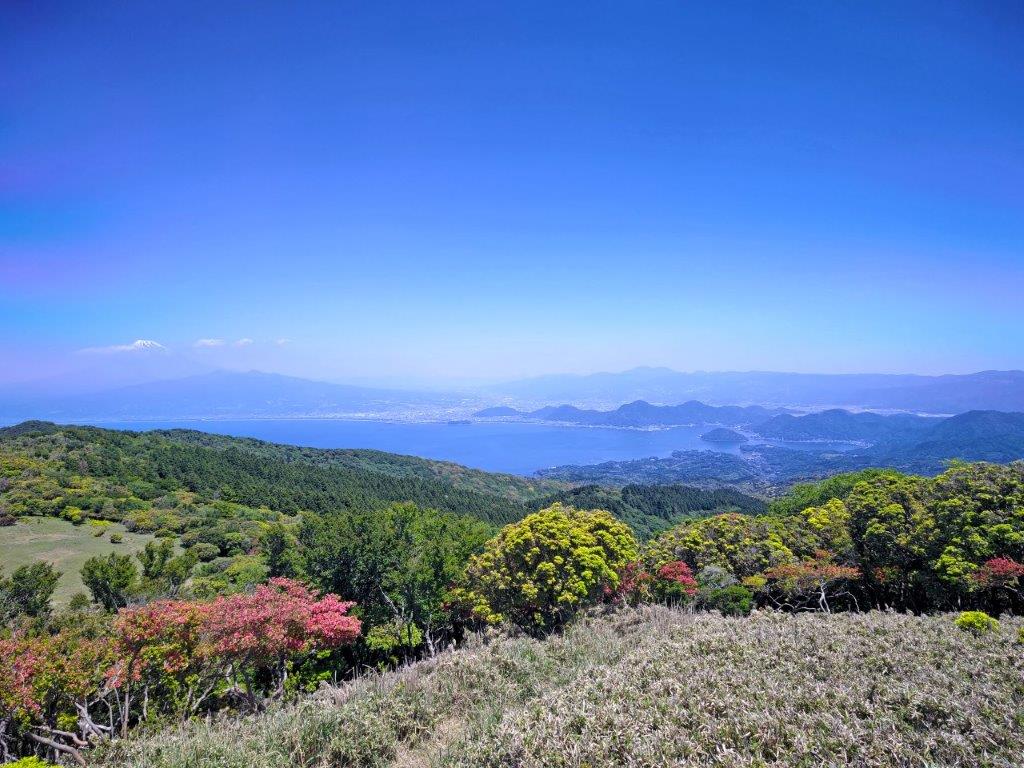
Mt Kinkan (816m) & Mt Daruma (981m), Izu City, Shizuoka Prefecture, Sunday, May 17, 2026

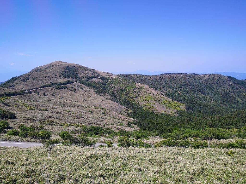
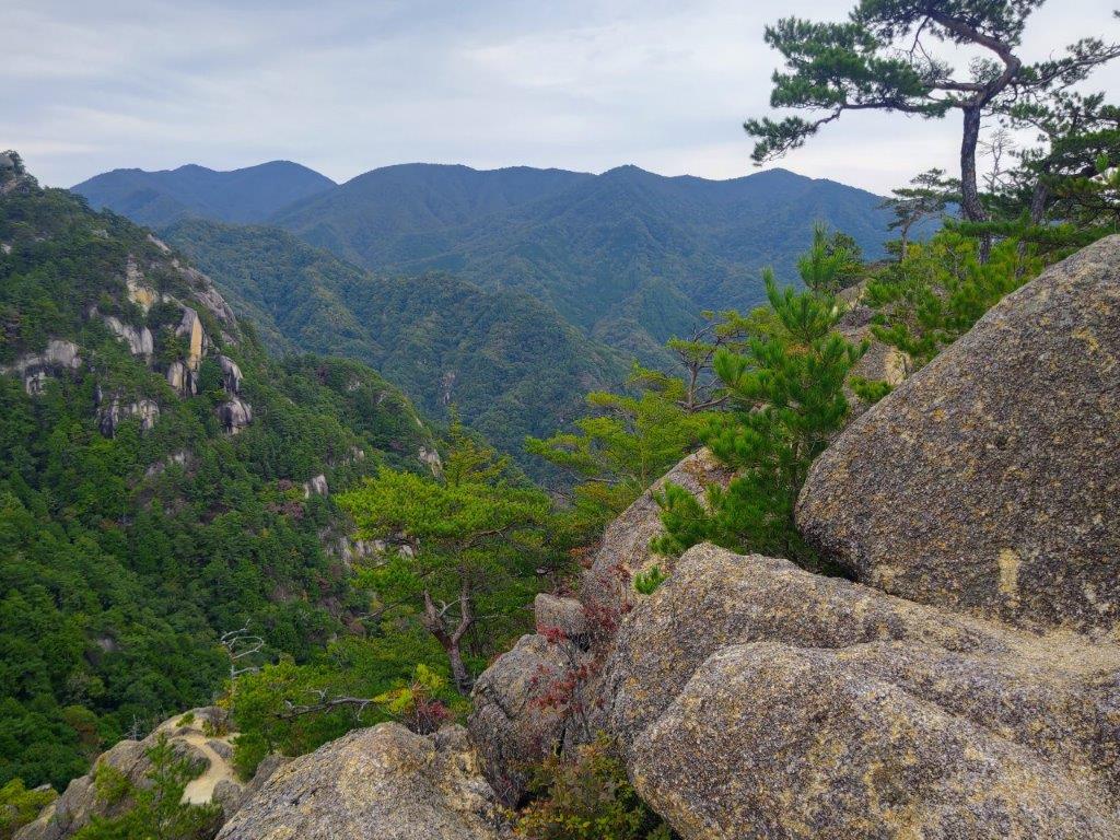
I wanted to do another hike on the Izu peninsula since it had been a year since my last visit. Looking at my Mountains of Shizuoka guidebook, I noticed a peak I had never done above Toda Pass at the start of the Nishi-Izu Skyline. In May 2015, I had driven this scenic road to climb Mt Daruma, and in April 2017, I had walked from Amagi to Funabara Pass at the end of the Skyline. This time, I could connect the two passes, thus completing another section of the Izu-sanryosen Trail and summiting all the peaks along this nature trail. Most of the hike would be inside the Fuji-Hakone-Izu National Park with views of Mt Fuji, the Izu Peninsula, the Numazu coastline and Suruga Bay.

Hiking in the Fuji-Hakone-Izu National Park

富士箱根伊豆国立公園
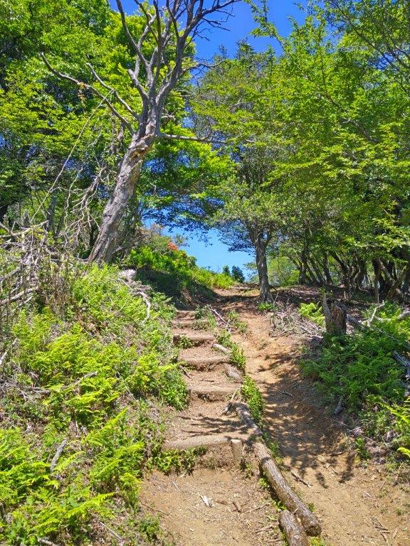
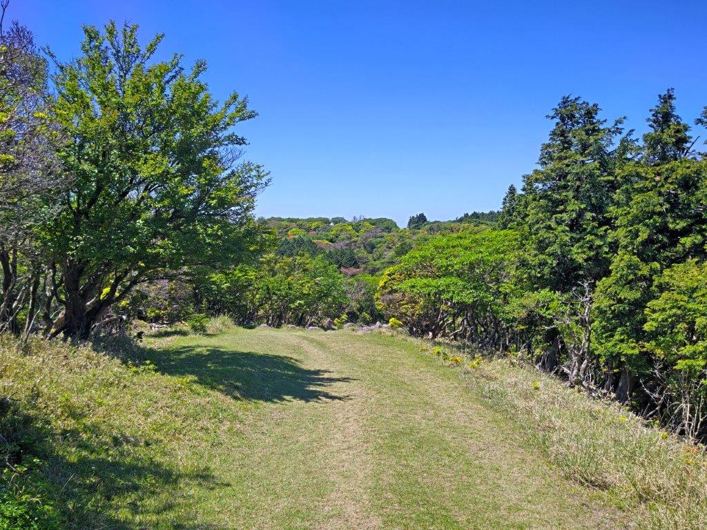
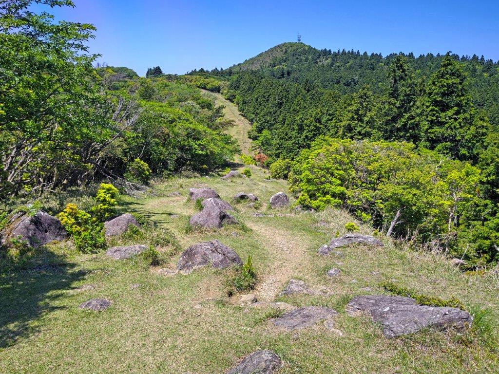
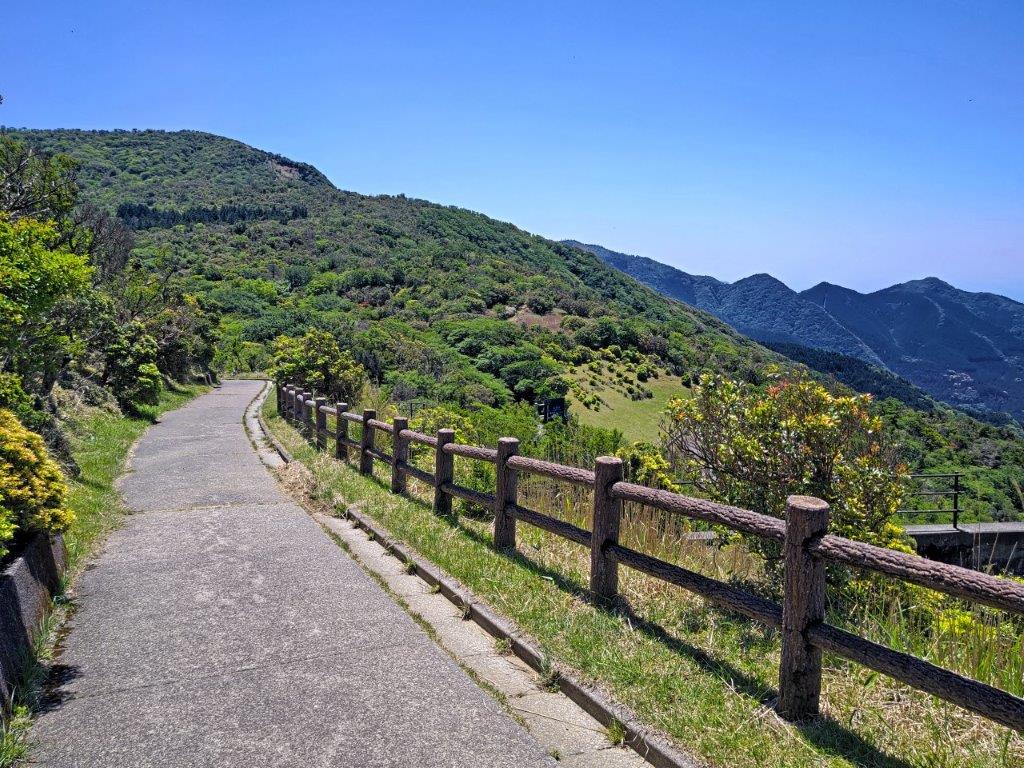
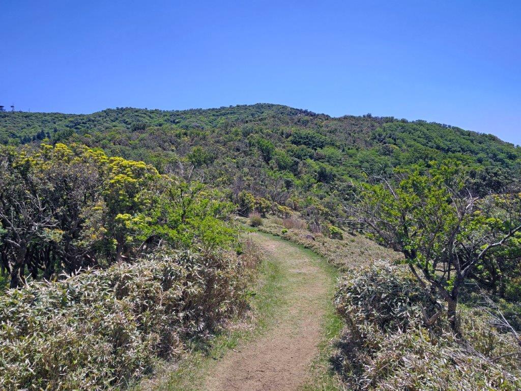
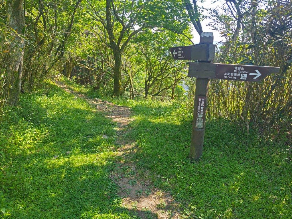
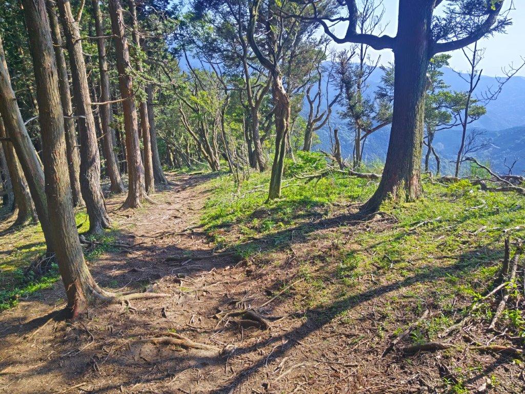
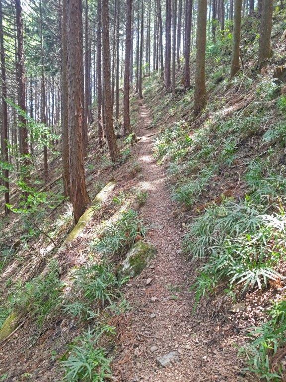
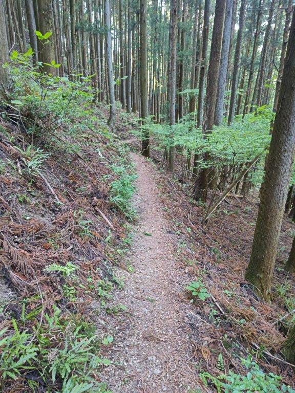
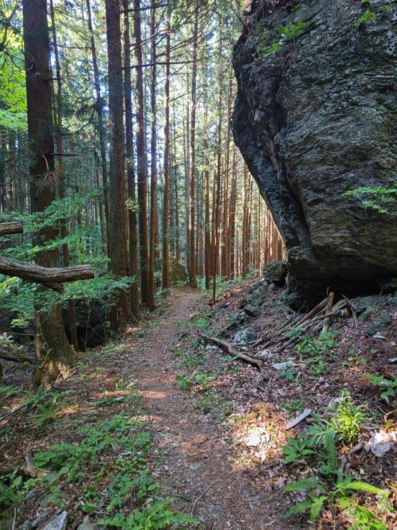
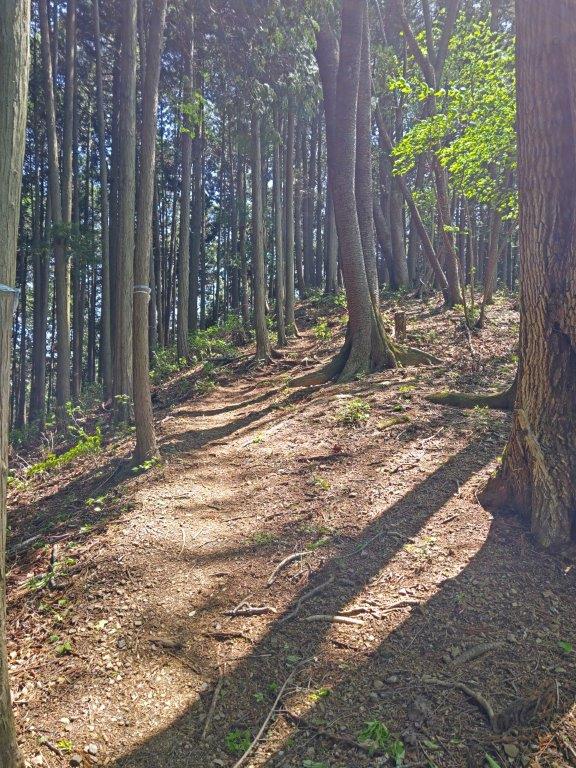
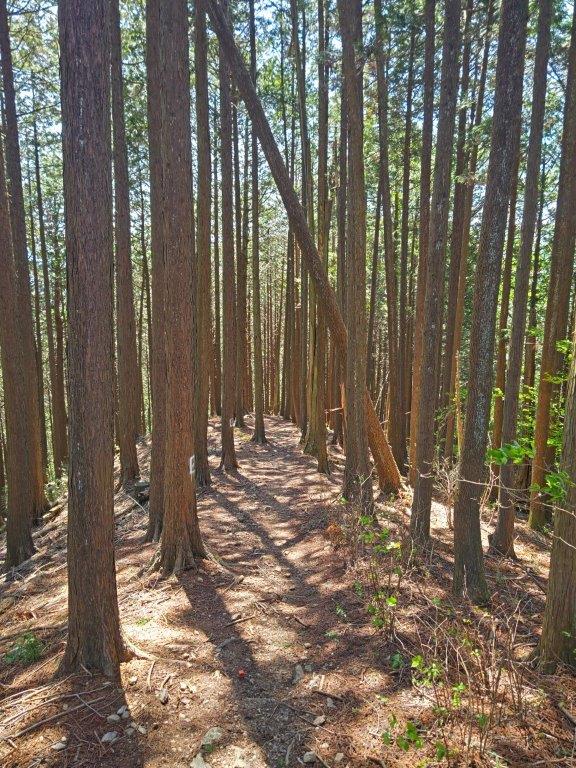
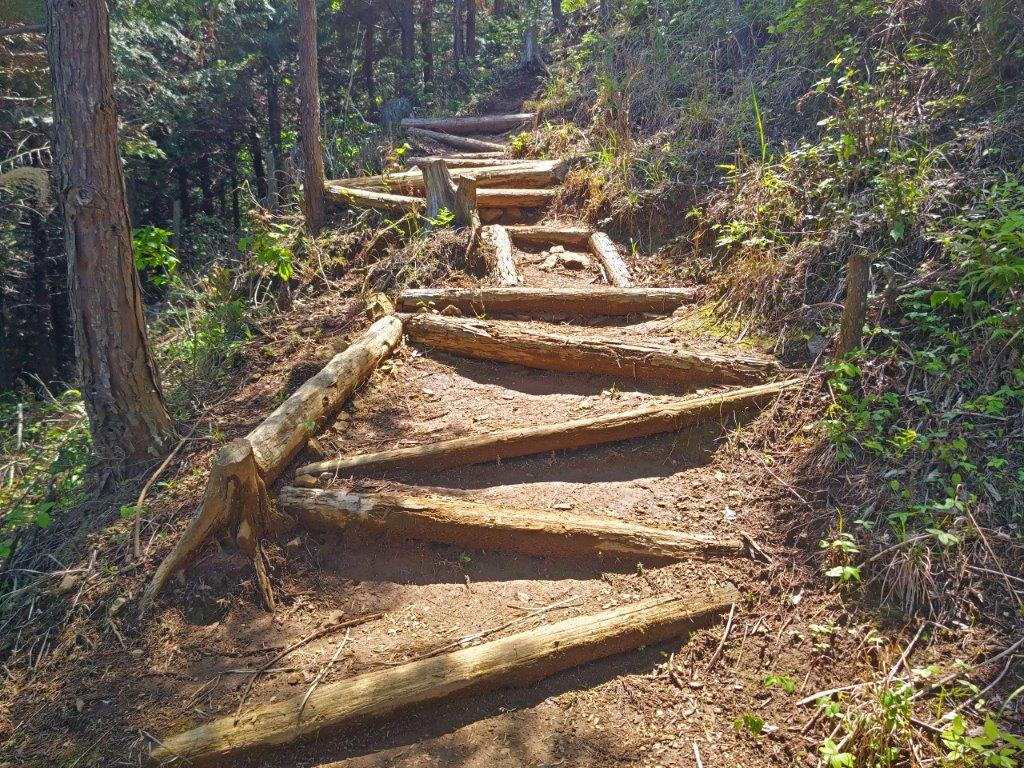
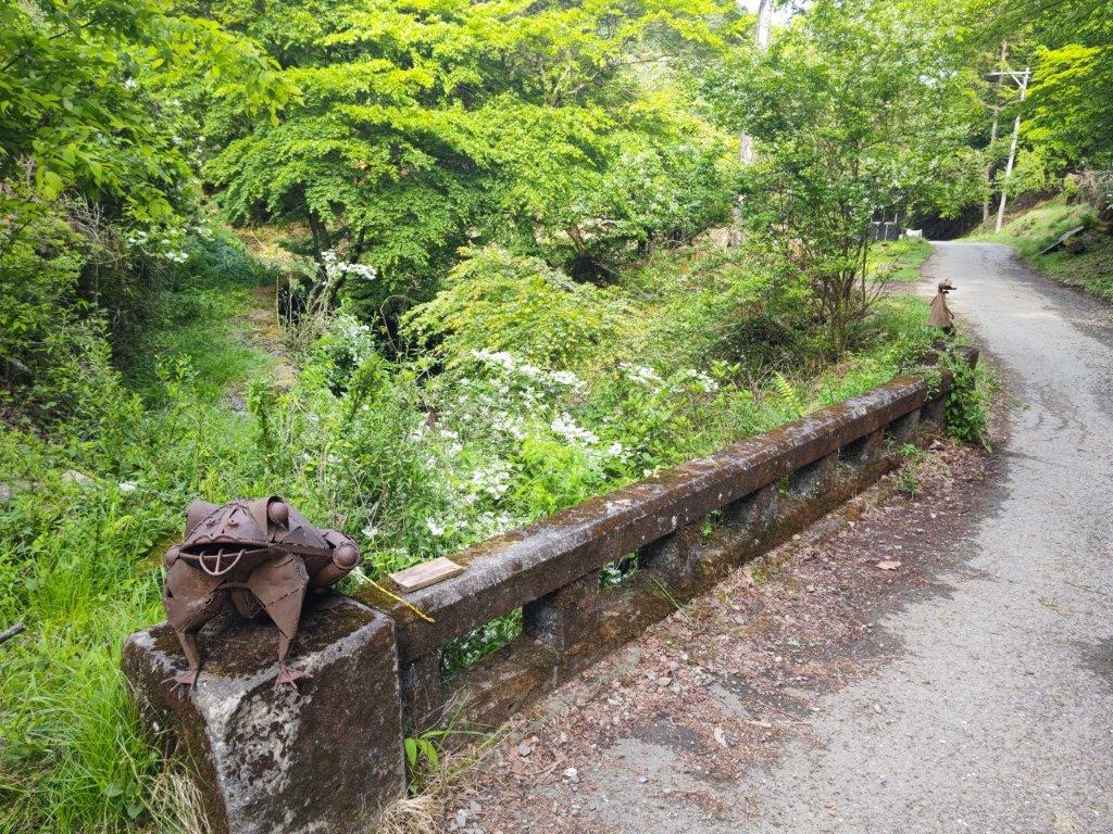
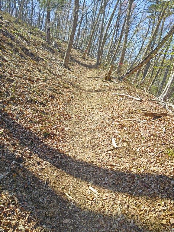
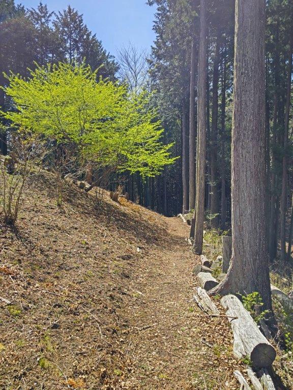
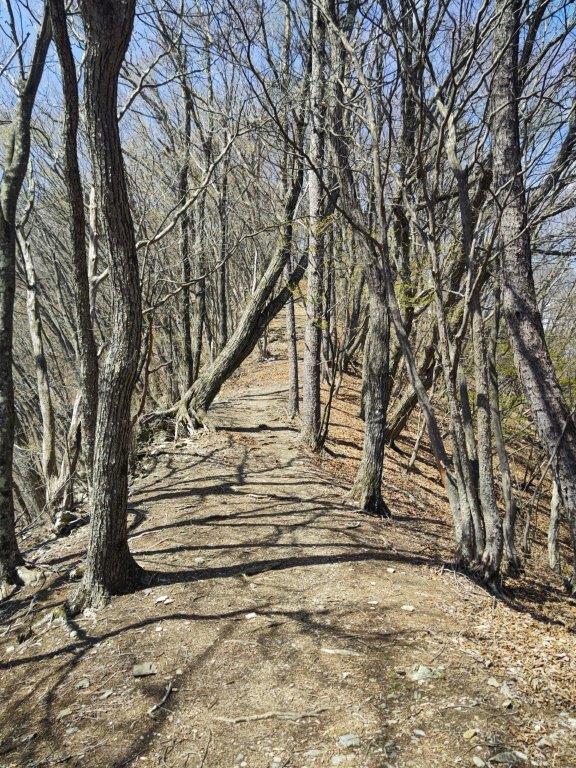
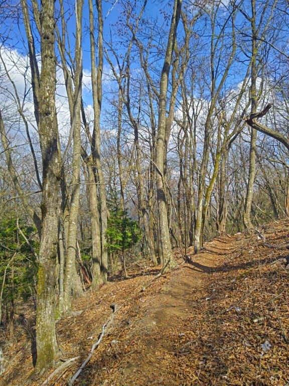
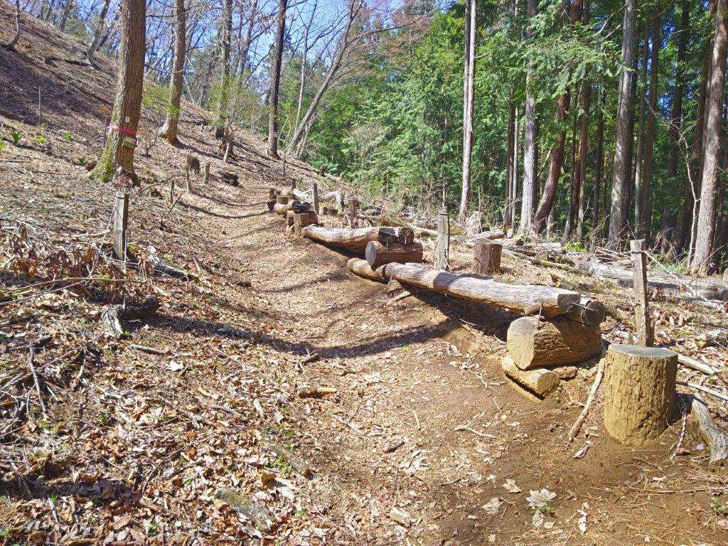
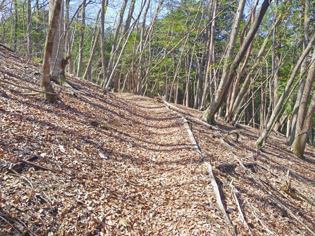
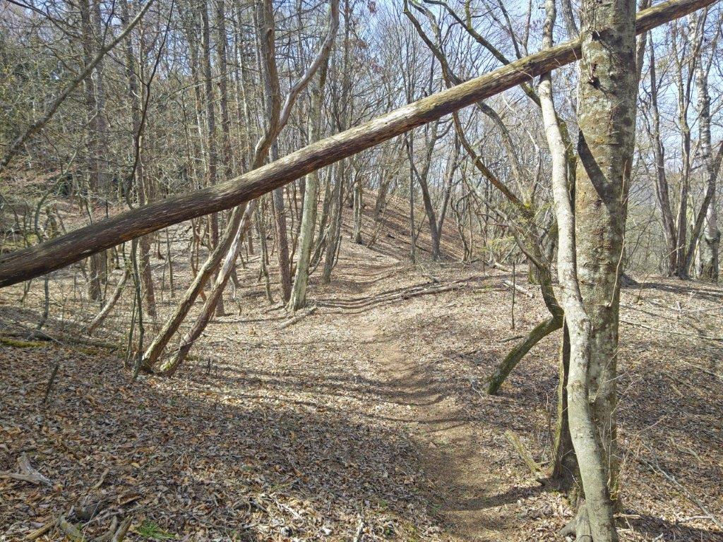
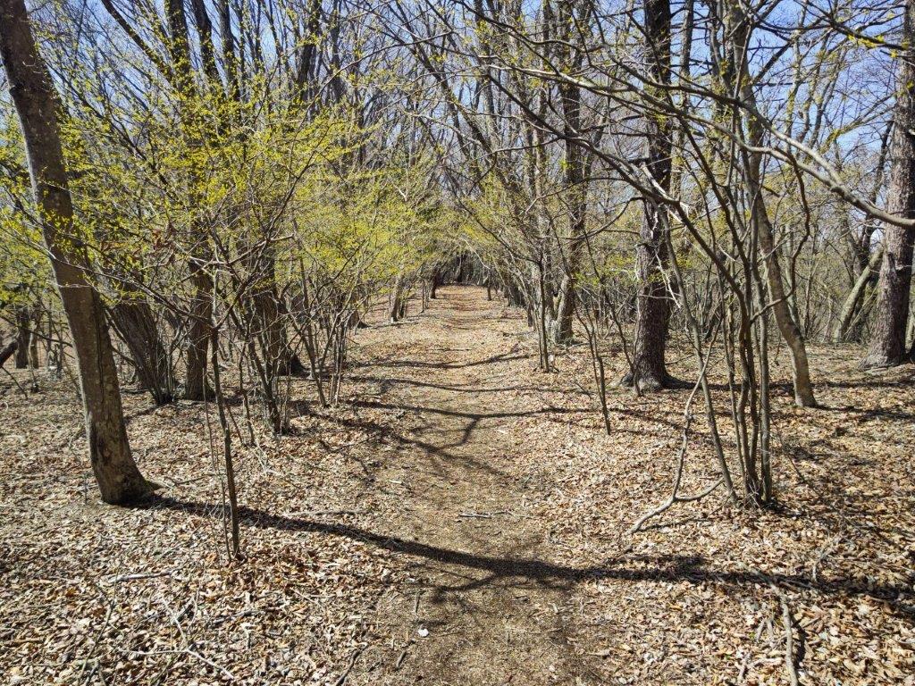
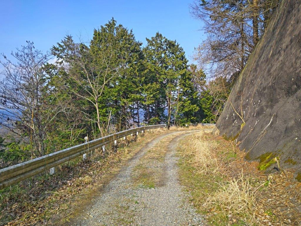
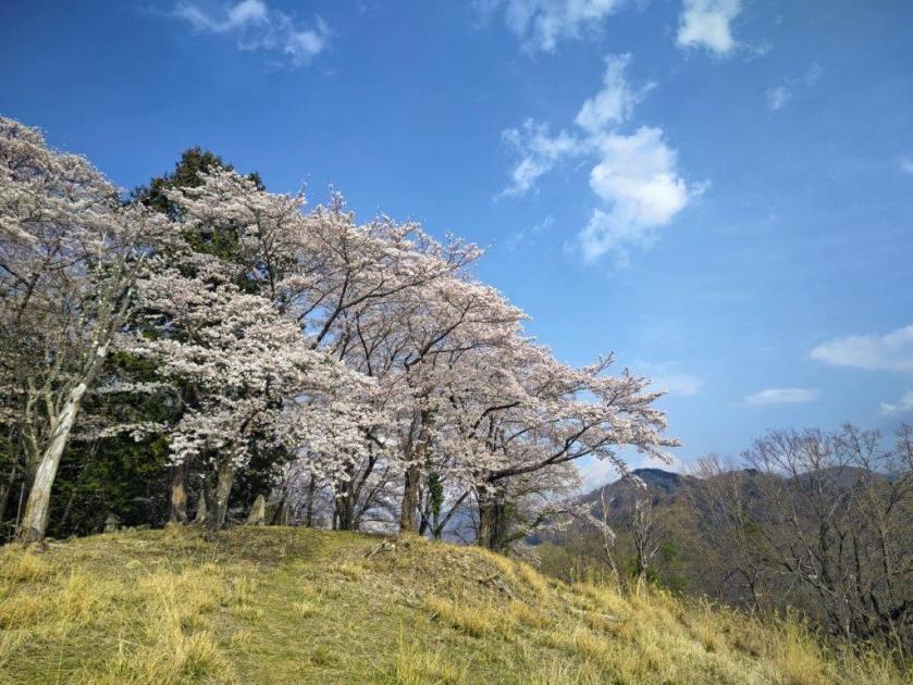
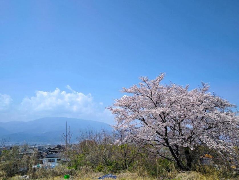
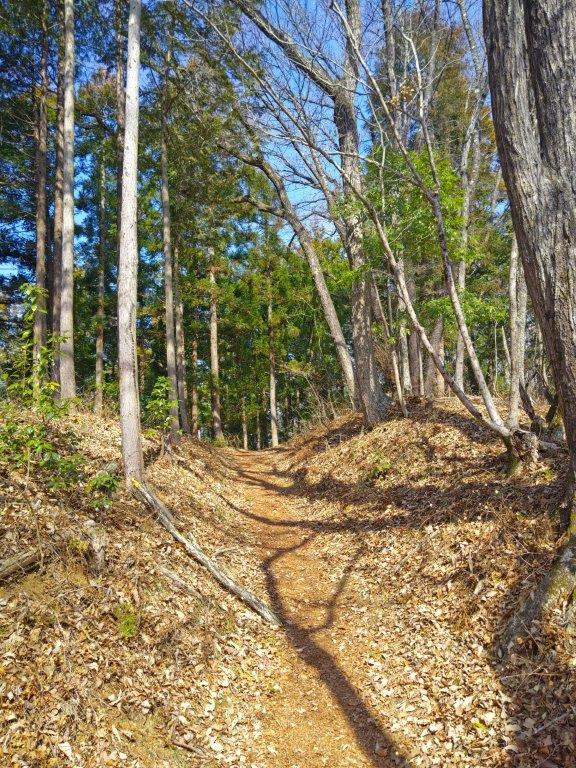
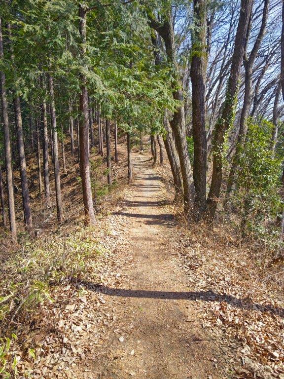
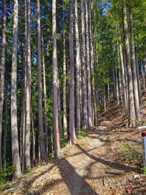
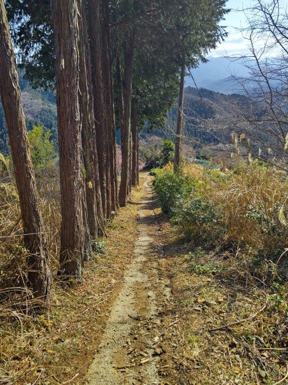
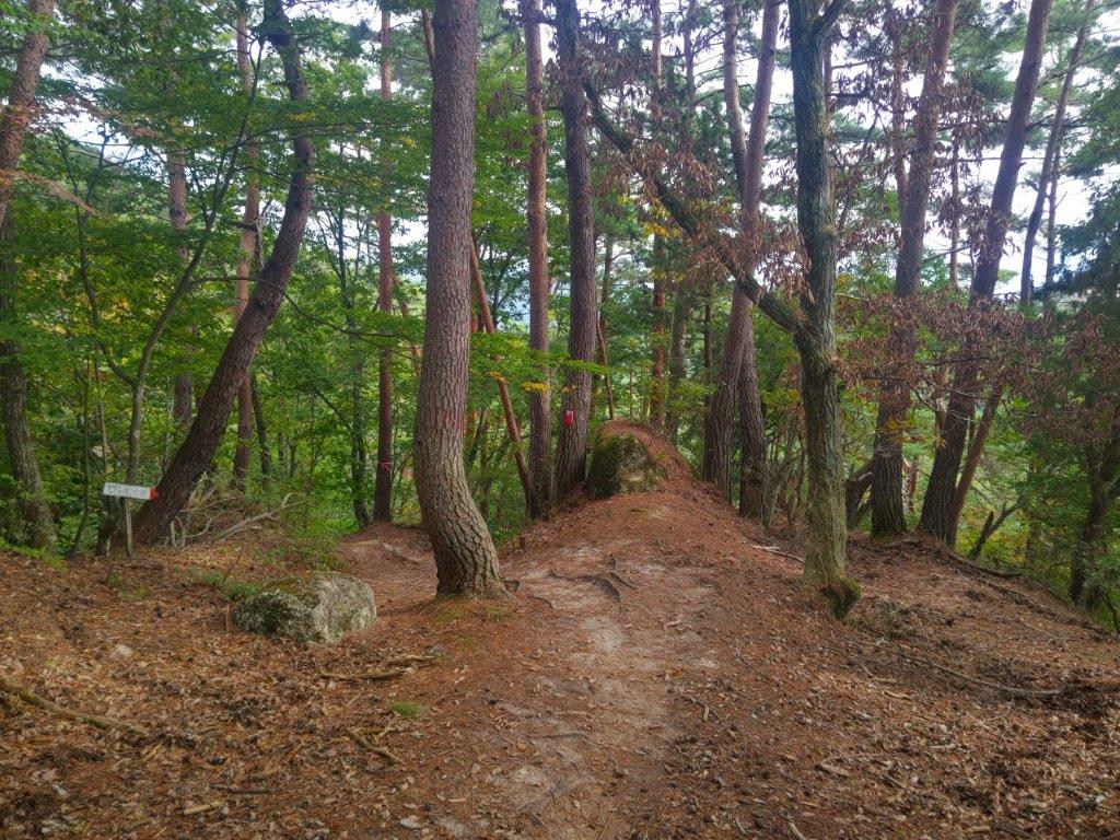
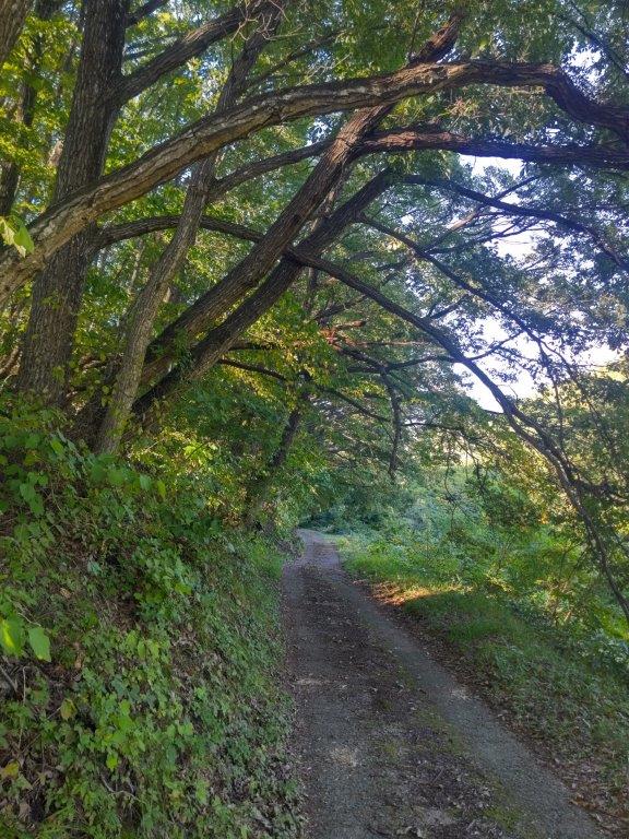
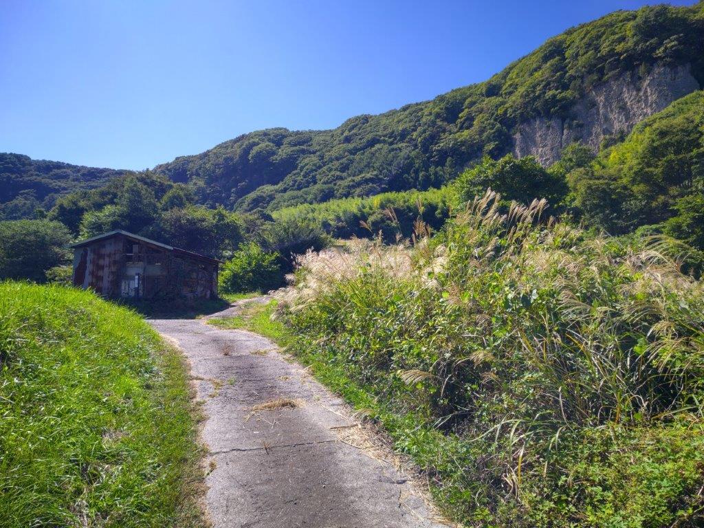
Start of the Hike (left) Trail Below Mt Kinkan (right)

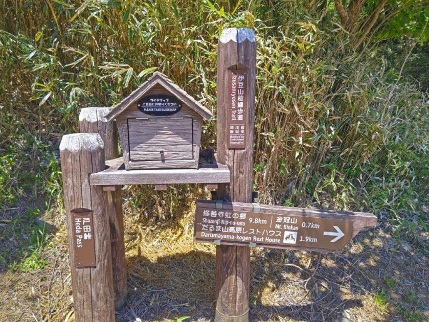
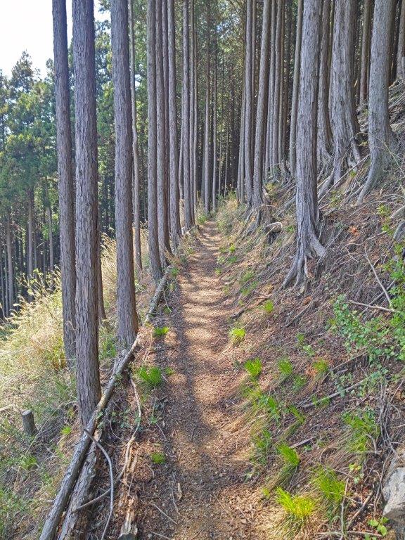
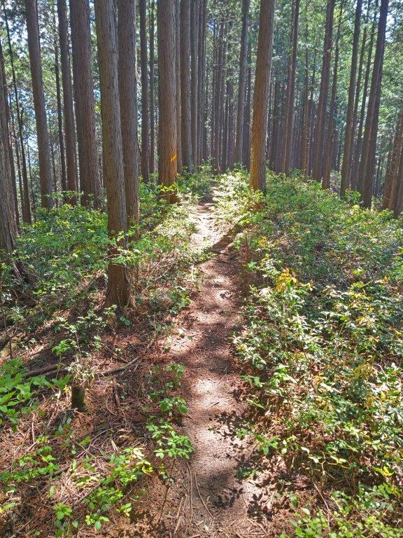
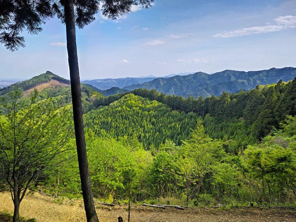
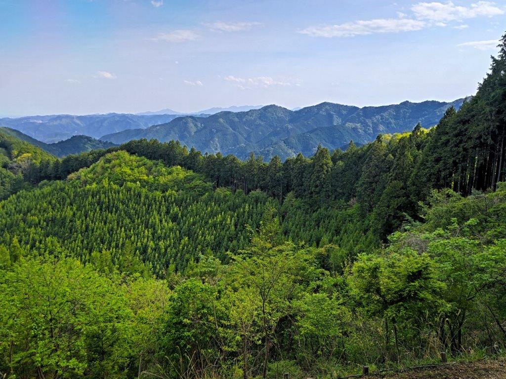
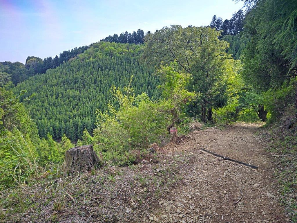
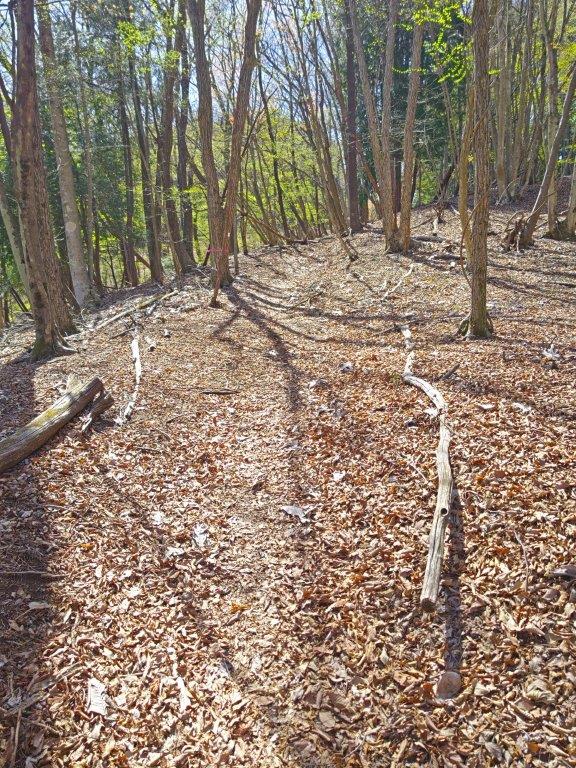
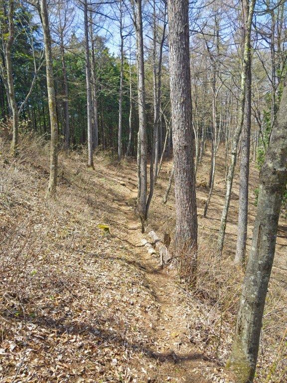
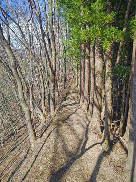
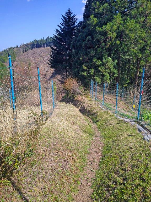
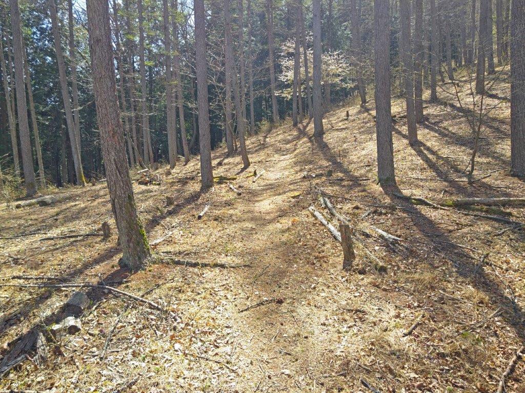
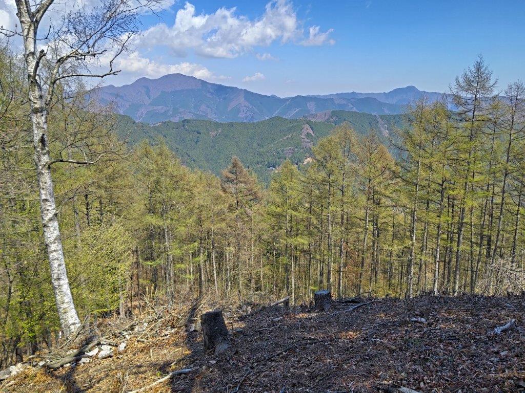
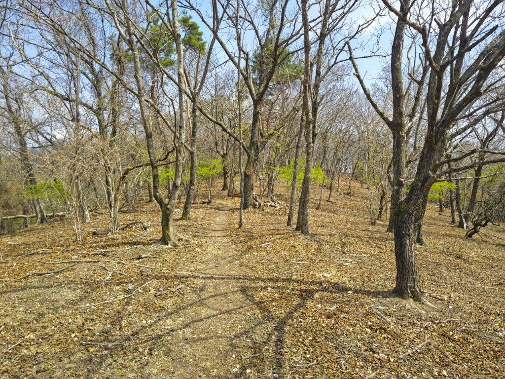
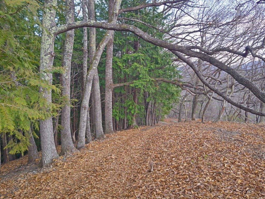
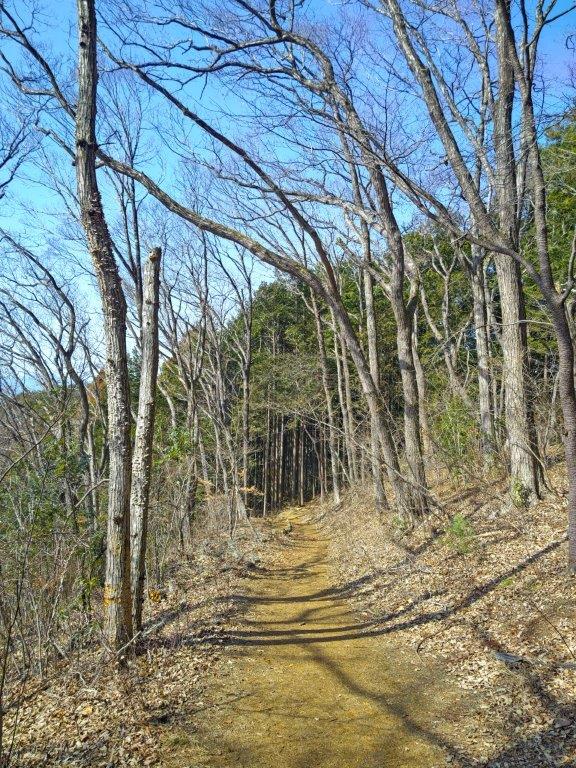
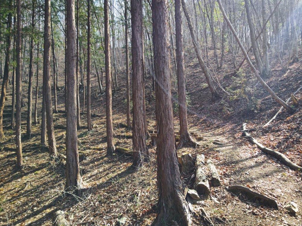
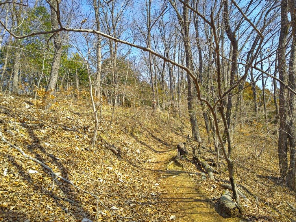
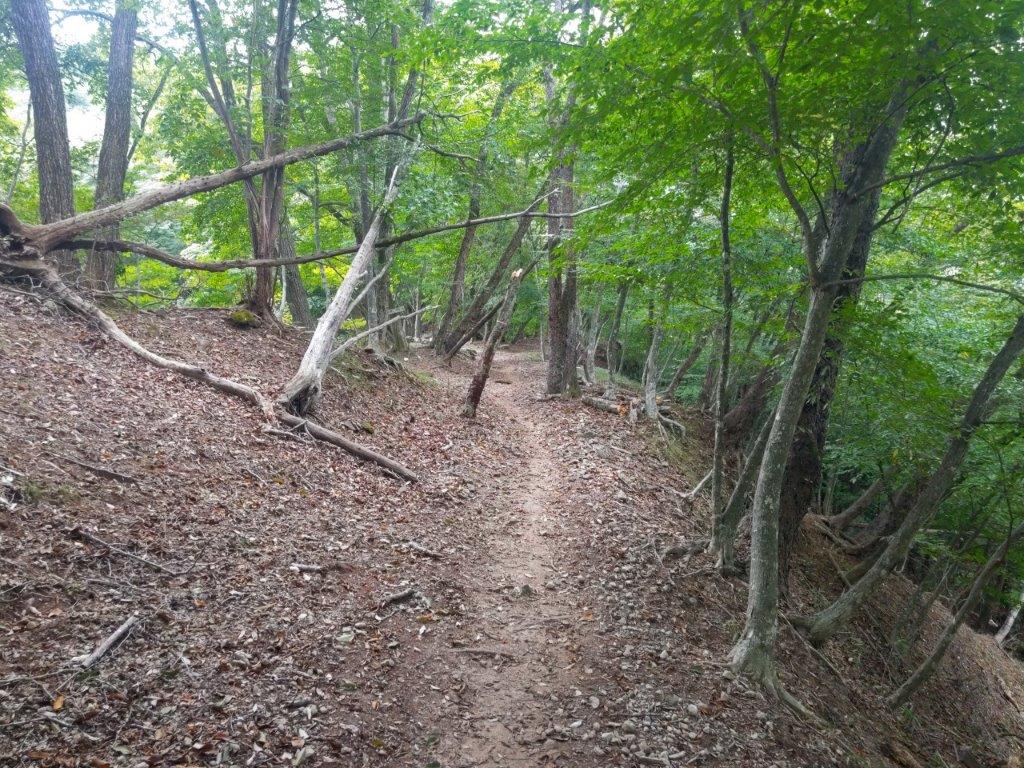
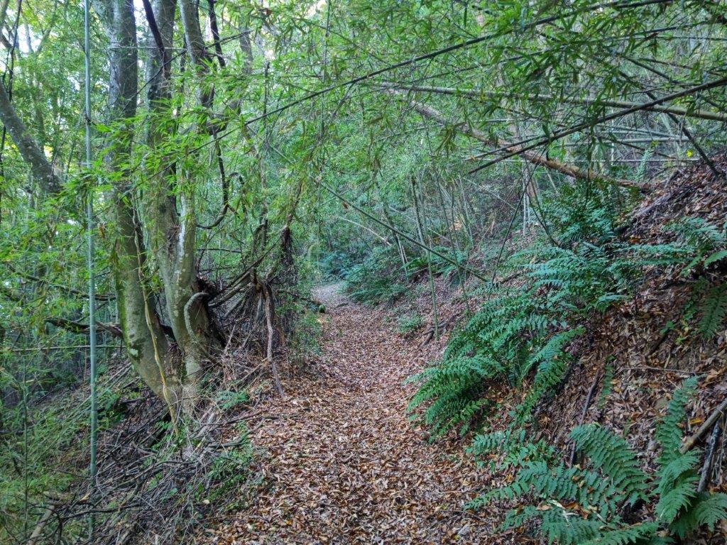
Path for Heda-toge (left) Trail Past Heda-toge (right)

I decided to walk North to South although I’d have my back to Mt Fuji most of the way. First, the buses ran more frequently along the road running through a tunnel under Funabara Pass, thus allowing for a more flexible end time. Second, I’d be facing away from the sun, an important consideration on an exposed hike through open grassland. I also chose to start halfway up the mountain even though the Izu-sanryosen trail officially starts at Niji-no-Sato, 8km away and 300m lower down. First, that part of the trail seemed to follow roads more closely; second, it was too warm to start hiking up from a lower elevation. Hopefully, I can return one day to complete this part, perhaps during the Autumn leaves season.

Hiking the Izu-sanryosen trail

伊豆山稜線歩道

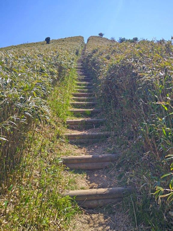
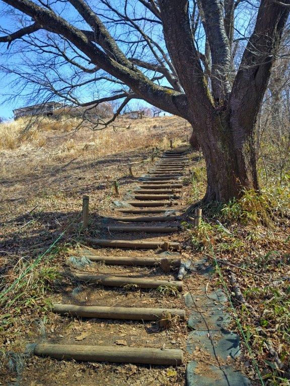
Steps for Mt Kodaruma (left) & Mt Daruma (right)

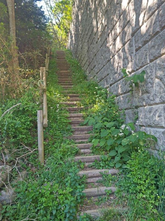
Steps for Mt Koki (left) Steps from Funabara-toge (right)

To get to the start of the hike, I’d ride the Tokaido Shinkansen from Tokyo to Mishima station, and there, change to the Izu-hakone Sunzu line. At Shuzenji, I’d board a Tokai bus for Heda, a port town in West Izu, and get off at the Mt Daruma Highland Rest House, about half an hour from Toda Pass. For the return, I’d walk downhill for thirty minutes to the Funabara Pass Entrance stop, from where I’d catch a bus back to Shuzenji onsen, where if time allowed, I’d take a hot bath at the recently renovated Hakoyu. The weather was supposed to be sunny all day but with temperatures peaking at 25 degrees in the lowlands. I was looking forward to getting some spectacular views on a new route in a familiar area.

Find Japan Hiking Maps on Japanwilds and subscribe to our newsletter

Find my Hikes on Japanwilds

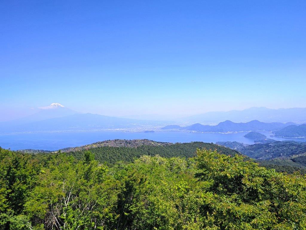
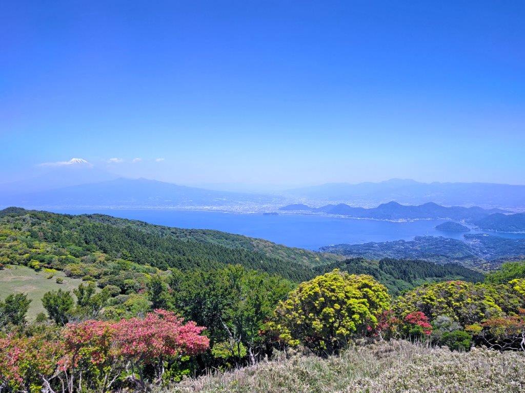
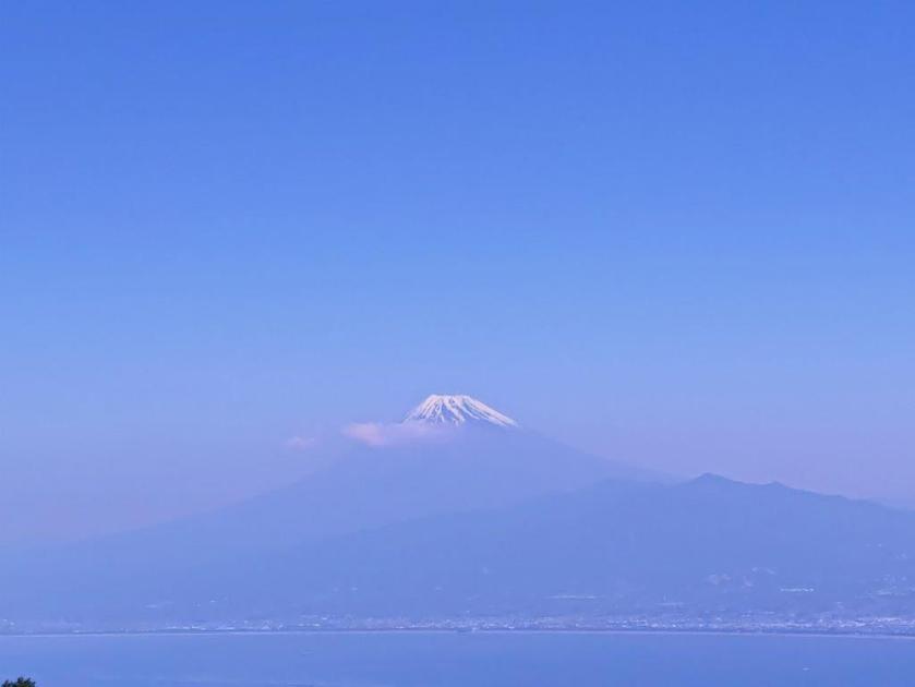
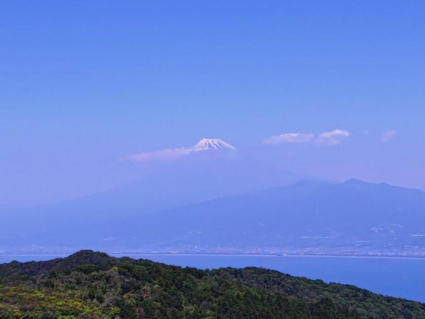
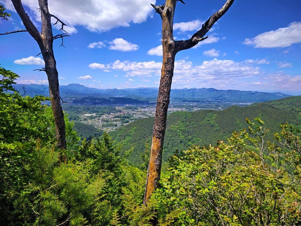
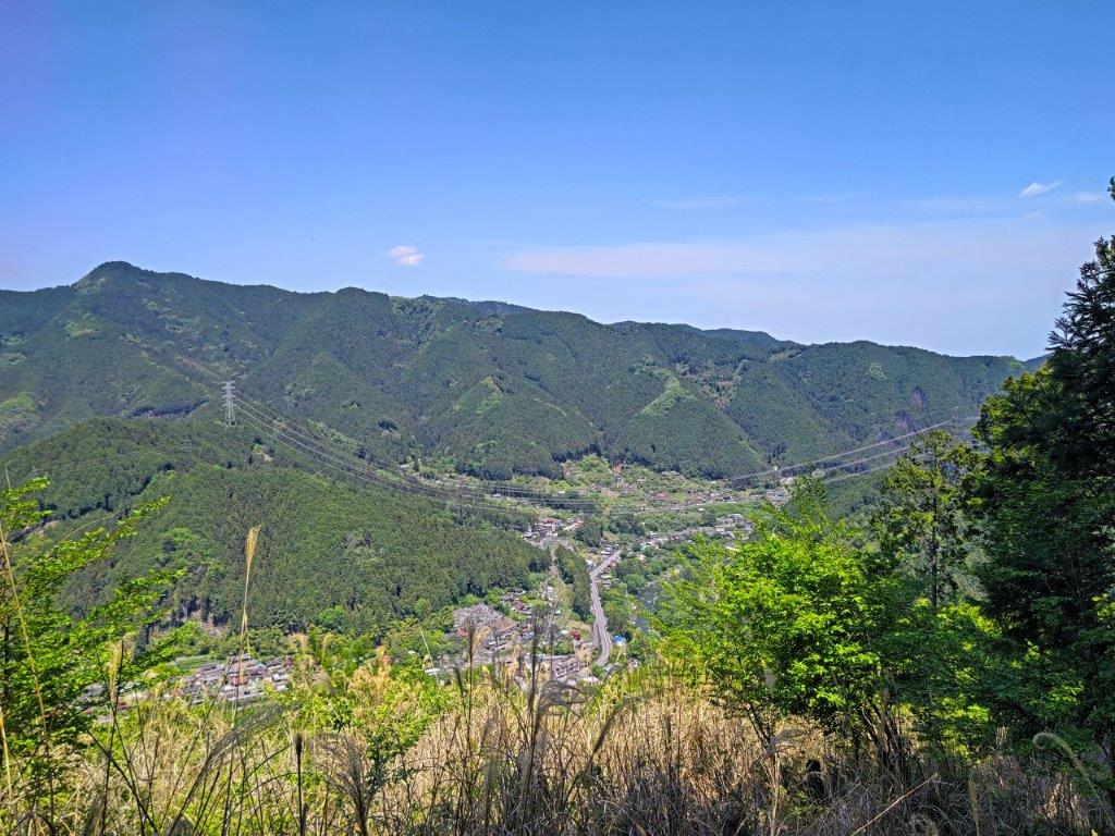
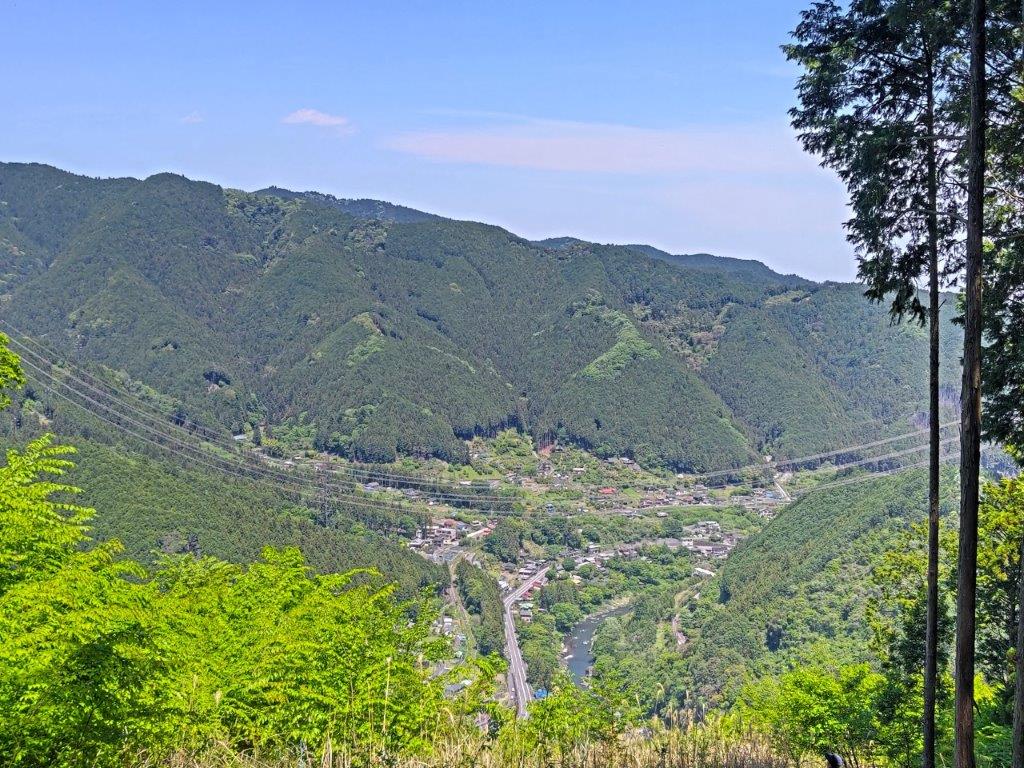
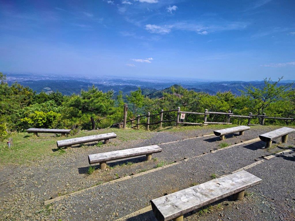
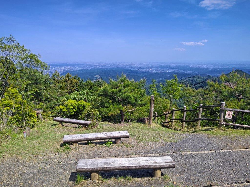
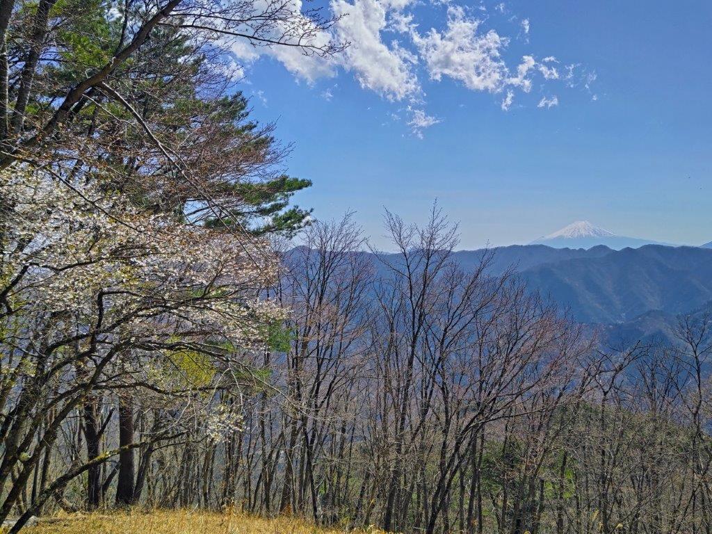
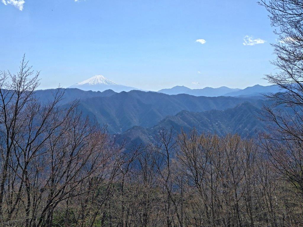
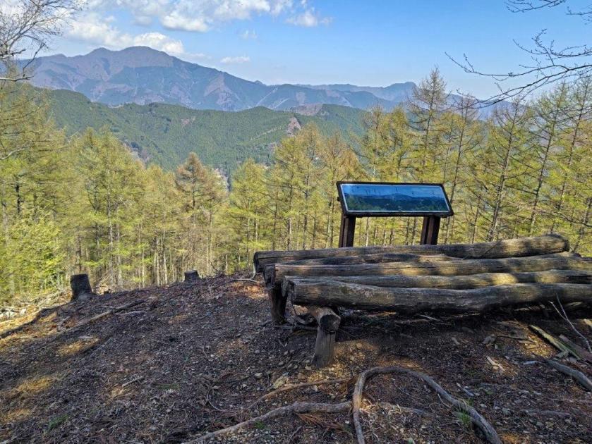
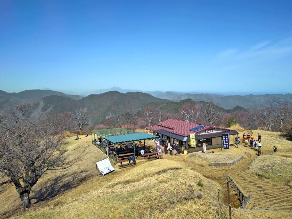
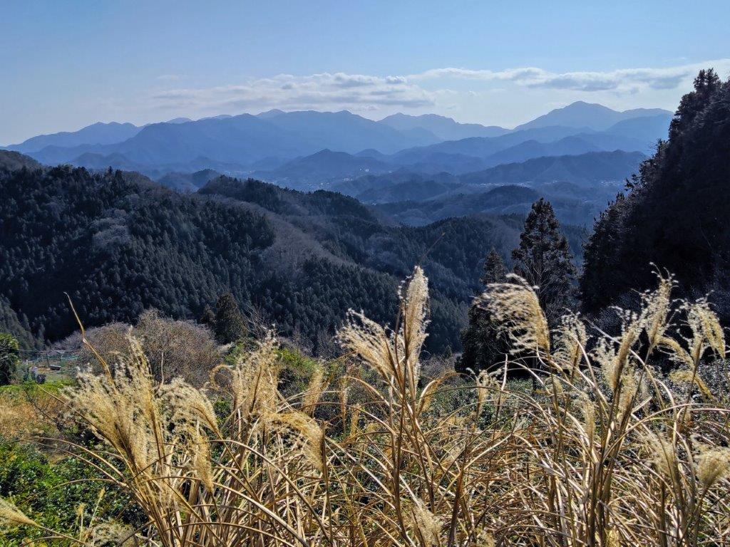
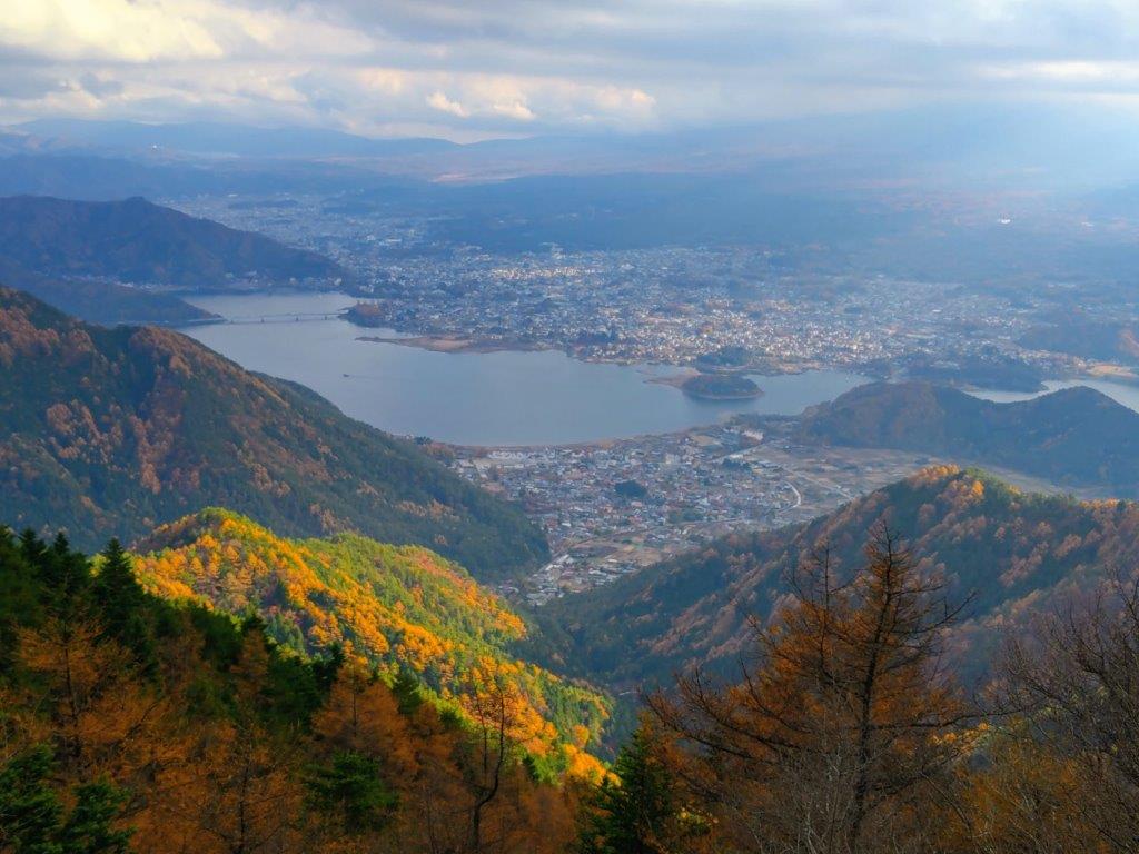
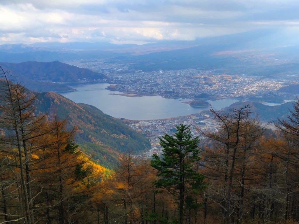
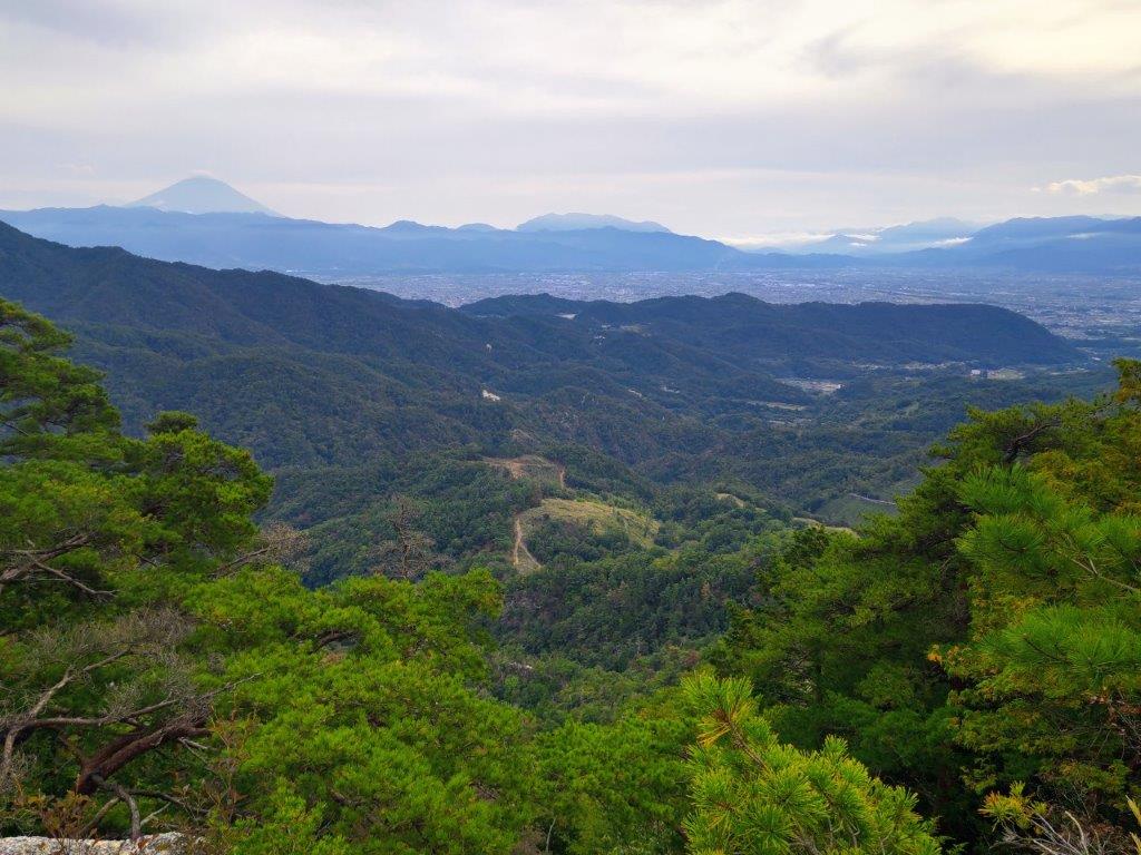
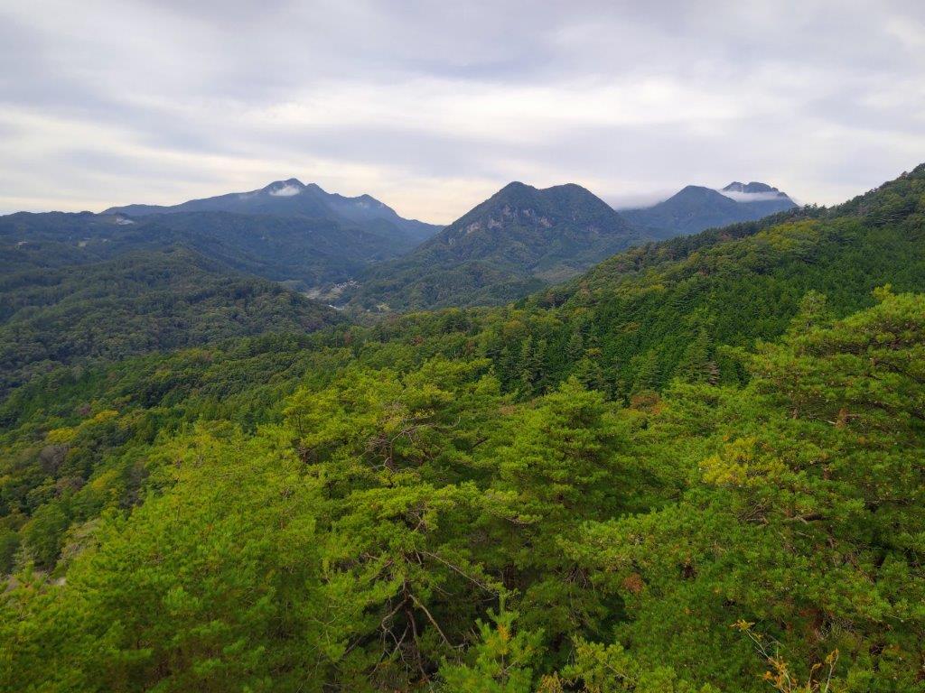
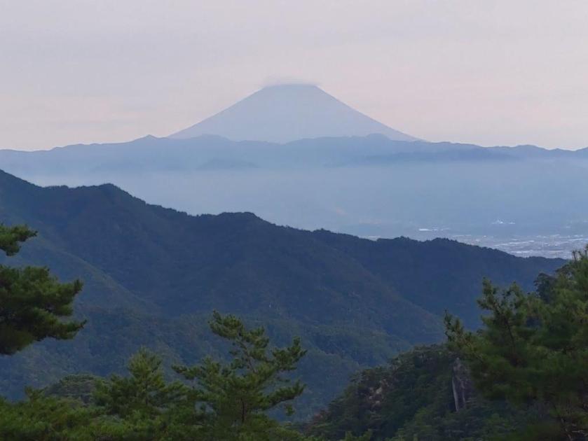
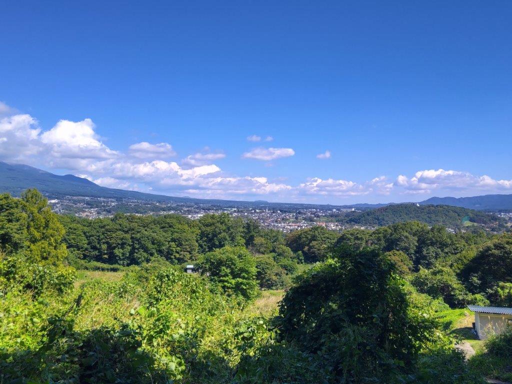
View from the Mt Daruma Observatory

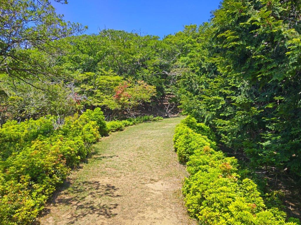
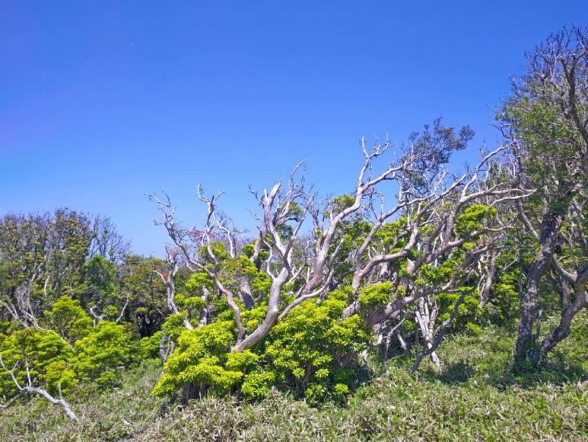
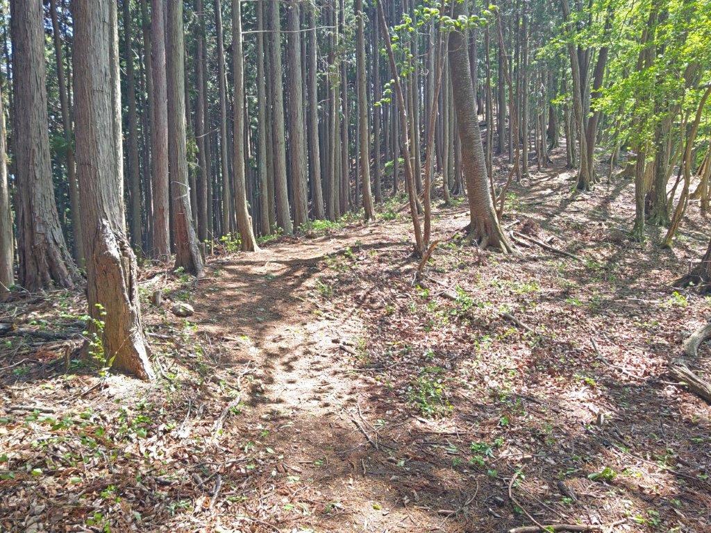
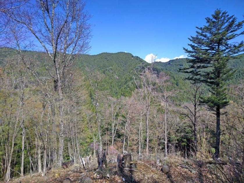
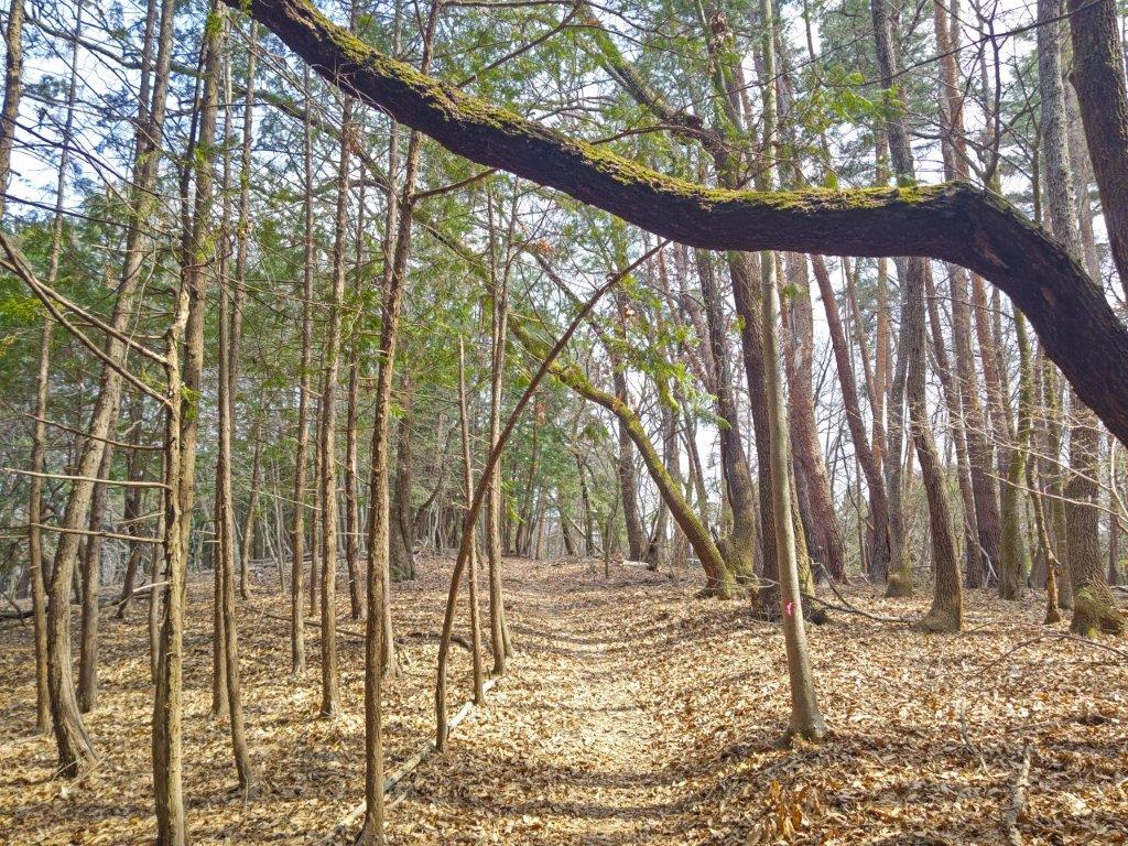
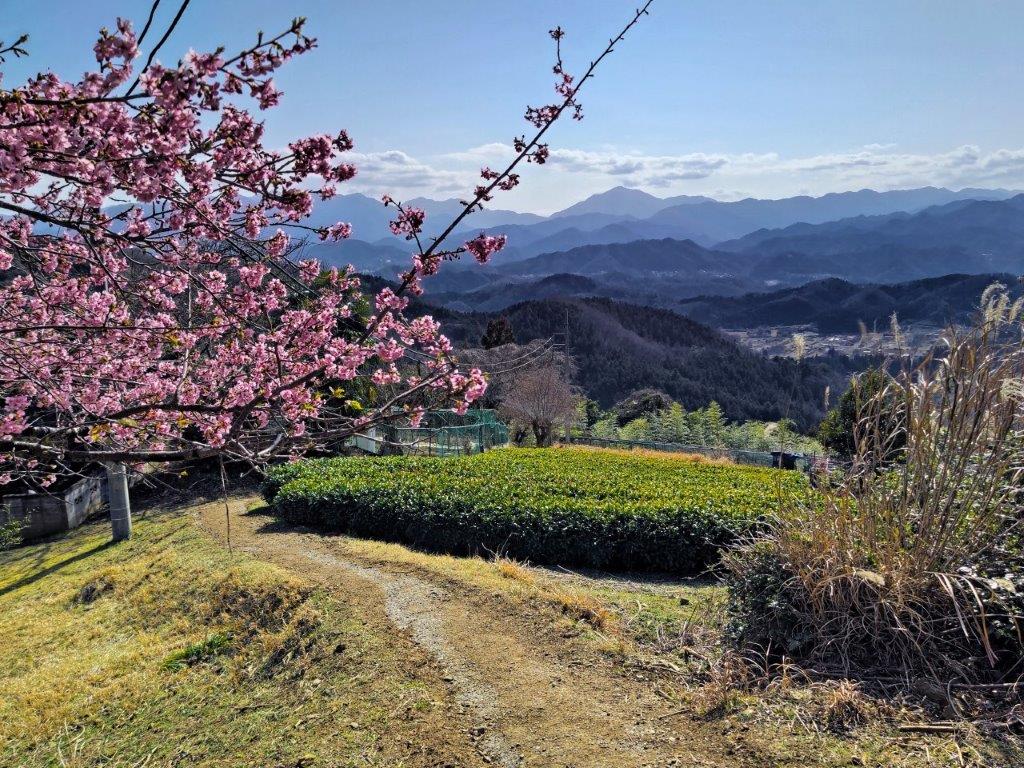
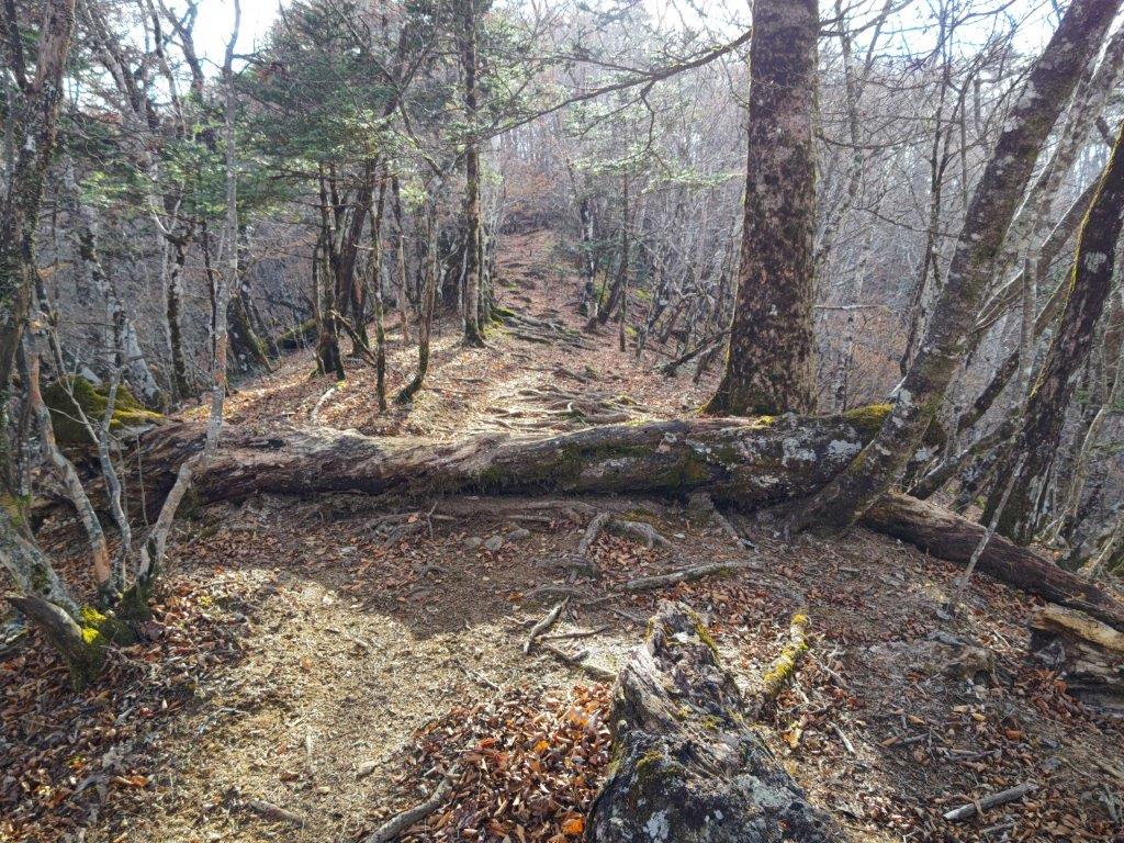
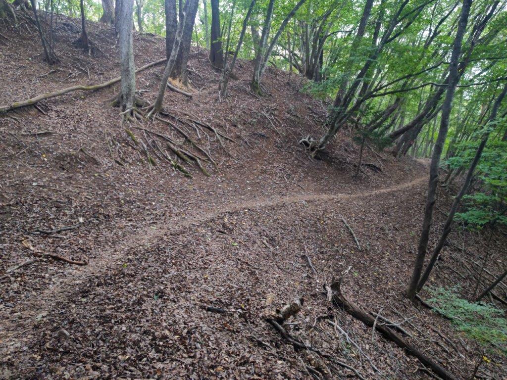
Forested Section at the Start of the Hike

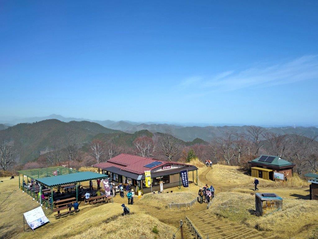
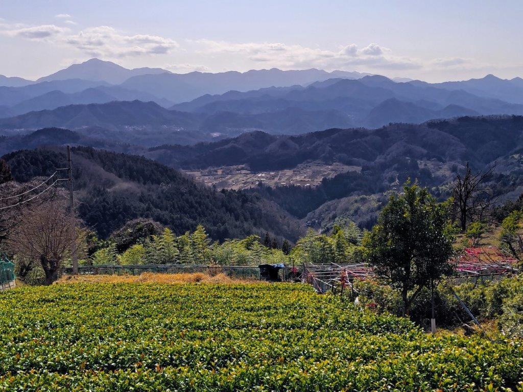
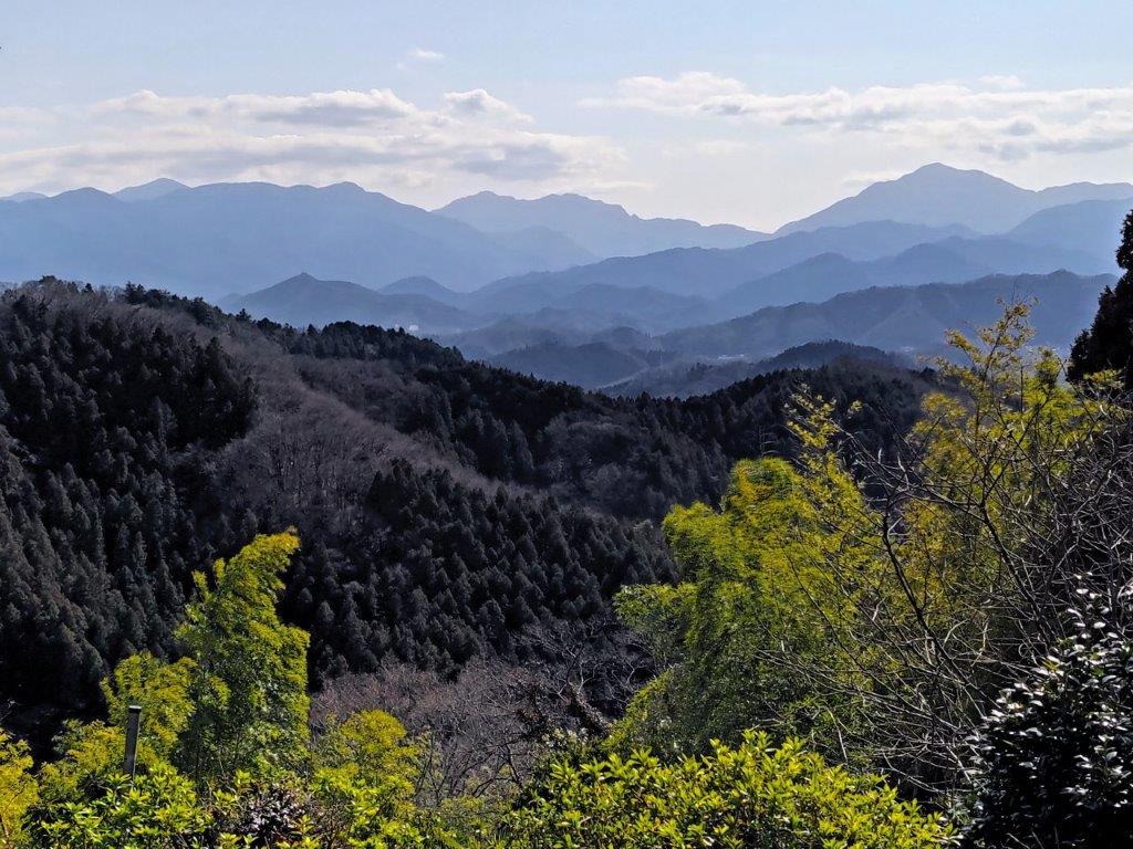
It was the perfect Spring day as I rode the Shinkansen from Tokyo Station. I boarded the half full bus shortly after 9am for the half an hour ride to the Daruma-yama Kogen Resthouse (だるま山高原レストハウス 628m). After checking out the view of Mt Fuji and Suruga Bay from the Mt Daruma Observatory (despite the name it’s 4km from the top of Mt Daruma), I set off at 10h30 along the Izu-sanryousen Trail (伊豆山稜線歩道 meaning the Izu mountain ridgeline footpath), a 43 km nature trail connecting Amagi Pass with Shuzenji Onsen.

Following a Firebreak through the Forest

Trail for Toda Pass and Mt Kinkan

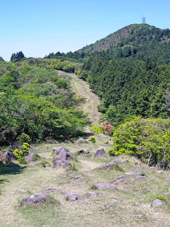
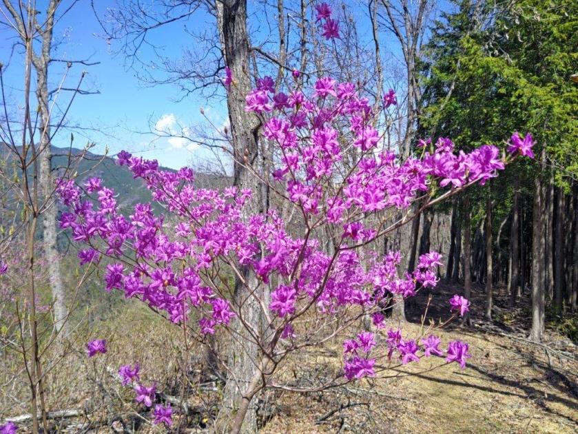
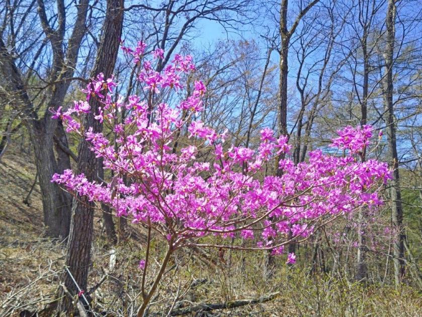
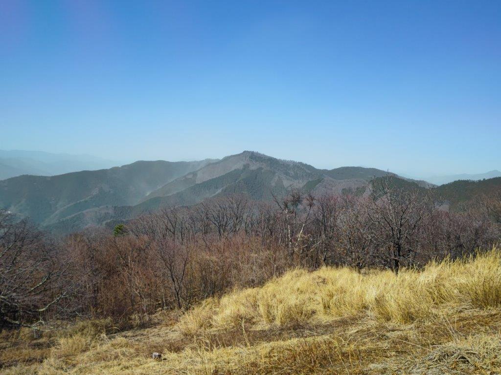
I was glad to be away from the crowds of the resthouse, few people venturing onto the nature trail. The first part was along a grassy firebreak, the light green grass contrasting nicely with the light blue sky, here and there pink shakunage and white kamatsuka flowers adding extra colour to the scenery. After about 15 minutes of gentle climbing, I reached the top of a small rise from where I could see the top of today’s first mountain straight ahead; standing on a rock protruding from the ground, I could see Mt Fuji above the trees to the right. I soon reached a narrow paved road past which log steps led straight up the forested mountain side.

Mt Kinkan and its Relay Station

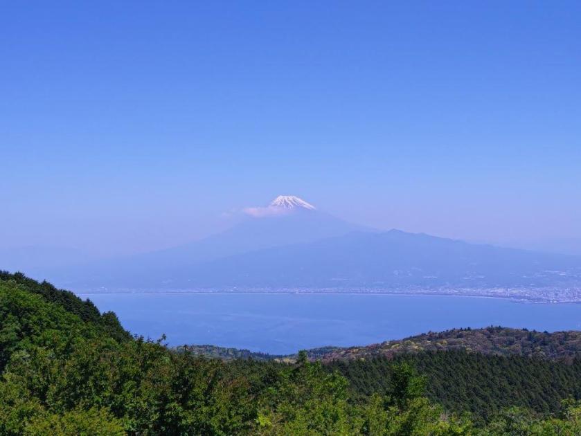
View from the Top of Mt Kinkan

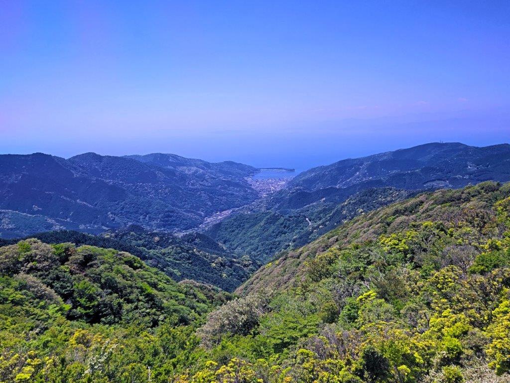
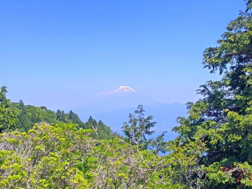
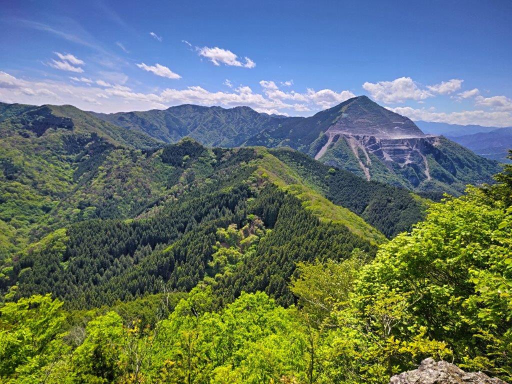
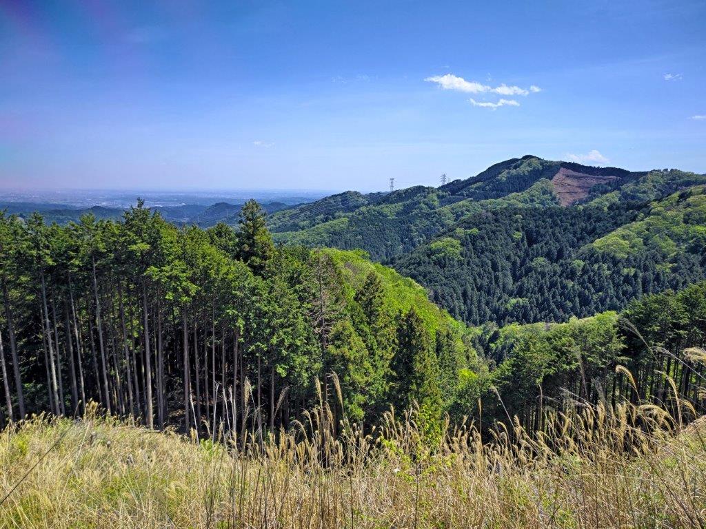
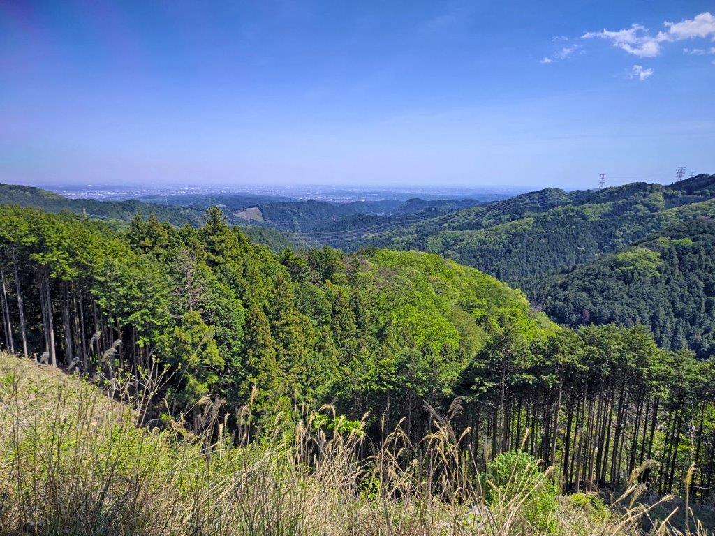
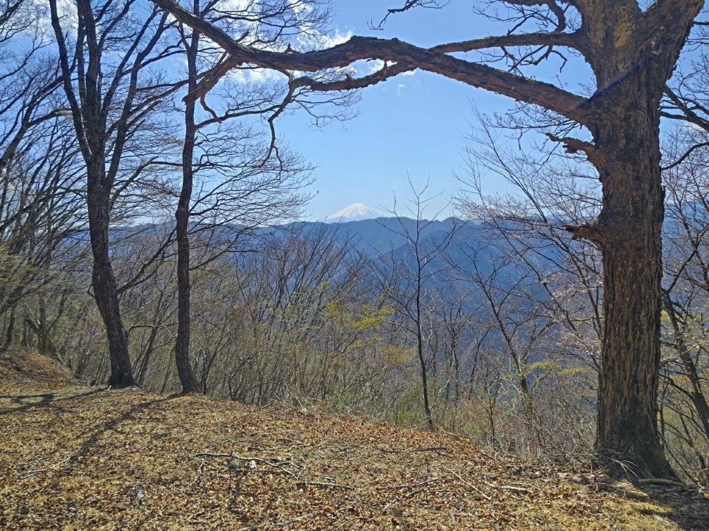
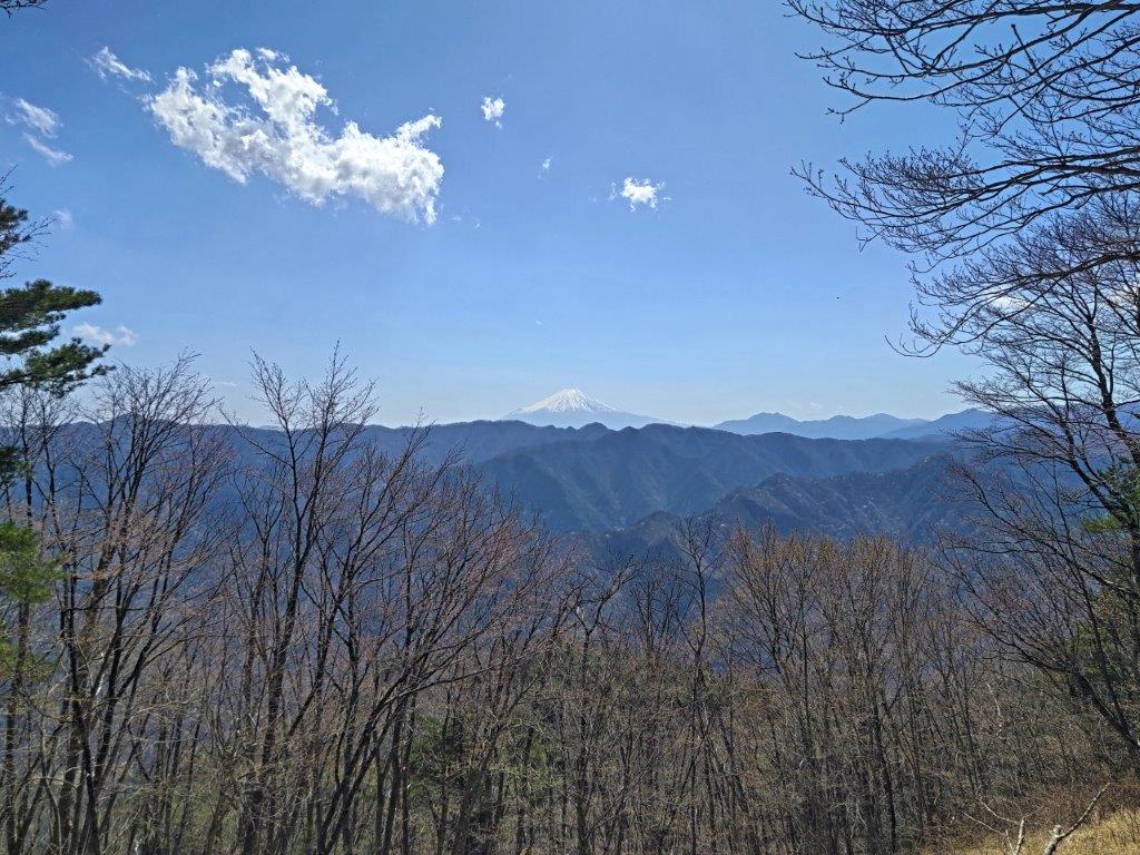
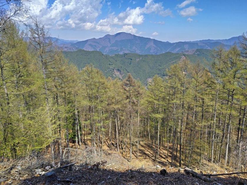
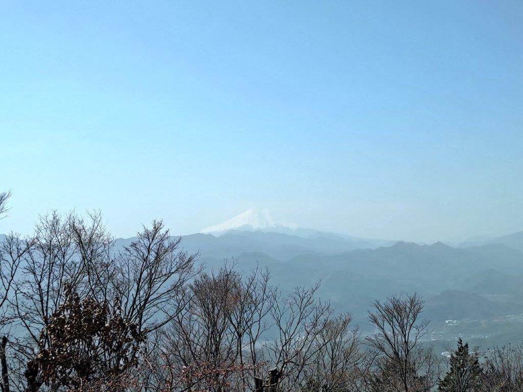
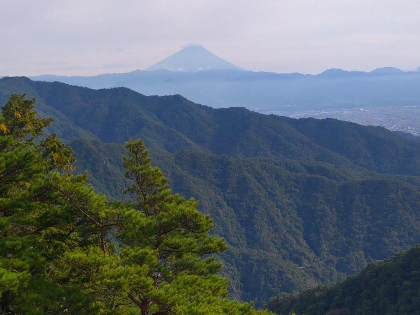
I was relieved to be in the shade for this climbing section, mid-may feeling more like mid-june. Shortly after passing a relay station on the right, I reached the summit of Mt Kinkan (金冠山 きんかんざん kinkanzan), shortly after 11am. The view was similar to the one from the Mt Daruma Observatory, but now I could also see Heda Port to the West. Mt Fuji was blue in the distance and its snow cap, receding quickly in this season, seemed to be floating in the sky. After a short break, I retraced my steps to the paved path and turned right. I soon reached Toda Pass (戸田峠), and after carefully crossing the road, made my way up some steps in the far corner of a parking lot.

Paved Path for Toda-toge

Trail past Toda-toge

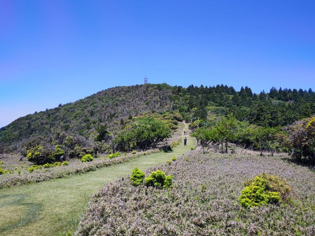
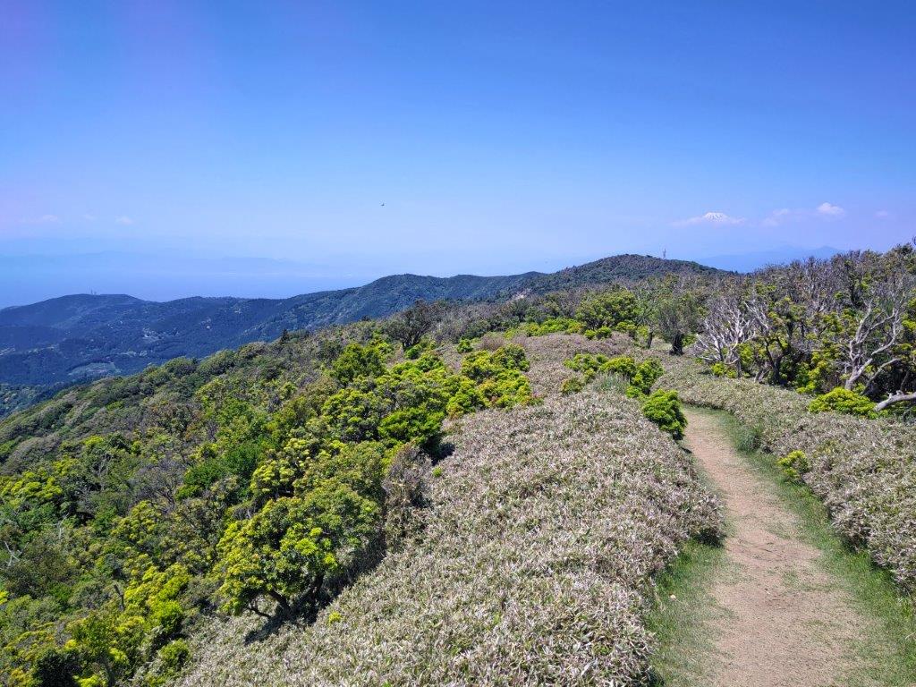
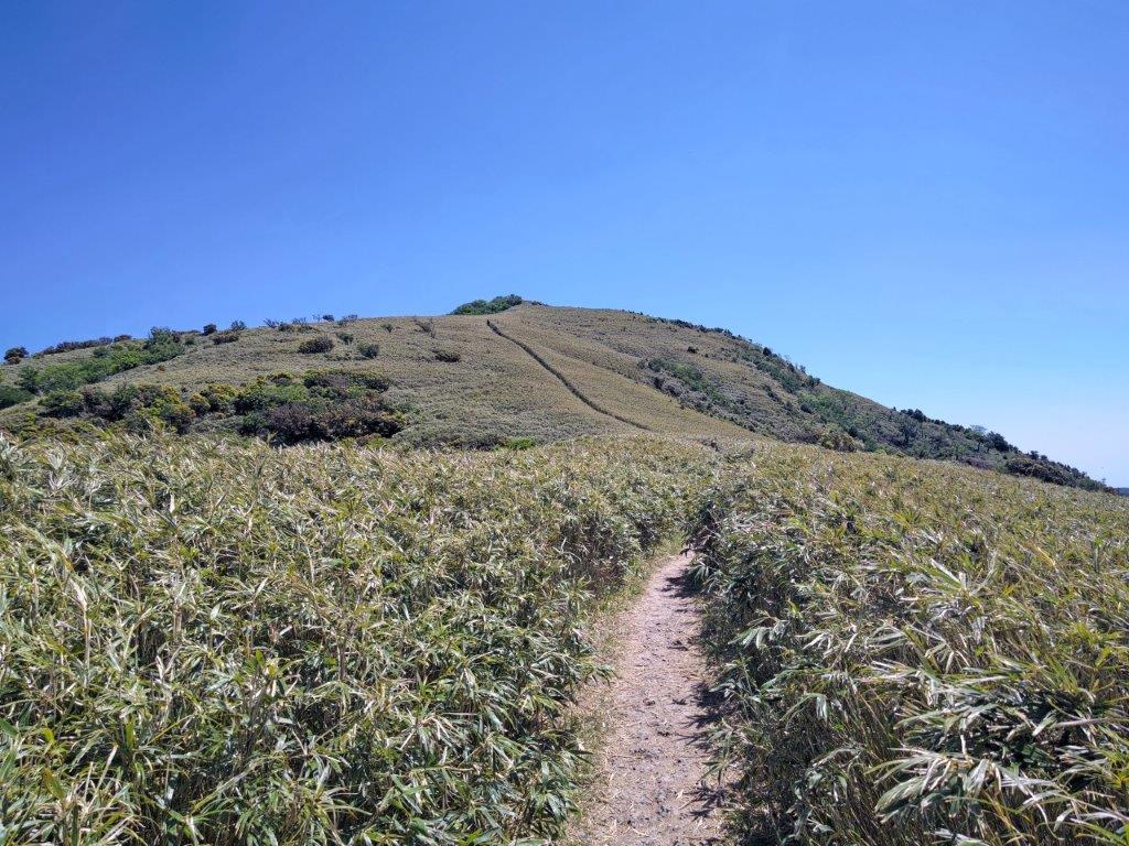
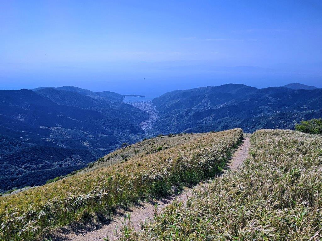
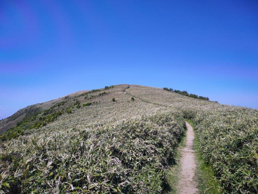
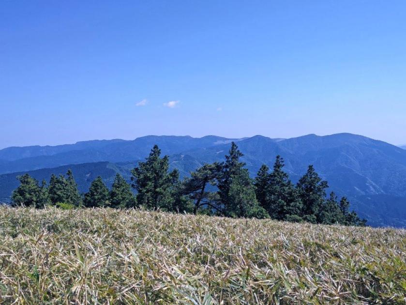
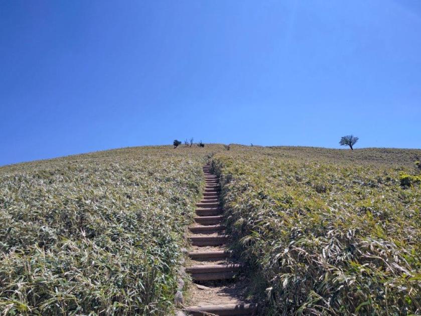
From this point the trail was mostly out of the forest. I had frequent views of the West Izu coastline, and looking back, Mt Kinkan and Mt Fuji. I passed other hikers in both directions as I was now on a popular section of the trail. After alternating several easy flat sections and tough log step sections, I passed the summit of Mt Kodaruma (小達磨山 890m), completely in the trees. After a short descent, the trail ended at the Nishi-Izu Skyline, but continued a few meters further, straight up a rounded hill covered in bamboo grass. At 1pm, I reached the summit of Mt Daruma (達磨山 だるまやま daruma-yama), a Shizuoka 100 famous mountain, for the second time.

Looking back at Mt Kinkan

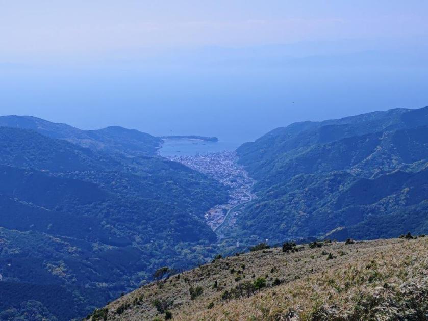
Looking down at Heda Port

I spent a few minutes taking in the 360° panoramic view: looking north, I could see the route walked from Mt Kinkan, with in the background, Mt Fuji slowly fading in the midday haze; westwards was Heda port on Suruga bay, a cluster of buildings surrounded by forested ridges; to the south lay the rest of today’s route, rolling hills interlaced with the Nishi-Izu Skyline; finally, on the East side was the heart of the Izu peninsula, culminating in Mt Amagi. It was a windless, blue-sky day with not a cloud in sight and I felt quite warm even on a mountaintop. I sat on a rock for a quick lunch with a view but soon moved on to escape the heat and the constant coming and going of people.

Walking up Mt Daruma

Looking back near the Top of Mt Daruma

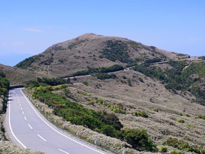
The descent on this side was shorter and easier, and after a short section along the Nishi-Izu skyline, the trail rejoined the undulating rideline. At 2pm, I passed by Mt Koki (古稀山 920m), a low-prominence peak with a good view of Mt Daruma. I soon continued on my way, and after some ups and downs, ended back on the skyline. When planning the hike, I was worried about the road sections but thanks to the grassy shoulder and little traffic past Mt Daruma, it felt relatively safe. After some welcome level walking, I reached Mt Garan (伽藍 867m), more of a plateau than a peak. The trail resumed on the right side, allowing me to cut out a wide bend of the road as it wound down the mountain.

View North of Central Izu past Mt Daruma

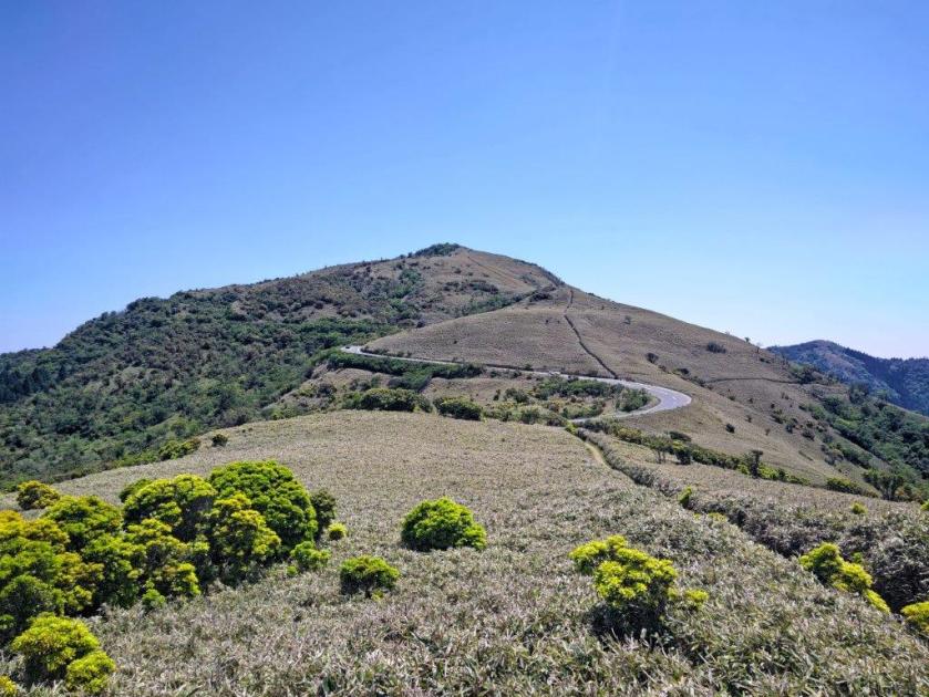
Nizhi-Izu Skyline (left) & Mt Koki (center)

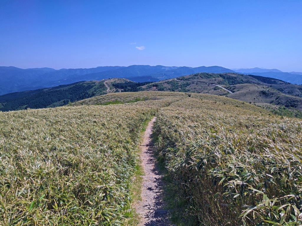
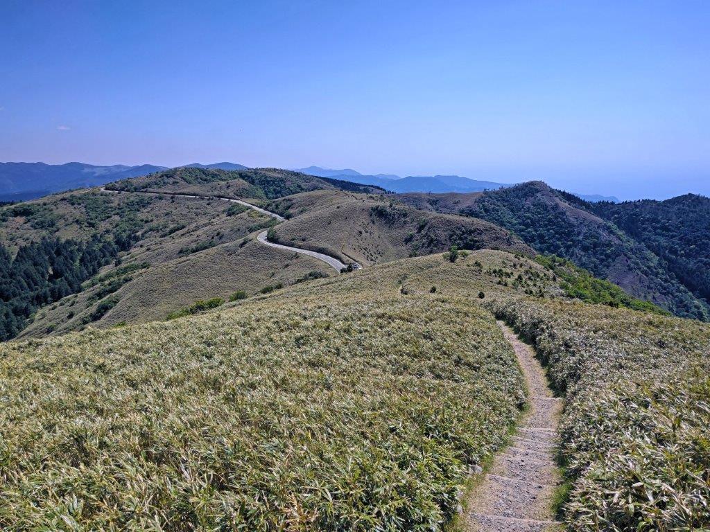
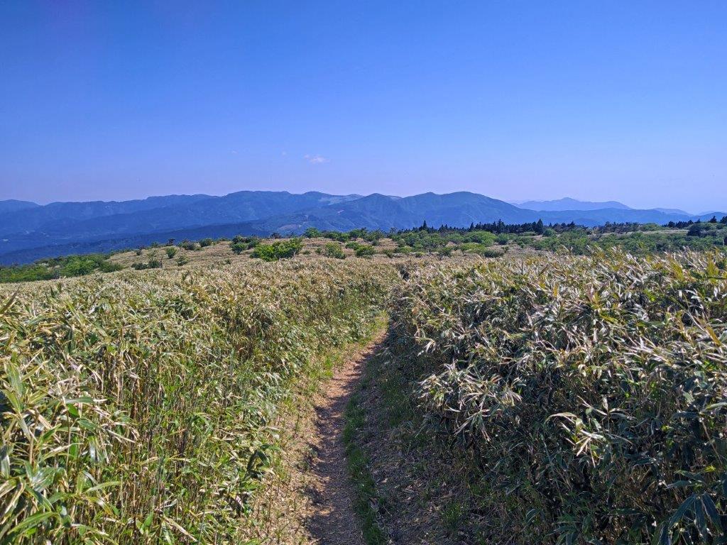
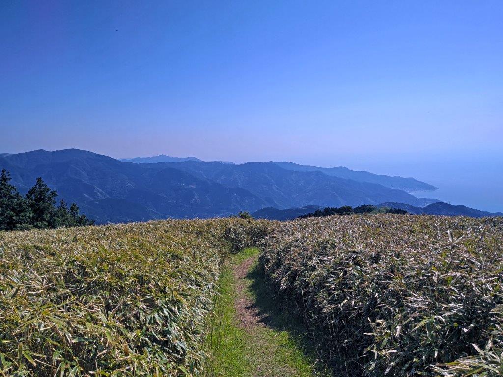
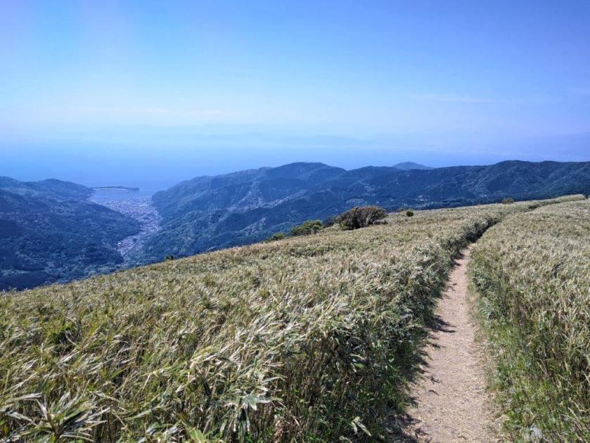
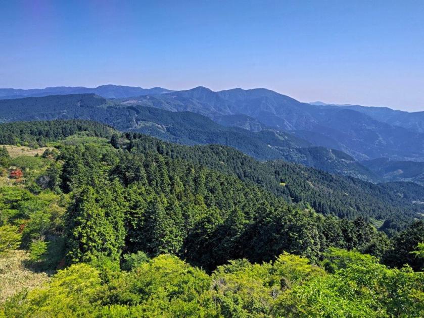
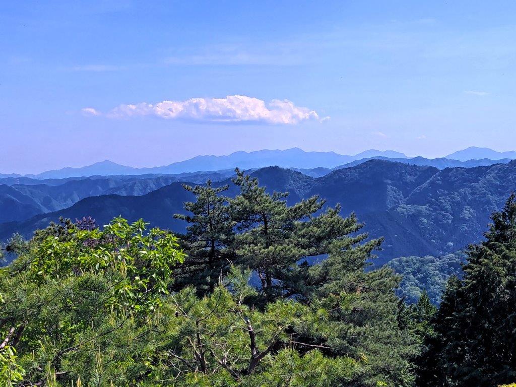
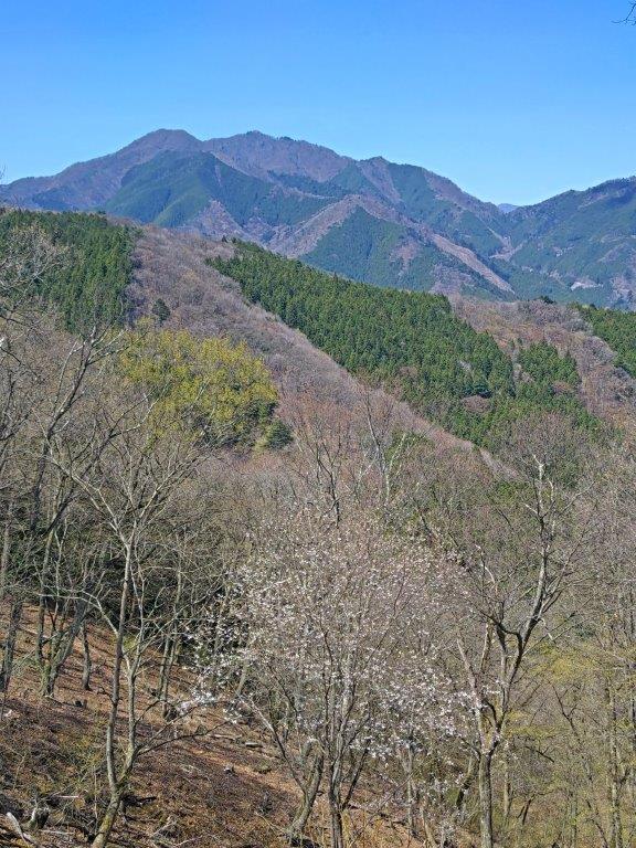
This was probably the best part of the hike, the trail cutting through bamboo grass “sasa” fields, the mountains of central Izu rising in the far distance; to the right, I could see the rugged outline of the west Izu coastline disappearing into the distance. I saw no one else along this section adding to the sense of wilderness. After a short descent through forest, the trail ended on the skyline again. I turned left and followed it as it continued to lose altitude. This was the longest road section of the hike but I saw almost no cars or motorcycles. At one point, the vegetation vanished on the right side and a wide view opened up to the South.

Mt Daruma from near Mt Koki

Walking through the Sasa Fields

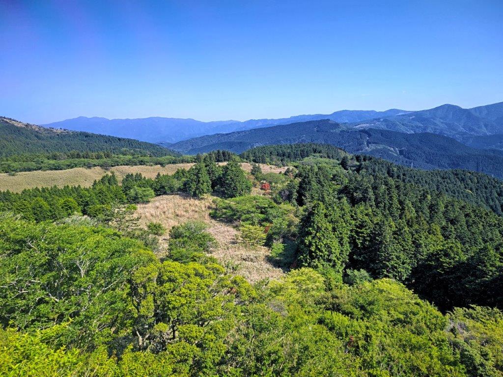
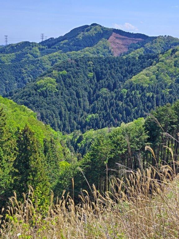
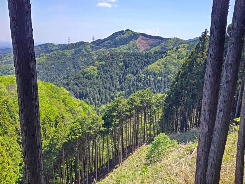
This was one the best views of the hike, rolling ridges covered in a mix of pale yellow grassland, evergreen forest and dark green cedars, the Amagi volcanic mountain range appearing in blue in the background. Just before 3pm, I spotted a thick square wooden signpost, typical of trails in the area, marking the entrance of a grassy track leading into the forest on the right. It passed near the top of a cliff created by a landslide; through the trees on the left side, I had the last view of the day of a forested valley, hidden from the outside world. At the bottom of a steep staircase, I popped back onto the skyline but soon turned right onto another hiking path through evergreen forest.

The West Izu Coastline from the Izusanryosen Trail

A Mix of Grassland, Evergreens and Cedars from the Skyline

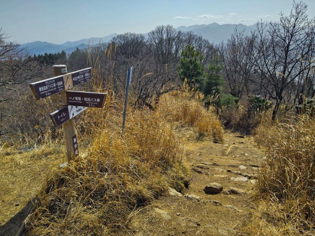
Shortly after, I reached the top of the last log staircase of the day, taking me down, for once, to Funabara Pass (舩原峠), also known as Toi Pass (土肥峠), which I had also passed through on my 2017 hike. After a short break in the shade of an open shelter, I followed the road eastwards, as it headed down into Kamo River Valley. It was a pleasant walk in the shade of tall cedars, few cars to disturb the silence. A little before 4pm, the quiet road I had been following merged with the busy main road form Toi town, also the location of the Funabara Pass Entrance (舩原峠口) stop. After a short wait, I boarded the bus for Shuzenji Onsen.

Grassy Track through the Forest

Trail before Funabara Pass

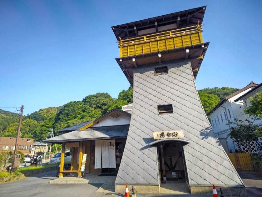
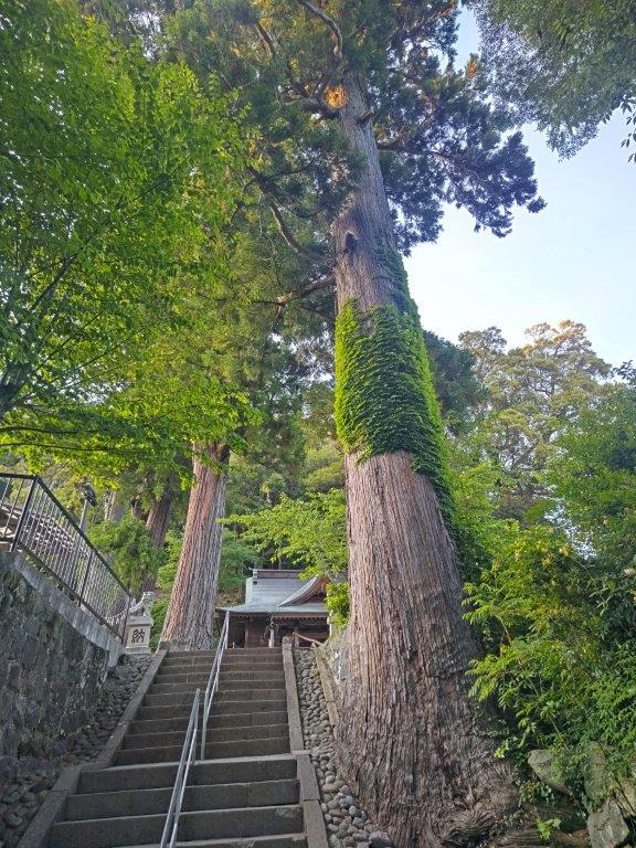
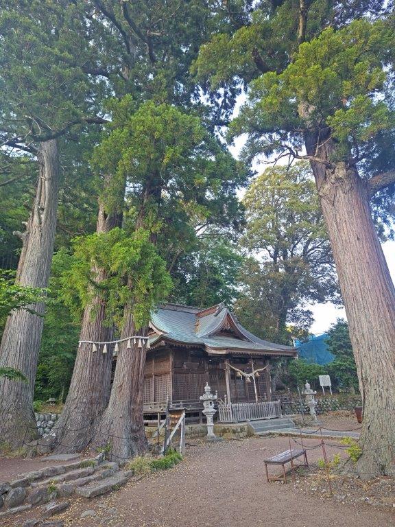
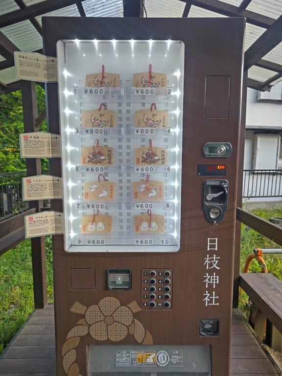
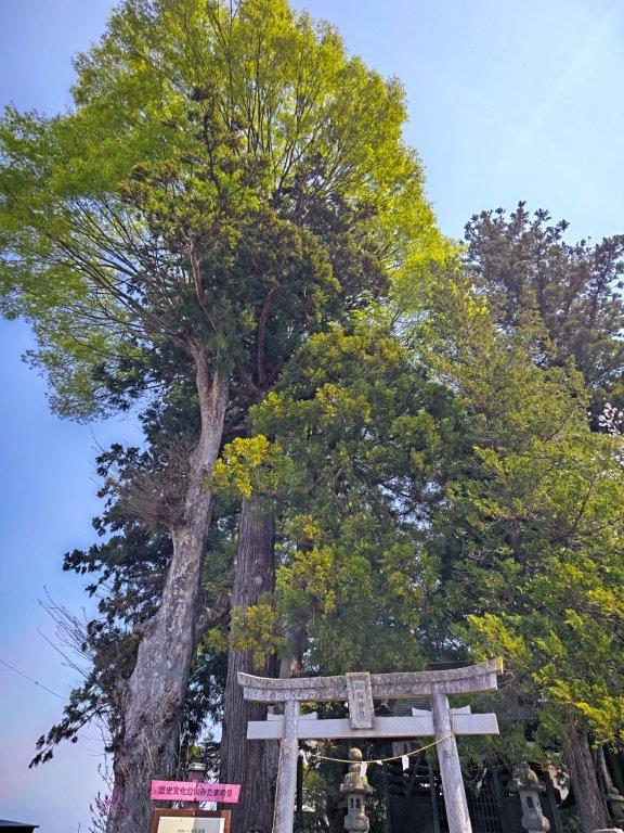
I had a refreshing hot bath soak at Hakoyu (筥湯), situated in the center of the Shuzenji Onsen, my first visit to this famous hot spring resort. The spacious wooden bath under a high sunny ceiling helped further enhanced the relaxing atmosphere. Afterwards, I climbed to the top of the neighbouring 12-meter-high observation tower for a better view of the town, and also dropped by Hie Shrine with its towering cedars and votive tablet “ema” vending machine. It was a short bus ride back to Shuzenji station where I boarded the Sunzu line for Mishma; there I caught the shinkansen for the 40-minute ride back to Tokyo station.

Watch a Video of the Hike

See More Pictures of the Hike

Mt Futago (883m), Yokoze Town, Saitama Prefecture, Saturday, May 9, 2026

I had already climbed these twin peaks after traversing from Mt Takegawa in January 2013. Back then, I descended a deep valley to Ashigakubo station, as recommended by my guidebook. Looking at my map, I noticed a ridge route passing by a shrine with a view of Chichibu valley. It also ended at Ashigakubo, meaning I could redo this hike as a station-station loop hike. This time I’d ascend via the ridge and descend via the valley; from the top, I could extend the hike with a round-trip to a nearby minor peak. I could also check out a secret viewpoint of Mt Buko near the higher “Male” summit.

Hiking in Oku-Musashi 奥武蔵

To get to the start of the hike, I’d take the Seibu Laview limited express from Ikebukuro to Yokoze station, and there, hop on the Seibu-Chichibu local line for the one stop ride back to Ashigakubo station. For the return, I’d ride the local train back to Yokoze and then walk about 10 minutes to Buko Onsen which I had visited several times before. After a hot spring bath, I’d make my way back to the station where I’d board the limited express for Ikebukuro. The weather was supposed to be slightly cooler than last week but just as sunny. I was looking forward to revisiting a previously climbed mountain in a different season.

Find my Hikes on Japanwilds

Find Japan Hiking Maps on Japanwilds and subscribe to our newsletter

Start of the Hike (left) Going up the Ridge Route (right)

Going down the Valley Route (left) End of the hike (right)

It was a beautiful Spring day as I rode the Laview limited express through the forested hills of Oku-Musashi; I was surprised by how few people got off the train at Ashigakubo station shortly after 10am. As I got ready, a fresh breeze combined with some clouds blocking the sun forced me to add a layer of clothing despite the mild temperatures. At 10h30, I set off, and after crossing the wide Yokoze river, turned left onto a National Road which I followed for a short way before turning left again and re-crossing the river. I soon spotted the start of the trail on the right, disappearing into a tunnel under the railway tracks.

View from Fuji-Sengen Shrine

Trail between Sengen Shrine and Mt Futago

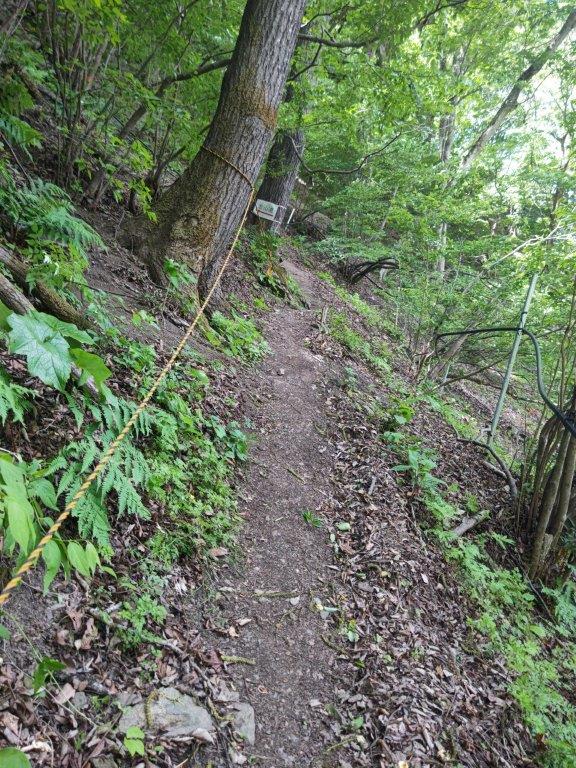
On the other side, I came upon a wooden Shinto Gate (“torii”), its white paper zigzag streamers (“shide“) flapping in the wind, surrounded by sunlight-bathed forest, the sun now free of clouds. After passing under the gate, I reached a junction for the Ashigakubo Icicles, closed in this season. I followed a narrow switchback trail up a steep slope, fitted with rope for safety. After this strenuous start, the trail gradually became less steep; surrounded by towering cedar trees, it had the feel of a typical trail of the area. One hour after setting off, I reached a short, rocky section, at the top of which was the Fuji-Sengen Shrine (冨士浅間神社 590m), with a view on the west side.

Near the Top of the Ridge Route

Mt Buko from the Secret Viewpoint

I had a view of the Chichibu Basin framed by two standing dead trees. To the left was the jagged top of Mt Ryokami and to the right, I could see the entire length of the Minano Alps. After a short break, I resumed my hike, now following the forested ridgeline southwards. While navigating another rocky section, I passed a middle-aged man in shorts, looking slightly exhausted but on his way down. At 12h30, I arrived at the lower, “Female Summit” of Mt Futago (二子山雌岳 ふたごやまめだけ futagoyama-medake 870m). It was completely in the trees so I quickly moved on.

Mt Takegawa (left), Mt Komochi (center) & Mt Buko (right)

Mt Takegawa, a Kanto Famous Hundred Mountain

After carefully descending a short but tricky rock section, I made my way up a short but steep slope on opposite side, and very soon reached the slightly higher “Male Summit” of Mt Futago (二子山雄岳 ふたごやまおだけ futagoyama-odake). Walking a few meters past the summit marker, I could get a view of the Chichibu Basin and Mt Buko, beyond waving green leafy branches. I then headed left through the cedars, ignoring the trail for Mt Takegawa, and found a rocky spot to the right of the trail, at the top of a steep drop-off on the west side of the mountain.

Rocky spot with a View

Mt Izugatake from Mt Konita

I had a spectacular view of the triangular summit of Mt Buko, probably the best view I’ve ever had of this mountain; to its left were the more rounded summits of Mt Komochi and Mt Takegawa. Since it was nearly 1pm, I made myself as comfortable as I could on the rocky surface for lunch with a view. Even though, there were other hikers on the mountain, no one came by this hidden viewpoint. Half an hour later, I set off again, down a faint trail following a narrow ridgeline as it extended eastwards. It soon became level and a break in the vegetation allowed glimpses of Mt Maru on the left side.

View of Mt Futago from Mt Konita

Descending the Valley Route

Shortly after re-entering the forest, I reached a sudden rocky drop where I let myself down carefully. The path continued to descend through the forest; I saw no other hikers during this section and it felt remote and wild. The path levelled and a road appeared on the left. I spotted the white building, and antenna, of the Ashigakubo relay station located just below today’s next summit. The trail took me around the back of the building and up a smooth bedrock to the top of Mt Konita (甲仁田山 こうにたやま 847m), sadly lacking a summit marker. It was mostly in the trees, but by following the ridge a short way, I got a view of Mt Izugatake to the south, with the Kanto Plain in the background. I then followed some log steps to the road, and turned left.

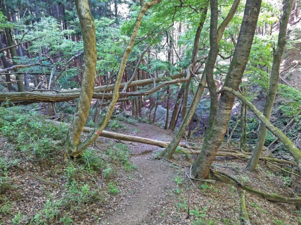
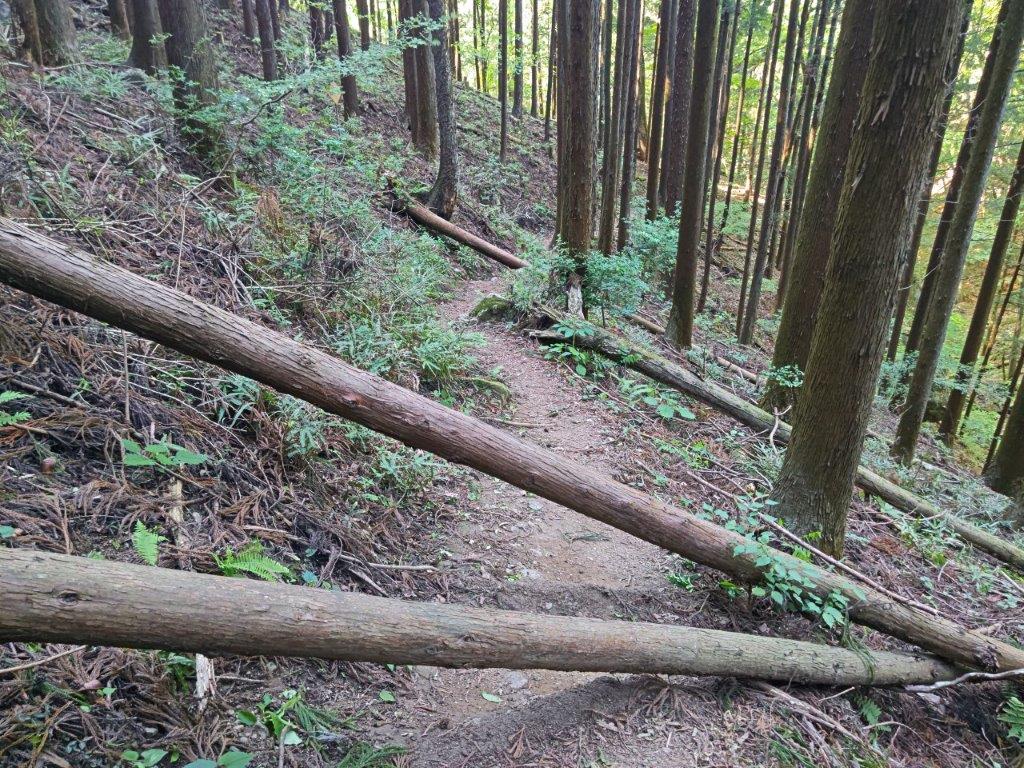
Fallen Trees on the Way down Mt Futago

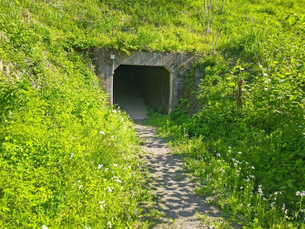
Tunnel at the End of the Hike

Looking right, I was rewarded with a perfect view of the twin peaks of Mt Futago. I made my way back up the same trail, some effort required to pull myself up the rocky drop. Coming from the other direction, I found that I could go around the other side of the “Female Summit” and thus avoid the tricky rock section between the two peaks. A little after 2pm, I started down the valley route. At first the trail headed straight down, lined with ropes for safety. Eventually it turned into a pleasant ridge trail through mixed forest. At a signpost, I turned left and followed a switchback trail into the valley, the path turning rocky as it followed a dry riverbed. I remembered very little of my previous hike since I had descended in a hurry in semi-darkness. Suddenly, a hiker going in the opposite direction said “Didn’t I meet you on the other trail?” This was the middle-aged man I had passed earlier in the day. He told me he had been going up and down the mountain all day; no wonder he looked exhausted, although he told me this was his last loop.

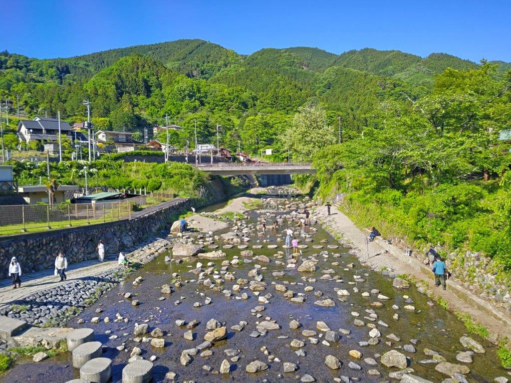
Yokoze River at the End of the Hike

Mt Buko seen on the Way to Buko Onsen

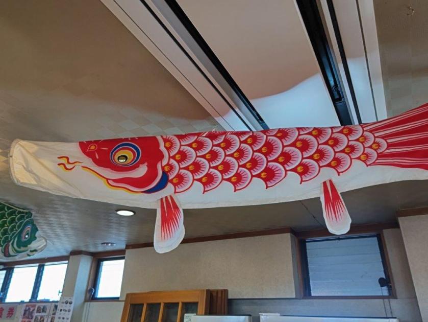
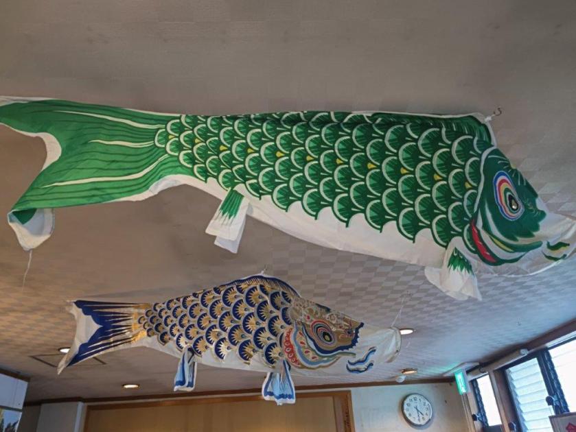
Further down, I suddenly found myself walking along a stream, the trickling water appearing out of nowhere. Several fallen trees across the trail enhanced the spooky atmosphere of the deeply shaded valley. After crossing a small bridge, I reached the valley base and at 3h30, I popped back in the sunshine at the end of a tunnel under the railway tracks. After a short break at one of the sunny tables outside the Ashigakubo Road Station (“michi no eki“), I boarded the train for Yokoze; it was a pleasant walk to Buko Onsen, with lovely views of Mt Buko and Mt Futago in the late afternoon light. The interior of the hot spring resort was decorated with colourful carp streamers (“koinobori“) left over from Children’s day. After a refreshing bath, I made my way back to the station where I boarded the Laview around 5h30 for the 80-minute ride back to Tokyo.

Watch a Video of the Hike

See More Pictures of the Hike

Mt Hinode (902m), Ome City & Hinode Town, Tokyo Prefecture, Saturday, May 2, 2026 [Lani Head Trail]

I found out about this trail while researching the Mt Katsubo Hike, since the two are frequently done together. It was developed by the “RUN & BEER” outdoor community in 2020 and promoted by the TV personality and runner Wakana Fukushima. I couldn’t find it on my 2019 Yama to Kogen Map but it is marked with a dotted line in later editions. It seemed like the perfect opportunity to revisit Mt Hinode via a different route, and to redo the upper part of the Hinode Alps. Afterwards, I could descend via a variant of the Hinode Hiking Trail to Tsurutsuru onsen for a refreshing post-hike hot bath.

Hiking in the Chichibu-Tama-Kai National Park

秩父多摩甲斐国立公園

To get to the start of the hike, I’d ride the Ome line to Ome station, then change to the Okutama line and get off at Mitake station; finally, I’d cross a bridge over the Tama river to reach the trail entrance. From the onsen, I could catch a bus back to Ome station. The weather was supposed to be sunny and hot for the season; I hoped this would be offset by the strong breeze forecast to be blowing around noon. Although this would be my 5th time on Mt Hinode, it would be my first time to climb it from the base and my first time in Spring.

Find my Hikes on Japanwilds

Find Japan Hiking Maps on Japanwilds and subscribe to our newsletter

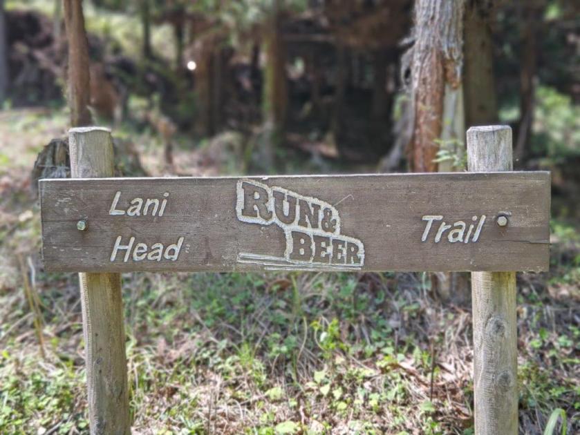
Start of the Hike (left) The Lani Head Trail (right)

Past Mt Takamine (left) Trail for Mt Hinode (right)

It was a beautiful Spring day in the middle of Golden Week as I rode the Green car to Ome station. After changing to the Okutama line, the train became quite full and I had to stand for the short ride to Mitake station. After admiring the fresh wasabi on sale outside the station building and picking up some free maps from the Mitake Information center, I headed over to Ontake Bridge from where I observed people doing SUP (stand-up paddleboarding) down the Tama river.

The Hinode Alps (left) Nearing the Summit (right)

The Hinode Hiking Trail Variant (left) End of the Hike (right)

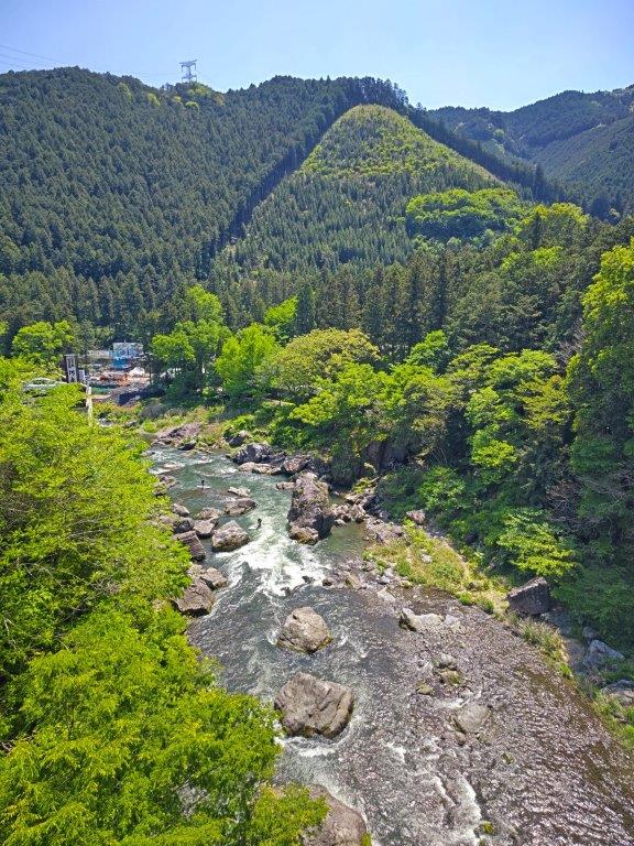
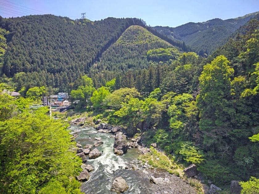
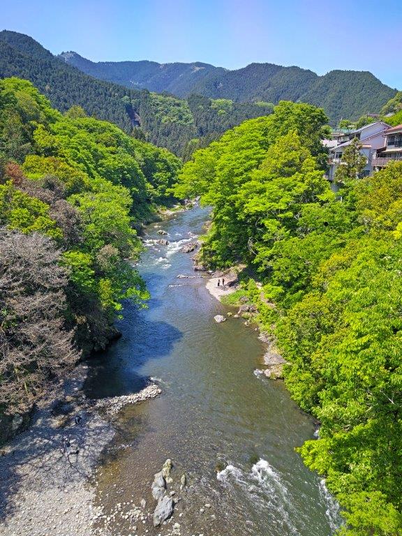
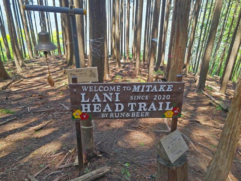
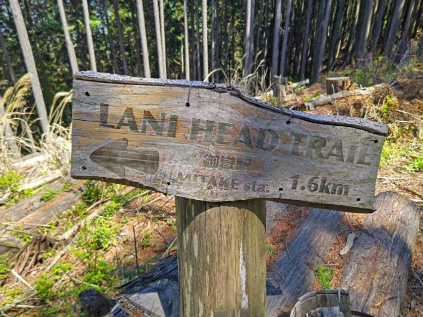
I spent a few minutes gazing up and down the spectacular Mitake Gorge (御岳渓谷), not a cloud in sight in either direction. At the other end of the bridge, I passed Poloka Base, a cafe and station running bar, connected to the RUN & BEER community. A little past 11am, I reached the start of the Lani Head Trail (ラニヘッドトレイル), up a grassy track along an old stone wall. It isn’t signposted from the station, but I found it thanks to my phone GPS. Apparently, “Lani” means “Heaven” in Hawaiian, so the trail name could translate to “Mt Heaven”.

Mitake Gorge, Blue Skies and the New Green of Spring

Log Steps up the Lani Head Trail

I was amazed to have the trail completely to myself, most people having probably gone to the Mitake ropeway. The path was well maintained with log steps in the climbing parts and sturdy handmade signposts placed at regular intervals: it definitely deserves to be better known, although today I was happy to be able to enjoy the quiet surroundings. At 1130, I had a glimpse of the Tama river valley through the pines. A few minutes later, I reached a wider view on the north side.

View of the Upper Tama River Valley

View North from the Lani Head Trail

I was glad to get such a wide view near the start of the hike, especially since it allowed me to gaze down at the Tama river valley from a new angle. Here, I finally passed a handful of hikers heading down this hidden trail. After I reentered the forest, the wind started to blow hard, making me worried about falling branches. When the wind dropped, I could observe a beautiful dapple of light and shadow dancing at my feet. Above the treetops, I could see Mt Bonomine and Mt Kawanori to the northwest. At noon, I reached a bell next to a large signboard for the Lani Head trail.

Higher Section of the Lani Head Trail

View of Mt Aso past Takamine

The breeze picked up again, forcing me to put on an extra layer of clothing. Thirty minutes of steady climbing brought me to the minor summit of Mt Takamine (高峰 755m), a barely noticeable prominence on the Hinode Alps (日の出アルプス), surrounded by forest. I took a short break on a tree stump while watching the tall cedars sway in the breeze. To the left, the trail headed gradually downhill towards Mt Mimuro and Hinatawada station. I walked downhill through the cedars, and soon got onto the main trail, a wider path bypassing the minor peaks along the Alps, which I had followed in 2014. Almost at once, the main trail swerved left, avoiding the next prominence, and around the bend, a wide view appeared on the left side.

View of the Kanto Plain on the way to Mt Hinode

The Tanzawa Mountains from Mt Hinode

I was pleased I had ventured a little way along the main trail, as I had completely forgotten about this viewpoint. To the south was the pointed top of Mt Aso, one of the 3 peaks of Hinode (Hinode-Sanzan 日の出三山); looking east, I could see the Kanto plain and the suburbs of western Tokyo. I retraced my steps and headed up a faint trail, not shown on my map; as I followed the ridgeline, I noticed “Hinode Alps” written on short square poles similar to those from last week. I passed another minor peak, Ryu-no-Hige (竜の髭 768m meaning “dragon whiskers”) and then, at the top of a series of log steps, emerged from the forest into the bright midday sun.

Benches at the Summit of Mt Hinode

The Kanto Plain and the City of Tokyo

It was my first time to approach from this side, and looking ahead, I could see stone steps and walls, making it feel like I was about to enter a mountaintop fortress. After a final effort, I was standing on top of Mt Hinode (日の出山 ひのでやま hinodeyama). Since it was nearly 2pm, I sat on one of the benches for lunch with a view. Few people remained at this time, but the wind had died down, making conditions a lot more pleasant than my previous visit on a hot June day. On the south side was the classic view of the Kanto Plain under an almost cloudless blue sky on this warm Spring day.

Mt Aso (left) & the  Tokura-sanzan (right)

 Tokura-sanzan from below Mt Hinode

I was happy to see that the north side was also clear of clouds; I could make out Mt Mitake, with Mt Honita to its right and Mt Kumotori to its left. I resumed my hike and headed back to the start of the log steps, also the junction with the main trail. Here, I turned right, going around the summit on the south side. At 3pm, I rejoined the main trail descending the south side of Mt Hinode. From near Komuro rock, I had a view of Mt Aso and the  Tokura-sanzan to the south. At the junction for the Hinode Hiking Trail, I continued straight on a forestry road and soon reached a cleared section giving me a view of the forested ridgeline of the Shirataki hiking route. As I descended into the valley, the dirt road turned into a paved road; I entered a cedar forest alongside a mountain stream.

Walking the Forestry Road to Tsurutsuru Onsen

Bridge at the End of the Hiking Trail

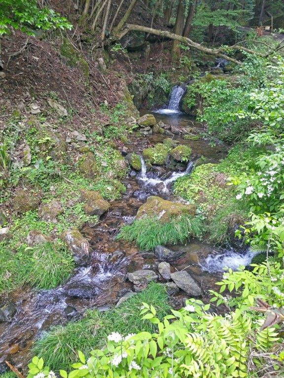
I enjoyed walking with the sound of running water, a nice bonus near the end of today’s hike; soon I could also enjoy the sight of water rushing down miniature gorges and forming tiny waterfalls. A little before 4pm, I passed the end of the Hinode Hiking trail, just before a bridge over the river. From there it was a 15-minute walk along a road to Tsurutsuru onsen. After a relaxing hot spring bath, I boarded the bus for the short ride back to Ome station, where I transferred to the Ome line for the one-hour trip back to Tokyo.

Watch a Video of the Hike

See More Pictures of the Hike

Mt Ohane (992m) & Mt Makiyose (1182m), Hinohara Village, Tokyo Prefecture, Saturday, April 11, 2026

I wanted to visit Kazuma no Yu because it was the only hot spring resort I had never been to in the Okutama area. Looking at my map, I saw I could walk from the Akigawa valley up to the Sasaone Ridge which I’d then follow for a short while, before heading back into the valley, and ending at Kazuma hot spring, less than a kilometer from my starting point. I had already walked this portion of the Sasaone ridge but not the up and down sections. This hike is also recommended on the Hinohara Village website. On the way, I’d pass by two peaks, with views of the “Three Mountains of Okutama”, as well as Mt Fuji.

Hiking in the Chichibu-Tama-Kai National Park

秩父多摩甲斐国立公園

To get the start of the hike, I’d ride the Ome line to Haijima station, and there, change to the Itsukaichi line for the short ride to Musashi-Itsukaichi station. I’d ride a Nishi-Tokyo bus to the Sengen Ridge Trailhead bus stop, also the starting point for the Sengenrei hike on the opposite ridgeline. After a hot spring bath, I’d use the same route in reverse for the return. The weather was supposed to be mostly sunny, ideal for spotting Mt Fuji, with temperatures average for the season. I happened to find out that Hinohara was a secret cherry blossom spot and so I was looking forward to catching some of the last sakura of the year.

Find my Hikes on Japanwilds

Find Japan Hiking Maps on Japanwilds and subscribe to our newsletter

Start of the hike (left) Trail in the Chuo Ward Forest (right)

Entering the Cedar Forest (left) Walking the Sasaone Ridge (right)

It was a beautiful Spring day as I rode the quiet green car through Western Tokyo. I was seated comfortably for the 50-minute bus ride from the station, since extra buses were added to accommodate the higher number of passengers in this season. The Sengenone-tozanguchi (浅間尾根登山口) stop has a shelter with a bench, toilets and a vending machine, making it a great place to get ready for a hike. At 10am, I set off through the Chuo Ward Forest (中央区の森), a forest managed by Chuo City in central Tokyo.

Trail past Wada-toge (left) Trail past Nishihara-toge (right)

Trail for Kazuma-no-yu (left) End of the Hiking Trail (right)

I was delighted to be walking on a well-maintained trail, easier to walk than most trails in the Okutama area. Here and there were well-made signs with the tree names and pictures of their leaves, bark, fruit, etc..for easy identification. The forest was still in winter mode, sunlight streaming through the leafless branches onto the yellow leaves covering the gently ascending path. From time to time, I passed purple “tsutsuji” (azaleas), adding colour to the scenery. At 11h30, I arrived at a bench at the top of Mt Ohane (大羽根山 おおはねやま oohane-yama) with a view to the northeast.

A well-maintained Trail in the Chuo Ward Forest

Spring Sun on the Autumn Leaves

I was excited to get such a great view, so soon on my hike, especially since it wasn’t shown on my hiking map. Directly ahead was the triangular summit of Mt Gozen, and further away to its right, Mt Odake. According to the mountain panorama identification board, Mt Takanosu was also visible on the left side but was hidden by tall bright green larches. It was too early for a lunch break so after enjoying the view I set off again along a mostly level trail, leaving the Chuo Ward Forest behind. A few minutes later, I reached another bench, this time with a view to the northwest.

Entering the Larch Forest

Mt Gozen (left) & Mt Odake (right) from Mt Ohane

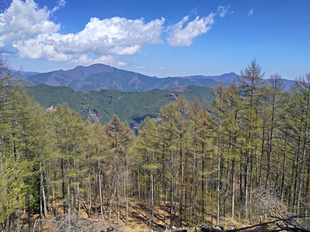
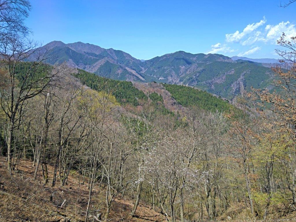
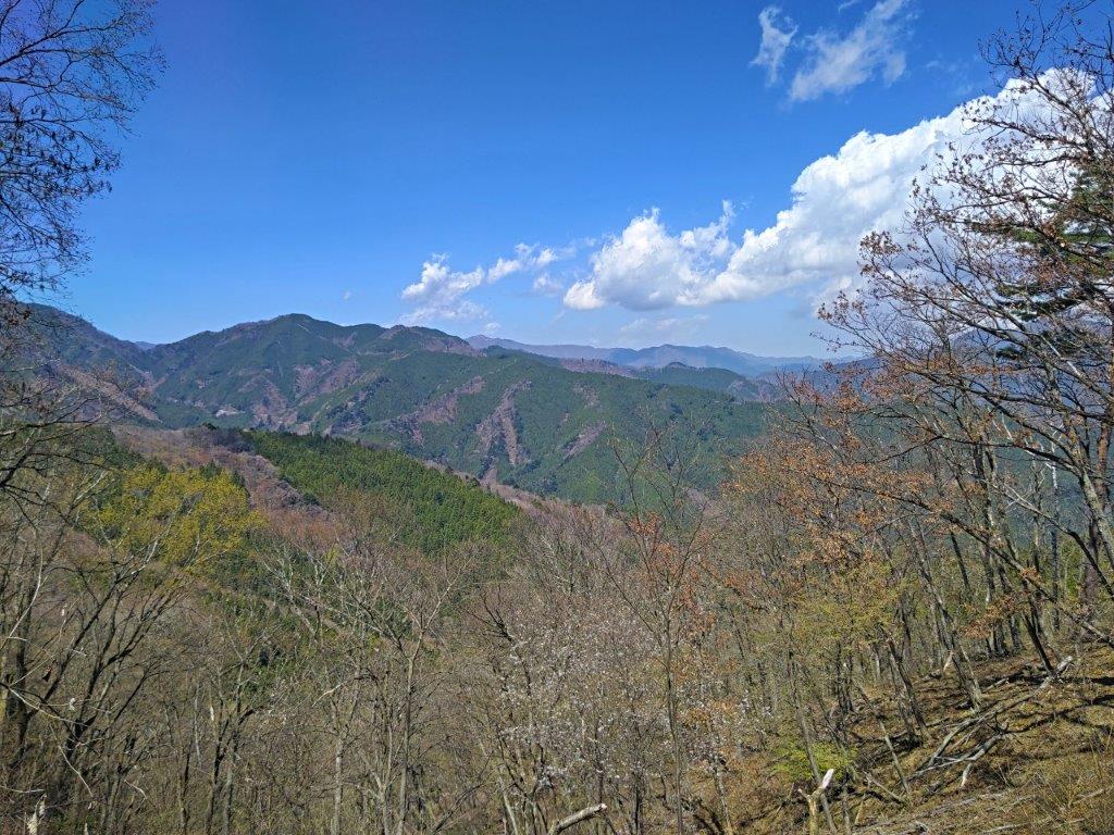
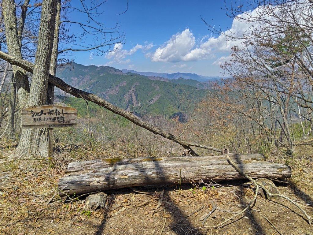
I felt lucky to get another splendid view, a signpost on a tree next to the log bench calling it “the perfect photo opportunity” (シャッターポイント). Looking ahead, I could see Mt Mito, only 2 of its 3 peaks visible from this angle; in the foreground, I spotted the white blossoms of a “mame-zakura” (Fuji cherry); in the far distance, the summit of Mt Kumotori was poking above the ridgeline. I had now completed my view of the “Okutama Sanzan” (the Okutama 3 Mountains: Mt Mito, Mt Gozen and Mt Odake). It was still early for lunch and I moved on regretfully. A little after noon, I came upon the first sign for Kazuma-no-Yu, the main target of today’s hike, and soon after, I turned right onto Sasaone ridge (笹尾根), which runs from Mt Takao to Mt Mito.

Bright Green Larches in the Foreground

Mt Mito (left) with Mame-zakura in the foreground

I was happy to be walking this pleasant ridge a second time in less than a month, its mostly gradual inclines making it a popular hiking area. For the first time of the day, I passed other hikers, still relatively few this early in the season. At 12h30, I arrived at some benches at Kazuma Pass (数馬峠). Since my last visit nearly 7 years ago, the vegetation had grown high enough to block the view on the south side; however, I was able to distinguish the shape of Mt Fuji through the branches; back in 2019, Japan’s highest mountain had been hiding behind thick clouds. I continued on my way, hoping for a better lunch spot further on. At 1pm, I reached Wada Pass (和田峠) with another view of Mt Fuji on the south side.

Mt Kumotori (center) above the Ridgeline

The “Perfect Photo Opportunity” past Mt Ohane

I was glad to get a better view of Japan’s most famous volcano, this time completely clear of vegetation; however, no benches meant I had to postpone my lunch break a little further. It was extremely pleasant walking along the peaceful, sunny ridgeline, along the border of Tokyo and Yamanashi prefectures; after a little climbing, I arrived at a junction at Nishihara Pass (西原峠). One final short climb brought me to the summit of Mt Makiyose (槇寄山 まきよせやま makiyose-yama) where a view of Fuji and a picnic table awaited me. Since it was now 1h30, I put down my pack for a late lunch break.

Walking the Sasaone Ridgeline

View of Mt Fuji from Wada-toge

It was one of the best views of Mt Fuji I’d ever had, its iconic snow cap still fully intact, rising well above the lower elevation mountains in the foreground; best of all, a yama-zakura (mountain cherry blossom tree) was in full bloom on the left side creating a very Japanese landscape. To the left, outside this frame, stood a tall solitary pine tree, adding an extra layer of charm to this summit. Mt Mitsutoge, to the right of Mt Fuji, was the only other peak I could clearly identify. At 2pm, I retraced my steps to Nishihara Pass, where I took the left trail descending back into the Akigawa valley.

Pleasant walking on the Tokyo Yamanashi Border

Mt Fuji from Mt Makiyose

I could walk at a relaxed pace since I was ahead of schedule, and thus could fully enjoy the beautiful nature of the Chichibu-Tama-Kai National Park. I continued straight at a junction in the midst of towering pines, and then started to descend a steep, twisting sunken path, log steps occasionally assisting one’s footing. Suddenly I emerged from the shade into a sunny pastoral landscape, forested foothills appearing ahead. After descending through a village along a paved road, here and there various types of blossom trees in full bloom, I arrived at the main road running along the base of the Akigawa river valley. I turned right and a few minutes later, reached Kazuma no Yu, a little after 3pm.

Mt Fuji and Cherry Blossoms

The Chuo Line Mountains & Mitsutoge (right)

I could take my time and relax in the “rotemburo” (outdoor bath), as I had a full hour before my departure time. Around 4pm, I boarded the bus for the ride to Musashi-Itsukaichi station. Like on the way there, everyone could sit thanks to the extra buses. Through the window, I got a glimpse of the 400-year old “shidare-zakura” (weeping cherry blossom tree) in full bloom at the henbori (人里) stop; I hope I can return next spring for another hike starting or ending from there. A little after 5pm, I was back at the station where I boarded the train for the one-hour ride to Shinjuku.

Watch a Video of the Hike

See More Pictures of the Hike

Mt Asama (594m) & Sakura Pass (566m), Ichikawa-Misato Town, Yamanashi Prefecture, Sunday, March 29, 2026

I wanted to do a hike where I could see the cherry blossoms in full bloom. Looking online, I found a trail, selected as one of the 100 best in Yamanashi, that promised a cluster of sakura trees near a pass bearing the same name. On the way, I’d pass by a minor peak, and since the hiking time was under 3 hours, I could also make a short round trip to another minor peak further along the ridge. On the way to the trail entrance, I could get a view of the area from the Kai-Ueno Castle observation deck. From the pass, I would follow a forest road into the valley ending near Mitama no Yu hot spring, where I could get a hot spring bath before heading back.

Hiking in the Misaka Mountains 御坂山地

To get to the start of the hike, I’d ride the Chuo line limited express to Kofu station, and there, change to the Minobu line for the half hour trip to Kai-Ueno station. For the return, I’d take a taxi from the hot spring facility back to the station, and then follow the same route in reverse. The weather was supposed to be mostly sunny with comfortable temperatures for hiking. According to online reports, the sakura had reached their peak a few days earlier, and so I was looking forward to a relaxing hike in a little-visited corner of Yamanashi prefecture.

Find my Hikes on Japanwilds

Find Japan Hiking Maps on Japanwilds and subscribe to our newsletter

Start of the hike (left) Approaching Mt Asama (right)

Trail pastMt Yumitate (left) Walking along a monorail (right)

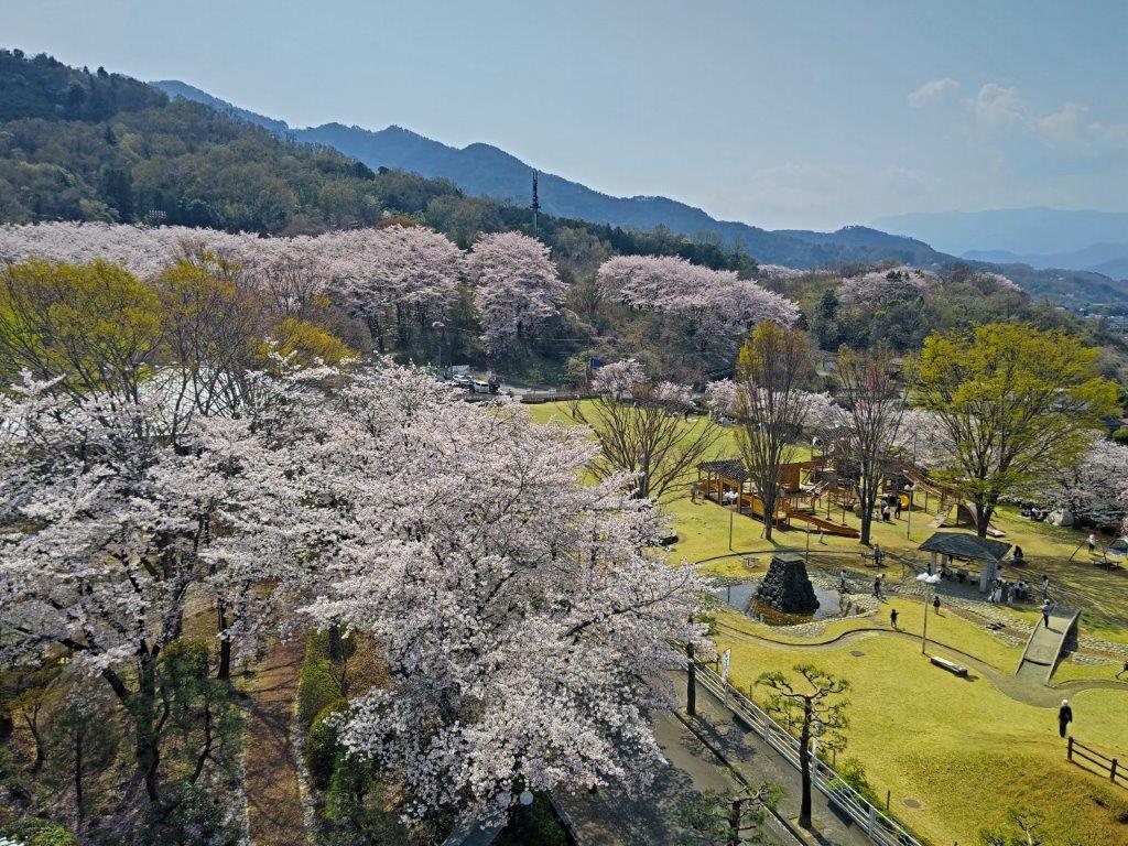
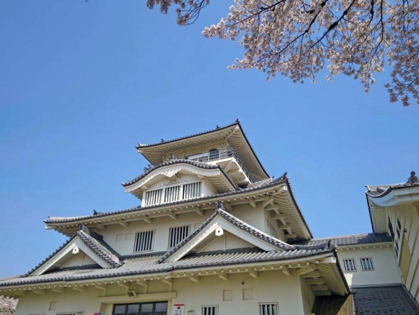
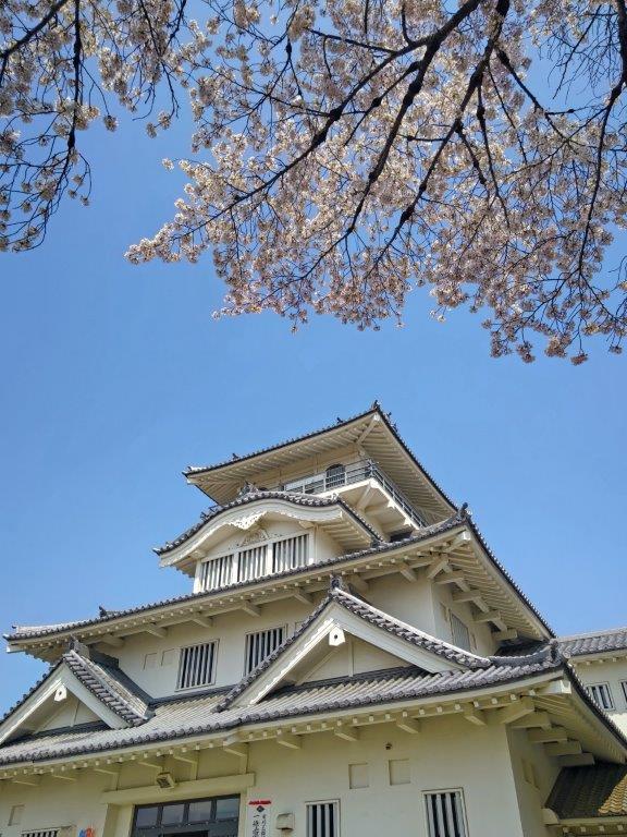
It was yet another blue sky day as I rode the Chuo line to Kofu where I transferred to the Minobu line for the next portion of the trip. I got off at Kai-Ueno station a little before noon, my first time getting off at this station. After a short walk, I reached the Kabuki Cultural Park (歌舞伎文化公園), packed with pink cherry blossom trees in full bloom. I paid the entrance fee for Kai-Ueno Castle (上野城址), a recent reconstruction as is often the case with Japanese castles; after briefly checking out the samurai themed exhibits on the various floors, I reached the observation deck at noon.

View of the Southern Alps from Kai-Ueno Castle

The Sakura of the Kabuki Cultural Park

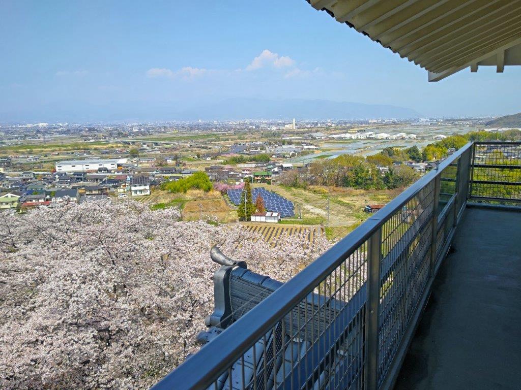
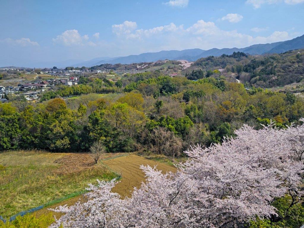
The view of the cherry blossom filled park from above was breathtaking. The Southern Alps could be seen in the far distance on the west side; looking north, the Oku-Chichibu mountains were faintly visible through the midday haze; finally, the relatively lower Misaka mountains extended eastwards. After fully enjoying the view, I headed back down, crossed the park, and headed up a small road lined with cherry blossom trees. I didn’t spot any signposts and had to rely on my phone GPS for this section. At 12h30, I arrived at a thatched-roof rest shelter beyond which was the trail entrance.

Kofu Basin and Oku-Chichibu Mountains from Kai-Ueno Castle

The Misaka Mountains extending Westwards

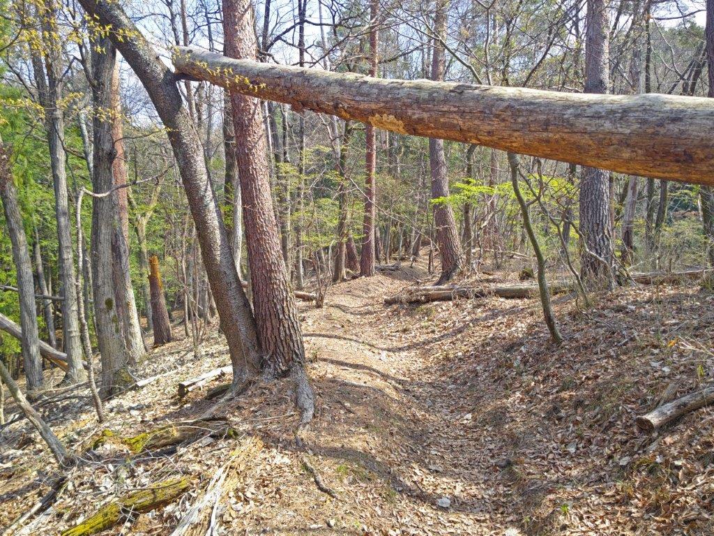
It felt great to be walking on a hiking trail through the sunlit forest, still in winter mode despite the springtime temperatures, although hints of spring were starting to show here and there. After some gentle climbing, I reached a wide ridgeline with few trees, the views opening up on both sides. To the south, I could observe the next ridgeline, behind which hid Shibireko Lake; looking north, I could see the extensive Kofu Basin. Very soon, I arrived at the flat summit of Mt Asama (浅間山あさまやま asama-yama), a common mountain name in Japan, marked by a solitary peach tree.

Fallen Tree on the way to Mt Asama

Overhanging Tree Branch en route to sakura-toge

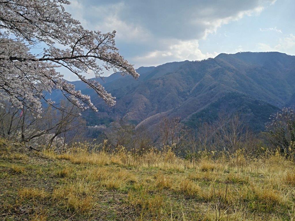
I became slightly concerned when thick, dark clouds hid the sun, making me think that rain might be a possibility despite the sunny forecast. I stepped up the pace, and after a short descent, came upon the forest road which I would use to get off the mountain at the end of the hike. For now, I continued up the trail on the other side, and very soon, on a slight rise marked by a stone monument, I reached a bunch of cherry blossom trees in full bloom.

Level Trail before Mt Asama

Descending Trail Past Mt Asama

I was delighted to see sakura in full bloom up in the mountains. These were not the mountain variety but actual Somei Yoshino cherry trees. A handful of people were quietly doing “hanami” (flower watching) under the white and pink blossoms. It felt quite special to be able to enjoy such spectacular trees with so few people. Apparently it’s also possible to see the top of Mt Fuji from this spot, although today clouds hid it from view. As it was nearly 2pm, I sat with my back against a tree trunk and enjoyed a “hanami” lunch under the blossoms, with a view of the Misaka mountains.

Cherry Blossom Trees up in the Mountains

Cherry Blossoms and the Misaka Mountains.

Clouds now covered most of the sky on the south side; since I’d pass through this spot later on, I decided to move on quickly in the hope that the sun would be back by then. A few minutes later, I came upon a handmade signpost for Sakura Pass (桜峠 sakura-touge) next to an actual “yamazakura” or mountain cherry blossom tree, in full bloom. It was my first time to see one so clearly, as they usually grow surrounded by other types of trees. I continued along the unsignposted trail, following the ridgeline southeast.

View of the Kofu Basin from the Top of the Monorail

Walking alongside the Rail Transport System

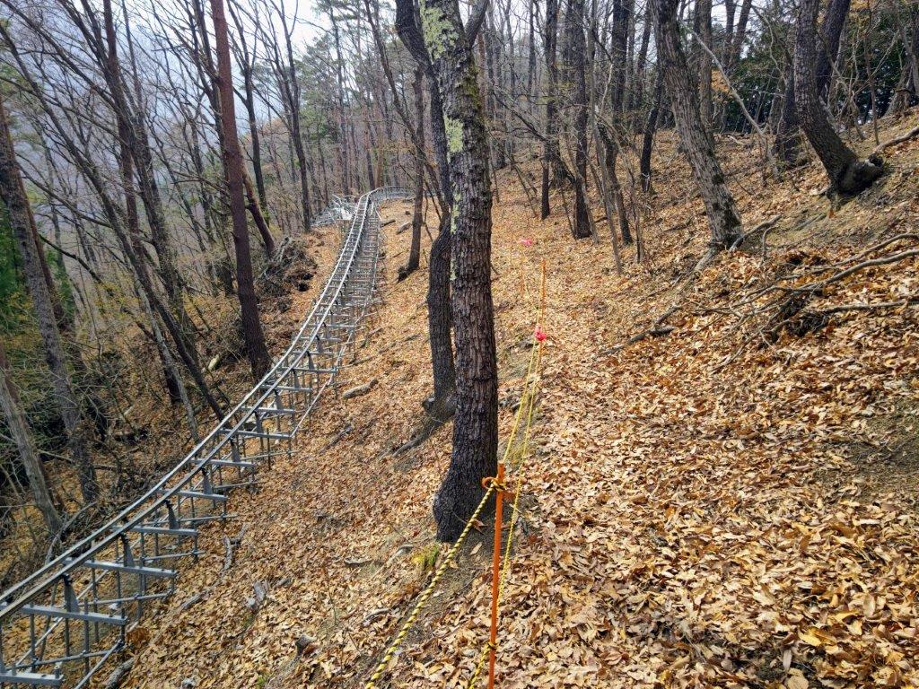
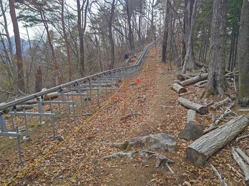
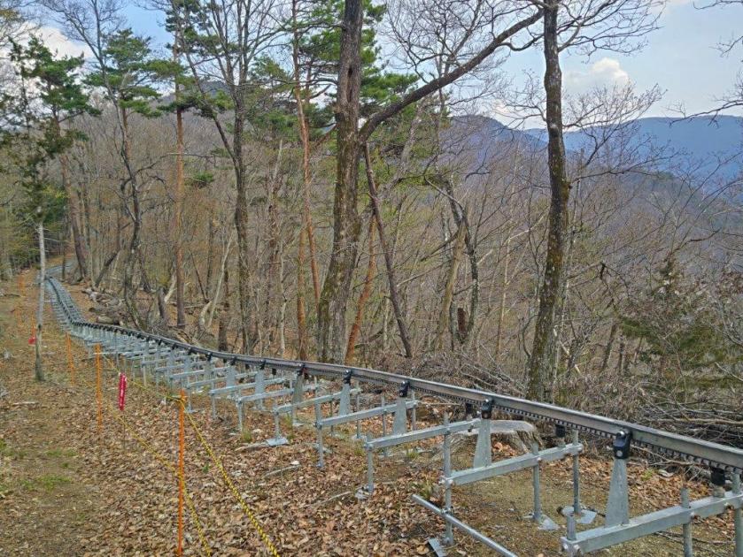
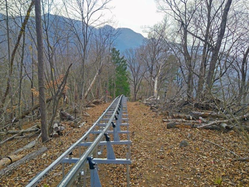
The trail was surprisingly easy to walk, mostly level along the wide ridgeline, although trees blocked the views on both sides. Eventually, it started to climb, following a sunken path, perhaps an ancient wild animal track. At 2h30, I reached the minor summit of Mt Yumitate (弓建嶺 ゆみたてみね yumitate-mine); according to a local legend, at this spot the Lord Asari Yoichi shot an old woman with an arrow after mistaking her for a white heron. Rather than a white heron, I spotted a “monorail”, or a rail transport system for moving goods, rising up from the other side of the mountain.

Walking back to Mt Yumitate along the Monorail

Heading back to Sakura-toge

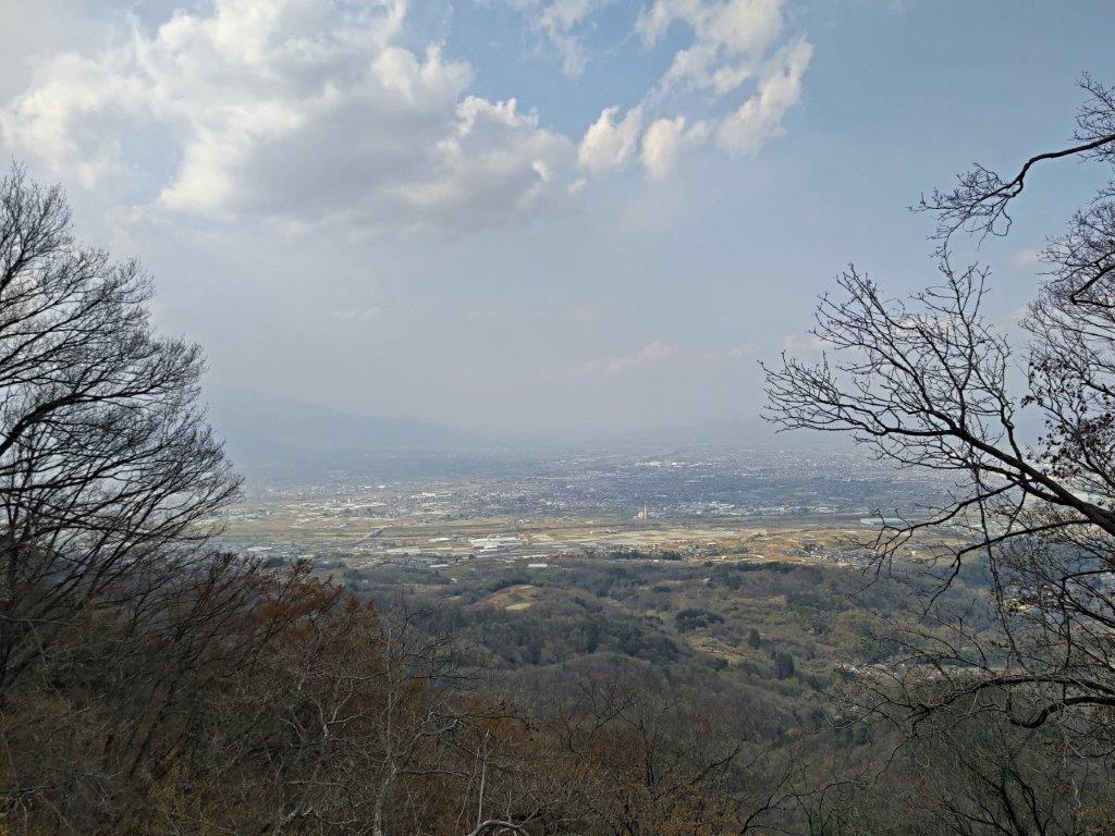
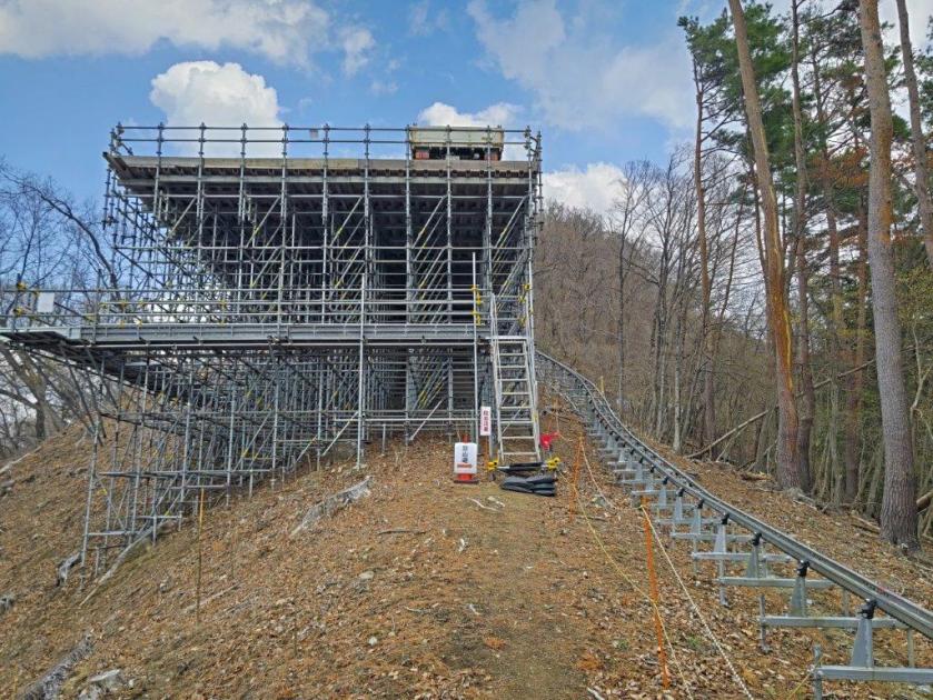
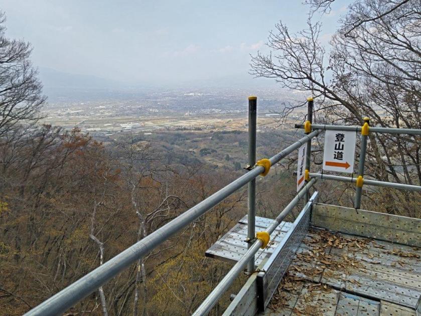
This modern device in the midst of nature gave a touch of mystery to the surroundings. After climbing from the next valley, the monorail turned and followed the narrow forested ridgeline. I had seen such transport systems before but it was the first time to see one running parallel to a hiking trail. I set off again and soon I arrived at an even more amazing sight: a huge platform covered in scaffolding, the monorail top station. I followed the trail right up to its base, then up some metallic steps and around the side on a metal walkway, from where, above the trees, I had a view of the Kofu basin. After enjoying the view, I made my way back to Sakura Pass.

Sakura in the Sun

Misaka Mountains from Sakura-toge

The cherry blossoms were even more spectacular now that the sun had returned. I spent some time enjoying them from various angles, the pink white blossoms against the blue sky forming the perfect contrast. Looking north, I could better appreciate the detail of the Misaka mountains, although Mt Fuji was still missing in action. It was past 3pm so I slowly headed to the forest road where I turned right and started the descent into the valley. Half an hour later, I reached some peach orchards at the edge of the forest.

A great Spot for Hanami

Heading Down into the Valley

It was my first time to see peach blossoms on a hike, the pink blossoms covering the mountain side. Shortly after I arrived at Mitamu no Yu where after a refreshing hot spring bath, I called a taxi for the 10-minute ride back to Kai-Ueno station. After getting back to Kofu a little before sunset, I boarded the limited express at for the 90-minute ride back to Tokyo, enjoying along the way the surreal scenery of pink peach blossoms covering the Kofu basin.

Watch a Video of the Hike

See More Pictures of the Hike

Mt Jinba (854m), Sagamihara City, Kanagawa Prefecture, Sunday, March 1, 2026

I was looking for a short and easy hike to get back in shape after my winter break. I had already been up Mt Jinba three times, the last time being two years ago, but I still hadn’t explored every trail this popular mountain had to offer. This time, I decided to start close to the lowest trail entrance and head up the long and gentle Ichi-no-O ridge route, the main trail up the mountain. After admiring the panoramic view from the summit, including Mt Fuji, I’d descend via the shorter and steeper Tochitani ridge route, near the end of which I’d be able to get a view of the Tanzawa and Doshi Mountains.

Hiking in the Takao-Jinba Natural Park 都立高尾陣場自然公園

To get to the start of the hike, I’d ride the Chuo line to Fujino station. There, I’d board a bus for the short ride to the next stop from the Jinba mountain trail entrance, from where I’d follow an alternate trail to the ridgeline. This would allow me to skip a steep road climb from the main entrance. After completing the descent, I could drop by Jinya Onsen, my first visit to this hot spring. Afterwards, I’d walk 20 minutes along a road to get to a bus stop. The weather was supposed to be sunny all day with temperatures warm for the season and I was looking forward to the first Spring hike of the year.

Find Japan Hiking Maps on Japanwilds and subscribe to our newsletter

Start of the Hike (left) Alternate Path for the Ridge (right)

Ichi-no-O Ridge Trail (left) Sunny and Level Section (right)

I couldn’t spot a cloud in the sky as I rode the Chuo line westwards through the Tokyo suburbs, Mt Fuji clearly visible to the south. The train leaving Shinjuku station had been delayed but fortunately the connecting train at Takao station kindly waited for us, and thus I was able to board the bus from Fujino station as planned. After a ten-minute ride on a half-empty bus, I got off at Kami-sawai stop, a peaceful spot on the Sawai river, here and there plum blossoms in full bloom. I quickly located a sign for the trail entrance on the right side, and a little after 10am, was following a charming path next to a bamboo grove.

Halfway up (left) Log Steps below the Top (right)

Heading down (left) on the Tochitani Ridge Trail (right)

I was surprised to see no one on the trail on this beautiful spring day, probably due to the high levels of cedar pollen in the air. After half an hour of gentle climbing, I turned left onto the wider Ichi-no-O Ridge Trail (一ノ尾尾根コース). From this point, I occasionally passed hikers going up and down, but most of the time I had the sunny trail to myself, the mixed forest still leafless in this season. The path alternated between level and climbing sections; turning around in the middle of a slope, I could make out Mt Fuji through the bare trees. An hour and a half after setting off, the trail merged with the the Wada Ridge Route #2 which I had used a couple of years ago.

Trail between Kamisawai and the Ichi-no-O Ridge Route

Sunny Section Halfway up the Ichi-no-O Ridge Route

I picked up the pace since I was familiar with this section, and soon reached the log steps for the final climb to the summit. Shortly before noon, I was standing on the top of Mt Jinba (陣馬山 じんばさん jinba-san) for the fourth time. I was now surrounded by people, including a camera crew interviewing hikers about their lunch choices; I still managed to find a seat at one of the tables for my own, media-free lunch. Some people were in city clothes, and had probably walked up the steps from the nearby Wada Pass parking lot. The horse statue, for which Mt Jinba is famous for, was looking the worse for wear; I hoped it’d get a facelift in the near future.

View West from Mt Jinba towards Mt Shoto

Hazy Fuji from the Top of Mt Jinba

Mt Fuji was half-hidden by the midday haze due to temperatures topping 20°C in the valley below, but I was still able to admire its perfect snowcap in this season. Westwards, I could see the ridgeline extending towards Mt Shoto, looking very inviting on this fine day; to the north, I could see the Okutama mountains, including Mt Odake and Mt Gozen; on the east side, the Kanto Plain extended into the distance, the Tokyo skyscrapers barely visible. At 12:30, I set off for Meiou Pass, but soon turned right onto a smaller path, leaving the crowds behind. I was now following the Tochitani Ridge Route (栃谷尾根コース) down the mountain.

Red-roof Soba Shop near the Top of Mt Jinba

Trail for Meiou Pass

The trail descended steeply through cedars for a while before reaching a level section; beyond, the narrow trail descended more gently but remained inside the tall cedars, keeping me out of the afternoon sun but hiding most views. I passed few people on the way, allowing me to enjoy the solitude of the mountain. At a small Inari shrine, I made a sharp left turn. I soon emerged from the forest above some tea fields and had a wide view of the Tanzawa mountains to the south. I was against the sun, but could distinguish Mt Oyama, Mt Tanzawa, Mt Hiru, Mt Hinokiboramaru and Mt Omuro; in the foreground, I could also see the Doshi mountains, the Hizure Alps and Mt Sekiro. On the left side of the trail was a Kawazu-zakura (河津桜), an early flowering cherry blossom tree, in full bloom, its pink petals swaying in the breeze.

View of the Tanzawa Mountains on the Tochitani Trail

Cherry Blossoms and Tea Fields

I took my time to enjoy the sweeping view before moving on, since it was only 2pm. Below the tea fields, the trail ended at a road which I followed through the Sawai district, the frequent signposts guiding me in the right direction. At a bend in the road, a sign directed me to a path heading directly down the mountainside, a shortcut to the bottom of the valley. Upon reaching another road, I turned right, and after a short while, arrived at Jinya Onsen (陣谷温泉), a friendly hot spring inn allowing day trippers. I enjoyed a leisurely soak in the indoor hinoki bathtub, large windows letting in generous amounts of sunshine.

Mt Omura (left) & the Doshi mountains (center back)

Mt Hiru (left), Mt Hinokiboramaru (center) & Mt Omuro (right)

I was glad I finally had a chance to visit this hidden hot spring close to Tokyo. In the future I hope to hike the last remaining route on Mt Jinba, the Narako Ridge route, and this would allow me to visit Jinya Onsen again. Feeling refreshed, I set off shortly after 3pm on a gently descending road, alongside the Tochitani River. At the Sawai Post office, I turned left onto a main road, and soon arrived at the Jinba Tozanguchi (陣馬登山口) bus stop where it was a short wait for the bus back to Fujino station. After checking out the Fujino Tourist Information Center and collecting some local maps for future hikes, I boarded the Chuo line for the one-hour trip back to Shinjuku station.

Watch a Video of the Hike

See More Pictures of the Hike

Mt Kuro (1793m) & Mt Hafu (1674m), Fuefuki City, Yamanashi Prefecture, Sunday, November 16, 2025

I had climbed these mountains in December 2013 from the Kawaguchiko side. I wanted to hike them again but from the Fuefuki side; I also wanted to try out our Japanwilds Kuro-dake Map for Avenza. Finally, I was interested in riding the free shuttle bus between the Ashigawa Agricultural Products Market “Ogossoya” and the Suzuran-gunseichi Parking Lot; it started running last year to reduce traffic due to the nearby Fujiyama Twin Terrace. However, the bus I had used on my previous trip to the area from Isawa Onsen had been discontinued, so I ended up renting a car from Kofu city instead and skipping the shuttle entirely.

Hiking inside the Fuji-Hakone-Izu National Park

富士箱根伊豆国立公園
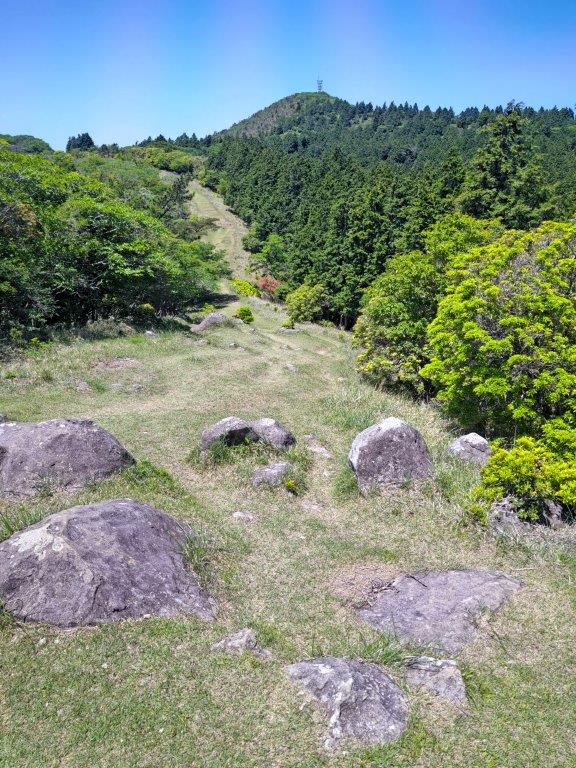
From the parking lot, I could take the most direct route up Mt Kuro, and after checking out the view from the nearby observation point, follow the ridge westwards past Mt Hafu and then down to Shindo Pass, also the location of the Fujiyama Twin Terrace. From there, I would again take the most direct route back to the parking. If time allowed, I could drop by Kamiku no Yu onsen on the way back. The weather was supposed to be sunny but near freezing at higher elevations. I hoped to get some good views of Mt Fuji and also catch the last of the Autumn colours.

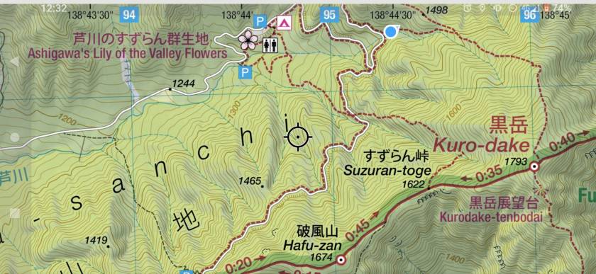
Get a map of the Mt Kuro hike

This map was developed for Japanwilds with the Hokkaido Cartographer

Find more Japan hiking maps on Avenza

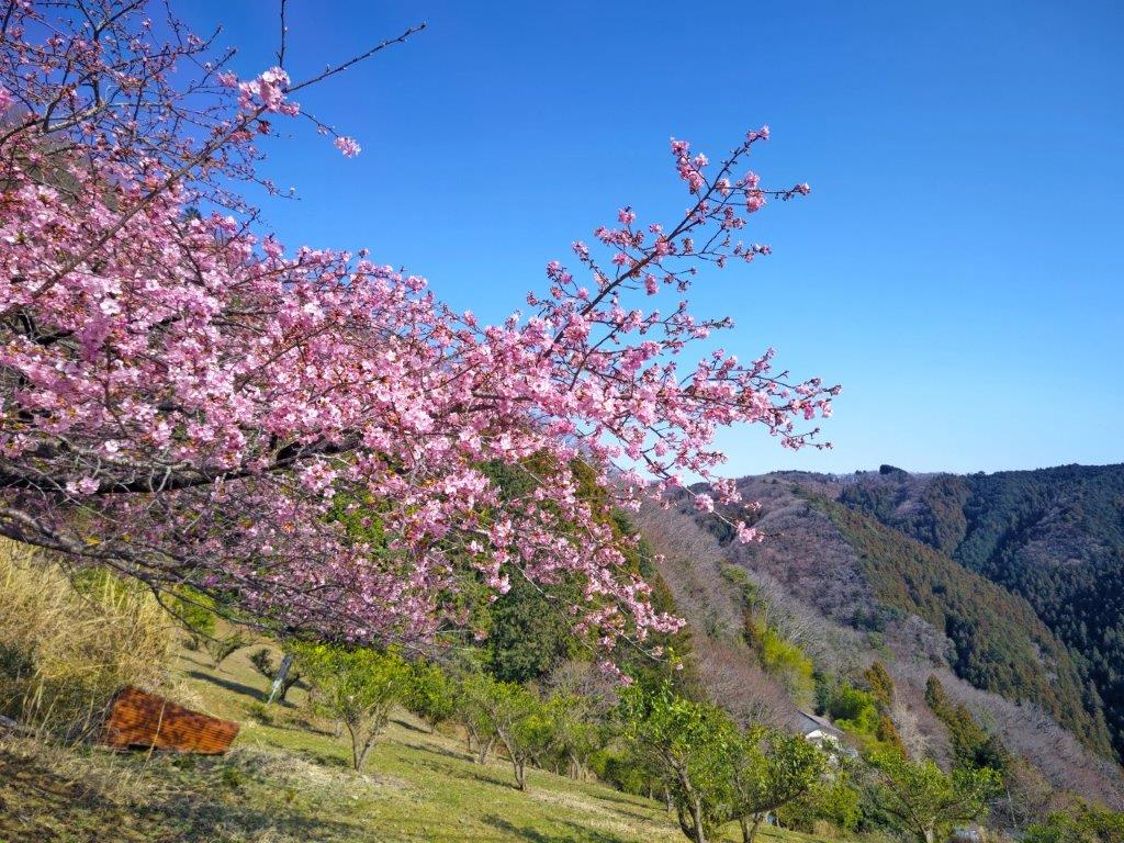
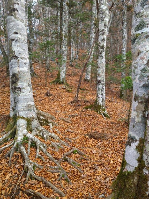
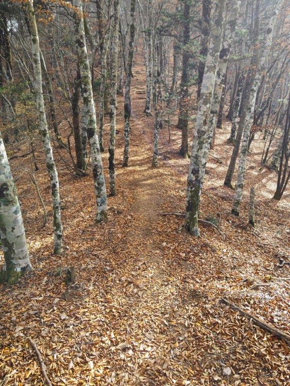
Fallen Leaves (left) and Beeches (right) at the Start of the Hike

Trail near the Top (left) Autumn Colours at the End of the Hike (right)

It was a blue sky day as I drove southwards from Kofu station towards the Misaka Mountains (御坂山地). After following a narrow road along the Ashi river valley, I arrived at the Lily of the Valley Flower Colony Parking Lot (すずらん群生地駐車場) just after 11h30. I had to use a smaller parking for hikers since the main one, a little further down the road, was reserved for people using the Twin Terrace Bus. A little after noon, I set off along a faint path starting from the parking lot. After passing a second parking for hikers and crossing a small bridge over a dry riverbed, I arrived at an electric fence beyond which was the start of a well-defined walking path.

Last Rays of Sun near the Summit of Mt Kuro

Trail near Mt Hafu

I found myself walking among tall beeches, their tops already bare of leaves, drawing attention to their white trunks. After recrossing the dry riverbed, I reached a paved road where I turned right and soon passed the gated entrance for the road for Fujiyama Twin Terrace, closed to private cars. A little further, I arrived at a sign for today’s mountain, pointing to a faint trail heading up the left side of the dry riverbed. Here, I was glad I could see my position on the Japanwilds digital map since the trail was at times hard to follow. At 1pm, I turned right onto a ridge, the path merging with a signposted trail leading to the summit.

Sun Rays Filtering through the clouds

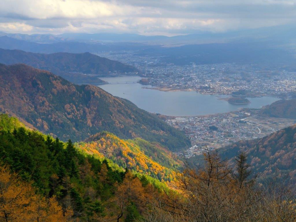
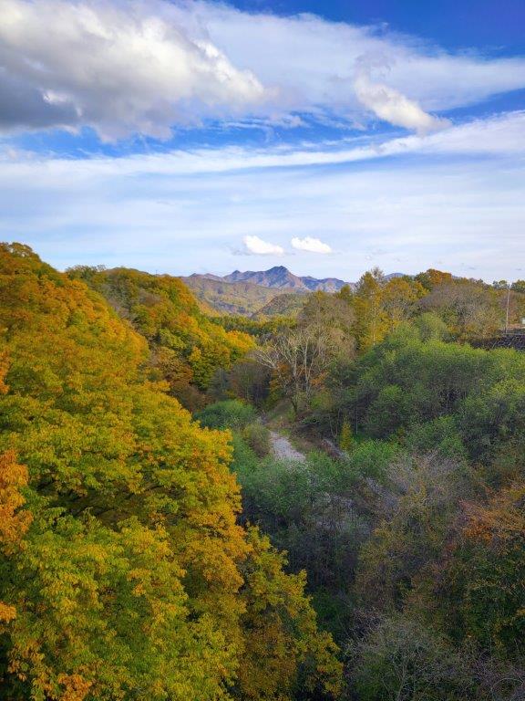
View of Kawaguchiko Lake from below Mt Hafu

I made good time up the steep trail allowing me to stay warm in the frigid temperatures. I was above 1000 meters and Autumn was already well over, the white beeches providing most of the scenery; a sign indicating told me I was inside a 100 famous forest of Yamanashi. The trail gradually became less steep, giving me a chance to catch my breath without having to take a break. After a couple of turns, I suddenly came upon the summit of Mt Kuro (黒岳 くろだけ kuro-dake meaning “Mt Dark”), the highest peak of the Misaka mountains and a 300 famous mountain of Japan. It was completely in the trees so I dropped my pack and headed for the observation point a few meters to the right, hoping to get a glimpse of Mt Fuji.

First Terrace of Fujiyama Twin Terrace

Autumn Leaves Catching the Sun from the First Terrace

I was surprised to see that thick clouds had rolled in during my ascent, completely hiding Mt Fuji from view. According to the other hikers, I had missed Japan’s iconic volcano by only a few minutes. Looking down, I still had a view of Kawaguchiko lake extending east to west along the base of the mountains. On the right side, I could see Mt Ou and Mt Setto, two other main peaks of the Misaka mountains. I decided to skip my planned lunch break and immediately head to the next summit, in hope that the clouds would have cleared by then. I retraced by steps and headed down a steep path on the west side; beyond Suzuran Pass (すずらん峠), the path became level and easy to walk.

In the Distance, Mt Shakushi and Mt Mishotai

View of Kawaguchi City and its Lake from the 2nd Terrace

This was the most peaceful and pleasant part of the hike, surrounded by pines masking all sounds and views. I soon passed the summit of Mt Hafu (破風山 はふうざん hafu-zan), only noticeable by its summit marker doubling as a signpost. A short way down the west side was another viewpoint of the Fuji Five Lake area. It was past 2pm so I settled down for a late lunch. Although the clouds were still in, sun rays filtering through the gaps created a magical scenery. At 2h30 I set off again, and soon after passing another viewpoint on the left side, I came upon the first terrace of Fujiyama Twin Terrace at Shindo Pass (新道峠). Opened in July 2021, it was accessible via a short bus ride from the Suzuran Gunseichi parking (a fee is charged each way), and thus was filled with about a dozen sightseers.

Second Terrace of Fujiyama Twin Terrace

Mt Fuji on a Clear Day (Dec 2013 Photo)

I was stunned by the view of the golden larches covering the foothills, enhanced by the late afternoon sun rays, although Fuji was still stubbornly in the clouds. I made my way to the first terrace, just a few meters away; it was deserted of people, tall pines slightly in the way of the perfect view. It was nearly 3pm, a couple of hours before dark, so I gave up on seeing Japan’s highest mountain and headed down via a paved road, moving to the side once to let the bus pass. Fifteen minutes later, I turned left onto the trail from Suzuran Pass; after descending through dark cedars, I reached a small road the second parking for hikers.

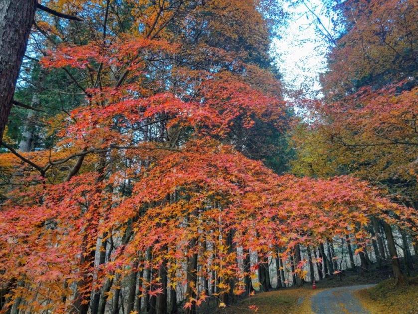
Autumn Leaves near the End of the Hike

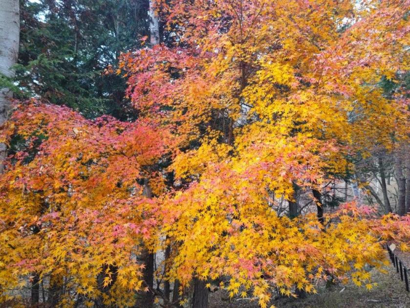
A multicolour Japanese Maple Tree

During this part, I finally got a close up view of some beautiful Autumn leaves. A little after 3h30, I arrived back at my car, the last one left in parking area. I drove a short distance to Kamiku-mo-yu, which I reached just before sunset, and after a refreshing hot bath, got back behind the wheel for the return trip to Kofu. Although I experienced a “shy Fuji” today, I was glad I could do a hike in the Fuji area, somewhat of a challenge nowadays due to the high number of overseas visitors. I’d like to return one day and try another hike, but this time starting from Fujiyama Twinterrace.

Watch a Video of the Hike

See More Pictures of the Hike

Yatsugatake Sanroku Super Trail (Highest Point 1410m), Minami-maki & Koumi Towns, Nagano Prefecture, Sunday, November 2, 2025

I had previously walked several sections of the Yatsugatake Sanroku Super Trail, from Kiyosato station to Kai-koizumi station (sections 5 & 6), from Nobeyama station to Kiyosato station (sections 7 & 8) and the Kirigamine Highland loop (#15); I was reminded of this long distance trail earlier this year when I passed by the head office of the Japan Long Trail Association at the Momofuku Ando Center. I felt it was time to explore another section of this multi-day trail around the foothills of the Yatsugatake mountain range. Looking at my map, it seemed that section 9, between Nobeyama station and Matsubara Lake, could be done as a day trip from Tokyo. It was on the long side, and although the elevation change was modest, I would need to walk fast with few breaks to complete it before dark.

Hiking on Yatsugatake 八ヶ岳

To get to the start of the hike, I would ride the Chuo line limited express to Kobuchizawa, and there, change to the Koumi lime for the half an hour 500 meter ascent to Nobeyama station. At the end of the hike, I could catch a bus from Matsubara Lake and get off at Yahho Onsen. After a hot bath, I could use the same bus in the opposite direction to get to Matsubarako Station; there, I could board the Koumi line for the one hour trip to Sakudaira station where I could hop on the shinkansen for Tokyo. The weather was supposed to be sunny, and although the temperatures would reach 20°C in the lowlands, they would remain under 10°C in the highlands. I was looking forward to a countryside ramble with views of the Nagano mountains.

Oku-Chichibu Mountains (left) Mt Ogura (right)

Japanese Maple (left) Matsubara Lake Path (right)

It was a sunny Autumn day as I rode the Azusa Limited Express to Kobuchizawa (887m), where I transferred to the packed two-car Koumi line train bound for Komoro. It was only from Kiyosato station that I could get a seat on the last section of the ride up the southeastern edge of Yatsugatake. A little before 11am, I stepped off the train at Nobeyama station (1345m), the highest train station in Japan, also the start of today’s section of the Yatsugatake Sanroku Super Trail (八ヶ岳山麓スーパートレイル) or Super Trail of the Mt Yatsu Foothills.

View of Yatsugatake from the Makiba Line

Nagano Autumn View

I was immediately chilled by the mountain breeze, as well as the freezing wind blowing from the Yatsugatake mountains directly opposite. After bundling up, I set off along a busy road past an equally busy dairy farm, but soon turned right onto a quiet countryside lane through mixed forest, the Yatsugatake Makiba Line (八ヶ岳まきばライン) which I’d follow for most of the hike. I soon reached an open section with pastures on each side of the road and wide views in both directions.

Mt Ogura (left), Mt Otoko (center) & Mt Tengu (right)

Autumn Leaves near Senga Falls

I was glad to get a view so soon on the hike. Looking west, I could see the Southern Yatsugatake mountains, its peaks tinged in white and its foothills tinted red; on the east side were the lower but more numerous peaks of the Oku-Chichibu mountains. Low clouds had appeared directly above Yatsugatake, casting shade on its steep rocky flanks; it made me wonder if the sunny weather would hold. The road dipped into a shallow valley and after crossing a bridge, I reached another viewpoint of the Oku-Chichibu mountains.

Autumn Colours above Senga Falls

Metal Staircase for Senga Falls

I was stunned by the contrast of light blue sky and pale yellow susuki grass. In the distance, I could make out, from left to right, Mt Ogura, Mt Otoko, Mt Tengu, Mt Yokoo and Mt Meshimori. The susuki was swaying in successive breezes, fluffy clouds moving south to north along the valley between the two mountain ranges. As the noon chime played, I remembered I was on a tight schedule and set off again, the occasional passing car interrupting the peaceful surroundings. I turned left at a junction with another road, staying on the Makiba line, and followed the road as it descended into a forested valley.

The Okuchichibu mountains with pastures in the foreground

Heading down into the Chikuma River Valley

I was pleased to discover the entrance to a hiking trail just past a bridge over a river. It was signposted for a waterfall and although time was short today, I decided to check it out. After a five-minute walk along a rough path, I reached the top of a metal staircase. From the base, it was a short distance to the roaring Senga Falls (千ヶ滝), its flow likely inflated due to the recent rains. After taking a while to admire the tumbling water, I retraced my steps to a spot next to the river where I sat on a boulder for a lunch break.

Clouds heading towards Mt Asama

Dark Clouds above Yatsugatake

I was treated to a magical scenery of falling leaves with every gust of wind. The background music of rushing water nearly nursed me to sleep but I had to move along as it was nearly 1pm. Back on the road, I was surprised to see workers in uniform sweeping and raking the fallen leaves in the middle of nowhere. I turned right at a junction, staying on the main road. After another straight section with pastures and a view of the Oku-chichibu mountains, I turned left at the next junction, leaving the main road for a lane, also part of the Makiba line, going up through mixed forest.

Autumn Colours along the Chikuma River Valley

Koumi Line before Umijiri Station

I now passed the highest point of today’s hike (1410m) completely surrounded by orange larches. I caught some movement in the forest and spotted a pair of deer before they bounded away. Soon the road veered right, exited the forest, and descended through farmland where people were busy working the fields. Far away to the north, beyond the green lettuce fields, was Mt Asama; turning around, dark menacing clouds threatened to engulf Yatsugatake. I continued downhill and soon the sound of rushing water could be heard; peering through the trees on the left side, I spotted a river flowing through a forested valley. Beyond a bridge the valley deepened, offering sweeping views of the opposite ridge.

Autumn Colours at Ioin Temple

Footbridge over Otsuki River

This was the most beautiful section of the hike, the mountainside across the valley resplendent with Autumn colours and enhanced by the afternoon sun. Around 2h30, I reached the base of the valley and crossed the Chikuma river, the longest river in Japan; a little later, I passed through the small town around Umijiri station (1035m), the lowest point of today’s hike. After quickly checking out Ioin Temple, I followed a road heading back up into the mountains. Upon reaching a plateau, I turned right through a small community, and crossed a wooden footbridge high above a river.

Mt Ogura from the Footbridge over Mt Otsuki

Fiery Maple Leaf at Matsubara Lake

At the midway point, I had an impressive view of the orange-hued river valley, with Mt Ogura in the far distance, two puffy clouds floating overhead. It was now past 3pm so I hurried along, anxious to catch my bus. Here and there rice was still being harvested in individual fields, sharing the land with solar farms. The sun had sunk below the clouds on the west side, muting the colours of Cho Lake along the way. Soon after, I finally arrived at Matsubara Lake (松原湖), the main attraction of Matsubara Highland (松原湖高原). I followed a path along the lakeshore admiring the red and yellow colours along the way, before hopping on the bus for Yahho Hot spring. After a short but refreshing bath, I boarded the bus on its return trip to Matsubarako station.

Autumn Colours at Matsubara Lake

Lake View at the End of the Hike

In total, the hike took nearly five hours, mostly along paved roads which enabled me to walk at a fast pace. I was glad to have caught the Autumn colours at their peak, the first time for me to see them this season. Unlike the Asama-Yatsugatake Panorama Trail, signposting was non-existent and I had to rely on my phone GPS to find my way. This could explain why I saw no other hikers along the way. In the future I hope to be able to do sections 1 and 11, as they also seem doable as one day trips via public transport, and perhaps in a different season.

Watch a Video of the Hike
See More Pictures of the Hike

Mt Rakanji (1058m) & Mt Shirosuna (920m), Kofu City, Yamanashi Prefecture, Sunday, October 12, 2025

I had been up Mt Rakanji once before when I visited Shosenkyo in October 2013. Back then, I drove from Kofu and used the ropeway, since the main purpose was to explore the spectacular Mitake-Shosenkyo gorge. I was reminded of this interesting peak when I saw it from Mt Shiro last year. Looking at my Mountains of Yamanashi guidebook, I found a relatively easy hike traversing this mountain from north to south, including another peak I had never climbed. As an added bonus, I’d also be able to check out the nearby Kanazakura Shrine.

Hiking in the Chichibu-Tama-Kai National Park

秩父多摩甲斐国立公園

To get to the start of the hike, I’d take the Chuo line limited express to Kofu, and then ride a bus to Shosenkyo, getting off at the end of the line. From there, I’d follow a paved road on foot for another 30 minutes to get to the trail entrance. For the return, I’d catch the same bus, two stops up the line at the entrance of the gorge. I planned to get off at Yumura Onsen, on the bus route and inside Kofu city, for a quick hot spring bath at Yumura Hotel before catching the train back.

Trail before the the Top of the Ropeway (left) Trail for Mt Rakanji (right)

Stone Steps & Chains on Mt Rakanji (left) View from Mt Shirosuna (right)

The weather was supposed to be clear in the morning and overcast in the afternoon, with temperatures approaching 30° in the Kofu basin, unusually high for the season. I hoped it would feel cooler up the mountains; I also hoped I’d be able to get a glimpse of Mt Fuji and the South Alps before the clouds rolled in; finally, since the Autumn leaves were only due next month, I was counting on smaller crowds than usual. I was looking forward to a relaxing early Autumn hike in a familiar area.

Shinto Gate at the Entrance of Kanazakura Shrine

View of the Oku-Chichibu Mountains near the Start of the Hike

It was a cloudy morning as I left Tokyo but after entering the Kofu Basin, I was greeted with blue skies and a view of the South Alps, still clear of snow. I arrived at Kofu station just after 10am, and after standing in line waiting for the “Green Line” (グリーンライン), felt lucky to be seated on the crowded bus for the fifty-minute ride to Shosenkyo-Takiue, five minutes on foot from the Shosenkyo ropeway (昇仙峡ロープウェイ). After observing hoverflies busily nectaring at purple Asters and Jorogumo spiders hungrily eating their prey, I set off along the Shosenkyo Line road and away from the various tourist attractions surrounding Sengataki station (仙娥滝駅) at the base of the ropeway. A little before noon, I arrived at a shrine entrance at a bend in the road.

View of Mt Kenashi (left) and the South Alps (right)

Start of the Dirt Road for Mt Rakanji

I was impressed by the bright red Shinto gate (“torii”), surrounded by colourful pennants flapping in the breeze, and also by several towering cedars at the top of a steep flight of steps. A small sign propped at the base of one of them indicated it was part of the 100 trees of historical interest in Yamanashi prefecture, although I couldn’t tell whether it was taller than its neighbours. At the top of another flight of steps, I reached the main building of Kanazakura Shrine (金桜神社), another striking bright red structure. On the opposite side was a gravel path with an enticing sign for a nearby viewpoint of Mt Fuji.

Wooden Walkway on the Way to Mt Rakanji

View of Kurofuji (left) and Mt Kinpu (right)

I couldn’t resist making the short round-trip, especially since the sun was shining and the trail seemed easy to walk. After a 10-minute walk through tall cedars, I arrived at an open space with a view of Mt Fuji framed by pines to the south; looking north, I could make out the broad summit ridge of Mt Kinpu, recognisable by the manmade boulder formation protruding from its highest point. After a short break to enjoy the peaceful surroundings, I retraced my steps to the base of the shrine, and a short distance away, turned right up a road signposted for today’s mountain. After a few bends, I reached the end of the paved road and entered an open space with a view to the northeast.

Forest Road along the Level Ridgetop

Mt Kaya (left), Mt Tachioka (center) and Kurofuji (right)

I was glad to get such a wide view so soon on the hike. On the left side, I could see Kurofuji, its cone-shaped summit not visible from this angle, and on the right side, was Mt Kinpu again, its rocky flanks now visible from this higher elevation. I followed a path for a few minutes westwards and off the main trail, to get a view of the South Alps, hazy blue in the far distance and with golden yellow Japanese Pampas grass (“susuki”) in the foreground. I made my way back through the “susuki” field and turned right up a dirt road. I soon reached a cleared area at the edge of the forest with a view on the north and east sides.

Mt Fuji from near the Panorama-dai Station (2013 photo)

Mt Kinpu and Lake Nosen from the Panorama-dai Viewpoint (2013 photo)

I was pleasantly surprised to get such a wide view on this side of the mountain, which now included Mt Tachioka at the very left and Lake Nosen at the very right. Mt Kinpu rose prominently in the background, the second highest peak in the Chichibu-Tama-Kai National Park and a 100 famous mountain of Japan. Since it was nearly 1h30, I found a suitable tree stump to sit on for a late lunch break. As forecast, the clouds had spread across the sky from the south, providing some welcome shade on a warm Autumn day. I set off again along a winding track sticking close to the level ridgeline, and just before 2pm, exited the forest just below the Panorama-dai Station (パノラマ台駅) of the Shosenkyo ropeway.

Mt Fuji (left) and Mt Kenashi (right) on the way to Mr Rakanji

Mt Shirosuna from Mt Rakanji

I sped through the sightseeing spots around the ropeway and up the trail for today’s first peak, taking care in the rocky sections and making good use of the safety chains; luckily, the thin pre-autumn leaves crowds meant I could make good time, and at 2h30, I reached the summit of Mt Rakanji (羅漢寺山 らかんじやま rakanjiyama) also known as Mt Yasaburo (弥三郎岳 やさぶろうだけ yasaburoyama), a famous 100 mountain of Yamanashi. I took a moment to enjoy the alpine-like scenery of white smooth rocks and pine trees, as well as the 360° view from the top; Mt Fuji now had a cloud perched on its summit crater in lieu of snow. I then retraced my steps back to the ropeway area and headed down a half-hidden path on the south side.

South View from the Top of Mt Rakanji

Between Mt Fuji and Mt Kenashi lies Kofu City

I was happy to leave the crowds behind although I now found myself walking all alone through forest in the middle of the afternoon. Fortunately the path was easy to follow, and at 3pm, I arrived at the turn-off on the left side for today’s next peak. It took me about ten minutes of climbing to reach an exposed rocky area with a view of the ridge leading to Mt Rakanji. A few more minutes brought me to another such place but with a view southwards of Mt Fuji and the Kofu basin. Finally, after a couple more minutes of walking through the smooth white boulders and gnarly pines, I arrived at the top of Mt Shirosuna (白砂山 しろすなやま shirosunayama), aptly translated as white sand mountain.

Trail below the Shosenkyo Panorama-dai Station

Trail for Mt Shirosuna

I was delighted to get a view of the peak I had been standing on a short while ago, allowing me to appreciate its steep and rugged shape. I had now fallen behind schedule so I retraced my steps to the main trail without a break. It took me just 15 minutes to reach another turn-off, this time to the right. A few seconds later, I reached the Mt Shiro (白山 900m) viewpoint, a minor peak with a view of the South Alps, now partially hidden by clouds, as well as the Kurofuji Volcanic group, its highest peaks wrapped in mist. I continued on my way, following the level path through mixed forest as it hugged the mountain side, the late afternoon gloom gradually increasing.

View of the Kofu Basin on the way to Mt Shirosuna

Alpine” Scenery near the Top of Mt Shirasuna

I wondered if I’d reach the base before sunset, quite early at this time of the year. I picked up the pace and around 4pm I reached a junction: the Furusato Nature Observation Trail (ふるさと自然観察路) which I had been following since the ropeway went right; however, I went down the left trail, leaving the ridgeline. Interestingly the signage around this point was a lot more polished than before even though I was far from any sightseeing spots. I also saw no other hikers during this section, possibly because most people planned to visit next month when the Autumn colours would be at their peak.

White Sand Rock near the Top of Mt Shirasuna

Mt Rakanji from the Top of Mt Shirosuna

I felt relief when I popped out of the dark forest onto a paved road. About a hundred meters further the trail dived back into the forest, but I could now hear the sound of a busy road in the valley below. At 4h30, I passed through a wildlife gate next to a spooky abandoned building, and arrived back on the Shosenkyo Line Road and Nagatoro Bridge (長潭橋), beyond which was the Shosenkyo Entrance bus stop. Including the one-hour Shrine visit the entire hike had taken 5 hours, and could have been extended with a walk up the gorge at the start.

A Level Trail Hugging the Mountain Side

The Kurofuji Volcanic Group from Mt Shiro

Sunset was still half an hour away but the sun had already vanished behind the mountain ridges casting the valley bottoms into premature darkness. It took just twenty-minutes on a mostly empty bus to reach Yumura Onsen; after a refreshing hot bath, I caught a city bus for the ten-minute ride to Kofu station, from where it was a 90-minute comfortable ride on the limited express train back to Tokyo.

Watch a Video of the Hike

See More Pictures of the Hike

The Asama-Yatsugatake Panorama Trail Part 2 (highest point 830m), Komoro City, Nagano Prefecture, Saturday, September 27, 2025

I had been looking forward to exploring more of the Asama-Yatsugatake Panorama Trail since my hike there nearly one year ago. Originally, I had wanted to go later in Autumn, to enjoy cooler and clearer weather; however, I realised that if I wanted to see the scenery of golden rice fields, I needed to get there before the end of the harvest, roughly the end of September. I had recently acquired a lightweight foldable umbrella that doubled as a parasol, to protect myself from the sun on long road sections, so I felt well equipped to return earlier than planned.

Above the Chikuma River (left) Through a Bamboo Grove (right)

Up a Country Lane (left) In the Shade of Trees (right)

This time, I’d head south from Komoro station, making a wide circle combining the Chikumagahara and Mimakigahara routes, and ending at Aguri no Yu like last time. I had ample time to complete this clockwise loop through the Nagano countryside; however, I already knew that the many views along this panoramic trail would delay me, especially since the weather was supposed to be clear and sunny all day, a perfect Autumn weather according to the weather forecast.  

Chikuma River from Modori Bridge

Mt Asama from Modori Bridge

It felt pleasantly cool as I stepped off the train at Komoro station a little after 1030. After picking up some supplies at a nearby convenience store, I ducked into a tunnel under the Shinano railway line and headed down a road into the Chikuma River valley. At a bend in the road, I turned right onto a track partially hidden by vegetation, following a sign for the Asama-Yatsugatake Panorama Trail (浅間・八ヶ岳パノラマトレイル). At the bottom of a steep staircase, I passed an open-air exhibition of an old water wheel (“suisha“), used for generating electricity from 1919 to 1995.

Mt Asama from Kubo Village

Cliffs above the Chikuma River

I briefly inspected this curious relic from the past, and then turned left onto a small paved road, past Nishiura dam, a modern replacement for the water wheel. I was walking with the Chikuma river on my right, and harvested fields on my left. I wondered if I had missed the harvest completely but marvelled at the interesting shape of the rice bundles, resembling tiny straw huts. At 1130, I crossed the Modori Bridge (もどり橋), from where I had a sweeping view of the entire Asama mountain range, almost entirely clear of clouds. I then headed up a steep road and at the top turned left onto a main road which I left almost immediately for a dirt road alongside a bamboo grove.

Country Lane leading to the Base of the Cliffs

View East towards Karuizawa

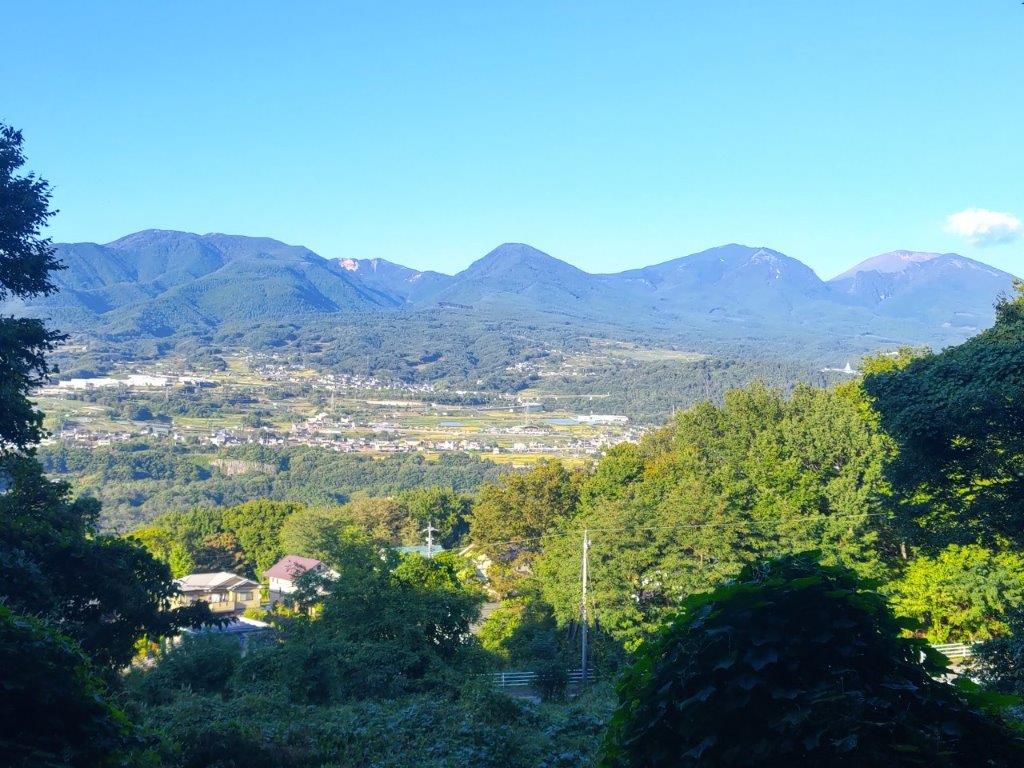
I was glad to be walking under the shade of trees, above the cliffs on the south bank of the Chikuma river, as the sun was getting hotter and hotter. I had reached another viewpoint of Mt Asama, just as the noon chime echoed throughout the area. Closer by, I could see the impressive bluffs on the north bank of the river. After passing through Kubo village (久保集落), the path headed uphill steeply and reentered the forest.

Hidden Plateau above Kubo Village

Switchback Path up the bluff

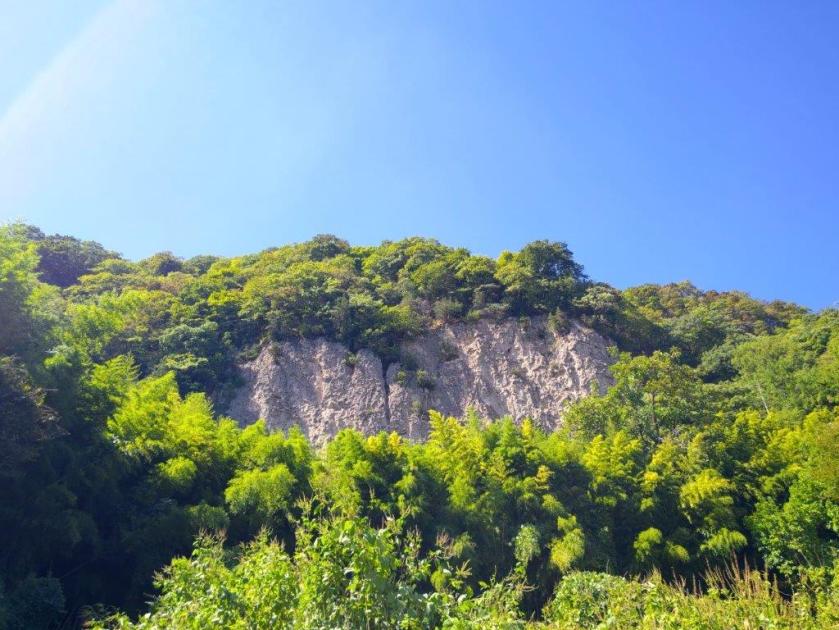
I soon emerged into a kind of hidden plateau at the base of some bluffs. I made a detour to get a closer look, and also happened to get a good view of Karuizawa to the east. I knew I’d have to get above these cliffs but for now the trail headed lazily southwards; around this point I nearly stepped on a snake sunbathing on the hot road. I eventually reached Iwane (岩根) and here the path turned sharply right and uphill again, through a dark bamboo forest.

Closeup Look at the Bluff above Iwane

Yatsugake from Mimaki Plateau

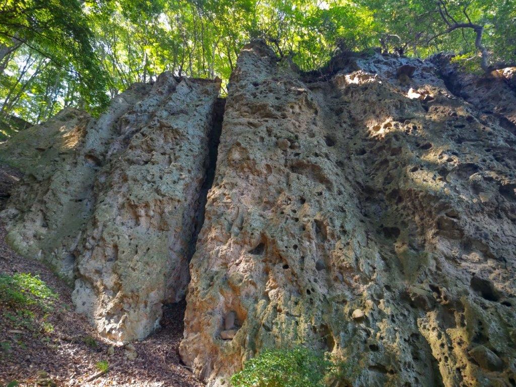
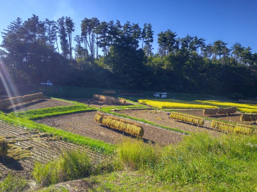
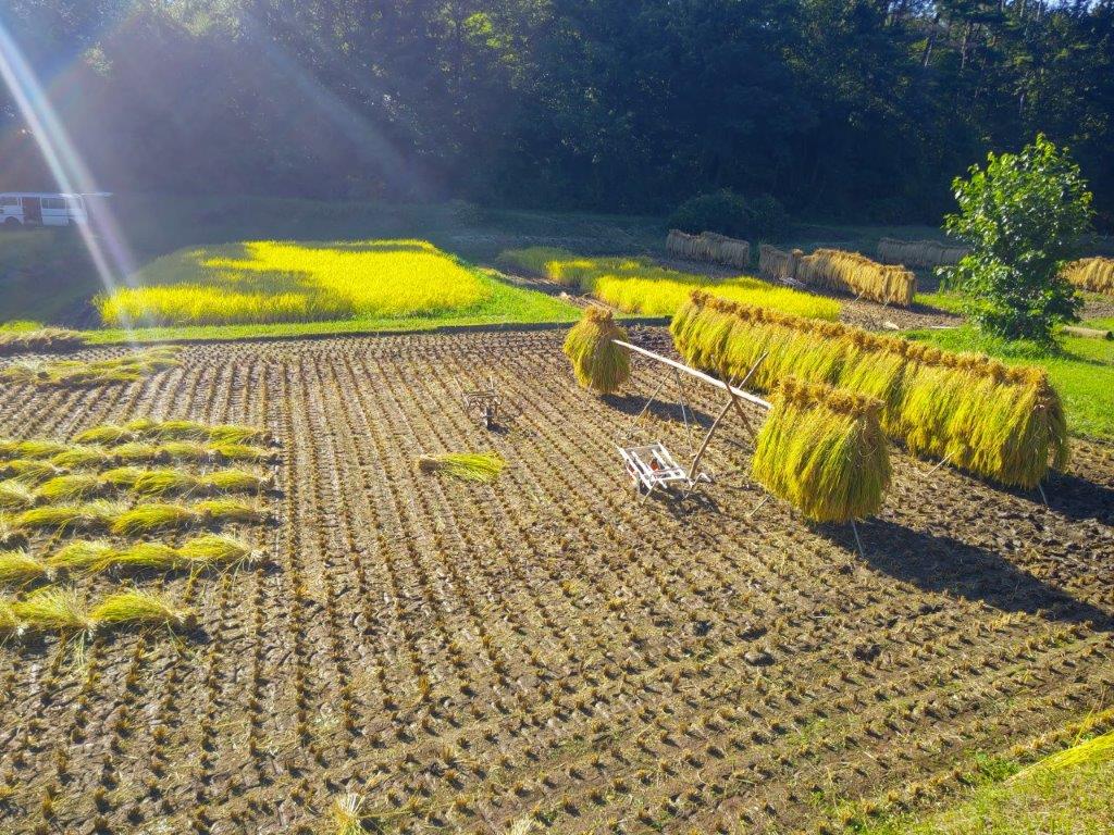
I recoiled in fear as I spotted the webs of the Jorogumo spider strung between the bamboo, its yellow and black owners hanging lazily in the air at head height above the path. Sometimes ducking and sometimes clearing a way with a stick, I quickly reached a switchback path climbing through mixed forest, thankfully free of spiders. One bend took me directly to the base of a huge porous rock face, rising out of the forest. At 1pm, I exited the forest into the sunlit Mimaki Plateau (御牧ヶ原 mimakigahara). Almost immediately I came upon a harvest in progress on the left side.

Mt Asama from Mimaki Plateau

Blue Asama with Yellow and Green Fields

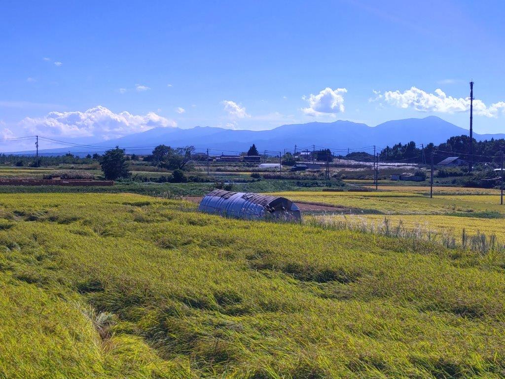
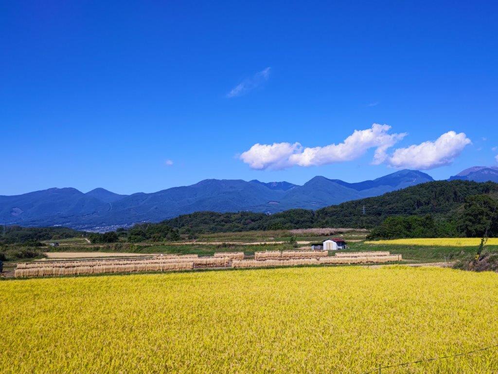
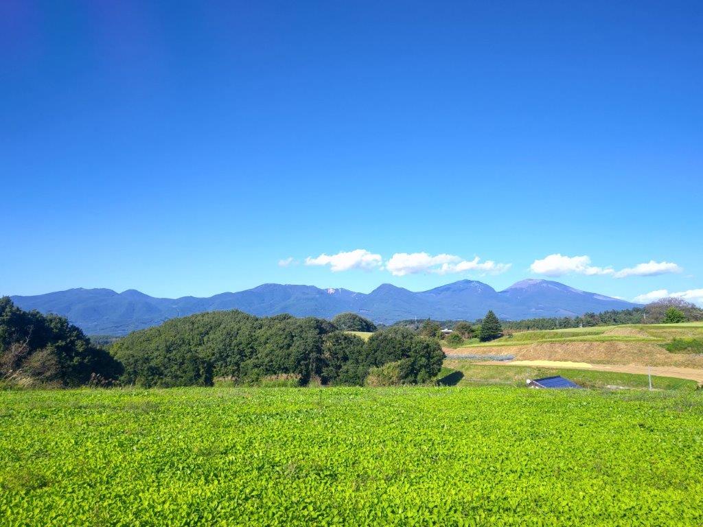
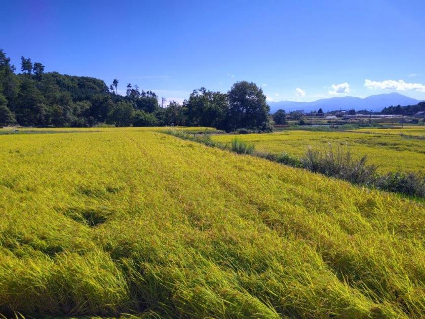
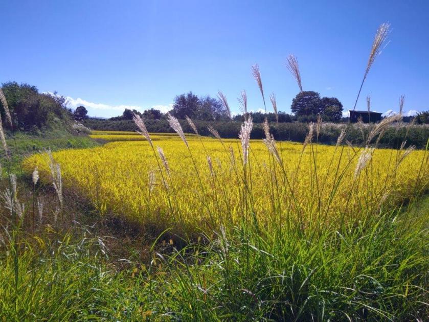
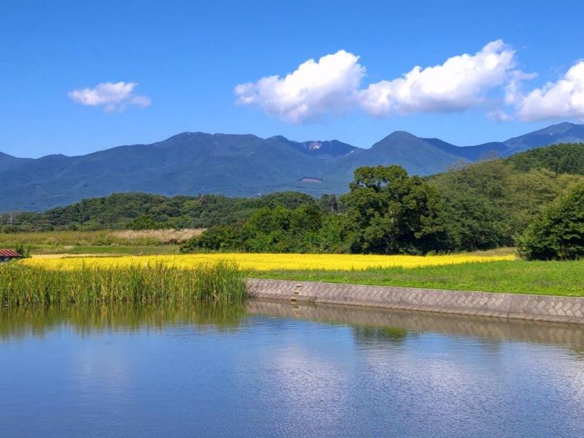
I was delighted to see the rice being harvested, an even rarer sight than the golden rice fields. I continued on my way, now walking between small blue ponds and yellow rice stalks; the outline of Yatsugatake, mostly clear of clouds, was visible against the sun on the south side. After a short descent, I reached Himamu-ike Pond (干間無池), which I had also visited on last year’s hike. Here I left the Chikuma River Trail (千曲川コース) and joined the Mimaki Plateau Trail (御牧ヶ原コース), first heading west and then south through farmed countryside dotted with small blue ponds.

Clouds Reflected in one of the Ponds of Mimaki Plateau

Golden Rice Fields and Blue Autumn Sky

Along the way, I had some superb views of Mt Asama, with an ever-changing scenery of already harvested and yet to be harvested fields, as well as blue rounded ponds, in the foreground. At 2pm, I arrived at the highest point of the hike, a mostly level area above the Prefecture Agricultural University; oddly enough, it was also the location of a driving school. It was also the southernmost point of the hike, and I had another view of Yatsugatake southwards between the hills, as well as the Chichibu mountains to the east. I sat in the grass in the shade of a couple of conifers for a late lunch with a view. After half an hour, I resumed my hike, now heading northwards and downhill, and soon passed another bucolic rice harvest scene.

Harvested Rice Drying on Racks

Drying Rice with Mt Asama in the background

I spent a few minutes observing this seasonal human activity taking place along a narrow valley protected by tall pines on the far side. From my higher vantage point, I could see the various stages of the harvest: the cutting, the bundling and finally drying on racks. I continued on my way and after passing through a tunnel under the Chikuma Viewline, turned left up a slope and soon reached another viewpoint near the crest of a small hill called “viewpoint hill” (展望の丘). To the north was Mt Asama again, the features of its various peaks clearly visible on this fine day.

Lunch Spot under a Couple of Conifers

Lily-covered Maki Pond

For the first time of the day, I had a wide view on the west side: I could see the gentle ridgelines of Northern Yatsugatake, as well as the lower mountains of central Nagano; however the North Alps were hidden in the clouds. It was now 3pm and I had to quicken the pace to stay on schedule. I headed down the other side of the hill, and then turned right onto a bigger road which I followed for a while, down into a small forested river valley dividing the plateau into two halves. After a shorter climb up the other side, I merged with last year’s hike, although from the opposite direction.

Rice Harvest Scene on the Asama-Yatsugatake Panorama Trail

Freshly Cut Rice (left) and Drying Rice on Racks (right)

After walking under some dizzyingly tall larches, needles still green in this season, I turned right onto a trail heading downhill towards the Chikuma River Valley, leaving behind the Mimaki Plateau Trail, as well as last year’s route. It ended at a road at a point somewhat below my final destination; however, I noticed another path on the right, running through the woods and parallel to the road. I still had a little way to go so I rushed up it and soon passed a sign for the Asama-Yatsugatake Panorama Trail, meaning I was headed in the right direction.

View West towards Northern Yatsugatake

Mt Asama from Viewpoint Hill

I had one more view of the highest peaks of Mt Asama through a gap in the trees on the left side. Soon after, I emerged onto a road where I turned left, and after a few more minutes, arrived at Aguri no Yu just after 4pm. After a refreshing bath with a view of Mt Asama, I called a taxi for the ten-minute ride back to Komori station. It was a short ride on the Koumi line to Saku-daira station where I hopped on the shinkansen for the one-hour ride back to Tokyo.

Green Fields with Mt Asama in the background

View of Mt Asama from near the end of the Hike

This second hike along the Asama-Yatsugatake Panorama Trail took five hours, slightly shorter than last year. Although it had less cultural highlights, the views were better. I was also lucky with my timing that allowed me to catch the rice harvest in progress, not to mention the superb weather. Amazingly I saw no other hikers the whole day, maybe because everyone was hiking on Mt Asama and Yatsugatake, and other high-altitude mountains. For now, I’ve completed most of this trail but in the future I’d like to explore more Long Trails in Japan.

Watch a Video of the Hike
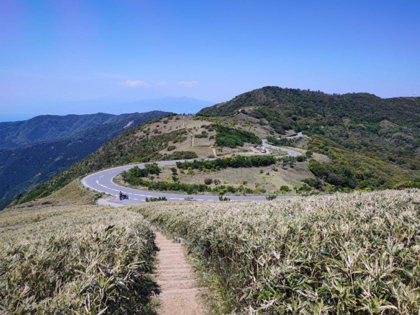
See More Pictures of the Hike