

I had been looking forward to exploring more of the Asama-Yatsugatake Panorama Trail since my hike there nearly one year ago. Originally, I had wanted to go later in Autumn, to enjoy cooler and clearer weather; however, I realised that if I wanted to see the scenery of golden rice fields, I needed to get there before the end of the harvest, roughly the end of September. I had recently acquired a lightweight foldable umbrella that doubled as a parasol, to protect myself from the sun on long road sections, so I felt well equipped to return earlier than planned.


Above the Chikuma River (left) Through a Bamboo Grove (right)

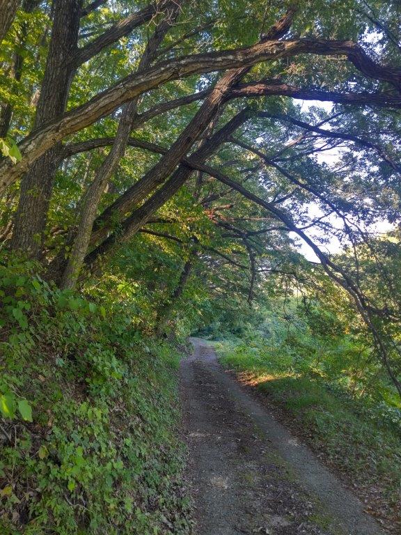
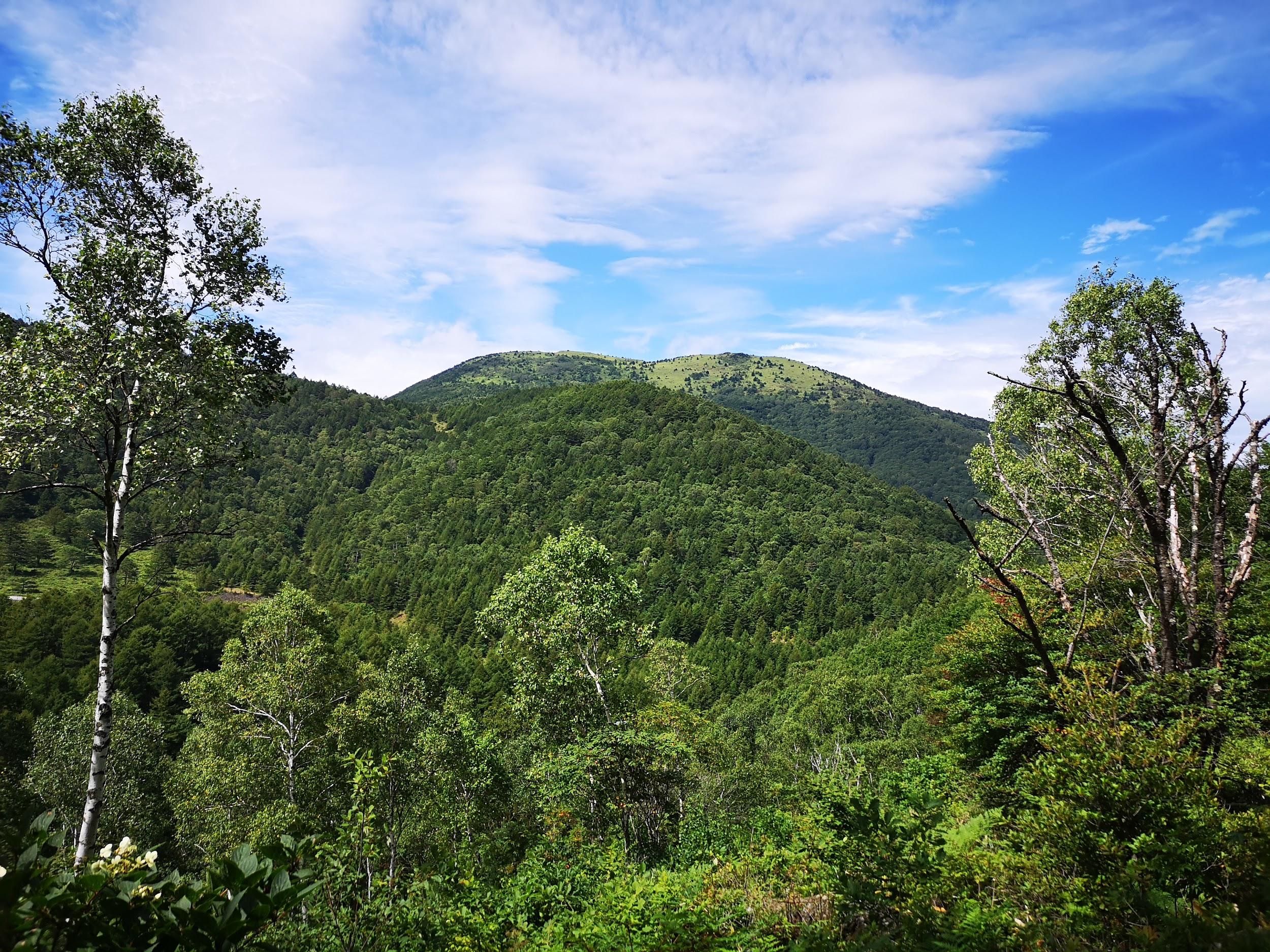
Up a Country Lane (left) In the Shade of Trees (right)
This time, I’d head south from Komoro station, making a wide circle combining the Chikumagahara and Mimakigahara routes, and ending at Aguri no Yu like last time. I had ample time to complete this clockwise loop through the Nagano countryside; however, I already knew that the many views along this panoramic trail would delay me, especially since the weather was supposed to be clear and sunny all day, a perfect Autumn weather according to the weather forecast.

Chikuma River from Modori Bridge

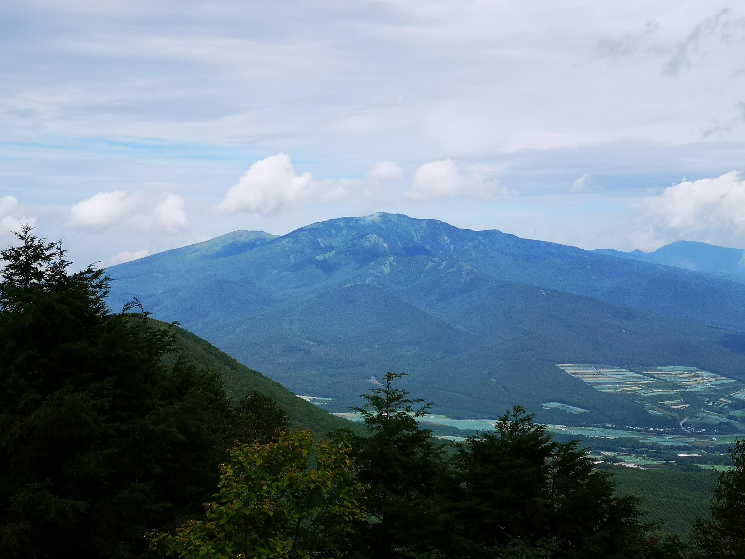
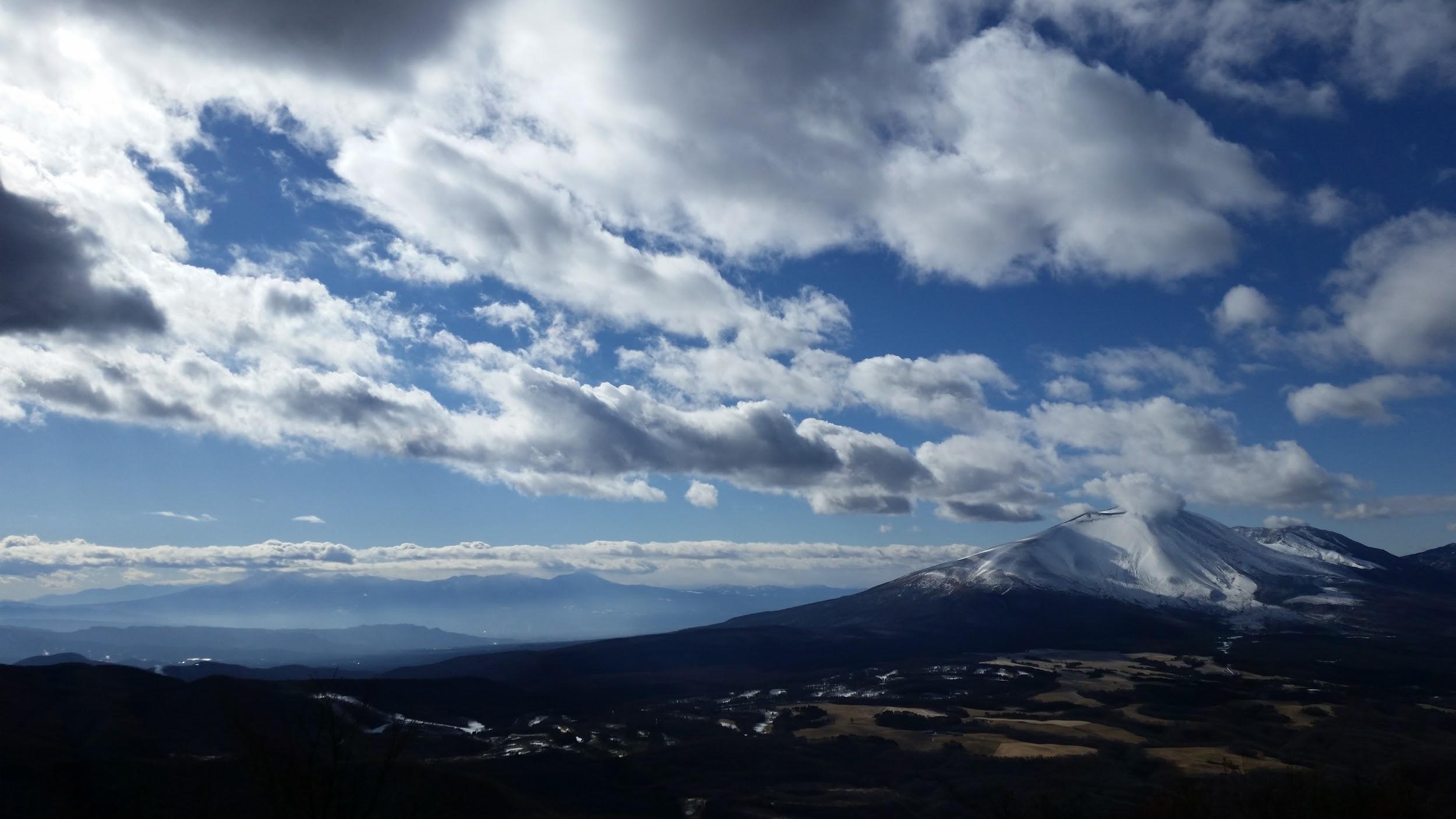
Mt Asama from Modori Bridge
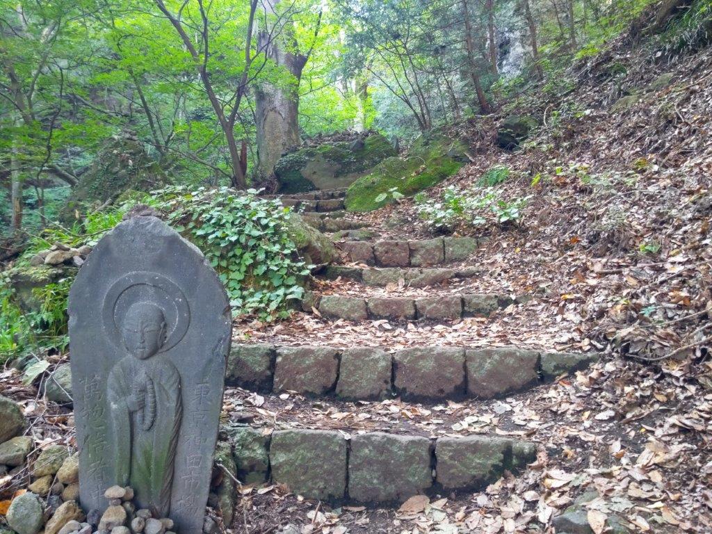
It felt pleasantly cool as I stepped off the train at Komoro station a little after 1030. After picking up some supplies at a nearby convenience store, I ducked into a tunnel under the Shinano railway line and headed down a road into the Chikuma River valley. At a bend in the road, I turned right onto a track partially hidden by vegetation, following a sign for the Asama-Yatsugatake Panorama Trail (浅間・八ヶ岳パノラマトレイル). At the bottom of a steep staircase, I passed an open-air exhibition of an old water wheel (“suisha“), used for generating electricity from 1919 to 1995.

Mt Asama from Kubo Village

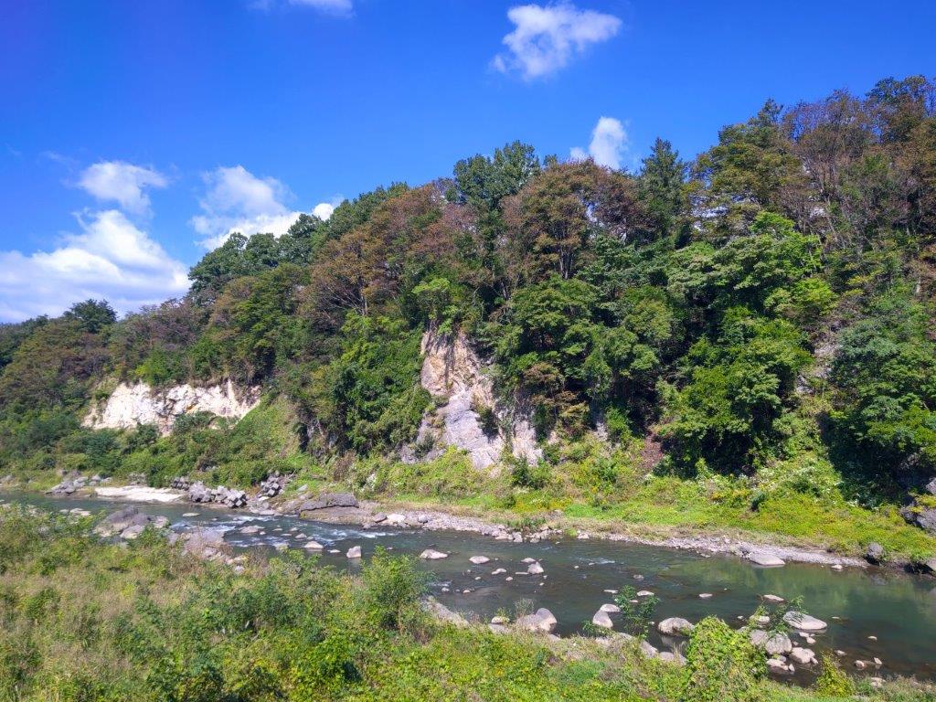
Cliffs above the Chikuma River
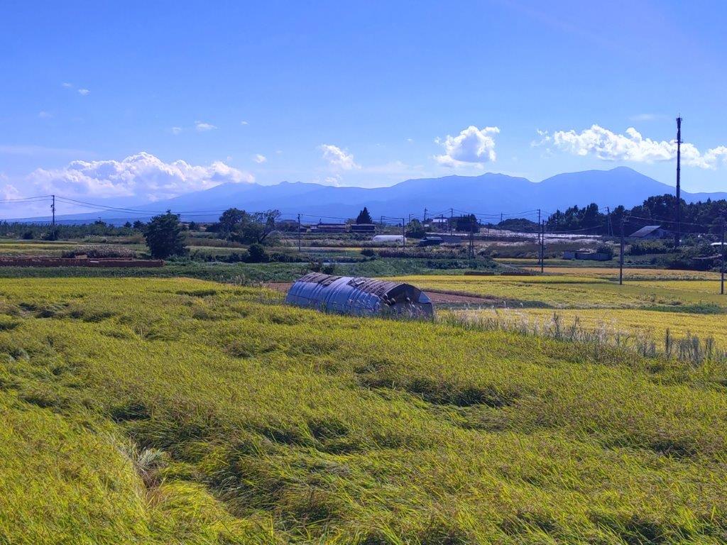
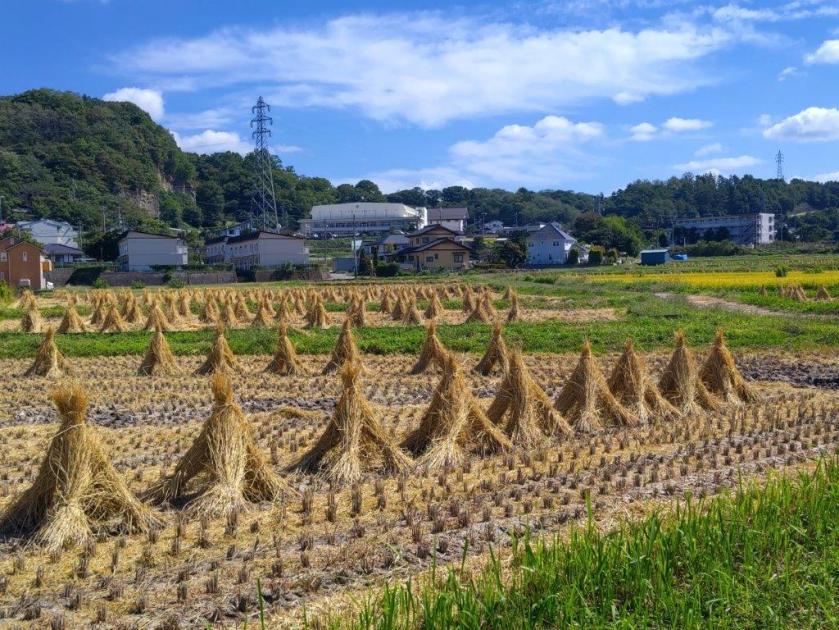
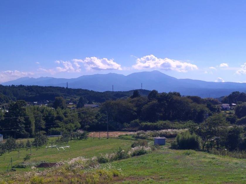
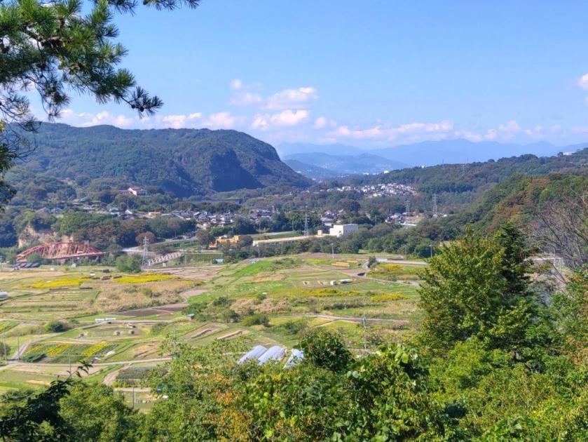
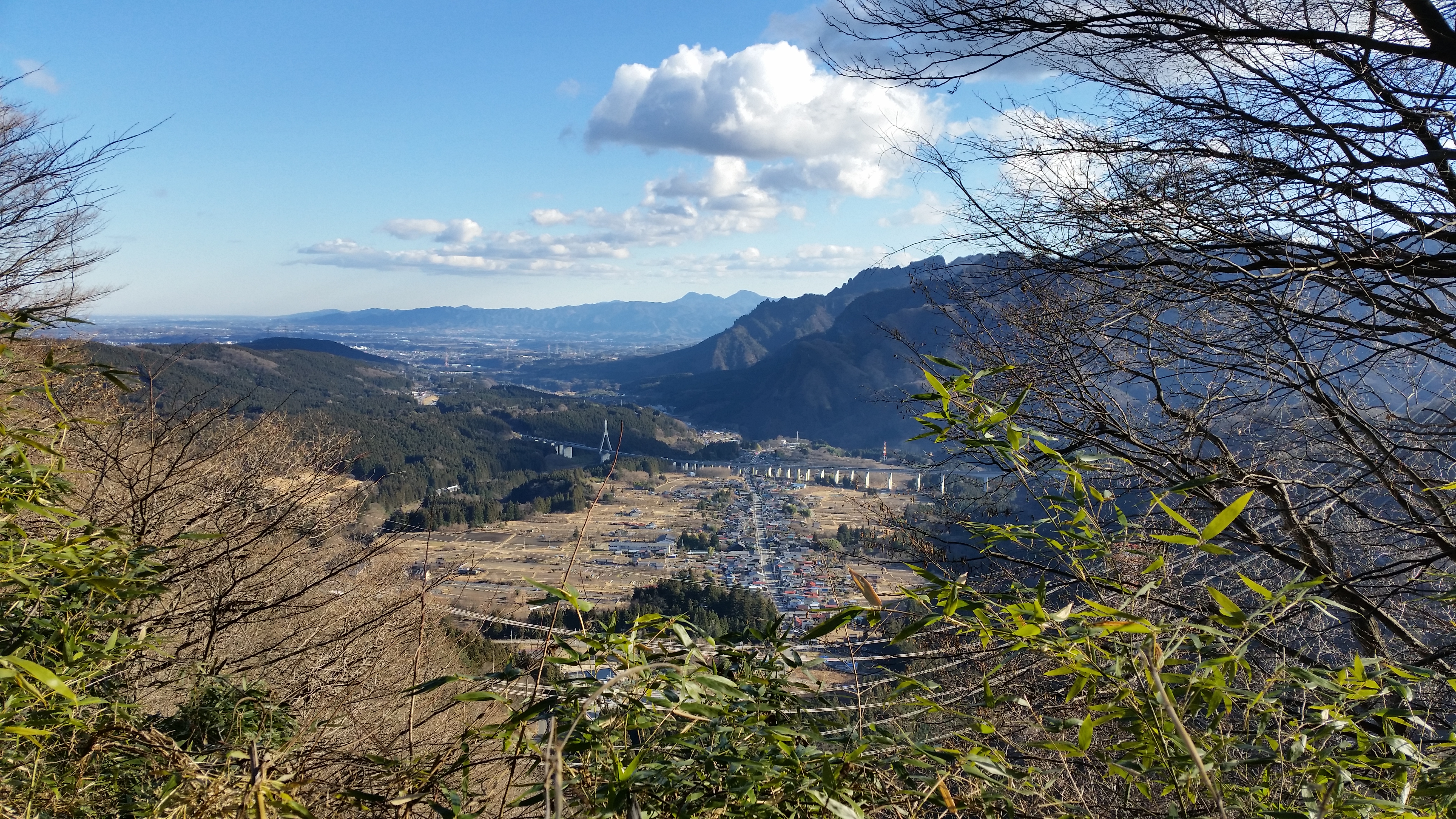
I briefly inspected this curious relic from the past, and then turned left onto a small paved road, past Nishiura dam, a modern replacement for the water wheel. I was walking with the Chikuma river on my right, and harvested fields on my left. I wondered if I had missed the harvest completely but marvelled at the interesting shape of the rice bundles, resembling tiny straw huts. At 1130, I crossed the Modori Bridge (もどり橋), from where I had a sweeping view of the entire Asama mountain range, almost entirely clear of clouds. I then headed up a steep road and at the top turned left onto a main road which I left almost immediately for a dirt road alongside a bamboo grove.
Country Lane leading to the Base of the Cliffs
View East towards Karuizawa
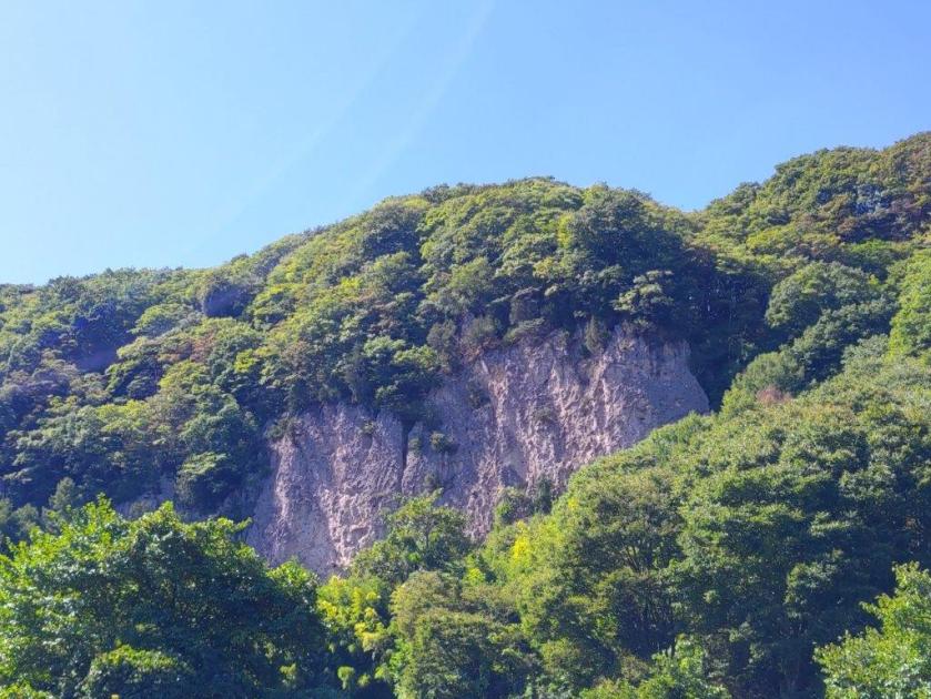
I was glad to be walking under the shade of trees, above the cliffs on the south bank of the Chikuma river, as the sun was getting hotter and hotter. I had reached another viewpoint of Mt Asama, just as the noon chime echoed throughout the area. Closer by, I could see the impressive bluffs on the north bank of the river. After passing through Kubo village (久保集落), the path headed uphill steeply and reentered the forest.

Hidden Plateau above Kubo Village
Switchback Path up the bluff
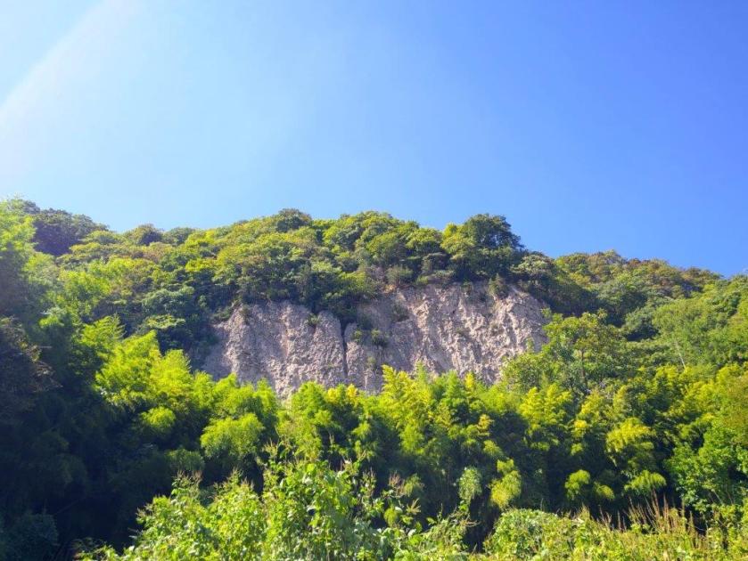
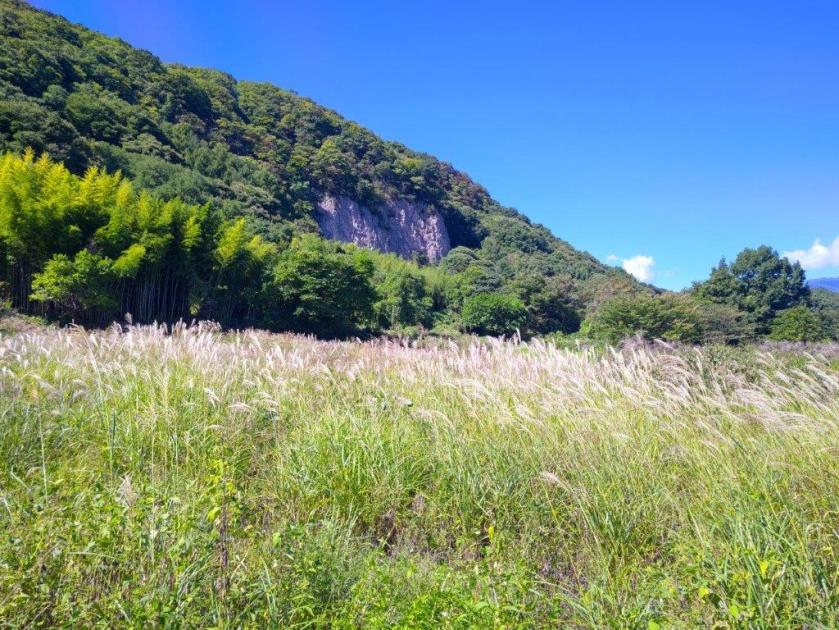
I soon emerged into a kind of hidden plateau at the base of some bluffs. I made a detour to get a closer look, and also happened to get a good view of Karuizawa to the east. I knew I’d have to get above these cliffs but for now the trail headed lazily southwards; around this point I nearly stepped on a snake sunbathing on the hot road. I eventually reached Iwane (岩根) and here the path turned sharply right and uphill again, through a dark bamboo forest.
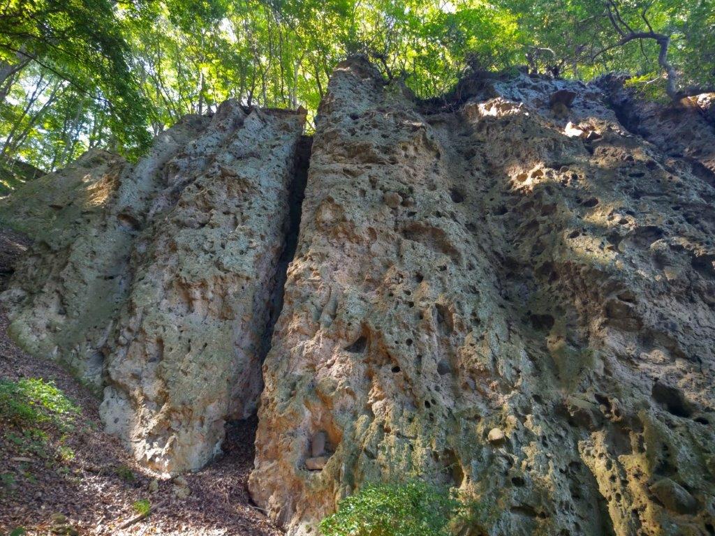
Closeup Look at the Bluff above Iwane
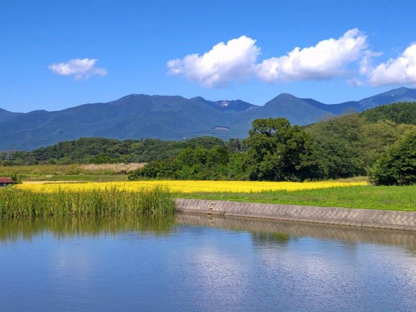
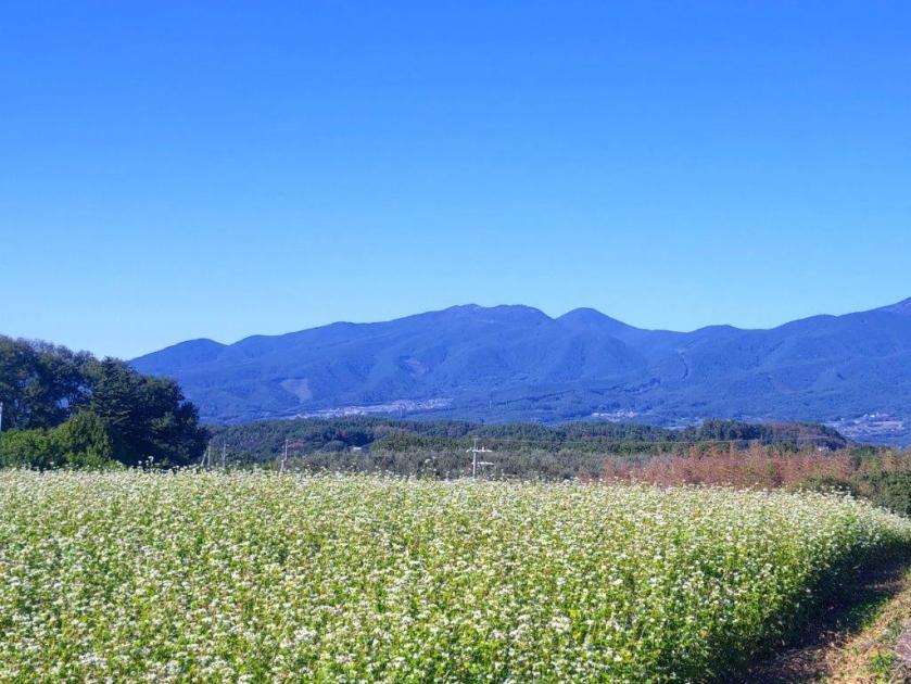
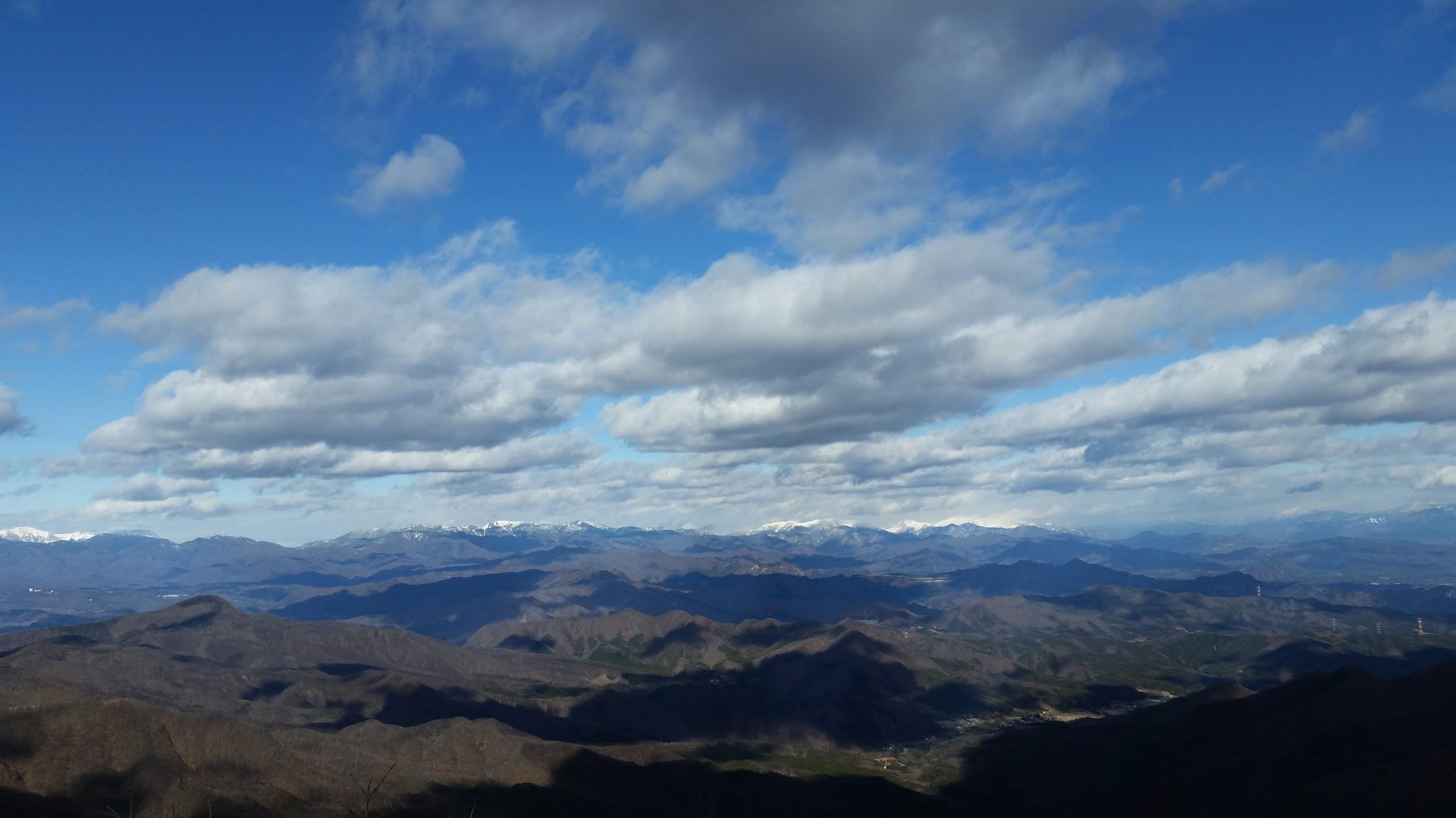
Yatsugake from Mimaki Plateau
I recoiled in fear as I spotted the webs of the Jorogumo spider strung between the bamboo, its yellow and black owners hanging lazily in the air at head height above the path. Sometimes ducking and sometimes clearing a way with a stick, I quickly reached a switchback path climbing through mixed forest, thankfully free of spiders. One bend took me directly to the base of a huge porous rock face, rising out of the forest. At 1pm, I exited the forest into the sunlit Mimaki Plateau (御牧ヶ原 mimakigahara). Almost immediately I came upon a harvest in progress on the left side.

Mt Asama from Mimaki Plateau

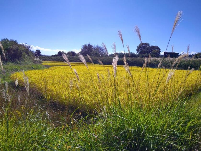
Blue Asama with Yellow and Green Fields
I was delighted to see the rice being harvested, an even rarer sight than the golden rice fields. I continued on my way, now walking between small blue ponds and yellow rice stalks; the outline of Yatsugatake, mostly clear of clouds, was visible against the sun on the south side. After a short descent, I reached Himamu-ike Pond (干間無池), which I had also visited on last year’s hike. Here I left the Chikuma River Trail (千曲川コース) and joined the Mimaki Plateau Trail (御牧ヶ原コース), first heading west and then south through farmed countryside dotted with small blue ponds.

Clouds Reflected in one of the Ponds of Mimaki Plateau
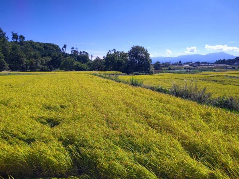
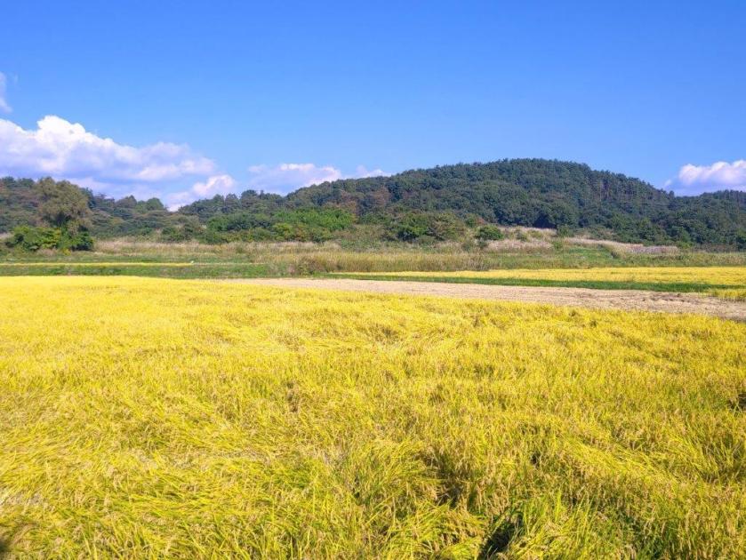
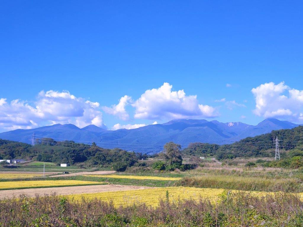
Golden Rice Fields and Blue Autumn Sky
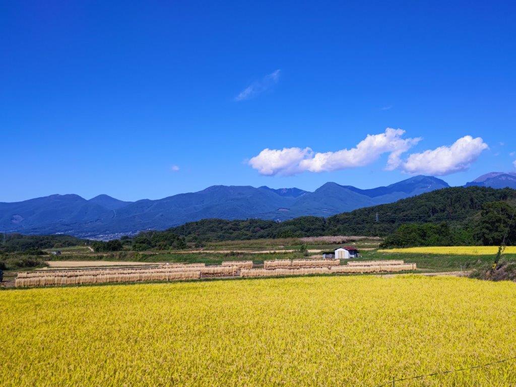
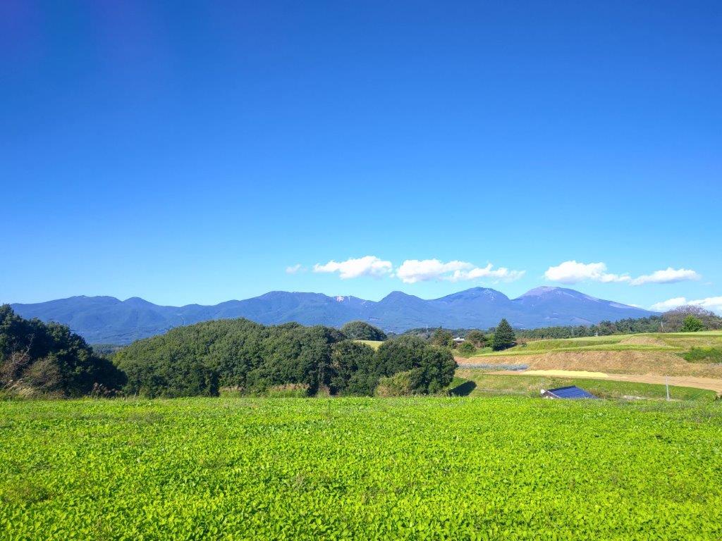
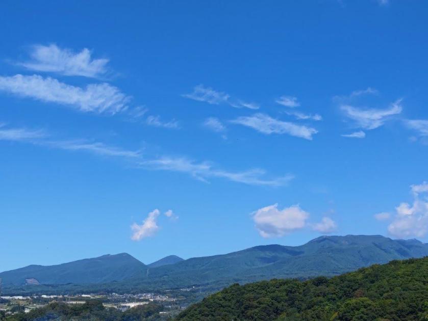
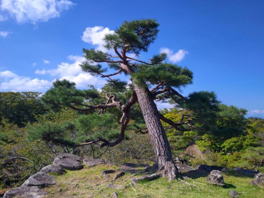
Along the way, I had some superb views of Mt Asama, with an ever-changing scenery of already harvested and yet to be harvested fields, as well as blue rounded ponds, in the foreground. At 2pm, I arrived at the highest point of the hike, a mostly level area above the Prefecture Agricultural University; oddly enough, it was also the location of a driving school. It was also the southernmost point of the hike, and I had another view of Yatsugatake southwards between the hills, as well as the Chichibu mountains to the east. I sat in the grass in the shade of a couple of conifers for a late lunch with a view. After half an hour, I resumed my hike, now heading northwards and downhill, and soon passed another bucolic rice harvest scene.

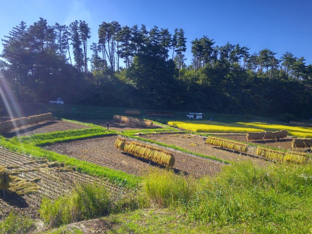
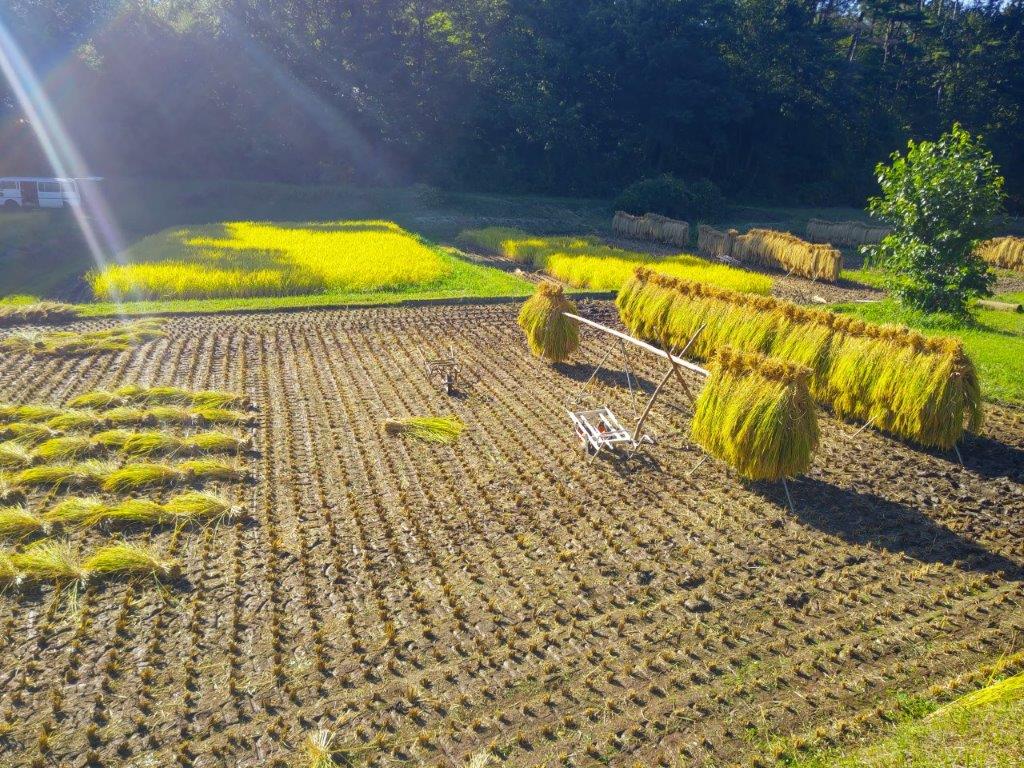
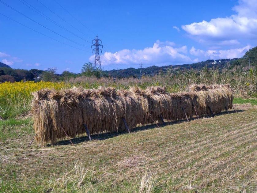
Harvested Rice Drying on Racks

Drying Rice with Mt Asama in the background
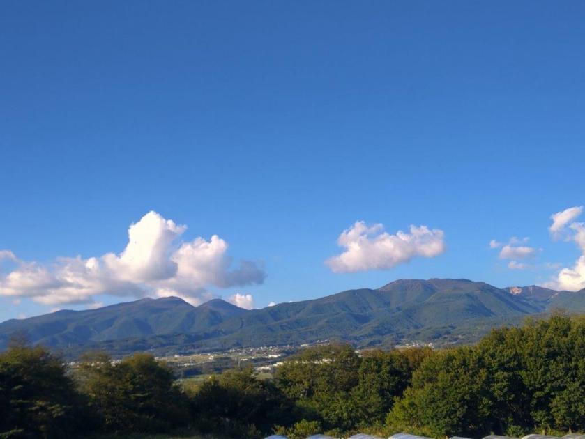
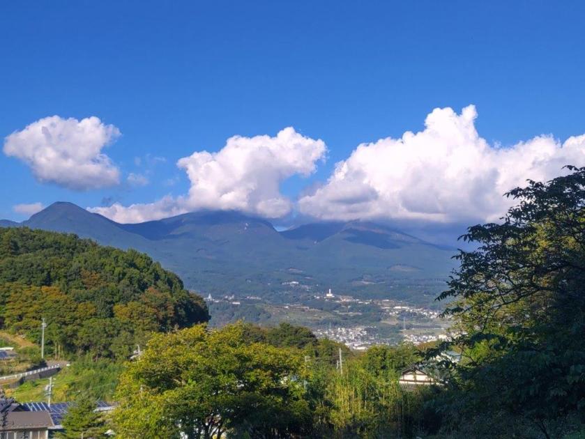
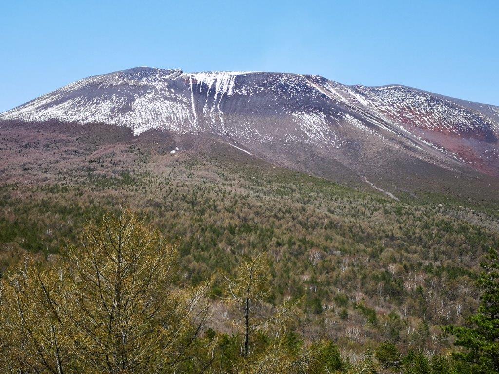
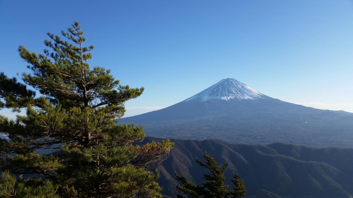
I spent a few minutes observing this seasonal human activity taking place along a narrow valley protected by tall pines on the far side. From my higher vantage point, I could see the various stages of the harvest: the cutting, the bundling and finally drying on racks. I continued on my way and after passing through a tunnel under the Chikuma Viewline, turned left up a slope and soon reached another viewpoint near the crest of a small hill called “viewpoint hill” (展望の丘). To the north was Mt Asama again, the features of its various peaks clearly visible on this fine day.

Lunch Spot under a Couple of Conifers

Lily-covered Maki Pond
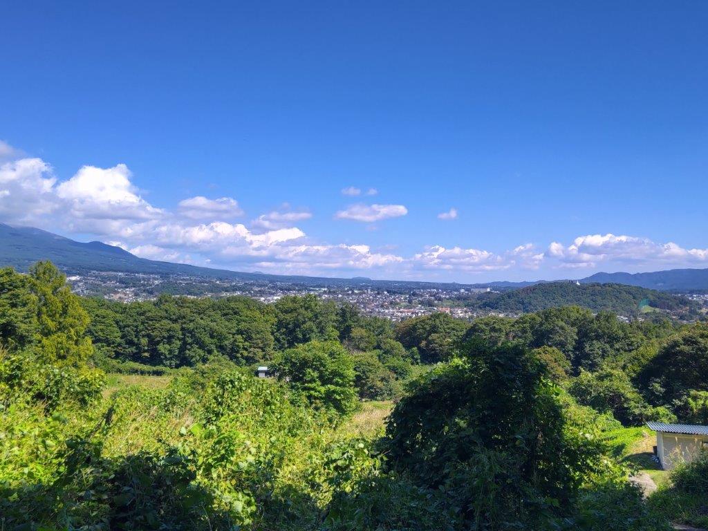
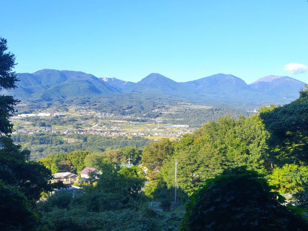
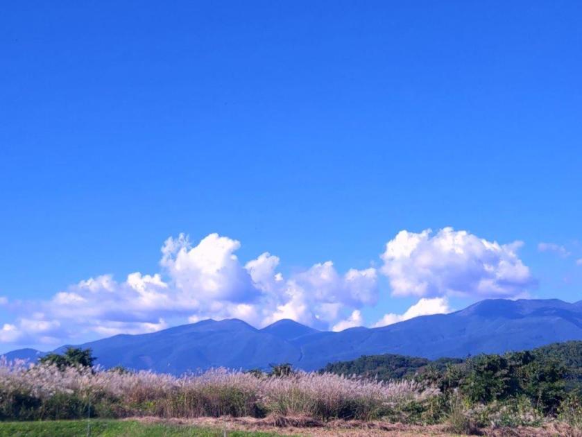
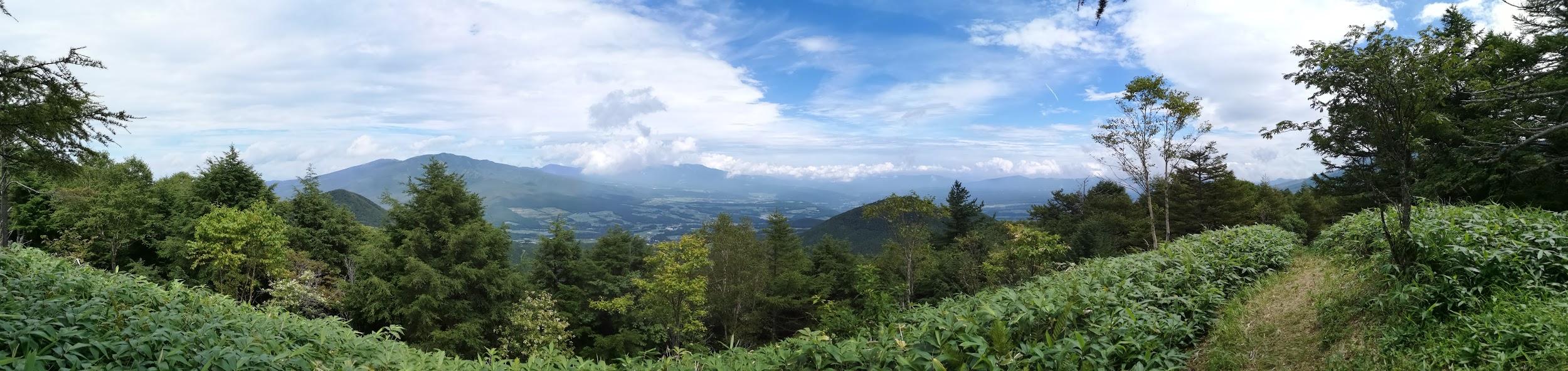
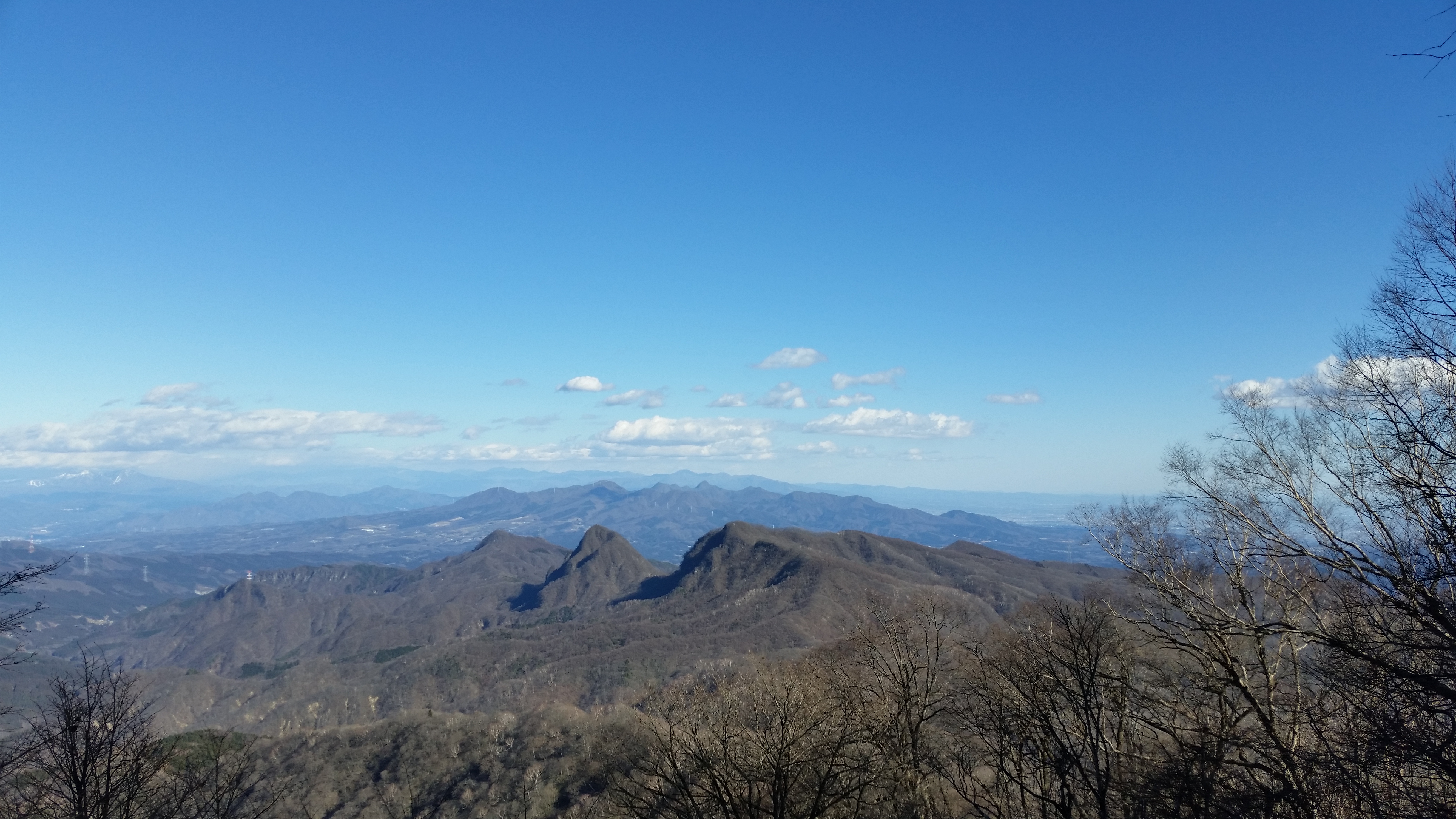
For the first time of the day, I had a wide view on the west side: I could see the gentle ridgelines of Northern Yatsugatake, as well as the lower mountains of central Nagano; however the North Alps were hidden in the clouds. It was now 3pm and I had to quicken the pace to stay on schedule. I headed down the other side of the hill, and then turned right onto a bigger road which I followed for a while, down into a small forested river valley dividing the plateau into two halves. After a shorter climb up the other side, I merged with last year’s hike, although from the opposite direction.
Rice Harvest Scene on the Asama-Yatsugatake Panorama Trail
Freshly Cut Rice (left) and Drying Rice on Racks (right)
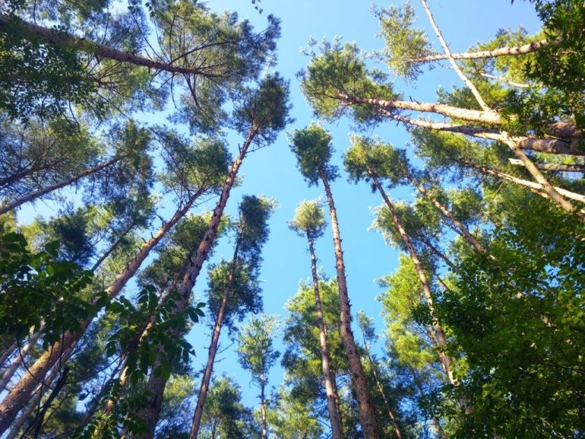
After walking under some dizzyingly tall larches, needles still green in this season, I turned right onto a trail heading downhill towards the Chikuma River Valley, leaving behind the Mimaki Plateau Trail, as well as last year’s route. It ended at a road at a point somewhat below my final destination; however, I noticed another path on the right, running through the woods and parallel to the road. I still had a little way to go so I rushed up it and soon passed a sign for the Asama-Yatsugatake Panorama Trail, meaning I was headed in the right direction.

View West towards Northern Yatsugatake

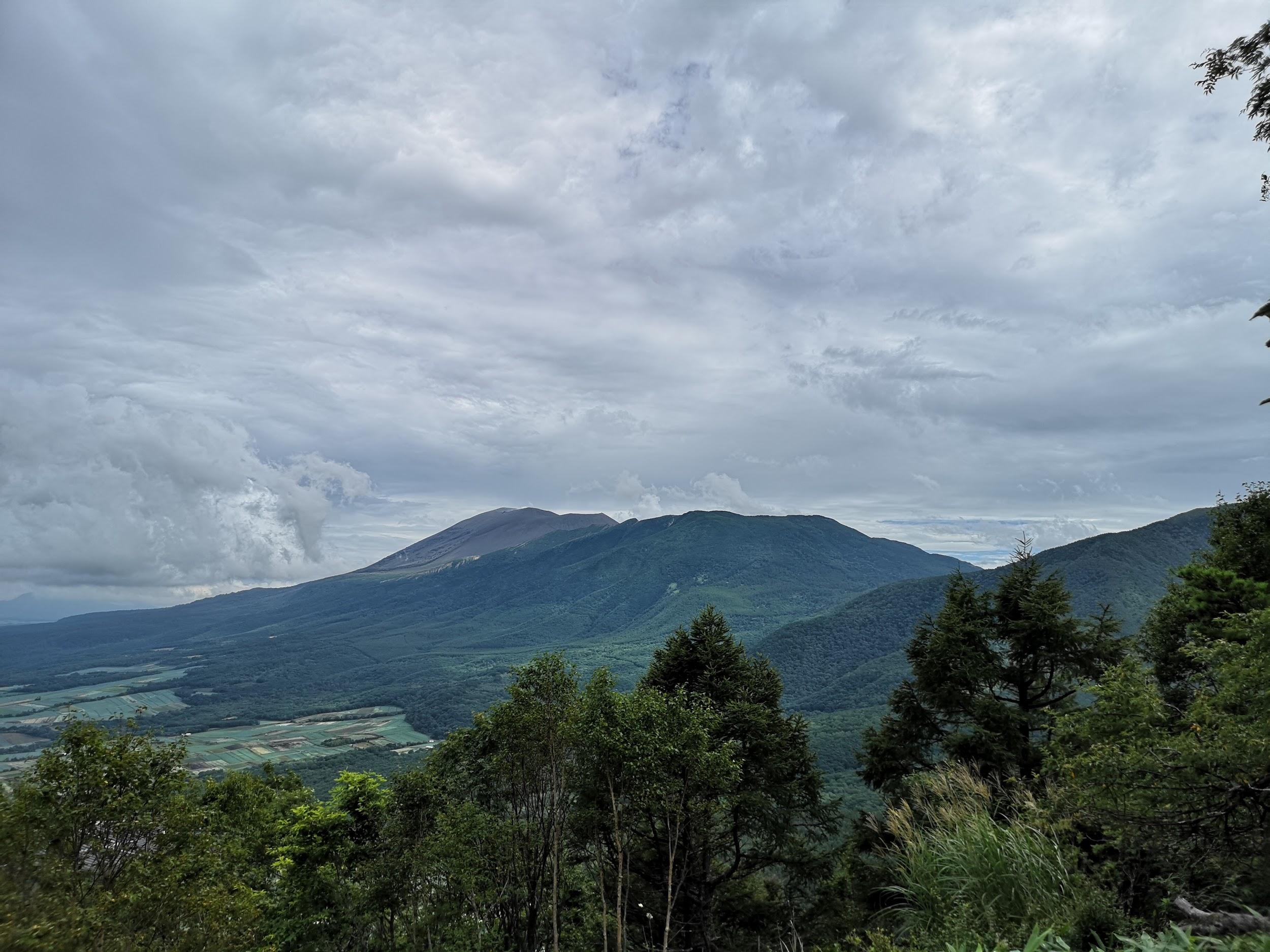
Mt Asama from Viewpoint Hill
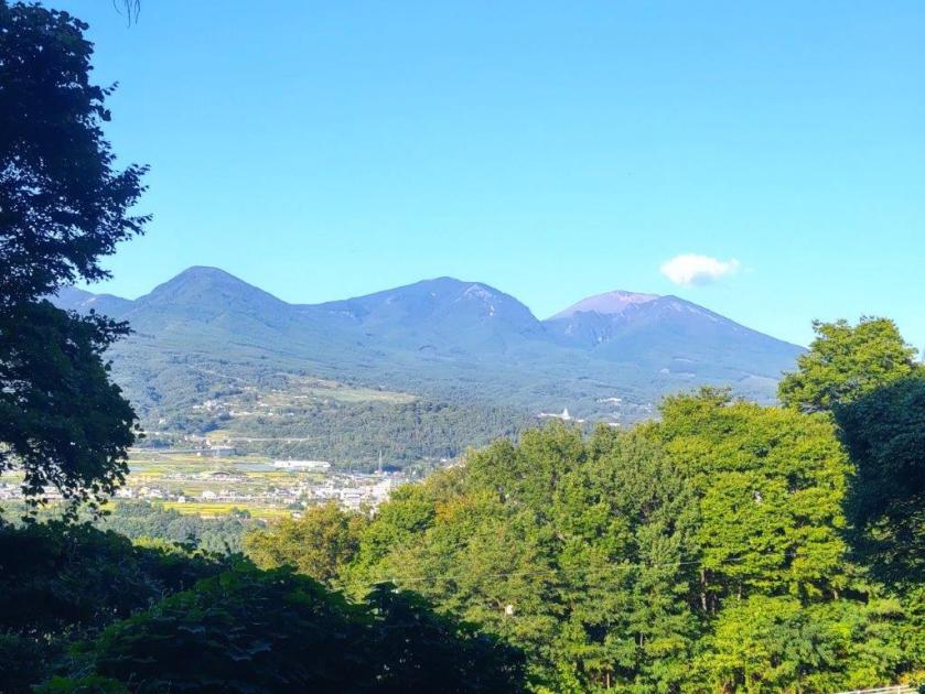
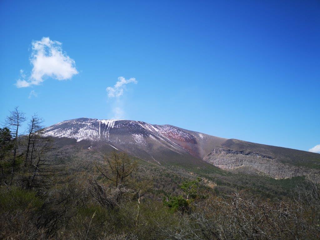
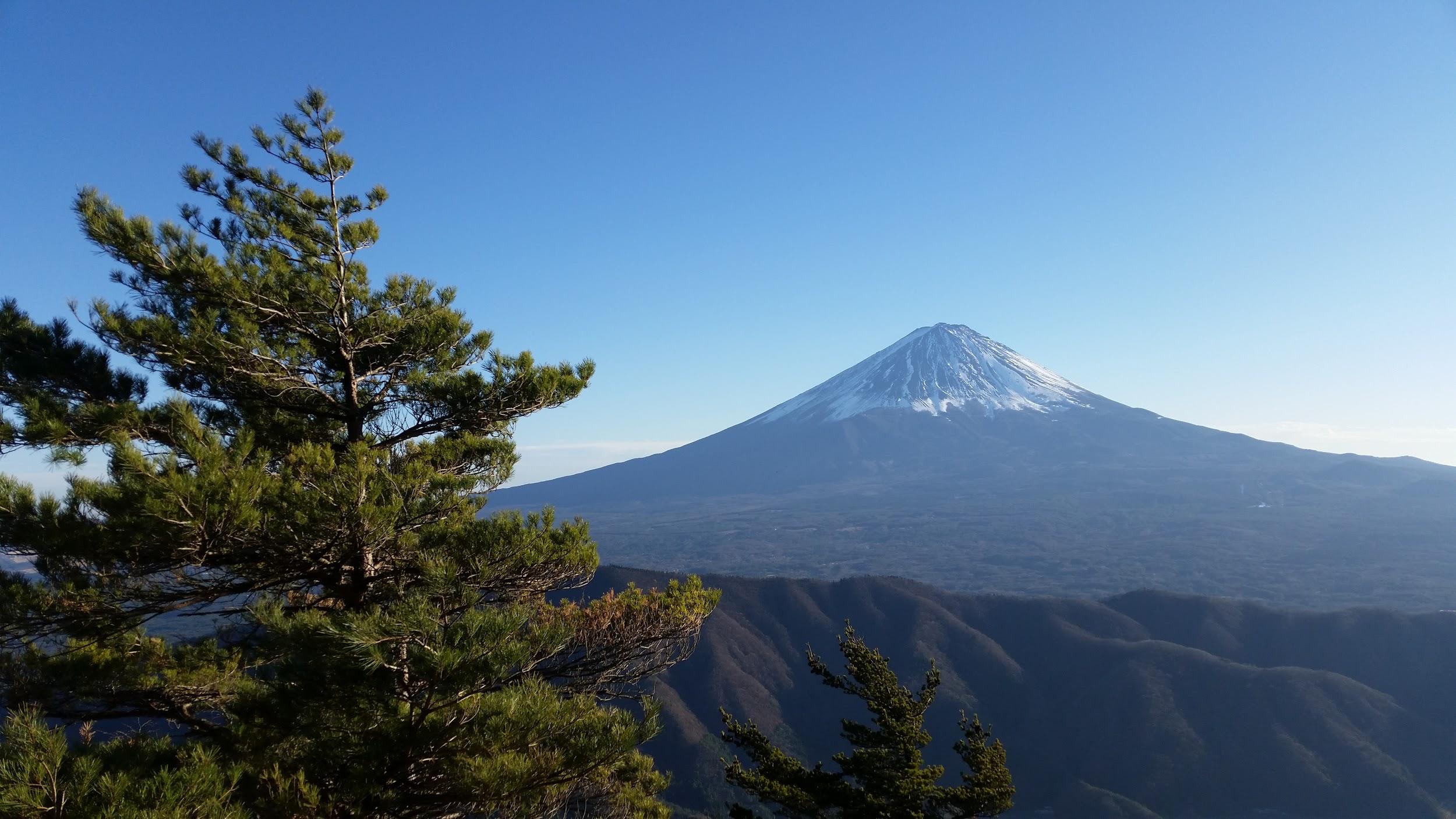
I had one more view of the highest peaks of Mt Asama through a gap in the trees on the left side. Soon after, I emerged onto a road where I turned left, and after a few more minutes, arrived at Aguri no Yu just after 4pm. After a refreshing bath with a view of Mt Asama, I called a taxi for the ten-minute ride back to Komori station. It was a short ride on the Koumi line to Saku-daira station where I hopped on the shinkansen for the one-hour ride back to Tokyo.
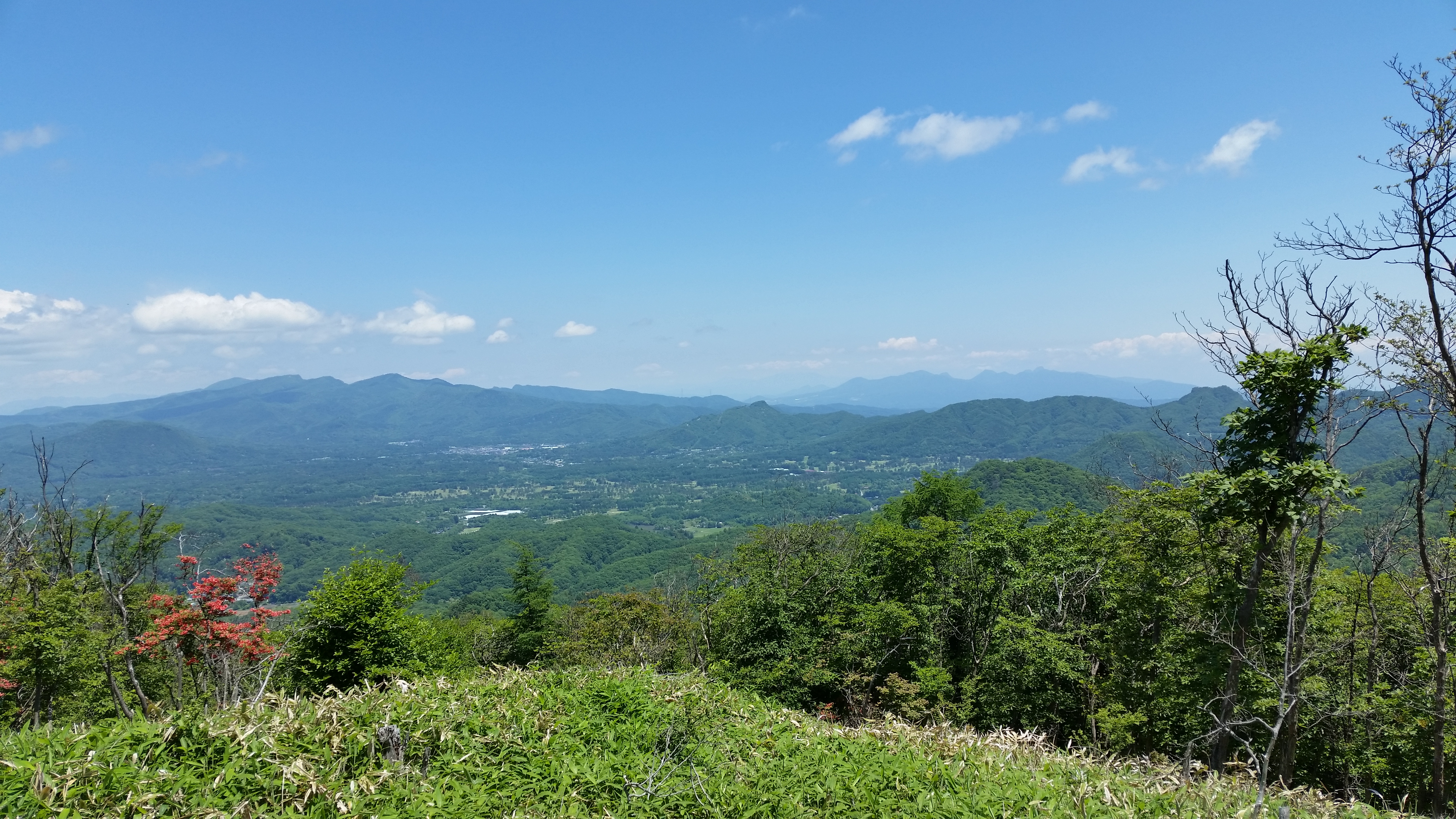
Green Fields with Mt Asama in the background
View of Mt Asama from near the end of the Hike
This second hike along the Asama-Yatsugatake Panorama Trail took five hours, slightly shorter than last year. Although it had less cultural highlights, the views were better. I was also lucky with my timing that allowed me to catch the rice harvest in progress, not to mention the superb weather. Amazingly I saw no other hikers the whole day, maybe because everyone was hiking on Mt Asama and Yatsugatake, and other high-altitude mountains. For now, I’ve completed most of this trail but in the future I’d like to explore more Long Trails in Japan.
Watch a Video of the Hike


See More Pictures of the Hike


You must be logged in to post a comment.