
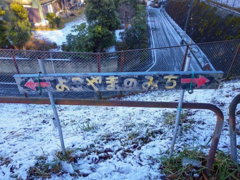
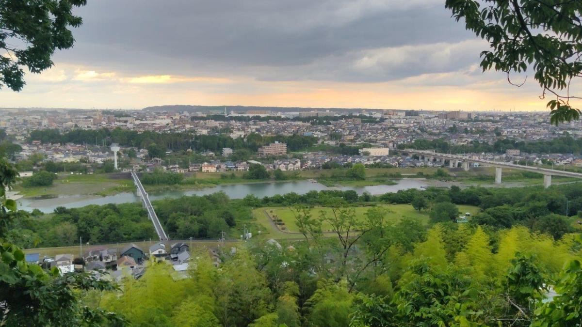
![Yokoyama no Michi, Tama & Kawasaki Cities, Tokyo & Kanagawa Prefectures, Saturday, January 3, 2026 [Highest Point 168m]](https://hikingtokyo.com/wp-content/uploads/2026/01/yokoyama.jpg?w=1024)
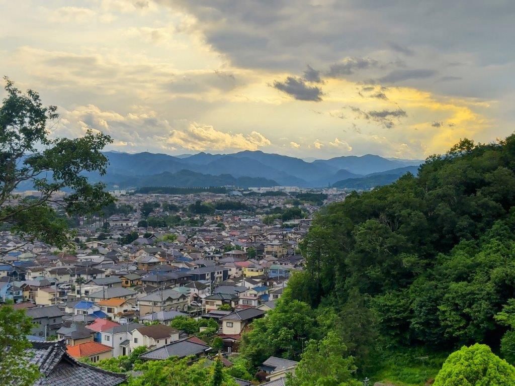
I wanted to do another hike inside Tokyo for the first outing of the year. I found out about the Tama Yokohama no Michi Promenade last spring on a “sakura walk” from Tama Center to Karakida station. I felt this would be a good time to explore this historical road following a west-east ridge through the Tama Hills, between the Musashino and Sagamino Plains, north and south respectively. Along the way, I’d pass several viewpoints, as well as historical sites and nature spots.
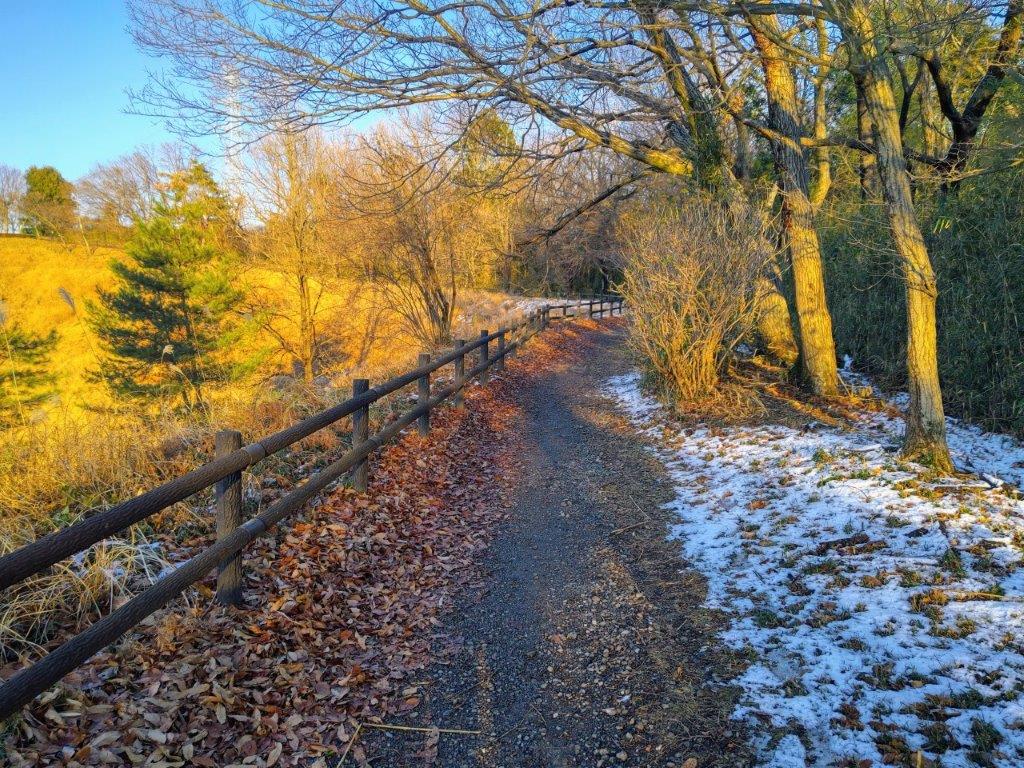
To get to the start of the hike, I’d ride the Keio Sagamihara Line to Minami-Osawa station, and there catch a bus for the short ride to the west side of Nagaike Park. I would finish at Wakabadai station, 4 stops up the line. It had snowed the previous day, and although today’s weather was supposed to be sunny, I’d need to be careful of ice and mud on the trail. I hoped I’d get some good views of the Kanto mountains, as well as Mt Fuji on my first hike of 2026.
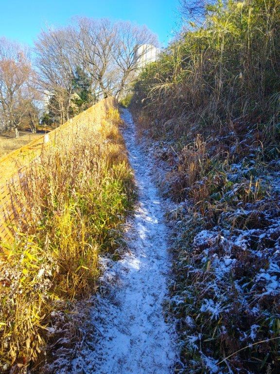
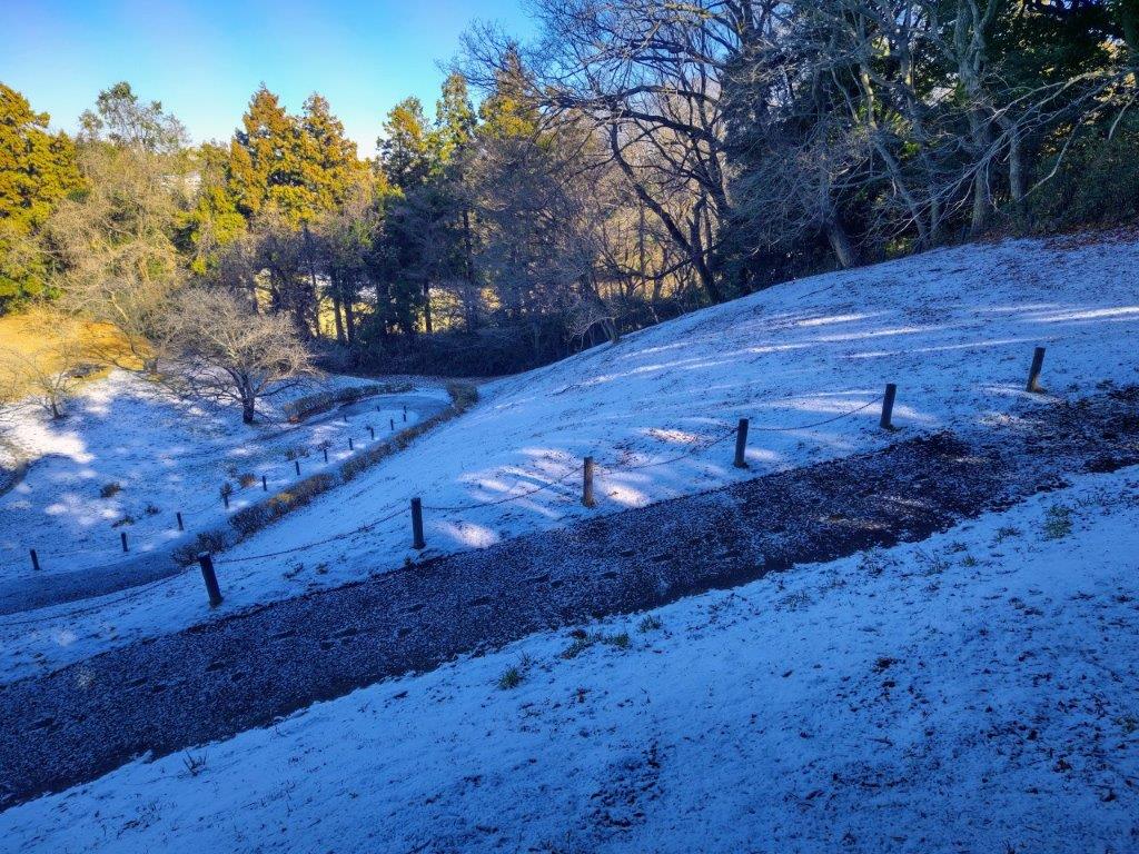
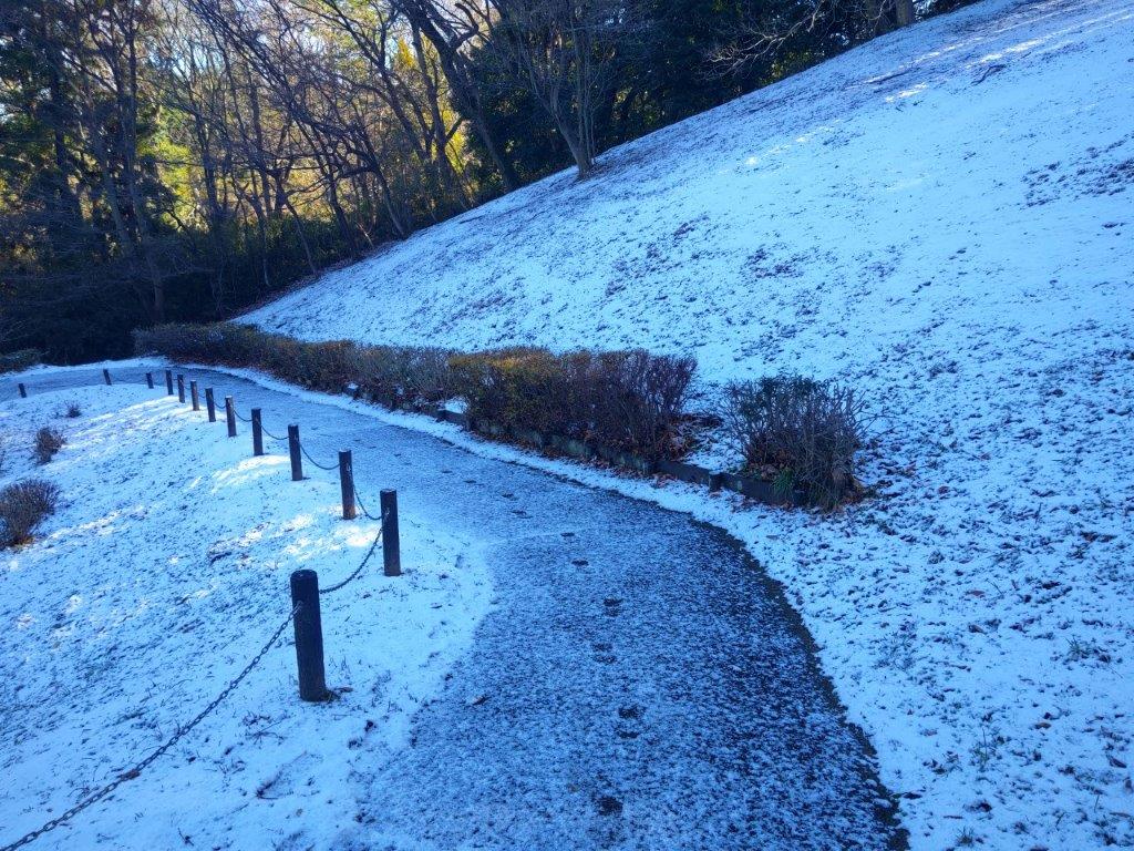
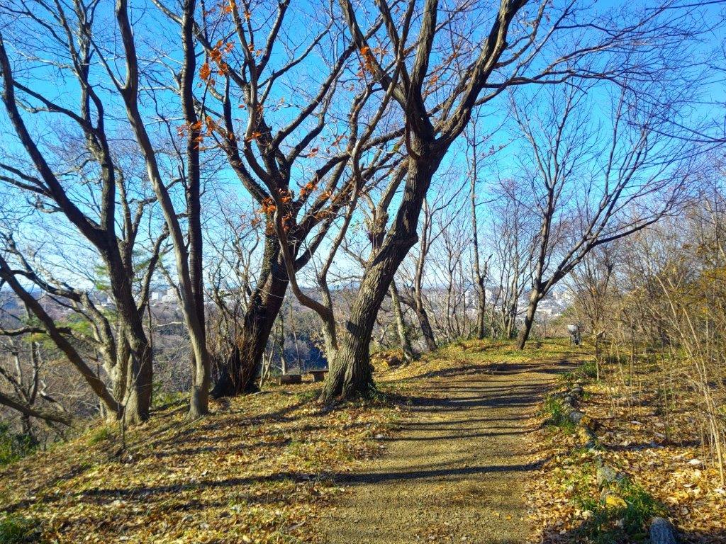
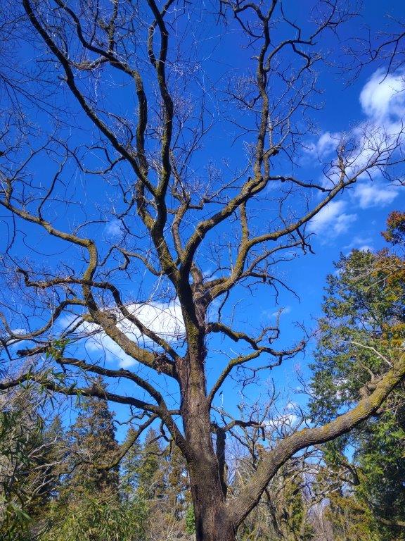
Snow Path (left) Bare Tree (right) at the Start of the Hike
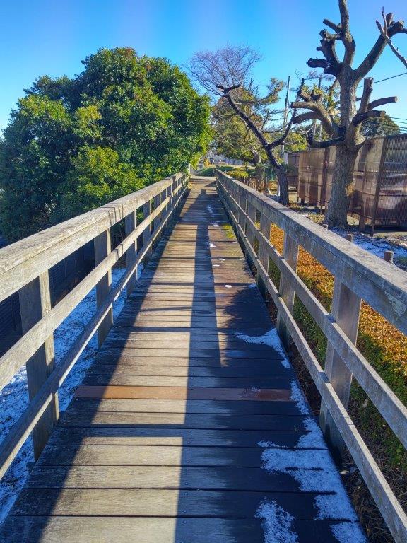
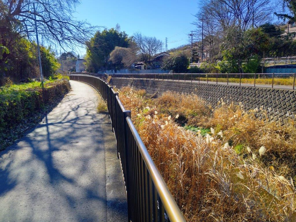
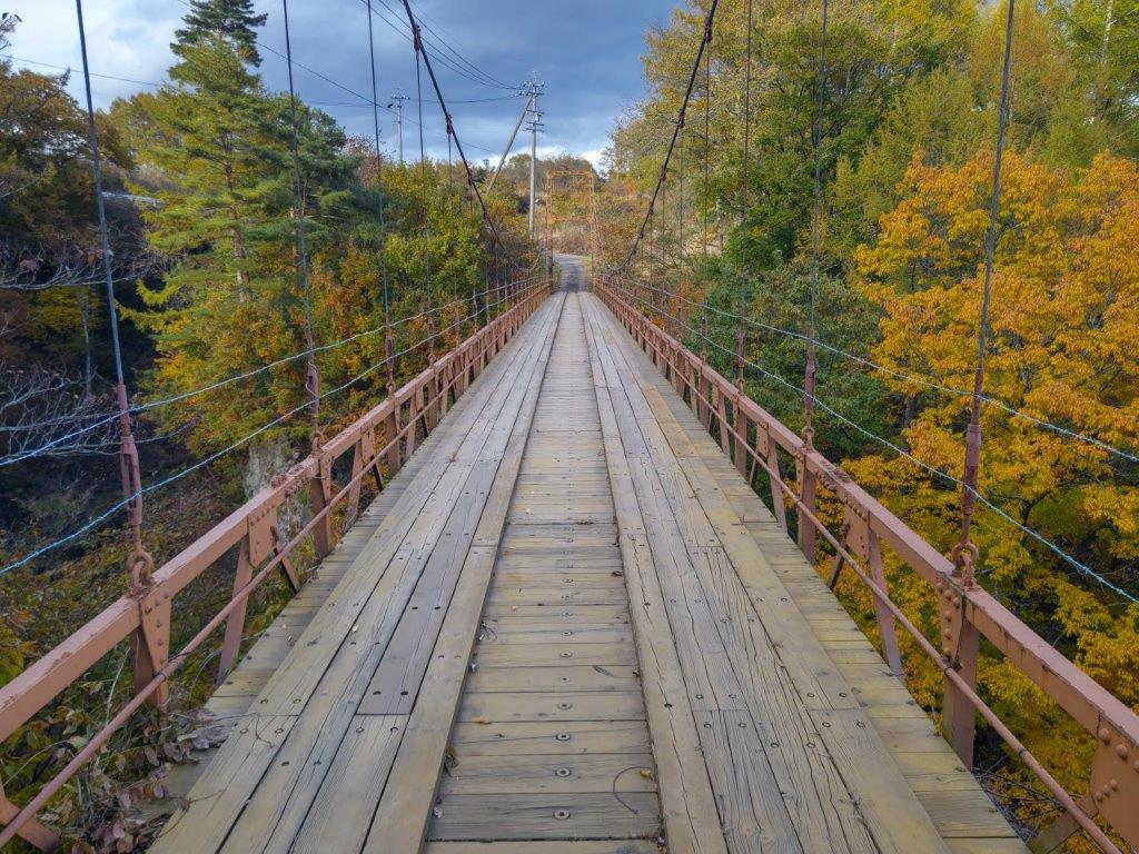
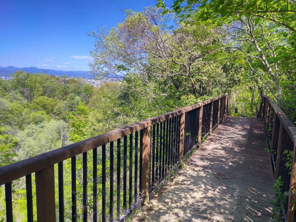
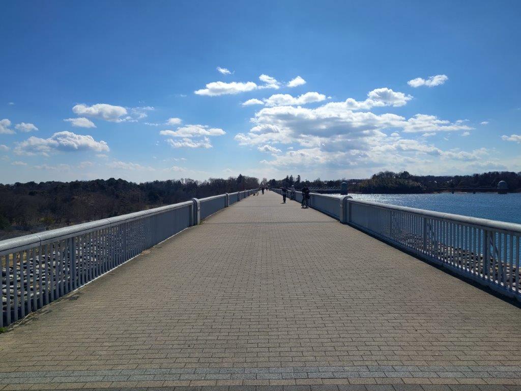
Shadows from a Bridge Rail (left) & Path Rail (right)
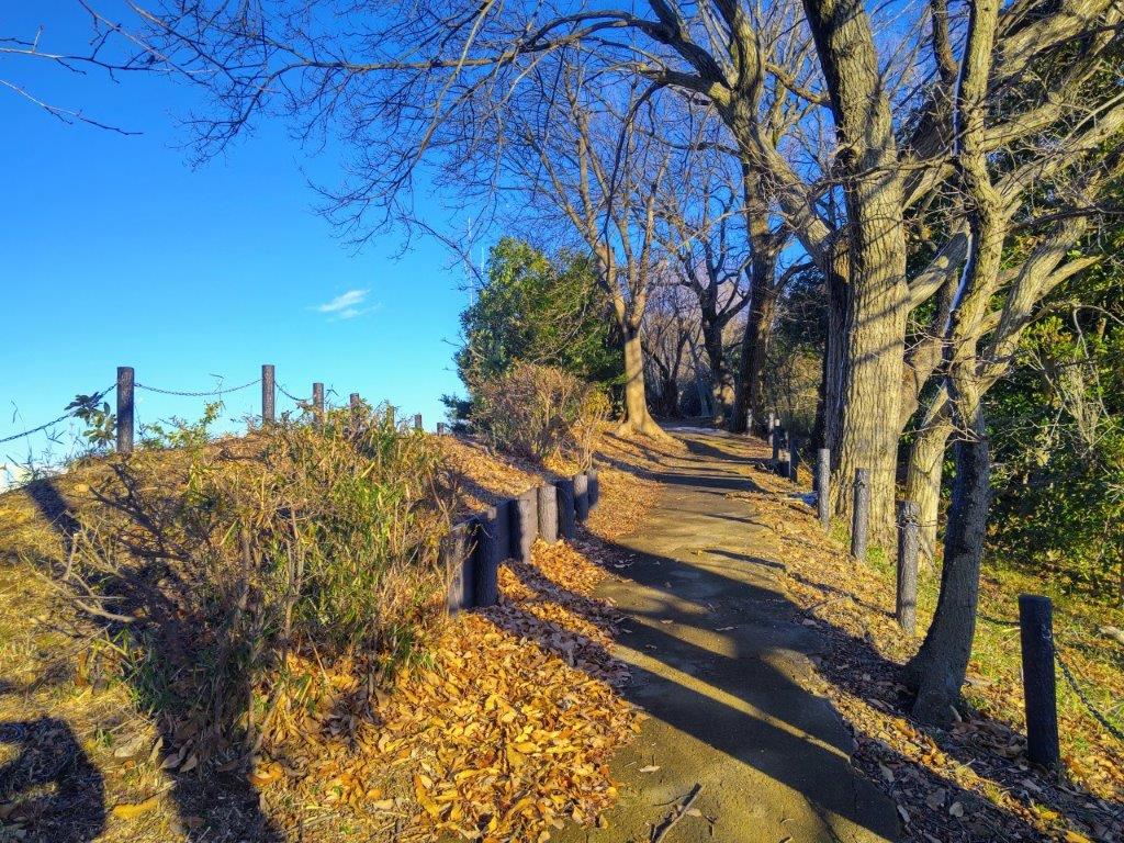
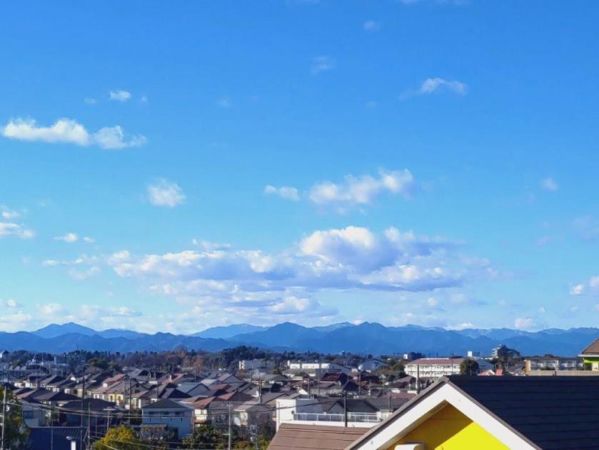
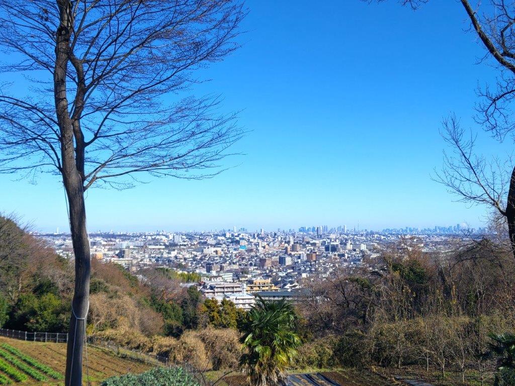
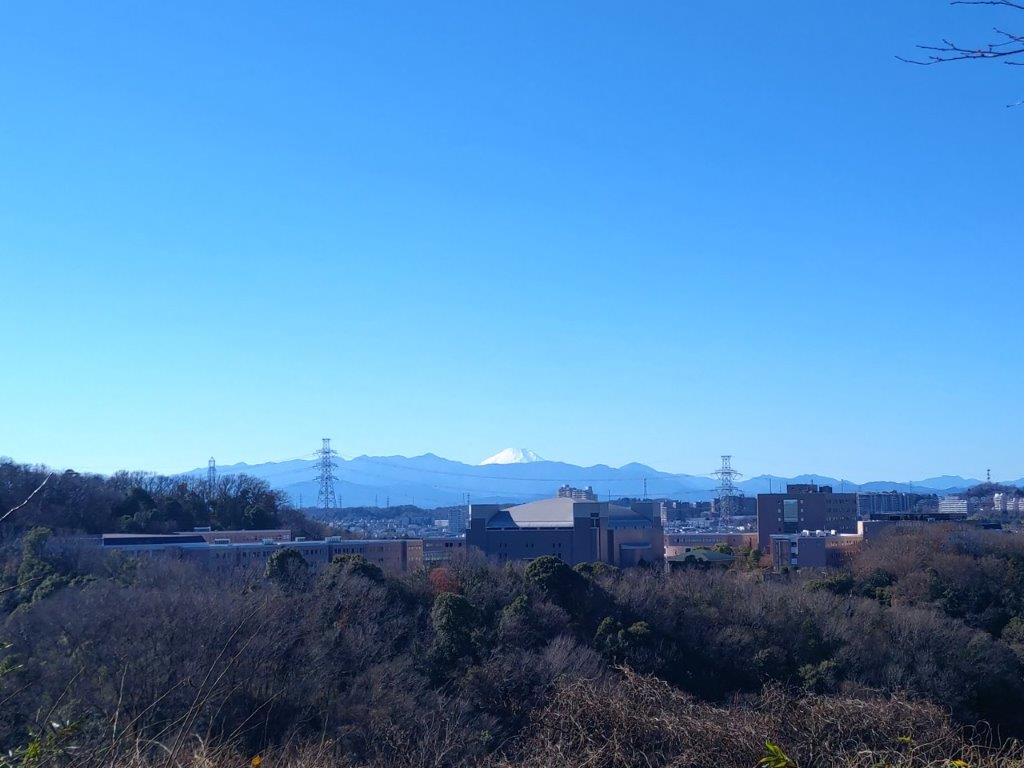
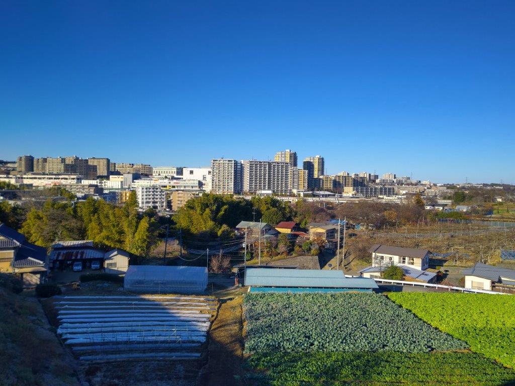
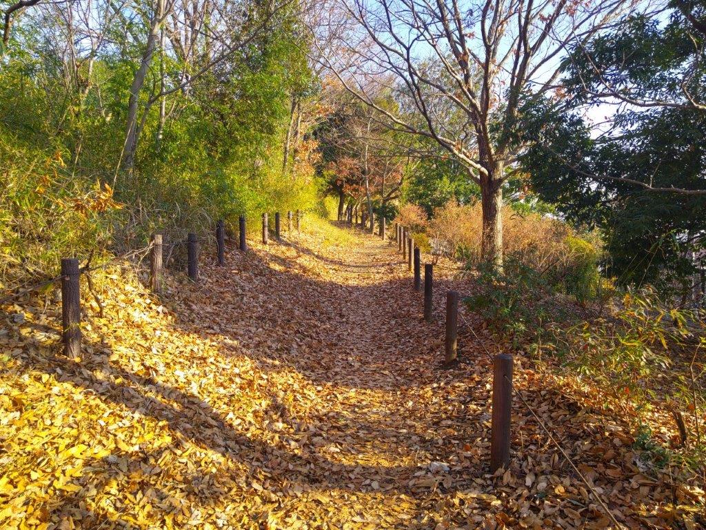
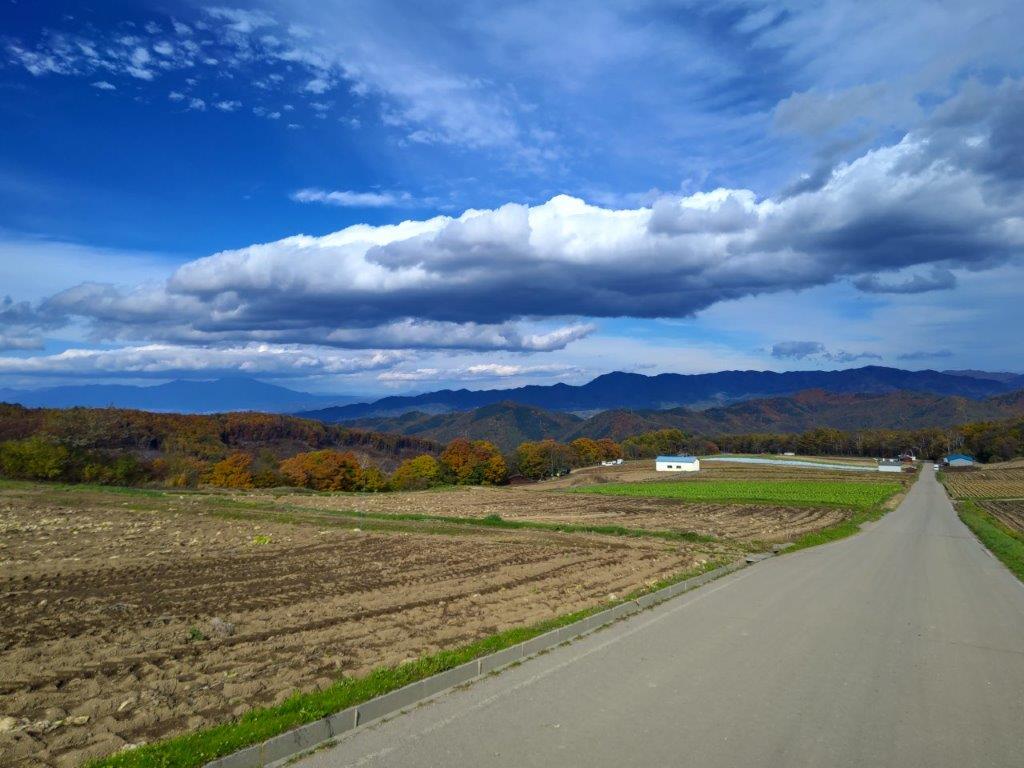
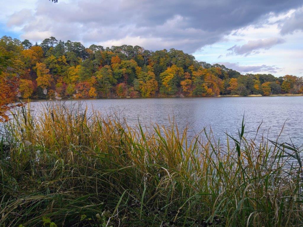
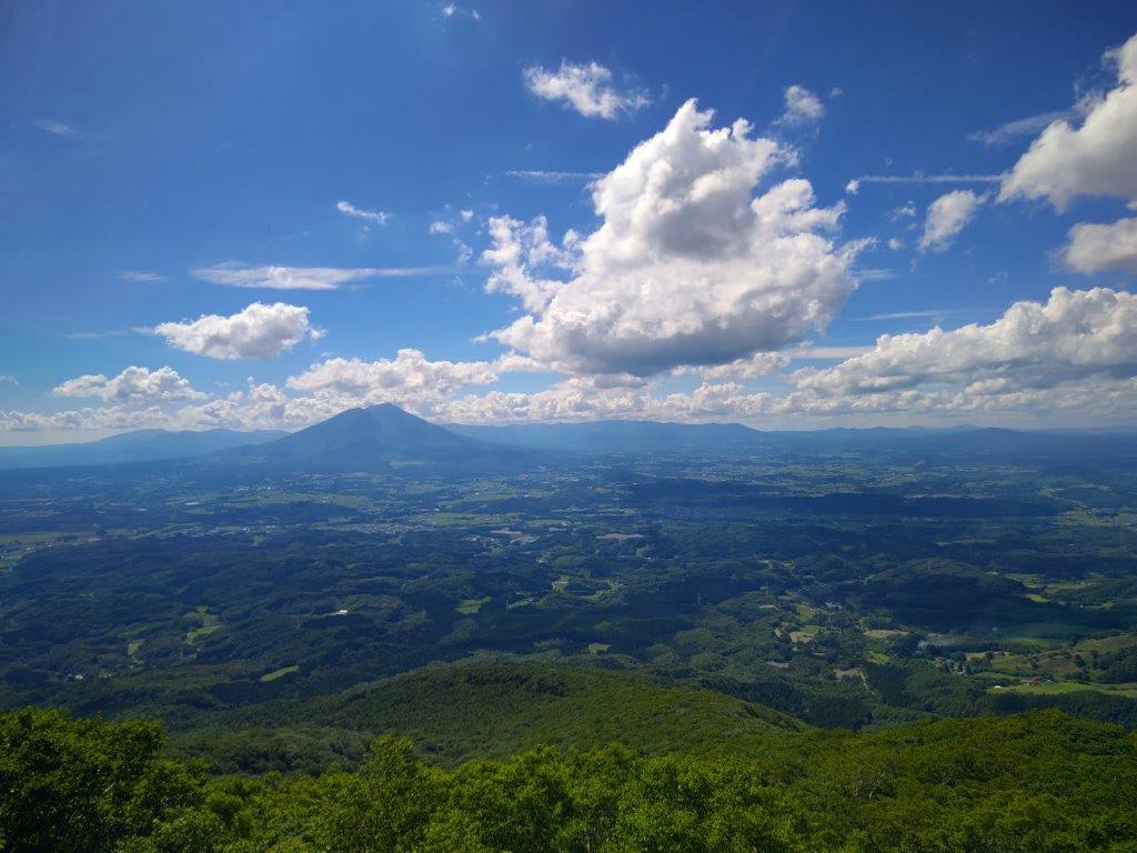
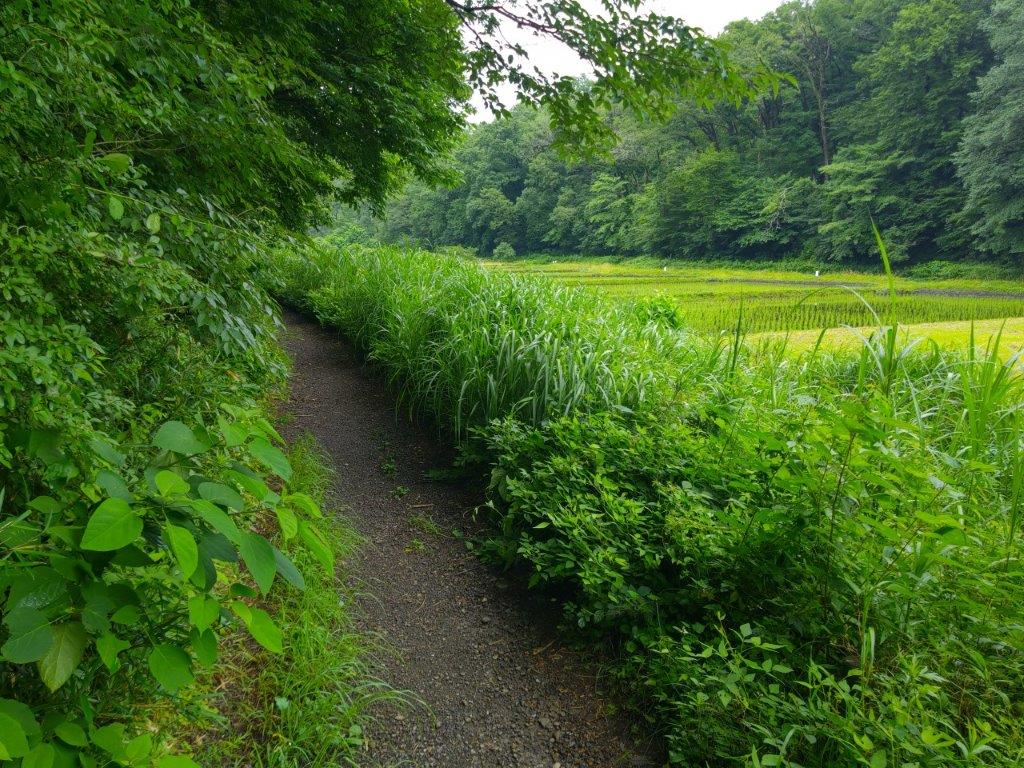
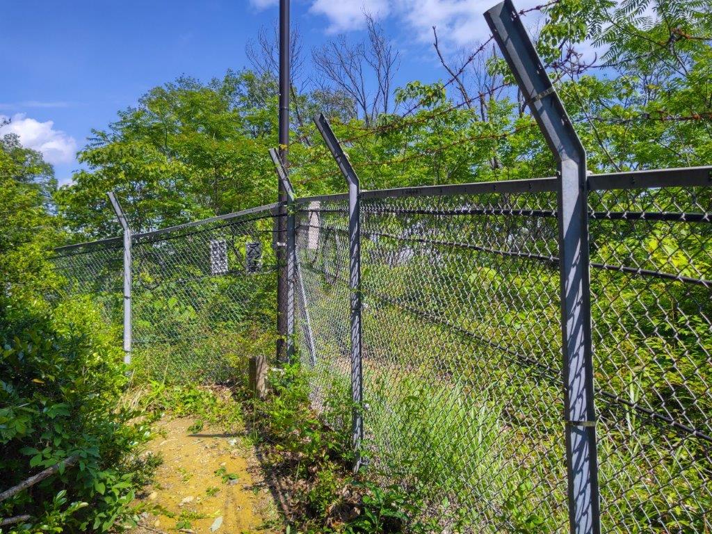
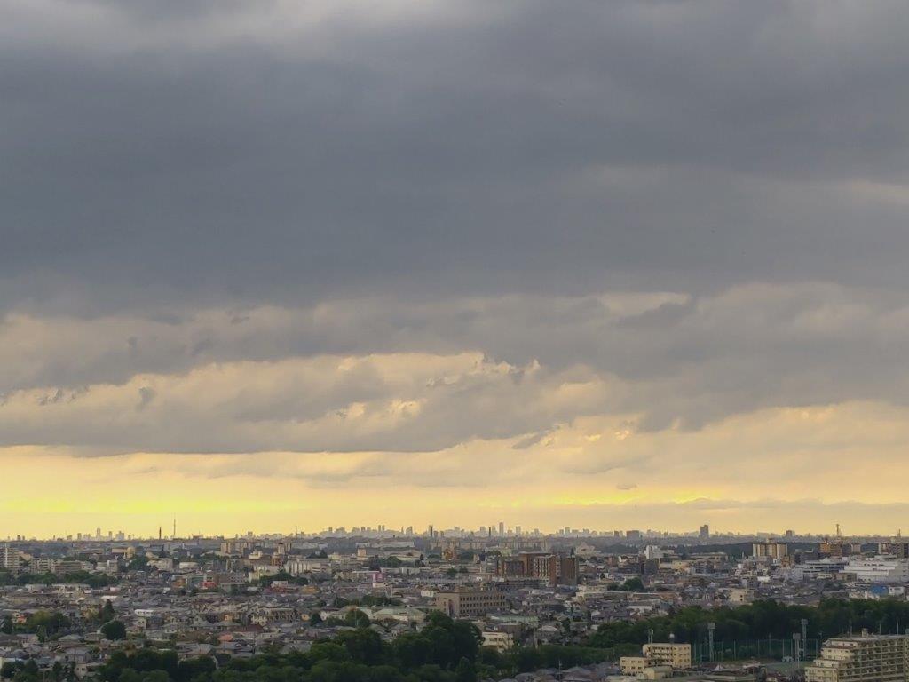
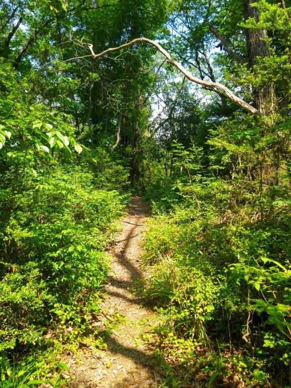
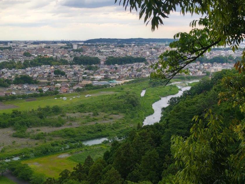
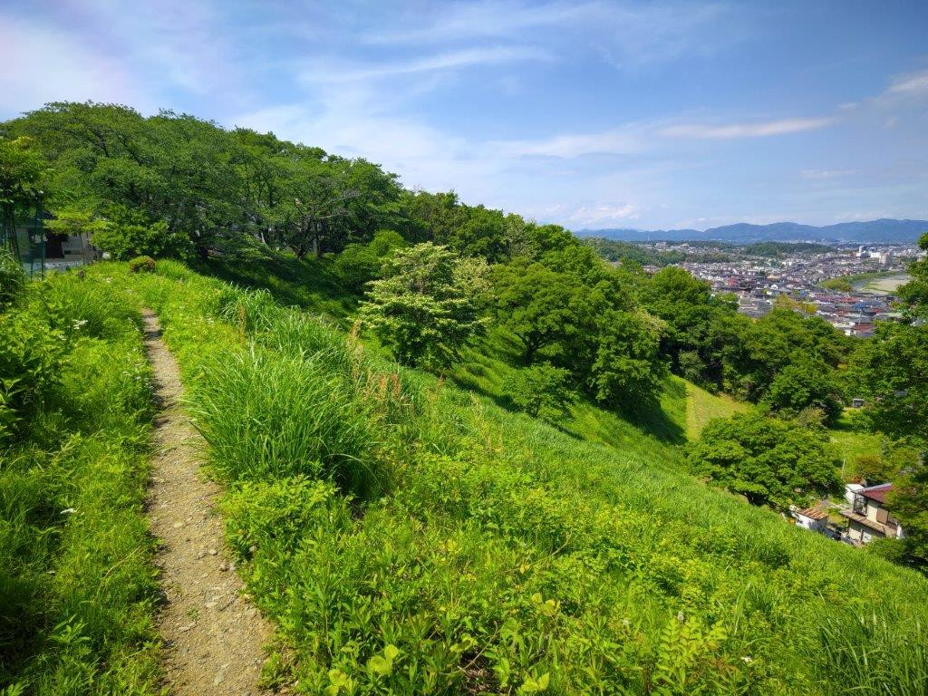
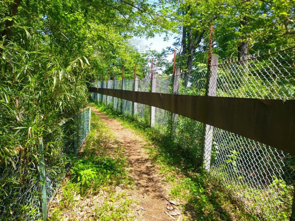
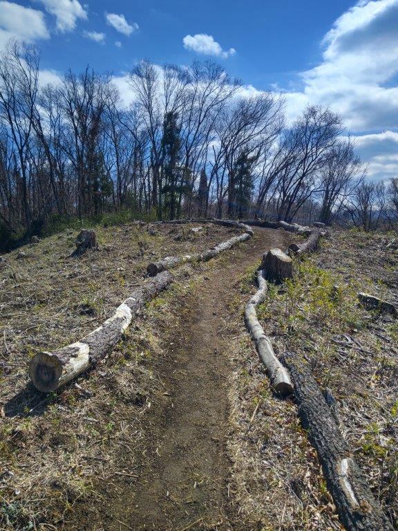
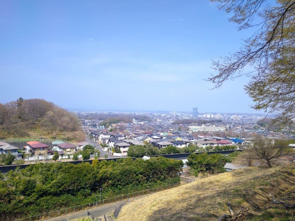
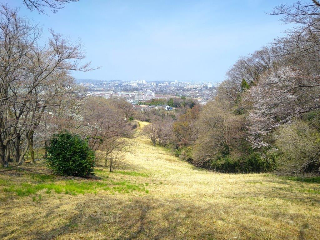
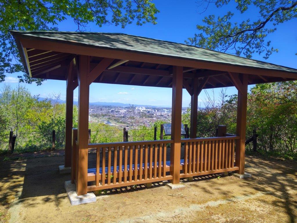
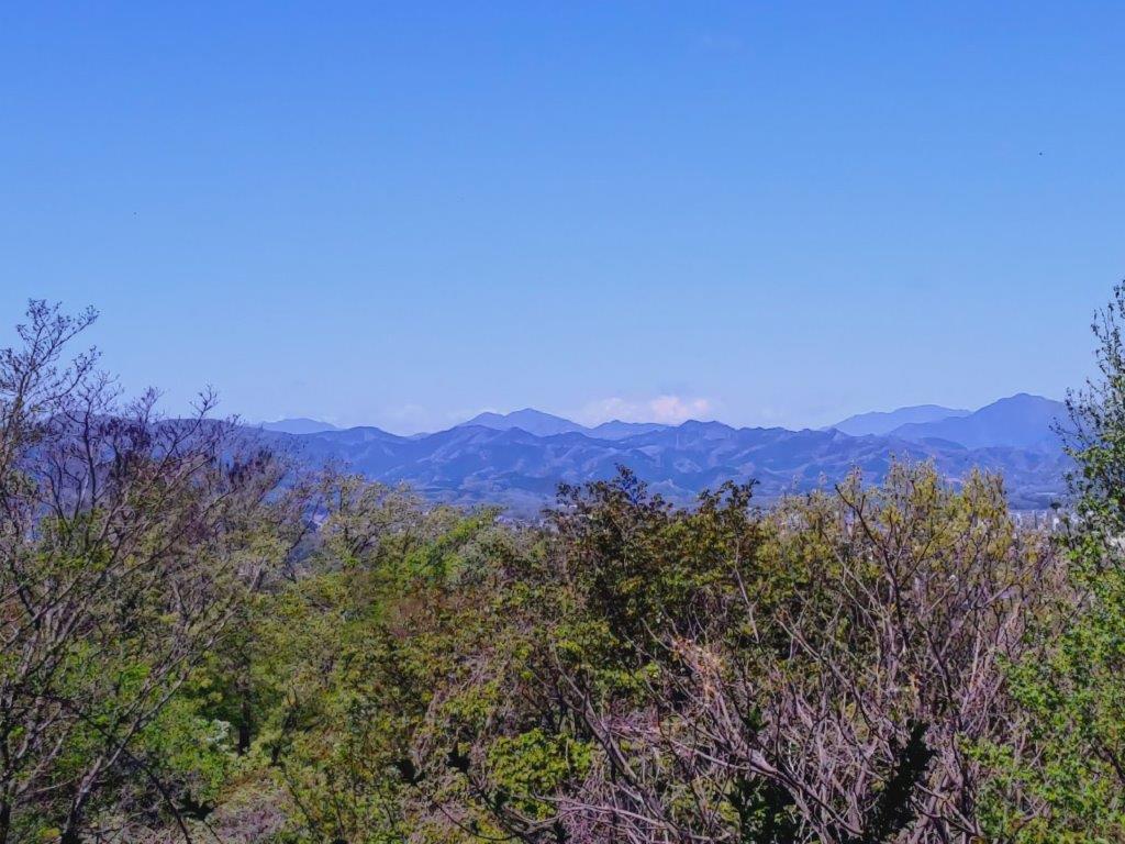
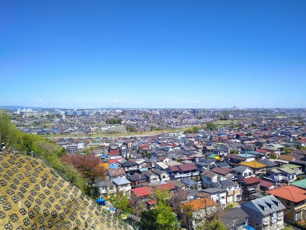
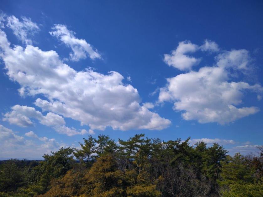
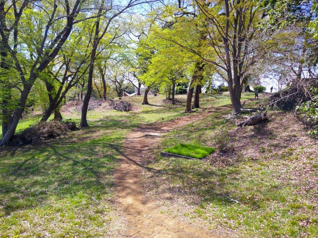
It was a cold winter day, spurring me on at a fast pace to warm myself up. At 12h30, I reached a viewpoint inside Nagaike Park (長池公園 168m), also the highest point of today’s walk. Looking west, I could see the higher peaks of the Tanzawa and Oku-chichibu mountains, as well as Mt Mito, Mt Gozen and Mt Kumotori, a dusting of snow on each summit; regrettably a building blocked the view of Mt Fuji. I exited the park and followed a paved road hugging its east side. Past a bridge over a 4-lane road, I spotted a footpath between a guardrail and a wooden fence, next to a warehouse belonging to a shipping company.
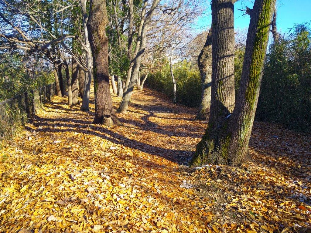
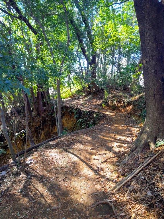
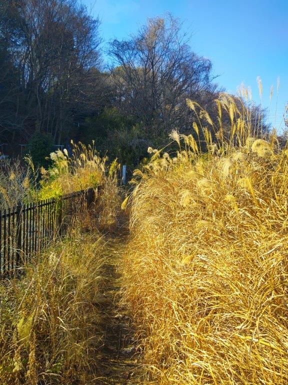
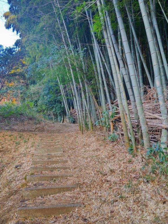
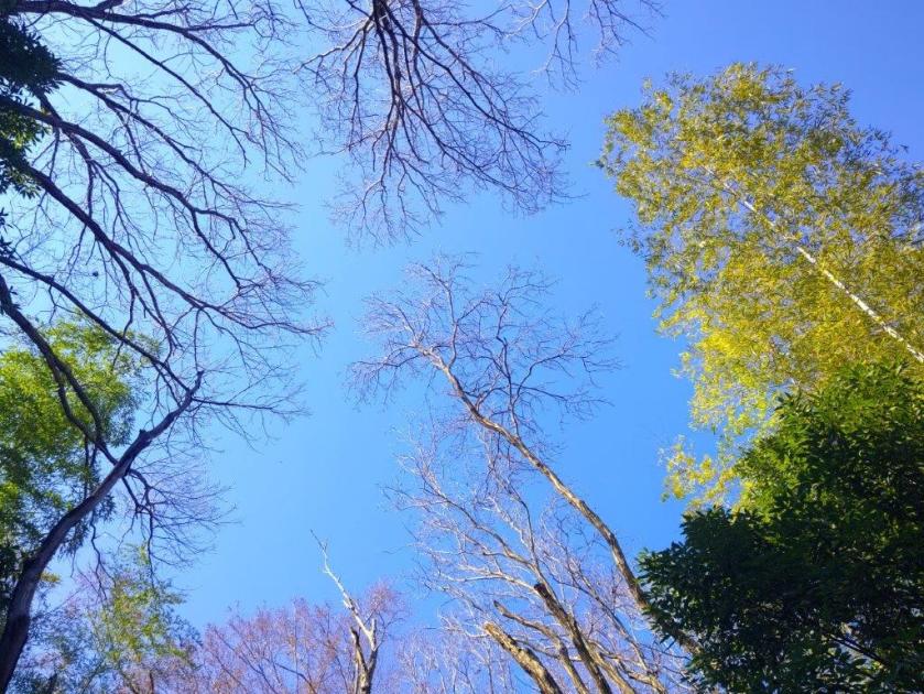
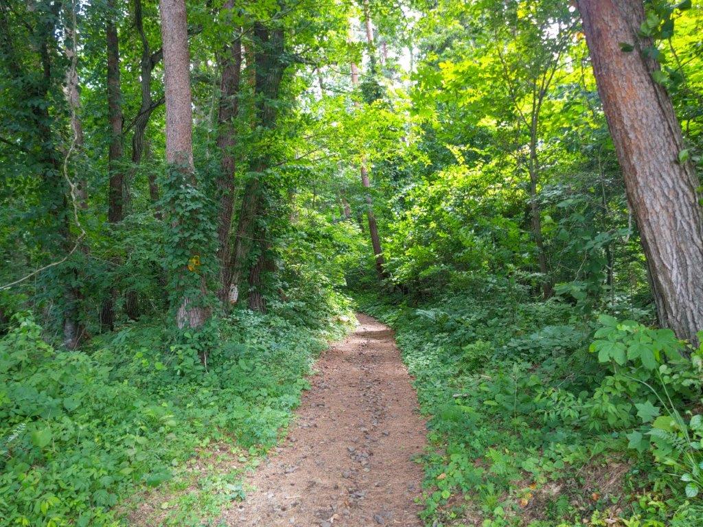
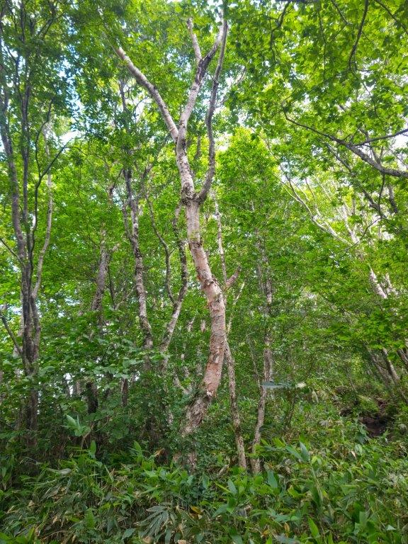
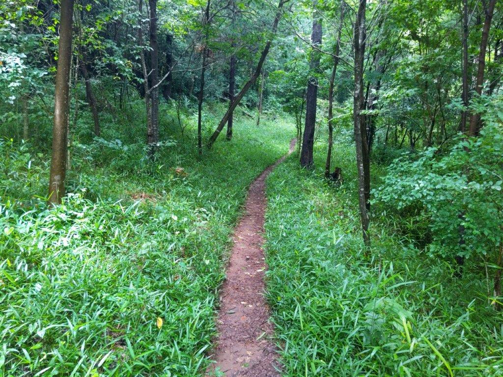
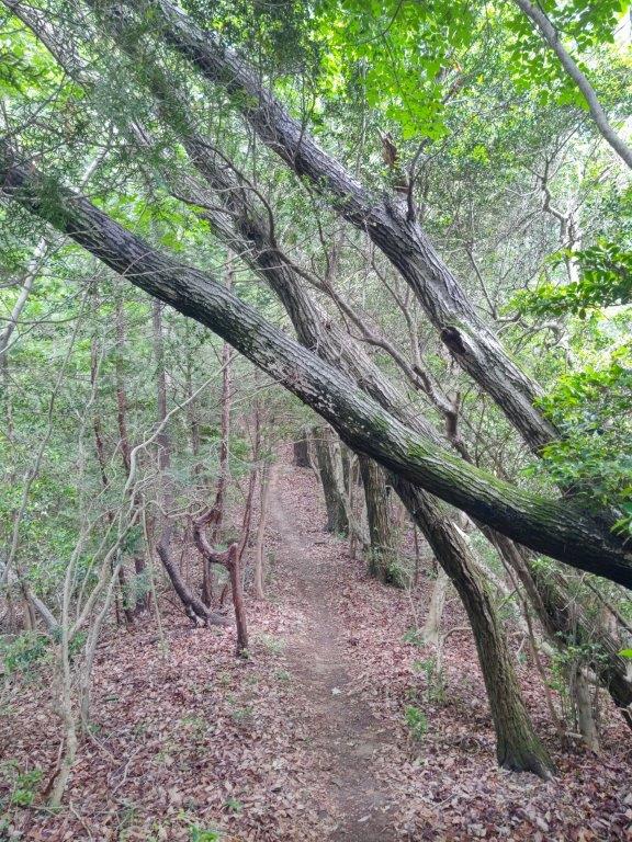
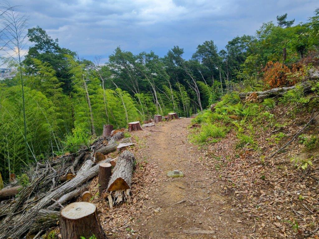
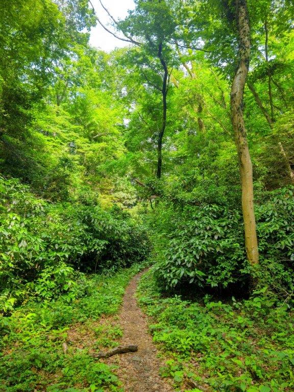
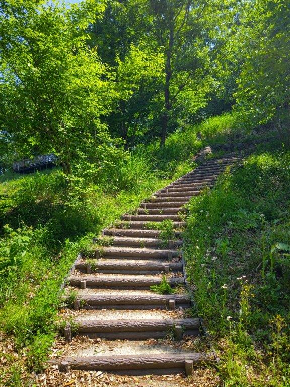
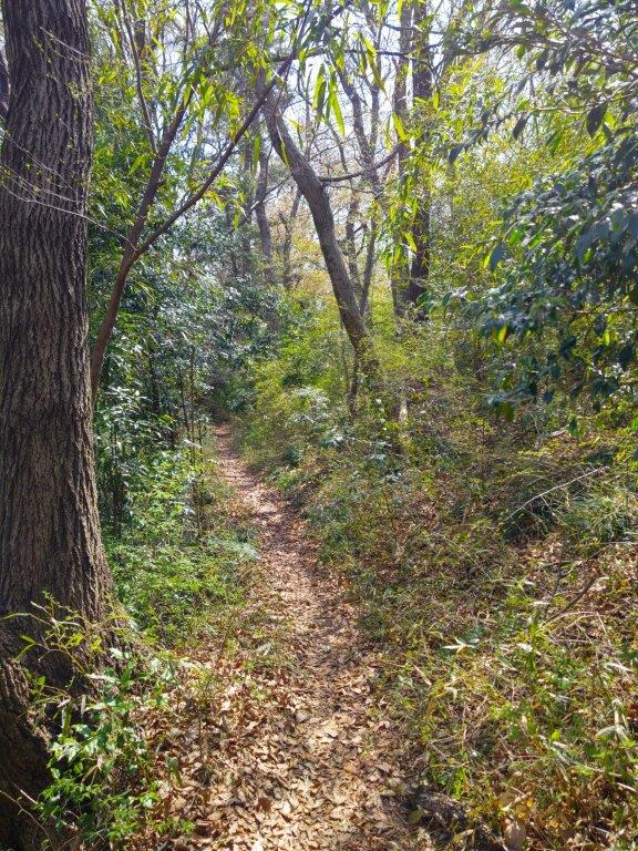
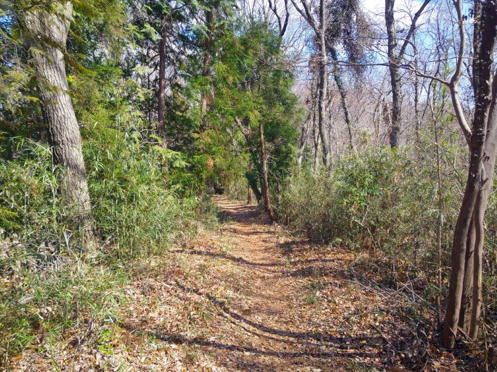
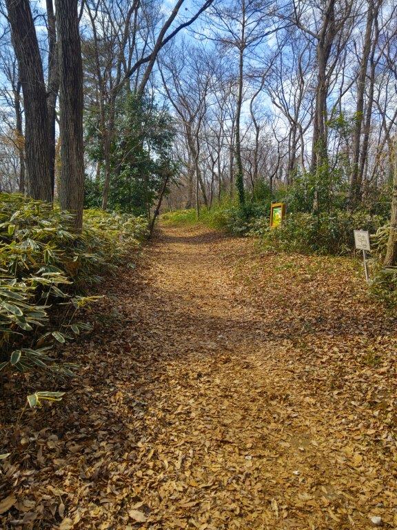
Western Section of the Yokoyama no Michi

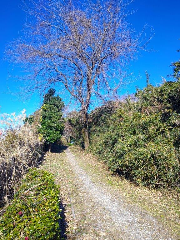
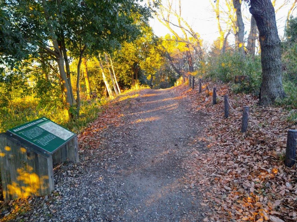
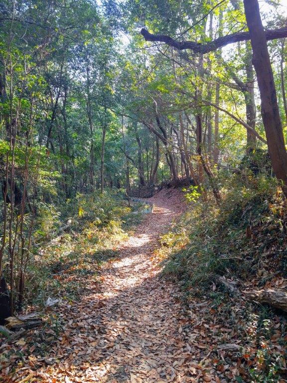
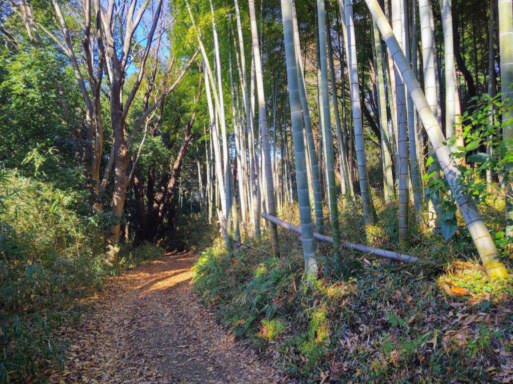
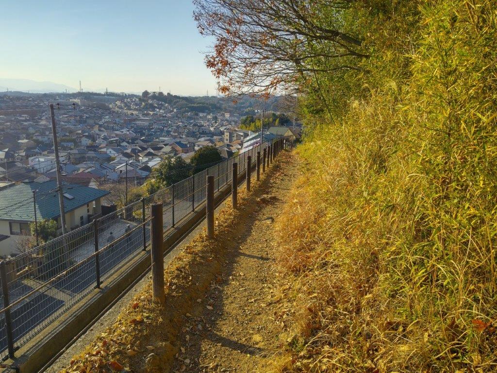
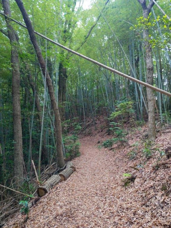
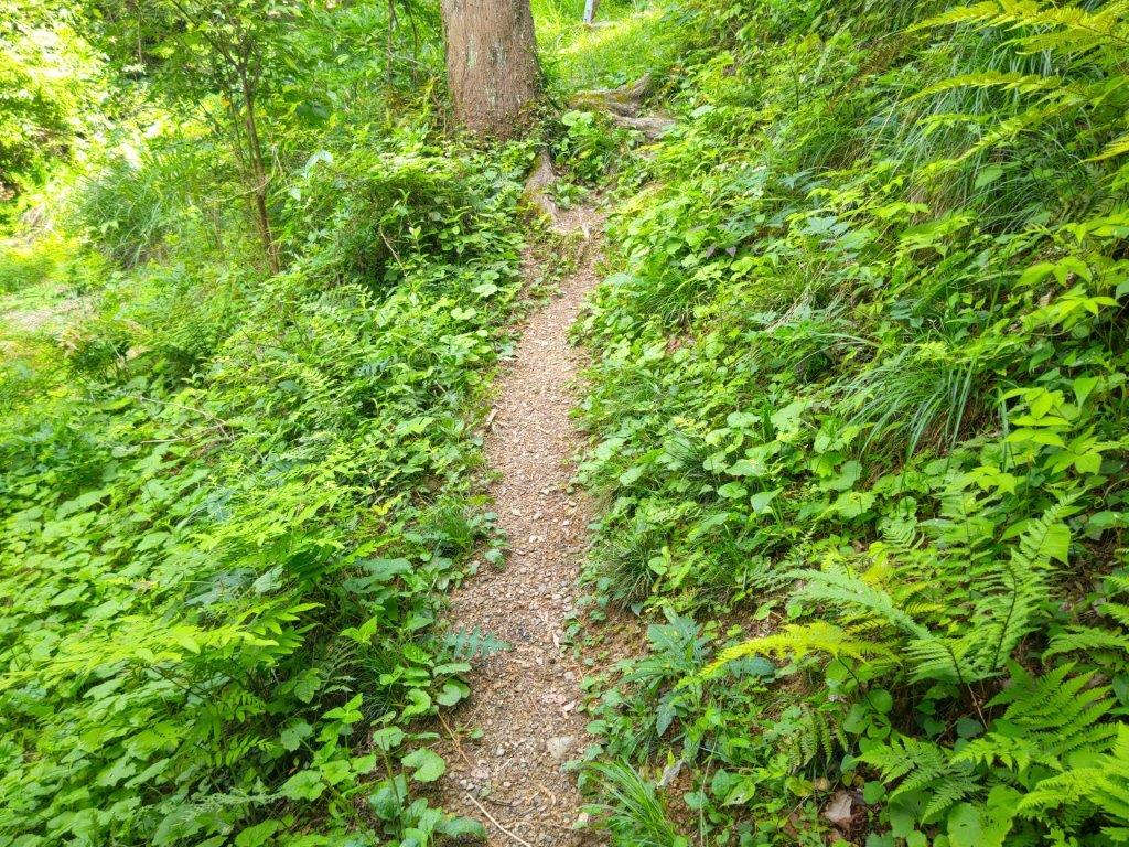
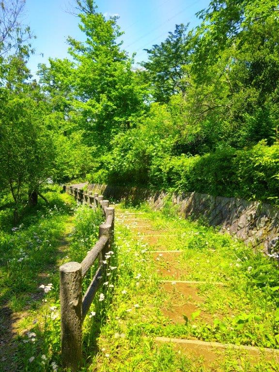
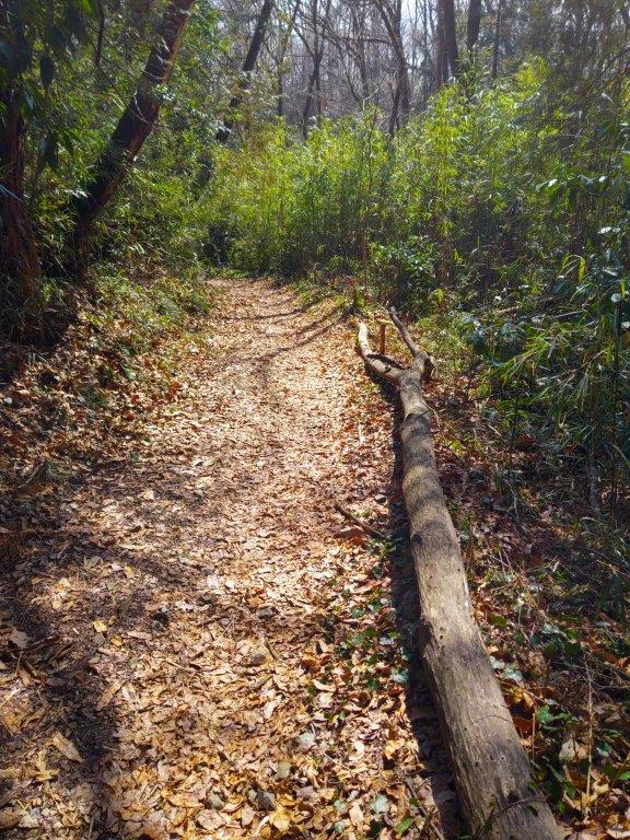
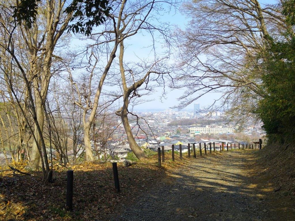
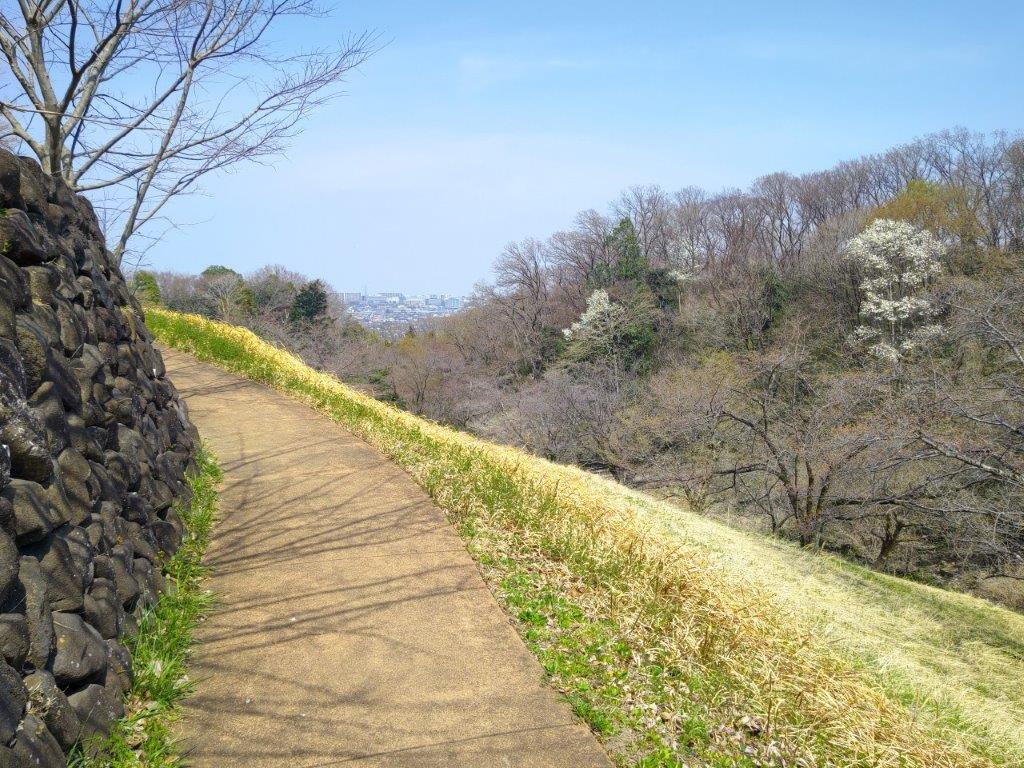
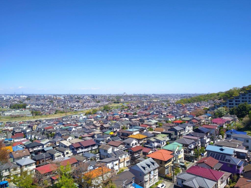
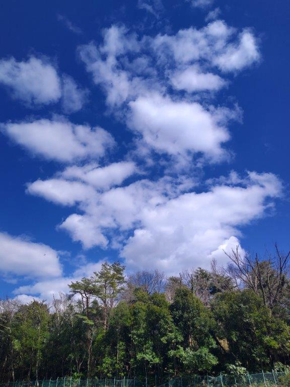
Karakida Section of the Yokoyama no Michi
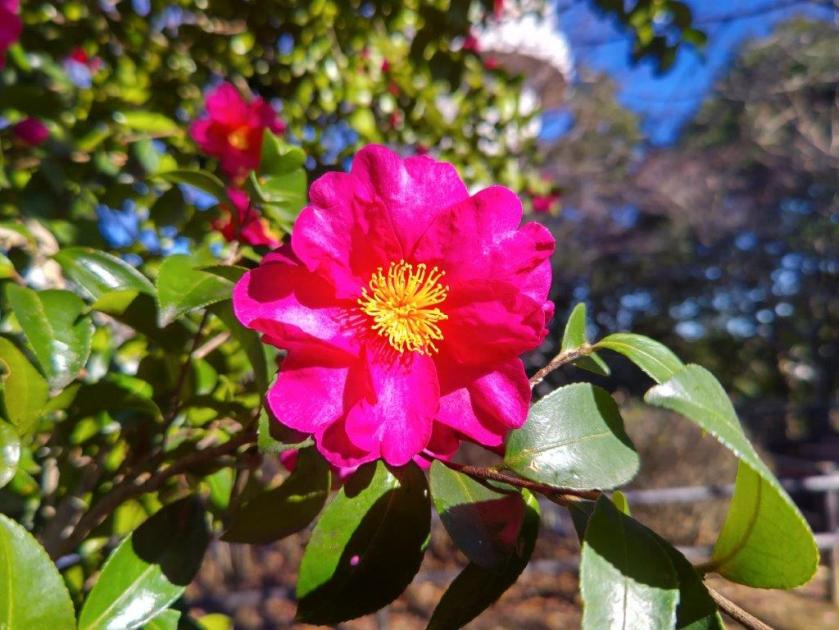
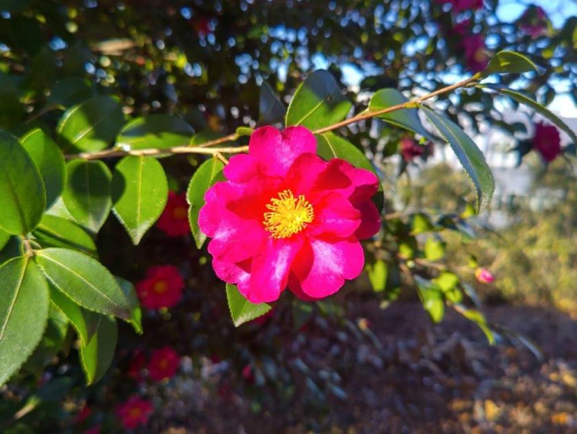
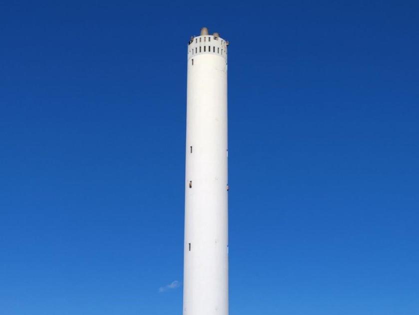
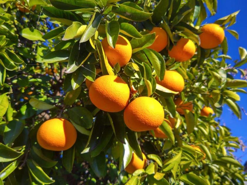
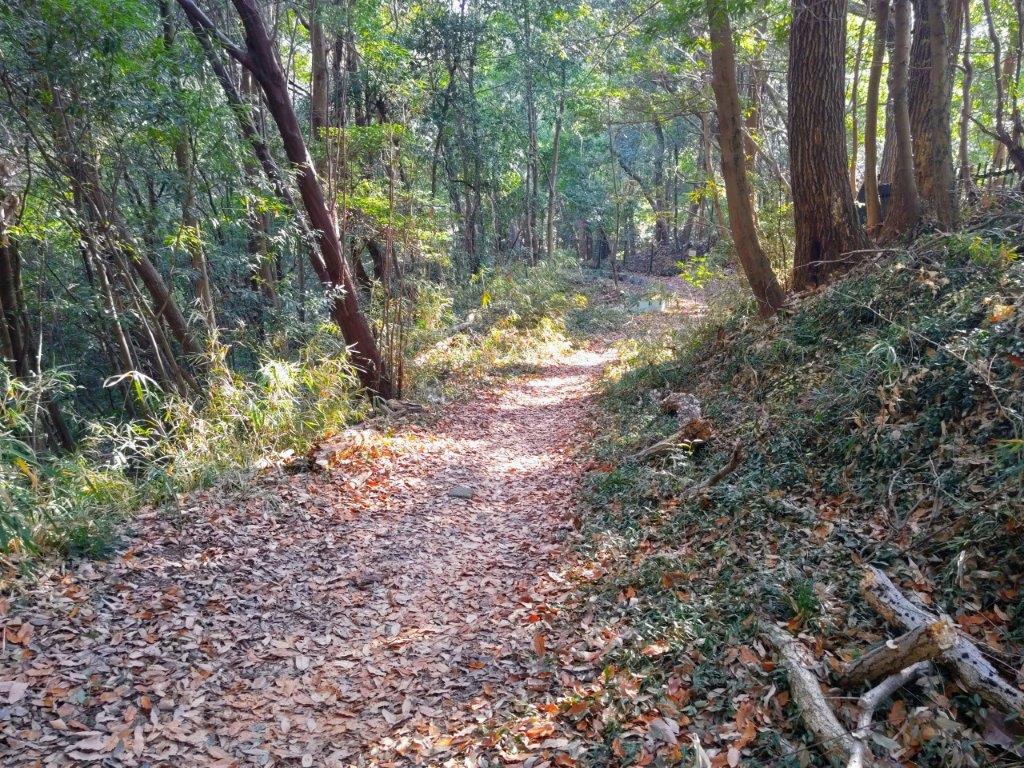
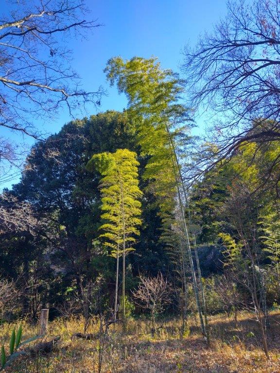
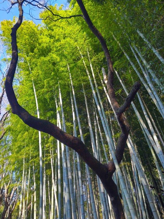
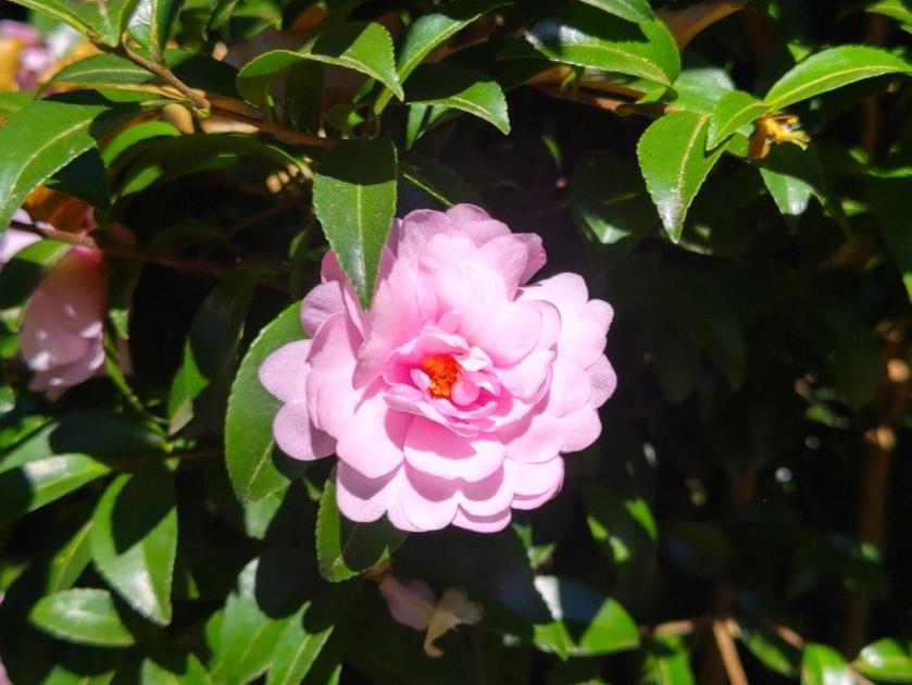
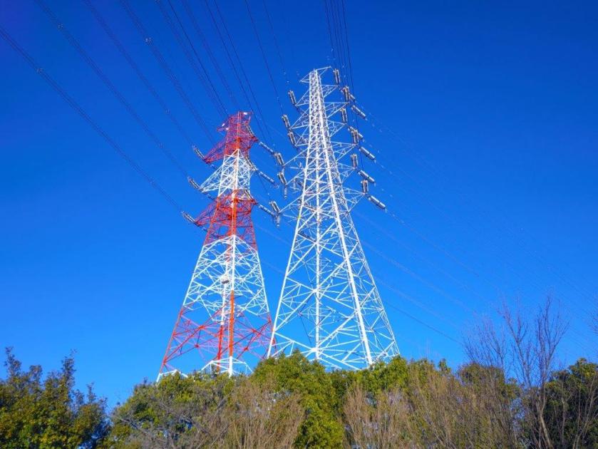
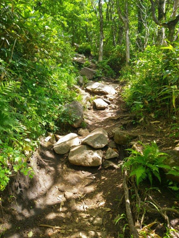
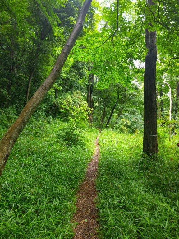
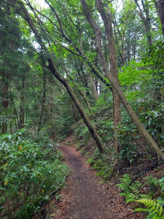
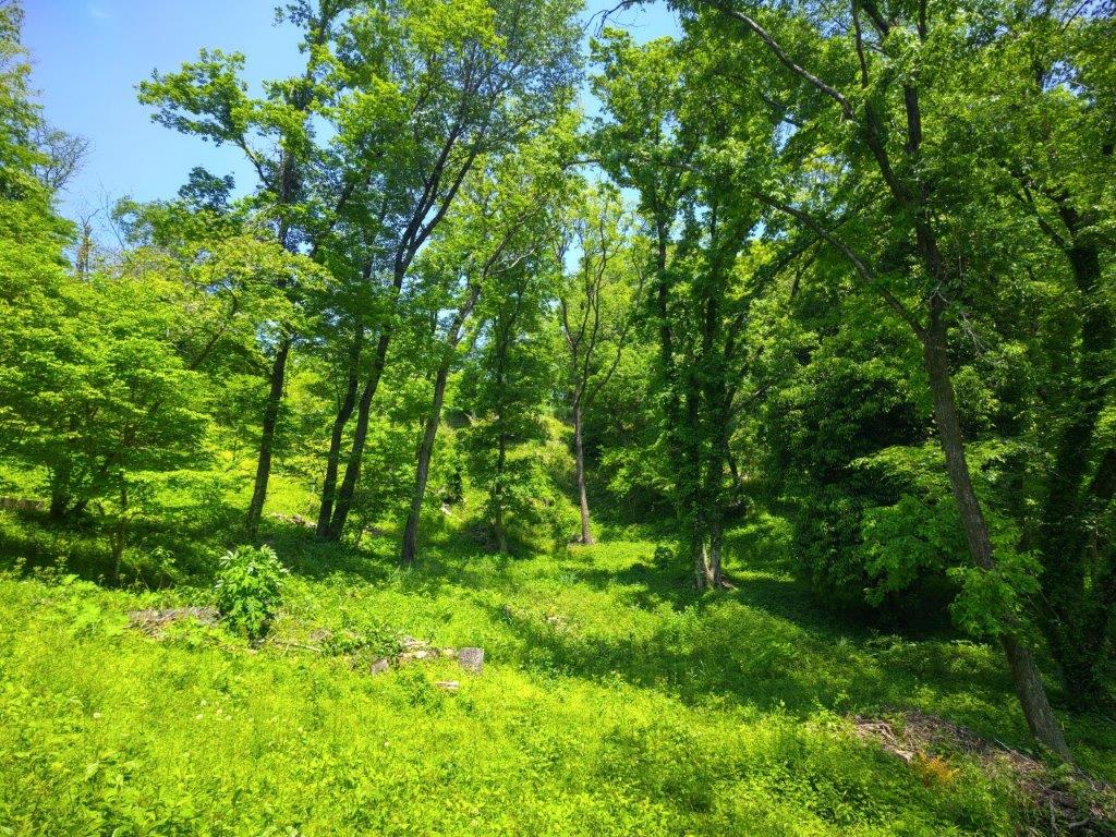
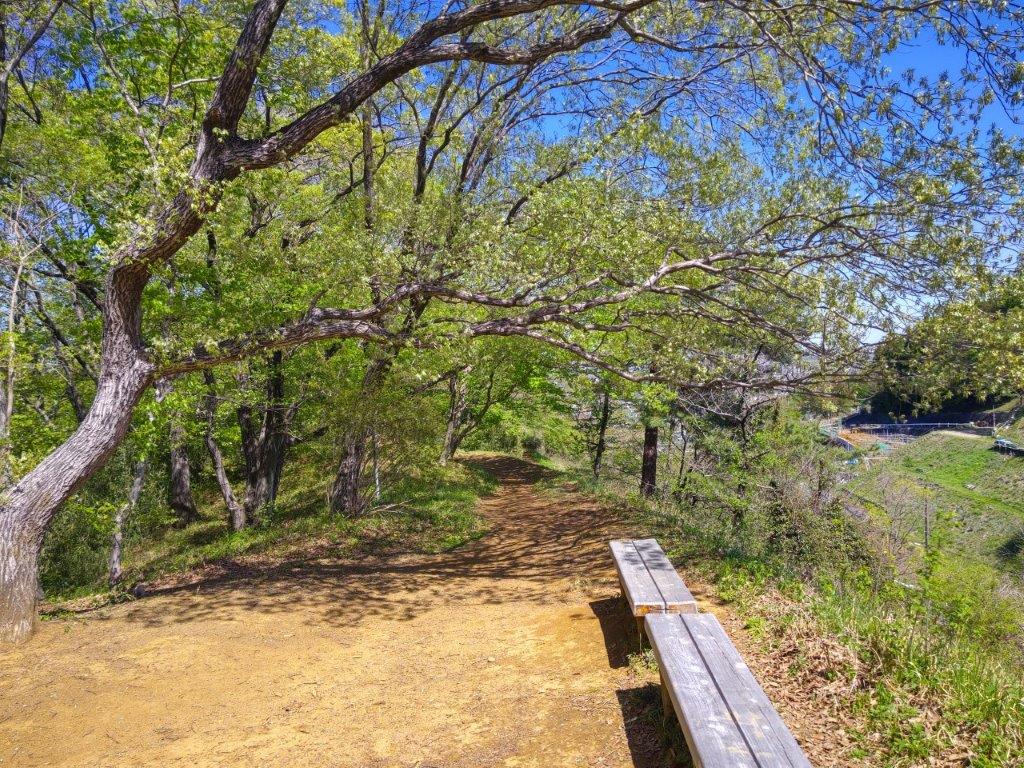
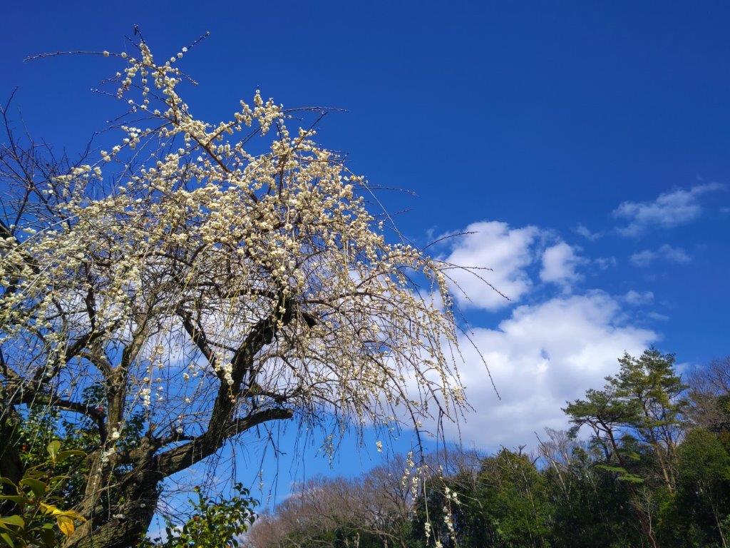
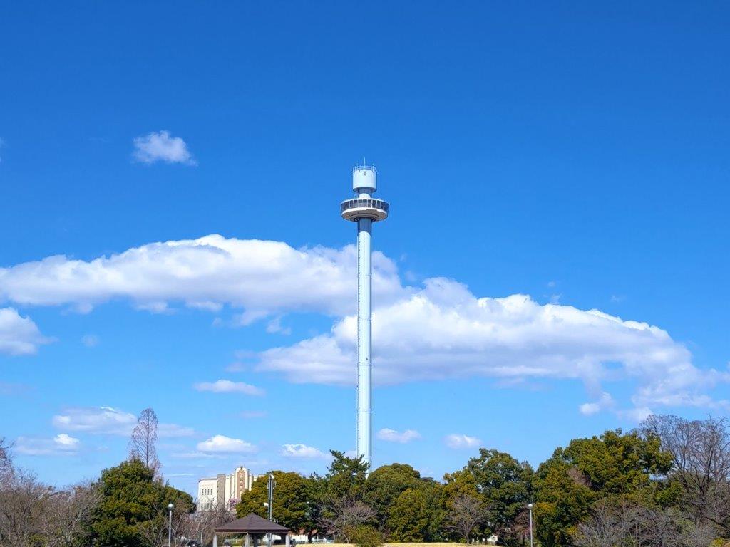
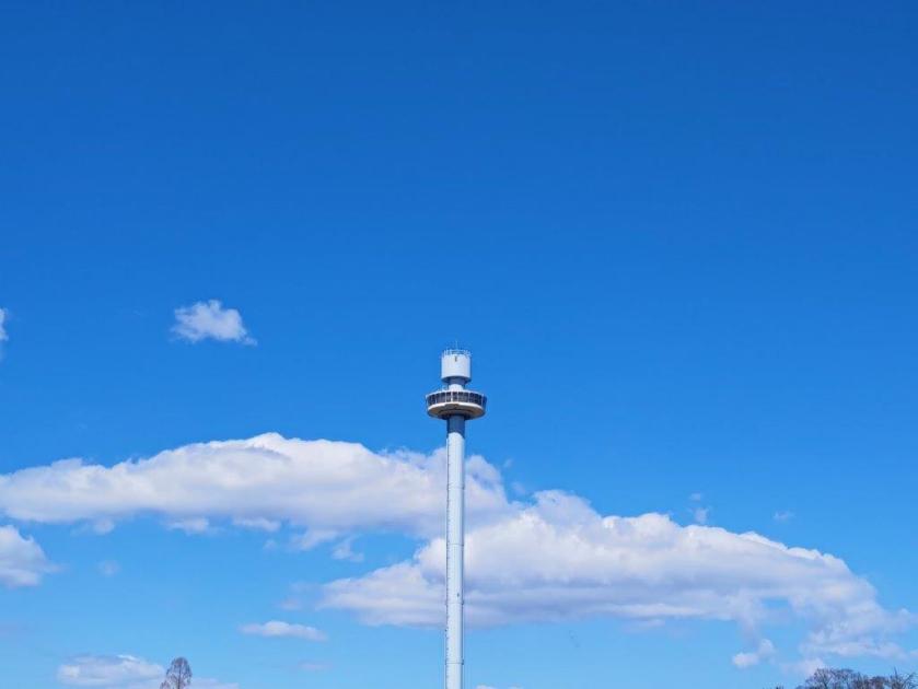
A thin layer of snow covered the trail, forcing me to proceed cautiously in the uphill sections. I was now at the Western Edge of the Tama Yokoyama no Michi (多摩よこやまの道西端 164m). Beyond a white tower from a water distribution station, I arrived at a viewpoint of the Tsurumi river headwaters on the southwest side, although I could only see forest, as well as an electric power line in the far distance. I soon set off again, following a dirt trail northwest, red “tsubaki” (camelia) occasionally brightening the evergreen vegetation.

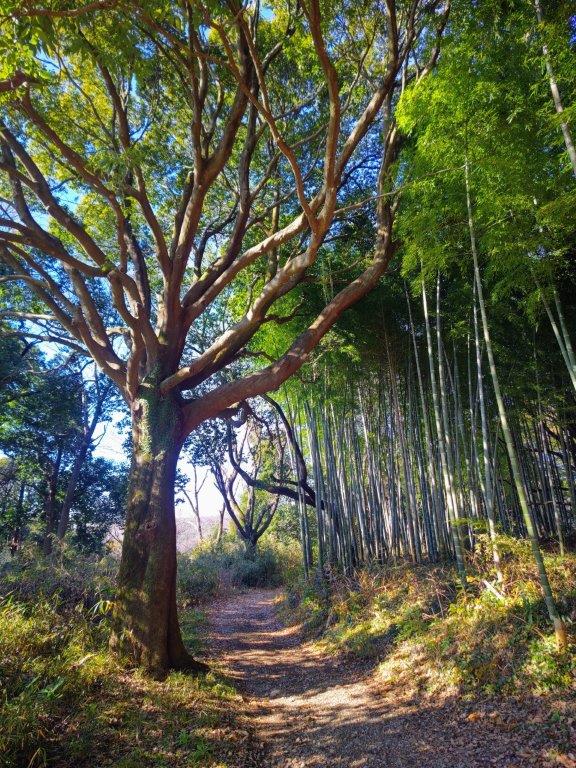
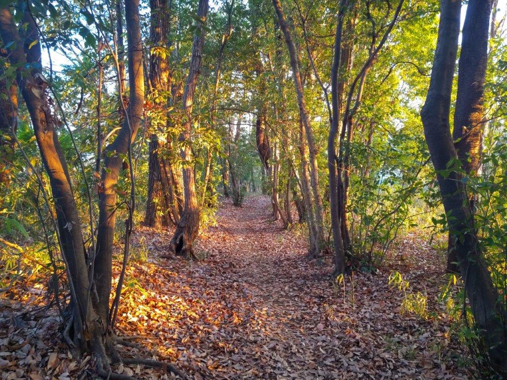
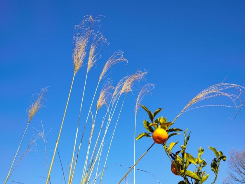
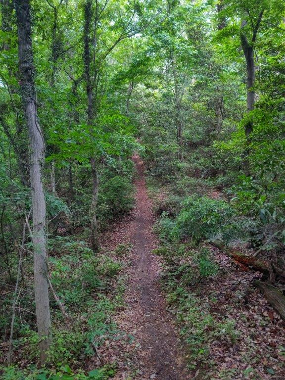
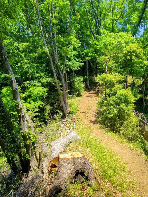
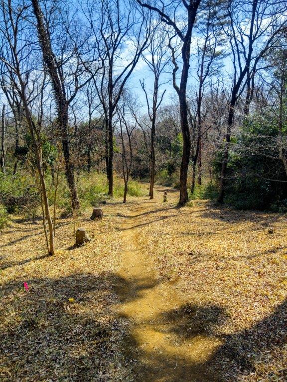
Trail alongside the Tokyo Kokusai Golf Course

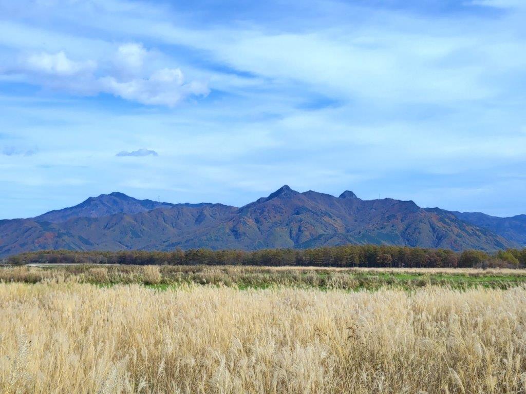
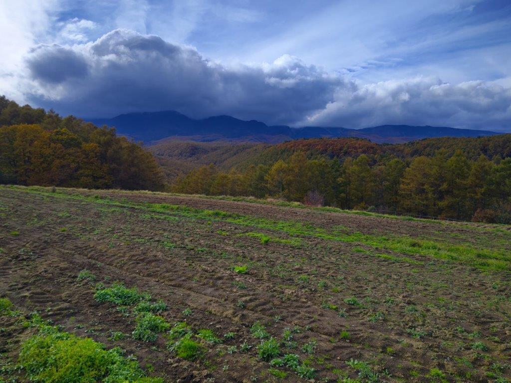
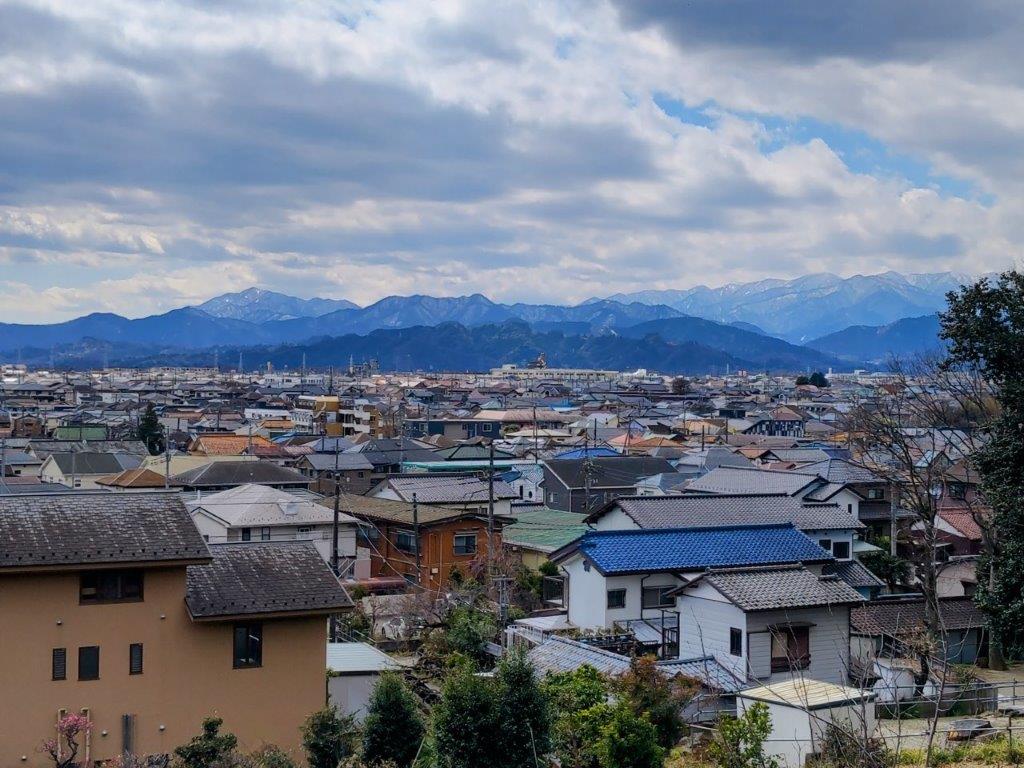
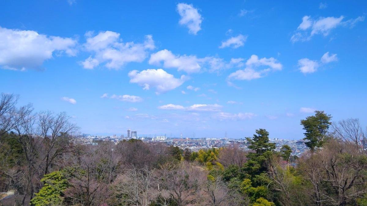
View South of the Tanzawa Mountains
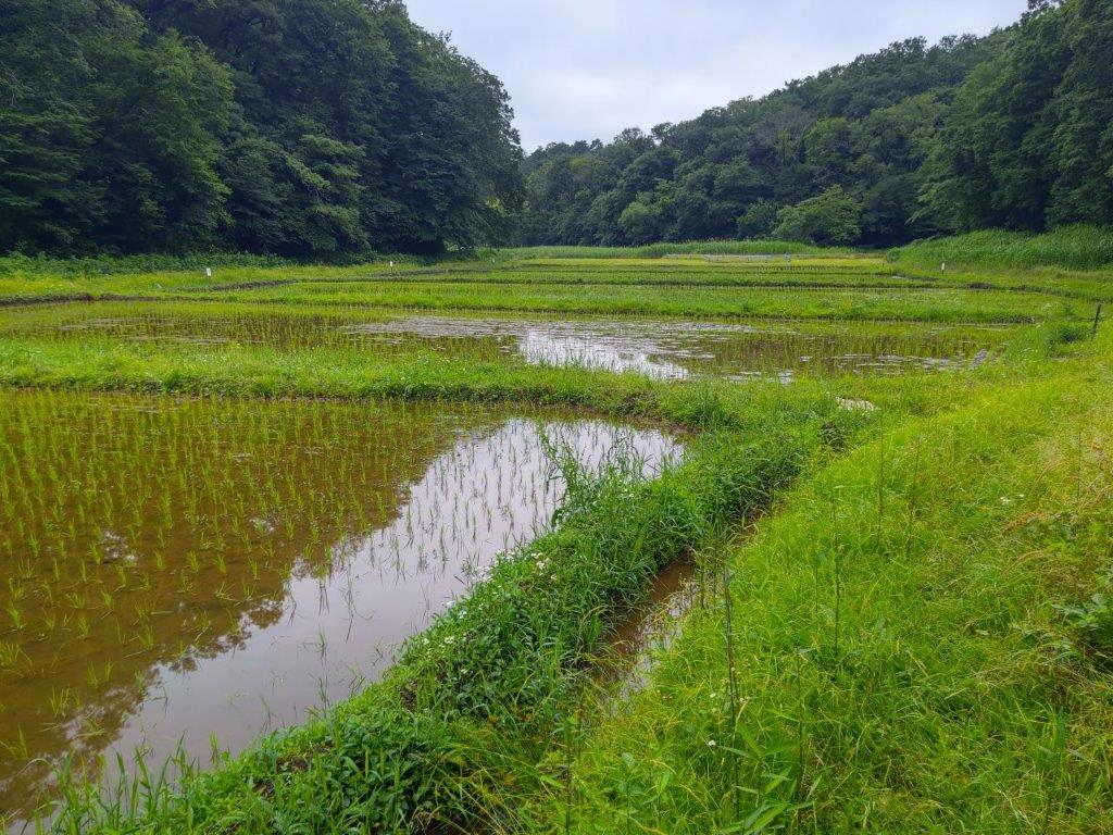
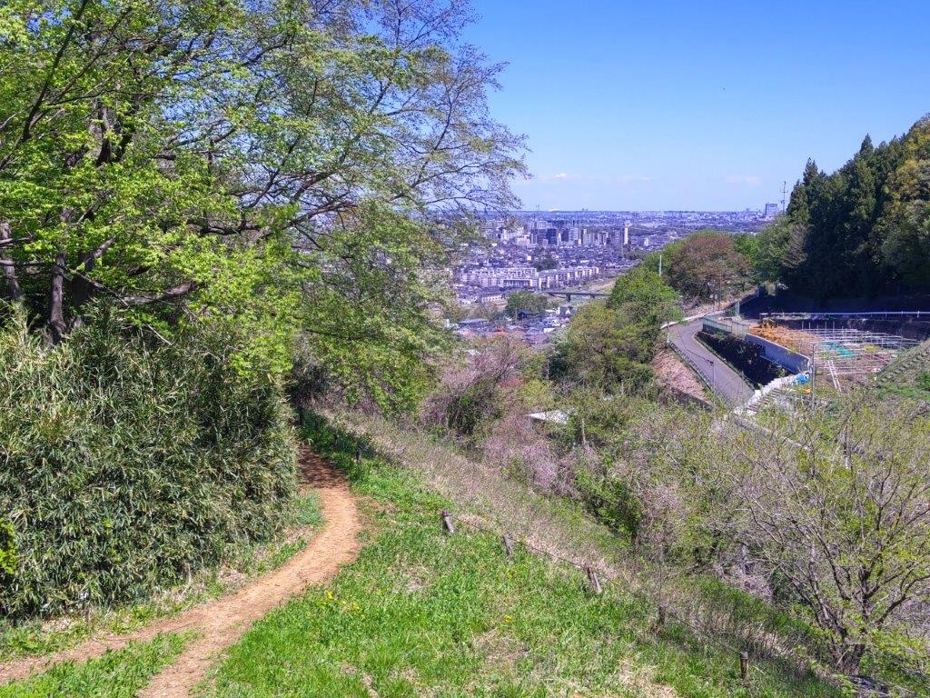
After some ups and downs, I reached a flat, straight section covered in fallen leaves with glimpses of the Musashino plain on the north side. A little after 1pm, I found myself walking along a tree-lined promenade with buildings on the left and vegetable fields on the right. After crossing a road for Karakida station, I headed up some steps leading to a dirt path between the white tower of a recycling center and a golf course. Beyond a fence leading to a private farm, I had an unexpected view of the Tanzawa mountains.
Descending into a Snowy Shaded Valley
Icy Path on a Cold Day
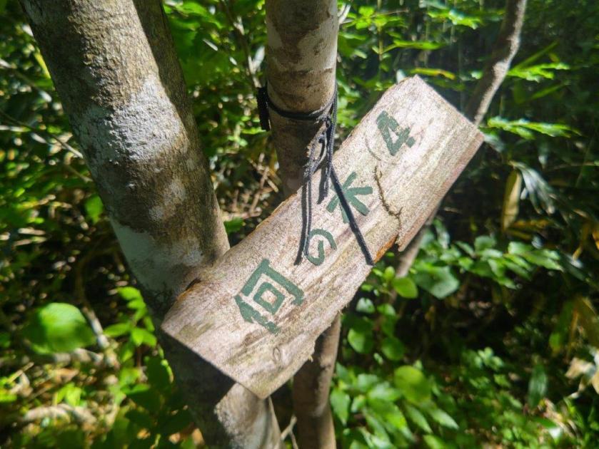
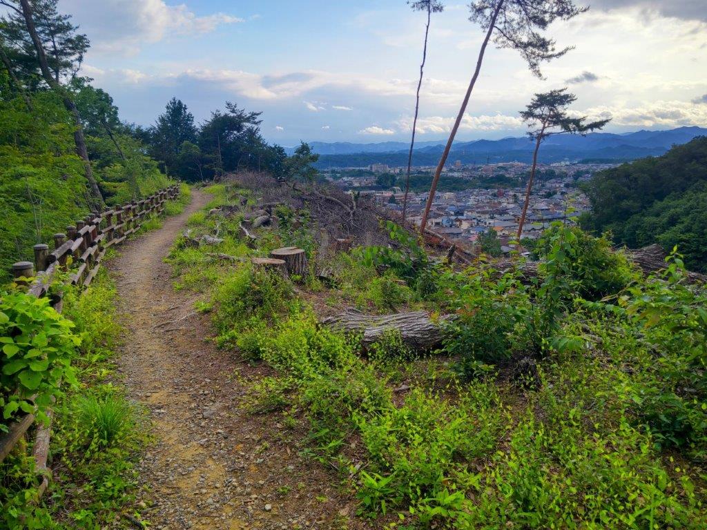
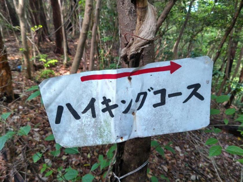
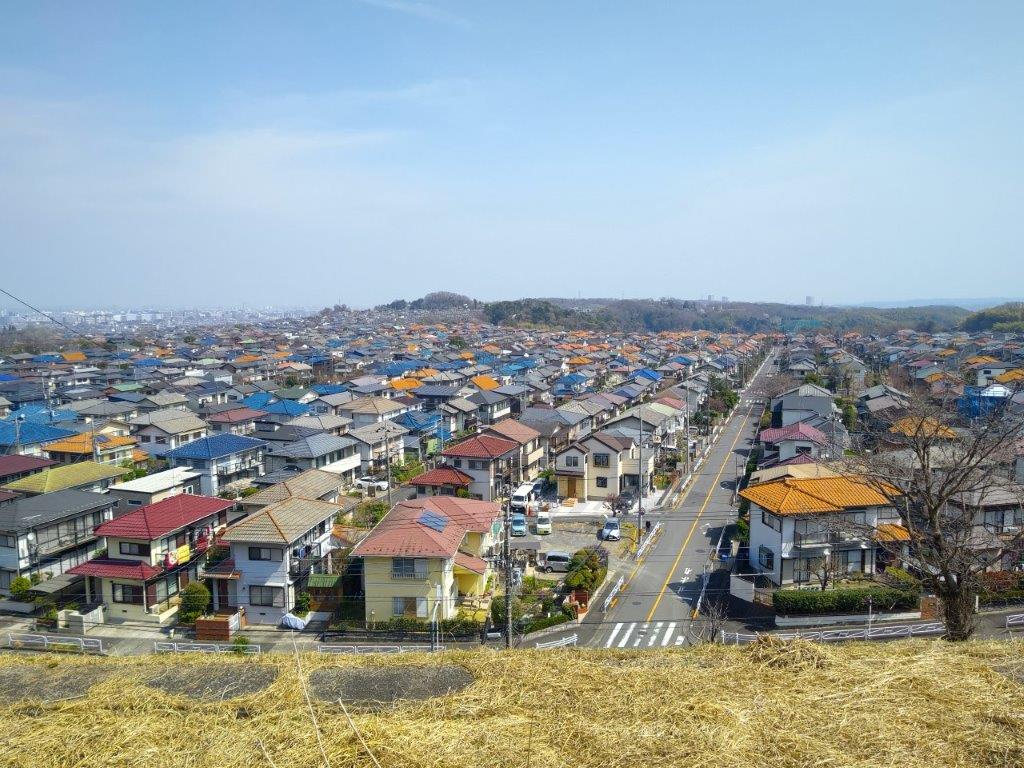
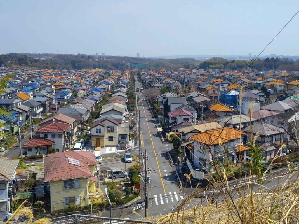
Gazing at the bucolic scenery and listening to the cheerful birdsong, it was hard to believe I was still inside Tokyo. At a junction, I turned left and carefully made my way down an icy path into a snowy valley deep in the shade. Alternating sidewalks and footpaths, I contoured the northern side of the Tokyo Kokusai Golf Club, the Yokoyama no Michi alway easy to follow thanks to the frequent wooden signposts. After a short climb through a residential neighbourhood, I reached another viewpoint of the Tanzawa mountains on the right side.
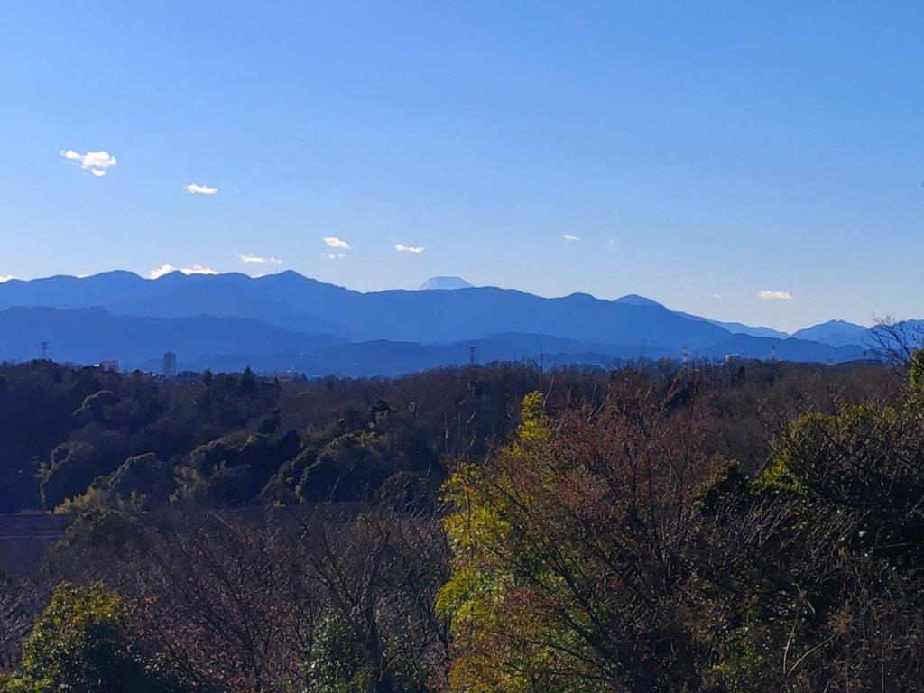
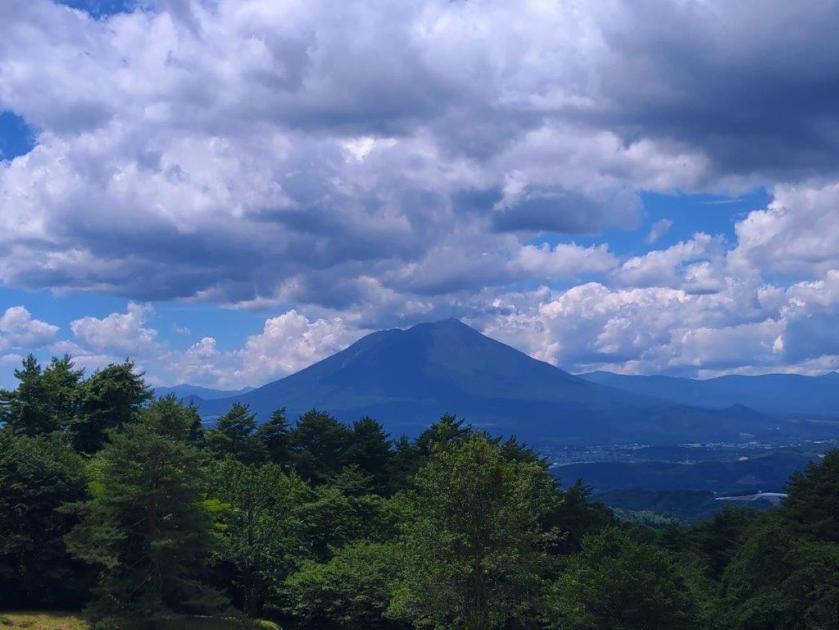
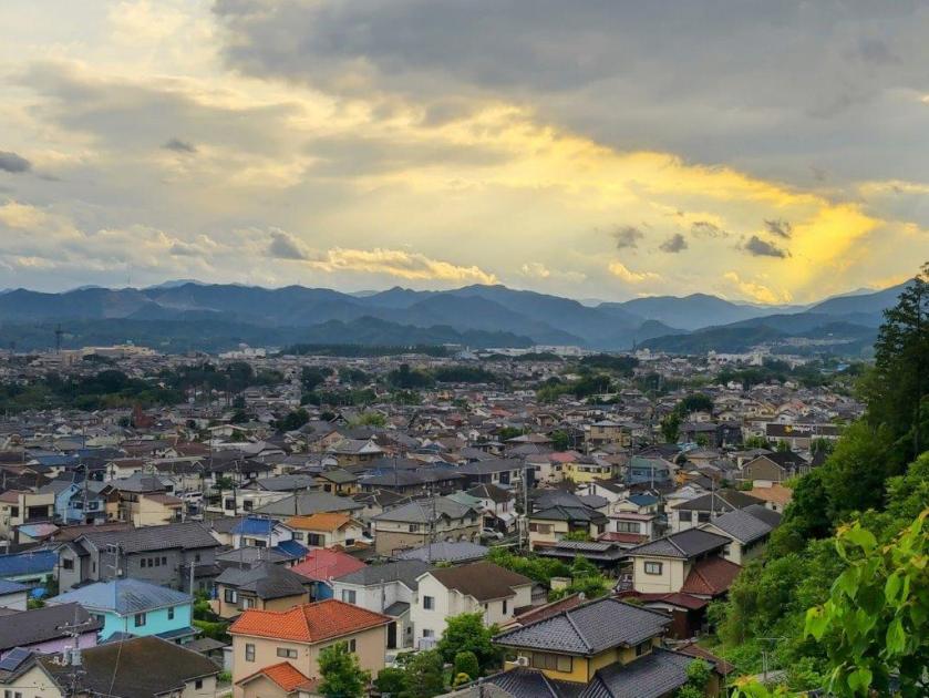
View of Mt Fuji & the Tanzawa mountains

Past the Yellow Houses, the Okutama Mountains
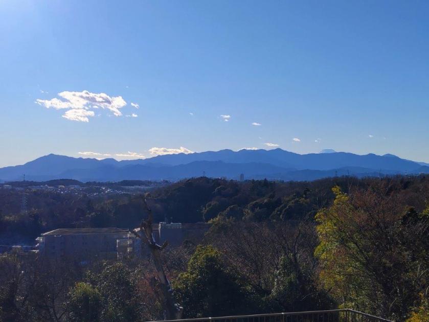
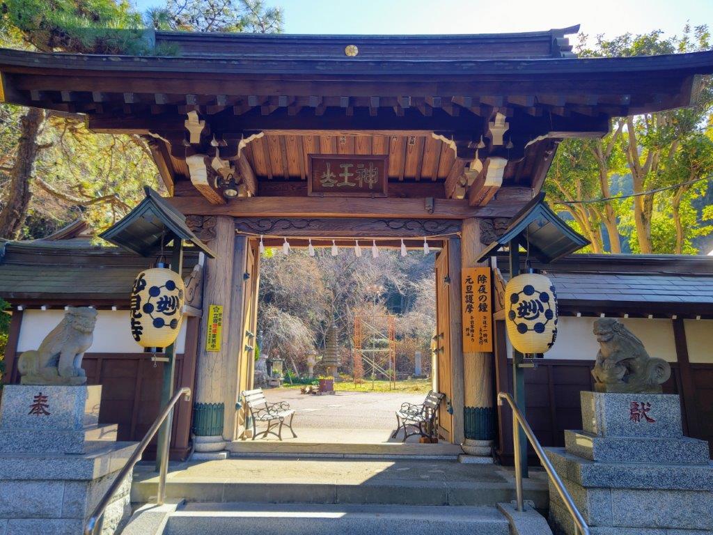
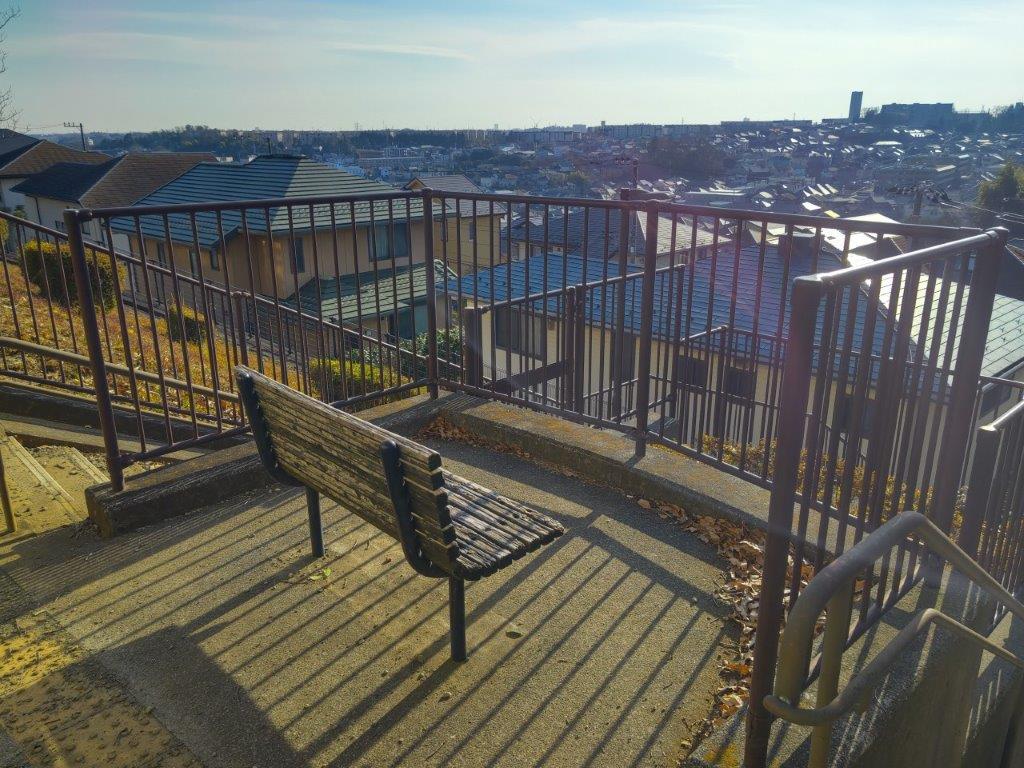
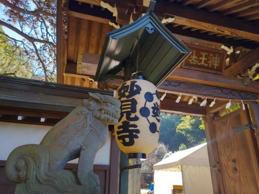
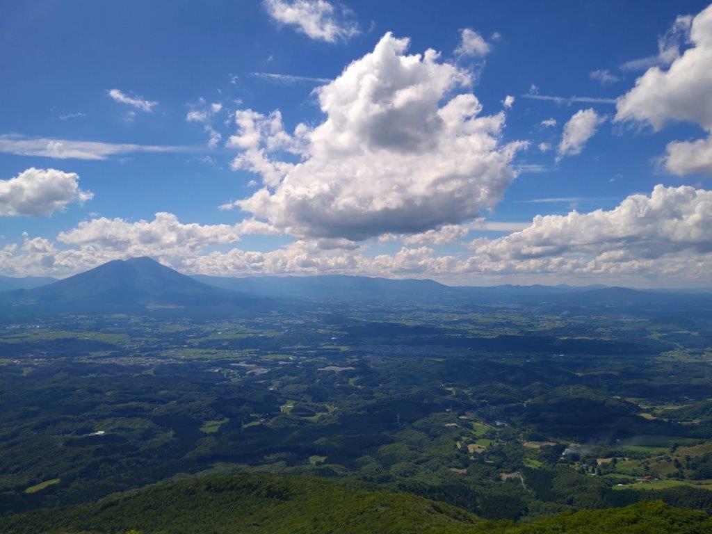
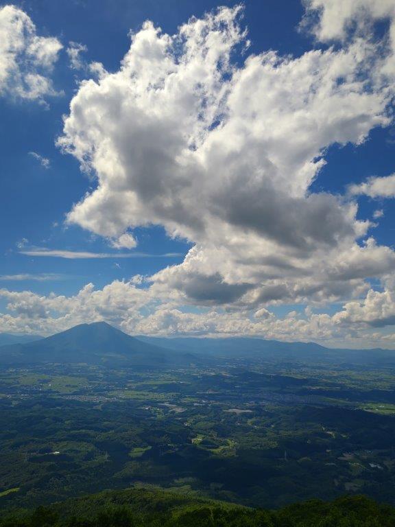
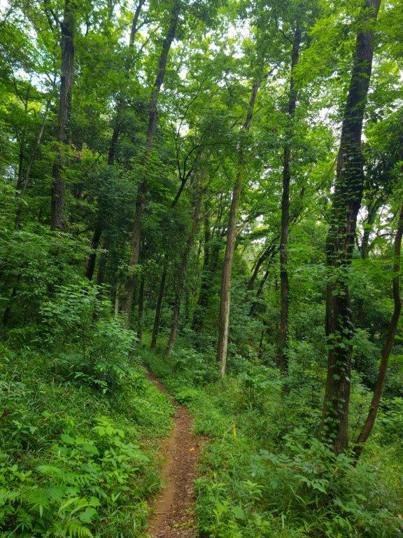
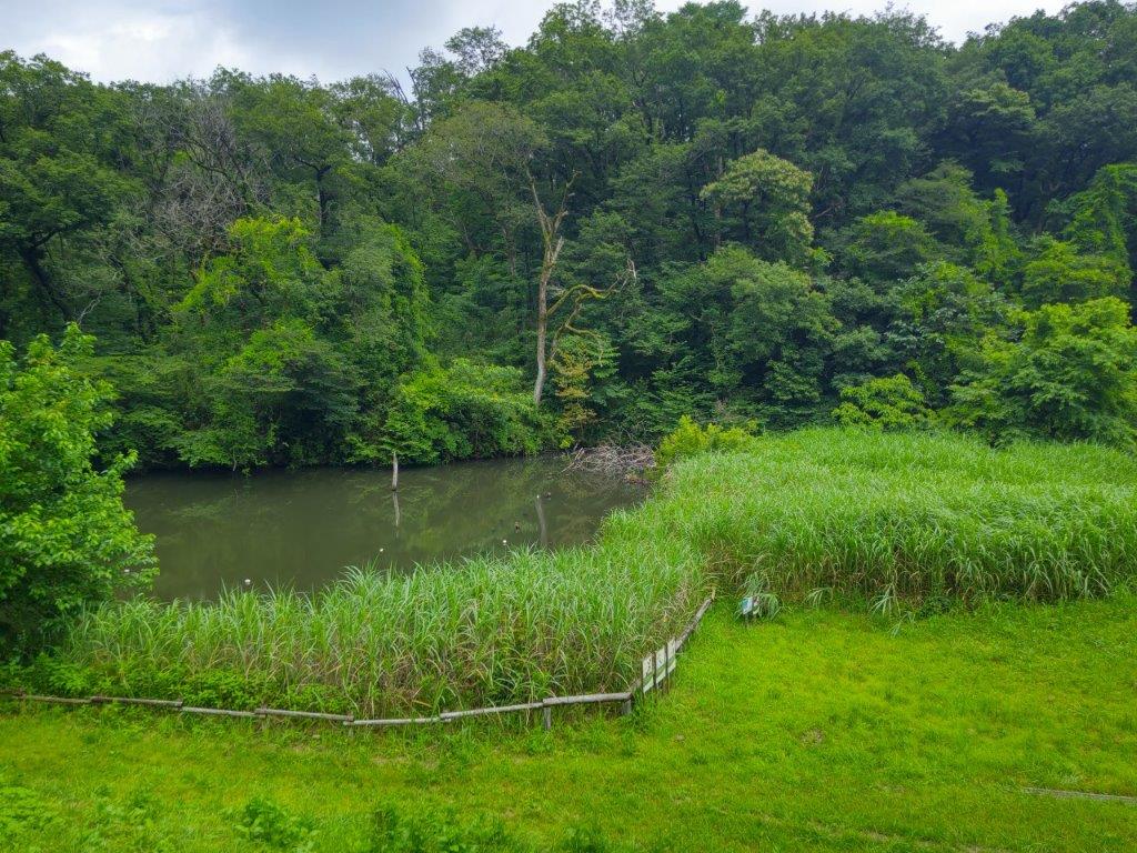
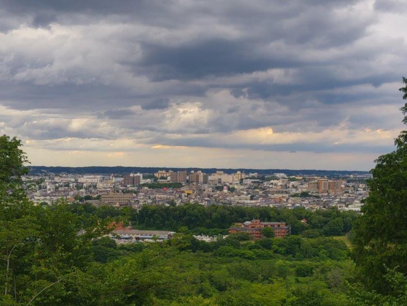
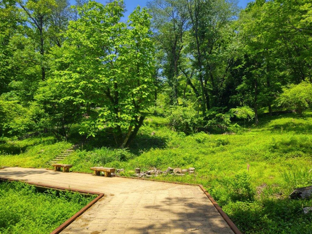
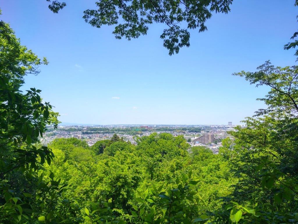
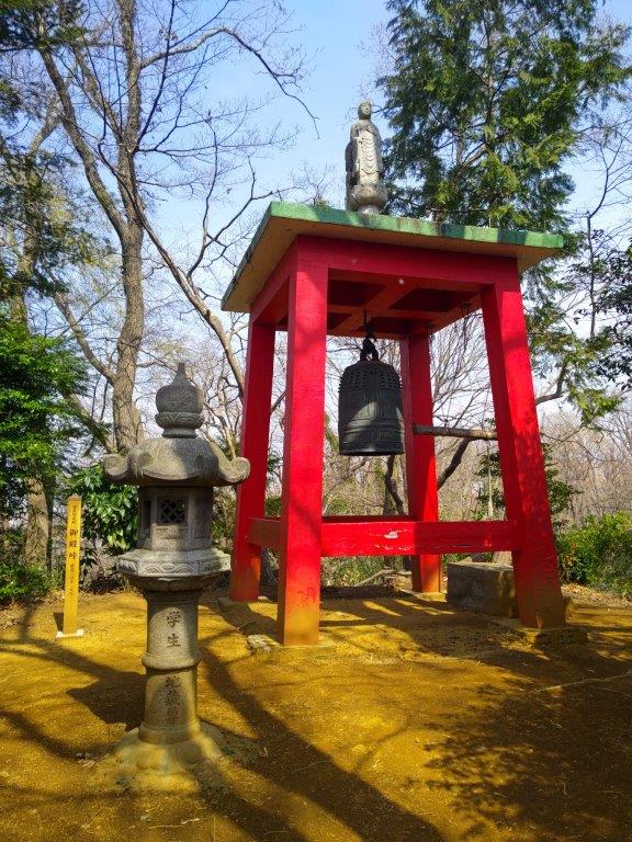
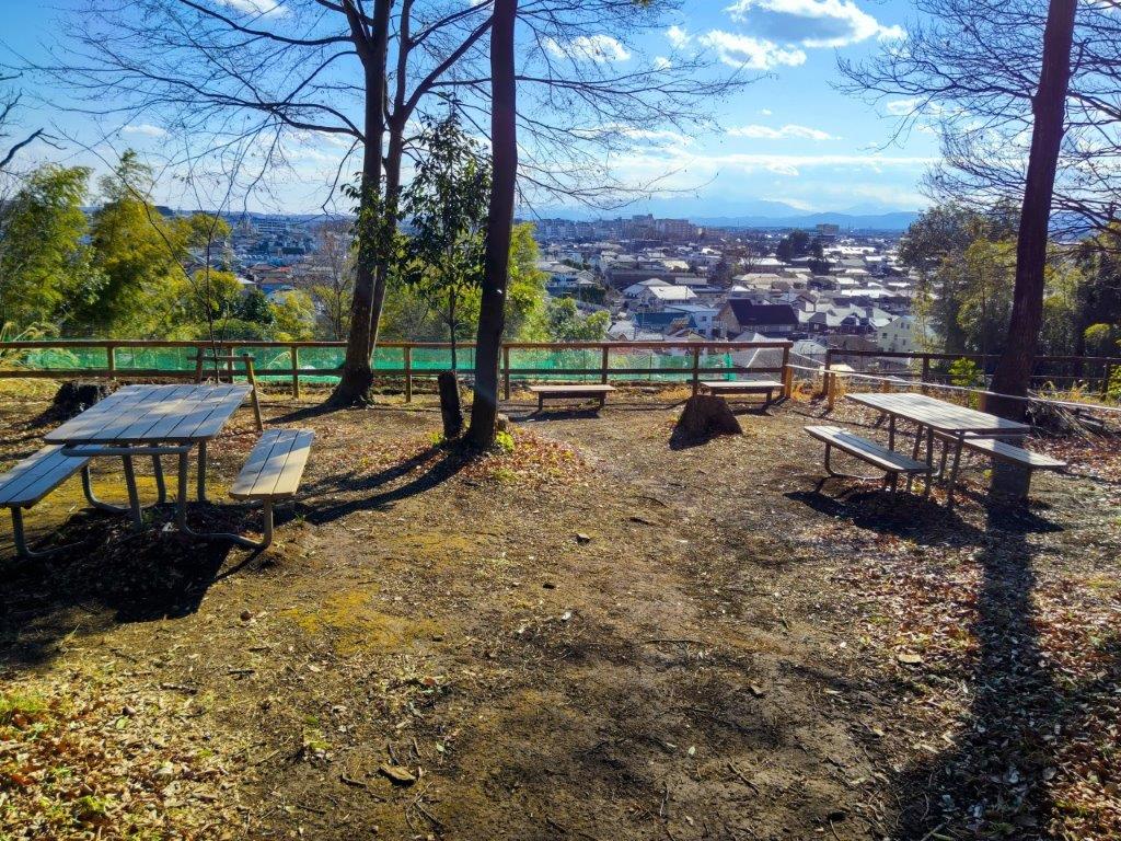
I had a clear view of the whole range with the summit of Mt Fuji rising above the ridgeline north of Mt Hiru. I was glad to get my first view of Japan’s highest mountain so early in the year. I descended through a small park, and after crossing a road, headed up a footpath next to a golf driving range. I soon had a view of the Kanto Mountains, enclosing the city on the west side. A little later, I arrived at Ipponsugi Park (一本杉公園), the halfway point of today’s hike. Since it was 3pm, I sat on a bench facing a pond for a late lunch. I soon moved on, and after leaving the park, made my way down a slope ending at Myooji Temple where I turned left onto a dirt trail leading around and above a cemetery.
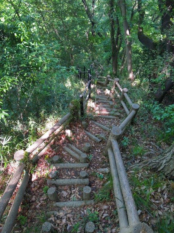
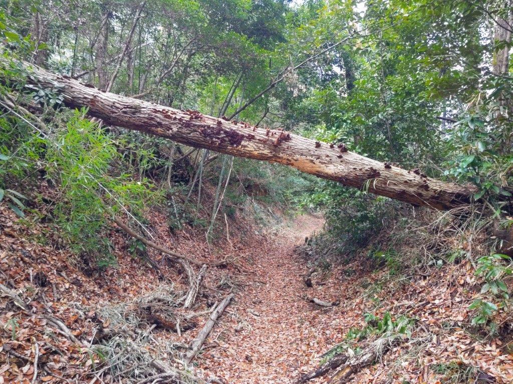
Trail Past Myooji Temple

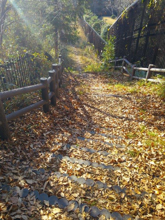
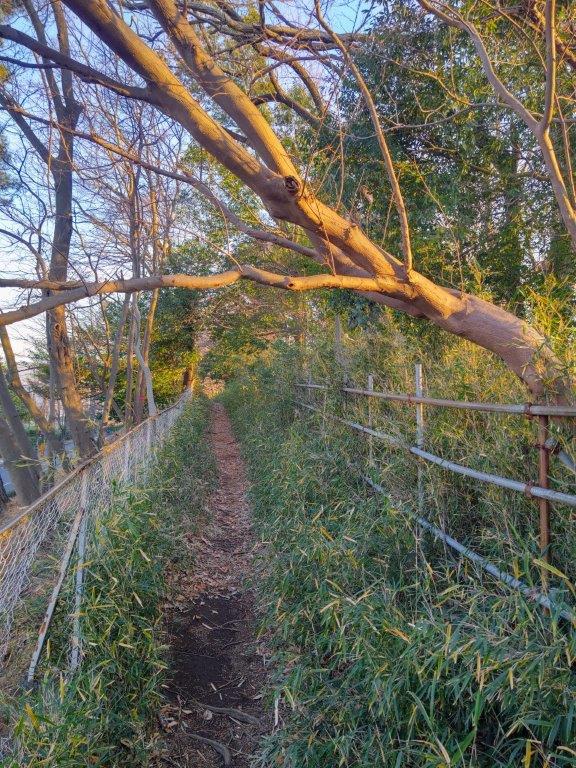
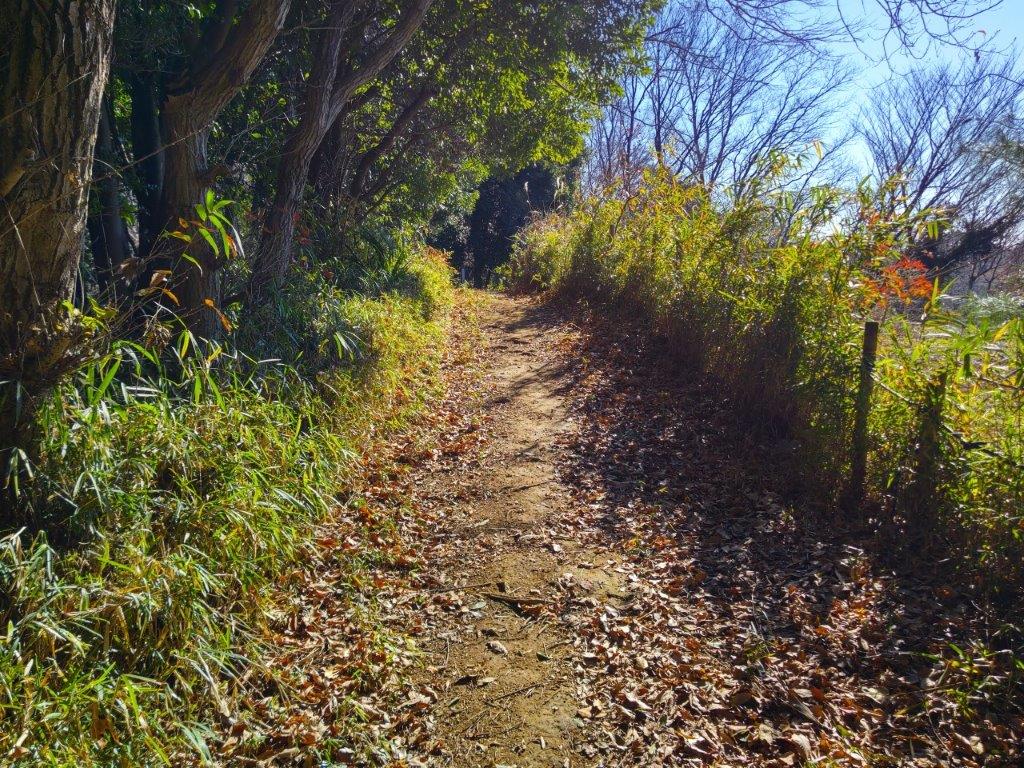
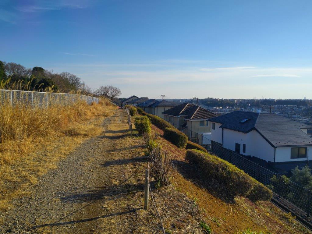
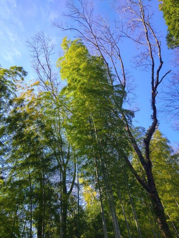
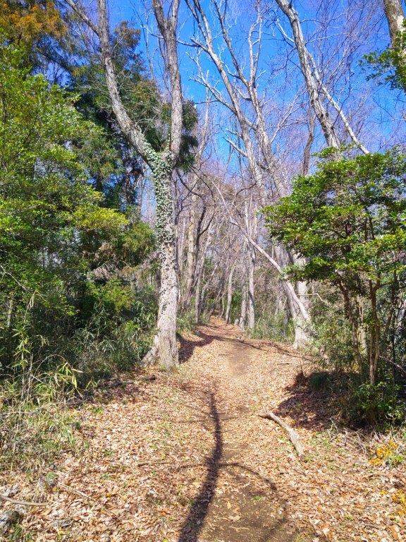
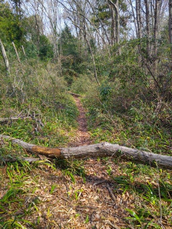
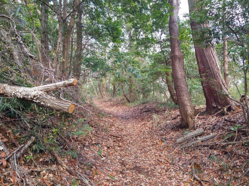
Trail between the Nagayama and Kurokawa Areas
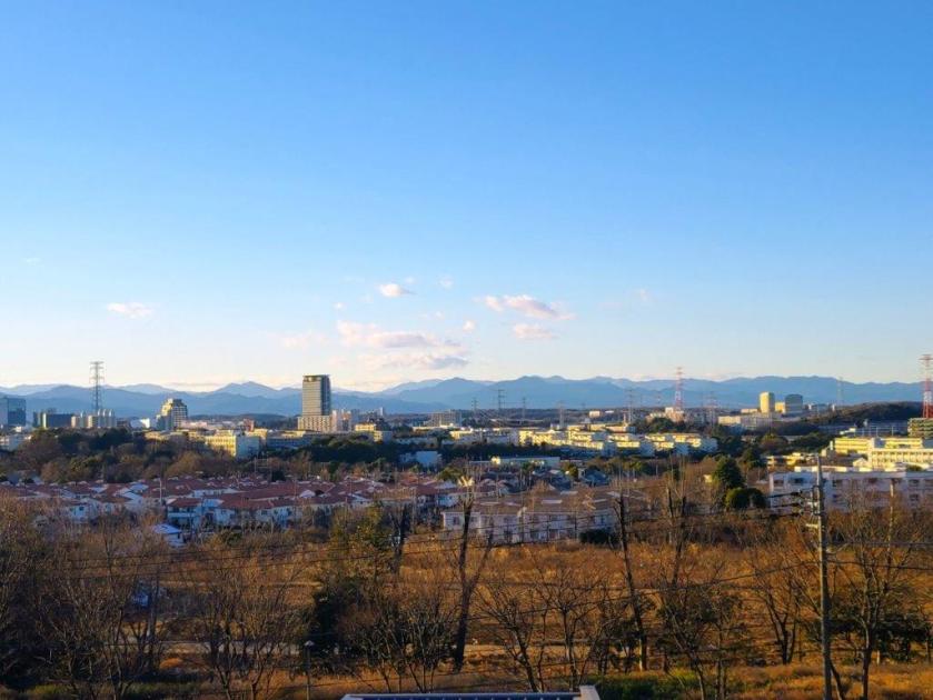
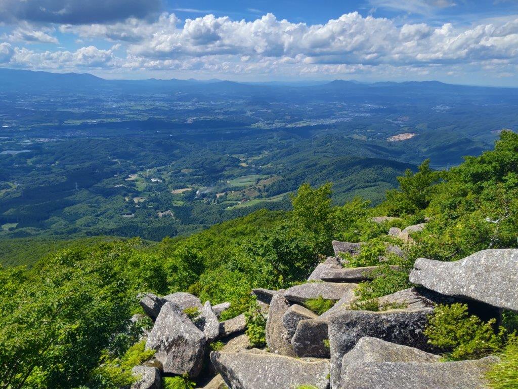
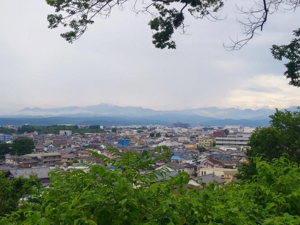
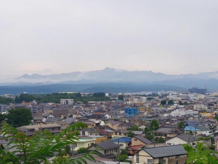
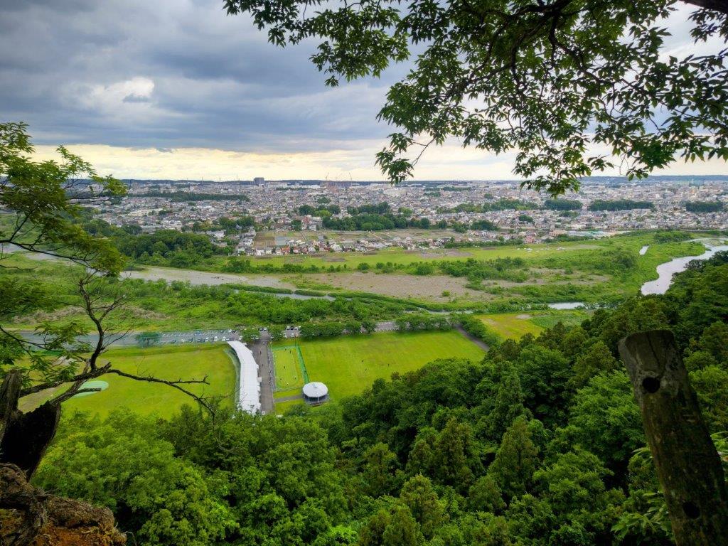
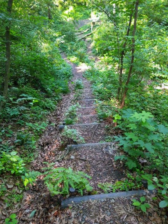
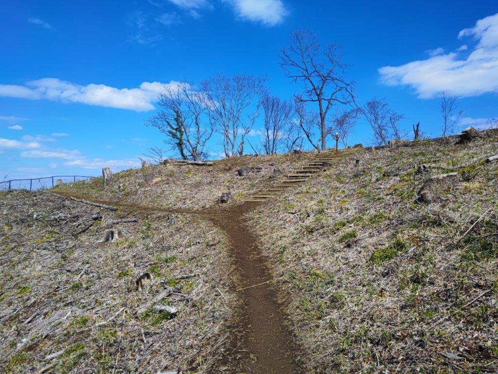
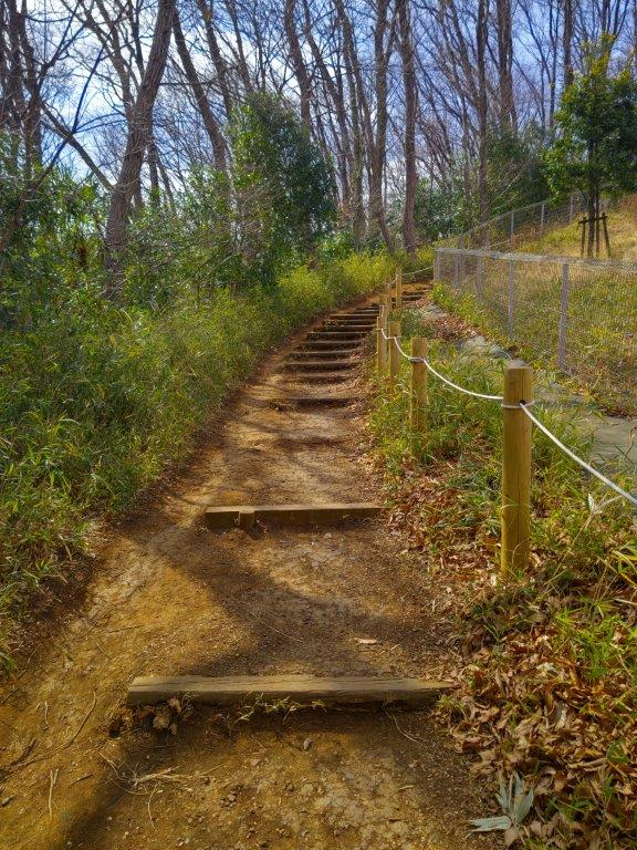
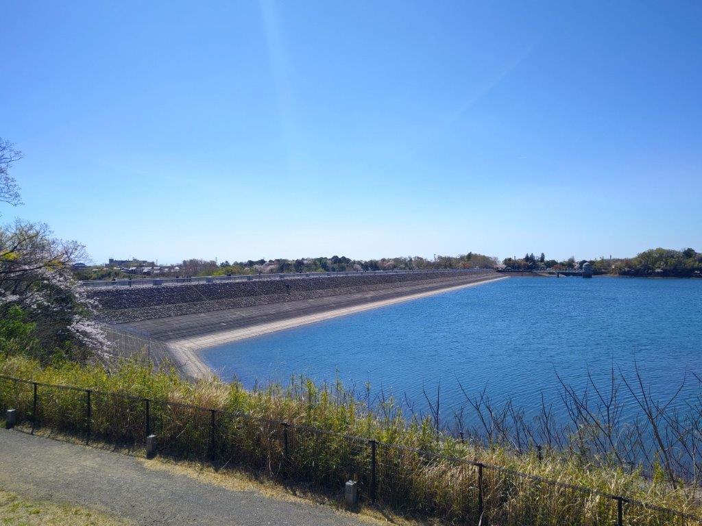
Soon, I was walking with a view of the suburbs to the left, and a wall of vegetation to the right. After making my way down some log steps, I arrived at a bridge over a 4-lane road beyond which I turned right, up a steep, curving road leading to another footpath on the left side. I was now walking through dark evergreen forest, the sun quite low above the horizon. Very soon the paved path turned into a dirt path covered in fallen leaves, the golden sunlight reaching me through the bare branches on the right. Just before 4pm, I reached Mikaeri Pass (見返りの峠) confusingly situated at the top of a small hill with a wide view on the west side.
Trail before Mikaeri Pass

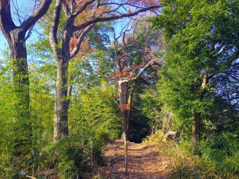
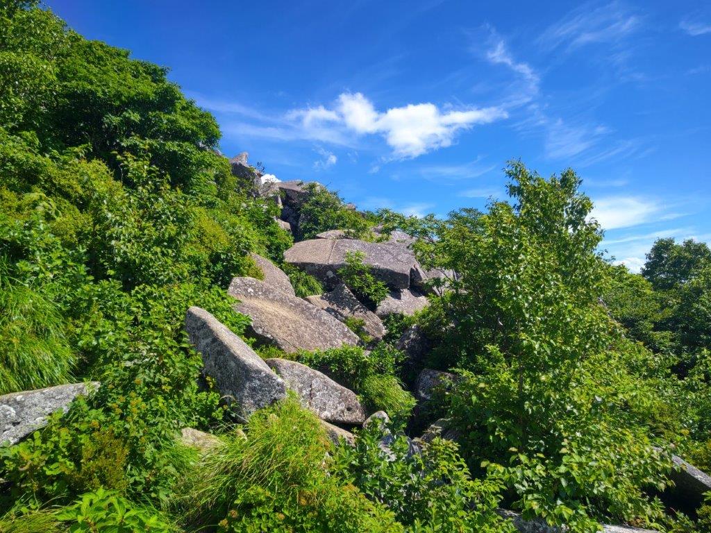
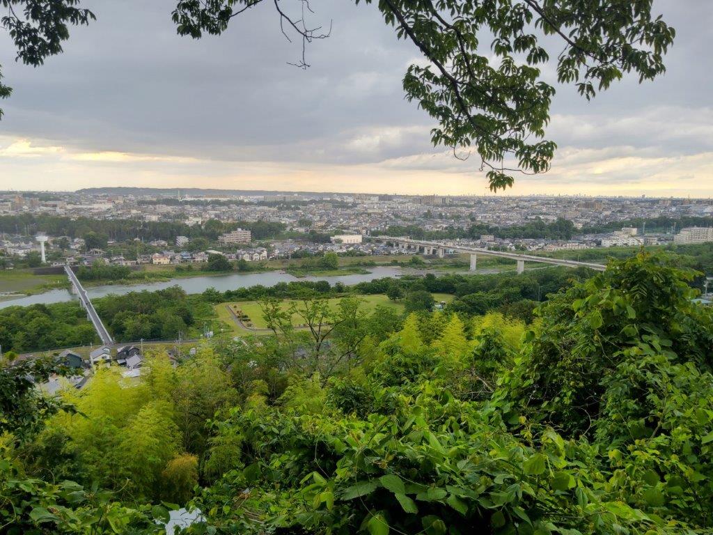
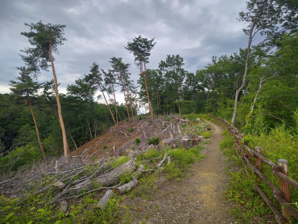
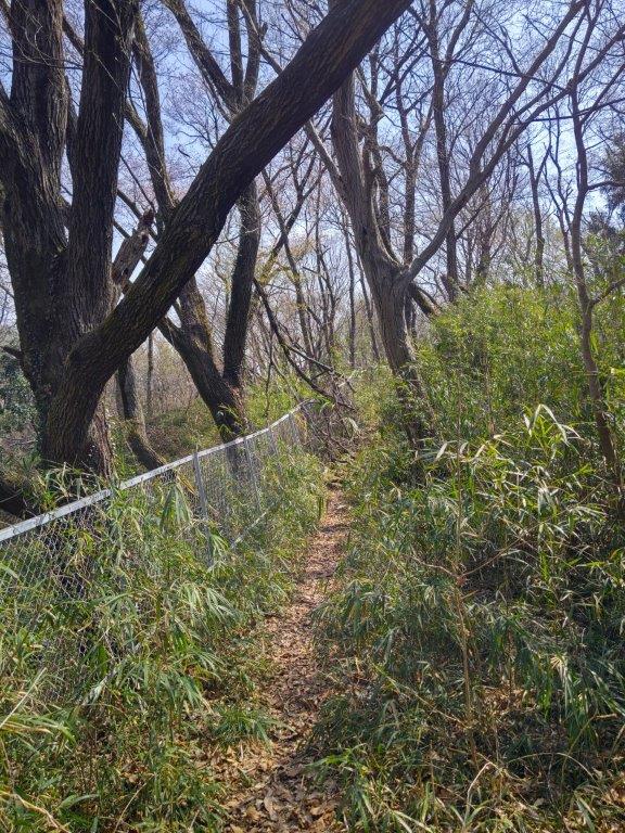
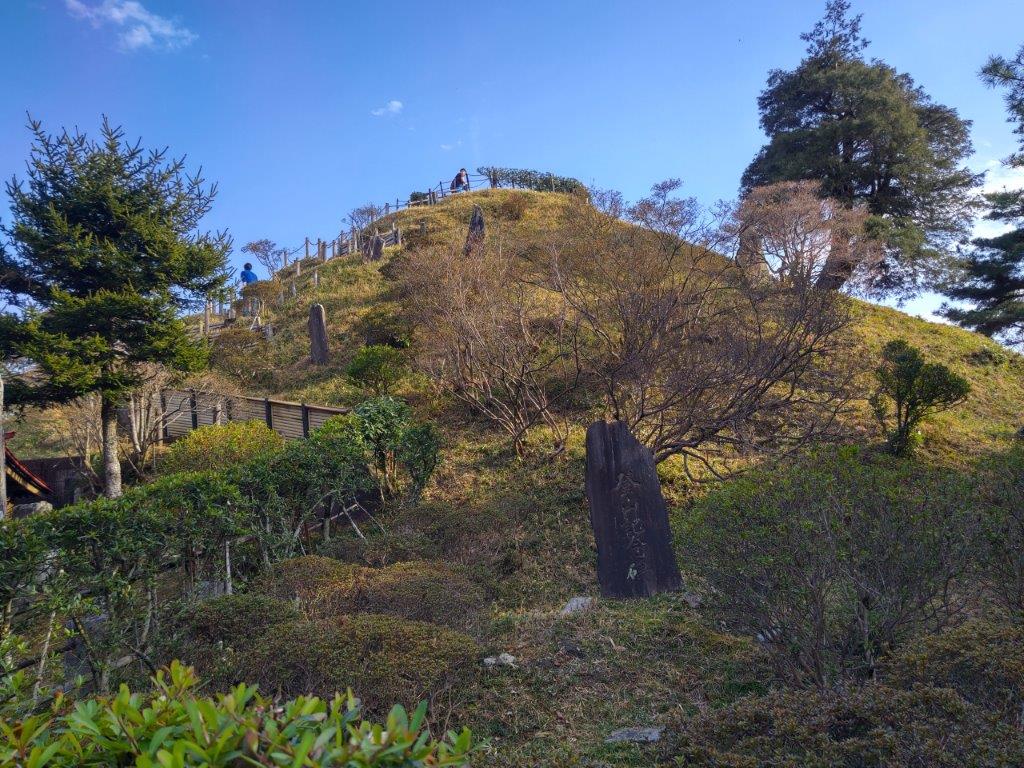
Trail near Mt Suwa
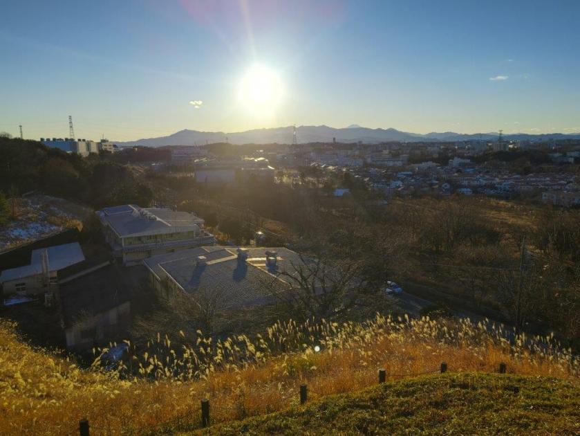
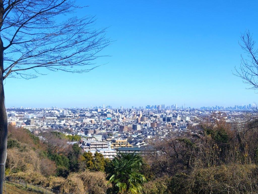
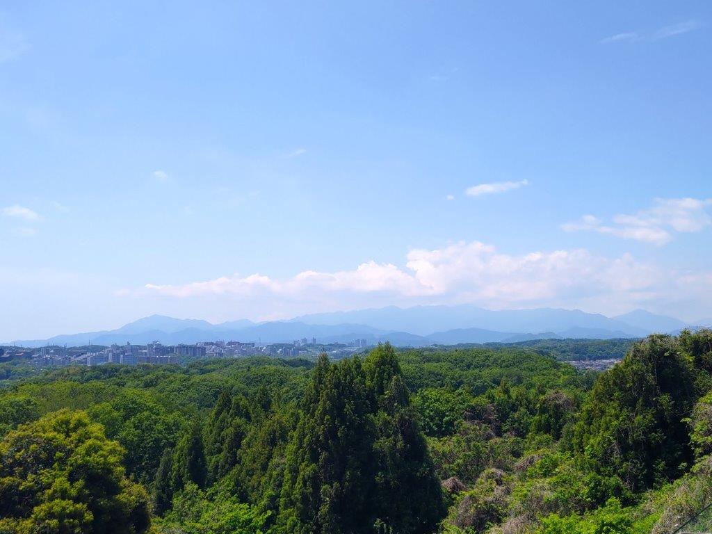
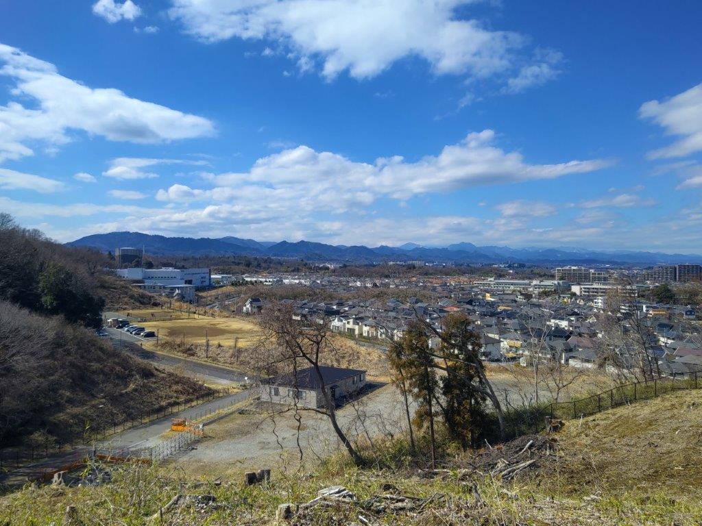
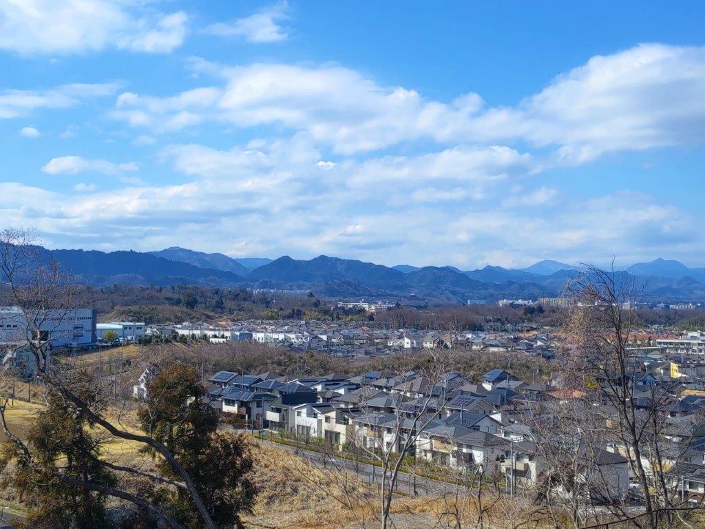
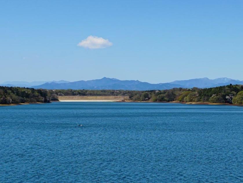
This was by far the best viewpoint of the day, also called the Tama Hills Panoramic Hill (多摩丘陵パノラマの丘). From left to right, I could see the Tanazawa, Oku-Chichibu, Okutama and Oku-Musashi mountains, as well as Mt Fuji. The setting sun bathed the surrounding scenery in golden light although I hope I can one day see this return to this spot on a clear morning. I had to pick up my pace if I wanted to finish before dark. A short up and down led me to the top of Mt Suwa (諏訪ヶ岳 すわがたけ), a minor summit surrounded by trees. I then followed a wide path westwards through mixed forest.
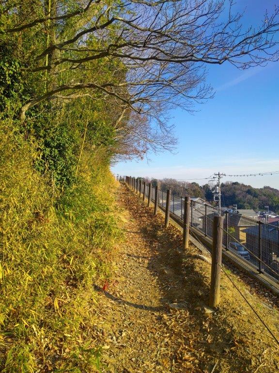
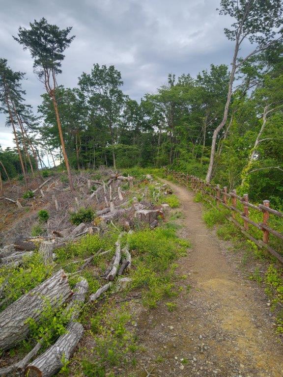
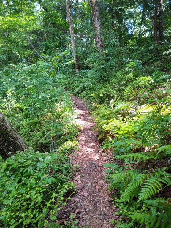
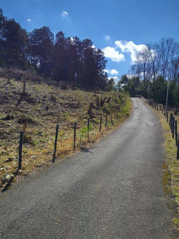
Kawasaki Section of the Yokoyama no Michi
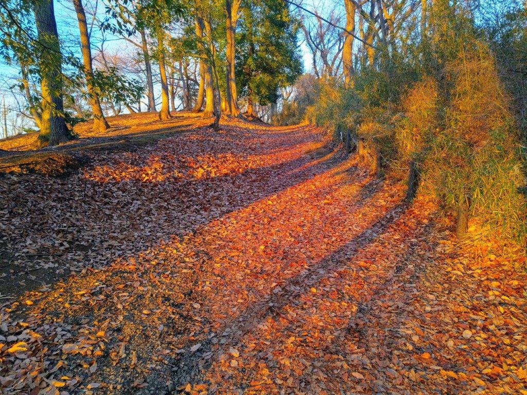
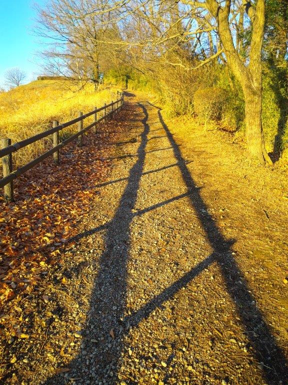
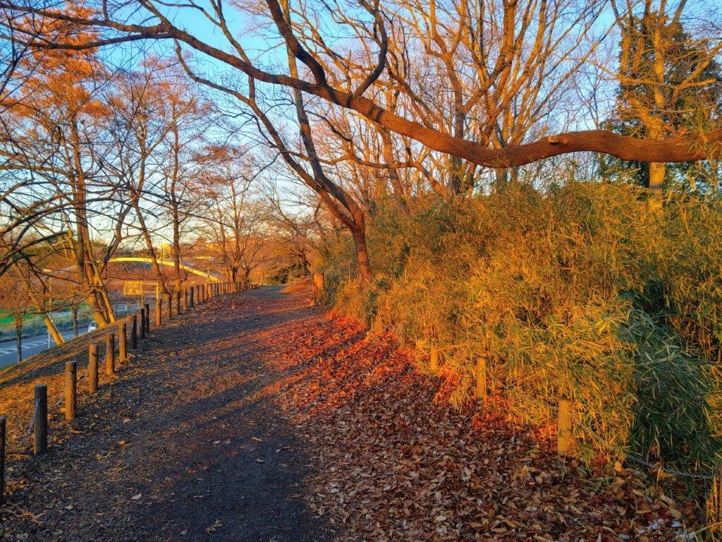
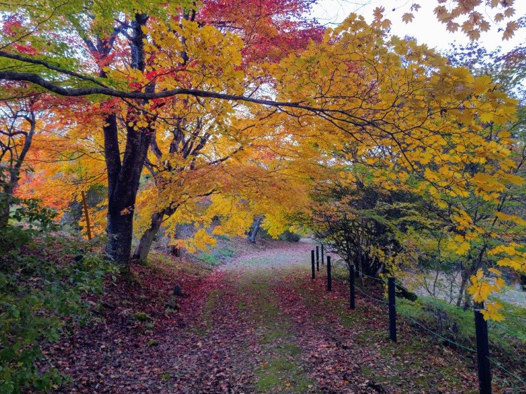
Red Coloured Trail on the Yokoyama no Michi
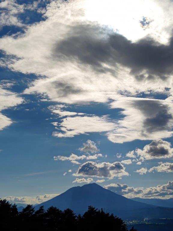
From this point, the trail became quite hilly, extending the final part of the hike, the surrounding forest coloured red conveying a sense of urgency. Finally, at 4h30, I arrived at a small park marking the eastern edge of the Yokoyama no Michi (多摩よこやまの道東端 141m), just as the sun was setting behind the Tanzawa mountains. I made a last goodbye to Mt Fuji, and then turned right onto a road heading down into Sagamino valley on the south side; after a 20 minute walk through town, I reached Wakabadai station a little before 5pm. There, I caught the Keio line for the half an hour ride back to Shinjuku station.
End of the Hike at the End of the Day
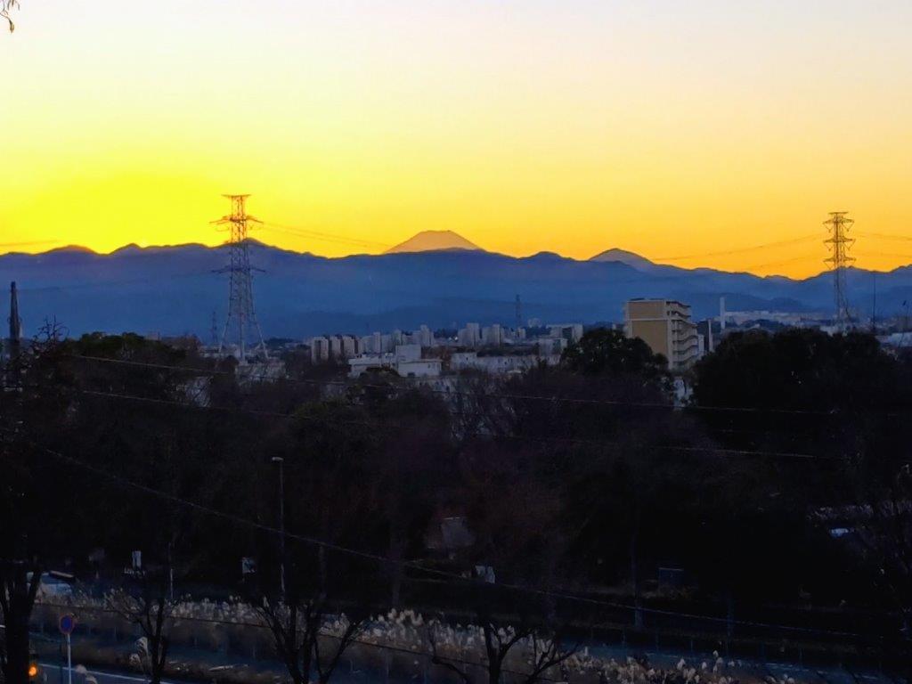
Golden Fuji from the Eastern End of the Yokoyama no Michi
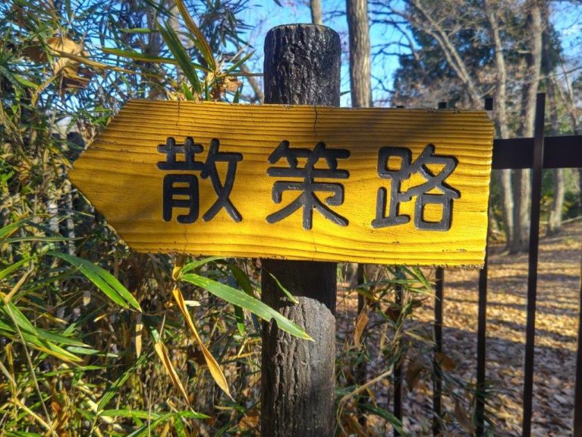
In the end, it took me fours hour and a half to walk the entire length of the Yokohama no Michi, although it’s possible to shorten it if one starts from Karakida station instead. I was impressed by how I was able to walk nearly continuously along footpaths, a rarity so close to the city center. Frequent signposts meant that it was easy to follow, although many of the signs have faded with time. I lacked time to read all the historical explanations (in Japanese) along the way; that would definitely require a full day hike. I passed many other trails along the way; I’d love to return one day and do some more hikes in the area, mainly southwards into Machida city, and also in a different season.
Watch a Video of the Hike
See More Pictures of the Hike


You must be logged in to post a comment.