

Continuing my tour of Japan’s National Parks, I next visited the Joshin-Etsu-Kogen National Park in Gunma prefecture. Despite the poor weather forecast, I decided to risk taking the shinkansen to Ueda city. There, I rented a car and drove up the Western part of Mt Asama. I had been there a few years ago to climb Mt Yunomaru and Mt Eboshi, but there were a few more peaks that had remained unclimbed.
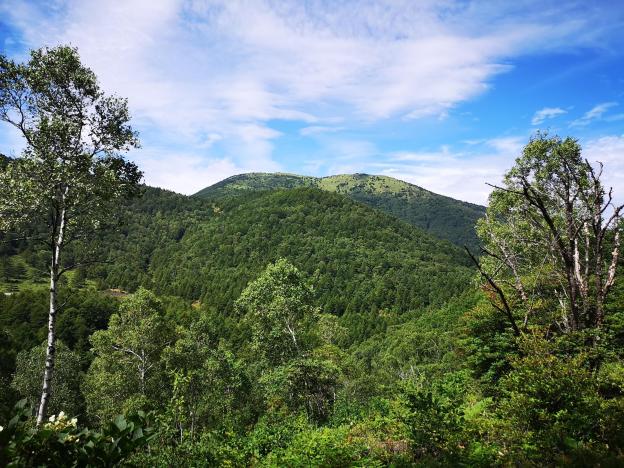
The balding top of Mt Yunomaru, climbed in November 2015
From Ueda station, I could see that the mountains were in the clouds, and on the way up I encountered thick mist. Fortunately, I broke through it before I reached Yunomaru Kogen above 1700m, and I even had some sun after I parked my car. I immediately rushed up the hiking trail, since I knew that the blue sky that had opened up overhead wouldn’t last. The path was quite nice, and I reached the top of Mt Sajiki 棧敷山 at exactly 11 o’clock. I had an excellent view of Mt Azuma and Mt Kusatsu-Shirane, hundred famous mountains I had already climbed.
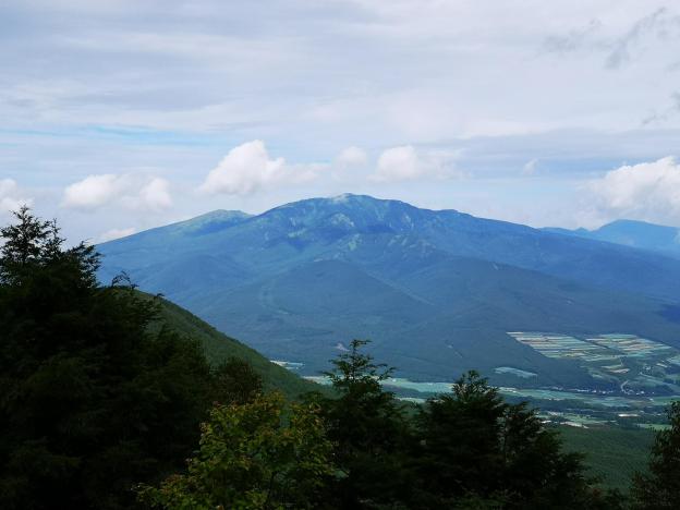
Mt Azuma, climbed at the end of May 2012
I retraced my steps for a few minutes, and turned left to take an alternative path down. I soon reached a lookout point towards Yunomaru Kogen. At this point, the weather had become overcast, but luckily the clouds were quite high, and I could make out the Japanese Alps in the distance. The path then descended quite steeply. After it bottomed out, I was walking in a spooky, dark forest . I soon arrived at an intersection for the small brother of Mt Sajiki – I decided to check it out. I soon reached the top of Mt Kosajiki 小棧敷山 but the views were limited. Fortunately, it didn’t take me long to get back to my car.

The highest point of Mt Asama
I drove on to my next target at Kazawa Kogen 鹿沢高原. This time, I simply had to go up and down the same trail. I walked as fast as I could up the relatively easy path and reached the summit of Mt Murakami 村上山 just before noon. I was greeted by a vast panorama of Western Gunma, centered on Tashiro Lake. The views were wider than the previous summit and it was a good place to enjoy some lunch.
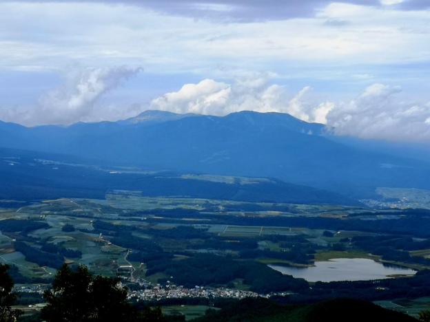
Mt Kusatsu-Shirane and Tashiro Lake
I quickly made my way back down and drove back up to Kazawa Onsen 鹿沢温泉. It was 2h30 and I had one more peak to climb, but I had to be back by 4h30 for the last entry at the hot spring. I raced up and reached the top of Mt Kakuma 角間山 a little after 3h30. Nearing 2000m, the vegetation had become alpine. While I was taking pictures of the view, it suddenly started raining, which for once was a good thing, since it forced me to head back down rather quickly. I half ran back the same way, and made it to the onsen with a few minutes to spare.
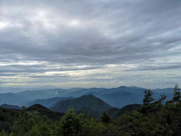
View Westwards from the top of Mt Kakuma
NEXT UP: Hiking from Yanagisawa Pass to Shirasawa Pass (Yamanashi Prefecture)
