
I wanted to do a hike where I could see the cherry blossoms in full bloom. Looking online, I found a trail, selected as one of the 100 best in Yamanashi, that promised a cluster of sakura trees near a pass bearing the same name. On the way, I’d pass by a minor peak, and since the hiking time was under 3 hours, I could also make a short round trip to another minor peak further along the ridge. On the way to the trail entrance, I could get a view of the area from the Kai-Ueno Castle observation deck. From the pass, I would follow a forest road into the valley ending near Mitama no Yu hot spring, where I could get a hot spring bath before heading back.
Hiking in the Misaka Mountains 御坂山地
To get to the start of the hike, I’d ride the Chuo line limited express to Kofu station, and there, change to the Minobu line for the half hour trip to Kai-Ueno station. For the return, I’d take a taxi from the hot spring facility back to the station, and then follow the same route in reverse. The weather was supposed to be mostly sunny with comfortable temperatures for hiking. According to online reports, the sakura had reached their peak a few days earlier, and so I was looking forward to a relaxing hike in a little-visited corner of Yamanashi prefecture.
Find my Hikes on Japanwilds
Find Japan Hiking Maps on Japanwilds and subscribe to our newsletter
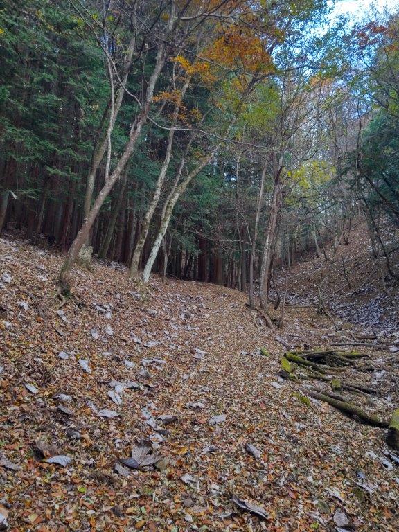
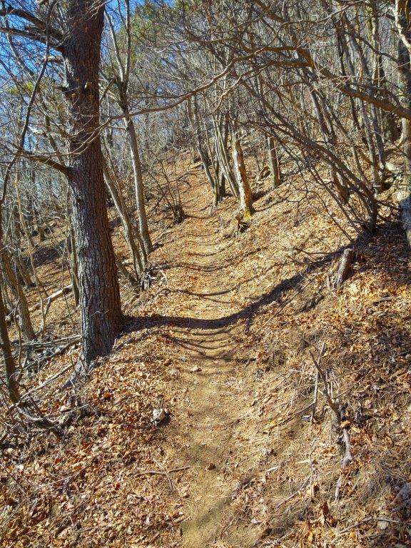
Start of the hike (left) Approaching Mt Asama (right)
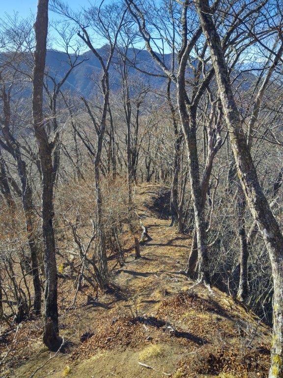
Trail pastMt Yumitate (left) Walking along a monorail (right)
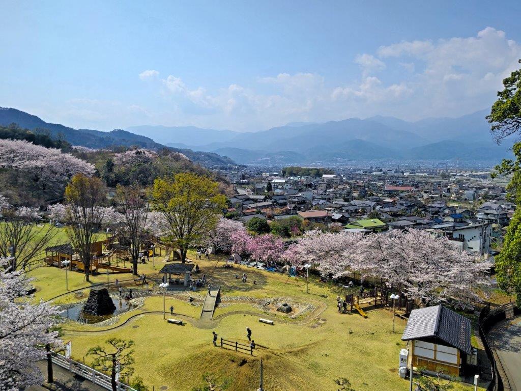
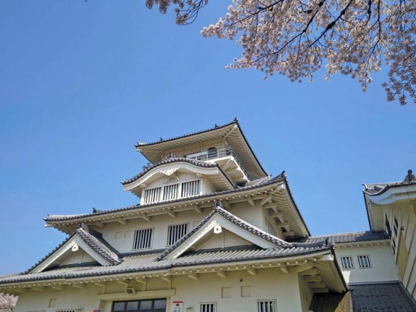
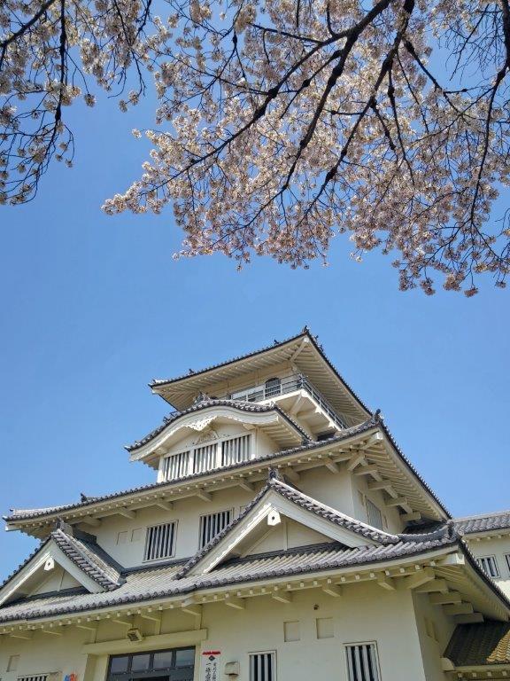
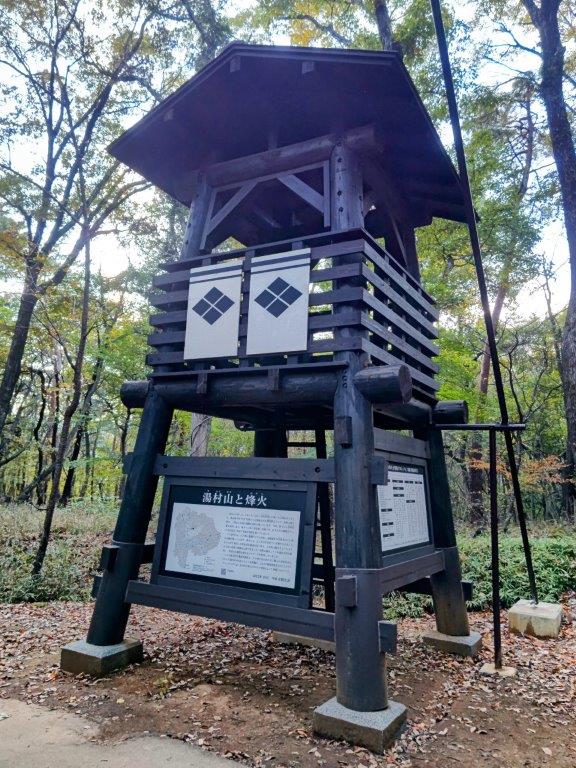
It was yet another blue sky day as I rode the Chuo line to Kofu where I transferred to the Minobu line for the next portion of the trip. I got off at Kai-Ueno station a little before noon, my first time getting off at this station. After a short walk, I reached the Kabuki Cultural Park (歌舞伎文化公園), packed with pink cherry blossom trees in full bloom. I paid the entrance fee for Kai-Ueno Castle (上野城址), a recent reconstruction as is often the case with Japanese castles; after briefly checking out the samurai themed exhibits on the various floors, I reached the observation deck at noon.
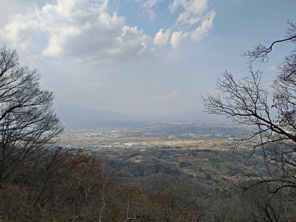
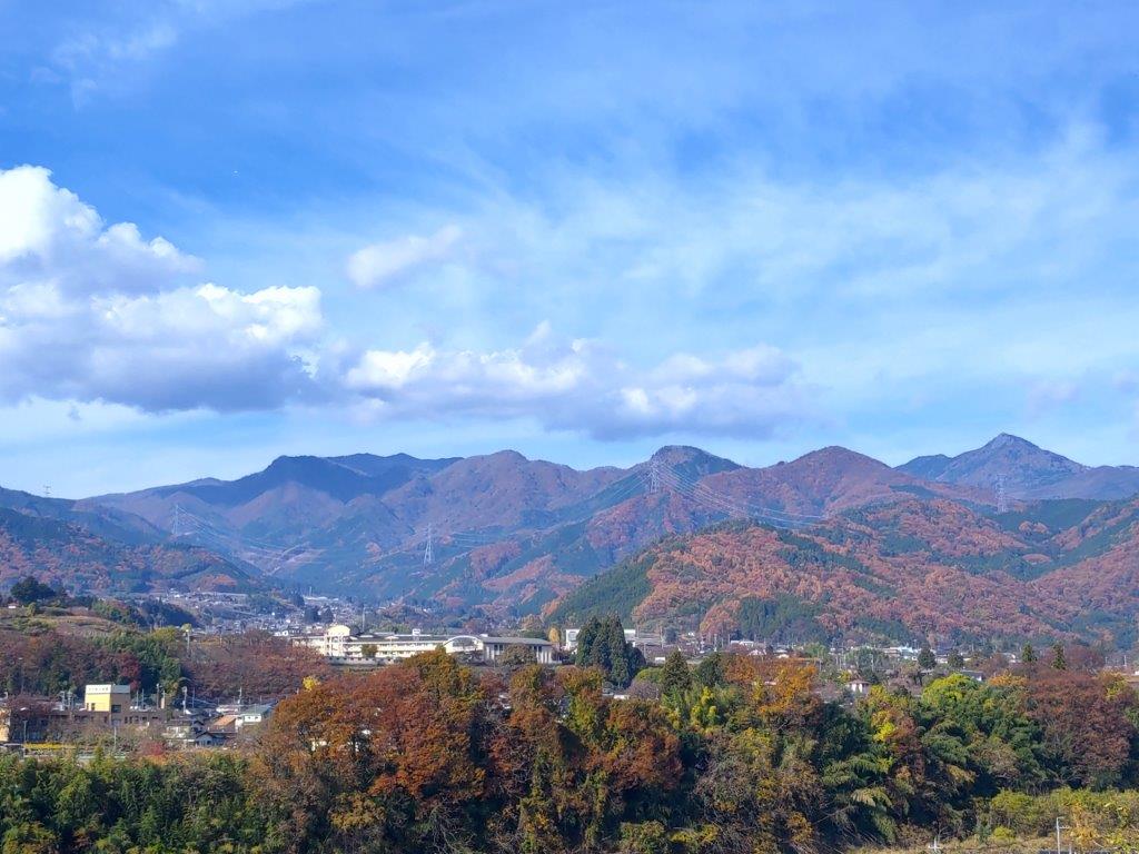
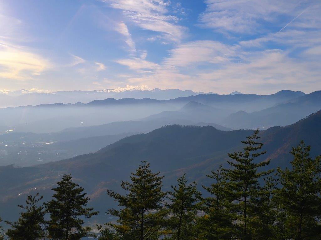
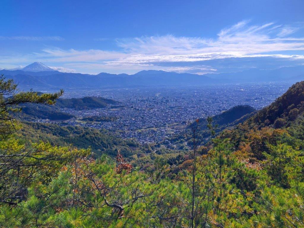
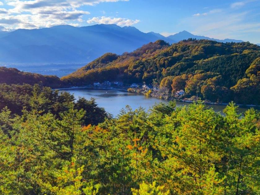
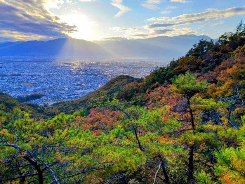
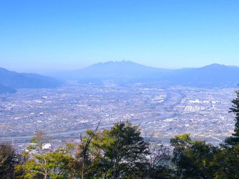
View of the Southern Alps from Kai-Ueno Castle
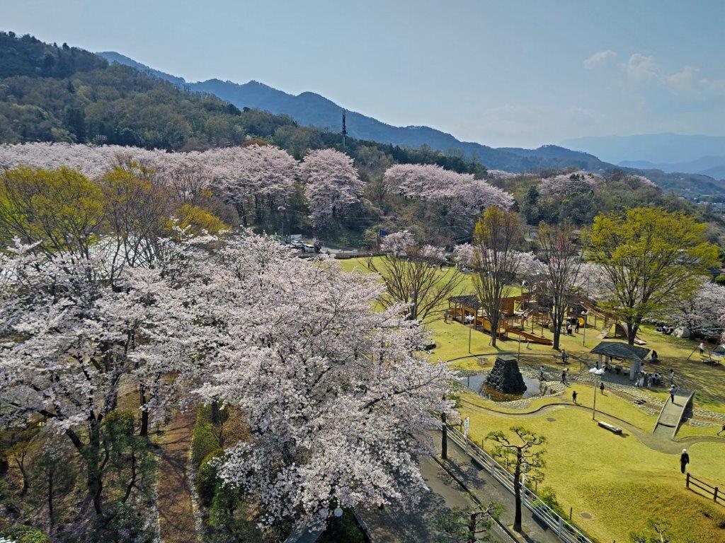
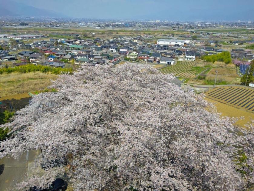
The Sakura of the Kabuki Cultural Park
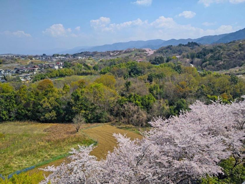
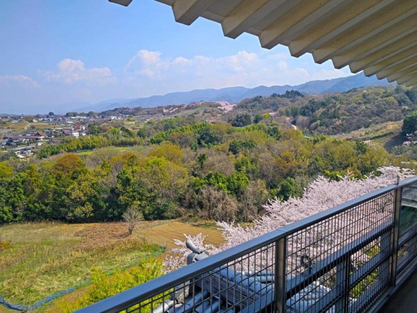
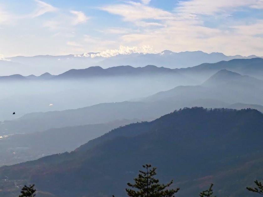
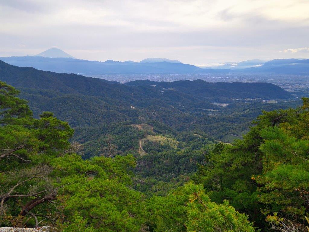
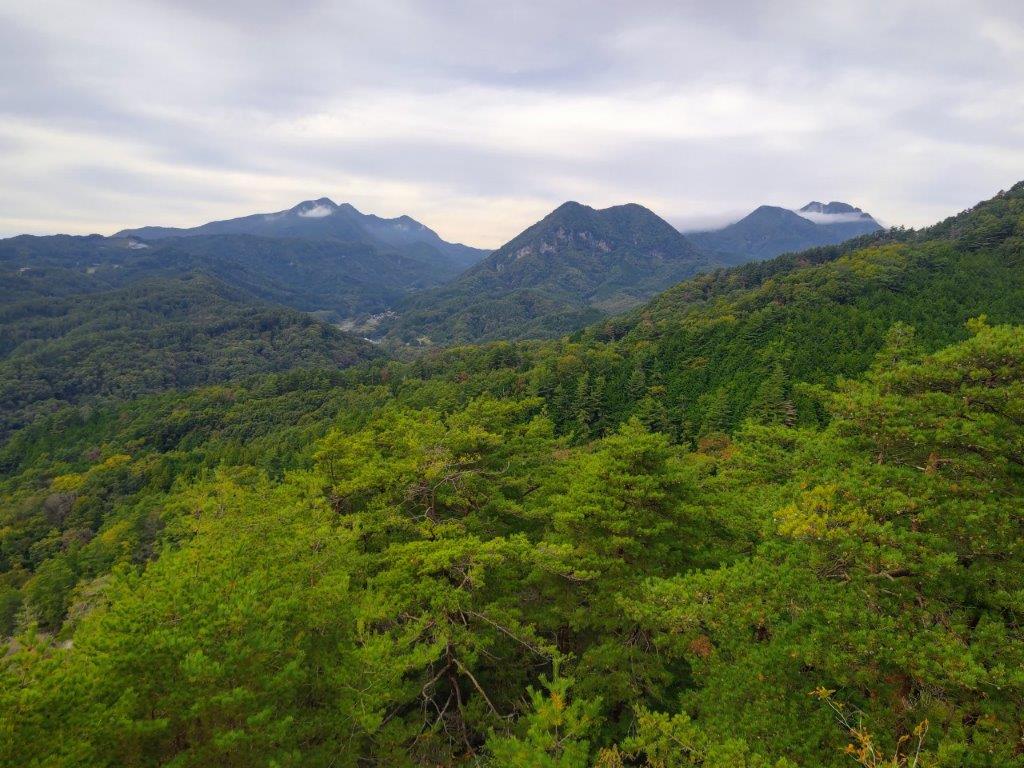
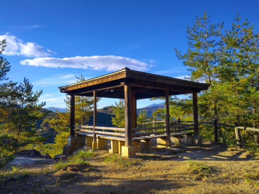
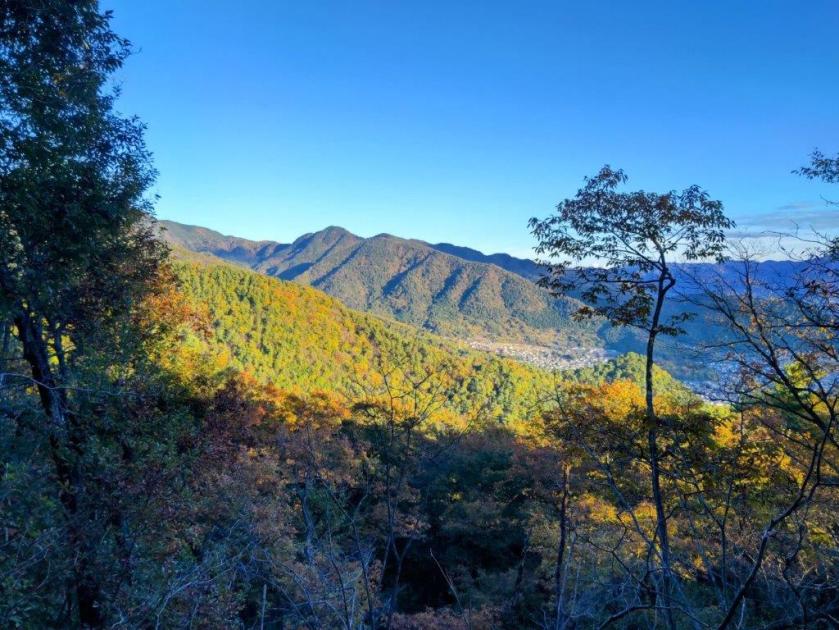
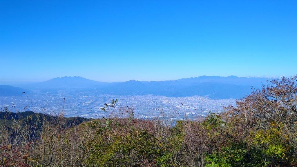
The view of the cherry blossom filled park from above was breathtaking. The Southern Alps could be seen in the far distance on the west side; looking north, the Oku-Chichibu mountains were faintly visible through the midday haze; finally, the relatively lower Misaka mountains extended eastwards. After fully enjoying the view, I headed back down, crossed the park, and headed up a small road lined with cherry blossom trees. I didn’t spot any signposts and had to rely on my phone GPS for this section. At 12h30, I arrived at a thatched-roof rest shelter beyond which was the trail entrance.
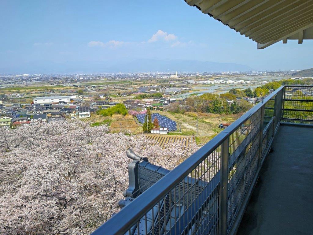
Kofu Basin and Oku-Chichibu Mountains from Kai-Ueno Castle
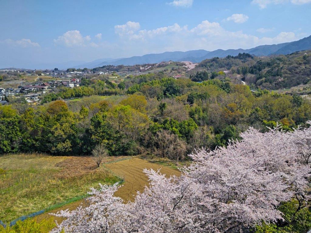
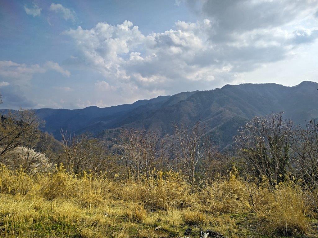
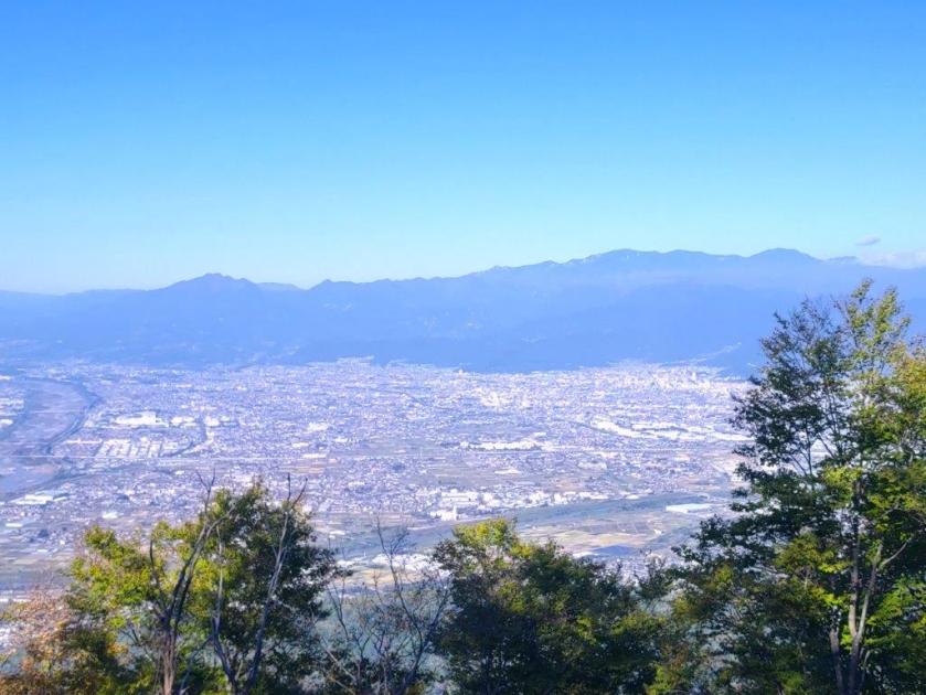
The Misaka Mountains extending Westwards
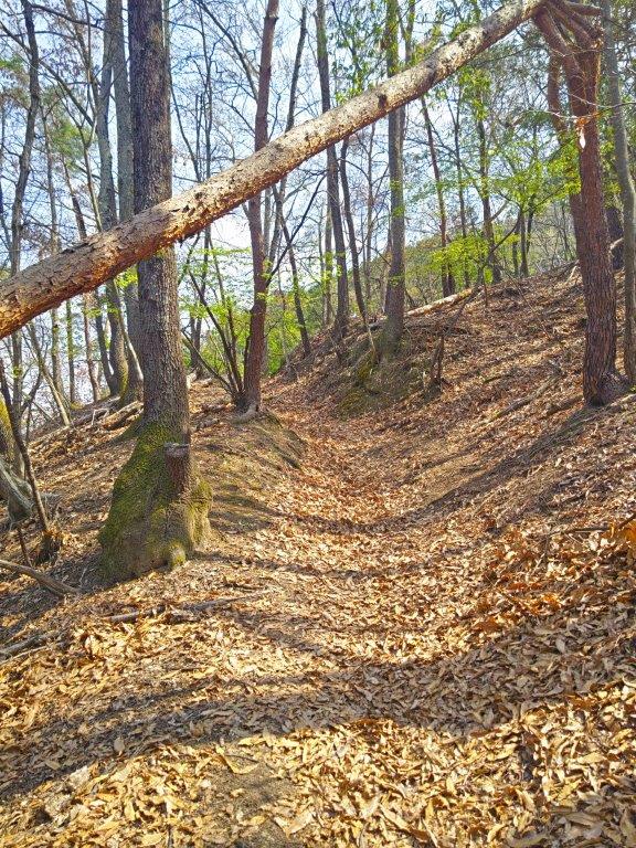
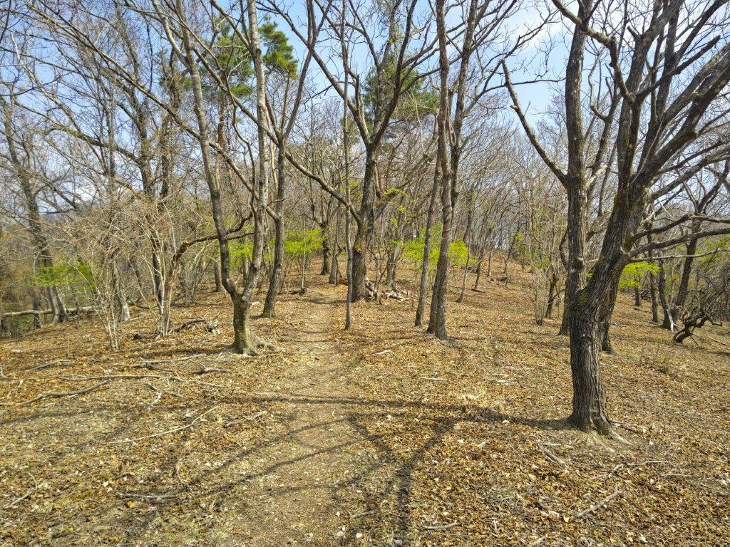
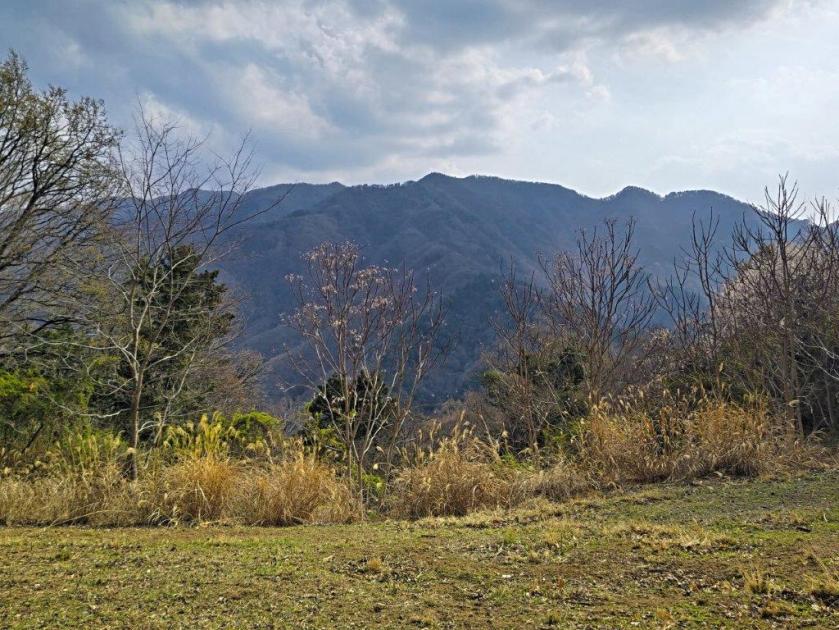
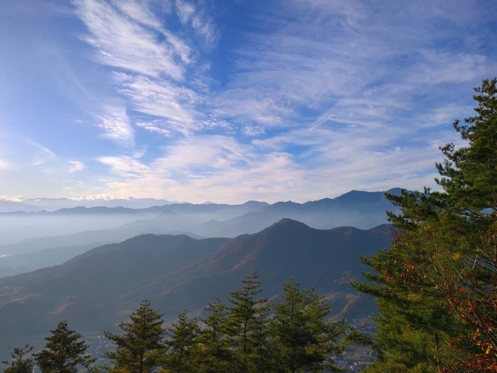
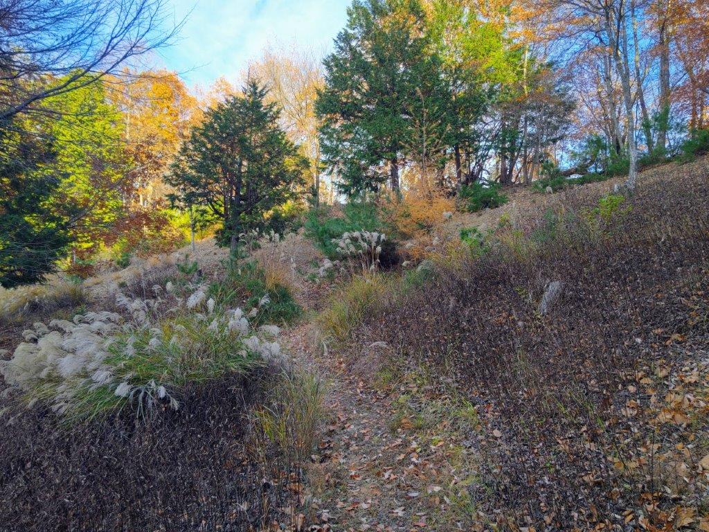
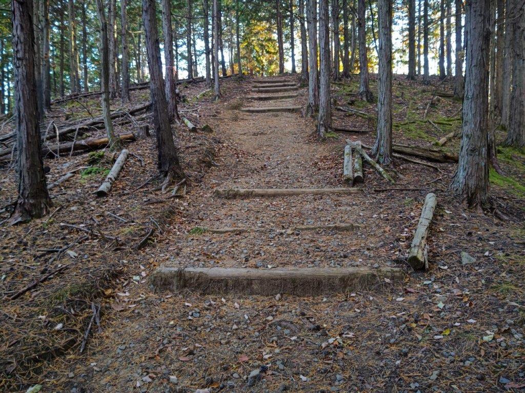
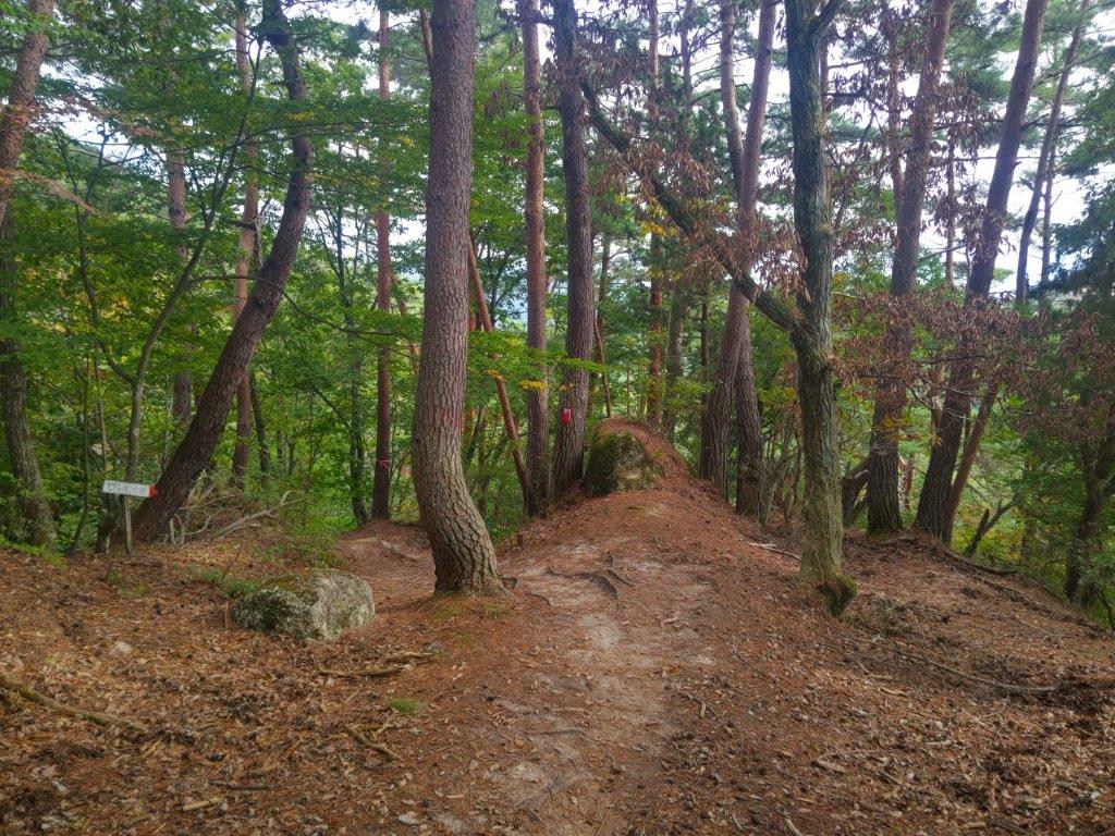
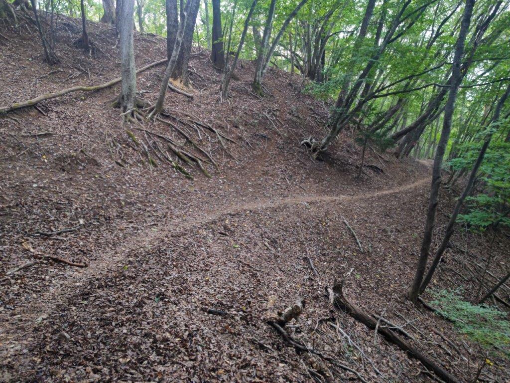
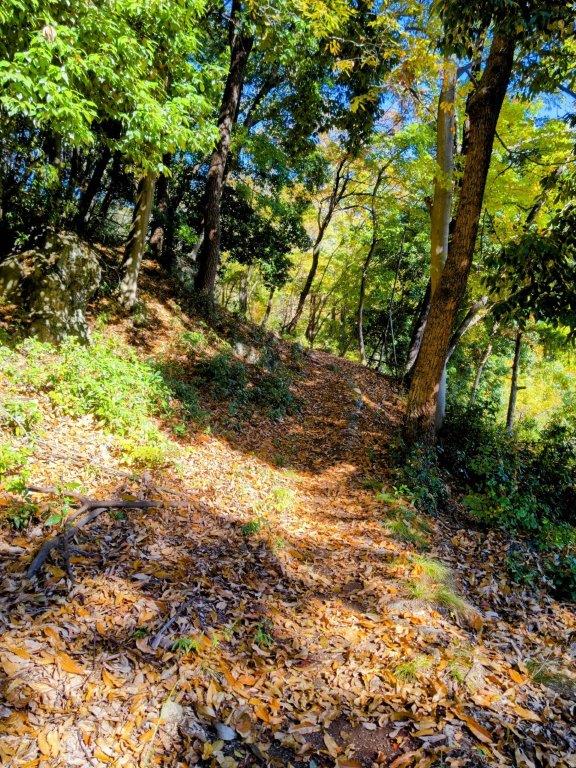
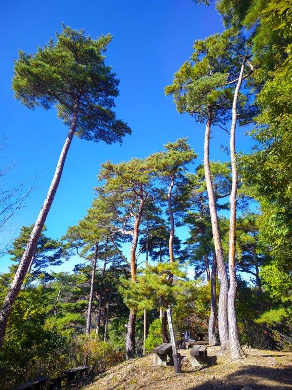
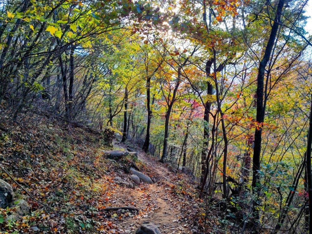
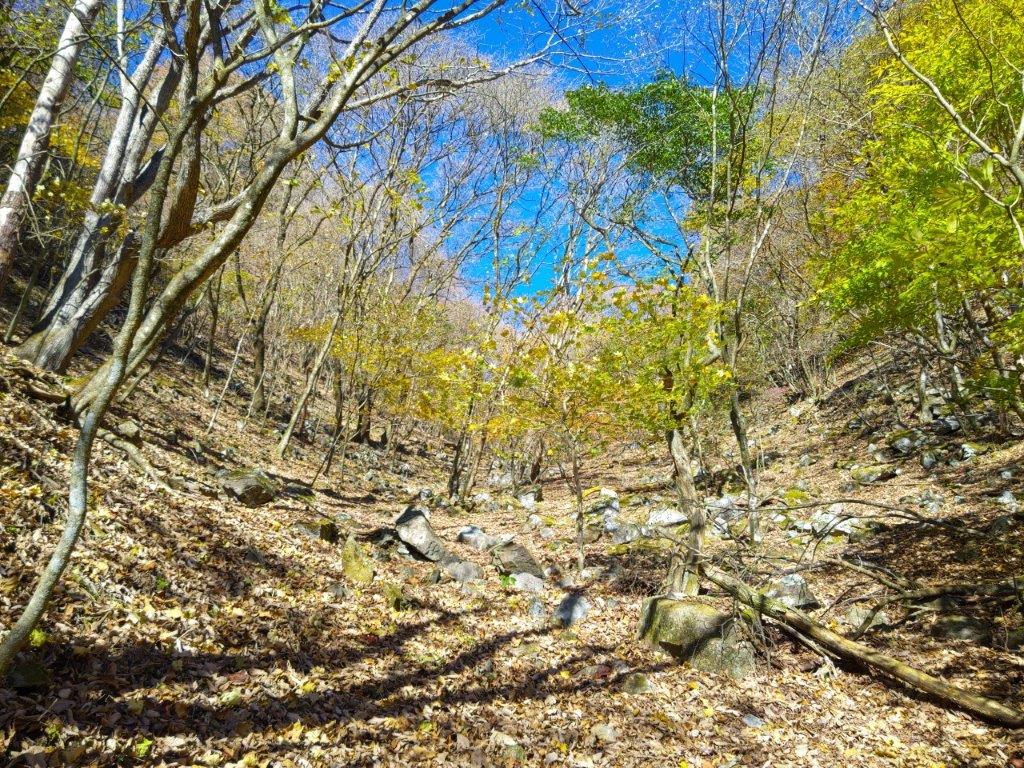
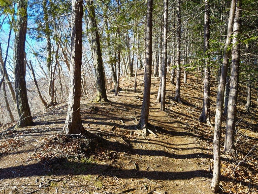
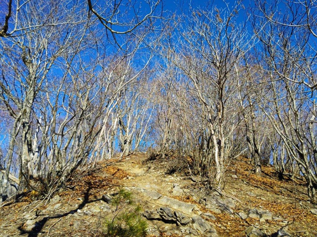
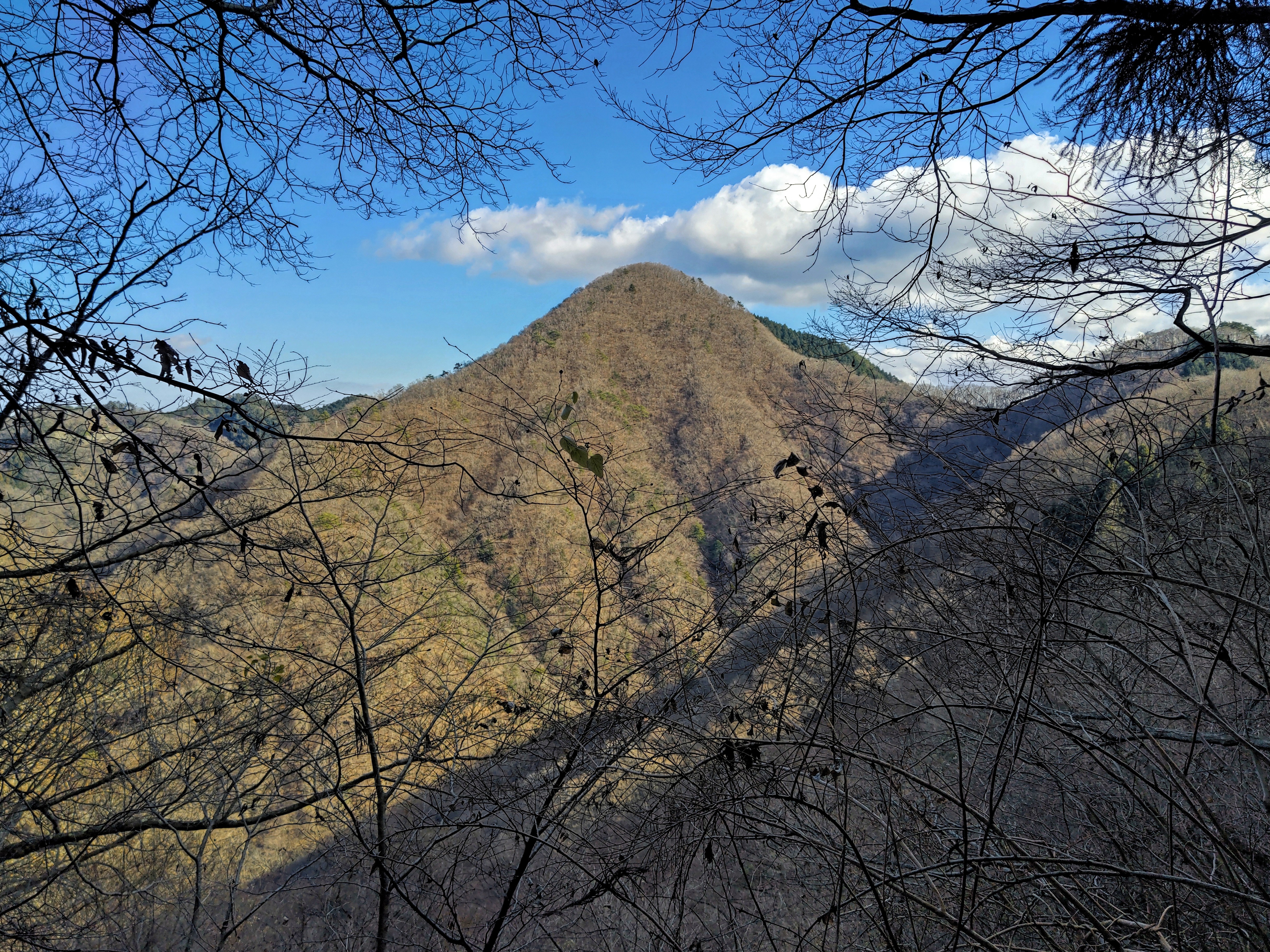
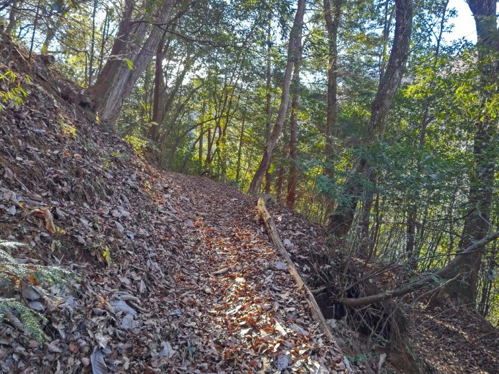
It felt great to be walking on a hiking trail through the sunlit forest, still in winter mode despite the springtime temperatures, although hints of spring were starting to show here and there. After some gentle climbing, I reached a wide ridgeline with few trees, the views opening up on both sides. To the south, I could observe the next ridgeline, behind which hid Shibireko Lake; looking north, I could see the extensive Kofu Basin. Very soon, I arrived at the flat summit of Mt Asama (浅間山あさまやま asama-yama), a common mountain name in Japan, marked by a solitary peach tree.
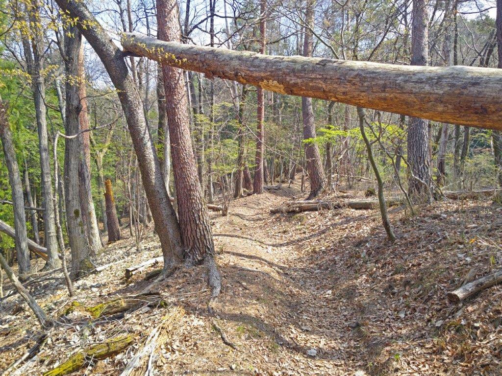
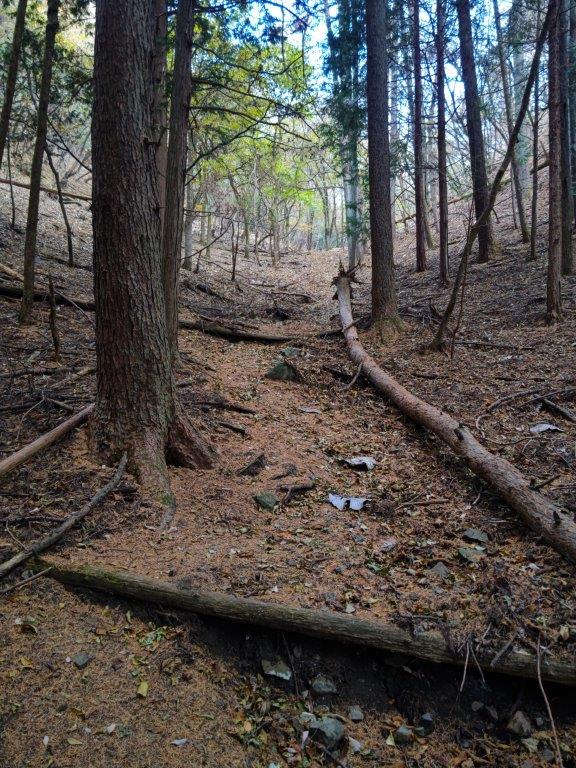
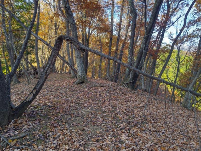
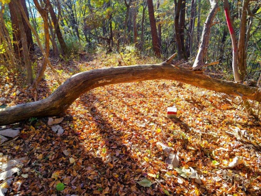
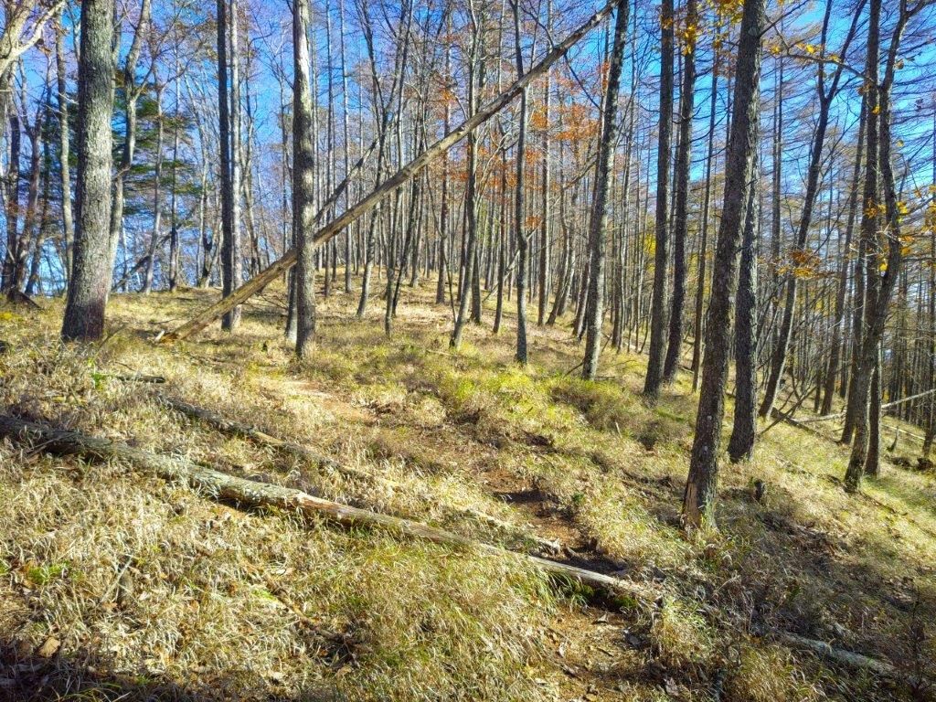
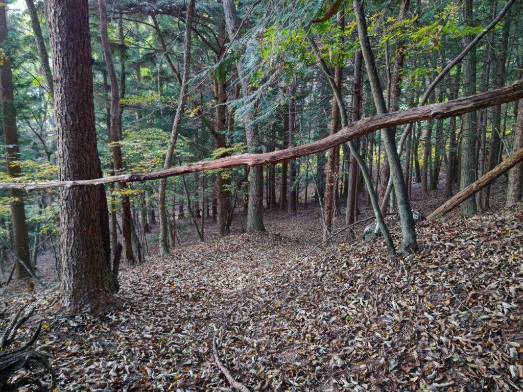
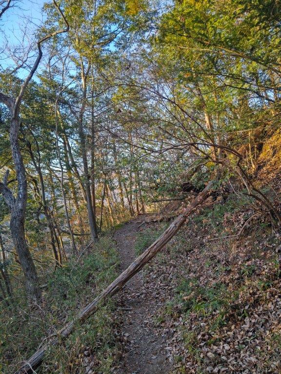
Fallen Tree on the way to Mt Asama
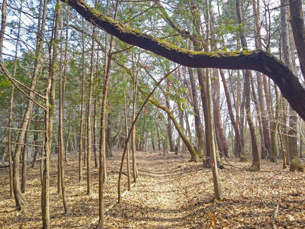
Overhanging Tree Branch en route to sakura-toge
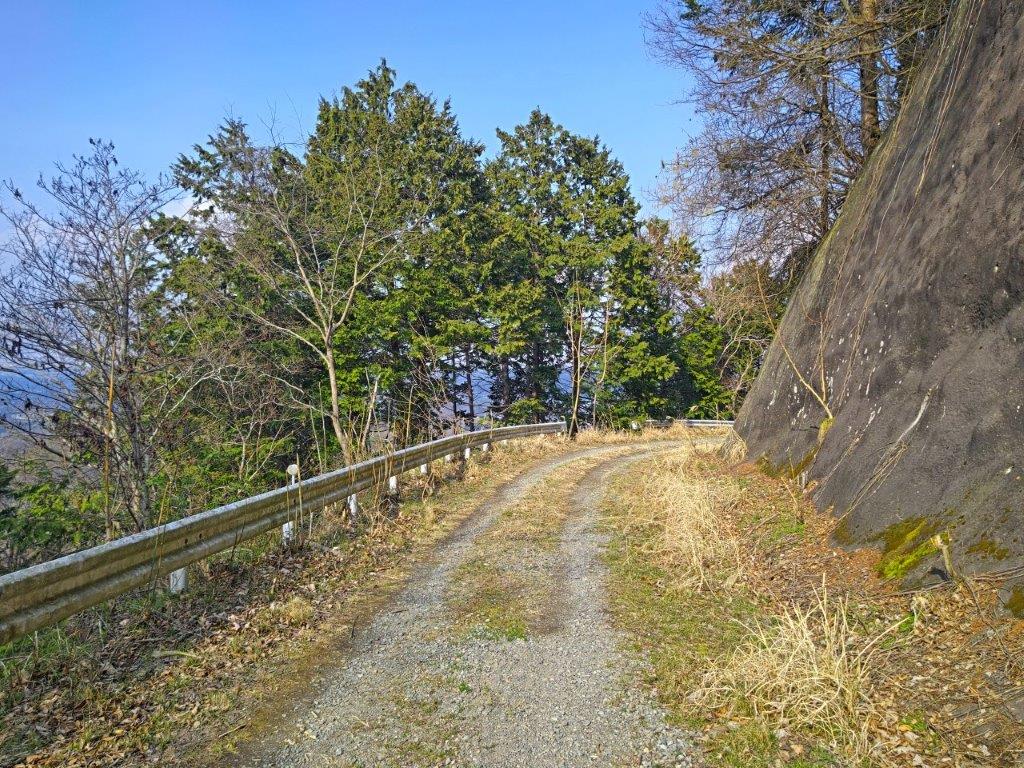
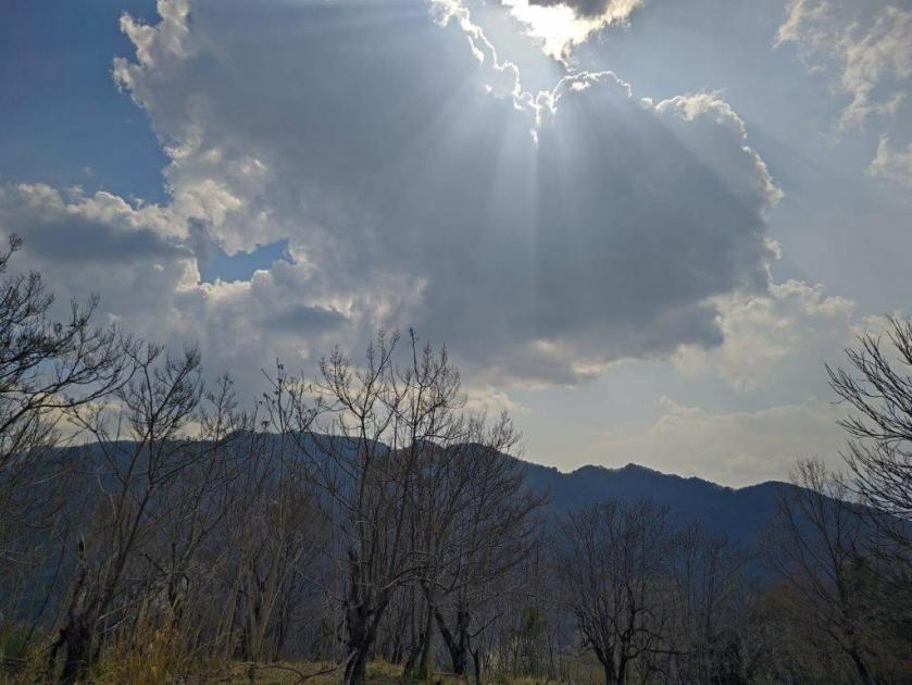
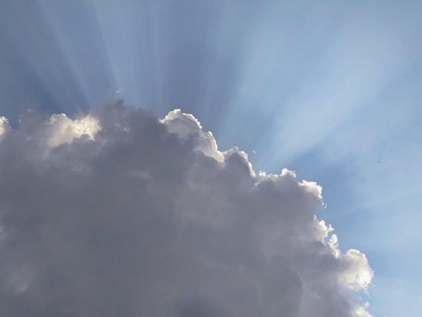
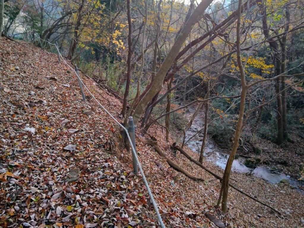
I became slightly concerned when thick, dark clouds hid the sun, making me think that rain might be a possibility despite the sunny forecast. I stepped up the pace, and after a short descent, came upon the forest road which I would use to get off the mountain at the end of the hike. For now, I continued up the trail on the other side, and very soon, on a slight rise marked by a stone monument, I reached a bunch of cherry blossom trees in full bloom.
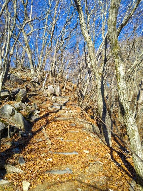
Level Trail before Mt Asama
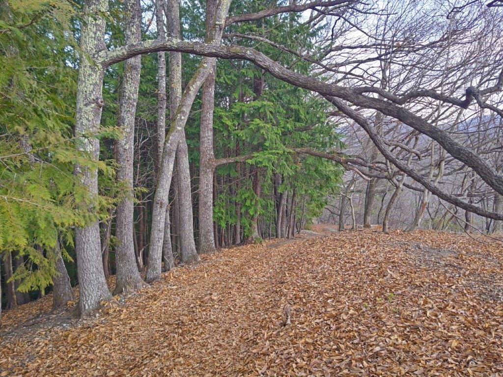
Descending Trail Past Mt Asama
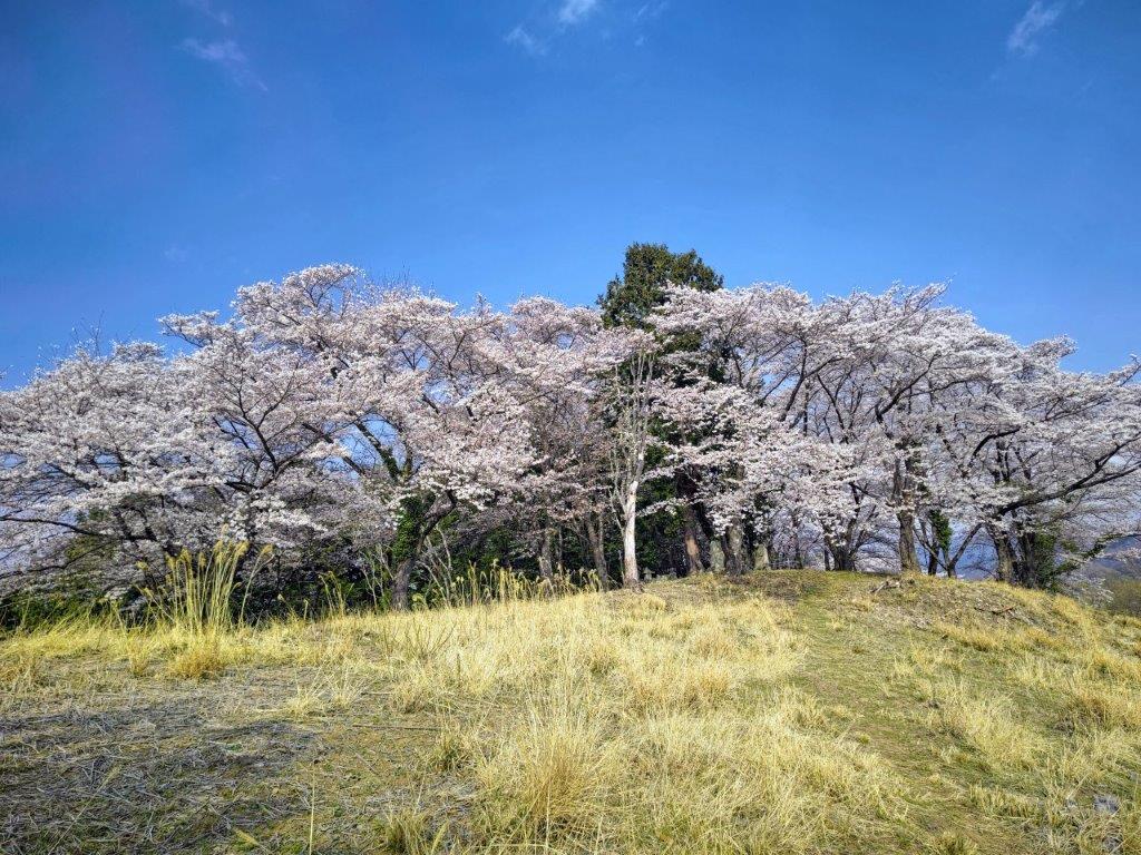
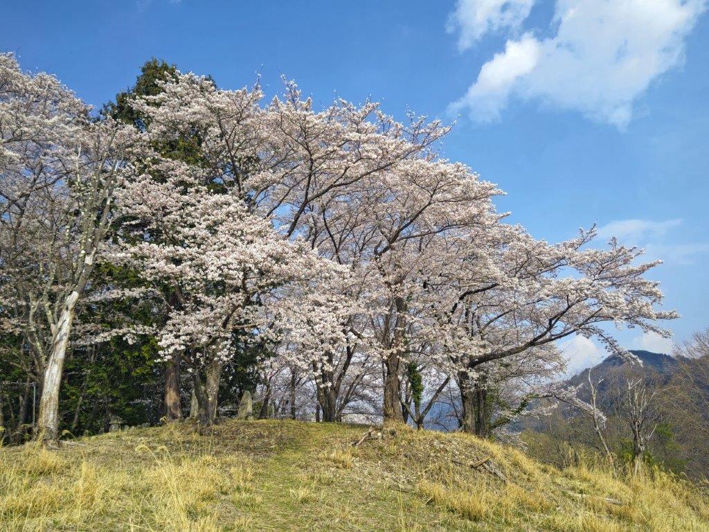
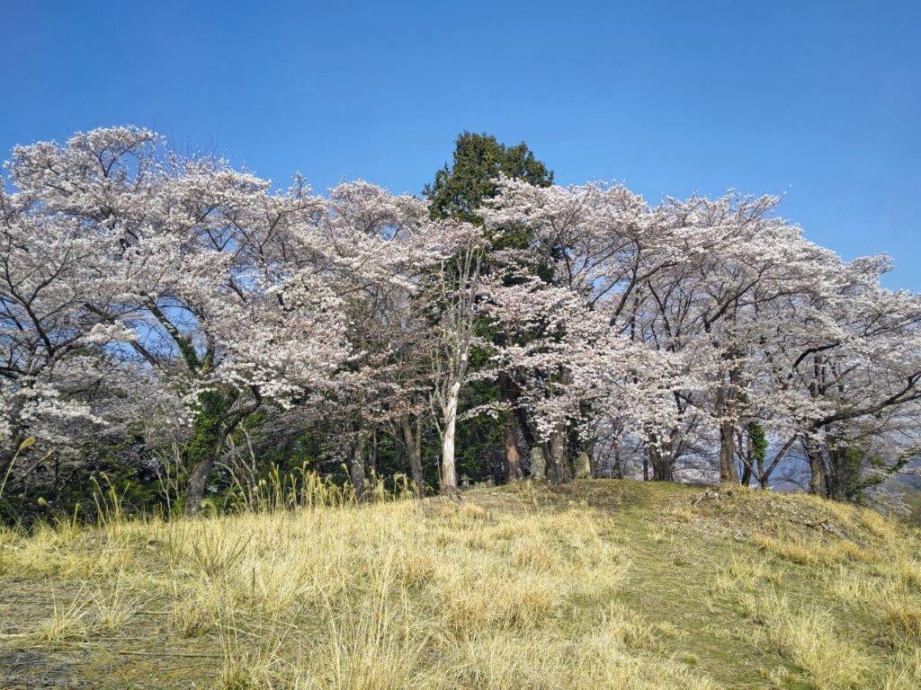
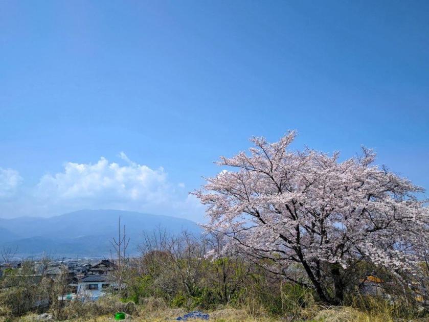
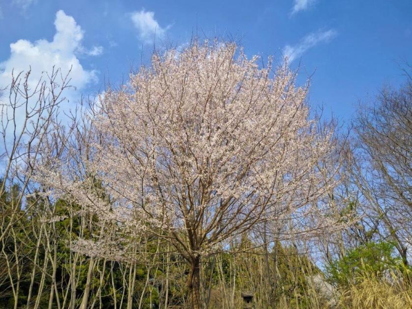
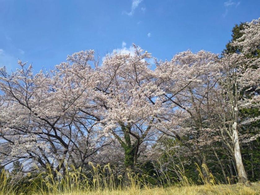
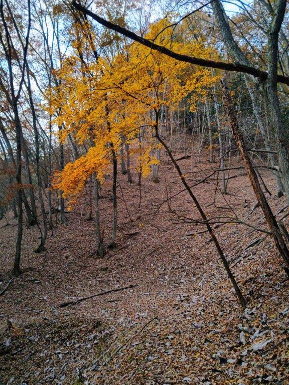
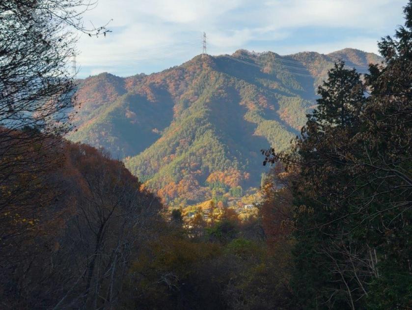
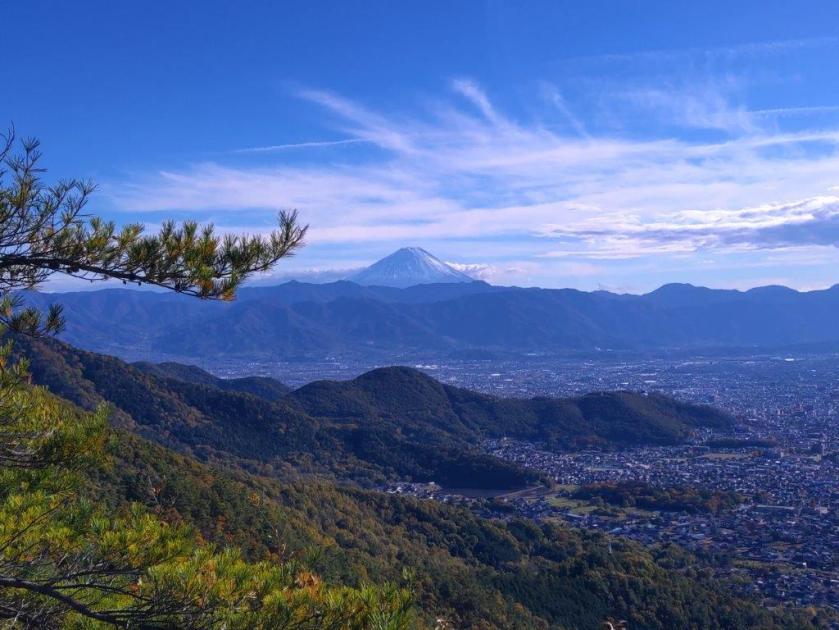
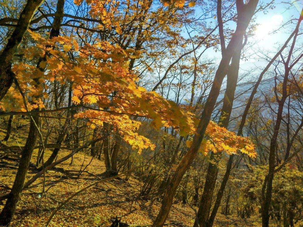
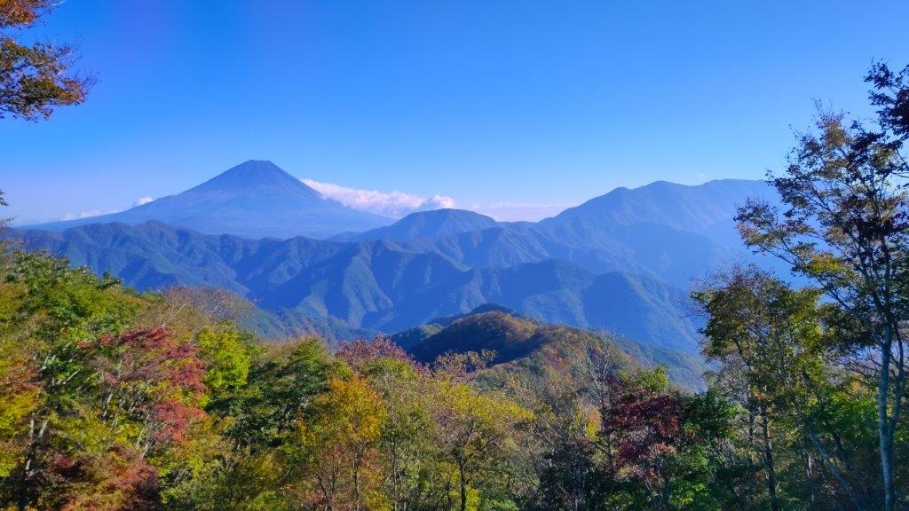
I was delighted to see sakura in full bloom up in the mountains. These were not the mountain variety but actual Somei Yoshino cherry trees. A handful of people were quietly doing “hanami” (flower watching) under the white and pink blossoms. It felt quite special to be able to enjoy such spectacular trees with so few people. Apparently it’s also possible to see the top of Mt Fuji from this spot, although today clouds hid it from view. As it was nearly 2pm, I sat with my back against a tree trunk and enjoyed a “hanami” lunch under the blossoms, with a view of the Misaka mountains.
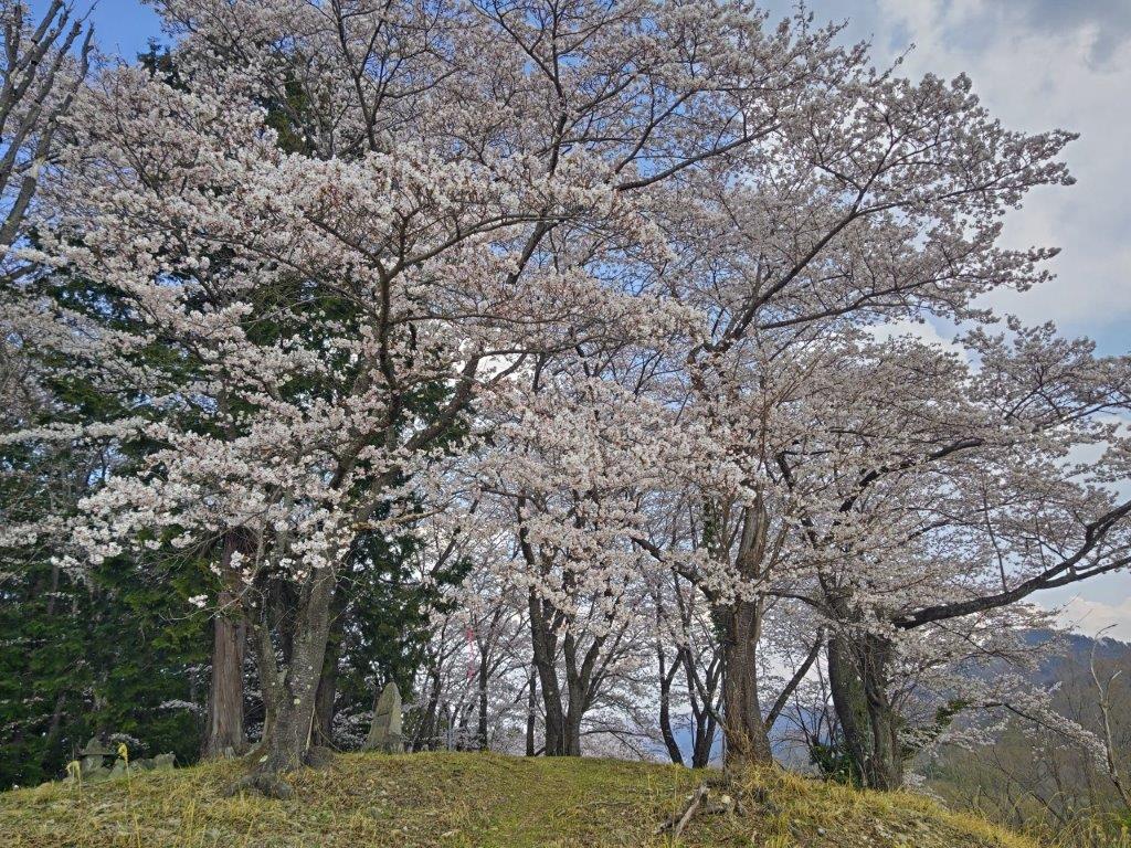
Cherry Blossom Trees up in the Mountains
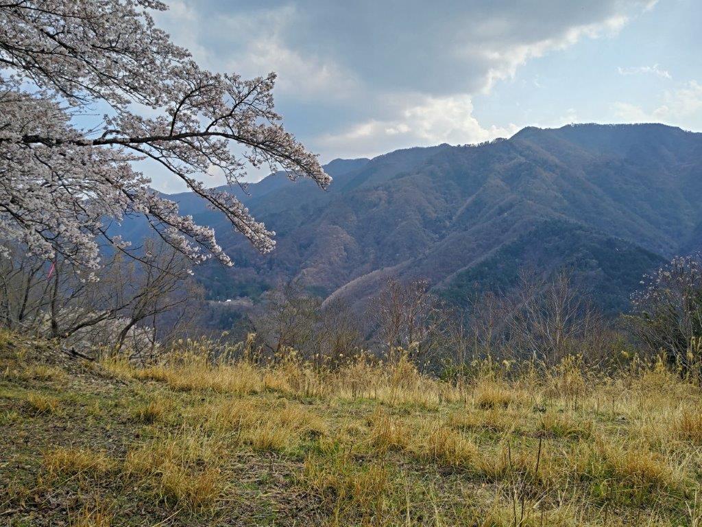
Cherry Blossoms and the Misaka Mountains.
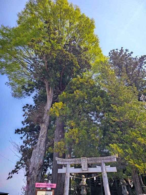
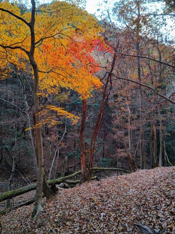
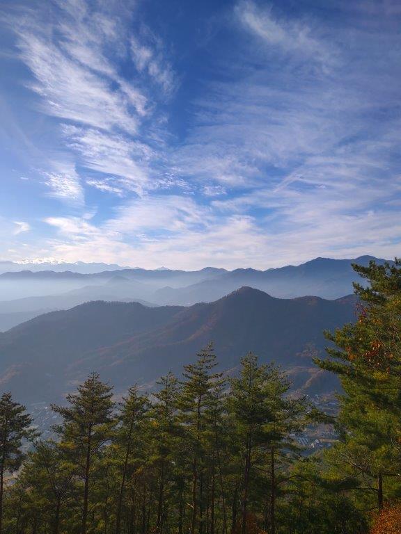
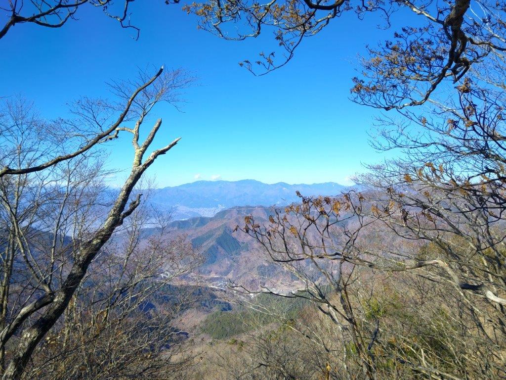
Clouds now covered most of the sky on the south side; since I’d pass through this spot later on, I decided to move on quickly in the hope that the sun would be back by then. A few minutes later, I came upon a handmade signpost for Sakura Pass (桜峠 sakura-touge) next to an actual “yamazakura” or mountain cherry blossom tree, in full bloom. It was my first time to see one so clearly, as they usually grow surrounded by other types of trees. I continued along the unsignposted trail, following the ridgeline southeast.
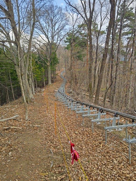
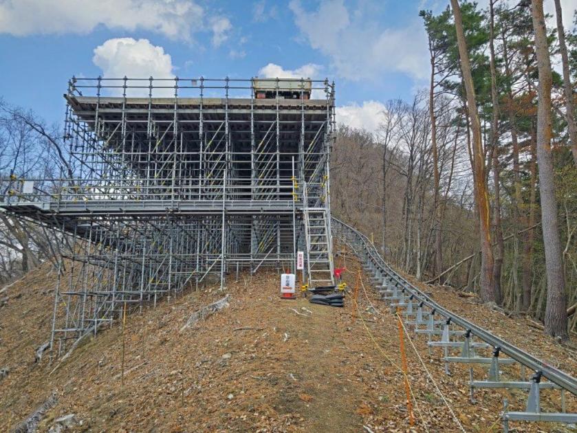
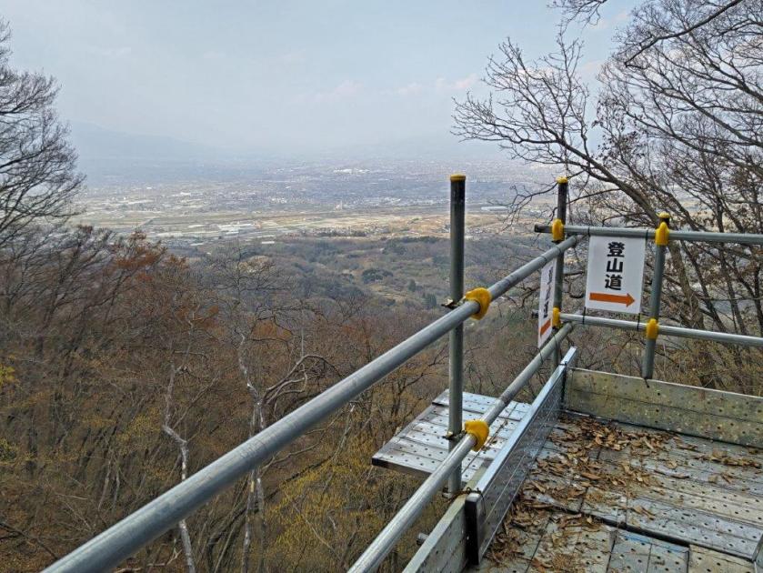
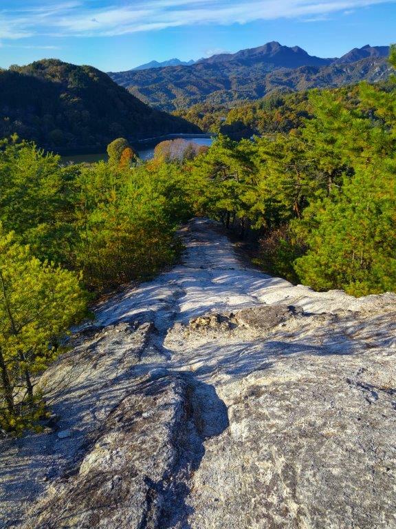
View of the Kofu Basin from the Top of the Monorail
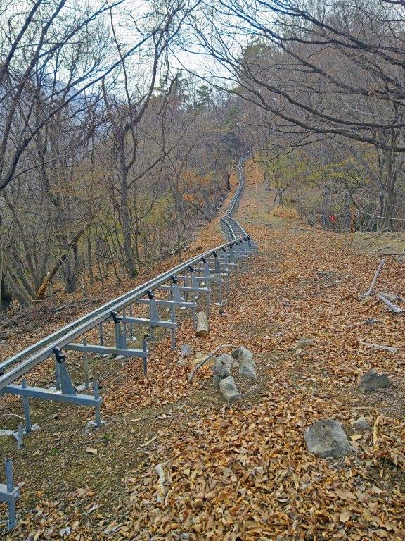
Walking alongside the Rail Transport System
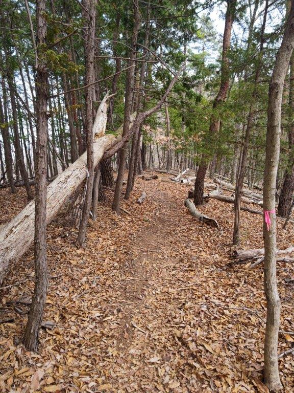
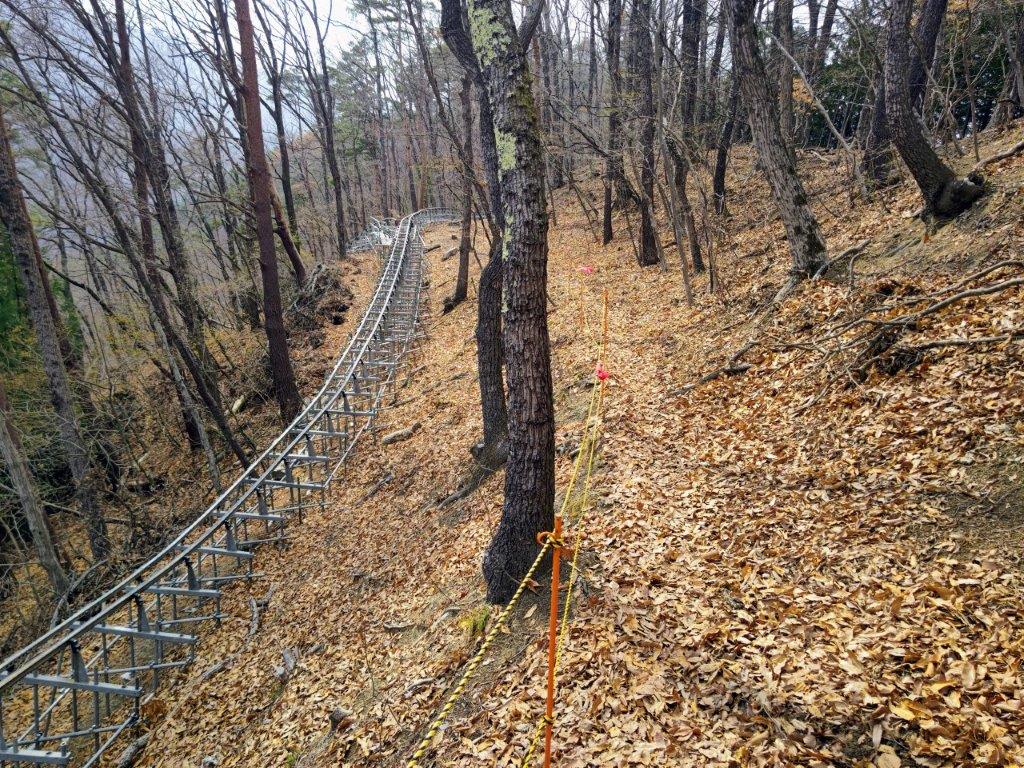
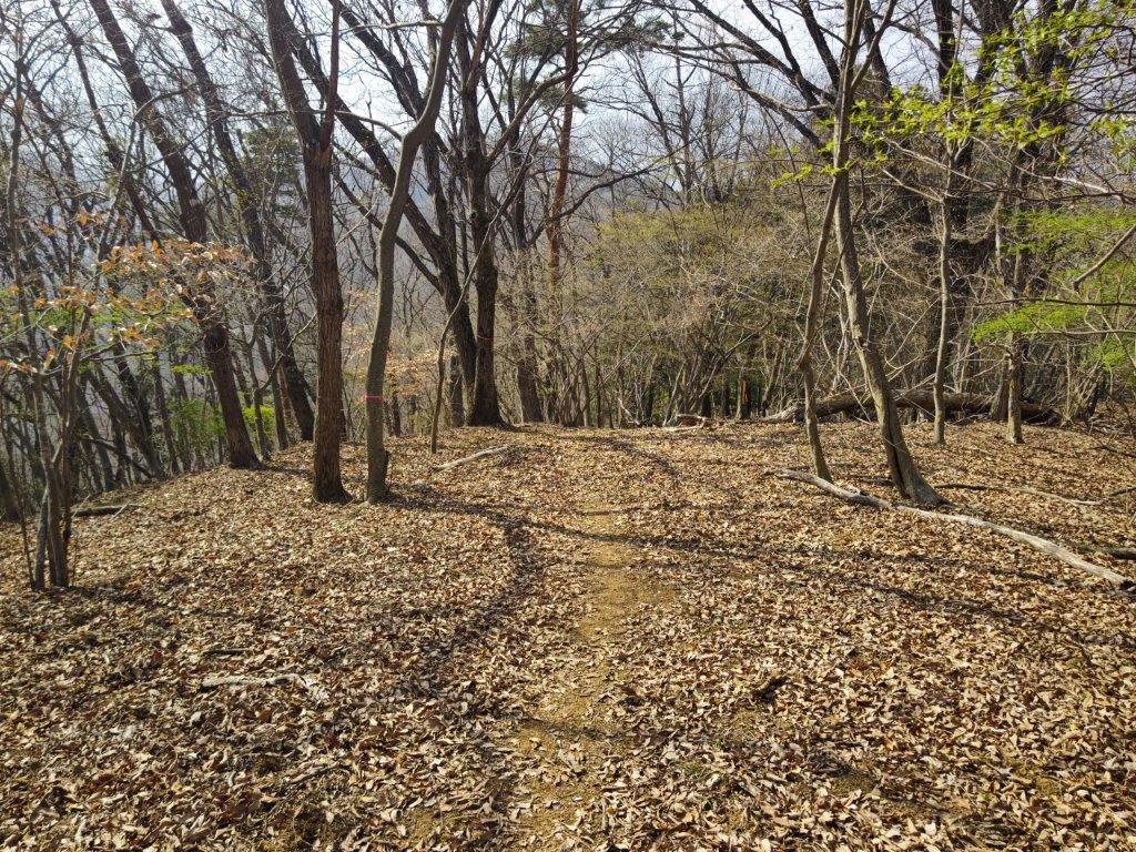
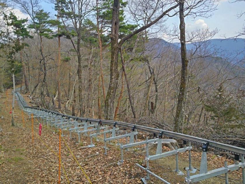
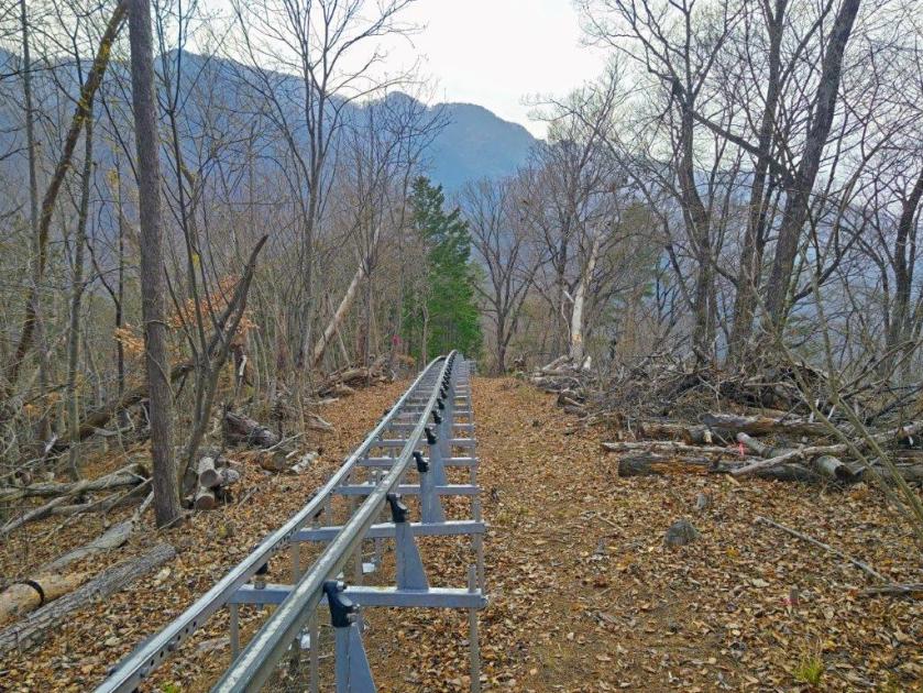
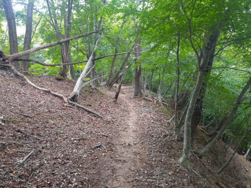
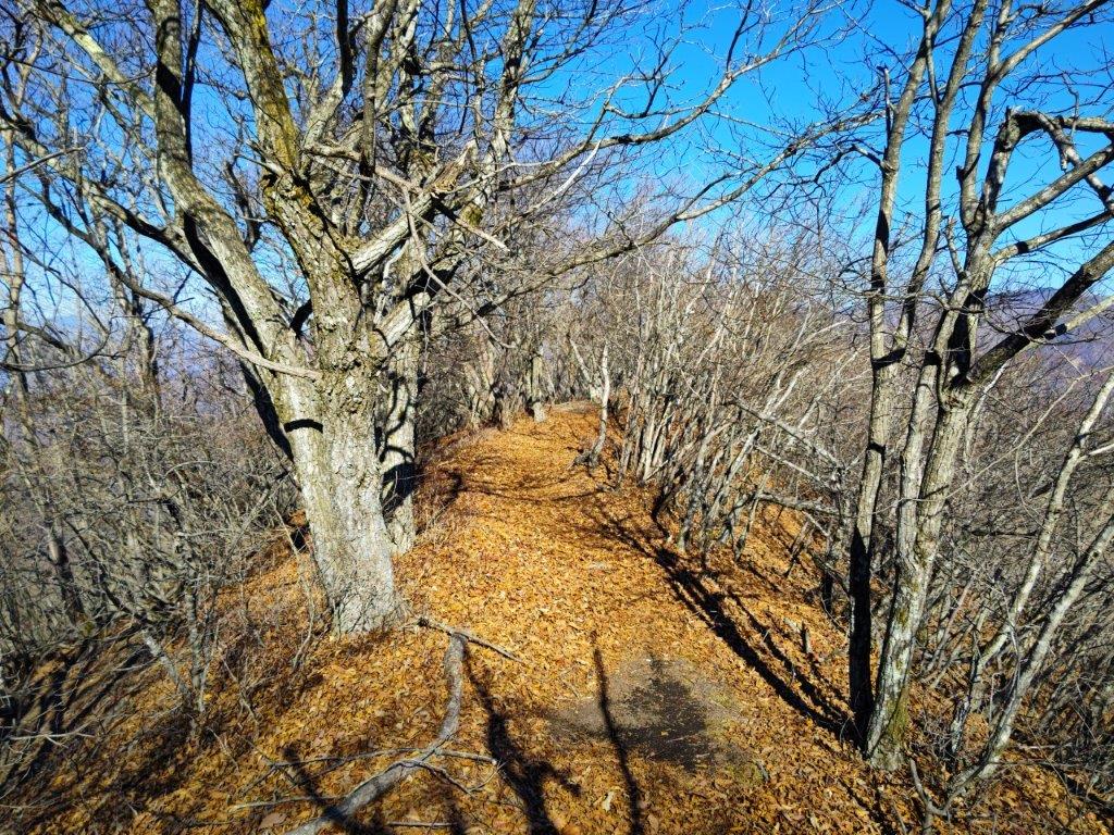
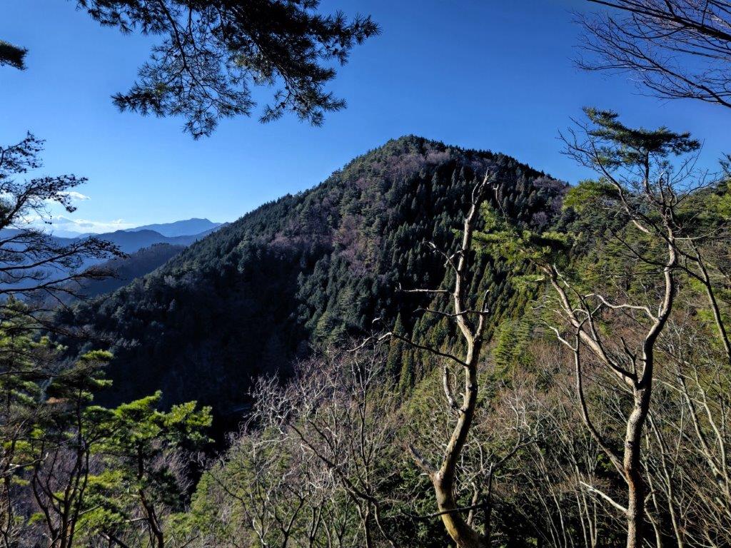
The trail was surprisingly easy to walk, mostly level along the wide ridgeline, although trees blocked the views on both sides. Eventually, it started to climb, following a sunken path, perhaps an ancient wild animal track. At 2h30, I reached the minor summit of Mt Yumitate (弓建嶺 ゆみたてみね yumitate-mine); according to a local legend, at this spot the Lord Asari Yoichi shot an old woman with an arrow after mistaking her for a white heron. Rather than a white heron, I spotted a “monorail”, or a rail transport system for moving goods, rising up from the other side of the mountain.
Walking back to Mt Yumitate along the Monorail
Heading back to Sakura-toge
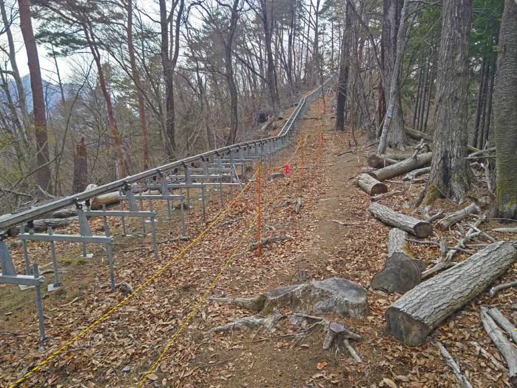
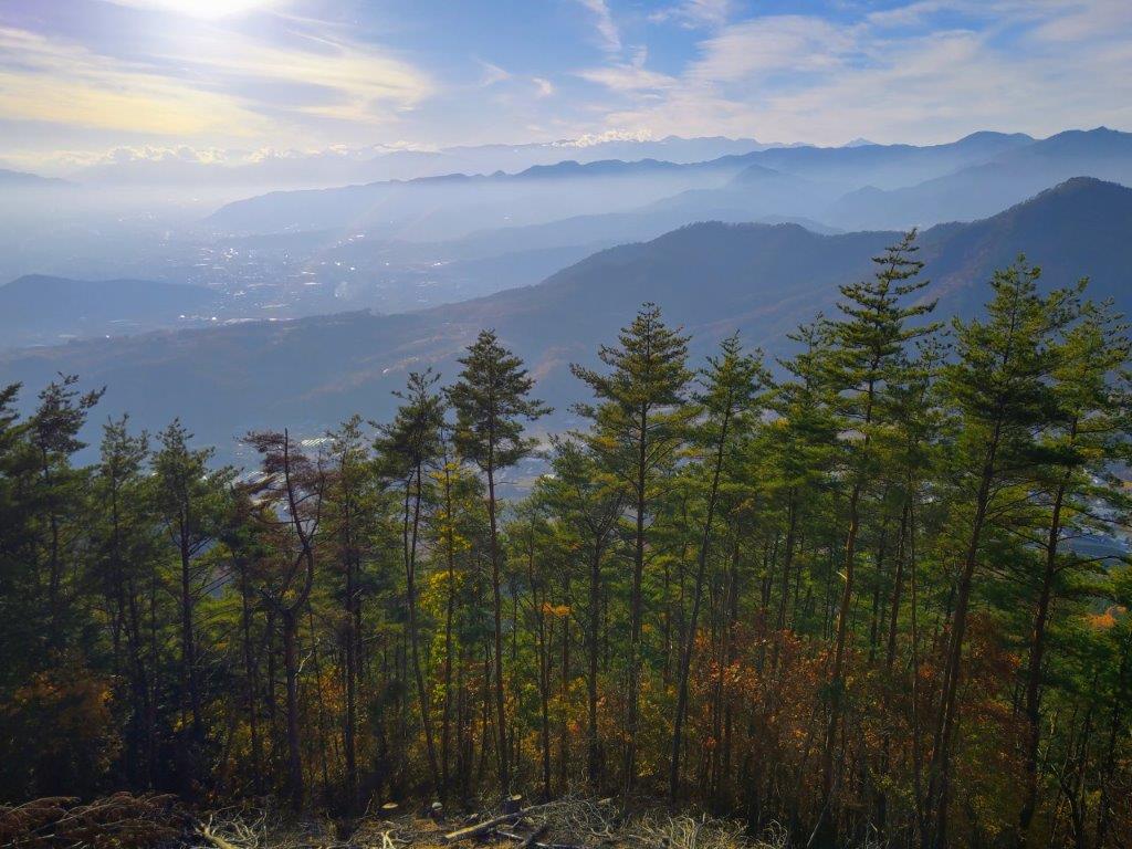
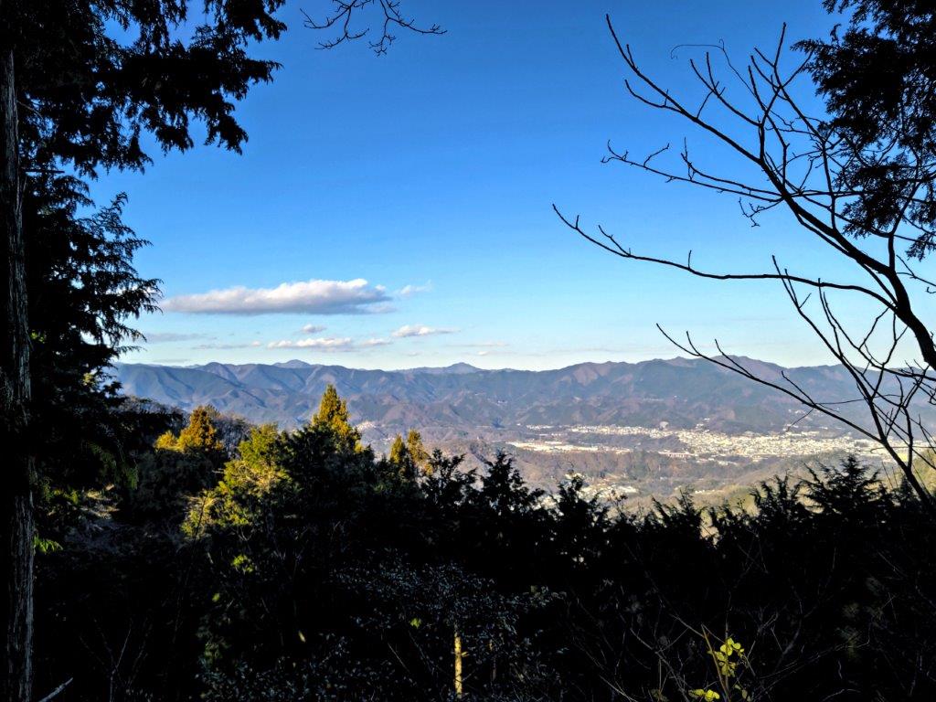
This modern device in the midst of nature gave a touch of mystery to the surroundings. After climbing from the next valley, the monorail turned and followed the narrow forested ridgeline. I had seen such transport systems before but it was the first time to see one running parallel to a hiking trail. I set off again and soon I arrived at an even more amazing sight: a huge platform covered in scaffolding, the monorail top station. I followed the trail right up to its base, then up some metallic steps and around the side on a metal walkway, from where, above the trees, I had a view of the Kofu basin. After enjoying the view, I made my way back to Sakura Pass.
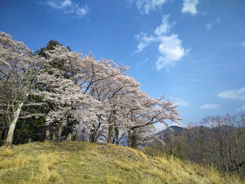
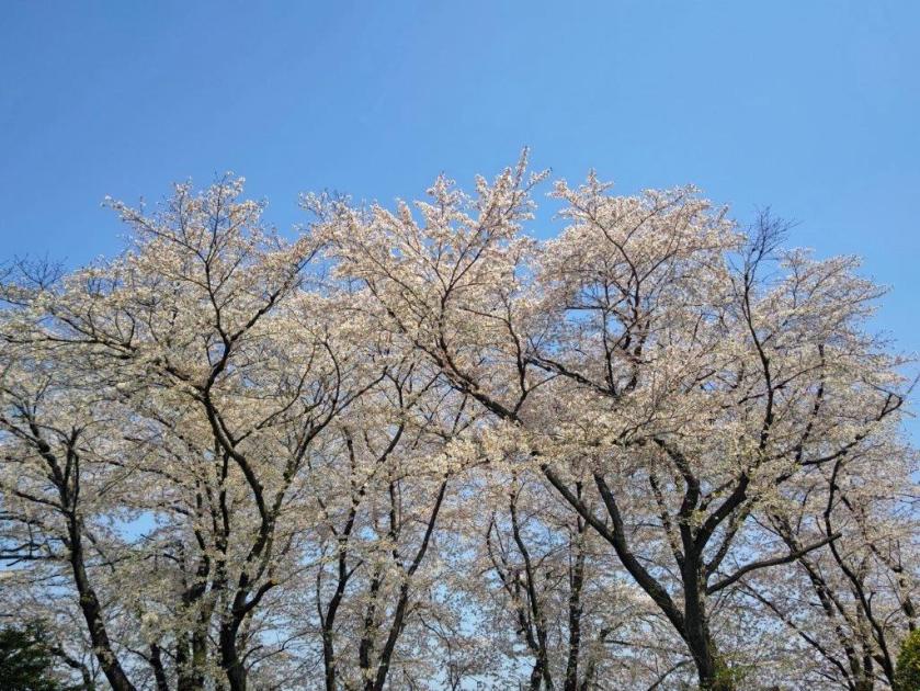
Sakura in the Sun
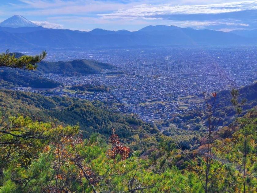
Misaka Mountains from Sakura-toge
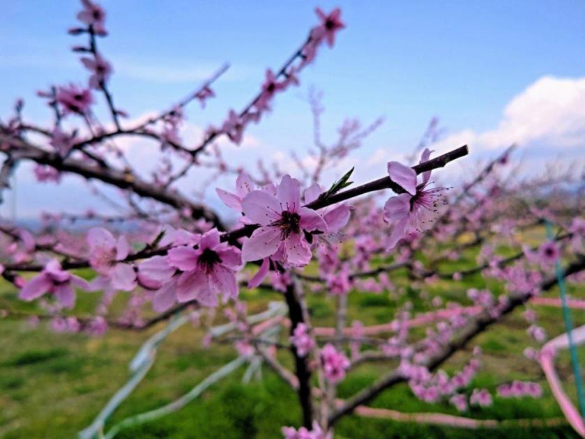
The cherry blossoms were even more spectacular now that the sun had returned. I spent some time enjoying them from various angles, the pink white blossoms against the blue sky forming the perfect contrast. Looking north, I could better appreciate the detail of the Misaka mountains, although Mt Fuji was still missing in action. It was past 3pm so I slowly headed to the forest road where I turned right and started the descent into the valley. Half an hour later, I reached some peach orchards at the edge of the forest.
A great Spot for Hanami
Heading Down into the Valley
It was my first time to see peach blossoms on a hike, the pink blossoms covering the mountain side. Shortly after I arrived at Mitamu no Yu where after a refreshing hot spring bath, I called a taxi for the 10-minute ride back to Kai-Ueno station. After getting back to Kofu a little before sunset, I boarded the limited express at for the 90-minute ride back to Tokyo, enjoying along the way the surreal scenery of pink peach blossoms covering the Kofu basin.
Watch a Video of the Hike
See More Pictures of the Hike


![Mt Shakushi (1597m) & Mt Takazasu (1304m), Fujiyoshida City, Yamanashi Prefecture, Sunday, November 26, 2023 [MAP AVAILABLE]](https://hikingtokyo.com/wp-content/uploads/2023/12/dsc_1408.jpg?w=1024)


![Mt Yadaira (860m), Otsuki and Uenohara Cities, Yamanashi Prefecture, Friday, December 30, 2022 [Map Available]](https://hikingtokyo.com/wp-content/uploads/2023/04/dsc_28292.jpg?w=1024)


You must be logged in to post a comment.