
Two years ago in August, my mother visited Japan, and we were busy sightseeing, mostly places in the mountains I had been to before. We visited Kamikochi, Mt Norikura, the Chuo Alps, as well as some mountains closer to Tokyo in Gunma prefecture. Consequently I didn’t get to climb any new peaks during that month, with the exception of Mt Shiga (which I will write about separately. However, from September, I was out exploring and climbing new peaks again, although as the weather cooled, my hikes got lower and closer to Tokyo.
Mt Sennokura (2026m), Yuzawa Town, Niigata Prefecture, Saturday, September 9

A two-hundred famous mountain sitting on the border between Gunma and Niigata prefectures, close and far at the same time, access was as usual problematic. I finally bit the bullet and rode out with the shinkansen to Echigo-Yuzawa. I tried to get the Tokyo Wide Pass the same day but was thwarted by a long line at the Tokyo station travel office. After alighting in Niigata, only an hour away by feeling like a completely different world, I caught the bus for the Naeba Prince Hotel, and got off a little bit before, at the Mt Tairappyo trailhead. It was a beautiful sunny late summer day, and I was starting to feel that my shinkansen fare had been well spent.

The highest point of Mt Naeba is to the left of the “notch”
After a one hour slog up the side of the mountain, I emerged from the forest and started getting my first views, back towards the valley I had just climbed up. Now I was walking under the sun through bushy, grassy vegetation. Ninety minutes later, just before 1pm, I reached the top of Mt Tairappyo 平票山 (1984m) where there was a great panoramic view. To the South I could see the Kanto plain, against the sun and somewhat hazy; to the North, the mountains of Niigata.

Grassy ridgeline and wispy clouds
After an up and down, I finally reached the highest point of the ridge one hour later, Mt Sennokura 仙ノ倉山, and admired the dramatic views beyond towards the Tanigawa ridge. The drop in between was quite deep and don’t think I’ll ever have the courage to hike across it. After a short, peaceful lunch, only one other hiker shared the summit with me, I retraced my steps, admiring the nice views of the flat ship-shaped summit of Mt Naeba. The weather was holding, with only wisps of cloud here and there.

This lodge is quite a popular place to stay the night
At the top of Mt Tairappyo, I turned left along the ridge heading towards Mt Mikuni, and walked down to the hut at the lowest point. Since it was a Saturday afternoon, there were lots of people planning on spending the night there. I wasn’t, so I turned right and headed down into the valley. I soon reached the bottom, and walked southwards till I emerged from the forest back at my starting point, from where I caught a bus back to the shinkansen station and home.
Mt Kaya (1704m), Nirasaki City, Yamanashi Prefecture, Saturday, September 30

Another two-hundred famous mountain, and one I had been wanting to conquer for a while (the top photo shows the view of Yatsugatake taken along the hike). A bus from Nirasaki station on the Chuo line put me at the start of the hiking trail. I reached the top of Mt Kaya 茅ヶ岳 shortly before noon. Since it’s a relatively easy mountain, there were quite a few people at the summit enjoying an early lunch in the beautiful autumn weather.

Mt Fuji is visible from most of the hike
I continued North to Mt Kana 金ヶ岳 (1764m) where fortunately there were fewer hikers, and I had the summit to myself for my own lunch. The good weather persisted, and on the descent I had some really good views of Yatsugatake, Mt Kinpu and the Minami Alps. The hike ended along a road at a nice onsen, with swiss flags flapping outside for some reason. After a great bath, I was able to catch a bus back to the train station. The bus was completely full and I had to stand next to the driver, but I was able to chat with the driver along the way while taking in the great views.

Mt Kinpu, a hundred famous mountain looming in the background
Mt Tetemiezu (1047m), Ogano Town, Saitama Prefecture, Sunday, October 8

This is a less famous mountain, certainly not a hundred anything anyway. I was interested in it mainly because it’s fairly remote, sitting on the border of Saitama and Gunma prefectures. I was the only person to ride the bus from the Ogano town hall to the last stop. The weather was good, clouds and sun, but I wasn’t able to get many good photos, except of Mt Ryokami to the South.

East to West view of Mt Ryokami
The top of Mt Tetemiezu 父不見山 was surrounded by trees; according to my guidebook, there is a viewpoint somewhere but I only noticed that part after descending. All in all, it was a very peaceful hike and I saw almost no-one the whole way. The final part was a one hour walk down a road to the bus stop, where again I was the only passenger to board for the return trip to Ogano town hall. There, I caught a connecting bus for Seibu-Chichibu station.
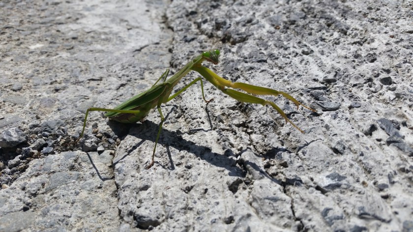
Praying Mantis spotted near the start of the hike
