

I had hiked Mt Hinode one year ago but wanted to return for several reasons. First, the recently introduced “green cars” on the Chuo and Ome lines, would make the ride there and back more comfortable; next, the Mitake ropeway would allow me to start hiking from a higher elevation, essential in this season; finally, I could wash off the sweat at Tsuru Tsuru onsen conveniently located near the end of the trail. This time I’d include the summit of Mt Mitake and descend via the shorter Mt Hinode Hiking Trail.
Hiking in the Chichibu-Tama-Kai National Park
秩父多摩甲斐国立公園

Near the Start (left) Near the End (right) of the Ropeway
To get there, I’d ride the JR Ome line from Shinjuku station to Ome station, and change to the JR Okutama line for the 15-minute ride to Mitake station. There, I’d catch a bus for the short trip to the base of the Mitake Ropeway. For the return, I’d ride the bus from Tsuru Tsuru Onsen to Musashi-Itsukaichi station and take the JR Itsukaichi line to Tachikawa. There, I’d transfer to a “green car” on the JR Chuo line for the thirty-minute ride back to Shinjuku.
Hiking in Okutama 奥多摩
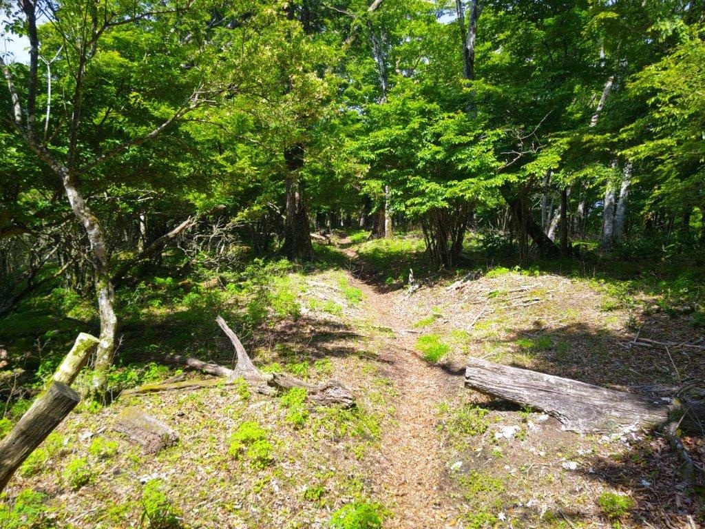
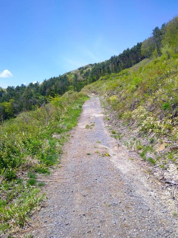
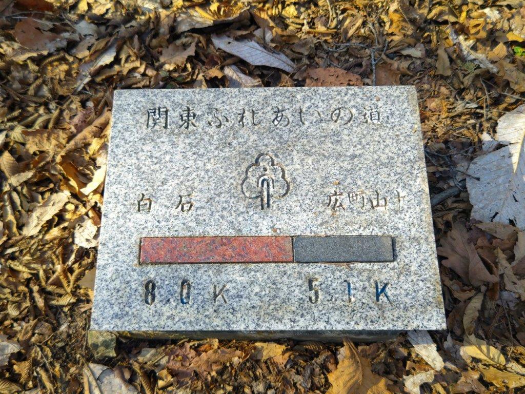
Hiking the Kanto Fureai no Michi 関東ふれあいの道
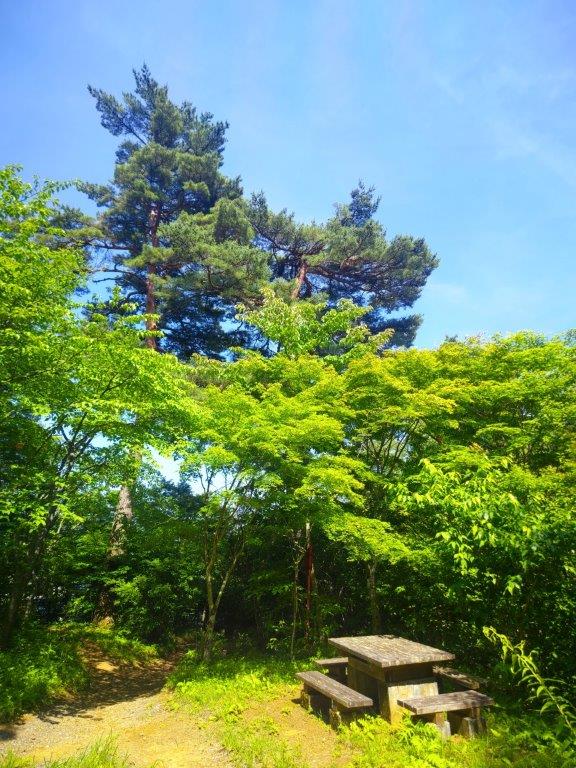
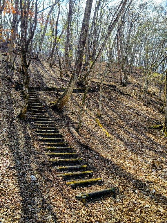
Bench at Fuji-mine Park (left) Steps up Mt Mitake (left)
The weather was supposed to be sunny but quite hot. I decided to leave late in the morning and start hiking in the early afternoon to avoid the time when the sun is highest in the sky; I’d also reach the onsen in the late afternoon, a good time for a relaxing bath and perhaps an early dinner afterwards. I hoped the high temperatures, as well as the Tokyo prefectural elections held the same day, would reduce the number of people who usually visit this popular Tokyo hiking spot.
Find Japan Hiking Maps on Japanwilds and subscribe to our newsletter

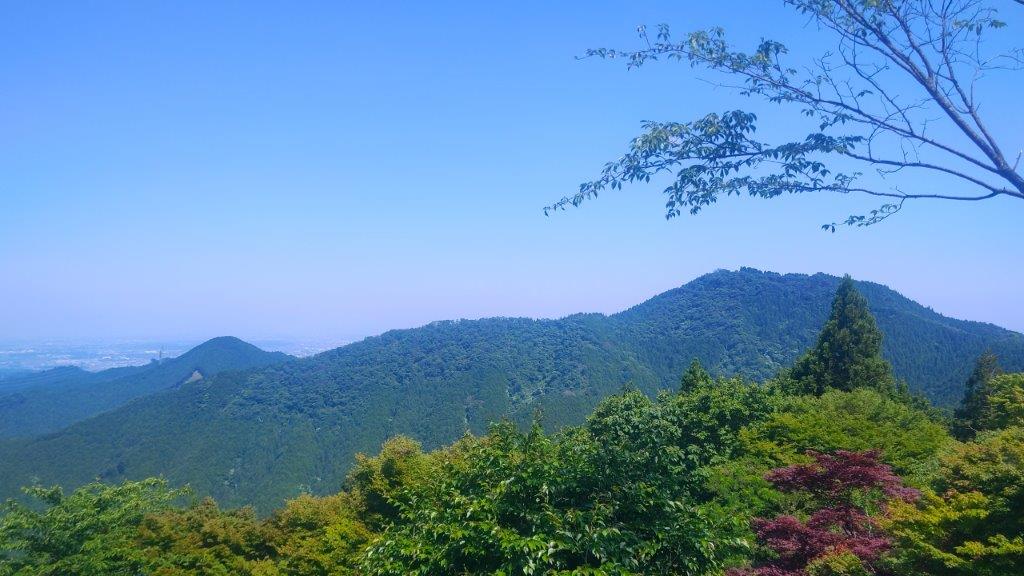
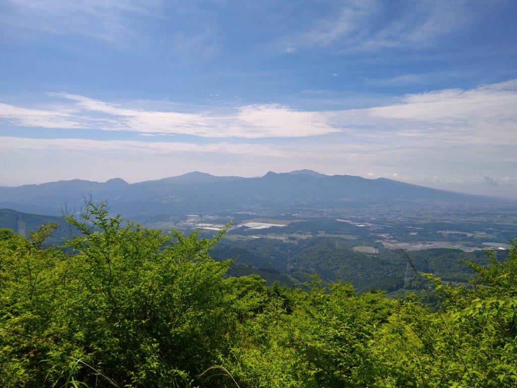
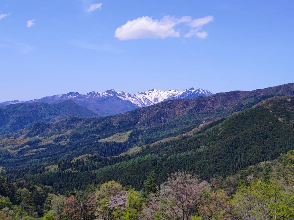
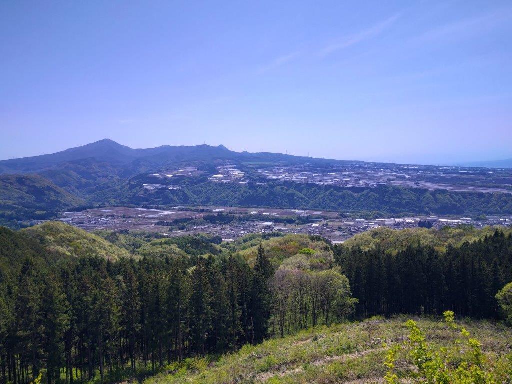
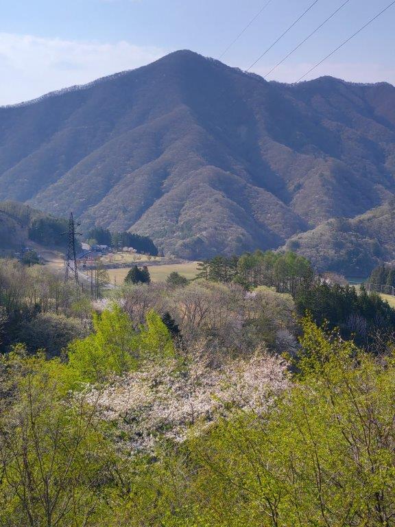
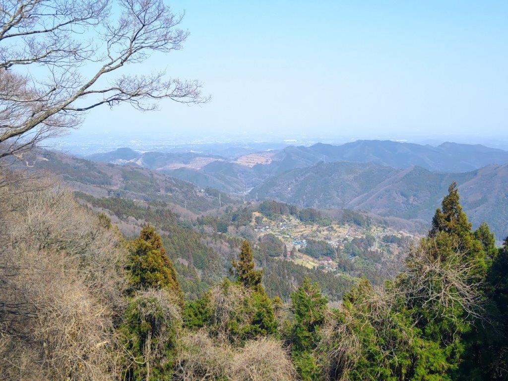
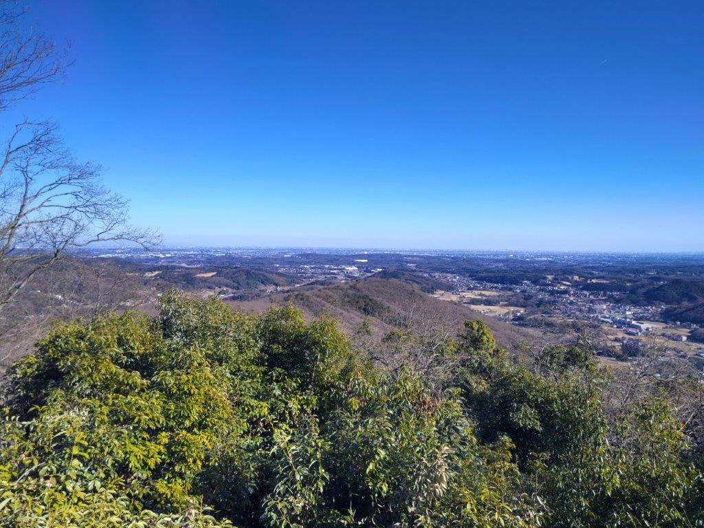
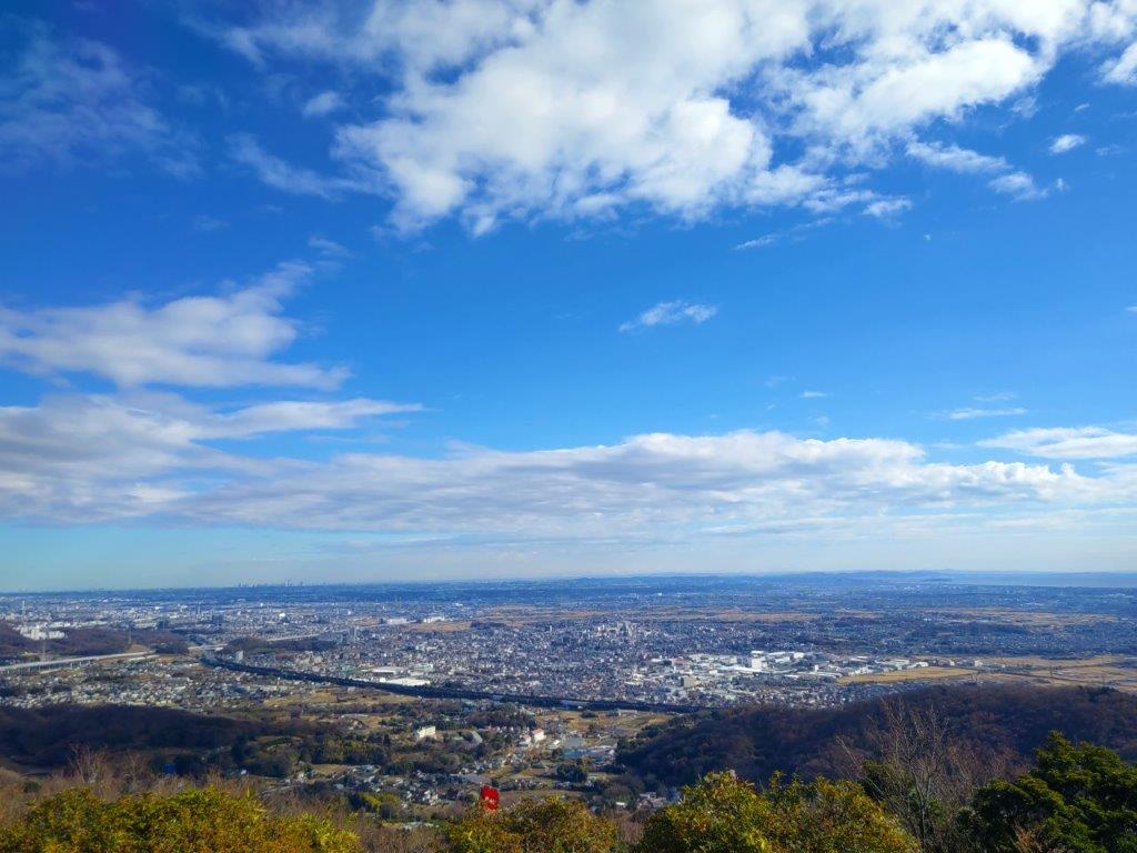
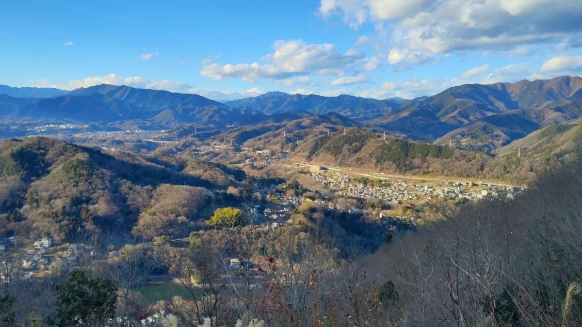
Kanto Plain from Mitake Shrine
Mt Hinode from Mitakesan Station
It was a shock to the system to step out of the air-conditioned train into thirty-something degrees outside Mitake station. Surrounded by the mountains of the Chichibu-Tama-Kai National Park it was hard to believe how hot it was but I hoped the temperature would be more bearable six hundred meters higher up, at the top of the ropeway. The five-minute walk between the bus stop and Takimoto station (滝本駅), the ropeway base station, was particularly tough, a steep paved road directly under the sun.

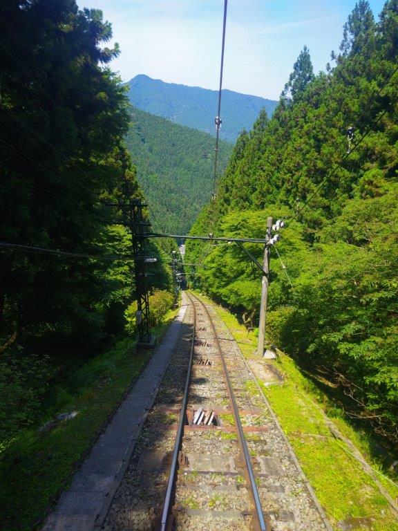
Riding the Mitake Ropeway

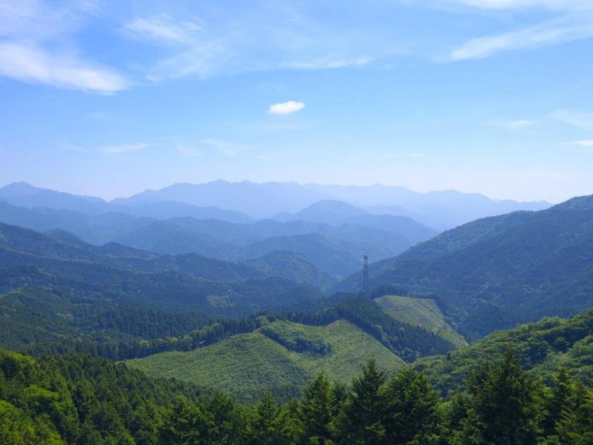
View East from the Top of the Mitake Ropeway
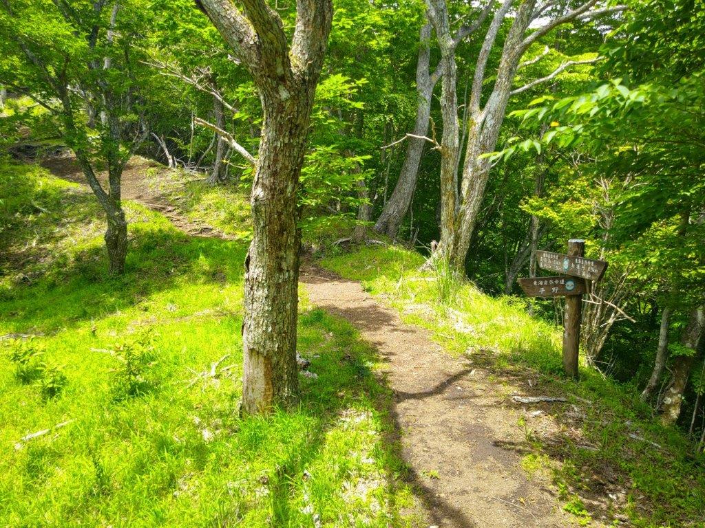
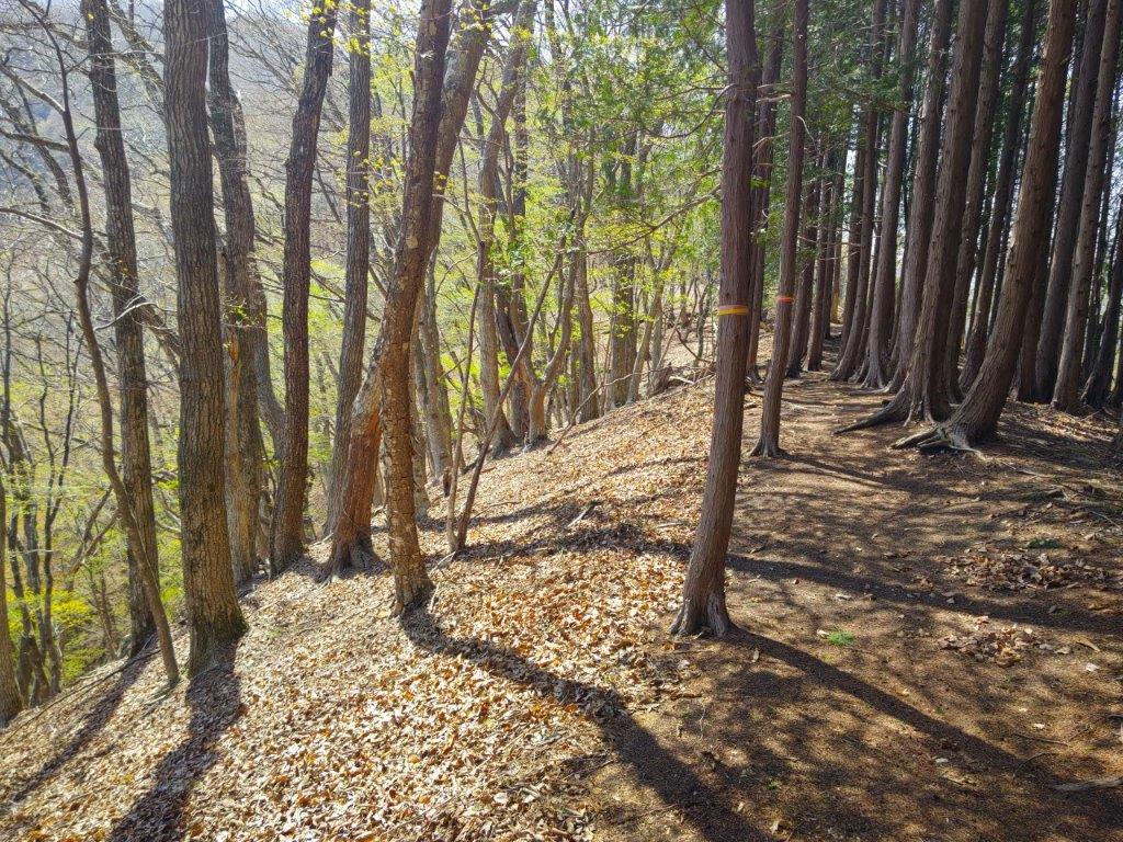
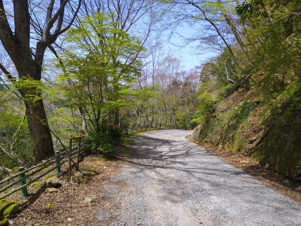
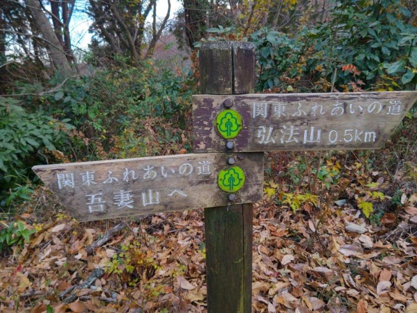
Thankfully few people boarded the ropeway. I got a good spot at the back of the car allowing me to enjoy the view as the ropeway gradually gained altitude. It felt less hot at the top station but I knew that the temperature would still continue to rise. At 2pm, I set off through Fuji-mine Park (富士根園地), a green oasis above the ropeway, mostly deserted on this hot day. Half an hour later, I reached the Mitake Visitor Center (都御岳ビジターセンター) where I examined the exhibits and chatted with the friendly staff, glad to be in a cool space for a short while. After setting off again, now on the Kanto Fureai no Michi, I soon reached the turnoff for the first mountain of the day.

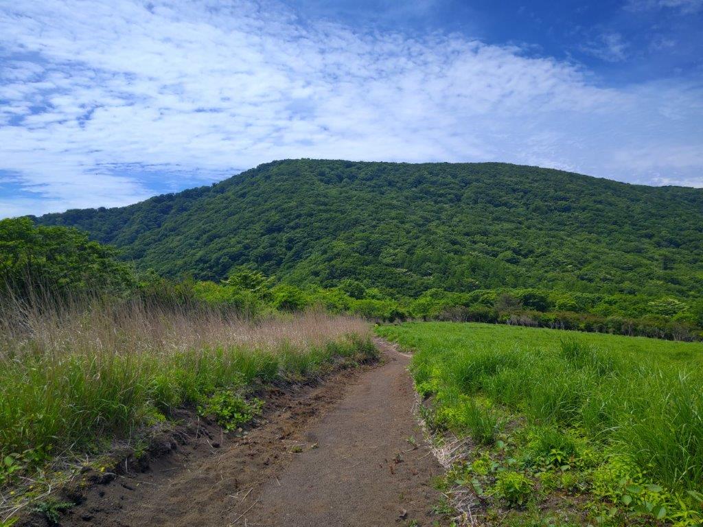
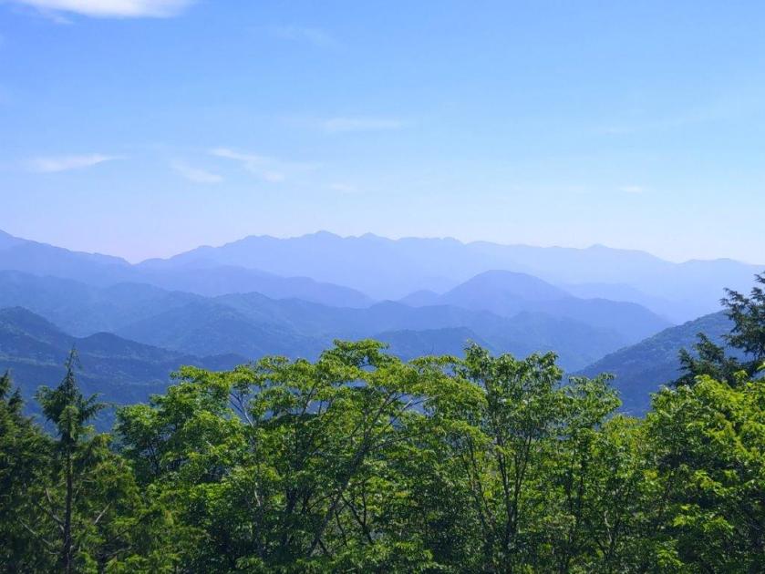
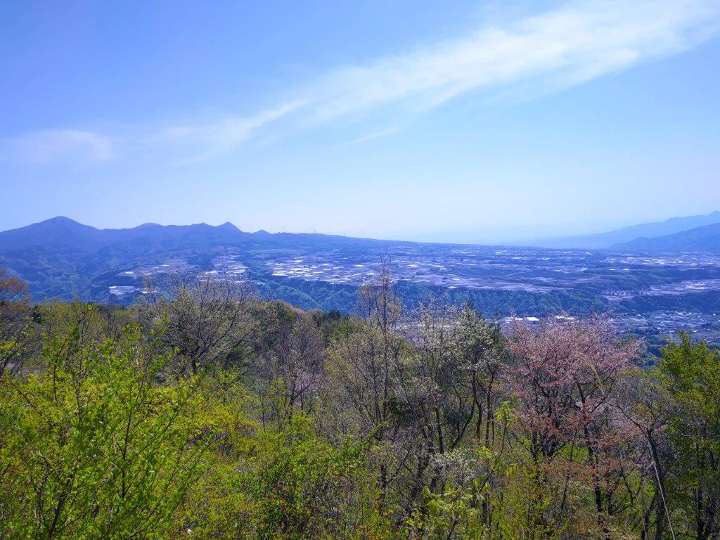
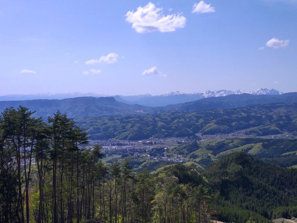
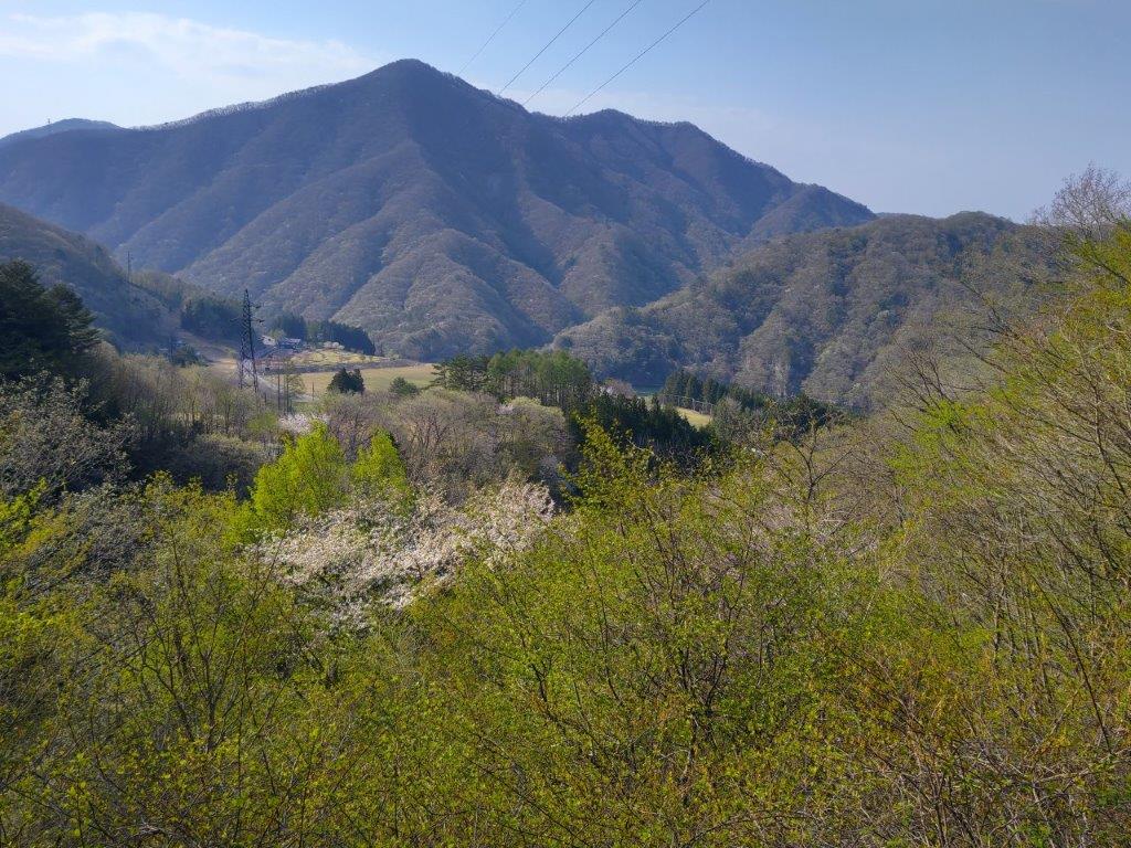
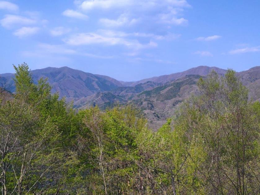
Mt Hinode from the Entrance of Fuji-mine Park

View East from the Entrance of Fuji-mine Park
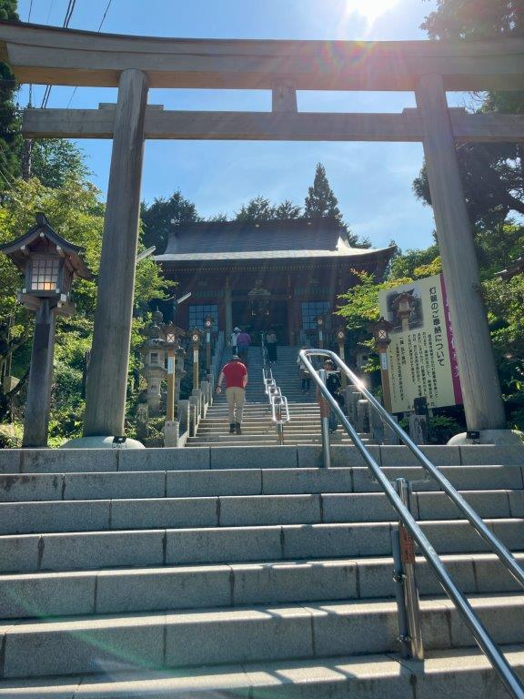
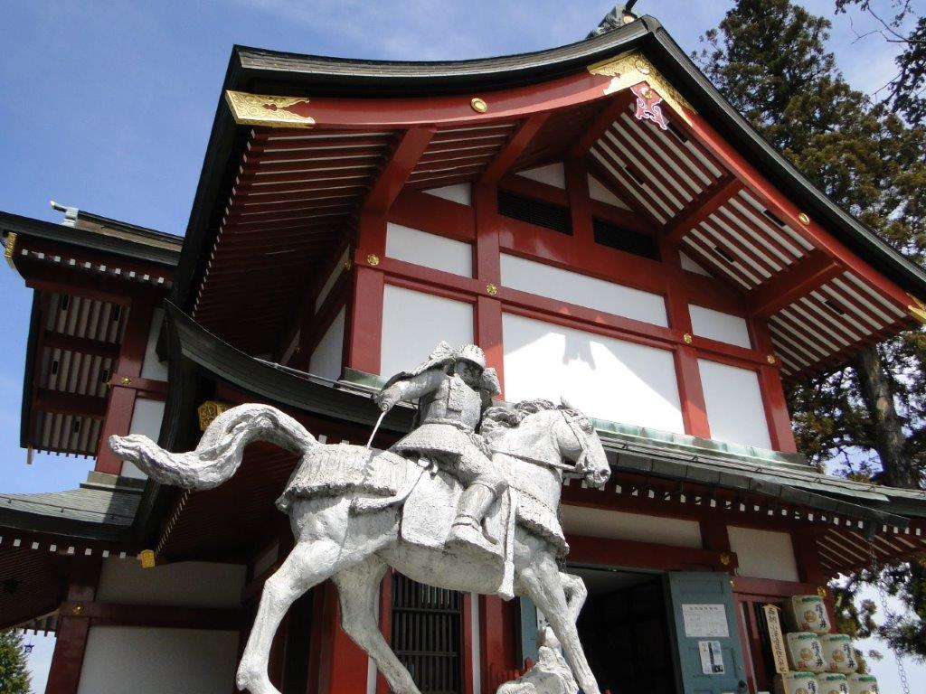
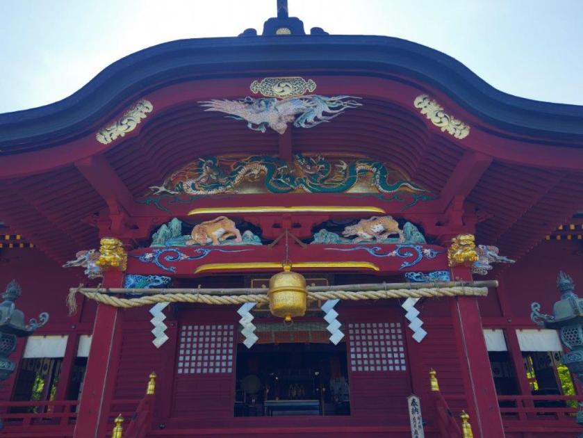
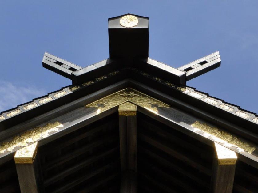
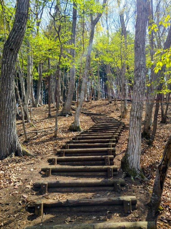
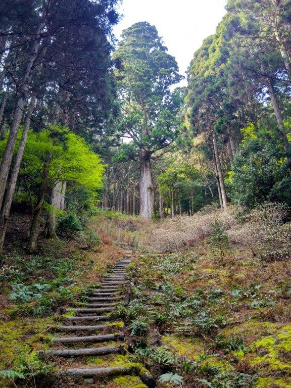
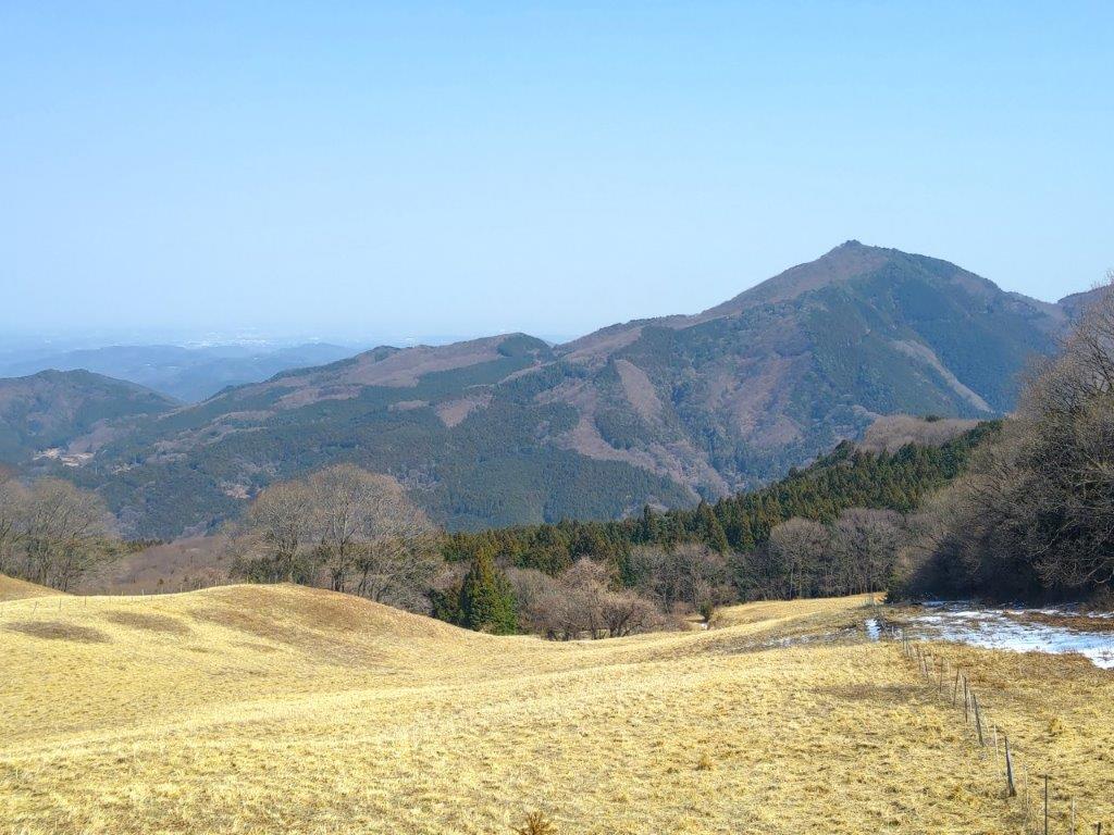
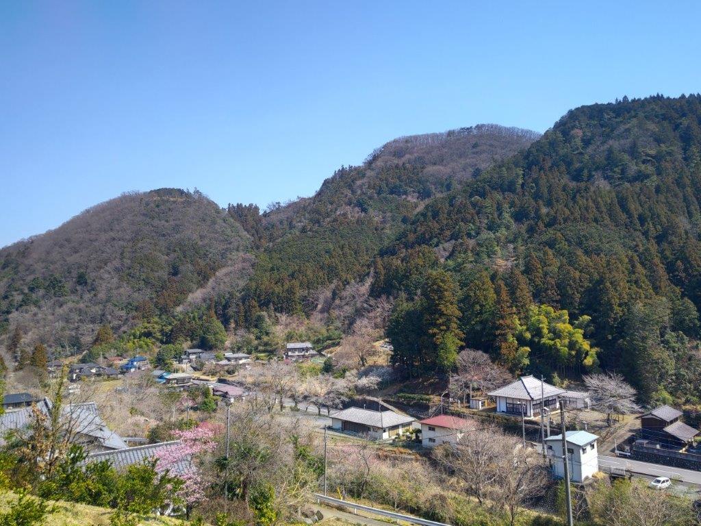
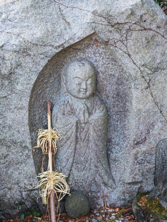
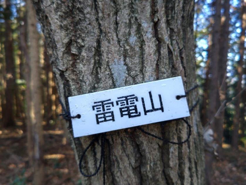
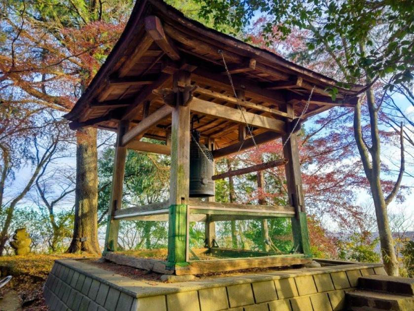
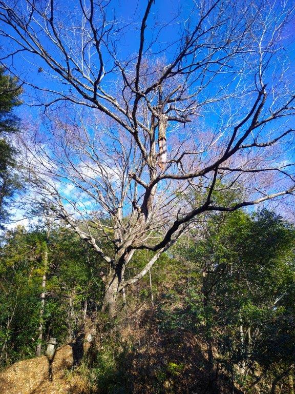
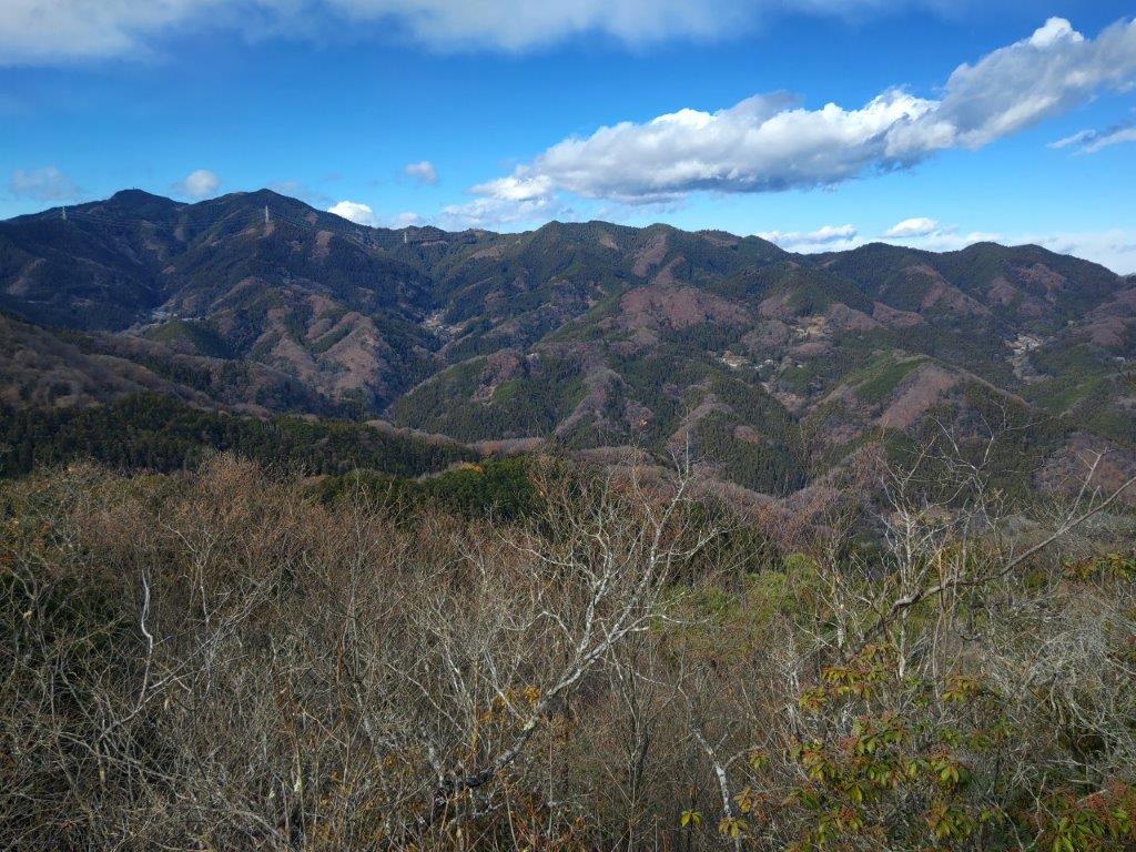
After making my way up a steep slope and then through a street lined with souvenir shops, I reached a stone “torii” and the first of the several flights of steps leading to the top of this sacred mountain. I questioned the wisdom of going up on the hottest day of the year so far, but it had been 11 years since my last visit and I wanted to refresh my memory of this popular sightseeing spot. At 3pm, I arrived at the red and gold Mitake Shrine (御岳神社), where I had a view of the Okutama mountains on the south side. Slightly behind the main shrine building was the summit marker of Mt Mitake (御岳山 みたけさん mitake-san), a Kanto 100 famous mountain. I was so focused on climbing in the heat that I missed the demons carved into the stone steps.

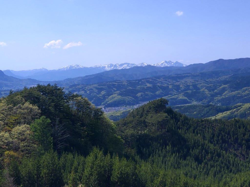
View South from Mitake Shrine

Open Shelter at the Top of Mt Hinode
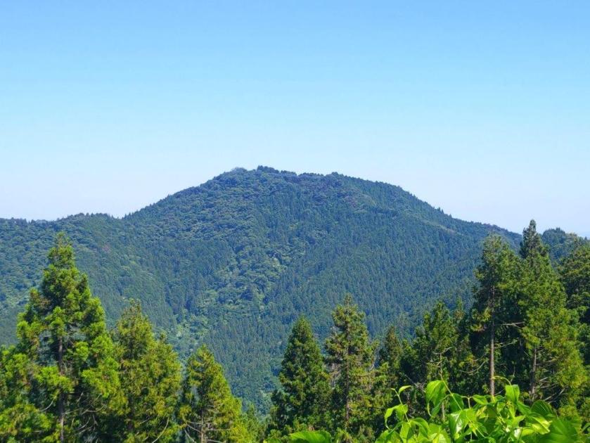
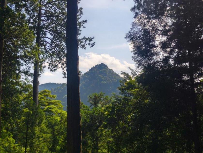
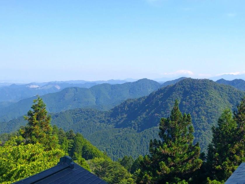
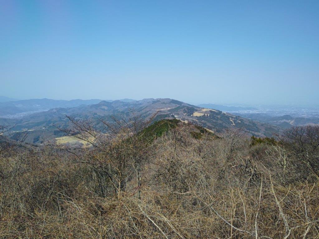
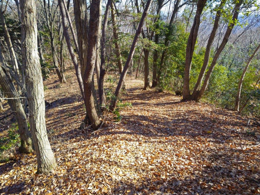
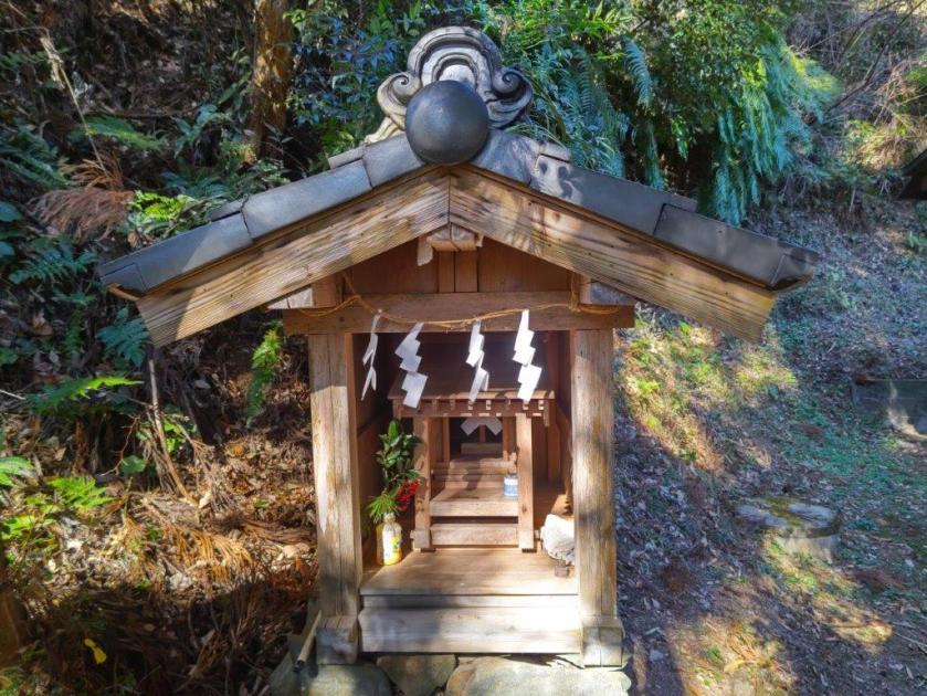
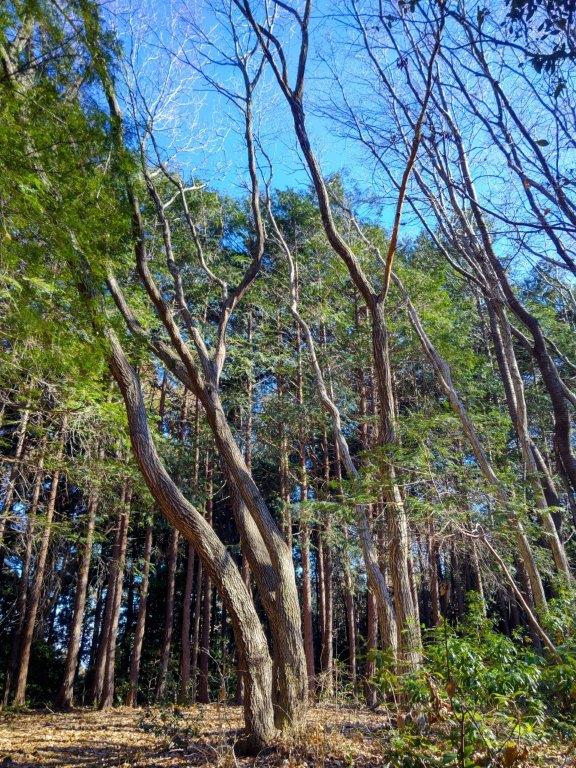
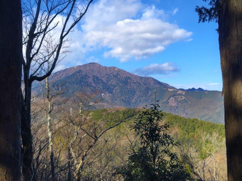
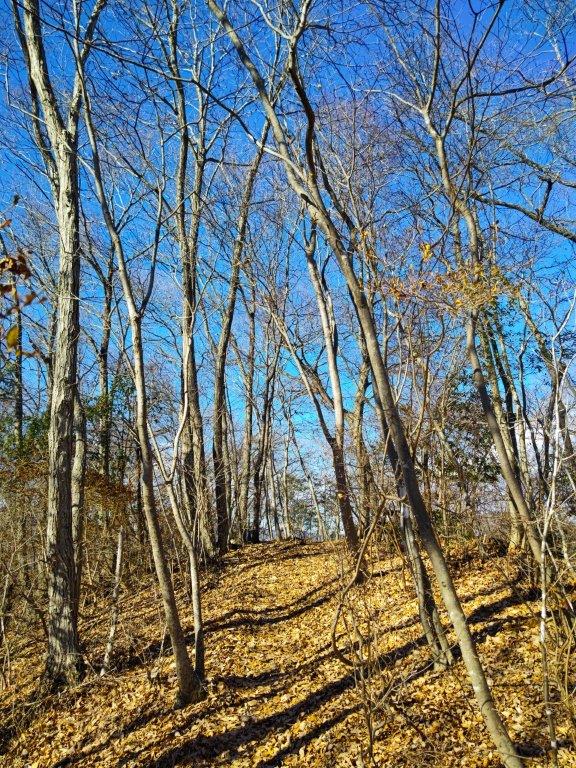
I was surprised to have the summit to myself as most people seemed to turn back at the shrine. The small auxiliary shrine on this side of the flat summit area seemed to be undergoing some renovation work, blue tarp somewhat spoiling the mystical shrine scenery. It was my third visit, and I had always thought it was completely in the trees, so I was glad to discover that a gap between the cedars allowed for a view of a conical-shaped peak on the west side (possibly Mt Nabewari). I descended back to the junction with the Kanto Fureai no Michi and headed in the direction of Mt Hinode.

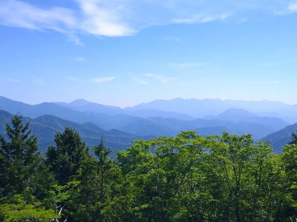
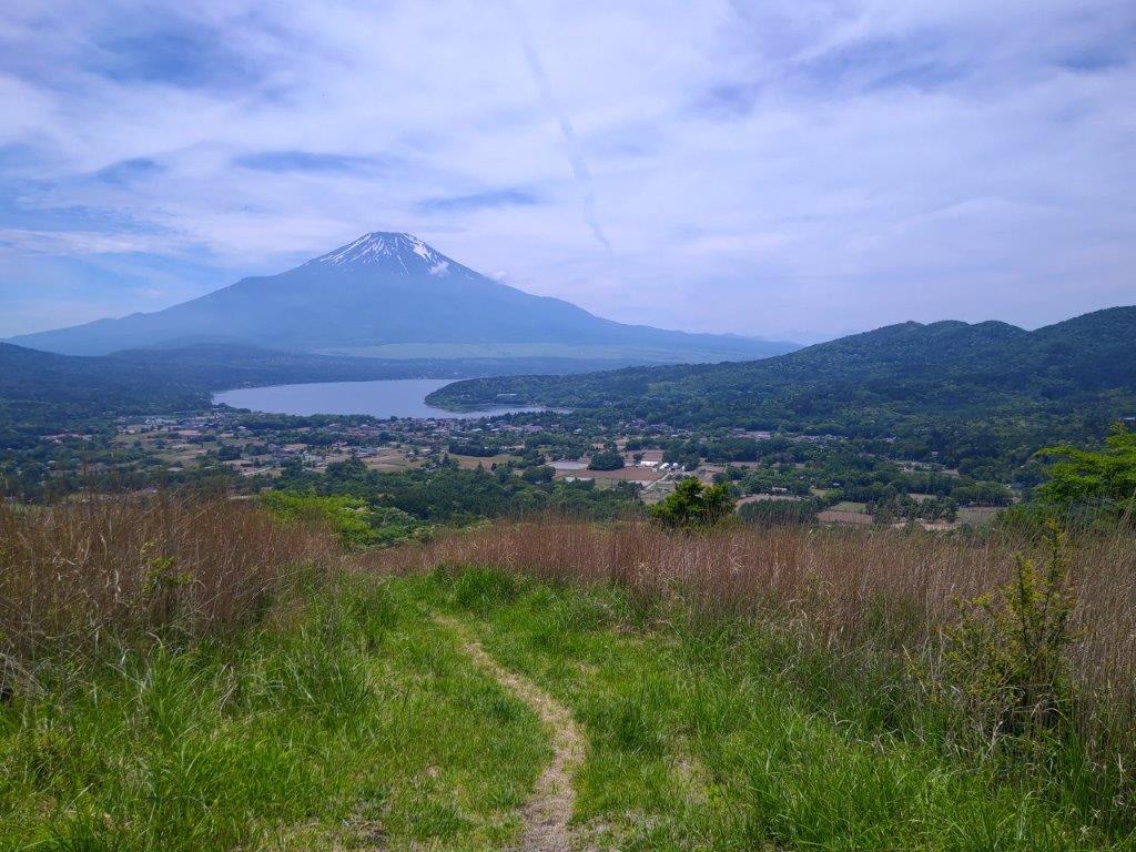
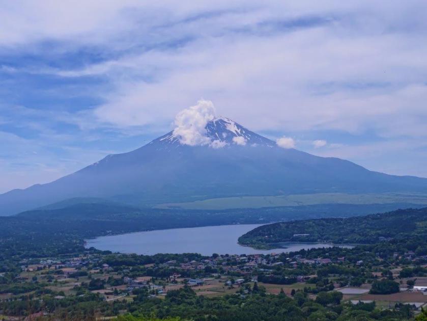
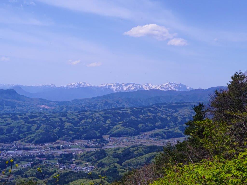
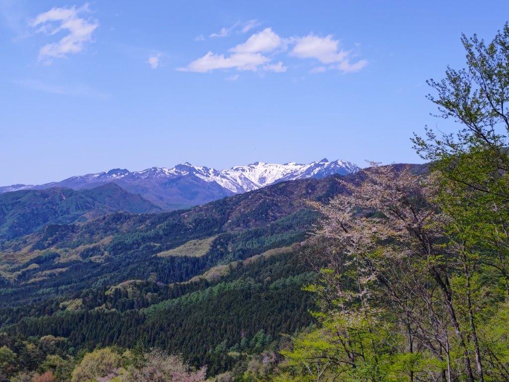
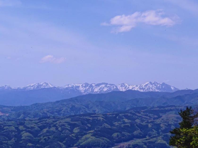
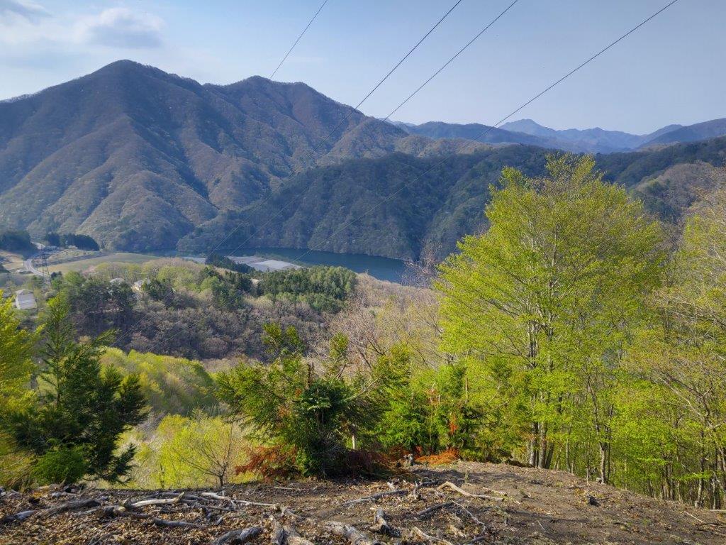
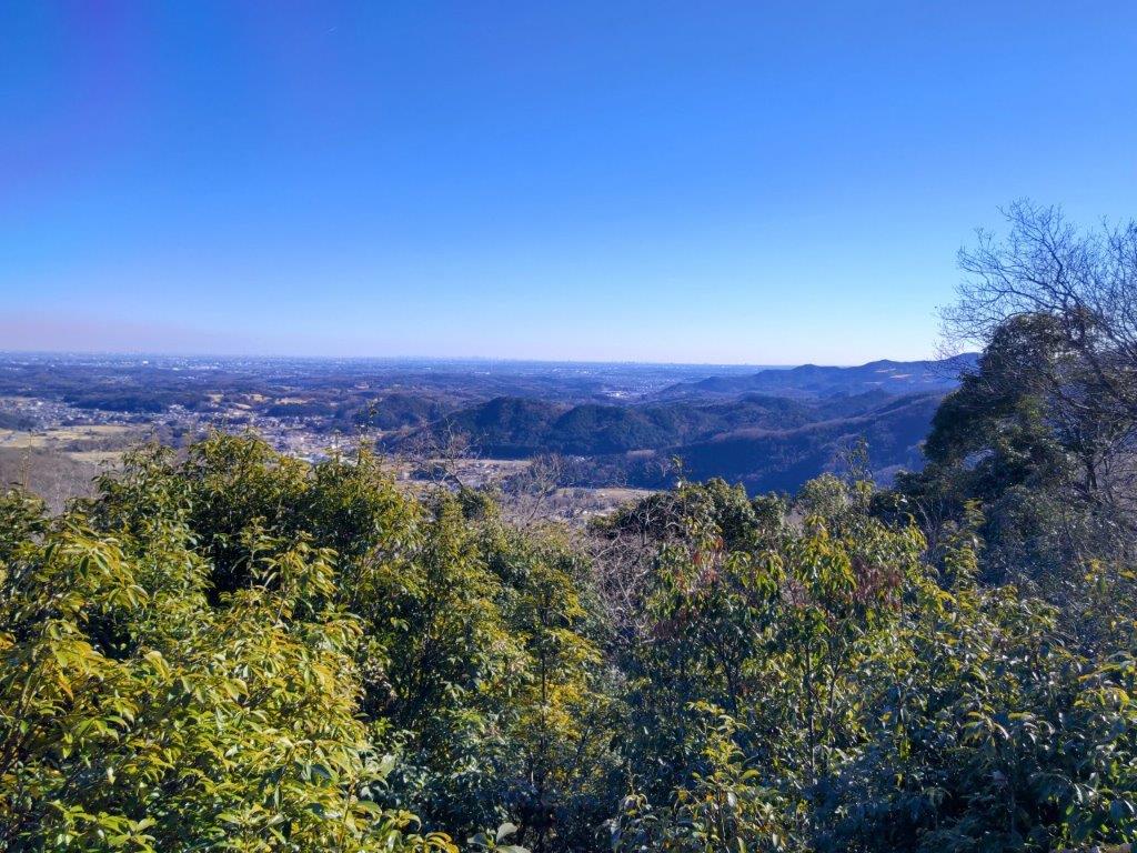
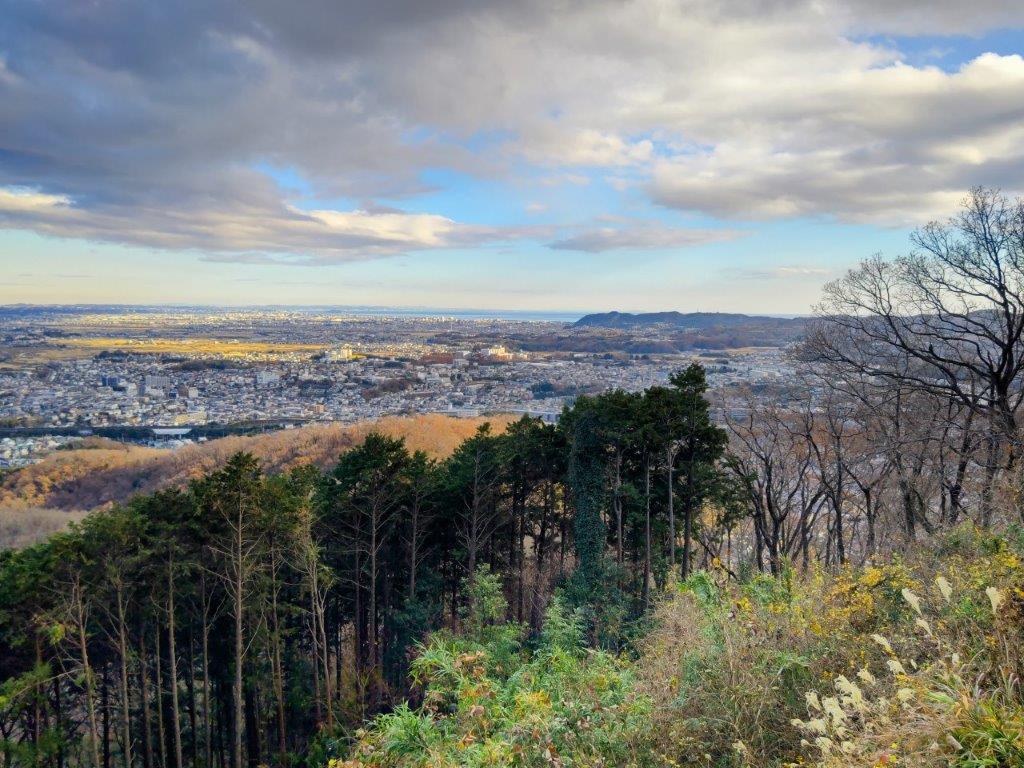
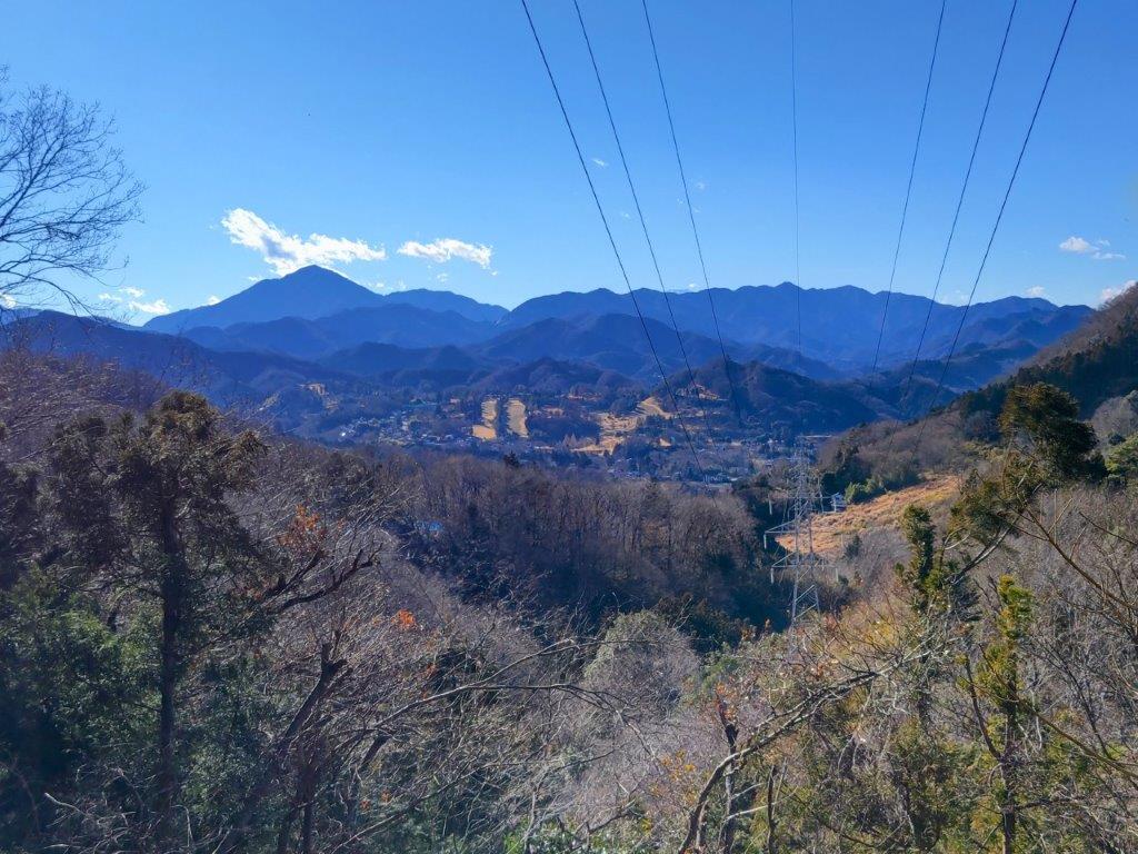
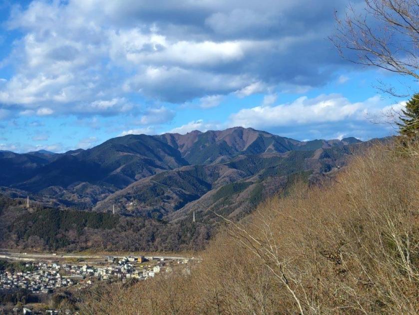
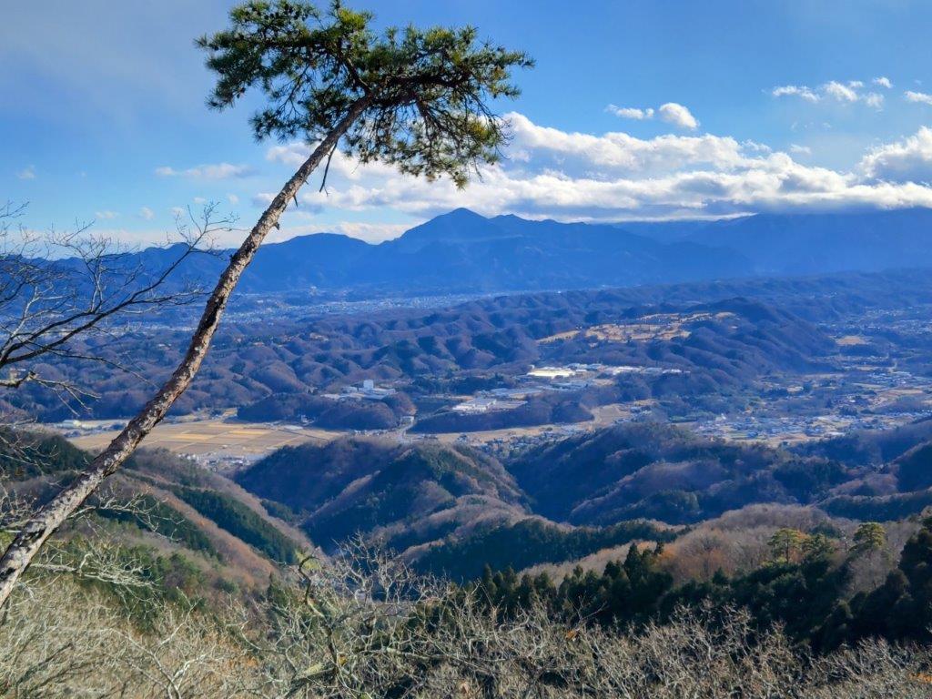
View of the Tanzawa Mountains from Mt Hinode

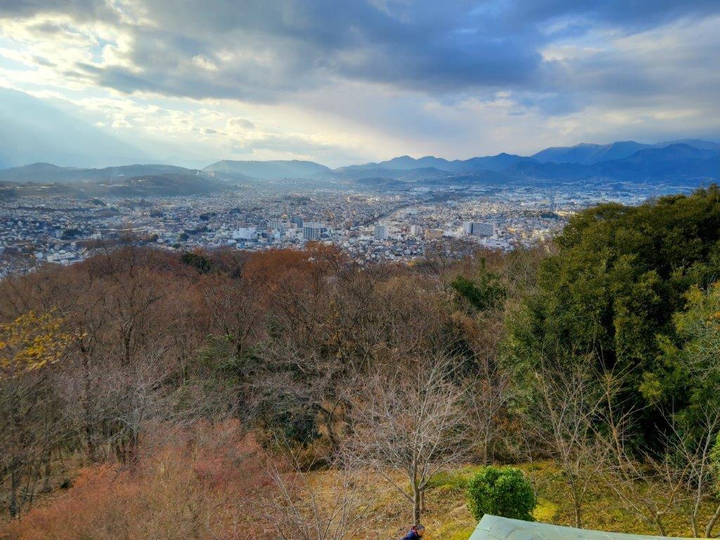
View South from Kuromo Rock
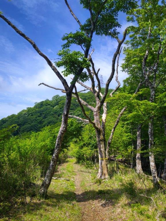
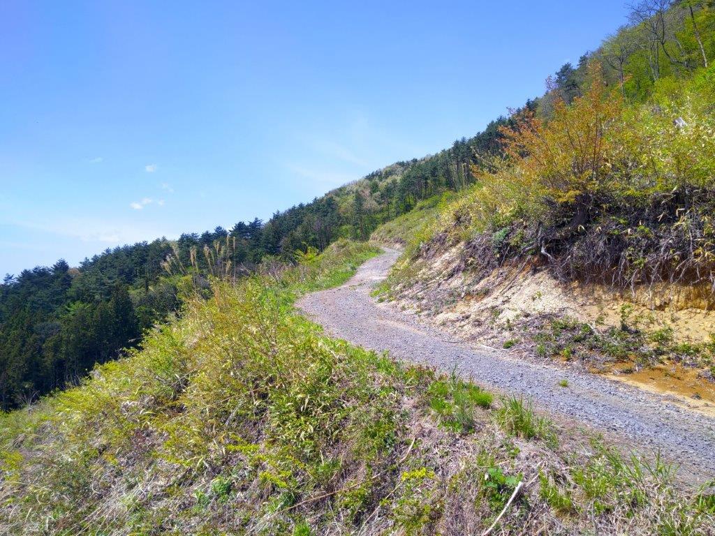
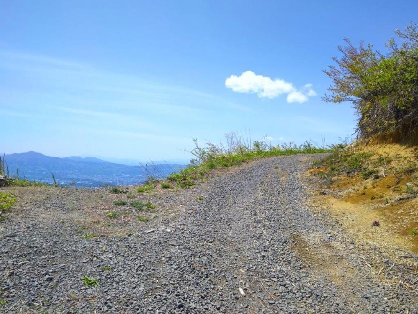
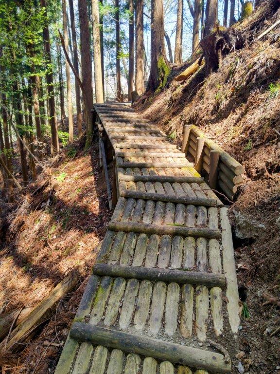
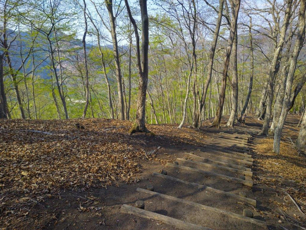
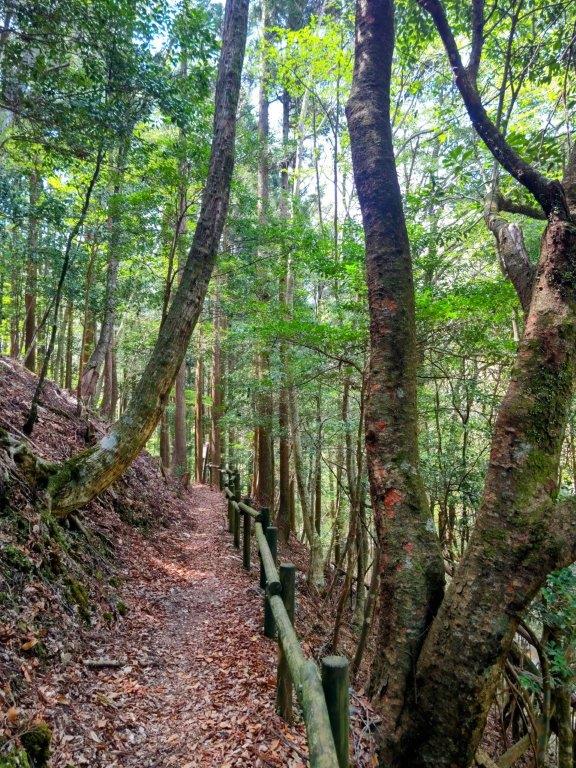
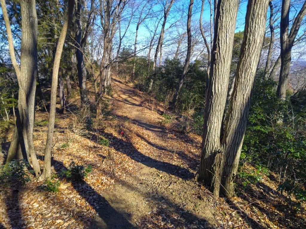
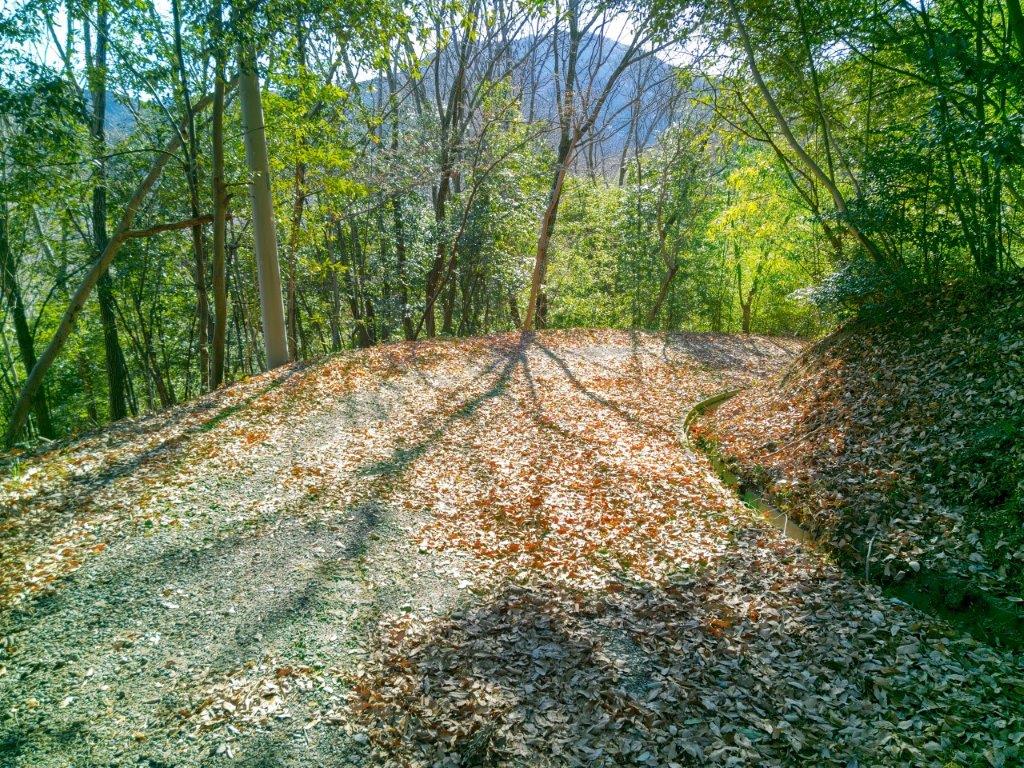
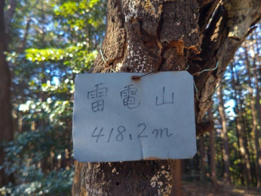
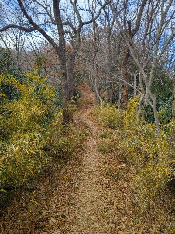
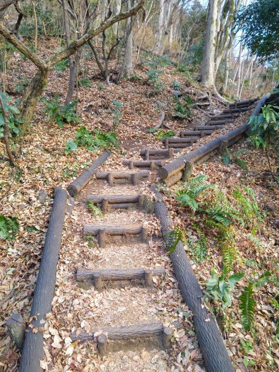
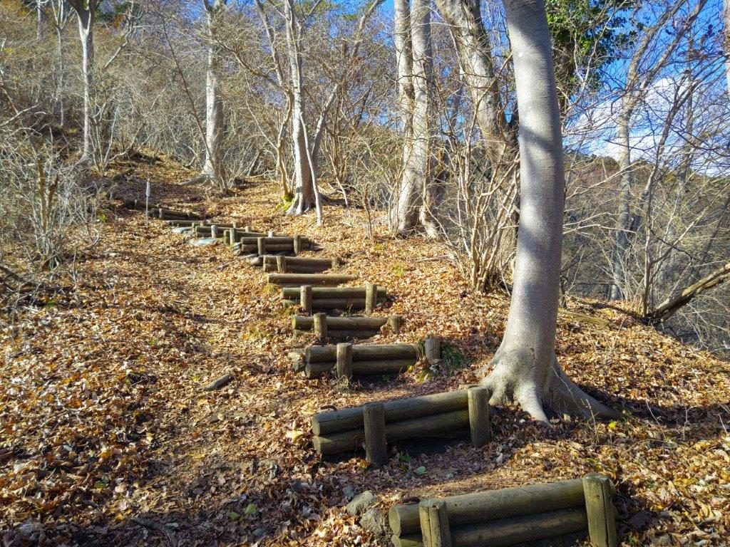
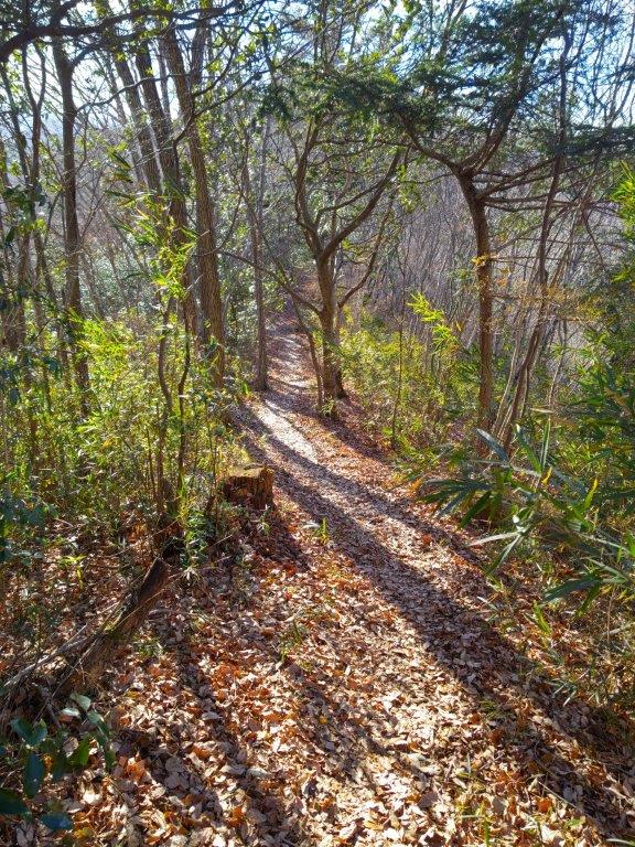
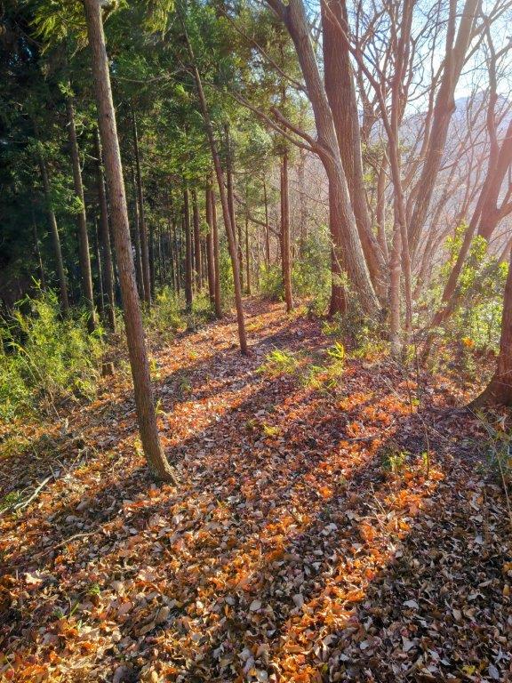
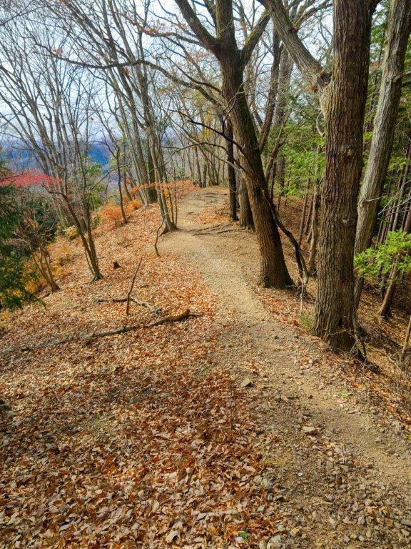
I saw very few people during the next section of the hike, although I did count one cat and one domestic goat. At the top of some log steps I emerged from the shade of the forest onto the sunny summit of Mt Hinode (日の出山 ひのでやま hinode-yama), my fourth time on this Tokyo 100 famous mountain. The view was better than last year, mostly blue sky in all directions. Since it was past 4pm, I retreated to the benches on the east side, out of the sun at this time of the day, for a late lunch break. By now I was starting to feel the effect of the heat so I soon continued my hike. I made my way down some steep log steps, and then turned left onto the Mt Hinode Hiking Trail (日の出山ハイキングコース), a gently descending path on the south side of the mountain.
Mitake Shrine (photo from 2014)

Mitake Shrine (photo from 2014)
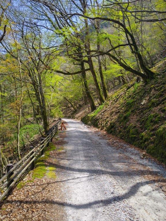
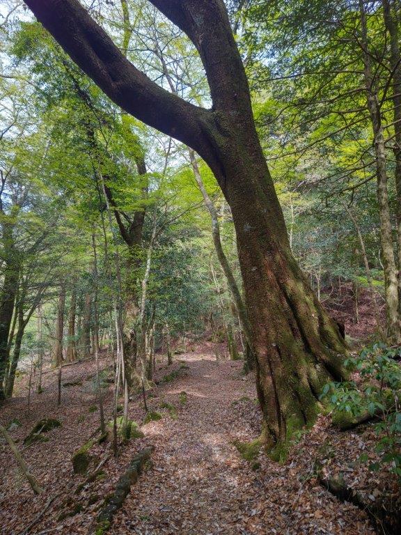
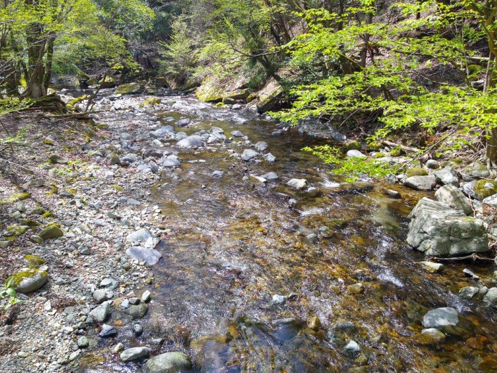
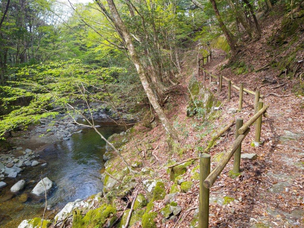
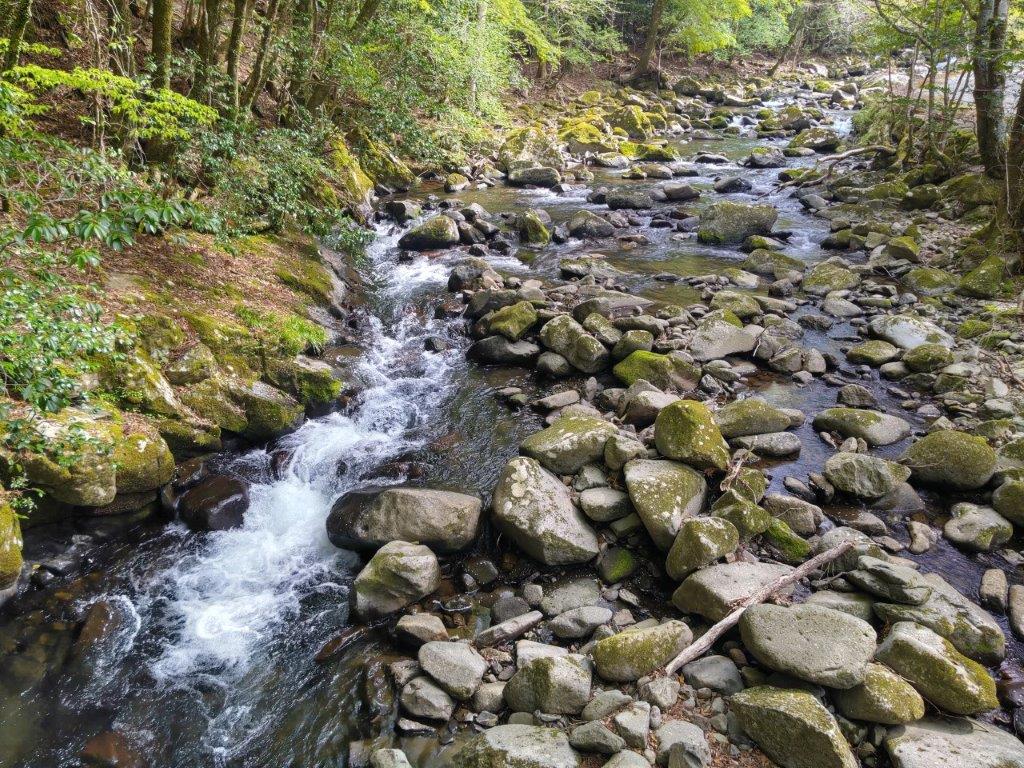
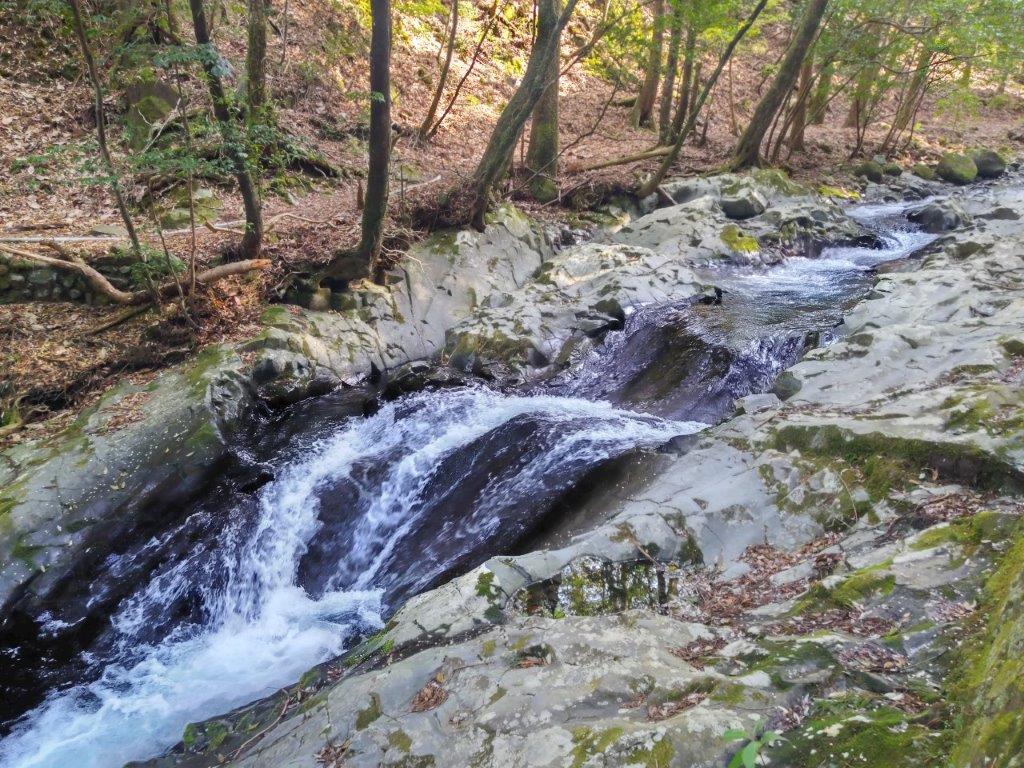
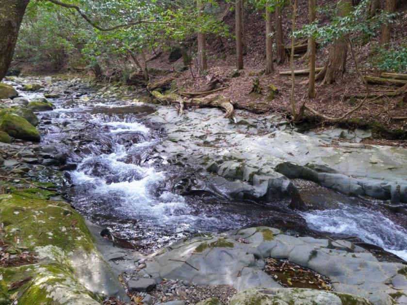
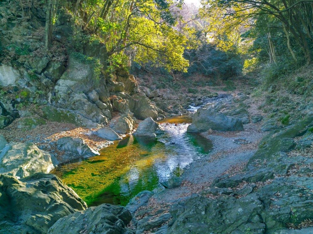
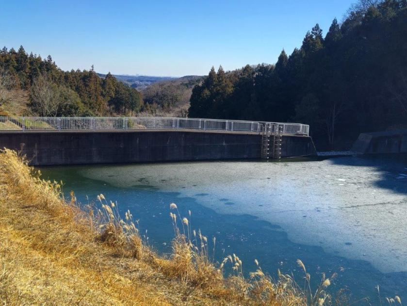
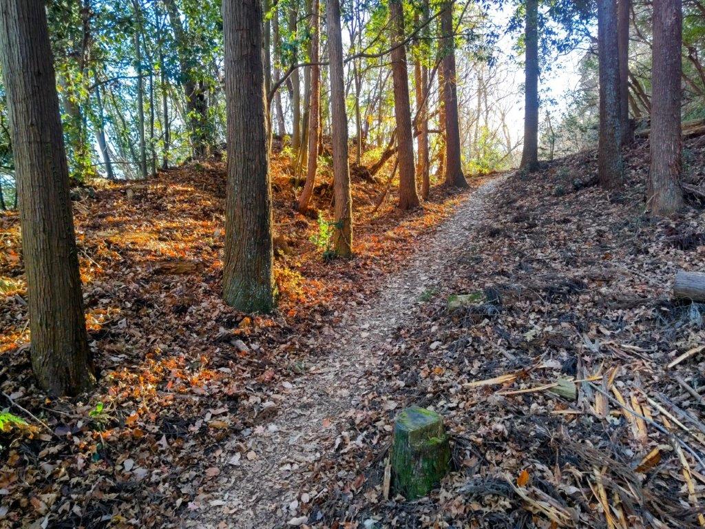
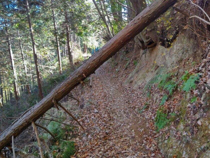
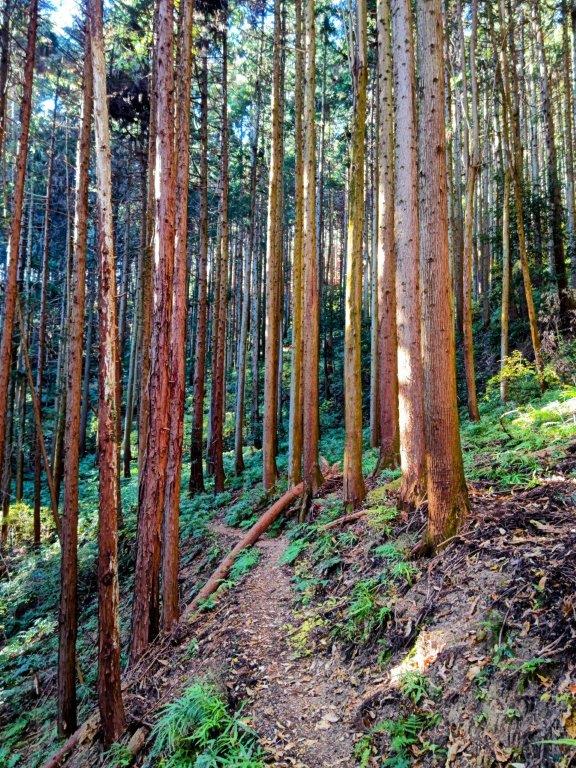
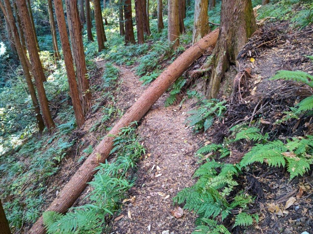
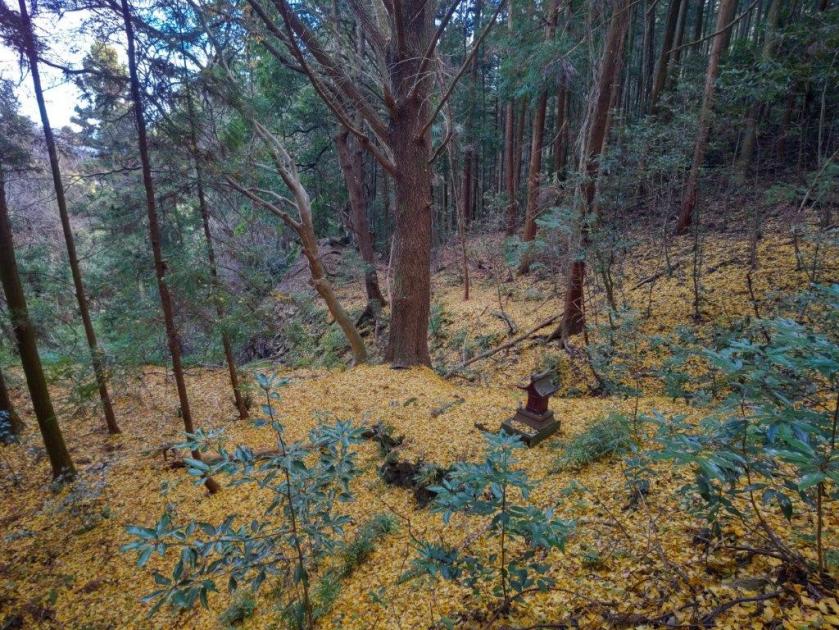
I had the final view of the day from Kuromo Rock (クロモ岩) from where I could see a section of the Shirataki Hiking Trail I had taken last June. After passing the junction with the New Mt Hinode Hiking Trail, which mostly follows a paved road, the trail reentered the forest. After a thirty minute descent in semi-darkness through a dense cedar forest, I was relieved to reach a paved road and be back in the daylight; by now the sun was low enough so that the valley was entirely in the shade. At 5h30, I arrived at Tsuru Tsuru onsen, where I made sure to take a nice cold bath, a necessity after hiking on such a hot day. After a light meal and a cold beer, I boarded the bus waiting outside the hot spring facility for the short trip to the train station.
Watch a Video of the Hike


See a Slideshow of More Pictures of the Hike (including 2014 ones)


You must be logged in to post a comment.