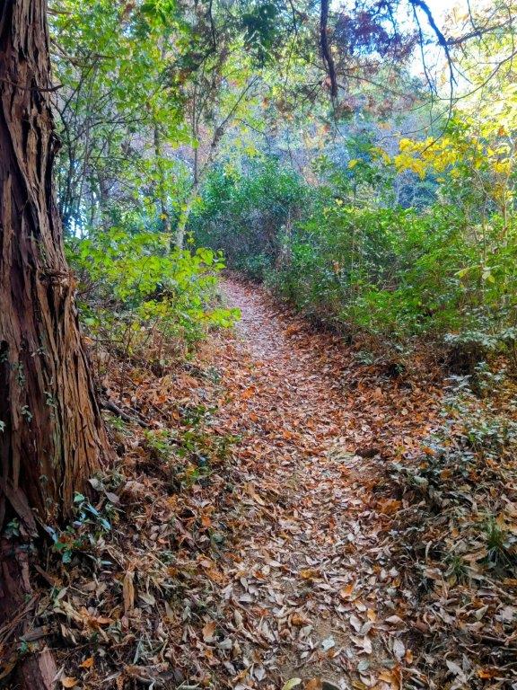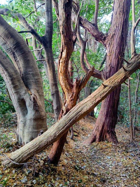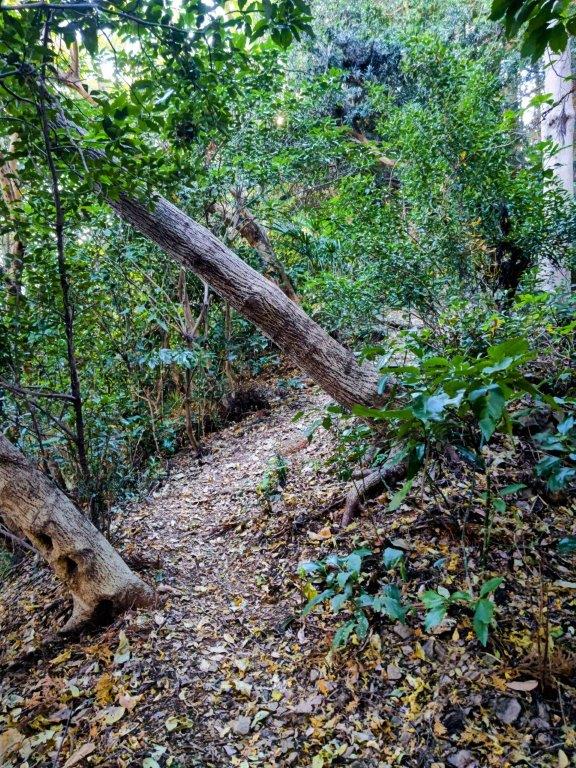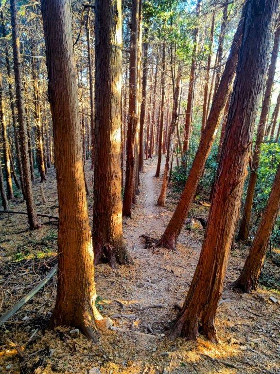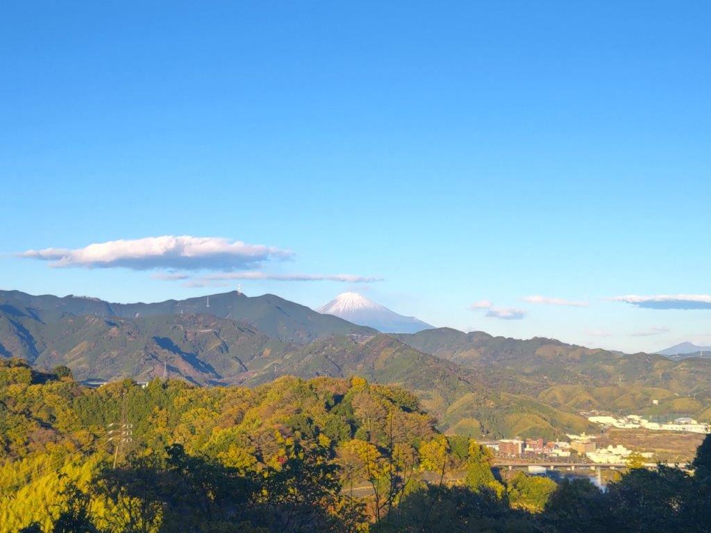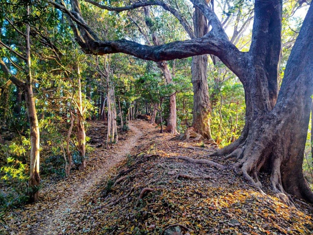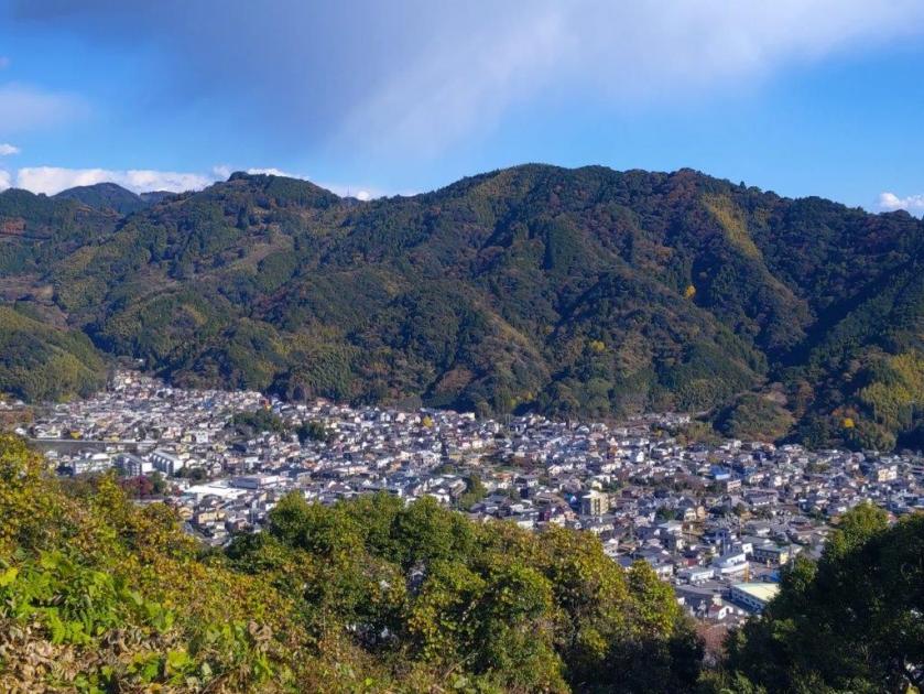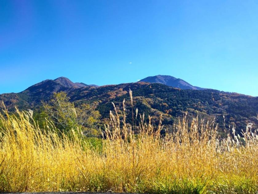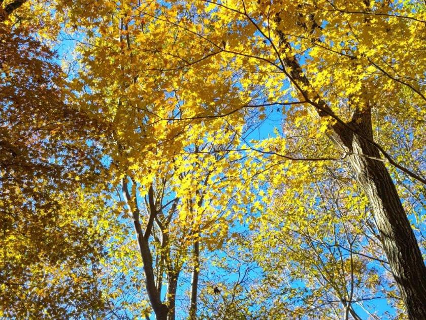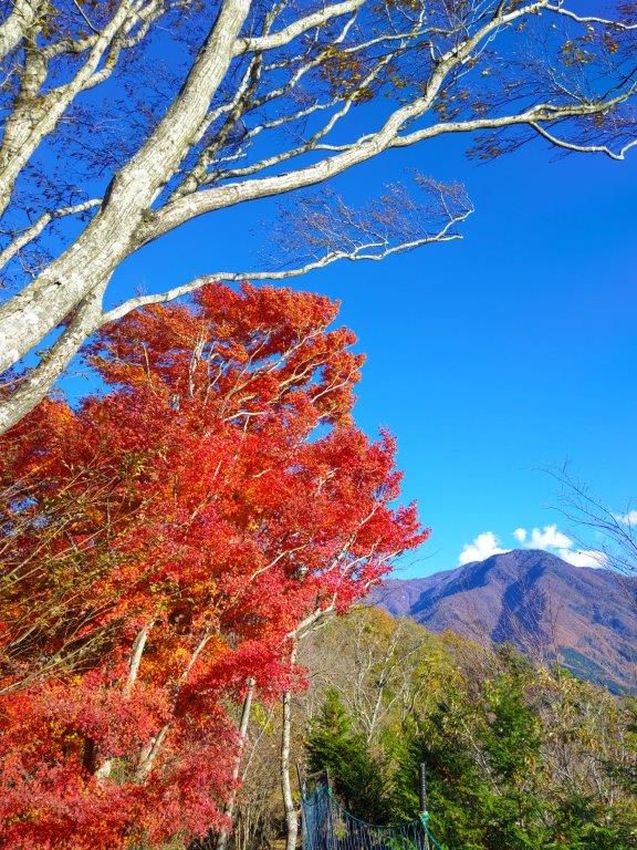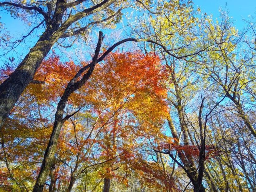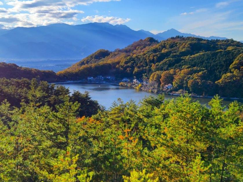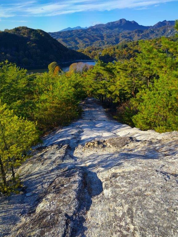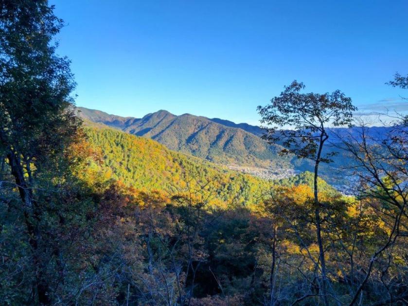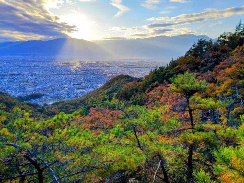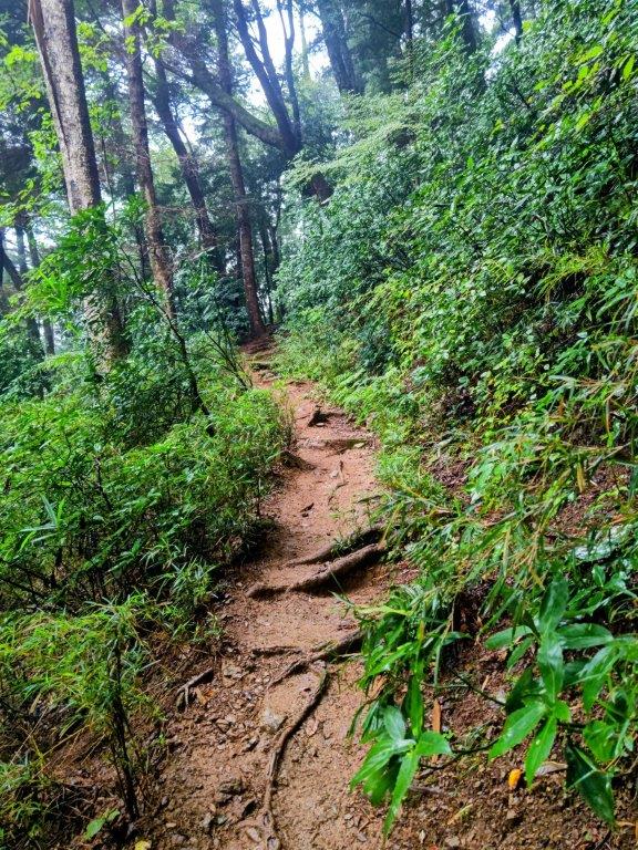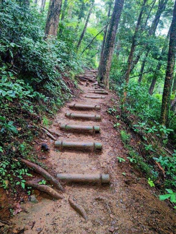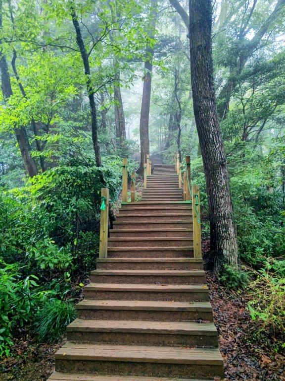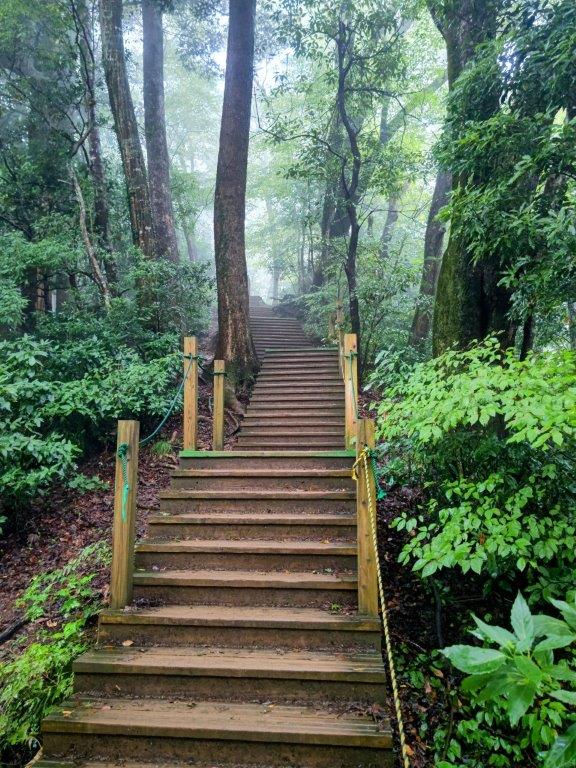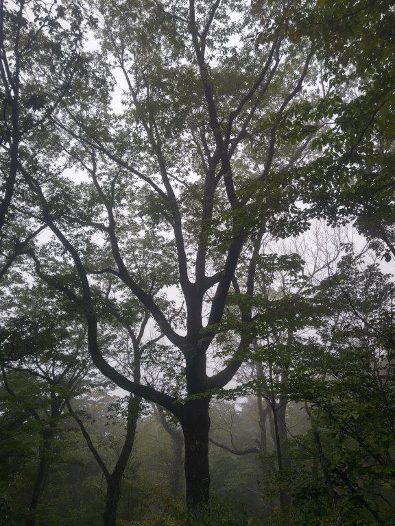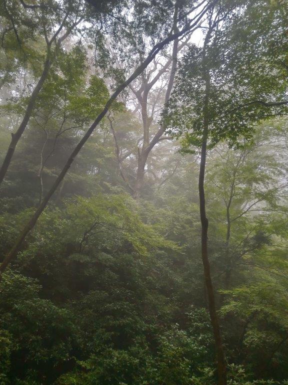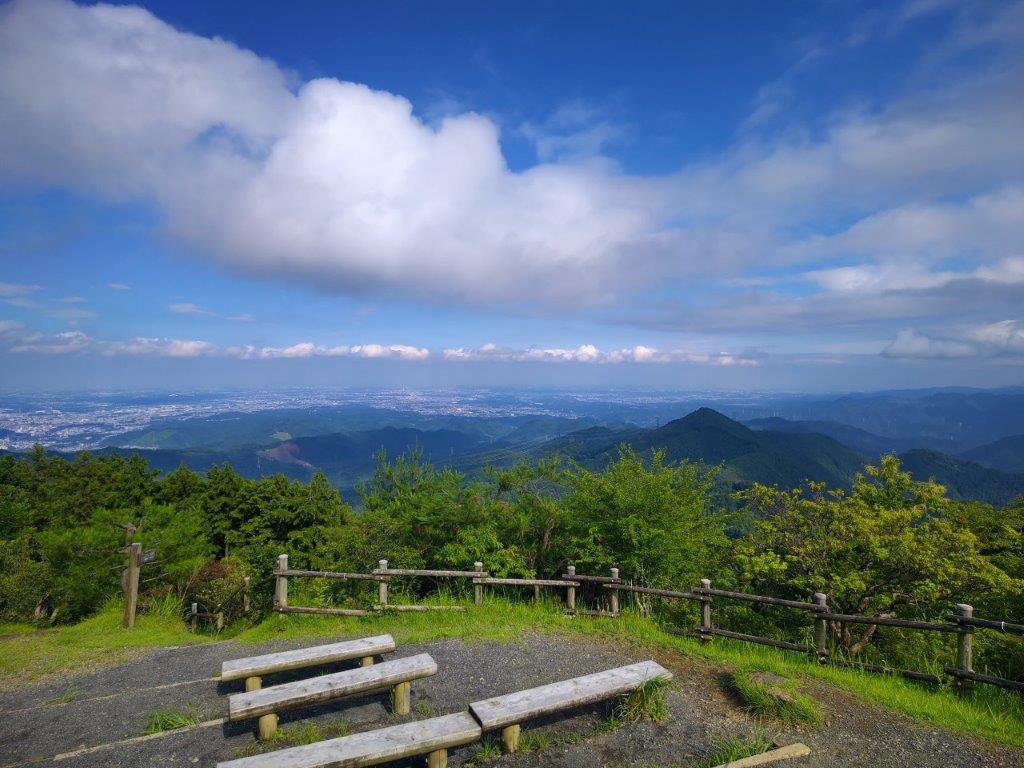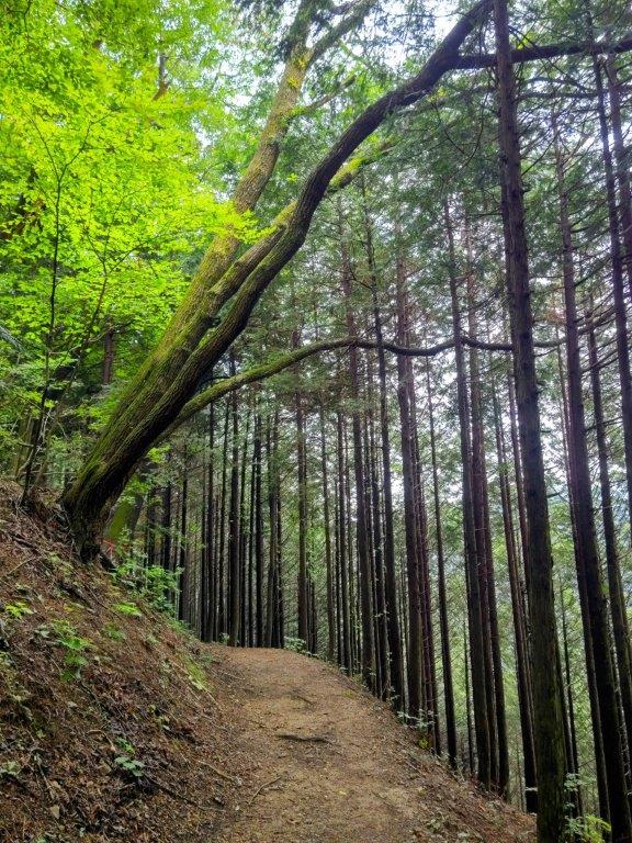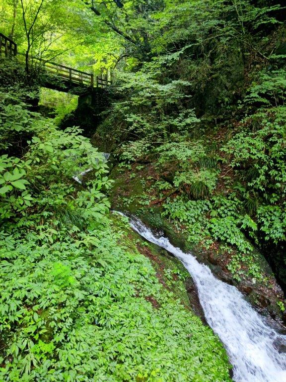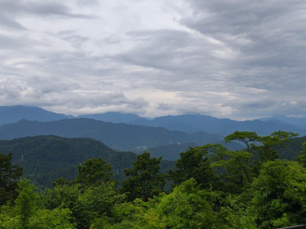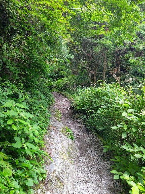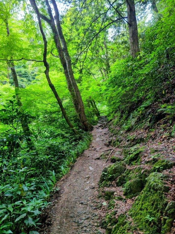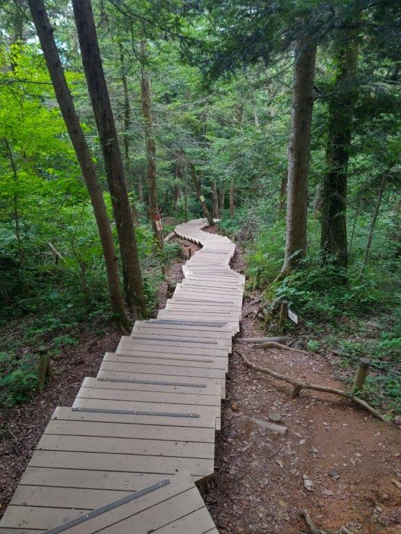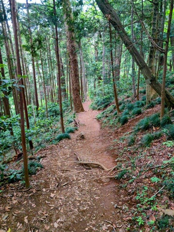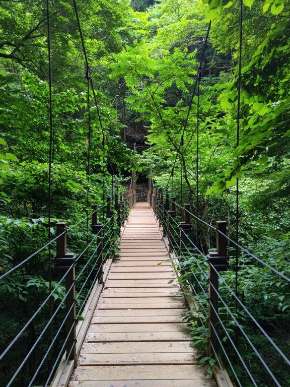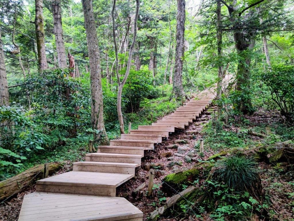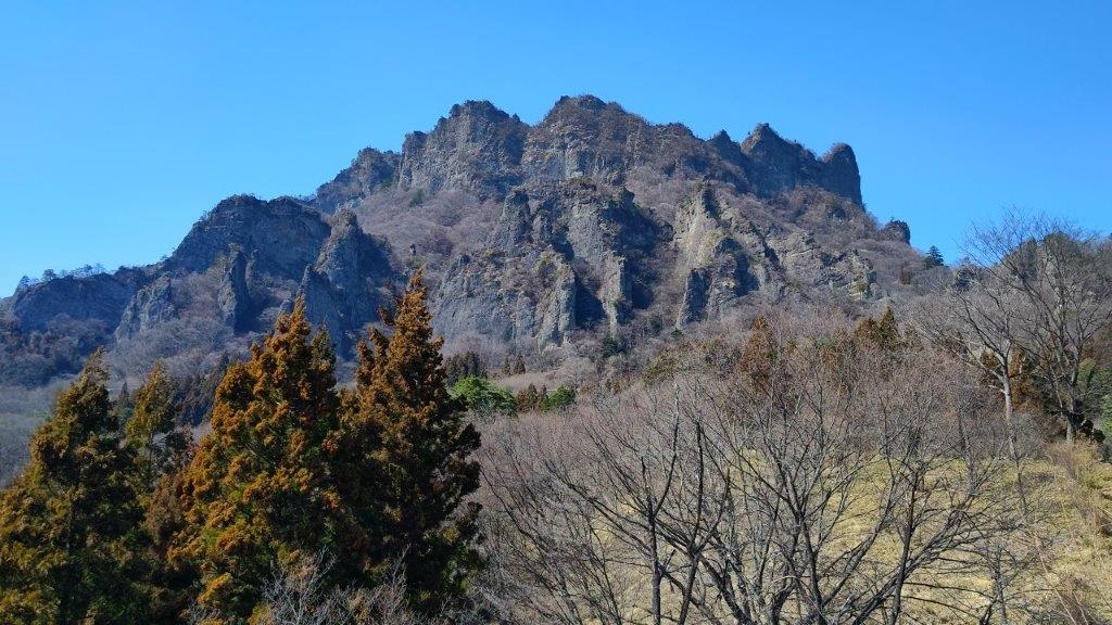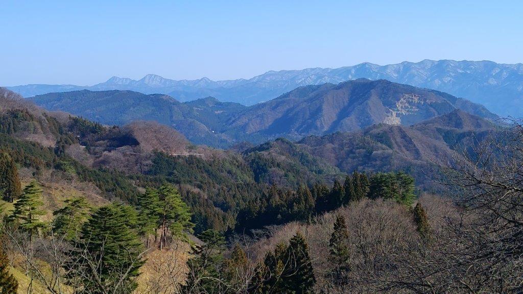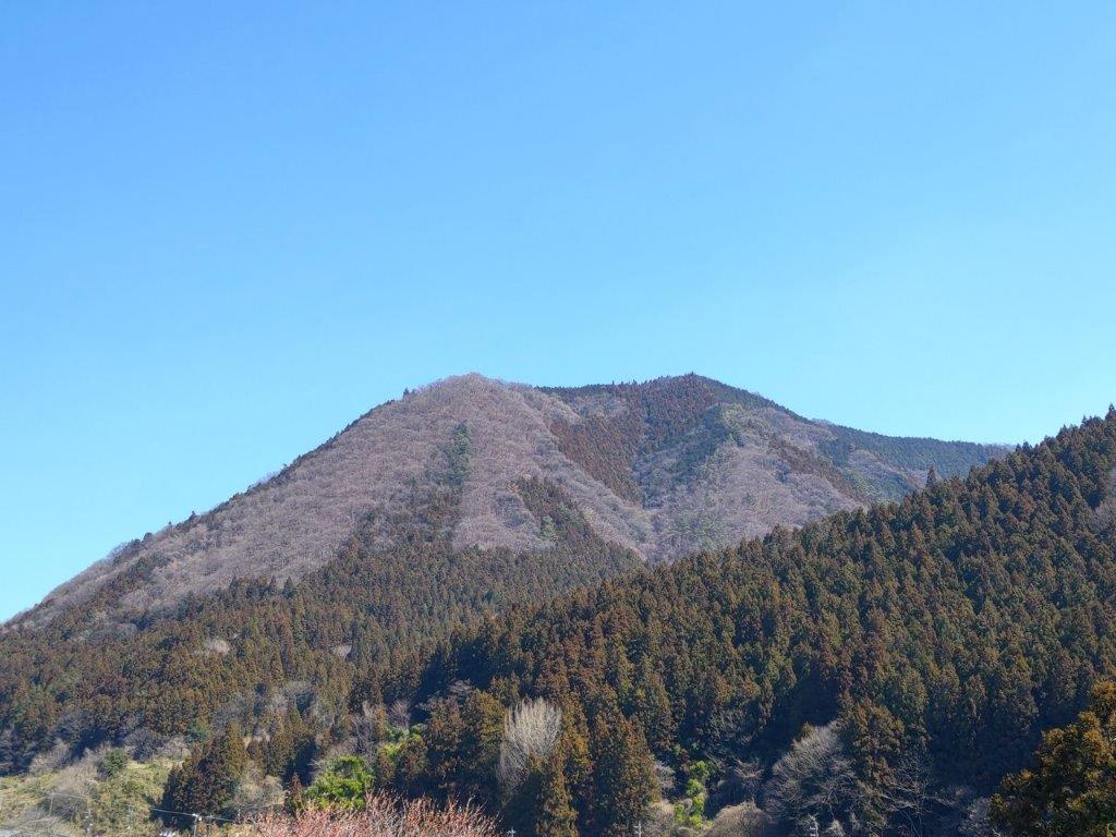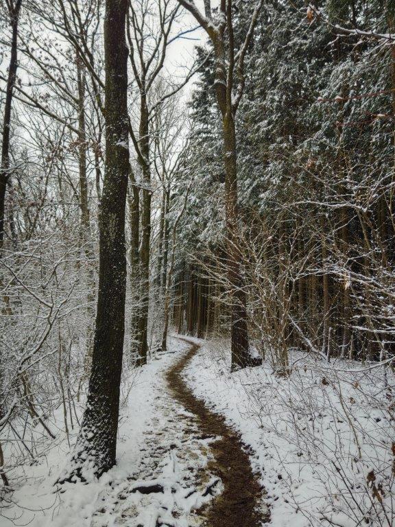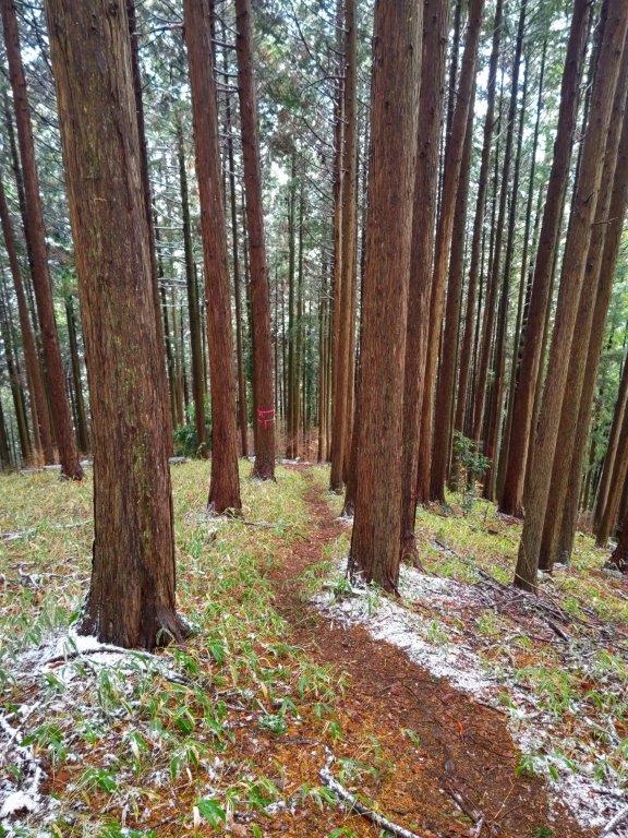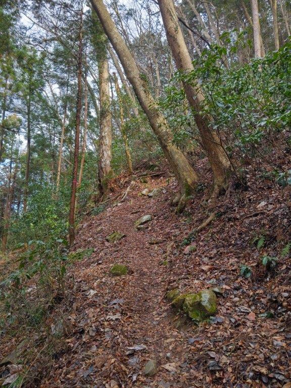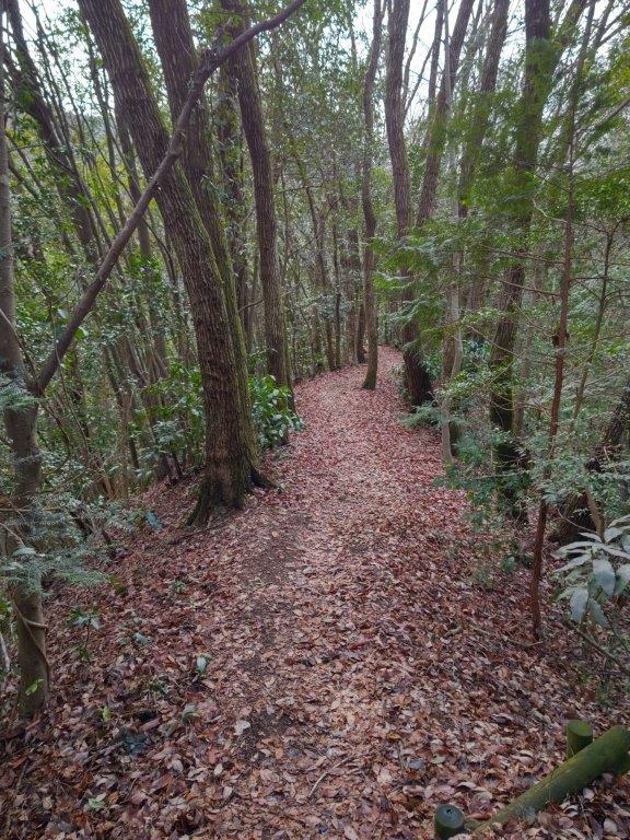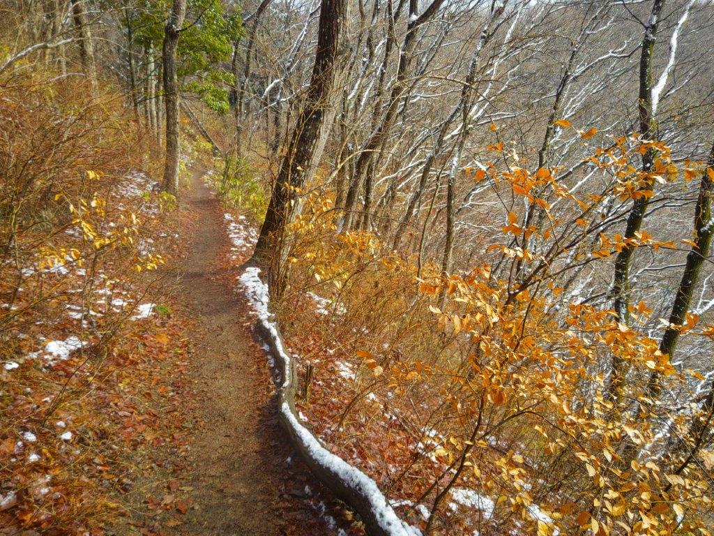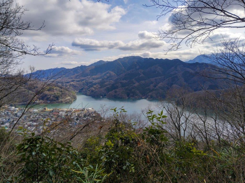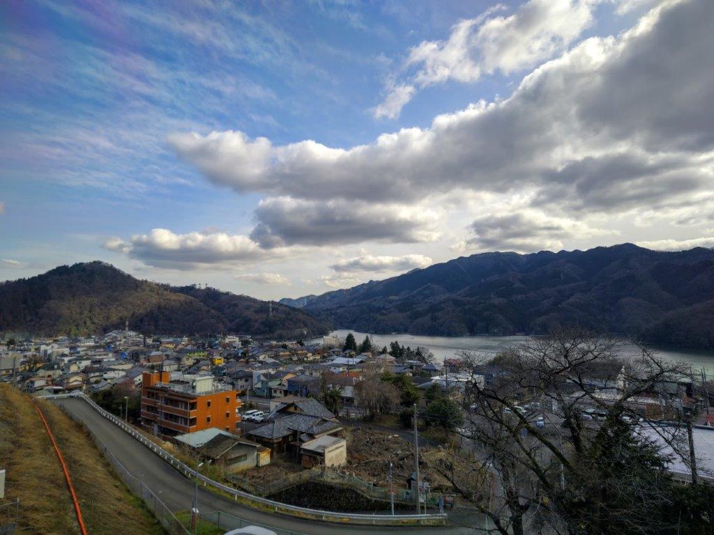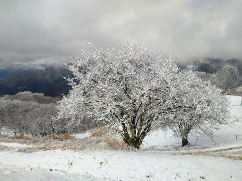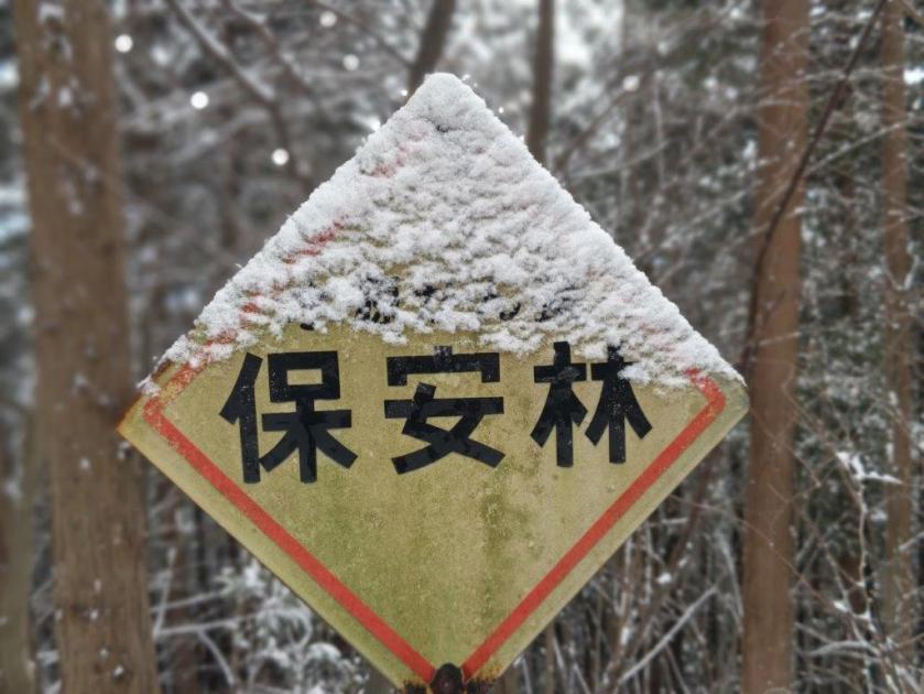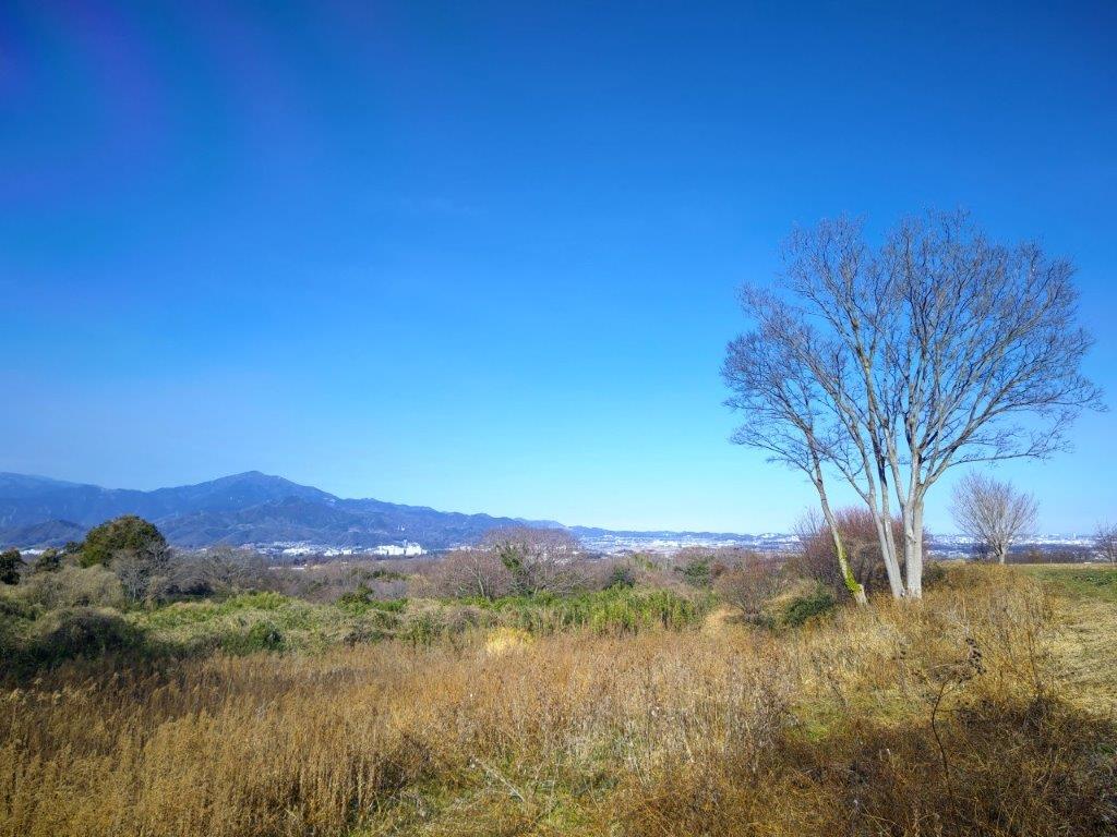
Mt Fukunari (227m) & Mt Shizuhata (171m), Shizuoka City, Shizuoka Prefecture, Saturday, December 14, 2024

I wanted to do some more hiking in Shizuoka. Looking online, I found a trail along a north-south ridgeline extending all the way into Shizuoka city, the Mt Shizuhata Hiking Trail. It seemed a bit on the short side meaning I could walk it at a leisurely pace while enjoying the views. After visiting Asama shrine at the end of the trail, I could drop by the nearby Ofuro Cafe Bijinyu, a public bath doubling as a cafe.

For subscribers, read this Post on Hiking Around Tokyo for a better viewing experience and the latest updates

I could get to the start of the hike by riding the bullet train directly to Shizuoka station, and from there, catch a bus for Ume-ga-shima Onsen, getting off at the entrance for Kujira-ga-ike Pond (actually a lake), a short distance from the trail entrance. After the hot bath at the end, I could catch a bus for the short ride back to the station. The weather was supposed to be sunny and cold, as well as a little windy. I was looking forward to exploring a new area with new views.

Find Japan Hiking Maps on Japanwilds
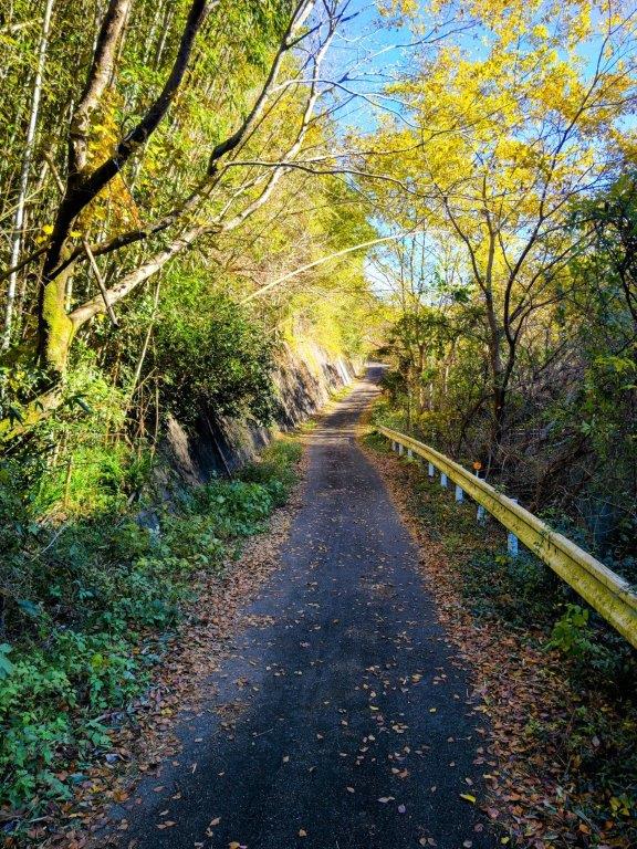
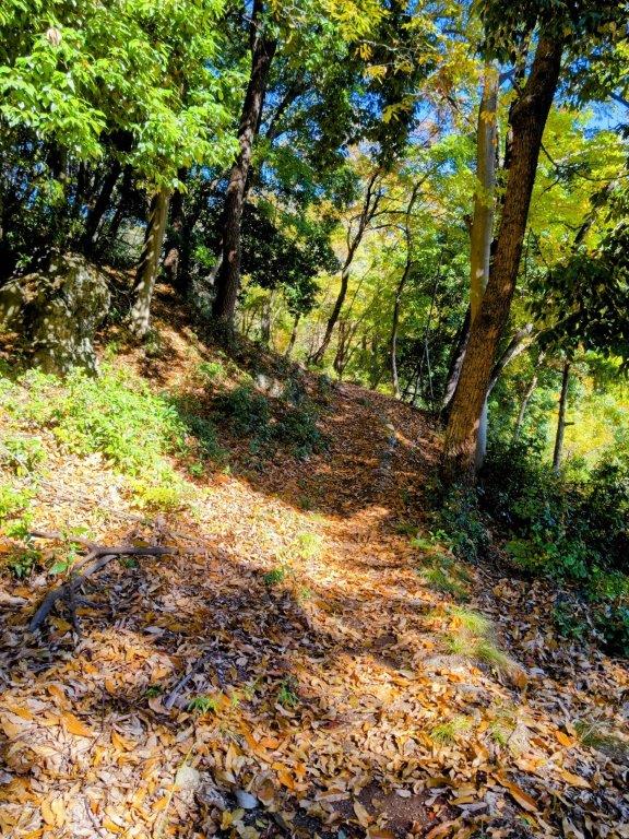
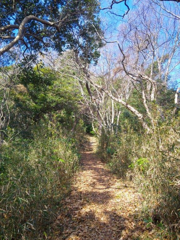
Start of the Hike past Kujira Lake (left) Entering the Bamboo Forest (right)

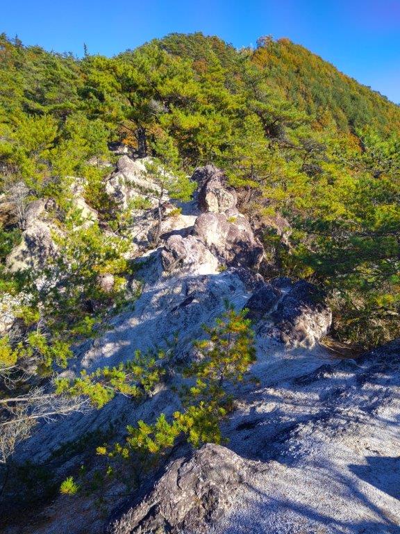
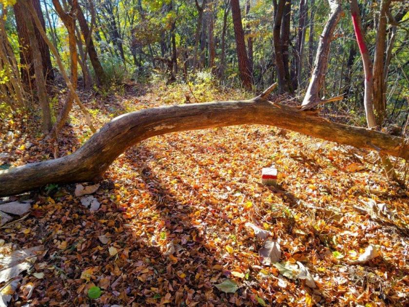
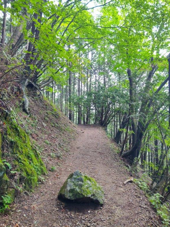
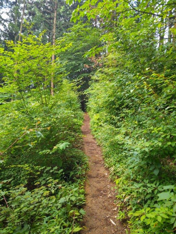
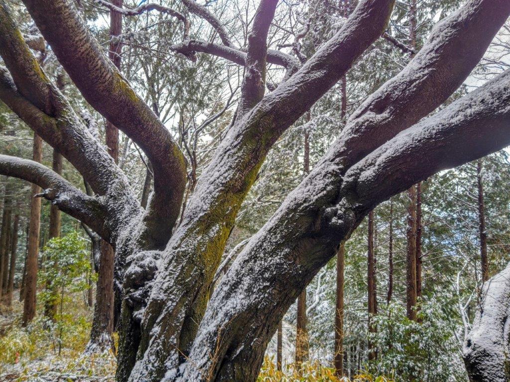
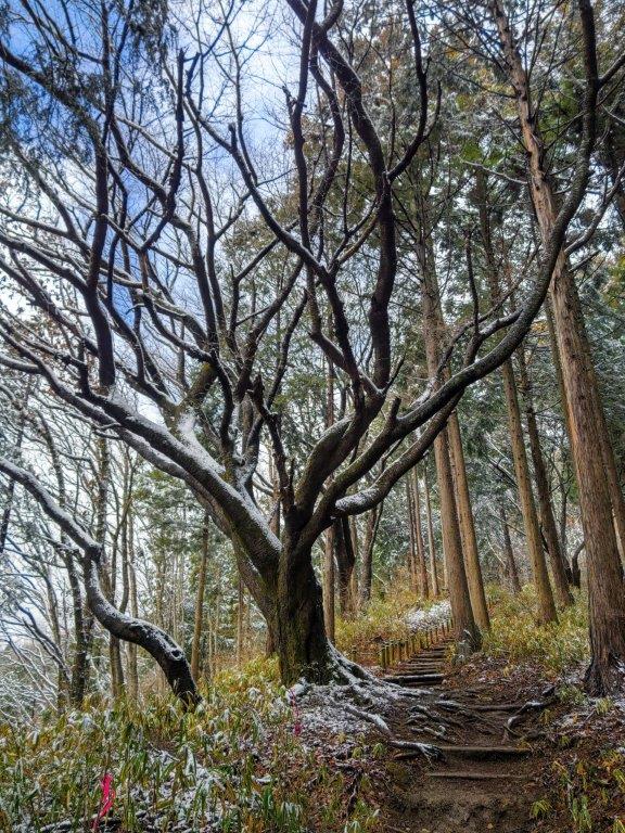
Trail near the 1st Viewpoint (left) Trees in the Way below Mt Fukunari (right)

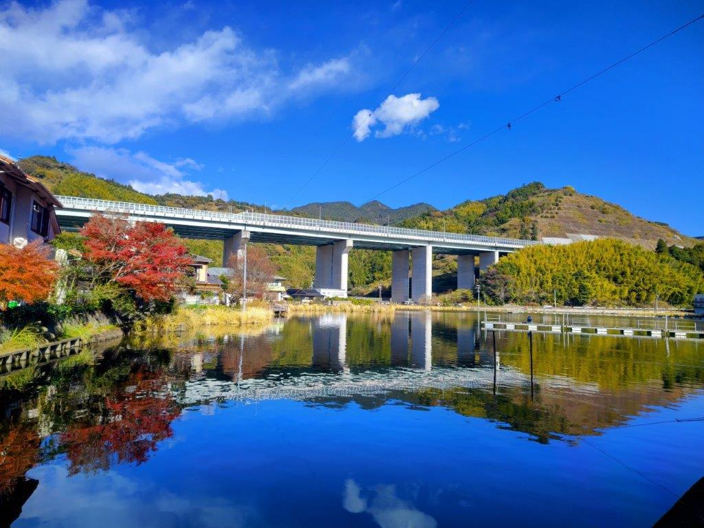
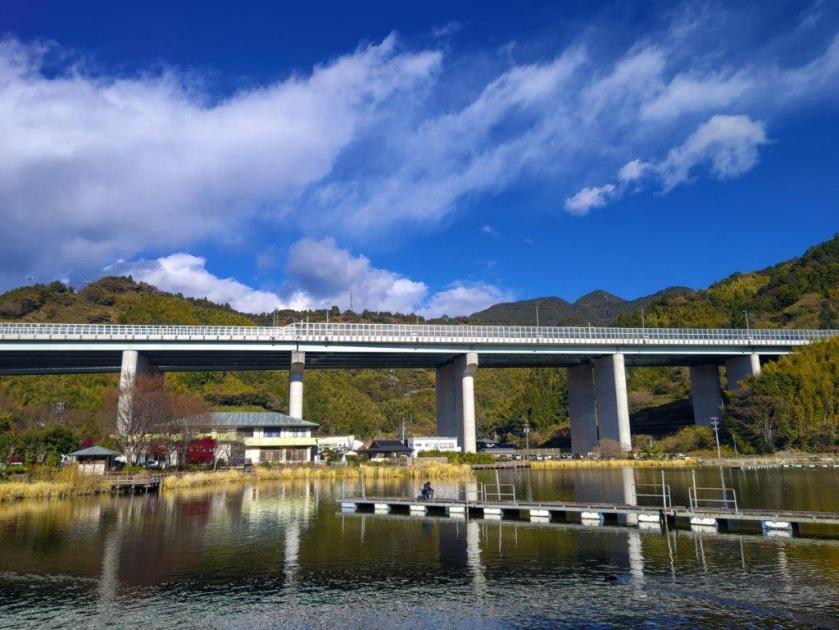
It was a blue-sky day as I rode the shinkansen, arriving at Shizuoka station around 10am. Soon after, I was riding a city bus northwards, with glimpses of the ridge I’d be walking today on my right side. It took half an hour to reach the Kujira-ga-ike Iriguchi bus stop, from where it was a short walk to Kujira-ga-ike, a fishing spot meaning “Whale pond”, presumably named after its shape. I decided to head around its south shore to better admire the view of the Shin-Tomei expressway on the opposite side .

Trail near the 2nd Viewpoint (left) Trail near the 3rd Viewpoint (right)

Trail past Mt Tanku (left) Mid-section of the Shizuhata Trail (right)

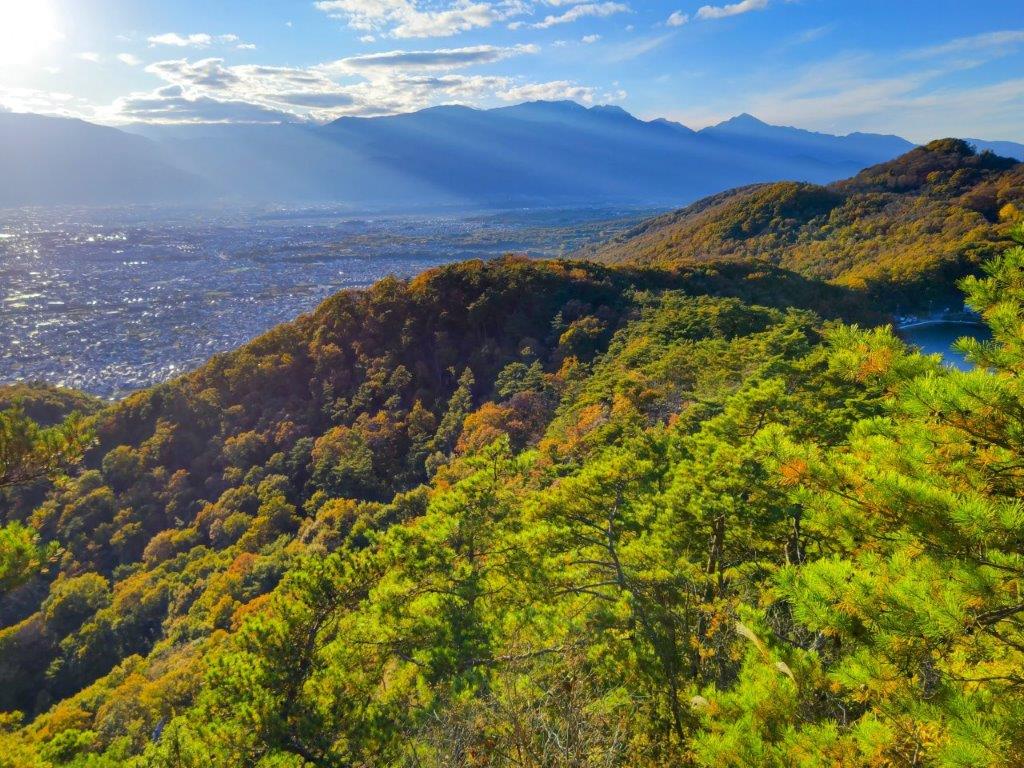
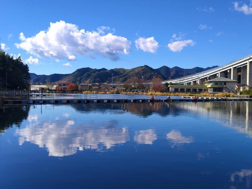
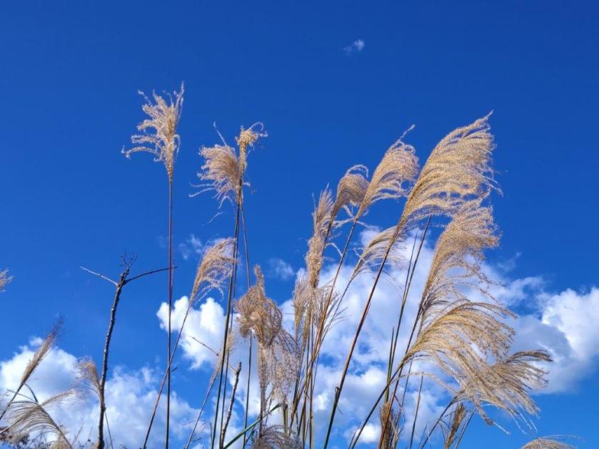
The view was best from the east side, just past Kujira-ga-ike Benten Shrine, the expressway disappearing into the mountains of the Southern Alps, puffy cumulus clouds reflected on the water surface. It was nearly noon, so I left the fisherman behind, and just before a tunnel, went up a paved road on the right, simply signposted as “Hiking Trail”, one of the trail entrances of the Mt Shizuhata Hiking Trail (賎機山ハイキングコース). I soon reached a real hiking trail, where I turned right, heading south along a gently undulating ridgeline. After passing through a tunnel of tall grasses, I arrived at the entrance of a bamboo grove.

An Easy to Walk Trail (left) Trail Past Ipponmatsu (Right)

Heading down after Ipponmatsu (left) Heading Towards Mt Shizuhata (right)

I love walking through bamboo groves as it’s something unique to this part of the world. This one was especially amazing, with one tall bare tree in its center, like a lord among its subjects. It was totally quiet, except for the occasionally cracking noises of the bamboo growing. After exiting the grove, the trail took on a very countryside-like quality, passing between hedges and rows of identical trees. Occasionally I could see some blue sky between gaps in the tree and I was starting to wonder whether I would get any views. Finally, one hour after I started along the trail, I reached the first viewpoint of the day, at the edge of a fruit orchard.

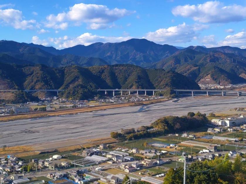
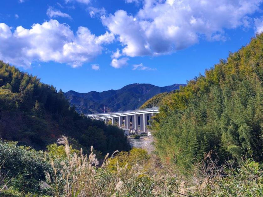
The Shin-Tomei Expressway from the South Side of Kujira Pond

The Shin-Tomei Expressway from the East Side of Kujira Pond

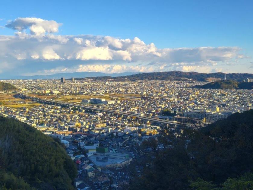
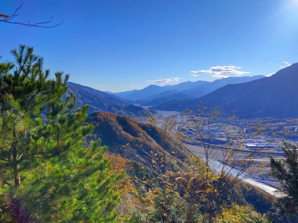
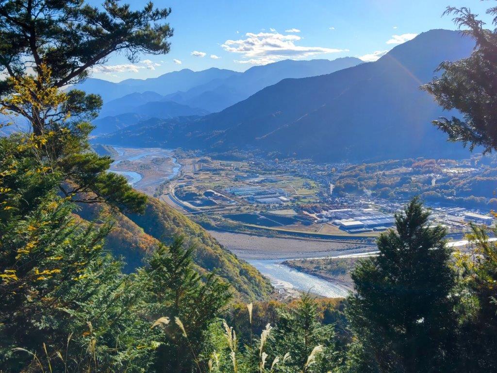
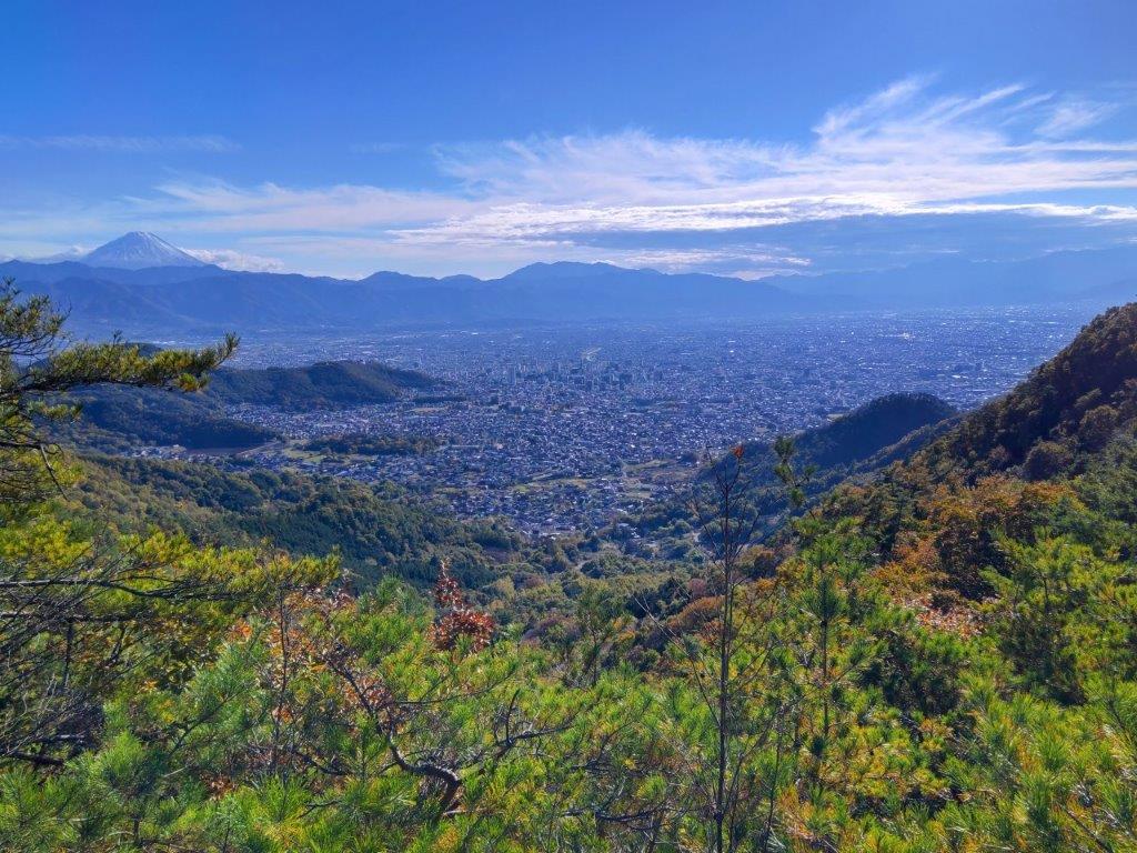
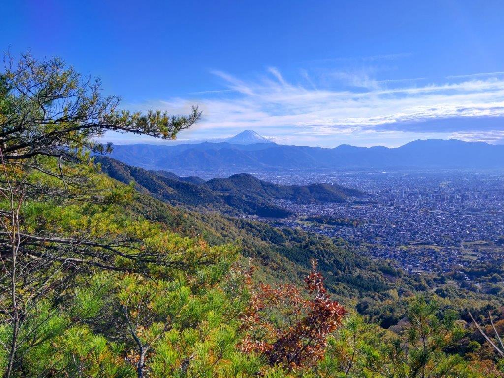
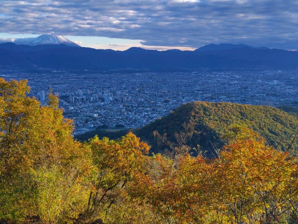
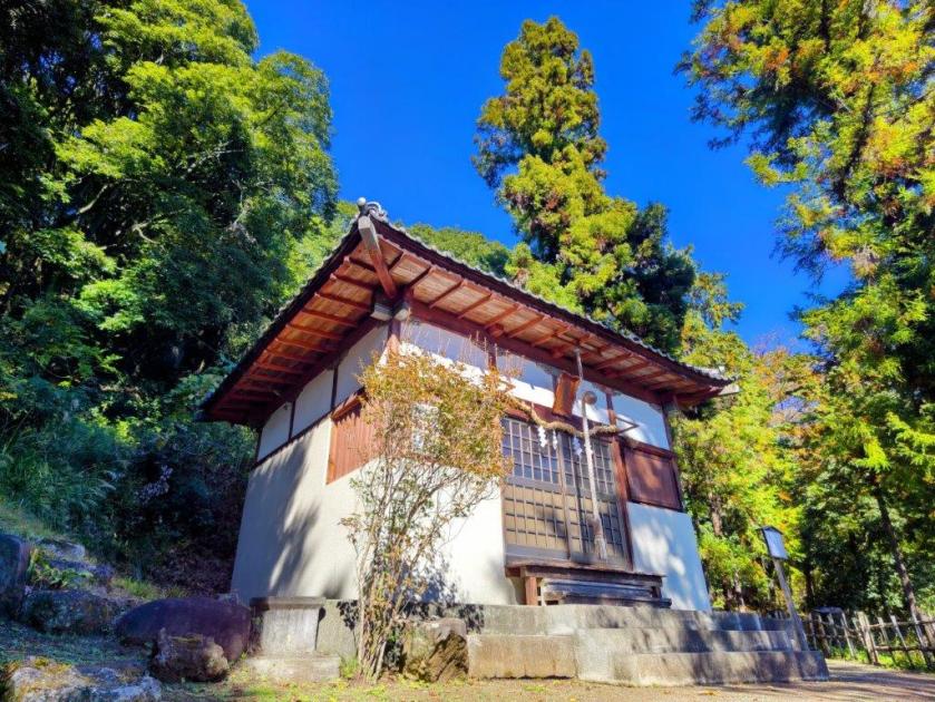
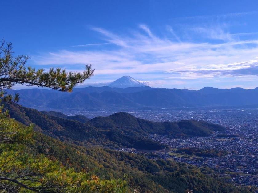
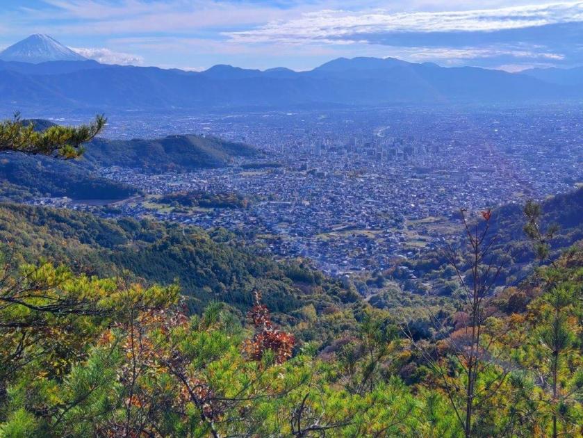
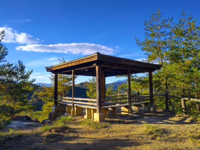
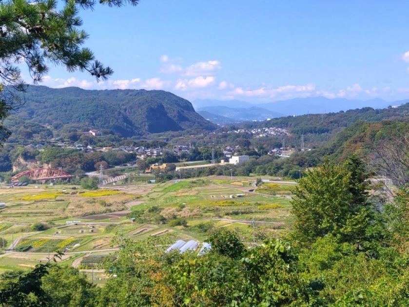
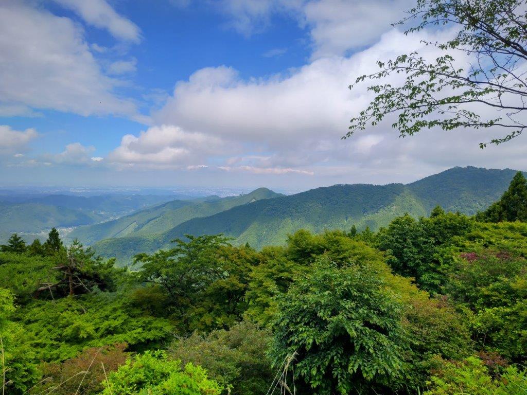
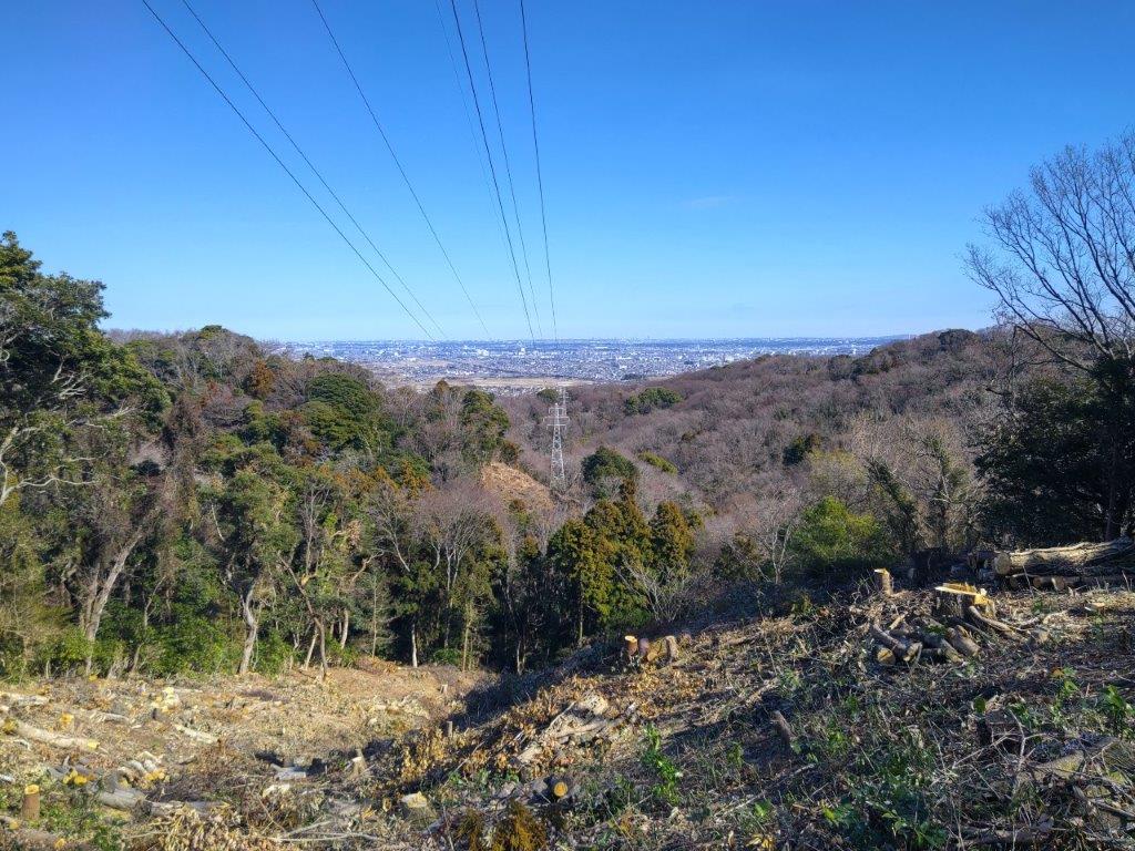
Looking eastwards, I could see all the way to the mountains of Izu peninsula; in front was Nihondaira, and to the south, Suruga Bay, with Shizuoka city filling in the low-lying spaces between the mountains and the ocean. I set off again, and after a short climb, reached Fukunari Shrine at the top of Mt Fukunari (福成山 ふくなりさん fukunari-san) at 1pm. It was mostly in the trees, with a window view of Abe river through a gap on the west side. I continued on my way, heading slightly downhill, and soon arrived at a bench and a second viewpoint, mostly of Shizuoka city on the south side. I pushed on a little further, and reached another bench and a third viewpoint.

View East of Asahata Village from the 1st Viewpoint

View West of Abe River from the 3rd Viewpoint

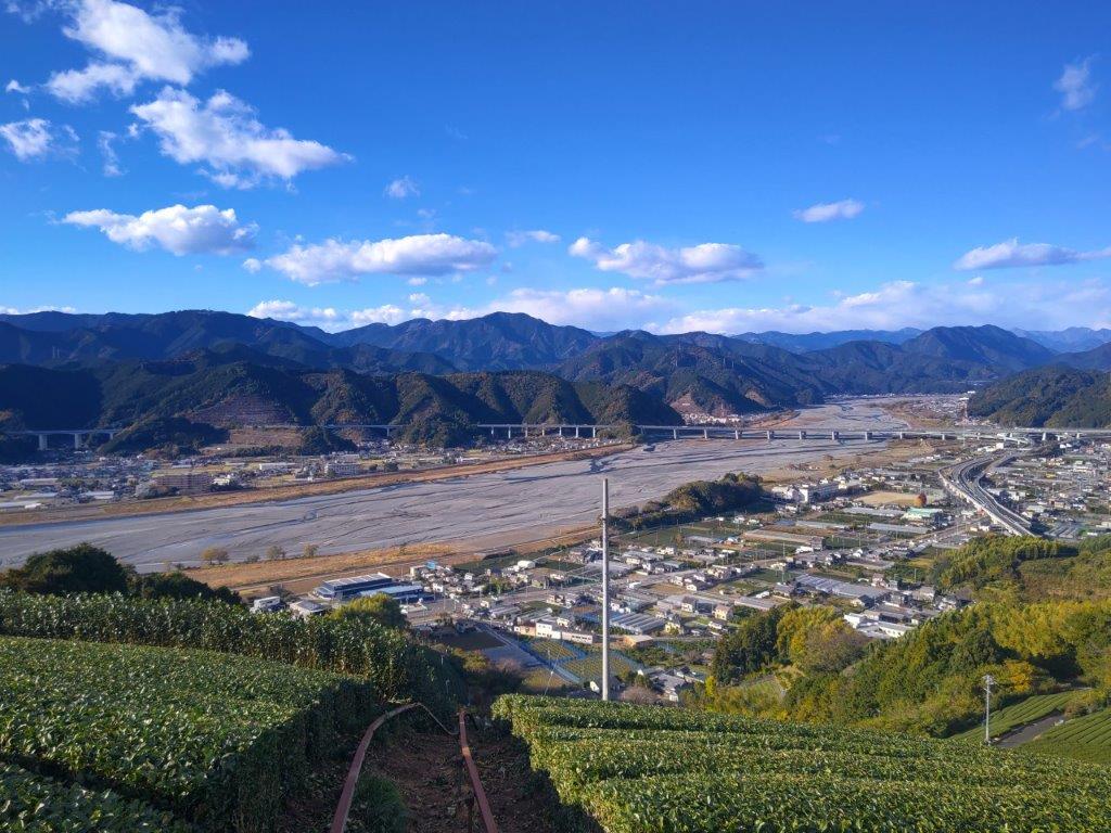
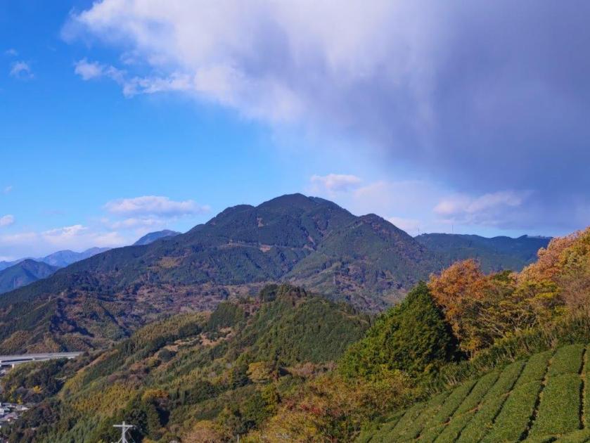
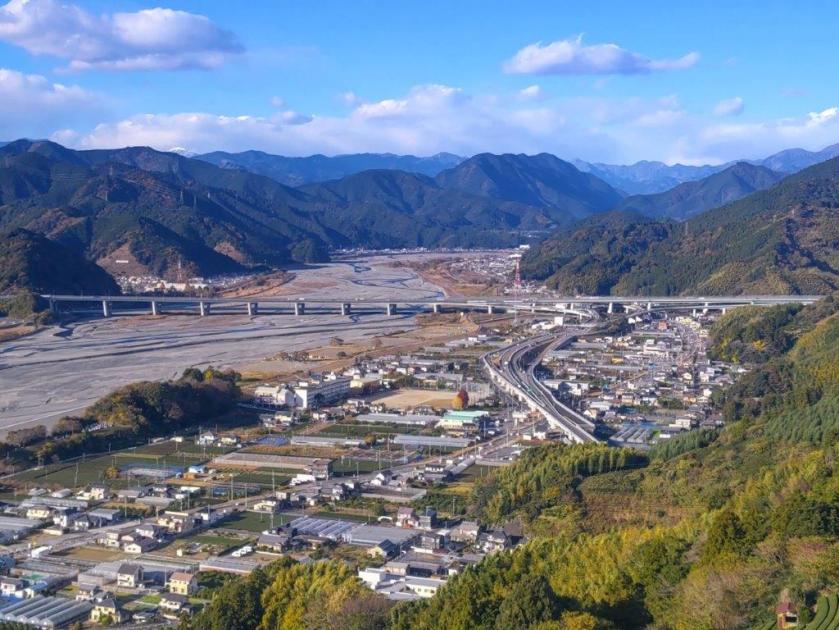
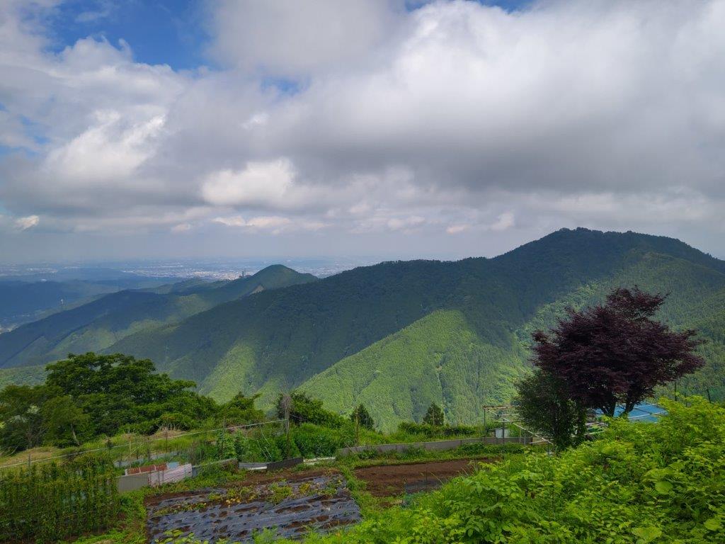
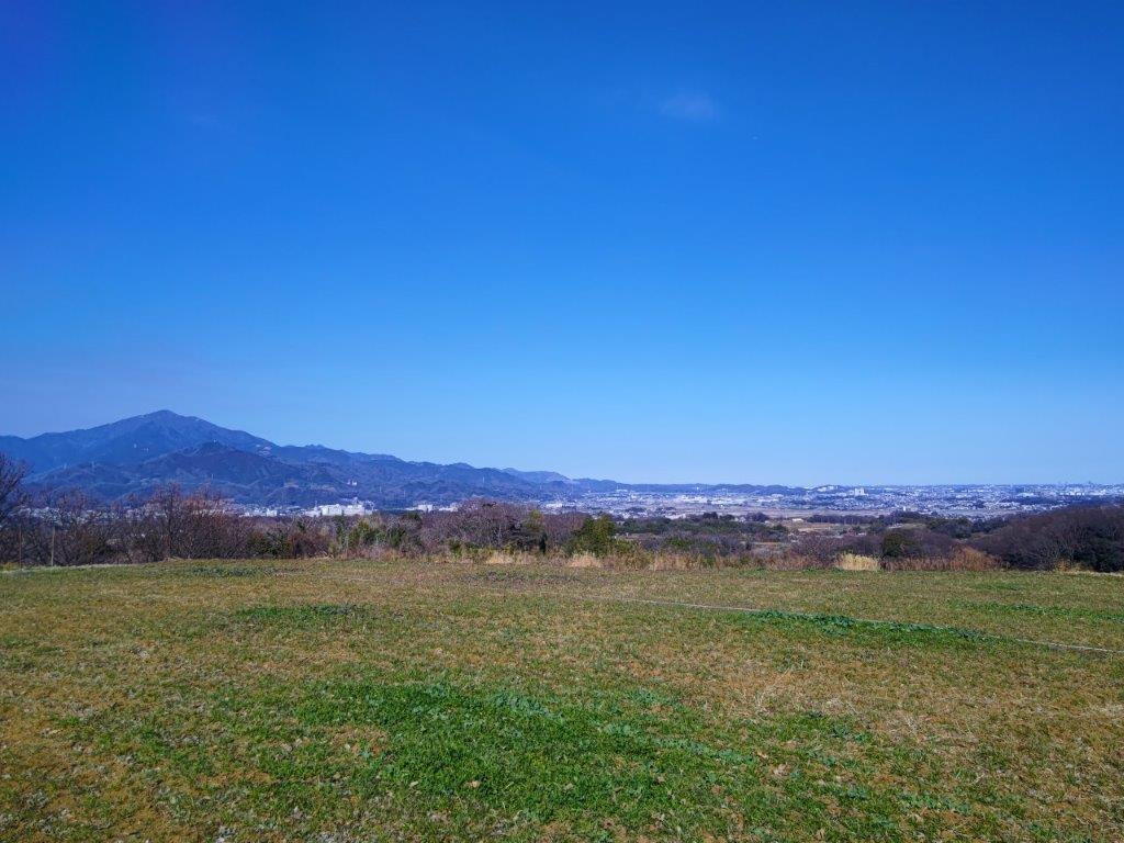
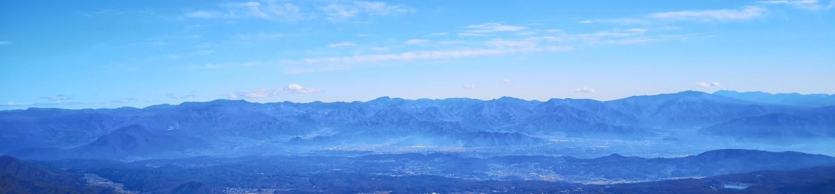
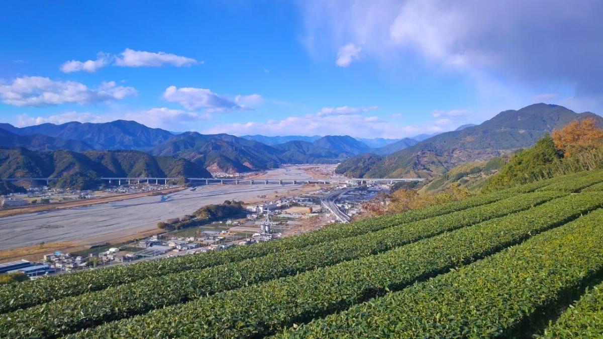
I had a better view of the Abe river valley than from the summit, and since this bench was in the sun, I decided to take a break for lunch. I set off again, a little before 2pm, and soon found myself ascending through tea fields, typical scenery of Shizuoka prefecture. Thanks to the low tea bushes, a wide view soon opened up on the west side. To the north, was Mt Ryuso; to its left, I could see the multiple mountain ranges of the Southern Alps, one tall peak in the very center already white with snow; from this mountainous mass emerged the Abe river, passing under the busy Shin-Tomei expressway.

Row of Trees Separating the Tea Fields

View of Abe River and the Shin-Tomei Expressway from Mt Tanku

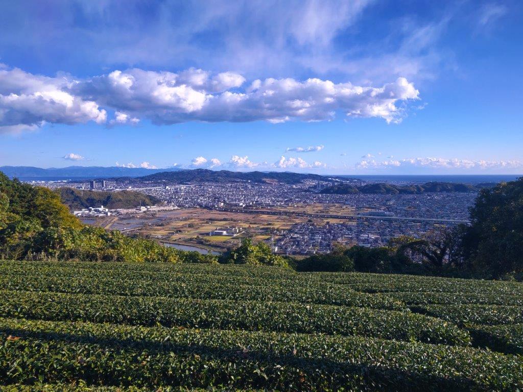
It was easily the best view of the day; it was also the coldest spot of the day, the wind blowing hard, a blast of cold air descending from the Alps, bringing dark clouds in its tow. I arrived at a concrete platform with a bench and a view on the east side, the culminating point of the surrounding tea fields. It was next to a large cylindrical storage tank, and was thus called Mt Tanku (タンク山 229m), although a summit marker seemed to be missing. I had a panoramic view of the Izu peninsula, Nihondaira, Suruga Bay and Shizuoka city; just Mt Fuji was missing from the picture. It was nearly 3pm, and I hadn’t reached the halfway point, so I stepped up the pace. The next part was mostly level, with frequent views on the east side through gaps in the vegetation.

Mt Ryuso, Tea Fields and Dark Clouds

View from Mt Tanku of the Southern Alps

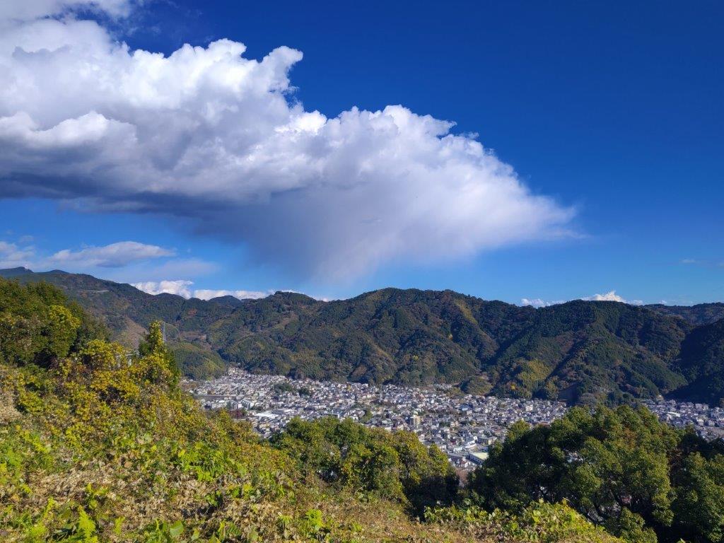
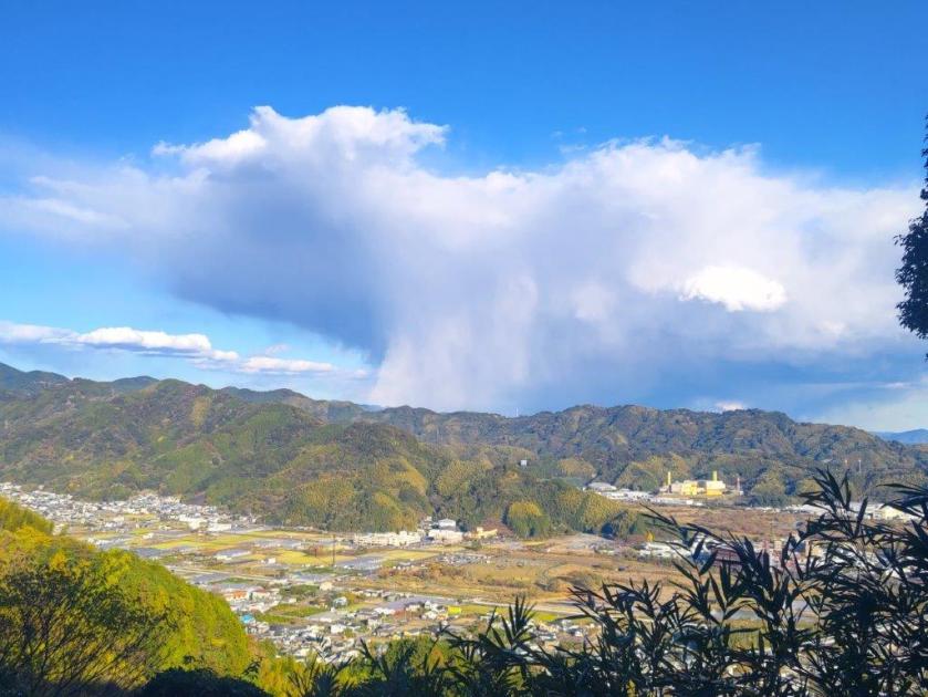
I noticed a mushroom-shaped cloud formation above the next ridgeline, a sudden downpour created by the influx of cold air from inland, a lucky escape for me. I left the tea fields behind and was once again walking through the forest. I was surprised by the variety of trees, very different from the monotonous cedar forests in other hiking areas; hanging between the branches were the ever-present jorogumo spiders still alive and well, despite the cold. After passing an electric pylon and some more orchards, I reached a road. Here, beyond the orange mikan, I had my first view of Mt Fuji, half-hidden by the clouds. I followed the road for a short while before rejoining the hiking path.

Bench with a View at the Top of Mt Tanku

Nihondaira and Shizuoka City from Mt Tanku

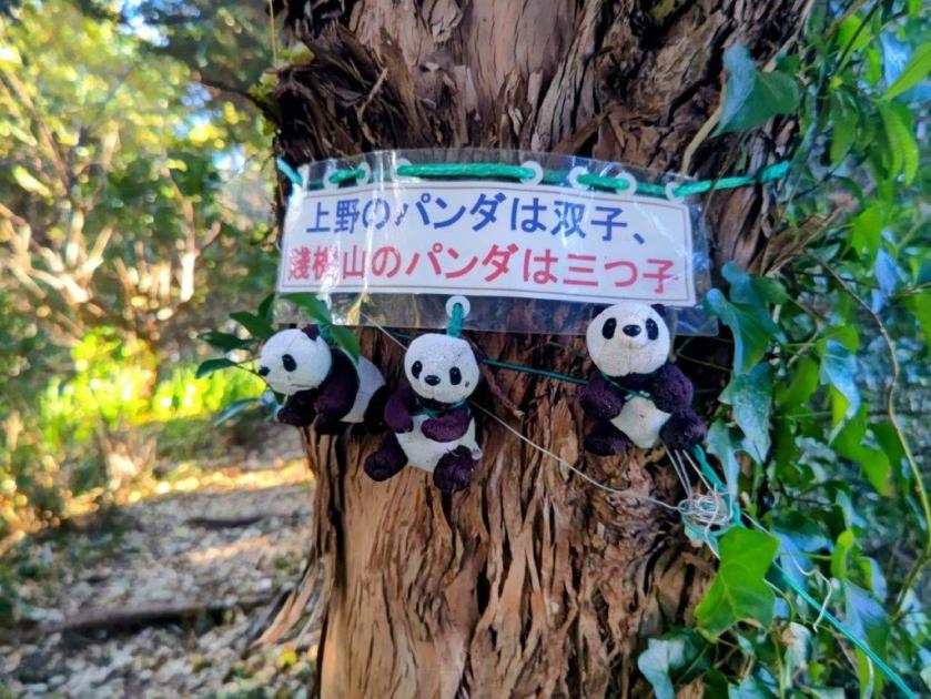
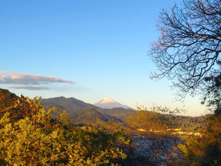
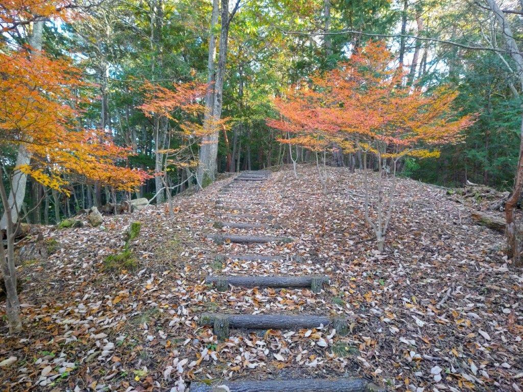
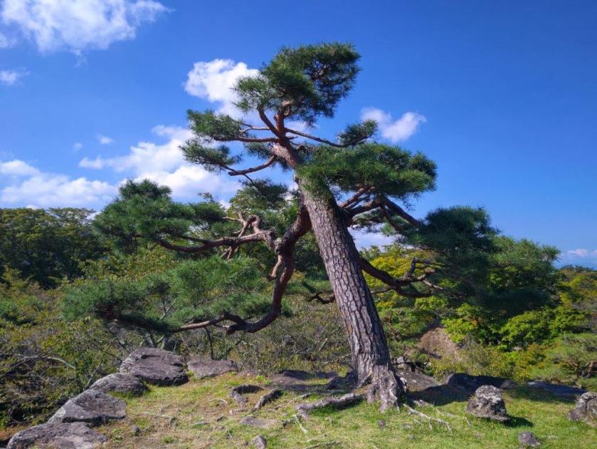
Great views, now including Mt Fuji, kept on appearing on the east side, slowing my pace. After passing 3 panda figurines hanging from a tree, I reached another road section heading up, but soon left it for path with plastic tubes for steps, leading to Ipponmatsu (一本松 192m), meaning “One Pine Tree”, which stood all by itself on the north side. From this vantage point, I could admire the ridgeline I had walked so far today, with Mt Ryusu rising directly behind; to its right was Mt Fuji, its famous snowcap now free of clouds. It was nearly 4pm, and I still had a third of the way to go, so I turned away from the view and headed down a path in the opposite direction.

Mushroom-Shaped Cloud on the Next Ridge

Mt Ryuso and the Mt Shizuhata Hiking Trail from Ipponmatsu

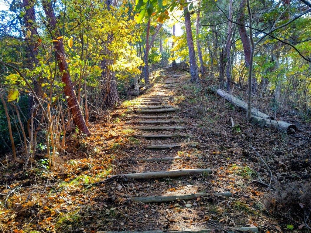
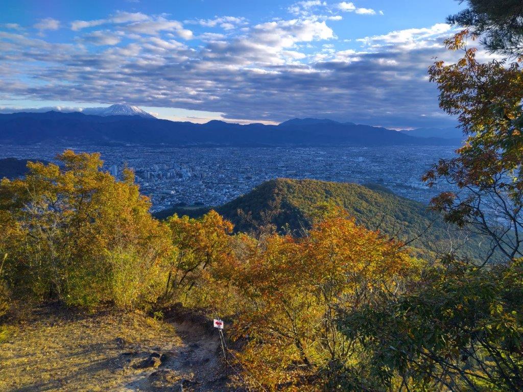
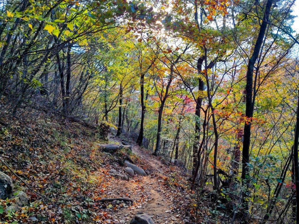
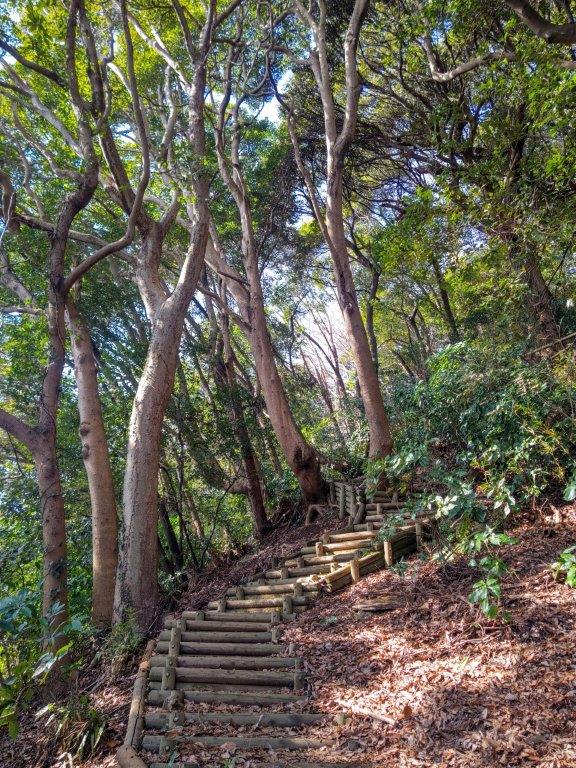
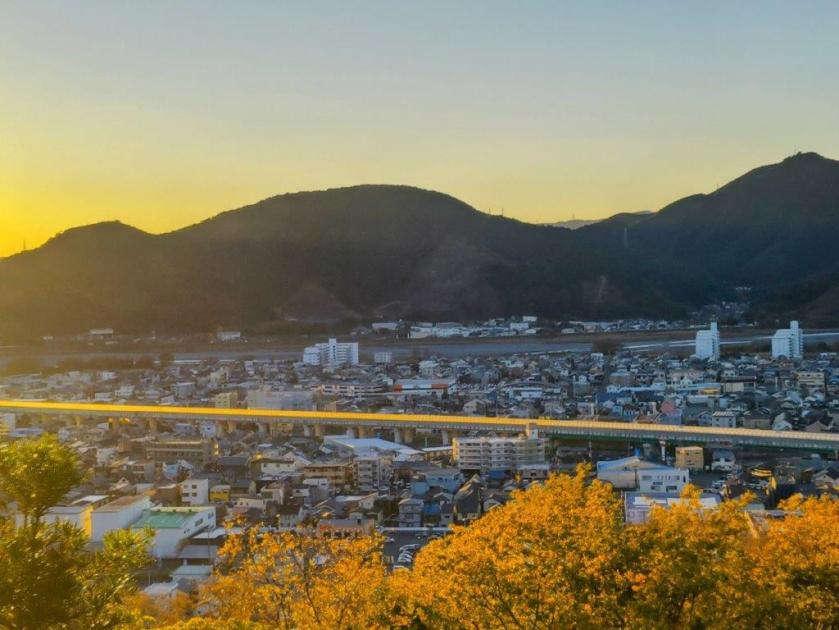
The late afternoon sunlight created a wonderful effect as I headed down some log steps facing westwards, although it also signaled that sunset was imminent. At another viewpoint with a bench, I saw the sun touching the opposite ridgeline, the Shin-Tomei expressway simply a yellow line along the valley; in the other direction, Mt Fuji was clearly visible and starting to turn pink. I continued up a steep trail, requiring one final effort to get to the top of Mt Shizuhata (賤機山 しずはたやま shizuhata-yama), also the remains of an ancient castle; apparently the “shizu” in Shizuoka comes from this mountain’s name. It was mostly in the trees so I soon moved on, along a level trail with wide open views on the west side.

Mt Fuji from Ipponmatsu

Trail between Ipponmatsu and Mt Shizuhata

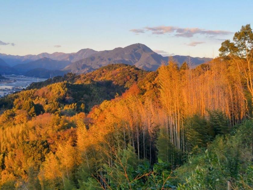
Turning around, I was stunned by the orange colours on the mountain side, highlighted by the fast setting sun. A little further on, I had another view of Shizuoka city on the east side, under pink clouds and a full moon. I quickened my pace, and after one final effort up a section crisscrossed with tree roots, forcing me to tread carefully in the growing gloom, I reached the top of Mt Asama (浅間山 140m). It was also inside Shizuhatayama park, with a paved path and occasional lampposts, meaning I could complete the hike safely even in dark conditions.

Autumn Colours Past Mt Shizuhata

Mt Fuji and Full Moon from Mt Asama

I had a breathtaking view of pink Fuji under a yellow moon, lights slowly coming on throughout the city spread out below, the last view of the day. It was past 4h30, so I quickly made my way down through the park, past Asama Shrine, the path enchantingly lit by lanterns, people still dropping by for a quick prayer in the early evening. At 5pm I emerged onto a busy road at the base of the mountain, and a short while later, arrived at Ofuro Cafe Bijinyu. After a reinvigorating hot bath, I caught a city bus for the short ride back to Shizuoka station, where I hopped onto the shinkansen for the one-hour trip back to Tokyo.

Watch a Video of the Shizuhata Hiking Trail Hike

Watch the Video of the Hike on YouTube

See a Slideshow of More Pictures of the Hike

Mt Daigo (635m) & Mt Nishi (487m), Minobu Town, Yamanashi Prefecture, Sunday, December 1, 2024

I had spotted this station to station trail the previous year while searching online maps for new hikes; although mostly in the forest, it had one good viewpoint of the Southern Alps on the west side. Online reports showed that the Autumn leaves had reached their peak in the area, and with the excellent weather forecast for Sunday, sunny with little wind, I decided it was time to make the long trip to this remote corner of Yamanashi prefecture, last visited in 2019.

For subscribers, read this Blog Post on Hiking Around Tokyo for a better viewing experience and the latest updates

To get to the start of the hike, I’d once again ride the Chuo line Limited express to Kofu, and there, transfer to the infrequent Minobu line. I’d arrive around noon, but this was fine since the hike was on the short side and ended at Shimobe Onsen, where I could relax in a hot bath while waiting for the train back to Kofu. Incidentally, Minobu Town is where Yuru Camp mostly takes place, so I was looking forward to revisiting an area I’d become familiar with through the Yuru Camp manga and anime.

Find Japan Hiking Maps on Japanwilds

Near the Start of the Hike (left) Past the Mt Goro Viewpoint (right)

Early Afternoon light (left) Leaning Trees (right)

It was another blue-sky day as I rode the limited express in a straight line westwards, from the Kanto Plain to the Kofu Basin. After transferring to a local train on the Minobu line, it was another one hour ride, this time southwest and then south, the railway following the Kamanashi river, as it squeezes between the Southern Alps and the Misaka Mountains. I was the only passenger to get off at the unmanned Kai-Tokiwa station around noon. I quickly found my bearings and followed a road westwards, to a small graveyard with a Kannon Statue.

View of the Tokiwa Area and Mt Goro from the Kannon Statue

Afternoon Sun and Autumn Leaves

Turning around, I enjoyed the first view of the day: the Tokiwa area with the summit of Mt Goro (五老峰 goroubou) rising behind. I located the start of the hiking trail and headed up the mountain side through the forest. The trail soon leveled and was bathed in the afternoon sun, enhancing the yellow colours of the surrounding Autumn leaves. I wondered why no one else was walking this path as it seemed like the perfect time of the year for this hike. I soon passed Hatouchi Pass (鳩打峠), and at 1pm, arrived at a bench with a view on the east side.

View of Mt Goro past Hatouchi-toge

View of Yatsugatake below the Summit of Mt Daigo

From this higher vantage point, I now had a proper view of Mt Goro. For such a local trail, I was surprised to see how well-maintained it was, with good quality signposts, panels with tree names and even distance markers to the top. I heard deer sounds nearby but never saw any, an indication of how few people pass through. I had another view, southwards this time, of the foothills of the Southern Alps, Yatsugatake, its highest peaks white with snow, and Mt Kaya. After a steep but short climb, I reached the top of Mt Daigo (醍醐山 だいごやま daigo-yama), a Buddhist term meaning nirvana.

Yellow and Red Leaves near the Summit of Mt Daigo

Red Maple & Mt Goro near the Mt Daigo Viewpoint

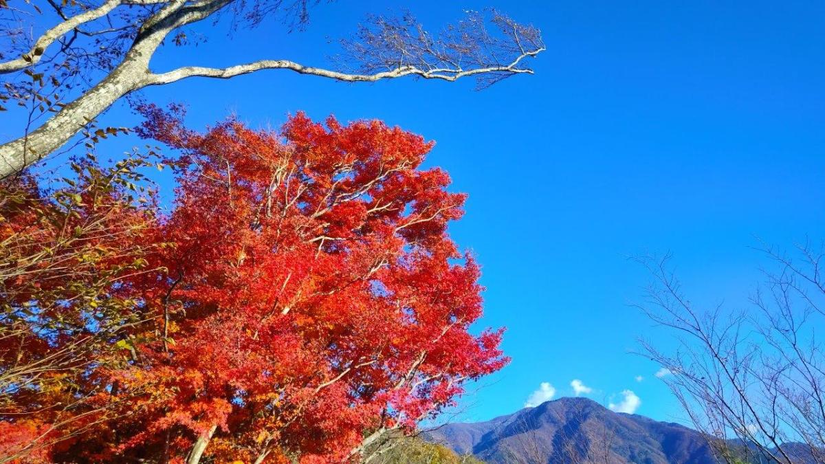
Standing on top of “Mt Nirvana”, I didn’t feel especially enlightened, under the shade of trees with not even a hint of a view. I was delighted by the signboard showing a hand-drawn bird’s-eye view of Mt Daigo (also online, Japanese only). Following the signs for the observatory, I walked downhill in a westward direction, surrounded by stunning autumn leaves, the reds and yellows swaying in the breeze. I reached a narrow ridge, the vegetation shrinking away on both sides and letting the sunlight through. I stopped near a huge “momiji” (Japanese maple) and turned around.

View of Mt Minobu (left) & Mt Shichimen (right) from the Mt Daigo Observatory

View of the Fuji River Valley from the Mt Daigo Observatory

I had probably the best view of the day, the vivid red leaves sharply contrasting with the light blue sky, the now familiar triangular summit of Mt Goro in the background. I moved further along the ridgeline till I reached a signboard next to a gap in the vegetation on the south side, the Mt Daigo Observatory (醍醐山展望台), in truth more of a viewpoint. Directly ahead was Mt Minobu with the massive bulk of Mt Shichimen lurking behind; on the west side was Mt Zaru, the highest peak in the vicinity; far away to the south, I could just make out the top of Mt Takadokkyo. It was already 2pm, so I settled on a comfortable rock for a lunch break.

View South of the Japanese Southern Alps

View Northwest of Mt Fujimi from Daigo-toge

I enjoyed the view of the Fuji river sparkling under the sun, as it snaked its way towards Suruga Bay. Sadly, Mt Fuji was missing, so close yet invisible, one of the rare blind spots in the area. I was only halfway through my hike so at 2h30, I set off again, retracing my steps to the summit and heading down a faint path on the south side. The descent turned steep, down log steps half buried in dead leaves, rope attached to adjacent trees for safety. A little after 3pm, I reached the lonely Yama-jinja shrine, its access blocked by the huge trunk of a fallen tree. This was also the junction for the second mountain of the day; I went right, along a path through some bamboos, leading to Daigo Pass (醍醐峠) and the final viewpoint of the day.

Mt Daigo in Orange near Mt Nishi

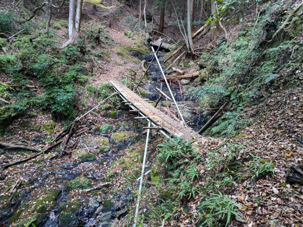
Looking north, I had an amazing view of the orange-coloured mountain side of Mt Daigo with the dark shape of Mt Fujimi rising like a wall in the background; in the valley below, houses filled the narrow space between the Fuji river and the foothills. To the south was Mt Goro again, small puffy clouds passing over its summit. I dived back into the forest, and soon reached the flat top of Mt Nishi (西山 にしやま nishi-yama), completely in the trees. It was 3h30, just one hour to sunset, so I hurried back to the junction and headed down, past an abandoned house, down a switchback path through a dark forest, along a stream over a couple of wobbly bridges and out through an electric gate. At 4pm, I emerged onto a road where I turned left, soon walking through an inhabited area.

Spooky Bridge near the End of the Hike

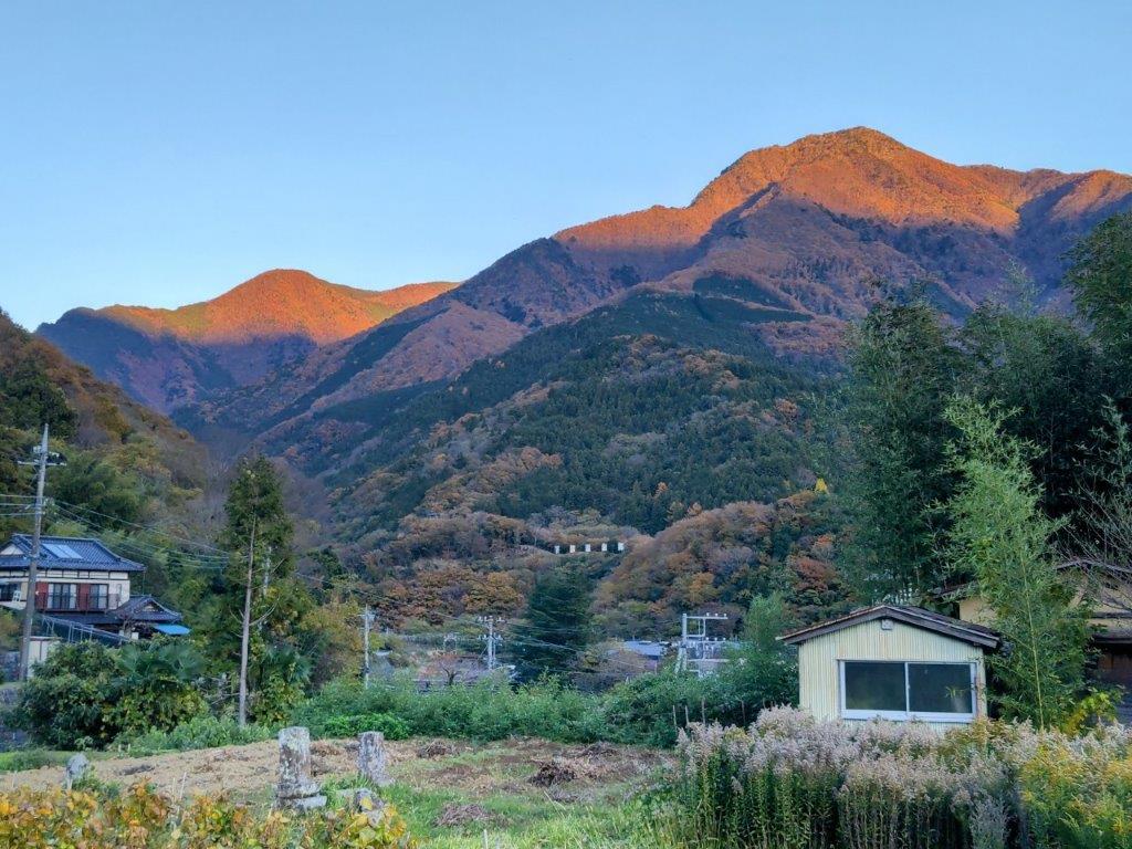
Today’s “beacon”, Mt Goro near Shimobe Onsen

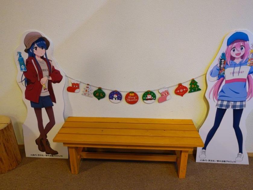
I was now walking straight towards Mt Goro, its tip lit up light red in the last light of the day, looking very much like the beacon that had guided me throughout the day. I turned left onto a main road, and after crossing a bridge over the Fuji river, arrived at Shimobe onsen, where I indulged in a hot spring bath at the modern Shimobe no Yu, just across the tracks from the train station. As I exited the hot spring facility, I was delighted to see life-size cutouts of characters from Yuru Camp. A little after 5pm, I boarded the faster express train for Kofu, and there, transferred to the limited express for the 90-minute ride back to Shinjuku.

Thank you for reading – make sure to check out the Japanwilds website for more hiking blogs and maps

Watch a Video of the Mt Daigo Hike

Watch the Video of the Hike on YouTube
See a Slideshow of More Pictures of the Hike

Mt Komatsu (514m), Mt Shiro (640m) & Mt Yumura (446m), Kofu City, Yamanashi Prefecture, Saturday, November 23, 2024

I was looking for another hike in Yamanashi before the arrival of the snow. I also wanted to stay relatively low since the temperatures had plummeted since the previous week. Looking at my map, I spotted a group of suitable mountains just north of Kofu. I had already done a great hike on the northeast side so I was keen to explore the area more. I saw that I could make an open loop passing by several viewpoints, including an interesting rock formation and a lake, within a reasonable amount of time.

Hiking in the Chichibu-Tama-Kai National Park

秩父多摩甲斐国立公園

To get to the start of the hike near Suwa Shrine, I’d ride the Chuo limited express to Kofu station, and from there, ride a bus to a stop within walking distance of the shrine. I’d finish the hike at Yumura Onsen in northwest Kofu, and after a hot spring bath, ride a bus back to the station. The weather was supposed to be clear but cold. I hoped I could get some good views of the surrounding mountains, including Mt Fuji, and still catch the Autumn leaves at their best.

For subscribers, read this Blog Post on Hiking Around Tokyo for a better viewing experience and the latest updates

Find Japan Hiking Maps on Japanwilds

Start of the Hike near Suwa Shrine (left) Tall Pines on Mt Komatsu (right)

Exposed Rocks above Kinsu-toge (left) Autumn Colours near Chiyoda Lake (right)

It was a cloudless, blue-sky day as I stepped off the limited express in Kofu station at 10am. I boarded a local bus, the driver even kindly confirmed my destination, and after a short ride, I got off at a stop still within the confines of the city. A few minutes of walking brought me to the foot of the mountains, and after a short climb, I arrived at Hizakutsu-suwa Shrine (膝屈諏訪神社). It was just after 11am as I passed under the stone shinto gate next to an impressive yellow gingko-tree.

Trail below Mt Shiro (left) Trail past Mt Hosenji (right)

Path for Mt Yumura (left) Flagstones for Yumura Castle Ruins (right)

Turning around, I was rewarded with a view of snow-capped Fuji. I made my way to the white shrine building surrounded by tall cedars, and after taking a few minutes to adjust my gear, set off along a level trail at the far end of the shrine grounds. I soon emerged from the trees onto a sports field, and after crossing a busy road, followed a residential street up the mountain side to a staircase below the trail entrance. This section has no signposts and I had to rely entirely on my phone GPS.

Log Steps Leading to the Top of Mt Komatsu

Walking the Takeda no Mori Promenade

I was surprised to see that the trail was partly overgrown, a sign that it was little used in this season; I was even more surprised to notice spiders again, a sign of their resilience to cold weather. Once the path started to climb, the trail became better defined; I saw the first signpost of the day upon reaching a wide path along the top ridge. I turned right, and after climbing a series of log steps, arrived at the top of Mt Komatsu (小松山 こまつやま komatsu-yama), the promised view mostly blocked by vegetation.

Heading up to Kinsu-toge

The exposed rocks of Mt Awayuki

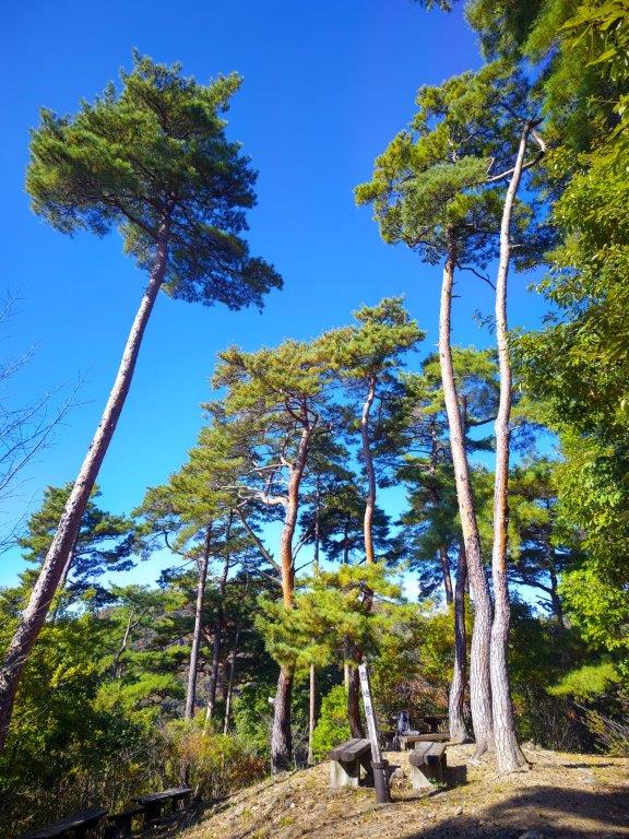
I was tempted to take a break at one of the sunny summit picnic tables but since it was barely noon, I decided to press on. Even though the mountain name means “little pine”, it was home to some very tall red pines, one of the 100 famous forests of Yamanashi. I went back down the steps and followed the ridge northwards, soon merging with the Takeda Forest Promenade (武田の森遊歩道 takeda-no-mori-yuhodo named after Takeda Shingen, a famous feudal lord from the Sengoku era), an ancient road connecting Wada and Iwado passes; I had already walked the latter part on my Mt Yogai hike. I strolled along the wide, level path as it followed the mountain side eastwards through the forest.

First view of the day near Kinsu-toge

Mt Fuji, the Misaka Mountains and the Kofu Basin

From time to time, I waved a stick to clear the stubborn spider webs that were too low to duck under, their occupants groggily moving out of the way. Shortly before 1pm, I left the promenade and turned left onto a wide path leading up the mountain side, the webs now thankfully gone. I soon reached Kinsu Pass (679m 金子峠) where I had a view of Mt Fuji between a gap in the trees. I now rejoined a hiking trail, and continued eastwards, soon arriving at a group of white-coloured rocks, called “Exposed Rocks of Mt Awayuki” (702m 淡雪山の露岩 あわゆきやまのつゆいわ), similar to the scenery one can find at the nearby Shosenkyo. It was also the highest point of today’s hike.

Mt Kaikoma from the Exposed Rocks

Afternoon Light at Chiyoda Lake

I felt lucky to have such a spot all to myself. Above the pines on the south side, I had a fantastic view of Mt Fuji and the Kofu basin. To the west, I could see Mt Kaikoma, also known for its white rocks, and the long summit ridge of Mt Houou. After taking a few minutes to explore and take photos, I selected a suitable rock to sit on for a lunch break. A little after 2pm, I headed back to Kinsu Pass, and followed the ridge westwards. Here the trail became faint and I had to rely on my phone GPS and the occasional pink ribbon. After a short descent, I reached a proper trail which soon turned into a road through a residential area; at 3pm, I arrived at the edge of Chiyoda lake.

Autumn Colours on the way to the Mt Shiro Viewpoint

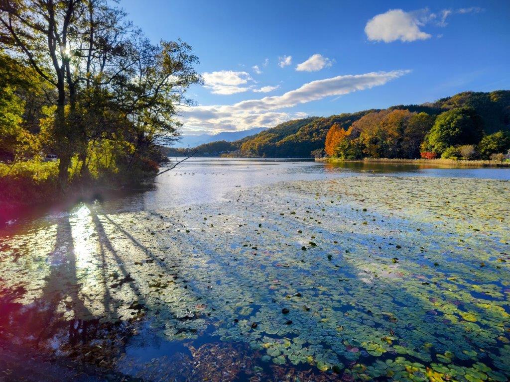
Chiyoda Lake from the Mt Shiro Viewpoint

I was dazzled by the reflection of sunlight on the blue water surface and green water plants. I headed up log steps surrounded by red and orange leaves, happy to be back on a hiking trail. After a short climb, I reached an open shelter at the Shiroyama Viewpoint (白山展望台). Directly below was Chiyoda lake; to the west, I could the see the outline of Mt Houu against the fast sinking sun; looking north, I spotted Mt Kaya and the Kurofuji volcanic group, with the white rocks of Shosenkyo in the foreground and the peaks of Yatsugatake in the background. I still had a little way to go to the next summit, so after a short break, I set off again. The up and down trail was easy to follow, and at 3h30, I reached the Hachioji shrine (八王子神社) at the top of Mt Shiroyama (白山 しろやま), meaning “white mountain”.

View of Kofu from the top of Mt Shiro

Dark Clouds and Yellow Leaves from Mt Shiro

I was stunned by the view of fleecy clouds spreading from the snowy slopes of Mt Fuji, casting shade over Kofu city’s urban sprawl; luckily, the light still reached the surrounding slopes, lighting them up in gold. I quickly admired the view of the South Alps on the other side of the shrine, before moving on, picking up the pace as I wanted to get down before dark. I descended a steep, sandy trail, the rocky outcroppings and gnarly pines along the way feeling quite typical of the Chichibu-Tama-Kai national park. I was delayed by two more superb viewpoints, the setting sun creating a striking contrast of light and shade, before reaching a level trail, now in the shade. At 4pm, I passed the minor summit of Mt Hosenji (539m 法泉寺山 ほうせんじやま), completely within the trees.

The Tip of Mt Fuji hidden by the Clouds

The South Alps from the Top of Mt Shiro

I was suddenly walking on flagstones (“ishidatami), a reminder that today’s last summit was also the location of Yumura castle (湯村城), although only some stone foundations remain today; I had to be careful not to miss my step, especially since the visibility was starting to fade. After a short descent, I reached a fire beacon (“noroshi“), a recent reconstruction of one of the many that used to exist during the Edo period, creating an ancient communication system. One final effort brought me to the open shelter at the top of Mt Yumura (湯村山 ゆむらやま yumura-yama), meaning “hot spring village”.

Sun Setting behind Mt Houou

Trail between Mt Shiro and Mt Yumura

I had one last view of Mt Fuji, its top half truncated by a layer of grey clouds. It was 4h30, so I sped back to the fire beacon and headed down a switchback trail on the west side, occasionally taking the well-worn short cuts between the bends. I was relieved to reach Yumura Onsen (湯村温泉) before it was completely dark, arriving at Yumura Hotel just before 5pm. After a refreshing hot spring bath, I caught a bus for Kofu station, where I boarded the limited express for the 90-minute ride back to Shinjuku.

Easy to Follow Trail below Mt Shiro

Last View of the day from Mt Yumura

This hike ended up taking 6 hours, a bit longer than planned, mainly because of the superb views along the way. The section around Mt Shiro was especially stunning, and I’d like a chance to redo in lighter conditions. It deserves to be better known, and it’s a mystery why I saw no other hikers the whole day. In the future, I’d also like to climb Mt Kata (片山) on the other side of Chiyoda lake and also explore more of the Takeda Forest Promenade towards Yogai Onsen. Before that, I definitely want to revisit the white rocks of nearby Shosenkyo.

Watch a Video of the Mt Shiro Hike

Watch the Video of the Hike on YouTube

See a Slideshow of more Pictures of the Hike

The Asama-Yatsugatake Panorama Trail (highest point 824m), Komoro City, Nagano Prefecture, Sunday, October 13, 2024

I was looking for another hike in the Saku area since it had been one year since my previous visit. Searching online, I found a loop hike using parts of the Asama-Yatsugatake Panorama Trail (Japanese only); it was mostly along small roads and country lanes, ideal for avoiding Jorogumo spiders that hang out along forested trails in the early Autumn. Another benefit of walking through the countryside in this season is to enjoy the scenery of golden rice fields, ready to be harvested. The weather was supposed to be sunny and warm all day, welcome news after two consecutive cloudy weekends.

For subscribers, read this Blog Post on Hiking Around Tokyo for a better viewing experience and the latest updates

I would start from Komoro station, a short ride on the Shinano Tetsudo line from Karuizawa, easily reachable via the Hokuriku shinkansen. Looking at Google Maps, I noticed I could end at Aguri no Yu and, after a relaxing hot bath, take a taxi back to the station. From there, I’d ride the Koumi line in the opposite direction, to Sakudaira, so that I could board the shinkansen before Karuizawa, after which the train is usually packed. Although I wouldn’t be summiting any peaks, I’d able to visit Komoro Castle Ruins and Shakuson-ji Temple along the way, and if the weather allows, enjoy the panoramic views of Mt Asama and Mt Yatsugatake.

Chikuma River from Komoro Castle

Chikuma River from the Keizo Koyama Art Museum

It was a beautiful Autumn day as I rode the shinkansen from Tokyo, although Mt Asama was firmly in the clouds as the train pulled into Karuizawa station around 9am. I transferred to the Shinano Tetsudo line for the 20-minute ride to Komoro; I happened to catch the rapid service with reserved seating so I remained comfortably seated for the entire trip. After getting ready, I set off for the nearby Komoro-jo Castle shortly after 10am. After paying a small “strolling fee” (called sansakuken) for Kaikoen Park which surrounds the ruins, I walked past ancient stone walls to the Fujimi Observation Deck from where one can see Mt Fuji, although today the sky was too hazy for that. I had better luck with the Mizunote Observation Deck, from where I could gaze down at a bend of the Chikuma River, the longest river in Japan. After exiting the castle grounds, I made my way to the nearby Keizo Koyama Art Museum.

Downstream View of Chikuma River near Shakuson-ji

Upstream View of Chikuma River near Shakuson-ji

I had a breathtaking view of another bend of the Chikuma river, an impressive plateau rising on the opposite side; I felt excited that today’s hike would take me along its top part. I joined the Asama-Yatsugatake Panorama Trail (浅間・八ヶ岳パノラマトレイル) just below the Art Museum garden. I followed a switchback trail through the forest, reaching a road at the valley bottom around 11am. After crossing Okubo Bridge, I followed back roads through a charming residential area, the way well-signposted throughout. After a short climb, I had a view of the base of Mt Asama, the top part still hidden in thick clouds. The path then descended and merged with a cliffside road running right next ro the river. Shortly after the noon chime, I arrived at the start of the trail heading up the plateau. After a 15-minute climb through the forest, cliffs towering on both sides, I reached Shakuson-ji Temple (釈尊寺) from where I had a view of Nunobiki Kannon (布引観音).

Approach to Nunobiki Kannon

Nunobuki Kannon from Shakuson-ji Temple

I was amazed by the view of small structure clinging to the cliffside, reminding me of Daifuku Temple. Soon after, I was standing on the wooden platform, gazing past the cliffs at the still cloudy Asama, trying not to look at the drop below. I continued my way up a winding road through the forest, at one point passing a snake taking a break in a sunny spot on its warm surface. A little after 1pm, I turned left onto a forest road near a frog-filled pond; I never saw any, just heard feeble croaks followed by tiny splashes as I approached. I was now walking along the top of the plateau, the surrounding forest hiding the views. At 1h30, I reached a road junction near a lake, and here I followed a lane to the highest point of today’s hike, a grassy spot above the fields. To the south and east, I could make out the hazy outlines of Mt Yatsugatake and the Chichibu mountains.

Golden Rice Fields at Mimakigahara Plateau

Mt Asama from Mimakigahara Plateau

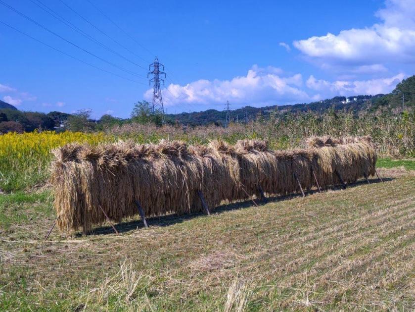
I was surprised how warm it felt in the middle of October, not even a breeze to cool off. At 2pm, I set off again, now following a country lane as it curved around and over hills. Thirty minutes later I reached a wide open space used for rice cultivation: the Mimakigahara Plateau (mimakigaharadaichi 御牧ヶ原台地). Many fields had already been harvested, the rice stalks hanging on drying racks; however a few remained untouched, the golden stalks basking under the afternoon sun. Turning around, I was rewarded with a majestic view of the highest summits of Mt Asama, finally free of clouds. I then turned left onto a dirt path and up another hill through open countryside.

Mt Asama and Pond View

View of Mt Asama from the Panorama Trail

This was the best part of the hike so far, the entire range of the Asama volcano slowly coming into view. The entire plateau is dotted with small lakes, and I eventually arrived at one of the biggest ones, Himamu-ike Pond (干間無池), the dark blue summit of Mt Asama visible above the light blue lake. The trail continues down the cliffs and along the Chikuma River back to Komoro station, but here I headed back to an intersection near my lunch spot. From there, it was half an hour of slight up and down walking to Aguri no Yu Hot Spring, famed for the view of Mt Asama from its outdoor bath. After a refreshing soak, I was back at Komoro station at 5pm, and soon after, I was comfortably seated on the Shinkansen for the one hour trip back to Tokyo.

Mt Asama and Himamu Pond

Walking back from Himamu Pond

The Asama-Yatsugatake Panorama Trail is actually a network of trails on the south bank of the Chikuma river. Today’s hike took about five hours and passed several of the area highlights, the excellent signposting and online information ensuring I could always find my way. I hope to return next year to complete the other sections and see the rest of the highlights. I’d also like to get an earlier start so that I can get clearer views of the Yatsugatake range on the south side, but I’d need to plan it for a cooler day as there is little shade along the way. In any case, I know I can finish my hike with a well-deserved hot spring bath.

Watch a Video of the Asama-Yatsugatake Panorama Trail Hike

Watch the Video of the Hike on YouTube

See a Slideshow of More Pictures of the Hike

Mt Takao (599m), Hachioji City, Tokyo Prefecture, Sunday, October 6, 2024 [Iroha & Katsura Forest Trails]

I wanted to do another afternoon hike on Mt Takao and explore more of its many trails. As the weather was supposed to be cloudy all day, it seemed like a good chance to do a hike close to home. The well-beaten tracks also meant that the path would be clear of spiders and spider webs. Finally, the cable car would be running past 6pm because of the summer beer garden, although I’d most likely be done before since it would be getting dark around 5pm.

Hiking in the Meiji no Mori Takao Quasi-National Park

明治の森高尾国定公園

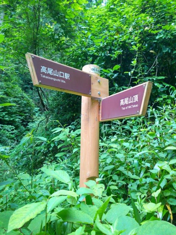
I’d take a local JR train from Shinjuku to Takao station; there, I’d board the bus for Kobotoke, at the back of the mountain, and then go up the Iroha Forest trail, leading all the way to the summit. I’d go down the Katsura Forest Trail, ending at the cable car top station. Before heading back, I could enjoy a hot spring bath at the Keio Takao-san Onsen, right next to the Takaosanguchi station. Although I knew I wouldn’t get any views, I hoped I could enjoy Tokyo’s most famous mountain minus the crowds.

For subscribers, read this Blog Post on Hiking Around Tokyo for a better viewing experience and the latest updates

Hikage Stream (left) Iroha Forest Trail (right)

Gaining Altitude (left) Reaching the Mist (right)

A few raindrops fell as I got off the train at Takao station just past 2pm, but fortunately nothing was falling as I got off at Hikage (日影), ten minutes away on a mostly empty bus. I continued up the main road for a few minutes before turning left and passing over a bridge; I then followed a narrow road alongside Hikage-sawa stream (日影沢). The pleasing rushing sound of the water made up for the gloomy skies overhead. At the Hikagezawa Camping Ground, I turned left onto the Iroha Forest Trail (いろはの森コース). Soon the path started to climb through thick forest, the sound of water slowly fading.

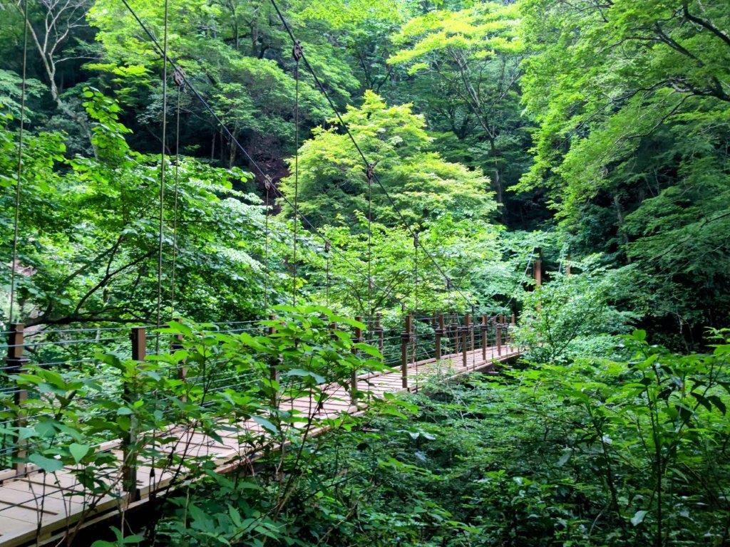
Halfway to the Top (left) Just before the Suspension Bridge Trail (right)

Walking up Wooden Steps (left) and Through the Mist (right)

I was surprised by how humid it still was, as I didn’t expect to break a sweat in such a short time. At 3pm, I reached a flatter section on a shoulder of the mountain, the surrounding forest shrouded in mist. Soon I was climbing again, the trail wet and slippery because of yesterday’s rain. I arrived at the intersection with the Suspension Bridge Trail (trail #4), explored four months ago. I continued along the Iroha Forest Trail, making my way up a series of wooden staircases, eventually merging with the Omotesando Trail (trail #1). I now had to share the path with dozens of other people, as well as huge Jorogumo spiders, hanging from immense webs on both sides of the trail. At 3h30, one hour after setting off, I reached the top of Mt Takao (高尾山 たかおさん takao-san), the view consisting entirely of white space.

Exploring Ura-Takao (left) The Path for Momijidai (right)

The Summit Loop Trail (left) The Katsura Forest Trail (right)

I was surprised to see many people on the summit despite the poor weather. I found an empty spot at a bench for a late lunch. At 4pm, I decided to make a short roundtrip to Momijidai, on the backside of Mt Takao (裏高尾 ura-takao), as I was ahead of schedule. It took half an hour during which I only saw a small snake slither off the trail, and of course more spiders. It was starting to get gloomy so I upped the pace, following the Summit Trail (#5) back to the main side of the mountain, and quickly headed down the Katsura Forest Trail (#3, meaning Japanese Judas Tree). It was a solitary walk through the Meiji no Mori Takao Quasi-National Park, the misty silence broken by the cries of birds.

Rest spot near the intersection of the Iroha Forest and Suspension Bridge Trails

Reaching the End of the Katsura Forest Trail

This part took longer than expected as it hugged the mountain side, winding in and out of tiny valleys. Luckily, it was mostly flat and easy to walk, although I had to be careful of the steep drop on the right side and the slippery surface of a couple of wooden bridges. Just as I thought I’d have to take out my headlight, I reached the Kasumidai Trail (#2) at 5pm, and a few minutes later, I emerged into an open space near the cable car, city lights barely visible though the mist. I was tempted to head down the Biwa waterfall trail to avoid the crowds but I knew it would be a tricky descent at this time of the day. Soon after, I was enjoying a nice hot soak at Takaosan Onsen, before hopping on the train for the one hour ride back to Tokyo.

Watch a Video of the Mt Takao Hike

Watch the Video of the Hike on YouTube
See a Slideshow of More Pictures of the Hike

Mt Hinode (902m) & Mt Aso (794m), Tokyo Prefecture, Ome City & Hinode Town, Saturday, June 29, 2024

I was looking for another afternoon hike to make the most of the longer days of June. I also wanted to include a river section as it had rained a lot recently. I decided to head to Mt Mitake and follow the Kanto Fureai no Michi to Mt Hinode last visited ten years ago. From there I would follow a ridgeline to a minor peak I had to yet to climb; according to online reports, it had a wide view on the east side. I’d then follow the Shiraiwa-Taki hiking trail westwards to Shiraiwa waterfall, a short distance from the end of the trail. If time allowed, I could drop by nearby Tsuru Tsuru Onsen for a wash and a soak before heading back.

Hiking in the Chichibu-Tama-Kai National Park

秩父多摩甲斐国立公園

Hiking in Okutama 奥多摩

Hiking the Kanto Fureai no Michi 関東ふれあいの道

To get to Mt Mitake, I’d ride the Chuo line from Shinjuku, change to the Ome lime in Tachikawa, change again to the Okutama line in Ome, and get off at Mitake station, a short bus ride from the Mitake cable car. For the return, I’d ride the bus from the hot spring to Musashi-Itsukaichi station, then take the Itsukaichi line to Tachikawa and finally transfer to the Chuo line for Shinjuku. The weather was supposed to be cloudy with temperatures in the mid-twenties. I hoped the higher humidity would still allow for comfortable hiking. I was looking forward to exploring new trails, getting some good views and seeing lots of rushing water.

For subscribers, read this Blog Post on Hiking Around Tokyo for a better viewing experience and the latest updates

Fureai no Michi past Mitake Village (left) on the way to Mt Hinode (right)

Mt Hinode Trail Before the Summit (left) and Past the Summit (right)

It was a cloudy day as I rode the train from the tall, shiny skyscrapers of Shinjuku to the low, green hills of Ome. As I had left around noon, I was rewarded with sitting space on the trains, as well as on the cable car shuttle bus and the cable car itself, my first time to be comfortably seated after half a dozen trips to the area. It was also my first time to visit in June, the green of spring in full swing, white and purple Hydrangea (ajisai) lining the road.

Trail between Mt Hinode and Mt Aso (left) Shiraiwa-Taki Hiking Trail (right)

Falls (left) and Wooden Walkway (right) along the Shiraiwa-Taki Hiking Trail

It felt pleasantly cool felt as I exited the cable car top station just before 2pm. I was relieved that few people had chosen to visit in the rainy season. After getting ready and checking the view of today’s two peaks from Mitakedaira, I made my way up some steps to an observation deck from where I had a slightly better view of the area. I decided to make a quick detour via Ubuyasu Shrine (産安社), a peaceful spot with some impressive cedars, reminding me that I was inside the Chichibu-Tama-Kai National Park. I then headed down a different path taking care not to slip, the ground still wet from yesterday’s rain, arriving at the Mitake Visitor Center at 2h30, also the junction with the Kanto Fureai no Michi.

View of Mt Aso (left) and Mt Hinode (right) from Mitakedaira

View of Mt Aso (left) and Mt Hinode (right) from the Observation Deck

I suddenly felt quite warm as the sun had came out from behind the clouds. After crossing Mitake Village, I found myself on a level path through cedars, arriving at a junction past a Shinto gate at 3pm. I took the left path heading up the mountain side, and less than half an hour later, arrived at the top of Mt Hinode (日の出山 ひのでやま hinodeyama), a Tokyo 100 famous mountain, the name translating as “sunrise mountain”. Looking north, I could see the Okutama Mountains, and to the south, the Tanzawa mountains; straight ahead was the Kanto Plain and Tokyo.

Steps leading to the Observation Deck and Ubuyasu Shrine

View of Tokyo and Kanto Plain from the top of Mt Hinode

I was slightly worried about rain as thick clouds had appeared on the west side, hiding the summit of Mt Mitake. After a break, I set off down a steep trail on the south side, the descent made easier by log steps. Just before 4pm, I reached a T-junction: to the left was the shortest path for Tsurutsuru onsen, favoured by the few remaining hikers; however, I turned right, now following a narrow path, with views of the triangular summit of today’s next mountain on the left side through gaps in the vegetation; I soon left the Fureai no Michi as it descended into the valley on the right. At 4h30 I was standing on the top of Mt Aso (麻生山 あそうさん aso-san), feeling quite sweaty despite the short climb.

View of the Triangular Summit of Mt Aso

Second Viewpoint of Mt Aso

I was stunned by breathtaking view of the Kanto plain, the east side completely free of trees and mountains. I was a little behind schedule so instead of taking a breather on one of the several benches, I headed west, now following the Shiraiwa-Taki Hiking Trail (白岩滝ハイキングコース). As I walked down a dark valley, I could hear the bark of deer but never saw any. Very soon, I was walking beside a small charming stream, my hopes for the day fulfilled. A little after 5pm, I arrived at a trail junction, where I went right, sticking close to the rushing water. I passed several small falls before arriving at a point where the trail had collapsed.

View of Mt Mimuro from Asodaira

Trail leading to Shiraiwa-no-Taki Waterfall

I thought I’d have to turn back but then noticed some rope leading down into and then up and out of the jumble of rocks and sand. Proceeding carefully and using the rope, I safely crossed to the other side and was soon walking again on a normal, but slippery trail. Shortly after, I arrived at the highlight of the hike, Shiraiwa waterfall (白岩ノ滝 shiraiwa-no-taki). The path took me right next to the falls, the sound water roaring in my ears; at the base, I crossed a bridge and made my way to a an observation platform on the opposite side.

Preliminary Waterfall near the Collapsed Part of the Trail

View of Shiraiwa Waterfall from the Observation Platform

I gazed in wonder at the thundering falls, wondering how much of the water was due to the recent rainfall. I was also amazed I had the place entirely to myself, although this may have been due to the late hour. I eventually pulled myself away from the view, and at 6pm, arrived at a bus stop at the end of the trail. After a short wait I boarded a bus for the short ride to Tsurutsuru Onsen, at the end of the line. After a refreshing bath, I boarded the bus again for the 30 minute ride to Musashi-Itsukaichi station where I boarded the 8pm train, finally arriving back in Shinjuku about an hour later.

See a video of the Mt Hinode Hike

Watch the Video of the Hike on YouTube
See a Slideshow of More Pictures of the Hike

Mt Takao (599m), Hachioji City, Tokyo Prefecture, Sunday, June 9, 2024

I wanted to do a late afternoon hike to take advantage of the longer days of June. I decided to head to Mt Takao in the hope that most people would be on the way home by then. It would be my first visit in a while since lately I’ve preferred the less popular peaks. Although I’d been to the top about a dozen times it would be my first time in June. Looking at the English map on the Mt Takao official site, I chose to go up Trail 6 and down Trails 4, 2 & 1. If I finished early enough, I could enjoy a hot spring bath before heading back.

Hiking in the Meiji no Mori Takao Quasi-National Park

明治の森高尾国定公園

I would ride the Keio line limited express from Shinjuku to Takaosan-guchi, and use the same train for the return. The weather was supposed to be overcast and dry with temperatures cool for the season but comfortable for hiking. I was looking forward to my first late afternoon hike in 2 years and revisiting a familiar place. The cloudy weather meant views would be scarce but I hoped the new green of spring would make the trip worthwhile.

Start of Trail #6 (left) Before the Inariyama Trail Connecting Path (right)

Walking on Water past the Inariyama Trail Connection Path (left & right)

It was a grey day as I rode the mostly empty limited express from Shinjuku, arriving at Takoasan-guchi station a little after 4pm. I passed countless people heading home as I made my way from the train station to the cable car station, the starting point for most of the hiking paths. As I started up trail #6 on a paved road alongside a river, the cable car thundered by overhead; I would not be riding it today as the last one was scheduled for 6pm, well before the end of today’s hike.

River Section of Trail #6 (left) Steps at the Top of Trail #6 (right)

Looking Back at the Steps of Trail #6 (left) Heading Down Trail #4 (right)

I was surprised by the volume of water in the river, considerably more than during my previous visit in the winter months. The number of descending hikers became less and less, and past Oyama Bridge, I had the trail mostly to myself. I was impressed by the height of the cedar trees along the river valley, a reminder that I was inside the Meiji no Mori Takao Quasi-National Park. Shortly after 5pm, I reached a connecting path with the Inariyama Trail (#1) but continued straight along trail #6.

Walking Down Trail #4 (left) Steps Down Trail #4 (right)

Crossing the Suspension Bridge (left) Near the End of Trail #4 (right)

The trail turned into a stream without warning, the overflow probably due to the heavy rain from the previous days. I hadn’t expected to be walking in water and it was hard to believe I was right at the edge of Tokyo. Eventually, the trail left the river valley, heading straight up the mountain side. The steep ascent was aided by wooden steps, a fairly recent addition. Soon I reached a flat area just before trail #5, a short path encircling the summit. At 5h30, I was standing on the top of Mt Takao, eerily quiet in the early evening.

Wooden Steps on the Higher Sections of Mt Takao

Mt Fuji hidden in the Clouds

It was a rare sight to see the top of Mt Takao empty of people. I made my way to the viewpoint on the south side but today Mt Fuji was mostly hidden in the clouds. After a short break, I made my way down Trail #4 on the other side of the mountain. Many sections were fitted with steps making it easy to walk even as the daylight was swiftly fading. At 6pm, I arrived at a suspension bridge, partially hidden by green tree branches. Before the junction of Trail #4 with the road leading down from the summit, I ducked down Trail #2 for some more forest walking. At 6h30, I reached the now deserted top station of the Takao cable car.

Suspension Bridge Hidden by Tree Branches

Walking a Level Section of Trail #4

I spent a few moments enjoying the quiet atmosphere of what is usually a very busy place, before heading down trail #1, a steep road shared with authorized cars. I walked at a fast pace, overtaking the few people still left, and less than half an hour later, was back at my starting point. At 7pm, I entered the Keio Takaosan Onsen Gokurakuyu (京王高尾山温泉極楽湯), right next to train station and last visited in December 2023. After a refreshing hot spring bath, I hopped onto the Keio limited express train for the one-hour ride back to Shinjuku.

Watch a Video of the Mt Takao Hike

Watch the Video of the Hike on YouTube
See a Slideshow of More Pictures of the Hike

Sakura no Sato (700m), Mt Myogi, Shimonita Town, Gunma Prefecture, Saturday, March 16, 2024

I had been planning to do this section of the Gunma Fureai no Michi for a while but kept on putting it off since the second half, done more than ten years ago, was closed due to rockfall. As with my previous hike, it was becoming clear that the closure might be permanent so I decided to head out anyway, and just follow the road for the last part. Although I wouldn’t be passing any summits on the way, I hoped to to get a view of the mountains of western Gunma from a park located on the southern flanks of Mt Myogi.

Hiking on the Kanto Fureai no Michi 関東ふれあいの道

Hiking in Nishi-Joshu 西上州

To get to the start of the hike, I would ride the shinkansen to Takasaki and then transfer to the Joshin railway for the one-hour ride to Shimonita. There, I would ride a taxi to a nearby plum blossom garden. I would end the hike at a hot spring facility at the northern edge of Mt Myogi; after a refreshing dip, I could take a taxi to Matsuida station on the Shin-Etsu line, a few stops from Takasaki. The weather was supposed to be sunny, as well as warm for the season. I was looking forward to getting some close up views of one of the three famous mountains of Gunma.

For subscribers, read this Blog Post on Hiking Around Tokyo for a better viewing experience and the latest updates

Going up through the Sakura no Sato Park

View of Hitto Rock (left) Path for Myogi Shrine (right)

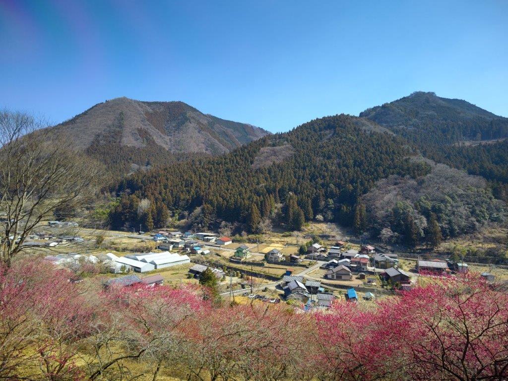
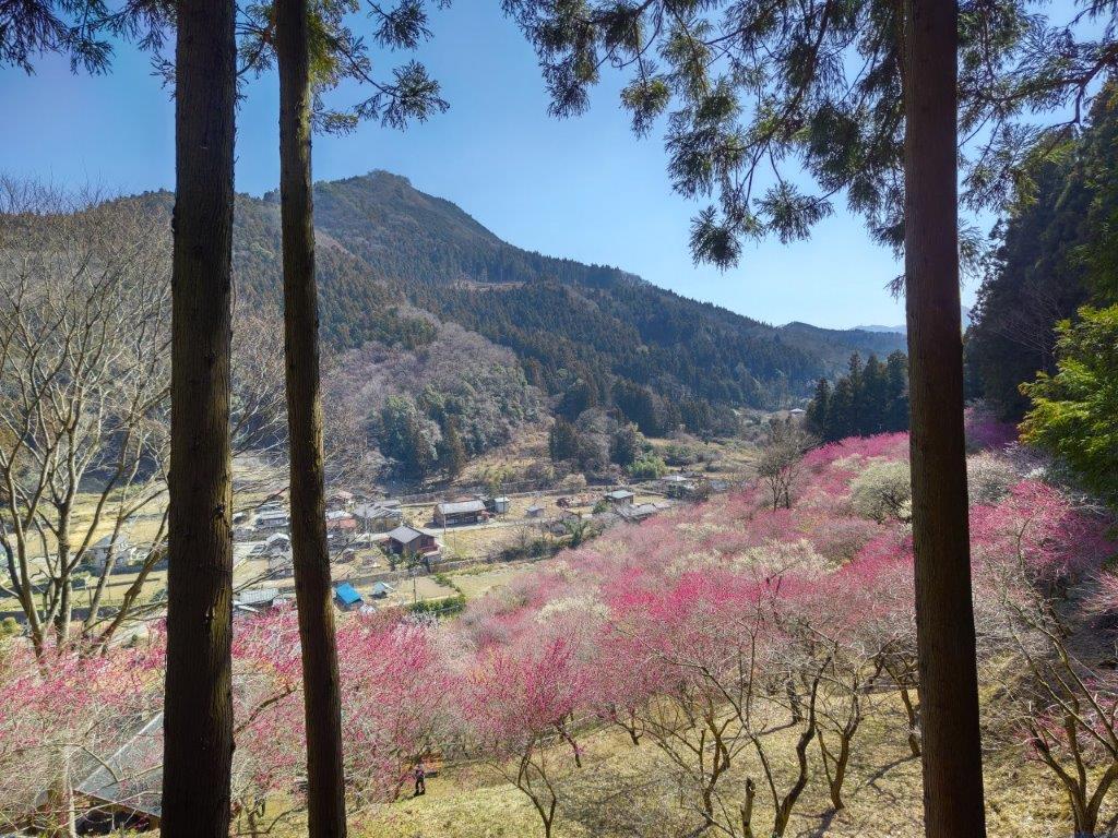
Surprisingly, almost all seats on the Joshin Electric line were taken upon leaving Takasaki station, although most passengers got off well before Shinomita, the final station on the line. After a short taxi ride, I was at the entrance of Fukujuso no Sato (寿草の里), a little past 10am. After getting reading for hiking, I made a small donation at the front gate and entered the plum blossom garden, the last day of the year it was open to the public. I made my way along a path under white and red blossoms, slowly heading up the mountain side; at 11am, I reached a viewpoint at the highest point of the garden.

View of Mt Ogeta (right) from Fukujuso no Sato

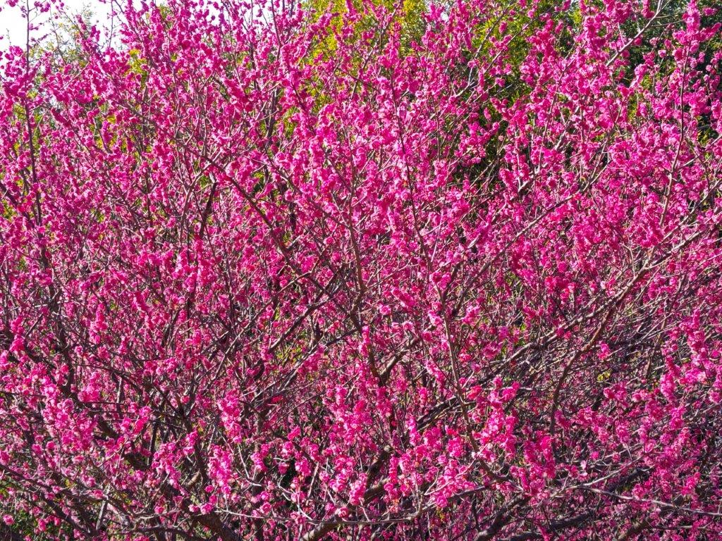
View of the Plum Blossoms from the Highest Point

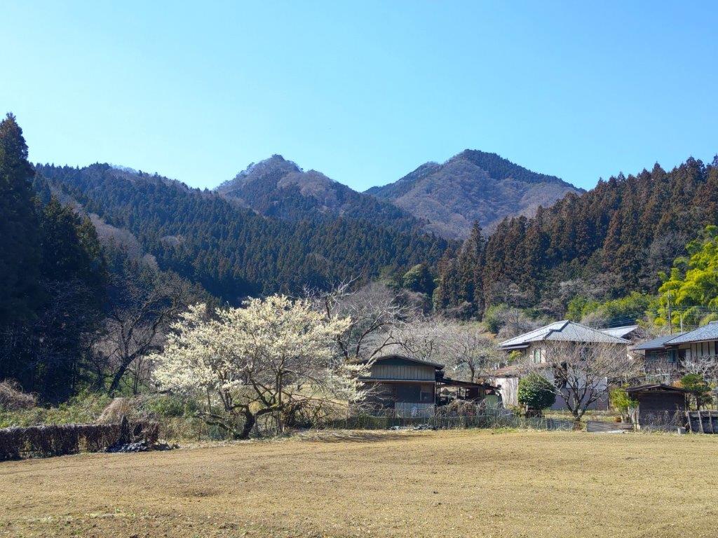
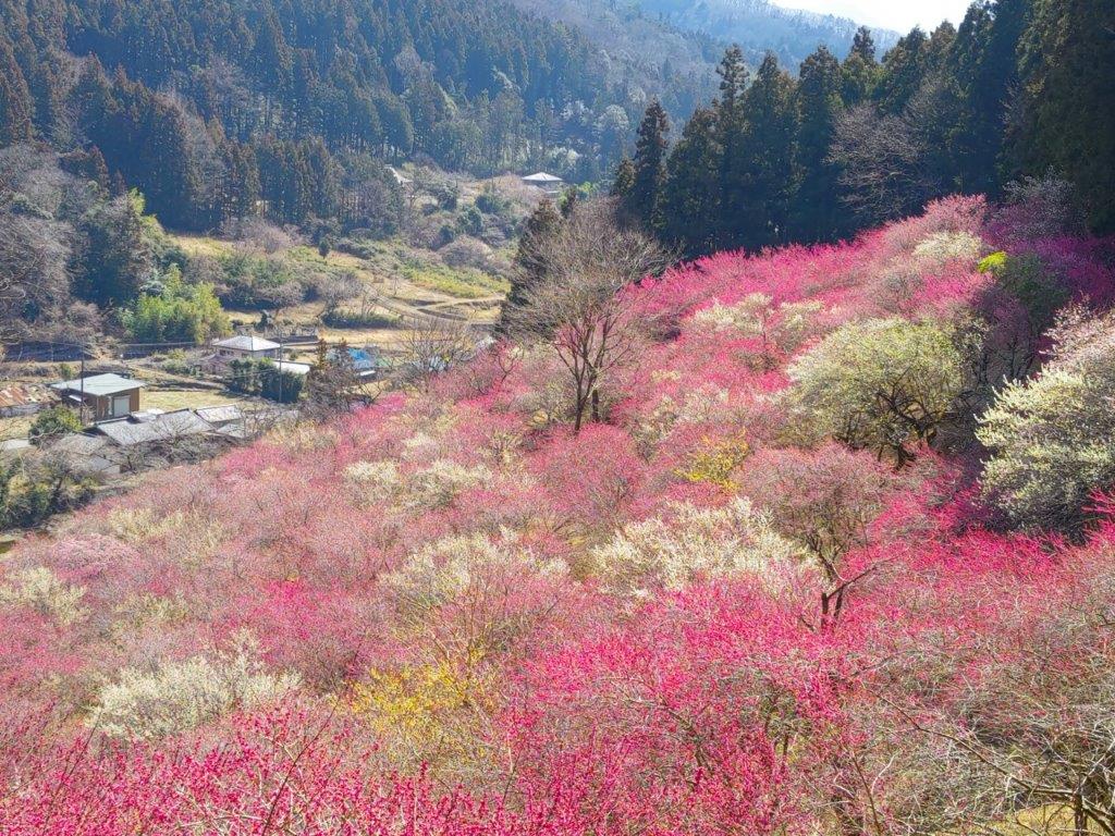
I was amazed by the sea of pink spreading down into the valley. Opposite was Mt Ogeta; on the south side, I spotted the triangular shape of Mt Inafukumi, and northwards, I could make out one of Mt Myogi’s many peaks. After a short break, I headed down via a different path, and half an hour later, joined up with the Fureai no Michi, descending from Mt Ogeta on the right. I was now heading north along a road connecting Shimonita with Matsuida, but soon turned left onto a smaller road leading up a valley. On the left side, beyond a stream, I could see the higher slopes of Mt Mido. At noon, I arrived at the Nakamura bus stop, where I turned right, heading up a small mountain road with almost no traffic.

View of Mt Mido from the Fureai no Michi

View of Mt Myogi from the Fureai no Michi

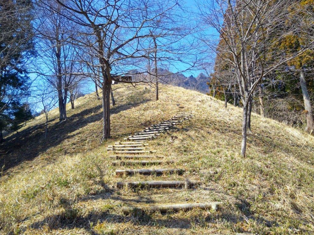
Along the way, I enjoyed the view of plum blossoms trees in full bloom, whetting my appetite for the approaching cherry blossom season. As the road climbed higher and higher, I noticed patches of melting snow in the shade, a reminder of the winter weather that had only just loosened its grip a few days ago. At 1pm, I reached a trail at the base of the Sakura no Sato Prefectural Forest Park (県立森林公園 さくらの里), meaning “Sakura Village” and famous for its many cherry blossom trees, supposed to reach full bloom in a few weeks. A short climb took me above the tree tops, their buds firmly closed, and at a fork in the path I stopped to turn around.

View of Western Gunma from Sakura no Sato

Nearing the Open Shelter and Mt Myogi Viewpoint

I was stunned by the impressive view of the long mountain ridge separating Gunma and Saitama, still covered in snow; I had climbed many of these peaks, including the highest one, Mt Akaguna; in the foreground, I could see Mt Ogeta and Mt Mido. A few more minutes up some log steps brought me to an open shelter with a dramatic view of Mt Kondo, the north side of Mt Myogi. Since it was just past 1pm, I settled down for lunch. At 2pm, I resumed my hike and made my way to the rest house at the highest point of the park. Along the way, I had some excellent views of the nearby Hitto-Iwa (筆頭岩 826m), a mini-version of the Matterhorn. Although the trail to the summit is closed, I could follow it all the way to the base of the rocky summit.

Mt Kondo from Sakura no Sato

In the background, Mt Mikabo (left), Mt Inafukumi (center) and Mt Akaguna (right)

I was rewarded with a striking view of Mt Souma, the south side of Mt Myogi and its highest peak, the best view of the day. Since I was on schedule, I took some time to walk along the road above the park to get some more views of the mountains of Nish-Joshu; I could see all the way from Mt Mikabo on the eastern side to Mt Arafune on the western side. At 3pm, after crossing the road, I was back on a hiking path for Myogi Shrine along the Fureai no Michi, heading down a steep, rocky trail, now in the afternoon shade. Very soon, I reached another viewpoint of Mt Souma, this time from below; fortunately, the rocky face was sill bathed in the late-afternoon sunlight.

The Matterhorn lookalike Hitto Rock from Sakura no Sato Park

Mt Souma from the Fureai no Michi

I admired the ragged summit, tantalizingly close but beyond the reach of the casual hiker. Some more descending brought me back to the road I was on earlier; it had taken a long detour around Hitto-Iwa. From this point it was a thirty-minute walk to Momiji-no-yu Hot Spring, which I reached around 4pm. Before hopping into the outdoor bath with a view of Mt Akagi, a made a quick visit to the neighbouring Visitor Center where I was able to examine a couple of relief models of Mt Myogi. The onsen staff were kind enough to arrange a taxi for me, and by 5h30, I was at Matsuida station waiting for the train for Takasaki. Although roughly half of this six-hour hike was on paved roads, I met no other hikers, saw plenty of plum blossoms and had some amazing views of the mountains of Gunma.

Watch a Video of the Sakura no Sato Mt Myogi Hike

Watch the Video of the Hike on YouTube
See a Slideshow of More Pictures of the Hike

Mt Jinba (854m) & Mt Arashi (406m), Sagamihara City, Kanagawa Prefecture, Saturday, February 24, 2024

I wanted to hike a section of the Tokai Nature Trail close to Tokyo which I hadn’t done before. The trail started a short bus ride from Sagamihara Station and ended near a bus stop on the same line, as well as a hot spring. The hike was on the short side, so I decided to tag on a mountain I had climbed nearly ten years ago; looking at my map, I saw I could redo it via a different set of trails. I would take the shortest route up from Wada, a short bus ride from Fujino station on the Chuo line, and walk down to Sagamihara station, passing a couple of minor summits on the way.

Hiking in Okutama 奥多摩

Hiking in the Takao-Jinba Natural Park 都立高尾陣場自然公園

The whole area is a popular hiking spot with well-maintained trails, so although it had snowed the previous day, I was confident it would be easy to walk; I also knew from my previous visit that the summit had a spectacular view of Mt Fuji. The weather was supposed to be sunny, with temperatures slightly above freezing. I was looking forward to a rare winter hike with a Fuji view from the highest point and a hot spring bath at the end.

For subscribers, read this Blog Post on Hiking Around Tokyo for a better viewing experience and the latest updates

Number 2 Wada Ridge Route without (left) and with Snow (right)

Walking the Ichi-no-O Ridge Trail (left) & the Kanto Fureai no Michi (right)

Before (left) and after (right) the summit of Ya-no-Ne

Just past Ohira Hut (left) & Just before Yose Shrine (right)

Heading Up (left) and Down Mt Arashi (right)

I could see patches of blue sky as I rode the almost full bus from Fujino station around 9am. Most people got off at the main trail entrance, and surprisingly, I was the only person heading up the Number 2 Wada Ridge Route (和田第二尾根コース), shortly before 10am. Looking up, I could see the higher slopes, white with snow before disappearing into the clouds. Less than half an hour later, the scenery changed from dull brown to brilliant white. Contrary to the forecast, the sun remained hidden behind a grey cloud cover, allowing the white mantle to last a little longer.

First snow on the Number 2 Wada Ridge Route

Fallen Log near the Junction with the Ichi-no-O Ridge Route

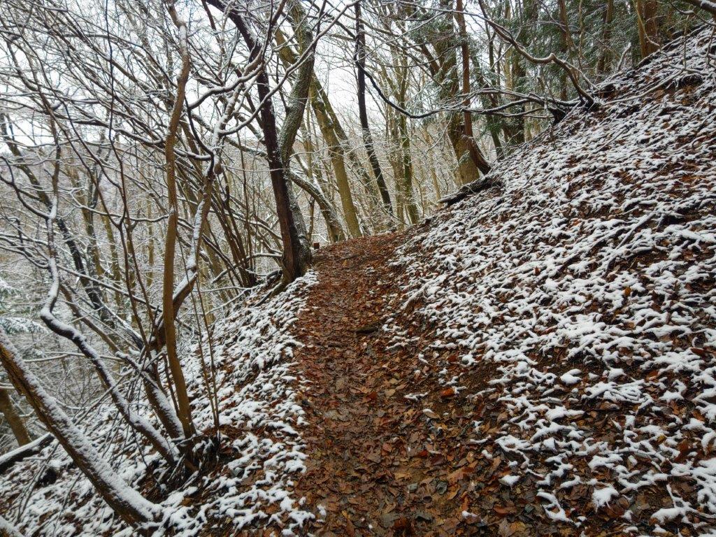
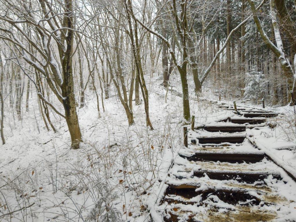
I was amazed by the beautiful wintery surroundings, the wet snow clinging to any surface that wasn’t completely vertical. Melting snow falling gently from the tree branches enhanced the effect, its falling noise reminiscent of soft rain. After merging with the Ichi-no-O Ridge Trail (一ノ尾尾根コース), I saw more people walking through this winter wonderland. At the top of a staircase, I reached the top of Mt Jinba (陣馬山 じんばさん jinba-san), a Kanto 100-famous mountain, shortly after 11am. The view of Mt Fuji on the south side was hidden by thick clouds, but the frozen landscape was compensation enough.

Walking through a Winter Wonderland

Cloudy View from the Top of Mt Jinba

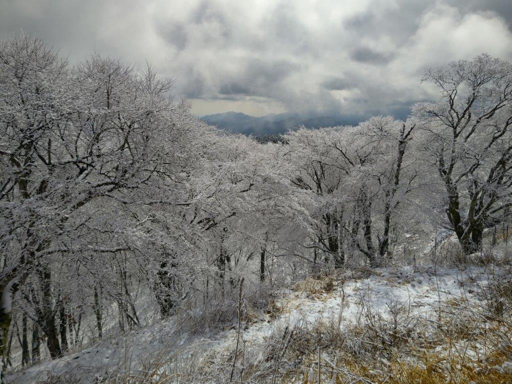
I was stunned by the nearly completely white trees on the north side of the summit. Beyond their frosty crowns, I could see the Kanto Plain, as well as the eastern edge of the Takao mountain range. After a short break, I set off again, now following the Kanto Fureai no Michi. I was walking on the snow, but since any sloping sections had steps, it always felt perfectly safe. I was glad to be wearing a wide-brim hat, as it protected me from snow falling from the trees. A little after noon, I arrived at Myou Pass (明王峠) where I left the Fureai no Michi, and headed down a series of steps southwards.

White Trees on the North Side of Mt Jinba

In the Background, the Eastern Edge of the Takao Range

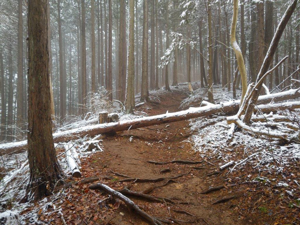
I was once again walking on solid ground although snow still covered the trunks and branches of the bare trees; it was like walking through a Christmas displayed created with snow spray. Thirty minutes later, I went left at a fork in the trail. Very soon, I reached the top of Yanone (矢ノ音 633m), completely in the trees. I immediately headed down a precipitous trail on the left side, and soon reached Ohira Hut (大平小屋), actually an open shelter. After a short break, I continued on my way, on a level trail though a forest of tall cedars. On the way, I made a short detour via Mt Mago (孫山 543m). After some descending, I reached a viewpoint on the southeastern side.

A little bit of Autumn in the Wintery Landscape

Snow Coated Trees at Lower Elevations

I enjoyed the view of the majestic bulk of Mt Sekiro rising directly behind Sagami Lake; to its left, was Mt Arashi, today’s next peak, and Sagamihara City. Since it was 2pm, I had a late lunch before setting off again. I soon reached Yose Shrine, at the base of the mountain, and shortly after, Sagamiko Station. There, I hopped on a bus for the short ride to Sagamiko Bridge, a few minutes on foot from the Tokai Nature Trail. After thirty minutes of easy climbing, I arrived at the summit of Mt Arashi (嵐山 あらしやま arashi-yama), meaning Mount Storm. On the west side, I could see Mt Momokura, Mt Ogiyama and Mt Gongen, but the view was rather subdued on this cloudy, wintery day.

Descending from Mt Mago

Viewpoint of Sagami Lake and Mt Sekiro

I was surprised by the up and down nature of the trail beyond the summit. I crossed tiny streams over narrow wooden bridges and scaled thin metal ladders up steep slopes. At 4pm, I crossed a dense and dark bamboo forest, always a fascinating experience for me. Less then half an hour later, I finally reached a road at the end of the trail. After a refreshing hot bath at Ururi Onsen, part of the Sagamiko Resort Pleasure Forest, I caught a bus for the ten-minute ride back to Sagamiko Station, where I boarded the Chuo line for the one-hour ride back to Shinjuku.

View of Mr Arashi (left) and Mt Sekiro (right ) from below Yose Shrine

Bamboo Forest on the Tokai Nature Trail

The hike was longer and harder than I had expected, over 6 hours, so I was glad I could recover at a hot spring at the end. On the other hand, the snowy scenery far exceeded my expectations, thanks to the cloudy cover shielding the sticky snowy tree decorations from the sun and preserving them throughout the day. The snowmelt dripping from the trees was also a new experience for me, as I was walking under sunshine and snowfall at the same time. I encountered many other hikers between Ichi-no-O Ridge and Myou Pass, but very few before and after. I hope to return in the future to explore the other trails crisscrossing the Takao mountain range.

Watch a Video of the Mt Jinba Hike

Watch the Video of the Hike on YouTube

See a Slideshow of More Pictures of the Hike
Mt Takatori (219m), Oiso Town, Kanagawa Prefecture, Saturday, February 3, 2024

I was looking for a suitable winter hike in the Tokyo area. While checking my map, I spotted a section of the Kanagawa Kanto Fureai no Michi I had yet to explore, connecting the Tokaido line with the Odakyu line. Although it mostly followed back roads through the countryside, the first section was up a minor peak on a forested plateau, from the top of which I hoped to get some views.

Hiking the Kanto Fureai no Michi

I would ride the Shonan-Shinjuku line from Ikebukuro to Ninomiya station on the Shonan coast, and then take a bus to a stop near the start of the trail, skipping a one-hour section through Oiso Town. For the return, I could catch a bus for Hadano Station near Kaname River, since I had already done the next section for Mt Koubou, and then ride the Romancecar limited express back to Tokyo. If had time, I’d be able to get a hot bath at the nearby Manyo-no-Yu.

関東ふれあいの道

The weather was supposed to be sunny in the morning and overcast in the early afternoon; although it was a short hike, I decided to get an early start to take advantage of the good weather. I was looking forward to a relaxing hike through a new area close to home.

For subscribers, read this Blog Post on Hiking Around Tokyo for a better viewing experience

Bamboo forest (left) and steep slope (right) at the start of the hike

Walking on the top ridge (left) and up the steps (right)

Walking down to (left) and up from Kirifuri Keiryu (right)

It was a 90-minute train ride under clear blue skies to Ninomiya station where I boarded a bus for the short ride to Higashi-no-Ike (東の池), a reedy pond with a shrine on an islet. After getting ready, I located a sign for the Fureai no Michi and set off, a little before 11am, through a residential neighbourhood. Past a bamboo forest, the road rose sharply, and after a few minutes of climbing under tall cedars, I reached the ridge top, where I turned right, onto a level hiking path through the forest.

Clearing at the Top of Kirifuri Keiryu

View East towards Yokohama and the Miura Peninsula

I was amazed to be on such a lovely trail, reminding me of Kamakura, but minus the crowds. It was mostly in the trees but I did get a glimpse of Hakone through a gap on the west side. At 1130, I passed under a stone Shinto gate and made my way up a series of log steps, at the top of which I arrived at Takatori Shrine (鷹取神社). A little beyond, and slightly off the trail on the left side, was the top of Mt Takatori (鷹取山 たかとりやま) surrounded by forest. I couldn’t see a summit marker but my GPS confirmed the spot. I sat down on a sunny tree trunk for a short break.

View North from Yurugi Hill

Tanzawa from Yurugi Hill

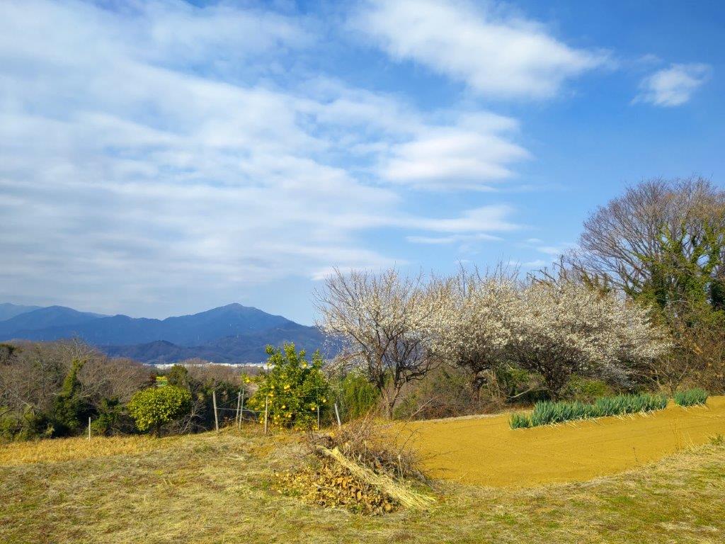
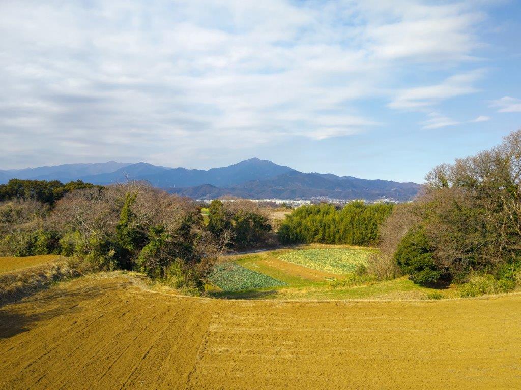
I basked in the sunshine and listened to the birdsong, before setting off again at noon, down a dirt road leading to a turn-off for Kirifuri Stream (霧降渓り流 kirifuri-keiryu). I decided to check it out since according to my map, I could do a short loop along a river valley (the full trail continues to Shonan-Daira). I soon arrived at a clearing around an electric pylon, and was rewarded with a view of Yokohama and the Miura peninsula to the east. A little further, I turned righ, descending steeply into the valley, and then took another path on the left, leading up to some fields on top of Yurugi Hill (ゆるぎの丘 yurugi-no-oka).

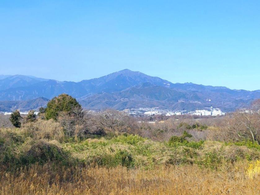
Mt Oyama and Plum Blossoms from the Fureai no Michi

Mt Nabewari (left), Mt Tono (middle) and Mt Oyama (right)

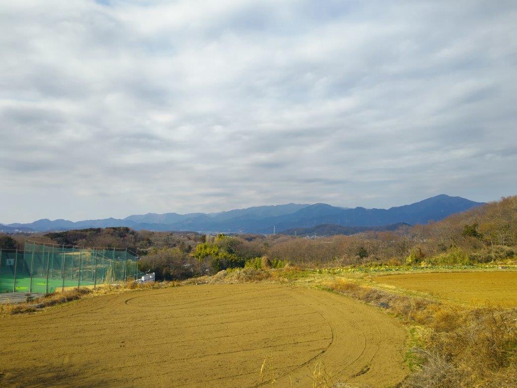
It was the best view of the day, and would have made a great lunch spot if there had been a place to sit. To the north, I could see the Tanzawa mountains, with the triangular top of Mt Oyama at the very right. I turned left again and soon arrived back at the clearing, thus completing my loop. Minutes later, I was back on the Fureai no Michi. From then on, I followed peaceful back roads meandering through the countryside. I had occasional views of the Tanzawa range, including one from a roadside bench where I had lunch at 1h30. The clouds had started to roll in from the west, and although, they hadn’t yet reached the sun, I quickened my pace.

View of the Tanzawa Range Extending Westwards

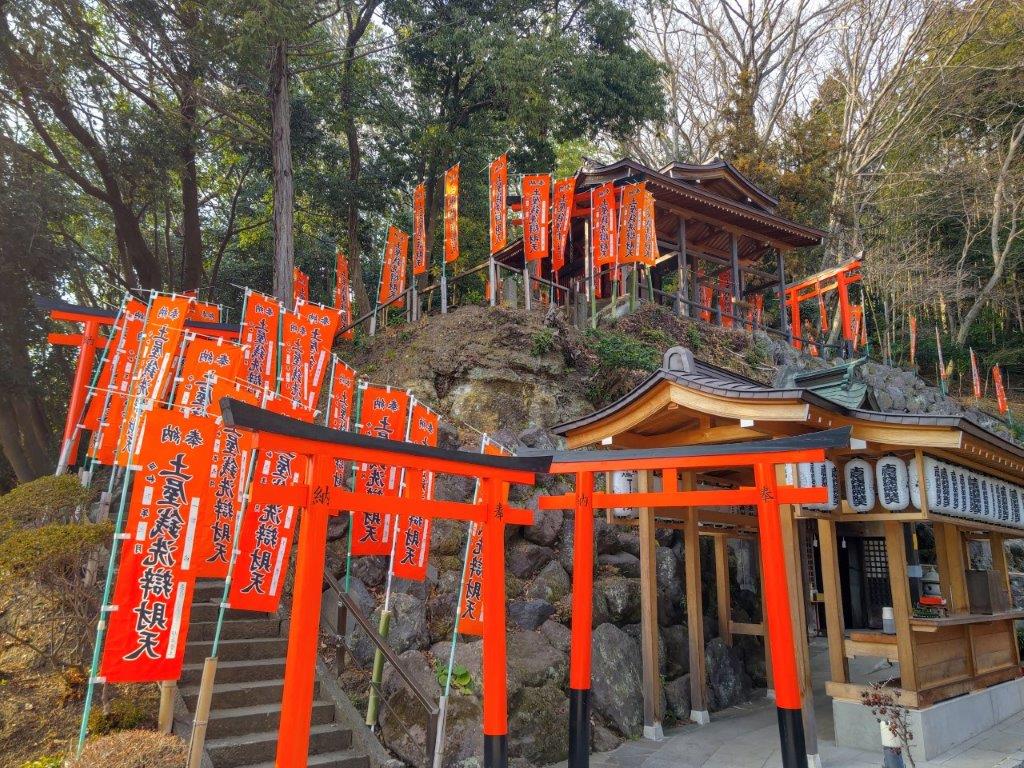
Bright Red Shinto Gates at Myoen-ji Temple

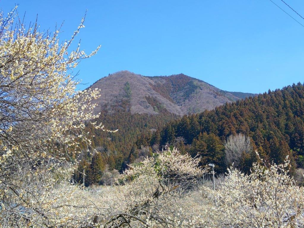
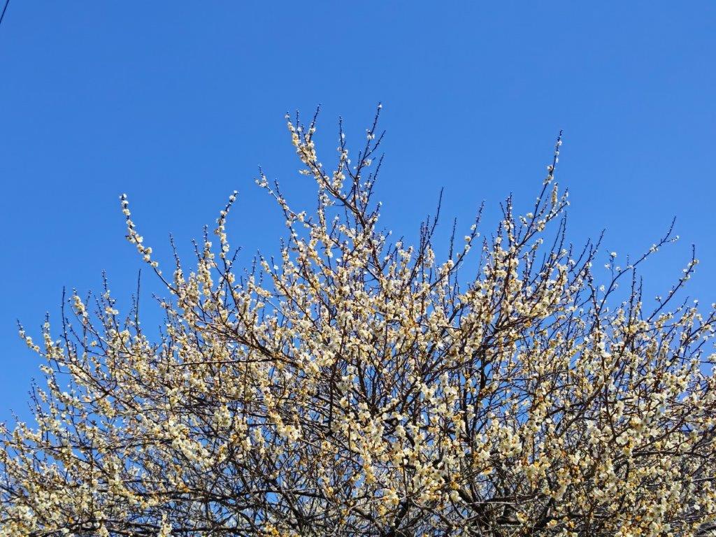
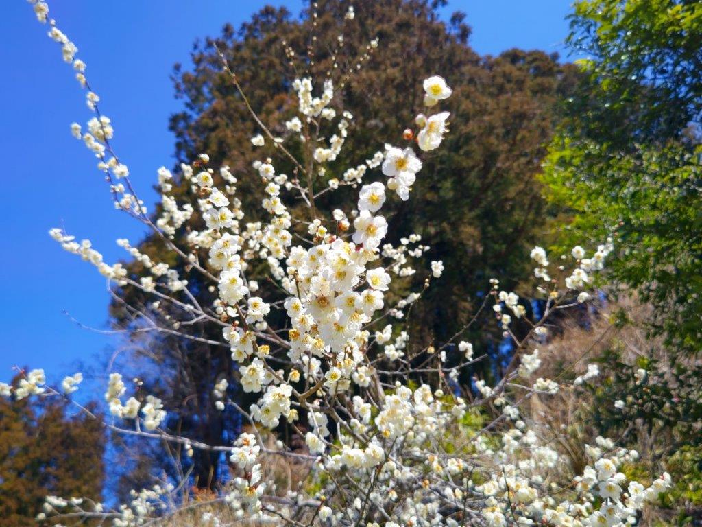
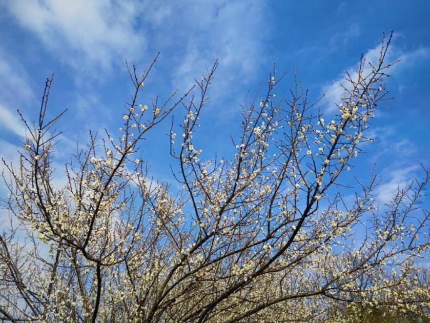
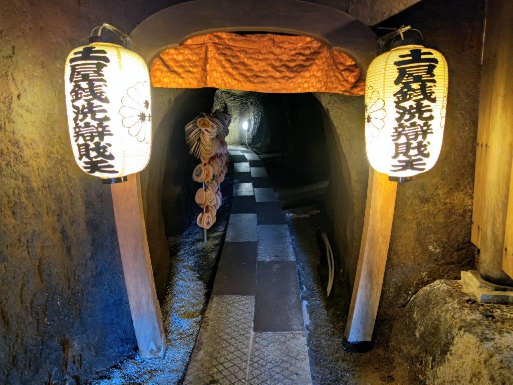
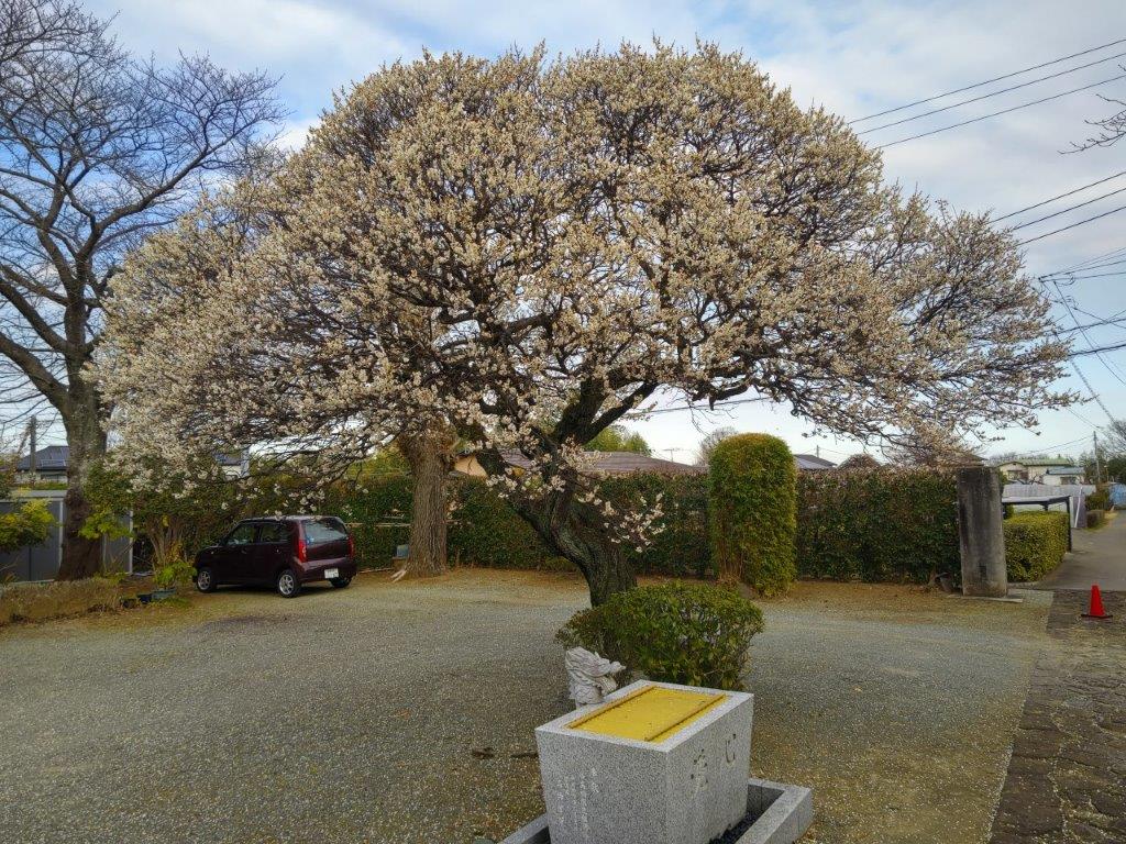
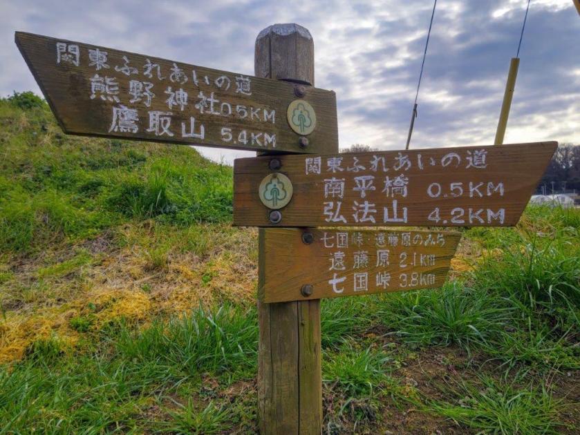
I was surprised by the many plum trees in full bloom, very early for the season. At 2pm I reached the photogenic Myoen-ji Temple (妙圓寺) with its flapping banners and bright red “torii” catching the last of the sun. Before moving on, I ventured into a small cave within the temple grounds and followed an underground passage till it became too low to continue. After passing Daijoin Temple, with its huge plum tree in full flower, I arrived at Nanpei Bridge (南平橋) at 3pm, where I caught one of the frequent buses for Hadano station. I had enough time for the hot spring bath, so I was refreshed for the one-hour trip back to Shinjuku.

Watch a Video of the Mt Takatori Hike

Watch the Video of the Hike on Youtube
See a Slideshow of More Pictures of the Hike