After Mt Takagawa, I felt like revisiting another mountain in the area, so that I could get more views of Mt Fuji with its seasonal snowcap, especially since snowfall had been quite generous this year. On my last visit, I had combined this summit with its neighbour, Mt Oogi; this time, I was looking for something more laid-back. Studying my map, I found alternate trails leading up and down, meaning the entire hike would be new. The weather forecast was looking good, apart from strong winds threatening the higher elevations; I was more concerned about clouds forming around the top of Mt Fuji. I was looking forward to my first hike of the year above 1000 meters, as well as keeping my fingers crossed that Fuji wouldn’t be too shy.
Download a map of the Mt Momokura hike
This map was developed for Japanwilds with the Hokkaido Cartographer
Find more Japan hiking maps on Avenza

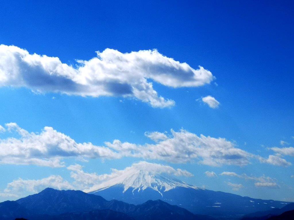
View to the south of Mt Fuji half in the clouds

View of Mt Fuji from my 2011 hike
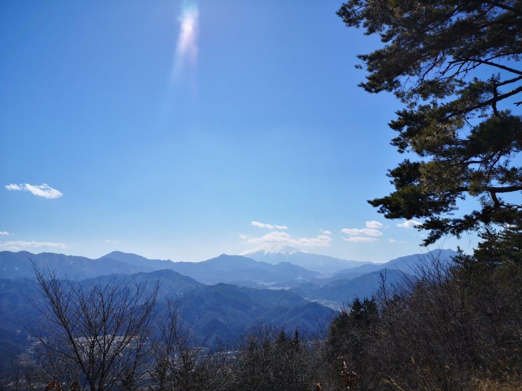
I rode the Chuo line limited express for about an hour to Otsuki station, where I transferred to a bus, taking me close to the trail entrance. It was nearly 11am, and I felt quite warm while making my way up a steep road. I soon arrived at a fork and followed the left branch. I passed by a relatively new toilet facility (advertised as “very clean”), and had my first view of Mt Fuji, partially hidden by the clouds.
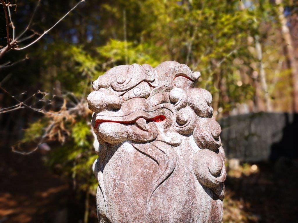
Lion-dog guarding the start of the trail
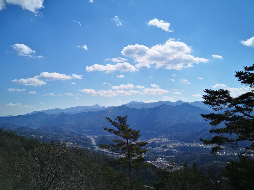
View of the Doshi and Tanzawa mountains
The start of the trail lay just beyond a lion-dog statue guarding a shrine entrance. After half an hour of climbing through the cool forest, I arrived at the first view of the day. On the left, I could see the Doshi and Tanzawa mountains; opposite was Mt Fuji, popping in and out of the clouds; on the right stood Mt Takagawa and Mitsutoge. I sat down on a bench to enjoy the view, but a cold wind started blowing, so I quickly set off again; ten minutes later, I reached a junction on the top ridge.

To the right of Mt Fuji, Mt Takagawa and Mitsutoge

A bench with a view
I was hit by powerful gusts of wind coming from the north side and I immediately felt very cold. I had to take shelter on the south side to add a layer of clothing. I continued towards the summit, slightly worried about falling branches. Fortunately, the wind abated somewhat once I arrived at the top of Mt Momokura (百蔵山 ももくらやま momokura-yama), a Yamanashi hundred famous mountain. Since it was 12h30, I found a grassy spot and sat down for lunch.
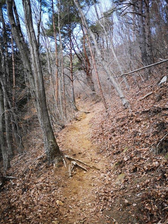
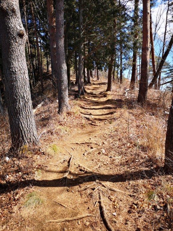
Fairly easy hiking all the way to the top
One of the 12 views of Mt Fuji from the Otsuki area
Mt Fuji was flirting with the clouds, but eventually I had a clear view. At 1h30, I retraced my steps to the ridge junction, and continued straight, heading west. I soon passed Mt Daido (大同山 907m) and then started down a steep descent. I encountered some snow for the first time of the day, but it was half melted and I reached the base of the slope safely. I continued along the path as it descended gently, slowly curving around to the south side. On the way, I passed Konpira-kyu, a lonely shrine in the middle of the forest.
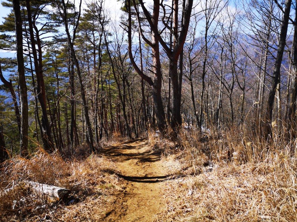
Heading back to the ridge junction

Looking across the Kazuno river valley
At around 2h30, the path leveled and glimpses of the Kazuno river valley came into view; on the left side, I could see Mt Iwadono. It was still windy, but the biting cold of the summit ridge was now a distant memory. Fifteen minutes later, I reached a road and a bus stop near Fukusen-ji Temple. A little after 3pm, I boarded the bus for Otsuki station, and by 4pm I was back on the limited express for the one-hour ride back to Shinjuku.
See the views of Mt Momokura on a windy day