
I had climbed Mt Buko over ten years ago on a hazy June day and wanted to do it again on a clearer day. This time, I would take a taxi from Seibu-Chichibu station to the trail entrance and make a loop; this way, I could shorten the hiking time, because I needed to walk over an hour to Yokoze station at the end. Although the forecast for the next day was sunny and warm, I knew some snow and ice would be left above 1000m, so I packed my light crampons just in case. I was looking forward to revisiting this mountain and getting some great views of Chichibu from the summit.
Get a Map of the Mt Buko Hike
This map was developed for Japanwilds with the Hokkaido Cartographer
Find Japan Hiking Maps on Japanwilds

Mt Buko, taken on my 2009 hike

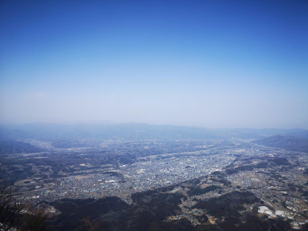
View from the top observatory
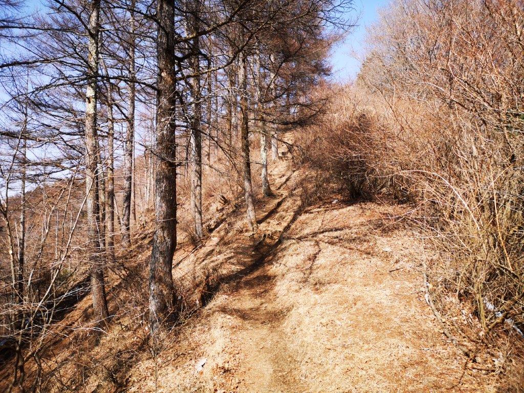
It felt like early spring as I stepped off the Laview Limited Express at Seibu-Chichibu station. After buying some supplies, I hopped into a taxi for short ride to “ichi-no-torii” (一ノ鳥居). By 11am, I was walking up a steep paved road next to a river; I remembered this as the toughest part of my 2009 hike. Many people were already coming down, having enjoyed the early morning view. I soon reached some log steps marking the start of the trail. I passed several interesting sights on the way: the partially frozen “fudo-taki” waterfall (“fudo” means motionless); a delicate wooden bridge for only one person at a time; a pile of white limestone rocks taken from the summit; a giant cedar tree, its crown too high to see. I was walking alone through the forest and was stunned by the silence, since the other side is forever noisy because of the mining.
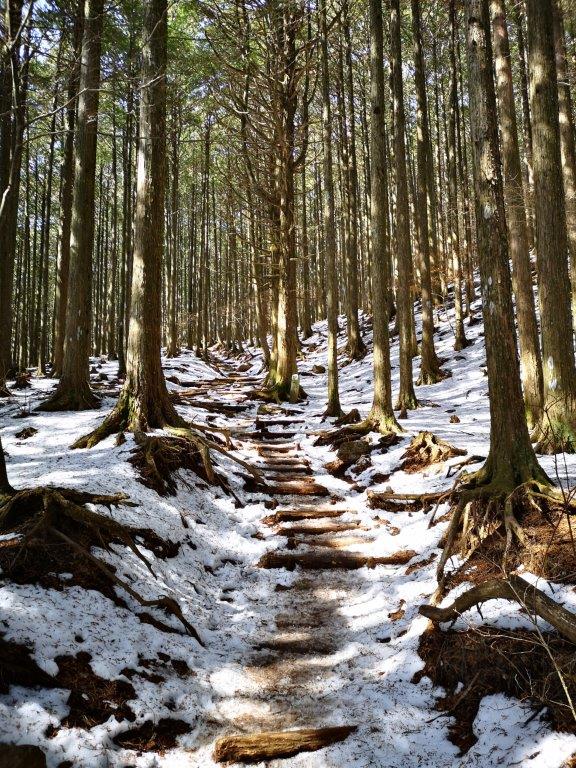
Some snow on the way up (left) and down (right)
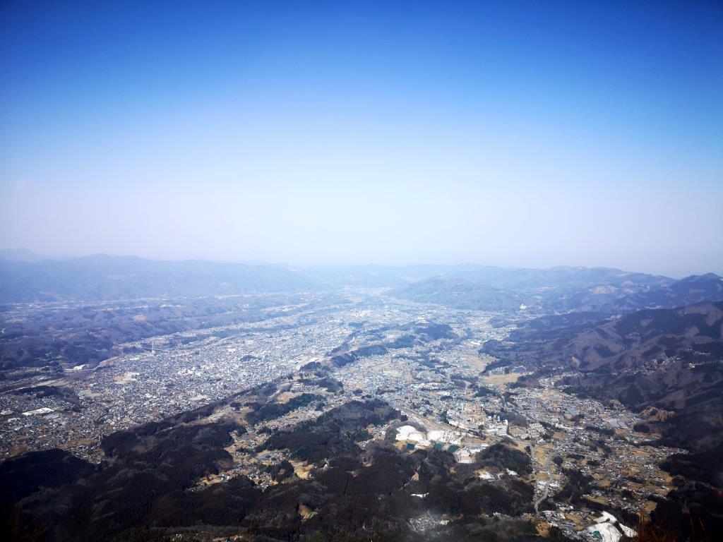
Chichibu city stretching from south to north
At noon, I was treading on snow. Fortunately, the slope never became steep enough to justify putting on crampons. The long log staircase from my previous climb had disappeared, replaced by a switchback path. Half an hour later I reached the summit shrine, bathed in sun and surrounded by trees. I made my way to the observatory on the north side, a little higher up, and the official summit of Mt Buko (武甲山 ぶこうさん bukou-san), a two-hundred famous mountain of Japan. I was almost by myself, which was lucky since the top area was narrower than I had remembered. It hadn’t rained for a while so the sky wasn’t as clear as I had hoped, but I had a good view of the Minano Alps, Mt Mino, Mt Ogiri, Mt Dodaira and Mt Maru.
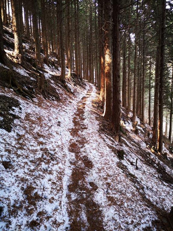
Looking back at the sunny descent to Shirajikubo

Back into the sun and out of the snow
I was most impressed by the bird’s-eye view of Chichibu city, stretching south to north along the Arakawa river. It was 12h30 so I had lunch standing up, since I couldn’t find a spot to sit. At 1pm, I headed back to the shrine and down a steep trail on the south side; I was relived it was in the sun and snow-free. Pine trees on both sides made it feel like a different mountain. I soon arrived at Shirajikubo (シラジクボ), the start of the climb up Mt Komochi. Here, I turned left onto a trail hugging the east slope. It was in the shade and covered by snow, but since it was mostly level, crampons weren’t needed. I had fun walking in the snow for a while; soon I was back in the sun and walking on solid ground. After an hour of descending through the forest, I was back at the “torii“, the shinto gate at the mountain base. As I walked to the station, I passed several impressive factory buildings, working hard on a Saturday. At a little past 4pm, I boarded the limited express for the 80 minute ride back to Tokyo.
Enjoy the bird’s-eye view from the top of Mt Buko
