
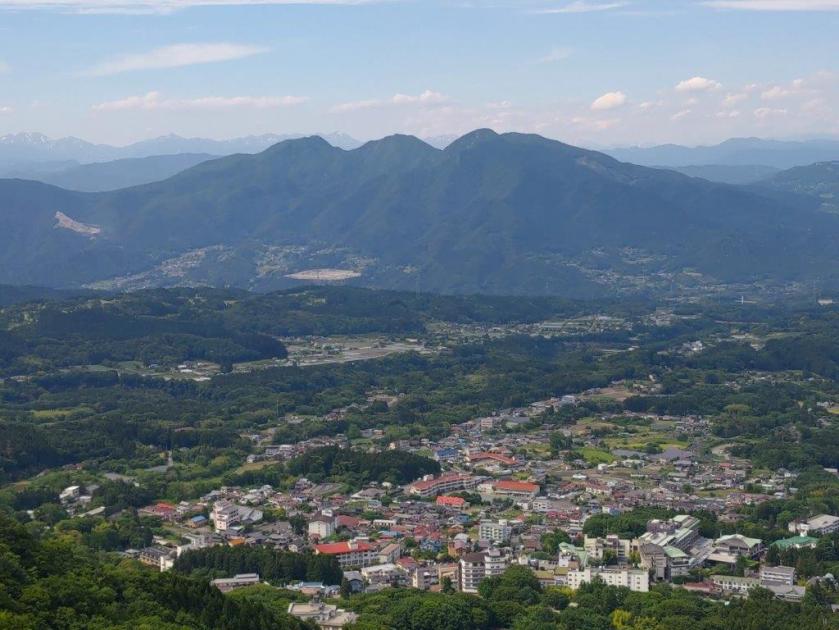
I found out about this mountain, situated between Mt Hotaka and Mt Akagi, while contributing to the Japanwilds hiking map for Tanbara Highland. Apparently most hikers go up and down the same route from the parking on the south side, but looking online, I saw it was possible to descend on the west side and end at Kawaba Den-en Plaza, one of the most famous roadside stations in Japan. Although the hike seemed somewhat short, the panoramic view from the summit motivated me to travel to a faraway and yet unexplored area.
For subscribers, read this Post on Hiking Around Tokyo for a better viewing experience and the latest updates
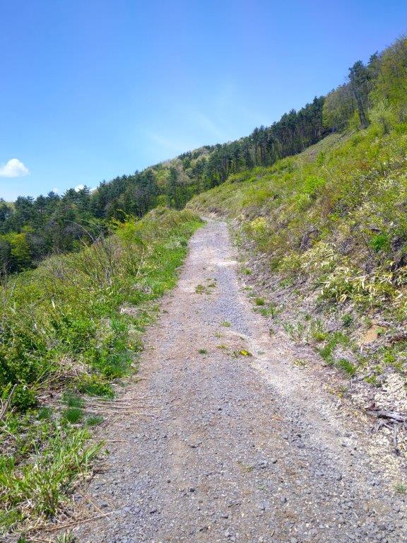

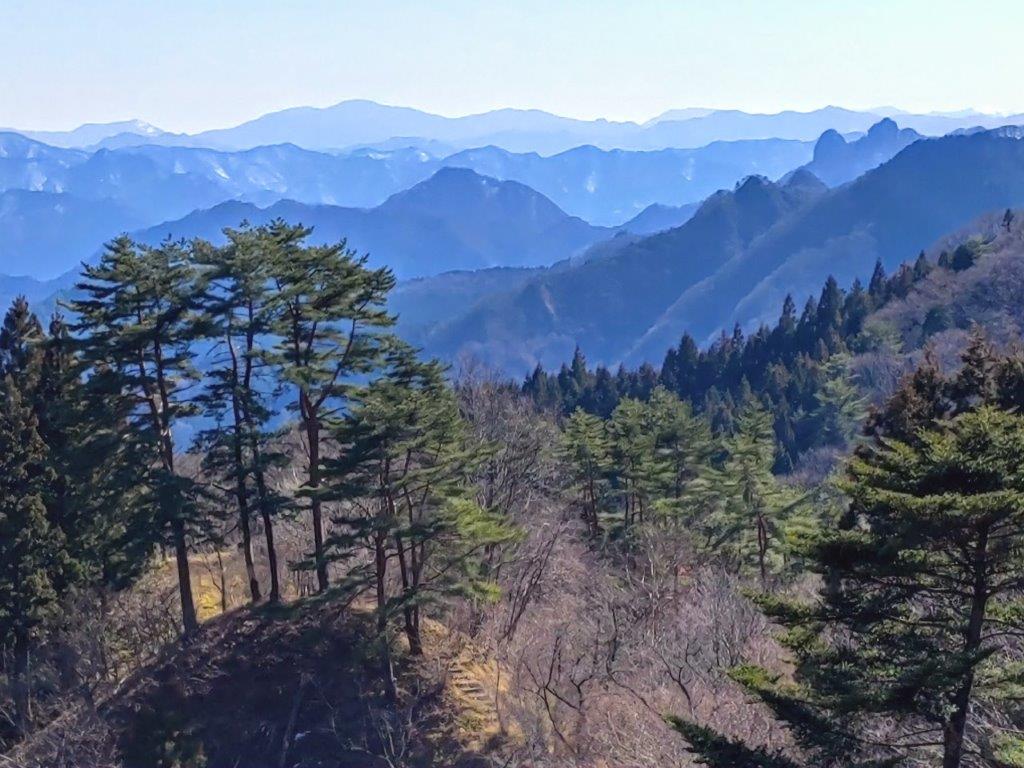
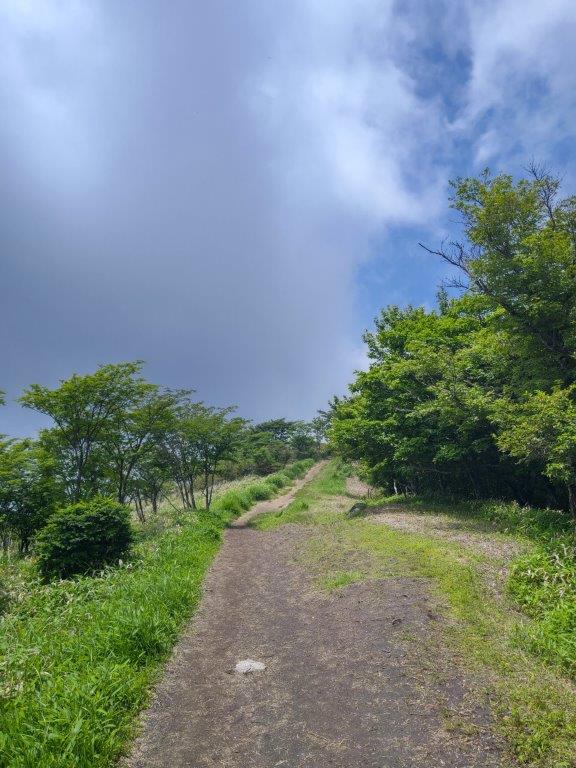
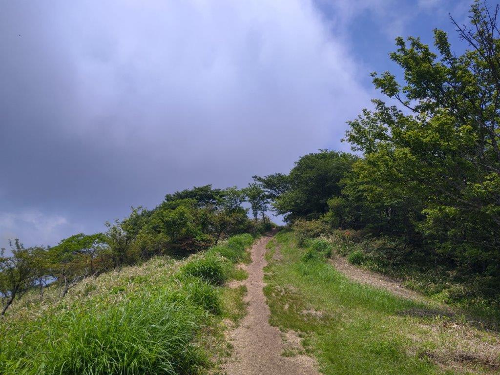
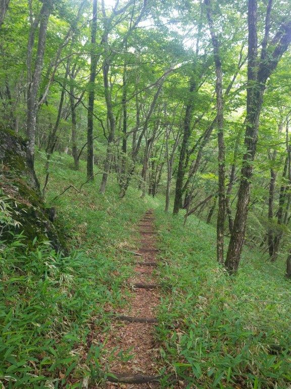
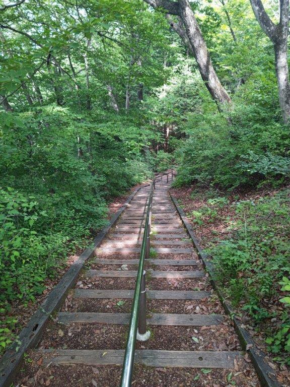
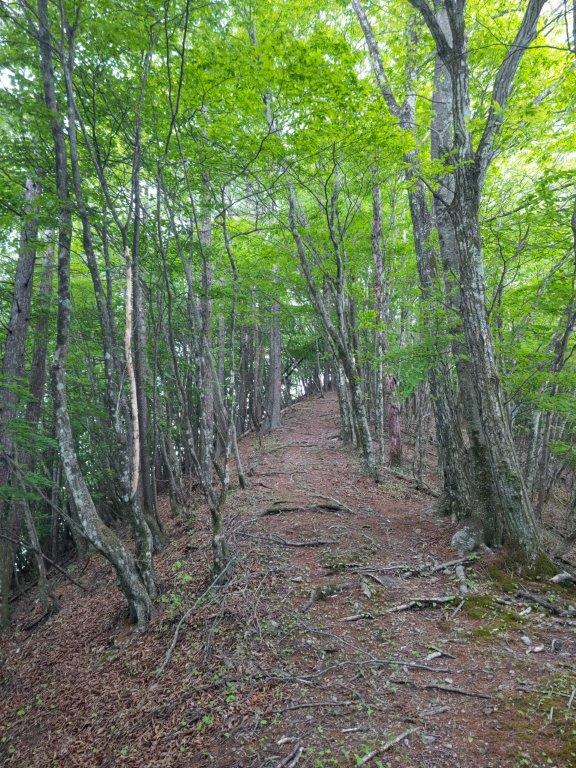
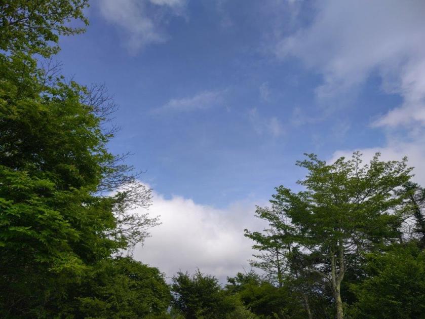
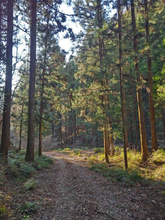
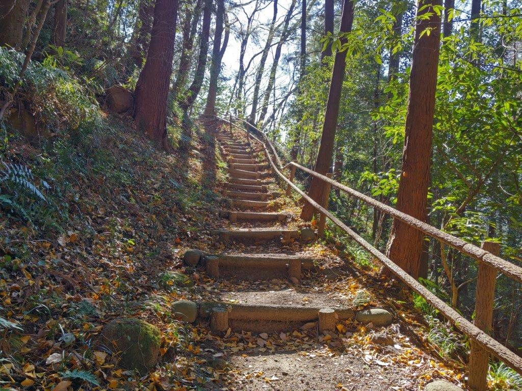
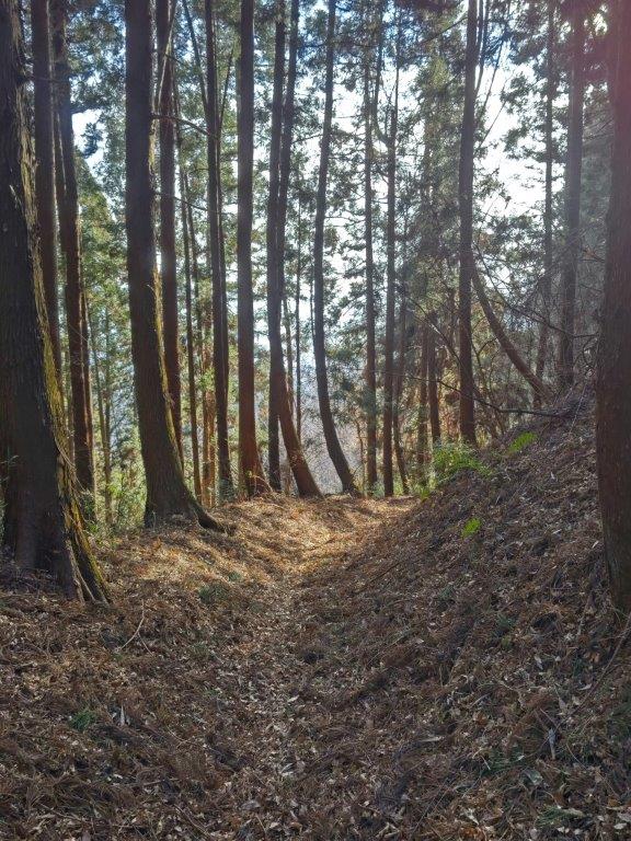
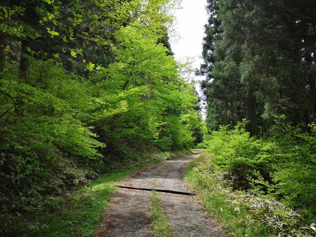
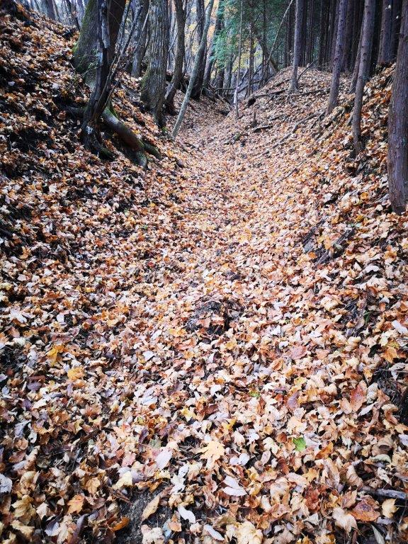
Start of the Hike (left) Entering the Forest (right)


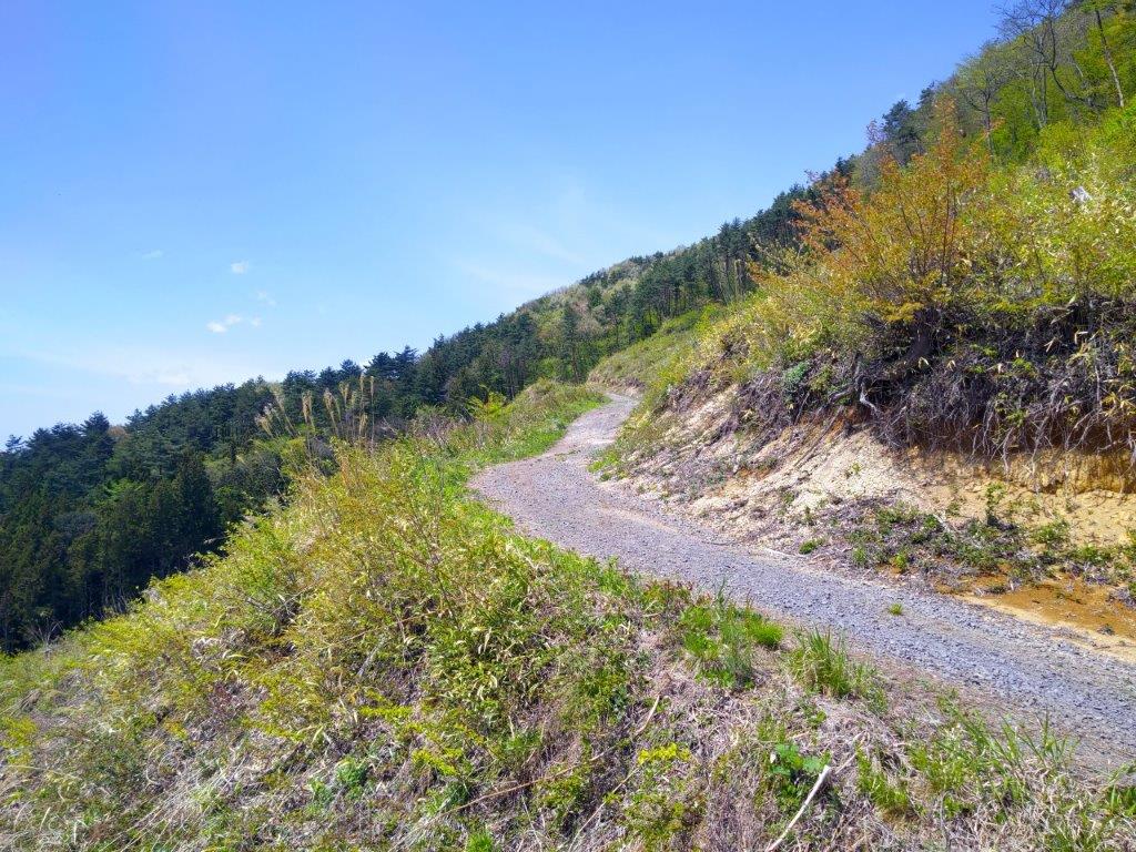
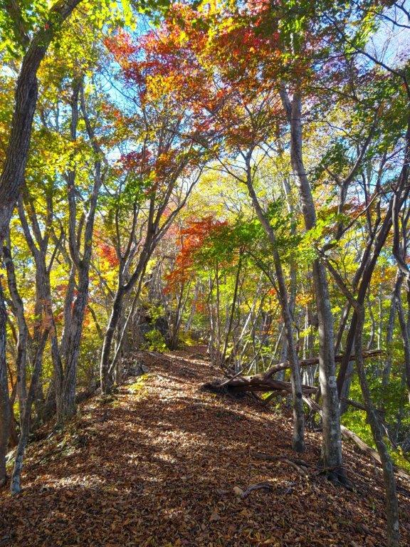
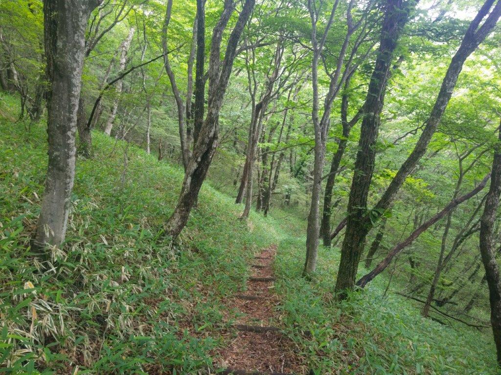
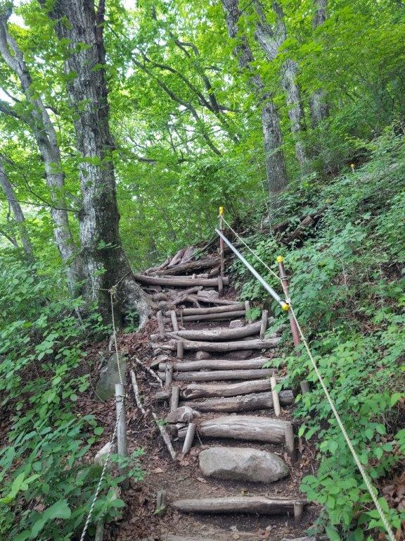
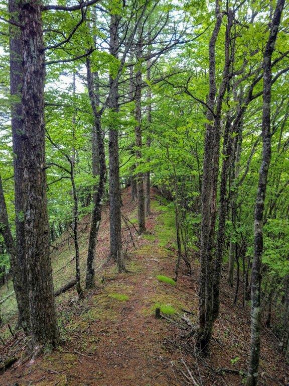
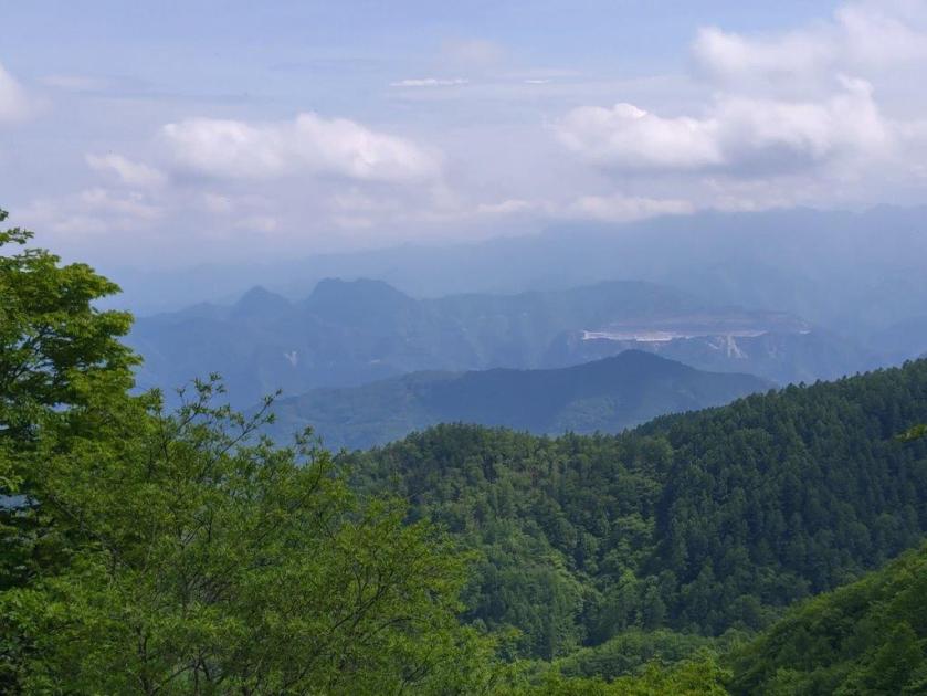
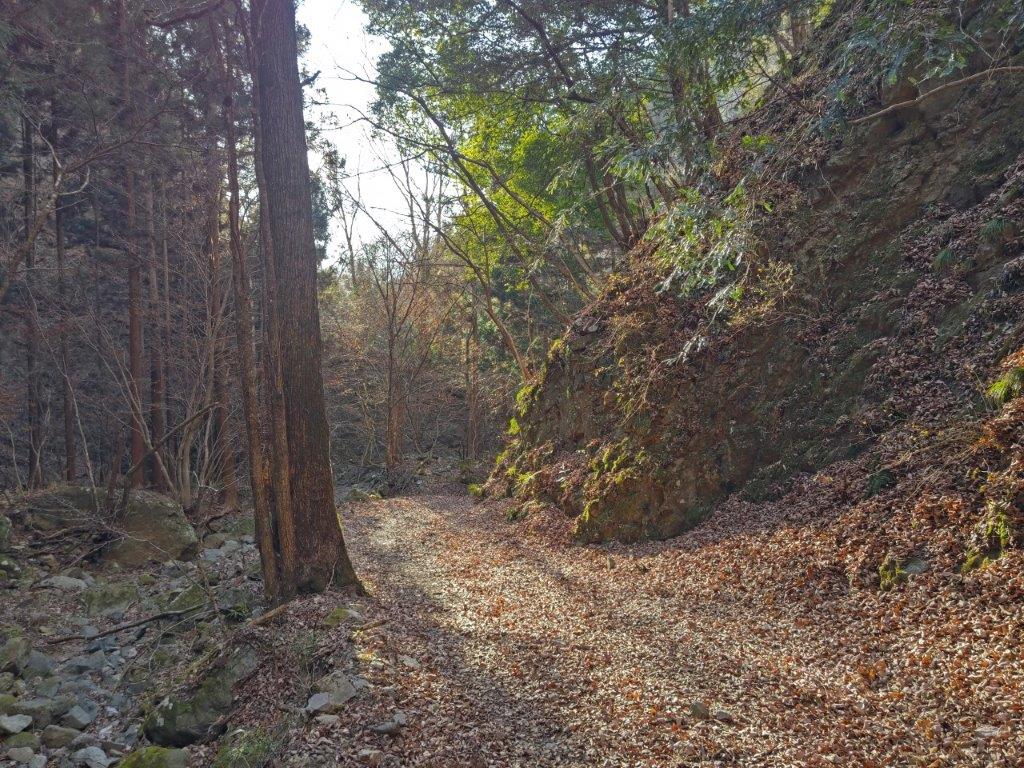
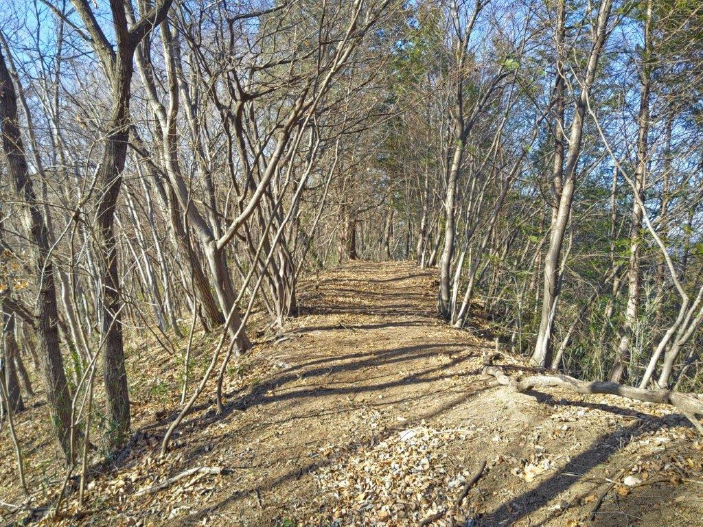
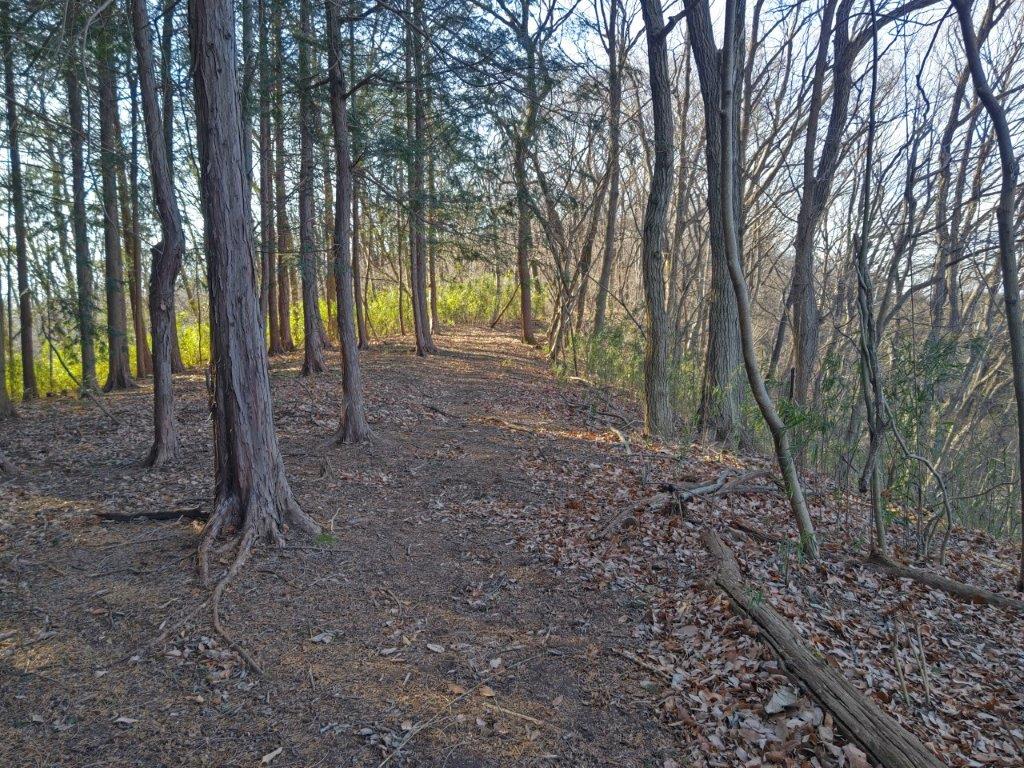
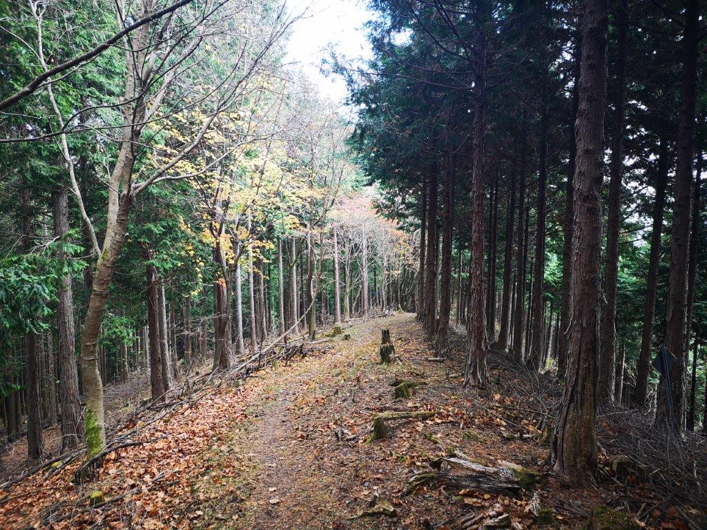
Walking under the New Green (right) End of the Hike (right)
To get there, I’d ride the Joetsu Shinkansen to Jomon Kogen, and from there, ride a bus to a stop located one hour on foot from the trail entrance. For the return, I could catch a bus from the roadside station for Numata station, and there, ride the local Joetsu line to Takasaki station where I could catch a shinkansen for the short ride back to Tokyo. If time allowed, I could take a hot bath at Kawaba Den-en Raku Raku onsen before heading back. The weather was supposed to be sunny and warm, typical weather for May. I was looking forward to a relaxing Golden Week Hike and getting some new views.
Find Japan Hiking Maps on Japanwilds and subscribe to our newsletter

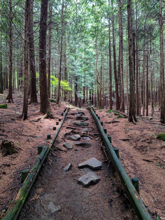
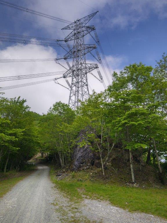
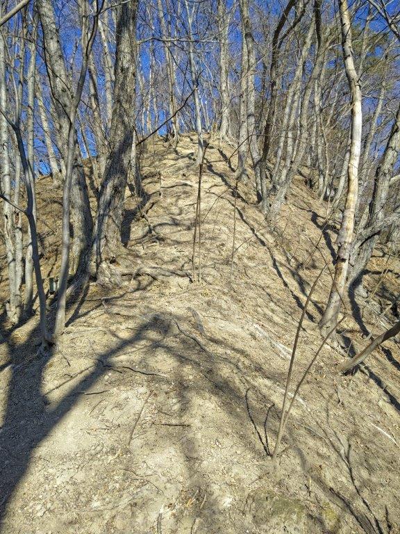
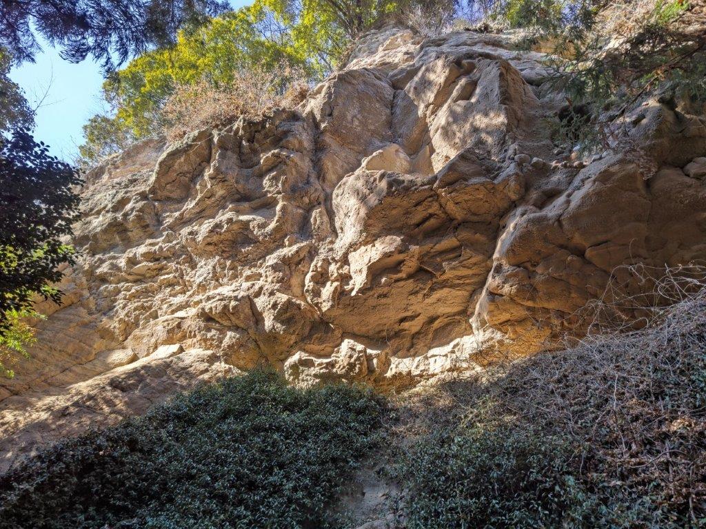
Dirt Road at the Start of the Hike

Heading to the Sky
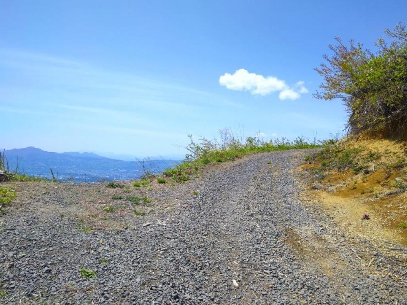
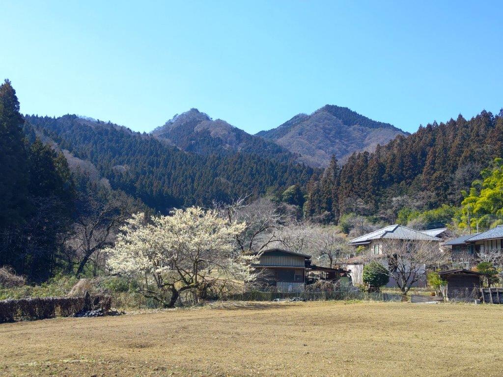
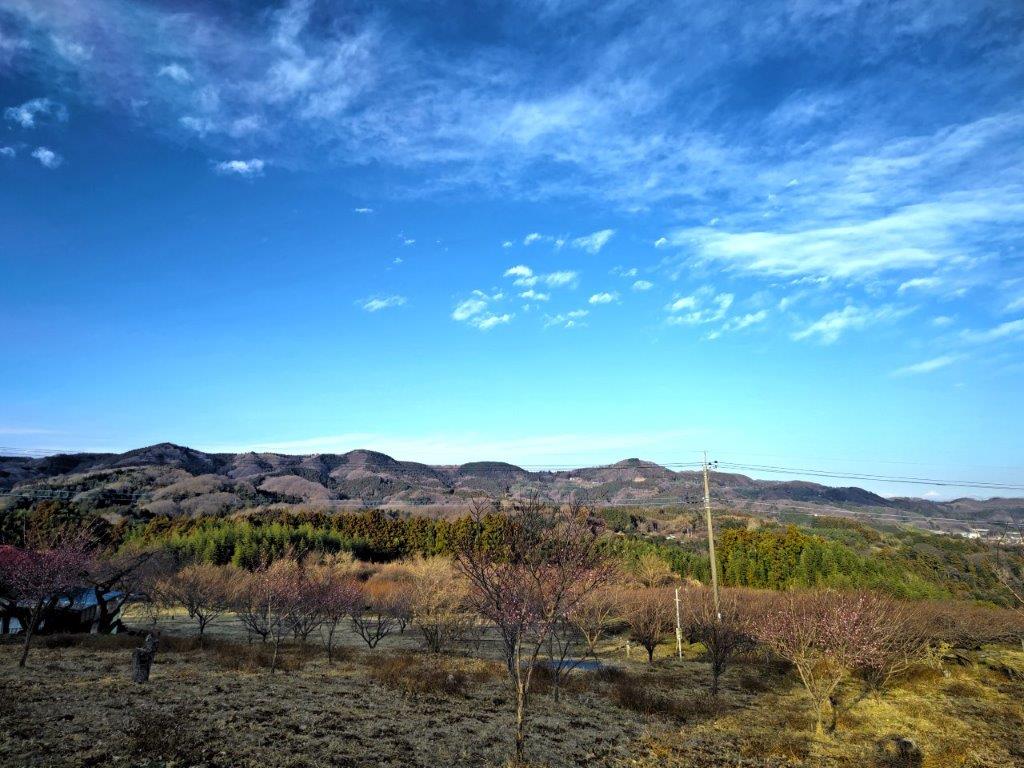
It was already quite warm as I got off the bus in the middle of the countryside. Since it was 11am, I started almost right away, up a winding road through fields and then forest. Half an hour later, I passed Ishiwari-zakura (石割桜), a massive cherry blossom tree I had hoped to catch in full bloom, but was already well into green leaves stage. After passing a junction where a steep road led down to a parking lot on the left side, I arrived at the official start of today’s hike, a dirt road hugging a deforested mountain side.
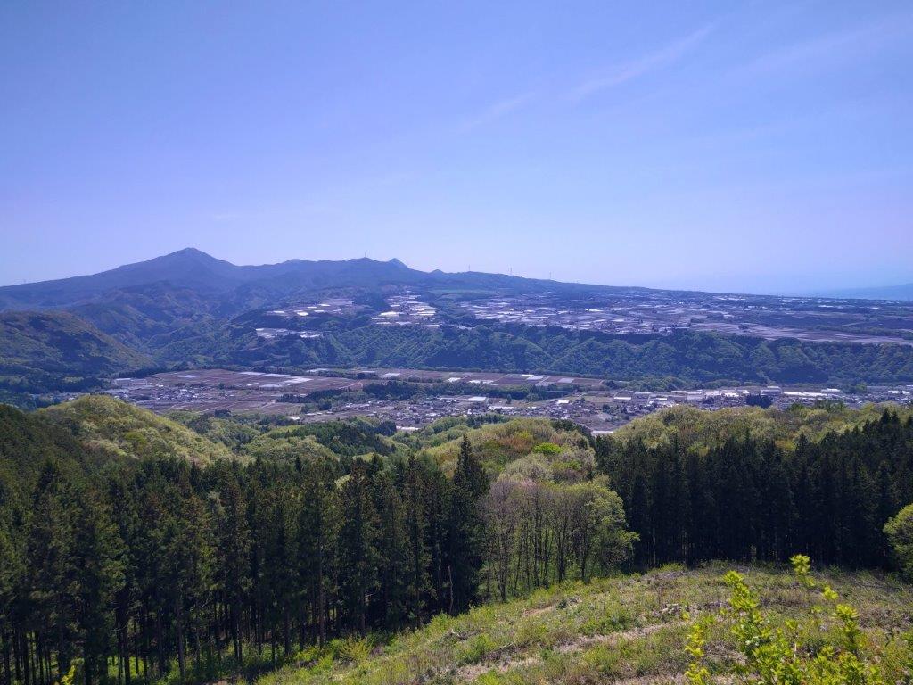
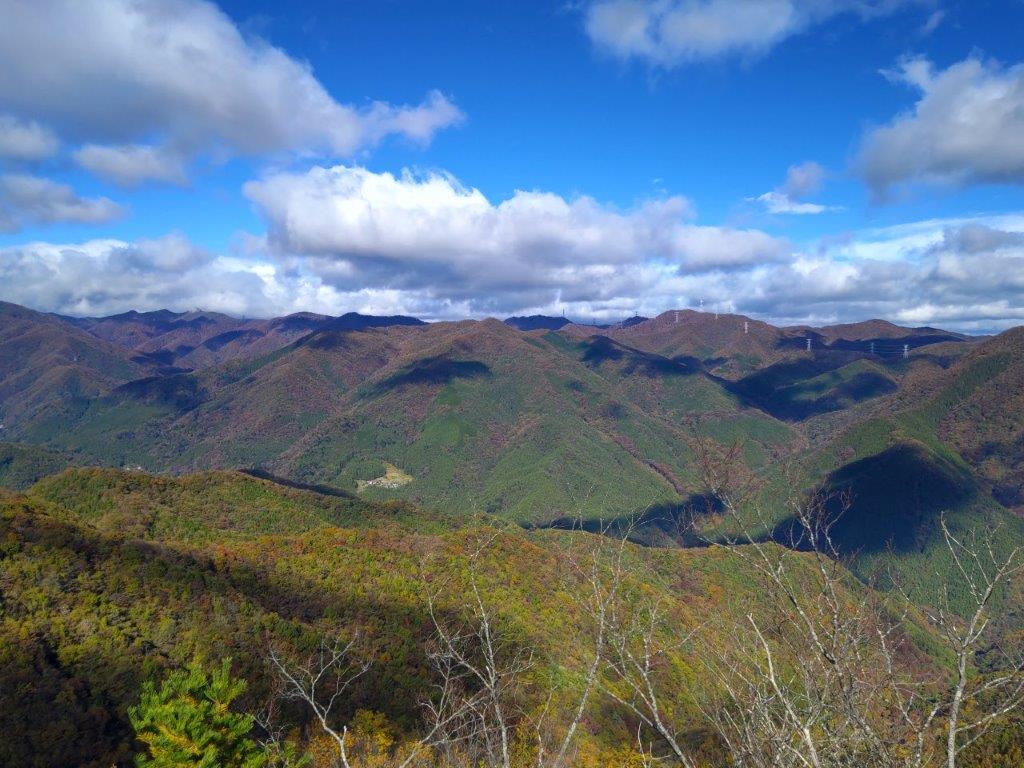
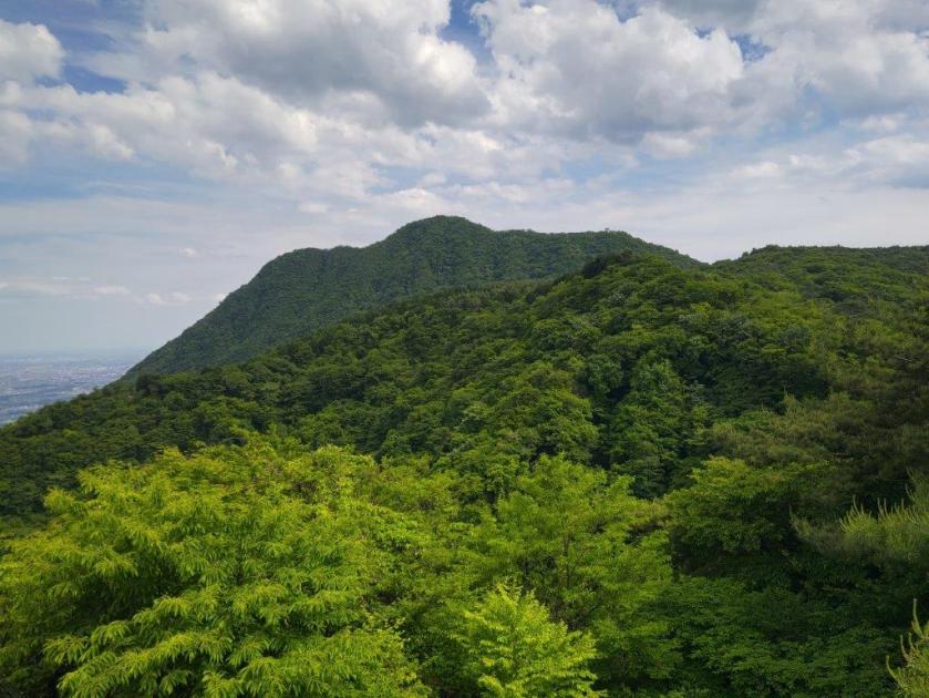
Mt Akagi’s Western Flank
A Pleasant Start to the Hike
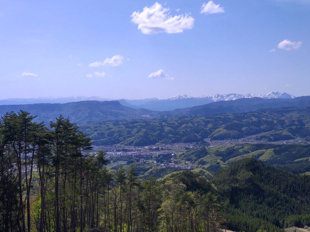
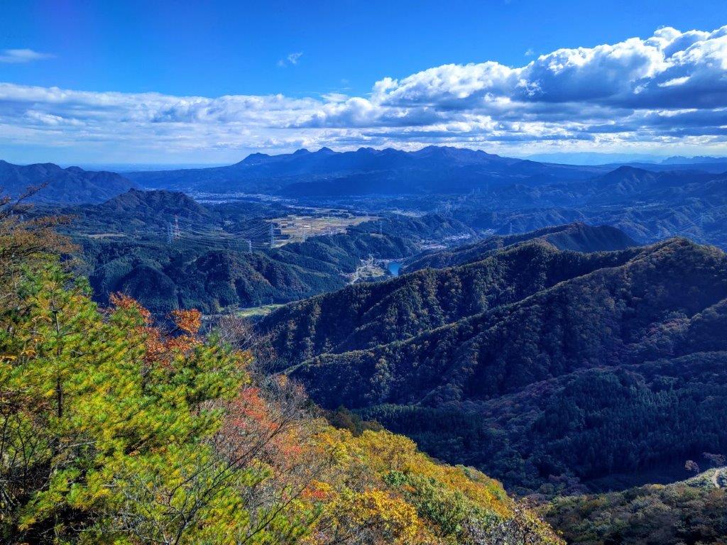
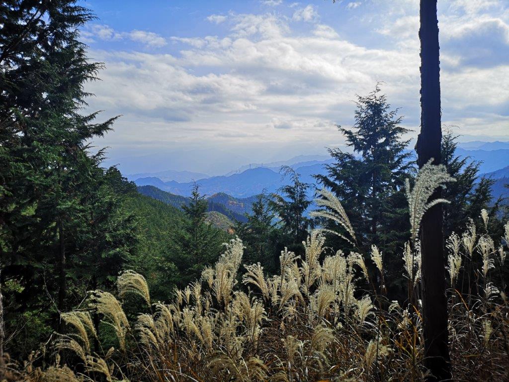
I was excited to get a sweeping view at such an early stage: to the left was Mt Akagi, it’s long western flank clearly visible from this angle; on the right side, I could see Mt Komochi, surrounded by Mt Haruna and Mt Okono in the back, bring back good memories from hikes from over ten years ago. After a pleasant panoramic along a mostly level road, reminiscent of alpine hikes, I re-entered the forest around 1230, passing between a couple of towering red pines.

Mt Komochi (center), Mt Haruna (back left) & Mt Okono (back right)

Looking back at Mt Haruna before Entering the Forest
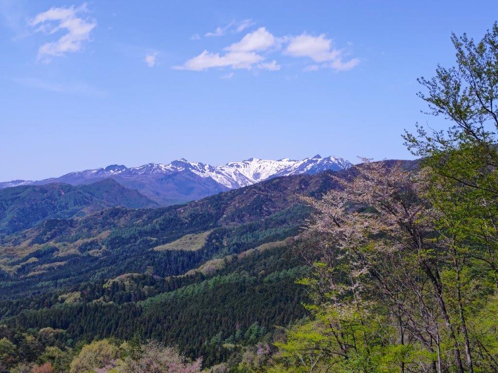
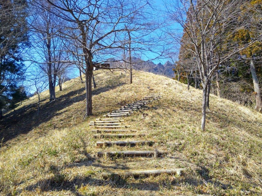
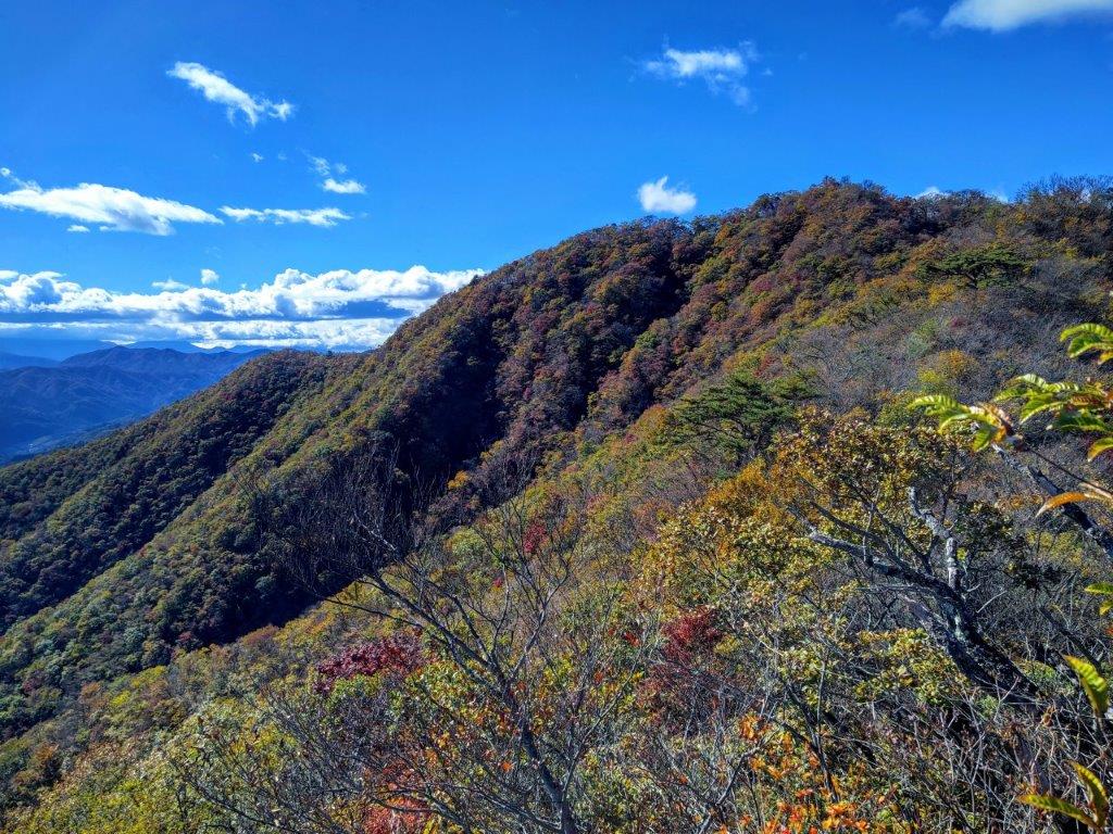
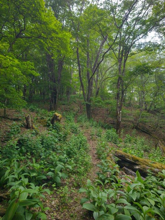
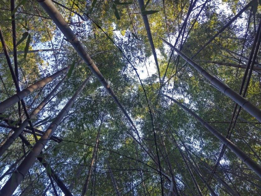
I was stunned by the profusion of the new green of Spring in all directions; at one point, I witnessed a flurry of white blossoms blowing across the path, coming from some unseen mountain cherry tree. After a short switchback section, I reached a flat section along a saddle on the mountain. Although I was now completely in the forest, I enjoyed the peaceful surroundings, few hikers venturing on this not so famous peak.

A Level Trail through a Peaceful Forest

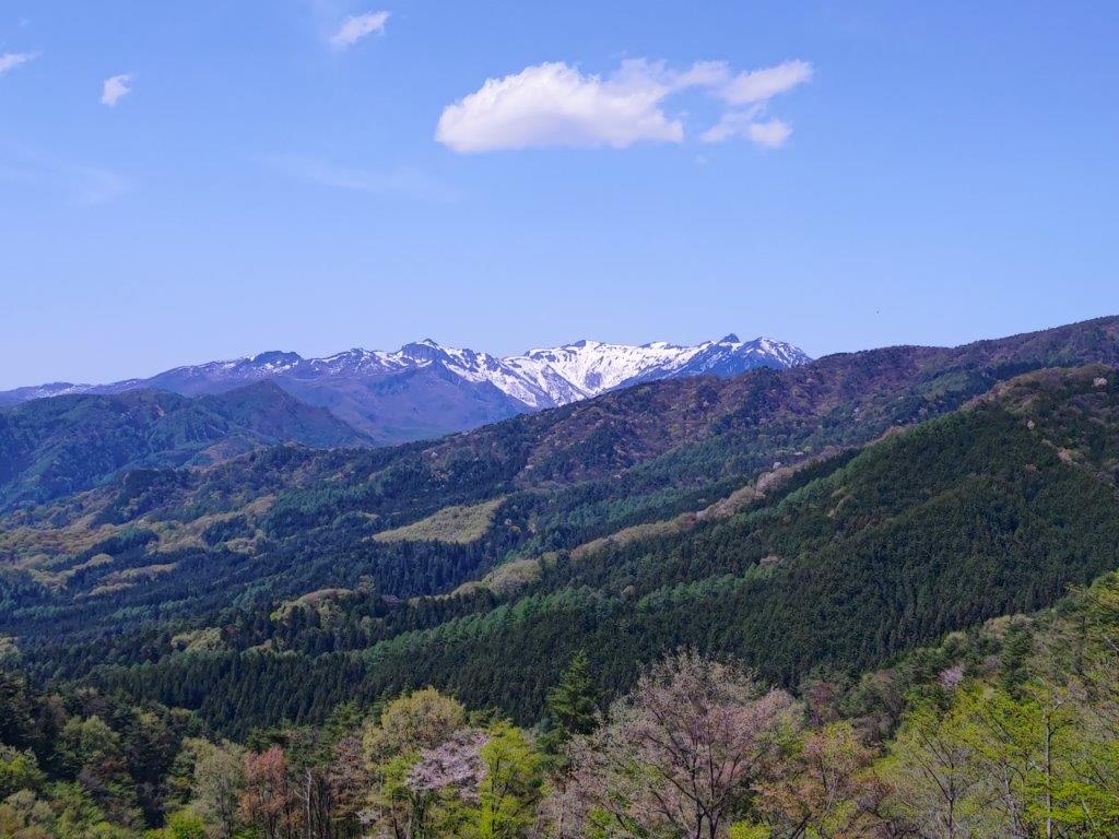
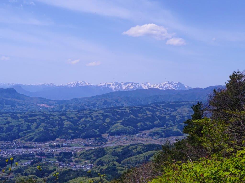
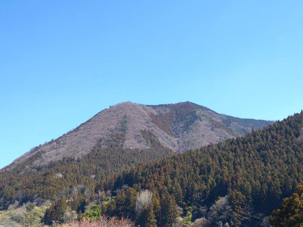
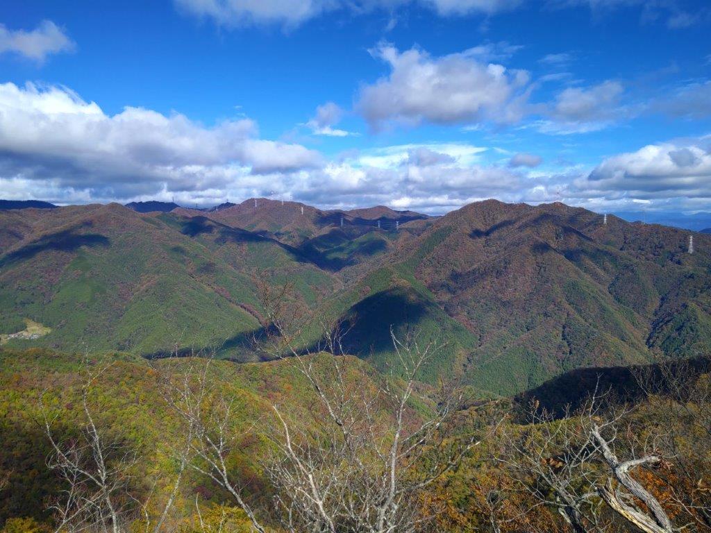
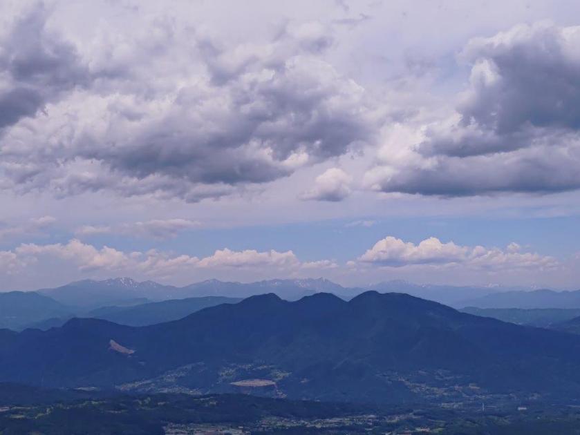
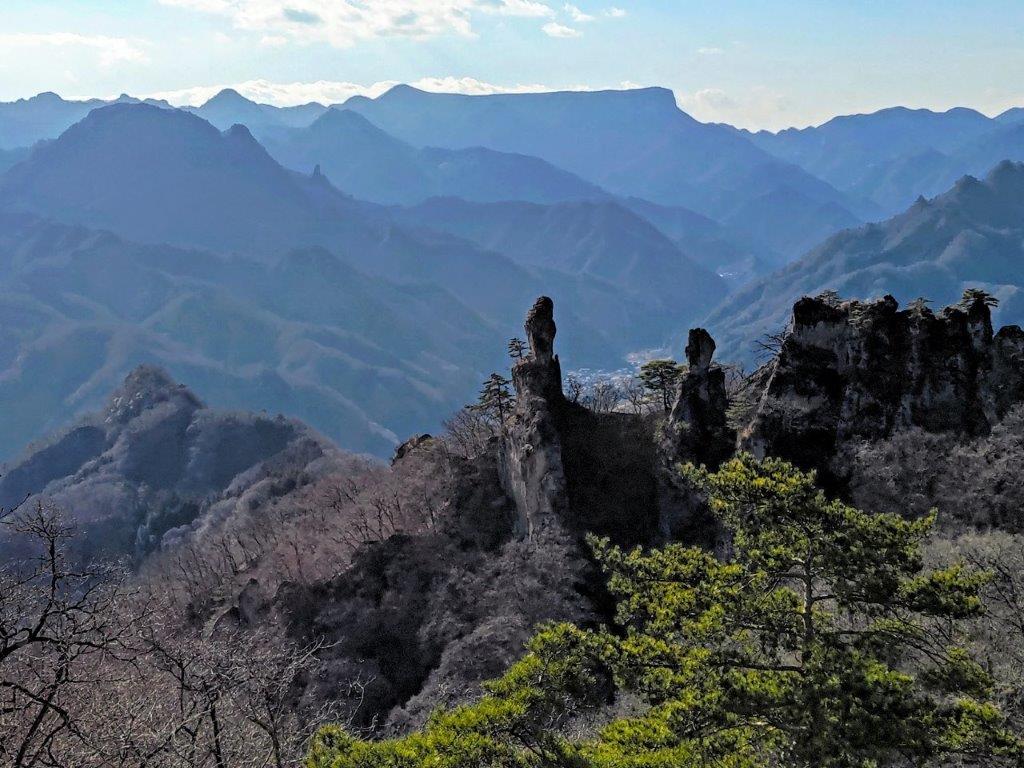
The Flat Top of Mt Mitsumine with the the Peaks of Joshin’Etsu in the Back
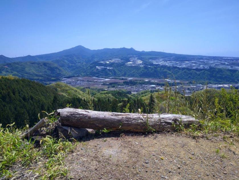
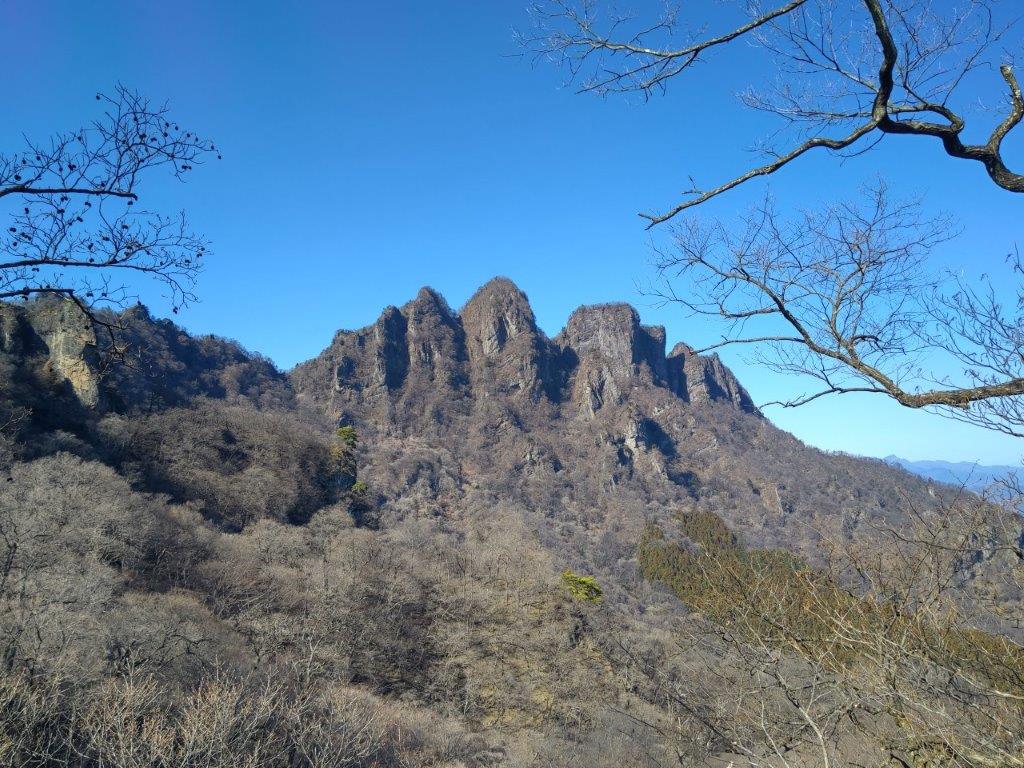
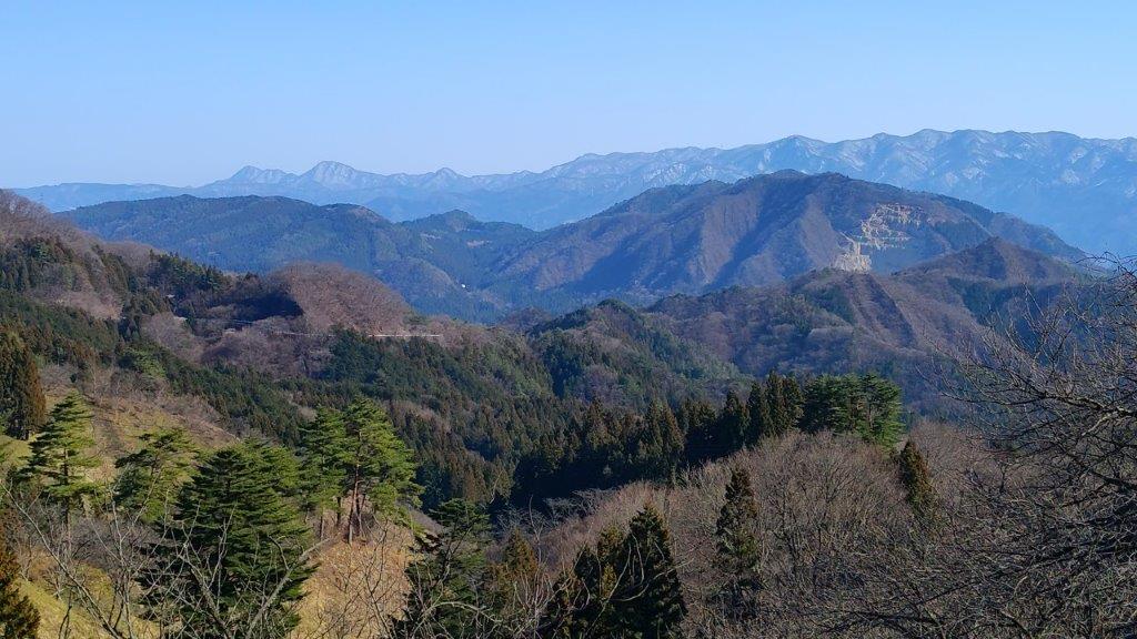
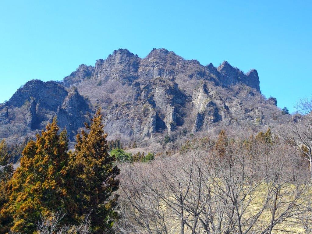
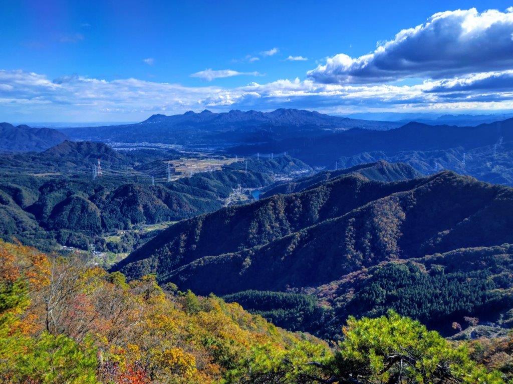
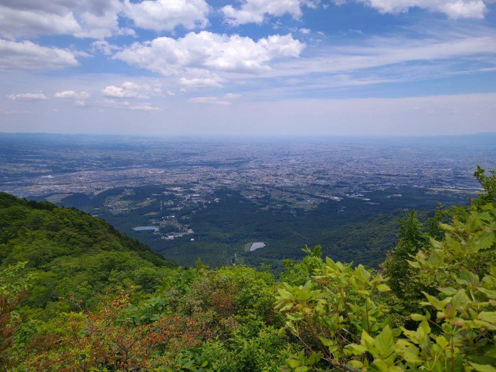
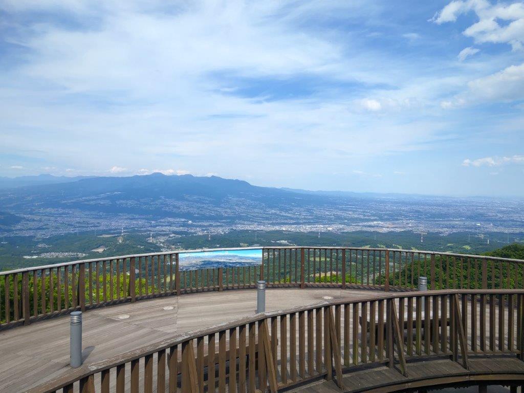
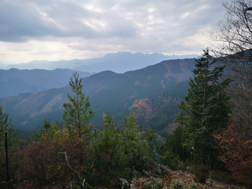
After a short climb, I arrived at a flat space, mostly free of vegetation on the southwest side, the top of Mt Amagoi (雨乞山 あまごいやま amagoi-yama), a fairly common mountain name in Japan, meaning “begging for rain”, something I definitely didn’t want to do, today being a perfect blue-sky day. Mt Akagi took up most of the south side; southwest was Mt Komochi again; I now had a new view on the west side where I could see the flat top of Mt Mitsumine, with behind, the highest peaks of the Joshin’Etsukogen National Park, most of them still in their winter clothes. Mitsumine is a popular paragliding spot and I happened to see a paraglider drift through the sky. It was exactly 1pm, so I sat on a bench and enjoyed lunch with a view.
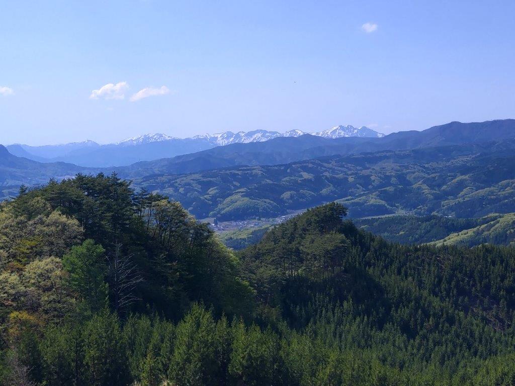
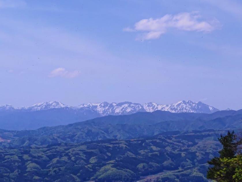
The Tanigawa Range from the Top of Mt Amagoi

Mt Mitsumine, a Popular Paragliding Spot
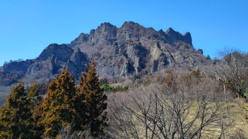
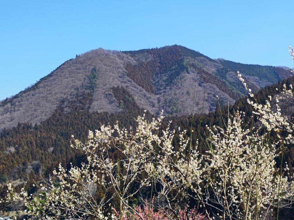
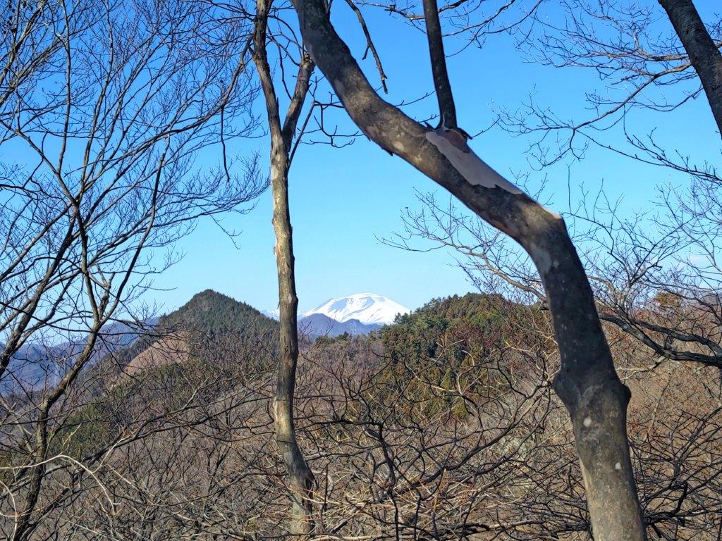
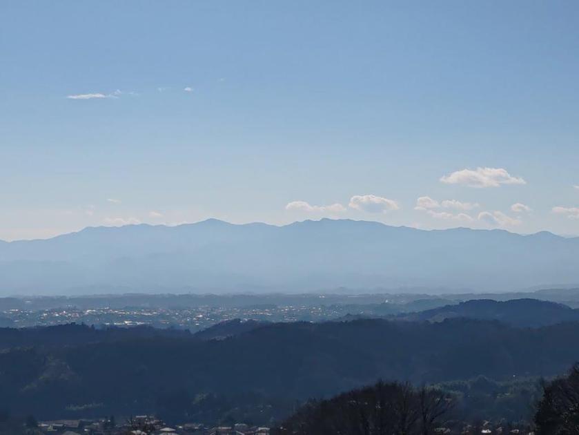
After lunch, I tried to match all the Joshin’Etsu mountains using the summit information board, since only the Tanigawa range on the very right was instantly recognisable ; apparently on clear winter days, one can also see the Chichibu Mountains, the South Alps and Yatsugatake. Although trees blocked the views in other directions, I was able to spot the still snowy top of Mt Hodaka through some bare branches on the north side, a preview of my upcoming descent. A little before 2pm, I set off again, down a steep path on the west side.
Sideways View of Mt Akagi from the Top of Mt Amagoi

Heading down the Western Side of Mt Amagoi
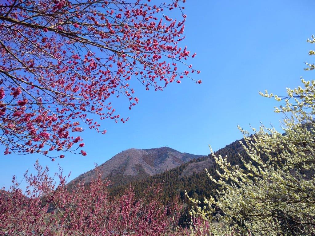
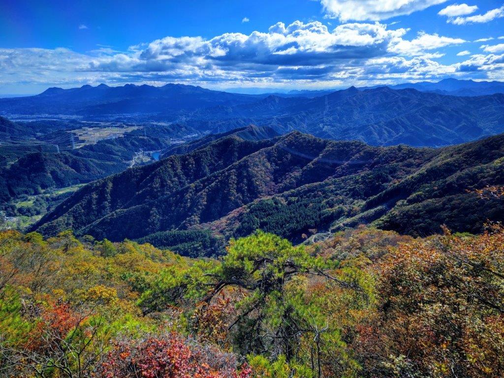
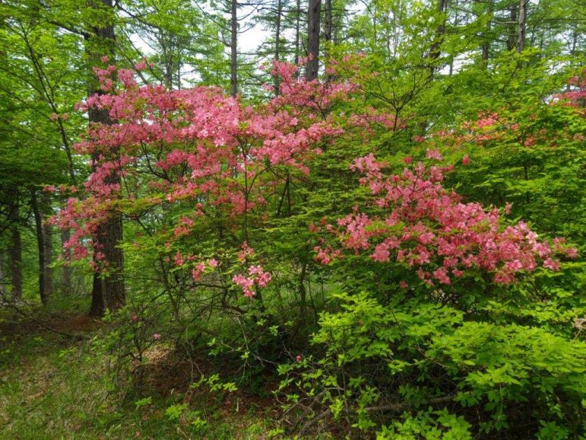
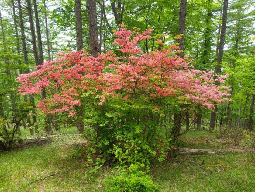
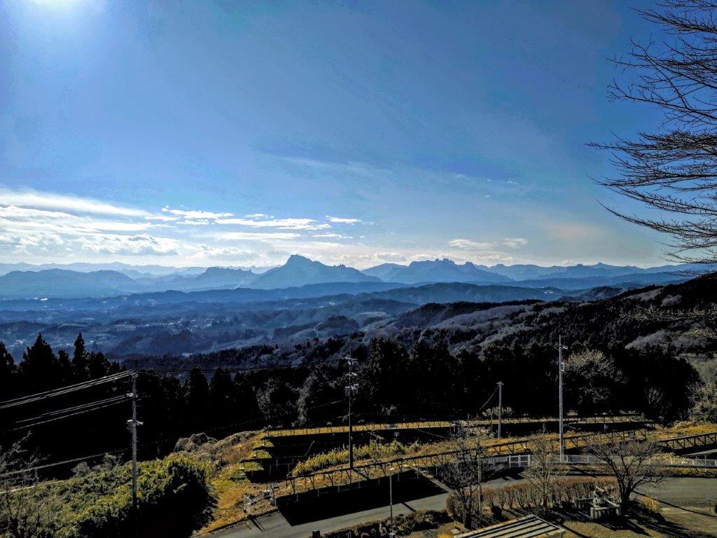
Here, the trail was buried under dead leaves and would have been hard to follow, if it weren’t for rope attached to nearby trees. I soon emerged from the trees and was greeted with a spectacular view on the northwest side. To my right, I had a better view of the snowy summit of Mt Hotaka, framed by mountain cherry trees. On the west side, I could once again see Mt Mitsumine and Mt Tanigawa. As I descended this valley surrounded by snow-capped mountains, I almost felt like I was walking in the Swiss Alps.

Emerging from the Trees on the Northwest Side
Mt Mitsumine (left) & Mt Tanigawa (right)
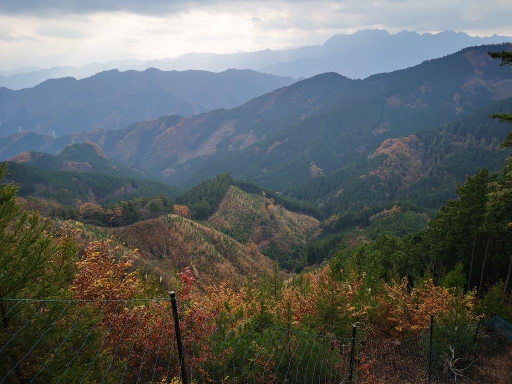
I was following a narrow ridge with tall red pines on my left and a deforested area on my right, allowing for plenty of views along the descent. I soon turned left, onto a path between two rows of fir trees, the end of the scenic descent. After a short while, I entered a mixed forest, and after a short section where the only trace of a path was again a helpful rope hung between trees, I reached a winding forest road heading down through tall cedars.
View of the Tanigawa Range while Descending Mt Amagoi
Mt Hotaka and Mountain Sakura
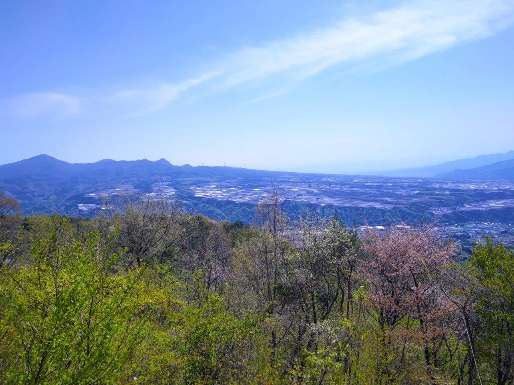
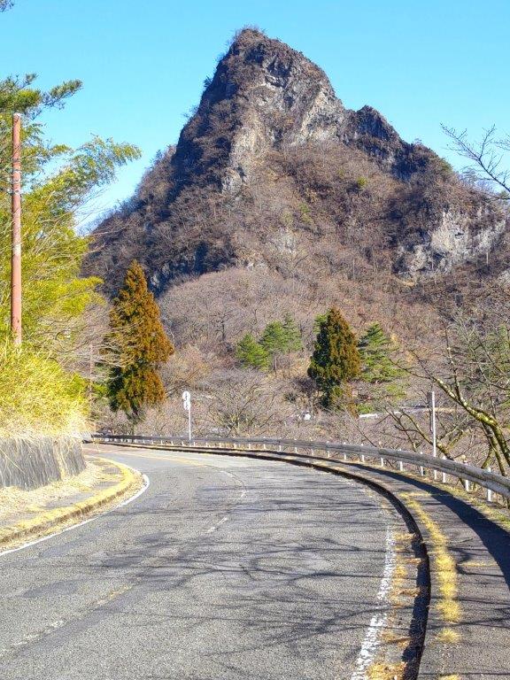
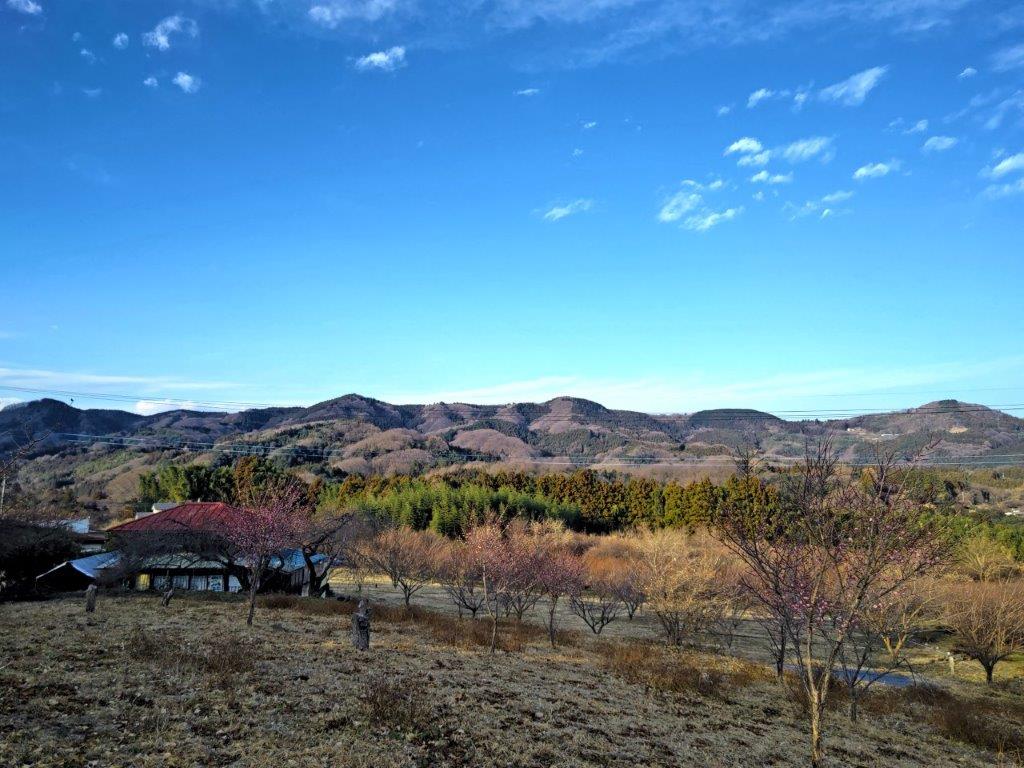
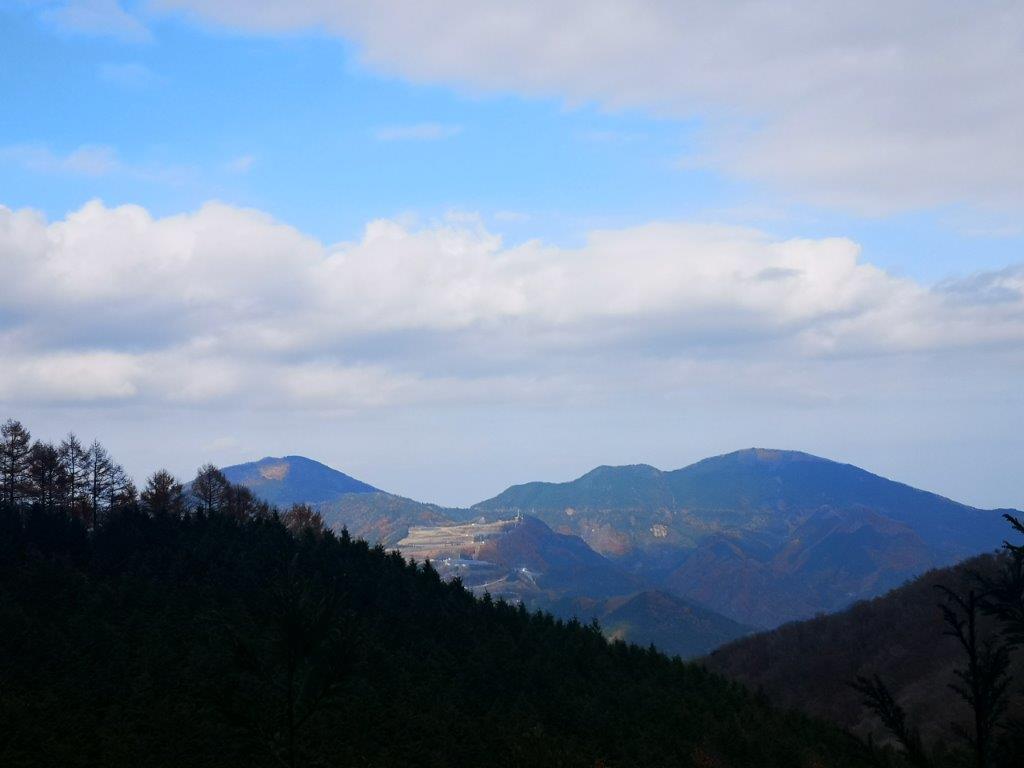
A little before 3pm, I reached the valley bottom next to a small stream. From this point, the level trail headed west in a straight line through forest. Very soon, I reached a wildlife net and a paved road where I turned left, heading south, through orchards and fields. As I approached a busy road, I had some good side views of today’s mountain, on the left side.

Red Pines on the Left and Views on the Right

Walking along the Valley Bottom
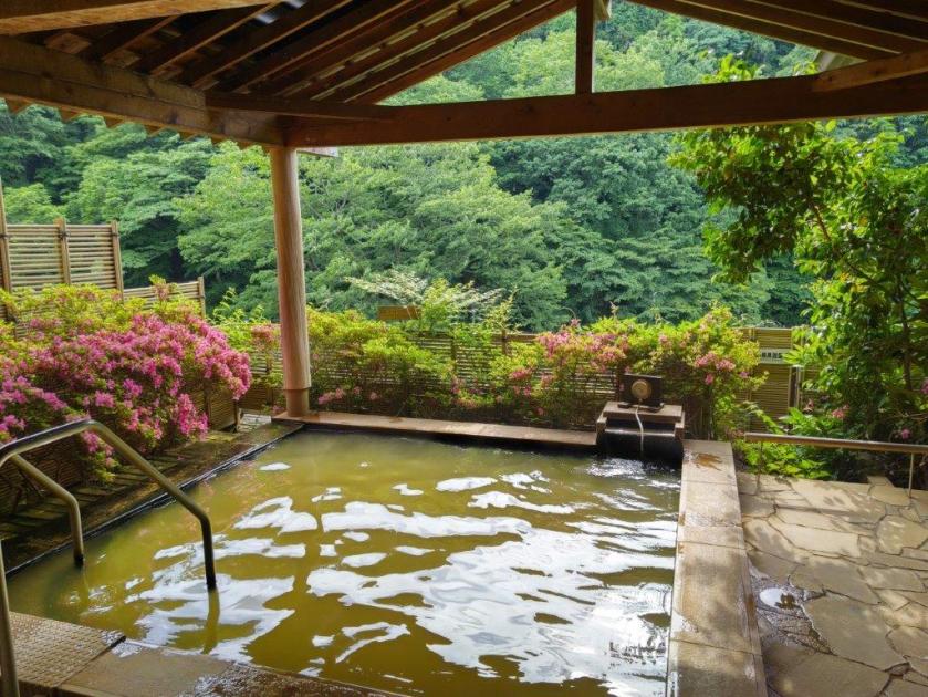
During the entire descent, I saw no other hikers, as most people seem to visit this mountain by car. At 3h30, I reached Rakuraku onsen, meaning “comfortably”; one hour later, after a quiet hot soak, as most people seemed to prefer to spend their time at the neighbouring roadside station, I hopped on the nearly empty bus for Numata station. I was grateful to have found this hike, and to have been able to visit in this season; it is certainly one of the hidden gems of Gunma.
Watch a Video of the Hike
Watch the Video of the Hike on YouTube


See a Slideshow of More Pictures of the Hike


![Mt Akaguna (1523m), Kanna Town, Gunma Prefecture, Sunday, May 28, 2023 [Mikabo Super Forest Road]](https://hikingtokyo.com/wp-content/uploads/2023/08/dsc_7643-1.jpg?w=1024)


![Mt Mido (878m), Shimonita Town, Gunma Prefecture, Monday, January 9, 2023 [Map Available]](https://hikingtokyo.com/wp-content/uploads/2023/05/dsc_32598.jpg?w=1024)


You must be logged in to post a comment.