
I had climbed this remote mountain four years ago but had missed the main viewpoint, slightly off the main trail; the weather hadn’t been at its best either. I decided to give it another try, but this time from the Gunma side, so that I could go up and down via a different route. If I had enough time, I would make a roundtrip to the next peak along the ridgeline. I knew how to get there since I had visited the area twice before this year; however it would be the first time to ride the pass so far down the Kanna river valley. It was supposed to be a sunny day, usual for this time of the year. I hoped to enjoy a peaceful walk along the border of Saitama and Gunma, and perhaps catch the last of the autumn leaves.

View of Mt Ryokami under the dark clouds
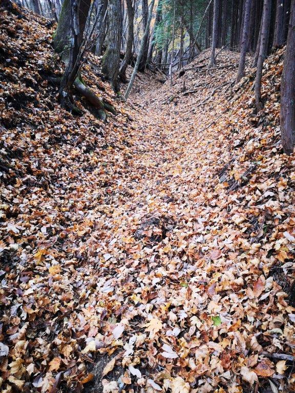
I arrived at Shinmachi station before 8h30 and boarded a comfortable minibus bound for Ueno village, about 3 hours away. I got off at a bus stop just past Manba Village, after a nearly two-hour picturesque ride up a remote river valley. The weather had been sunny up to this point, but as I crossed the Kanna river, the sun disappeared behind some clouds and didn’t reappear fully till the late afternoon. I soon reached the trail entrance, covered by a blanket of fallen yellow leaves.
Most of the autumn leaves had already fallen

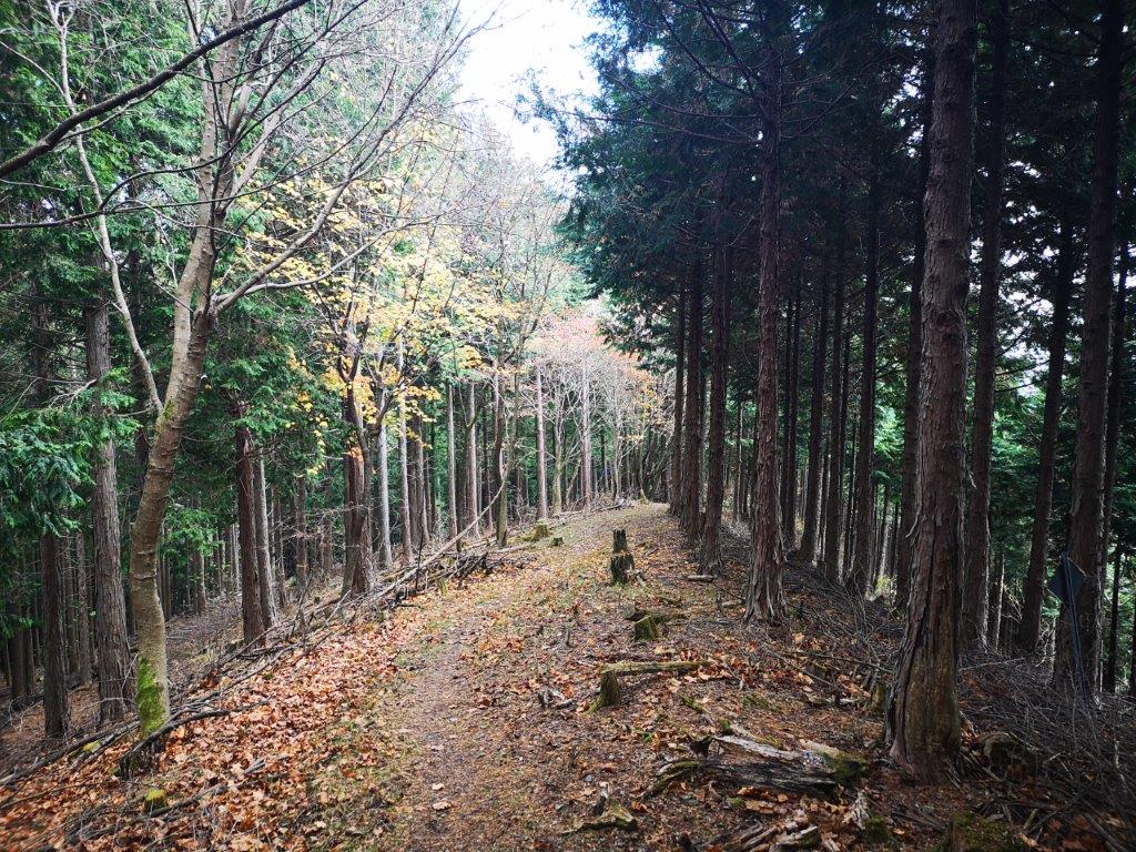
The trail presented no particular difficulties
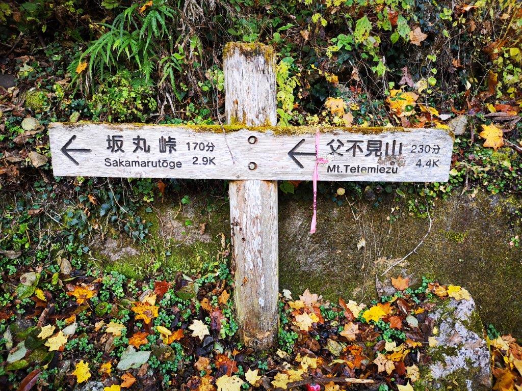
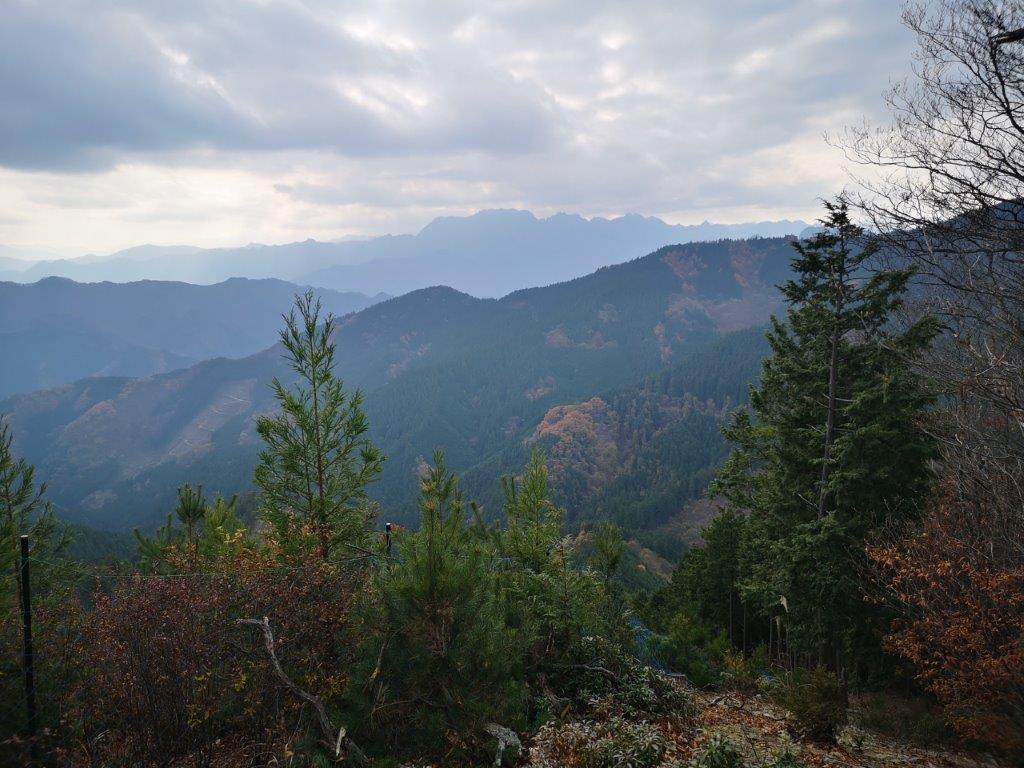
I had occasional glimpses of the valley below through the trees, now bare of leaves, as I followed the path up the mountain side. I encountered several forks but the hiking trail was always clearly signposted. It took about an hour to reach Sakamaru Pass (坂丸峠 858m). There, I turned left along a level path through tall cedar trees, below the ridgeline on the Saitama side, looking familiar from my previous hike on this mountain. After a short, steep climb I reached Nagakubo Head (長久保の頭 ながくぼのあたま nagakubo-atama).

Left back, Mt Jomine, right front, Mt Okubo
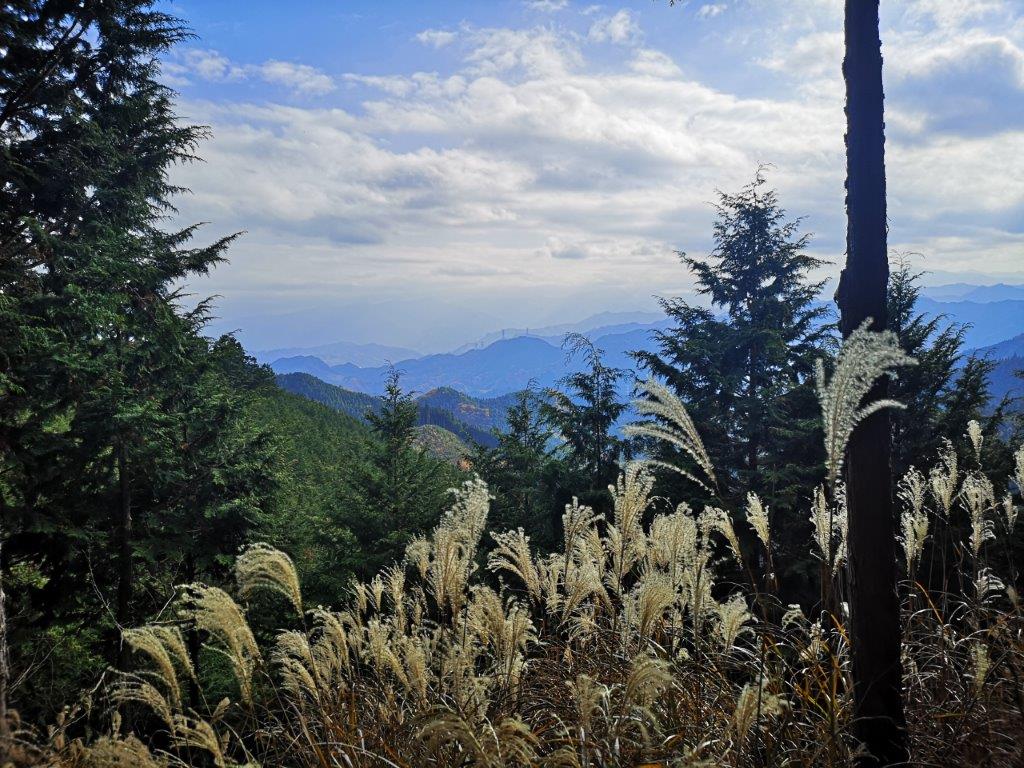
Soon arriving at Sugi pass
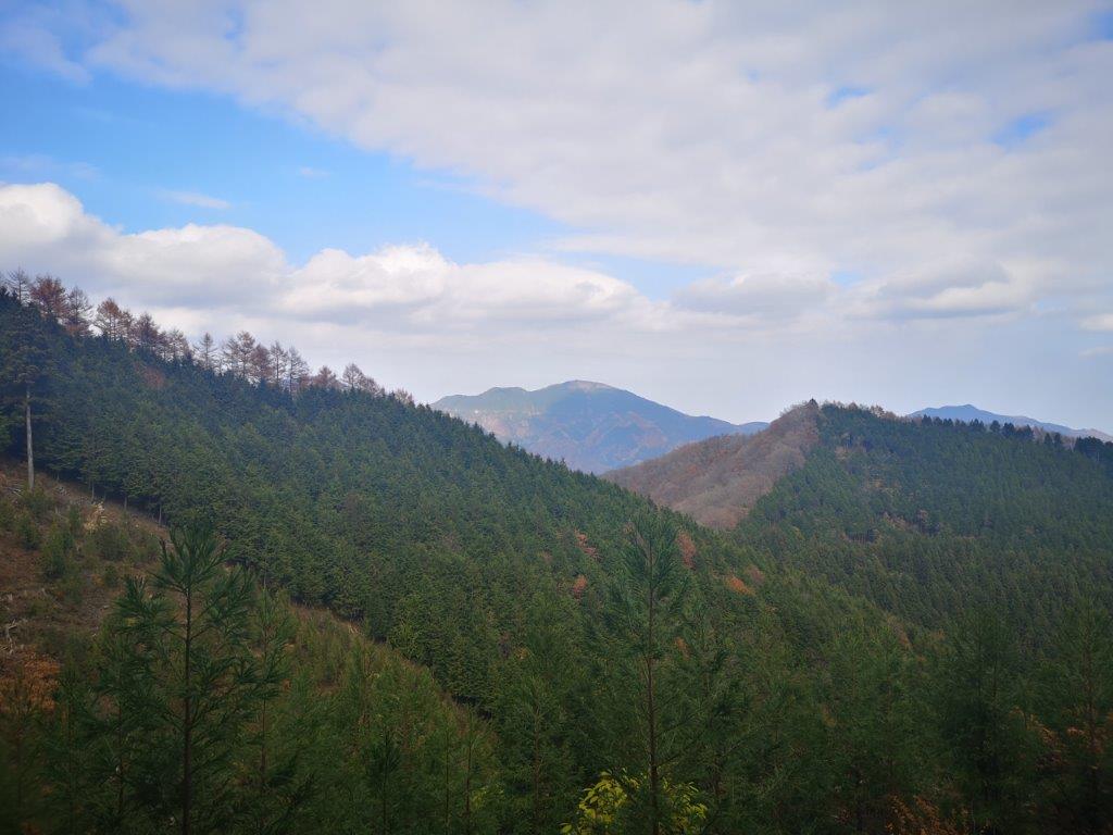
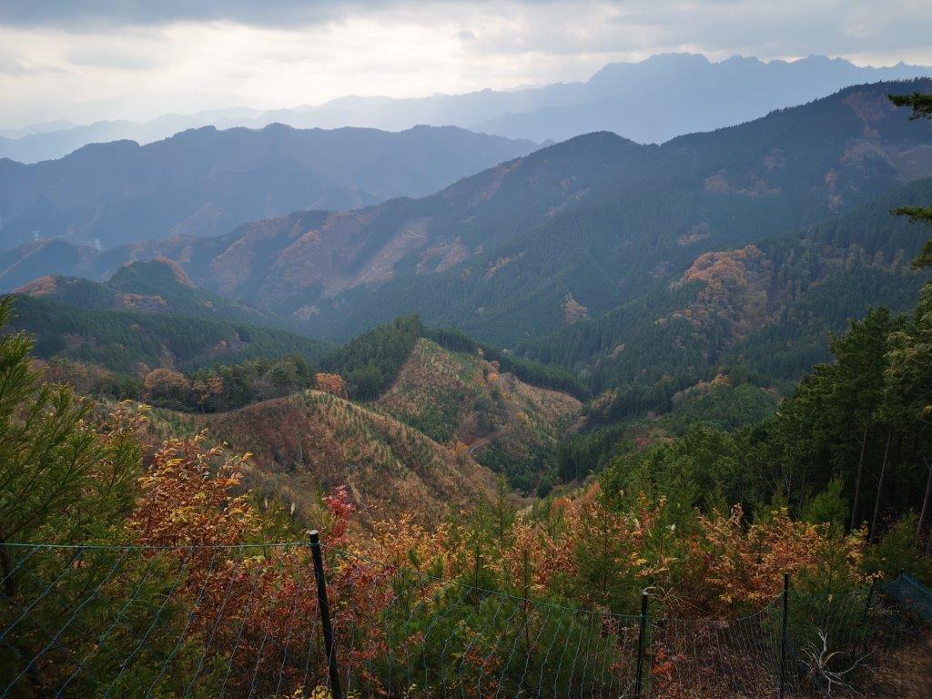
Even though, at 1066m, it was the highest point of the hike, it wasn’t today’s summit. At first glance, it seemed totally surrounded by pine trees, but this time I was able to find a viewpoint of Chichibu above a deforested area on the south side. Since it was past noon, I found a tree stump and sat down for lunch. The clouds were in and the views weren’t as great as I had expected. South, I could see the triangular summit of Mt Buko; looking west, I spotted the flatter triangular peak of Mt Jomine. After lunch, I walked along the edge of the open area, and turning around, I saw the double rounded peaks of nearby Mt Mikabo, with some blue sky in the background.
Gazing at Chichibu past the Suzuki

The narrow ridge leading to Mt Okubo
It started to feel cold so I retraced my steps and continued my hike. I saw a handful of other hikers, as opposed to no one on my previous visit, and I was glad this mountain enjoyed some popularity. Ten minutes later, after a short up and down, I reached the summit of Mt Tetemiezu (父不見山 ててみえずやま tetemiezu-yama), a Kanto and Gunma hundred famous mountain. Slightly lower than the other peak, it had no view at all. Since I wanted to avoid cooling down, I moved on without a break. After some descending, I arrived at a crossroads under a lone cedar tree, aptly named Sugi Pass (杉の峠 sugi-no-toge meaning cedar tree pass). On my previous trip I had gone down via the path on the right; this time I would need to go left.
Mt Ryokami, a Japan hundred famous mountain

Some sun near the summit of Mt Okubo
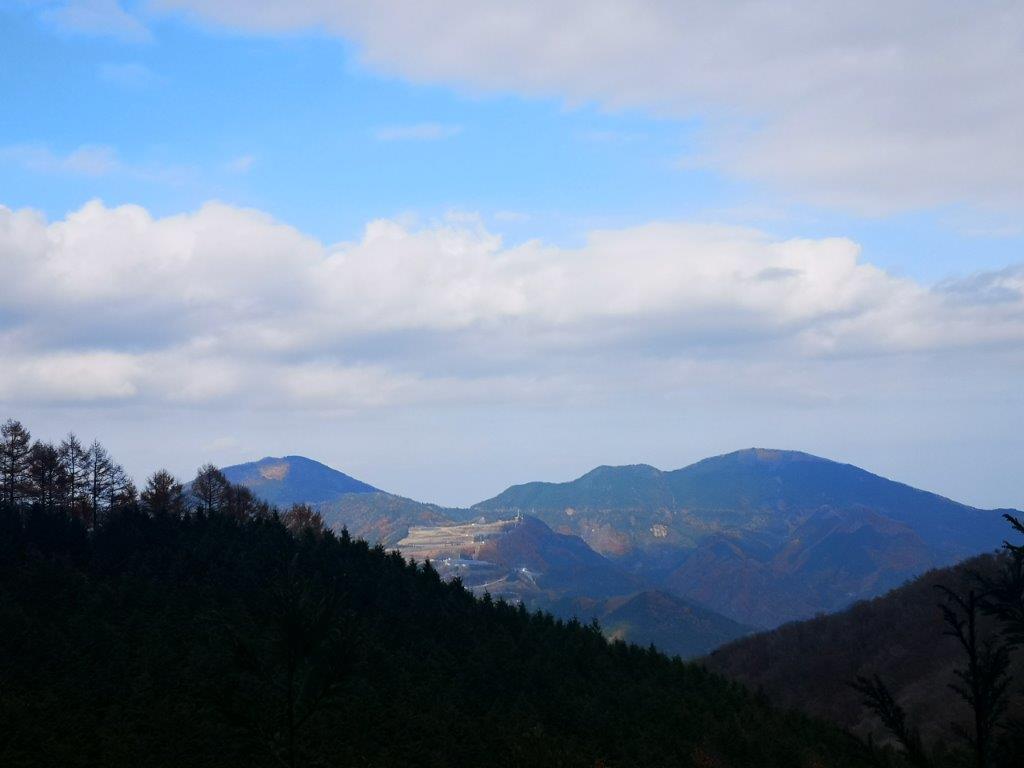
Since it was only 1h30, I had time for the one hour round-trip to the next peak. It wasn’t an official trail, just red strips attached to branches along the way, and so it required some path finding. After turning slightly left down a slope through dark forest, I found myself climbing a narrow rocky ridge. It was definitely the most exciting part of the hike. Fifteen minutes later I reached the top of another deforested area and the summit of Mt Okubo (大久保山(おおくぼやま ookubo-yama), where I had my best views of the day, as well as some sun. To the south, I could see jagged outline of Mt Ryokami, looking menacing under dark clouds.
The view from the summit of Mt Okubo

Some autumn leaves could still be seen
After a short break, I headed back the same way and reached Sugi pass a little after 2h30. I followed a gently sloping forest road for about an hour, and then a road for about ten minutes, and arrived at a bus stop on the same road I had used in the morning, just as the sun dipped below the mountain ridge. After getting on the bus, I deciced to get off halfway to take a quick hot bath at Sakurayama hot spring, which I had visited once before after hiking Mt Sakura. I finally arrived back at Shinmachi station at 6h30pm, where I boarded the shonan-shinjuku line for the two-hour ride back to Tokyo.
See the views on the border of Saitama and Gunma
The double-rounded top of Mt Mikabo
