

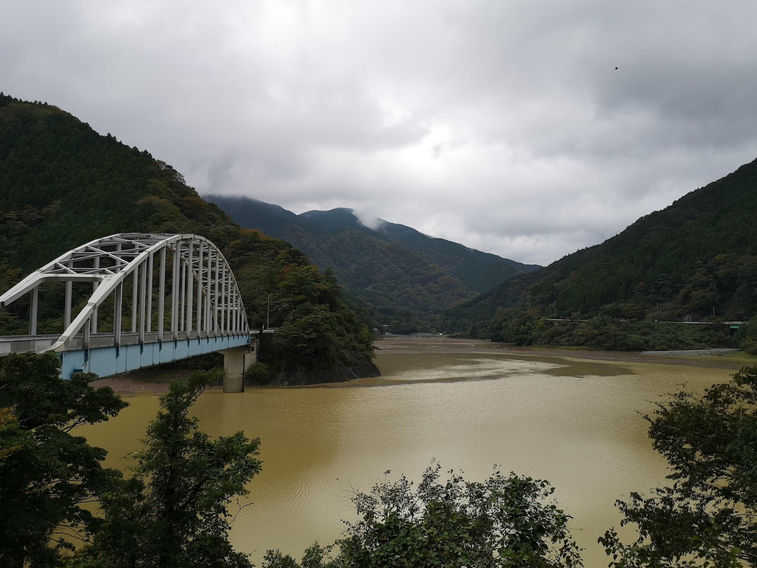
I found this hike, through the low hills at the edge of western Tanzawa, in one of my guidebooks; in addition to a view from the highest point, it also passed by an observation tower, seemingly a characteristic of the area. It was a little on the short side, but looking at maps online, I saw it was possible to extend it northeast and also include one more observation tower.
For subscribers, read this Post on Hiking Around Tokyo for a better viewing experience and the latest updates
Hiking in the Tanzawa Mountains 丹沢山地
To get to the start of the hike, I’d ride the Odakyu line limited express to Atsugi, and then board a bus for the Tobio locality, at the southern end of the hills. For the return, I’d catch a bus back to Atsugi near the northern end. The weather was supposed to be sunny in the morning, turning cloudy in the afternoon. I was looking forward to a relaxing winter hike with views of the Tanzawa mountains and the Kanto Plain.
Find Japan Hiking Maps on Japanwilds


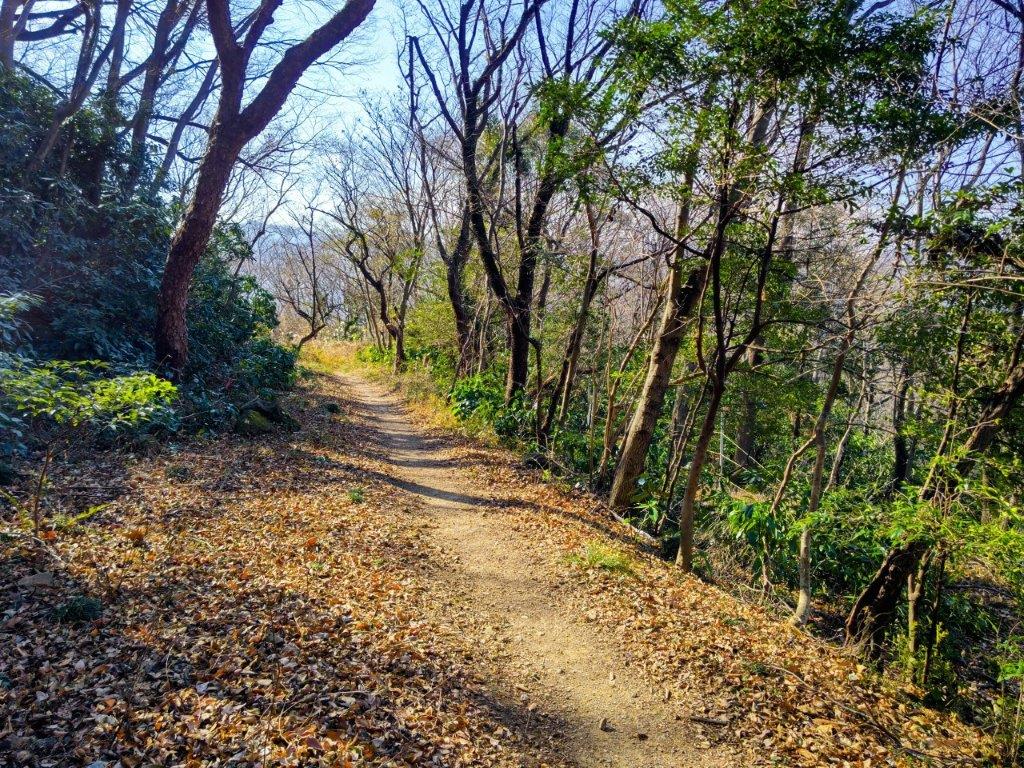
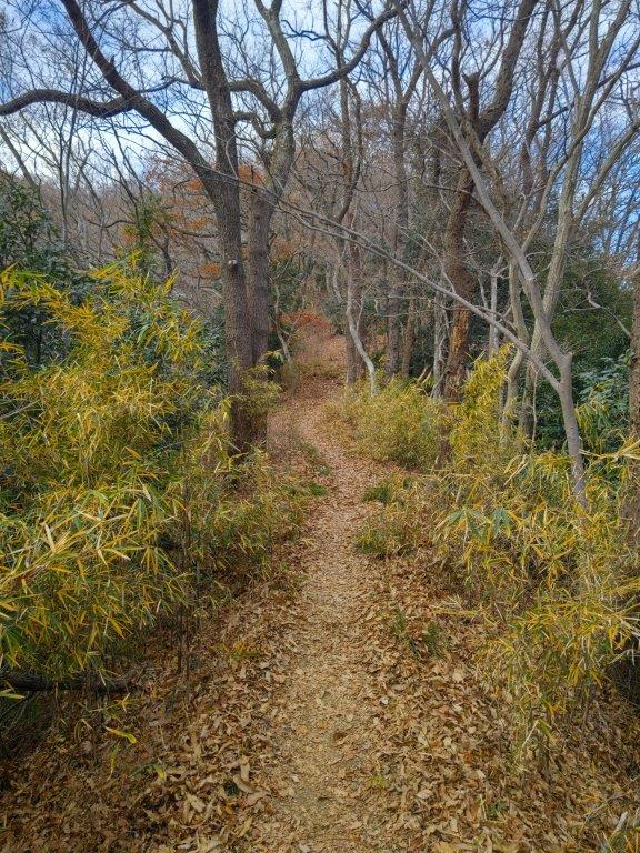
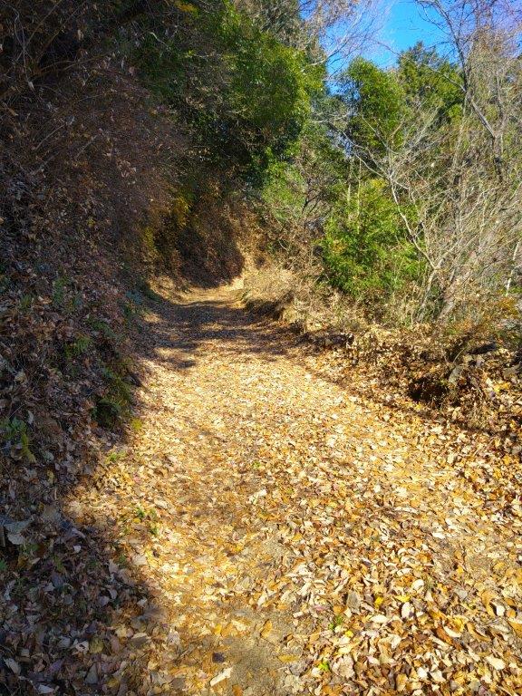
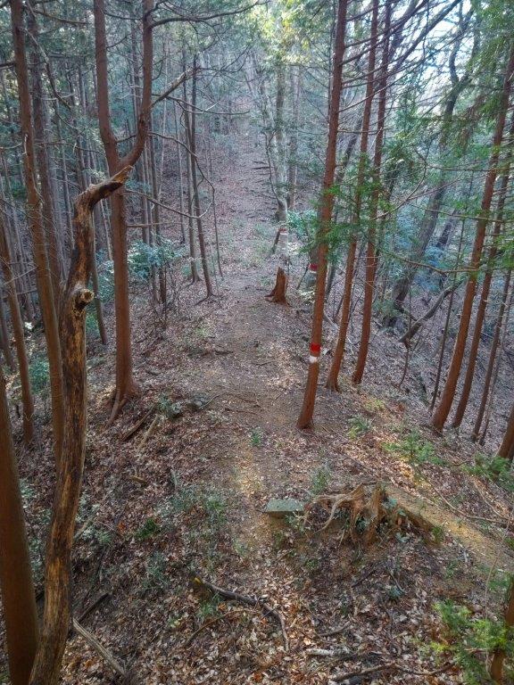
Trail at the Start of the Hike (left) Trail past the Tower (right)


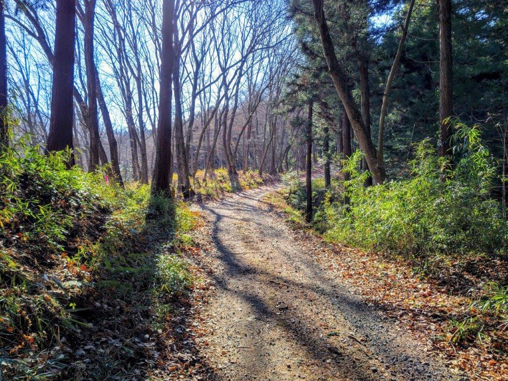
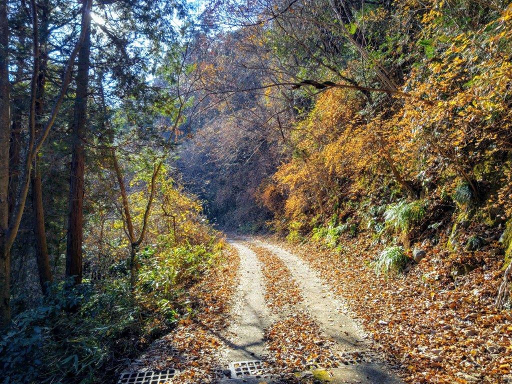
Steep Climb before Mt Tobio (left) Road for Mt Hasuge (right)
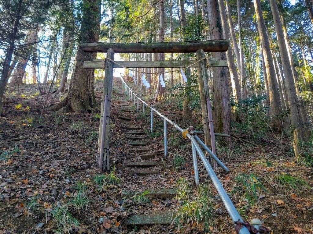
I sped south under blue skies comfortably seated on the “Romance Car”, arriving at Atsugi a little before 1030. There, I boarded a half-full bus for the half-hour ride to Tobio Danchi. After a short walk through a residential neighbourhood, I reached the start of the hiking trail at 1130 at the top of a long staircase. After following a level trail for a short while, I arrived at Sannosha (山王社), a Shinto Shrine at the edge of the forest with a view of the Kanto Plain on the eastern side.

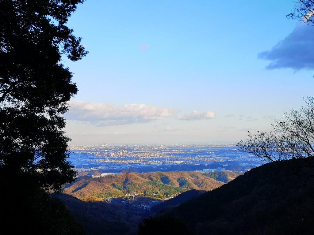
View of the Kanto Plain from Sansho Shrine

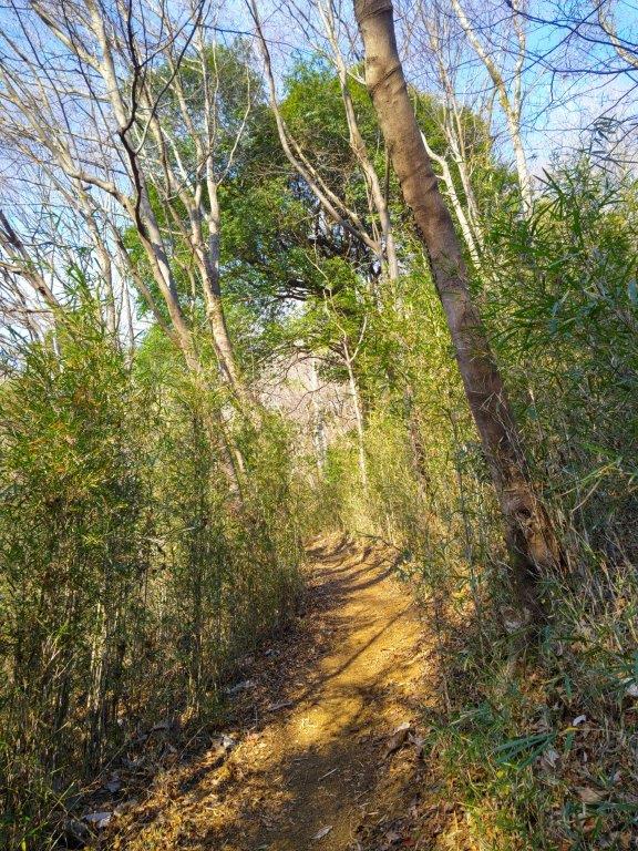
Trail between Sannosha and Konpirasha Shrines
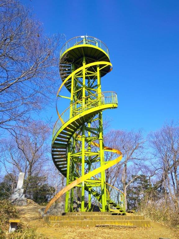
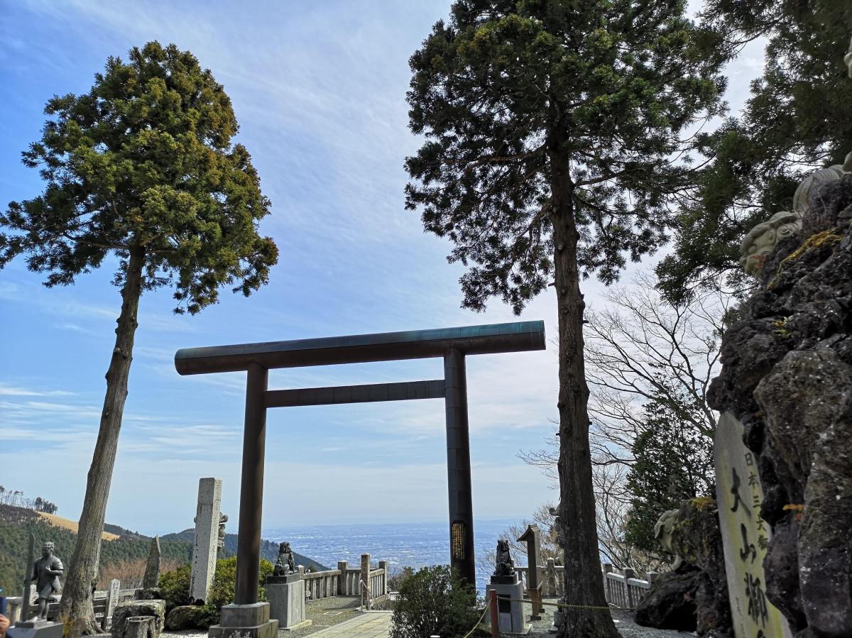
I was delighted to get a view so soon, even only of a flat urbanscape. After quickly checking out the shrine, I continued on my way, and soon arrived at Konpirasha (金毘羅社), another Shinto shrine, this one with a photogenic red “torii” or “Shinto gate”. It was completely in the forest, but a little further along the trail, I came upon the equally photogenic yellow konpirasan Observation Tower (金比羅山展望台 also known as the Mt Tobio Observation Tower).

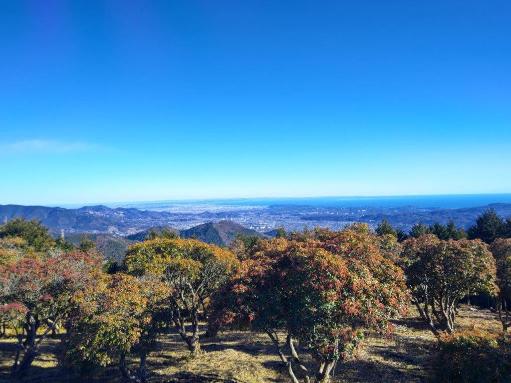
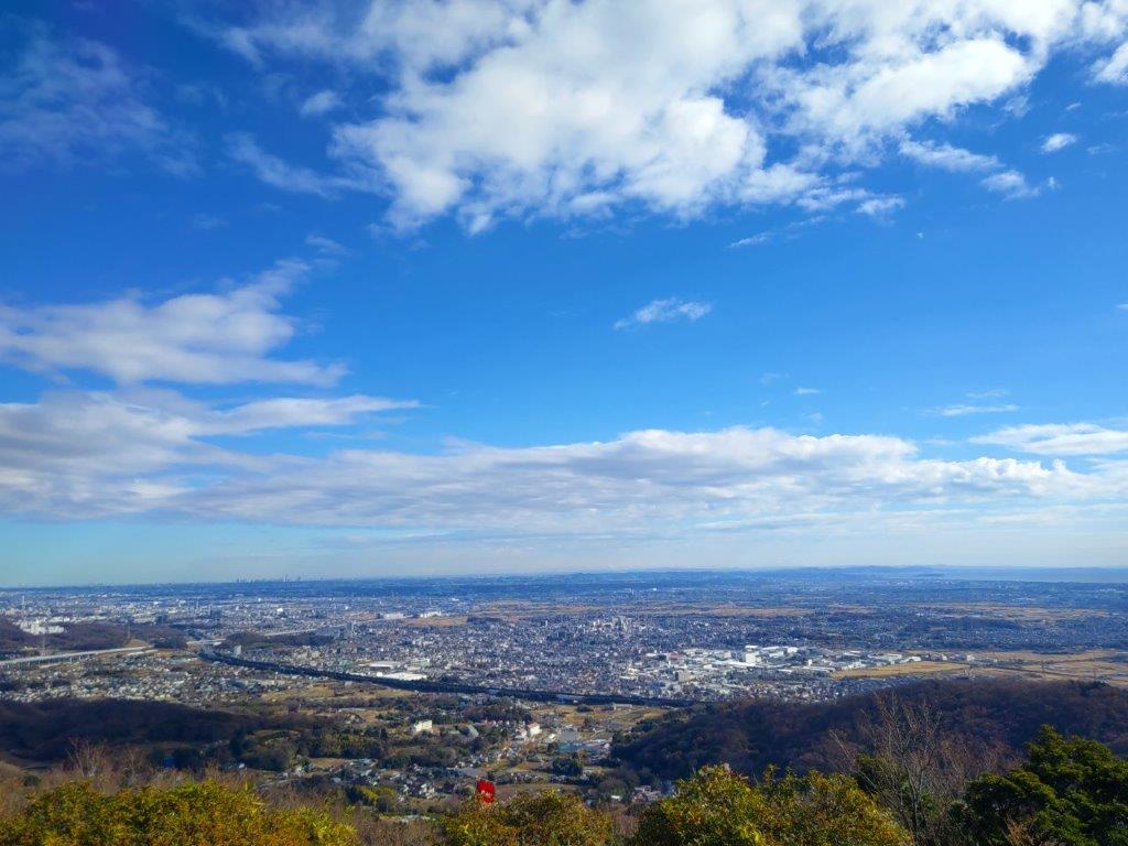
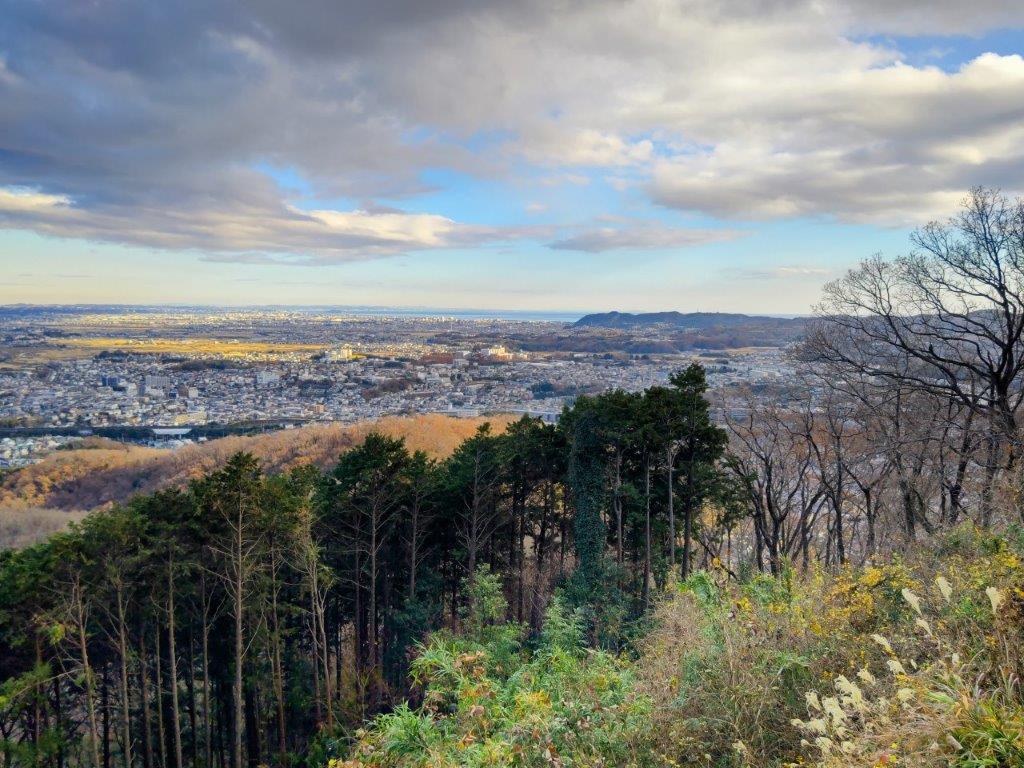
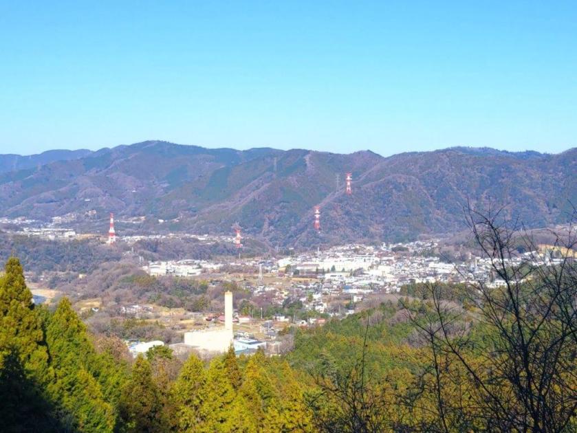
View Southeast of Kanagawa from the Observation Tower

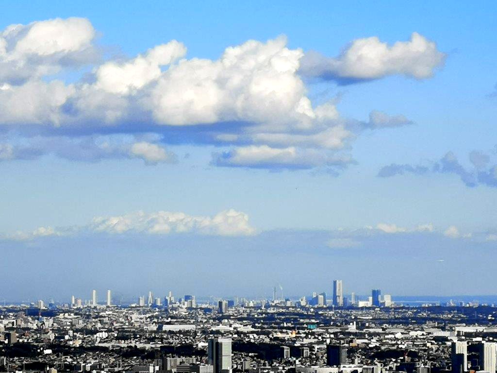
View Northeast of Tokyo from the Observation Tower
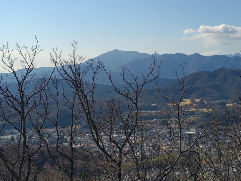
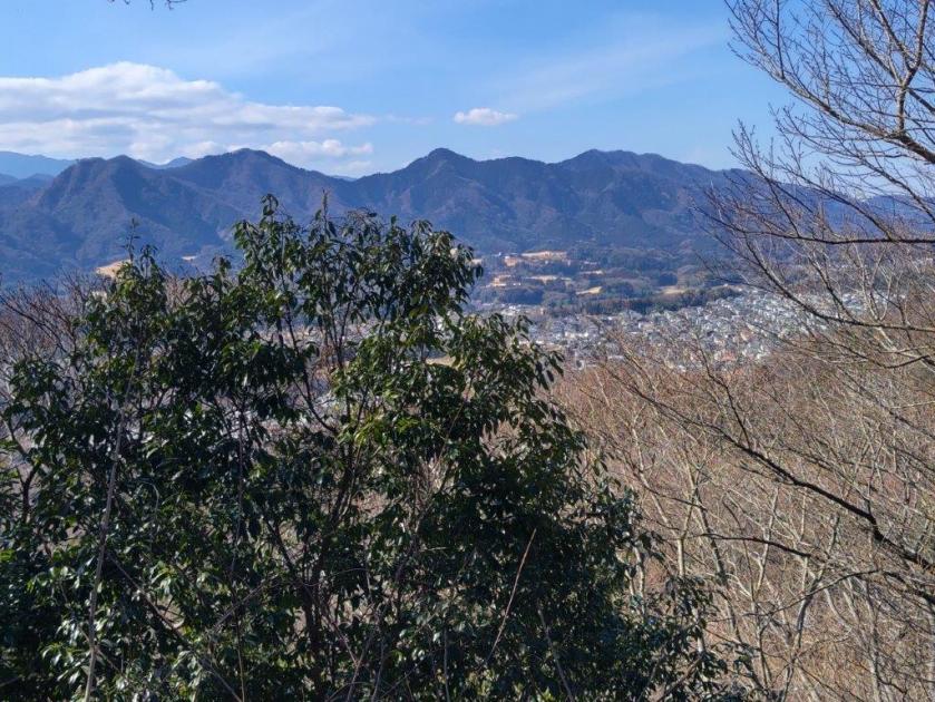
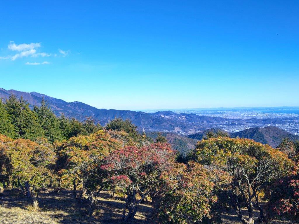
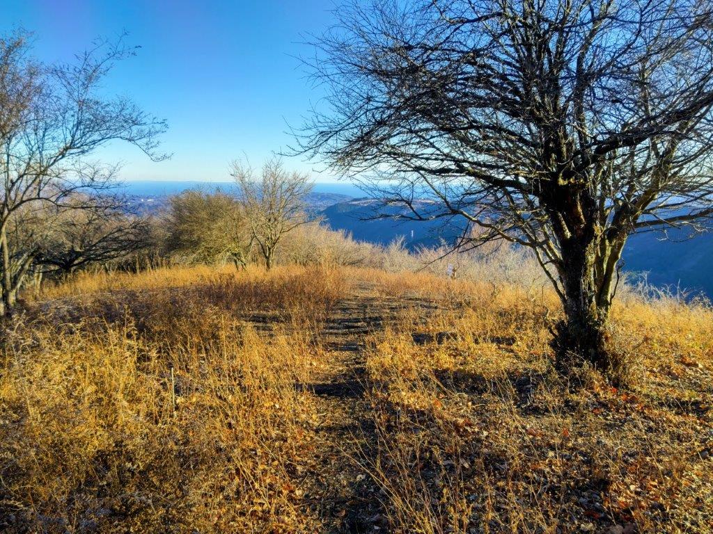
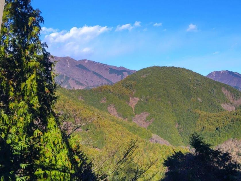
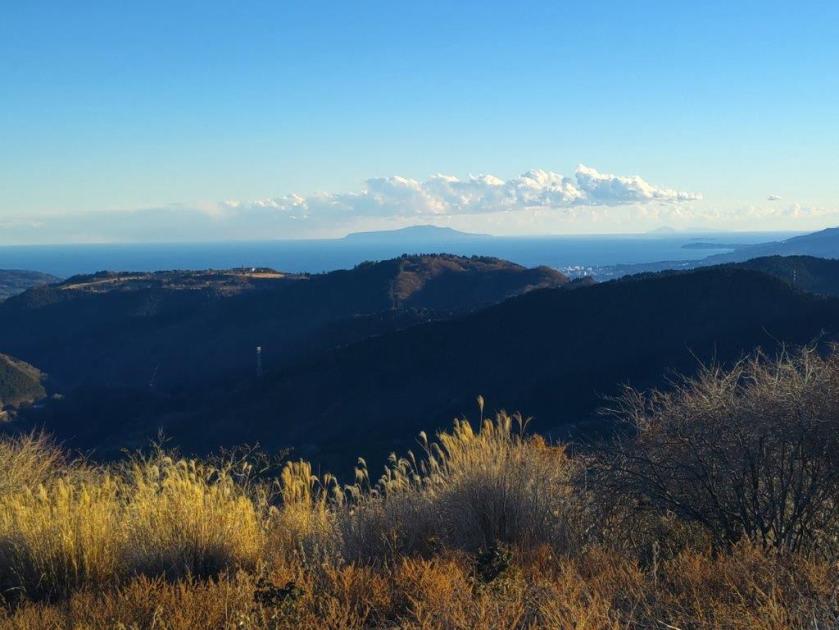
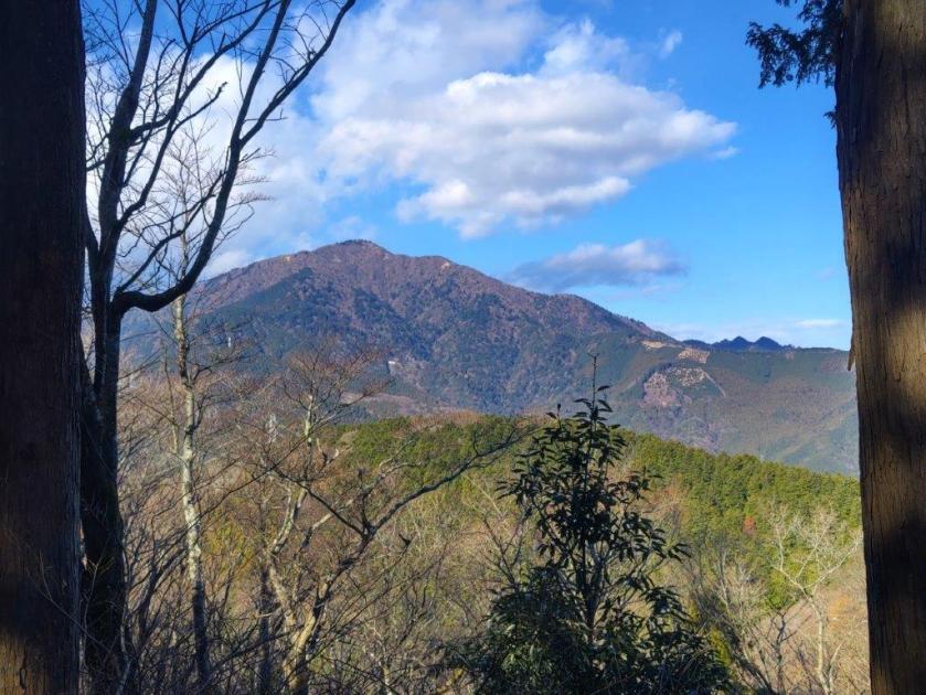
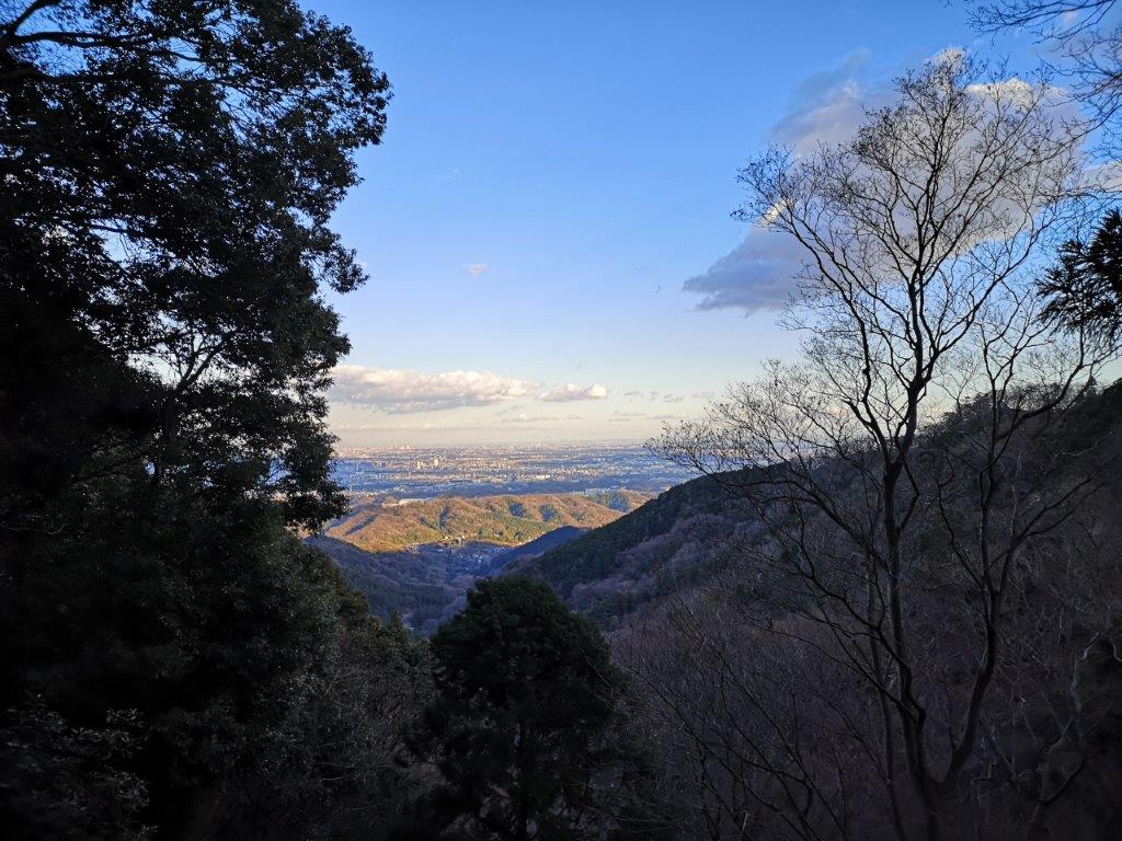
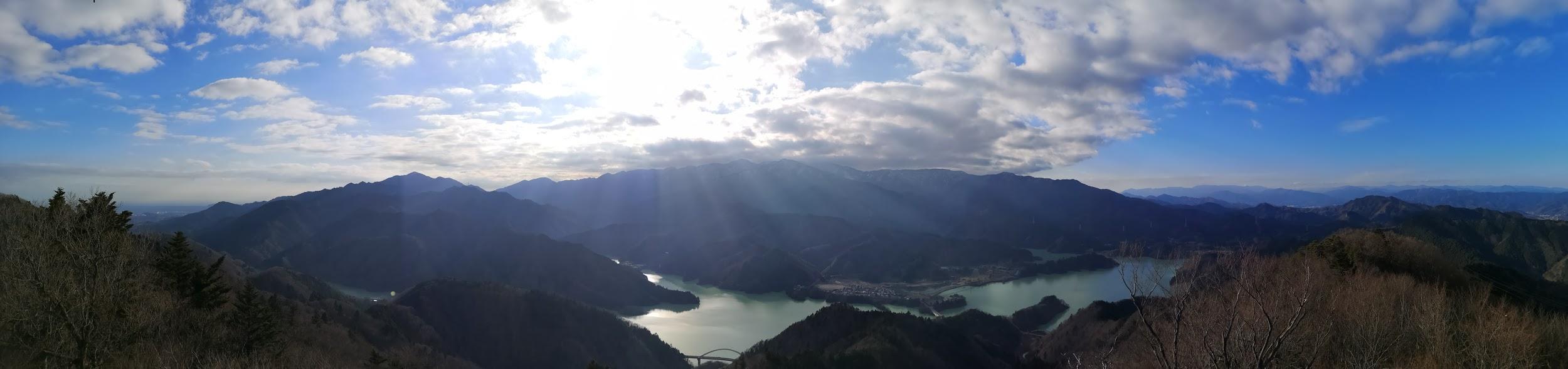
It was one of the tallest observation towers I’d ever been up; unfortunately, bare branches still reached high enough to partly interfere with the view of the Tanzawa mountains on the western side; I could still make out the triangular summit of Mt Oyama, as well as Mt Kyogatake, Mt Bukka and Mt Takatori; on the eastern side was the flat Kanto plain, Tokyo’s skyscrapers lost in the haze. Looking south, I could see the elevated plateau stretching from Shonan Daira to Hadano city. To the north, I could observe the entire length of the hills I’d be hiking today.

View of Western Tanzawa from the Observation Tower

Mt Oyama from the Observation Tower
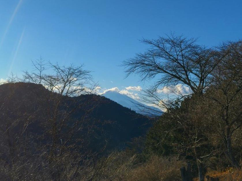
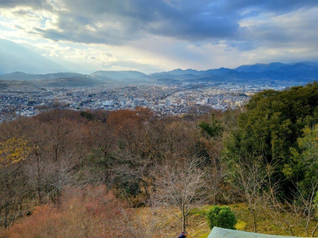
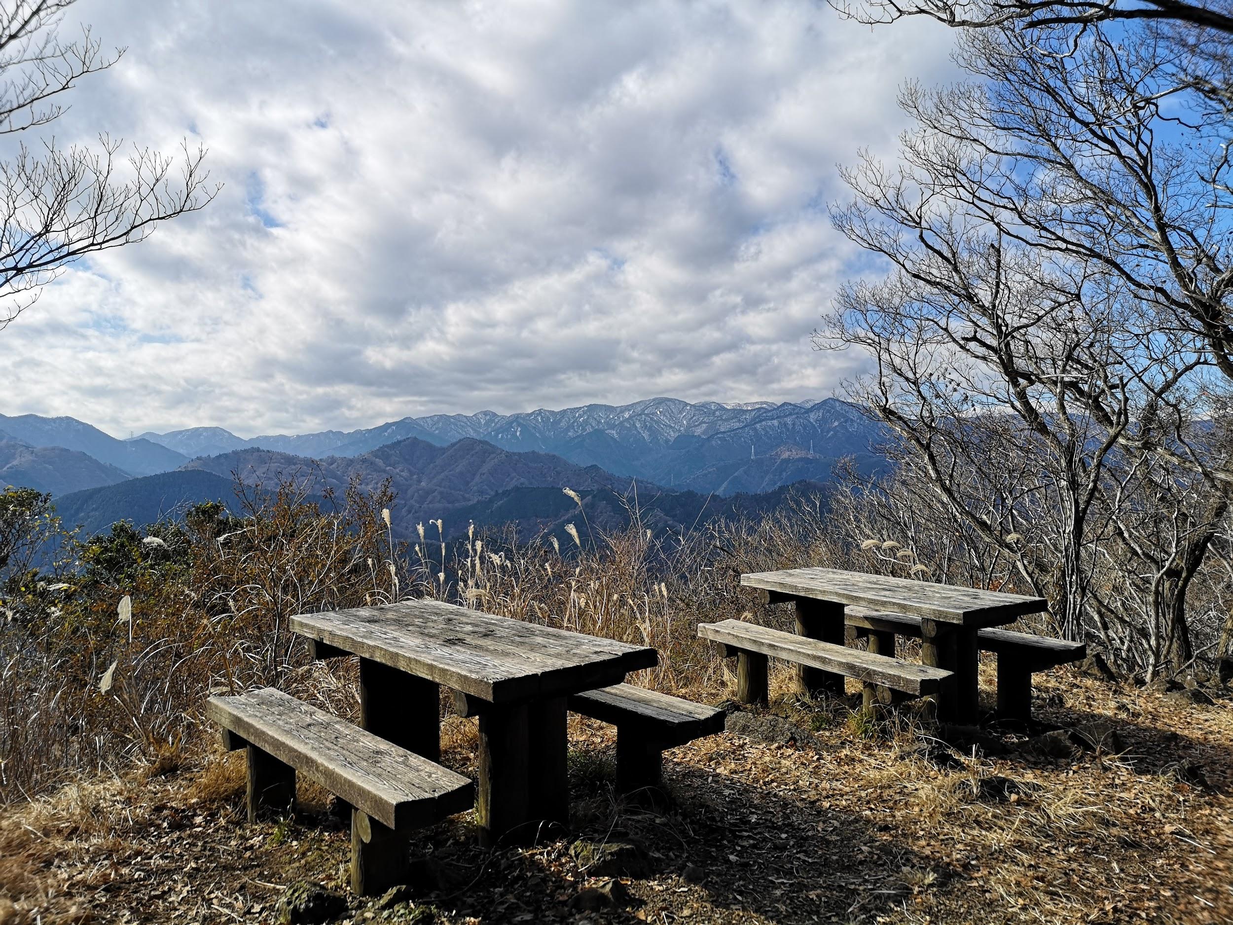
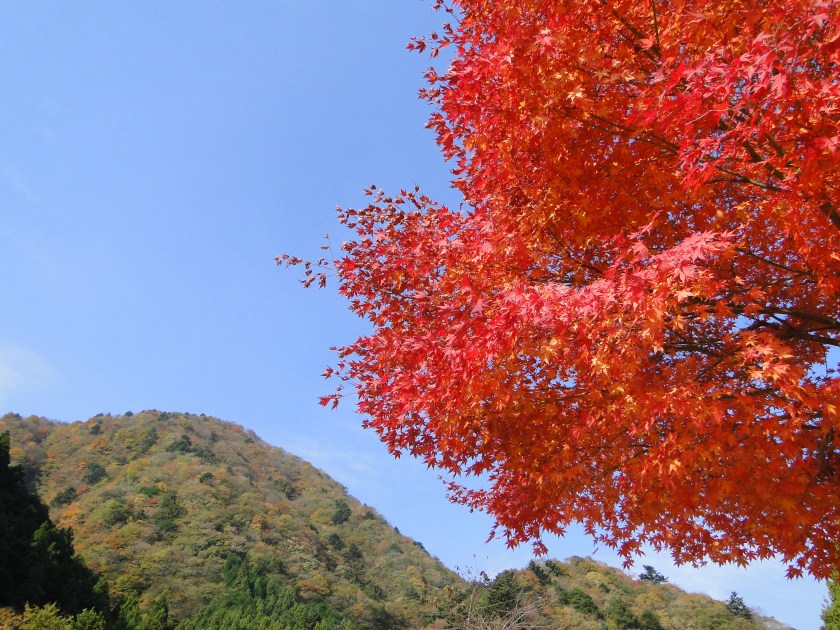
This was probably the best view of the day, and once satisfied, I headed down the stairs to continue my hike. The trail first went downhill, then became level near a rock mining area, before climbing steeply. Before I could break a sweat, I found myself at the top of Mt Tobio (鳶尾山 とびおさん tobio-san), known for its cherry blossoms trees, although in this season the branches were still bare. I had a view once again of the Kanto plain; northwards were the Okutama mountains, the distinctive shape of Mt Odake clearly visible in the far distance. Since it was just past 1pm, I sat on a sunny bench for lunch with a view. Once done, I set off again.
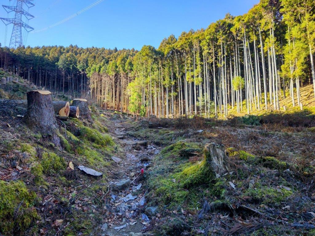
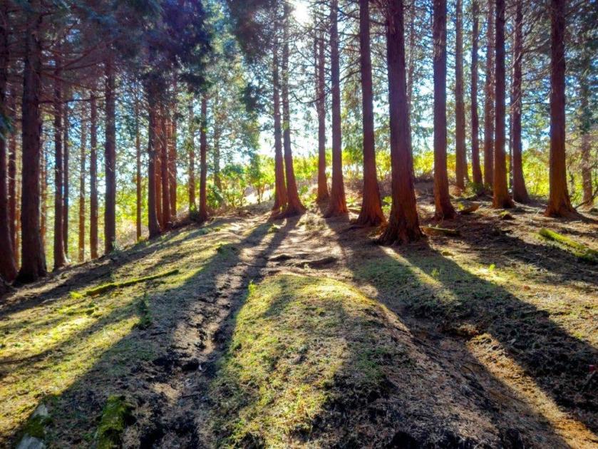
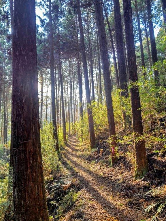
Trail past the Observation Tower

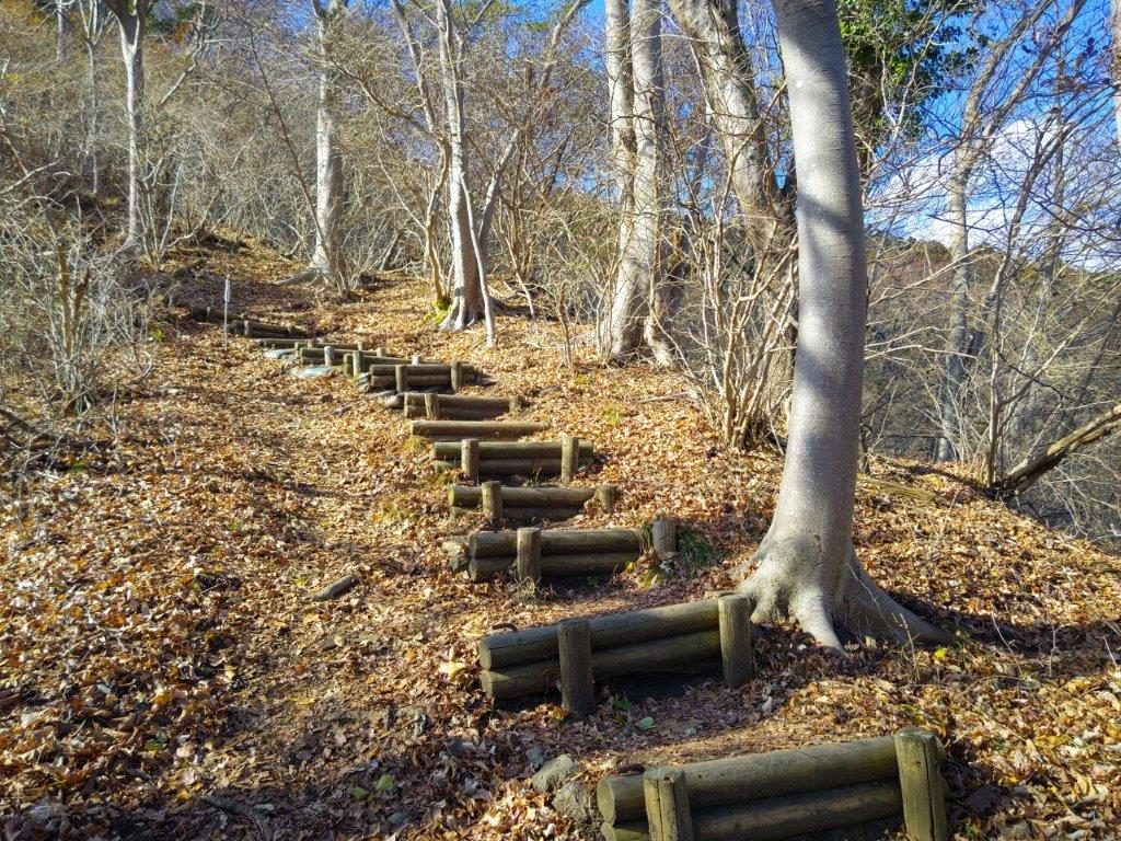
Level Section before Mt Tobio
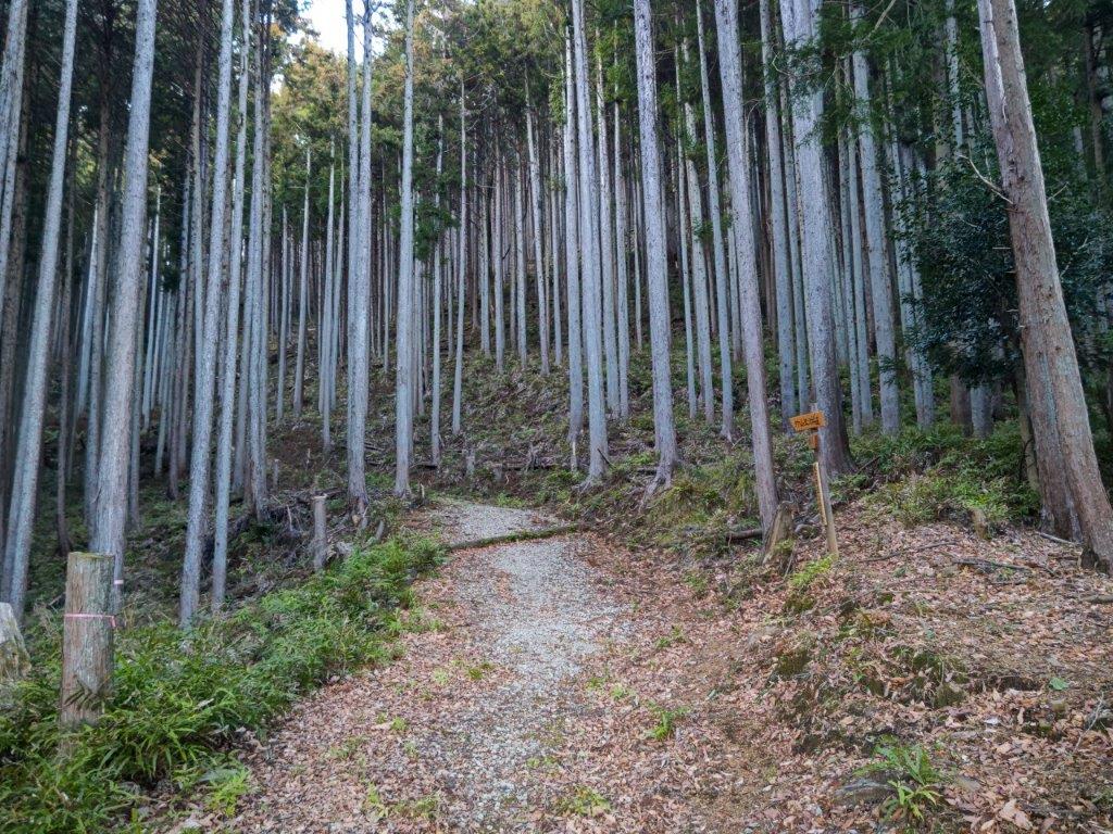
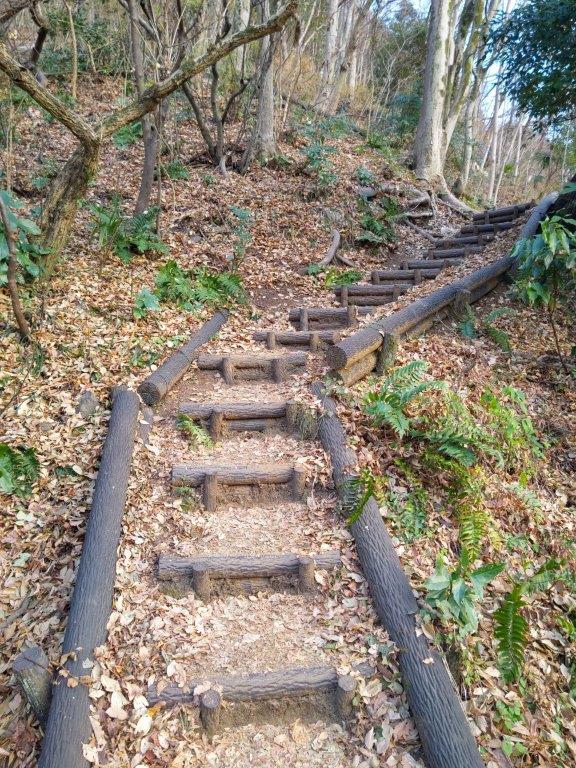
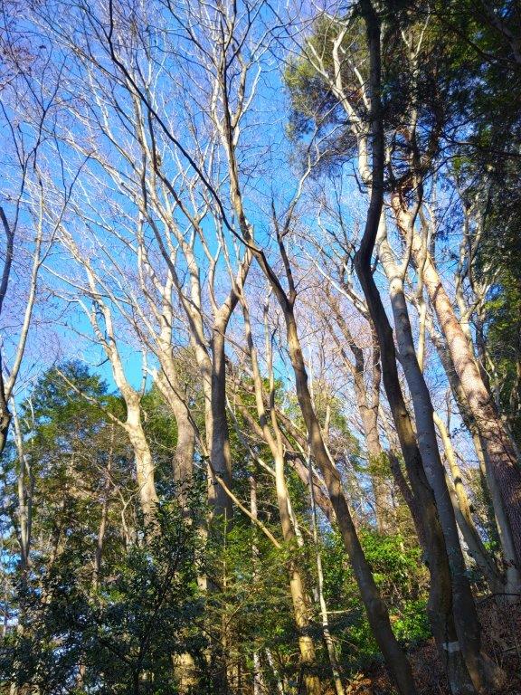
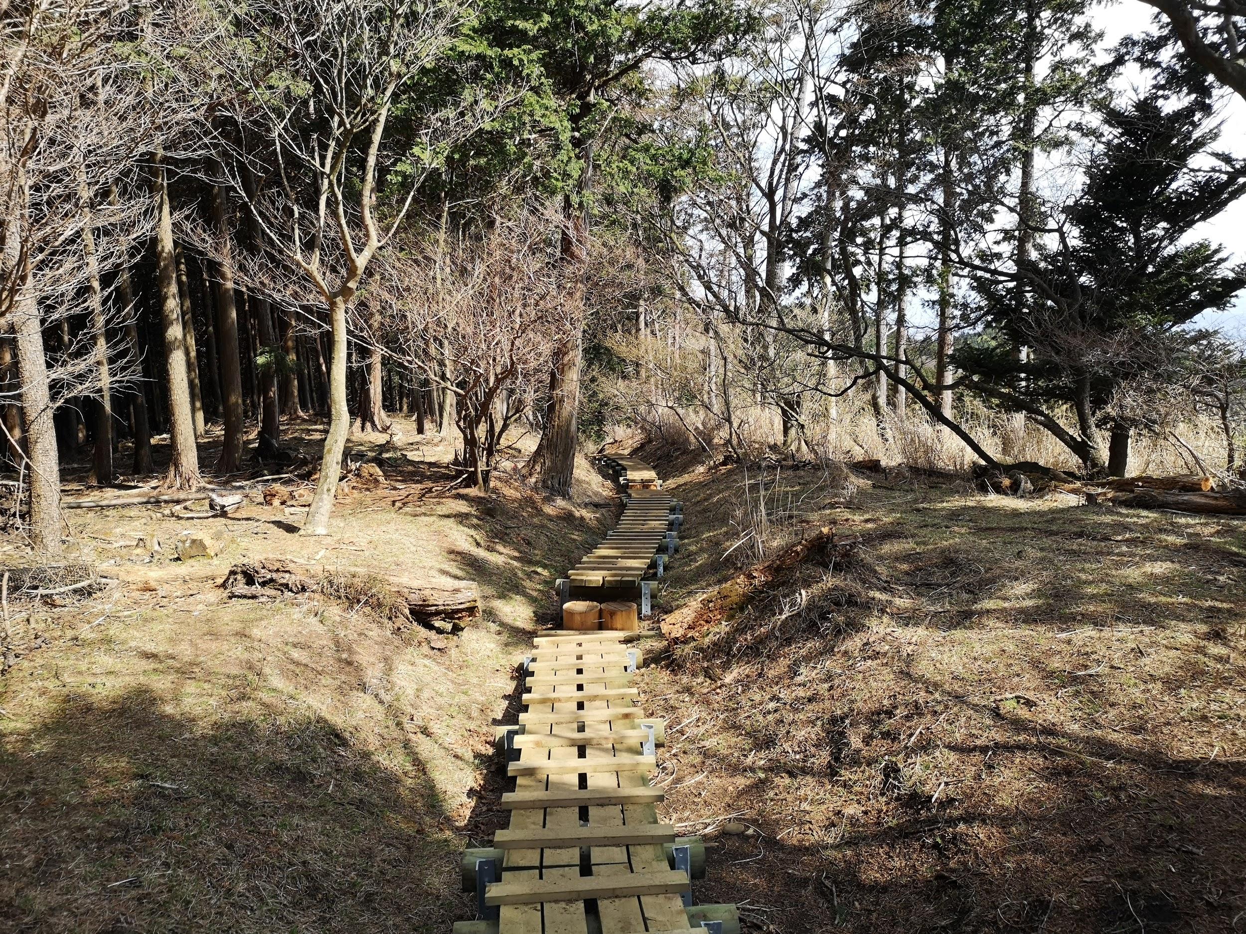
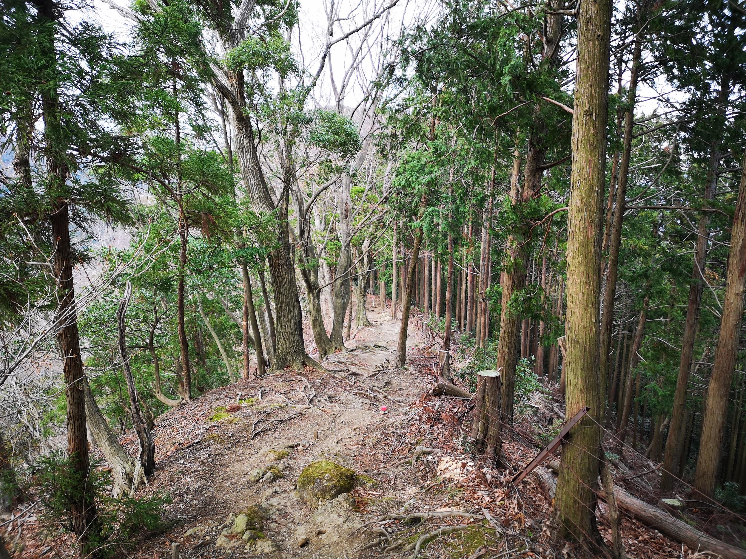
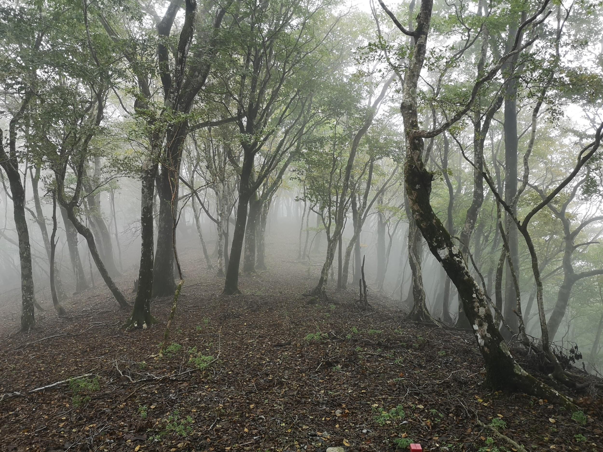
I followed a level trail surrounded by mixed forest, the most pleasant part of the hike so far, hiding the nearby city for a short while. I eventually reached a paved road at Yanami Pass (やなみ峠), the end of the Mt Tobio Hiking Trail. Here, I turned right onto the road as it descended gently through the forest. Just past a small creek at a bend, I spotted a series of log steps heading steeply up the mountain side. Clouds had covered the entire sky at an astonishing speed bringing a chill to what had been so far a pleasant winter day. I quickly made my way up the steps to warm my chilled body.
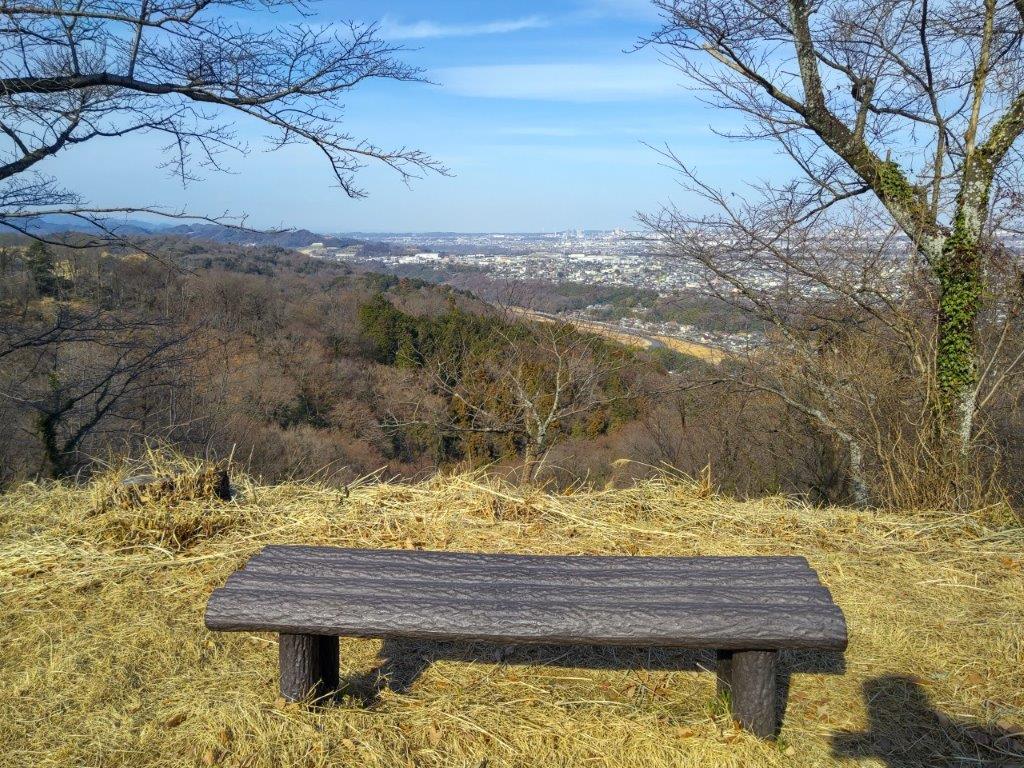
Bench at the Top of Mt Tobio

View of the City from Mt Tobio
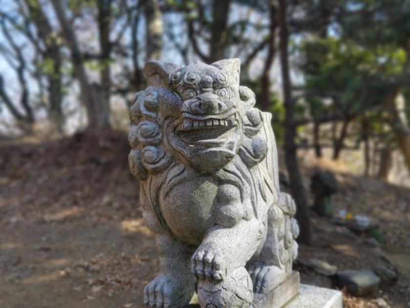
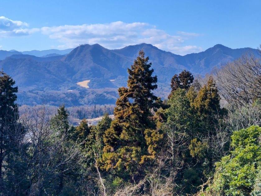
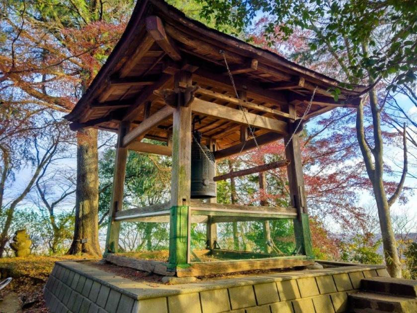
I was glad to be back on a hiking trail, even for a short while. At 2h30, I arrived at the the top of Mt Hasuge (八菅山 200m) and the Mt Hasuge Observation Tower (八菅山展望台), about half the height of the previous one. The view, only on the east side, was also less spectacular, possibly due to the white cloud cover and lower elevation. After checking out the nearby Hasuge Shrine (八菅神社), I continued northwards, now on a wide, level dirt track, trees on both sides. After a while, I reached a fence on the west side, beyond which I could see a golf course, the Nakatsugawa Country Club.
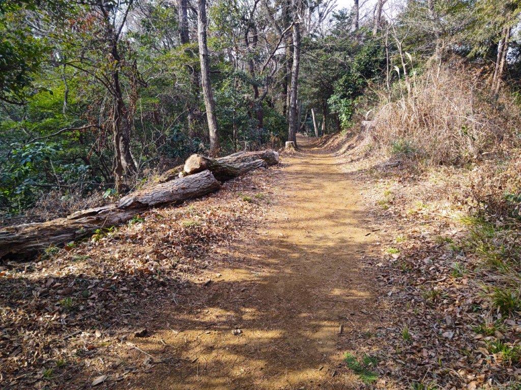
Trail past Mt Tobio

Tanzawa Mountains beyond the Green
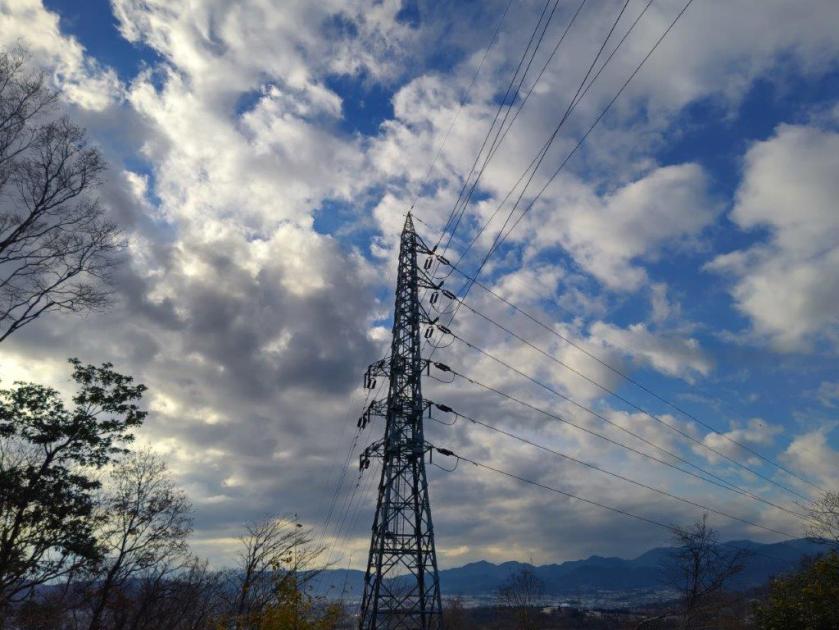
Beyond the green, I could see the dark outline of the Tanzawa mountains under grey clouds. A little further, I reached a road and an electric pylon at the top of the country club. Here, I turned left, descending between the greens, passing the club house and its huge parking lot. At 3h30 I reached the base of the mountain and after a short walk through the countryside, arrived at a bus stop on a busy road. Here and there, I could see the first plum blossoms of the season. A little later, I was on the bus for Atsugi, and at 5pm I boarded the Romance car for the one hour trip back to Tokyo.
Watch a Video of the Mt Tobio Hike
Watch the Video of the Hike on YouTube


See a Slideshow of More Pictures of the Hike


You must be logged in to post a comment.