I had been up Mt Kintoki and Mt Yagura before. Back then, I hadn’t known that a bus went up to the park near the pass between the two mountains. Studying my hiking map, I saw that I could ride this bus there and then walk down to a train station at the bottom of the valley. I was mostly interested in trying out a new bus line and getting some good views, even though I wouldn’t summit any mountains; I would also get to ride the Daiyuzan railway line to get there, a railway I had only taken twice before. Since this hike was on the short side, I could leave later in the day and have a soba lunch beforehand. The weather forecast predicted it would be sunny day with some clouds – not a bad thing on a warm spring day.

Hiking between Hakone and Tanzawa
After a comfortable ride on the Romance Car, I arrived at Odawara station around noon. I switched to the Daiyuzan line and got off at the last stop. After an excellent soba lunch at Hatsu Hana Soba, I caught the last bus of the day for Ashigara Manyo Park (足柄万葉公園). It was an interesting ride up a narrow winding road which also doubles as a hiking path.

An easy start to the hike
At 2h30, I was walking northwards along a flat and easy trail along the ridgeline. On the way, I spotted an interesting moth – I found out later that it was the Japanese version of the American Luna moth. Through a break in the trees, I could see the rounded top of Mt Yagura ahead to the northwest. At 3h30, after a short climb, I reached Yamabushi-Daira (山伏平) in the middle of the forest.

A rare moth in the daytime
There was no view so I continued without a break, heading down the other side of the mountain. Half an hour later, I crossed a small stream. After some descending, I reached a forest road following the mountain side. At 4h30, I arrived at the 21st Century forest (21世紀の森), although nothing about it made me think of the current century.

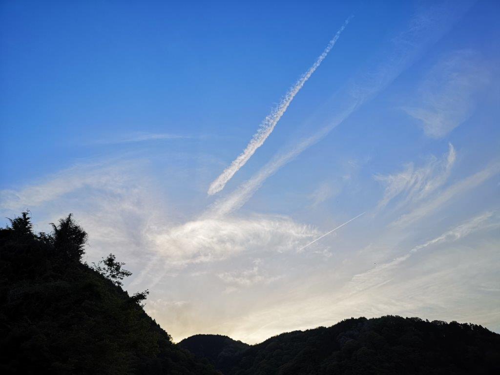
Mt Fuji through the late afternoon haze
A few minutes later, I reached a lookout point; it was rather small and the view wasn’t as great as I had hoped for. Looking west, I could see Mt Fuji, only a dim outline visible in the later afternoon haze. To the north, I could make out the peaks of western Tanzawa just above the treetops. I took a short break before setting off again, on a level gravel road.

Still some way down
Along the way, I had a view of Sagami Bay to the east, soon followed by a view of the Central Tanazawa mountains to the north, this time clear of trees, with the bare top of Mt Ono in the middle. Suddenly, the path swerved to the left and headed down a steep log staircase through the forest. At 5h30, I reached a little traveled forest road in dire need of maintenance.

The Tanzawa mountains
As the road wound round the mountainside, I got a wide view of the valley through which the Gotemba trail line passes, and Yamakita town, my final destination; it was easily the best view of the day. It still looked a long way down so I had to hurry up. I had a brief glimpse of a deer before it bounced away through the trees. I soon arrived at a paved road, which went steeply down via a series of switchbacks.

The Iris Japonica
The road was lined with Iris flowers (シャガ shaga) in full bloom, and it was a very peaceful walk at the end of the day. At 6pm, I arrived at the entrance for the Shasui falls (洒水の滝) and the end of the hiking path. I had been to the falls before, so I continued through the town, reaching Yamakita station at 6h30, just before dark. It was a short train ride to Matsuda station, where I changed to the Fujisan Limited Express (part of the Romance Car series) for the one hour ride back to Shinjuku.