After visiting Mt Sakura the previous year, I really wanted to do another hike in the same area. I knew there were two more short trails to the north, making them suitable for the winter. However, looking online, there seemed to have few views, and I thought it would be nicer to visit during the new green of spring. I chose the better maintained Ontake trail, over the more adventurous Kamatori trail. By starting with Mt Koo, a separate peak connected by a short walk on the road, I could extend the hike to 3 hours. These trails weren’t shown on my hiking map and weren’t mentioned in my hiking guides, so I had to rely exclusively on information found online. Getting to the start of the hiking trail would require a combination of two local trains and a bus: not the easiest route, but with plenty of time between connections, it seemed problem-free. The weather forecast was “cloudy with sun later on”; although the views were supposed to be scarce, the new green of spring always looks better in the sun, so I was hoping for some sunlight on this hike.

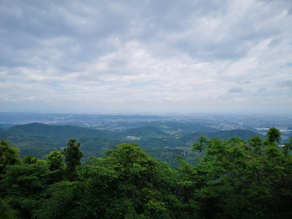
View of the Kanto plain through a break in the mountains

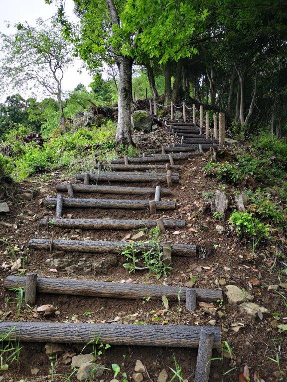
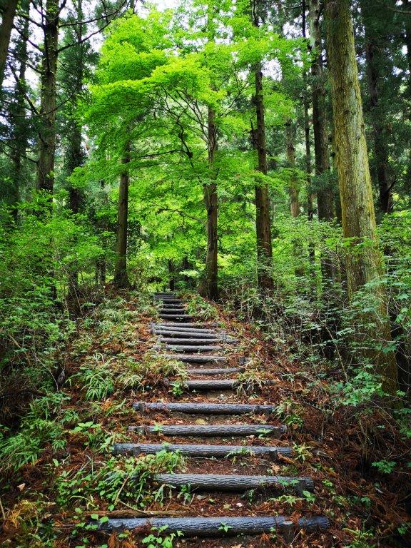
Start of the “2000-step staircase”
The sky was grey and gloomy during the first part of the my trip. However, while switching to the Hachiko line, the clouds parted, and after arriving at Gunma-Fujioka station at 10am, the sun was shining. Instead of a bus, I got on a mini-van, a common form of public transport in this part of Gunma. A little before noon, I got off at the last stop, called “nisen-kaidan-iriguchi” (二千階段入口), meaning entrance to the 2000-step staircase. Looking west, I could make out the foothills of Mt Mikabo, its top half lost in the clouds.
Some of the 2000 steps of Mt Koo
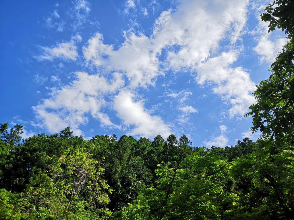
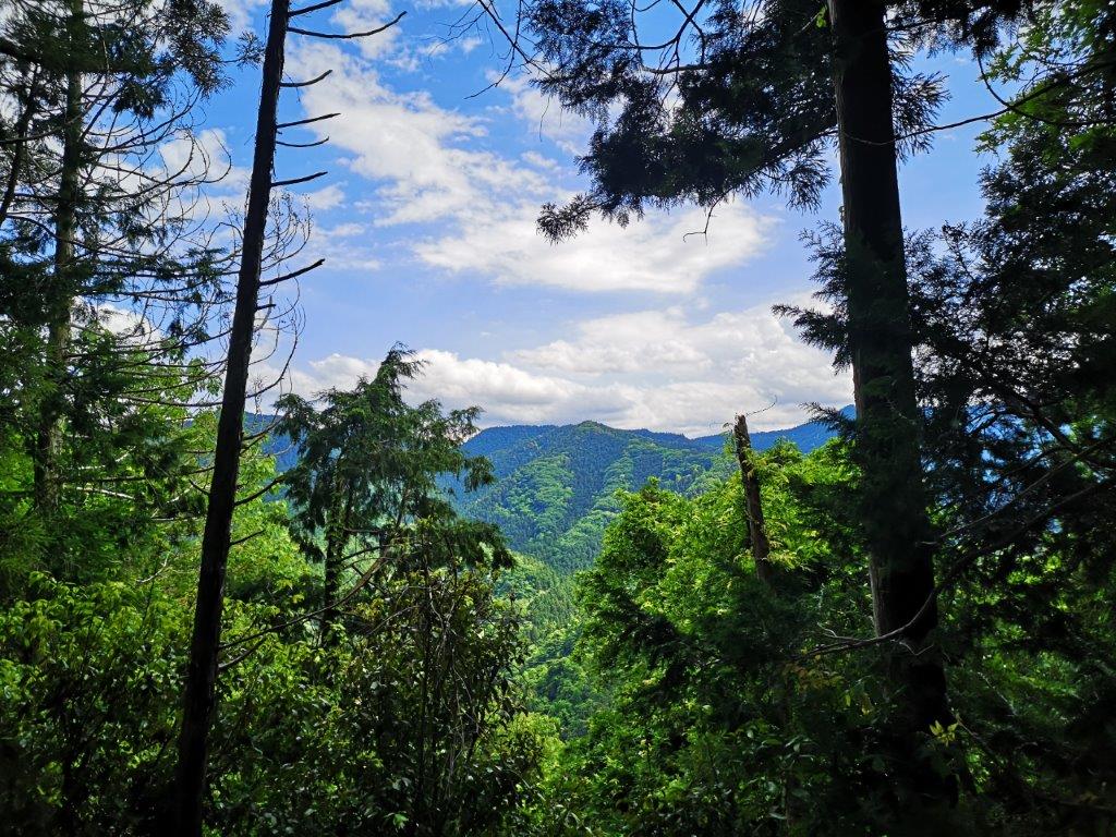
View from the top of Mt Koo
It certainly didn’t feel like 2000 steps: it took me just five minutes to reach the the summit of Mt Koo (子王山 こおうやま meaning small king), completely in the trees. Walking north and down a few meters, I reached an opening in the trees, where I had a view of the Kanto plain with the tall buildings of Takasaki city to the northeast. I should have been able to see Mt Haruna, Mt Akagi and the Nikko mountains, but the weather still wasn’t good enough. I had an early lunch before setting off again.

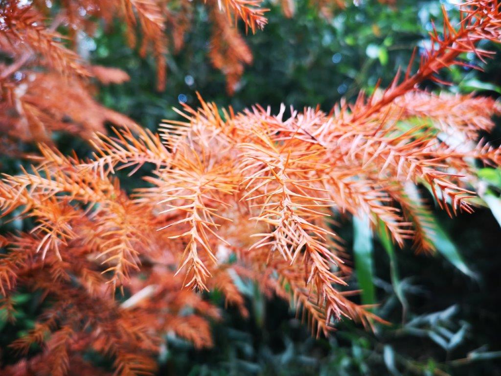
The beautiful spring green of Gunma
Start of the Ontake hiking trail
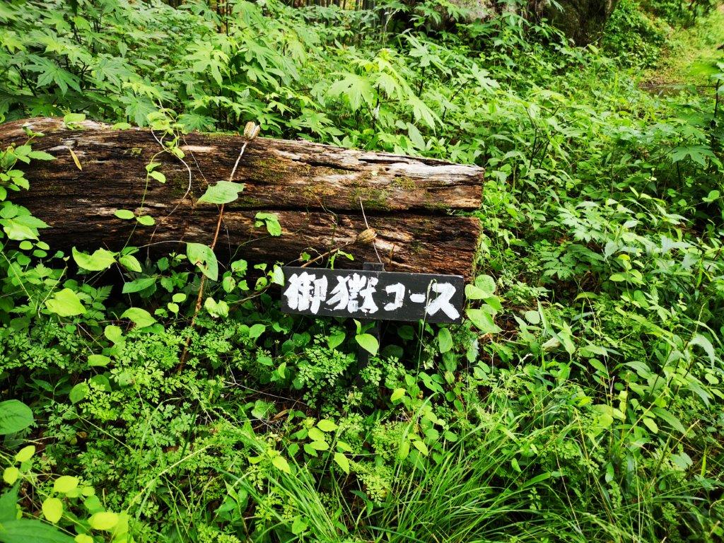
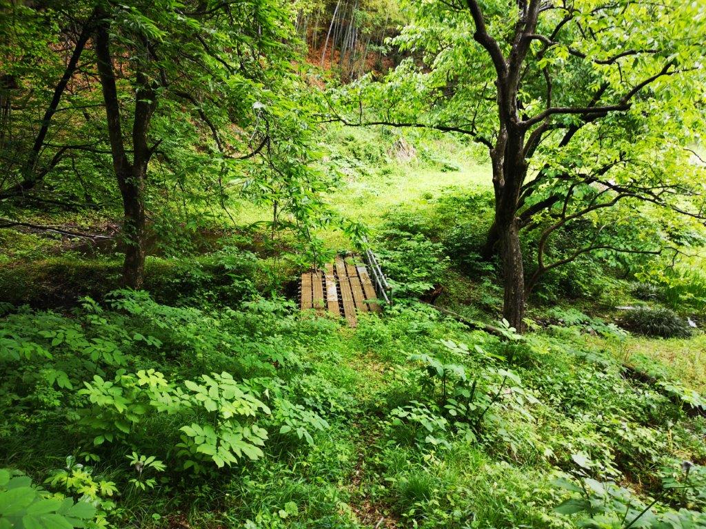
I went down some steeps steps on the other side, and then followed a forest road round the mountainside, arriving back at my starting point 15 minutes later. I walked east along the countryside road till I reached the entrance to the Ontake trail (御嶽コース). The trail descended for a short while, before crossing a metallic bridge and then heading up a ridge. Soon, I was walking along a level path through the forest. At 1h30, I reached the narrow summit of Mt Hinata (日向山 meaning in the sun); oddly enough, despite being surrounded by trees, the summit marker was…in the sun.

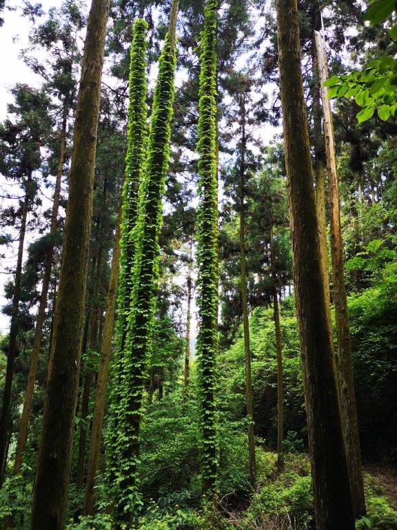
A level section of the trail (left) / An interesting trio of trees (right)
By the afternoon, the good weather had prevailed
The trail continued up and down, with the steeper sections helpfully equipped with rope; half an hour later I was at the top of Mt Ontake-Taka (御嶽高山), once again hemmed in by the trees. Past the summit, the path started to descend and at 2h30, I emerged onto a forest road. At 3pm, I reached the road and the end of the hiking trail. It walked ten minutes to the Takayama-sha Ruins bus stop, next to a world heritage site, where I caught the mini-van back to Gunma-Fujioka station. It took only a few minutes to connect to the Shonan-Shinjuku line, after which it was a 90-minute ride back to central Tokyo.
See the view from the top of Mt Koo and the waters of the Sanmyo River