

I was looking for some more “Kanto no Fureai trails” close to Tokyo. I found a promising section in the Okutama area and decided to combine it with a couple of nearby mountains, forming a zigzag hike, straddling Tokyo and Saitama prefectures. My main concern was whether I would have enough time to complete what seemed like an ambitious hike. The last section followed local trails that weren’t shown on my hiking map, and I was hoping they would be easy to follow. I had been to the area many times before, so I was familiar with the way there and back. The weather forecast was good, and I was looking forward to my first multi-prefecture hike in a while.
Hiking in the Chichibu-Tama-Kai National Park
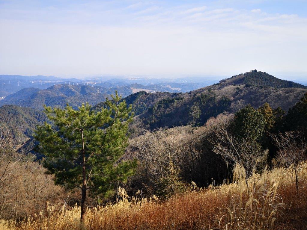
Looking east towards Tokyo
I arrived at Kawai station at 9h30 on a sunny winter day. I quickly made my way down to the Ome-Kaido road to catch the bus scheduled to arrive in a few minutes. I got off before the other passengers headed for Bonomine, and followed the signs, first through the village, and then along a paved forest road, which later became a dirt road. At 10h30, just when I was starting to think that I would be walking on this road all the way to the top, I spotted the hiking trail leading off to the right and up the mountain side.
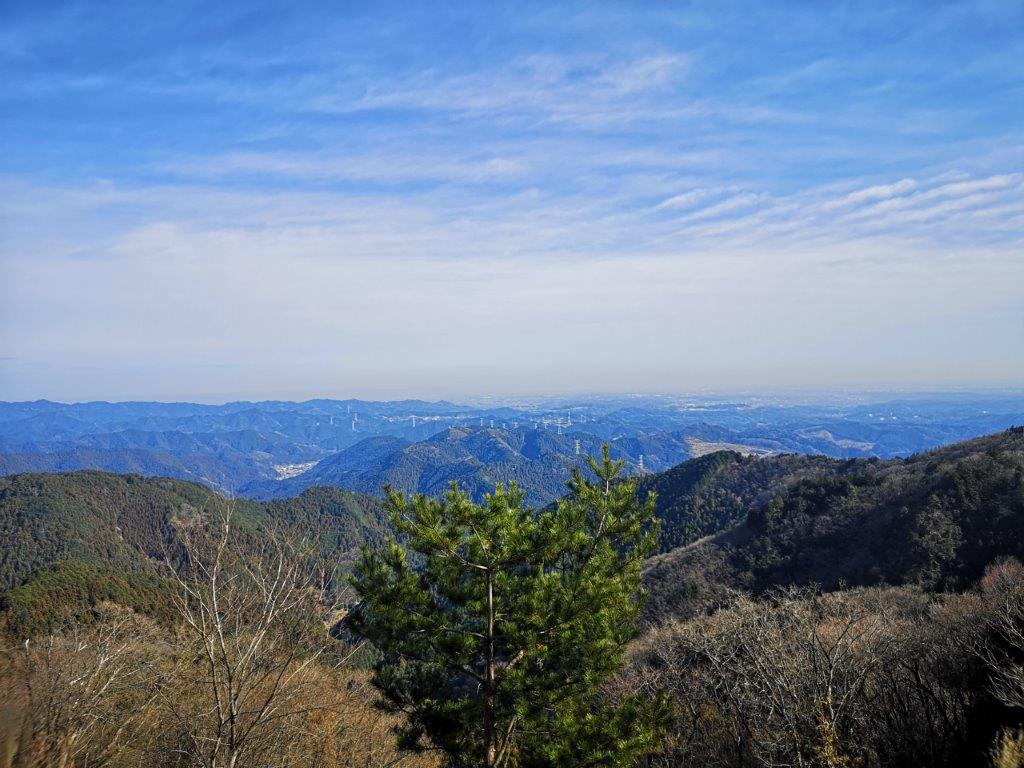
The low, hilly area of Oku-Mukashi
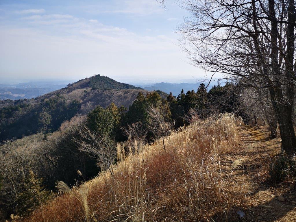
The path to Mt Takamizu
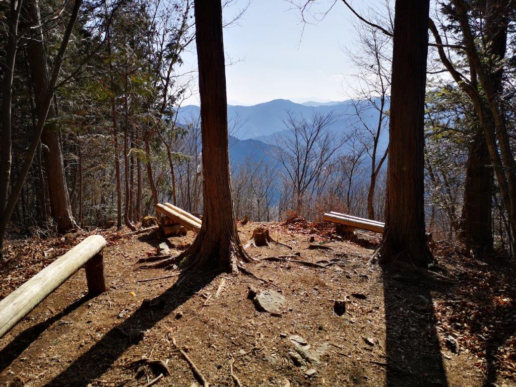
The trail went up a small valley through a gloomy, dark forest. Suddenly, it veered left, leaving the valley and hugging the sunny mountain side. It took me another twenty minutes to reach Nasaka pass (名坂峠). Today’s hike was along the ridge to the left, but, I decided to first do a short round trip to the peak on the right. At 11am, I was standing on the top of Mt Iwatakeishi (岩茸石山 いわたけいしやま iwatakeishi-yama), a Kanto hundred famous mountain I had climbed once before in the spring a few years ago. There were so many people at the top it was hard to find a place to sit down!
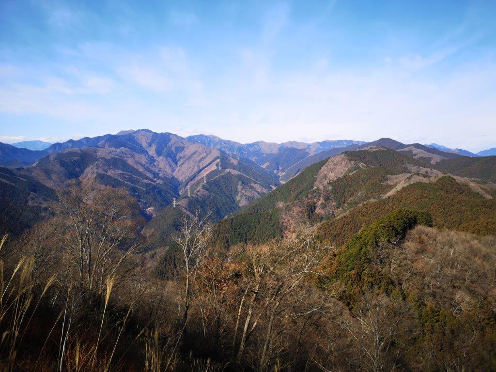
On the left, Mt Kawanori

The ridge leading down from Mt Kuro towards Kosawa pass
The view was a lot better than I remembered. To the east was the summit of Mt Takamizu; looking north, I could see the mountains of Oku-Musashi; eastwards was Mt Kawanori and Mt Honita. I walked south along the summit ridge to another viewpoint, where I could see right through the middle of the Okutama mountains all the way to Daibosatsurei and the long ridge leading away from it to the south. After having a late breakfast, I made my way back to the pass and started the long climb along the ridge, part of the Fureai no Michi, leaving the crowds behind me.

In the back, Daibosatsurei

This is still inside Tokyo Prefecture
There were almost no other hikers along this section and it was very peaceful. It was also quite warm, and felt like March rather than January. After about an hour, I reached a viewpoint above a cliff from where I could see Mt Mitake and its shrine to the south; behind and on the right was Mt Odake; Mt Fuji, further behind, was hidden by the clouds. I reached the lonely but sunny top of Mt Kuro (黒山くろやま kuroyama meaning black mountain). There was no view but there was a bench in the sun so I sat down and had some lunch. I decided to skip Bonomine, which I had climbed several times before, and head down another ridge; it formed a sharp angle with the one I had just come up, like a bent elbow.

Looking towards Mt Mitake
A good place for a break
Here the trail became more difficult to follow; I was no longer following the Fureai no Michi, and the signposts were less frequent. At one point, I passed a group of lumberjacks just as the tree they had been cutting crashed to the ground (I was at a safe distance). Just afterwards, I crossed a forest road where a group of hunters was getting ready. They had a loud barking dog, but fortunately it was locked inside a cage. I started to walk faster to put some distance between myself and the hunt. Suddenly, I was no longer on the path. Using Google Maps, I saw that the ridge curved northwards around this point. I retraced my steps and quickly found the trail again.
The sunny top of Mt Kuro

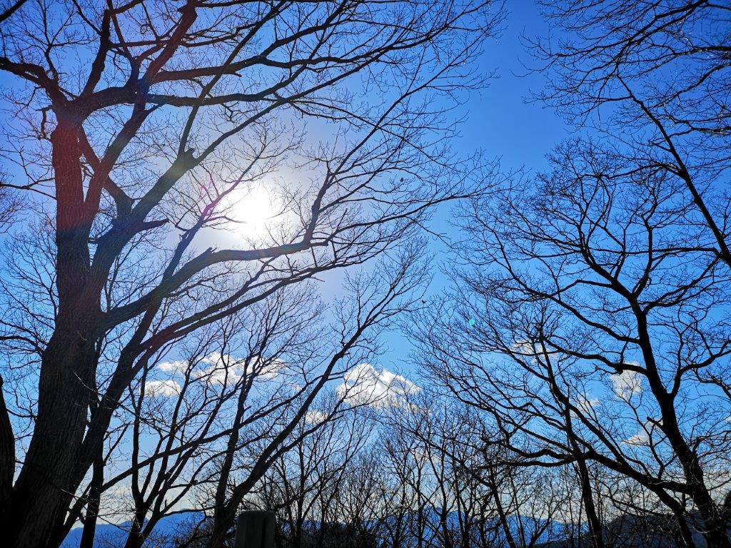
Still sunny through the leafless trees
I could hear the noise of barking getting ever closer. The hunting dog eventually caught up and overtook me. Having seemed quite agressive earlier on, it showed no interest in me. Later on, it passed me again on its way back, having failed to find anything hunt-worthy (see video). On the left side, I had some glimpses of the Iruma valley. Around 2h30, the path started to descend steeply and I saw some towering cedar trees. This section was very beautiful and I was glad it was protected since it was part of the Chichibu-Tama-Kai national park. At 3pm I reached Kosawa Pass (小沢峠). It was later than I had planned and I needed to quicken the pace if I wanted to be able to climb today’s last mountain before dark.


Mostly hiking through forest at lower altitude

Approaching the last mountain of the day
The sun was already low on the horizon and I had to be careful not to miss the frequent twists and turns of the trail through the dark forest. It took me one hour and a lot of ups and downs to reach the top of Mt Onita (大仁田山 おおにたやま oonita-yama). There was a small gap through the trees on the east side through which I could see the flat Kanto plain. For some reason, one side of the summit sign was in English. I took a short break before heading down as fast as I could. It took me 20 minutes to reach the road and the bus stop. At 5h30 I was at Hanno station where I got the Limited Express train for Tokyo, relieved that I had managed to complete this long hike before sunset.
Check out the views from the top of Mt Iwatakeishi

