I first noticed this mountain from the top of Mt Ontake two years ago. It wasn’t in my guidebook, but looking at the comments on Google Maps, it seemed to have a great summit view. Searching some more online, I discovered a circular hiking trail just behind it, going up and down a series of small hills and thus deserving the “Alps” designation. It seemed possible to combine these two trails, although I wasn’t sure how long the final hike would be. To save time, I would take a taxi from the station to the start of the trail and walk on the way back. Blue skies were forecast for the next day, and I hoped I would be able to see the mountains of Nikko to the north. The temperatures were still cool for the season, and it was a good thing that the elevation of the hike was relatively low. I was looking forward to visiting Ibaraki again and doing another “Alps” hike in the Tokyo area.
Get a map of the Mt Tomiya & Ogodo Alps hike
This map was developed for Japanwilds with the Hokkaido Cartographer
Find more Japan hiking maps on Avenza

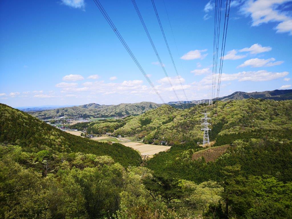
View south from the Tomiya-san Fureai Park

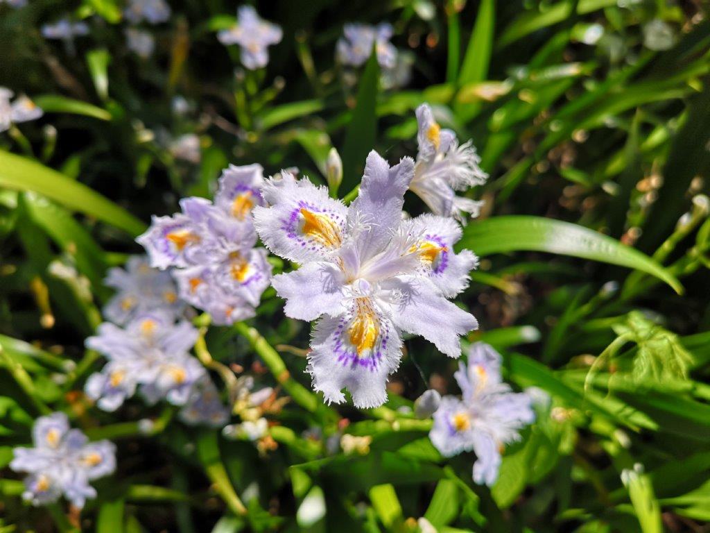
Western branch of the Ogodo Alps
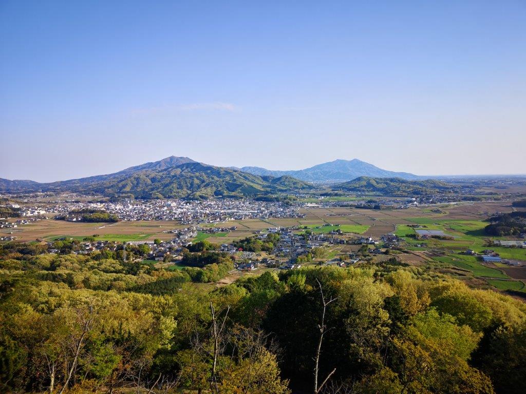
I arrived at Iwase station at 9am under a cloudless sky. I had the taxi drop me off in Tomiyasan Fureai Park (富谷山ふれあい公園) at a parking lot surrounded by double-flowered cherry trees (八重桜 “yaezakura“) in full bloom. Once ready, I visited the nearby Tomiya-Kannon, a mountain temple with an impressive three-story pagoda. I then walked for a few minutes to an observation tower at the top of the park, from where I had a fantastic view of the low mountains south of the Mito line. Directly opposite, I could see Mt Ontake, Mt Amabiki, Mt Kaba and Mt Ashio; behind them was Mt Tsukuba, a hundred-famous mountain and the highest peak in the area; on its left was Mt Wagakuni. after a late breakfast, I finally started my hike at 10am.

The 3-story pagoda of Tomiya-Kannon
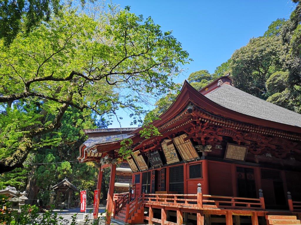
The main building of Tomiya-Kannon
The start of the trail was hard to follow and I felt relieved when I saw the first signpost. After a few minutes, I left the forest and reached a dirt road from where I had my first good view of the summit. At 11h30, I was standing near the top of Mt Tomiya (富谷山 とみやさん tomiyasan). Like Mt Buko in Chichibu, the mountain is used for mining and its shape has been artificially changed. According to a sign, the true summit used to be further along the ridge and about ten meters higher, but had collapsed years ago. The area was like a giant construction site, with rumbling trucks lower down on the southern and western sides; a few meters away, a lone bulldozer was busy shoveling dirt.

Late morning view from the summit of Mt Tomiya

View of Mt Amabiki from the summit of Mt Tomiya
The upside was that I could enjoy a fantastic 360 degree panorama, since only bushes and shrubs remained. The view south was similar to the view from the observatory. The flat, featureless Kanto plain stretched away to the southwest – apparently Mt Fuji can be seen, but not today; I could make out the snowy peaks of Oku-Nikko faraway to the northwest; directly west was Mt Amamaki and Takamine; finally, directing my gaze to the north, I had my first look at the Ogodo Alps (大郷戸アルプス おおごうどアルプス oogoudo arupusu), the rolling light green hills, divided into western and eastern branches. Walking downhill, I reentered the forest and quickly reached the Alps trail junction. I chose to go right, westwards, since it seemed to be hillier, and thus harder, leaving the easier branch for the return.
View from the northern side of the Ogodo Alps

The tiny Sengen Shrine
Despite the low altitude, the trail made me work hard, going up and down a succession of small peaks without views, simply named after their elevations, such as “354m Peak”. The surrounding forest was bursting with new green, and the trail was well maintained and easy to follow thanks to frequent signs, but I was starting to wonder whether I would ever find a good place to sit down for lunch. At 12h3o I finally reached a cleared space around an electric pylon where I could enjoy the view of the Ibaraki hills while munching on a sandwich. A little later, I passed a second pylon, after which the path descended steeply.
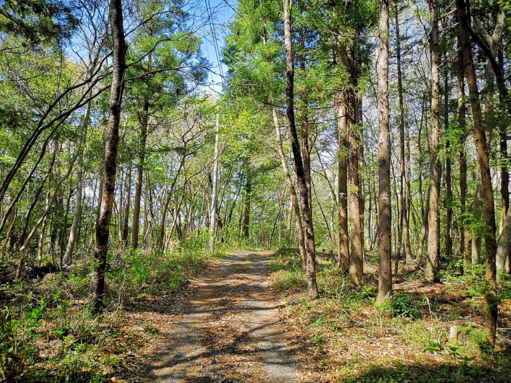
Level walking near the end of the Alps

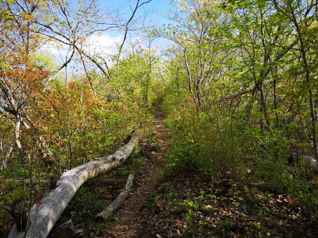
View from the start of the eastern branch of the Ogodo Alps
The path flattened and I arrived at a small park with pink flowering “yaezakura“; at its edge, next to a pine tree, there was the picturesque Sengen Shrine. A few minutes later I reached the flat bottom of the valley. I walked through beautiful countryside, with traditional houses separated by rice fields, and wild flowers growing along the lanes, all encircled by the Ogodo Alps. At 2pm, I reached the start of the trail for the eastern branch. It had just as many ups and down as the western side but more views from the highest points. I passed two more electric pylons, twins of the ones on the other side of the valley. Half an hour later, I arrived at the Ogoto dam viewpoint; looking down, I could spot the light blue pond among the green trees.

Fishing pond formed by Ogoto dam
Hiking through the new green of spring
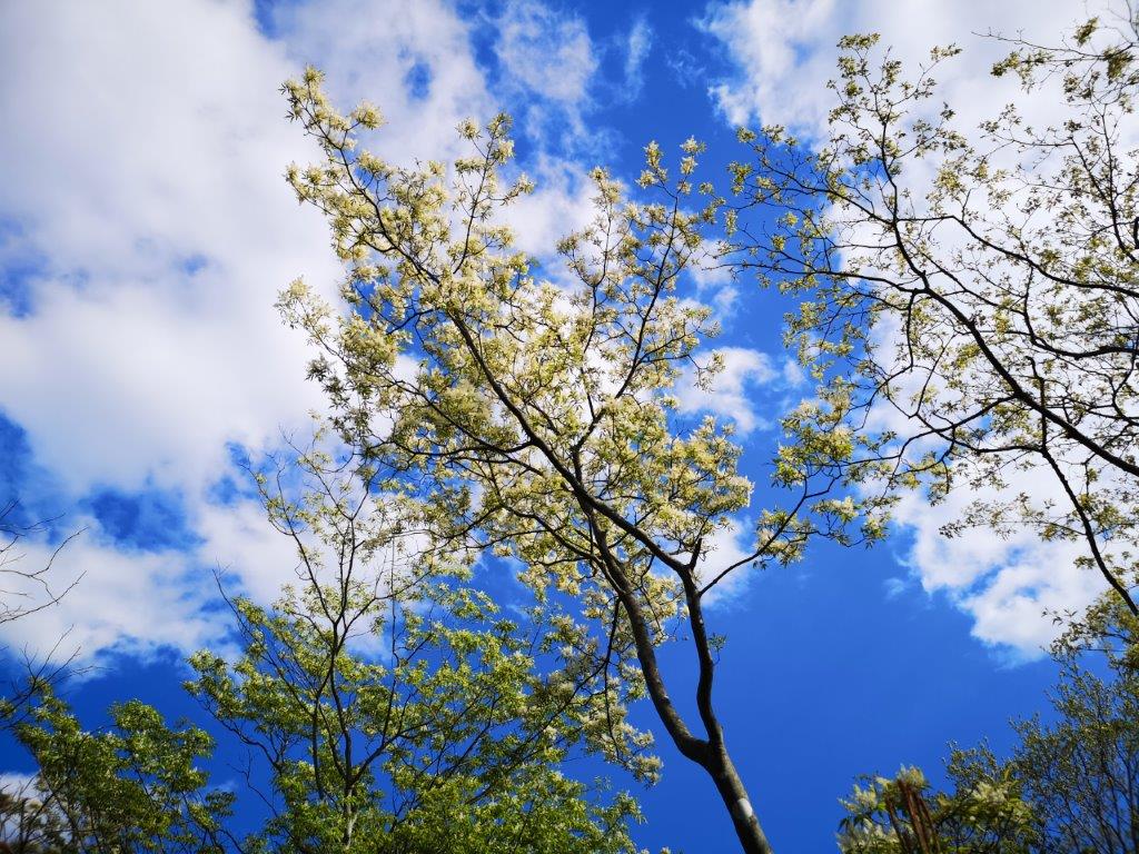
I felt that I was extremely lucky with the weather. It was rare to be able to enjoy the new green in relatively cool conditions, almost as if spring had arrived in the middle of winter. I was now walking through a forest of Chinese flowering ash (アオダモ) in full flower. I then reached a steep but short climb, which brought me to the top of Kaiko-no-Mine (回顧の峰) with a good view of Mt Amabiki and Mt Takamine to the east, and the other half of the Ogodo Alps to the west. The next section was by far the best of the whole hike: a level path through low pine trees with mountains tops popping up above, it actually felt alpine. The trail dipped and reentered the forest, and I was back at the junction with Mt Tomiya.

Hiking through the pines

Afternoon view from the top of Mt Tomiya
At 4pm, I was once again standing on the treeless summit; however, it was completely quiet since the construction trucks had gone home for the day. After appreciating the view again in a different light, I went down the way I had come up in the morning. Near the temple, I found a path that went straight down and I could thus avoid walking on the road. At 5pm, I was at the bottom of the valley and it took me another half hour of road walking to get back to the train station, where I caught the local train for the trip back to Tokyo.
See the views from the Ogodo Alps
Late afternoon view from the observatory