

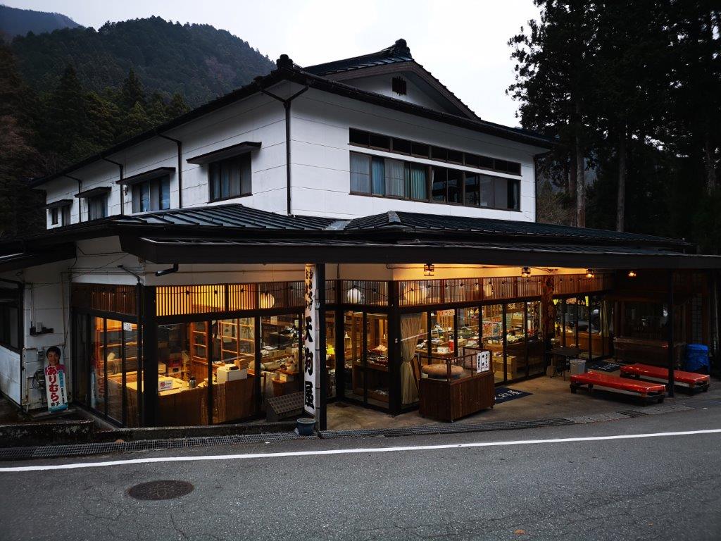
I discovered this spot in Mae-Nikko on a hike in December 2018, and since then, had wanted to visit again, but in a different season. However, as it took 4 hours of uphill walking to reach from the closest bus stop at Furumine Shrine, this time I decided to go by car; I could park at the Mae-Nikko Highland lodge, just a short distance from the trail entrance. As the loop of the marsh was relatively short, I also decided to combine it with lunch at a famous soba restaurant in the area. I would take the Utsunomiya line to Oyama station, and there change to the Ryoma line for the short ride to Tochigi station, where I would switch to a share car. It was supposed to be a sunny and warm spring day, and so I was looking forward to an easy, relaxing hike in a secluded area deep in the mountains of Tochigi.
View this Blog Post on Hiking Around Tokyo
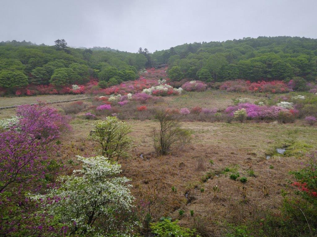
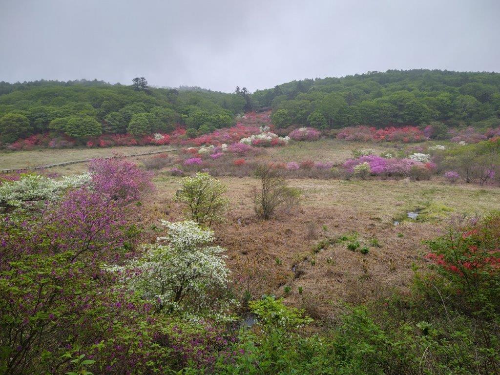
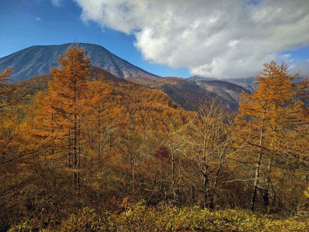
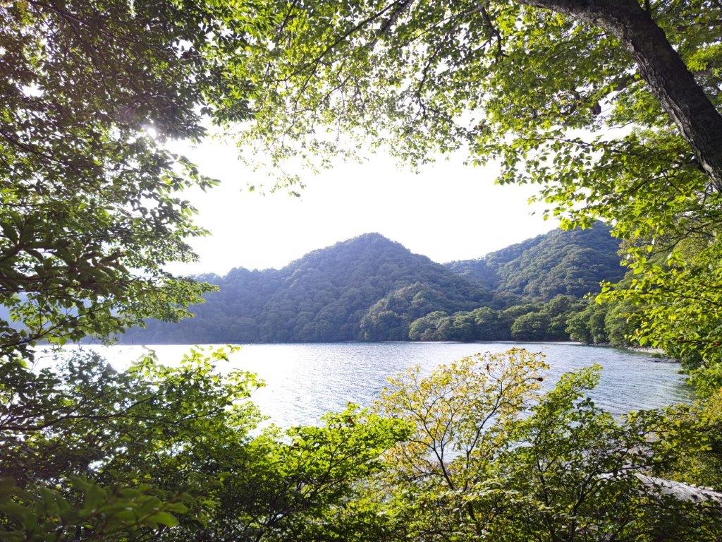
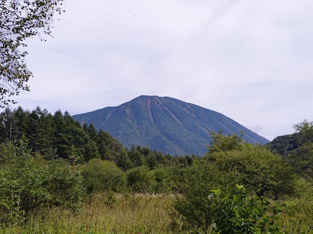
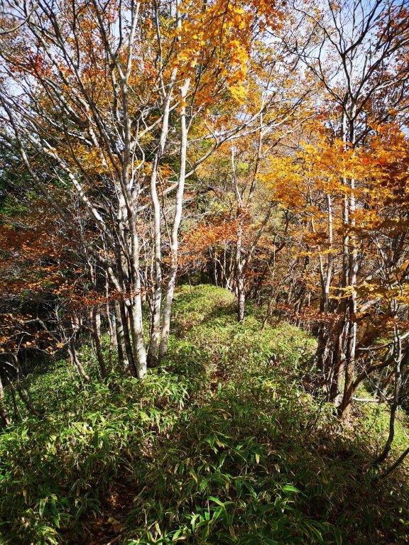
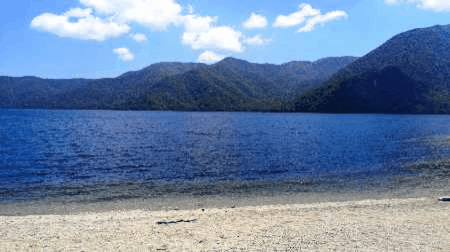
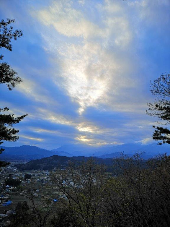
View of Ido Marsh from the South Side

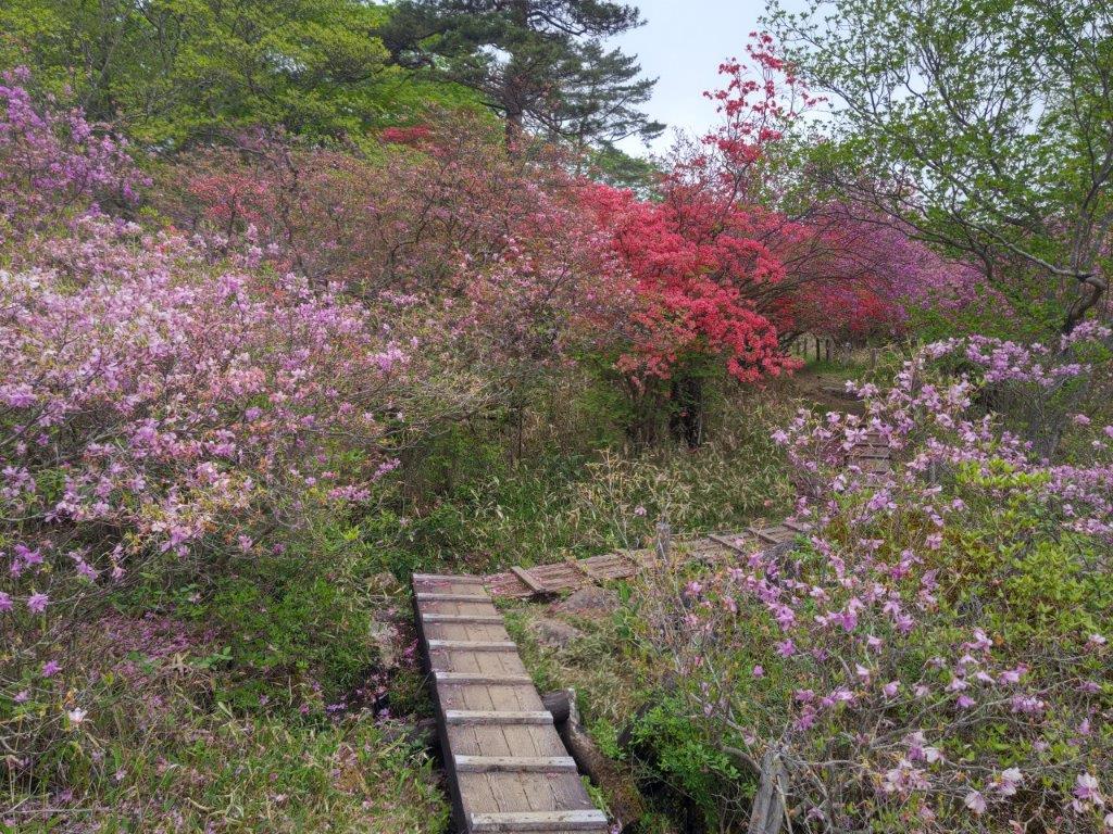
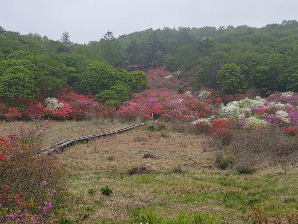
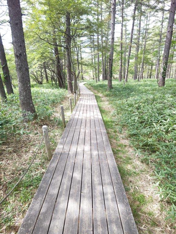
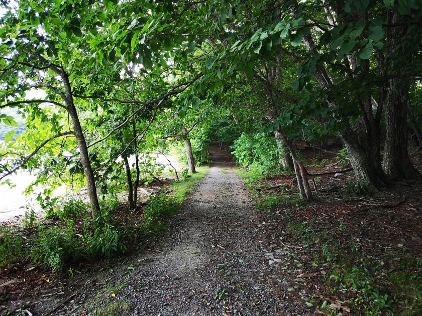
Walkway Through the Marsh
I drove for about an hour under grey skies, reaching Kamiyama, a soba restaurant situated at the end of a valley, far from any populated areas. Despite its remote location, a line of people was already waiting outside at 11h30; it took nearly an hour before I was seated. Fortunately it was worth the wait: I enjoyed some of the best soba I had ever had. At 1pm, I drove back down the valley, and then up a parallel one towards Kasuo Pass (粕尾峠), hoping that the sun would come out soon.
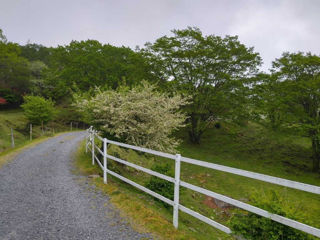
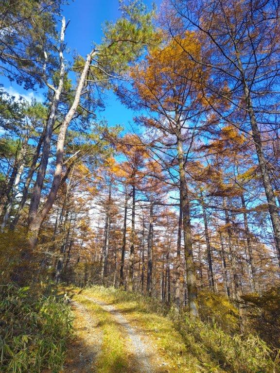
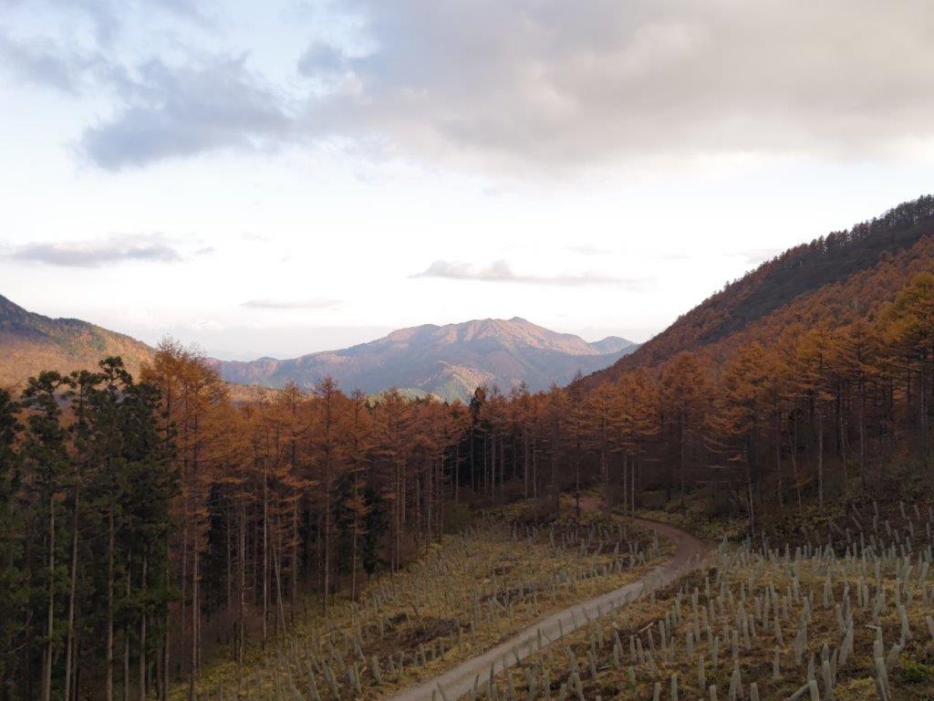
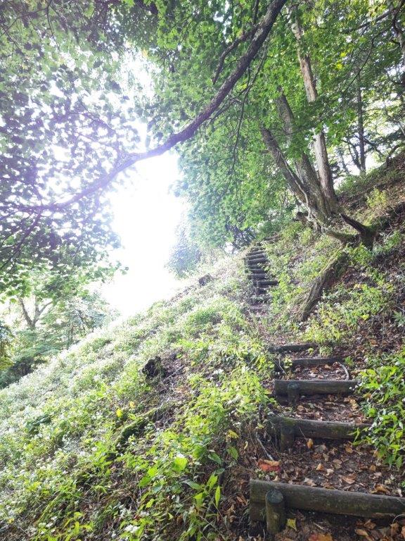
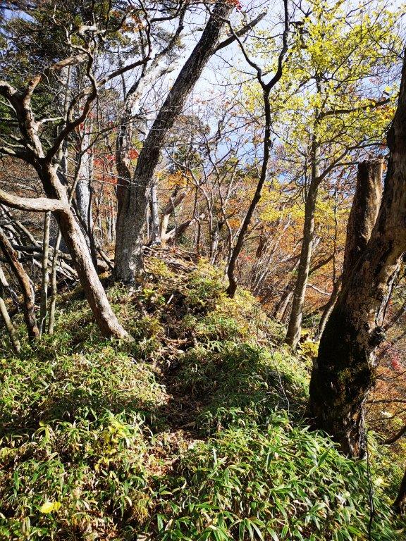
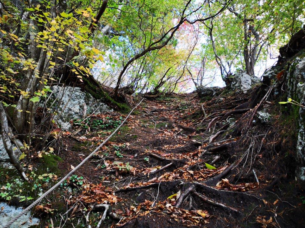
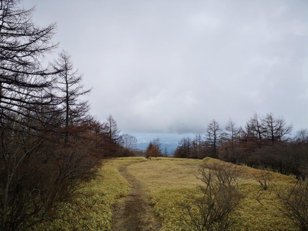
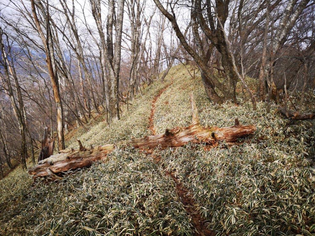
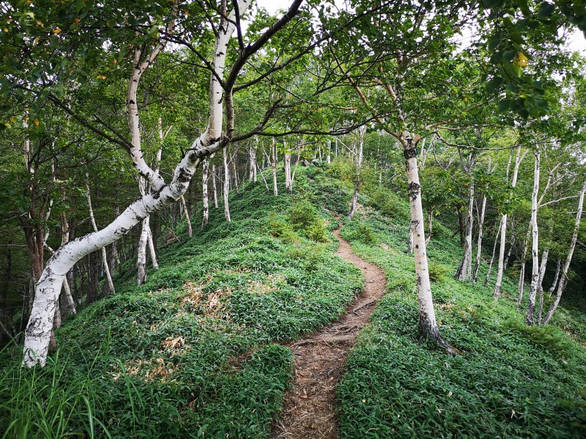
Gravel Path Through Mae-Nikko Highland

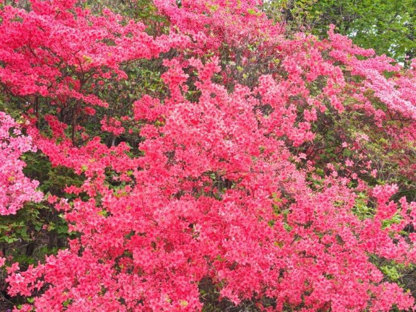
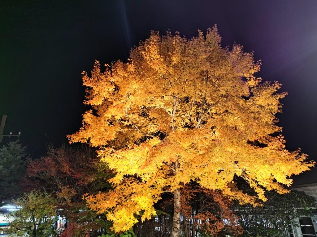
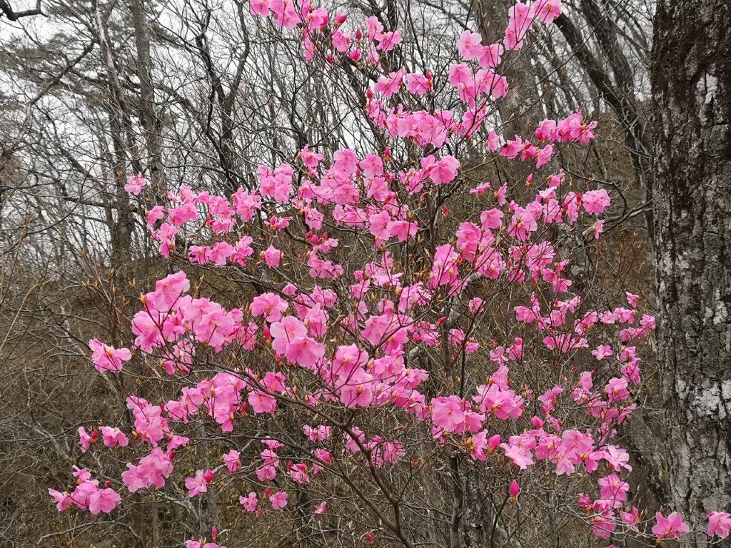
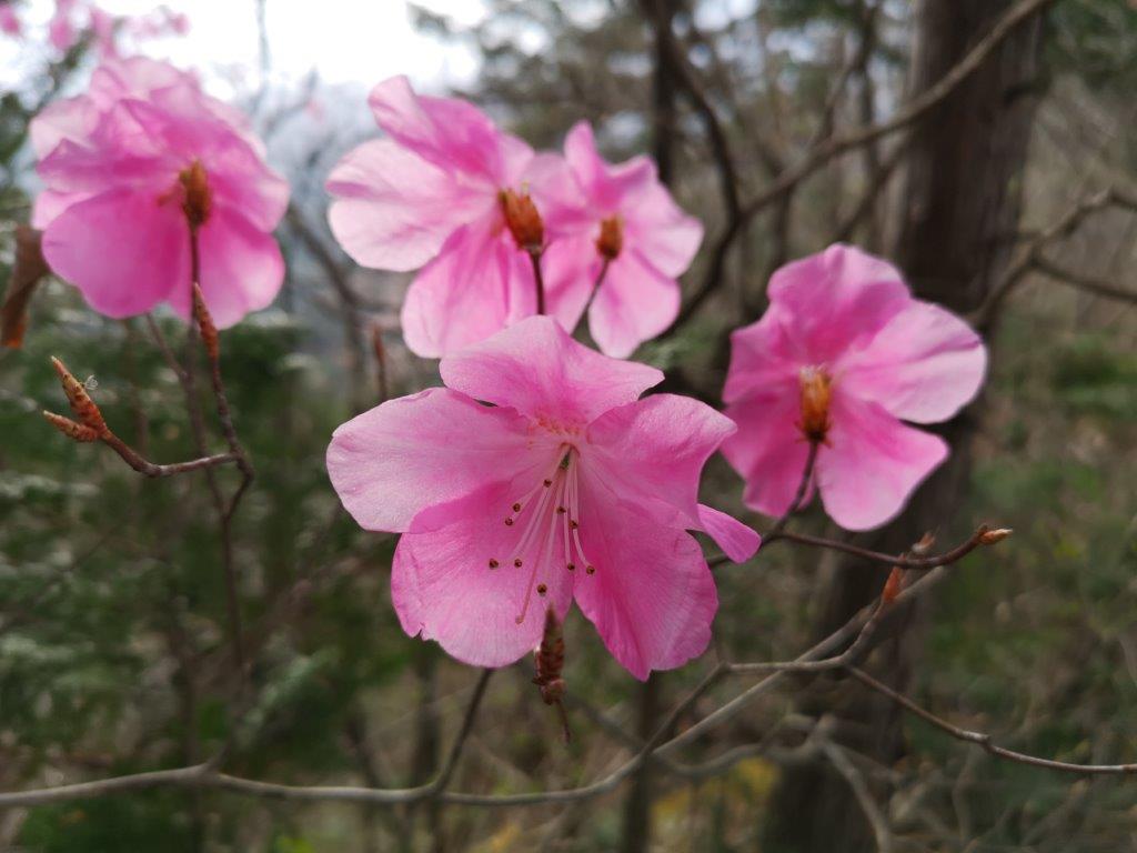
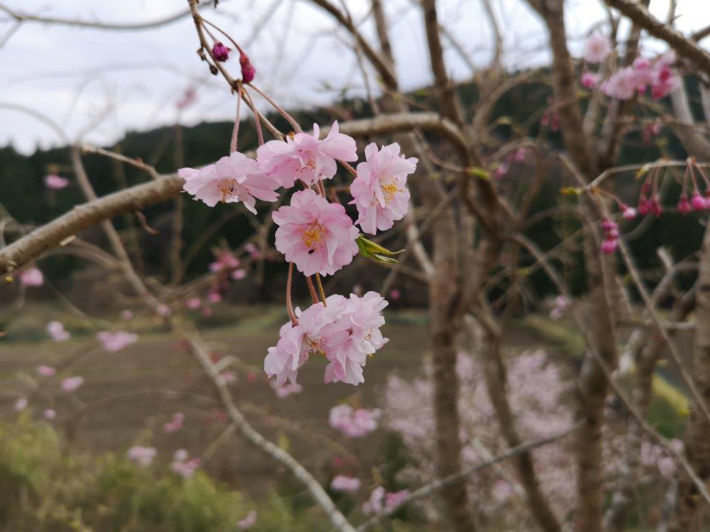
Bright Red Azalea on the way to Ido Marsh
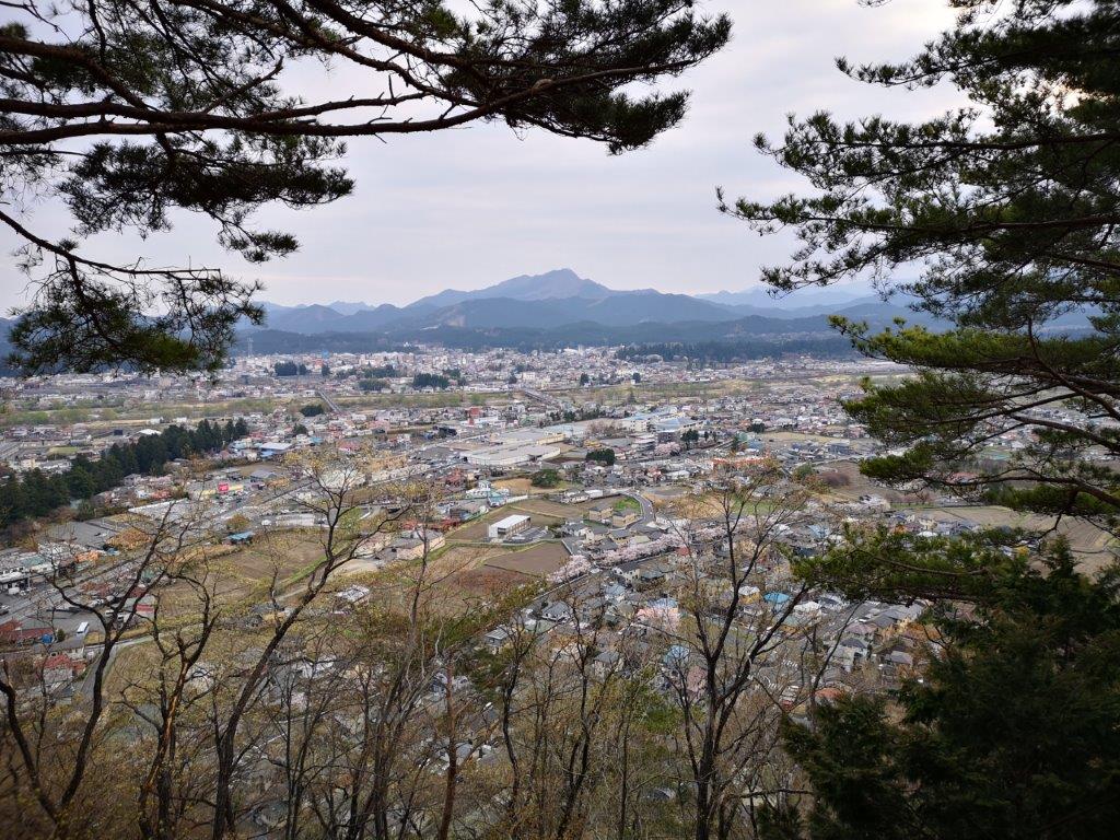
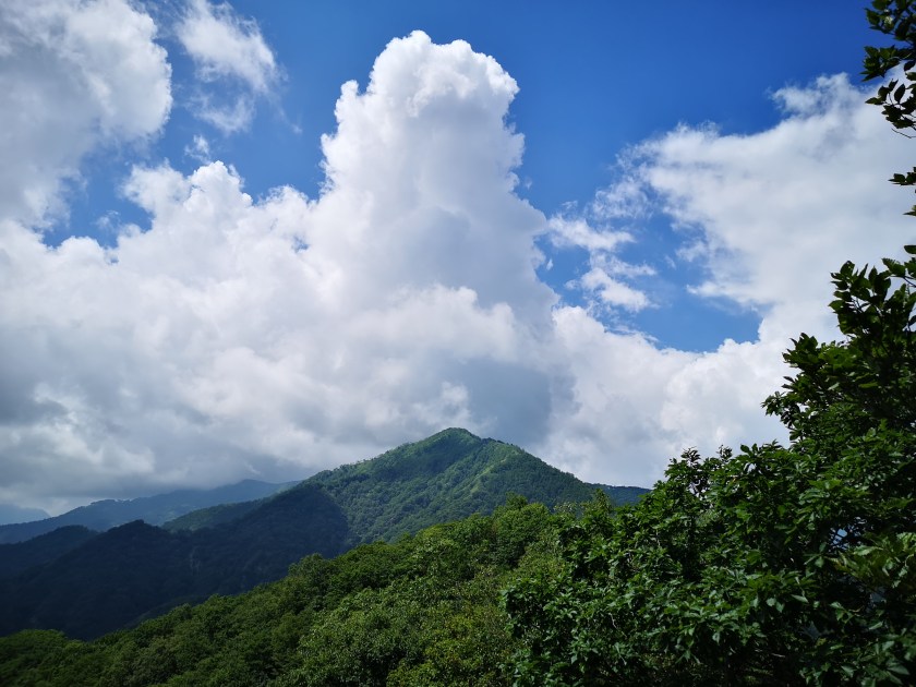
Mist blocked the view in every direction, as I parked the car at the Mae-Nikko Highland Lodge’前日光ハイランドロッジ) parking just after 2pm; I was grateful that I had had clear weather on my last visit. I strolled along a gravel road, pastures on each side, no cows in sight though; after passing an open shelter, I arrived at the trail entrance on the left side around 3pm.
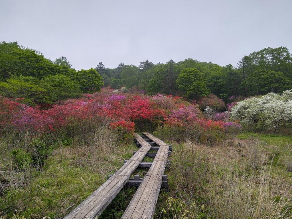
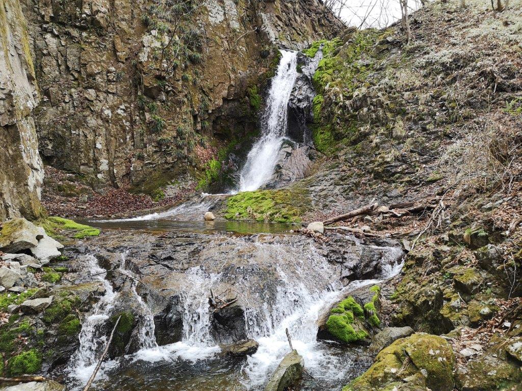
Walkway Leading to Godan-no-Taki Falls
Tsutsuji Flowers of Every Colour
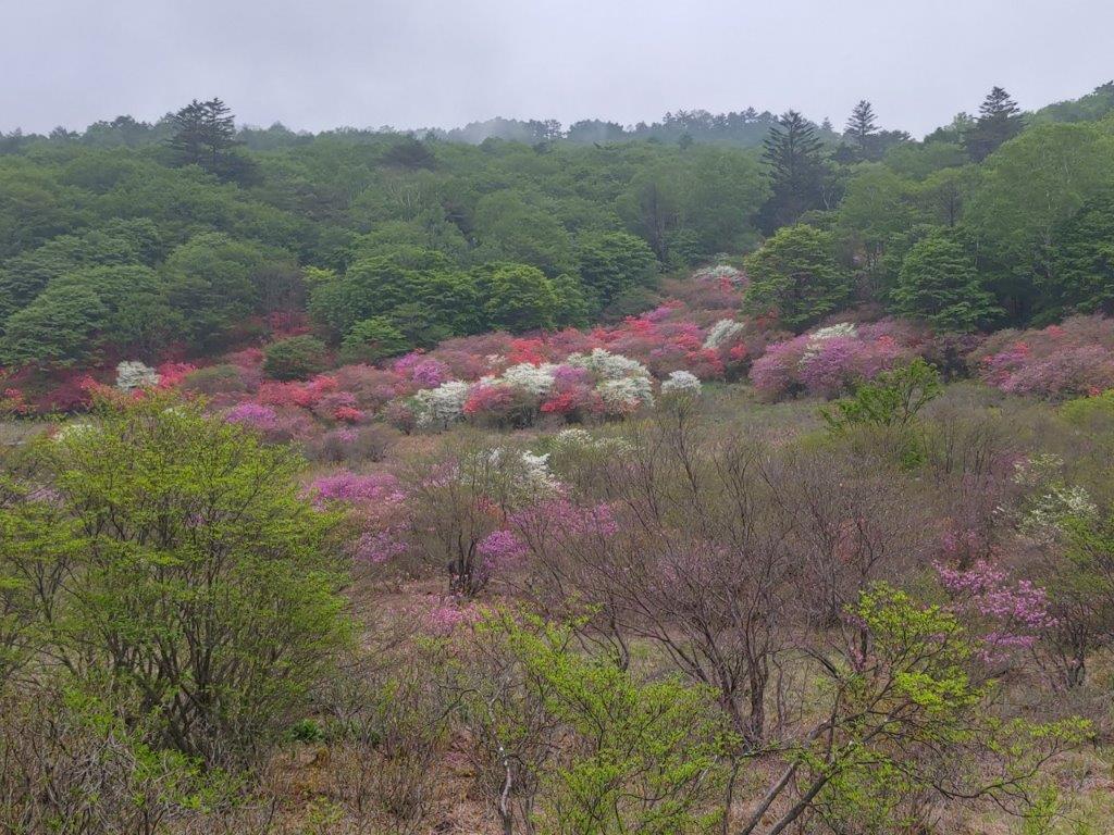
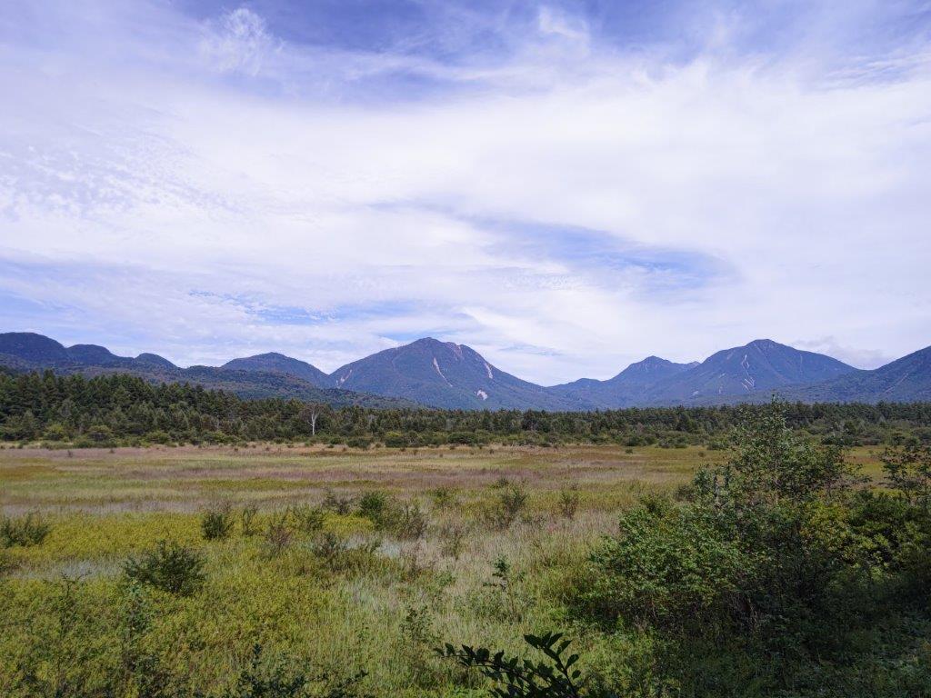
I was stunned by the azelea (tsutsuji) in full bloom; until now I had never realised that they existed in such a wide range of colors, from white to pink to bright red. The trail soon started to descend; after crossing a stream, I had my first glimpse of the day of Ido Marsh (井戸湿原 ido-shitsugen), next to another open shelter. It felt like I had entered a colourful, magical fantasyland, and I could only imagine what this fantastic scenery would be like on a sunny day.

View of Ido Marsh from the South Side

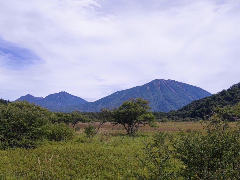
Walkway Crossing the Marsh
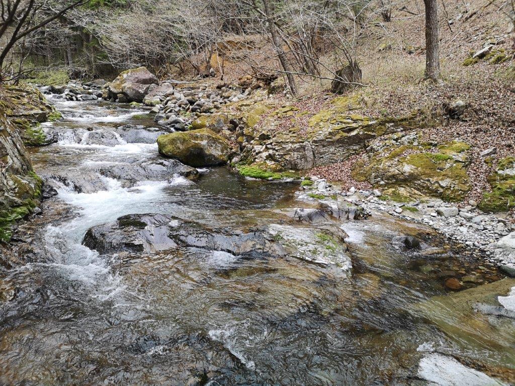
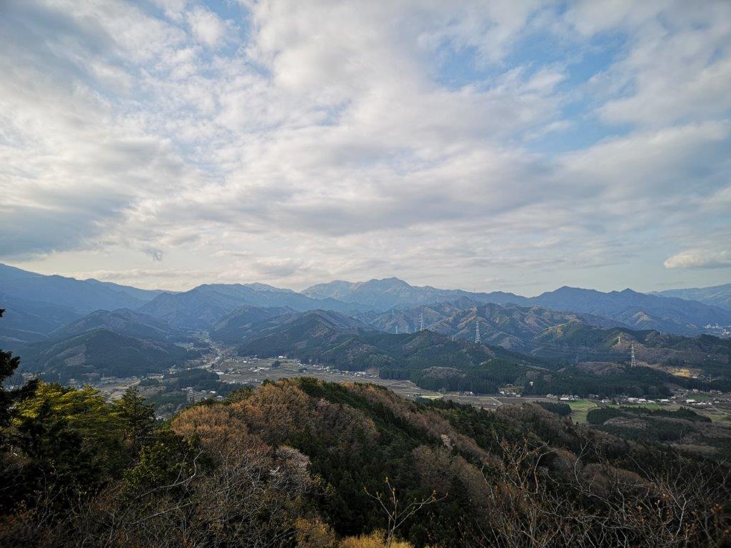
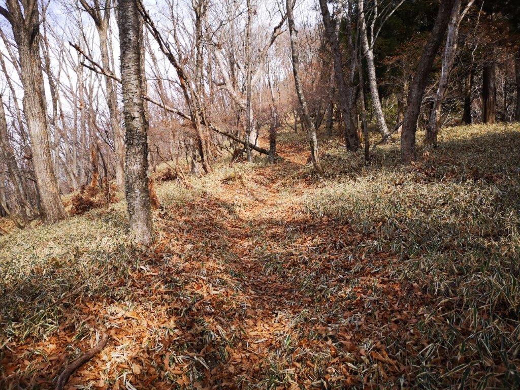
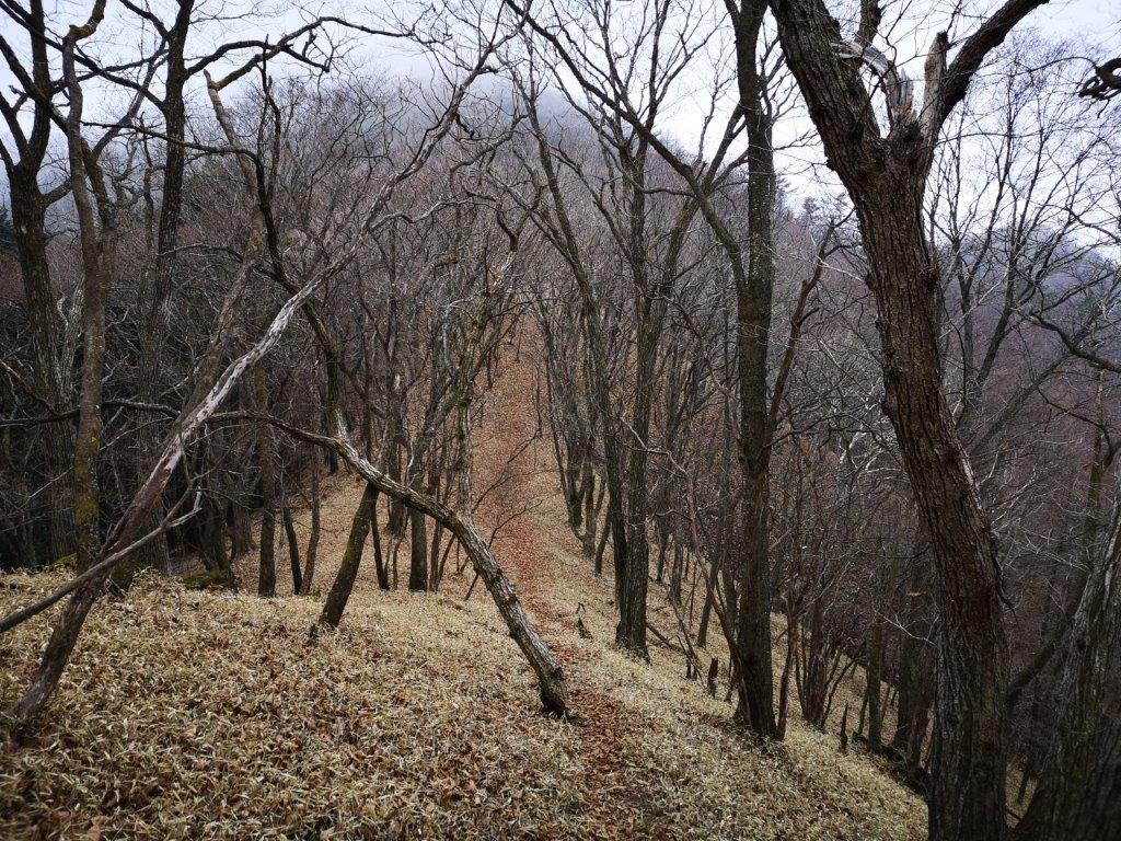
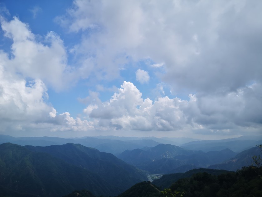
I was surprised by how few people were on the trail, as I made my way clockwise around the marsh. Around 3h30, I reached Godan-no-taki (五段の滝), a small waterfall with 5 “steps”, and the lowest point of today’s hike. After a short climb, I reached a section free of trees on the south side of the marsh, from where I had some best views of the day. At 4pm, I reached a wooden walkway cutting across the marshland; I decided to head back along it, rather than continue to the Zoonohana observation deck (象の鼻展望台 meaning the elephant’s trunk) as no would view would be had today.
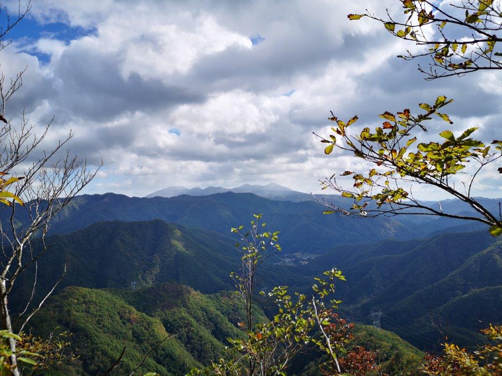
A Secret Spot of Mae-Nikko


Most of the Hike is on Walkways (left) Entrance of Ido Marsh (right)
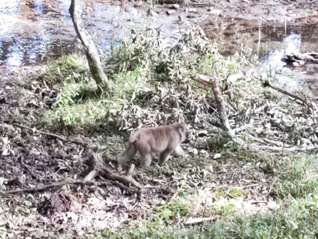
I was able to enjoy the splendour of the azaleas again, as I did the trail in reverse, sometimes passing through actual tunnels of flowers, the surrounding mist enhancing the magical atmosphere. At 4h30, I was back at the parking lot, my car being one of the last left. I decided to return via a different route, past Furumine shrine, and was rewarded with a view of a monkey walking near the road; on the way up, I had also spotted a racoon crossing the road. At 6pm, I was back at Tochigi station, from where it was a one hour ride back to Ikebukuro with the Tobu Revaty limited express train.
Nearing the End of the Hike
Entrance to the “Azalea Tunnel“
At around two hours, this was one of my shorter hikes, and even if I had included the observation desk, it would not have been much longer. Even though the mist was in, hiding the view of the Oku-Nikko mountains, the flowers in full bloom made the 3 hour trip each way worthwhile. I’d like to return in the future to do the “fureai no michi” trail that passes through the area, as well as check out another local soba restaurant.
Watch a Video of the Ido Marsh Hike
See the video of the hike on Youtube


See a Slideshow with more Pictures of the Ido Marsh Hike

![Mt Tanze (1398m), Nikko City, Tochigi Prefecture, Saturday, November 12, 2022 [Map Available]](https://hikingtokyo.com/wp-content/uploads/2023/01/dsc_1437.jpg?w=1024)


![Oku-Nikko hike (highest point 1460m), Nikko City, Tochigi Prefecture, Saturday, September 17, 2022 [Monkeys]](https://hikingtokyo.com/wp-content/uploads/2022/10/img_20220917_124605.jpg?w=1024)


You must be logged in to post a comment.