
Hiking in the Nikko National Park 日光国立公園
I chose a beautiful sunny autumn day for this hike from my mountains of Tochigi guidebook. I had been keeping it for the autumn, since it was mostly along a forest road and required dry conditions. I used the Nikko limited express to get to Tobu-Nikko directly from Ikebukuro.
Get a Map of the Mt Tanze Hike
This map was developed for Japanwilds with the Hokkaido Cartographer
Find more Japan Hiking Maps on Avenza
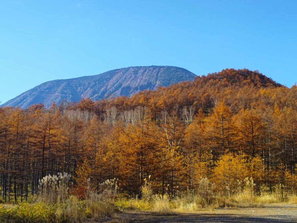
Mt Nantai, a 100 famous mountain of Japan


Road walking, enhanced by the autumn colours
A short bus ride from Nikko station brought me to the trail entrance, ten minutes past the Toshogu shrine. I followed a forest road up the mountain side via a series of zigzags, spotting several “kamoshika“, or Japanese Serow, along the way. It took about an hour an a half to reach “numa no daira” (沼の平) in the midst of the orange larches.

Resplendent colours in the autumn sun

Pine trees could be found higher up the mountain
I continued hiking through the beautiful forest of the Nikko National Park, and reached a junction at 12h20, where I turned left. I walked along the gently sloping dirt road as it continued its zigzag up the mountain, enjoying views of Oku-Nikko on the west side, and scaring the occasional “kiji” or Japanese pheasant.
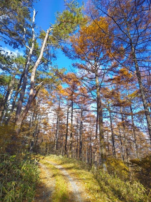
View from the near the start of the summit trail
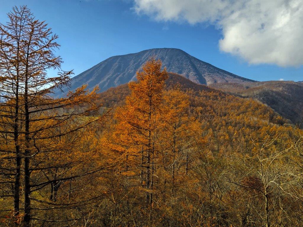
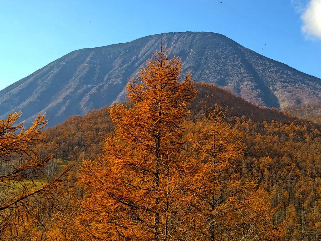
Fiery larch in front of Mt Nantai
After about an hour, I reached a fantastic viewpoint of Mt Nantai, towering above fiery larches. After some searching, I found the trail entrance for the final climb to the summit, a ten-minute scramble through thick vegetation. At 1pm, I was standing on top of Mt Tanze 丹勢山(たんぜやま tanzeyama). It was completely in the trees, so I quickly retraced my steps to a viewpoint of Mt Nantai and Mt Nyoto, and sat down on some rocks for a quick lunch.
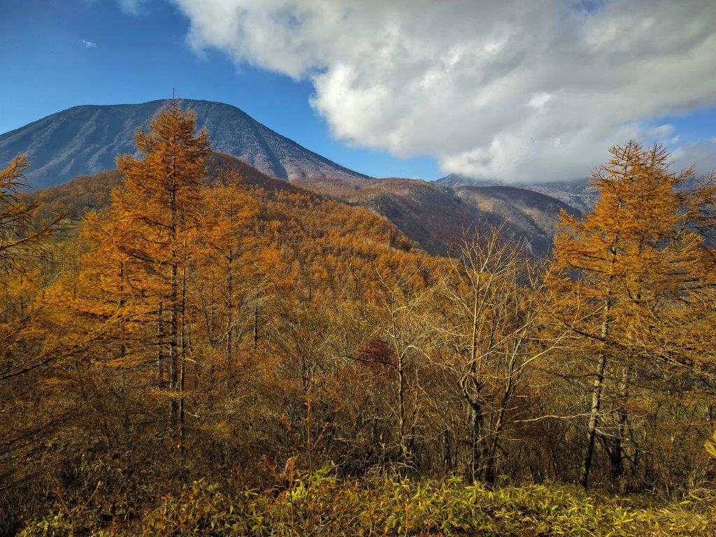
Mt Nyoho (right) in the clouds

The mountains of Nikko
Feeling satisfied with the views, I walked back the same way, but went left at the junction, following an alternate route down the mountain. The switchback forest road quickly descended into a deforested valley bottom, offering good views to the west of Mt Nakimushi. It was already 3h30 and most of the valley was already in the shadows. I crossed two bridges, surprised a deer at a bend in the road, and finally emerged from the forest into a residential area at 4h30.
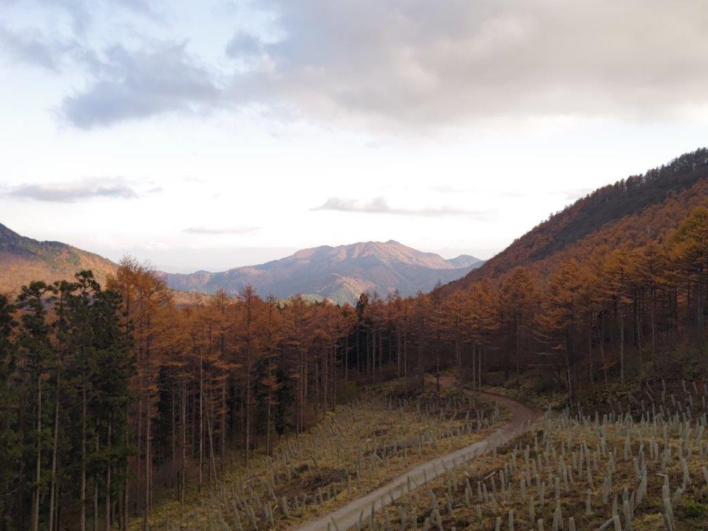
Looking west, Mt Nakimushi

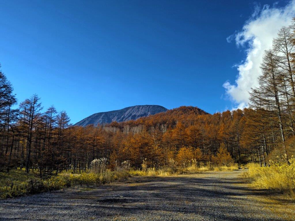
Autumn colours could be seen along the entire hike
After enjoying the setting sun, I decided to walk back to Tobu-Nikko station, less than an hour away, to avoid the usual traffic jams around the Toshogu. There, I boarded a Revaty limited express for the 90-minute ride back to Tokyo. Although most of the hike was along forest roads, I saw no other hikers, and was rewarded with beautiful autumn colours and glimpses of wild animals along the way.
See the beautiful autumn colours of the Nikko area

Hi David,
It’s time we caught up soon!
<
div dir=”ltr”>Do you have a map to this walk? Could I cyc
Indeed! Unfortunately, no map (yet). As to cycling, you probably could, I didn’t see any signs prohibiting this. It’s mostly a dirt road, only good during long dry spells.
Thank. ! I googled the mountain but found nothing. There is a Tanze bus stop but as it is a district name also I assume nothing to do with the trailhead.
The bus stop closest to the trailhead is called “Kiyotakichuzaishomae” – it’s 2 stops after the Tanze bus stop.
The exact location is the mountain can be found here:
https://www.yamareco.com/modules/yamainfo/ptinfo.php?ptid=42526