
I wanted to do another hike along the Chuo line; I had already explored the area extensively more than 10 years ago but since the introduction of the “green car” last year, I thought it would be a good chance to revisit some of the peaks there in more comfort. I decided to walk the Sasaone Ridge between Mikuni and Wada Passes, which I had observed from the summit of Mt Jinba the week before. Along the way, I’d pass by Mt Shoto, a Kanto 100 famous mountain, and a string of minor peaks. It was also part of the Kanto Fureai no Michi section named “Fujimi no Michi” meaning I could get several views of Mt Fuji along the way.
Hiking in the Jinba-Sagamiko Prefectural Natural Park
県立陣馬相模湖自然公園
Hiking the Kanto Fureai no Michi
関東ふれあいの道
To get to the start of the hike, I’d take the Chuo line to Fujino station, and there, ride a bus to the entrance of Sanogawa Village, a couple of stops before the end of the line. For the return, I’d ride a different bus from the Tokyo side to Takao station, from where I could take the Ome line, also equipped with the “green car”, back to Shinjuku. The weather was supposed to be clear all day but significantly colder than the previous week, winter not quite over yet. I was looking forward to a ridge walk connecting two valleys and including several chances to see Japan’s most iconic view.
Find my Hikes on Japanwilds
Find Japan Hiking Maps on Japanwilds and subscribe to our newsletter
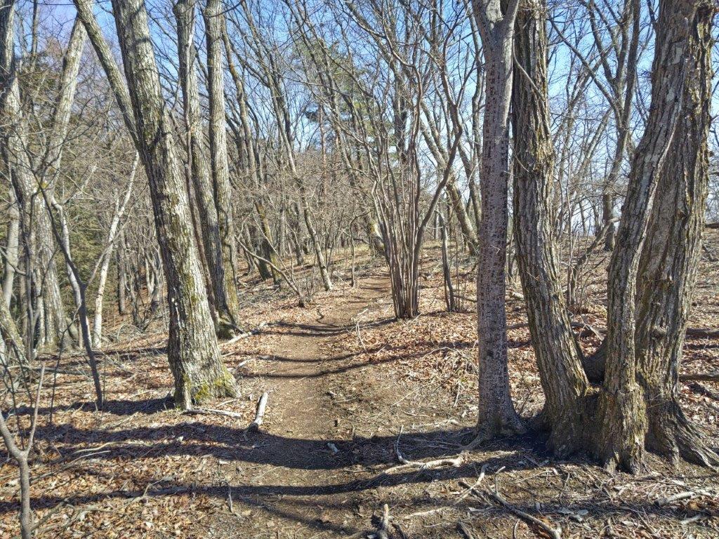
Start of the Hike (left) Trail above Sanogawa Village (right)
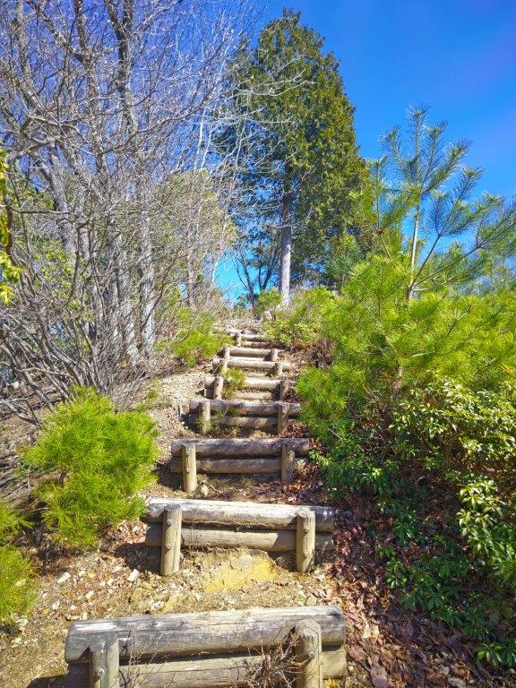
Trail for Mikuni Pass (left) Steps for Kayamaru (right)
It was another beautiful day as I rode the Chuo line westwards, mountains rising up on each side of the tracks. The train arrived on time, but the bus for Wada Pass left five minutes early. It did not seem to be an extra bus, all passengers could find seats; nor did the schedule change: after getting off at Kamasawa Iriguchi (鎌沢入口), the timetable showed I was several minutes early, never a bad thing. I set off a little before 10am, and after crossing a bridge over the Sawai river and passing a Hachiman Shrine, I headed up a steep road with a plum grove on the right side.
Log Steps before Kayamaru (left) Trail past Kayamaru (right)
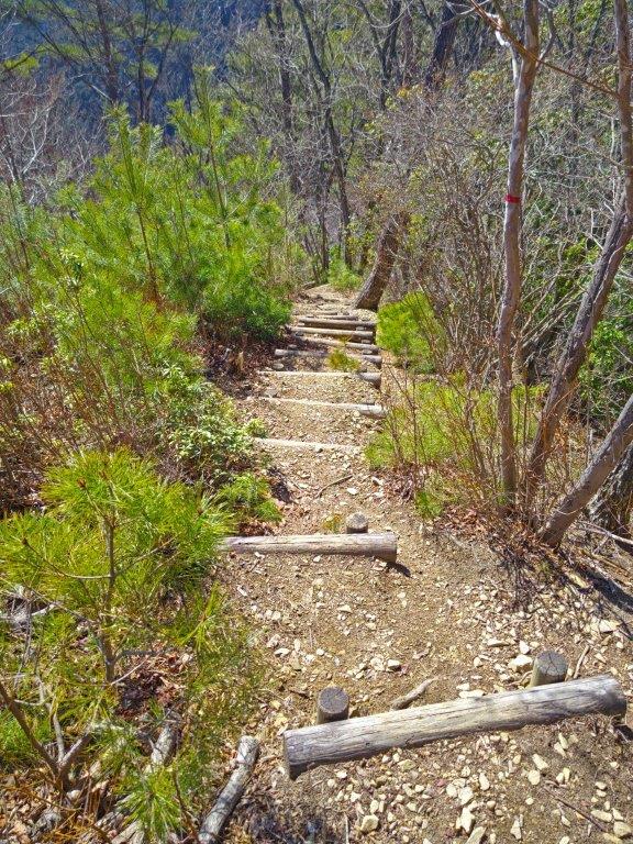
Log Steps before Mt Rengyo (left) Trail after Mt Rengyo (right)
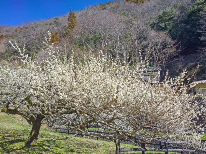
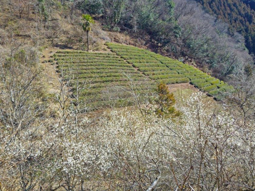
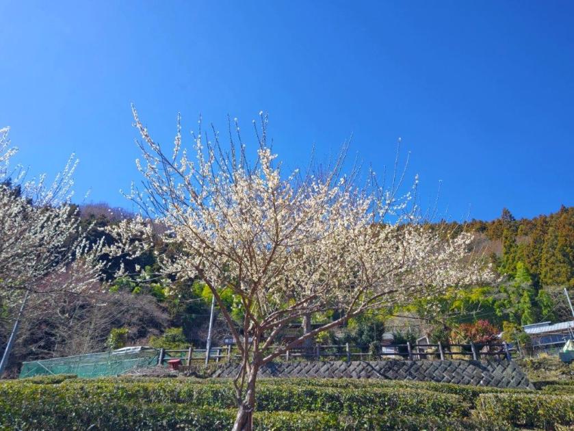
I was delighted to catch the plum blossoms in full bloom, as I was one month too early for the cherry blossoms for which this route is apparently famous for. I soon found myself walking through Sanogawa village, selected as one of Japan 100 beautiful rural villages, its most notable feature being the terraced tea fields I could see hugging the mountain side. After another steep road, I reached the Kamasawa Prefecture Rest Area (県立鎌沢休憩所), from where, after turning around, I had a view of the summit of Mt Jinba. Next to the last village house was the start of the hiking trail.
Ichi-no-O Ridge on Mt Jinba
Walking under the Sun
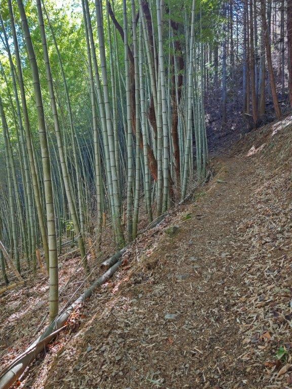
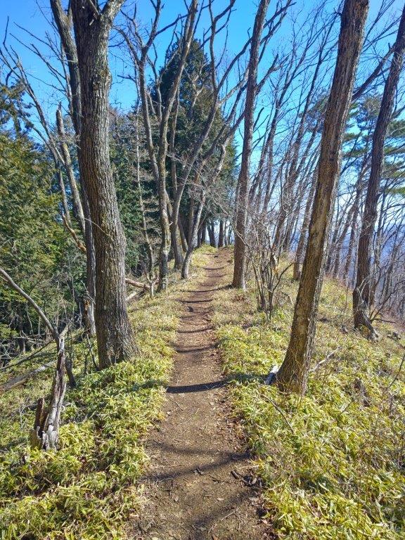
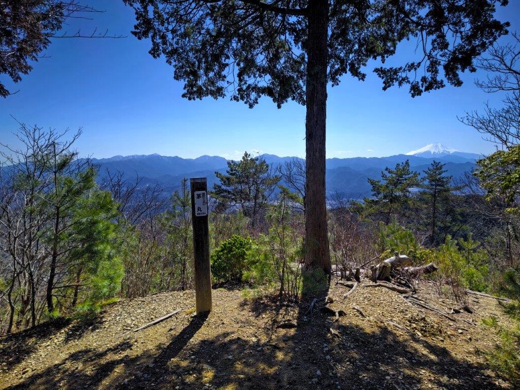
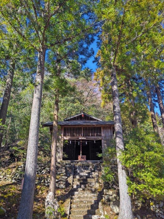
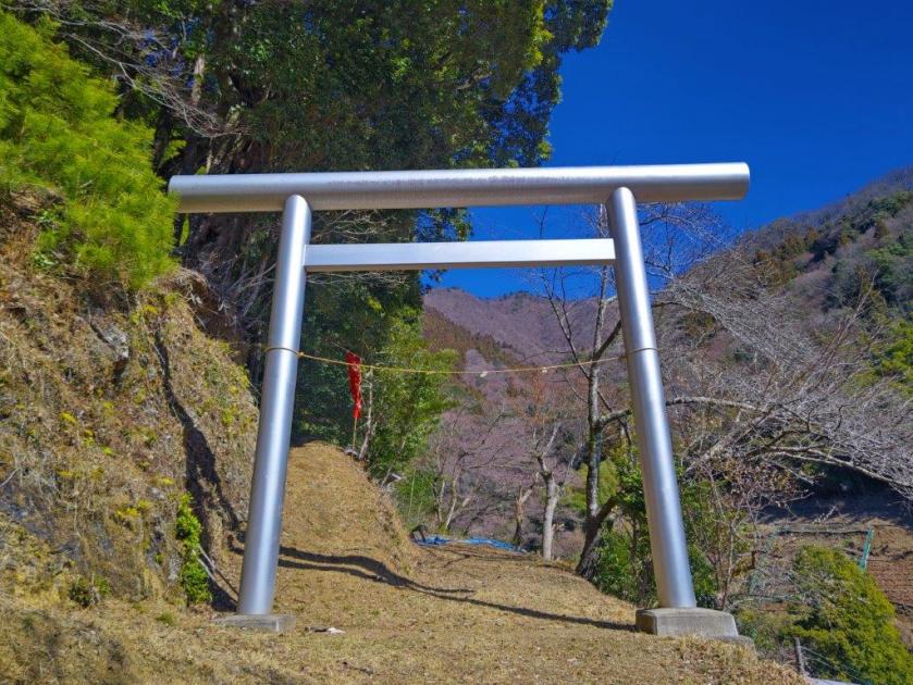
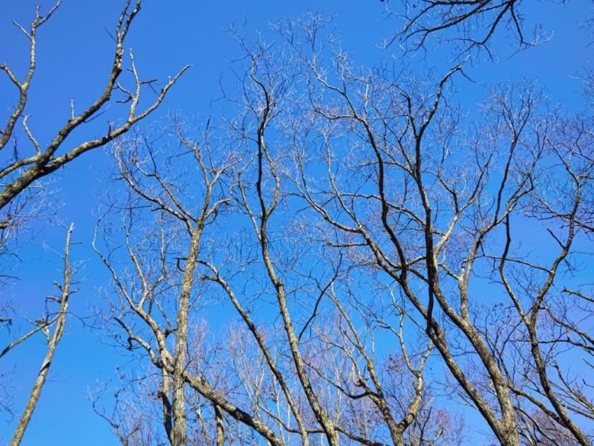
I followed a gently rising path, a bamboo grove to my left, as it curved around the mountain side. I soon had a view of the Ichi-no-O ridge, climbed just a week ago. The path gradually turned northwards and headed up a sunny ridge, the trees still bare of leaves. At 11am, I reached several benches the start of the Sakura Promenade (桜プロムナード). Looking left, through branches holding tightly closed buds, I had my first view of Mt Fuji of the day, the perfect shot for anyone visiting one month later. I set off again, and after passing under a silver metallic “torii” (Shinto Shrine gate), continued up the ridgeline for a short while to a junction inside a cedar forest, where I continued straight. Half an hour later, I reached the summit of Mt Mikuni (三国山 みくにさん 960m also known as Mikuni Pass 三国峠), mostly surrounded by trees.
Trail before the Sakura Promenade
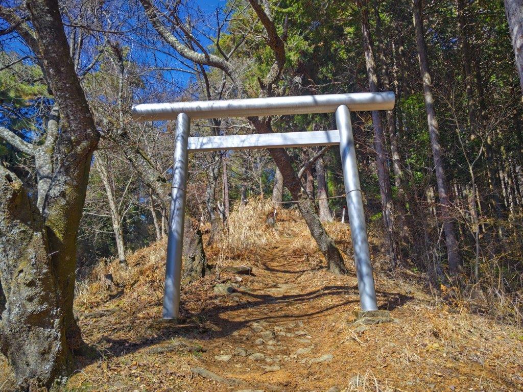
Torii Gate on the Sakura Promenade
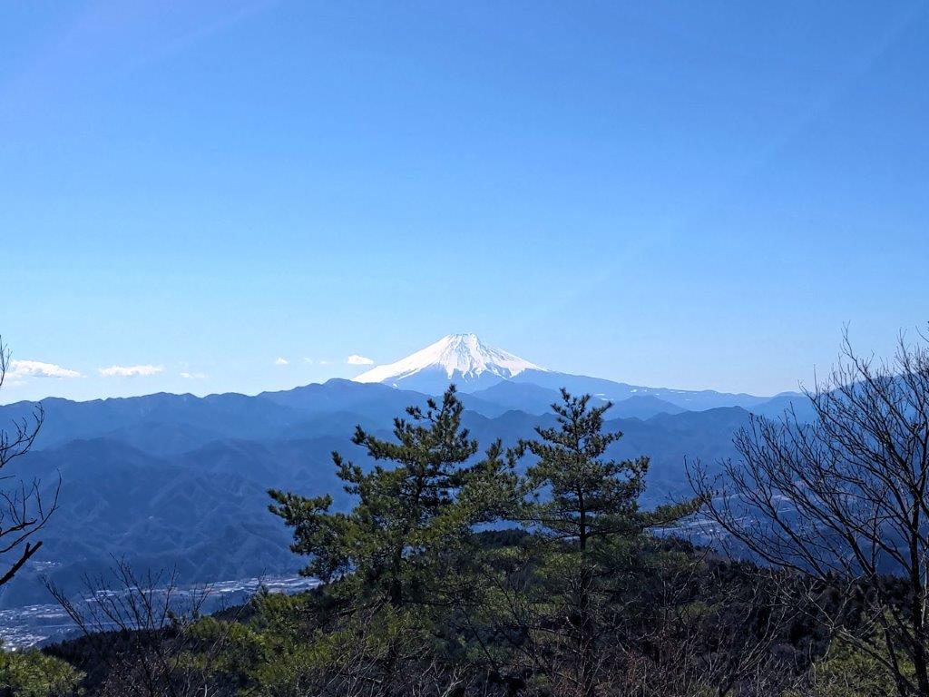
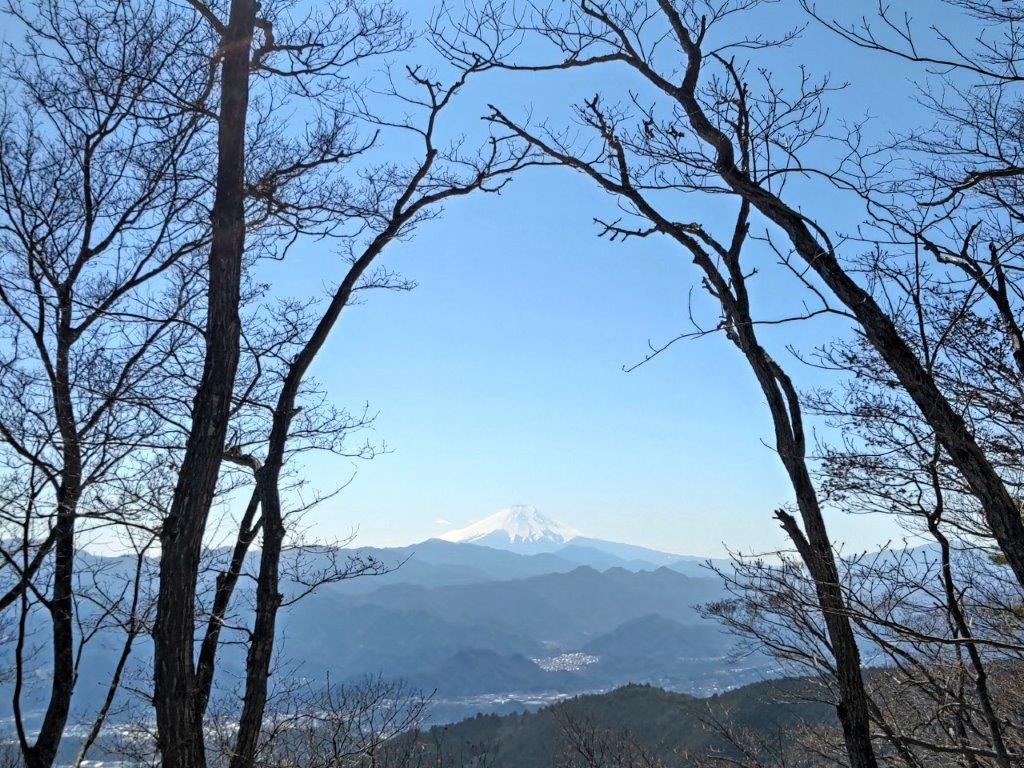
I was glad to have reached the first summit of the day but slightly disappointed that branches were in the way of my perfect Fuji shot; to the right, the snowy top of the Shirane-Sanzan in the South Alps was just visible. Since the picnic table was occupied, I decided to move on at once. I headed right, now following the Kanto Fureai no Michi along the Sasaone Ridge (笹尾根). I made my way up a short, rocky section, the change in terrain quite sudden, and a little past noon, arrived at the top of Mt Shoto (生藤山 しょうとうざん shoto-zan), for the second time. Also, for the second time today, branches interfered with my view of Mt Fuji, contradicting information from my map, guidebook and my own memory, but a good example of how conditions can change over time. I decided to skip this lunch break opportunity, and continue till I got a better view.
Mt Fuji from the Mt Shoto East Peak
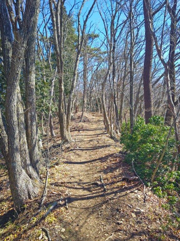
Trail between Mt Shoto and Kayamaru
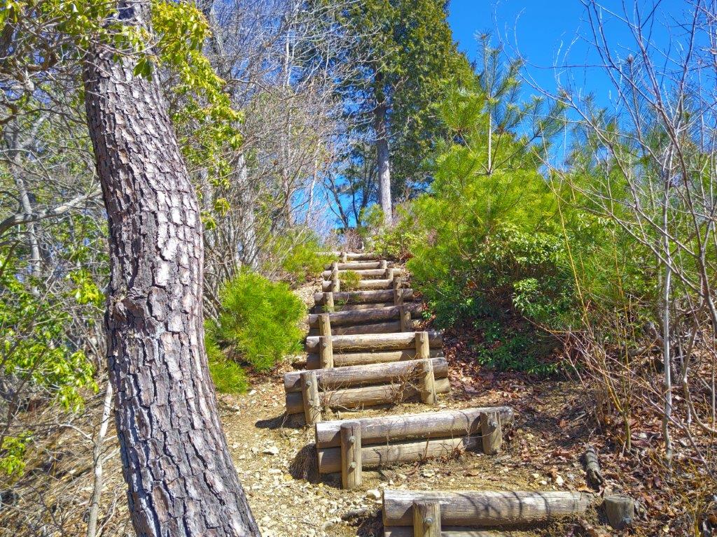
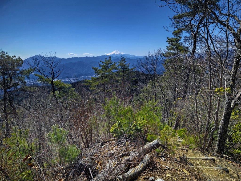
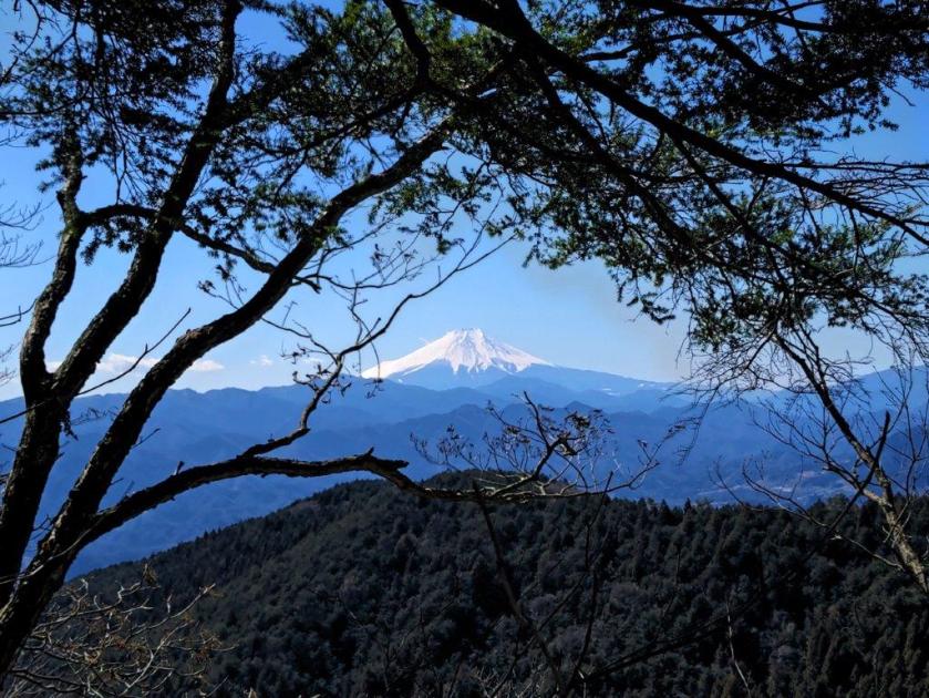
I finally had my perfect view of Mt Fuji, just a few minutes further along the narrow trail, at a spot marked as the Mt Shoto East Peak, but shown as Maruyama (丸山 989m) on some maps. It wasn’t a suitable lunch spot so after admiring the view, I carefully headed down a steep, rocky section. Past the junction with the detour path (巻道 “makimichi“), a safer path around the summit, the trail became easier to walk. I saw less people on this section, perhaps because most people headed back after reaching the top of Mt Shoto. I soon reached another detour path, the level trail straight ahead looking very inviting, but instead, I headed up a series of log steps to my left.
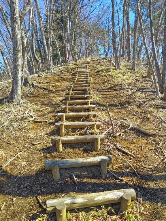
Log steps leading to Kayamaru
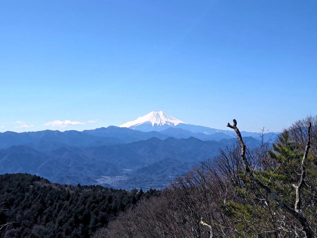
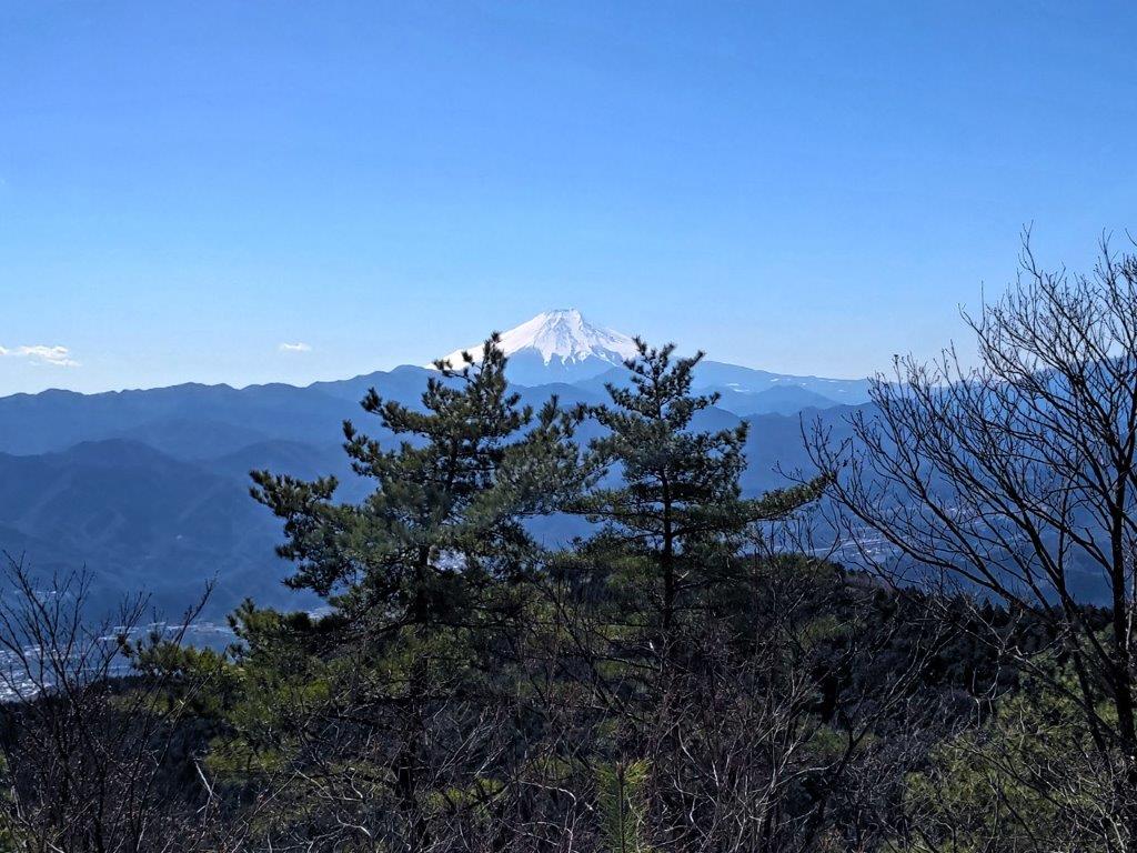
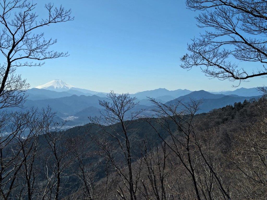
Mt Fuji View from Kayamaru
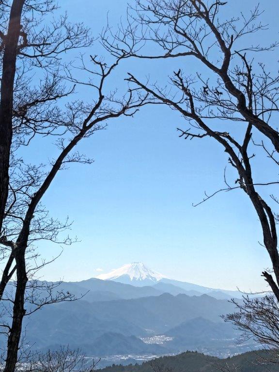
This was probably the best section of the entire hike, the log steps leading me up towards the blue sky, the green pine growing on both sides adding a dash of wilderness to the scenery. A little after 12:30pm, I arrived at Kayamaru (茅丸 かやまる), a little known peak with a perfect Mt Fuji view and the highest point of today’s hike. To the left of Mt Fuji, I had a sweeping view of the Tanzawa and Doshi mountains, the highest peaks tinged in white. I had the summit completely to myself, so I sat on a log to enjoy a peaceful lunch with a view. After nearly an hour, I slowly got going again, heading down a steep path on the east side.
Mt Fuji between Two Pines
The Summit of Kayamaru
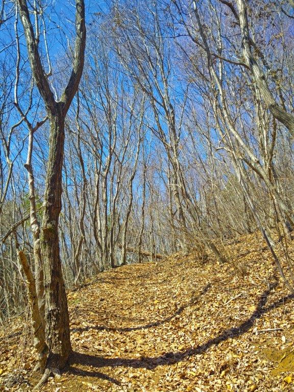
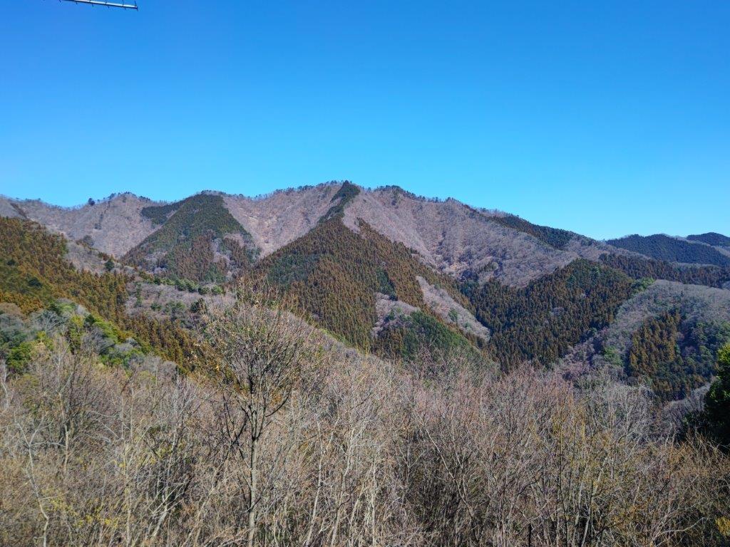
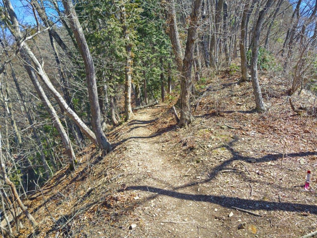
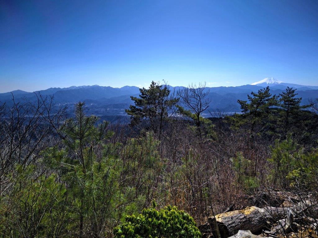
The next section of the hike was probably the most fun to walk as it followed the narrow ridgeline through sunny winter forest, with occasional glimpses of Mt Fuji and the Chuo line valley to the right, and the Kanto Plain to the left. At 1:30pm, I reached the minor peak of Mt Rengyo (連行山 れんぎょうさん or 連行峰 れんぎょうほう 1016m) mostly within the trees. To the left a trail headed into the Akigawa valley, but I continued straight. Very soon, I arrived at a wide gap in the trees on the right side, giving me the best Fuji view of the day, perfect from the snowy crater summit free of clouds, to the overlapping ridgelines around the base. At Yama no Kami (山の神), I headed straight again, ignoring a trail to the right leading back to my starting point, public transport giving me the freedom to choose my arrival point.
A Sweeping View South from Kayamaru
Trail between Kayamaru and Mt Rengyo
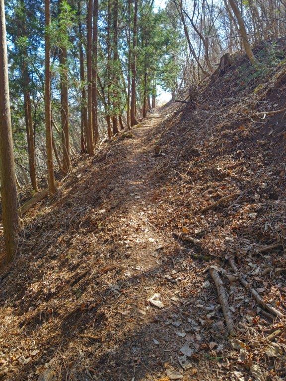
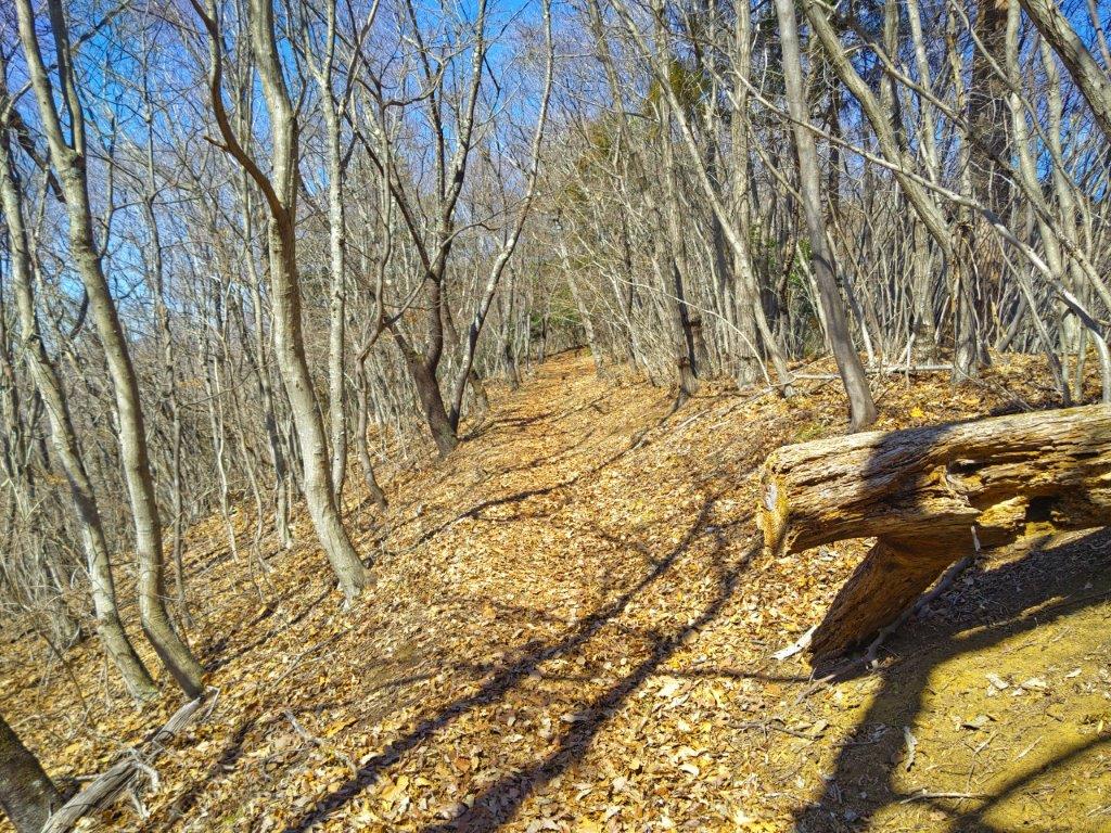
The path suddenly entered a dense cedar forest and moved to the north side of the ridge, in the shade at this hour. Here and there, I had glimpses of the Okutama mountains, extending northwards. I eventually reached some benches at the top of Mt Daigo (醍醐丸 だいごまる 867m) where I took a short break. Another trail led north to the Tokura-sanzan, an area I’d love to explore again. The summit was completely in the trees and the shade so I quickly set off again, soon arriving at Daigo Pass. It was only 3pm but the surrounding forest was already very dark, with little light reaching the forest floor. I stepped up the pace, and after a certain amount of descending, emerged onto a forest road where I turned right.
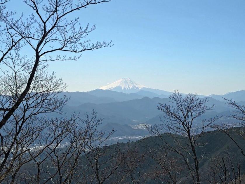
Mt Fuji View from the Fujimi no Michi Trail
Last View of Mt Fuji of the Day
I was relieved to finally to leave the dark forest behind at Wada Pass (和田峠 687m). Since it was already past 3:30pm, I opted for the shorter road descent, leaving the Jinba New Trail (陣馬新道) for another day. The hard road surface was a little tough on the body after a full day walking mountain trails, but at the end I was rewarded with the sight of a family of pheasants (“kiji” キジ) crossing a road. I arrived at the Jinba Kogen Shita (陣馬高原下) stop with ten minutes to spare before the 4:30pm departure time, the bus for Takao station already there and allowing passengers to board. At Takao station, I boarded the Chuo line Green Car for the comfortable ride back to Tokyo.
Watch a Video of the Hike
See More Pictures of the Hike
