
![Mt Shakushi (1597m), Fujiyoshida City, Yamanashi Prefecture [MAP AVAILABLE]](https://hikingtokyo.com/wp-content/uploads/2012/11/dsc05095b.jpg?w=1200)
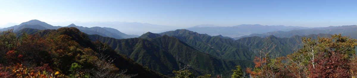
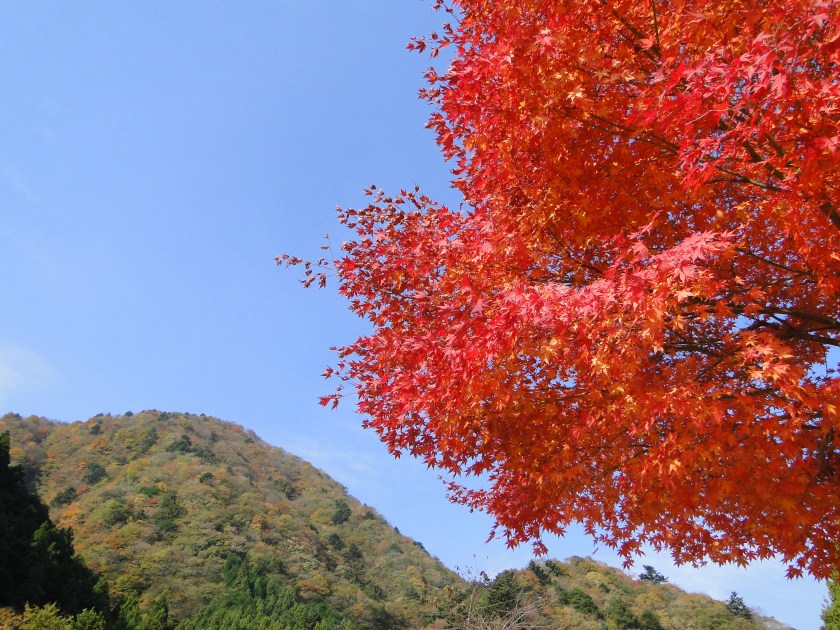
The main reason to climb Mt Shakushi, a Yamanashi 100 famous mountain, is to enjoy the fantastic view of Mt Fuji from the summit; there are no mountains in-between, just fields and forest surrounding Oshino village below. The hike is mostly along a ridgeline, with several smaller peaks along the way. Although I was hiking in the middle of November, there were few autumn colours.
HOW TO GET THERE: Take the limited express for Kawaguchiko station, and get off one stop before the end at Mt Fuji / Fujisan station (used to be Fujiyoshida station till 2010). This convenient but pricey train will get you to Fujiyama in time for the bus for Oshino village. It’s also possible to take a combination of local trains, but the connection won’t be as good. I was the only person on the bus – I guess everyone else had gone to see the autumn colours around Kawaguchiko lake.
Get a map of the Mt Shakushi hike
This map was developed for Japanwilds with the Hokkaido Cartographer
Find more Japan hiking maps on Avenza

THE ROUTE: From the bus stop, I headed along a road with Mt Fuji to my back. After crossing a couple of small streams I started seeing signs for the entrance to the hiking trail. Very soon I walking along a dirt road surrounded by beautiful forest; it felt very different from hiking trails closer to Tokyo, especially since there was no-one else around. Eventually I overtook a family of five who had come by car.

The sun was perfectly aligned above Mt Fuji
After climbing steadily for a while, I reached a pass where I turned left up the main ridge. I soon reached a rocky roped section, with a nice view of Mt Fuji to the side. After the obligatory snapshots, I continued towards the summit. After a while, I arrived at a junction, from where it was a short round-trip to another summit called Mt Shishidome 1632m 鹿留山 (shishidome-yama). Since there was no view, I decided to skip it and continue on my way. The path was now slightly downhill.

A good day for paragliding
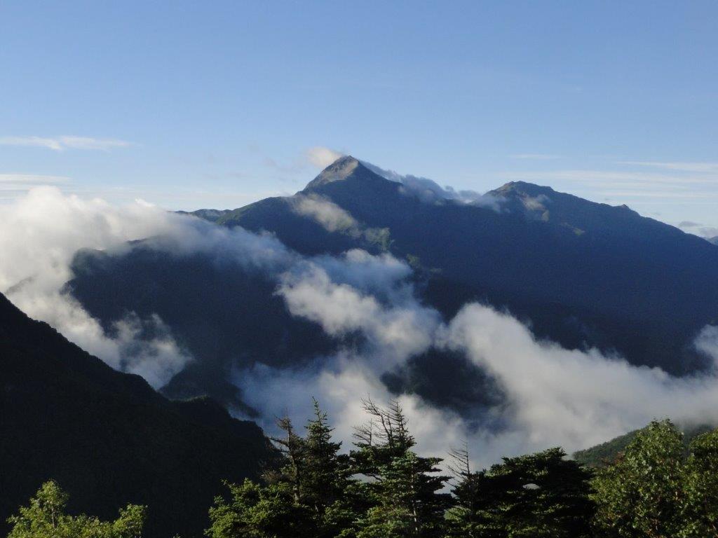
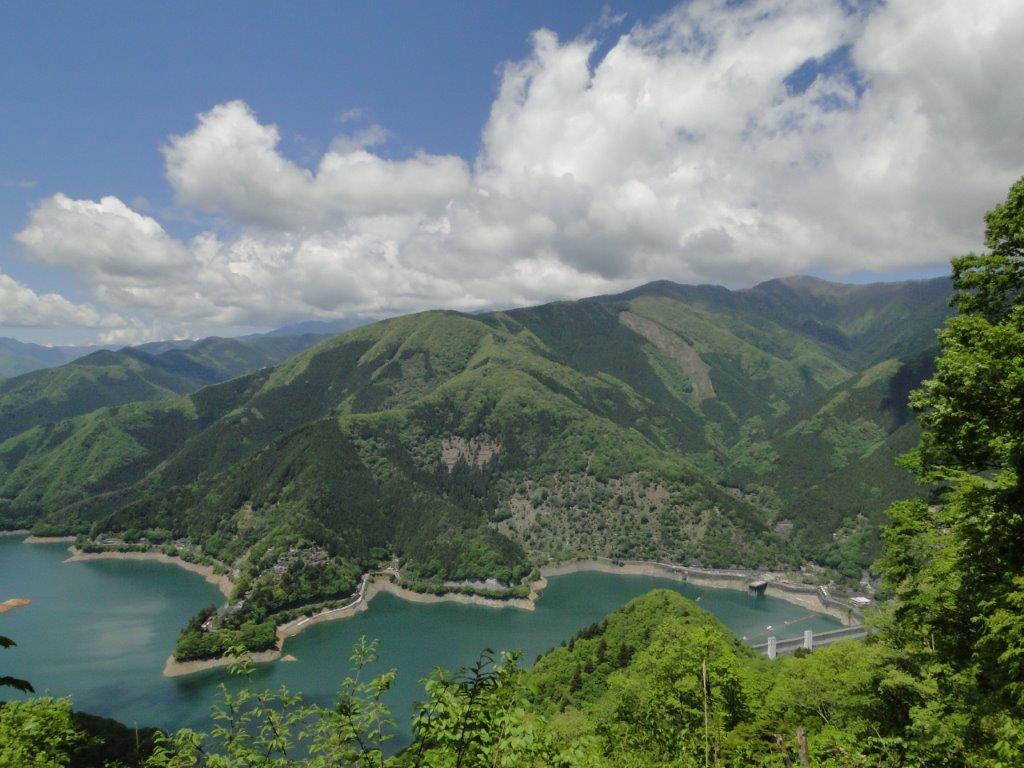
Suddenly I came upon the perfect lunch spot – a lonely rock with a stunning view of Mt Fuji. Even though I was a short way from the summit, I decided to stop for lunch; the final part was mostly flat, and peaks can be surprisingly crowded even when there seems to be no one else on the mountain. Occasionally other hikers would stopped behind me to admire the view, but overall it was a very enjoyable lunch. Not only could I see Mt Fuji in front of me, but also the South Alps (some of the highest peaks were already covered in snow) and lake Yamanaka. Eventually I managed to pull myself away from the view and reach the summit.

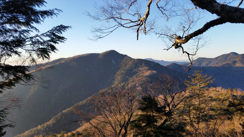
Mt Mitsutoge to the West
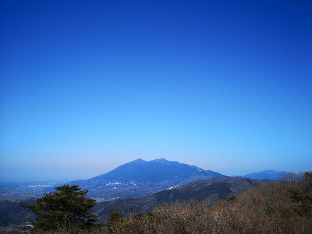
The top of Mt Shyakushi (杓子山 shakushi-yama) has a couple of benches, and interestingly enough, a bell to scare away bears. I was so busy taking photos of Mt Fuji, I completely forgot to ring it! I was glad I had already taken my lunch break – the sun was moving behind Mt Fuji, and the side facing me was slowly becoming a dark outline. It looked like the sun would set exactly behind the cone, a phenomenon called Diamond Fuji. Unfortunately, there was no way I could stay till sunset, even though it was nice and warm in the autumn sun.

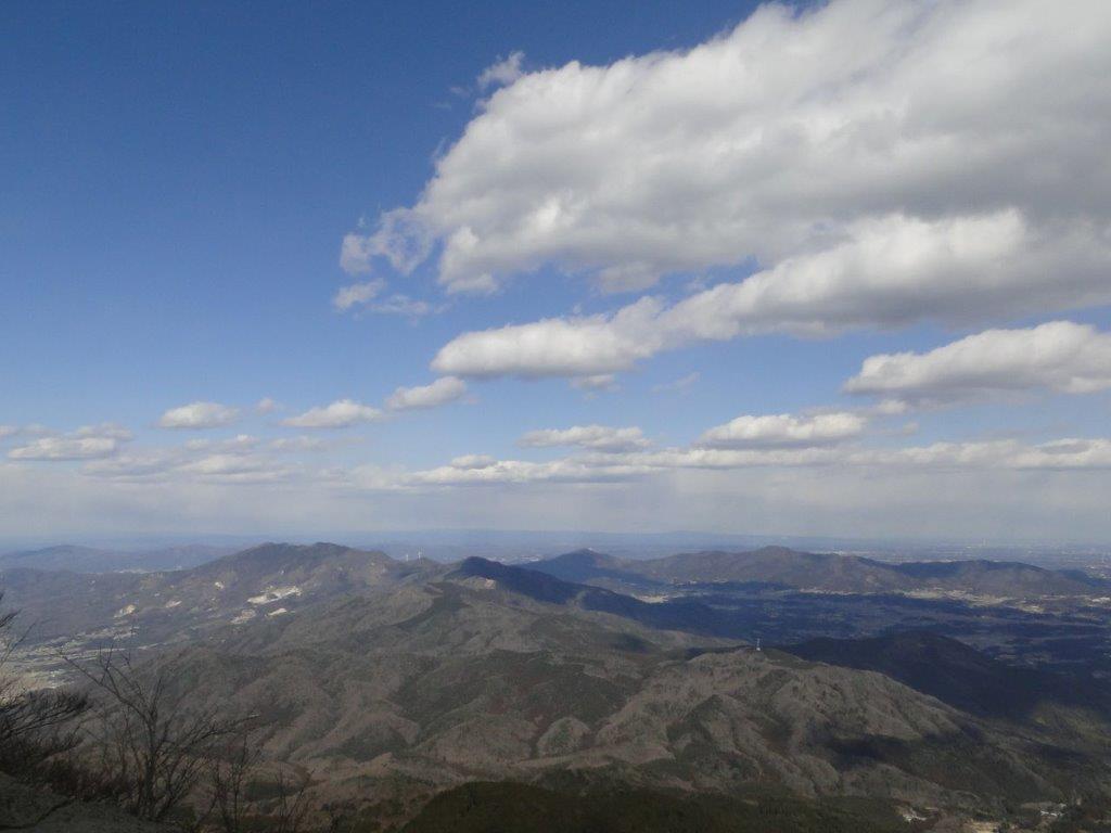
View of Mt Fuji while descending
I hurried down the trail, quickly reentering the forest and losing the Mt Fuji views. I soon passed a jump-off spot for paragliders, just above Ozasu Pass (大権首峠). On the right was the forest road leading to Fudoyu, however I continued straight ahead. After some up and down, including a couple of rocky sections, I arrived at the top of Mt Takasazu (高座山 1304m). A short, steep descent brought me to the top of a wide Japanese Pampas (“susuki”) grass field. Walking along the top edge, I had many dramatic views of the outline of Mt Fuji, against the slowly sinking sun. At 4pm, just as it was getting dark, I was finally back in Oshino village where I caught a bus for Fujisan station.
Ask for a hiking map for Mt Shakushi


![Mt Kita (3193m), Mt Aino (3189m), Mt Notori (3026m) & Mt Shiomi (3047m), Yamanashi, Nagano and Shizuoka Prefectures, September 2010 [Map Available]](https://hikingtokyo.com/wp-content/uploads/2023/01/dsc00382.jpg?w=1024)


You must be logged in to post a comment.