Mt Kushigata (2052m), Minami Alps, Yamanashi Prefecture, Saturday, June 22, 2019

After my foray into the very southern part of the Southern Alps the previous weekend, I decided to go back and do one of the few higher mountains in the Minami Alps that can be done as a day trip from Tokyo. I had been wanting to climb this one for a while but since it requires a car, I kept putting it off (it can be done via public transport but you’d have to stay the night before in the area). The weather wasn’t perfect but I decided to risk it anyway, and I was glad I had!

It was my first time experiencing the new “all seats reserved” Chuo line, and overall, I felt that it was an improvement over the previous system. At least I was guaranteed a seat, which is essential when traveling all the way out to Kofu, where I had reserved a shared car. The trip up to the parking lot at Ikenochaya 池の茶屋 (1860m) was mostly uneventful – the road was pretty bad in some parts, but I had seen worse. I snagged the second to last parking spot. Under a thick cover of clouds, and the odd drop of rain, I was ready to set out at 11h15.

Super easy hiking for the first thirty minutes

The first part of the hike was incredibly easy to hike – a gently sloped series of switchbacks leading to a viewpoint of Mt Kitadake which was unfortunately entirely in the clouds. Rain was falling intermittently, but I didn’t mind since the surrounding vegetation, mostly ferns, was a very beautiful shade of light green. Soon the path started to descend via a series of log staircases. The amount of descent started to alarm me – I should be going up a mountain not down – but my guidebook and the numerous signposts reassured me that I was on the right trail.

Looking back up this long log staircase

The path soon bottomed out and I was rising again, gently, through beautiful typical Southern Alps forest scenery. At this point I got a bit confused. I pride myself on my sense of direction, but here I will admit I lost track a bit. The path did what I thought was a loop, yet I never crossed my previous path. Eventually I arrived at a flattish area with a wooden walkway, and white flowers that ressembed sakura, but which were in fact oxalis.

An unexpected flower observation section on the hike

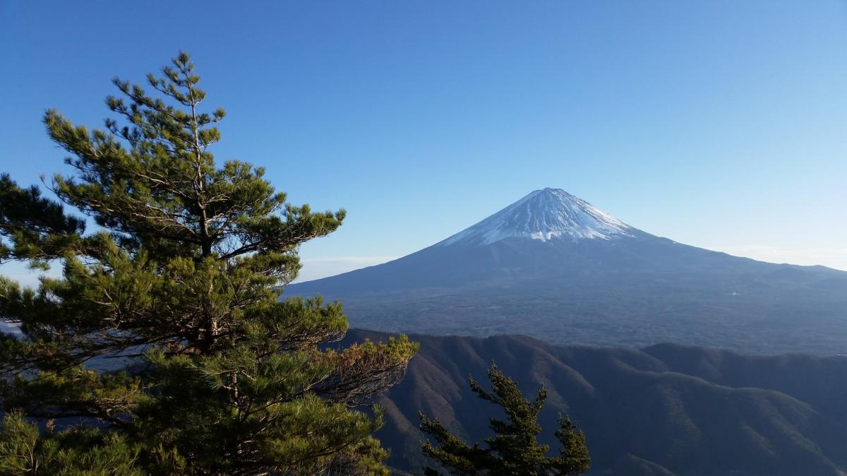
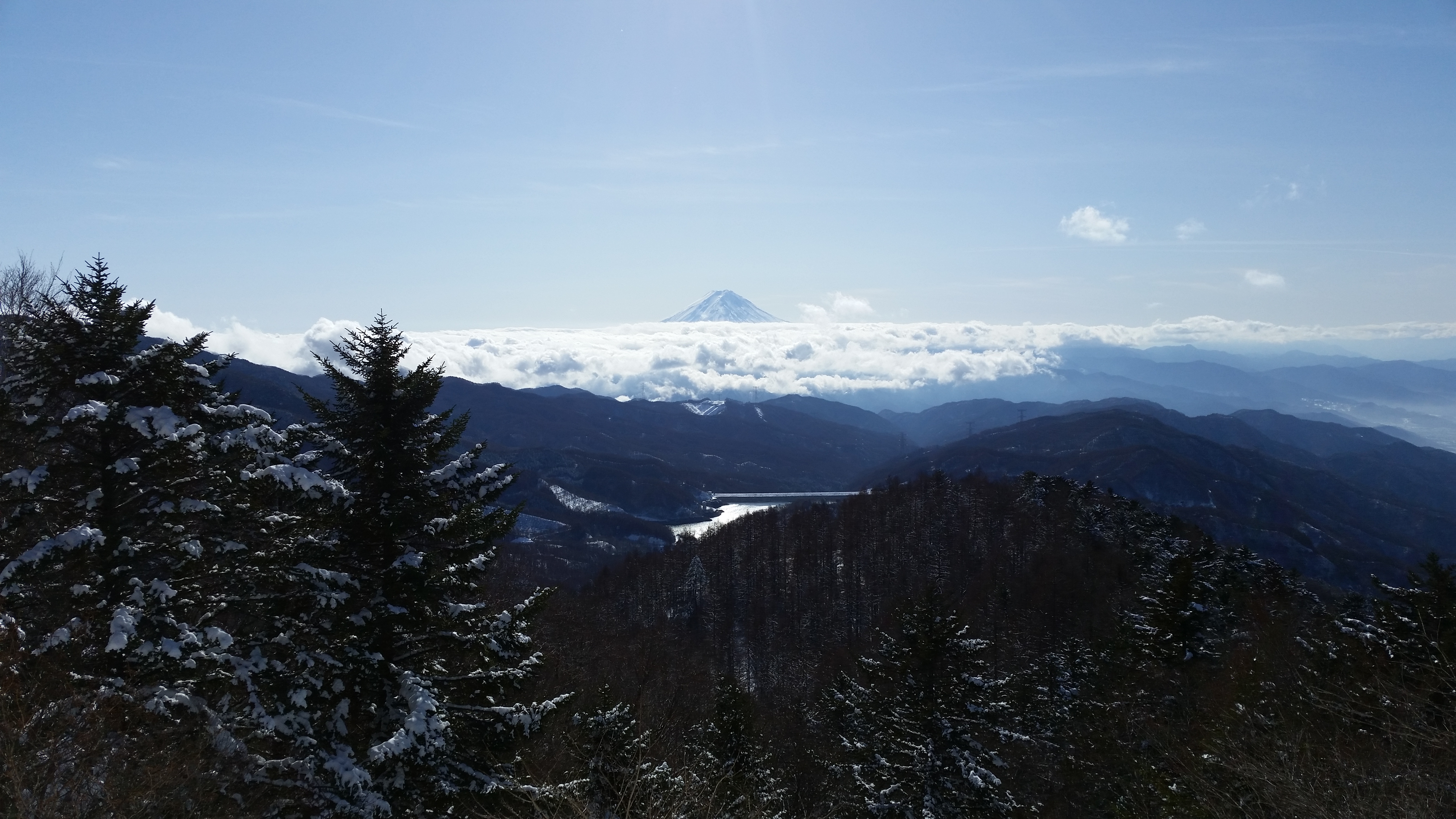
Apparently the area is famous for its irises, but they weren’t in bloom yet. In no time, I reached the top of Mt Hadaka (meaning Mt Naked). I was supposed to see the main peaks of the Southern Alps and Mt Fuji but in reality I saw nothing. However the temperature was pleasant, even a little cool, and there was no wind, so I settled down for some lunch.

At first sight I thought these were some really late blooming mountain sakura

The next section was through amazingly beautiful forest, full of massive camphor trees and moss-covered undergrowth. At one point I spotted a solitary juvenile Kamoshika (Japanese serow), passively munching some grass (see video). I arrived at the top of Mt Kushigata 櫛形, a two-hundred famous mountain, a little after 2h30, where there was a relatively new summit marker, a few meters from the old weather-worn one. The clouds were still in, so no view, but it was very peaceful and quiet. I had not seen anybody in the past hour and a half.

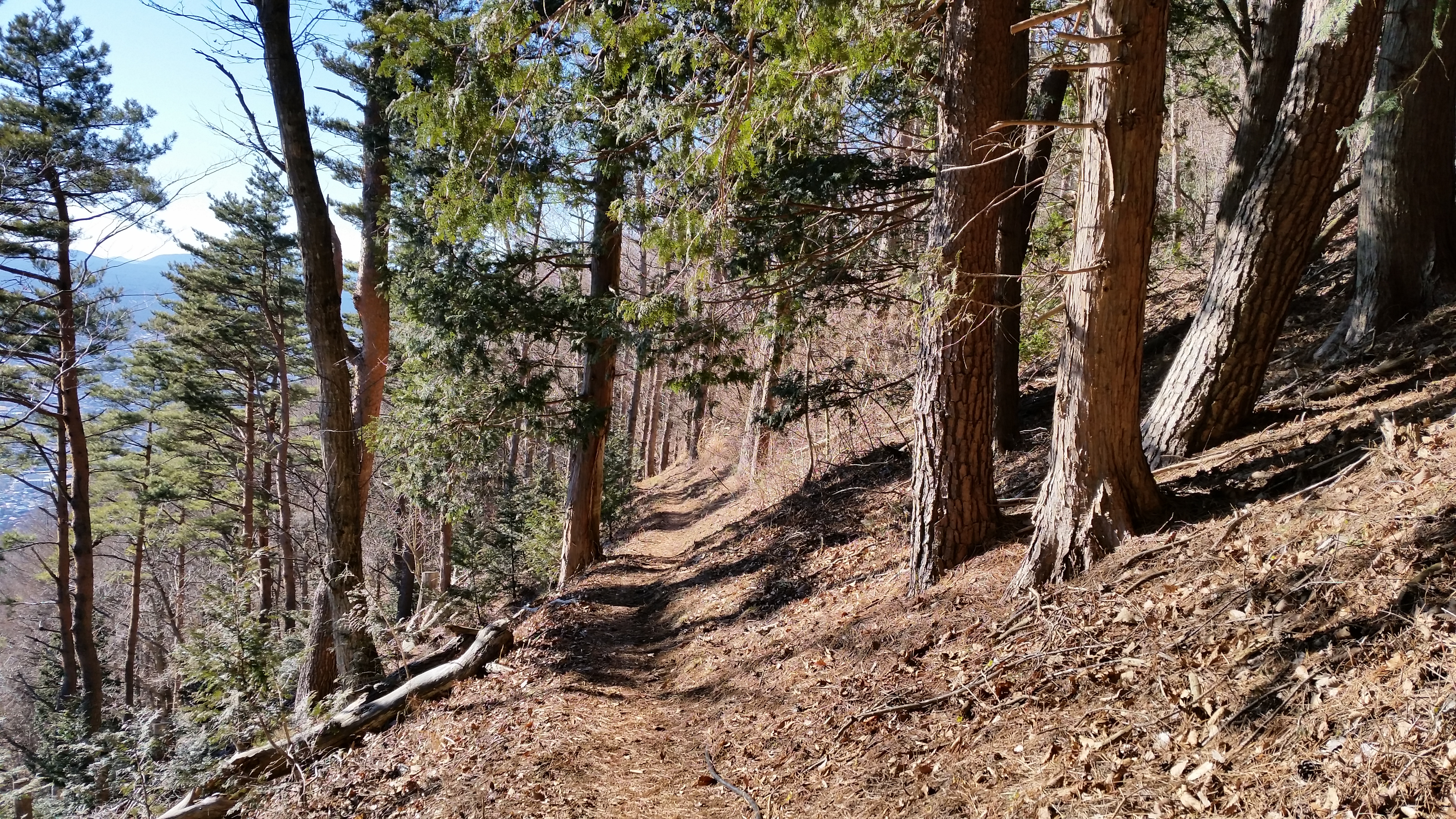
Most of the hike scenery and trail was like this

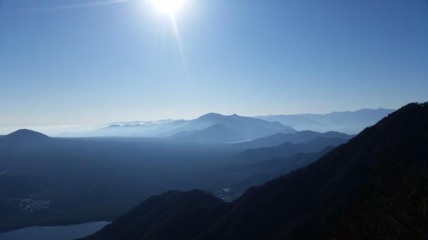
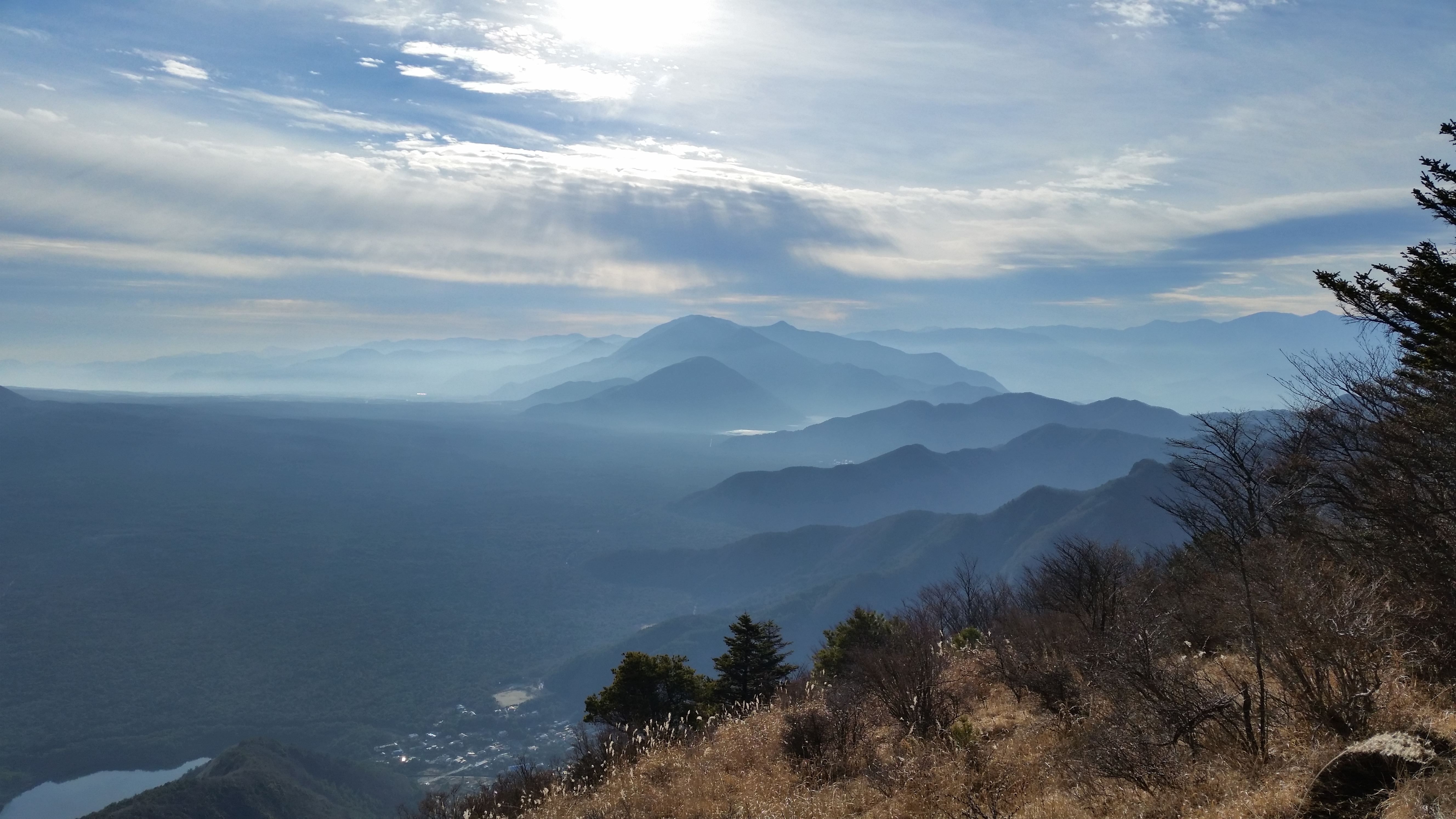
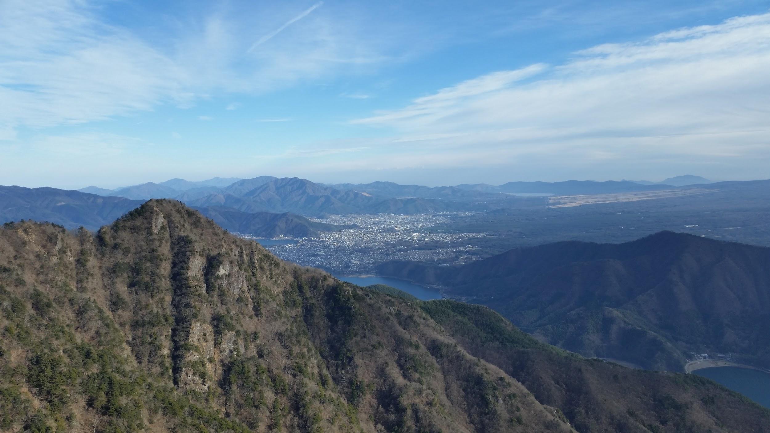
I set off for the final part of the hike back to the parking area. The mist had rolled in, providing some very nice photo opportunities. At the car park, my car was the only one left – time to head back! Heading down the mountain, the sun broke few in a few places, I was able to get some nice views of the valley below. Instead of taking the train directly back to Tokyo, I got off at Isawa Onsen, less than ten minutes away. It’s a great place to have a hot spring bath, and I got to taste some Yamanashi wines at the wine server in the tourist office below the train station – a great way to finish a Yamanashi hike!

Tree in the mist number 1

Tree in the mist number 2

Have you ever seen a Kamoshika while hiking?

Mt Hamaishi (707m), Shizuoka City, Shizuoka Prefecture, Sunday June 16, 2019

I was itching to head somewhere new. A place I hadn’t explored yet. June is the best time of the year to head faraway since the days are long. I decided to head South to Shizuoka prefecture, since it had rained all day the day before and therefore there were bound to be good views of Mt Fuji. It was also the location of a good station to station hike I had recently found in my Shizuoka prefecture hiking guide book. I used the Tokaido line to go all the way to Atami, where I changed to a local line for the final part of the trip to Yui station, halfway between Numazu and Shizuoka cities.

Yui, 3 hours from Tokyo station, is apparently the capital of Sakura Ebi or Sakura Shrimp fishing in Japan. It also used to be on the Tokaido, the ancient pathway that linked Tokyo and Kyoto. I had one small problem after stepping out of the train station just after ten thirty: it was a lot hotter than I had expected. The sun was pounding down from above. Normally I wouldn’t attempt a hike from sea level in June, but the last few days had been unseasonably cool so I thought I could risk it.

Welcome to the town of Sakura Ebi

I set out as quickly, hoping to gain altitude and some coolness as soon as possible. The hike is well signposted, and soon I found myself walking up a narrow road with great views of Suruga Bay behind me. Mt Fuji was still in the clouds. After a little more than an hour a reach a flat area with some fields, toilets and a signboard. Shortly after, I spotted a hiking trail going straight up the mountainside. Although, it wasn’t mentioned in my guide book, I was glad for the opportunity to leave the road.

First good views East towards Izu one hour after setting out

The trail had suffered a bit from the recent rains but climbed steadily through the forest. Eventually I emerged into an open area with great views of Suruga Bay, Izu peninsula, and Mt Fuji, slowly emerging from the clouds. After a short break, I set off again. Instead of climbing the path started to follow the contour of the mountainside – the surrounding vegetation reminded me very much of hiking on the Izu peninsula opposite, also part of Shizuoka prefecture.

Beautiful views North towards Numazu City

Just when I was starting to worry that I was on the wrong path, I saw a signpost that confirmed that I was on the right trail. The summit was just a short way away. The vegetation started to thin and finally I reached a bald grassy hill, behind which I could just make out the top of Mt Fuji, clear of clouds! I rushed the final few meters and snapped a few photos before clouds rolled in and covered Fuji’s summit from view. The summit of Mt Hamaishi 浜石岳 is famous for its great views and I wasn’t disappointed. I could see from left to right, Shizuoka city, the Southern part of the Southern Alps, Mt Fuji, Mt Ashitaka, Hakone, and the Izu peninsula. I probably say this often, but it was one of the best views I had ever seen in Japan, especially on a day trip from Tokyo.

The majestic beauty of Mt Fuji from the top of Mt Hamaishi

After nearly an hour, I was able to drag myself away from the amazing views. I had to head back down to the signpost I had seen earlier. I decided to run since I was behind schedule, and nearly stepped on a large snake! Fortunately the snake jumped out of the way and retreated into the bushes. I wasn’t sure whether it was poisonous or not, but I was a lot more cautious from that point forward. At the signpost I had passed earlier, my path continued straight, following a different way down, Southwards. The forest I was walking through reminded me somewhat of the Southern Alps, not surprising in fact, since, looking at a map, Mt Hamaishi sits at the very end of the end of the Southern Alps (not sure whether it’s geographically part of it).

Blue sky and clouds reflected in Tachibana Pond

Soon I reached a signpost for Tachibana Pond, a short way from the main trail. It was amazing to see such a beautiful pond in the middle of the forest. After tearing myself away from the second great view of the day, I continued down the mountain. This incredibly beautiful part of the hike took two and a half hours, and I saw absolutely no one. At one point I crossed a spooky bamboo forest – even though it wasn’t a windy day, the bamboo trees swished and swayed as if I were in the midst of a storm. Finally I popped out at the Satta Pass viewpoint, just above the ocean. From there, it was another 45 minutes of fast walking back to the station, that would get me back to Tokyo.

Spooky bamboo trail

Check out the snake that was crossing the trail just below Mt Hamaishi

Enjoy the sounds of the bamboo forest swaying in the wind

Mt Settou (1736m), Mt Junigadake (1683m) Kawaguchiko Town, Yamanashi Prefecture

I had already hiked parts of the Misaka mountains – the mountainous area between Mt Fuji and the Oku-Chichibu mountains (for example Mt Ou to Mt Oni). However, I had never hiked the central part, between Kawaguchi and Saiko lakes. I decided to approach from Ashigawa valley on the North side, and finish at lake Saiko, on the South side. I took the Chuo line to Isawa Onsen station, and then the bus to the farmer’s market in Ashigawa 芦川. I had a very good impression of the place since they offered me free tea while I got ready for my hike!

The Fujikyu bus from Isawa Onsen to Ogossoya (the Ashigawa farmer’s market) was discontinued in 2024. Access is now via car, or by bus from Kawaguchiko Station. However, since 2024, a free shuttle bus runs on weekends between Ogossoya and Suzuran.

Kawaguchiko City surrounded by nature

I started out after 10am, and walked along the road for about 20 minutes to the start of the trail, which then went straight up the side of the mountain, through trees completely bare of leaves. I reached Oishi pass (1515m) 大石峠 around noon. I had been there once before when hiking from Mt Kuro further to the East. This time I turned right and continued Westards along the ridge.

Kofu valley and beyond the Oku-chichibu mountains

The hiking path went up and down a wide ridge through beautiful evergreen forest. I had occasional views of Mt Fuji to my left, lake Kawaguchi behind me, and the Ashigawa valley to my right. I soon reached the top of Mt Settou 節刀ヶ岳 the third highest mountain along the ridge, after Mt Mitsumine and Mt Oni. From there I could see all the way to the Southern Alps, and the Kofu valley.

Against the sun, looking back towards Minobu

After admiring the view, I started to head down towards Saiko lake. Soon, I had to negotiate a slightly tricky bit involving some rocks and chains. After that, I arrived at the top of Mt Junigadake 十二ヶ岳 which translates simply as “Peak 12”, from where I had some more great views of Mt Fuji ahead of me. I now had two options. The path to the left was an exciting ridge including suspended bridges. Alternatively, I could head straight down to Izumi no Yu, a hot spring on the side of Saiko Lake. Since it was already 3pm, I decided to head down, and leave the exciting ridge for another hike.

Mt Koshutakao (1120m), Mt Tanayokote (1305m) & Mt Otaki (1362m), Koshu City, Yamanashi Prefecture, Saturday January 7, 2017

Situated on the Eastern side of the Kofu basin in Japan’s wine country, Mt Koshu-Takao is a technically easy but fairly long day hike, especially if one continues to Mt Tanayokote and Mt Otaki further up the ridge. The highlight is the panoramic view of Mt Fuji and the Southern Alps from various spots along the mostly bare ridgeline. Make sure to drop by the hot spring on top of “Budo no Oka”, and also indulge in some wine tasting before heading back.

Mt Fuji can be seen from many Spots along the Hike

This was an amazing station to station hike I had been saving for a day I couldn’t be bothered to look up bus times. I just regret I hadn’t hiked up Mt Koshu Takao (甲州高尾山 こうしゅうたかおさん koushuutakao-san) sooner: from the pictures in my guidebook, it looked like a dull up and down slog, but after gaining enough elevation, the views of the Mt Fuji and the South Alps were out of this world. Not only did I have clear weather but I also got to see a “sea of mist” covering the lower elevations.

The South Alps, with the three Shirane Mountains in the Middle

The surrounding scenery was a nice mix of subalpine and alpine, lots of pines and open grassy spaces, despite the fact that I was always below the 1500m mark. The hike follows an undulating ridgeline which goes all the way to Daibosatsurei, although part of the trail is rough and unmarked (GPS recommended). I made it all the way to Mt Tanayoko (棚横山 たなよこてやま tanayokoteyama), a 100 famous mountain of Yamanashi, and Mt Otaki (大滝山 おおたきやま ootaki-yama); this last summit was completely in the trees.

The summit of Mt Takayokote

Just a couple of hours by train from Shinjuku on the Chuo line, Katsunuma-budokyo station feels like a completely different world. From there, it took me less than an hour to walk to the trail entrance at Daizenji (大善寺). For the return, I went down a forested valley on the west side, past the picturesque shinto shrine Otakiyama Fudoson Okumiya (大滝山不動尊奥宮), as well as a waterfall, frozen in this season.

Sideways View or Mt Takaokoshu from Budo no Oka


Beyond that, the path becomes a road which you need to hike for 90 minutes back to the station. I was fortunate enough to be picked up by somebody on the way down (there is a parking area near the shrine); they even dropped me off at Tenku no yu hot spring close by the station. By the way, this onsen is on the top of a small hill and has some great views of the wide plain that forms the central part of Yamanashi prefecture.

Watch a Video of the Hike

November Snow Hiking, Daibosatsurei (2047m), Yamanashi Prefecture

With  early freak snowstorm, mountains in the Kanto area received up to 20 cm of fresh snow. I did a short reconnaissance up Mt Hiwada 日和田山 (305m) near Hanno station on Friday. Unfortunately snow and November temperatures don’t really mix, and everything was melting as if Mother Nature was trying to cover up some big mistake in a hurry.

Big lumps of snow were falling from the branches making walking under the trees quite perilous. In other places snowmelt was coming down in streams of water just as if it were raining, except that it was a beautiful sunny day. Overall the muddy and wet conditions were starting to make me despair that I would be able to find a good place to go hiking on Saturday. Too low, I would encounter similar slushy conditions. Too high and there was a risk of losing the trail or worse, running into trouble on a steep section.

I finally hit upon an interesting idea which I was able to confirm after a quick search on internet. Buses for Daibosatsurei (2047m) 大菩薩嶺, one of the hundred famous mountains, usually run till about mid-December, after which the service is stopped till the spring because of snow. Daibosatsurei is a relatively easy mountain to hike, a place I was familiar with, and that would also make a good snow hike, except that in the in the winter months you would have to hike up (and down) from a much lower point, the entrance of the Daibosatsu mountain trail at 900m. However, despite the unusual snowfall the buses were still running on Saturday November 25th and thus it was possible to get all the way up to Kamihikawatouge 上日川峠, nearly 600m higher, and a very good convenient starting point for a stroll in the snow.

After getting off at Kaiyamato 甲斐大和 station, I rushed to get in line at the bus stop. Daibosatsurei is a highly popular place to hike, not only because it’s a hyakumeizan but it’s also relatively close to Tokyo and easy to hike. However this time, we were only a handful of people waiting for the bus. Perhaps most people were dissuaded by the snowy conditions or maybe less people go there after the Koyo (autumn leaves) season.

Whatever the reason, I almost thought they were right when the bus failed to turn up on time. We were informed by the bus driver of another bus that ours was running late because of the icy roads. Our ride finally rolled in 30 minutes late making a loud rattling noise because of the snow chains. For once this was a good thing, since the hike I had planned, a simple loop of the top part of the mountain was a tad too short. With half an hour shaved off, the timing was perfect.

There are few mountain roads in the Tokyo area that are open through winter and thus it was quite a unique experience riding up the mountain with snow banks on either side and, ice and snow underneath on the higher parts of the road.

20161126_150734
Icy conditions on the road to Kamihikawa Pass

I was finally able to start hiking just after 11am. At 1600m the snow was already getting heavy and wet, and any hiking below that point was bound to be unpleasant. I took the ridge trail leading straight up to the summit. Under the trees, it was enjoyable to hike on the snow, made compact and firm by the footsteps of previous hikers, and on the rocky sections higher up, the snow had completely disappeared from anything in direct sunlight. There was no ice, and crampons weren’t necessary on the ascent although I had light ones in my pack, and several people were using them, mainly for going down. The views of Mt Fuji and the entire range of the South Alps were stunning. I had been to Daibosatsurei before but the views hadn’t been anywhere as great.

20161126_121526
Mt Fuji in a sea of clouds

20161126_122951
The South Alps with their winter caps on

The top ridge at around 2000m was freezing and the snow was 20cm deep and practically powdery.  From the highest point, you can walk down along the ridge enjoying the beautiful winter scenery. At the emergency hut on the Daibosatsu Pass I turned right and walked down along the gently sloping wide path that meanders through the forest at the base of the top ridge back to the bus stop. Being somewhat sure-footed and having heavy solid hiking boots, I never had to resort to my crampons.

All in all a satisfying if somewhat short hike (under 4 hours) in a snowy setting and a good choice after a late autumn / early winter snowstorm. Most likely the bulk of the snow under 2000m will have melted by next weekend making this a one-off.

20161126_132559
The Daibosatsu Ridge

20161126_134735
The famous Daibosastu Pass

Mt Imakura (1470m) & Mt Nijurokuya (1297m), Tsuru City, Yamanashi Prefecture, Saturday, June 11, 2016

Although the rainy season had already started, the weather stayed good all day. I took a bus from Tsurushi station on the Fujikyu line, all the way to the Michizaka Zuido Iriguchi bus stop. From there, it was a steep but short climb to the top of Mt Imakura (今倉山), completely surrounded by trees, although I had some glimpses of Mt Fuji on the way up. I then headed west along the ridgeline, descending steeply at first.

The hike ends in the Valley below

There were some great views of Mt Fuji and the surrounding mountains from Akaiwa (赤岩) and Mt Nijurokuya (二十六や山). After that last peak, the path curved to the north. I headed downhill first through forest, then through pleasant countryside, finally arriving at Tsuki-machi no Yu hot spring. After a refreshing soak in the outdoor bath, I made my way to the nearby basho-tsukimachinoyu bus stop for the short ride back to Tsurushi station.

A good hike for “fuji spotting” – Mt Shakushi is on the right

Mt Ou (1623m) & Mt Oni (1738m), Fuji-kawaguchiko City, Yamanashi Prefecture


If you want to have spectacular views of Mt Fuji, I recommend hiking the peaks surrounding Japan’s most famous volcano in December or January, when the weather is clear, and the most mountains are still snow-free. Considering the time and effort it takes to get to the area, it would be a shame to miss out on the spectacular views, which are some of the best in Japan.

20160103_141740

Ridgewalking involves some ups and downs

The start of the trail is next to Iyashi no Sato いやしの里 near Lake Saiko, about forty minutes away by bus from Kawaguchiko station (it can take longer due to traffic). It takes one hour along an unused road to reach the entrance of the hiking trail, and from there it’s another hour of steep climbing to the top of Mt Ou 王ヶ岳 (“King mountain”). The reward for this effort is a wide view of Mt Fuji with Aokigahara Forest spread out at its feet.

20160103_145040

The Tenshi Mountains to the South

Following the trail to the right, the next part is an enjoyable hike along a narrow ridgeline, past Mt Kagikake (1589) 鍵掛山, and all the way to Mt Oni 鬼ヶ岳 (“Demon mountain”) about two hours away. It’s best to factor in more time for this part since there are many spectacular views on the way: Mt Fuji, the Misaka mountains, the Tenshi Mountains, the Minami Alps, Yatsugatake, the Kofu valley, Oku-Chichibu mountains, and Kawaguchiko city with its lake.

20160103_141610

Minami Alps (left), Yatsugatake (right) and Mt Kasuga (front right)

From the summit, the path back down is to the right (South) towards Mt Settou (1710m) 雪頭ヶ岳 (not to be confused with nearby Mt Settou 節刀ヶ岳). After this last peak and final views, the trail heads steeply down the mountain through the forest, and ends back at Iyashi no Sato 90 minutes later, where one can catch a bus back to Kawaguchiko station.

null

Kawaguchi City with Mt Juni in front

Mt Iyo (336m) & Mt Tomi (349m), Minamiboso City, Chiba Prefecture, Sunday, January 18, 2015

Mt Iyo and Mt Tomi are two peaks with amazing views belonging to the Mineoka Mountain Range in south Boso. They first came to my attention while I was hiking the Kanto Hundred Famous Mountains, and since they were relatively near each other, I decided to combine them as a day trip from Tokyo. Both mountains are featured in my Mountains of Chiba guidebook and thus I followed the accompanying hike descriptions.

Mt Atago (left), Mt Karasuba (center) & Mt Goten (right)

Mt Tomi from the Top of Mt Iyo

Both trail entrances are a short bus ride on the Minamiboso city bus Tomi line (南房総市営路線バス富山線) from Iwai station (岩井駅), itself a stop on the JR Sazanami limited express, a couple of hours from either Tokyo or Shinjuku station. It’s important to note that advance phone reservation is required for the Mt Iyo trailhead. Since buses are infrequent making it tough to combine both using public transport, I decided to go by car via the Tokyo Bay Aqua line between Kawasaki and Kisarazu Cities. On the way there (and back), I could also check out the view of Tokyo Bay and Mt Fuji from the Umihotaru Rest Area (meaning Sea Firefly) at the halfway point of the line.

Mt Saga (left), Mt Kano (center back) & Mt Hitobone (right)

Tokyo Bay and Mt Nokogiri from Mt Tomi

Mt Iyo (伊予ヶ岳 いよがたけ iyogatake)

Mt Iyo is a rare rocky summit on the Boso peninsula and is the only one with the character “岳” (“take” meaning “high mountain”) in its name. The hike is a 2-hour loop from the Tenjingo (天神郷) bus stop and parking area near Heguri Ten Shrine (平群天神社), including a short round-trip between the north and south peaks. The narrow south peak (南峰) has a spectacular 360° view that includes Mt Atago, Mt Karasuba, Mt Goten, Mt Tomi, Mt Nokogiri, Oshima Island, as well as Mt Fuji; from the north peak (北峰) one can appreciate the precipitous south summit protruding from the mountainside.

Mt Iyo South Summit from Below

The Precipitous South Summit of Mt Iyo

The higher sections of the Mt Iyo trail include steep, rocky sections fitted with rope and chains for safety. This hike is rated intermediate level, despite the low-elevation and short hiking time; surefootedness, upper body strength and a head for heights are recommended. The lower trail sections inside the forest follow well-maintained and easy to walk paths, including a short section along a paved road.

Safety Chains on the South Summit of Mt Iyo

View of Minamiboso from Mt Tomi

Mt Tomi (富山 とみさん tomi-san)

Mt Tomi is a standalone peak closer to the coastline and the 7th highest mountain of the Boso Peninsula; it’s situated inside the Tomisan Prefectural Natural Park (県立富山自然公園). The trailhead can be reached from the bus stop at the Furari Road Station (道の駅 富楽里); for the return, one can walk through the countryside back to Iwai station. This hike is a 3-hour loop along well-maintained trails, the steeper sections fitted with log steps. The highlight is the wooden observation deck on the north summit (北峰), a short roundtrip from the main trail, with a wide view on the east side of Mt Nokogiri, Mt Kano & Mt Hitobone; Tokyo Bay, the Miura peninsula, Oshima island, and Mt Fuji are also visible. Although Mt Tomi consists of two peaks, the south peak is off the trail and within the forest.

Mt Fuji from Mt Iyo

Mt Nokogiri from Mt Tomi

To make the best of the panoramic views, it’s best to attempt both hikes during the cold, clear days of winter, although each can be comfortably done between October and June; both hikes are unsuitable during the hot and humid months of summer. After a late start at Mt Iyo at noon, I was back at the car before 2pm. I then drove to the Fusehime-roketsu Parking Lot (伏姫籠穴駐車場), and headed up Mt Tomi around 2h30. I walked fairly quickly and was back at my car at about 4pm. On the way back, I was able to enjoy the sunset, as well as the night view of Tokyo City from the Umihotaru in the middle of Tokyo Bay.

Watch a Video of the Hike

Mt Kurami (1256m), Tsuru City, Yamanashi Prefecture [Map Available]

This was my first day hike of 2015, and since it was during the Japanese New Year or “shogatsu“, I wanted to have some good views of Mt Fuji, do a station to station hike (buses run on special schedules during that time), and, if it wasn’t too much to ask, end the hike at a nice onsen. I want all hikes to be good hikes, but the first one of the year should be special.

Get a Map of the Mt Kurami Hike

This map was developed for Japanwilds with the Hokkaido Cartographer

Find more Japan Hiking Maps on Avenza

20150103_130713

The city of Kawaguchiko at the base of Mt Fuji

I took a train to Mitsutoge station: I hadn’t been there since I first climbed Mt Mitsutoge several years before, and I had completely forgotten that there was a fantastic view of Mt Fuji from just outside the station. This time, however, I was climbing a mountain on the other side of the railway line. The trail started next to Yaku Shrine, 15 minutes from the station. However, I accidentally went down another trail that was level instead of going up. Once I realised my mistake, I cut through the forest up the side of the mountain to reconnect with the correct trail.

20150103_130733

The Kawaguchi toll road snaking down the valley

I soon started getting some good views up and down the valley connecting Kawaguchiko and Otsuki cities. It was a fairly relaxing climb, the only steep bit came at the end, going up the small pyramidal summit. I reached the top of Mt Kurami  (Kuramiyama 倉見山) after about 90 minutes, around noon. There was an excellent view of Mt Fuji, resplendissant in its winter coat. I could also see Mt Mitsutoge, the cliffs below the summit area making it look like an impregnable fortress. Looking North, I could spot the peaks of the Oku-Chichibu mountains. Looking South, I could gaze on the vast urban sprawl of Kawaguchiko City. On this clear sunny day, the snowy peaks of the Minami Alps were clearly visible.

20150103_134200

Easy hiking on the way down

The descent, through a beautiful pine forest, took another ninety minutes. The trail was very easy to walk, and offered many good views along the way. It often felt like I was flying above the small houses in the valley below. The sun was now slightly behind Mt Fuji, so the side facing me was in the shadows, less good for taking photos. I reached the bottom of the valley just past 3pm. I then walked another 30 minutes to Yoshinoike Onsen 葭之池温泉 for a quick hot spring bath, before taking the train from the nearby station back to Tokyo.

DSC07472

 Mt Fuji view from Mitsutoge station (using camera zoom)

Mt Kenashi (1964m), Mt Ama (1771m), Fujinomiya City, Shizuoka Prefecture

Mt Kenashi is a famous mountain but not part of the original one hundred. It is part of the famous two hundred mountains, which isn’t too shabby considering that there are thousands of mountains in Japan. It sits opposite Mt Fuji and thus has some excellent viewpoints of Japan’s most famous volcano. Consequently, there are quite a few people climbing this mountain.

Hiking in the Fuji-Hakone-Izu National Park

富士箱根伊豆国立公園

HOW TO GET THERE: The biggest drawback is that this mountain is tough to get to from Tokyo. You will need to shell out 5000 yen to take the Shinkansen from Tokyo station to Shinfuji station in Shizuoka (about an hour), and then put down another 1300 yen for the bus to the Asagiri Green Park entrance (also about an hour). To take your mind of all this spent money, there are great views of Mt Fuji along the way.

Fortunately the way back is slightly cheaper. At the end of the hike you can catch the same bus taken in the morning and get off in Kawaguchiko. From there, you have a choice between a local train or the limited express back to Shinjuku. The latter is more expensive and only runs a few times a day. Alternatively, you can take a bus to Shinjuku station for less than 2000 yen. However if you are going back on a weekend, beware of traffic jams. You could also take this way to go there but you would end up at the start of the hike half an hour later, and to trains heading out to the Mt Fuji can be packed (less so so on the way back).

Get a Map of the Mt Kenashi Hike

This map was developed for Japanwilds with the Hokkaido Cartographer

Find Japan Hiking Maps on Japanwilds

THE ROUTE: Once again I was the only person to get off the bus; it seems that most people come here by car. I had to walk along a flat road for about half an hour to reach the base of the mountain and the start of the hiking trail. The view of Mt Kenashi towering above me was impressive; I wondered if I really was going to be able to manage this long and steep 1000+ meter climb. On the way I passed a wide and grassy camp site on my right with some excellent views of Mt Fuji. I definitely want to camp here some time in the future.

At the end of the long asphalt road I turned left following the signs for Mt Kenashi. Eventually I entered the forest, passed numerous parked cars, and started climbing along a rock path. There were two main paths up Mt Kenashi. I chose the shorter one so that I would have enough time to take the long ridge route down. The path was divided into 10 stations each marked with a sign, similar to the Mt Fuji stations. I passed quite a few people going up and down the mountain. The weather was sunny and not too cold for a November day, although judging from the absence of leaves higher up, it seemed that autumn was already finished on this mountain.

Mt Kenashi with the camp site at its base

As expected the climb was seemingly endless. Similar to when I was climbing Mt Takanosuya in the mist, the top ridge always seemed to be out of reach, always just beyond my level of vision. Every time the path became level, and I thought I was finally there, it would surprise me by rising steeply again. I was slowly getting higher than the rest of the ridgeline, and it felt like I was ascending some kind of spire.

At last I reached a small rocky outcrop, marked as a viewpoint of Mt Fuji. I decided to have an early lunch there, not because I was especially hungry, but because the view was fabulous; there was a comfortable unoccupied sitting spot, and there was no guarantee of something similar at the summit. However I only got past my first sandwich when I was forced to flee because of a group of hikers that talked loudly behind me while taking photos of the view.

Pine tree forest at the base of Mt Kenashi

From this point I reached the top ridge quite quickly. I overtook a lady hiker for the second time, who couldn’t figure it out how that was possible (she hadn’t seen me taking my lunch break on the rocky outcrop earlier on). From there, on it was an easy stroll to the summit of Mt Kenashi (毛無山 kenashiyama – means hairless mountain). Interestingly, just by stepping onto the ridge, the temperature dropped to near freezing. At nearly 2000m, winter had arrived.

As expected, there were plenty of people at the summit. I still managed to find a decent spot to sit down and finish my lunch. Unfortunately, the view of Mt Fuji wasn’t as good from here. However, before I could tuck in, a friendly hiker told me (in good English) that if I continued ten more minutes along the ridge line, I would reach a much better spot for lunch with a 360 view, including Mt Fuji and the Southern Alps. That seemed like a very attractive proposition, so after having him take the obligatory photo of me and the summit marker, I set off for this perfect lunch spot.

The first view of Mt Fuji before the summit

Sadly, I never found it, and one hour later I reached the next summit, Mt Ama (雨ヶ岳 amagadake), the last viewpoint before going down the mountain, and last chance for a (late) lunch. I was lucky I had eaten something before reaching the top, since I wasn’t able to find any good sitting spots with a view along the ridge. Even when I had a 360 degree view, the bamboo grass on either side was just too high to sit down comfortably. I guess the other hiker had walked the ridge in other seasons when the grass hadn’t been so high. The ridge was a mix of cold and shady forested sections, and warm and sunny  grassy sections. The views of Mt Fuji were the best I had ever seen since the sun was behind me; I could make out all the details of the snowy rocky summit area. There were also far less people walking the ridge, since most people, having come by car, had  to go up and down Mt Kenashi the same way.

I found a rectangular block of stone perfect for sitting. moved it into the sun and sat down to enjoy the rest of my lunch while examining Mt Fuji. However, I couldn’t stay too long however since I had a bus to catch. Soon I could see lake Motosuko on my left but too many branches in the way meant that I couldn’t get a good picture.  Oddly enough I had the same kind of experience going down as when going up. Three times I thought I had reached the lowest point between 2 peaks only to discover that the path dipped further down.

Picture perfect view of Mt Fuji along the ridge

Finally I reached the flat part between two peaks and at another viewpoint of Mt Fuji, I saw the escape path for the bus stop leading down to the right. Here I met a male hiker on his way up. He told me that he was going to camp at the top of the mountain so that he could see the sun rising above the summit crater of Mt Fuji the next day, also called Diamond Fuji. It’s something I have never been able to see, but at the same time I don’t think I want to put in some much effort.

After a short while I reached a junction for the Tokai Nature trail. I had to jog along the last flat portion of the way, and I finally reached the bus stop with less than five minutes to spare. The bus back was empty at first but filled up quickly at the next stop. Despite that it was an enjoyable ride since you could see Mt Fuji from time to time.

CONCLUSION: A difficult but rewarding hike with fantastic views up a famous mountain that will see the crowds melt away during the second part.

Ask for a hiking map for Mt Kenashi

View to the South