
![Mt Okuratakamaru (1781m) & Mt Hamaiba (1752m), Otsuki and Koshu Cities, Yamanashi Prefecture, Saturday, May 28, 2022 [with 4K video]](https://hikingtokyo.com/wp-content/uploads/2022/07/dsc_0373.jpg?w=1024)
I was looking for a relatively easy hike above 1500 meters ending at a hot spring, conditions dictated by the increasingly warm weather. I had walked most of the long ridge extending south from Daibosatsurei, but on examining my hiking map, I found a short, unexplored section. As an added bonus, it included one of the 12 beautiful Mt Fuji views of Otsuki. I could reach the start of the trail by taking the Chuo line to Kai-Yamato station and then a bus to Tenmoku hot spring; I could return to my starting point via a different trail further to the south. The weather was supposed to be sunny, warm and relatively dry. I was looking forward to enjoying the fine spring weather before the start of the rainy season, as well as getting a good view of Mt Fuji.

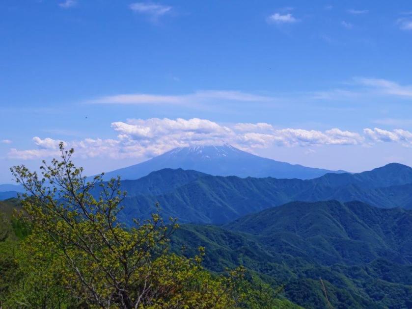
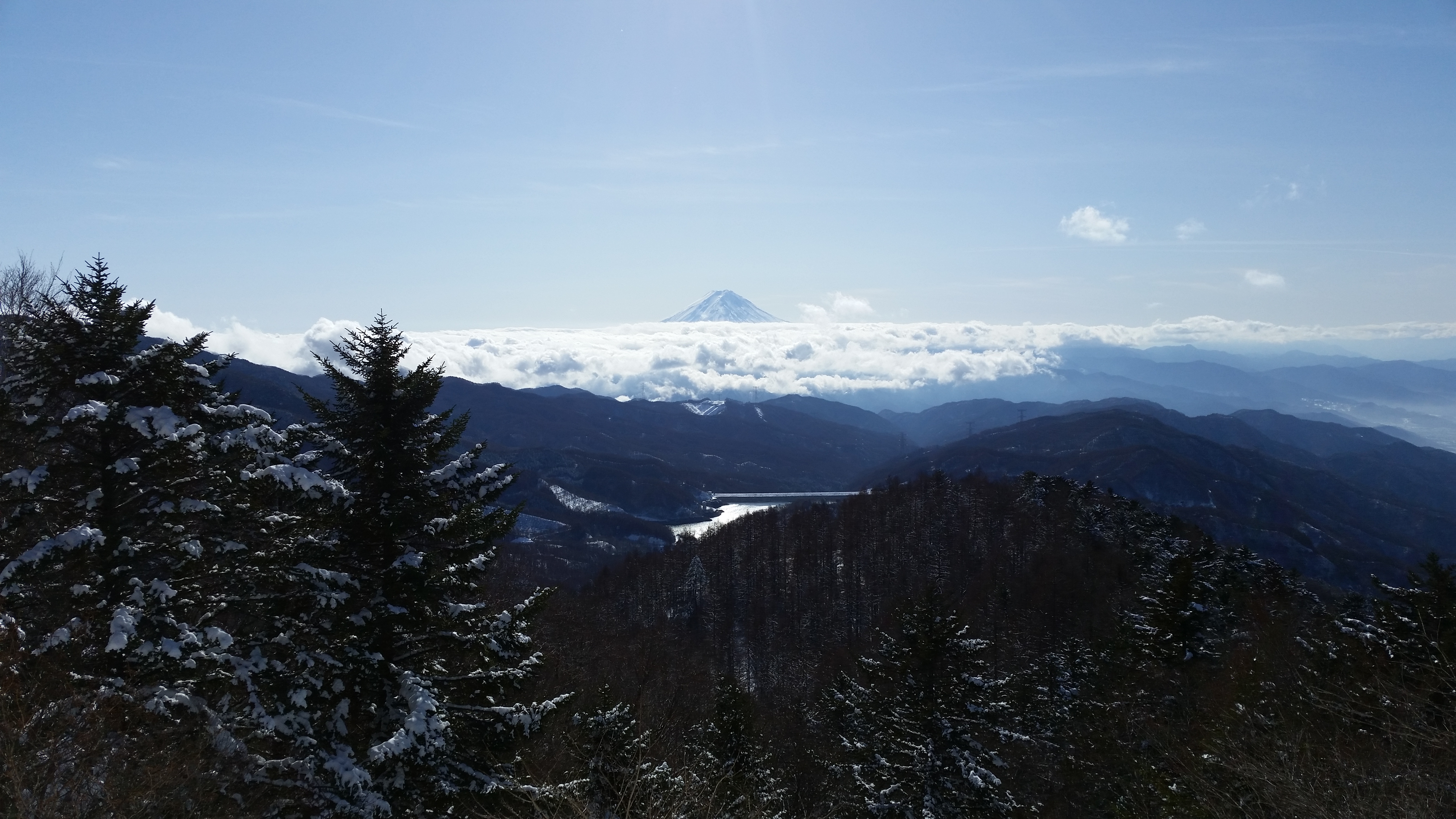
View of Mt Fuji near Mt Hamaiba

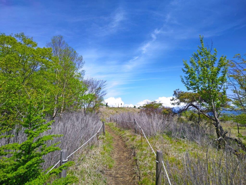
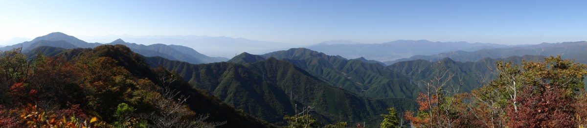
A ridge trail with plenty of views of Mt Fuji
It was a beautiful day as I rode the fully booked limited express to Otsuki where I changed to the local line for Kai-Yamato station. There, I squeezed onto an equally full bus for the ten-minute ride to Yamato Tenmoku Onsen; I was the only person to get off, the other passengers probably headed for the Daibosatsurei trailhead. I used a bench in front of the hot spring to get ready, and, at 10h30, set off along a narrow paved road through a green forest. One hour later, I reached the start of the trail for Yunosawa Pass (湯の沢峠).

Start of the trail for Yunosawa Pass

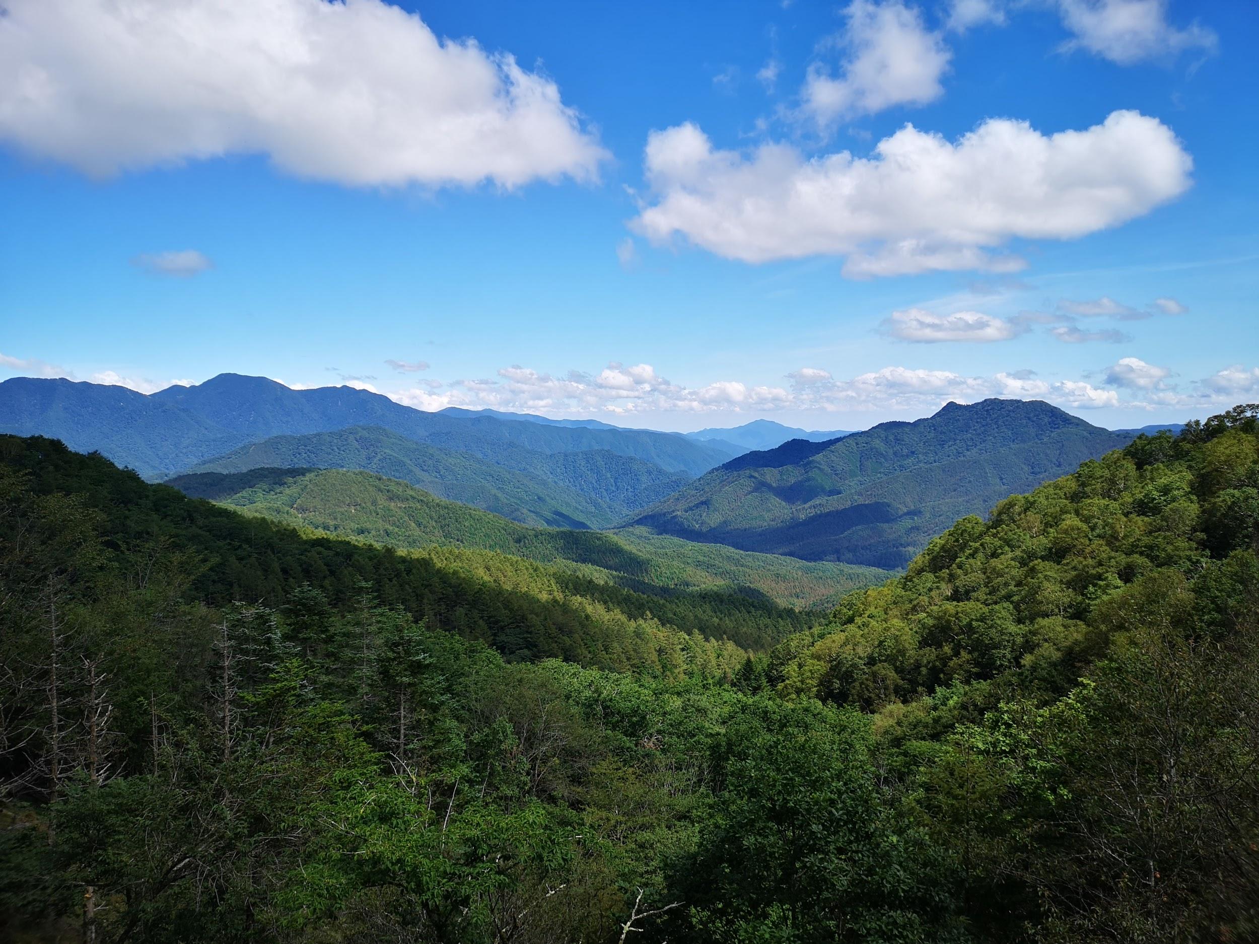
Looking back at Mt Kuro, further north along the ridge
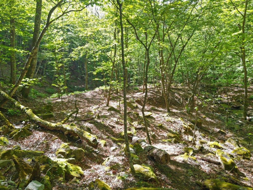
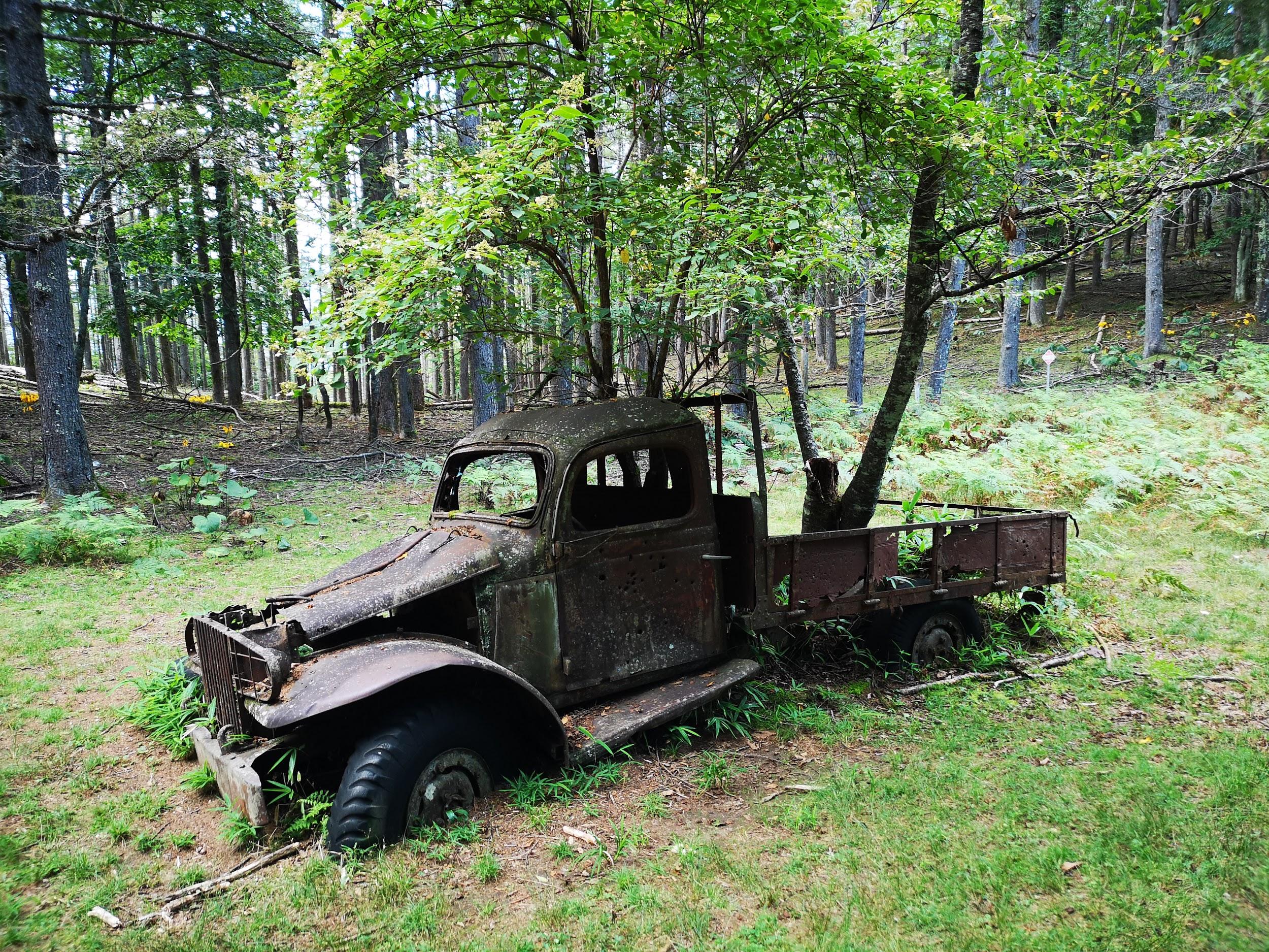
I was soon heading up one of the most beautiful river valleys I had ever walked, made especially beautiful by the sunshine filtering through the new green of spring; few hikers, several river crossings and some fallen trees along the path made it quite adventurous as well. I could hear the croaking of toads, hiding under the mud, and the song of birds, hiding in the trees. A little before 1pm, I reached Yunosawa Pass, which had a parking area and a restroom. At a T-junction, I took the right branch and soon reached a grassy ridgeline.

Looking forward towards Mt Okuratakamaru
Getting close to the summit
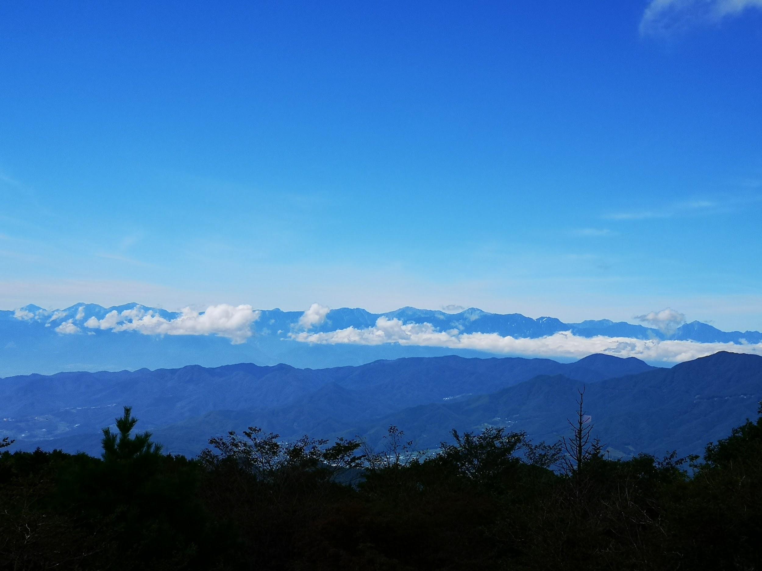
I had a great view of the snowy peaks of the South Alps, from Mt Kaikoma to Mt Hijiri. It was a short, relaxing stroll to Mt Okuratakamaru (大蔵高丸 おおくらたかまる ootakumaru), also a 100 famous mountain of Kanto and Yamanashi; the name uses “maru” meaning round, instead of “yama“, and indeed, the summit was round and almost featureless. However, as promised, it had a stunning view of Mt Fuji, its crater rim still snowy white. I also had a view of the South Alps, and the Chuo line valley on the opposite side. It was 1h30, so I found a place to sit down for lunch; half an hour later, I continued on my way.
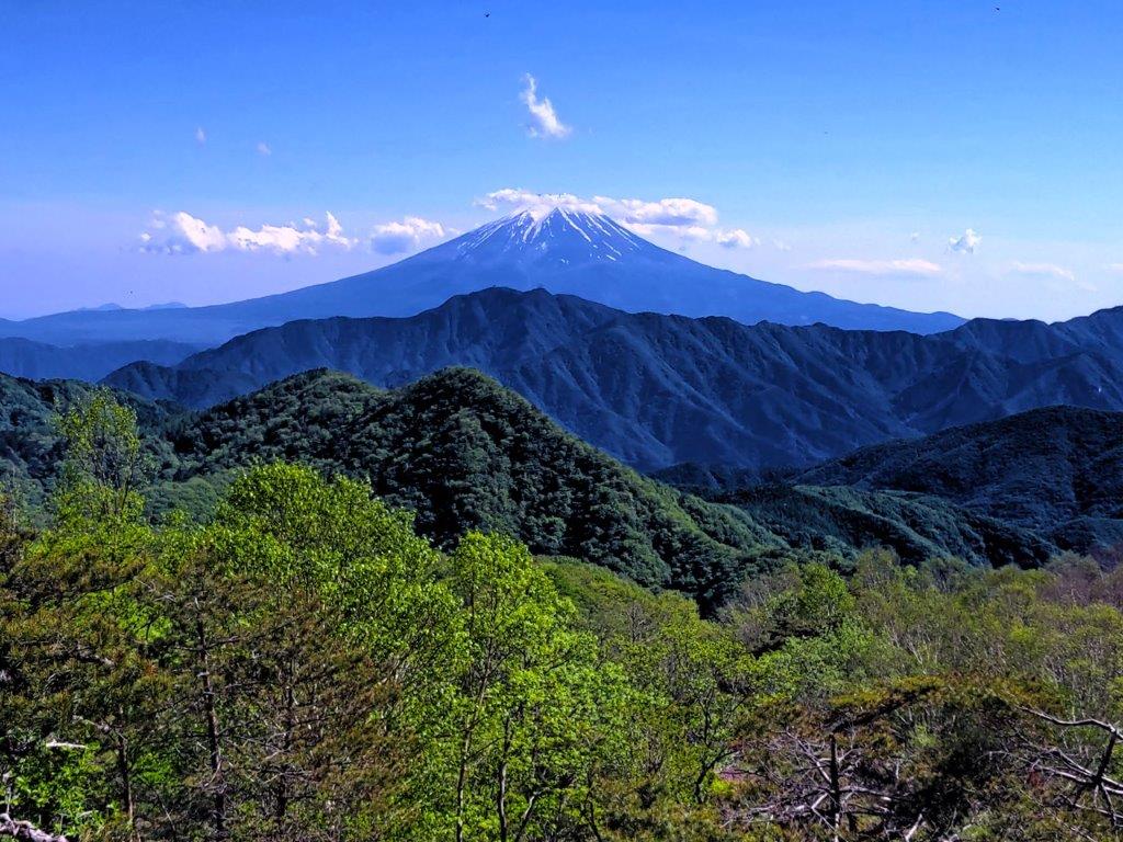
Mt Fuji still had its snowy cap

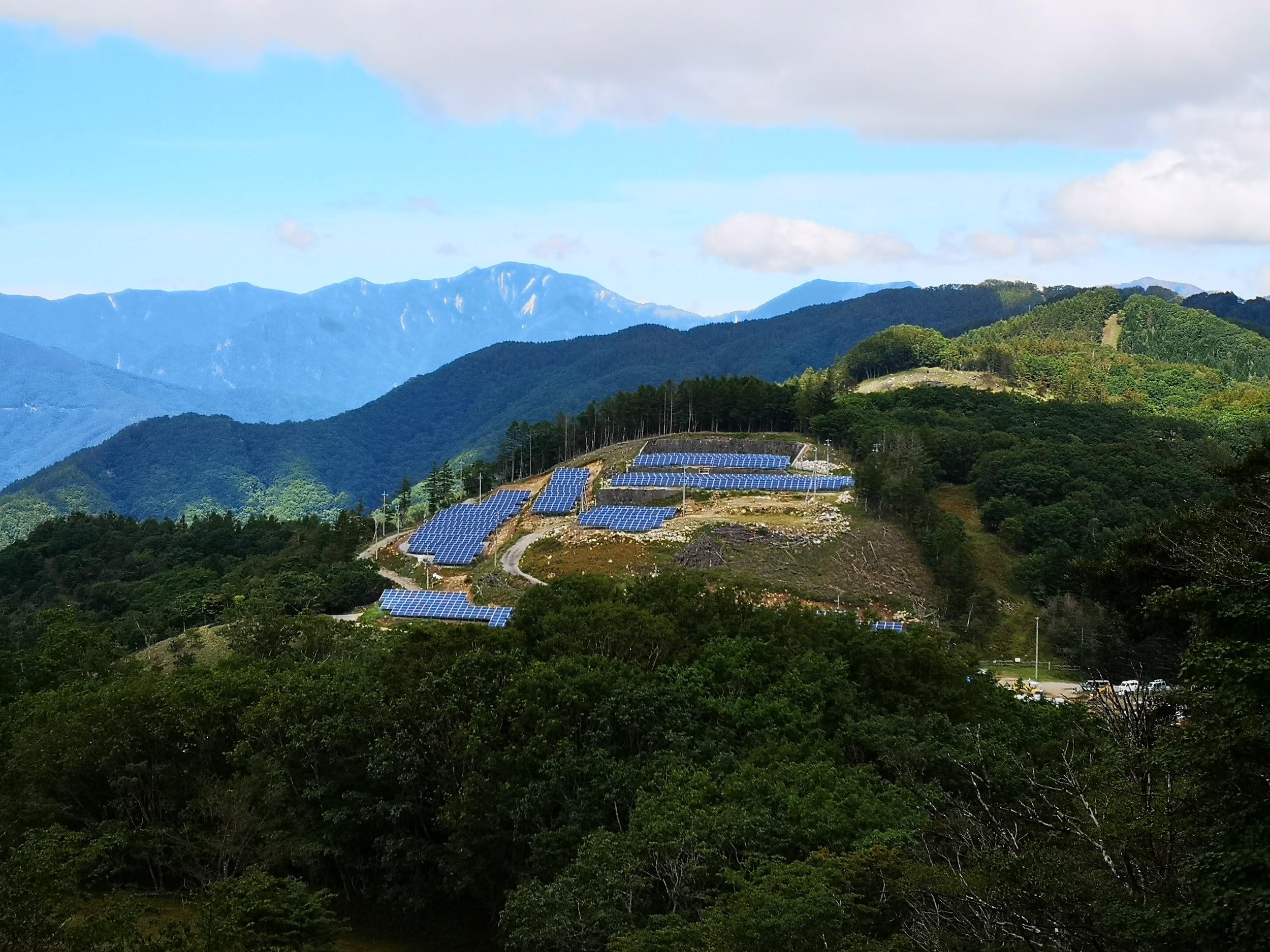
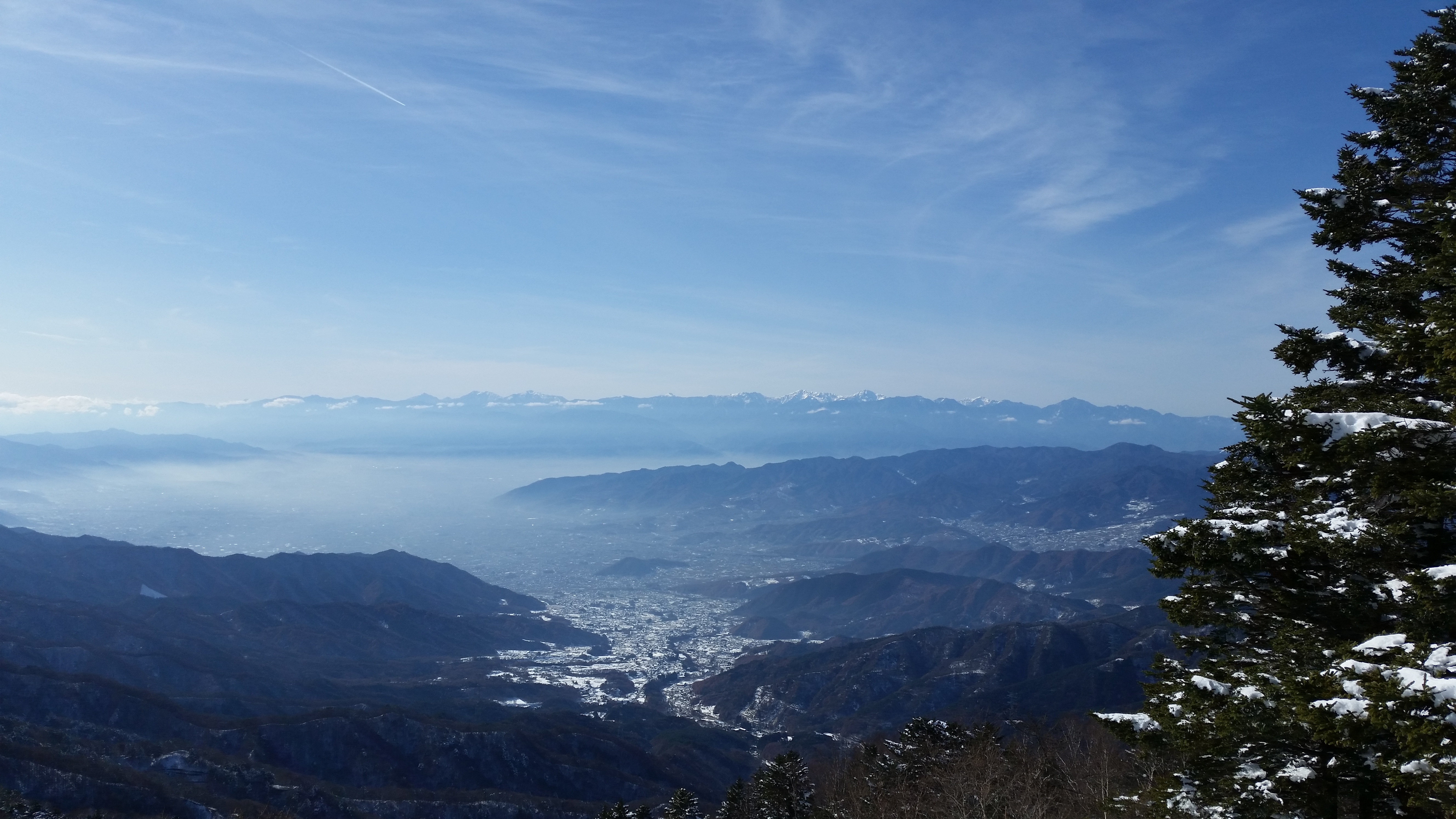
View southeast towards the Chuo line
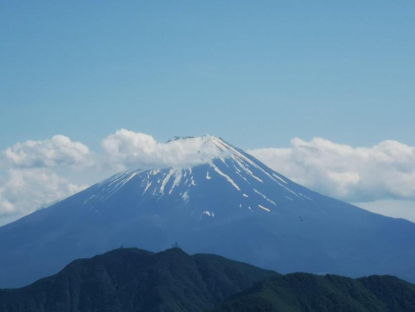
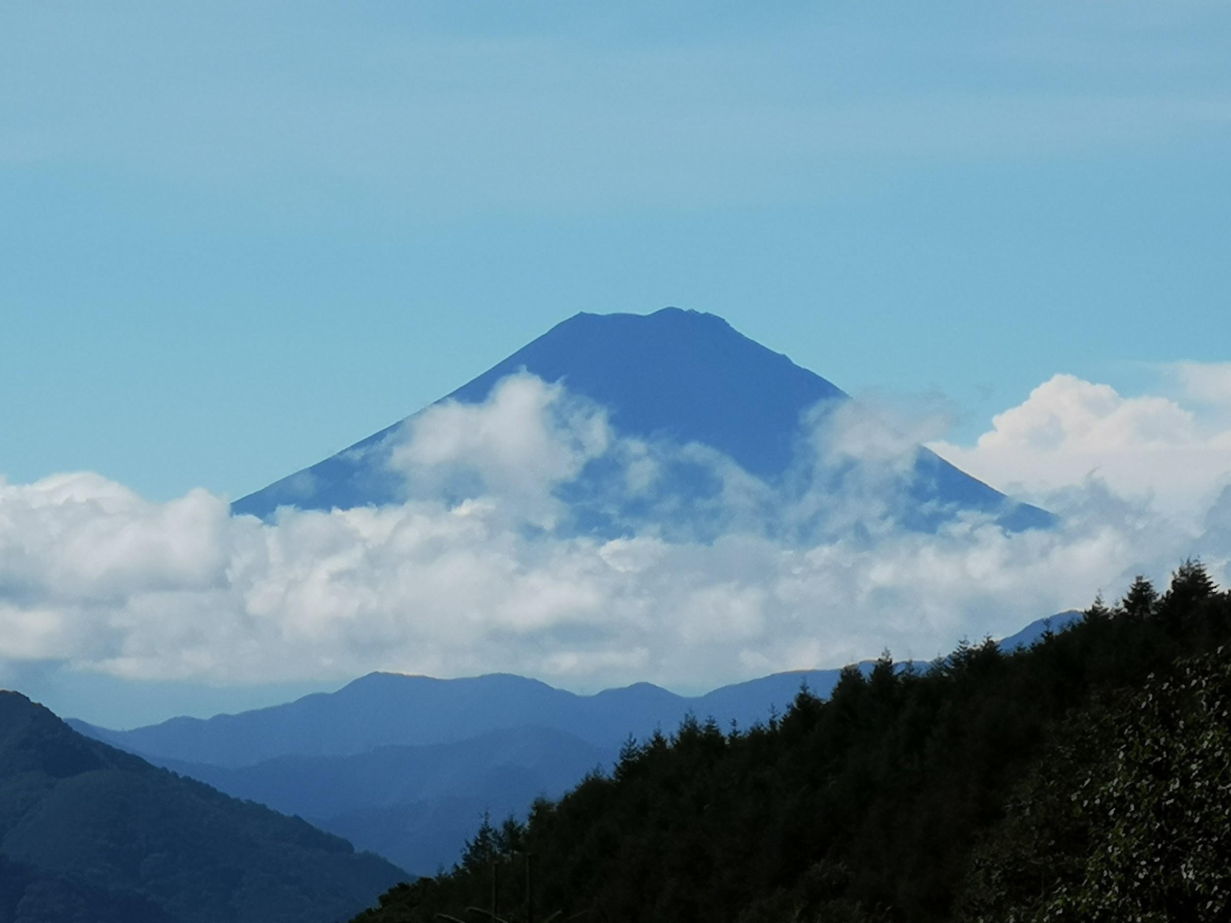
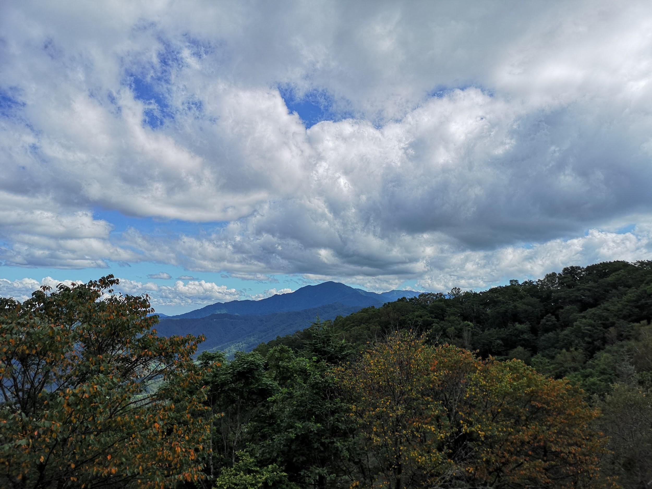
The trail was easy to hike and easy to follow; I had excellent views in all directions. Huge cumulus clouds passed overhead and made me worry slightly about a sudden downpour. At 2h30, I reached Mt Hamaiba (ハマイバ丸 はまいばまる hamaibamaru), another “round” summit. Although this summit was mostly in the trees, Mt Fuji could be seen through a gap on the south side. After admiring Japan’s most famous mountain, I set off again. The path started to descend, and one hour later, reached Komeshoi Pass (米背負峠). There, I turned right, down another river valley.
Heading down from Komeshoi pass

The road back to Tenmoku onsen
This valley was just as beautiful as the one I had ascended, the rushing water sparkling under the mid-afternoon sun. At 4pm, I emerged onto a road, which I followed off the mountain; the road twisted and turned, giving me good views of the green hills of Yamanashi. After passing through a dark tunnel, I reached the main road, and at 5pm, I was back at Tenmoku Onsen. After a refreshing bath, I caught the bus for Kai-Yamato station, then boarded the train for Otsuki, and finally switched to the limited express for the one hour comfortable ride back to Shinjuku.
See the river and Fuji views on the Mt Okuratakamaru hike in 4K


You must be logged in to post a comment.