
![Mt Misuji (822m), Kawazu Town, Shizuoka Prefecture, Sunday, October 22, 2023 [Mt Amagi Hike]](https://hikingtokyo.com/wp-content/uploads/2023/11/dsc_0179.jpg?w=1024)
I had wanted to hike the “Amagi Misujiyama Trail”, ever since I had spotted it on my map a few years ago. However, the hike from Amagi Pass all the way down to the coast seemed just too long day for a day hike. On my previous visit there, I realised it was possible to catch a seasonal bus from Showa-no-Mori-Kaikan to Hachoike-Guchi, cutting out the two-hour climb from the pass. I had another breakthrough when I found out about a short-term bus running from Hosono Plateau to the Izu-Inatori station, shortening it by one more hour. With a mostly downhill route with stunning views and a favourable weather forecast, it was the ideal hike after a one-month break. On Mt Noborio, I had a glimpse of the many wind turbines along the trail, and so I was curious to see them close up. It would be my sixth time on Mt Amagi and I looking forward to exploring another side of this ancient volcano range.
Hiking on Mt Amagi 天城山
Read this Blog Post on Hiking Around Tokyo
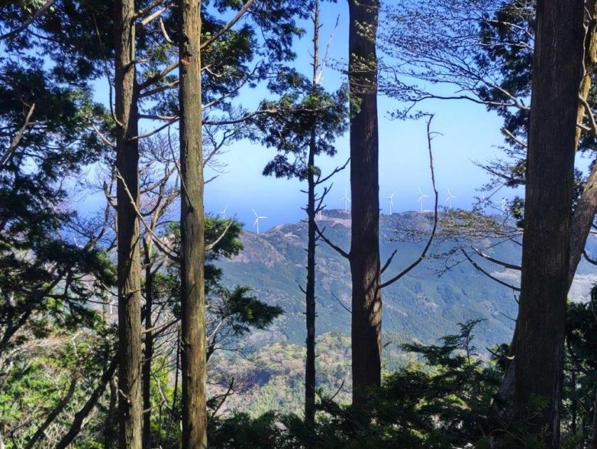
Looking Back at the Wind Turbines
Wind Turbines from the Top of Mt Misuji
It was a sunny autumn day as I rode the shinkansen to Mishima station, where I changed to the local line for Shuzenji. There I caught a bus for Kawazu, but got off halfway, at Showa-no-Mori-Kaikan, and then boarded the bus for Hachoike-Guchi. I was sole passenger on the half hour ride up the twisting mountain road closed to normal traffic.

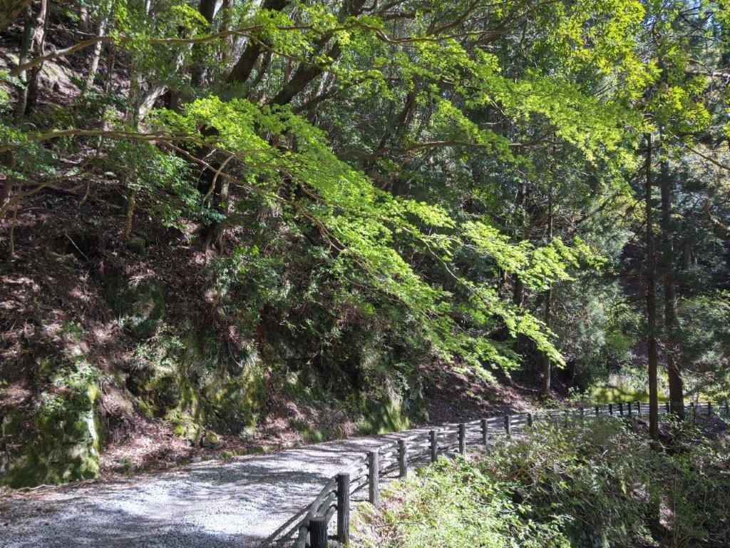
Paved Road near the Start of the Hike

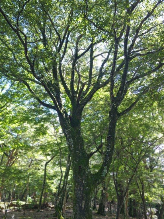
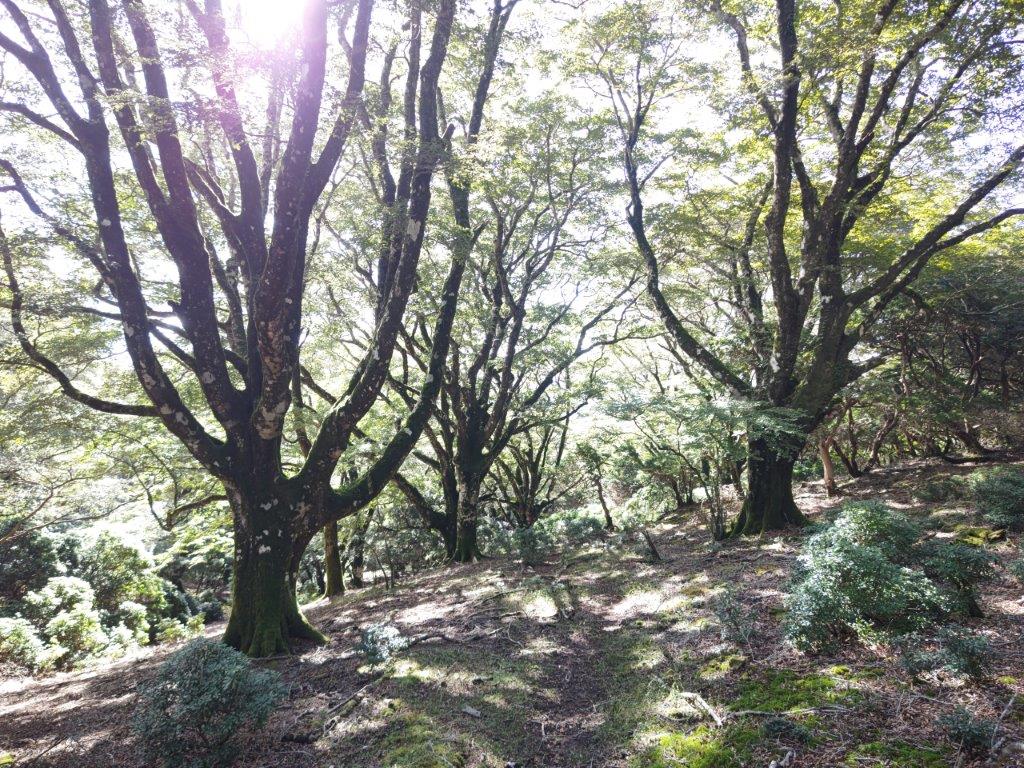
Japanese Beech (left) Sarubeni (right)
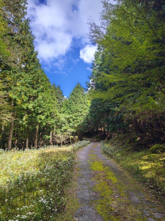
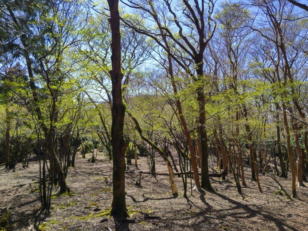
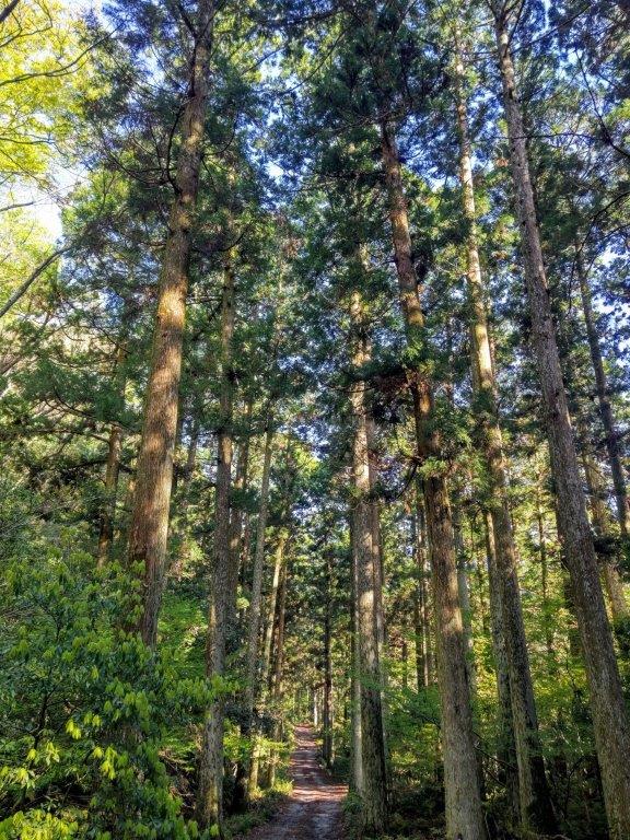
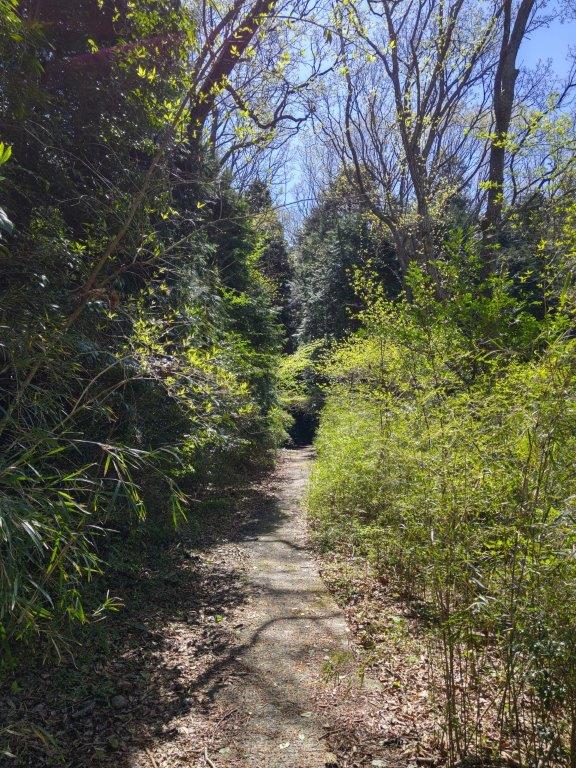
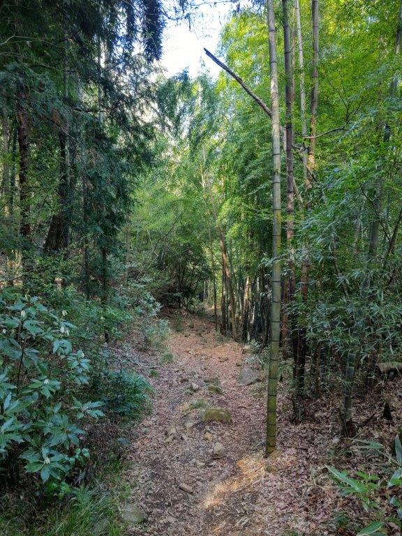
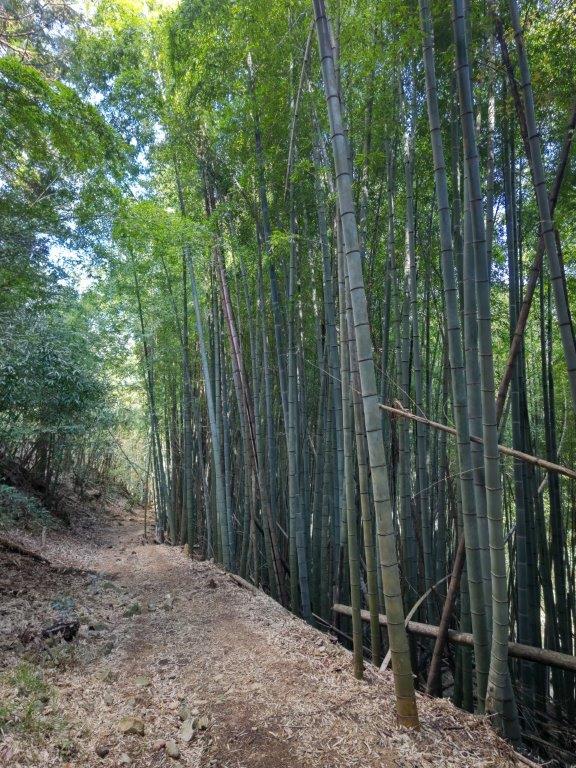
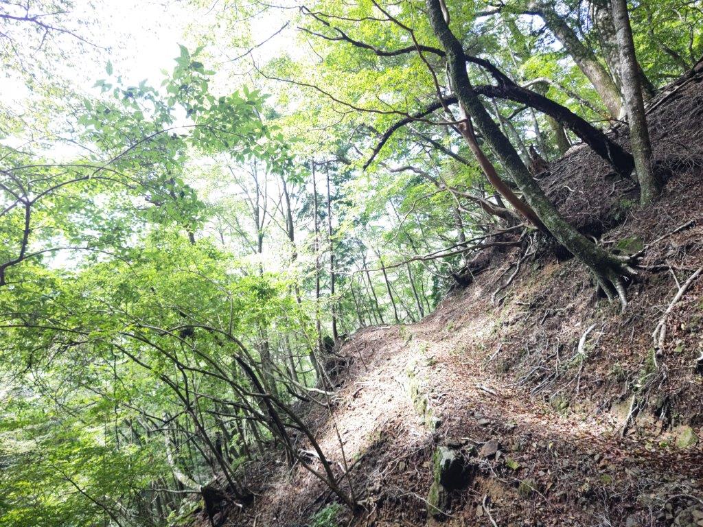
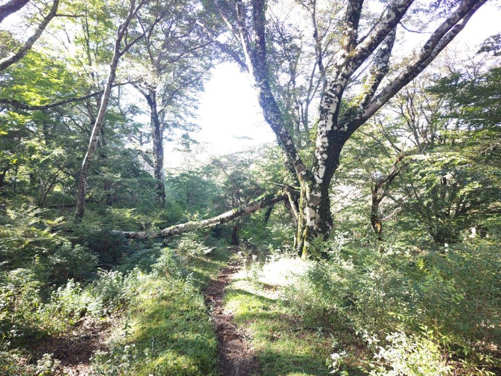
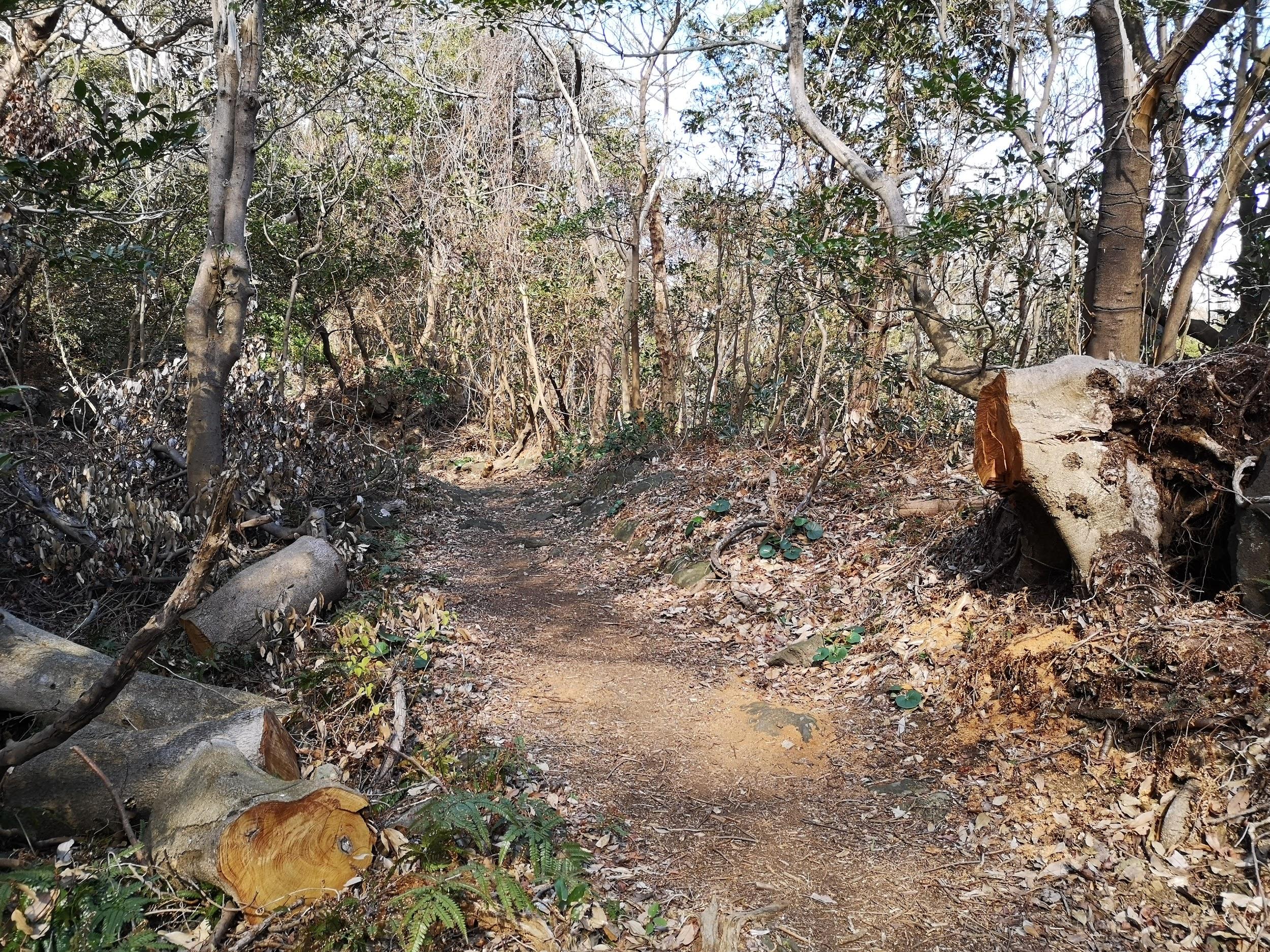
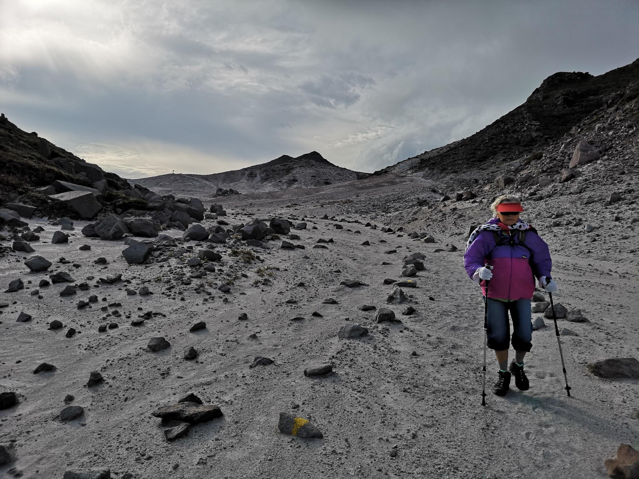
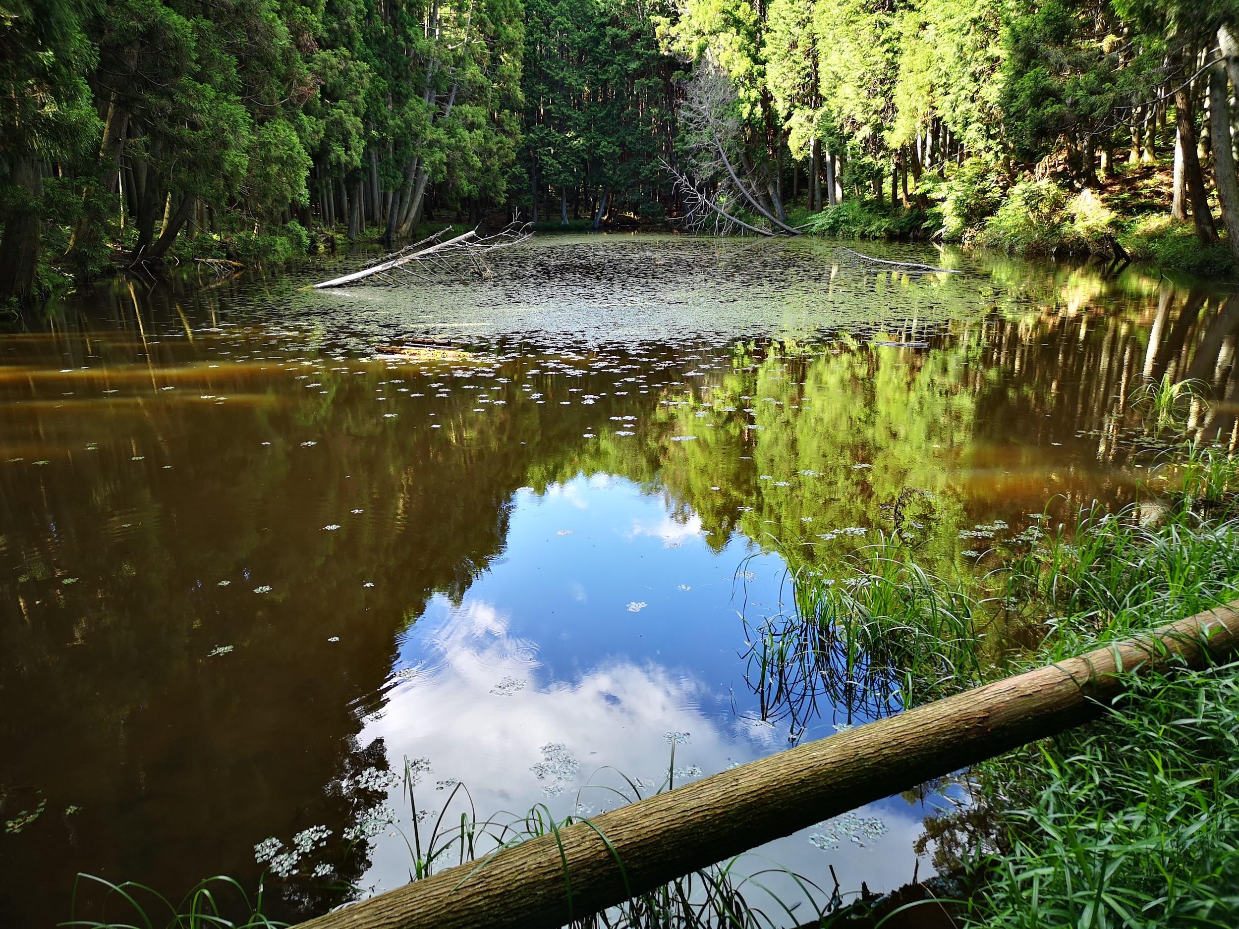
It was overcast when I finally set off, a little after 11am, along a paved road through the forest. I was the only person on the trail; I supposed that most people had flocked to places with autumn colours. Half an hour later, I reached a clearing from where I could see the ridgeline of Mt Amagi. Through a break in the trees on the right, I had a glimpse of the wind turbines below.
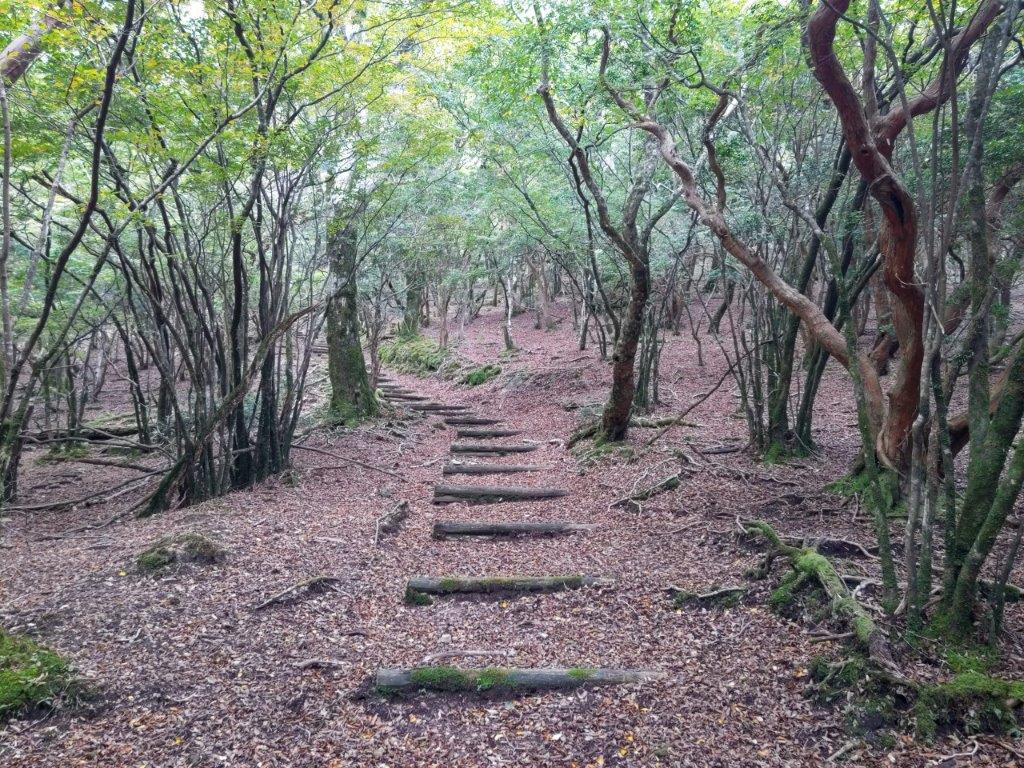
Walking up through the Forest

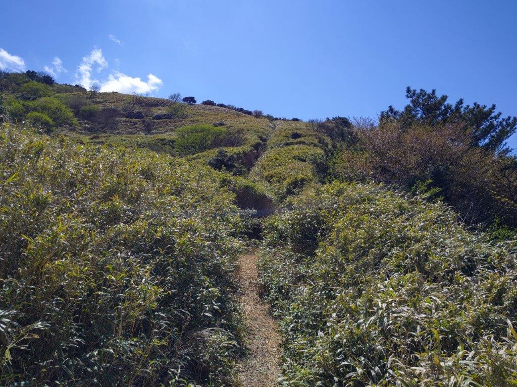
Flowers Covering the Trail
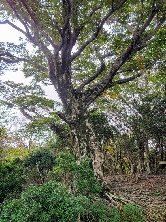
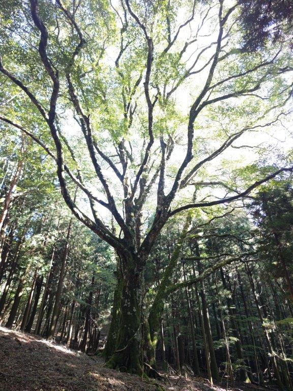
A little after noon, I reached the summit of a minor peak (東猿山 1127m) and the highest point of the hike, completely in the trees. After taking a short break to enjoy the peace and quiet of the surrounding beeches, I started to descend through the forest. I soon passed a viewpoint on the south side, from where I could see the Izu coastline, beyond golden fields of Japanese Pampas grass.

Highest Point of the Hike

Descending through the Forest
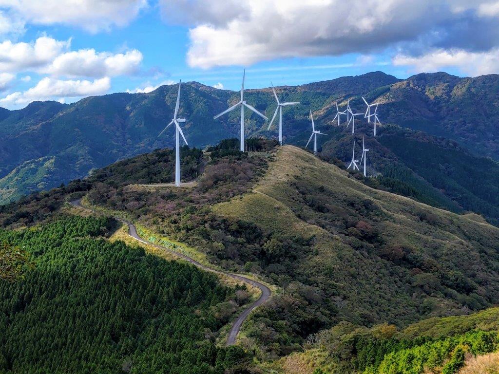
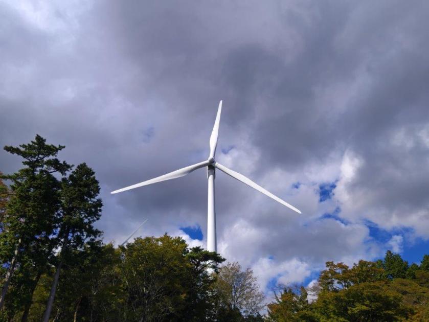
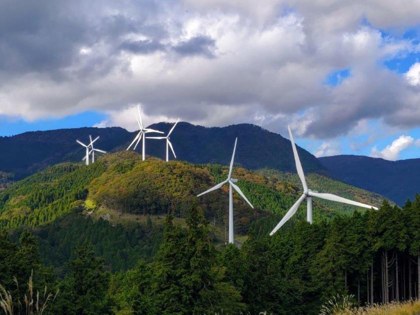
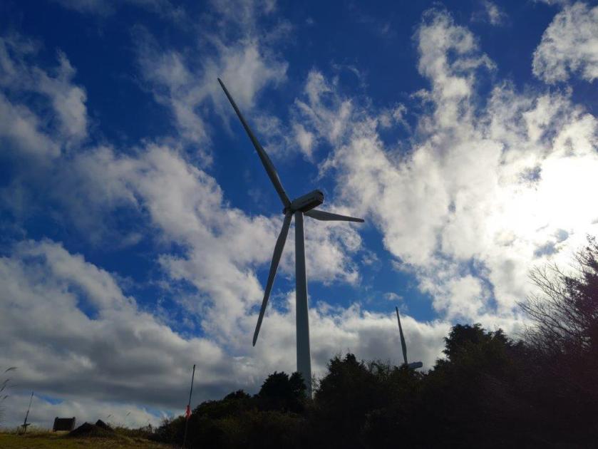
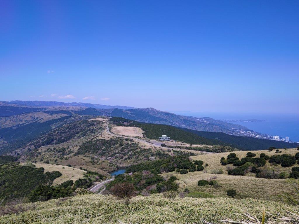
Just before 1pm, I left the forest and reached the start of the wind turbine service road. From this point, I passed beneath several wind turbines, most of them turning at a steady pace despite there being little wind; some stopped turbines, actually started turning while I was walking by, making an eerie noise. I guess there is a mechanism allowing them to be activated depending on demand.
Open Spaces on the Second Half of the Hike

Looking Back at the Windmill Walk
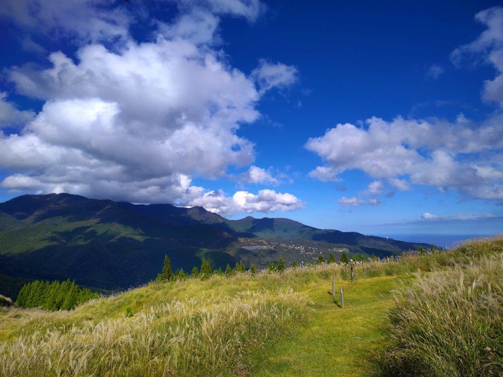
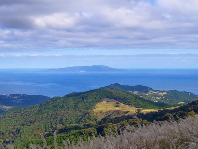
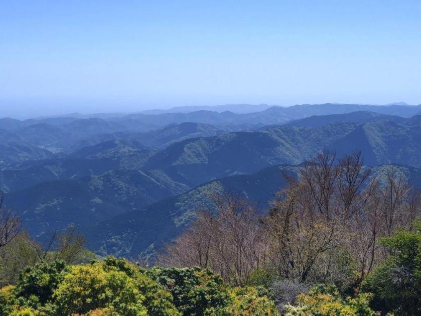
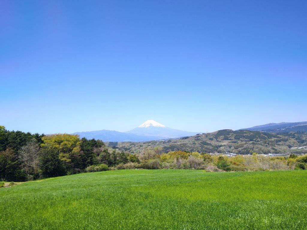
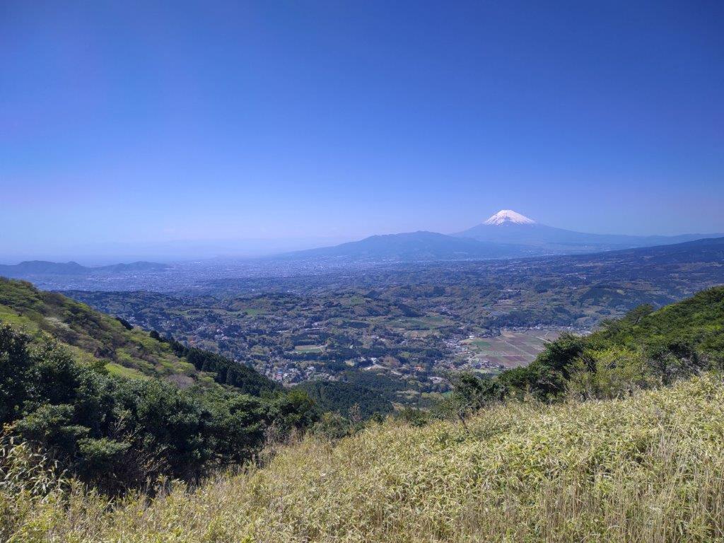
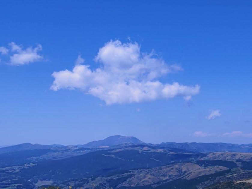
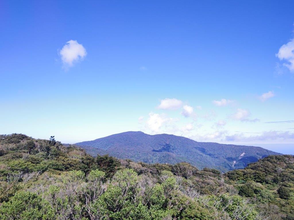
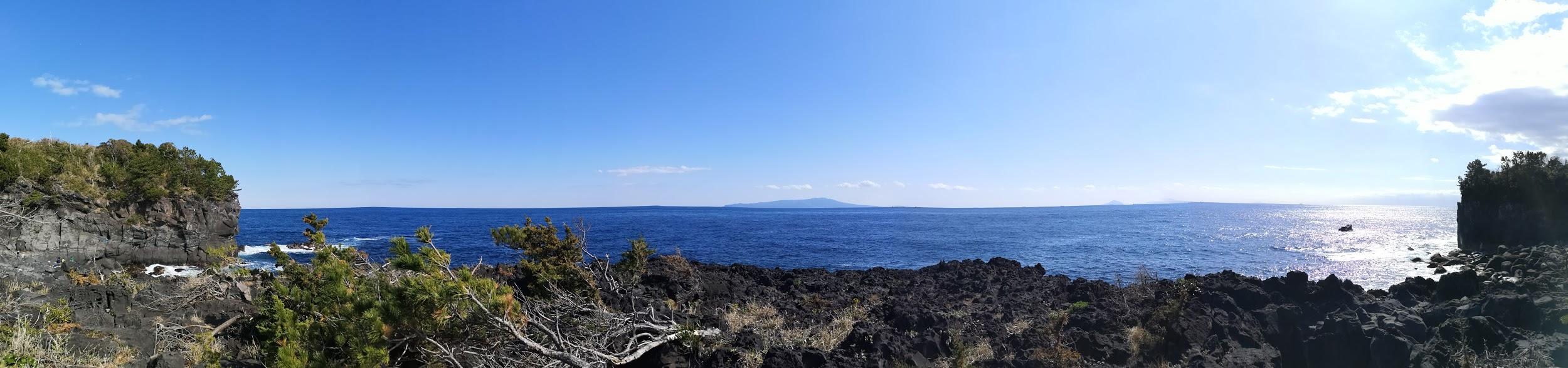
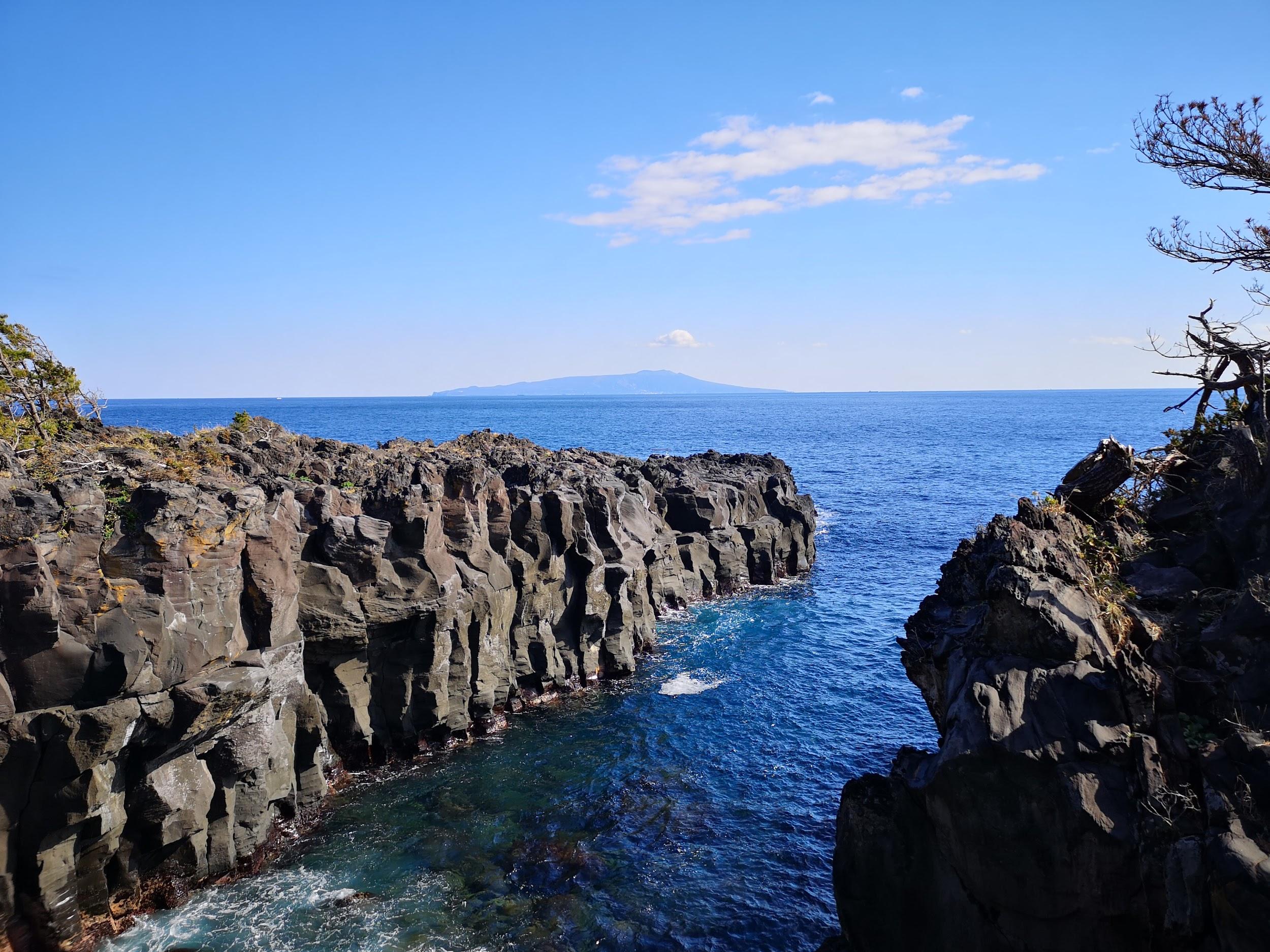
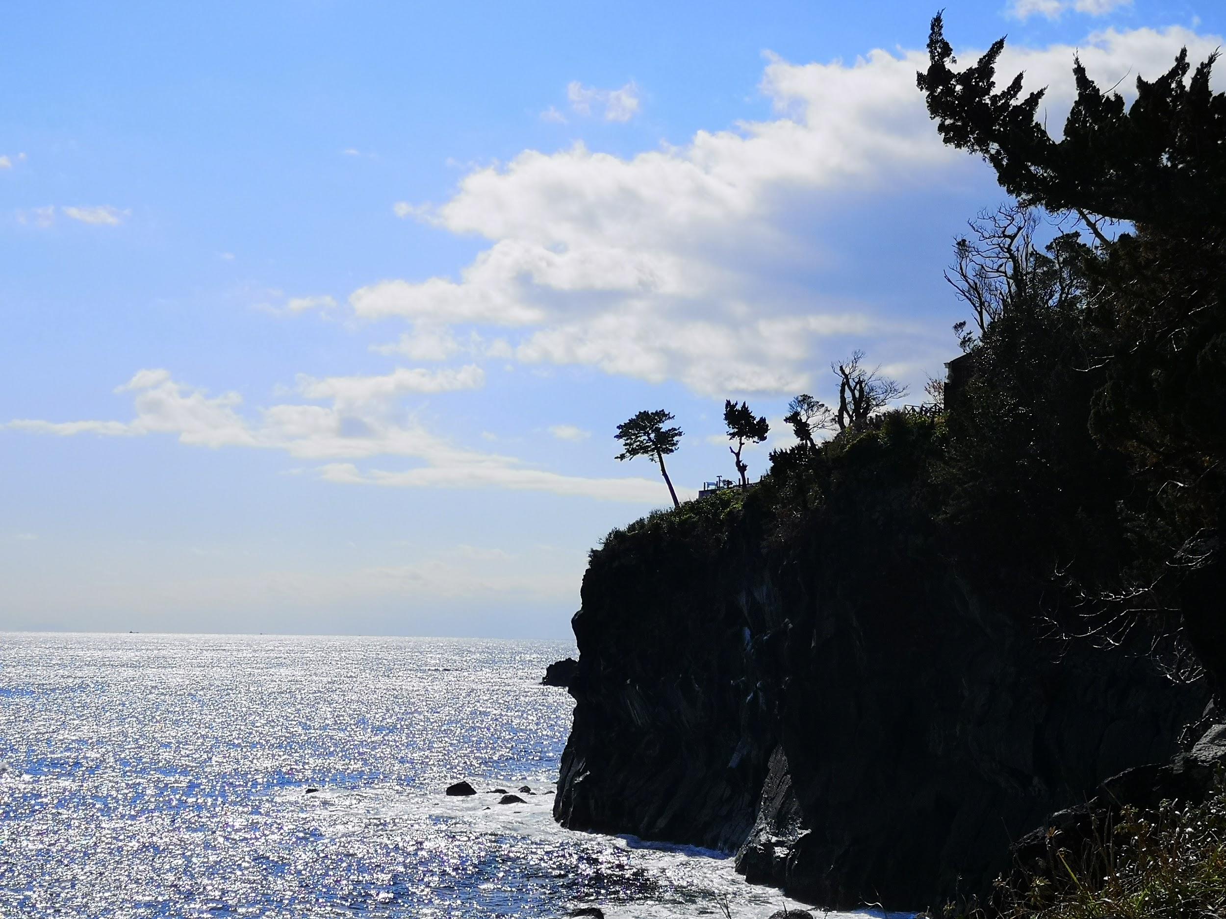
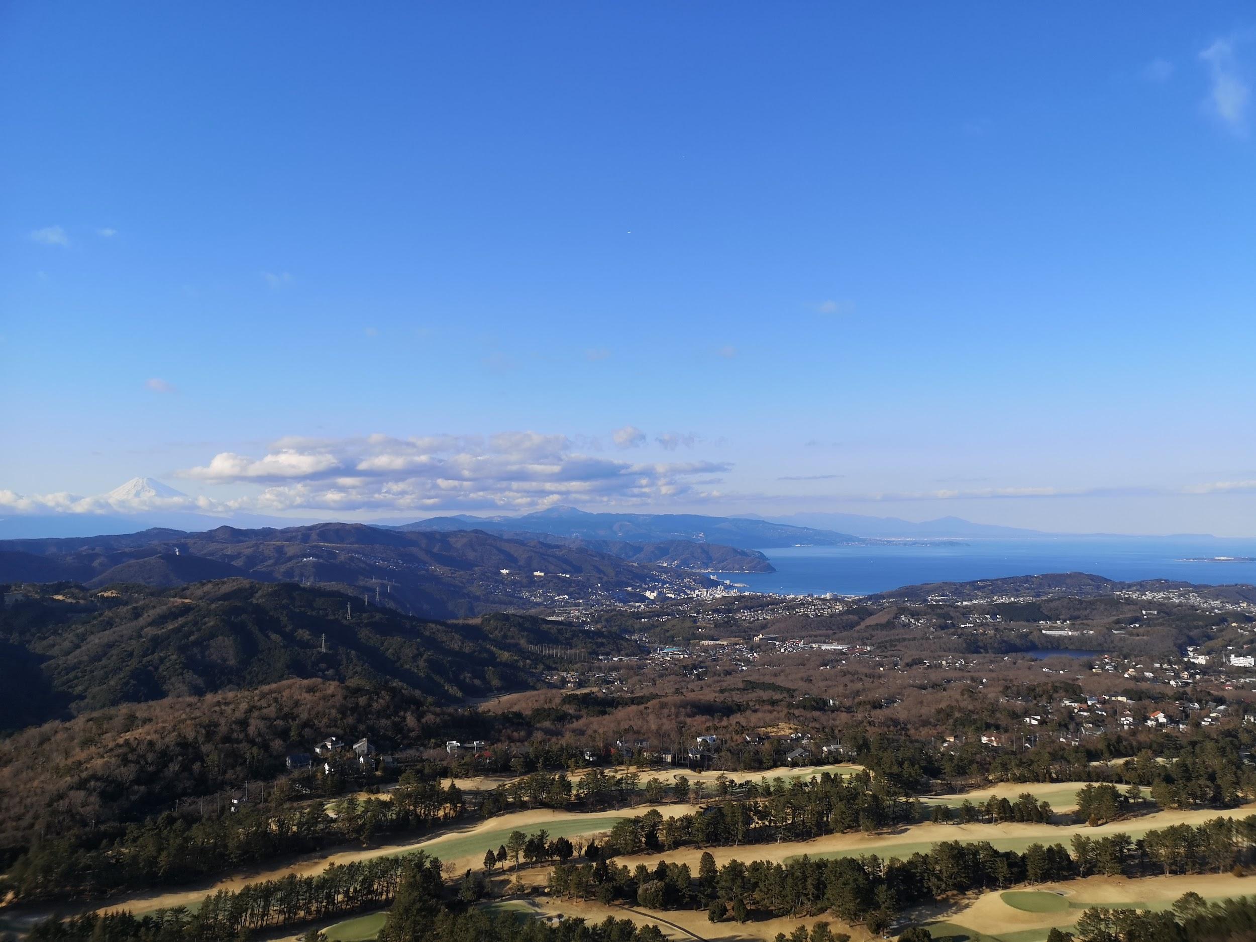
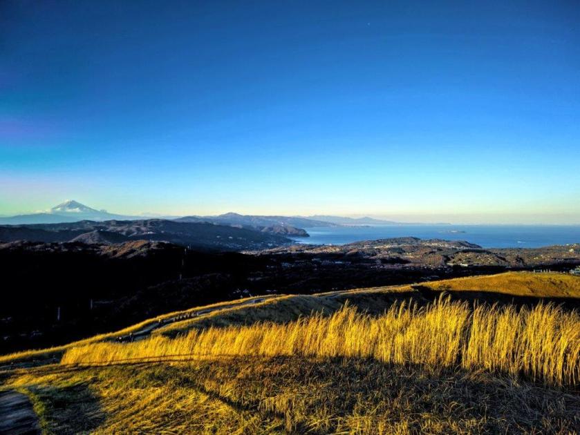
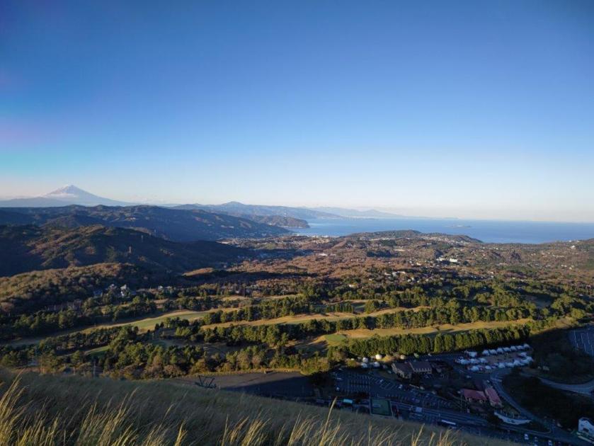
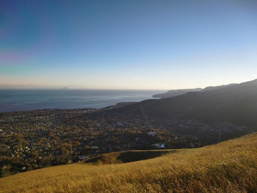
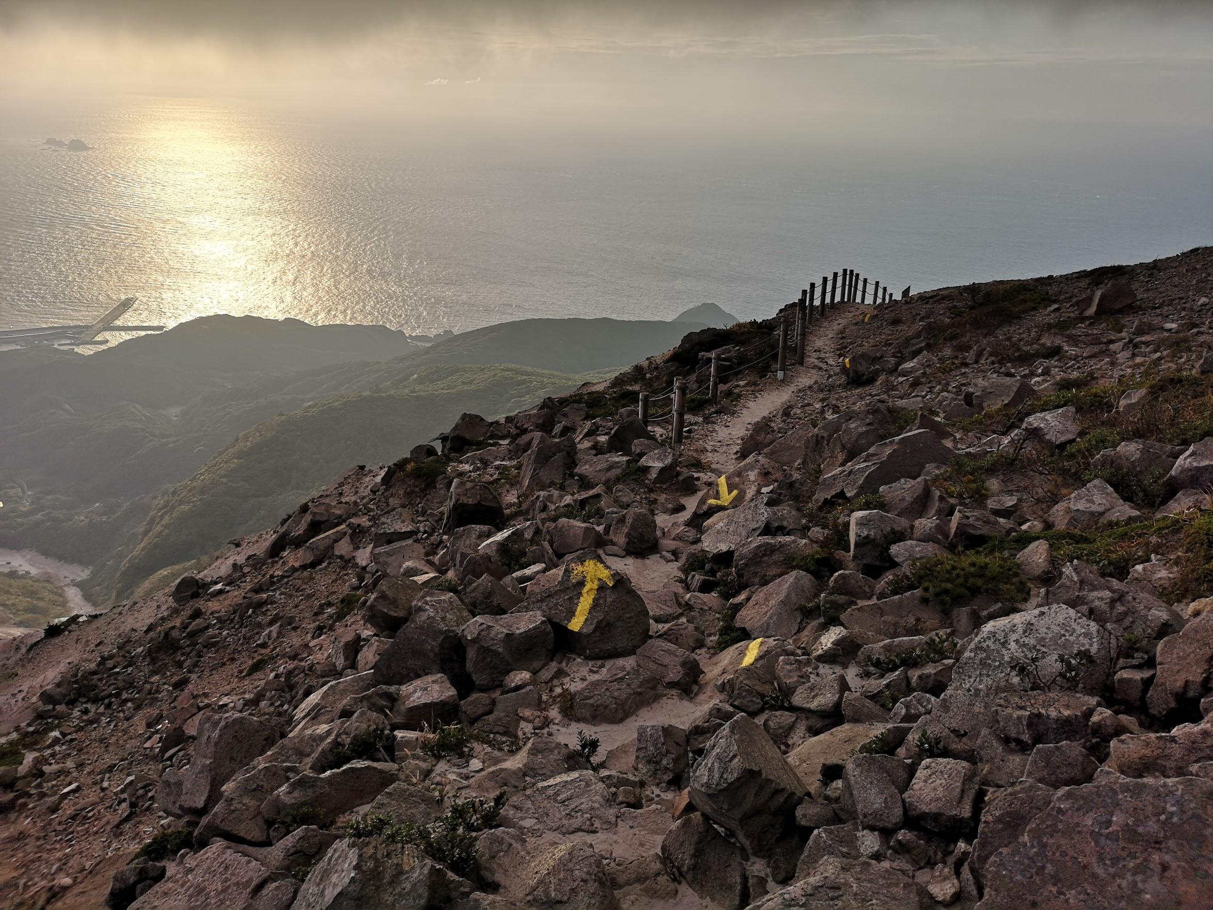
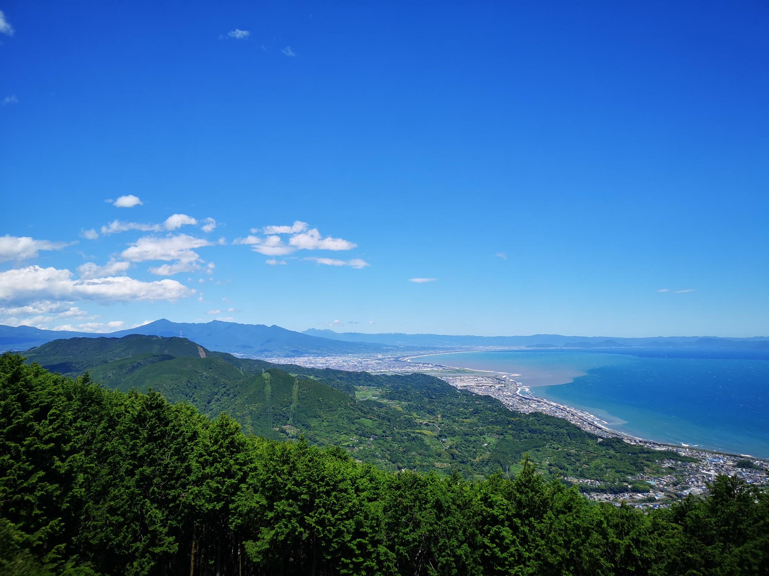
The weather was slowly improving and now the sun had the upper hand over the clouds. The trail alternated between paved road and hiking paths. The view gradually opened up on both sides: turning around, I could see the entire range of the Amagi Volcanic Range on the west and north sides; to the south, I could see the top of Mt Chokuro; looking east, I could see the Pacific Ocean and Oshima Island.

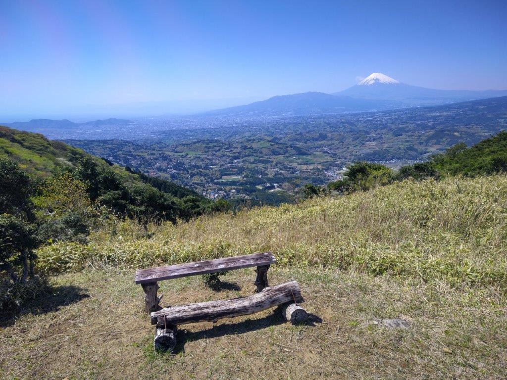
Bench with a View

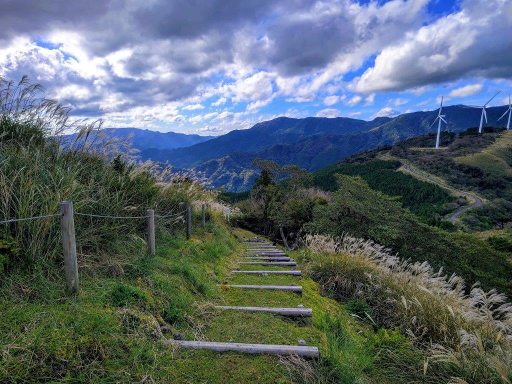
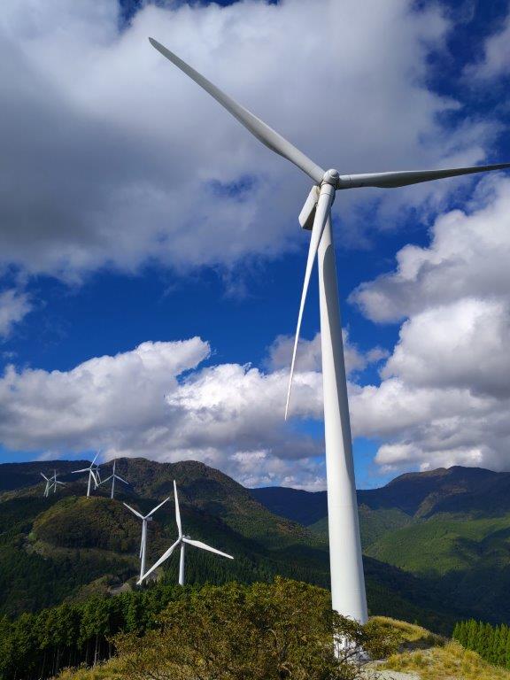
Wind Turbines on the top of Mt Misuji
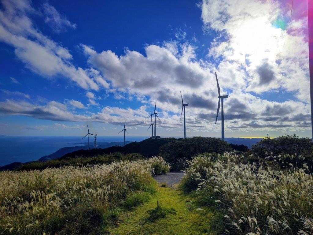
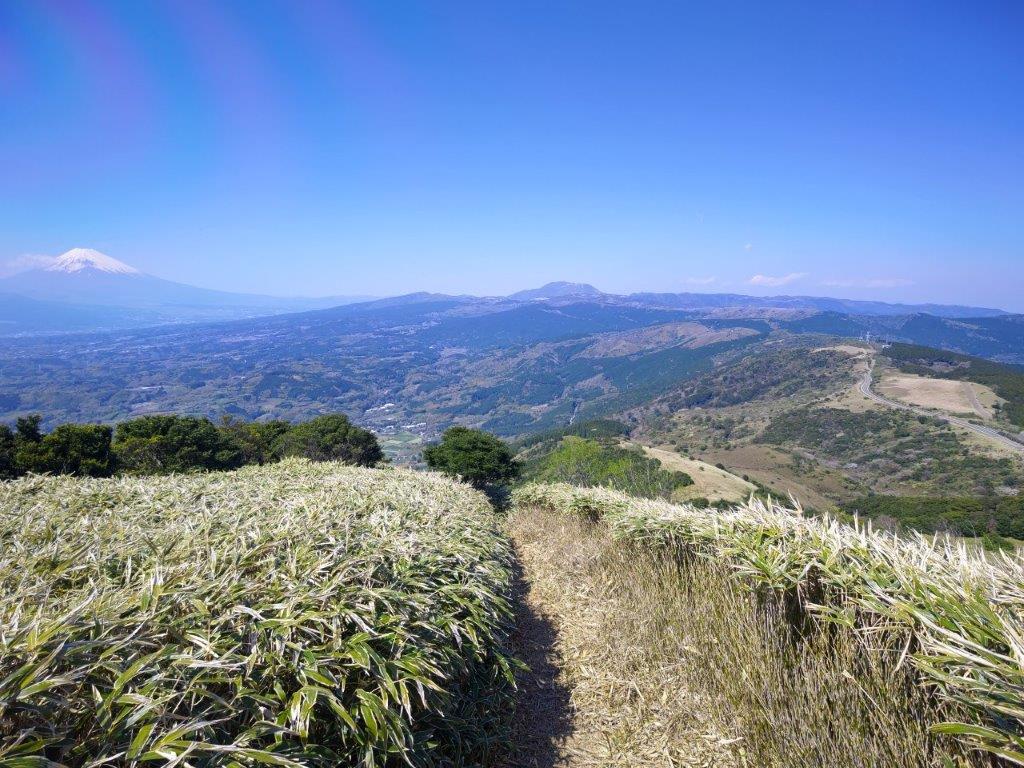
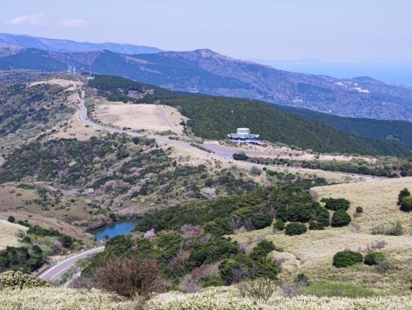
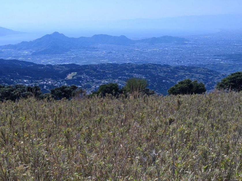
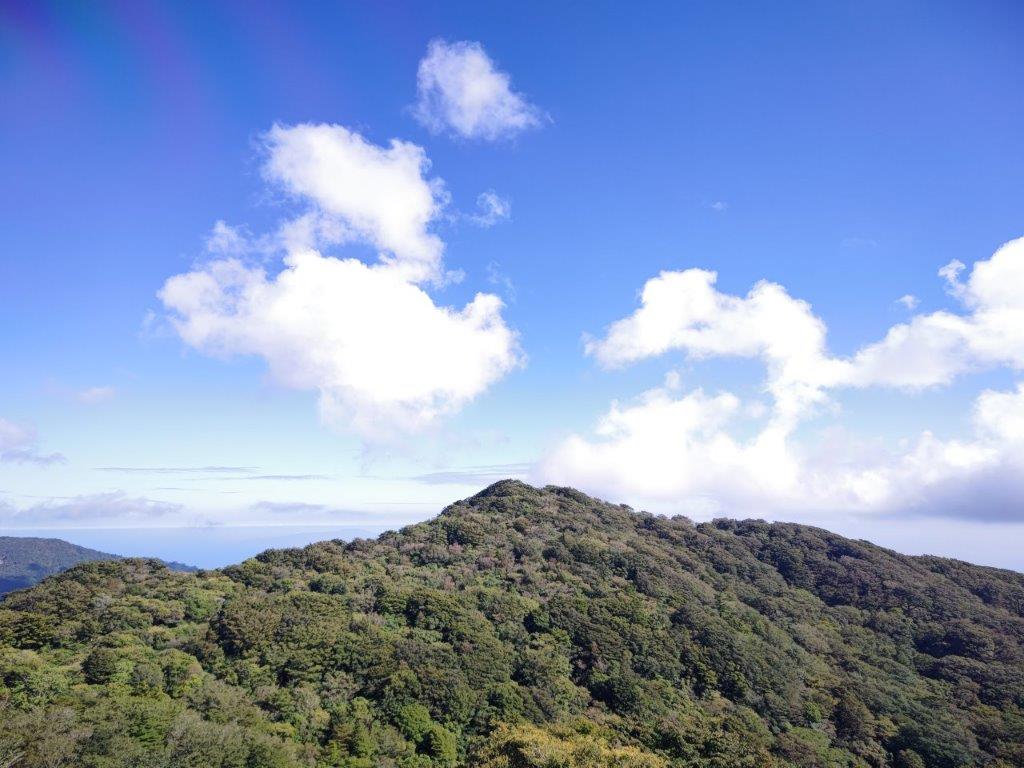
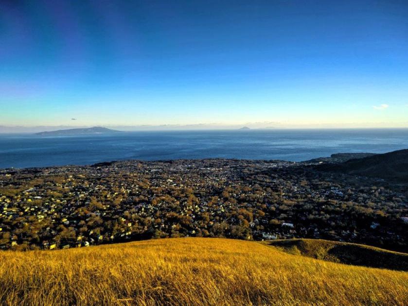
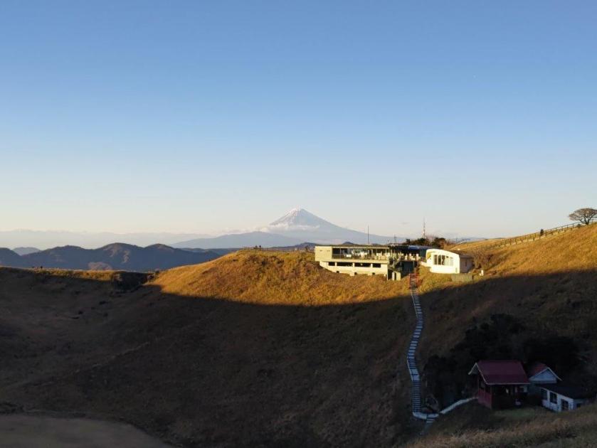
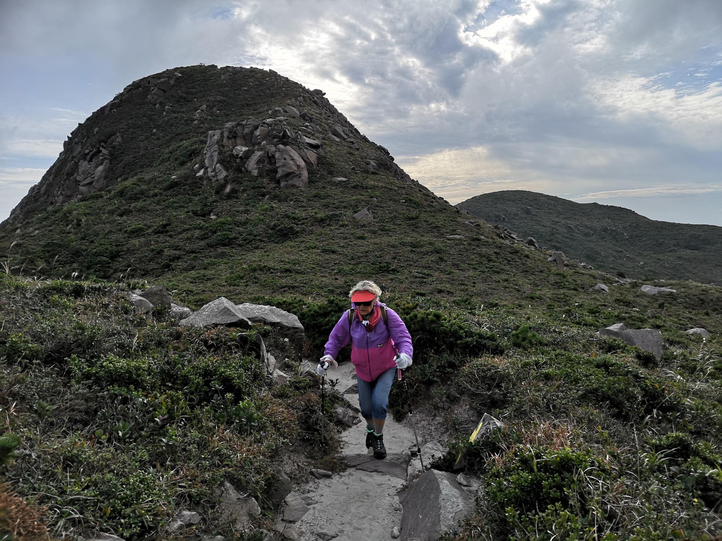
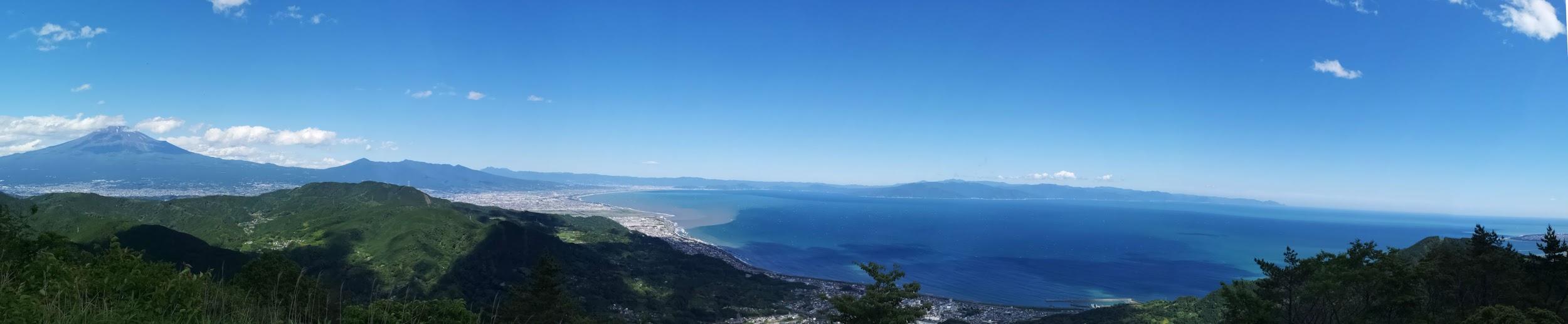
After a short climb, I reached a viewpoint with a bench, just before 2pm, where I stopped for a late lunch. Half an hour later, I continued on my way, heading down and then up again. Thirty minutes later, I reached the top of Mt Misuji (三筋山 みすじやま misuji-yama). Here, I finally saw other people, walking up from Hosono-Kogen. From the observation platform, I could see most of the Tokyo Islands, even Kozusima, the first time I had ever been able to see it clearly from the mainland.
Hiking Trail off the Service Road
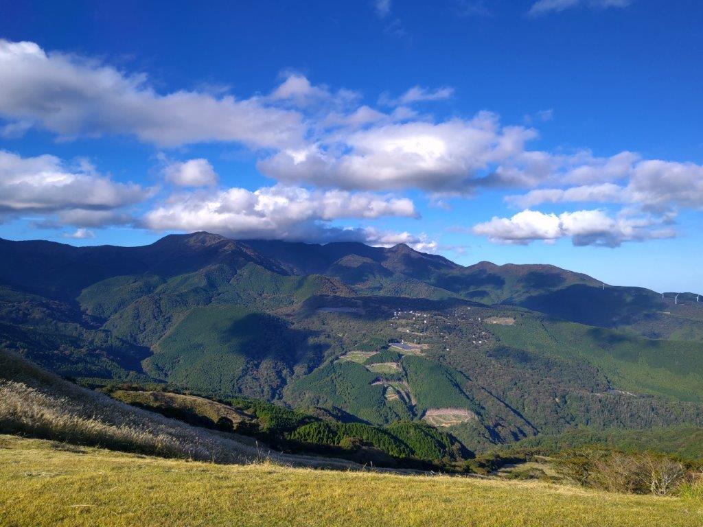
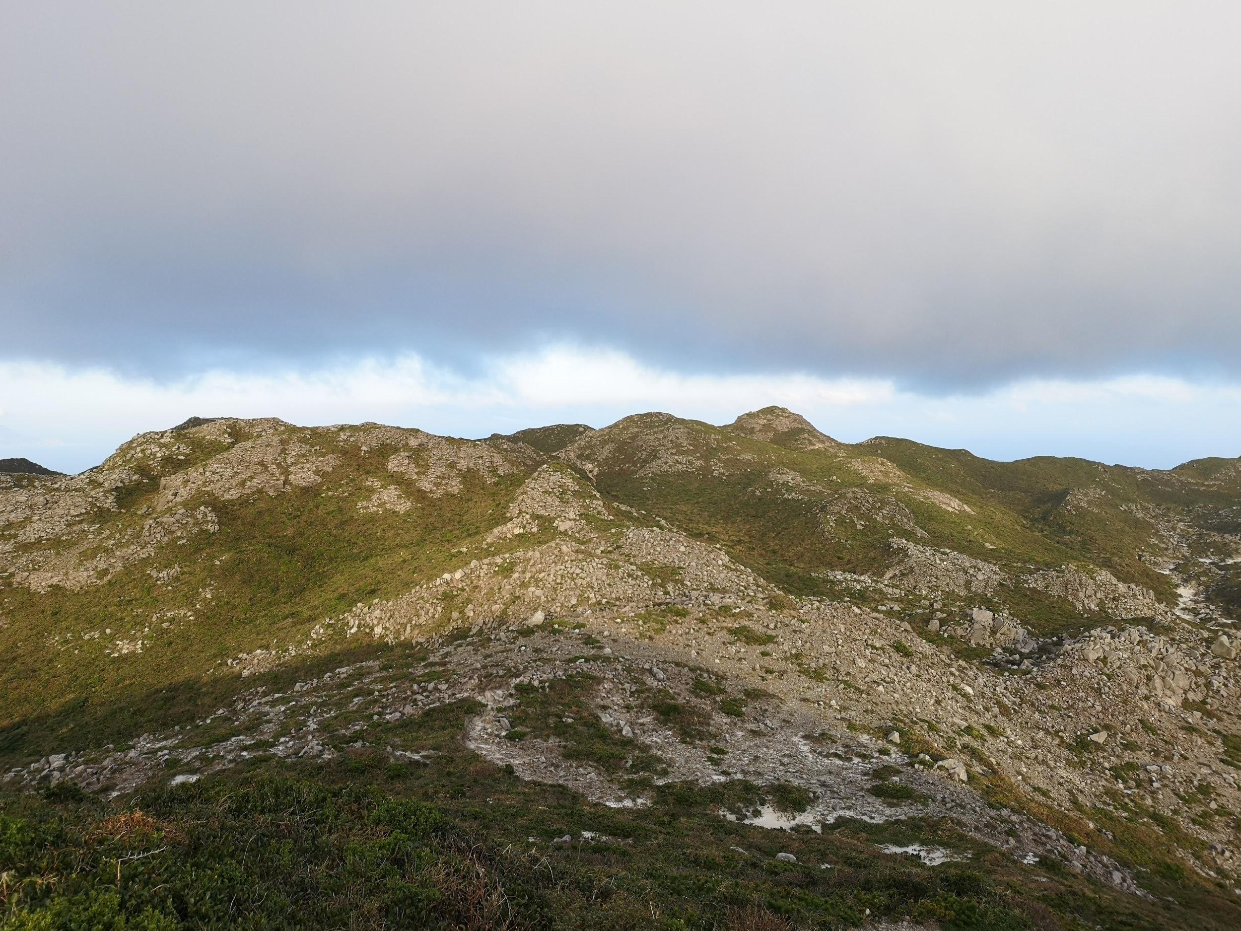
The Amagi Volcanic Mountain Range
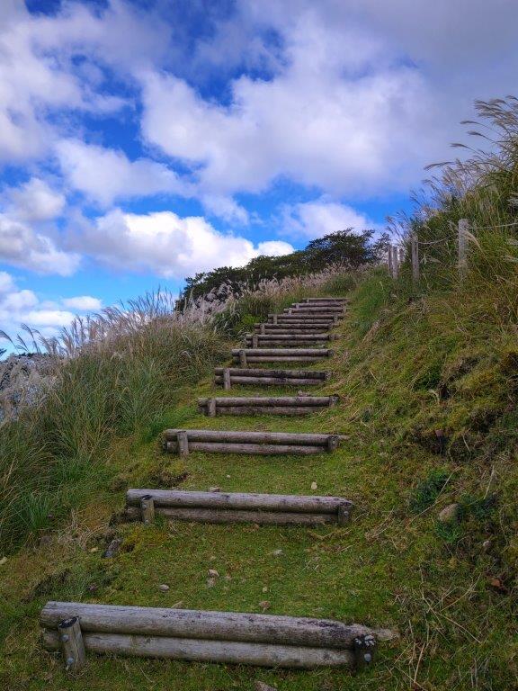
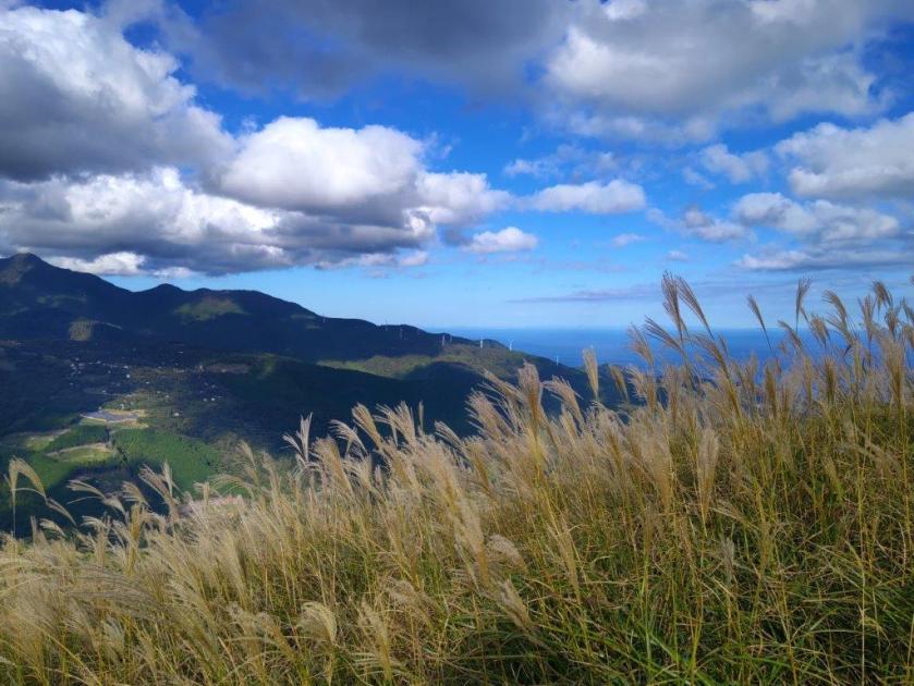
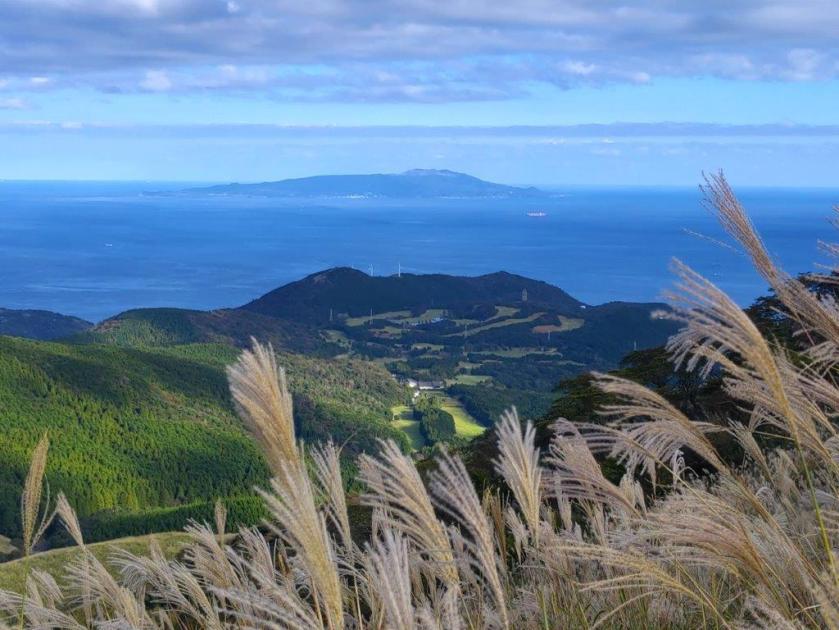
After enjoying the view, I took the left trail heading directly down the grassy side of the mountain; another trail continued south along the wind turbines, but that would be for another day. I met more and more people, who had mostly come to see the autumn “suzuki” or Japanese pampas grass, and had decided to push on to the highest point. Soon I reached another fork where I went left, following the shortest route down.

The Trail Passes directly under the Wind Turbines

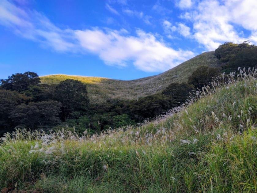
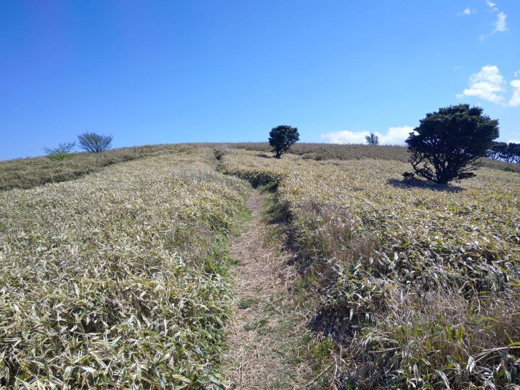
Hiking through the Pampas Grass
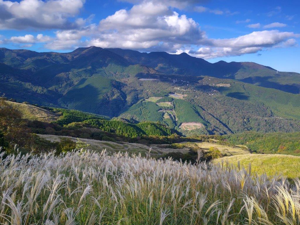
I was now walking in the midst of the “suzuki”, the main reason to visit Hosono Plateau, and best viewed during the month of October. I had great views north of Mt Amagi and south of Oshima island. The clouds had mostly drifted away and the surrounding landscape was golden in the late afternoon sun. A little before 4pm, I reached a big parking lot, where I caught the nearly empty bus for Izu-Inatori station. There I rode a local trail to Atami station and then transferred to the Shinkansen for the one hour ride back to Tokyo.
Mt Amagi and Suzuki Fields

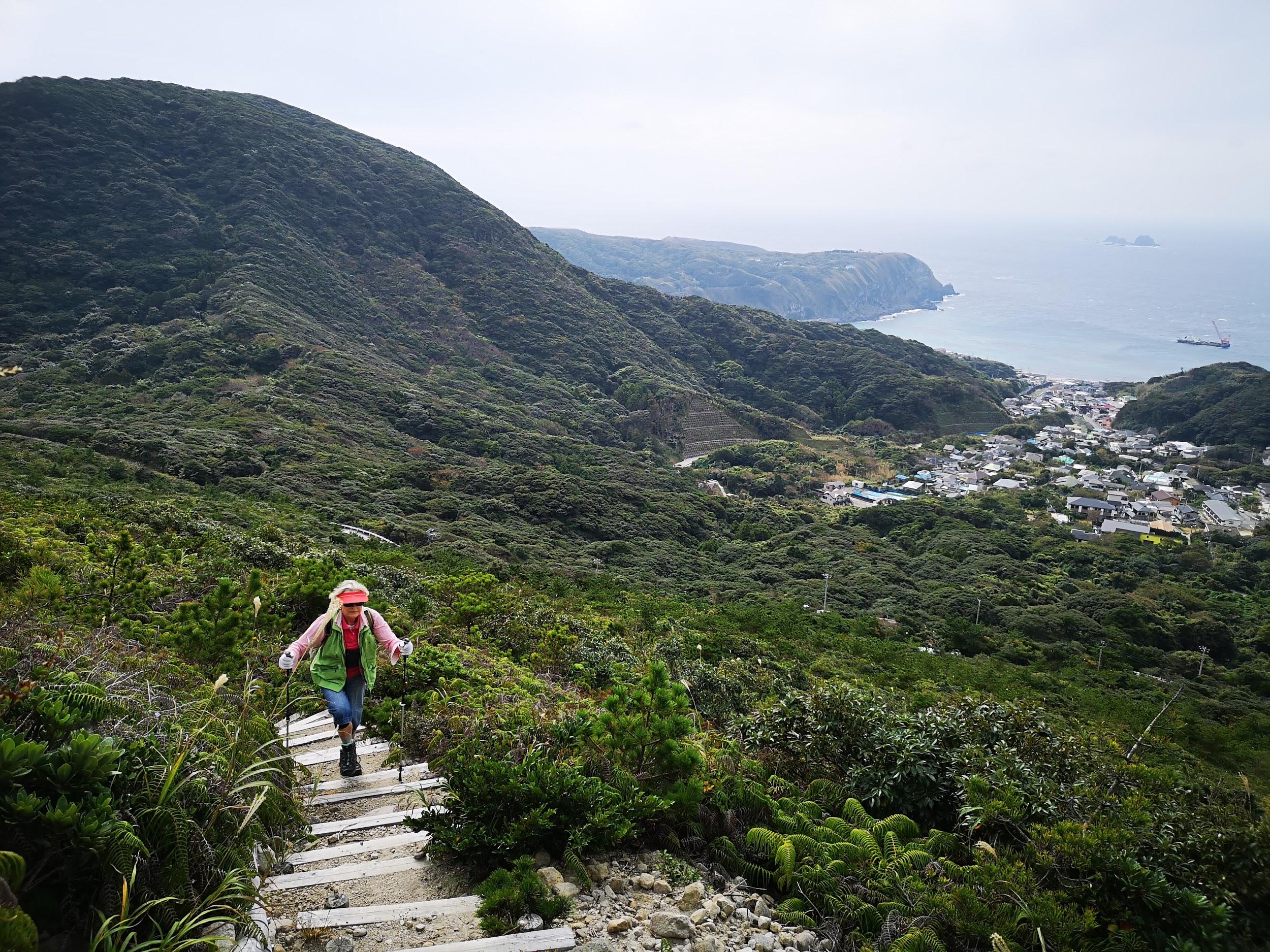
Looking Down at Inatori on the Izu Coast
I had high hopes for this hike and I wasn’t disappointed. It took less than 4 hours 1/2 to complete, leaving me ample time to catch the bus at the end; however this is only possible in October, otherwise it takes 7 hours. The views were amazing, mainly thanks to the clearings due to the service road. I enjoyed getting a close-up view of the wind turbines, and they also made for some dramatic shots. Finally, between Hatchoike-Guchi and Mt Misuji, I had the path entirely to myself, a rarity during the autumn leaves season.

Easy Hiking on Hosono-Kogen

Last View of the Wind Turbines
Watch the Video of the Hike on Youtube


See a Slideshow of more Pictures of the Hike


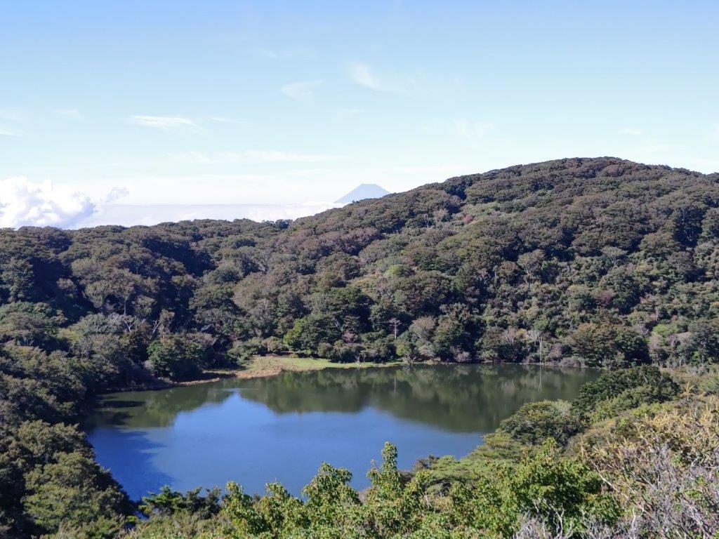
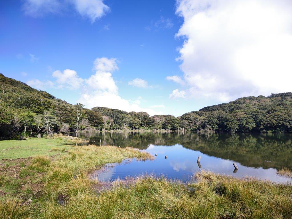
![Hatcho Pond (1170m), Izu City, Shizuoka Prefecture, Sunday, September 25, 2022 [Mt Amagi Hike]](https://hikingtokyo.com/wp-content/uploads/2022/10/img_20220925_144524.jpg?w=1024)
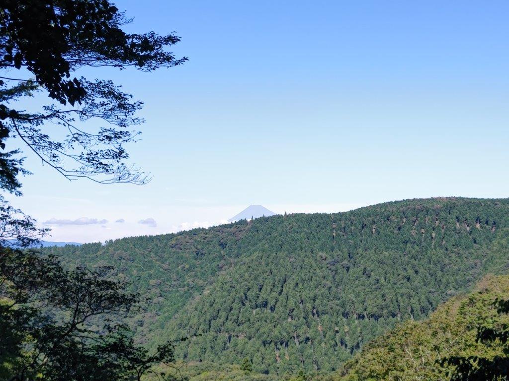


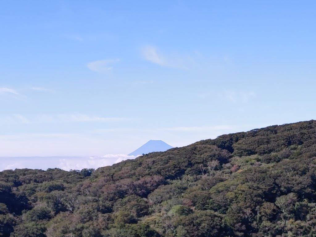

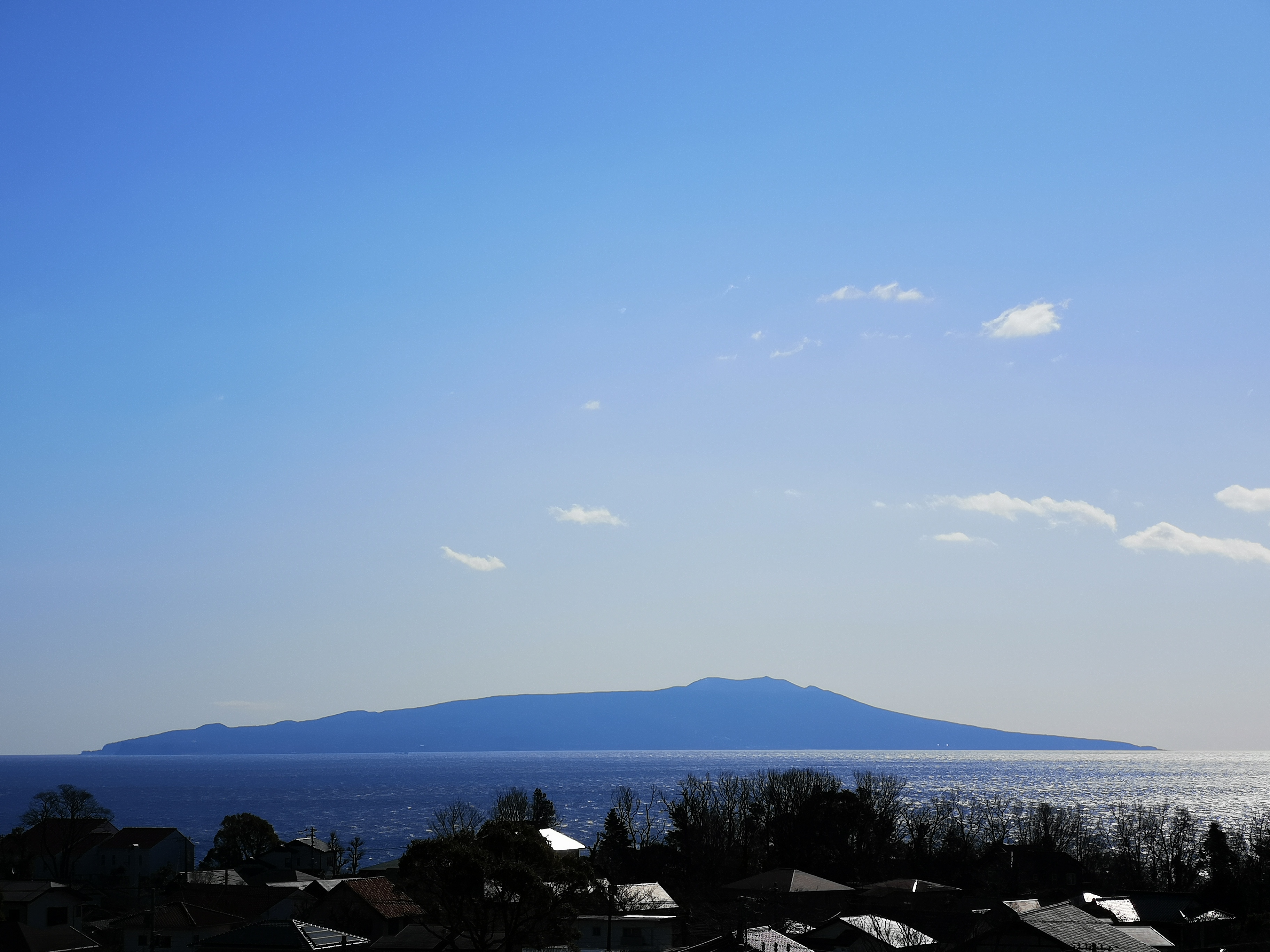


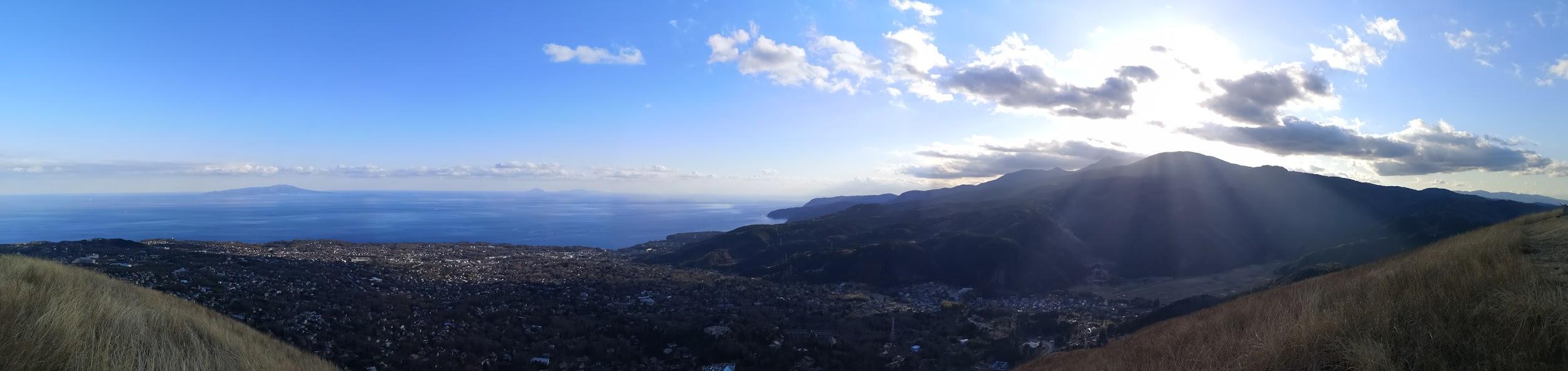
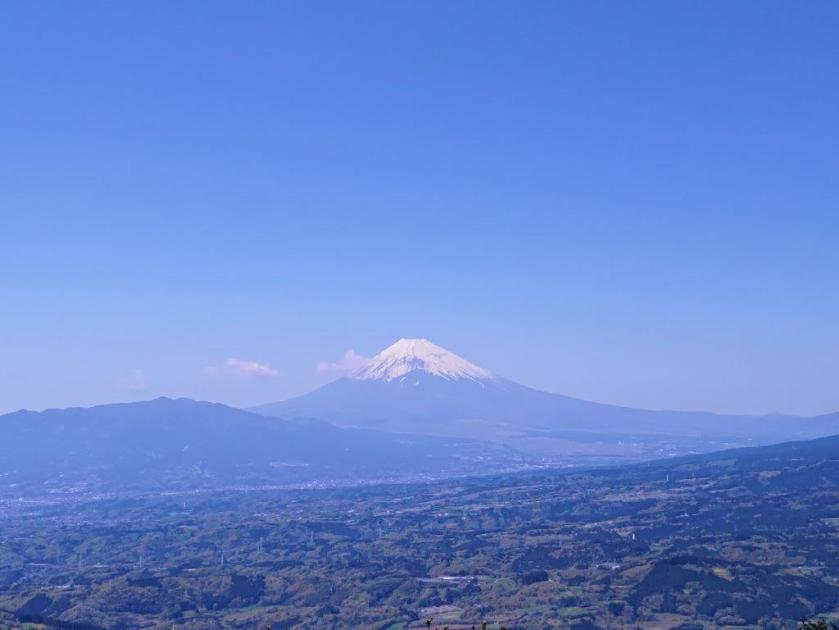
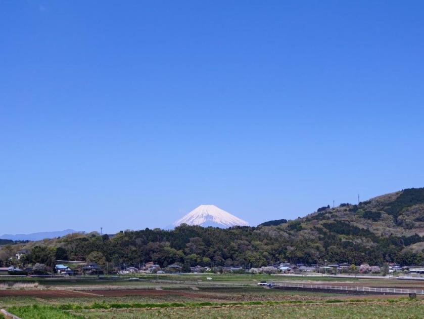
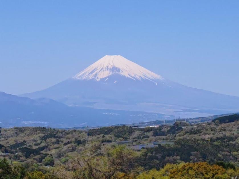
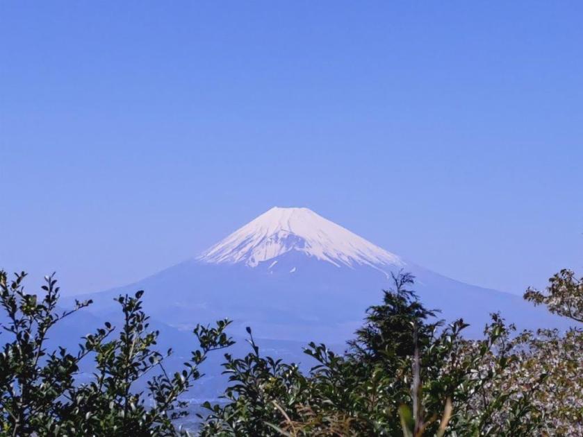
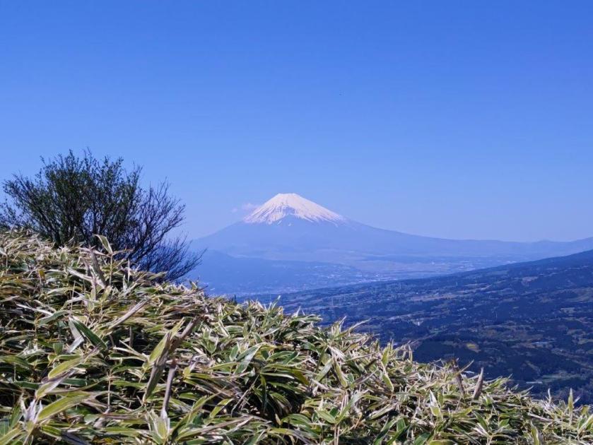
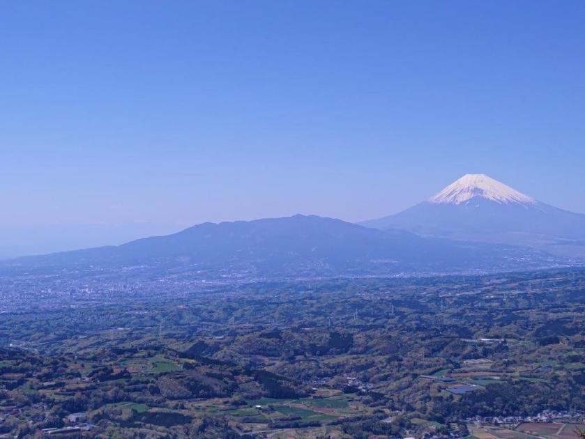
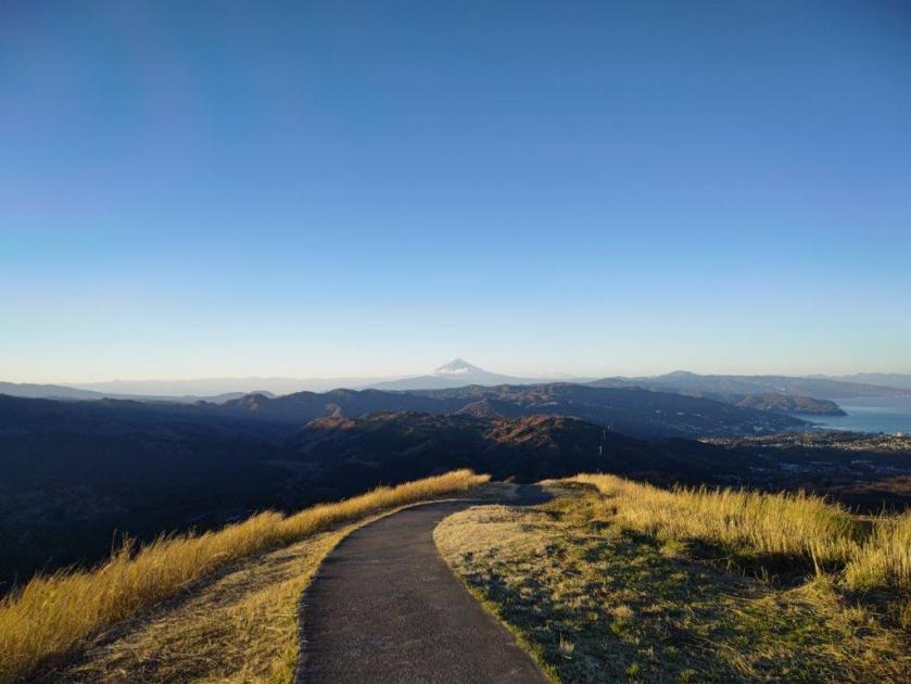
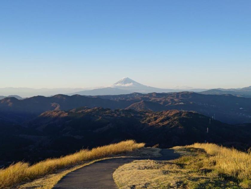
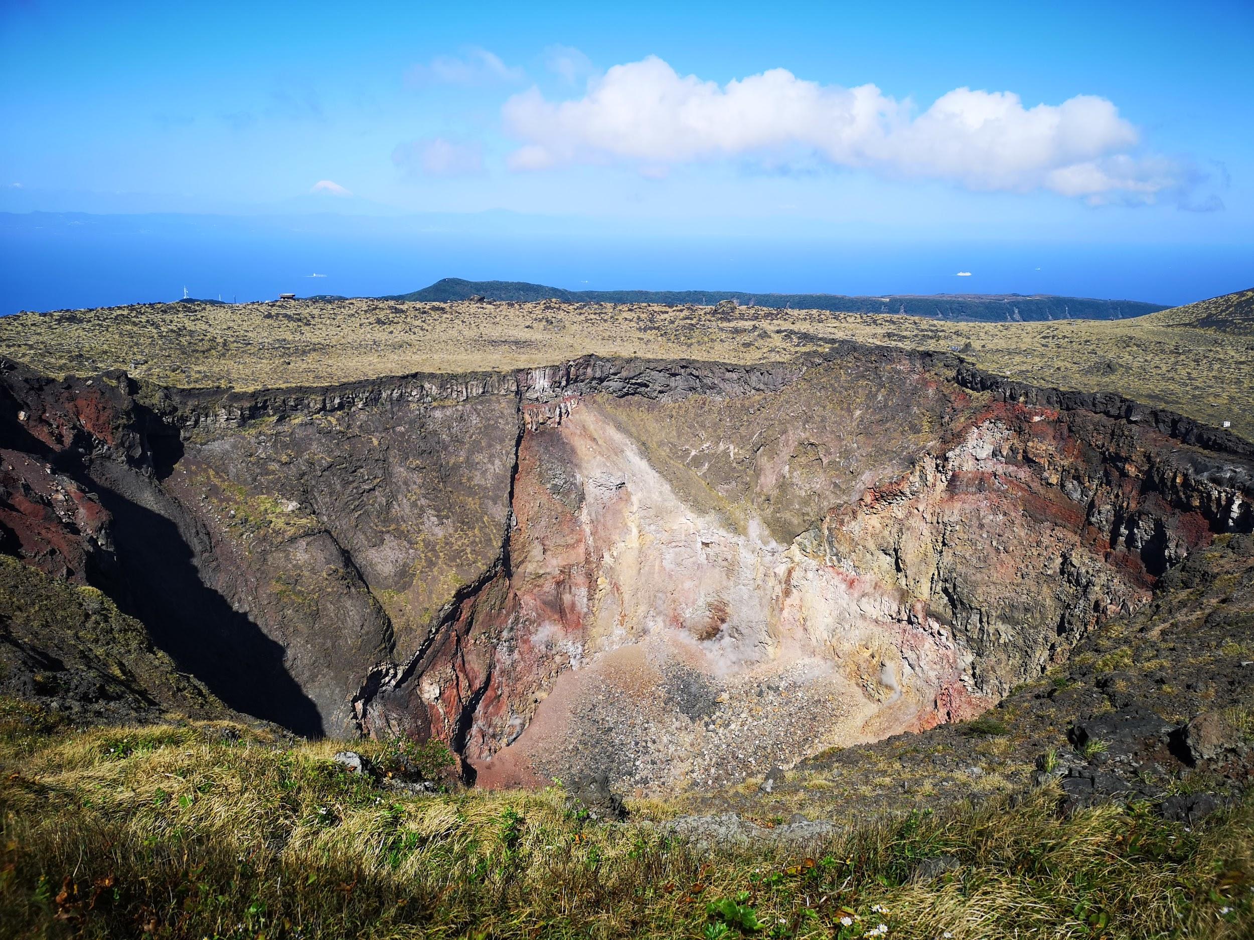
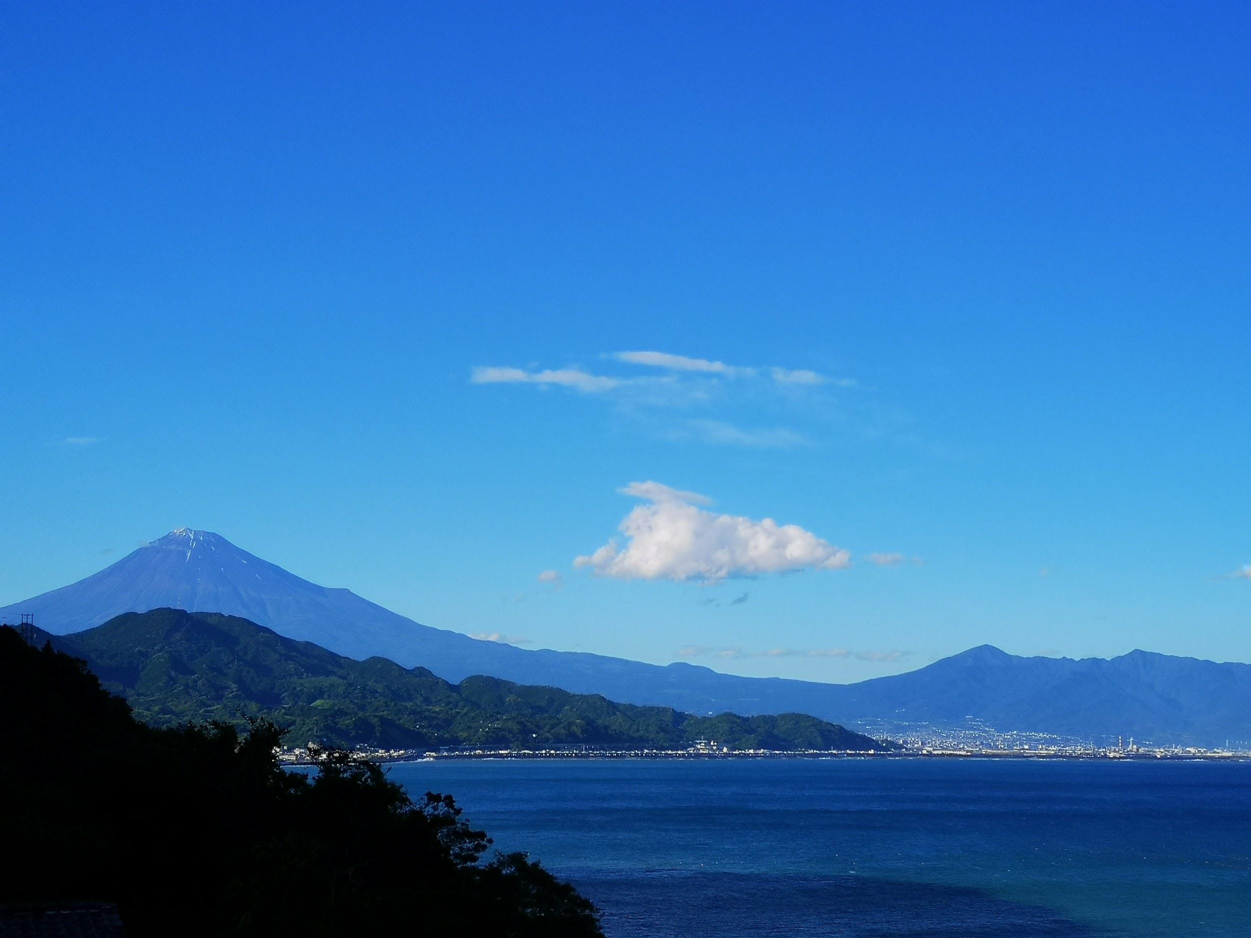
 Mt Fuji, Hakone, Tanzawa
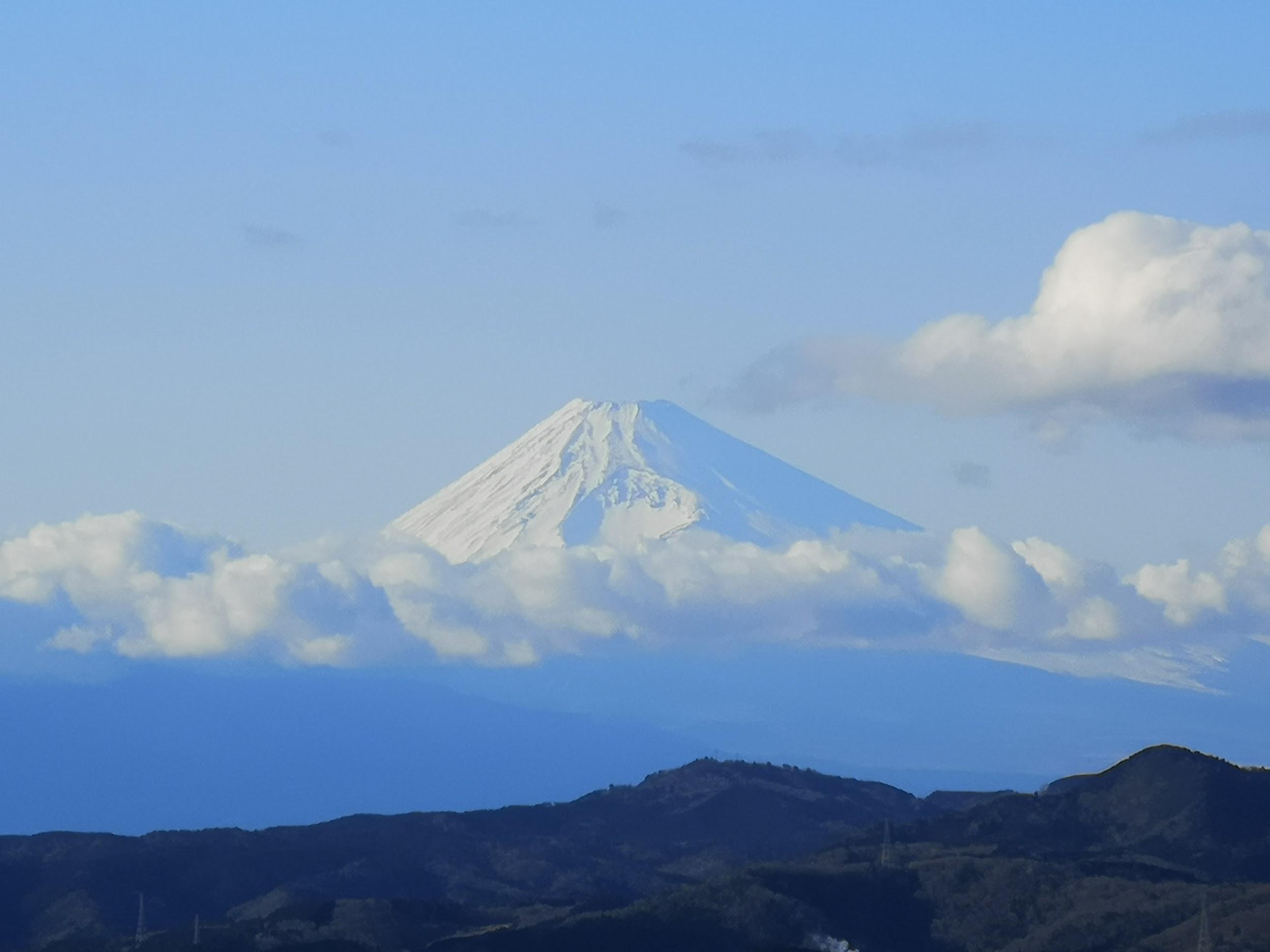


You must be logged in to post a comment.