This hike was unusual because I wasn’t hiking up and down mountains, but along a beautiful coastline. The suspended bridge on the Northern end is a popular sightseeing spot, however few people wander down the hiking trail that extends Southwards along the coast. It took me five hours at a leisurely pace to reach a second suspended bridge near the end of the trail. Although there are no mountains, there were many small ups and downs along the way, and lots of great views of the ragged coastline.

Halfway point of the jagged Jogasaki Coast
I took the Odoriko Limited Express from Tokyo station to Izu-Kogen (2 hours), and then hopped onto a local train to travel back one station to Jogasaki-Kaigan station. This small charming station was entirely made of wood and had a spacious comfortable waiting room. There was a small foot bath next to the platform, and a view of Sagami Bay and Oshima Island from the entrance. The famous early blooming cherry trees were still completely closed, but would be opening very soon.
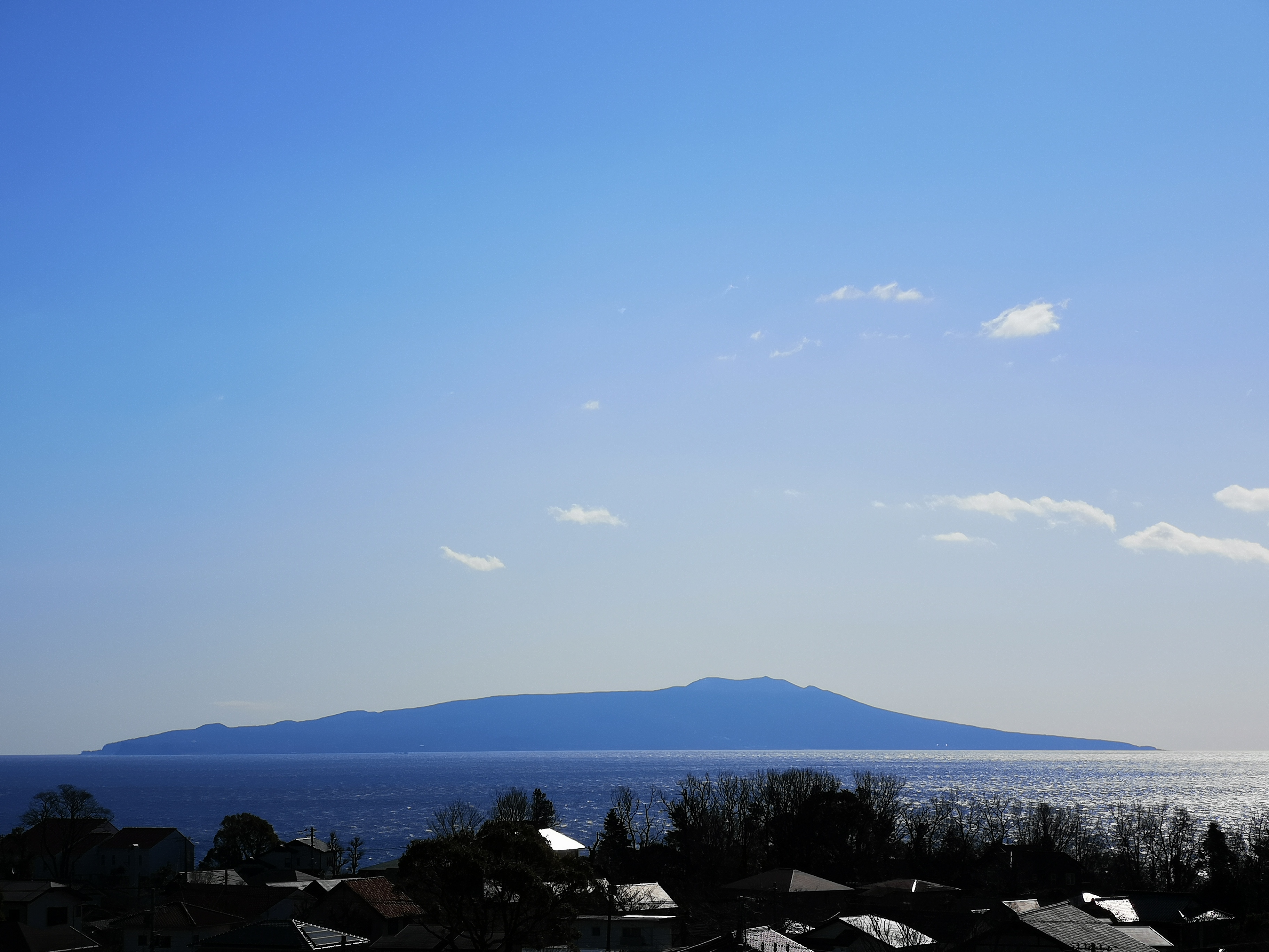
Oshima Island from Jogasaki-Kaigan station
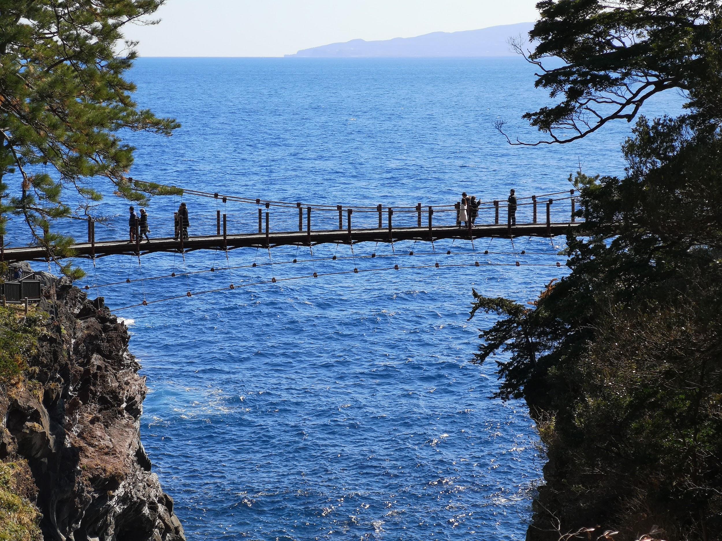
Kadowaki Suspension Bridge with Oshima island in the background
I walked 20 minutes to the Boranaya restaurant, which is right next to the start of the Northern end of the trail. Across the bay, I had good views of Futo Hot spring, the next stop after Jogasaki-Kaigan. In the far distance, I could make out the faint outline of the Boso peninsula. It took me less than 30 minutes to reach the wobbly Kadowaki Suspended Bridge 門脇つり橋 (48 meters long and 23 meters high). A little further was the Kadowaki Lighthouse 門脇埼灯台 (25 meters high). I climbed the narrow spiral staircase to the observation floor (17 meters high), but since it was indoors, I couldn’t get any good photos through the glass.

Spectacular rocks near the Kadowaki Suspension Bridge
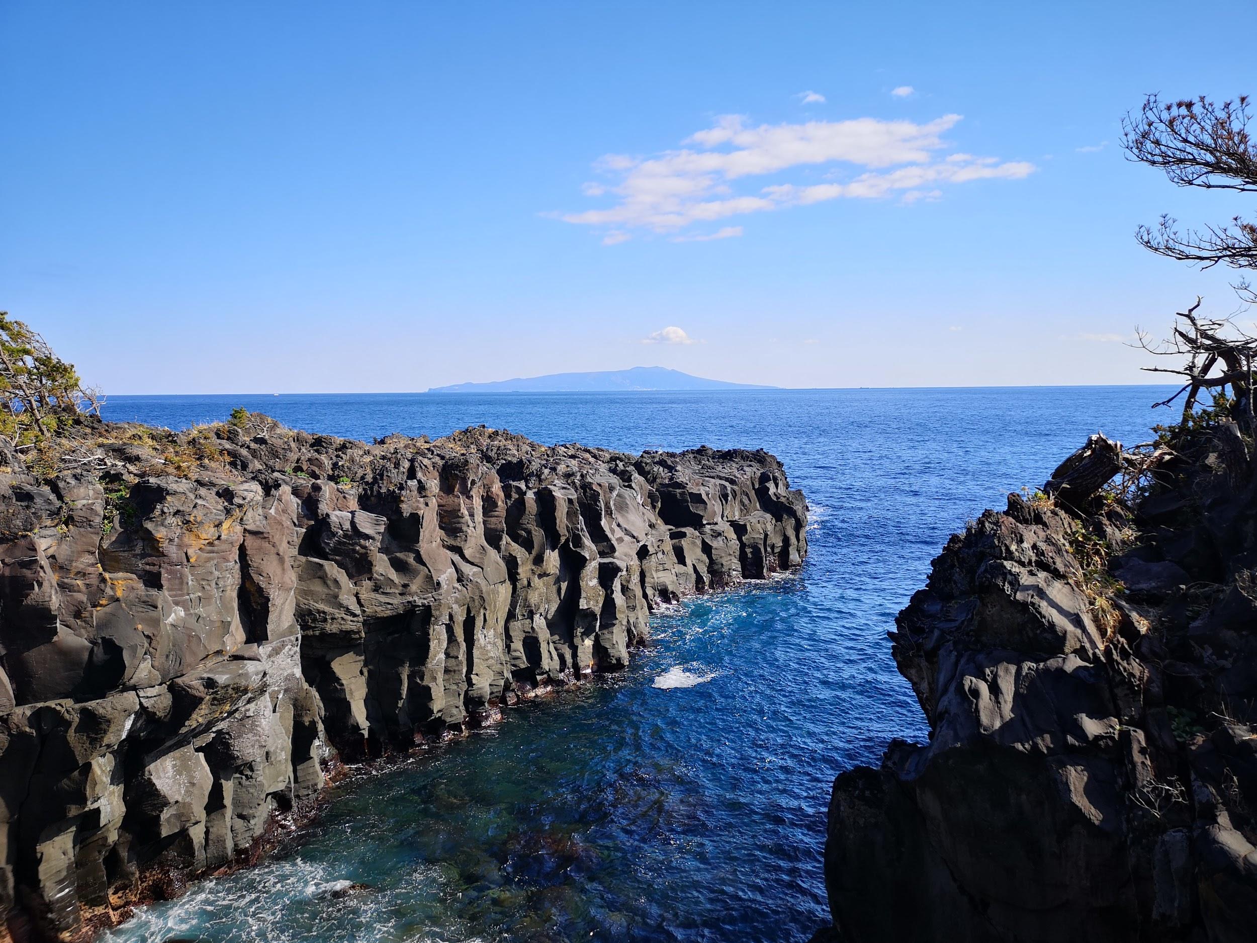
Grey cliffs and blue sea
It was already past 11am, so I quickly started hiking South along the coastal trail, leaving the sightseers behind. It was a warm sunny winter day; to my left was the dark blue sea sending its foamy waves roaring and crashing onto the ragged coastline; to the left were the mountains of central Izu, under the shadow of thick grey clouds. There were few other hikers, and most of the time I had the trail to myself.
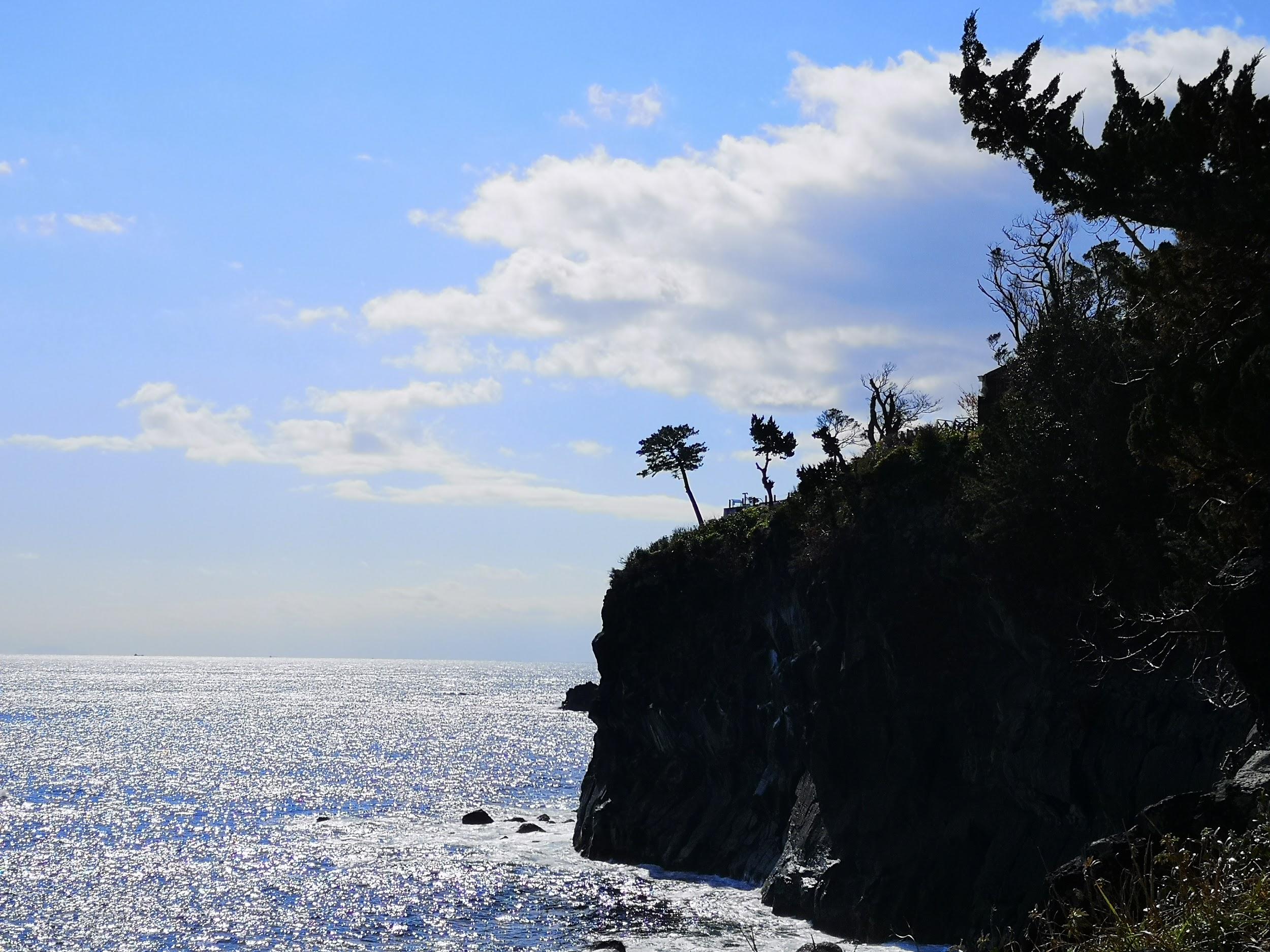
The sparkling sea in the morning

Dark clouds got the upperhand in the afternoon
According to my map, the trail should take about 4 hours. However, every rocky promontory had a small path, branching off the main trail, going to its very tip. Since it would have taken too much time to explore them all, I had to decide which ones would yield the best views, and which ones to skip. I had just started down one such small path, when I was rewarded with a glimpse of a squirrel scampering through the trees. Walking another one, I spotted a couple of adventurous rock climbers on a secluded cliff. There were other climbers in several spots along the way, and I was reminded that the Jogasaki Coast 城ヶ崎海岸 was a popular place for this activity. A lot of these paths went close to the edge of cliffs, so I had to be careful, since unlike the rock climbers, I had nothing to protect myself from a fall!

This squirrel posed for a few seconds so I could take its picture
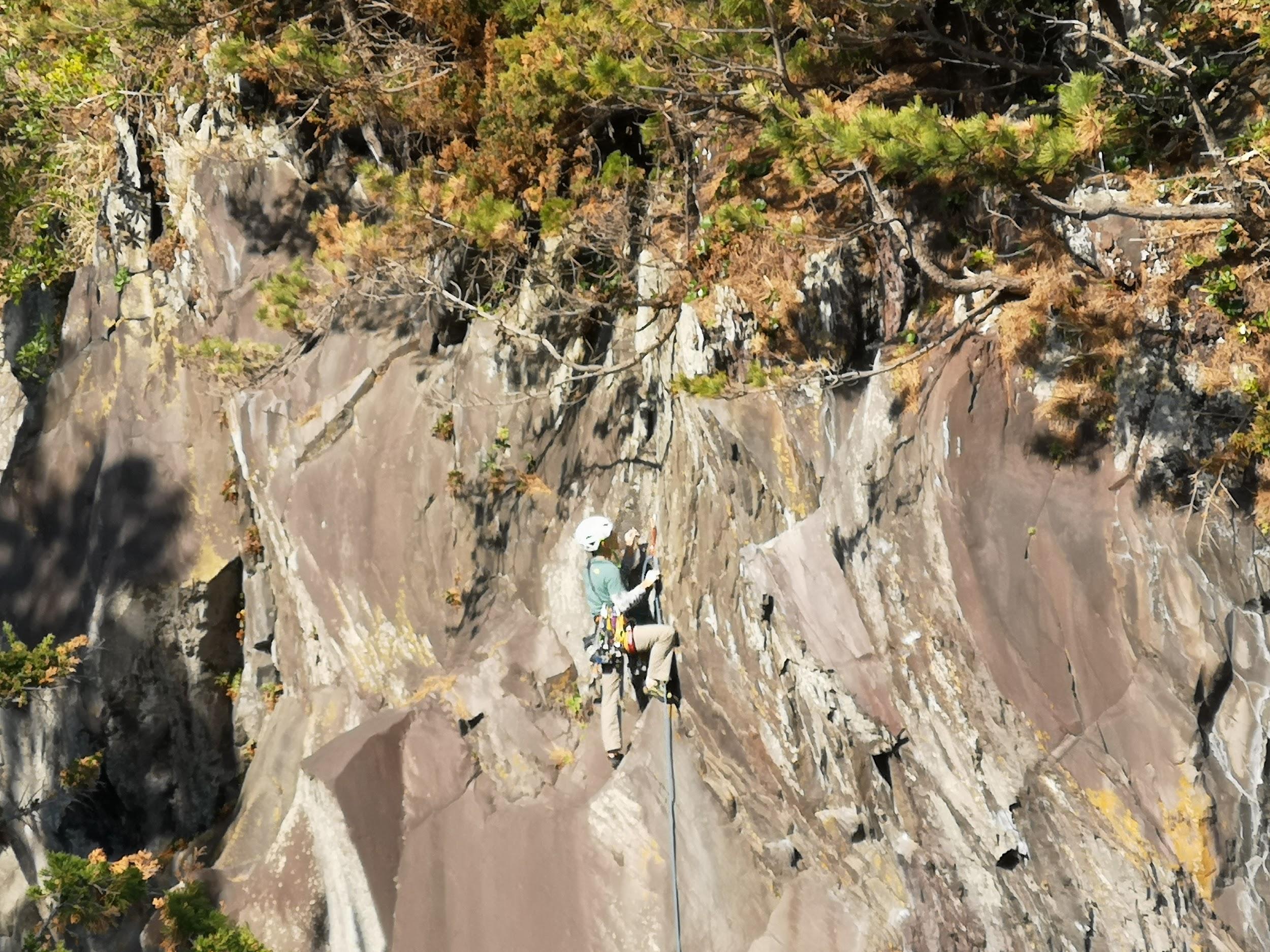
Climber nearing the top of the cliff
The trail was very well maintained. Fallen trees, no doubt from last year’s powerful typhoons, had been sawn through and removed from the path. There were frequent excellent Japanese / English signposts along the way, as well as information signboards on the various local sights, like the jagged Igaigaine いがいが根 rock formation. The main thing I learned was that the rugged coastline was created from lava flow when nearby Mt Omuro erupted long ago. When exploring the rocky terrain off the trail, I had to be careful not to trip and fall on the sharp lava rock!

Most of the time, the trail was easy to walk
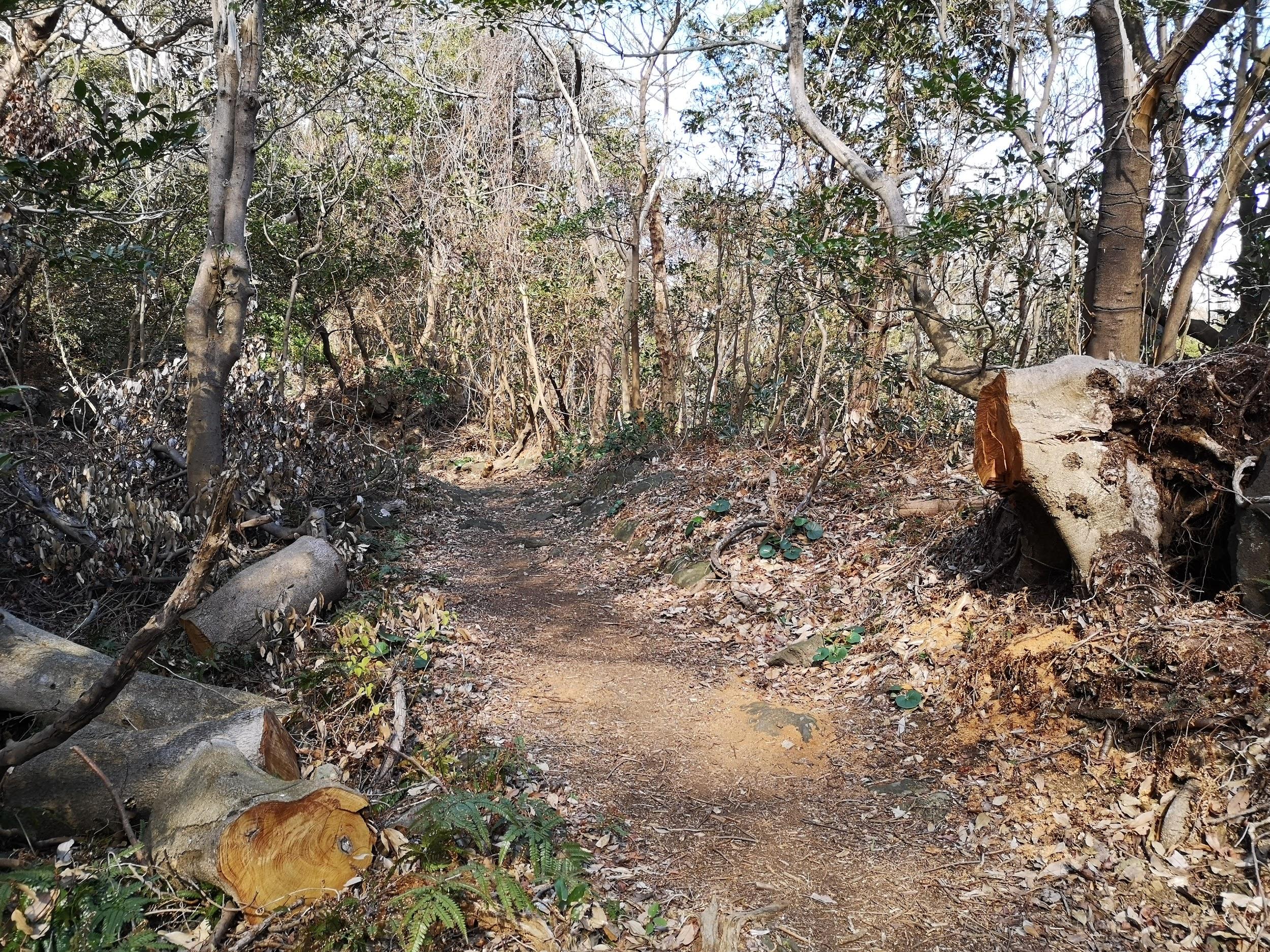
Fallen trees have been removed from the trail
Around noon I passed by Renchaku-ji temple, and was lucky to finally see some early blooming cherry trees. At 2h30, I reached the Tajima no Taki observation platform, from where I could see quite a unique sight: a waterfall over the sea. A little further away, I could see a rock bridge with waves washing through it from both sides, and meeting at the center with a thunderous crash (see video below).

Pink cherry blossoms with a background of blue sky

The rock bridge surrounded by frothy waves
Along the trail there were many beautiful pine trees, possibly Japanese red pine. They were especially prominent along the second half, soaring high in the sky above. According to Wikipedia, they can grow up to 35 meters in height!

Many pine trees along the trail

Walking among the tall pine trees
A few minutes later I reached the Hashidate Suspension bridge 橋立吊橋 (60 meters long and 18 meters high). The trail ends just a little further at a small fishing village. I retraced my steps to the river above the waterfall, and followed it to a parking area and Izu-Kogen station, less than thirty minutes away.
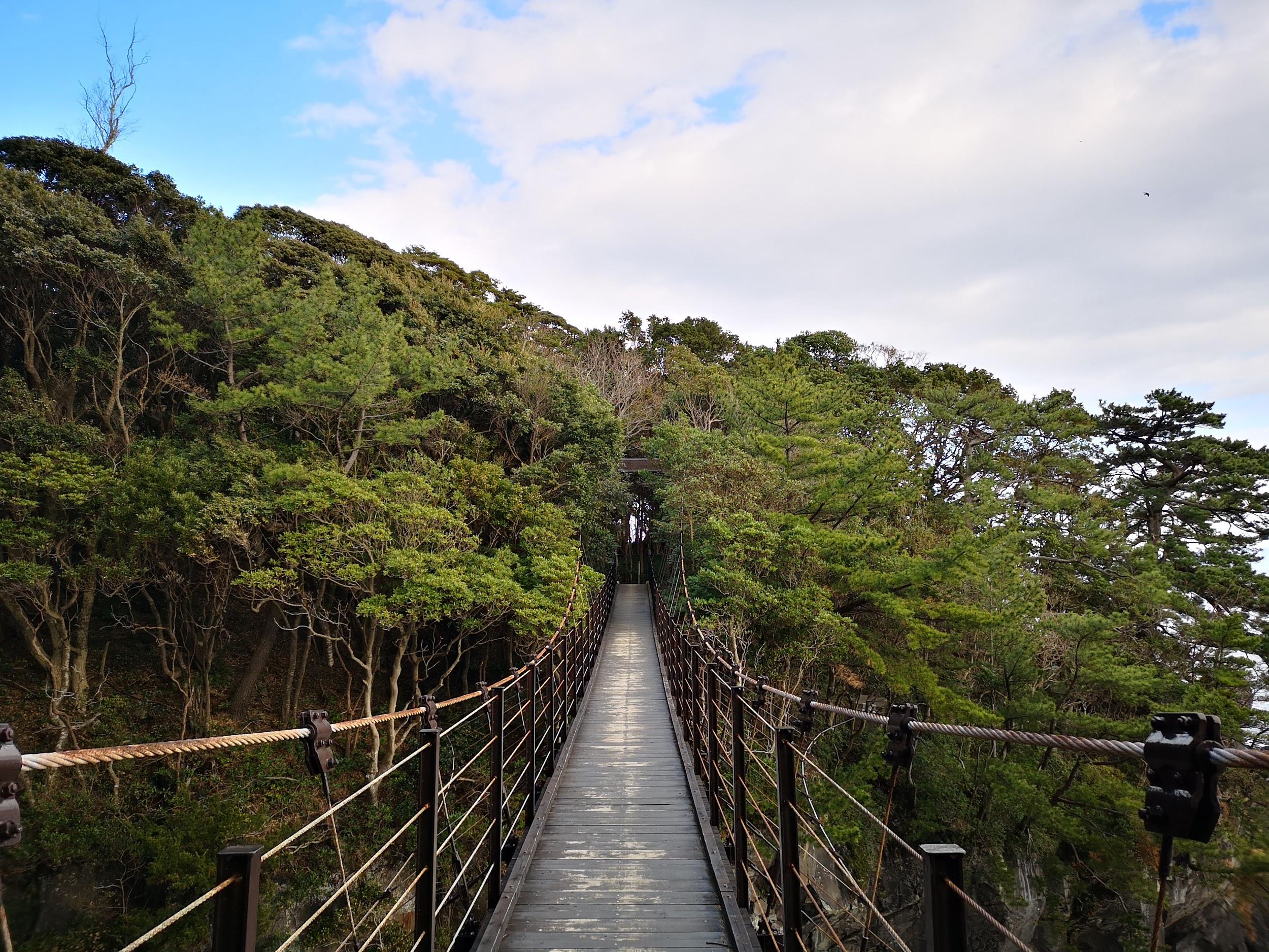
The Hashidate Suspension Bridge

Mt Mihara on Oshima island, an active volcano that last erupted in 1986
One constant throughout the hike was the view of Oshima Island directly opposite and only 20 km away. Some of the other Tokyo islands (Toshima and Ni-jima) were faintly visible further to the South. I could even make out the outline of Kozu-jima about 75 km away. As the day progressed, and the sun moved further west, the details of Mihara volcano on Oshima island became more clearly visible, and I was reminded of my trip there in 2018.
Mt Omuro (580m) Crater Walk

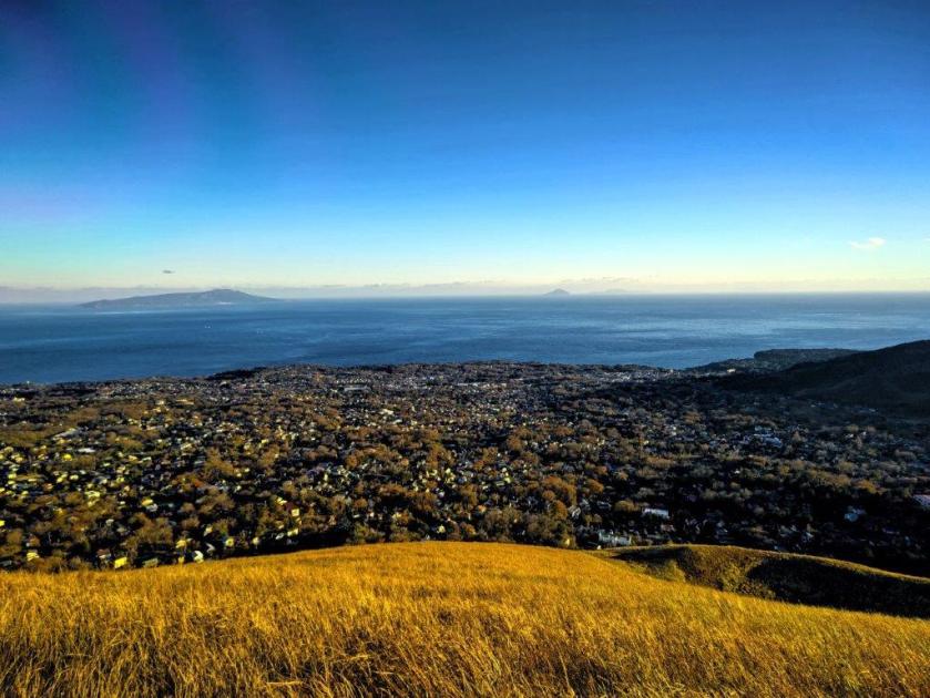
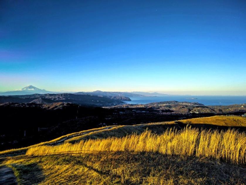
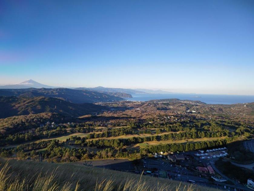
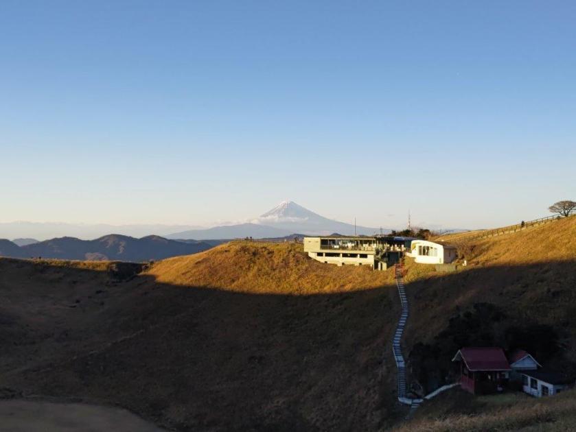
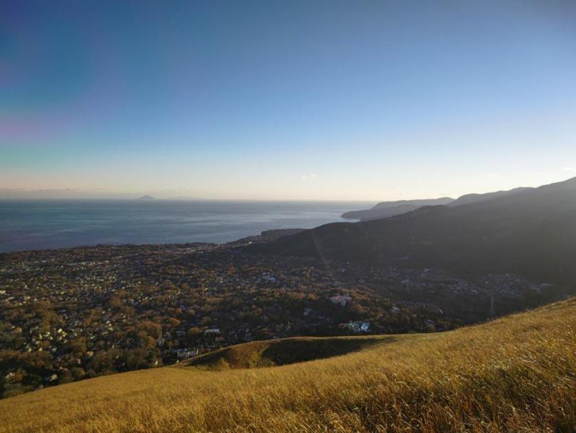
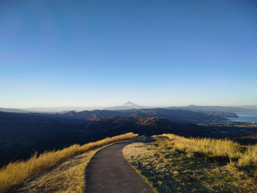
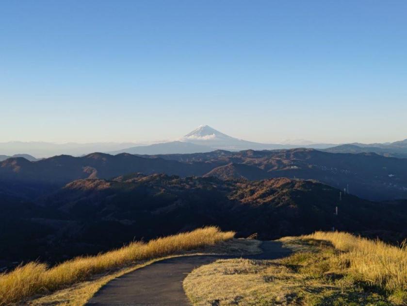
Before heading back to Tokyo, I decided to make a quick visit to Mt Omuro 大室山 (580m), a short bus ride from the station, and the reason the Jogasaki coast exists in the first place. It has a perfect conical shape and is visible from nearly everywhere on the Izu Plateau. Unfortunately, it isn’t possible to hike to the top. I rode the chairlift up and walked around the top crater in twenty minutes. There was a spectacular 360 degree panorama of the entire area. I could see Mt Fuji (60 km away), the Hakone mountains, the Tanzawa mountains, the Miura peninsula, Sagami and Tokyo B\bays, the whole Izu-Kogen, the Tokyo Islands and Mt Amagi.
I made another visit to Mt Omuro in Dec 2022
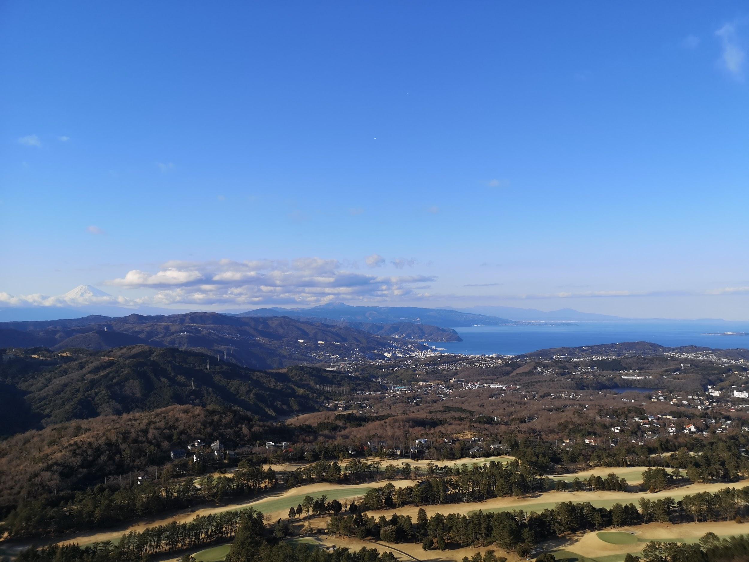 Mt Fuji, Hakone, Tanzawa
After taking the chairlift back down just before closing, and catching the last bus back, I stopped by Izukogen no Yu Onsen. After a relaxing hot spring bath, I hopped onto the Odoriko limited express headed for Tokyo.
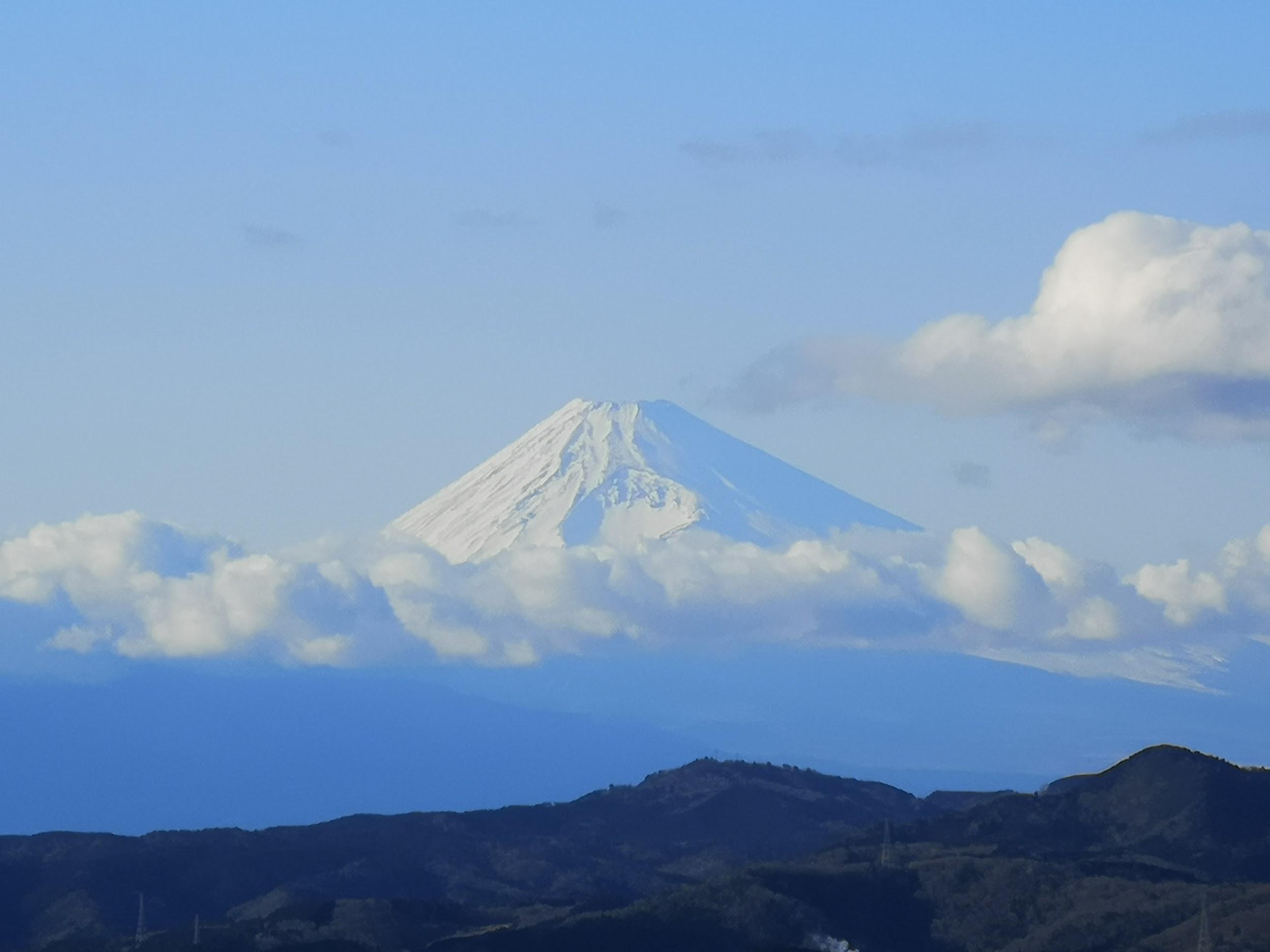
Mt Fuji, clear of clouds in the late afternoon
Watch the crashing waves along the Jogasaki Coast
See the views from the Mt Omuro crater (Dec 2022)
Below: slideshow of photos from the Mt Omuro crater walk (Dec 2022)

