
You might think that the summer months of June, July, August and September are the best time to go hiking. That is only partially true. The main problem is that the high temperatures and humidity make hiking up from a low elevation a torture – I know because I’ve done it. The trick is to use public transport to propulse yourself as high as possible before you need to start climbing. Even better are hikes that start high and consist mainly of flat and downhill walking.
So, here is a list of 10 lesser-known hiking start points, from highest to lowest, in mountain areas reachable from Tokyo by bus (without using the Tokyo Wide Pass). A word of caution – starting higher also means going further and traveling longer which in turn is more expensive – there is a cost to getting high.
Fujinomiya 5th station 富士宮五合目 2380m
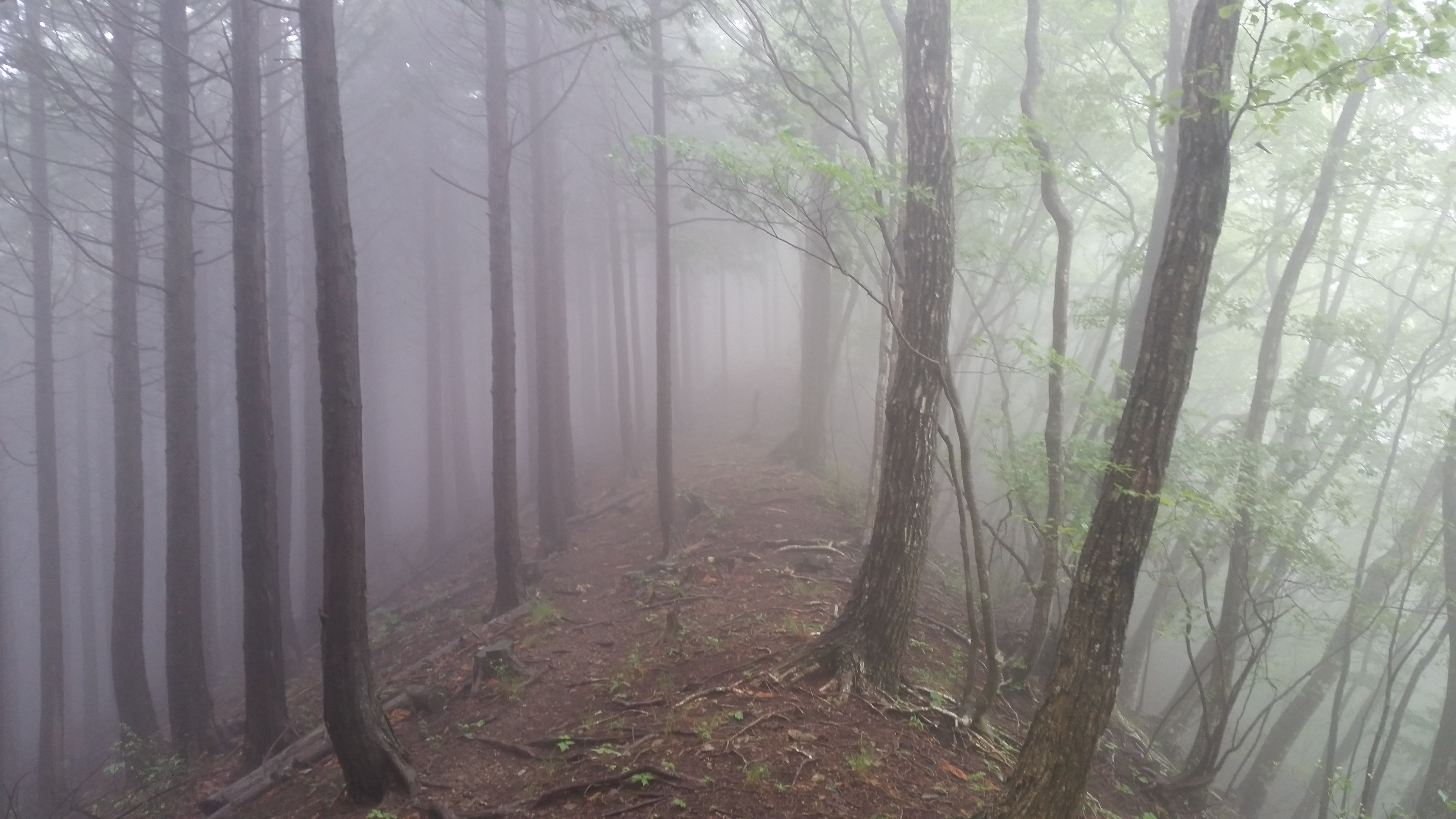
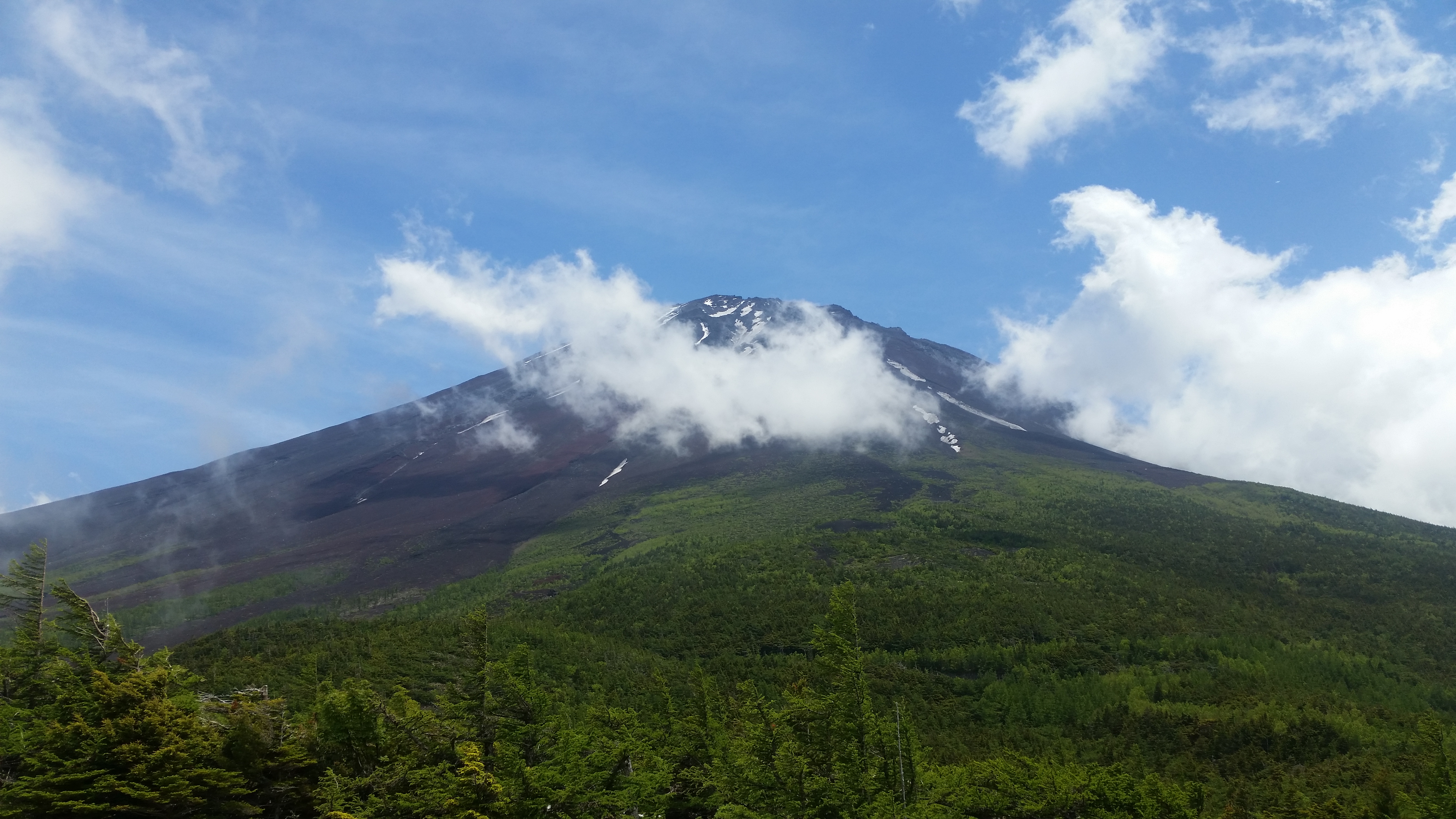
It’s no surprise that the highest point accessible by public transport is on the slopes of the highest mountain in Japan. However, instead of heading for the top, you can hike down to one of the lower stations, or cross over to the Gotemba fifth station, or even do a loop hike via Mt Hoei 宝永山 2693m, a mini-volcano on the flank of Mt Fuji, that was created during the last eruption 300 years ago.
Alternatively can get off at one of the lower stations and head up, if you want to do at least a little climbing. The forest bits are beautiful, and the parts that are devoid of vegetation because of ancient lava flows, offer some great views, when the clouds aren’t in. Best to avoid the Mt Fuji hiking season in July and August, since the buses will be packed.
Check Mt Fuji information on the Japan-Guide website for access information

Odarumi Pass 大弛峠 2365m
Only 15 meters lower than Fuji’s highest point, the main attraction here is to do the round trip to Mt Kinpu 金峰山 2599m, the highest peak in the Okutama-tama-kai national park. Most people go this way and the views are great. Another option is to head east towards Mt Kobushi 甲武信ヶ岳 2475m, passing over the highest point in the area, Kita Okusenjo 北奥千丈岳 2601m. Lots of solitary, but beautiful forest hiking. The bus can be taken from Enzan station on the Chuo line, but since it’s rather small it requires prior reservation (Japanese only). On the way you need to change at Yakiyama Toge 焼山峠 1520m – there are some good hiking options around here, although I have yet to explore them.

Subaru Line 5th station スバルライン五合目 2300m
Mt Fuji again – from here you can hike down through the Aokigahara 青木ヶ原 forest to Motosuko lake 本栖湖. Another option is to hike across to Okuniwa 奥庭 and cut across the previous hike and end up Fujikyu Highland. Good views of Mt Fuji and the Kawaguchiko area, as well as beautiful forest hiking on one of the most famous volcanoes in the world. You can catch the bus for the Subaru line from Fujisan 富士山 station. There are 2 more 5th stations on Mt Fuji, but I won’t add them to the list since they can be connected from the 2 previous ones.
Once again, go to Japan-Guide for bus information for the Subaru line.
Kamihikawa toge 上日川峠 1580m
This is one of my favourite places to go in June. A short hike up will take you top of Mt Daibosatsurei 大菩薩嶺 2057m with good views of Mt Fuji on the way (the top is surrounded by trees). There are a number of trails that will take you down in various directions. Head South and you’ll get back to either Enzan 塩山 or Kai-Yamato 甲斐大和 stations (where you take the bus up). Head North and you’ll end up at Tabayama village 丹波山村, located West of Okutama. You may even see monkeys close to the trail. Most of the trails end up at at a hot spring.

Yanagisawa toge 柳沢峠 1480m
This pass is located only a few kilometers Northwest of Daibosatsurei. The bus leaves from Enzan station, and you can hike East to Mt Kurokawakeikan 黒川鶏冠山 1716m, and then on to Daibosatsurei (see above), or head North towards Mt Kasa 笠取山 1953m. I
Matsuhime toge 松姫峠 1250m
Update April 2025: The bus to Matsuhime pass is currently not running due to a landslide that occured in Autumn 2024
This is a good one I discovered recently. You only need to take the Chuo line to Uenohara 上野原 station, and there you can hop on a bus from the newly built bus terminal to Matsuhime toge. Granted the ride is a bit long and does a detour via Kosuge Onsen 小菅温泉, but with a name that translates in English as Princess Pine, that can be forgiven.
From the pass, you can walk down to the aforementioned onsen, or for a longer hike, head west and down to the Tsuru Valley, which runs parallel to the Akigawa valley North. Return is via bus to Uenohara. If you want a shorter bus ride then get off at Tsuru Toge 鶴峠 870m and hike to Mt Mito 三頭山 1531m (return bus can be had from Hinohara Tomin no Mori 檜原都民の森 1000m).
Mitsutoge Tozanguchi 三ツ峠登山口 1230m
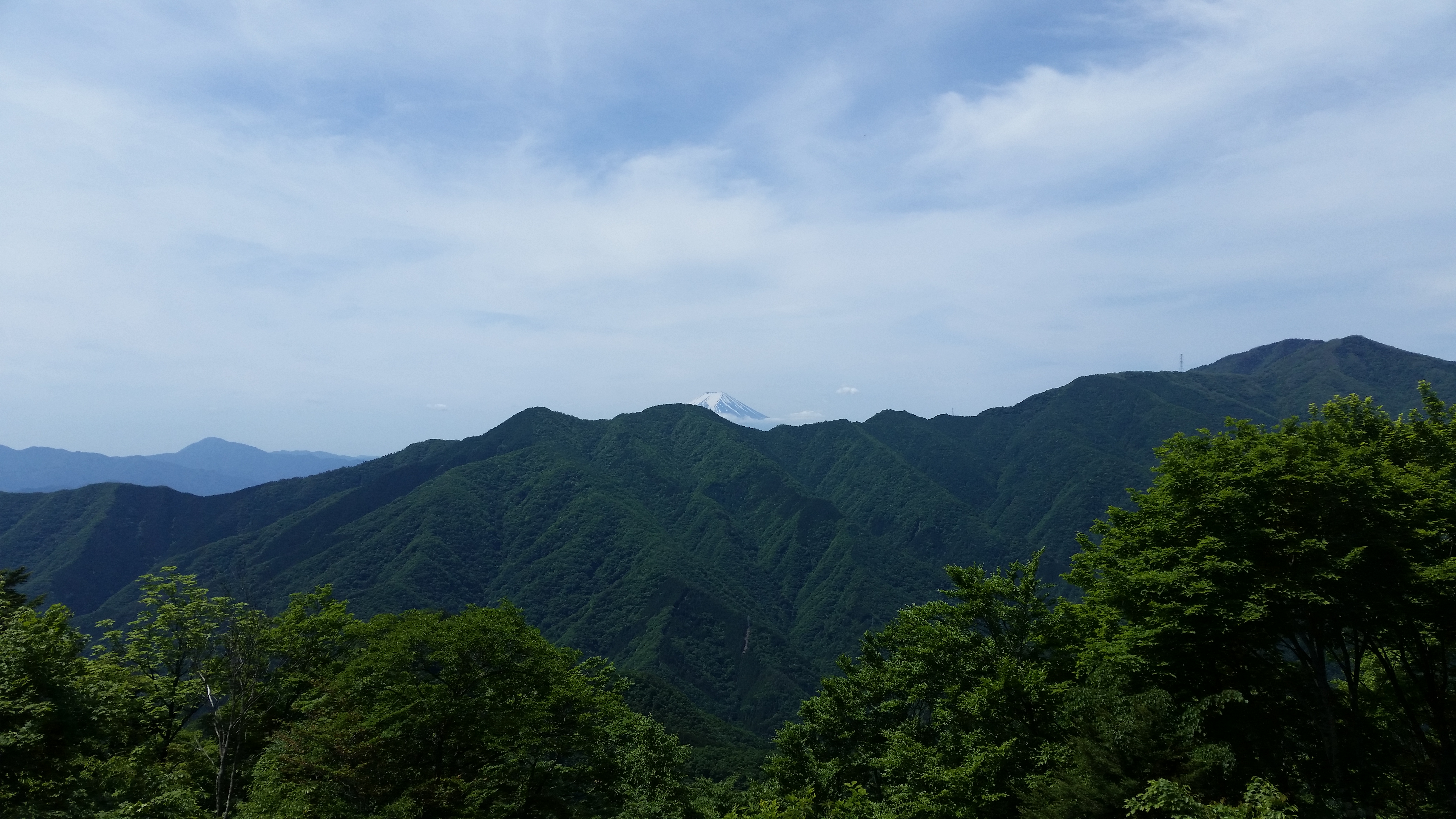
Instead of hiking up or on Mt Fuji, how about hiking in a place that has great views of the volcano? Up until the beginning of July, Mt Fuji will still have some snow on it, so you’ll still be able to take some memorable photos. The bus leaves from Kawaguchiko 河口湖 station and takes you behind and up the Western side of Mitsutoge, to Mitsutoge tozanguchi 三ツ峠登山口. After that, it’s a short hike to the top, where there are good views. You can then walk back down to Kawaguchiko. Actually the bus continues a little further up to 1300m. However I feel that the hiking options there are less exciting than the ones offered by Mitsutoge.

Kirifuri Kogen 霧降高原 1200m
This is a secret Nikko hiking spot, just East of Nikko town. Take the bus from JR Nikko station or Tobu-Nikko station to the Kirifuri highland stop. From there, you can walk up a 1445-step staircase to Komaruyama 小丸山 1601m, and then do a loop hike Mt Maru 丸山 1689m. Another option is to hike all the way down to Kirifuri waterfall, where you can catch the bus back to Nikko station.

Mitsumine Shrine 三峰神社 1040m
Mitsumine Jinja is a very famous shrine located in the Chichibu area of Saitama. You’ll need to get a Seibu bus from Mitsumineguchi 三峰口 station. From there you can climb the nearby Mt Myoho 妙法ヶ岳 1332m or/and walk back down to one of the bus stops between the station and the shrine. You could venture up Mt Kumotori 雲取山 2017m but in that case you’ll need to spend the night at the lodge at the top.

Michizaka Zuido Iriguchi 道坂隧道入口 1000m
A one-hour bus from Tsurushi 都留市 station on the Fujikyuko line between Otsuki and Kawaguchiko will get you to this pass leading into Doshi valley 道志渓谷. Unfortunately you’ll need to climb a bit to get to the ridgeline. From there you can go left (North) to Mt Imakura 今倉 1470m, or right (South) to Mt Mishotai 御正体 1681m. My recommendation is the former peak, from the top of which you can turn left (West) – there is an onsen at the end the the end of the trail, as well as excellent views of Mt Fuji if the weather allows.

Myojin Pass 明神峠 (900m)
Fujikyu runs a seasonal hiking bus from Suguru-Oyama station on the Gotemba line to Myojin-toge in the Tanzawa mountains on weekends from mid-April to mid-November. It’s the jump-off point for hikes to Mt Yubune and Mt Mikuni. The main drawback is that the bus departs relatively early in the morning, requiring a crack of dawn departure from Tokyo; there is also no return bus so hikers need to descend under their own steam. Heading west from Mt Mikuni, it’s possible to finish at a bus stop for Gotemba station, with great views of Mt Fuji along the way. Search for “明神峠ハイキングバス” to find the bus timetables and latest information.

Yamanakako-Oyama Line from near Myojin pass
