
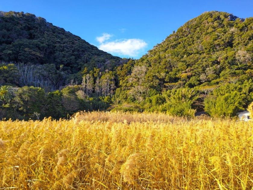
![Mt Yadaira (860m), Otsuki and Uenohara Cities, Yamanashi Prefecture, Friday, December 30, 2022 [Map Available]](https://hikingtokyo.com/wp-content/uploads/2023/04/dsc_28292.jpg?w=1024)
For my last climb of the year, I wanted to do a station to station hike close to Tokyo, and on local lines, since I was worried about the reduced, year-end bus schedules and holiday travelers. I had walked most of the entire ridge south of the Chuo line, but, earlier in the year, I found a JR East hiking map, reminding me of an unexplored section between Yanagawa and Shiotsu stations. With a total time of around 5 hours and a chance to spot Mt Fuji from the summit, it seemed ideal for the last outing of 2022.
Get a map of the Mt Yadaira Hike
This map was developed for Japanwilds with the Hokkaido Cartographer
Find more Japan hiking maps on Avenza
Hiking along the Chuo Line 中央線
The summit of Mt Yadaira, just before Terashita Pass
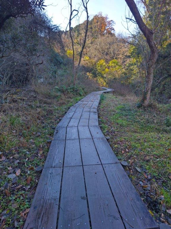
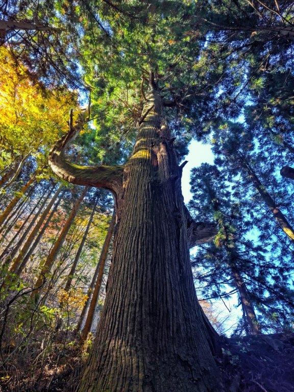
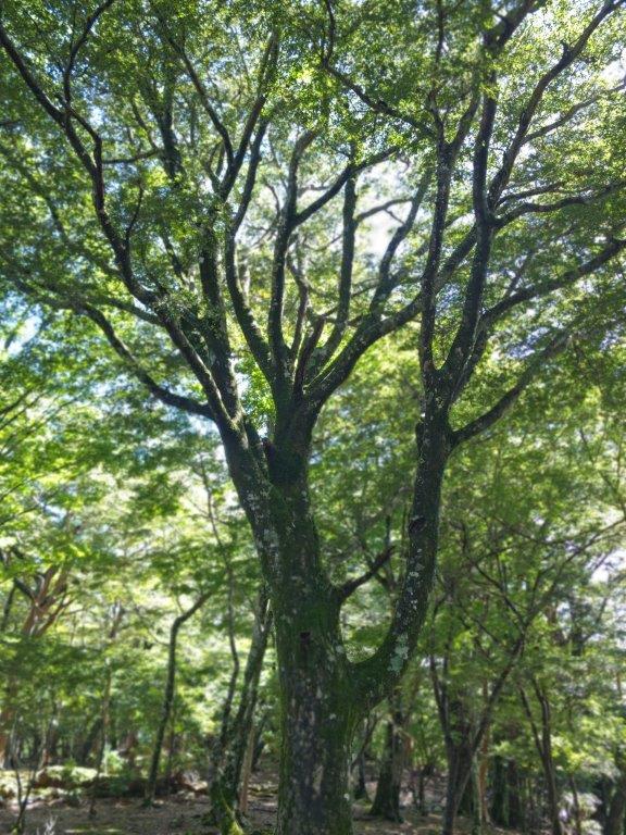
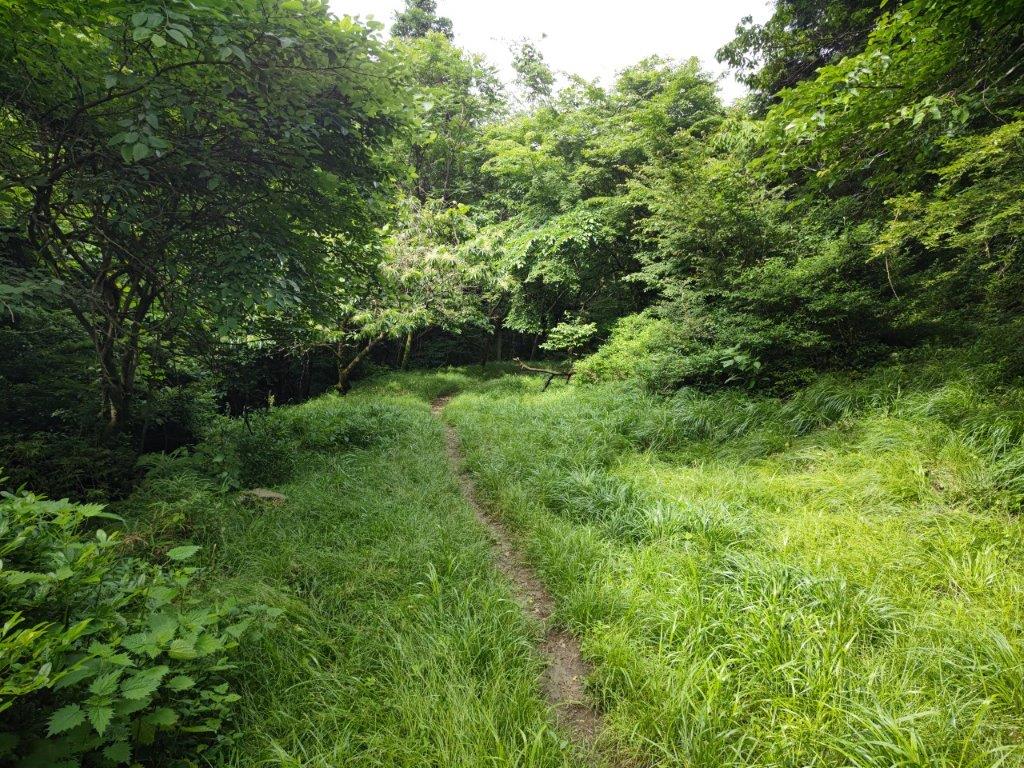
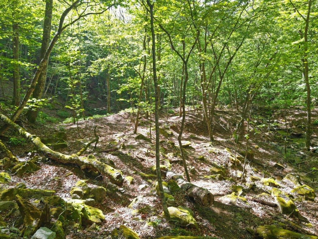
I arrived under cloudy skies at Yanagawa station around 10am. After getting ready, I set off for the trail entrance, past a bridge on the other side of the Katsura river valley, reaching it at 11am. The sun had come out by now and sunlight was shining through the trees. The path followed a narrow valley along a dried-up riverbed; I was walking in the shade, since the winter sun was now hidden by the steep mountain-sides.

View of the Katsura river
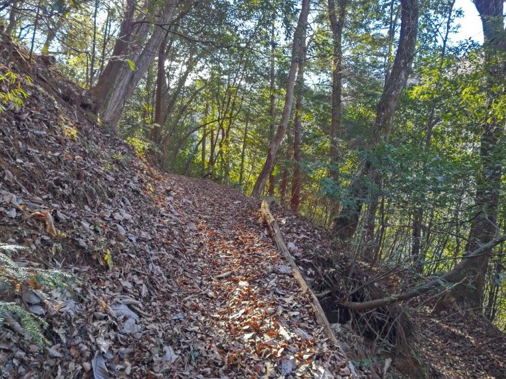
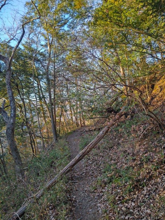
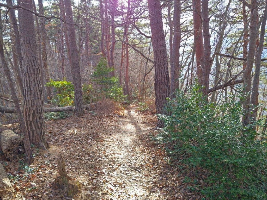
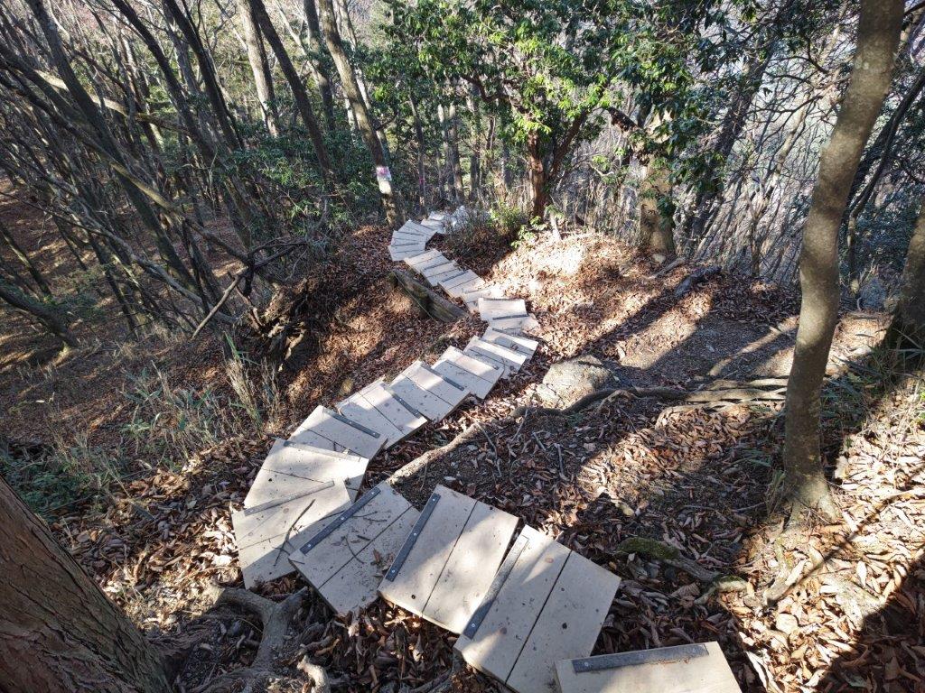
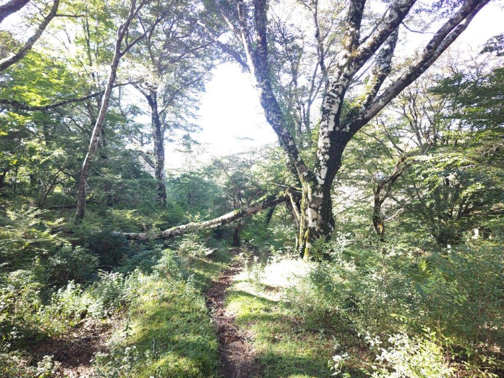
Start of the hiking trail
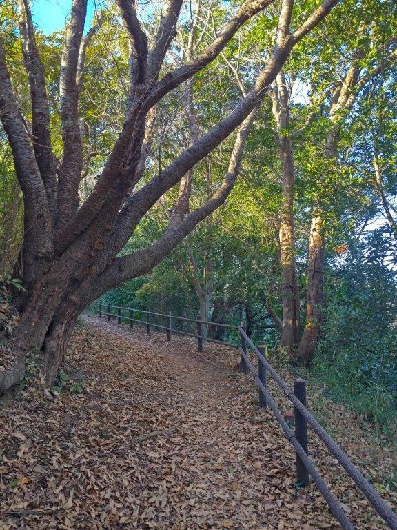
I found it challenging to walk on the layer of dead leaves that had piled up during the autumn: it was like walking through ankle-deep snow. I was able to follow the trail thanks to the presence of fixed ropes, even on the level sections. My stick, which I mainly use for descending, helped me keep my balance. When the path started to zigzag up the mountain side, I had to be doubly careful not to slip on the dead foliage.

First views through the winter trees


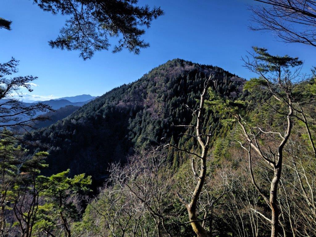
The steepest section of the hike (left) / Approaching the summit (right)
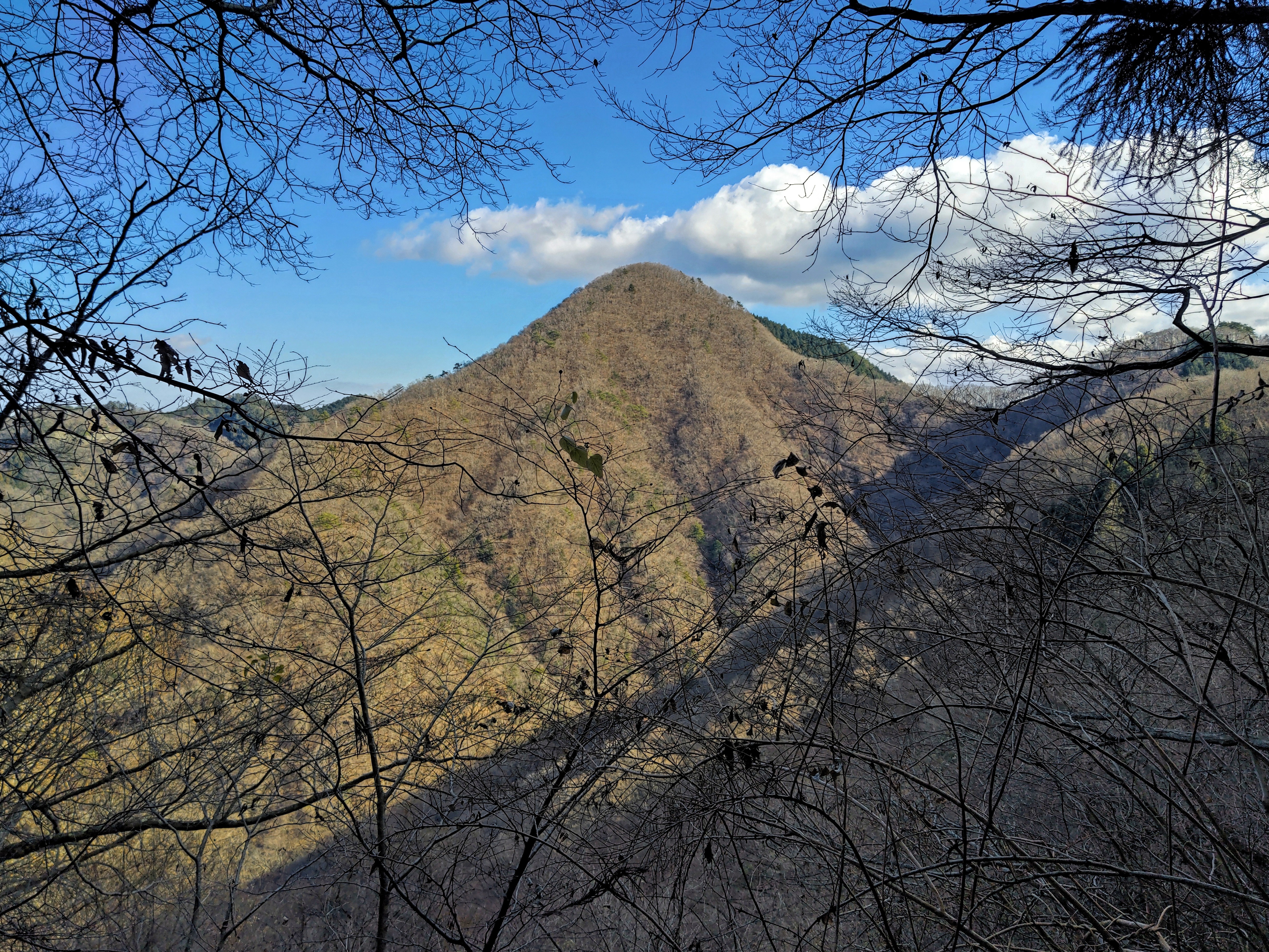
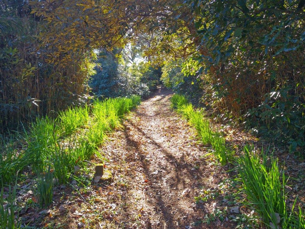
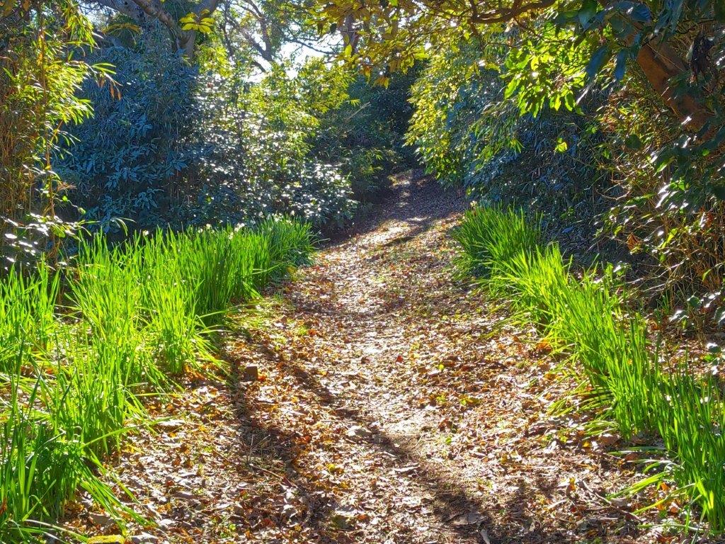
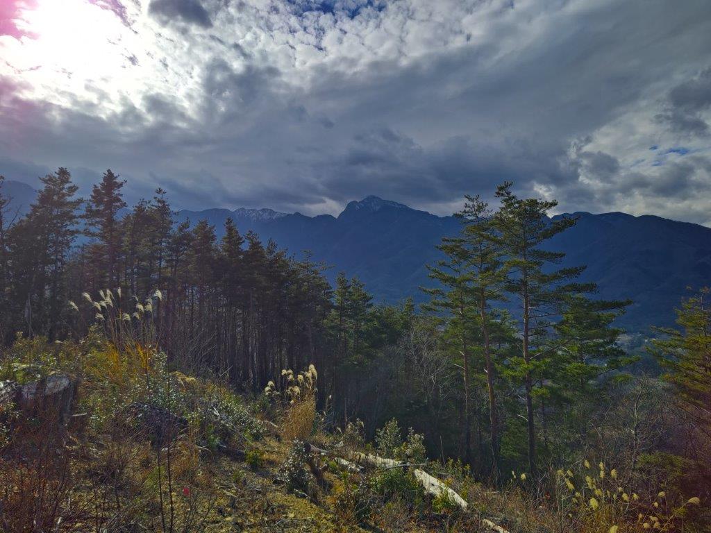
I was relieved to be back on a sunny, leaf-free path, a little after noon, after rounding a bend. Looking north through the bare trees, I had a view of the mountains on the north side of the Chuo valley. I followed the now easy to walk trail southwards, merging with the ridgetop trail at Terashita Pass (寺下峠), half an hour later. On the way, I had a view of the rounded top of today’s peak, the curving ridgeline making it look deceptively close.

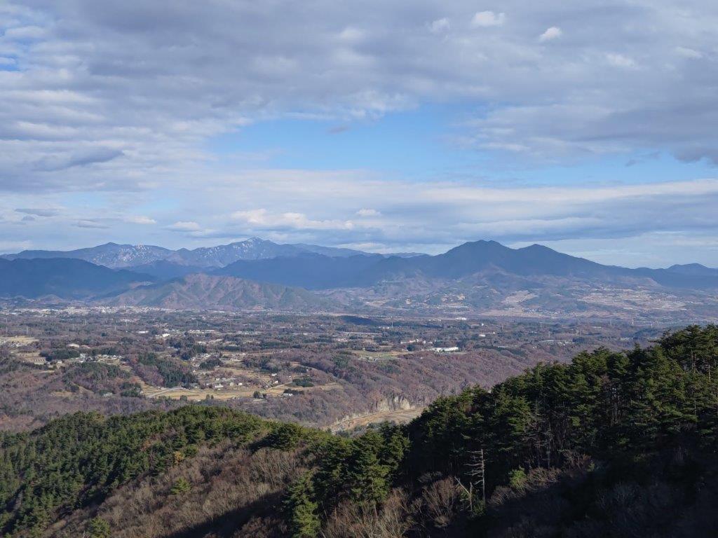
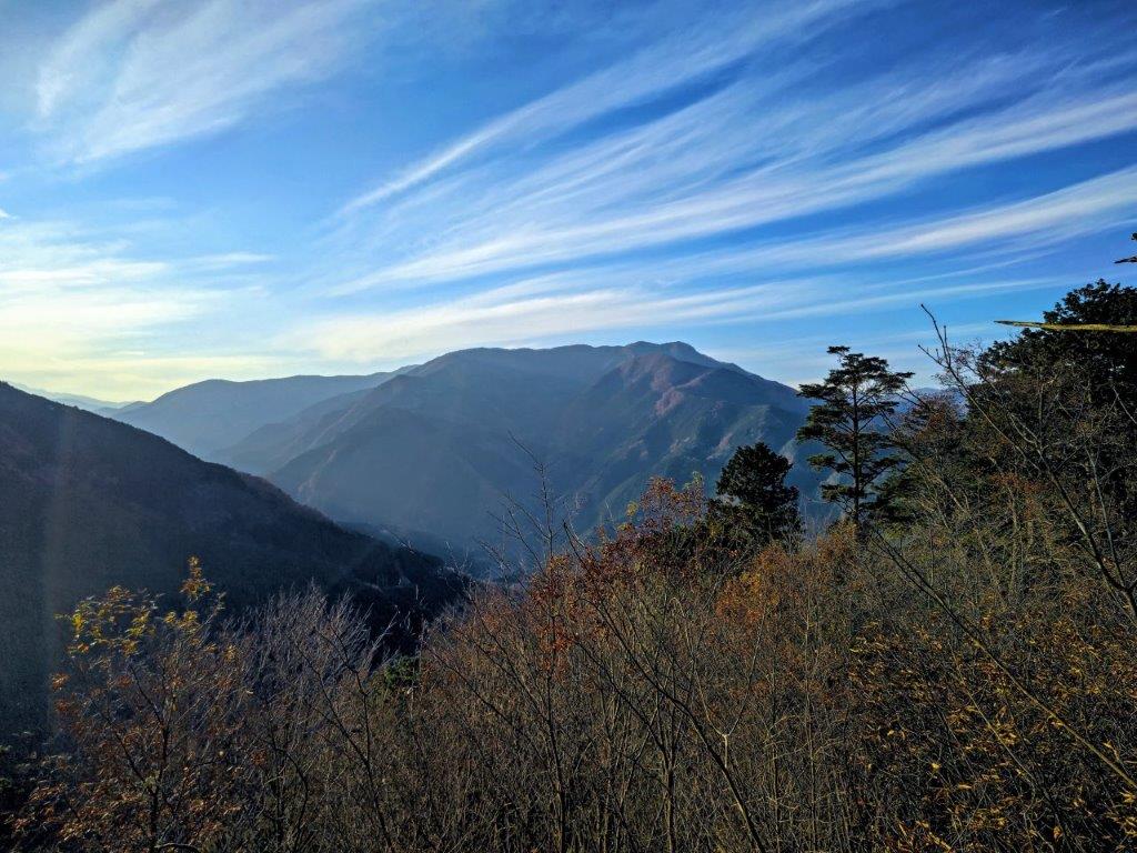
View of the Tanzawa mountains

Closeup of Mt Hiru, the highest peak of Tanzawa
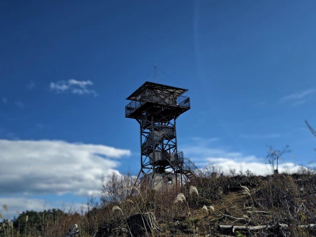
I next went up the steepest section of today’s hike, and soon reached the summit of Mt Marutsuzuku (763m 丸ツヅク山(まるつづくやま marutsuzukuyama). It was completely in the trees so I quickly moved on. Very soon, I arrived at a short rocky section, that required some scrambling. Halfway up, I turned around and got a glimpse of the Doshi mountains on the south side. Turning around again, I suddenly spotted a black thing, slowly rising above the bushes.

View of Mt Omuro through the pines


Sun on the ascent (left) / View of Mt Jinnohako (right)
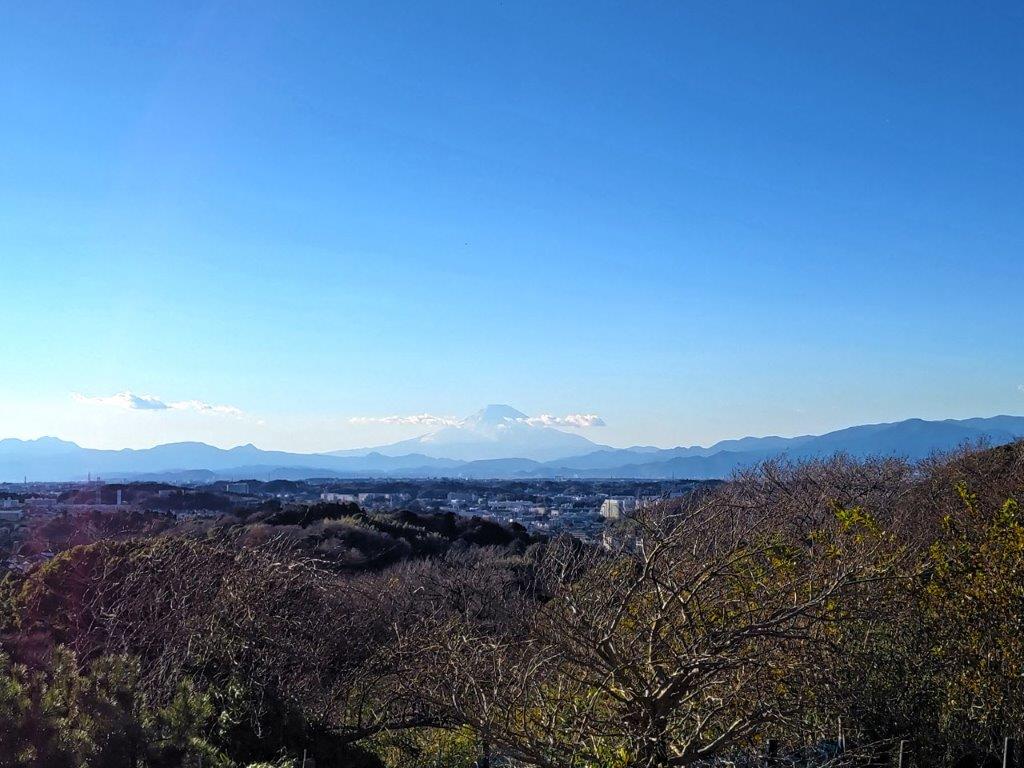
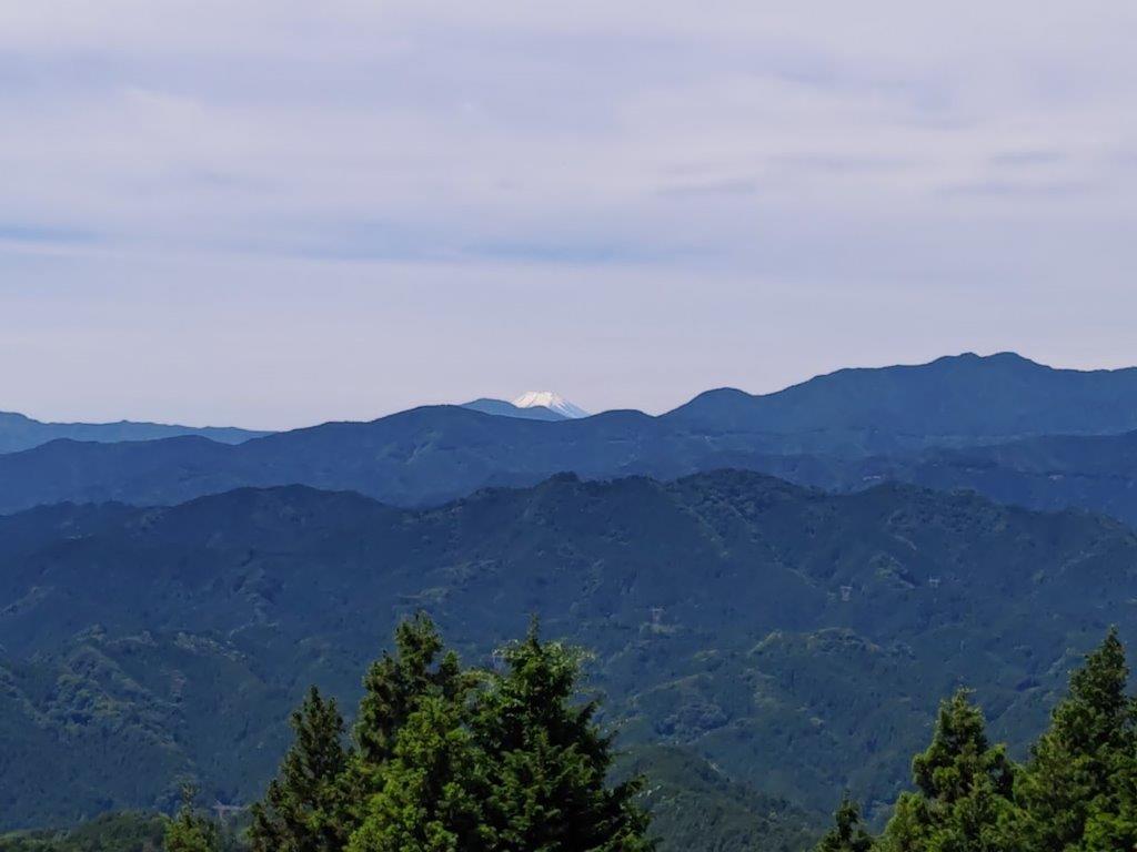
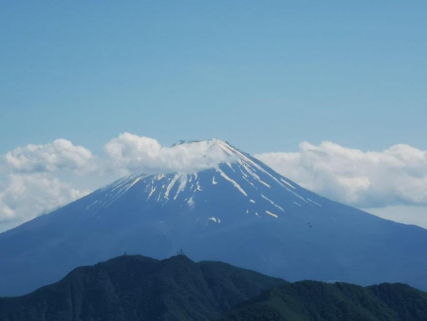
I thought it was a bear, but it turned out to be a camera on a tripod. It belonged to the only person I met today; he had been so quiet, that I had no idea he was nearby. I continued past him, and shortly after, arrived at the summit of Mt Yadaira (矢平山 やだいろやま yadairayama). It was also surrounded by trees, but a little further along the trail, was a clearing with a view of the Tanzawa mountains on the south side. Directly opposite, was Mt Omuro, dark and dramatic against the afternoon sun; Mt Fuji was hiding in the clouds. Since it was 1h30, I sat on a tree stump for a short lunch break.
Looking back at Mt Marutsuzuku
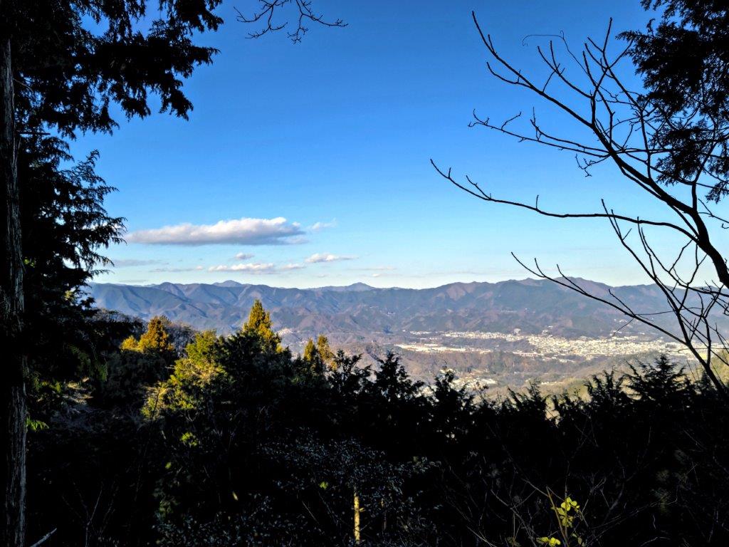
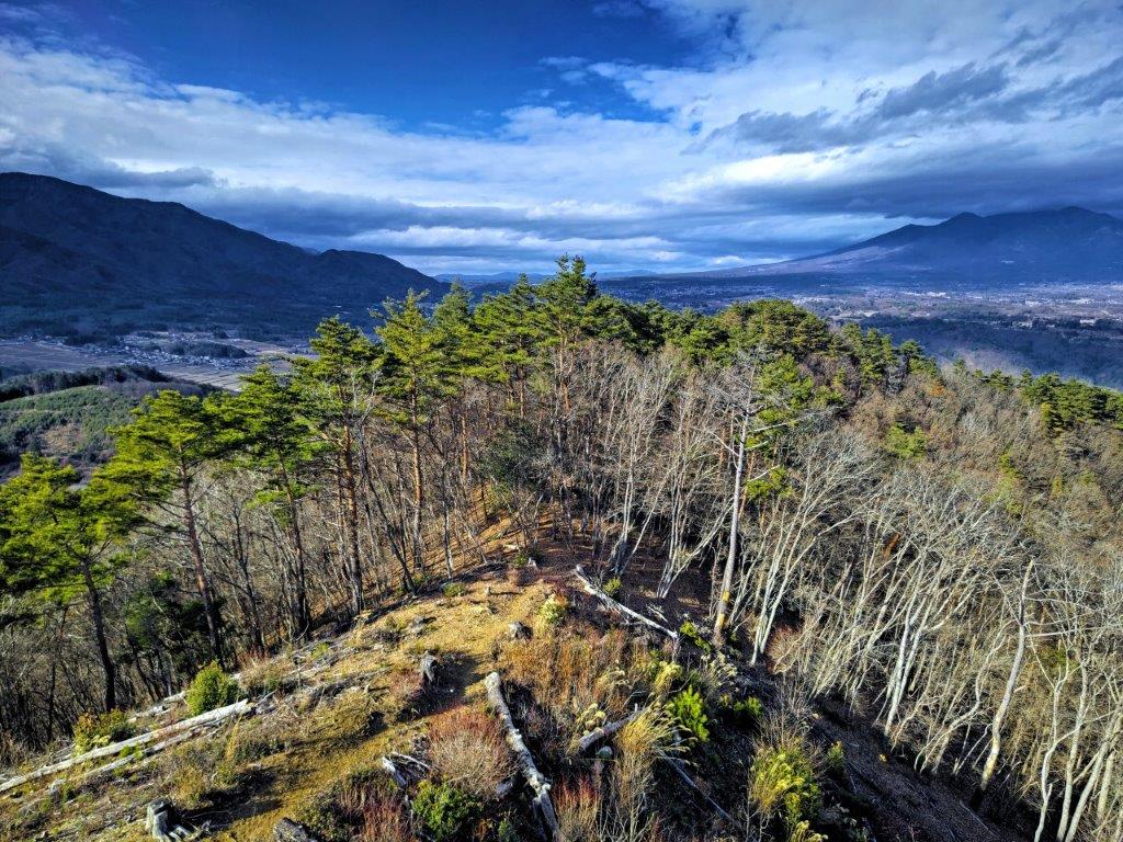
The Kanto mountains from just below Shinochi Pass
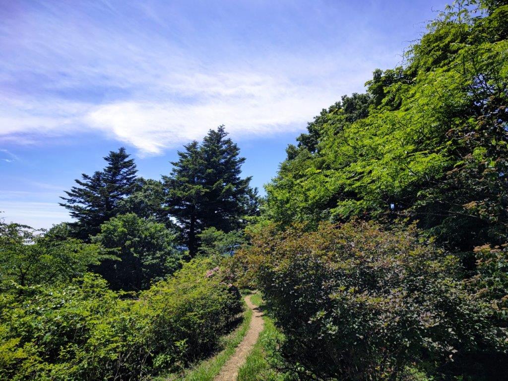
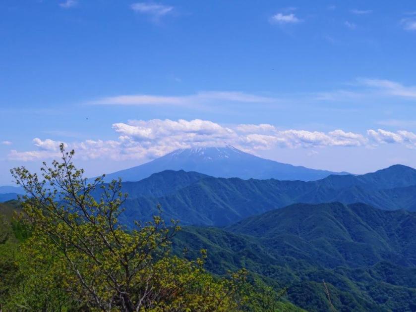
I resumed my hike and had an impressive view of a pine covered, solitary peak through a gap in the trees, slightly off the main ridge. The summit could be reached via a short roundtrip, so I decided to check it out quickly. The top of Mt Jin-no-Hako (810m 甚之函山 じんのはこやま jinnohakoyama) was again in the forest, but midway up, I had a view west of today’s summit, with Mt Mitsutoge in the background. Back on the main trail, I soon reached Shin-Ochi Pass 新大地峠), just after 2h30, where I turned left and headed down the mountain.

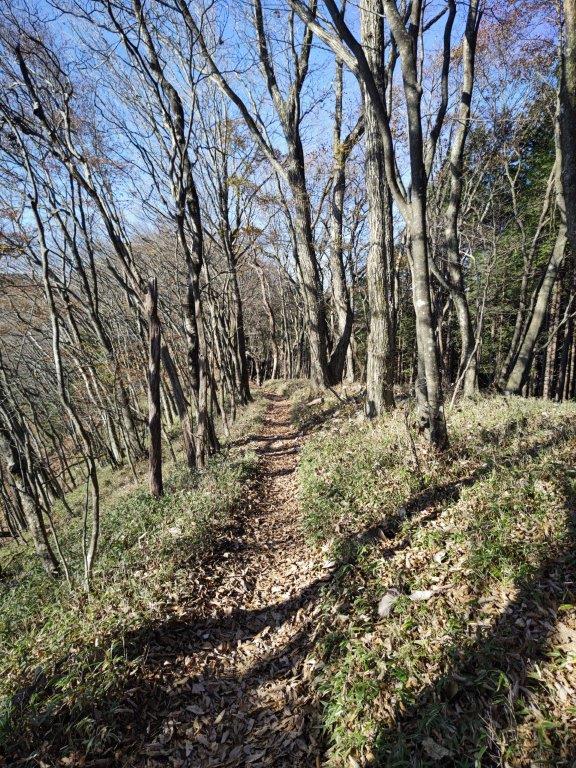
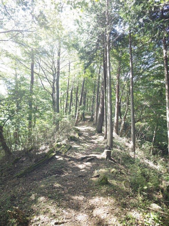
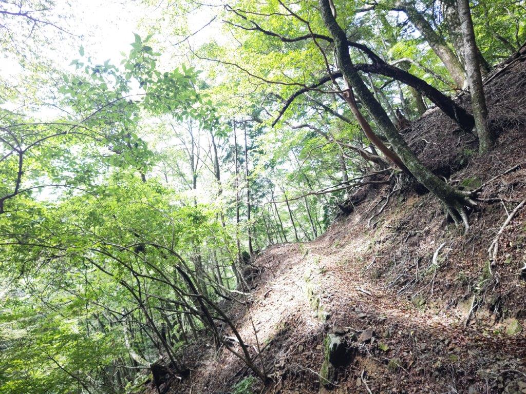
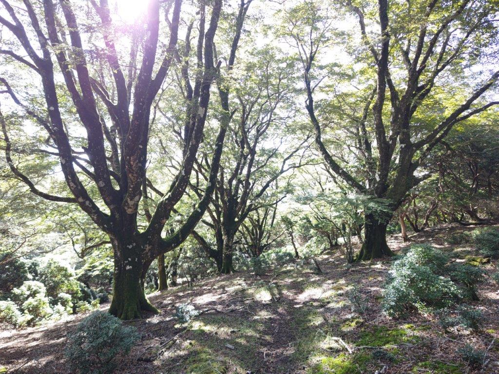
Descending through the forest

The surrounding landscape was golden in the late afternoon sun
I soon had a stunning view of the Kanto mountains, the triangular summits of Mt Mito and Mt Odake clearly visible below the blue winter sky. I crossed a road and then followed a gently descending trail westwards through the forest. This was the most pleasant part of the hike, the surroundings golden and peaceful in the late afternoon sun, except for the regular tap tap of a solitary woodpecker.

Mt Ogi (left) and Mt Gongen (right) in the late afternoon light

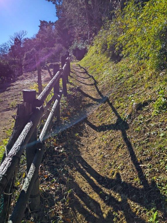
Arriving at the end of the hike
Before the trail curved north, I had one last view of Mt Ogi and Mt Gonzen, framed by two tree trunks, their features highlighted by the late afternoon light. At 4pm, I emerged from the forest, onto a road through a village, just as the last rays of sun vanished from the valley. It took another 15 minutes to reach Shiotsu station, from where it was a one hour ride back to Shinjuku.
See a video of the Mt Yadaira hike


![Mt Odake (1267m), Okutama Town, Tokyo Prefecture, Saturday, November 19, 2022 [Mitakesan Station to Okutama Station]](https://hikingtokyo.com/wp-content/uploads/2023/01/img_20221119_125052.jpg?w=1024)


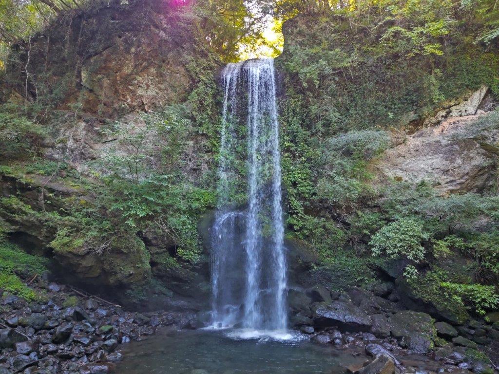
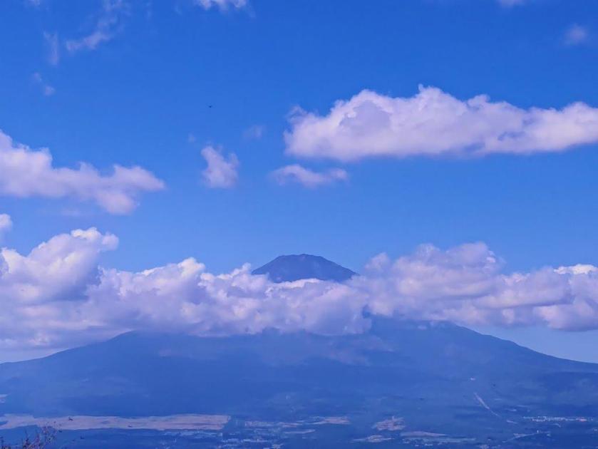
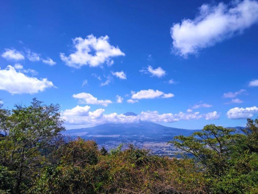
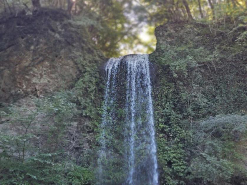
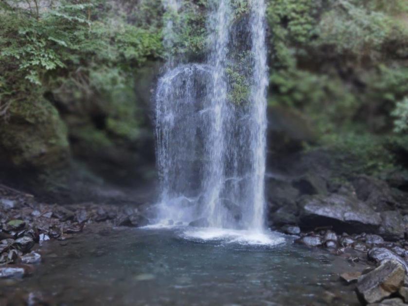
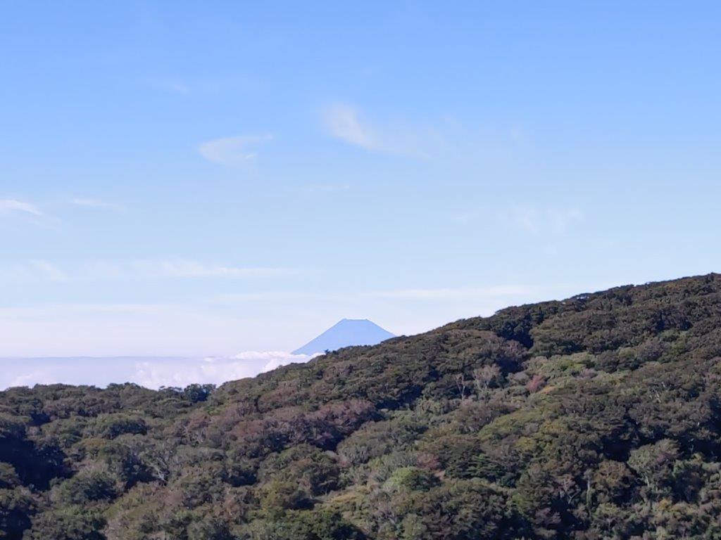
![Mt Kintoki (1212m), Minami-Ashigara City, Kanagawa Prefecture, Saturday, October 1st, 2022 [Yuhi Waterfall to Otome Pass route]](https://hikingtokyo.com/wp-content/uploads/2022/10/img_20221001_131101.jpg?w=1024)


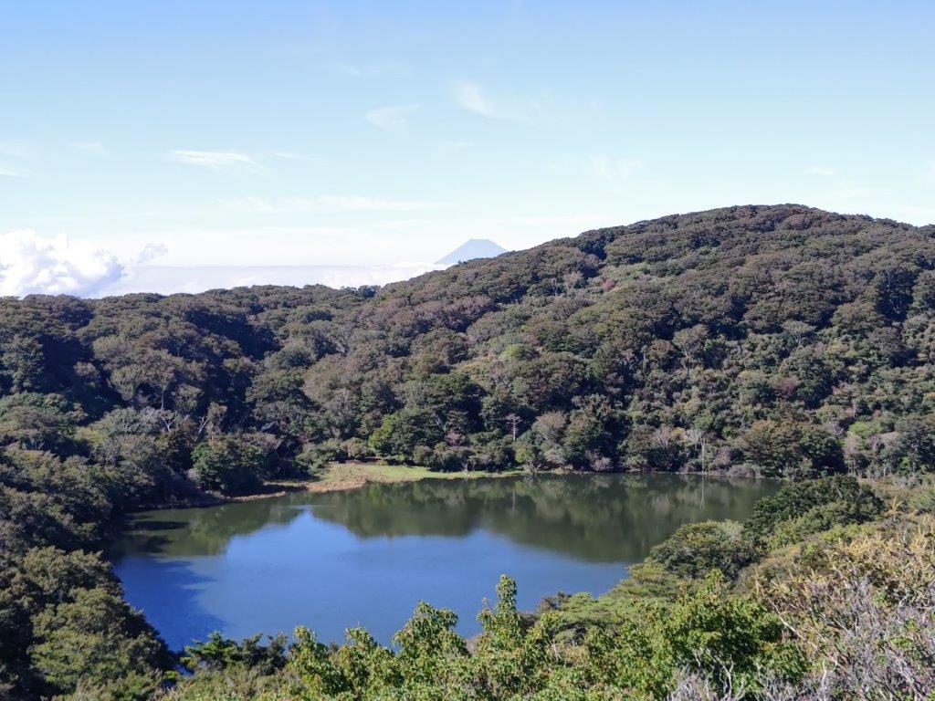
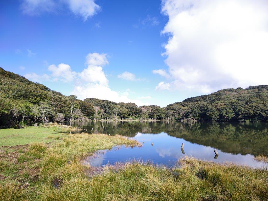
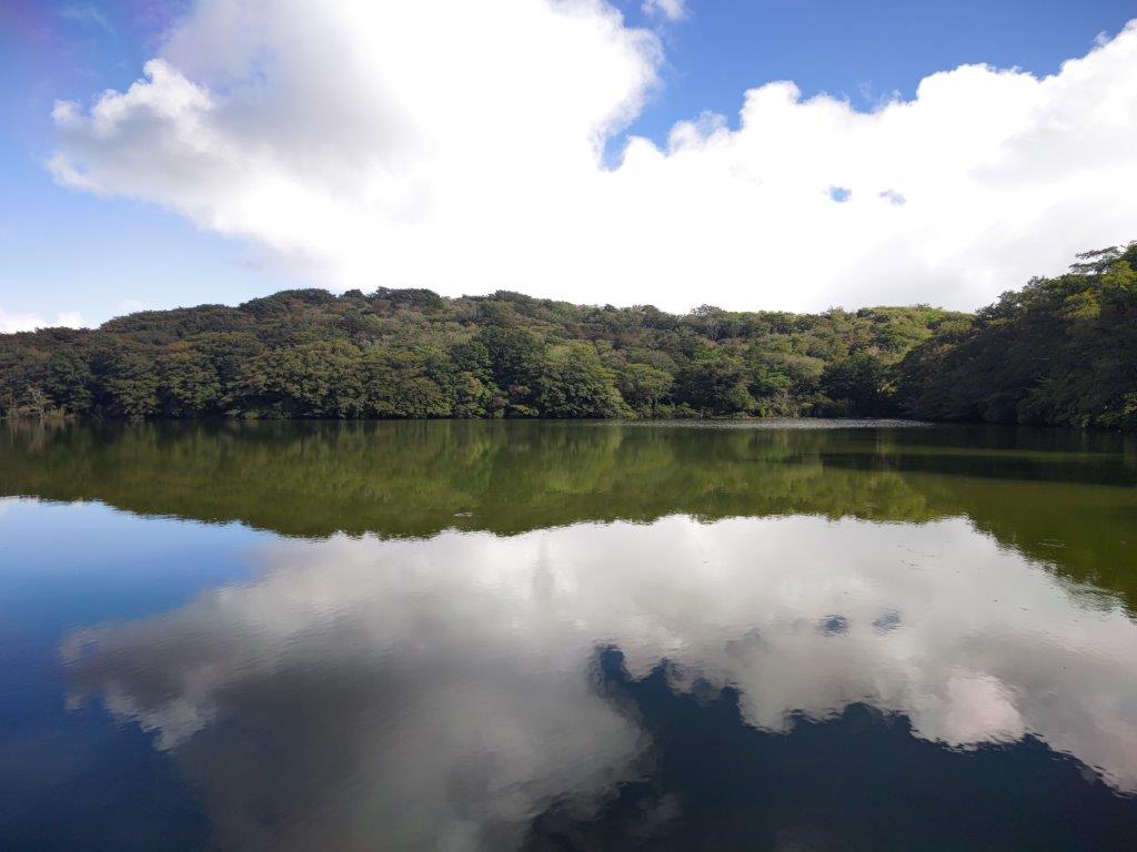
![Hatcho Pond (1170m), Izu City, Shizuoka Prefecture, Sunday, September 25, 2022 [Mt Amagi Hike]](https://hikingtokyo.com/wp-content/uploads/2022/10/img_20220925_144524.jpg?w=1024)


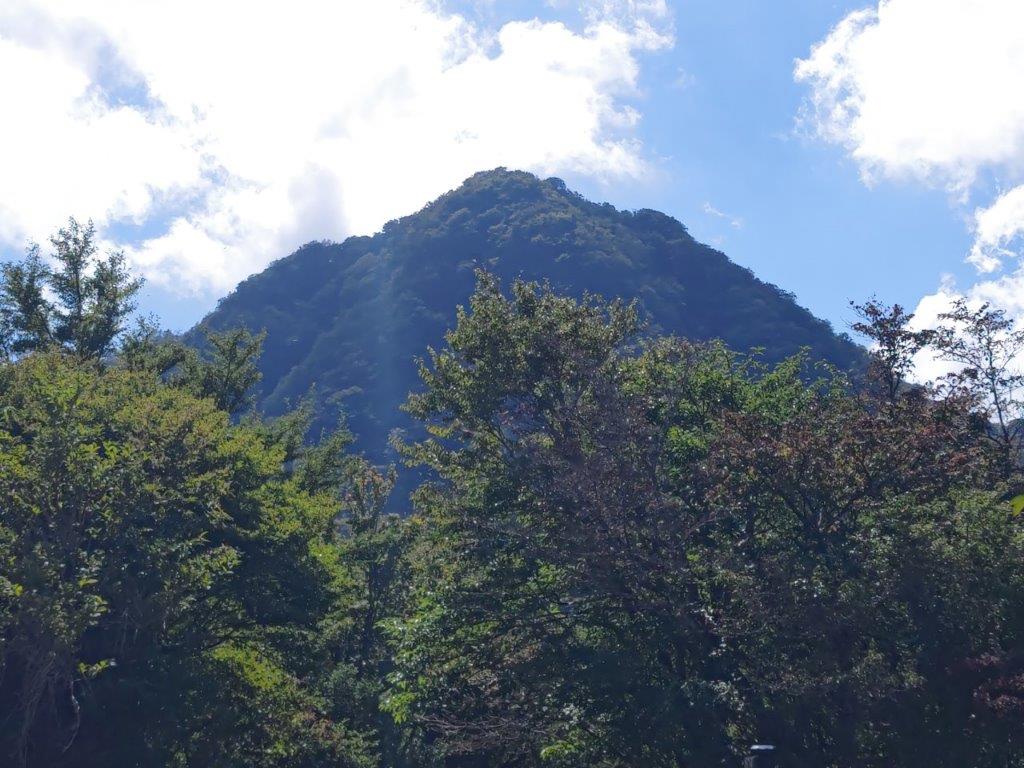
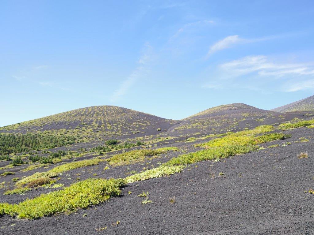
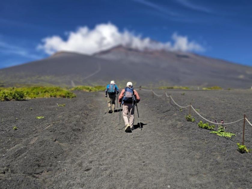
![Mt Futago (1804m), Gotemba City, Shizuoka Prefecture, Sunday, September 11, 2022 [Hiking on Mt Fuji]](https://hikingtokyo.com/wp-content/uploads/2022/09/img_20220911_110420.jpg?w=1024)


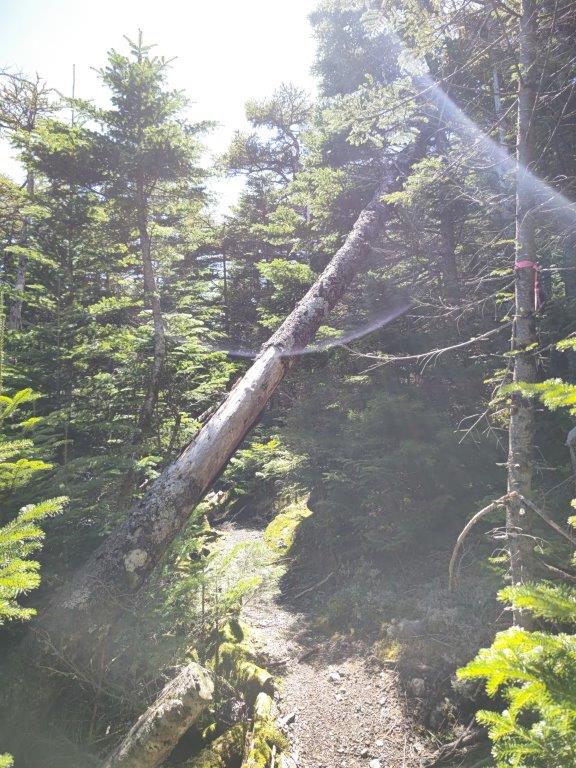


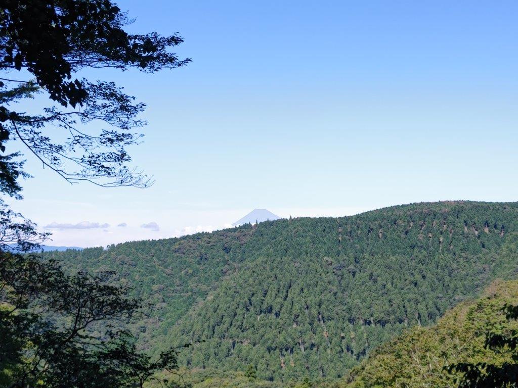
![Mt Okuratakamaru (1781m) & Mt Hamaiba (1752m), Otsuki and Koshu Cities, Yamanashi Prefecture, Saturday, May 28, 2022 [with 4K video]](https://hikingtokyo.com/wp-content/uploads/2022/07/dsc_0373.jpg?w=1024)


You must be logged in to post a comment.