
I was looking for a suitable winter hike in the Tokyo area. While checking my map, I spotted a section of the Kanagawa Kanto Fureai no Michi I had yet to explore, connecting the Tokaido line with the Odakyu line. Although it mostly followed back roads through the countryside, the first section was up a minor peak on a forested plateau, from the top of which I hoped to get some views.
Hiking the Kanto Fureai no Michi
I would ride the Shonan-Shinjuku line from Ikebukuro to Ninomiya station on the Shonan coast, and then take a bus to a stop near the start of the trail, skipping a one-hour section through Oiso Town. For the return, I could catch a bus for Hadano Station near Kaname River, since I had already done the next section for Mt Koubou, and then ride the Romancecar limited express back to Tokyo. If had time, I’d be able to get a hot bath at the nearby Manyo-no-Yu.
関東ふれあいの道
The weather was supposed to be sunny in the morning and overcast in the early afternoon; although it was a short hike, I decided to get an early start to take advantage of the good weather. I was looking forward to a relaxing hike through a new area close to home.
For subscribers, read this Blog Post on Hiking Around Tokyo for a better viewing experience


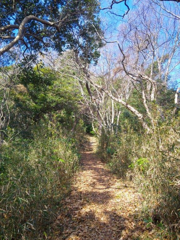
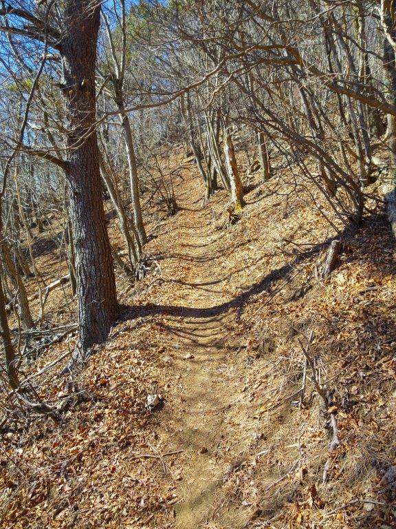
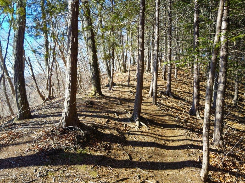
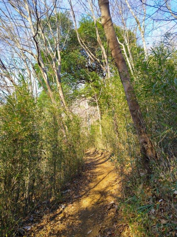
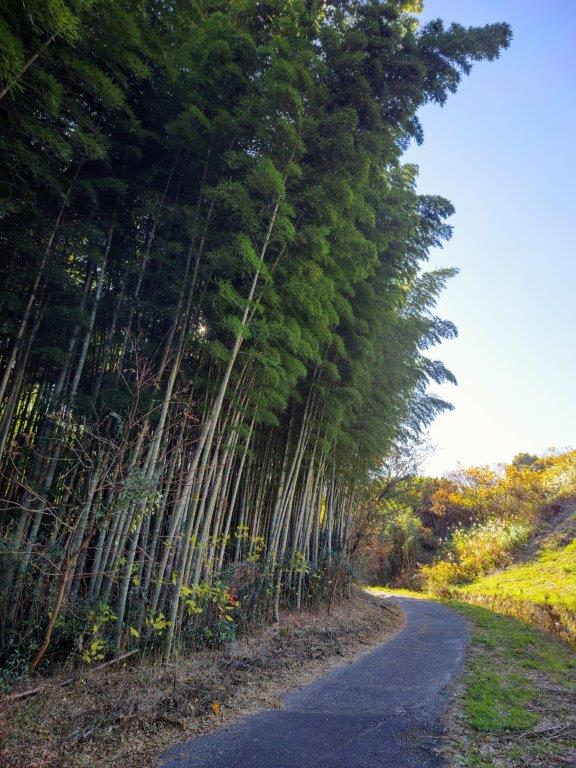
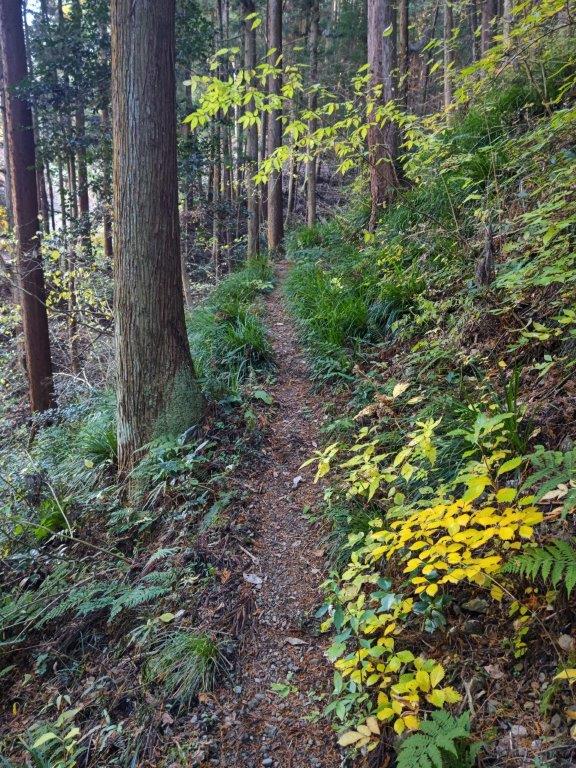
Bamboo forest (left) and steep slope (right) at the start of the hike
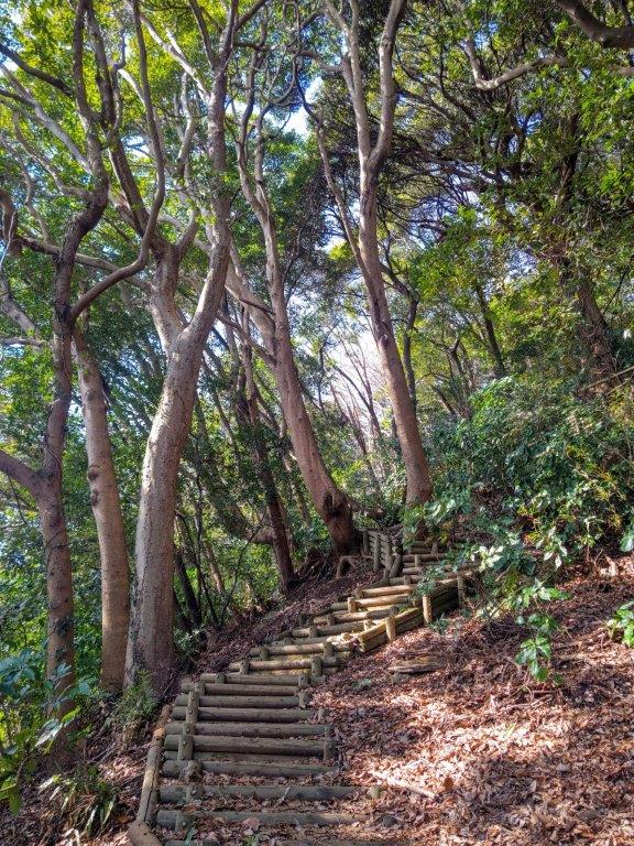
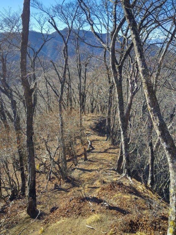
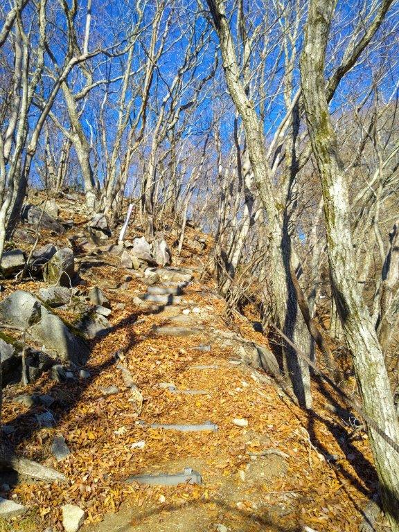
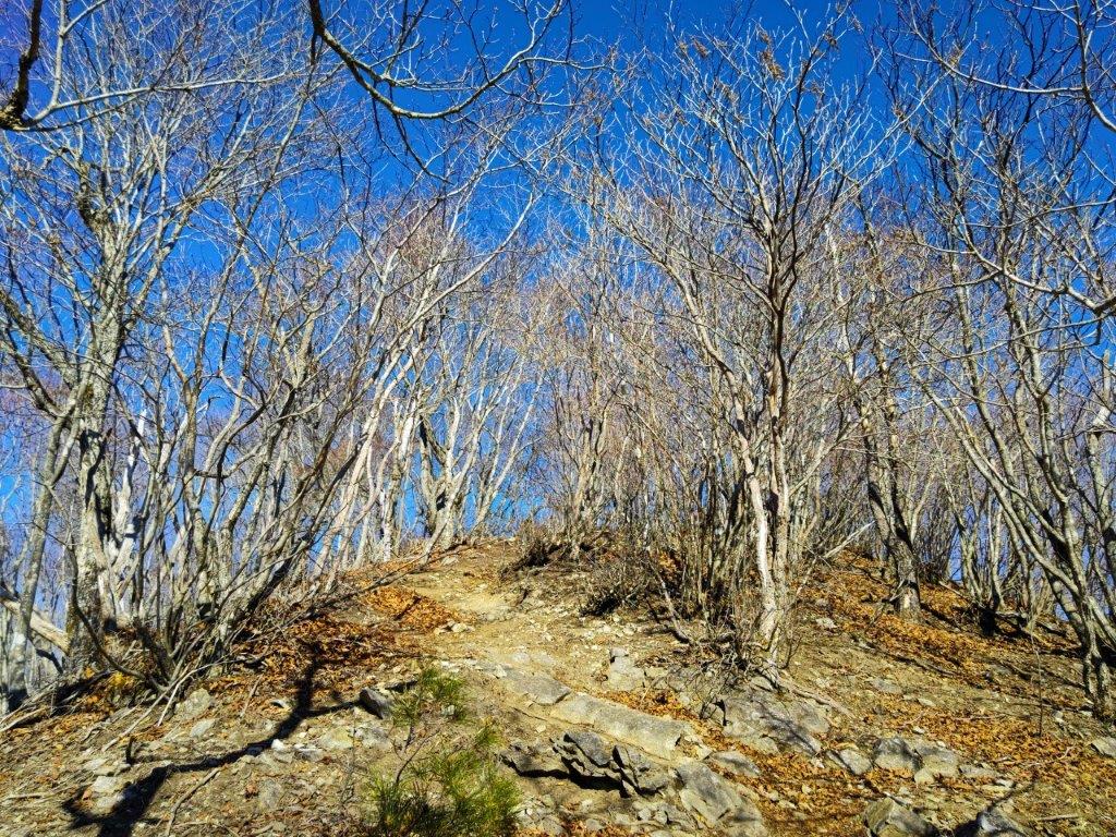
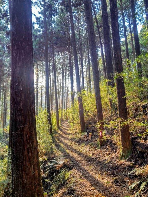
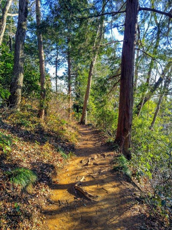
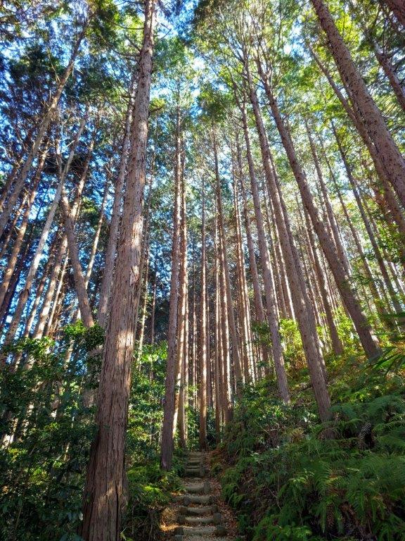
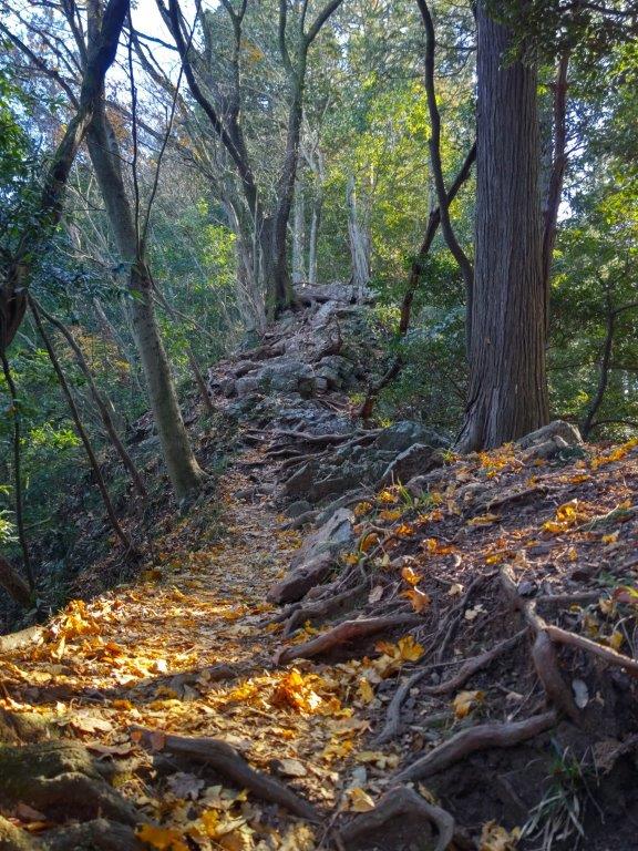
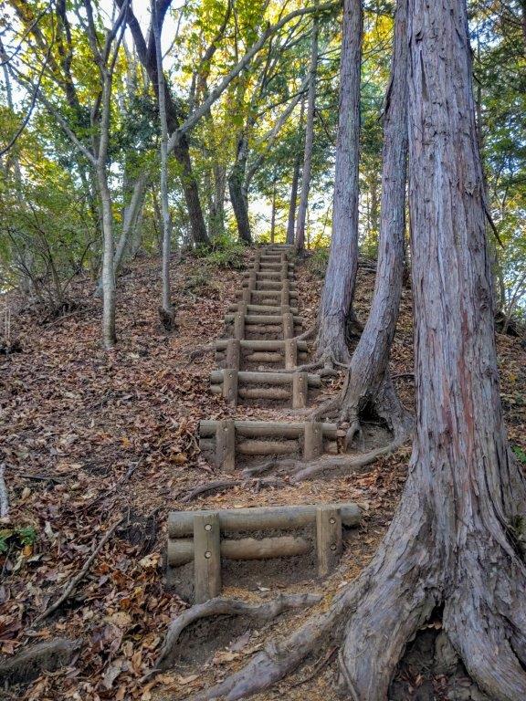
Walking on the top ridge (left) and up the steps (right)


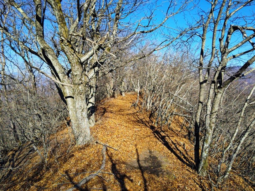
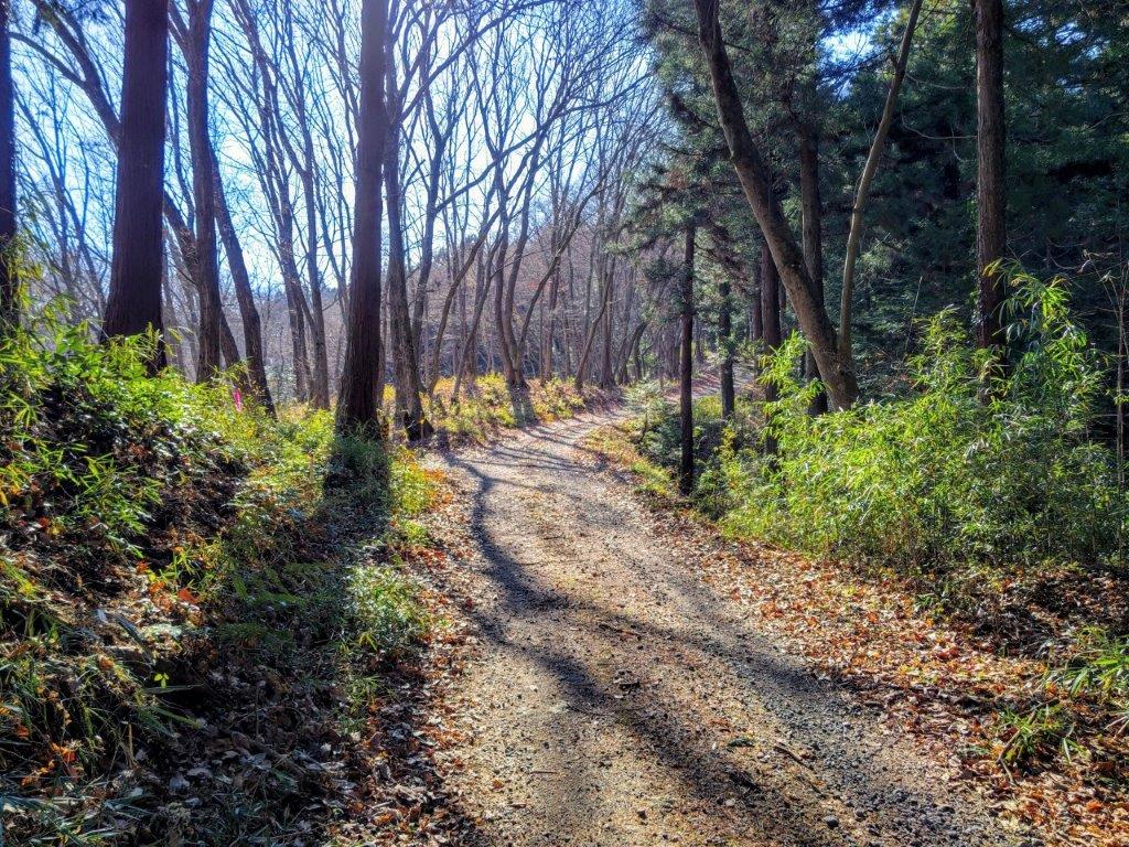
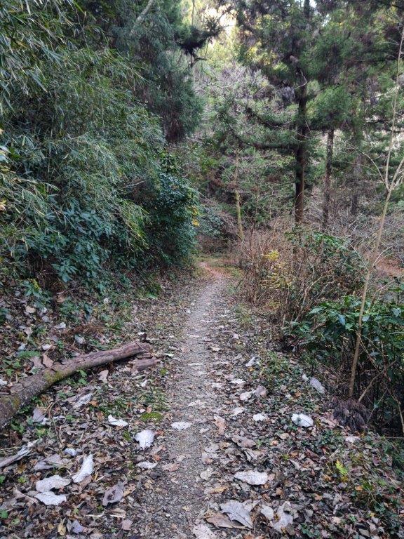
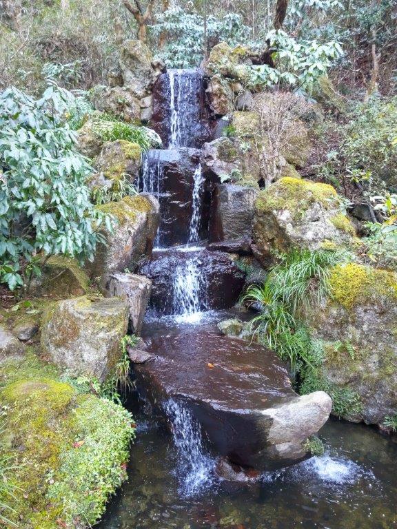
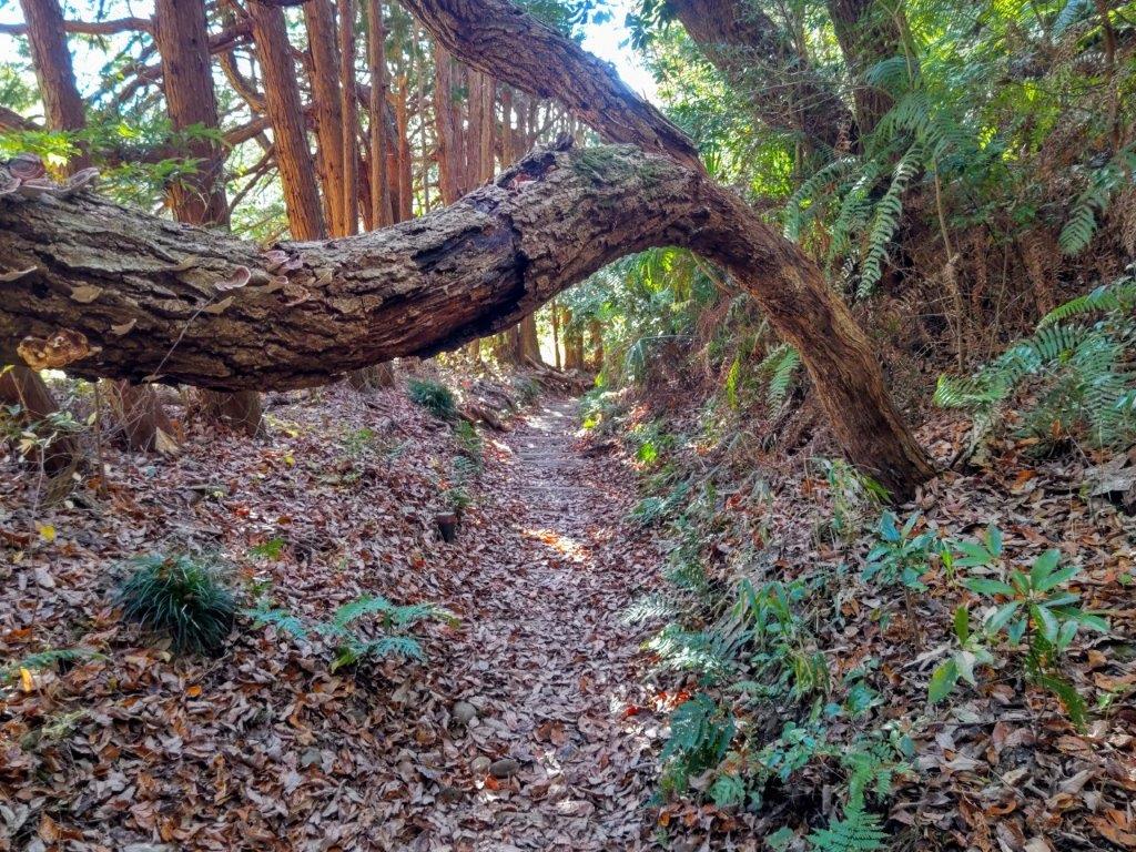
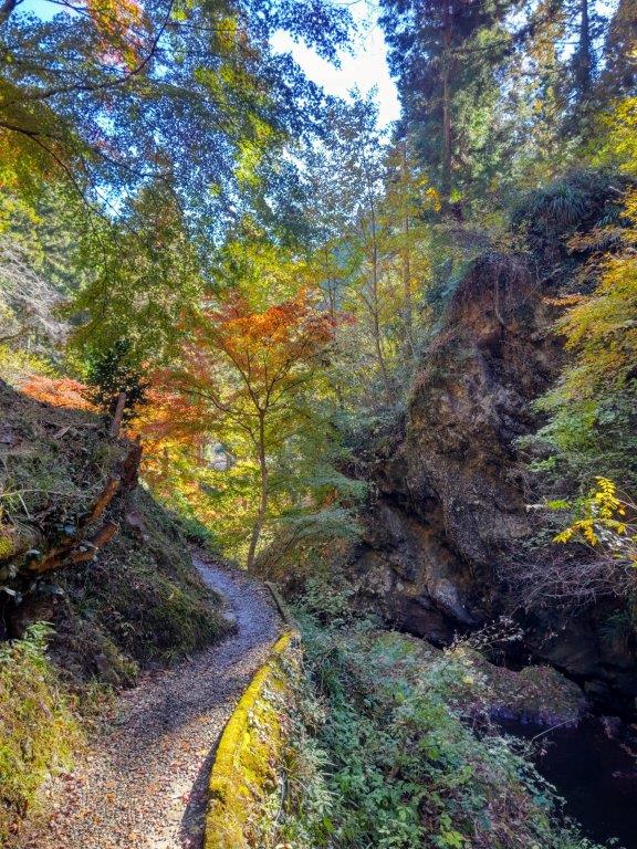
Walking down to (left) and up from Kirifuri Keiryu (right)
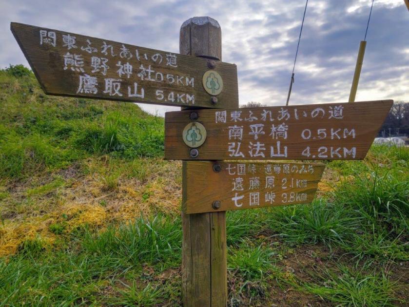
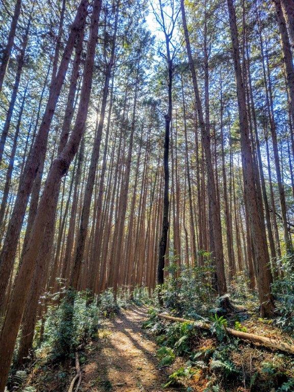
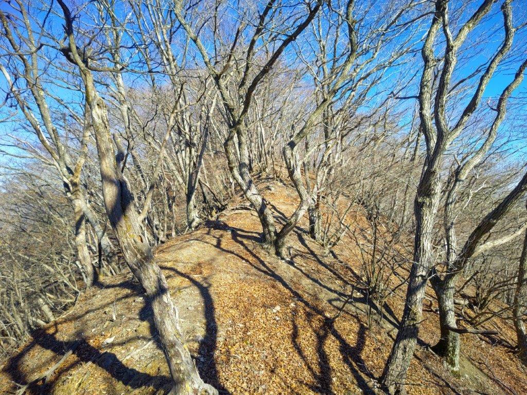
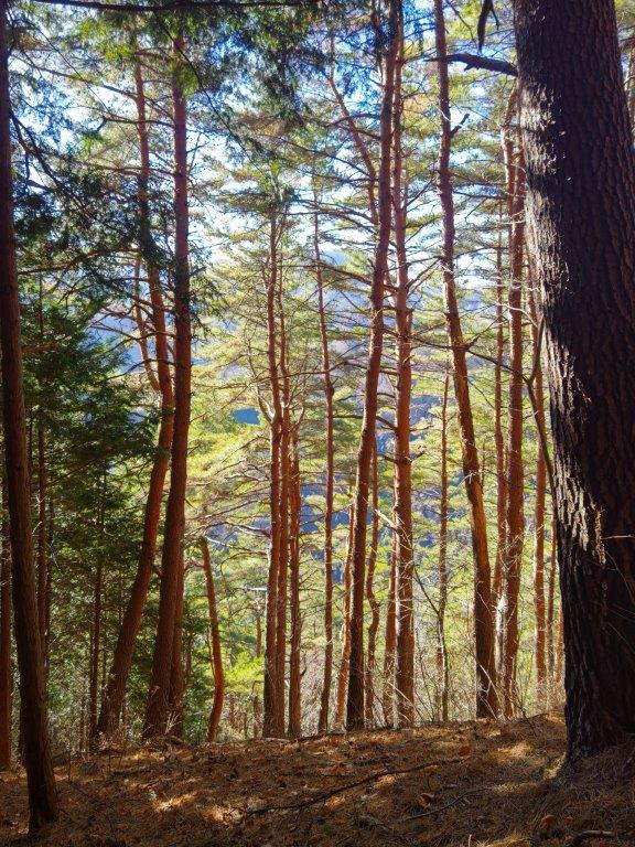
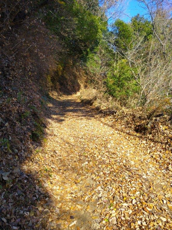
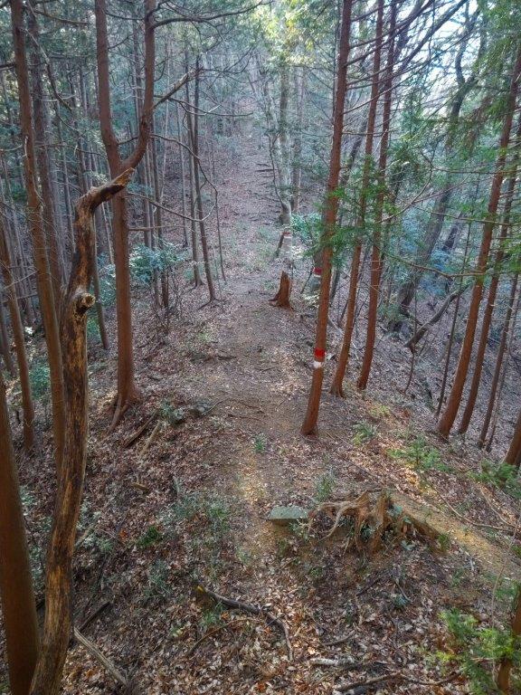
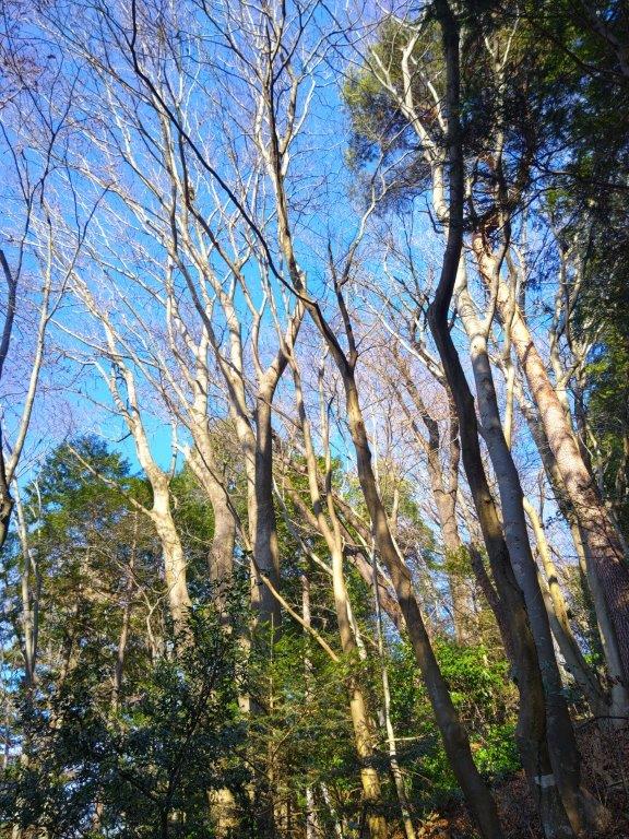
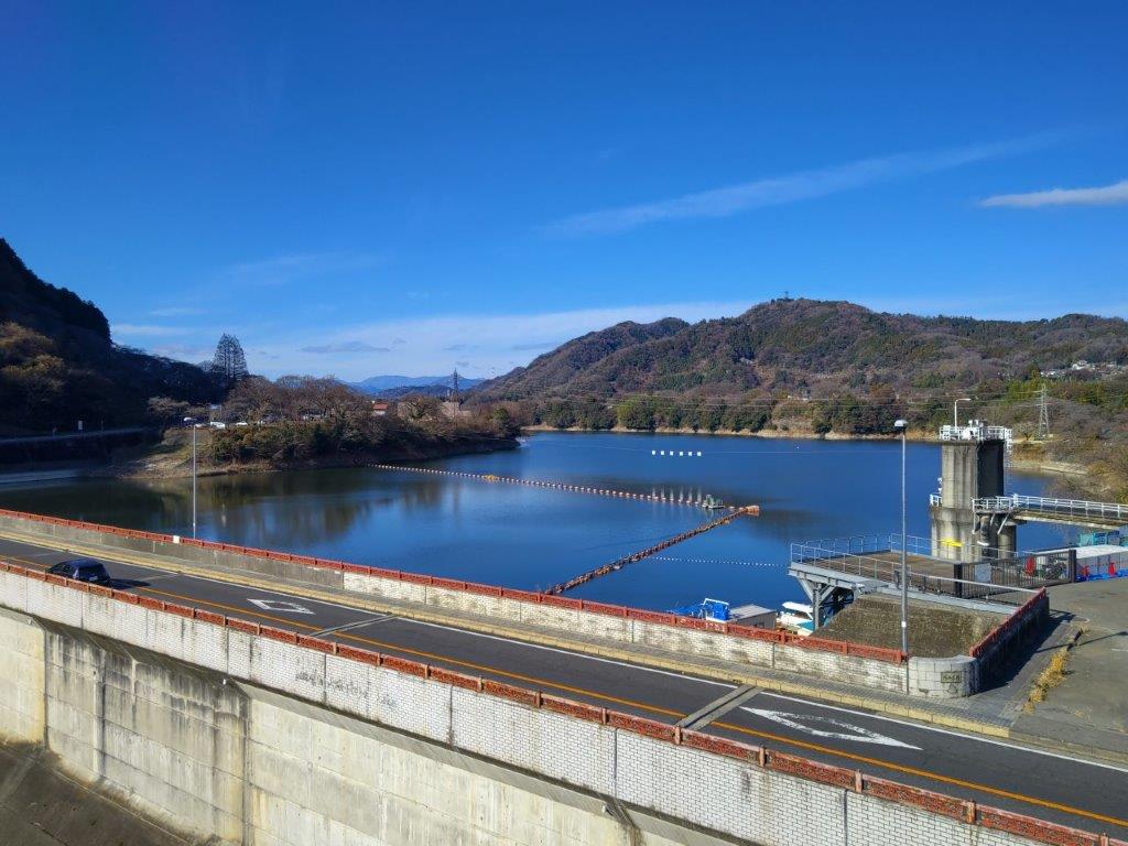
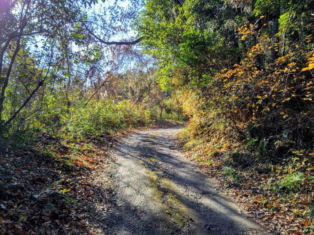
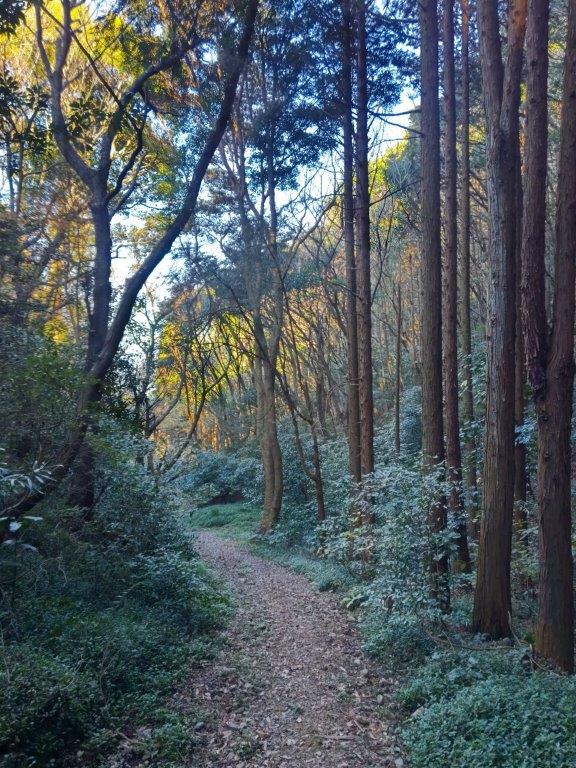
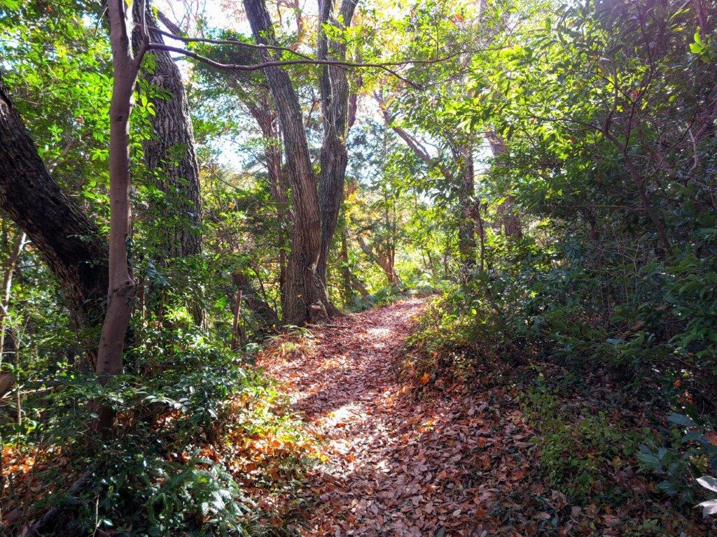
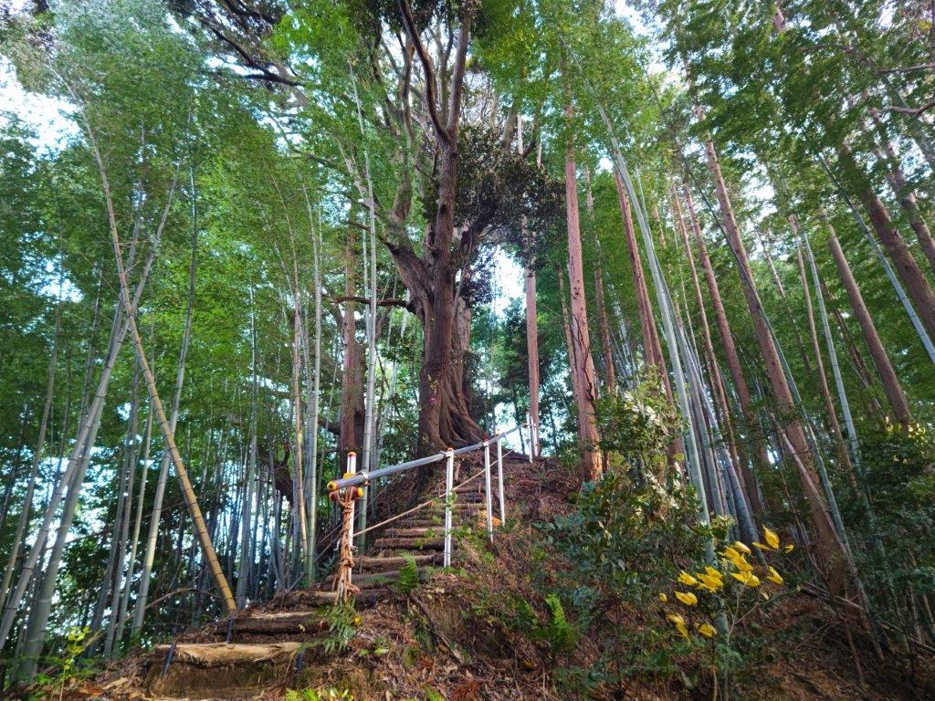
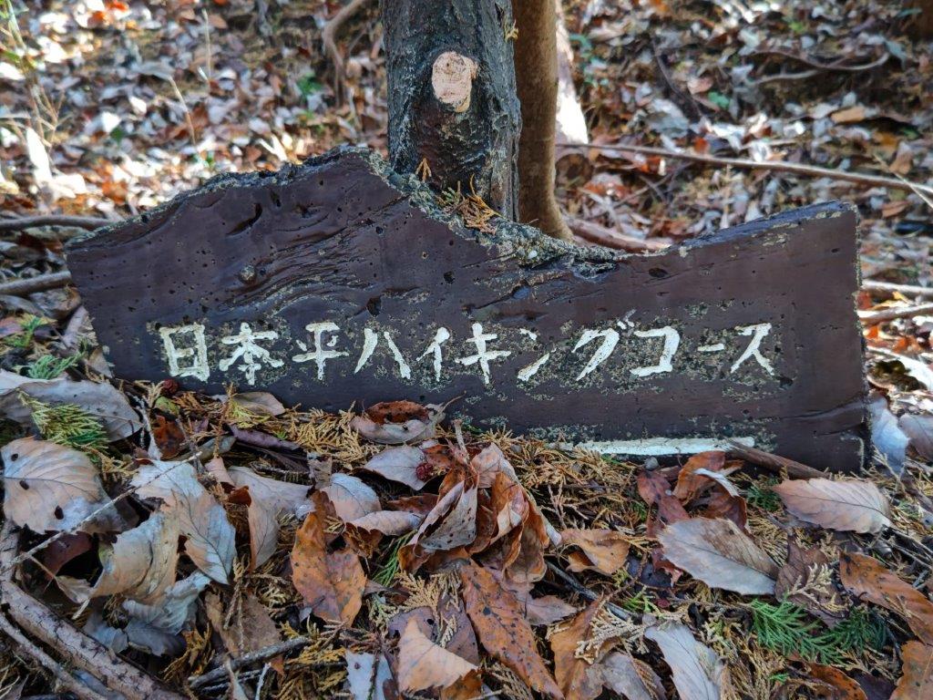
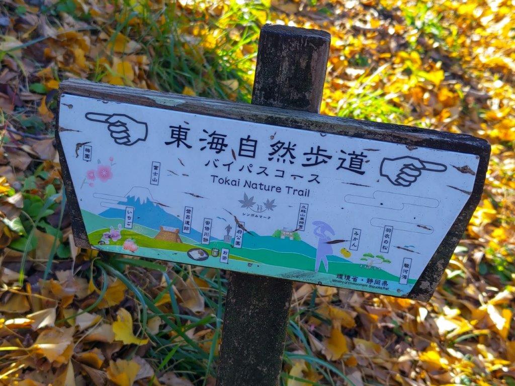
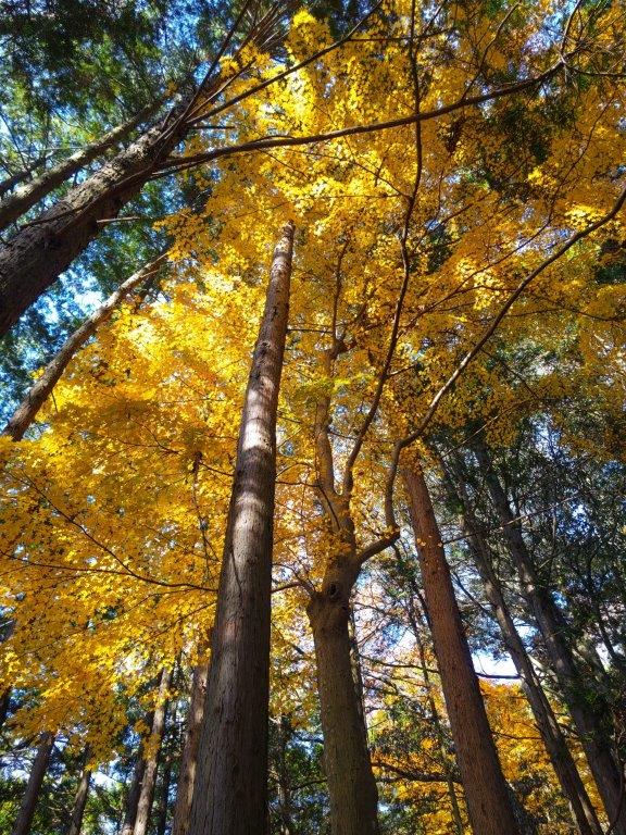
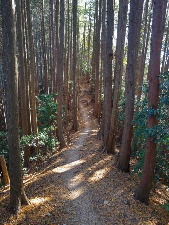
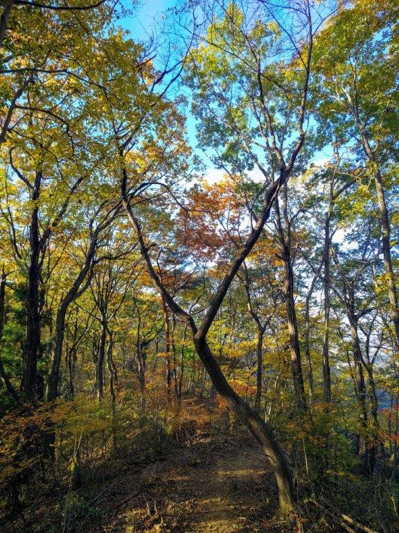
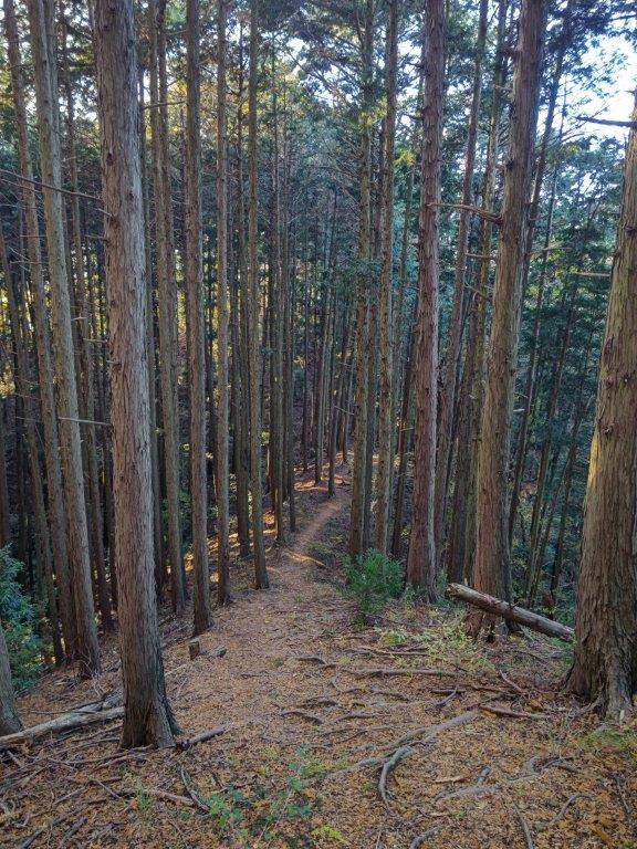
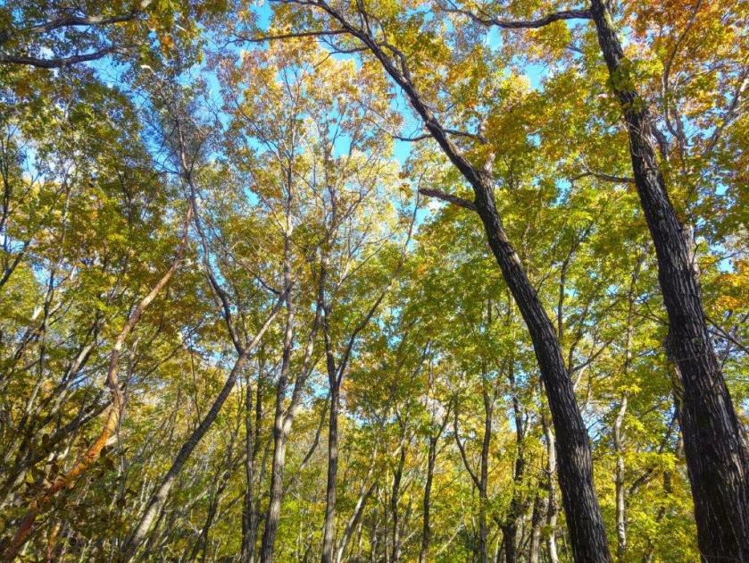
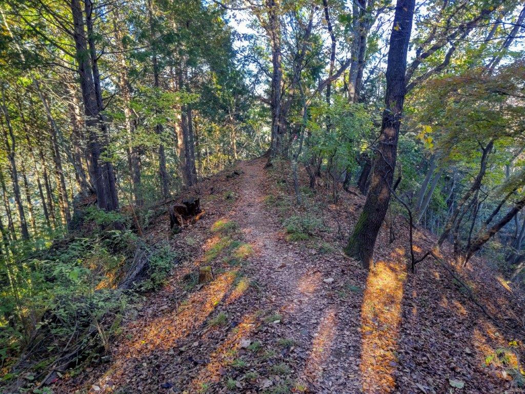
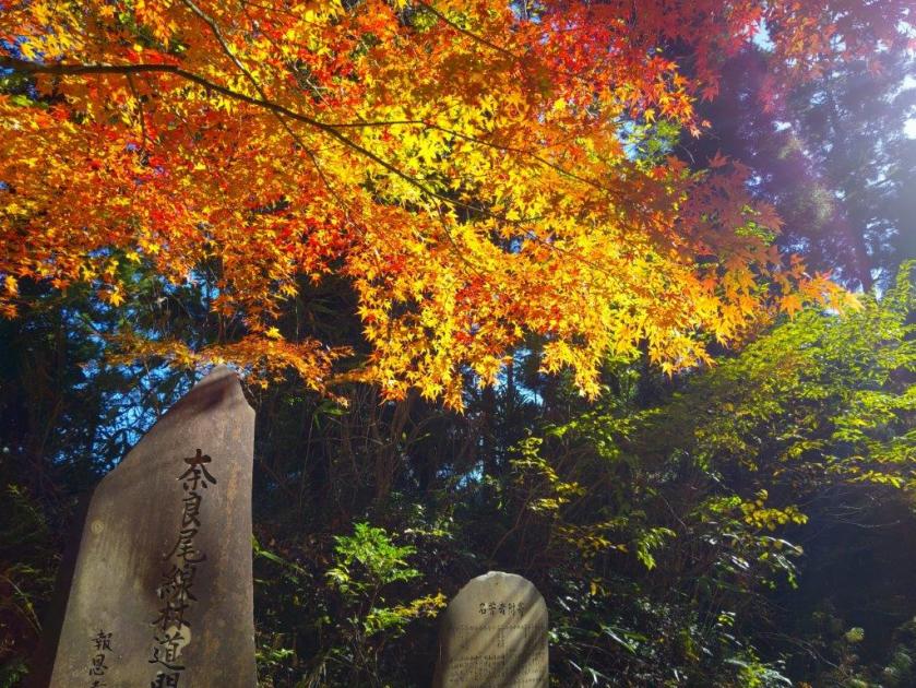
It was a 90-minute train ride under clear blue skies to Ninomiya station where I boarded a bus for the short ride to Higashi-no-Ike (東の池), a reedy pond with a shrine on an islet. After getting ready, I located a sign for the Fureai no Michi and set off, a little before 11am, through a residential neighbourhood. Past a bamboo forest, the road rose sharply, and after a few minutes of climbing under tall cedars, I reached the ridge top, where I turned right, onto a level hiking path through the forest.

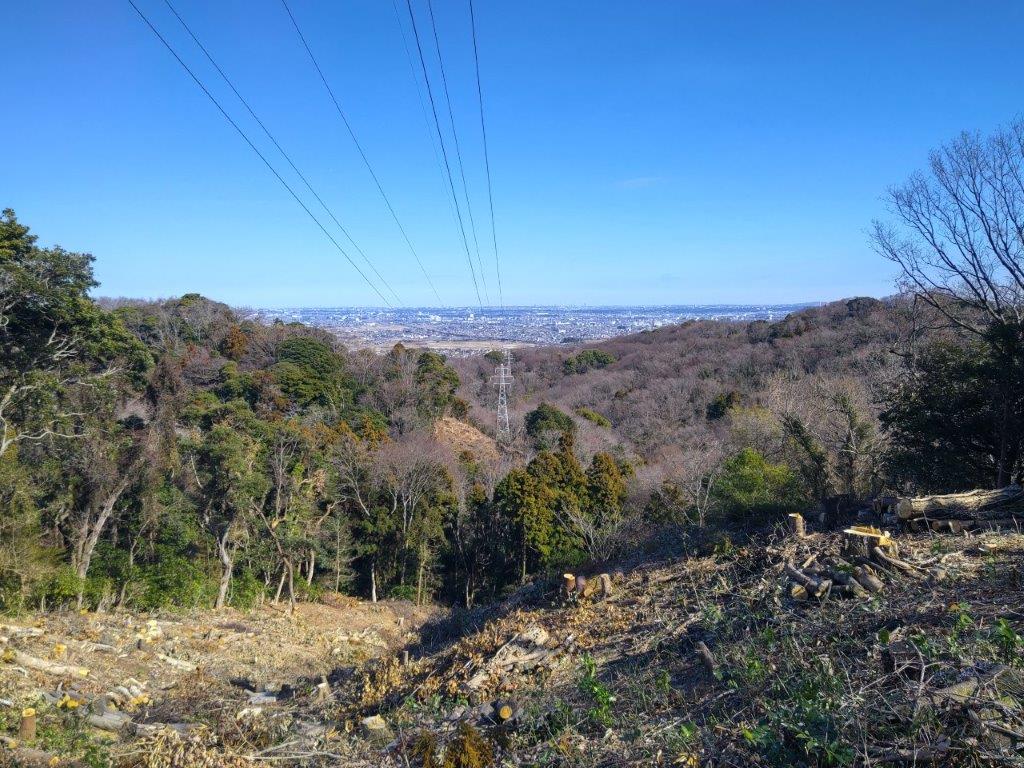
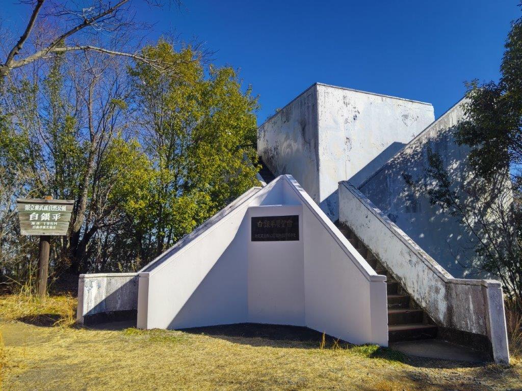
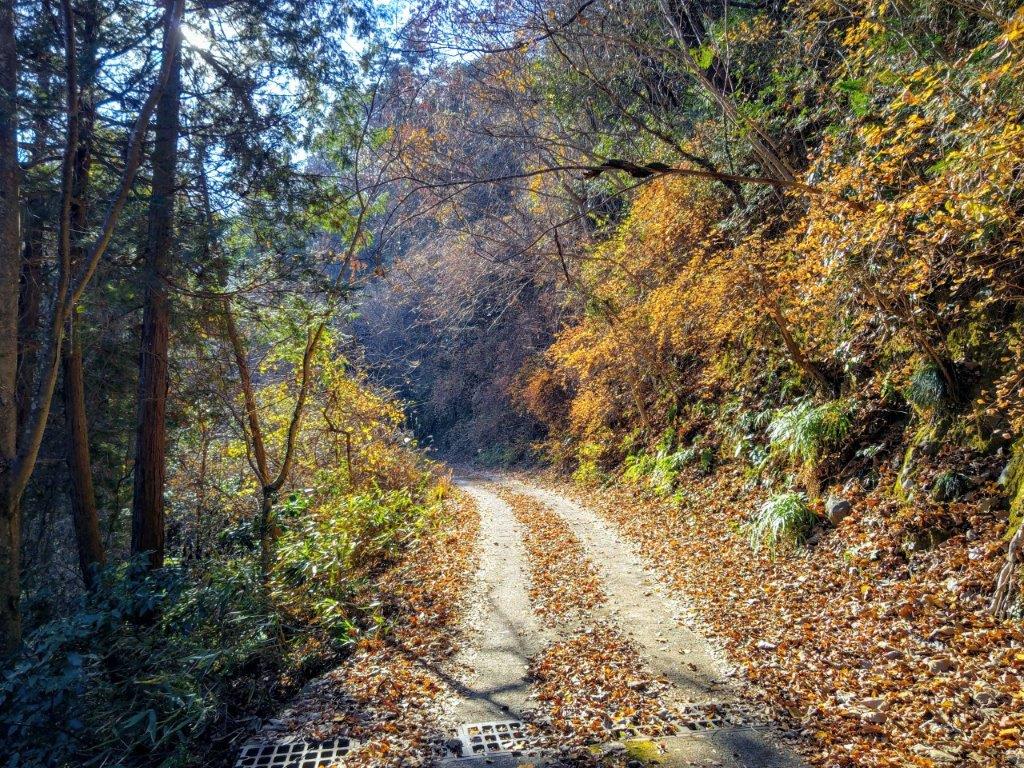
Clearing at the Top of Kirifuri Keiryu
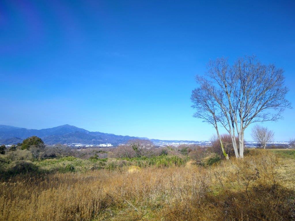
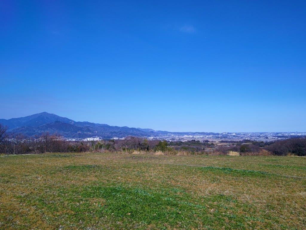
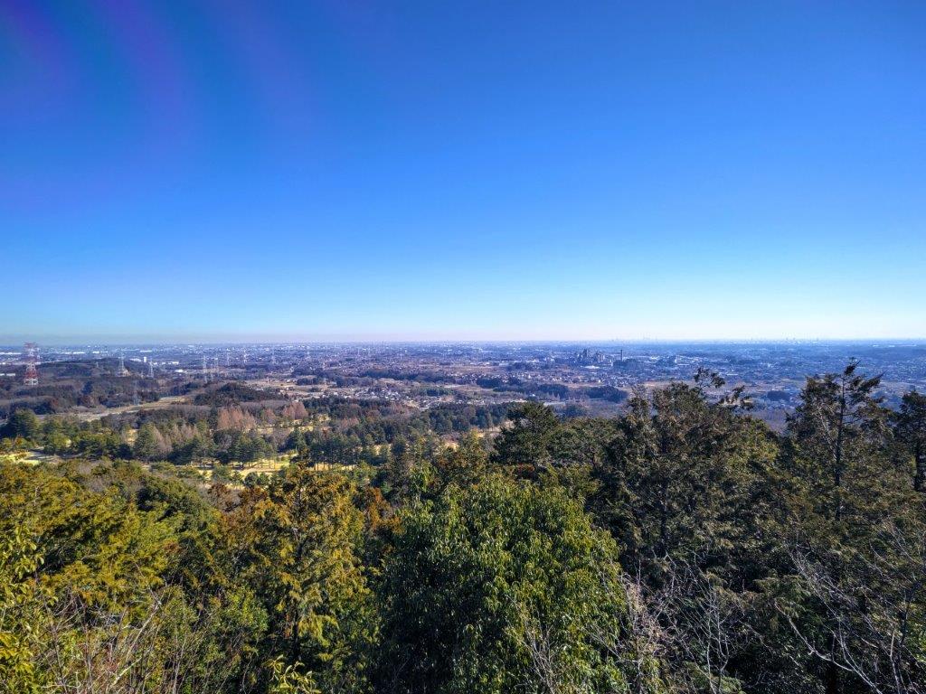
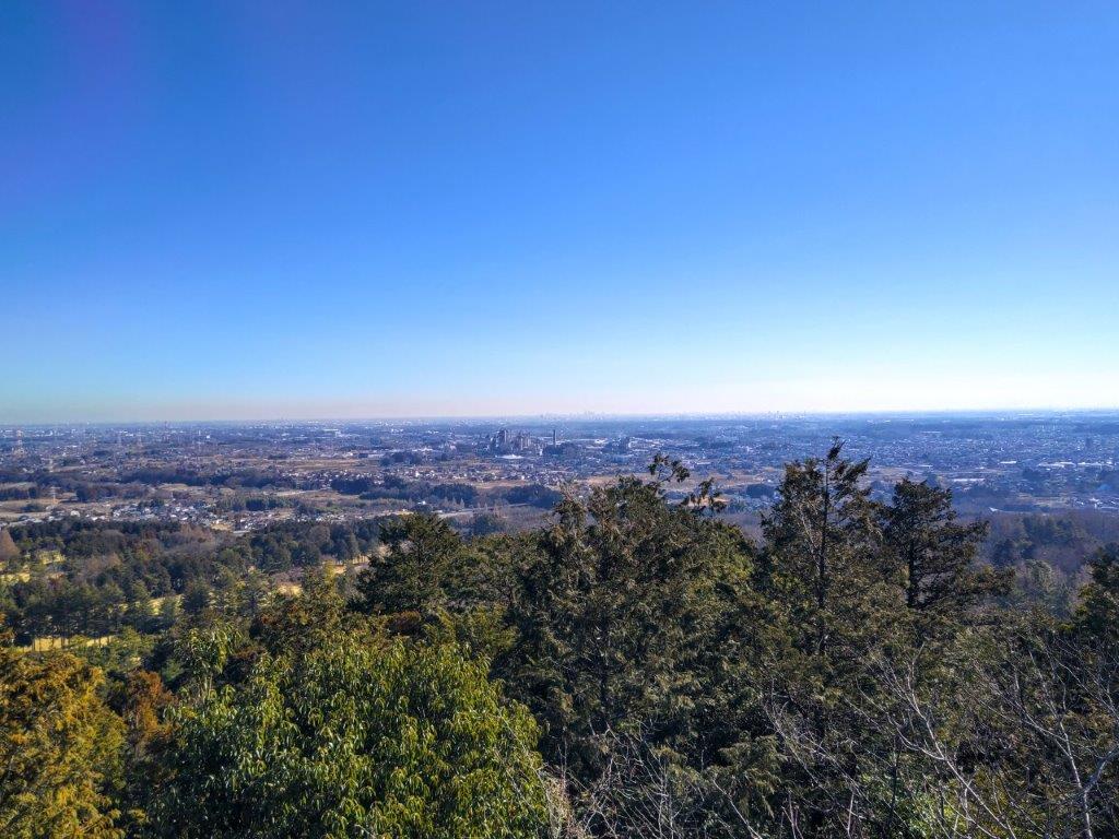
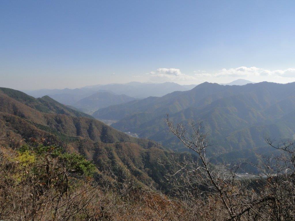
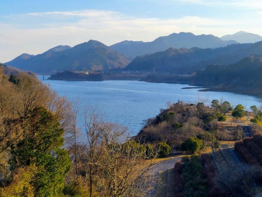
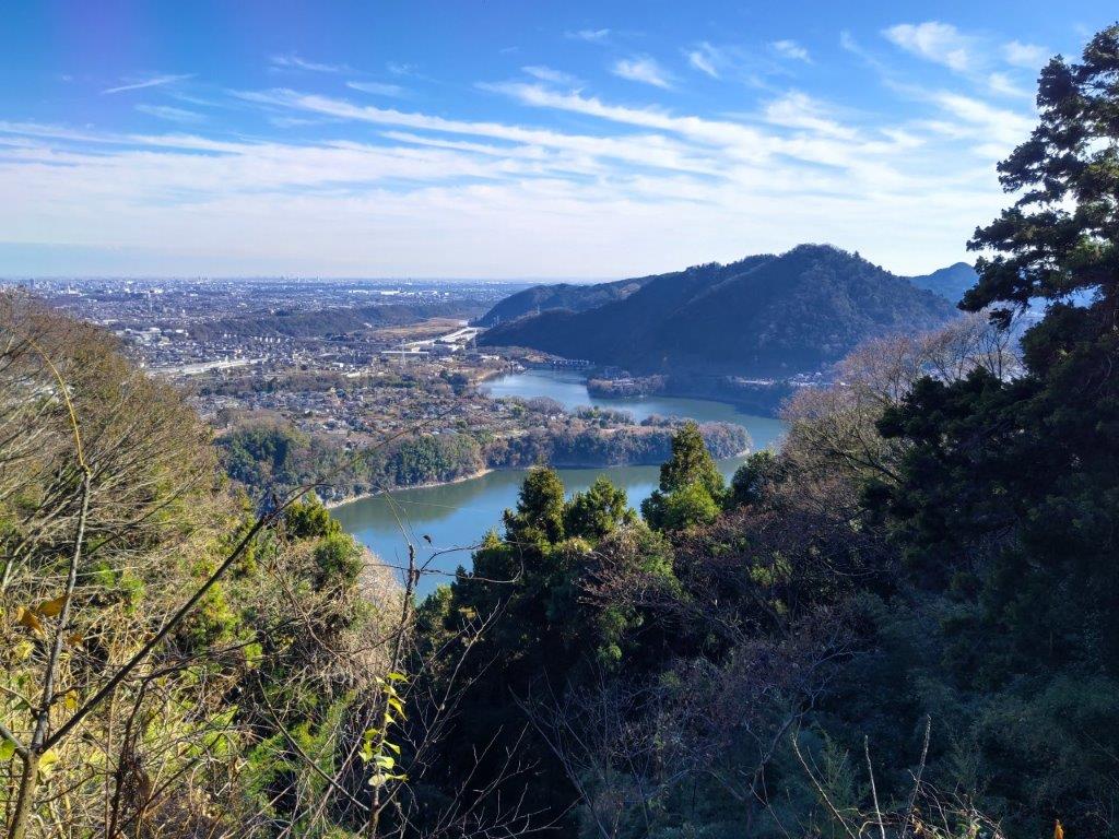
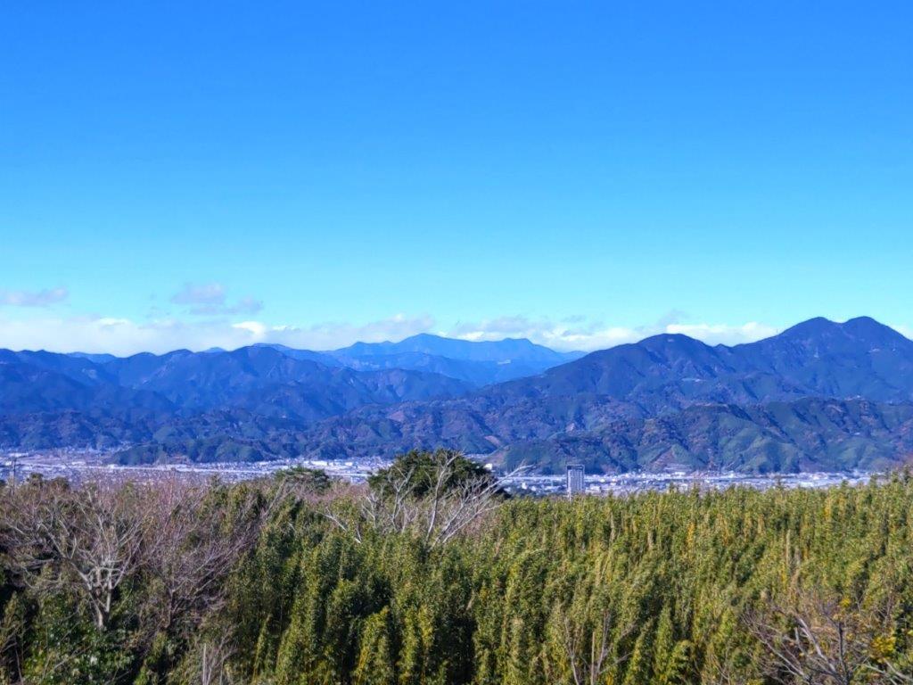
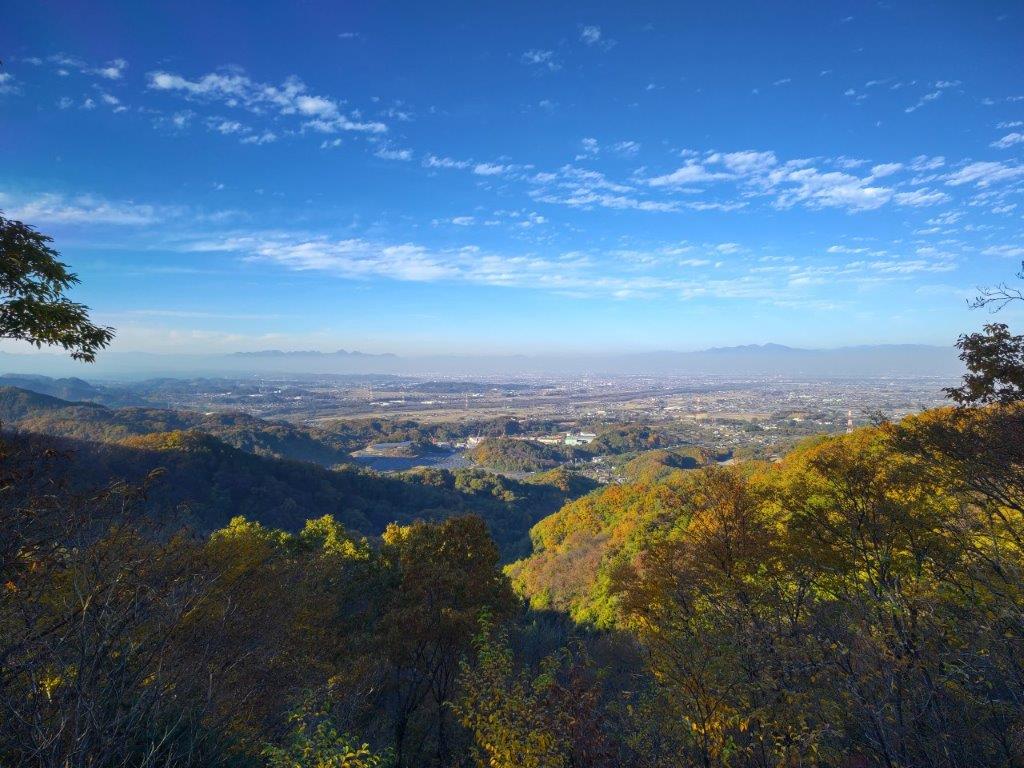
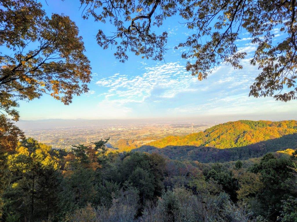
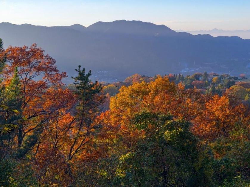
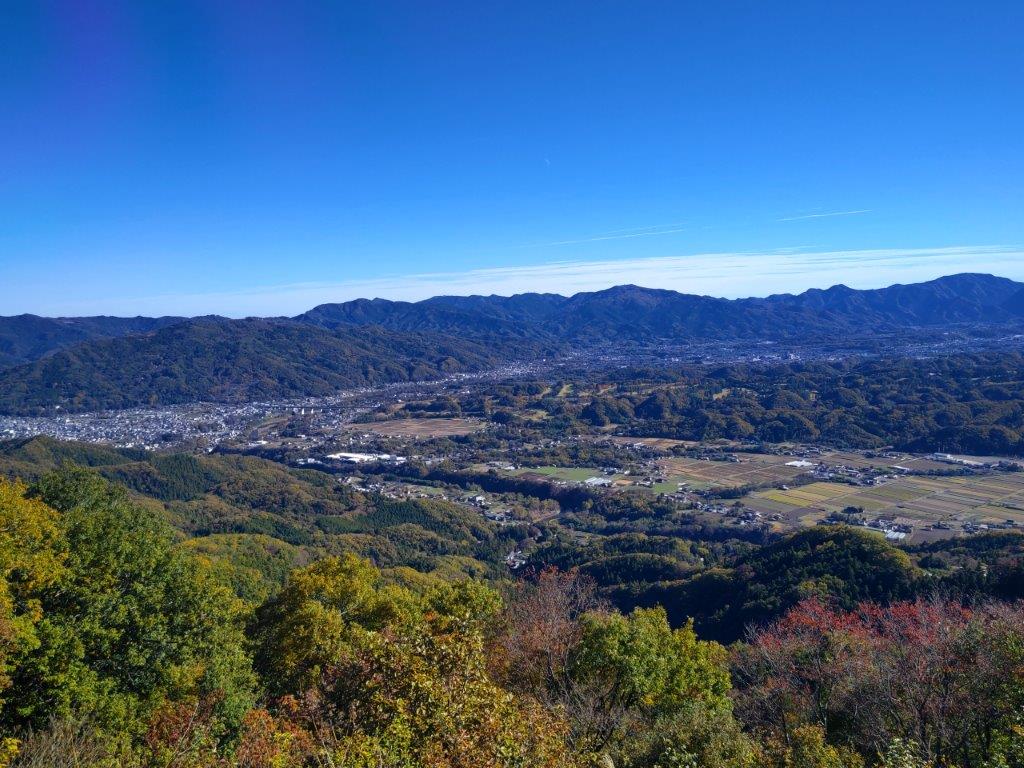
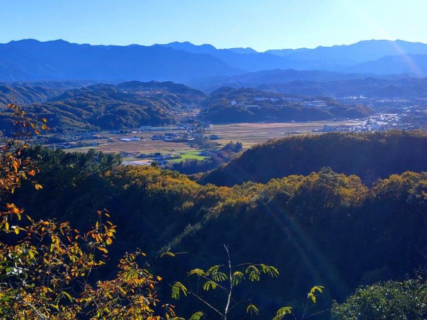
View East towards Yokohama and the Miura Peninsula
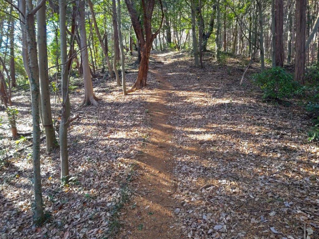
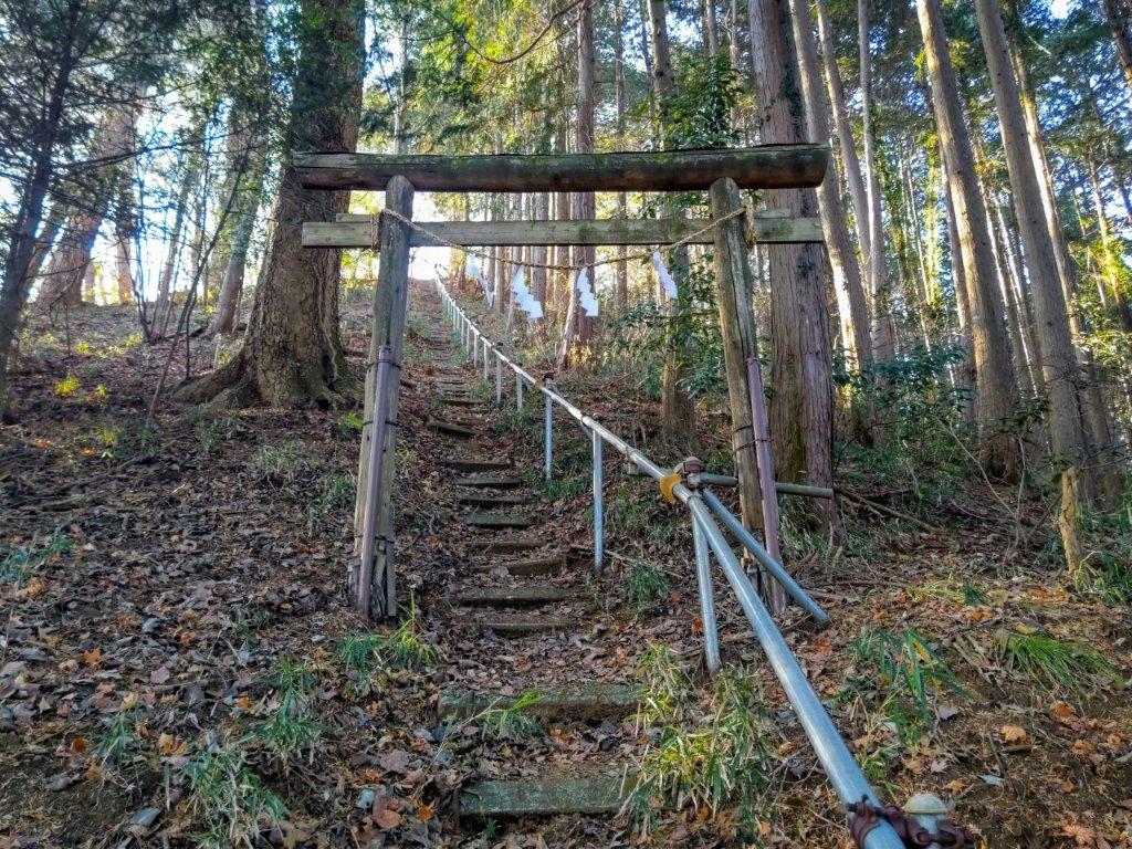
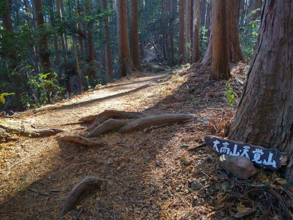
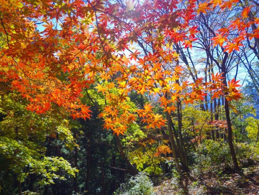
I was amazed to be on such a lovely trail, reminding me of Kamakura, but minus the crowds. It was mostly in the trees but I did get a glimpse of Hakone through a gap on the west side. At 1130, I passed under a stone Shinto gate and made my way up a series of log steps, at the top of which I arrived at Takatori Shrine (鷹取神社). A little beyond, and slightly off the trail on the left side, was the top of Mt Takatori (鷹取山 たかとりやま) surrounded by forest. I couldn’t see a summit marker but my GPS confirmed the spot. I sat down on a sunny tree trunk for a short break.
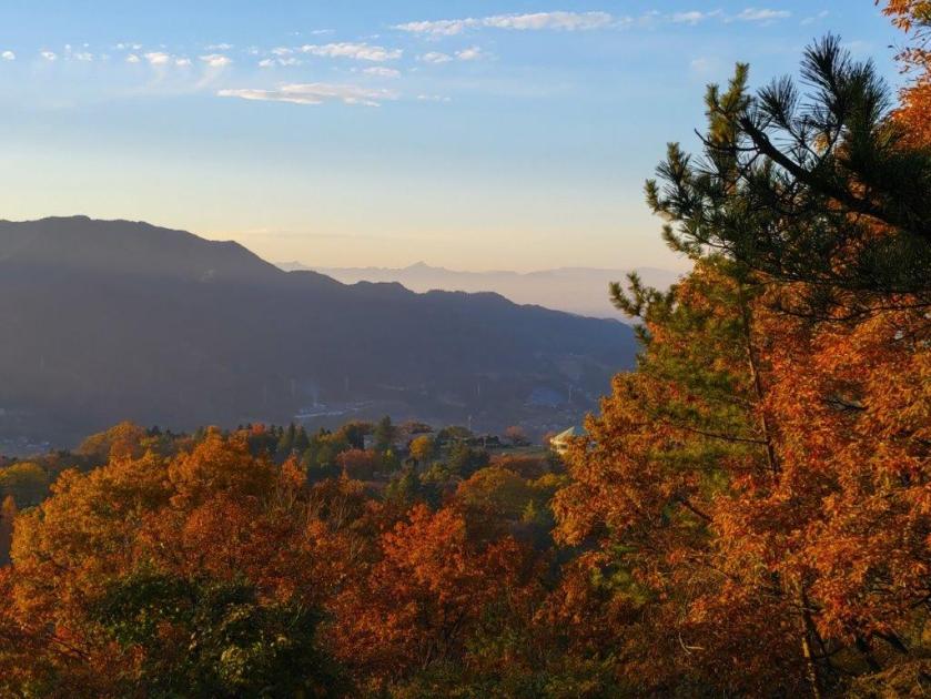
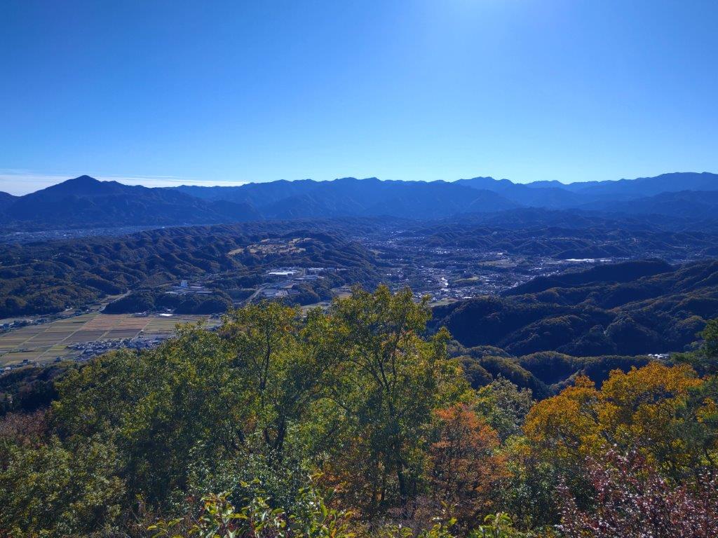
View North from Yurugi Hill

Tanzawa from Yurugi Hill
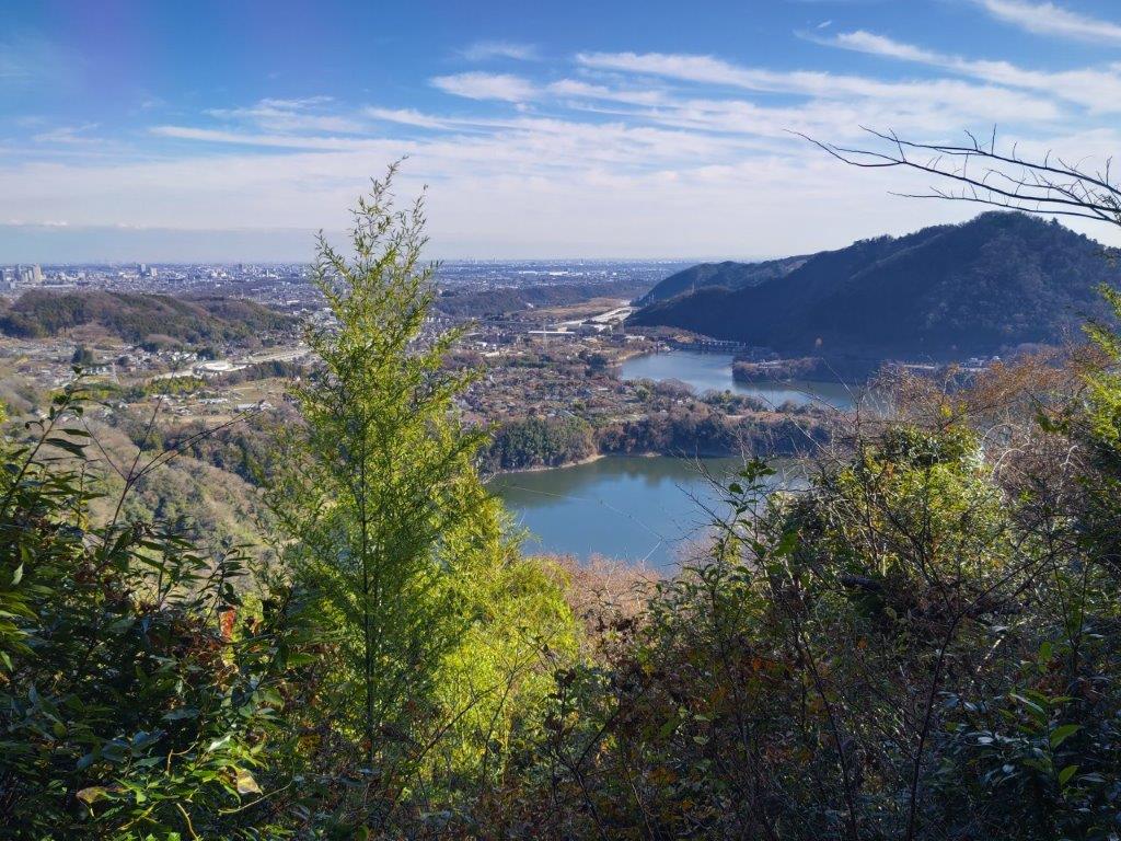
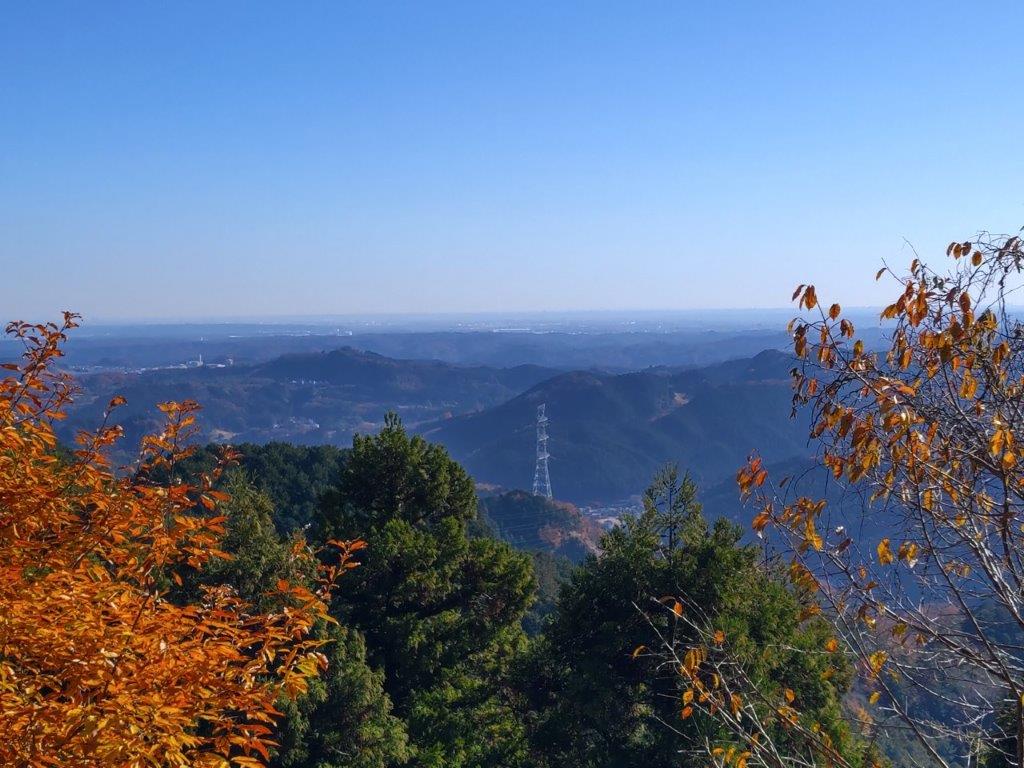
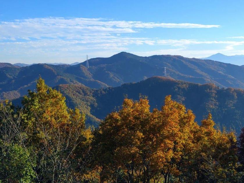
I basked in the sunshine and listened to the birdsong, before setting off again at noon, down a dirt road leading to a turn-off for Kirifuri Stream (霧降渓り流 kirifuri-keiryu). I decided to check it out since according to my map, I could do a short loop along a river valley (the full trail continues to Shonan-Daira). I soon arrived at a clearing around an electric pylon, and was rewarded with a view of Yokohama and the Miura peninsula to the east. A little further, I turned righ, descending steeply into the valley, and then took another path on the left, leading up to some fields on top of Yurugi Hill (ゆるぎの丘 yurugi-no-oka).
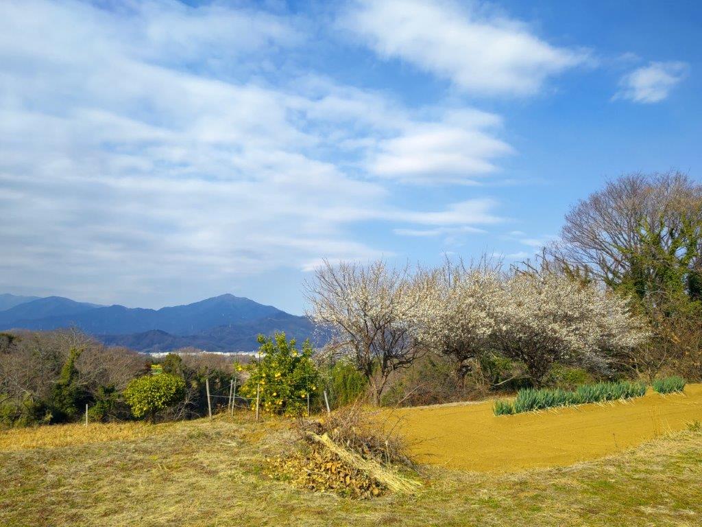
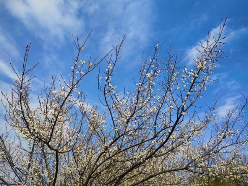
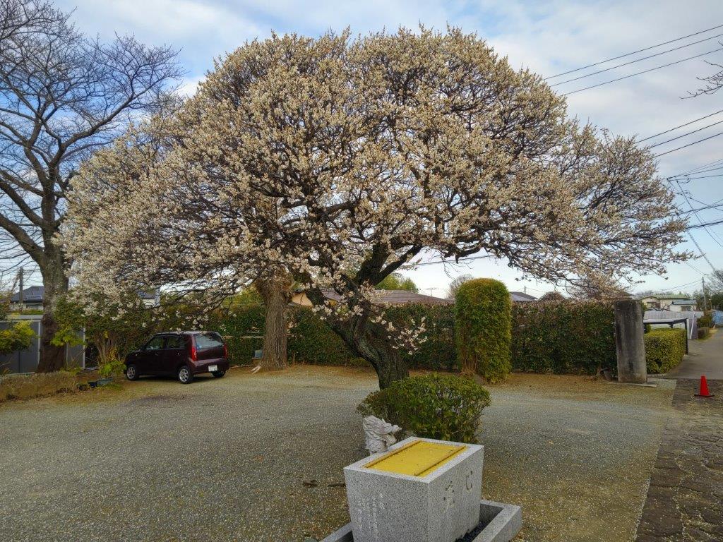
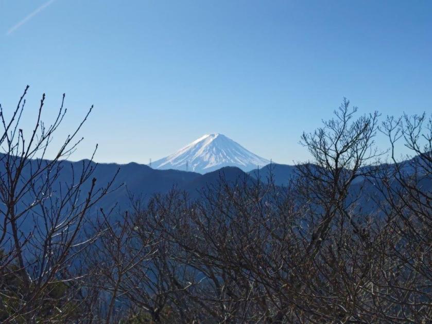
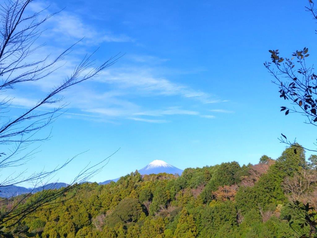
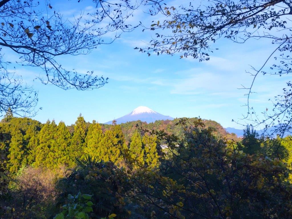
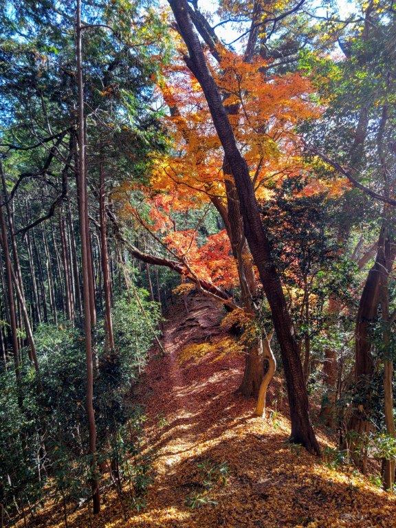
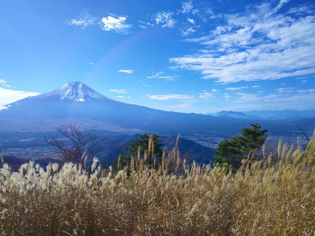
Mt Oyama and Plum Blossoms from the Fureai no Michi
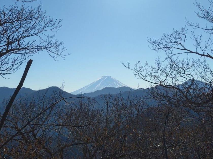
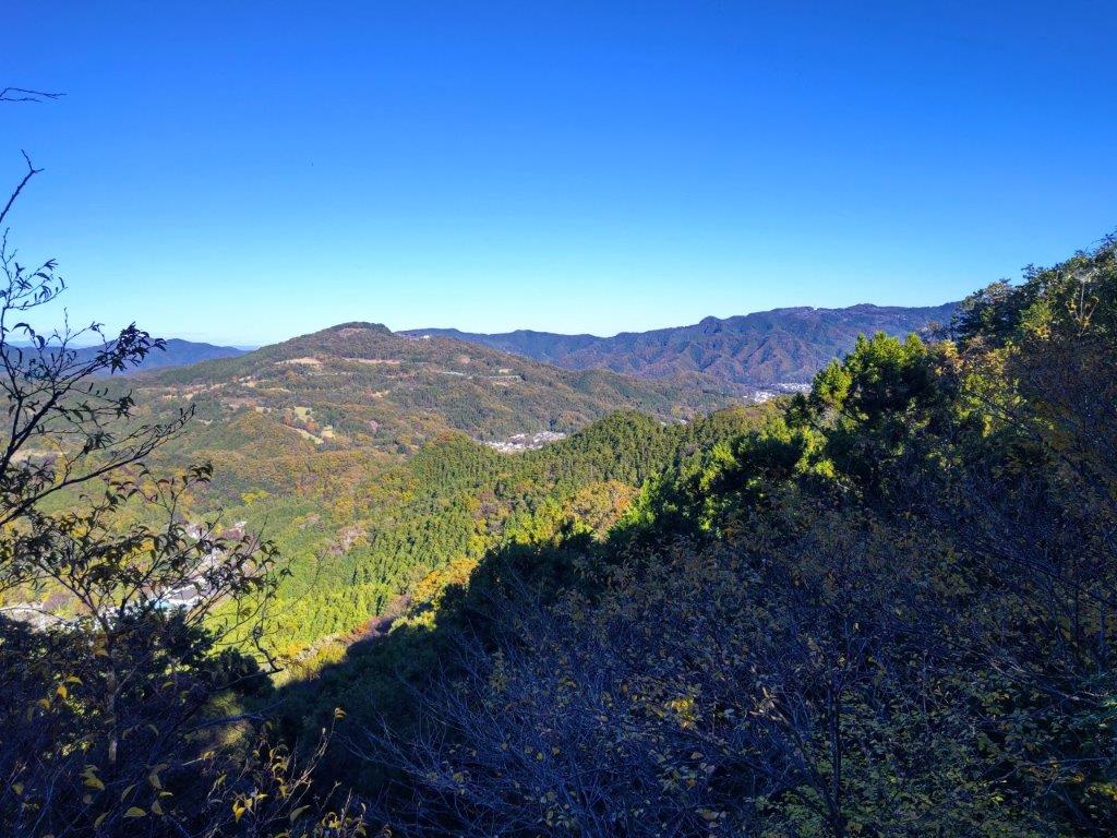
Mt Nabewari (left), Mt Tono (middle) and Mt Oyama (right)
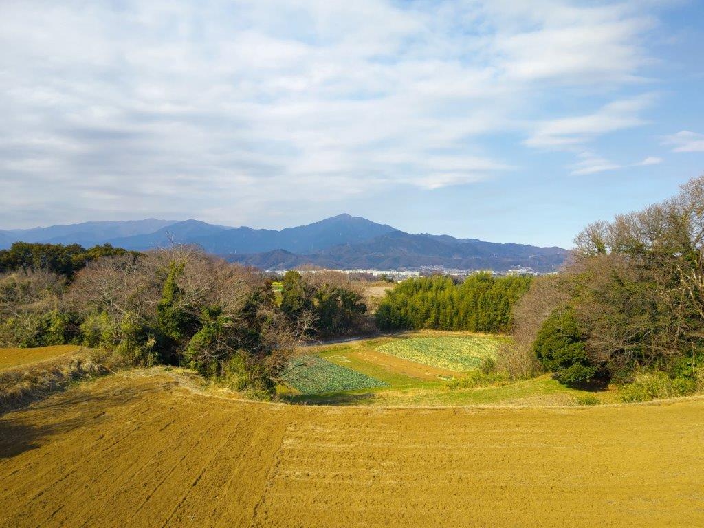
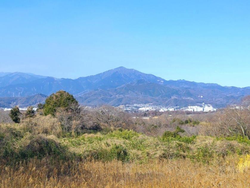
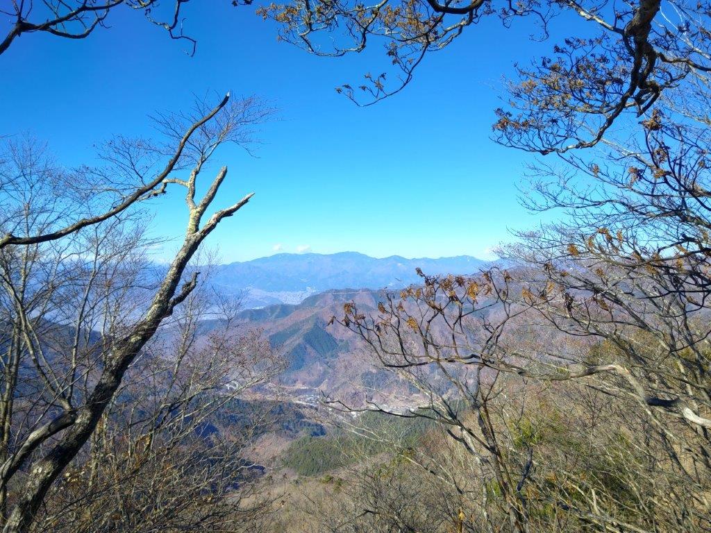
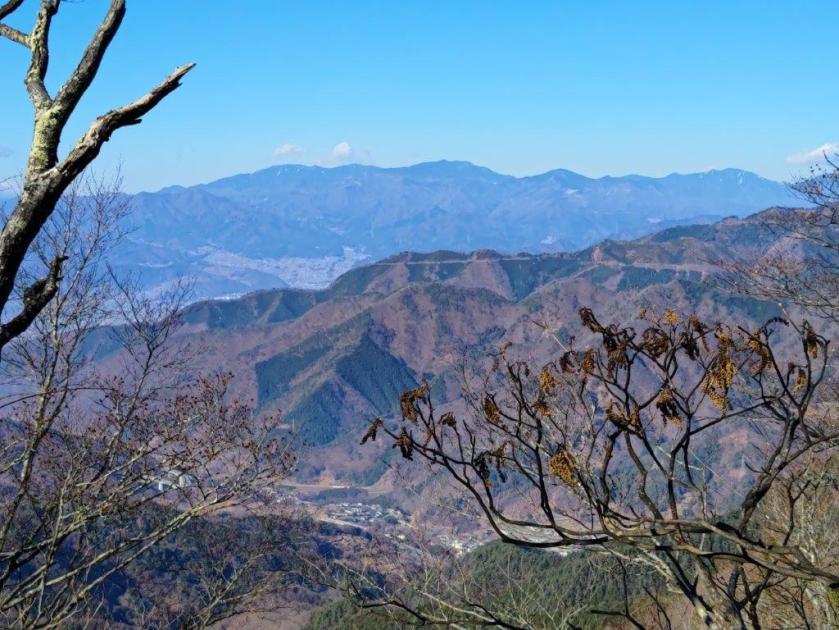
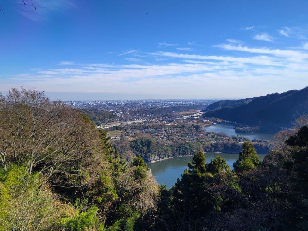
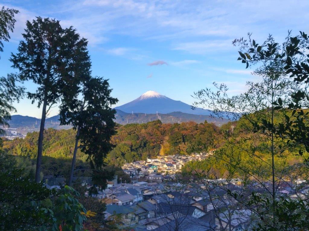
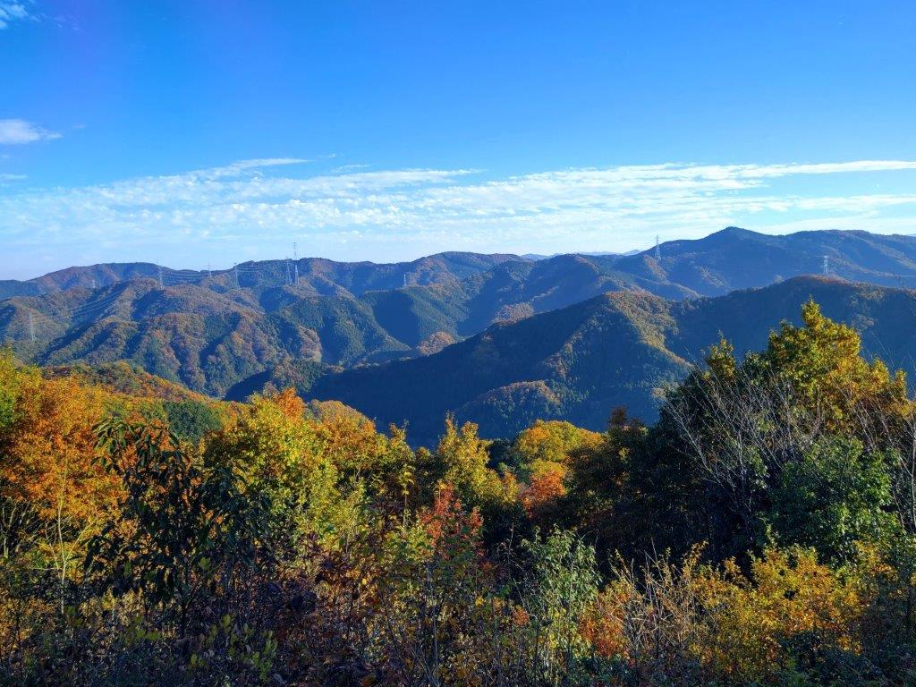
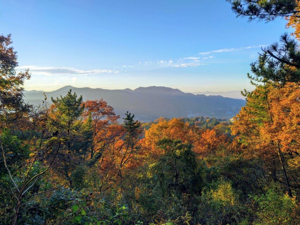
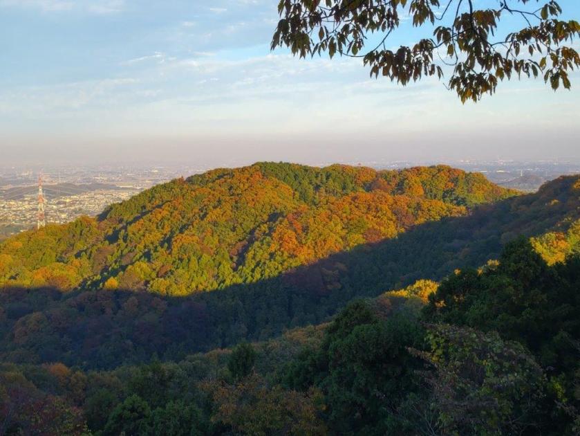
It was the best view of the day, and would have made a great lunch spot if there had been a place to sit. To the north, I could see the Tanzawa mountains, with the triangular top of Mt Oyama at the very right. I turned left again and soon arrived back at the clearing, thus completing my loop. Minutes later, I was back on the Fureai no Michi. From then on, I followed peaceful back roads meandering through the countryside. I had occasional views of the Tanzawa range, including one from a roadside bench where I had lunch at 1h30. The clouds had started to roll in from the west, and although, they hadn’t yet reached the sun, I quickened my pace.
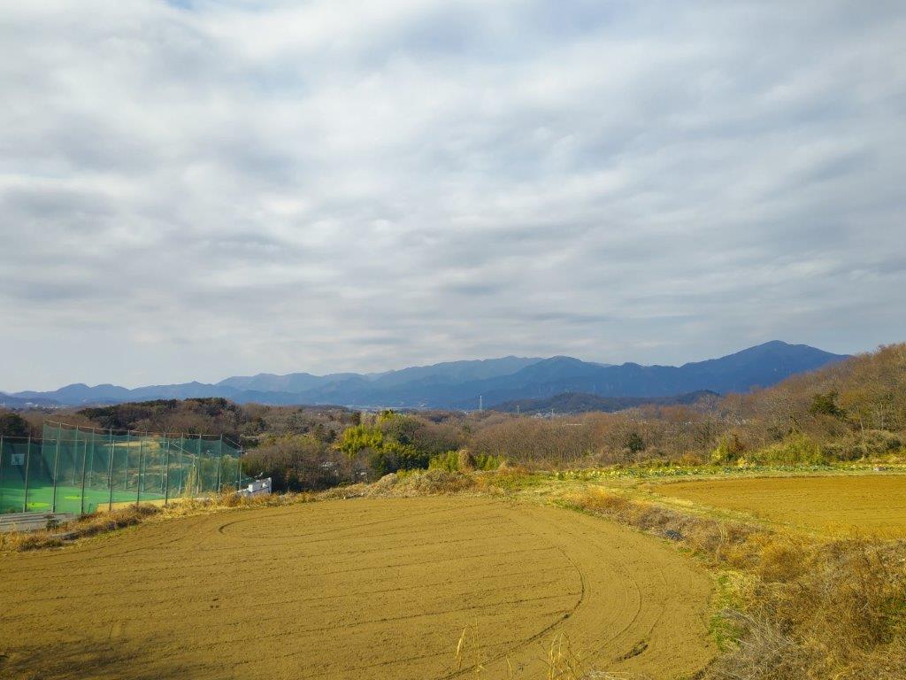
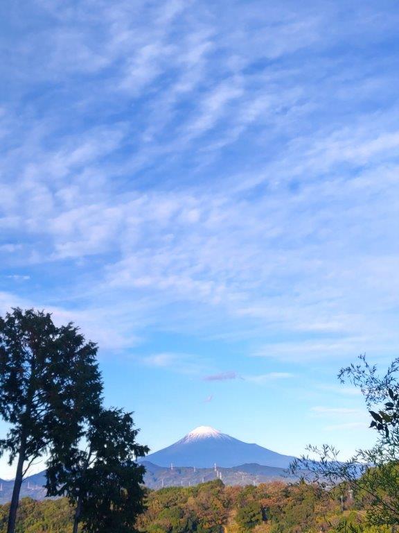
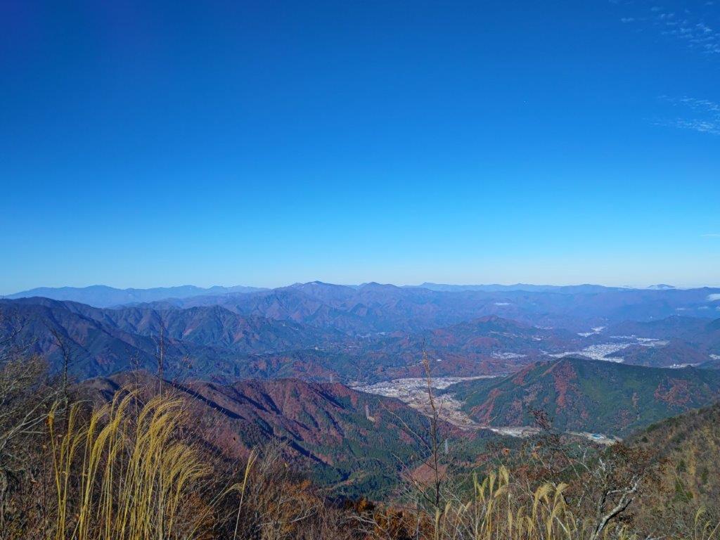
View of the Tanzawa Range Extending Westwards
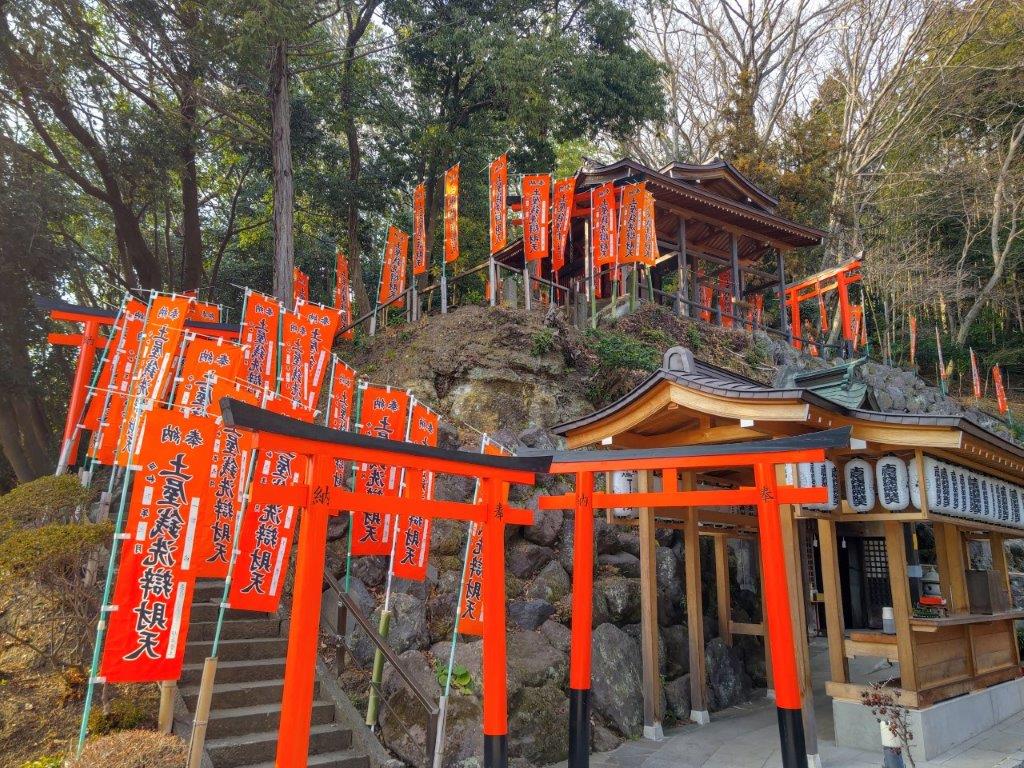
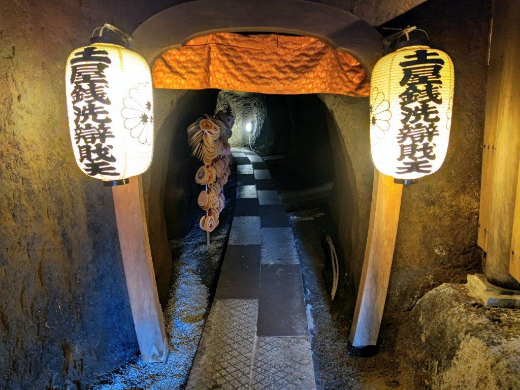
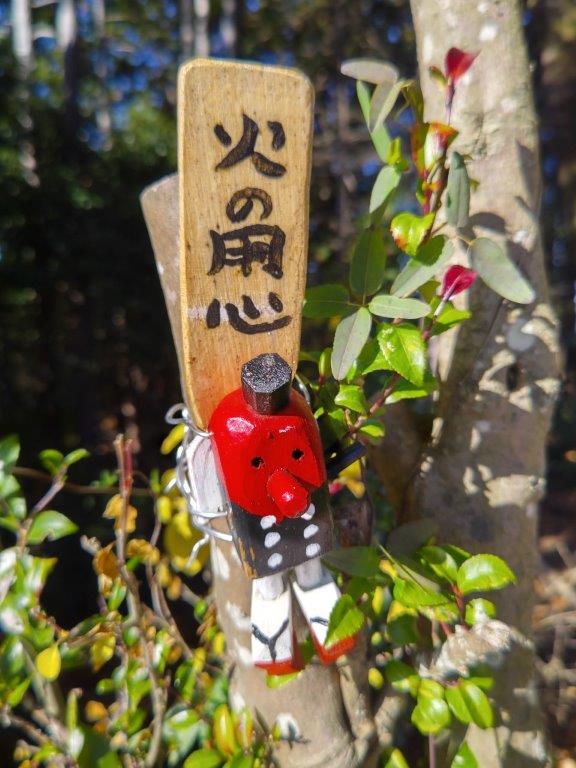
Bright Red Shinto Gates at Myoen-ji Temple
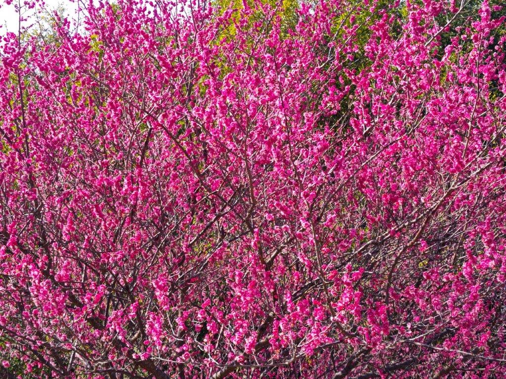
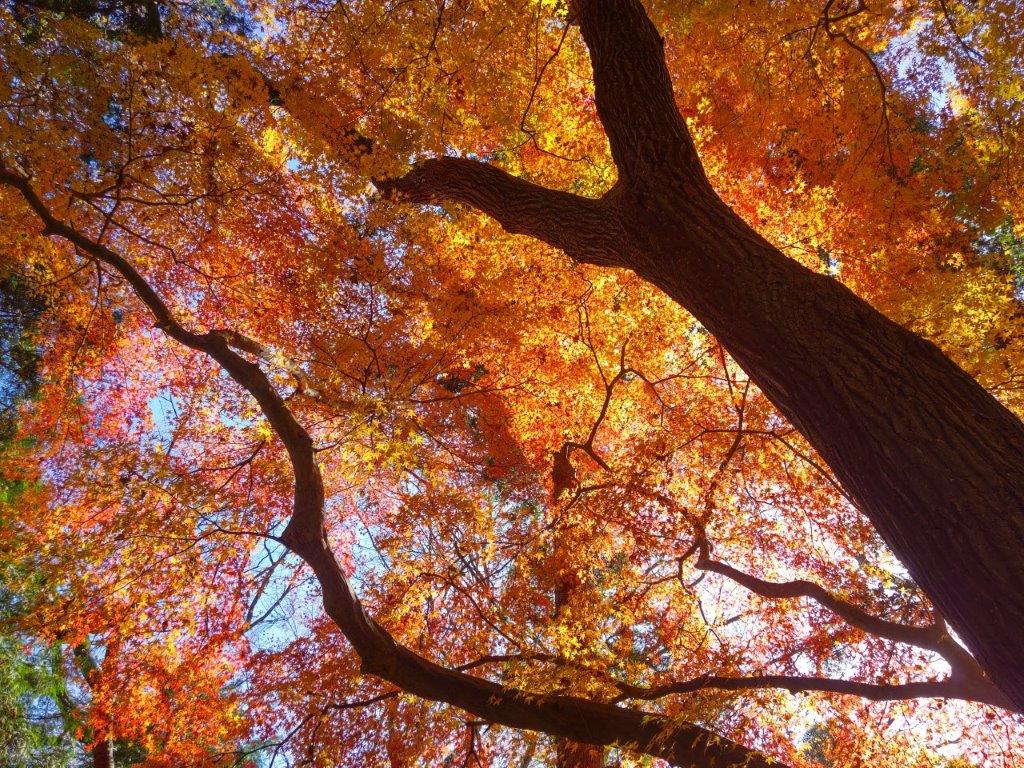
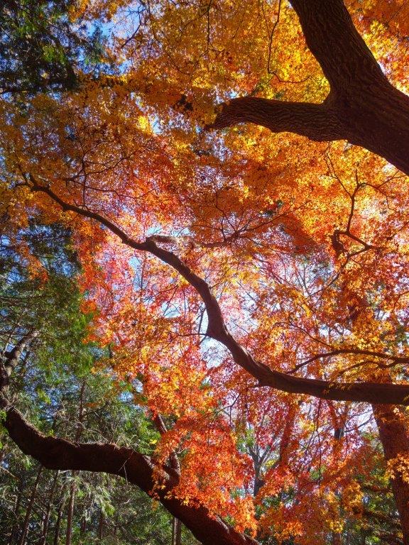
I was surprised by the many plum trees in full bloom, very early for the season. At 2pm I reached the photogenic Myoen-ji Temple (妙圓寺) with its flapping banners and bright red “torii” catching the last of the sun. Before moving on, I ventured into a small cave within the temple grounds and followed an underground passage till it became too low to continue. After passing Daijoin Temple, with its huge plum tree in full flower, I arrived at Nanpei Bridge (南平橋) at 3pm, where I caught one of the frequent buses for Hadano station. I had enough time for the hot spring bath, so I was refreshed for the one-hour trip back to Shinjuku.
Watch the Video of the Hike on Youtube


See a Slideshow of More Pictures of the Hike


![Mt Otaka (493m), Mt Tenkaku (445m) & Mt Kamado (293m), Hanno City, Saitama Prefecture, Sunday, December 10, 2023 [Hanno Alps]](https://hikingtokyo.com/wp-content/uploads/2024/01/dsc_1640.jpg?w=1024)


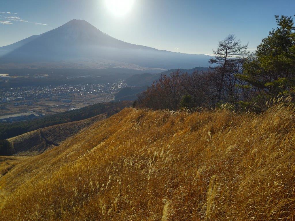
![Mt Shakushi (1597m) & Mt Takazasu (1304m), Fujiyoshida City, Yamanashi Prefecture, Sunday, November 26, 2023 [MAP AVAILABLE]](https://hikingtokyo.com/wp-content/uploads/2023/12/dsc_1408.jpg?w=1024)


![Mt Happu (626m) & the Minano Alps, Minano Town, Saitama Prefecture, Sunday, November 19, 2023 [Map Available]](https://hikingtokyo.com/wp-content/uploads/2023/12/dsc_0925.jpg?w=1024)


You must be logged in to post a comment.