

I wanted to do another hike on the Abukuma Plateau after seeing it from afar on my previous hike. Looking at my Mountains of Fukushima guidebook, I found two short loop hikes on opposite sides of the Kuji river, just across the border with Ibaraki prefecture. It was similar to a hike I had done in 2019, but somewhat further up the valley. Looking online, it seemed I could get some great views of the whole area; at the end, I could visit a nearby waterfall, if time allowed.
Hiking in Tohoku 東北
I would ride the Hitachi Limited Express from Ueno to Mito, and there transfer to the Suigun line, getting off at Yamatsuri station, two stops past Hitachi-Daigo. For the return, I could continue along the same line, all the way to Koriyama, the last station, from where I could catch the shinkansen back. The weather was supposed to be sunny and cloudy, with temperatures above average for the season. I was looking forward to riding the entire length of the Suigun line for the first time, and getting some new views of the Abukuma Mountains.
For subscribers, read this Blog Post on Hiking Around Tokyo for a better viewing experience and the latest updates

Start of the hike (left) Near the Top of Mt Yamatsuri (right)
Heading Down Mt Yamatsuri (left) and Mt Hiyama (right)
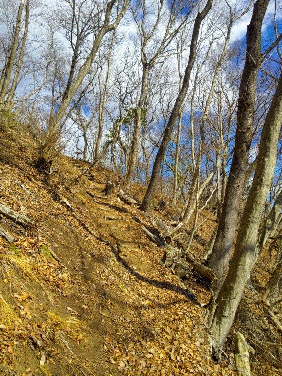
It was a blue sky day as I got off the colourful train car just before 11am, the other cars having been left behind a few stations back. I immediately headed to the nearby trail entrance, and soon reached the first viewpoint of the day, on a rocky ridge slightly off the main path. After taking in the views of the river valley below, I made my way up some log steps leading to a paved path. Shortly after a viewpoint of Hizuki Rock (日月岩 hizuki-iwa) to the south, I reached the start of the hiking trail on the right. In almost no time I reached a treeless ridgeline, from where I had a view of the Abukuma plateau to the north.

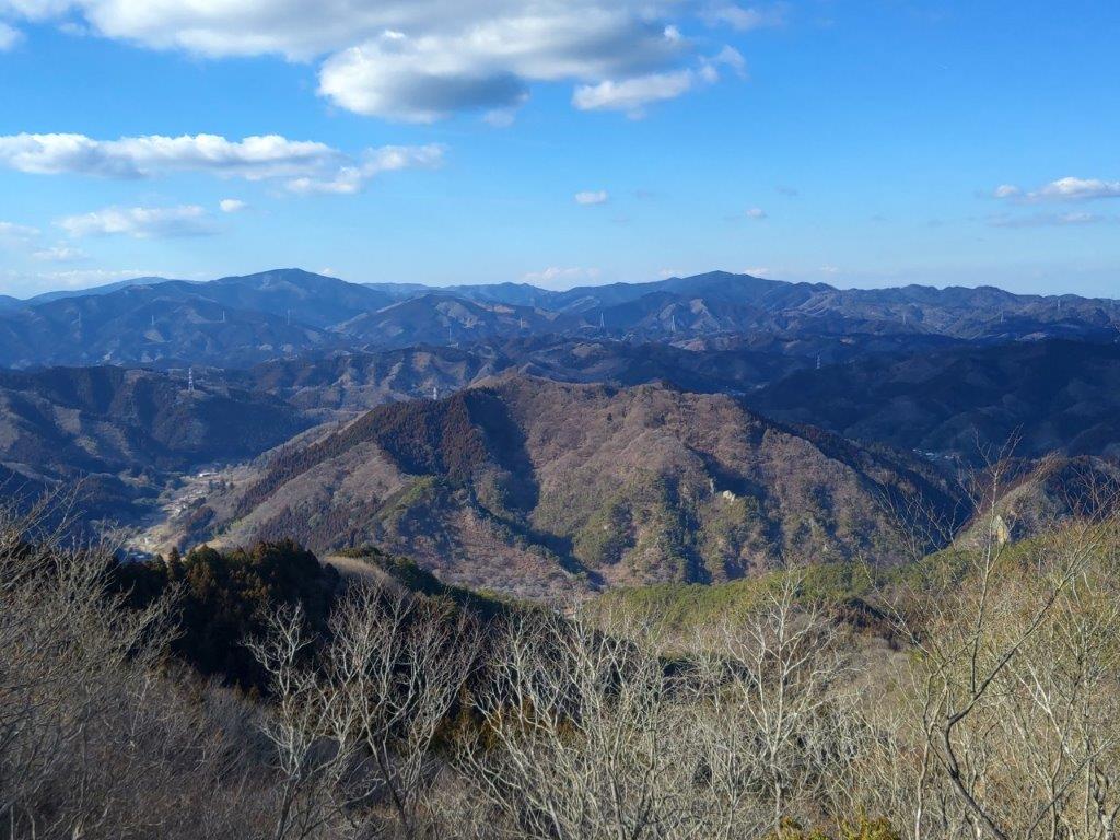
View North of Abukuma-kochi from below Mt Yamatsuri

View North of Abukuma-kochi from Tendozuka
I was amazed by the bird’s-eye view of the valley and hills below, especially since my elevation was relatively low. A few minutes later, I arrived at the summit of Mt Yamatsuri (矢祭山 やまつりやま yamatsuri-yama). Northeast, I could see Mt Yamizo. The clouds had started to roll in, creating alternating patches of light and dark on the scenery. I quickly moved on, and after a short up and down, reached the flat top of Tendozuka (402m 天道塚 てんどうづか) from where I had a nearly 360° view of the entire area.

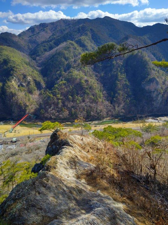
Looking down from Hizuki-iwa
Looking East towards Mt Hiyama
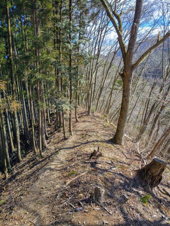
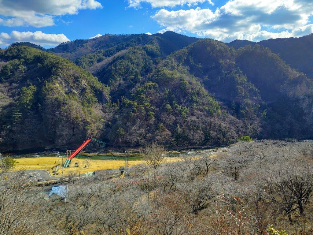
I was stunned by the vast panorama, most of the surrounding mountains new to me; apparently even Mt Fuji could be seen, although not today. It was just past noon so I had sat on one of the many benches for an early lunch. At 12h30, I started to head down. On the way, I passed a viewpoint on the side of Hizuki Rock. From the rocky outcrop, I could see the meandering Kuji river below. The trail now hugged steep mountain side, mostly out of the trees, and it felt very warm under the sun. At 1pm, I reached the base, and after crossing a red hanging bridge, headed up a trail through the cedars. I soon turned left onto a forest road which I followed for a while, before leaving it for a path on the right.
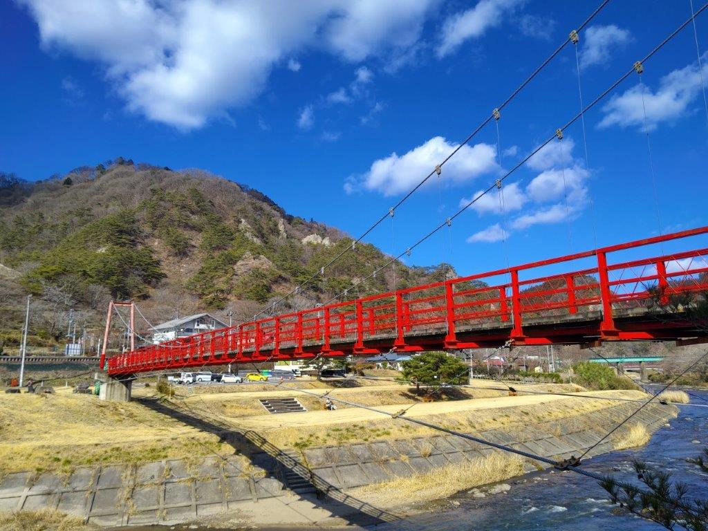
Red Hanging Bridge over Kuji River

View North of the Kuji River Valley
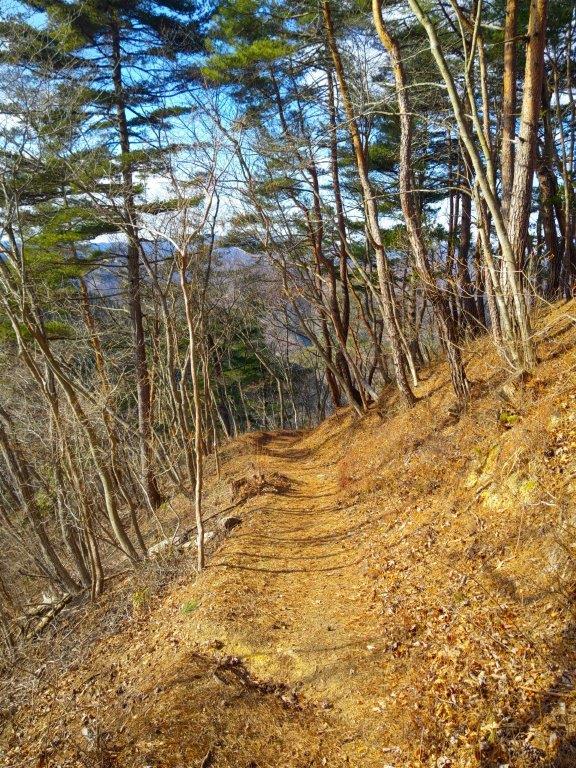
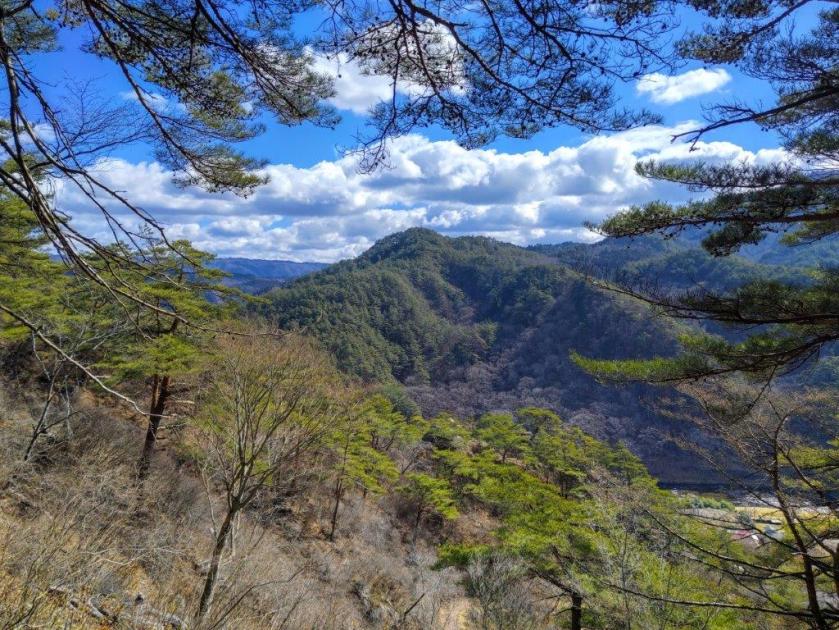
At 2pm, I reached a level area with a bench and a wide view. Directly ahead, the Kuji river valley extended northwards. On the west side, I was looking down at the loop hike I had walked earlier in the day, with the bulk of Mt Yamizo spreading out in the background. A few more minutes of walking brought me to the top of Mt Hiyama (檜山 ひやま hiyama) where I finally a had a good view on the south side. I could see the rugged outline of Mt Nantai, the most famous peak in the area. After a short break, I headed back down the same way. Since I was on schedule, I made a detour via Muso Taki (夢想滝 dream waterfall), which I reached at the end of a narrow ravine.

Mt Nantai (left) from the top of Mt Hiyama
In the foreground, Mt Yamatsuri, in the background, Mt Yamizo
Although the waterfall in this season was rather small, I was impressed with the huge overhanging cliff right next to it. It was nearly 3h30 so I made my way back to the station to catch one of the few afternoon trains for the one hour and a half ride to Koriyama. Along the way, I enjoyed some views of the higher mountains of Fukushima prefecture on the west side. After arriving in Koriyama, I boarded the shinkansen for the one hour ride back to Tokyo. I saw few people and had lots of great views on today’s hike so I was glad I had gone all the way to a little visited in area northeastern Japan.
Watch a Video of the Mt Yamatsuri & Mt Hiyama Hike
Watch the Video of the Hike on Youtube


See a Slideshow of More Pictures of the Hike
