
I’d hiked most of the Soga Hills in January 2018 from Kamioi to Kozu station. Recently I found out about the Fujimizuka Hiking Trail on the Kanagawa Prefecture website. This hike, mainly along country lanes, connects Kamioi with Matsuda station and completes the traverse of the hills. Rather than redo the first part, identical to my 2018 hike, I decided to start from Shibusawa station instead. Looking at my map, I saw I could follow hiking trails and back roads past a mountain with a view of Mt Fuji; a short walk along a prefectural road would then connect me with the main trail. Another view of Fuji awaited me at Fujimizuka near the end of the hike.
Hiking in the Soga Hills 曽我丘陵
To get to the start of the hike, I’d ride the Odakyu “Fujisan Express” from Shinjuku to Hadano station, and then transfer to the local Odakyu line for the one stop ride to Shibusawa. There, I would catch a local bus and get off at the base of the Shibusawa Hills, a short distance from the trail entrance. The afternoon would be enough for this short hike allowing me to take the mid-morning train. For the return, I’d catch the “Fujisan express” again, but this time from Matsuda station. The weather was supposed to be sunny all day, important for getting a good view of Fuji, the temperatures unseasonably warm. I was looking forward to a relaxing hike through the woods and countryside of Kanagawa.
Ascending (left) and Level Trail (right) for Mt Yakunimi
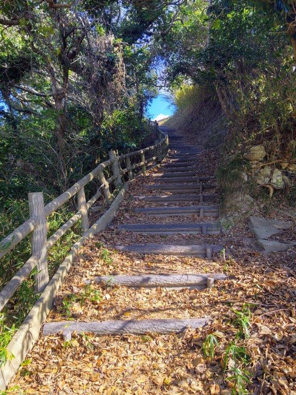
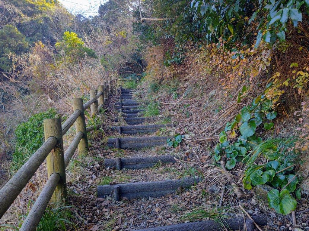
Stairs (left) and Footpath (right) connecting with Mt Takao
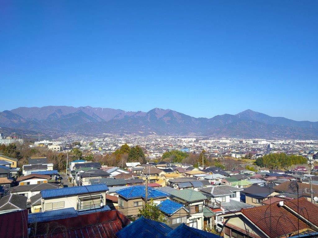
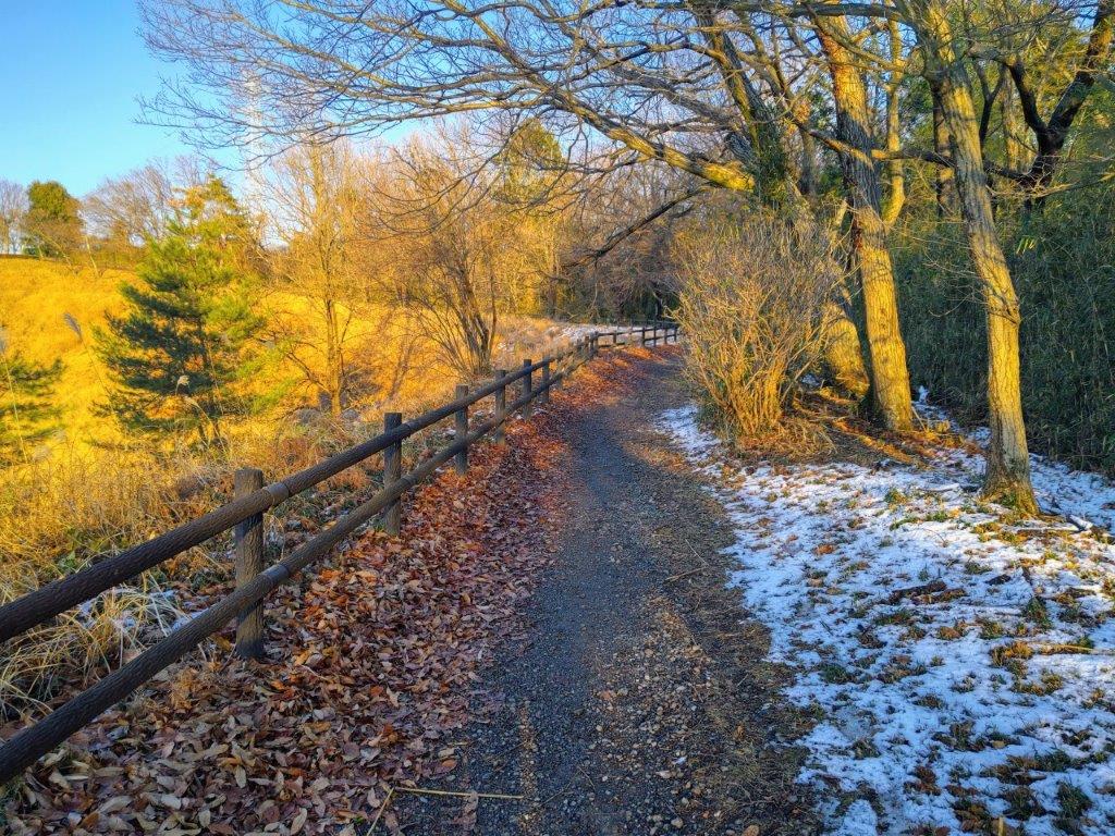
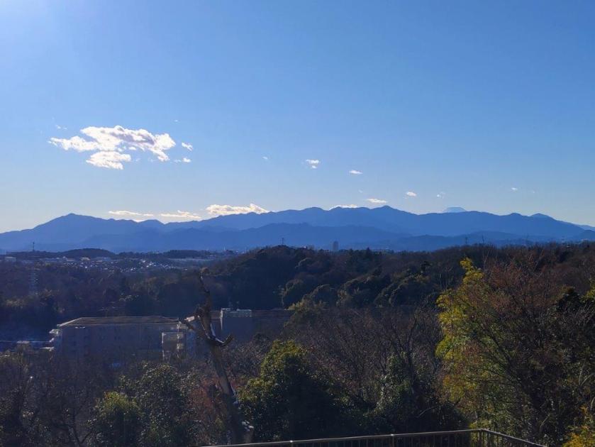
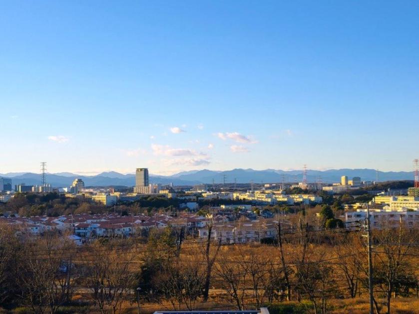
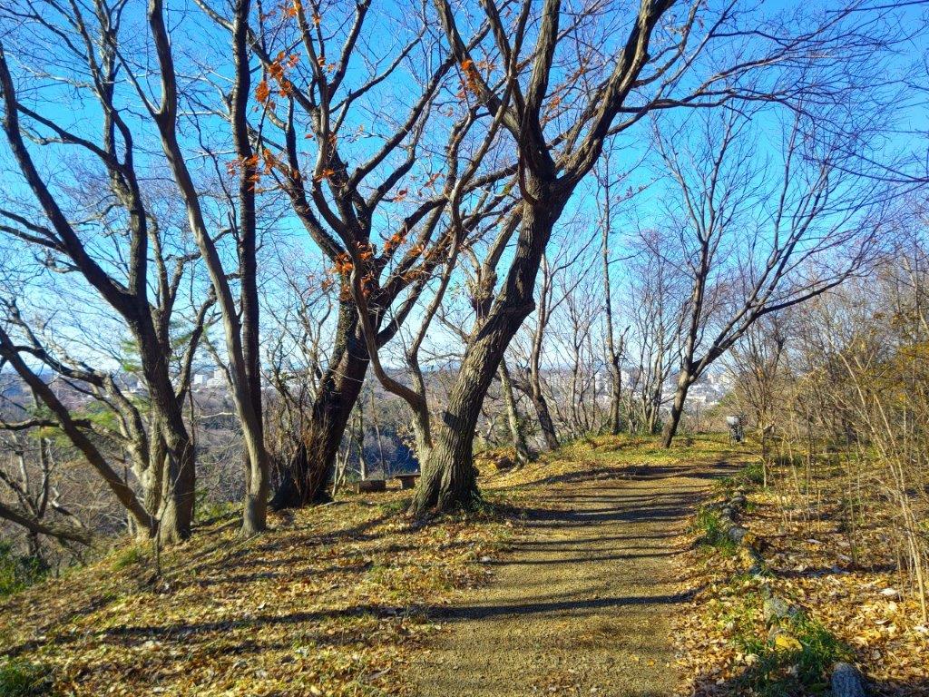
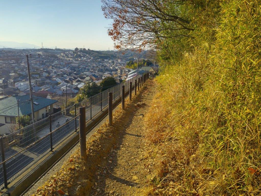
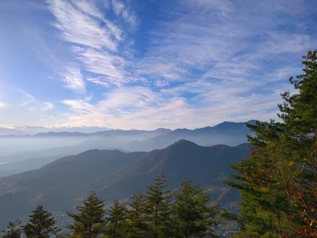
It was another blue-sky day, so common in winter in the Tokyo area, as I rode the limited express to Hadano station. Both transfers, first to the local train line and then to the bus line, went quickly and smoothly; shortly after noon, I got off at a stop in the middle of a long slope and headed up a steep road running parallel to the main road, taking me into the Shibusawa Hills (渋沢丘陵). At a bend in the road, I reached a viewpoint of the Tanzawa mountains to the north.
View of the Tanzawa Mountains at the start of the Hike
“Field View point” on the Trail for Mt Zukko
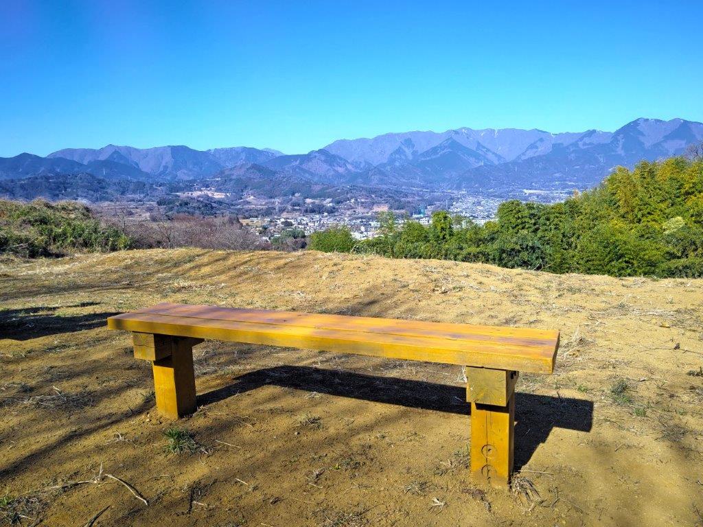
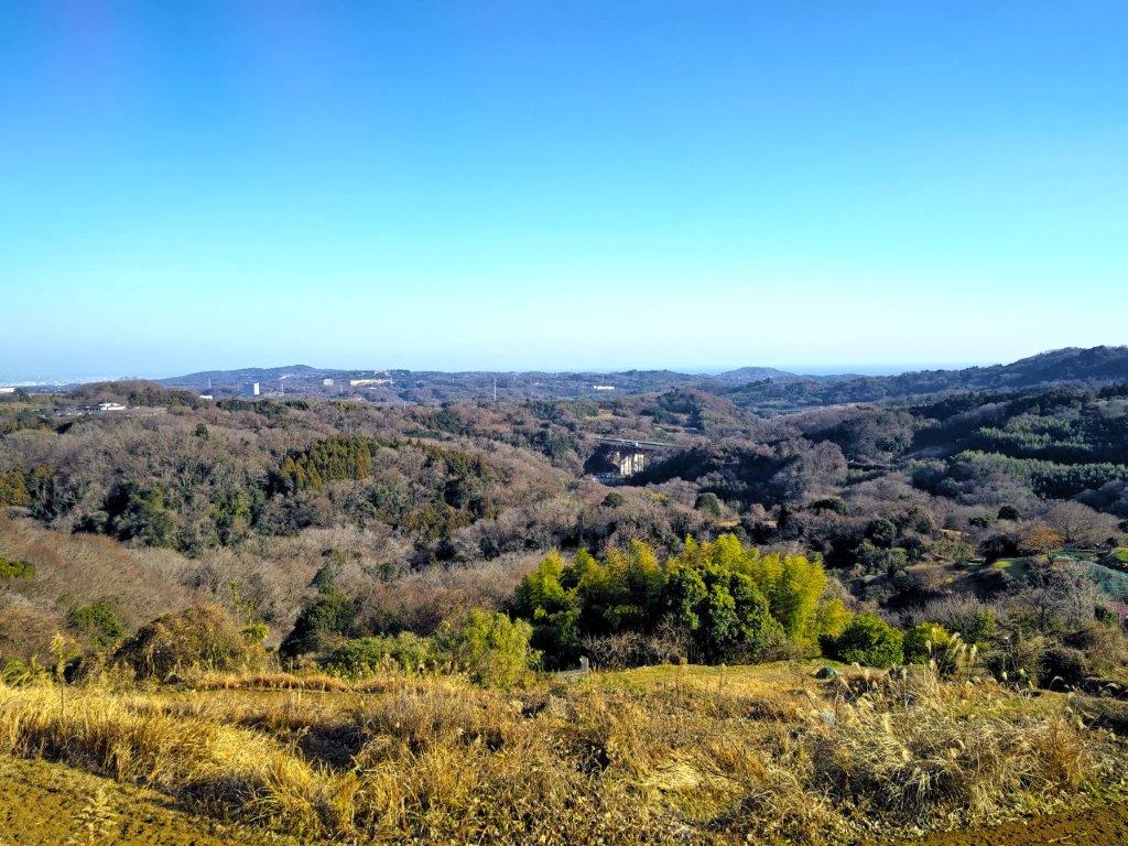
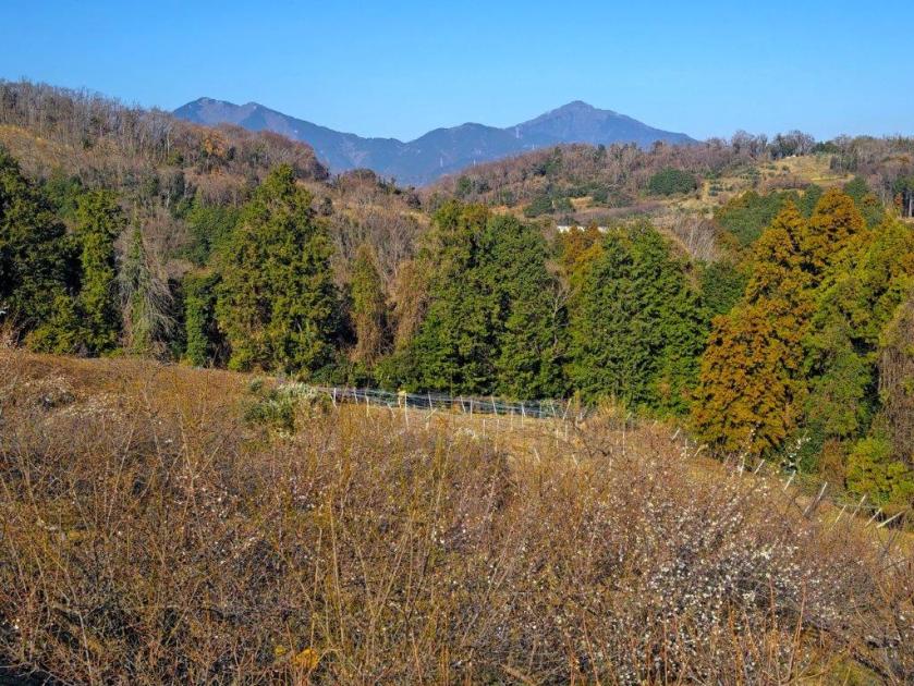
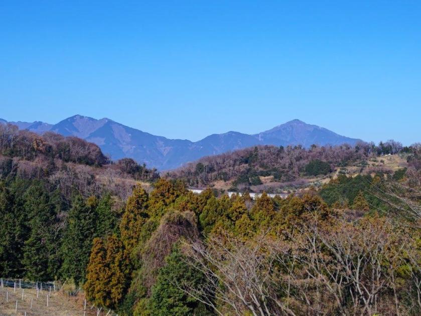
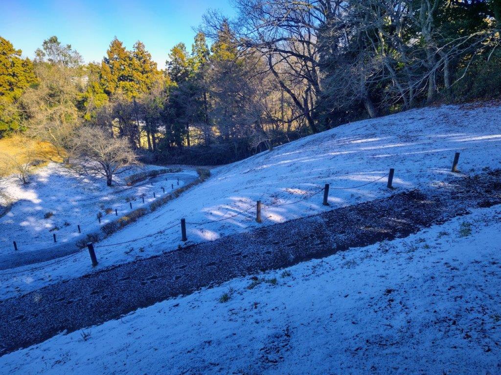
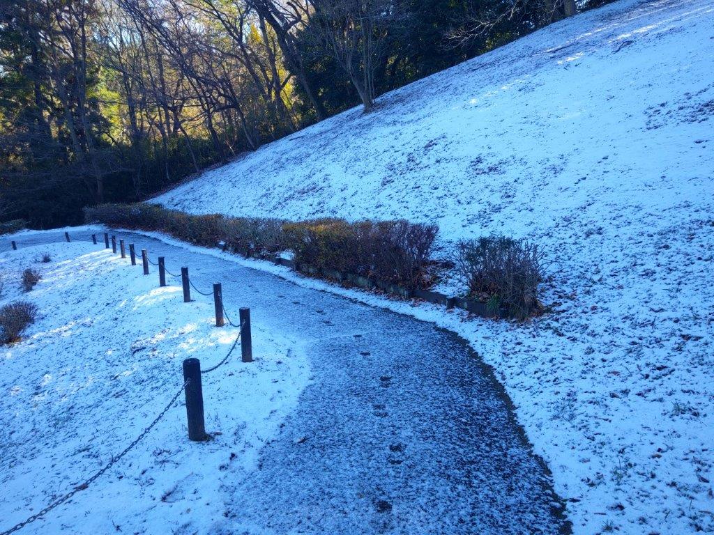
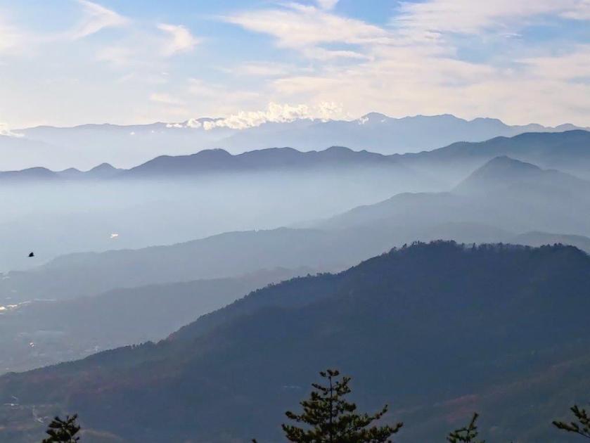
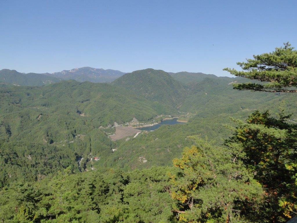
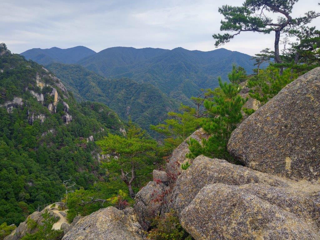
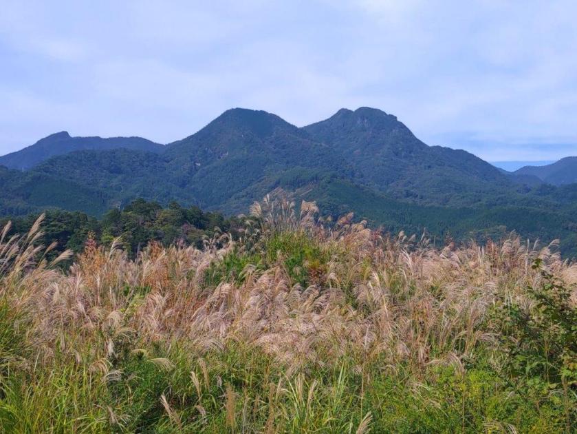
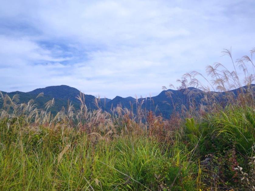
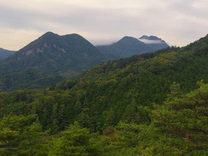
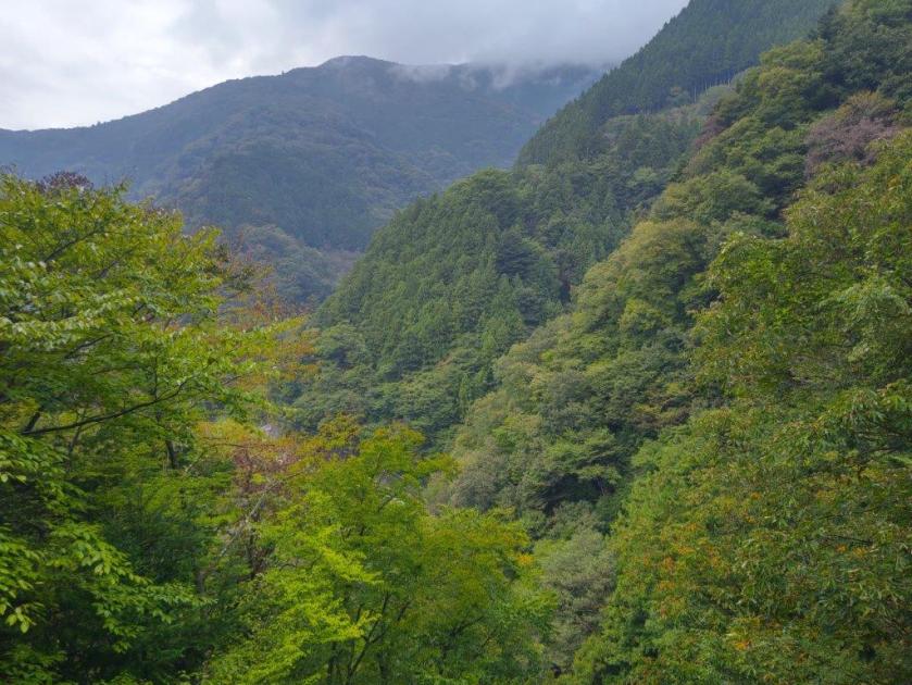
I was surprised by the lack of snow in this season, probably due to the ongoing dry weather. From left to right, I could see Mt Nabewari, Mt To and Mt Oyama, ridges and valleys easily discernable in the clear winter air. I continued up the steep road, now heading south. Since the air was so clear today, I decided to make a detour to a nearby viewpoint along the trail for Mt Zukko. After a short walk on a curving level road between woods and fields, I arrived at “Hatake no Tenbodai” (畑の展望台 meaning “Field Viewpoint”) with a couple of benches and a view of the Western part of the Tanazawa mountain range.
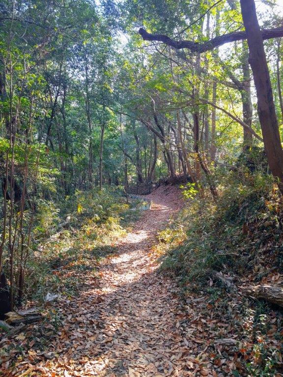
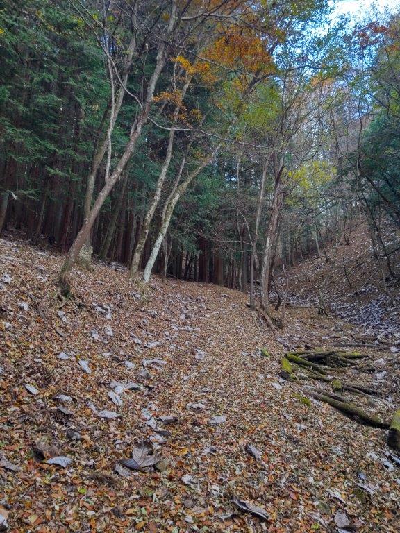
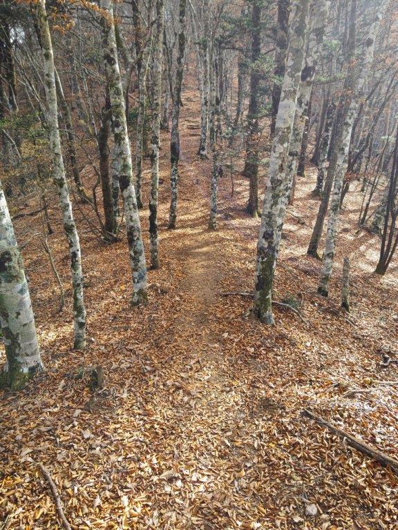
Trail for Mt Yakunimi
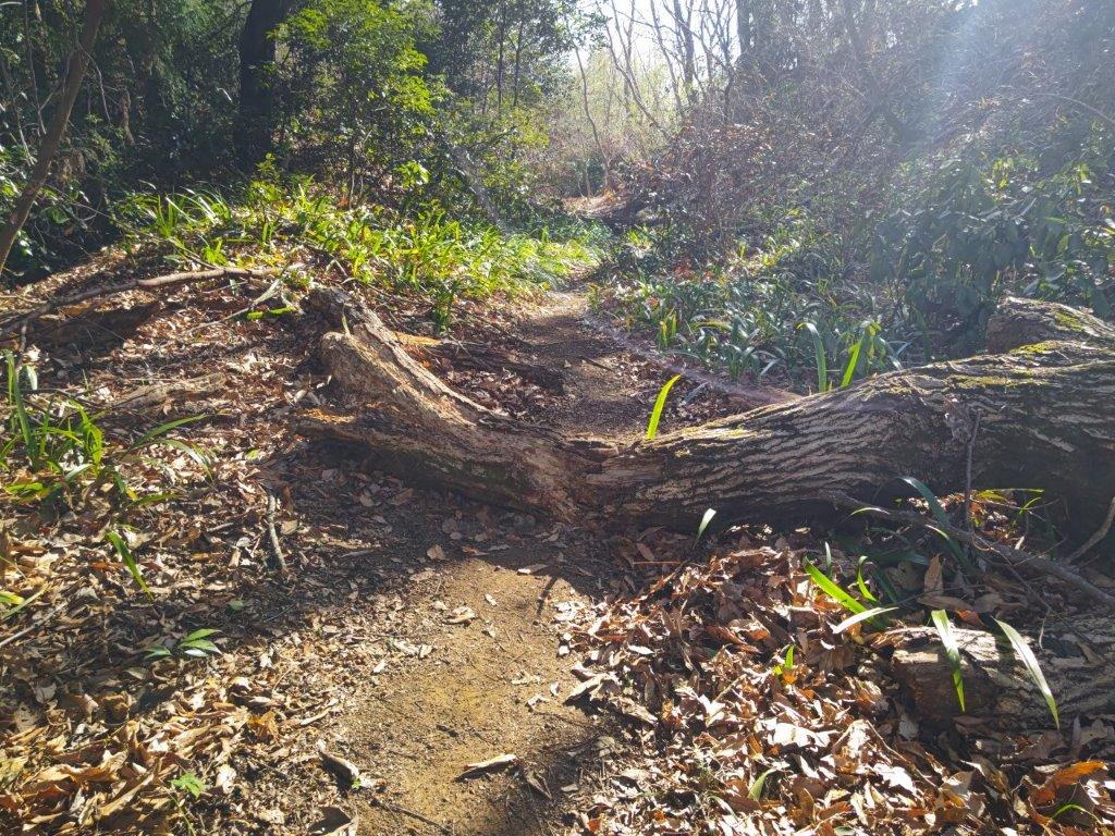
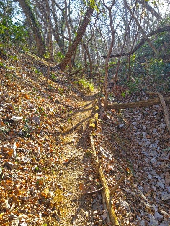
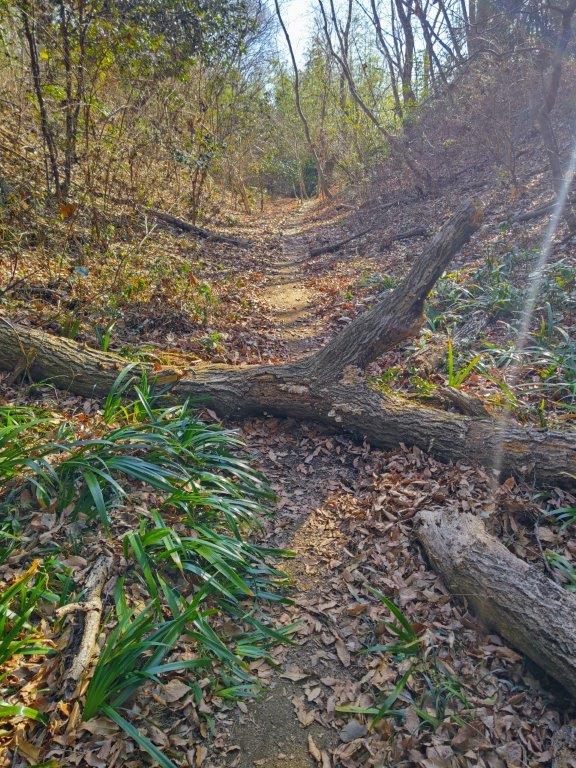
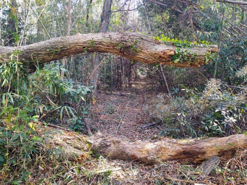
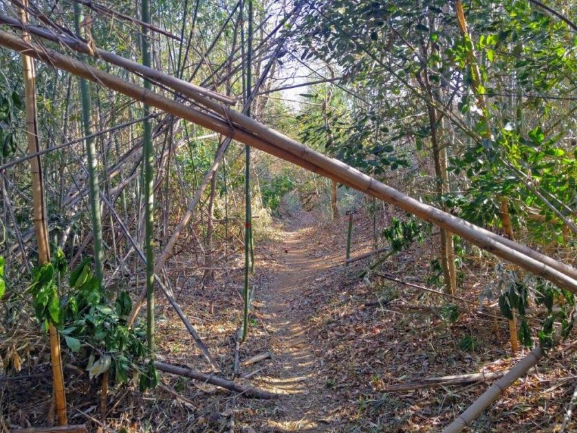
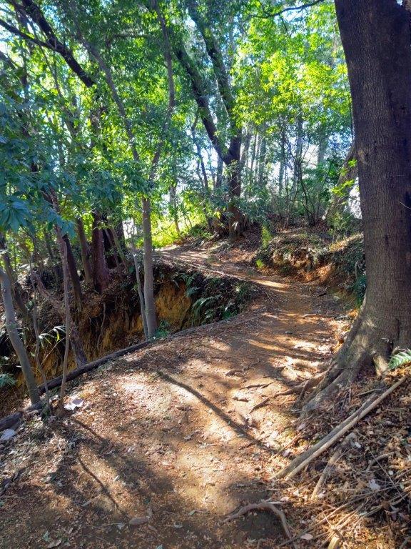
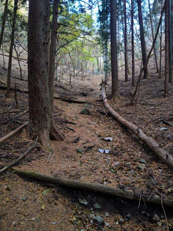
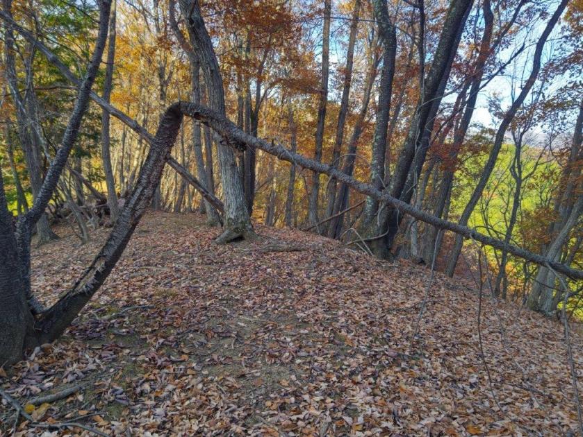
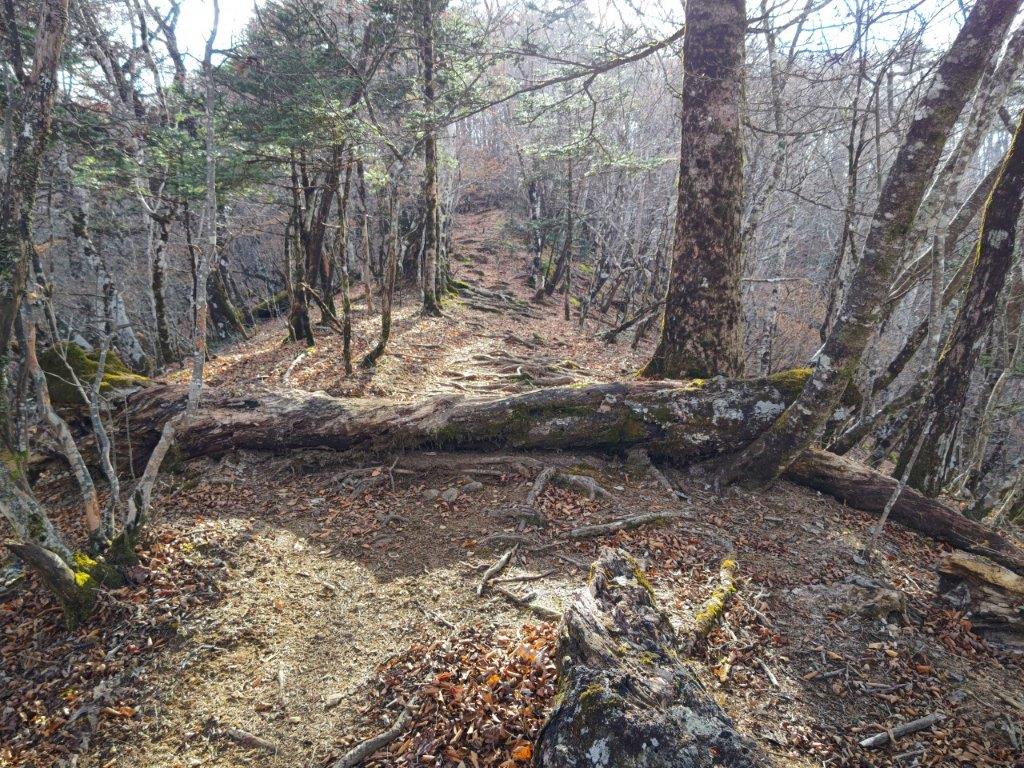
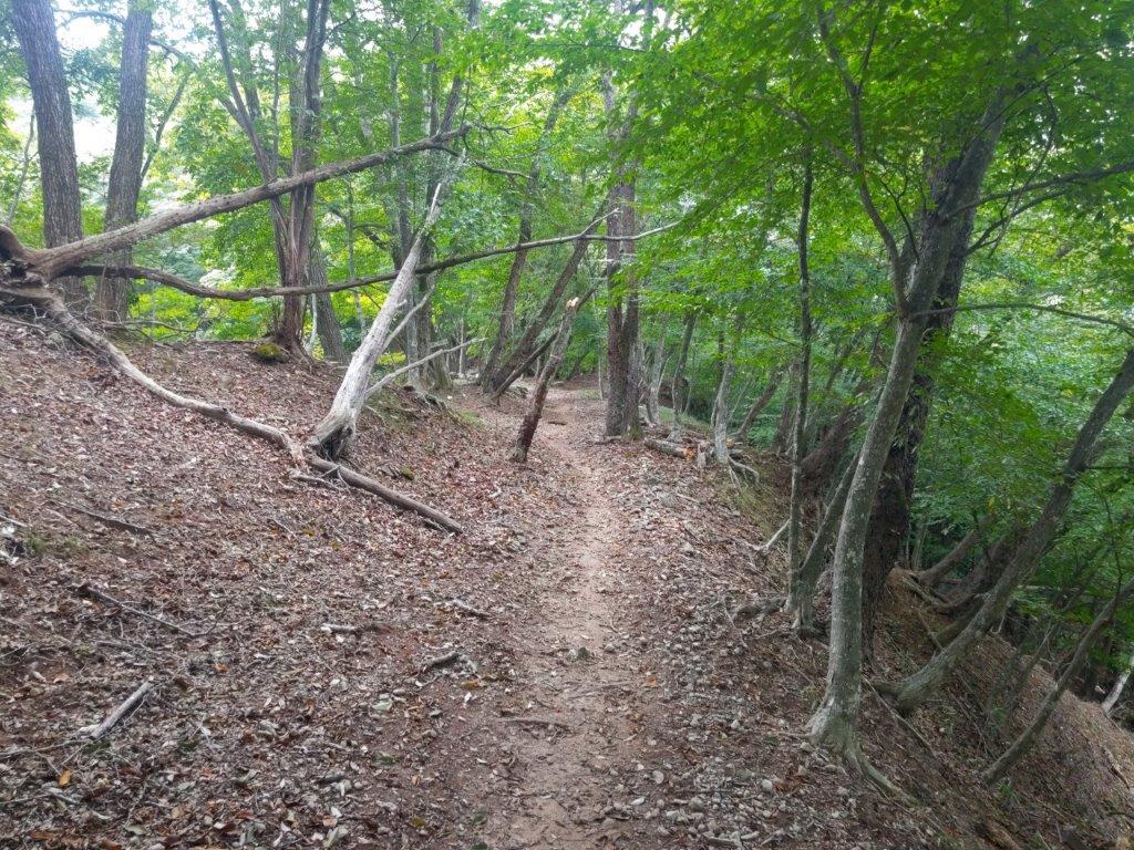
Lots of Fallen Trees on the way to Mt Yakunimi
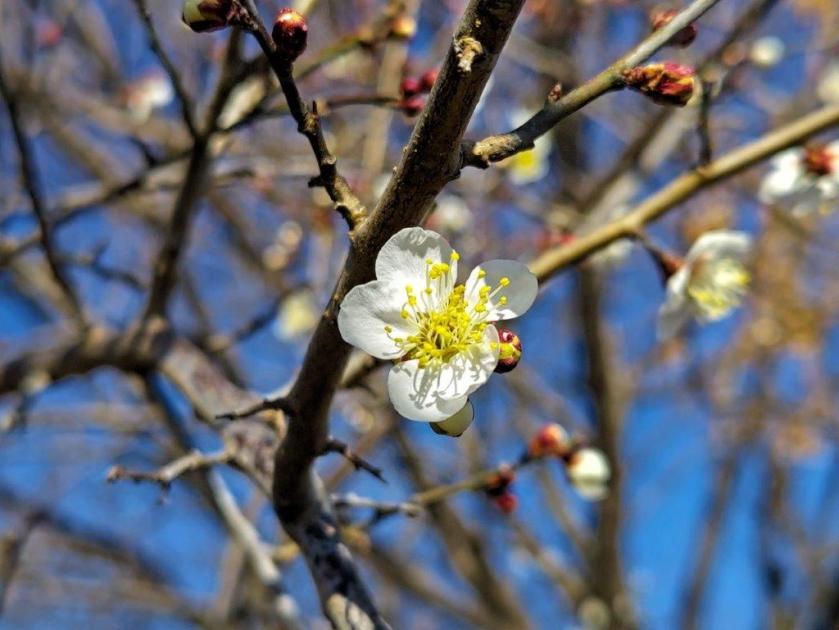
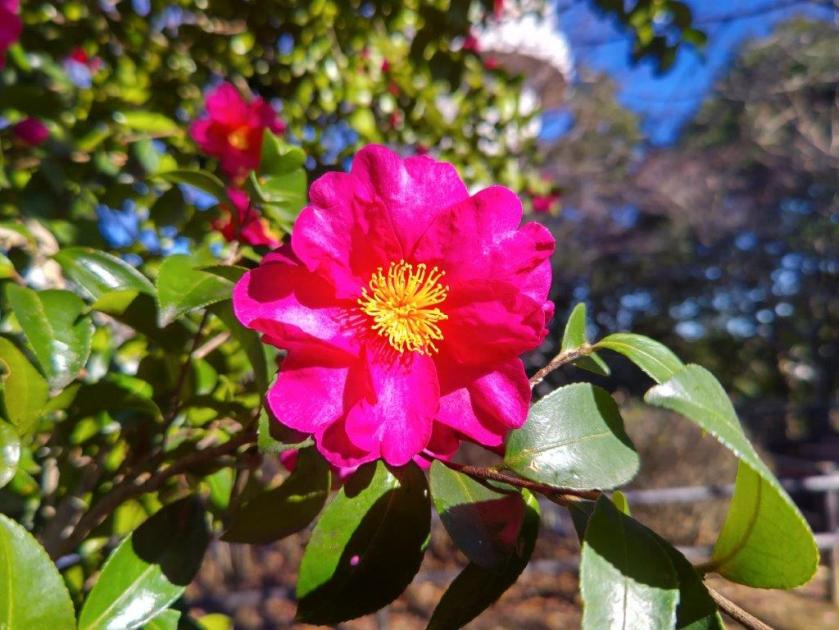
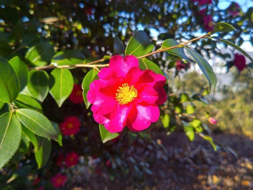
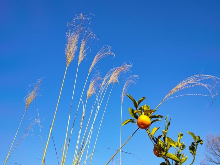
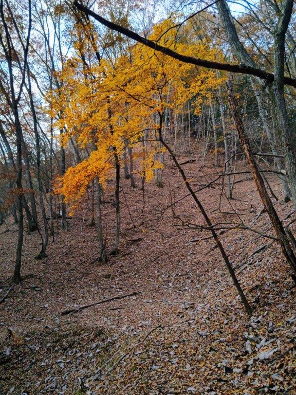
I was pleased to get a view of the remoter peaks of Western Tanzawa, less well-known and harder to access than those of the Eastern half; I could also see the long ridge leading to Mt Mikuni. After a short break, I headed back to the trail for today’s mountain, admiring the first plum blossoms of the season along the way. At 1pm, I turned right, onto a path signposted for the summit; according to the signpost, the road I’d been following up to now also led there, but I preferred to walk on dirt than on asphalt.
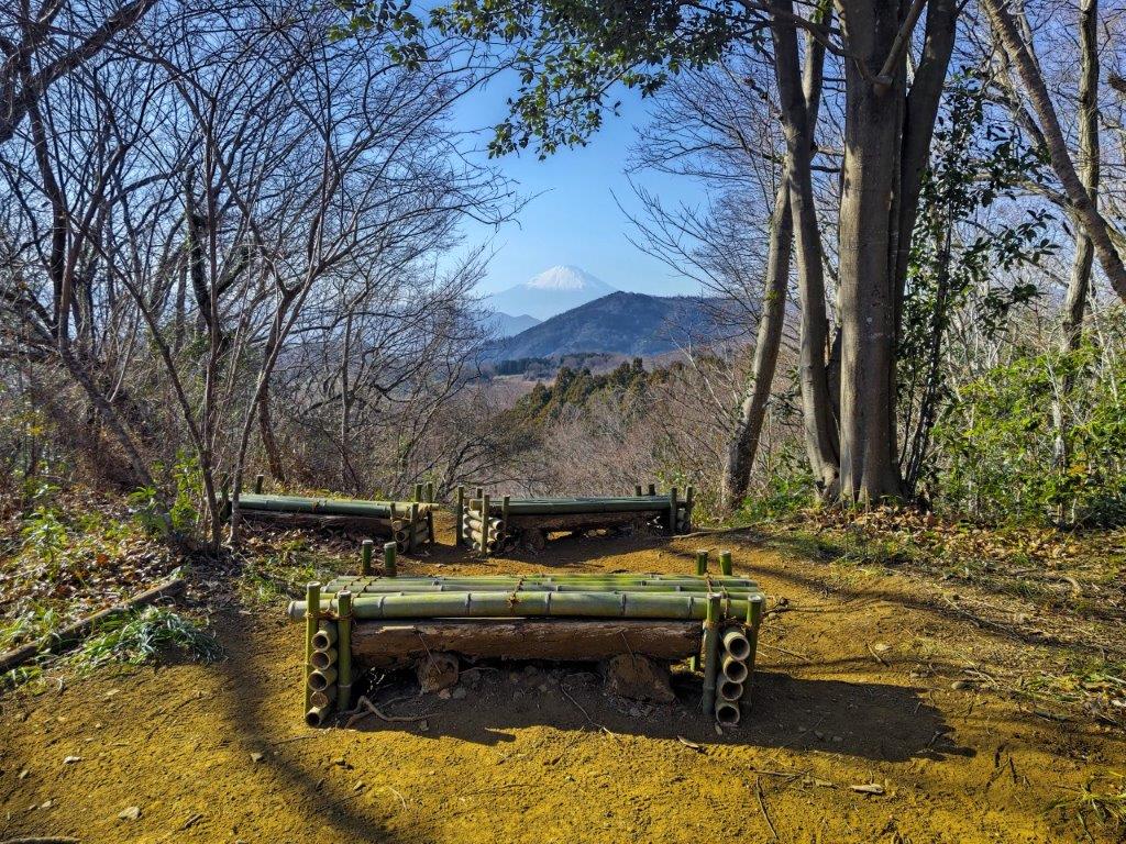
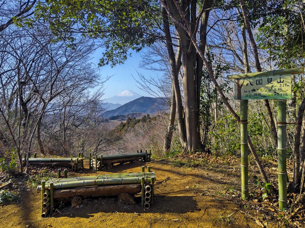
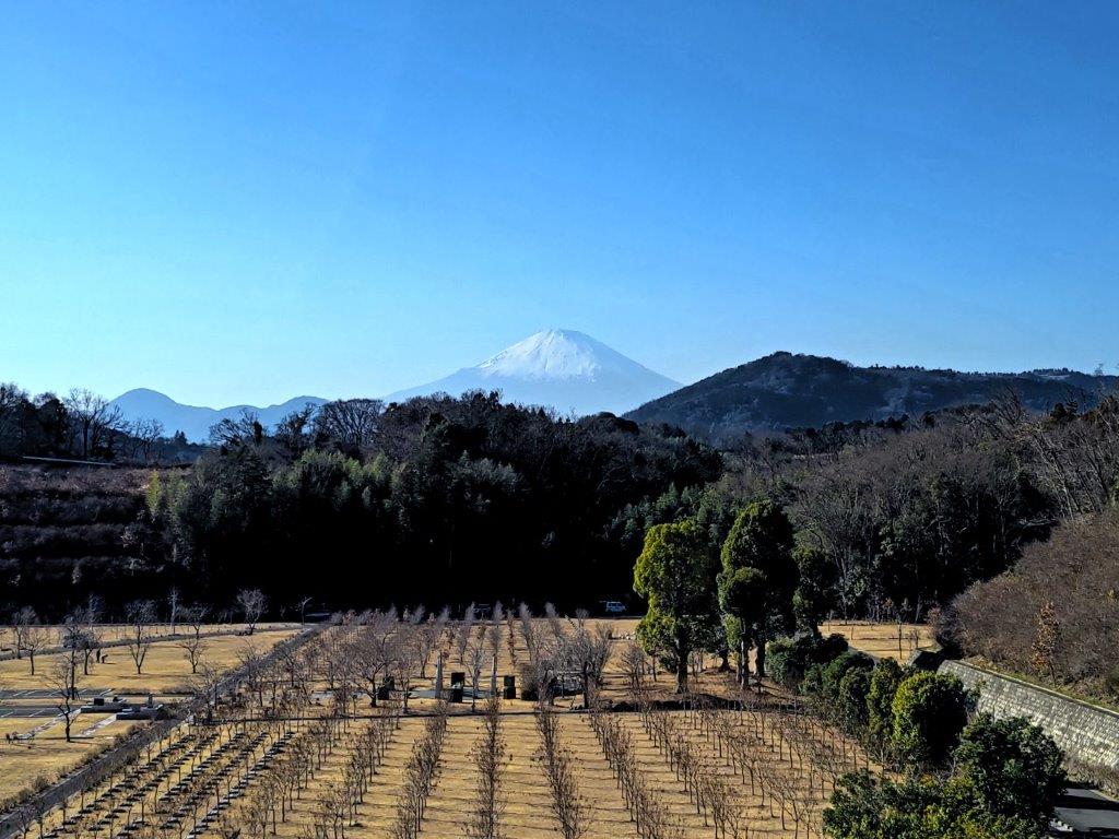
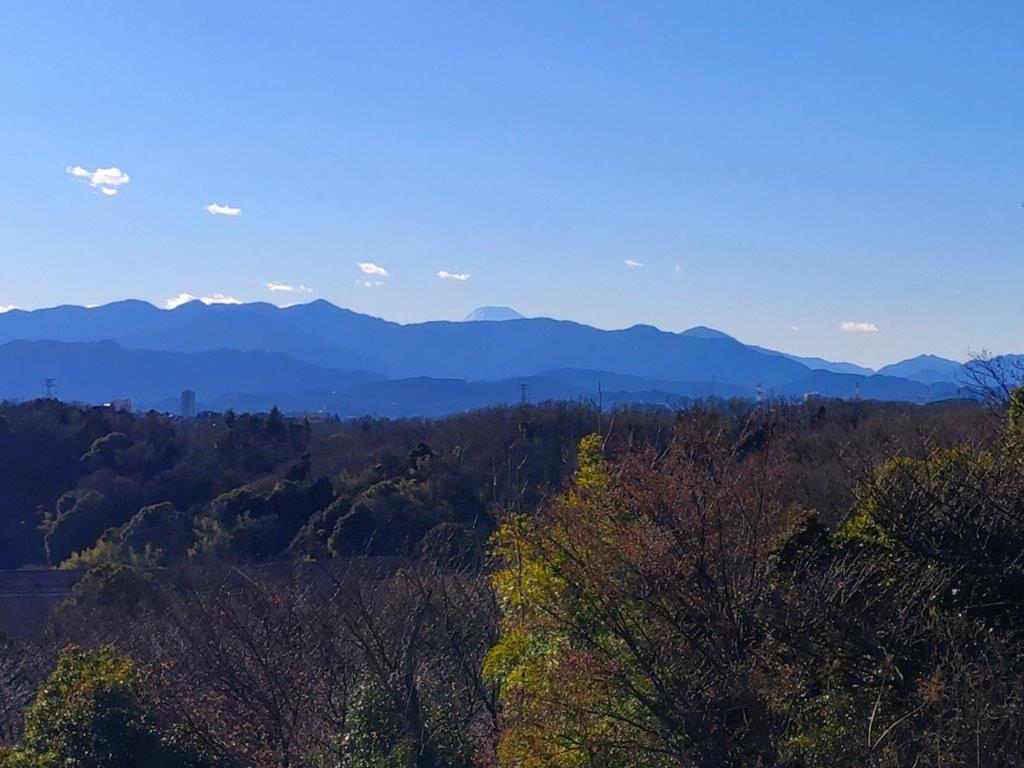
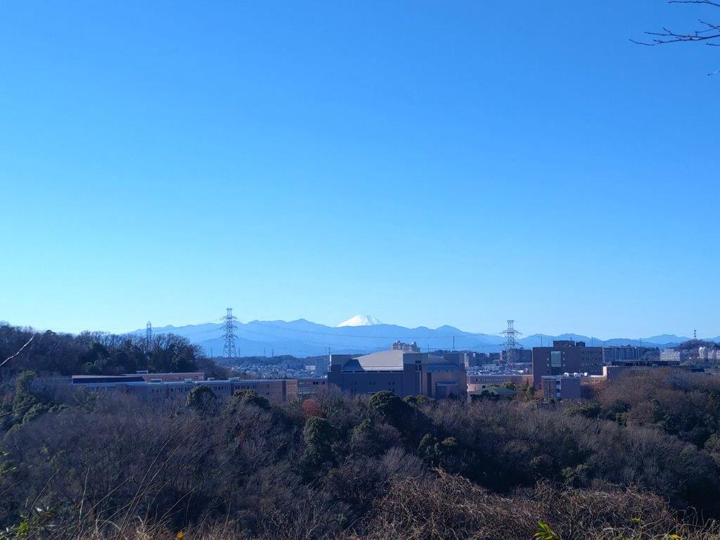
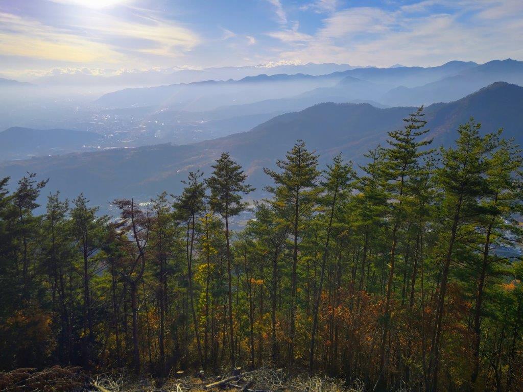
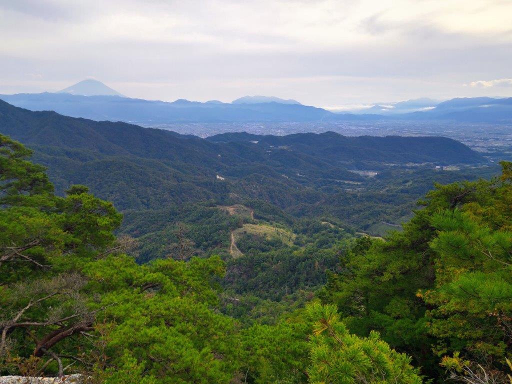
Mt Fuji View from the Top of Mt Yakunimi
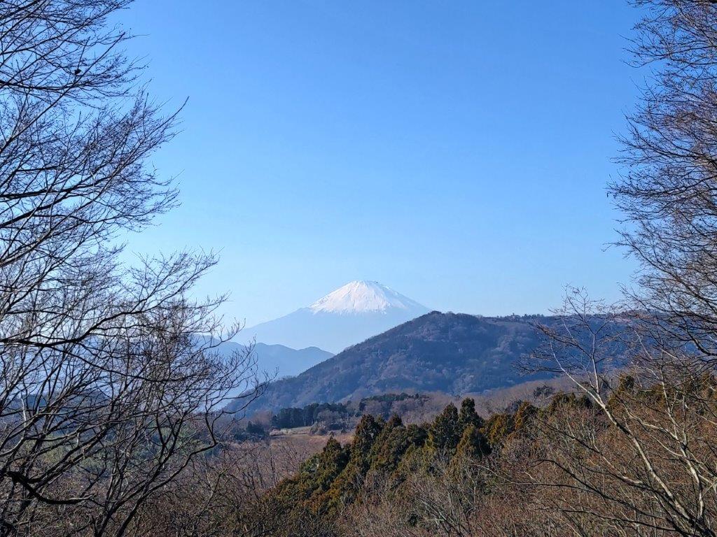
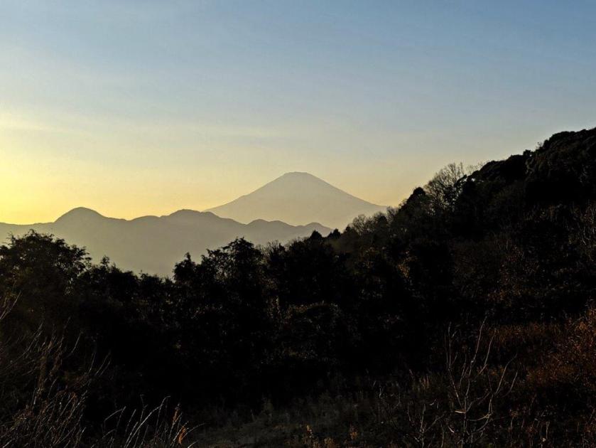
Mt Fuji and its Winter Snow Cover
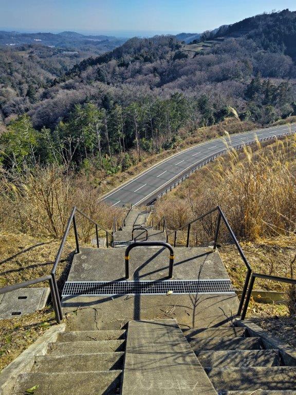
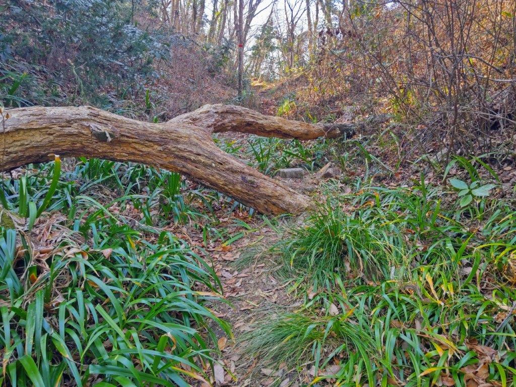
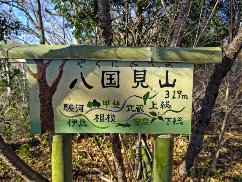
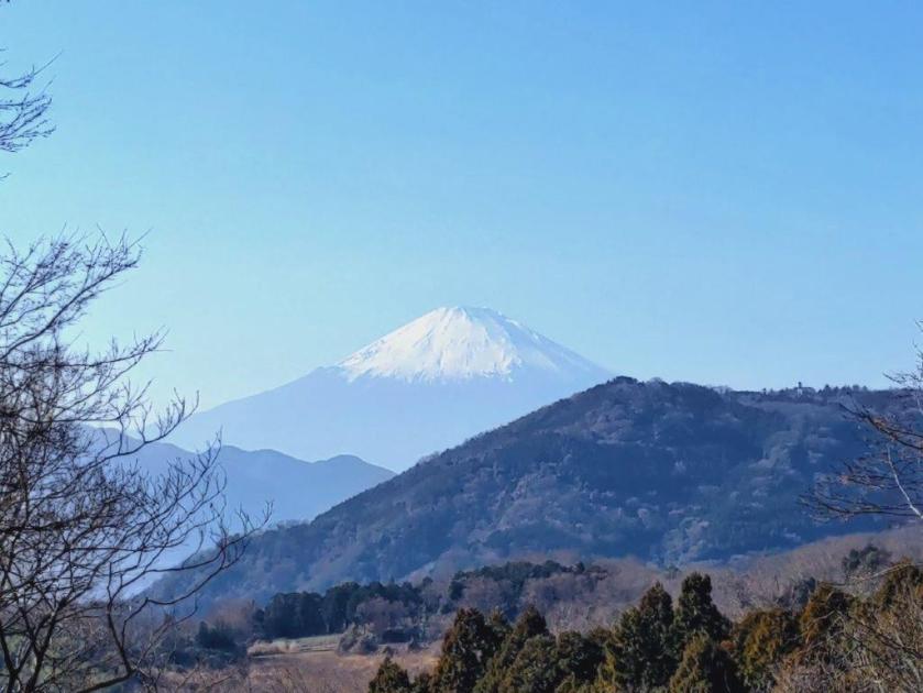
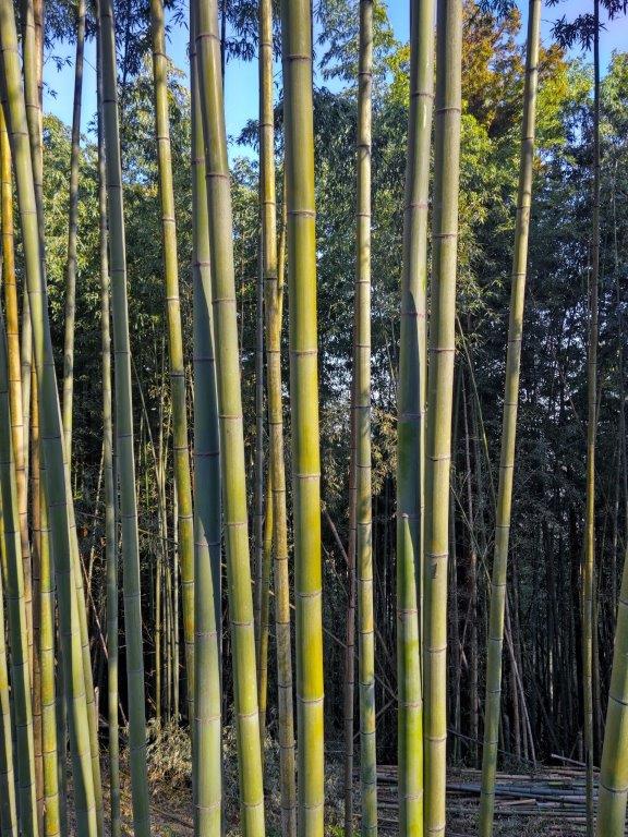
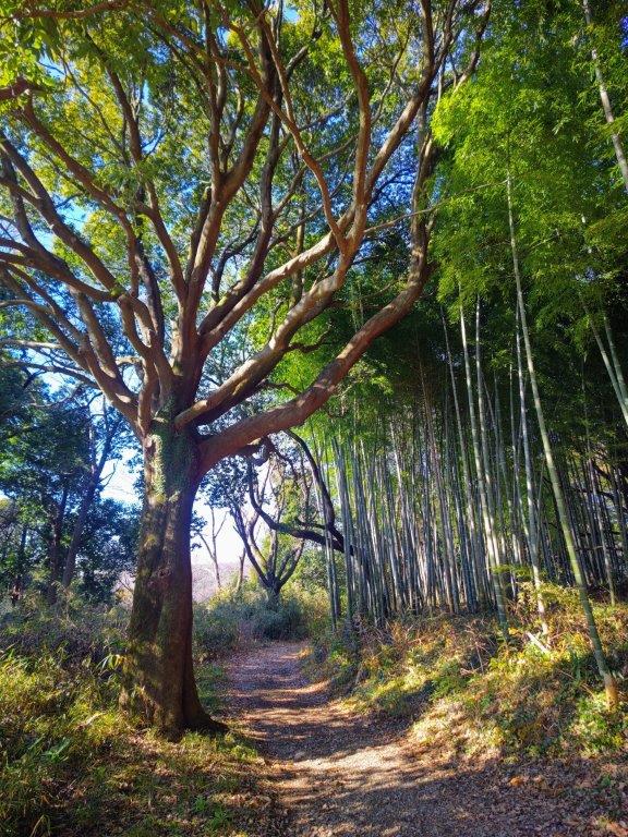
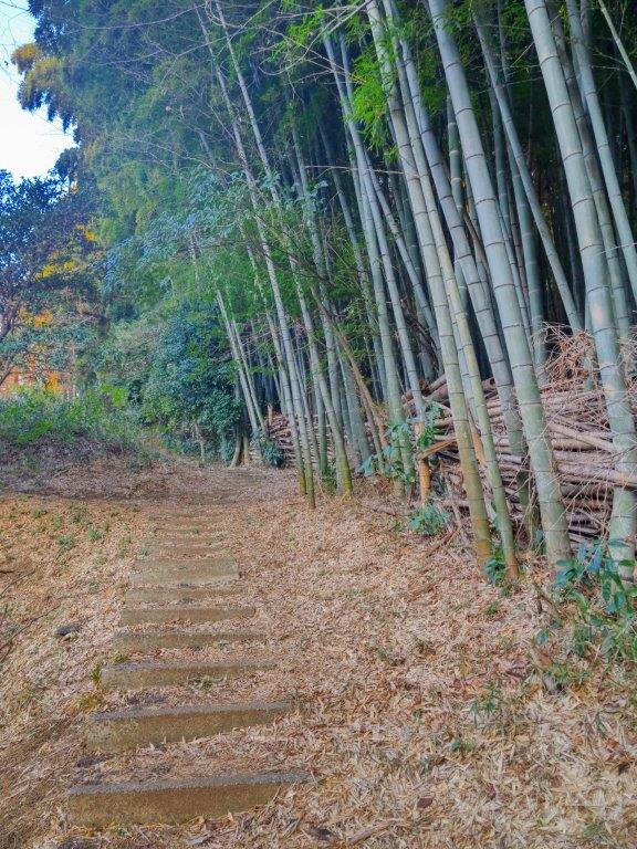
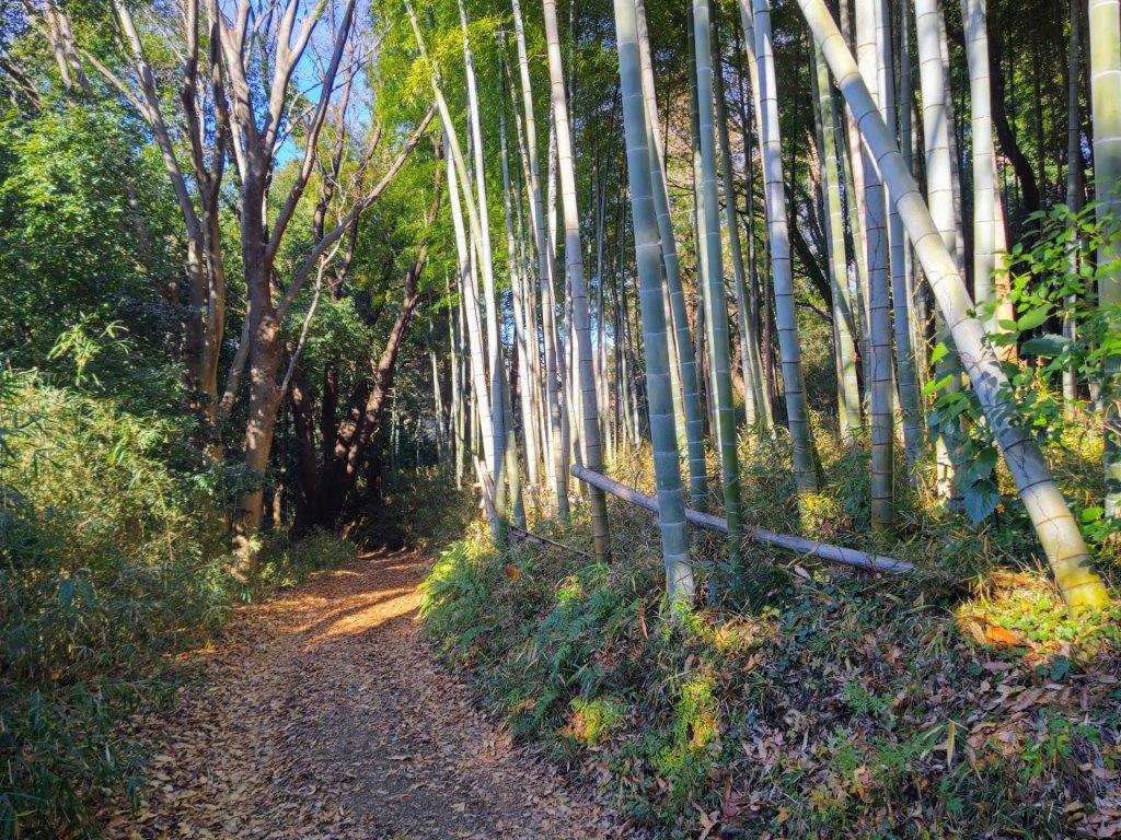
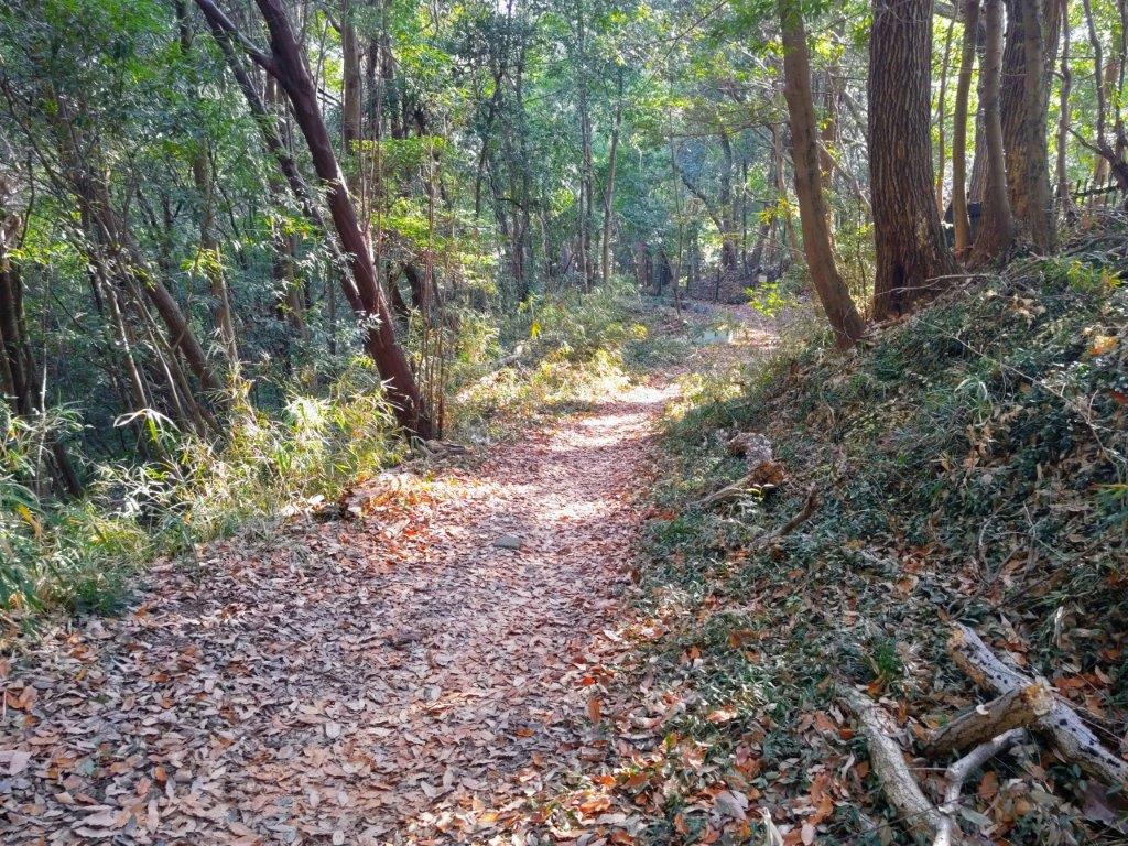
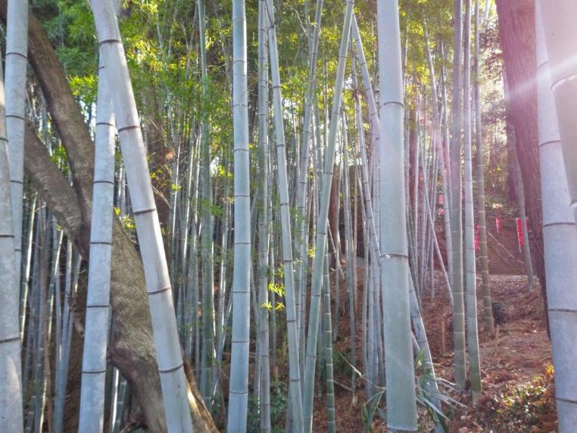
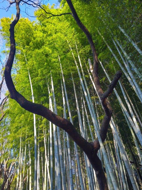
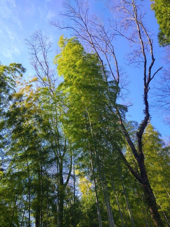
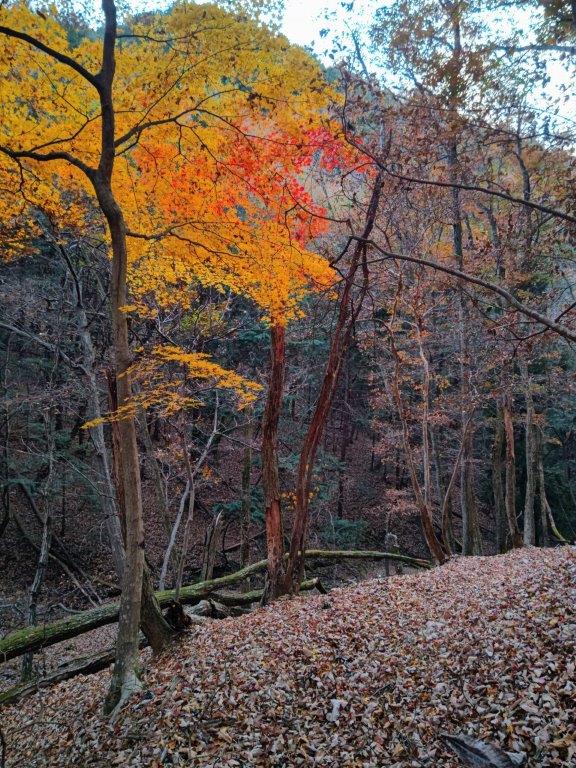
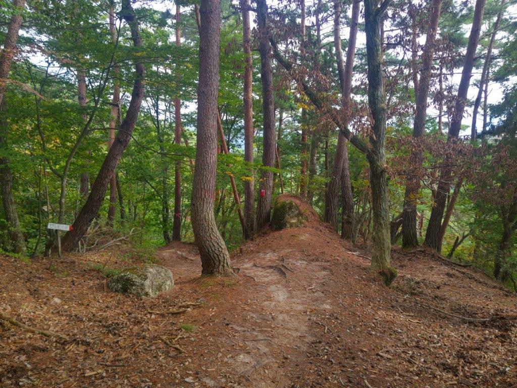
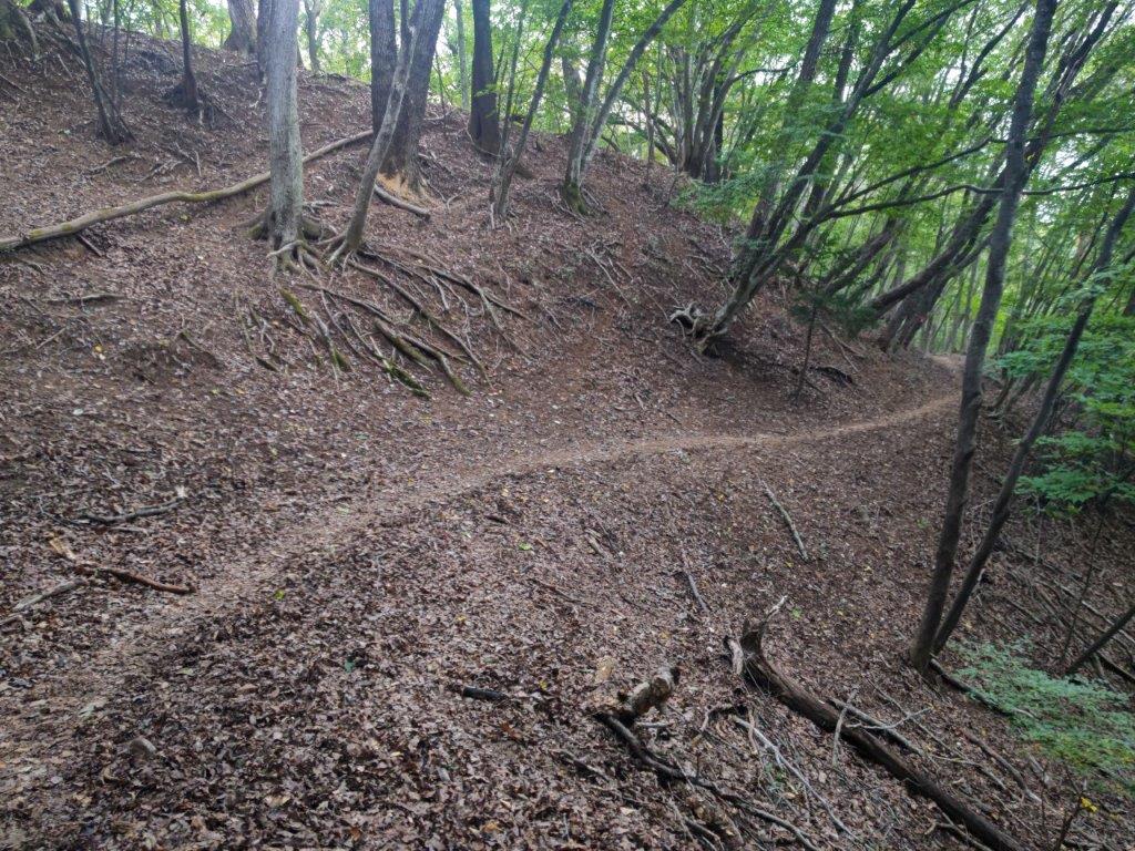
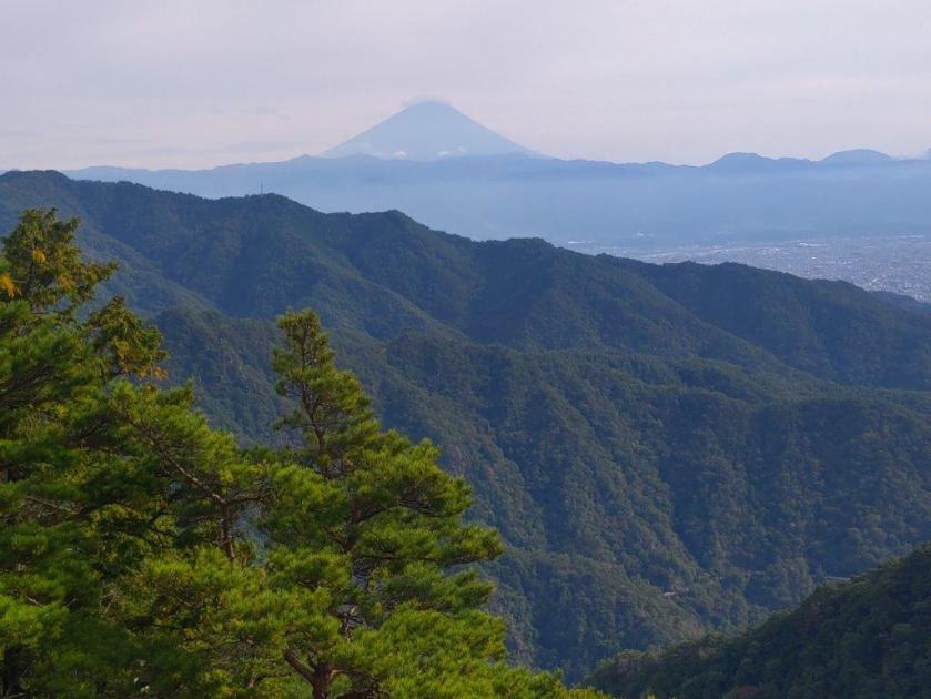
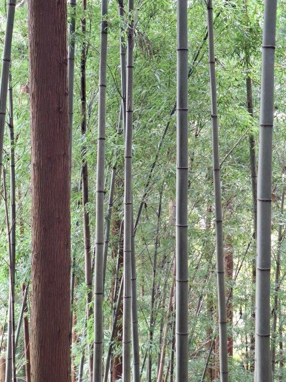
I had to walk over, around and even under several fallen tree trunks, adding charm to the otherwise well-maintained path. Beyond a bamboo forest and a series of bamboo steps, I reached the top of Mt Yakunimi (八国見山 やくにみやま yakunimi-yama, meaning “8-country view”). Almost completely in the trees, a gap perfectly placed on the west side allowed for a majestic view of snow-covered Fuji, a secret viewing spot of Japan’s iconic volcano. I sat on one of the bamboo benches for lunch with a view. Shortly after 1h30, I resumed my hike, heading down the west side. Very soon I rejoined the road I’d been on earlier; a little further on, it ended at the top of a newly-built concrete staircase with a wide view to the south.
View South above the Cemetery
View West from near the Cemetery
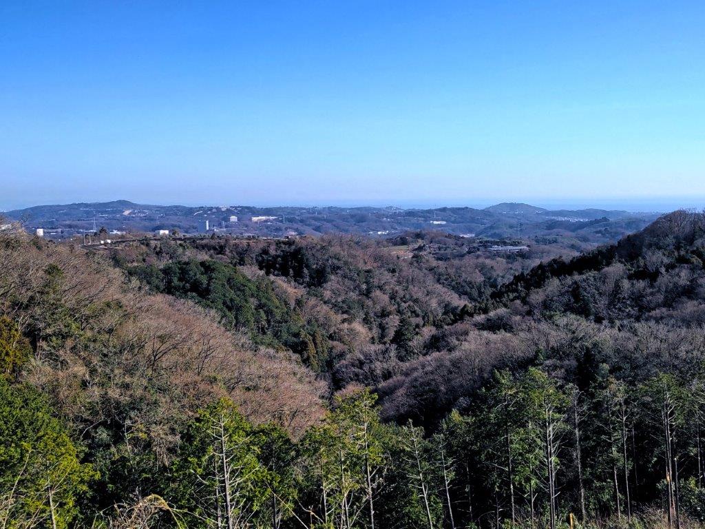
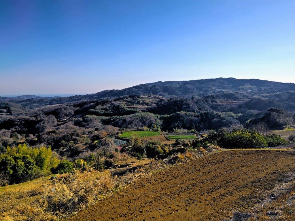
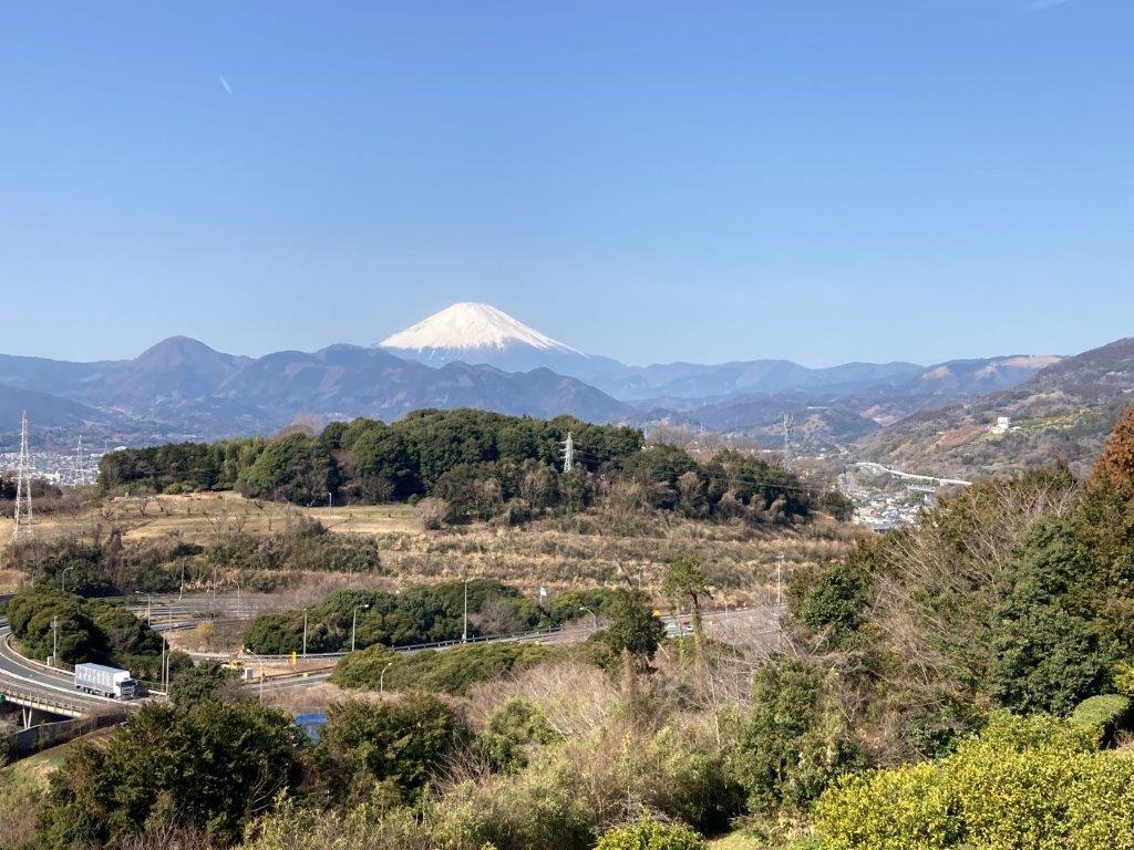
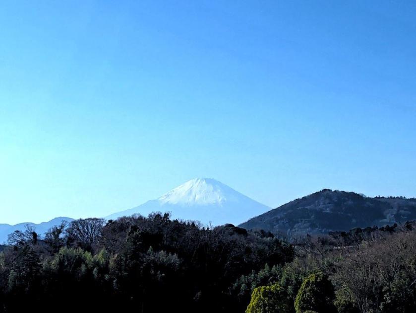
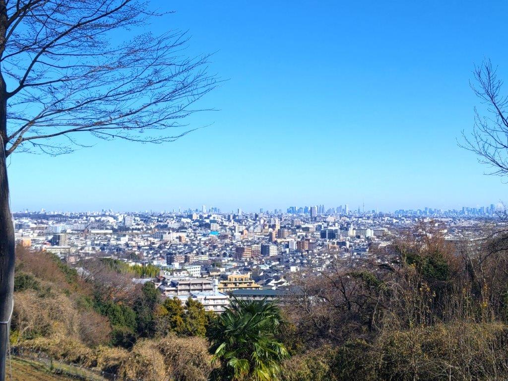
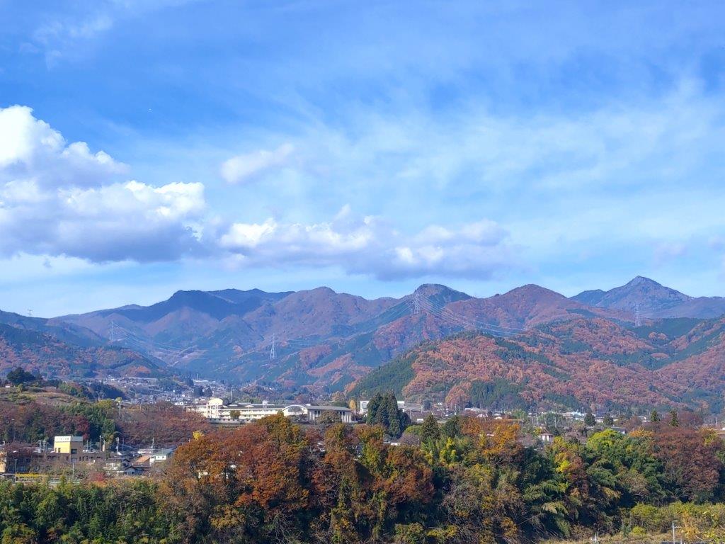
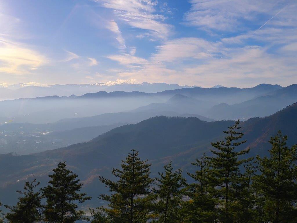
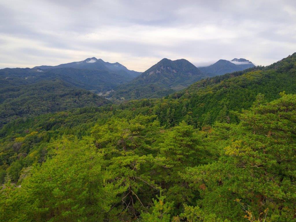
I was delighted with this unexpected view, the trees having been cleared to make way for a cemetery, a wide grassy expanse near the base of the steps, still mostly free of graves. On the west side, I could see Mt Fuji and the outline of the Hakone mountains; to the south, forested hills stretched all the way to the Shonan coast and Sagami Bay. At the bottom of the steps, I walked a short way along a brand new road before turning left up a shorter concrete staircase; this connected with a footpath that soon joined a country lane heading south.
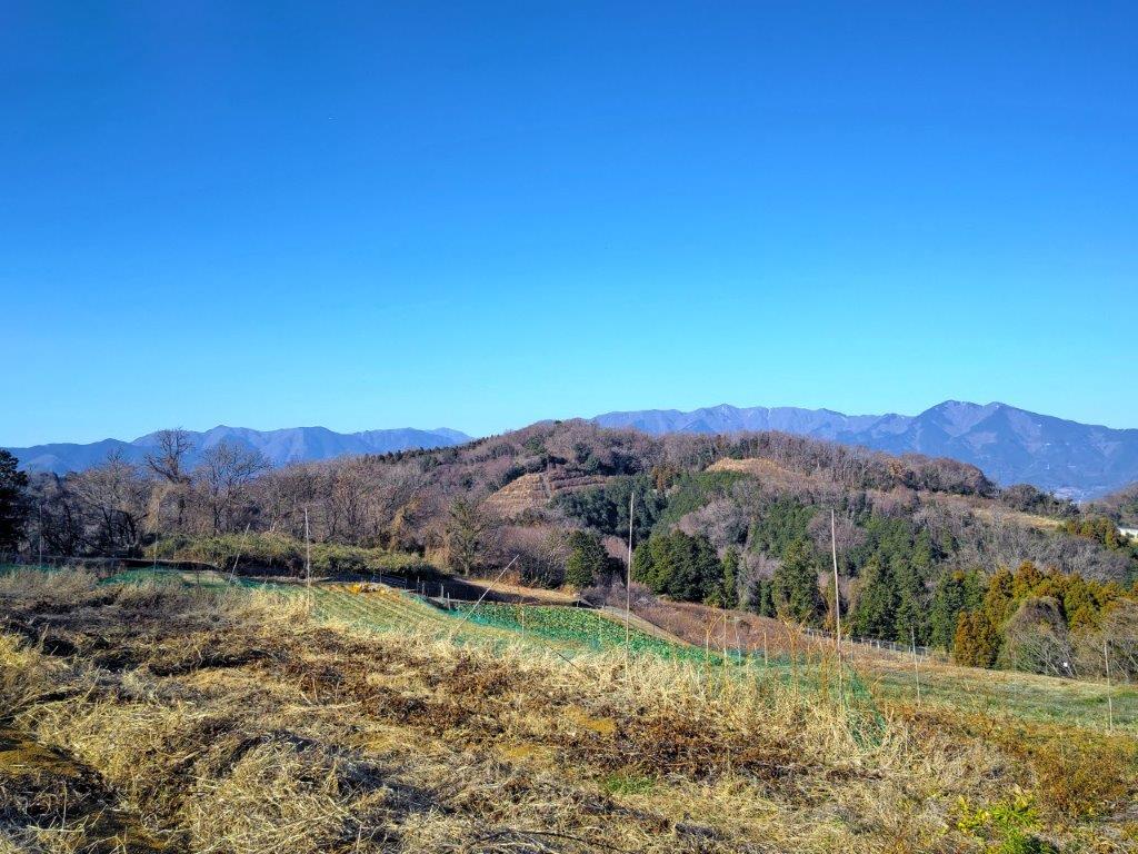
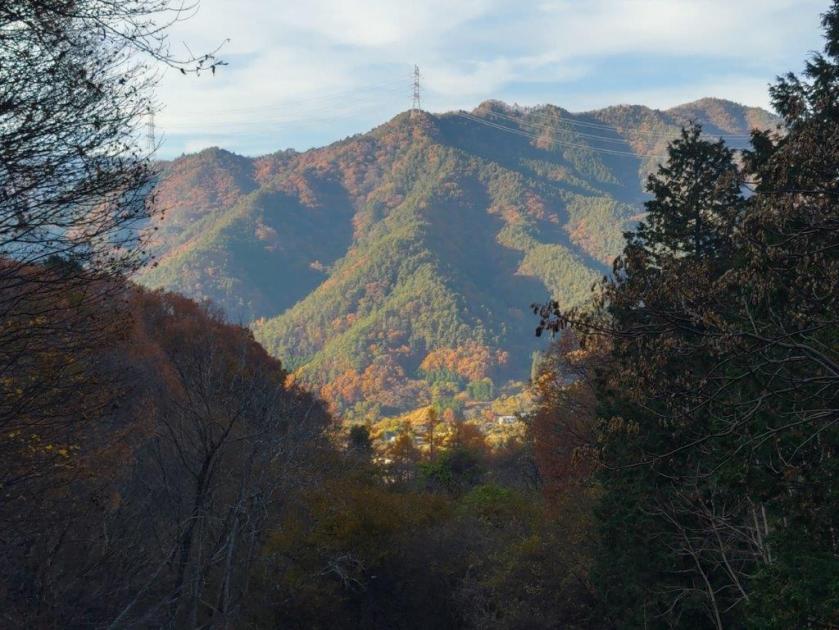
View of Mt Yakunimi with the Tanzawa Mountains behind
Mt Yakunimi (front left), Mt To (center) & Mt Odake (right)
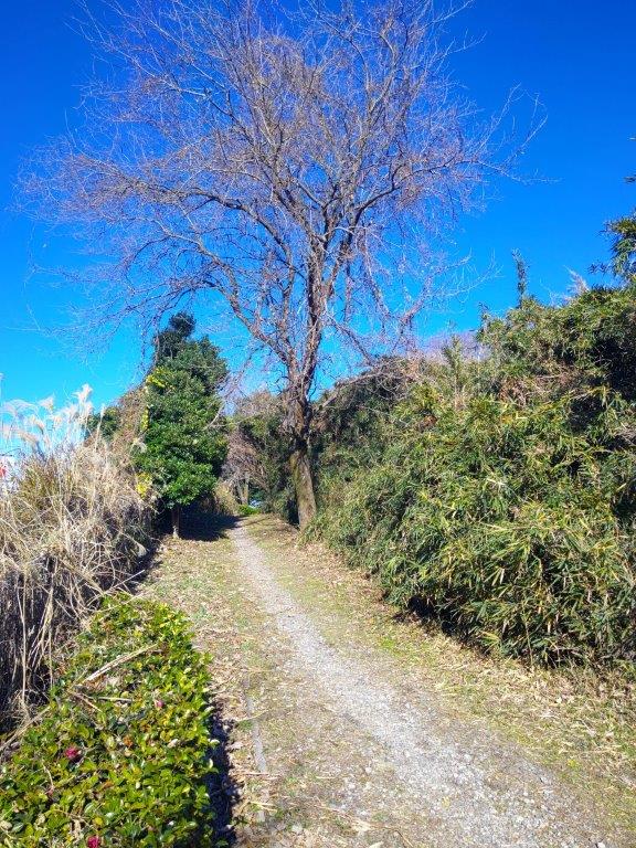
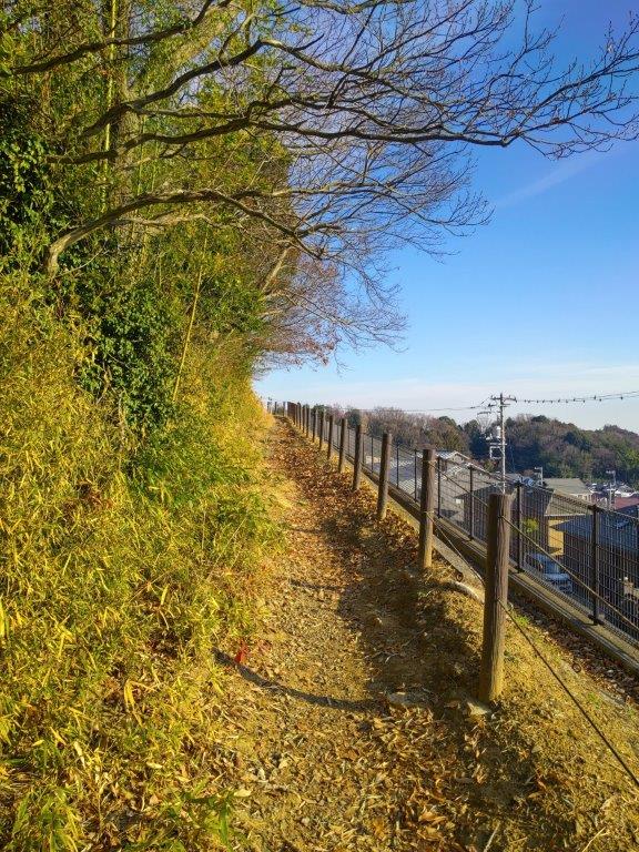
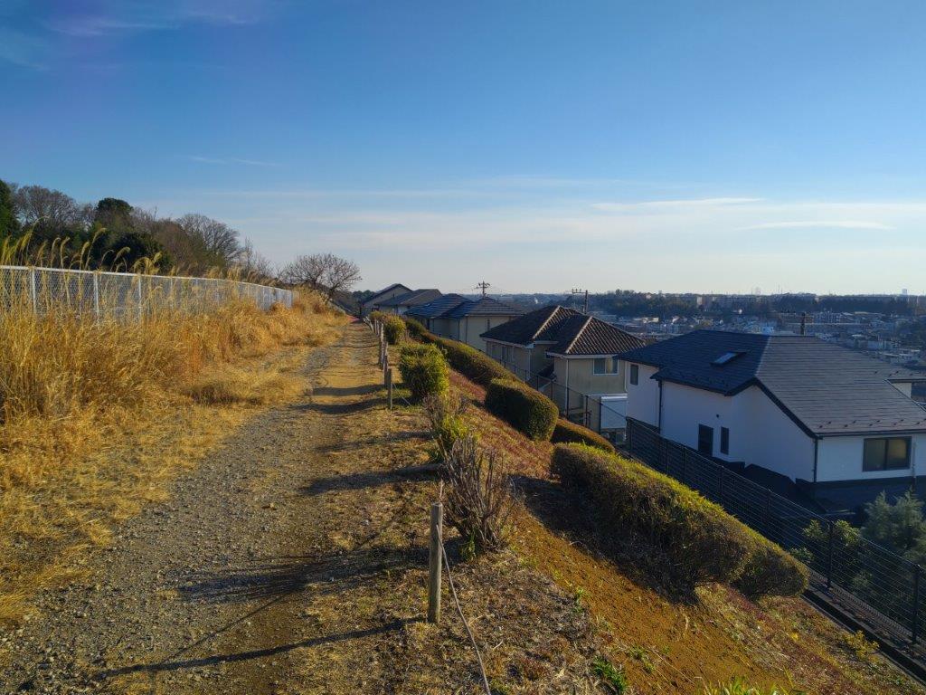
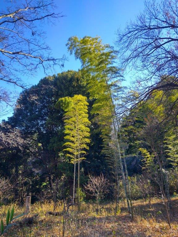
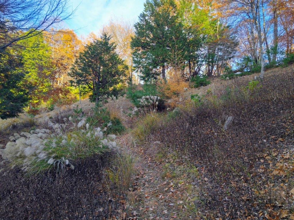
This part of the hike felt quite adventurous: even though I was walking through fields and woods, the lane I was following was unknown to Google Maps and I had to rely entirely on my hiking app to find my way. Turning around I had a good view of Mt Yakunimi with the Tanzawa mountain range rising in the background. As I rounded a bend with a bamboo grove on my left, I came upon Neo Bandit Base, a campsite in the middle of nowhere with no apparent access, almost as if it were a real bandit hideout. At a fork in the road, I followed the right branch to the top of the campsite, taking me to a viewpoint of the forested hills as they extended southwards.
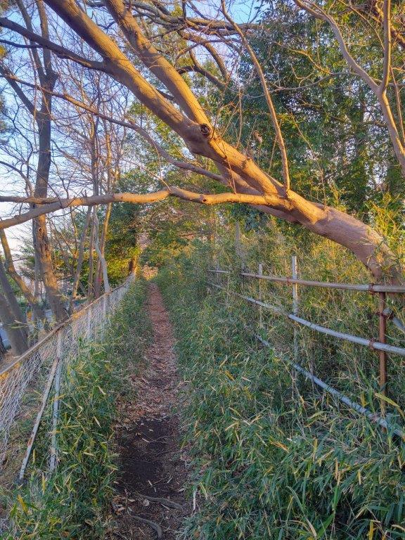
Country Lane Past Mt Takao
Forested Hills extending South to the Coast
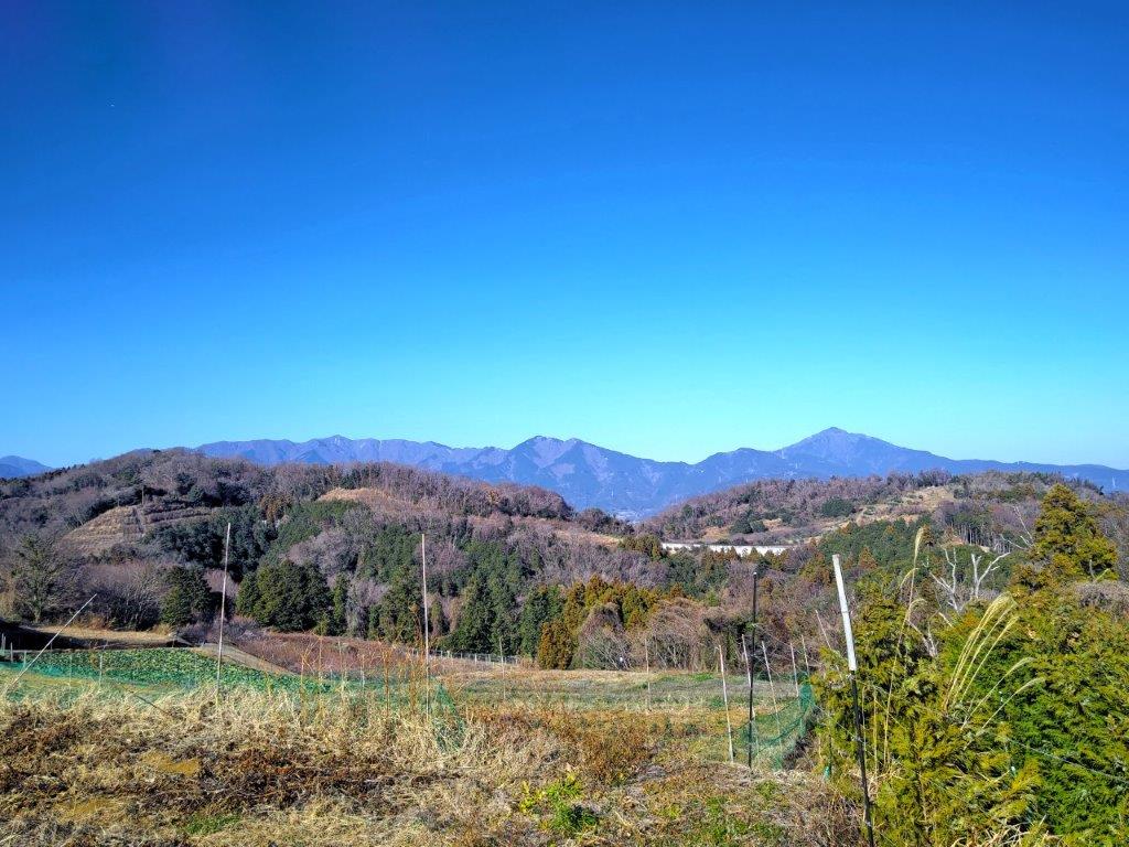
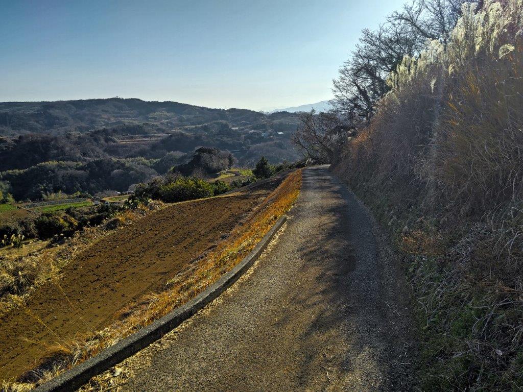
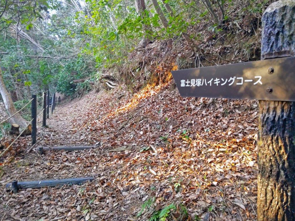
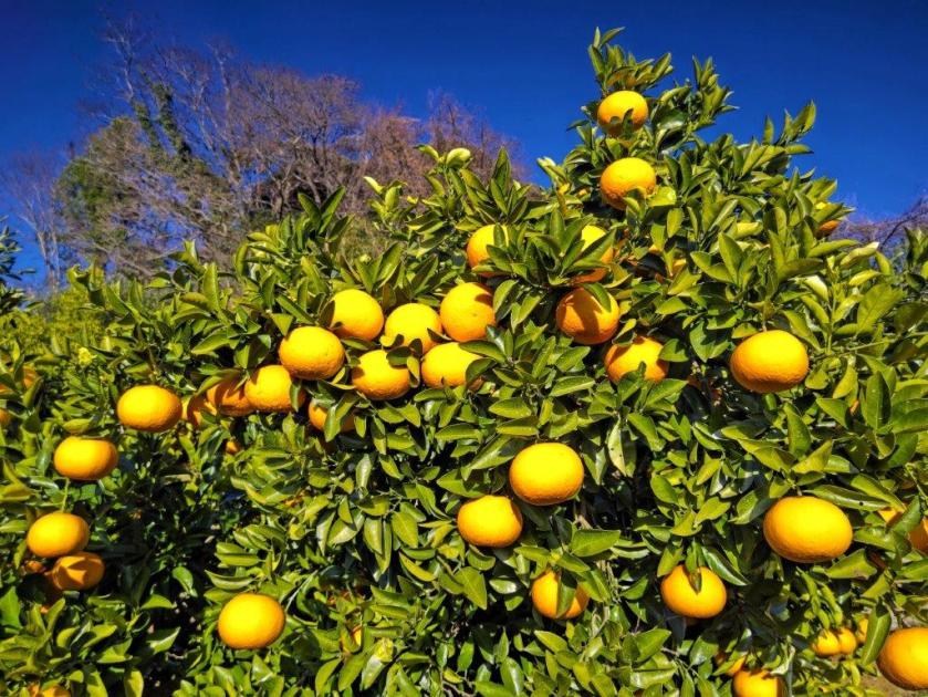
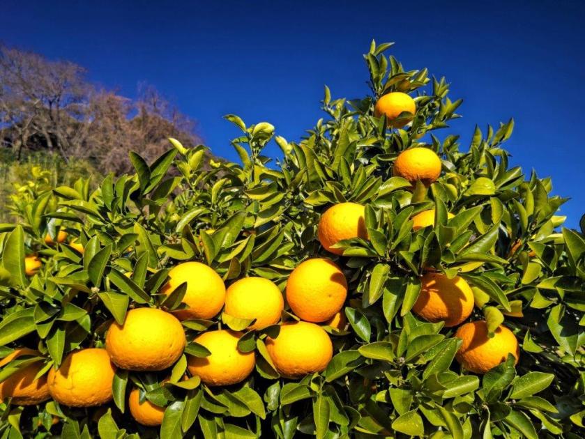
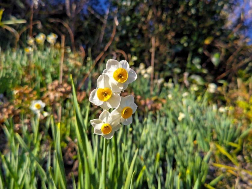
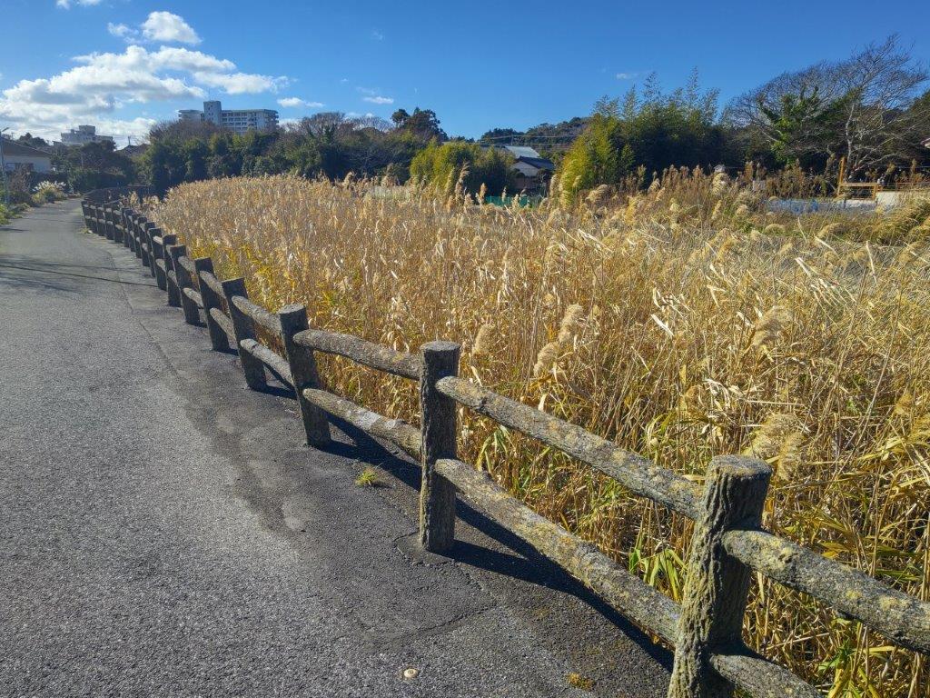
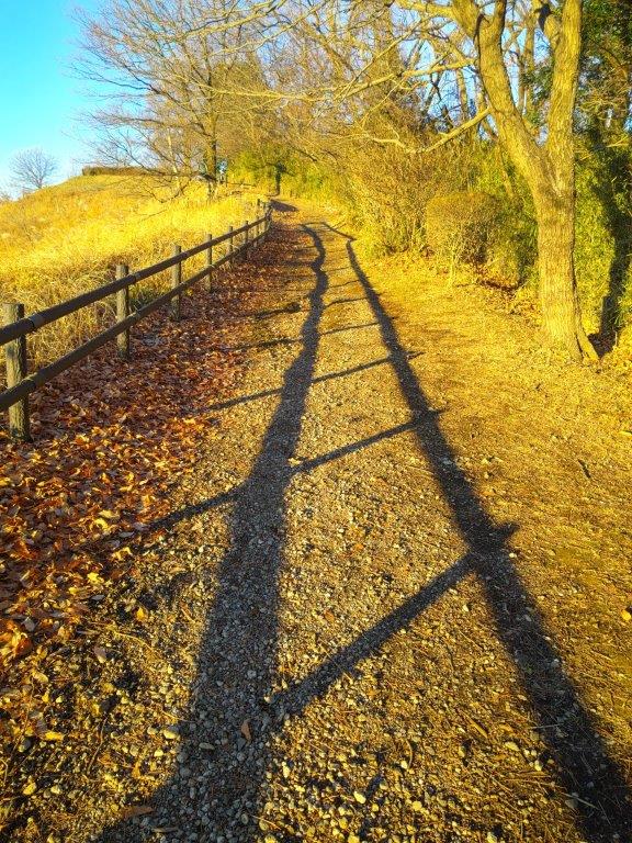
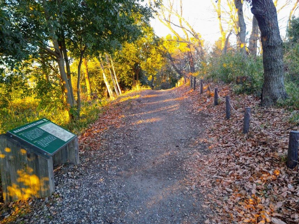
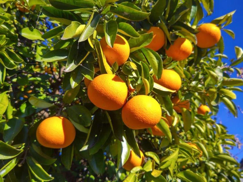
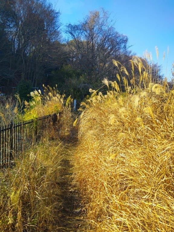
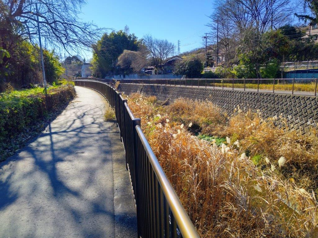
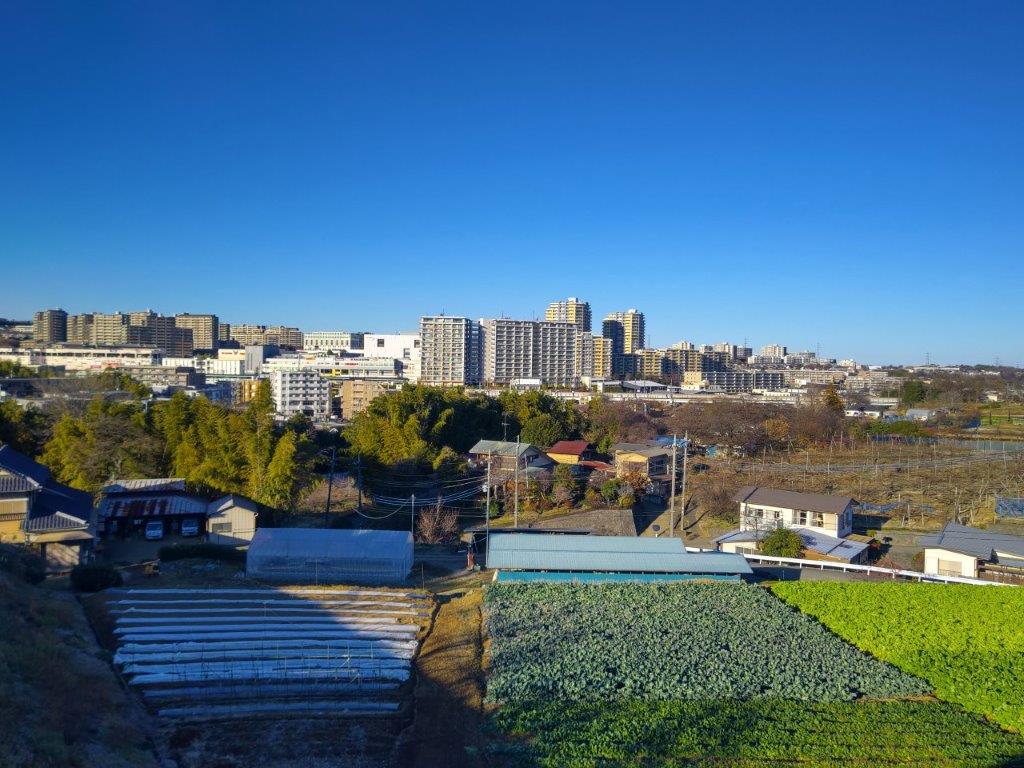
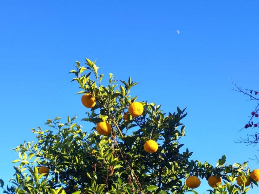
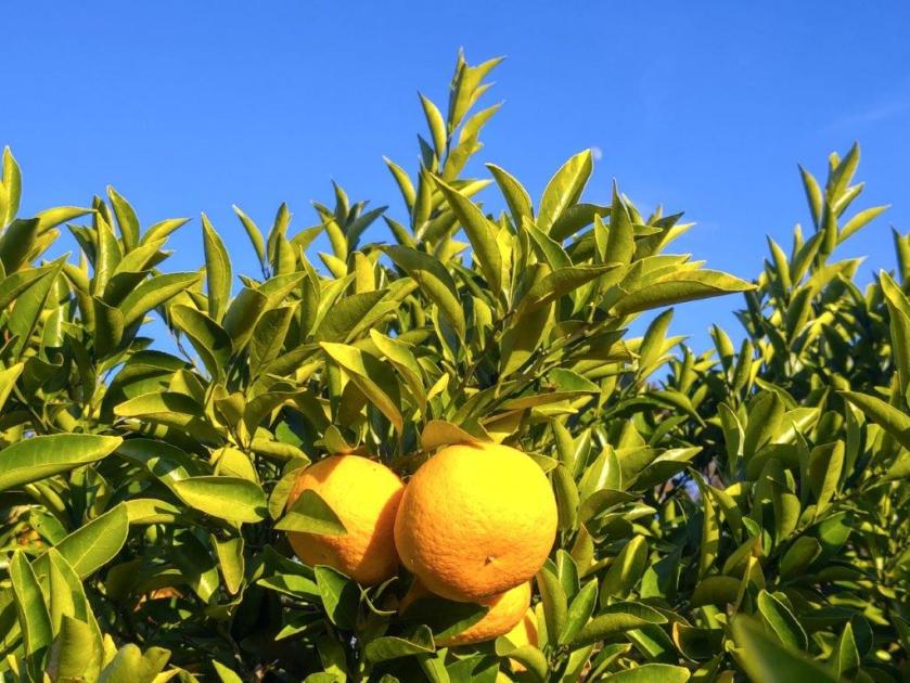
I imagined it’d be a nice place to spend the night, enjoying a view from one’s tent, perched high up on the hillside. I followed the road a little further as it curved around the back of the mountain and soon reached the top of Mt Takao (高尾山 307), a minor mountain lacking a summit marker. It was surrounded by forest so I quickly retraced my steps to the main road. I soon found myself walking through farmland again, with a view of the Soga Hills to the south; along the way, I spotted bunches of white and yellow “suisen“, as well as orange “mikan“, adding colour to the winter landscape. After some descending, I reached a busy road, snaking its way along the base of a valley. After about 20 minutes walking on the sidewalk, I reached a signpost for the Fujimzuka Hiking Trail (富士見塚ハイキングコース) on the right side.
View of the Soga Hills past Mt Takao
Walking through Farmland
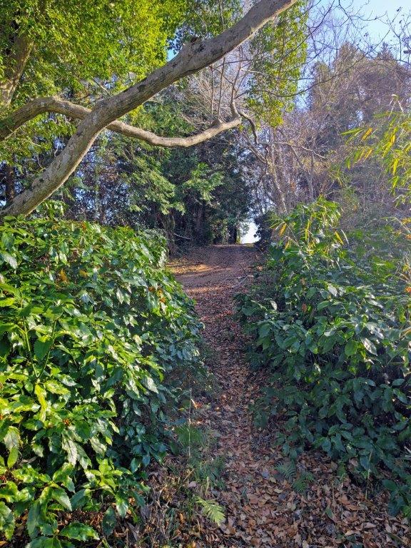
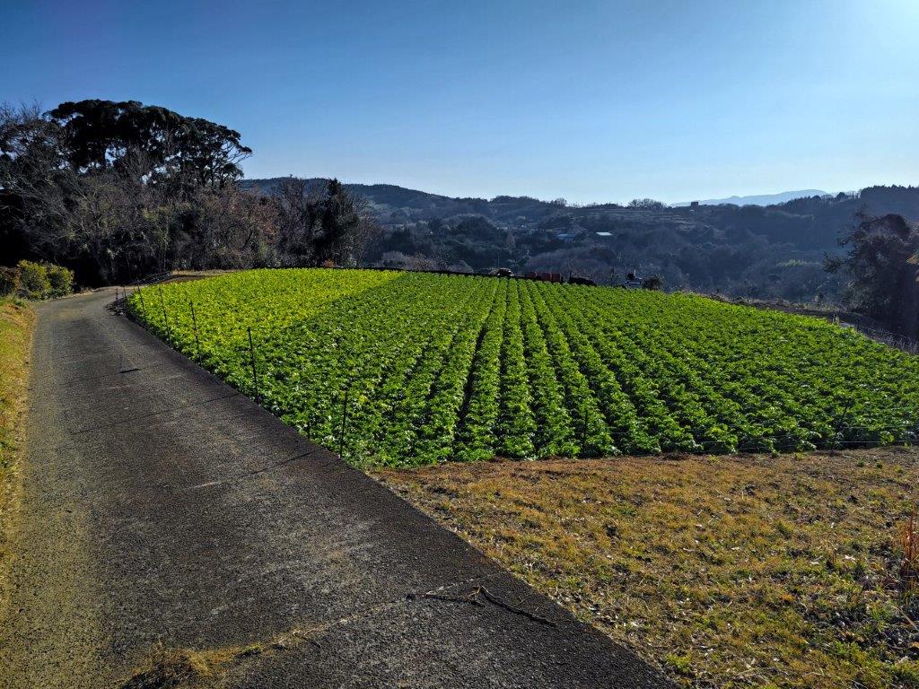
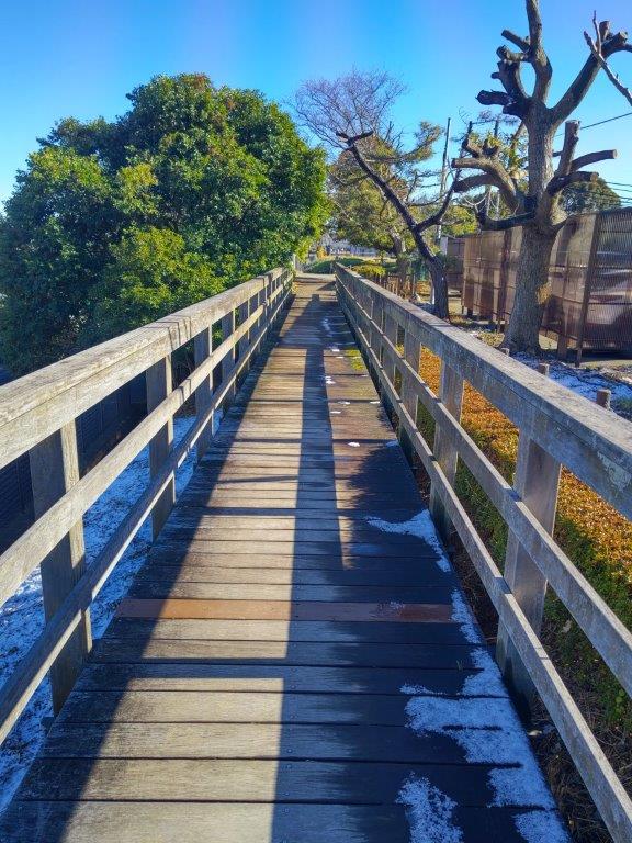
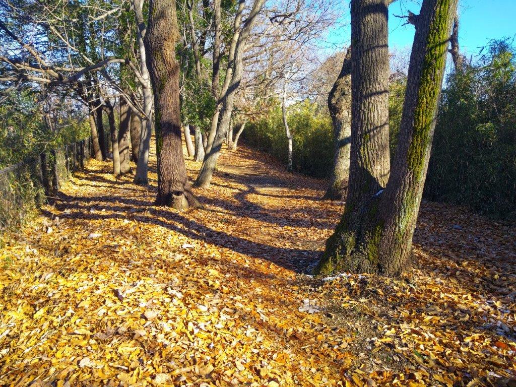
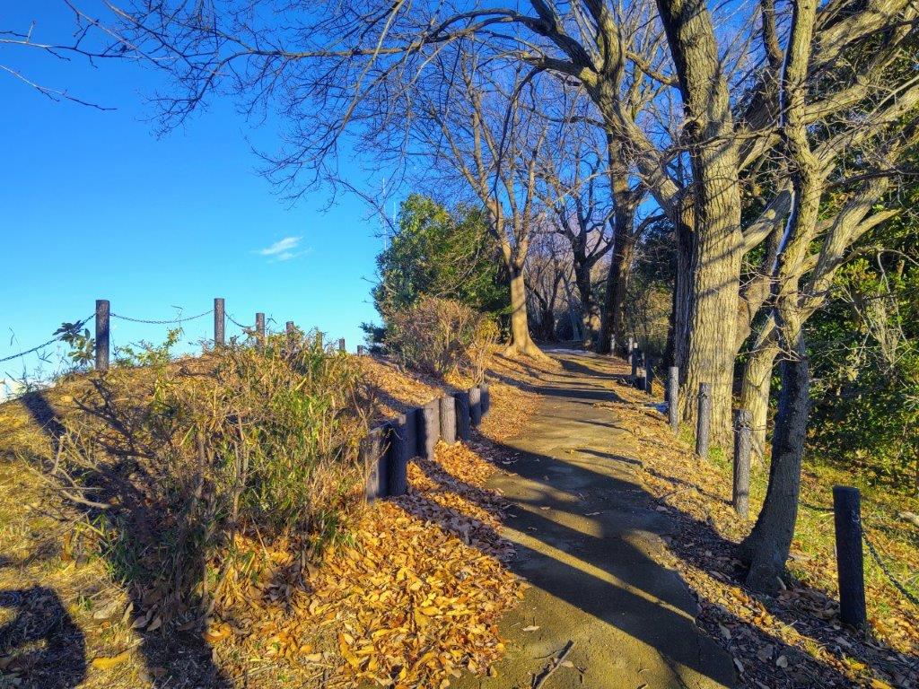
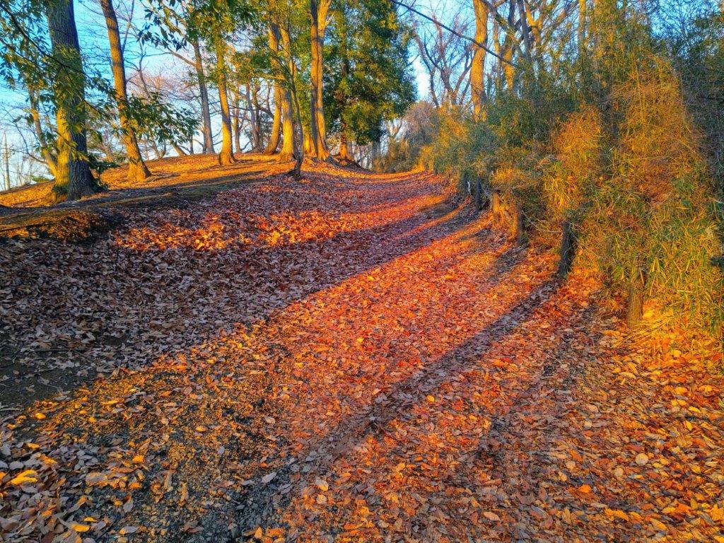
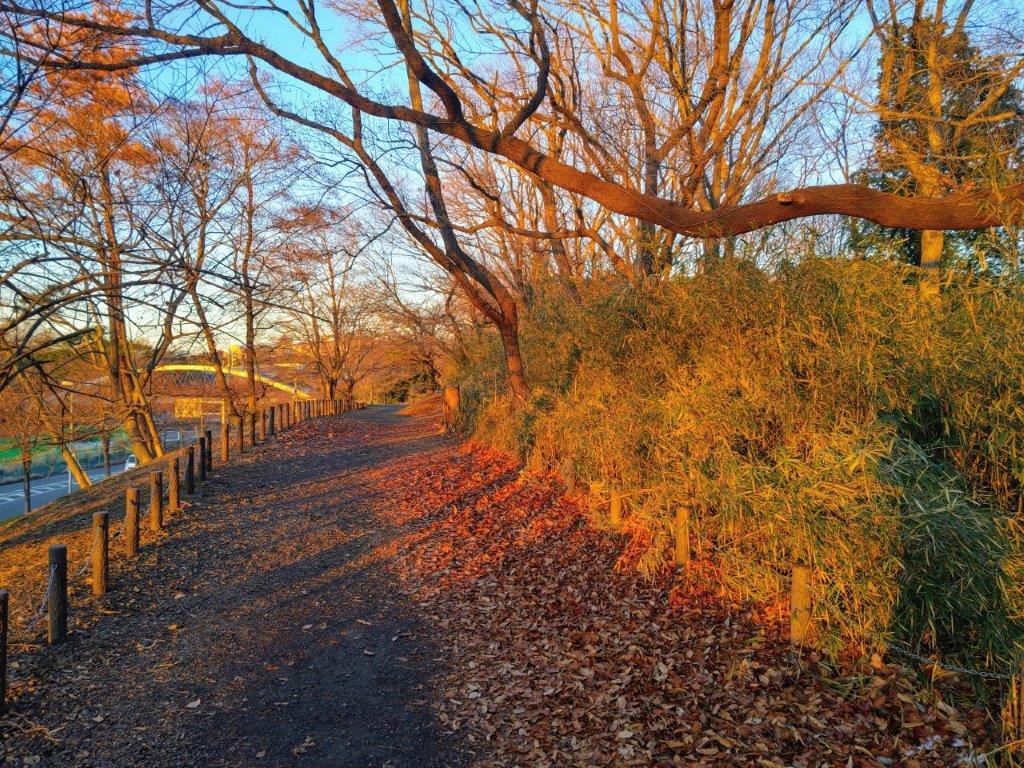
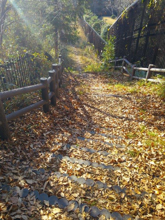
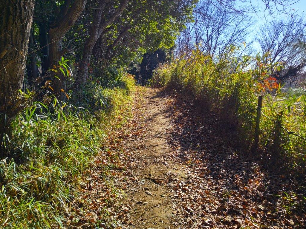
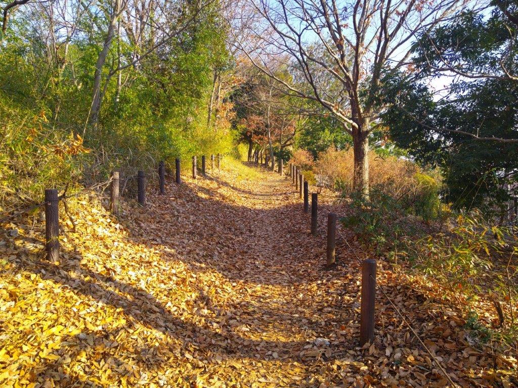
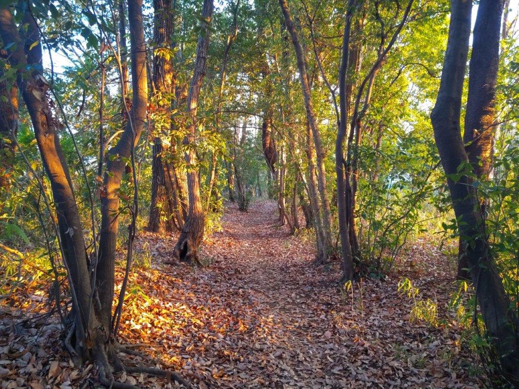
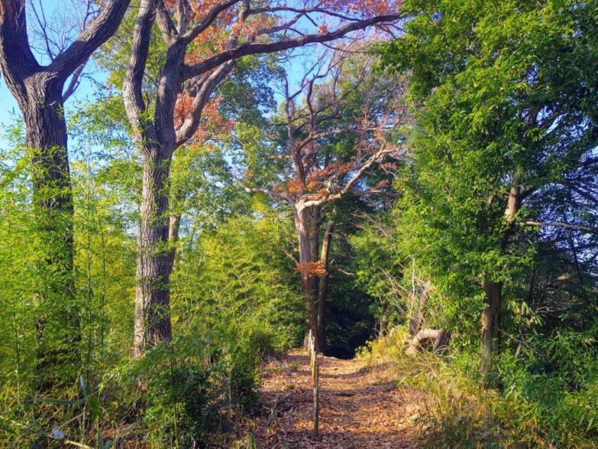
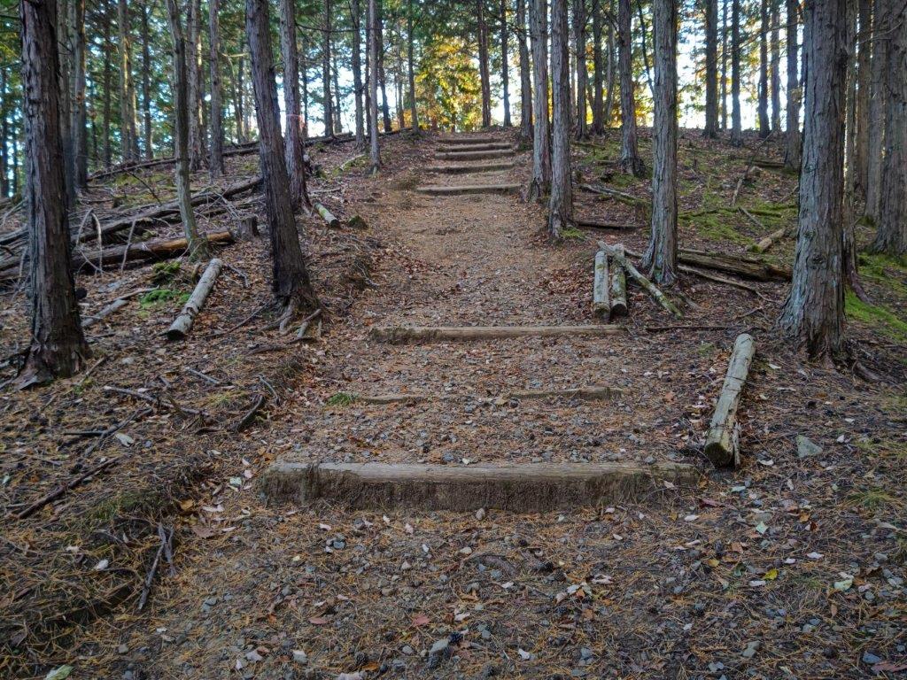
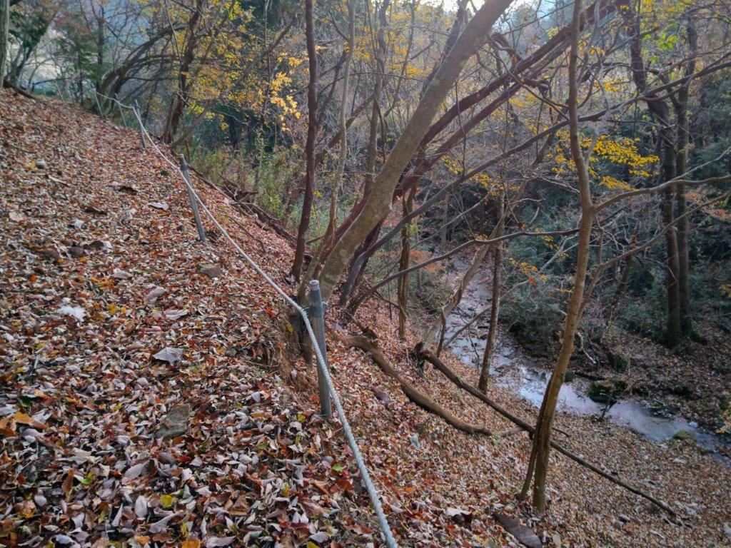
I was glad to be walking on a peaceful country lane again, taking me through the Yanagi Village Farm (やまぎ村ファーム). Past a white recycling center, out of place at the edge of the fields, I spotted a signpost for a trail leading into the forest on the left. The leaf-covered path climbed and then dipped into a steep, narrow valley. After crossing a stream over a metal bridge, I turned left, following the water upstream. Past a bamboo grove, I suddenly emerged onto a road. As the 4 o’clock chime sounded, buildings and fields lit golden in the setting sun, I made my way through the shinokubo neighbourhood and soon arrived at Jifuku-ji Temple (地福寺) at the bend of a bypass; beyond, the road climbed a long slope.
Walking through Forest near the End of the Hike
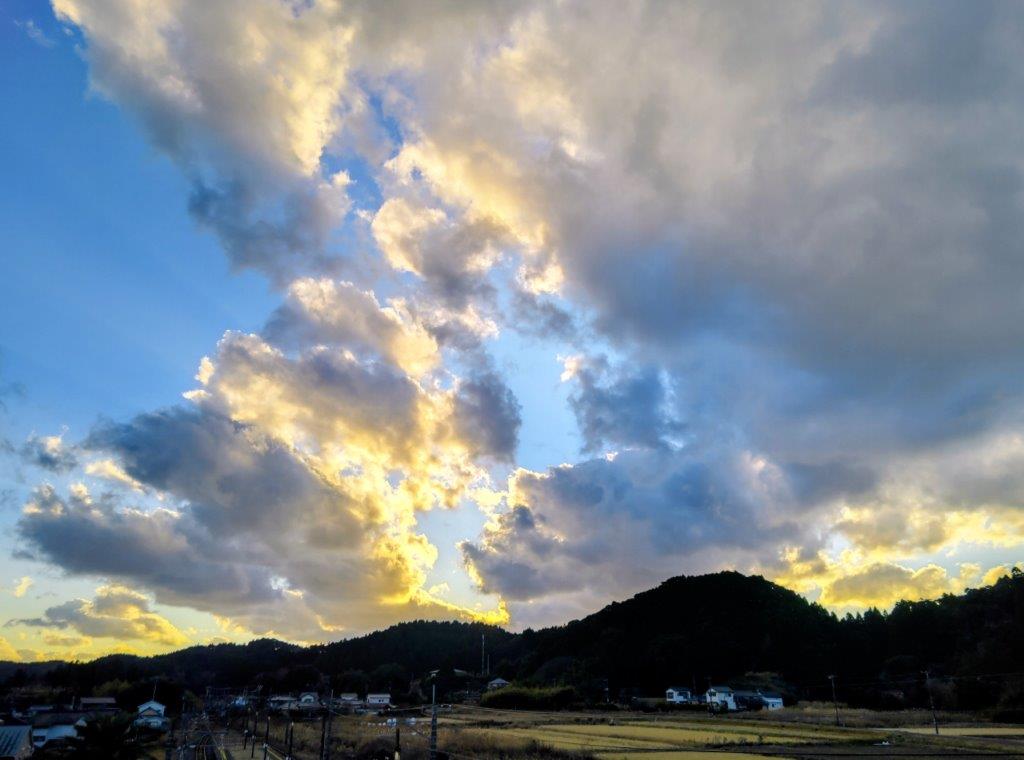
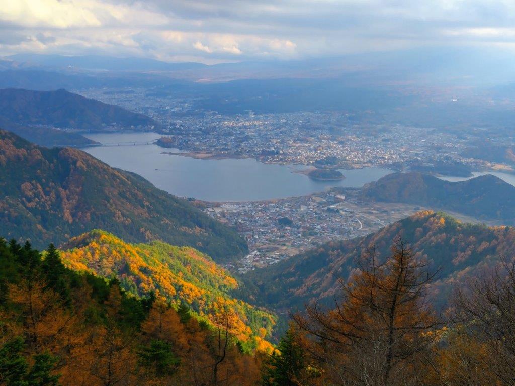
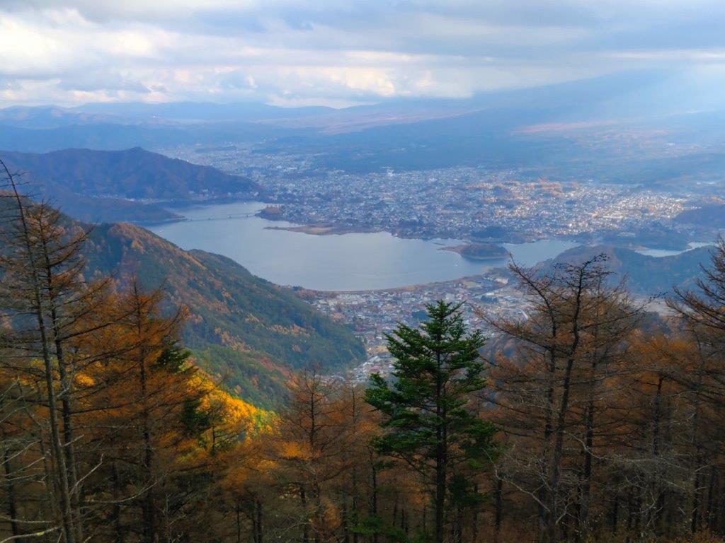
Sunset and Mt Fuji above Matsuda City
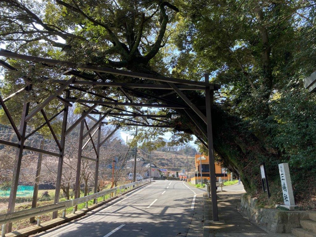
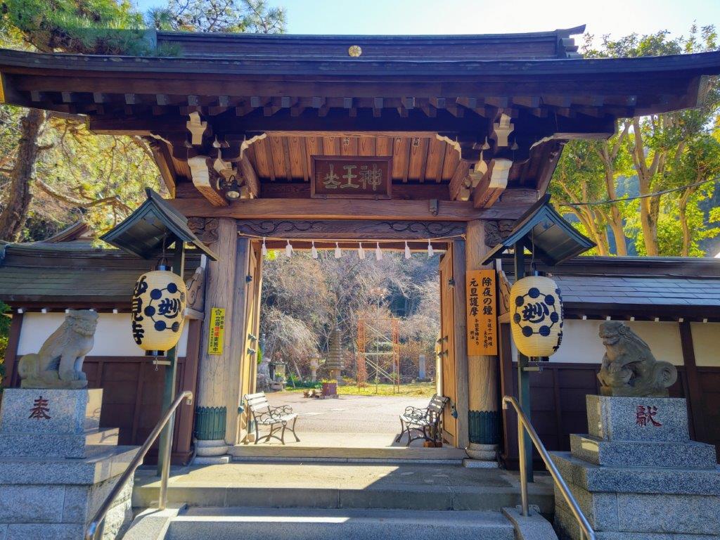
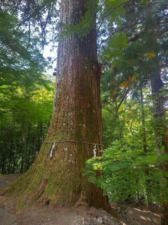
I hastened to reach the highest point, the gloom increasing fast shortly before sunset. I passed the entrance of Mishima Shrine (三嶋神社), walking under the overhanging branches of Shinokubo’s chinquapin (篠窪の椎 shinokubo no shii). This species of beech was more than 500 years old and one the 100 famous trees of Kanagawa; its lengthy branches were upheld by a metal frame, creating a natural tunnel over the road, but unfortunately too dark for a good picture.
A Natural Tree Tunnel (photo by Anthony Griffin)
Mt Fuji and its Snowcap (photo by Anthony Griffin)
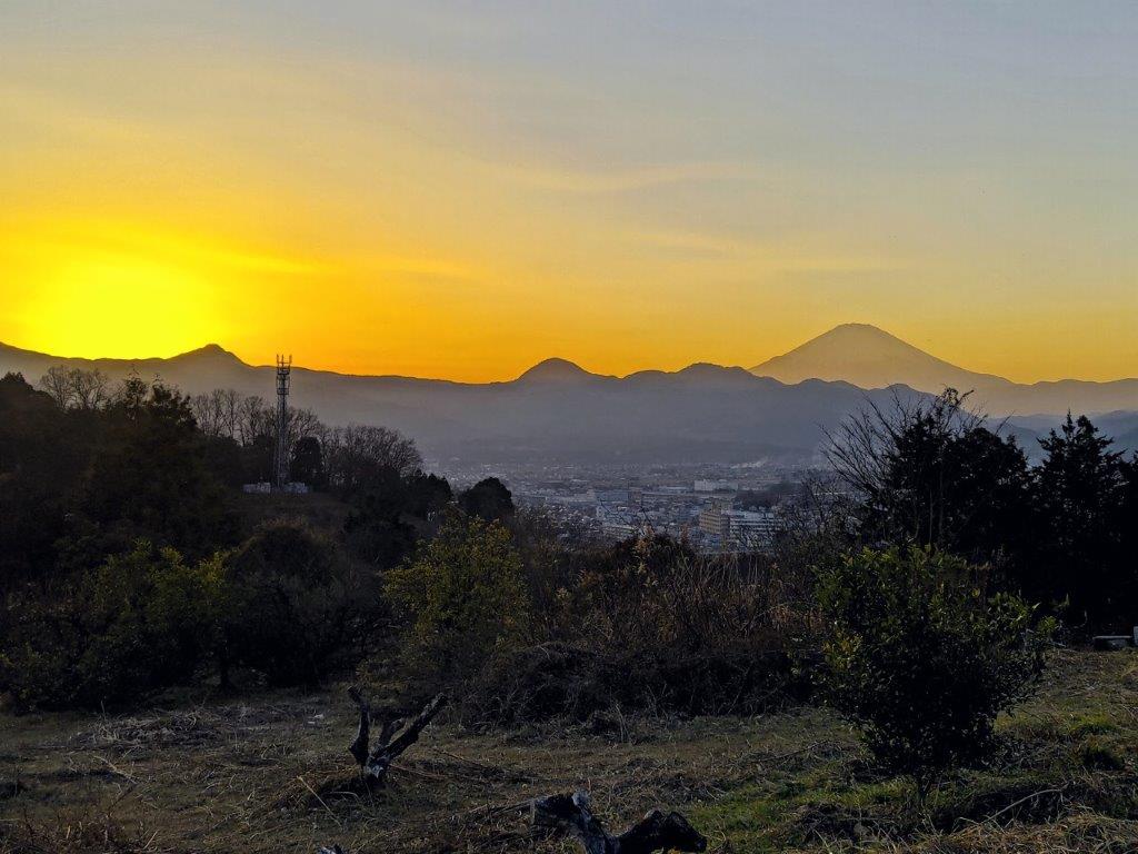
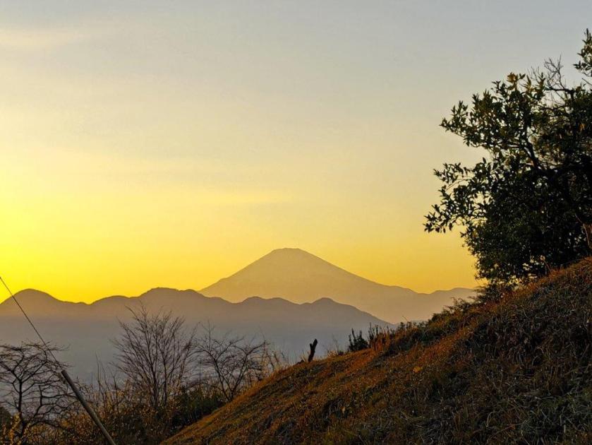
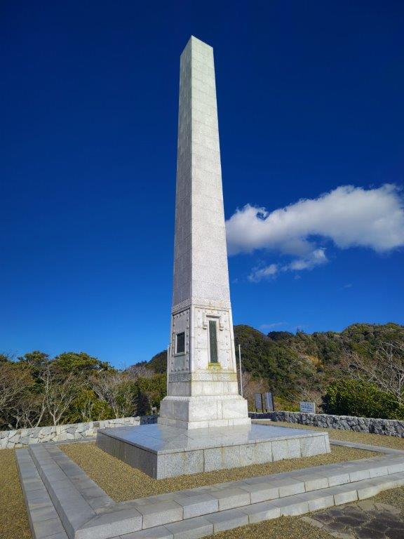
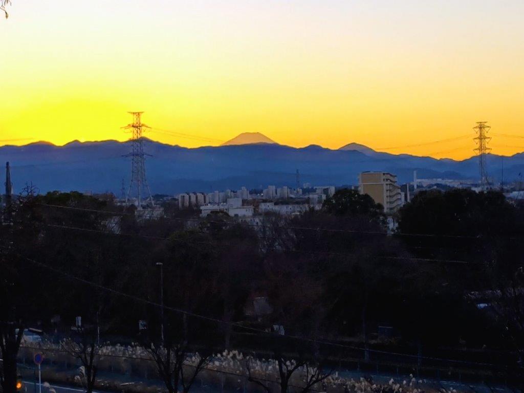
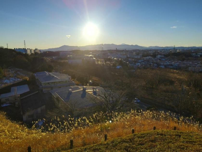
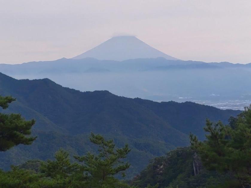
As the sun was setting behind the Hakone mountains, I reached Fujimi-zuka (富士見塚), marked by a stone monument. From the pass, I had one final view of Mt Fuji of the day, now a grey outline with a fiery, orange background. It was another 30-minute walk down a quiet road to the outskirts of Matsuda city; after passing under the Tomei expressway, I caught a bus for Shin-Matsuda station arriving there around 5pm. After a one hour wait, I boarded the Fuji express for the 70-minute comfortable ride back to Shinjuku.
Watch a Video of the Hike


See More Pictures of the Hike
![Onjuku Coast Walking Path, Onjuku Town and Isumi City, Chiba Prefecture, Saturday, January 10, 2026 [Highest Point 62m]](https://hikingtokyo.com/wp-content/uploads/2026/01/26.jpg?w=1024)
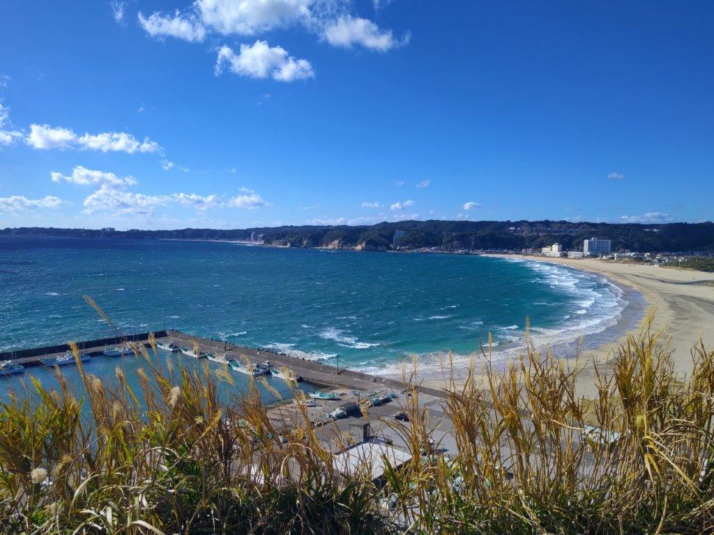


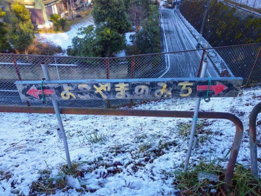
![Yokoyama no Michi, Tama & Kawasaki Cities, Tokyo & Kanagawa Prefectures, Saturday, January 3, 2026 [Highest Point 168m]](https://hikingtokyo.com/wp-content/uploads/2026/01/yokoyama.jpg?w=1024)


You must be logged in to post a comment.