

I found out about this peak along the Izu skyline while researching my trip to Shimoda, and resolved to climb it on a future hike. Looking at my map, I saw I could traverse from west to east, starting from the side closest to Mishima city, and ending on the Atami side. It seemed like a relatively short hike, but I knew the views would be amazing on a clear weather day. I would take the shinkansen to Atami, then transfer to the Tokaido line for a couple of stops to Kannami station, and there board a Tokai bus to a stop just a short distance on foot from the trailhead. At the end, I could catch a bus back to Atami station from near the trail entrance. The forecast called for blue skies all day, and so I was looking forward to some Mt Fuji views along a relatively easy hike.
Hiking in the Fuji-Hakone-Izu National Park
富士箱根伊豆国立公園

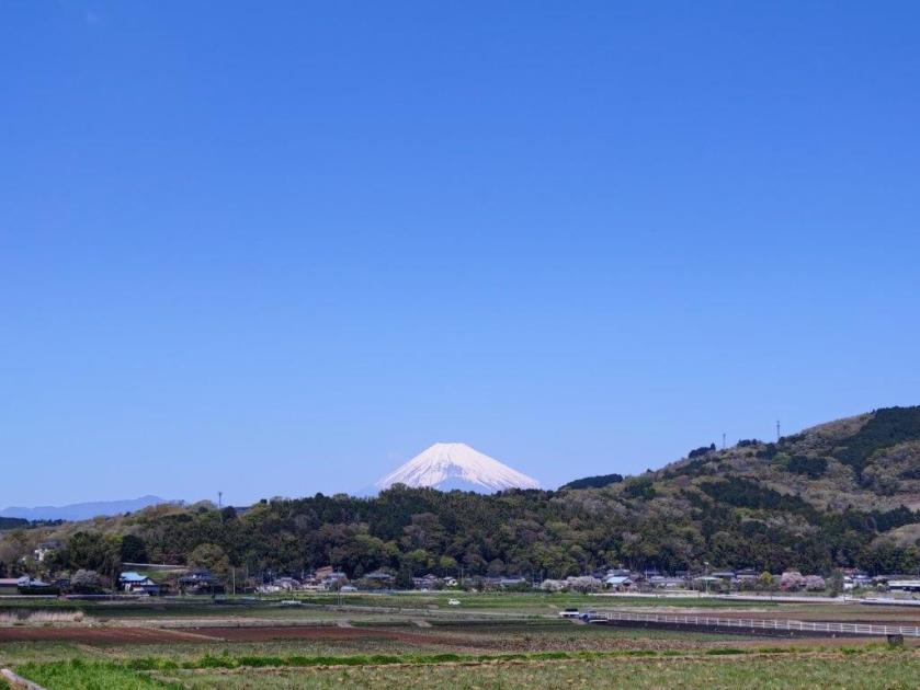
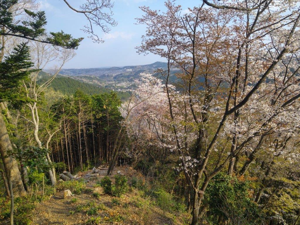
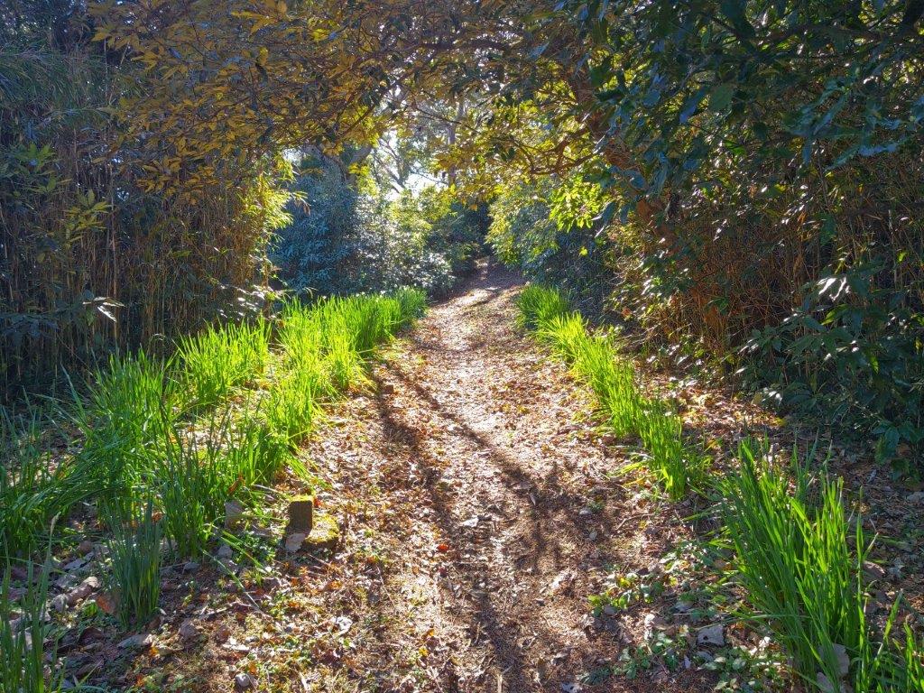
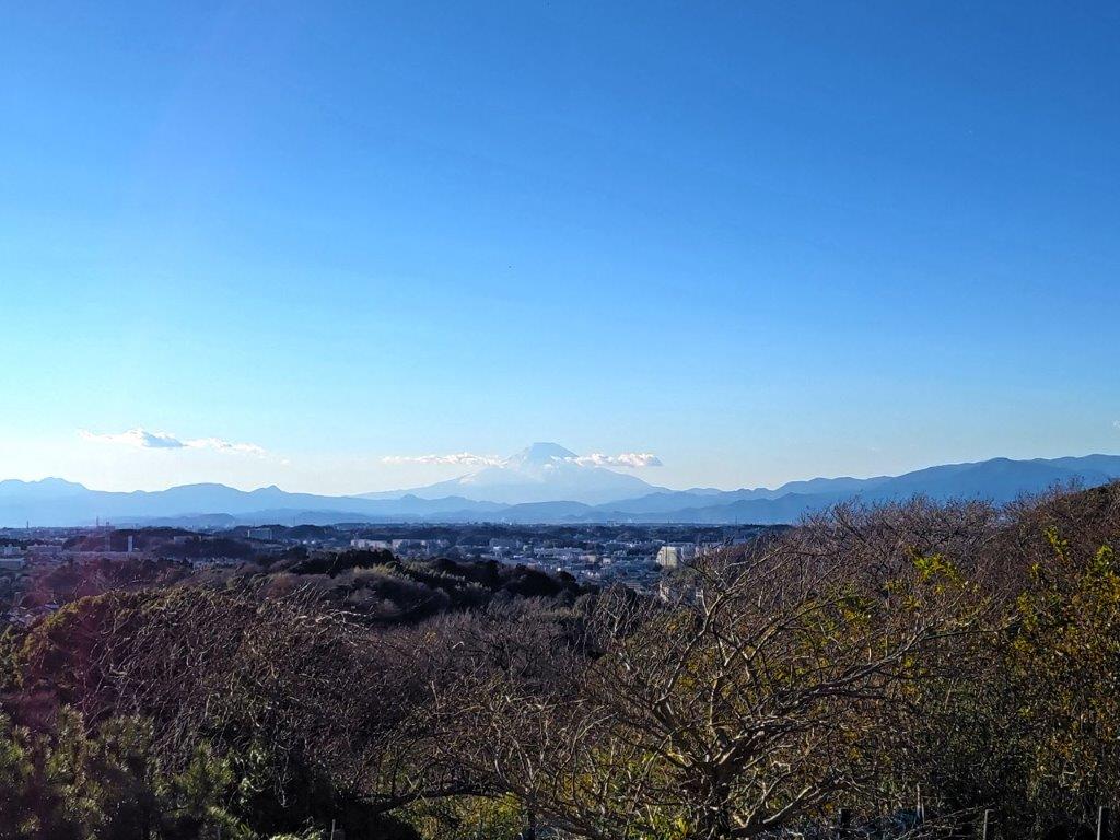
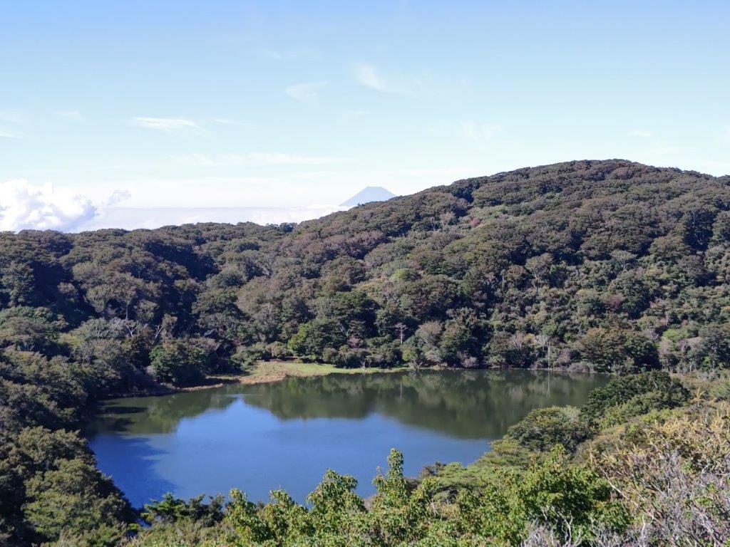
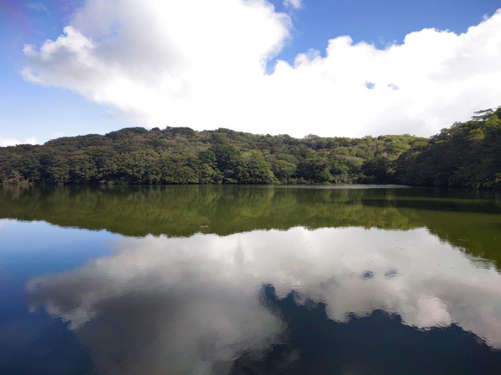
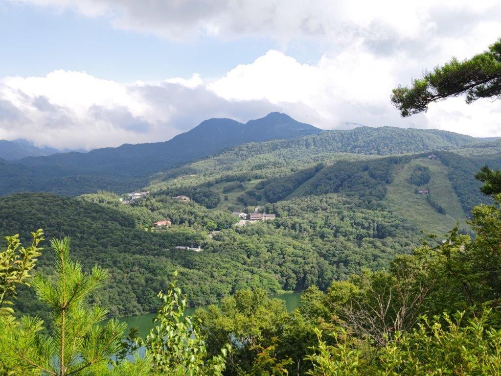
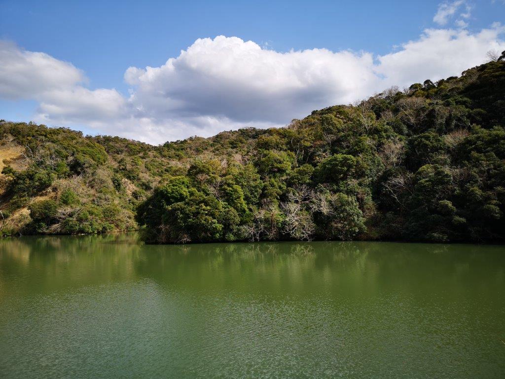
View between Kori Pond and the Mt Kuro Viewpoint
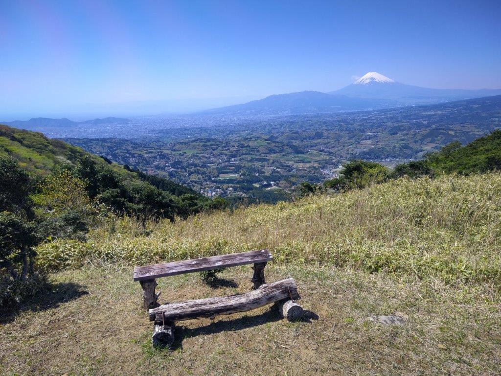
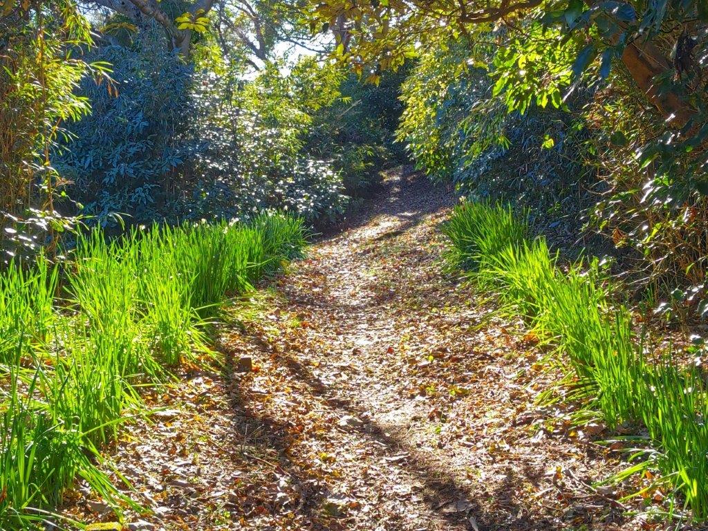
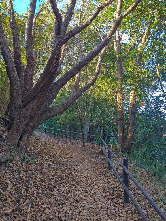
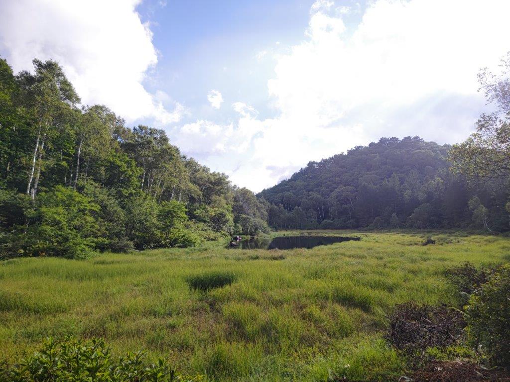
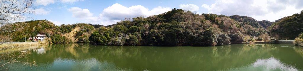
Bench with a view close to the Mt Kuro Viewpoint
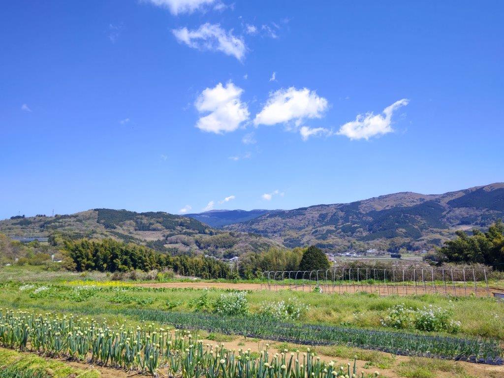
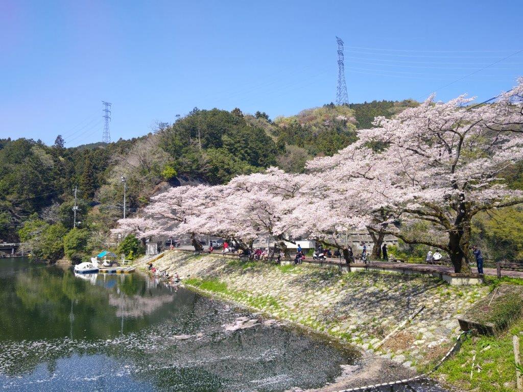
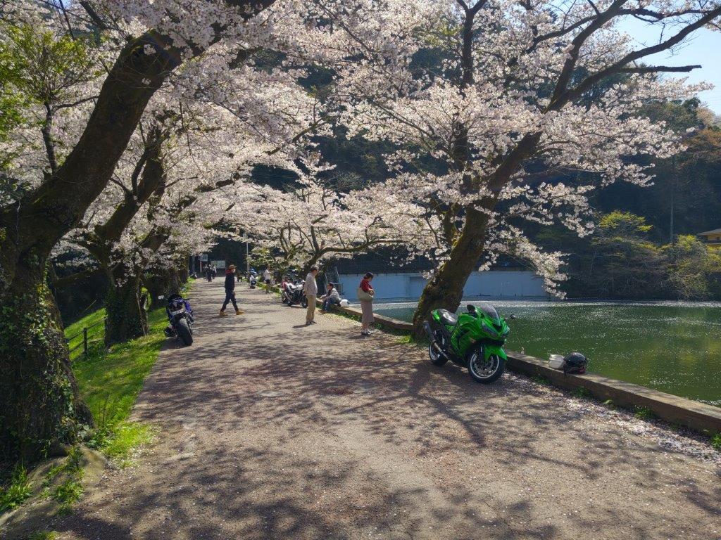
I enjoyed the view of the the cherry blossoms in full bloom while I waited for the bus at Kannami station. After a short ride, I got off at a stop in the middle of the fields, opposite an “honor system” vegetable stand, and after getting ready, set off along quiet country lanes, a little before 11am. I was in high spirits, excited to explore an area I had never been to before.
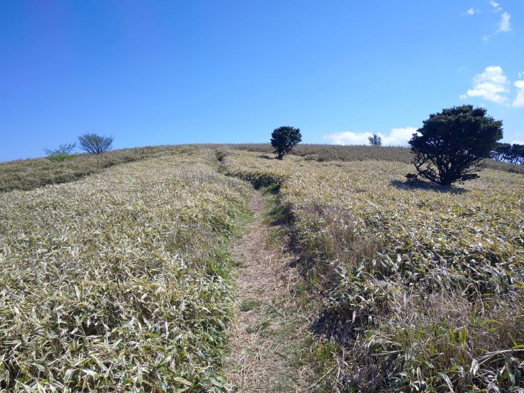
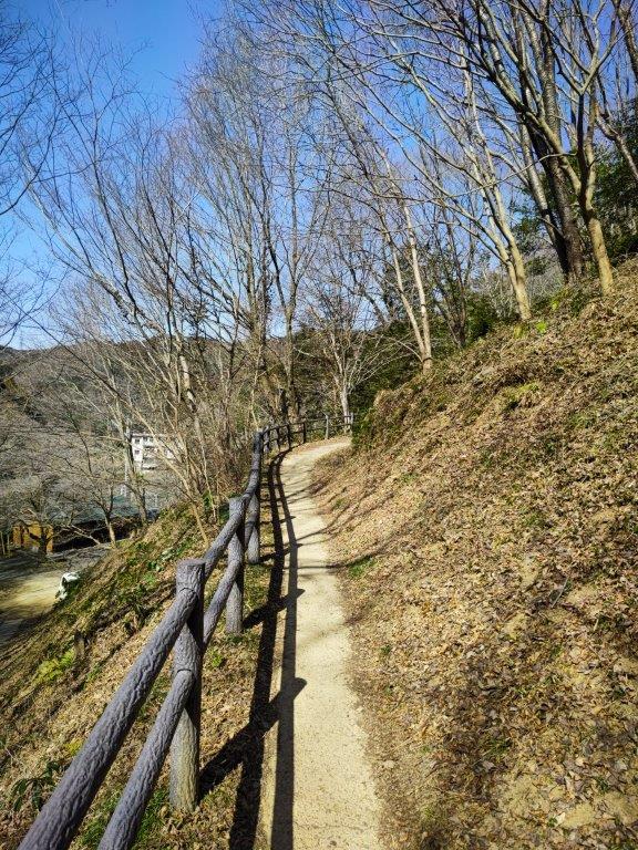
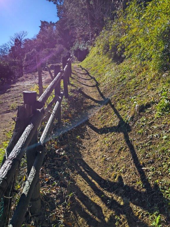
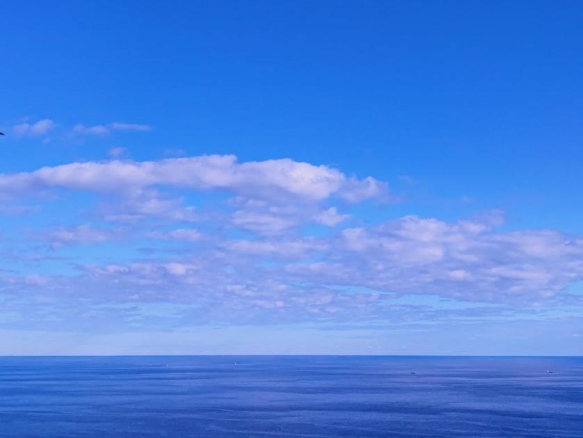
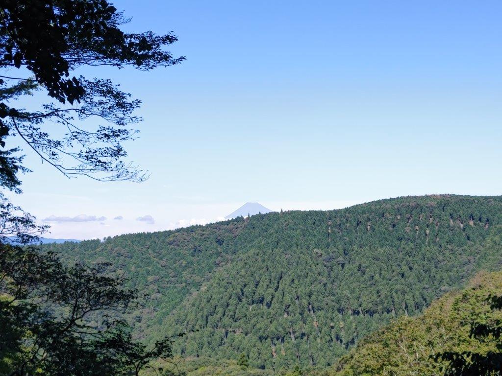
View of the Izu Skyline from near the Tanna Fault

Cherry Blossoms in Full Bloom near the Trail Entrance
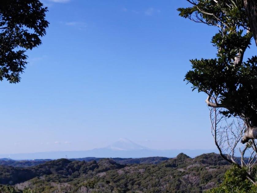
On my left, I had a view of the green, undulating ridgeline along which ran the Izu skyline and which I would soon be climbing; behind me, was Mt Fuji, still wearing its snowy winter coat. I soon passed through Tanna Fault park (丹那断層公) commemorating a massive earthquake that hit the area nearly 100 years ago, a sobering reminder of nature destructive power.
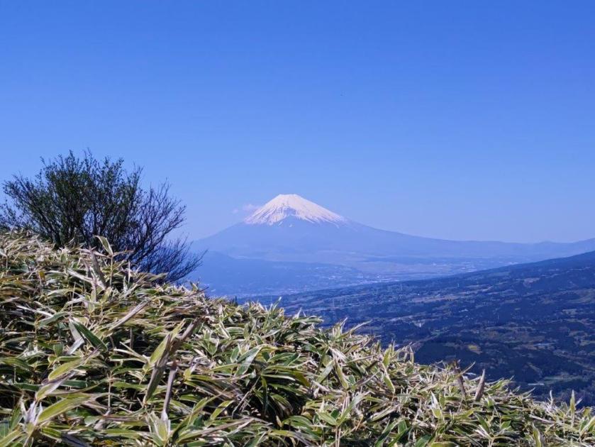
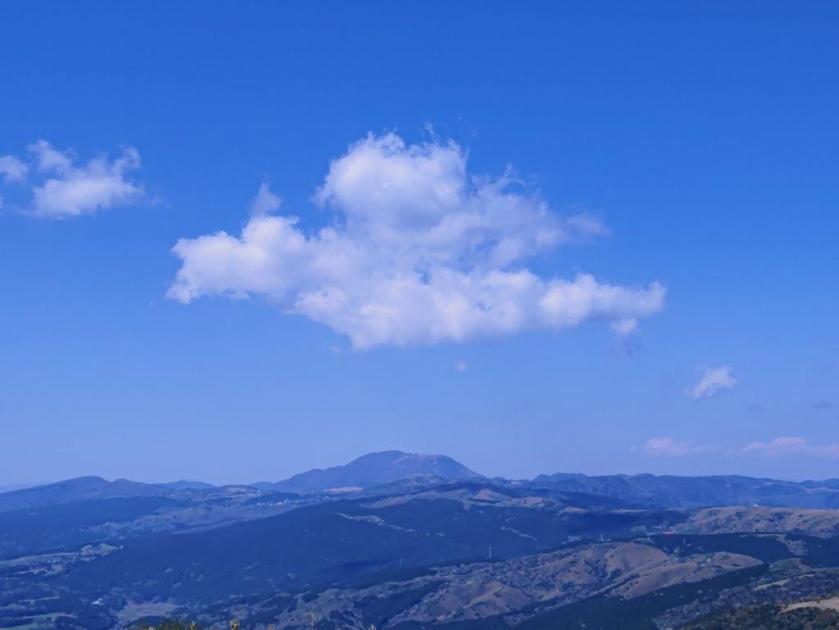
Green Meadows and White Volcanoes

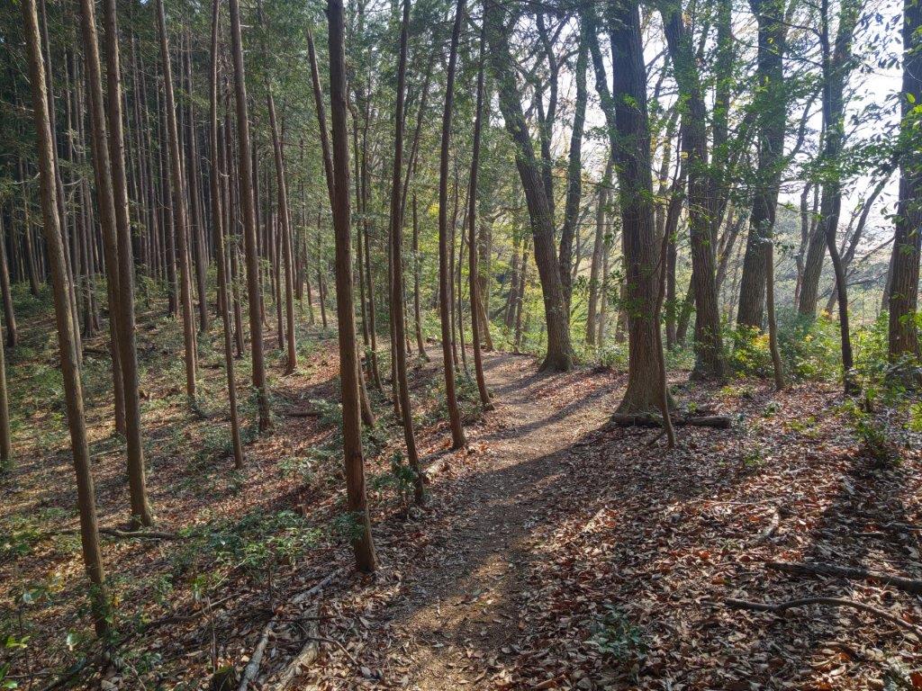
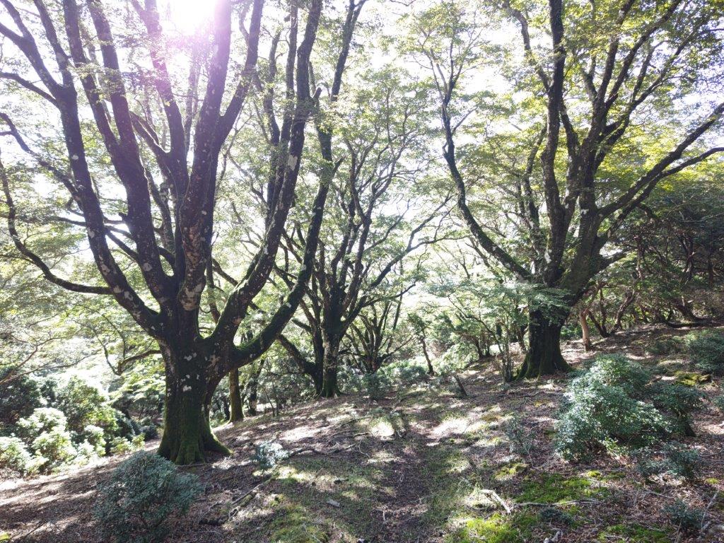
Sun & New Green (left) Tall Cedars & Shade (right)
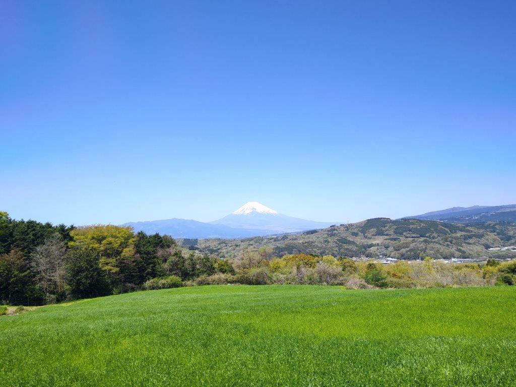
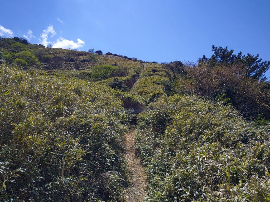
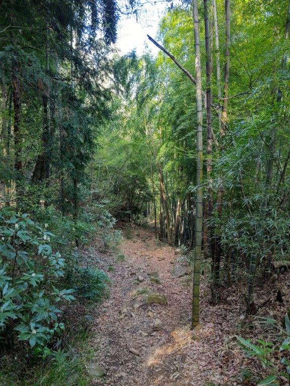
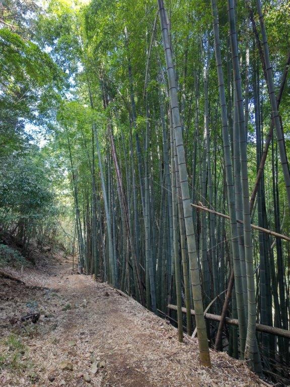
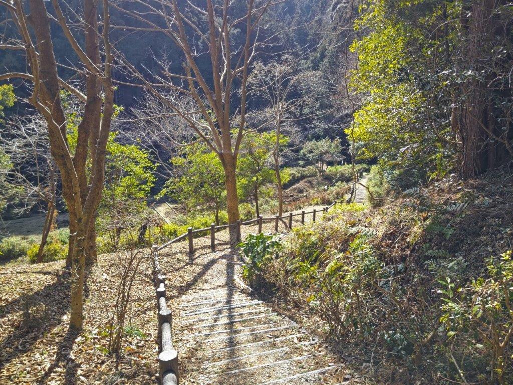
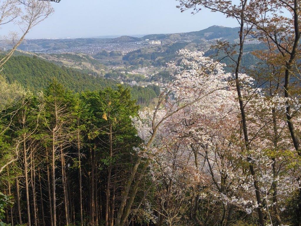
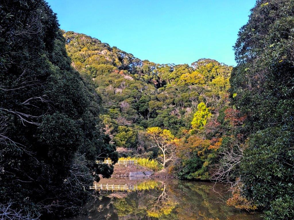
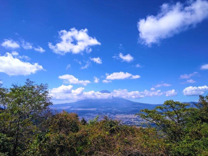
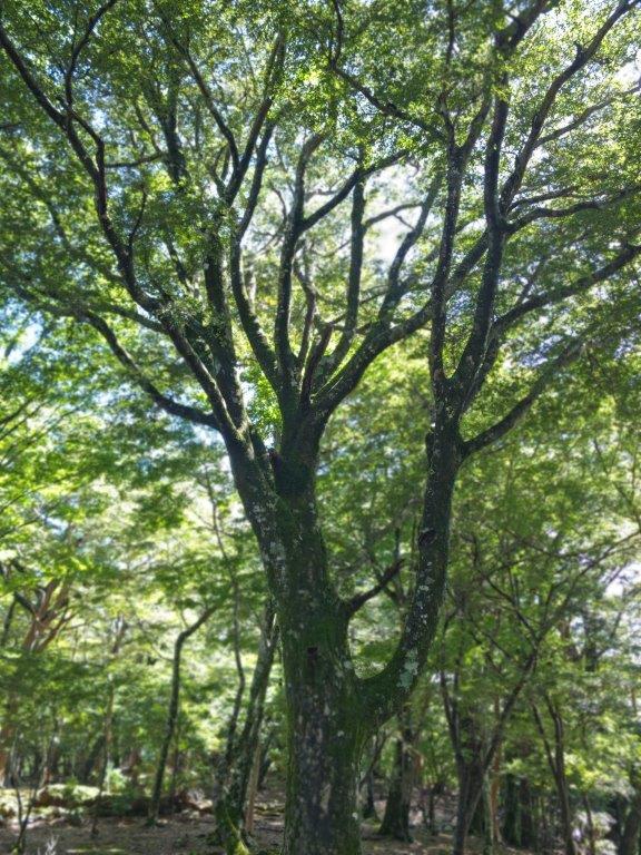
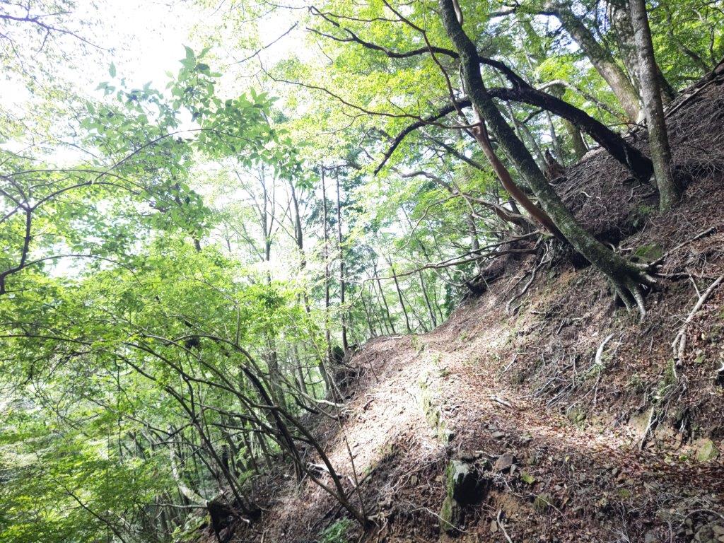
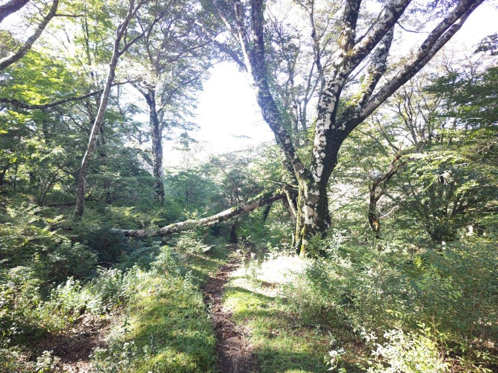
Later, I passed some green meadows, reminding me of Switzerland, except for the solitary yaezakura (“double-layered cherry blossom tree”) in the foreground and Mt Fuji in the background. At 11h30, I reached the trail entrance, and after climbing through mixed forest, towering cedars, and finally a bamboo grass tunnel, I reached Kori pond (氷ヶ池), located under a curve of the Izu skyline.


Rocks on the Trail (left) Through the Bamboo Tunnel (right)

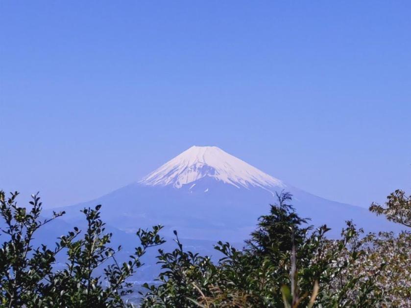
First Glimpse of the Summit
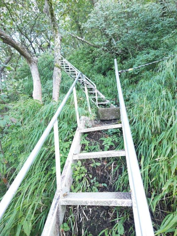
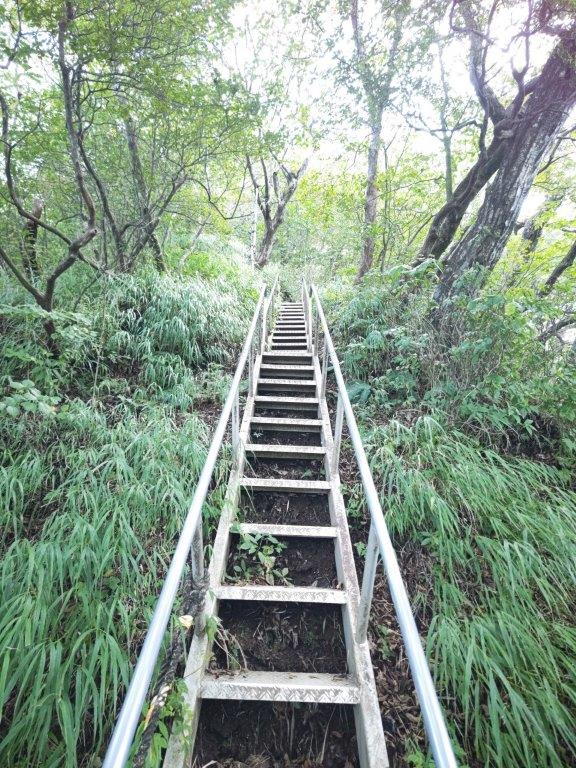
I gazed in wonder at the magical view of Mt Fuji rising above the pond. After a short break, I made my way back along the pond side to an intersection passed previously, and then up a steep path, equipped with rope for safety. The bamboo grass was much shorter now, and a panoramic view of the entire area was slowly emerging all around me. I turned around frequently to admire the view of Hakone volcano on the north side.

Mt Fuji and Kori Pond

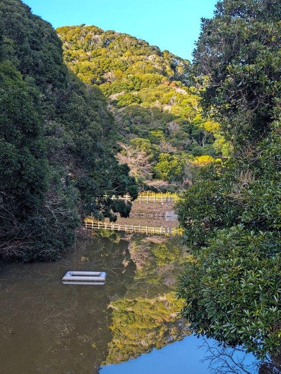
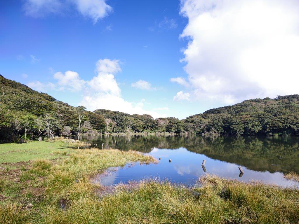
Trail Alongside Kori Pond
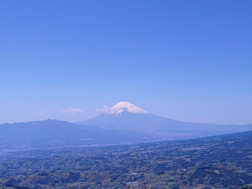
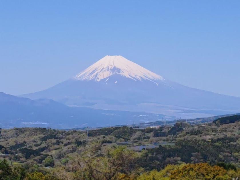
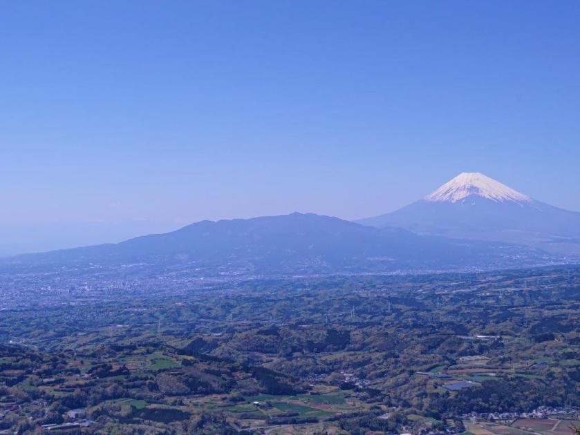
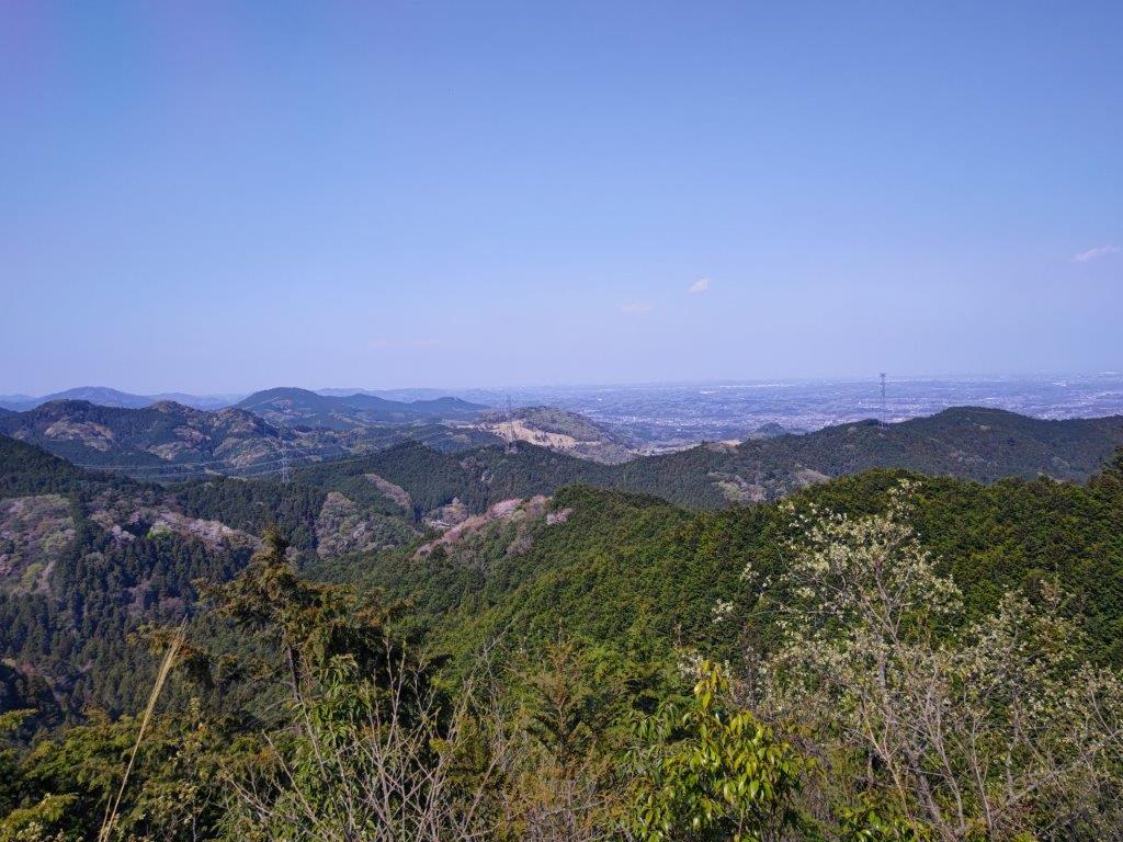
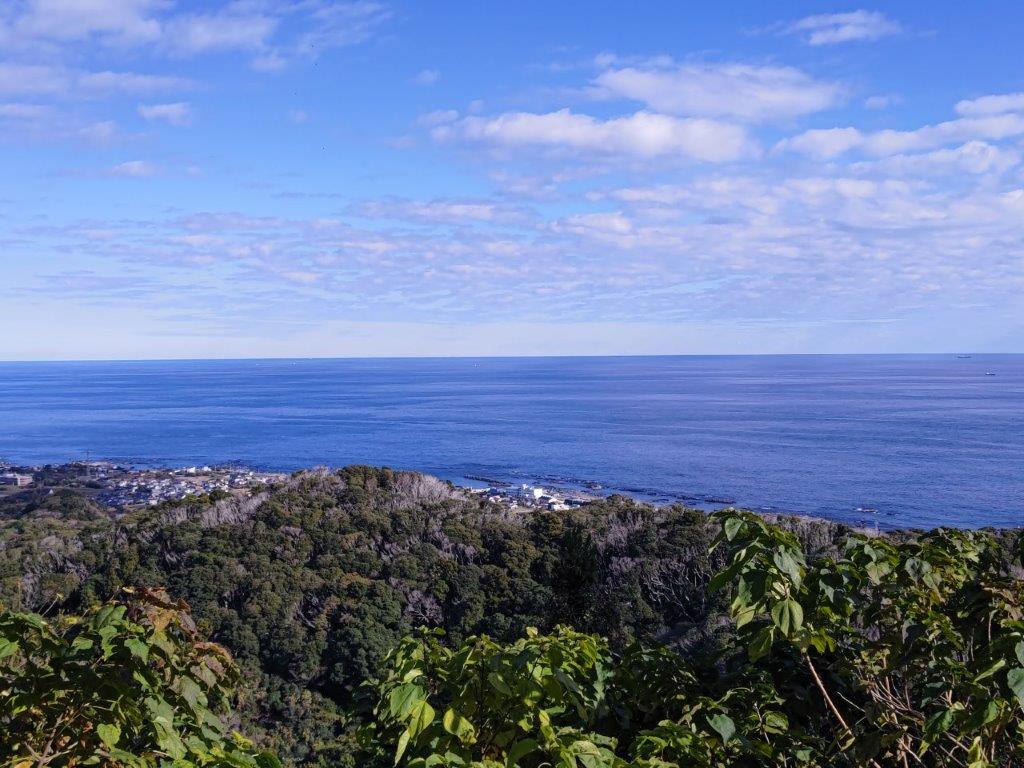
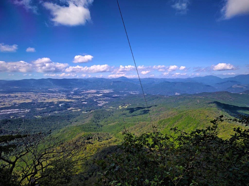
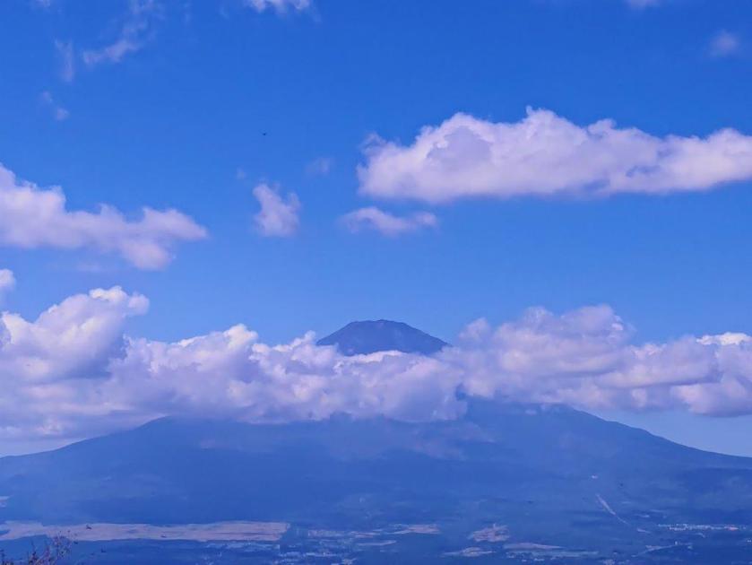
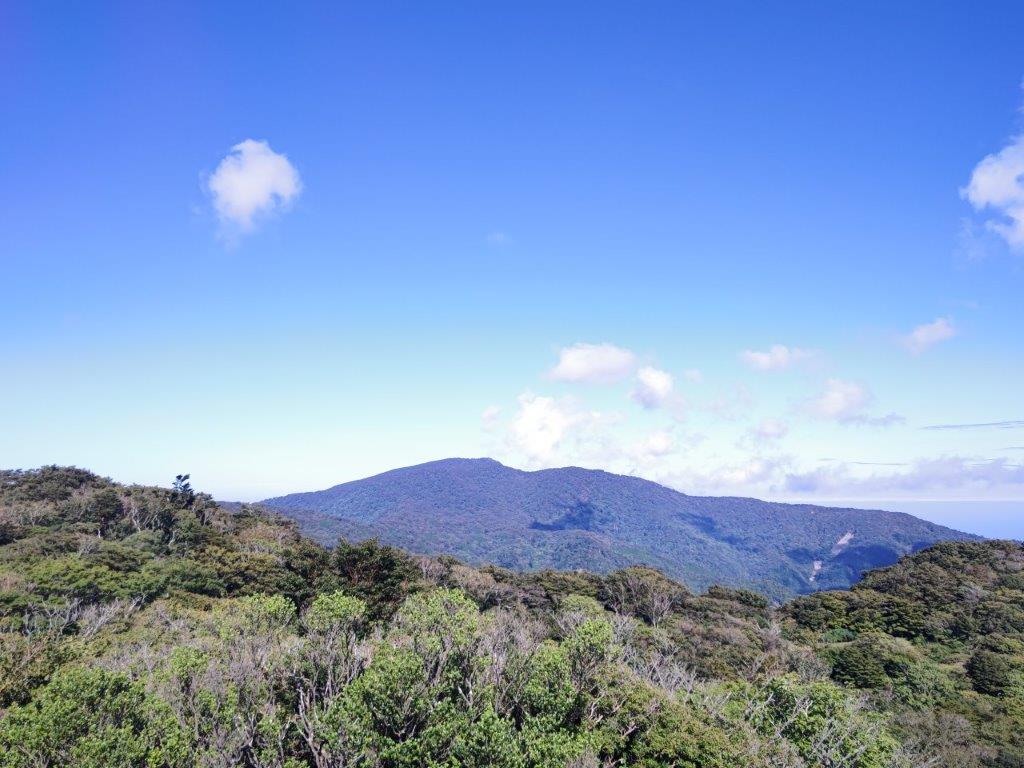
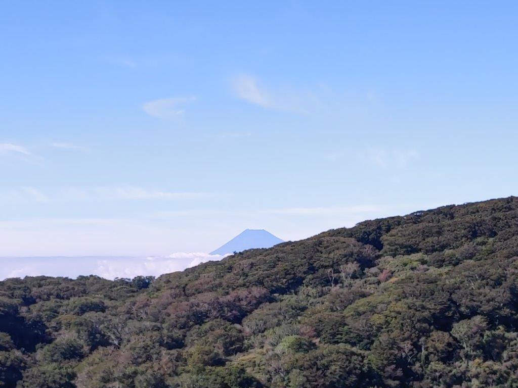
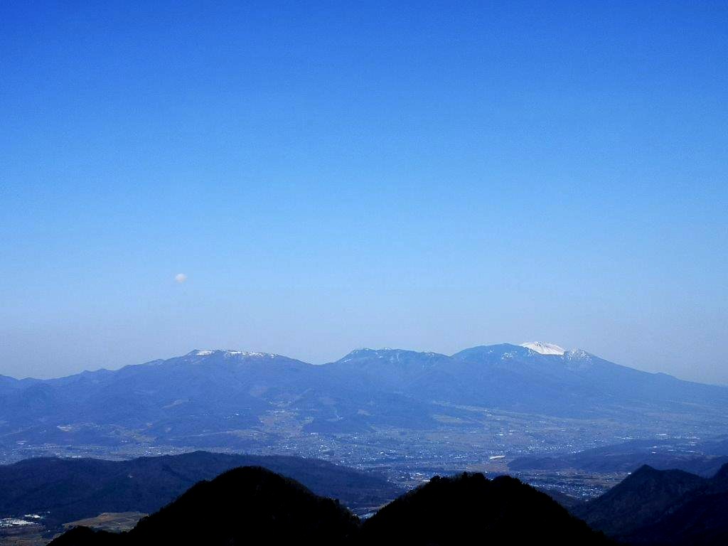
At 1pm, I reached the best view of the day: a single bench just a few minutes away from the Mt Kuro Second Viewpoint (玄岳第二展望台), which I had visited by car in the winter. Directly ahead was Mt Fuji, with Mt Ashitaka on its left, and Mt Hakone on its right; beyond was Suruga bay and the Minami Alps. Looking down, I could see the dark green lowlands stretch all the way to Numazu City.

View of Hakone Volcano above Kori Pond
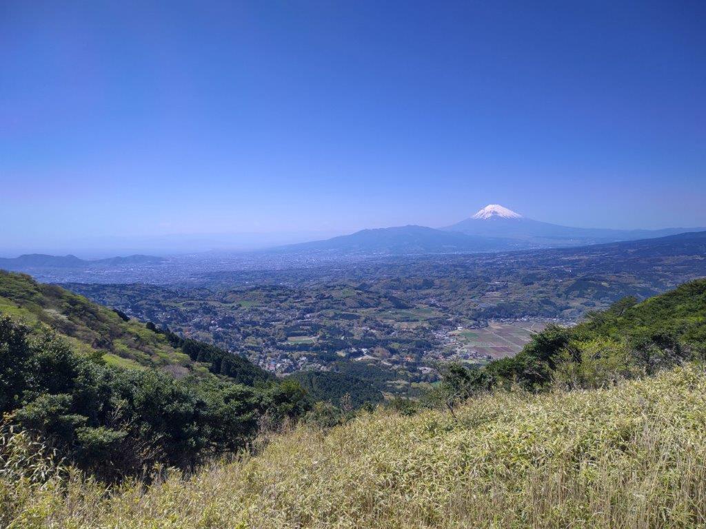
View of Mt Fuji, Mt Ashitaka (center) and the Numazu Alps (left)
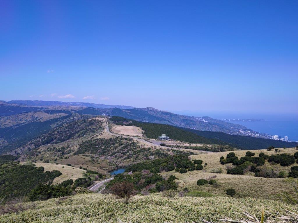
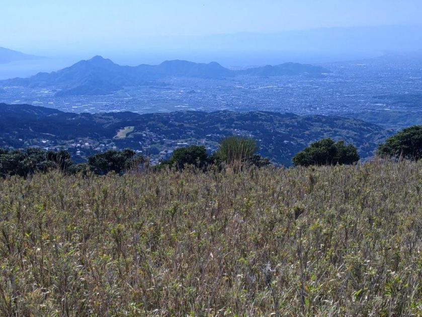
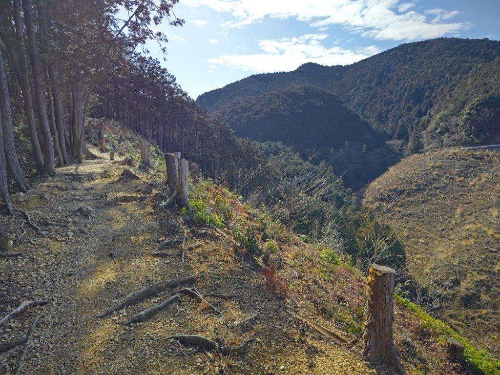
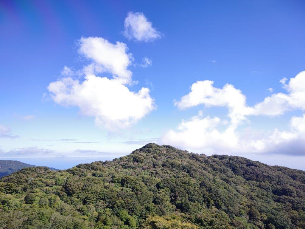
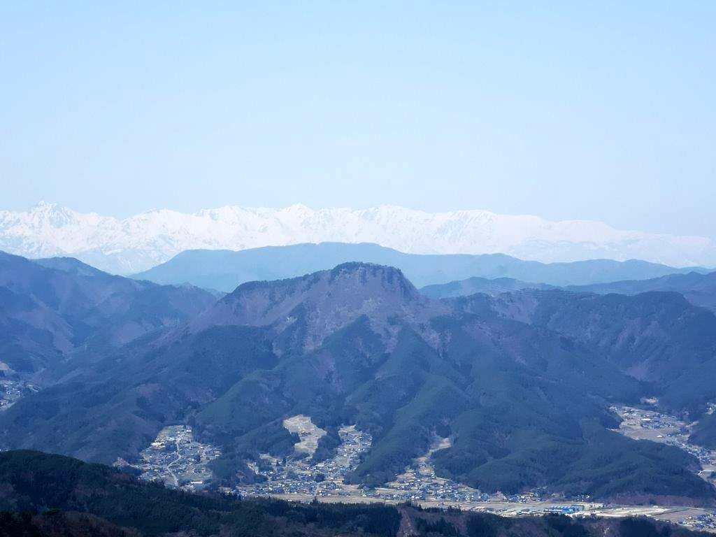
I waited for a break in the procession of roaring motorbikes before quickly crossing the skyline, and then proceeded up the final climb. As I made my way up the grassy, rounded summit, the view gradually opened up on the south side, and I could now see the Numazu Alps and the mountainous interior of Izu peninsula, culminating in Mt Amagi. At 1h30, I reached the flat top of Mt Kuro (玄岳 くろたけ kurotake), a Shizuoka 100 famous mountain.
Final Climb to the Summit
Looking Back at the Izu Skyline and Atami Resort
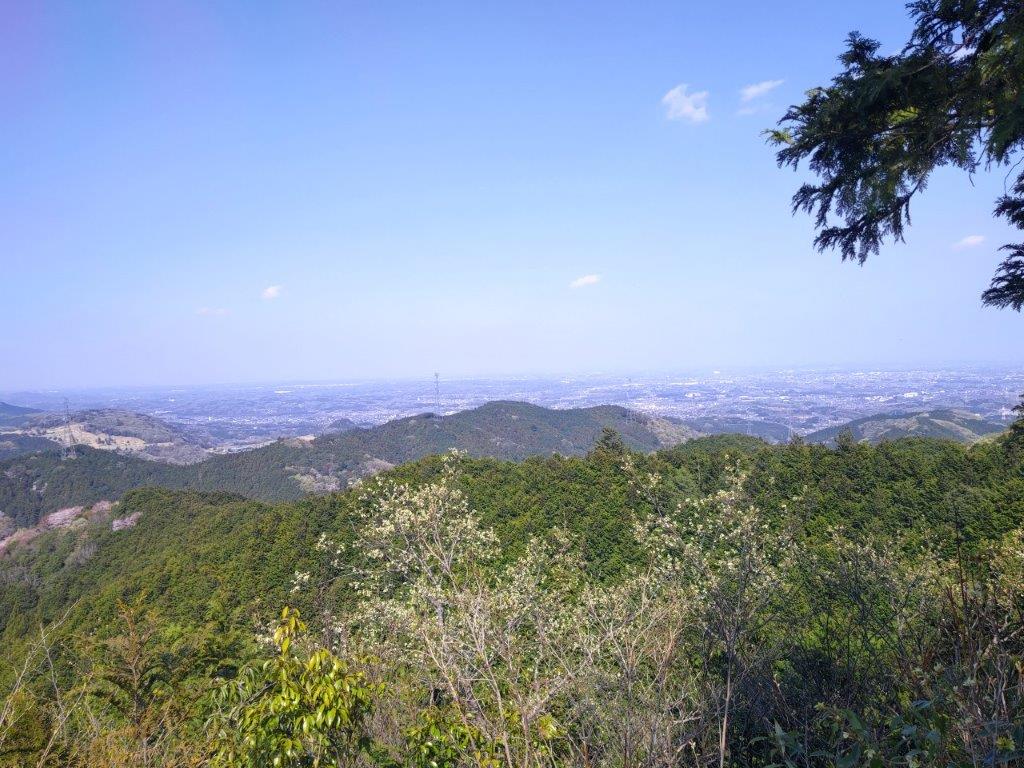
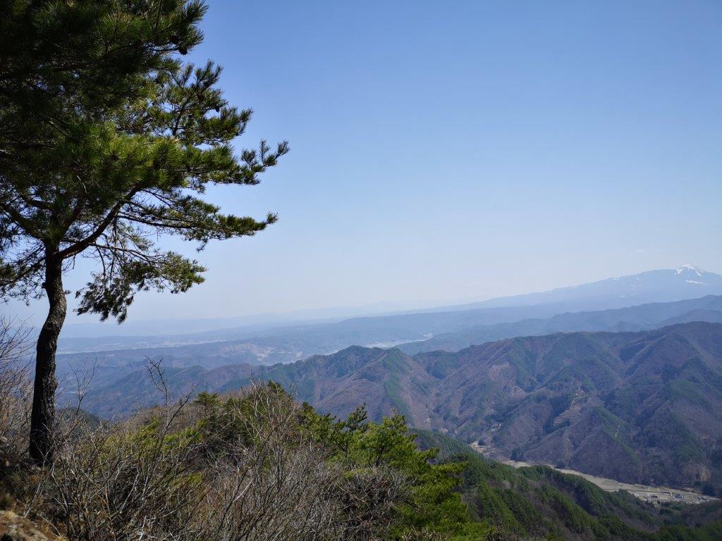
Curiously, the view was slightly less dramatic from the top, since I no longer had the soaring views looking down at the flat coastal area, nearly 800 meters below. I had the summit entirely to myself, most people preferring the drive the skyline and enjoy the views from the many parking areas along the way. I took a break for lunch, enjoying the picture-perfect view of Mt Fuji and the comfortable early spring weather. At 2pm, I headed down a path on the north side.
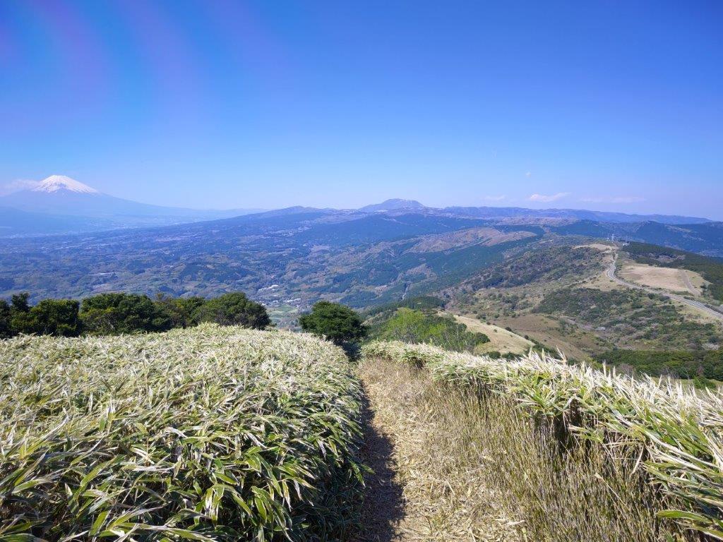
Panoramic View of the Fuji-Hakone-Izu Area
Nearly at the Top
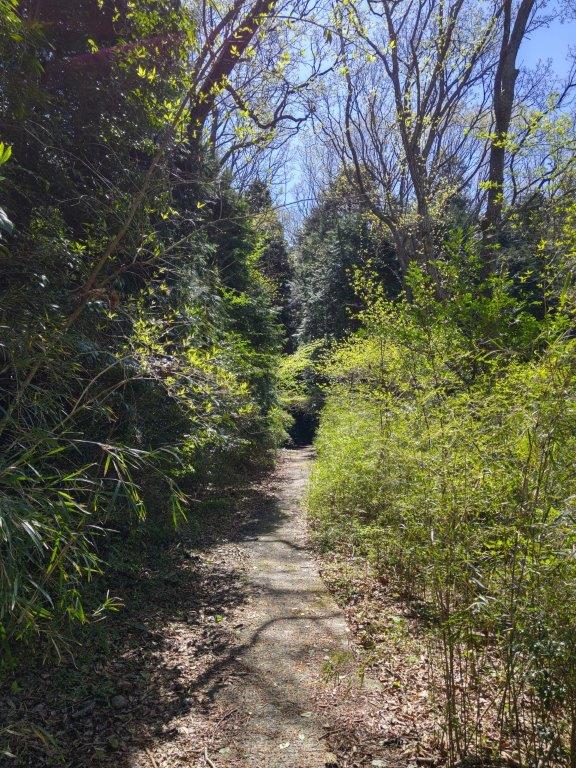
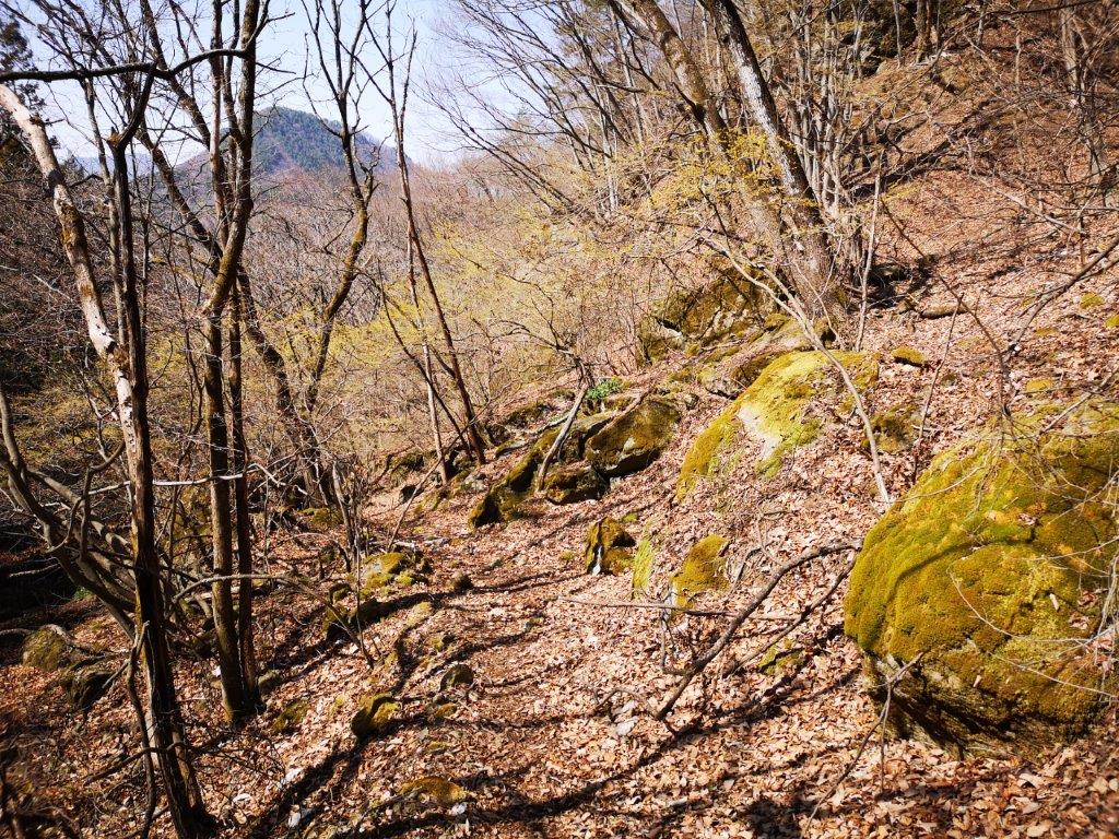
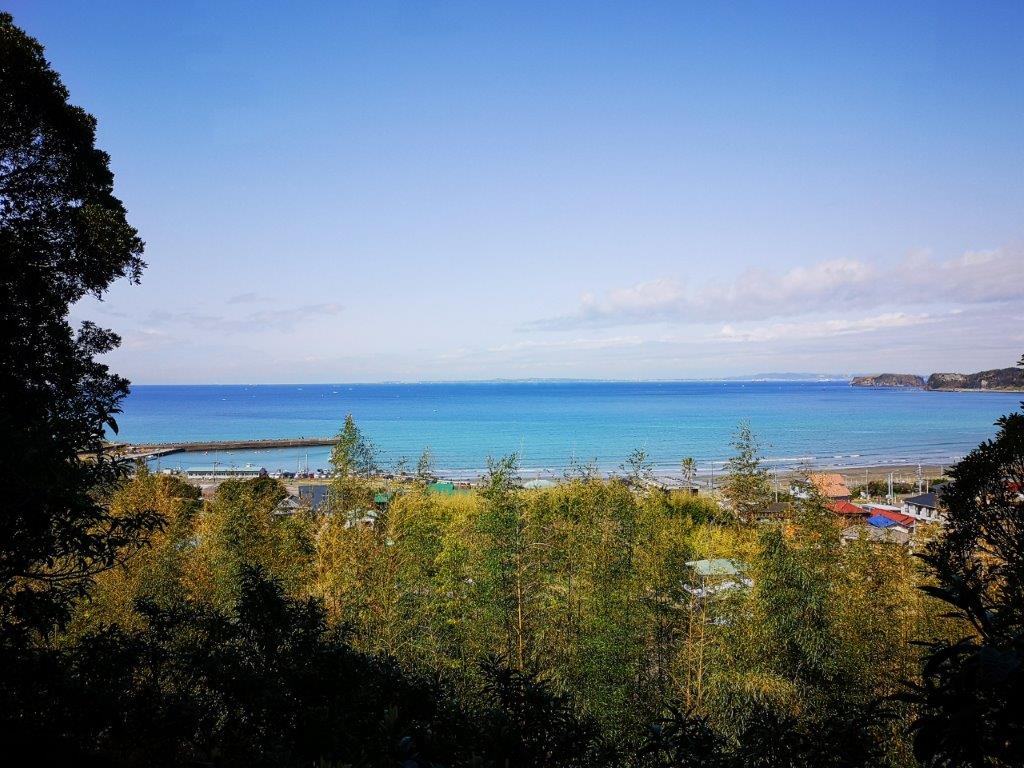
As I walked down, I had a bird’s eye view of Atami resort and the coastline of eastern Izu. Here and there, yamazakura (mountain cherry blossom tree) in full bloom dotted the mountain side. The peace and quiet was often interrupted by the revving of engines; I picked up the pace so I could get to the quieter side of the mountain. I tarried a short while in a spot with plenty of asebi (Japanese Andromeda flower; by 2pm, I was following a trail down through mixed forest.

View of Mt Fuji and Hakone

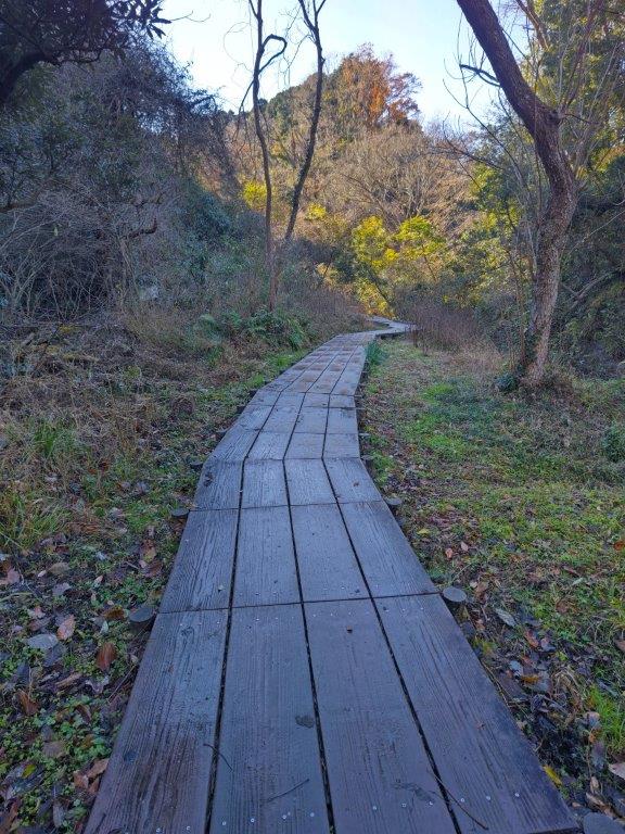
Heading Down to Atami
I savoured the silence and relished in the new green of spring surrounding me in all directions. Just before 3pm, after passing a bamboo forest, I reached a steep downhill road at the edge of a town, which I followed into the valley, till it merged with a wider road with a bus stop. Once back at Atami station, I boarded the shinkansen for the lightening fast 45-minute trip back to Tokyo.

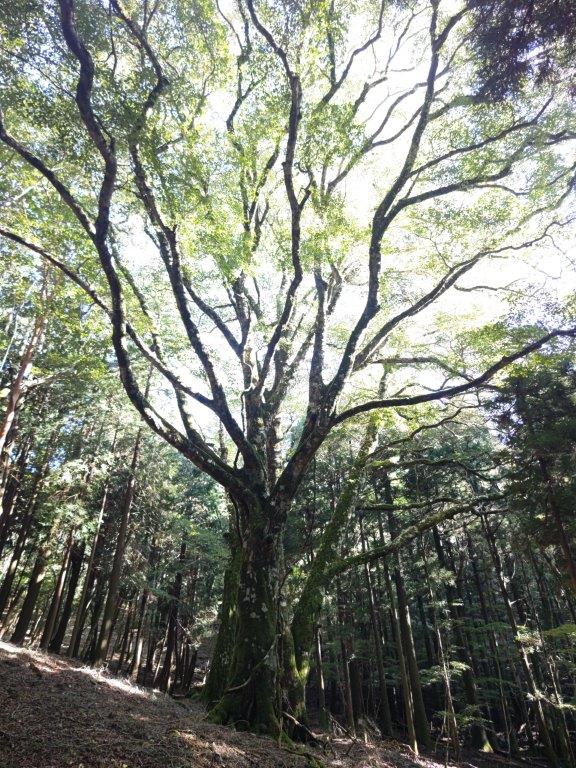
Easy Hiking Through Mixed Forest
Bamboo Forest at the End of the Trail
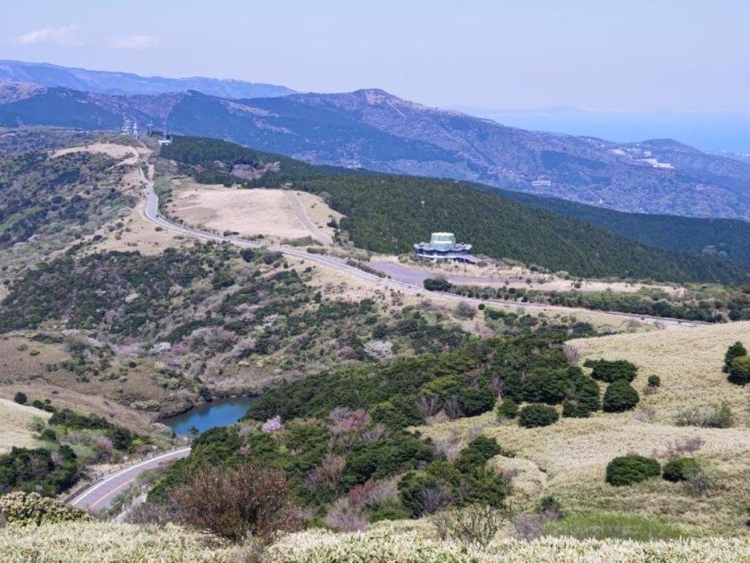
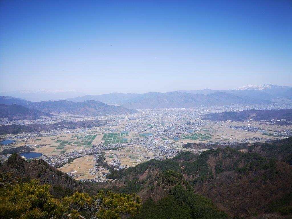
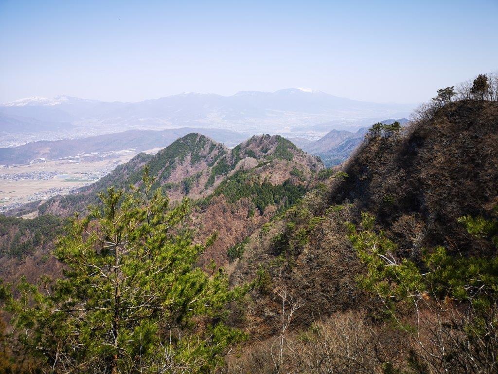
In December 2022, I drove along the Izu Skyline between Atami and Mt Amagi and was impressed by the many viewpoints on both sides. It was a good season to drive there since the weather was clear and not too cold, and there was relatively little traffic. In the future, I’d like to do it in reverse so that I can better enjoy the views of Mt Fuji.

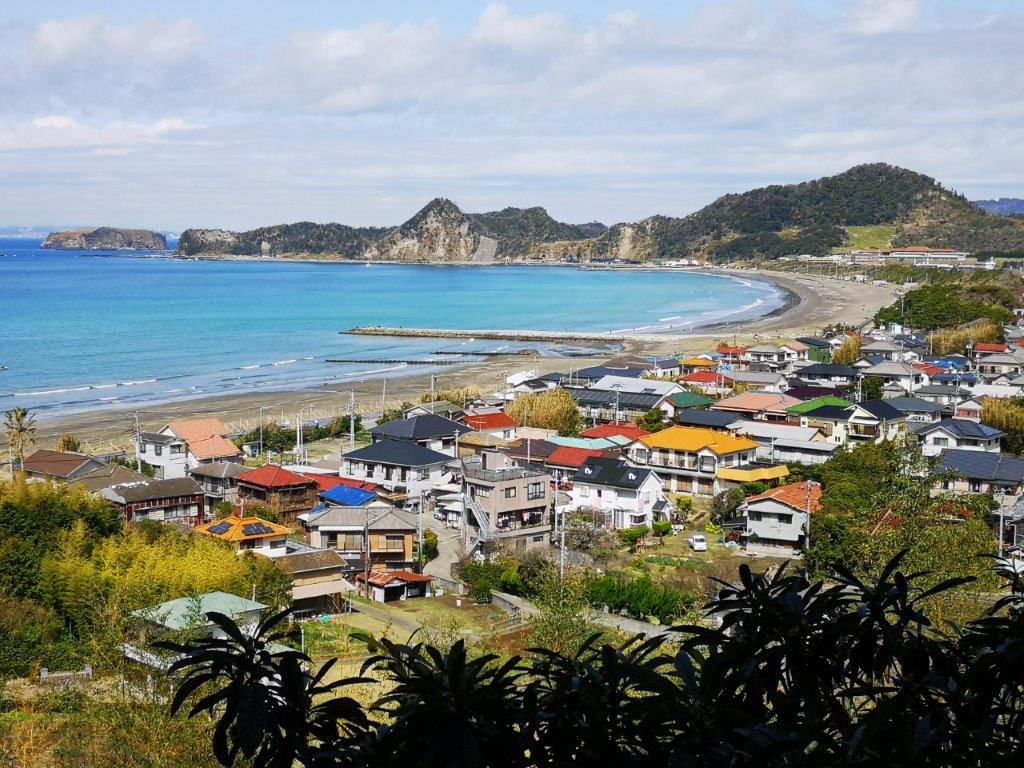
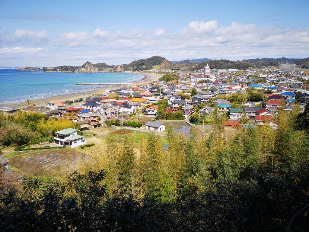
View of Kori Pond from the Izu Skyline (Dec 2022)

View of Atami from the Izu Skyline (Dec 2022)
I was very satisfied with the hike mainly because of the great views but also because of the near total absence of other hikers. If I were to redo it, I would probably go by car and start from the Mt Kuro viewpoint, since it’s possible to do a loop hike with all the views.
Watch a video of the Mt Kuro Hike
See the View from the Izu Skyline (December 2022)


See a slideshow of other pictures from the Mt Kuro Hike


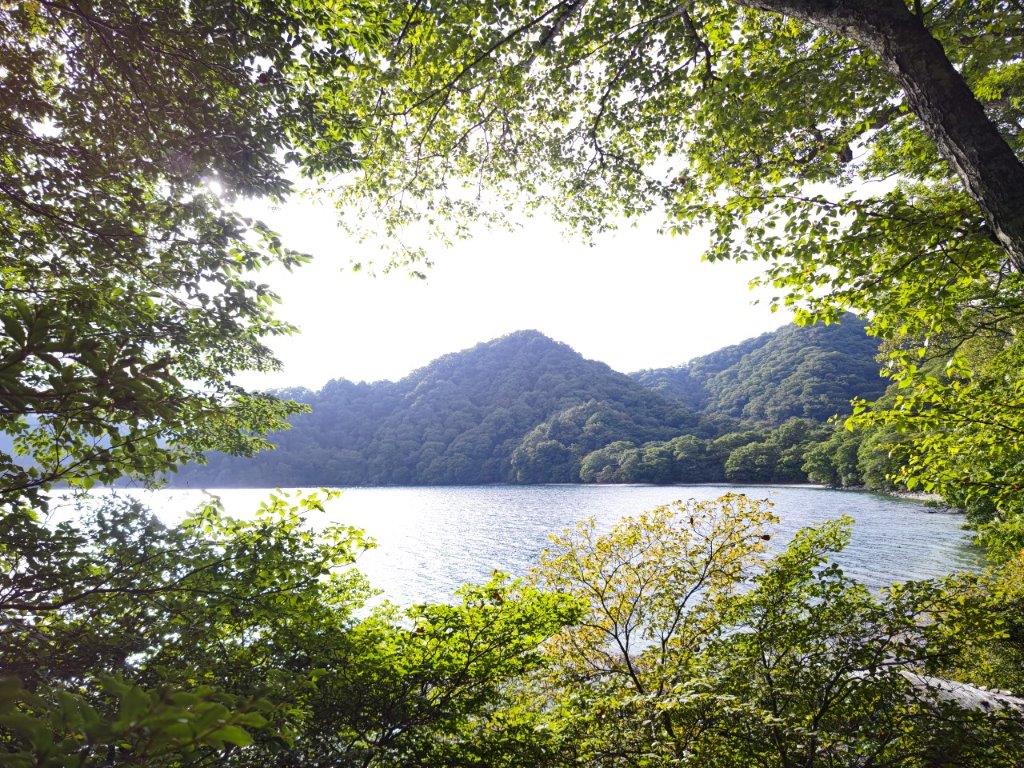
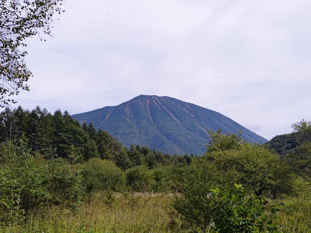
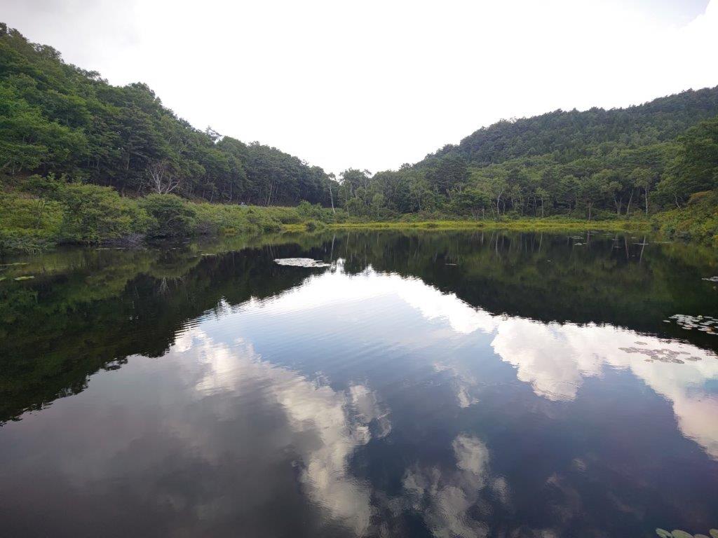
![Mt Kintoki (1212m), Minami-Ashigara City, Kanagawa Prefecture, Saturday, October 1st, 2022 [Yuhi Waterfall to Otome Pass route]](https://hikingtokyo.com/wp-content/uploads/2022/10/img_20221001_131101.jpg?w=1024)


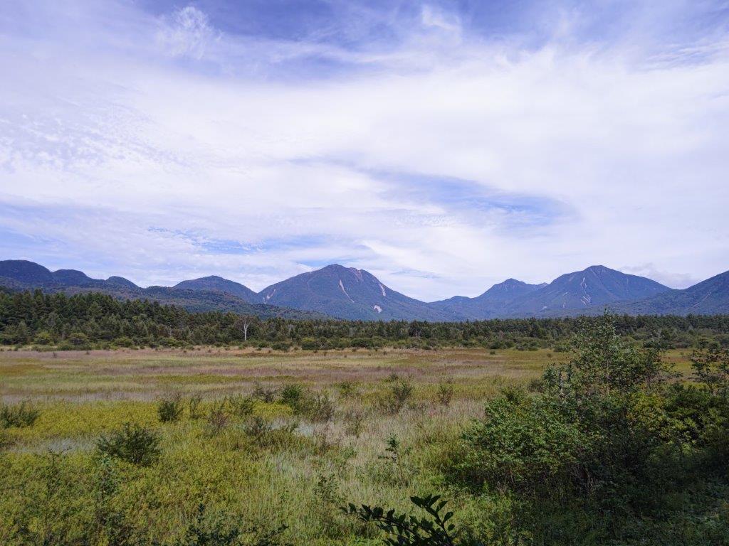
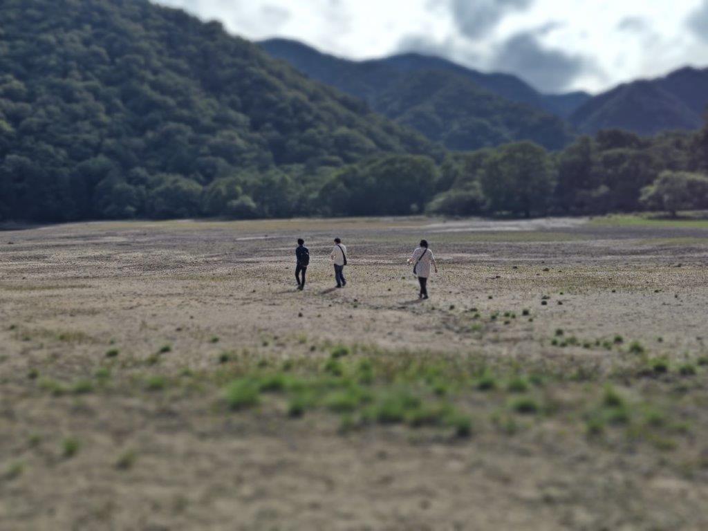
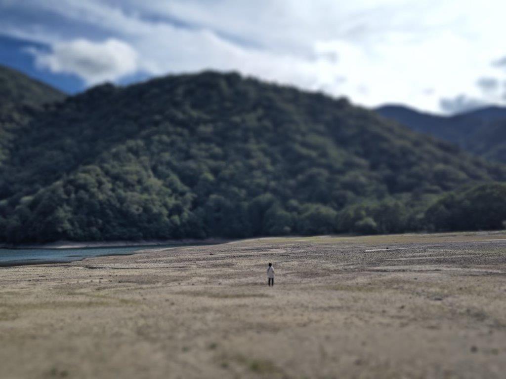
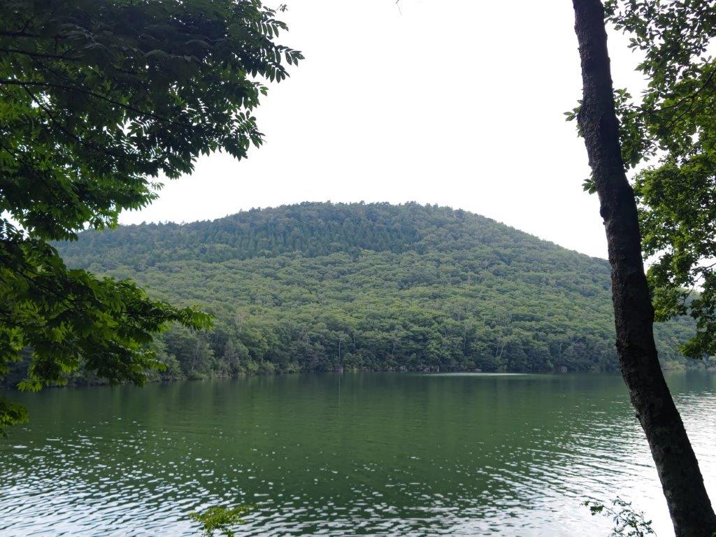
![Hatcho Pond (1170m), Izu City, Shizuoka Prefecture, Sunday, September 25, 2022 [Mt Amagi Hike]](https://hikingtokyo.com/wp-content/uploads/2022/10/img_20220925_144524.jpg?w=1024)


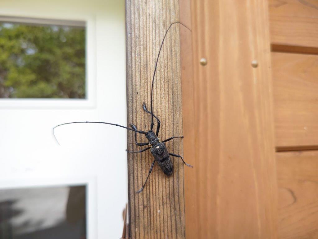
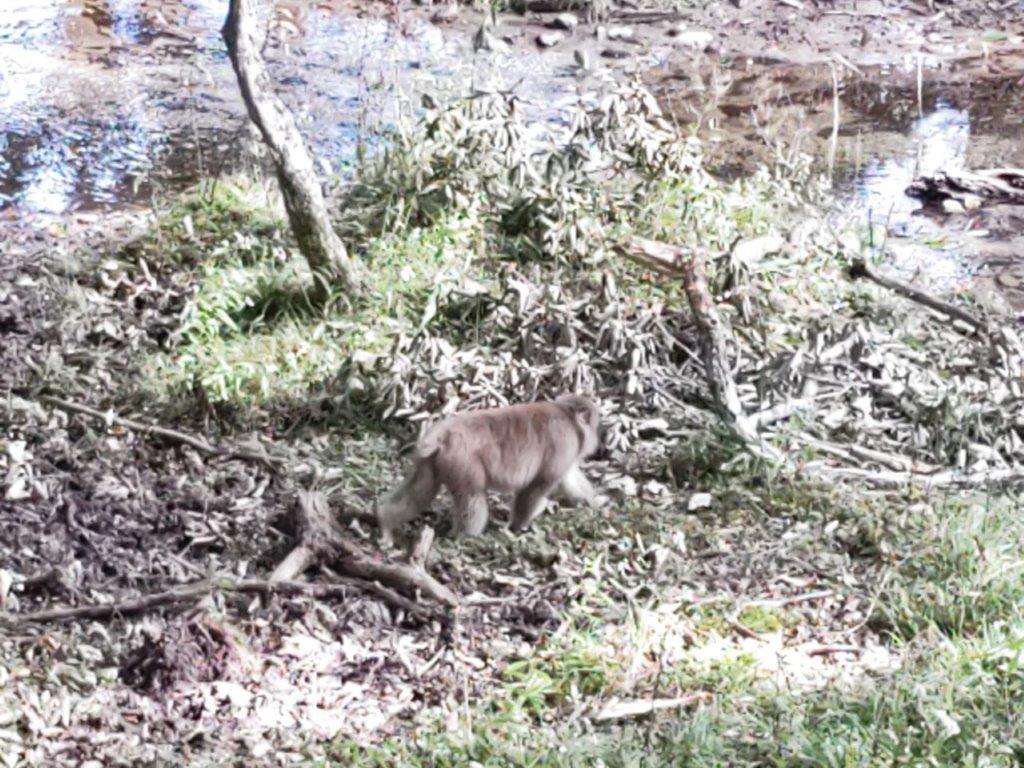
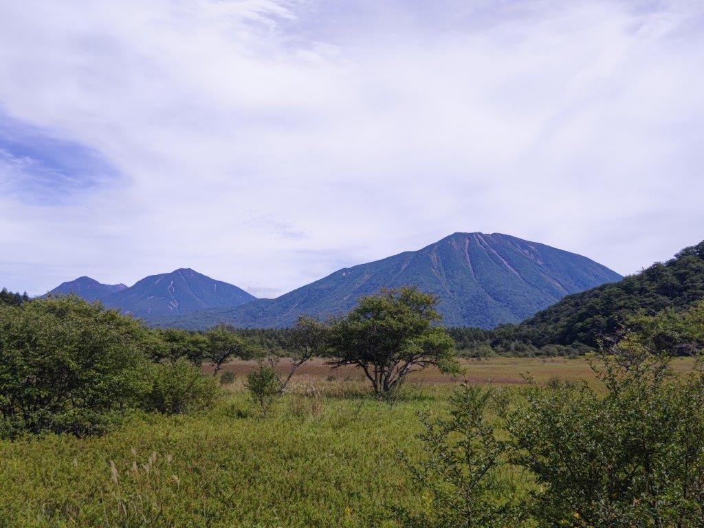
![Oku-Nikko hike (highest point 1460m), Nikko City, Tochigi Prefecture, Saturday, September 17, 2022 [Monkeys]](https://hikingtokyo.com/wp-content/uploads/2022/10/img_20220917_124605.jpg?w=1024)


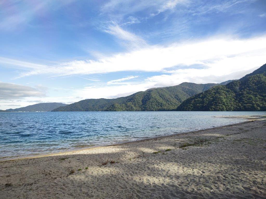


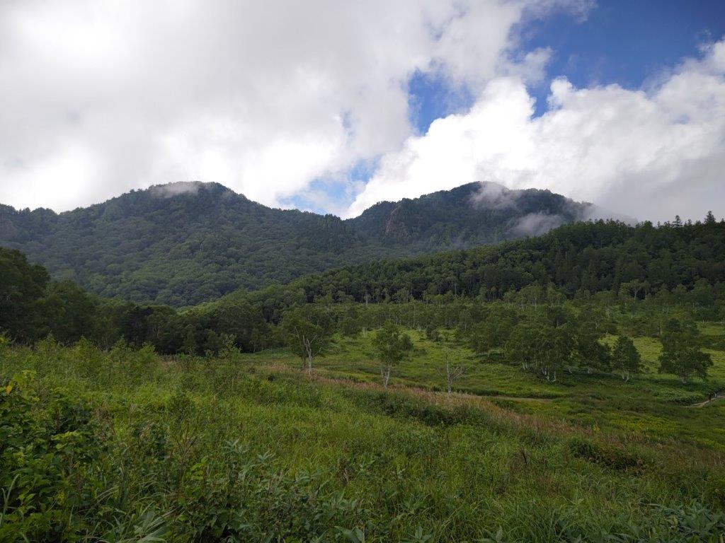
![Shiga-Kogen & Mt Asahi (1524m), Yamanouchi Town, Nagano Prefecture, Sunday, September 4, 2022 [Monkeys]](https://hikingtokyo.com/wp-content/uploads/2022/09/img_20220904_121427.jpg?w=1024)


You must be logged in to post a comment.