

I wanted to do a short morning hike close to Tokyo to beat the early summer heat that was forecast for the weekend. I decided to head to Mt Otakatori in the Ogose Alps, last climbed two years ago. Looking at my map, I spotted a trail on its west side leading to an observation deck on the top ridge. From there, I’d follow the ridgeline north to the highest point. I’d then descend a valley on the east side and check out a minor peak protruding from the forested foothills. I’d end the hike at a park at the foot of the mountain, a short walk from the station.
Hiking in Oku-Musashi & the Ogose Alps
奥武蔵 ・ 越生アルプス
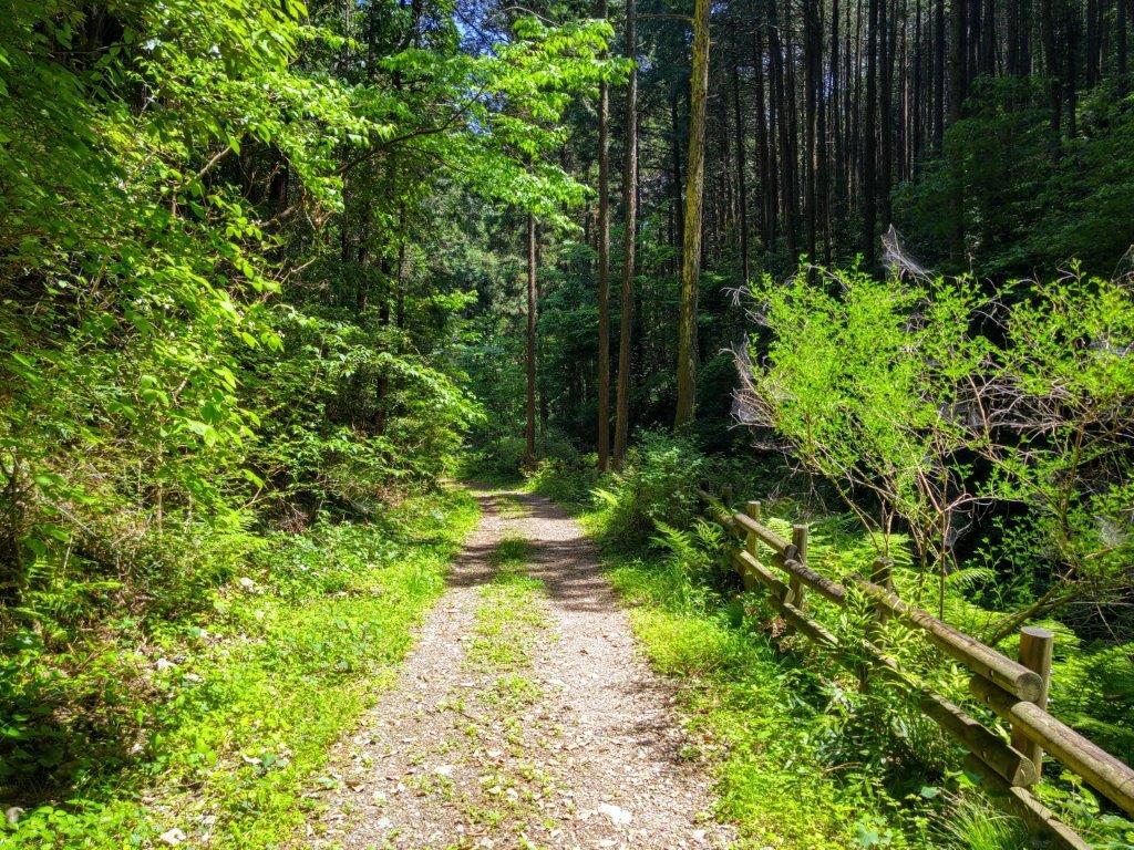
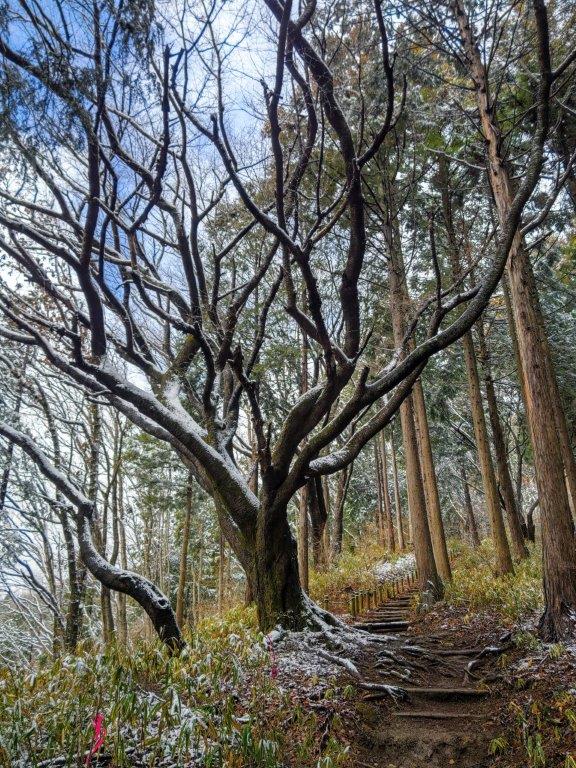
Start of the Kami-Daima Trail (left) Sun Shining on the New Green (right)


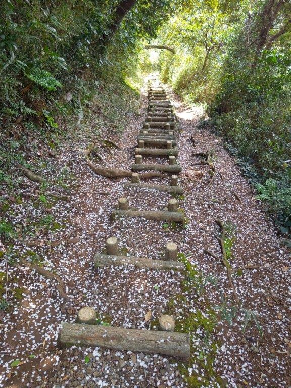
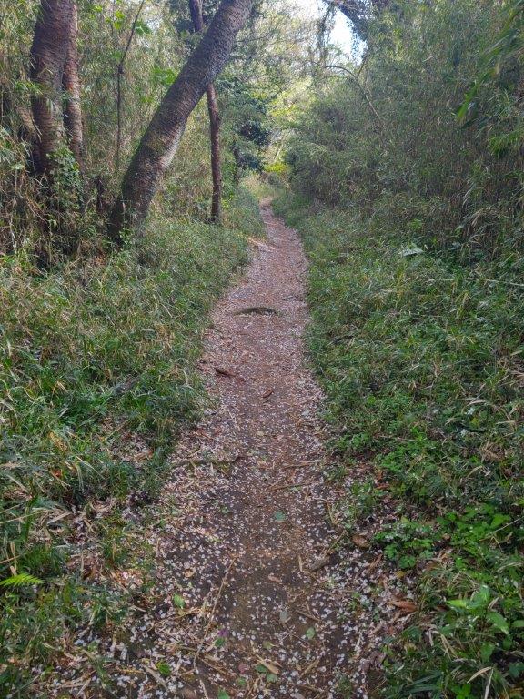
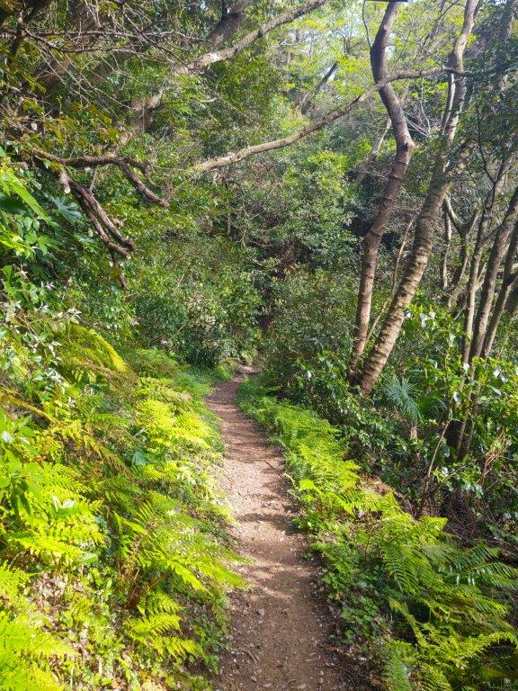
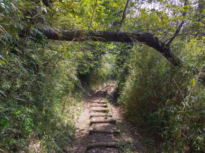
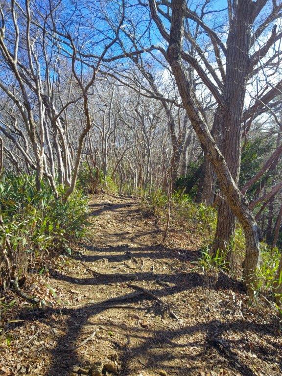
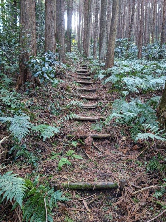
Walking under Fallen Trees (left) and between the Ferns (right)
To get to the start of the trail, I would ride the Tobu express train from Ikebukuro to Sakado and then change to a Tobu local train ending at Ogose station. From there, I’d catch a bus for Kuroyama and get off a few stops before the end of the line. The forecast called for blue skies and temperatures in the high twenties; I hoped I’d be able to wrap up my hike by the early afternoon. I was looking forward to exploring new trails on a familiar mountain and getting some good views on an early summer day.
For subscribers, read this Blog Post on Hiking Around Tokyo for a better viewing experience and the latest updates


Passing by Nishi-Daimon Orchards (left) Path for Kokuzoson (right)

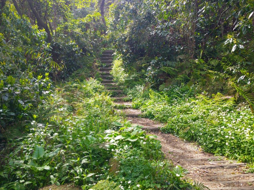
Wide Trail (left) and Narrow Footpath (right) for Nishi-Yamafuji
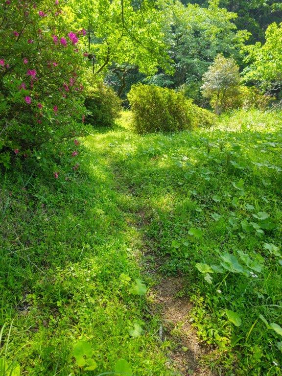
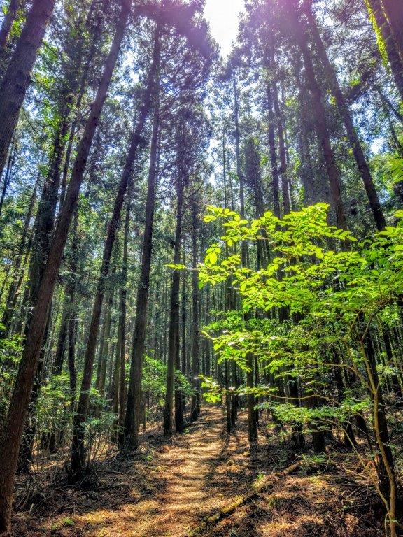
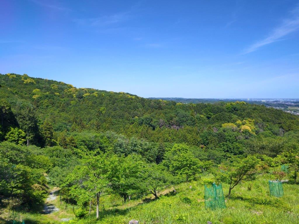
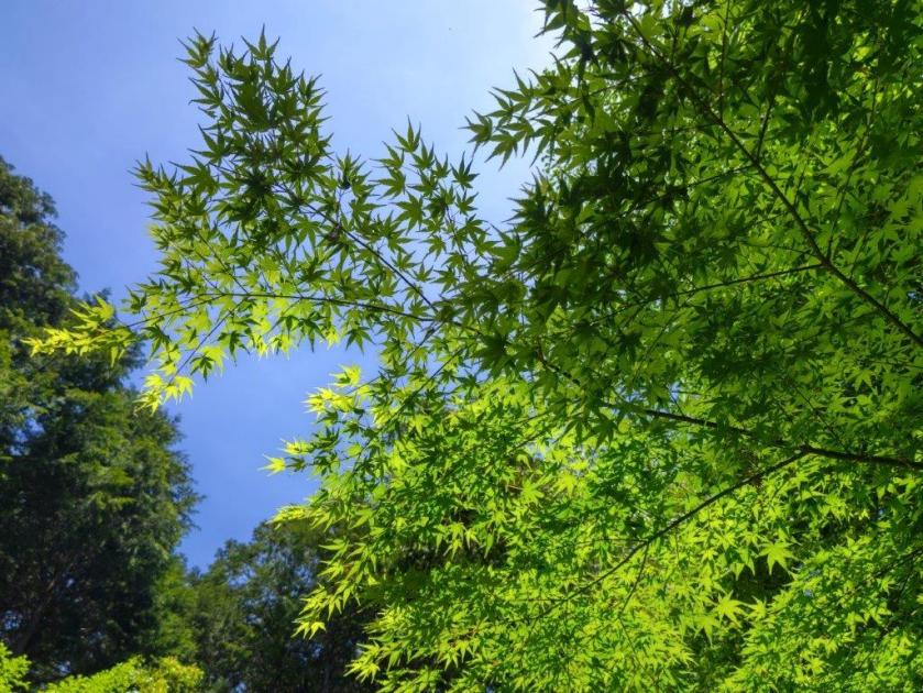
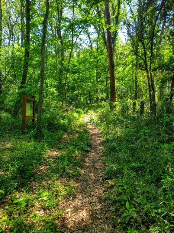
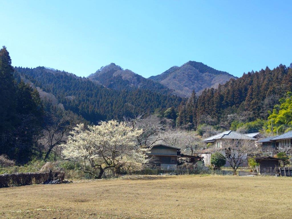
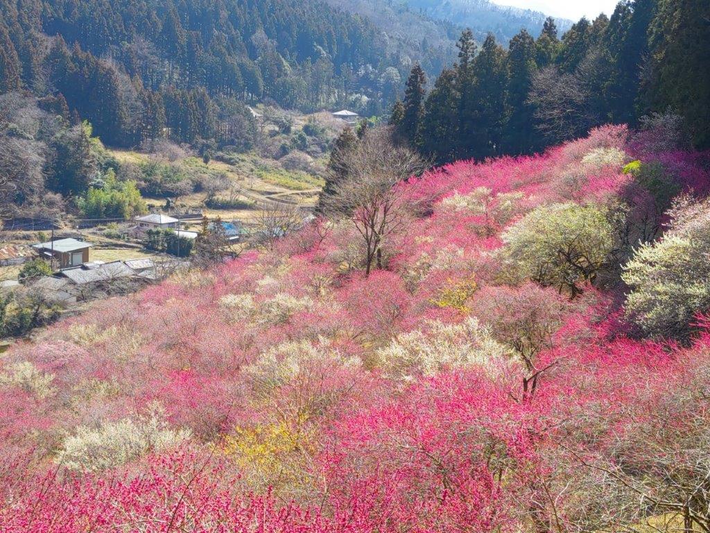
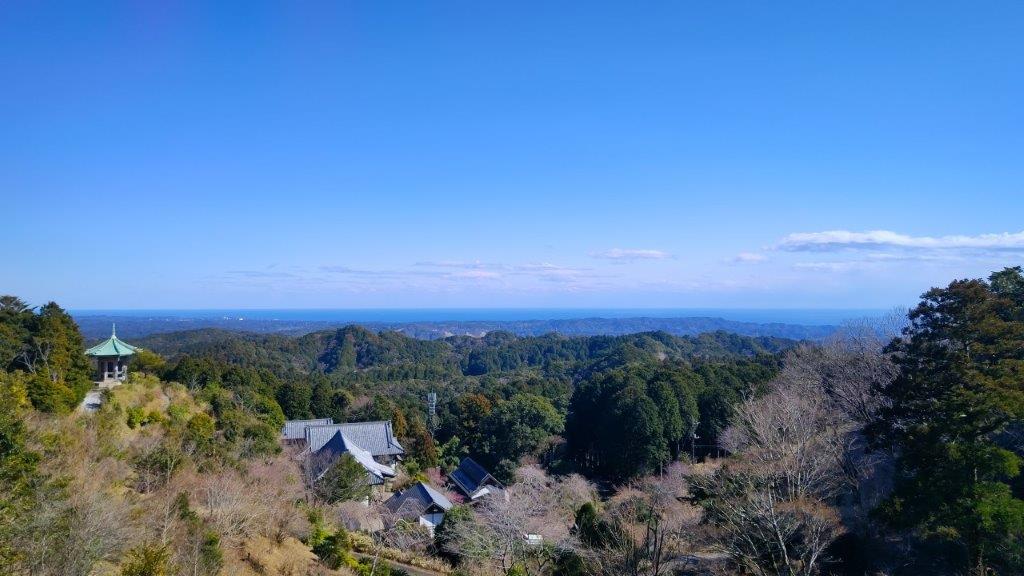
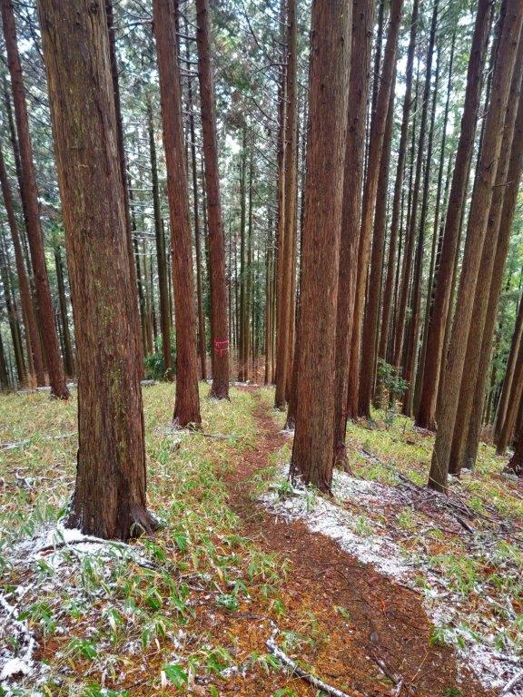
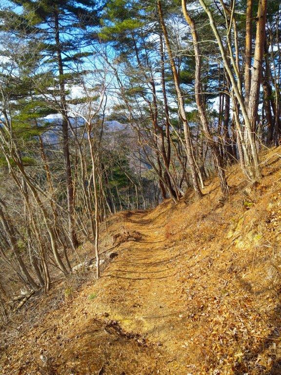
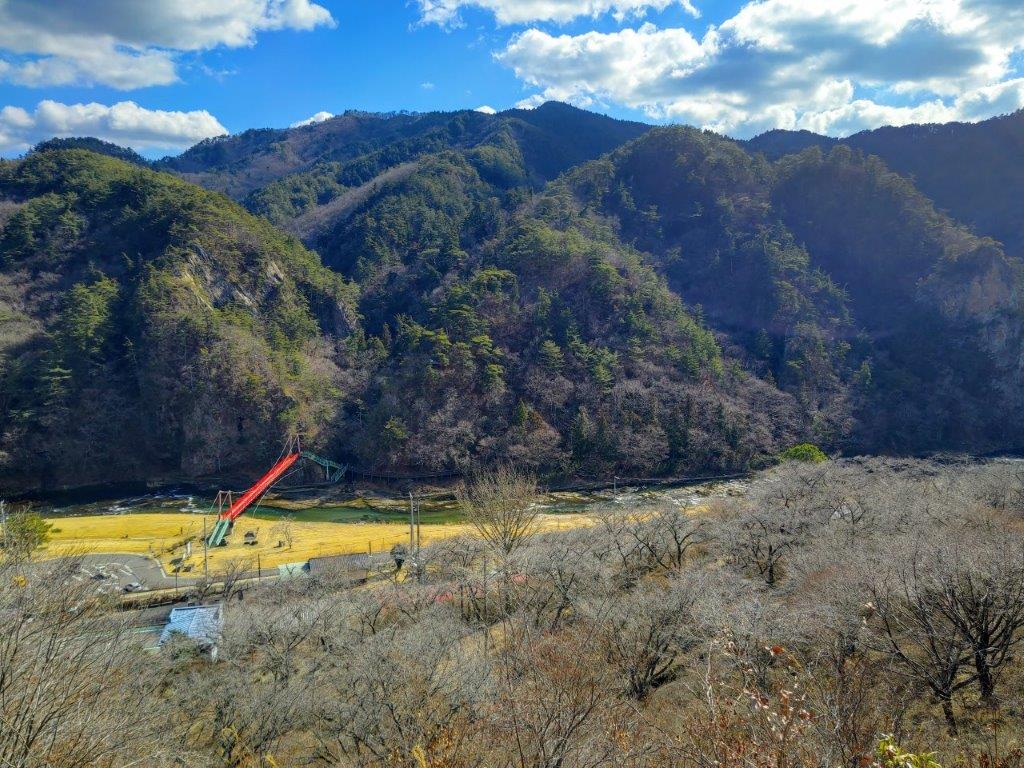
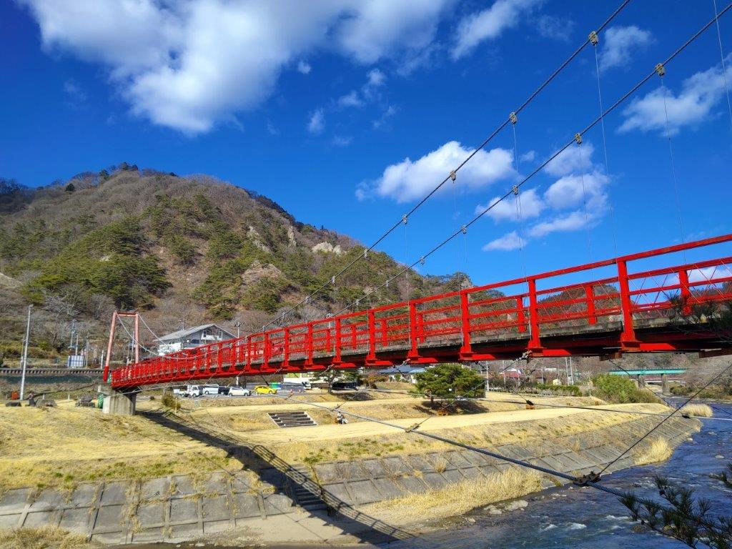
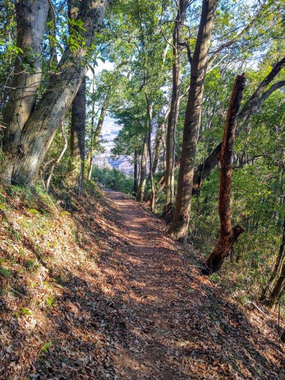
It was a beautiful spring morning as I rode the train out of the city, glad that I could sit all the way. After arriving at Ogose station shortly after 9am, I boarded the bus for the short ride to Kami-Daima stop near a bridge over a river. After getting ready, I quickly located the start of the trail, an unmarked footpath to the right of a gravel driveway, and by 10am was walking in the cool shade of the cedars. Less than an hour later, I emerged from the forest onto a road at Nishi-Daimon Orchards (西大門農園), a short distance from the Katsuragi Kannon observation deck (桂木観音展望台), which I reached just before 11am.
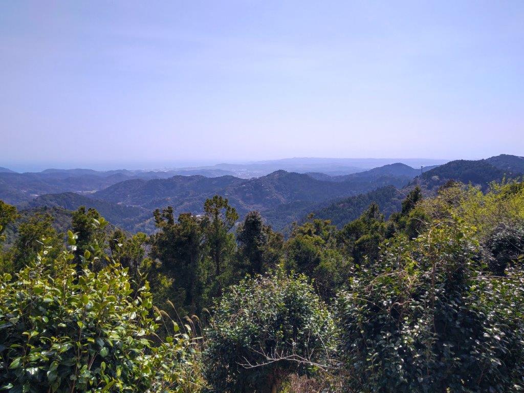
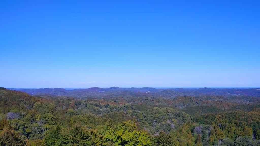
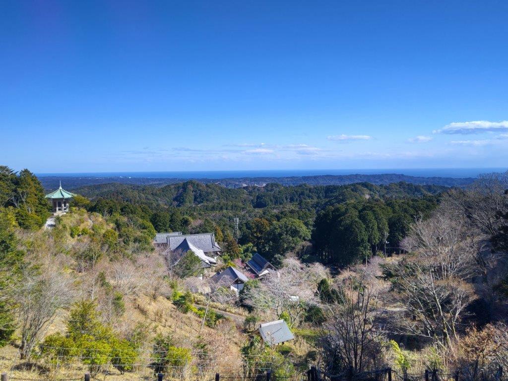
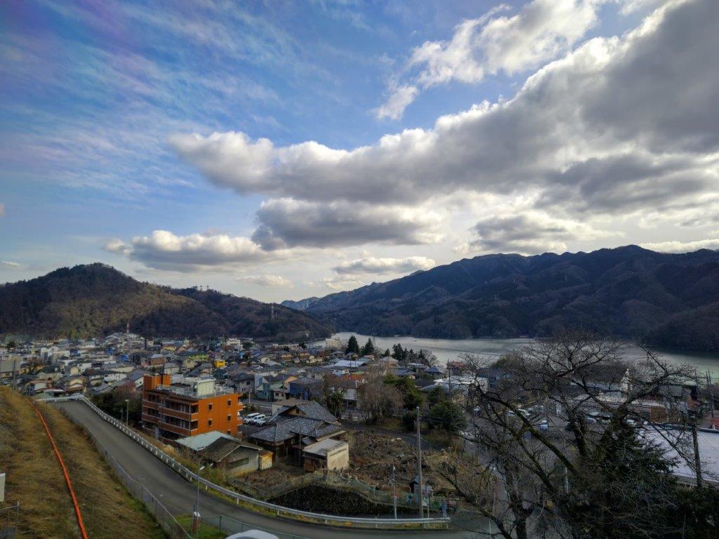
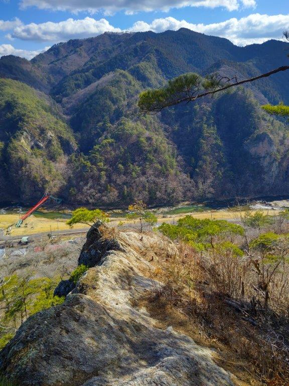
View Southeast from the Katsuragi Kannon Observation Deck
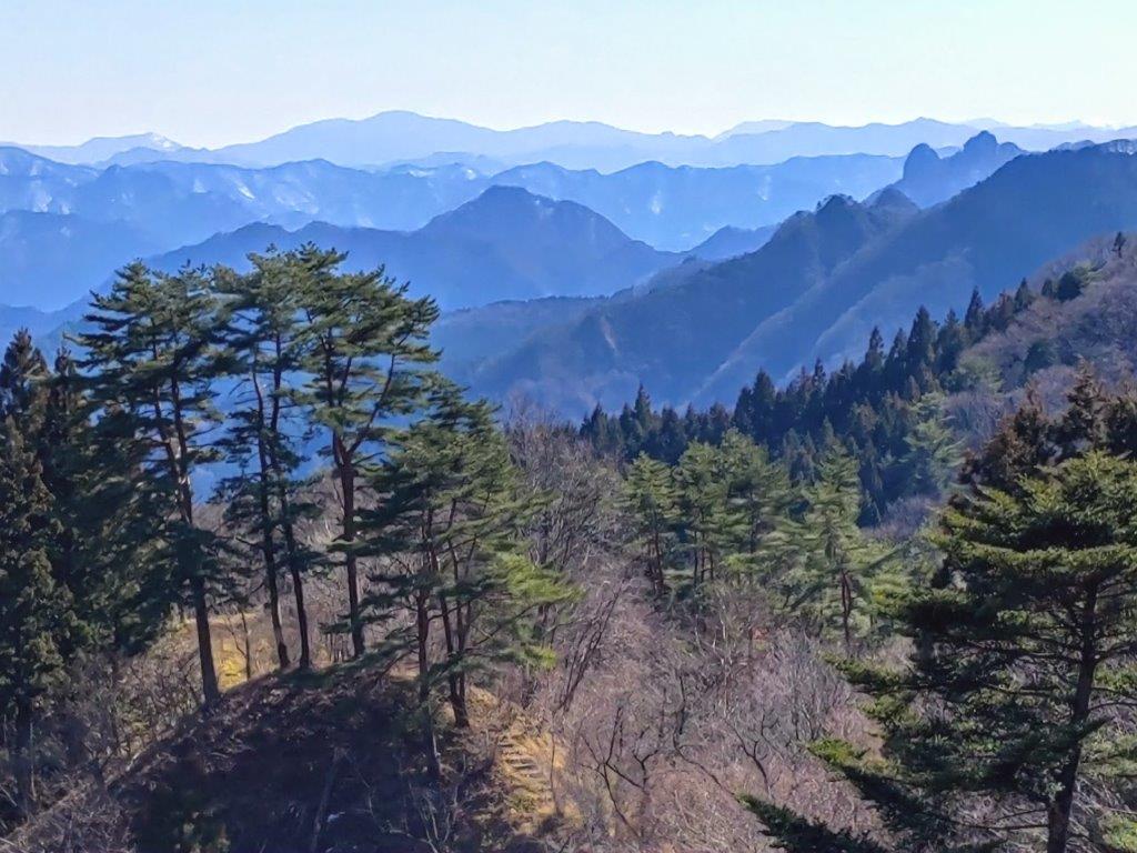
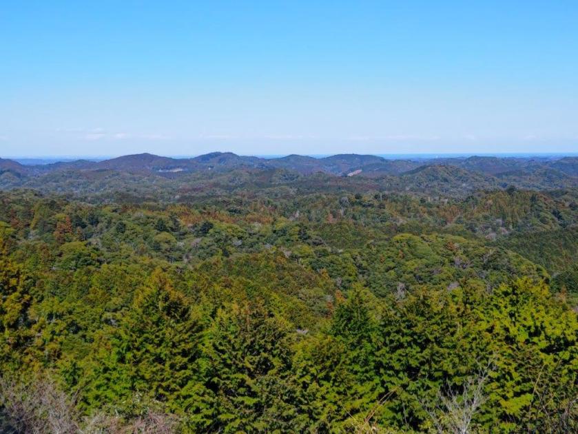
View Northeast from the Top of Mt Otakatori
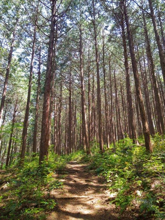
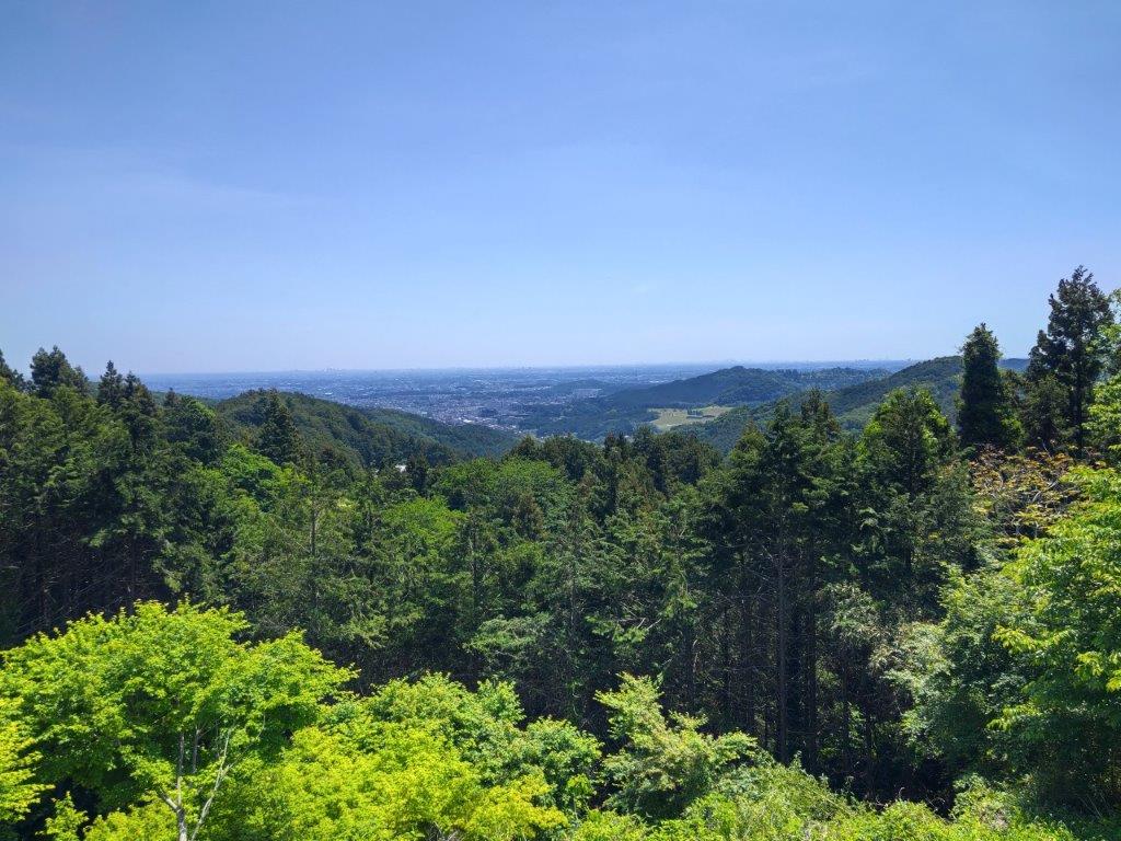
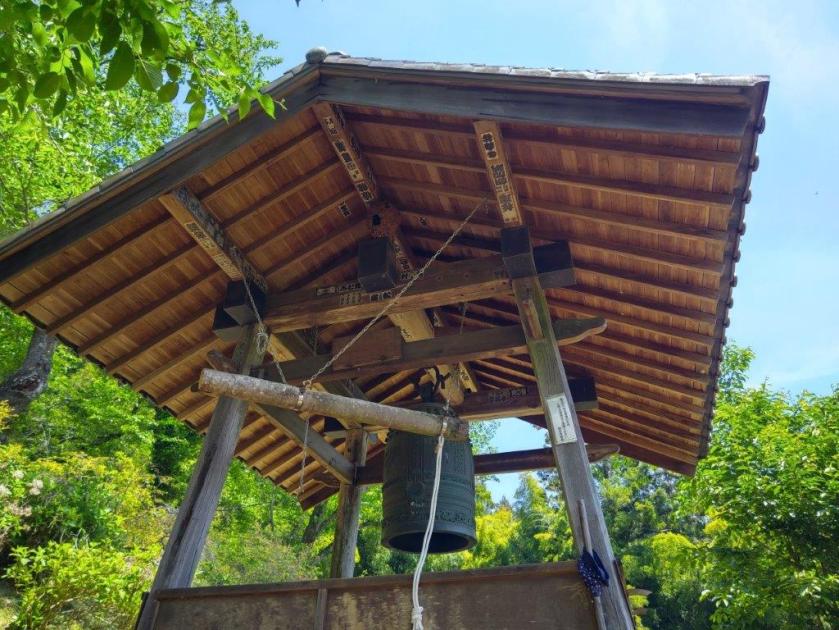
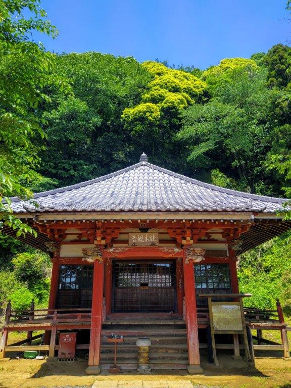
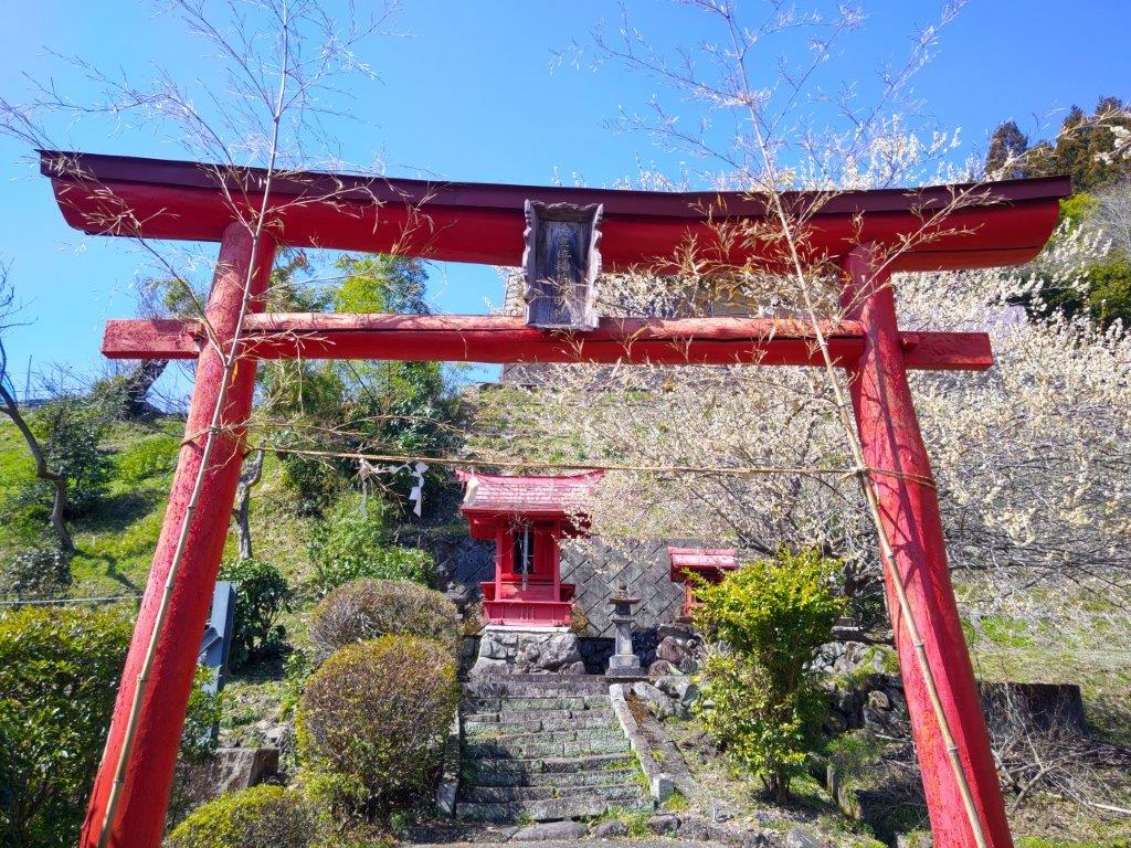
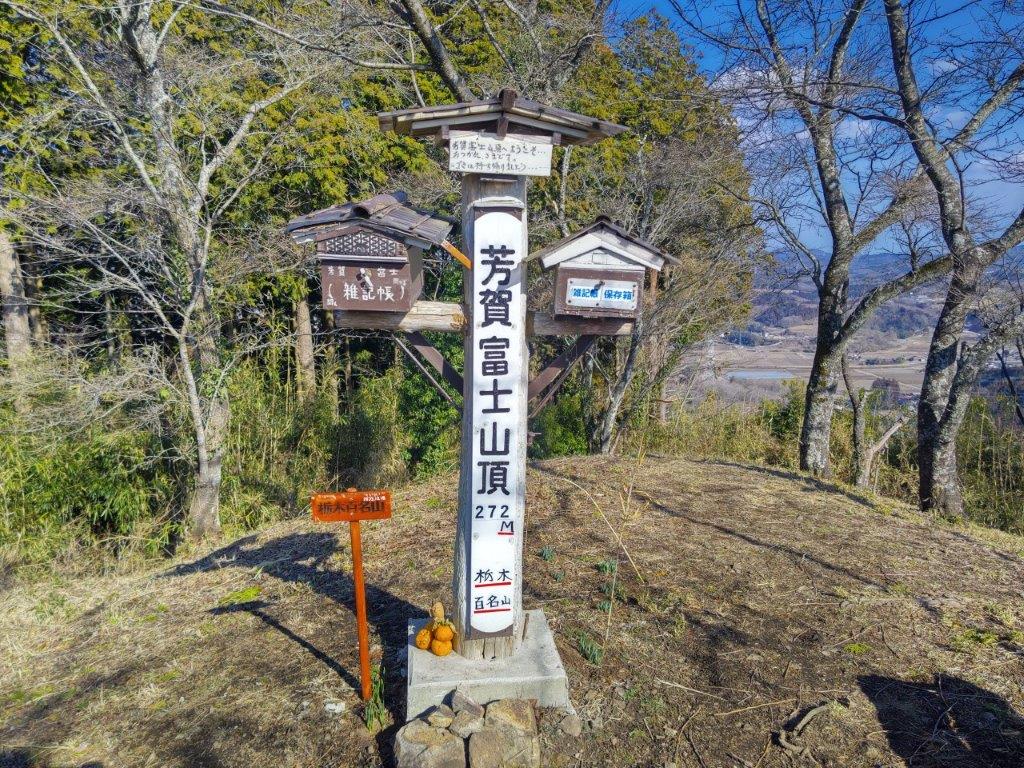
I enjoyed the view, the new green of spring contrasting nicely with the bright blue sky; in the distance I could see the flat Kanto Plain and the skyscrapers of Tokyo. I went up a series of stone steps starting directly behind the deck and ending at Katsuraki Kannon temple, the hiking trail continuing on the left. Very soon, I passed the minor summit of Mt Katsuragi (桂木山 かつらぎさん katsuragi-san 376m), completely within the trees. Soon after, I arrived at a large crossroads in the middle of the forest where I continued straight, reaching the summit of Mt Otakatori (大高取山 おおたかとりやま otakatori-yama) soon after.

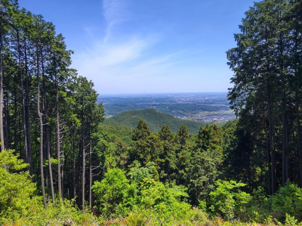
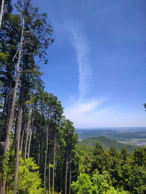
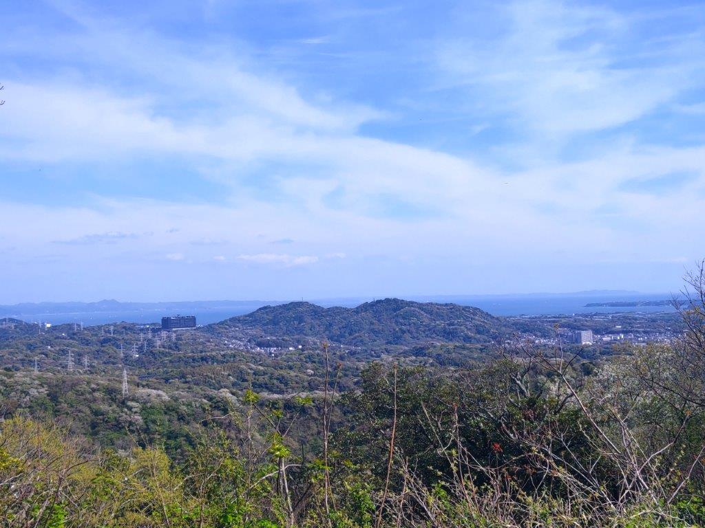
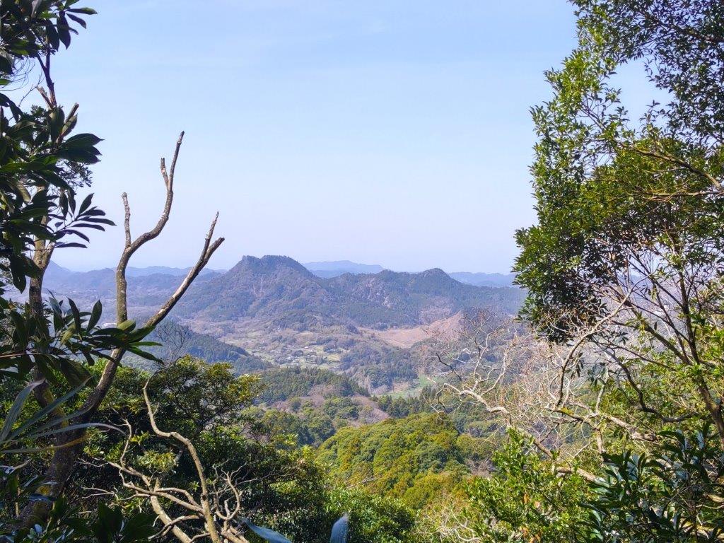
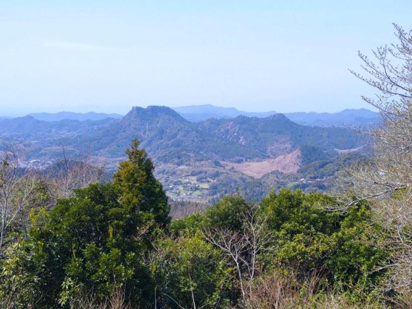
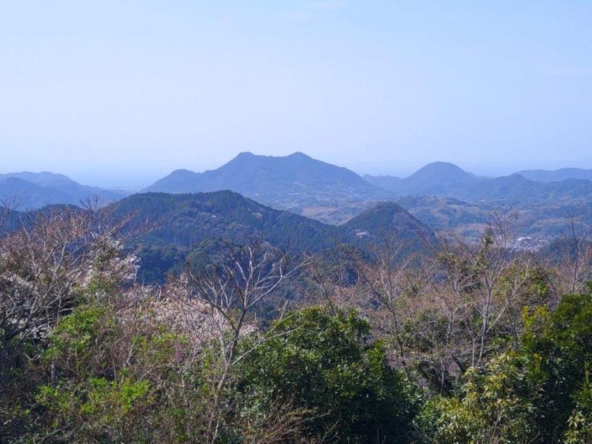
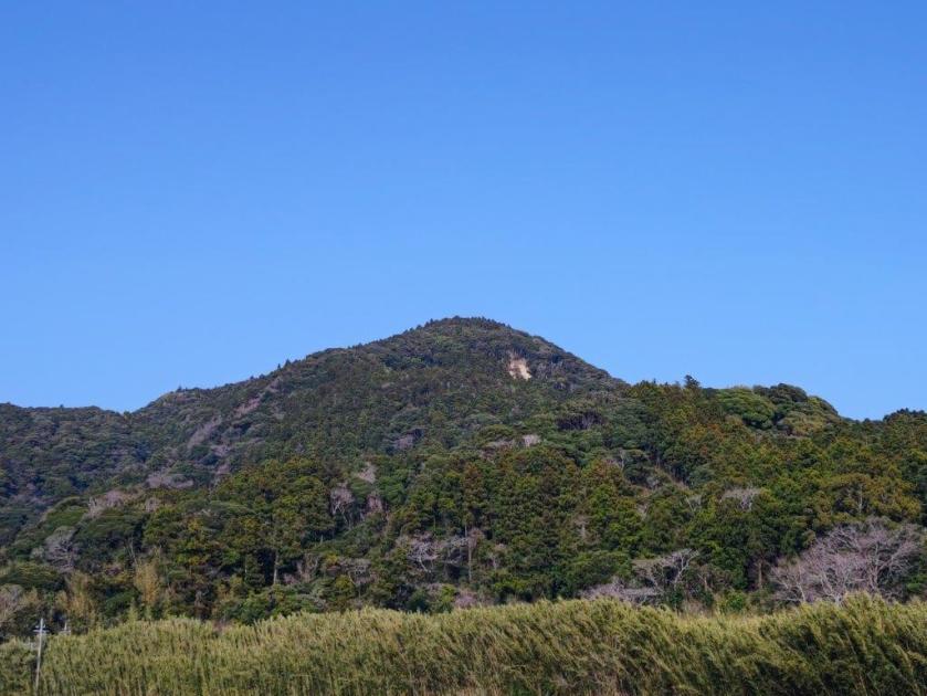
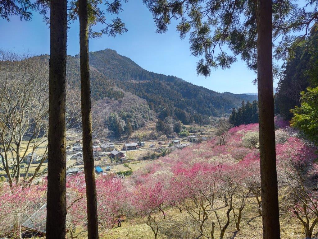
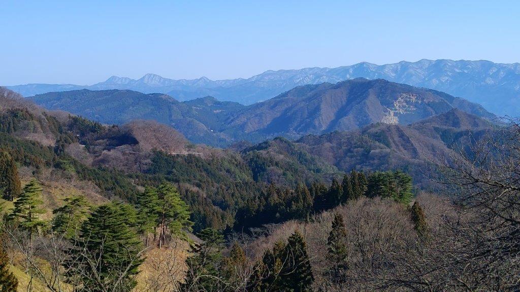
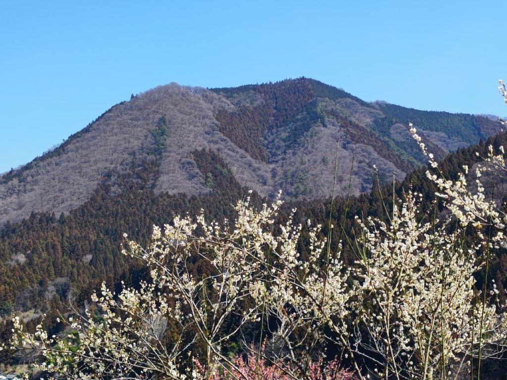
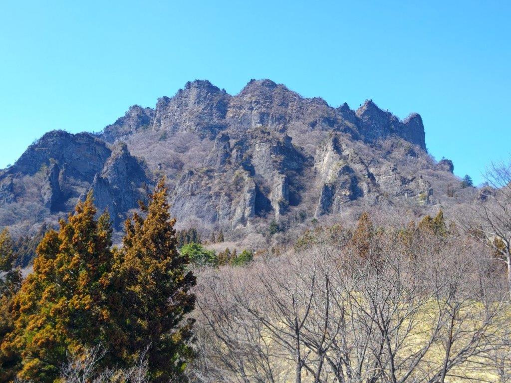
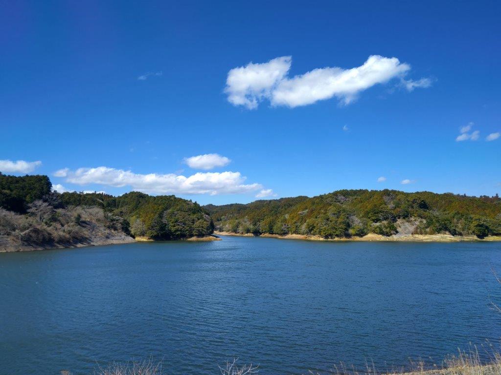
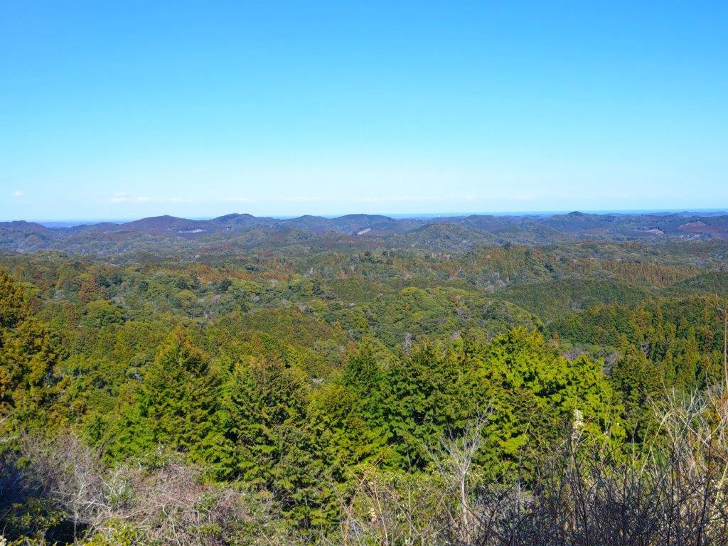
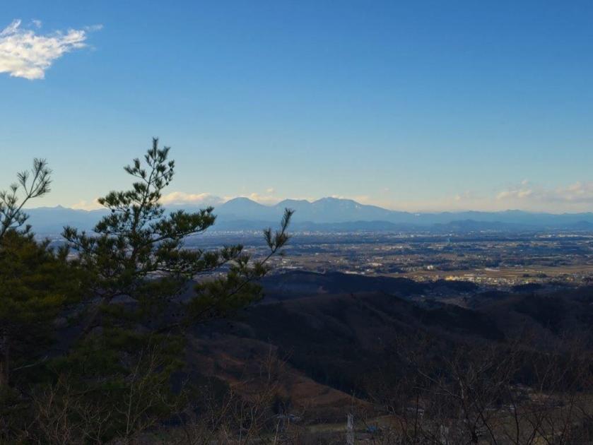
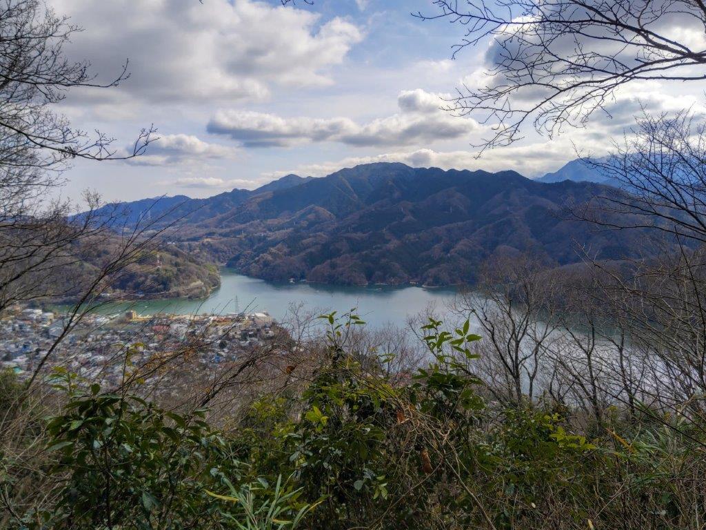
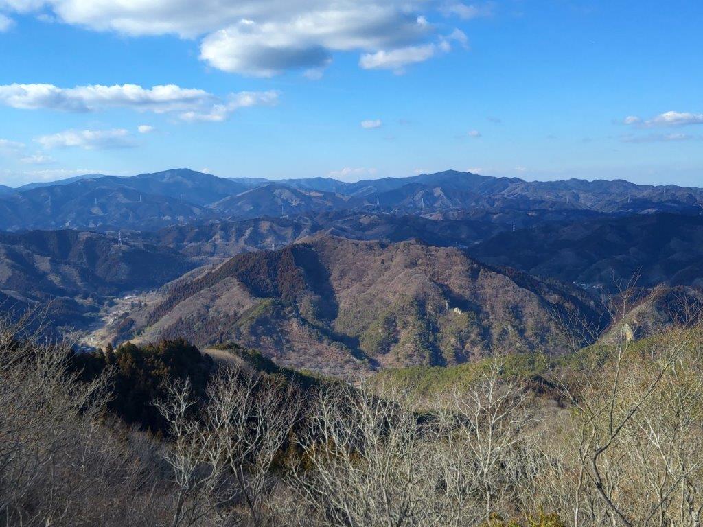
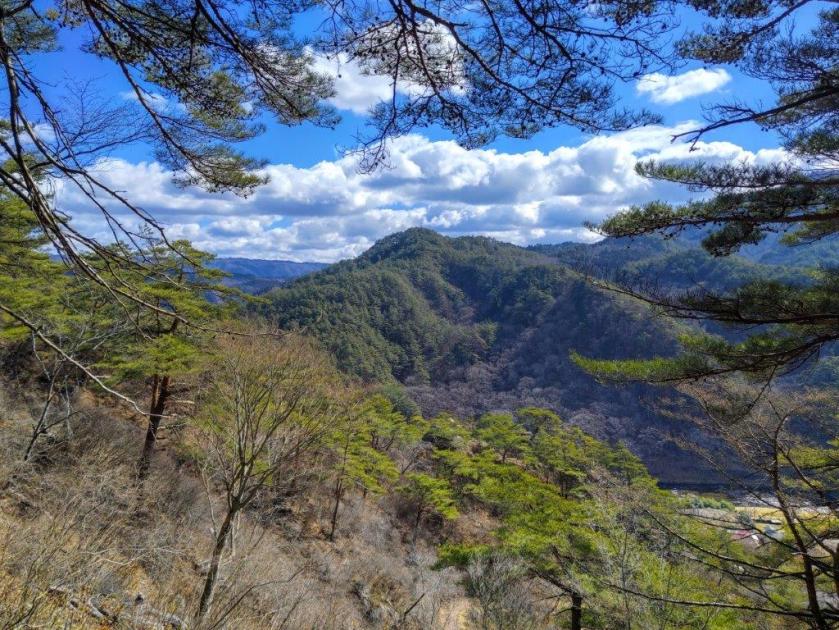
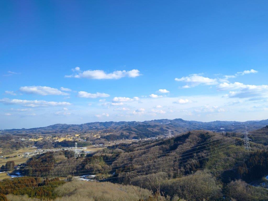
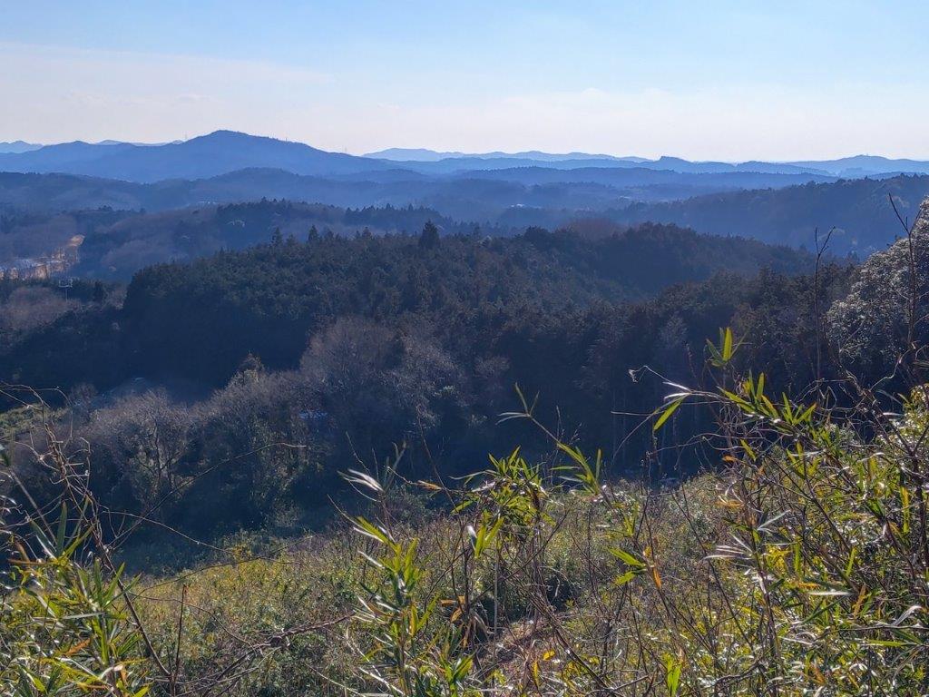
View of the Ogose Alps from Mt Otakatori

Closeup of the section between Mt Ogose and Kanhashu
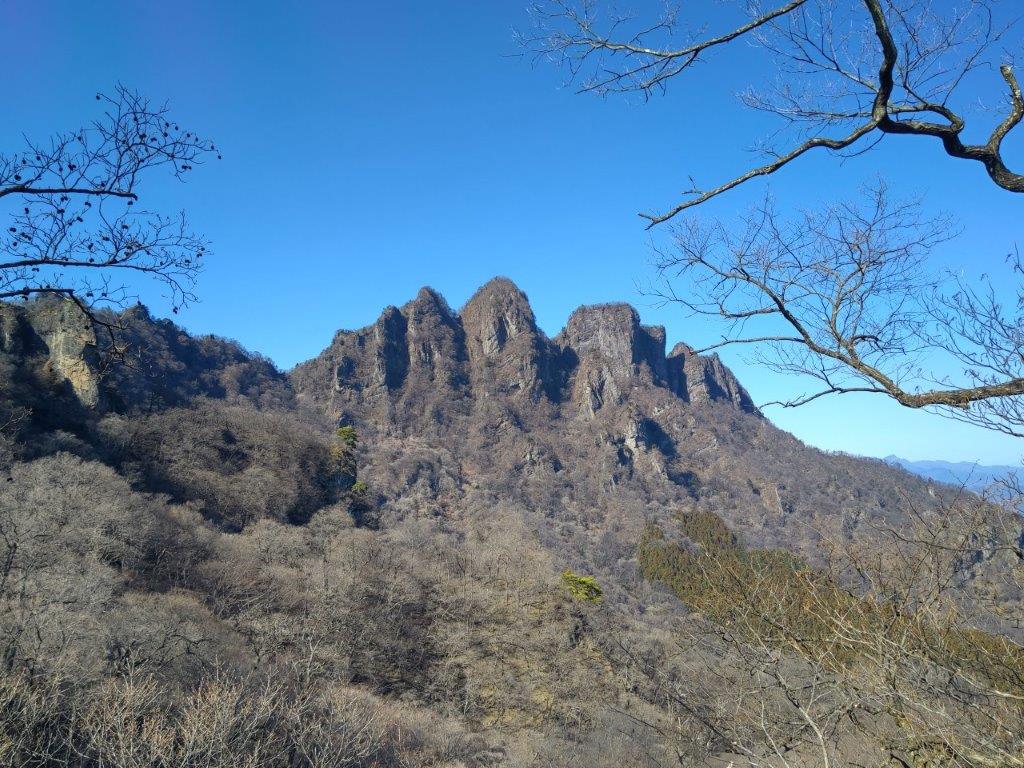
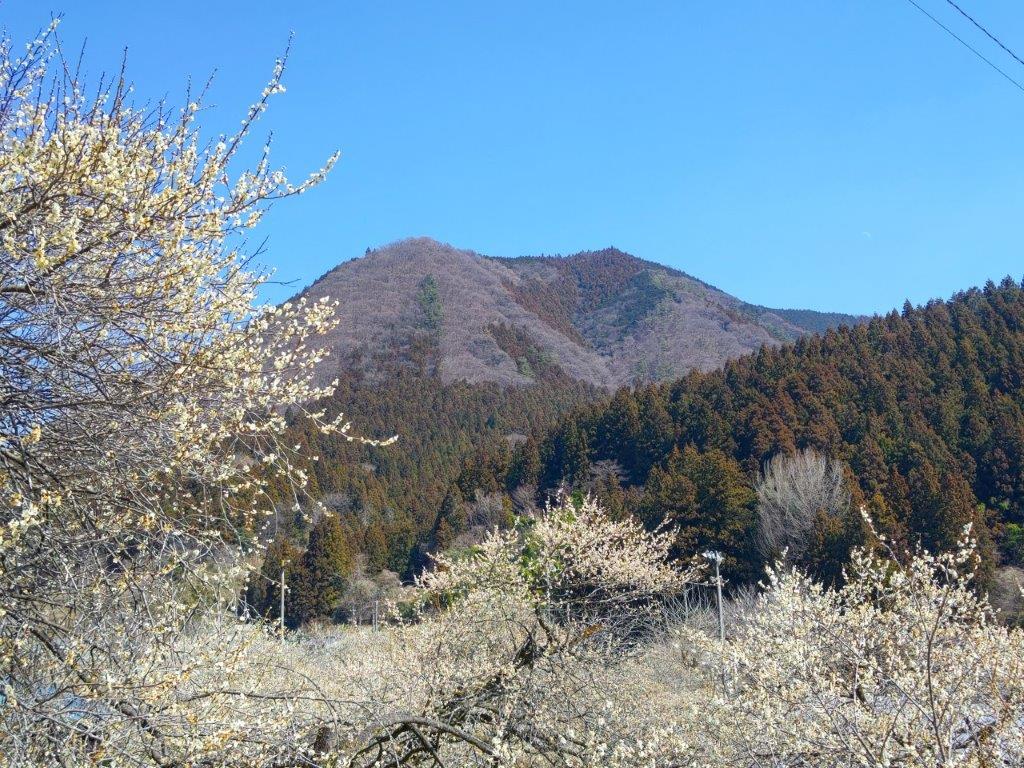
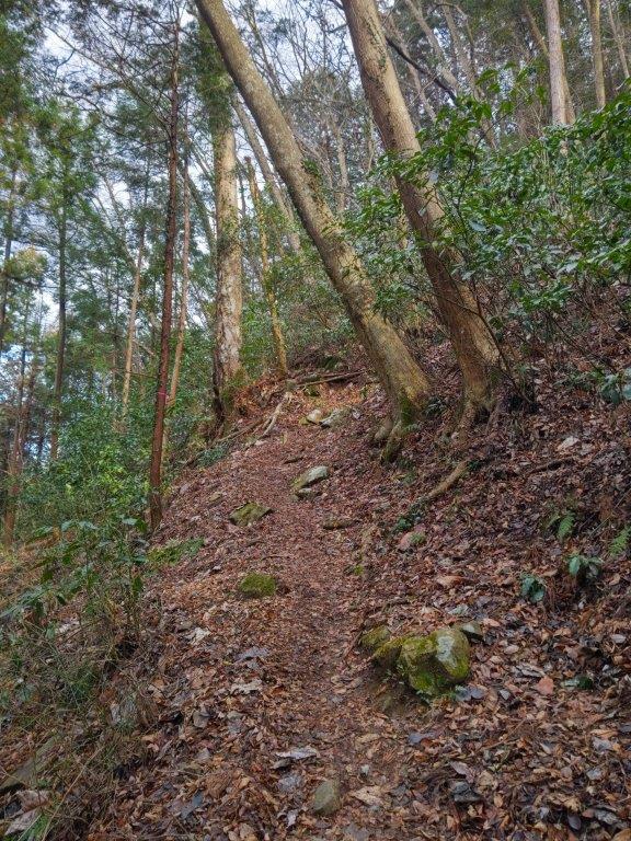
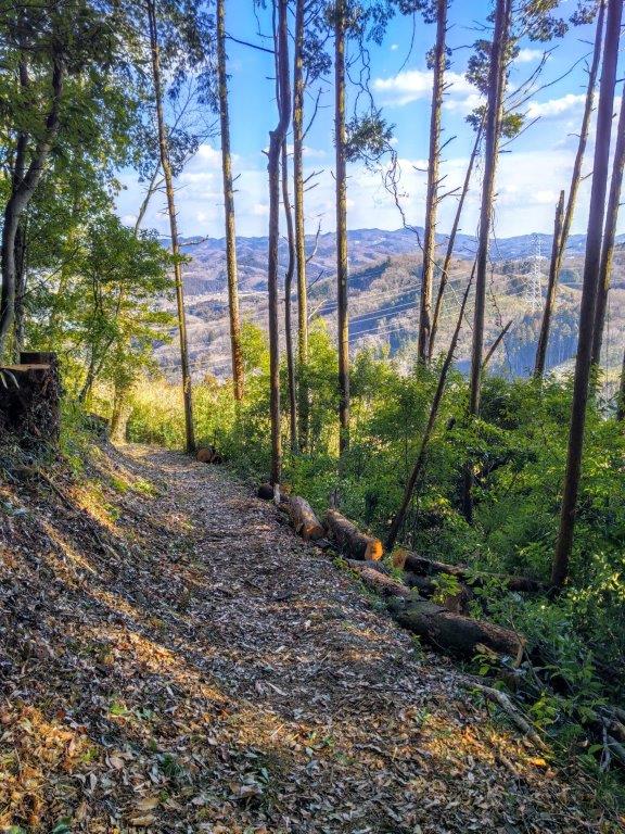
Some trees had been cut on the west side, opening up a superb view of the Ogose Alps (越生アルプス): I could see all the way from Mt Ogose on the left to Kanhashu on the right. I then turned to face the more familiar view on the west side: between a gap in the trees, I could see the rounded top of Mt Nishi-Takatori lower down and Ogose Town and the Kanto Plain beyond. It was already 1130 and time to head down; a little after noon, I turned right onto a path for Kokuzon (虚空蔵尊), taking me away from the busy main trail up and down the mountain.

Few People at the Summit on this Beautiful Day
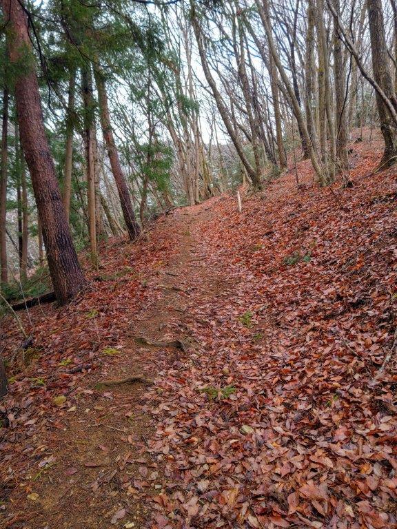
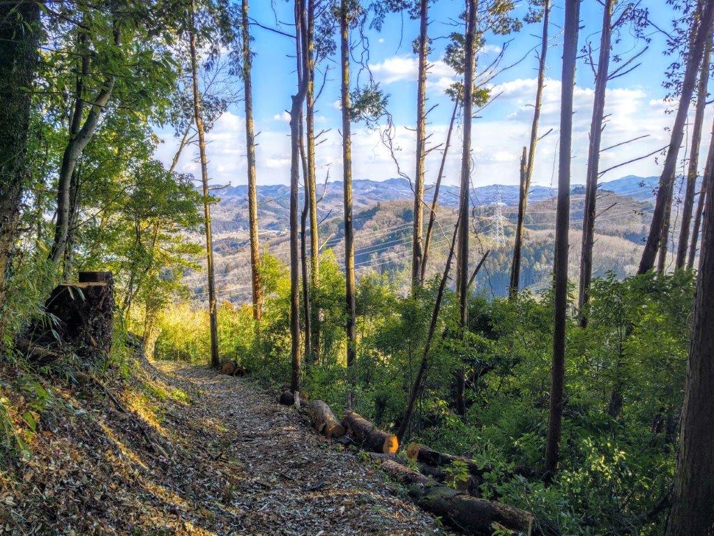
Forest Road leading to Kokuzon Sakura Park
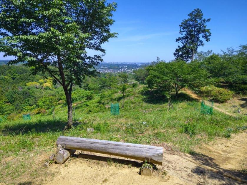
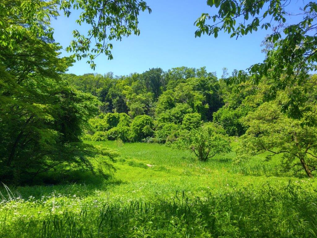
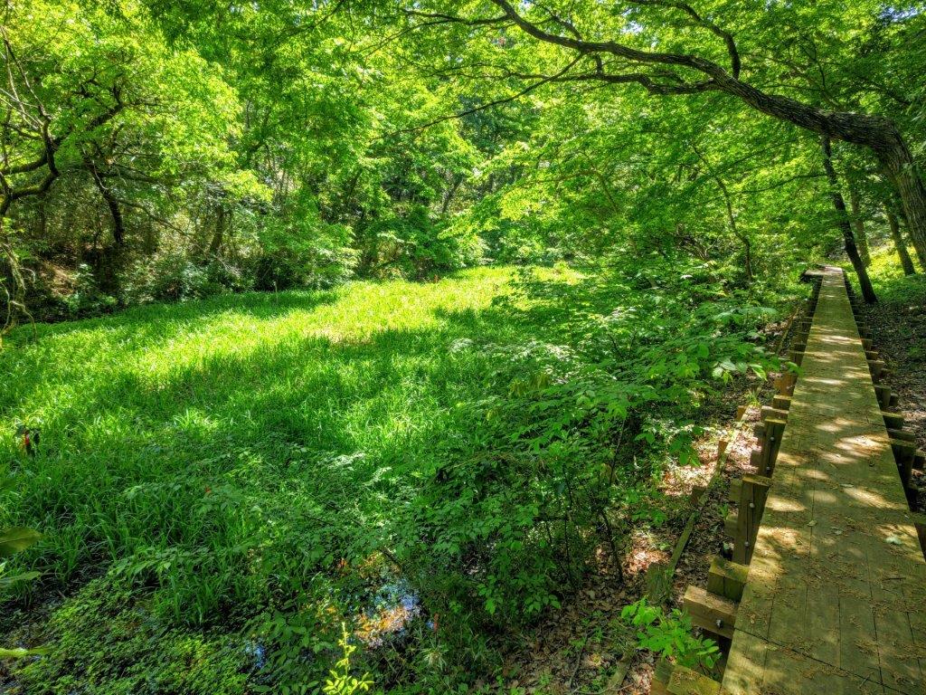
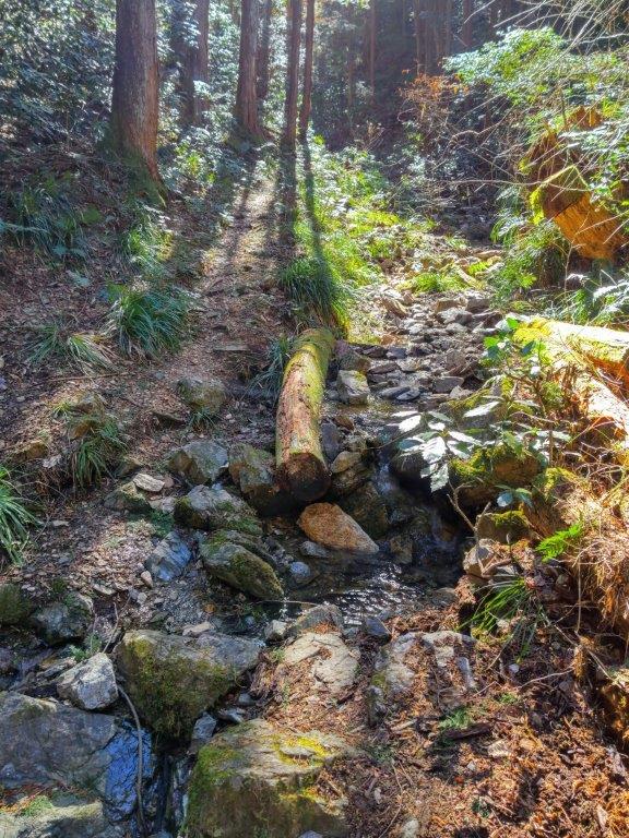
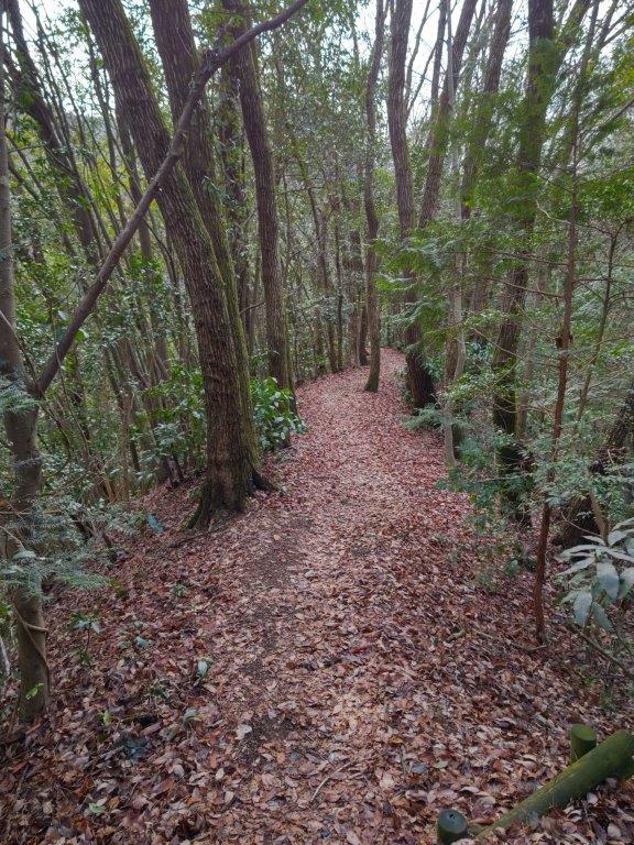
I was delighted to be have the trail to myself again, walking down a green valley alongside a bubbling stream. Half an hour later, I reached a forest road but soon turned right up a trail next to a brooklet, a tributary of the stream from earlier. The path curved in a counter-clockwise direction and I was soon heading east again. I made a short roundtrip to the top of Nishi-Yamafuji (西山富士 にしやまふじ nishi-yamafuji 190m), a peaceful spot in the middle of the forest. Back on the main trail, I soon exited the forest and arrived at a viewpoint and a couple of log benches, also the top of Mt Kokuzon Sakura (虚空蔵尊さくら山 170m), the highest point of the Kokuzon Sakura Park.
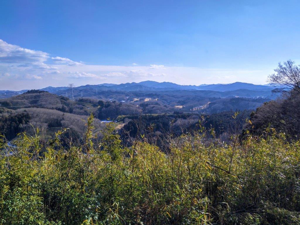
East Ridge of Mt Otakatori from Mt Kokuzon Sakura
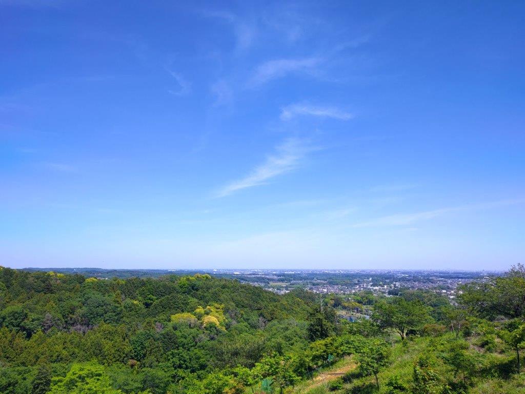
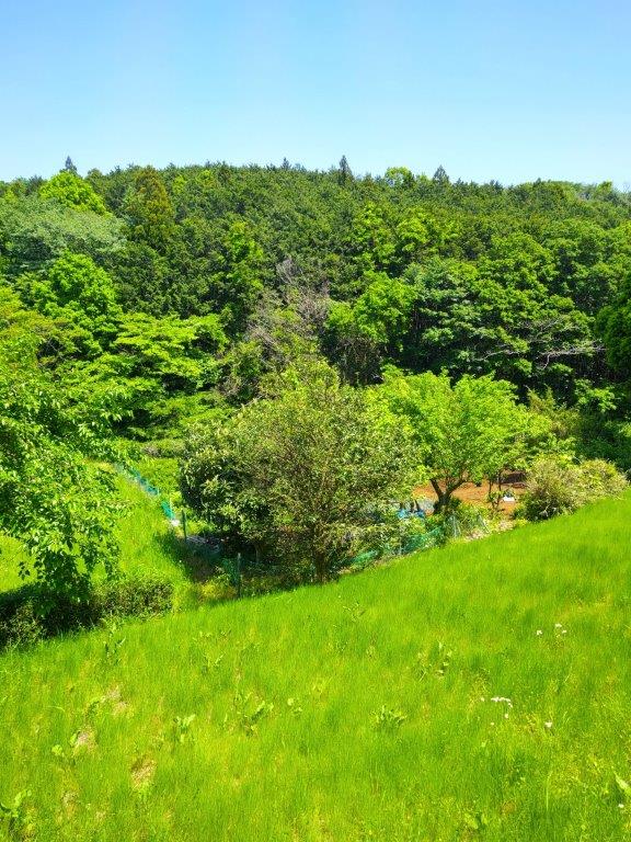
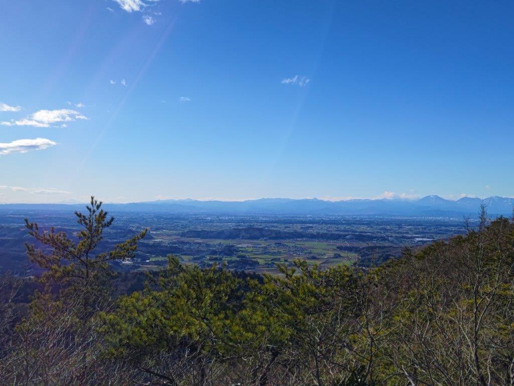
View of the Kanto Plain from Kokuzon Sakura Park
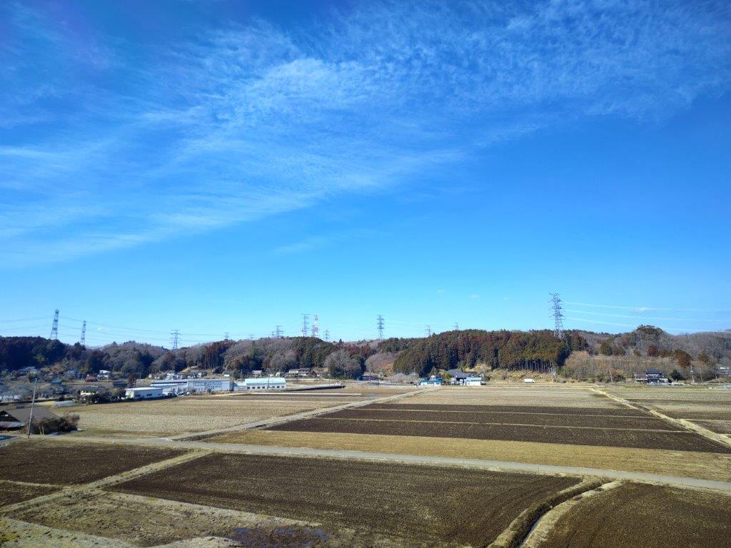
I was pleasantly surprised by this beautiful view, not shown on any of my maps. I could see the eastern ridge of today’s mountain, freckled with light green, as well as the flat Kanto plain stretching away under the light blue sky streaked with white cirrus clouds. After a short break, I set off again, heading down one of the many paths through the park and arriving at the mountain base at about 1h30. I made my way back to Ogose station as fast as I could; although the surrounding countryside was pleasant, I was now out of the forest and fully exposed to the hot afternoon sun. By 2pm, I was glad to be sitting again in the cool interior of the train bound for Tokyo.
Watch the Video of the Hike on YouTube


See a Slideshow of More Pictures of the Hike


You must be logged in to post a comment.