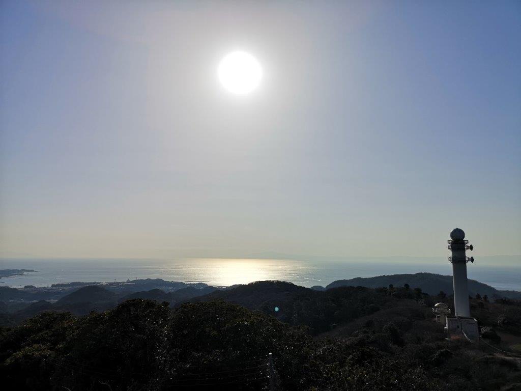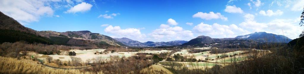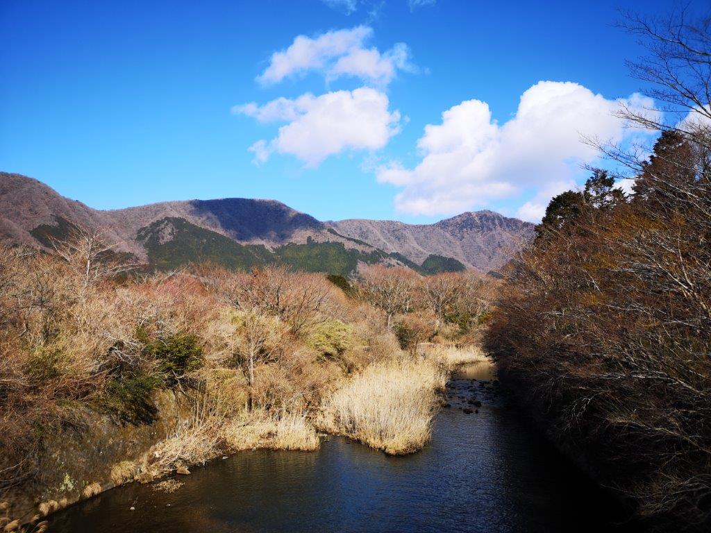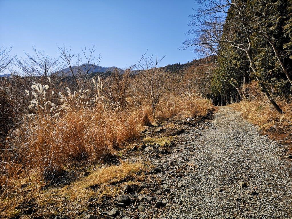
Mt Iwatakeishi (793m), Mt Kuro (842m) & Mt Onita (505m), Ome and Hanno Cities, Tokyo and Saitama Prefectures, January 2021

I was looking for some more “Kanto no Fureai trails” close to Tokyo. I found a promising section in the Okutama area and decided to combine it with a couple of nearby mountains, forming a zigzag hike, straddling Tokyo and Saitama prefectures. My main concern was whether I would have enough time to complete what seemed like an ambitious hike. The last section followed local trails that weren’t shown on my hiking map, and I was hoping they would be easy to follow. I had been to the area many times before, so I was familiar with the way there and back. The weather forecast was good, and I was looking forward to my first multi-prefecture hike in a while.

Hiking in the Chichibu-Tama-Kai National Park

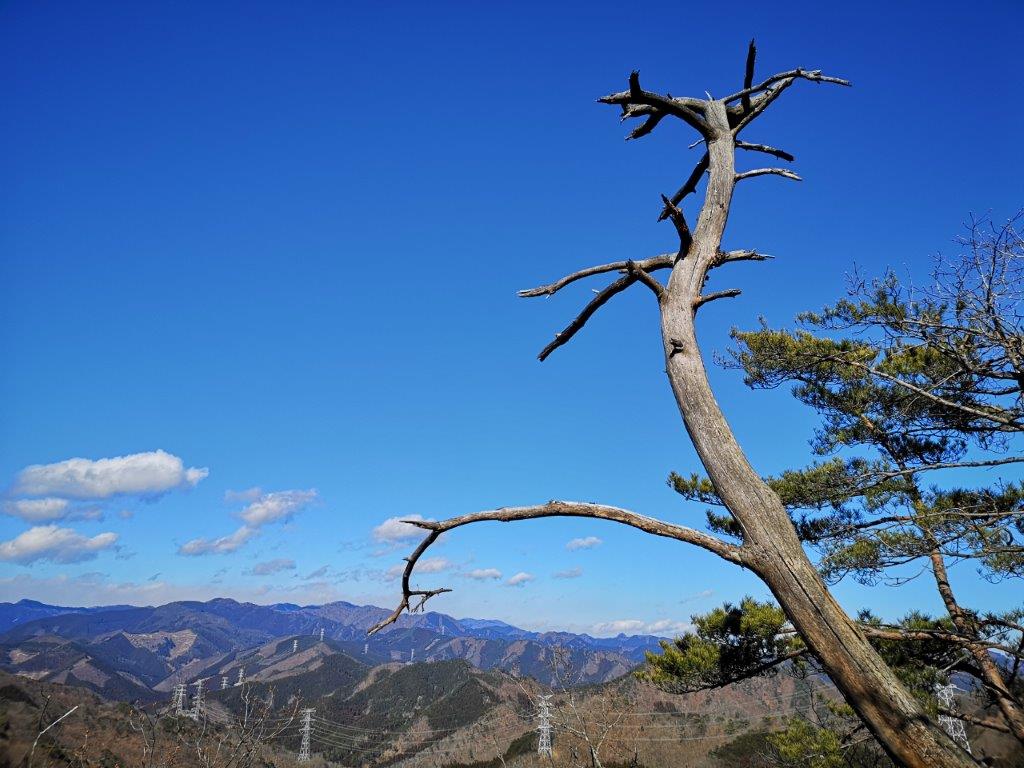
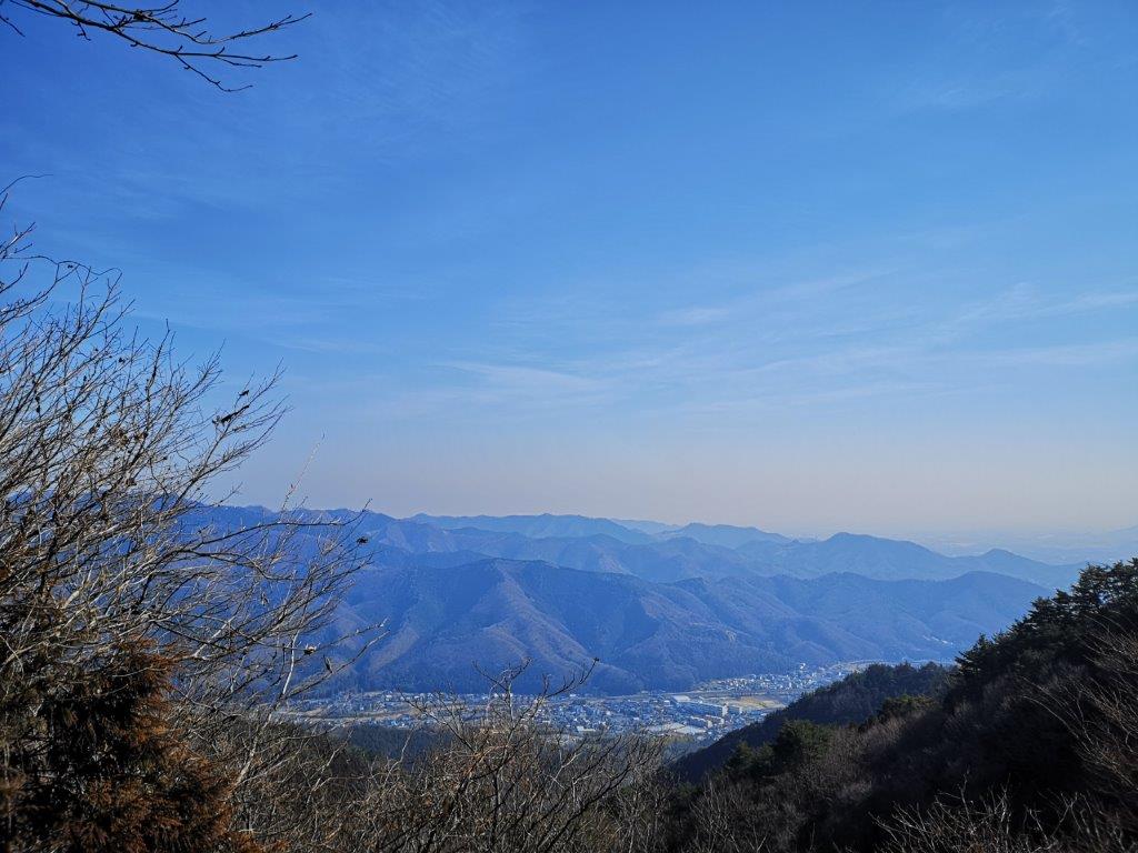
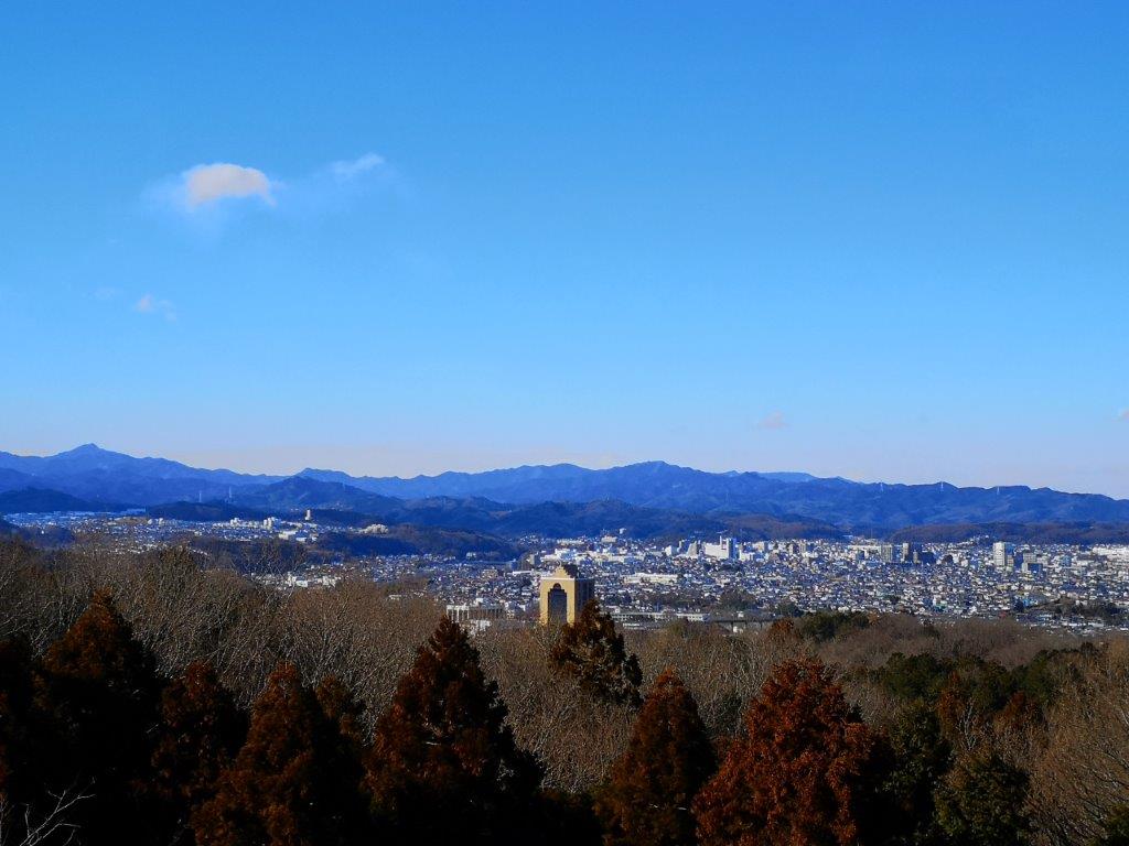
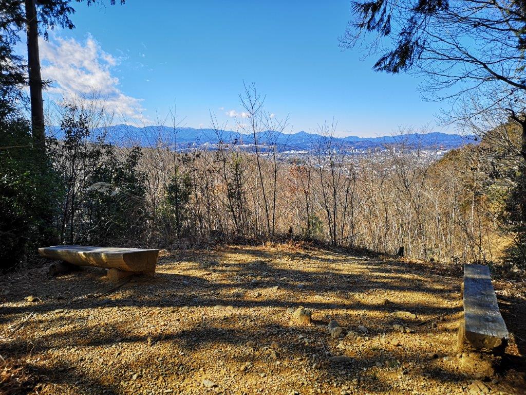
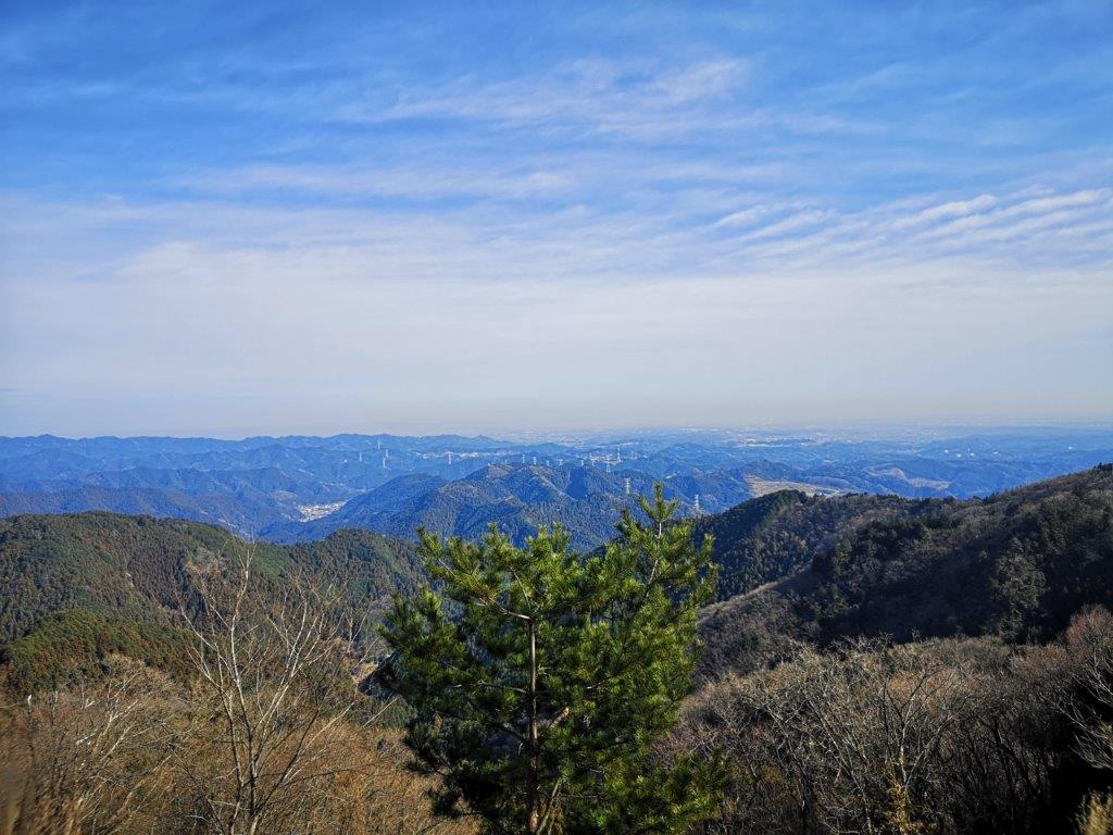
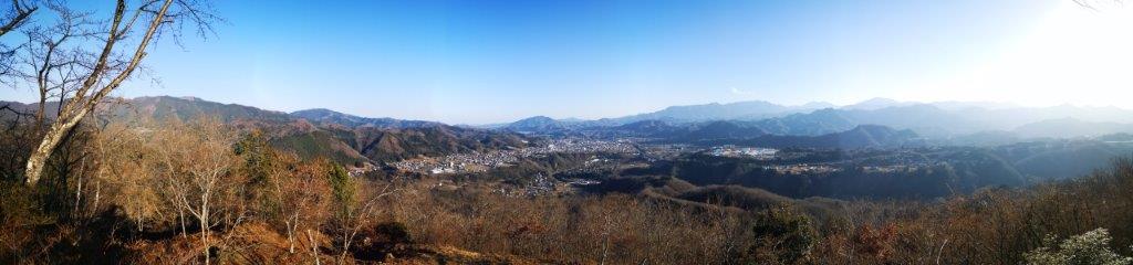
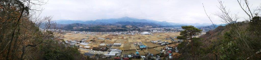
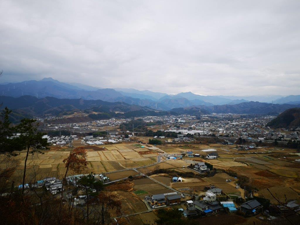
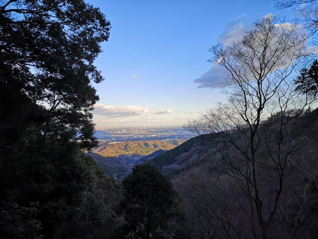
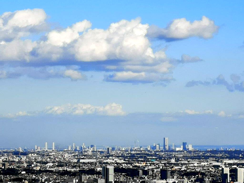
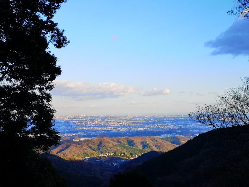
Looking east towards Tokyo

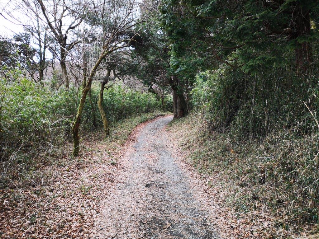
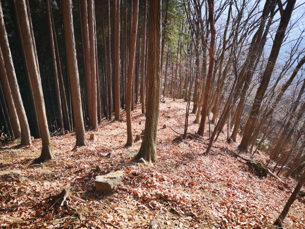
I arrived at Kawai station at 9h30 on a sunny winter day. I quickly made my way down to the Ome-Kaido road to catch the bus scheduled to arrive in a few minutes. I got off before the other passengers headed for Bonomine, and followed the signs, first through the village, and then along a paved forest road, which later became a dirt road. At 10h30, just when I was starting to think that I would be walking on this road all the way to the top, I spotted the hiking trail leading off to the right and up the mountain side.

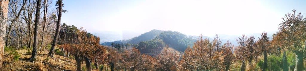
The low, hilly area of Oku-Mukashi

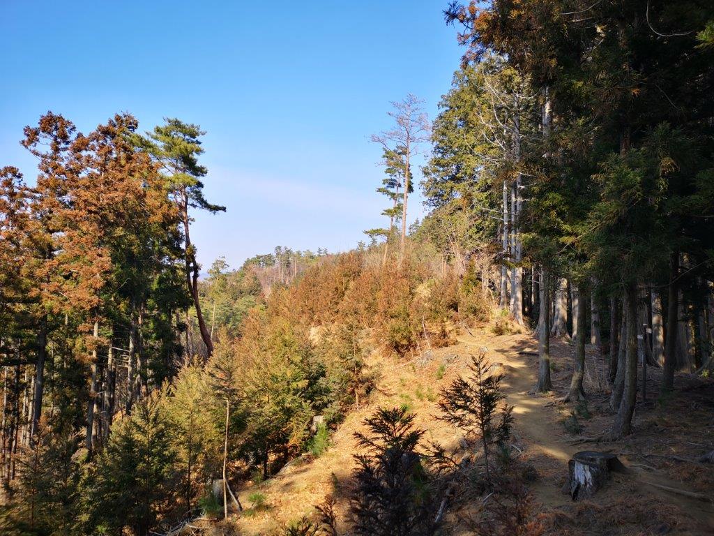
The path to Mt Takamizu

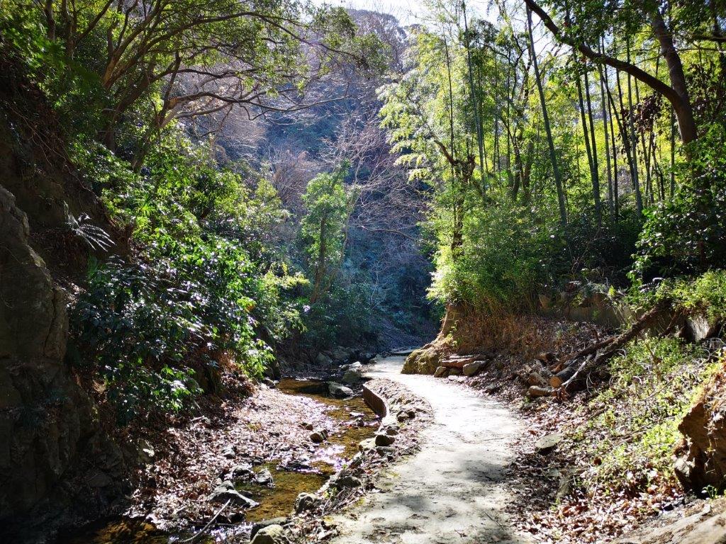
The trail went up a small valley through a gloomy, dark forest. Suddenly, it veered left, leaving the valley and hugging the sunny mountain side. It took me another twenty minutes to reach Nasaka pass (名坂峠). Today’s hike was along the ridge to the left, but, I decided to first do a short round trip to the peak on the right. At 11am, I was standing on the top of Mt Iwatakeishi (岩茸石山 いわたけいしやま iwatakeishi-yama), a Kanto hundred famous mountain I had climbed once before in the spring a few years ago. There were so many people at the top it was hard to find a place to sit down!

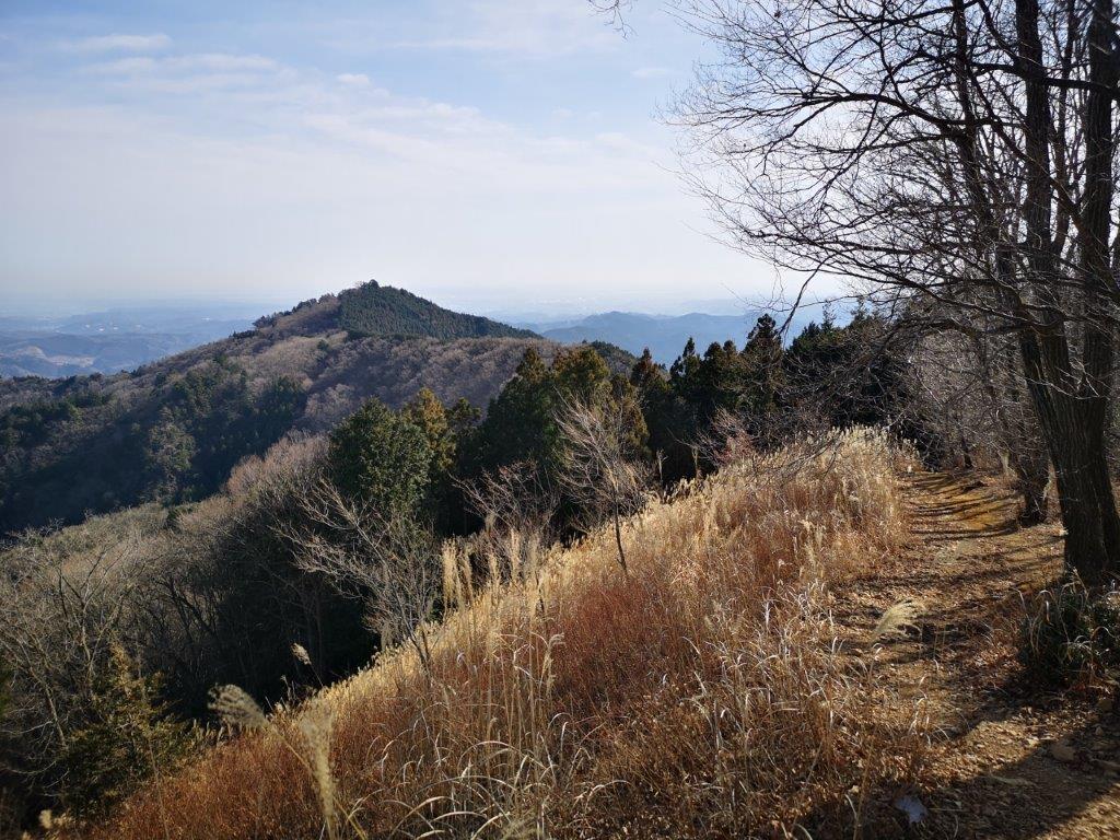
On the left, Mt Kawanori

The ridge leading down from Mt Kuro towards Kosawa pass

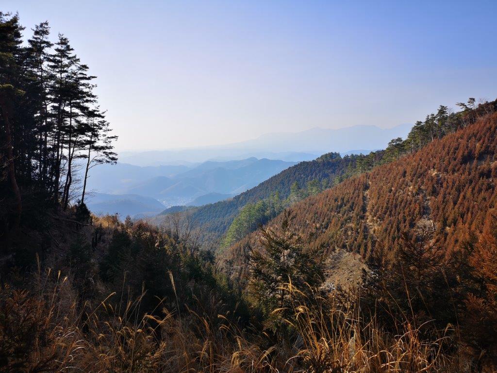
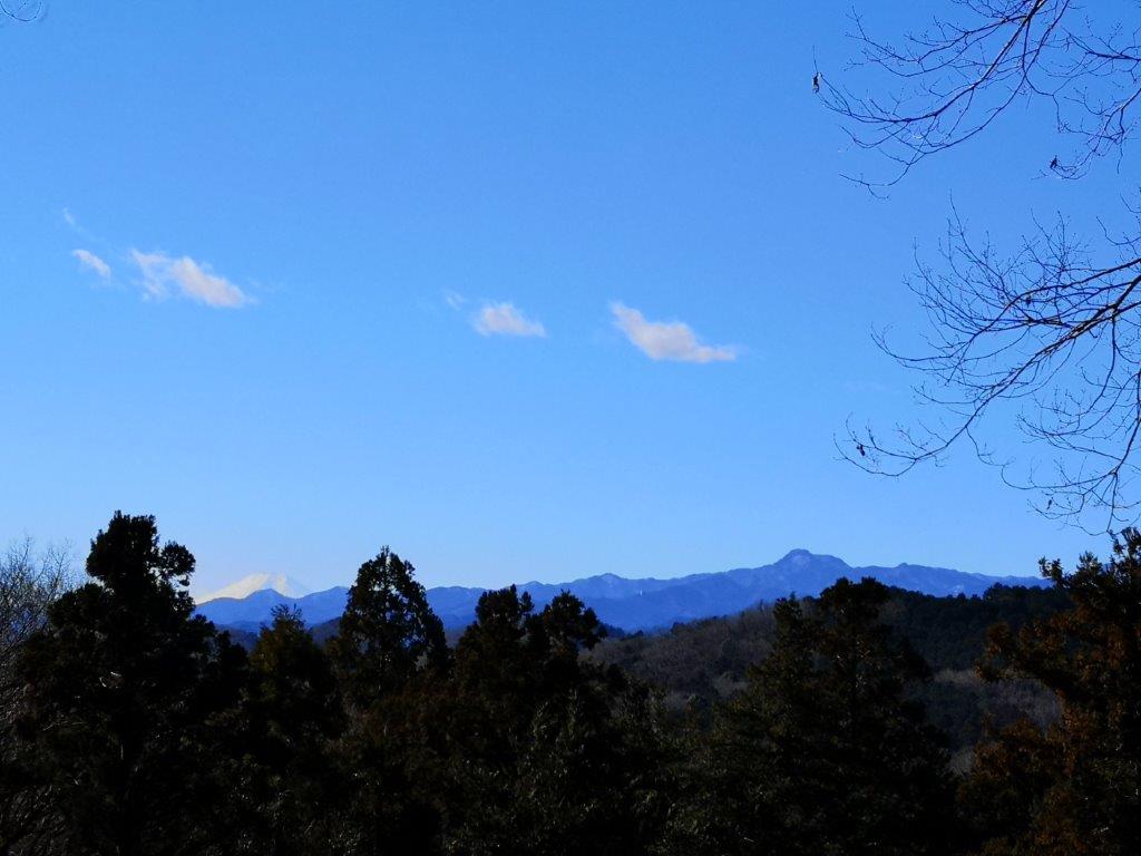
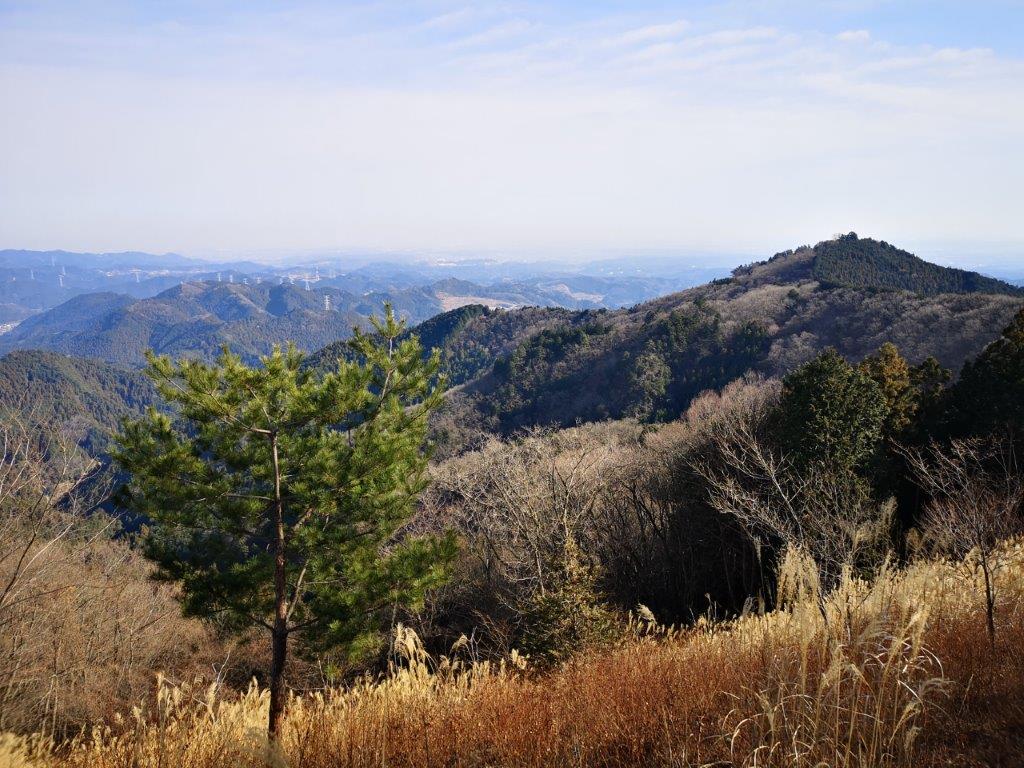
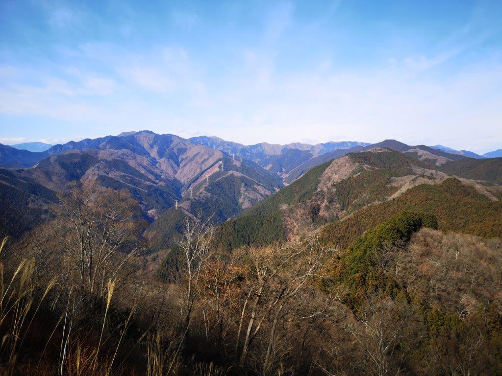
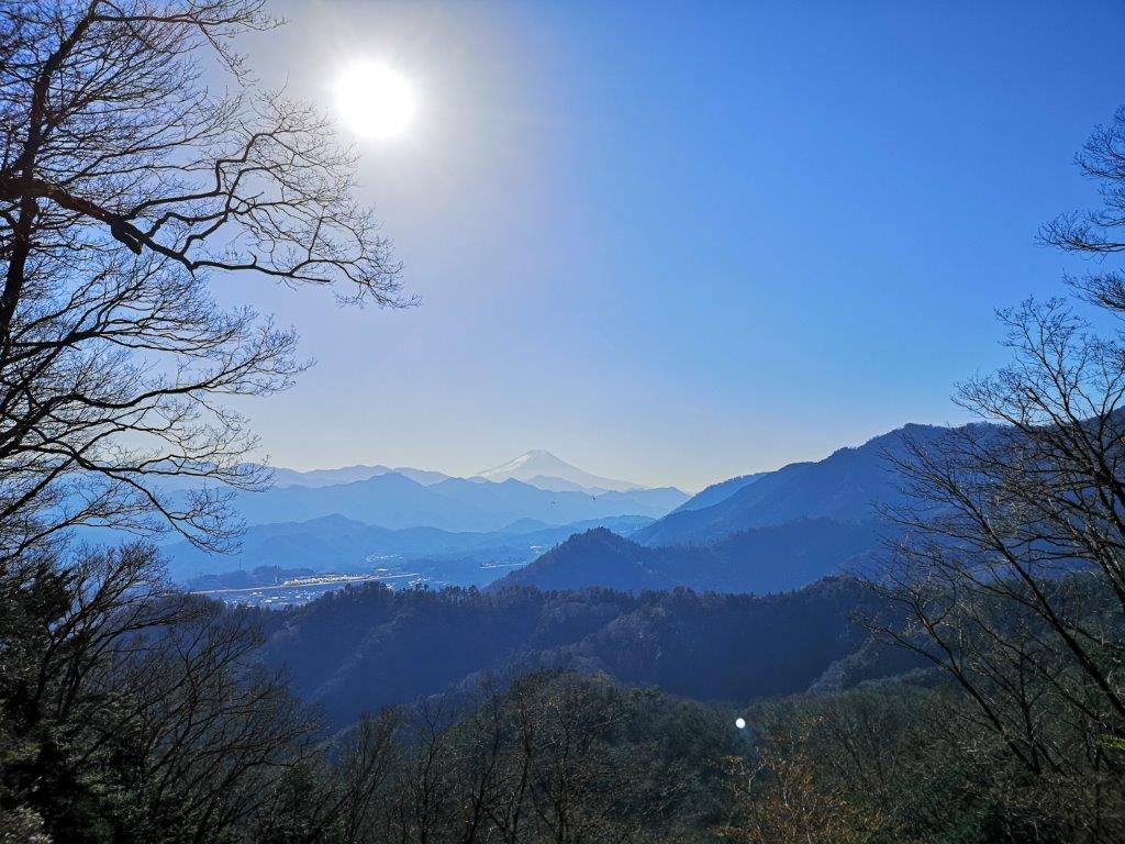
The view was a lot better than I remembered. To the east was the summit of Mt Takamizu; looking north, I could see the mountains of Oku-Musashi; eastwards was Mt Kawanori and Mt Honita. I walked south along the summit ridge to another viewpoint, where I could see right through the middle of the Okutama mountains all the way to Daibosatsurei and the long ridge leading away from it to the south. After having a late breakfast, I made my way back to the pass and started the long climb along the ridge, part of the Fureai no Michi, leaving the crowds behind me.

In the back, Daibosatsurei

This is still inside Tokyo Prefecture

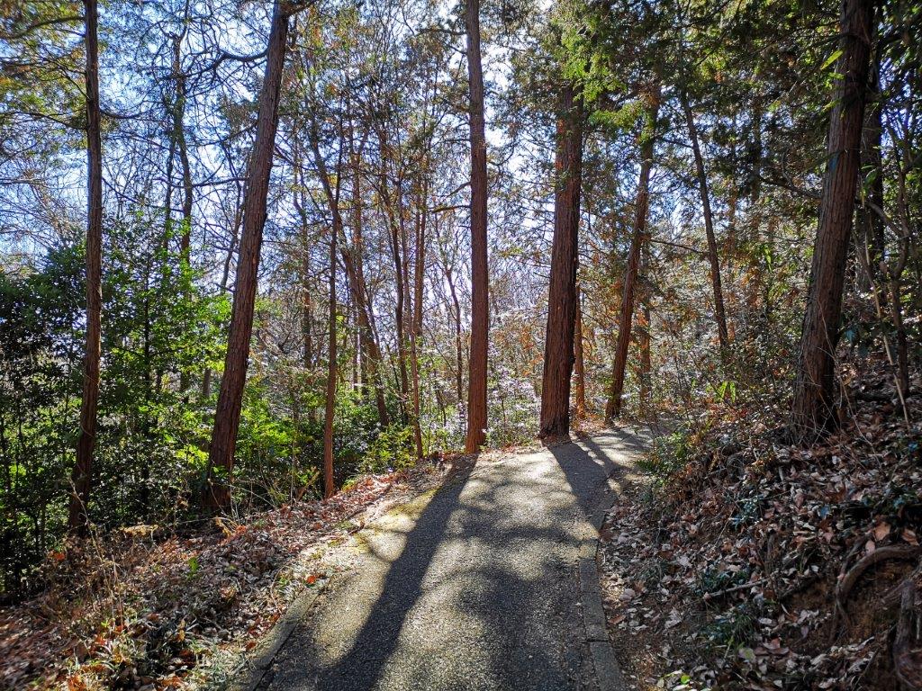
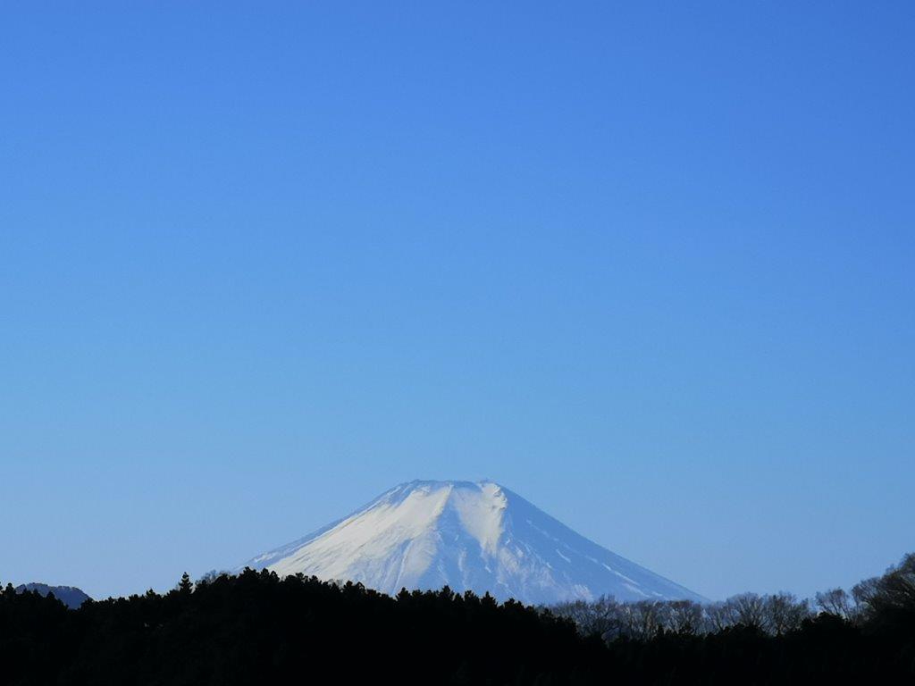
There were almost no other hikers along this section and it was very peaceful. It was also quite warm, and felt like March rather than January. After about an hour, I reached a viewpoint above a cliff from where I could see Mt Mitake and its shrine to the south; behind and on the right was Mt Odake; Mt Fuji, further behind, was hidden by the clouds. I reached the lonely but sunny top of Mt Kuro (黒山くろやま kuroyama meaning black mountain). There was no view but there was a bench in the sun so I sat down and had some lunch. I decided to skip Bonomine, which I had climbed several times before, and head down another ridge; it formed a sharp angle with the one I had just come up, like a bent elbow.

Looking towards Mt Mitake

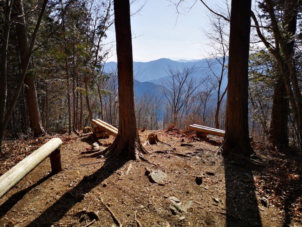
A good place for a break

Here the trail became more difficult to follow; I was no longer following the Fureai no Michi, and the signposts were less frequent. At one point, I passed a group of lumberjacks just as the tree they had been cutting crashed to the ground (I was at a safe distance). Just afterwards, I crossed a forest road where a group of hunters was getting ready. They had a loud barking dog, but fortunately it was locked inside a cage. I started to walk faster to put some distance between myself and the hunt. Suddenly, I was no longer on the path. Using Google Maps, I saw that the ridge curved northwards around this point. I retraced my steps and quickly found the trail again.

The sunny top of Mt Kuro

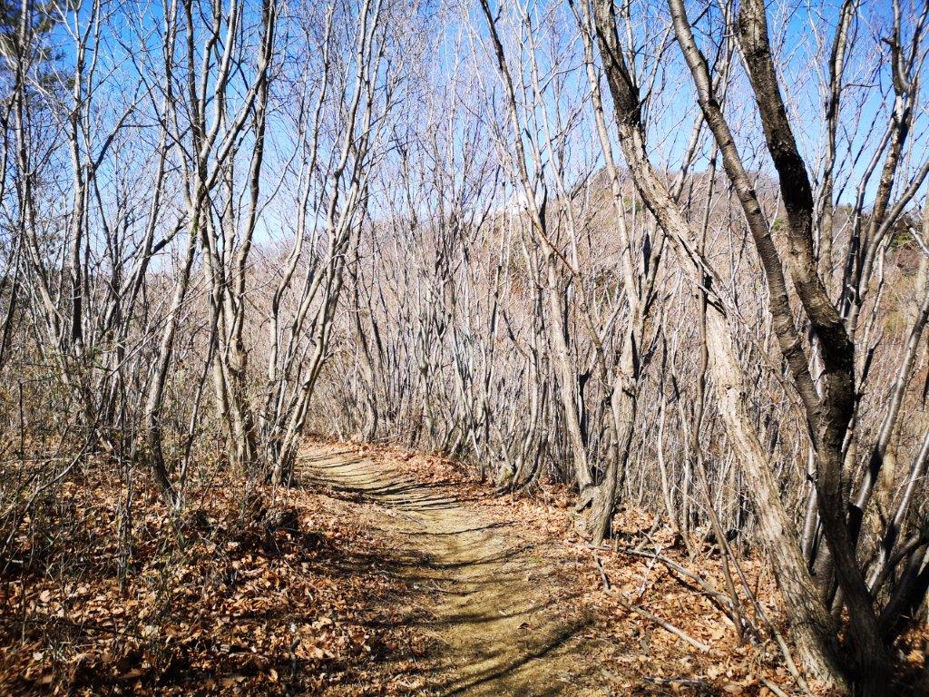
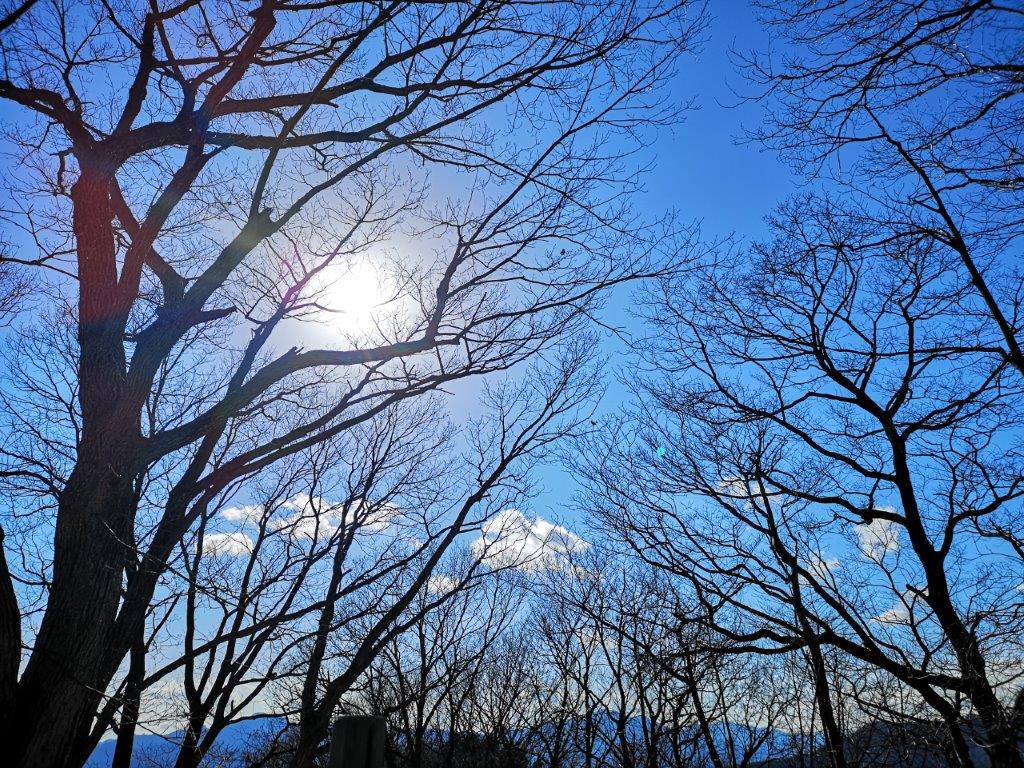
Still sunny through the leafless trees

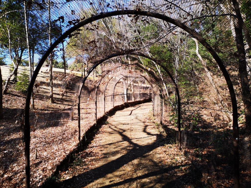
I could hear the noise of barking getting ever closer. The hunting dog eventually caught up and overtook me. Having seemed quite agressive earlier on, it showed no interest in me. Later on, it passed me again on its way back, having failed to find anything hunt-worthy (see video). On the left side, I had some glimpses of the Iruma valley. Around 2h30, the path started to descend steeply and I saw some towering cedar trees. This section was very beautiful and I was glad it was protected since it was part of the Chichibu-Tama-Kai national park. At 3pm I reached Kosawa Pass (小沢峠). It was later than I had planned and I needed to quicken the pace if I wanted to be able to climb today’s last mountain before dark.

Mostly hiking through forest at lower altitude

Approaching the last mountain of the day

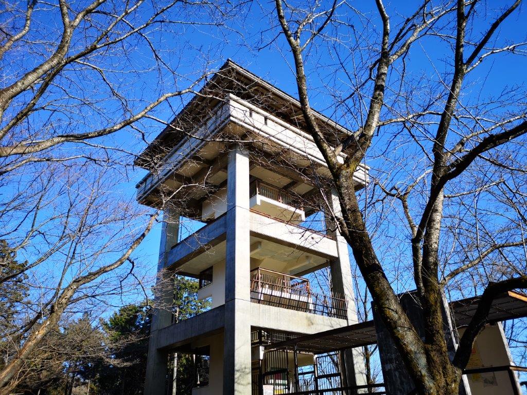
The sun was already low on the horizon and I had to be careful not to miss the frequent twists and turns of the trail through the dark forest. It took me one hour and a lot of ups and downs to reach the top of Mt Onita (大仁田山 おおにたやま oonita-yama). There was a small gap through the trees on the east side through which I could see the flat Kanto plain. For some reason, one side of the summit sign was in English. I took a short break before heading down as fast as I could. It took me 20 minutes to reach the road and the bus stop. At 5h30 I was at Hanno station where I got the Limited Express train for Tokyo, relieved that I had managed to complete this long hike before sunset.

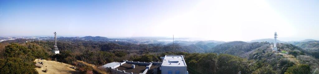
Check out the views from the top of Mt Iwatakeishi

Mt Shomure (542m) and Mt Yogai (536m), Uenohara City, Yamanashi Prefecture, January 2021

I found these two mountains on my Takao area hiking map – they aren’t mentioned in any of my guidebooks. I was mainly interested in the second one; however, since it was too short for a day hike, I decided to tack on a small mountain just north of Mt No and Mt Yae, with a little road walking in between. One advantage of this addition was that I already knew which bus to take to the start of the trail. Since my planned hike made a loop and ended quite close to the starting point, I would be able to take the same bus back with a little more road walking. I had done several hikes in the area before, so I was wondering if I would get any new views on this trip.

Mt Fuji view from the top of Mt Koyashiro

View of the mountains south of the Chuo line

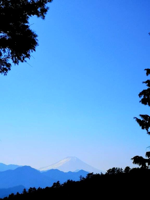
There wasn’t a cloud in sight when I arrived at Uenohara station around 9am. I rode the bus till the end of the line; after getting off, I could see the white top of Mt Fuji popping above the low mountains to the south. I continued walking along the road, and soon arrived at a small trail on the left leading to a trio of waterfalls. I decided to check them out quickly since I hadn’t had time to do so on my last visit. The path descended steeply into the valley via a series of switchbacks. I soon reached a small partly frozen waterfall, something I don’t usually see so close to Tokyo.

Mt Fuji from near the start of the hike

A good place for a short break on Mt Shomure

I reached a much higher waterfall just above a bend in the Tsuru river (see video). The path ended there, so I made my way back up; just below the road, I spotted the third waterfall through the forest. Back on the road, it took another ten minutes to reach the base of the today’s first mountain. I took the east route, heading straight up, with ropes on the side for the less sure-footed. Half-way up, I arrived at at small open space with a good view of Mt Fuji. At 11am, I reached the top of Mt Shomure (聖武連山 しょうむれやま shomure-yama). It took only 30 minutes but it was enough to work up an appetite, and I sat down for a late breakfast.

Mt Fuji from the top of Mt Shomure

The Tsuru river

I had a good view southwards of Uenohara city and Mt Fuji. I shared the summit with an NHK radio wave tower. At 11h30, I descended via the west route. This trail zigzagged down the side of the mountain and was the better of the two routes. Fifteen minutes later I was back on the same road as before; I crossed it and continued down the mountain side following the signs for Shomure Bridge. Halfway down, I came across a side trail on the left for another waterfall viewpoint. I decided to check it out since I had ample time for detours today. The path led directly to the riverside, and then turned left following it downstream.

Lots of good views of Mt Fuji in the area

A gentle slope up the mountain

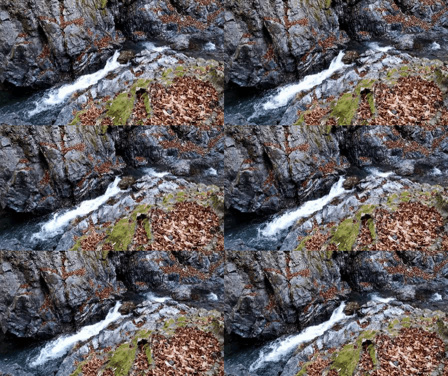
I reached a tricky rocky section with chains on one side. The valley narrowed beyond and the river became a rushing torrent below high cliffs (see video). I soon reached the end of the trail with a viewpoint. On the left was another small half-frozen waterfall. Although it was winter, there were still many fallen leaves on the ground; I suppose this spot must be quite popular in the autumn. I retraced my steps, rejoined the main path and crossed the hanging bridge over Tsuru river. Walking up the other side, I had some good views of Mt Shomure. I was soon back on the main road, and a few minutes later I was at the entrance of the hiking trail for today’s second mountain at 12h40.

Looking east towards Mt No and Mt Yae

The top of Mt Koyashiro, a good place for lunch

The trail climbed gently through the forest with occasional views towards Uenohara city on the left. Thirty minutes later, I reached the top of Mt Ozuku 538m (尾続山 おづくやま ozuku-yama). To the south, I could see the top of Mt Fuji through a break in the trees. A little further, I had a good view westwards of Mt No and Mt Yae, with Mt Jinba and Mt Sekiro in the background. Twenty minutes later, I reached the summit of Mt Minashi 609m (実成山 みなしやま minashi-yama). It was the highest point of the hike but completely surrounded by trees. Ten minutes of walking along the top ridge brought me to another Fuji viewpoint and the top of Mt Koyashiro 600m (コヤシロ山 こやしろやま koyashiro-yama).

Paragliders enjoying the Mt Fuji view

An up and down trail

From here I could properly admire Mt Fuji, finally in its winter coat. Circling the valley like birds of prey, were two paragliders enjoying front row views of Japan’s most famous volcano (see video). It was now 2pm, so I sat down for a late lunch. There was almost no wind, and it felt very pleasant in the afternoon sun. At 2h30, I set off again, leaving the main ridge and following a smaller one as it curved back eastwards. At first, it descended steeply before climbing again to the top of “Kaze no Kamisama” 540m (風の神様 meaning the wind god). There, I had good views of the long flat top of Mt Gongen to the west.
Panoramic view from the top of Mt Yogai

Mt Sekiro framed by the trees

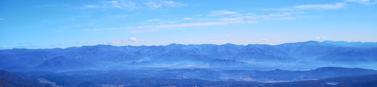
The way down followed a narrow, exciting ridgeline through mountainous terrain with lots of up and down. At 3pm, I finally reached the top of Mt Yogai (要害山 ようがいさん yogaisan meaning Mt Fortress) where I had the best view of the day. I could see the entire valley spanned by the Chuo line from east to west; this was one of the best panoramas I had ever had in the Tokyo area. Half an hour later, I headed down the mountain, and had some more good views of Uenohara before reaching a small road. At 4pm, I was back on the main road just one kilometer south of the start of the of the Yogai Hiking Trail (要害ハイキングコース). It was another 15 minutes back to the bus stop, and thirty minutes later I was on the Chuo line for Tokyo.
See the waterfalls of Tsuru river

Rapids of the Tsuru river

Tomioka Alps (Mt Kannari 320m) & the Gunma Museum of Natural History

I had first read about this hike in my Gunma hiking book, but it was too short and too far for a day hike, so I reluctantly set it aside. Later on, I found out that the Kanto Fureai no Michi also went through the area, and I could use it to extend the hike eastwards. The path passed by the Gunma Museum of Natural History which I could also visit, if time allowed. I generally don’t drop by museums on hikes, but this one had a high rating on Google Maps, and I was interested in learning more about the local animals and plants. I was excited about checking out another “Alps” trail; according to online reviews, it was “the cleanest hiking trail in Japan, ” apparently because the locals sweep the leaves off. It was a station to station hike on the Joshin Dentetsu line, a railway line I had used many times before. The weather forecast showed the sun mark for the whole day, so I was looking forward to some good views of the mountains of western Gunma.

The mountains of western Gunma under a grey sky

I reached the small Nanja station a little after 10am. The promised sun was hiding behind grey clouds, and it seemed unlikely that it would emerge anytime soon, a rare miss for the Japanese Meteorological Agency. I kept my fingers crossed that it wouldn’t rain. Every cloud has a silver lining though, and these ones were high enough for the surrounding mountains to be still visible. After half an hour of walking, I reached the small shrine at the base of the Tomioka Alps (富岡アルプス tomioka arupusu), also known as the Kannari Hiking trail.

Mt Inafukumi, climbed 2 years ago

The trail is definitely clean of leaves

It took just ten minutes of climbing to reach the top of Mt Azuma (328m 吾妻山 あずまさん azumasan), and the first views. Looking west, I could see the outskirts of Shimonita village, with Mt Ozawa behind; directly ahead was the triangular shape of Mt Inafukumi. As expected, the trail went up and down along the ridgeline and over several minor summits. I reached the halfway point just before noon where there was a mini natural museum (ミニ自然博物館) consisting of a glass cabinet with various exhibits related to the local plants and animals, a foretaste of my museum visit planned for the afternoon.

The Mini Nature Museum

At the extreme left, the pointed tip of Mt Ushibuse

I reached the second viewpoint of the day thirty minutes later, next to the summit of Mt Kannari (神成山 かんなりやま kannariyama). Looking east, I could see the pointed summit of Mt Ushibuse. Directly beneath, a train on the Joshin Dentetsu line was moving along the valley floor (see video). After a brief stop for lunch, I set off again, now heading down to the bottom of the valley. I passed by a somewhat scary statue of “fudosama” lurking among the bamboo next to the trail. At 1pm, I was off the mountain and walking through Tomioka Town. It would take 45 minutes to reach the museum, which was starting to seem like a good place to spend a cold and cloudy winter afternoon.

See the views from the Tomioka Alps

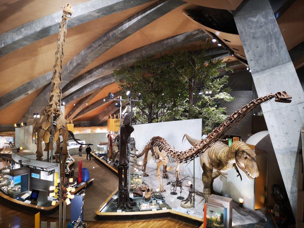
A good thing the museum has a high roof

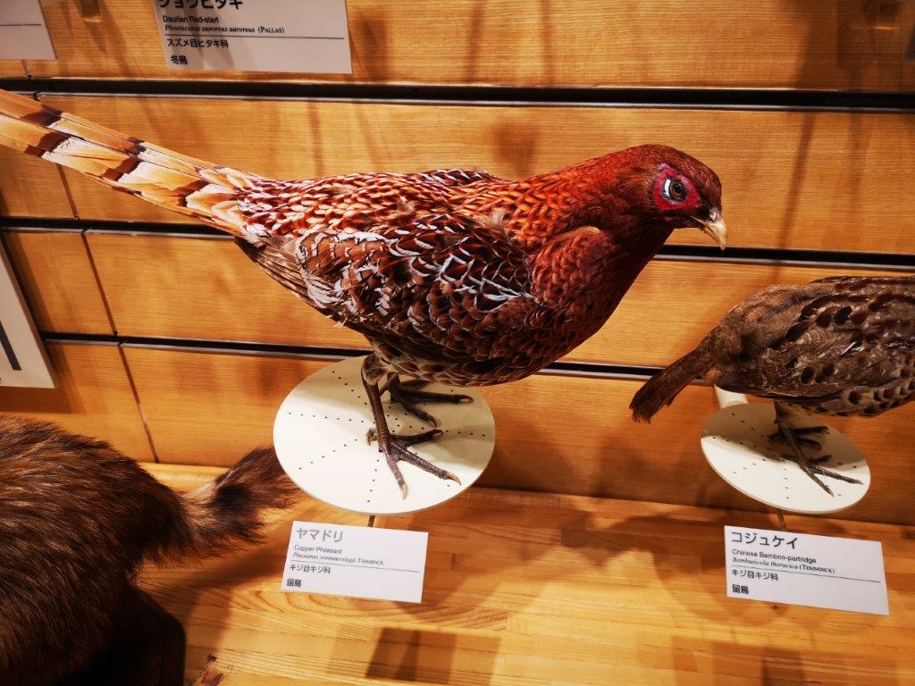
I spent nearly two hours exploring the Gunma Museum of Natural History, but could easily have spent three hours or more. Of the five sections, the most impressive one by far was “The Age of the Earth” which held full-size dinosaur skeletons and scaled-down animated models (see video and gifs). The most interesting section, for me, was “The Nature and Environment of Gunma.” It contained a forest diorama, and seeing different kinds of trees side by side helped me understand the subtle differences between them. There were also many mounted animals, some of which I had never seen or only glimpsed briefly while hiking.

A fossil dig display

I’ve seen many copper pheasants fly away from me

Visually, the museum is stunning; a pity there are no English explanations. By the time I had satisfied my curiosity, it was already past 3pm, and I had to rush through the three remaining sections. I had originally planned to continue walking the Fureai no Michi and finish at Higashi-Tomioka station. However, I now had to leave that for another day. At 4pm, I walked back to Joshu-Nanokaichi Station, the closest station to the museum. Although the weather was disappointing, the museum visit definitely made it a success. By 4h30 I was back on the train for Takasaki, for the 2h30 minute trip back to Tokyo.

To hear them roar, watch the video below

See the animated Tyrannosaurus Rex

Mt Haku (284m) and Mt Kane (561m), Atsugi City, Kanagawa Prefecture, January 2021

2021 started off very cold so I wanted to stay low for the first hike of the year. I also wanted to start and finish near areas where buses would be running during the Japanese New Year. In the end I decided to combine two small mountains at the edge of the Tanzawa mountains, just south of 2019’s last hike. The first one was featured in my Kanagawa hiking book; the second one I found on Google Maps; the trail in between followed the Kanto Fureai no Michi (関東ふれあいの道), a real treasure trove of good hiking paths around Tokyo. The weather was supposed to be sunny – it usually is this time of the year – and I was hoping to get some good views of the capital.

Hiking in the Tanzawa Mountains 丹沢山地

View from near the highest point of the hike

I left late, arriving at Atsugi station around 10am. I caught one of the frequent buses for Iiyama, running as usual over the New Year so that people can visit the nearby Iiyama Kannon (Hasedera) Temple (飯山観音). At 11am, I reached the bright red bridge over Koayu river, marking the official entrance to the mountain. I walked up the road and then a flight of steps to reach the temple. I walked past a the line of people waiting to pray, and found the trail entrance behind the main temple building.

The sunny “woman’s slope”

I went up the “woman’s slope” (女坂 “onna-zaka“), the gentler of the two trails up the mountain, mainly because I didn’t see the entrance to the steeper, “man’s slope”. The well-maintained path followed the valley side, colourful arrows pointing the way. Despite the cold temperatures, it felt warm thanks to the midday sun shining above the trees. At 11h30 I reached the small observation tower at the top of Mt Hakusan (白山 はくさん hakusan). Although It was a short climb, I decided to take a short break and have a late breakfast at one of the benches.

The Shinjuku skyscraper district

Taking up the entire eastern view was the vast Tokyo Megapolis, with the Shinjuku skyscrapers in the center just 40km away; beyond Shibuya, I could make out the Tokyo Skytree; to the west was Mt Oyama in the Tanzawa mountains; looking south I spotted the outline of Oshima island, 80km away. After checking out the view, I made a quick roundtrip to Hakusan Shrine (白山神社) just 5 minutes away along the top ridge. At noon, I set off again, walking down a steep path on the other side of this small mountain.

Looking south towards Shonan bay

The path soon leveled and I was now walking along the Fureai no Michi trail, a pleasant path along a forested ridge, with occasional viewpoints with benches. I passed several other hikers; it seemed to be a well-known secret among the locals. The path descended gradually, and I eventually arrived at the Nanasawa Forest Park (七沢森林公園). It was past one o’clock, so I stopped for lunch at another Tokyo viewpoint. Looking east, I could see the Miura peninsula and, half-hidden behind it, was the Boso peninsula, 50km away.

The Nanasawa Forest Park

At 1h30, I headed down the valley on the west side, towards Nanasawa Onsen (七沢温泉 meaning “seven stream hot spring”), a place I had first visited after descending Mt Tanzawa in a snowstorm several years ago. I stopped by a convenience store to replenish my supplies and started up my second, slightly higher, mountain of the day at 2pm. I soon found the start of the trail thanks to the abundance of signboards. Although I had never heard of it till a few days ago, it seemed a local favourite, probably because of the shrine at the top.

The path for Nanasawa Onsen

The path followed a ridge up through thick forest, alternating flat and steep bits. After thirty minutes of climbing, I reached a group of exposed boulders with good views eastwards of Tokyo, its buildings much sharper in the mid-afternoon. A little later, I had a good view of the ridge I had walked earlier in the day, also known as the Hakusan Pilgrimage Hiking Trail (白山順礼ハイキングコース). Looking down from my viewpoint 300 meters higher up, it looked very small indeed.

Tokyo in the late afternoon light

I finally arrived at a long stone staircase, marking the final approach to the shrine, and at 3pm, I was standing next to Asama Shrine (浅間神社). I wasn’t quite at the highest point, but there was a bench with a view of Tokyo, so I settled down for a break and an afternoon snack. By now, the sun had disappeared behind the mountains, and it was getting quite cold. Since it would be getting dark in about an hour, I quickly walked the final meters to the top of Mt Kane (鐘ヶ嶽 かねがたけ kanegatake), completely in the trees, and continued straight ahead down the other side.

In the shade, Mt Kyo, hiked at the end of 2019

I definitely felt that this trail was the nicer of the two. The surrounding forest was wild and beautiful despite the proximity of the city; I could hear deer calling in the distance; the path zigzagged down the steep, rocky mountain side, with chains fixed to the rock for safety. At 4pm I reached the road for Nanasawa Onsen next to a tunnel, and less than an hour later I was back on the road for Atsugi, waiting for the bus that would take me back to the big city.

Mt Honita (1224m), Okutama Town, Tokyo Prefecture, December 2020 [Monkeys]

For my final hike of the year, I decided to look for something not too far nor too difficult. I wanted everything to go smoothly since many services close around the New Year. I settled on a mountain that could be done station to station on the Okutama line. It was next to Mt Kawanori which I had climbed several years ago in the spring. Back then, the skies were clear but hazy, so I was hoping for better views in the crisp winter weather; perhaps I might even spot Mt Fuji. A less popular climb than its neighbour, I was hoping for a peaceful and solitary hike inside the national park closest to Tokyo.

Hiking in the Chichibu-Tama-Kai National Park

Hiking up Mt Honita

I reached Hatonosu station at 10am on a blue sky winter day. I soon found the start of the hiking trail, and after climbing through the village, entered the forest covering the mountain side. One hour later, I arrived at the first trail junction, marked by a small shrine. I took a short break and then headed up the left branch. The path climbed gradually through dark forest. At noon, I emerged from the trees onto a steep ridge partly free of trees. By now, however, thin clouds had rolled in; looking back, the views east towards Tokyo weren’t as good as I had hoped. A little later I was standing on the top of Mt Kobutaka (1116m コブタカ山).

Still sunny in the morning

Getting cloudy around noon

I continued without a break, and after some more climbing, reached the top of Mt Honita (本仁田山 ほにたやま honitayama). Despite the high clouds, I was able to see Mt Fuji, just to the left of Mt Mito, and perfectly framed by the surrounding trees. Its snowy top was still incomplete, unusual so late in the year. I sat down on a tree stump opposite Japan’s highest mountain and had lunch. It felt cold without the sun, and I soon moved on. The descent was steep and some sections were lined with rocks; I had to be careful not to stumble here, especially since it felt like I was alone on the mountain. Before I knew it, I was already halfway down the mountain. By now, the sun had returned, and it felt a lot warmer; today’s hike was turning out pretty well.

Mt Fuji from the top of Mt Honita

The sun has returned

Around 2pm, I heard some noise from the forest; looking carefully, I spotted monkeys! this was my fourth time to see them this year. Like the previous times, they were rather cautious and kept their distance. The terrain here was steep and rocky, and I couldn’t move far from the path to take pictures. I had to use the zoom of my smartphone camera, balancing image stability with monkey visibility. I finally gave up and continued on my way. Suddenly, around a bend, I spotted a solitary monkey about 10 meters from the path. He didn’t seem to mind me and let himself be filmed while cracking open nuts with his teeth (see video). I had hoped for a solitary hike, but I was glad to enjoy the company of the locals!

An Okutama monkey

The Okutama factory

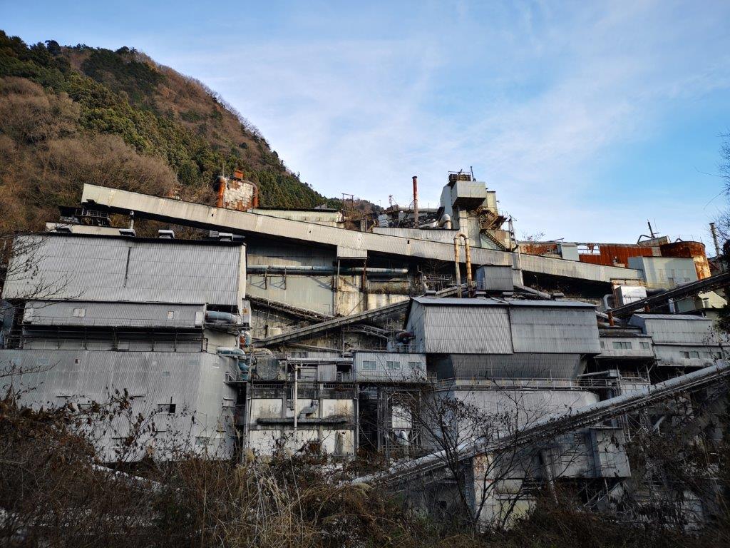
At 2h30, I let the monkeys finish their meal in peace, and resumed my peaceful hike. Ten minutes later, I reached a road at the end of the trail. As I walked back to the station, I passed by the Okutama Industrial Plant. It was an eyesore and a fascinating sight at the same time; an ugly metallic structure inside the Chichibu-Tama-Kai National Park just minutes away from a wild monkey habitat, it was a scene that seemed to belong to a Hayao Miyazaki movie. It reminded of the factory at the base of Mt Buko. At 3pm, I was back at Okutama station, a 90-minute train ride from Shinjuku.

See the monkeys of Okutama in action

The Rokoku Pass Hiking Trail, Yokohama City, Kanagawa Prefecture, December 2020

I discovered an interesting hiking area between Kamakura and Yokohama at the end of 2019, and I was keen to return for some more exploring. This time I would start on the east side, from Kanazawa-Bunko station, a mere one-hour train ride from the center of Tokyo. I hadn’t quite worked out where I would finish. There were many trails to choose from and some were still closed due to typhoon damage; a flexible approach seemed best. The weather forecast was good, so I was hoping for better views than last time, and maybe even a glimpse of Mt Fuji!

View from the “Beetles” trail

Since today’s hike was relatively short, I arrived at the station around noon and started with some soba at the nearby Jutokuan (寿徳庵). At 1pm, I was at the entrance of the Rokoku Pass hiking trail (六国峠ハイキングコース meaning “six country pass”). It took me just 15 minutes up a series of logs steps to get to the top of the ridge, and my first viewpoint of the day. Looking south, I could see the hilly outline of the Miura Alps beyond the suburbs of Yokohama city. The easy to walk trail soon reentered the forest, and followed the narrow wooded ridge through the city.

Start of the Rokoku Trail

View of the Miura Alps

I wondered whether the city was encroaching on nature or vice versa. It was clear, however, that many locals enjoyed walking this well-maintained trail. Occasionally I heard some rustling from the trees next to the trail. Initially I thought the noise was made by stray cats, but later on I spotted a squirrel scampering along a tree branch. I saw quite a lot of them during the rest of the hike; I had never realised that there were so many squirrels in the Yokohama area! At 2h30, I reached Kanazawa zoo, and located the second half of the trail behind next to the parking area.

An easy to walk and well-maintained hiking trail near the city

Autumn leaves in late December

I was now walking a paved path called the “Interesting Nature Route” (おもしろい自然ルート). True to its name, there were many interesting trees along the way, including some that were still dressed in their autumn colours. At the end of “fern valley” (しだの谷), I climbed a long staircase, and then walked along a small road (closed to traffic) next to an elevated toll road. Soon I was back on an up and down hiking trail. The forest crowded in on both sides; it felt like I was in the middle of the jungle, although I was still technically inside Yokohama city. Many trees had labels; I studied each one carefully, since I wanted to learn more about Japanese trees.

The forest crowding in on all sides

Surrounded by nature in Yokohama

After crossing the Yokohama-Yokosuka Toll Road on a pedestrian bridge, and hiking up and down some more through the forest, I reached the Sekiya-Oku Viewpoint (関谷奥展望台) at 3h30. There wasn’t much to see, but there were some benches, so I sat down for a late lunch. Although the Rokoku hiking trail continued further south towards Kamakura, I decided to turn north along the “Ridge Trail” (尾根道), also called the “Beetles Trail” (ビートルズコース). Apparently there are many “kabuto-mushi” (Japanese Rhinoceros beetle) along the trail although I didn’t spot any – just overactive squirrels. This had been the best part of my 2019 hike, and I enjoyed hiking it a second time in better weather.

The days are short in the winter

In the background, the Tanzawa range

Against the sun, I was able to see the faint outline of Mt Fuji. I was delighted to view Japan’s most famous volcano from a new angle. To the right was the Tanzawa range. It was nearly 4 o’clock and the sun was slowly setting. The squirrels were more active than ever. Earlier on, I had enjoyed seeing them dart through the trees; in the gathering gloom, the crashing noises coming from the dark forest made me jump. I had hoped to walk east through the Hitorizawa Community woods (氷取沢国民の森) but I had to save it for another day. Instead, I continued to Ishindo Plaza. There, I turned left and descended into the valley, along a narrow hiking path.

Mt Fuji at dusk

Goodbye sun!

It was now 4h30 and getting dark quickly. I arrived at at Segami Pond (瀬上池), which I had glimpsed from above on my previous hike. I followed a road at the bottom of the valley next to a stream; it had gotten quite cold after the sun had set. Near a small house, I was joined by what looked like a domestic cat, and was “escorted” to a safe distance past the dwelling. At 5pm, I was back in the city. I jumped on a bus for Konandai station, where I switched to a train for the one-hour ride back to Tokyo.

My escort for the final part of the hike

Tsuru Alps, Tsuru City, Yamanashi Prefecture, December 2020

There are many “arupusu” (from Alps) hiking trails in Japan. It may seem exaggerated to call a chain of low mountains after the European mountain range, but the name is supposed to reflect the up-and-down nature of the path. The Tsuru Alps Hiking Trail (都留アルプスハイキングコース) was completed in September 2017, and connects Tsurushi and Higashi-Katsura stations on the Fujikyu railway line. Originally, I had wanted to finish at the hot spring near Tsurushi station, but the website recommended starting from there. So I decided to do it that way, and walk back to Tsurushi station since it wasn’t a long hike. On the way back, I could check out some local sights. Initially, I had hoped to take the Fuji Excursion limited express all the way there and back, but it didn’t stop at either station, so I had to change at Otsuki station. The weather forecast called for a sunny day, and I was looking forward to getting a better view of Mt Fuji than I had on my Hakone hike.

View of Tsurushi from the Tsuru Alps trail

I arrived in Otsuki at 8h30 and transferred to the Naruto-themed Fujikyu railway; I had seen the design before, but it was my first time to ride on it. It was a short ride to Tsurushi station, and by 9h30 I was ready to start hiking. I soon spotted the signs for the Tsurushi Alps, leading me past the hot spring, through the town and to the base of the mountains. The weather was good but cloudier than I had expected.

The Naruto-themed Fujikyu railway

First view towards the Oku-Chichibu mountains

I followed a narrow paved road as it climbed steeply via a series of zig-zags. At the top was a water reservoir and a view of Tsurushi town. I could also see Mt Takagawa, and behind, the mountains of Oku-Chichibu. A few meters to the right was a viewpoint of Mt Fuji. Unfortunately it was half covered in the clouds. Moreover, the uncovered side was almost devoid of snow, very unusual for this time of the year.

The Mt Fuji viewpoint

Walking in the sun on the Tsuru Alps

True to its name, the trail went up and down but was never too steep. At 10h30 I was at the top of Mt Ari (658m 蟻山 ありやま ariyama , meaning Mt Ant). There was a signal tower blocking some of the view, but Mt Fuji, still partly in the clouds, could still be seen straight ahead; on the left was Mt Mishotai, a 200-famous mountain. I continued down the other side, following a series of switchbacks. Next was a fairly level section passing over a couple of minor peaks completely surrounded by trees: Mt Shiraki (白木山 625m) and Mt Choanji (654m 長安寺山).

View from the top of Mt Ari

Easy walking along the Tsuru Alps

At 11am, I reached the panorama viewpoint. Mt Fuji was now completely lost in the clouds, but the view of the valley was impressive, even if completely urbanized. I sat down to have an early lunch. Seeing the cars move around town made me feel like I was flying in a plane (see video). At 11h30 I was ready to continue. After some downhill, I reached the Kajiya-Zaka aqueduct (鍛冶屋坂水路橋 also called ピーヤ for pier) which used to carry water for generating electricity during the Taisho era. A short climb brought me to the top of Mt Tenshin (天神山 580m).

Some rocks to create a mountain-like feel

The panorama viewpoint minus Mt Fuji

At noon, I arrived at a wide deforested area with sweeping views from north to south. I could see Mt Mitsutoge, a 200-famous mountain, and Daibosatsurei, a 100-famous mountain. I now entered a forested section, and eventually reached the highest point of the hike at 713m. Although not a summit, it was marked by a signboard. The path then descended all the way to the bottom of the valley, before climbing again via a dried up riverbed. It wasn’t a difficult hike, but it sure was a good workout!

View of Mt Mitsutoge from the deforested area

Looking north up the Tsurushi valley

At 1h30, I found a a nice sunny spot near the trail to finish my lunch. This section was almost entirely in the forest, and although the trees blocked the views, they also blocked the noise from the nearby highway. I was now walking through a forest of red pines, which reminded me of my hike on nearby Mt Kurami. After a few more up-and-downs, I arrived at Mt Kojo (古城山 583m), the final summit of the day. Right next to it was a small shrine called Sumiyoshi-Jinja (住吉神社).

The Tahara waterfall on the way back to Tsurushi station

View of the Tsurushi Alps from the top of Mt Katsu

After one last descent, I was back among the houses. It was now 2pm and I was right on schedule. While walking back to Tsurushi station I passed by Onan Pool (おなん淵), Soryu Gorge (蒼竜峡), and Tahara waterfall (田原の滝). The main road, called Fuji road (“fujimichi“), had a lot of traffic so I escaped to the side streets. My last stop for the day was Mt Katsu, the site of an old castle on a bend of the Katsura river. It was a short and easy climb to the top, and although there was no trace of the castle at the top, I had a good view of the Tsuru Alps on the opposite side of the valley.

Mt Nijuroku in the late afternoon light

Yorimichi no Yu hot spring near Tsurushi station

At 4pm, I finally reached the new hot spring facility of Yorimichi no Yu (より道の湯) inside a modern looking, square shaped building. Unlike the usual hot spring resorts, this one featured a bar with a wine menu, and a relaxation area with hammocks instead of massage chairs. After a refreshing bath, I got on the local train for Otsuki station, where I changed to the limited express for Shinjuku.

Ask for a hiking plan for the Tsuru Alps

Hiking the Tsuru Alps

Hiking in Tohoku: Mt Karo (430m), Shinchi Town, Fukushima Prefecture

I had first heard about the newly-created Michinoku Coastal Trail inside the Sanriku Fukko National Park in 2019, but I couldn’t consider hiking it till the JR East Welcome Pass was introduced last year. My first task was to pick a section that could be done as a day-hike from Tokyo. The ones near the Miyagi / Fukushima border seemed ideal since they could easily be reached from Sendai, a 90-minute shinkansen ride from Tokyo. Next I tried to find a section with more hiking trails than roads. I settled on the Shinchi route: although it followed some roads, it also went up a small mountain with views of the Pacific ocean and the Mt Zao mountain range – hopefully the weather would be good. Even if it weren’t, I was excited to hike in new area of Japan.

The north side of Mt Karo covered in trees

For once, the shinkansen was delayed, and I lost one hour on the way to Sendai. To make up for this, I called a taxi from Shinchi station on the Joban line to take me to the start of the trail, 6 kilometers away, and I was ready to start hiking at 11h45. The weather was good but cold; there was even a thin layer of snow in places out of the sun’s reach. I chose to head up the “chobo” or view trail; it meant I would be walking with my back to the view, but I wanted to be in the sun to warm myself up. Even though it was a short climb, there were frequent signs along the way telling me how many meters were left to the summit.

Mask-wearing shrine guardian

Walking the sunny “view” path up

It took me half an hour to reach a small shrine inside a cluster of cedar trees. Right next to it, and bare of trees, was the summit of Mt Karo (鹿狼山 かろうさん karousan). Looking east, I took in the blue immensity of the Pacific ocean; squinting north, I could just make out the Oshika peninsula in Miyagi; gazing south, I could admire the rolling hills of the Abukuma highlands; turning west, I could see the mountains and valleys of Fukushima, but in the distance, Mt Zao was in the clouds. I decided to walk northwards to the end of the trail, and then retrace my steps for a second chance at the view.

View from the the top of Mt Karo

Beautiful weather over the Pacific

First I had to tackle a steep and slippery staircase covered in snow. The trail then followed the rolling ridgeline as it slowly descended to the coastal plain. The surrounding forest, bare of foliage, was beautiful as the sun shined through unimpeded. It took me 45 minutes to reach the end of the hiking trail at a road crossing. There, I turned around and walked the same way back. Although this trail is called the Zao view route, the only view of Mt Zao was from the summit, which I reached again at 2h30.

In the back somewhere is Mt Zao

Most of the other mountains were visible

Mt Zao was still stubbornly inside the clouds, so after eating the last part of my lunch, I quickly made my way down the mountain following the “jukai” or “sea of trees” route. It was entirely in the shade and covered in snow. Luckily it wasn’t too steep, but I had to be careful not to slip. The trees next to the path had labels, and this kept me at a safe speed, as I stopped to study their names. At the bottom, I turned right and followed the road for a short while to reach the Karo no Yu onsen.

A tricky descent aided by ropes

Most of the snow along the ridge had melted

I had an excellent view of the coast from the outdoor bath; the bath itself was tiny and could only fit one person, probably a good thing in these times. I ended up calling a taxi again for the return to Shinchi station since it was already 4 o’clock and a long way back to Tokyo. While waiting for the train, I noticed that the train station was brand new, and reflected on how well the area had recovered so far, after being ravaged by the 2011 Tohoku earthquake and tsunami.

Mt Myojin (1169m), Hakone Town, Kanagawa Prefecture, December 2020

I had climbed this peak more than ten years ago, starting at Daiyuzan Saiyoji Temple, and finishing at Gora, the last stop on the Hakone Tozan line. This time, I decided to start from the entrance of the hiking trail for Mt Kintoki, and finish on the Daiyuzan train line, meaning that the two hikes would only overlap very slightly. On the up side, this would combine a short climb with a long descent, and an easy return by train. On the down side, there was an hour of road walking at the end and no hot spring. Overall, I was excited to try a new route, in an area I hadn’t visited since February. I had some misgivings about the weather; we were in the middle of a cold snap, and the temperature at the top would be around freezing. I was most concerned about keeping my fingers warm, especially when taking photos. However, no matter how cold it turned out to be, I would be satisfied as long as I could see Mt Fuji in its winter coat.

Hiking in the Fuji-Hakone-Izu National Park

Mt Hakone, the highest peak in the Hakone area

Mt Kintoki, a 300-famous mountain

I rode the Romance Car limited express train under a beautiful blue sky to Odawara, where I transferred to a Hakone Tozan Bus. I got off in Sengokuhara and walked to the closest convenience store to buy supplies for the hike. There I bought a pair of gloves that work with a smartphone touchscreens. I had never used such gloves before, so I hoped they would do the job today. At 10:30, I was finally ready to hike. Thanks to the many signposts, I easily found the start of the trail and was quickly making my way up to the ridgeline, reaching it at around 11am.

The Sengokuhara plain and part of the Hakone outer caldera rim

Menacing Mt Hakone

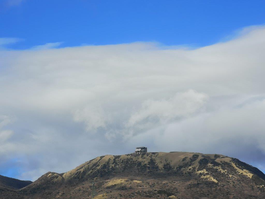
I was now following a path through bamboo grass higher than my head. After some more climbing, I had the first views of the day; to the west, I could see Mt Kintoki; to the south, was Sengokuhara, a vast plain in the middle of the Hakone caldera; behind it was the outer crater rim, curving eastwards; finally, under a dark cloud, and looking like Mordor’s Mount Doom, was Mt Hakone. It was cold and windy but still sunny. The gloves were hit-and-miss; I usually managed to take a picture only after a few tries.

No view but also no wind

Looking ahead and looking back views

Most of the trail was through a bamboo tunnel, like walking in a giant maze. Apart from a few gaps, there were no views, but at least the bamboo kept the wind out. At one point, the trail dipped down through a forest on the north side, to rejoin the ridge near the top of Mt Hiuchiishi 988m (火打石岳) around noon. From there, I had a good view of the last part of the climb to the top of today’s mountain; it looked close but it took me another hour to get there.

Mt Fuji’s “glacier”

Strate visible on the side of the mountain

I finally saw Mt Fuji near the top of the climb, but it was a different view from what I expected; the side facing me had snow halfway down, but the sides were bare, so it looked like a glacier. It was a good addition to my collection of Fuji pictures. To the right, I could see the entire range of the Tanzawa mountains, from Mt Mikuni to Mt Oyama. There was less bamboo grass here, and I had many good views of Mt Hakone, looking more and more menacing. I was now close enough to see the plumes of the sulfur fumes (it is an active volcano).

In the center, Mt Mikuni

Mt Oyama at the very right

The dark clouds over Mt Hakone had extended their reach to include the sky directly above me. I arrived at the summit of Mt Myojin (明神ヶ岳 みょうじんがたけ myoujingadake) at the coldest point of the day. There was no sun and the wind was now blowing hard. I took off my gloves to eat lunch, and my fingers ended up getting a bit numb after all. There were two other hikers, and after one of them complained of the cold, the other one asked if she was sensitive to the cold. In my mind, I was thinking “right now, yes, very much!”

The Shonan coast and Tokyo bay

Mt Hakone with Gora at its feet

The cold finally won over the views, and I moved on quickly, rubbing my hands to warm them up. On the other side of the flat summit, I finally had a view east of the Shonan coast and Tokyo Bay. Ten minutes later, I reached the turn-off for the descent. I launched myself down the path, relieved to be out of the freezing cold wind. The path was easy to walk and not too steep, so I could move at a fast pace. Before long I was feeling more comfortable and was even able to remove a layer of clothing. Although I was now outside the Fuji-Hakone-Izu National Park, the surrounding forest seemed more beautiful than before.

A short section of road before returning to the hiking trail

Two pines marking a view point

I saw no one on the way down and enjoyed the solitude of the mountain. Around 2h30, I popped out on to a road which I followed for a short while, before reaching a couple of pine trees and a view of the Tanzawa mountains to the north. By now, the sun had reappeared, so I stopped to finish the rest of the my lunch in warmer conditions. I set off again at 3pm. The path dived back into the forest, and thirty minutes later I reached the end of the trail and a small road. This was the prettiest section of the hike, and I thought it was a shame it wasn’t mentioned in any of my guidebooks.

A pleasant forest trail near the end of the hike

Autumn leaves and a fiery dusk

The walk back to the station turned out to be quite interesting. I passed by some trees still showing off their beautiful autumn colours. I also saw a statue of Ninomiya Sontoku, an important historical figure born in the area. Finally, just after sunset, I saw the Tanzawa mountains (and clouds) tinted in red. I lost some time here taking photos, but I could afford it, since the train ran frequently. I reached the tiny Tsukahara station just before 5pm, from where it was a short ride to Odawara and the Romance Car limited express back to Tokyo.

The “red” Tanzawa mountains

See the views from the top, filmed in strong wind (again)

Mt Jizo (1483m) & Mt Yuhi (1526m), Kanuma City, Tochigi Prefecture, December 2020

These two mountains had been on my to-climb list for a while. I knew how to get there since I had walked past the the trail entrance when climbing Mt Yokone in 2018. I was concerned that I might not be able to complete the hike before the last bus back at 17h15; I would have to hike quickly with few breaks. On the other hand, I was confident that the weather would be good, and I was looking forward to getting some good views of the Nikko mountains. I was also excited to hike in an area surrounded by mountains and far from populated areas.

On the right, the highest point of today’s hike

I reached Furumine Shrine under the sunshine at 10am. It was a route I had traveled before, riding the Nikko train from Ikebukuro and then a bus from Shin-Kanuma station. After getting ready, I walked along the road to the start of the trail. I remembered how I raced down the same road two years before to catch the last bus back. Half an hour later, I was walking up a valley along a forest road. It was peaceful and quiet, and even a little warm in the mid-morning sun. After 30 more minutes, I reached the start of the hiking trail. It continued past the end of the road, heading up the side of the mountain. I crossed a small stream and passed right by another one. I wasn’t hiking inside the Nikko National Park, only 5 km away, but it was almost as if.

Enjoying the last of the sunshine

During my climb, clouds had mysteriously appeared overhead, and when I reached the top ridge at noon, Mt Nantai was on the verge of disappearing. There was still some sun on the trail as I turned right and headed up the last steep slope. Twenty minutes later, I was standing on top of Mt Jizo (地蔵岳 じぞうだけ jizodake). It was mostly in the trees, so although the clouds seemed there to stay, I wouldn’t have had much of a view anyway. I soon moved on. The next part was highly enjoyable, as the path followed the grassy level ridge northwards. Looking left and right I could see nothing but white. Fortunately there was no wind and it was eerily quiet.

An easy to hike trail

Very soon, I reached the turn-off for my next peak. The trail seemed to head straight down and straight up again. However, it turned out to be an optical illusion; after a short downhill, the trail was mostly level, and there was only a short climb to the summit of Mt Yuhi (夕日岳 ゆうひだけ yuhidake). Here, there was a big break in the trees to the North. I had a fleeting view of Mt Sukai to the west before it was engulfed in the clouds. Just a few months ago, I had been hiking Mt Shazan somewhere in those clouds above lake Chuenjiko. I munched on my lunch staring at a white wall wondering what went wrong with my weather forecast. I concluded that I would have a good reason to return to the area in the future, perhaps in the spring to enjoy greener colours.

Walking through beautiful winter landscape

I was starting to feel the cold. Looking at the time, it was nearly 1h30, and I realised that if I left right away, I might be able to make the earlier 15h45 bus instead of the 17h15 one. I was moving fast since I wasn’t taking many photos. I retraced my steps, past the turn-off, past Mt Jizo and back to where I had reached the ridge. There, I continued straight towards the south. Even though the weather was worse than expected, I decided to continue with my loop hike. There weren’t many views, but the winter forest was beautiful in its own way.

Walking between peaks

This section was a succession of ups and downs. I passed several minor summits: Mt Karariko 1351m (唐梨子山), Mt Oiwa (大岩山), Mt Gyoja 1328m (行者岳). At 3pm, I reached the end of the hiking trail, marked by a shinto gate, and after following a forest road for a short while, I reached the National road 58. I had about forty minutes to reach the bus stop, about 6 kilometers away. Recalling my mad dash from the previous time, I decided to give up on the earlier bus. I arrived at the bus stop just before 4pm and decided to check out the famous Furumine shrine.

Thank you Tengu-ya!

Afterwards, I was allowed to wait inside the Tengu-ya Soba restaurant even though they were already closed. They made me feel welcome, placed a heater to keep me warm, and offered me hot tea and manju for free. The manju was quite tasty and I bought a pack to take home. One of the staff chatted with me in Japanese, asking me questions not only about my home country but also about life in Tokyo. In the covid era, I was extremely touched by their hospitality. I was so comfortable that I almost missed the bus back. I assumed it would be parked in front of the restaurant, but in reality it was parked 100 meters down the road. So I ended up making a dash for the bus again!

One of the guardians of Furumine Shrine