

I wanted to revisit a mountain in Ibaraki I had climbed six years ago. According to my guidebook, a network of trails existed on the other side, in Tochigi, allowing me to create a loop hike. I could combine it with another peak on the same ridge. Since no buses run in the area, I would need to drive a car from Mito station, one hour away. The hike was on the short side, so I could get an early lunch at one of the many soba restaurants dotted throughout the countryside, and then start walking from the early afternoon. The weather was supposed to be mostly sunny but cold for the season, with temperatures slightly above freezing at the highest point. I was looking forward to visiting a hard to access, but rewarding hiking area close to Tokyo.
For subscribers, read this Blog Post on Hiking Around Tokyo for a better viewing experience and the latest updates
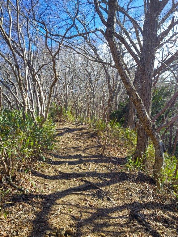

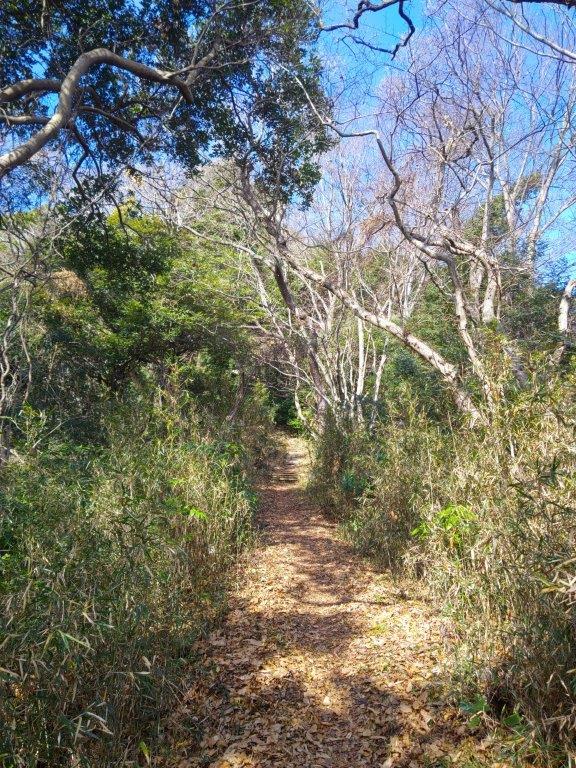
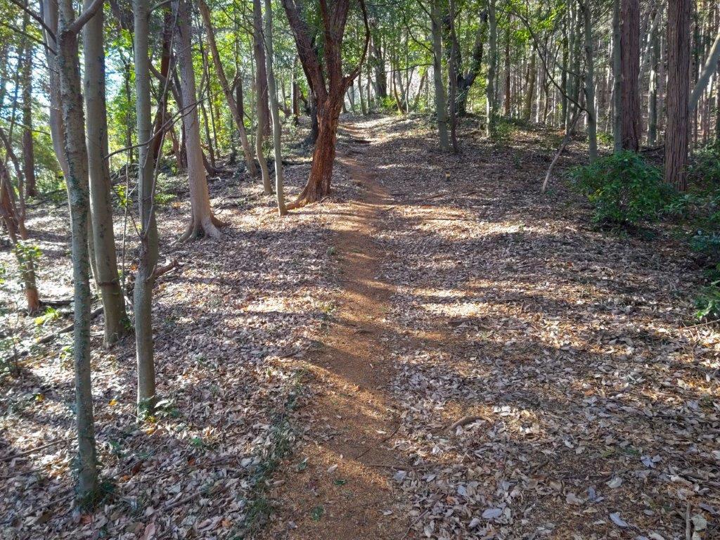
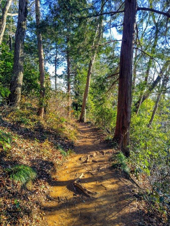
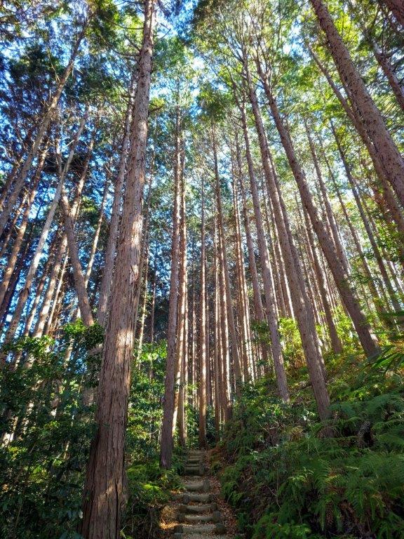
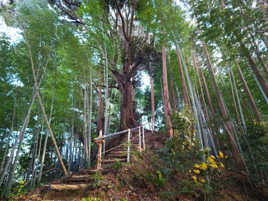
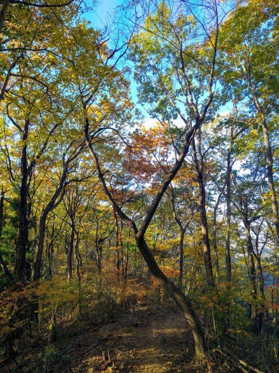
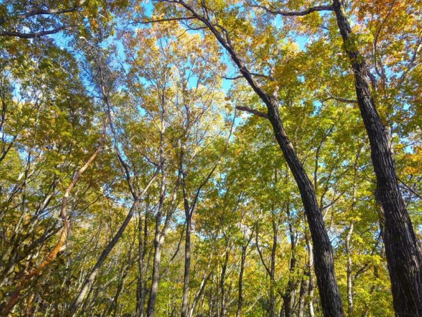
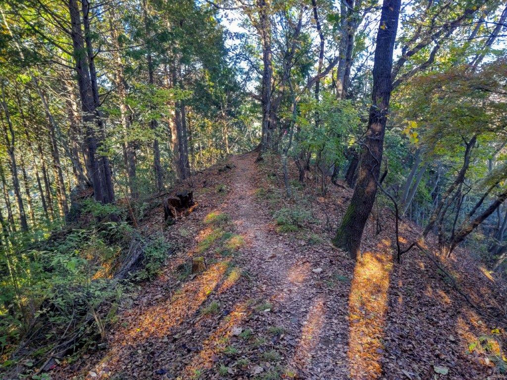
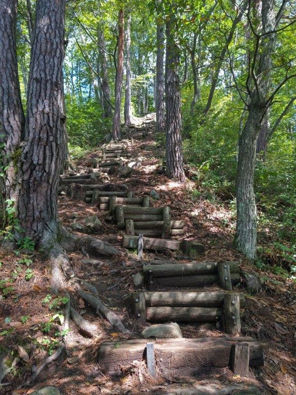
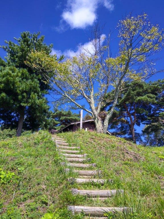
Walking the Summit Ridge (left) A well-maintained Trail (right)

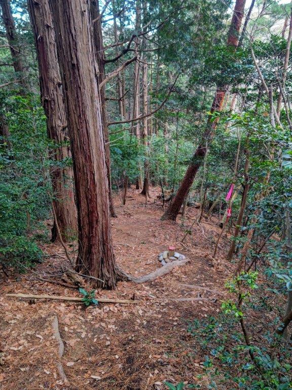
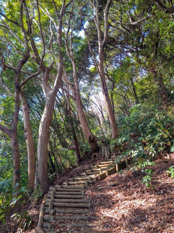
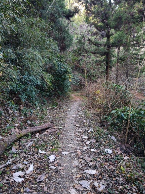
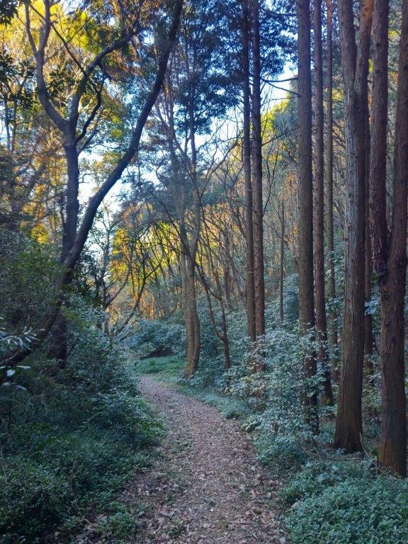
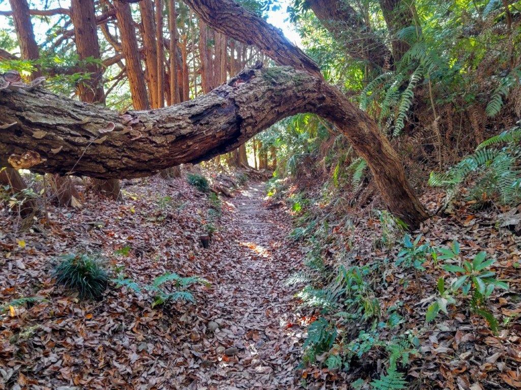
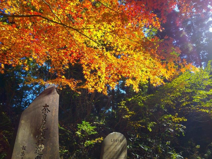
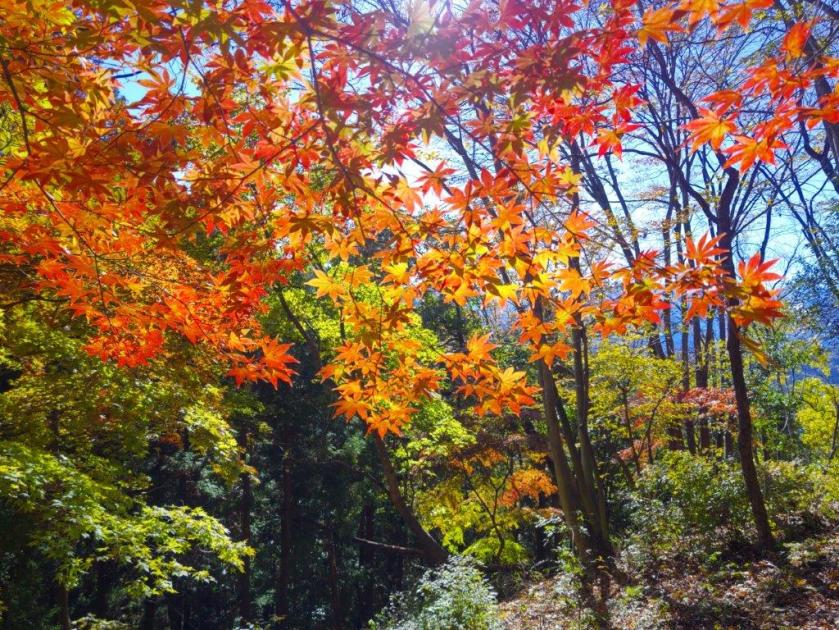
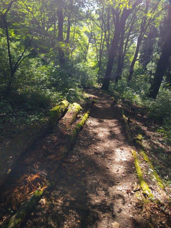
Trail Before (left) and After (right) Mt Mitsutoya
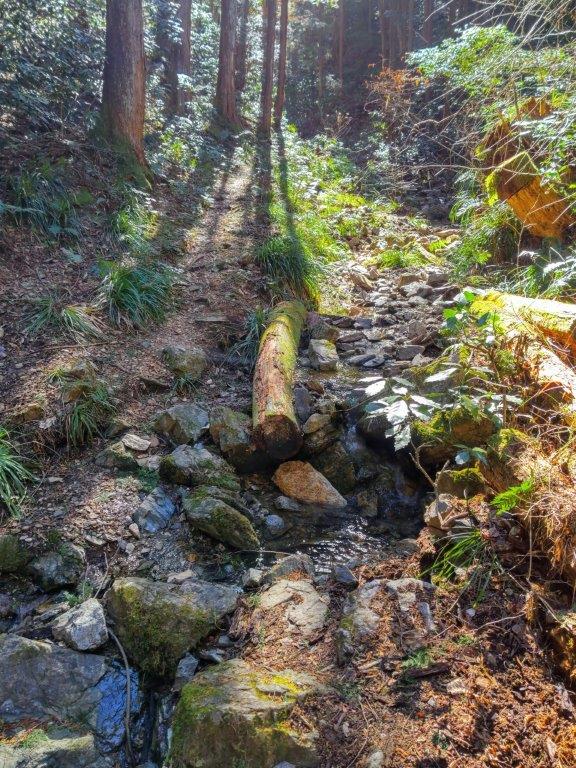
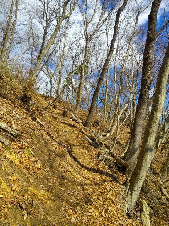
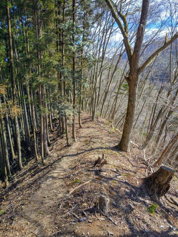
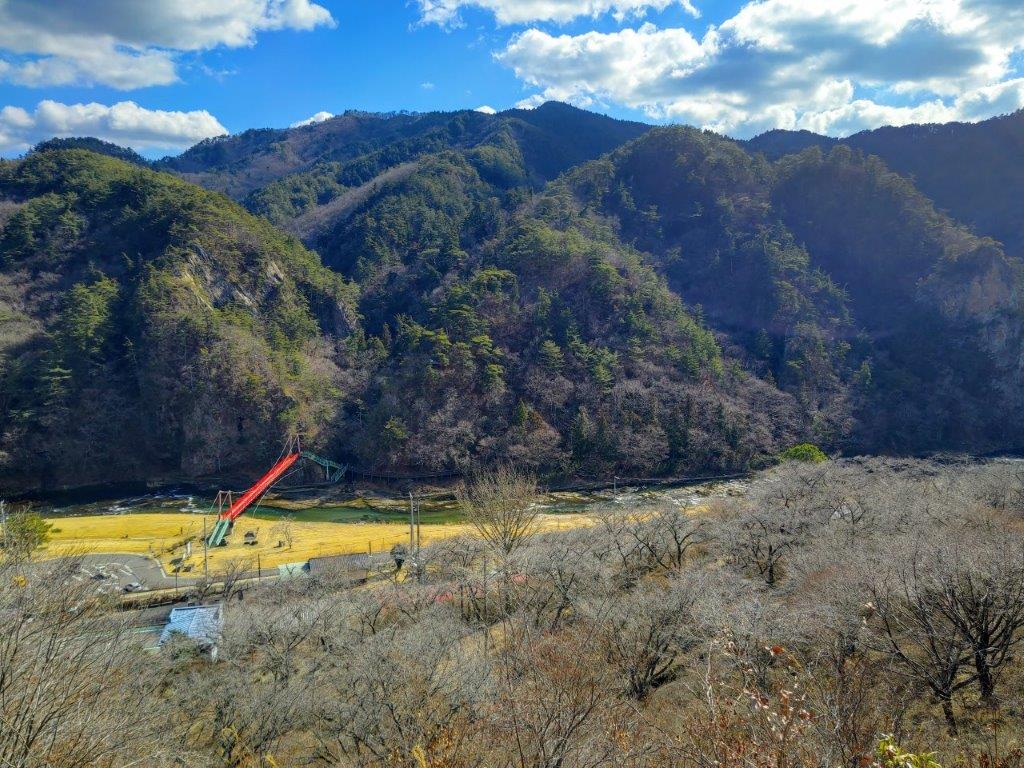
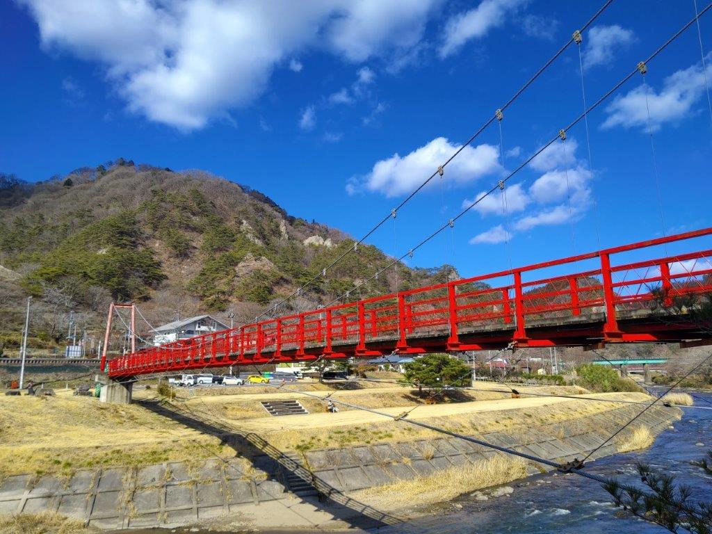
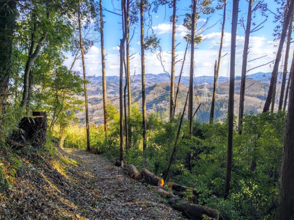
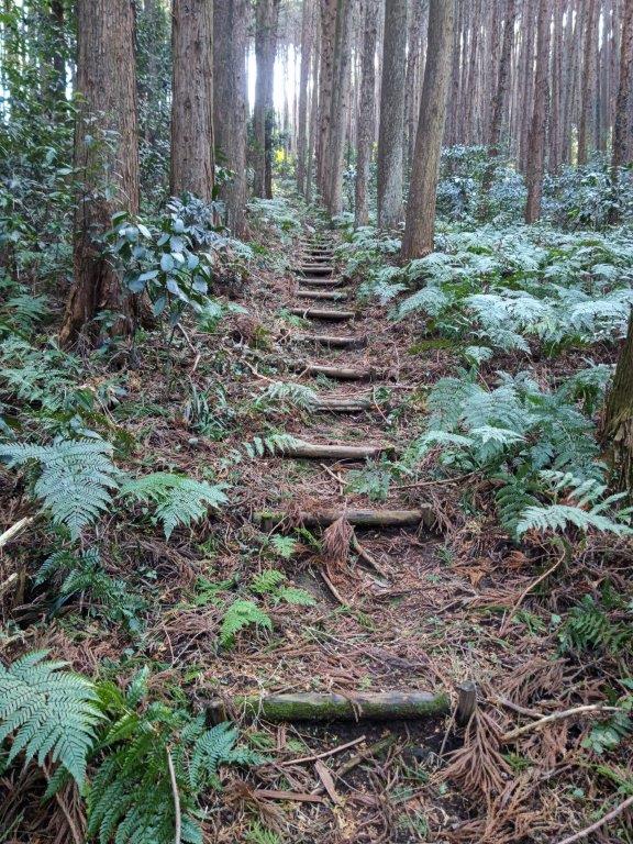
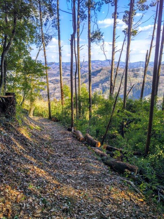
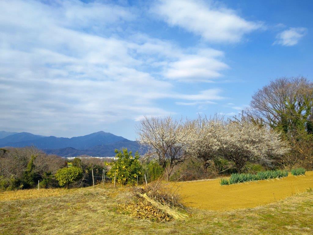
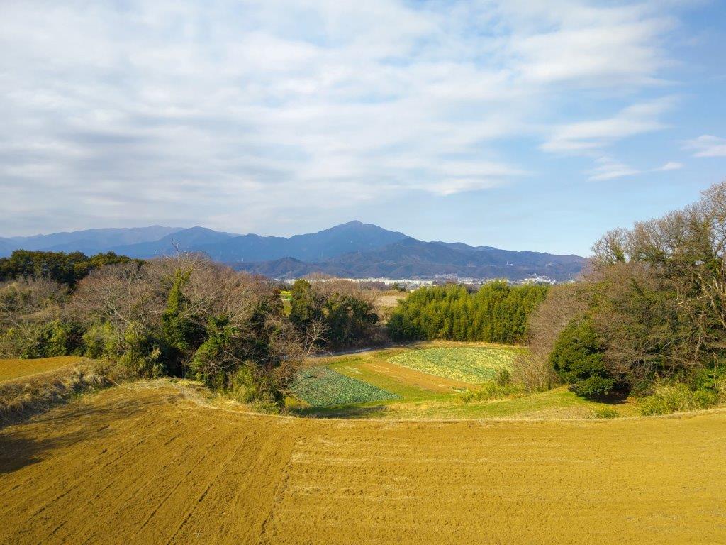
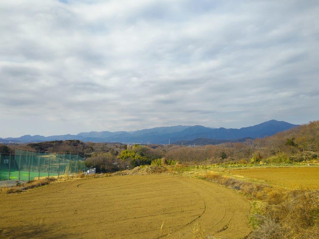
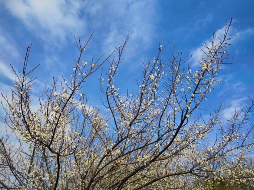
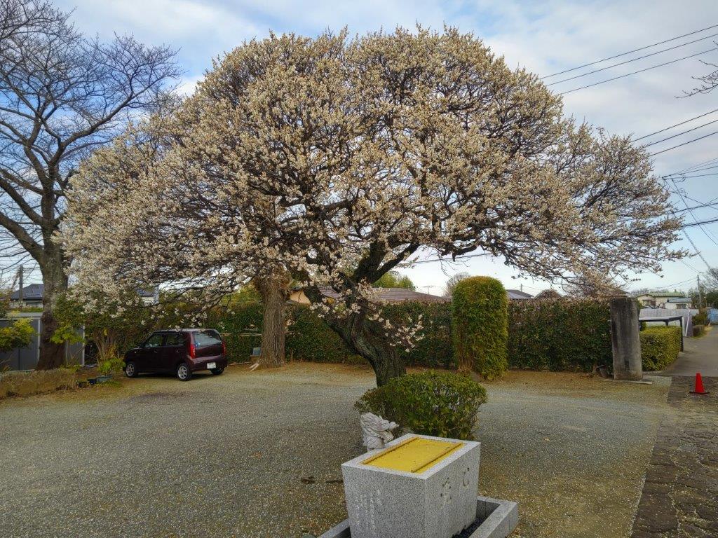
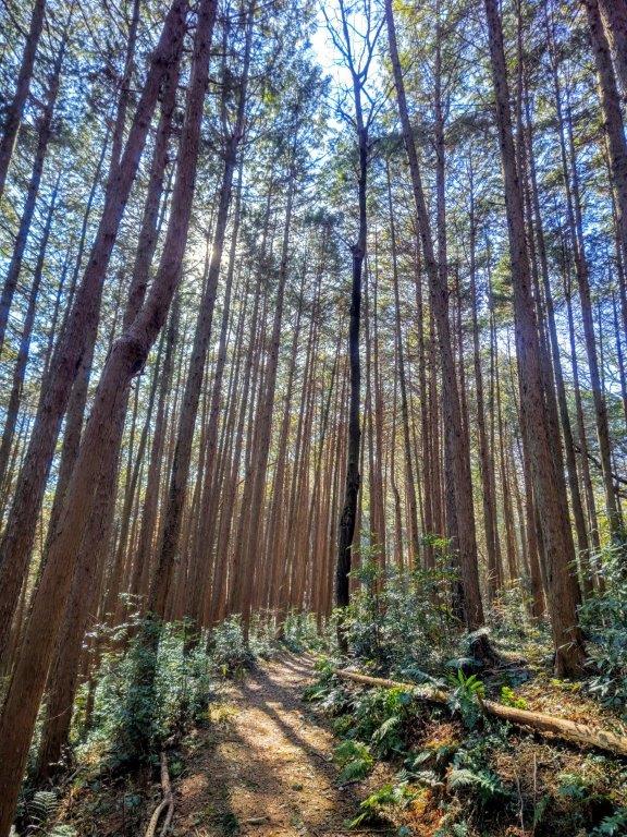
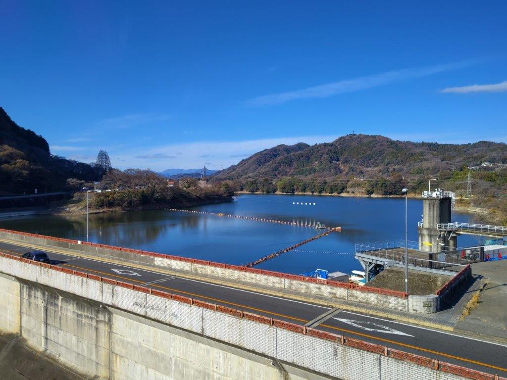
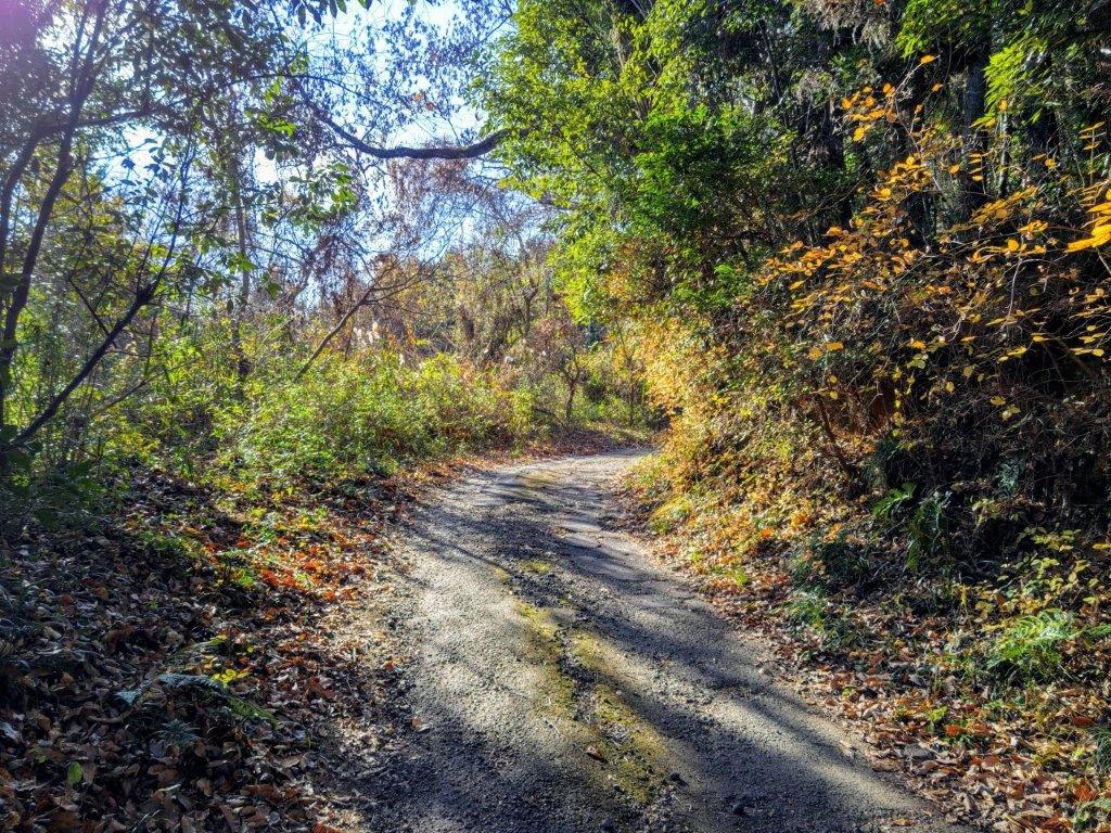
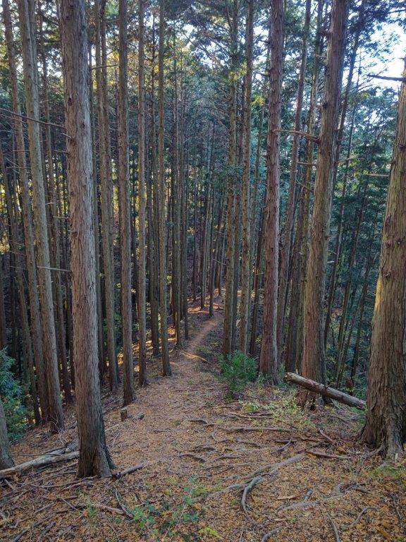
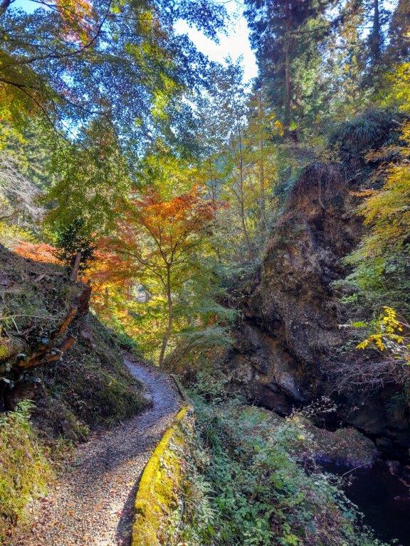
I got a good look at the plum blossoms of Kairakuen Park in full bloom, as the Hitachi limited express approached Mito station just before 10am. Shortly after getting off the Kita-Kanto expressway, I reached Donjuan (呑珠庵) where I enjoyed one of the best soba lunches in a long while. After driving a little further, I arrived at the Okawado parking lot (大川戸登山口駐車場) and was finally ready to start hiking just before 1am. The weather was cloudier than forecast, although the sun was shining as I followed a forest road up a river valley and through a cedar forest.

Trail just below the Summit of Mt Amamaki

Summit of Mt Amamaki
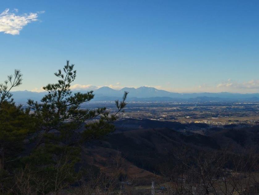
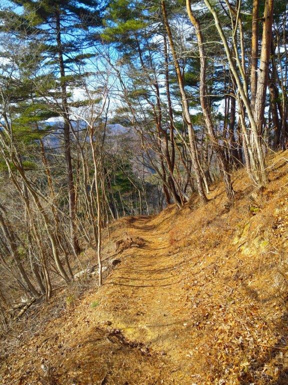
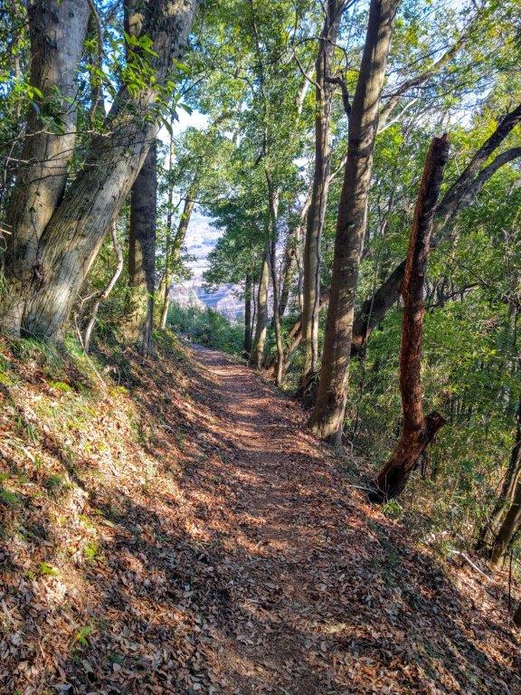
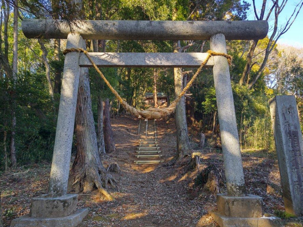
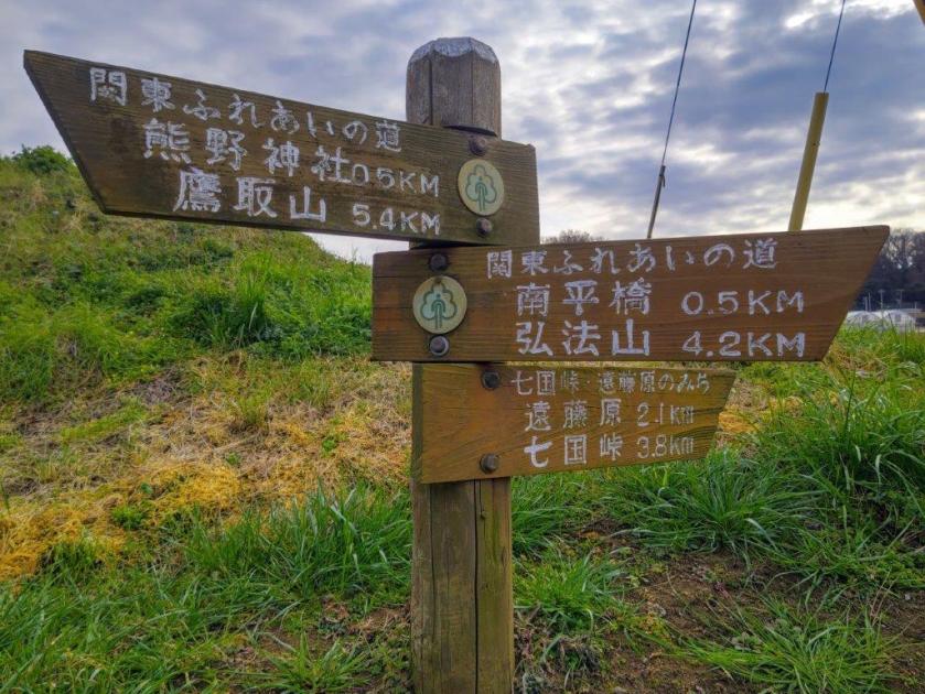
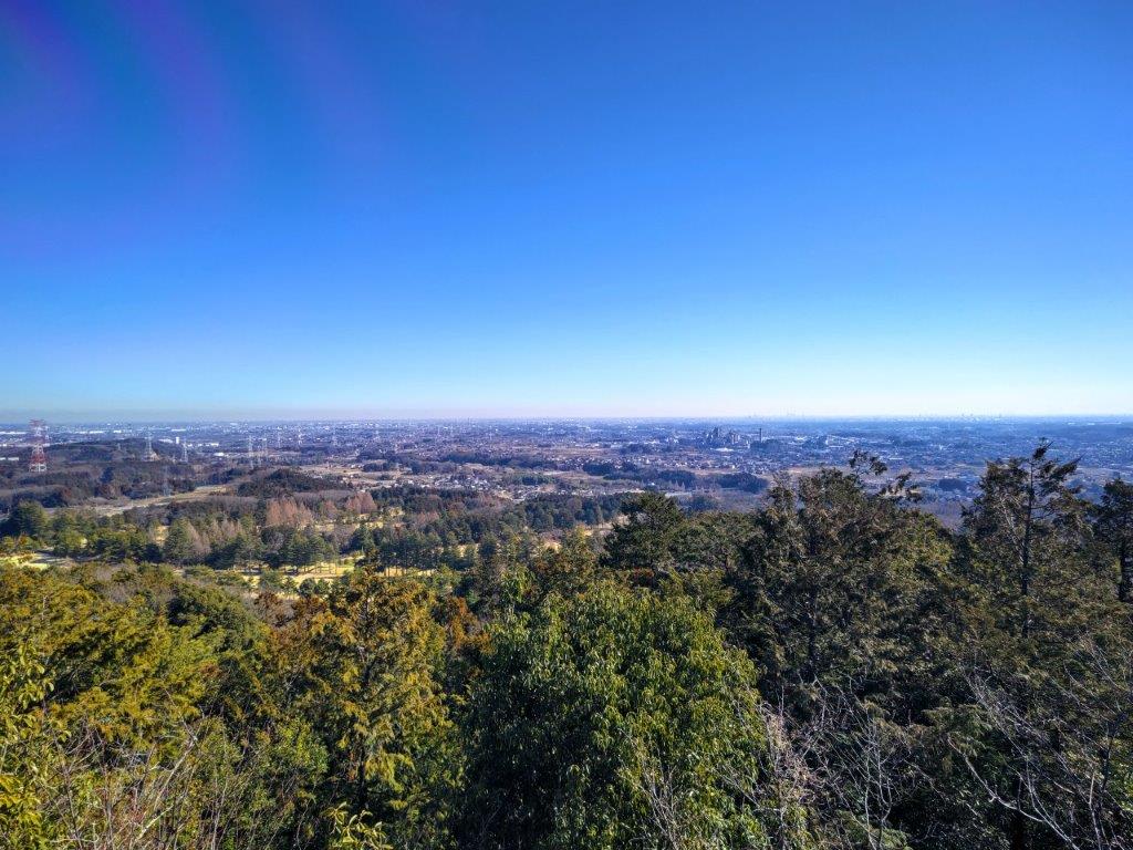
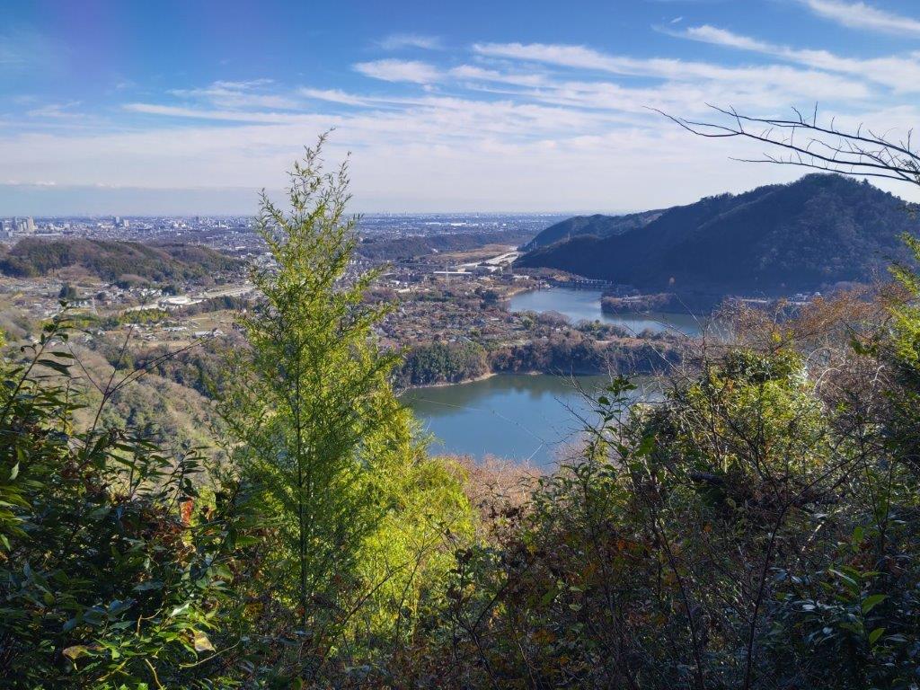
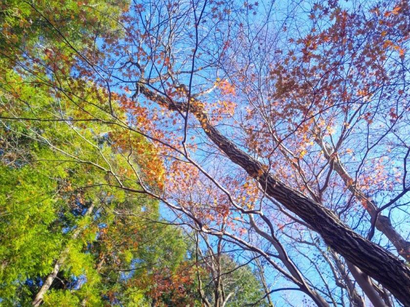
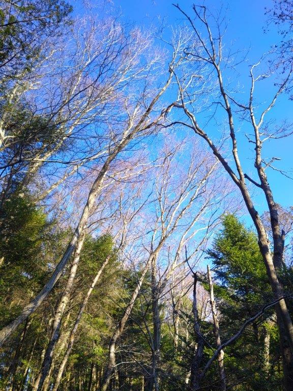
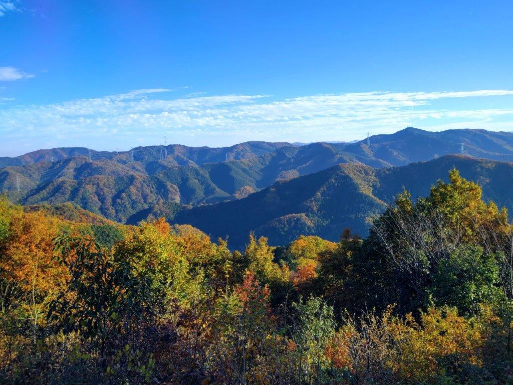
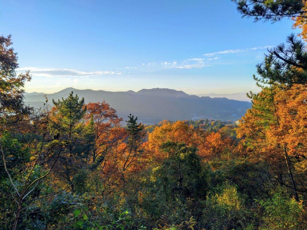
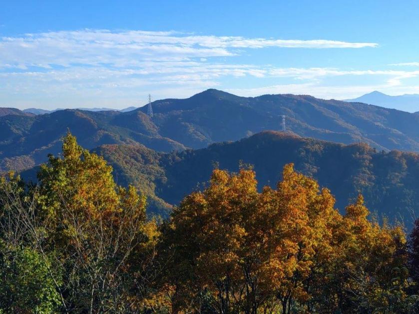
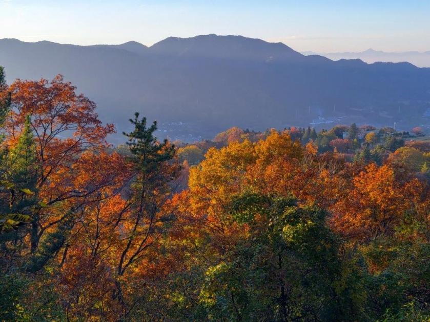
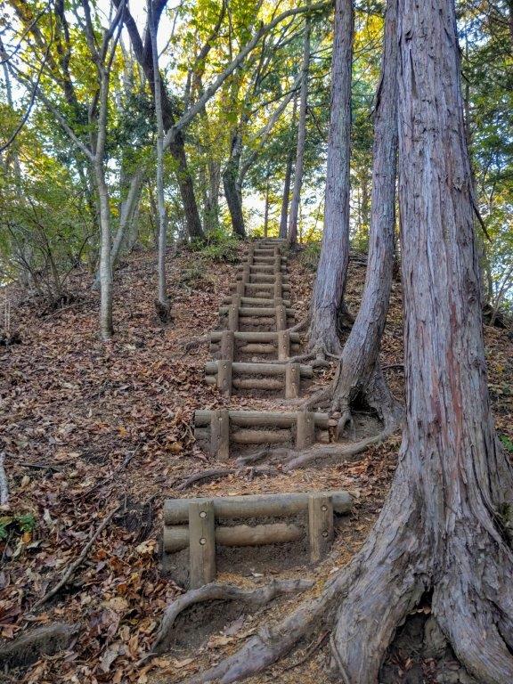
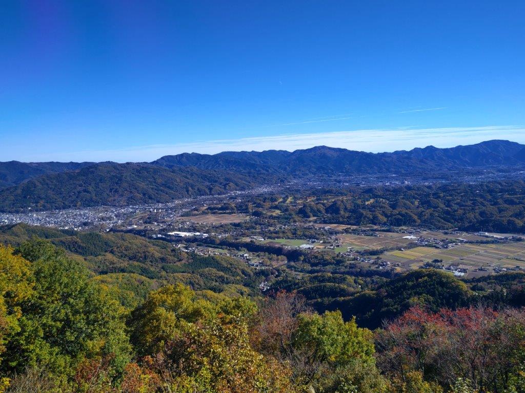
I was delighted to be hiking alongside a stream, the noise of the water rushing over rocks was like music to my ears. Eventually, the forest road turned into a rocky trail. Thirty minutes after setting out, I arrived at a fork where I turned right, onto the Mt Amamaki Ridge Route (雨巻山尾根コース). After a short, steep climb up a well-maintained path, I reached the ridgeline. There, I turned left, and after some gentle climbing surrounded by bare trees, arrived at the summit of Mt Amamaki (雨巻山 あままきやま amamaki-yama), a Tochigi and Kanto 100-famous mountain, a little after 2pm. On the west side, I could see Mt Takamine, Mt Bucho, and further away Mt Yakimori and Mt Keisoku.

View from the Top of Mt Amamaki

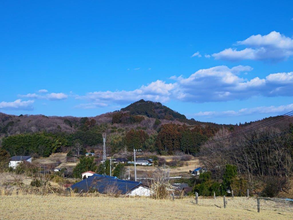
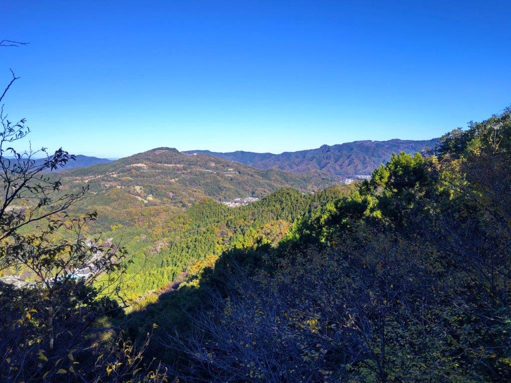
The Rounded Summit of Mt Bucho
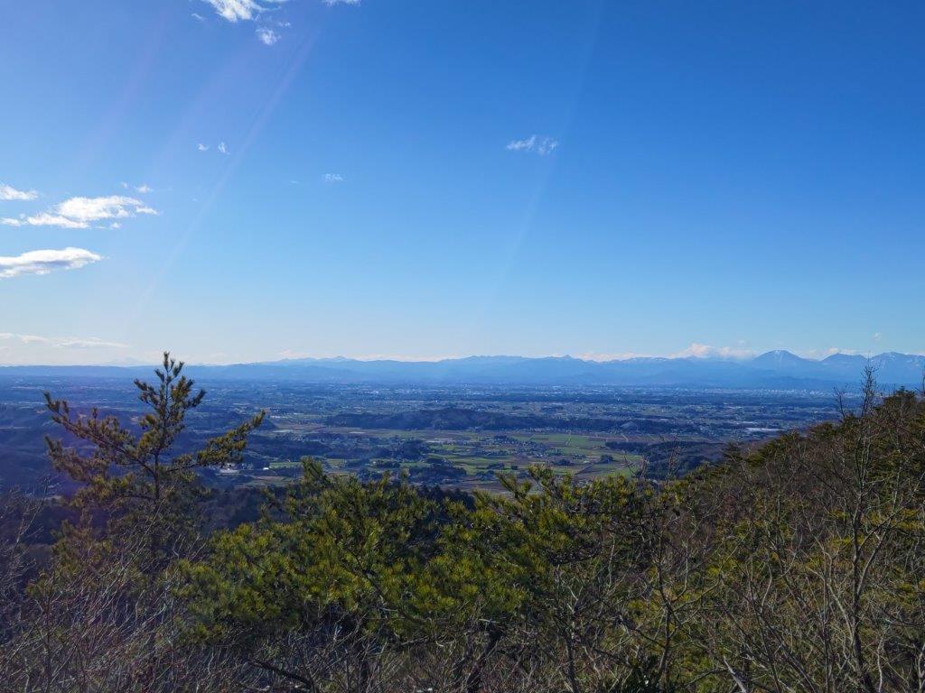
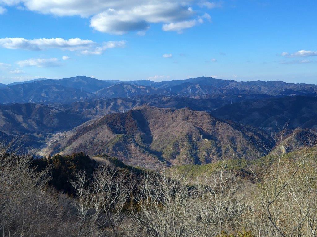
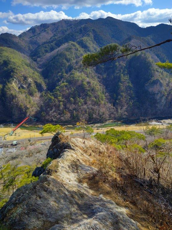
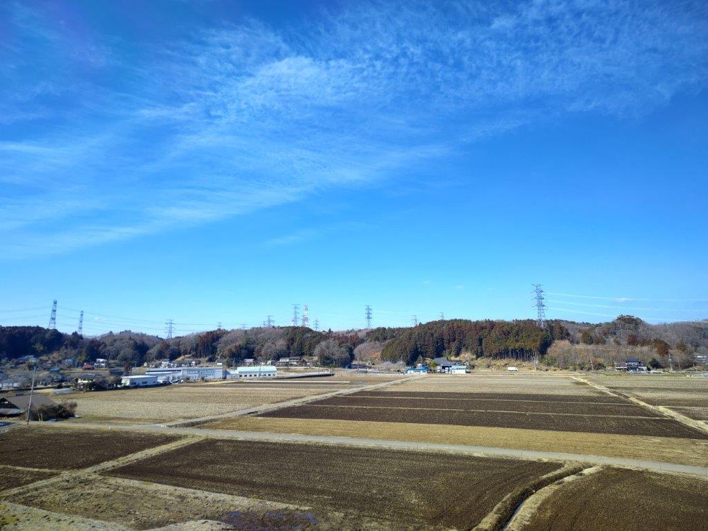
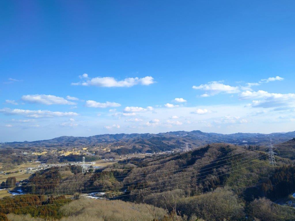
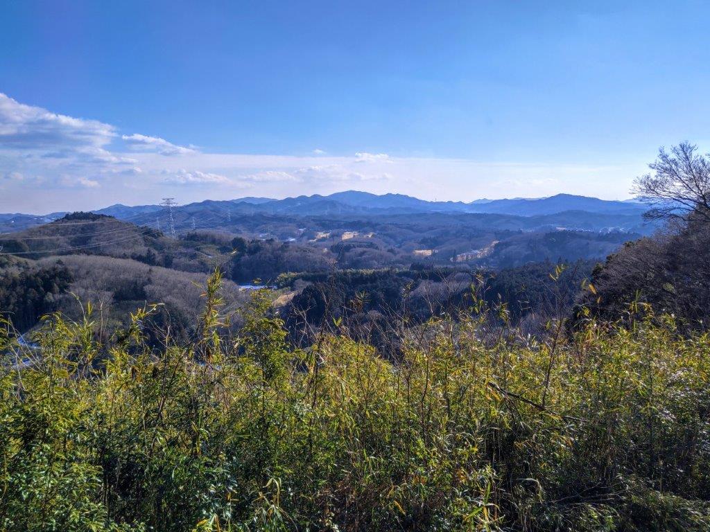
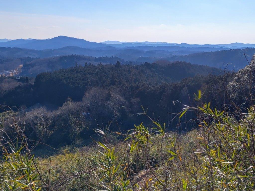
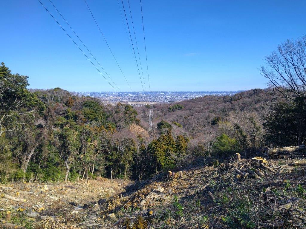
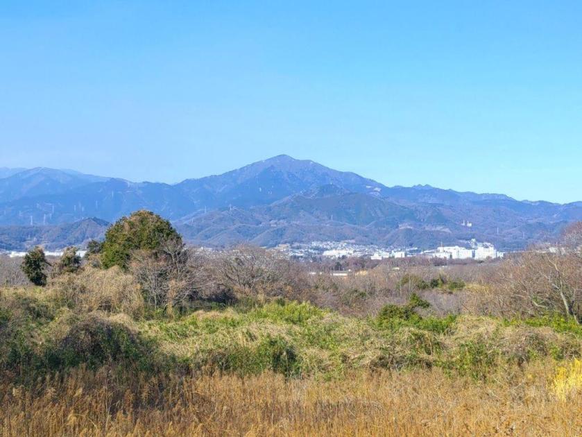
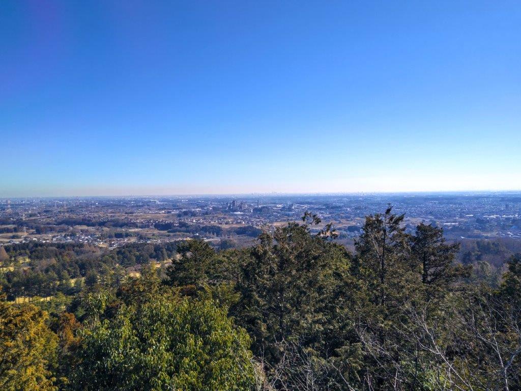
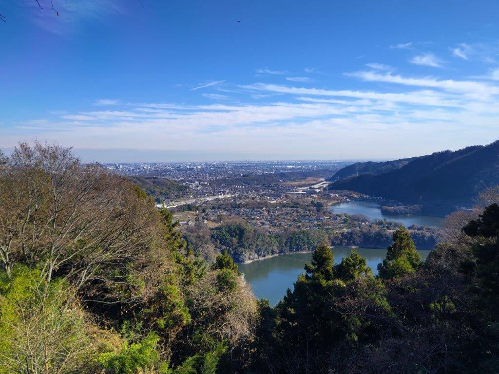
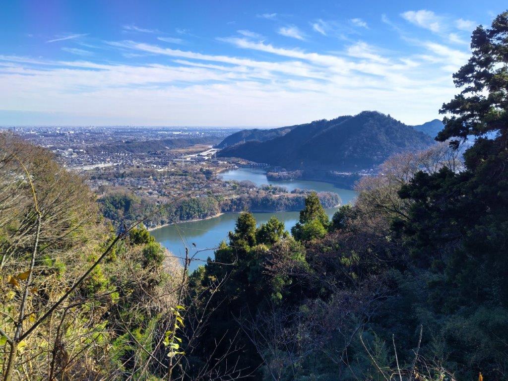
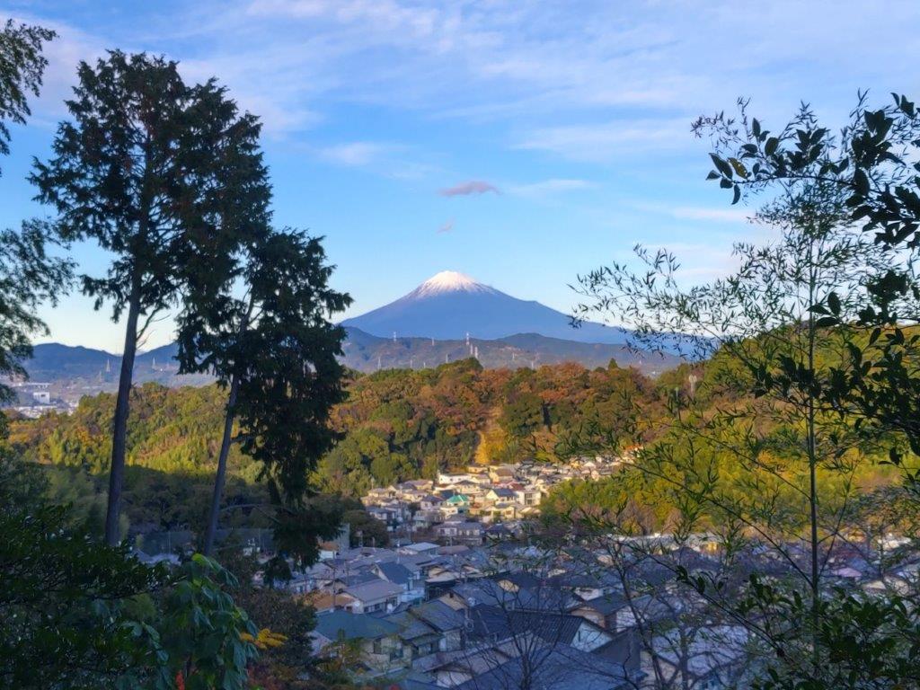
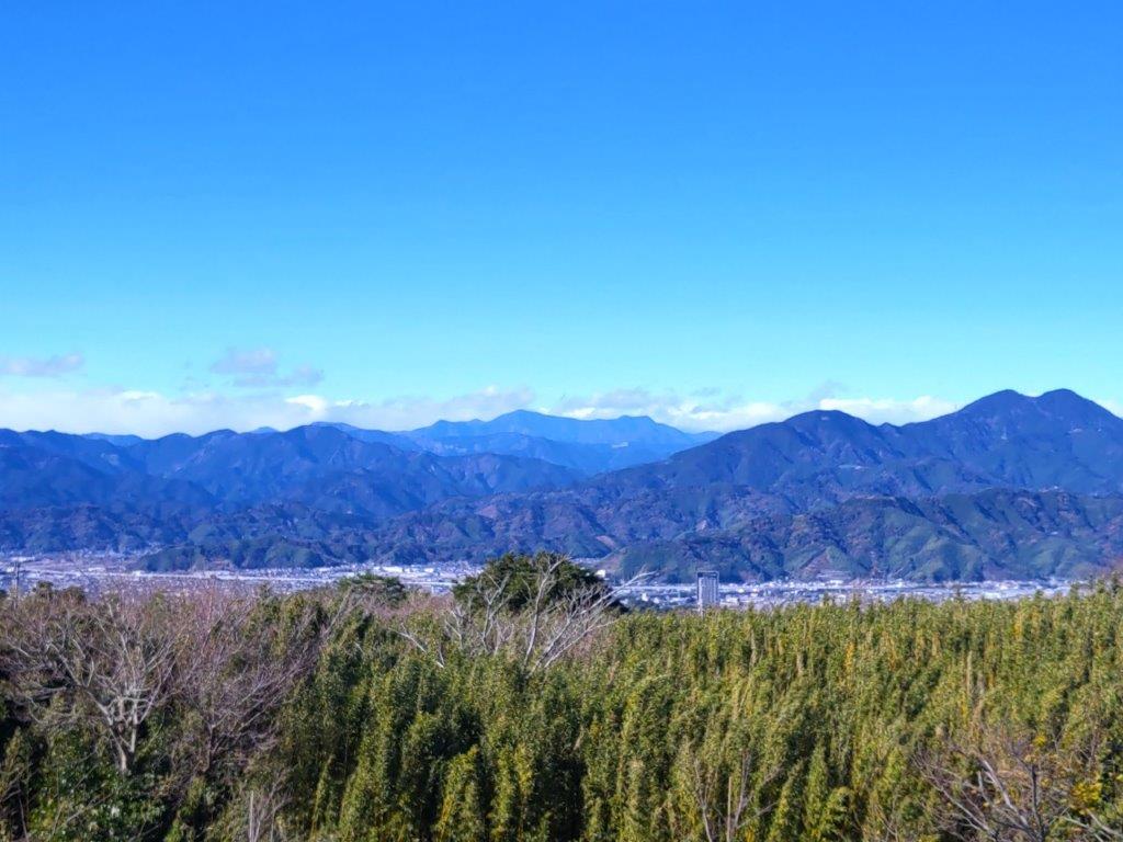
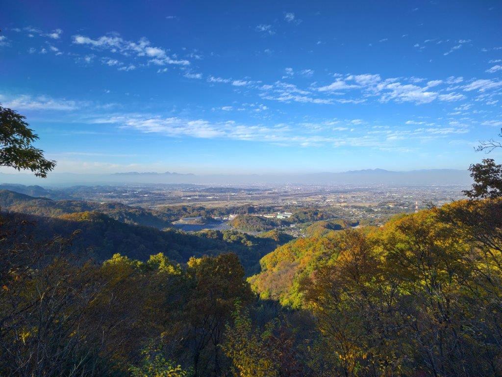
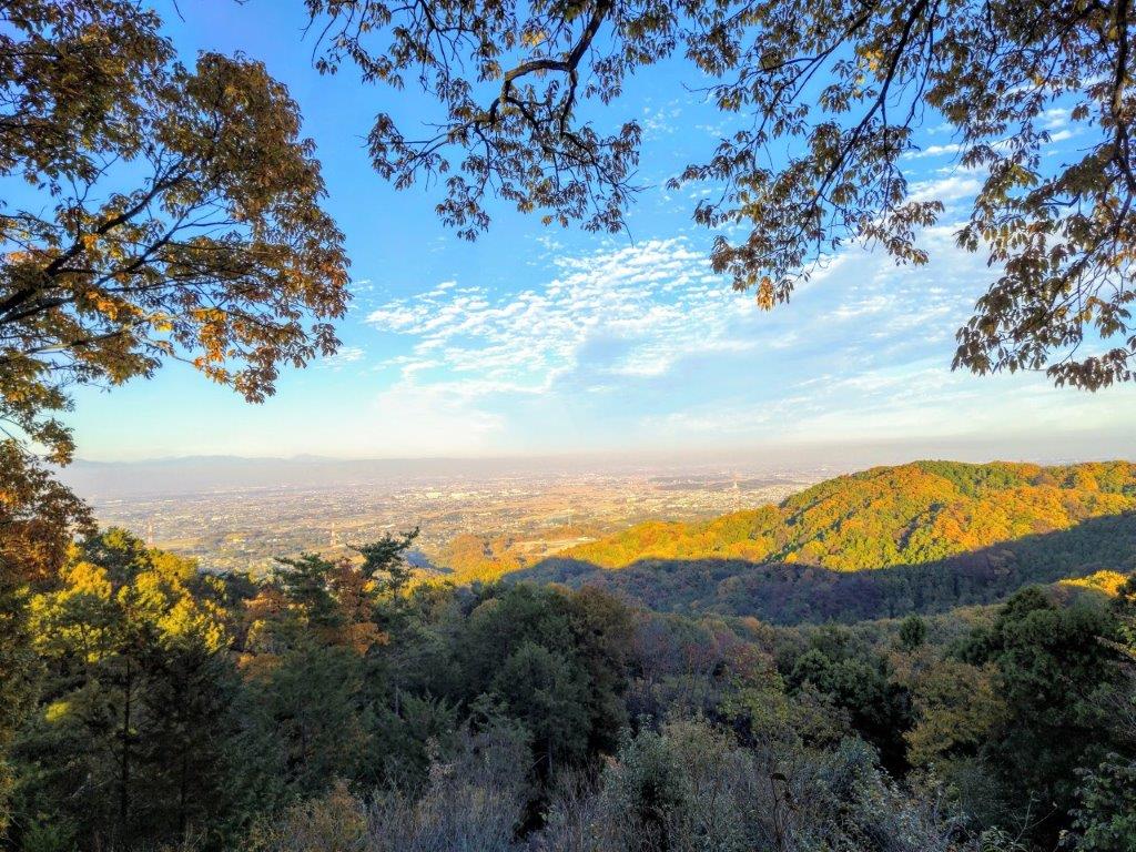
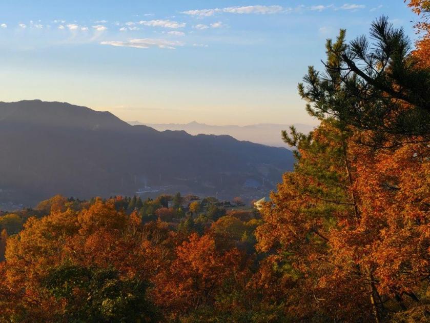
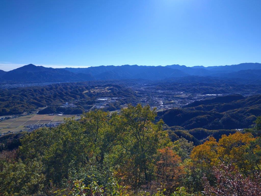
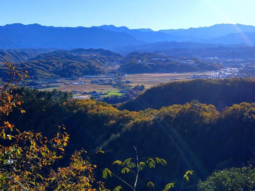
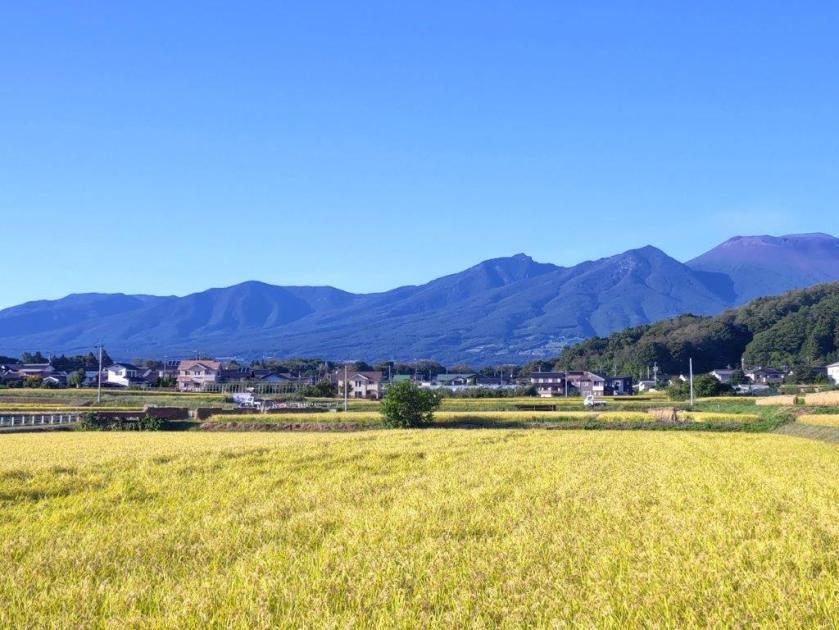
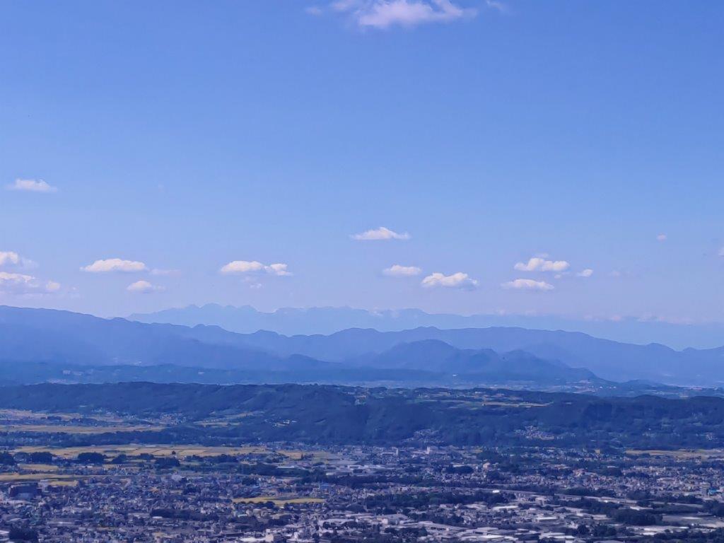
I was surprised to find the summit completely deserted despite the nearly full parking lot at the base. I sat at one of the benches for a short break before heading back the same way. I continued past the top of the Ridge Route, now following the Mt Mitsutoya Ridge Route (三登谷山大根コース), a mostly level path through the trees. I soon reached a bench with a view of the Ashio mountains on the west side: I could see the highest peaks of Oku-Nikko, the pointy top of Mt Sukai, and the many summits of Mt Akagi. Another half an hour of walking brought me to one more viewpoint, this time on the south side. I could see the Ogodo Alps directly ahead, as well as Mt Tsukuba in the distance.
View West of the Ashio Mountains

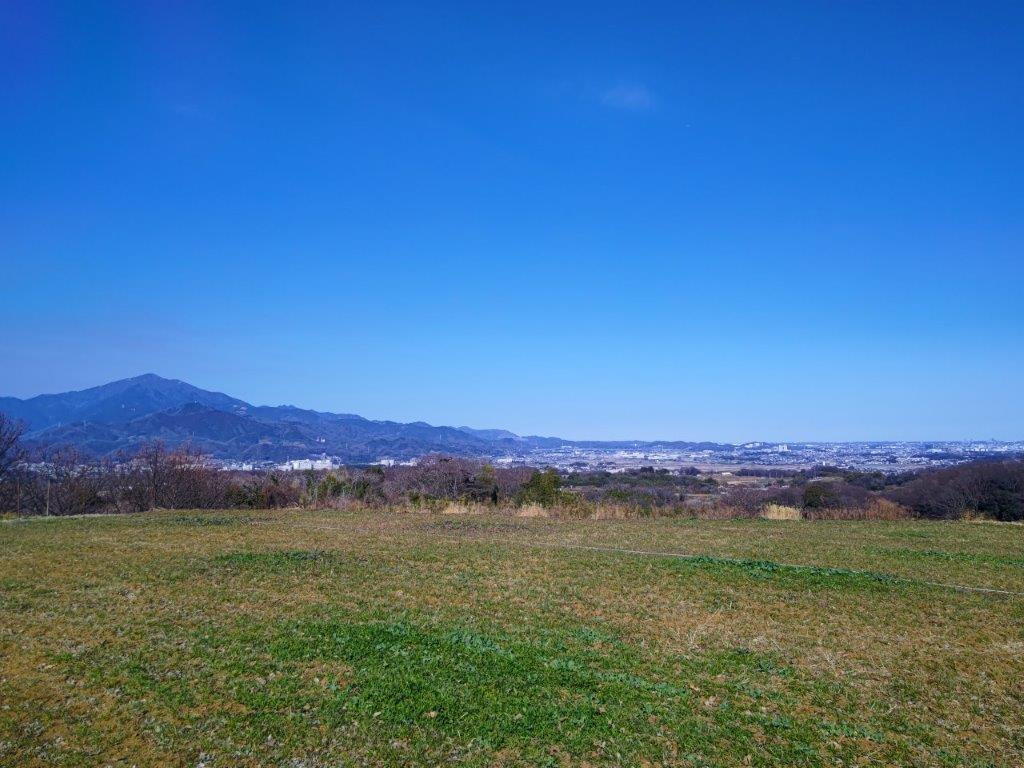
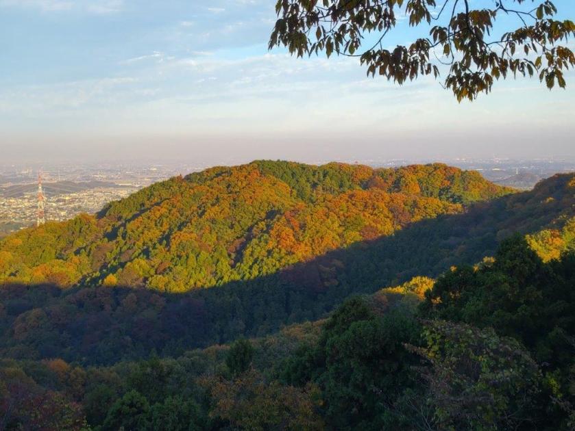
Late Afternoon Sun and the Ogodo Alps
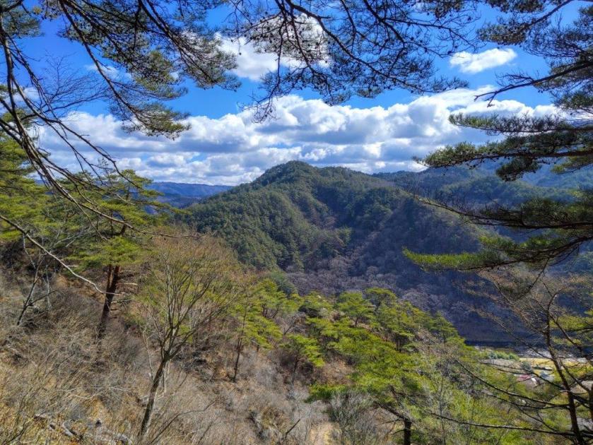
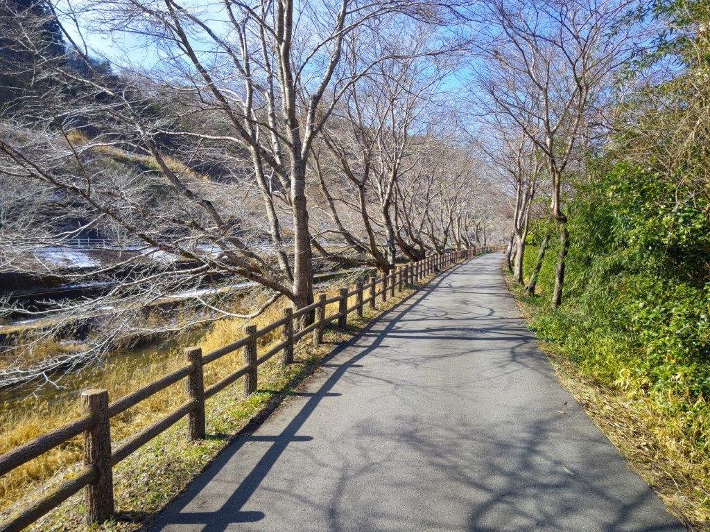
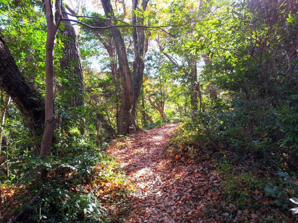
I was mesmerized by the colours of the late afternoon sun rays, piercing the clouds on the south side. Soon after, I arrived at Mt Mitsutoya (三登谷山 みつとやさん mitsutoya-san). Westwards, I could see the Oku-Nikko mountains, Mt Takahara and Mt Nasu; directly ahead, and much closer was Mt Takadate. After some descending, I turned right, off the ridge and into the valley through an evergreen forest, eventually rejoining the forest road taken earlier in the day. By now, the clouds had completely covered the sky, making the sun a distant memory. My car was almost the last one left, and by 5pm, I was on the road. At Mito station, I tried some local sake at Ibaraki Jizake Bar before boarding the limited express train for the comfortable ride back to Ueno.
Watch the Video of the Hike on YouTube


See a Slideshow of More Pictures of the Hike


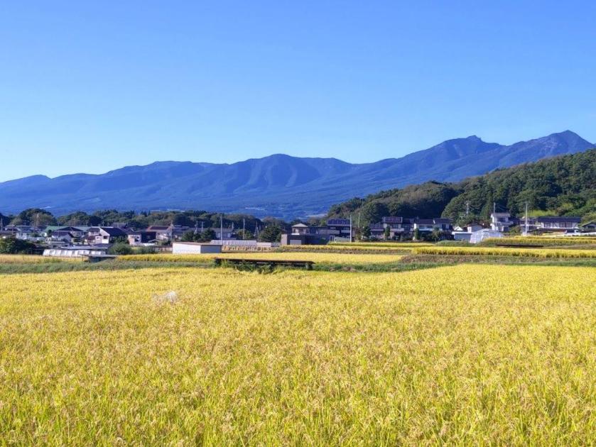
![Mt Happu (626m) & the Minano Alps, Minano Town, Saitama Prefecture, Sunday, November 19, 2023 [Map Available]](https://hikingtokyo.com/wp-content/uploads/2023/12/dsc_0925.jpg?w=1024)


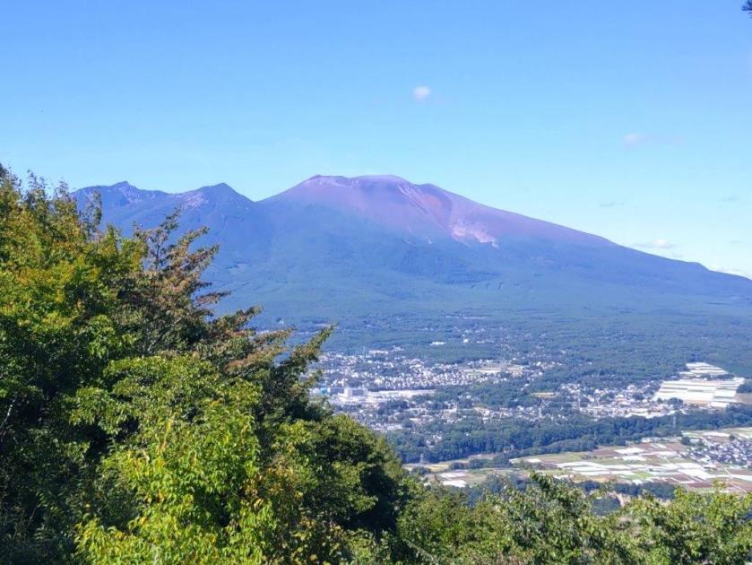
![Mt Hirao (1155m), Saku City, Nagano Prefecture, Sunday, September 24, 2023 [Map Available]](https://hikingtokyo.com/wp-content/uploads/2023/09/hirafouji.jpg?w=1200)


You must be logged in to post a comment.