

Ever since climbing Mt Gassan, I had been hoping to do another hike along the Aizu-Kinugawa line, deep inside the Nikko National Park but well off the tourist trail. Looking through my guidebook, I found a suitable mountain, its trail entrance near a train station. Although the summit was in the trees and mostly up and down the same way, the path seemed to be well-maintained with no tricky sections; along the way, it was possible to get views of 3 different lakes.
For subscribers, please go to Hiking Around Tokyo to see the slideshows as they do not play in Gmail
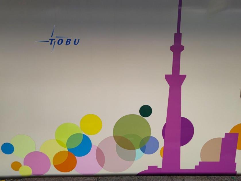
Initially, I had planned to go in the Autumn since apparently the leaves are quite spectacular, but online reports of leeches in that season made me switch to Spring. While researching the itinerary, I was delighted to find out that Tobu railways was running an extra return train in the afternoons during Golden week, the “Skytree Train”; this gave me an extra hour to enjoy my time in a destination far away from Tokyo.
Hiking in the Nikko National Park 日光国立公園
Find Japan Hiking Maps on Japanwilds and subscribe to our newsletter

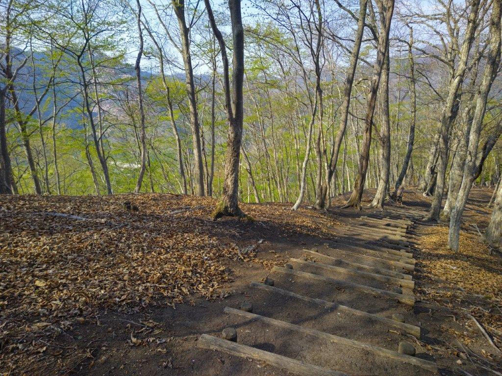
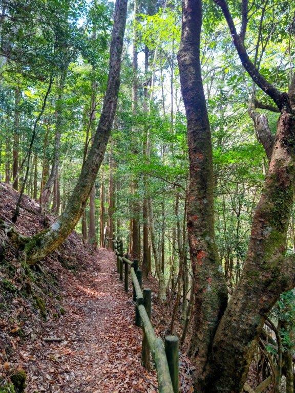
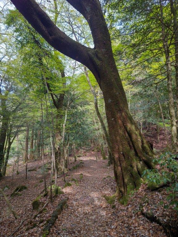
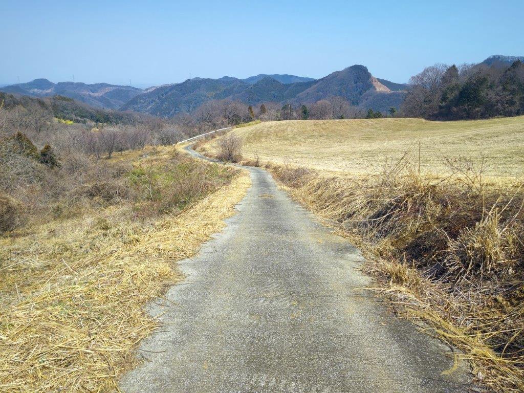
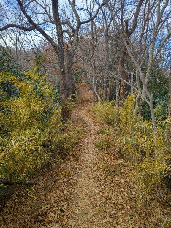
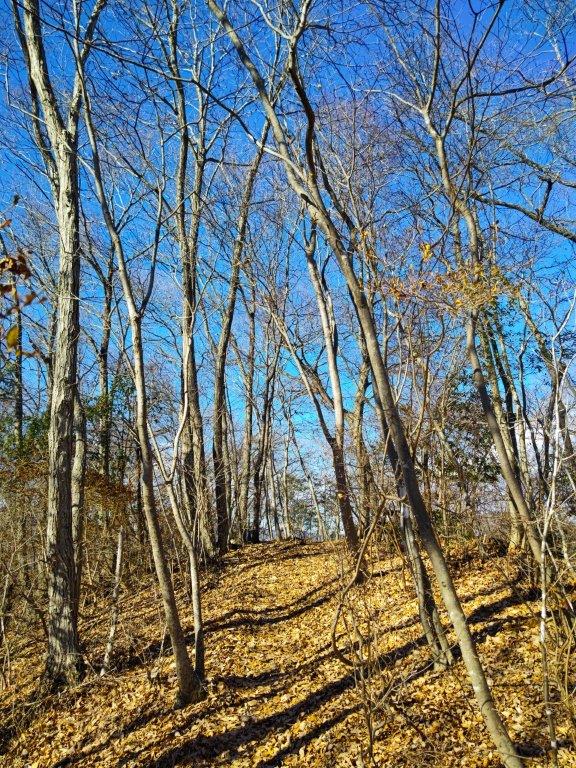
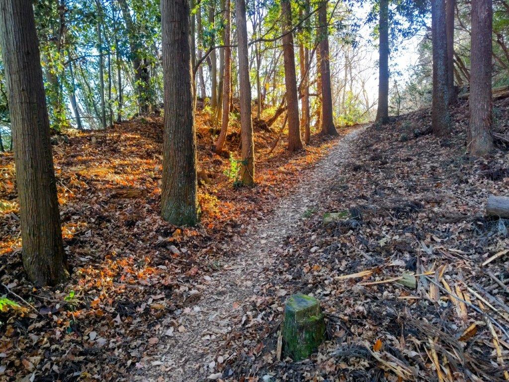
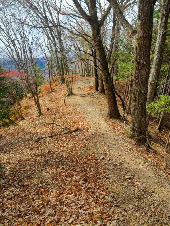
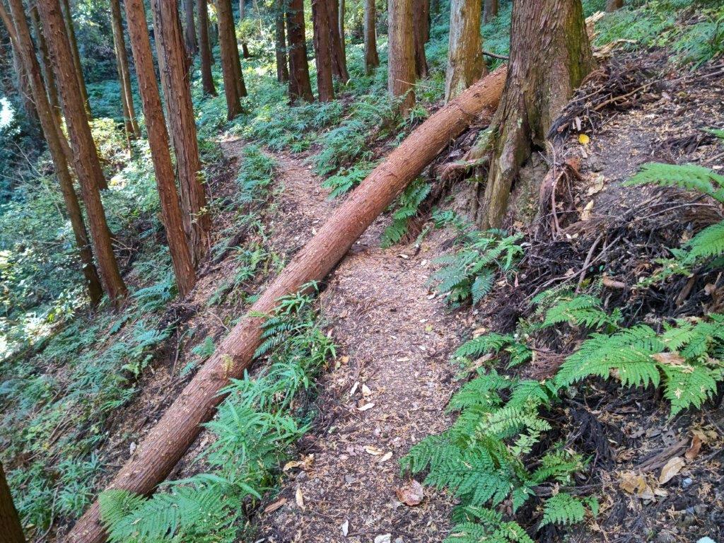
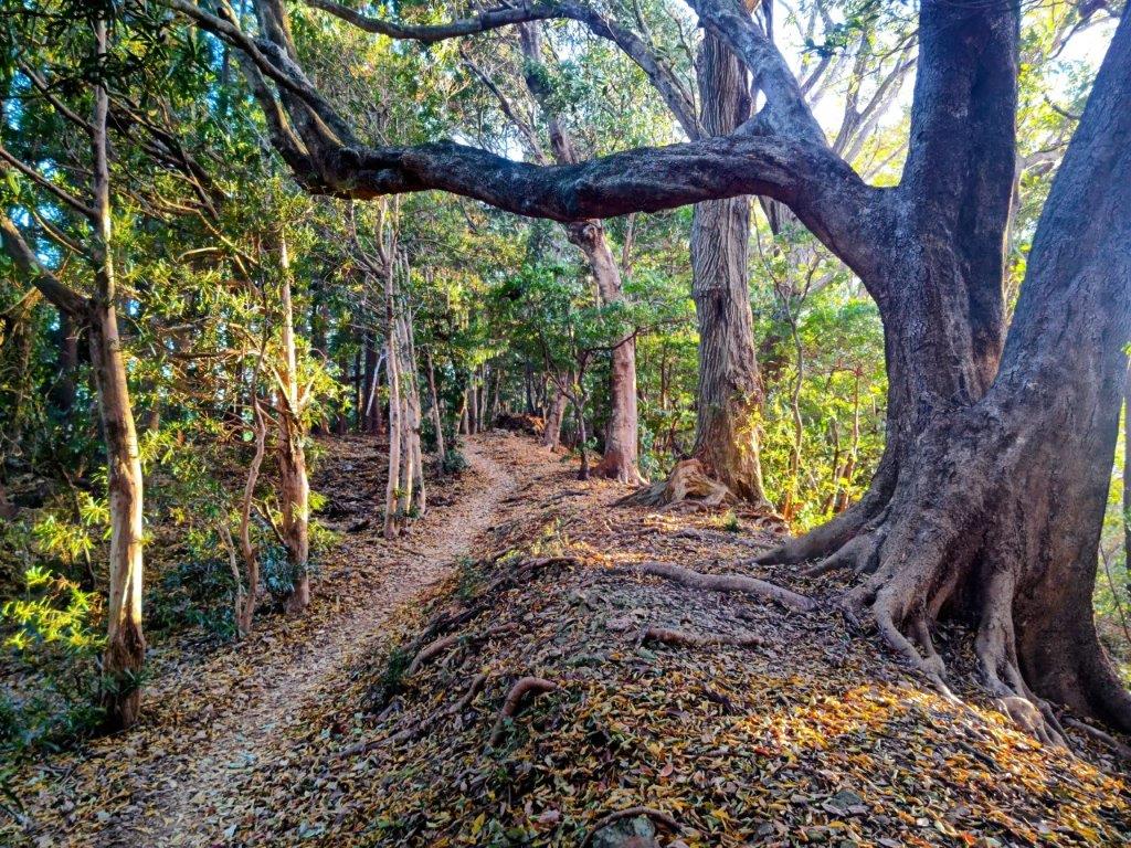
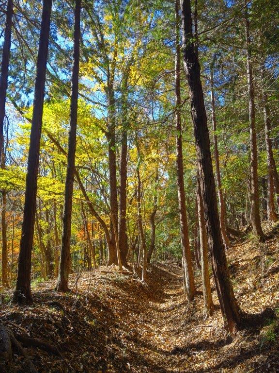
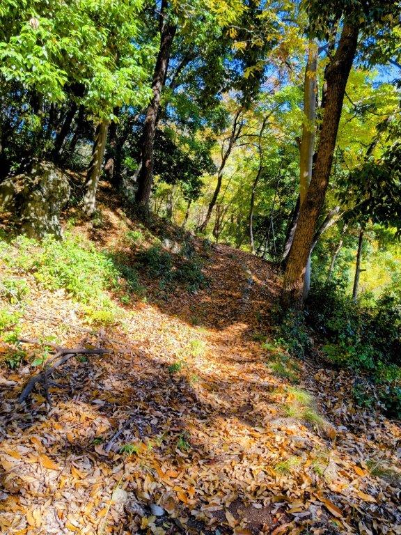
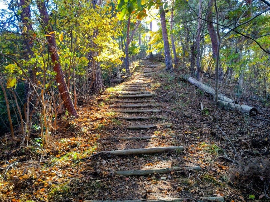
Start of the Hike (left) a Well-maintained Trail (right)


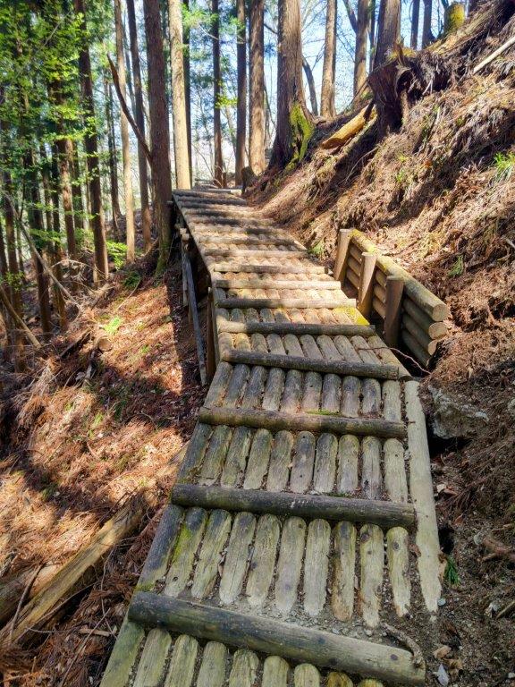
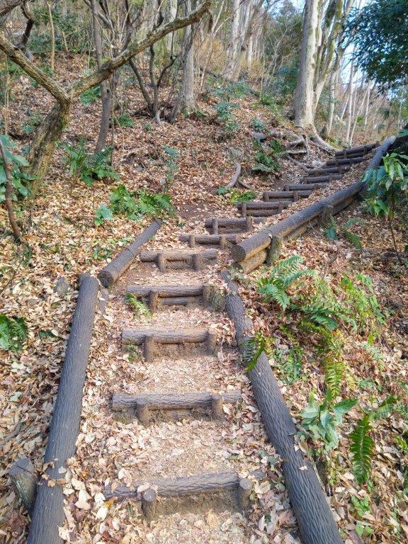
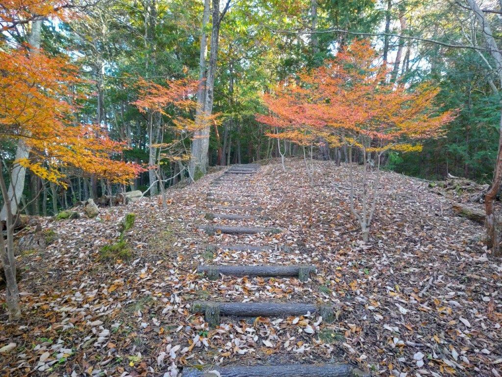
A Mix of Flat Sections (left) and Log Staircases (right)
To get to the start of the hike, I’d ride the Tobu limited express “Revaty” from Kita-senju directly to Yunishigawa-onsen, famous for its snow house festival in the winter. For the return, I decided to ride the Skytree train only as far as Shimo-imaichi, and then switch to the Revaty coming from Nikko, since looking online, I noticed that the latter had more comfortable seats.

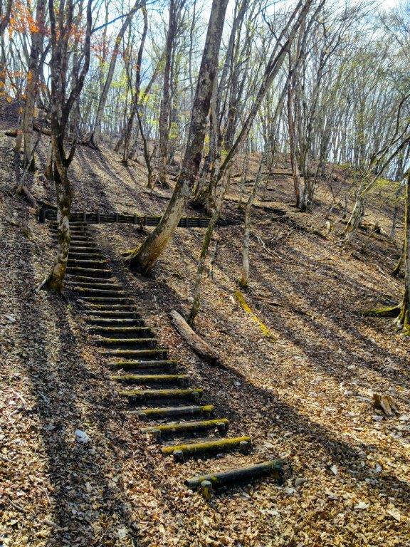
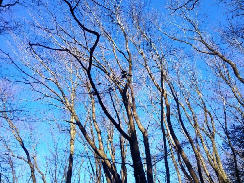
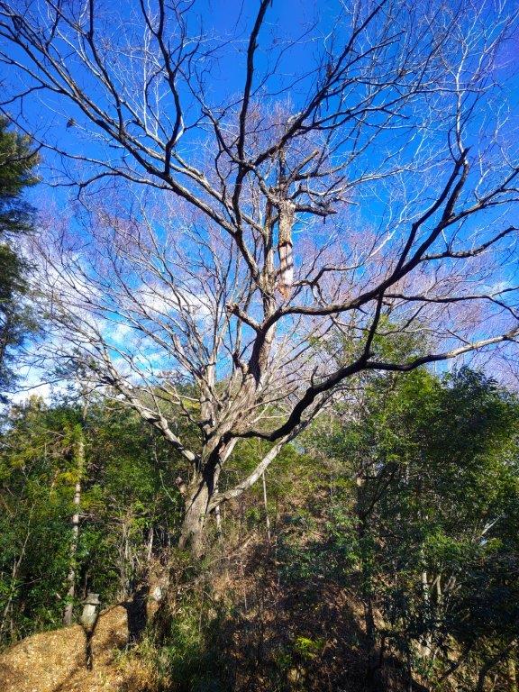
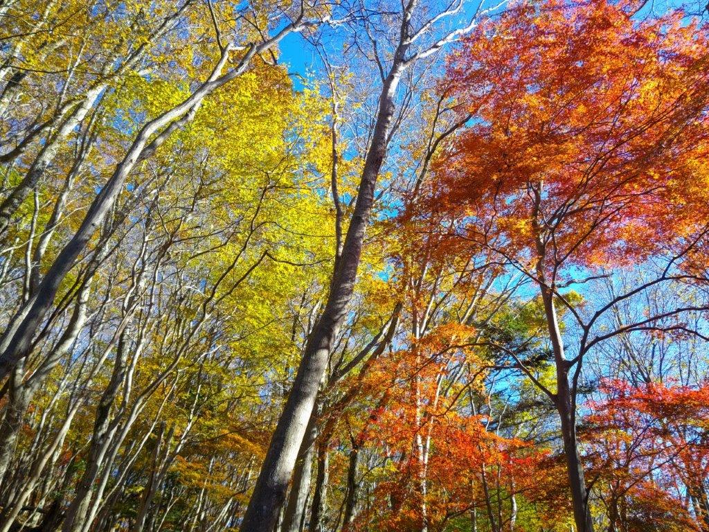
Spring Green Lower down (left) Bare Branches Higher up (right)

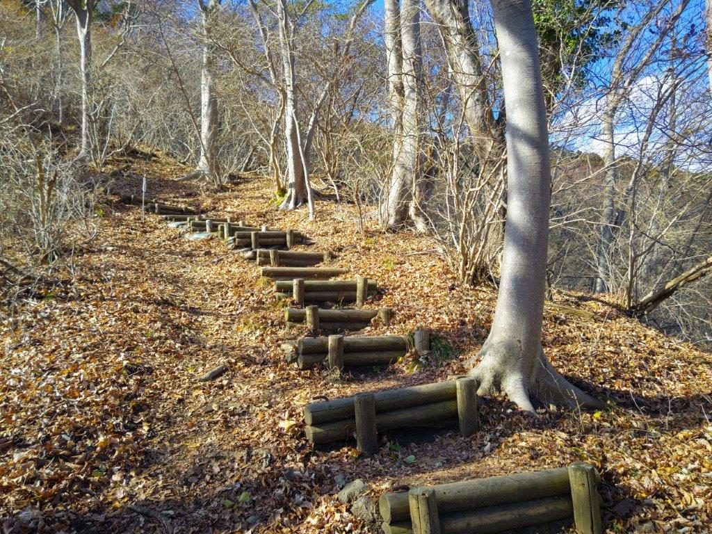
Below the Summit Ridge (left) Heading up to the Ridge (right)
The weather was supposed to be mostly sunny all day, with slightly cool temperatures, perfectly normal considering I’d be nearly 150 km north of Tokyo. If I finished on schedule, I could relax in a hot spring bath at Yunosato onsen on the 2nd floor of the roadside station connected to the train station. I was looking forward to revisiting the mountains north or Kinugawa after a 3 year interval, and curious to see whether the new green of Spring had finally arrived.

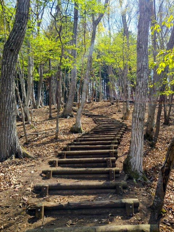
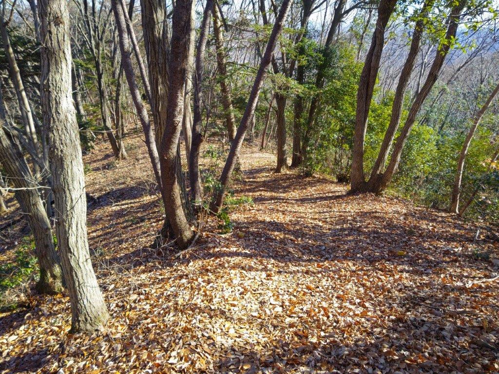
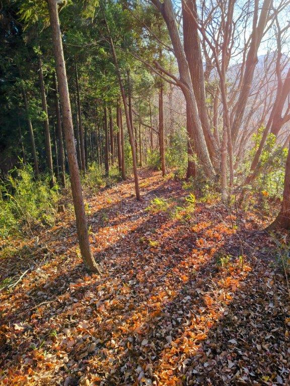
Spring Green at the Start of the Hike
Ridgeline Leading to the Summit Area
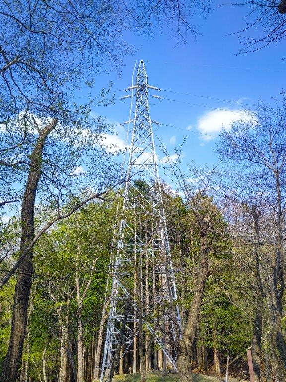
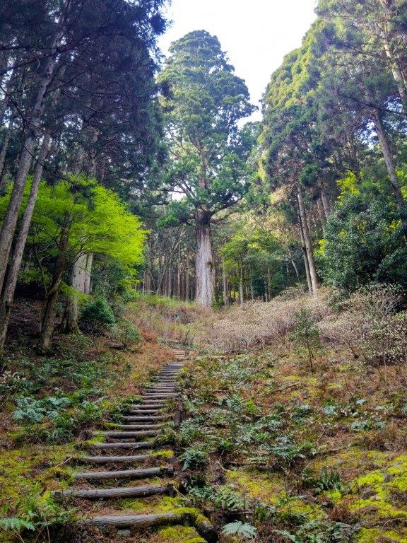
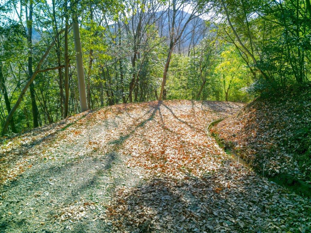
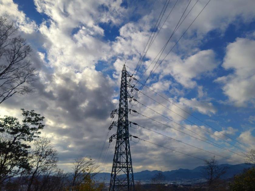
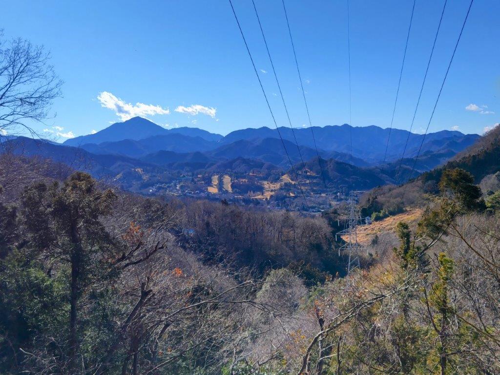
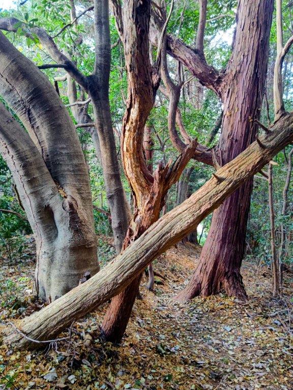
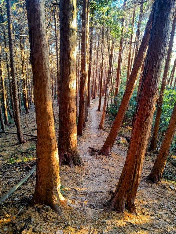
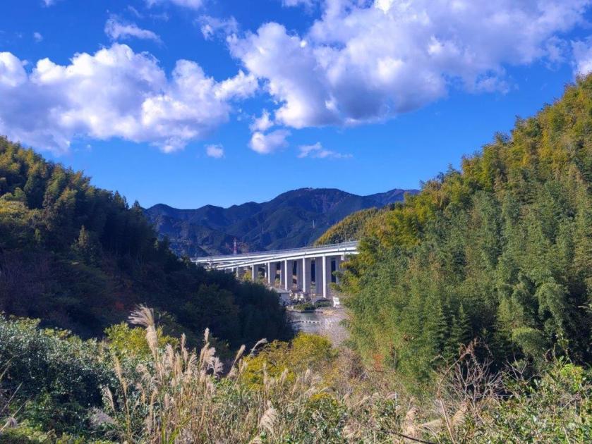
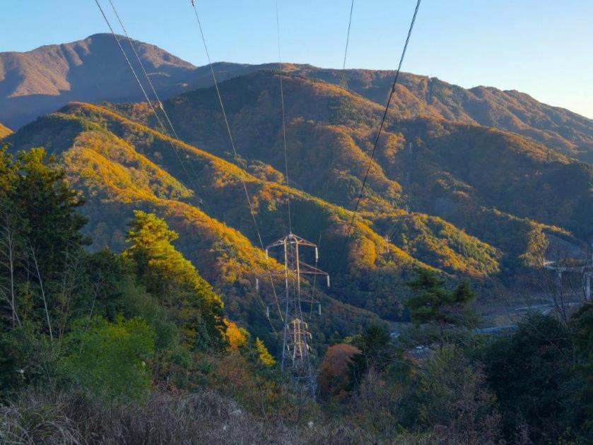
As I stepped off the train, I was surrounded by darkness, since Yunishigawa-onsen station (湯西川温泉駅) is located inside a tunnel running under today’s mountain. After riding an elevator to the surface, I got ready inside the Yunishigawa-onsen Roadside station, and at 12h30, started up the hiking trail at the far side of the parking area. After half an hour of climbing via a series of log staircases, I reached an electric pylon with views on both sides.

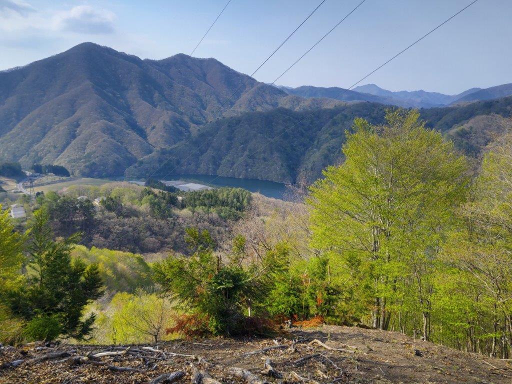
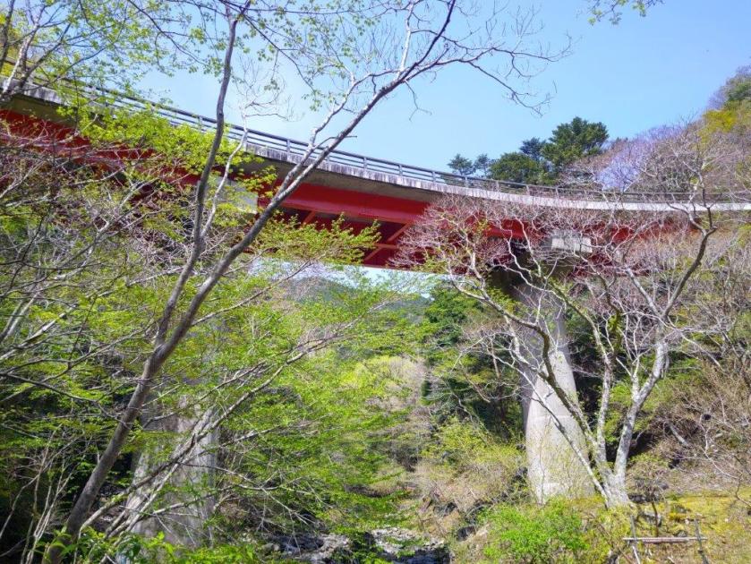
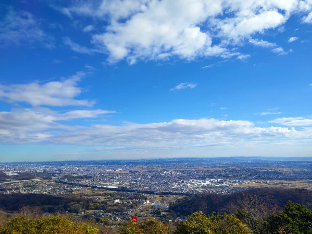
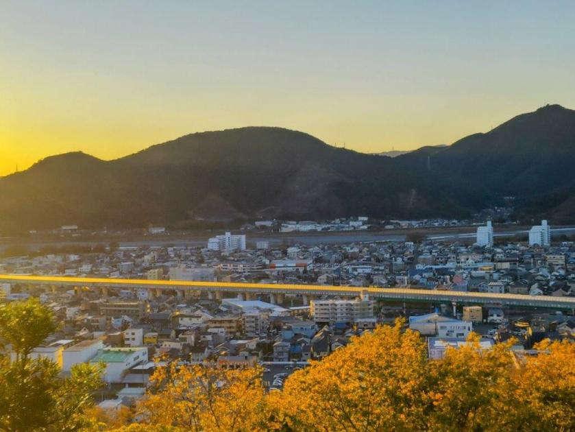
View South of Mt Takahara and Umijiri Bridge

Flat Section Half Way Up
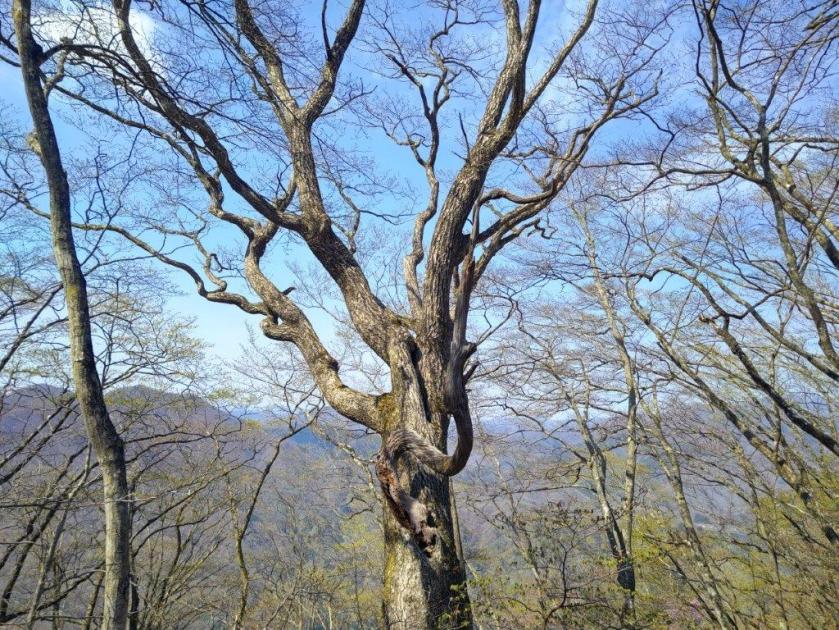
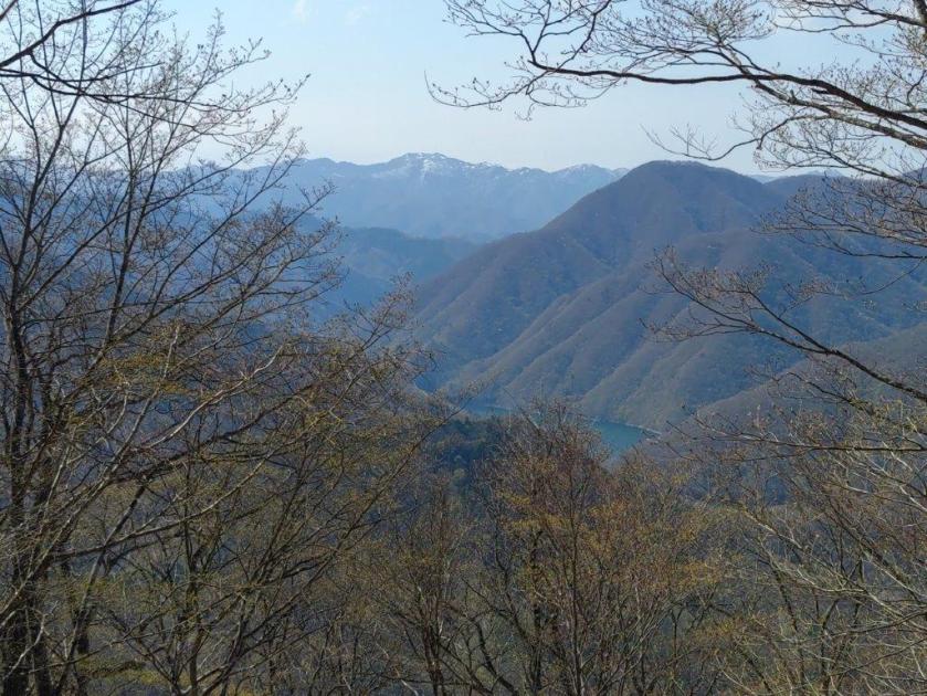
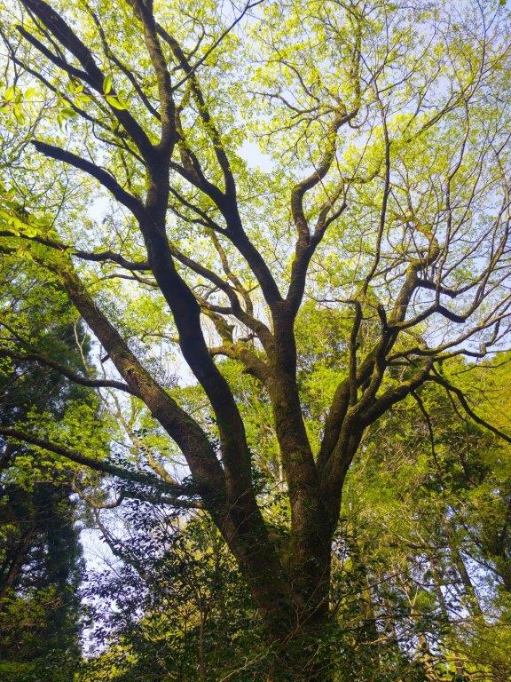
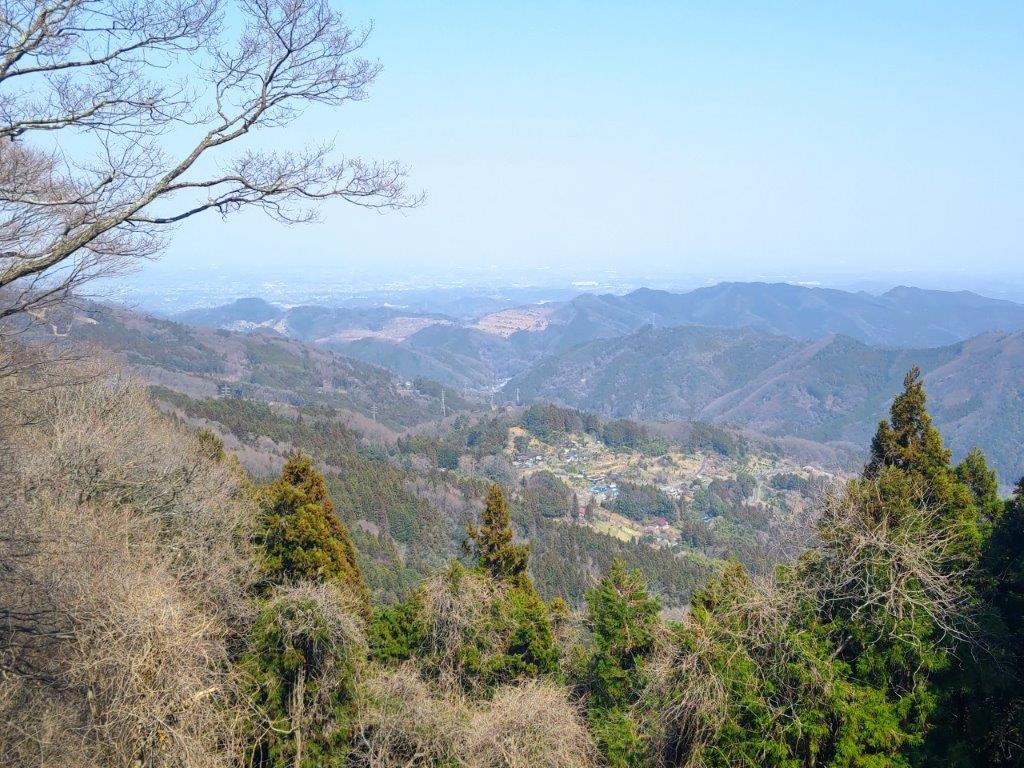
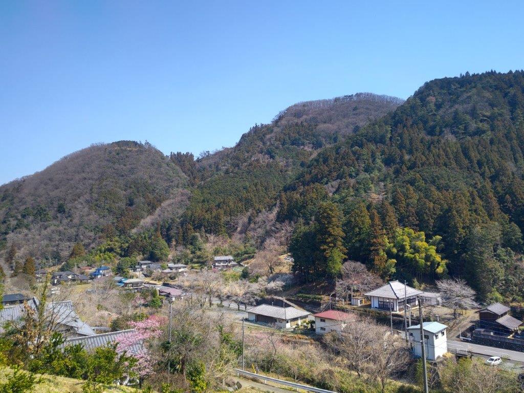
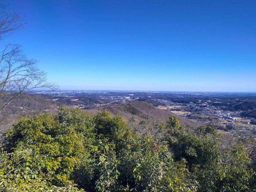
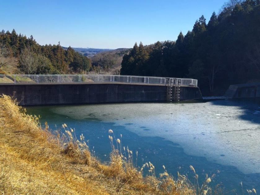
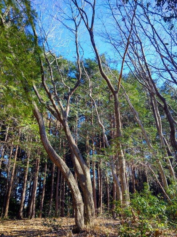
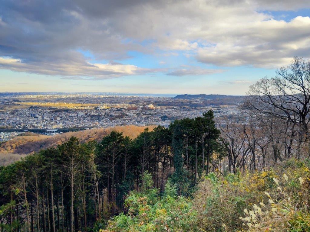
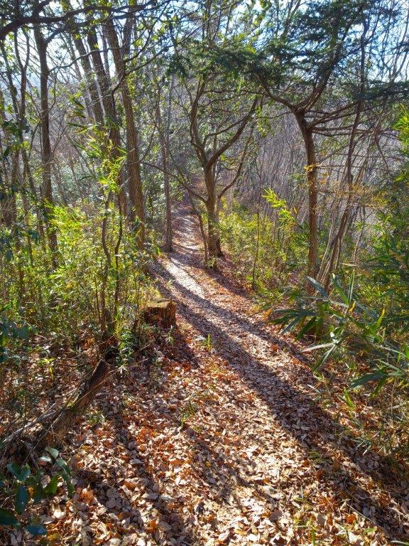
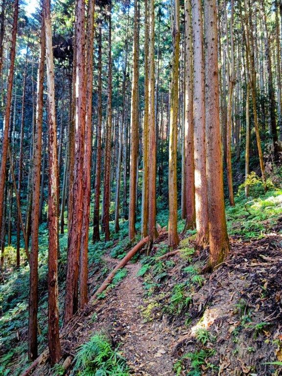
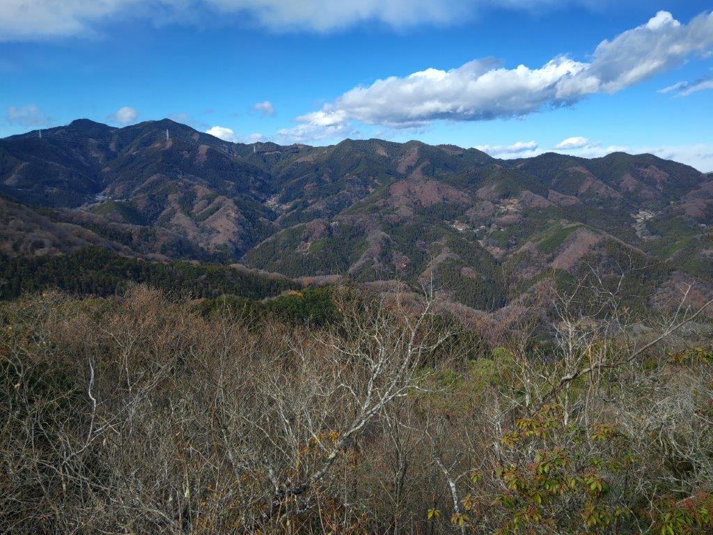
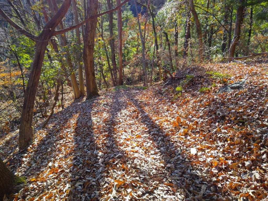
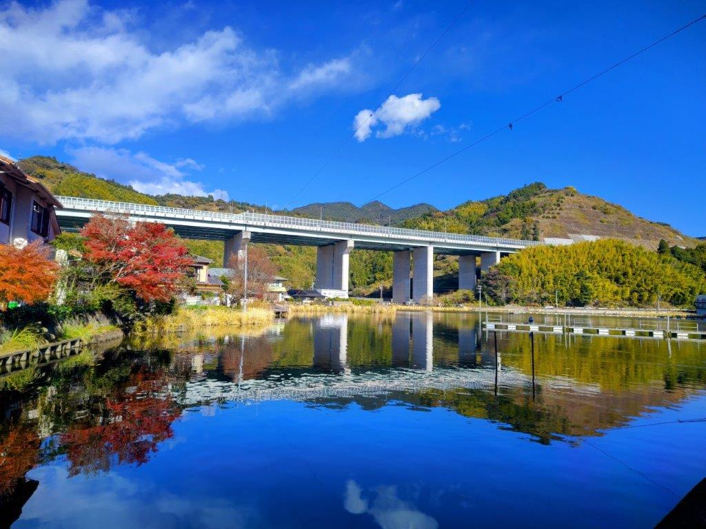
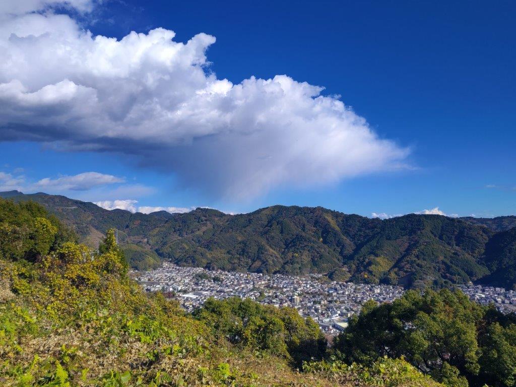
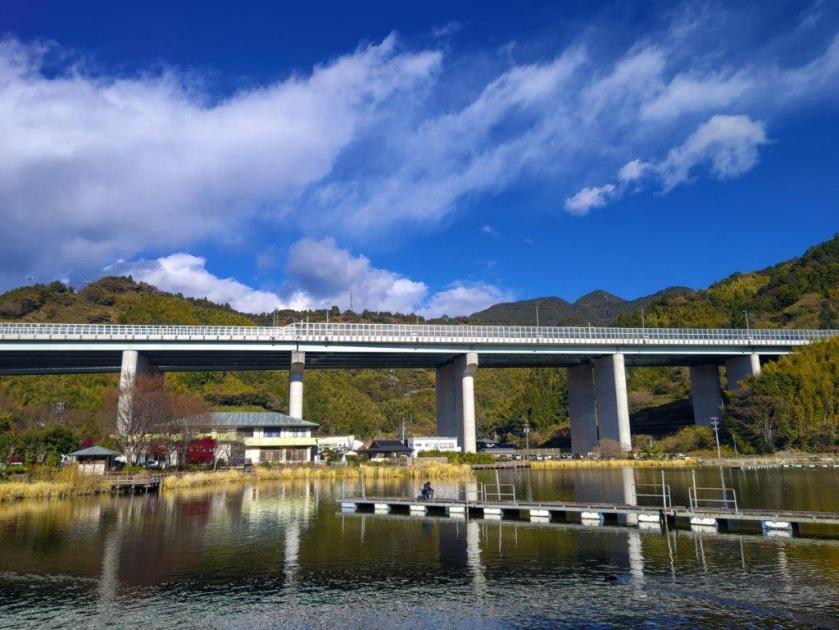
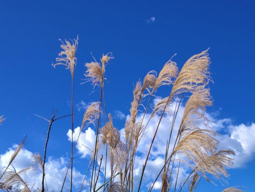
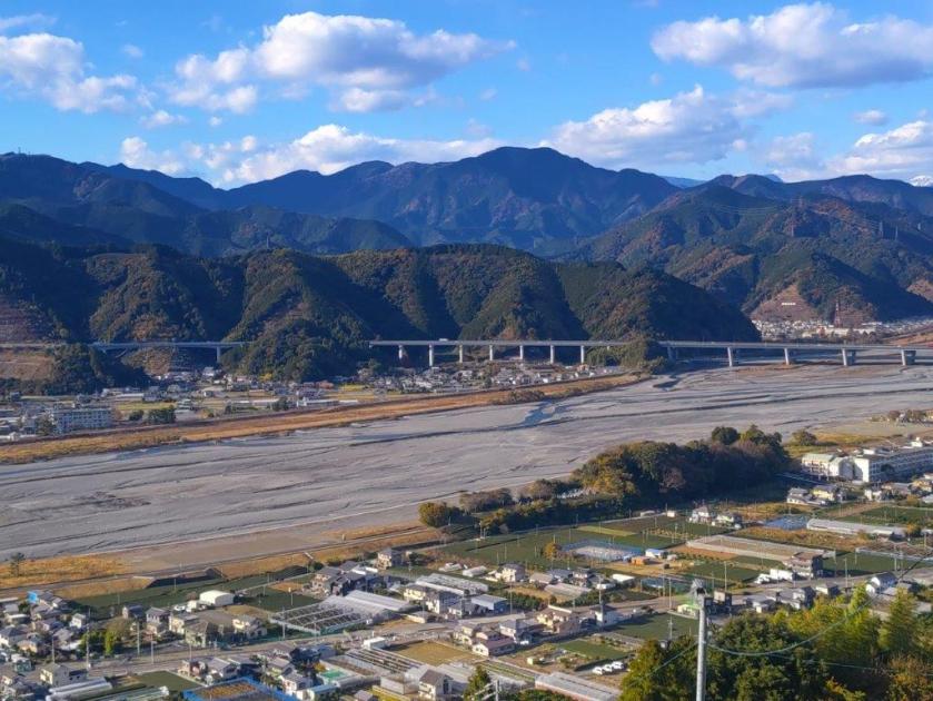
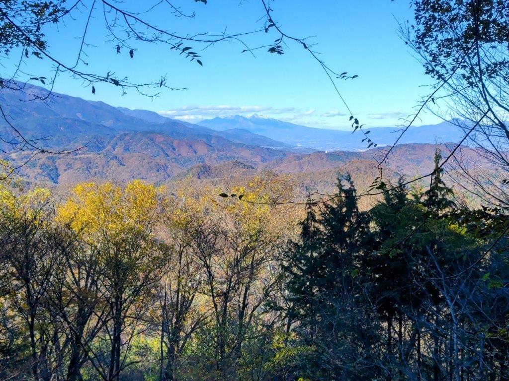
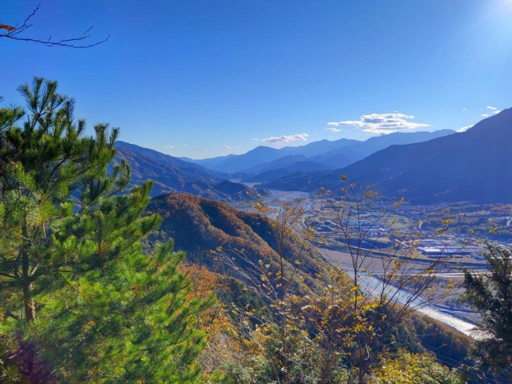
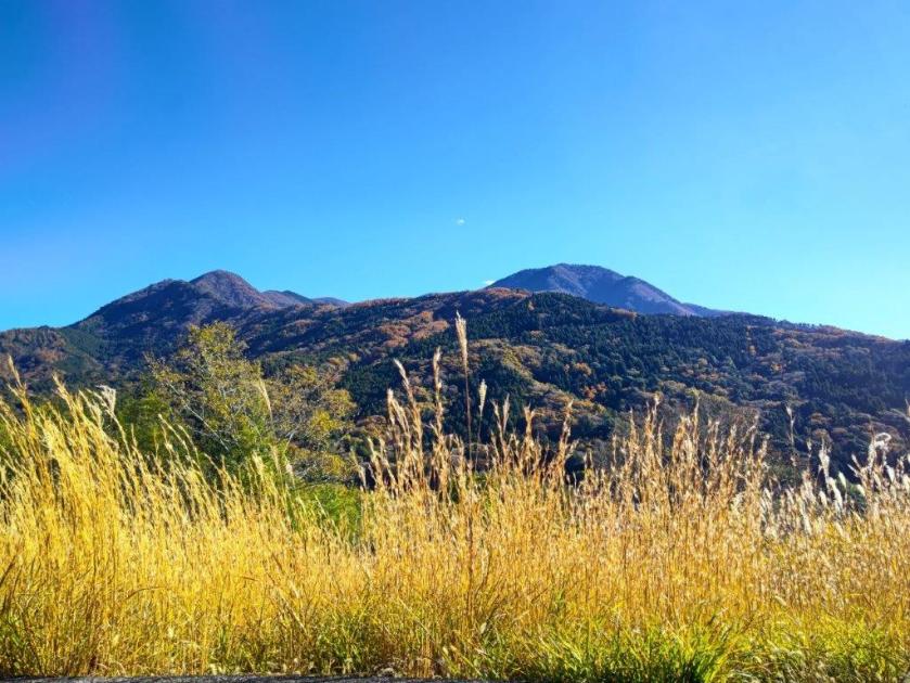
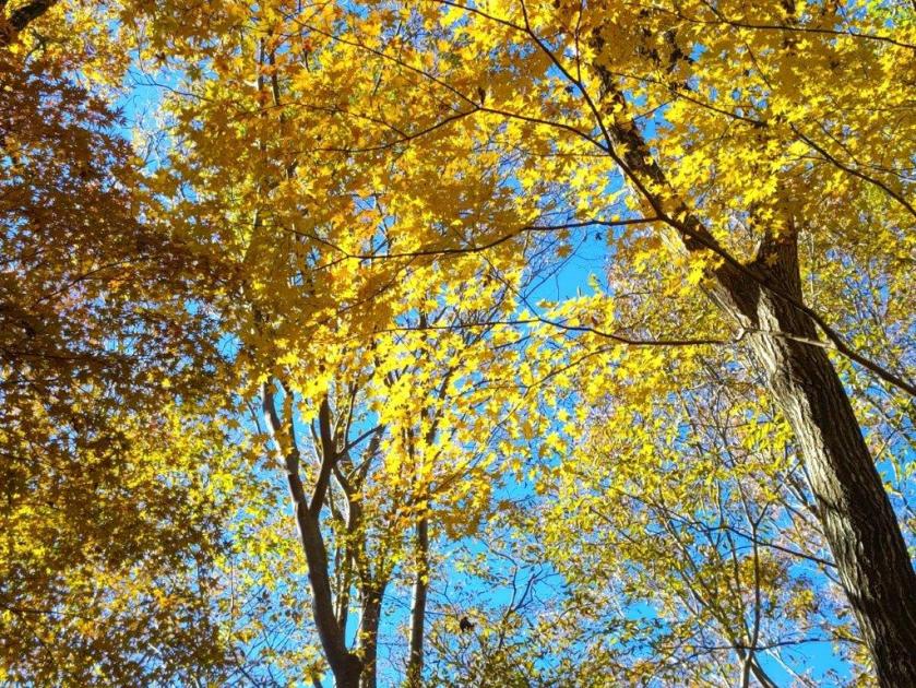
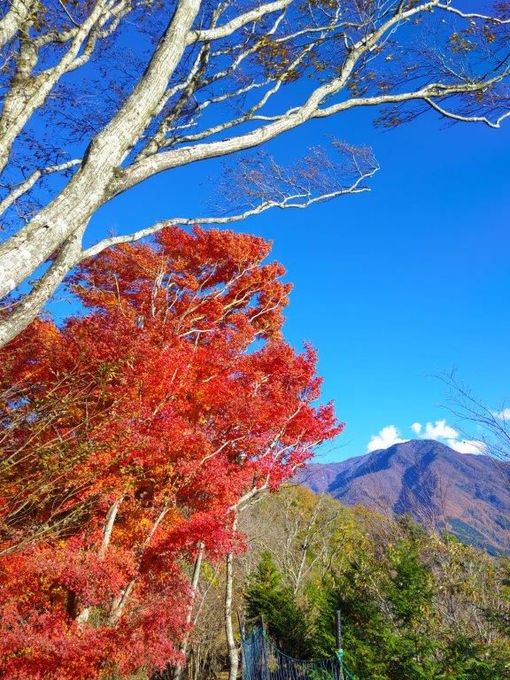
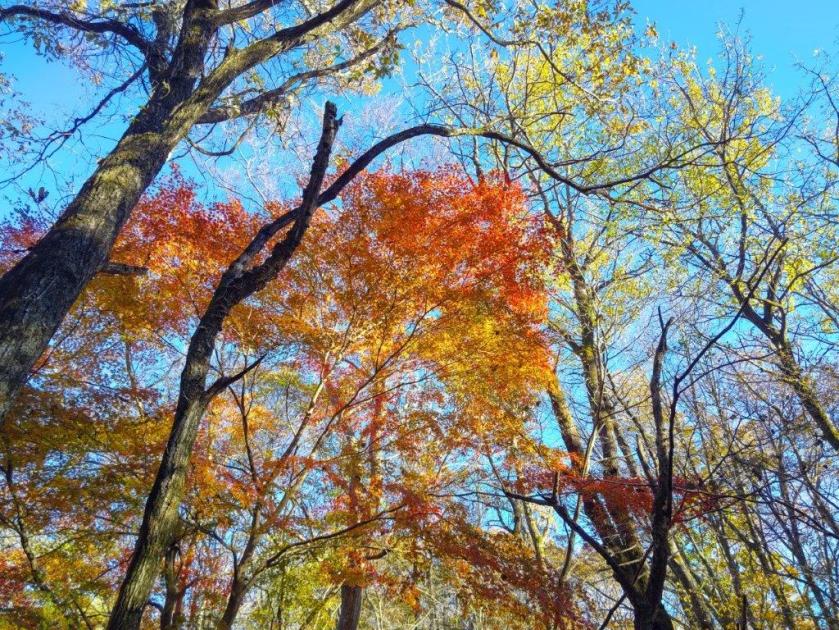
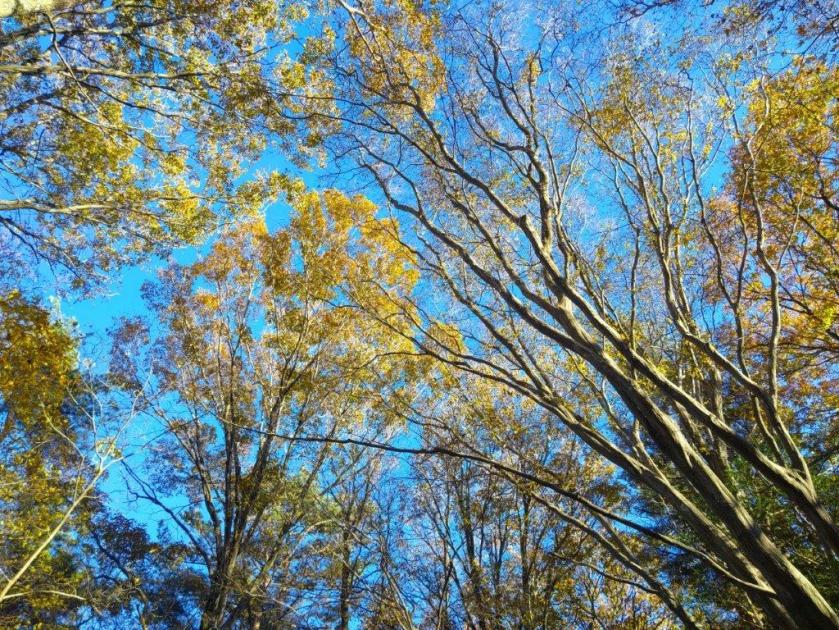
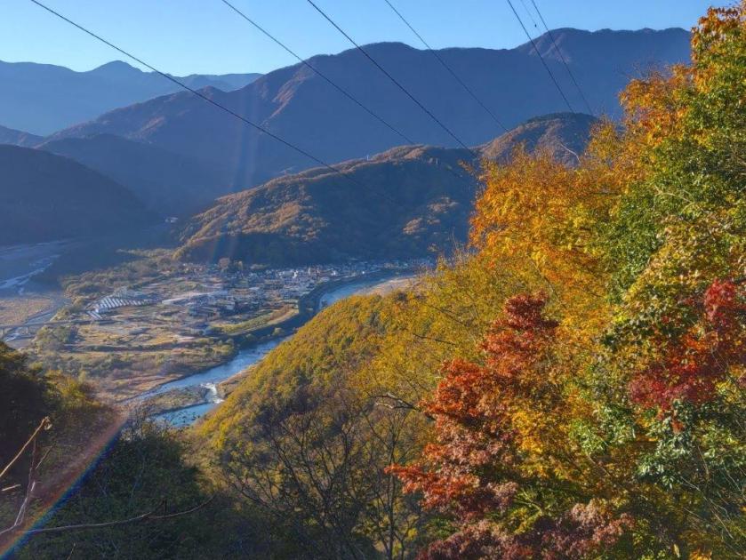
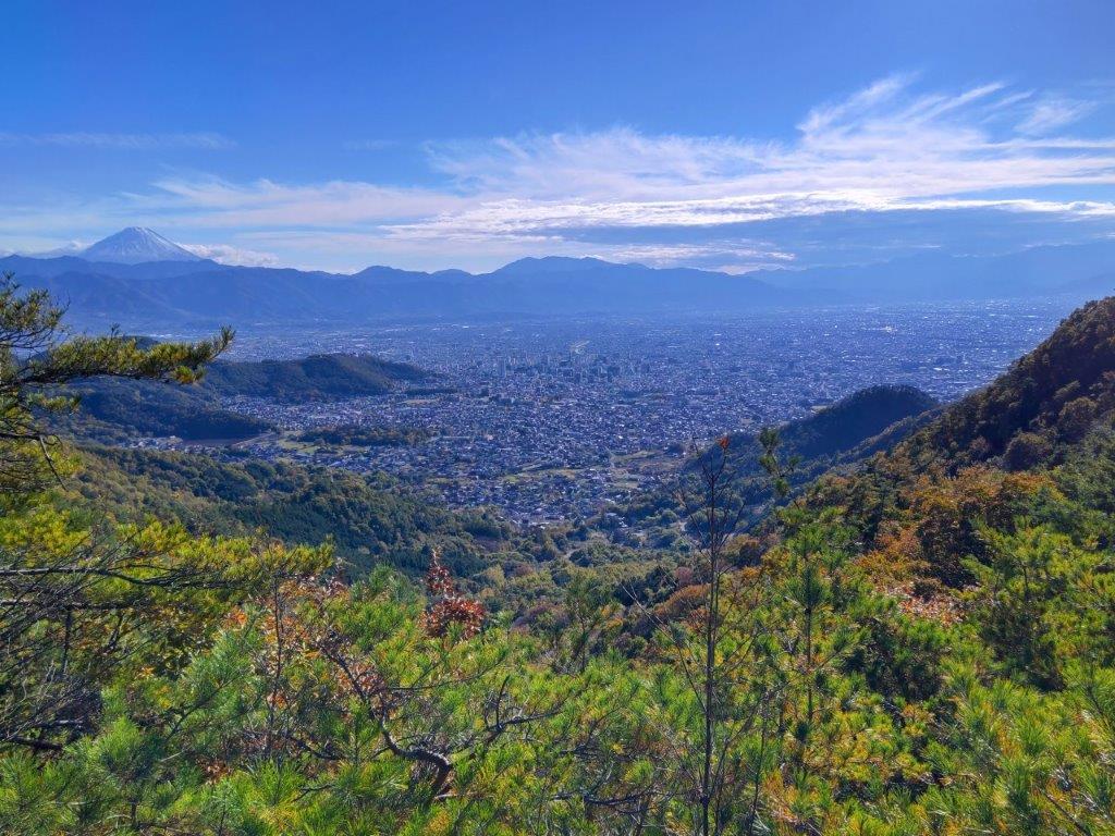
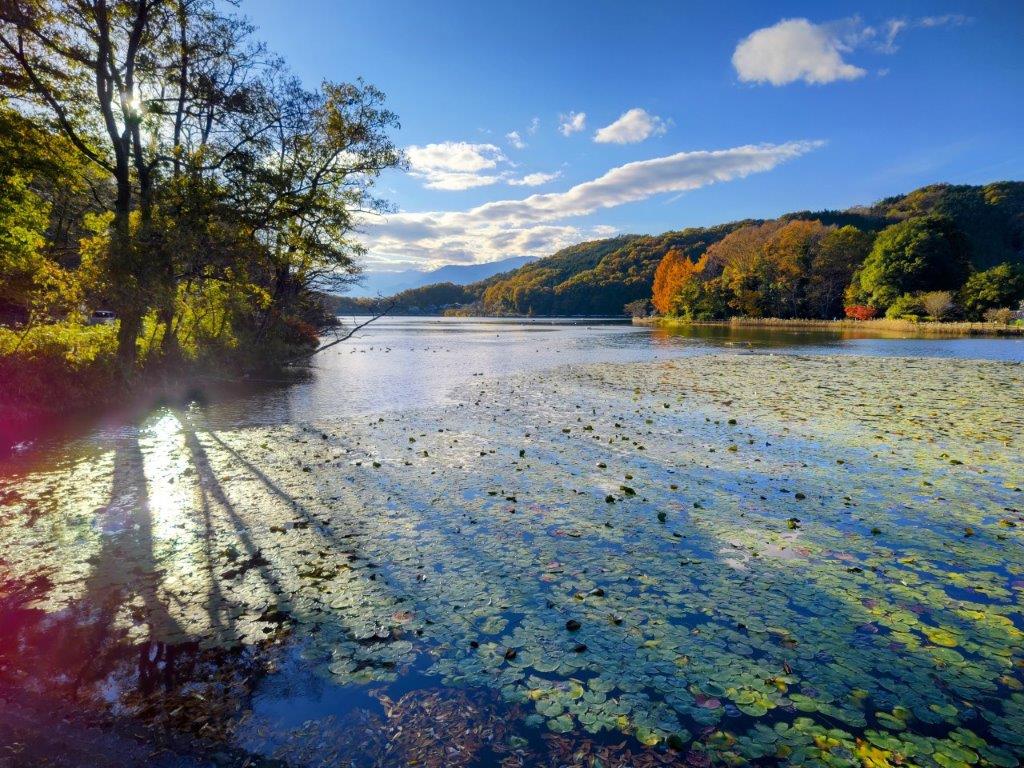
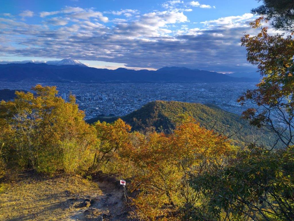
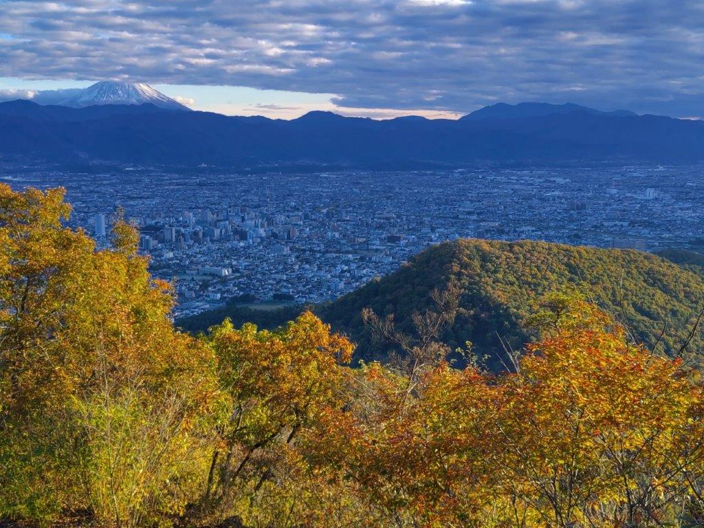
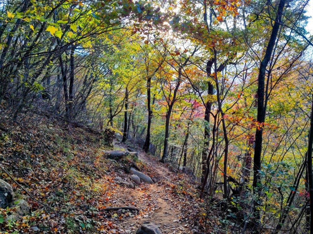
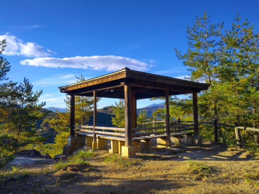
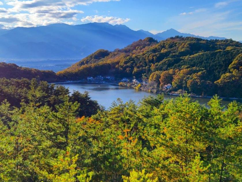
I was grateful to get a good view so early in the hike: looking south, I could see Umijiri Bridge spanning Ojika River, and in the back, Mt Keicho, one of the summits of Mt Takahara; on the north side, was Yunishikawa Lake, with Mt Takase rising behind it; in the far distance was Mt Arakai. I soon continue along a well-defined path, passing an open shelter on the left side. I was surrounded by the bright green of new Spring, but as I gradually gained altitude, I reentered an area of bare branches, creating fantastical shapes against the blue sky. Branches swaying in the light breeze created the only sounds, as birds had not yet returned from their migratory trips.

Walking under Leaning Trees

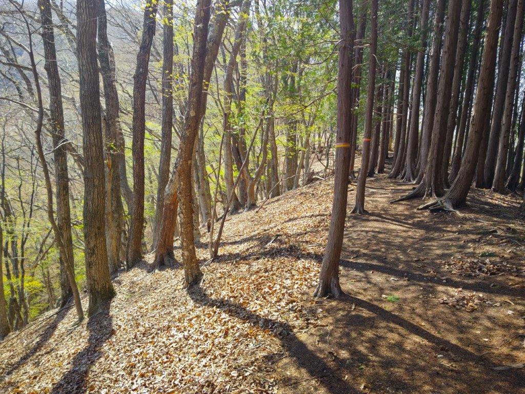
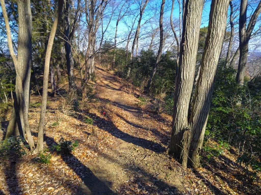
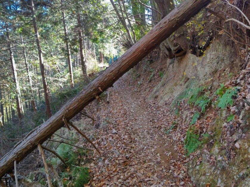
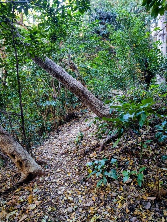
Walking along a Well-Defined Path
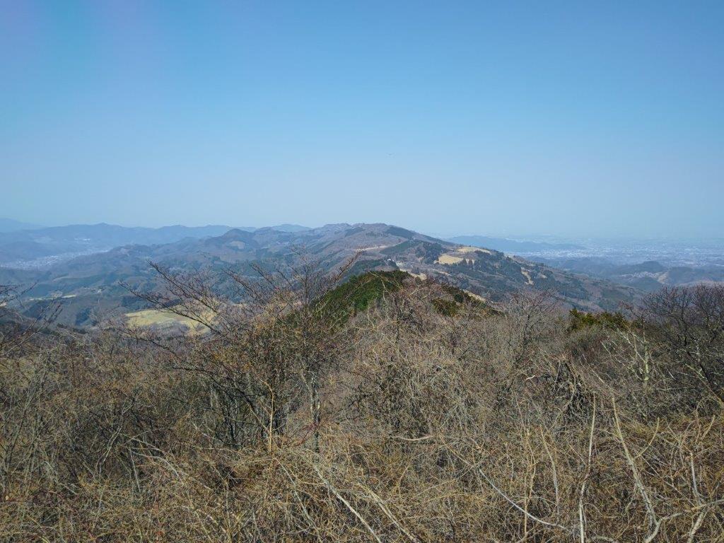
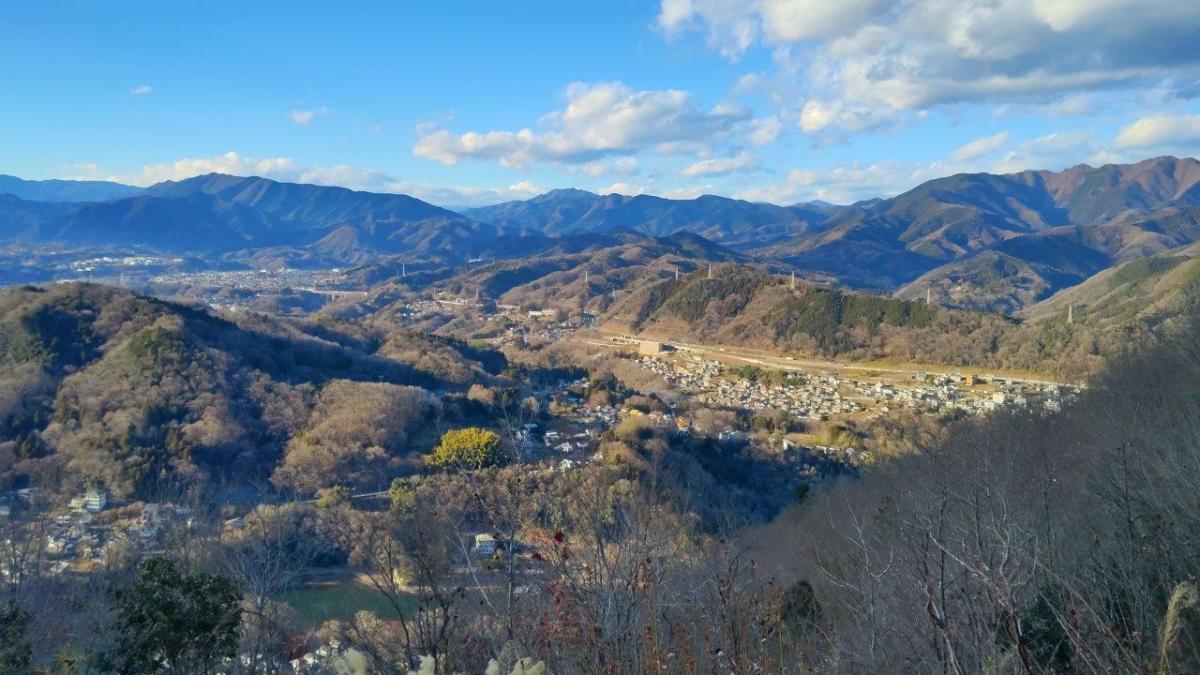
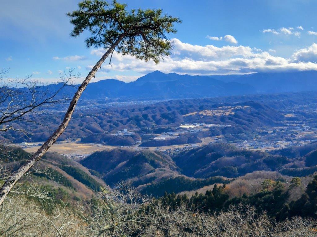
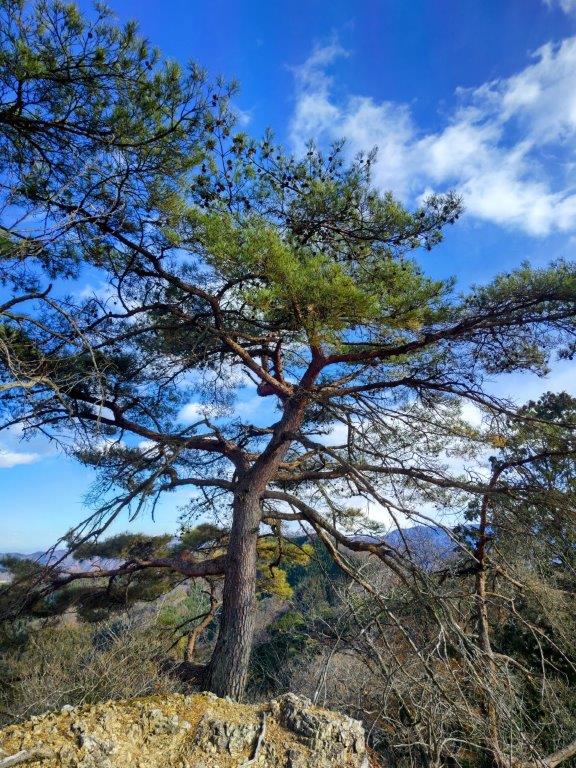
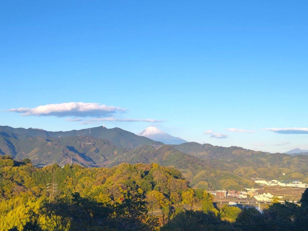
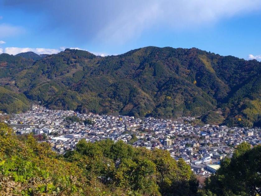
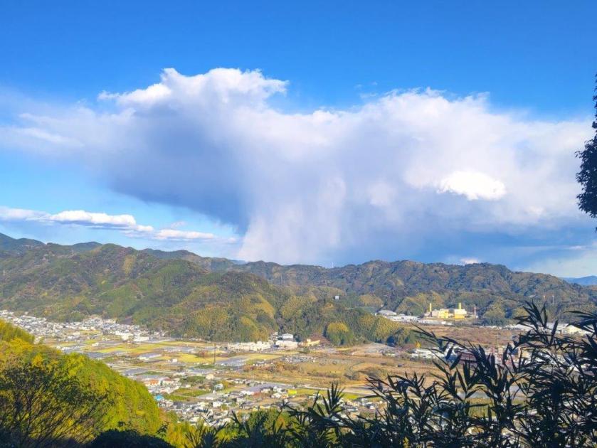
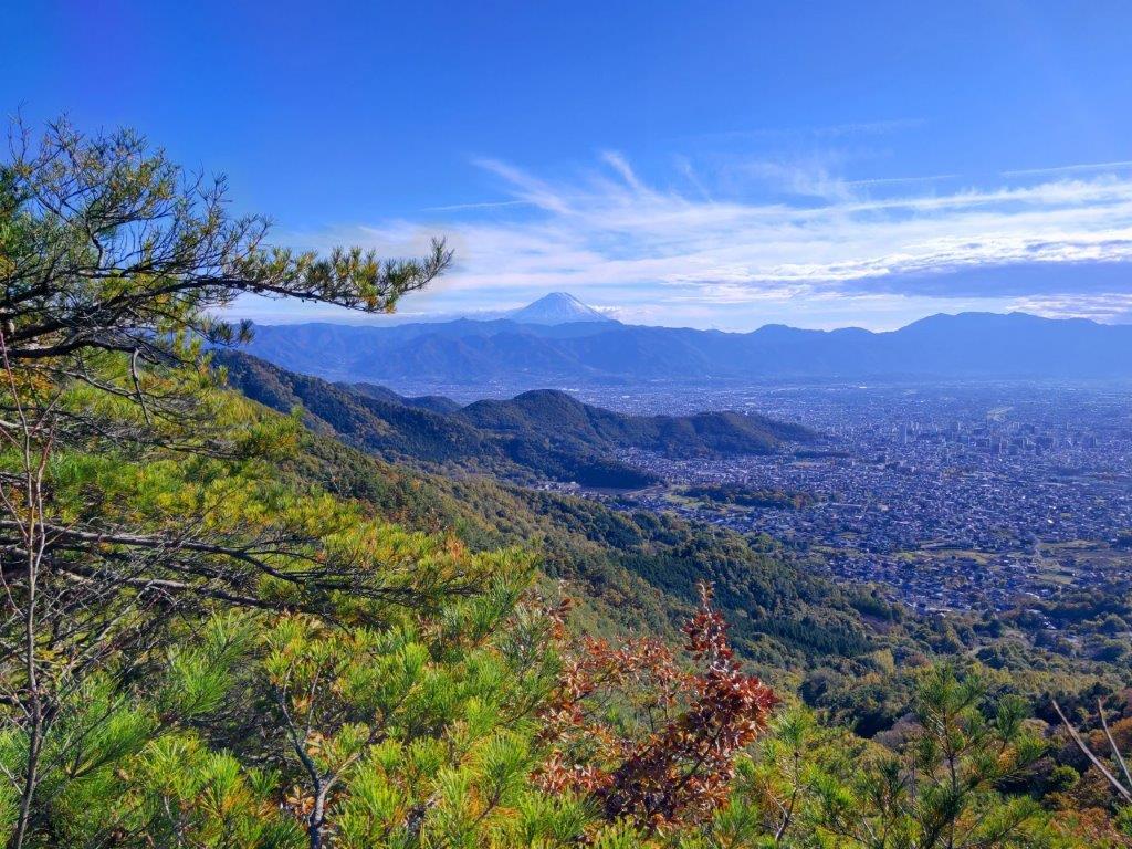
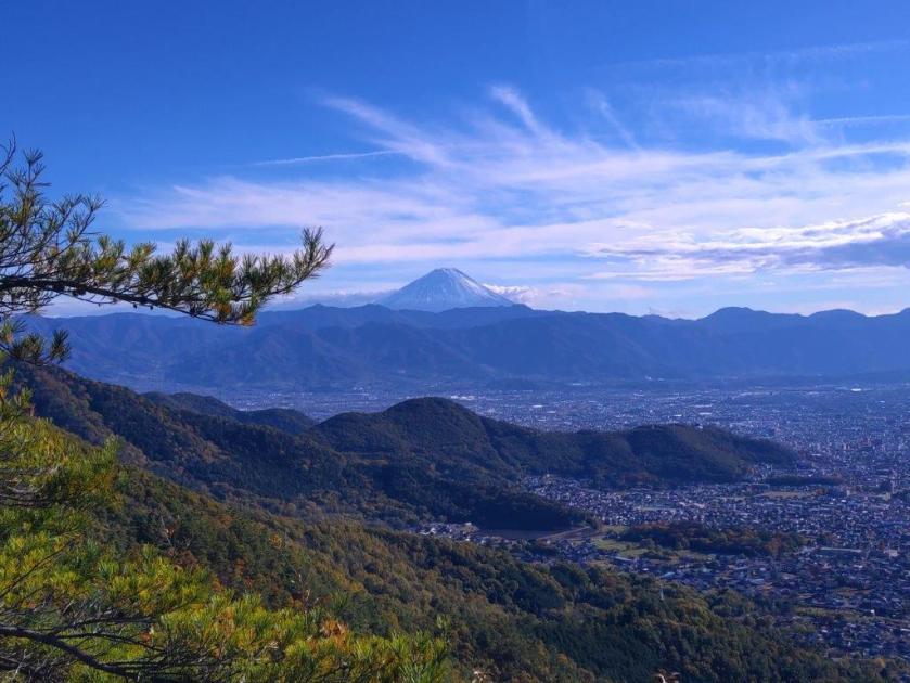
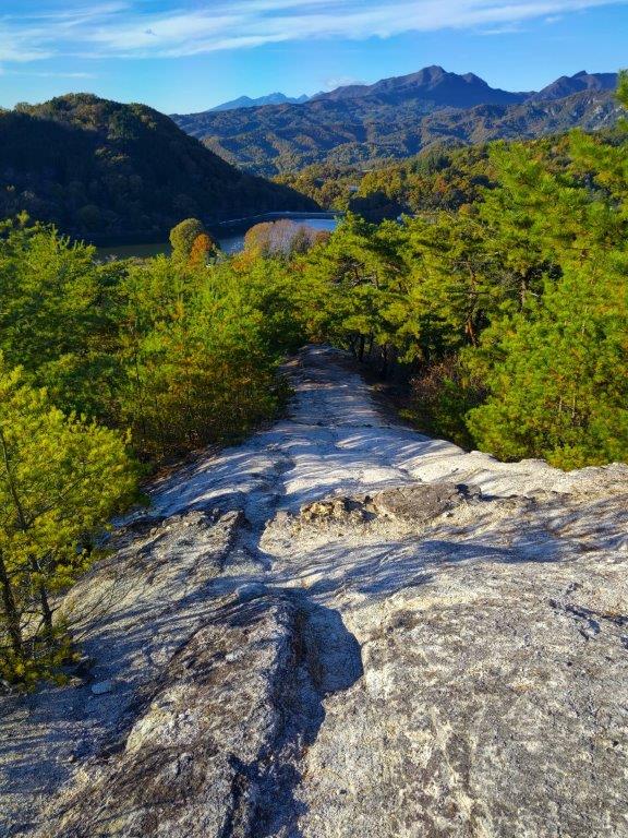
Here and there, I glimpsed distant snowy peaks through the branches, and was glad I had chosen to visit in this season. Although it was officially the start of the Golden Week, I saw only one other hiker on the mountain, perhaps because most people prefer to visit in May, when the whole mountain is covered in new green. At a bend on the east side, I glimpsed the white ski runs of Hunter Mountain, open till the end of Golden Week. I was now following a nearly level trail heading westwards through silent forest. Shortly after reaching the summit ridge, a view on the south side opened up above some green larches.

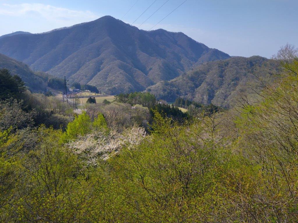
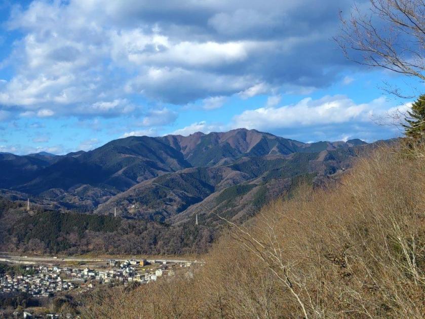
View South of the Tochigi Mountains

Nearly at the Summit
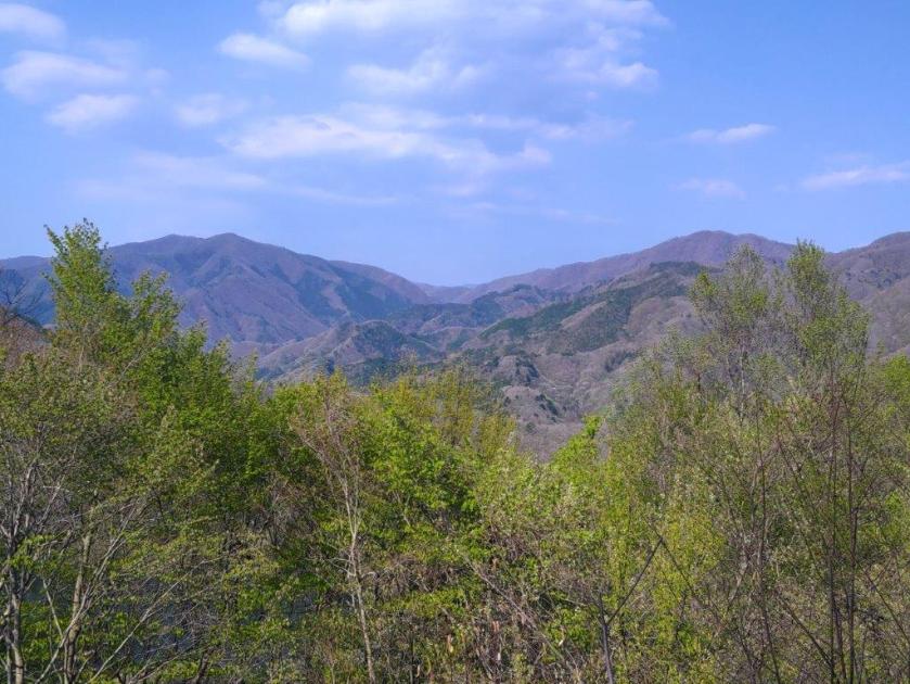
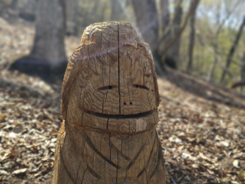
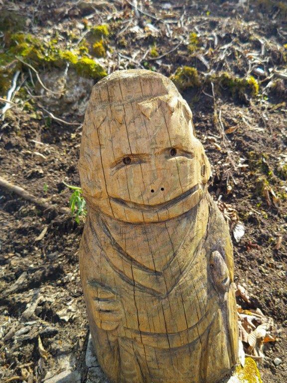
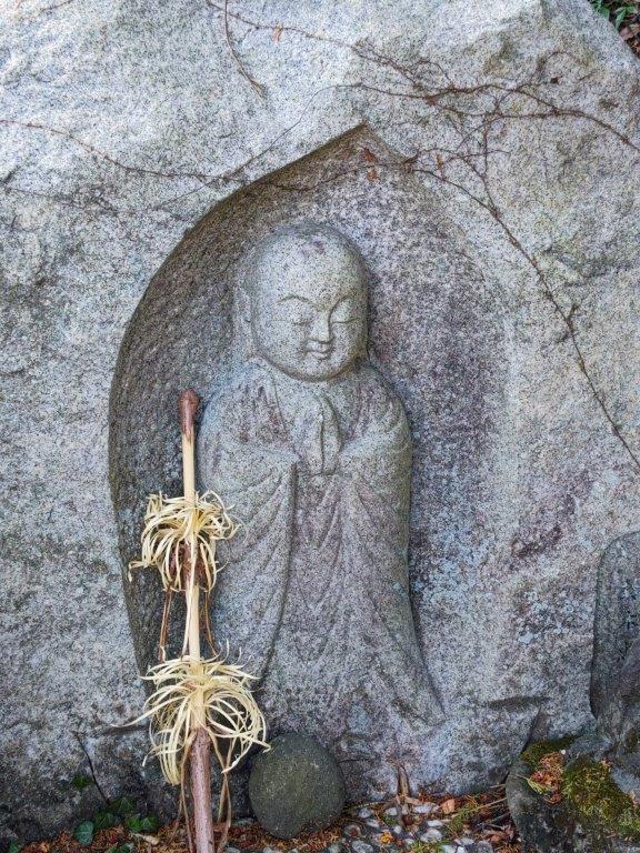
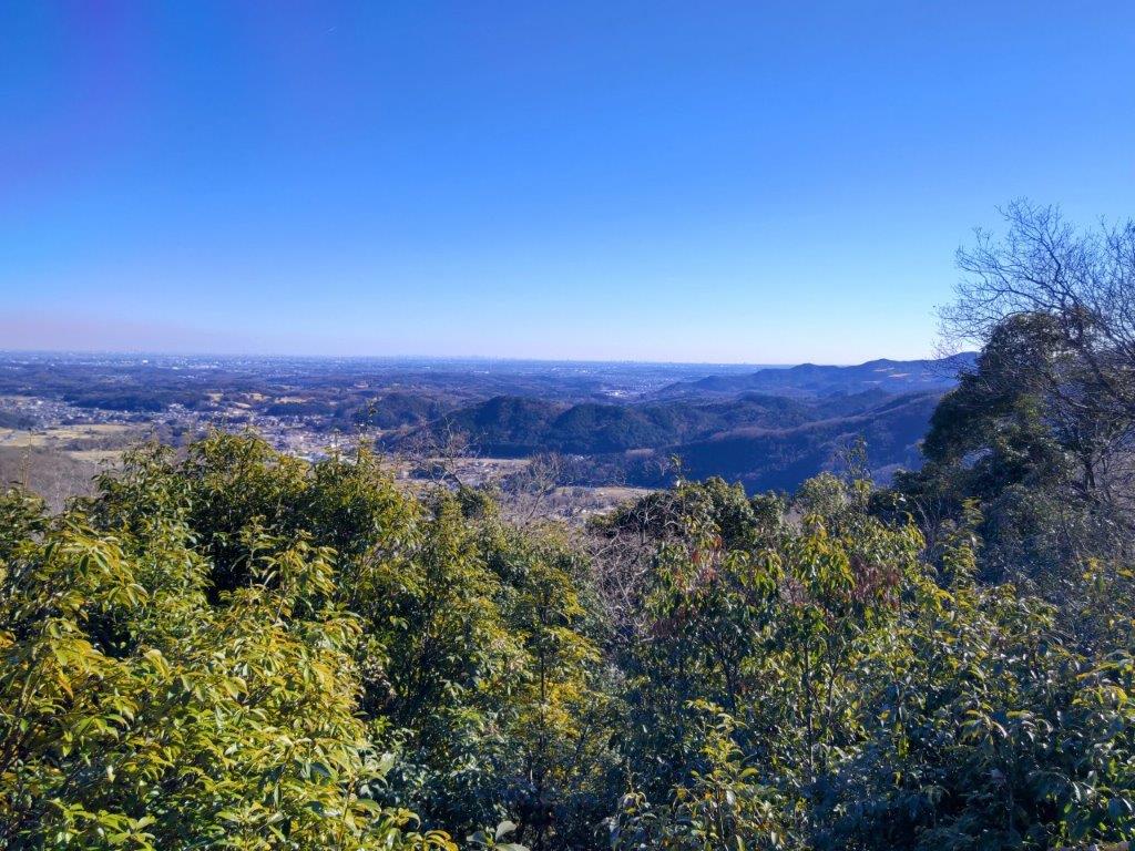
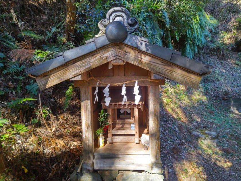
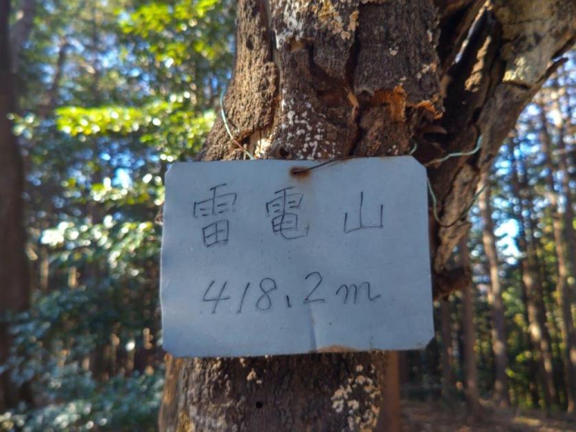
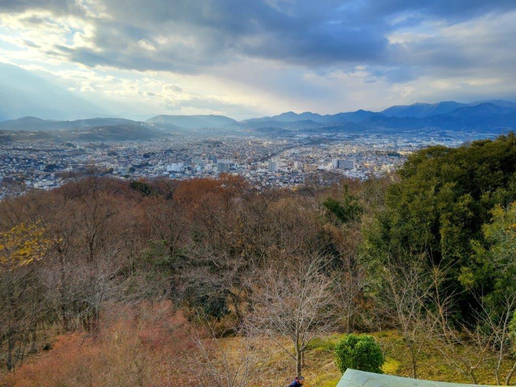
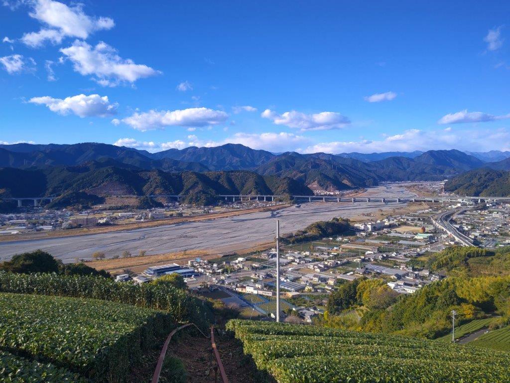
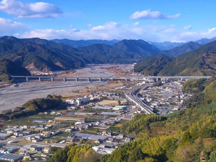
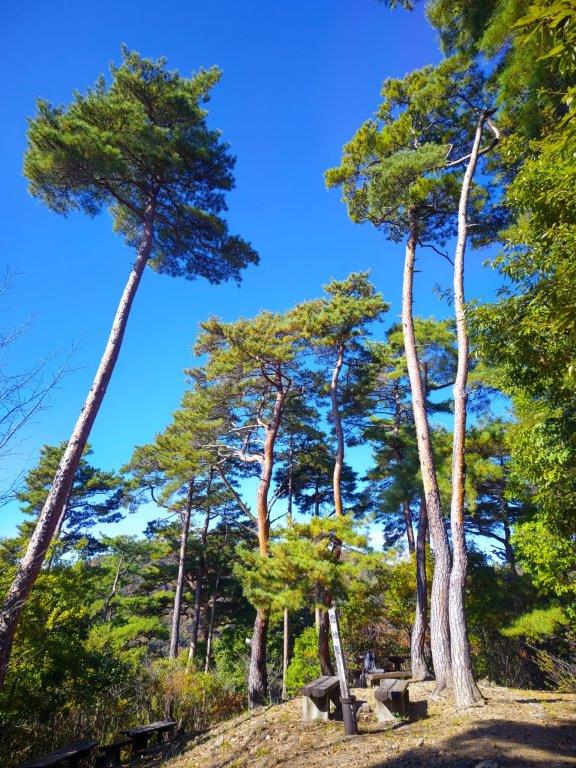
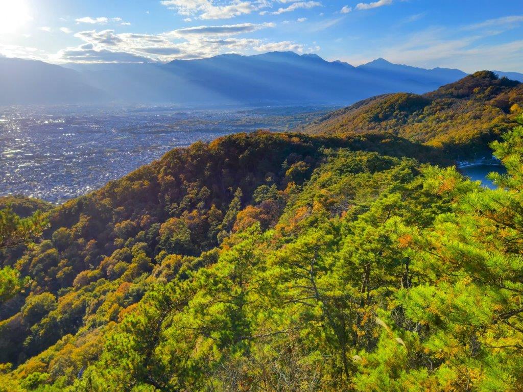
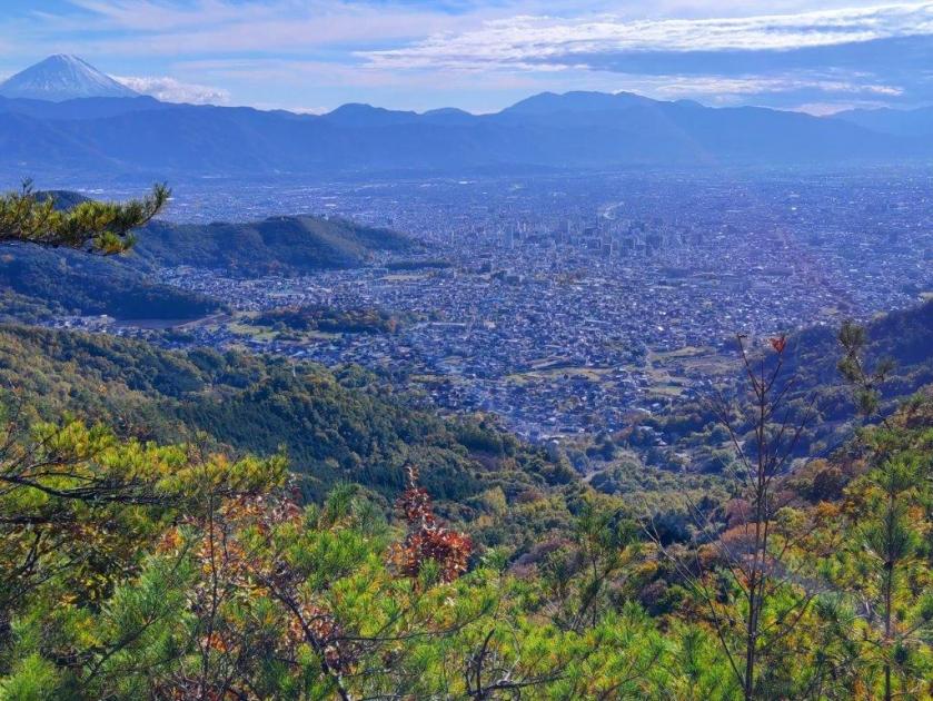
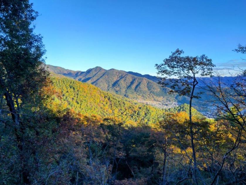
I took a moment to enjoy the view of the mountains of Tochigi, the only recognisable peak being Mt Gassan on the right side. One of the interesting aspects of this hike is the sight the of the wooden figures of the 7 Lucky Gods (“shichifukujin” 七福神) placed along the trail. I now passed Daikokuten (大黒天), the God of Wealth, one of the more popular ones. A few minutes later, just before 2pm, I reached an open shelter at the top of Mt Katsuro (葛老山 かつろうやま katsurou-yama), a 100 famous mountain of tochigi. Through the branches on the west side, I could see Mt Tashiro; on the north side, I had a double lake view, Yunishigawa lake on the left side, and Ikari lake on the right side; to the northeast, I had a good view of Mt Hiruga. I sat next to the statue of Jurojin (寿老人), the God of Longevity, for a late lunch.
Log Steps above the First Shelter
Mt Takase from near the Electric Pylon
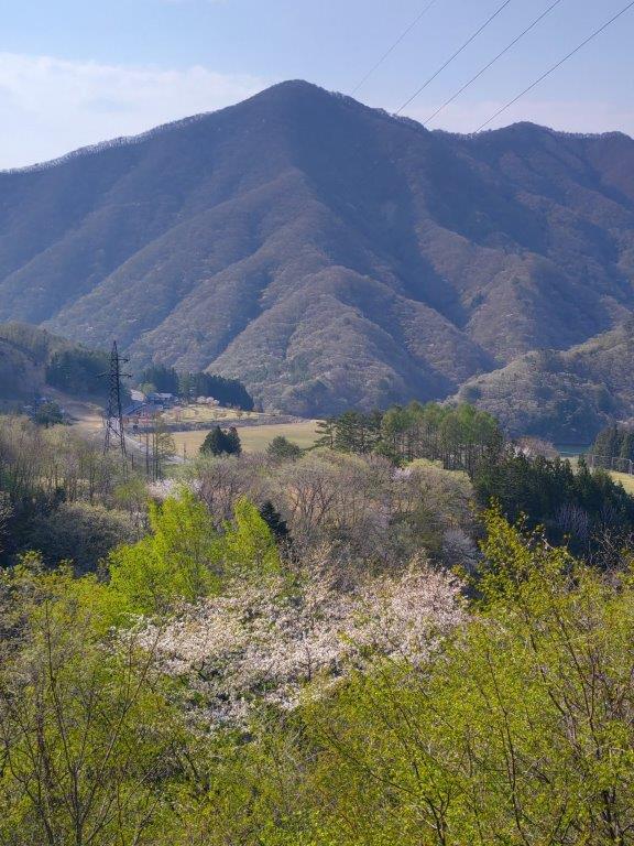
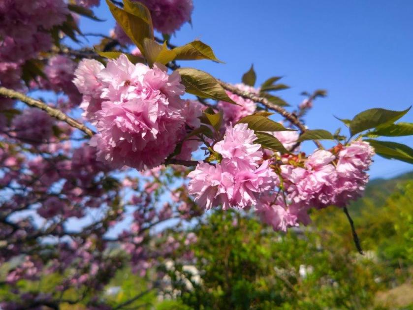
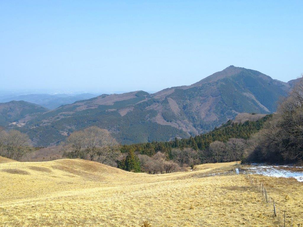
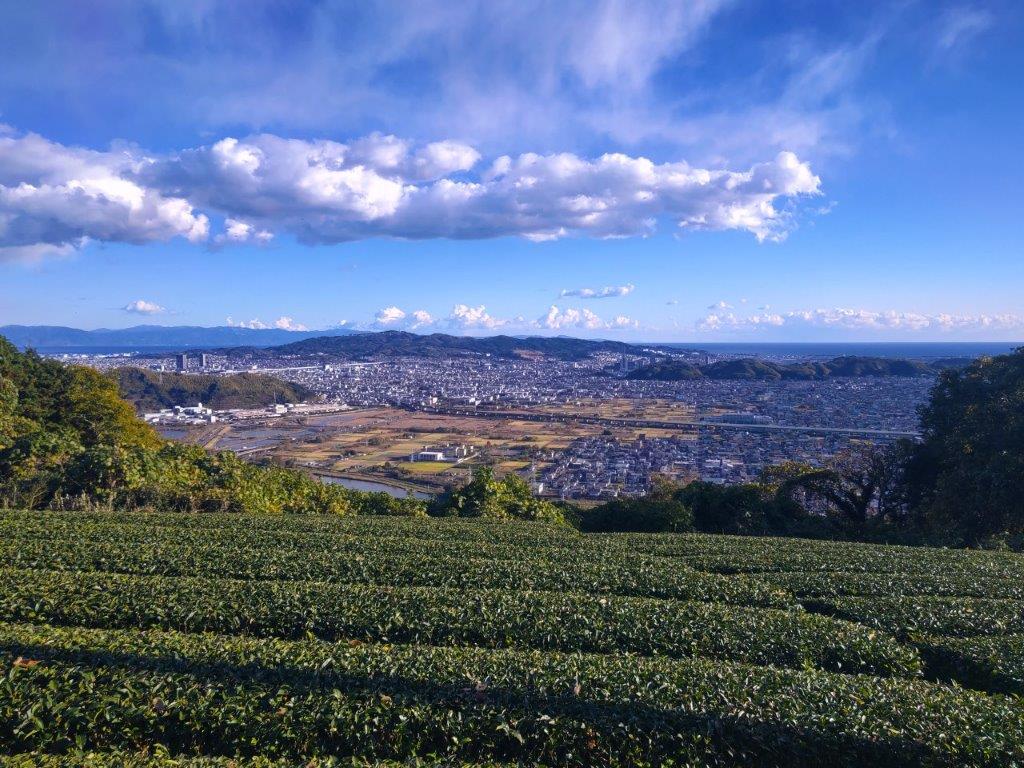
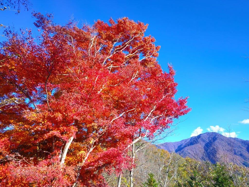
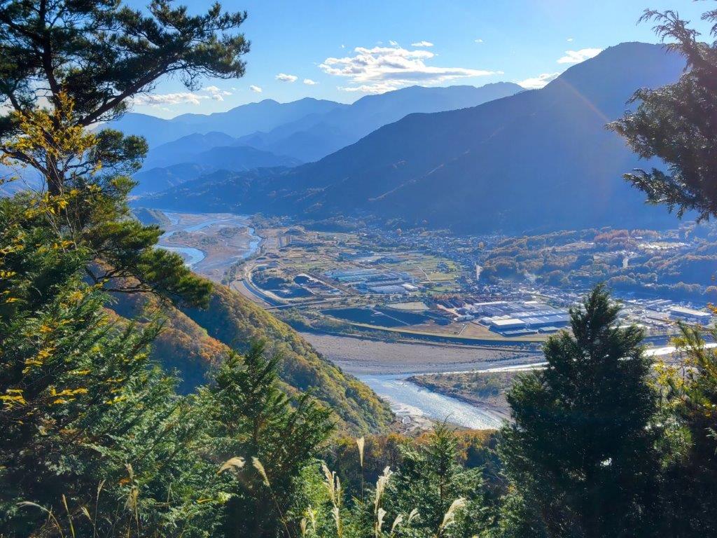
Afterwards, I decided to explore the ridge extending southwest as I was ahead of schedule. I was rewarded with glimpses of Yashio Lake and Mt Nyoho, one of the Oku-Nikko peaks. A little after 2h30, I started to head down the same way, spotting new details such as Magnolia flowers (“kobushi“) and mountain cherry trees (“yama-zakura“). Shortly after 3pm, I arrived back at the viewpoint at the electric pylon. Here, I turned left, for an alternative descent suggested by my guidebook. After heading down a short way, I reached another pylon, where I had a view of the foothills of Mt Takahara on the east side.
Mountain Sakura and Mt Takase

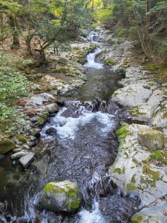
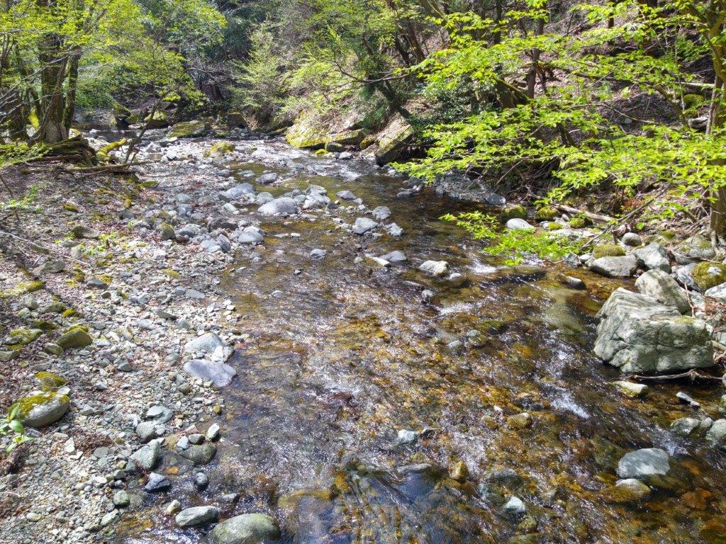
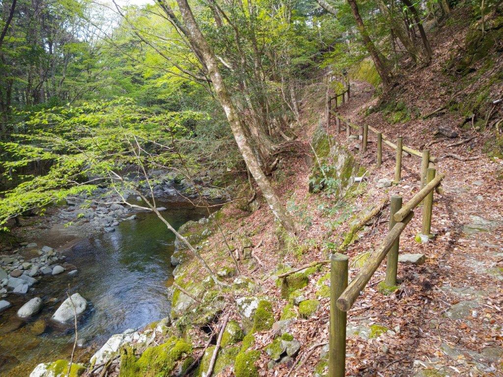
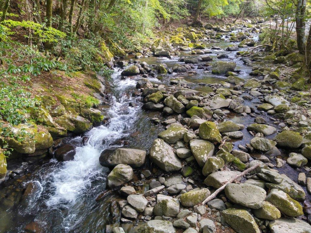
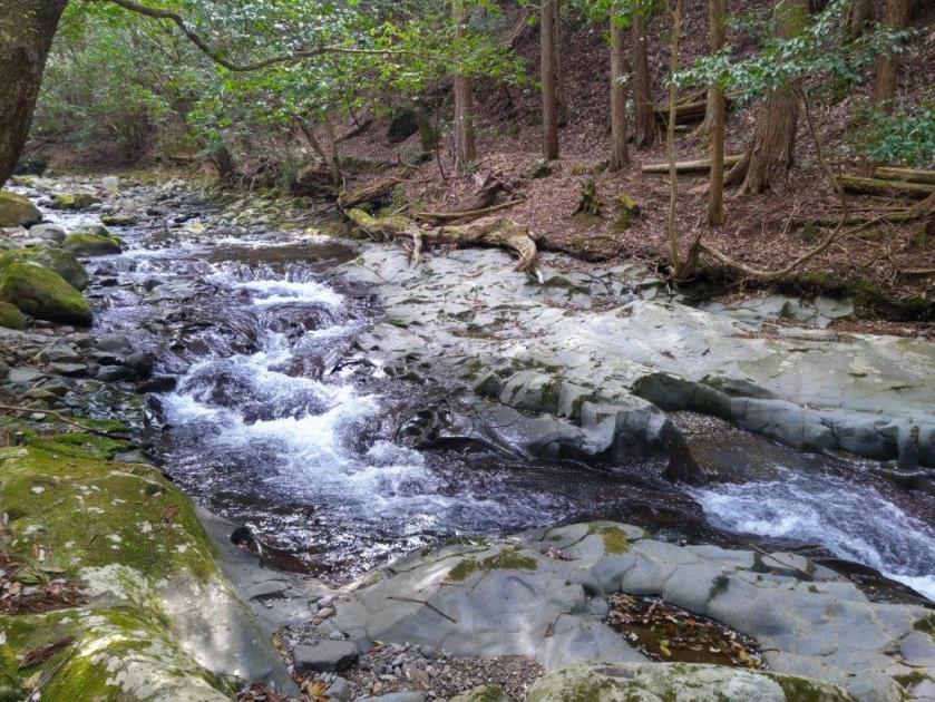
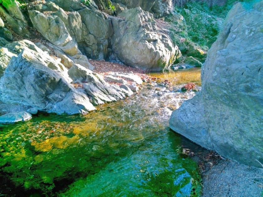
Yunishi River near Yunishigawa Station
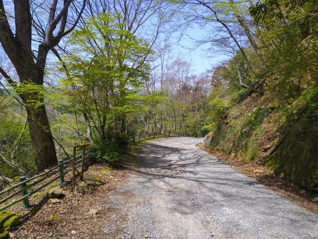
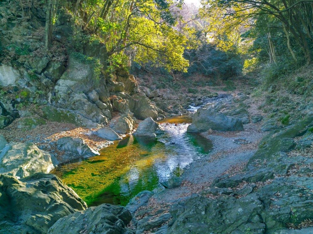
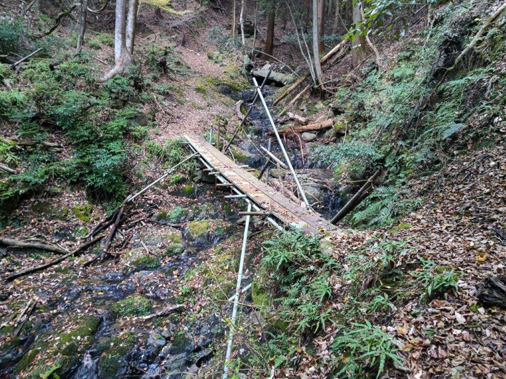
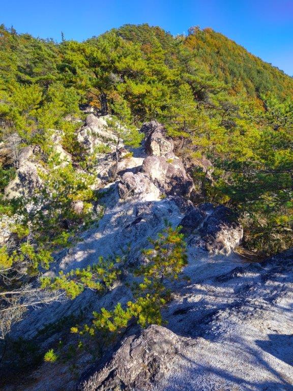
Directly ahead on the north side, I had the best view of the day, Mt Takase and Yunishigawa Lake. The path became a little rough and I encountered the first and only tricky section of the day, a short but steep descent into a gully, thankfully roped for safety. After ascending the other side, I popped out onto a road next to Nishikawa-danchi, a group of houses on the mountain side. I then followed a road to its junction with a main road, where I turned right. After crossing a tunnel, I arrived back at the roadside station at 4pm, roughly one hour before my return train. I had a leisurely hot soak, practically by myself, and shortly after 5pm, I waited on the dark platform for the Skytree train to appear out of the darkness.
Watch a Video of the Hike
Watch the Video of the Hike on YouTube


See a Slideshow of More Pictures of the Hike


You must be logged in to post a comment.