
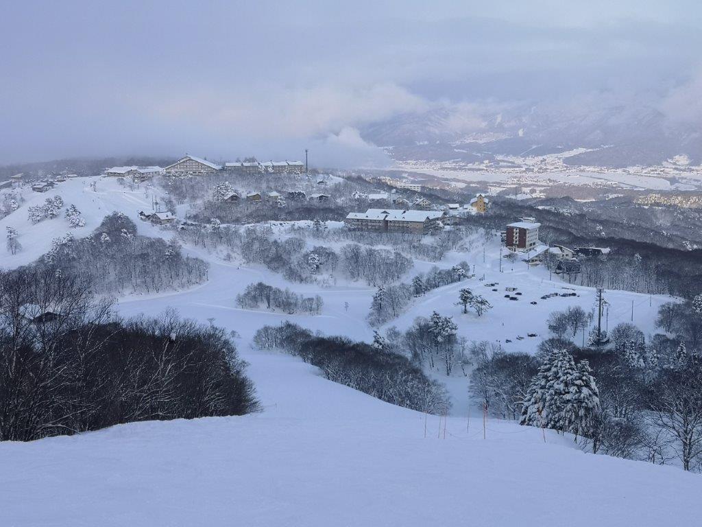
While trying to find some new hikes to do in the Tokyo area, I came across the Kasumi Hills (kasumi kyuryo 霞丘陵) in my guidebook. Starting from Higashi-Ome station, it ended at Iwakura Onsen 岩蔵温泉, halfway between Ome and Hanno cities. It seemed like the perfect hike except that it was only three hours long. After studying my Okutama hiking map, I saw that it was possible to extend it by hiking some minor peaks South of Ome city.

Ome city and the Okutama mountains
At 9am on a sunny morning, I got off at Miyanohira station on the Ome line. Each carriage was decorated with a Flying Squirrel or musasabi ムササビ theme. The hiking trail started on the other side of the Tama river, across Wada bridge, and was indicated by a signpost. Soon, I was walking along a path that went through a thick bamboo forest alongside a small creek, then climbed to the top of a low ridge. There, another signpost told me to turn right. Before that, I decided to investigate the path heading left. It turned out to be a very nice, not-on-my-map, alternate start to the hike, from Shinmei Shrine 神明神社.

Another path leading to the start of the hike
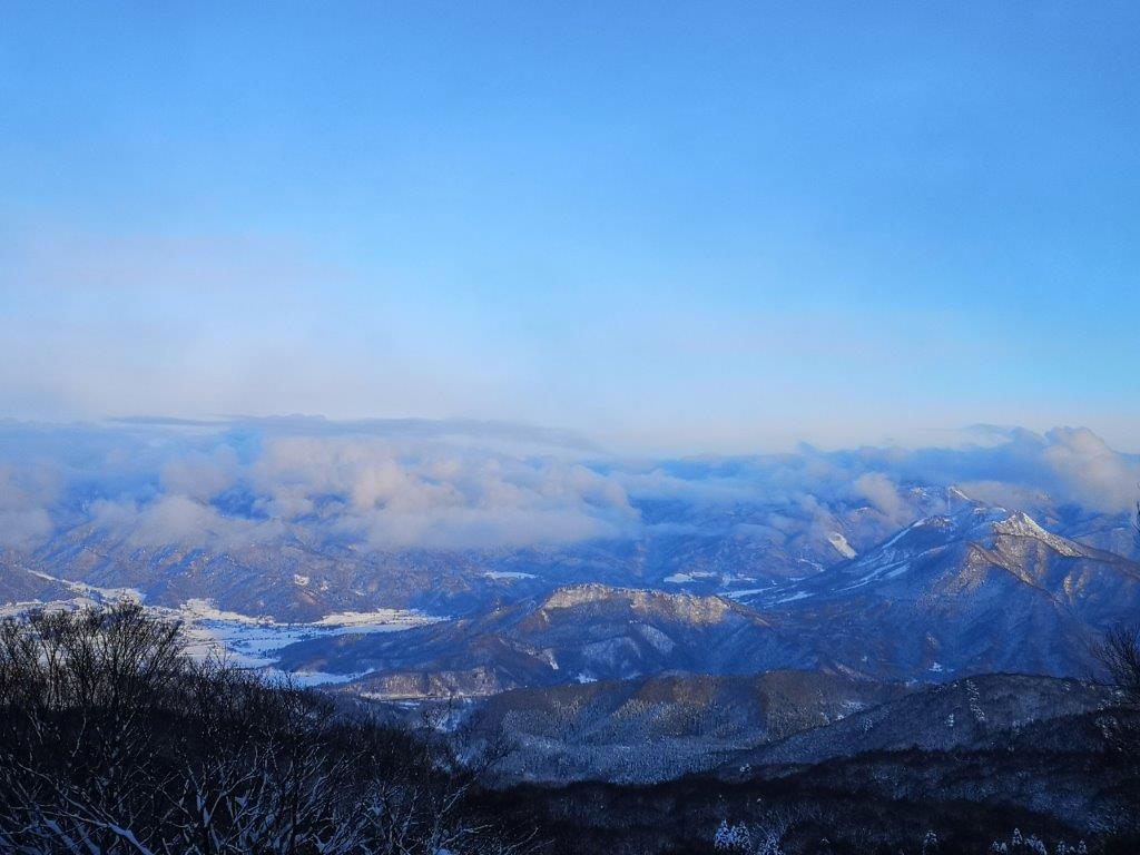
I retraced my steps and started to head up the ridge. Very soon, I reached another junction and a viewpoint of the Okutama mountains. The main trail continued to the left. I turned right instead, going downhill, then back up, reaching the top of Mt Atago 愛宕山 at 10h30. This section isn’t signposted, and I had to figure it out from Google Maps. The view is mostly obstructed by trees – even standing on a tree stump I couldn’t make out much.

Top of Mt Atago marked by a huge tree
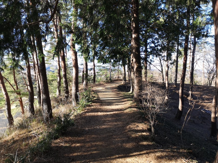
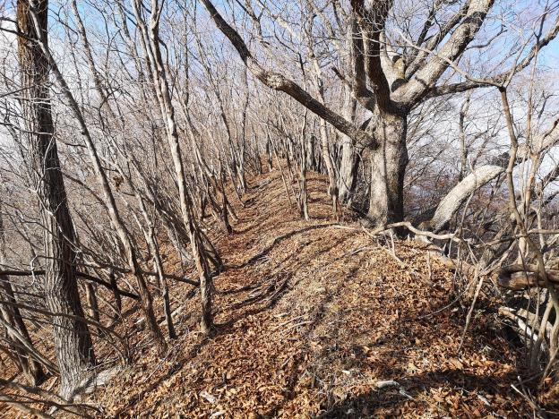
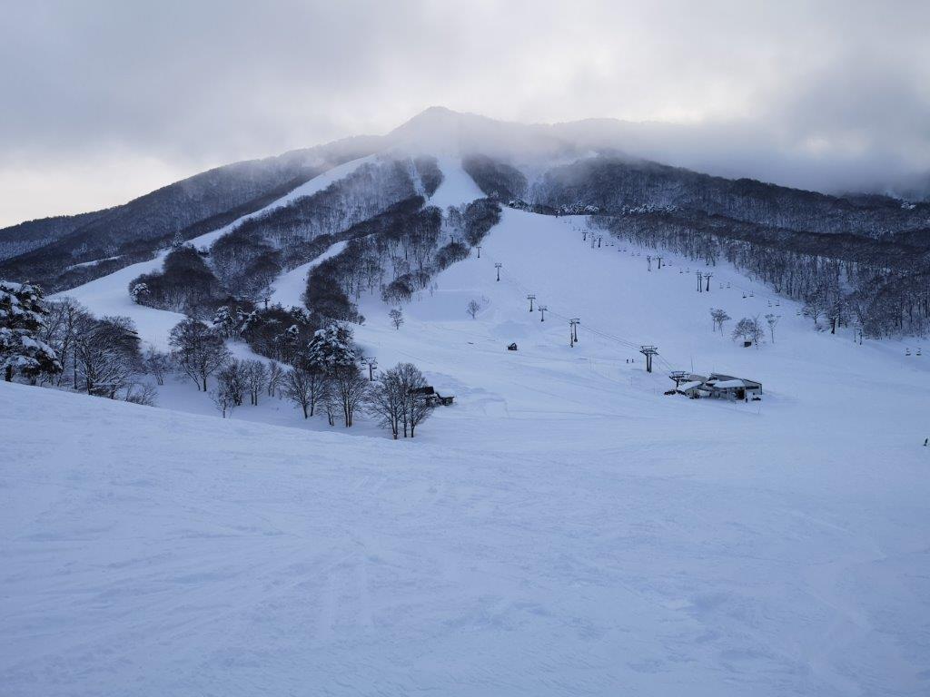
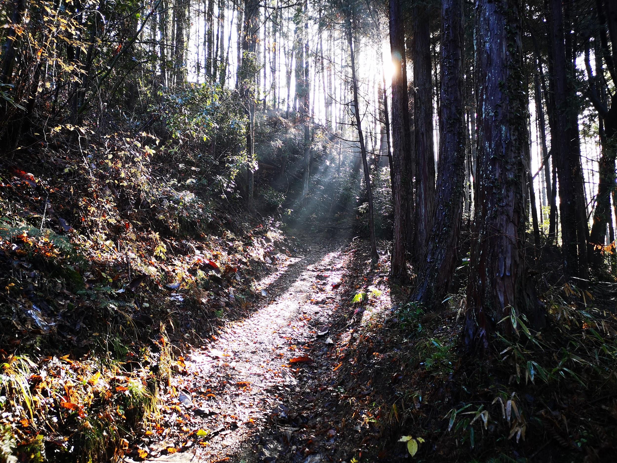
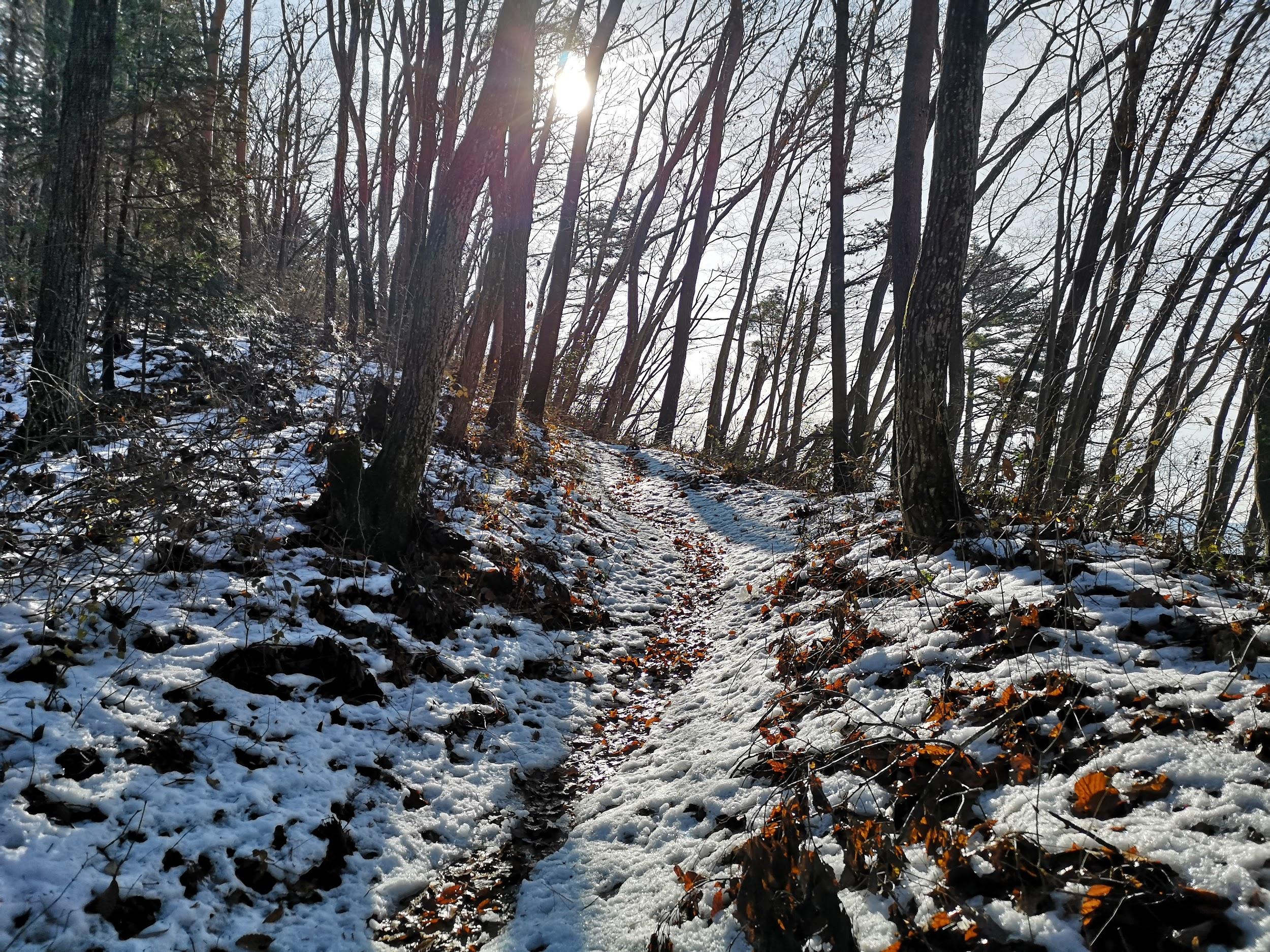
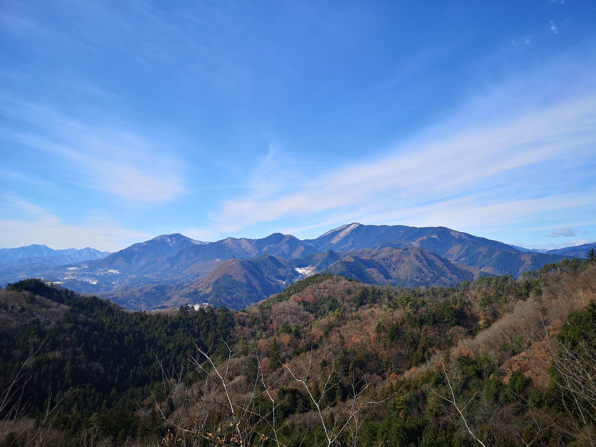
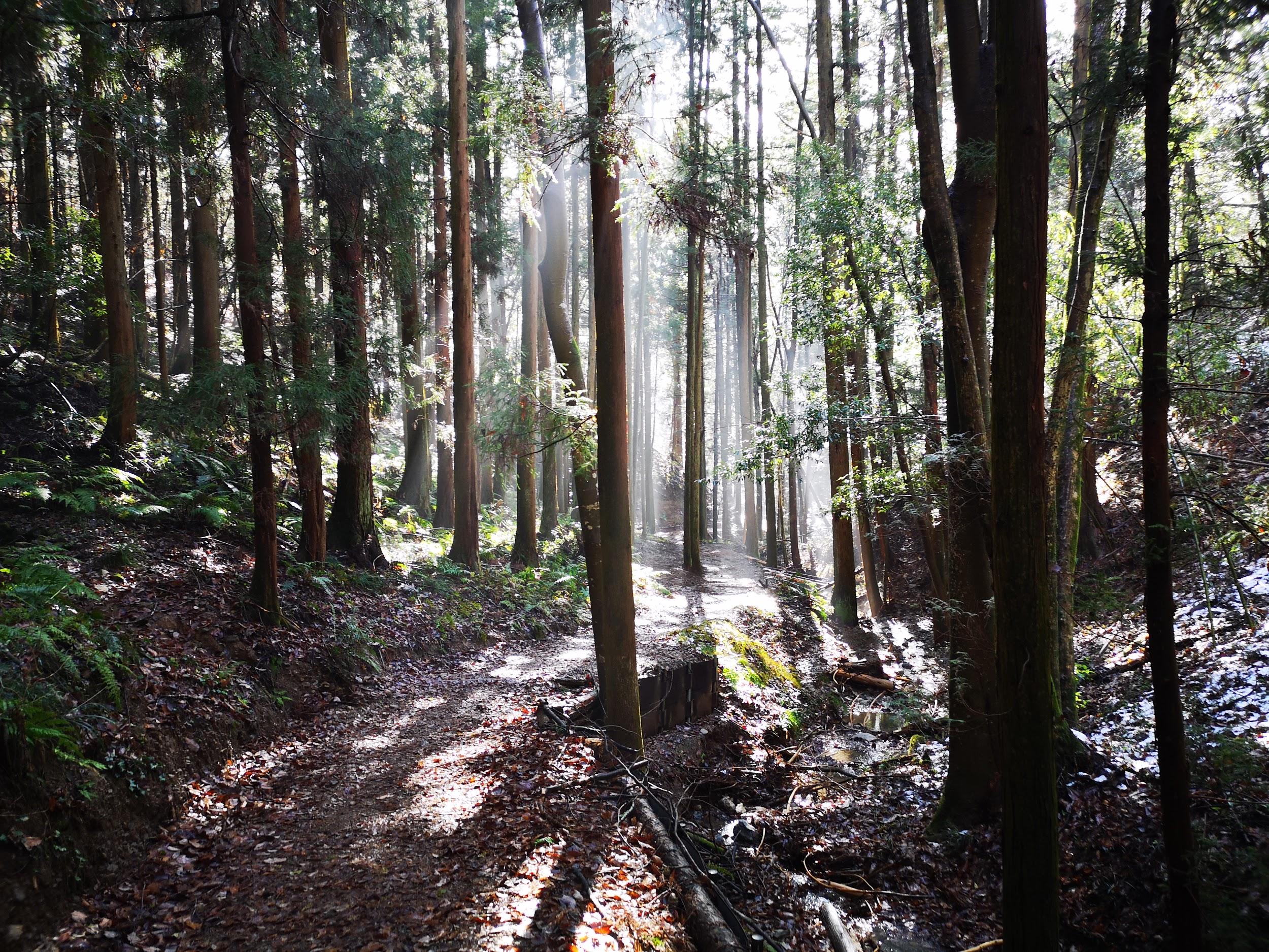
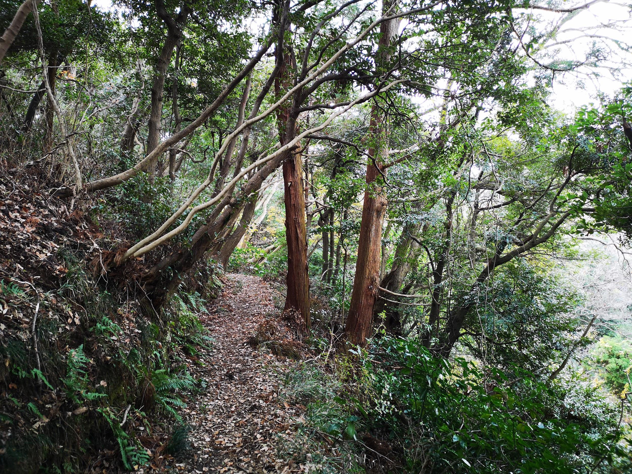
Although the path continued down towards Ume no Koen, I returned to the previous junction, and took the path heading left. I was a little behind schedule so I picked up the pace and, consequently completely missed a great viewpoint that was indicated on my map. The path continued through beautiful and peaceful forest. It was hard to believe I was still inside Tokyo prefecture.

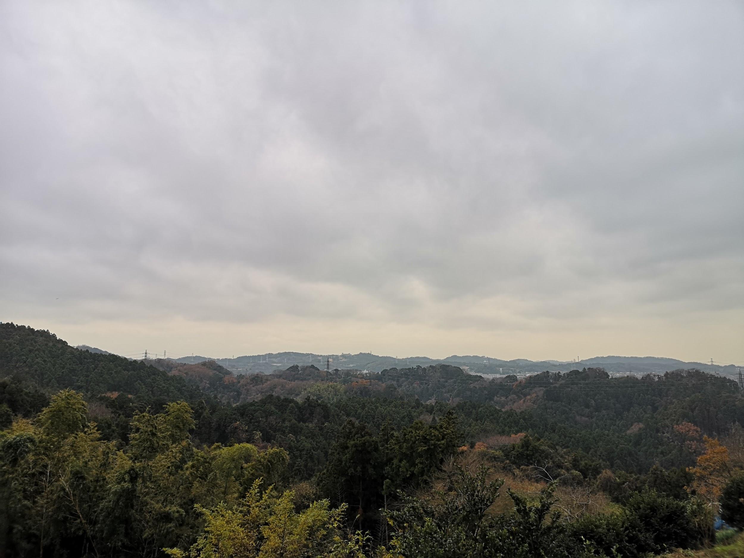
Beautiful scenery at the edge of Tokyo
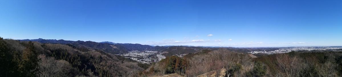
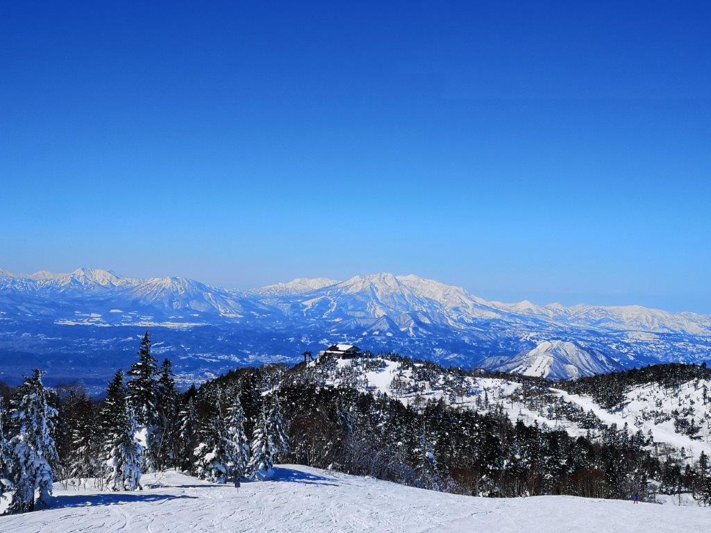
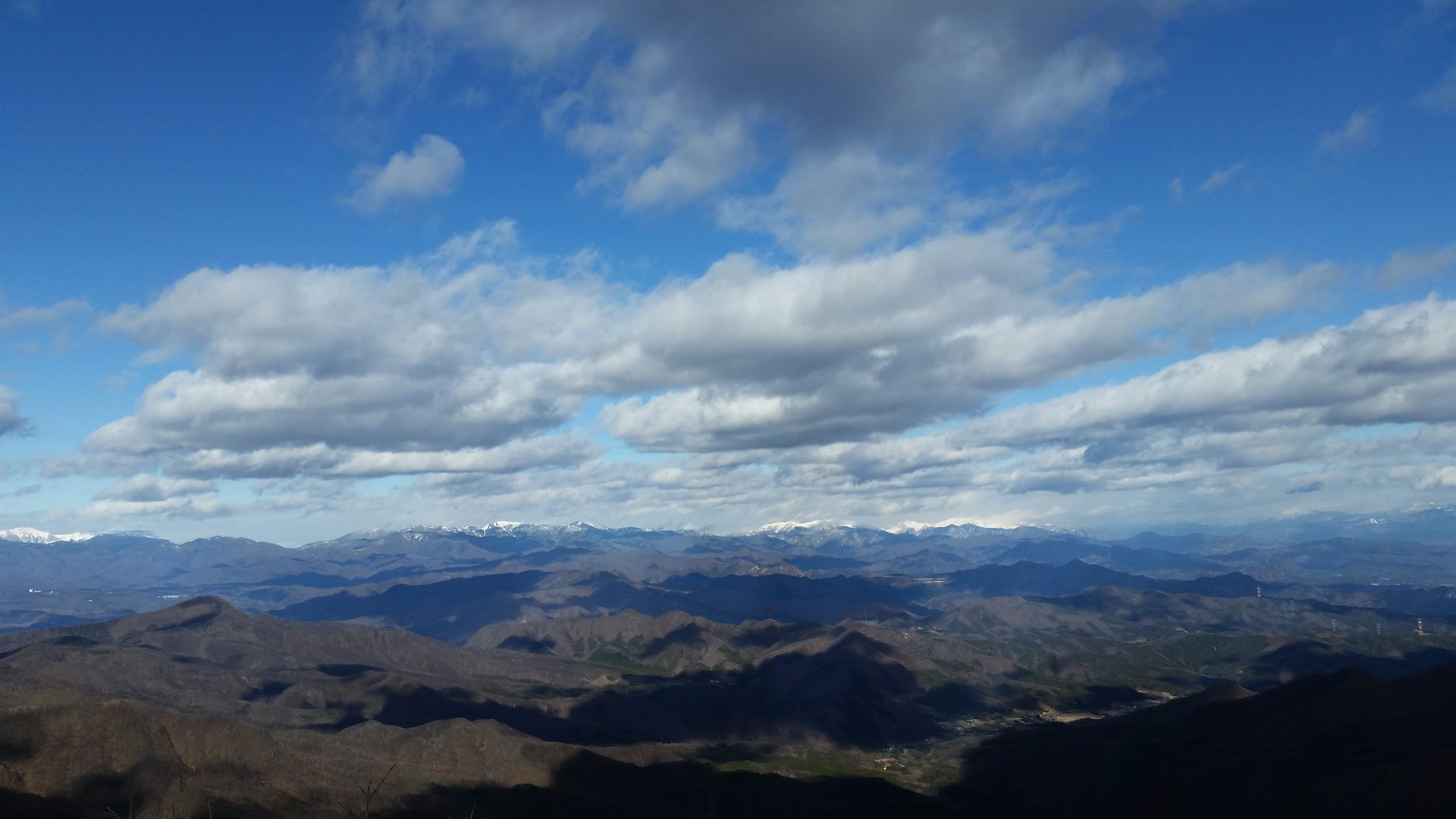
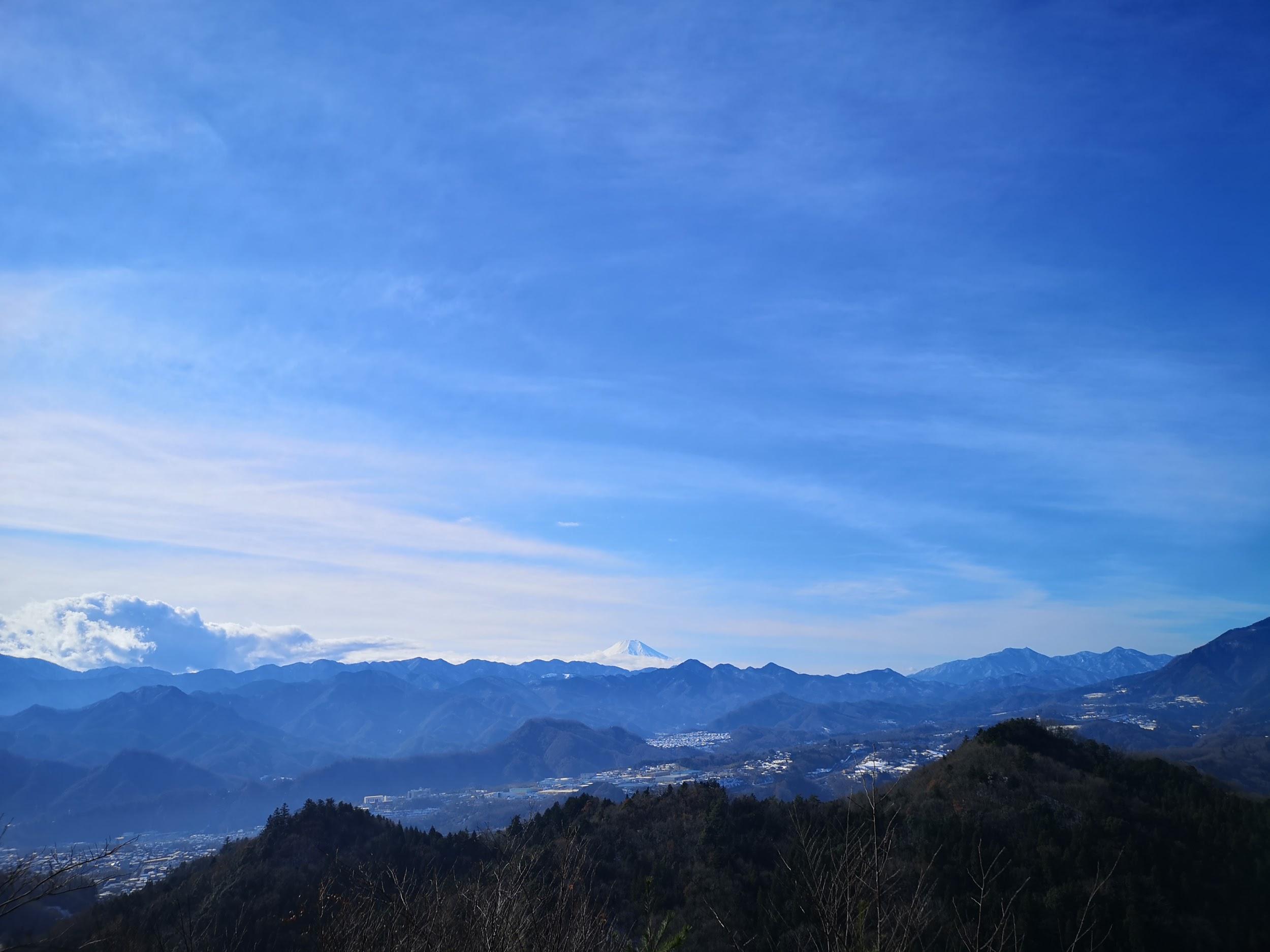
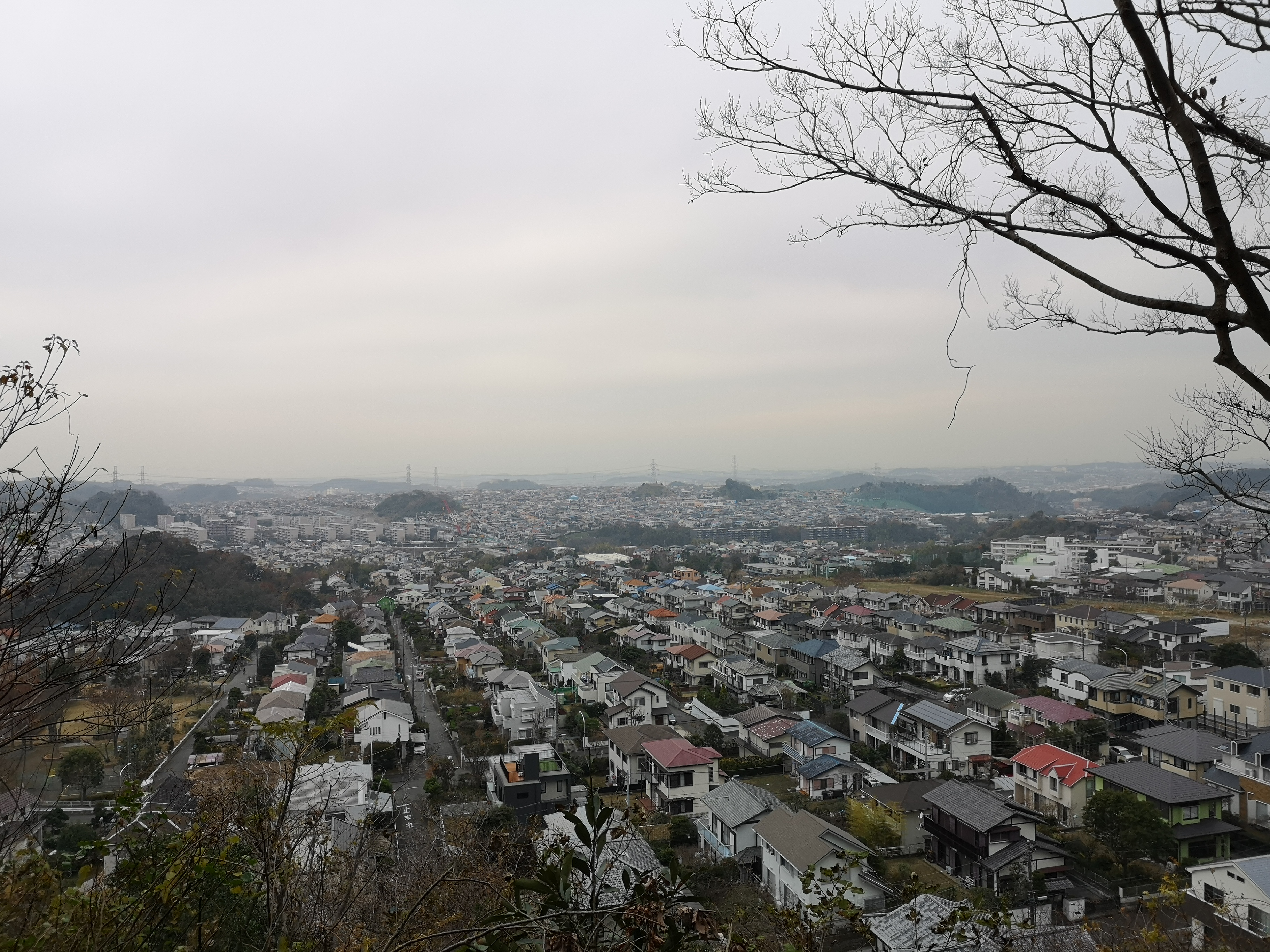
It took me less than an hour to reach Tengu Rock or Tengu-iwa 天狗岩 , a spectacular viewpoint of the Tama river valley and Ome city. It was also the perfect place for an early lunch. No sooner had I set off again, that I reached another amazing viewpoint, Akaboko 赤ぼっこ. I could see the Okutama mountains to the left, the Oku-Musashi mountains in the center, and the skyscrapers of central Tokyo to the right.
View from Akaboko
I resumed hiking at 12h45, now very much behind schedule. I had planned to reach Ome city, and start the second half of my hike around 1pm. I half walked, half ran down the mountain; fortunately the trail was wide and not too steep. I recrossed the Tama river at 13h45. It took me another hour of road walking to reach Shiofune-Kannon-ji Temple, famous for its Azalea flowers in May.

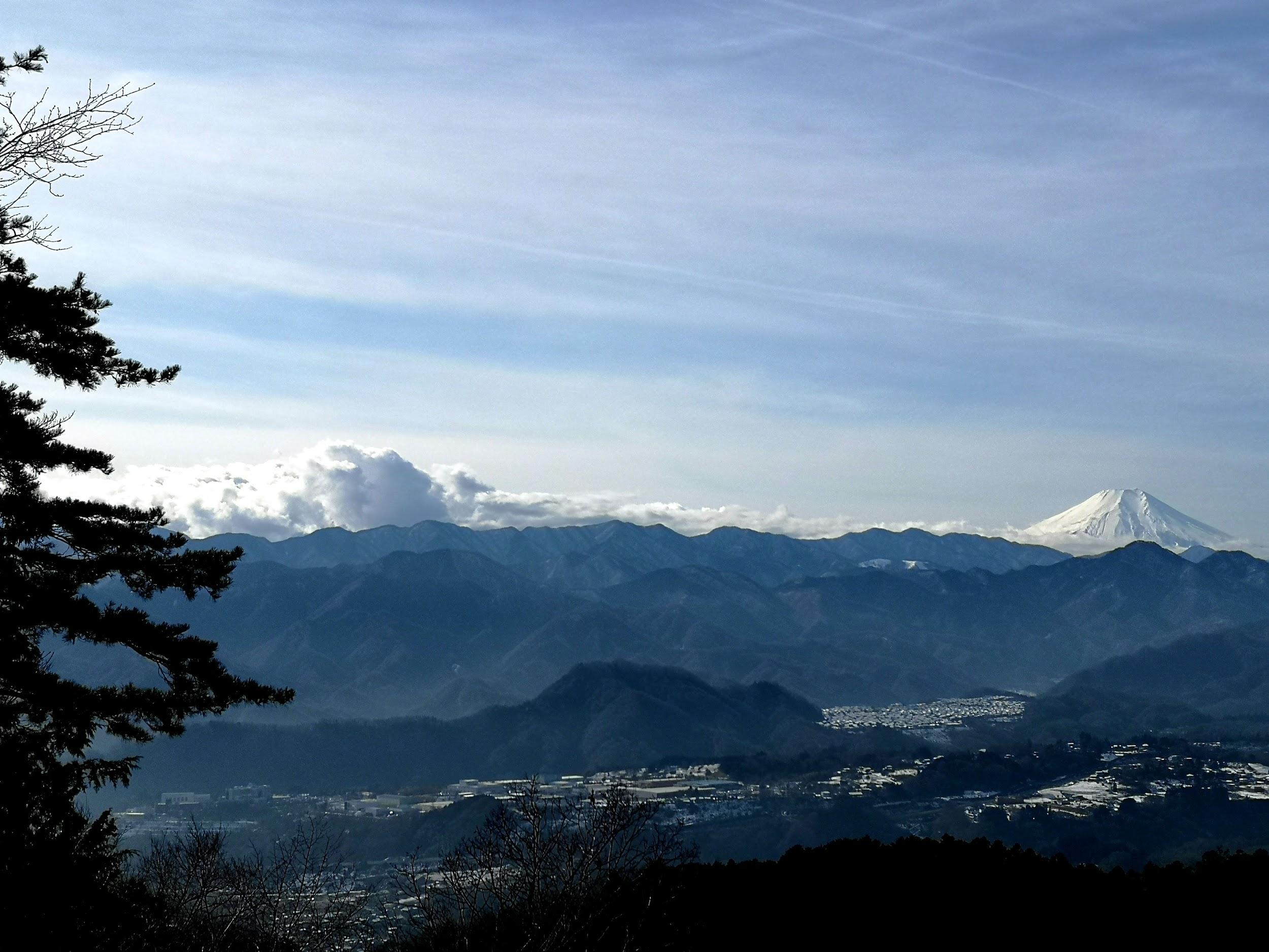
This popular flower garden was almost empty in the middle of winter
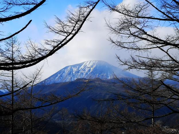
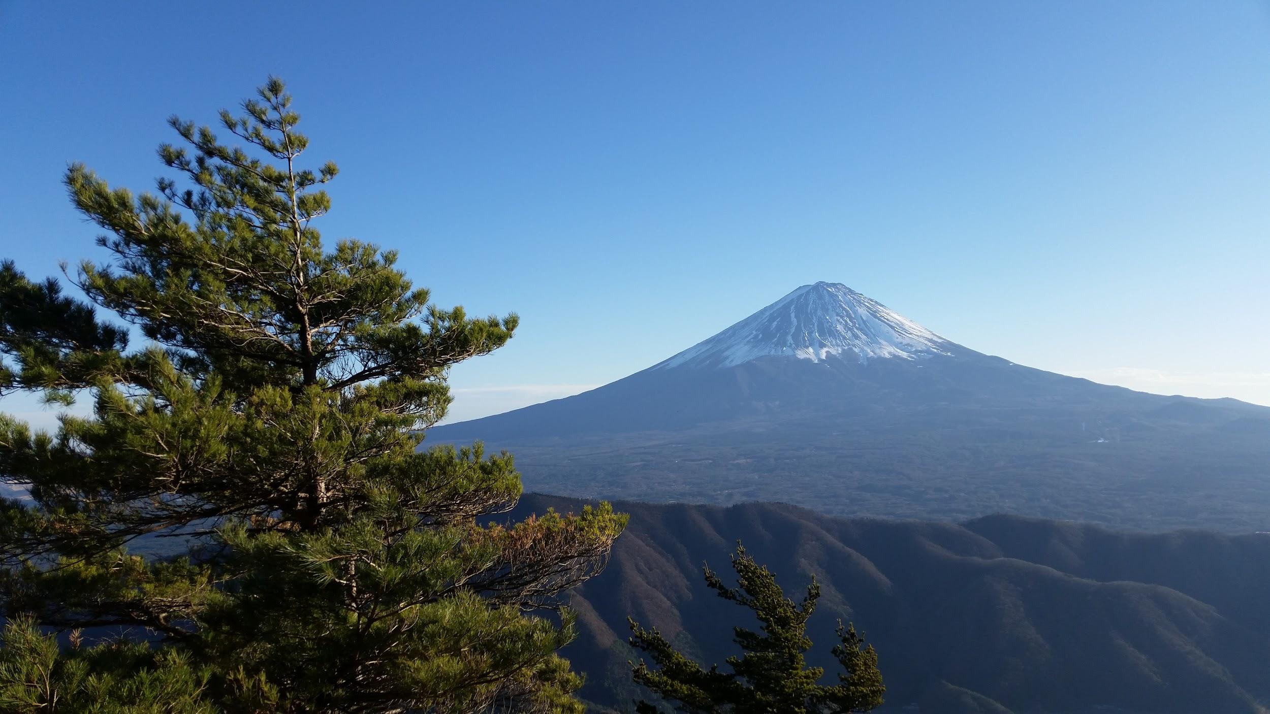
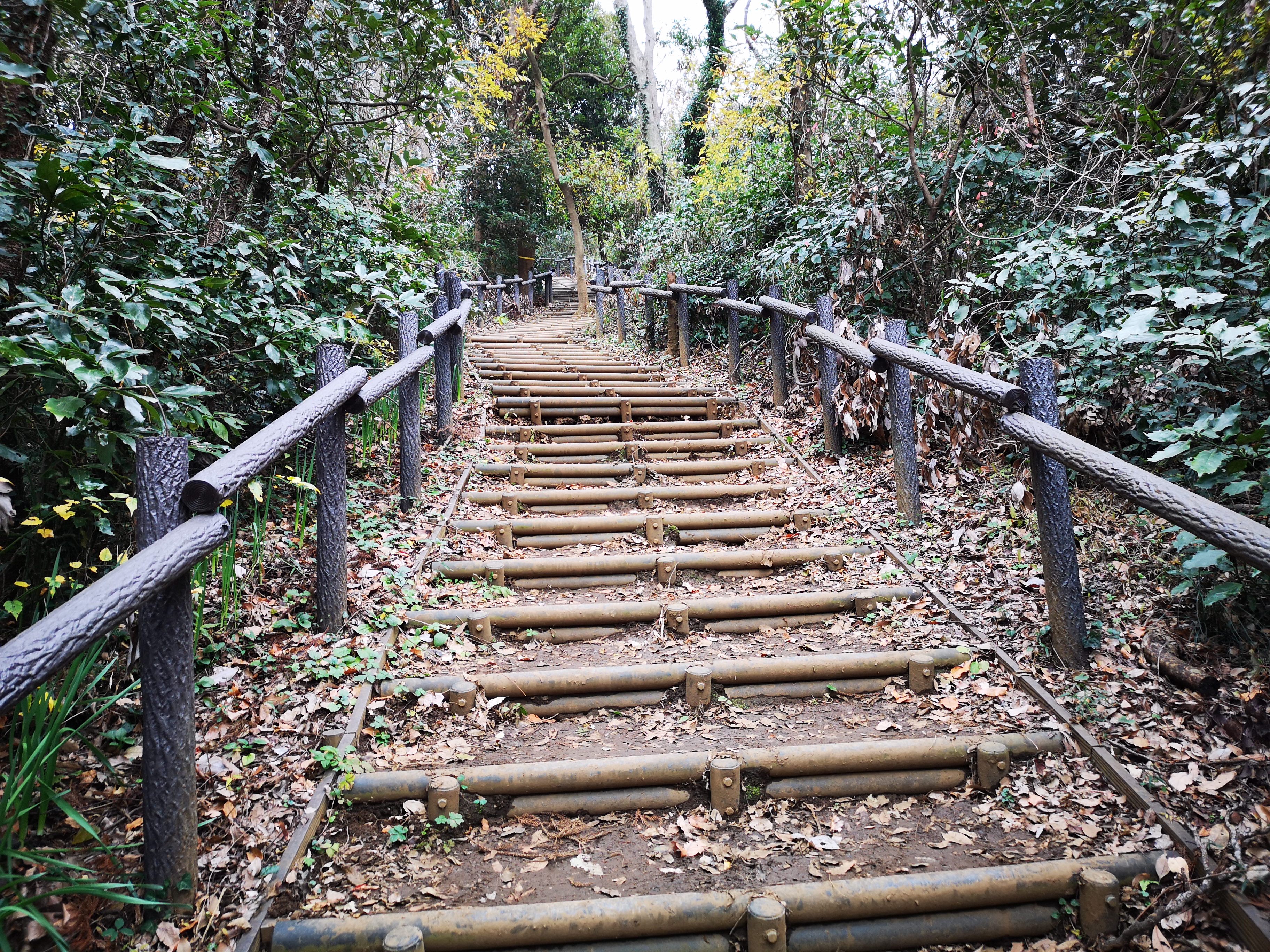
Even in winter, it’s worth a visit. I saw a couple of giant cedars, the tallest one rising up to 43m high! All the buildings had impressive thatched roofs. There is also a huge statue of Kannon at the highest point of the park. I made my way up there, and was rewarded with a view of Mt Fuji, just before it wrapped itself up in clouds. The Kasumi Hills 霞丘陵 hiking trail started just behind the statue, sandwiched between Ome Golf Club and Ome City. I had lost track of time and it was already 3h30.
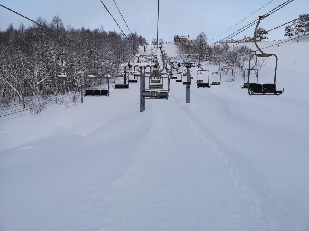
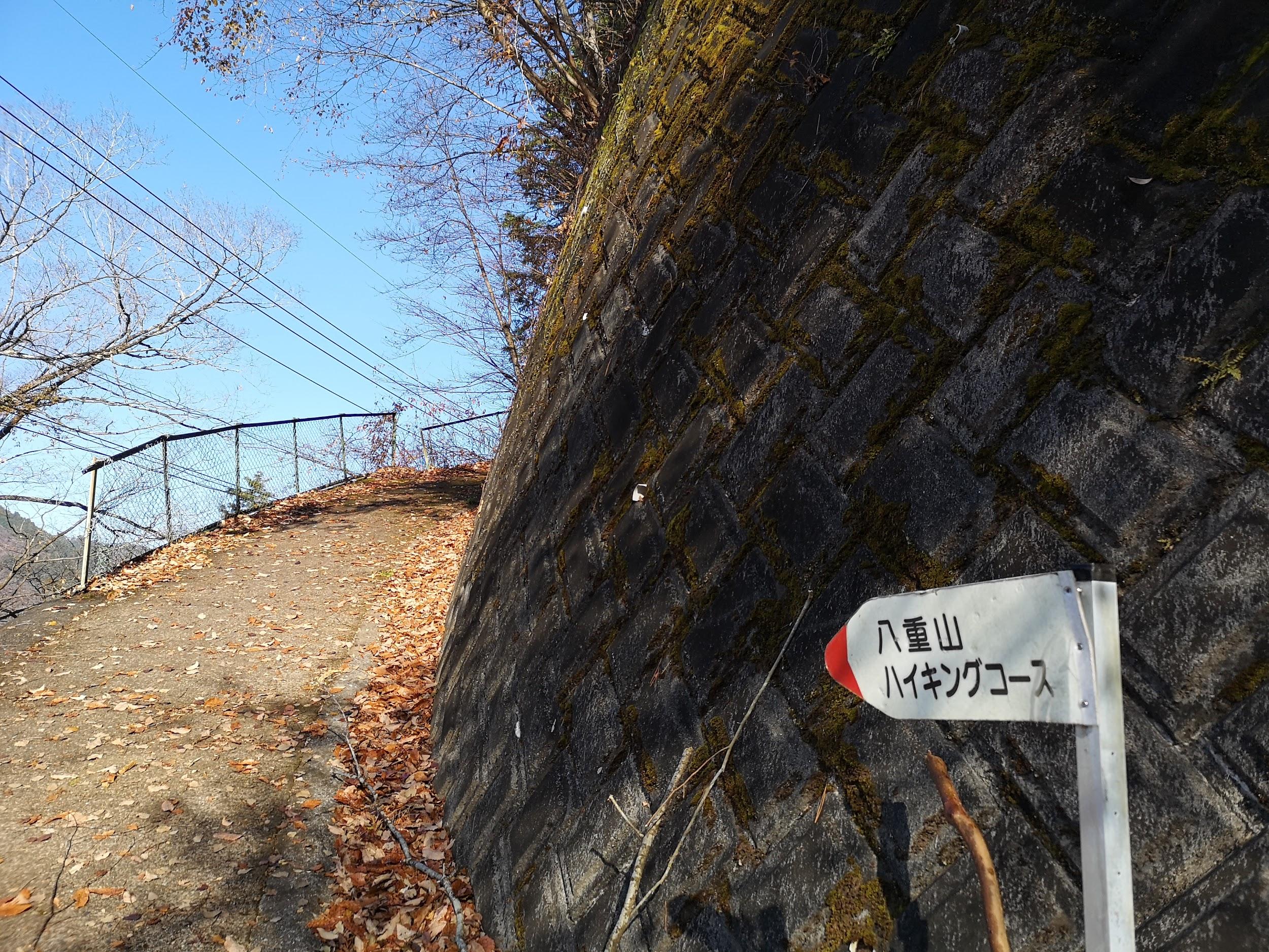
Start of the Kasumi Hills hiking trail
I jogged along the easy to follow and well signposted path. I soon reached a road near an athletic park, which took me to Iwakura-kaido Avenue. I needed another hour to do the last part of the hike through Shichikoku-toge 七国峠 (meaning “seven country pass”), but since the onsen was closed to day-trippers after 5pm, I decided to leave it for another day, and follow the road directly to the hot spring. I was able to take a hot bath at the very charming Mamada Ryokan before heading back home.

The signposts were decorated with these painted stones


You must be logged in to post a comment.