

This hike was also different from usual, since it was more walking and sightseeing than pure hiking, albeit with a couple of summits and some views. I had hiked nearly all the mountains near the Mito and Joban lines, except for the ones near Kasama station. The hike described in my “Mountains of Ibaraki” was only 3 hours long . However, it followed the Kanto Fureai no Michi, and I was confident that there would be some interesting sights along the way enabling me to stretch the hike to a full day.

Nearing the top of the castle
After a later than usual departure, I transferred to the Mito line in Oyama, and reached Kasama station a little before 11am. There was a tiny tourist information office outside, where I picked up some good maps of the area. It took half an hour through town to reach the Kasama Inari Shrine, the main attraction of the area. I spent some time exploring the shrine and the main shopping street in front of it, and I only started up the hiking trail, ten minutes East of the shrine, around 1pm.

Kasama Inari Shrine is dedicated to the fox god
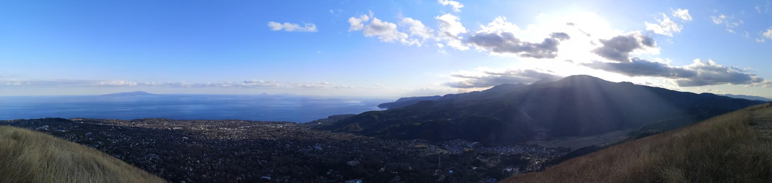
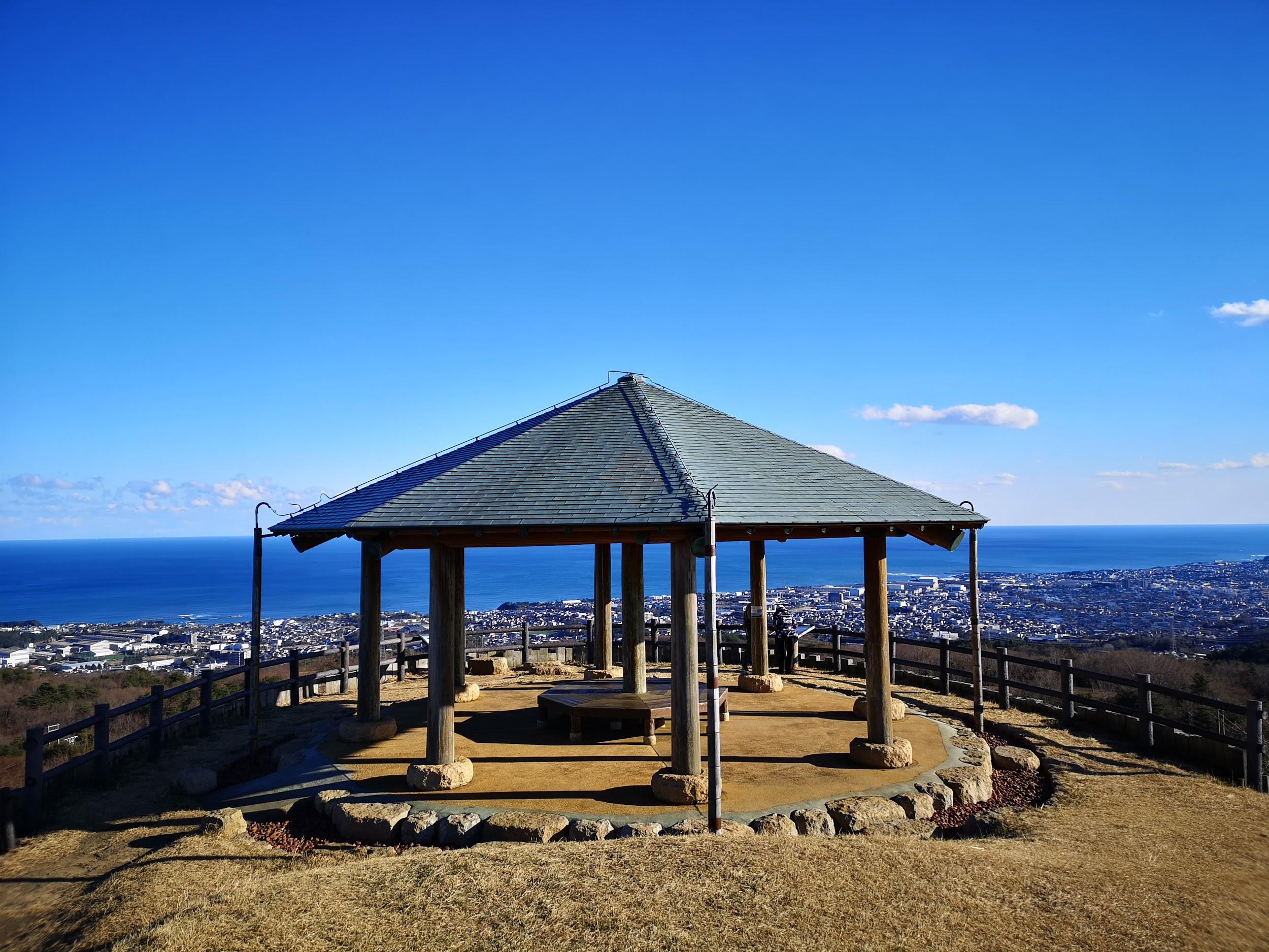
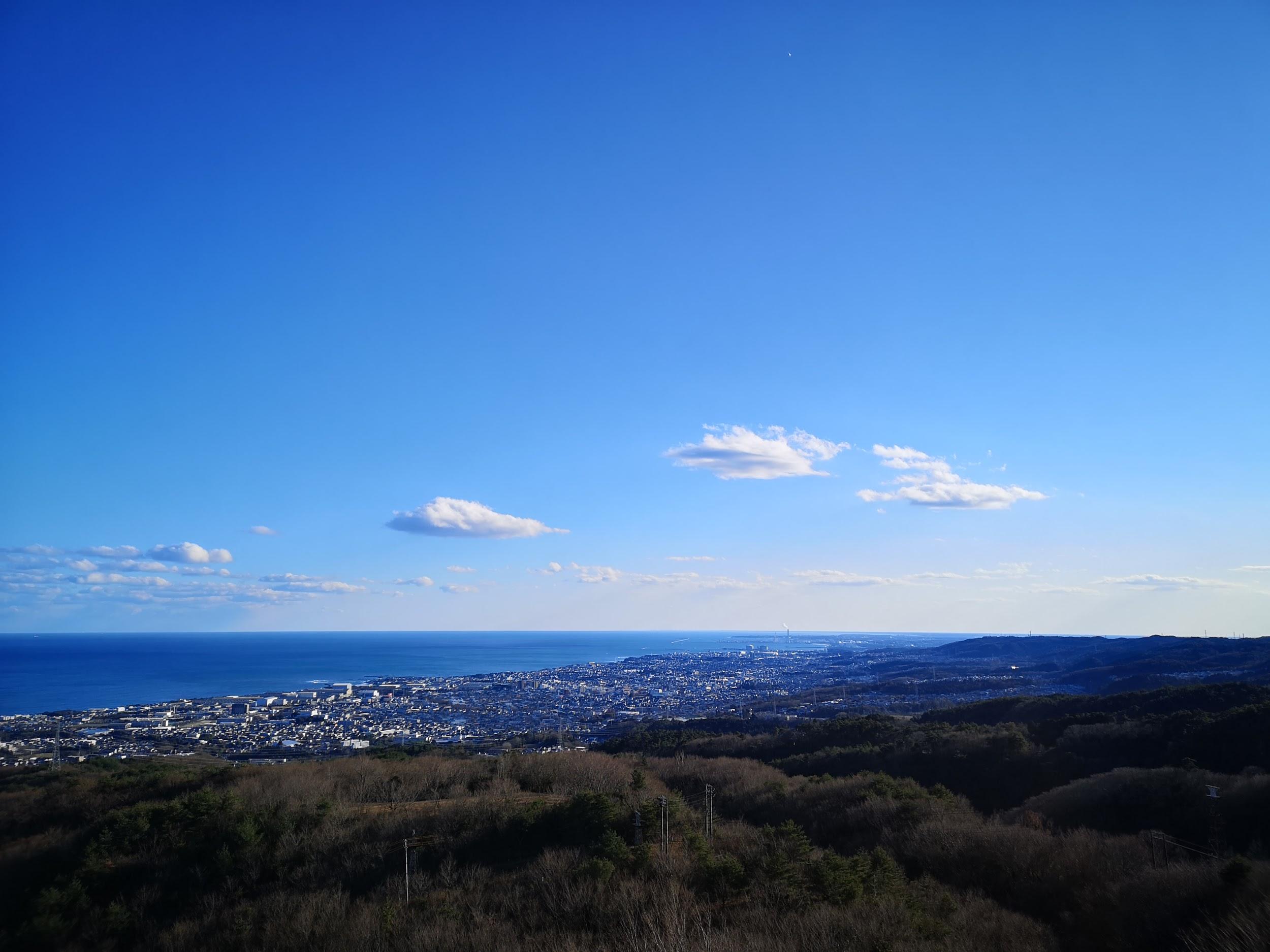
The first part was a short climb up a rounded hill called Fujiyama (143m) 富士山, quite a common mountain name in Japan. It was an azalea park, but none were in flower at this time of the year. Although there was no summit marker, there was an observatory platform with a 360 degree panorama of the entire area. Looking South, I could see Mt Wagakuni, climbed in 2017, and West, Mt Takamine and Mt Bucho, climbed in 2018. The skies were overcast, but I am sure the view must be spectacular on a cloudless day.

Mt Takamine (left) and Mt Bucho (right)
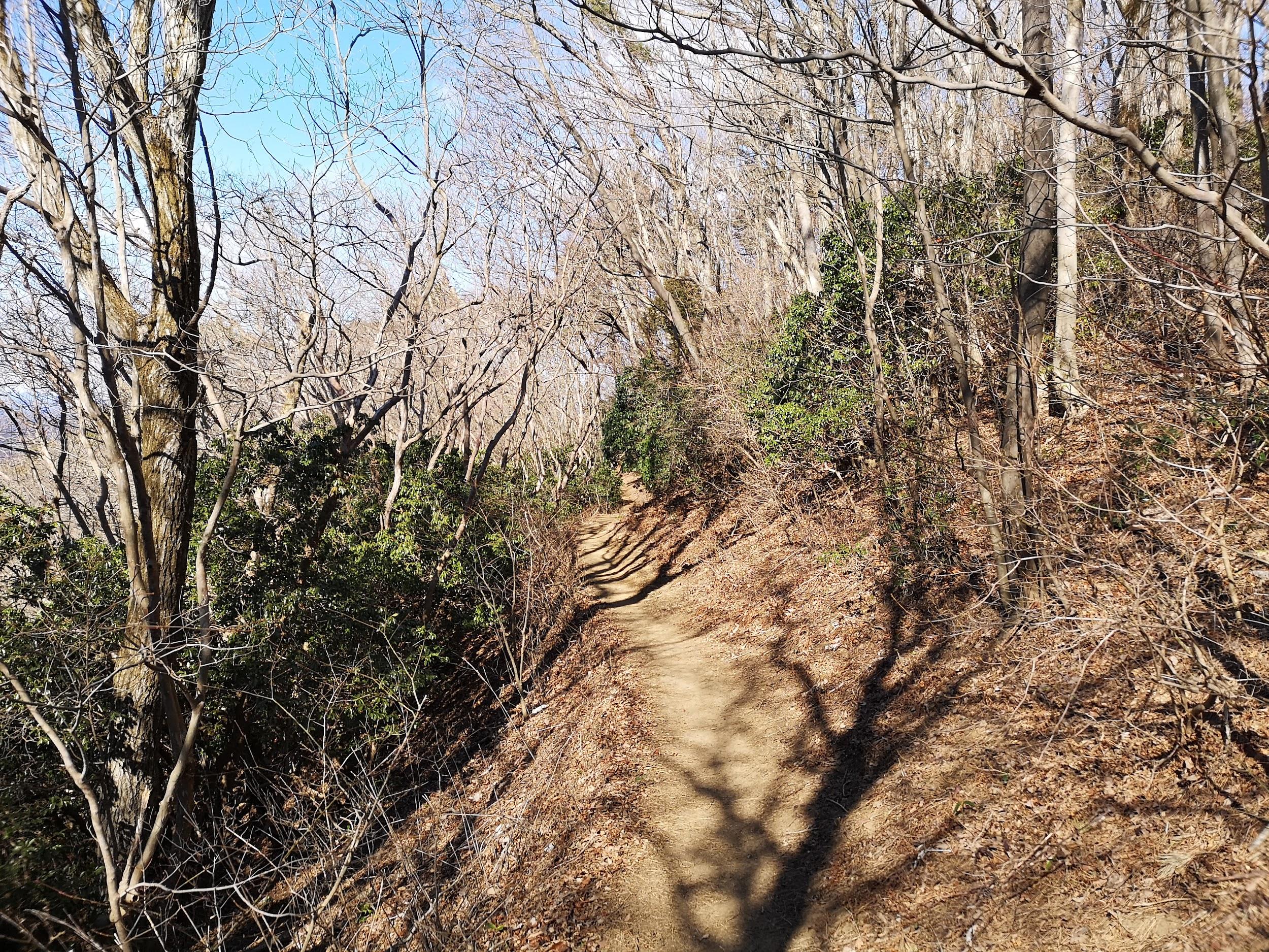
I followed the road down the other side, crossed a larger road, and continued up a small road into a cedar forest. On the side of the road, there was a large boulder known as “Daikokuseki” (大黒石 or big black rock), which had been rolled down from above on castle attackers. A little further on the right, was the start of the road up to the ruins of Kasama castle. Halfway up, I took a shortcut via a flight of moss-covered stairs, to reach a flat grassy space. It was hard to figure out the way when looking at the map, but it was easier while walking it because there were frequent signposts of the Fureai no Michi.

Leafy and mossy steps leading to the ruins of Kasama castle
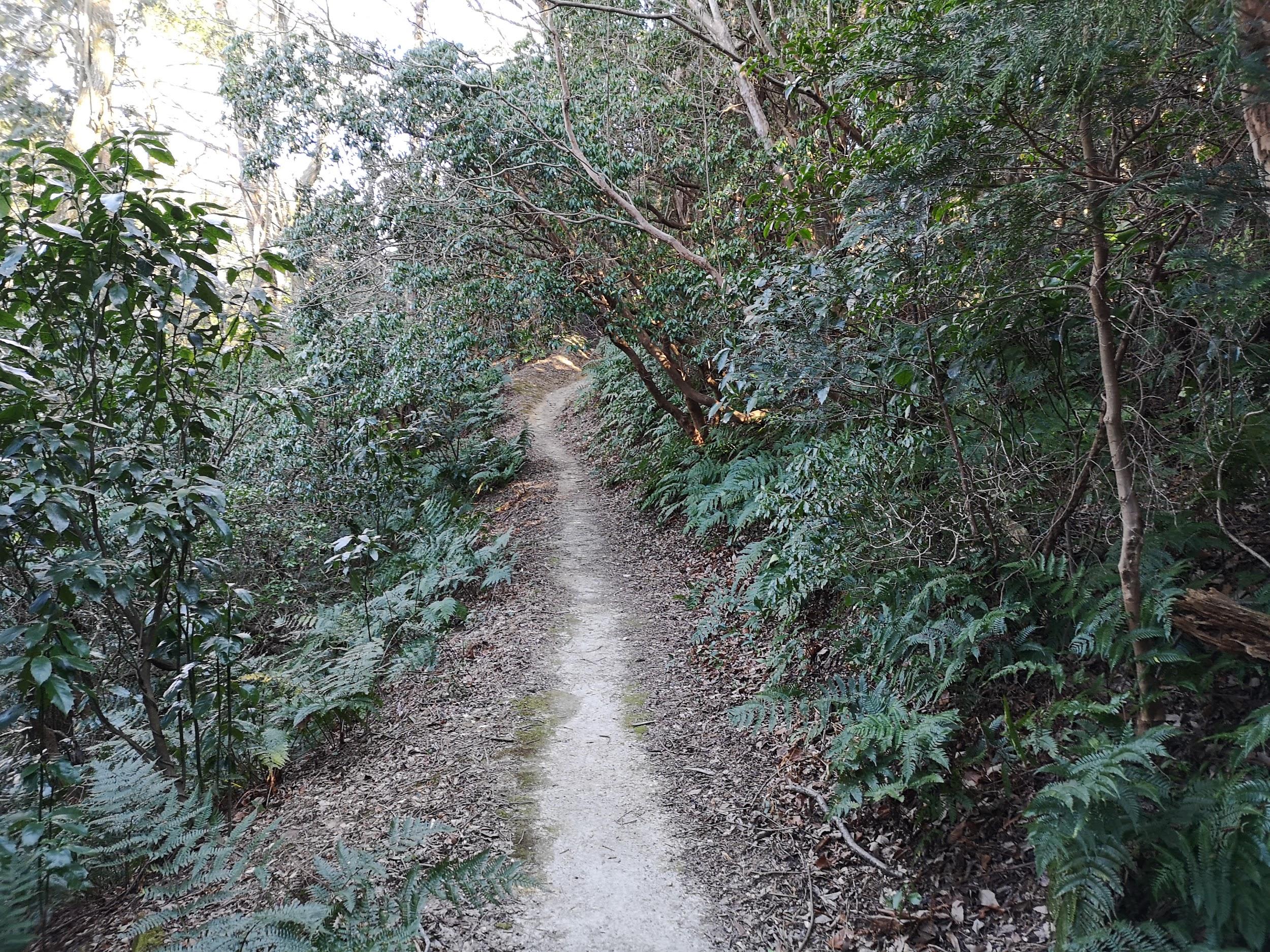
As with many old Japanese castles, there wasn’t much left to see, just traces of the foundations overgrown by grass. At the back, there was another staircase leading to the shrine at the very top of Mt Sashiro 佐白山, which I reached just after 2pm. It was completely in the trees, except for a small gap to the West. Behind the shrine, was an alternate path going down. It was steep and rocky, but there were some chains for steadying oneself. It led to a place with some big boulders, called ishikura (石倉 or rock cellar). I climbed on top of one of them to see the view to the East. A mostly level path through the forest brought me back to the castle ruins.

Stone steps leading to the top of Mt Sashiro
On the other side, there was a hiking path leading down the mountain through the forest. I arrived at Sashirosanroku park after 3pm. At this point I felt quite satisfied with today’s hiking, and since I was close to the city, I decided to have a late soba lunch. I chose Sobakiri Ichibee そば切り一兵衛, fifteen minutes away on foot. It seemed quite a famous place, judging from the autographs of celebrities covering the walls. After a satisfying meal of soba and tempura, I made my way back to Kasama station, twenty minutes away. There I got the local train for Tomobe, where I switched to the limited express for Ueno.

Soba lunch at Sobakiri Ichibee


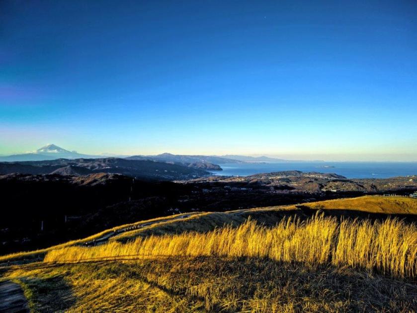
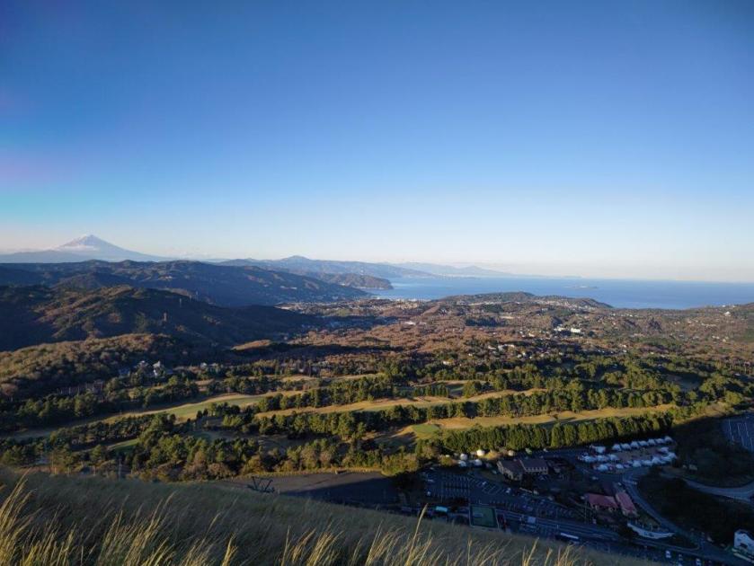
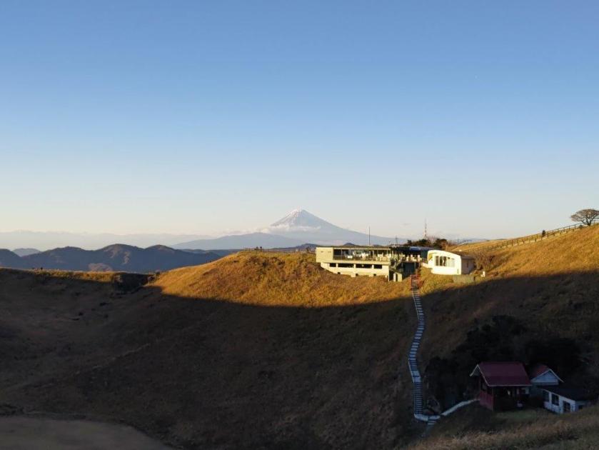
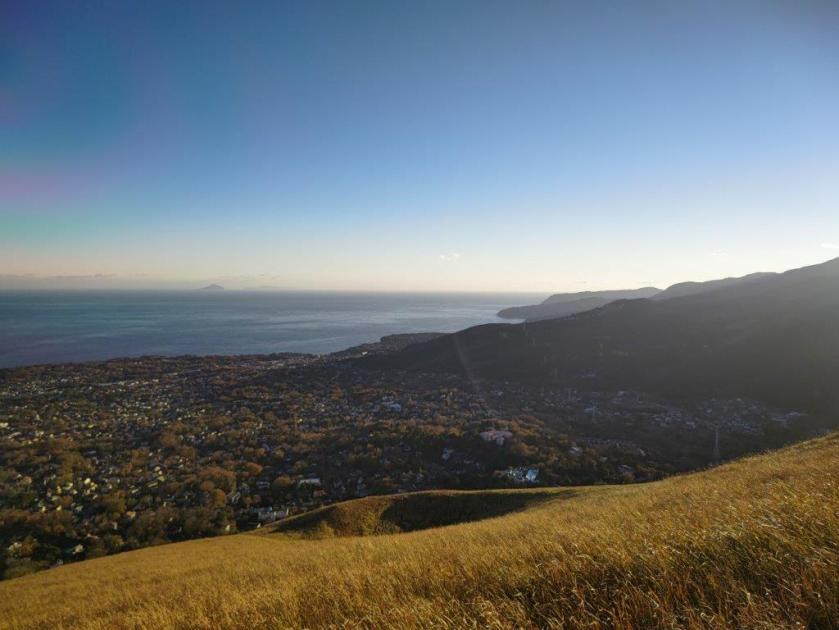
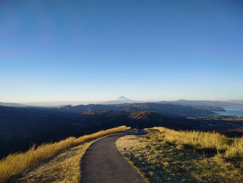
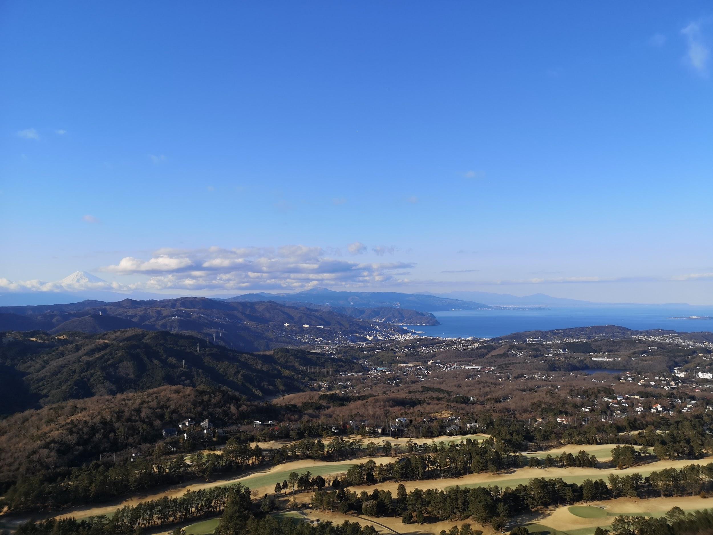 Mt Fuji, Hakone, Tanzawa
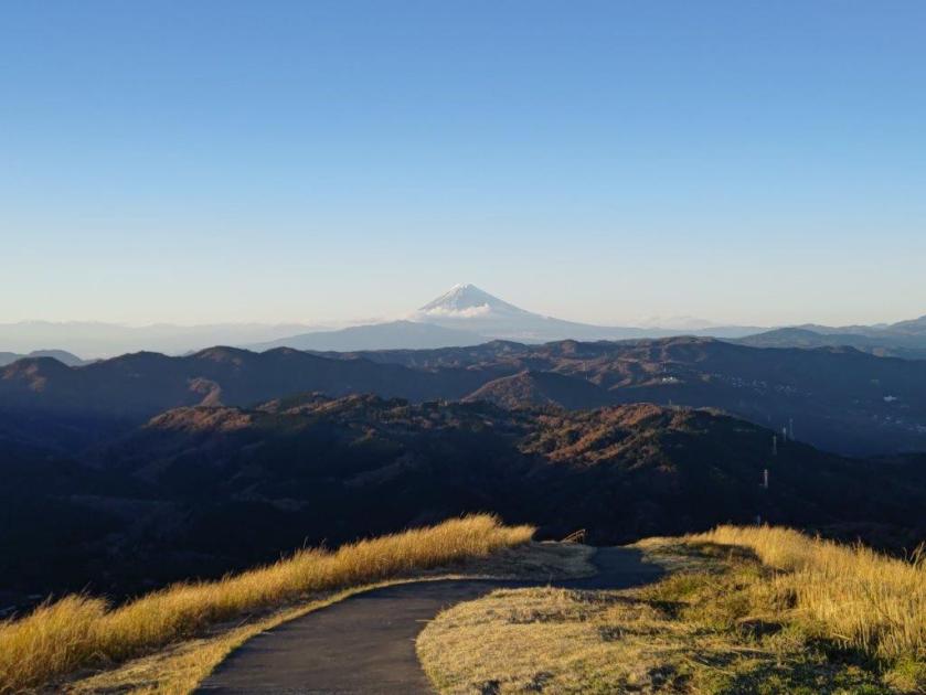
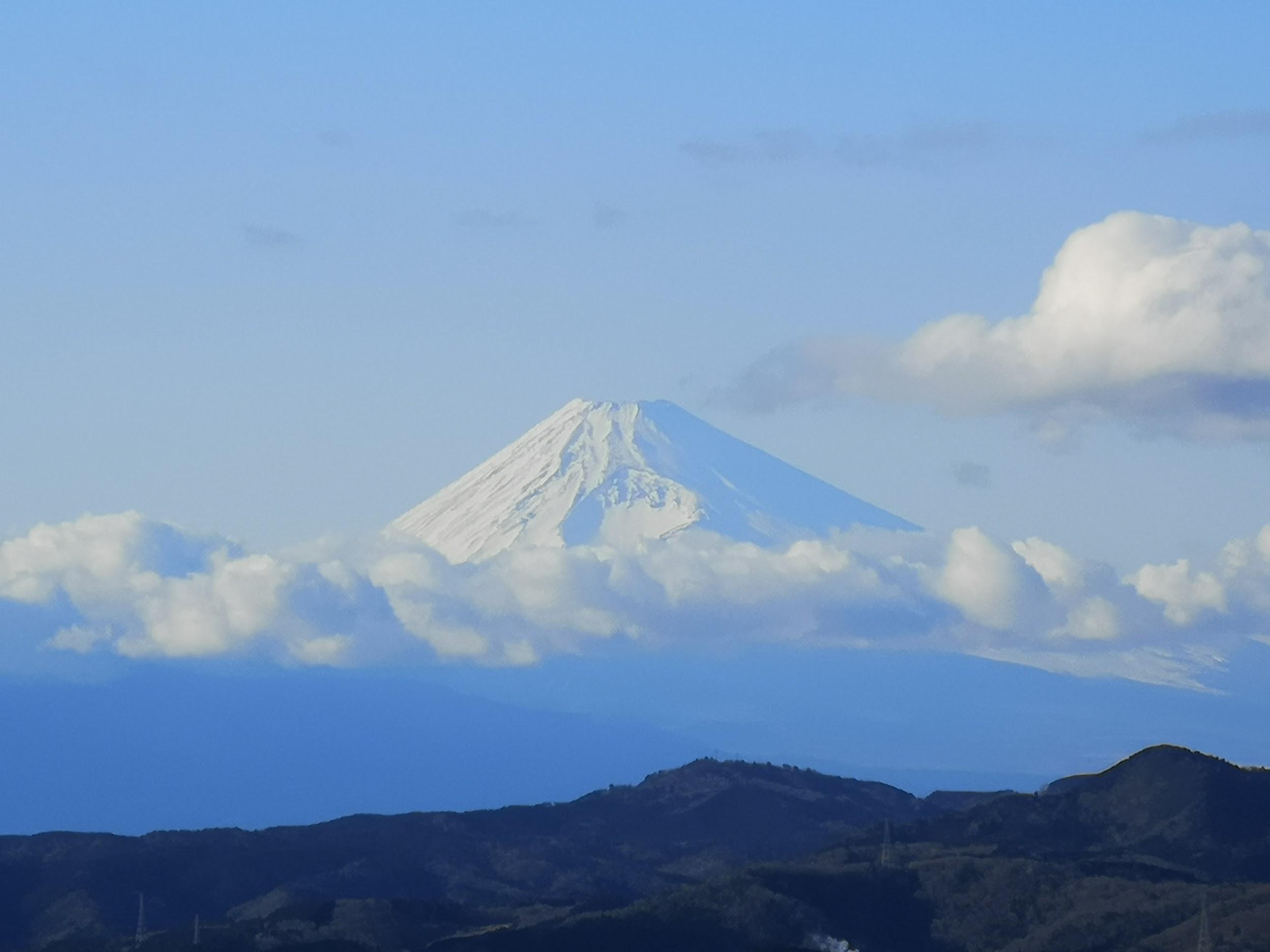


You must be logged in to post a comment.