
I first spotted this mountain while hiking Mt Kurohime the previous year. I knew about it as a ski resort, so I thought I would do some skiing there in the winter. However, there was little snow last season, and I ended up not going. So I decided to use the JR East Welcome Rail Pass 2020 to go to Nagano, and climb it before it the snow arrived. The best approach seemed to be to walk from the train station to the start of the trail, and finish at Tangram hot spring on the other side. From there, I could catch a bus back .It wasn’t a long hike so I would have plenty of time for a hot bath. The weather forecast was good: sunny in the morning, cloudy in the afternoon. It was supposed to snow the next day – good news, since I still hoped to ski there this winter.
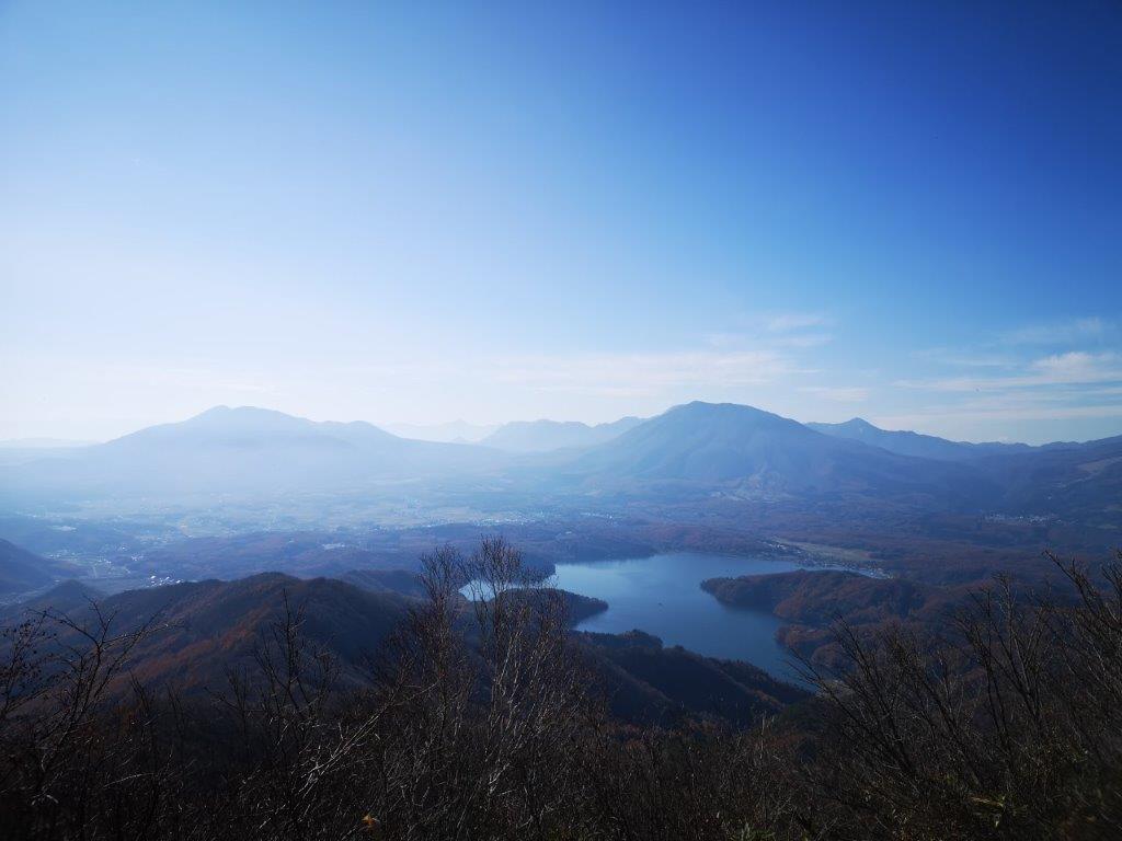
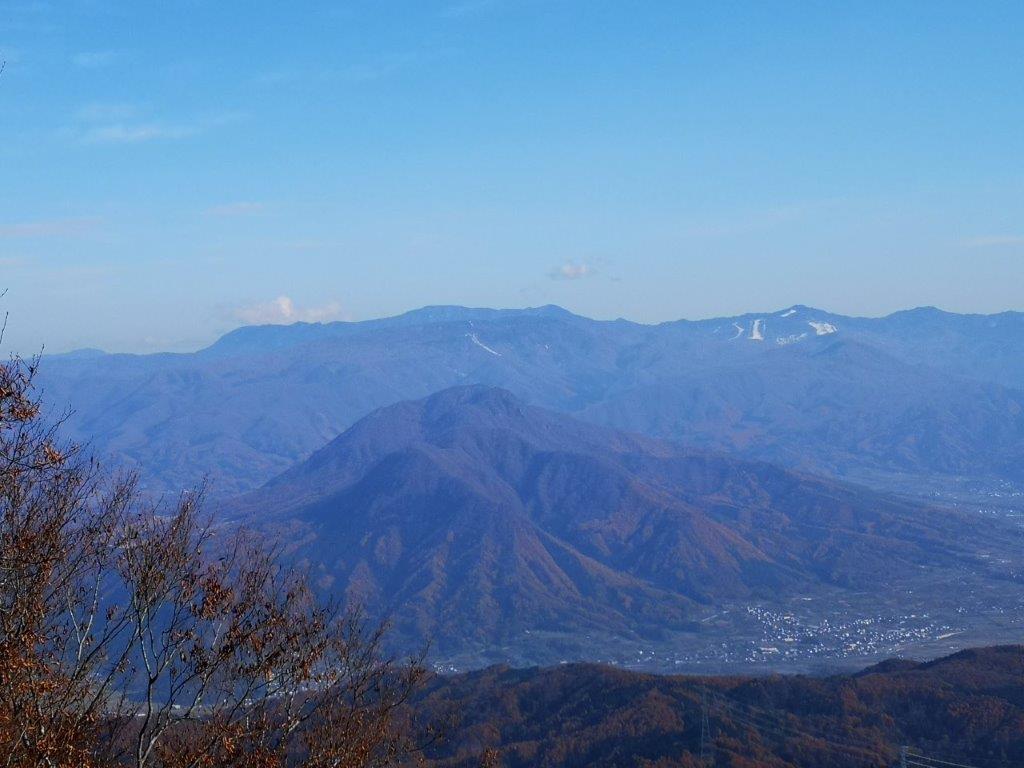
Nojiri lake with Mt Izuna on the left, and Mt Kurohime on the right
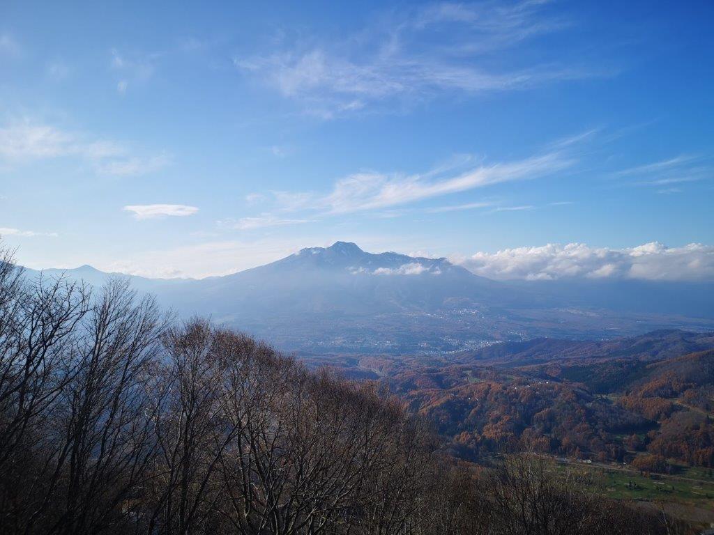
I was the only passenger who got off at the tiny Furuma station at 10am. The weather was clear, with just some wisps of white clouds on a blue background, a sure sign that rain or snow was on the way. I could clearly see the mountains of the Myoko-Togakushi-Renzan National Park to the west. I would be hiking just outside that park today, as its outer limit only stretched as far as the nearby Nojiri lake. The one-hour walk to the start of the trail was pleasant, following small roads through harvested fields, with good views of today’s mountain, the base of which was still a fiery red orange colour.
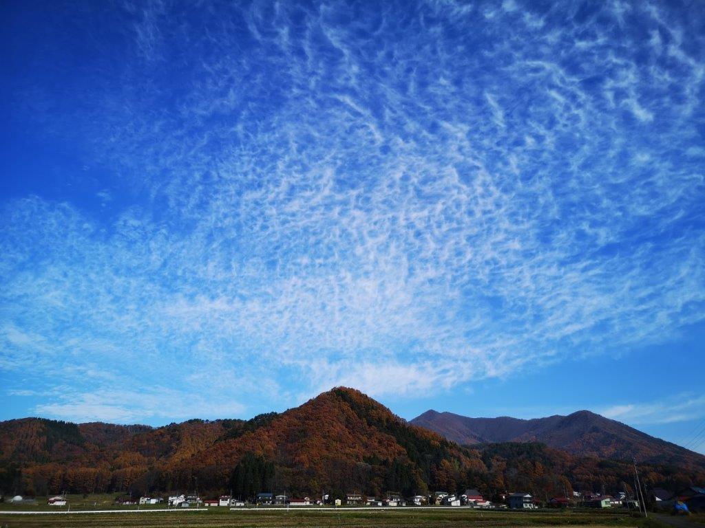
Cirrus clouds with Mt Madarao behind on the right
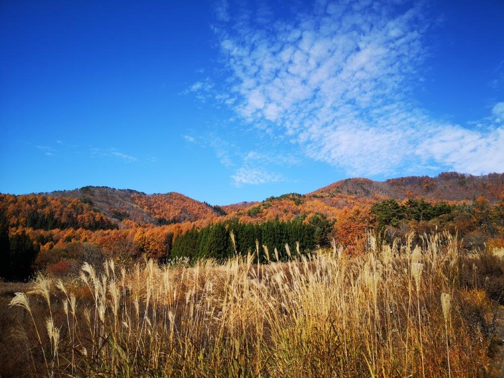
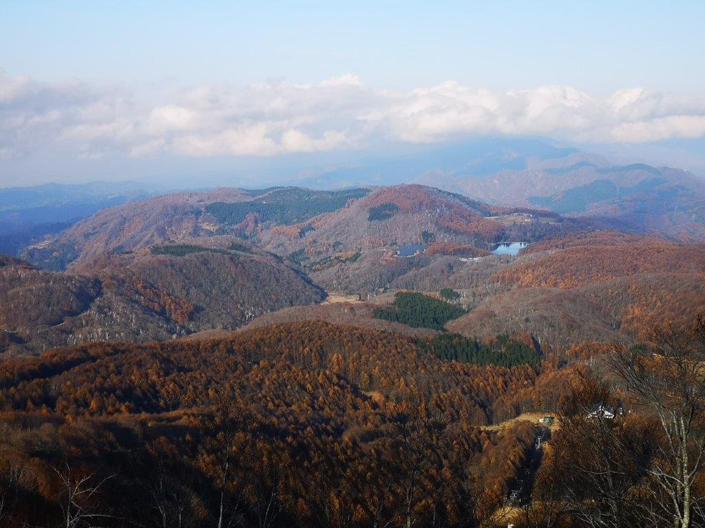
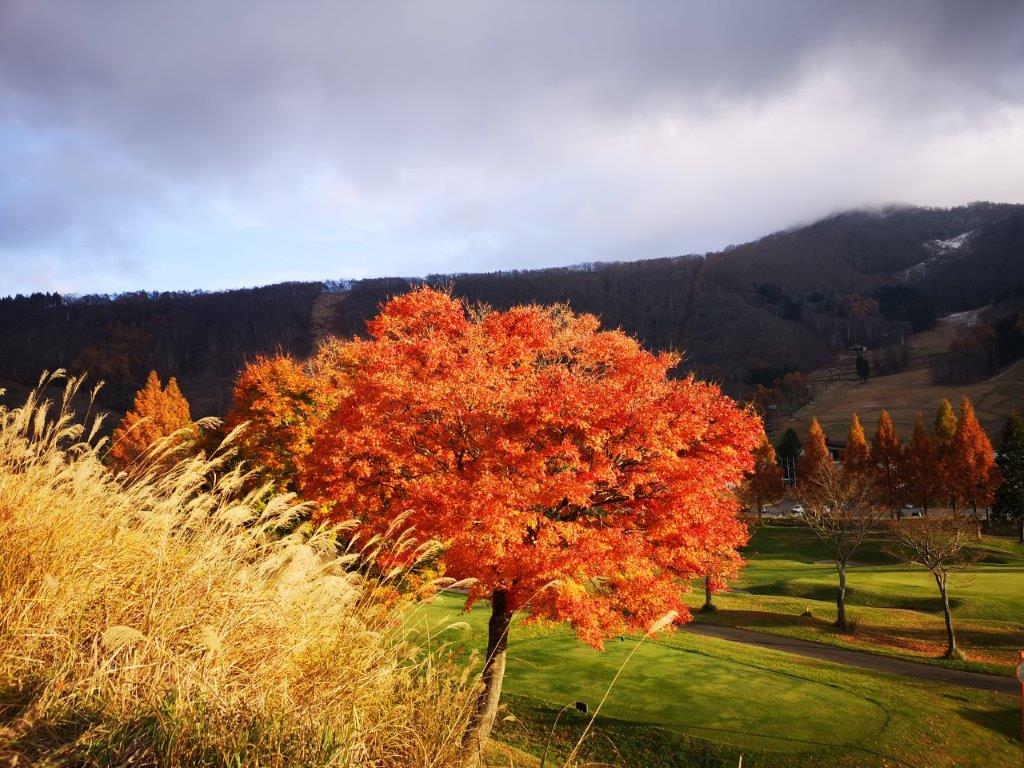
Autumn colours at the base of the mountains
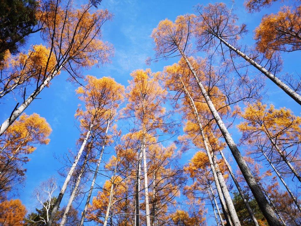
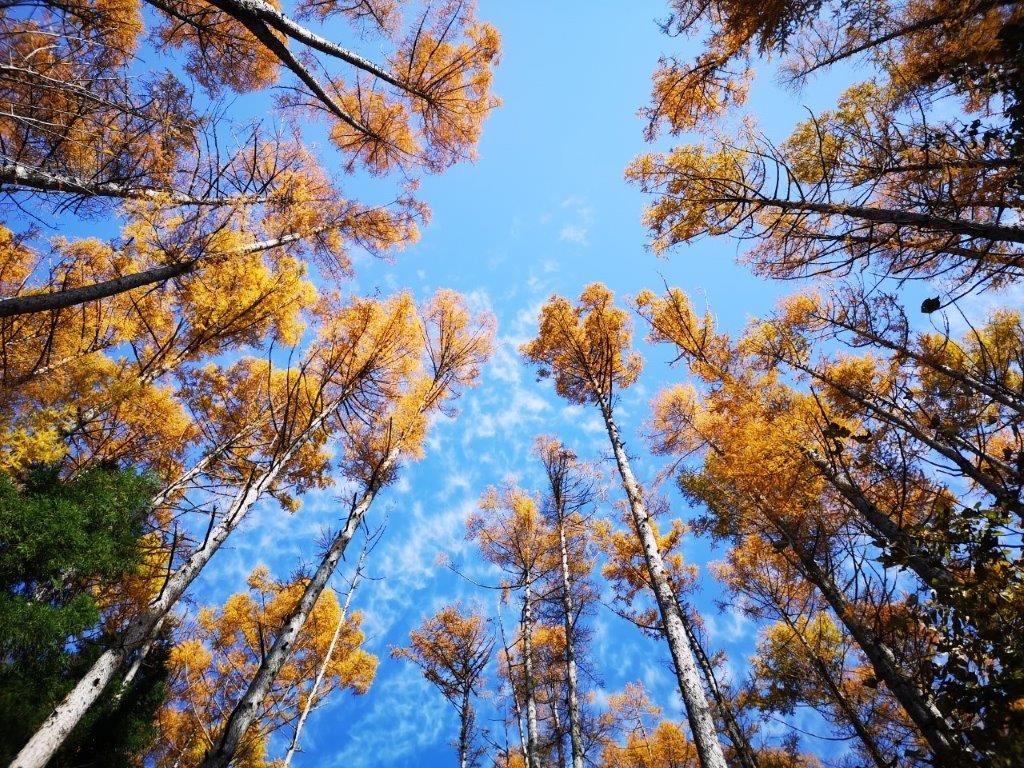
Fifteen minutes later, I was in the midst of the autumn larch trees. Looking up at the orange tree crowns against the blue sky, I had the feeling of being inside the world of the Lorax from the Dr Seuss book. A little later, I even came across a hairy caterpillar that could have featured in one of his books (see video). Around noon, the path started to climb gently, and half an hour later I reached the top of the ridge. The surrounding trees were now bare of leaves, but the branches were still thick enough to hide the view.
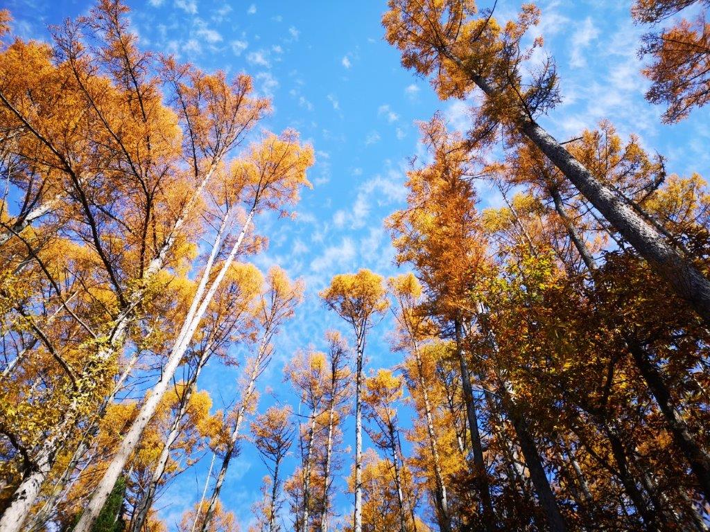
Larch trees in the autumn
Straight out of a Dr Seuss book
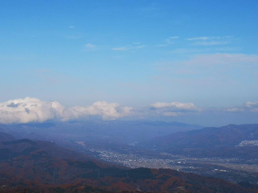
At 1pm, I reached a superb viewpoint of lake Nojiri with the peaks of Togakushi Highland rising up directly behind. This was the top of the minor peak of Mt Daimyojin (1360m 大明神岳). I sat down for lunch with a view, and then continued a few more minutes to the highest point of Mt Madarao (斑尾山 まだらおやま Madarao-yama), a 300-famous mountain of Japan. The summit was mostly in the trees, except the north-east side, through which I could see the Nozawa-Onsen ski resort, across the valley less than 20 kilometers away. Behind, I could see the snowy summit of Mt Hakkai.
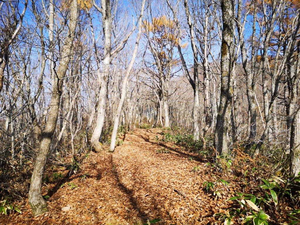
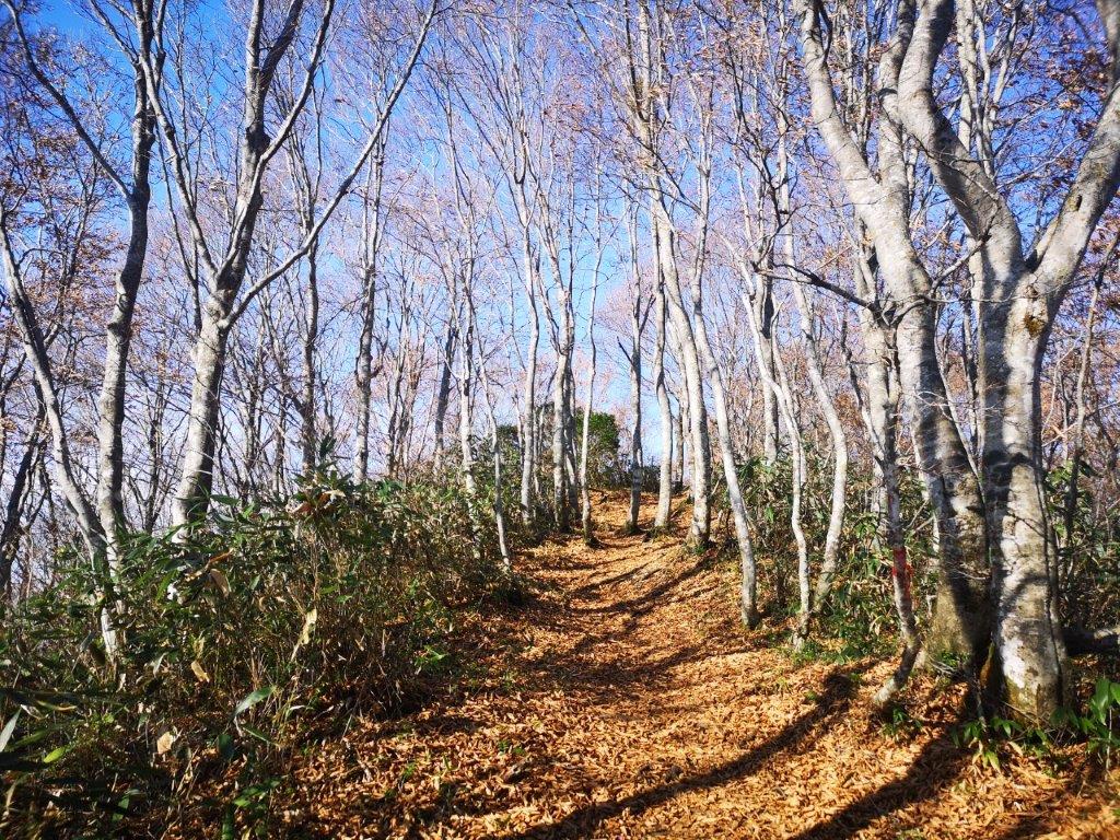
Easy hiking most of the way up
On the summit ridge, it’s already winter
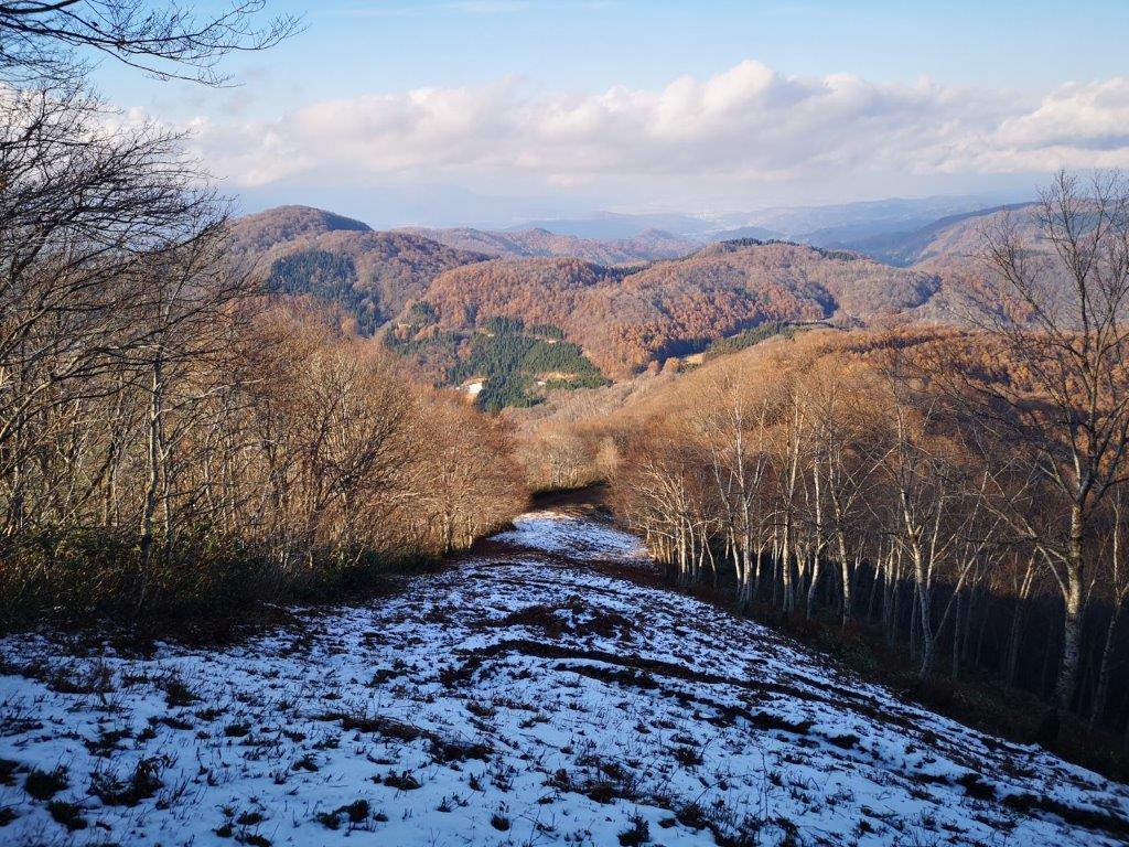
I was surprised to see snow on the next part of the trail, as it turned north along the summit ridge. Apparently, there had been a snowstorm in the past few days. I hadn’t taken my crampons but I soon realised that the snow was soft and wet. I proceeded cautiously as the trail went down a steep slope. I soon reached a sunny flat section, and I was able to relax again. On the right, I got good views of Shiga Kogen, and Mt Kosha, a mountain I hope to climb one day. At 2 pm, I reached the turn-off for Madarao village. This wasn’t the way I had chosen to go down, but I decided to have a quick look.
Mt Kosha with Shiga Kogen behind
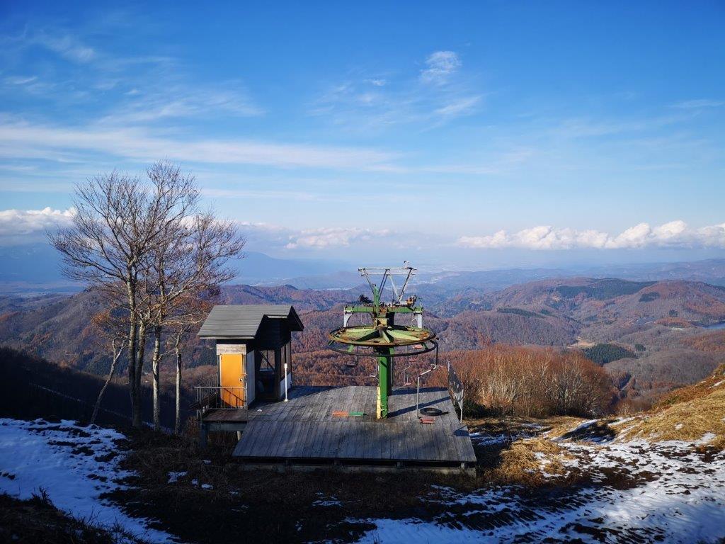
Highest point of the Madarao ski resport
I arrived at another great viewpoint, a few meters further, next to the top of a chairlift. I was glad I had chosen to check it out. I sat at the edge of the landing platform – I didn’t quite dare sit on one of the chairs – and had the rest of my lunch. To the north, a low mountain range straddled the border of Nagano and Niigata prefectures. The Shin-Etsu trail follows the top ridge and I hope to hike that section one day (part of today’s hike was also along it). Looking east, I could make out the majestic top of Mt Myoko above the trees.
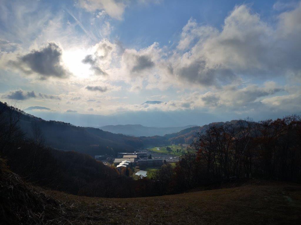
The Shin-Etsu trail passes just under the clouds
Looking north towards Niigata prefecture
Back on the main trail, I soon reached a 360 degree viewpoint after some more downhill, combining all previous views. After snapping the necessary photos, I set off again, and ten minutes later, I arrived at another chairlift with more good views of Mt Myoko. It was now against the sun with a thin line of clouds in front, creating a dramatic appearance, like the entrance to a mysterious mountain kingdom. At this point, I had two options for reaching the hot spring, my final destination. Even though, I wasn’t behind schedule, I chose the most direct route, since I couldn’t afford to miss the bus back.
Mt Myoko is one of the 100-famous mountains of Japan

Mt Myoko also has a ski resort famous for getting lots of snow
The direct way followed a steep ski slope, probably a black run. There was also some snow here, but the hiking path zigzagged instead of going straight, so I was able to descend safely. The next part followed what seemed to be a blue run, wide and almost flat. At 15:15, I reached a road on the border with Niigata. The trail continued on the other side, but here I turned and followed the road to nearby the Tangram onsen. By now, the clouds had rolled in, and I could no longer see the top of the mountain I had just come down; it felt like it could start snowing at any moment. After a nice hot bath, I boarded the last mini-bus for Kurohime station. There, I took the Kita-Shinano line to Nagano station and then switched to the Shinkansen for the 90-minute trip back to Tokyo.
Zigzagging down the ski slope
Tangram Onsen with the top of Mt Myoko in the background
See the view from the top and the base of Mt Madarao

2 thoughts on “Mt Madarao (1382m), Shinano Town, Nagano Prefecture, November 2020”