Every year, I try to make at least one hiking trip to northeastern Japan. In 2020, I was able to visit the area several times thanks to the now discontinued JR East Welcome Rail Pass. On this first trip of the season, I rode the shinkansen 450 kilometers to Morioka city, where I spent the night. The next day, I would drive to the eastern side of the volcano, and go up and down the Uwabo Trail, one of the 7 trails leading up to summit crater. Going by bus would allow for a traverse, but would also require an overnight stay at a hut. According to the forecast, the weather was supposed to be mostly clear and not too windy, perfect conditions, since the top part was completely exposed. I was feeling fit and ready for the big climb and descent, and was looking forward to seeing the panoramic views from Iwate prefecture’s highest peak.
Hiking in the Towada-Hachimantai National Park
十和田八幡平国立公園
The summit crater of Mt Iwate
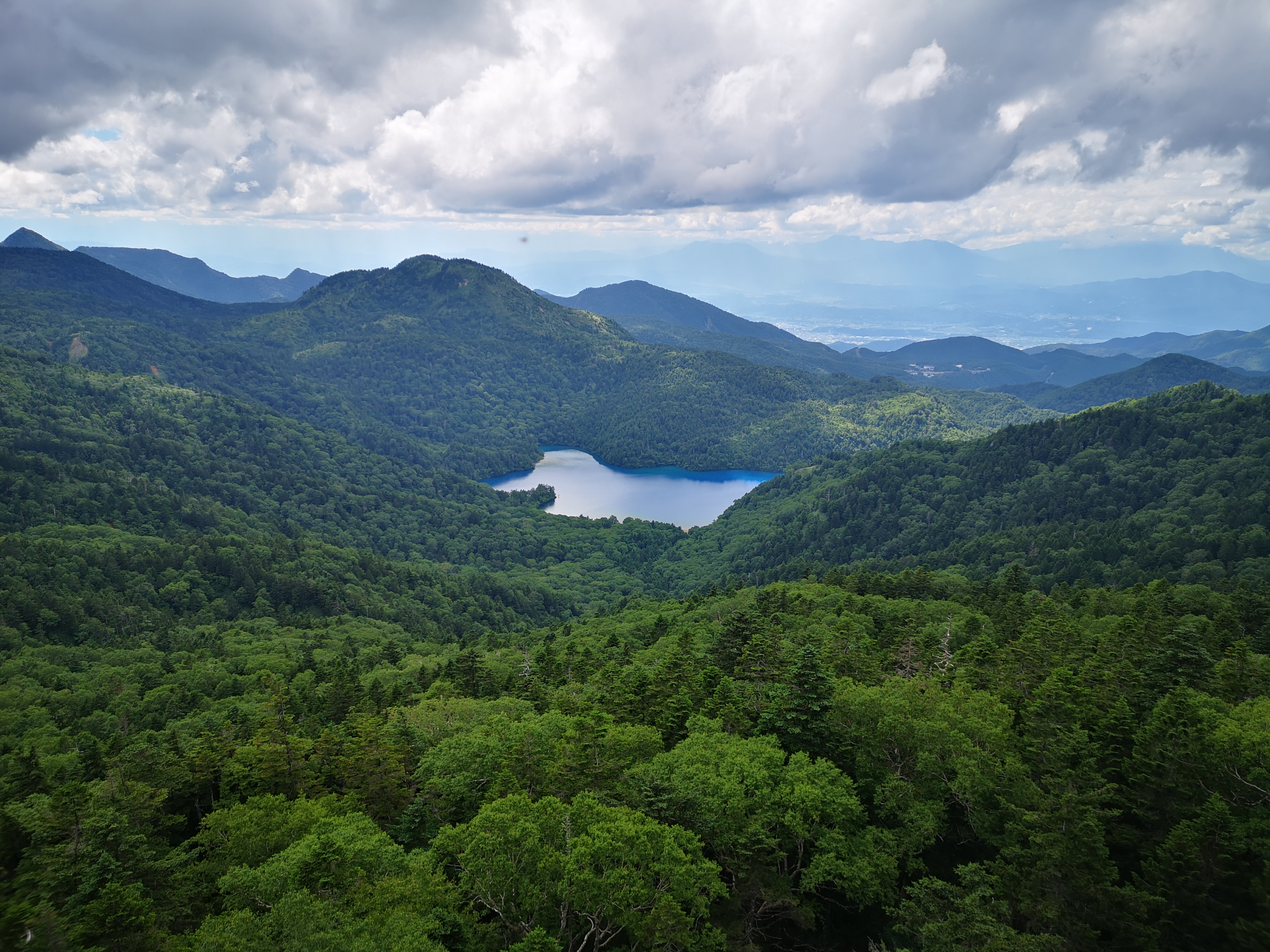
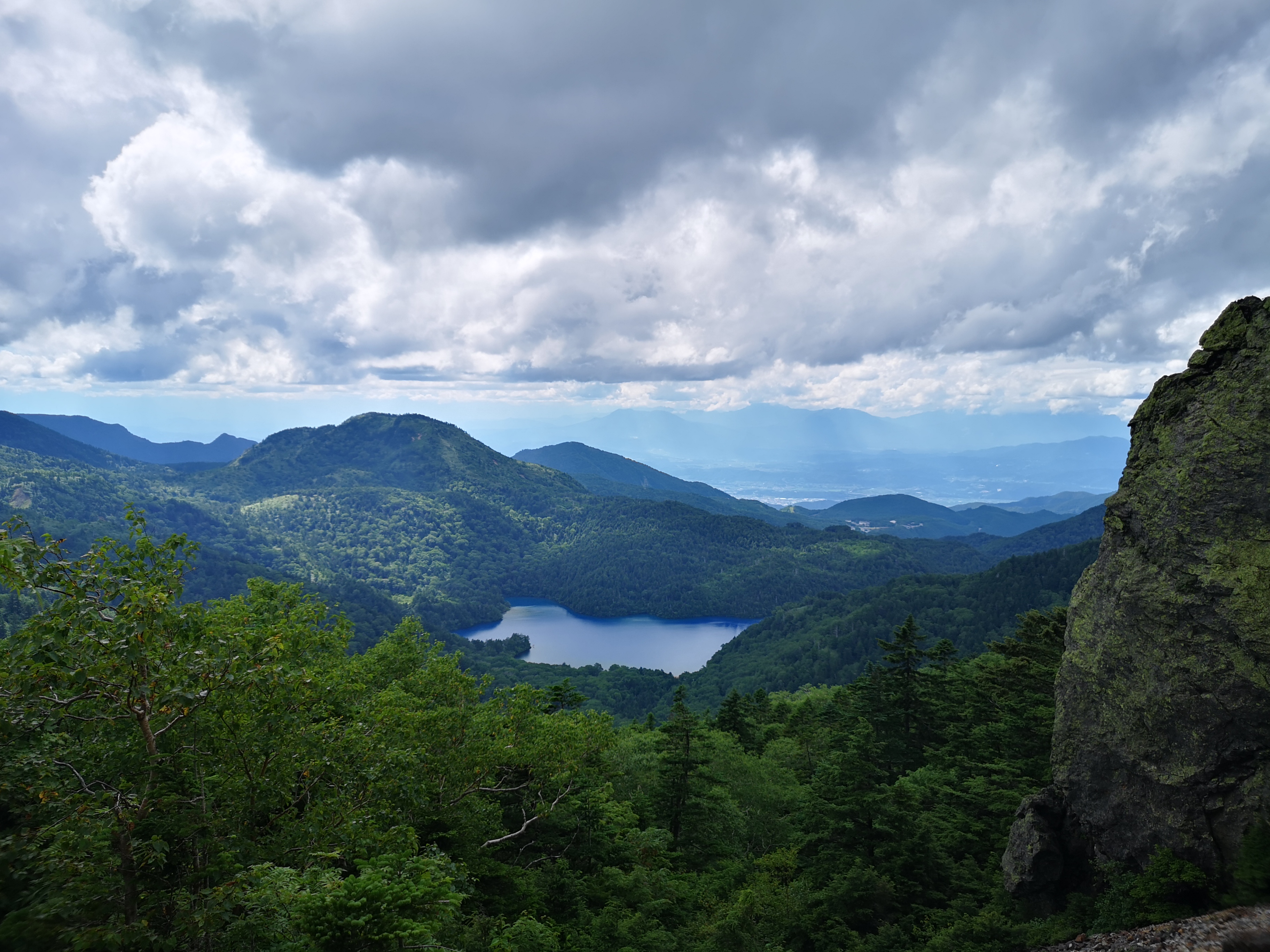
Looking down at Onawashiro Lake
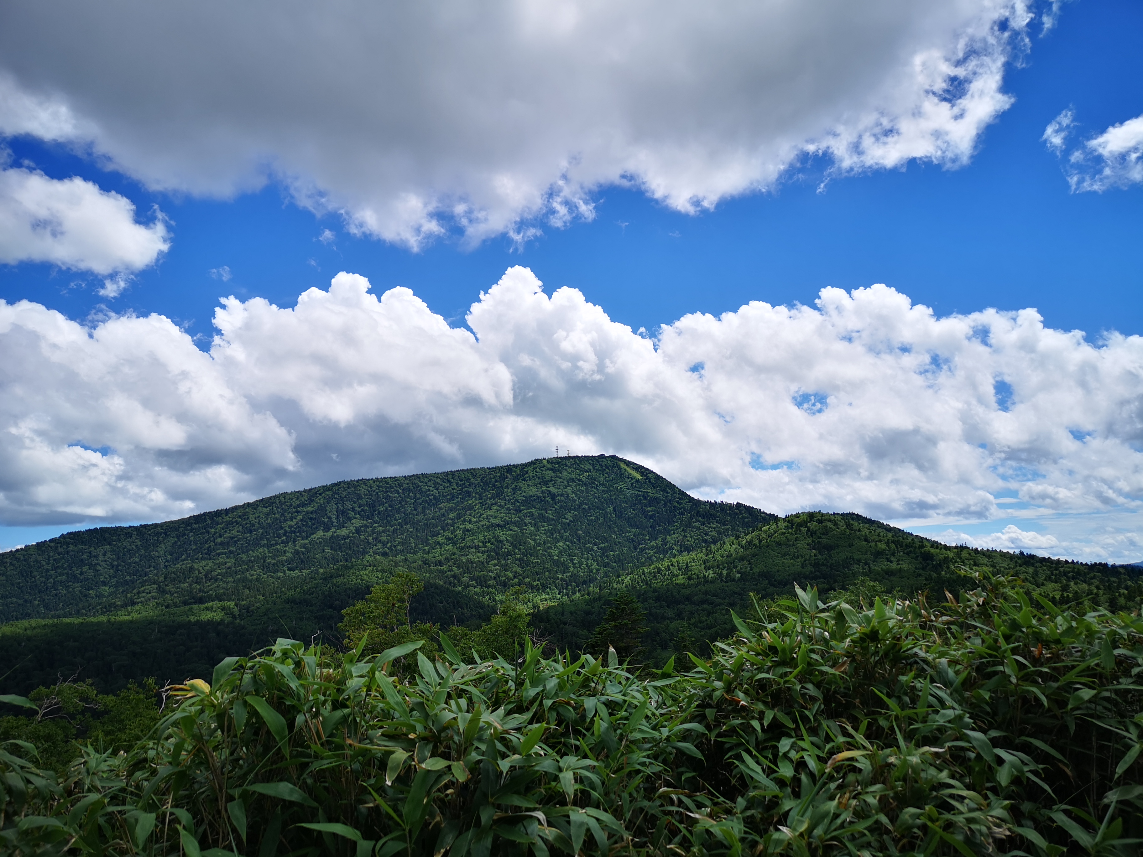
I could see the conical shape of Mt Iwate just 20 kilometers away, from the bridge over Kitakami river, on the way to pick up my car. A little after 8am, I parked on the forest road behind Uwabo shrine (上坊神社). Looking straight ahead, I could already see the flat crater summit above the trees. I quickly set off on the well sign-posted Uwabo Trail (上坊コース). Shortly after entering the forest, I came upon a huge bear bell and gave it hearty gong. I followed the path straight up the volcano side through a beautiful forest, and at 10am, reached Tsuruhashi junction (ツルハシ分れ), where it merged with the Sunabashiri trail (砂走コース).
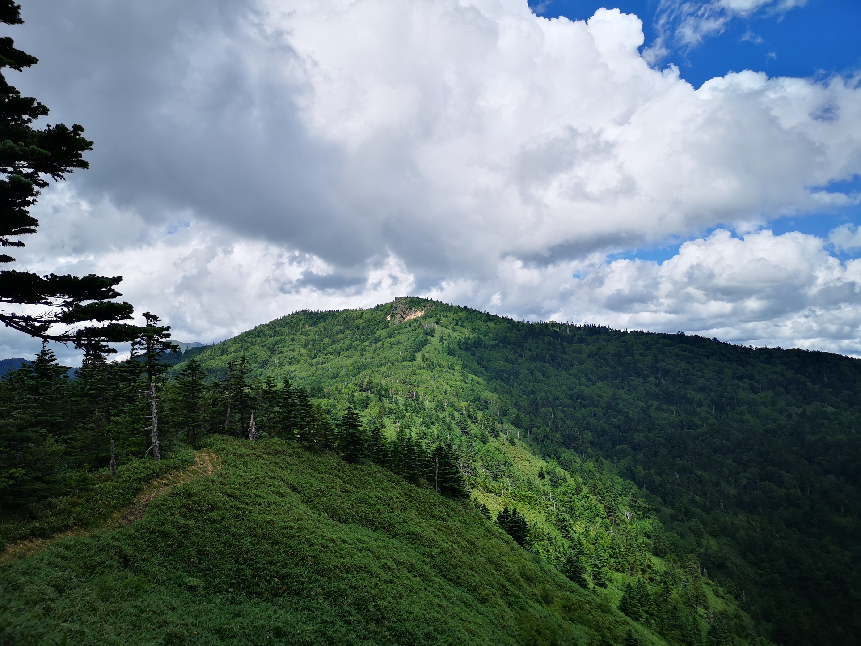
First close-up view of the volcano
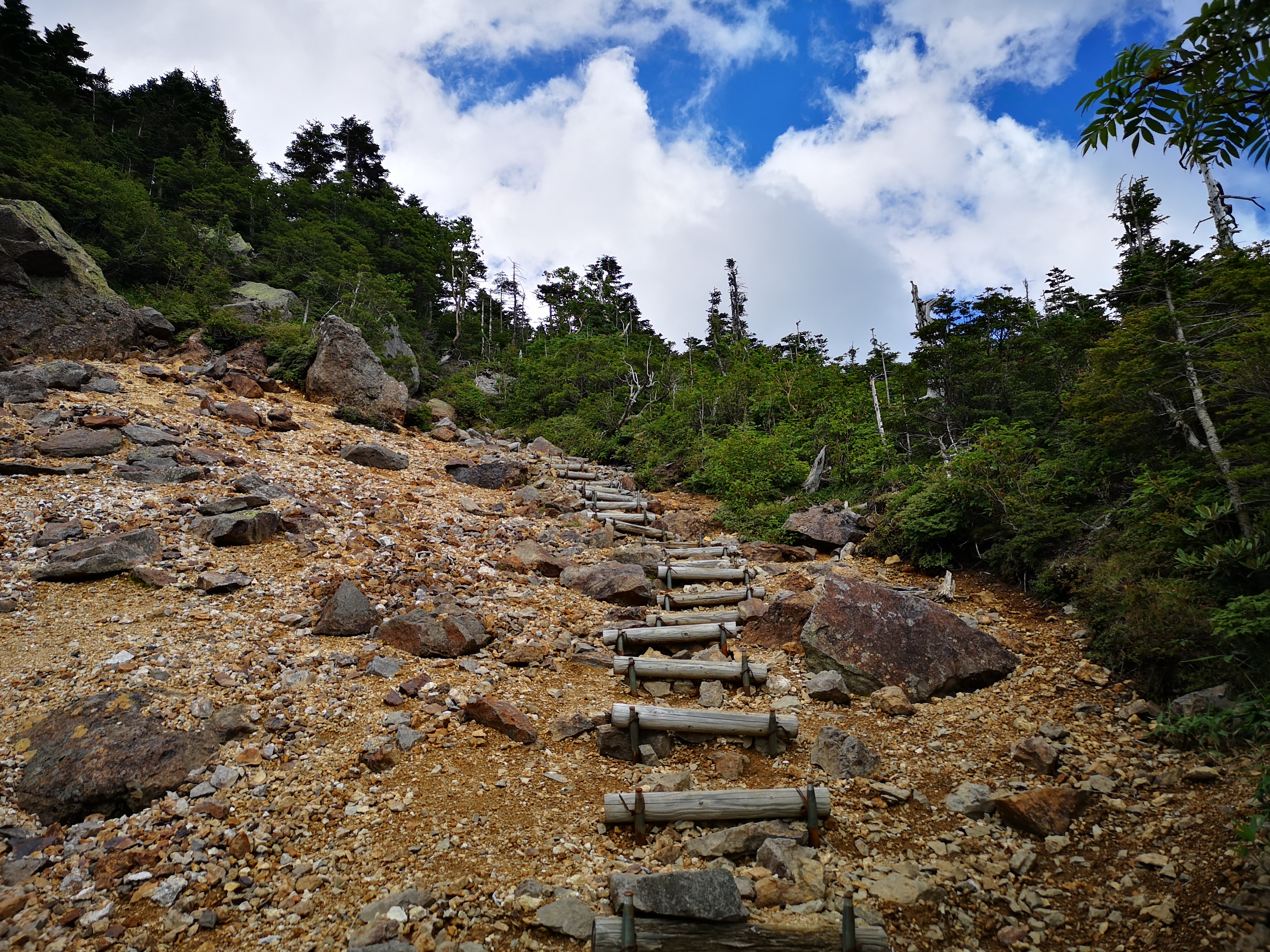
Below the crater
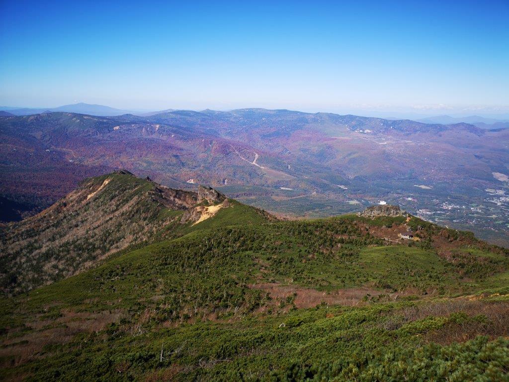
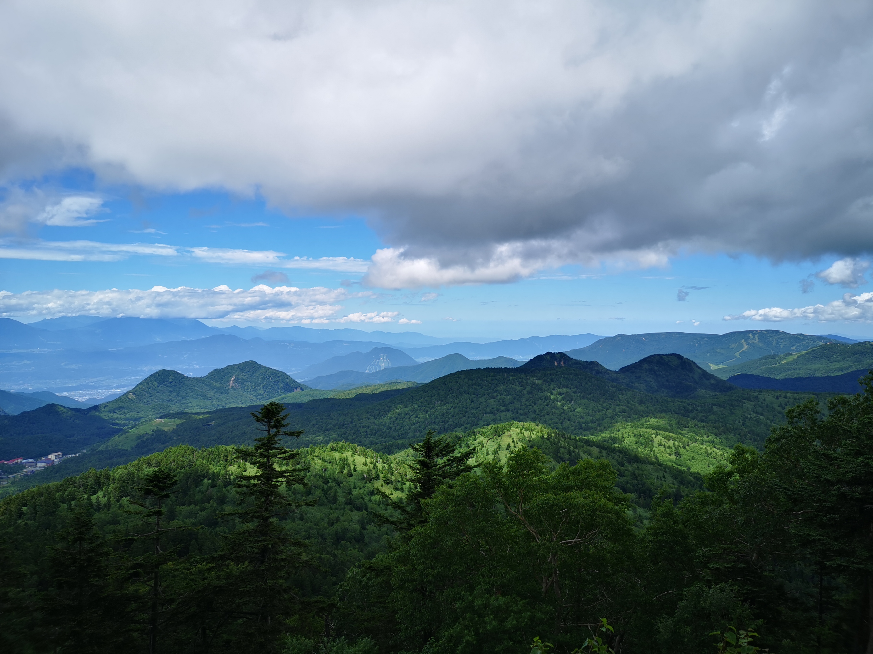
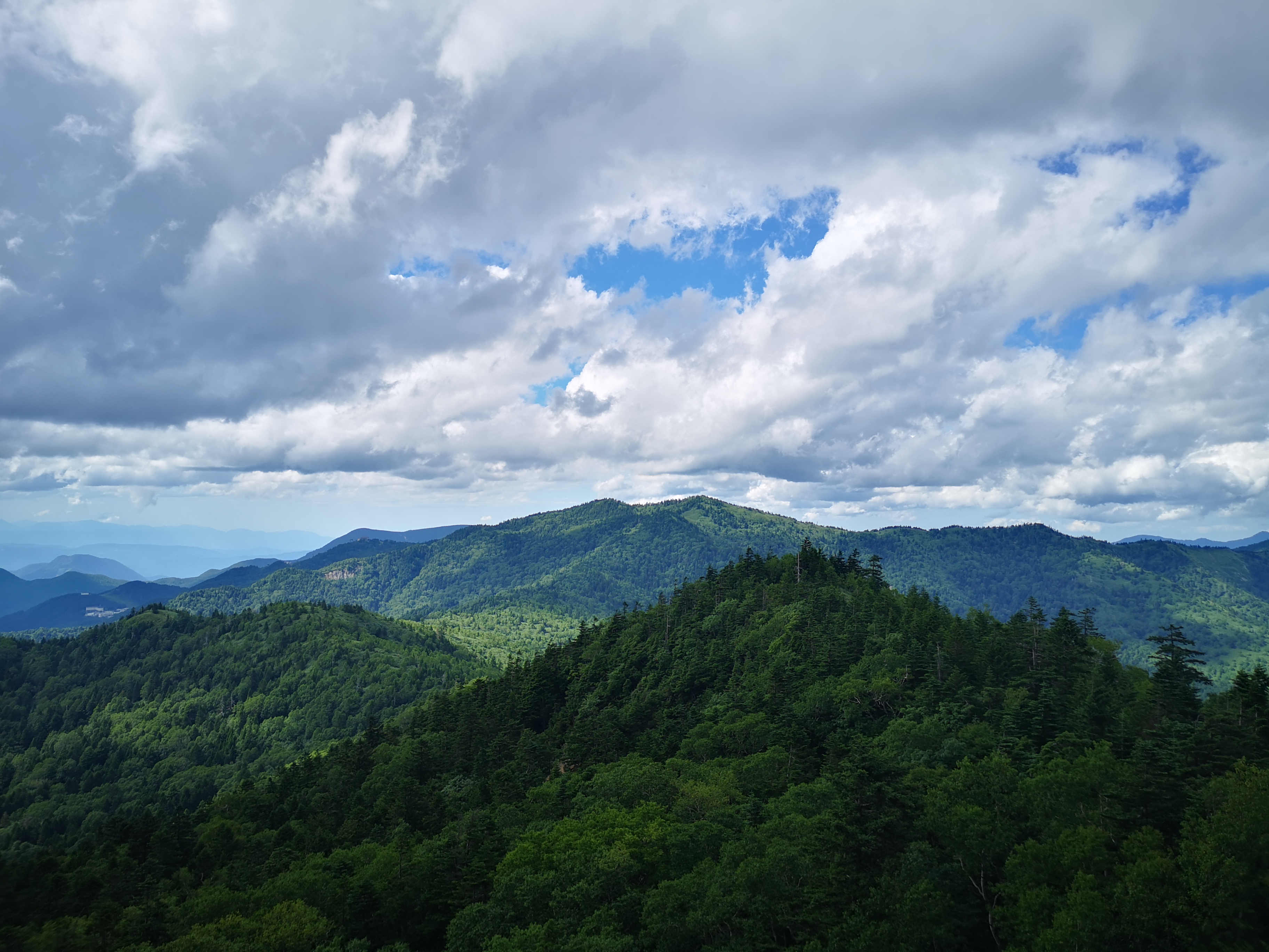
I had my first views of the flat valley to the east, giving me a preview of what to expect higher up. I followed the now level trail as it headed north, hugging the volcano side and passing under some ghostly white beech tree branches, already bare of leaves. At 10h30, the tree cover suddenly disappeared; I could see the summit crater again, a dark outline against the mid-morning sun. A few minutes later, I reached the comfortable-looking Hirakasafudo emergency hut (平笠不動避難小屋). From here the views widened, the vegetation mostly consisting of creeping pine; northwards, I could see the Hachimantai plateau, covered with thick forest.
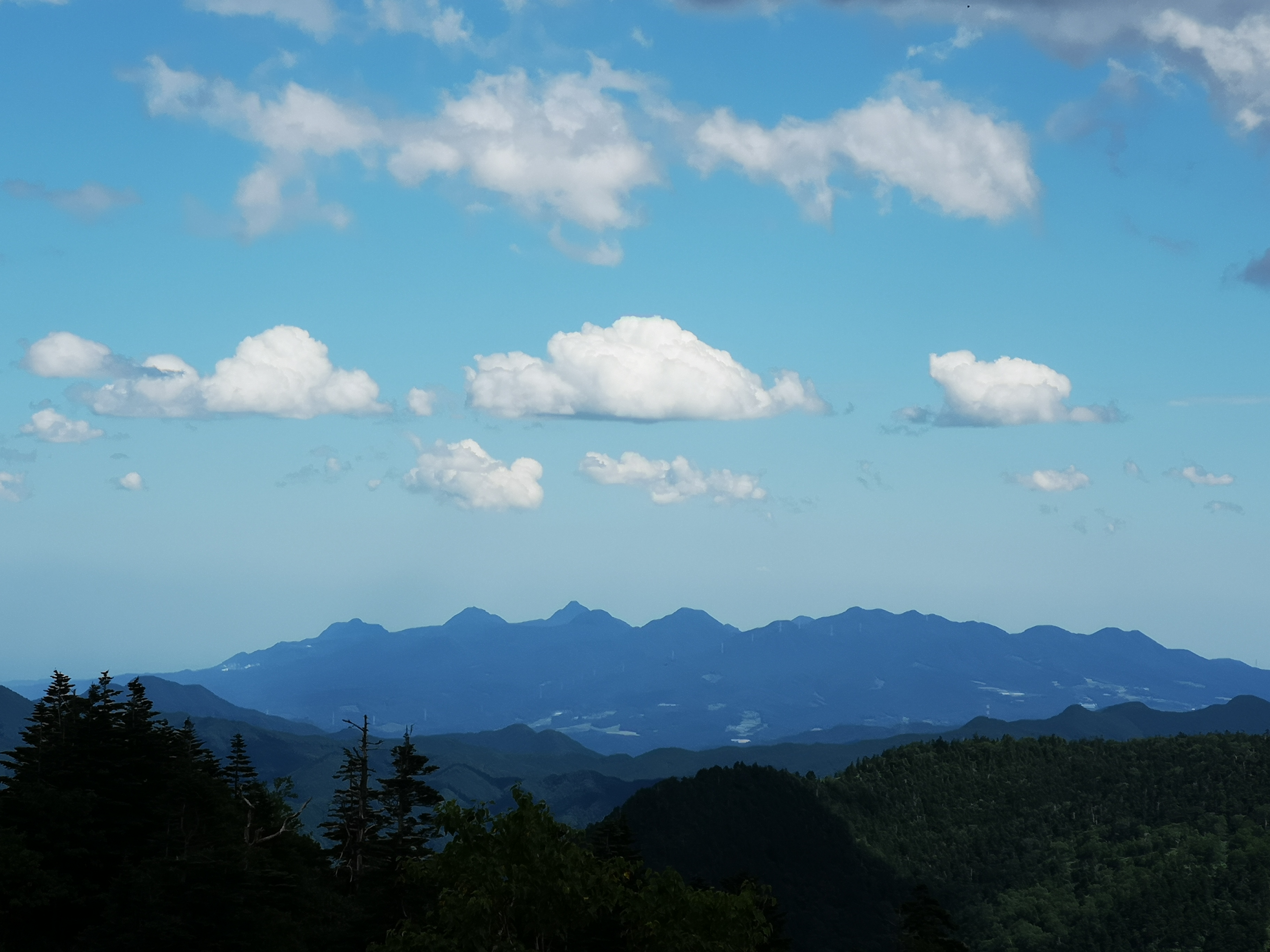
Looking north towards Hachimantai
Walking the crater rim
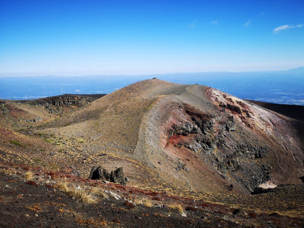
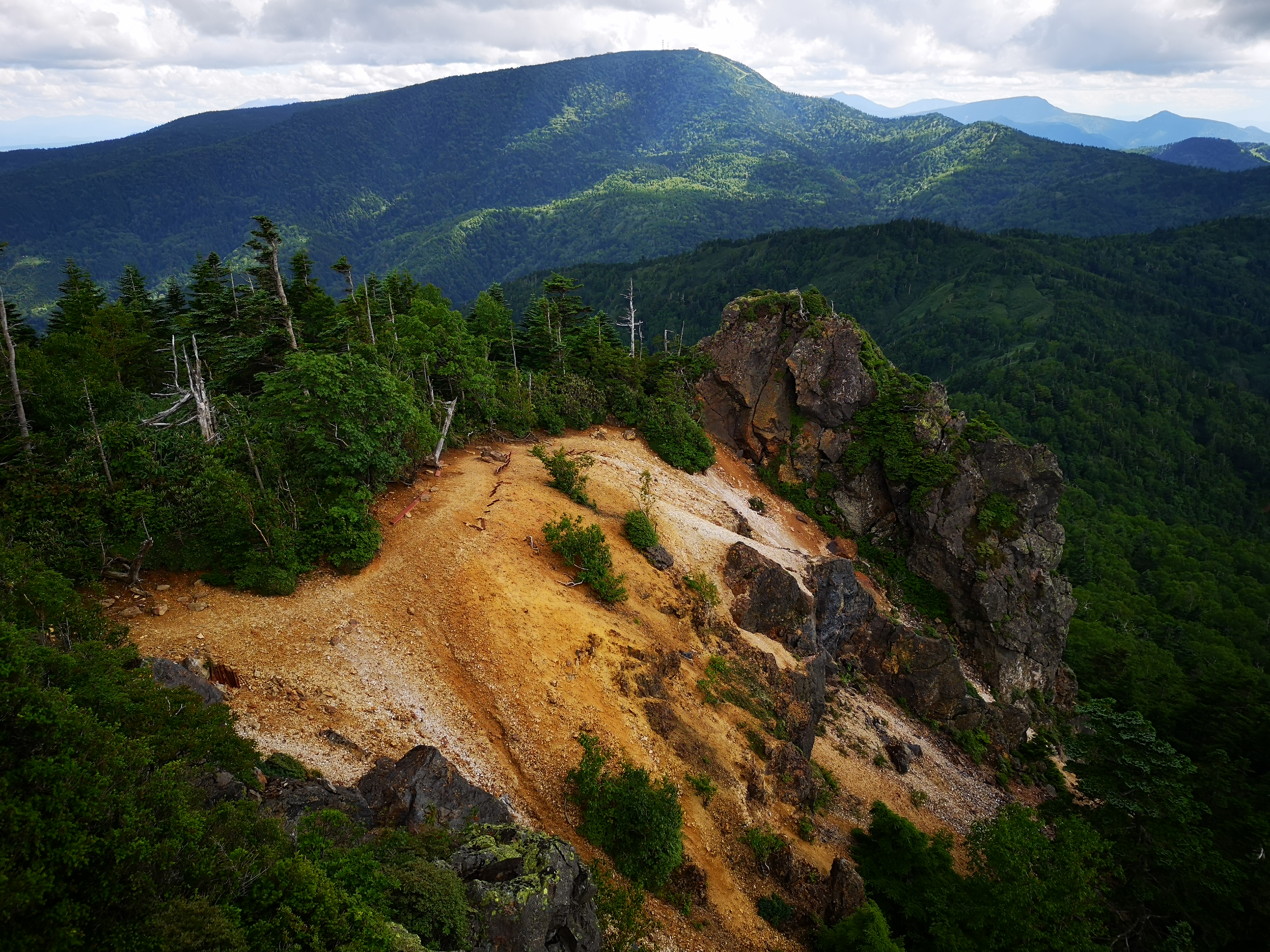
I started to climb the steep, inner crater, the path heading straight up under the high sun, the low vegetation gradually replaced by volcanic rock and sand. I could now see the tear-shaped Onawashiro lake (御苗代湖), encircled by trees and enclosed by the outer crater; beyond, views of the Towada-Hachimantai National Park extended northwards. After reaching the rim, I turned left for the final, gentler climb to the highest point. A little after 11am, I was standing on the summit of Mt Iwate (岩手山(いわてさん iwate-san), a Japan 100 famous mountain. Huge clouds floated past overhead, blocking the view of Akita to the west.
The top of Mt Iwate, like a different world
Completing the tour of the crater
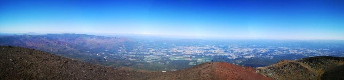
Looking east, however, was like looking out of the window of a plane, the buildings and roads of the flat plain barely discernable, 1500 meters below. I made my way around the crater rim in a clockwise direction, enjoying the desert-like views, and at 12h30, I started my descent. One hour later, I was back at the Tsuruhashi junction, and by 3pm I was back at my car. Before heading to my hotel in Morioka, I dropped by the Yakehashiri-no-Yu (焼け走りの湯) for a well-deserved hot spring bath.
I climbed the highest peak of this mountain two years ago in June, the “back peak”. I had planned to climb the lower “front peak” last year but it kept on getting postponed. At just 100 km from Tokyo, it’s closer than many other peaks I’ve easily climbed as day trips. However, the trail entrance is a two-hour drive from the closest city. Apart from the long drive, the hike itself seemed straightforward, going up and down the same way. The front and back peaks used to be connected by a trail, but over time it has “weathered” and it’s now officially closed. The weather was supposed to be good, but since I would be hiking inside the Nikko National Park, I knew the weather could be changeable. For the effort of going to the same mountain, I was hoping I would get a different view from last time.
Hiking in the Ashio Mountains 足尾山地
The Southern section of the Nikko National Park
I arrived at Maebashi station around 8h30 and was on the road by 9am. Once I arrived in the Watarase river valley, there were fewer cars and I enjoyed the drive. Just before Sori station, I turned left up a narrow mountain road. The road was in rather bad condition, with potholes, fallen rocks and branches on the road, and I had to drive really slowly till the parking lot next to the trail entrance (elevation 1200m). It was 11am and there were three ladies enjoying a break at the resthouse. I asked them whether they had just come down the mountain; they told me they were volunteers who cleaned the parking toilet. They offered me some snacks, and then drove off.
Turning around, Mt Akagi
A nice ridge walk, not easy to find in the area
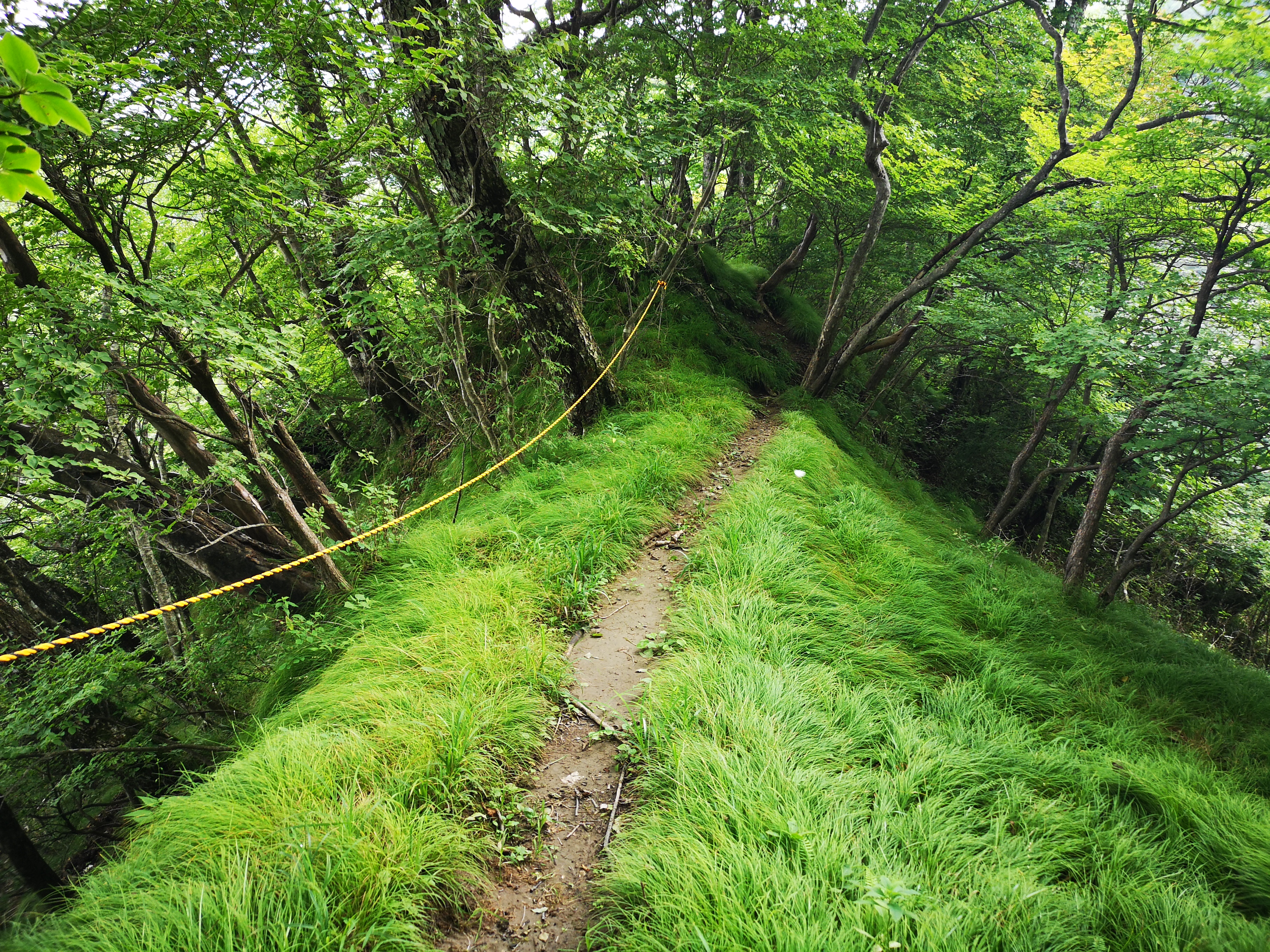
Twenty minutes later, I started up the staircase at the start of the hike. After a short climb, the path leveled as it followed a narrow ridge. The thick forest blocked out the sunlight, and the trail was faint and hard to follow. I was soon back in the sun after one side of the ridge became a grassy slope, giving me a great profile view of today’s mountain. Turning around, I saw Mt Akagi where I was hiking less than two months ago. As I climbed, the grassy slope got steeper and steeper, but soon I was back in the forest and on a level track.
The Ashio mountains, beautiful and hard to reach
From left to right: Mt Sukai, Mt Nikko-Shirane and Mt Koshin
A little past noon, I reached a wooden lookout tower and a marker for the Kanto Fureai no Michi. The tower was disappointing as the view was mostly blocked by trees – not really surprising since it was built 25 years ago. However I was alarmed to see lots of big dark clouds gathering on the other side of the ridge; there was no time to dawdle. Luckily the next section was mostly flat. At a clearing I passed the turnoff for the emergency hut; there were many rock cairns, and it felt a bit spooky. Further on, there was another clearing filled with rock cairns. It was odd to see so many of them since the trail was well below the tree limit and there was no risk of getting lost.
Walking through the birch trees
Withered pine trees near the top
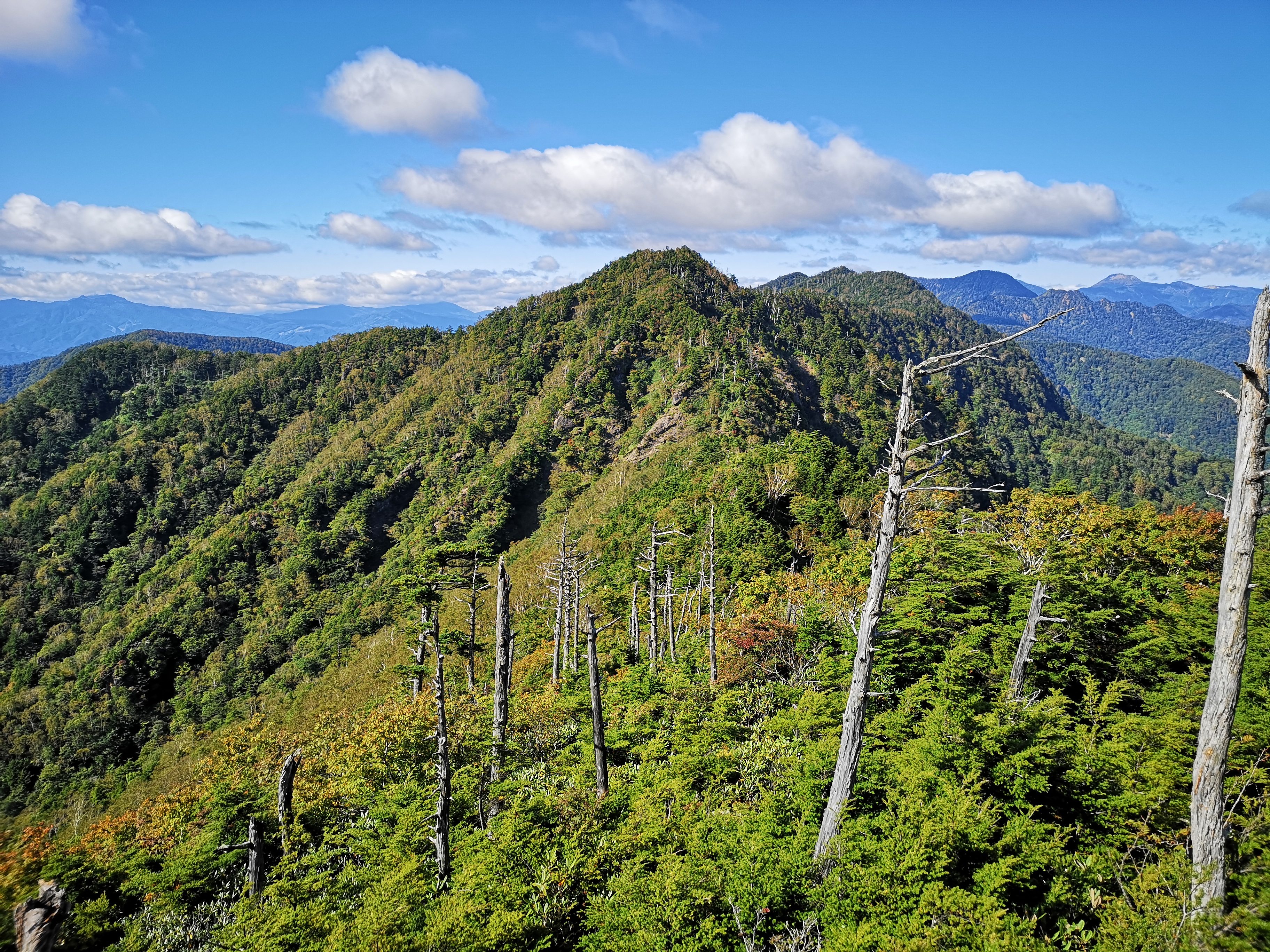
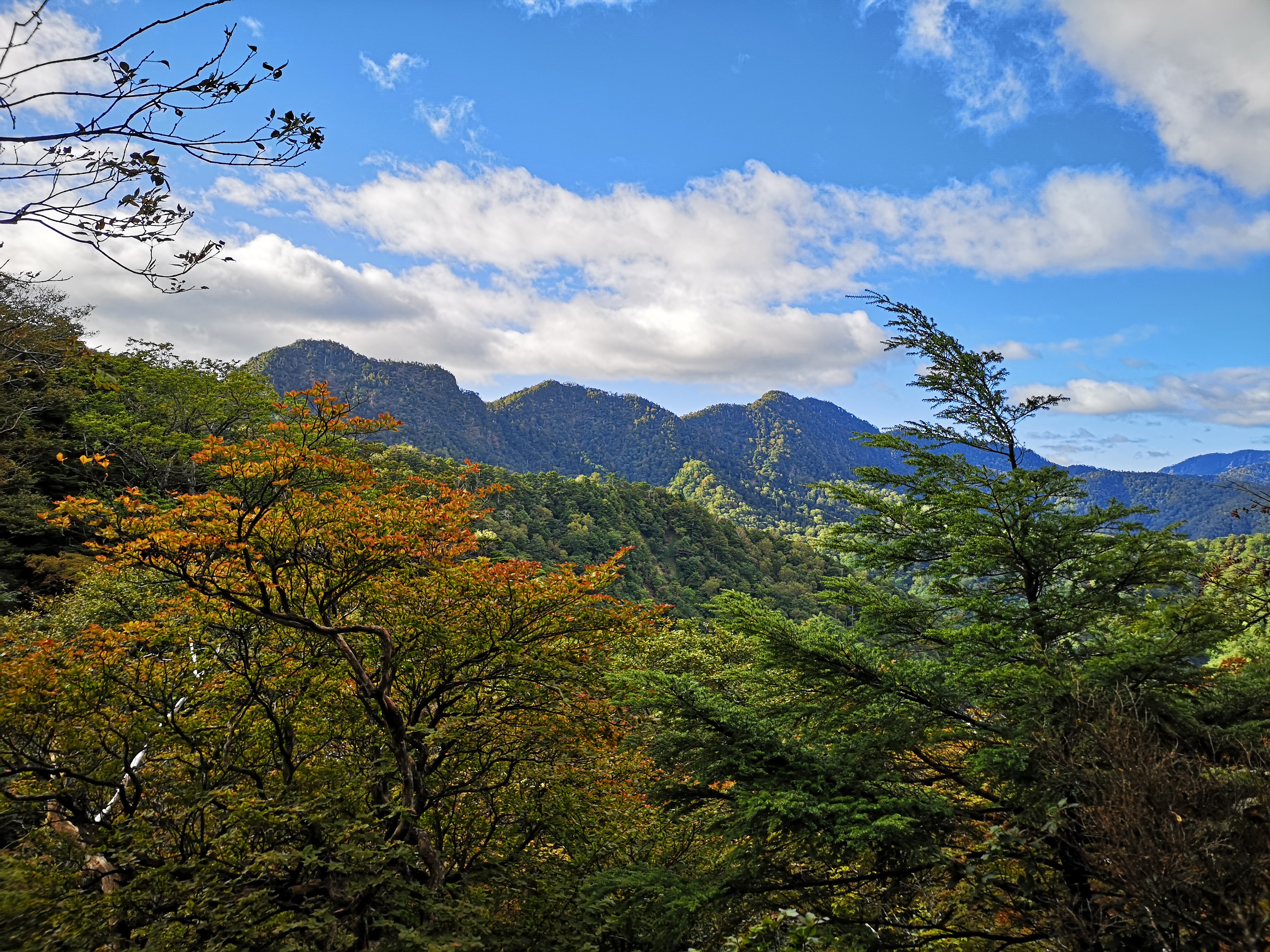
After some gently climbing, I reached the top of Mt Komaru 1676m (小丸山 komaruyama). The clouds had temporarily moved away, and I had an excellent view of the Ashio mountains (足尾山地) stretching northwards all the way to Mt Koshin, Mt Sukai and Mt Nikko-Shirane to the North. After a short break, I continued along the path, going down for a bit, and then past a very dodgy emergency yellow-coloured shelter – it would have to be a very big emergency for me to stay there! the path then climbed again, through a forest of white-barked birch trees. I soon reached the base of a very steep climb below the summit. Grabbing ropes, rocks and branches, I pulled myself up and up. It wasn’t dangerous, but it was quite a workout.
Below, a great hiking area closer to Tokyo
Stretching into the distance, the Kanto Plain
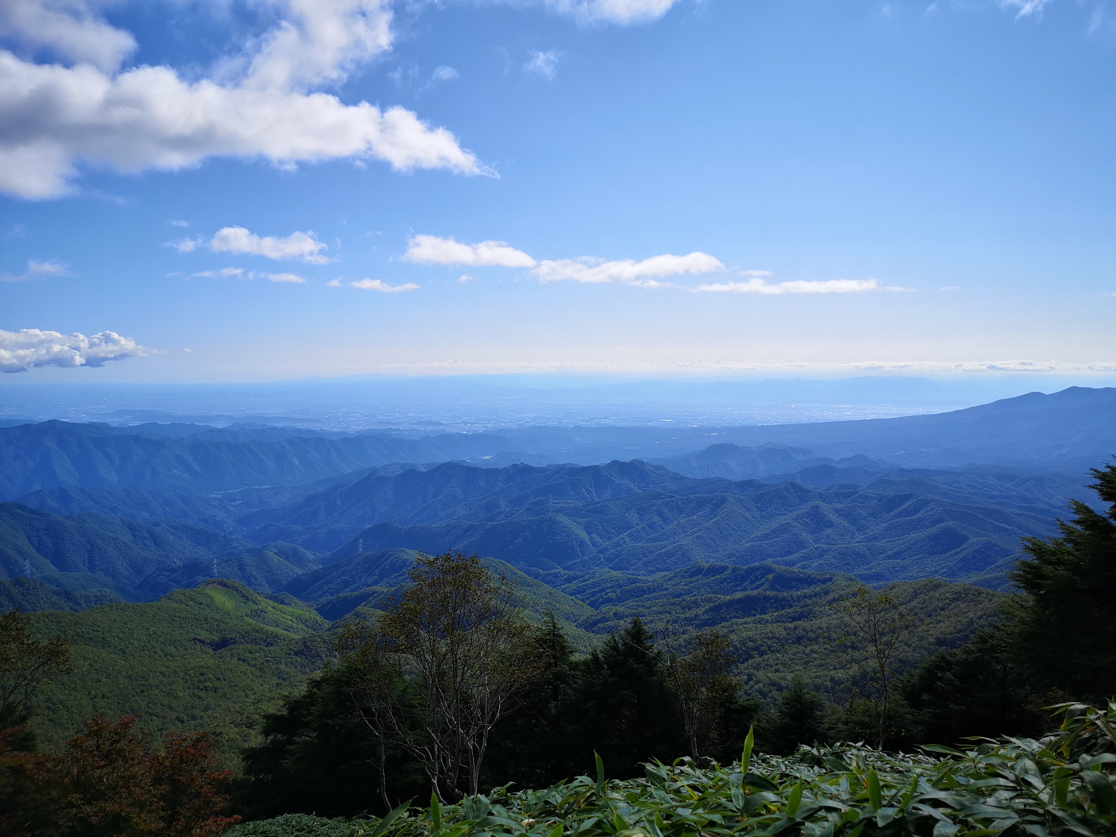
After the path flattened and started to curve around the round summit, I was rewarded with sweeping views to the West. I could see the low mountains of Southern Tochigi and Eastern Gunma, the Kanto plain and Mt Akagi. Since the Kanto plain is flat and wide, it felt like being on a plane. At 2pm I was standing on the top of Mt Mae-Kesamaru 1878m (前袈裟丸山 maekesamaruyama). The view from the summit marker was so-so, but moving through the trees towards the start of the closed trail for Mt Ato-Kesamaru, gave me a much better view. Straight ahead was the other Kesamaru mountain; to the right were the Ashio mountains and the Nikko National Park; to the left the mountains of Northern Gunma. Maybe it was due to climbing in a different season, but I felt that the views on this Kesamaru mountain were better.
Looking at “back Kesamaru” from “front Kesamaru”
Autumn is around the corner
I started down at 2h30. I was anxious to get to my car as soon as possible; I wanted to get back to Maebashi before dark. Also, since I was heading back the same way, I knew I was alone on the mountain. Actually, I was wrong; once I reached the grassy slope close the parking area, I saw, and heard, several deer jumping through the forest. After observing and listening to the deer, I moved on, and was back at my car less than 2 hours after leaving the top. It was still sunny; I was relieved that the weather had held all day. I drove back the same way, and got back to Maebashi station around 6h30 before it got completely dark. I caught the train for Takasaki, and then jumped on the direct train for Tokyo.
Hiking this Echigo Hundred Famous mountain turned out to be a very unusual experience. Since I had used the Tokyo Wide Pass to hike on Yatsugatake, I wanted to use it once more within the 3-day limit. An approaching typhoon meant rain for the entire Kanto region, but fortunately the Echigo mountains worked to hold back the clouds, and gave the Yuzawa area one extra day of sunny weather. I hadn’t really thought about climbing this mountain before, but it seemed like a good hike for the early autumn. Since there were four trails to the top, I first needed to decide my route. A little research showed that one trail had recently been closed due to typhoon damage, and two others required caution. Since it was my first visit, I decided to go up and down the remaining trail. Although it was physically demanding with a 1000 meter ascent, it seemed fairly straightforward. I had planned everything in detail, but there was one element I couldn’t have foreseen, and which nearly forced me to abandon my hike!
Hiking in the Echigo Mountains 越後山脈
View of Mt Makihata from the summit
I left rainy Tokyo by shinkansen and arrived in sunny Niigata less than an hour later. I transferred to the local Hokuhoku line – “hokuhoku” is an expression meaning chuckling to oneself- and got off at Shiozawa station about ten minutes away (this section isn’t covered by the Tokyo Wide Pass). From there it was a short taxi ride to the start of the trail near Kikoji Temple. The driver was very chatty and had many questions about air travel. At 9am, I was ready to hike. It took me only ten minutes to reach the first viewpoint next to a shelter. There were a couple of bells that one can ring to scare away bears; I gave one of them a good “gong”. The Niigata countryside, a patchwork of fields, was spread out beneath my feet. Turning around, I could see the top of today’s mountain and the long ridge leading to it. My starting point was only 300 meters high, and it felt quite warm under the early autumn sunshine.
The Niigata countryside
The hiking trail follows the left ridgeline
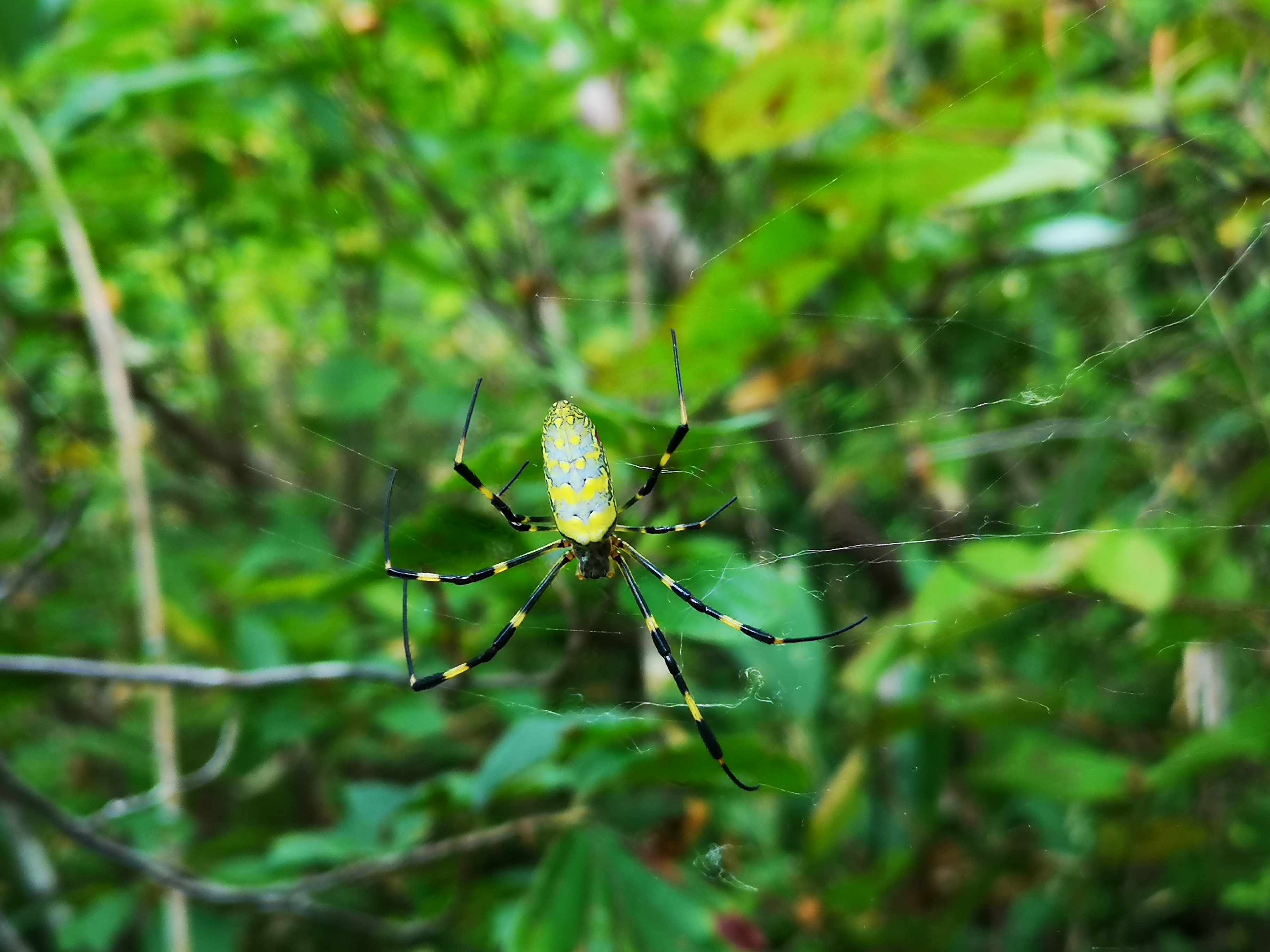
No sooner had I set off again, that I walked into a spiderweb. After clearing my face of the sticky thin threads, I turned around to see that my head had just missed its occupant, a “jorogumo” or golden orb-weaving spider. It reminded me of my hike on Mt Ashitaka last year. A few minutes later, I spotted another web across the path with a big golden spider at face level. I used a branch to gently break the web just below the spider and slipped under. A few meters further, there was another web. I repeated the procedure, but I couldn’t do it so well this time, and ended up breaking most of it, the owner making a quick escape onto a nearby branch. I was impressed with the sturdiness of their weavings – true feats of engineering! I kept the branch in hand, constantly waving it in front of me, in case I failed to spot a web, which happened occasionally in the shady sections.
The entire trail was well-maintained
The tunnel through the shrubs
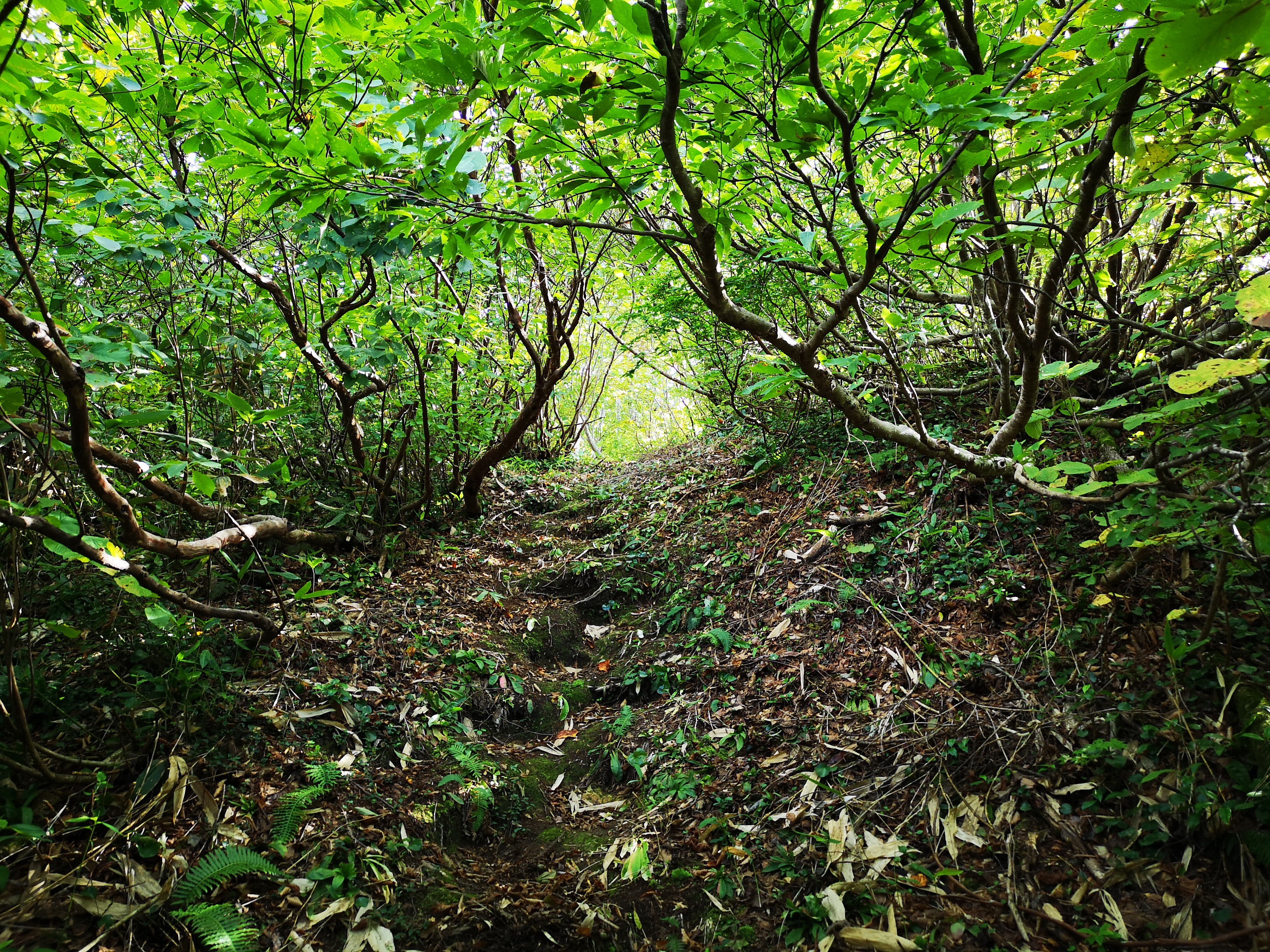
From that point on, there were webs every few meters. The easy-to-walk path formed a tunnel through the shrubs which the spiders exploited to spin their traps; I had never seen so many of them before. If they weren’t strung across the path, they were hanging from the branches on each side and in the trees above. Keeping an eye out for the webs, as well as partly breaking and slipping under them, was time-consuming and energy sapping. As I would need to return the same way, anything I dodged on the way up, would be waiting for me on the way down. I had fallen behind schedule and needed to pick up the pace if I wanted to catch the last bus back. I switched to a two-stick double-chopping movement; this technique was tiring on the arms, but at least I was moving at a good pace again. It was like hacking one’s way through the jungle with a machete. I felt sorry for the spiders and their hard work, but eventually other hikers would be passing through, and the webs would be cleared anyway. I found it hardest when the path suddenly climbed steeply; I had to raise my head and arms at a sharp angle in order to keep clearing the path. A couple of times I heard a rustling noise near my feet, and saw a snake slither away; not only did I have to watch out for spiders but for snakes as well!
A spectacular view of Niigata
The route up this ridge is no longer in use
It took me 2 hours to reach the stone marker for the 5th station (“gogoume” 五合目) around 700m high and halfway up. I took a short break and had some food; I was drenched in sweat and my arms were starting to feel sore. There seemed to be no end to the spiderwebs. I couldn’t imagine doing this all the way to the summit, and then repeating it on the way down, since in the space of a few hours new webs would surely be spun. As I munched on my onigiri, I considered giving up. The good weather was holding and the summit was visible in front of me, so I decided to continue just a little further. From this point, the path entered into a forest of beech trees, and the spiders webs magically disappeared. I soon reached the 7th station surrounded by tall birch trees, the rustle of their leaves in the wind sounded like soft rain (see video at the end). The path then rose sharply, with some sections lined with ropes or chains. Thirty minutes later I reached a flat section with great views; I could now see the craggy top of Mt Hakkai to the North. I was above 1000 meters high, and all that was left to climb was the pyramidal summit. It was a long, steep slog but seemed easy compared to what I had endured lower down. At 12h30, the path leveled again and I had my first views of Mt Makihata. After one last scramble up a rocky outcrop, I was finally standing at the top of Mt Kinjo (金城山 きんじょうさん kinjousan).
Summit of Mt Kinjo
Highest point of Mt Kinjo
The surrounding views were astounding, mainly because of the 1000 meter height difference between the flat valley and the top. There were no high mountains westwards, and I had a bird’s eye view of Niigata prefecture. Looking East, I could see the massive bulks of the “Echigosanzan“, the three Echigo mountains, with dark clouds sitting on each summit. Southwards, I could make out the Tanigawa mountain range, half-hidden by the clouds. High altitude cirrus clouds were streaking across the sky from the South, a sure sign of rainy weather. I sat down for lunch, keeping a safe distance from the top of the cliff on the South side of the flat top. The summit marker doesn’t really mark the highest point. It’s another thirty-minute scramble along the ridge to a slightly higher spot among the trees and without a view, a little beyond the emergency hut; I decided to skip it. A few meters away, I found a rocky slab where I could lie down, close my eyes, and enjoy the warm sun and soft silence created by the absence of wind. I was alone, except for a pigeon, sitting on a nearby boulder, apparently also enjoying the panoramic views.
A close-up of the Joro spider
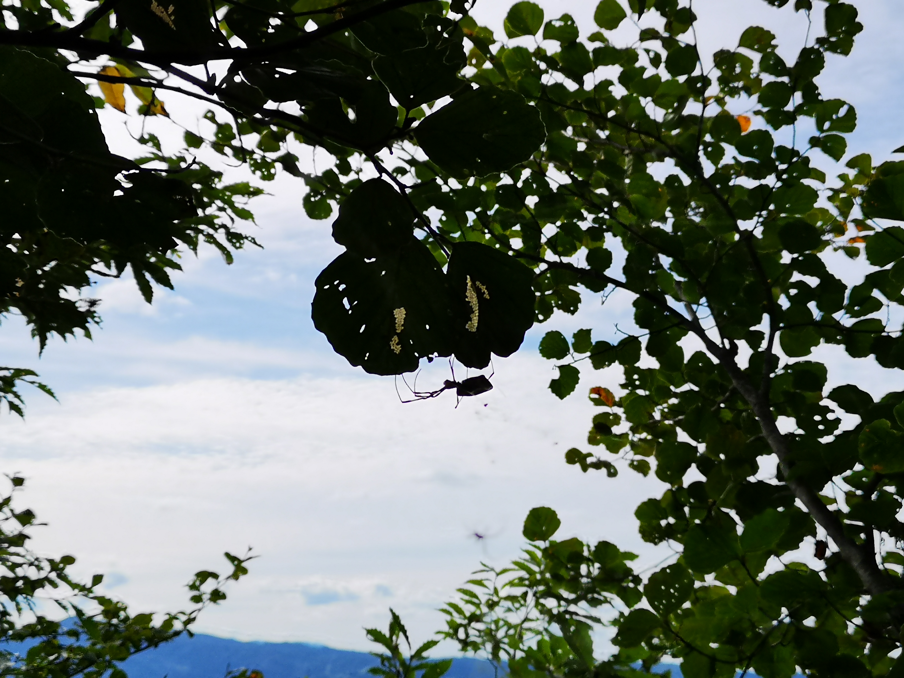
Can you spot the spider?
At 1h30 I headed down and since I knew that the trail was spider free till the 5th station, I moved as quickly as I could. One hour later, I was walking with a stick in front of me again. As I had expected, some webs had been rebuild, although by smaller spiders. Going downhill, I was walking at a straighter angle and I was hitting the higher webs. Despite my best efforts, I occasionally got tangled in them; it was hard to determine whether the web I was caught up in was connected to the spiders dangling nearby; once I stopped just a couple of centimeters short of a big yellow and black spider hanging in mid-air. Since I was keeping an eye out for arachnids, I also spotted other small creatures such as a praying mantis and a big grasshopper. I reached the bottom of the mountain at 4pm under cloudy skies. It took me 7 hours to go up and down, including a hour break at the top; it would have taken six if it hadn’t been for the spider webs. In all my climbs in Japan and around the world, I had never experienced such an exhausting battle to the top. Since the “Joro spider” is mostly active in the autumn, I guess it’s easier to climb this mountain in other seasons. It was a 15-minute walk to the bus stop which I reached with twenty minutes to spare. Unfortunately, the hot spring inside Echigo-Yuzawa station was already closed so I wasn’t able to wash away the cobwebs till I got back to Tokyo !
Listen to the sound of leaves rustling in the wind
Traditional Niigata architecture with Mt Kinjo in the background
I found out about the Yatsugatake “ondanhodo“ (八ヶ岳横断歩道 meaning “crossing path”) hiking down Mt Gongen. Looking at my hiking map it seemed like a mostly level path following the contour of the mountain. However, I wasn’t sure how well-maintained the hiking path would be, seeing that it didn’t lead to one of the popular summits in the area. Also, I was curious whether there would be any good views along the way. I decided to start from Kiyosato 清里 station, and finish at Kai-Koizumi 甲斐小泉 station, not to be confused with Kai-Oizumi 甲斐大泉, one station away. According to my map, the hike would take over 8 hours, but hopefully it could be done in less.
Hiking through the cow pastures
I left Tokyo under grey skies, but I wasn’t worried, since sunny weather was forecasted for Yamanashi; indeed, as soon as I reached Kofu city, the clouds parted and the sun appeared. I was more concerned about the train back being full as well, and I made sure to book my return seat as soon as I got off at Kobuchizawa. I was using the Tokyo Wide Pass which had gone through an upgrade since the last time I had used it. The fancy card format was out, replaced by a ticket similar to a shinkansen ticket, that could be put through the automatic ticket gates. I could also use it to reserve my seat in a ticket machine (I had one of the station staff show me how).
Hiking on the slopes of Yatsugatake
The Kawamata river valley
The Koumi line was also full so I had to stand for the short but exciting ride; the train went up the side of the valley, reaching Kiyosato – altitude 1274 meters – where I got off at 10am; the next stop on the line is Nobeyama 野辺山, the highest train station in Japan at 1345 meters. The air was definitely cooler here, and the village reminded me of Switzerland. To get to the start of the “ondanhodo” trail, I had to walk alongside a busy road for 45 minutes. Then, it was another half an hour of gentle climbing through forest before a short descent led me to Kawamata River. I took a short break here and had a late breakfast, enjoying the warm sun and the sound of the water.
The Oku-Chichibu mountains, in the clouds
Dragonfly taking a break on the top of a signpost
Setting off again, I soon reached wide pastures with a sweeping view of the Oku-Chichibu Mountains, and cows – it’s not often I get to see cows while hiking in Japan. It took me another hour to reach the top of Mt Tennyo (天女山 tennyosan meaning heavenly woman). The view, on the other hand, wasn’t so heavenly and didn’t detain me long. Since there is a bus route and a number of facilities in the area, there were many hikers. However, from then on I had the trail mostly to myself. After a few minutes of climbing I reached a sign for a viewpoint off the main trail. I decided to check it out, but ended up disappointed since trees blocked the view. Probably at one time in the past, it must have been quite spectacular. I retraced my steps, having lost five valuable minutes. The path continued to climb steadily with no end in sight. Since I wasn’t aiming to summit a peak, any meters gained would eventually have to be walked down. It was around this point, that the surrounding forest, a mix of coniferous and deciduous trees, started to get really beautiful.
The Kofu valley with on the left Mt Mizugaki
The “ondanhodo” trail, a pleasant walk through the forest
Eventually I reached the highest point of today’s hike, 1791 meters according to my map, and after a short level bit, I started descending again. This pattern continued for the rest of the hike, although on a smaller scale, as the trail made its way along the natural folds of the mountain. It was tougher than I had imagined but the trail was well-maintained and enjoyable; there were frequent numbered signposts; It made me appreciate the size and complexity of the massive ancient volcano I was walking on. I saw no other hikers and it was very peaceful. There were few viewpoints; I passed another sign of an observatory up a path heading straight up, but decided to skip it since I was still behind (I found out later that there was indeed a view).
The Minami Alps
Looking back at Yatsugatake
At 2h30, I reached a break in the trees with a nice view Eastwards of Kofu valley. I sat down on the side of the trail and had a late lunch. Mt Fuji was in the clouds with only a part of the summit – still free of snow – visible. Soon after lunch, I reached a detour sign; the trail had collapsed lower down. However, I was grateful for it, as it allowed to avoid one of the many “dips” in the path. At 4pm I reached Samisen Waterfall 三味線滝 (1550m). Here, I turned left, leaving the Yatsugatake “ondanhodo” path, and headed down. The trail soon turned into a narrow paved road with nice views of the South Alps in front, and (part of) Yatsugatake behind. After a good hour of road walking, I reached Kai-Koizumi station a little after 5pm, just in time for the local train back to Kobuchizawa, one stop away. After admiring the dusk view from the the top of Kobuchizawa station, I hopped on the limited express for the two-hour ride back to Tokyo.
Listen to the sounds of Yatsugatake
This section of the path across Yatsugatake turned out to be a beautiful and peaceful hike, even though all the ups and down made it tougher and longer than I had imagined. The second half of the hike had few views, but that’s to be expected when walking the side of the mountain. The trail continues all the way round Yatsugatake – I think this may have been one of the better bits, and the only one that can be done from station to station; I’ll find out by hiking more of it in the future!
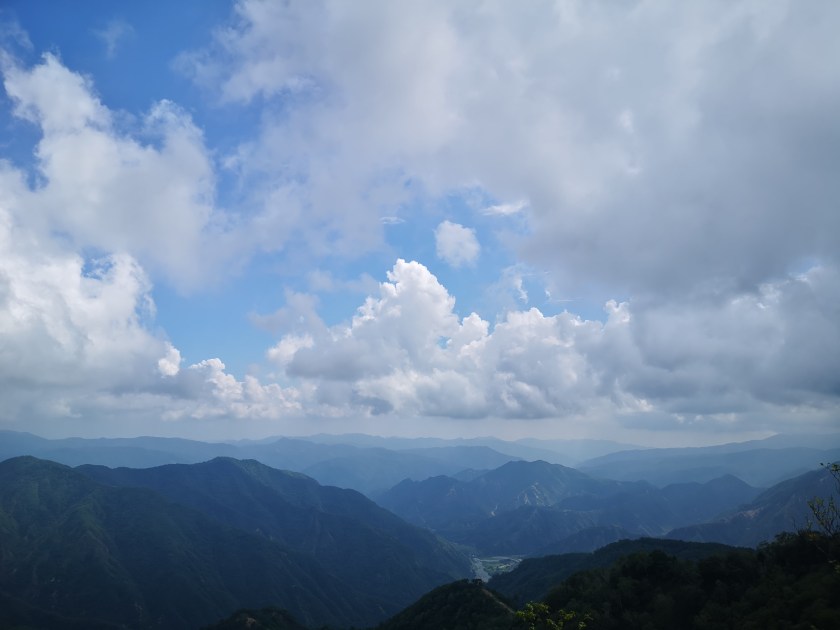
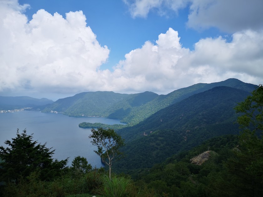
This was my 8th hike in the Oku-Nikko or “deep Nikko” area (not counting several cross-country skiing trips). It’s one of my favourite places because of the easy public transport access, well-maintained trails, beautiful nature and, if the weather cooperates, breathtaking views. When I climbed Mt Hangetsu in 2018, I discovered a bus line that ended just below the summit, and I hoped to use it for another hike someday. Starting from there, I would be able to reach the next peak in a couple of hours, and then make my way back to Chuzenji Onsen via the lake. In theory it looked doable; in practice, due to the tight bus schedule, I had less than 5 hours to complete the hike. Also, rain was forecast in the afternoon, so I hoped I would be able to make it to the summit, and the views, before the clouds rolled in.
Hiking in Oku-Nikko 奥日光
I arrived at Tobu-Nikko station around 9h30, and caught the bus for Yumoto Onsen; as I had hoped, it was more than half empty on a weekday. I got off at Chuzenji Onsen, where I had to wait about thirty minutes for the bus for Hangetsu 半月, a seasonal bus running only a few months of the year. This time, I was the only passenger. It followed a thrilling road up the side of the mountain, with great views of the mountains South of the lake, and ended at a parking area next to a grassy park, on the shoulder of the mountain. Looking back at it during the hike, it reminded of an Inca terrace (see top photo).
Today’s mountain was the triangular peak in the center
Good trail at the start of the hike
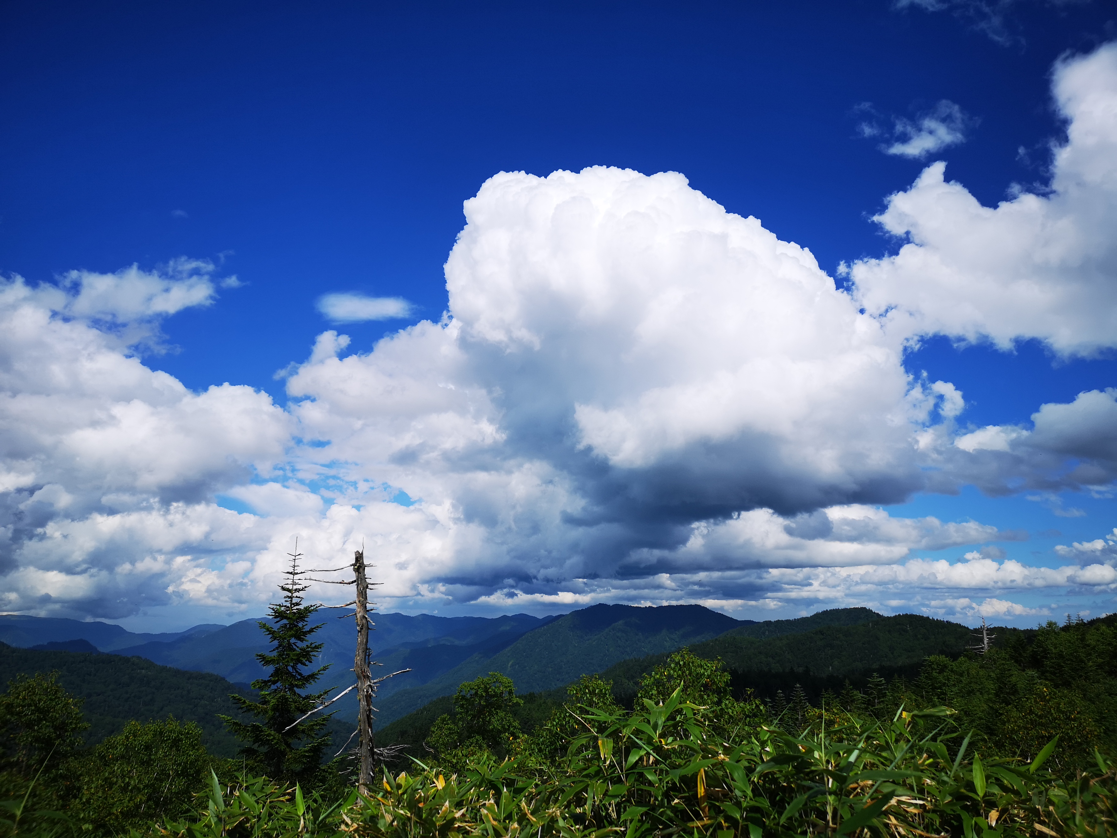
I got off the bus and admired the view for a while. The mountains ridges spread in every direction, with no signs of civilisation in the deep valleys. I finally set off at 11h30. The start of the trail was easy to walk, alternating level and climbing sections. I soon reached the observation platform below Mt Hangetsu, with a view of Chuzenji lake and Mt Nantai to the North. Since I had been there before, I moved on quickly. The trail continued via a series of tight switchbacks down a steep grassy slope with few trees and great views South and West; the sky was full of big puffy cumulus clouds, the biggest one sitting on top of Mt Nantai!
Summer is the time of Cumulus clouds
Despite all the clouds, the weather remained good
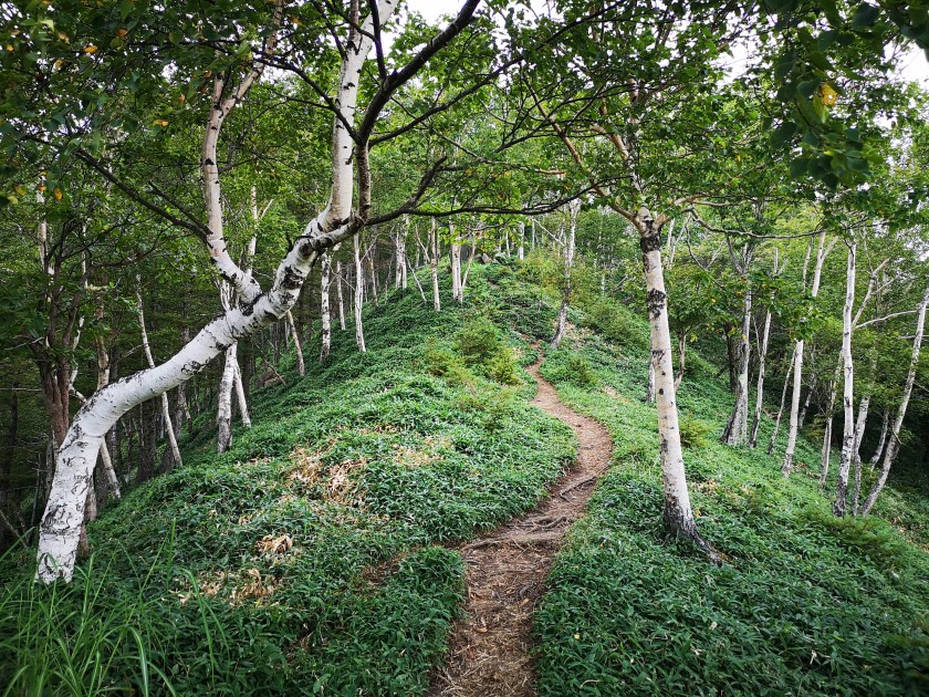
At noon, I reached Hangetsu Pass, where on my previous hike I had turned right, down to the lake; this time I continued straight. After a short climb, I reached the minor peak of Mt Chuzenji 中禅寺山 (1650m) in the middle of the trees. Next was a pleasant half an hour descent through a larch tree forest to Asegata Pass 阿世峠. I had an early lunch before starting the last big climb of the day. So far the weather was holding, and although it felt hot in the sun, it was pleasantly cool in the shade. On the way up, I passed a couple of good viewpoints of Lake Chuzenji, before reaching a steep, but short, climb through some birch trees.
There is a hiking path following the top of the entire ridge
Climbing through the birch trees, called “kaba” in Japanese
The trees thinned, and I soon emerged onto a grassy rocky slope. Here, I had some of the best views of the day, I stopped every few meters to take photos. On my left, the lower ridges dropped away, giving the impression of being at the top of the world; on my right, the highest mountains of the Nikko National Park loomed above me, their peaks lost in the clouds, giving the impression of being at the edge of a hidden kingdom. I felt grateful that I could do such an amazing hike as a day trip from Tokyo.
The landscape tumbling downwards to the South
Getting close to the top
Shortly before 2pm, I reached the top of Mt Shazan (社山 shazan also read as yashiroyama). Although it’s a steep climb, the altitude difference is only 400 meters, so it didn’t required too much of an effort. Big grey clouds were hovering overhead, and a downpour felt imminent. I popped through some trees past the summit to have a quick look at the next part of the trail, and surprised a deer on the other side; it bounced away before I could get a picture. I saw that the trail continued up and down following the ridge around Chuzenji lake, the highest parts hidden by the slowly approaching mist. I quickly had the rest of my lunch, and headed down the way I had come up.
Mt Nantai, nearly clear of clouds, from the shore of Chuzenji Lake
The Chuzenji lake “Shukaisen” path that goes round the lake
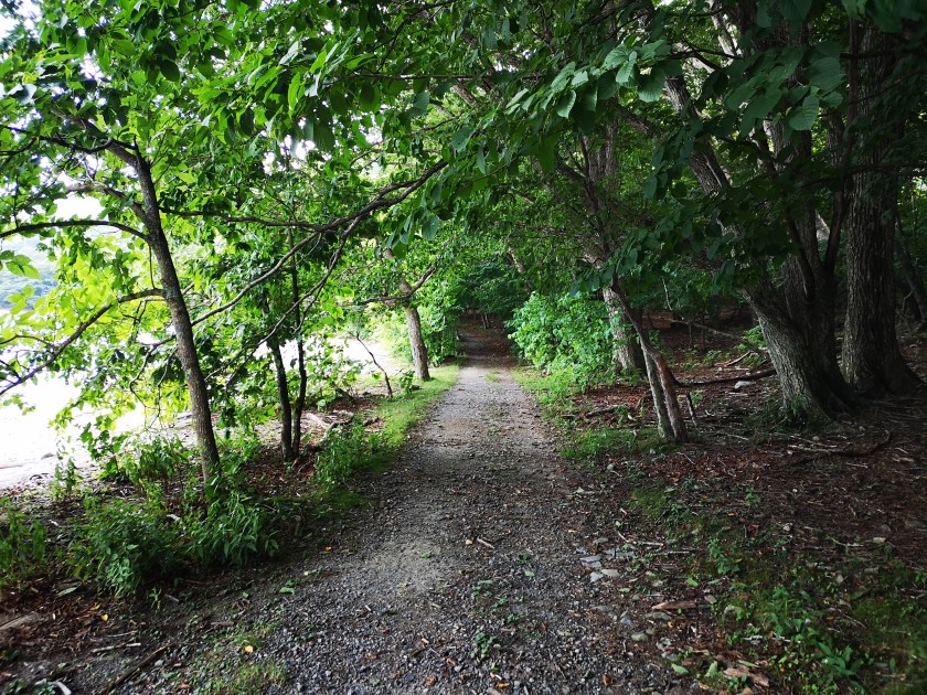
As I hurried down, the clouds retreated and the sun returned. It took me less than a hour to reach the lake shore. From there it was another hour of walking along a pleasant forest path to the end of the hike. The path was peaceful and easy to walk. It’s possible to hike around the lake, and I hope to do this in the future. At 4pm, I was back at Chuzenji Onsen, and I just had time for a quick hot spring bath at Nikko Sansui before catching the bus back to Tobu-Nikko station.
I was glad that this hike could be done in less than 5 hours, although it required some fast walking at the end. The weather forecast turned out to be wrong, a good thing for once!
I had been to Shiga Kogen once before, but I had done it as an overnight trip, staying at Kusatsu Onsen on the way. This time I wanted to see whether it was possible to do it as a day hike, by using the Shinkansen to approach from from the Nagano side. I was also curious to see how crowded public transportation would be this far from Tokyo. The temperature in Tokyo was supposed to exceed 35 degrees, so I was worried that it might be too hot for comfortable hiking. Finally, I was hoping for clearer weather this time round; last time, thick clouds rolled in around noon and hid a lot of the views. This is an original hike spanning the central part of the Joshin-Etsu National Park.
Hiking in Shiga Kogen 志賀高原
In the foreground, Mt Kasa, in the background, Togakushi Highland
The jewel of Shiga Highland, Onuma lake
I arrived at Nozomi のぞみ just below Mt Yokote at 10h40 after a four hour journey that included a regular train, the shinkansen, a limited express and a bus. As I had hoped, the final train and the bus were nearly empty, most people having come by car. It took me about an hour to reach the top of Mt Hachi (鉢山 hachiyama) -sadly no view from the top. The descent was pretty tough, the trail being in urgent need of maintenance. It’s possible to skip this summit by starting from Hotaru Onsen instead.
Today’s hike, from the top of Mt Yokote, lit up by the sun
The final, and highest section, of today’s hike
The next section was mostly flat and easy, the views obscured by head-high bamboo grass growing on both sides of the trail. There were a couple of spots where the views to the East opened up, and I was able to see Mt Yokote and, further away, Mt Haruna. Looking up, I was still able to enjoy the blue sky and white clouds. I didn’t feel too hot thanks to the combination of clouds and light wind. I saw about three toads along the trail, but I couldn’t get any good pictures or video before they hopped under the bamboo grass.
Mt Yokote, today’s starting point
I didn’t expect to see Mt Haruna so clearly today
After a short climb, I reached the rocky top of Mt Akaishi (赤石山akaishiyama) just after 2pm. From the summit, I could see the whole of Shiga Kogen. South was Mt Yokote, West was Onuma Lake and Mt Shiga, North was Mt Iwasuge (which I hope to climb in the future), and East was Mt Haruna. Despite the threat of thunderstorms, good weather prevailed, and I was able to see views that had been denied to me on my previous visit.
Mt Akaishi, the middle section of today’s hike
The final meters before the top of Mt Akaishi
After a short lunch break, I set off again. The path headed down steeply, then was level for a while, before climbing again. I passed the top of Mt Terakoya (寺子屋山 terakoyayama or 寺小屋峰 terakoyamine), surrounded by trees, but didn’t stop long since I was slightly behind schedule. Very soon, I emerged from the trees and I could see my final destination, the top of the Higashi-Tateyama Gondola Lift, which I reached at 4pm (last Gondola down at 4h20). I could have walked down to the base and bus stop, but then I wouldn’t have had time to take a much-needed hot spring bath at Hotel Higashidate. I was the sole passenger on the bus ride back to Yudanaka station.
Onuma lake with Mt Shiga behind
Looking Northwards to Niigata prefecture
Although it’s a long way there and back, not to mention the price, I was very satisfied to be able to hike in such beautiful surroundings; at times, I could only see mountains in every direction. This hike is also special in the sense that I could start and finish at around 2000 meters high, a good altitude for hiking in the summer. Finally, because it’s so far from the capital, there were few other hikers so I really had the mountains to myself.
Akaishi means red rock so it’s easy to see where the name comes from
This was my 4th trip to Mt Akagi, but my first time by car. This ancient volcano has many peaks and trails surrounding the top crater, making it a great hiking destination for all levels. On my previous visit, I followed a little-used trail down a beautiful river valley. I was looking to repeat that experience, but on the other side of the mountain. As usual, I was concerned about the weather. The forecast called for rain showers, but I hoped that there would be an equal amount of sunshine.
Hiking on Mt Akagi 赤城山
I arrived at the Konuma Parking lot around 1pm in sunny weather. Today’s hike was relatively short so I stopped for an early soba lunch on the way. The moment I set off, thicks clouds rolled in, followed by some light rain. Fortunately, there was no wind and the temperature was comfortable. It took me barely half an hour to reach the top of Mt Choshichiro (長七郎山 choushichirousan), less than 100 meters higher than my starting point. The rain had let up, but all I could see was white cloud…and lots of dragonflies.
Do you dare to walk under?
The East side of Mt Akagi
After this nice warm-up, I continued down the other side. This path was steep, and some sections had been washed away, maybe by last year’s powerful typhoons. Ten minutes later, I reached a four-way intersection with a sign. I took the path opposite for Otogi no Mori オトギの森, meaning fairytale forest. There were many paths but almost no signs; most joined up a little further down; a few headed down to the Kasu river on the right. I avoided the latter since from my pre-hike research I knew that the area around the river had been damaged by typhoons.
A hidden river valley near the top of Mt Akagi
Otogi no Mori or Fairytale Forest
Eventually I reached the center of Otogi no mori, a flat quite area with many impressive oak trees, possible “konara“, and a view across the river valley. Continuing straight along the sole remaining path, I soon reached another intersection where I turned right towards Cha-no-ki-batake Pass (茶ノ木畑峠). Here it was possible to hike down to a waterfall and Akagi hot spring, but that will be a hike for another day. I turned right again, and followed the ridge. It was an easy walk, but the views through the trees were lost in the cloud.
Ropes to help the hiker
For once the bamboo grass was replaced with regular grass
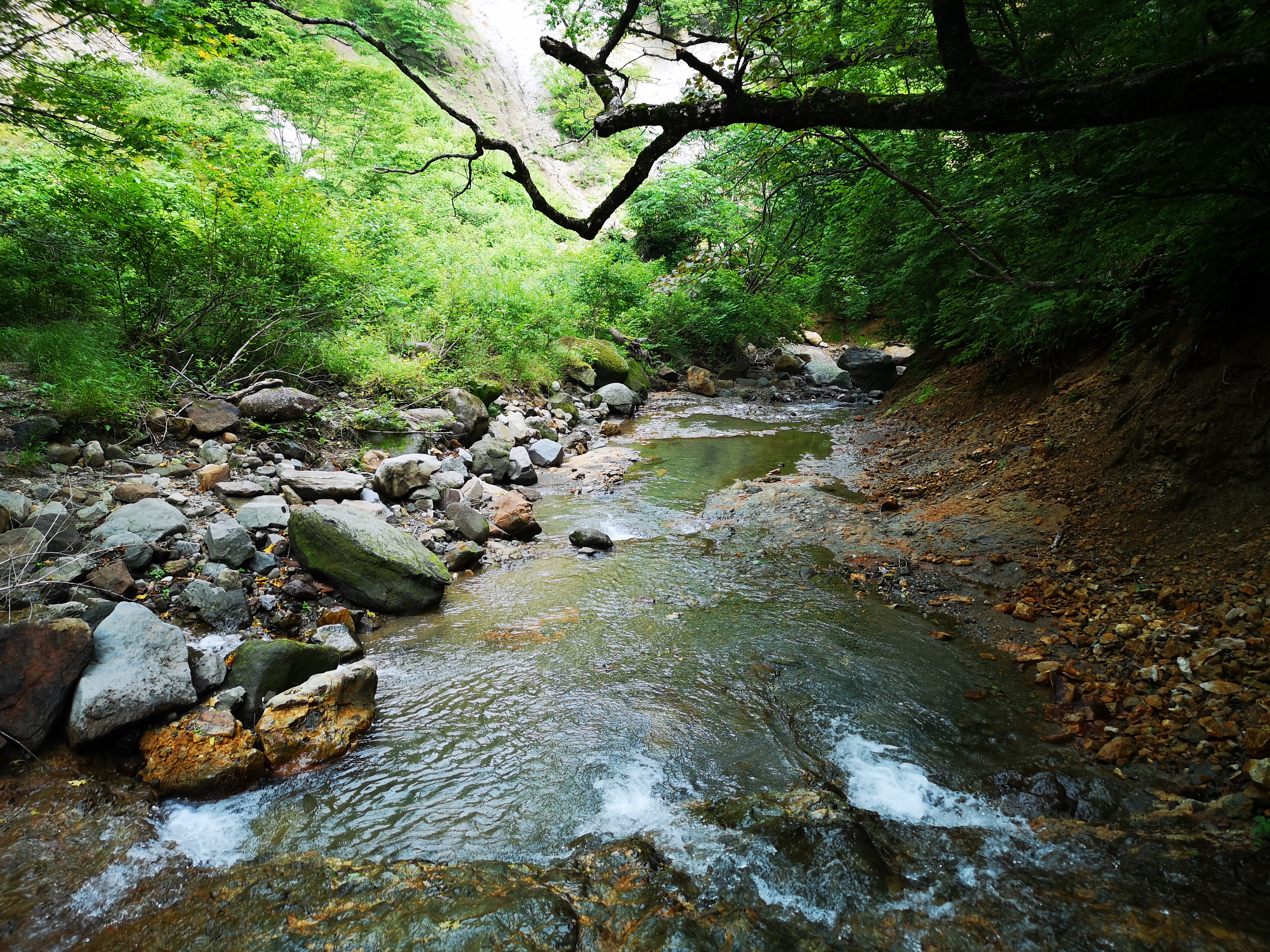
Very soon, the path started to descend steeply. It was slippery because of the recent rain, but I managed to reach the river without any mishaps. I hadn’t expected to find such a beautiful river valley on the upper slopes of Mt Akagi. There was no one else and it felt lonely and mysterious. At the end, the water was funnelled through a narrow opening between some rocks and disappeared into a dark cave – quite an interesting and unexpected sight. It’s called Choushi no Garan 銚子の伽藍 (“choshi” is a kind of sake container, narrow at the top and wide at the base).
The Kasu river valley, a fun place to explore
All the water from the river disappeared into a rocky tunnel
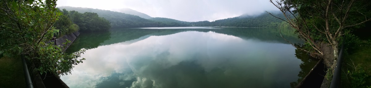
It was now 4pm, and it had started raining softly again. The trail continued up the other side of the mountain, but it was steep, muddy and overgrown with bamboo grass, so I decided to head back the same way. Soon, the rain stopped again and some sun broke through. I took a different and more direct path back through Fairytale Forest and reached Konuma lake around 5pm. I had an amazing view of the lake through the mist, with Mt Jizo and its TV antenna behind. From a distance, it looked like the spires of a fairytale castle. While walking back to the my car, I had one more surprise – a couple of deer bounding away through the forest.
The “towers” of Jizo
Konuma Lake in the late afternoon
I was glad I was able to discover another great river valley, although there was no path next to it. The weather was good enough for hiking, but I’ll need to return on a sunny day for the views, probably in the Spring of the Autumn.
I had been to Oze twice before, but each time I stayed overnight. I had heard that Oze was too far from Tokyo for a daytrip, so I had never really given it much thought. However, I have become more willing to put up with long train rides in order to find new hiking spots so I thought I would give it a try. It would mean about 9 hours travel for less than 6 hours hiking , even with using the shinkansen. Would it be worth it? another reason, I had avoided the area was because of the crowds. This time I planned to go on a weekday. Would I have the place to myself? for once the weather wasn’t a concern – a rarity for Oze, the forecast called for sun and clouds, with no rain expected till the evening.
Looking back at Mt Shibutsu from Yoko-Tashiro
I arrived at Hatomachi Pass 鳩待峠 at 10h30. There was only a handful of hikers, all heading down to the Ozegahara Marshland. I took a different path, behind the rest house, and opposite the path for Mt Shibutsu. I was walking alone on an elevated walkway, and quite happy to be back in Oze National Park after a few years. The surrounding forest was pretty, but a little spoiled by all the “sasa” or bamboo grass.
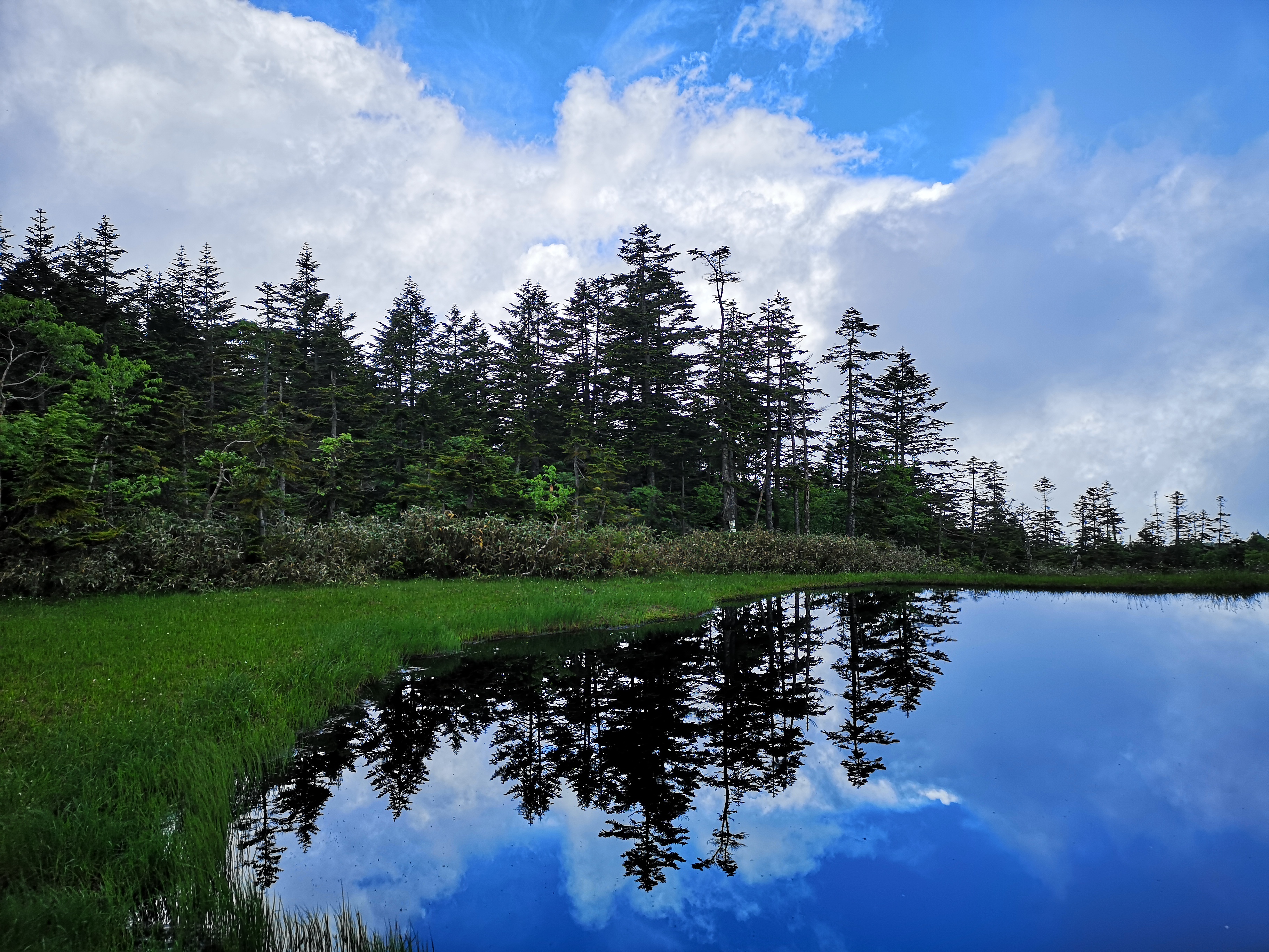
Clouds, Pines and Ponds
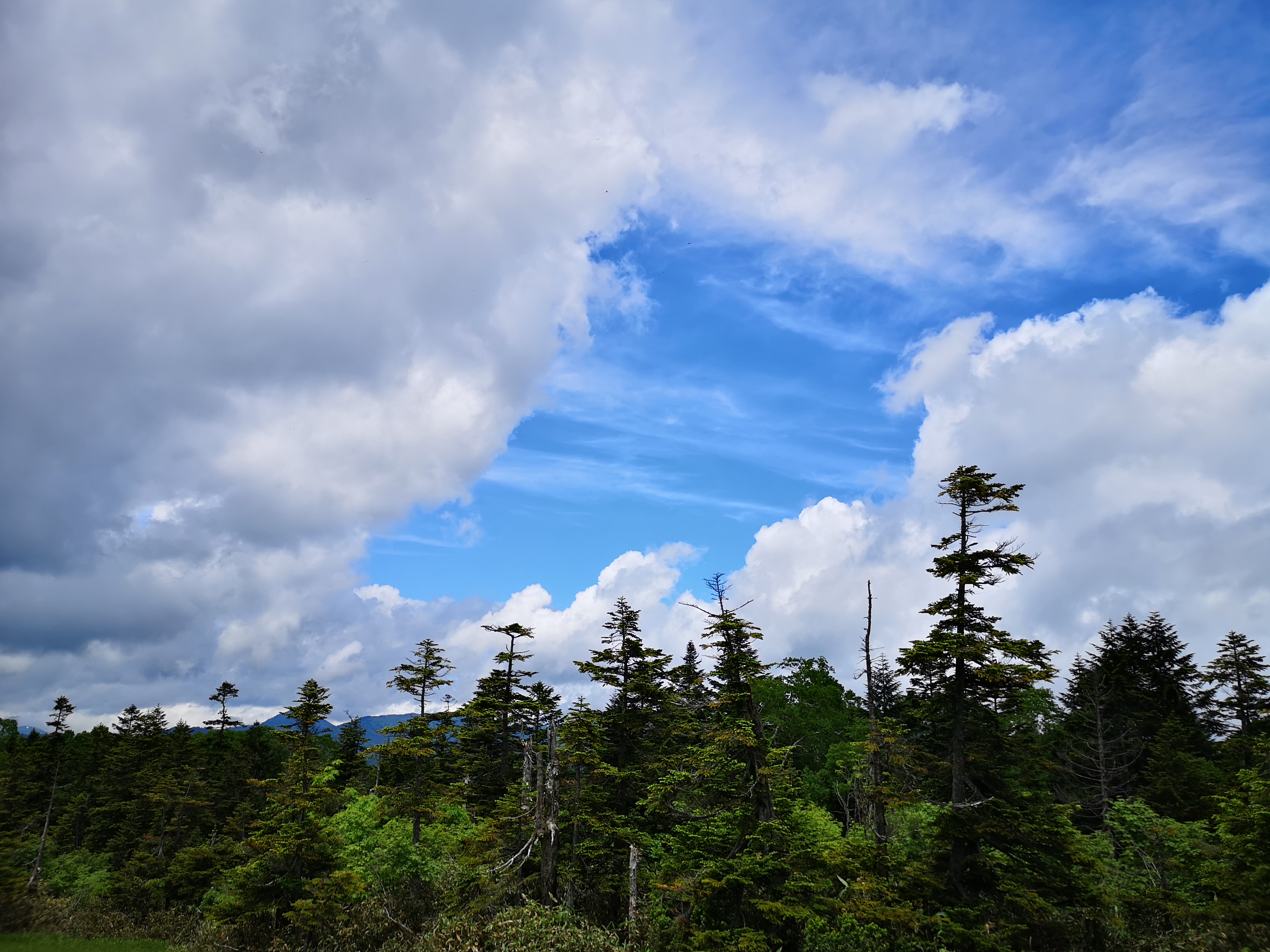
An hour after setting off, I reached an open grassy space called Yoko-Tashiro 横田代. Behind me was Mt Shibutsu, a hyakumeizan, it’s summit lost in the clouds. To it’s right was another hyakumeizan, Mt Makihata, snow still visible around the summit. I had started off quickly, but here I spent some time. It was still sunny, but impressive clouds were quickly moving in from the East, making for some dramatic pictures.
Flower season in Oze
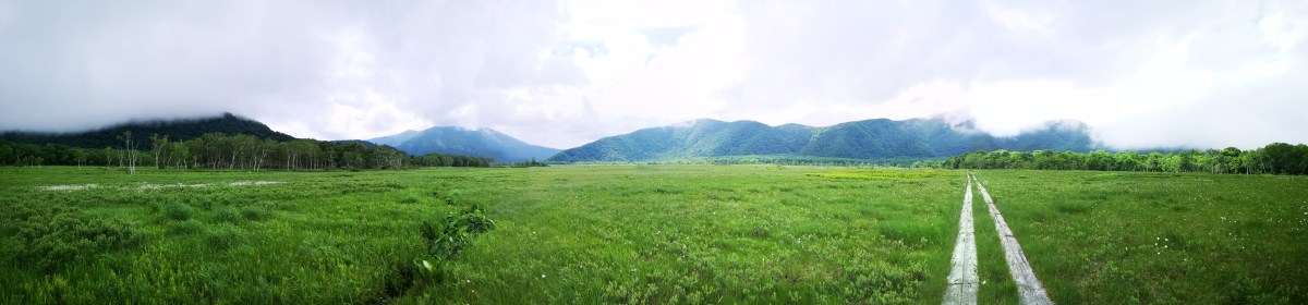
It took me another 30 minutes to reach the top of Mt Nakahara (中原山 nakaharayama), a minor peak surrounded by fir trees. Around this point, I finally started meeting other hikers. Very soon I emerged into another open grassy space, this time with many ponds (and from the noise, frogs), known as “Ayame-Daira” アヤメ平 or Iris Plain, although there were any iris flowers yet. There was some sitting space, so I decided to have lunch, although by now the weather had become overcast and grey.
Walking through the Oze Marshland
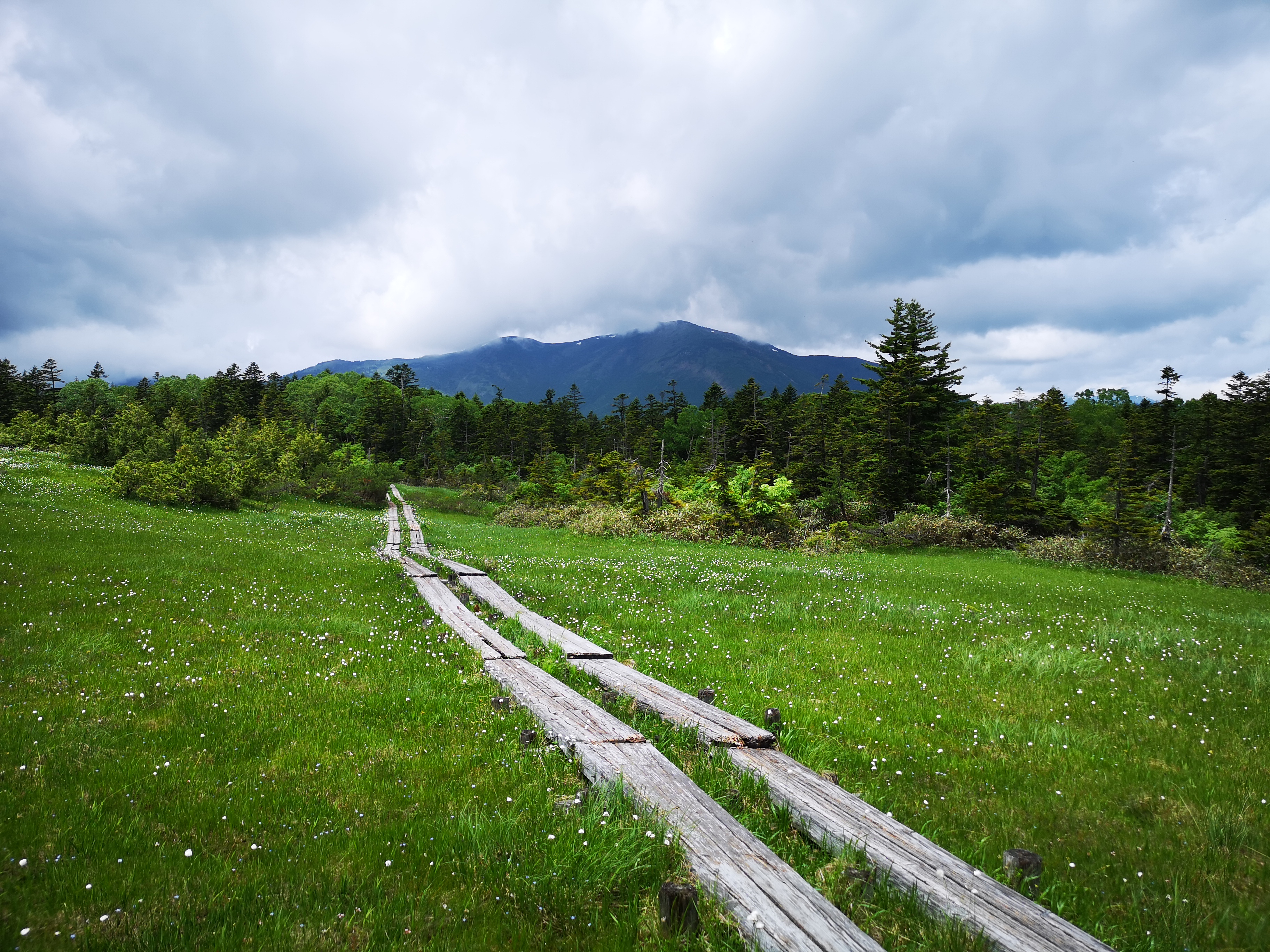
I reached Fujimi Pass 富士見峠 just before 1pm. At this stage, I needed to descend towards the Marshlands. There were two paths, and I chose the shorter one called the “Nagazawa-Shindo” 長沢新道. Although it was mostly downhill, it was least pleasant part of today’s hike, first down a wet and slippery wooden walkway, then down a steep and rocky path. After crossing a small stream followed by some beautiful forest, I reached the flat open space of Oze Marshlands. At the end of the valley stood Mt Shibutsu, towering clouds perched dramatically above it.
In July expect lots of clouds and green
From here, the hike was straightforward, and I had hiked the same way on my previous trip. However, unlike last time, there was almost no one, and it felt amazing to have the place to myself. I walked fast, stopping from time to time to take photos of the blue iris flowers which were in full bloom everywhere. I passed the visitor center at 3h30 without stopping, and started to climb back to Hatomachi Pass, which I reached at 4h10, five hours and thirty minutes after setting out, and twenty minutes before the bus was due to leave. A couple of hikers arriving 10 minutes after me, claimed to have spotted a bear!
Overall I was very satisfied with the hike mainly since it was crowd-free. The bus there and back was also empty, so the travel part was comfortable as well. I hope I can return this season and try another hike through the Oze National Park.
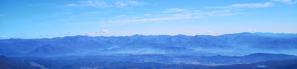
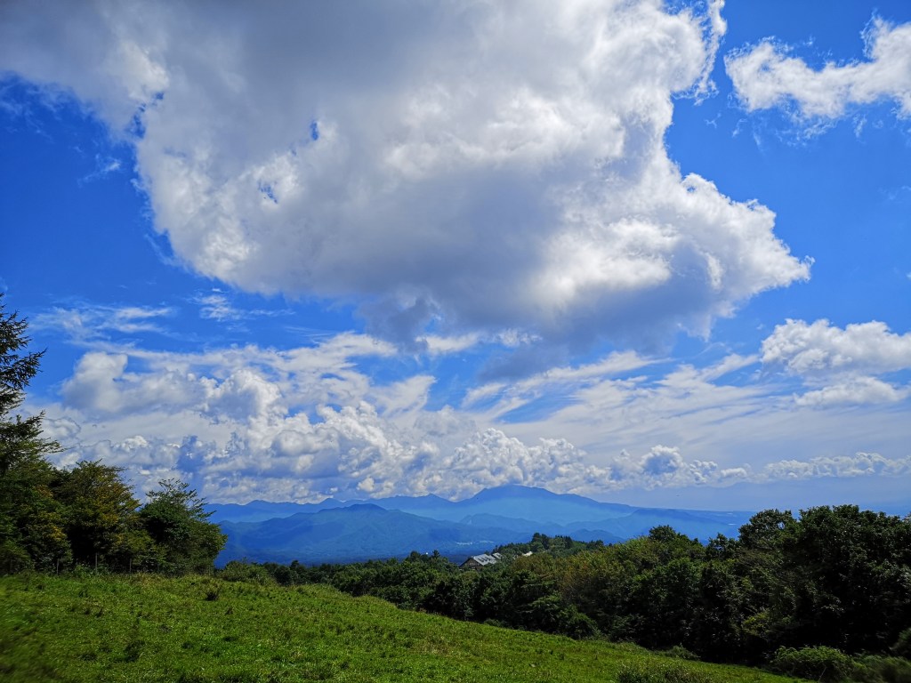
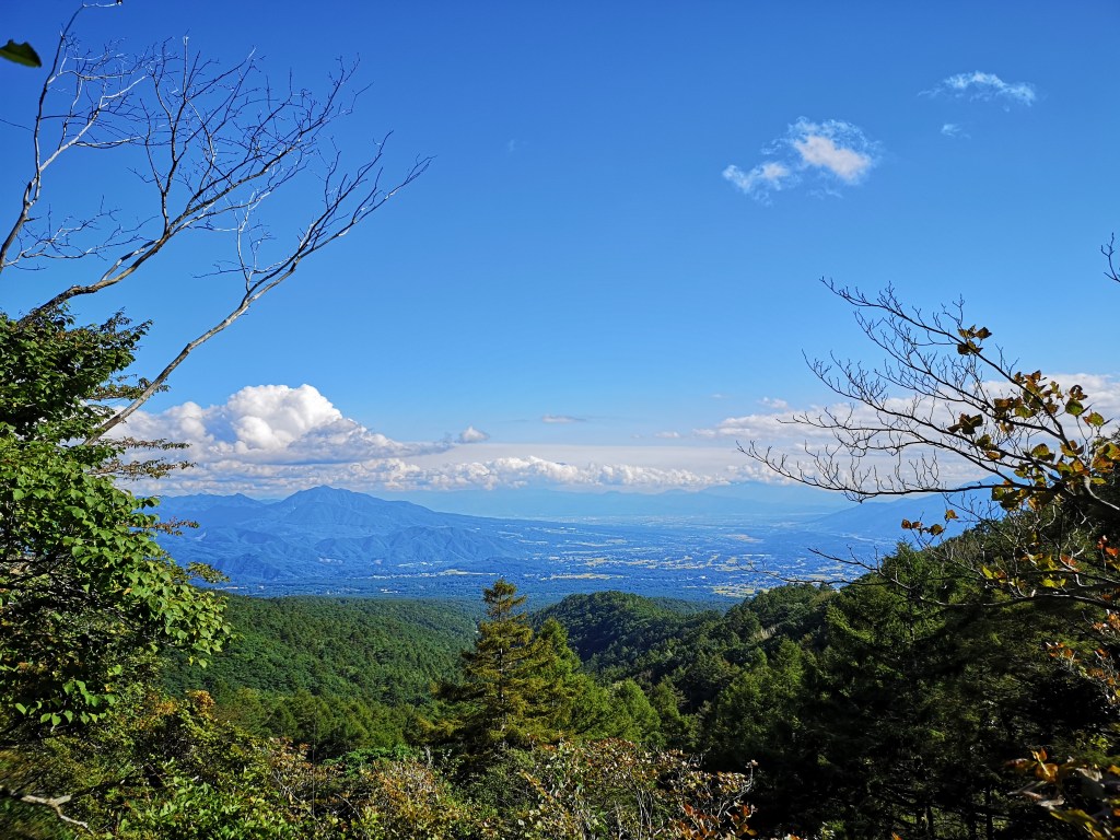
As the weather becomes hotter and humid, I need to find higher and higher places to go hiking. This also means traveling further from Tokyo, since I have already climbed the highest peaks close to the capital. I had never heard of this Yamanashi 100-famous mountain 140 km West of Tokyo in the Minami Alps, till I saw it listed on a website about Yamanashi prefecture (I was researching river walks). My previous visit to the area was in November 2018 when I climbed Mt Nyukasa, about 10 km to the North.
As usual, access was a bit of a headache; in the end I decided to take a train to Nagasaka station on the Chuo line, then take a taxi from there to the trail entrance, next to the Hakushu Village campsite; other options would have been too long for a daytrip. According to my map, the hike was about 6 hours; since I hadn’t recovered my hiking legs yet, I was curious whether it would be as easy as it seemed. Also, since it was the middle of the rainy season, I wasn’t sure whether I would get any good views.
View of the Minami Alps on the way to the trailhead
The forest is beautiful this time of the year
The taxi dropped me off right at the trail entrance at 10am, after a long winding drive up a narrow mountain road. I was surprised to see how lush and green the surrounding vegetation was; definitely worth risking a little rain, although today the sun was shining. The start of the trail gently wound up the side of the mountain, packed earth beneath my boots, the rare steep sections offset by low wooden steps. It was very peaceful. The temperature was on the warm side, but since there was no hard climbing, I didn’t break a sweat.
An easy to hike trail going up
First views of Mt Kaikoma (right) and Mt Hou (left)
Around noon, I got my first views to the South of Mt Kaikoma and Mt Hou, two “hyakumeizan” in the Minami Alps. Slightly to the left, I could make out the triangular outline of Mt Fuji, nearly 70 km away. Much closer, and lower, was the white sandy top of Mt Hinata which I have yet to climb (it had the river valley I was researching). I took a short break and had the first half of my lunch, before setting off again. The trail now alternated climbing and level parts. I had some more views, this time to the East of the Oku-Chichibu mountains. I passed several groups walking down; it seems many people drive to the campsite and just walk up and down the same way.
Some level hiking – are we getting close to the summit?
Mt Kaikoma through the trees
During the climb, I couldn’t see the summit at all, and apart from a stream halfway up, there were no landmarks to tell me how far along I was. Suddenly, at 1pm, I reached the top of Mt Amagoi (雨乞岳 あまごいだけ). There was one other hiker, who left soon after I arrived. I had good views East and South, the Yamanashi side, but the Nagano side was hidden by the trees. Descending a little bit on the other side, I was able to make out Yatsugatake on the left side. While having some lunch sitting on a fallen tree, it was so peaceful that a deer wandered closeby, but ran off immediately after spotting me (I still got a photo).
Hello my dear!
Opposite, the Oku-Chichibu mountains
The weather had now turned cloudy, and it felt cool above 2000m. I started to head down after 1h30, along a very steep slope – I was glad I hadn’t climbed this way! At 2pm, the path flattened and led me to a T junction. To the right, it was a short roundtrip to a place called Suisho Nagi 水晶ナギ, a place where crystal used to be mined. In less than 15 minutes I emerged onto an impressive narrow sandy and rocky ridge with surrounded by green forested mountains. I couldn’t see any sign of civilisation, and I felt like I was exploring a new world.
On the right Mt Nokogiri, a 200-famous mountain next to Mt Kaikoma
Going down was also easy (except the bit near the top)
It was getting late so I quickly made my way back to the main trail. From here the path was easy to walk, although there were no more views. It took me an hour and a half to reach the road at the end of the trail, where there is a shrine called Sekison 石尊神社 accessed via a long steep staircase. It was a 20 minute walk to the bus stop opposite a 7/11/ from where I caught a bus around 17h30 for Nirasaki station. Closeby was the Hakushu whisky brewery, normally open to visitors but now closed due to the pandemic. I ended walking nearly 6 hours, and I definitely felt it the next day, although I was glad that I had clear weather and great views!
I had been to Tanbara highland in May 2018 (also spelled “Tambara”), so I thought it would be the perfect place for some easy hiking during the rainy season. Since I had already been to the highest point, Mt Kanomata, this time I decided to take a different trail and skip this summit. This would make for a slightly shorter hike which was good, since this time I was driving there and back myself (it’s also possible to get there by bus). My main concern was the temperature – would it already be too hot and humid to hike comfortably?
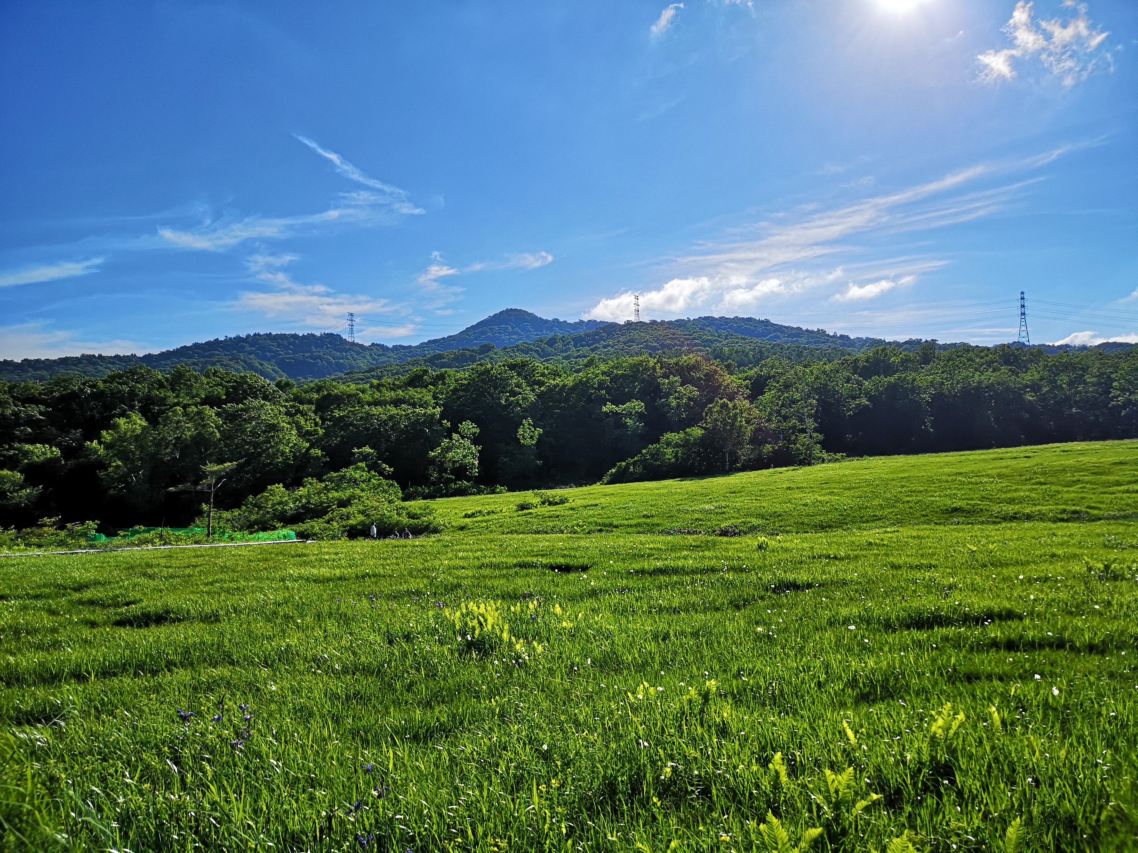
Tanbara Lake, seen from ski slope, turned grassy field
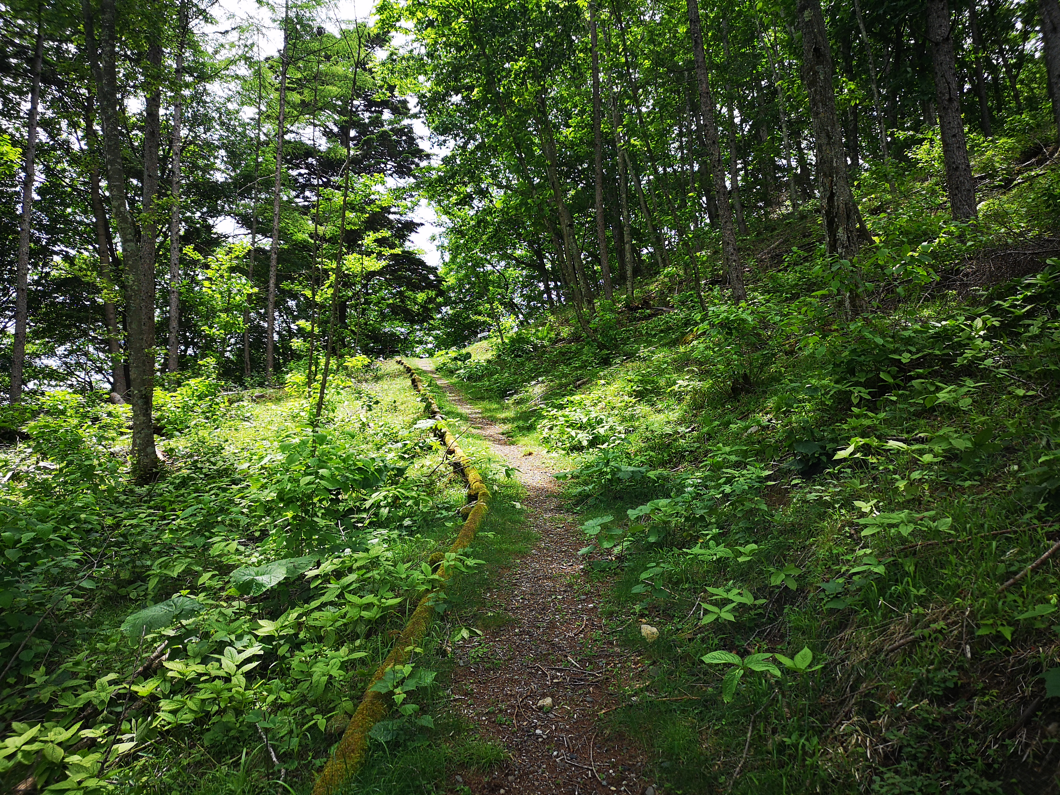
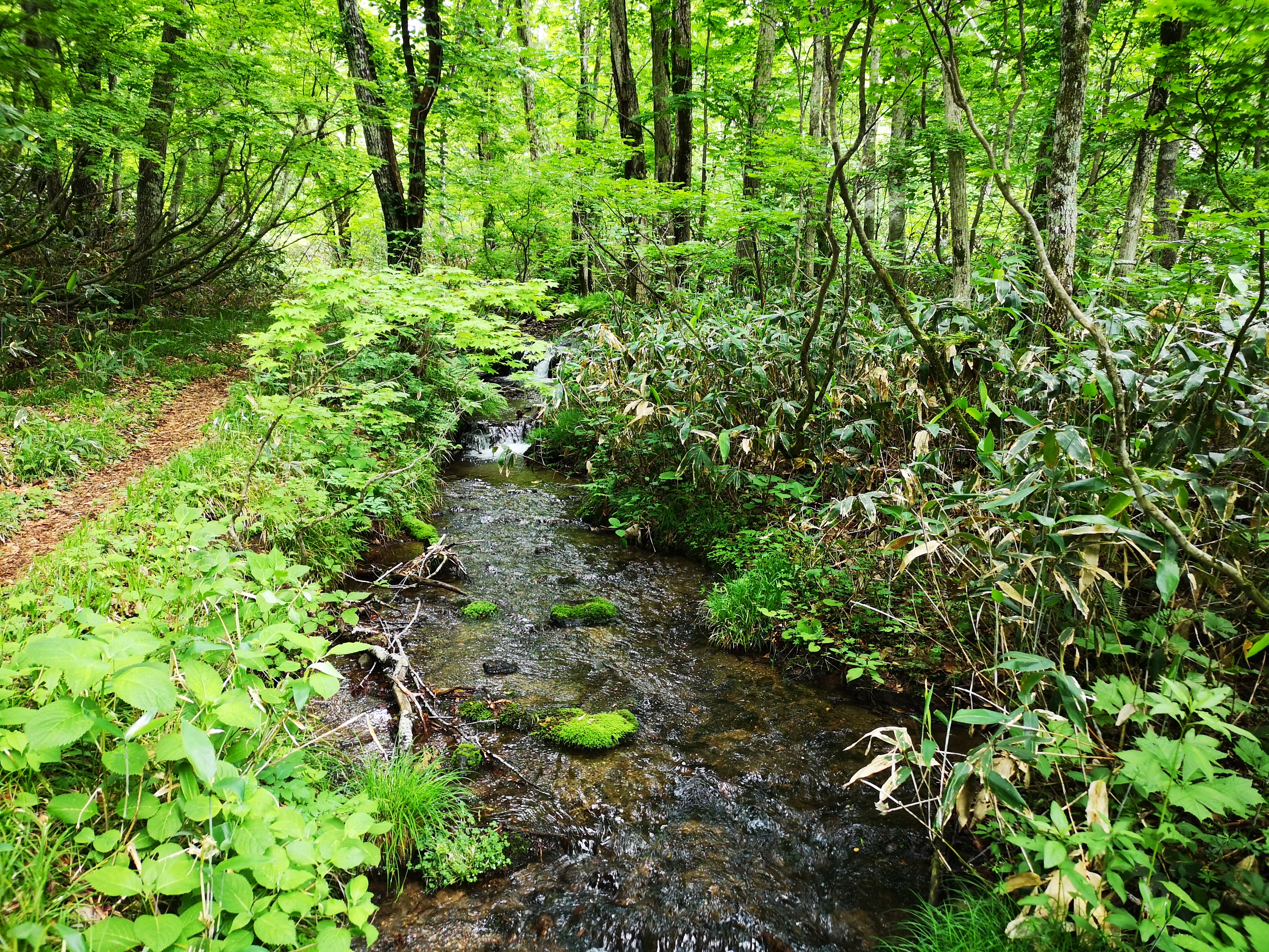
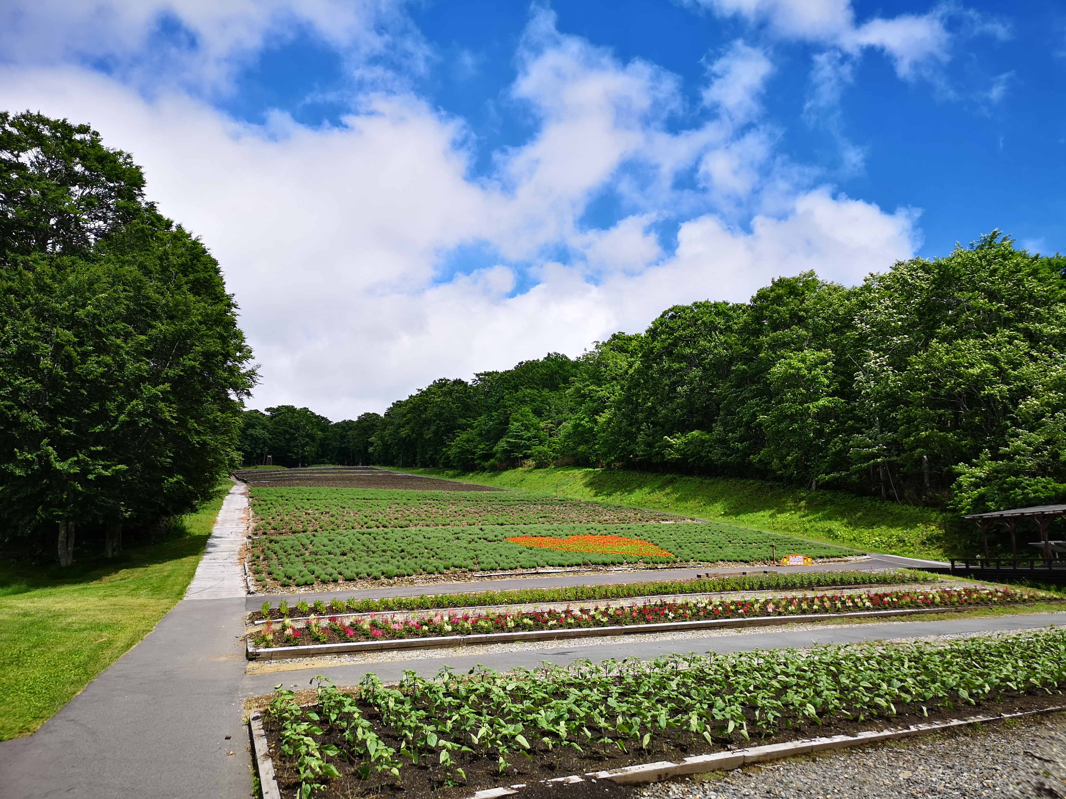
I arrived at the Tanbara Center house 玉原センターハウス around 12h30. Contrary to my expectations, the air felt a little chilly and a few raindrops were falling; however, the sun was just coming out from behind the clouds. I set off the along the same trail as my previous hike, heading gently uphill through a beautiful beech forest and following a small bubbling stream. Just before arriving at the Tanbara camping ground, I turned left along the road towards the Lavender Park in bloom from next month only. Now, however, the flowers were still closed, and the area was deserted.
Hiking next to a small stream
The Tanbara Lavender Park
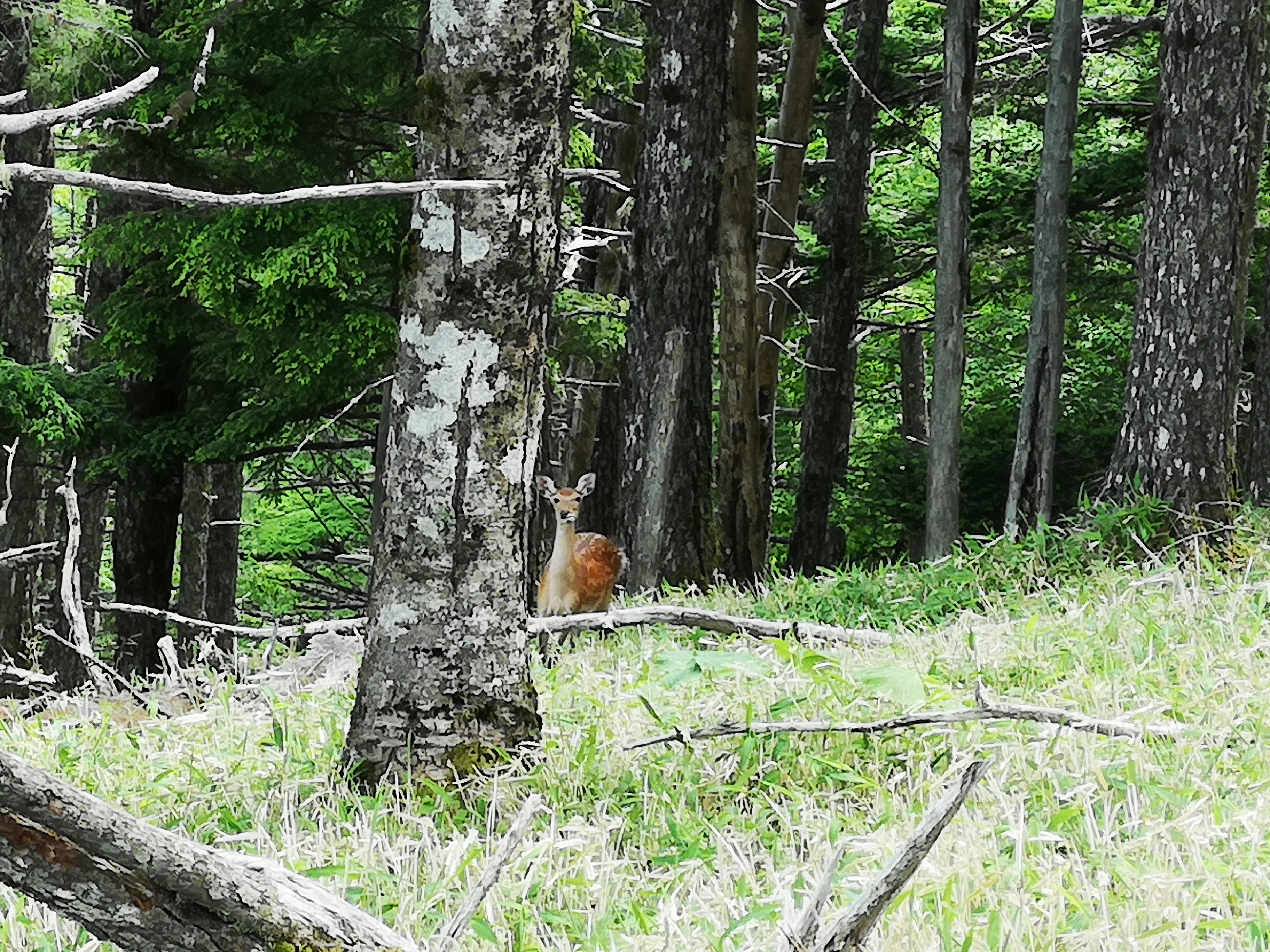
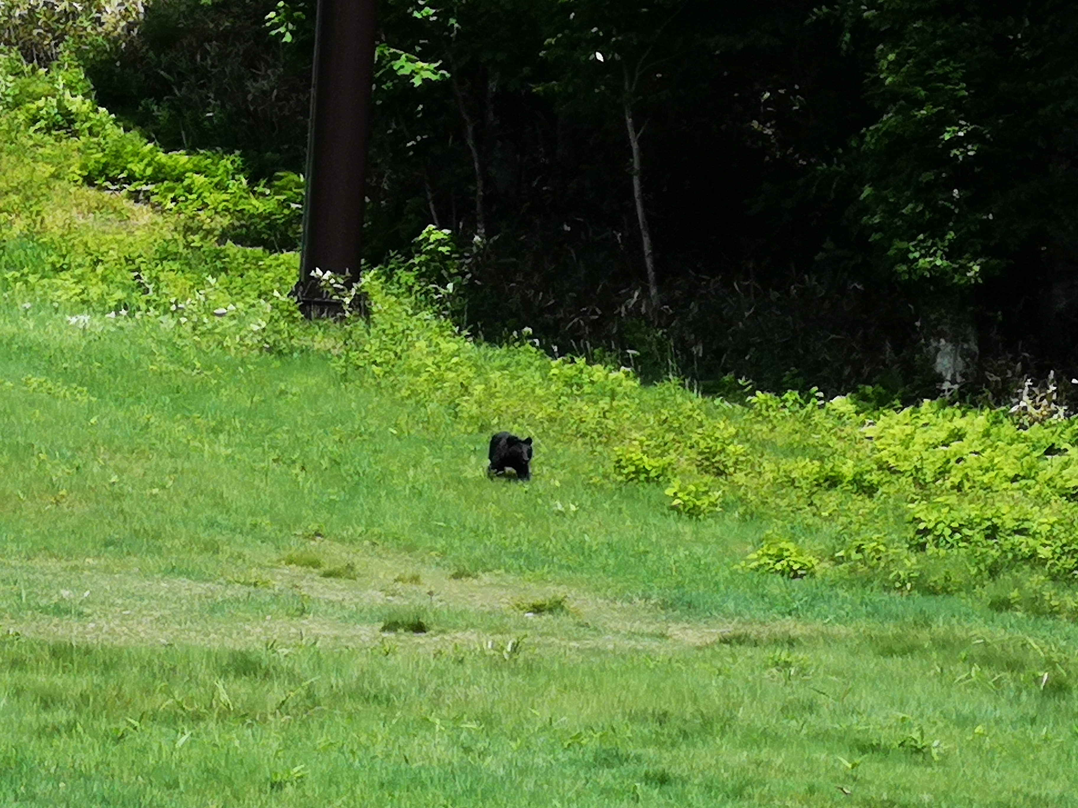
I walked up one of the paths among the flowerbeds to a small observatory. It had a bell that one can ring to scare away any bears that may be lurking nearby. I gave it a good ring. After climbing down, I spotted a black shape out of the corner or my eye. It was about a hundred meters away on the edge of the ski slope (Tanbara is a ski resort in the winter months). Using the zoom of the camera, I was able to ascertain that this was in fact a bear cub. It seemed unperturbed by the noise of the bear bell, but a few seconds later it ran off into the forest. This was my fourth bear sighting, and it had been a while since the previous one, so this made my day.
Bear cub above the Lavender Park (taken using 10x zoom on my camera)
Tanbara is mainly known as a ski resort
I headed back down, and continued along the hiking trail up into a forested area between two lavender zones. Unfortunately, after a few minutes, the trail became so overgrown with bamboo grass that I had to give up . Even though it was indicated on the maps, it was obvious that the trail wasn’t much used, most people preferring the direct route to the summit. I decided to make my way back to the start of the hike, and turn right along the the bird-watching route 探鳥ルート so that I could at least reach the beech flats ブナ平, one of the highlights of the hike (I didn’t see any birds though).
Tanbara Marsh, after descending from the beech flats
The Iris flowers were in full bloom
Around 4pm, and somewhat behind schedule, I was finally walking on a level path among the beech trees. This is one of the rare places with a mostly flat trail high up in the mountains, so it’s perfect for beginners. Soon, I turned left, down the river source route 水源ルート, ending up at Tanbara Marsh 玉原湿原 around 4h30, another of the highlights of this hike. After crossing the marsh on wooden planks, I emerged onto a road (closed to traffic), and I was back at the parking lot just before 5pm. Even though I couldn’t do the hike exactly as I had planned, I was still able to hike for around 5 hours through beautiful nature in good weather. I was also relieved that the temperature and humidity had turned out to be perfect for hiking!






































You must be logged in to post a comment.