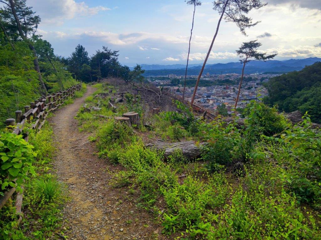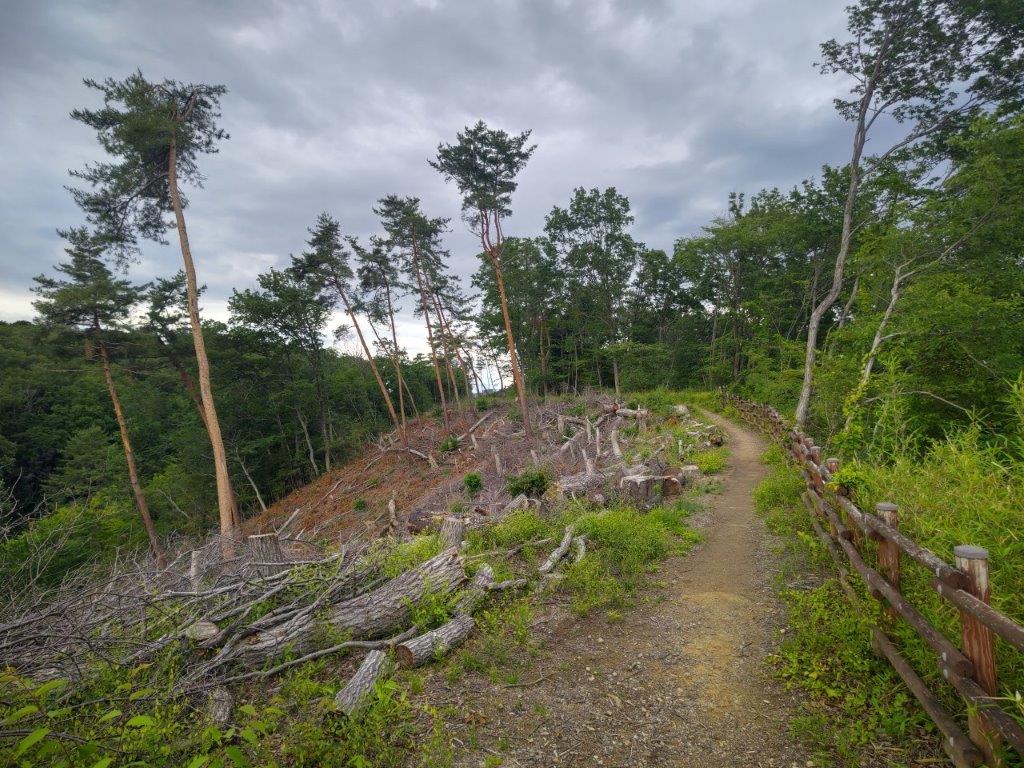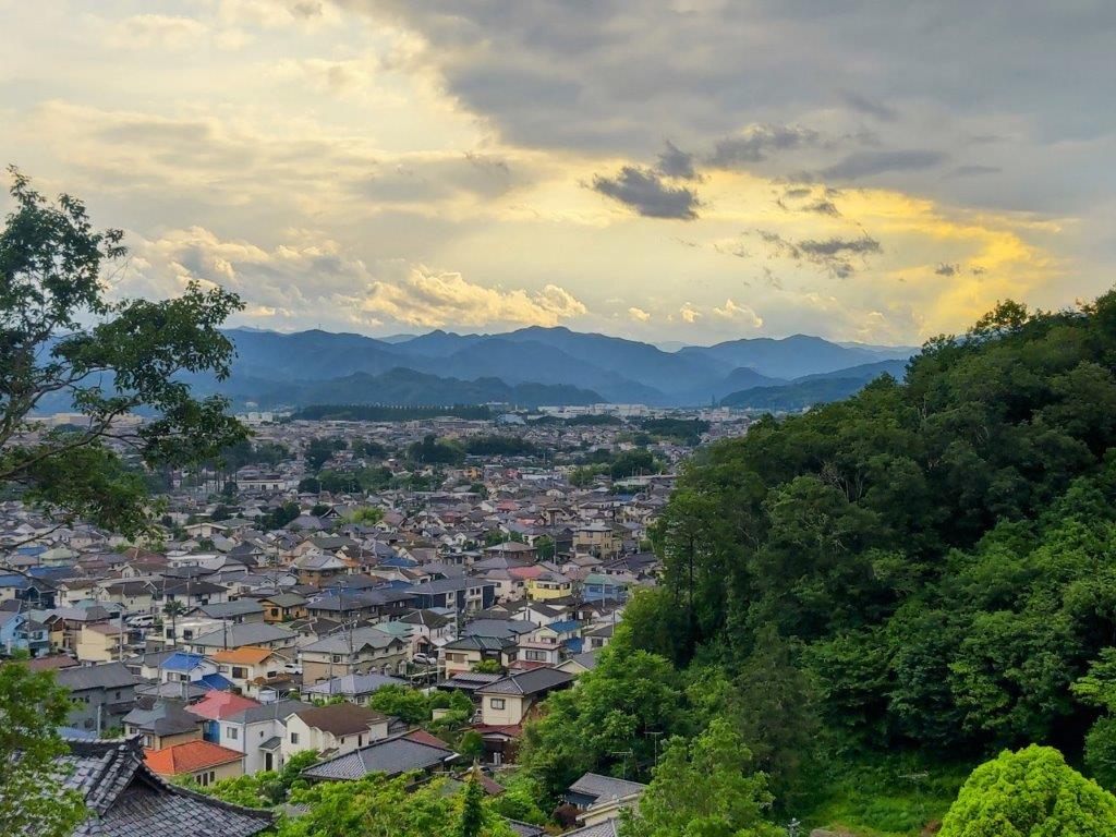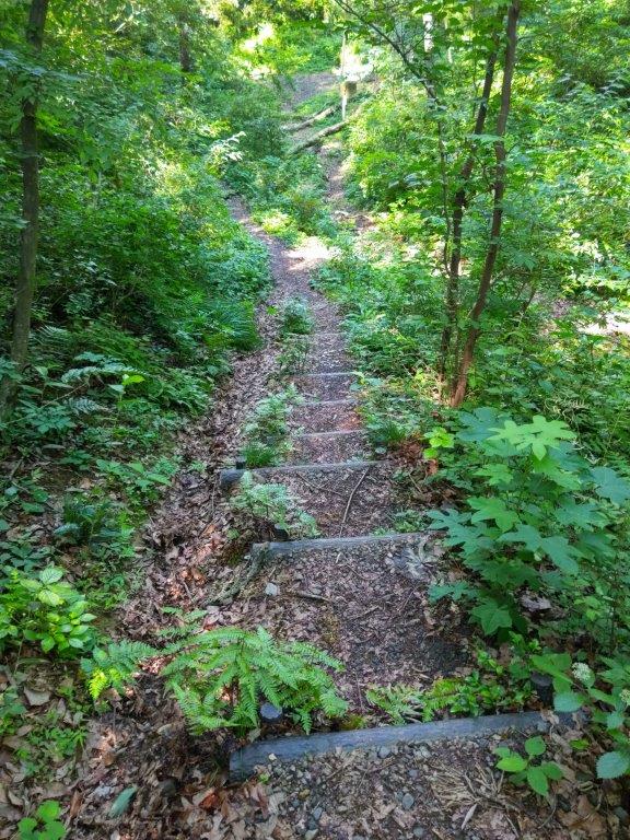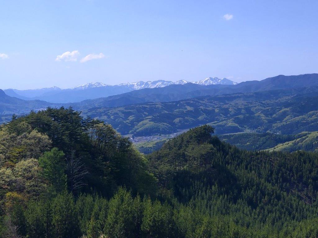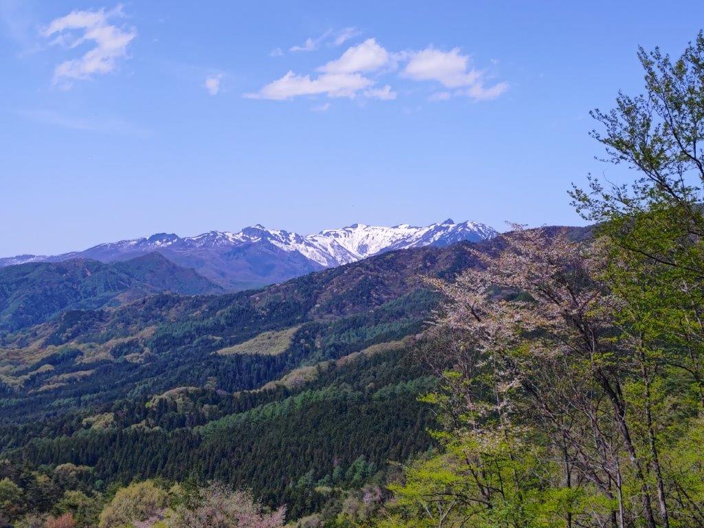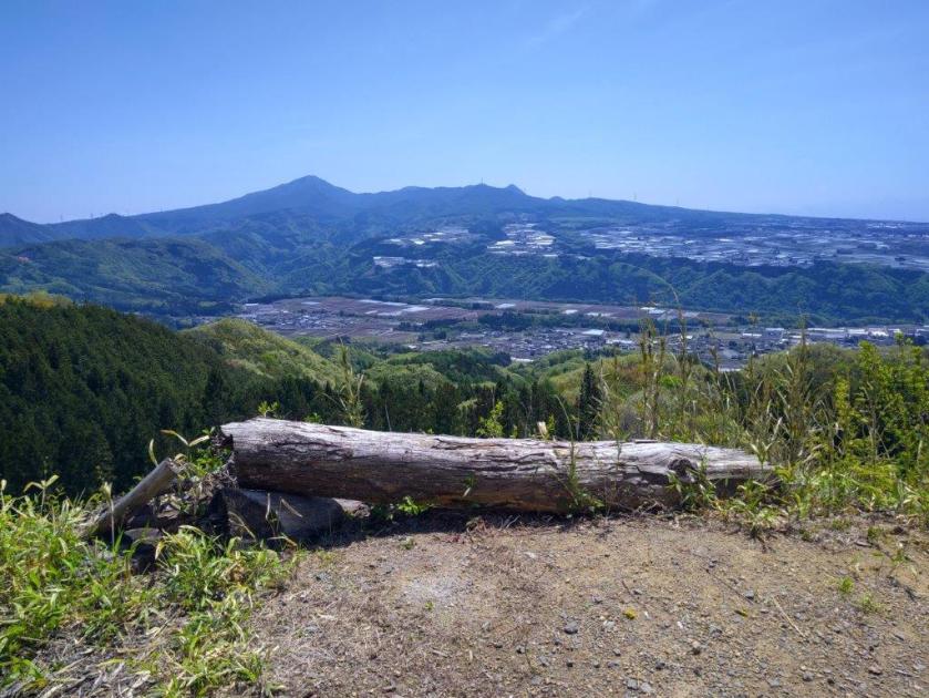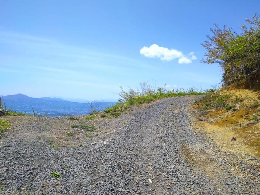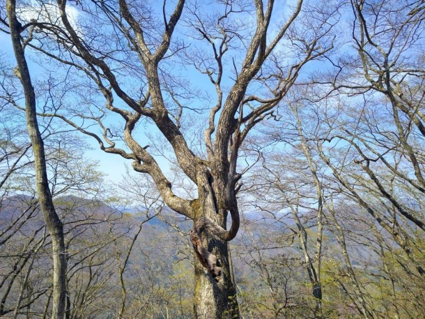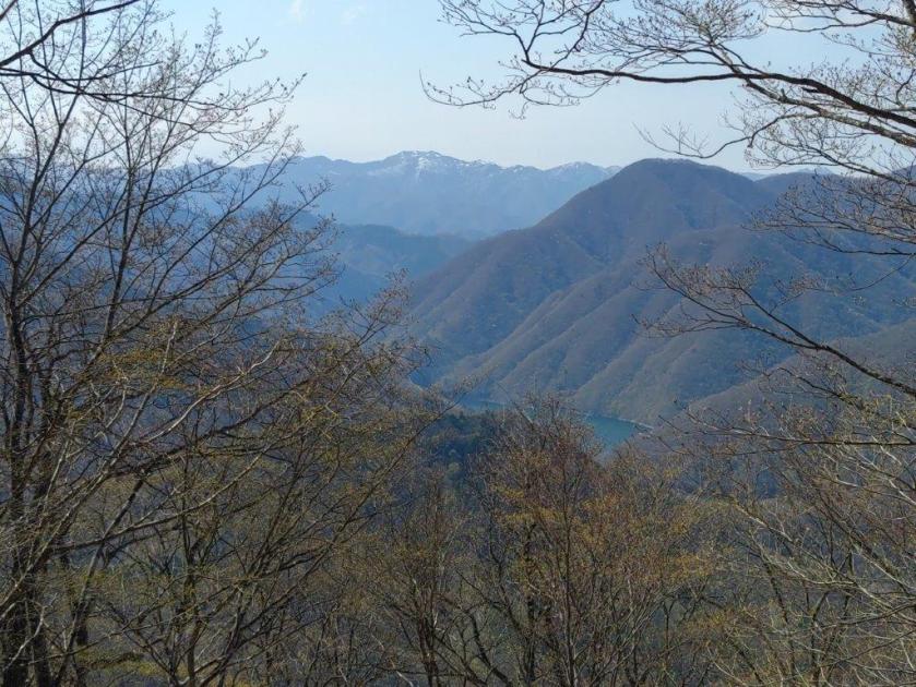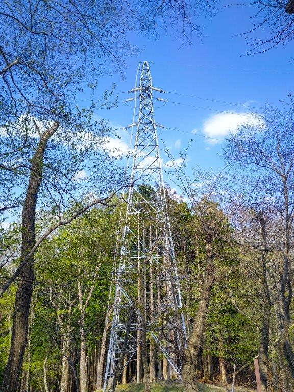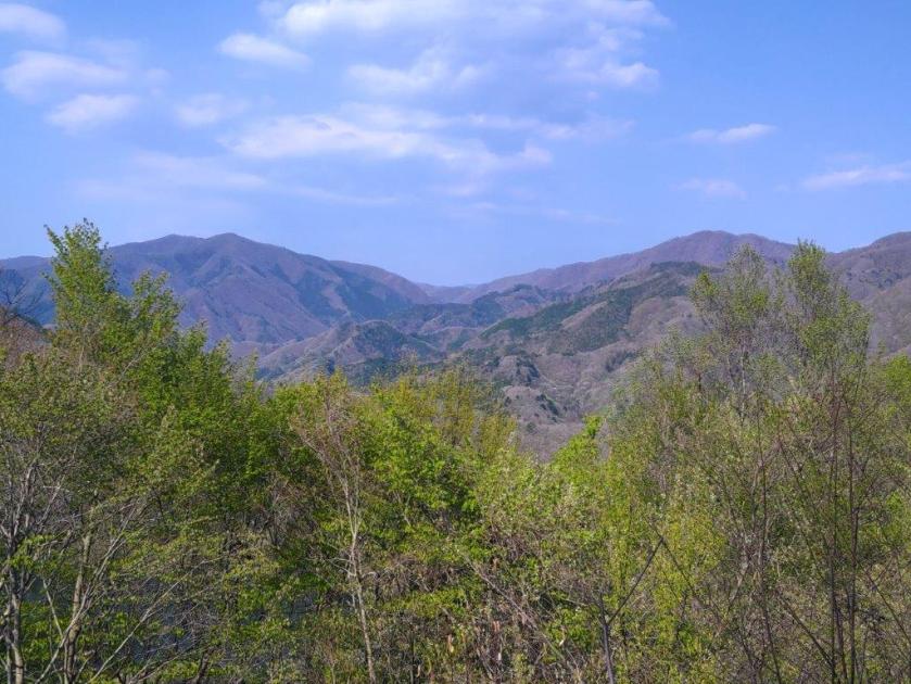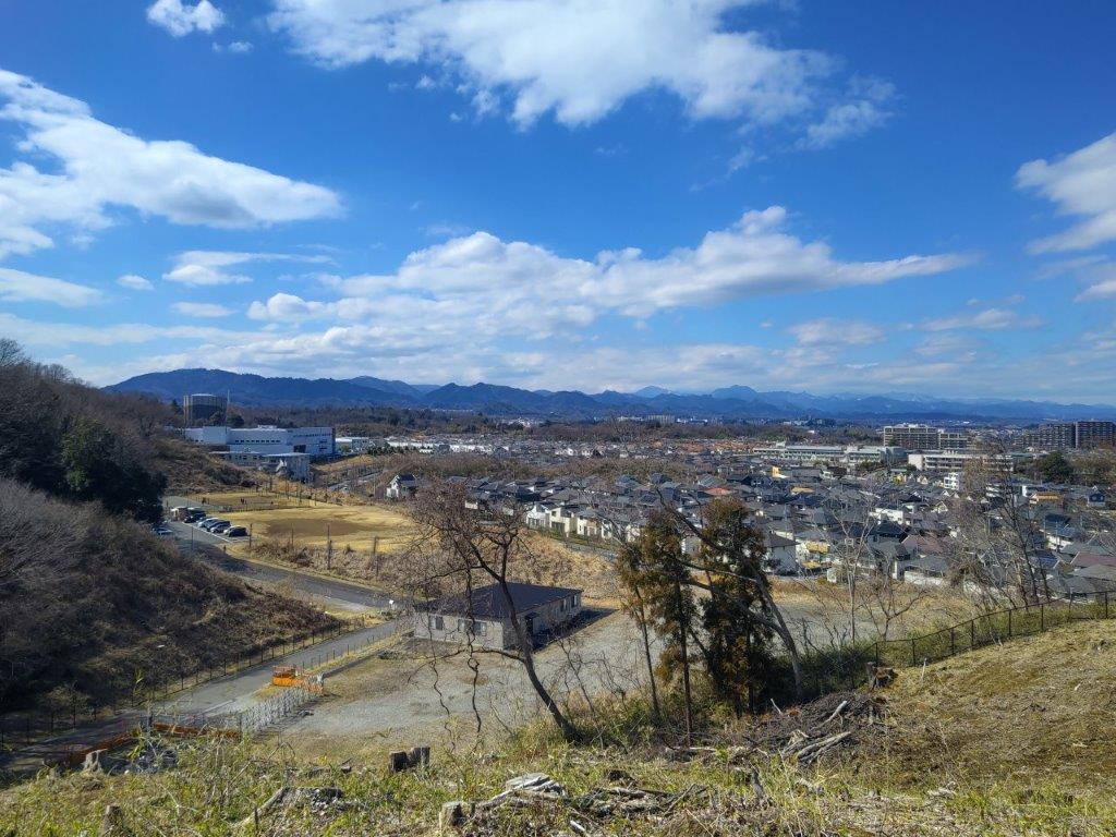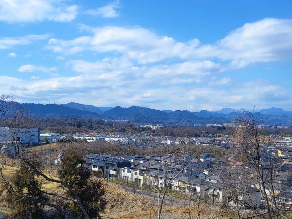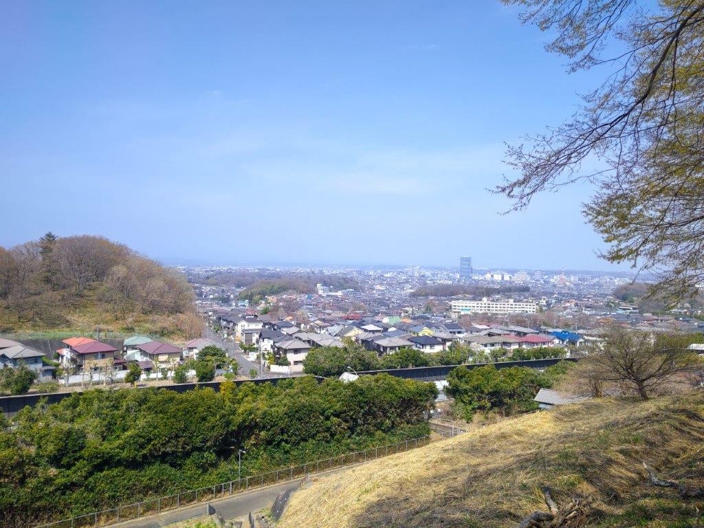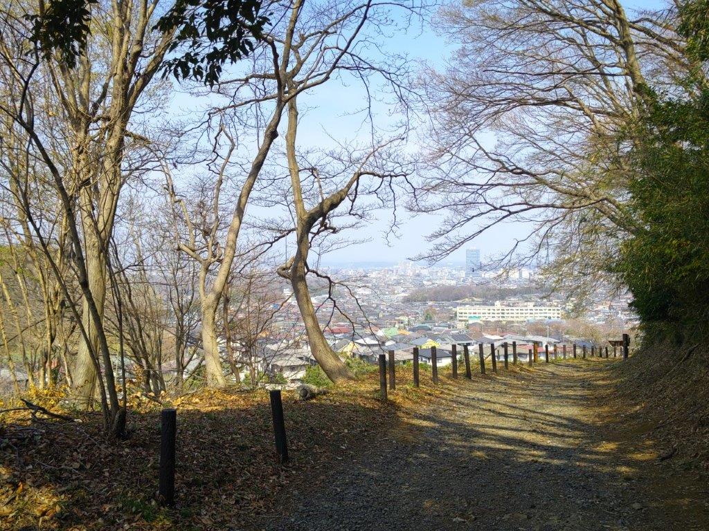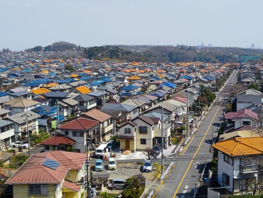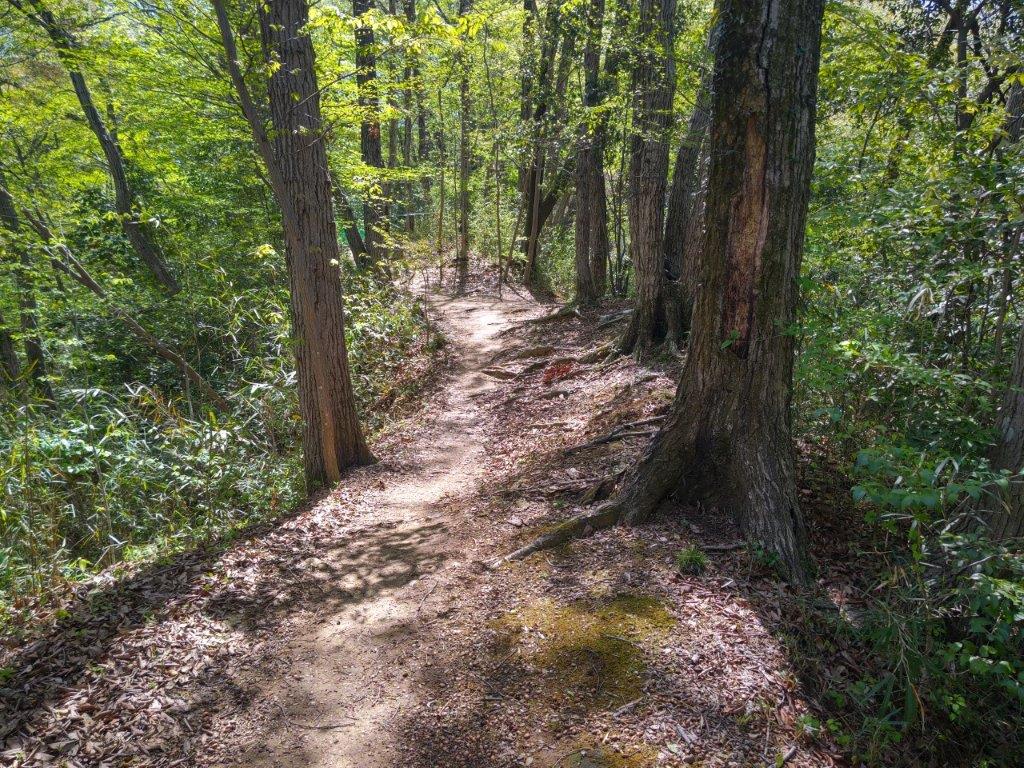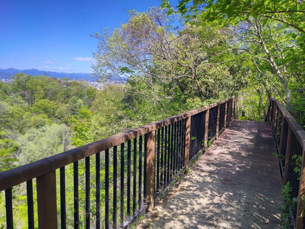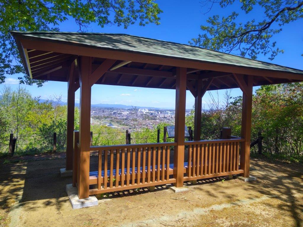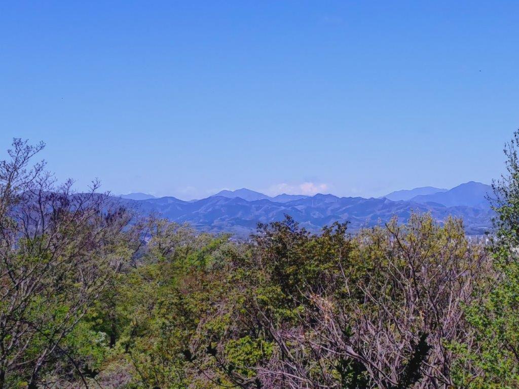
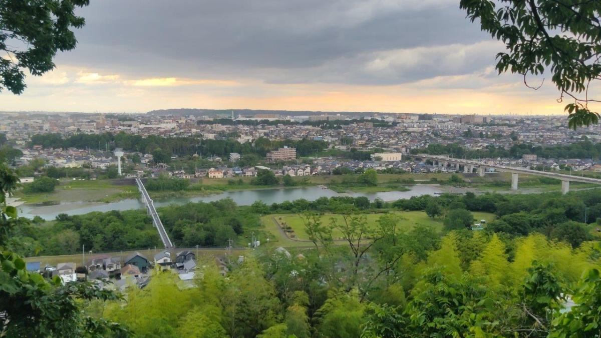
Mt Gojo (305m) & Mt Nagaone (273m), Hanno City, Saitama Prefecture, Saturday, May 24, 2025

I needed to find another short hike near Tokyo while I waited for the return of the sunny days of May, better suited for long day trips. I decided to tackle a couple of minor, unclimbed peaks along a ridge running parallel to the Mt Fukuzawa one. Instead of starting from Kamakita lake on the north side, I’d approach it from the west via Yugate. Although it promised no new views, I hoped to have the latter part of the trail to myself.

For subscribers, read this Post on Hiking Around Tokyo for a better viewing experience and the latest updates

Hiking in Oku-musashi 奥武蔵

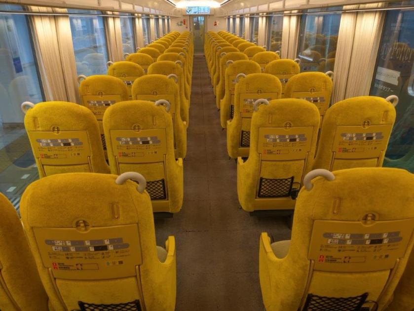
To get to the start of the hike, I’d ride the Laview limited express to Hanno, and there, change to the Chichibu line for the short ride to Higashi-agano station. I could use the same route for the return, catching the train from Musashi-yokote station, one stop up on the same line. The weather was supposed to be cloudy all day with temperatures almost cool for the season, although rain was forecast in the late afternoon. I was looking forward to exploring new peaks in a frequently visited place.

Find Japan Hiking Maps on Japanwilds and subscribe to our newsletter
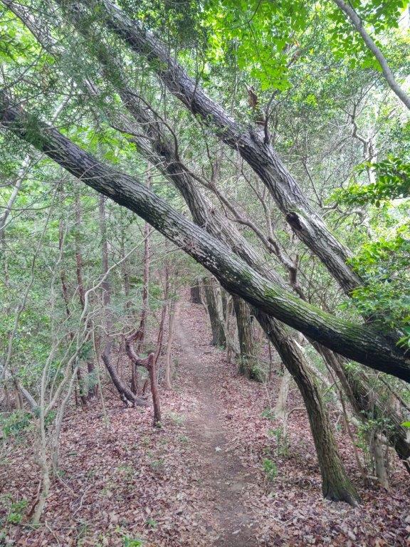
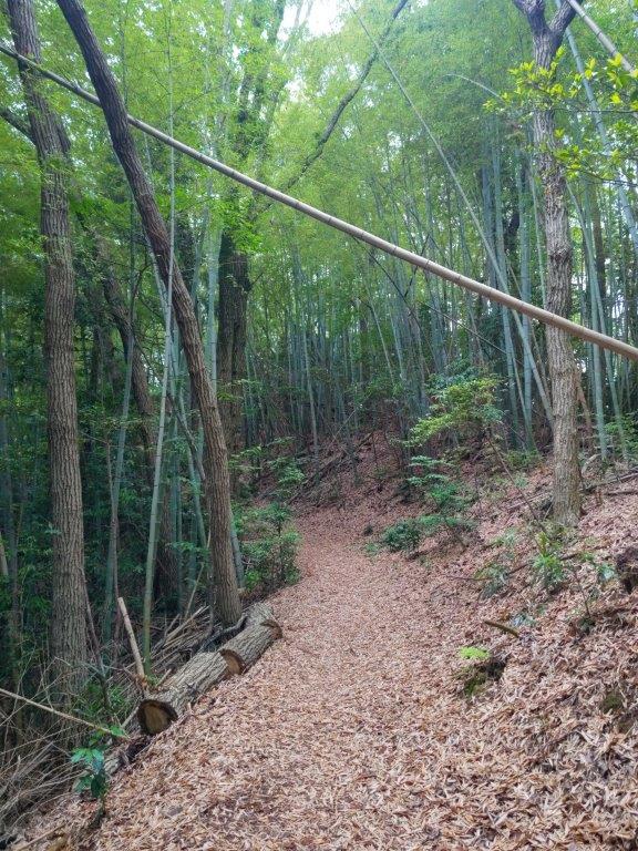
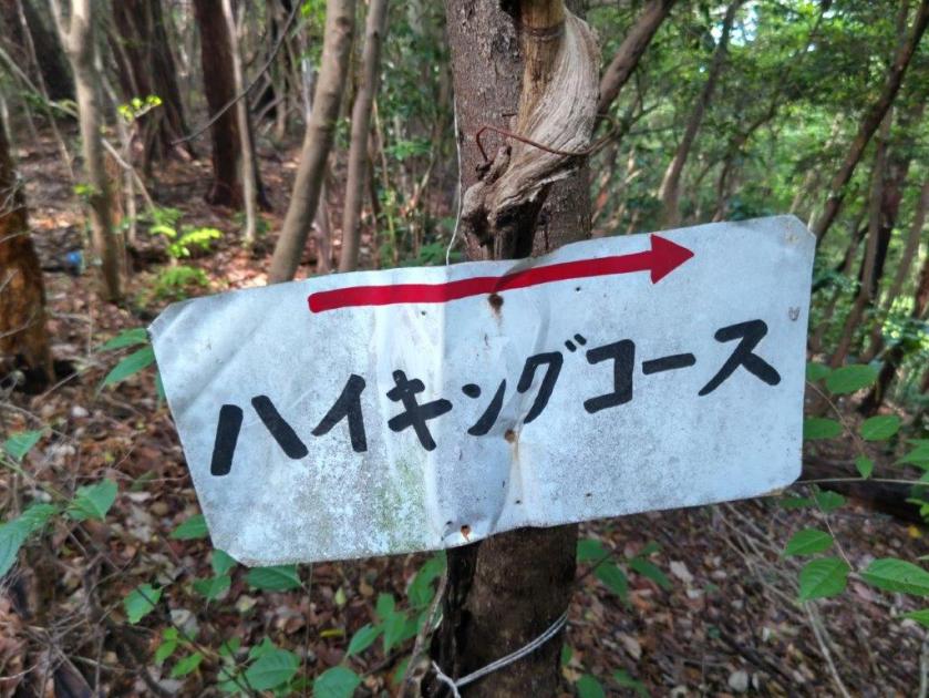
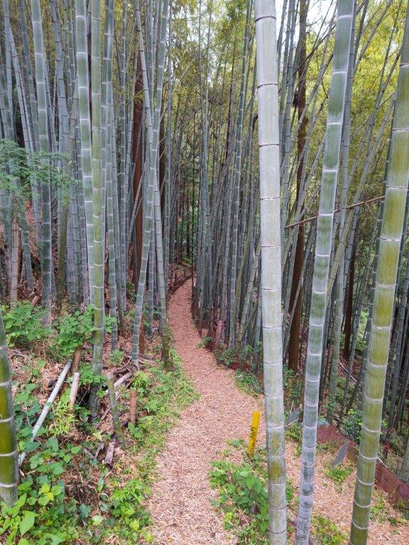
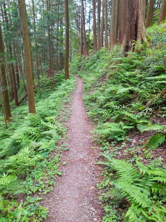
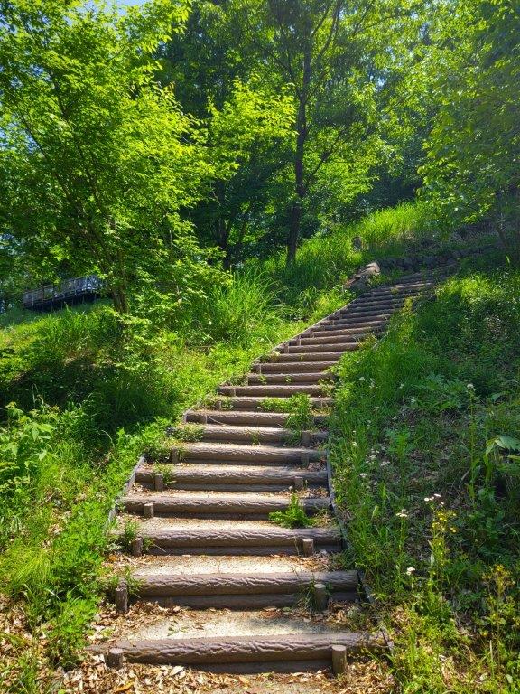
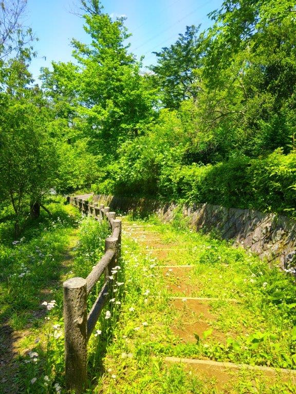
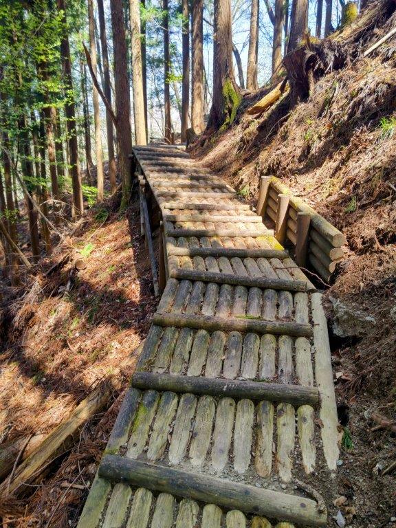
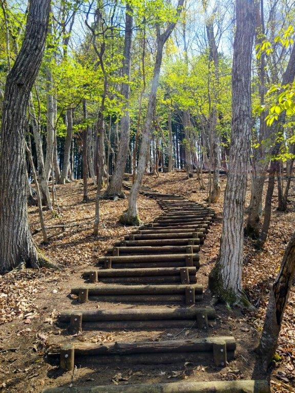
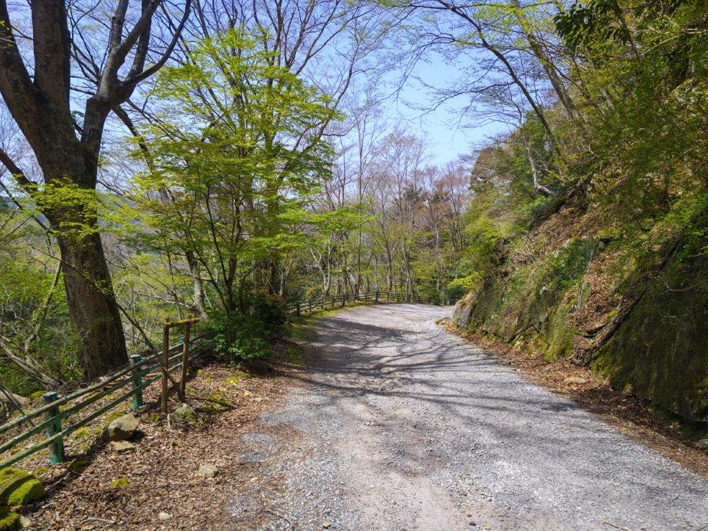
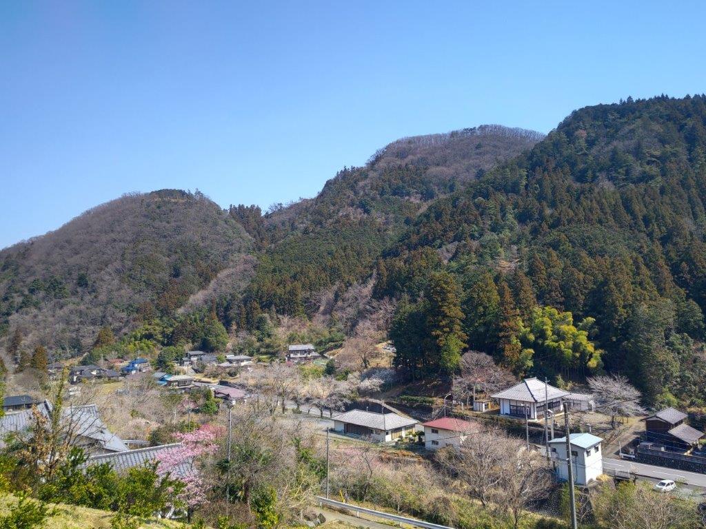
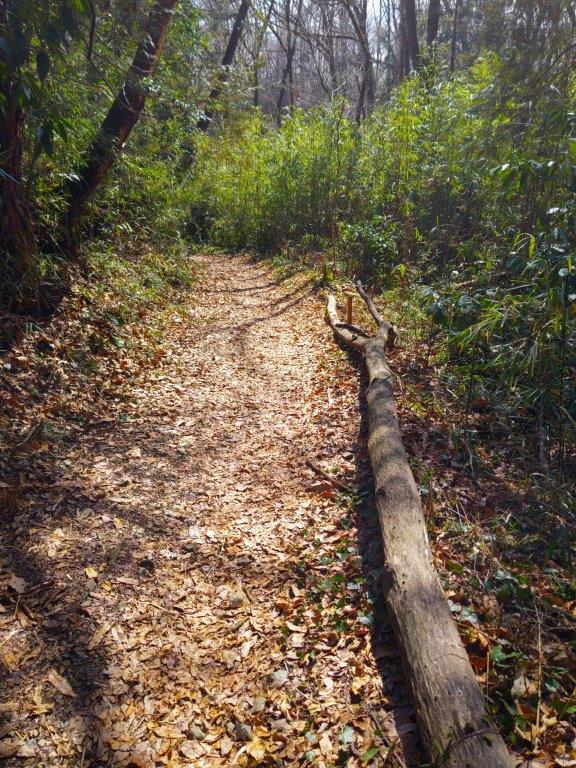
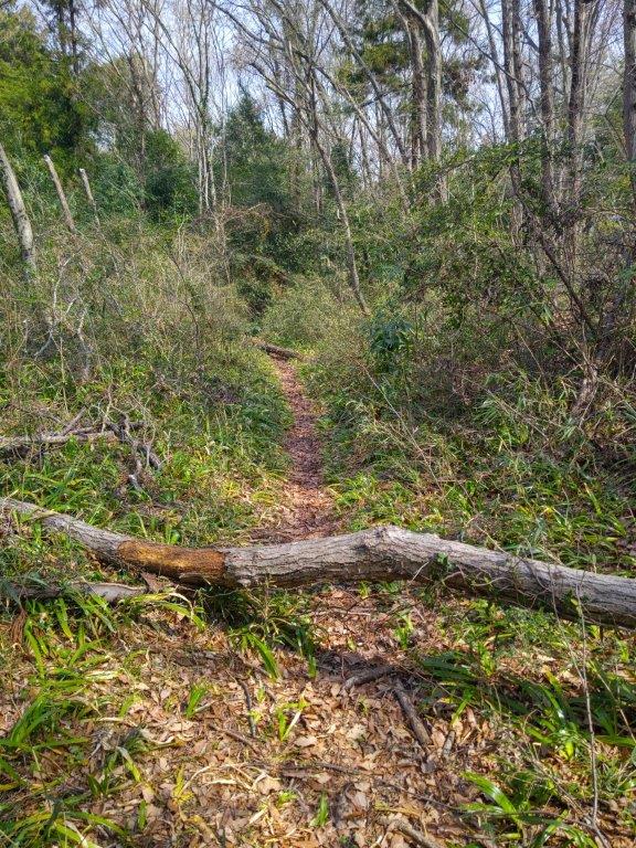
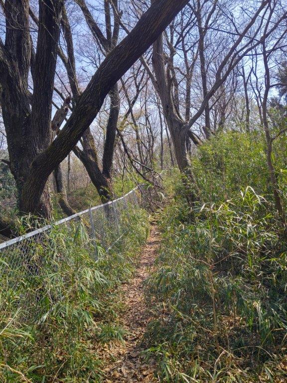
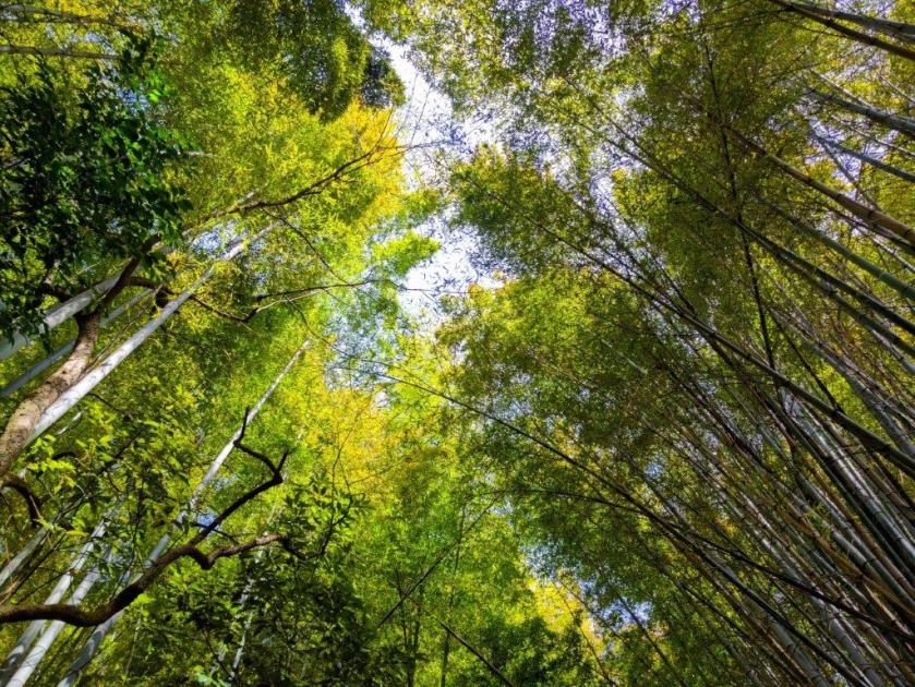
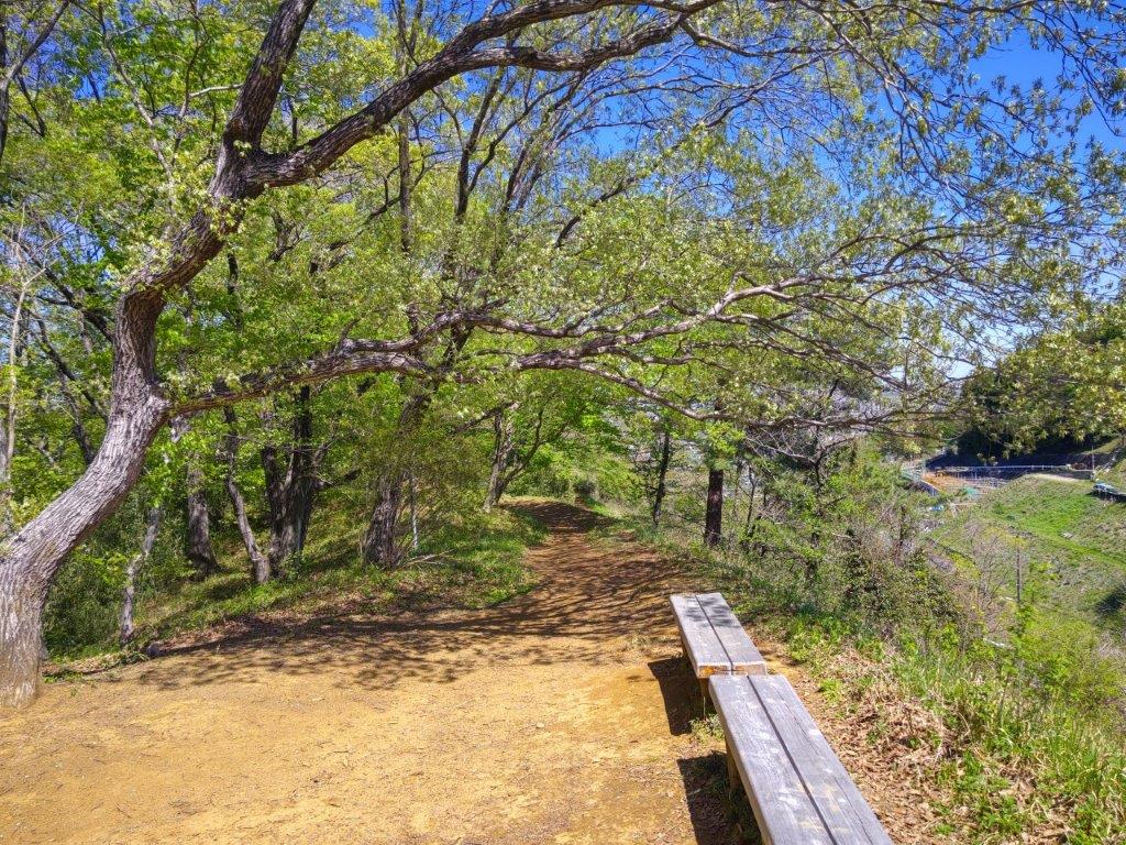
Start of the Hike (left) Bamboo Grove past Yugate (right)

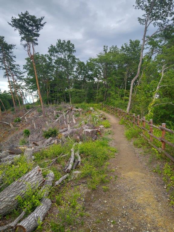
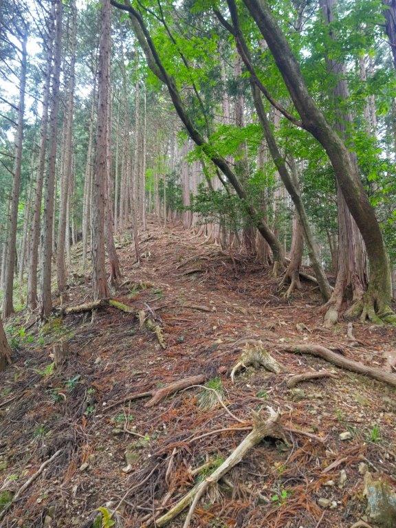
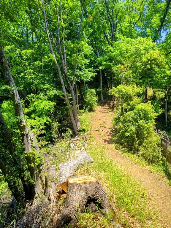
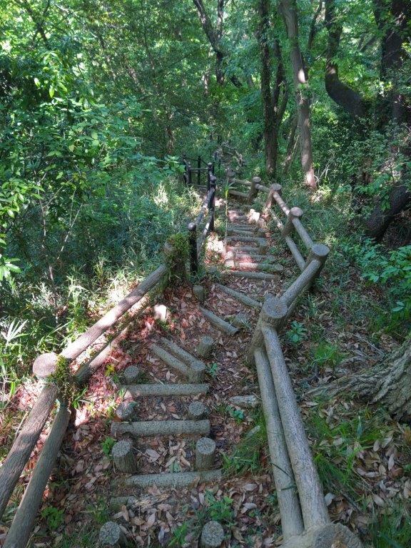
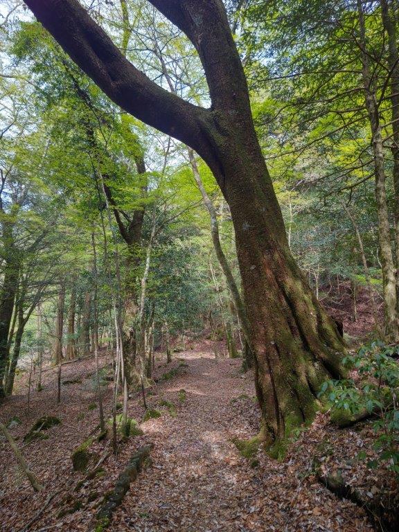
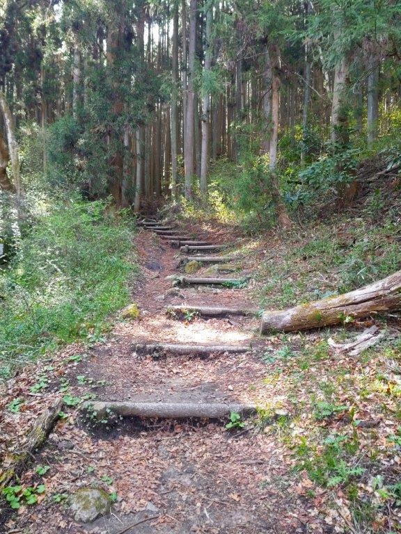
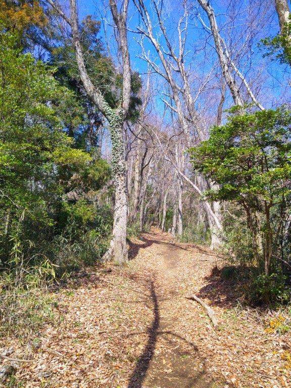
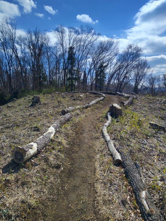
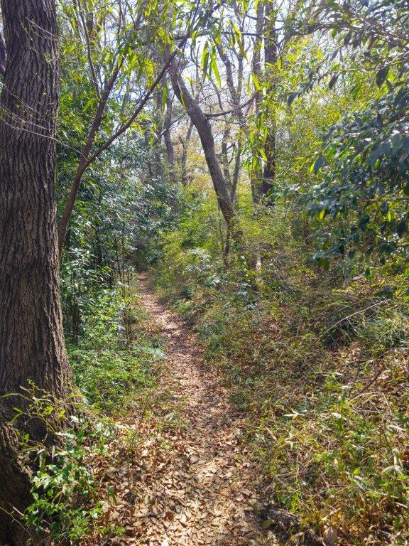
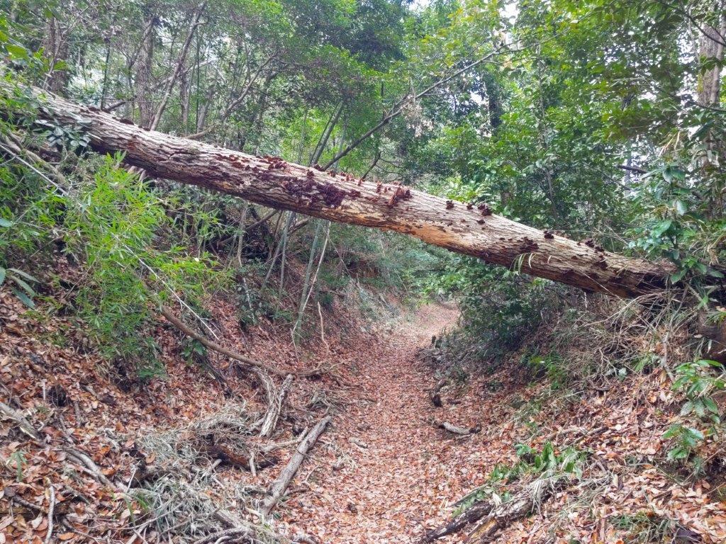
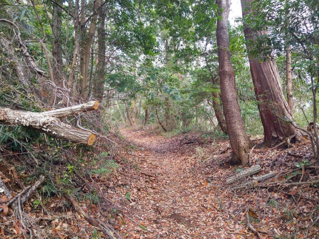
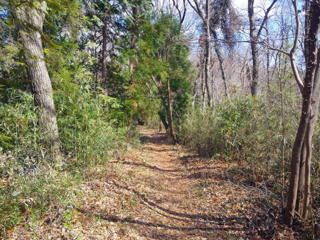
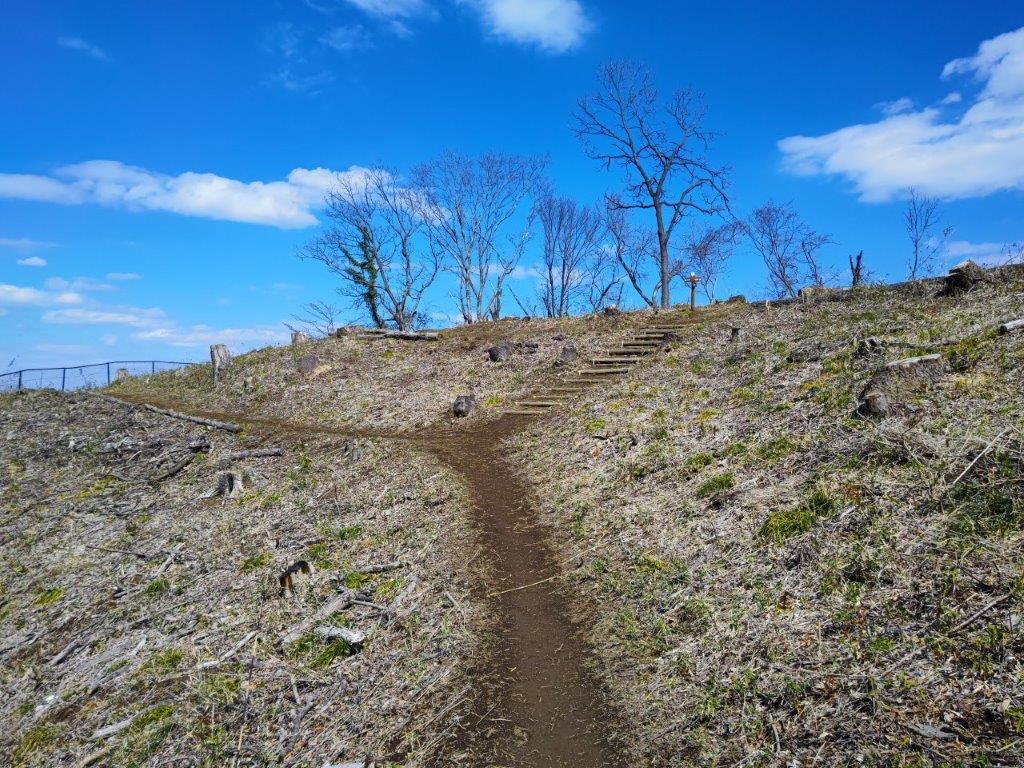
Trail along the 3rd clearing (left) Re-entering the Forest (right)

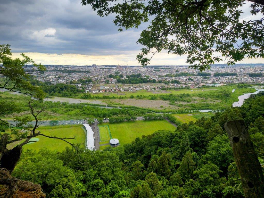
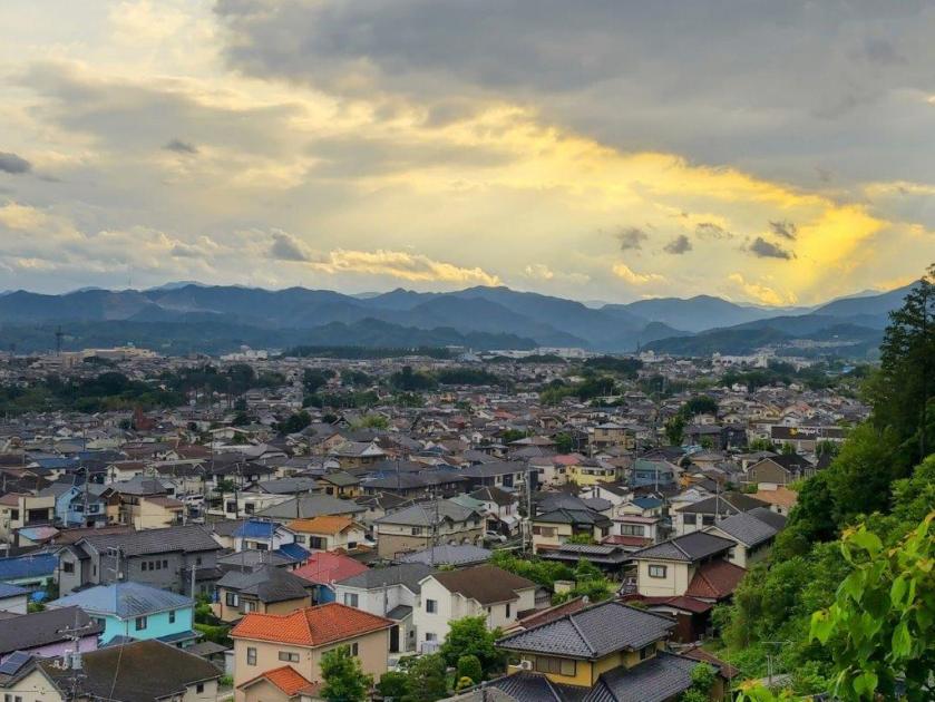
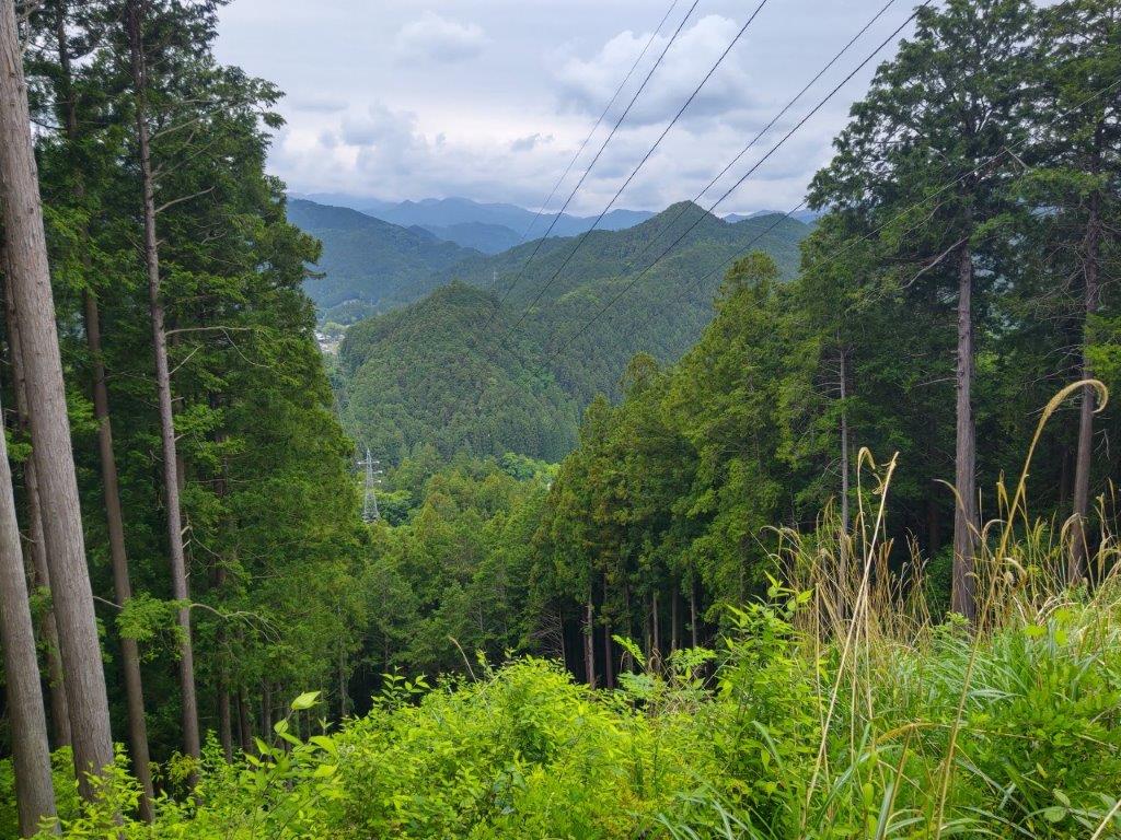
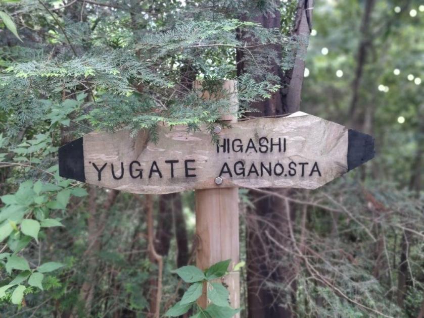
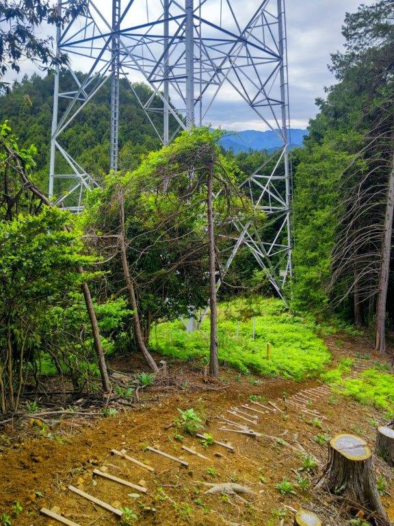
I got off the train at Higashi-Agano station under grey skies at 1130; on the bright side, it was the perfect temperature for hiking. After crossing a busy main road, I climbed some stone steps to get to Agana Shrine (吾野神社) and then headed up the Hikyaku Trail (飛脚道 meaning courier trail) to the right of the main shrine building. A little past noon, I reached a spot where the forest had been cleared to allow for the passage of an electric power line.

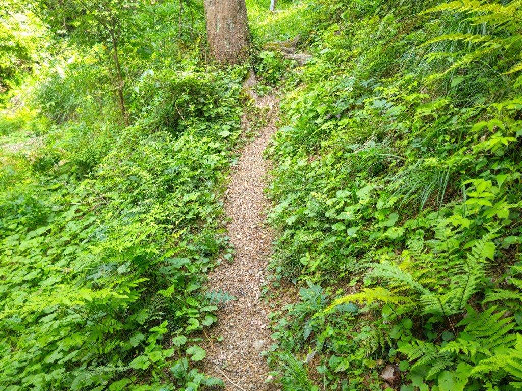
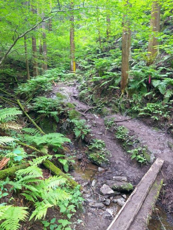
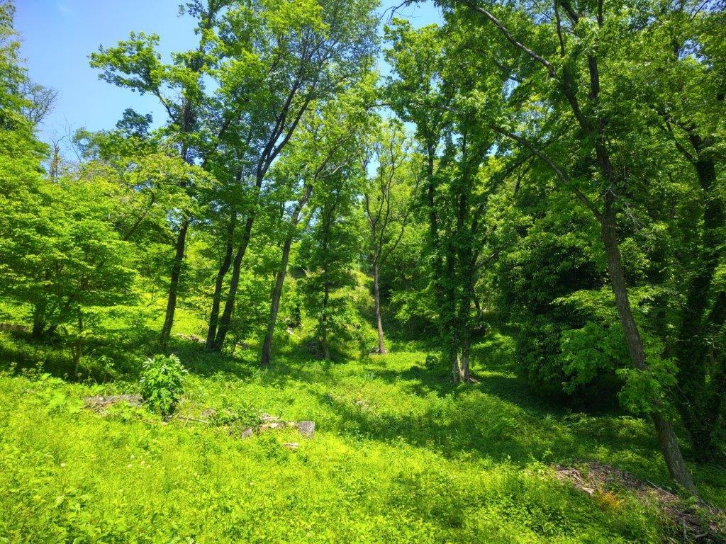
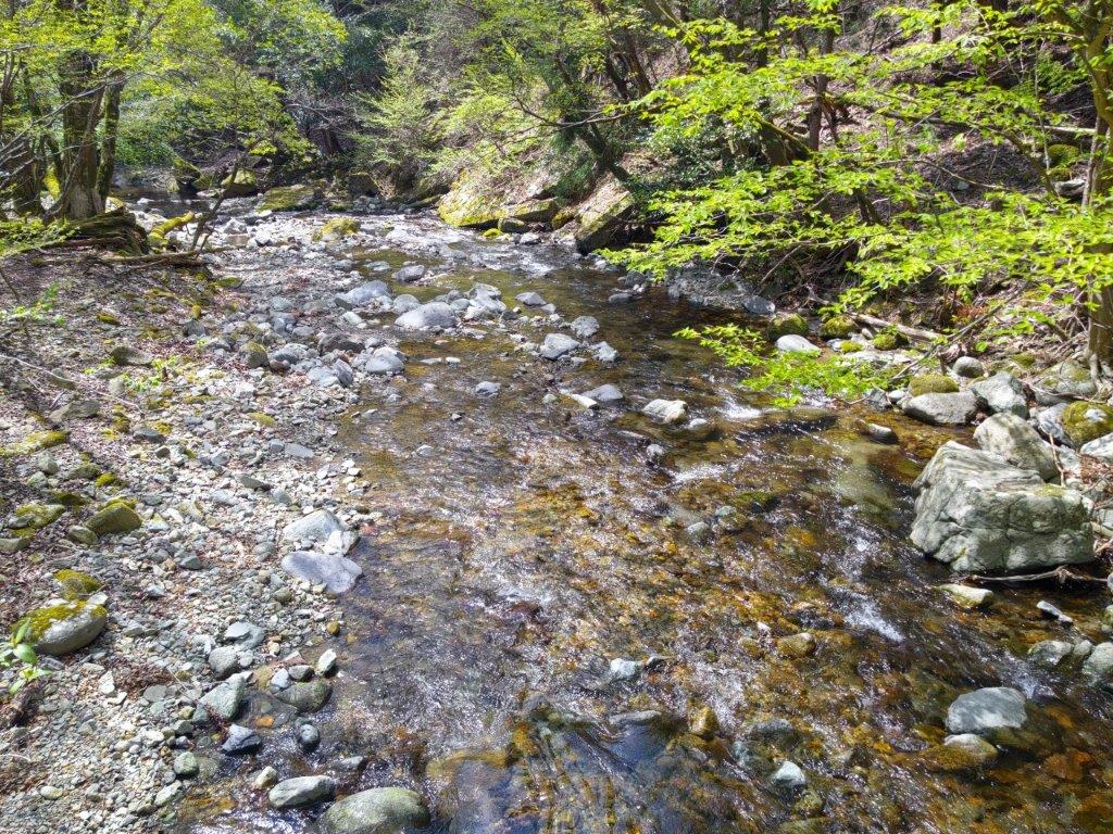
Plank Bridge over a Stream (left) Level Section through Ferns (right)

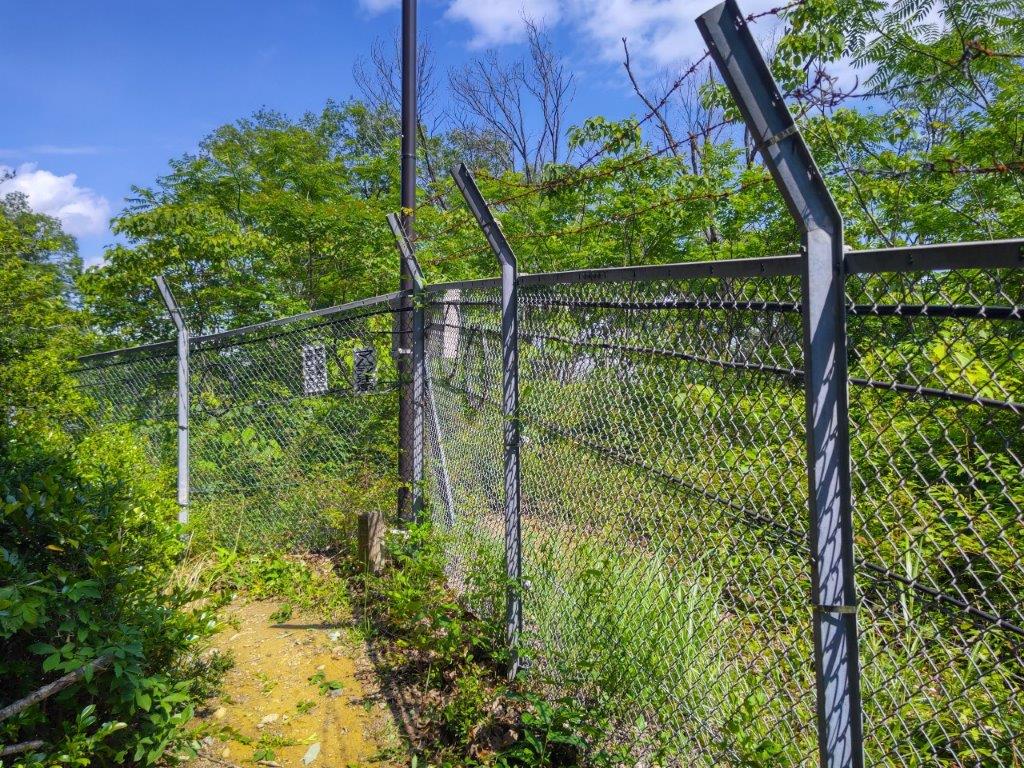
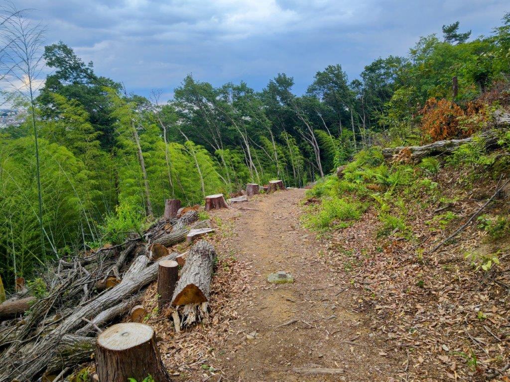
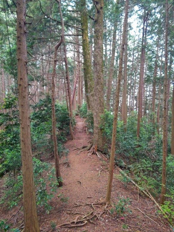
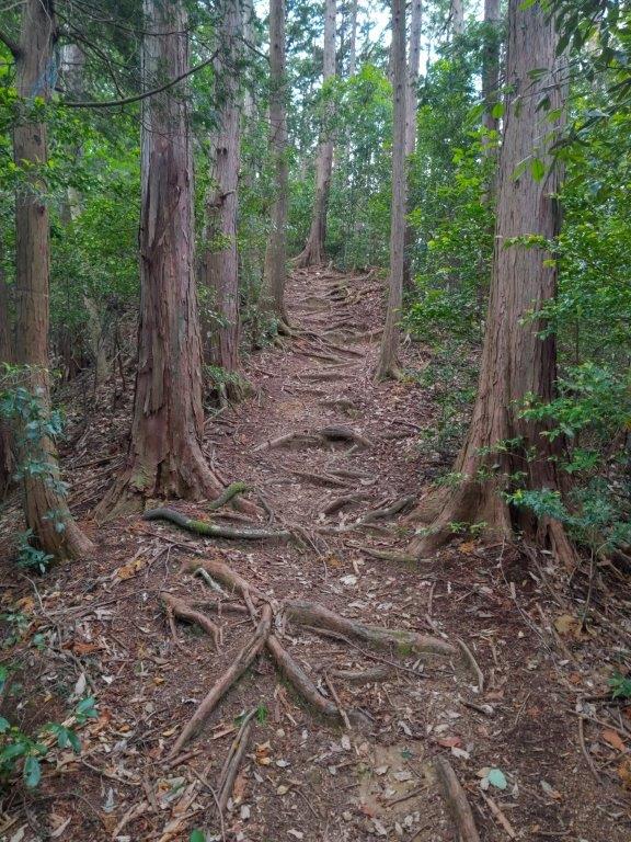
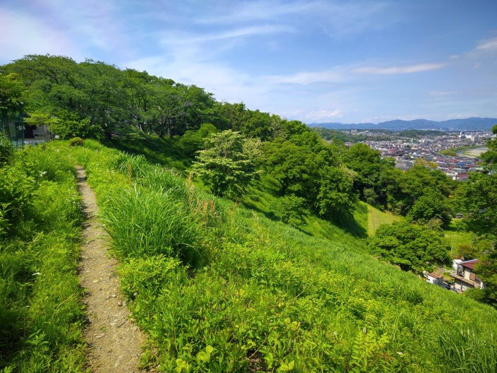
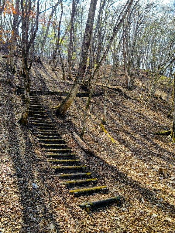
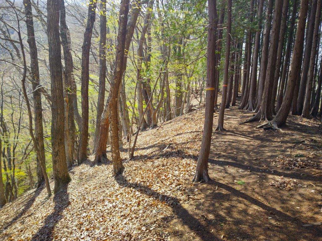
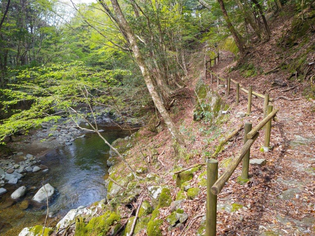
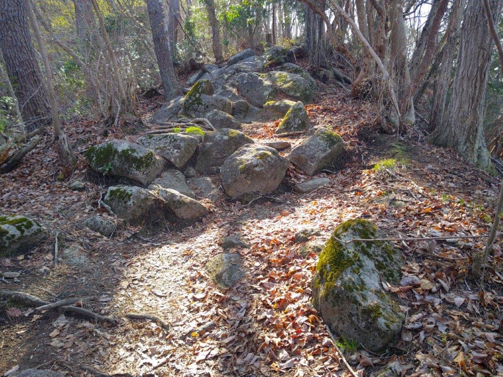
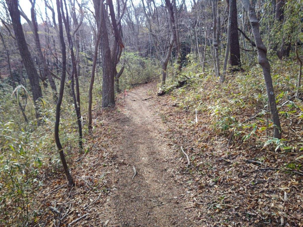
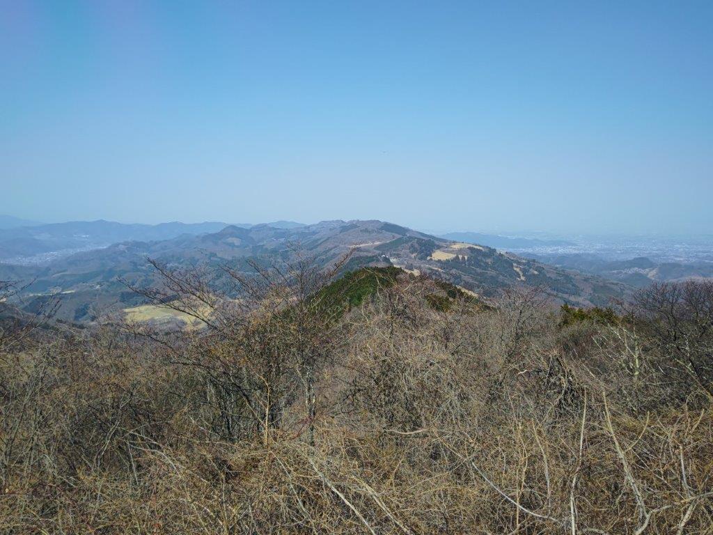
Ridge before (left) and after (right) Mt Gojo

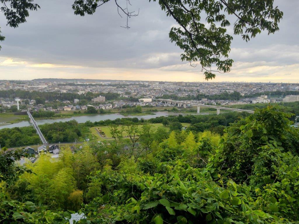
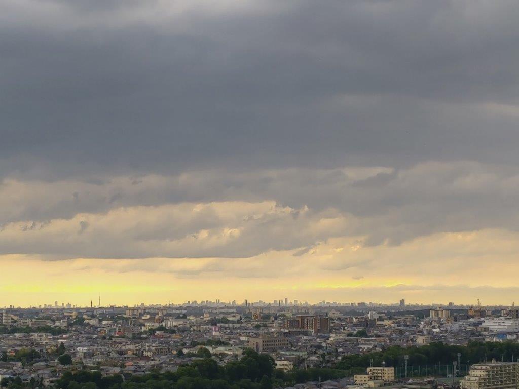
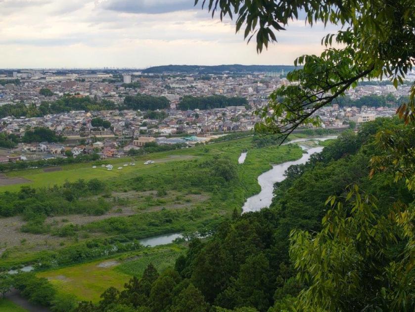
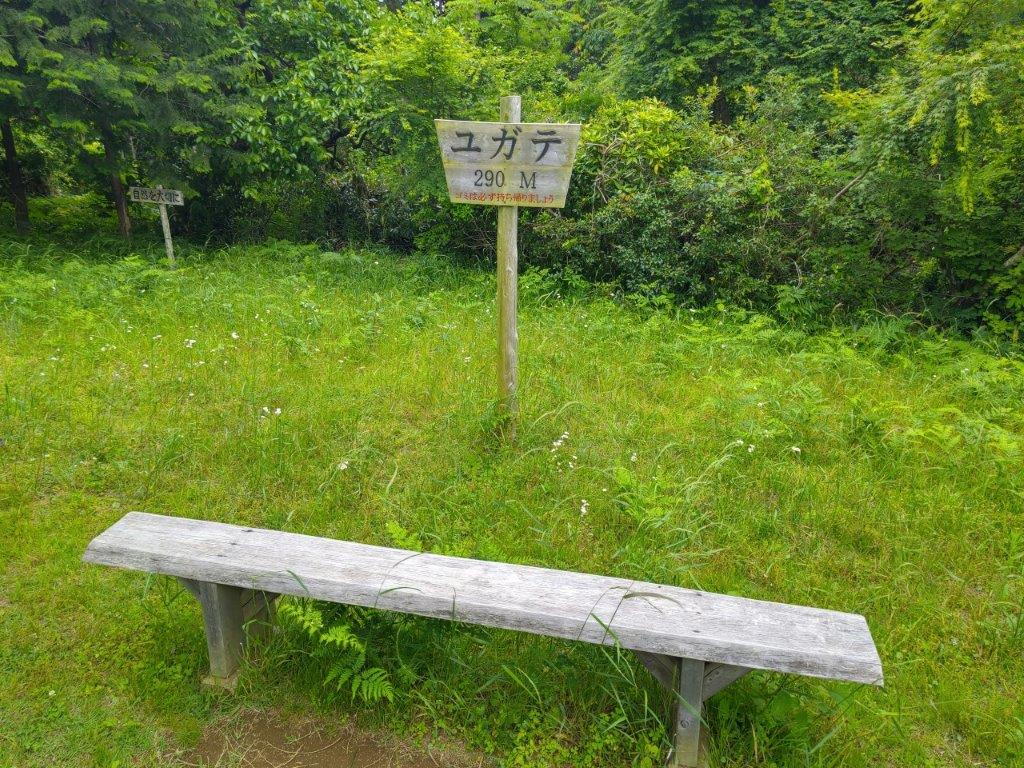
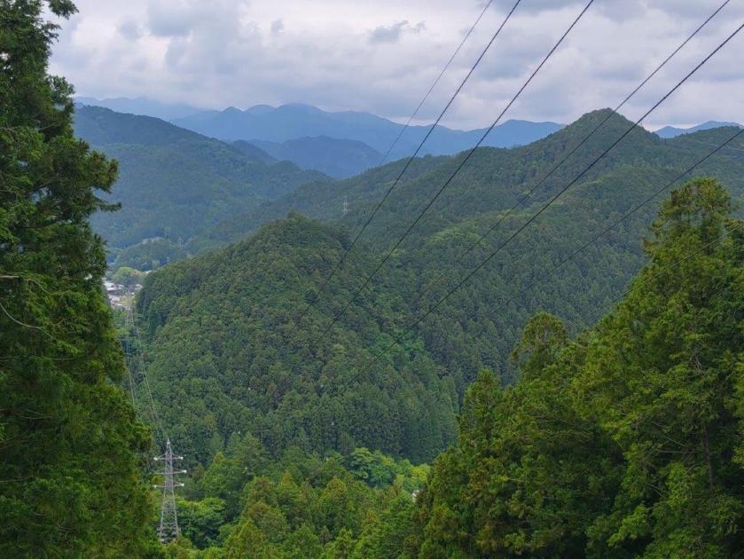
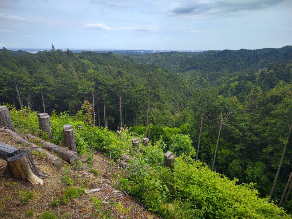
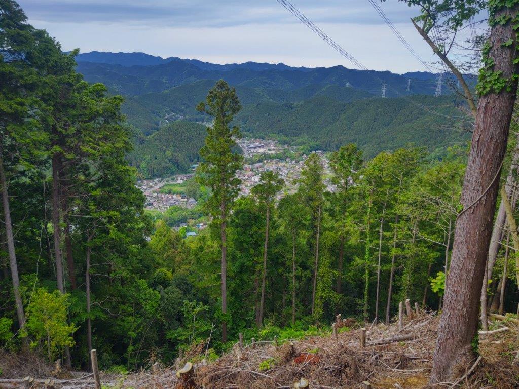
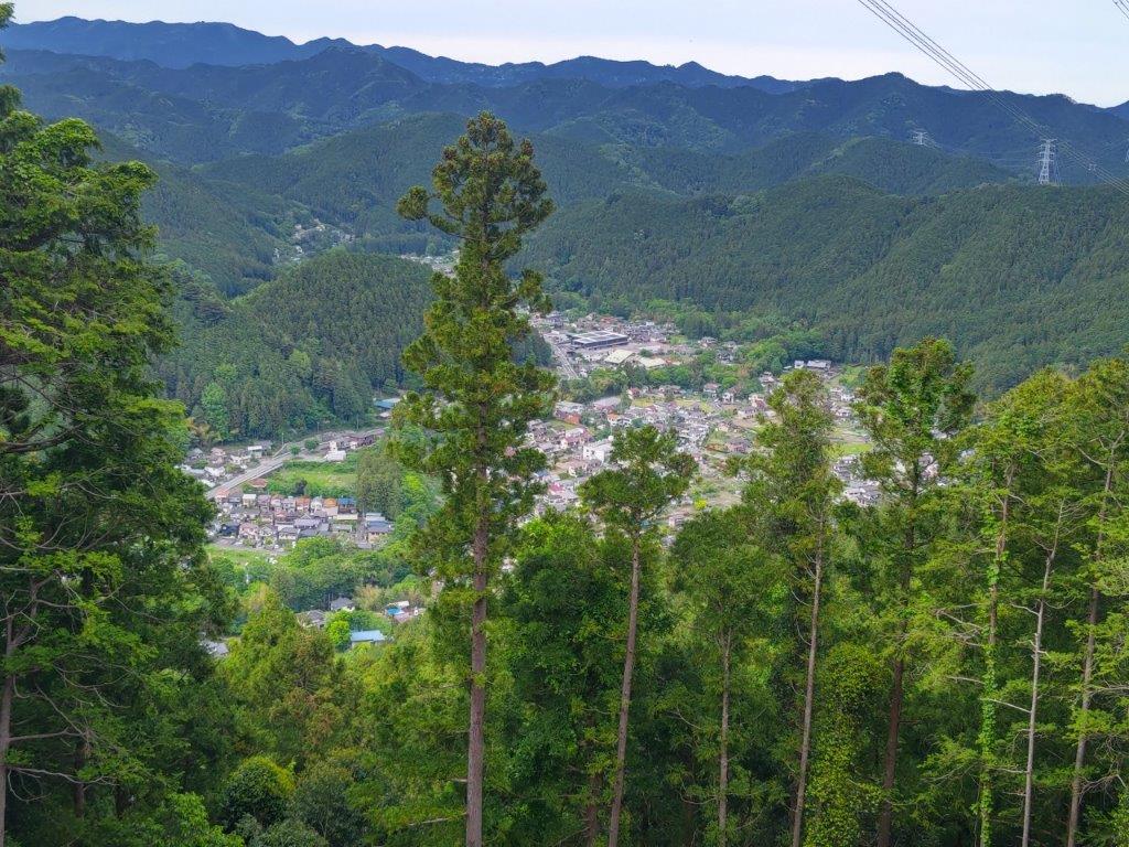
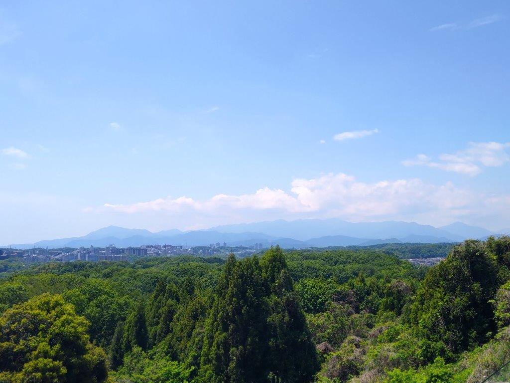
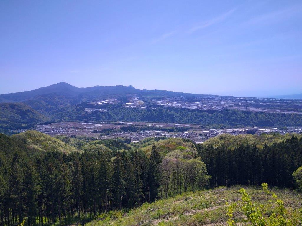
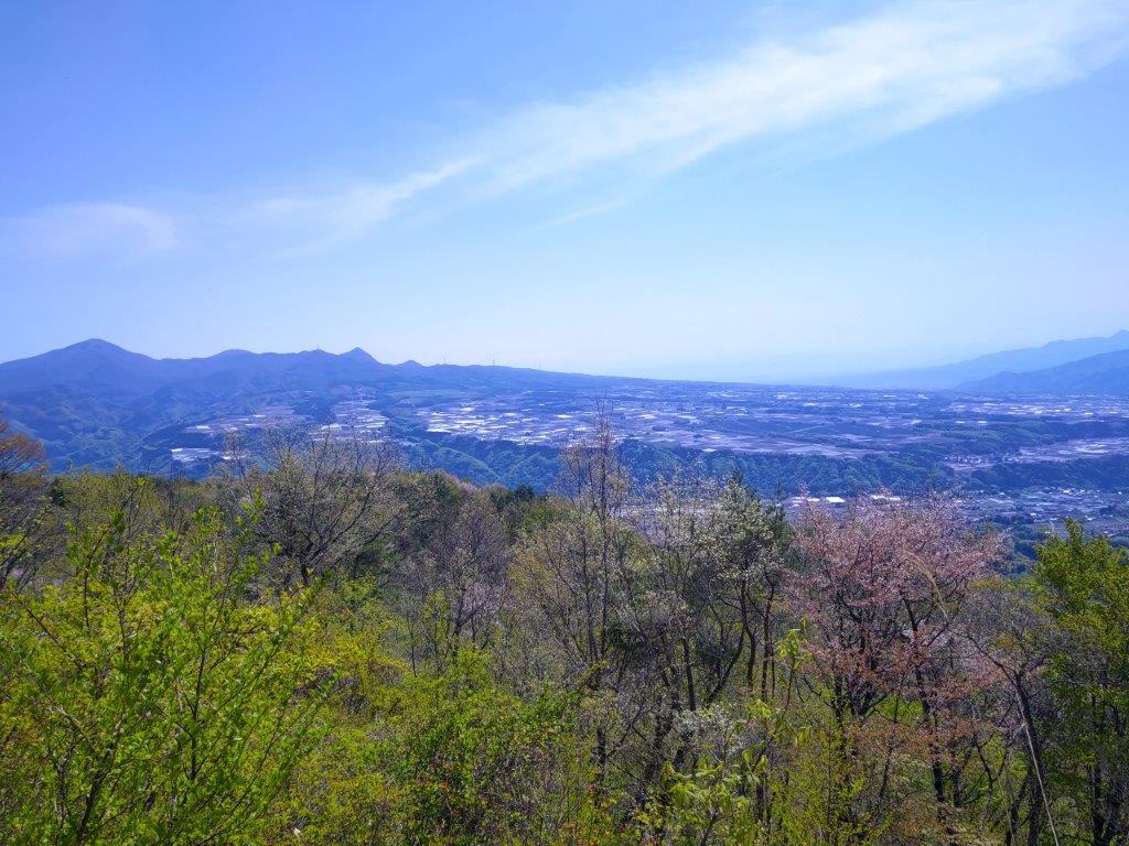
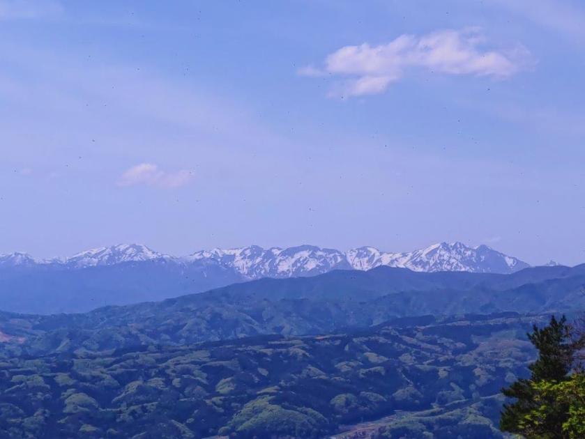
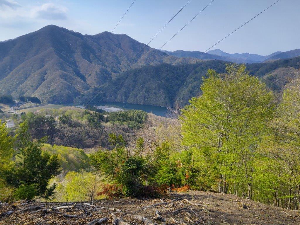
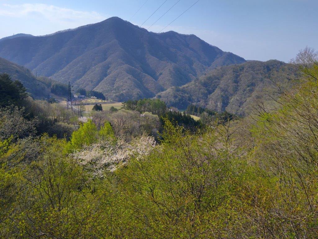
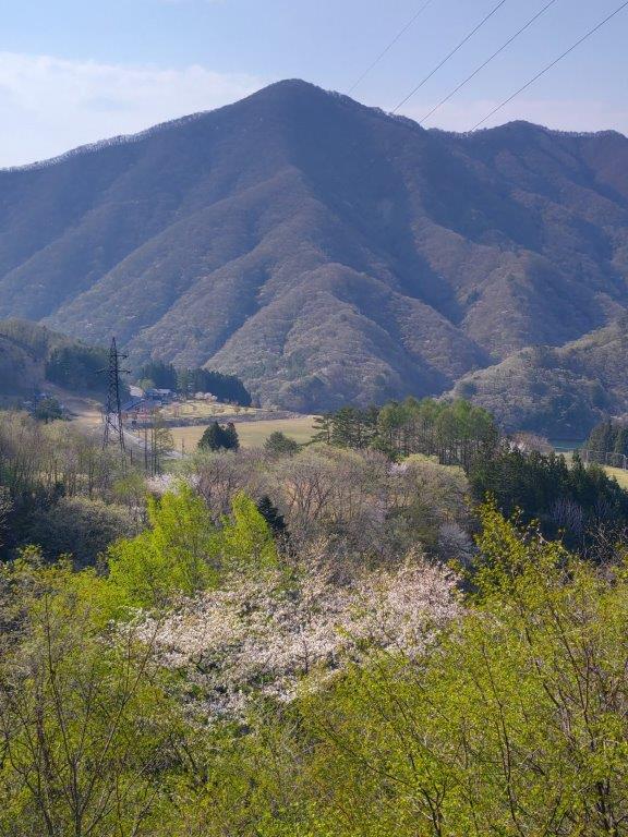
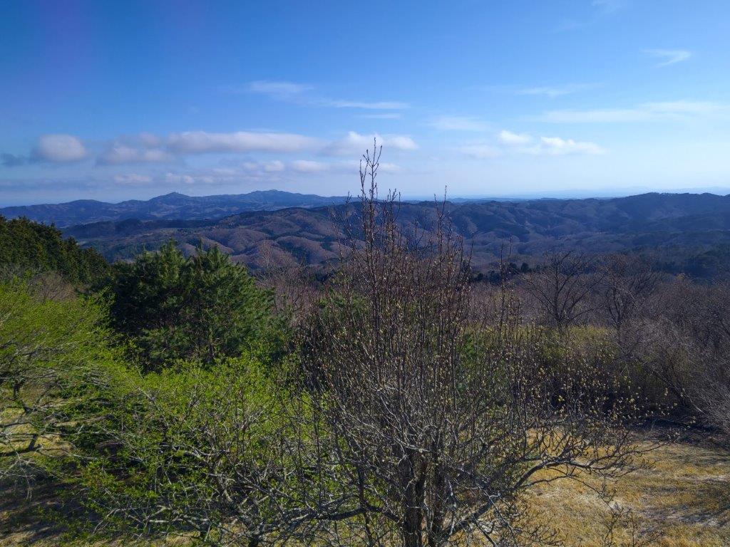
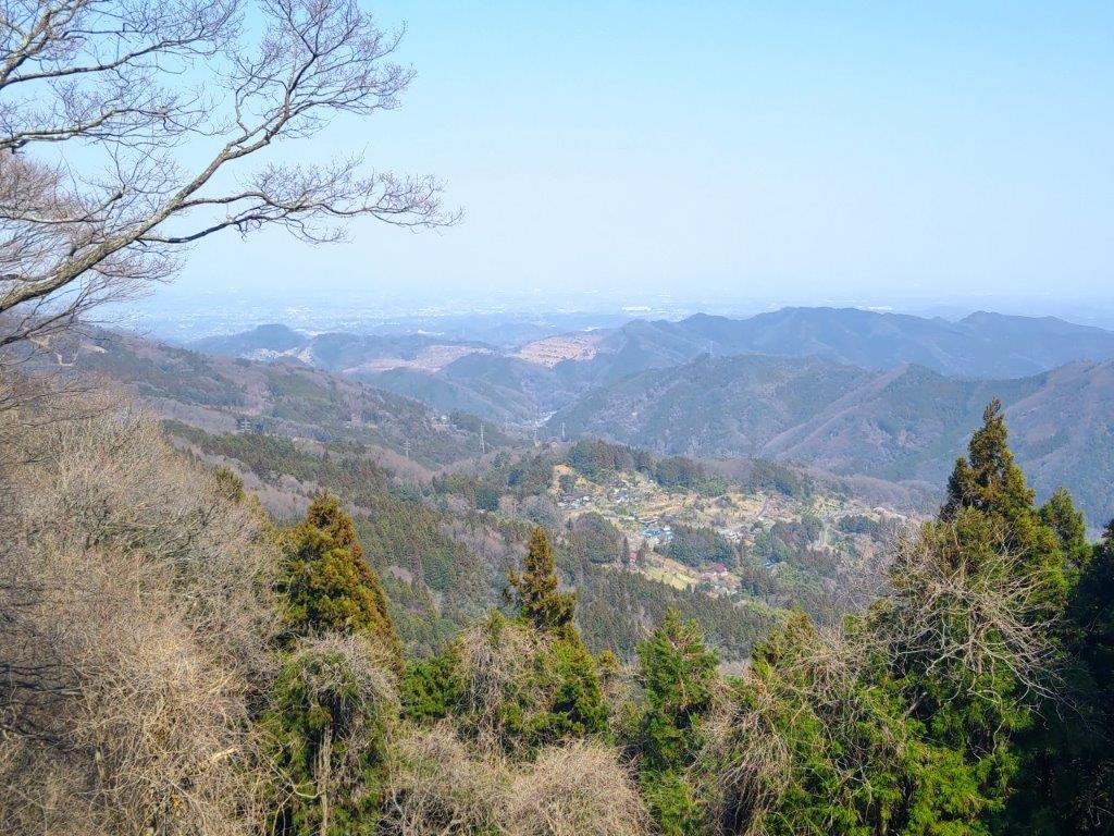
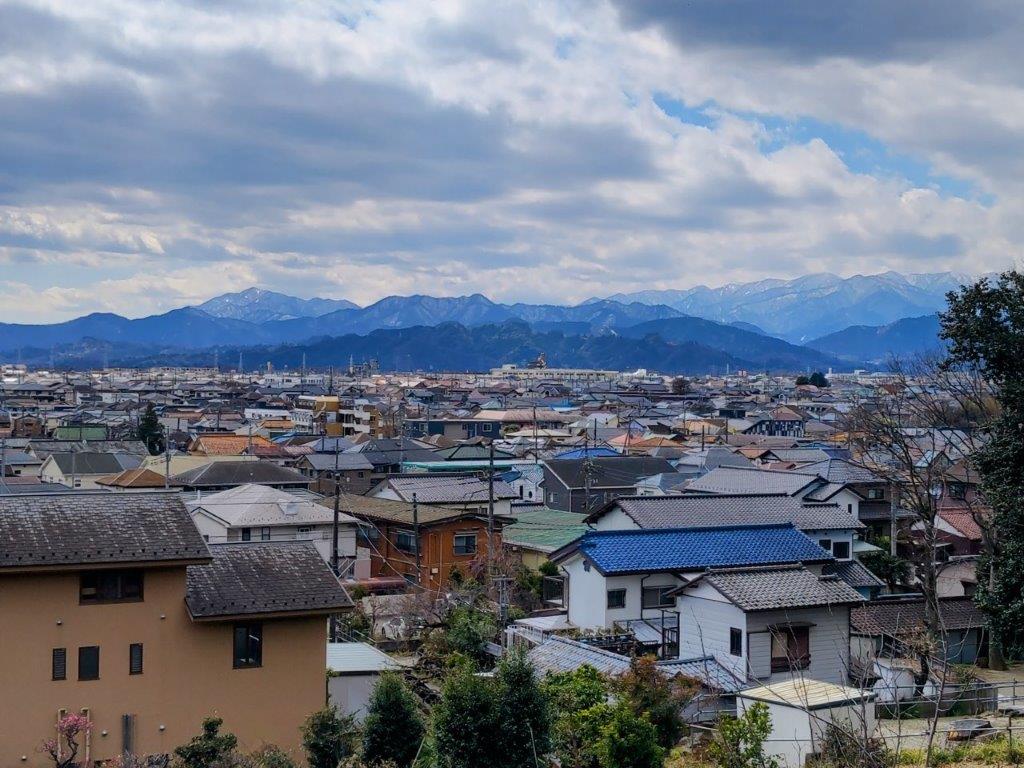
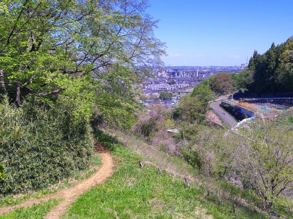
I was glad to get a view early on in the hike, although I had been past this spot before. Looking left, I could see the Hanno Alps directly opposite; further in the distance, I could just make out Mt Izugatake and Mt Buko, half-hidden by low clouds. I soon moved on, and after an up and down, arrived at the top of Mt Hashimoto (橋本山 321m) where a similar view awaited me on the west side. I quickly moved on, and after a short descent, I followed a wide track that led me to the fields and gardens of Yugate Village (ユガテ 290m); looking up, I could see a second set of power lines stretching across the sky.

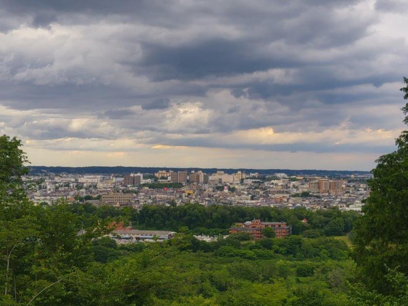
Looking West towards Izugatake and Buko-san

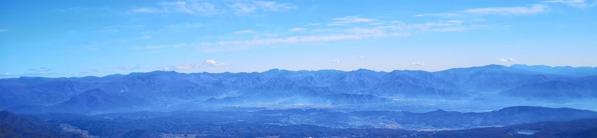
The Hanno Alps from the First Clearing

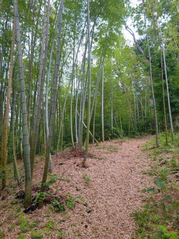
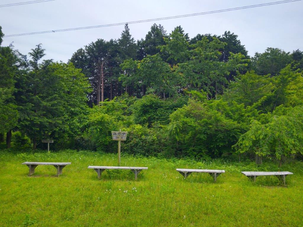
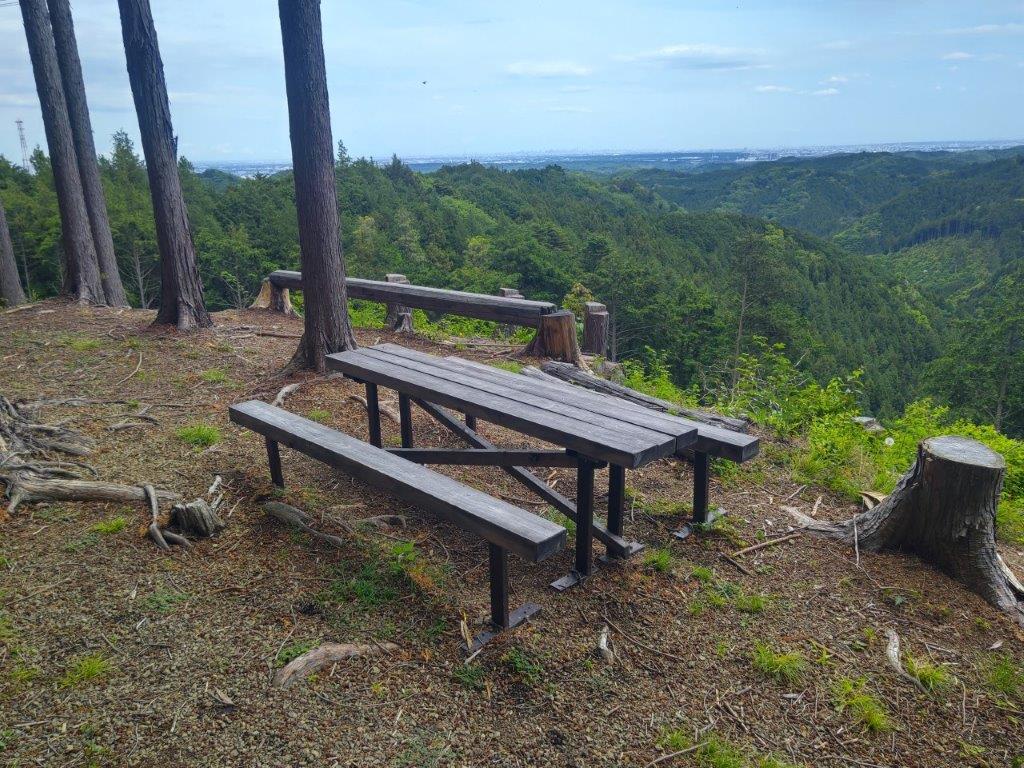
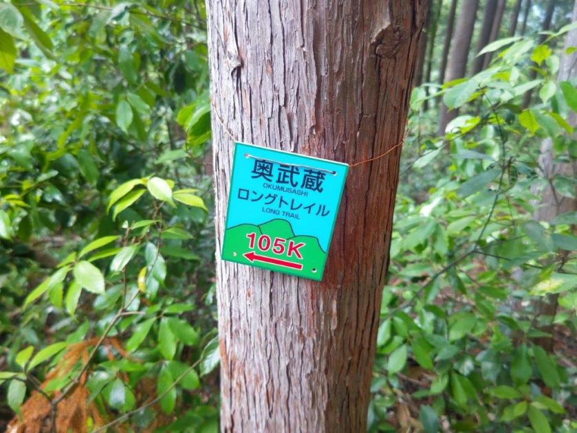
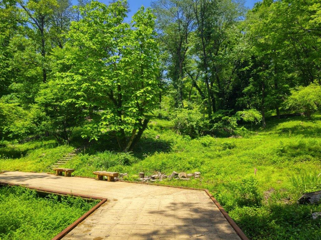
I was lucky to get the last free table under a large tree, although many benches were empty. It was nearly one o’clock so I decided to have an early lunch. I set off again a little past 1pm, now following the Oku-musashi Long Trail (奥武蔵ロングトレイル). After passing through a bamboo grove, I followed a winding path hugging the mountain side. Beyond a stream, the path started to climb, then became level at a clearing for the power line passing over Yugate. Shortly after crossing a second stream on a bridge made of two wooden planks, I arrived at Tsuchiyama Pass (土山峠), intersecting with my Fukuzawa hike.

Nearing the Top of Mt Hashimoto

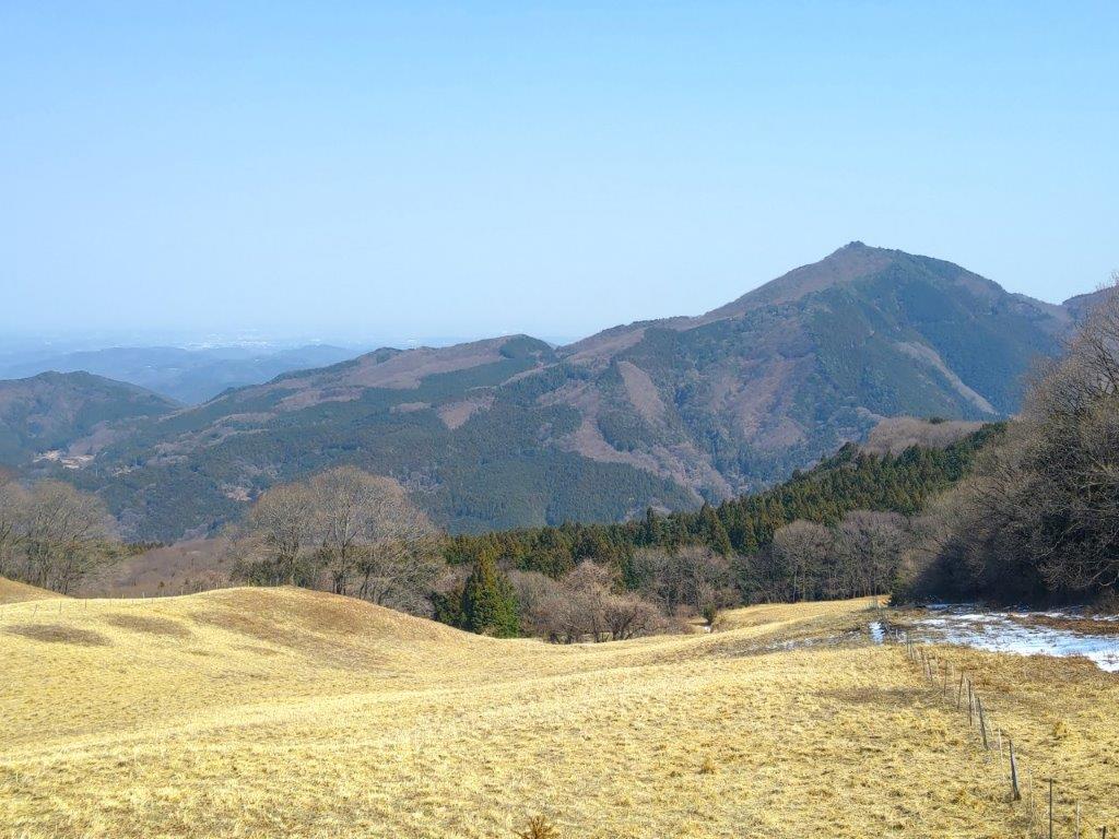
View of the Hanno Alps from Mt Hashimoto

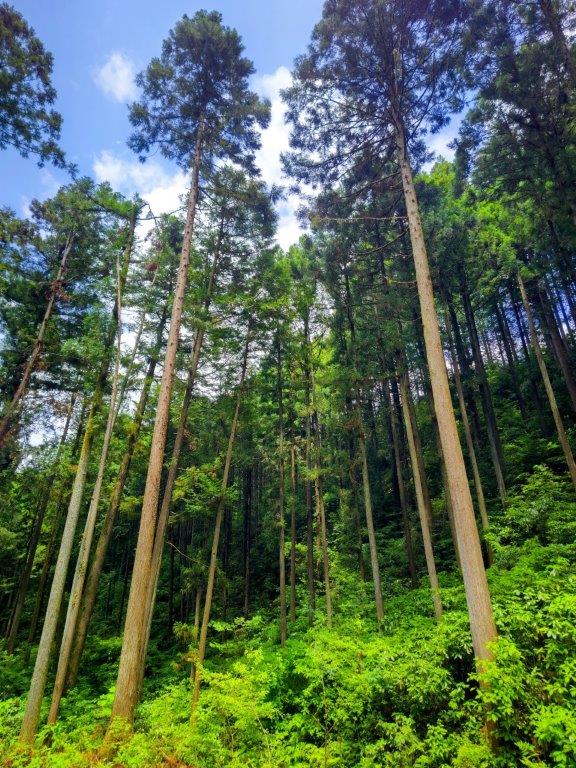
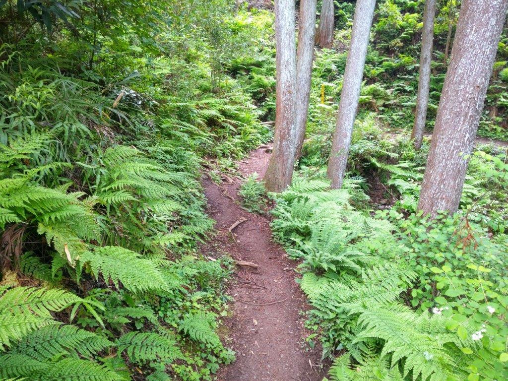
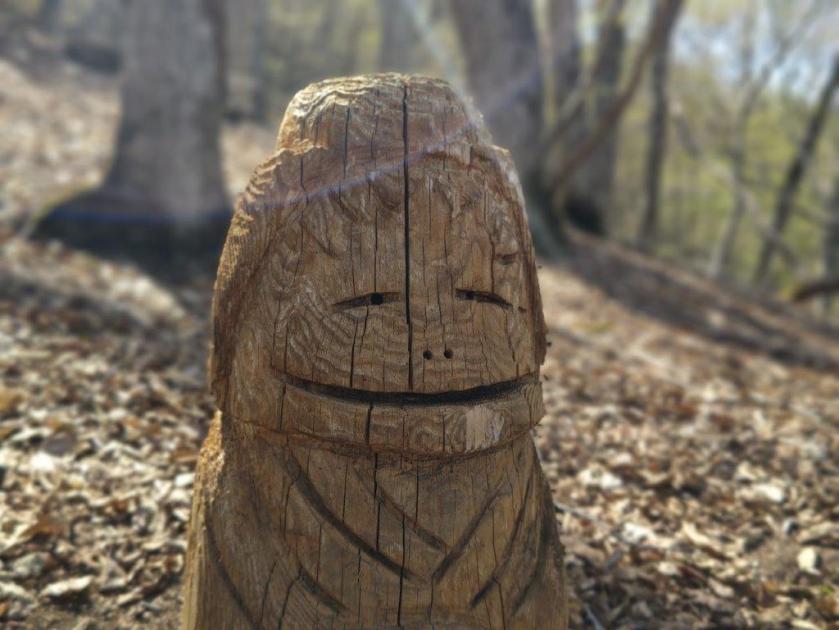
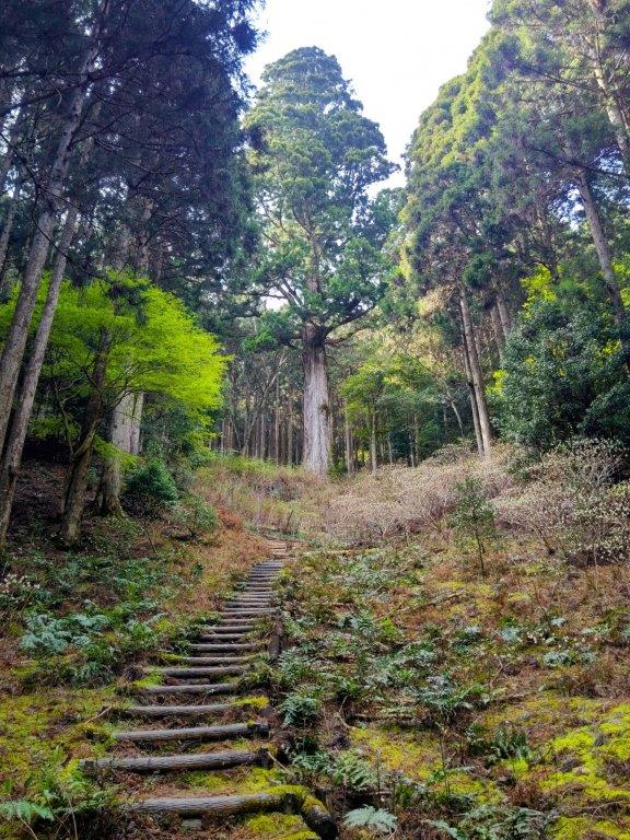
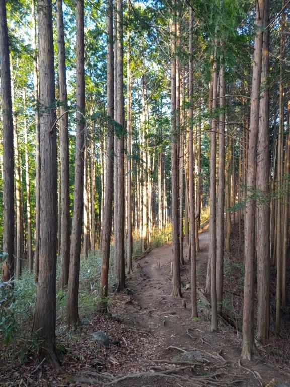
As I stood next to the charming carved wood figure sitting on top of a signpost, I decided to explore the trail heading straight as I was ahead of schedule, leaving the more usual route over Mt Omine to the right. Here, I also left the Oku-musashi Long Trail as it headed left to Kitamukijizo (北向地蔵). After a short and pleasant level section through cedars and green ferns, I popped onto a paved road past a small cemetery around 2pm. I turned right and soon spotted a faint un-signposted trail into the woods, opposite a solitary house.

Empty Benches at Yugate

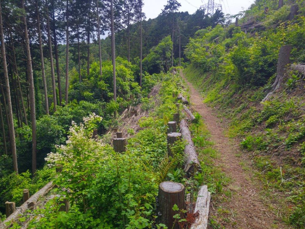
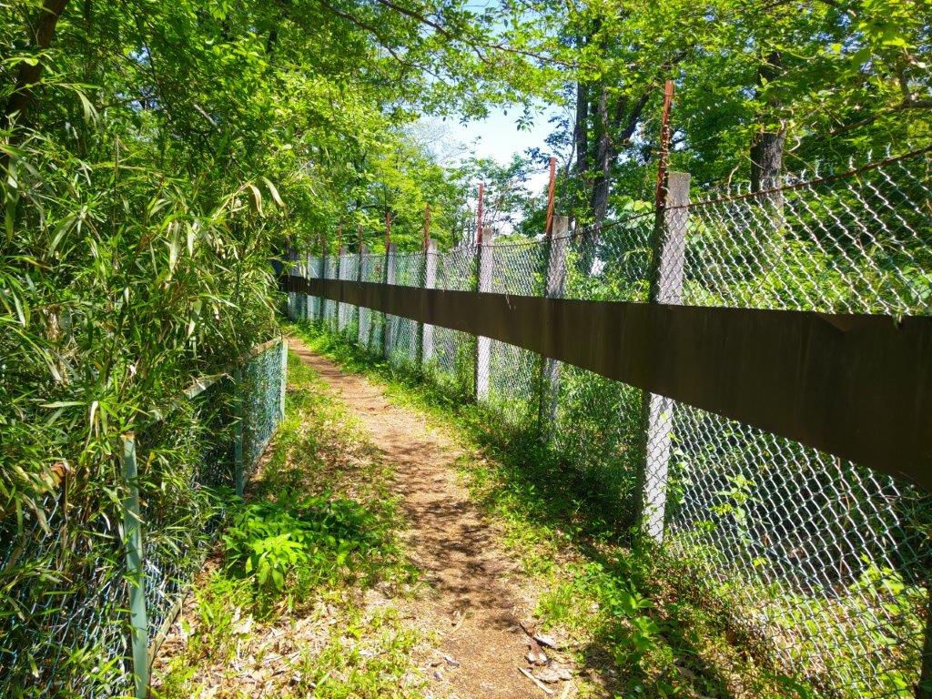
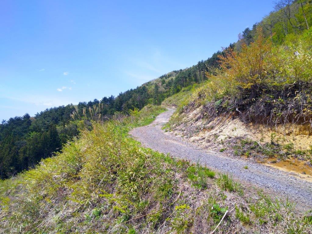
Level Trail Hugging the Mountain Side

The trail was rough at first, as it followed the contour of the mountain side. Using my phone GPS, as well as the odd strip of pink tape stuck to tree branches, to guide me, I soon reached a wider and easier to follow section, eventually merging with the main trail from Tsuchiyama Pass. In total, this interesting detour around the summit of Mt Omine took me half an hour. Almost immediately, I reached a fork; here, I headed down the left branch, this time leaving the Mt Fukuzawa ridgeline for good.

Path between Yugate and Tsuchiyama-toge

Nice Path along the Oku-musashi Long Trail

I had only just started down this separate ridge that I spotted a small handwritten sign warning hikers of the up and down nature of the trail ahead; it was good news to me, since I wanted a good workout. My only concern was the threat of a downpour as I could smell rain in the air. I quickened my pace and in no time reached the top of Mt Gojo 五常山(ごじょうやま), a minor peak completely in the trees. I continued without a break, quickly passing over a couple of equally minor ups and downs.

Taking a Detour around Mt Omine

Walking through Cedars and Ferns

I enjoyed the solitude of the narrow forested ridgeline, on a well-defined trail with no other hikers. After passing another clearing for a third power line, I reached the base of a steep slope. It was the toughest climb of the day but I soon reached the top of Mt Nagaone (長尾根山 ながおねやま meaning long ridge), also completely in the trees; a log bench provided me with an excuse to take a short break and relax in the peaceful surroundings of this seemingly isolated summit. Surprisingly, it equaled the record of Mt Raiden for most summit markers: I counted up to five different ones.

Clearing near the Third Electric Power Line

Steep Slope before Mt Nagaone

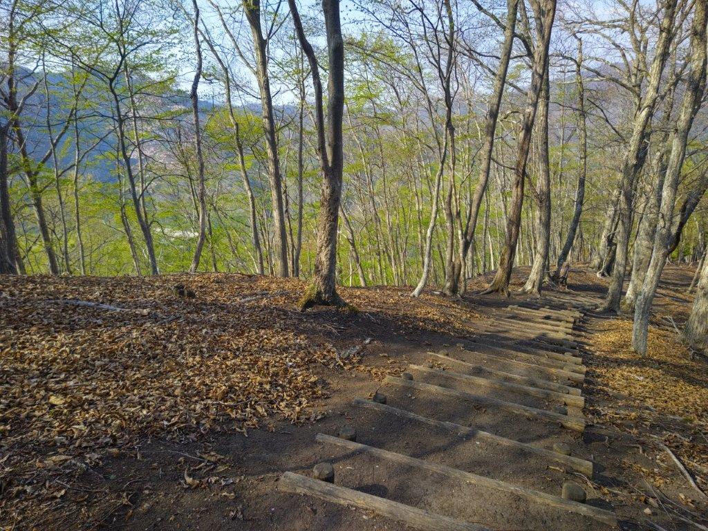
At 3pm, I headed down the south side, the steepest section of today’s hike, lined with rope for safety. No sooner had the trail leveled, that I turned left down some logs steps, choosing an alternative to the main route that continued straight. I passed another clearing for a power line, the one I had passed at the very start of the hike. The trail became hard to follow, apparently little used these days, but I stayed on track thanks to my phone GPS. Shortly after passing a “Toro“, or “stone lantern”, and other signs of temple grounds, I reached a paved road at the bottom of some stone steps. At 3h30, I reached Musashi-Yokote station, well before the start of the rain.

Watch a Video of the Hike

Watch the Video of the Hike on YouTube

See a Slideshow of More Pictures of the Hike

Mt Onita (505m) & Mt Atago (412m) Hanno City, Saitama Prefecture, Sunday, May 11, 2025

I passed by Mt Onita about four years ago, at the end of a long traverse from Okutama. At the time, I’d noticed another trail heading down from the top and thought I could return one day and use it for a short loop hike on the same mountain. Looking at Google Maps, I saw that this trail went by another peak, the summit of which had recently been cleared of trees on the east side and thus opening up a view. As an added bonus, it was also part of the Oku-musashi long trail.

For subscribers, read this Post on Hiking Around Tokyo for a better viewing experience and the latest updates

Hiking in Oku-musashi 奥武蔵

The weather forecast called for clouds and warm temperatures for most of the weekend so I decided it was a good time for some more exploring of the nearby Oku-musashi hills. To get there, I would ride the Laview Limited express to Hanno, and then, board a local bus for the thirty-minute ride to the trailhead; for the return, I’d catch the same bus, three stops up the line. I was looking forward to checking out some new trails in a familiar area.

Find Japan Hiking Maps on Japanwilds and subscribe to our newsletter

Start of the Hike (left) Heading up the Ridge (right)

Level (left) and Downhill (right) sections past Mt Onita

It was a grey, overcast day as I rode the limited express to Hanno, more like June weather than the beginning of May. I got off the nearly empty bus at noon, and after crossing a bridge over the Iruma river, headed up a trail on the left side, past a weather worn sign warning of a bear sighting ten years ago . I felt excited to be back in nature as I followed a footpath through an open grassy space surrounded by talls cedars, all signs and sounds of civilisation instantly gone.

Level Section Before (left) and After (right) Mt Atago

Open (left) and Forest (right) Sections on the way to the Power Station

My enthusiasm was quickly dampened as all signs of the trail completely vanished under rampant bamboo grass; when I had descended this way in the winter, the trail had been easy to follow. After a slight detour and some help from my phone GPS, I was soon back on an easy to follow trail. A little later, I started to climb a steep and root-riddled ridge through mixed forest. I had rushed down this section in semi-darkness back in 2021 so it felt like it was first time to walk this trail.

Open Grassy Space at the Start of the Hike

Climbing a Steep and Root-riddled Ridge

It was surprisingly humid for this time of the year; I regretted not bringing a change of clothes for the return as I started to feel that sticky sensation one usually gets in the rainy season. One hour after setting off, I was standing on the top of Mt Onita (大仁田山 おおにたやま oonita-yama) for the second time. The view was less impressive than I had remembered: only a narrow section of central Tokyo around the Sky Tree could be seen between two tree trunks. I continued without a break, hoping for a better view at the next summit, now leaving the route followed on my previous hike.

View South near Ibotori Jizo

View East from the Top of Mt Atago

Almost at once, I got disoriented by the twisting nature of the hilly terrain, compounded by local trails and signposts for places not shown on my map. I was surprised by how much geographical complexity could be packed in such a tiny wooded area. I was equally surprised by the variety of signs competing for my attention, ranging from the beautiful Oku-musashi Long Trail ones to some crude homemade efforts. Relying on my GPS again, I eventually got back on track. At 2pm, I reached a crossroads at Ibotori Jizo (いぼとり地蔵). Although my route turned left, I decided to check out the trail going straight. Very soon, I reached a view on the south side at the top of some log steps.

Summit Table on Mt Atago

Path around the Top of Mt Atago

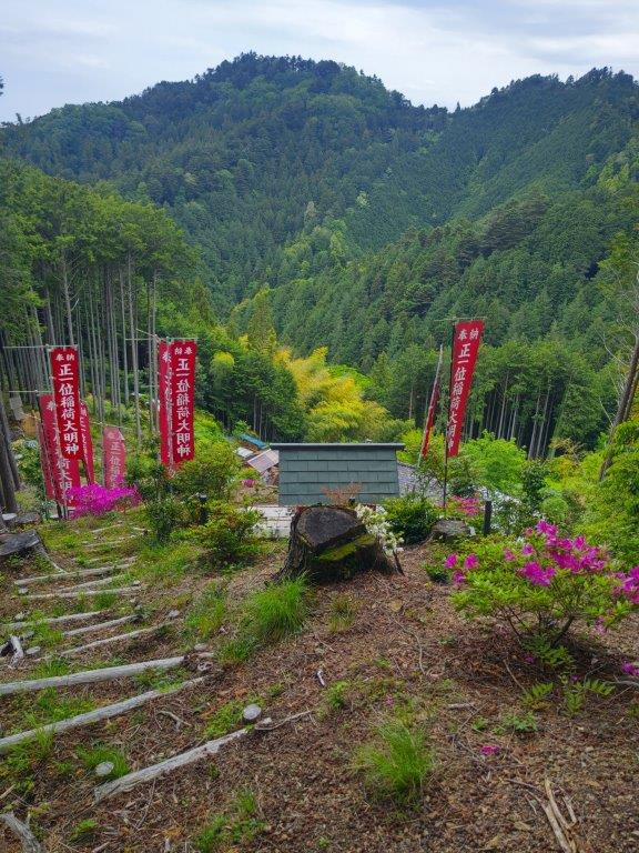
I could see the undulating ridgeline extending east from Mt Honita, part of the Nariki Ridge Hiking Trail (成木ハイキングコース) which I hope to do one day. Closer by, I could see the red banners for the small red Inari shrine situated a few meters below. After enjoying this unexpected view and observing a butterfly suck up nectar of some purple Azalea (“tsutsuji”), I headed back to the crossroads and turned right along a level path. I soon arrived at a fork where I headed up a steep unmarked track on the left, ignoring the other branch hugging the mountain side. After a short climb, I reached the top of Mt Atago (愛宕山 あたごやま atago-yama), a common mountain name in Japan.

Looking Down at the Iruma River Valley

Oku-musashi Mountains in the Background

I was glad to have the top to myself although at this precise moment I heard voices float up from below, followed shortly after by the apparition of a couple of hikers, the first and only other hikers I saw all day. They didn’t dwell and a little later I was by myself again. Directly ahead, I could see the Kanto Plain and the tall buildings of Tokyo, flanked by the green hills of Oku-musashi on each side. It was past 2pm, so I sat at the summit table and had a late lunch with a view and birdsong in the background. Half an hour later, I set off again. After a short descent, I merged with the level trail left earlier, following my GPS down the mountain, rather than the signs.

River Valley near the End of the Hike

Crossing the Iruma River at the End of the Hike

I made one exception near the end of the hike: since I was ahead of schedule, I made a round-trip along a trail signposted for “Hendenjo” (変電所), a Tepco power station according to Google Maps. I only went as far as a viewpoint of the Iruma River Valley near an electric pylon before turning back. At 3h30, I reached a stream at the valley bottom, and shortly after, emerged from the forest at a spot called Shijuuhachi-magari (48 turns), helpfully indicated by the solidly built Oku-muashai Long Trail post. After a short walk through a residential area, I reached a bridge over the Iruma river, beyond which was the bus stop. Less than an hour later, I was comfortably seated on the practically empty Laview limited express for the forty-minute ride back to Ikebukuro.

Watch a Video of the Hike

Watch the Video of the Hike on YouTube
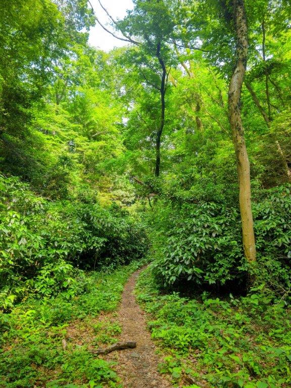
See a Slideshow of More Pictures of the Hike

Nanao Hills (Highest Point 173m), Hachioji and Hino Cities, Tokyo Prefecture, Thursday, May 8, 2025

I had already done this short hike in Western Tokyo on a cold winter day more than ten years ago. Since I had a chance to go hiking on a weekday morning, I thought it would be nice to redo it and see the new Spring green in the middle of Tokyo. It would also be a continuation of my recent hike between Aihara and Naganuma. Although there are no summits along the trail, I would pass by an observation deck inside Hirayamajoshi park. This hilly trail would also pass next to the Tama Zoological Park with a chance to glimpse some exotic animals.

For subscribers, read this Post on Hiking Around Tokyo for a better viewing experience and the latest updates

Start of the Hike (left) Log Steps inside the Park (right)

To get to the start of the hike, I’d ride the Keio line from Shinjuku to Hirayamajoshi-koen Station. Depending on the time, I could catch a return train from Takahatafudoson station or the closer Minami-daira station, both on the Keio line. I was hoping to see the colourful Takahata Fudoson Temple but since the section around it is through the city, I didn’t mind giving it a miss. The weather was supposed to be sunny and warm and I was looking forward to revisiting a green area inside the city of Tokyo.

Find Japan Hiking Maps on Japanwilds and subscribe to our newsletter

Steps for an Observation Deck (left) Path between Park and Zoo (right)

I got off the train at 9am, and after a short walk through a residential neighbourhood, I reached the start of the Nanao Hills walking path (七生散策路), marked by a signpost half-hidden by vegetation. A footpath led me up a grassy slope into the trees; I soon found myself climbing through forest along a well-defined path with wooden handrails, surprised by the sudden full-immersion into nature. A little before 10am, I reached a level open space with a view on the west side, in front of the houses of Hirayama-nichome.

Walking in Nanao Park (left) Walking next to Tama Zoo (right)

Walking on Top of (left) and Down (right) Nanao Hills

I was delighted by this unexpected view so early in the hike. Directly ahead, I could see the Okutama mountains, with Mt Odake, Mt Gozen and Mt Mito in the center; on each side, the Chichibu and Tanzawa mountains extended north and south, respectively; closeby, I could see the Southern Sky Tower next to Hachioji station; finally, on one side of the clearing, I spotted a huge Flowering Dogwood. I soon moved on, and after a short section on a paved road, reached a wooden signpost sending me up a series of steep steps on the left, leading back into the forest.

Open Space with a View at Hirayama-nichome

View of the Okutama Mountains

I was surprised by the constant birdsong, a sharp contrast to my previous hikes north of Tokyo. I soon reached a small shrine, purple azalea adding a dash of colour to the grey stone of its “torii“. From there, a level path led to the entrance of Hirayamajoshi park (平山城址公園), also the highest point of today’s hike. As I crossed the park from west to east, I marvelled at the abundance of green in every direction, more like an urban forest than a city park.

Close-up View of the Mountains surrounding Tokyo

Walking through the West Part of Hirayamajoshi Park

I could only see blue sky above the trees instead of buildings and I could only hear the song of birds, instead of city noises, since the park straddled one of the highest points of the hills. After some ups and down via log steps, I reached an observation deck in the eastern part of the park. Looking west, I could see Mt Gonzen, Mt Odake, Mt Mitake and Mt Hinode, although this view was less clear than the previous one. A little after 11am, I exited the park, and followed a connecting path between two fences, thoughtfully painted in green to match the scenery.

Walking through the East Part of the Hirayamajoshi Park

Hidamari “Sunny Spot” Platform in Hirayamajoshi Park

I was happy I could continue walking through nature, even if it was only a narrow section. I soon reached an open space above a cemetary, the Tama memorial garden, from where I had a view of the Tanzawa mountains to the south. I next followed a road for a short while, feeling quite hot under the midday sun, to a grassy path leading into Nanao Park. After some more ups and downs through beautiful greenery, the path always well-signposted, I reached a section with a chain-link fence on the right side; I knew that the Tama Zoological Garden was somewhere on the other side.

Log Steps inside Hirayamajoshi Park

Green Fence along the Connecting Path

I soon started hearing noises made by various animals although none could be seen through the vegetation. One exception was the Orangutan Forest: I was able to spot an orange lump lounging on one of the elevated platforms. This was probably the nicest section of the day as I was now following a real hiking trail, instead of a path inside a park. At one point, I had a view of the city through a gap in the vegetation on the left side. At noon, I reached a junction for Minami-daira station: here I decided to turn left and make my way back to the train station.

View of the Tanzawa Mountains from the Tama Memorial Garden

Approaching Tama Zoo

I was amazed by the steepness of the steps leading down the hillside; even though I was well inside the city, the angle of descent matched that of the mountains surrounding the Kanto Plain. Halfway down, I reached a small observation platform where I had a view of the flat city landscape extending northwards. Eventually I emerged onto a road from where it was a ten-minute walk to Minami-daira station, a forty-minute train ride back to Shinjuku.

View North Halfway down the Nanao Hills

End of the Nanao Hills Hike

I was glad I’d decided to redo this hike in Spring as the impression was quite different from my previous visit. Although the views might be better in winter, the new green scenery was stunning; the trails sections outside the parks were surprisingly well maintained and sign-posted; finally, even though the elevation is relatively low, the hilly nature of the trail made for an excellent workout. In the future, I hope to return and visit the Tama Zoo, as well as the Botanical Gardens of the Tokyo university of pharmacy and life sciences located right next to Hirayamajoshi Park.

Watch a Video of the Hike

Watch the Video of the Hike on YouTube

Mt Amagoi (1068m), Numata City, Gunma Prefecture, Monday, May 5, 2025

I found out about this mountain, situated between Mt Hotaka and Mt Akagi, while contributing to the Japanwilds hiking map for Tanbara Highland. Apparently most hikers go up and down the same route from the parking on the south side, but looking online, I saw it was possible to descend on the west side and end at Kawaba Den-en Plaza, one of the most famous roadside stations in Japan. Although the hike seemed somewhat short, the panoramic view from the summit motivated me to travel to a faraway and yet unexplored area.

For subscribers, read this Post on Hiking Around Tokyo for a better viewing experience and the latest updates

Start of the Hike (left) Entering the Forest (right)

Walking under the New Green (right) End of the Hike (right)

To get there, I’d ride the Joetsu Shinkansen to Jomon Kogen, and from there, ride a bus to a stop located one hour on foot from the trail entrance. For the return, I could catch a bus from the roadside station for Numata station, and there, ride the local Joetsu line to Takasaki station where I could catch a shinkansen for the short ride back to Tokyo. If time allowed, I could take a hot bath at Kawaba Den-en Raku Raku onsen before heading back. The weather was supposed to be sunny and warm, typical weather for May. I was looking forward to a relaxing Golden Week Hike and getting some new views.

Find Japan Hiking Maps on Japanwilds and subscribe to our newsletter

Dirt Road at the Start of the Hike

Heading to the Sky

It was already quite warm as I got off the bus in the middle of the countryside. Since it was 11am, I started almost right away, up a winding road through fields and then forest. Half an hour later, I passed Ishiwari-zakura (石割桜), a massive cherry blossom tree I had hoped to catch in full bloom, but was already well into green leaves stage. After passing a junction where a steep road led down to a parking lot on the left side, I arrived at the official start of today’s hike, a dirt road hugging a deforested mountain side.

Mt Akagi’s Western Flank

A Pleasant Start to the Hike

I was excited to get a sweeping view at such an early stage: to the left was Mt Akagi, it’s long western flank clearly visible from this angle; on the right side, I could see Mt Komochi, surrounded by Mt Haruna and Mt Okono in the back, bring back good memories from hikes from over ten years ago. After a pleasant panoramic along a mostly level road, reminiscent of alpine hikes, I re-entered the forest around 1230, passing between a couple of towering red pines.

Mt Komochi (center), Mt Haruna (back left) & Mt Okono (back right)

Looking back at Mt Haruna before Entering the Forest

I was stunned by the profusion of the new green of Spring in all directions; at one point, I witnessed a flurry of white blossoms blowing across the path, coming from some unseen mountain cherry tree. After a short switchback section, I reached a flat section along a saddle on the mountain. Although I was now completely in the forest, I enjoyed the peaceful surroundings, few hikers venturing on this not so famous peak.

A Level Trail through a Peaceful Forest

The Flat Top of Mt Mitsumine with the the Peaks of Joshin’Etsu in the Back

After a short climb, I arrived at a flat space, mostly free of vegetation on the southwest side, the top of Mt Amagoi (雨乞山 あまごいやま amagoi-yama), a fairly common mountain name in Japan, meaning “begging for rain”, something I definitely didn’t want to do, today being a perfect blue-sky day. Mt Akagi took up most of the south side; southwest was Mt Komochi again; I now had a new view on the west side where I could see the flat top of Mt Mitsumine, with behind, the highest peaks of the Joshin’Etsukogen National Park, most of them still in their winter clothes. Mitsumine is a popular paragliding spot and I happened to see a paraglider drift through the sky. It was exactly 1pm, so I sat on a bench and enjoyed lunch with a view.

The Tanigawa Range from the Top of Mt Amagoi

Mt Mitsumine, a Popular Paragliding Spot

After lunch, I tried to match all the Joshin’Etsu mountains using the summit information board, since only the Tanigawa range on the very right was instantly recognisable ; apparently on clear winter days, one can also see the Chichibu Mountains, the South Alps and Yatsugatake. Although trees blocked the views in other directions, I was able to spot the still snowy top of Mt Hodaka through some bare branches on the north side, a preview of my upcoming descent. A little before 2pm, I set off again, down a steep path on the west side.

Sideways View of Mt Akagi from the Top of Mt Amagoi

Heading down the Western Side of Mt Amagoi

Here, the trail was buried under dead leaves and would have been hard to follow, if it weren’t for rope attached to nearby trees. I soon emerged from the trees and was greeted with a spectacular view on the northwest side. To my right, I had a better view of the snowy summit of Mt Hotaka, framed by mountain cherry trees. On the west side, I could once again see Mt Mitsumine and Mt Tanigawa. As I descended this valley surrounded by snow-capped mountains, I almost felt like I was walking in the Swiss Alps.

Emerging from the Trees on the Northwest Side

Mt Mitsumine (left) & Mt Tanigawa (right)

I was following a narrow ridge with tall red pines on my left and a deforested area on my right, allowing for plenty of views along the descent. I soon turned left, onto a path between two rows of fir trees, the end of the scenic descent. After a short while, I entered a mixed forest, and after a short section where the only trace of a path was again a helpful rope hung between trees, I reached a winding forest road heading down through tall cedars.

View of the Tanigawa Range while Descending Mt Amagoi

Mt Hotaka and Mountain Sakura

A little before 3pm, I reached the valley bottom next to a small stream. From this point, the level trail headed west in a straight line through forest. Very soon, I reached a wildlife net and a paved road where I turned left, heading south, through orchards and fields. As I approached a busy road, I had some good side views of today’s mountain, on the left side.

Red Pines on the Left and Views on the Right

Walking along the Valley Bottom

During the entire descent, I saw no other hikers, as most people seem to visit this mountain by car. At 3h30, I reached Rakuraku onsen, meaning “comfortably”; one hour later, after a quiet hot soak, as most people seemed to prefer to spend their time at the neighbouring roadside station, I hopped on the nearly empty bus for Numata station. I was grateful to have found this hike, and to have been able to visit in this season; it is certainly one of the hidden gems of Gunma.

Watch a Video of the Hike

Watch the Video of the Hike on YouTube
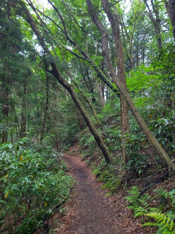
See a Slideshow of More Pictures of the Hike

Mt Katsuro (1123m), Nikko City, Tochigi Prefecture, Sunday, April 27, 2025

Ever since climbing Mt Gassan, I had been hoping to do another hike along the Aizu-Kinugawa line, deep inside the Nikko National Park but well off the tourist trail. Looking through my guidebook, I found a suitable mountain, its trail entrance near a train station. Although the summit was in the trees and mostly up and down the same way, the path seemed to be well-maintained with no tricky sections; along the way, it was possible to get views of 3 different lakes.

For subscribers, please go to Hiking Around Tokyo to see the slideshows as they do not play in Gmail

Initially, I had planned to go in the Autumn since apparently the leaves are quite spectacular, but online reports of leeches in that season made me switch to Spring. While researching the itinerary, I was delighted to find out that Tobu railways was running an extra return train in the afternoons during Golden week, the “Skytree Train”; this gave me an extra hour to enjoy my time in a destination far away from Tokyo.

Hiking in the Nikko National Park 日光国立公園

Find Japan Hiking Maps on Japanwilds and subscribe to our newsletter

Start of the Hike (left) a Well-maintained Trail (right)

A Mix of Flat Sections (left) and Log Staircases (right)

To get to the start of the hike, I’d ride the Tobu limited express “Revaty” from Kita-senju directly to Yunishigawa-onsen, famous for its snow house festival in the winter. For the return, I decided to ride the Skytree train only as far as Shimo-imaichi, and then switch to the Revaty coming from Nikko, since looking online, I noticed that the latter had more comfortable seats.

Spring Green Lower down (left) Bare Branches Higher up (right)

Below the Summit Ridge (left) Heading up to the Ridge (right)

The weather was supposed to be mostly sunny all day, with slightly cool temperatures, perfectly normal considering I’d be nearly 150 km north of Tokyo. If I finished on schedule, I could relax in a hot spring bath at Yunosato onsen on the 2nd floor of the roadside station connected to the train station. I was looking forward to revisiting the mountains north or Kinugawa after a 3 year interval, and curious to see whether the new green of Spring had finally arrived.

Spring Green at the Start of the Hike

Ridgeline Leading to the Summit Area

As I stepped off the train, I was surrounded by darkness, since Yunishigawa-onsen station (湯西川温泉駅) is located inside a tunnel running under today’s mountain. After riding an elevator to the surface, I got ready inside the Yunishigawa-onsen Roadside station, and at 12h30, started up the hiking trail at the far side of the parking area. After half an hour of climbing via a series of log staircases, I reached an electric pylon with views on both sides.

View South of Mt Takahara and Umijiri Bridge

Flat Section Half Way Up

I was grateful to get a good view so early in the hike: looking south, I could see Umijiri Bridge spanning Ojika River, and in the back, Mt Keicho, one of the summits of Mt Takahara; on the north side, was Yunishikawa Lake, with Mt Takase rising behind it; in the far distance was Mt Arakai. I soon continue along a well-defined path, passing an open shelter on the left side. I was surrounded by the bright green of new Spring, but as I gradually gained altitude, I reentered an area of bare branches, creating fantastical shapes against the blue sky. Branches swaying in the light breeze created the only sounds, as birds had not yet returned from their migratory trips.

Walking under Leaning Trees

Walking along a Well-Defined Path

Here and there, I glimpsed distant snowy peaks through the branches, and was glad I had chosen to visit in this season. Although it was officially the start of the Golden Week, I saw only one other hiker on the mountain, perhaps because most people prefer to visit in May, when the whole mountain is covered in new green. At a bend on the east side, I glimpsed the white ski runs of Hunter Mountain, open till the end of Golden Week. I was now following a nearly level trail heading westwards through silent forest. Shortly after reaching the summit ridge, a view on the south side opened up above some green larches.

View South of the Tochigi Mountains

Nearly at the Summit

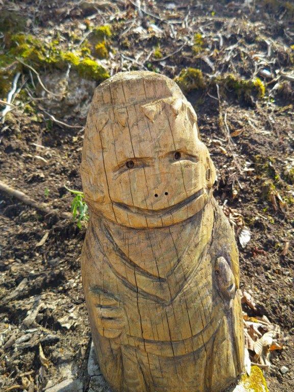
I took a moment to enjoy the view of the mountains of Tochigi, the only recognisable peak being Mt Gassan on the right side. One of the interesting aspects of this hike is the sight the of the wooden figures of the 7 Lucky Gods (“shichifukujin” 七福神) placed along the trail. I now passed Daikokuten (大黒天), the God of Wealth, one of the more popular ones. A few minutes later, just before 2pm, I reached an open shelter at the top of Mt Katsuro (葛老山 かつろうやま katsurou-yama), a 100 famous mountain of tochigi. Through the branches on the west side, I could see Mt Tashiro; on the north side, I had a double lake view, Yunishigawa lake on the left side, and Ikari lake on the right side; to the northeast, I had a good view of Mt Hiruga. I sat next to the statue of Jurojin (寿老人), the God of Longevity, for a late lunch.

Log Steps above the First Shelter

Mt Takase from near the Electric Pylon

Afterwards, I decided to explore the ridge extending southwest as I was ahead of schedule. I was rewarded with glimpses of Yashio Lake and Mt Nyoho, one of the Oku-Nikko peaks. A little after 2h30, I started to head down the same way, spotting new details such as Magnolia flowers (“kobushi“) and mountain cherry trees (“yama-zakura“). Shortly after 3pm, I arrived back at the viewpoint at the electric pylon. Here, I turned left, for an alternative descent suggested by my guidebook. After heading down a short way, I reached another pylon, where I had a view of the foothills of Mt Takahara on the east side.

Mountain Sakura and Mt Takase

Yunishi River near Yunishigawa Station

Directly ahead on the north side, I had the best view of the day, Mt Takase and Yunishigawa Lake. The path became a little rough and I encountered the first and only tricky section of the day, a short but steep descent into a gully, thankfully roped for safety. After ascending the other side, I popped out onto a road next to Nishikawa-danchi, a group of houses on the mountain side. I then followed a road to its junction with a main road, where I turned right. After crossing a tunnel, I arrived back at the roadside station at 4pm, roughly one hour before my return train. I had a leisurely hot soak, practically by myself, and shortly after 5pm, I waited on the dark platform for the Skytree train to appear out of the darkness.

Watch a Video of the Hike

Watch the Video of the Hike on YouTube

See a Slideshow of More Pictures of the Hike

Odoriko Trail (highest point 719m), Izu City, Shizuoka Prefecture, Saturday, April 19, 2025

I wanted to visit the Izu Peninsula again since it had been a year and a half since my last hike there. I decided to explore the other half of the Odoriko trail (踊子山道), south of Amagi Pass, hoping that in this season I could finally catch the new green of Spring. Looking at my map, I saw that, although there were no summits along the way, the trail included several interesting sights: the Old Amagi tunnel, Namesawa Gorge, Tarosugi Cedar and Joren Falls.

For subscribers, read this Post on Hiking Around Tokyo for a better viewing experience and the latest updates

Hiking in the Fuji-Hakone-Izu National Park

富士箱根伊豆国立公園

To get to the start of the hike, I’d ride the shinkansen from Tokyo to Mishima, and there, change to the Izuhakone railway Sunzu line. At Shuzenji, I’d board a Tokai bus for Kawazu, and get off at Nikai waterfall, just past Amagi pass. For the return, I could catch a bus for Shuzenji from Joren Falls. If time allowed, I could get off at Yugashima onsen and drop by Kajika no Yu, a public bathhouse. The weather was supposed to be sunny but warm for the season, and I hoped I could keep cool walking under the tree leaves and next to rushing water.

Find Japan Hiking Maps on Japanwilds and subscribe to our newsletter

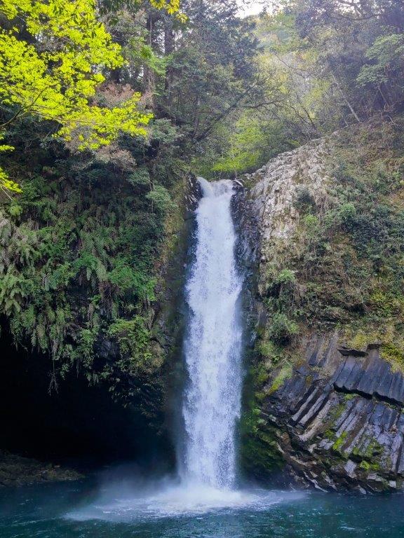
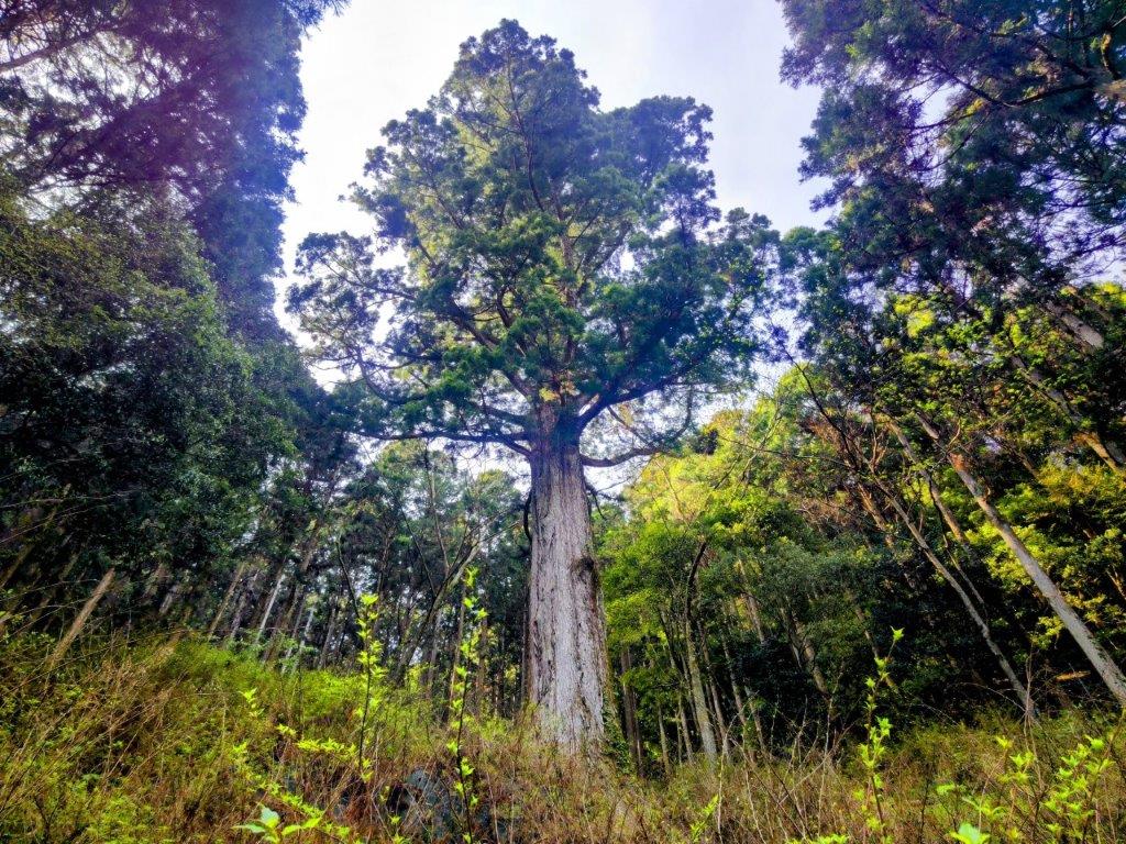
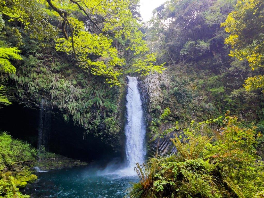
Taro Cedar (left) Joren Falls (right)

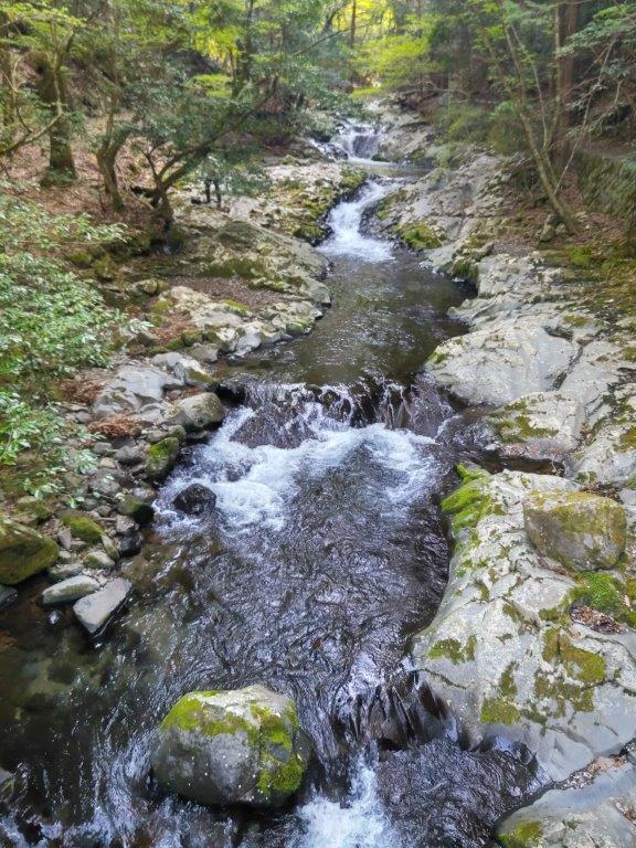
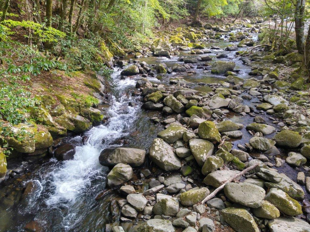
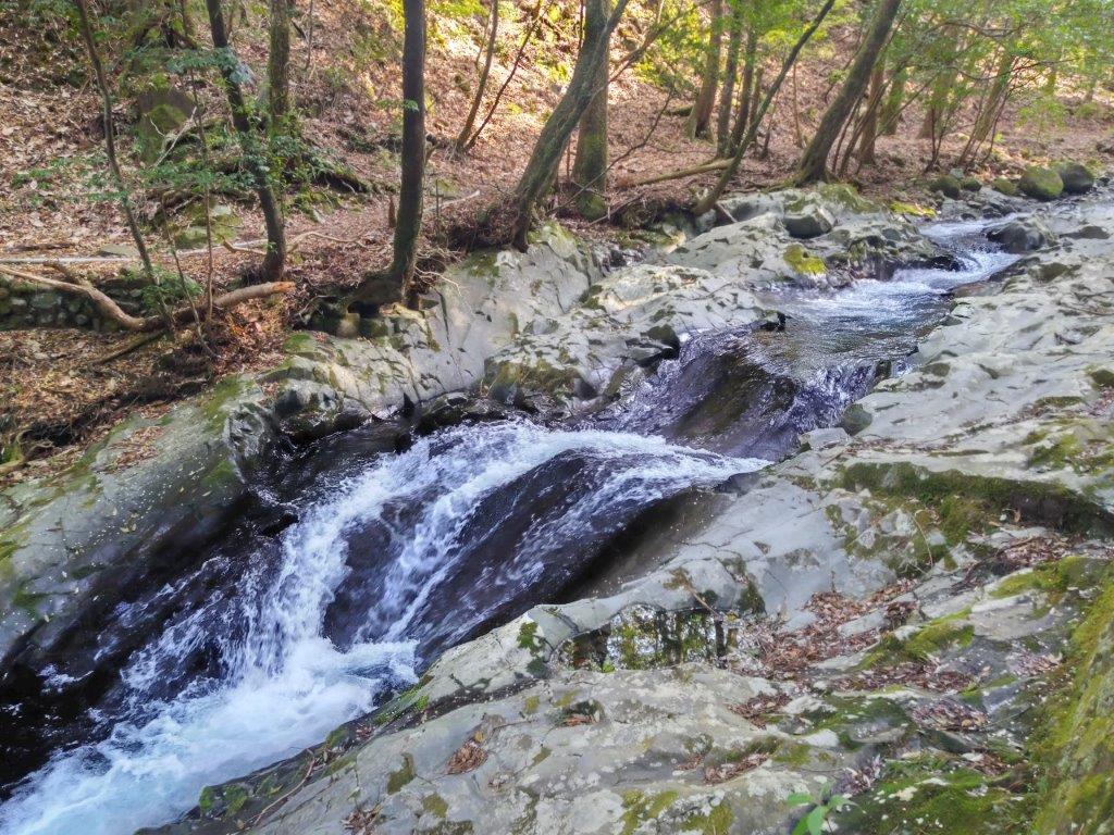
Upper (left) & Lower (right) Namesawa Gorge

The start of the hike was the same as when I climbed Mt Noborio a couple of years ago. After checking out Nikai Waterfall (二階滝), the amount of water seemingly the same as before, I continued past the entrance of the Kanten forest road (寒天林道), and after about 30 minutes of mostly level walking along a paved road, I reached the entrance to the Old Amagi Tunnel (旧天城トンネル), just past 1130. Built in 1905, and nearly half a kilometer long, it’s one of the 100 famous road sections in Japan.

See a Slideshow of pictures of the Trail

Fortunately, the tunnel was equipped with some lighting (not always the case) and I didn’t need to use my headlight, which I had brought just in case. Still, it was dark enough to feel a little spooky, on top of the steady drip-drip of water from the ceiling. Once out of the tunnel, I continued along a gravel road, now heading slightly downhill. Everywhere I looked, the new green was in full effect, with even some mountain sakura in full bloom dotting the opposite ridge. A little past noon, I arrived at Suishhochi (水生地), a place I had been through before on my way down from Hatcho Pond.

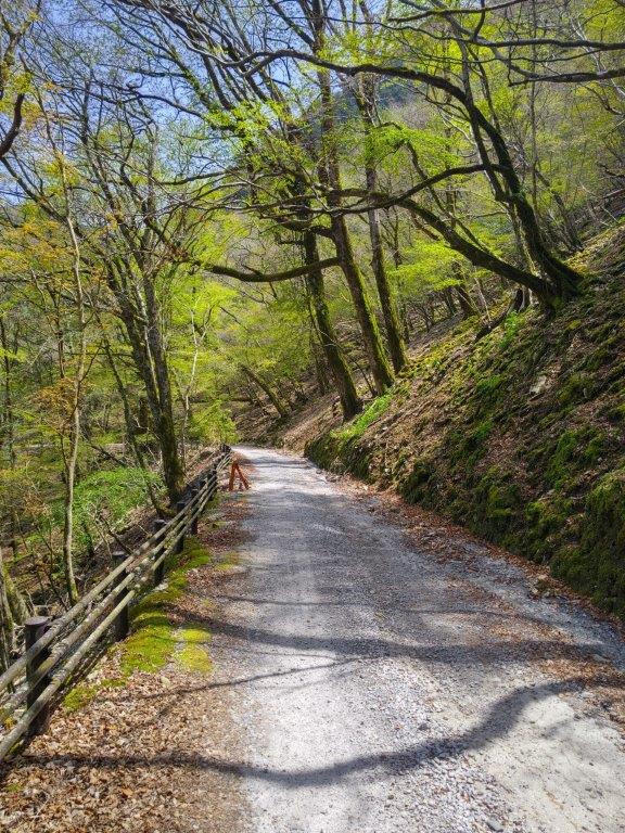
Walking between Kanten Forest Road and the Old Amagi Tunnel

Entrance of the Old Amagi Tunnel

Since today was a leisurely hike and I had ample time till my return bus, I decided to make a short round trip to Namako rock (なまこ岩). Although the rock itself was nothing special, I enjoyed the walk up and down the narrow valley, alongside a rushing stream, surrounded by moss-covered rocks and mitsumata flowers (ミツマタ), slightly past their prime. At 1pm, I reached the Suishochi parking lot and headed down some steps leading from the road to a trail next to a river. I had good views of the fast-flowing water on the left side, bright green wasabi fields covering the opposite bank. After a short while, I crossed the river over a metal bridge. The trail then headed into the forest and hugged the steeped forested mountain ridge. At 1h30, I came to a wide-open space called Yuyu-no-mori (遊々の森).

Walking through the Old Amagi Tunnel

Walking between the Old Amagi Tunnel and Suishochi

Since there was a bench in the shade of a towering cedar tree in one corner, I decided to take a break for lunch. Opposite was a rusty old train on display, a reminder of a time when a railway ran through the valley; behind me, I could hear the rushing water of the river; on my right, I could see the white bell-shaped flowers of the “Dodan Tsutsuji” (ドウダンツツジ) bobbing in the breeze. At 2pm, I set off again. I soon recrossed the river, and was once again walking along its right bank, arguably its best side, occasionally stopping to admire small waterfalls, slowing the rapid flow of water. As I had expected it remained pleasantly cool, despite temperatures being in the high twenties.

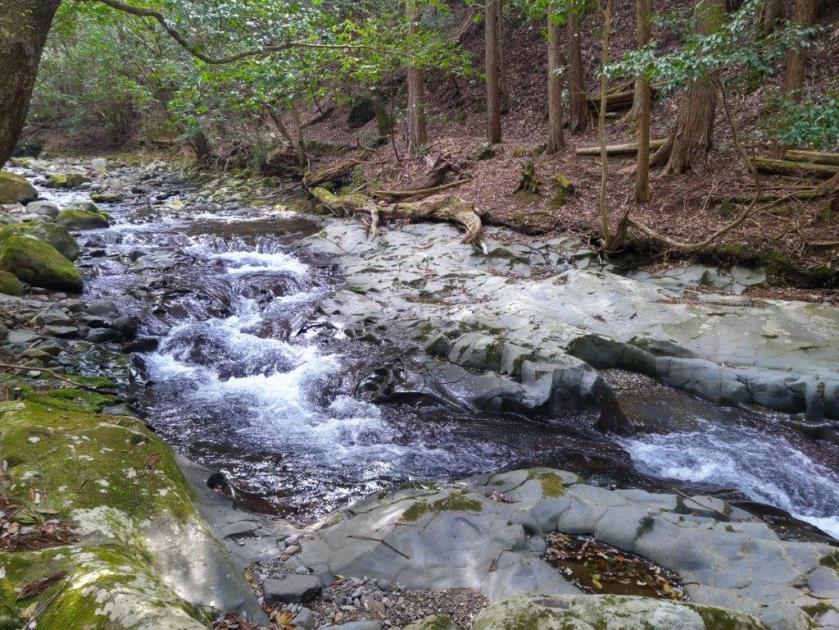
View of the River from the First Crossing

Following the Right Bank of the River

This was probably the best part of the today’s hike. The trail was well-maintained and easy to follow, thanks to the numerous and easy to spot “Odoriko Trail” signposts, as well as the detailed information boards. I was surprised to see few other hikers, probably because it was still early in the season. At 2h30, after crossing another bridge, I arrived at the start of Namesawa Gorge (滑沢渓谷). Here I made another round-trip up a hiking trail on the left side. It criss crossed a road a few times, but mostly followed a tributary stream. Here I spotted someone flying a drone over the gorge, most likely getting some spectacular footage.

Small Bridge along the Odoriko Trail

Third Bridge Crossing over the River

By this time of the day, the valley, oriented north-south, was in the shade. However, as I made my way up the mountain side, some sunlight finally filtered over the east ridge, lighting up the frothing water in a spectacular manner. After a while the trail merged with a forest road, and soon after, I reached my objective, Tarosugi (太郎杉), a giant cedar, 450 years old and 53m high. It’s also one of the 100 famous trees of Japan (3rd highest in the list, the highest being a tree in Akita, 58m). It stood to the right of the trail, in a small clearing at the top of a log staircase.

Wasabi Fields between Namesawa Gorge and Tarosugi

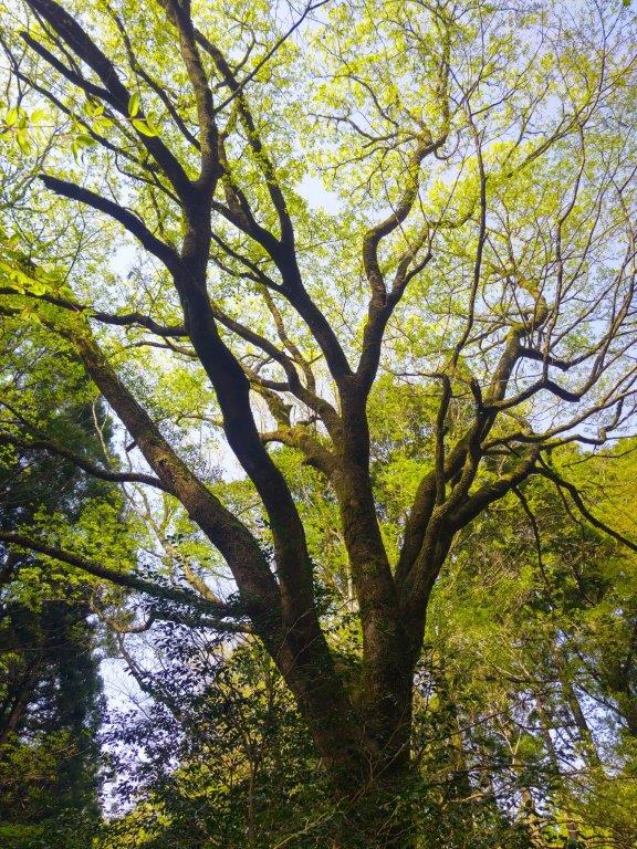
Looking up at Tarosugi

I was totally stunned by the view of this ancient giant, the effect amplified by looking up at it from below, as well as no other tree in the vicinity coming close to its majestic height. I had already visited the giant cedars in Yakushima, but there, every tree towers above you and it’s hard to grasp how tall they really are. On the way up, I had been wondering if it would be worth it, and I was definitely very happy I had made the effort. Although the tree was surrounded by a fence, it was possible to walk around it, and thus I could check out this marvel of nature from every angle. Once done, I legged it back to the entrance of the gorge, as I had now fallen slightly behind schedule. A little past 3pm, I reached the roadside station Amagi-goe (道の駅 天城越え) where I crossed the road.

Rapids along Namesawa Gorge

One of the Few Mountain Views of the Hike

The final part of the hike followed a path up and down through forest before reaching a paved road at the top of a wooden staircase, a calming stroll after an exciting moment. The road led me through a somber cedar forest and then through a residential area. The elevation had dropped from over 700m around the pass, to about 300m, and for the first time today, I felt quite hot under the afternoon sun. I arrived back at the main road just before 4pm, and after recrossing it, headed down a long flight of steps. At the base of the steps, past yet another wasabi field, I arrived at the last highlight of the day, Joren Falls (浄蓮の滝), 25 meters high and the largest waterfall on Mt Amagi, as well as one of the 100 famous waterfalls of Japan.

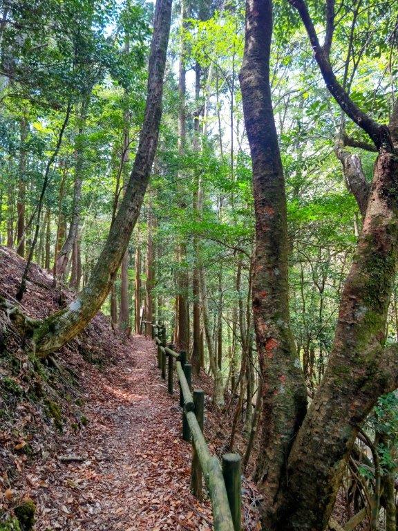
Wooden Staircase near the End of the Hike

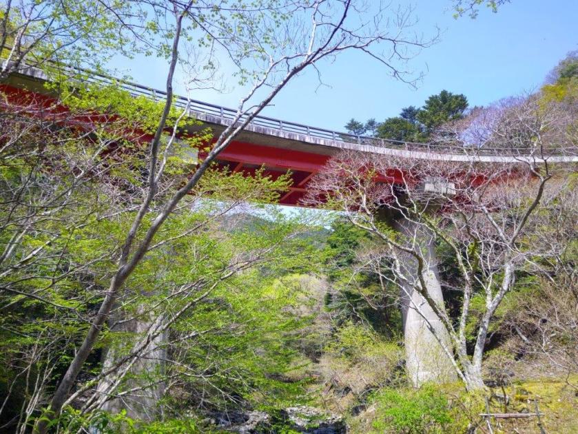
Joren Falls Surrounded by the New Spring Green

I admired the thundering water, as it crashed into a blue-green pool, surrounded by bright green leaves, and then made my way back up the steps. It was a short bus ride, followed by a short walk to Kajika-no-yu (河鹿の湯) in Yume-ga-shima Onsen (島温泉郷) , and although there was no outside bath, I had the indoor pool mostly to myself. I caught another bus closer to the public bath and at 5h30, I was back at Shuzenji station. There, I boarded the anime-themed train for the half an hour ride back to Mishima, from where it was less than an hour by shinkansen to Tokyo station.

Watch a Video of the Hike

Watch the Video of the Hike on YouTube

See a Slideshow of More Pictures of the Hike

Mt Tsuchi (599m), Takahagi City, Ibaraki Prefecture, Saturday, April 12, 2025

I wanted to do another hike on the Abukuma Plateau in northern Ibaraki, as it had been more than one year since my last visit. Looking at my guidebook, I found a suitable mountain north of the Hitachi Alps. The trail went up and down the same way, but I didn’t mind since the summit had an observation tower with an unobstructed view on the south side. It was also a long way to travel for a relatively short hike, but again, I was happy to explore a new place in a little-visited part of Japan. Finally, I could combine it with a visit to the nearby Hananuki Gorge with its suspended bridge and waterfalls.

For subscribers, read this Post on Hiking Around Tokyo for a better viewing experience and the latest updates

Hiking in the Abukuma Mountains

阿武隈高地

I’d ride the Hitachi limited express from Ueno to Mito, and there, switch to a share car since no buses ran to the start of the hike. I’d drive along the Green Furusato line, allowing me to stop for a pre-hike soba lunch at Iriyoma. For the return, I’d use the faster Joban Expressway. While waiting for the train for Ueno, I could sample some local sake inside Mito station. The weather was supposed to be sunny but cooler than Tokyo, 100km to the south. Looking at online reports, I saw that it had snowed there less than 3 weeks ago, and so I wondered if by now the new green of spring had arrived.

Find Japan Hiking Maps on Japanwilds and subscribe to our newsletter

Start of the Hike (left) Entering the forest (right)

Walking the Top Ridge (left) Heading Down in the Late Afternoon (right)

I arrived at the Iriyoma Soba around noon only to find out that there were ten groups ahead of me. While waiting, I popped over to the nearby Oiwa Shrine 御岩神社 to check out its 50-meter high, three-trunk giant cedar (see slideshow at the bottom of the post). I got back to the restaurant just as my name was being called, and after a satisfying meal of cold soba noodles and an enormous “kakiage“, I continued my drive, arriving at the parking for the free Kotakizawa Campground 小滝沢キャンプ場 at 2pm. Half an hour later, I started up a wide trail bathed in the early afternoon sunshine.

Midway up the Steep Climb in the First Half of the Hike

Trail past Nanatsuiwa

I soon entered a dark cedar forest, and after a couple of turns, reached the base of a steep, straight climb. I cautiously made my way over the huge rocks embedded into the higher part of the slope, one rocky bit even had an attached rope for safety. A little past 3pm, I reached the top ridge, from which point the path was mostly level, save for a short up and down section. I soon arrived at the turnoff for Nanatsuiwa (七ツ岩), a spot with several moss-covered boulders and a view on the east side of Takahagi city and the Pacific ocean through the still bare tree branches.

View South of the Hitachi Alps (left) and Mt Tsukuba (right)

Mt Tatsuware, a 100 Famous Mountain of Kanto

Shortly past 3h30, I arrived at the fairly new-looking observation tower on the summit of Mt Tsuichi (土岳 つちだけ tsuichidake), meaning Mt Dirt, although the summit was mostly lawn grass, with several pine trees blocking the view on the north side. To the south I could see Mt Kamine, as well as Mt Takasazu with its TV antennas, 2 prominent peaks of the Hitachi Alps; nearby, on the west side, was the long flat summit of Mt Tatsuware; in between and much further away, I could just make out Mt Tsukuba, nearly lost in the haze. According to the signboard near the summit marker, with the right conditions, one can see the Nikko Mountains, Mt Adatara, Mt Bandai and even Mt Fuji.

Mt Kamine (left) & Mt Takasuzu (right)

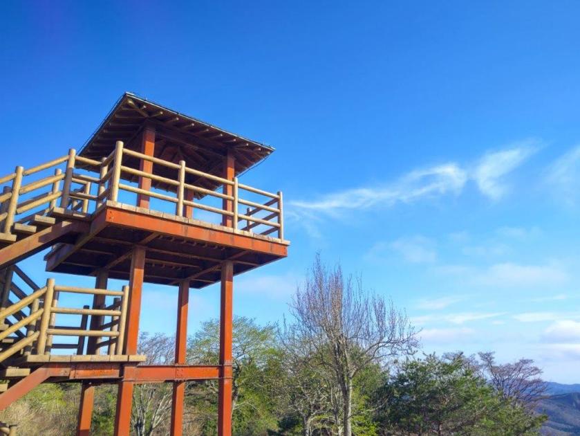
Observation Tower at the Top of Mt Tsuichi

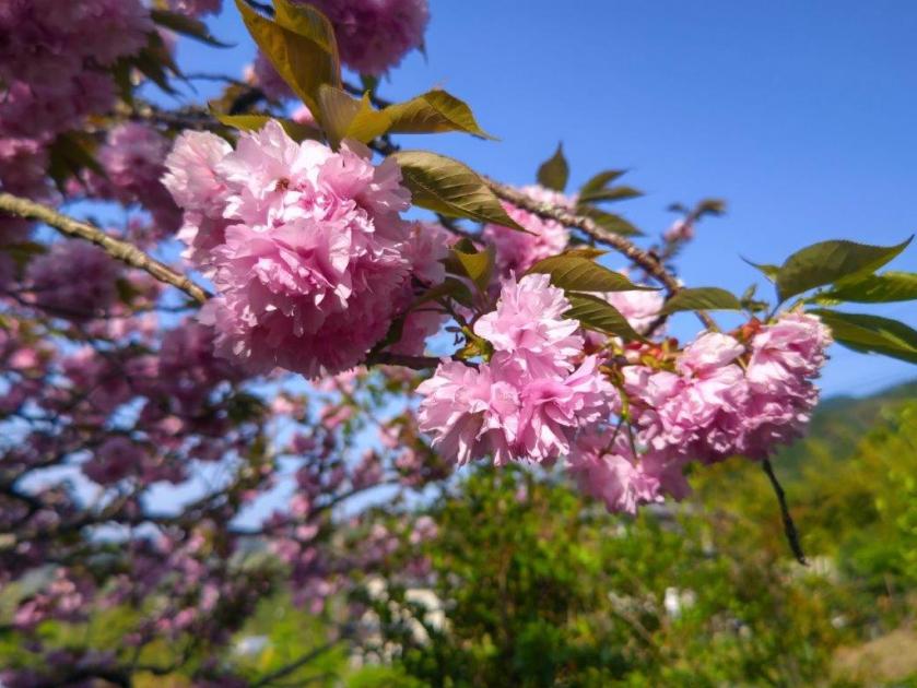
At 4pm, I headed back, enjoying the soft late afternoon light still reaching the summit ridge through the leafless trees. The new green hadn’t arrived yet but the silver lining was that I was mostly in the sun on a slightly cold day and had glimpses of the views in other directions. During the steep descent, I happened to notice a group of small white flowers, Nippon Bells (イワウチワ) which I had missed on the way up. At the base of the slope, I was suddenly plunged into the shade, the sun now too low for it to reach the valley bottom. At 5pm, I was back at the campground parking, and after a short drive, reached the Hananuki Gorge (花貫渓谷) parking area, with a superb sakura tree in full bloom in one corner.

View North Between the Trees

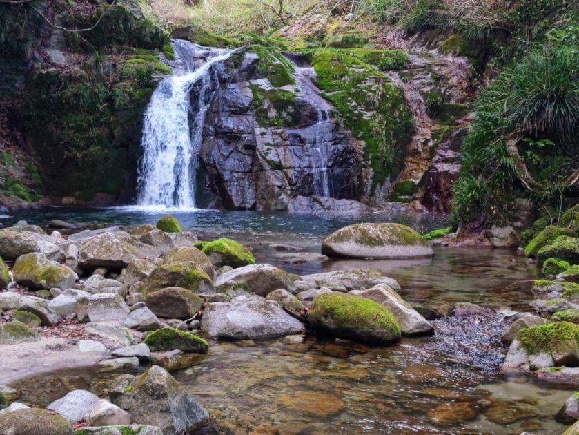
Otome Falls in Hananuki Gorge

I made my way to the small path along Hatanuki River, the only visitor at this late hour. I first passed Fudo Falls (不動滝), before arriving at the bigger Otome Falls (乙女滝). After enjoying the sight of the falls surrounded by moss-covered rocks, I made my way back to my car. After a one-hour drive, I was back at Mito station where I had half an hour to check out various Ibaraki Japanese sake using a coin operated “sake server”. At 7h30pm, I boarded the Hitachi Limited Express for the 80-minute ride back to Tokyo.

Watch a Video of the Hike

Watch the Video of the Hike on YouTube

See a Slideshow of More Pictures of the Hike

Mt Ogiri (766m), Higashi-chichibu & Chichibu Cities, Saitama Prefecture, Sunday, March 23, 2025

I wanted to do another hike in Higashi-Chichibu, as my previous hike there a few months ago had reminded me of what a great place it was for hiking. Looking at my map, I saw I could traverse from eastern to central Chichibu, passing by a peak climbed some years ago. The middle part of my planned hike followed the Kanto Fureai no Michi, as well as the Outer Chichibu 7 Peaks Traverse Hiking Trail, meaning the trail would be easy to follow. It had snowed heavily a few days before, but looking online, it seemed that most of the snow had already melted in the subsequent warm weather.

For subscribers, read this Post on Hiking Around Tokyo for a better viewing experience and the latest updates

To get to the start of the hike, I’d ride the Tobu-Tojo express train from Ikebukuro to Ogawamachi, and from there, board the Higashi-chichibu Village line bus for the half an hour trip to Kaiya in Higashi-Chichibu. For the return, I could catch a bus from Sadamine in Chichibu itself for the thirty-minute ride to Seibu-Chichibu station, where I could get a hot bath at Matsuri-no-yu and taste some local nihonshu from their “sake server” before catching the Laview Limited Express for Tokyo. The weather was supposed to be sunny and warm for the season and so I was looking forward to an early spring hike in the Chichibu mountains north of Tokyo.

Find Japan Hiking Maps on Japanwilds and subscribe to our newsletter

Trail past the Summit (left) After Sadamine Pass (right)

Hiking the Outer Chichibu 7 Peaks Traverse Hiking Trail

外秩父七峰縦走ハイキングコース

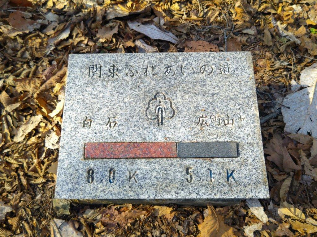
Hiking the Kanto Fureai no Michi 関東ふれあいの道

View of Higashi-Chichibu from above Kaiya

Looking back at the Road for Kayunita Pass

The first part of the hike took me from the base of the valley to the open shelter at the Kayunita Pass (粥仁田峠), where I turned left, onto the Fureai no Michi the Outer Chichibu 7 Peaks Traverse. I started out at 11am and arrived at the pass just before 1230 during which time I saw only one other hiker, wearing a traditional Japanese straw hat or “amigasa”. He was walking behind me and occasionally picked up pieces of trash, so I assumed he was a member of the “Kaiya Genki Club”, the name shown on the many new-looking signposts I had seen along the way.

These Fields will Turn Green in the Summer

View East Between Kayunita Pass and Mt Ogiri

This first part was entirely along deserted country lanes through open fields, meaning I had wide sweeping views of the Higashi-Chichibu valley every time I stopped and turned around. On the southeast side, I could see Mt Kasa and Mt Dodaira, climbed in November last year; on the northeast side was Mt Kannokura. Most of the surrounding vegetation was still in winter mode which felt a bit strange considering that the temperature was above 20°. On the same day I saw cherry blossom trees that had already reached full bloom and patches of leftover snow, sometimes even at the same spot.

Walking the Outer Chichibu 7 Peaks Traverse Hiking Trail

View of Chichibu Highland Farm from Mt Ogiri

The next part from the Kayunita pass to the summit, up a proper hiking trail, took half an hour. It was mostly in the forest although I had a view of Higashi-Chichibu through a gap in the trees mid-way. The guy in the “amigasa” caught up with me at the summit but it turned out that he was just another hiker. The view was a bit hazy and better appreciated with the naked eye than in photos. Straight ahead, northwards, I could see Chichibu Highland Farm, Mt Misuzu and the Nagatoro Alps. To the west was the outline of Mt Ryokami and the Oku-Chichibu mountains: and on the south side was the easily recognisable pyramid summit of Mt Buko. Mt Ogiri (大霧山 おおぎりやま meaning big fog) is a 100 famous mountain of Kanto, hard to believe since I had the summit to myself (the straw hat guy left after a short break).

Level Section Past the Summit

View East of Mt Kasa and Mt Dodaira

I sat on one of the benches for a half hour lunch break. During that time, using the detailed “View Guide” (展望案内), I tried to identify many of the mountains that could be seen on a day with perfect visibility. At 1h30, I set off again, and reached the Old Sadamine Pass (旧定峰峠) less than an hour later. This up and down section was also mostly in the trees, except for a view of Mt Kasa and Mt Dodaira beyond a field on the left side. The ground was dry and free of mud despite the heavy snow just a few days ago, allowing me to walk at a good pace. I was also glad to be in the shade of the trees, shielding me from the sun on an unseasonably warm spring day.

Leftover Snow on a Warm Spring Day

Approaching the Sadamine Pass

At the Old Sadamine Pass, a crossway surrounded by tall cedars, I turned right, heading down the valley towards Sadamine, leaving the Fureai no Michi and 7 Peaks Traverse which both continued straight along the ridgeline. A signboard recounted the Legend of Daidarabotchi, including the origin of Mt Ogiri:


Long ago, there was a giant named Daidabo who lived in the Musashi Plain. One day, on his way to Mt. Haguro, he straddled the Chichibu Mountains, sitting on Sadamine Pass, and putting his straw hat on top of Mt Kasa. He stretched out his legs toward the nearby Yokogawa Rive and, placing his bowl of cooked rice gruel on Kayunita Pass, enjoyed his lunch. After he finished eating, he placed his chopsticks (made from two logs) into the ground and stood up, accidentally leaving a large rock behind that had been supporting his lower back. He then took a sip of water from the Arakawa River and blew it out—this is said to have formed Mt. Ōgiri. To this day, the footprints left behind by the giant remain in the form of wetlands and marshes in the upper reaches of the Yokogawa River and in the mountains around Shiraiwa.

End of the Hike in Sadamine on the Chichibu Side

View Towards Maruyama from Sadamine

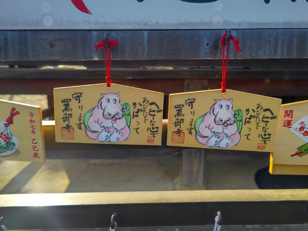
The last part of the hike was a straightforward descent through forest. At 3pm, I popped back onto a road near Sadamine. It was another 30 minute walk back to the road and a bus stop. Since I was ahead of schedule, rather than waiting under the afternoon sun, I decided to visit the nearby Shimabuji Temple (四萬部寺), #1 on the Kannon Temple Circuit. By 4h30, I was on the bus for Seibu-Chichibu station. Surprisingly the food court and souvenir shops were not crowded, possibly because March is still out of season for the area. Shortly after 6pm, I was comfortably seated on the Laview Limited express for the 90 minute ride back to Ikebukuro.

Watch a Video of the Mt Ogiri Hike

Watch the Video of the Hike on YouTube
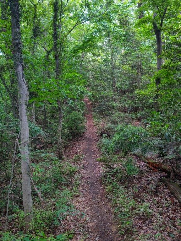
See a Slideshow of More Pictures of the Hike

Mt Otsuka (213m), Machida & Hachioji Cities, Tokyo Prefecture, Thursday, March 20 & 27, 2025

I was looking for an easy hike for the Spring Equinox, since I planned to go hiking again a few days later on the weekend. It had snowed the day before in the mountains around Tokyo so I decided to explore some more parks inside the capital, which I hoped were mostly snow-free. Looking at my map, I noticed that Machida seemed to have a lot of green areas so it felt like a good place to start. I also saw that many trails started and ended at train stations so it seemed relatively easy to make a station to station hike.

For subscribers, read this Post on Hiking Around Tokyo for a better viewing experience and the latest updates

Find Japan Hiking Maps on Japanwilds and subscribe to our newsletter

To get to the start of the hike, I’d ride the Chuo line from Shinjuku to Hachioji station, enjoying the comfort of the newly added green (1st class) cars. There, I’d transfer to the JR Yokohama line and ride 3 stops to Aihara station. I’d end at Naganuma station on the Keio line which, after a transfer to the express at Takahatafudo station, I could ride all the way back to Shinjuku. Although Aihara is geographically far from Machida station (13km), it is connected to Machida city via a narrow neck extending westwards.

From the station, I’d head west along Machida-Kaido Avenue to the start of the Nanakuni Pass Promenade (七国峠遊歩道 nanakoku-toge yuhodo), an ancient road that used to run to Tsukui; I’d follow it north past Dainichido Shrine (大日堂 223m), the highest point of the hike, and Nanakuni Pass, where I’d turn eastwards along the north side of Aihara Central Park (相原中央公園). On the way, I hoped to get a view of the Okutama mountains on the west side from the Nanakuni Ridge Viewpoint (七国尾根見晴台).

After crossing Hachioji-kaido Avenue near Goten Pass (御殿峠 206m), I’d continue eastwards along another path, hugging the north side of a university campus; past a bridge over Hachioji bypass, I’d be standing at Yarimizu Pass (鑓水峠), just below the top of Mt Otsuka (大塚山 おおつかやま ootsukayama), also the site of Doryado Ruins (道了堂跡), a famous haunted spot. It’s also on the historical Silk road, between Hachioji and Yokohama, which I’d only follow for a short section before turning left. I’d then walk a few minutes down a paved road leading to the Kitanodai residential neighbourhood, and rejoin another hiking trail, on the south side of a small park.

After passing through forest, countryside and farmland in the Nakayama locality, and then crossing the Kaien-kaido Avenue, I’d finally arrive at Naganuma Park (長沼公園), a forested area occupying a steep slope south of Asakawa river, a tributary of Tama river. I’d descend to the park entrance via Tonoyato Path (殿ヶ谷戸の道), and from there it was a short walk through Naganuma Town to get to the train station. The weather was supposed to be cloudy in the morning turning sunny in the afternoon. I was looking forward to doing a rare hike within the city of Tokyo and getting views of the city as well as the surrounding mountains.

In the end, I decided to cut the hike short at Goten Pass, and head north to Katakura Station on the Yokohama line, one stop from Hachioji. The next Thursday, I returned to Aihara station, and after following a shorter route to Goten Pass, picked up where I had left off a week before. I reached Naganuma station around lunchtime, thus completing the planned hike. The one week delay gave me a chance to see the first cherry blossom trees in full bloom of the season.

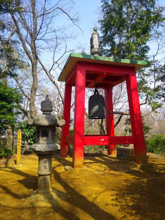
Donichido Shrine (left) Bell near Goten Pass (right)

See a Slideshow of pictures of the Trail

Snowy Tanzawa mountains near Aihara station

Fallen Tree on the Nanakuni Pass Promenade

Gentle Climbing on the Nanakuni Pass Promenade

Trail on the North Side of the Aihara Central Park

Path heading up Nanakuni Ridge Green Space

View West of Okutama from the Nanakuni Ridge Viewpoint

Trail heading inside Aihara Central Park

Mt Takao (center front), Mt Goten & Mt Odake (right back)

Trail Past the Nanakuni Ridge Viewpoint

Trail Past Goten Pass

Bridge over Hachioji Bypass

View of Western Tokyo from Yarimizu Pass

Looking back at Yarimizu Pass on the Silk Road

Looking down at the Kitanodai Residential Neighbourhood

On the Other Side, Naganuma Park

Back on a Hiking Trail in Nakayama

Beyond the Farmland, the High Rises of Tama Center

View of West Tokyo from the Top of Naganuma Park

Walking along the Tonoyato Path

Early Sakura at Rokushagu Shrine

Watch a Video of the Mt Otsuka Hike

Watch the Video of the Hike on YouTube
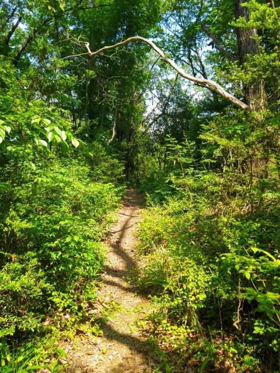
See a Slideshow of More Pictures of the Hike

This Blog Post Continues a Little Longer…

I was so taken by Naganuma Park that I decided to return on the third Wednesday of April for some more exploring. This time, I’d ride the Chuo line limited express from Shinjuku to Hachioji, and from there, take the Tama Monorail to Takahatafudo, 3 stops from Naganuma station on the Keio line. I chose this slightly longer way to enjoy the view of Mt Fuji from the right side of the Monorail. For the return, I’d simply ride the Keio line from Naganuma station back to Shinjuku.

A short walk from the station would bring me back to Rokushagu shrine (六社宮). There, I’d follow the West ridge (西尾根) trail to the top of the park (頂上園地 chojo-enchi), then walk a short way to the Naganuma Park Observation Point, an open shelter with a view of West Tokyo and the Okutama mountains. I’d then head down the Tochimoto Ridge (栃木尾根) on the east side of the park. After that, if time allowed, I’d head up the Chosenji Ridge trail (長泉寺尾根), and then, halfway up the park, head down the connecting Western Chosenji Ridge Trail (西長泉寺尾根). After descending once again to the base of the park, I’d make my way back to the nearby Naganuma station.

I was looking forward to getting some more views of western Tokyo, as well as the Tanzawa and Okutama mountains. Blue skies were forecast all day, and in this season, I’d also get to enjoy the new green of Spring, as well as the pleasing melody of birdsong, especially the distinctive call of the Uguisu, the Japanese bush warbler, a sure sign that Spring has arrived.

New green at the Top of the Park (left) and on the Chosenji Ridge (right)

Rokushagu Shrine without Cherry Blossoms

Hiking the West Ridge Trail

Bridge with a View near the Top of the Park

Mt Gozen (left), Mt Odake & Mt Mitake (center), Chichibu Mountains (right)

The Naganuma Park Observation Point

West Tokyo and Surrounding Mountains

Mt Mito (center) & Mt Kumotori behind Mt Odake (right)

Top of the Tochimoto Ridge Trail

Heading down the East Side of the Park

View of the Nikkei Housing Complex

In the Distance, the High Rises of Tachikawa

Watch a Video of Naganuma Park

Arahata-Fuji (119m), Tokorozawa, Higashi-Murayama & Higashi-Yamato Cities, Saitama & Tokyo Prefectures, Sunday, March 2 & 9, 2025

I was looking for a low-altitude hike near Tokyo to stay clear of the snow that usually covers the mountains surrounding the Kanto area in this season. I also wanted something relatively easy and straightforward to help me get back in shape after being out sick for a couple of weeks. I had explored the parks surrounding the Sayama and Tama lakes by bicycle many years ago. I thought it would be a good chance to revisit them on foot and have a closer look at the sights along the way.

For subscribers, read this Post on Hiking Around Tokyo for a better viewing experience and the latest updates

To get to the start of the hike, I’d ride the Seibu Laview Limited Express to Tokorozawa, and from there, walk half an hour to the entrance of Hachikoku-yama Park (八国山緑地). After traversing the park, I’d make a short detour to Hatomine Park (鳩峯公園) to visit one of the many Totoro forests in the area, as well as Hachiman Shrine (八幡神社) at its eastern end. I’d then head over to Arahata Citizen’s forest (荒幡富士市民の森) where I could “climb” Arahata-Fuji (荒幡富士), an artificial Mt Fuji with 10 real stations. After checking out the view from the summit, I could drop by the nearby Sayama Hills Flora & Fauna Interaction Center (狭山丘陵いきものふれあいの里センター) to learn more about the plants and animals that grow and live in the surrounding forest.

Hiking in the Sayama Natural Park 都立狭山自然公園

If time and energy allowed, I’d then cross over to Tama Lake (多磨湖), next to Seibuen Theme park. After admiring the view of the Okutama mountains, and hopefully Mt Fuji, from Murayama-shita Dam (村山下ダム), I’d walk clockwise around the lake to Higashi-Yamato Green Space (東大和市立狭山緑地) which promised a view of the Tanzawa mountains on its south side. I’d then double-back to Higashi-Yamato Park (東大和公園), making sure to visit the Higashiyamato City Local History Museum (東大和市立郷土博物館) on the way. Next, I’d head to Sayama Park (狭山公園), just below Tama Lake and its dam.

Find Maps & Blogs on Japanwilds & subscribe to our newsletter

Finally, if I made good time, I could explore the nearby and relatively short Seseragi road (せせらぎの道), and the equally short Megurita Greenway (廻田緑道), after which I’d follow the Yanase river to Kitayama Park (北山公園), a park famous for its flowers, although probably none in this season. This final park in my tour sits opposite Hachikoku-yama park, the forested area divided by the Seibuen line and its yellow train cars. From the bridge at the eastern end of the park, I could walk 15 minutes to Higashi-Murayama station, one stop from Tokorozawa on the Seibu-Shinjuku line. The weather was supposed to be clear in the morning, turning cloudy in the afternoon. I was looking forward to revisiting one of the closest nature spots to the center of Tokyo.

In the end, I decided to cut the hike short after visiting the Sayama Hills Flora & Fauna Interaction center, and headed home using the nearby Shimo-yamaguchi station on the Seibu Sayama line, a couple of stops from Tokorozawa. The next week I returned to the same station to pick up where I had left off, after making a second visit to Arahata-Fuji. Once again, I decided to skip the last part of the hike, and so after Sayama Park, I made my way back via Seibuen station on the Seibuen line.

Above is a slideshow showing the wide variety of trails within the many parks surrounding Tama Lake

Steps heading down in Hachikokuyama Ryokuchi Park

Totoro Forest #2 in Hatomine Park

Arahata-Fuji and its 10 stations

Leaving Arahata Citizen’s Forest

Re-entering Arahata Citizen’s Forest the Following Week

View North from the Top of Arahata-Fuji

Weeping Plum Blossom Tree on the Way to Tama Lake

Fujimi “Periscope Tower” in Seibuen Park

Murayama-shita Dam on Tama Lake

Few People Walking the Dam

…on a Cold Winter Day

View East of Higashi-Murayama City & Hachikokuyama Park

View West of the Okutama Mountains

Mt Fuji was in the Clouds but Seibu Dome was visible on the right

Wooden Walkway in Higashiyamato Sayama green space

Observation Plaza in Higashiyamato Sayama green space

Heading to one more viewpoint on the Southwestern Side of the Park

Tanzawa Mountains (left) and Okutama Mountains (right)

Diorama of the Mountains around Tokyo in Higashiyamato City Museum

Unsho-ji Temple on the way to Higashi-Yamato Park

Watch a Video of the Arahata-Fuji Hike

Watch the Video of the Hike on YouTube
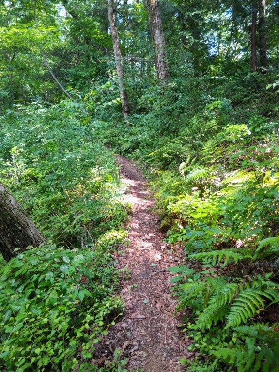
See a Slideshow of More Pictures of the Hike

This Blog Post Continues a Little Longer…
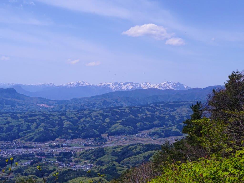
I wanted to return to Tama Lake to complete my originally planned hike. I finally had an opportunity for a short morning hike on the second Wednesday of April. The cherry blossom season had started later than usual due to unseasonably cold weather at the beginning of the month, and I was hoping to still see some sakura in full bloom, as well as the new green, inside Sayama Park.

I would ride the Laview Limited Express to Tokorozawa, then change to the Seibu Shinjuku line for the one stop ride to Higashi-Murayama, and change again to the Seibuen line for another one stop ride to Seibuen station, the whole trip possible in one hour thanks to short connection times. The weather was supposed to be warm and sunny and so I hoped to get my third view of Fuji of the year.

Seibuen Fujimi “Periscope Tower” Surrounded by Sakura

New Green at the North Side of Sayama Park

View of Mt Fuji from Tama Lake

Murayama-Shita Dam under the Morning Sun

Clear View of the Okutama Mountains (Mt Odake on the left side)

Cherry Blossom Trees in Sayama Park

A Good Spot for Hanami

Wooden Steps Connecting the Dam and the Park

Walking among the Sakura in Sayama Park

Following Seseragi Road in Higashi-Murayama

Observation Deck on Megurita Greenroad

Walking on Sakura Promenade at the End of Megurita Greenroad

Another Good Place for Hanami

Two People Enjoying a Break under a Huge Sakura Tree

Group of Huge Cherry Blossom Trees in Kitayama Park

Kitayama Park in the Early Spring

Pair of Weeping Cherry Blossom Trees in front of Higashi-Murayama Station

Watch a Video of the Final Part of the Arahata-Fuji Hike

See a Slideshow of some more Pictures of the Hike